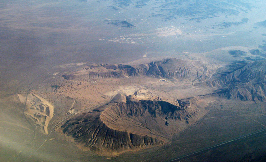
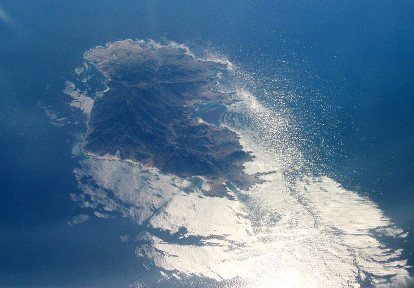
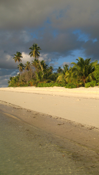
La Digue is the fourth largest inhabited island of the Seychelles, lying east of Praslin and west of Felicite Island. It has a population of about 2,000 people, who mostly live in the west coast villages of La Passe (linked by ferry to Praslin and Mahé) and La Réunion. It has an area of 10 km². La Digue is named after a ship in the fleet of French explorer Marc-Joseph Marion du Fresne, who visited the Seychelles in 1768.
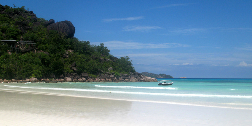
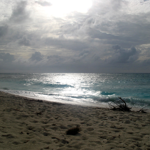
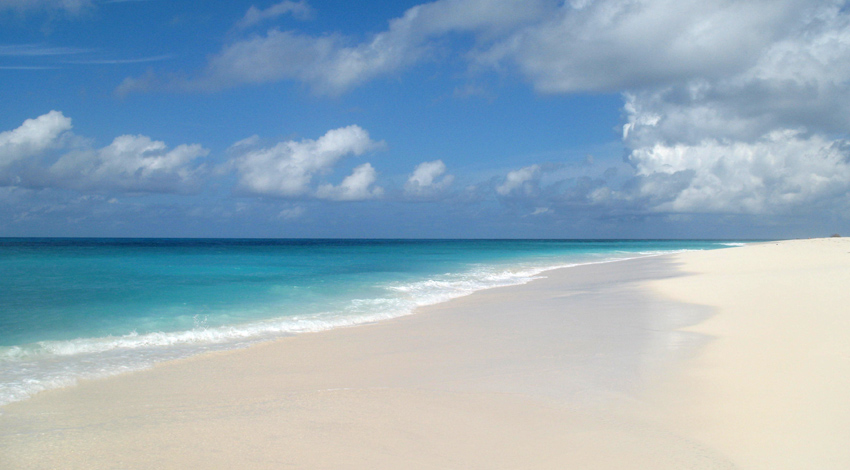
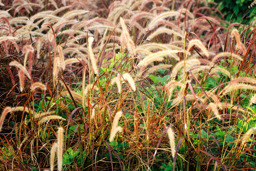
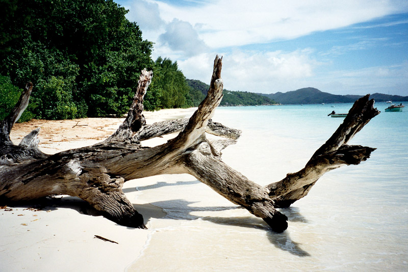
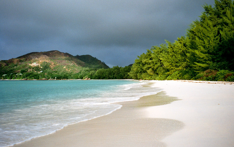
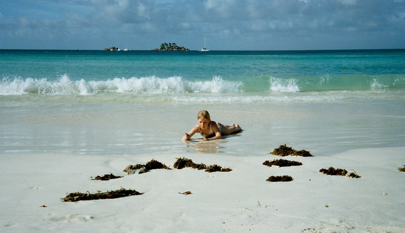
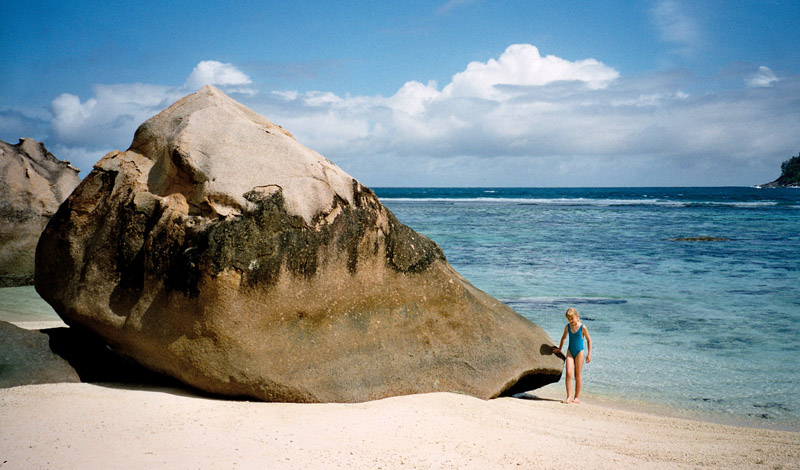
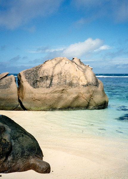
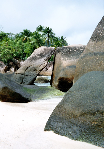
Today the island’s main industry is tourism and is known for its beaches especially Anse Source d’Argent. In former times copra and vanilla production were mainstays of the local economy; which is commemorated in the island’s museum. In the island’s interior is Veuve Nature Reserve, home of the rare Black Paradise Flycatcher, of which there are only about 100 in existence. La Digue’s tallest peak is also in the central part of the island, Belle Vue (Eagle’s Nest Mountain), with its summit more than 300 meters above sea level.
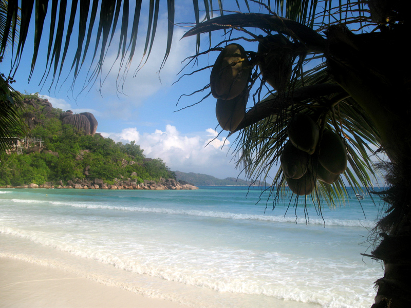
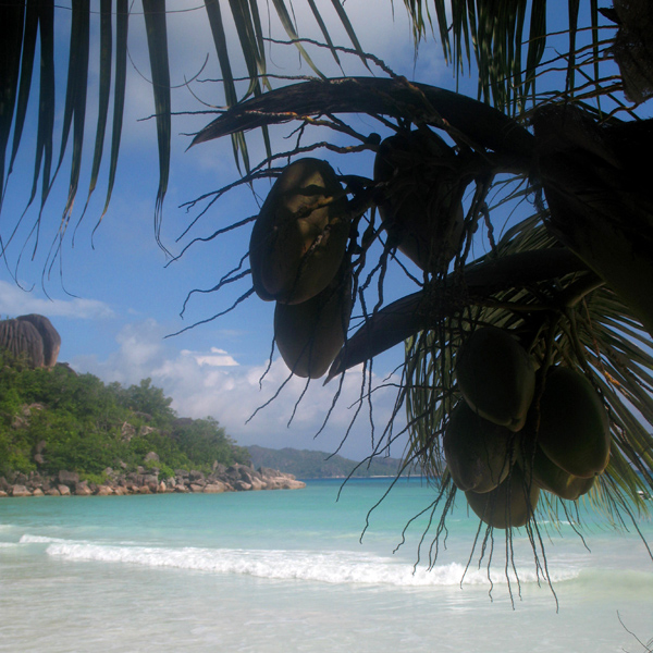
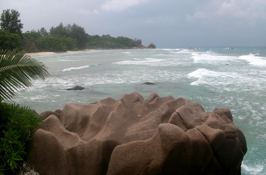
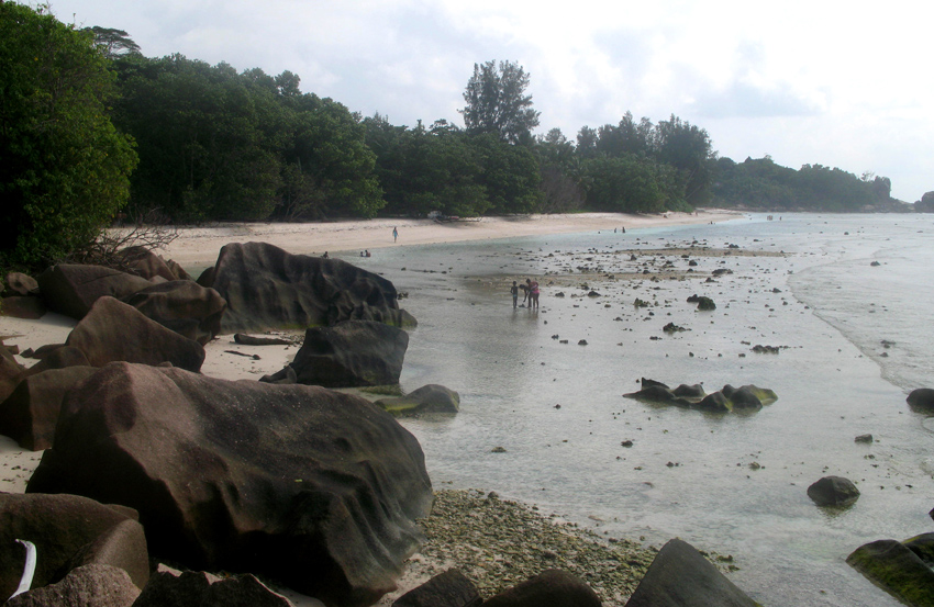
Praslin is the second largest island (38 km²) of the Seychelles, lying 44 km north east of Mahé. Praslin has a population of around 6,500 people and comprises two administrative districts; Baie Sainte Anne and Grand’ Anse (Praslin). The main settlements are the Baie Ste Anne, Anse Volbert and Grand’ Anse.
It was named Isle de Palmes by explorer Lazare Picault in 1744. During that time it was used as a hideaway by pirates and Arab merchants. In 1768 it was renamed Praslin in honor of French diplomat César Gabriel de Choiseul, duc de Praslin.
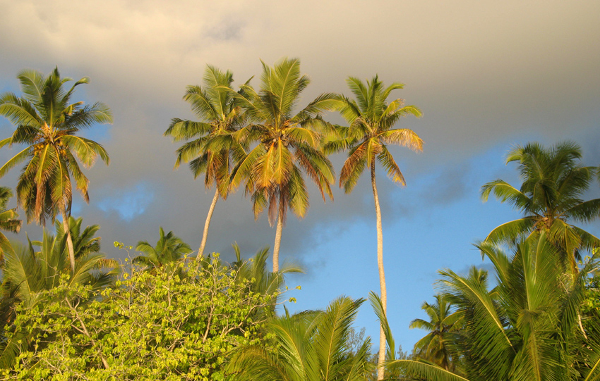
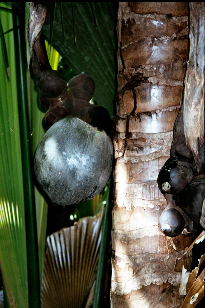
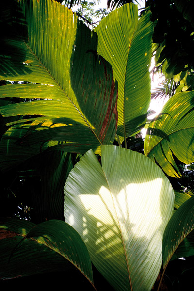
Praslin is known as a tourist destination with several hotels and resorts, as well as a number of beaches such as Anse Lazio and Anse Georgette. It also has substantial tracts of tropical forests with birds such as the endemic Seychelles Bulbul and the Seychelles Black Parrot. The beautiful Vallée de Mai Nature Preserve is known for the unique coco de mer and vanilla orchids. It has been reported that General Charles George Gordon of Khartoum (1833-1885) was convinced that Vallée de Mai was the Biblical “Garden of Eden”.
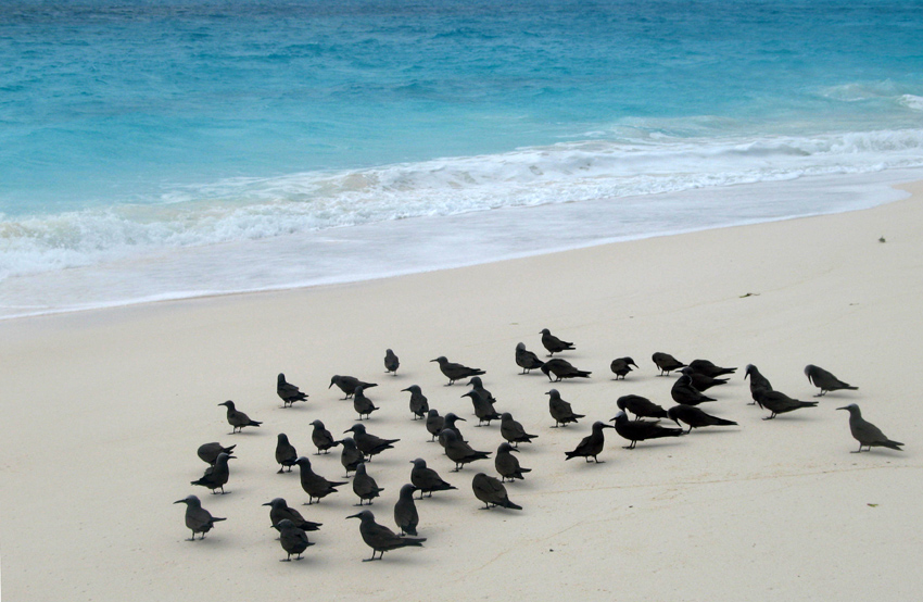
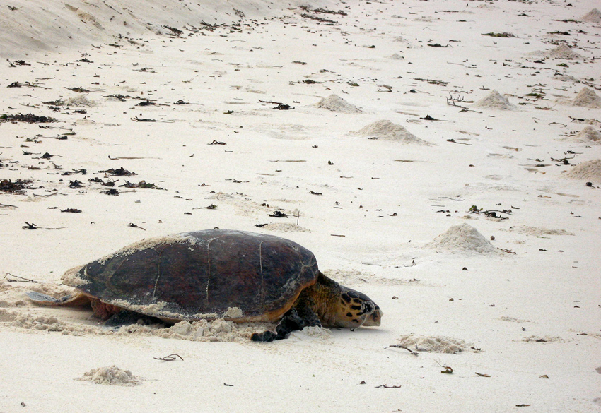
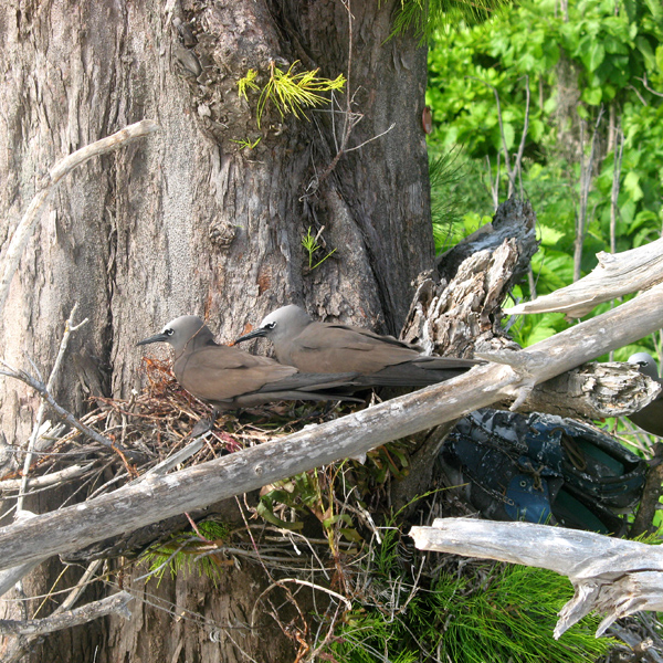
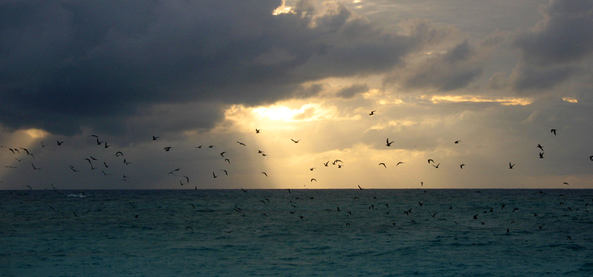
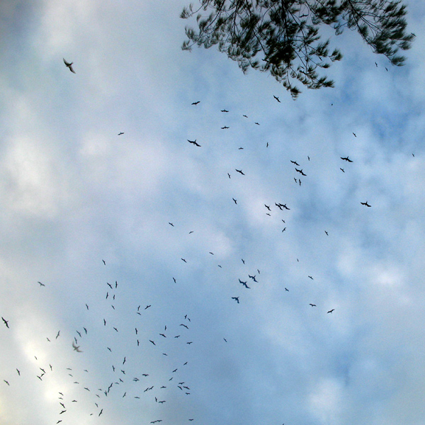

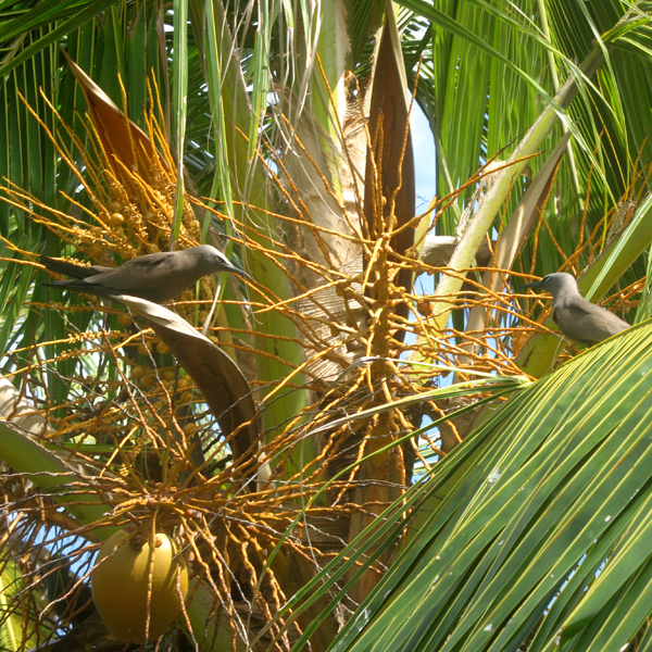

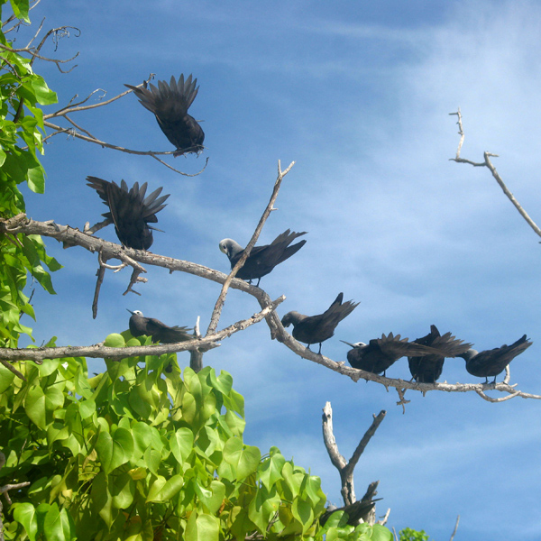
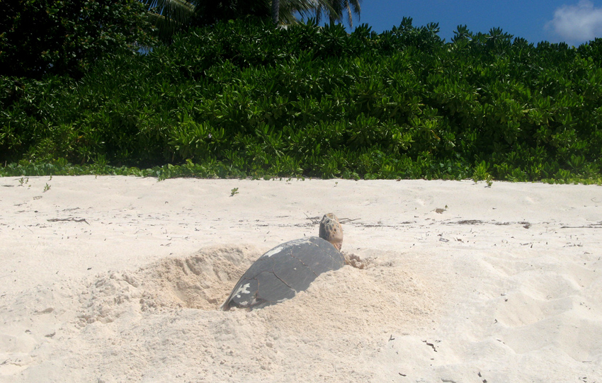
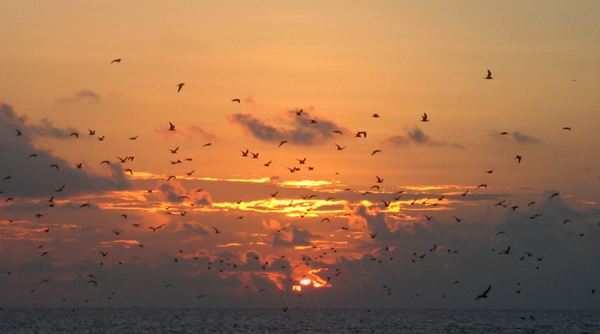
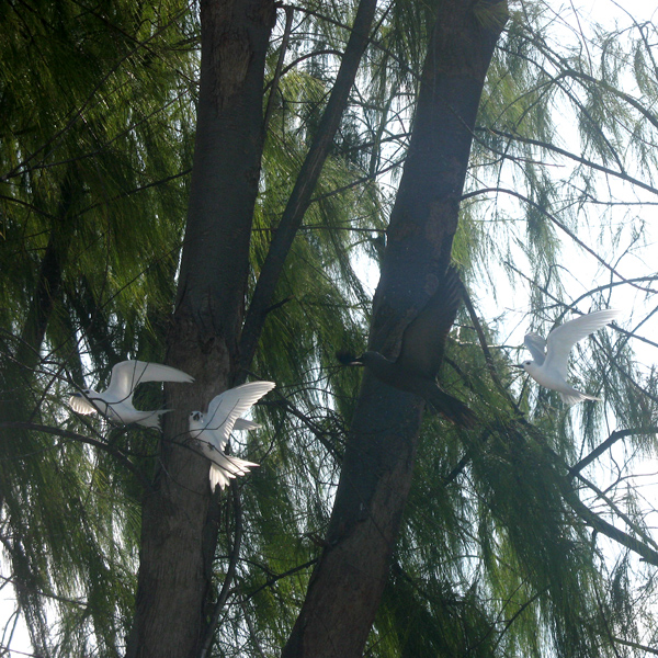
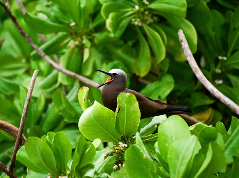
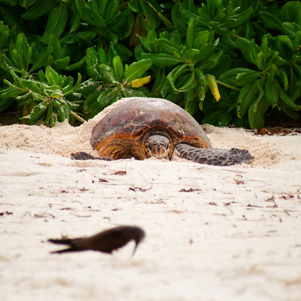
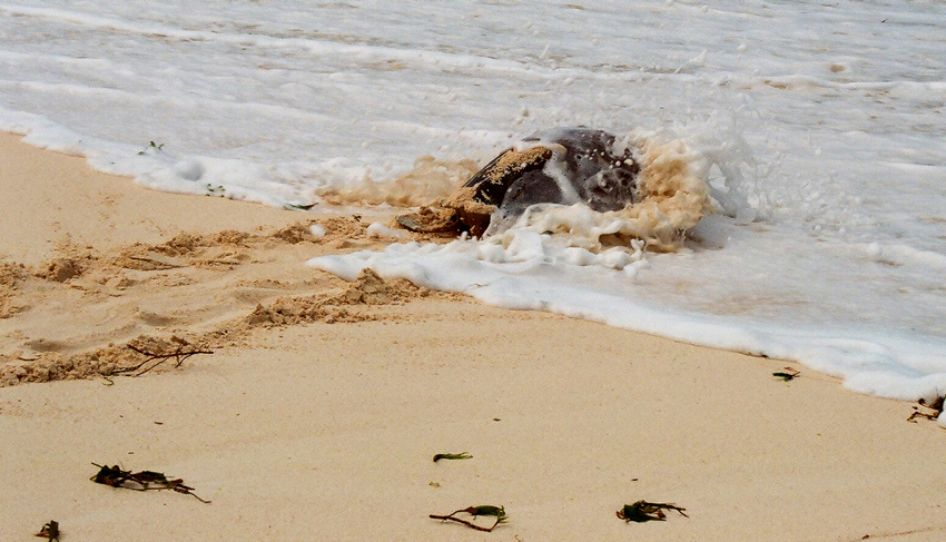
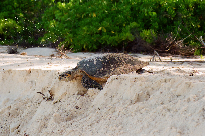
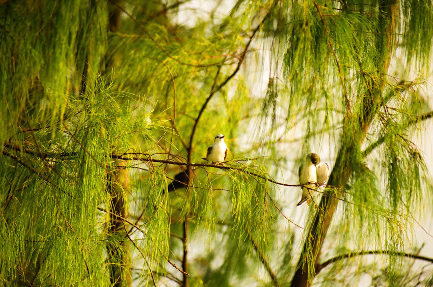
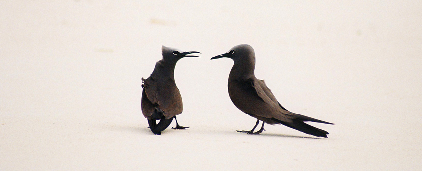
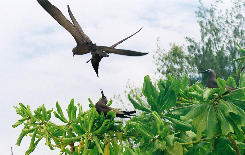
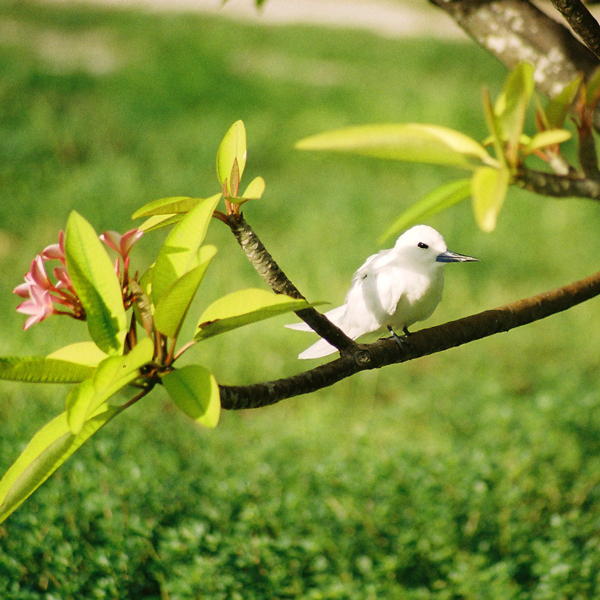
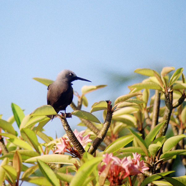
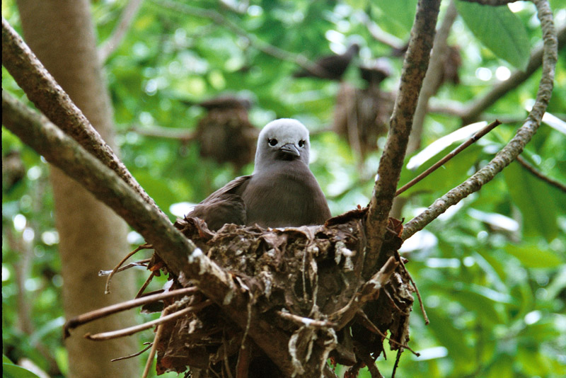
Bird Island is the northernmost island in the Seychelles archipelago, 60 miles from Mahe. The 0.70 km² Coral island is known for its birdlife, including sooty terns, fairy terns and common noddies, and for hawksbill and green turtles. It is now a private resort with 24 bungalows. It also contains a small weather station.
Bird Island was formerly known as “Ile aux Vaches” due to the numerous dugongs (sea cows) that lived in nearby waters. Between 1896 and 1906, 17,000 tons of guano were removed from the island and exported to Mauritius as fertilizer. It formerly was a coconut plantation, and cash crops such as papaya and cotton were also grown.
Since 1967 it has been privately owned, and conservation measures have taken place such as protection of birdlife and sea turtle nesting sites, and the eradication of feral rats and rabbits.
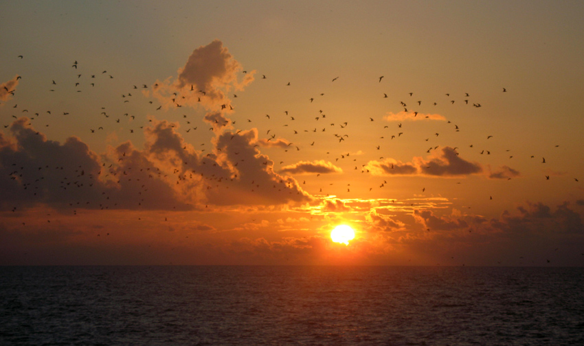
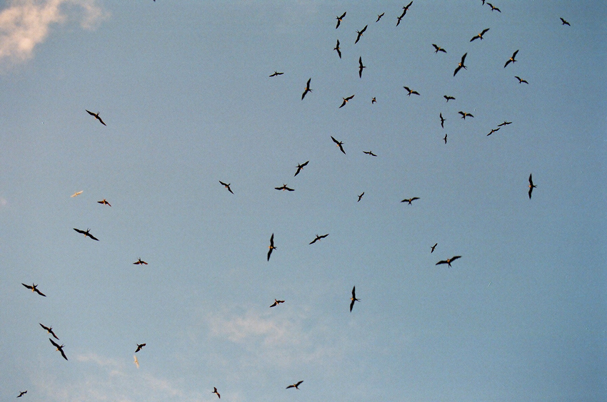
Another phenomena of Bird island is that each Year in May millions of bird come for nesting to the island and before they start nesting they pick up water from the sea and drop in the large grass patch of the island, where they intend to nest. The salt water the bird drop makes the grass go dry and after a few weeks they can start building their nests on the dry ground.
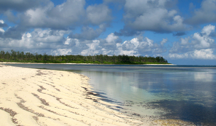
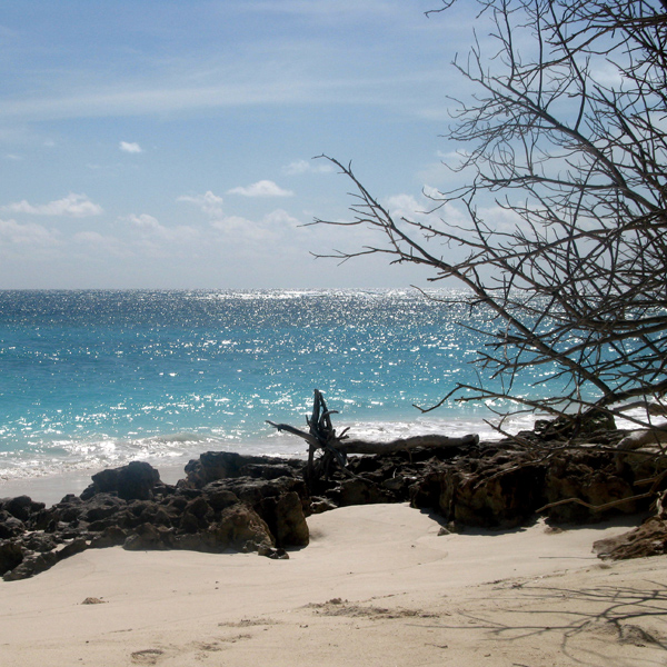
Île Desroches or Desroches Island is the main island of the Amirante Islands, part of the Outer Islands of the Seychelles. It is located 230 km southwest of Mahé, the Seychelles’ main island. It is 6.2 km long and has a land area of 3.24 km². Along its circumference of 15 km is a beach of fine sand.
Desroches was named by Chevalier de Roslan, commander of the ship L’Heure du Berger, after the Chevalier des Roches, the Governor of Mauritius (then Île de France) and Réunion (then Bourbon) from 1767 to 1772. It was explored by the Chevalier de la Billioère in 1771. The British had originally named it Wood Island because of its dense tree vegetation. The island was an important producer of copra.
Desroches has a population of about 50, a settlement in the middle of the northwestern shore (looking to the lagoon), a small luxury hotel with 20 rooms in the south (Desroches Island Resort), built in 1988 and a paved airstrip 1372 m long in the southern part. It is located 36 km east of the Amirantes Bank, and separated from it by water over 1300 meters deep. It lies on the southern edge of a reef of atoll character. At the northern edge of the atoll are the Shark Rocks, with least depths between 3 and 6 meters. There is a lighthouse on the northeast end of the Desroches Island. The island is fringed by a drying reef which extends 1.6 km offshore from the northeastern extremity and 0.8 km from the southwestern extremity. The island is low and is covered with coconut palms and tall hardwood trees. A deep channel, about 1.6 km wide, leads into the lagoon. The least depth in the channel is 18.3 m, and it crosses the atoll in a position about 11 km northwest of Desroches.
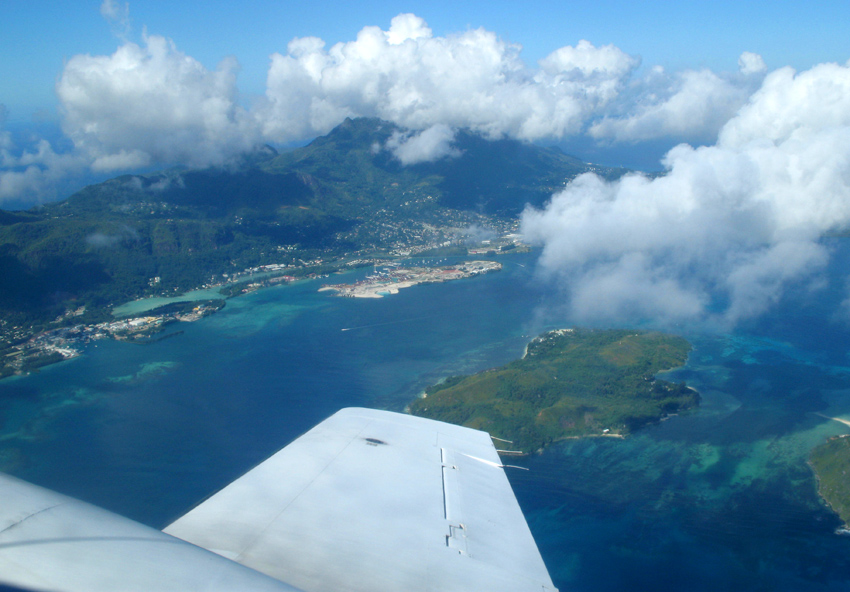
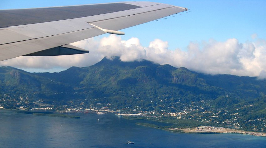
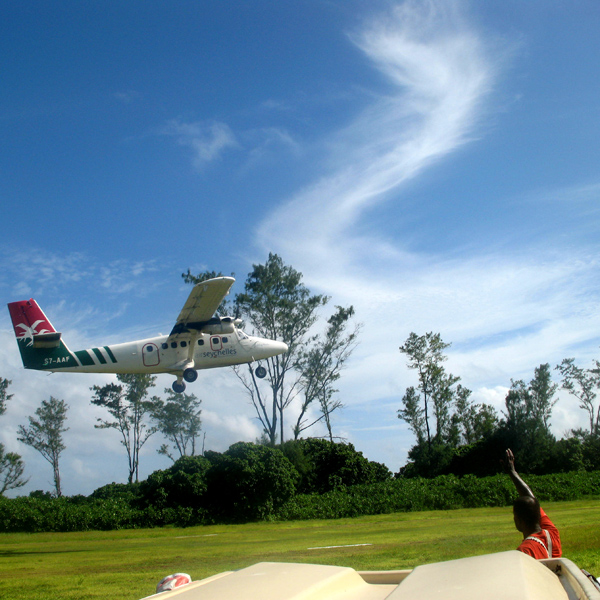
Mahé is the largest island (155 km²) of the Seychelles, lying in the north east of the nation. The population of Mahé is 80,000. It contains the capital city of Victoria and accommodates 90% of the country’s total population. The island was named after Bertrand-François Mahé de La Bourdonnais, a French governor of Mauritius.
Mahé’s tallest peak is Morne Seychellois at 905 m, which lies in the Morne Seychellois National Park. The northern and eastern parts of the island are home to much of the population and the international airport which opened in 1971. The southern and western parts have Baie Ternay Marine National Park and Port Launay Marine National Park. The Ste Anne Marine National Park lies offshore, as do Conception Island, Thérèse Island, Anonyme Island and Silhouette Island.
Mahé was first visited by the British in 1609 and not visited by Europeans again until Lazare Picault’s expedition of 1742. Mahé remained a French possession until 1812 when it became a British colony. It remained a colony until 1976 when Seychelles became an independent nation.
Praslin is the second largest island (38 km²) of the Seychelles, lying 44 km north east of Mahé. Praslin has a population of around 6,500 people and comprises two administrative districts; Baie Sainte Anne and Grand’ Anse (Praslin). The main settlements are the Baie Ste Anne, Anse Volbert and Grand’ Anse.
It was named Isle de Palmes by explorer Lazare Picault in 1744. During that time it was used as a hideaway by pirates and Arab merchants. In 1768 it was renamed Praslin in honor of French diplomat César Gabriel de Choiseul, duc de Praslin.
Praslin is known as a tourist destination with several hotels and resorts, as well as a number of beaches such as Anse Lazio and Anse Georgette. It also has substantial tracts of tropical forests with birds such as the endemic Seychelles Bulbul and the Seychelles Black Parrot. The beautiful Vallée de Mai Nature Preserve is known for the unique coco de mer and vanilla orchids. It has been reported that General Charles George Gordon of Khartoum (1833-1885) was convinced that Vallée de Mai was the Biblical “Garden of Eden”.
Mahé is the largest island (155 km²) of the Seychelles, lying in the north east of the nation. The population of Mahé is 80,000. It contains the capital city of Victoria and accommodates 90% of the country’s total population. The island was named after Bertrand-François Mahé de La Bourdonnais, a French governor of Mauritius.
Mahé’s tallest peak is Morne Seychellois at 905 m, which lies in the Morne Seychellois National Park. The northern and eastern parts of the island are home to much of the population and the international airport which opened in 1971. The southern and western parts have Baie Ternay Marine National Park and Port Launay Marine National Park. The Ste Anne Marine National Park lies offshore, as do Conception Island, Thérèse Island, Anonyme Island and Silhouette Island.
Mahé was first visited by the British in 1609 and not visited by Europeans again until Lazare Picault’s expedition of 1742. Mahé remained a French possession until 1812 when it became a British colony. It remained a colony until 1976 when Seychelles became an independent nation.
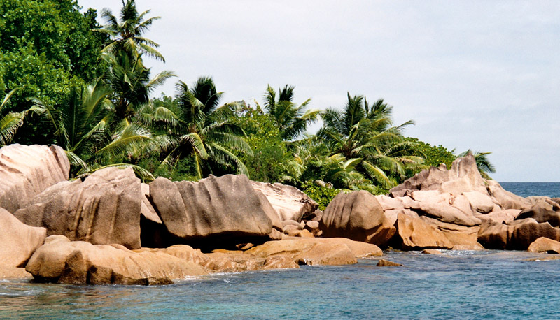
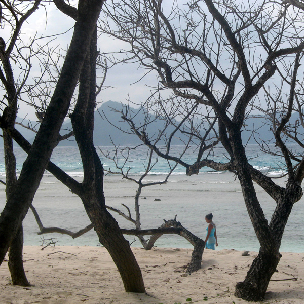
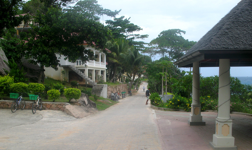
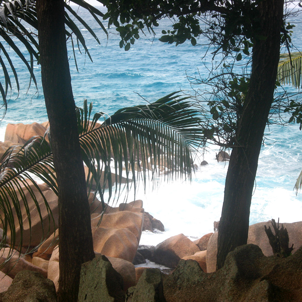
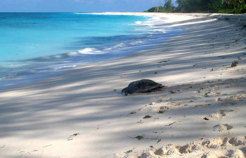
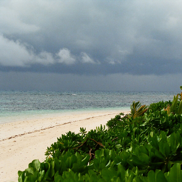
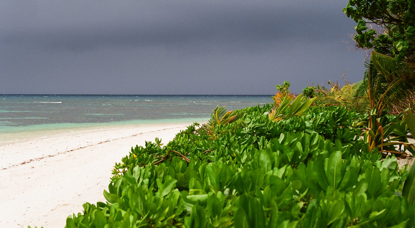
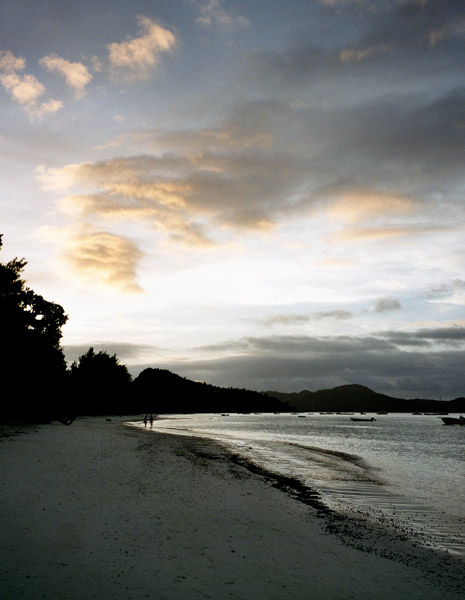
La Digue is the fourth largest inhabited island of the Seychelles, lying east of Praslin and west of Felicite Island. It has a population of about 2,000 people, who mostly live in the west coast villages of La Passe (linked by ferry to Praslin and Mahé) and La Réunion. It has an area of 10 km². La Digue is named after a ship in the fleet of French explorer Marc-Joseph Marion du Fresne, who visited the Seychelles in 1768.
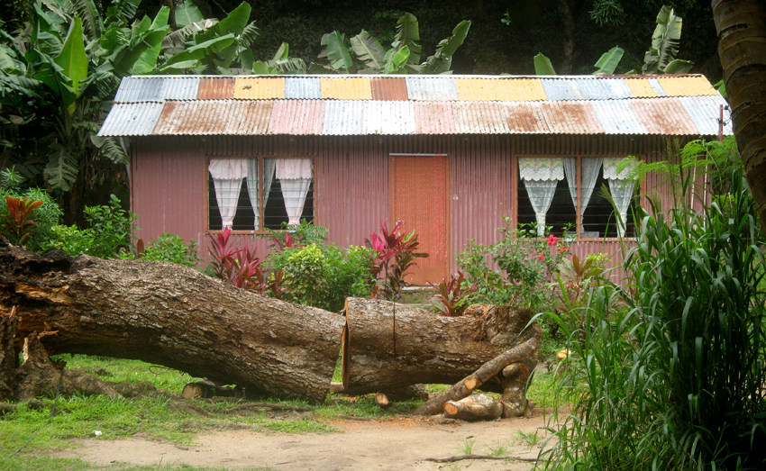
Today the island’s main industry is tourism and is known for its beaches especially Anse Source d’Argent. In former times copra and vanilla production were mainstays of the local economy; which is commemorated in the island’s museum. In the island’s interior is Veuve Nature Reserve, home of the rare Black Paradise Flycatcher, of which there are only about 100 in existence. La Digue’s tallest peak is also in the central part of the island, Belle Vue (Eagle’s Nest Mountain), with its summit more than 300 meters above sea level.
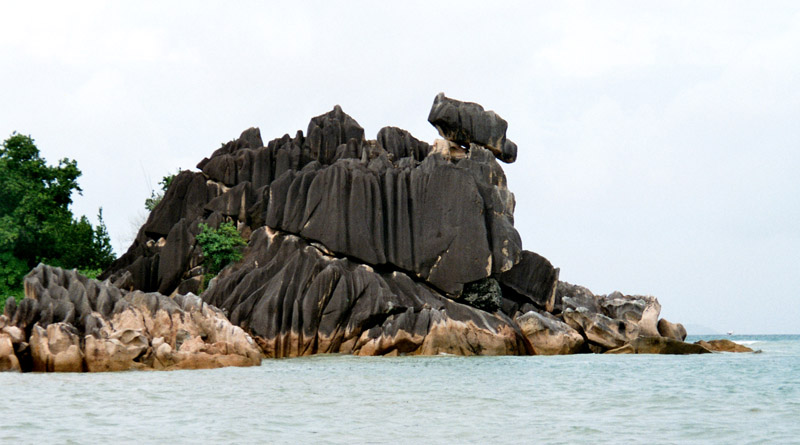
Curieuse Island is a small granitic island (1.78 sq mi) in the Seychelles close to the north coast of the island of Praslin. Curieuse is notable for its bare red earth intermingled with the unique Coco de Mer palms, one of the cultural icons of the Seychelles, only being present on the two islands.
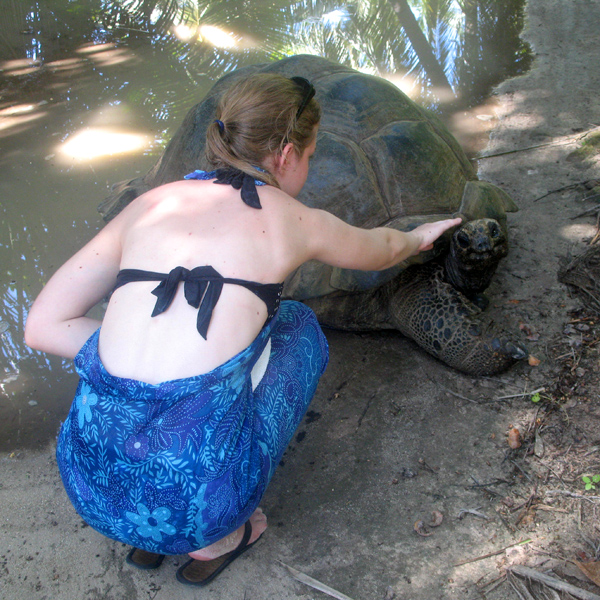
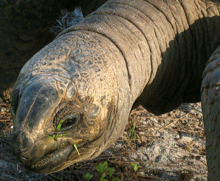
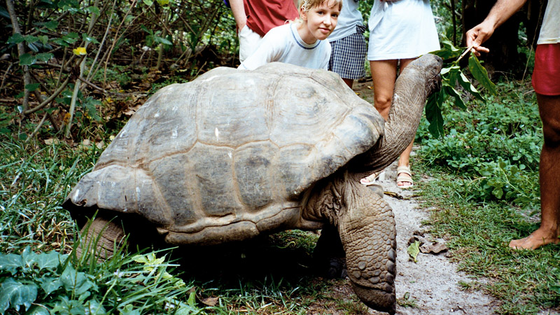
Originally named Ile Rouge due to the red coloured soil, in 1768 the French claimed possession of the island and named it after a schooner “La Curieuse” which was under the command of explorer Marc-Joseph Marion du Fresne. Like many of the Seychelles islands there was a native giant tortoise population that was quickly extirpated.
In 1771 sailors set fire to the island, intending to make harvesting the coco de mer nuts easier. The fire destroyed many of the islands forests and its native trees and today indications of the fire can still be seen nearly 250 years on.