Categories
French Polynesia Society Islands

Huahine

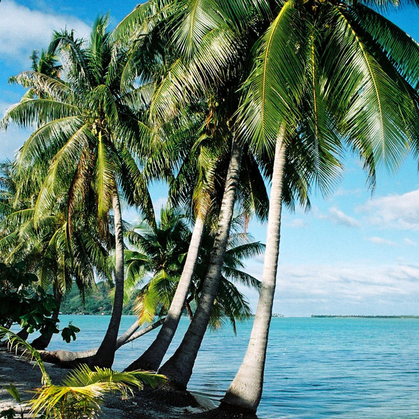
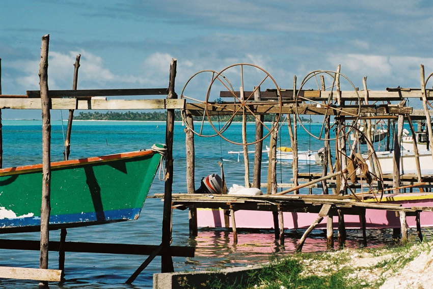
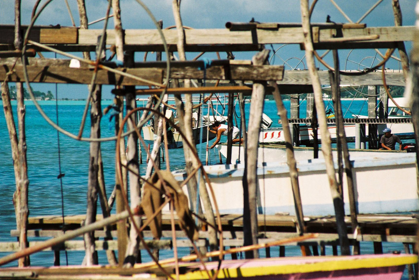
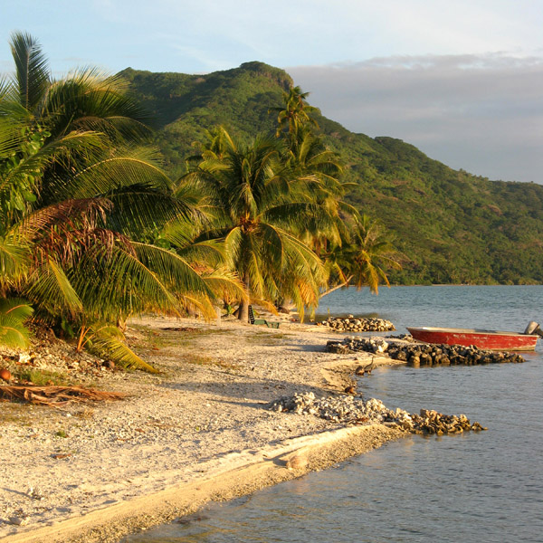
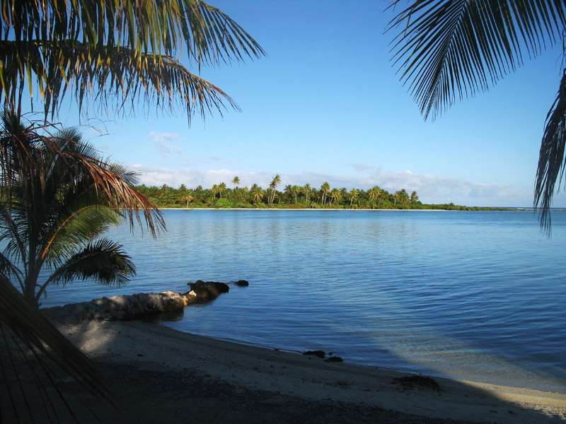
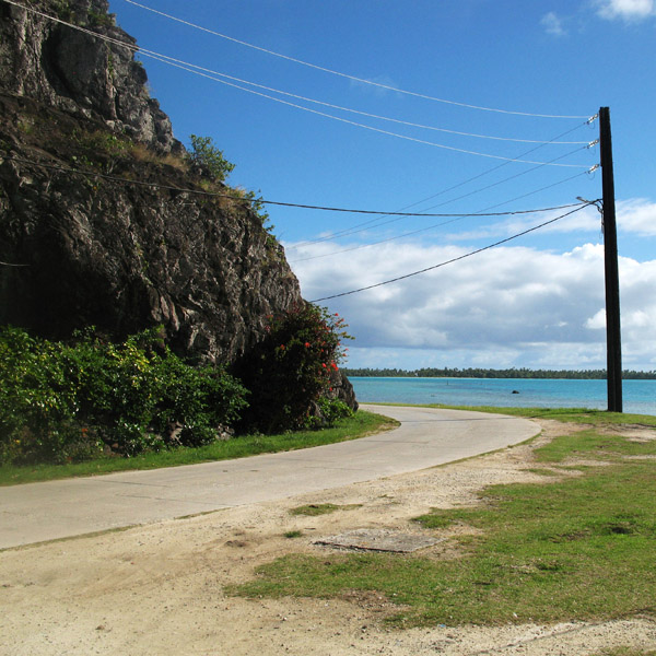
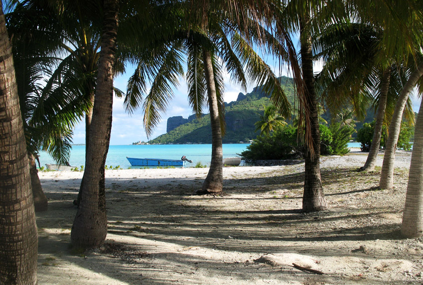
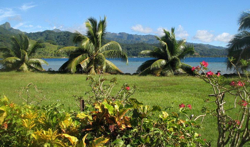
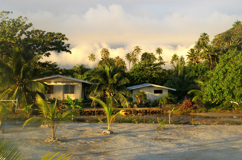
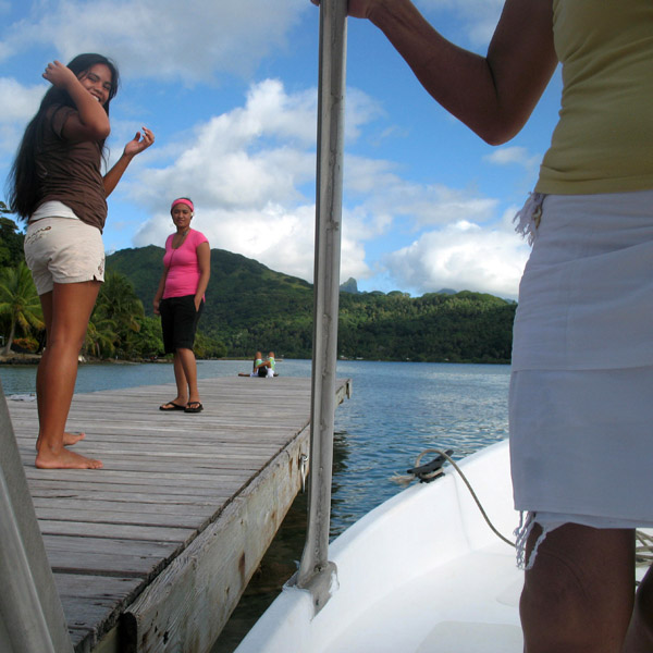
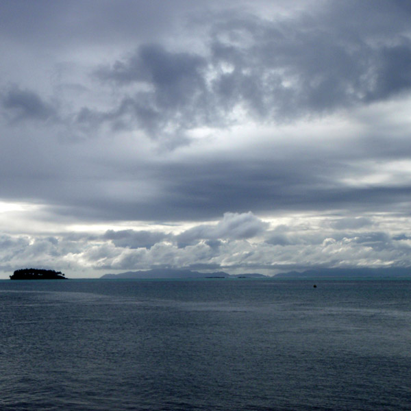
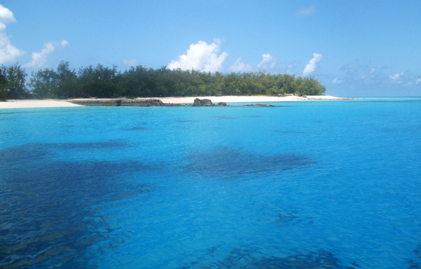
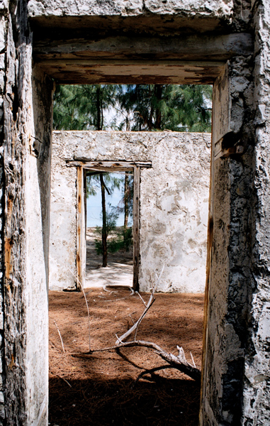
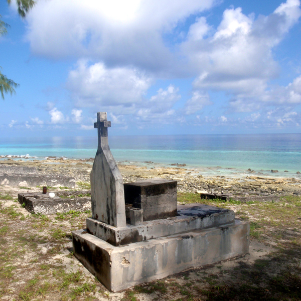
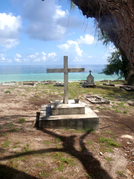
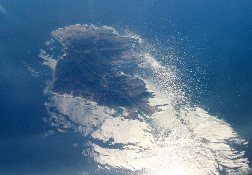
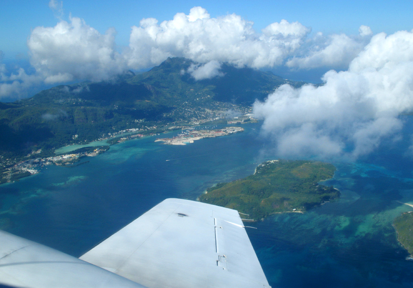
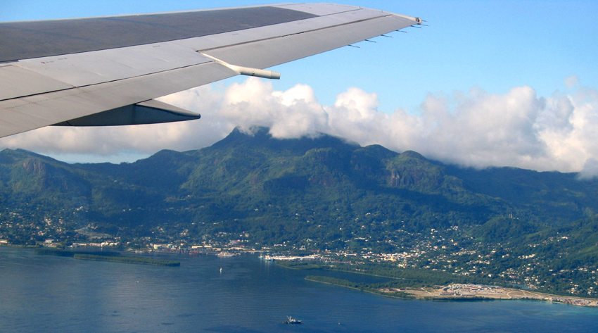
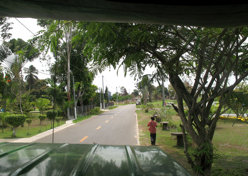
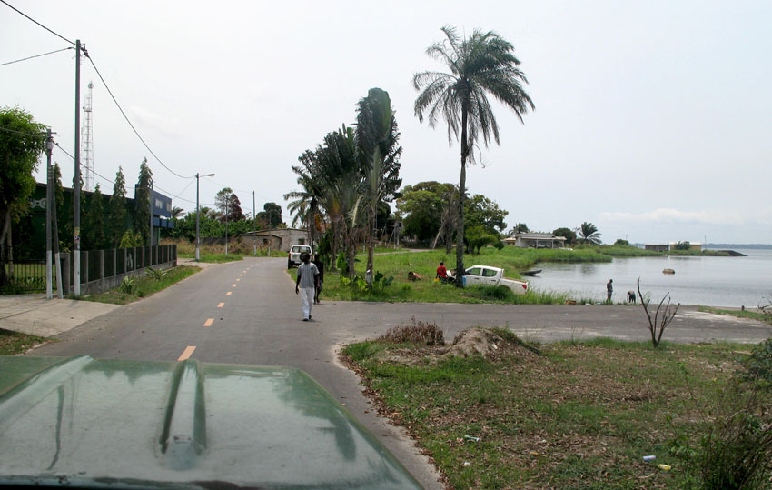
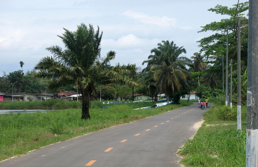
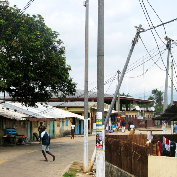
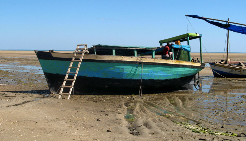
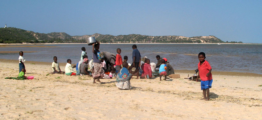
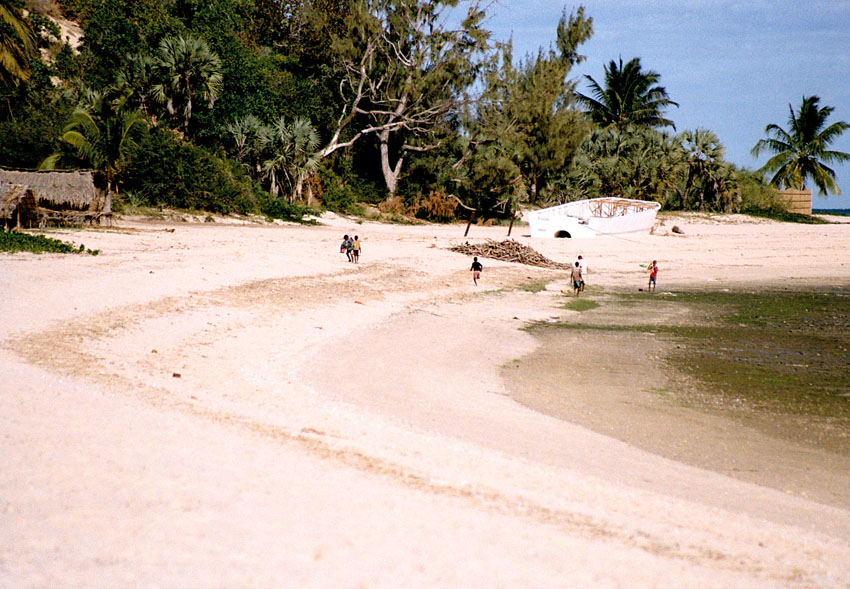
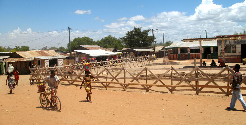
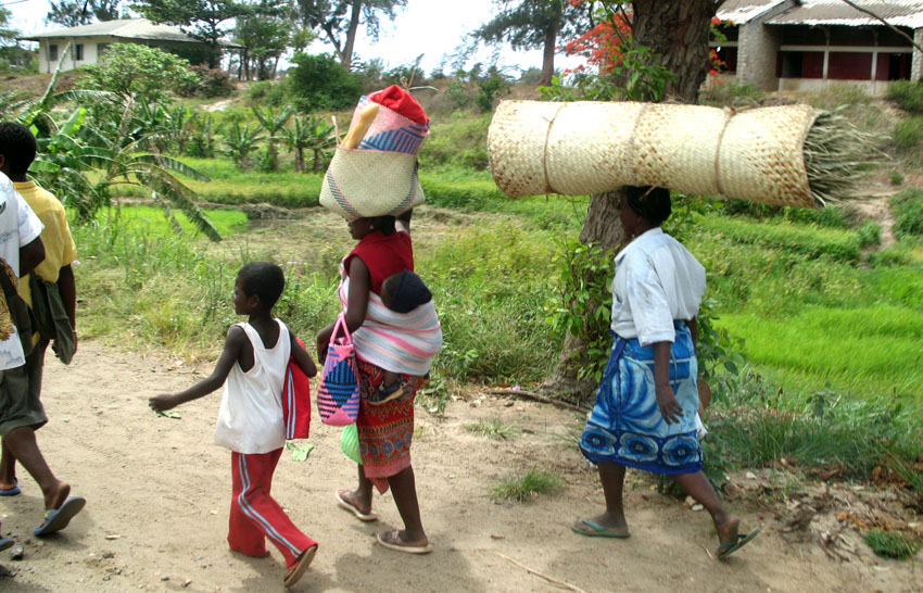
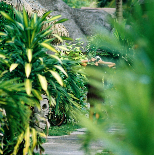
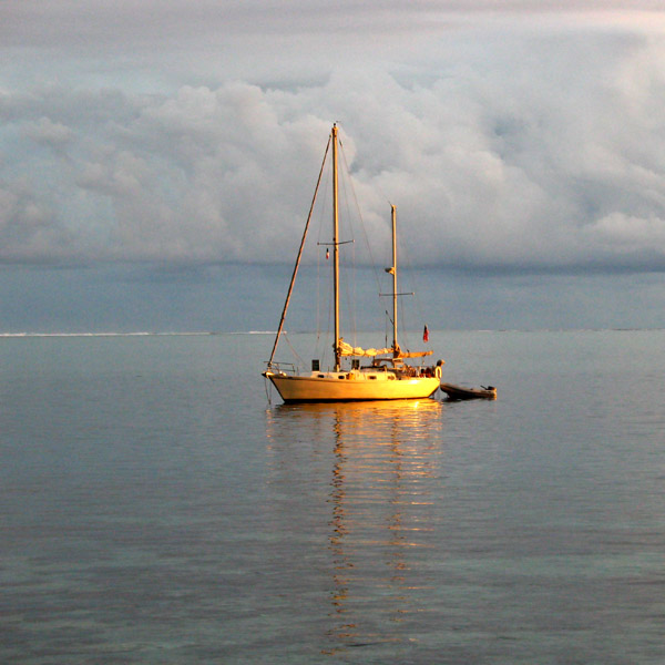
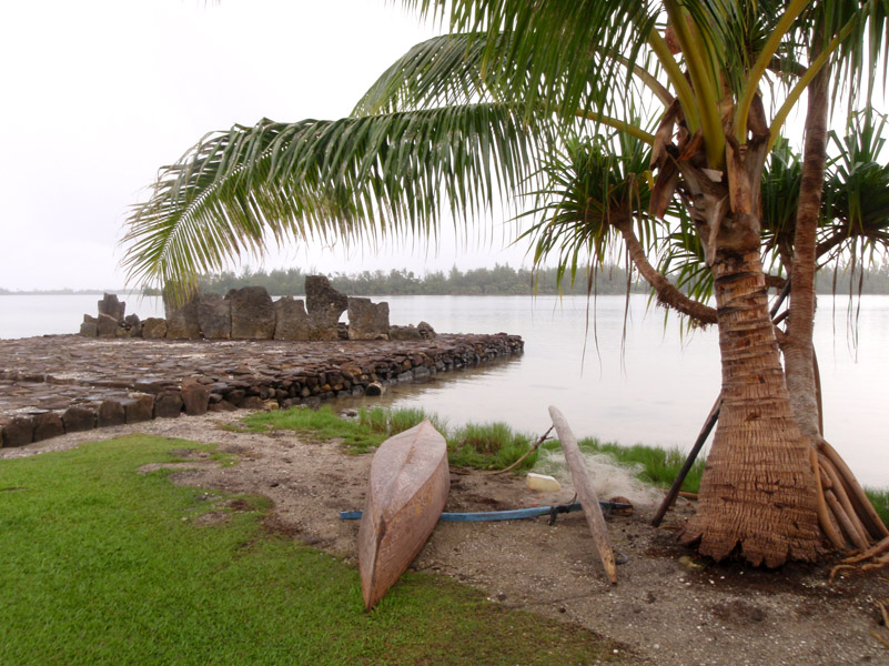
Huahine is an island located among the Society Islands, in French Polynesia, an overseas territory of France in the Pacific Ocean. It is part of the Leeward Islands group (Iles sous le Vent).

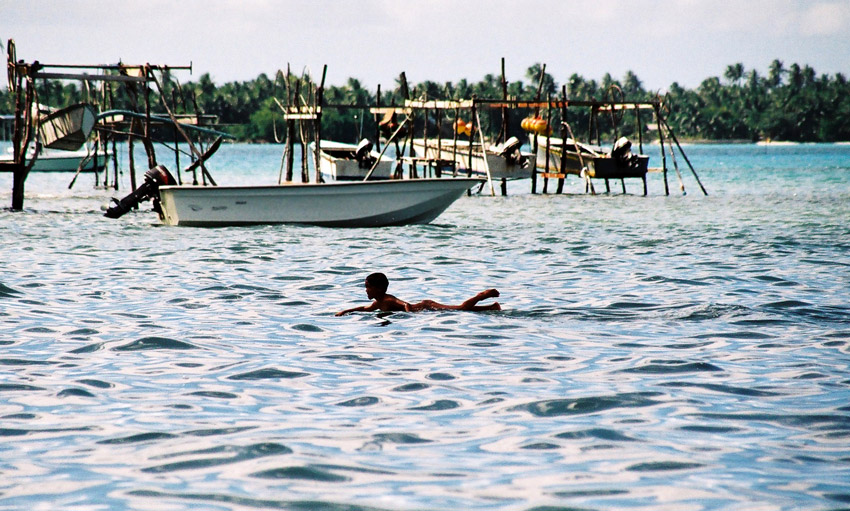
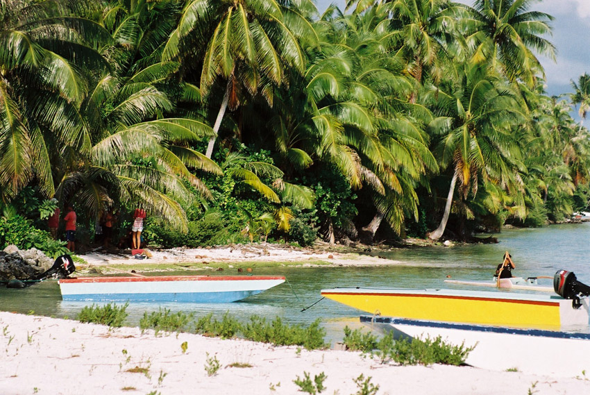
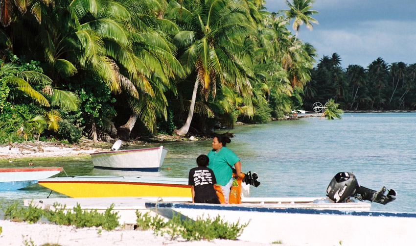
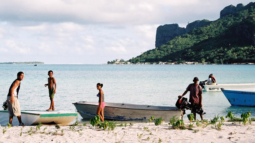
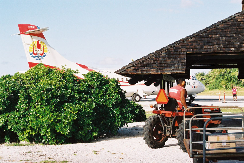
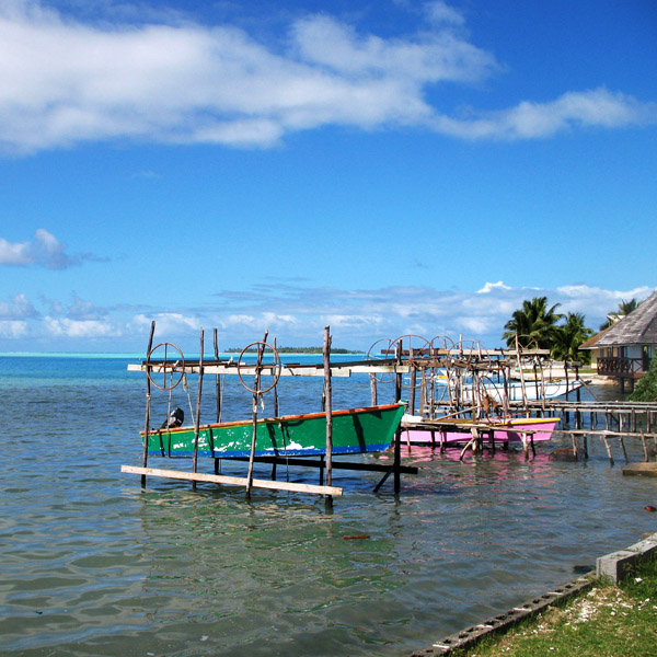
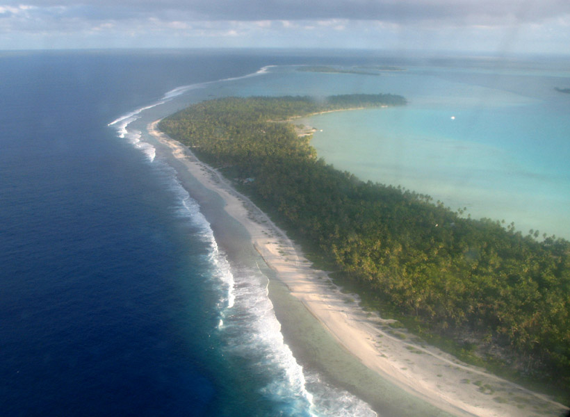
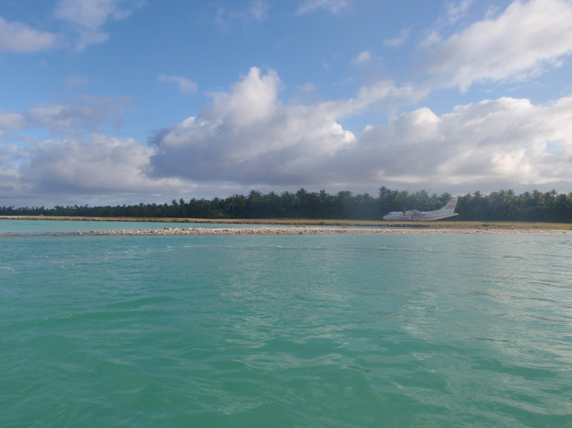
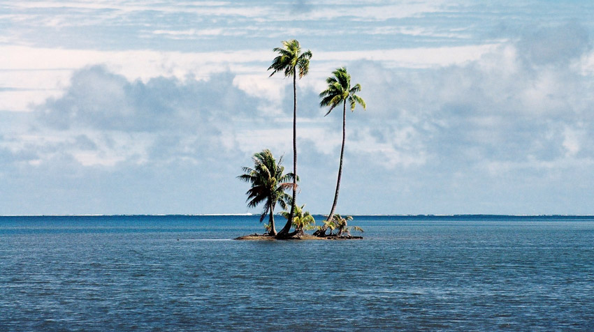
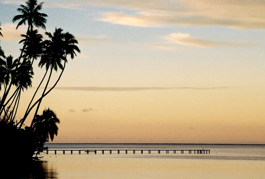
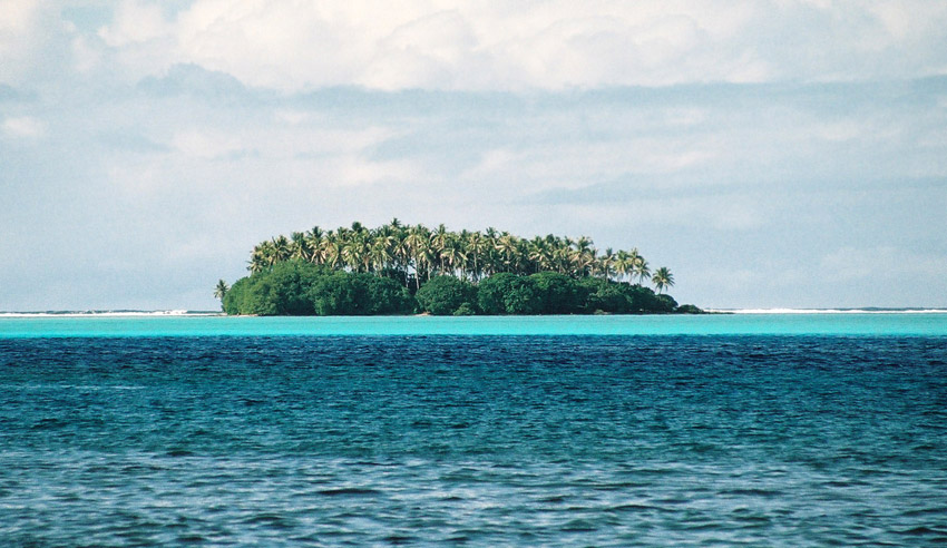
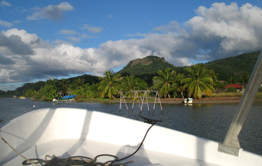
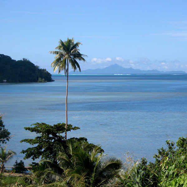
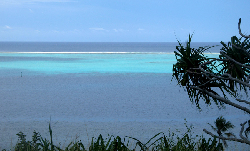
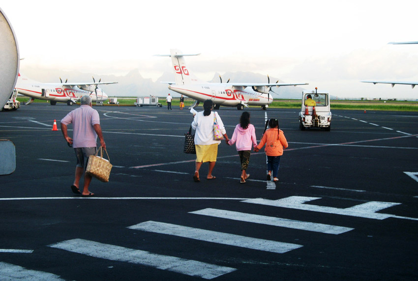
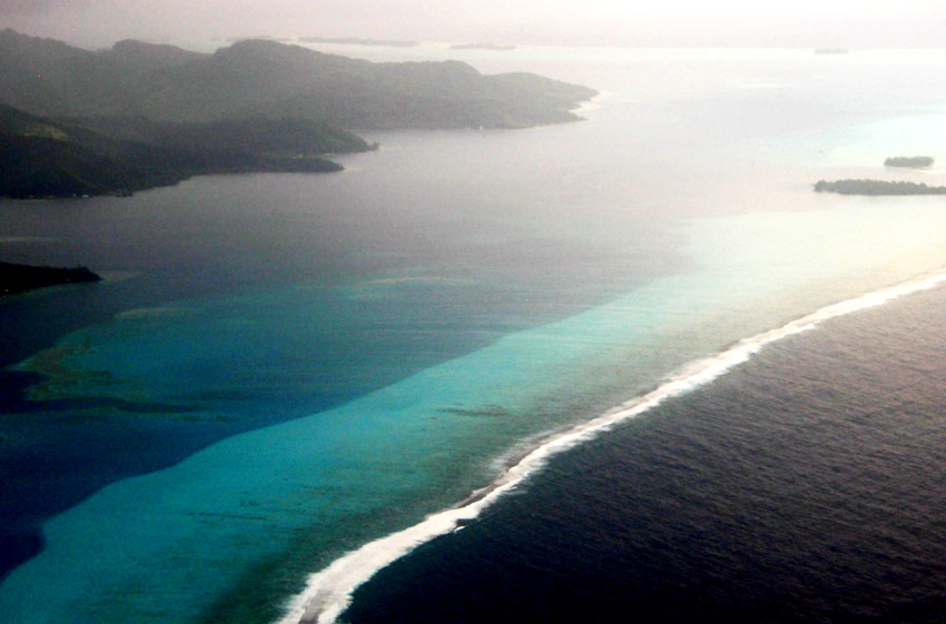
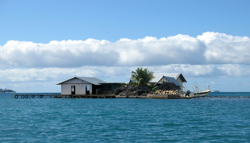
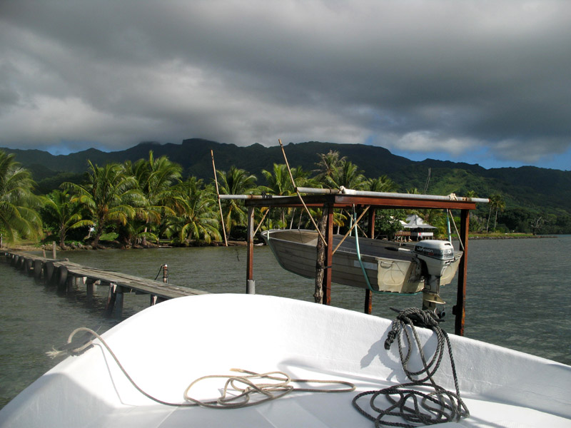
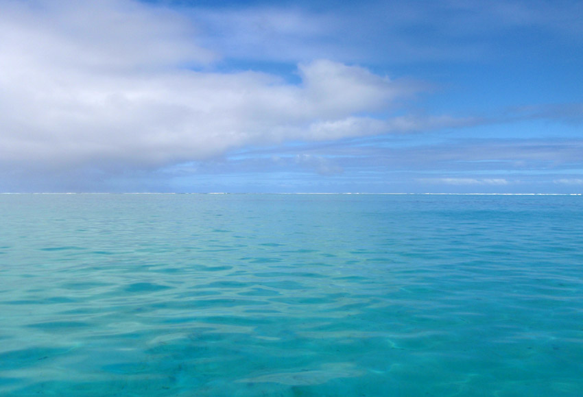
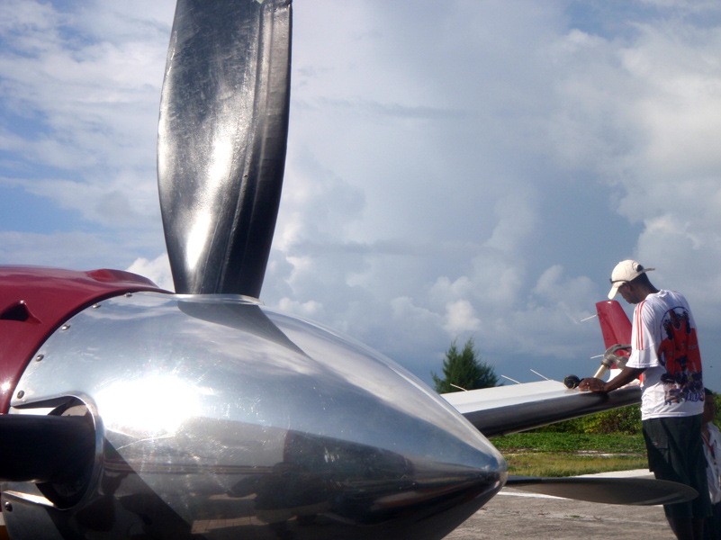
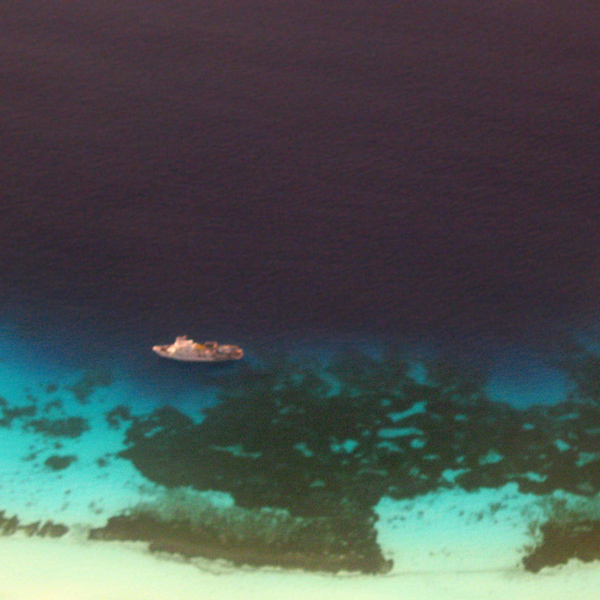
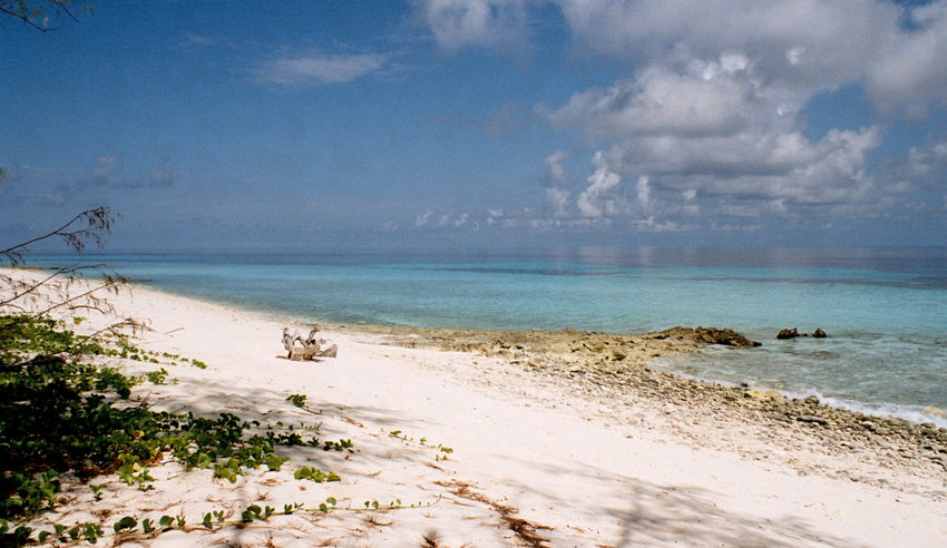
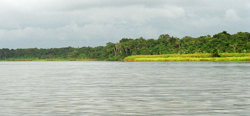
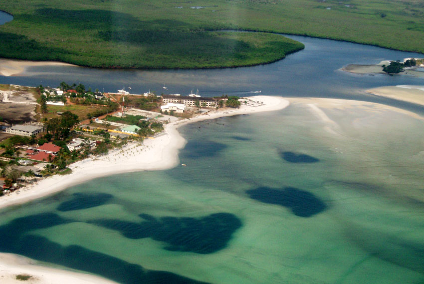
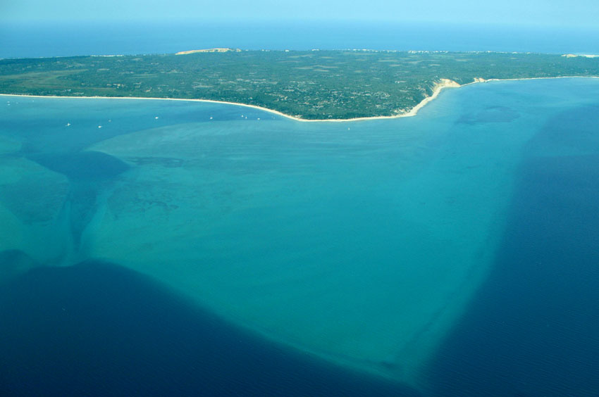
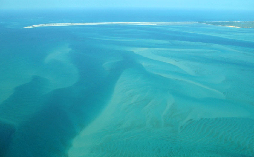
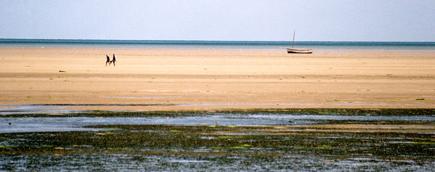
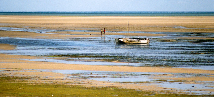
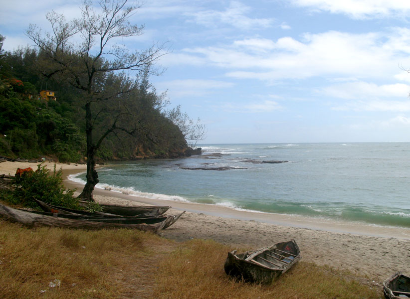
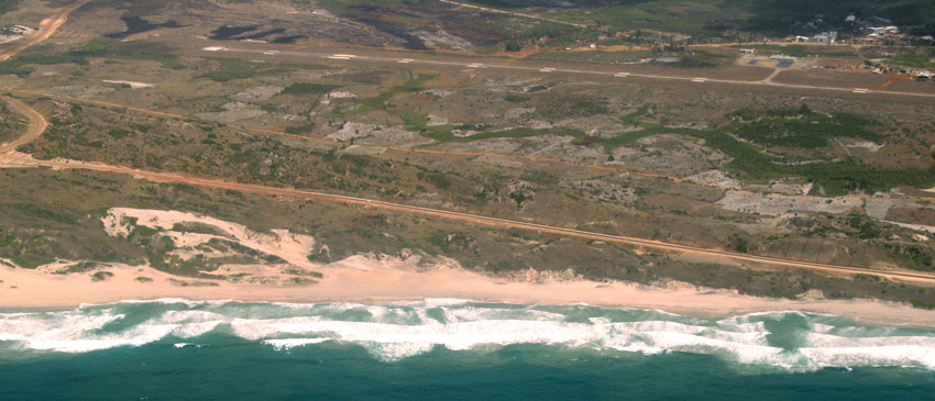
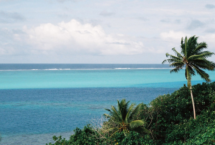
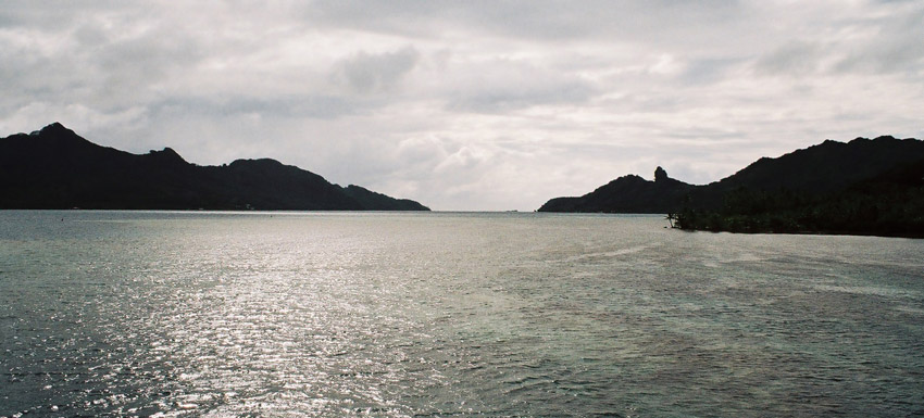
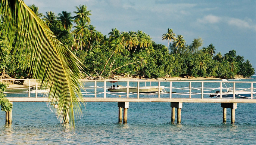
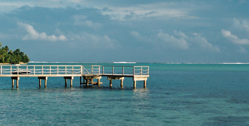
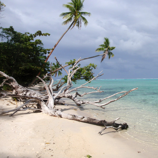
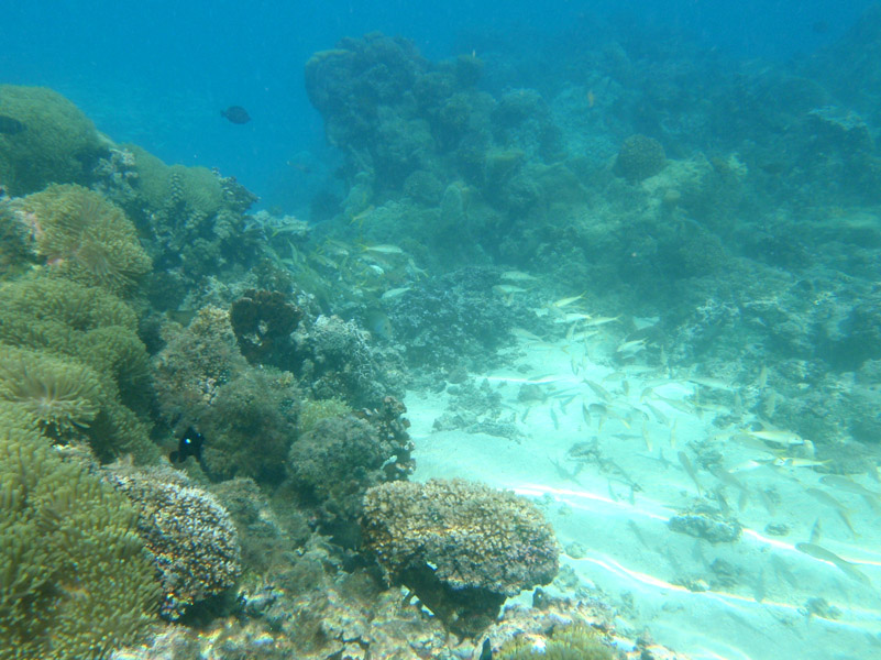
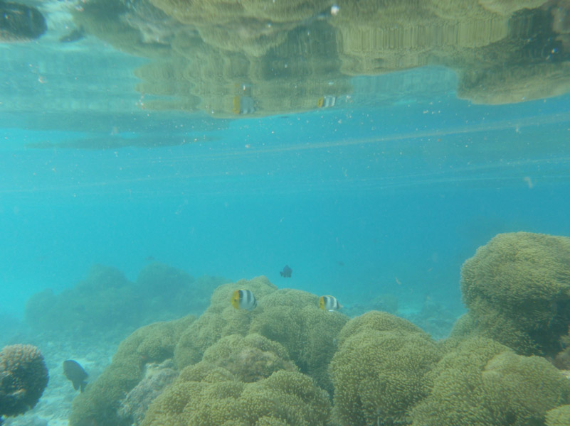
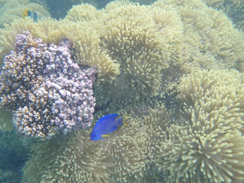
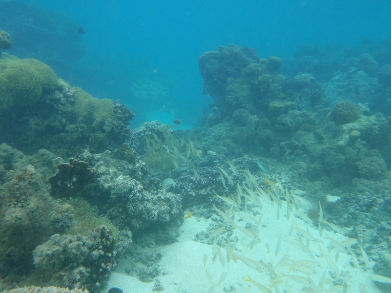
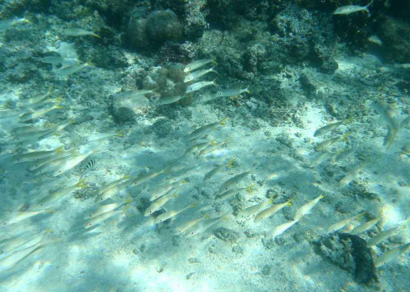
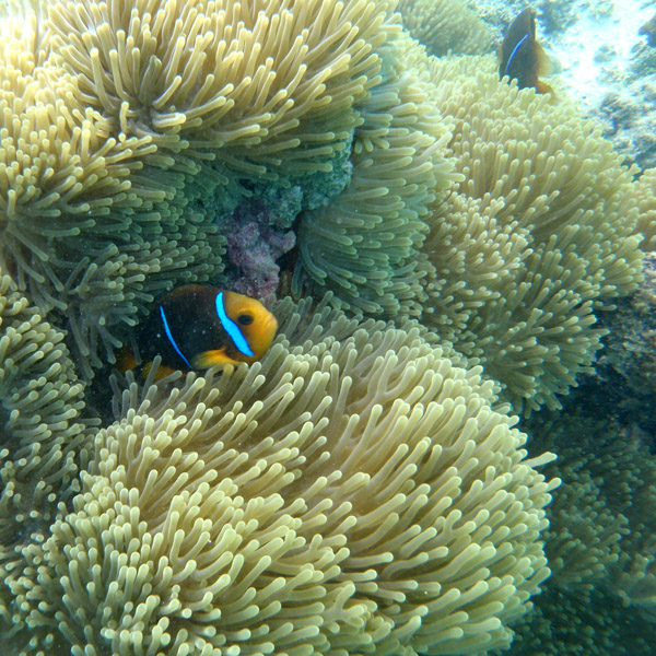
Huahine measures 16 km (9.9 mi) in length, with a maximum width of 13 km (8.1 mi). It is made up of two main islands surrounded by a fringing coral reef with several motu. Huahine Nui (Big Huahine) lies to the north and Huahine Iti (Little Huahine) to the south. The two islands are separated by a few hundred yards of water and joined by a sandspit at low tide. A small bridge was built to connect Huahine Nui and Huahine Iti. NW of Huahine Iti lies a 375 ha brackish lake known as Lac Fauna Nui (Lac Maeva). This lake is all that remains of the ancient atoll lagoon. There is an airport at Huahine. It was inaugurated in 1971.

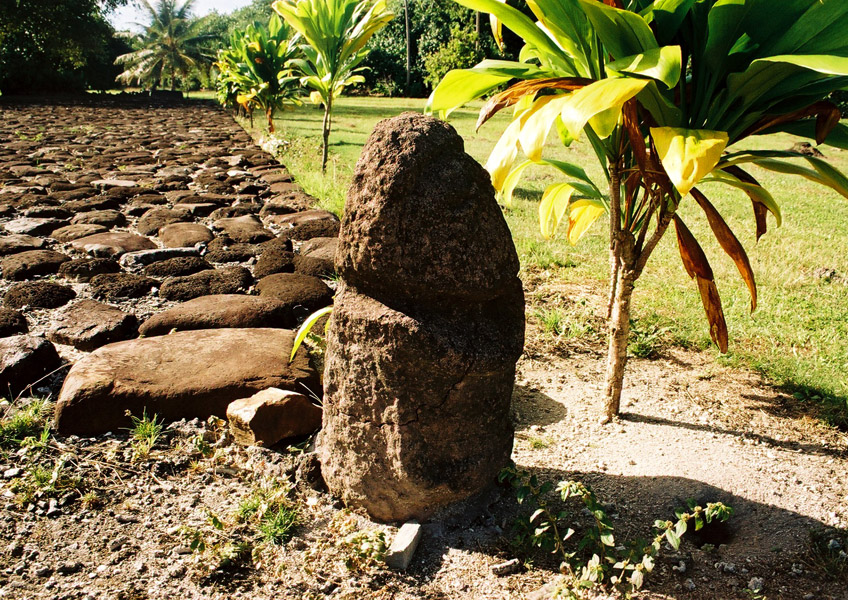
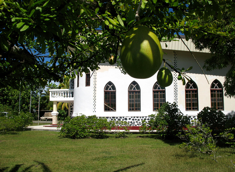
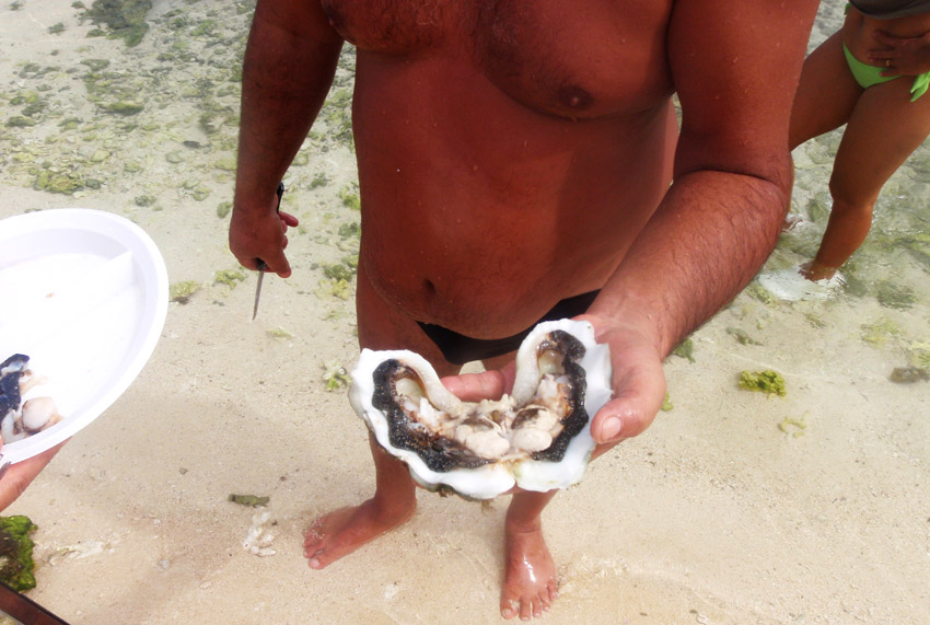
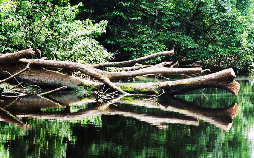
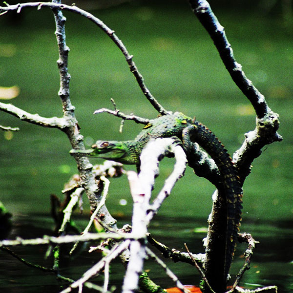
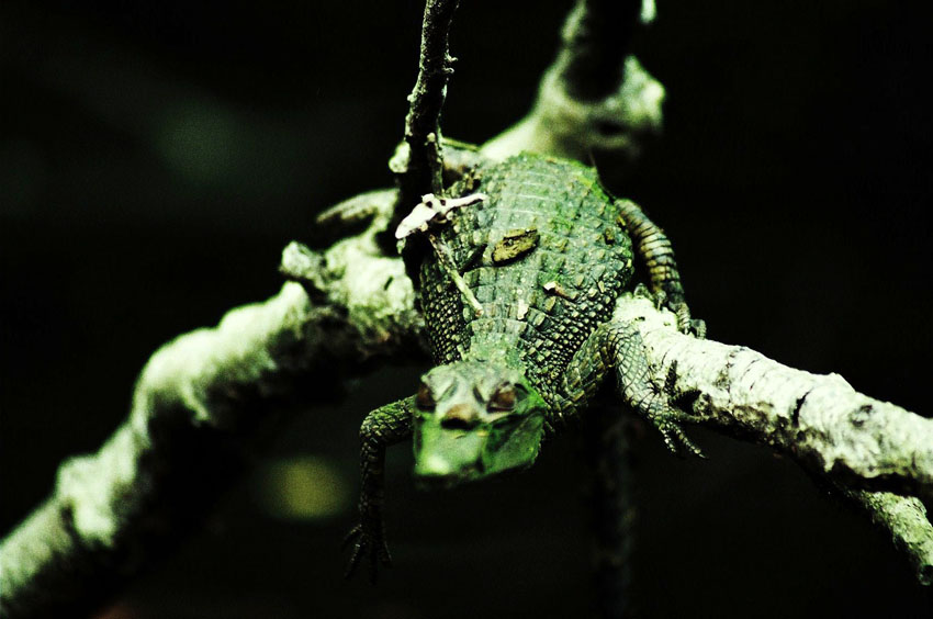
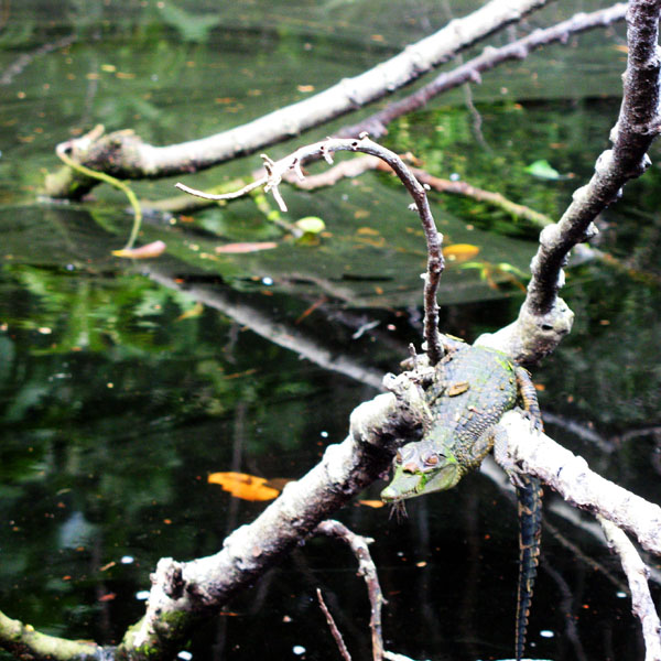
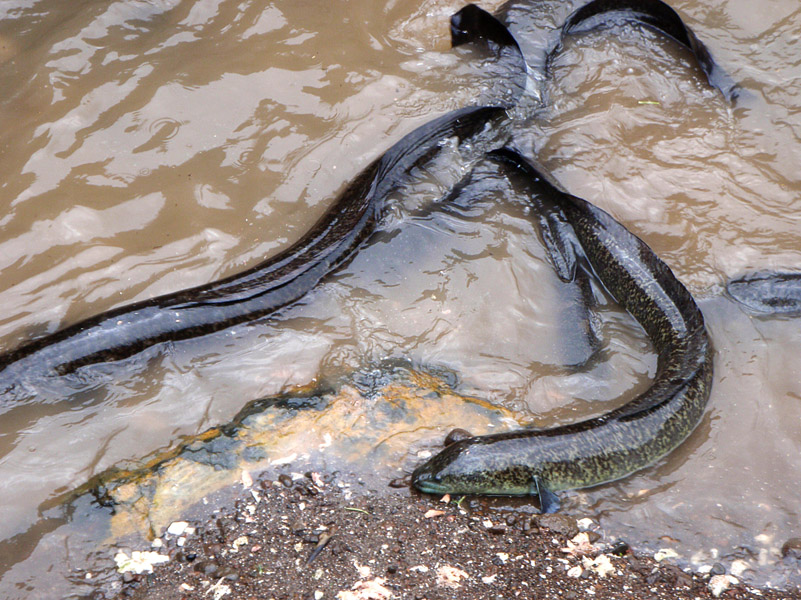
One of the famous attractions on Huahine is a bridge that crosses over a stream with 3- to 6-foot (1.8 m) long eels. These eels are deemed sacred by the locals, by local mythology. While viewing these slithering creatures, tourists can buy a can of mackerel and feed the eels. The Fa’ahia archaeological site in the north of the island has revealed subfossil remains of several species of birds exterminated by the earliest Polynesian colonists of the island.

Source: Wikipedia (under GNU Free Documentation License)

Categories
French Polynesia Society Islands

Maupiti

Maupiti is a small coral atoll with a volcanic island in its midst.

Maupiti is located to the west of the Leeward Islands in French Polynesia. It is the westernmost volcanic high island in the archipelago, 40 km west of Bora Bora. The central island of Maupiti has a high peak of 380 metres and a surface area of 11 square kilometers. The lagoon has large and flat coral islands in its northern reef half and two motus on both sides of the pass at its southern end.

At the August 2007 census, the island population was about 1,200 people. The primary economic activity on Maupiti is Noni production.

There are ancient Polynesian archaeological artefacts dating from at least AD 850 in Maupiti. The first European to arrive on the island was the Dutchman Jakob Roggeveen in 1722. Historically, the island has had strong cultural links with Bora Bora.

Source: Wikipedia (under GNU Free Documentation License)

Categories
French Polynesia Society Islands

Raiatea

Somewhat smaller than Tahiti, Raiatea is the second largest of the Society Islands in French Polynesia. The proper spelling of the name, rarely used though, in the Tahitian language is Ra’iatea, meaning bright sky; Ulieta is an obsolete transcription commonly used in the 19th century. The chief town on Raiatea is Uturoa, administrative center for the Leeward Islands (French Îles Sous-le-vent). The islands of Raiatea and Tahaa are both enclosed by the same coral reef, and may once have been a single island.

Raiatea is both the largest and most populated island in the Leeward Islands, with a land area of 167.7 km² (64.7 sq. miles) and a total population of 12,024 inhabitants at the August 2007 census. The population density is 72 inhabitants per km². Ra’iatea is widely regarded as the ‘center’ of Polynesia and it is likely that the organised migrations to Hawaii, Aoteroa (New Zealand) and other parts of East Polynesia started at Ra’iatea. A traditional name for the island is Havai’i fanau fenua (Hawai’i birther of land).

Source: Wikipedia (under GNU Free Documentation License)

Categories
Seychelles

Assumption

Assumption Island is a small island located at 9°45′S 46°29′E in the Indian Ocean north of Madagascar and is part of the country of the Seychelles. It is located about 30 km southeast of the Aldabra Atoll and is part of the Aldabra Group. It is a single coral island which measures 11.07 km² in area and which has a small settlement on the sheltered western side, surrounded by Casuarina trees. An abandoned coconut palm plantation is just south of it. There is a concrete runway that runs from between the two sand dunes on the southeast to the settlement. The western shore features an almost uninterruptend sandy beach of 5 km. Two large sand dunes are prominent on the southeastern coast of the island, one of them 32 m high.

Due to the devastating effect of guano mining which lasted until 1983, the island is dominated by expanses of bare rock and caves, and is sparsely covered with low-growing vegetation.

A notable feature of this island is the Assumption Island day gecko, a subspecies of gecko found only on this island.

The documentary The Silent World was partially shot on Assumption.

Source: Wikipedia (under GNU Free Documentation License)

Categories
Seychelles

Flight to Seychelles

Categories
Seychelles

Mahé II

Mahé is the largest island (155 km²) of the Seychelles, lying in the north east of the nation. The population of Mahé is 80,000. It contains the capital city of Victoria and accommodates 90% of the country’s total population. The island was named after Bertrand-François Mahé de La Bourdonnais, a French governor of Mauritius.

Mahé’s tallest peak is Morne Seychellois at 905 m, which lies in the Morne Seychellois National Park. The northern and eastern parts of the island are home to much of the population and the international airport which opened in 1971. The southern and western parts have Baie Ternay Marine National Park and Port Launay Marine National Park. The Ste Anne Marine National Park lies offshore, as do Conception Island, Thérèse Island, Anonyme Island and Silhouette Island.

Mahé was first visited by the British in 1609 and not visited by Europeans again until Lazare Picault’s expedition of 1742. Mahé remained a French possession until 1812 when it became a British colony. It remained a colony until 1976 when Seychelles became an independent nation.

Source: Wikipedia (under GNU Free Documentation License)

Categories
Gabon

Gabon

Gabon is a country in west central Africa sharing borders with the Gulf of Guinea to the west, Equatorial Guinea to the northwest, and Cameroon to the north, with the Republic of the Congo curving around the east and south. Its size is almost 270,000 km² with an estimated population of 1,500,000. The capital and largest city is Libreville. Since its independence from France on August 17, 1960, the Republic has been ruled by three presidents. In the early 1990s, Gabon introduced a multi-party system and a new democratic constitution that allowed for a more transparent electoral process and reformed many governmental institutions. The small population together with abundant natural resources and foreign private investment have helped make Gabon one of the most prosperous countries in the region, with the highest HDI in Sub-Saharan Africa.

The earliest inhabitants of the area were Pygmy peoples. They were largely replaced and absorbed by Bantu tribes as they migrated.

In the 15th century, the first Europeans arrived. The nation’s present name originates from “Gabão”, Portuguese for “cloac”, which is roughly the shape of the estuary of the Komo River by Libreville.

Source: Wikipedia (under GNU Free Documentation License)

Categories
Mozambique

Bazaruto

Bazaruto (Portuguese: Ilha do Bazaruto) is a sandy island located approximately 80 kilometers (50 miles) southeast of the mouth of the Save River, Mozambique 21°38′S 35°30′E. The warm, southward-flowing Mozambique Current seems to contribute to the increasing buildup of the sandy coastline. Because the water along this coastal area is very clear, much of the sub-surface channel pattern around the island is discernible. Several narrow lines of plankton bloom (barely visible in the photograph) parallel the shoreline. The coastal plains show numerous lakes and a swampy environment that appears to be karst topography. Underlying the area is limestone rock that has eroded into a pockmarked landscape, creating water-filled sinkholes. Rainfall in this humid subtropical climate amounts to between 50 and 100 centimeters (20 and 40 inches) annually.

The closest mainland town to the island of Bazaruto is Inhassoro, although administratively it belongs to the Vilankulo District and Inhambane Province.

Source: Wikipedia (under GNU Free Documentation License)

Categories
Madagascar

Madagascar

Madagascar, or Republic of Madagascar (older name Malagasy Republic, French: République malgache), is an island nation in the Indian Ocean off the southeastern coast of Africa. The main island, also called Madagascar, is the fourth-largest island in the world, and is home to 5% of the world’s plant and animal species, of which more than 80% are endemic to Madagascar. They include the lemur infraorder of primates, the carnivorous fossa, three bird families and six baobab species. Two thirds of the population live below the international poverty line of US$1.25 a day.

At 587,000 km² (226,640 sq mi), Madagascar is the world’s 46th-largest country. It is slightly bigger than France, and is one of 11 distinct physiographic provinces of the South African Platform physiographic division.

Towards the east, a steep escarpment leads from the central highlands down into a ribbon of rain forest with a narrow coastal further east. The Canal des Pangalanes is a chain of natural and man-made lakes connected by canals that runs parallel to the east coast for some 460 km (about two-thirds of the island). The descent from the central highlands toward the west is more gradual, with remnants of deciduous forest and savanna-like plains (which in the south and southwest, are quite dry and host spiny desert and baobabs). On the west coast are many protected harbours, but silting is a major problem caused by sediment from the high levels of erosion inland.

Source: Wikipedia (under GNU Free Documentation License)

Categories
Madagascar

Tôlanaro

Tôlanaro or Tolagnaro is a city (commune urbaine) in Madagascar. It is the capital of the Anosy region, of the Tôlanaro district, and is in the former Toliara Province. It has a port of local importance, and currently a new port is being built in Ehoala. Formerly Fort Dauphin, it was the most durable French settlement in Madagascar.

It was founded in 1643 by the French East India Company who built a fort there, named in honor of the crown prince of France, the future Louis XIV. It was settled by around a hundred colonists, who found themselves involved in the local politics. The poor trade results (some ebony and little more was obtained) hardly justified the difficulties of the settlers, who suffered from tropical illnesses and other problems. After a conflict with the Antanosy people, the survivors were evacuated in 1674.

One temporary settler of this colony, Etienne de Flacourt, published, back in France, the History of the Great Isle of Madagascar and Relations, that was the main source of information on the island for Europeans until the late 19th century.

Source: Wikipedia (under GNU Free Documentation License)