Categories
Mauritius

Mauritius III

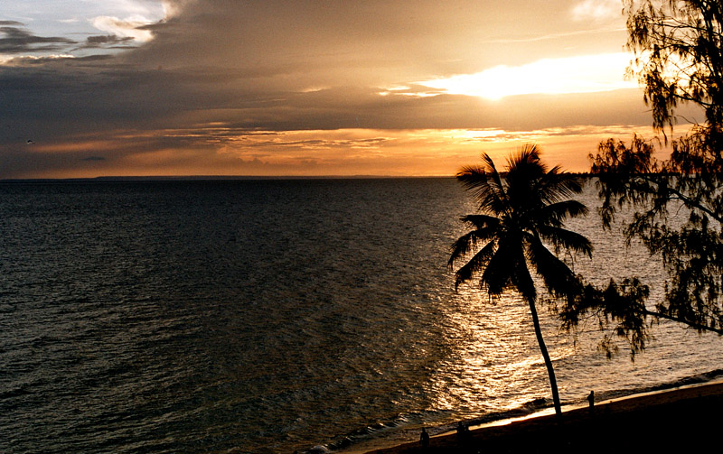
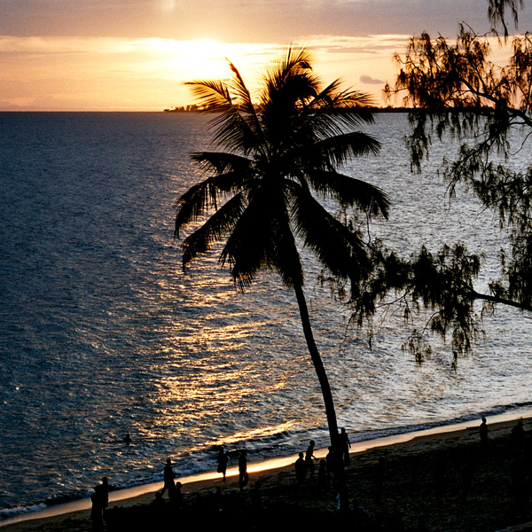
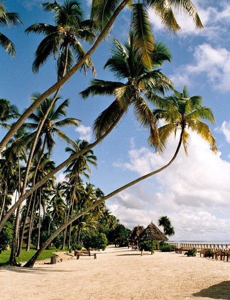
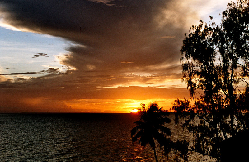
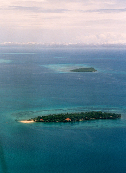
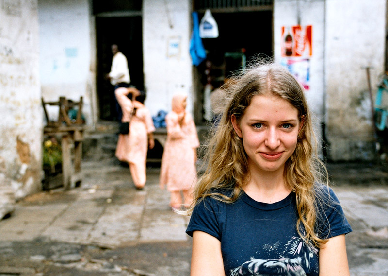
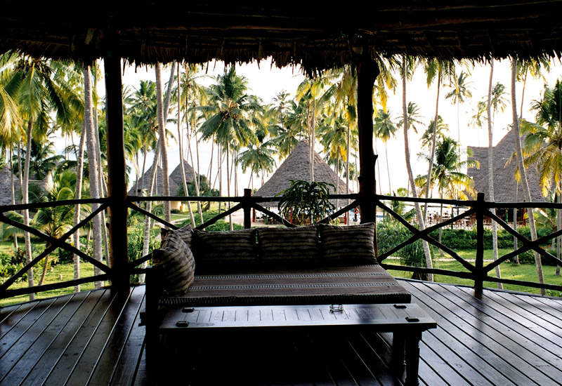
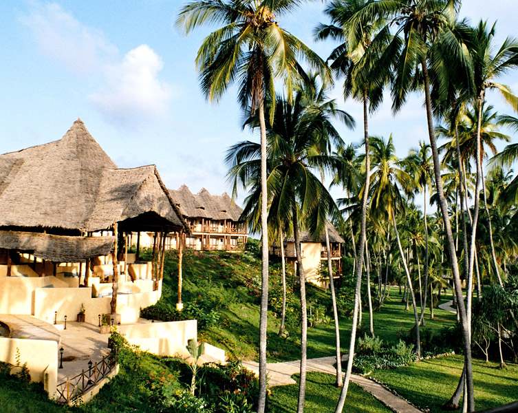
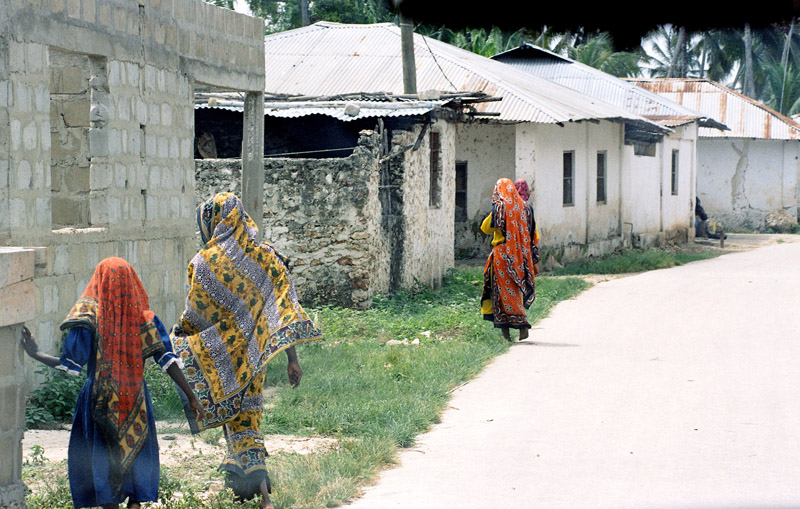
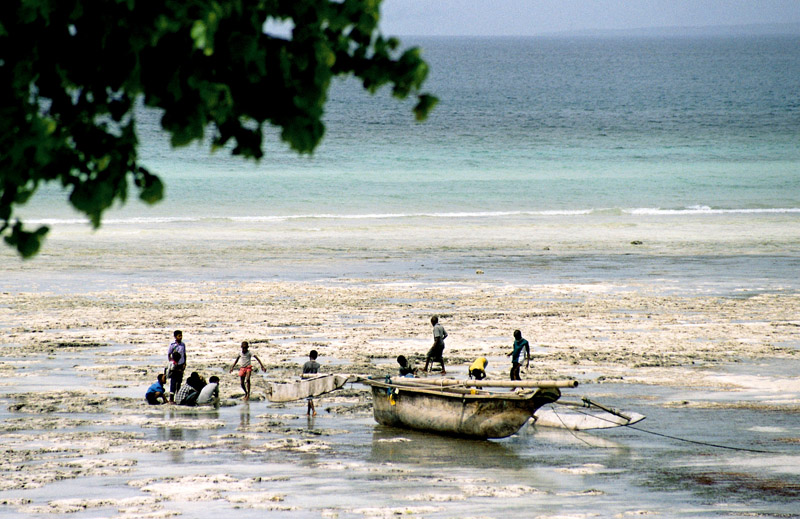
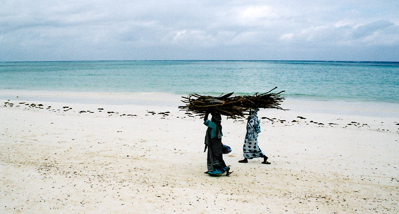
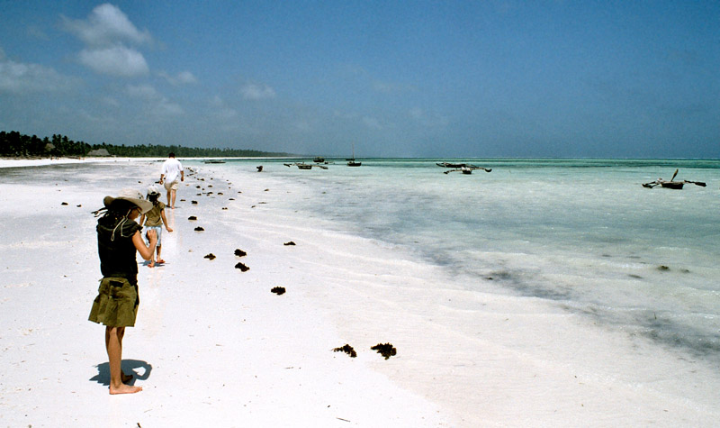
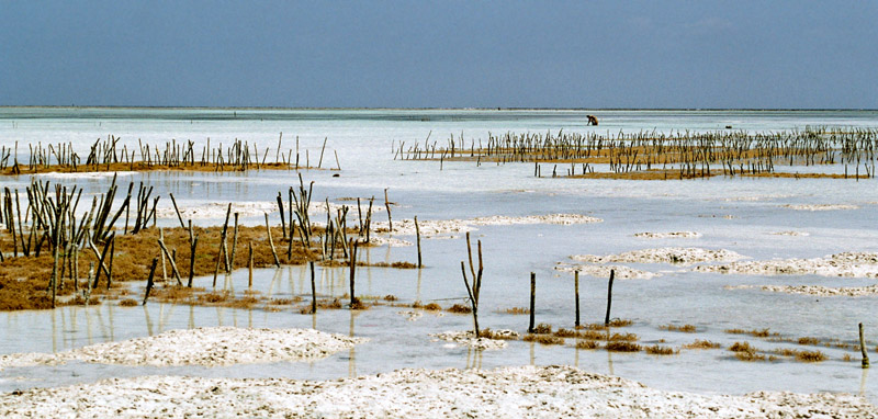
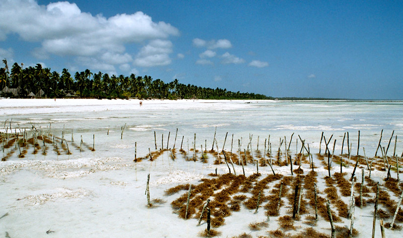
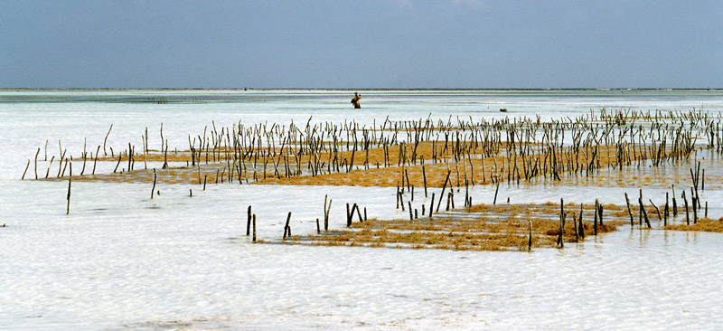
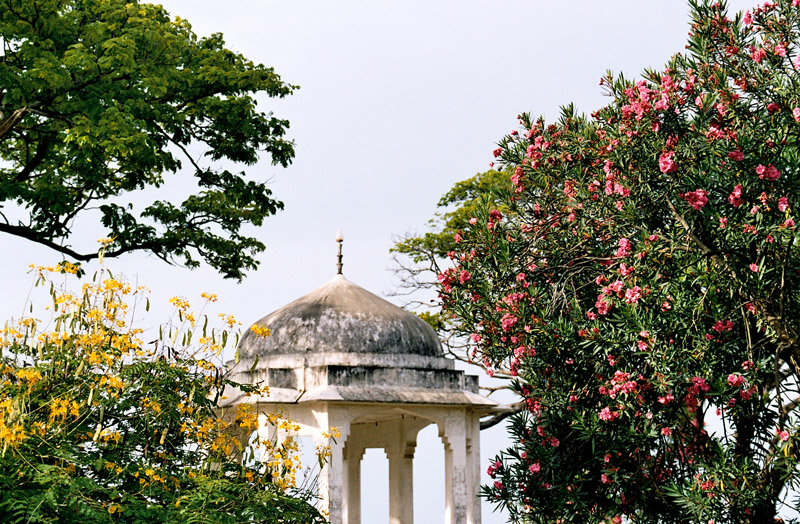
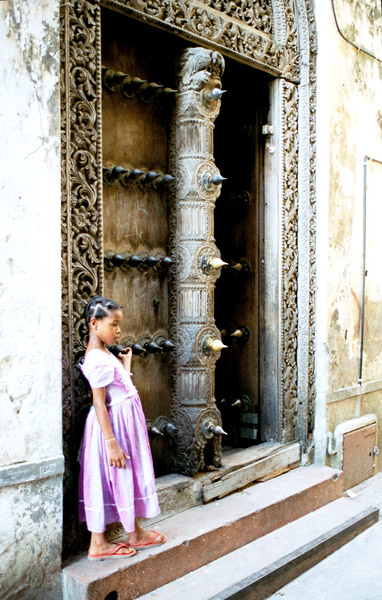
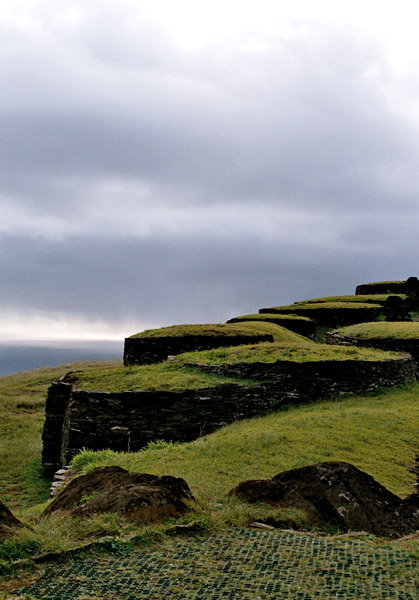
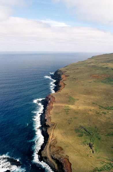
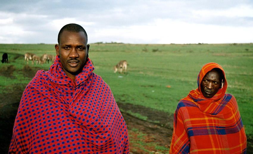
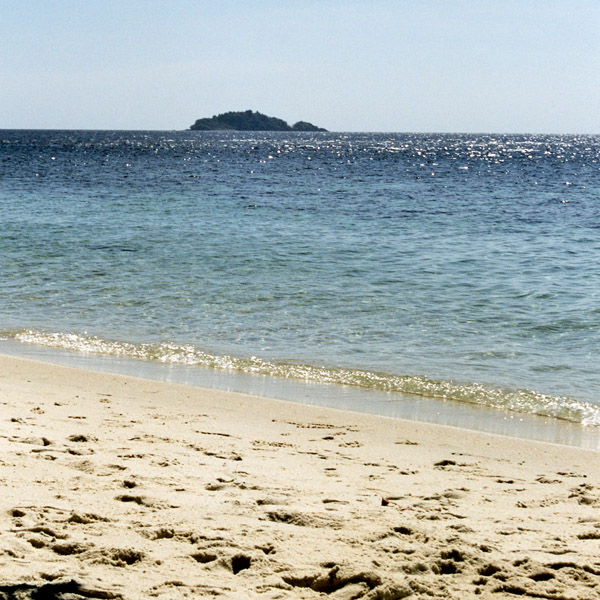
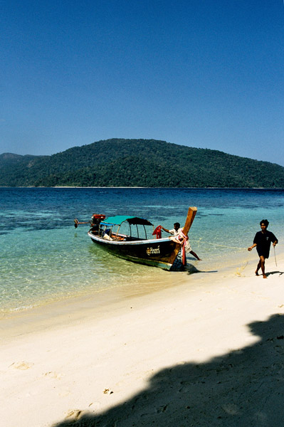
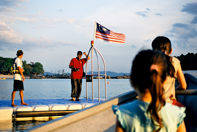
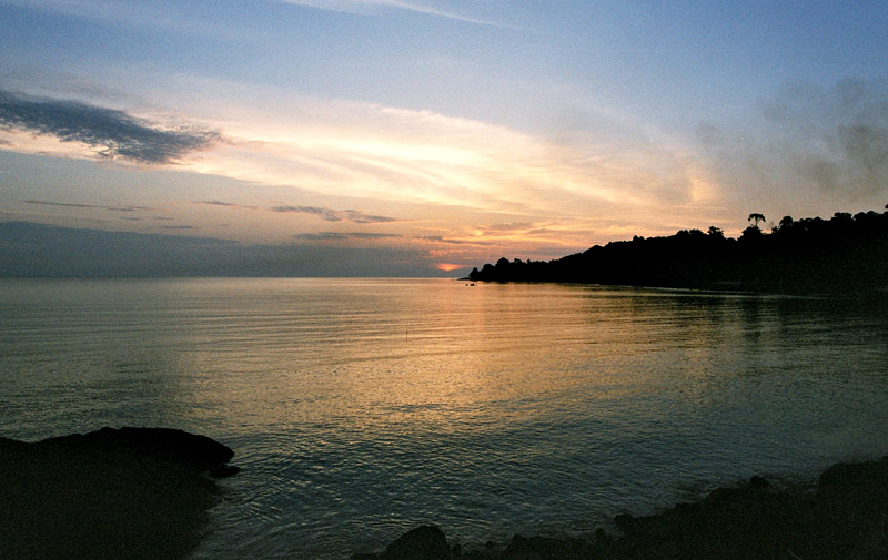
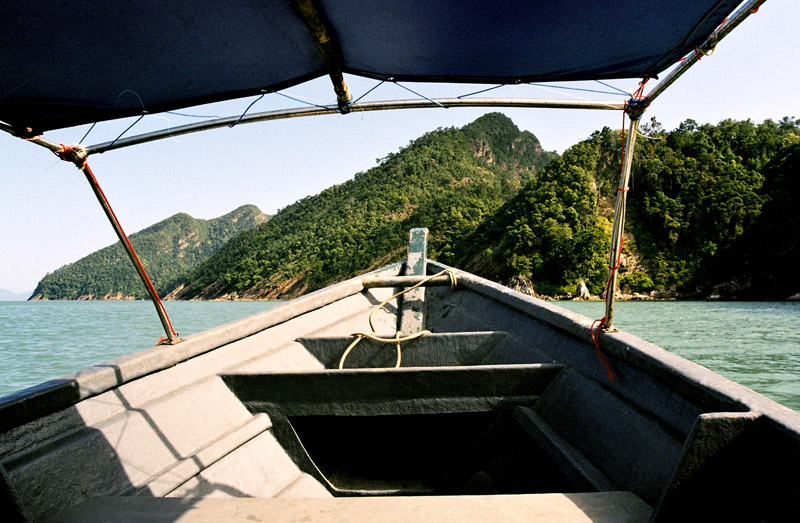
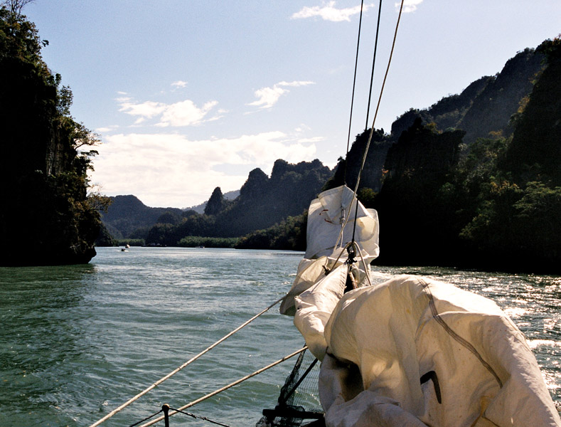
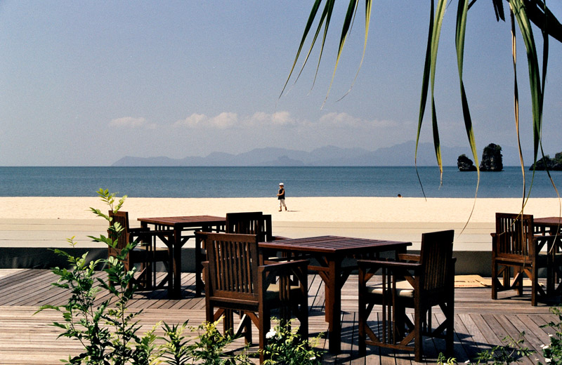
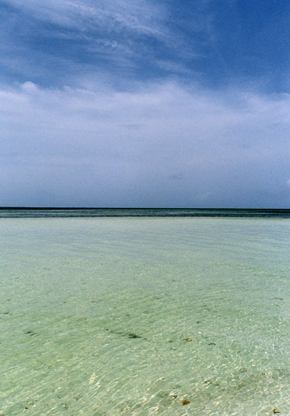
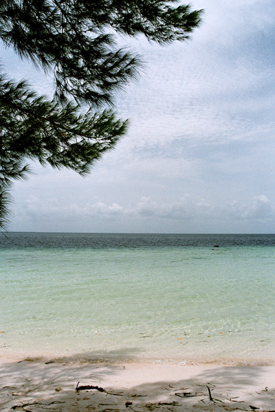
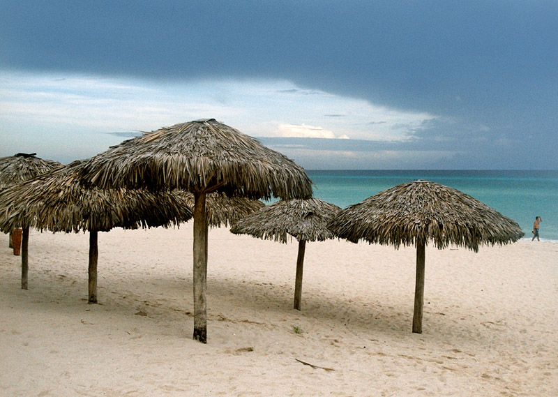
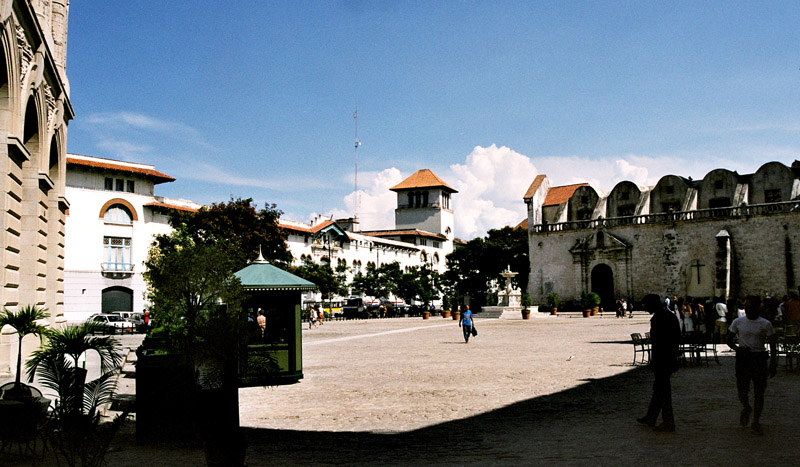
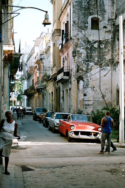
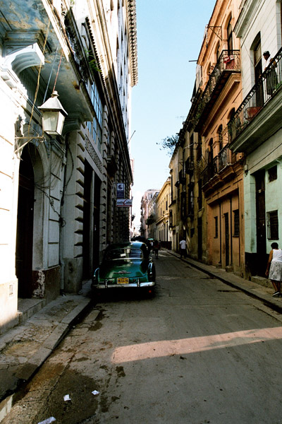
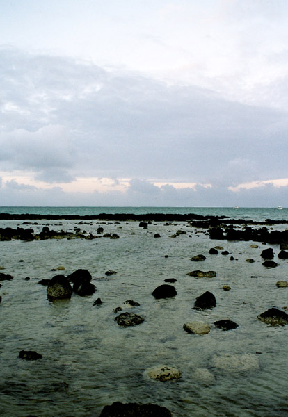
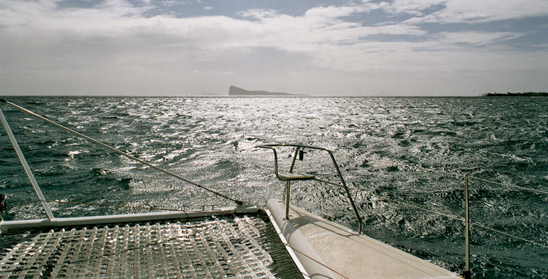
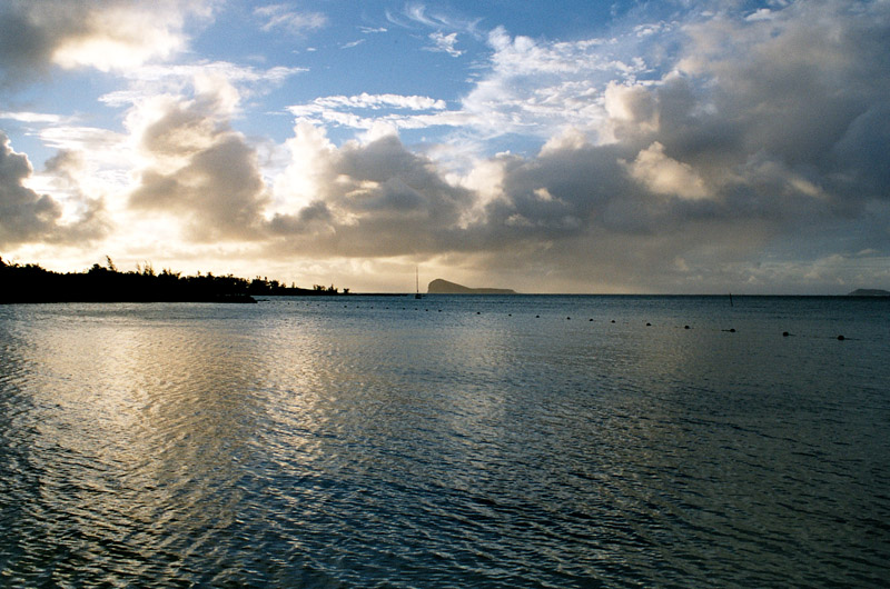
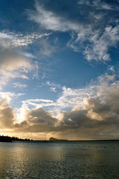
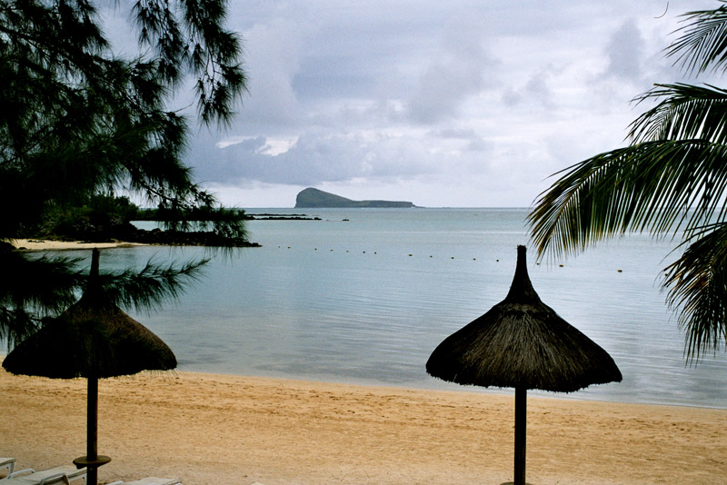
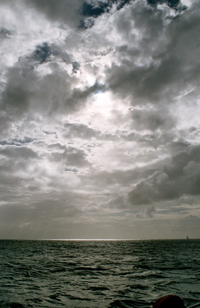
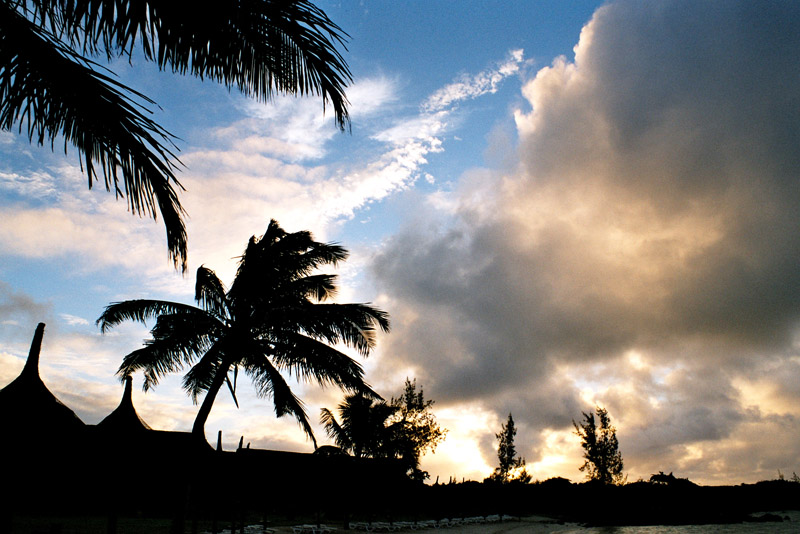
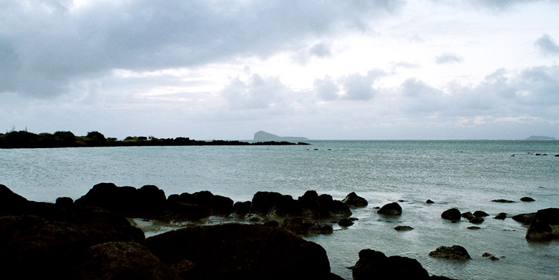
Mauritius (pronounced /məˈrɪʃəs/; French: L’île Maurice pronounced: [lil mɔˈʁis], Mauritian Creole: Moris), officially the Republic of Mauritius, French: République de Maurice is an island nation off the coast of the African continent in the southwest Indian Ocean, about 900 kilometres (560 mi) east of Madagascar. In addition to the island of Mauritius, the Republic includes the islands of Cargados Carajos, Rodrigues and the Agalega Islands. Mauritius is part of the Mascarene Islands, with the French island of Réunion 200 km (120 mi) to the southwest and the island of Rodrigues 570 km (350 mi) to the northeast.

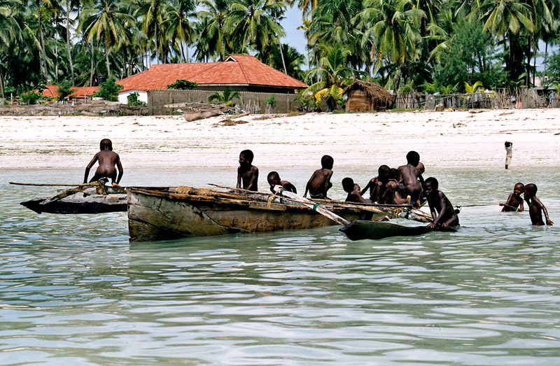
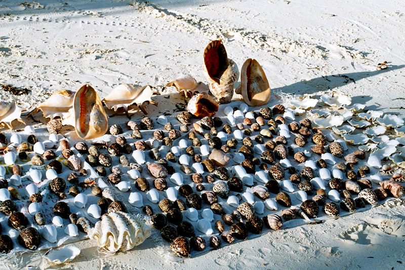
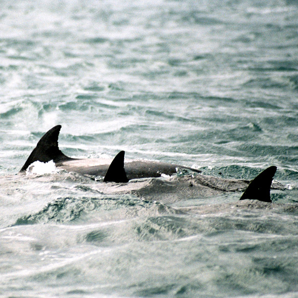
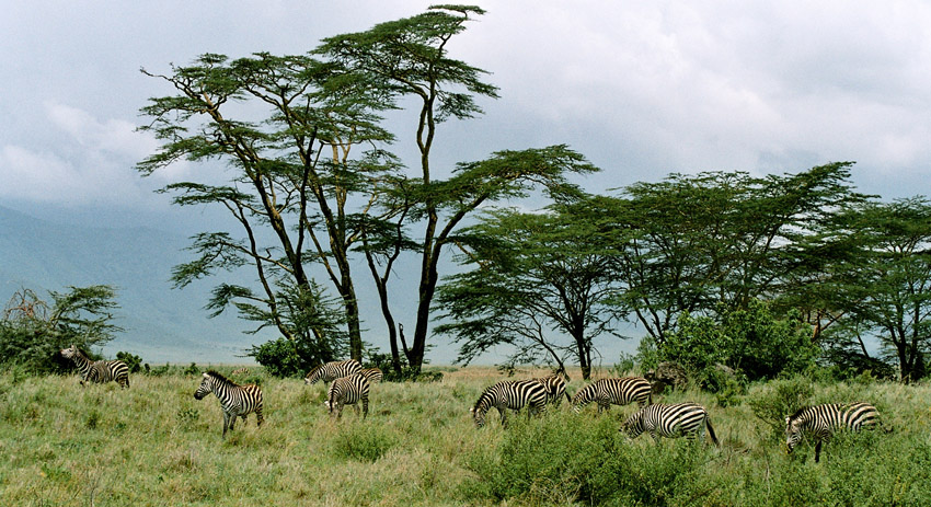
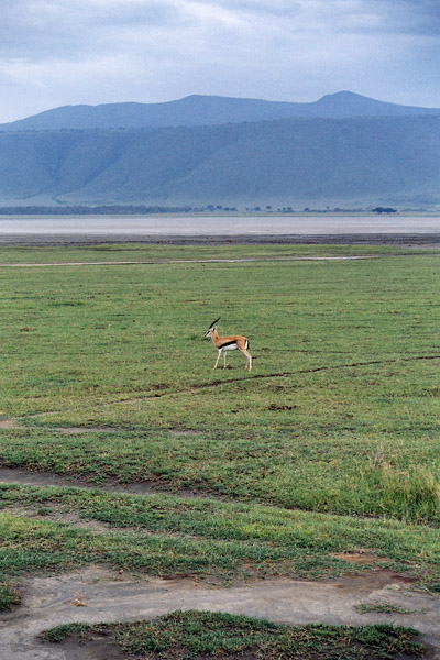
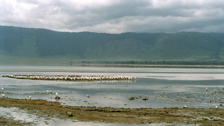
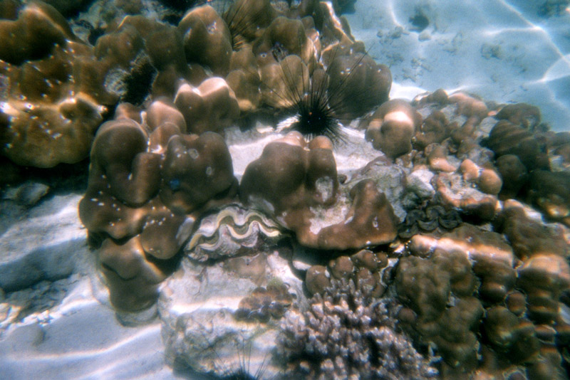
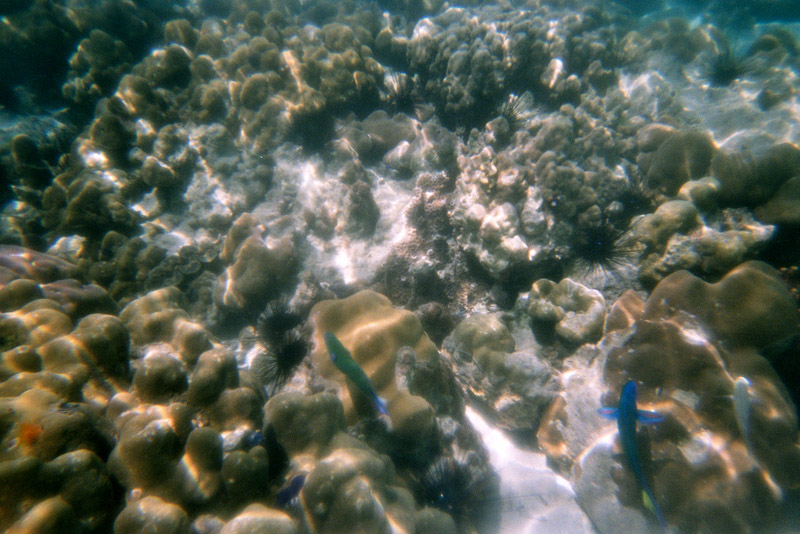
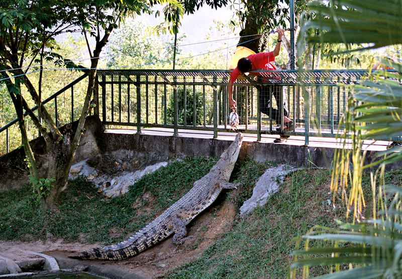
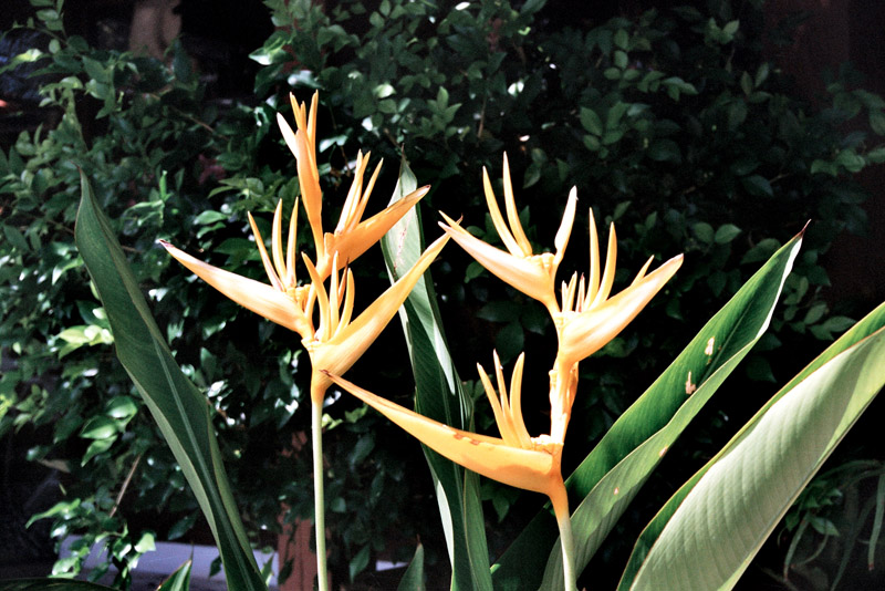
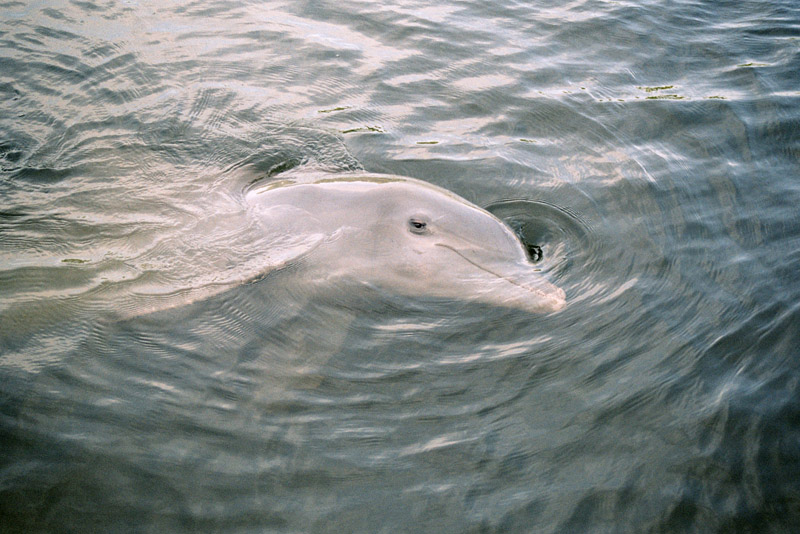
The island of Mauritius is renowned for having been the only known home of the dodo. First sighted by Europeans around 1600 on Mauritius, the dodo became extinct less than eighty years later.

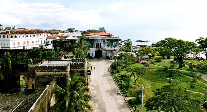
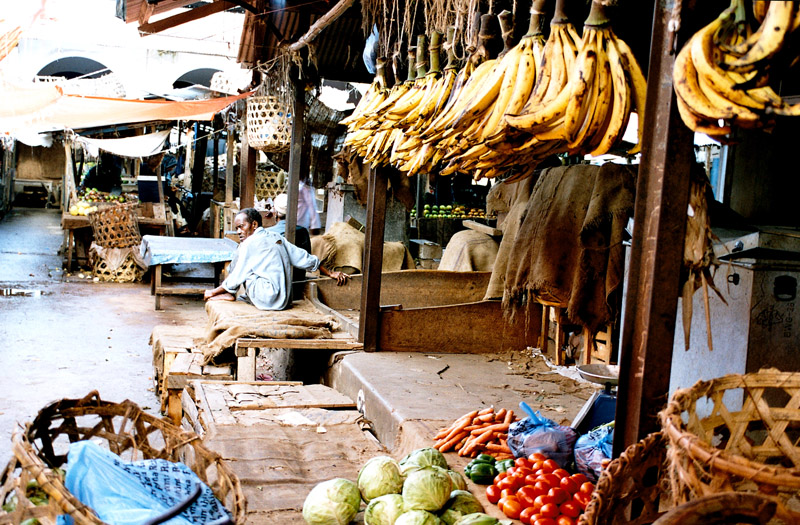
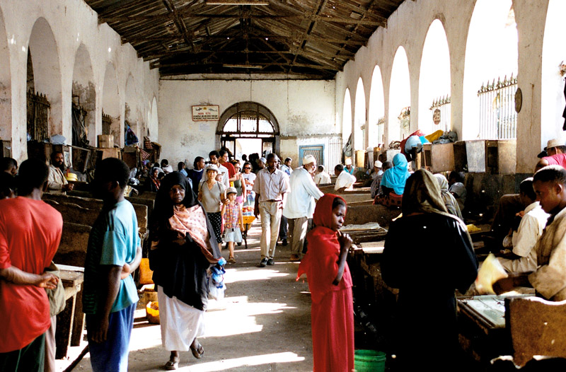
The island was known by Arab and Austronesian sailors as early as the 10th century. The Portuguese sailors first visited it in 1507 and established a visiting base leaving the island uninhabited. Three ships of the eight Dutch Second Fleet that were sent to the Spice Islands were blown off course during a cyclone and landed on the island in 1598, naming it in honour of Prince Maurice of Nassau, the Stadtholder of the Netherlands. In 1638, the Dutch established the first permanent settlement. Because of tough climatic conditions including cyclones and the deterioration of the settlement, the Dutch abandoned the island some decades later. France, which already controlled the neighbouring Île Bourbon (now Réunion) seized Mauritius in 1715 and later renamed it Île de France (Isle of France). Under French rule, the island developed a prosperous economy based on sugar production. In the Napoleonic Wars (1803-1815) the British set out to gain control of the island. Despite winning the Battle of Grand Port, Napoleon’s only naval victory over the British, the French surrendered to a British invasion at Cap Malheureux three months later. They formally surrendered on 3 December 1810, on terms allowing settlers to keep their land and property and to use the French language and law of France in criminal and civil matters. Under British rule, the island’s name reverted to the original one.

Source: Wikipedia (under GNU Free Documentation License)

Categories
Tanzania

Zanzibar II

Zanzibar (pronounced /ˈzænzɨbɑr/) is a semi-autonomous part of the United Republic of Tanzania, in East Africa. It comprises the Zanzibar Archipelago in the Indian Ocean, 25–50 kilometres (16–31 mi) off the coast of the mainland, and consists of numerous small islands and two large ones: Unguja (the main island, informally referred to as Zanzibar), and Pemba. Zanzibar was once a separate state with a long trading history within the Arab world; it united with Tanganyika to form Tanzania in 1964 and still enjoys a high degree of autonomy within the union. The capital of Zanzibar, located on the island of Unguja, is Zanzibar City, and its historic center, known as Stone Town, is a World Heritage Site.

Zanzibar’s main industries are spices, raffia, and tourism. In particular, the islands produce cloves, nutmeg, cinnamon and pepper. For this reason, the islands, together with Tanzania’s Mafia Island, are sometimes called the Spice Islands (a term also associated with the Maluku Islands in Indonesia). Zanzibar’s ecology is of note for being the home of the endemic Zanzibar Red Colobus and the (possibly extinct) Zanzibar Leopard.

Source: Wikipedia (under GNU Free Documentation License)

Categories
Tanzania

Zanzibar I

Zanzibar (pronounced /ˈzænzɨbɑr/) is a semi-autonomous part of the United Republic of Tanzania, in East Africa. It comprises the Zanzibar Archipelago in the Indian Ocean, 25–50 kilometres (16–31 mi) off the coast of the mainland, and consists of numerous small islands and two large ones: Unguja (the main island, informally referred to as Zanzibar), and Pemba. Zanzibar was once a separate state with a long trading history within the Arab world; it united with Tanganyika to form Tanzania in 1964 and still enjoys a high degree of autonomy within the union. The capital of Zanzibar, located on the island of Unguja, is Zanzibar City, and its historic center, known as Stone Town, is a World Heritage Site.

Zanzibar’s main industries are spices, raffia, and tourism. In particular, the islands produce cloves, nutmeg, cinnamon and pepper. For this reason, the islands, together with Tanzania’s Mafia Island, are sometimes called the Spice Islands (a term also associated with the Maluku Islands in Indonesia). Zanzibar’s ecology is of note for being the home of the endemic Zanzibar Red Colobus and the (possibly extinct) Zanzibar Leopard.

Source: Wikipedia (under GNU Free Documentation License)

Categories
United States

Sandy Hook

Sandy Hook is a barrier spit, approximately 9.7 kilometers (between 6 and 7 miles) in length and 800 meters (0.5 miles) (varying between 0.10 and 1 miles) wide, in Middletown Township in Monmouth County, along the Atlantic Ocean coast of eastern New Jersey in the United States. The barrier spit encloses the southern entrance of Lower New York Bay south of New York City. The Dutch called the area “Sant Hoek;” with the English “Hook” deriving from the Dutch “Hoek,” meaning “spit of land”.

Geologically, Sandy Hook is a large sand spit or barrier spit, the extension of a barrier peninsula along the coast of New Jersey, separated from the mainland by the estuary of the Shrewsbury River. On its western side, the peninsula encloses Sandy Hook Bay, a triangular arm of Raritan Bay. The community of Highlands overlooks the southern part of the hook. Sandy Hook is legally part of Middletown Township, New Jersey, although not contiguous with the rest of the Township. The peninsula being a federal reservation, this technicality is essentially moot.

Source: Wikipedia (under GNU Free Documentation License)

Categories
Chile

Easter Island

Easter Island (Rapa Nui: Rapa Nui); (Spanish: Isla de Pascua) is a Polynesian island in the southeastern Pacific Ocean, at the southeastern most point of the Polynesian triangle. A special territory of Chile annexed in 1888, Easter Island is widely famous for its 887 extant monumental statues, called moai (pronounced /ˈmoʊ.аɪ/), created by the early Rapanui people. It is a world heritage site with much of the island protected within the Rapa Nui National Park. Historically the island has experienced a collapse of its ecosystem, with extinction of many of its prehistoric species; these events were associated with over-exploitation of the island’s resources. The underlying island geology is one of extinct volcanoes.

The history of Easter Island is rich and controversial. Its inhabitants have endured famines, epidemics, civil war, slave raids and colonialism, and the crash of their ecosystem; their population has declined precipitously more than once. They have left a cultural legacy that has brought them fame disproportionate to their population.

Source: Wikipedia (under GNU Free Documentation License)

Categories
Tanzania

Ngorongoro

The Ngorongoro Conservation Area or NCA is a conservation area situated 180 km (112 miles) west of Arusha in the Crater Highlands area of Tanzania. The conservation area is administered by the Ngorongoro Conservation Area Authority, an arm of the Tanzanian government, and its boundaries follow the boundary of the Ngorongoro Division of Ngorongoro District. It covers an area of 8,288 km² (3,200 square miles) – about the size of Crete.

The main feature of the NCA is the Ngorongoro Crater, which is the world’s largest unbroken, unflooded volcanic caldera. The Crater, which formed when a giant volcano exploded and collapsed on itself some two to three million years ago, is 610 m (2,001 ft) deep and its floor covers 260 km² (102 square miles). Estimates of the height of the original volcano range from fifteen to nineteen thousand feet (4500 to 5800 metres) high.

Although thought of as “a natural enclosure” for a very wide variety of wildlife, up to 20% or more of the wildebeest (Connochaetes taurinus) and half the zebra (Equus burchelli) populations vacate the Crater in the wet season. However, an effect of this ‘enclosure’ situation means that the population of Ngorongoro lions is severely inbred, with many genetic problems passed from generation to generation. This is due to the very small amount of new bloodlines that enter the local gene pool, with very few migrating male lions entering the crater from the outside. Animal populations in the crater include most of the species found in East Africa, but there are no impalas (Aepyceros melampus), topis (Damaliscus lunatus), oribis (Ourebia oribi), giraffes (Giraffa camelopardalis), or crocodiles (Crocodylus niloticus).

Source: Wikipedia (under GNU Free Documentation License)

Categories
Thailand

Koh Lipe

Koh Lipe (Thai: เกาะหลีเป๊ะ) is an island in the Adang-Rawi Archipelago in the Satun Province of Thailand.

Koh Lipe is a tiny island in the Andaman Sea located 70 km off the southwest coast of Thailand near the Malaysian border. The Thai name is transliterated many different ways into English. The most common names in English are Koh Lipe, Koh Lipeh, Ko Lipey and Ko Lipe. Koh Lipe is part of the Tarutao National Marine Park and is directly south of the larger islands Ko Adang and Ko Rawi and about 50km from the island of Tarutao. It was settled by a band of sea gypsies originally from Malaysia, known as the ‘Chao Lei’ people or also known as Urak Lawoi. This island has four main beaches: Sunset beach, Sunrise beach, Karma Beach and Pattaya beach. Accommodation from grass huts to air-conditioned bungalows can be found on these beaches. It is possible to walk around the entire island in little over an hour.

Source: Wikipedia (under GNU Free Documentation License)

Categories
Malaysia

Langkawi

Langkawi, officially known as Langkawi, the Jewel of Kedah (Malay: Langkawi Permata Kedah) is an archipelago of 99 islands (an extra 5 temporary islands are revealed at low tide) in the Andaman Sea, some 30 km off the mainland coast of northwestern Malaysia. The islands are a part of the state of Kedah, which is adjacent to the Thai border. On July 15, 2008, Sultan Abdul Halim of Kedah had consented to the change of name to Langkawi Permata Kedah in conjunction with his Golden Jubilee Celebration. By far the largest of the islands is the eponymous Pulau Langkawi with a population of some 45,000, the only other inhabited island being nearby Pulau Tuba. Langkawi is also an administrative district with the town of Kuah as the capital and largest town. Langkawi is a duty-free island.

On June 1, 2007, Langkawi Island has been given a World Geopark status by UNESCO. Three of its main conservation area in Langkawi Geopark;Machincang Cambrian Geoforest Park, Kilim Karst Geoforest Park and Dayang Bunting Marble Geoforest park.(Island of the Pregnant Maiden Lake). These three parks are the most popular tourism area within Langkawi Geopark.

Langkawi is particularly known for its beaches which are among the best in Malaysia. Some of the most popular are Pantai Cenang, Pantai Tengah, Burau Bay, Pantai Kok, and Datai Bay. Pantai Cenang is a picturesque beach with seemingly unending stretches of fine white sand. The beach is contoured by tall coconuts and casuarinas. Pantai Tengah is separated from Cenang by a small cape. Burau Bay, fringed by rocky outcrops, is the favorite place of migratory birds in Langkawi. Pantai Kok is a peaceful beach with the backdrop of limestone hills. Datai Bay has wonderful combination of forests and sea.The milky beach is backed by lush forest.

Source: Wikipedia (under GNU Free Documentation License)

Categories
Cuba

Cayo Blanco


Categories
Cuba

Cuba

The Republic of Cuba (Spanish: República de Cuba) is an island country in the Caribbean. It consists of the island of Cuba, the Isla de la Juventud, and several archipelagos. Havana is the largest city in Cuba and the country’s capital. Santiago de Cuba is the second largest city. Cuba is home to over 11 million people and is the most populous insular nation in the Caribbean. Its people, culture, and customs draw from diverse sources, including the aboriginal Taíno and Ciboney peoples; the period of Spanish colonialism; the introduction of African slaves; and its proximity to the United States.

The name “Cuba” comes from the Taíno language and though the exact meaning is unclear, it may be translated either as “where fertile land is abundant” (cubao), or as “great place” (coabana). Additionally, there is the claim that native inhabitants called the island “Cubagua” in the Columbus era starting in 1542.

Prior to the arrival of the Spanish, the island was inhabited by Native American peoples known as the Taíno and Ciboney whose ancestors migrated from the mainland of North, Central and South America several centuries earlier. The Taíno were farmers and the Ciboney were farmers and hunter-gatherers; some have suggested that copper trade was significant and mainland artifacts have been found.

Source: Wikipedia (under GNU Free Documentation License)