Categories
Bahamas

Long Island

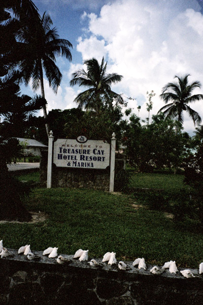
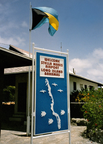
Long Island is an island in the Bahamas that is split by the Tropic of Cancer. Its capital is Clarence Town. Long Island is one of the Districts of the Bahamas and is known as the most scenic island in the Bahamas. The population is roughly 4,000 inhabitants.

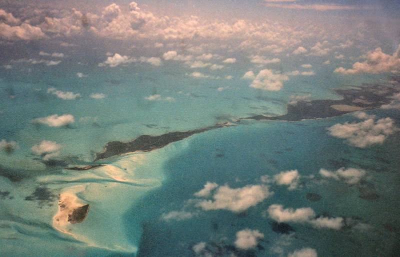
Long Island is 80 miles (about 130 kilometers) long and 4 miles (6 km) wide at its widest point. The land area is 173 square miles. Long Island is situated about 165 miles (265 km) southeast of the Bahamian capital of Nassau, which is located on the island of New Providence. The Tropic of Cancer runs through the northern quarter of the island.

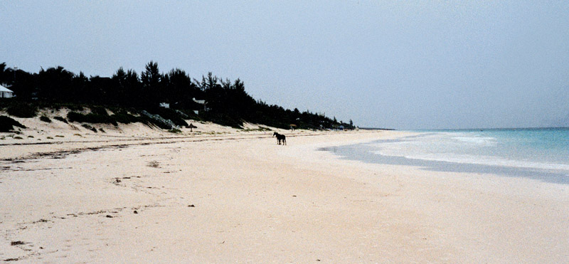
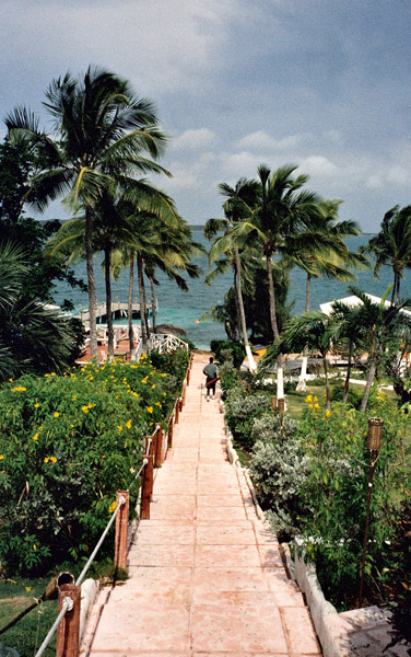
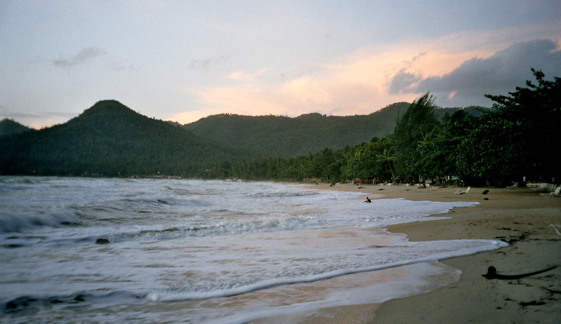
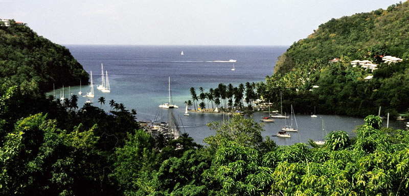
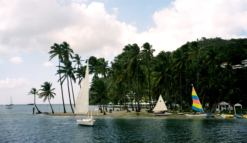
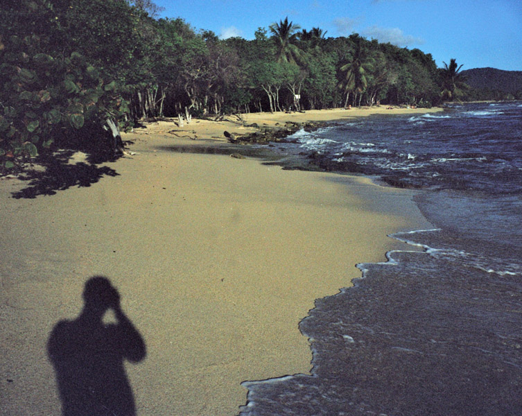
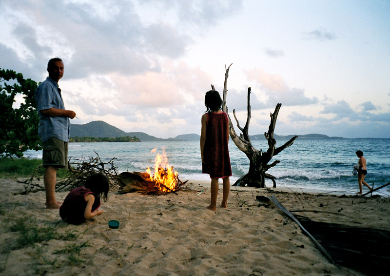
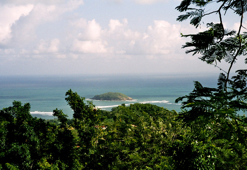
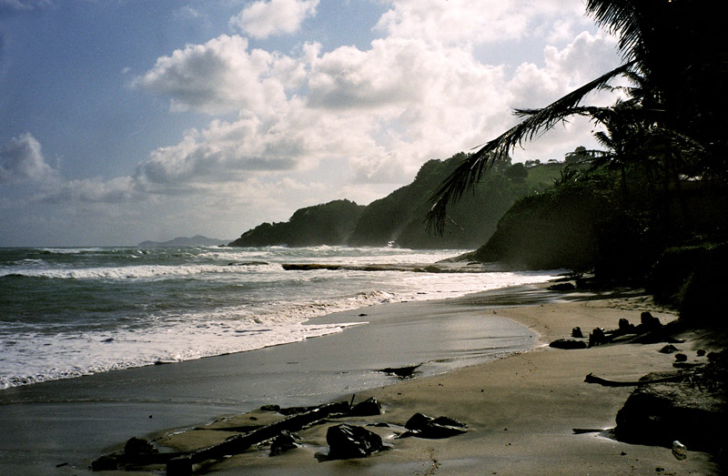
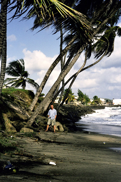
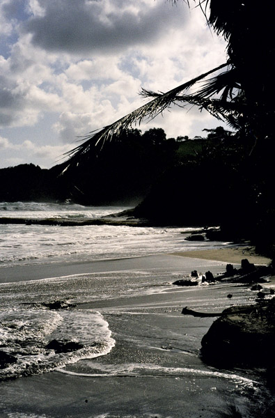
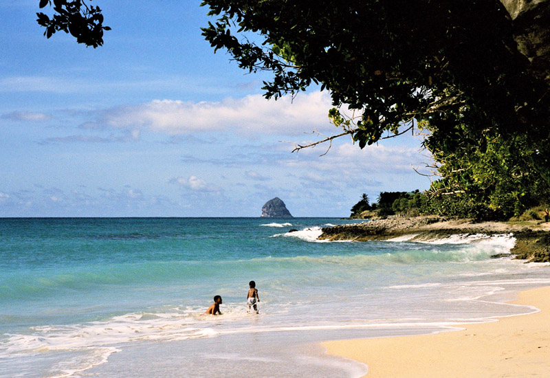
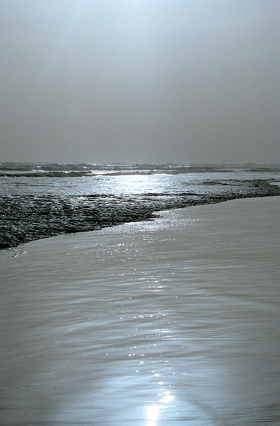
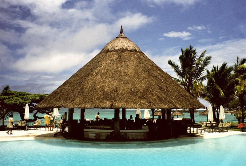
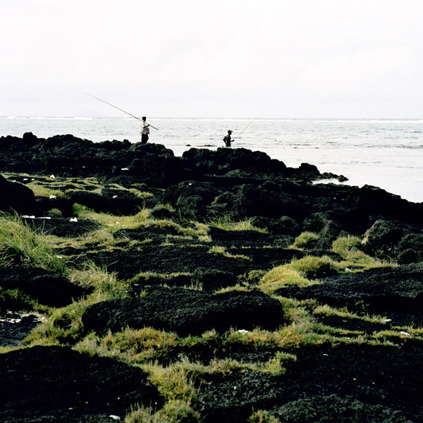
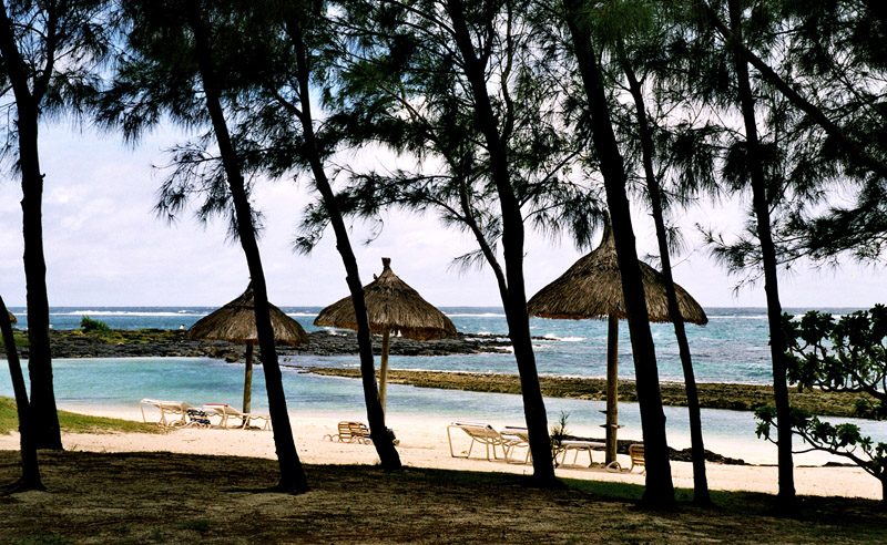
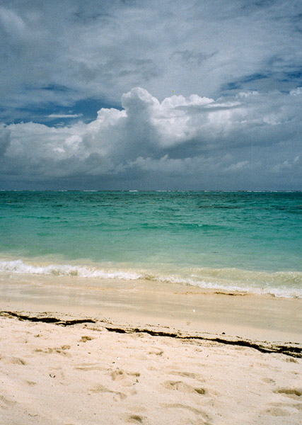
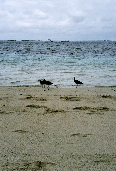
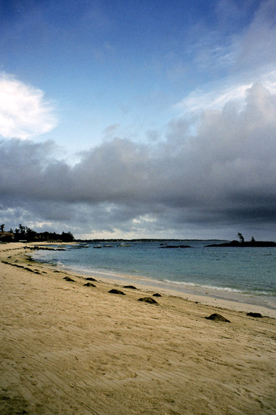
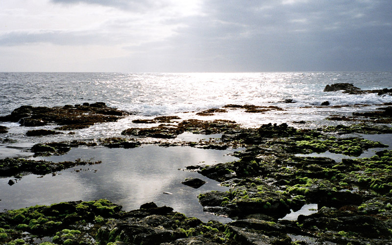
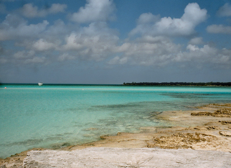
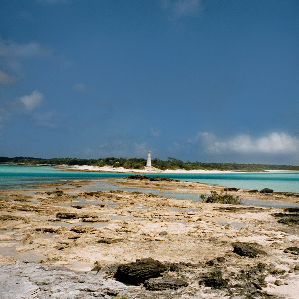
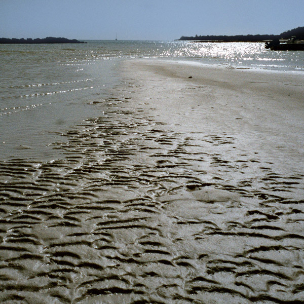
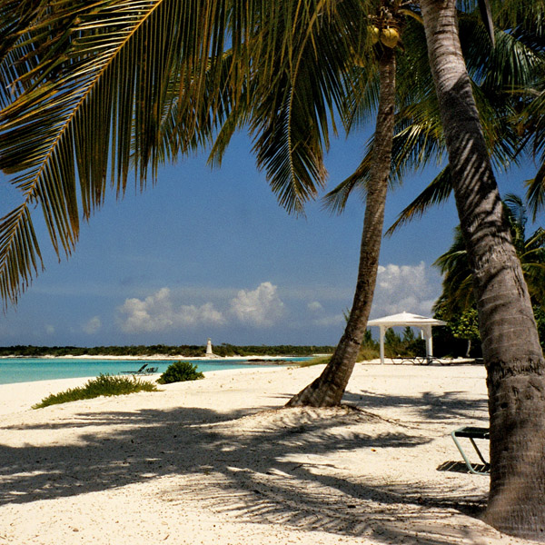
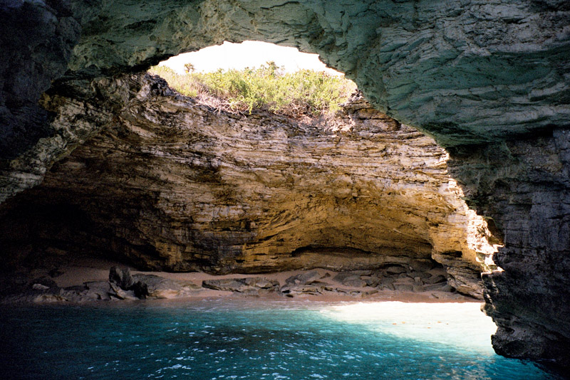
The Atlantic Ocean coast, on the east side of Long Island, is noted for its steep rocky headlands, while the Caribbean Sea coast on the west side is noted for its broad white beaches with soft sand. The terrain ranges widely throughout the island, including white flat expanses from which salt is extracted, swamplands, beaches, and sloping (in the north) and low (in the south) hills.

Source: Wikipedia (under GNU Free Documentation License)

Categories
Bahamas

Treasure Cay

Treasure Cay, Bahamas is a small coastal community on the east coast of the island of Abaco in the Bahamas. Treasure Cay is approximately 165 miles due east of Fort Lauderdale, Florida, United States.

Their 5-star golf course has attracted PGA greats for decades. Their beaches are a well kept secret, and known locally to be superb. The town of Treasure Cay consists of a bakery, a few beach bars, a restaurant, library and general store, with accommodation for tourists scattered out on the South End condo development.

The people of Treasure Cay are all very friendly, most speak English and French. There is a privately owned tiki-hut in the town that Disney had to come and make. Treasure Cay Airport serves the community.

Source: Wikipedia (under GNU Free Documentation License)

Categories
Bahamas

Harbour Island

Harbour Island is an island and administrative district in the Bahamas. Harbour Island is set off the north east coast of Eleuthera Island. The only town on the island is Dunmore Town, named after the former Governor of the Bahamas, the Earl of Dunmore (1786-1798), who had a summer residence on Harbour Island.

Harbour Island is famous for its pink sand beaches which are found all along the east side of the island. The island is accessible by plane through North Eleuthera Airport, followed by a short water taxi ride from neighbouring North Eleuthera. Harbour Island is a popular holiday destination for Americans. Known as Briland to the locals, Harbour Island is colourful with New England-style buildings and flower lined streets. Harbour Island is part of the Out Islands of the Bahamas.

Source: Wikipedia (under GNU Free Documentation License)

Categories
Réunion

Réunion

Réunion (French: Réunion or formally La Réunion; previously Île Bourbon) is an island located in the Indian Ocean, east of Madagascar, about 200 kilometres (120 mi) south west of Mauritius, the nearest island.

Administratively, Réunion is one of the overseas départements of France. Like the other overseas departments, Réunion is also one of the twenty-six regions of France (being an overseas region) and an integral part of the Republic with the same status as those situated on the European mainland.

Réunion is an outermost region of the European Union and, as an overseas department of France, is part of the Eurozone. Due to its location in a time zone to the east of Europe, Réunion was the first region in the world where the euro became legal tender.

Source: Wikipedia (under GNU Free Documentation License)

Categories
Thailand

Koh Samui

Ko Samui island of Surat Thani Province (or Koh Samui), or often, simply Samui as it is referred to by locals, is an island off the east coast of the Kra Isthmus in Thailand, close to the mainland Surat Thani town. It is Thailand’s third largest island, with an area of 228.7 km² and a population of over 50,000 (2008). It is rich with natural resources, white sandy beaches, coral reefs and coconut trees.

The island was probably first inhabited about 15 centuries ago, settled by fishermen from the Malay Peninsula and Southern China. It appears on Chinese maps dating back to 1687, under the name Pulo Cornam. The name Samui is mysterious in itself. Perhaps it is an extension of the name of one of the native trees, mui, or from the Chinese word Saboey, meaning “safe haven”. Ko is the Thai word for “island.”

Until the late 20th century, Ko Samui was an isolated self-sufficient community, having little connection with the mainland of Thailand. The island was even without roads until the early 1970s, and the 15 km journey from one side of the island to the other involved a whole-day trek through the mountainous central jungles.

Source: Wikipedia (under GNU Free Documentation License)

Categories
Saint Lucia

Saint Lucia

Saint Lucia (French: Sainte-Lucie) is an island nation in the eastern Caribbean Sea on the boundary with the Atlantic Ocean. Part of the Lesser Antilles, it is located north/northeast of the islands of Saint Vincent and the Grenadines, northwest of Barbados and south of Martinique. Its size is 620 km² with an estimated population of 160,000. Its capital is Castries. The island nation has been the home of two Nobel laureates, Arthur Lewis and Derek Walcott, and so can claim the distinction of being the nation with the most such honorees per capita in the world.

Saint Lucia is one of the Windward Islands, named for Saint Lucy of Syracuse. It was first visited by Europeans in about the year 1500 and first colonised successfully by France who signed a treaty with the native Carib peoples in 1660. Great Britain took control of the island from 1663 to 1667 then went to war with France over it fourteen times, and finally took complete control in 1814. Because it switched so often between British and French control, Lucia was also known as the “Helen of the West Indies.” Representative government came about in 1924 (with universal adult suffrage from 1953) and from 1958 to 1962 the island was a member of the Federation of the West Indies. Finally, on February 22, 1979, Saint Lucia became an independent state of the Commonwealth of Nations. The island nation celebrates this every year with a public holiday. It is also a member of La Francophonie. About 20.9 % of the population of Saint Lucia live on less than US$1.25 a day.

Source: Wikipedia (under GNU Free Documentation License)

Categories
Martinique

Martinique

Martinique is an island in the eastern Caribbean Sea, with a land area of 1,128 km2 (436 sq mi). It is an overseas department of France. To the northwest lies Dominica, to the south St Lucia, and to the southeast Barbados.

As with the other overseas departments, Martinique is also one of the twenty-six regions of France (being an overseas region) and an integral part of the Republic. As part of France, Martinique is part of the European Union, and its currency is the euro. Its official language is French, although many of its inhabitants also speak Antillean Creole and Modern English (Créole Martiniquais). Martinique is pictured on all euro banknotes, on the reverse at the bottom of each note, right of the Greek ΕΥΡΩ (EURO) next to the denomination.

The inhabitants of Martinique are French citizens with full political and legal rights. Martinique sends four deputies to the French National Assembly and two senators to the French Senate.

Source: Wikipedia (under GNU Free Documentation License)

Categories
Sri Lanka

Sri Lanka

Sri Lanka (officially the Democratic Socialist Republic of Sri Lanka; known as Ceylon before 1972 and as Taprobane in ancient times), is an island country in South Asia, located about 31 kilometres (19.3 mi) off the southern coast of India. It is home to around twenty million people.

As a result of its location in the path of major sea routes, Sri Lanka is a strategic naval link between West Asia and South East Asia. It has also been a center of the Buddhist religion and culture from ancient times as well as being a bastion of Hinduism. The Sinhalese community forms the majority of the population; Tamils, who are concentrated in the north and east of the island, form the largest ethnic minority. Other communities include Moors, Burghers, Kaffirs and the Malays.

The country is famous for the production and export of tea, coffee, coconuts, rubber and cinnamon – which is native to the country. The natural beauty of Sri Lanka’s tropical forests, beaches and landscape, as well as its rich cultural heritage, make it a world famous tourist destination. The island also boasts the first female Prime Minister in the world, Sirimavo Bandaranaike.

After over two thousand years of rule by local kingdoms, parts of Sri Lanka were colonized by Portugal and the Netherlands beginning in the 16th century, before control of the entire country was ceded to the British Empire in 1815. During World War II, Sri Lanka served as an important base for Allied forces in the fight against the Japanese Empire. A nationalist political movement arose in the country in the early 20th century with the aim of obtaining political independence, which was eventually granted by the British after peaceful negotiations in 1948.

Source: Wikipedia (under GNU Free Documentation License)

Categories
Mauritius

Mauritius II

Mauritius (French: L’île Maurice, Mauritian Creole: Moris), officially the Republic of Mauritius, French: République de Maurice is an island nation off the coast of the African continent in the southwest Indian Ocean, about 900 kilometres (560 mi) east of Madagascar. In addition to the island of Mauritius, the Republic includes the islands of Cargados Carajos, Rodrigues and the Agalega Islands. Mauritius is part of the Mascarene Islands, with the French island of Réunion 200 km (120 mi) to the southwest and the island of Rodrigues 570 km (350 mi) to the northeast.

The island of Mauritius is renowned for having been the only known home of the dodo. First sighted by Europeans around 1600 on Mauritius, the dodo became extinct less than eighty years later.

Source: Wikipedia (under GNU Free Documentation License)

Categories
Cape Verde

Santo Antão II

Santo Antão (Portuguese for “Saint Anthony”), or Sontonton in Cape Verdean Creole, is the westernmost and largest of the Barlavento islands of Cape Verde. The nearest main island is São Vicente to the southeast, separated by a channel named Canal de São Vicente. It is the westernmost large island in Cape Verde and the continent of Africa, and the second largest in Cape Verde.

The island, entirely made up of volcanic material. The tallest mountain is Topo de Coroa, reaching a height of 1,979 m. The second tallest is Pico da Cruz at 1,585 m. The island is divided into north and south by a mountain range long considered impenetrable but now crossed by a road. The island’s main town is Ponta do Sol on the north coast, home to the Agostinho Neto Airport, while its ferry port is Porto Novo on the south coast. A part of the island in the southeast has an arid climate, while the northwest receives relatively normal precipitation. Its valleys are suffering heavy erosion.

Source: Wikipedia (under GNU Free Documentation License)