Categories
Solomon Islands

Gudalcanal

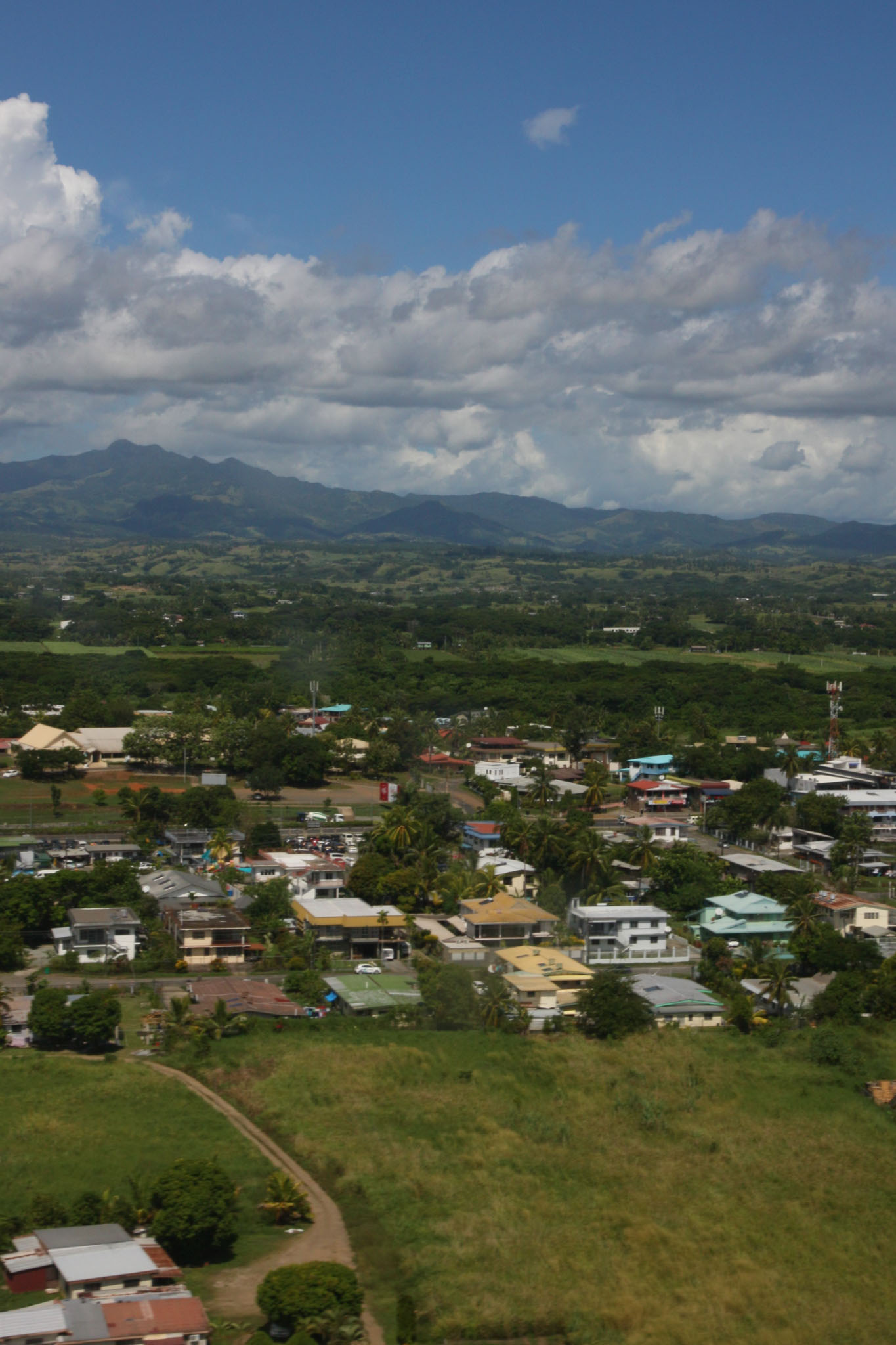
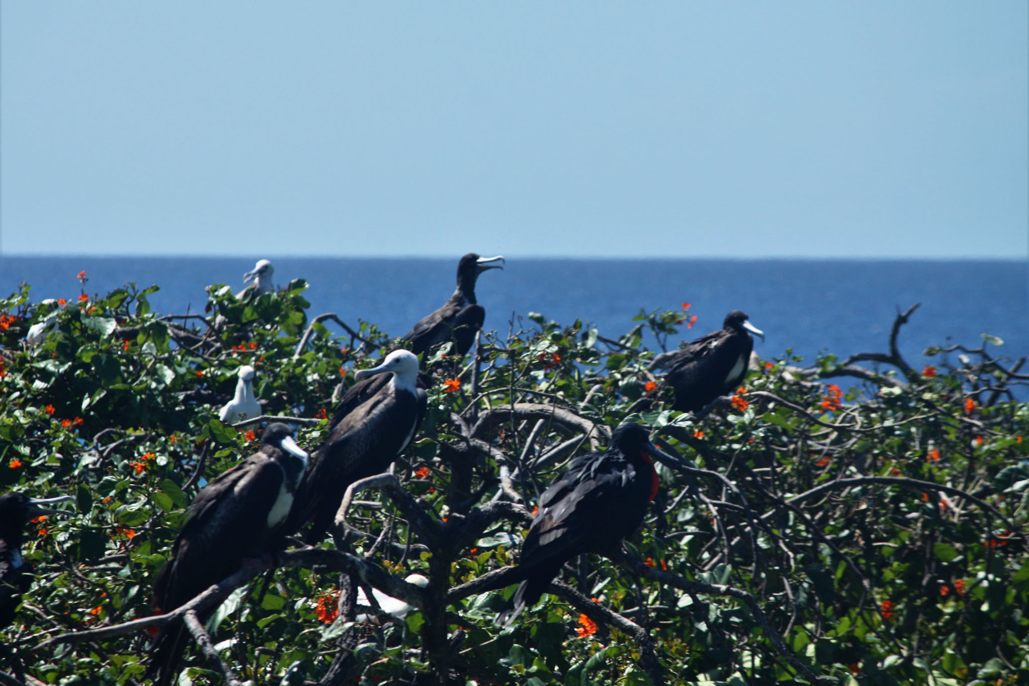
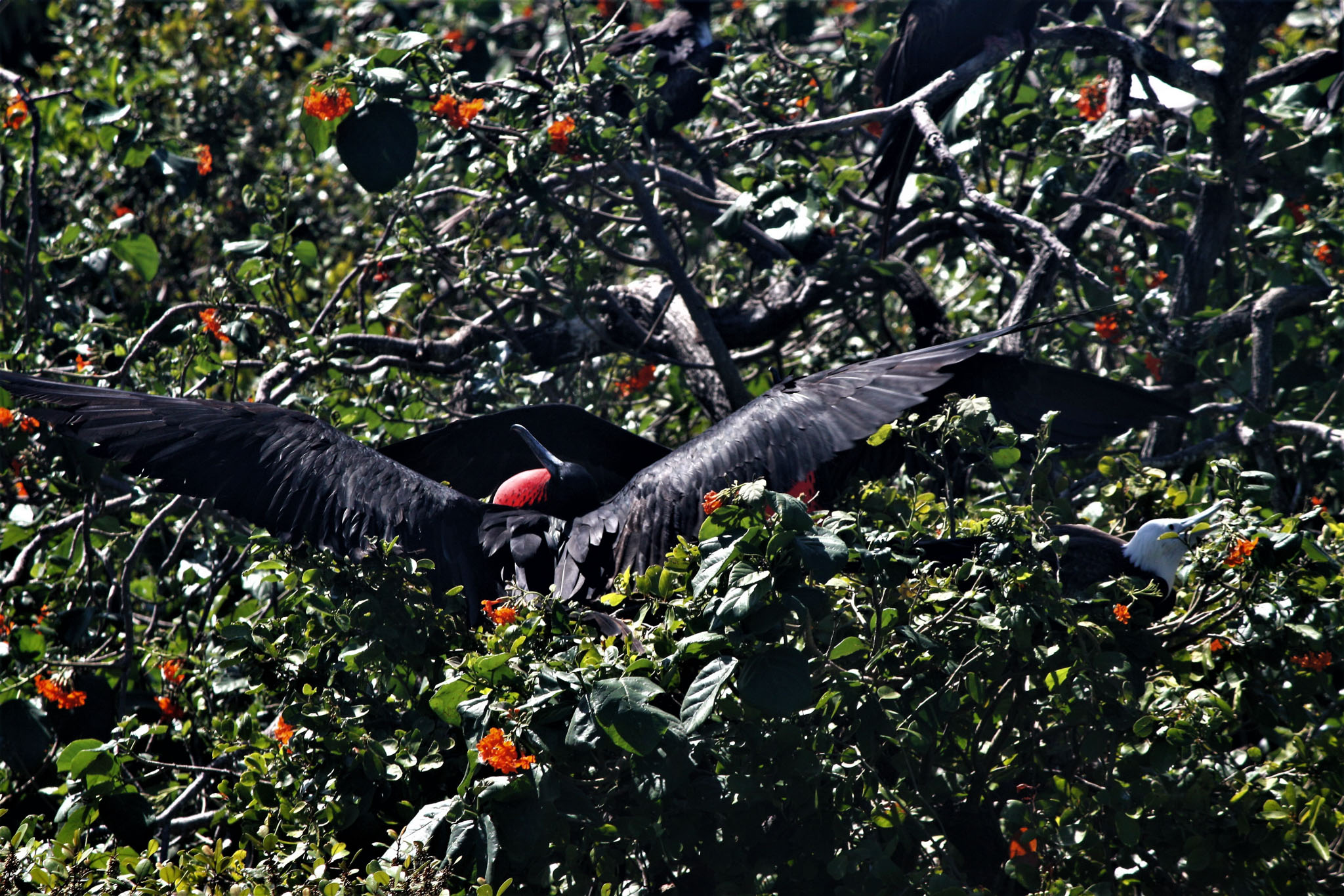
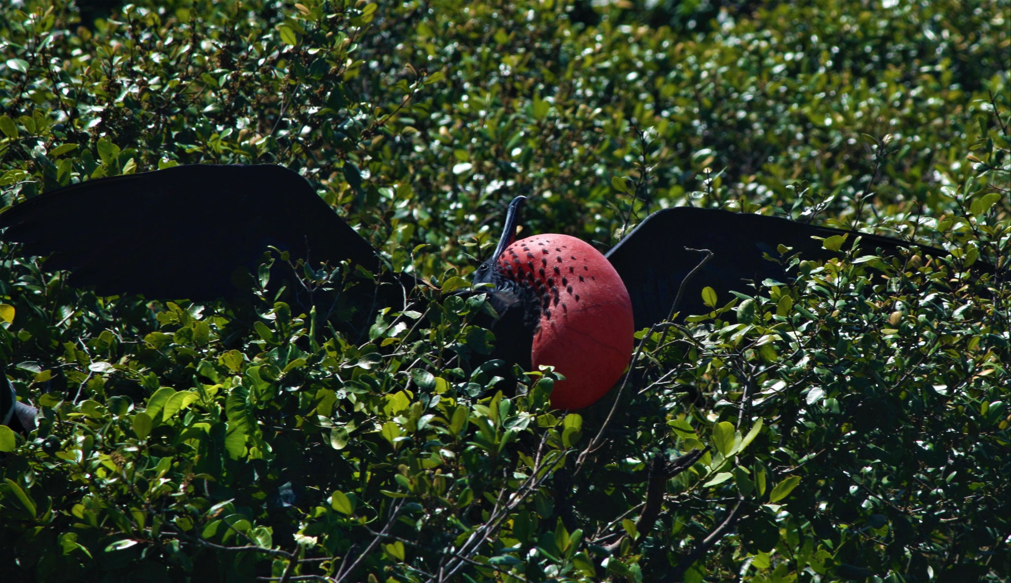
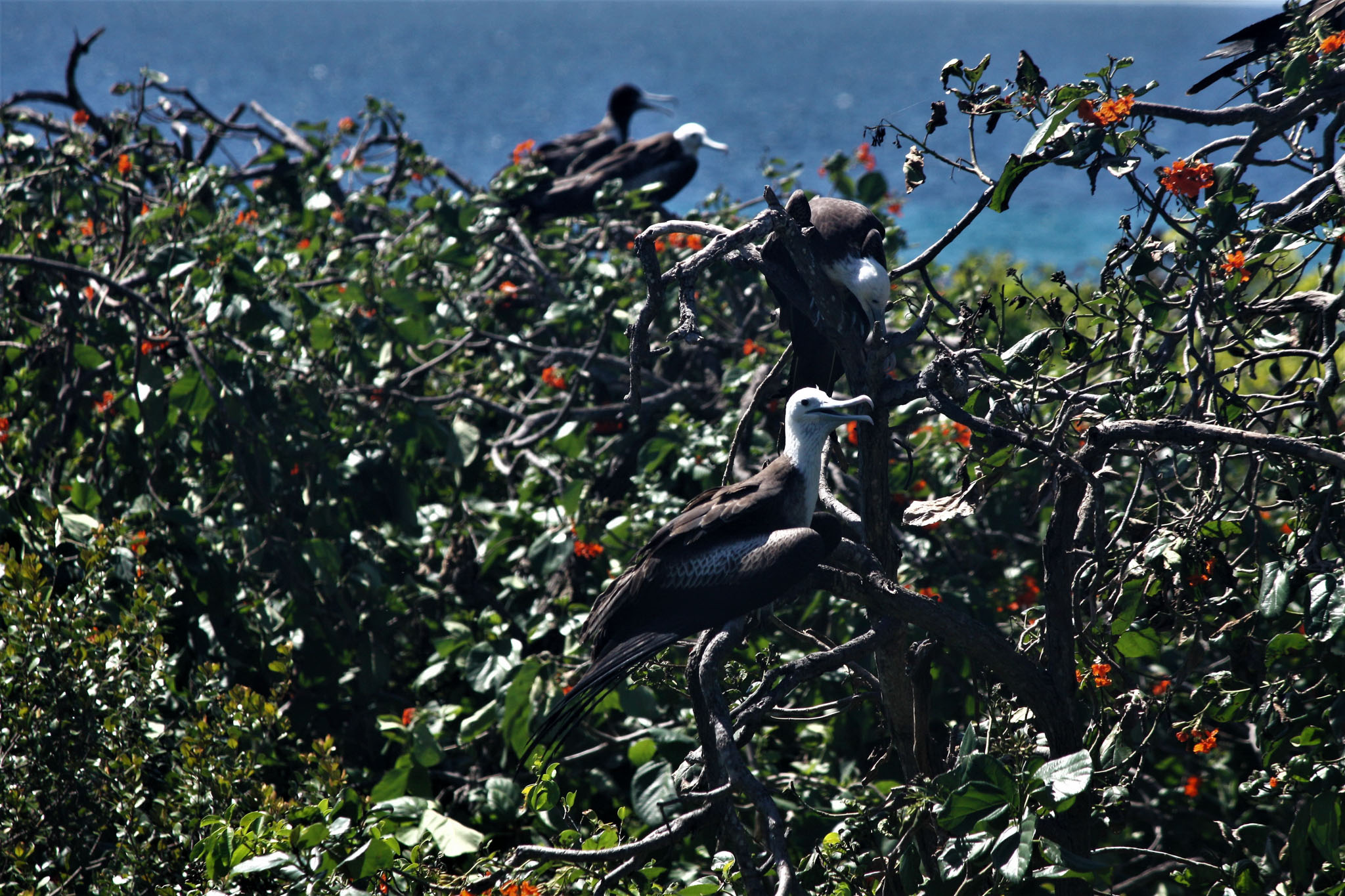
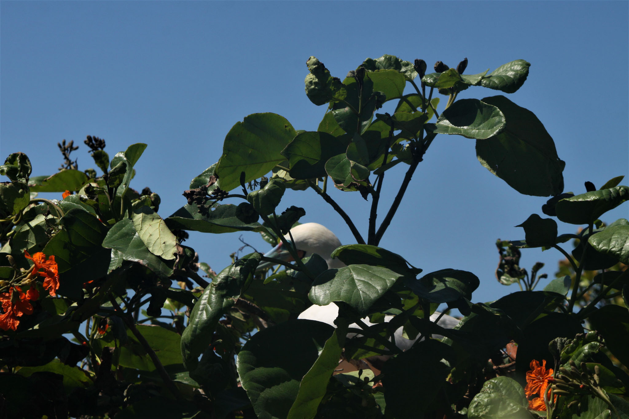
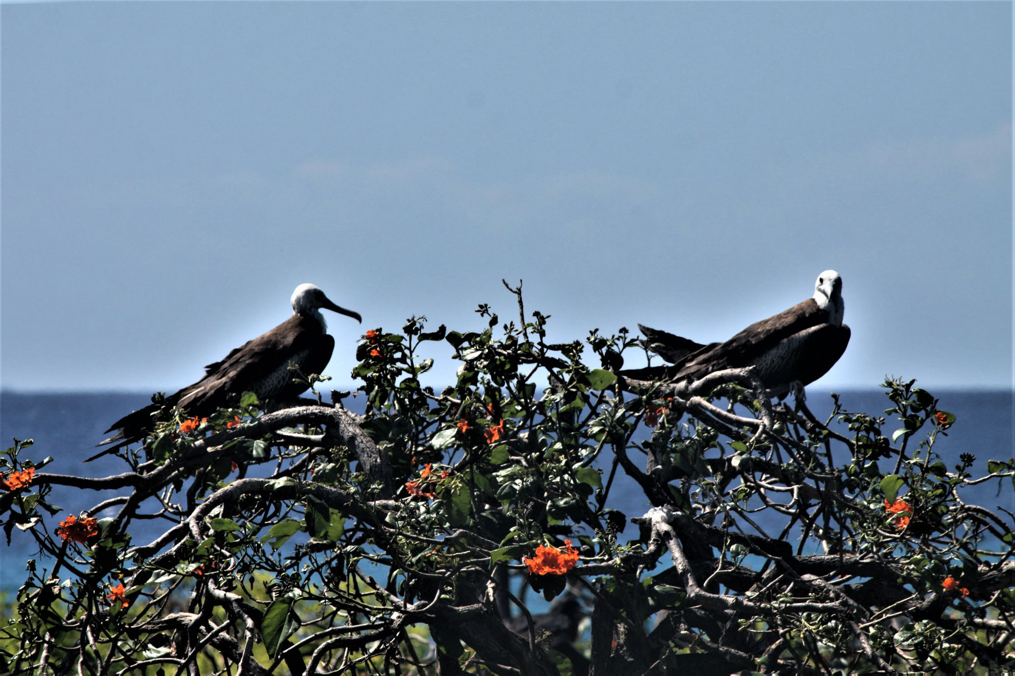
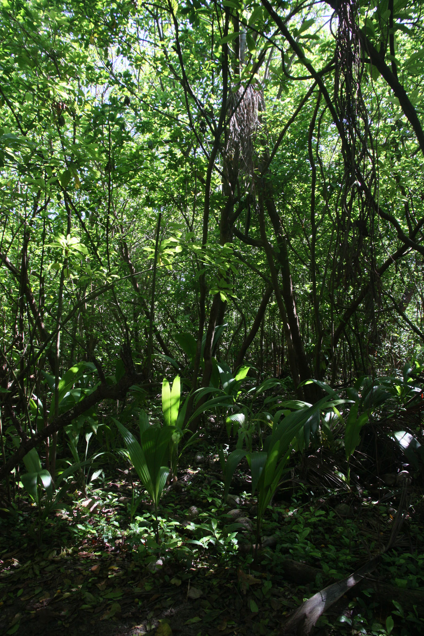
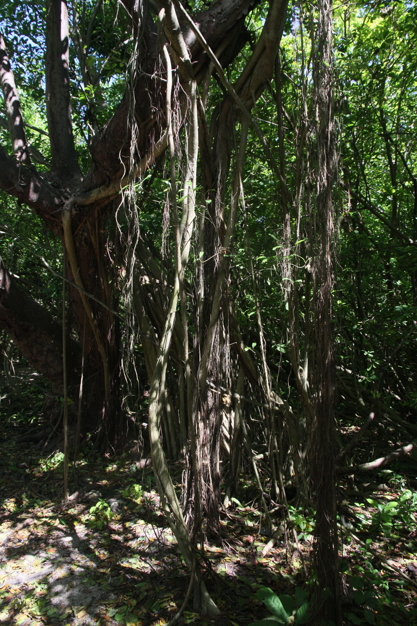
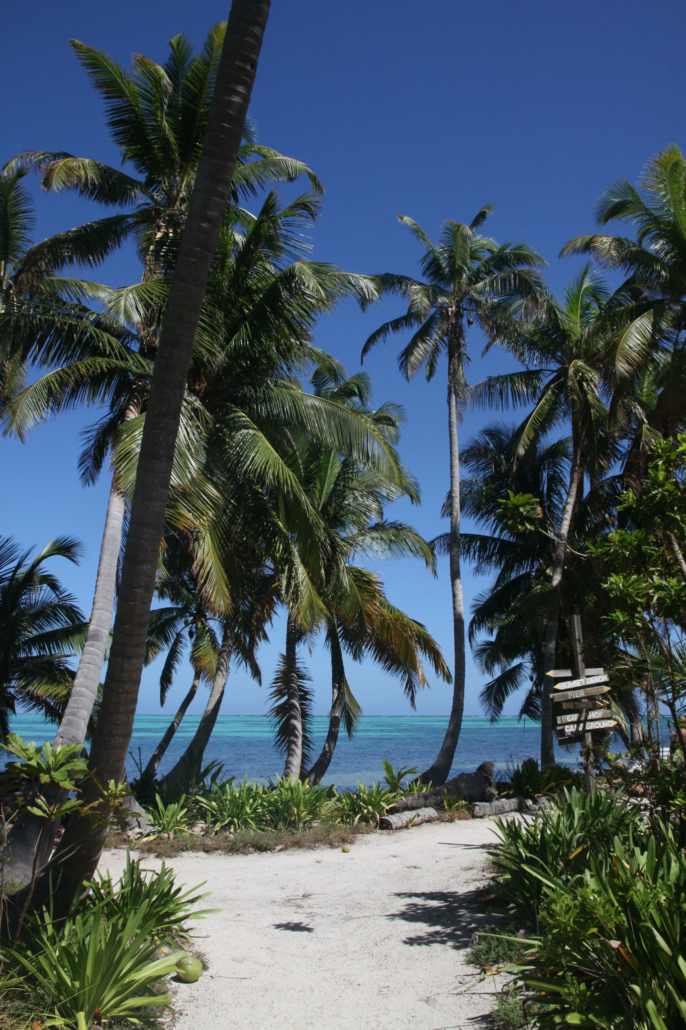
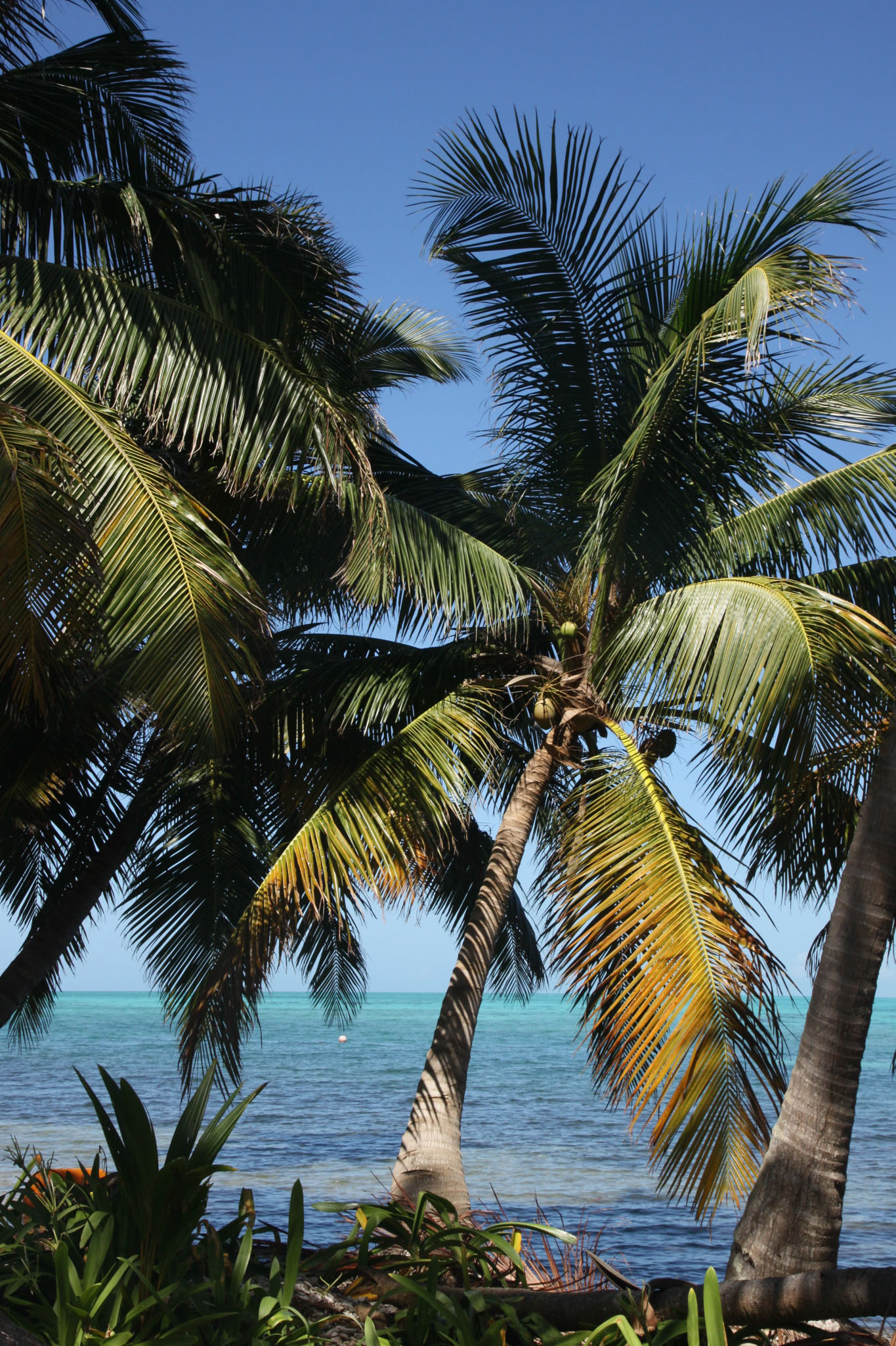
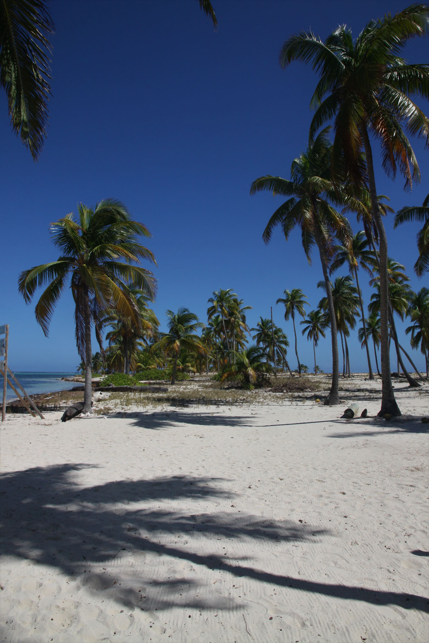
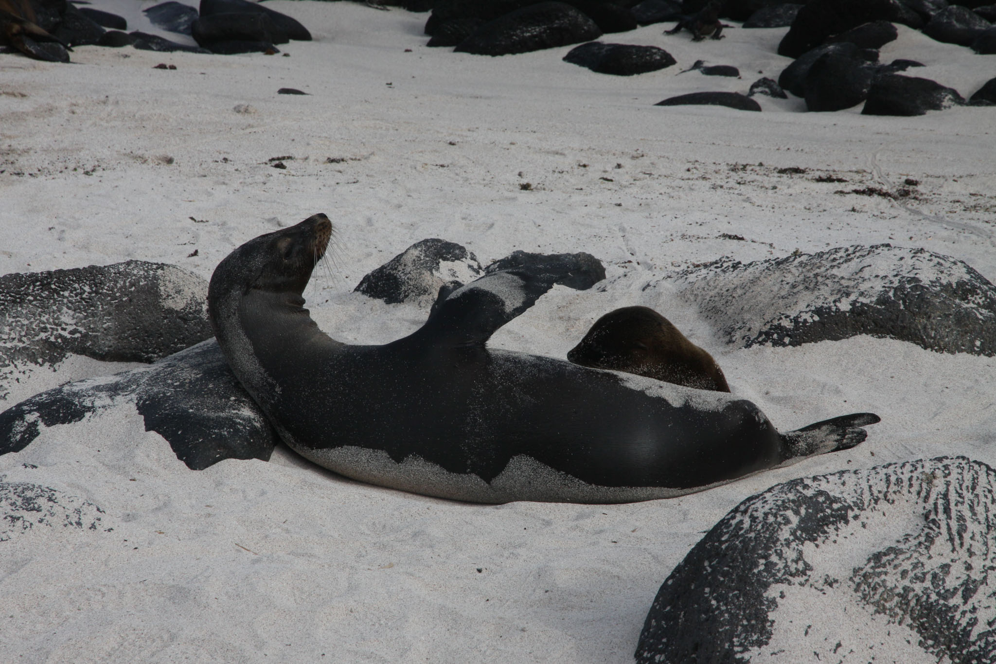
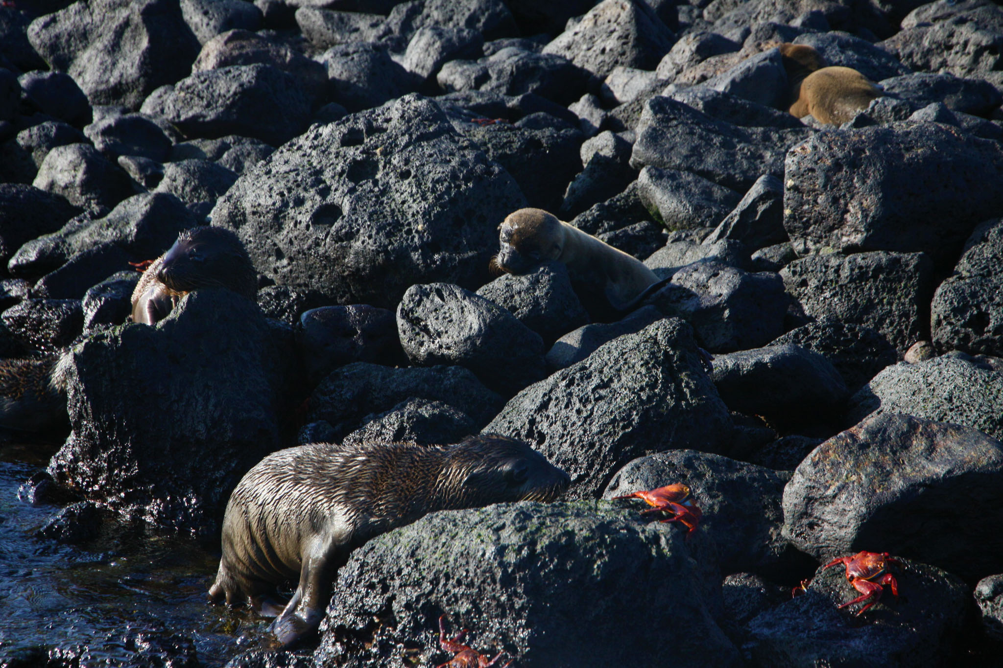
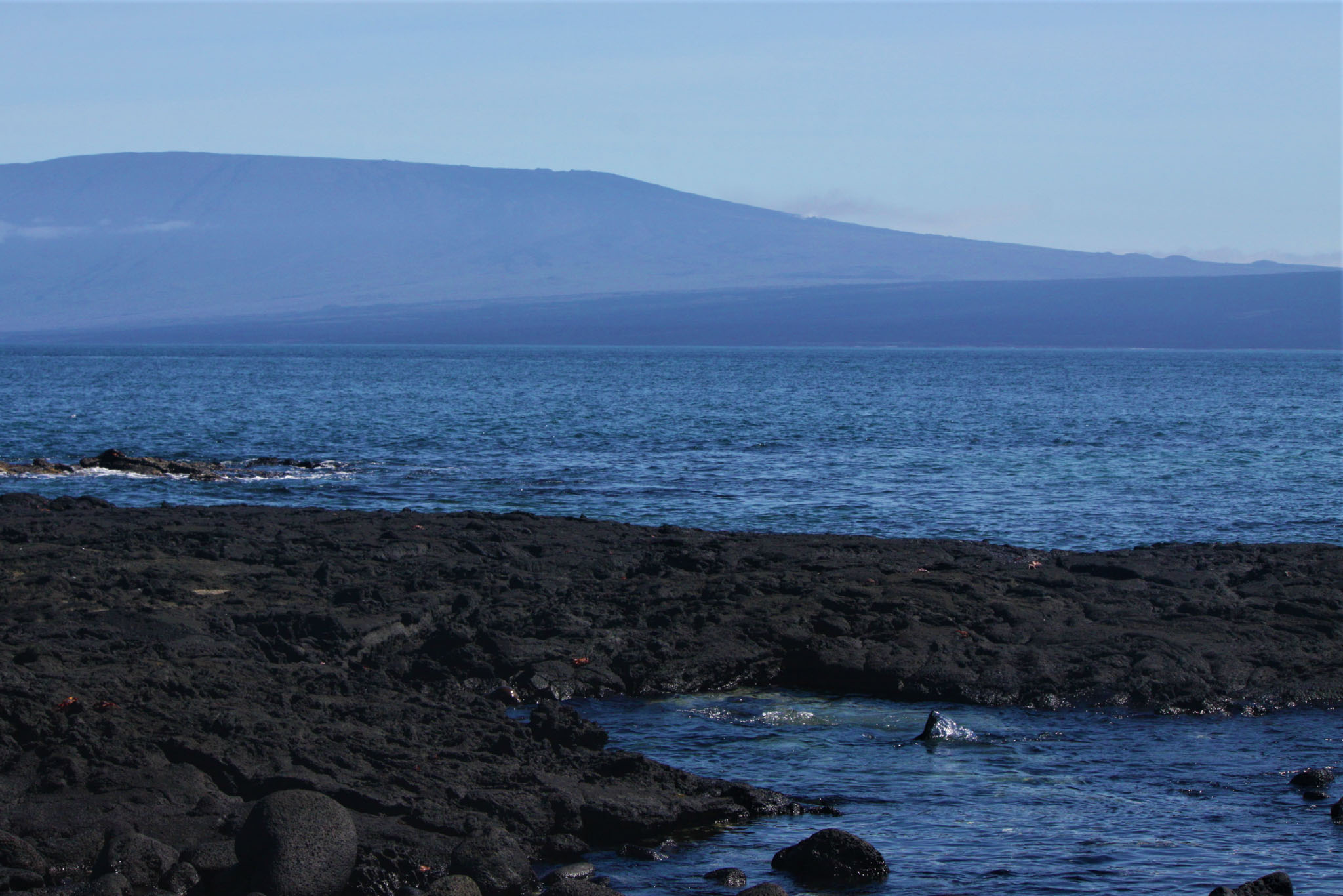
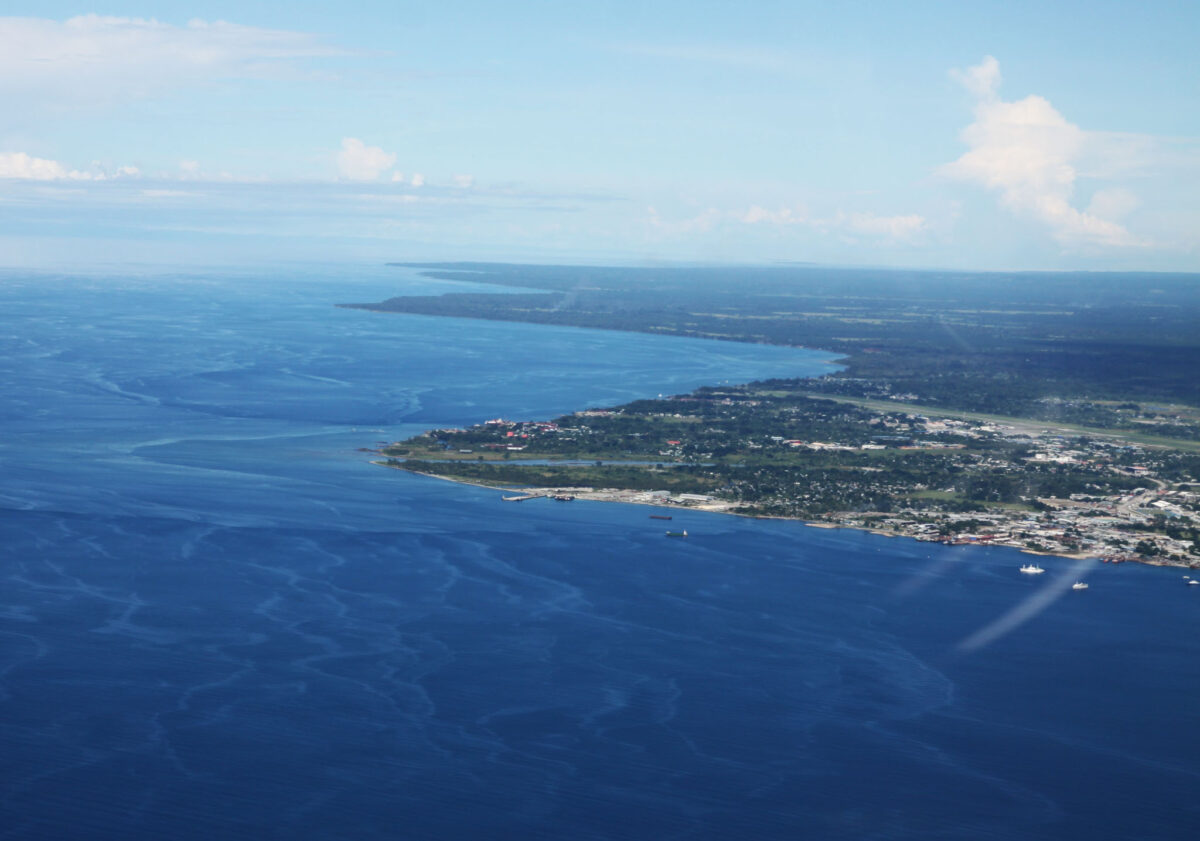
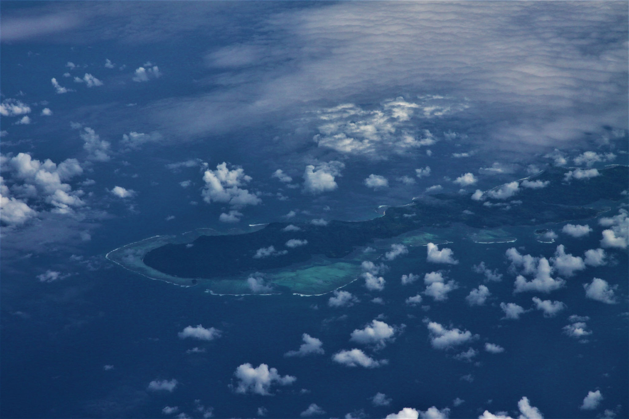
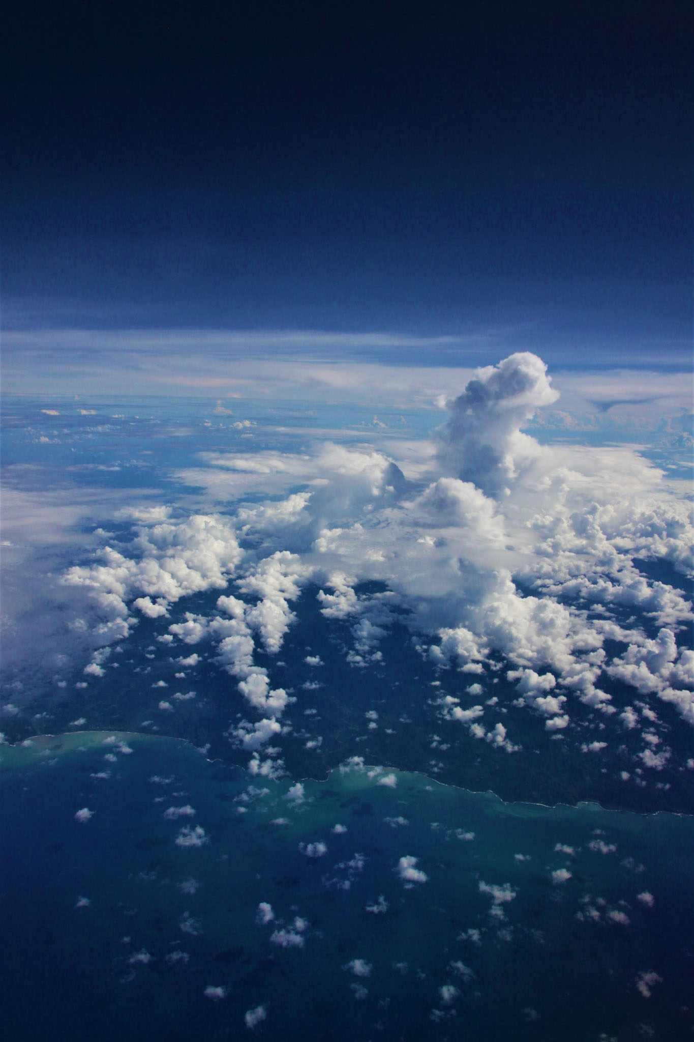
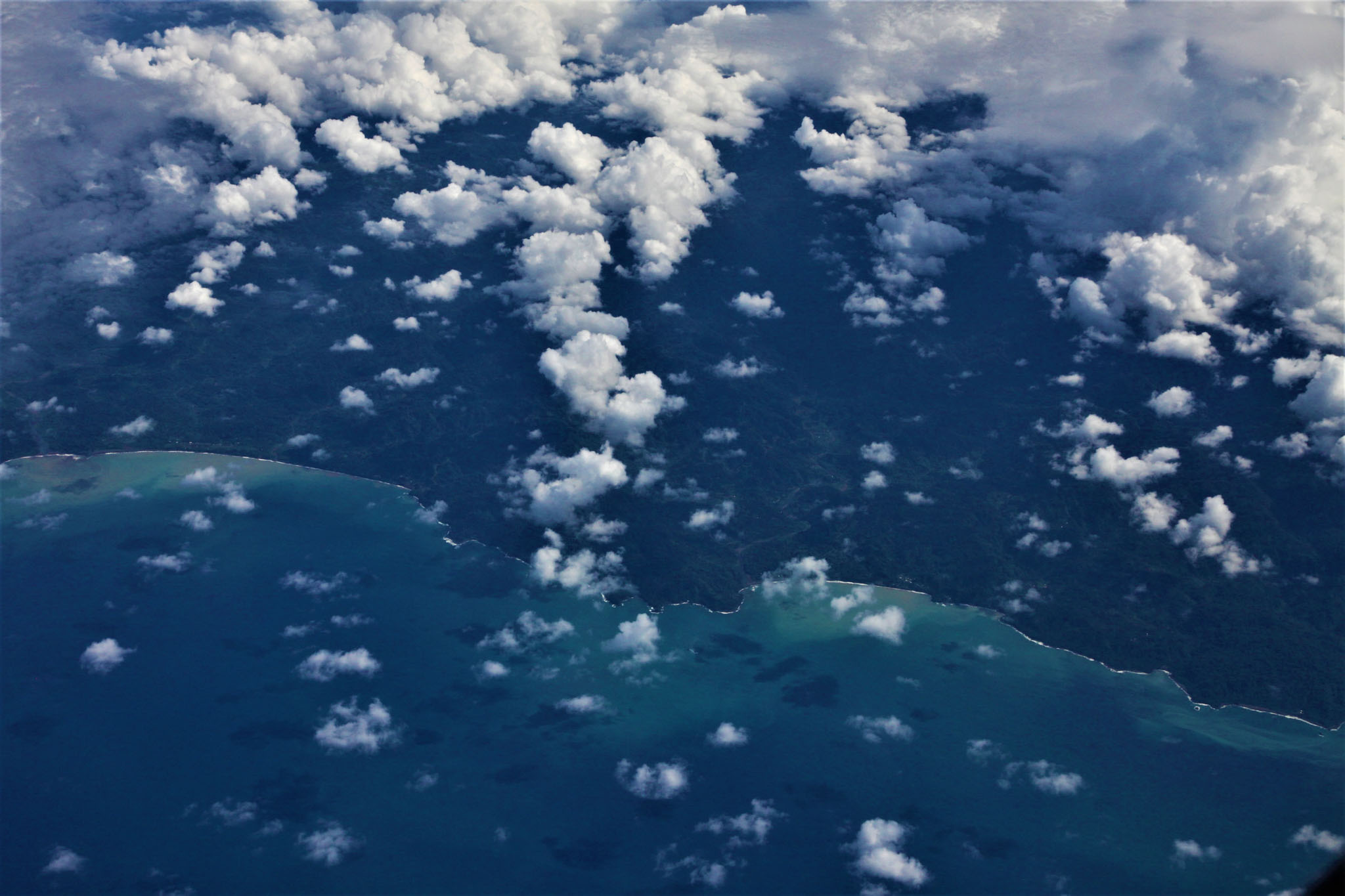
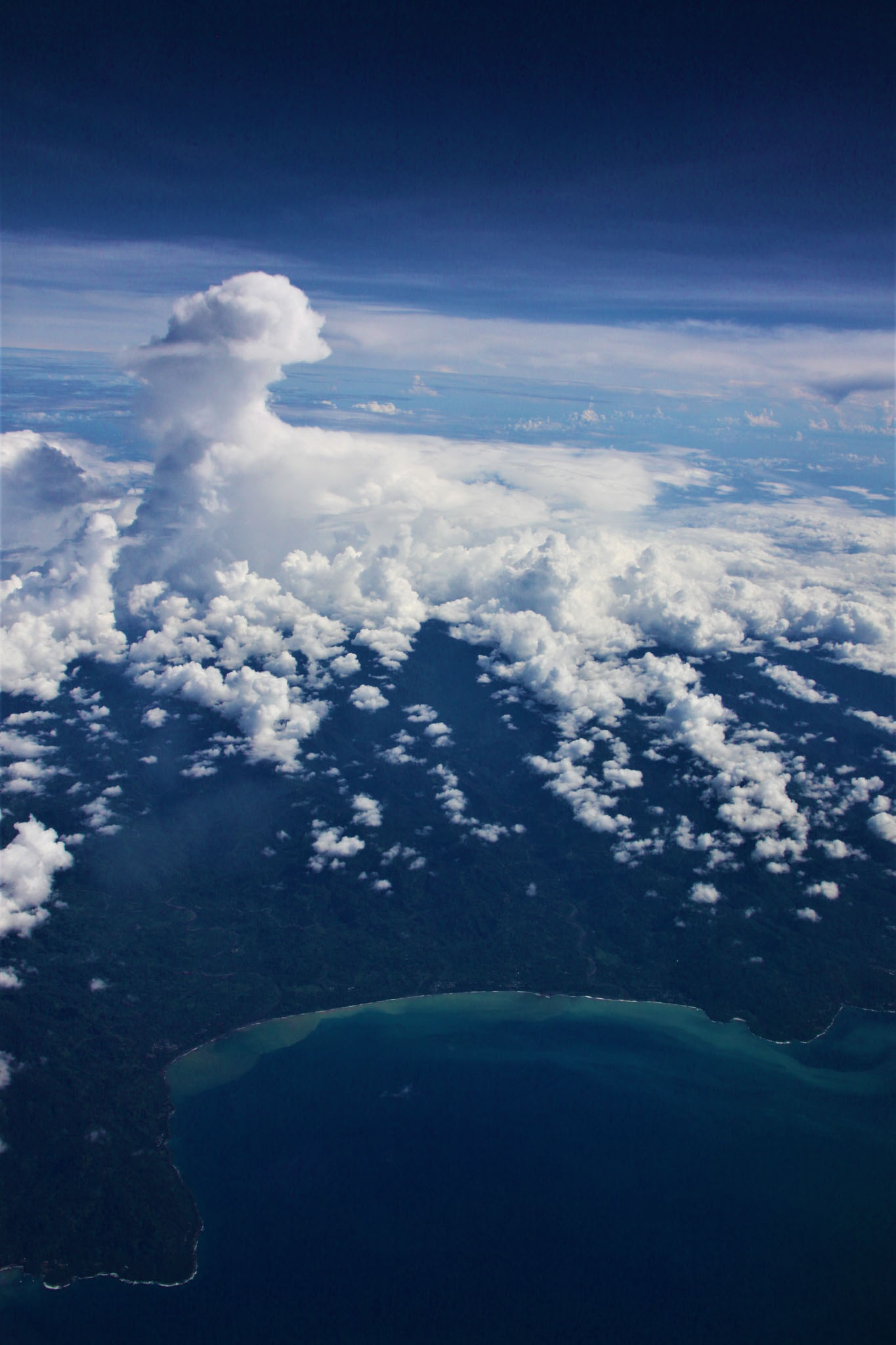
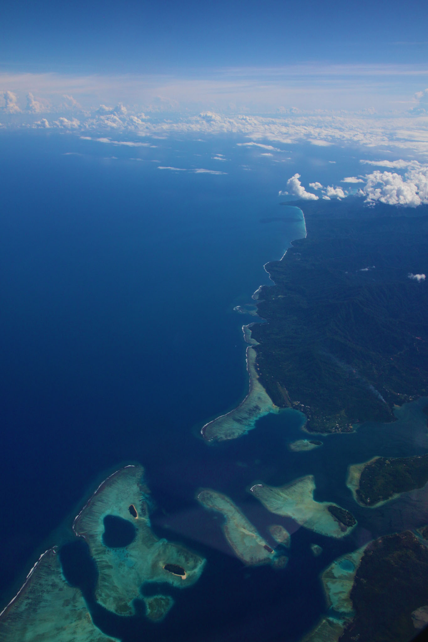
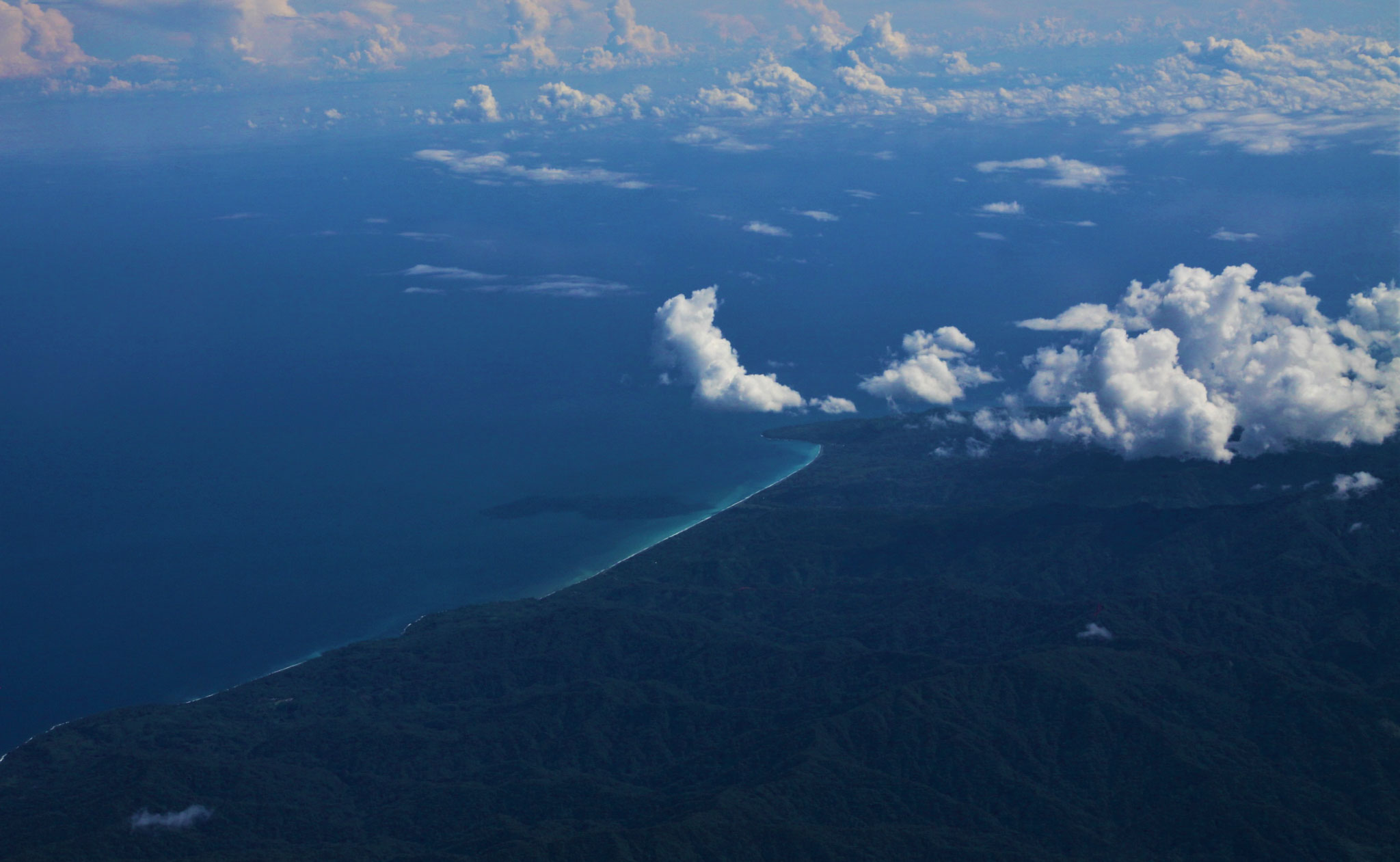
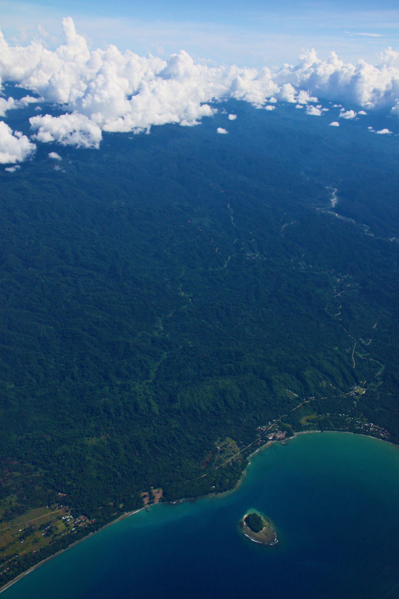
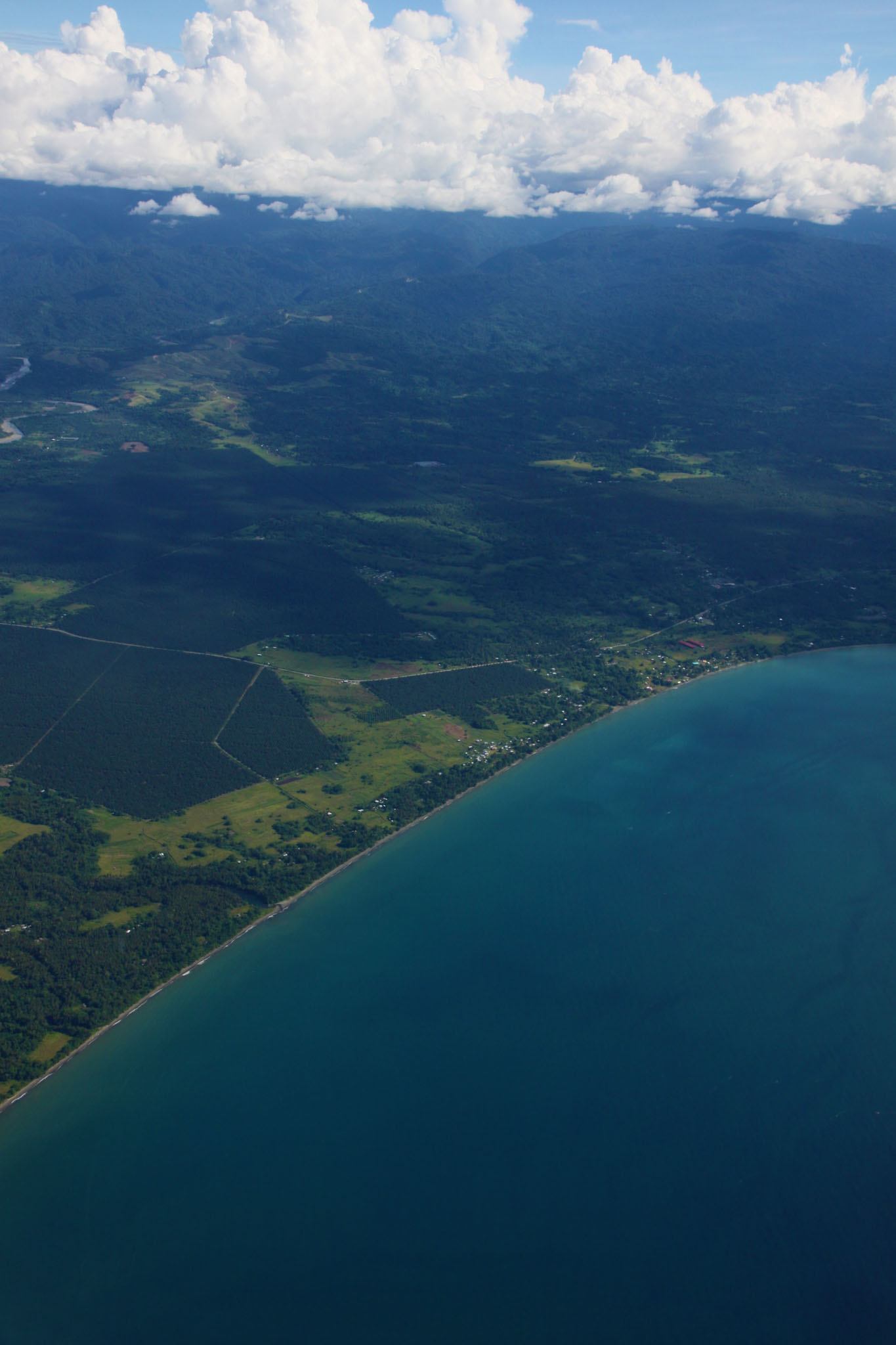
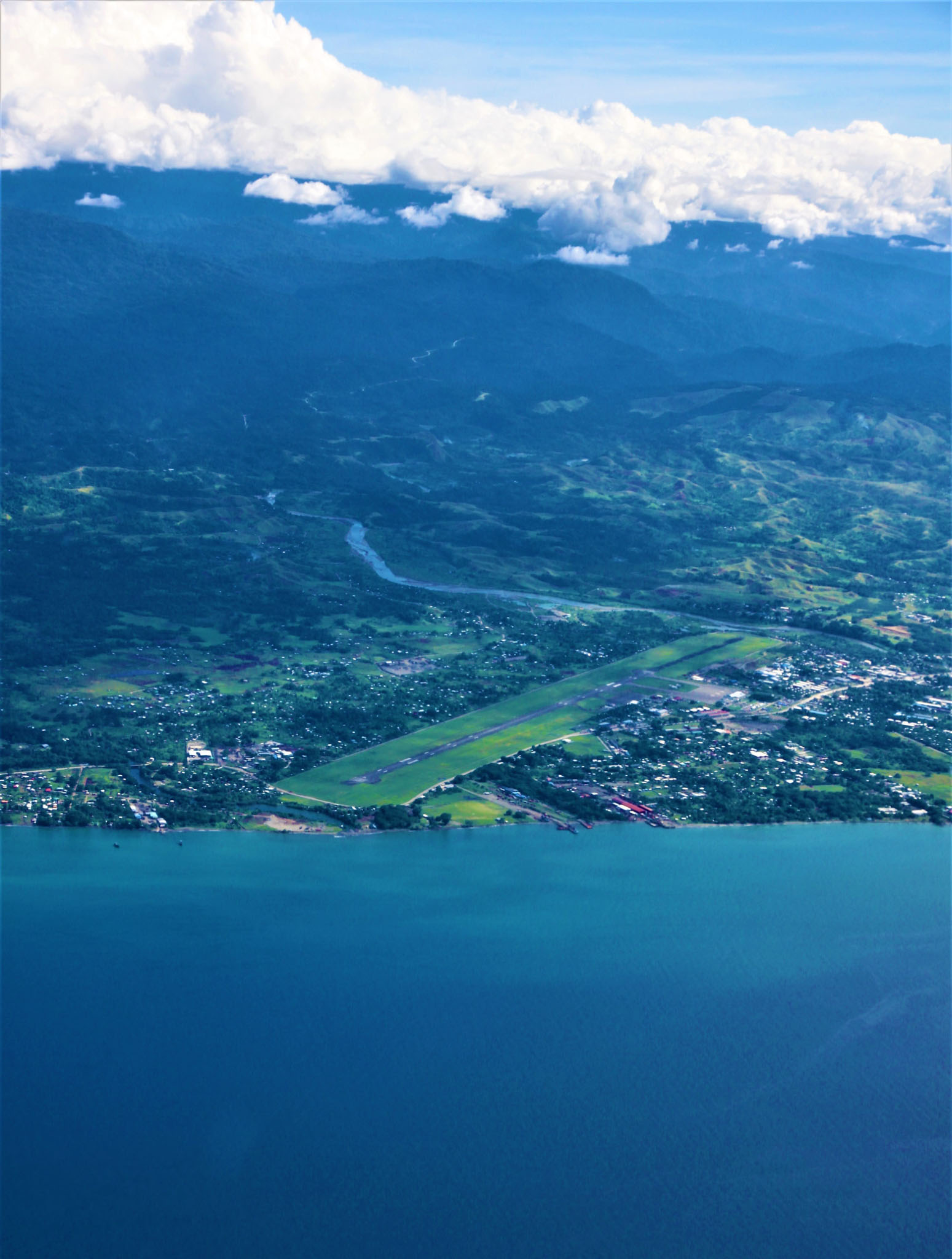
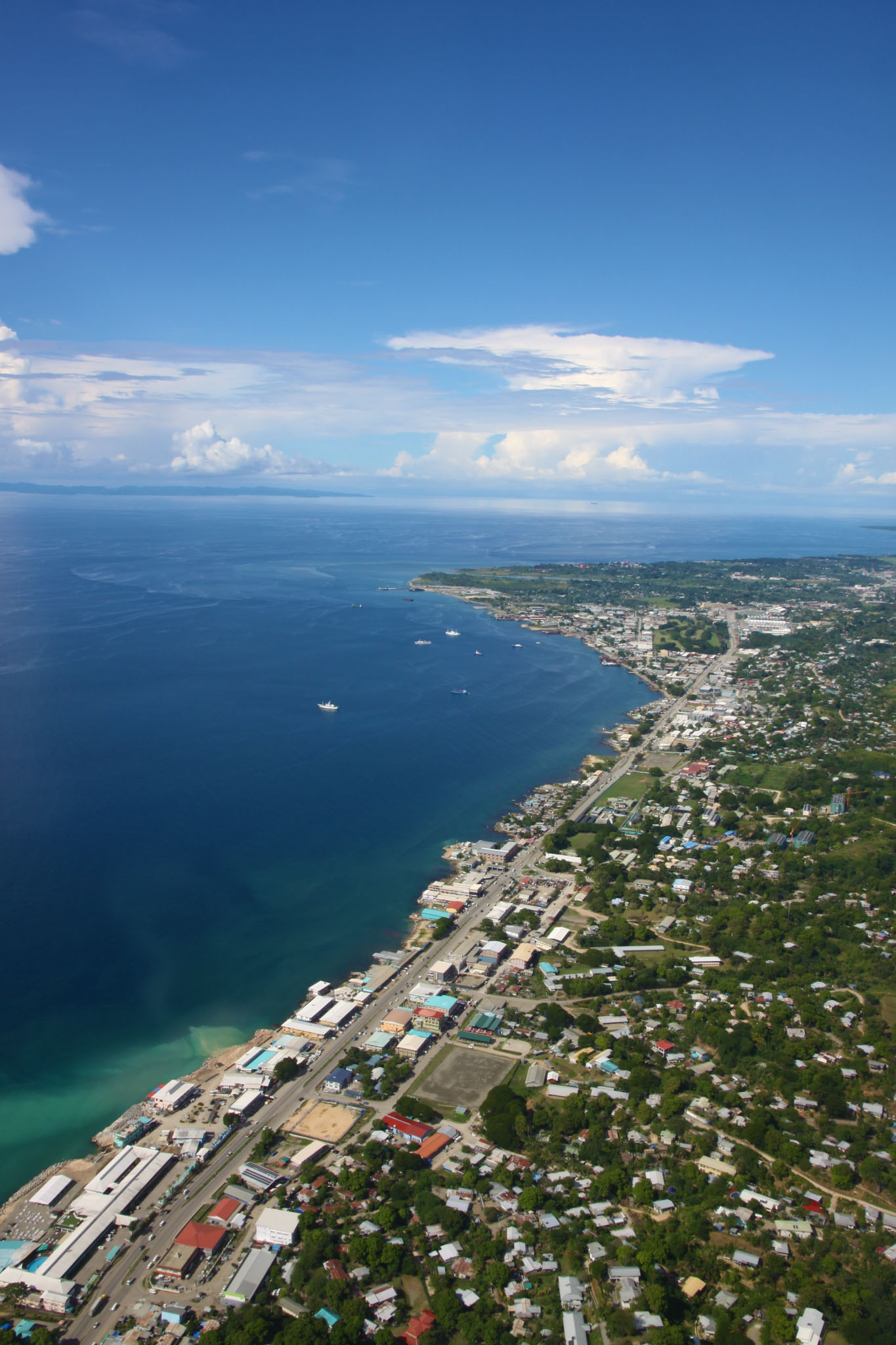
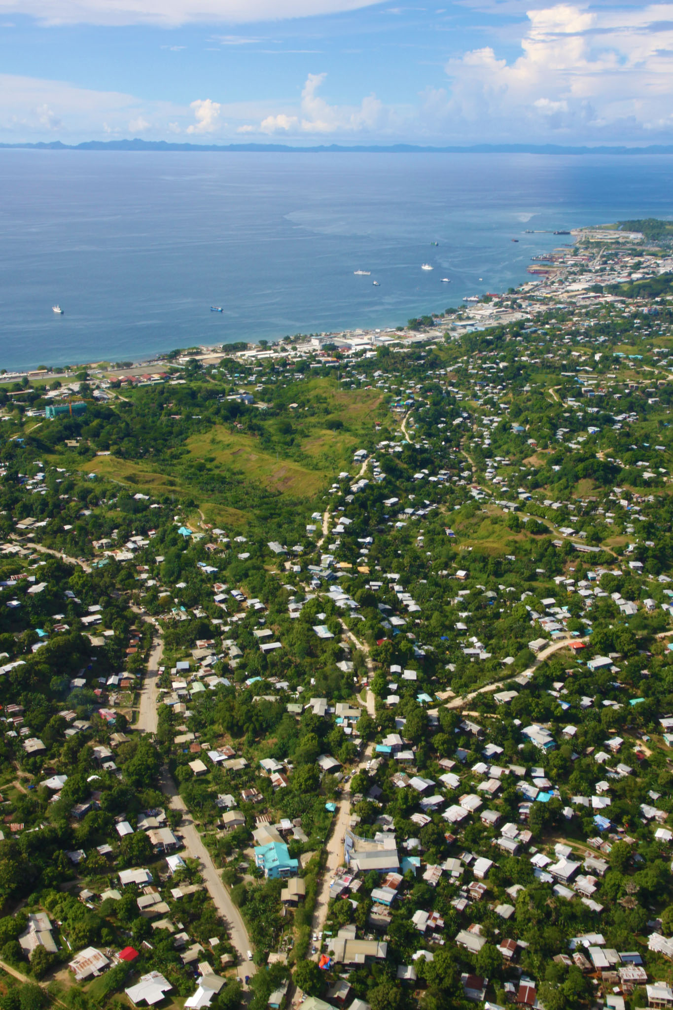
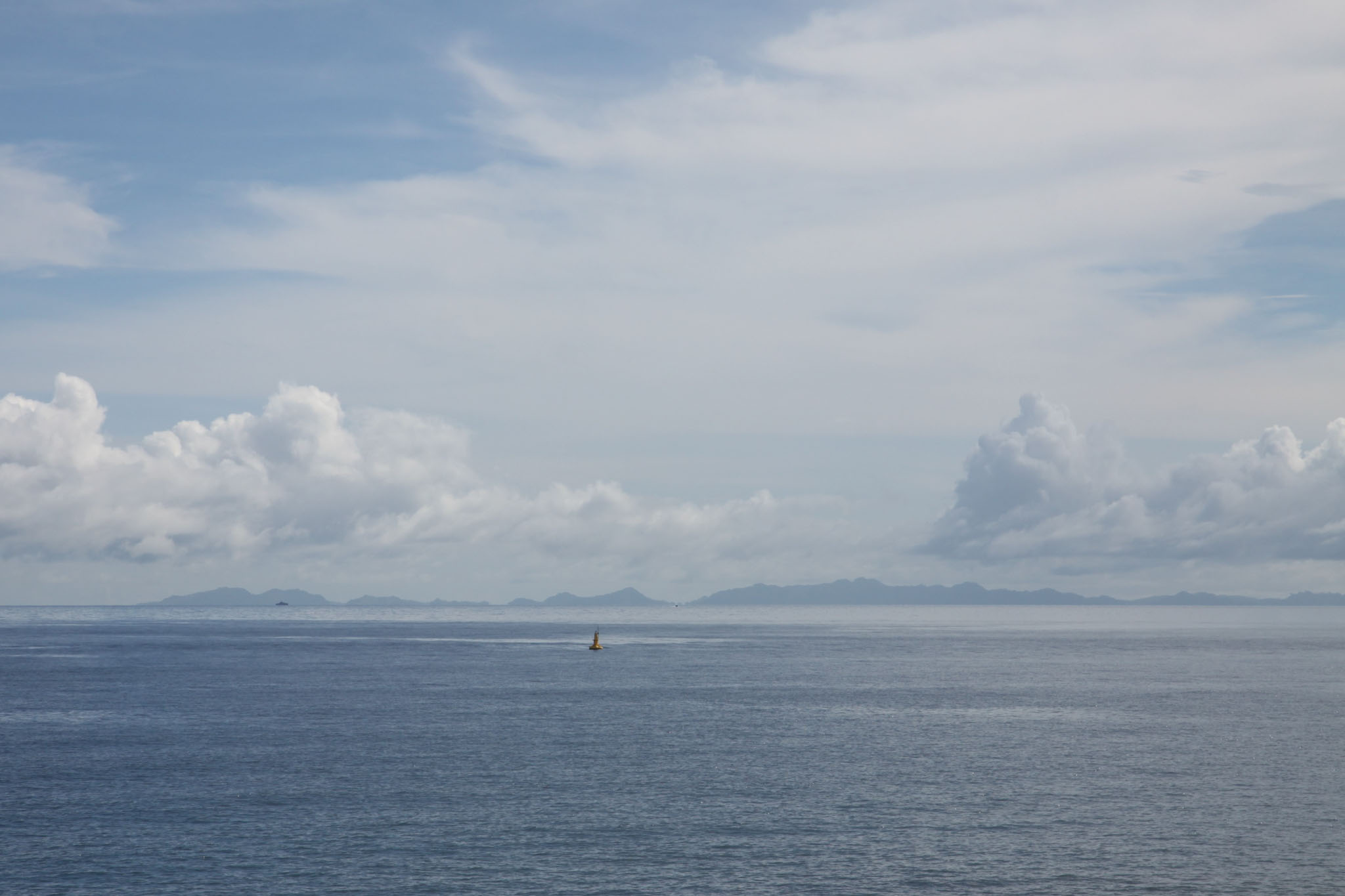
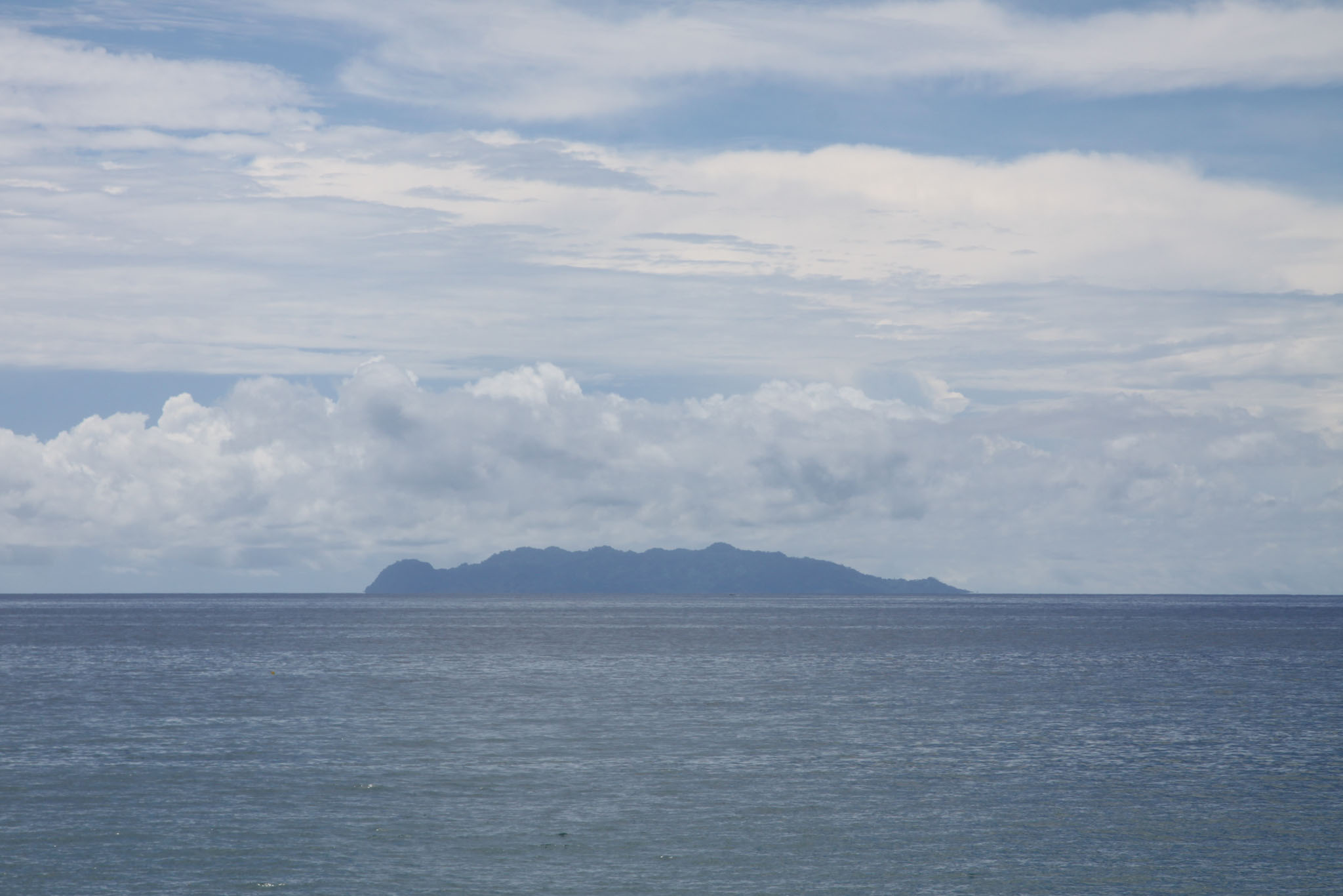
Guadalcanal (/ˌɡwɑːdəlkəˈnæl/; indigenous name: Isatabu) is the principal island in Guadalcanal Province of Solomon Islands, located in the southwestern Pacific Ocean, northeast of Australia. It is the largest island in the Solomons by area and the second-largest by population (after Malaita). The island is mainly covered in dense tropical rainforest and has a mountainous hinterland. Honiara is the largest city of Guadalcanal and the capital of Solomon Islands.

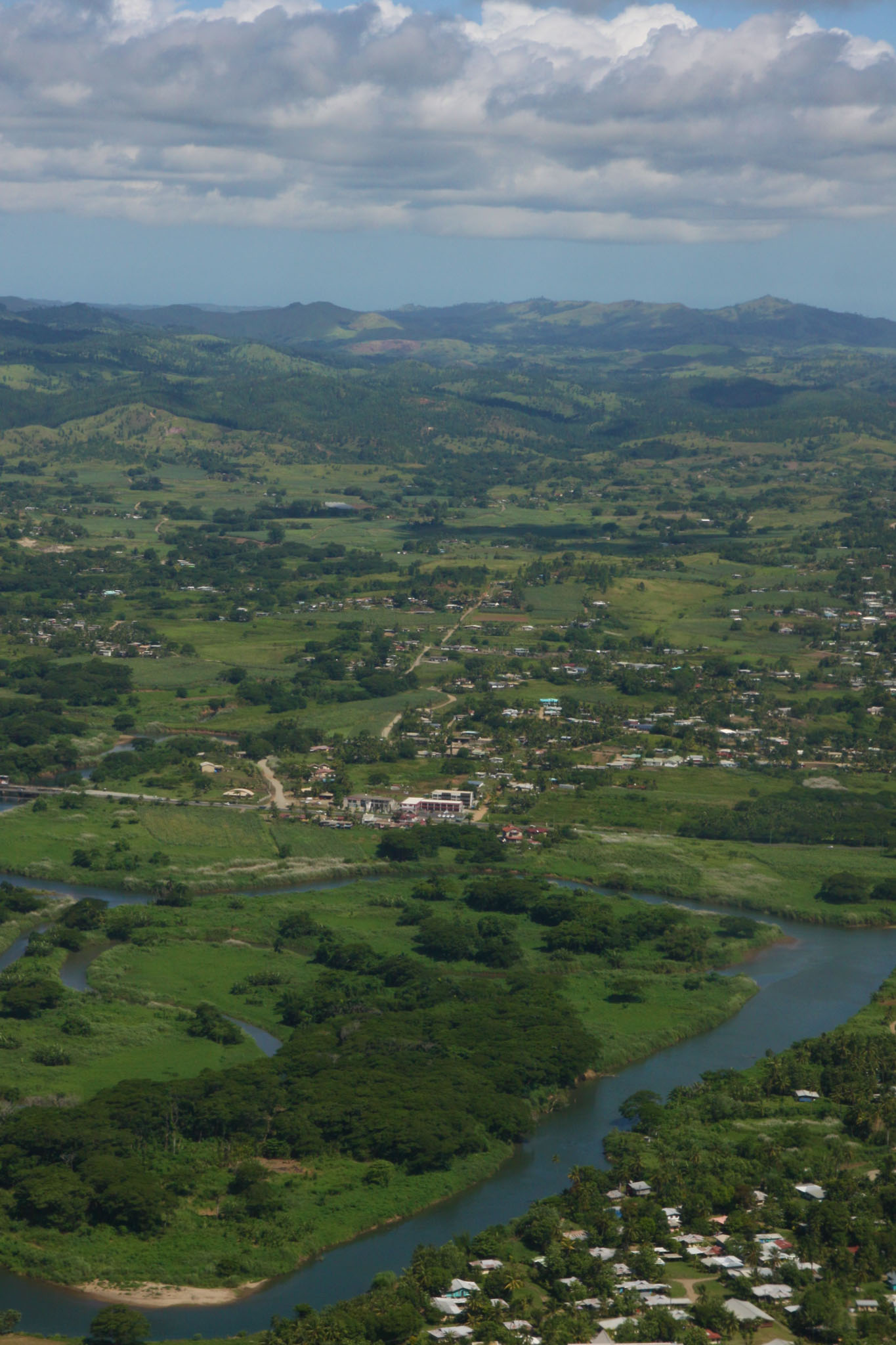
Guadalcanal is the largest island in Solomon Islands, with a total land area of 5,302 km2 (2,047 sq mi), and has a population of 155,605 people, making it the second-most populous island in the country after Malaita. Mount Popomanaseu is the island’s highest point and the highest in Solomon Islands, with an elevation of 7,661 ft (2,335 m) above sea level. The Mbokokimbo River is the island’s longest river, with a total length of 98.7 km (61.3 mi).

Source: Wikipedia (under GNU Free Documentation License)

Categories
Fiji

Viti Levu

Viti Levu (pronounced [ˈβitʃi ˈleβu]; lit. ’Great Fiji’) is the largest island in the Republic of Fiji. It is the site of the nation’s capital, Suva, and home to a large majority of Fiji’s population.

Viti Levu is the largest island in the Republic of Fiji — home to 70% of the population (about 600,000 people) — and is the hub of the entire Fijian archipelago. It measures 146 kilometres (91 mi) long and 106 kilometres (66 mi) wide, and has an area of 10,389 square kilometres (4,011 sq mi). Earthquakes and volcanic eruptions account for the somewhat rugged terrain of the island, which is divided into roughly equal halves by a mountain range that runs north to south. The centre of the island is forested and includes the nation’s highest peak Mount Tomanivi (otherwise known as Mount Victoria), which rises to 1,324 metres (4,344 ft).

Source: Wikipedia (under GNU Free Documentation License)

Categories
Belize

Half Moon Caye

Half Moon Caye is an island and natural monument of Belize located at the southeast corner of Lighthouse Reef Atoll. This natural monument was the first nature reserve to have been established in Belize under the National Park Systems Act in 1981 and first marine protected area in Central America. This is also Belize’s oldest site of wildlife protection since it was first designated as a bird sanctuary in 1924 to protect the habitat of the red-footed booby birds.

Half Moon Caye Natural Monument is part of the Belize Barrier Reef Reserve System World Heritage Site which was established on December 4, 1996, by the United Nations World Heritage Committee after they formally adopted seven marine protected areas along the Belize Barrier Reef and its adjacent atolls under UNESCO at their meeting in Mérida, Mexico.

Source: Wikipedia (under GNU Free Documentation License)

Categories
Belize

Turneffe Atoll

Turneffe Atoll is located southeast of Ambergris Caye and Caye Caulker, off the coast of Belize in Central America, 20 miles (32 kilometres) from Belize City. It is one of three atolls of the Belize Barrier Reef, along with Glover’s Reef and Lighthouse Reef. It is approximately 30 miles (48 kilometres) long and 10 miles (16 kilometres) wide, making it the largest coral atoll in Belize and in the Mesoamerican Barrier Reef System. The atoll was officially declared a marine reserve on November 22, 2012.

Source: Wikipedia (under GNU Free Documentation License)

Categories
Galapagos

Tower

Genovesa Island (Spanish: Isla Genovesa), referred to in English as Tower Island, is a shield volcano in the Galápagos Islands in the eastern Pacific Ocean. The island occupies about 14 square kilometres (5 sq mi), and its maximum elevation is 64 m (210 ft).[citation needed] The horse-shoe shaped island has a volcanic caldera whose wall has collapsed, forming the Great Darwin Bay, surrounded by cliffs. Lake Arcturus, filled with salt water, lies in the centre, and sediment within this crater lake is less than 6,000 years old. Although no historical eruptions are known from Genovesa, there are very young lava flows on the flanks of the volcano.

The official Spanish name “Genovesa” is from the Italian city of Genoa, in honor of Christopher Columbus. The English name “Tower” is presumably a corruption of “Downes”. The island’s position was reported by John Downes of the USS Essex in 1813, during the War of 1812, and the name “Dowers’s” appeared in 1815, presumably a misspelled reference to Downes. After passing through “Dowers’s”, “Dowers”, and “Tower’s”, by 1841 it was written as “Tower” in the British Admiralty chart.

Source: Wikipedia (under GNU Free Documentation License)

Categories
Galapagos

Floreana

Floreana Island (Spanish: Isla Floreana) is an island of the Galápagos Islands. It was named after Juan José Flores, the first president of Ecuador, during whose administration the government of Ecuador took possession of the archipelago. It was previously called Charles Island (after King Charles II of England), and Santa María after one of the caravels of Columbus.

The island has an area of 173 square kilometres (67 sq mi). It was formed by volcanic eruption. The island’s highest point is Cerro Pajas at 640 metres (2,100 ft), which is also the highest point of the volcano like most of the smaller islands of Galápagos.

Source: Wikipedia (under GNU Free Documentation License)

Categories
Galapagos

Hood

Española Island (Spanish: Isla Española) is part of the Galápagos Islands. The English named it Hood Island after Viscount Samuel Hood. It is located in the extreme southeast of the archipelago and is considered, along with Santa Fe, one of the oldest, at approximately four million years. A popular tourist stop, Isla Española is the most southerly island in the Galápagos Archipelago. The climate is very dry, like most of the Archipelago. But due to the flatness of the island, it is the driest of these islands, with only a few inches of rain per year. It is about a 10- to 12-hour trip by boat from Isla Santa Cruz.

Source: Wikipedia (under GNU Free Documentation License)

Categories
Galapagos

San Cristobal

San Cristóbal Island (Spanish: Isla San Cristóbal) and named previously by the English as Chatham Island, is the easternmost island in the Galápagos archipelago, as well as one of the oldest geologically. It is administratively part of San Cristóbal Canton, Ecuador.

Its Spanish (and official Ecuadorian) name “San Cristóbal” comes from the patron saint of seafarers, St. Christopher. English speakers increasingly use that name in preference to the traditional English name of Chatham Island, derived from William Pitt, 1st Earl of Chatham.

Source: Wikipedia (under GNU Free Documentation License)

Categories
Galapagos

South Plaza

South Plaza (Spanish: Isla Plaza Sur) is a small island off the east coast of Santa Cruz in the Galápagos Islands. It has an area of 0.13 km2 and a maximum altitude of 23 metres.

South Plaza was formed by lava up streaming from the bottom of the ocean. Despite its small size, it is home to a large number of species and known for its extraordinary flora. The sea bluffs hold large numbers of birds, such as nesting red-billed tropicbirds and swallow-tailed gulls, and offer wide vistas. The prickly pear cactus trees (Opuntia galapageia) are noteworthy, as is the large colony of Galápagos land iguanas. Furthermore, the territory and breeding season of the Galapagos land iguana overlap only on South Plaza Island with those of the marine iguana, giving rise to a unique population of hybrid iguanas. Depending on the season, the Sesuvium ground vegetation changes its colour from green in the rainy season to orange and purple in the dry season.

Source: Wikipedia (under GNU Free Documentation License)

Categories
Galapagos

Fernardina

Fernandina Island (Spanish: Isla Fernandina, named after Ferdinand II of Aragon, the sponsor of Christopher Columbus) (formerly known in English as Narborough Island, after John Narborough) is the third largest, and youngest, island of the Galápagos Islands, as well as the furthest west. Like the others, the island was formed by the Galápagos hotspot. The island is an active shield volcano that has most recently been erupting since April 11, 2009.

On February 14, 1825, while anchored in Banks Bay, Captain Benjamin Morrell recorded one of the largest eruptions in Galápagos’ history at Fernandina Volcano. His ship escaped to safety and his account of the event was preserved.

Source: Wikipedia (under GNU Free Documentation License)