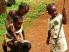
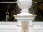
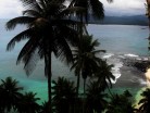
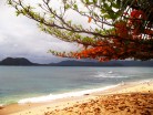
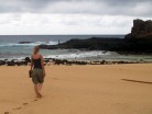
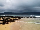
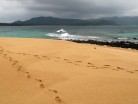
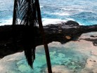
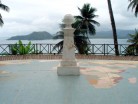
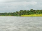
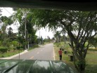
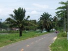
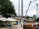
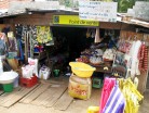
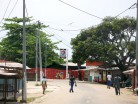
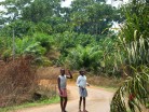
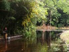
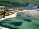
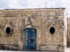
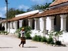
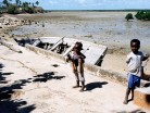
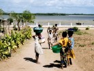
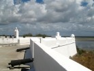
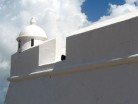
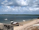
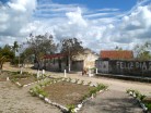
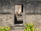
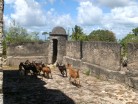
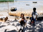
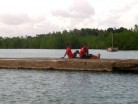
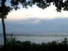
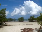
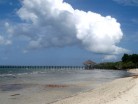
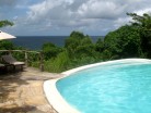
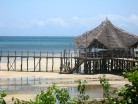
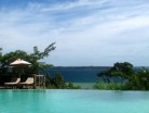
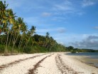
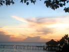
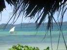
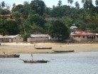
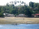
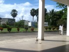
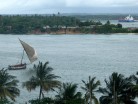
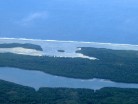
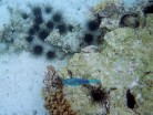
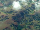
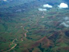
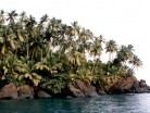
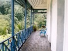
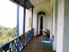
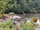
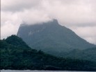
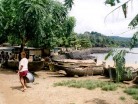
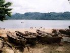
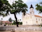
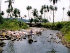
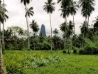
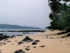
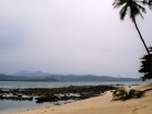
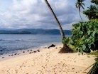
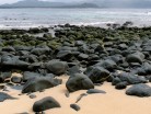
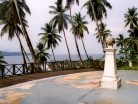
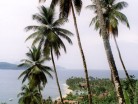
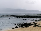
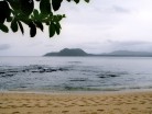
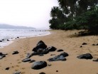
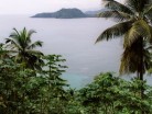
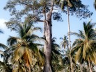
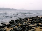
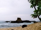
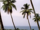
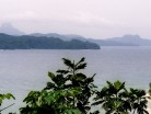
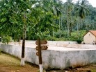
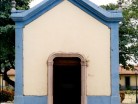
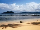
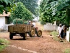
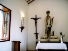
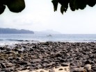
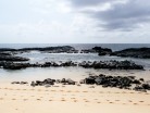
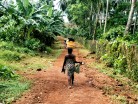
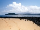
Rolas is a small island lying south of São Tomé Island, being the third largest island of São Tomé and Príncipe. It lies directly on the equator and is known for its beaches, its palm trees, its lighthouse and its beach resort. The island rises to a volcano and is linked by boat to Porto Alegre on São Tomé Island.
Tag: architecture
Gabon is a country in west central Africa sharing borders with the Gulf of Guinea to the west, Equatorial Guinea to the northwest, and Cameroon to the north, with the Republic of the Congo curving around the east and south. Its size is almost 270,000 km² with an estimated population of 1,500,000. The capital and largest city is Libreville. Since its independence from France on August 17, 1960, the Republic has been ruled by three presidents. In the early 1990s, Gabon introduced a multi-party system and a new democratic constitution that allowed for a more transparent electoral process and reformed many governmental institutions. The small population together with abundant natural resources and foreign private investment have helped make Gabon one of the most prosperous countries in the region, with the highest HDI in Sub-Saharan Africa.
The earliest inhabitants of the area were Pygmy peoples. They were largely replaced and absorbed by Bantu tribes as they migrated.
In the 15th century, the first Europeans arrived. The nation’s present name originates from “Gabão”, Portuguese for “cloac”, which is roughly the shape of the estuary of the Komo River by Libreville.
Ibo
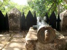
Ibo is one of the Quirimbas Islands in the Indian Ocean off northern Mozambique. It is part of Cabo Delgado Province. It grew as a Muslim trading port. Vasco da Gama reportedly rested on the island in 1502. The island was fortified in 1609 by the Portuguese.
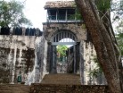
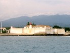
In the late eighteenth century, Portuguese colonialists built the Fort of São João, which still survives, and the town, as a slave port, became the second most important in the region after Mozambique Island. The island is now a far quieter place, known for its silversmiths.
Ibo forms part of the Quiribas National Park and is linked by dhows to the mainland at Tandanhangue.
The island of Pemba known as ‘Al Jazeera Al Khadra’ (the green island, in Arabic) is an island forming part of the Zanzibar archipelago, lying off the east coast of Africa in the Indian Ocean. It is situated about 50 kilometres to the north of the island of Zanzibar. In the 1960s Zanzibar was united with the former colony of Tanganyika to form Tanzania. It lies 50 kilometres east of mainland Tanzania. Together with Mafia Island (south of Zanzibar), they form the Spice Islands (not to be confused with Maluku Islands of Indonesia). In 1988, the estimated population was 265,000, with an area of 980 km².
Most of the island, which is hillier and more fertile than Zanzibar, is dominated by small scale farming. There is large scale farming of cash crops such as cloves — there are over 3 million clove trees.
Pemba is also becoming well-known for its dive sites, with vertiginous drop-offs, untouched coral and very abundant marine life. The central town Chake-Chake is located on a hill with a view to the west on the bay and the tiny Misali island where the tides determine when a dhow can enter the harbour.
Madagascar
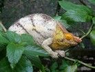
Madagascar, or Republic of Madagascar (older name Malagasy Republic, French: République malgache), is an island nation in the Indian Ocean off the southeastern coast of Africa. The main island, also called Madagascar, is the fourth-largest island in the world, and is home to 5% of the world’s plant and animal species, of which more than 80% are endemic to Madagascar. They include the lemur infraorder of primates, the carnivorous fossa, three bird families and six baobab species. Two thirds of the population live below the international poverty line of US$1.25 a day.
At 587,000 km² (226,640 sq mi), Madagascar is the world’s 46th-largest country. It is slightly bigger than France, and is one of 11 distinct physiographic provinces of the South African Platform physiographic division.
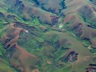
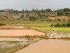
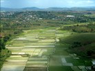
Towards the east, a steep escarpment leads from the central highlands down into a ribbon of rain forest with a narrow coastal further east. The Canal des Pangalanes is a chain of natural and man-made lakes connected by canals that runs parallel to the east coast for some 460 km (about two-thirds of the island). The descent from the central highlands toward the west is more gradual, with remnants of deciduous forest and savanna-like plains (which in the south and southwest, are quite dry and host spiny desert and baobabs). On the west coast are many protected harbours, but silting is a major problem caused by sediment from the high levels of erosion inland.
Tana
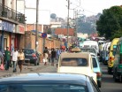
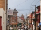
Antananarivo is the capital and largest city in Madagascar. It is also known by its French colonial name Tananarive or the shorthand form Tana. The larger urban area surrounding the city, known as Antananarivo-Renivohitra (“Antananarivo-Capital”), is the capital of the Analamanga region and of the Antananarivo autonomous province.
Unlike most capital cities in southern Africa, Antananarivo was already a major city before the colonial era. The city was founded circa 1625 by King Andrianjaka and takes its name (the City of the Thousand) from the number of soldiers assigned to guarding it. For many years it was the principal village of the Hova chiefs and gained importance as those chiefs made themselves sovereigns of the greater part of Madagascar, eventually becoming a town of some 80,000 inhabitants. In 1793 it was made the capital of the Merina kings. The conquests of King Radama I made Antananarivo the capital of almost all of Madagascar. Until 1869 all buildings within the city proper were of wood or rushes, but even then it possessed several timber palaces of considerable size, the largest being 120 ft (37 m) high. These crown the summit of the central portion of the ridge; and the largest palace, with its lofty roof and towers, is the most conspicuous object from every point of view.
Since the introduction of stone and brick, the entire city has been rebuilt and now contains numerous European-style structures, including the royal palaces, the houses formerly belonging to the prime minister and nobles, the French residency, the Anglican and Roman Catholic cathedrals, and several stone churches. Museum of Ethnology and Paleontology is located in the city.
São Tomé I
São Tomé Island, at 854 km2 (330 sq mi), is the largest island of São Tomé and Príncipe and is home to about 133,600 or 96% of the nation’s population. This island and smaller nearby islets make up São Tomé Province, which is divided into six districts. The main island is located 2 km (1¼ miles) north of the equator. It is about 48 km (30 miles) long (North-South) by 32 km (20 miles) wide (east-west). It rises to 2,024 m (6,639 ft) at Pico de São Tomé and includes the capital city, São Tomé, on the northeast coast. The nearest city on mainland Africa is the port city of Port Gentil in Gabon located 240 km (150 miles) to the east.
The entire island of São Tomé is a massive shield volcano which rises from the floor of the Atlantic Ocean, over 3,000 m (10,000 ft) below sea level. It formed along the Cameroon line, a linear rift zone extending from Cameroon southwest into the Atlantic Ocean. Most of the lava erupted on São Tomé over the last million years has been basalt. The youngest dated rock on the island is about 100,000 years old, but numerous more recent cinder cones are found on the southeast side of the island.
Rolas I
Rolas is a small island lying south of São Tomé Island, being the third largest island of São Tomé and Príncipe. It lies directly on the equator and is known for its beaches, its palm trees, its lighthouse and its beach resort. The island rises to a volcano and is linked by boat to Porto Alegre on São Tomé Island.
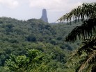
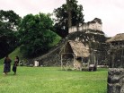
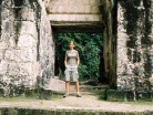
Tikal (or Tik’al, according to the more current orthography) is one of the largest archaeological sites and urban centers of the Pre-Columbian Maya civilization. It is located in the archaeological region of the Petén Basin in what is now modern-day northern Guatemala. Situated in the department of El Petén at 17°13′19″N 89°37′22″W the site is part of Guatemala’s Tikal National Park and in 1979 was declared a UNESCO World Heritage Site. The closest large modern settlements are Flores and Santa Elena, approximately 64 kilometres (40 mi) by road to the southwest.
Tikal was one of the major cultural and population centers of the Maya civilization. Though monumental architecture at the site dates to the 4th century BC, Tikal reached its apogee during the Classic Period, ca. 200 to 900 AD, during which time the site dominated the Maya region politically, economically, and militarily while interacting with areas throughout Mesoamerica, such as central Mexican center of Teotihuacan. There is also evidence that Tikal was even conquered by Teotihuacan in the 4th century. Following the end of the Late Classic Period, no new major monuments were built at Tikal and there is evidence that elite palaces were burned. These events were coupled with a gradual population decline, culminating with the site’s abandonment by the end of the 10th century.
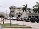
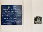
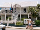
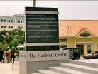
Grand Cayman
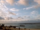
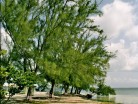
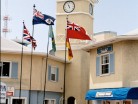
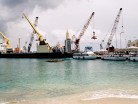
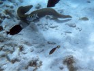
Grand Cayman is the largest of the three Cayman Islands at about 196 km² and contains the capital George Town. Towns on the island are referred to as “districts”. The island is a high-lying reef of “ironshore” (limestone fringes with numerous marine fossils), with a highest elevation of roughly 24 metres above sea level. There is no natural fresh water (lakes, rivers, etc) on the island, so any fresh water needs must be met by catchments or desalination of seawater. The lack of rivers does however account for the exceptional clarity of the sea.
The island was devastated by Hurricane Ivan in 2004 from September 11 to September 12. With Category 5 strength, Ivan passed within 30 miles (48 km) of Grand Cayman, hitting it with winds over 180 mph (290 km/h) and gusts up to 200 mph (320 km/h). The island reported no more than a few deaths – none directly caused by the hurricane – but over 80% of the buildings were either damaged or completely destroyed. Ivan was the worst hurricane to hit the island in 86 years.
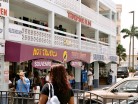
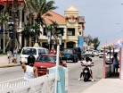
The eastern side of the island is somewhat undeveloped, while the western side of the island, which holds George Town and the airport, Owen Roberts International Airport, is more developed. Fast food restaurants, night clubs and resorts can be found on the western side of the island. The eastern districts offer more restaurants specialising in native Caymanian cuisine.
