Categories
Brazil

Fernando de Noronha

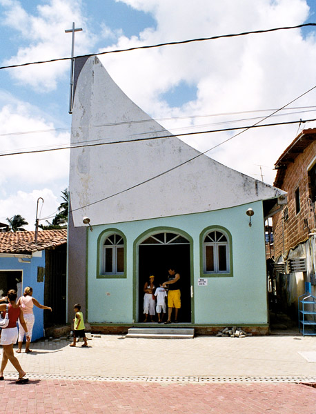
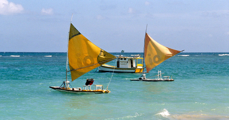
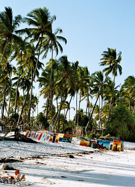
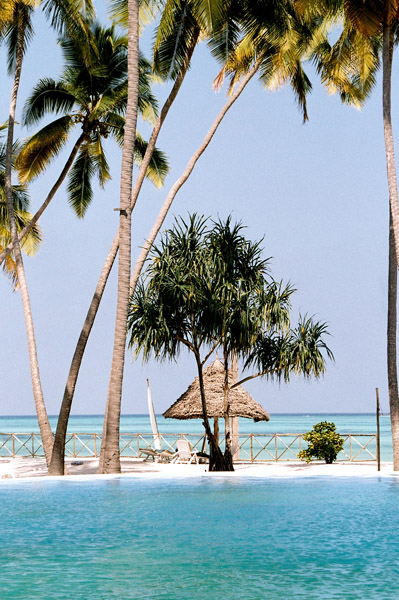
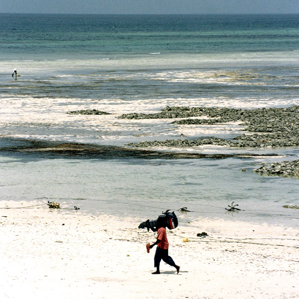
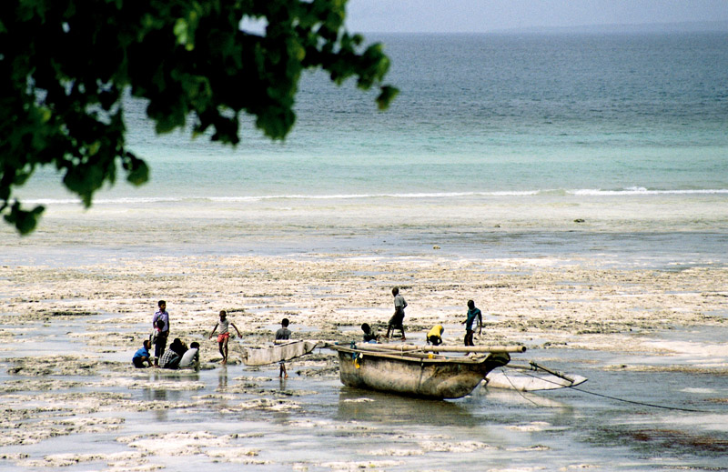
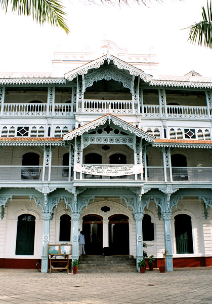
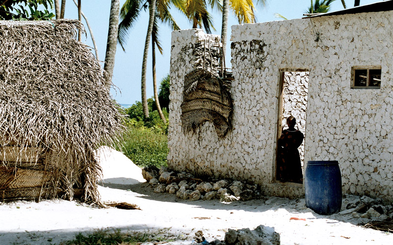
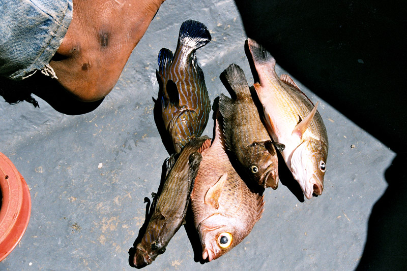
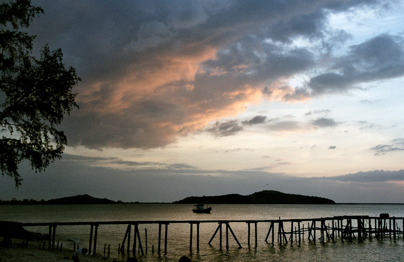
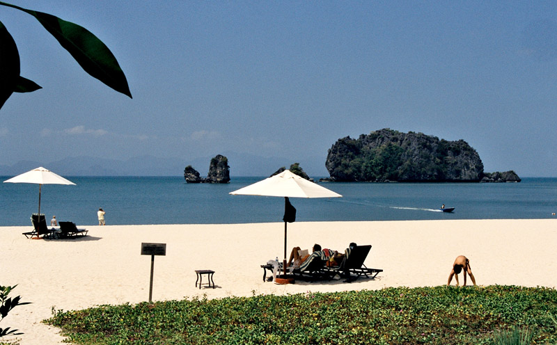
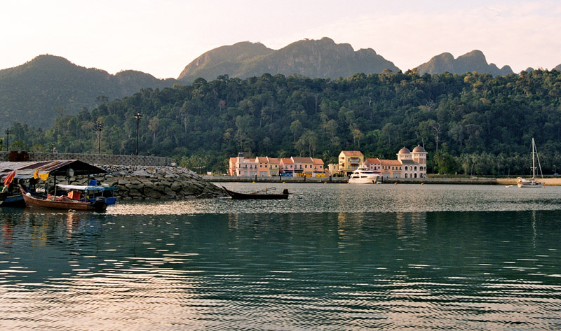
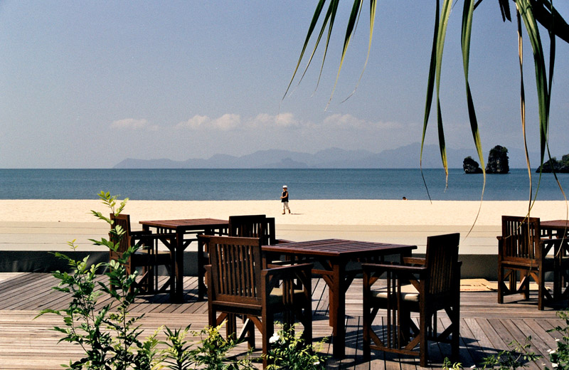
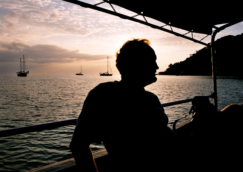
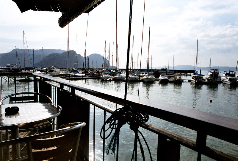
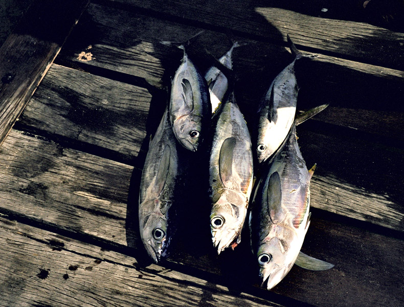
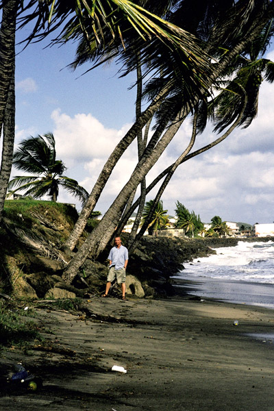
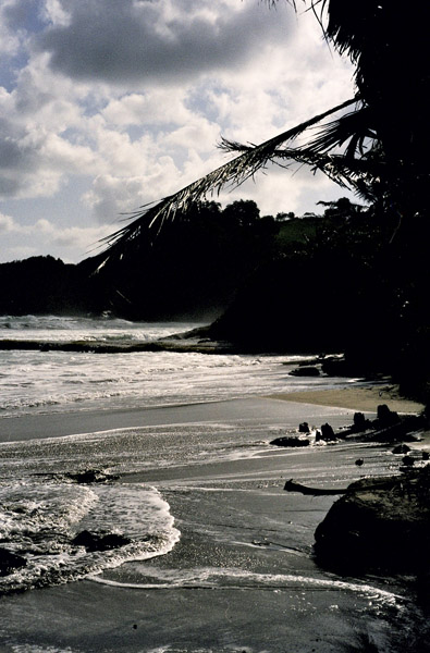
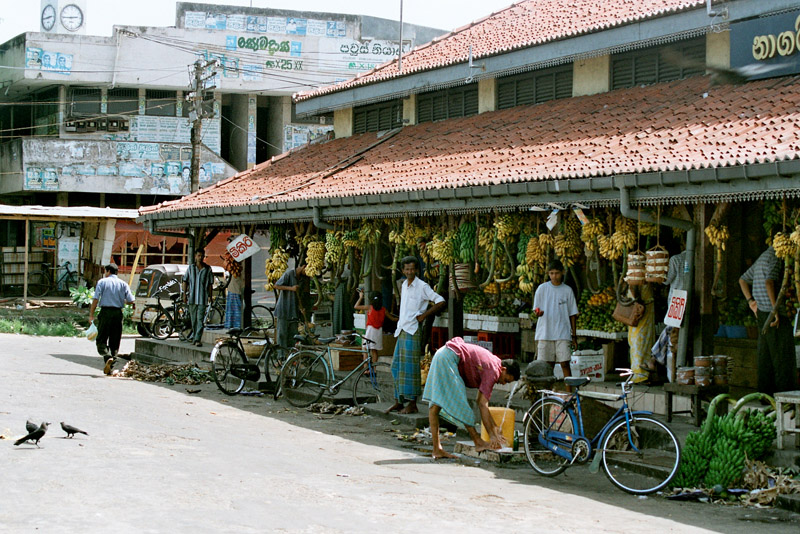
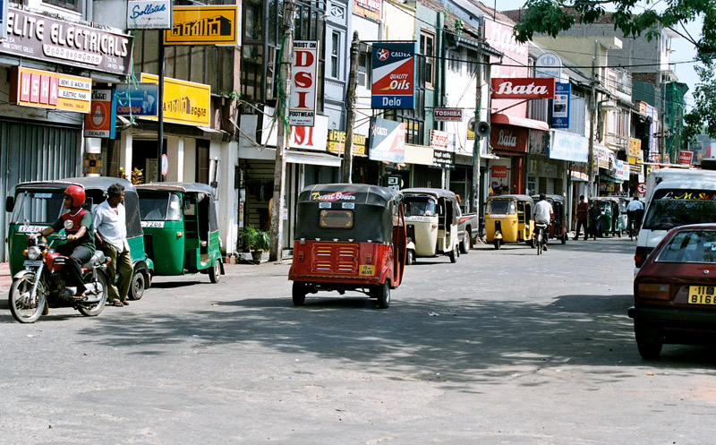
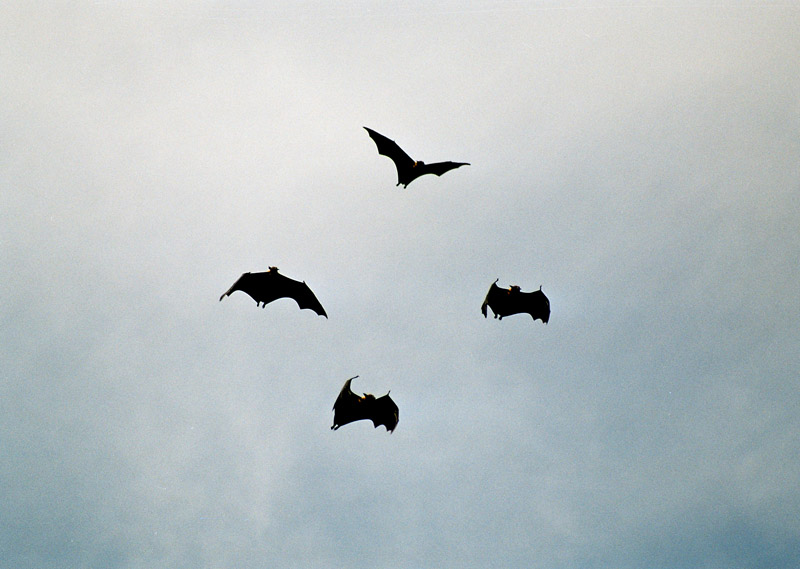
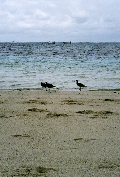
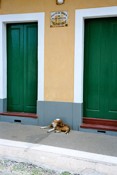
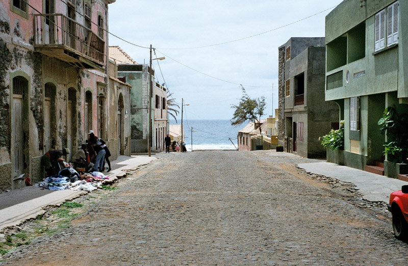
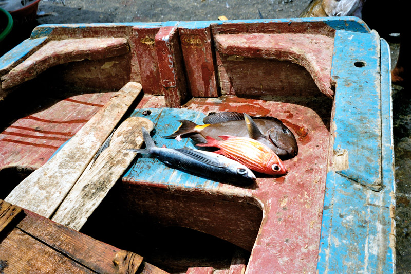
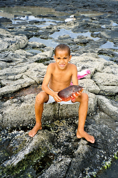
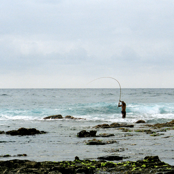
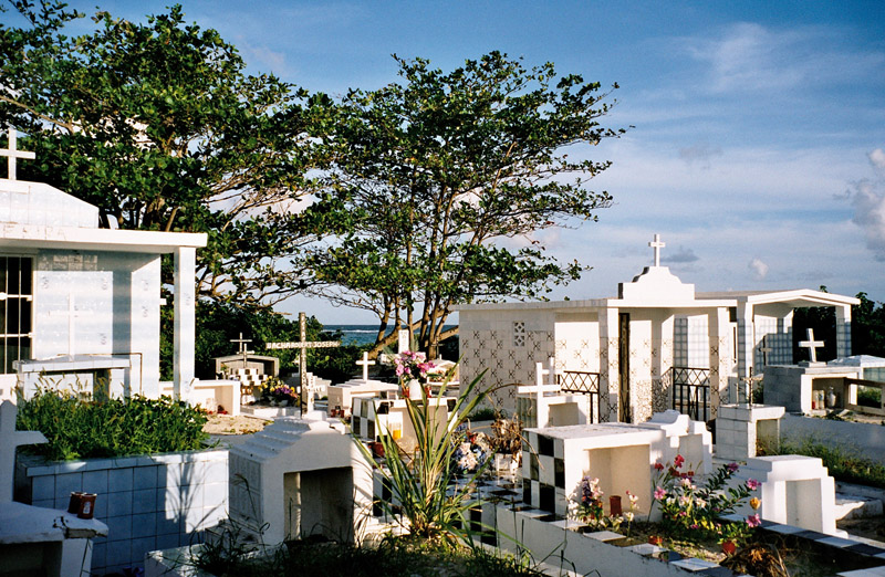
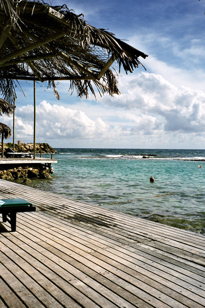
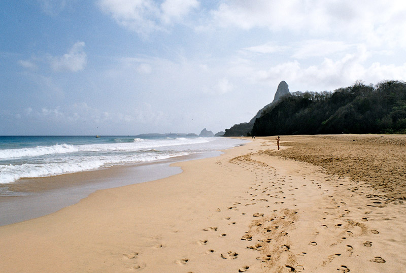
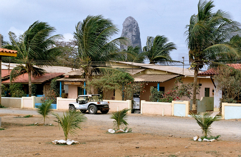
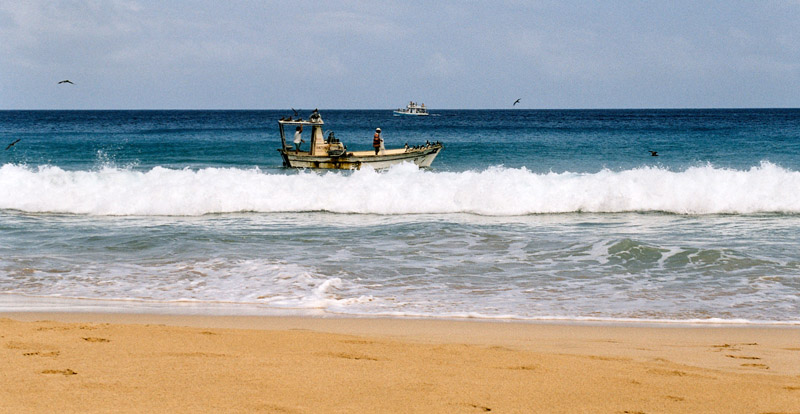
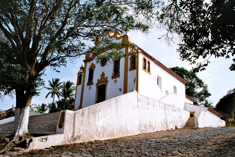
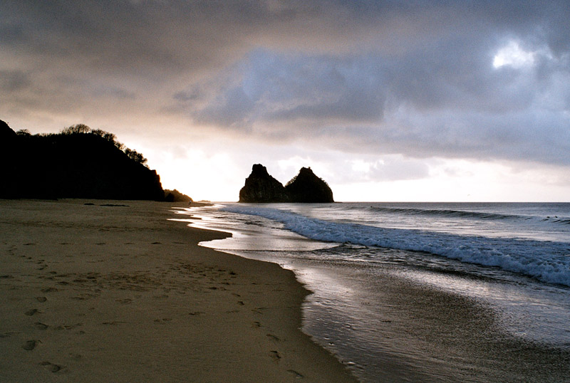
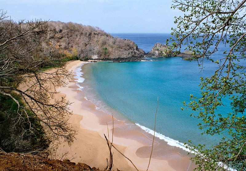
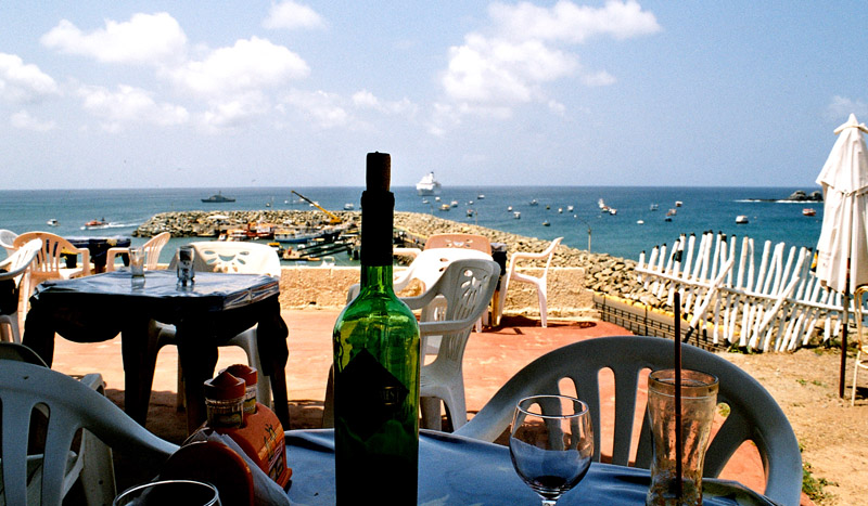
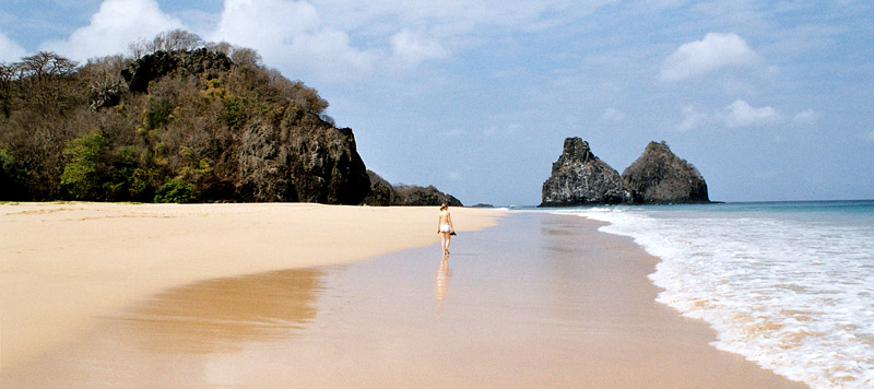
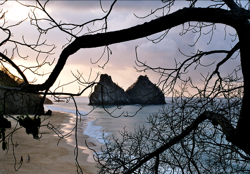
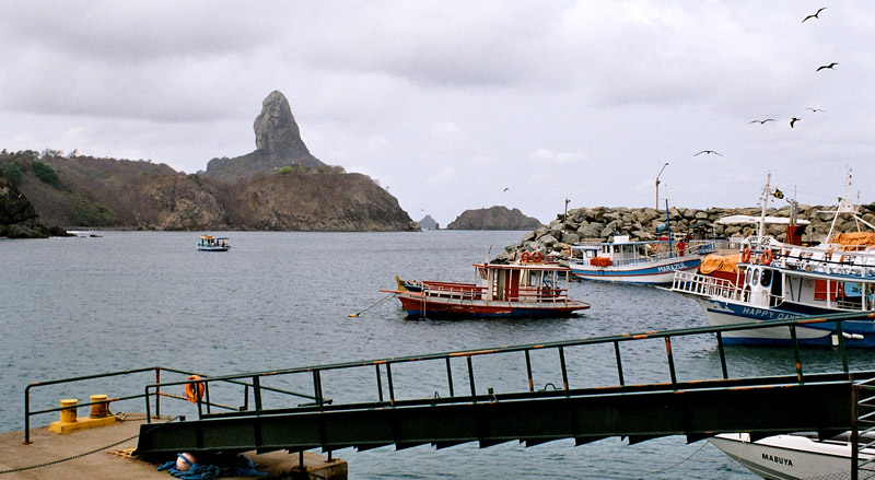
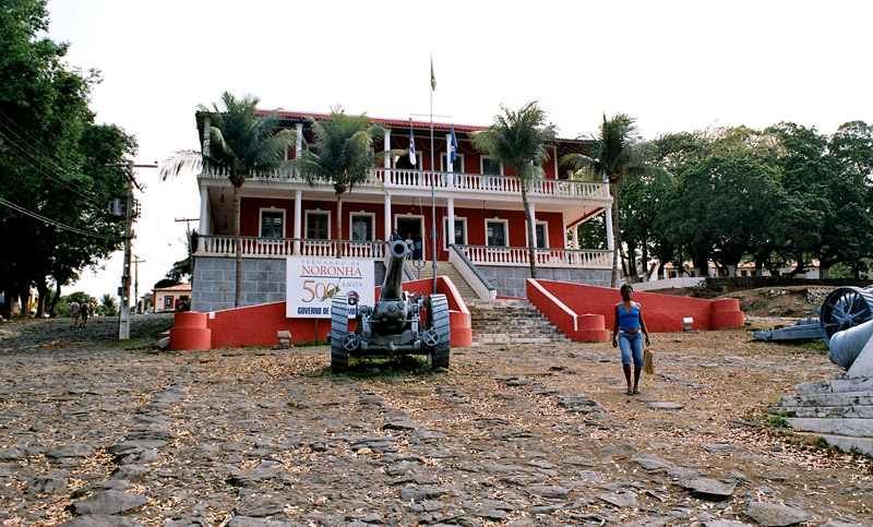
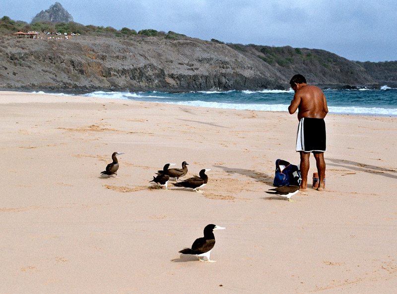
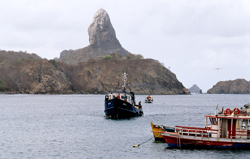
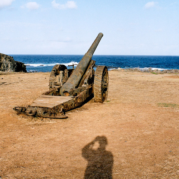
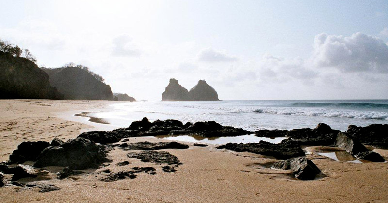
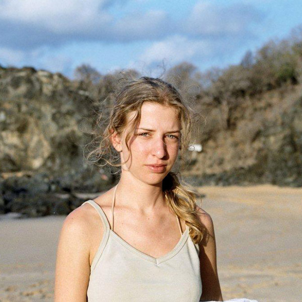
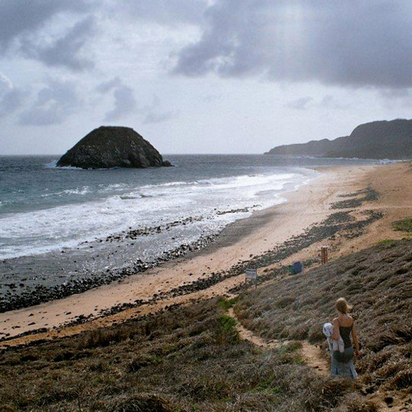
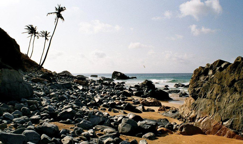
Fernando de Noronha is an archipelago of 21 islands and islets in the Atlantic Ocean, around 354 km (220 miles) offshore from the Brazilian coast. The main island has an area of 18.4 square kilometres (7.1 sq mi) and had a population of 3,012 in the year 2008. The area is a special municipality (distrito estadual) of the Brazilian state of Pernambuco (despite being closer to the state of Rio Grande do Norte) and is also a UNESCO World Heritage Site. Its timezone is UTC−2h. The local population and travellers can get to Noronha by plane or cruise from Recife (545km) or by plane from Natal (360km). A small environmental preservation fee is charged from tourists upon arrival by Ibama (Institute of Environment and Renewable Natural Resources).

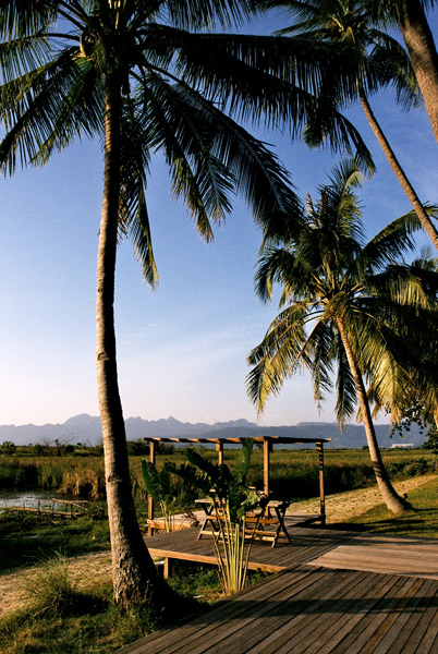
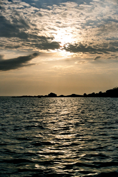
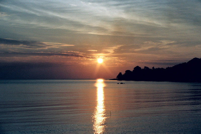
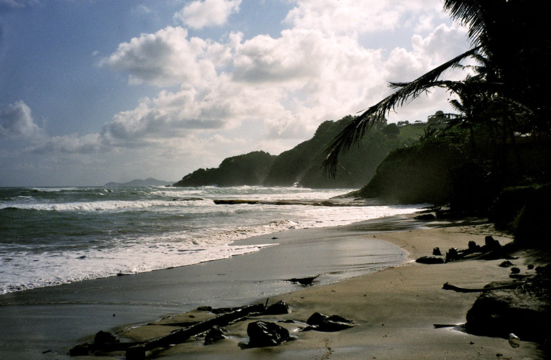
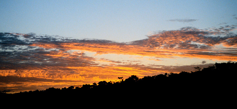
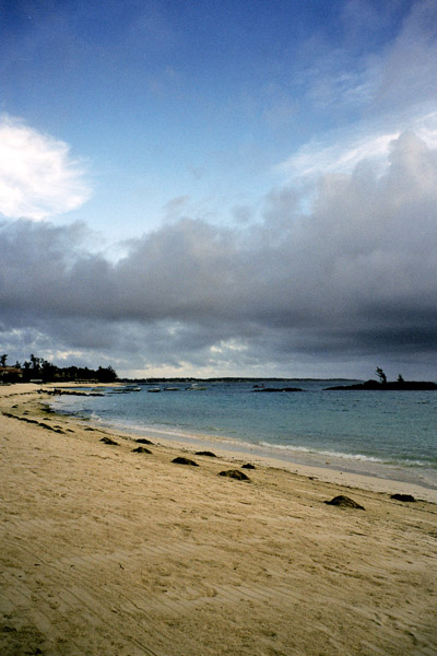
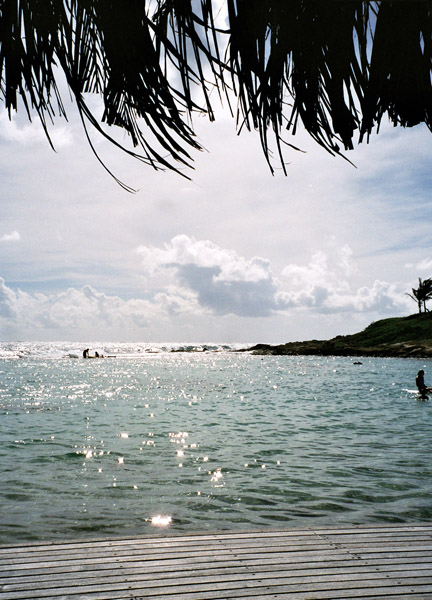
The climate is tropical, with two well-defined seasons. The rainy season lasts from March to September, the rest of the year sees little rain.

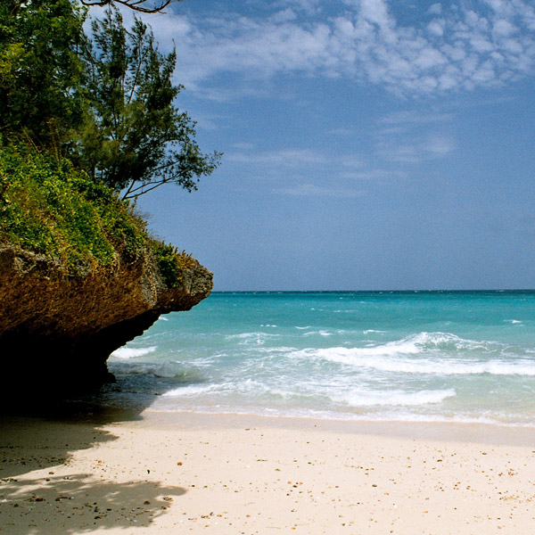
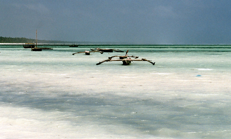
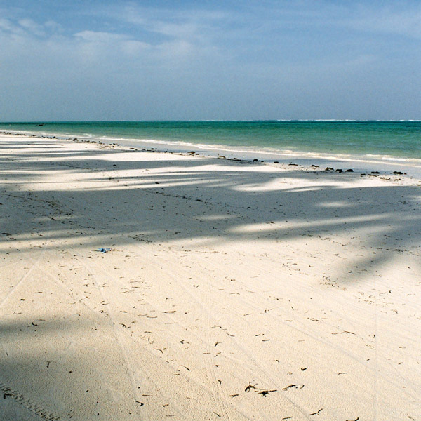
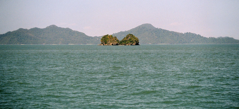
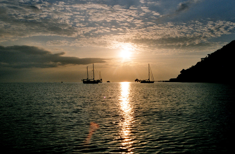
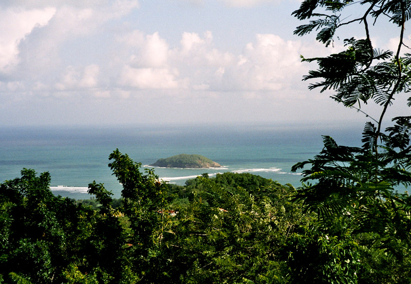
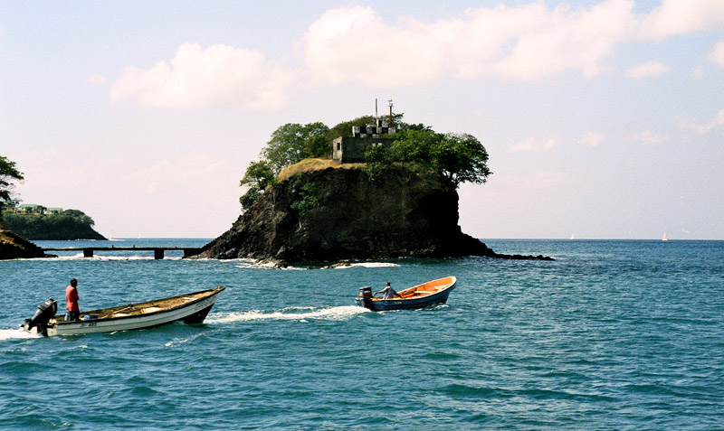
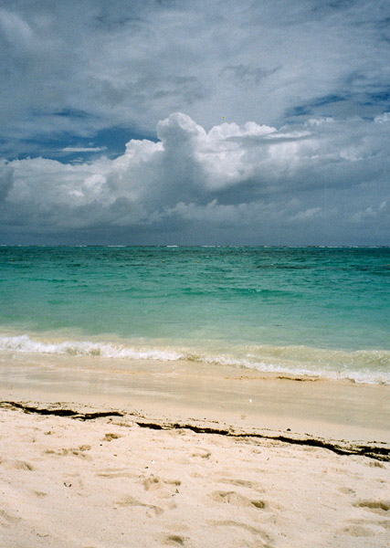
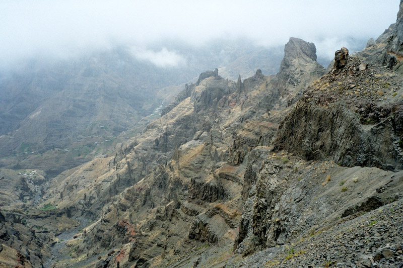
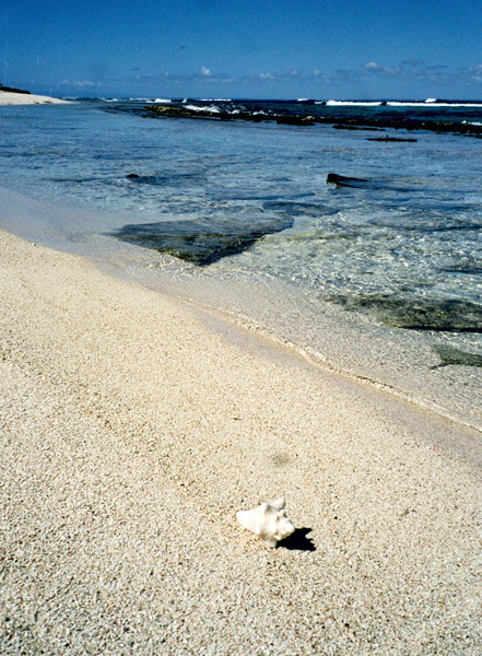
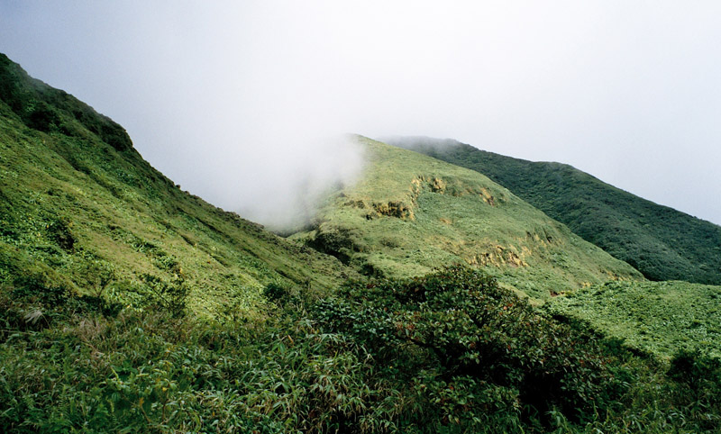
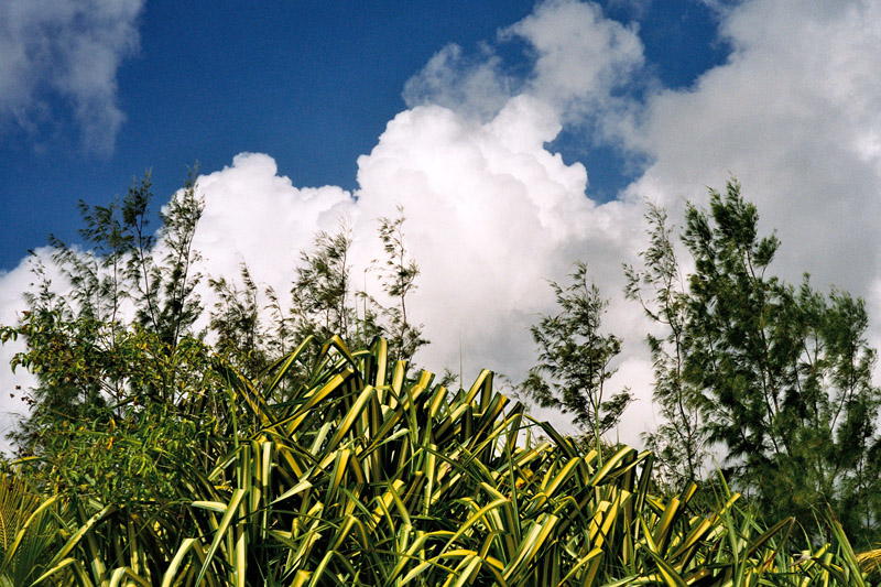
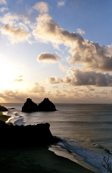
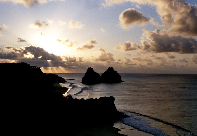
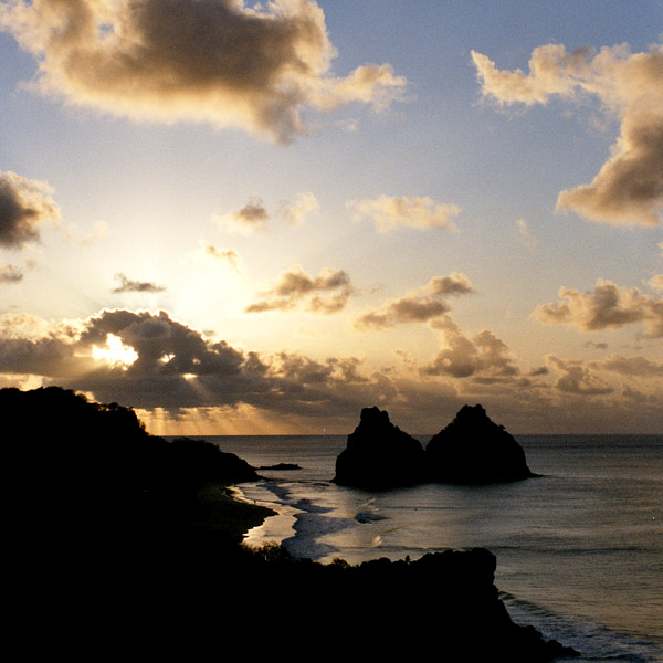
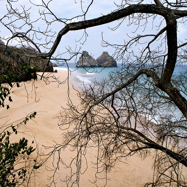
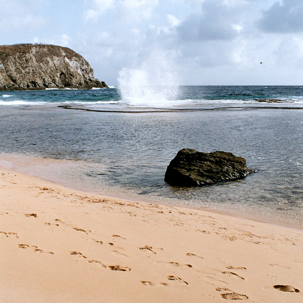
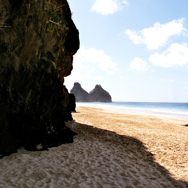
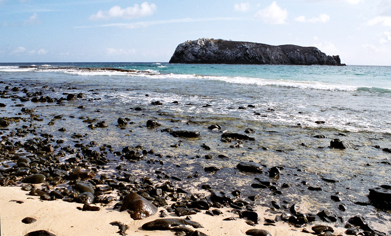
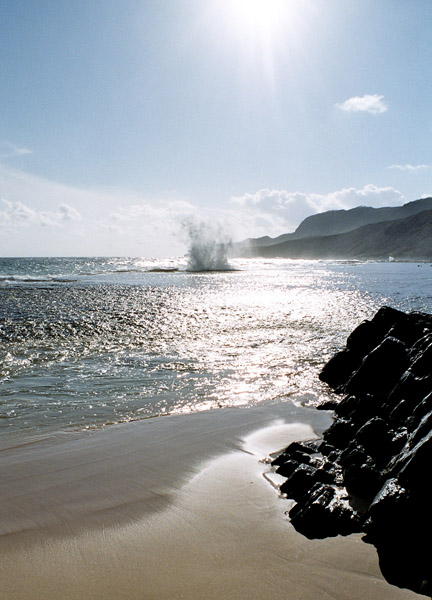
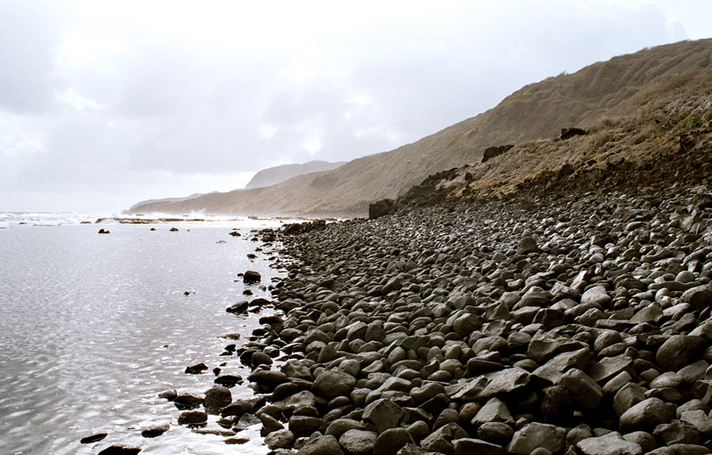
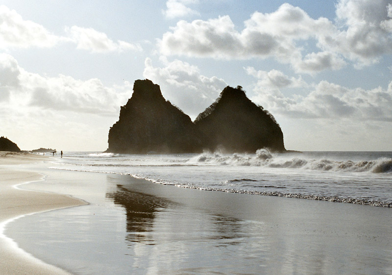
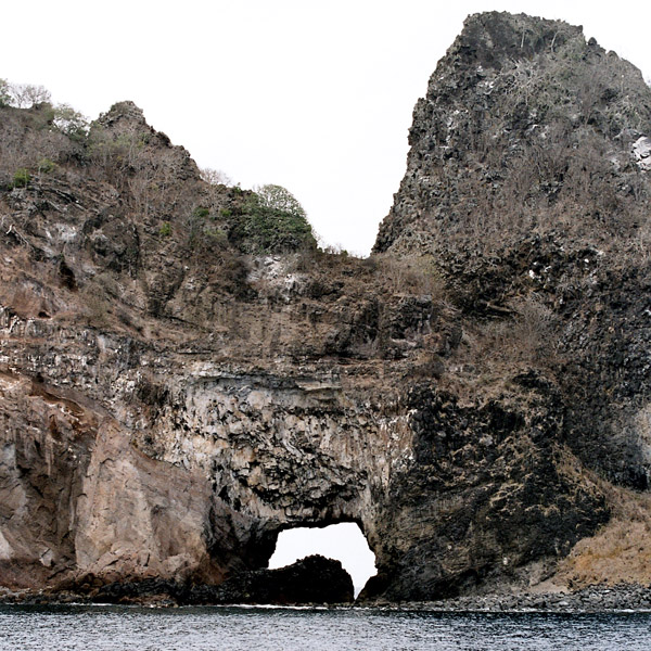
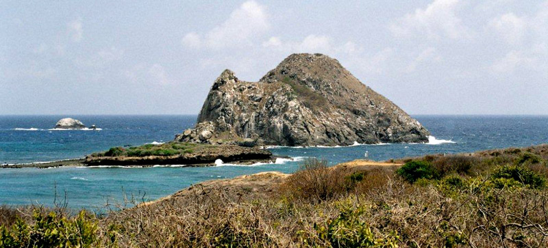
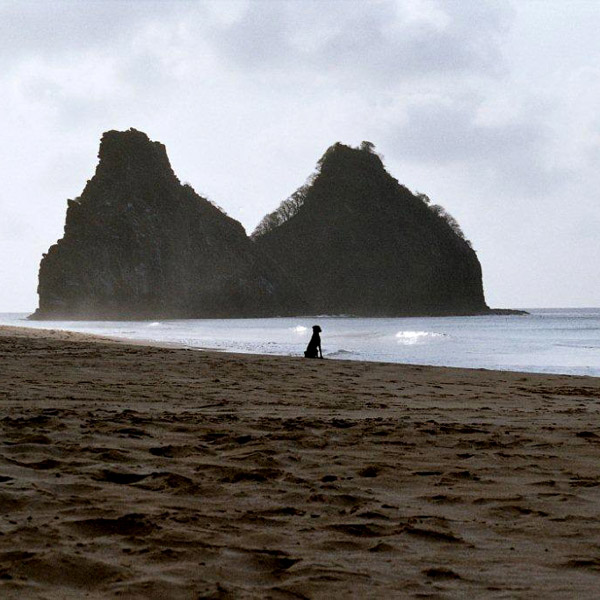
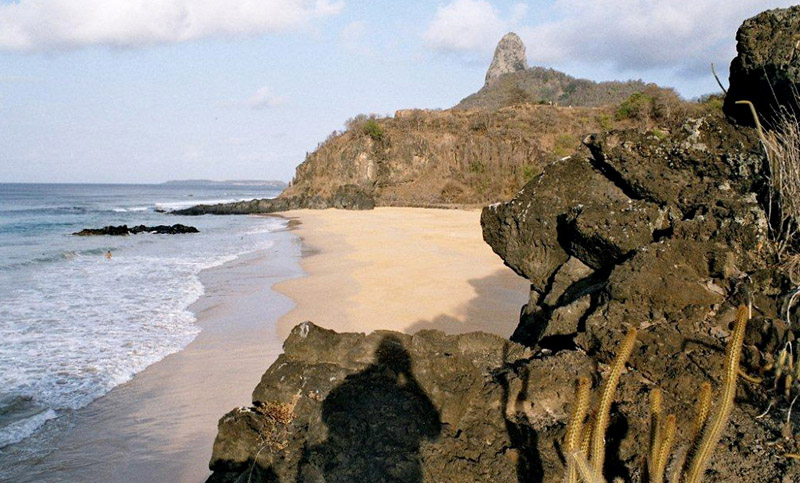
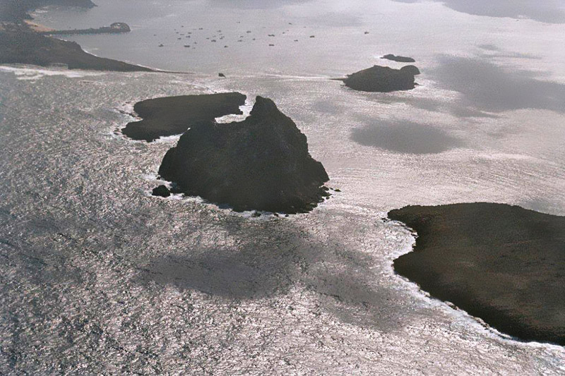
The islands of this archipelago are the visible parts of a range of submerged mountains. Consisting of 21 islands, islets and rocks of volcanic origin, the main island has an area of 18 km² (7.1 miles²), being 10 km (6.2 miles) long and 3.5 kilometres (2.170 mi) wide at its maximum. The base of this enormous volcanic formation is 756 m below the surface. The main island, from which the group gets its name, makes up 91% of the total area.

Source: Wikipedia (under GNU Free Documentation License)

Categories
Brazil

Porto de Galinhas

Porto de Galinhas is a beach in the municipality of Ipojuca, Pernambuco, Brazil. Porto de Galinhas is a major tourist destination. The beach is famous for its bright-water beaches and the natural pools. It is part of the municipality of Ipojuca, and located 60 kilometers (37 miles) south of the state capital, Recife.

It has been voted “Best Brazilian Beach” for the eighth time in a row by the readers of Voyage & Tourism Brazilian magazine. According to this magazine, the main reasons given are the beauty of the natural pools (the closest to the coast in all of Brazil, the ecological trails, the hotel infrastructure and the proximity to a large city and airport in Recife.

Source: Wikipedia (under GNU Free Documentation License)

Categories
Tanzania

Zanzibar I

Zanzibar (pronounced /ˈzænzɨbɑr/) is a semi-autonomous part of the United Republic of Tanzania, in East Africa. It comprises the Zanzibar Archipelago in the Indian Ocean, 25–50 kilometres (16–31 mi) off the coast of the mainland, and consists of numerous small islands and two large ones: Unguja (the main island, informally referred to as Zanzibar), and Pemba. Zanzibar was once a separate state with a long trading history within the Arab world; it united with Tanganyika to form Tanzania in 1964 and still enjoys a high degree of autonomy within the union. The capital of Zanzibar, located on the island of Unguja, is Zanzibar City, and its historic center, known as Stone Town, is a World Heritage Site.

Zanzibar’s main industries are spices, raffia, and tourism. In particular, the islands produce cloves, nutmeg, cinnamon and pepper. For this reason, the islands, together with Tanzania’s Mafia Island, are sometimes called the Spice Islands (a term also associated with the Maluku Islands in Indonesia). Zanzibar’s ecology is of note for being the home of the endemic Zanzibar Red Colobus and the (possibly extinct) Zanzibar Leopard.

Source: Wikipedia (under GNU Free Documentation License)

Categories
Malaysia

Langkawi

Langkawi, officially known as Langkawi, the Jewel of Kedah (Malay: Langkawi Permata Kedah) is an archipelago of 99 islands (an extra 5 temporary islands are revealed at low tide) in the Andaman Sea, some 30 km off the mainland coast of northwestern Malaysia. The islands are a part of the state of Kedah, which is adjacent to the Thai border. On July 15, 2008, Sultan Abdul Halim of Kedah had consented to the change of name to Langkawi Permata Kedah in conjunction with his Golden Jubilee Celebration. By far the largest of the islands is the eponymous Pulau Langkawi with a population of some 45,000, the only other inhabited island being nearby Pulau Tuba. Langkawi is also an administrative district with the town of Kuah as the capital and largest town. Langkawi is a duty-free island.

On June 1, 2007, Langkawi Island has been given a World Geopark status by UNESCO. Three of its main conservation area in Langkawi Geopark;Machincang Cambrian Geoforest Park, Kilim Karst Geoforest Park and Dayang Bunting Marble Geoforest park.(Island of the Pregnant Maiden Lake). These three parks are the most popular tourism area within Langkawi Geopark.

Langkawi is particularly known for its beaches which are among the best in Malaysia. Some of the most popular are Pantai Cenang, Pantai Tengah, Burau Bay, Pantai Kok, and Datai Bay. Pantai Cenang is a picturesque beach with seemingly unending stretches of fine white sand. The beach is contoured by tall coconuts and casuarinas. Pantai Tengah is separated from Cenang by a small cape. Burau Bay, fringed by rocky outcrops, is the favorite place of migratory birds in Langkawi. Pantai Kok is a peaceful beach with the backdrop of limestone hills. Datai Bay has wonderful combination of forests and sea.The milky beach is backed by lush forest.

Source: Wikipedia (under GNU Free Documentation License)

Categories
Cuba

Cuba

The Republic of Cuba (Spanish: República de Cuba) is an island country in the Caribbean. It consists of the island of Cuba, the Isla de la Juventud, and several archipelagos. Havana is the largest city in Cuba and the country’s capital. Santiago de Cuba is the second largest city. Cuba is home to over 11 million people and is the most populous insular nation in the Caribbean. Its people, culture, and customs draw from diverse sources, including the aboriginal Taíno and Ciboney peoples; the period of Spanish colonialism; the introduction of African slaves; and its proximity to the United States.

The name “Cuba” comes from the Taíno language and though the exact meaning is unclear, it may be translated either as “where fertile land is abundant” (cubao), or as “great place” (coabana). Additionally, there is the claim that native inhabitants called the island “Cubagua” in the Columbus era starting in 1542.

Prior to the arrival of the Spanish, the island was inhabited by Native American peoples known as the Taíno and Ciboney whose ancestors migrated from the mainland of North, Central and South America several centuries earlier. The Taíno were farmers and the Ciboney were farmers and hunter-gatherers; some have suggested that copper trade was significant and mainland artifacts have been found.

Source: Wikipedia (under GNU Free Documentation License)

Categories
Martinique

Martinique

Martinique is an island in the eastern Caribbean Sea, with a land area of 1,128 km2 (436 sq mi). It is an overseas department of France. To the northwest lies Dominica, to the south St Lucia, and to the southeast Barbados.

As with the other overseas departments, Martinique is also one of the twenty-six regions of France (being an overseas region) and an integral part of the Republic. As part of France, Martinique is part of the European Union, and its currency is the euro. Its official language is French, although many of its inhabitants also speak Antillean Creole and Modern English (Créole Martiniquais). Martinique is pictured on all euro banknotes, on the reverse at the bottom of each note, right of the Greek ΕΥΡΩ (EURO) next to the denomination.

The inhabitants of Martinique are French citizens with full political and legal rights. Martinique sends four deputies to the French National Assembly and two senators to the French Senate.

Source: Wikipedia (under GNU Free Documentation License)

Categories
Sri Lanka

Sri Lanka

Sri Lanka (officially the Democratic Socialist Republic of Sri Lanka; known as Ceylon before 1972 and as Taprobane in ancient times), is an island country in South Asia, located about 31 kilometres (19.3 mi) off the southern coast of India. It is home to around twenty million people.

As a result of its location in the path of major sea routes, Sri Lanka is a strategic naval link between West Asia and South East Asia. It has also been a center of the Buddhist religion and culture from ancient times as well as being a bastion of Hinduism. The Sinhalese community forms the majority of the population; Tamils, who are concentrated in the north and east of the island, form the largest ethnic minority. Other communities include Moors, Burghers, Kaffirs and the Malays.

The country is famous for the production and export of tea, coffee, coconuts, rubber and cinnamon – which is native to the country. The natural beauty of Sri Lanka’s tropical forests, beaches and landscape, as well as its rich cultural heritage, make it a world famous tourist destination. The island also boasts the first female Prime Minister in the world, Sirimavo Bandaranaike.

After over two thousand years of rule by local kingdoms, parts of Sri Lanka were colonized by Portugal and the Netherlands beginning in the 16th century, before control of the entire country was ceded to the British Empire in 1815. During World War II, Sri Lanka served as an important base for Allied forces in the fight against the Japanese Empire. A nationalist political movement arose in the country in the early 20th century with the aim of obtaining political independence, which was eventually granted by the British after peaceful negotiations in 1948.

Source: Wikipedia (under GNU Free Documentation License)

Categories
Mauritius

Mauritius II

Mauritius (French: L’île Maurice, Mauritian Creole: Moris), officially the Republic of Mauritius, French: République de Maurice is an island nation off the coast of the African continent in the southwest Indian Ocean, about 900 kilometres (560 mi) east of Madagascar. In addition to the island of Mauritius, the Republic includes the islands of Cargados Carajos, Rodrigues and the Agalega Islands. Mauritius is part of the Mascarene Islands, with the French island of Réunion 200 km (120 mi) to the southwest and the island of Rodrigues 570 km (350 mi) to the northeast.

The island of Mauritius is renowned for having been the only known home of the dodo. First sighted by Europeans around 1600 on Mauritius, the dodo became extinct less than eighty years later.

Source: Wikipedia (under GNU Free Documentation License)

Categories
Cape Verde

Santo Antão II

Santo Antão (Portuguese for “Saint Anthony”), or Sontonton in Cape Verdean Creole, is the westernmost and largest of the Barlavento islands of Cape Verde. The nearest main island is São Vicente to the southeast, separated by a channel named Canal de São Vicente. It is the westernmost large island in Cape Verde and the continent of Africa, and the second largest in Cape Verde.

The island, entirely made up of volcanic material. The tallest mountain is Topo de Coroa, reaching a height of 1,979 m. The second tallest is Pico da Cruz at 1,585 m. The island is divided into north and south by a mountain range long considered impenetrable but now crossed by a road. The island’s main town is Ponta do Sol on the north coast, home to the Agostinho Neto Airport, while its ferry port is Porto Novo on the south coast. A part of the island in the southeast has an arid climate, while the northwest receives relatively normal precipitation. Its valleys are suffering heavy erosion.

Source: Wikipedia (under GNU Free Documentation License)

Categories
Guadeloupe

Guadeloupe

Guadeloupe (Antillean Creole: Gwadloup) is an archipelago located in the eastern Caribbean Sea; with a land area of 1,628 square kilometres (629 sq. mi). It is an overseas department of France. As with the other overseas departments, Guadeloupe is also one of the twenty-six regions of France (being an overseas region) and an integral part of the Republic. As part of France, Guadeloupe is part of the European Union; hence, as for most EU countries, its currency is the euro. However, Guadeloupe does not fall under the Schengen Agreement. The prefecture of Guadeloupe is Basse-Terre.

Guadeloupe comprises five islands: Basse-Terre Island, Grande-Terre (separated from Basse-Terre by a narrow sea channel called Salt River) with the adjacent islands of La Désirade, Les Saintes and Marie-Galante.

Basse-Terre has a rough volcanic relief while Grande-Terre features rolling hills and flat plains.

Further to the north, Saint-Barthélemy and the French part of Saint Martin once came under the jurisdiction of Guadeloupe but on 7 December 2003, both of these areas voted to become an overseas territorial collectivity, a decision which took effect on 22 February 2007.

Source: Wikipedia (under GNU Free Documentation License)