Categories
Cape Verde

São Vicente

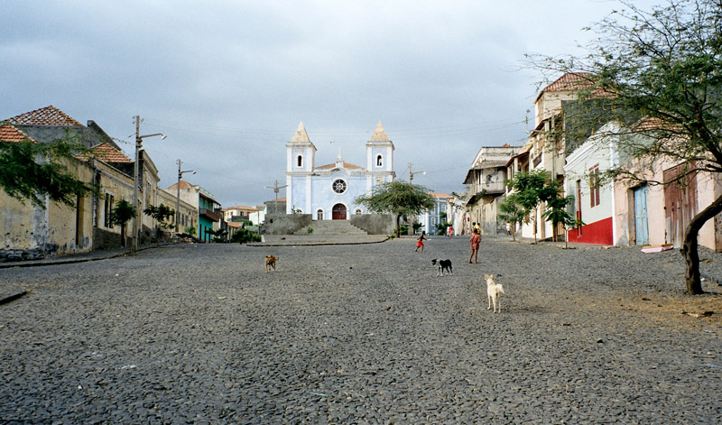
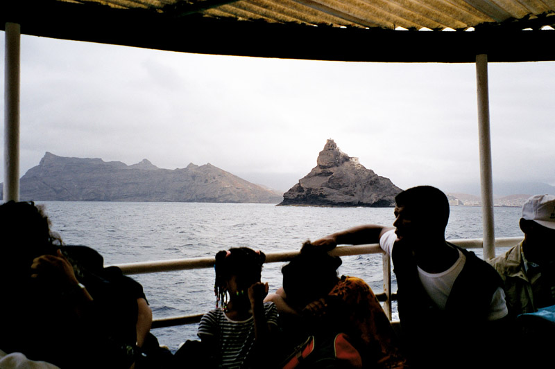
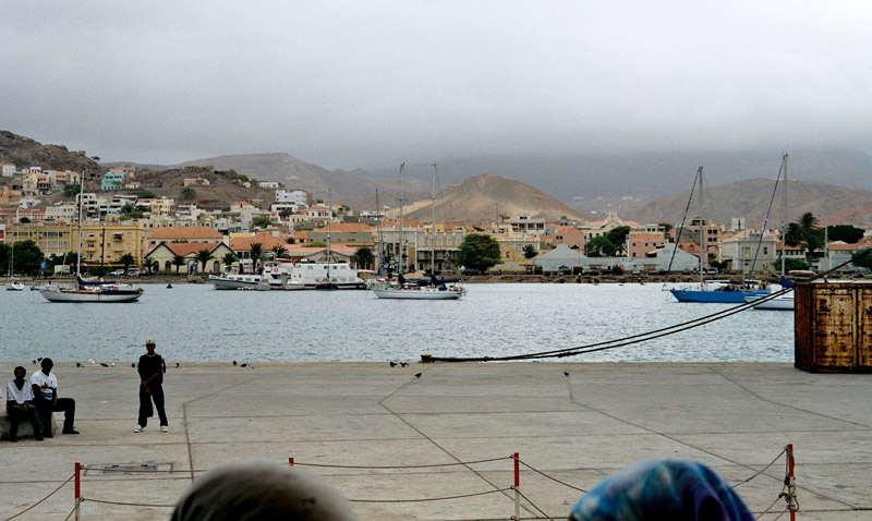
São Vicente (Portuguese for “Saint Vincent”), also Son Visent or Son Sent in Cape Verdean Creole, is one of the Barlavento islands of Cape Verde. It is located between the islands of Santo Antão and Santa Luzia, with the Canal de São Vicente separating it from Santo Antão.

The island is composed by a single administrative division, the São Vicente municipality. It includes all the island of São vicente plus the nearby uninhabited Santa Luzia island to the southeast. The “Dia do Município” or “Municipality Day” is on January 22. The municipality includes only one parish, Nossa Senhora da Luz.

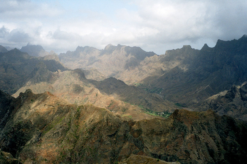
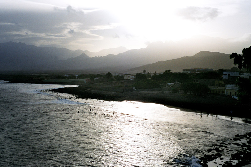
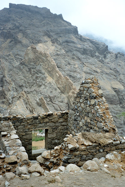
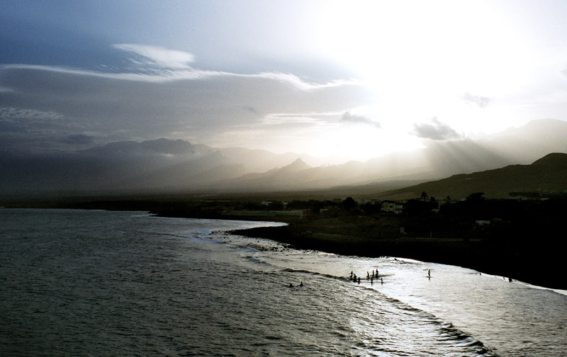
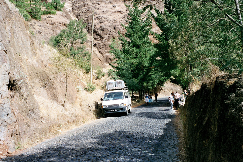
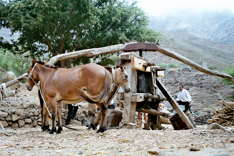
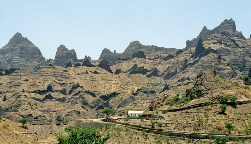
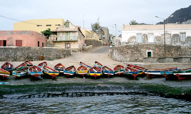
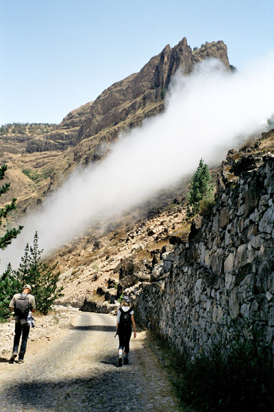
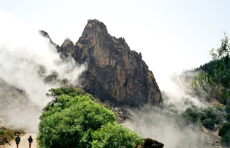
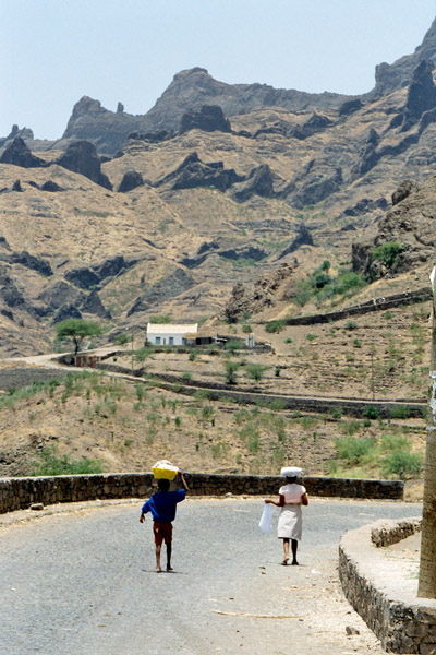
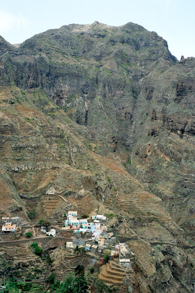
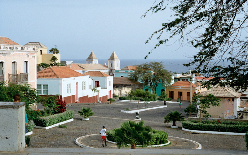
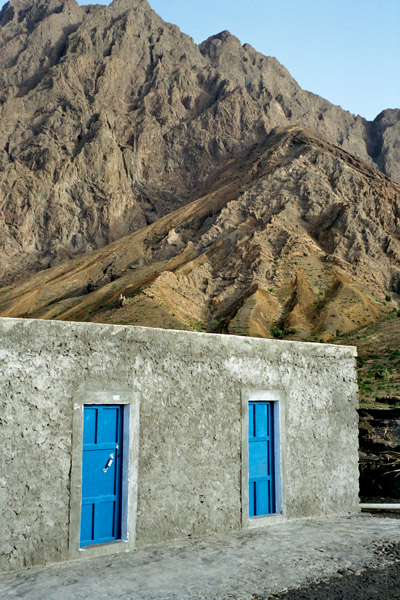
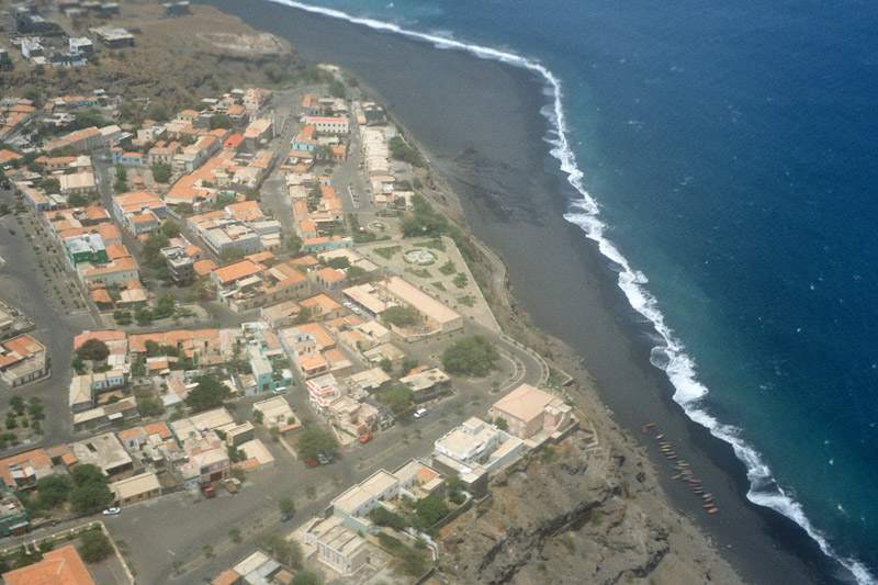
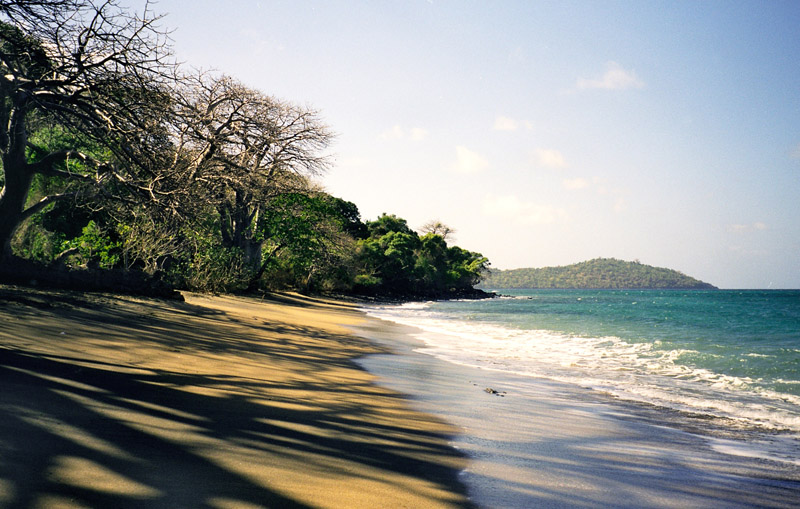
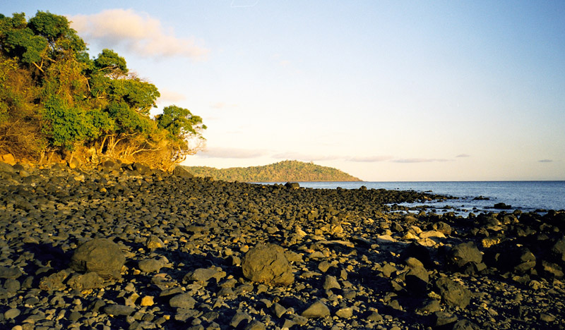
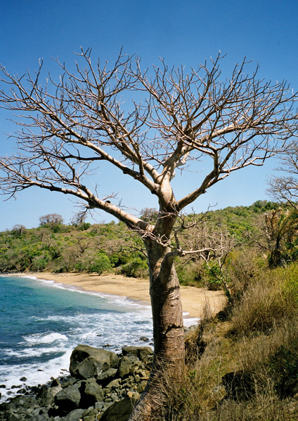
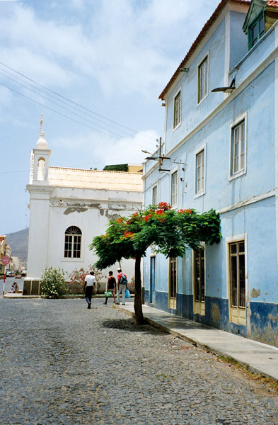
The island is roughly rectangular in shape with a surface area of ca. 227 km2 (88 sq mi). From east to west it measures 24 km (15 mi) and from north to south no more than 16 km (9.9 mi). The terrain includes mountains in the west, the southwest, the south, the east-central and the north. The area is flat in the north-central, the central part, the eastern part south of Calhau and the northern part in the Baía das Gatas area. The urban area of Mindelo is in the northern part. Much of the island is deforested.

Source: Wikipedia (under GNU Free Documentation License)

Categories
Cape Verde

Santo Antão I

Santo Antão (Portuguese for “Saint Anthony”), or Sontonton in Cape Verdean Creole, is the westernmost and largest of the Barlavento islands of Cape Verde. The nearest main island is São Vicente to the southeast, separated by a channel named Canal de São Vicente. It is the westernmost large island in Cape Verde and the continent of Africa, and the second largest in Cape Verde.

The island, entirely made up of volcanic material. The tallest mountain is Topo de Coroa, reaching a height of 1,979 m. The second tallest is Pico da Cruz at 1,585 m. The island is divided into north and south by a mountain range long considered impenetrable but now crossed by a road. The island’s main town is Ponta do Sol on the north coast, home to the Agostinho Neto Airport, while its ferry port is Porto Novo on the south coast. A part of the island in the southeast has an arid climate, while the northwest receives relatively normal precipitation. Its valleys are suffering heavy erosion.

Source: Wikipedia (under GNU Free Documentation License)

Categories
Cape Verde

Santiago

Santiago (Portuguese for “Saint James”), or Santiagu in Cape Verdean Creole, is the largest island of Cape Verde, its most important agricultural centre and home to half the nation’s population. At the time of Darwin’s voyage it was called St. Jago.

Santiago is located between the islands of Maio (40 km west) and Fogo (50 km east) and is one of the Sotavento. It was the first of the islands to be settled, the town of Cidade Velha being founded as Riberia Grande in 1462. It is also home to the nation’s capital city of Praia and to one of the islands’ four international airports, Praia International Airport, 3 km from the capital (IATA airport code: RAI, Praia).

Santiago is the largest island of Cape Verde, with an area of 991 km². The island is mountainous, although slightly flatter in the southeast. The wetter climate of the interior and the eastern coast contrasts with the dryer one in the south/southwest coast. Praia, located in the southeast coast, is the largest city of the island, and also the largest city and capital of the country. Other towns on the island include Cidade Velha, 15 km west of Praia, Cape Verde’s first capital; Assomada, 60 km north and Tarrafal in the northern part of the island 75 km from the capital.

Source: Wikipedia (under GNU Free Documentation License)

Categories
Cape Verde

Fogo

Fogo (Portuguese for “fire”) is an island in the Sotavento group of Cape Verde. It is the most prominent of the group, rising to nearly 3,000 m (10,000 ft) above sea level at Mount Fogo.

The island is located between the islands of Santiago and Brava. Practically the whole island is an active volcano that has been periodically active, last erupting in 1995, forming a new crater called Pico Pequeno. Its largest feature is a 9 km wide caldera, which has walls 1 km high. The caldera has a breach in its eastern rim, and a large peak rises in the centre. The central cone Pico forms the highest point of the island and its summit is about 100 m higher than the surrounding wall of the caldera. Lava from the volcano has reached the eastern coast of the island within historical times.

A small village, called Chã das Caldeiras, exists at the base of the volcano, and the residents are periodically evacuated during eruptions.

The island’s main town is São Filipe, near which is an airport. First settled in the 1480s, it is largely an agricultural island. The islands also houses schools, a gymnasium, banks, a post office, some hotels and squares (praças).

Source: Wikipedia (under GNU Free Documentation License)

Categories
Majotte

Mayotte

Mayotte (French: Mayotte; Shimaore (Swahili dialect): Maore; Malagasy: Mahori), officially the Departmental Collectivity of Mayotte (French: Collectivité départementale de Mayotte), is an overseas collectivity of France consisting of a main island, Grande-Terre (or Mahoré), a smaller island, Petite-Terre (or Pamanzi), and several islets around these two.

Mayotte is very densely populated. It is in the northern Mozambique Channel in the Indian Ocean, between northern Madagascar and northern Mozambique. The territory is geographically part of the Comoro Islands, but has been politically separate since the 1970s. The territory is also known as Mahoré, the native name of its main island, especially by advocates of its inclusion in the Union of Comoros.

The main island, Grande-Terre (or Mahoré), geologically the oldest of the Comoros, is 39 kilometres (24 mi) long and 22 kilometres (13½ mi) wide, and its highest point is Mount Benara (French: Mont Bénara; Shimaore: Mlima Bénara) at 660 metres (2,165 ft) above sea level. Because of the volcanic rock, the soil is relatively rich in some areas. A coral reef encircling much of the island ensures protection for ships and a habitat for fish.

Source: Wikipedia (under GNU Free Documentation License)

Categories
Indonesia

Bali

Bali is an Indonesian island located at the westernmost of the Lesser Sunda Islands, lying between Java to the west and Lombok to the east. It is one of the country’s 33 provinces with the provincial capital at Denpasar towards the south of the island.

With a population recorded as 3,551,000 in 2009, the island is home to the vast majority of Indonesia’s small Hindu minority. 93.18% of Bali’s population adheres to Balinese Hinduism, while most of the remainder follow Islam. It is also the largest tourist destination in the country and is renowned for its highly developed arts, including dance, sculpture, painting, leather, metalworking and music.

Bali was inhabited by Austronesian peoples by about 2000 BC who migrated originally from Taiwan through Maritime Southeast Asia. Culturally and linguistically, the Balinese are thus closely related to the peoples of the Indonesian archipelago, the Philippines, and Oceania. Stone tools dating from this time have been found near the village of Cekik in the island’s west.

Source: Wikipedia (under GNU Free Documentation License)

Categories
Indonesia

Sumbawa

Sumbawa is an Indonesian island, located in the middle of the Lesser Sunda Islands chain, with Lombok to the west, Flores to the east, and Sumba further to the southeast. It is in the province of West Nusa Tenggara.

Sumbawa is 15,448 km² (three times the size of Lombok) with a population of around 1.5 million. It marks the boundary between the islands to the west, which were influenced by religion and culture spreading from India, and the region to the east that was not so influenced.

Four principalities in western Sumbawa were dependencies of the Majapahit Empire of eastern Java. Because of Sumbawa’s natural resources it was regularly invaded by outside forces – Japanese, Dutch, Makassarese. The Dutch first arrived in 1605, but did not effectively rule Sumbawa until the early 20th century. The Balinese kingdom of Gelgel ruled western Sumbawa for a short period as well. It was also home to the Sultanate of Bima.

Source: Wikipedia (under GNU Free Documentation License)

Categories
Azores

São Miguel Island

São Miguel Island (Portuguese pronunciation: [sɐ̃ũ miˈɡɛɫ]; Portuguese for Saint Michael), nicknamed “The Green Island”, is the largest and most populous island in Portuguese Azores archipelago. The island covers 759 km2 (293 sq mi) and has around 140,000 inhabitants, 45,000 of these people located in the largest city in the archipelago: Ponta Delgada.

In 1427, São Miguel became the second of the islands discovered by Gonçalo Velho Cabral to be settled by colonists from the continent of Portugal. This date is uncertain, as it is believed that the island was discovered between 1426 and 1439 and inscribed in portolans from the middle of the 14th Century. In the early 1400s Infante D. Henrique authorized the settlement of the Azores, and many settlers from Estremadura, Alto Alentejo, Algarve and Madeira traveled to São Miguel, under the Carta Régia (a decree of the regency). Settlers from other countries, notably French people and cultural minorities such as Jews and Moors also came in this early settlement phase, due to the fertile soils and temperate climate. A military garrison was quickly established, and the Azorean ports became obligatory ports-of-call on African and Asian commerical trade. São Miguel became a center for the production of sugar and orchil, a dye exported to Flanders for the making of cloth.

Source: Wikipedia (under GNU Free Documentation License)