Categories
Bissagos Islands Guinea-Bissau

Ilheu do Meio

Meio – a deserted island with beautiful beaches. Huge and majestic kapok trees growing among palm trees are distinctive features of the island. Amazingly, there are hardly any birds even though the island is situated quite close to a popular breeding site, namely Cavalos island.

Categories
Kenya

Manda Island

Manda is an island of the Lamu Archipelago of Kenya, known for the prosperous 9th century ports of Takwa and Manda town. The island is now linked by ferry to Lamu and is home to Manda Airport, while Manda Toto island lies to its west. The island is separated from the mainland by the narrow Mkanda channel.

Both Manda town and Takwa were probably abandoned due to lack of water in the first half of the 19th century. In the 1960s the Kenya Department of Agriculture recommended building several concrete catchments called jabias to capture rain water on the island. Two jabias were built and many families moved onto the island, farming maize, cassava, simsim and cotton.

Source: Wikipedia (under GNU Free Documentation License)

Categories
Marquesas French Polynesia

Fatu Hiva

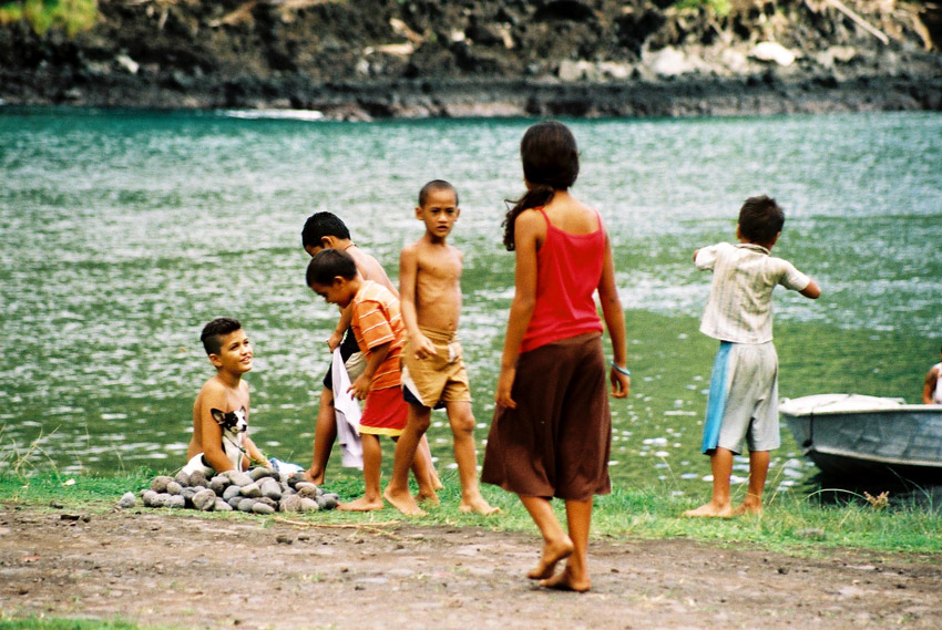
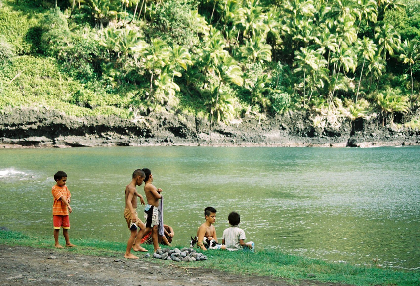
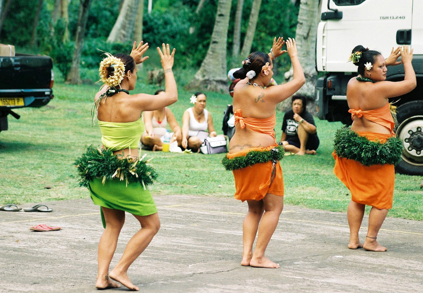
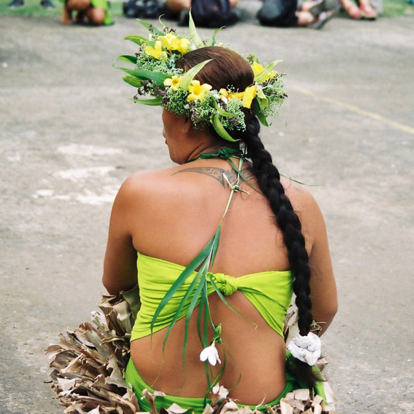
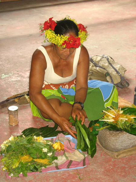
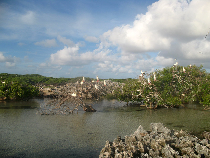
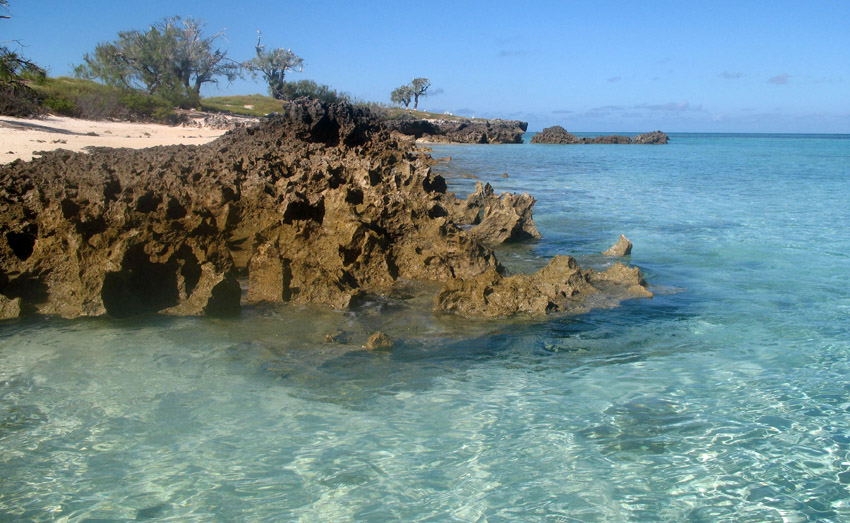
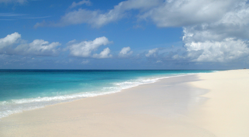
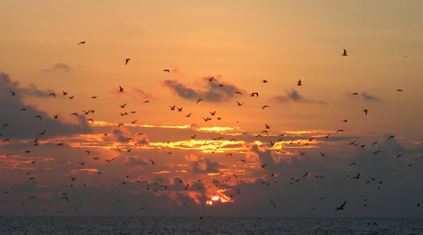
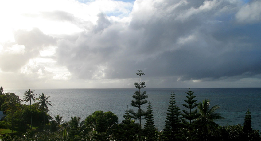
Fatu Hiva is the southernmost of the Marquesas Islands, in French Polynesia, an overseas territory of France in the Pacific Ocean. With Motu Nao as its closest neighbor, it is also the most isolated of the inhabited islands.

Fatu Hiva is also the title of a book by explorer and archaeologist Thor Heyerdahl, in which he describes his stay on the island in the 1930s.

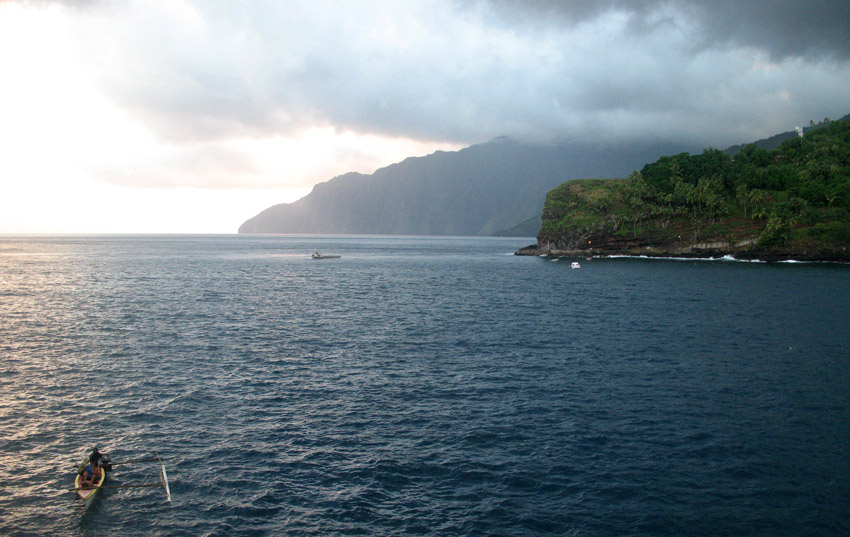
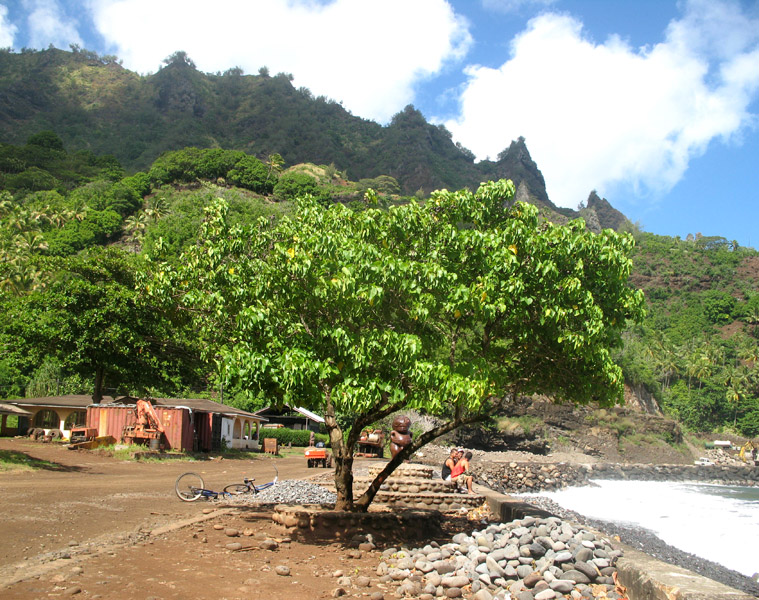
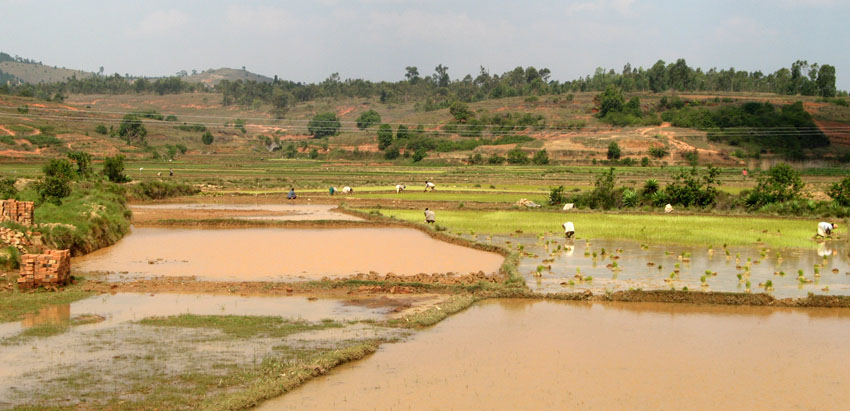
The eastern coastline of Fatu Hiva is characterized by a number of narrow valleys, carved by streams that lead to the interior. Between these valleys are headlands which terminate in cliffs that plunge directly into the sea, making travel between them possible only by travelling over the high mountain ridges between them, or by boat. The largest of these valleys is at Uia.

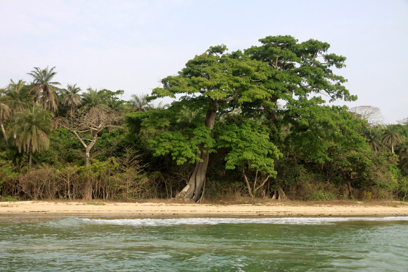
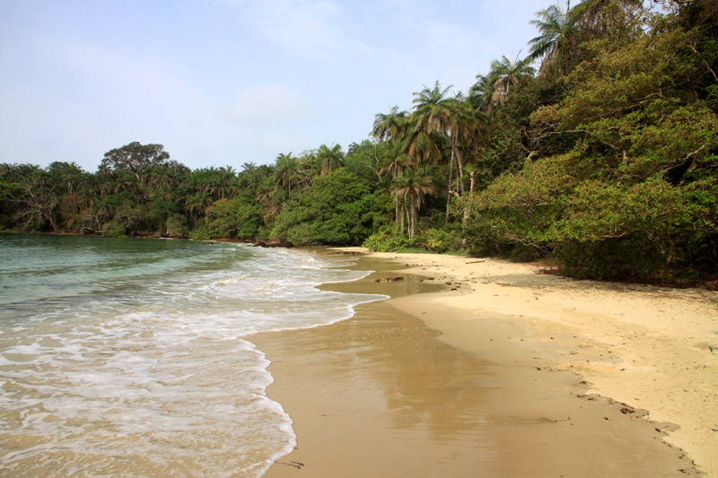
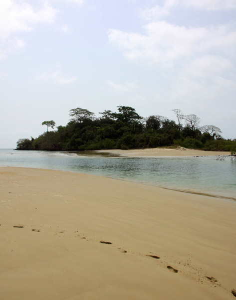
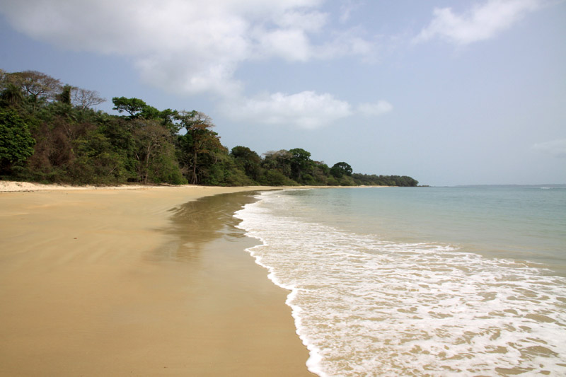
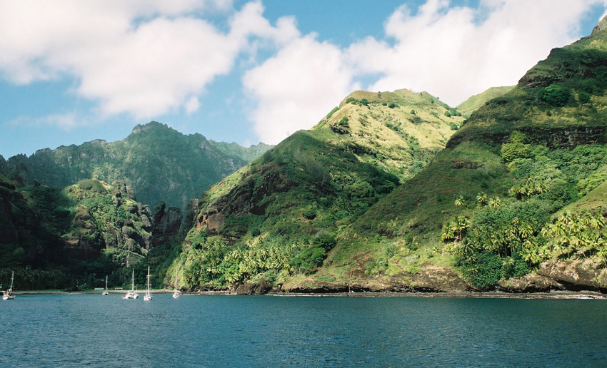
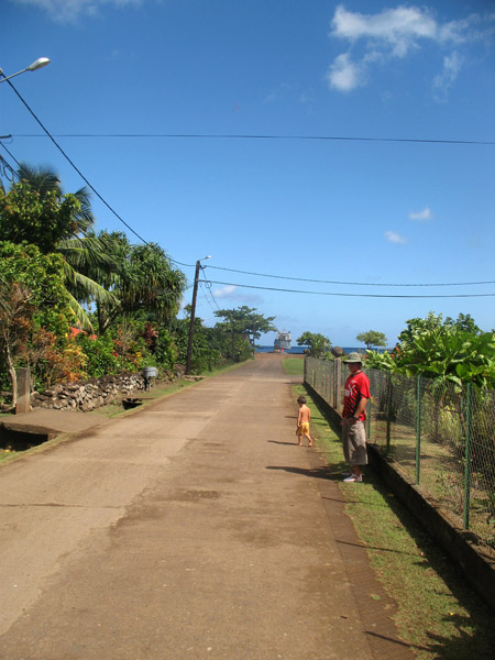
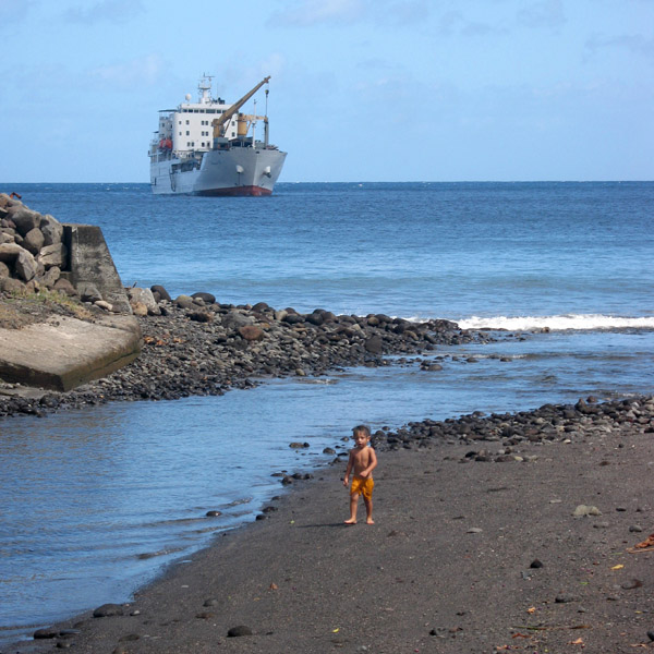
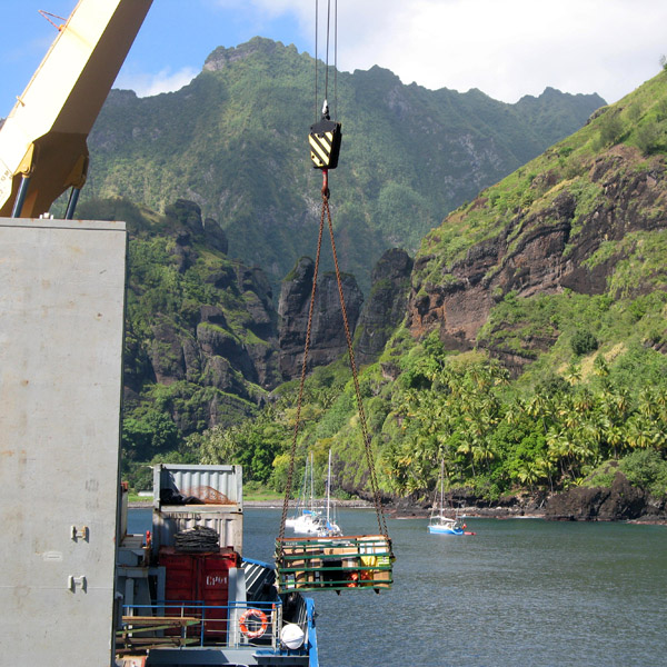
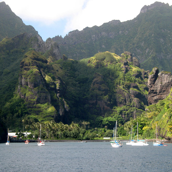
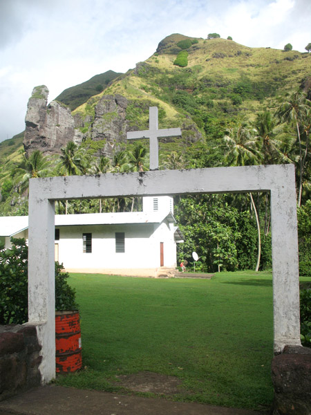
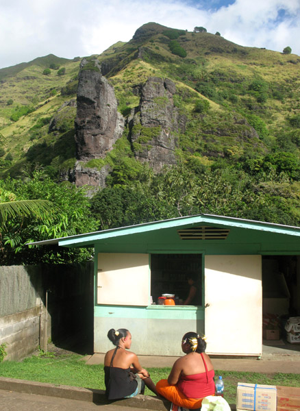
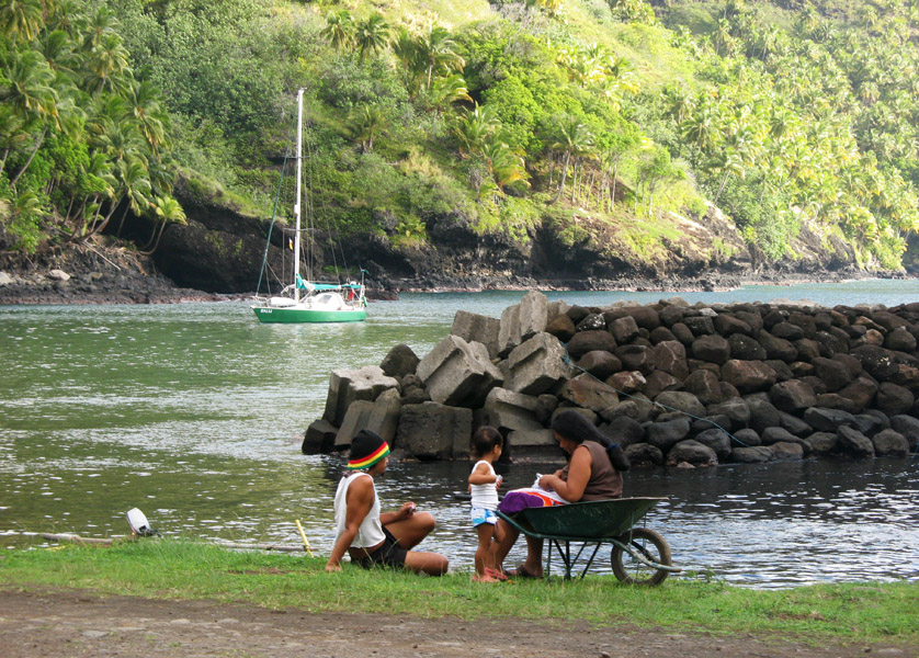
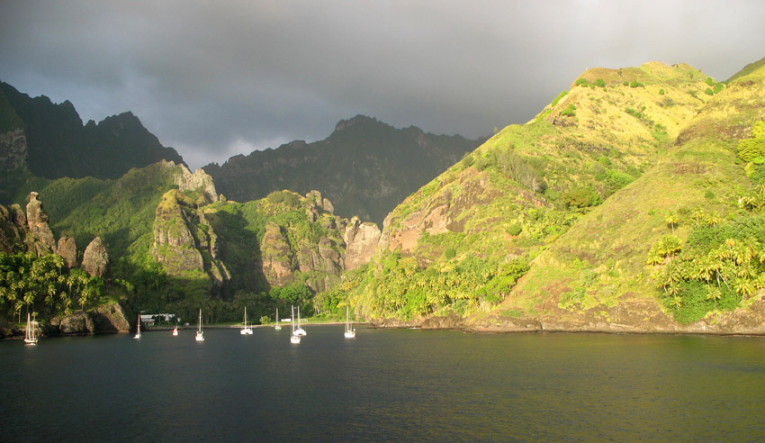
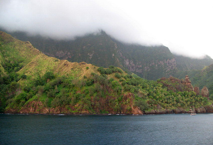
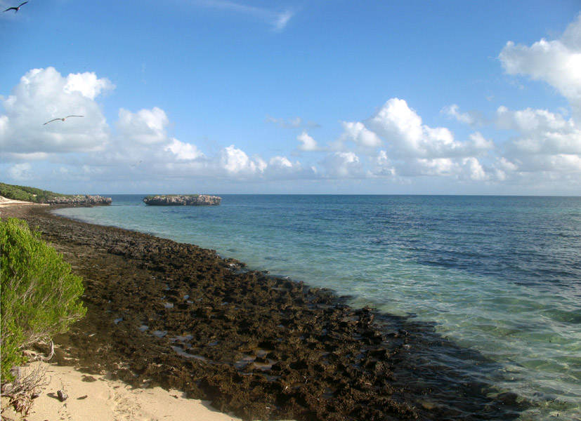
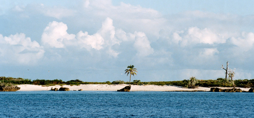
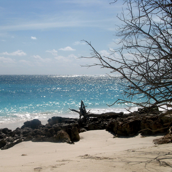
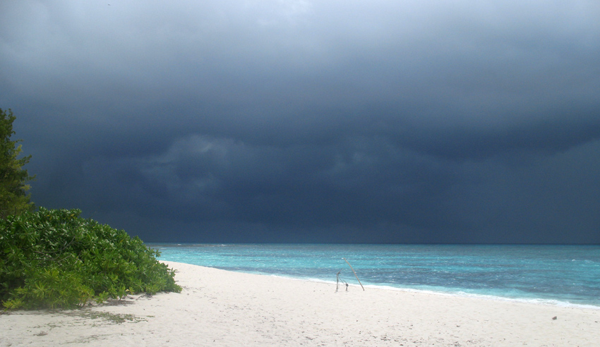
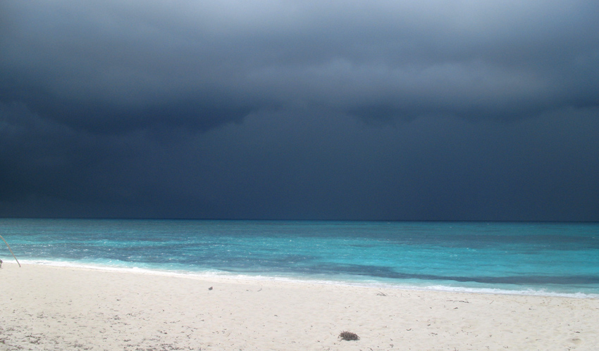
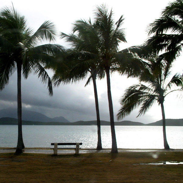
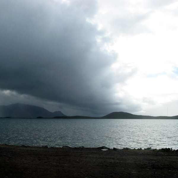
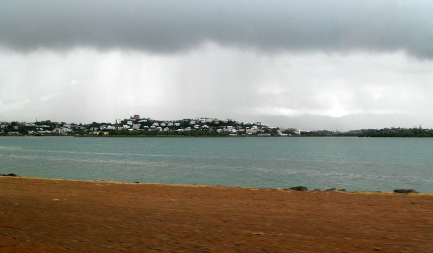
The western coastline has two significant bays, Hana Vave (also known as Bay of Virgins or Baie des Vierges) in the north, one of the most picturesque sites in the South Pacific, and the well protected harbor of Omoa near the south. There are several smaller valleys between these two.

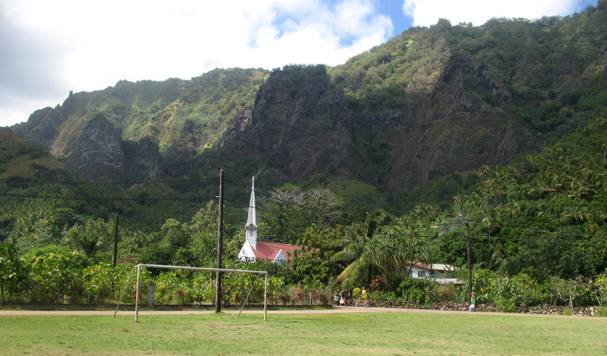
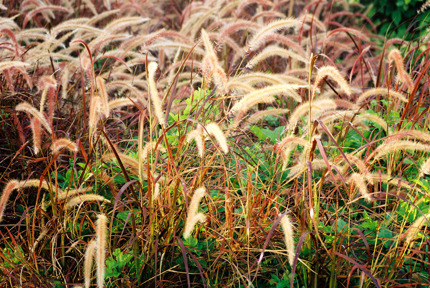
The center of the island is a plateau which is covered largely by tall grasses and pandanus trees. To the south of the plateau, running to the south, is a mountain ridge, called Tauauoho, its highest peak, at 1,125 m (3,691 ft.) is the highest point on Fatu Hiva. Proceeding to the north and northwest from the plateau is a mountain ridge called Fa‘e One, the highest peak of which is 820 m (2,690 ft.).

Source: Wikipedia (under GNU Free Documentation License)

Categories
Seychelles

Cosmoledo Atoll

Cosmoledo is an atoll of the Aldabra Group and belongs to the Outer Islands of the Seychelles. The atoll is 14.5 km long east-west, and 11.5 km north-south. The total land area is about 5.2 km², while the lagoon measures 145 km² in area (total 152 km²). It is located at 9°42’S 47°36’E. The closest island is Astove Island, 38 km farther south. Cosmoledo Atoll and Astove Island are together sometimes known as Cosmoledo Group, which is part of the larger Aldabra Group.

There are 16 individual islets and cays along the rim of the atoll, with Menai (in the west) and Wizard Island (Grande Île, in the southeast) being the largest.

Cosmoledo holds Seychelles’ largest colonies of all three species of booby that breed in Seychelles. The atoll holds the last viable population of Brown Booby, breeding mainly on Ile du Sud Ouest, with a few on Ile du Nord. It also has the Indian Ocean’s larget population of Red-footed Booby censused by the Island Conservation Society as about 15,000 pairs.

Source: Wikipedia (under GNU Free Documentation License)

Categories
Seychelles

St. Pierre

St Pierre Island is a raised reef island west of Providence Atoll and part of Farquhar Group, which belongs to the Outer Islands of the Seychelles. The island is located at 9°17′S 50°44′E, 35 km (19 nautical miles) west of Cerf Island of Providence Atoll, 704 km (380 nmi) from Mahé and 500 km (270 nmi) ENE of Aldabra.

The island is nearly circular, 1.6 km (1 mile) east-west by 1.4 km (0.87 mi) north-south, with a land area of 1.68 km² (0.65 sq mi). St. Pierre has a gently sloping seabed on the exposed southeastern coast and a steep drop off on the northwest, where the fringing reef is all but absent. It is uninhabited, and indeed in modern times all but uninhabitable. There is a derelict jetty and settlement on the north west shore, which is accessible by boat in the calmest weather only.

Source: Wikipedia (under GNU Free Documentation License)

Categories
Seychelles

La Digue II

La Digue is the fourth largest inhabited island of the Seychelles, lying east of Praslin and west of Felicite Island. It has a population of about 2,000 people, who mostly live in the west coast villages of La Passe (linked by ferry to Praslin and Mahé) and La Réunion. It has an area of 10 km². La Digue is named after a ship in the fleet of French explorer Marc-Joseph Marion du Fresne, who visited the Seychelles in 1768.

Today the island’s main industry is tourism and is known for its beaches especially Anse Source d’Argent. In former times copra and vanilla production were mainstays of the local economy; which is commemorated in the island’s museum. In the island’s interior is Veuve Nature Reserve, home of the rare Black Paradise Flycatcher, of which there are only about 100 in existence. La Digue’s tallest peak is also in the central part of the island, Belle Vue (Eagle’s Nest Mountain), with its summit more than 300 meters above sea level.

Source: Wikipedia (under GNU Free Documentation License)

Categories
Seychelles

Bird Island

Bird Island is the northernmost island in the Seychelles archipelago, 60 miles from Mahe. The 0.70 km² Coral island is known for its birdlife, including sooty terns, fairy terns and common noddies, and for hawksbill and green turtles. It is now a private resort with 24 bungalows. It also contains a small weather station.

Bird Island was formerly known as “Ile aux Vaches” due to the numerous dugongs (sea cows) that lived in nearby waters. Between 1896 and 1906, 17,000 tons of guano were removed from the island and exported to Mauritius as fertilizer. It formerly was a coconut plantation, and cash crops such as papaya and cotton were also grown.

Since 1967 it has been privately owned, and conservation measures have taken place such as protection of birdlife and sea turtle nesting sites, and the eradication of feral rats and rabbits.

Another phenomena of Bird island is that each Year in May millions of bird come for nesting to the island and before they start nesting they pick up water from the sea and drop in the large grass patch of the island, where they intend to nest. The salt water the bird drop makes the grass go dry and after a few weeks they can start building their nests on the dry ground.

Source: Wikipedia (under GNU Free Documentation License)

Categories
Madagascar

Berenty

Berenty Reserve is a small private reserve of gallery forest along the Mandrake river, set in the semi-arid spiny forest ecoregion of the far south of Madagascar. For some years Primatologist Alison Jolly and student volunteers have visited Berenty to conduct fieldwork on Lemurs. The reserve is also a favourite for visitors who want to see some of Madagascar’s endemic bird species, which include Owls and Couas.

The reserve has accommodation in the forest and a set of forest trails to explore. It attracts the most visitors of any Madagascar nature reserve. It is reached after a two hour drive from Tôlagnaro on the southeast coast.

Source: Wikipedia (under GNU Free Documentation License)

Categories
Madagascar

Tana

Antananarivo is the capital and largest city in Madagascar. It is also known by its French colonial name Tananarive or the shorthand form Tana. The larger urban area surrounding the city, known as Antananarivo-Renivohitra (“Antananarivo-Capital”), is the capital of the Analamanga region and of the Antananarivo autonomous province.

Unlike most capital cities in southern Africa, Antananarivo was already a major city before the colonial era. The city was founded circa 1625 by King Andrianjaka and takes its name (the City of the Thousand) from the number of soldiers assigned to guarding it. For many years it was the principal village of the Hova chiefs and gained importance as those chiefs made themselves sovereigns of the greater part of Madagascar, eventually becoming a town of some 80,000 inhabitants. In 1793 it was made the capital of the Merina kings. The conquests of King Radama I made Antananarivo the capital of almost all of Madagascar. Until 1869 all buildings within the city proper were of wood or rushes, but even then it possessed several timber palaces of considerable size, the largest being 120 ft (37 m) high. These crown the summit of the central portion of the ridge; and the largest palace, with its lofty roof and towers, is the most conspicuous object from every point of view.

Since the introduction of stone and brick, the entire city has been rebuilt and now contains numerous European-style structures, including the royal palaces, the houses formerly belonging to the prime minister and nobles, the French residency, the Anglican and Roman Catholic cathedrals, and several stone churches. Museum of Ethnology and Paleontology is located in the city.

Source: Wikipedia (under GNU Free Documentation License)

Categories
New Caledonia

New Caledonia

New Caledonia (French: officially: Nouvelle-Calédonie; colloquially: (la) Calédonie; popular nicknames: (la) Kanaky, (le) Caillou), is a “sui generis collectivity” of France located in the region of Melanesia in the southwest Pacific. It comprises a main island (Grande Terre), the Loyalty Islands, and several smaller islands. Approximately half the size of Taiwan, it has a land area of 18,575.5 square kilometres (7,172 sq mi). The population was estimated in January 2008 to be 244,410. The capital and largest city of the territory is Nouméa. The currency is the CFP franc.

Since 1986 the United Nations Committee on Decolonization has included New Caledonia on the United Nations list of Non-Self-Governing Territories. New Caledonia is set to decide whether to remain within the French Republic or become an independent state in a referendum to be held between 2014 and 2019.

Nouméa, the capital, is also the seat of the Secretariat of the Pacific Community (formerly the South Pacific Commission), an international organization.

Source: Wikipedia (under GNU Free Documentation License)