Categories
Kenya

Lamu Island I

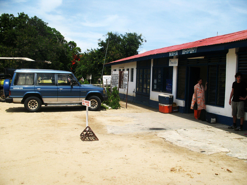
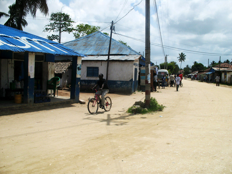
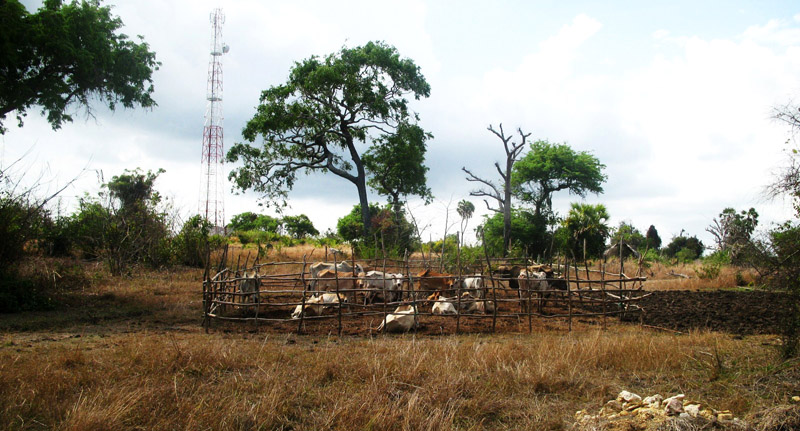
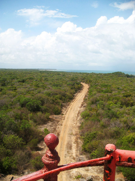
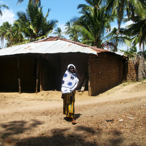
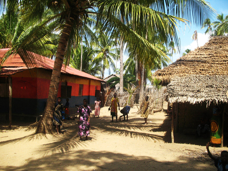
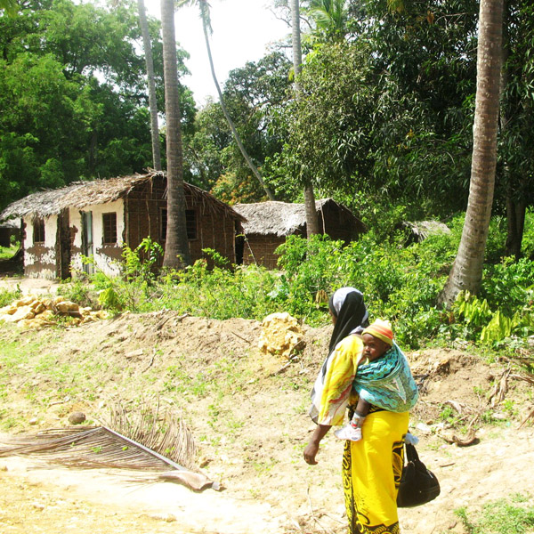
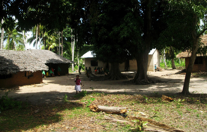
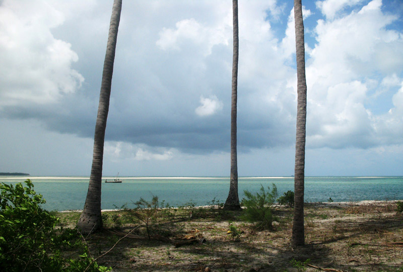
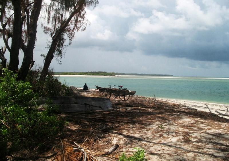
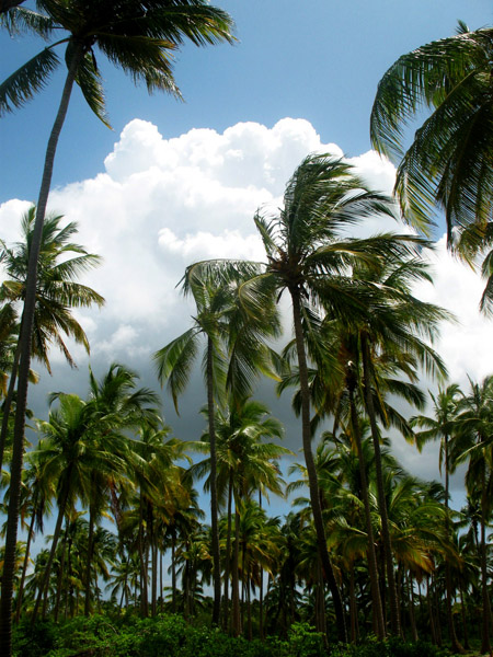
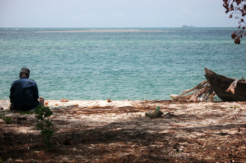
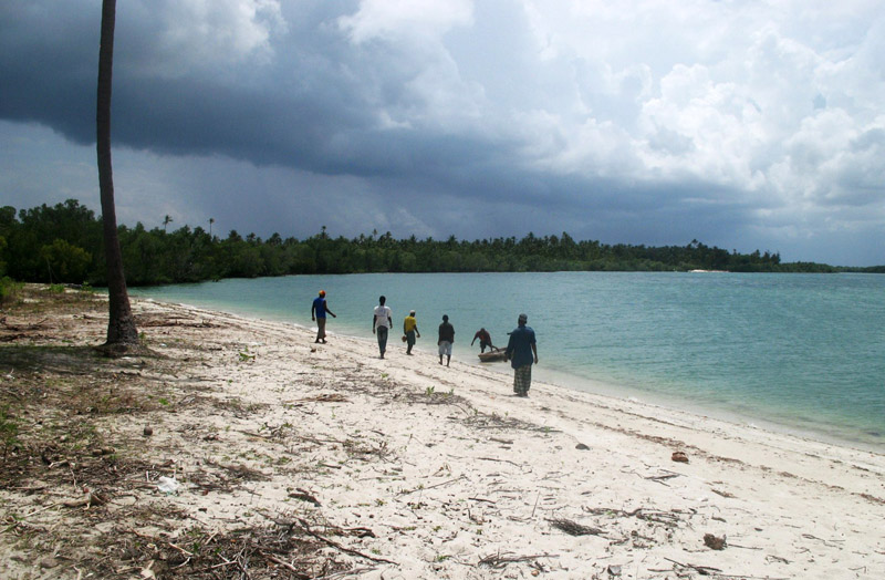
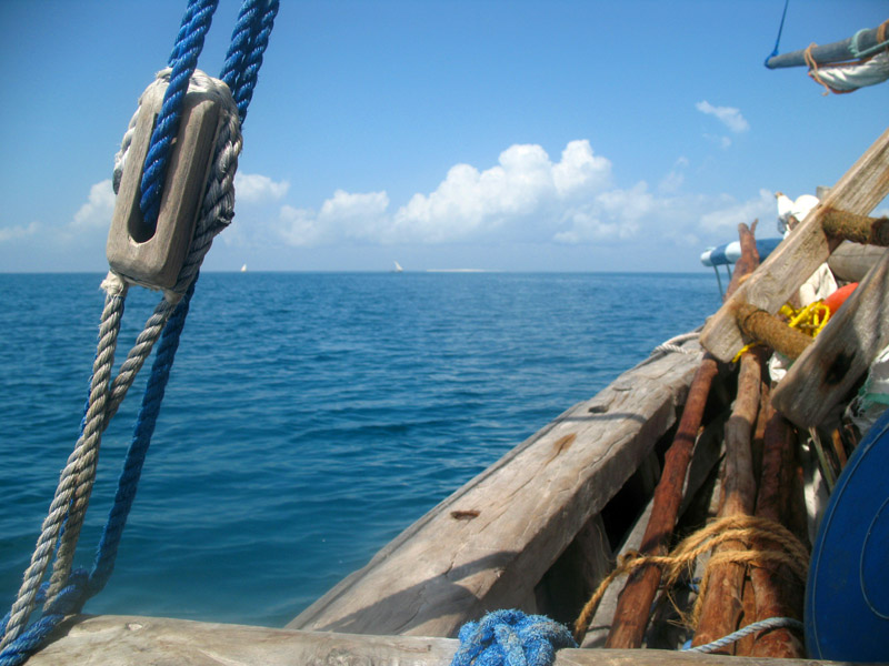
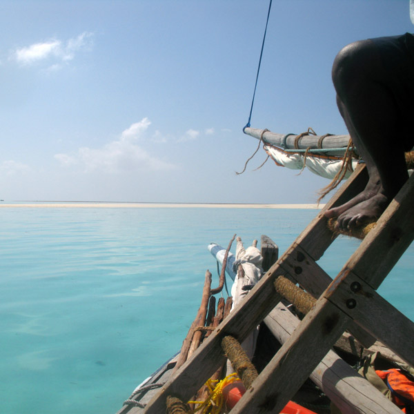
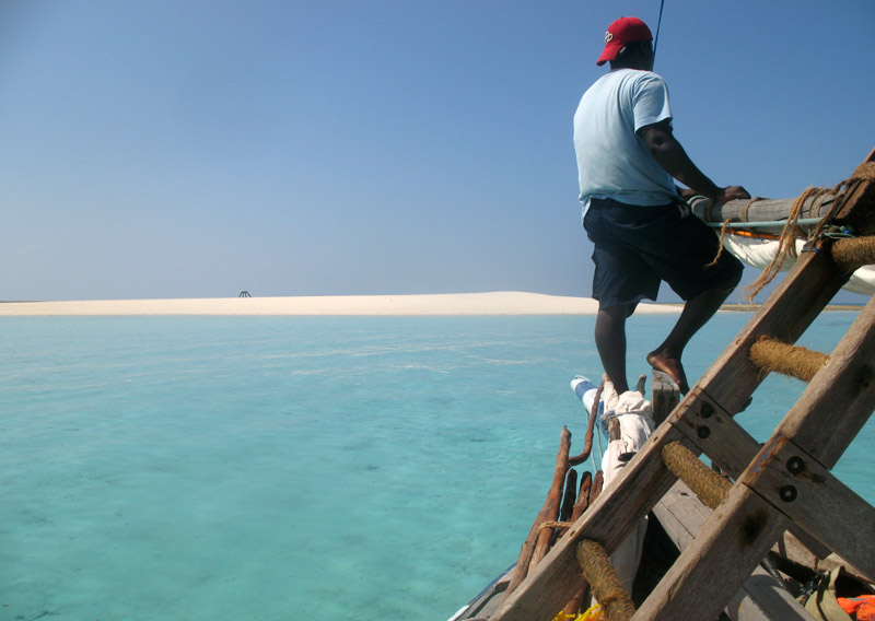
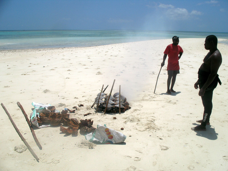
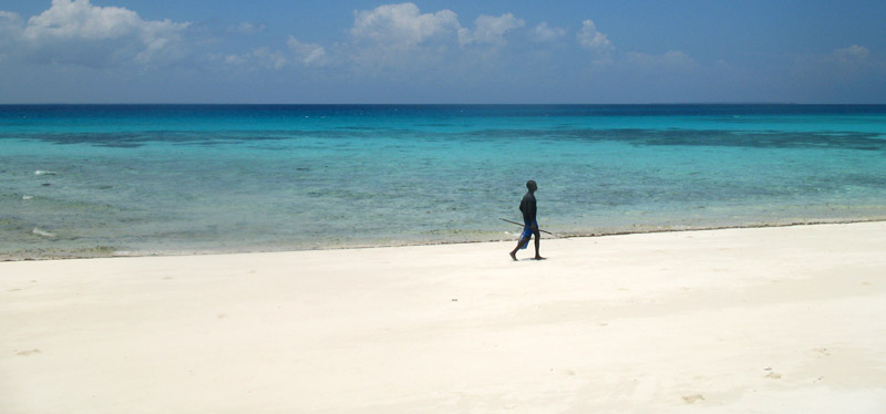
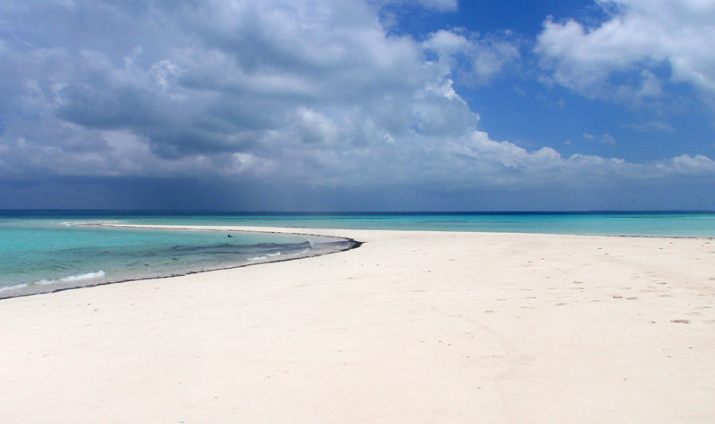
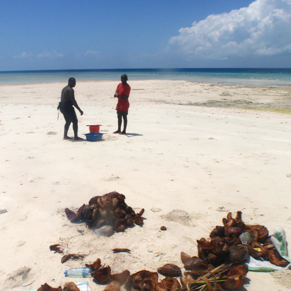
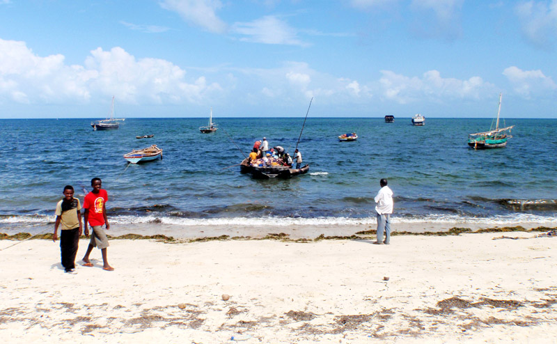
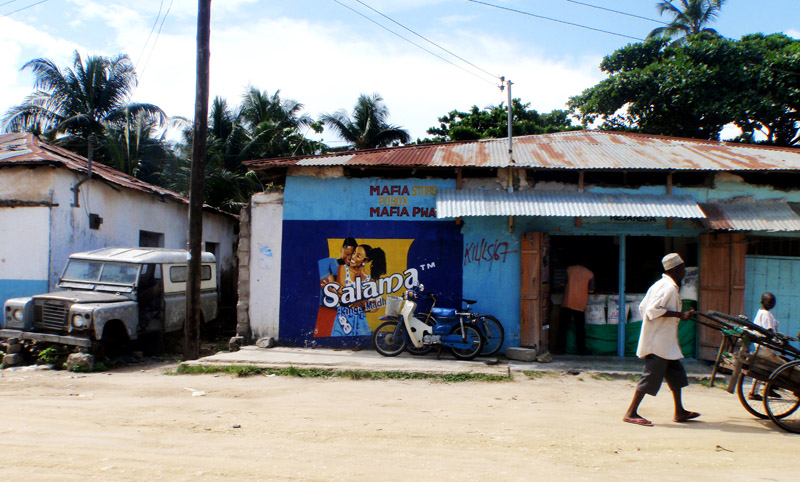
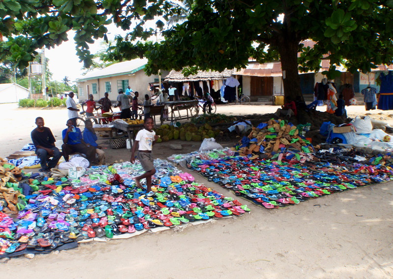
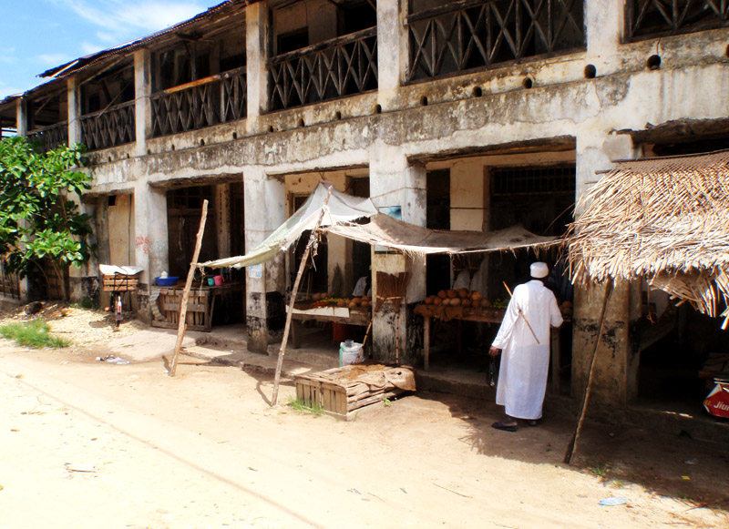
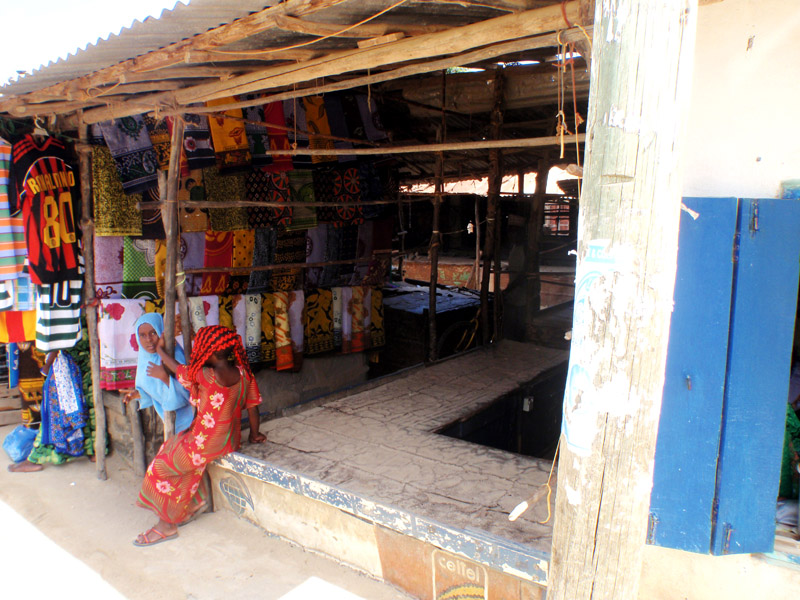
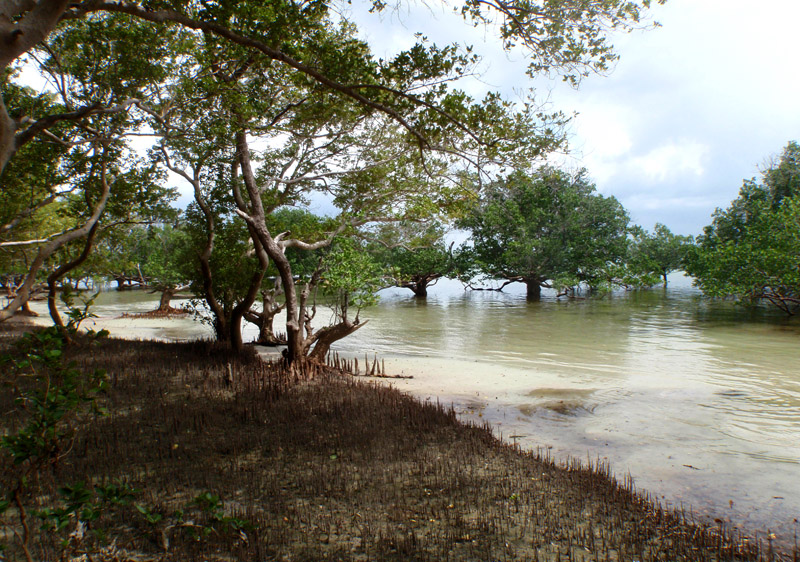
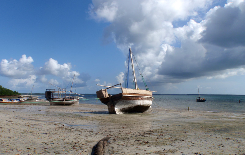
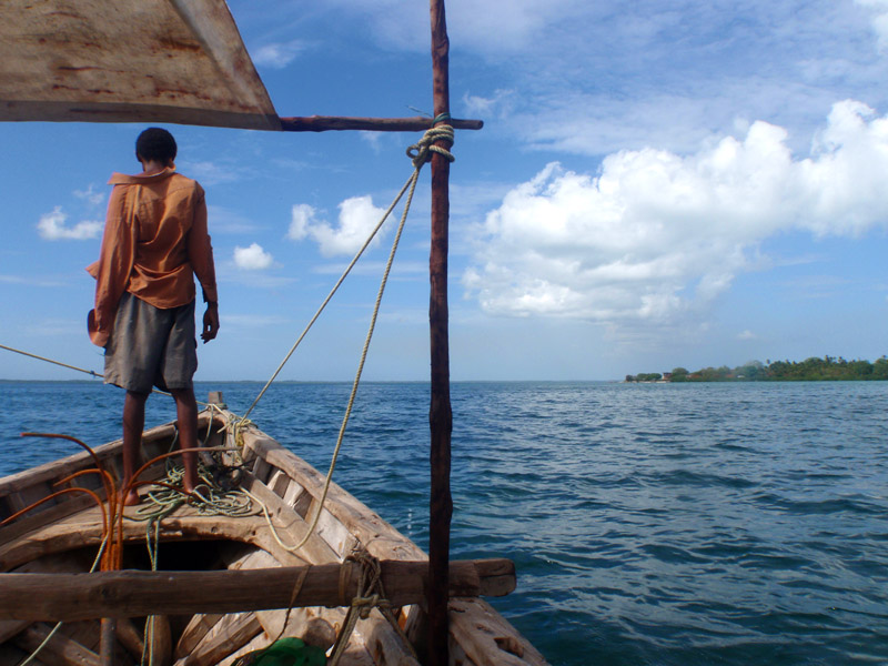
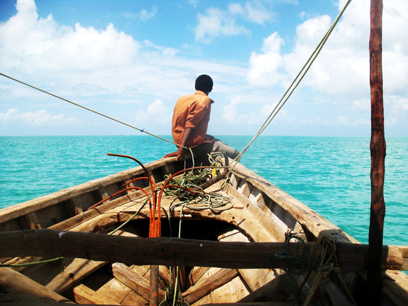
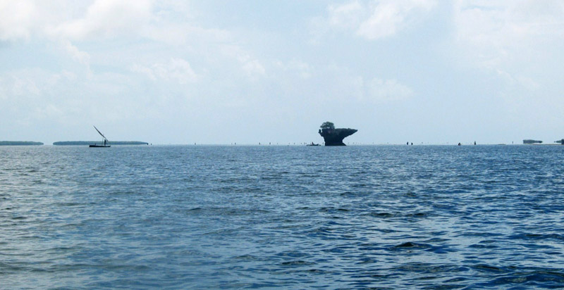
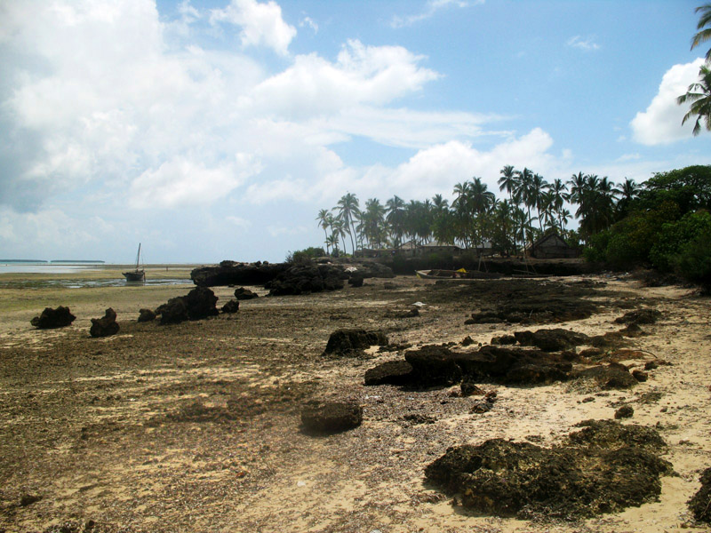
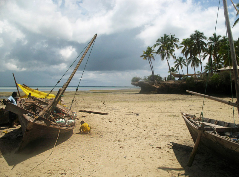
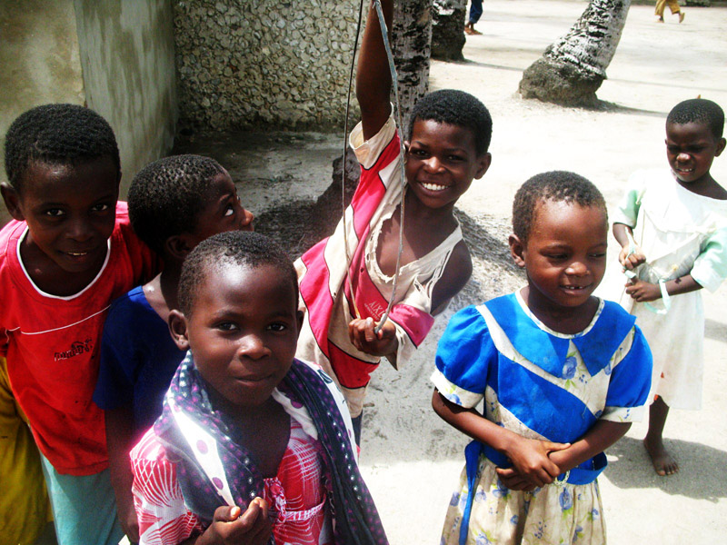
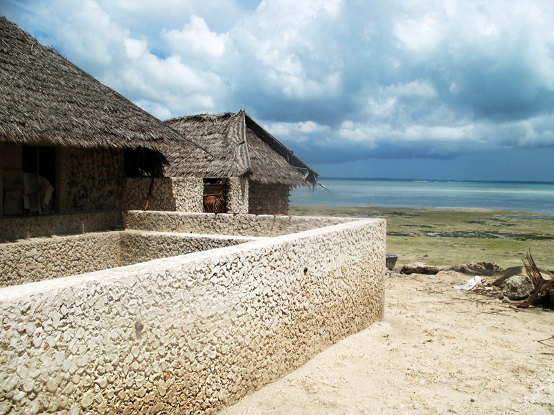
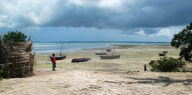
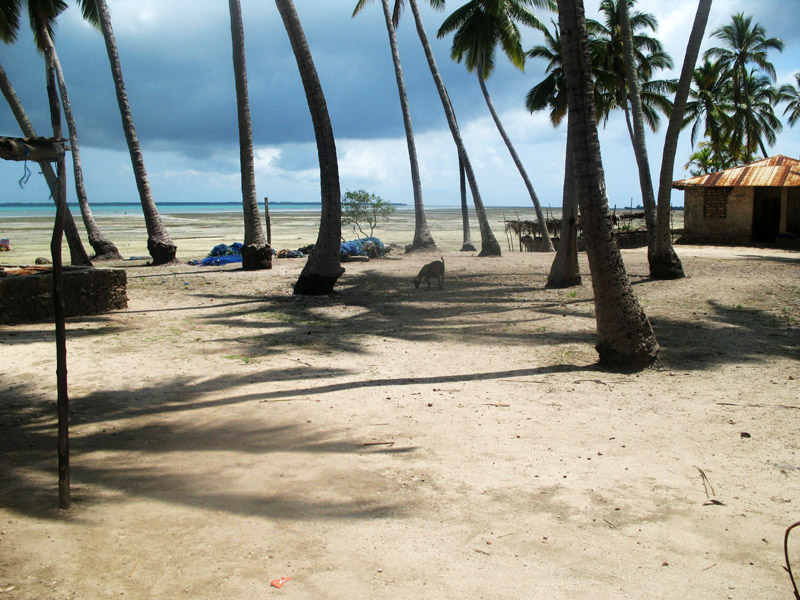
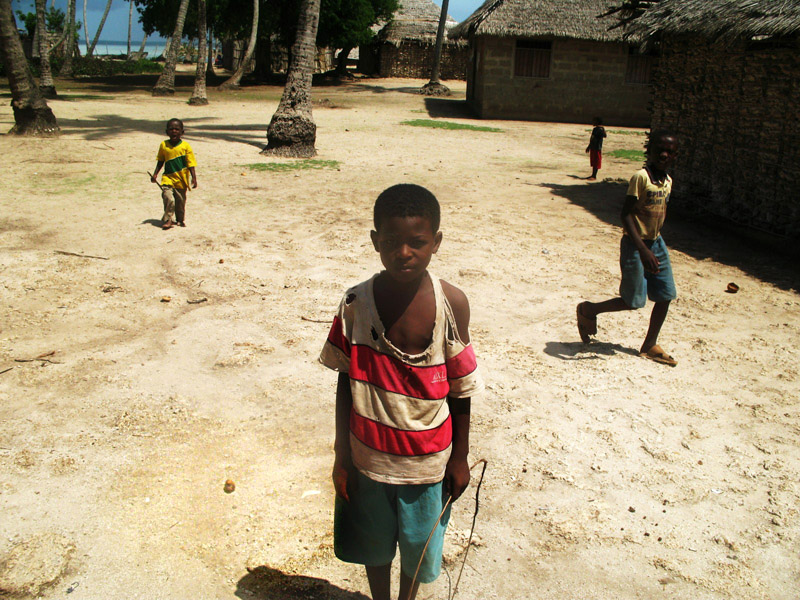
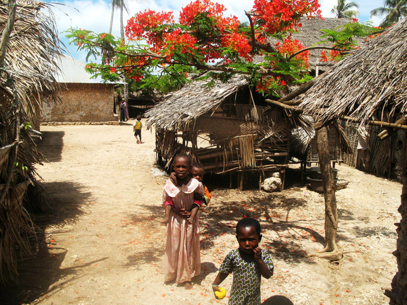
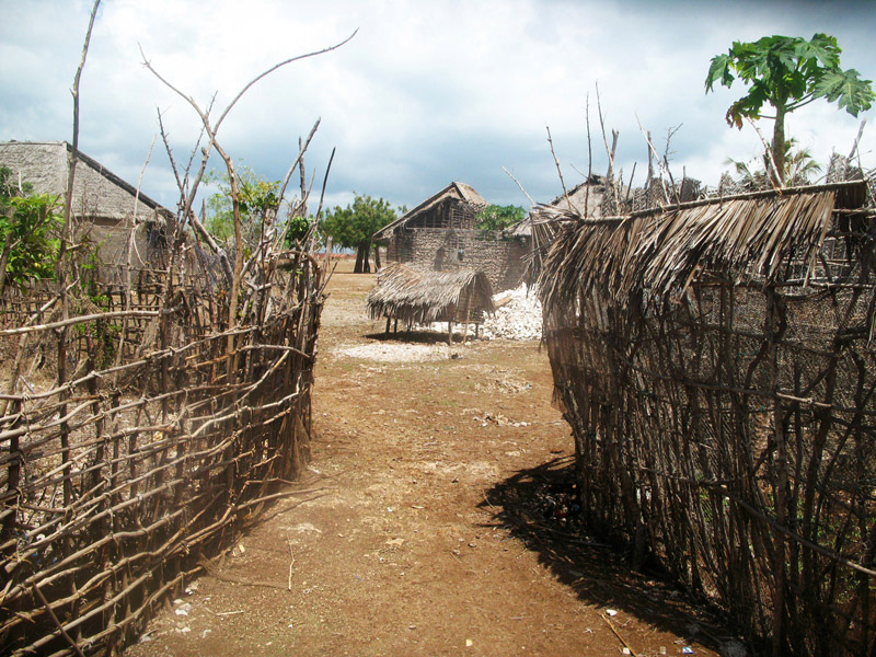
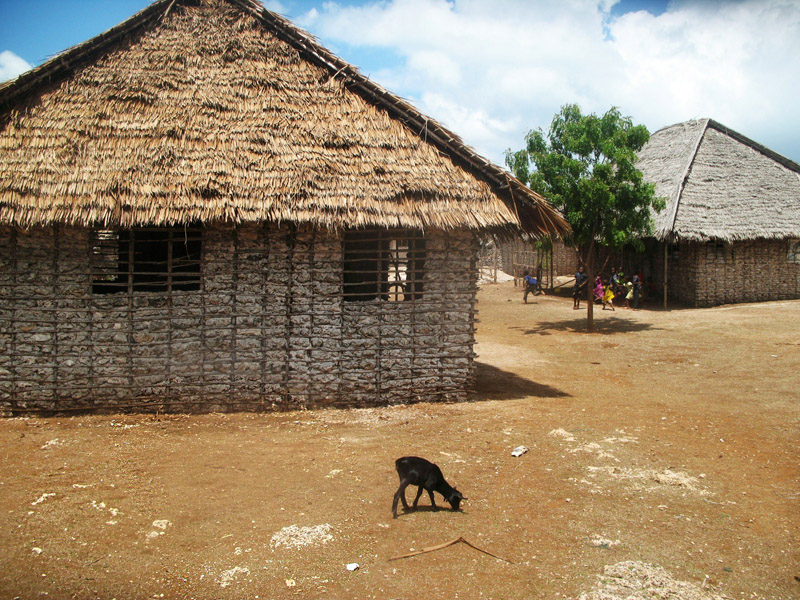
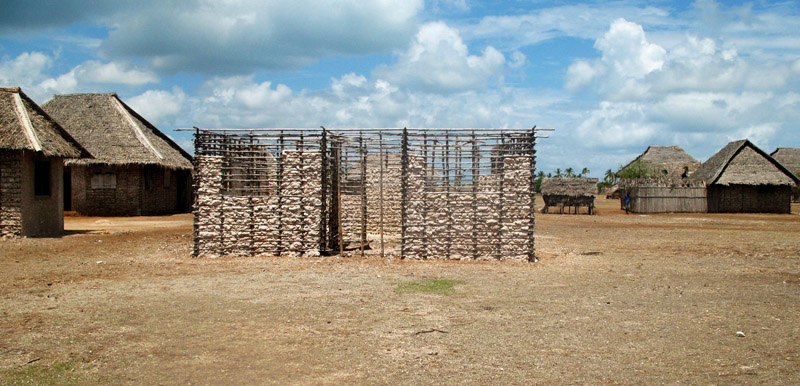
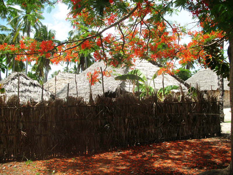
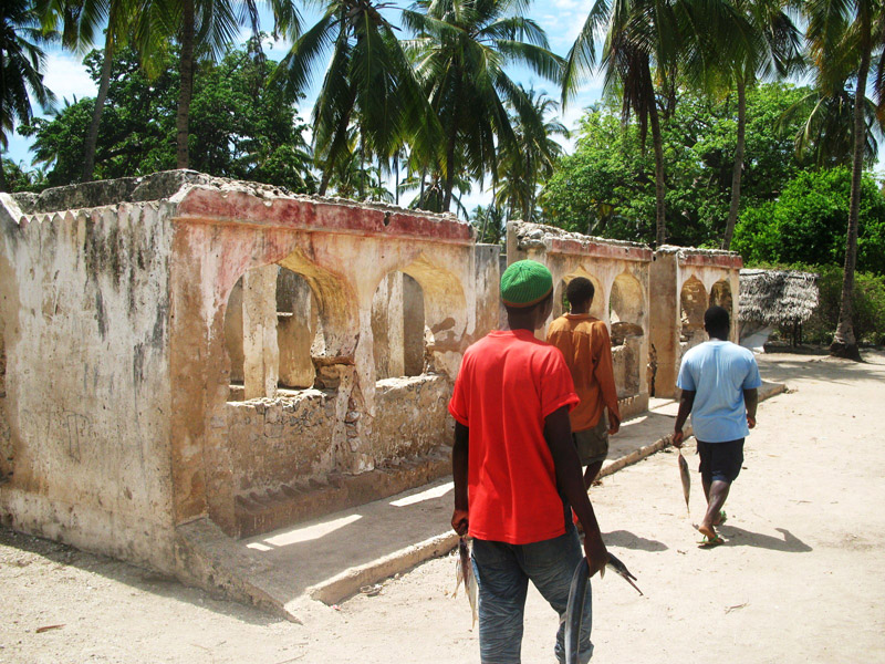
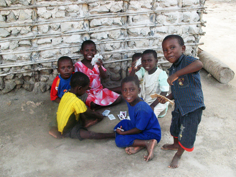
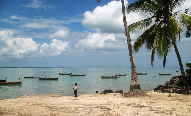
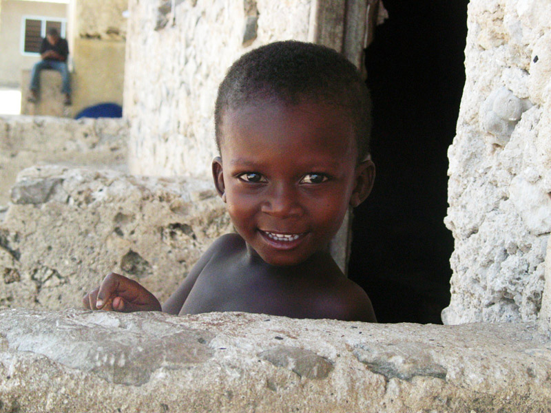
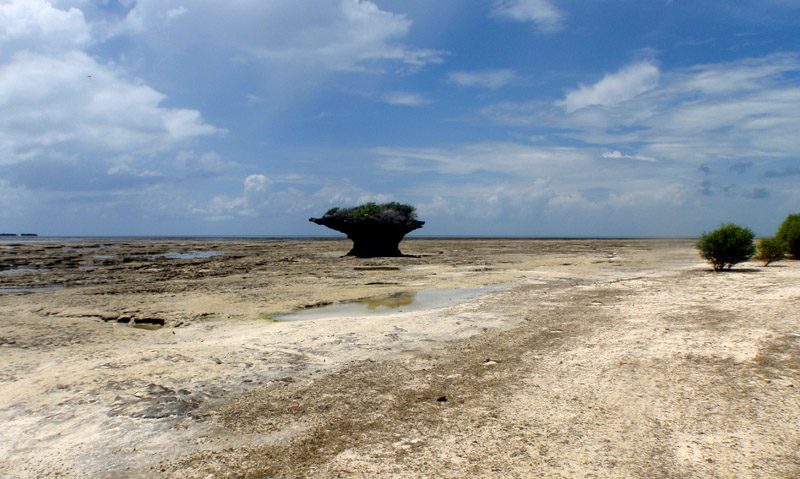
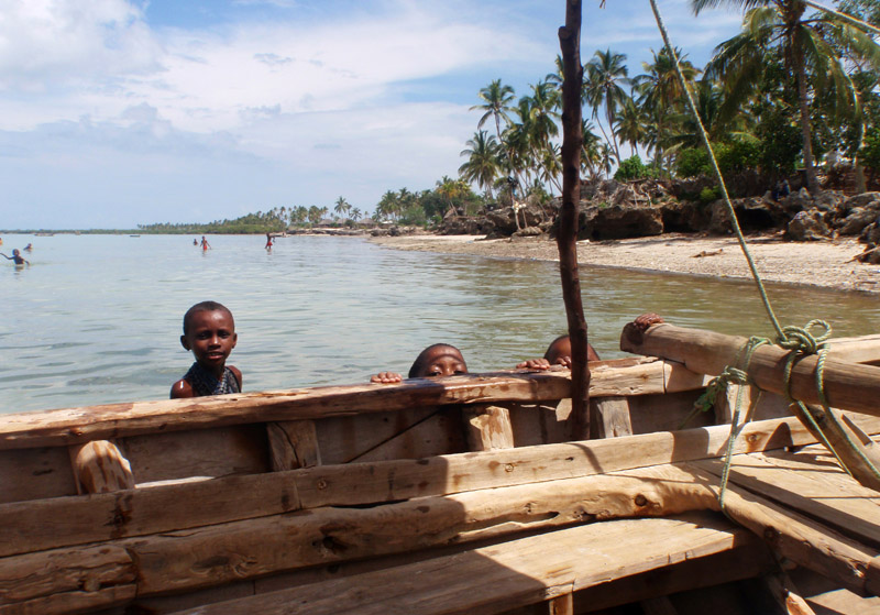
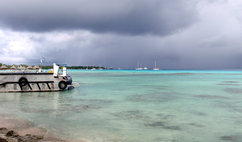
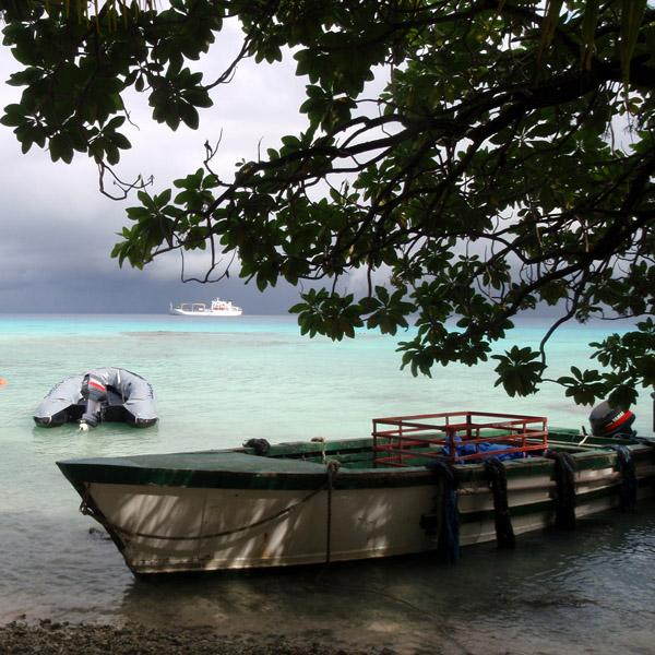
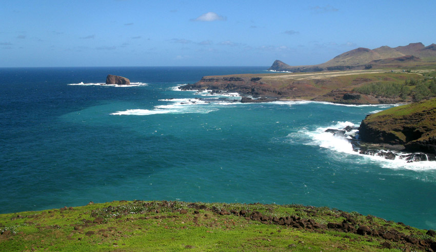
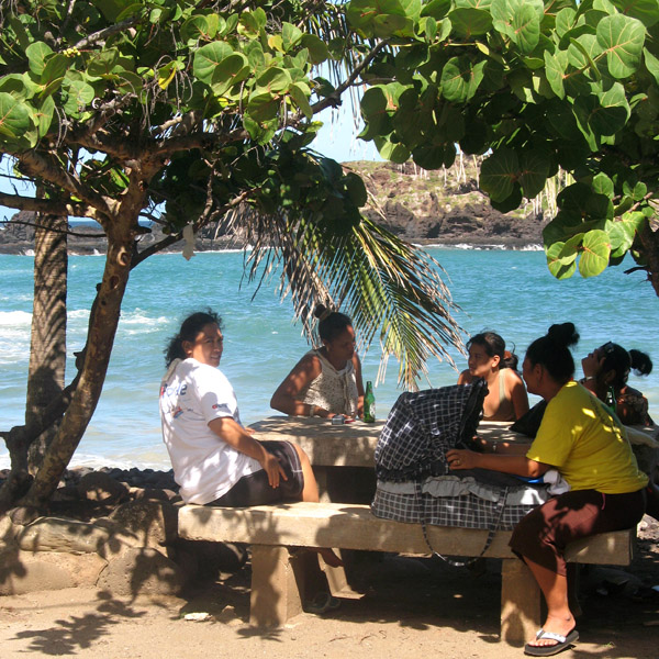
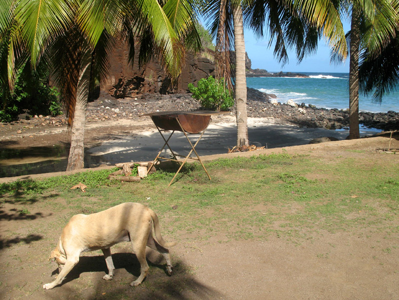
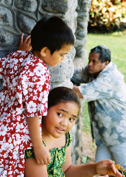
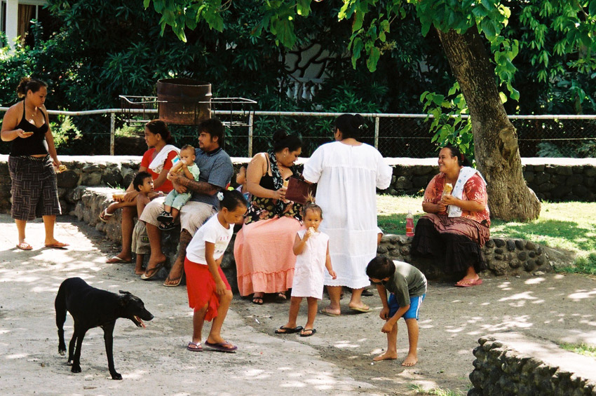
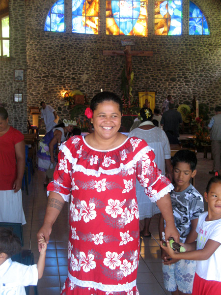
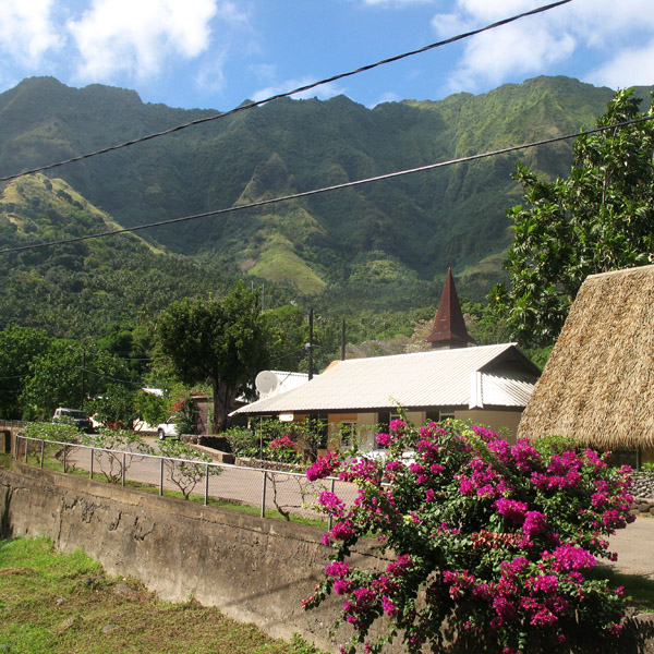
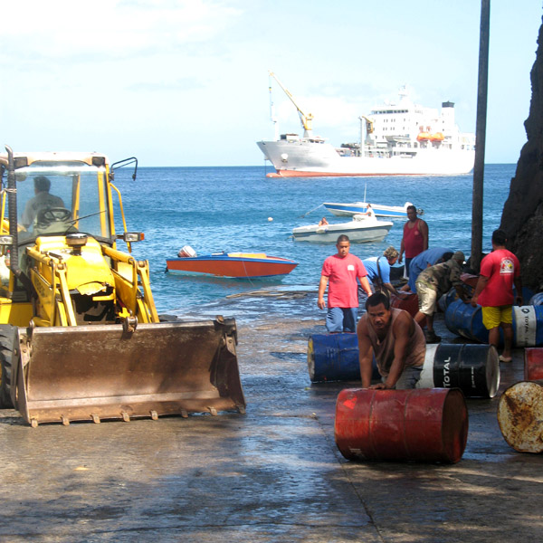
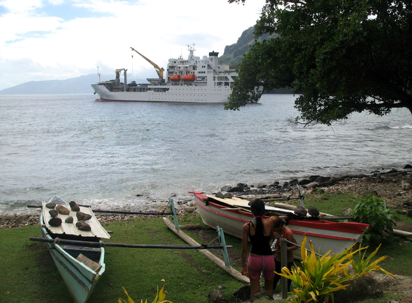
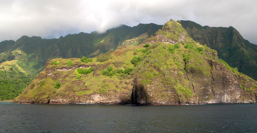
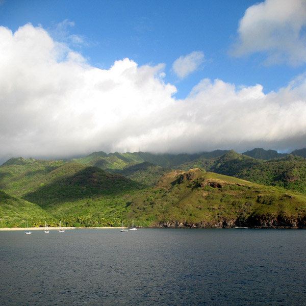
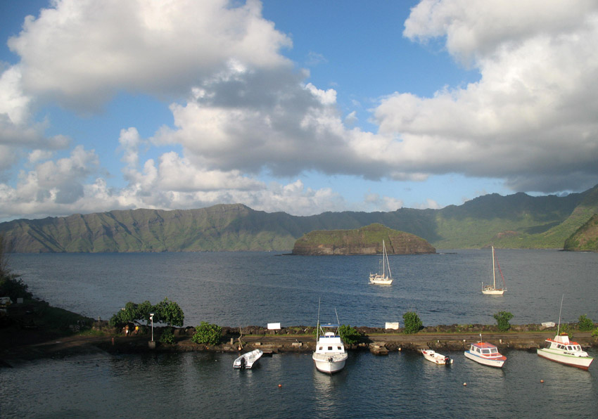
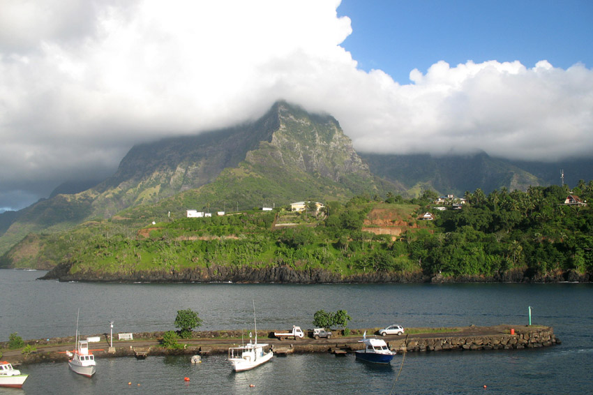
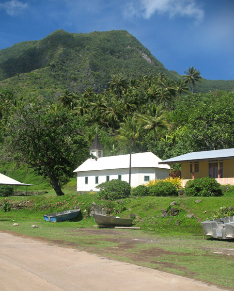
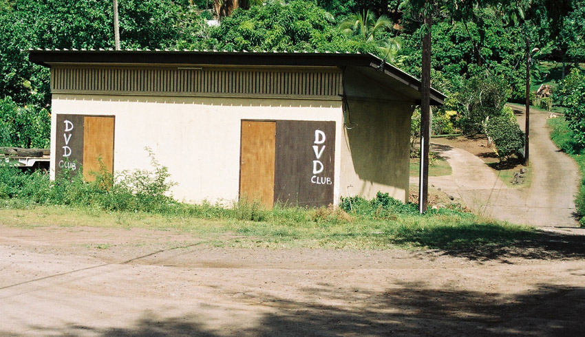
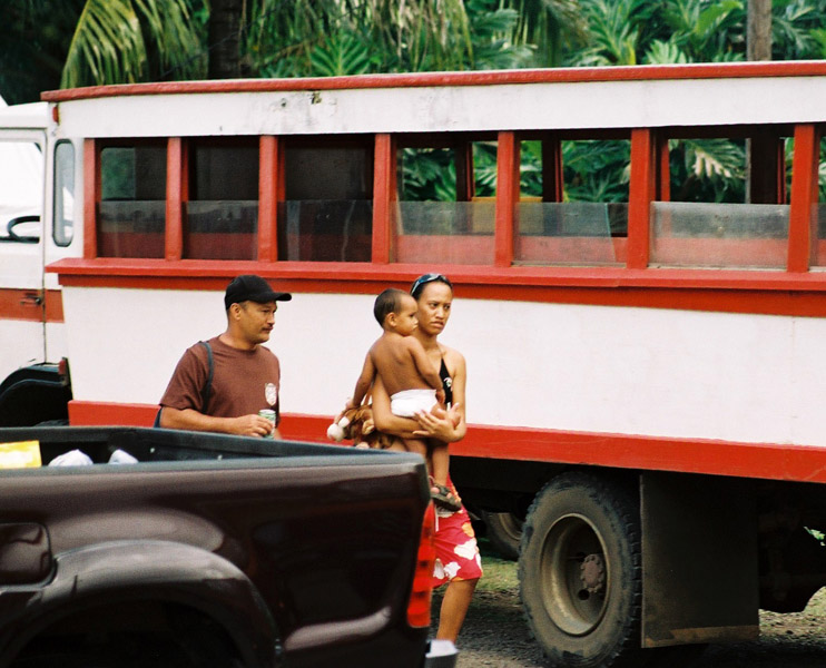
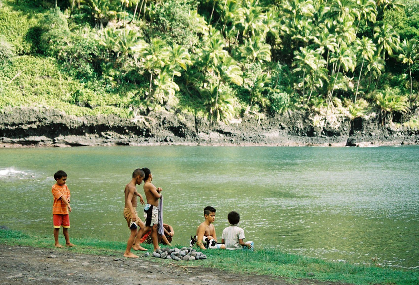
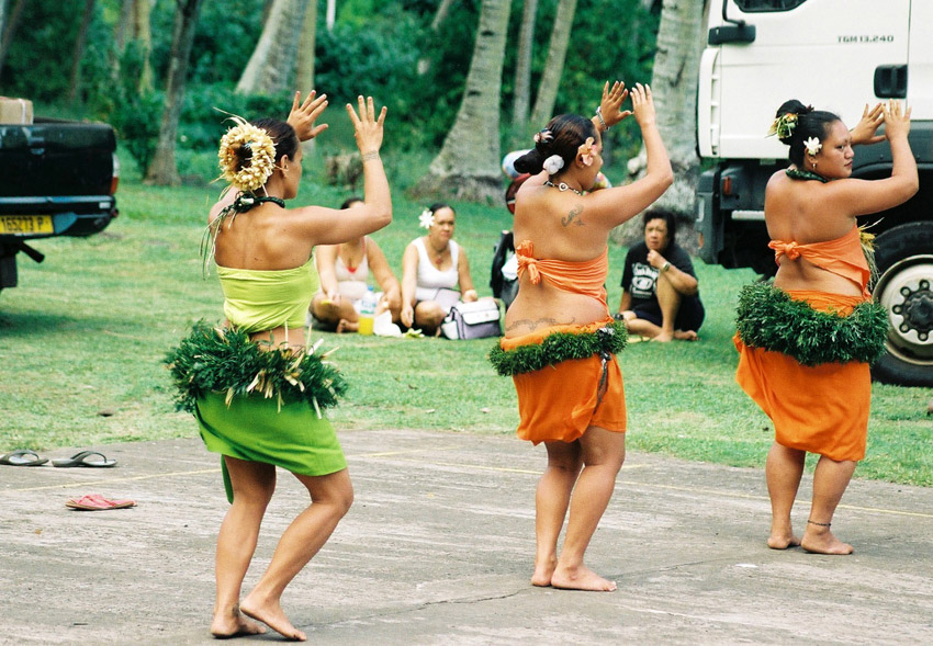
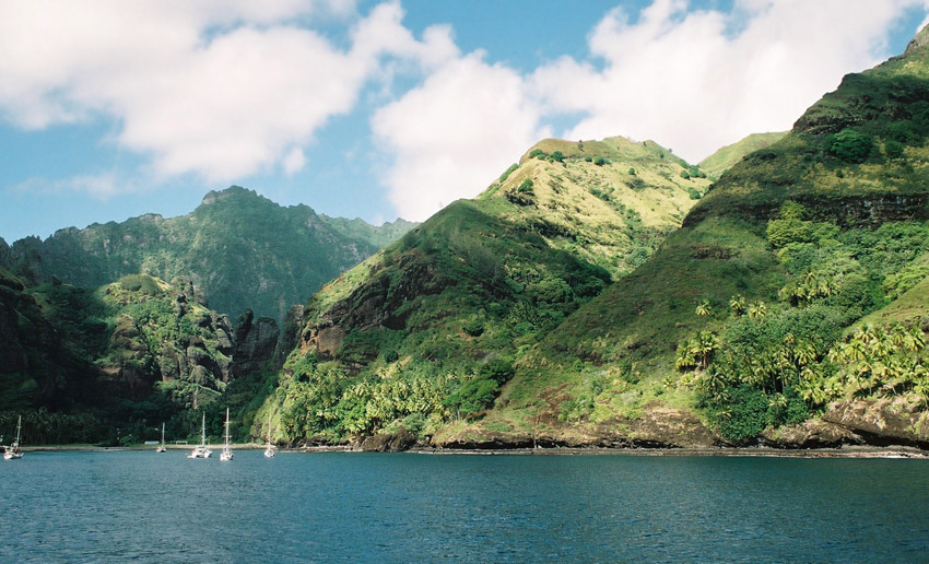
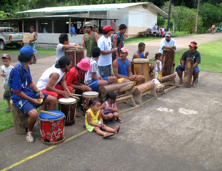
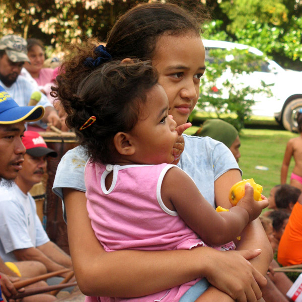
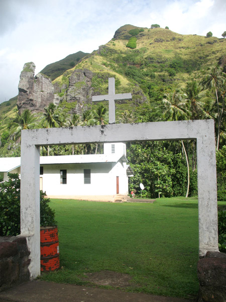
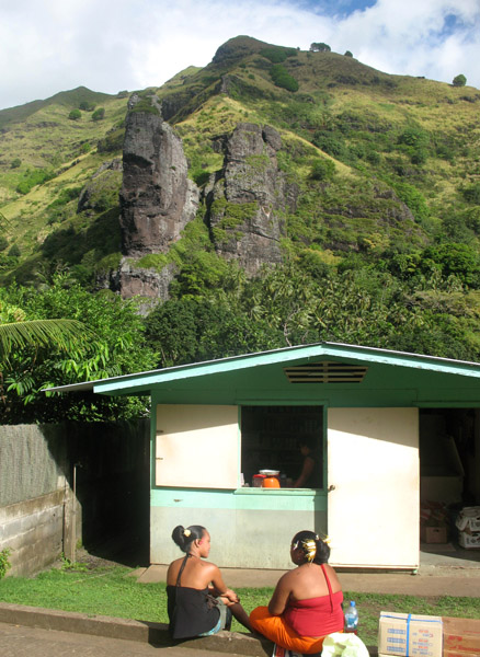
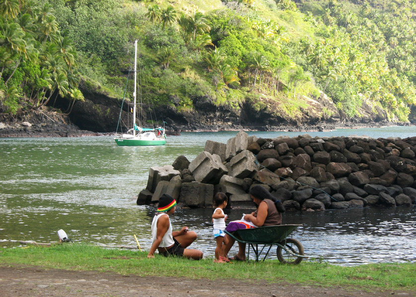
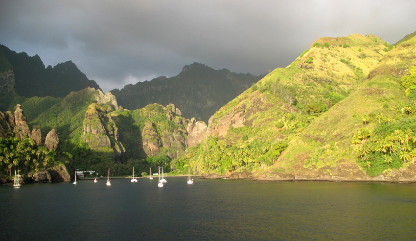
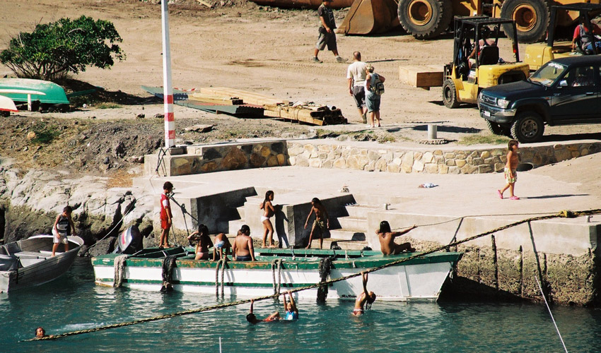
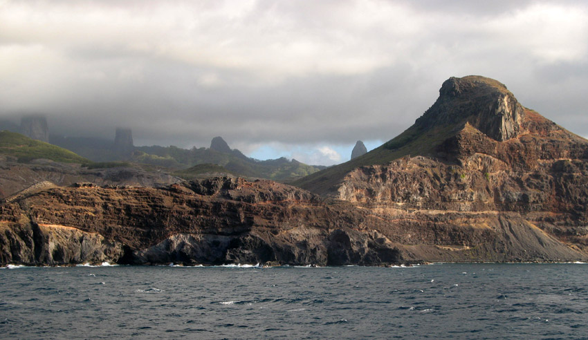
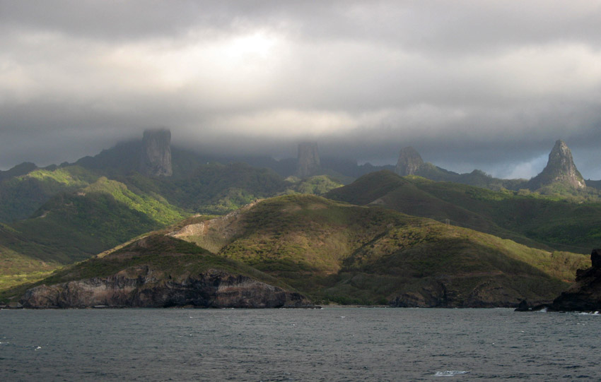
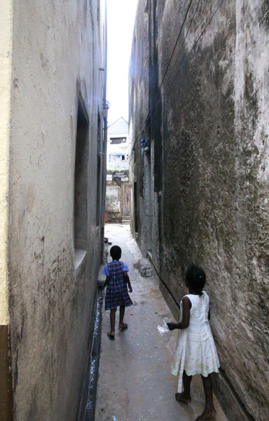
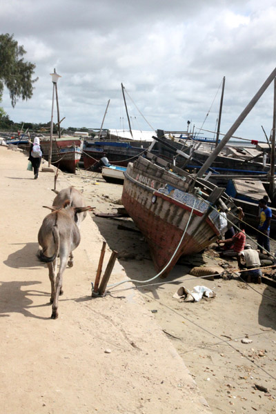
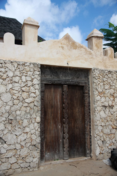
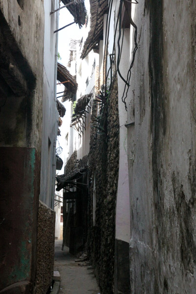
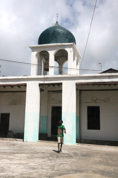
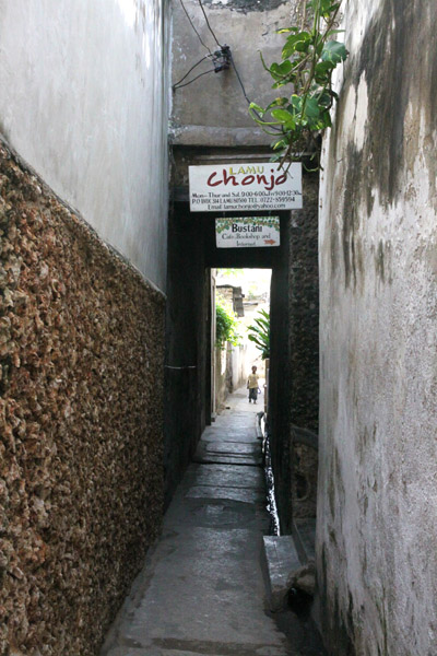
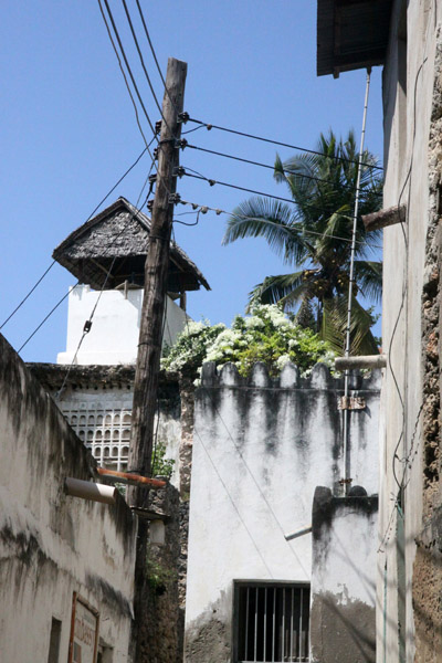
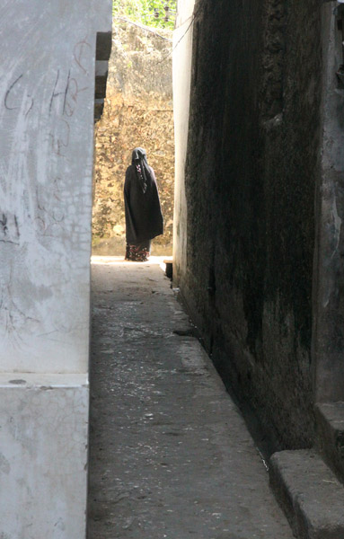
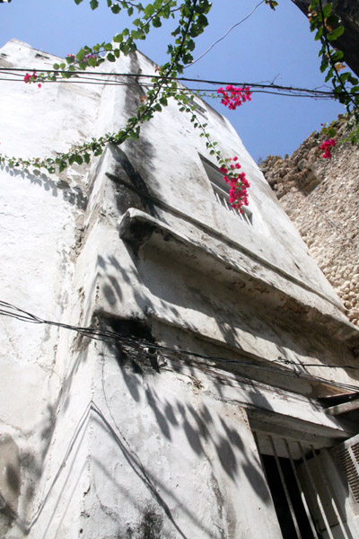
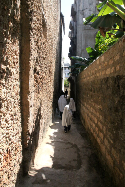
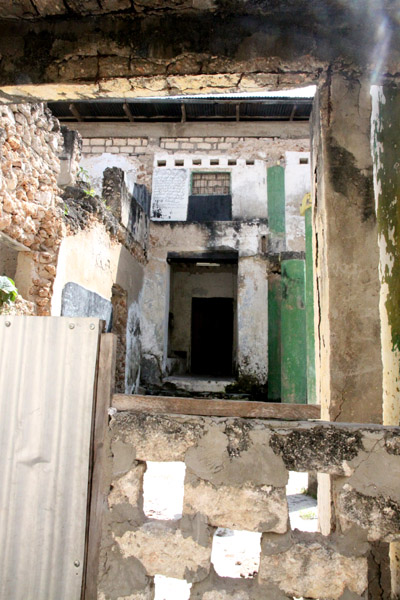
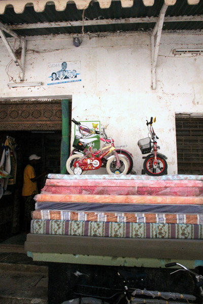
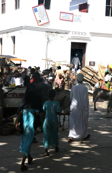
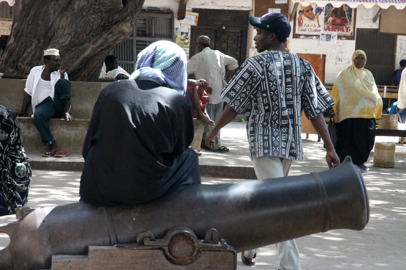
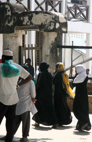
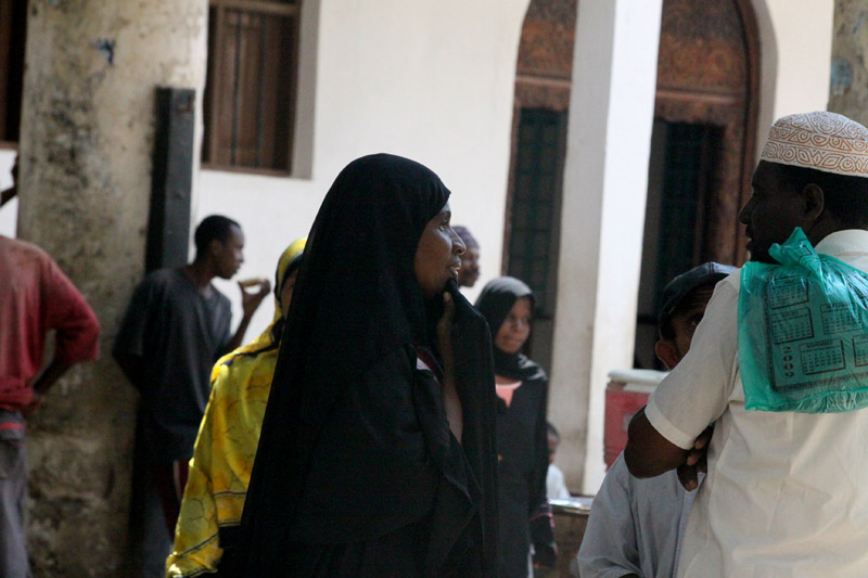
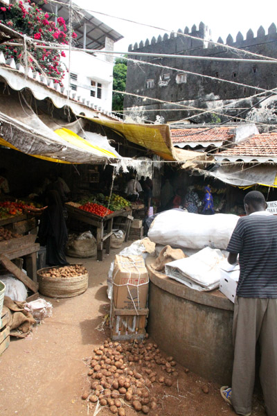
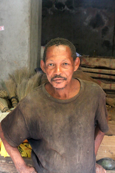
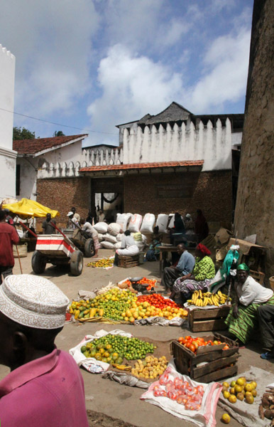
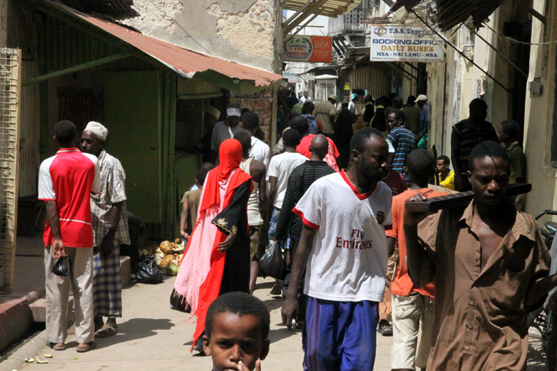
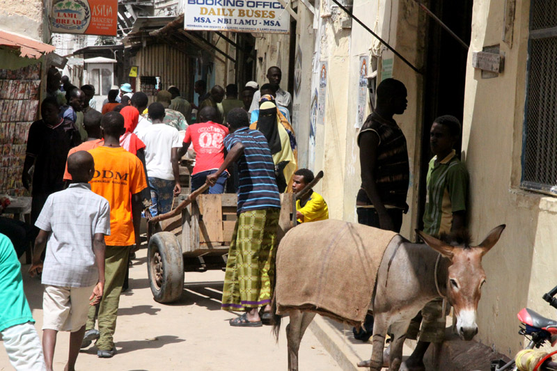
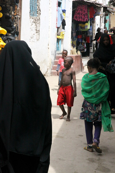
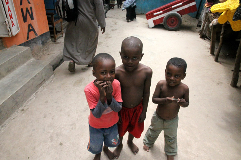
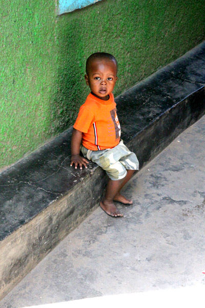
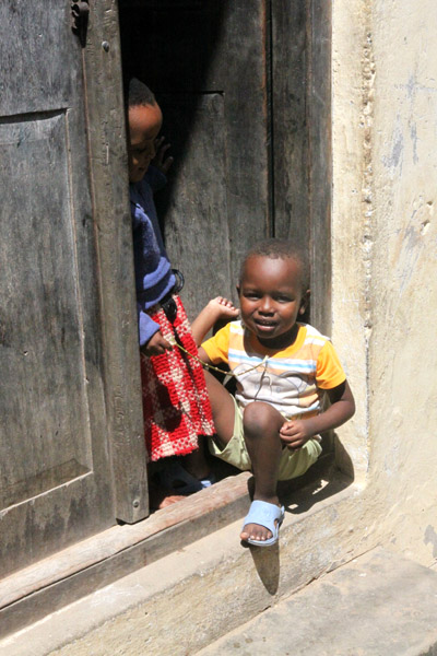
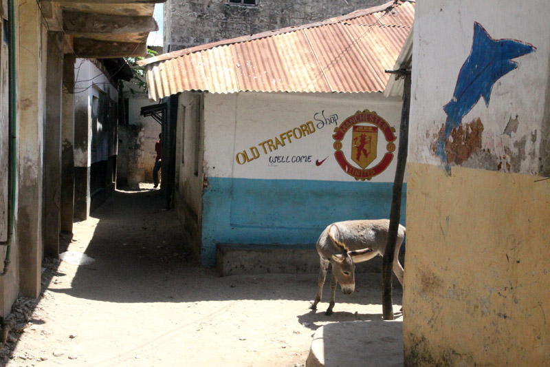
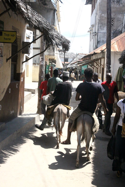
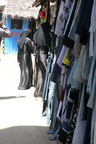
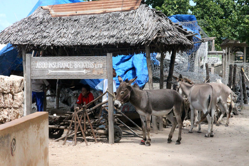
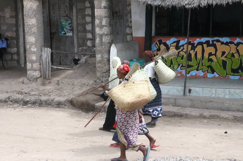
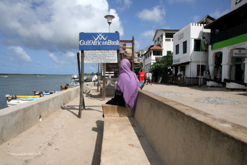
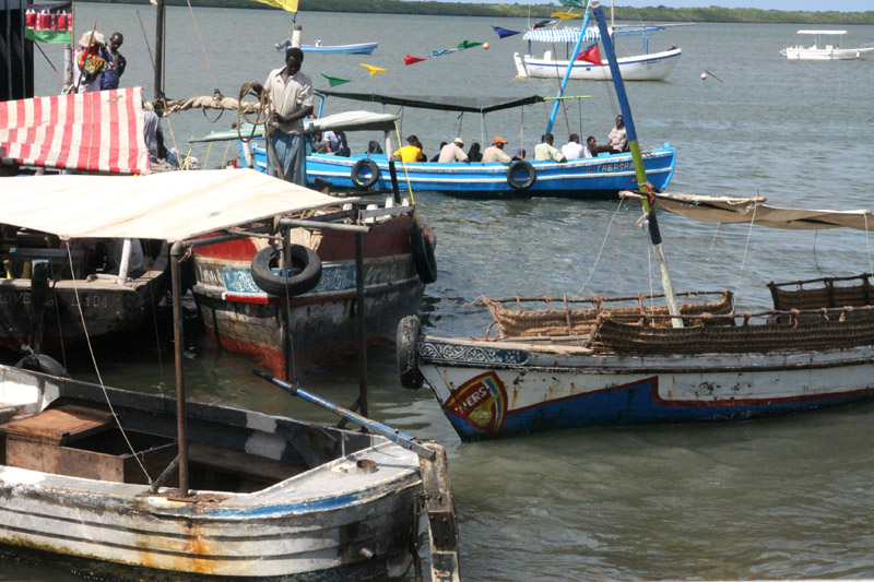
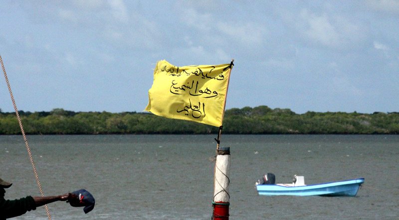
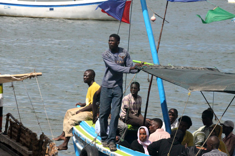
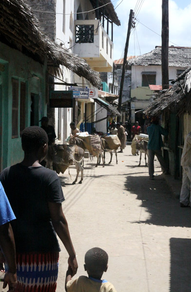
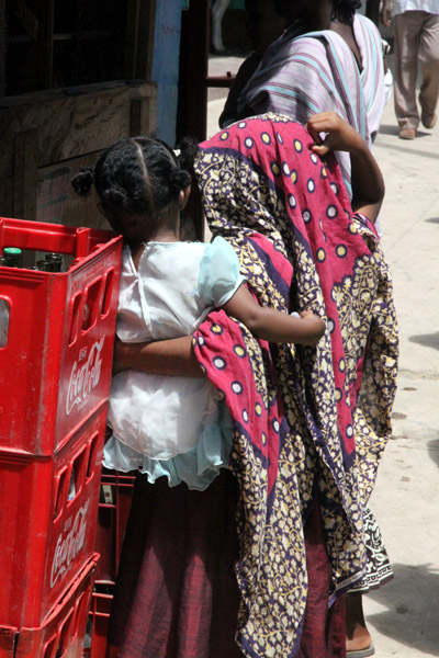
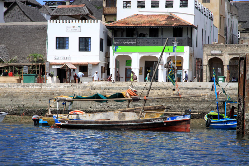
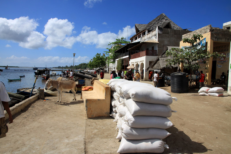
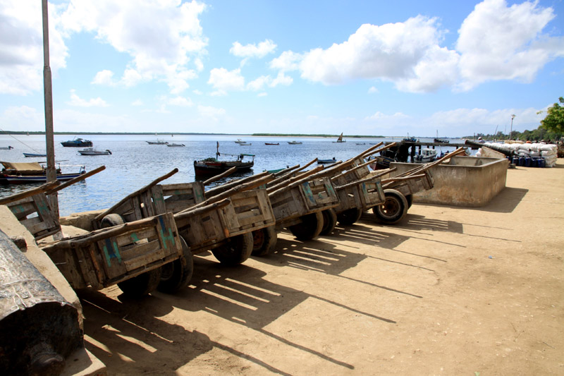
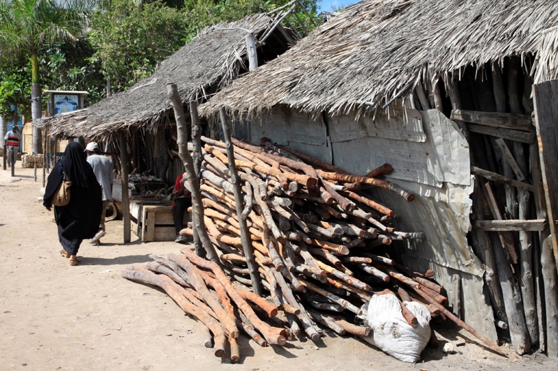
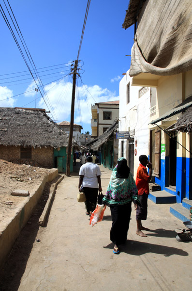
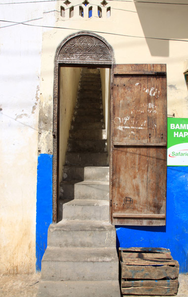
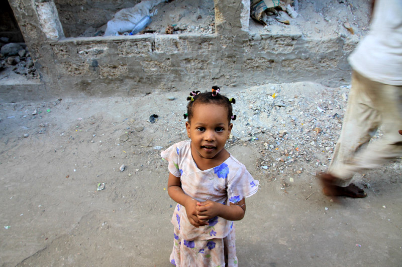
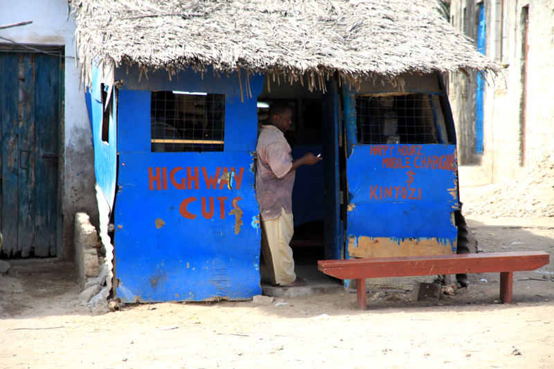
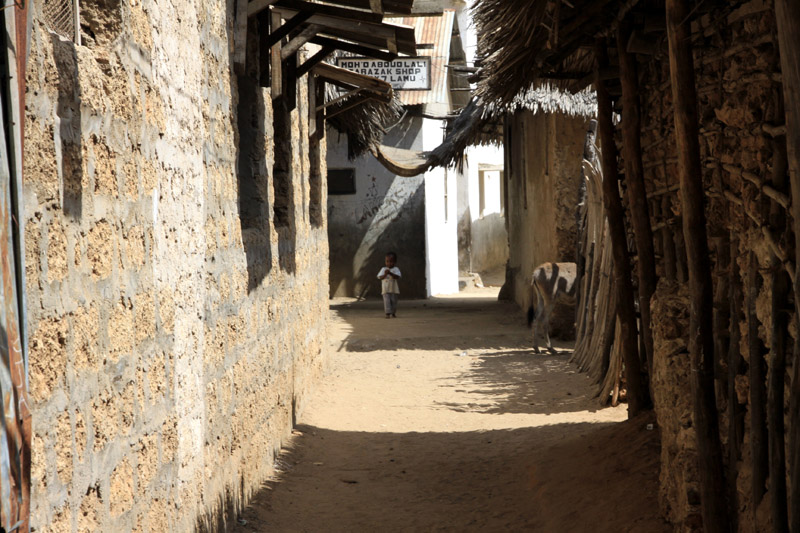
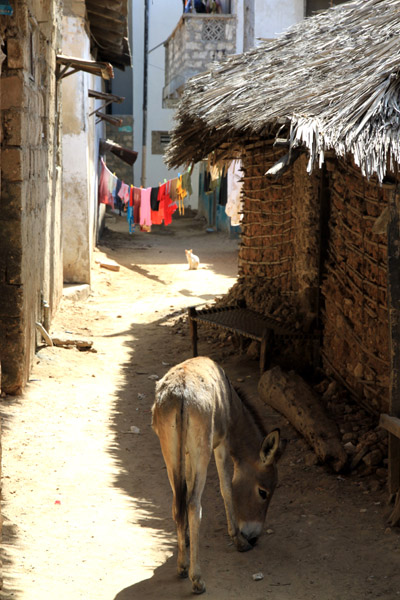
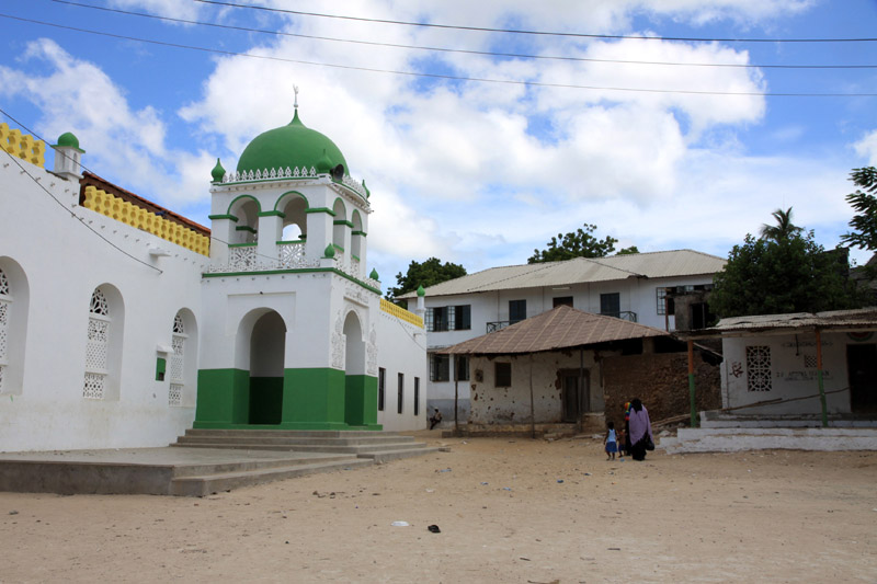
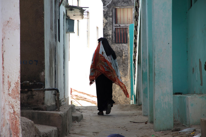
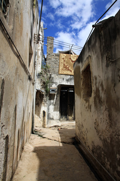
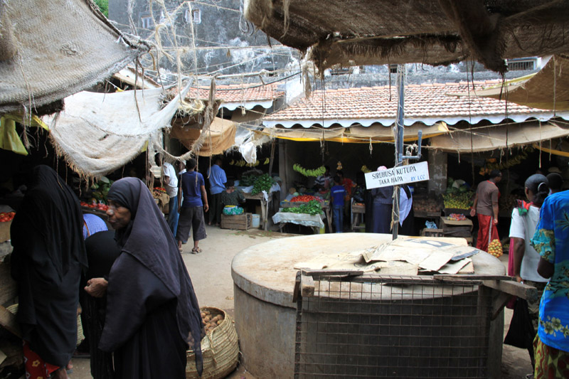
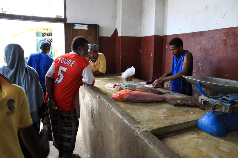
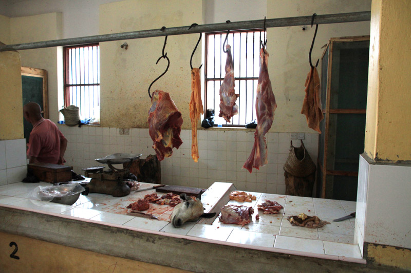
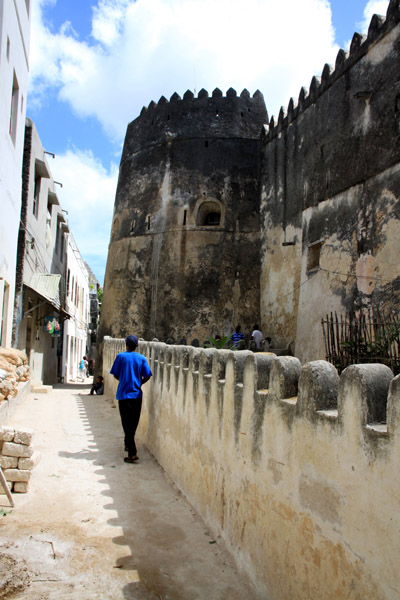
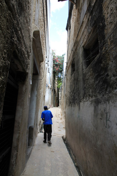
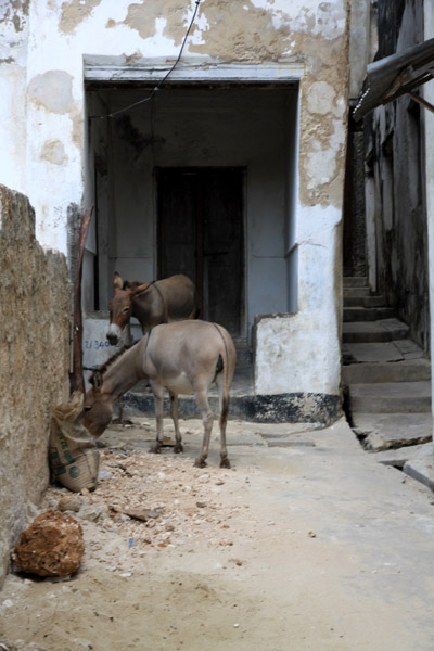
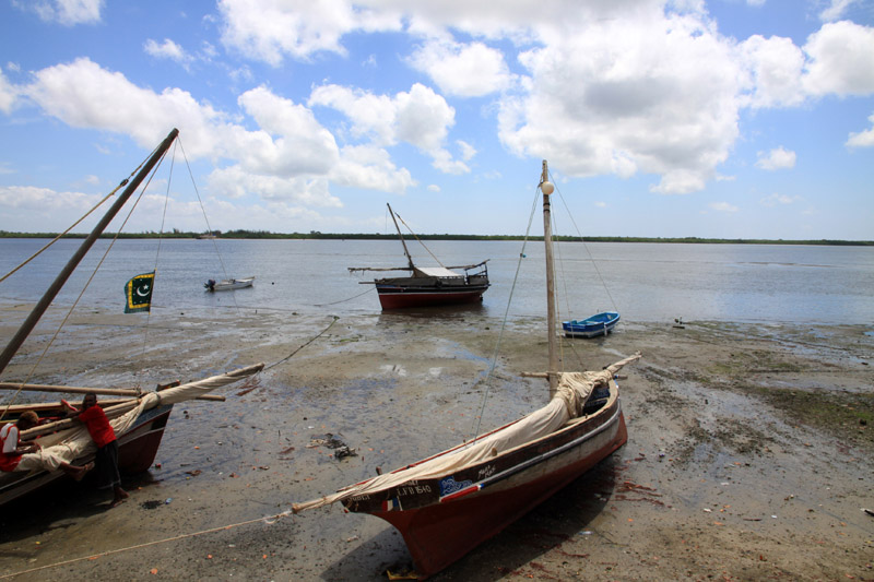
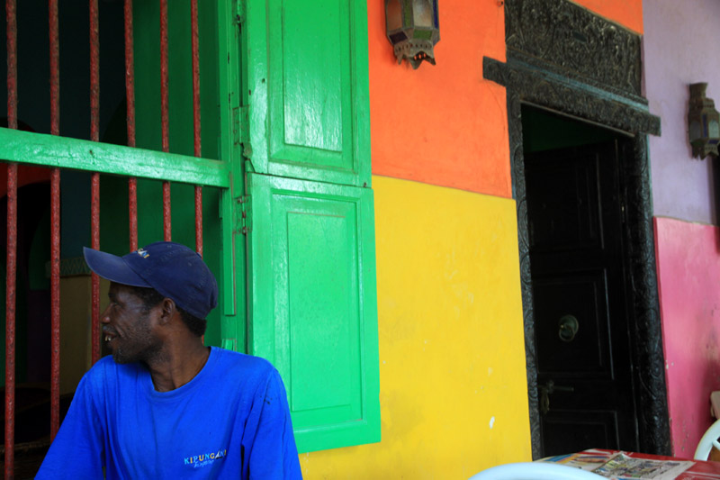
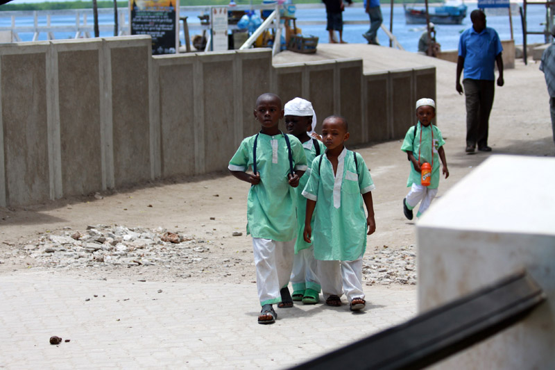
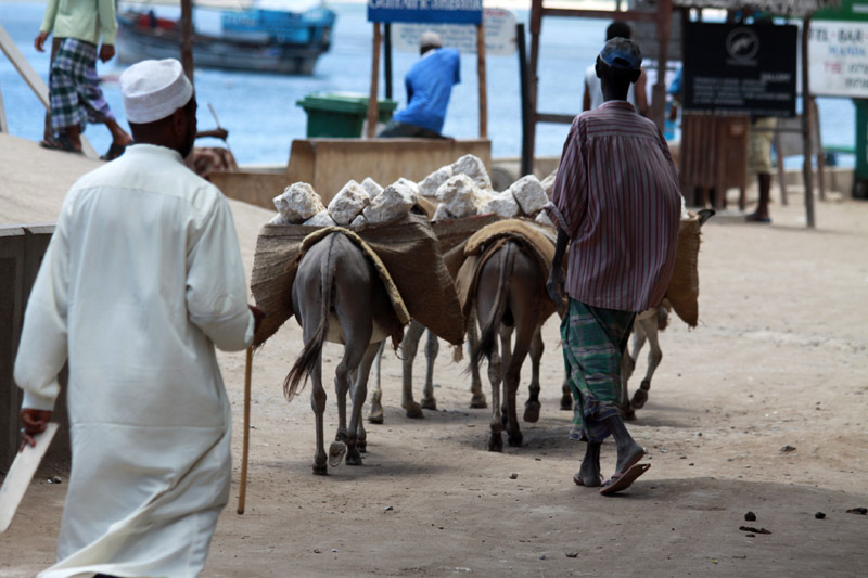
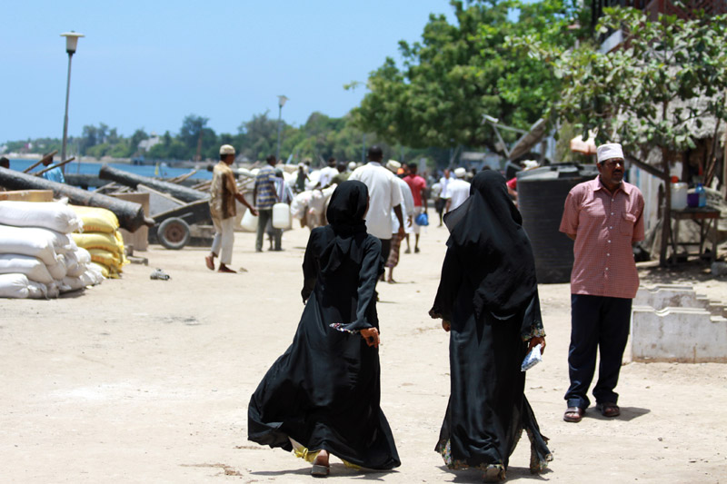
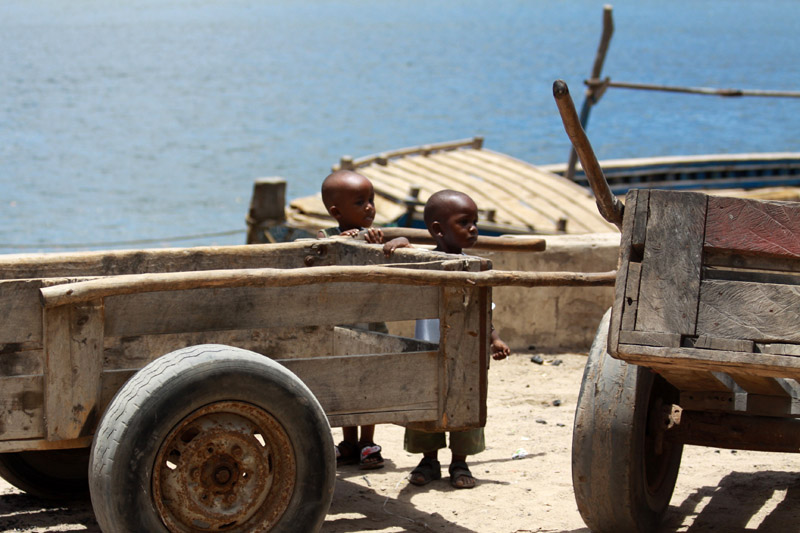
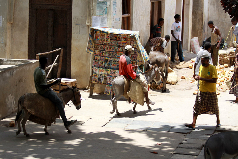
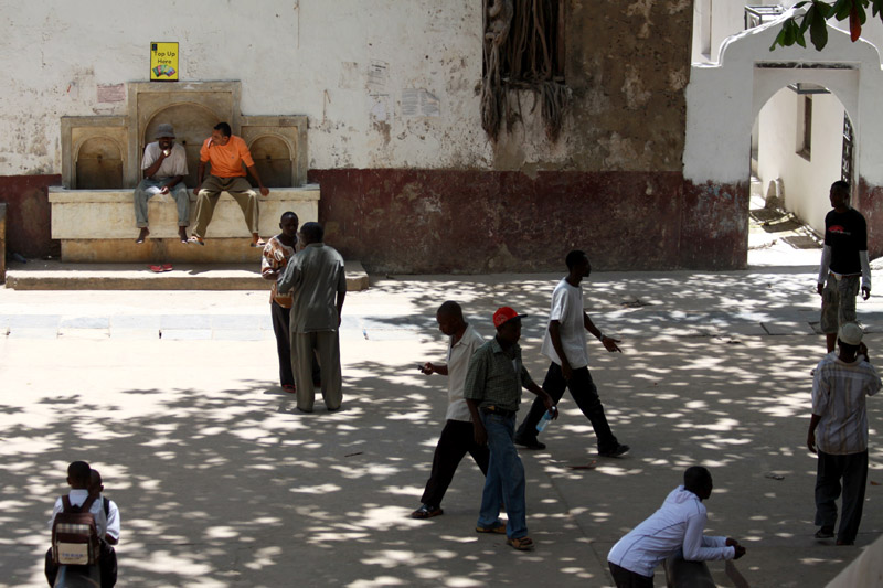
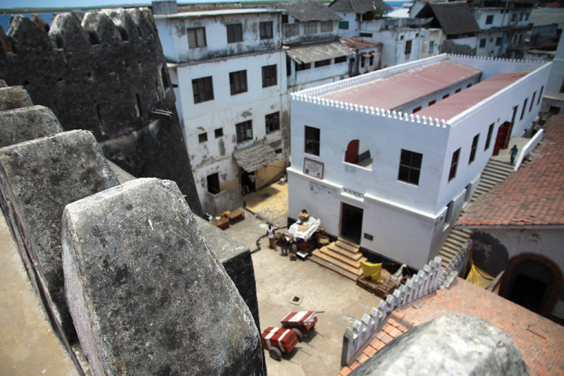
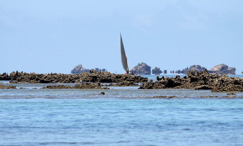
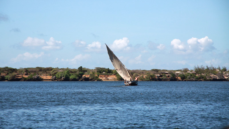
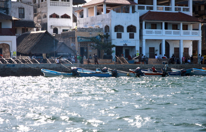
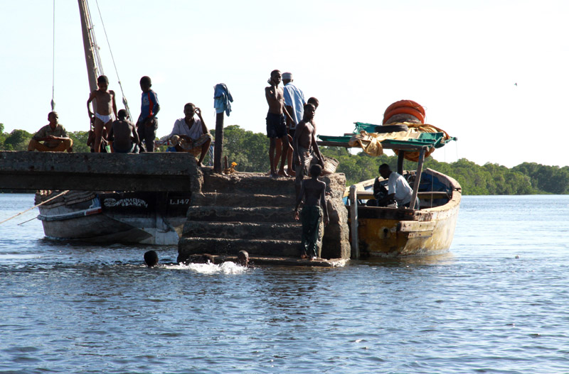
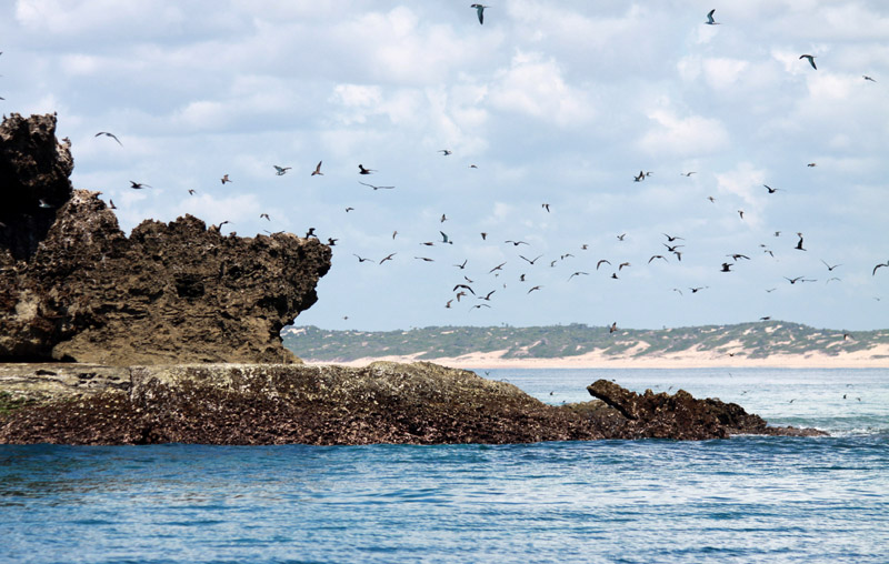
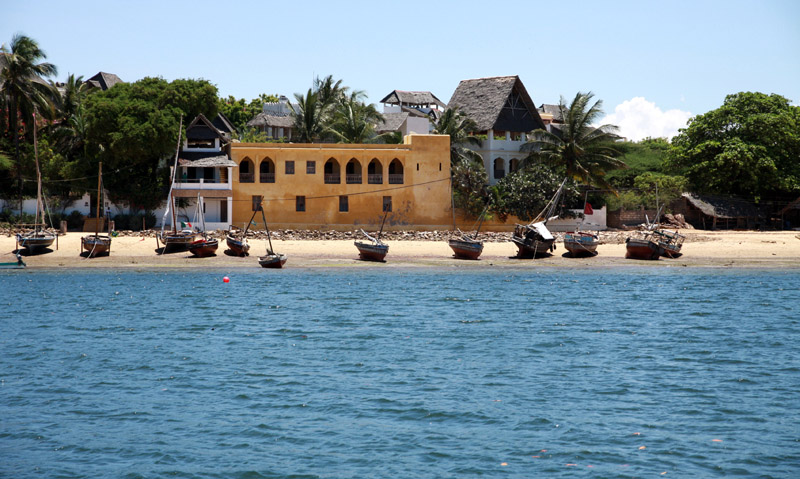
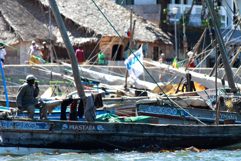
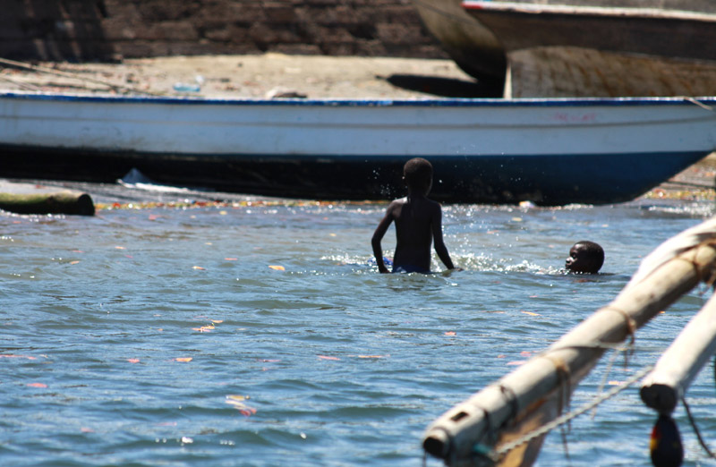
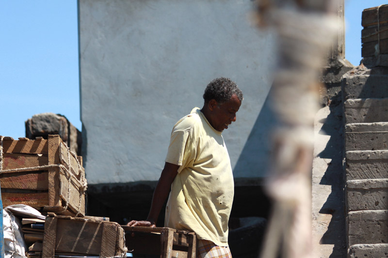
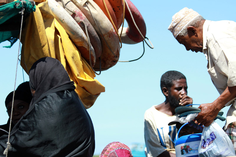
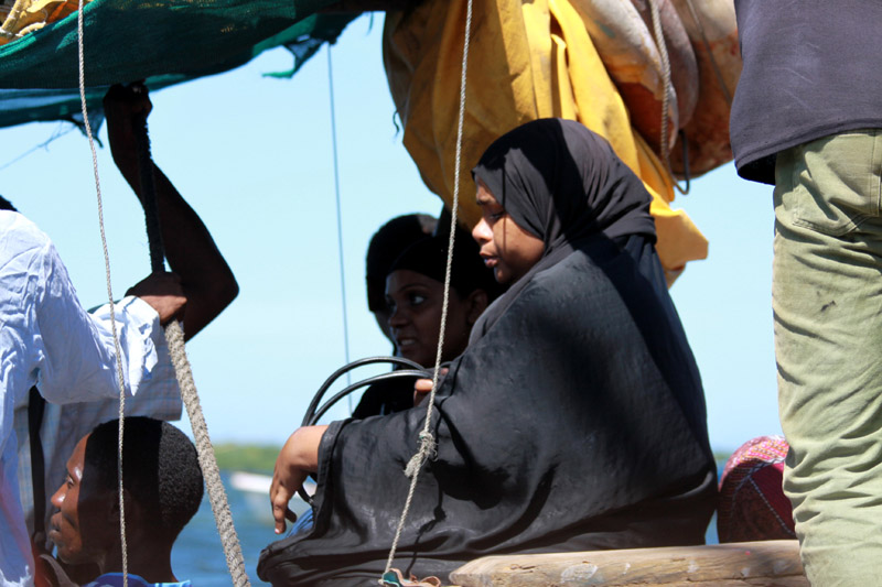
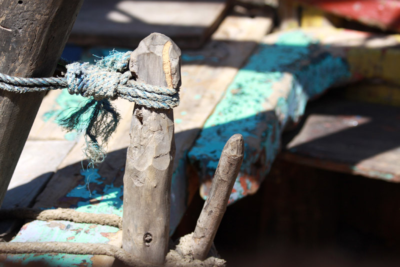
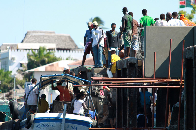
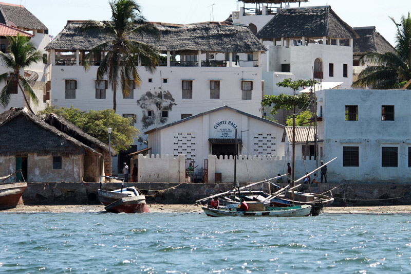
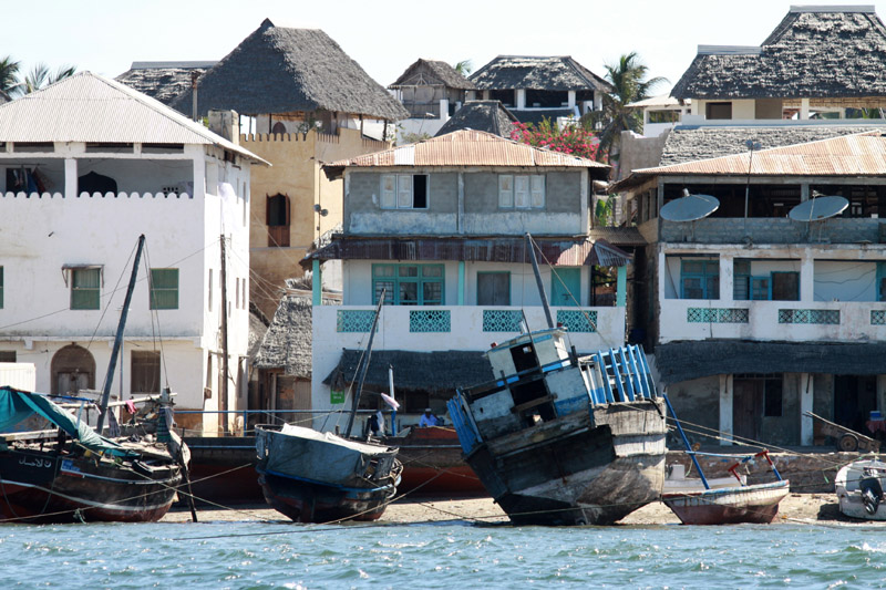
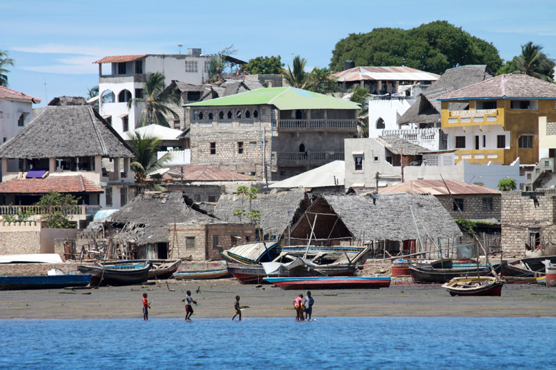
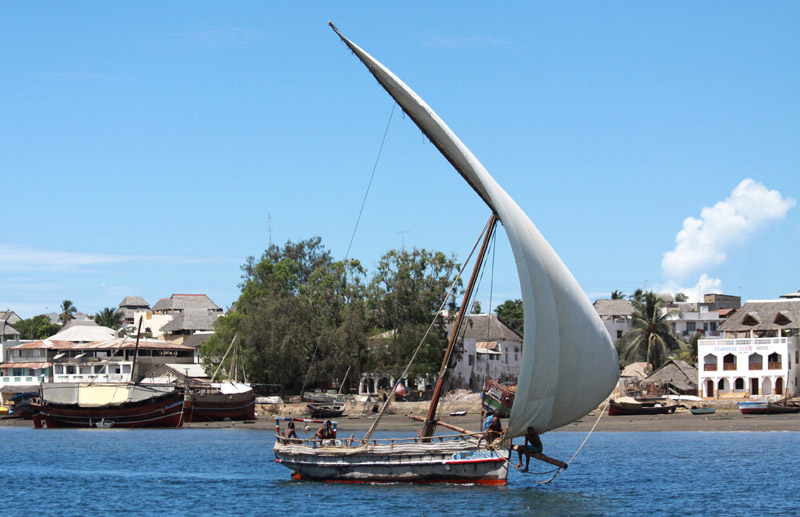
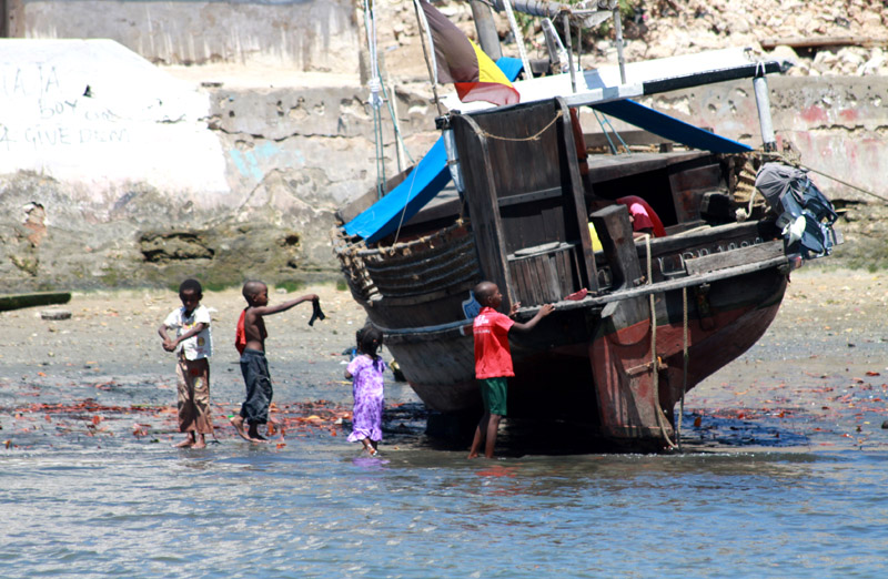
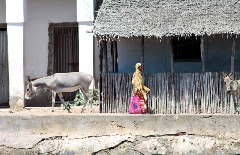
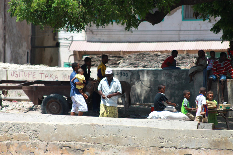
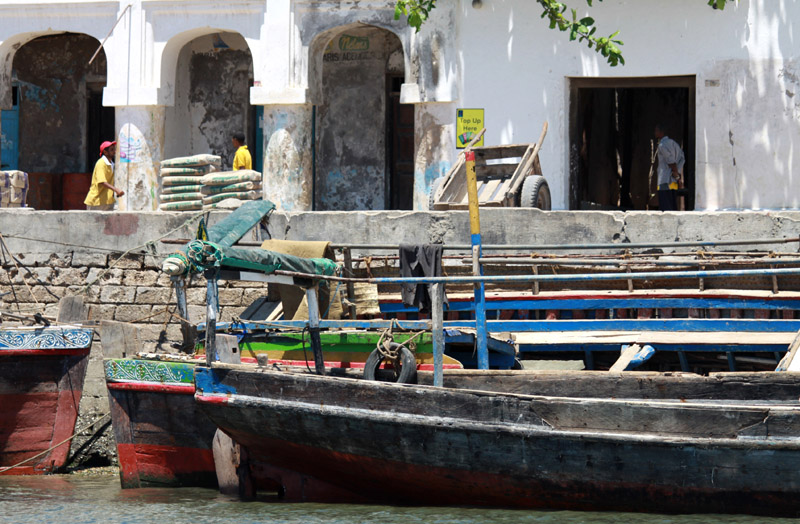
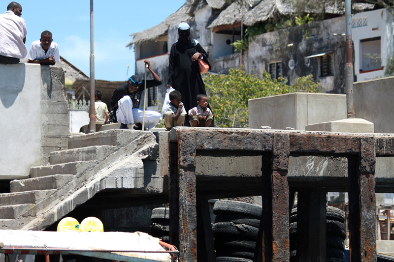
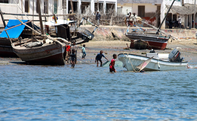
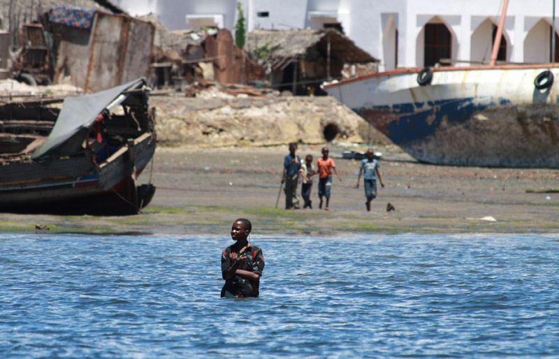
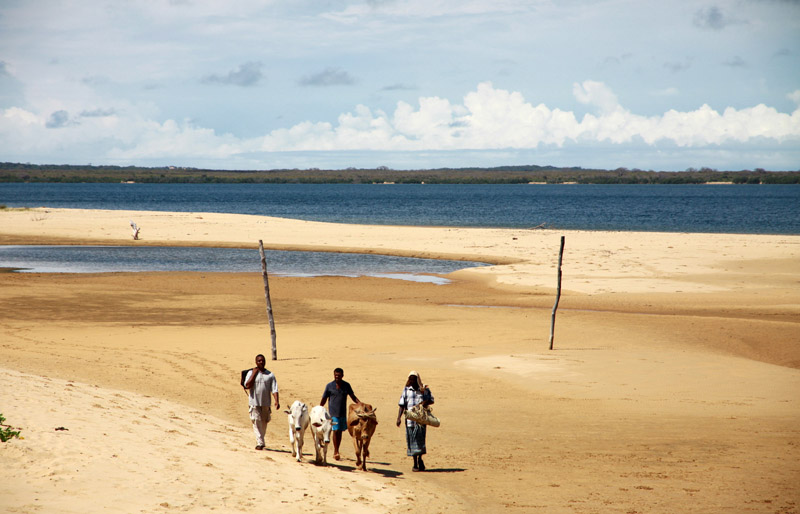
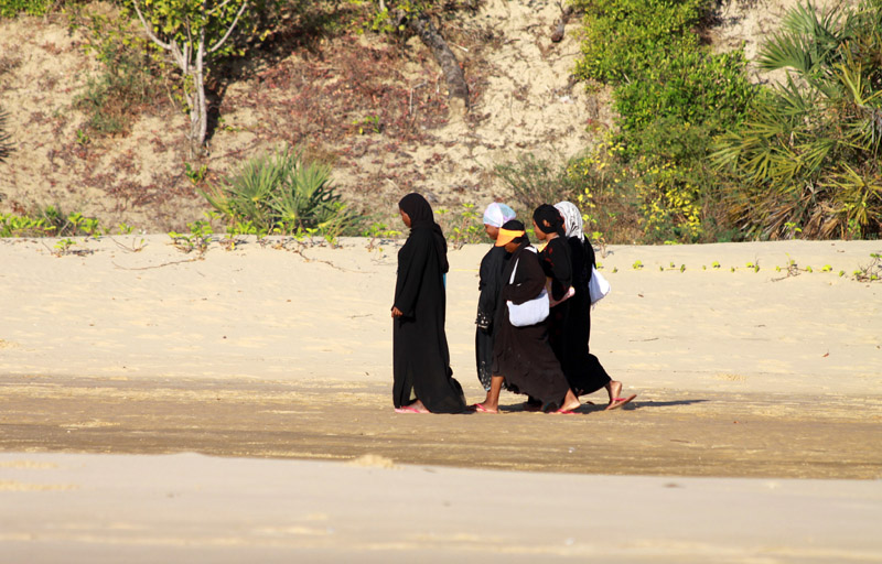
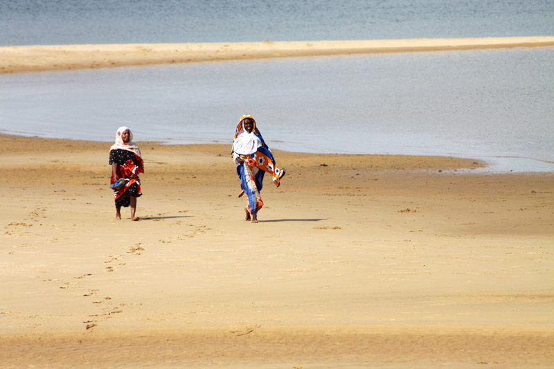
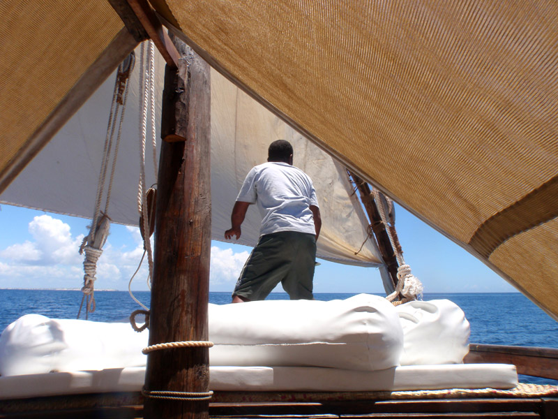
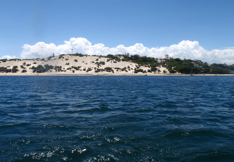
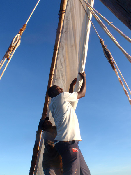
Lamu Island is a part of the Lamu Archipelago of Kenya. Lamu Old Town, the principal inhabited part of the island, is one of the oldest and best-preserved Swahili settlement in East Africa. Built in coral stone and mangrove timber, the town is characterized by the simplicity of structural forms enriched by such features as inner courtyards, verandas, and elaborately carved wooden doors. Lamu has hosted major Muslim religious festivals since the 19th century, and has become a significant center for the study of Islamic and Swahili cultures. The island is linked by boat to Mokowe on the mainland and to Manda Island, where there is an airport. There are no roads on the island, just alleyways and footpaths, and therefore, there are few motorized vehicles on the island. Residents move about on foot or by boat, and donkeys are used to transport goods and materials.

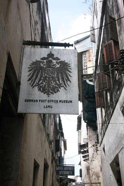
A port was founded on the island of Lamu by Arab traders at least as early as the fourteenth century, when the Pwani Mosque was built. The island prospered on the slave trade. After defeating Pate Island in the nineteenth century, the island became a local power, but it declined after the British forced the closure of the slave markets in 1873. In 1890 the island became part of Zanzibar and remained obscure until Kenya was granted independence from Great Britain in 1963. Tourism developed from the 1970s, mainly around the eighteenth century Swahili architecture and traditional culture.

Lamu Old Town was designated as a UNESCO World Heritage site in 2001 base on 3 criterion:

  • The architecture and urban structure of Lamu graphically demonstrate the cultural influences that have come together there over several hundred years from Europe, Arabia, and India, utilizing traditional Swahili techniques to produce a distinct culture.
  • The growth and decline of the seaports on the East African coast and interaction between the Bantu, Arabs, Persians, Indians, and Europeans represents a significant cultural and economic phase in the history of the region which finds its most outstanding expression in Lamu Old Town.
  • Its paramount trading role and its attraction for scholars and teachers gave Lamu an important religious function in the region. It continues to be a significant centre for education in Islamic and Swahili culture.

Source: Wikipedia (under GNU Free Documentation License)

Categories
Tanzania

Mafia Island

Usually I do not recommend the hotels. I will make exception for Mafia Island. I recommend Shamba Kilole Lodge: www.shambakilolelodge.com. Beautiful rooms, great food and the owners make you feel like at home.

Mafia Island (“Chole Shamba”) is part of the Tanzanian Spice Islands, together with Unguja and Pemba. As one of the six districts of the Pwani Region, Mafia Island is governed from the mainland, not from the semi-autonomous region of Zanzibar, of which it has never been considered to be a part.

According to the 2002 Tanzania census, the population of the Mafia District was 40,801.The economy is based on fishing, subsistence agriculture and the black market. The island attracts some tourists, mainly adventure scuba divers, game fishermen, and people wanting relaxation.

The Mafia archipelago consists of one large island (394 km²) and numerous smaller ones. Some of these are inhabited, such as Chole Island (2 km²), with a population of 800. Chole Bay, Mafia’s protected deep-water anchorage and original harbour, is studded with islands, sandbanks and beaches. The main town is Kilindoni. The stretch of water between the deltas of the Rufiji River and the island is called Mafia Channel. There are popular rumours of pygmy hippo on the island but there are zero confirmed sightings.

Source: Wikipedia (under GNU Free Documentation License)

Categories
Tanzania

Jibondo Island

About an hour’s sail south of Chole, Jibondo Island is the most traditional of the archipelago’s settlements, and most of its two thousand inhabitants engage in fishing, especially for sharks, and octopus-baiting. The beaches facing the open ocean are important turtle-nesting sites. Jibondo’s craftsmen are famed for their skill in boat building without the use of iron, or even nails.

Categories
Tanzania

Chole Island

Chole Island is a tiny island which lies next to the slightly larger Mafia Island. The area has a fantastic history and there are many old ruins. The village of Chole is fascinating and friendly and visitors can spend many hours wandering around talking to the people and watching the boat builders.

Birdwatching is excellent on Chole Island and very different to the mainland parks. The tidal flats and mangroves are alive with coastal and sea birds and there are many colourful woodland and forest species. An additional wildlife attraction are the huge colonies of Fruit Bats which can be easilly seen on a walk round the village.

Categories
French Polynesia Tuamotu

Rangiroa

Rangiroa (meaning “Vast Sky” in Tuamotuan) or Te Kokota, is the largest atoll in the Tuamotus, and one of the largest in the world (although it is smaller than Kwajalein in the Marshall Islands and Huvadhu in the Maldives). It is located in the Palliser group. The nearest atoll is Tikehau, located only 12 km to the West.

The atoll consists of about 250 islands, islets and sandbars comprising a total land area of about 170 km². There are approximately 100 narrow passages, called hoa, in the fringing reef. The lagoon is approximately 1600 km². It is so large that it has its own horizon.

The chief town is Avatoru, located in the northwestern part of the atoll. Rangiroa has a total of 2334 inhabitants (2002 census).

The first recorded Europeans to arrive to Rangiroa were Dutch explorers Jacob le Maire and Willem Schouten during their 1615-1616 Pacific journey. They called this atoll “Vlieghen Island”.

Rangiroa appears in some maps as “Nairsa” or as “Dean’s island”. This atoll was visited by the Charles Wilkes expedition on September 7, 1839.

There is a territorial (domestic) airfield in Rangiroa which was inaugurated in 1965.

Source: Wikipedia (under GNU Free Documentation License)

Categories
Marquesas French Polynesia

Ua Huka

Ua Huka is one of the Marquesas Islands, in French Polynesia, an overseas territory of France in the Pacific Ocean. It is situated in the northern group of the archipelago, approximately 25 mi (40 km). 42 km to the east of Nuku Hiva, at 8°54′S 139°33′W

Ua Huka is sometimes also found spelled Roohka or Ua Huna. The first Western navigator to sight the island was U.S. Navy Capt. Joseph Ingraham in 1791. He named the island “Washington Island” in honor of U. S. President George Washington, a name which was eventually extended to include all of the northern group of the Marquesas Islands. Other names for the island include Riou and Solide. See also Names of the Marquesas Islands.

The island is shaped approximately like a crescent, with its concave edge facing the south. The land area is approximately 83 km² (32 sq. mi.). The center of the island is a high plateau, deeply indented in places by narrow river valleys. The highest peak, Hitikau reaches an elevation of 857 m (2,812 ft). Much of the island’s native plant cover, which outside the valleys consists primarily of dry-land scrub, has been devastated by herds of feral goats and horses, which are estimated to number upwards of 3,000.

Ua Huka is a shield volcano that was emplaced between 2.2 and 2.4 million years ago. It is thought to have formed by a center of upwelling magma called the Marquesas hotspot.

Administratively Ua Huka forms the commune (municipality) of Ua-Huka, part of the administrative subdivision of the Marquesas Islands. This commune consists solely of the island of Ua Huka itself.

The administrative centre of the commune is the settlement of Vaipaee, on the southern side of the island.

The 2007 census showed a population of 571 inhabitants, residing in three villages: Vaipaee, Hane, and Hokatu.

Source: Wikipedia (under GNU Free Documentation License)

Categories
Marquesas French Polynesia

Tahuata

Tahuata is the smallest of the inhabited Marquesas Islands, in French Polynesia, an overseas territory of France in the Pacific Ocean. It is located 4 km (2.5 mi.) to the south of the western end of Hiva Oa, across the Canal du Bordelais, called Ha‘ava in Marquesan.

Administratively, Tahuata forms the commune (municipality) of Tahuata, part of the administrative subdivision of the Marquesas Islands. This commune consists solely of the island of Tahuata itself. The administrative centre of the commune is the settlement of Vaitahu, on the western side of the island.

Tahuata is approx. 69 km² (26.6 sq. mi.) The highest point on the island is Mount Amatea (French: Mont Amatea), rising to an elevation of 1,050 m (3,445 ft.).

The 2007 census population was 671.

Source: Wikipedia (under GNU Free Documentation License)

Categories
Marquesas French Polynesia

Hiva Oa

Hiva Oa is the second largest island in the Marquesas Islands, in French Polynesia, an overseas territory of France in the Pacific Ocean. It is the largest island of the Southern Marquesas group. Its name means “long ridgepole” in South Marquesan. The island is likely so named because of its long central ridge.

Administratively, Hiva Oa is part of the commune (municipality) of Hiva-Oa, itself in the administrative subdivision of the Marquesas Islands. Atuona, on the south side of Hiva Oa island, is the administrative centre of the commune. Atuona was formerly the seat of government for all of the Marquesas Islands, but it has been replaced by Taiohae on Nuku Hiva island.

The island was the final home of French painter Paul Gauguin and Belgian singer Jacques Brel, both of whom are buried in Calvary Cemetery, overlooking Atuona.

In late pre-European times, the island was nearly evenly divided into two provinces – Nuku in the west, and Pepane in the east.

Source: Wikipedia (under GNU Free Documentation License)

Categories
Marquesas French Polynesia

Fatu Hiva

Fatu Hiva is the southernmost of the Marquesas Islands, in French Polynesia, an overseas territory of France in the Pacific Ocean. With Motu Nao as its closest neighbor, it is also the most isolated of the inhabited islands.

Fatu Hiva is also the title of a book by explorer and archaeologist Thor Heyerdahl, in which he describes his stay on the island in the 1930s.

The eastern coastline of Fatu Hiva is characterized by a number of narrow valleys, carved by streams that lead to the interior. Between these valleys are headlands which terminate in cliffs that plunge directly into the sea, making travel between them possible only by travelling over the high mountain ridges between them, or by boat. The largest of these valleys is at Uia.

The western coastline has two significant bays, Hana Vave (also known as Bay of Virgins or Baie des Vierges) in the north, one of the most picturesque sites in the South Pacific, and the well protected harbor of Omoa near the south. There are several smaller valleys between these two.

The center of the island is a plateau which is covered largely by tall grasses and pandanus trees. To the south of the plateau, running to the south, is a mountain ridge, called Tauauoho, its highest peak, at 1,125 m (3,691 ft.) is the highest point on Fatu Hiva. Proceeding to the north and northwest from the plateau is a mountain ridge called Fa‘e One, the highest peak of which is 820 m (2,690 ft.).

Source: Wikipedia (under GNU Free Documentation License)

Categories
Marquesas French Polynesia

Ua Pou

Ua Pu (French: Ua Pou, North Marquesan: ’uapou) is the third largest of the Marquesas Islands, in French Polynesia, an overseas territory of France in the Pacific Ocean. It is located about 50 km (30 mi.) south of Nuku Hiva, in the northern Marquesas. Until the beginning of the 1980s, it was the most populous of the Marquesas Islands, because when the other islands were being ravaged by diseases introduced by European explorers and traders, the Catholic priests on the island finally took to quarantining the remnant of the native population inside their churches whenever visiting ships approached the island, thereby reducing their exposure to external diseases.

The center of the island is characterized by four high basalt pillars that reach high above the surrounding mountains. The highest of these pillars, Mount Oave (French: Mont Oave), reaches to 1,230 m (4,035 ft.) above sea level and is the highest elevation in the Marquesas.

The island covers an area of 106 km (41 sq. mi.), and is located just northwest of the small island of Motu ‘Oa. The population in 2007 was 2,157. The largest settlement is Hakahau, on Hakahau Bay, on the northeast coast.

Source: Wikipedia (under GNU Free Documentation License)