Categories
French Polynesia Society Islands

Tahaa

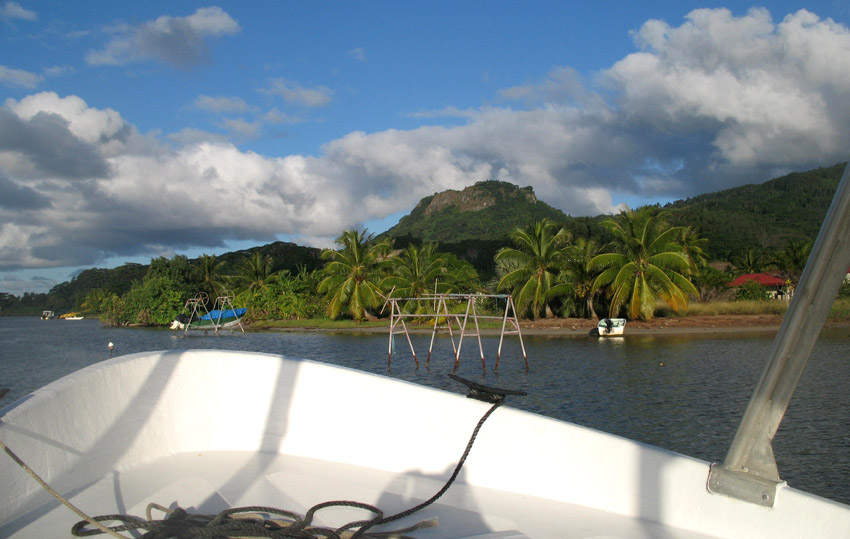
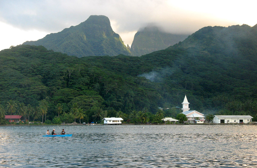
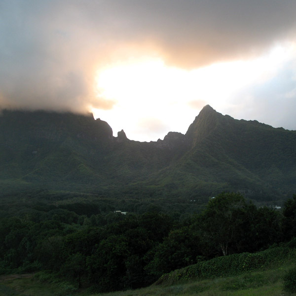
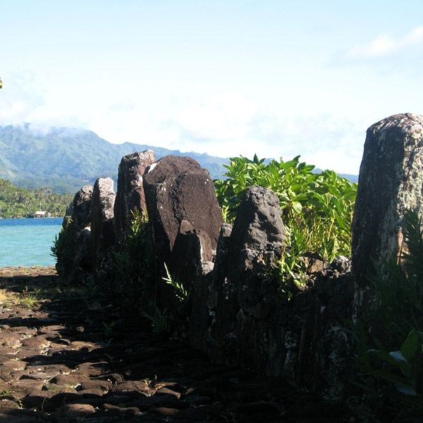
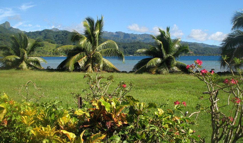
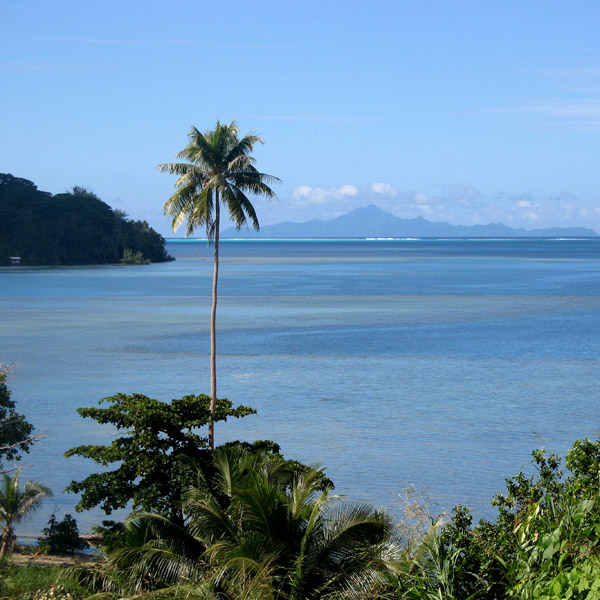
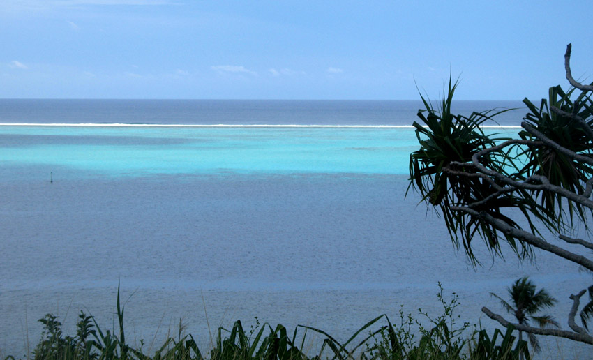
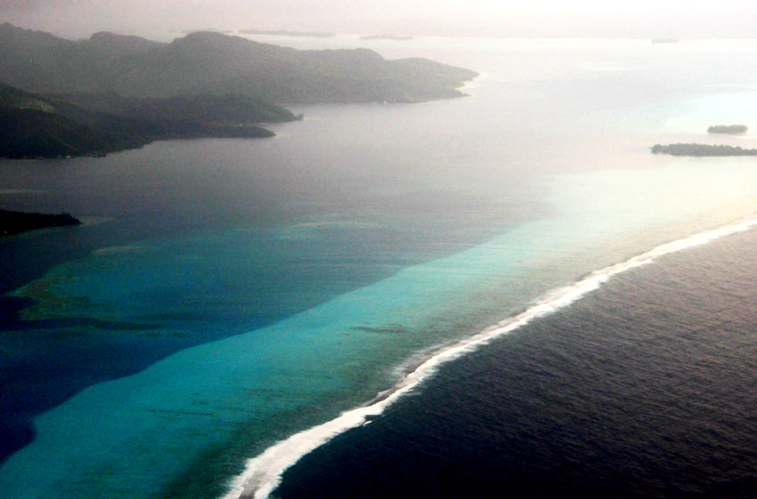
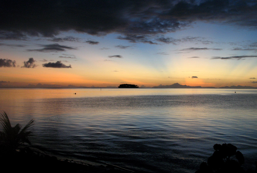
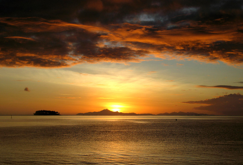
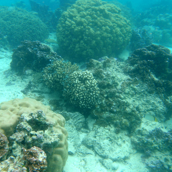
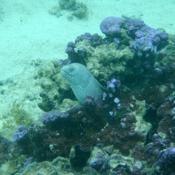
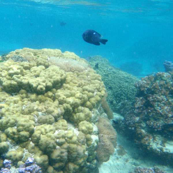
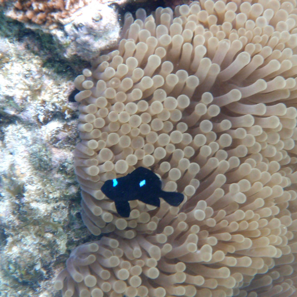
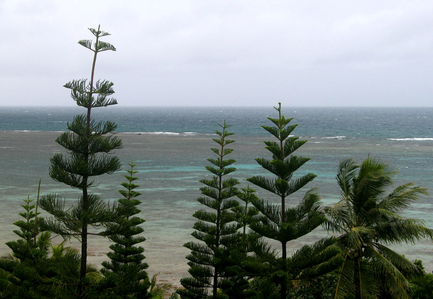
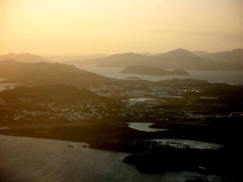
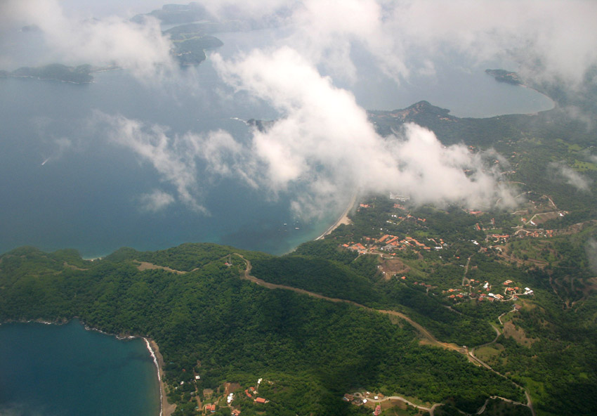
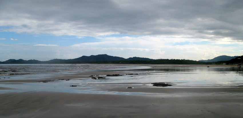
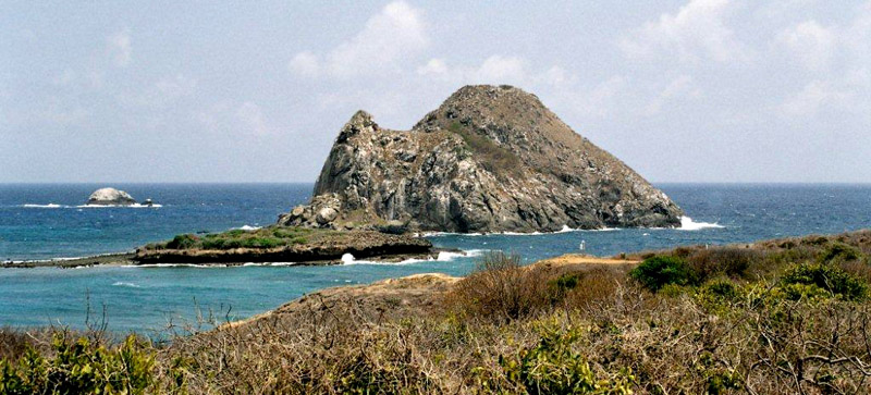
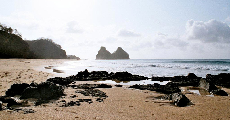
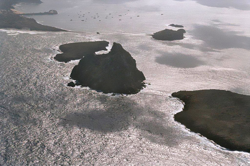
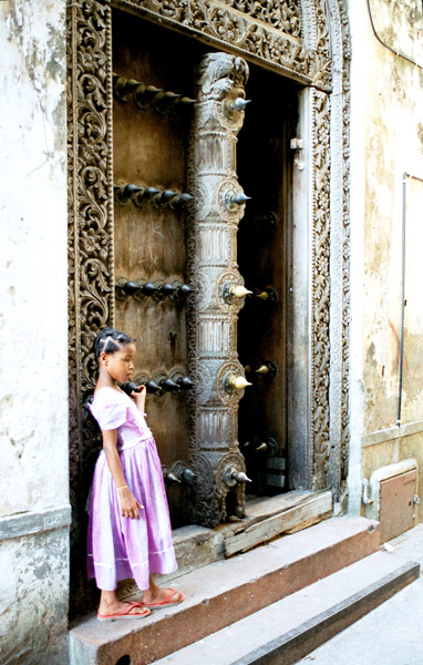
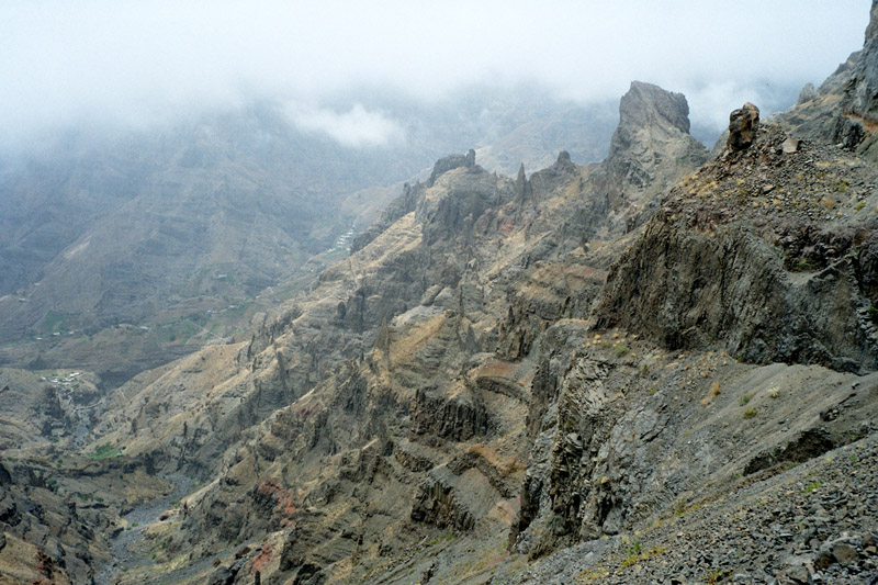
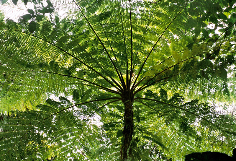
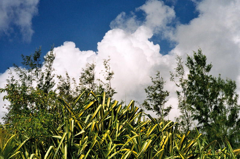
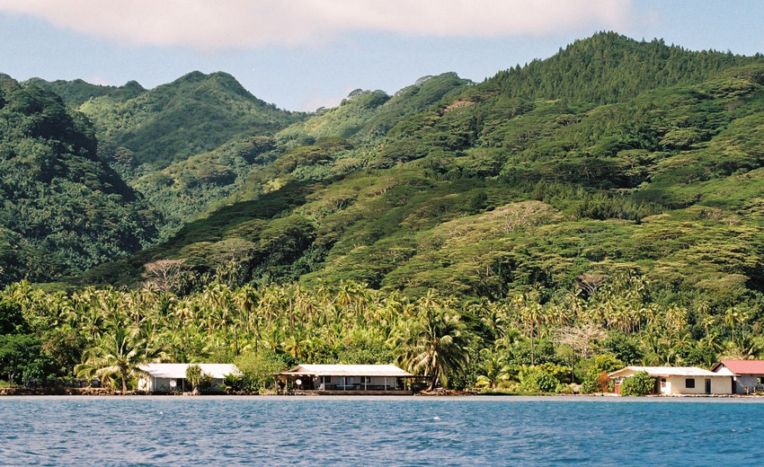
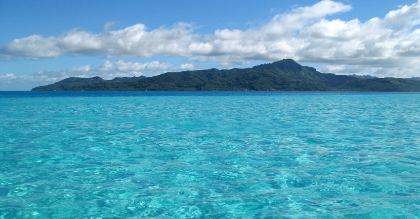
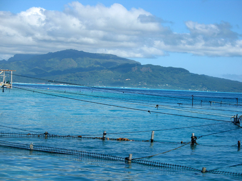
Tahaa is an island located among the Society Islands, in French Polynesia, an overseas territory of France in the Pacific Ocean. The islands of Tahaa and neighboring Raiatea are enclosed by the same coral reef, and may once have been a single island.

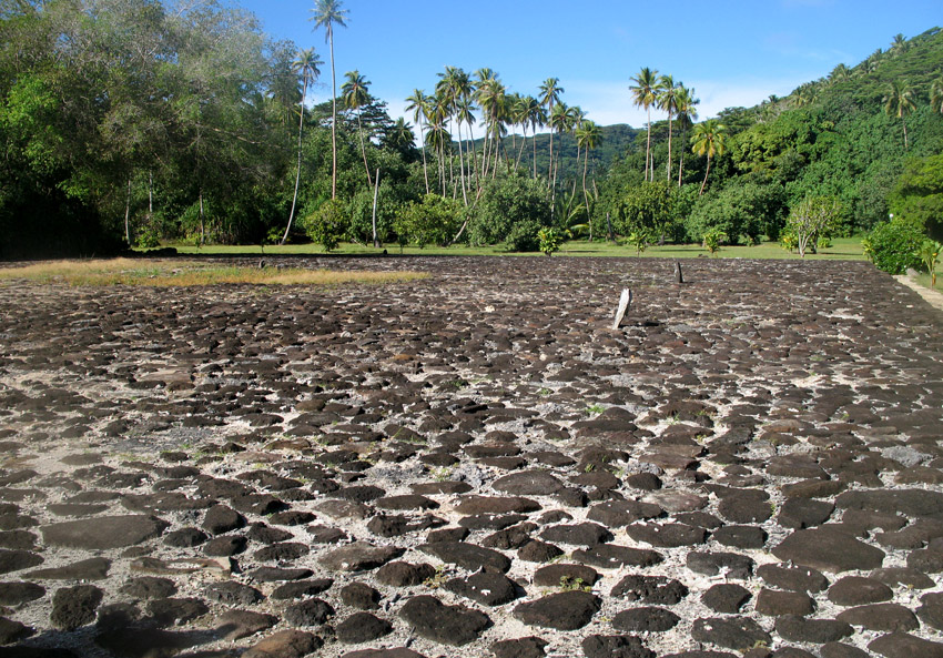
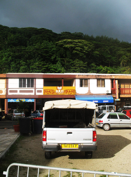
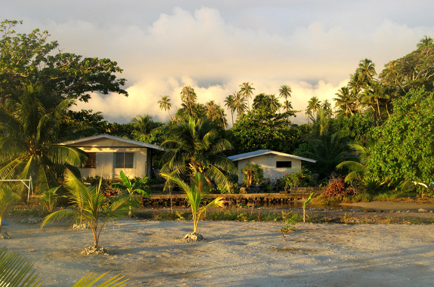
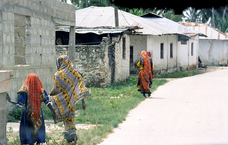
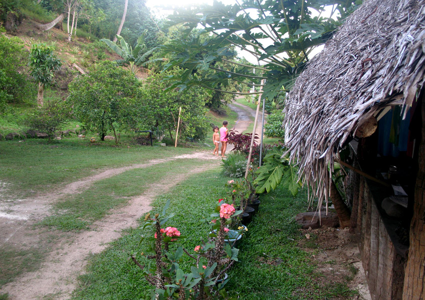
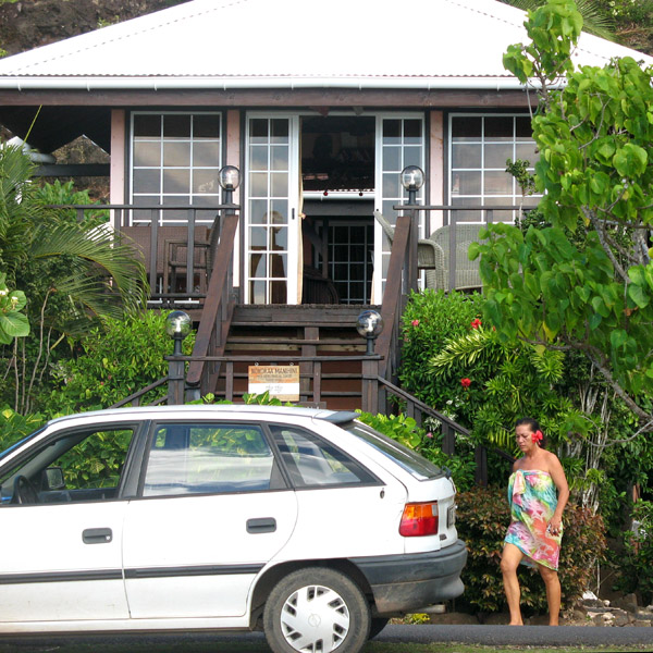
Administratively speaking, Tahaa and the surrounding islets emerging from the coral reef form a commune (municipality) part of the administrative subdivision of the Leeward Islands. The administrative centre of the commune of Tahaa is the settlement of Patio.

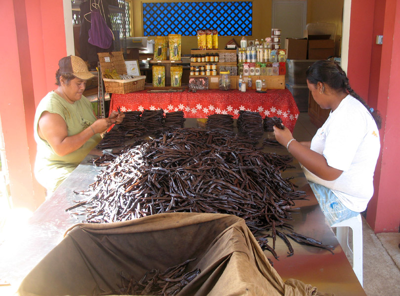
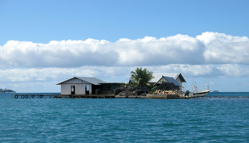
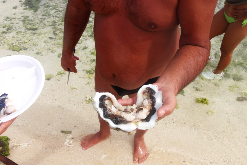
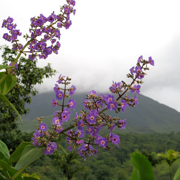
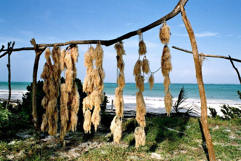
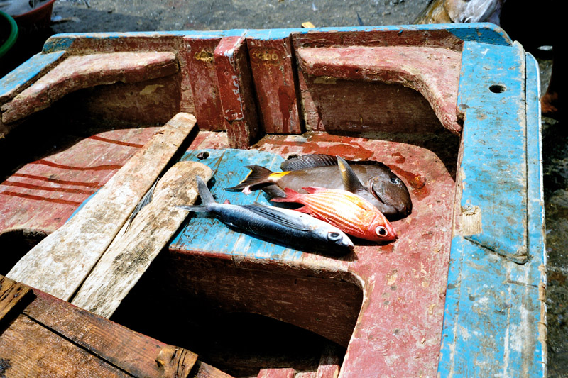
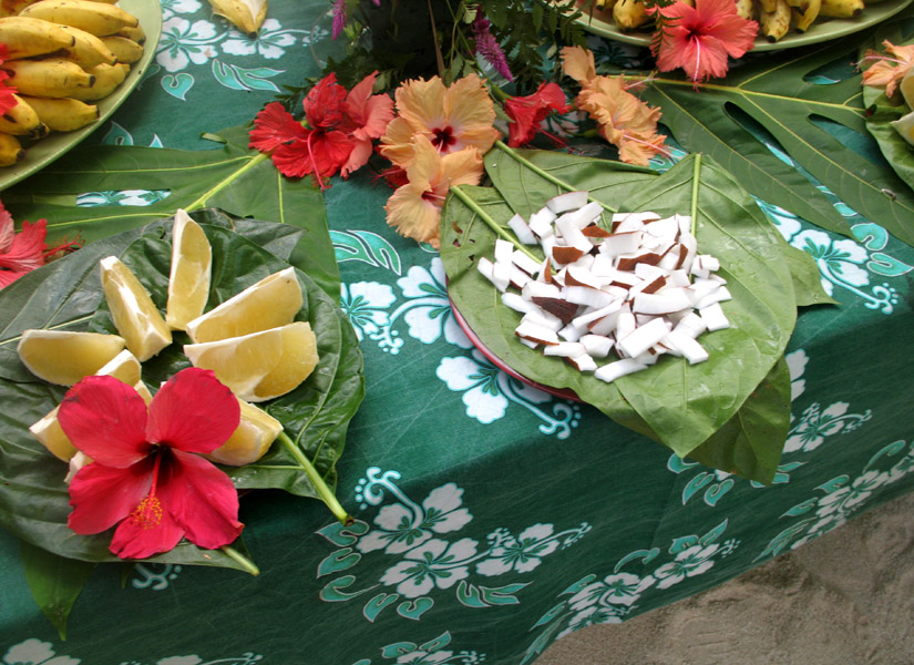
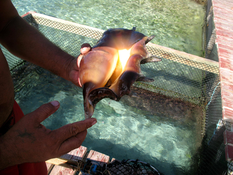
Tahaa produces 70-80% of all French Polynesia’s vanilla. Because of the pervasive aroma of vanilla, Tahaa is known as the “Vanilla Island”. Tahaa’s pearls are of exceptional quality.

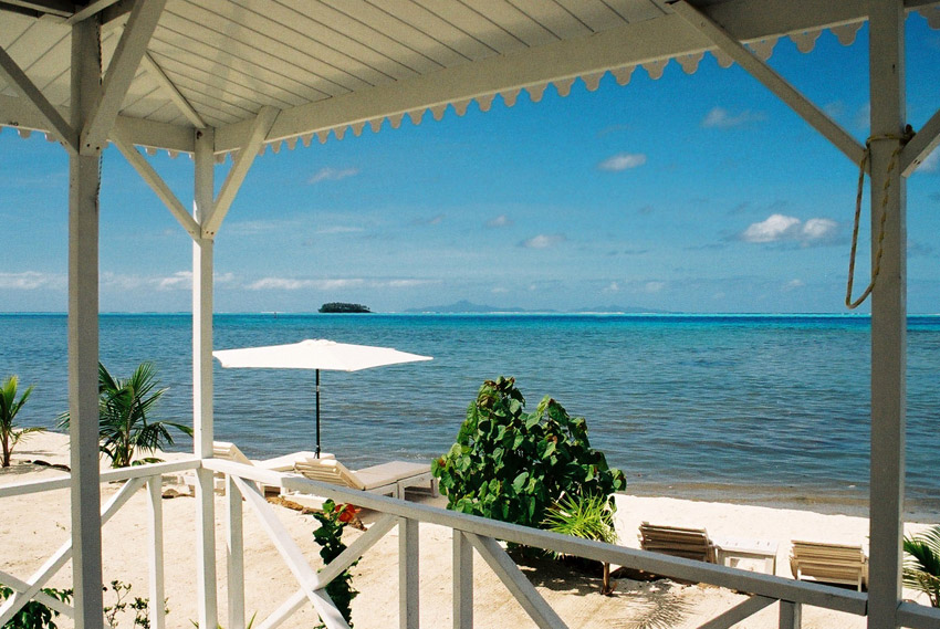
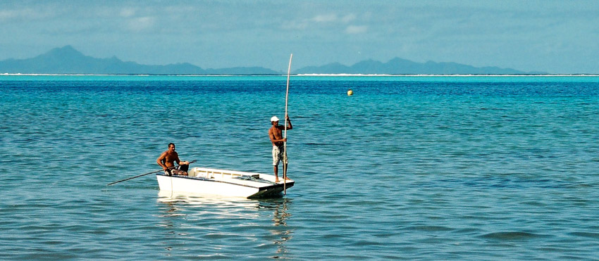
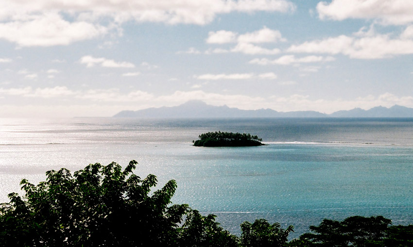
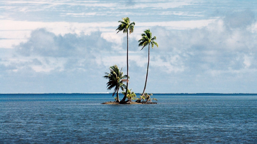
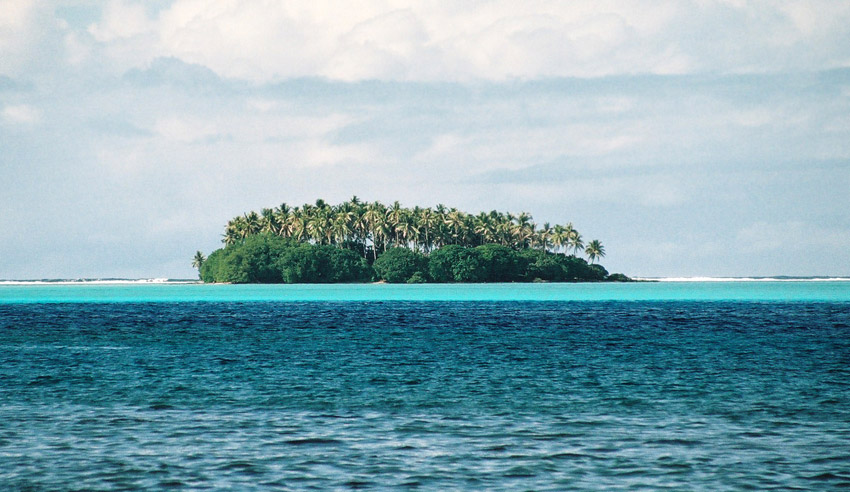
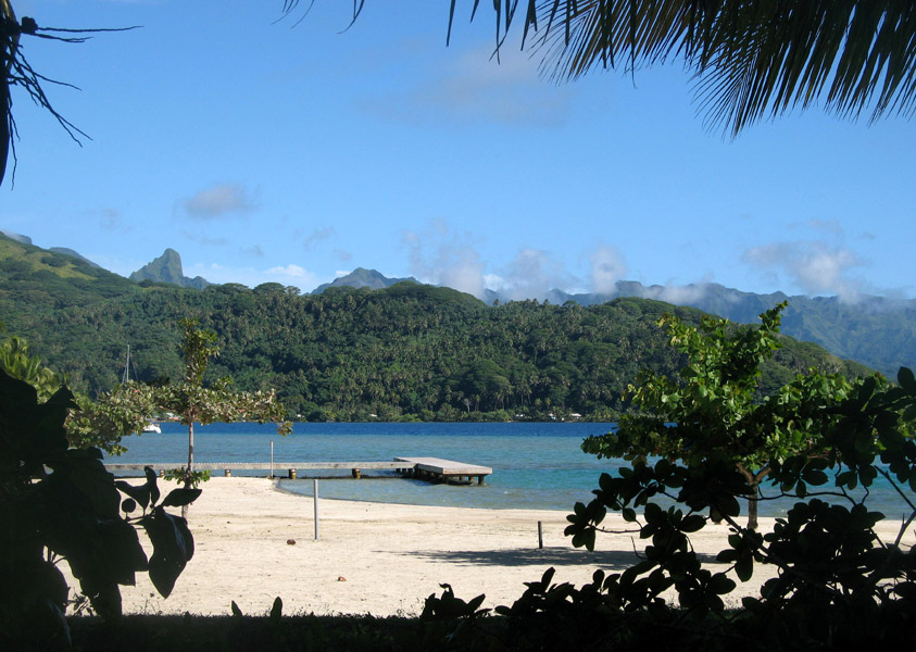
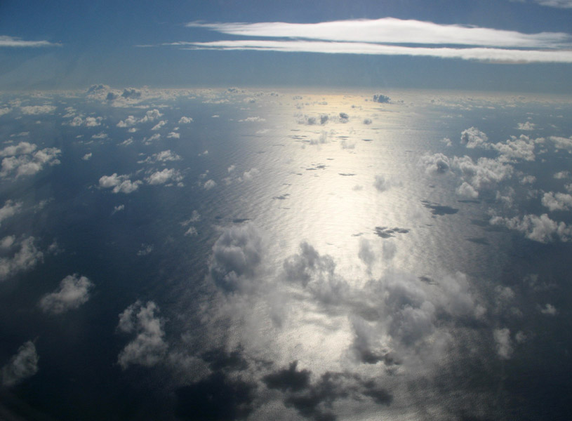
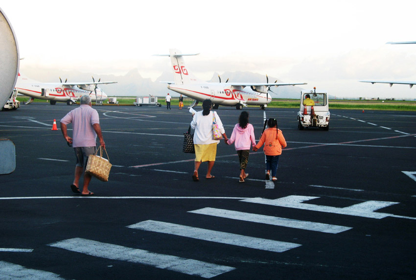
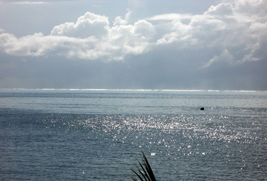
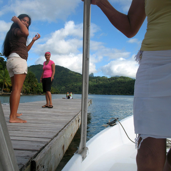
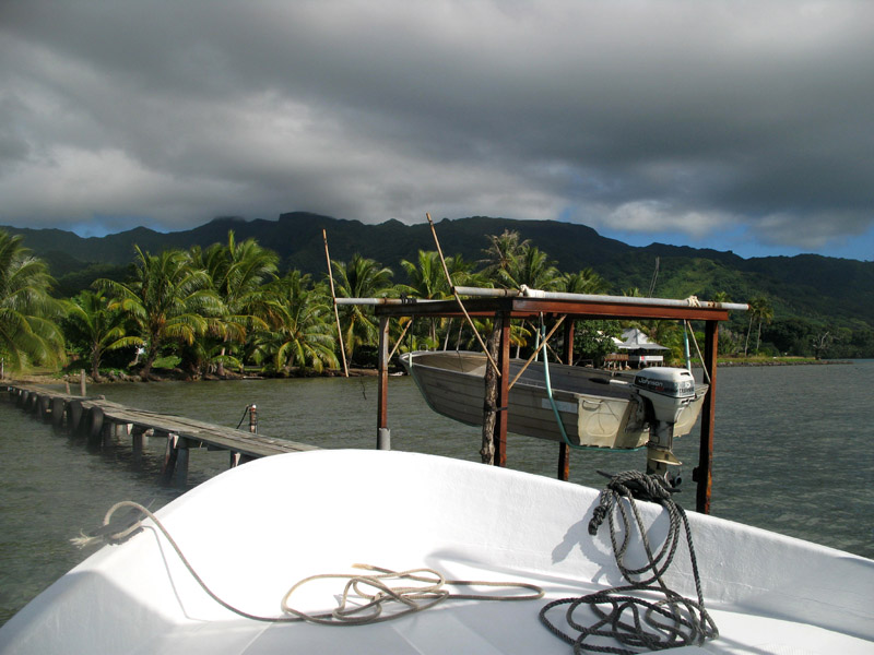
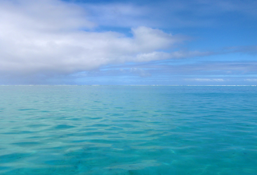
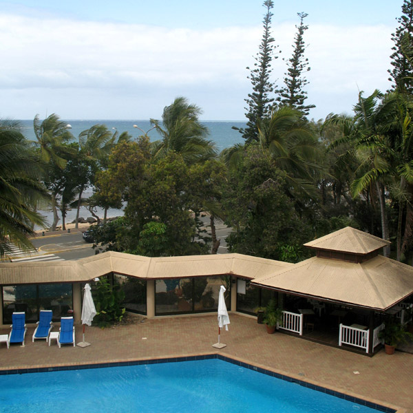
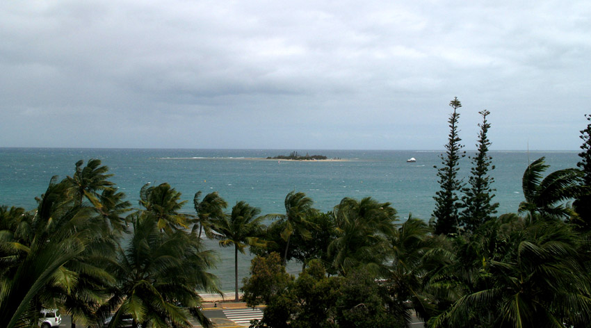
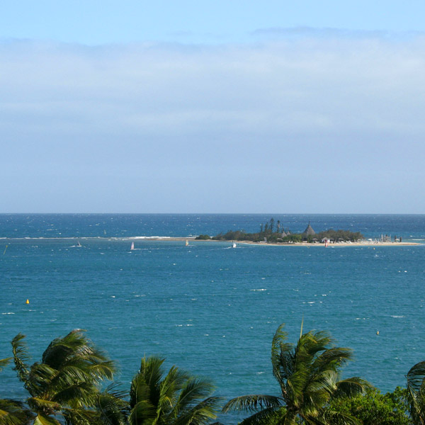
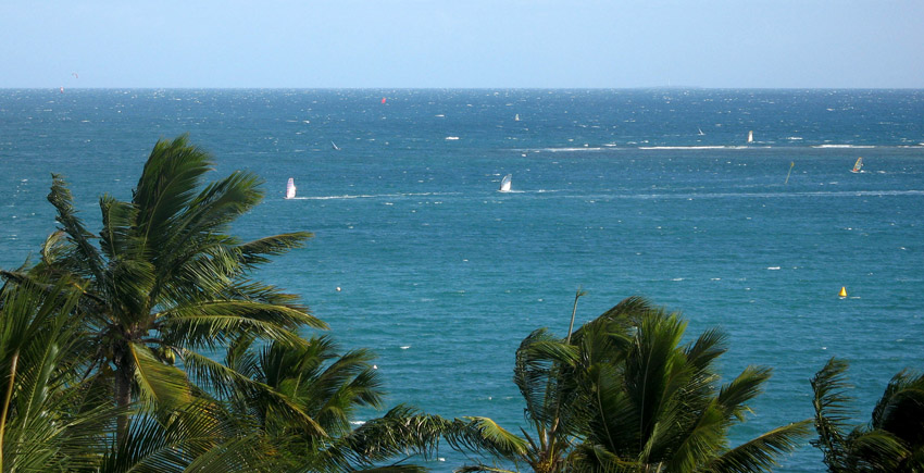
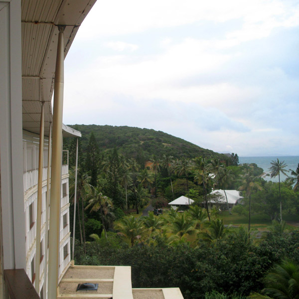
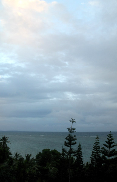
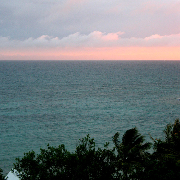
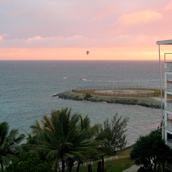
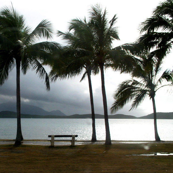
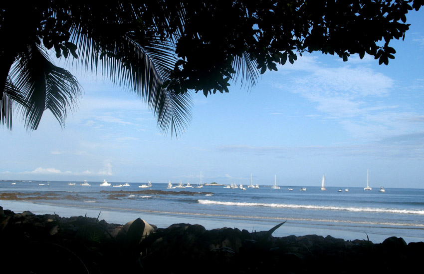
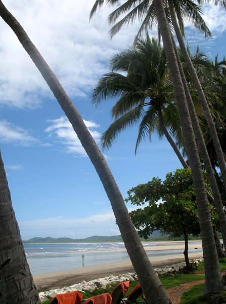
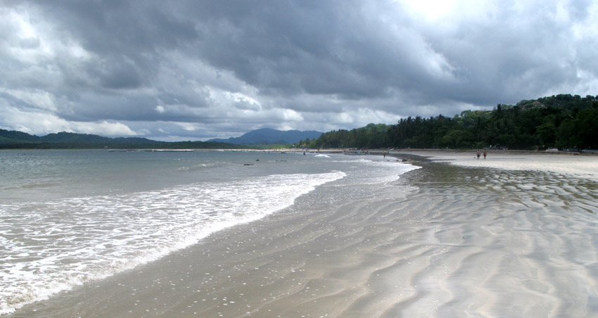
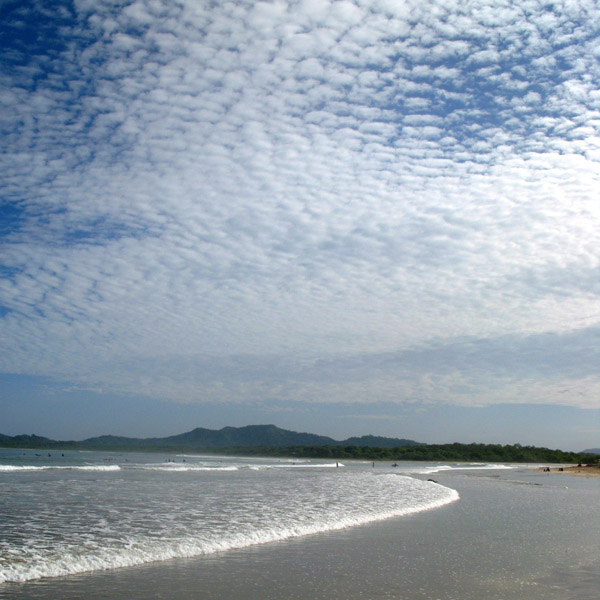
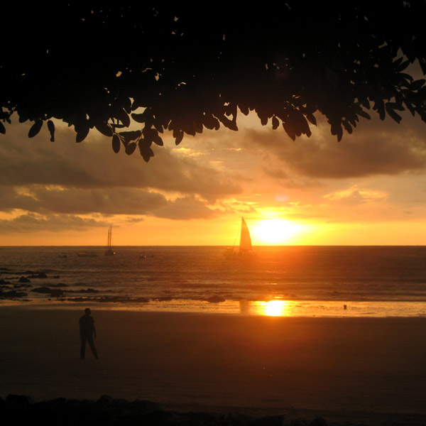
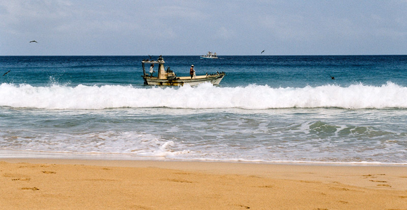
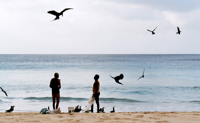
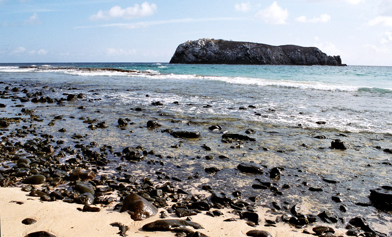
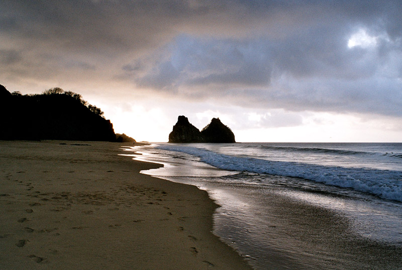
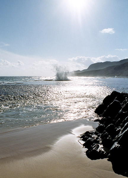
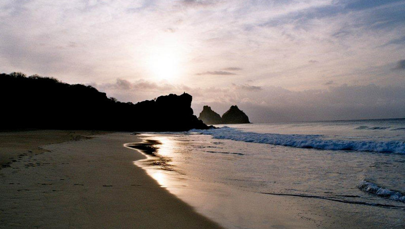
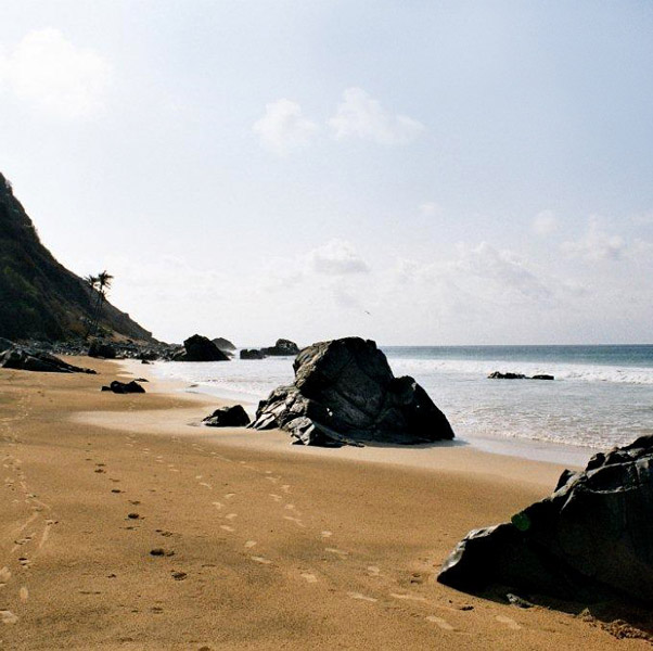
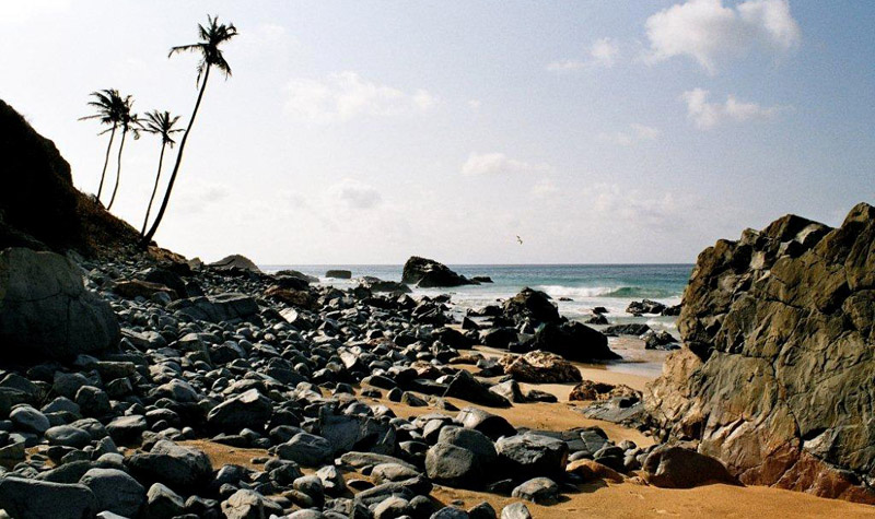
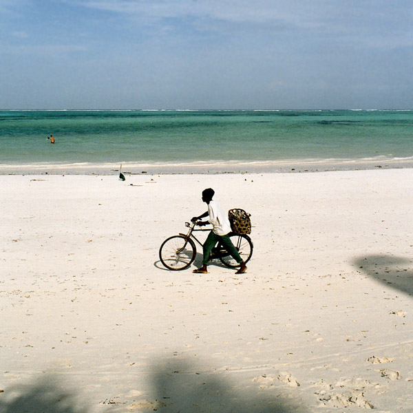
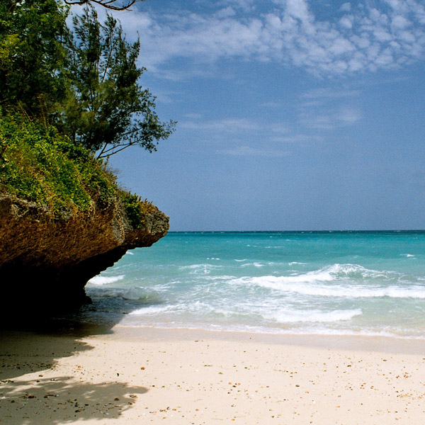
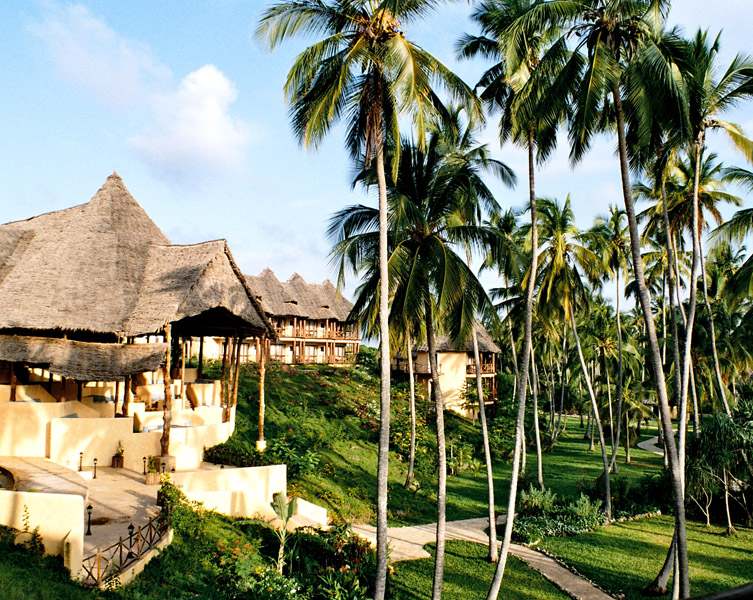
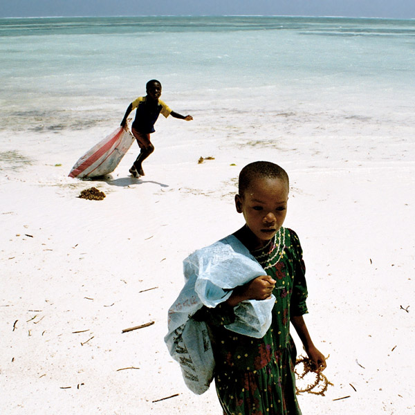
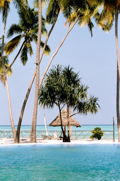
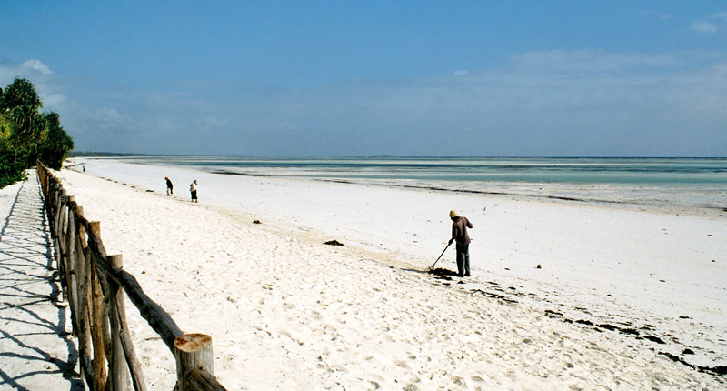
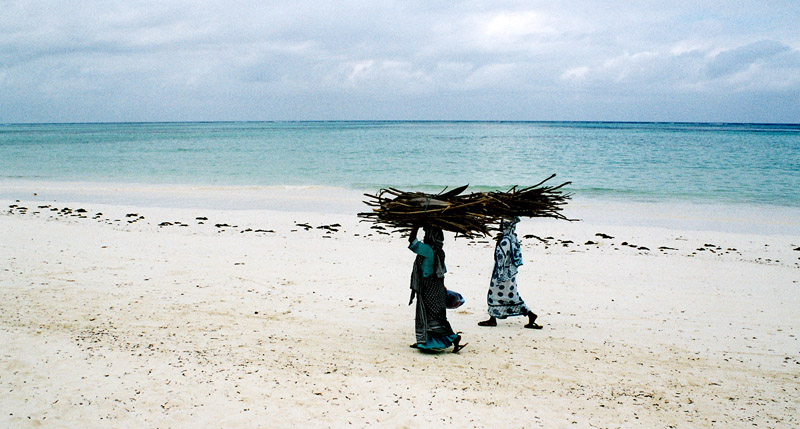
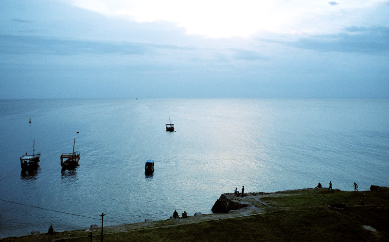
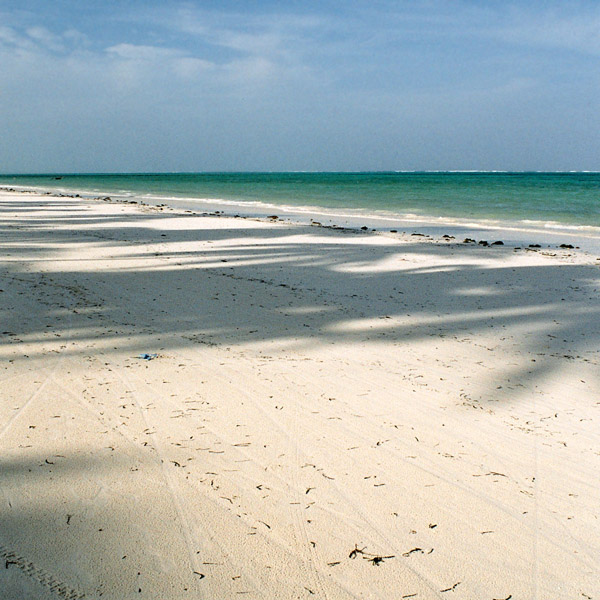
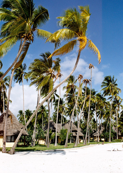
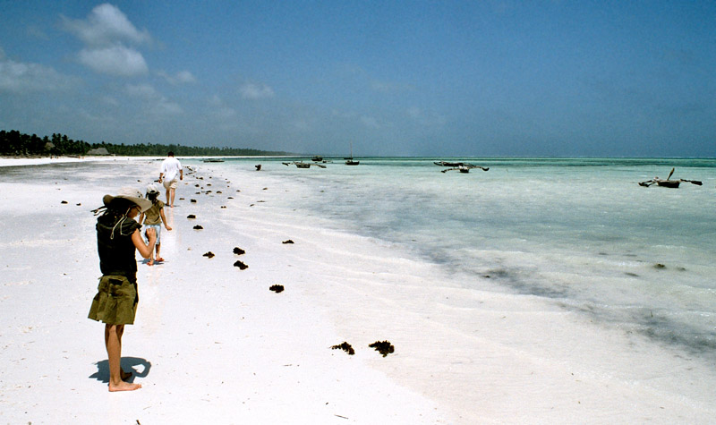
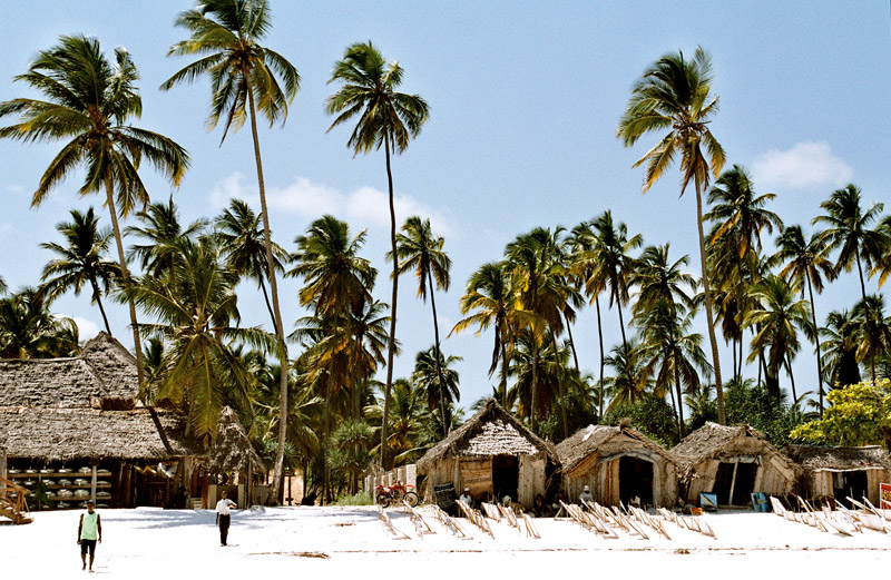
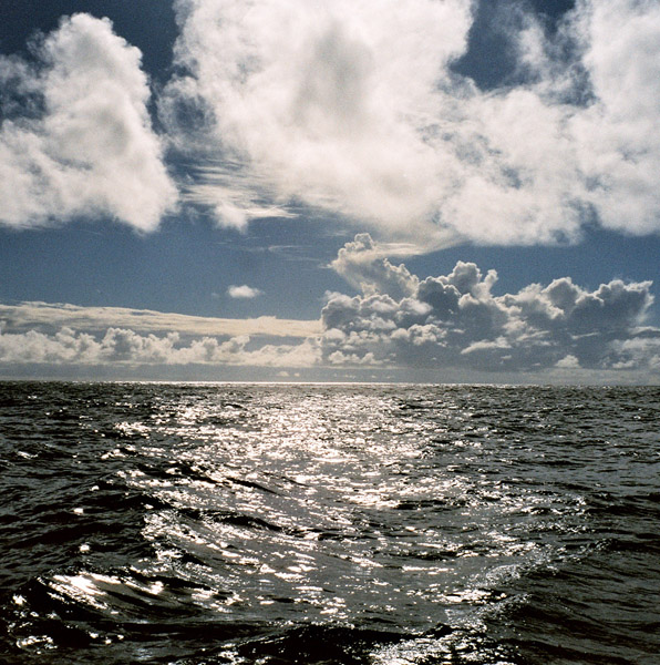
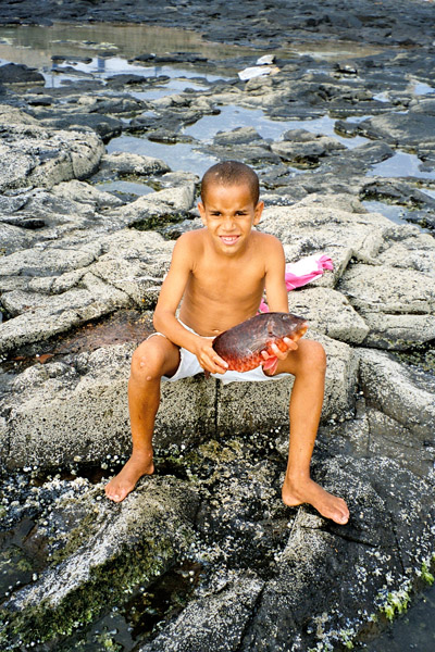
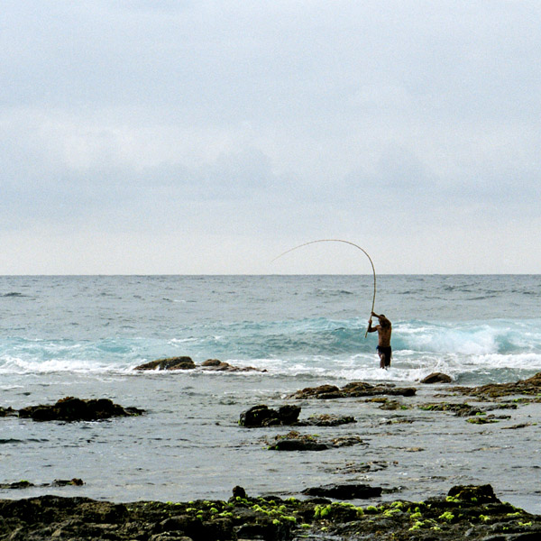
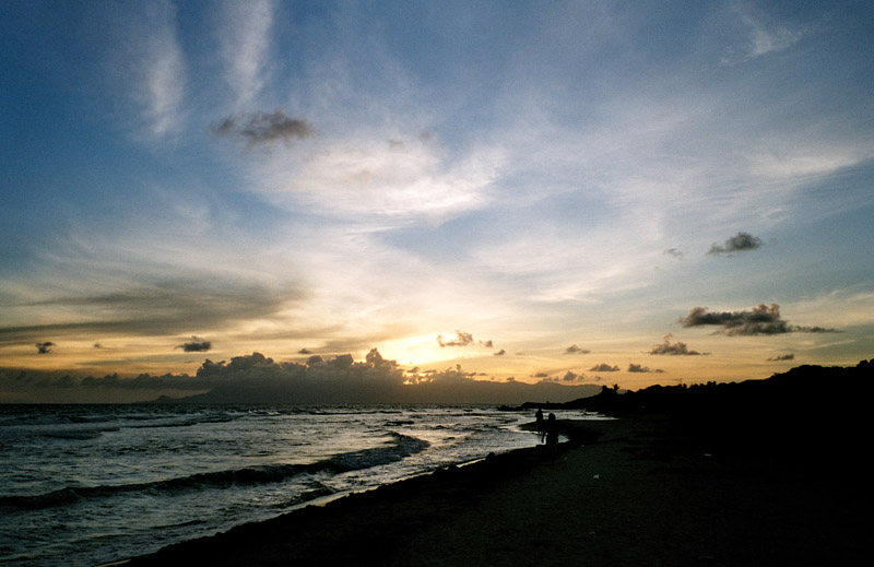
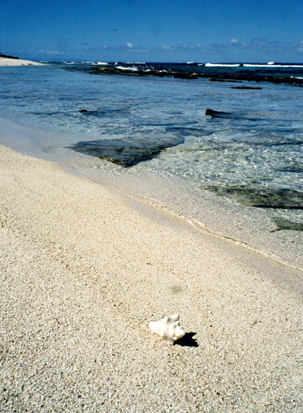
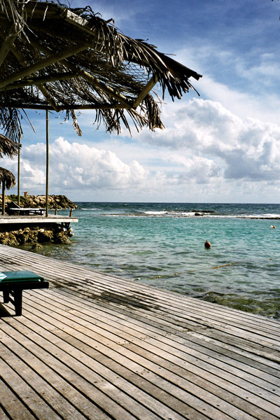
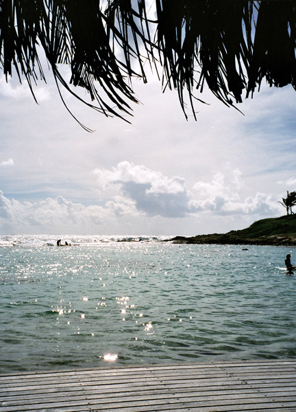
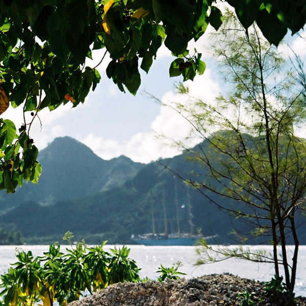
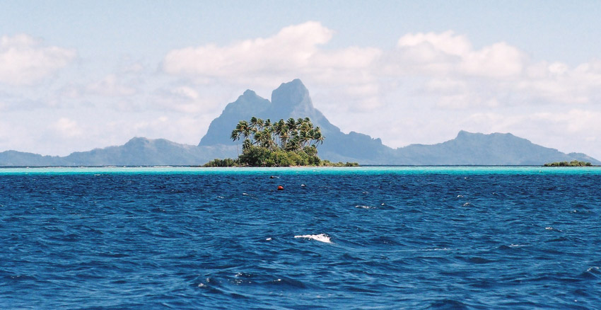
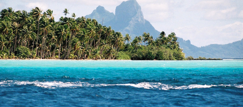
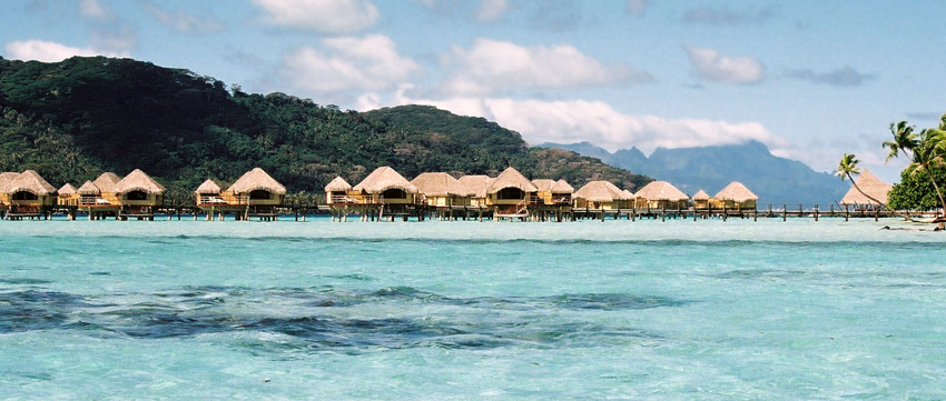
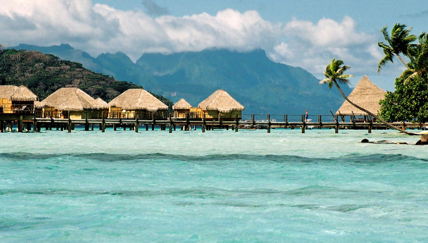
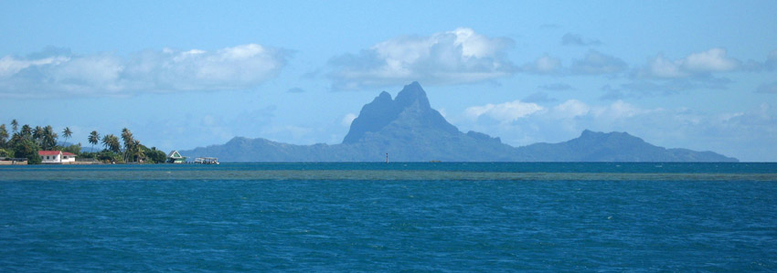
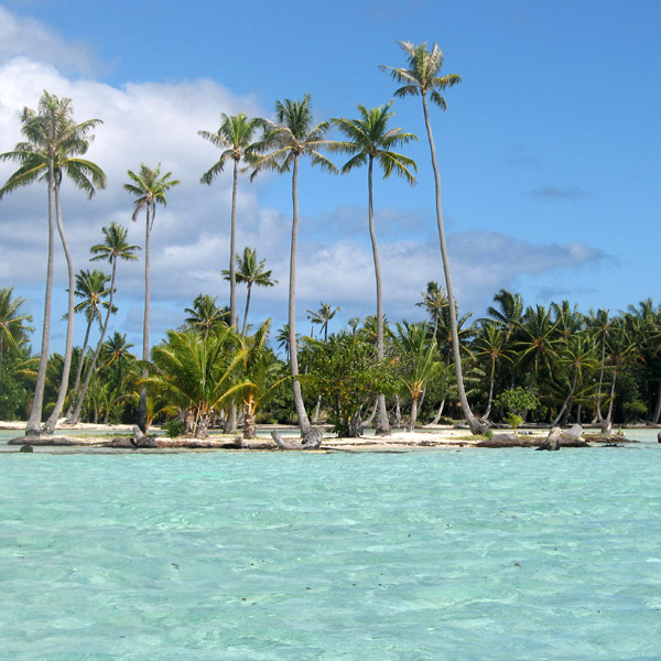
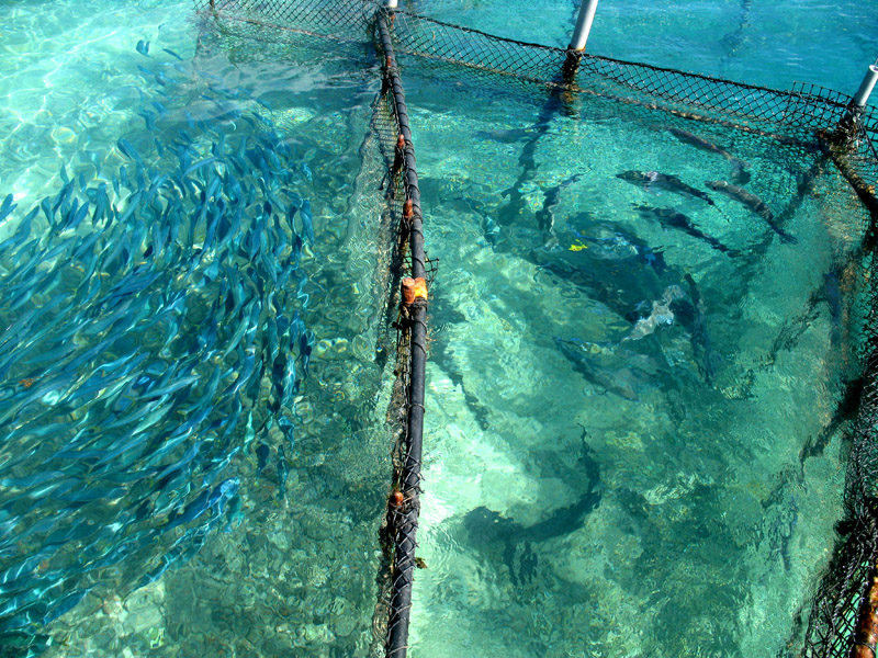
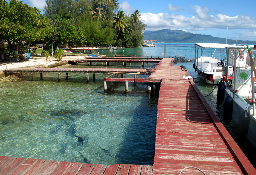
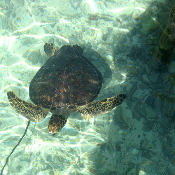
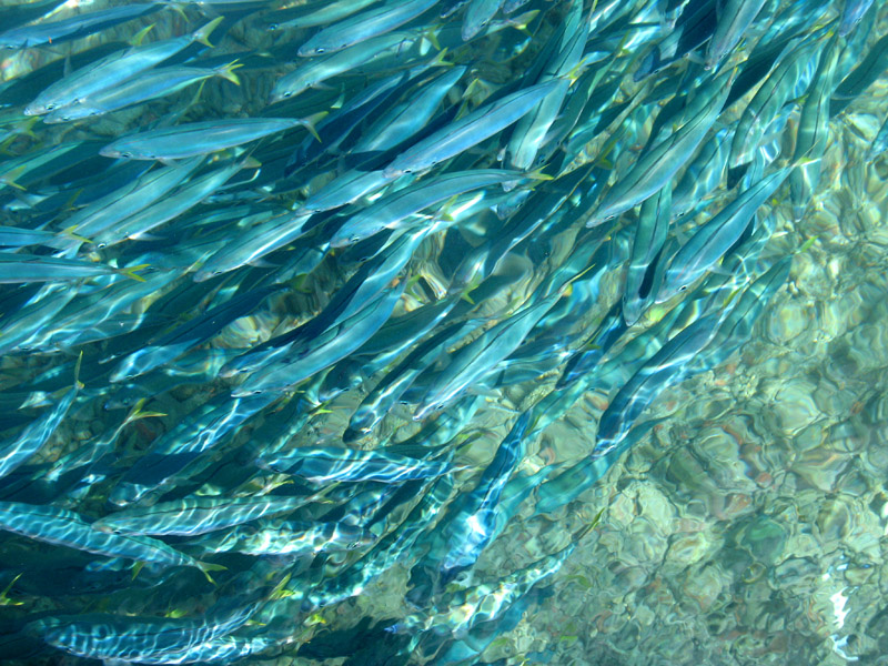
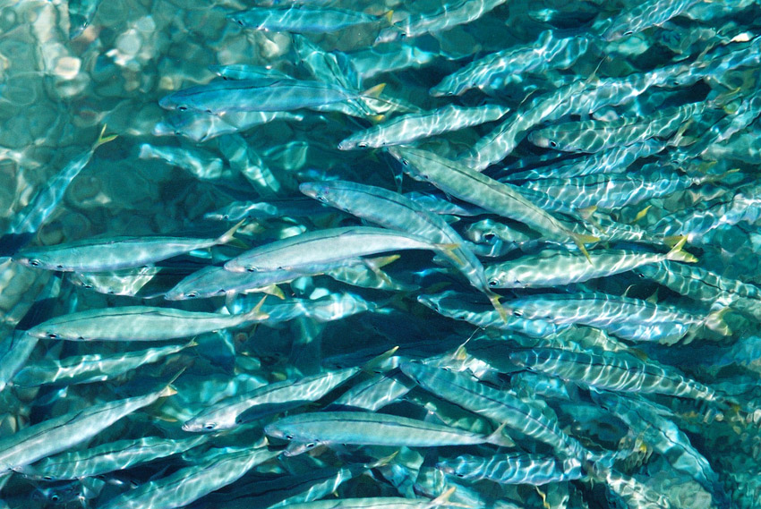
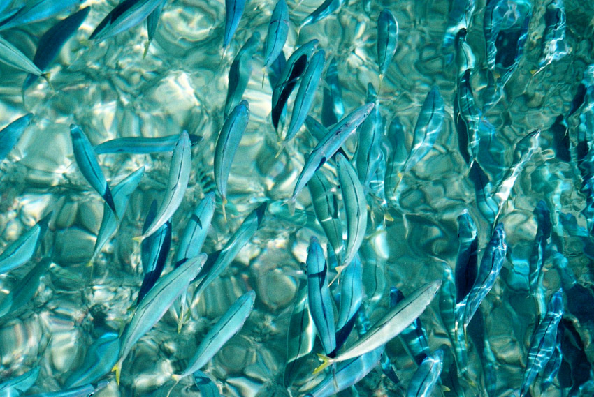
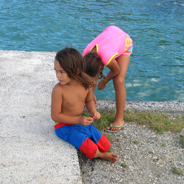
Taha’a and its small motus (islets) can be reached by boat and outrigger from Raiatea. The short sail drops visitors on a motu beach with a perfect small lagoon, and in the near distance, a view of Bora Bora framed by the coconut palms and the lagoon. This is a short day trip to a more simple Tahiti.

Source: Wikipedia (under GNU Free Documentation License)

Categories
French Polynesia Society Islands

Raiatea

Somewhat smaller than Tahiti, Raiatea is the second largest of the Society Islands in French Polynesia. The proper spelling of the name, rarely used though, in the Tahitian language is Ra’iatea, meaning bright sky; Ulieta is an obsolete transcription commonly used in the 19th century. The chief town on Raiatea is Uturoa, administrative center for the Leeward Islands (French Îles Sous-le-vent). The islands of Raiatea and Tahaa are both enclosed by the same coral reef, and may once have been a single island.

Raiatea is both the largest and most populated island in the Leeward Islands, with a land area of 167.7 km² (64.7 sq. miles) and a total population of 12,024 inhabitants at the August 2007 census. The population density is 72 inhabitants per km². Ra’iatea is widely regarded as the ‘center’ of Polynesia and it is likely that the organised migrations to Hawaii, Aoteroa (New Zealand) and other parts of East Polynesia started at Ra’iatea. A traditional name for the island is Havai’i fanau fenua (Hawai’i birther of land).

Source: Wikipedia (under GNU Free Documentation License)

Categories
Madagascar

Tana

Antananarivo is the capital and largest city in Madagascar. It is also known by its French colonial name Tananarive or the shorthand form Tana. The larger urban area surrounding the city, known as Antananarivo-Renivohitra (“Antananarivo-Capital”), is the capital of the Analamanga region and of the Antananarivo autonomous province.

Unlike most capital cities in southern Africa, Antananarivo was already a major city before the colonial era. The city was founded circa 1625 by King Andrianjaka and takes its name (the City of the Thousand) from the number of soldiers assigned to guarding it. For many years it was the principal village of the Hova chiefs and gained importance as those chiefs made themselves sovereigns of the greater part of Madagascar, eventually becoming a town of some 80,000 inhabitants. In 1793 it was made the capital of the Merina kings. The conquests of King Radama I made Antananarivo the capital of almost all of Madagascar. Until 1869 all buildings within the city proper were of wood or rushes, but even then it possessed several timber palaces of considerable size, the largest being 120 ft (37 m) high. These crown the summit of the central portion of the ridge; and the largest palace, with its lofty roof and towers, is the most conspicuous object from every point of view.

Since the introduction of stone and brick, the entire city has been rebuilt and now contains numerous European-style structures, including the royal palaces, the houses formerly belonging to the prime minister and nobles, the French residency, the Anglican and Roman Catholic cathedrals, and several stone churches. Museum of Ethnology and Paleontology is located in the city.

Source: Wikipedia (under GNU Free Documentation License)

Categories
New Caledonia

New Caledonia

New Caledonia (French: officially: Nouvelle-Calédonie; colloquially: (la) Calédonie; popular nicknames: (la) Kanaky, (le) Caillou), is a “sui generis collectivity” of France located in the region of Melanesia in the southwest Pacific. It comprises a main island (Grande Terre), the Loyalty Islands, and several smaller islands. Approximately half the size of Taiwan, it has a land area of 18,575.5 square kilometres (7,172 sq mi). The population was estimated in January 2008 to be 244,410. The capital and largest city of the territory is Nouméa. The currency is the CFP franc.

Since 1986 the United Nations Committee on Decolonization has included New Caledonia on the United Nations list of Non-Self-Governing Territories. New Caledonia is set to decide whether to remain within the French Republic or become an independent state in a referendum to be held between 2014 and 2019.

Nouméa, the capital, is also the seat of the Secretariat of the Pacific Community (formerly the South Pacific Commission), an international organization.

Source: Wikipedia (under GNU Free Documentation License)

Categories
Costa Rica

Costa Rica

Costa Rica, officially the Republic of Costa Rica (Spanish: Costa Rica or República de Costa Rica, pronounced [reˈpuβlika ðe ˈkosta ˈrika]) is a country in Central America, bordered by Nicaragua to the north, Panama to the east and south, the Pacific Ocean to the west and south and the Caribbean Sea to the east.

Costa Rica, which translates literally as “Rich Coast”, was the first country in the world to constitutionally abolish its army. Costa Rica has consistently been among the top Latin American countries in the Human Development Index, ranking 50th in 2006. The country is ranked 5th in the world, and 1st among the Americas, in terms of the 2008 Environmental Performance Index. In 2007 the Costa Rican government announced plans for Costa Rica to become the first carbon neutral country by 2021. According to the New Economics Foundation, Costa Rica ranks first in the Happy Planet Index and is the greenest country in the world. The HPI measures how much of the Earth’s resources nations use and how long and happy a life their citizens enjoy as a result.

Source: Wikipedia (under GNU Free Documentation License)

Categories
Brazil

Fernando de Noronha

Fernando de Noronha is an archipelago of 21 islands and islets in the Atlantic Ocean, around 354 km (220 miles) offshore from the Brazilian coast. The main island has an area of 18.4 square kilometres (7.1 sq mi) and had a population of 3,012 in the year 2008. The area is a special municipality (distrito estadual) of the Brazilian state of Pernambuco (despite being closer to the state of Rio Grande do Norte) and is also a UNESCO World Heritage Site. Its timezone is UTC−2h. The local population and travellers can get to Noronha by plane or cruise from Recife (545km) or by plane from Natal (360km). A small environmental preservation fee is charged from tourists upon arrival by Ibama (Institute of Environment and Renewable Natural Resources).

The climate is tropical, with two well-defined seasons. The rainy season lasts from March to September, the rest of the year sees little rain.

The islands of this archipelago are the visible parts of a range of submerged mountains. Consisting of 21 islands, islets and rocks of volcanic origin, the main island has an area of 18 km² (7.1 miles²), being 10 km (6.2 miles) long and 3.5 kilometres (2.170 mi) wide at its maximum. The base of this enormous volcanic formation is 756 m below the surface. The main island, from which the group gets its name, makes up 91% of the total area.

Source: Wikipedia (under GNU Free Documentation License)

Categories
Tanzania

Zanzibar I

Zanzibar (pronounced /ˈzænzɨbɑr/) is a semi-autonomous part of the United Republic of Tanzania, in East Africa. It comprises the Zanzibar Archipelago in the Indian Ocean, 25–50 kilometres (16–31 mi) off the coast of the mainland, and consists of numerous small islands and two large ones: Unguja (the main island, informally referred to as Zanzibar), and Pemba. Zanzibar was once a separate state with a long trading history within the Arab world; it united with Tanganyika to form Tanzania in 1964 and still enjoys a high degree of autonomy within the union. The capital of Zanzibar, located on the island of Unguja, is Zanzibar City, and its historic center, known as Stone Town, is a World Heritage Site.

Zanzibar’s main industries are spices, raffia, and tourism. In particular, the islands produce cloves, nutmeg, cinnamon and pepper. For this reason, the islands, together with Tanzania’s Mafia Island, are sometimes called the Spice Islands (a term also associated with the Maluku Islands in Indonesia). Zanzibar’s ecology is of note for being the home of the endemic Zanzibar Red Colobus and the (possibly extinct) Zanzibar Leopard.

Source: Wikipedia (under GNU Free Documentation License)

Categories
Réunion

Réunion

Réunion (French: Réunion or formally La Réunion; previously Île Bourbon) is an island located in the Indian Ocean, east of Madagascar, about 200 kilometres (120 mi) south west of Mauritius, the nearest island.

Administratively, Réunion is one of the overseas départements of France. Like the other overseas departments, Réunion is also one of the twenty-six regions of France (being an overseas region) and an integral part of the Republic with the same status as those situated on the European mainland.

Réunion is an outermost region of the European Union and, as an overseas department of France, is part of the Eurozone. Due to its location in a time zone to the east of Europe, Réunion was the first region in the world where the euro became legal tender.

Source: Wikipedia (under GNU Free Documentation License)

Categories
Cape Verde

Santo Antão II

Santo Antão (Portuguese for “Saint Anthony”), or Sontonton in Cape Verdean Creole, is the westernmost and largest of the Barlavento islands of Cape Verde. The nearest main island is São Vicente to the southeast, separated by a channel named Canal de São Vicente. It is the westernmost large island in Cape Verde and the continent of Africa, and the second largest in Cape Verde.

The island, entirely made up of volcanic material. The tallest mountain is Topo de Coroa, reaching a height of 1,979 m. The second tallest is Pico da Cruz at 1,585 m. The island is divided into north and south by a mountain range long considered impenetrable but now crossed by a road. The island’s main town is Ponta do Sol on the north coast, home to the Agostinho Neto Airport, while its ferry port is Porto Novo on the south coast. A part of the island in the southeast has an arid climate, while the northwest receives relatively normal precipitation. Its valleys are suffering heavy erosion.

Source: Wikipedia (under GNU Free Documentation License)

Categories
Guadeloupe

Guadeloupe

Guadeloupe (Antillean Creole: Gwadloup) is an archipelago located in the eastern Caribbean Sea; with a land area of 1,628 square kilometres (629 sq. mi). It is an overseas department of France. As with the other overseas departments, Guadeloupe is also one of the twenty-six regions of France (being an overseas region) and an integral part of the Republic. As part of France, Guadeloupe is part of the European Union; hence, as for most EU countries, its currency is the euro. However, Guadeloupe does not fall under the Schengen Agreement. The prefecture of Guadeloupe is Basse-Terre.

Guadeloupe comprises five islands: Basse-Terre Island, Grande-Terre (separated from Basse-Terre by a narrow sea channel called Salt River) with the adjacent islands of La Désirade, Les Saintes and Marie-Galante.

Basse-Terre has a rough volcanic relief while Grande-Terre features rolling hills and flat plains.

Further to the north, Saint-Barthélemy and the French part of Saint Martin once came under the jurisdiction of Guadeloupe but on 7 December 2003, both of these areas voted to become an overseas territorial collectivity, a decision which took effect on 22 February 2007.

Source: Wikipedia (under GNU Free Documentation License)