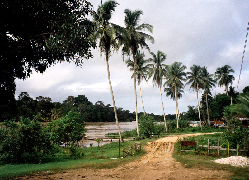
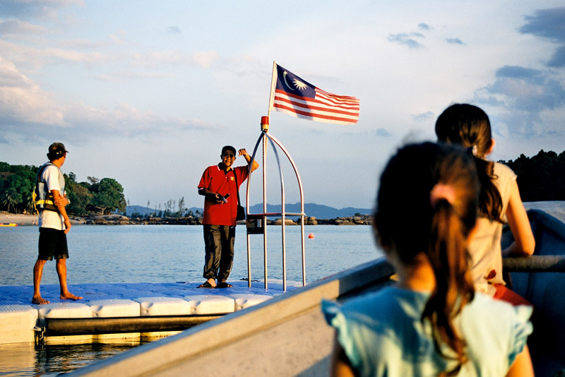
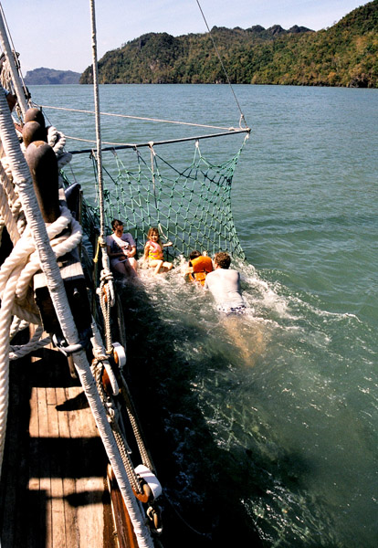

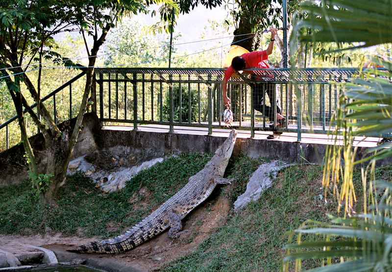
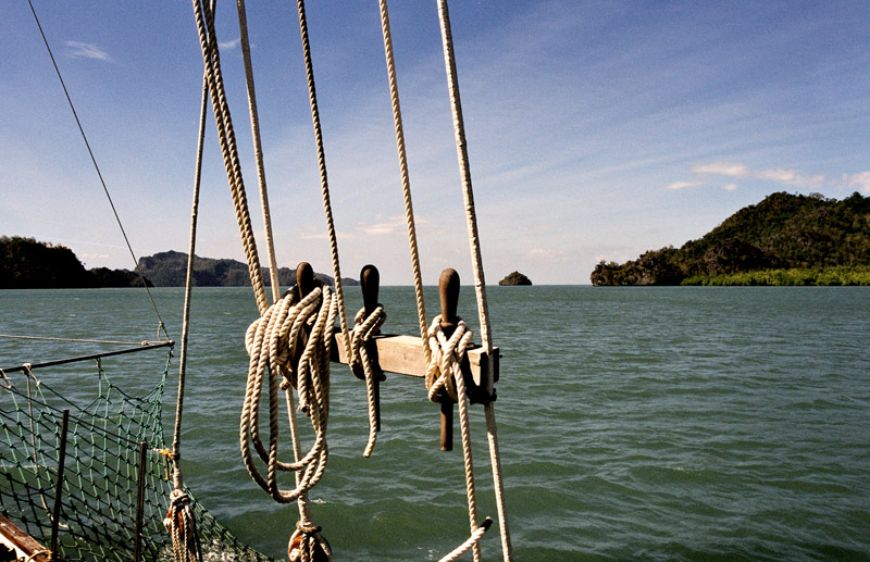

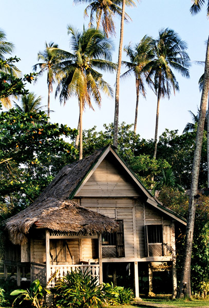
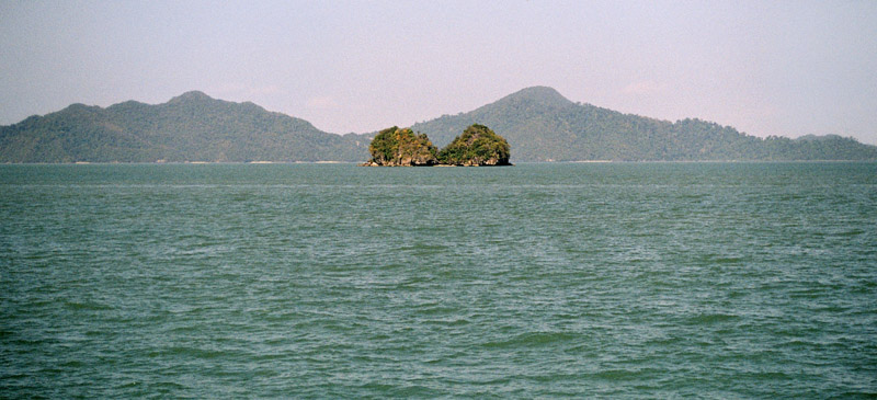
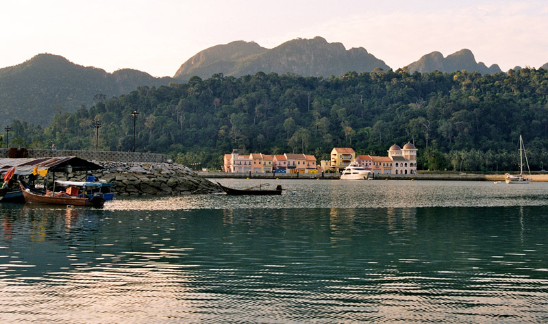
Langkawi, officially known as Langkawi, the Jewel of Kedah (Malay: Langkawi Permata Kedah) is an archipelago of 99 islands (an extra 5 temporary islands are revealed at low tide) in the Andaman Sea, some 30 km off the mainland coast of northwestern Malaysia. The islands are a part of the state of Kedah, which is adjacent to the Thai border. On July 15, 2008, Sultan Abdul Halim of Kedah had consented to the change of name to Langkawi Permata Kedah in conjunction with his Golden Jubilee Celebration. By far the largest of the islands is the eponymous Pulau Langkawi with a population of some 45,000, the only other inhabited island being nearby Pulau Tuba. Langkawi is also an administrative district with the town of Kuah as the capital and largest town. Langkawi is a duty-free island.
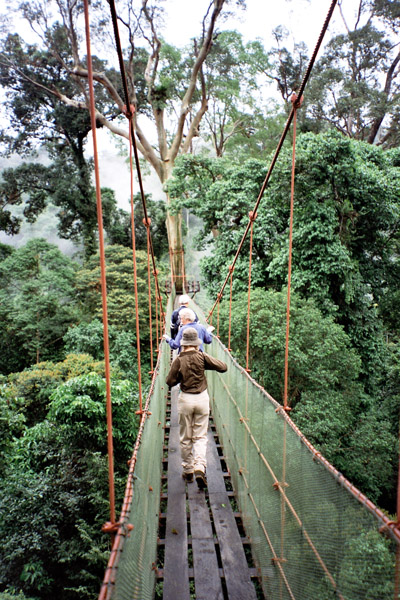
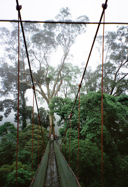
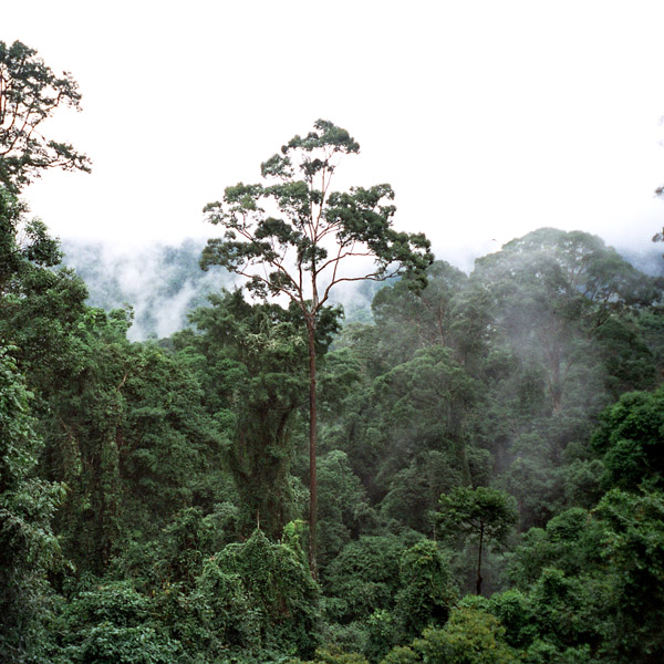
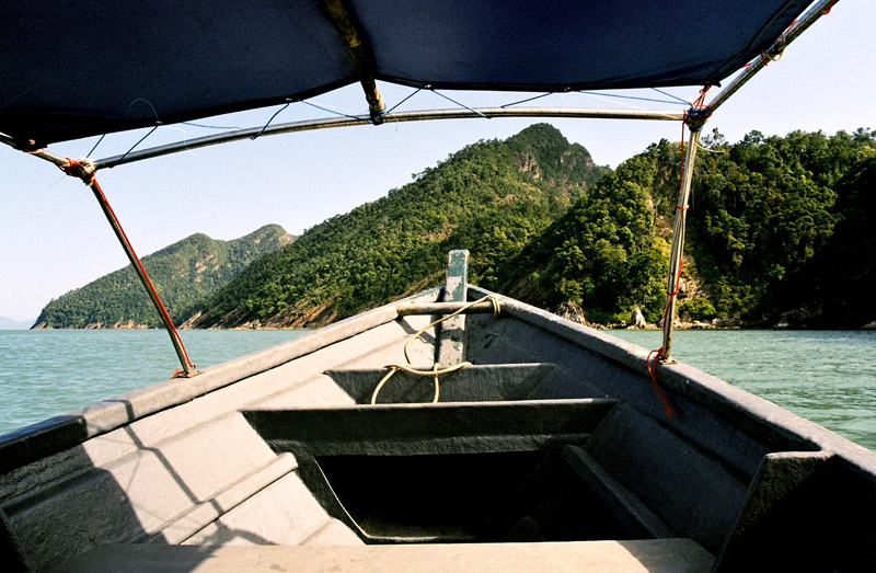
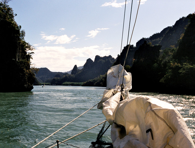
On June 1, 2007, Langkawi Island has been given a World Geopark status by UNESCO. Three of its main conservation area in Langkawi Geopark;Machincang Cambrian Geoforest Park, Kilim Karst Geoforest Park and Dayang Bunting Marble Geoforest park.(Island of the Pregnant Maiden Lake). These three parks are the most popular tourism area within Langkawi Geopark.
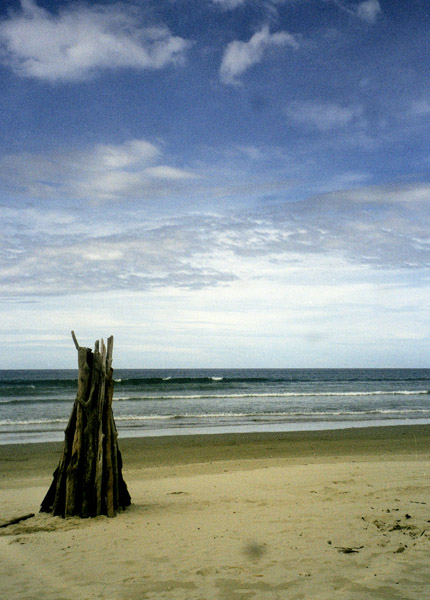
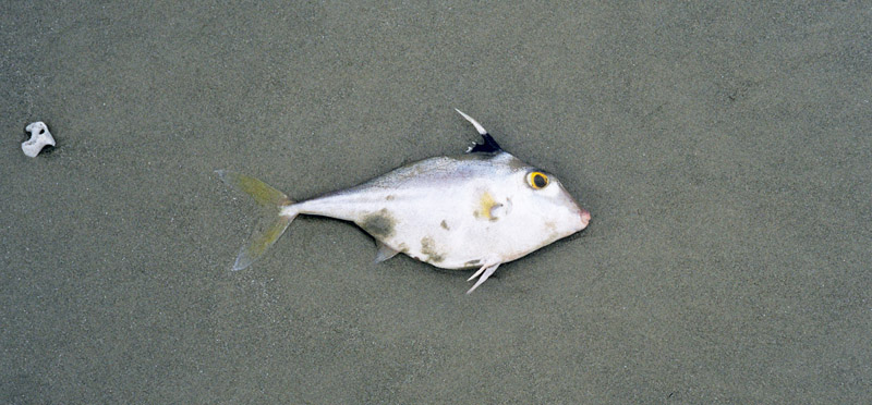
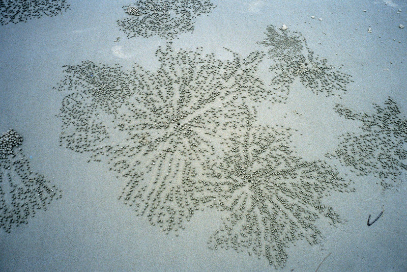
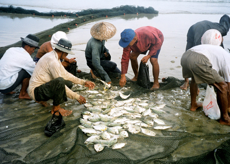
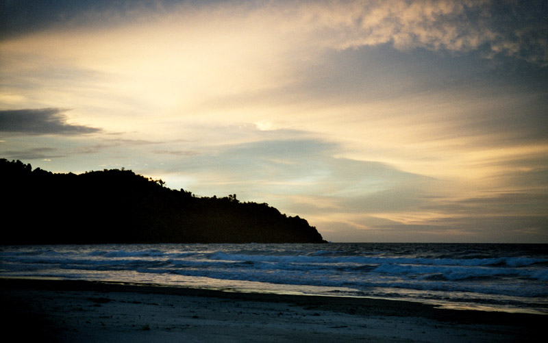
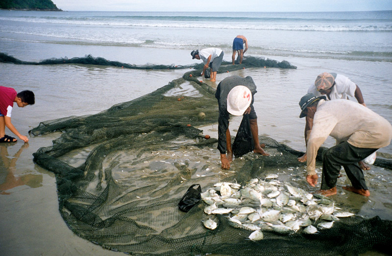
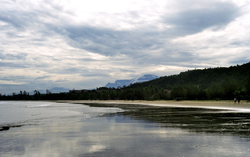
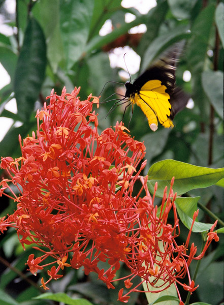
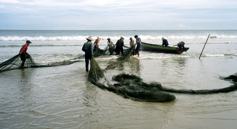
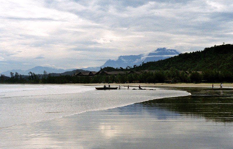
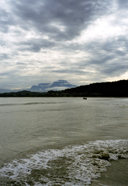
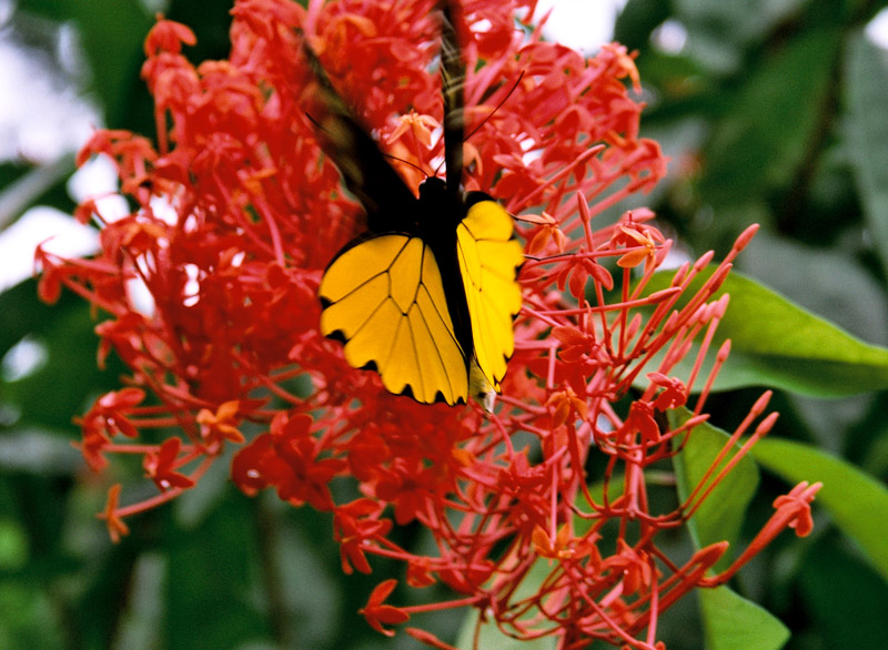
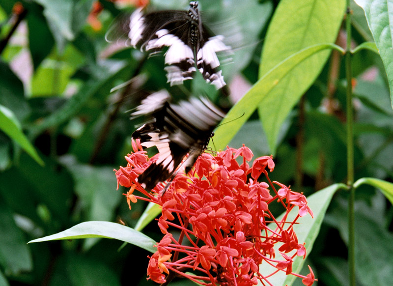
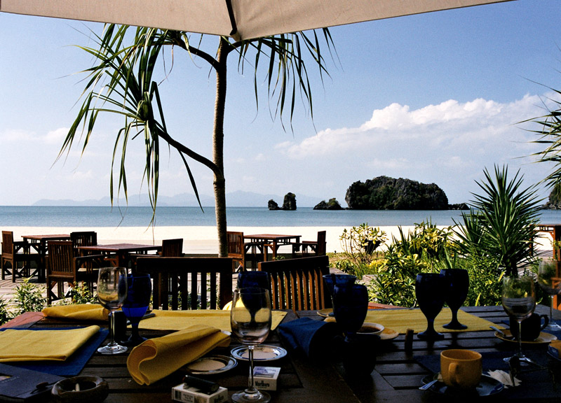
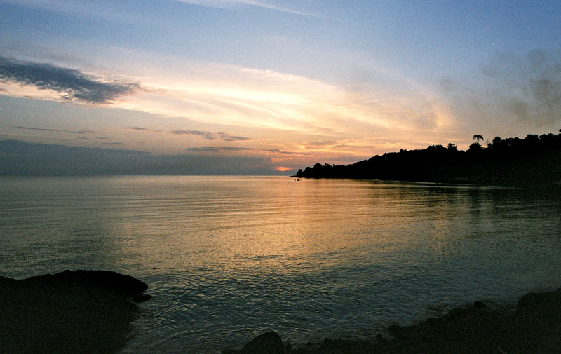
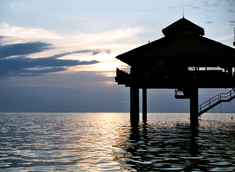
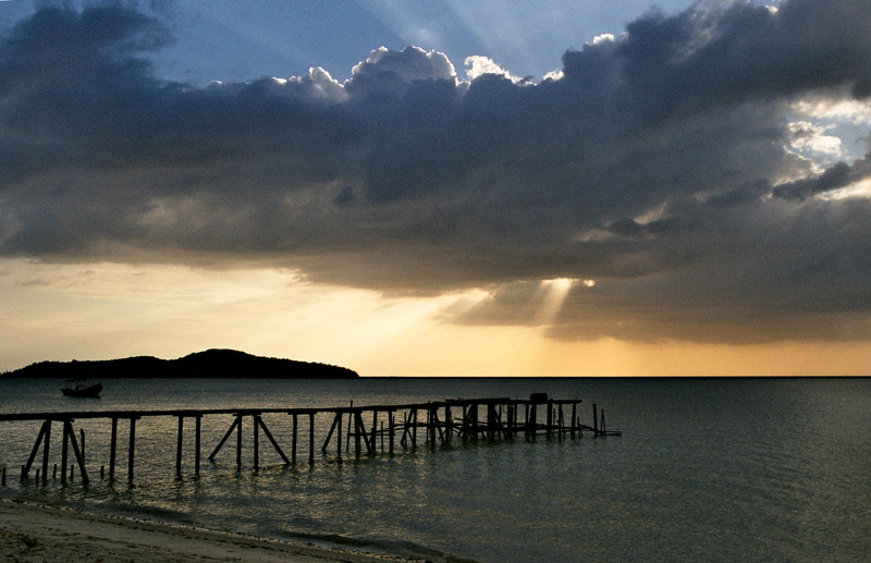
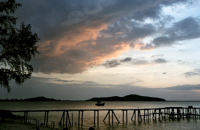
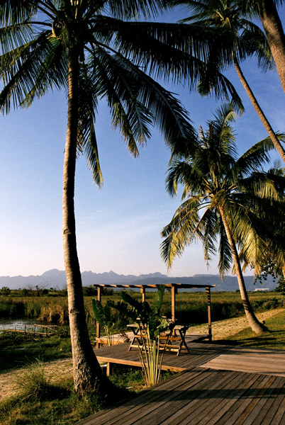
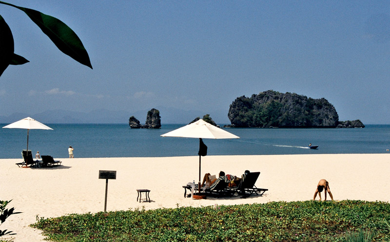
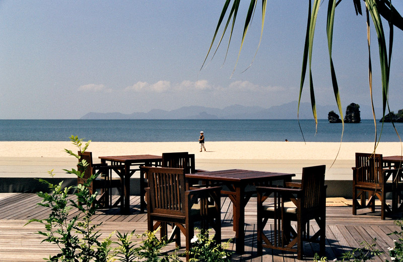
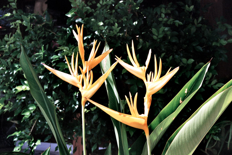
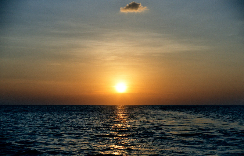
Langkawi is particularly known for its beaches which are among the best in Malaysia. Some of the most popular are Pantai Cenang, Pantai Tengah, Burau Bay, Pantai Kok, and Datai Bay. Pantai Cenang is a picturesque beach with seemingly unending stretches of fine white sand. The beach is contoured by tall coconuts and casuarinas. Pantai Tengah is separated from Cenang by a small cape. Burau Bay, fringed by rocky outcrops, is the favorite place of migratory birds in Langkawi. Pantai Kok is a peaceful beach with the backdrop of limestone hills. Datai Bay has wonderful combination of forests and sea.The milky beach is backed by lush forest.