Categories
Mozambique

Bazaruto

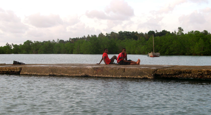
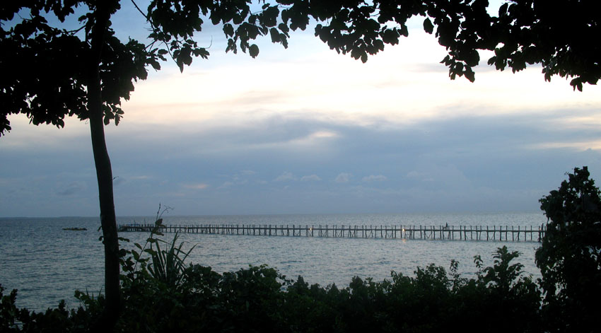
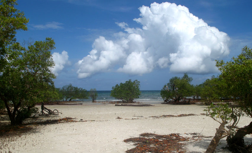
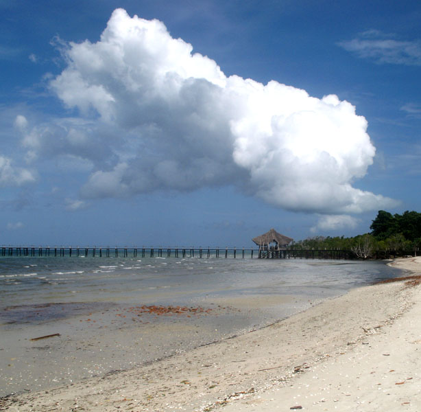
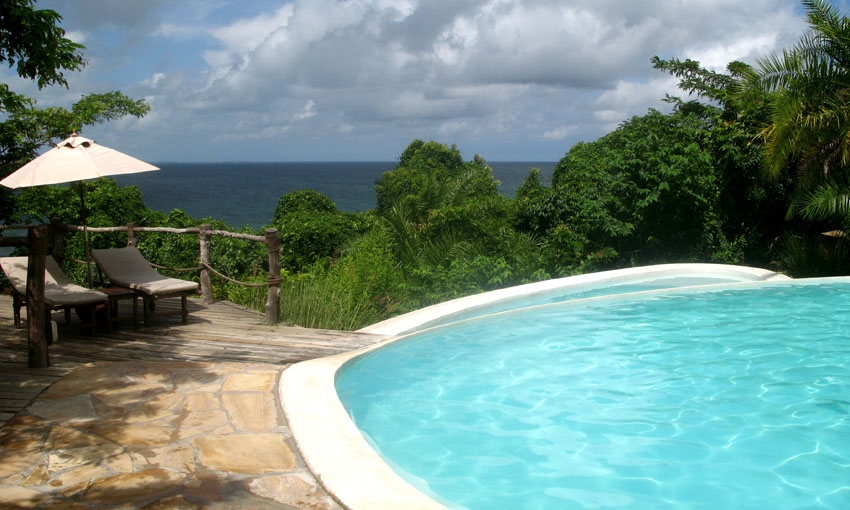
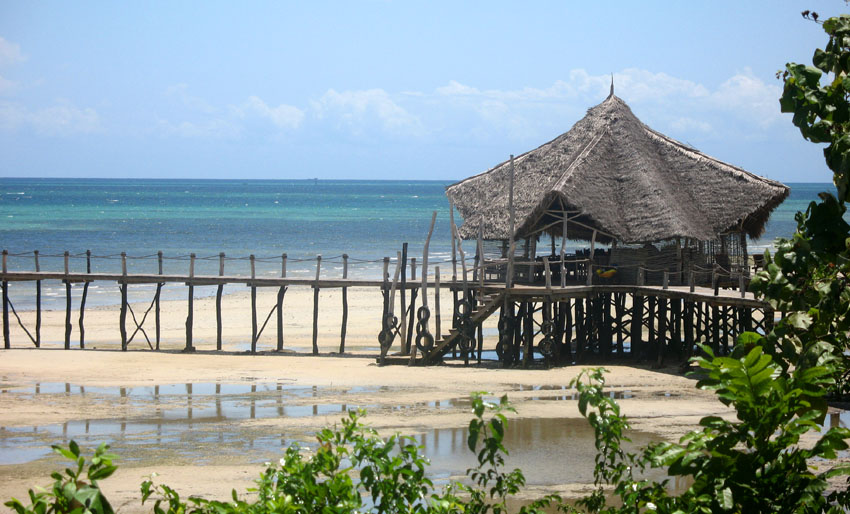
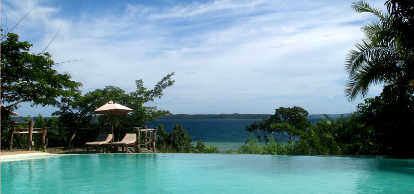
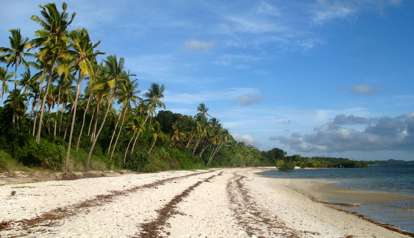
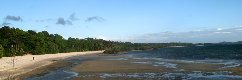
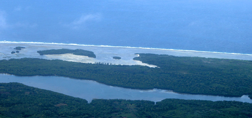
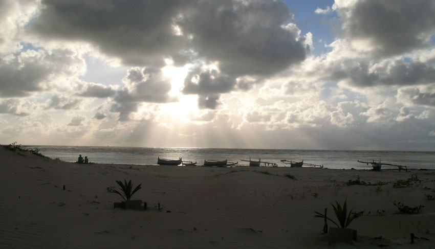
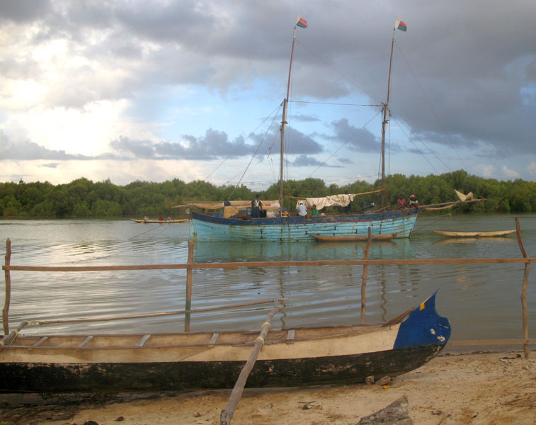
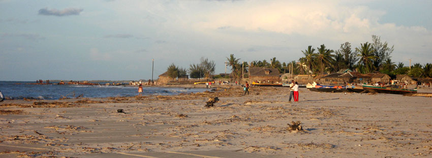
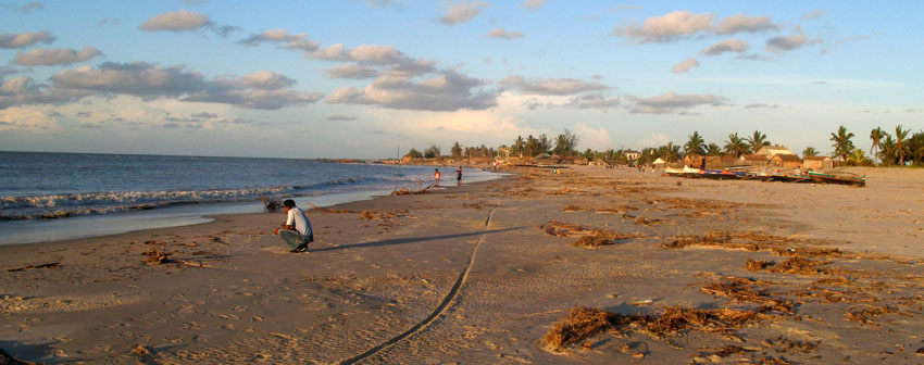
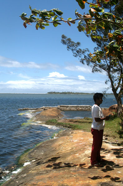
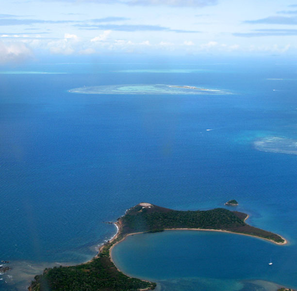
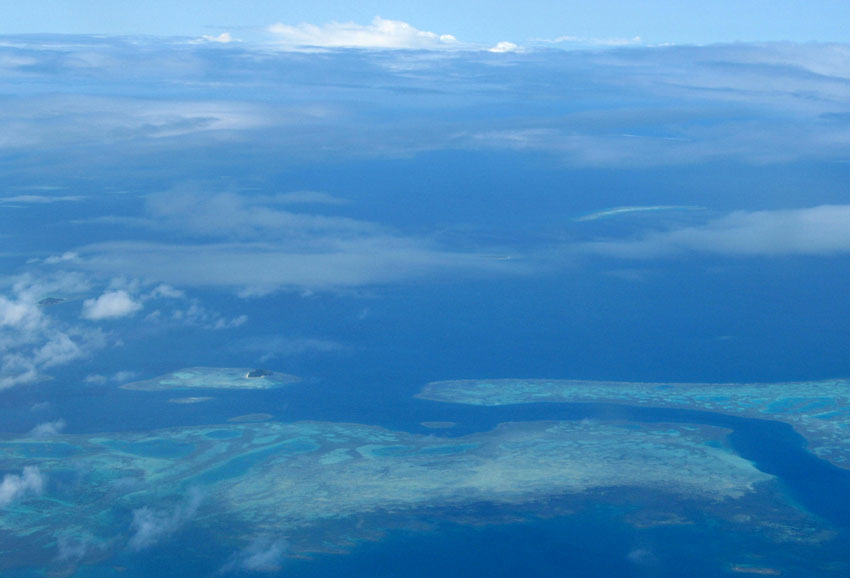
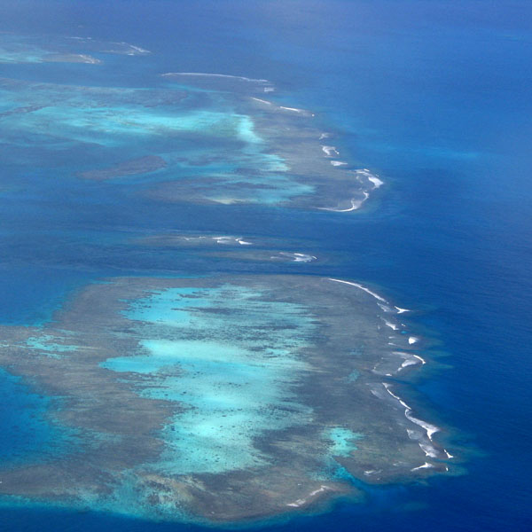
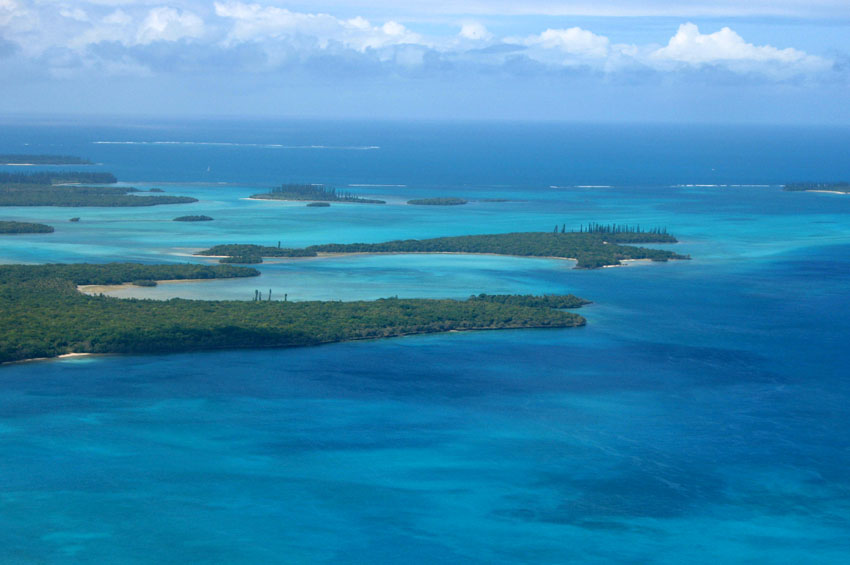
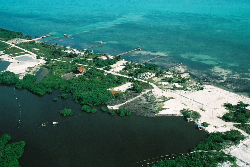
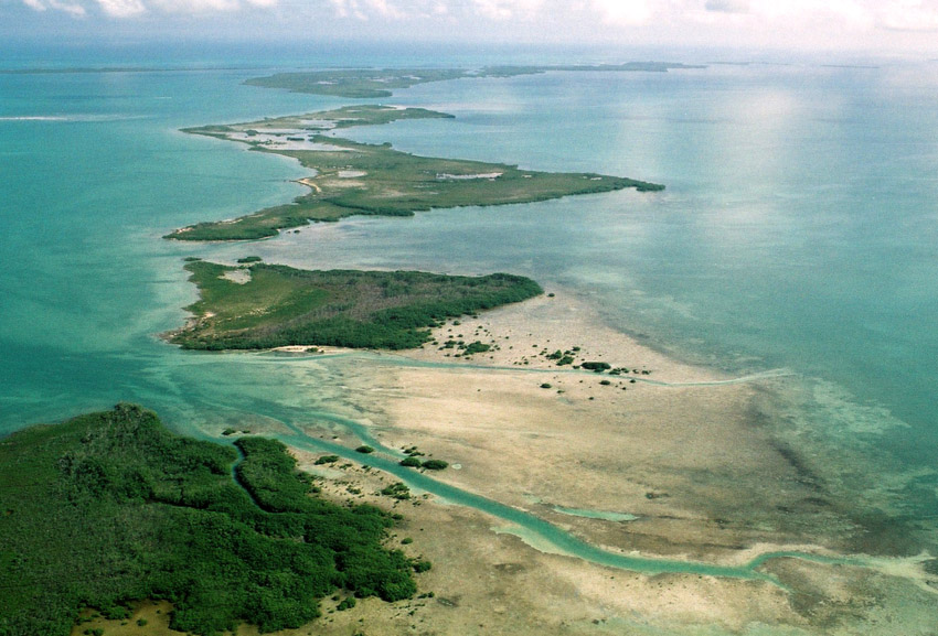
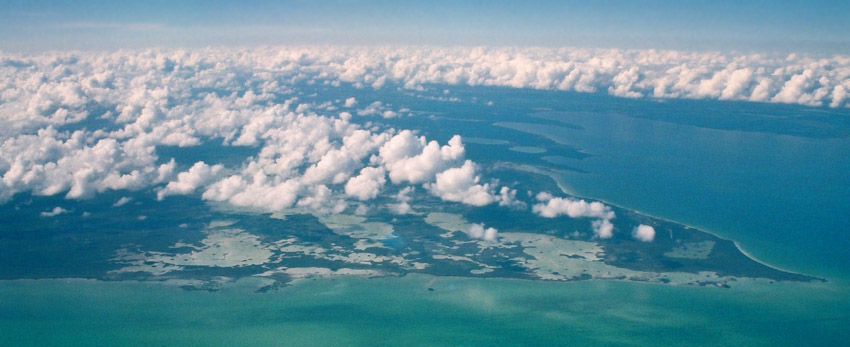
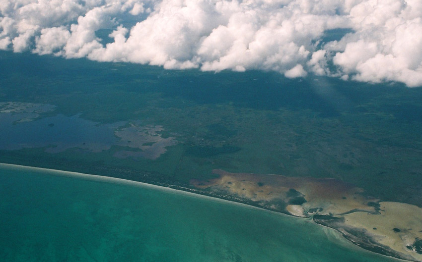
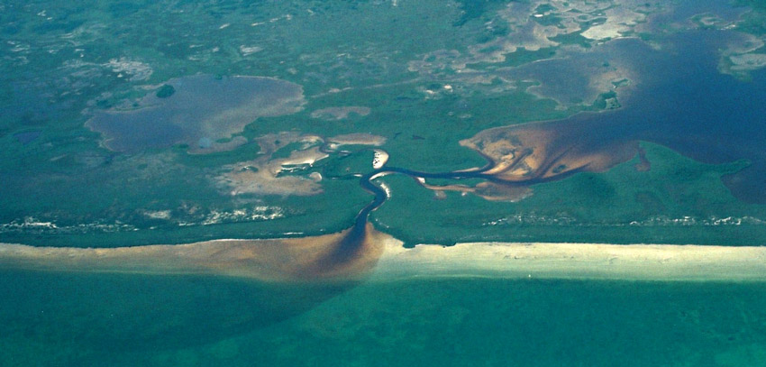
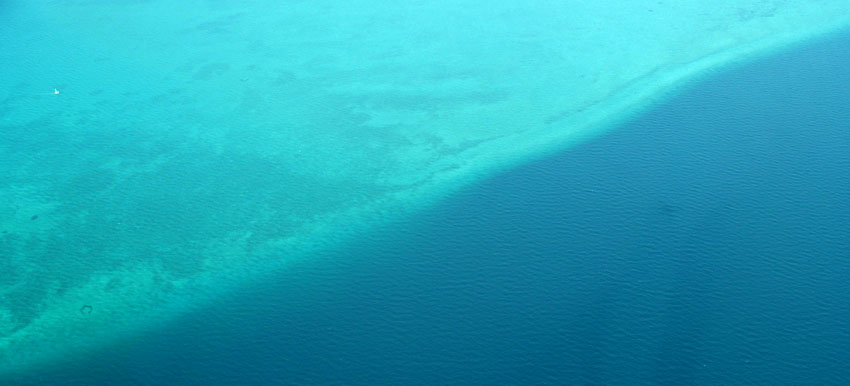
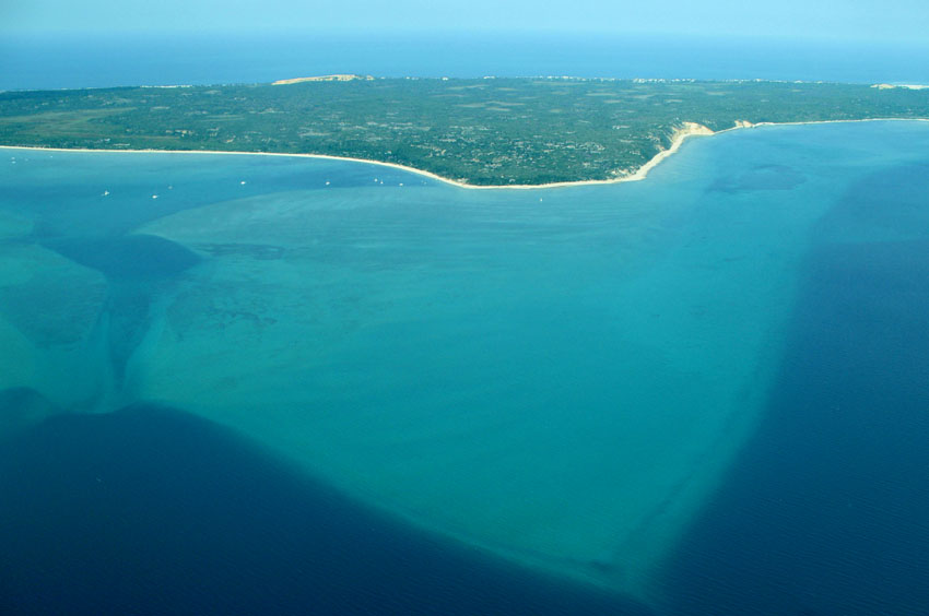
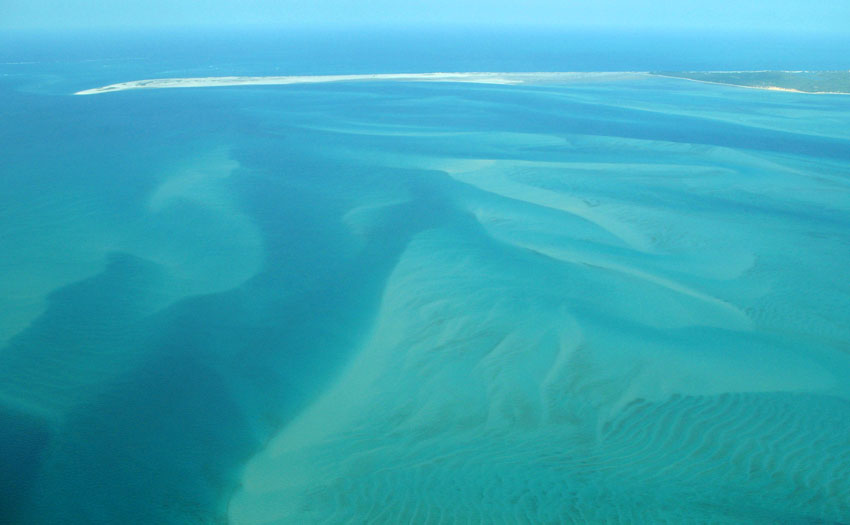
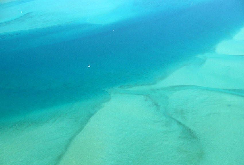
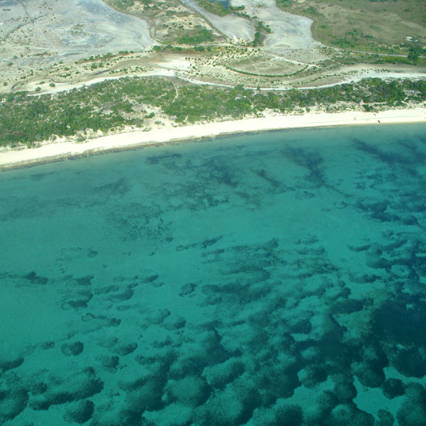
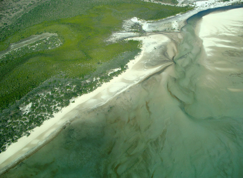
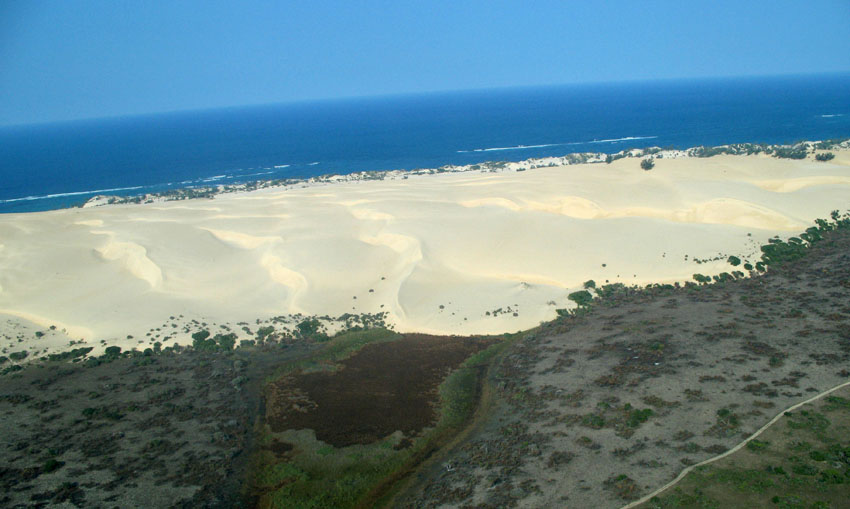
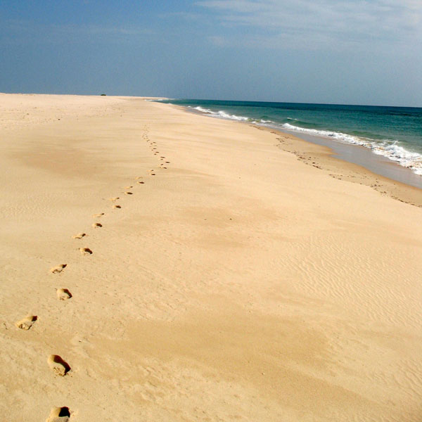
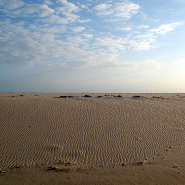
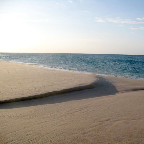
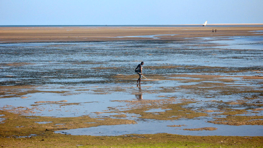
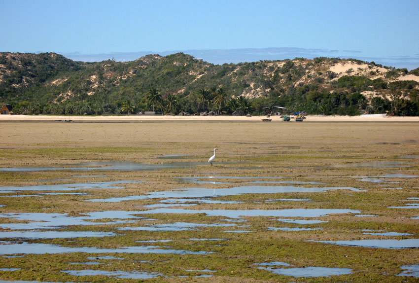
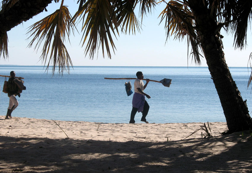
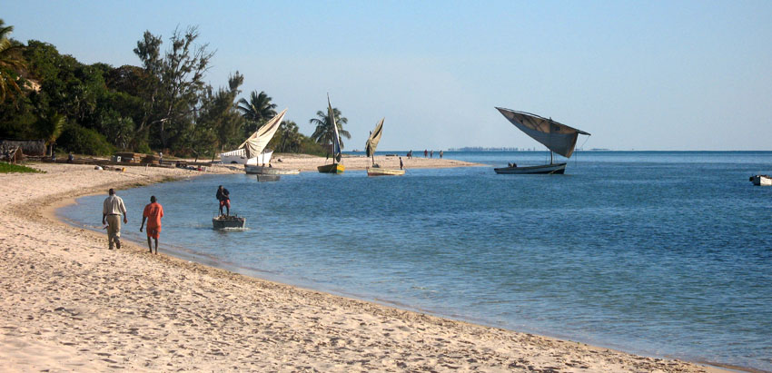
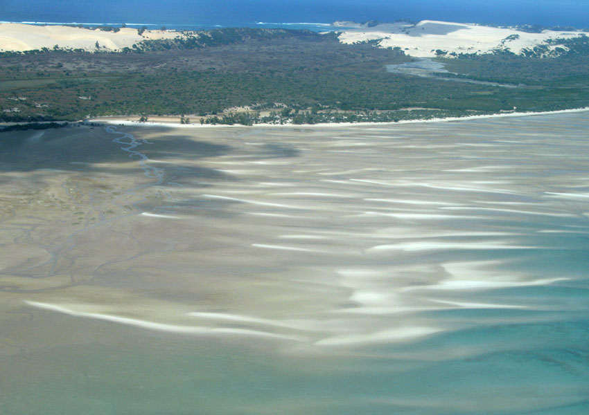
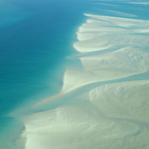
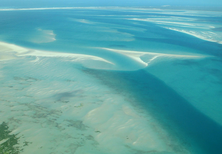
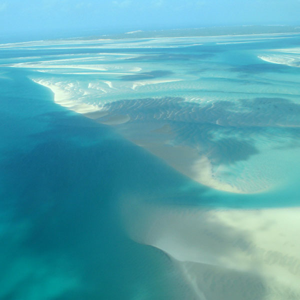
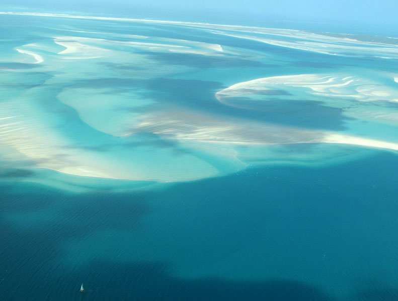
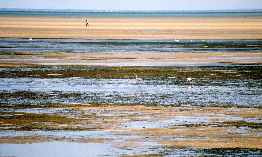
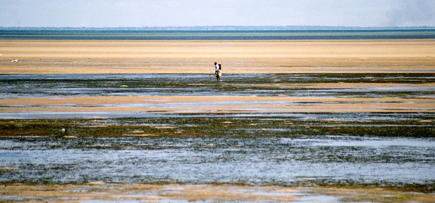
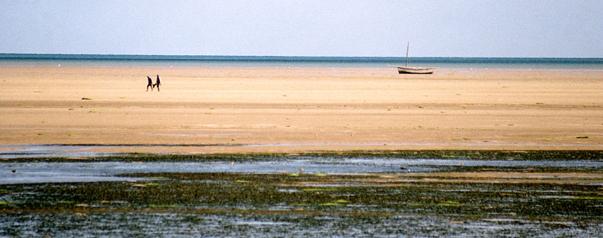
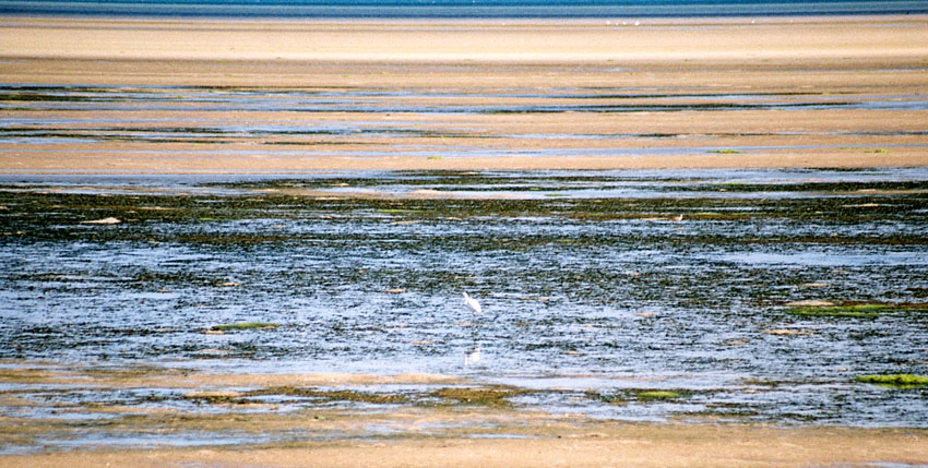
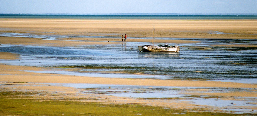
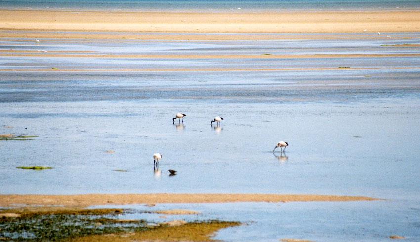
Bazaruto (Portuguese: Ilha do Bazaruto) is a sandy island located approximately 80 kilometers (50 miles) southeast of the mouth of the Save River, Mozambique 21°38′S 35°30′E. The warm, southward-flowing Mozambique Current seems to contribute to the increasing buildup of the sandy coastline. Because the water along this coastal area is very clear, much of the sub-surface channel pattern around the island is discernible. Several narrow lines of plankton bloom (barely visible in the photograph) parallel the shoreline. The coastal plains show numerous lakes and a swampy environment that appears to be karst topography. Underlying the area is limestone rock that has eroded into a pockmarked landscape, creating water-filled sinkholes. Rainfall in this humid subtropical climate amounts to between 50 and 100 centimeters (20 and 40 inches) annually.

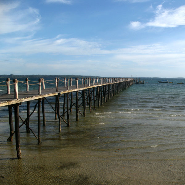
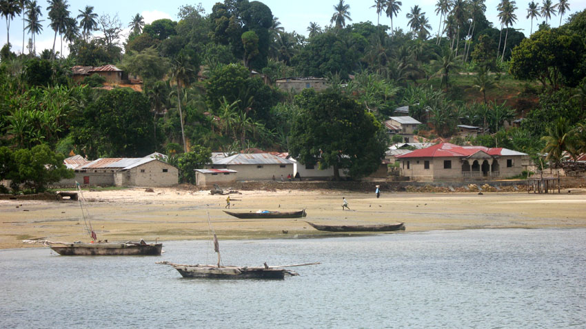
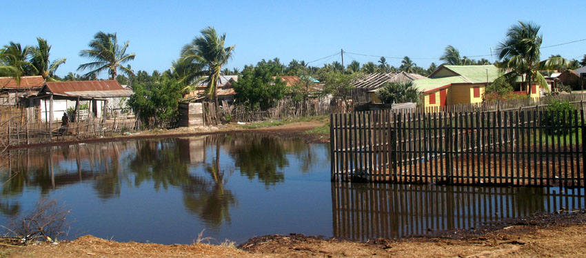
The closest mainland town to the island of Bazaruto is Inhassoro, although administratively it belongs to the Vilankulo District and Inhambane Province.

Source: Wikipedia (under GNU Free Documentation License)

Categories
Tanzania

Pemba

The island of Pemba known as ‘Al Jazeera Al Khadra’ (the green island, in Arabic) is an island forming part of the Zanzibar archipelago, lying off the east coast of Africa in the Indian Ocean. It is situated about 50 kilometres to the north of the island of Zanzibar. In the 1960s Zanzibar was united with the former colony of Tanganyika to form Tanzania. It lies 50 kilometres east of mainland Tanzania. Together with Mafia Island (south of Zanzibar), they form the Spice Islands (not to be confused with Maluku Islands of Indonesia). In 1988, the estimated population was 265,000, with an area of 980 km².

Most of the island, which is hillier and more fertile than Zanzibar, is dominated by small scale farming. There is large scale farming of cash crops such as cloves — there are over 3 million clove trees.

Pemba is also becoming well-known for its dive sites, with vertiginous drop-offs, untouched coral and very abundant marine life. The central town Chake-Chake is located on a hill with a view to the west on the bay and the tiny Misali island where the tides determine when a dhow can enter the harbour.

Source: Wikipedia (under GNU Free Documentation License)

Categories
Tanzania

Misali

Lying west of Pemba’s Chake Chake town, this small island has some wonderful beaches with great diving and snorkelling just offshore. It is covered with verdant forest, which has several beautiful walking trails. There is also a visitor centre. Misali Island and it’s surrounding reef are now known as the Misali Island Marine Conservation Area.

Categories
Madagascar

Anjajavy


Categories
Madagascar

Morondava

Morondava is a city located in the province of Toliara and the Region of Menabe, of which it is the capital, in Madagascar. It is located in the delta of the Morandava River at 20°17′5″S 44°19′3″E.

Air Madagascar has regular scheduled flights to Morondava Airport. The main road to the town, and indeed the roads in the town itself, are severely eroded with less than 30% of the original tarmac left in most places. Overland transport is therefore very slow and difficult, especially in the rainy season. Pirogues are consequently a popular mode of transport used to ferry people and goods up and down the coast, especially to Morombe.

Source: Wikipedia (under GNU Free Documentation License)

Categories
Madagascar

Tôlanaro

Tôlanaro or Tolagnaro is a city (commune urbaine) in Madagascar. It is the capital of the Anosy region, of the Tôlanaro district, and is in the former Toliara Province. It has a port of local importance, and currently a new port is being built in Ehoala. Formerly Fort Dauphin, it was the most durable French settlement in Madagascar.

It was founded in 1643 by the French East India Company who built a fort there, named in honor of the crown prince of France, the future Louis XIV. It was settled by around a hundred colonists, who found themselves involved in the local politics. The poor trade results (some ebony and little more was obtained) hardly justified the difficulties of the settlers, who suffered from tropical illnesses and other problems. After a conflict with the Antanosy people, the survivors were evacuated in 1674.

One temporary settler of this colony, Etienne de Flacourt, published, back in France, the History of the Great Isle of Madagascar and Relations, that was the main source of information on the island for Europeans until the late 19th century.

Source: Wikipedia (under GNU Free Documentation License)

Categories
New Caledonia

Isle of Pines

The Isle of Pines (French: Île des Pins; Kanak name: Kunyié) is an island located in the Pacific Ocean, in the archipelago of New Caledonia, an overseas territory of France. The island is part of the commune (municipality) of L’Île-des-Pins, in the South Province of New Caledonia. The Isle of Pines is often nicknamed l’île la plus proche du paradis (“the closest island to Paradise”) and is famous for snorkeling and scuba diving in and around its colorful lagoon. Many species of tropical fish and corals can be seen in the transparent water.

The island is located around 22°37′S 167°29′E and measures 15 km (9 miles) by 13 km (8 miles). It lies southeast of Grande Terre, New Caledonia’s main island and is approximately 100 kilometres south-east of the capital Noumea. There is one airport (code ILP) with a 1,097-meter (3,600 ft) runway. The Isle of Pines is surrounded by the New Caledonia Barrier Reef.

The inhabitants of the island are mainly native Melanesian Kanaks and the population is approximately 2,000 (estimated 2006).

The island is rich with animal life and is home to many unique creatures such as the Crested Gecko Rhacodactylus ciliatus and the world’s largest gecko Rhacodactylus leachianus.

The pic Nga is the island’s highest point, at 262 meters (860 ft) elevation.

Source: Wikipedia (under GNU Free Documentation License)

Categories
São Tomé and Príncipe

São Tomé I

São Tomé Island, at 854 km2 (330 sq mi), is the largest island of São Tomé and Príncipe and is home to about 133,600 or 96% of the nation’s population. This island and smaller nearby islets make up São Tomé Province, which is divided into six districts. The main island is located 2 km (1¼ miles) north of the equator. It is about 48 km (30 miles) long (North-South) by 32 km (20 miles) wide (east-west). It rises to 2,024 m (6,639 ft) at Pico de São Tomé and includes the capital city, São Tomé, on the northeast coast. The nearest city on mainland Africa is the port city of Port Gentil in Gabon located 240 km (150 miles) to the east.

The entire island of São Tomé is a massive shield volcano which rises from the floor of the Atlantic Ocean, over 3,000 m (10,000 ft) below sea level. It formed along the Cameroon line, a linear rift zone extending from Cameroon southwest into the Atlantic Ocean. Most of the lava erupted on São Tomé over the last million years has been basalt. The youngest dated rock on the island is about 100,000 years old, but numerous more recent cinder cones are found on the southeast side of the island.

Source: Wikipedia (under GNU Free Documentation License)

Categories
Belize

Ambergris Caye

Ambergris Caye, pronounced “am-BER-gis”, is the largest island of Belize located northeast of the country in the Caribbean Sea. Though administered as part of the Belize District, the closest point on the mainland is part of the Corozal District. The Caye (pronounced as “key”, meaning an island, derived from Spanish: cayo) is about 40 kilometres (25 mi) long from north to south, and about 1.6 kilometres (1 mi) wide. It was named after large lumps of ambergris which washed ashore here.

The Belizean island, where it has not been modified by man, is mostly a ring of white sand beach around mangrove swamp in the centre.

A Maya community lived on the island in Pre-Columbian times, and made distinctive polished red ceramics, most notably small well molded figurines of animals.

San Pedro Town is the largest settlement and only town on Ambergris. There are also a number of small villages and resorts. Captain Morgan’s and Mata Chica resorts north of San Pedro played host to the first season of Fox’s Temptation Island in 2000, aired in 2001. More recently, the availability of skydiving during the winter has become a draw for tourists so inclined.

Tourism development of Ambergris Caye began in the early 1970s and grew considerably in the later years of the 20th century. The main attractions are the Belize Barrier Reef and its beaches. That barrier reef is the second largest in the world, after the Great Barrier Reef of Australia. The caye has a small airstrip serviced by Tropic Air and Maya Island Air, and can be reached by plane from Belize City as well as by numerous fast sea ferries.

Source: Wikipedia (under GNU Free Documentation License)

Categories
Belize

Belize

Belize, formerly British Honduras, is a country in Central America. Belize has a diverse society, composed of many cultures and speaking many languages. It is the only country in Central America where English is the official language. It is bordered by Mexico to the north, Guatemala to the south and west, the and Caribbean sea to the east. Kriol and Spanish are also widely spoken. With 8,867 square miles (22,960 km²) of territory and 320,000 people (2008 est.), the population density is the lowest in the Central American region and one of the lowest in the world. Belize is the least populous non-island nation outside of Europe. The country’s population growth rate, 2.21% (2008 est.), is the highest in the region and one of the highest in the western hemisphere. Culturally, Belize considers itself to be both Caribbean and Central American.

Belize is located on the Caribbean coast of northern Central America. It shares a border on the north with the Mexican state of Quintana Roo, on the west with the Guatemalan department of Petén, and on the south with the Guatemalan department of Izabal. To the east in the Caribbean Sea, the second-longest barrier reef in the world flanks much of the 386 kilometres (240 mi) of predominantly marshy coastline. The area of the country totals 22,960 square kilometres (8,860 sq mi), an area slightly larger than El Salvador or Massachusetts. The abundance of lagoons along the coasts and in the northern interior reduces the actual land area to 21,400 square kilometres (8,300 sq mi).

Source: Wikipedia (under GNU Free Documentation License)