Categories
French Polynesia Society Islands

Raiatea

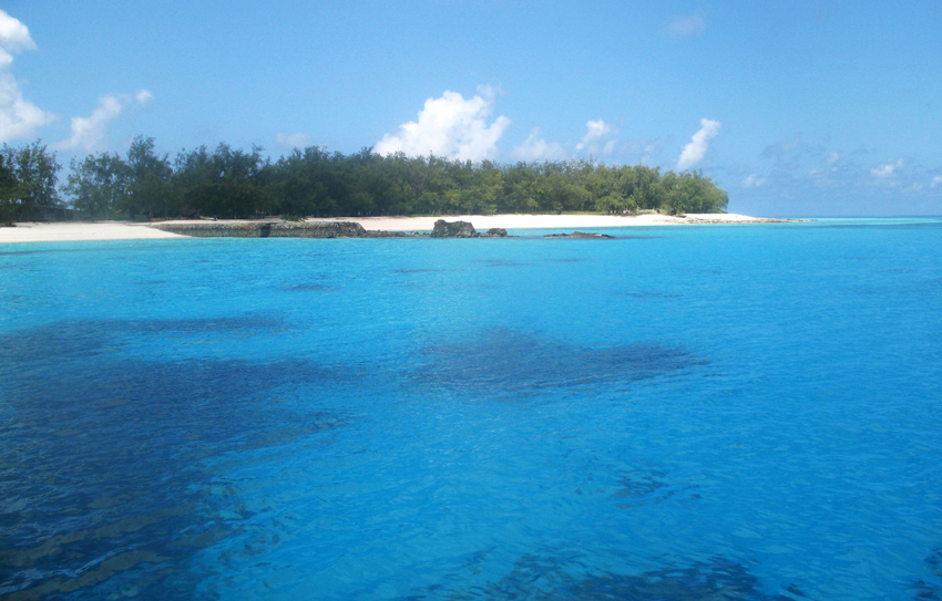
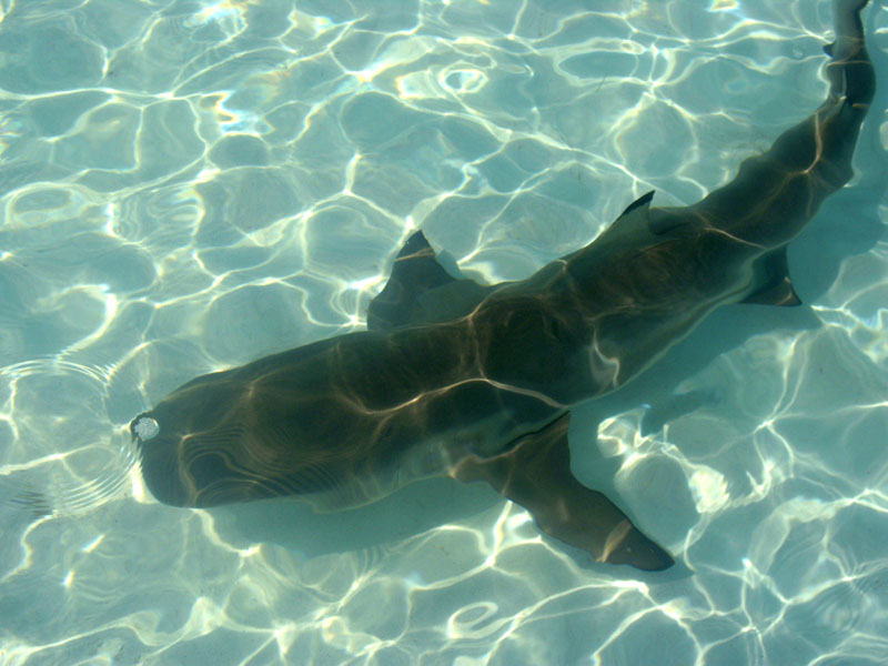
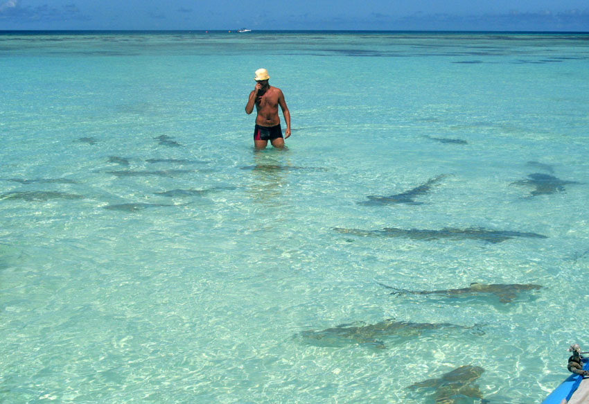
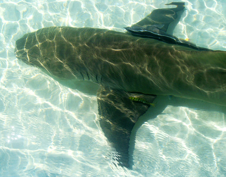
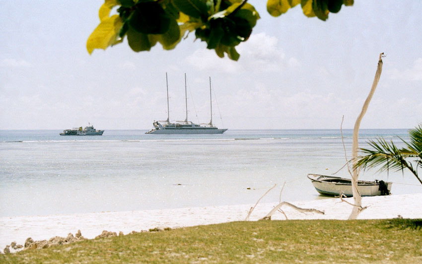
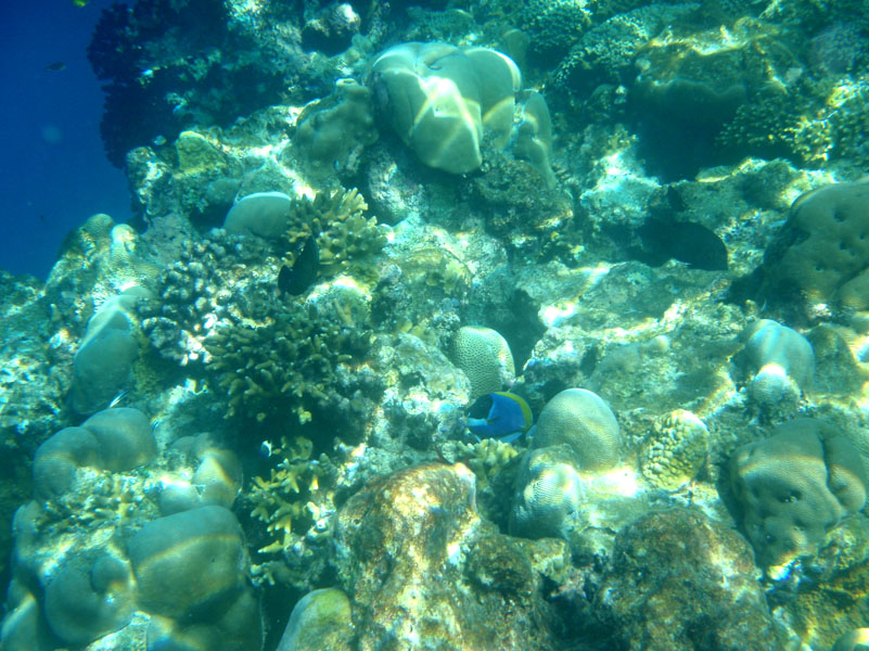
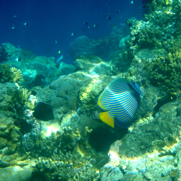
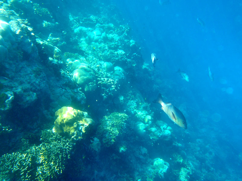
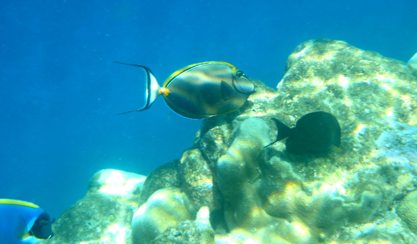
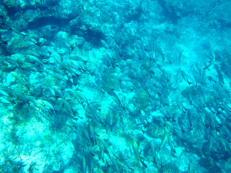
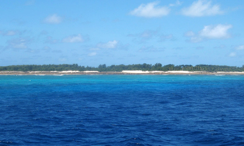
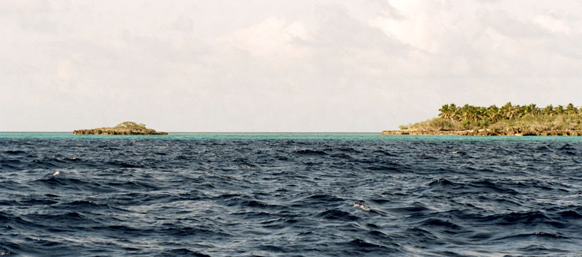
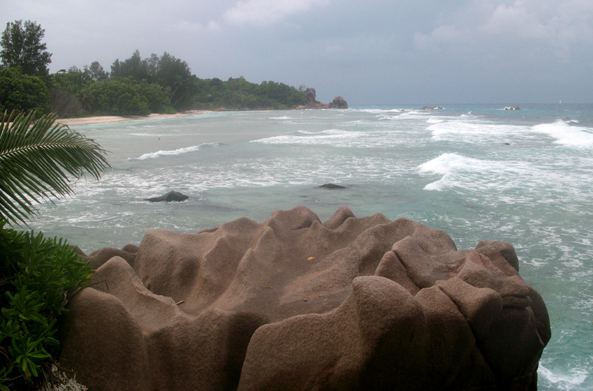
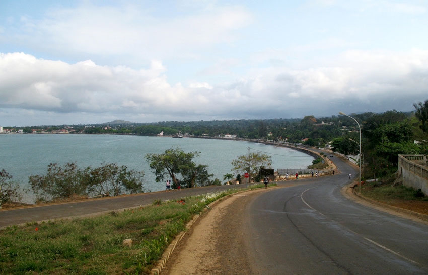
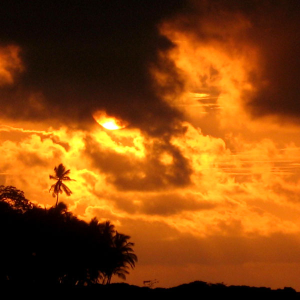
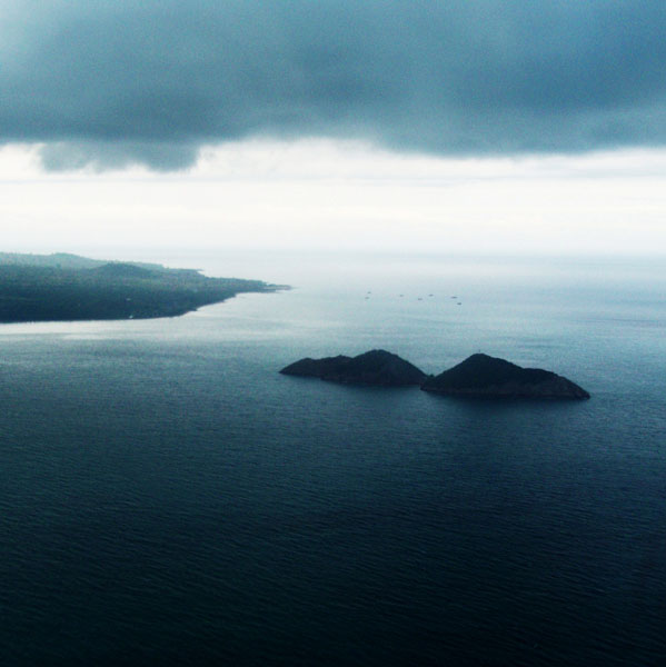
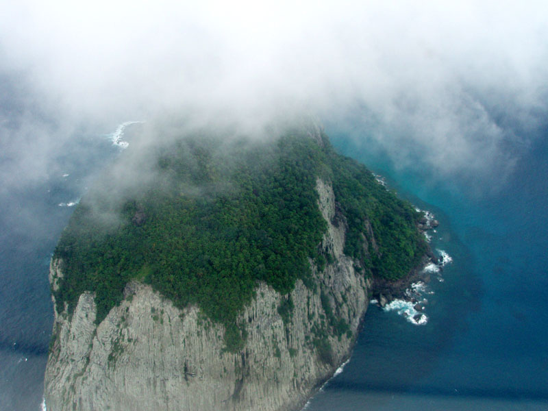
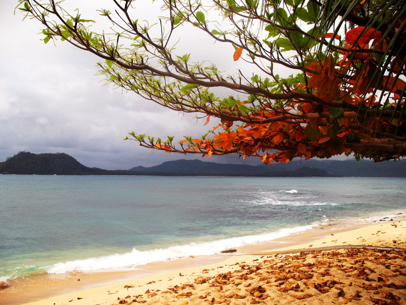
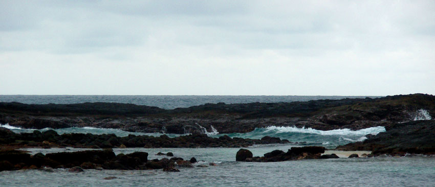
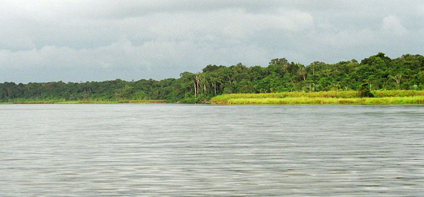
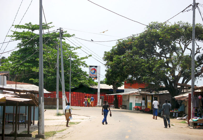
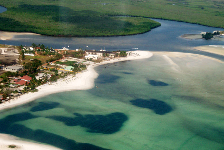
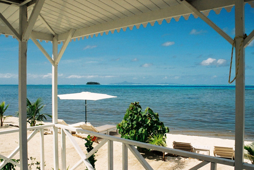
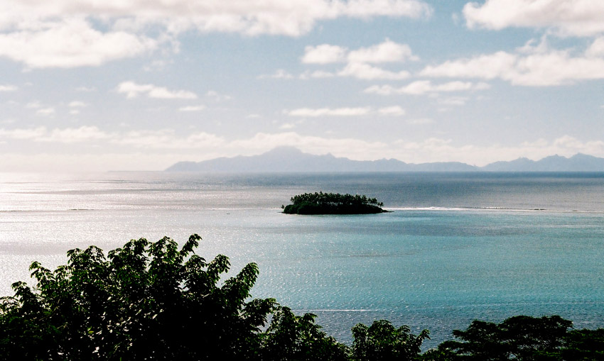
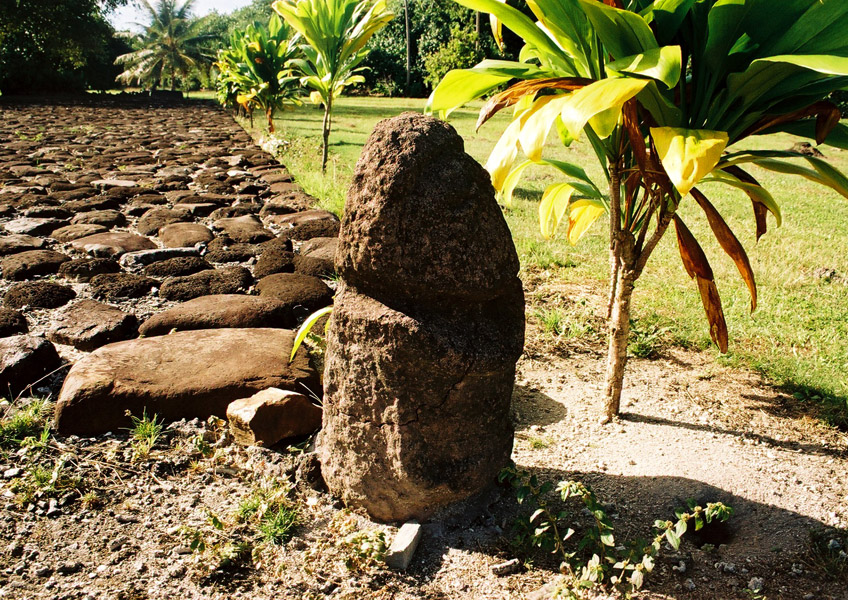
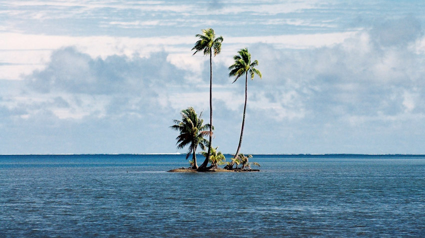
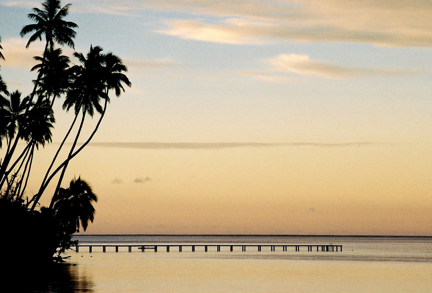
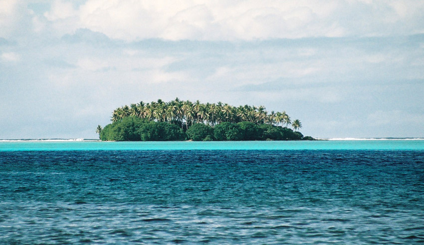
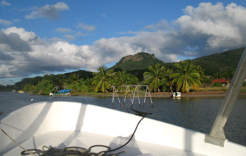
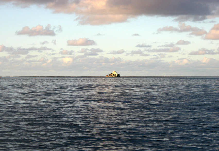
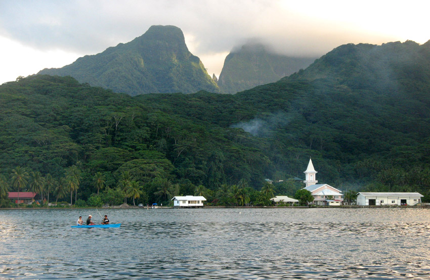
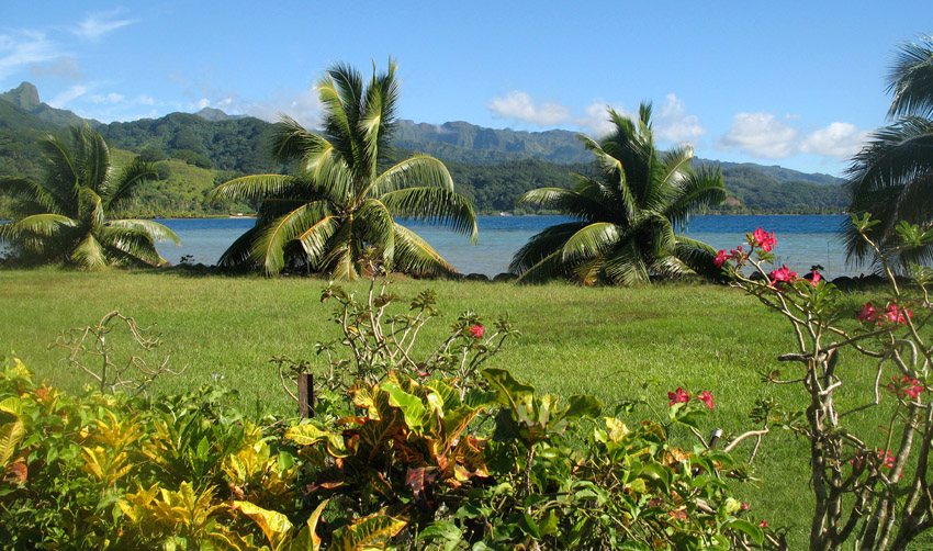
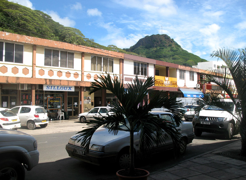
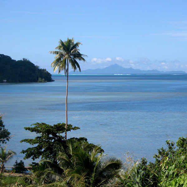
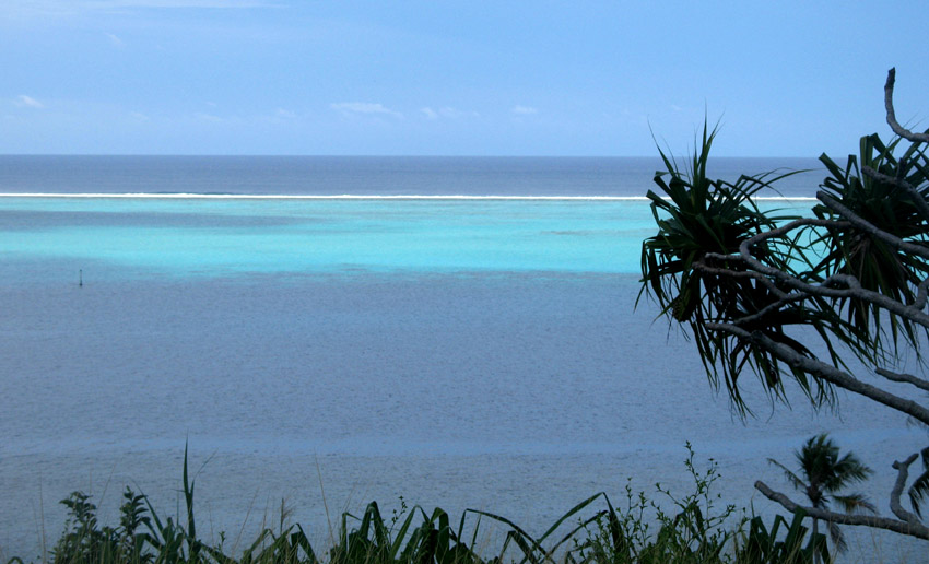
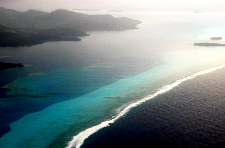
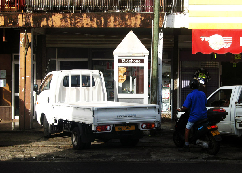
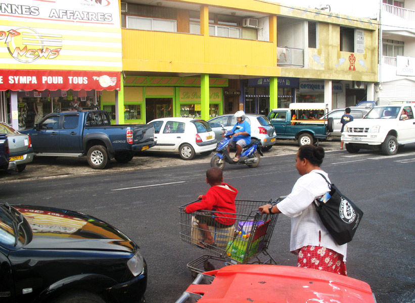
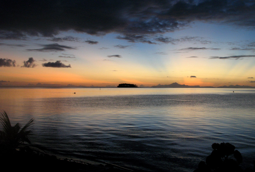
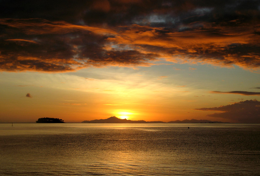
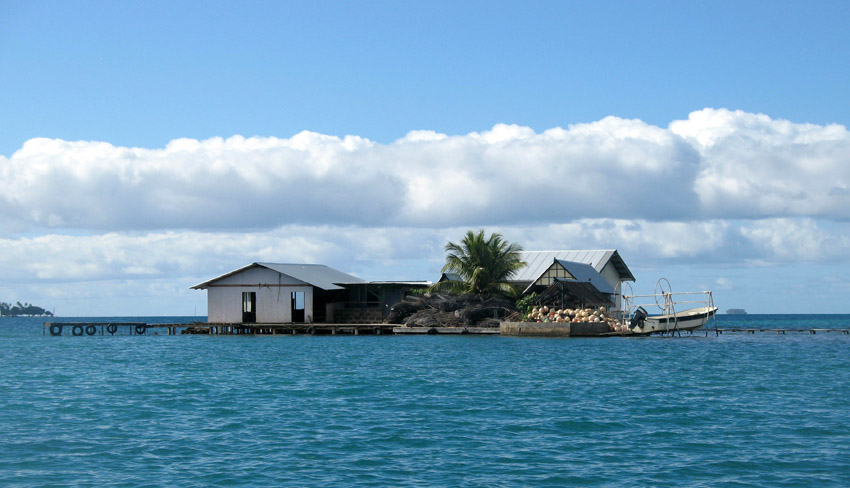
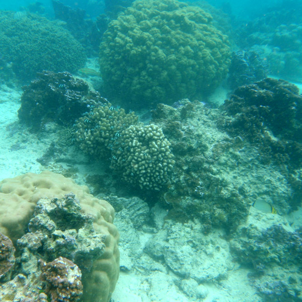
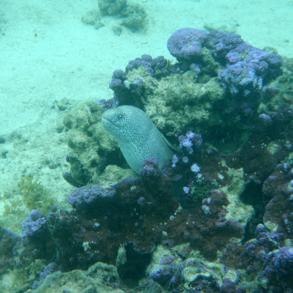
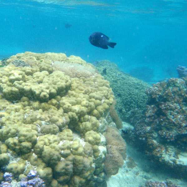
Somewhat smaller than Tahiti, Raiatea is the second largest of the Society Islands in French Polynesia. The proper spelling of the name, rarely used though, in the Tahitian language is Ra’iatea, meaning bright sky; Ulieta is an obsolete transcription commonly used in the 19th century. The chief town on Raiatea is Uturoa, administrative center for the Leeward Islands (French Îles Sous-le-vent). The islands of Raiatea and Tahaa are both enclosed by the same coral reef, and may once have been a single island.

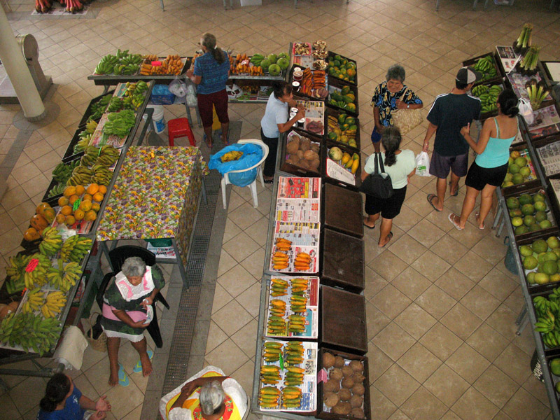
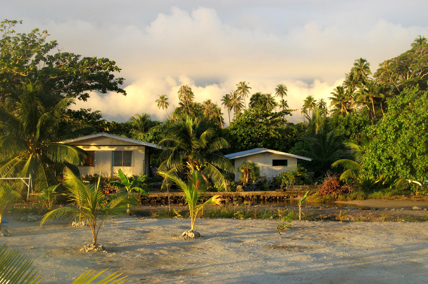
Raiatea is both the largest and most populated island in the Leeward Islands, with a land area of 167.7 km² (64.7 sq. miles) and a total population of 12,024 inhabitants at the August 2007 census. The population density is 72 inhabitants per km². Ra’iatea is widely regarded as the ‘center’ of Polynesia and it is likely that the organised migrations to Hawaii, Aoteroa (New Zealand) and other parts of East Polynesia started at Ra’iatea. A traditional name for the island is Havai’i fanau fenua (Hawai’i birther of land).

Source: Wikipedia (under GNU Free Documentation License)

Categories
Seychelles

Assumption

Assumption Island is a small island located at 9°45′S 46°29′E in the Indian Ocean north of Madagascar and is part of the country of the Seychelles. It is located about 30 km southeast of the Aldabra Atoll and is part of the Aldabra Group. It is a single coral island which measures 11.07 km² in area and which has a small settlement on the sheltered western side, surrounded by Casuarina trees. An abandoned coconut palm plantation is just south of it. There is a concrete runway that runs from between the two sand dunes on the southeast to the settlement. The western shore features an almost uninterruptend sandy beach of 5 km. Two large sand dunes are prominent on the southeastern coast of the island, one of them 32 m high.

Due to the devastating effect of guano mining which lasted until 1983, the island is dominated by expanses of bare rock and caves, and is sparsely covered with low-growing vegetation.

A notable feature of this island is the Assumption Island day gecko, a subspecies of gecko found only on this island.

The documentary The Silent World was partially shot on Assumption.

Source: Wikipedia (under GNU Free Documentation License)

Categories
Seychelles

Aldabra Atoll

Aldabra is a raised coral atoll in the Aldabra Group of islands in the Indian Ocean that form part of the Seychelles. The island is more than 700 miles from Mahé and is closer to the coast of Africa and Madagascar. Virtually untouched by humans, with distinctive island fauna, including the Aldabra Giant Tortoise, the island is designated a World Heritage Site. The atoll is home to the world’s largest population of giant tortoises, numbering some 100,000 individuals. They are also known for their green turtles, hawksbill turtles, hammerhead sharks, mantarays, barracuda, and birds, including the Aldabra rail, the last surviving flightless bird of the Indian Ocean region. The Aldabra Group includes the island of Assumption and the atolls of Astove and Cosmoledo.

Aladabra was designated a World Heritage Site on November 19, 1982, and is administered by the Seychelles Island Foundation based on Mahé. An environmental disaster for the island was averted in the 1960s when the British nearly entered into negotiations with the United States to turn the island into a military air base. The proposal created an international protest by ecologists and their lobbying resulted in military plans abandoned and the wildlife habitat receiving full protection.

Source: Wikipedia (under GNU Free Documentation License)

Categories
Seychelles

Astove

Astove Island is part of the Aldabra Group of the Seychelles. It is 38 km SSE of Cosmoledo Atoll, located at 10°06′S 47°45′E. It is a raised coral island of most peculiar form: a single stretch of land, more than 1 km (nearly one mile) at the widest, almost entirely encloses a shallow lagoon. This has a maximum depth of 3 metres (10 ft), and the only exit is a winding passage in the southwest, called Gueule Bras Channel.

Astove Island measures nearly 6 km (3.7 miles) north to south and about 4 km (2.5 mi) at most east to west. The land area is 4.96 km², and the total area including the lagoon 9.5 km². The only settlement, on the western coast, has been abandoned since the 1980s. There is a grass airstrip on the north east point of the island, and remnants of a former coconut and sisal plantation. Today, the island is rarely visited – usually by scientists researching the lagoon’s ecology – but the near-vertical drop-off from its outer reef edge is a popular location for diving cruises.

Source: Wikipedia (under GNU Free Documentation License)

Categories
Seychelles

La Digue II

La Digue is the fourth largest inhabited island of the Seychelles, lying east of Praslin and west of Felicite Island. It has a population of about 2,000 people, who mostly live in the west coast villages of La Passe (linked by ferry to Praslin and Mahé) and La Réunion. It has an area of 10 km². La Digue is named after a ship in the fleet of French explorer Marc-Joseph Marion du Fresne, who visited the Seychelles in 1768.

Today the island’s main industry is tourism and is known for its beaches especially Anse Source d’Argent. In former times copra and vanilla production were mainstays of the local economy; which is commemorated in the island’s museum. In the island’s interior is Veuve Nature Reserve, home of the rare Black Paradise Flycatcher, of which there are only about 100 in existence. La Digue’s tallest peak is also in the central part of the island, Belle Vue (Eagle’s Nest Mountain), with its summit more than 300 meters above sea level.

Source: Wikipedia (under GNU Free Documentation License)

Categories
São Tomé and Príncipe

São Tomé II

São Tomé Island, at 854 km2 (330 sq mi), is the largest island of São Tomé and Príncipe and is home to about 133,600 or 96% of the nation’s population. This island and smaller nearby islets make up São Tomé Province, which is divided into six districts. The main island is located 2 km (1¼ miles) north of the equator. It is about 48 km (30 miles) long (North-South) by 32 km (20 miles) wide (east-west). It rises to 2,024 m (6,639 ft) at Pico de São Tomé and includes the capital city, São Tomé, on the northeast coast. The nearest city on mainland Africa is the port city of Port Gentil in Gabon located 240 km (150 miles) to the east.

The entire island of São Tomé is a massive shield volcano which rises from the floor of the Atlantic Ocean, over 3,000 m (10,000 ft) below sea level. It formed along the Cameroon line, a linear rift zone extending from Cameroon southwest into the Atlantic Ocean. Most of the lava erupted on São Tomé over the last million years has been basalt. The youngest dated rock on the island is about 100,000 years old, but numerous more recent cinder cones are found on the southeast side of the island.

Source: Wikipedia (under GNU Free Documentation License)

Categories
São Tomé and Príncipe

Príncipe

Príncipe is the smaller of the two major islands of São Tomé and Príncipe lying off the west coast of Africa. It has an area of 136 km² and a population of around 5,000 people. It rises in the south to 948 metres at Pico de Príncipe, in a thickly forested area forming part of the Obo National Park. The north and centre of the island were formerly plantations but largely reverted to forest. The island forms one province and one district named Pagué. The languages other than Portuguese includes Principense or Lunguyê with a few Forro speakers.

The island has one town, Santo António, and an airport (IATA code: PCP, ICAO: FPPR?), as well as some small villages including Bela Vista, Bombom, Futuro, Neves Ferreira, Paciencia, Ponta Fonte, Ribeira Ize, Santo Antonio de Ureca, Vila Rosa and more – few connected to the small road network.

The island is a heavily eroded volcano over three million years old, surrounded by other smaller islands including Ilheu Bom Bom, Ilhéu Caroço, Tinhosa Grande and Tinhosa Pequena.

Príncipe was the site where Einstein’s Theory of Relativity was experimentally proved successful by Arthur Stanley Eddington and his team during an eclipse in 1919.

Source: Wikipedia (under GNU Free Documentation License)

Categories
São Tomé and Príncipe

Rolas II

Rolas is a small island lying south of São Tomé Island, being the third largest island of São Tomé and Príncipe. It lies directly on the equator and is known for its beaches, its palm trees, its lighthouse and its beach resort. The island rises to a volcano and is linked by boat to Porto Alegre on São Tomé Island.

Source: Wikipedia (under GNU Free Documentation License)

Categories
Gabon

Gabon

Gabon is a country in west central Africa sharing borders with the Gulf of Guinea to the west, Equatorial Guinea to the northwest, and Cameroon to the north, with the Republic of the Congo curving around the east and south. Its size is almost 270,000 km² with an estimated population of 1,500,000. The capital and largest city is Libreville. Since its independence from France on August 17, 1960, the Republic has been ruled by three presidents. In the early 1990s, Gabon introduced a multi-party system and a new democratic constitution that allowed for a more transparent electoral process and reformed many governmental institutions. The small population together with abundant natural resources and foreign private investment have helped make Gabon one of the most prosperous countries in the region, with the highest HDI in Sub-Saharan Africa.

The earliest inhabitants of the area were Pygmy peoples. They were largely replaced and absorbed by Bantu tribes as they migrated.

In the 15th century, the first Europeans arrived. The nation’s present name originates from “Gabão”, Portuguese for “cloac”, which is roughly the shape of the estuary of the Komo River by Libreville.

Source: Wikipedia (under GNU Free Documentation License)

Categories
Mozambique

Ibo

Ibo is one of the Quirimbas Islands in the Indian Ocean off northern Mozambique. It is part of Cabo Delgado Province. It grew as a Muslim trading port. Vasco da Gama reportedly rested on the island in 1502. The island was fortified in 1609 by the Portuguese.

In the late eighteenth century, Portuguese colonialists built the Fort of São João, which still survives, and the town, as a slave port, became the second most important in the region after Mozambique Island. The island is now a far quieter place, known for its silversmiths.

Ibo forms part of the Quiribas National Park and is linked by dhows to the mainland at Tandanhangue.

Source: Wikipedia (under GNU Free Documentation License)