Categories
Lesser Sunda Islands

Pulau Alor

Alor (Indonesian: Pulau Alor) is the largest island in the Alor Archipelago located at the eastern Lesser Sunda Islands that runs through southeastern Indonesia, which from the west include such islands as Bali, Lombok, Sumbawa, Komodo, and Flores.

To the east of the island across the Ombai Strait lie the islands of Wetar and Atauro, the latter belonging to East Timor. To the south, across the Strait of Alor, lies the western part of Timor. To the north lies the Banda Sea. To the west lies Pantar and the other islands of the Alor archipelago, and further yet the rest of the Sunda Islands.

On 12 November 2004, an earthquake measuring 6.0 on the Richter scale occurred, killing 34 people.

Source: Wikipedia (under GNU Free Documentation License)

Categories
Maluku Islands

Pulau Damar

Damar Island (Indonesian: Pulau Damar) is a small volcanic island in the Barat Daya Islands group in Indonesia’s Maluku province, on the southern side of the Banda Sea.

Damar is about 20 km long by 18 km wide. It lies about 125 km east of Romang and 200 km east of Wetar. The northern part of the island has been largely cleared for dryland farming of coconuts, cashews, coffee beans, cocoa beans, cloves and nutmegs, while the southern part is still mainly forested. Habitation is concentrated in the north and east; most islanders are farmers or fishers. The highest point of the island is 868 m Mount Wurlali, an andesitic stratovolcano.

Source: Wikipedia (under GNU Free Documentation License)

Categories
Maluku Islands

Pulau Kyabrengan


Categories
Indonesia West Papua

Raja Ampat Islands I

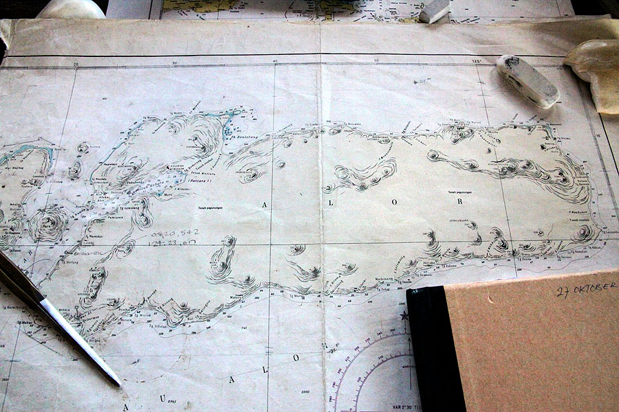
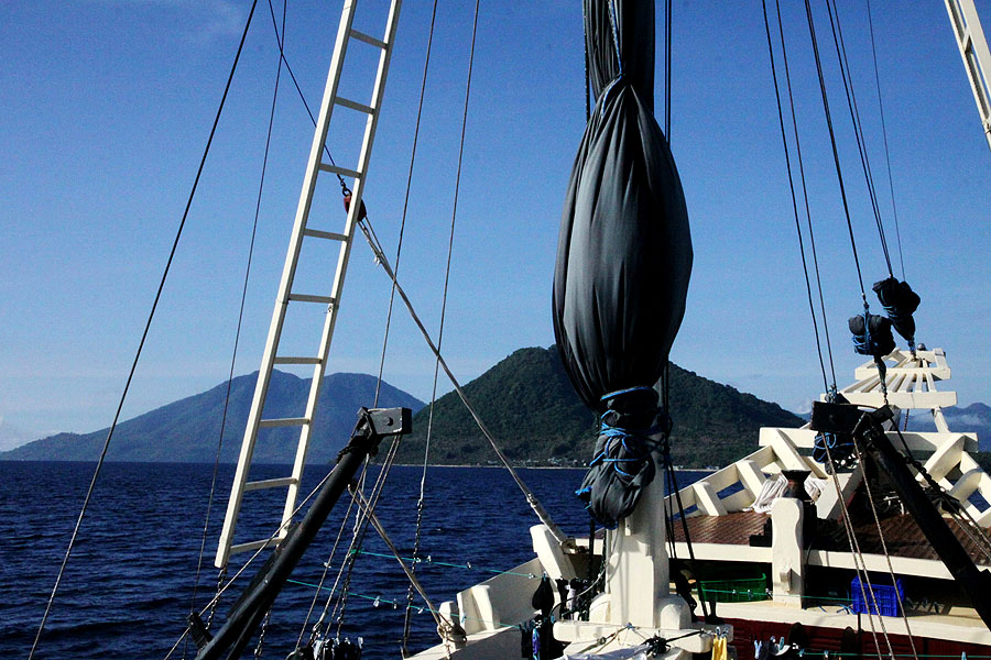
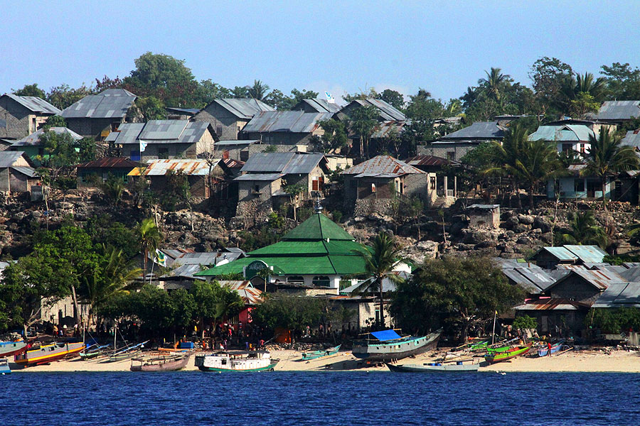
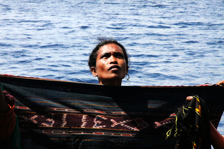
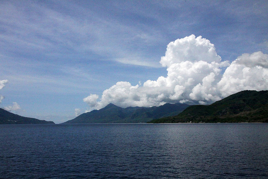
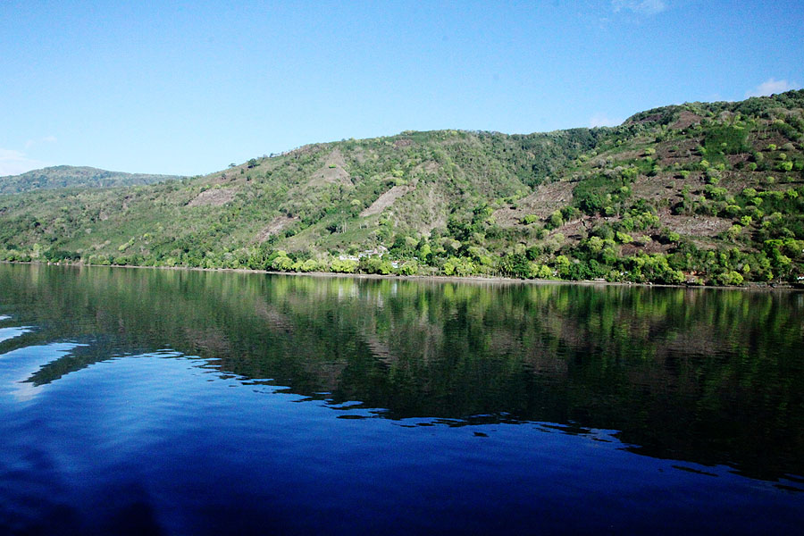
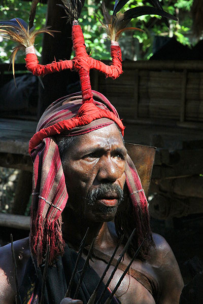
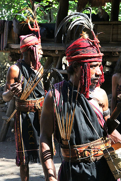
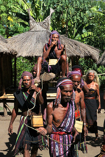
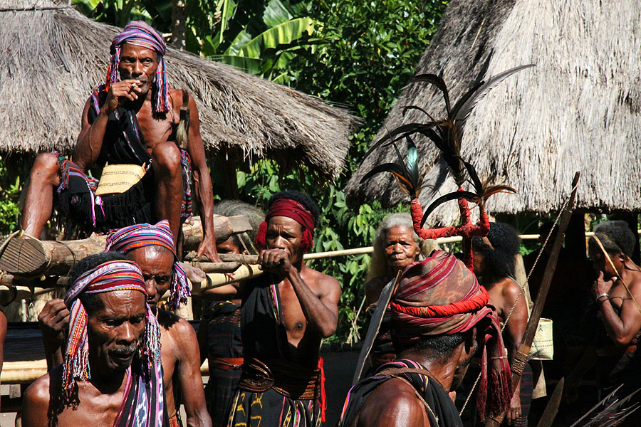
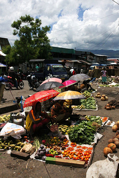
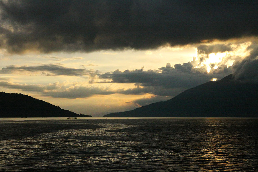
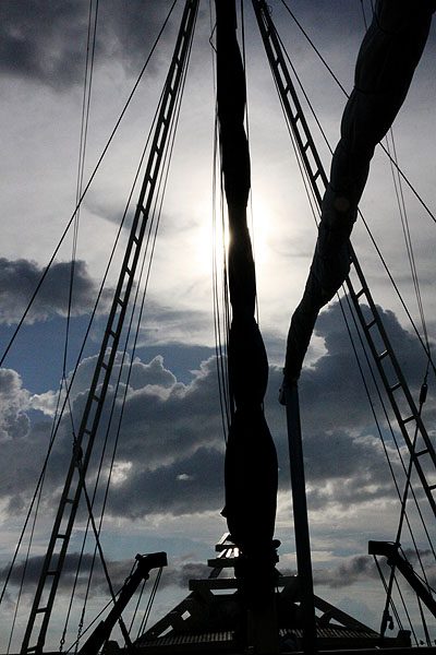
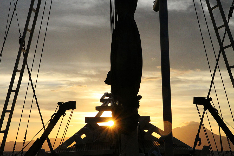
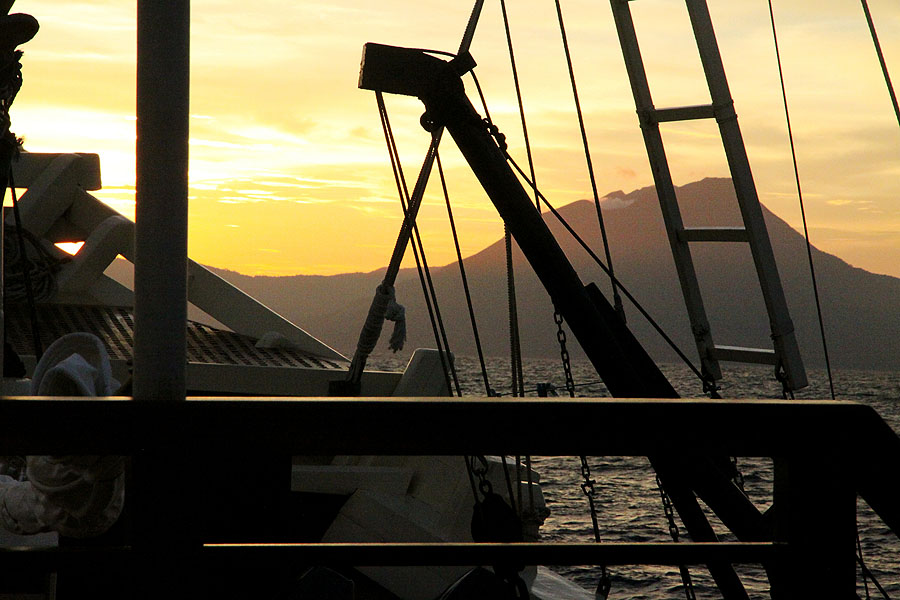
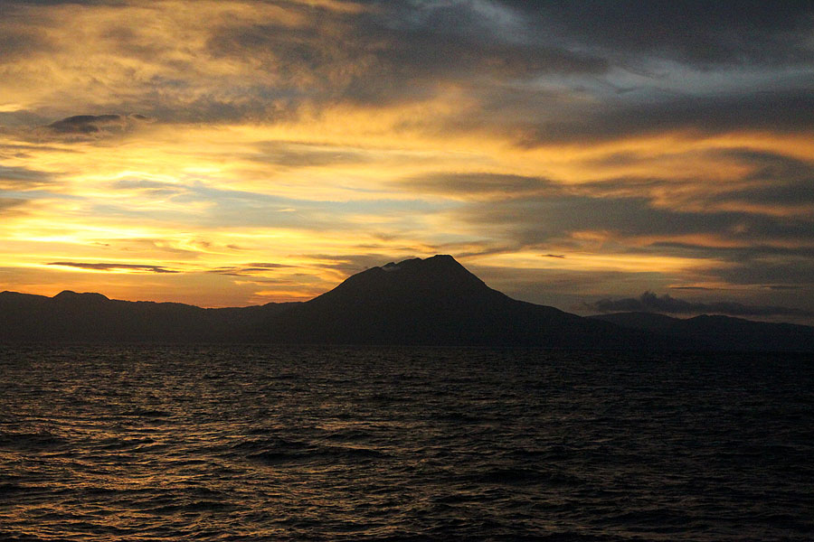
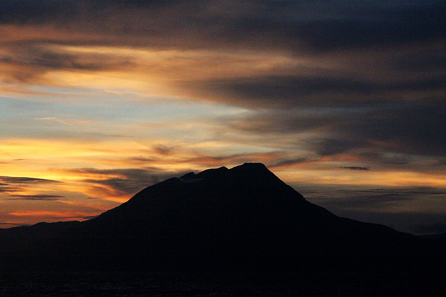
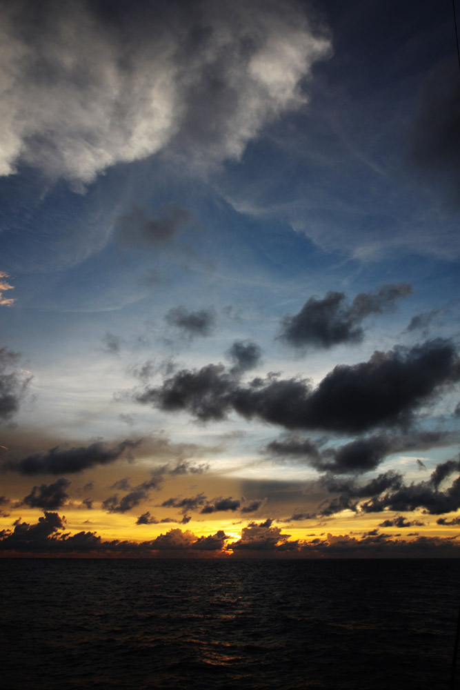
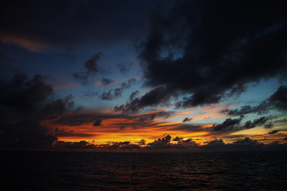
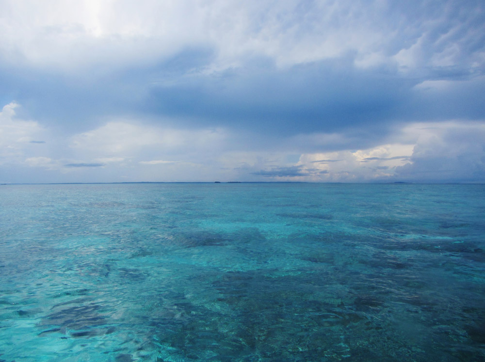
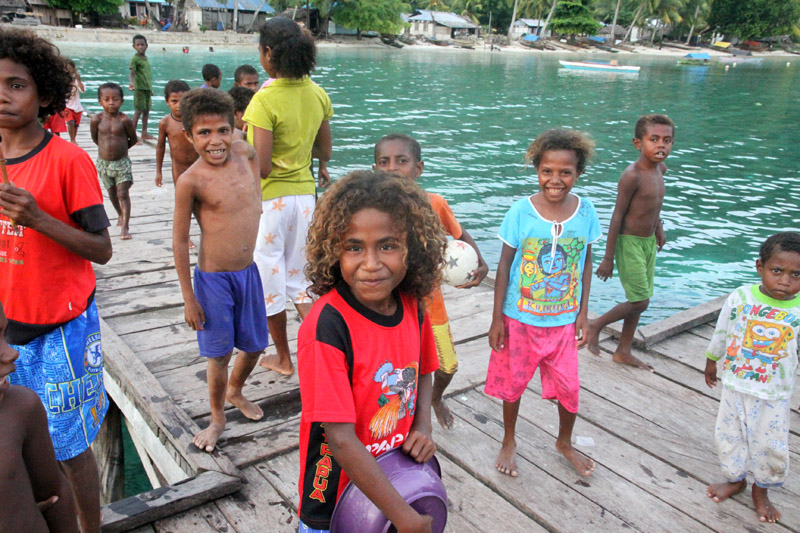
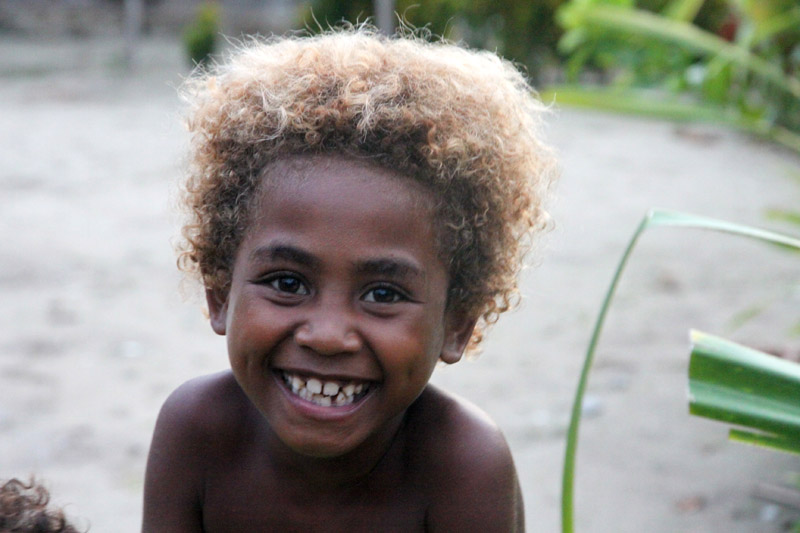
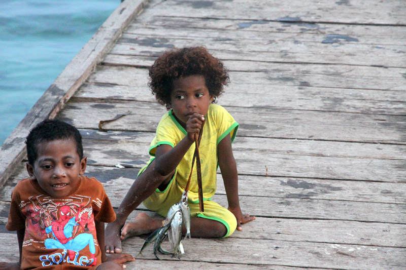
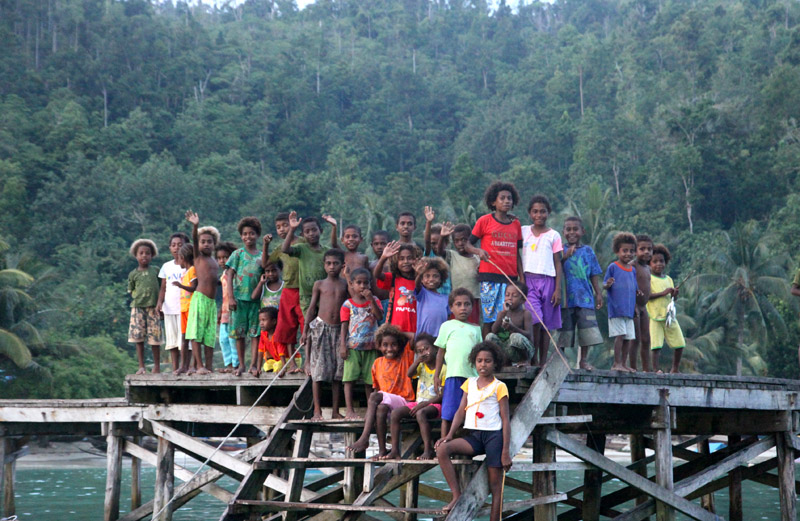
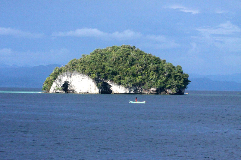
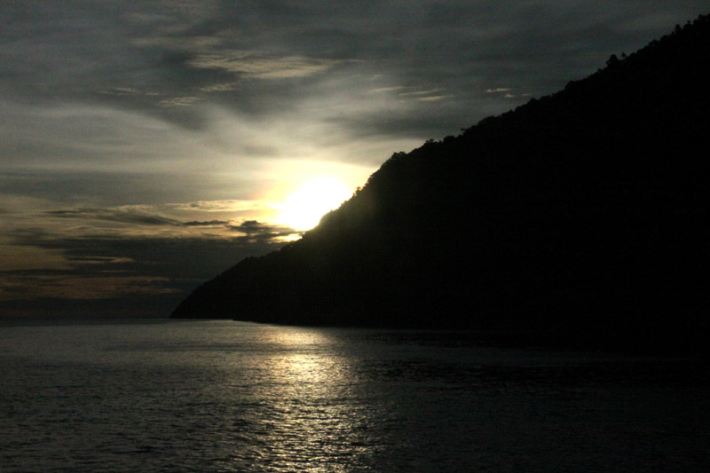
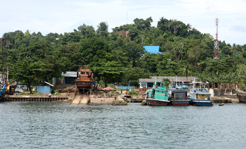
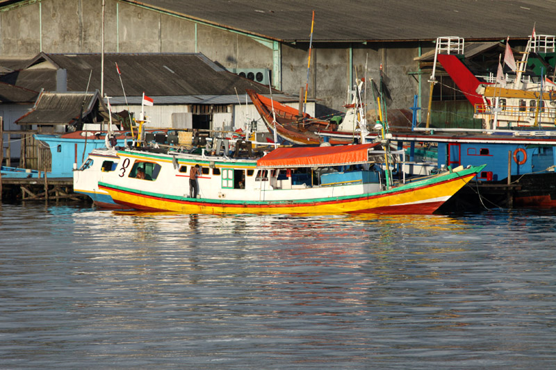
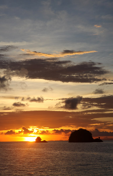
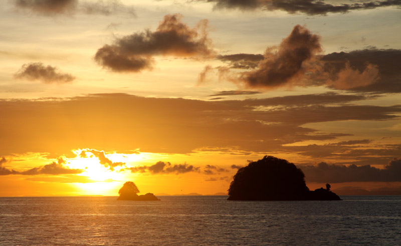
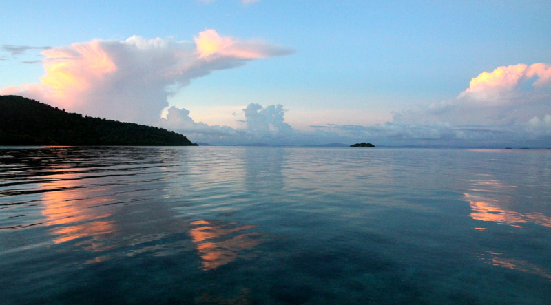
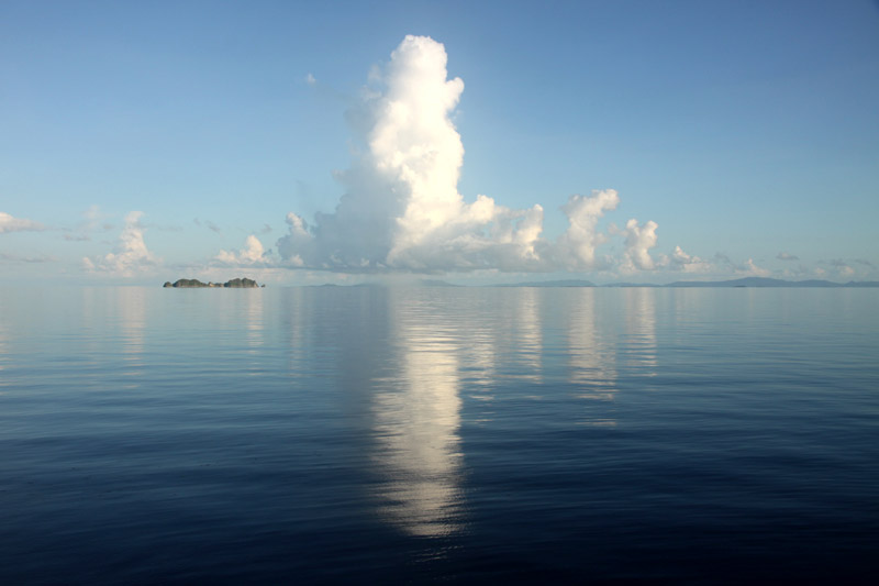
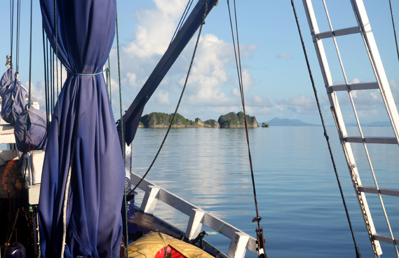
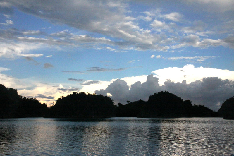
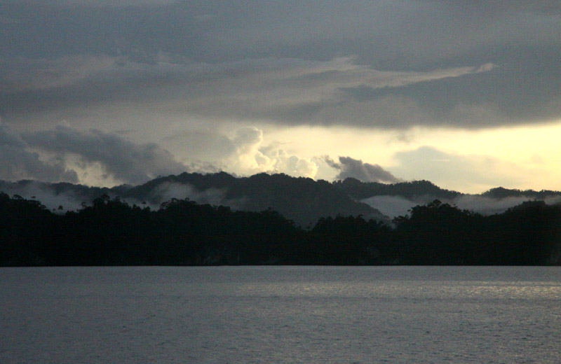
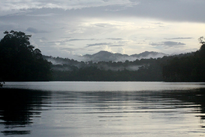
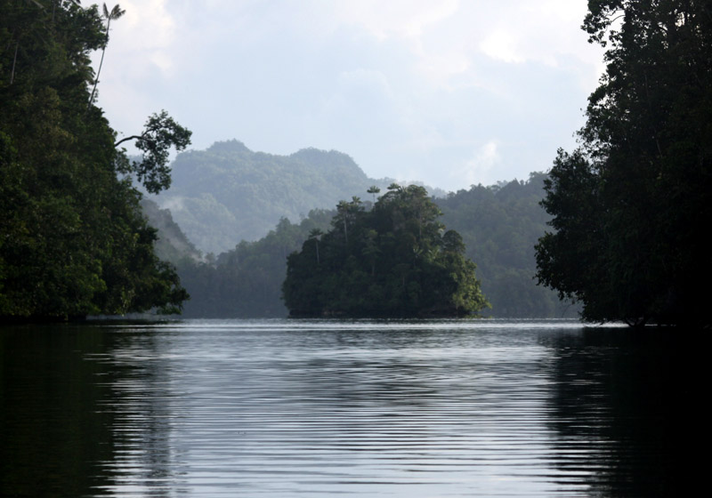
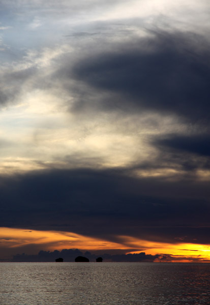
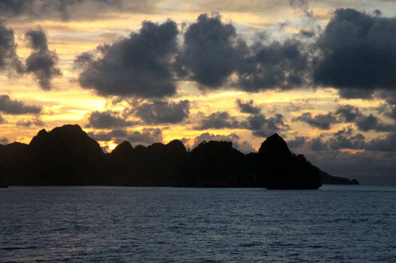
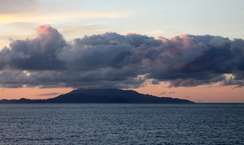
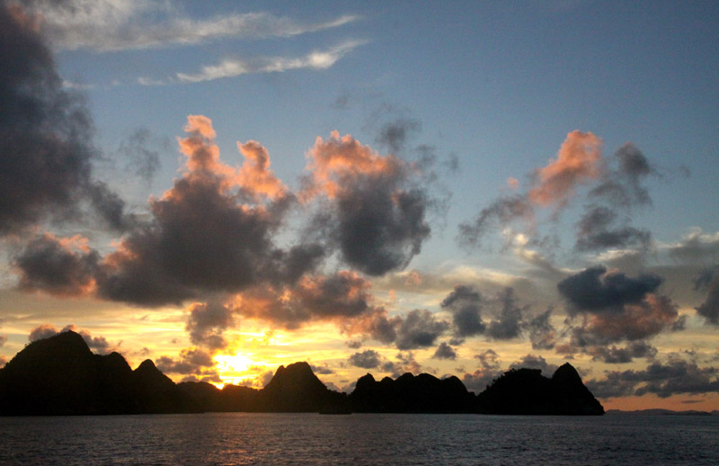
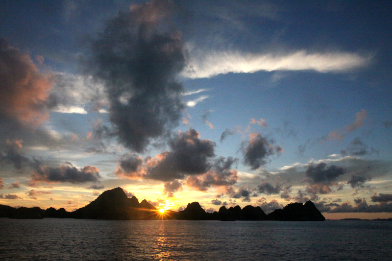
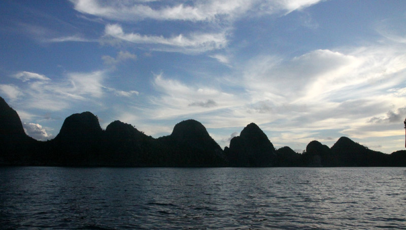
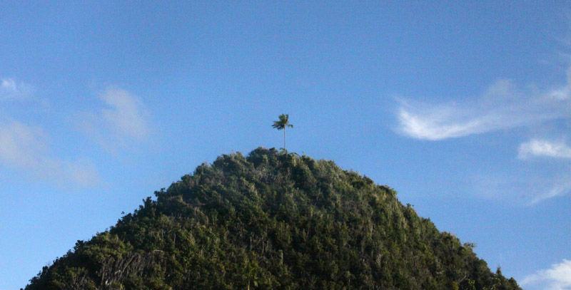
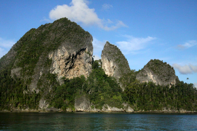
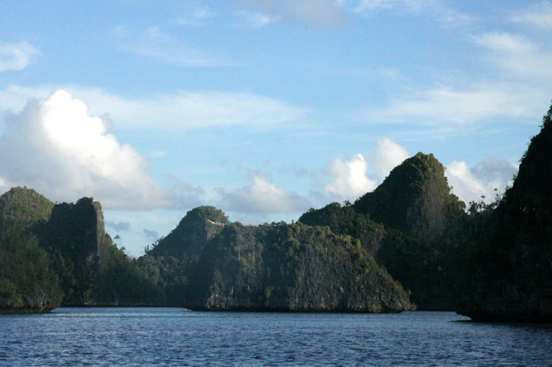
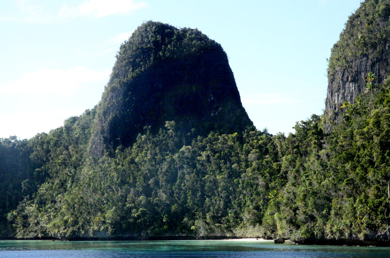
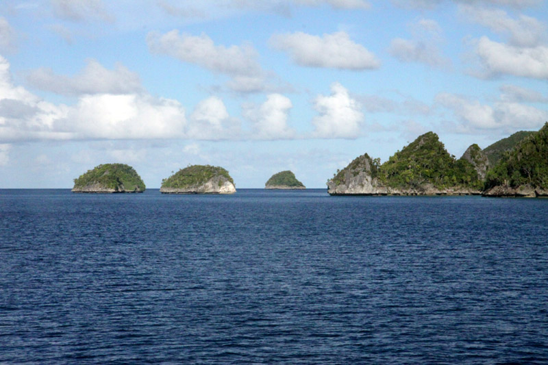
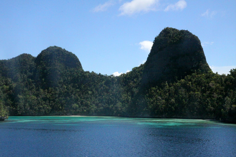
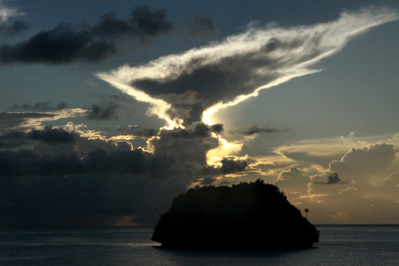
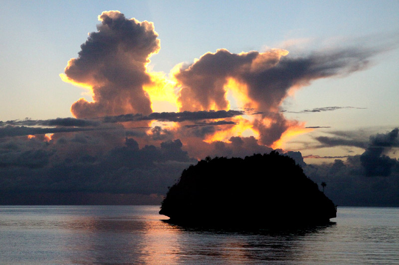
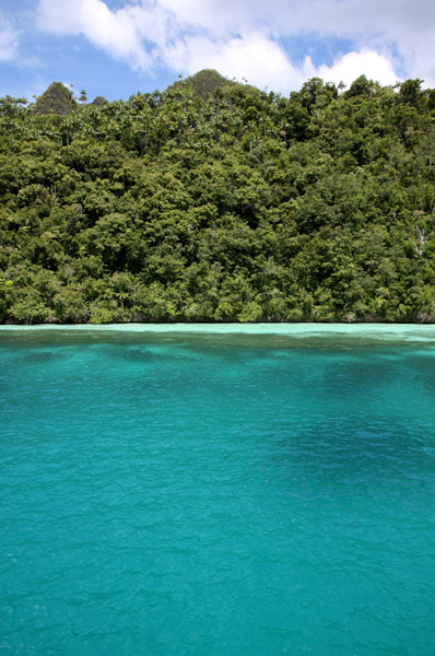
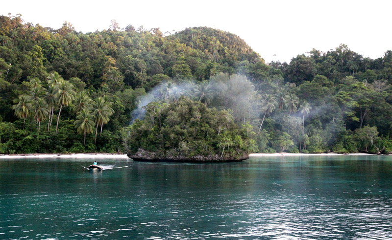
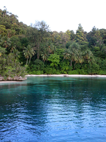
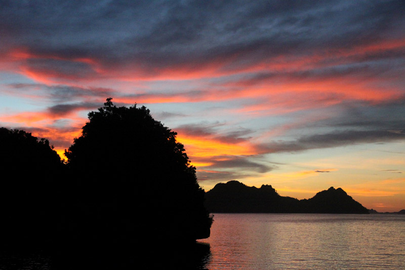
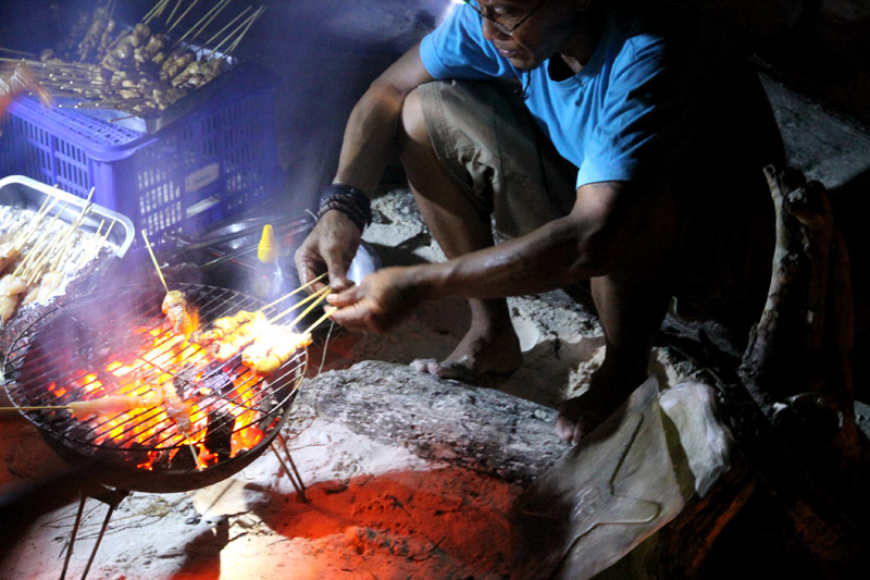
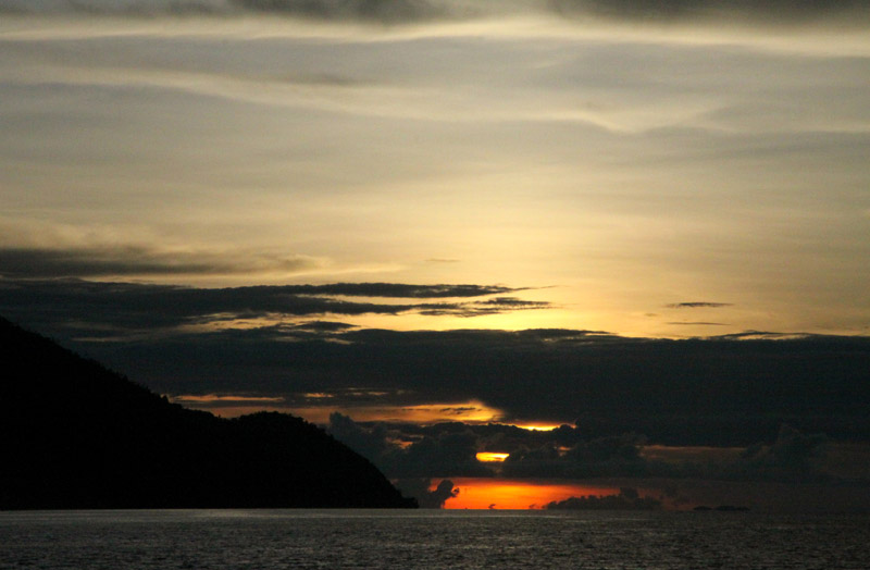
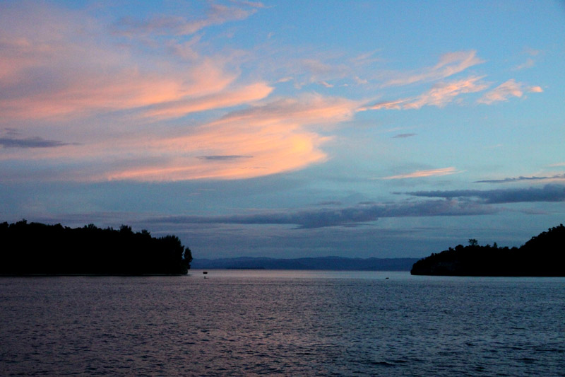
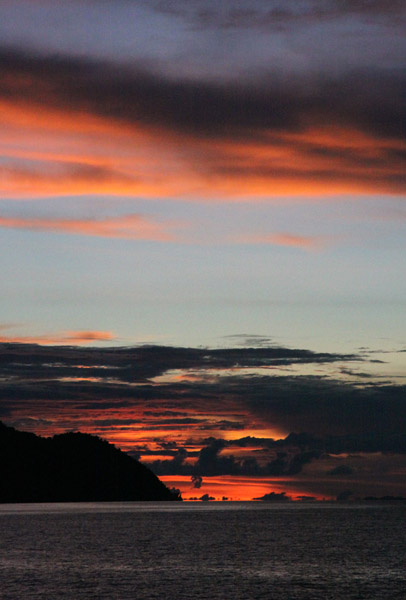
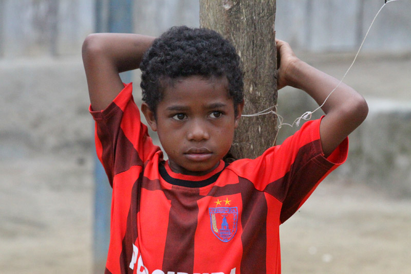
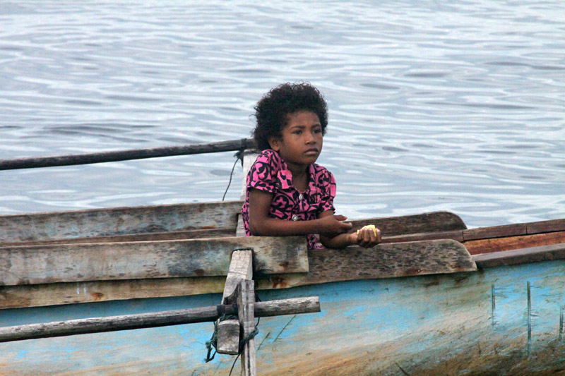
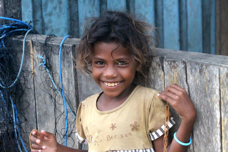
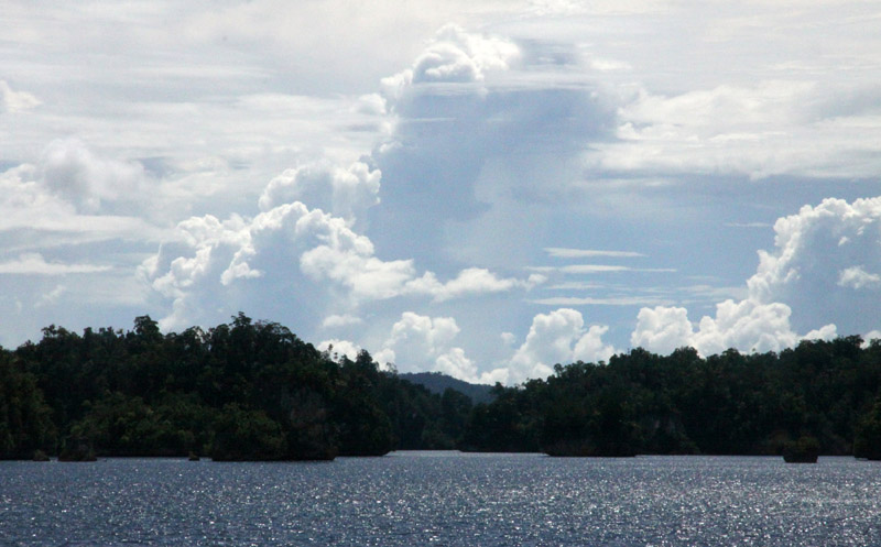
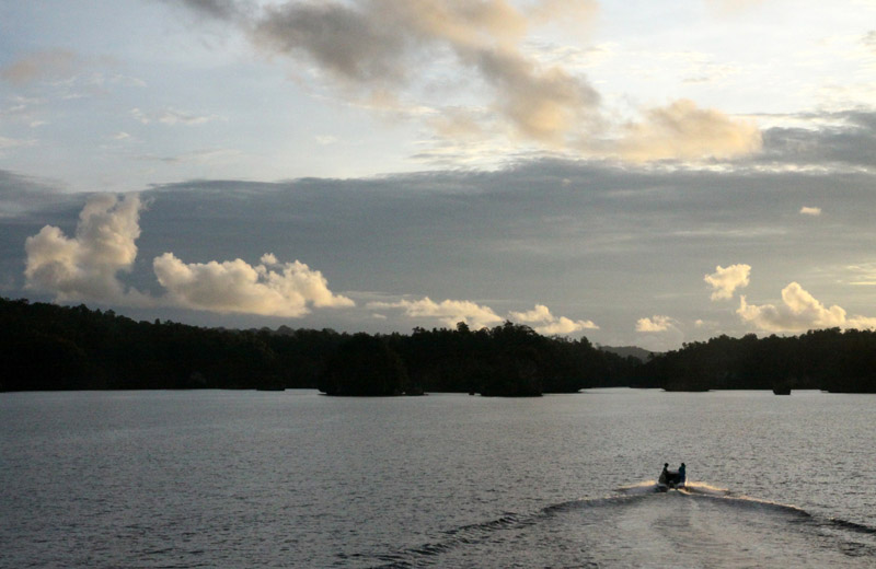
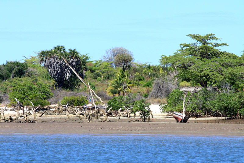
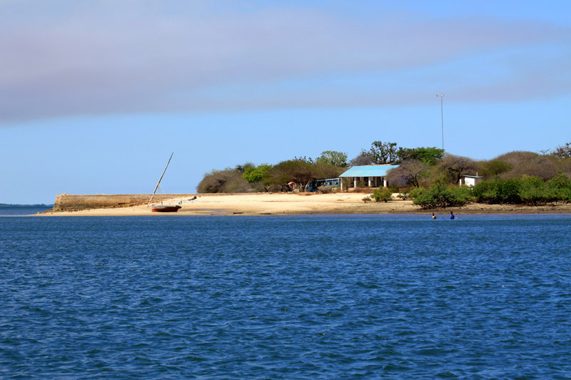
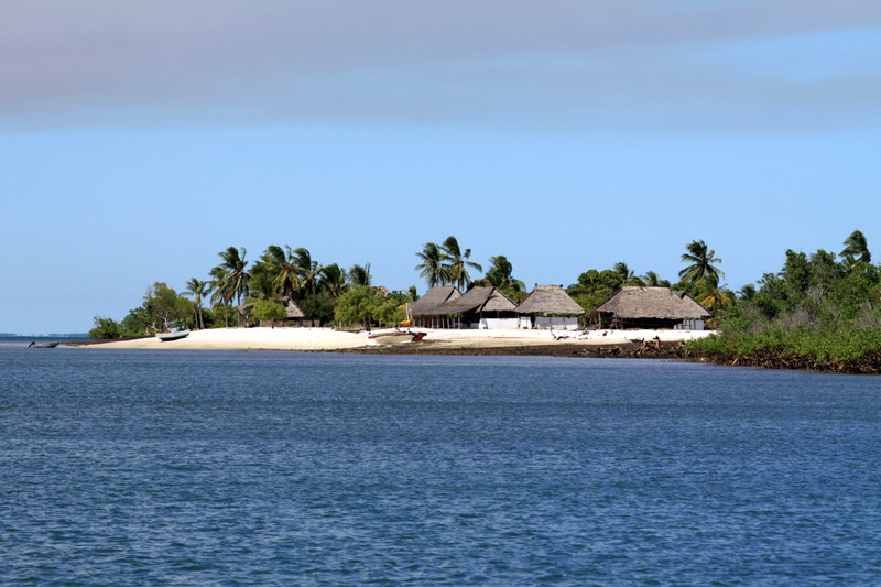
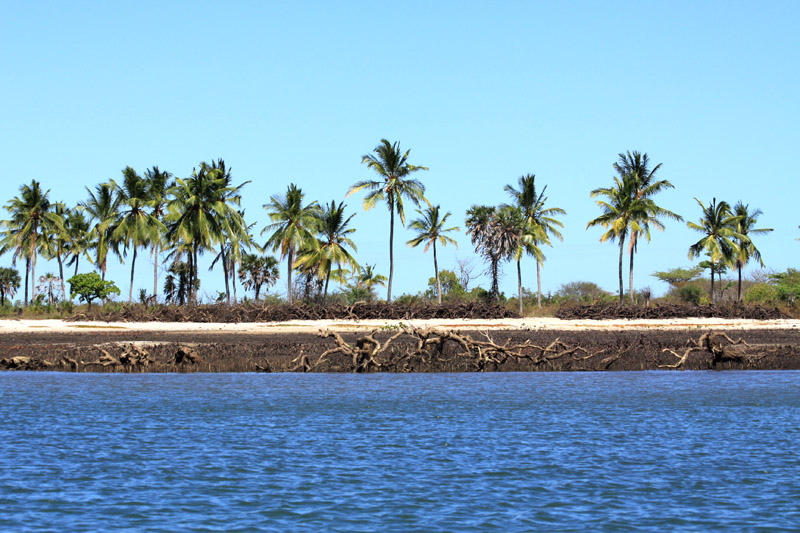
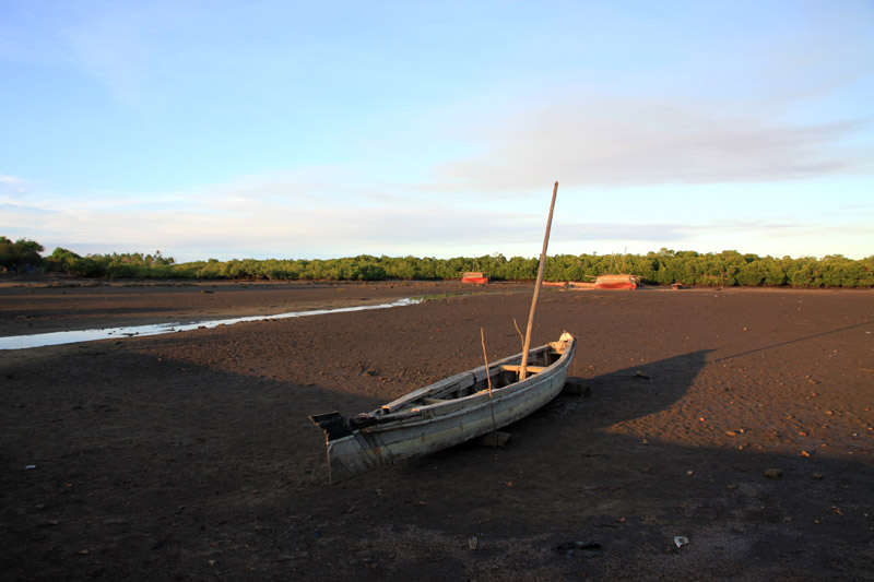
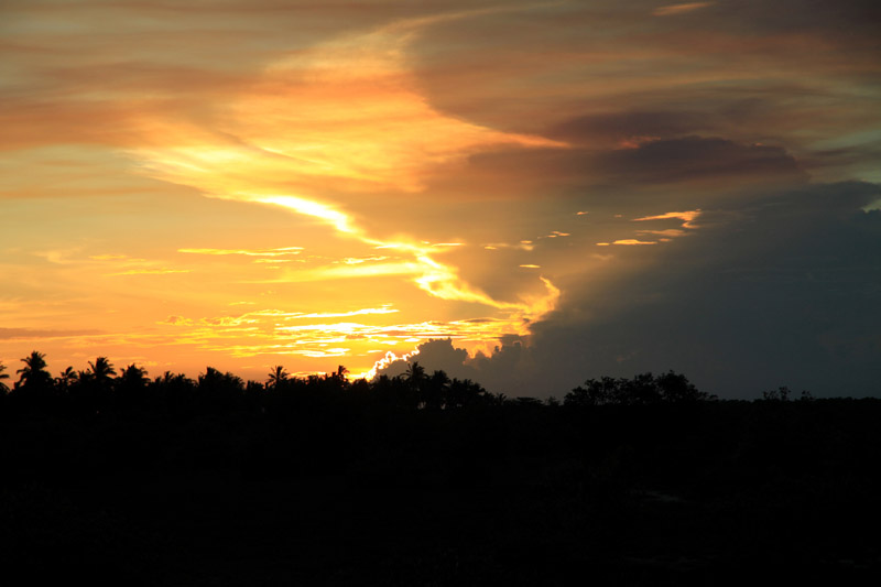
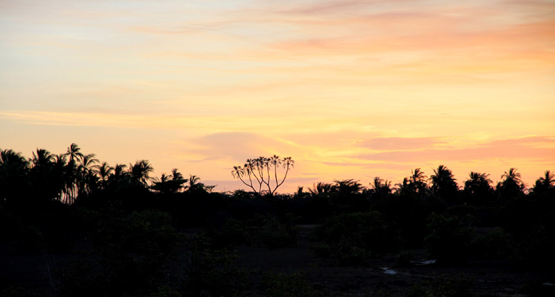
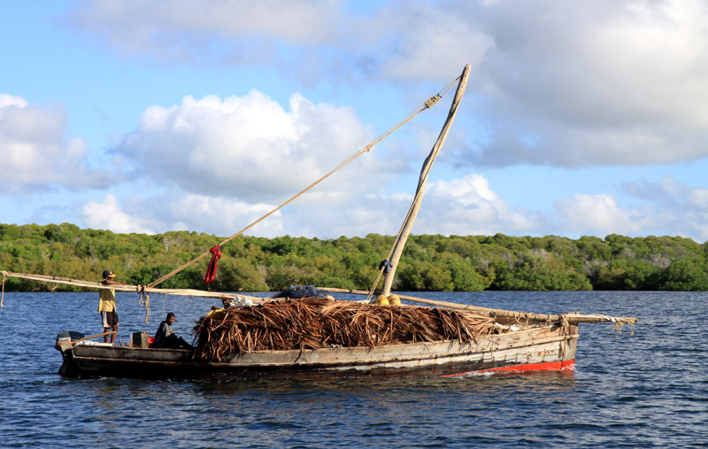
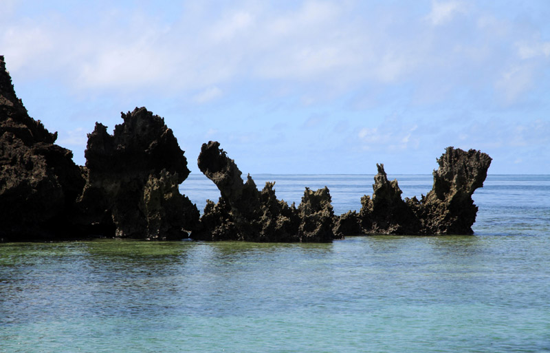
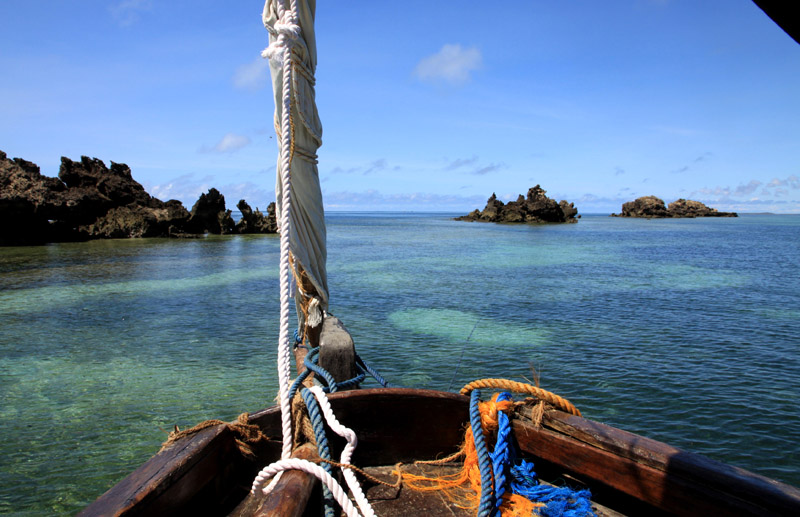
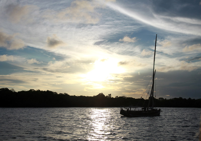
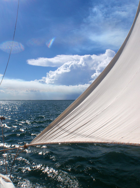
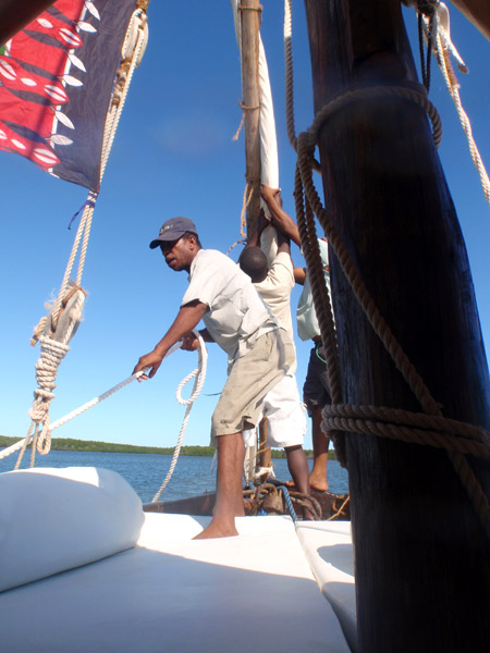
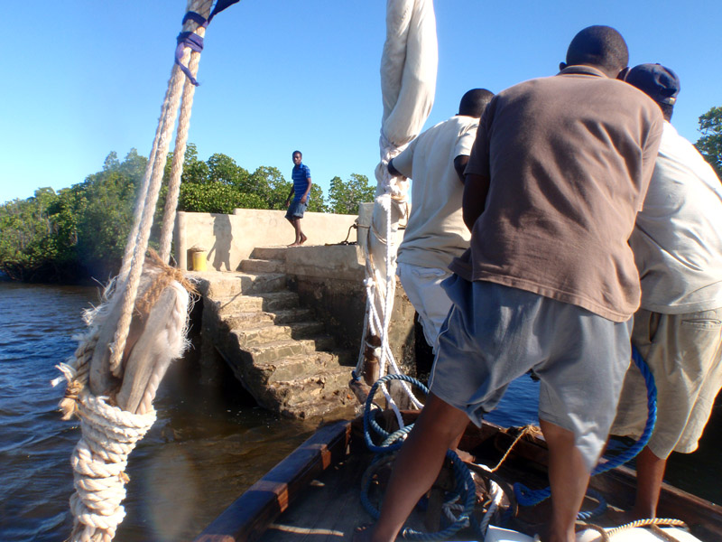
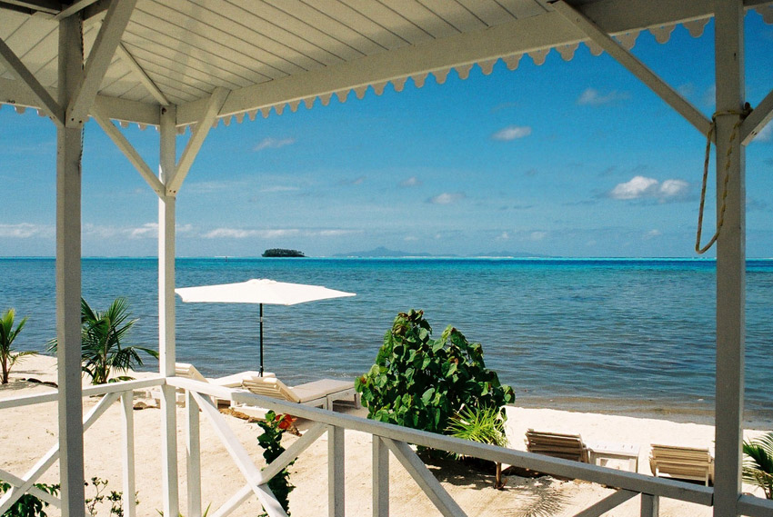
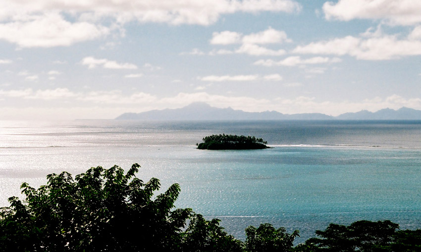
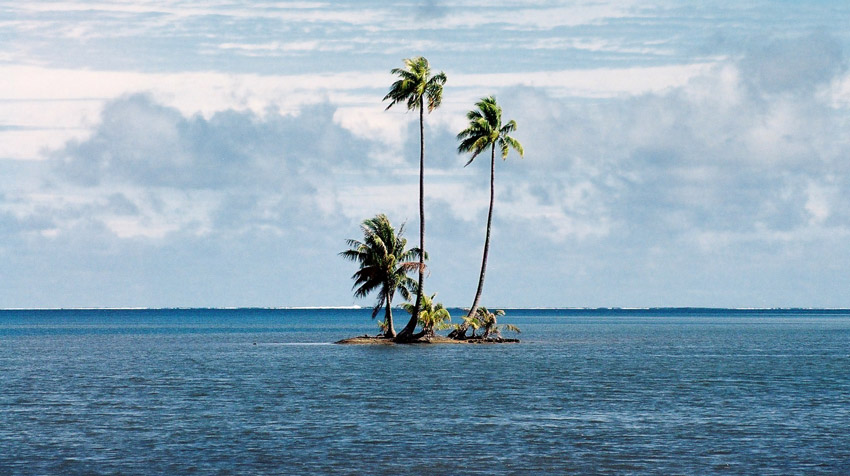
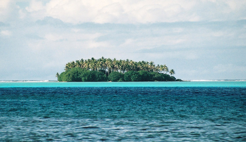
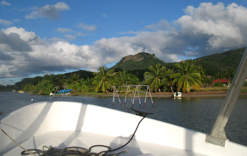
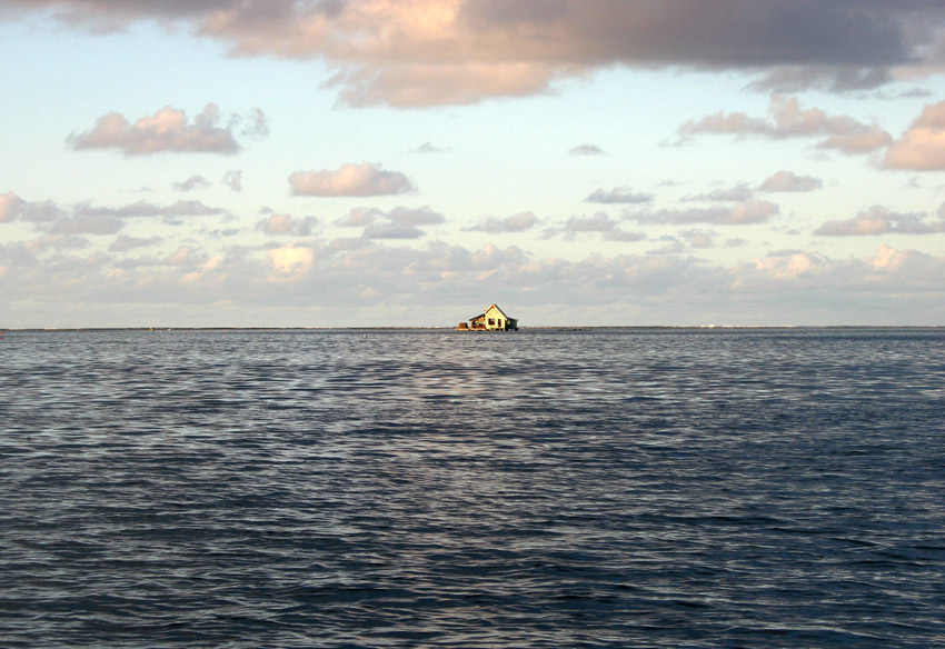
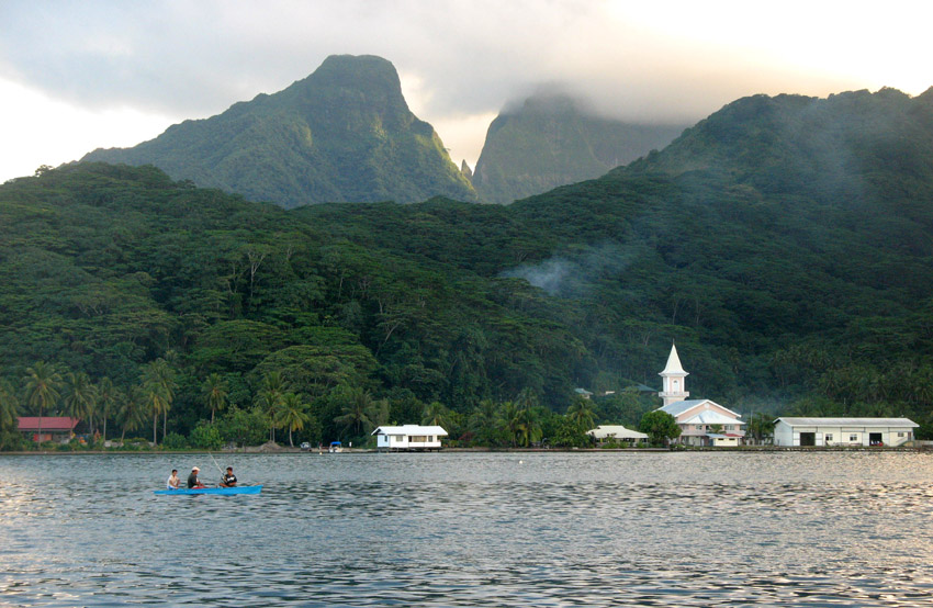
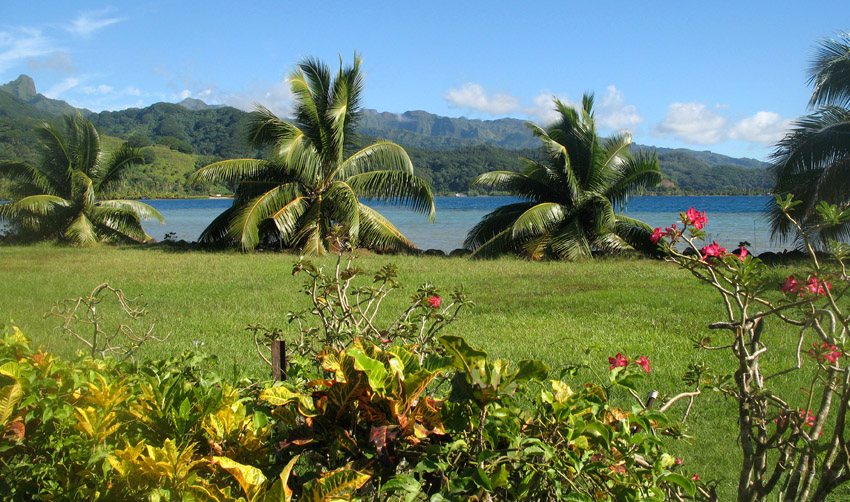
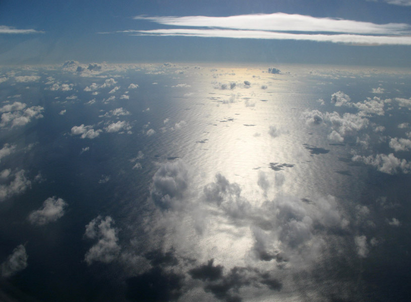
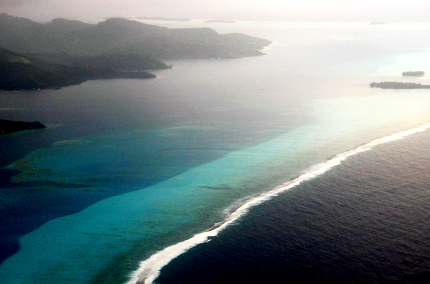
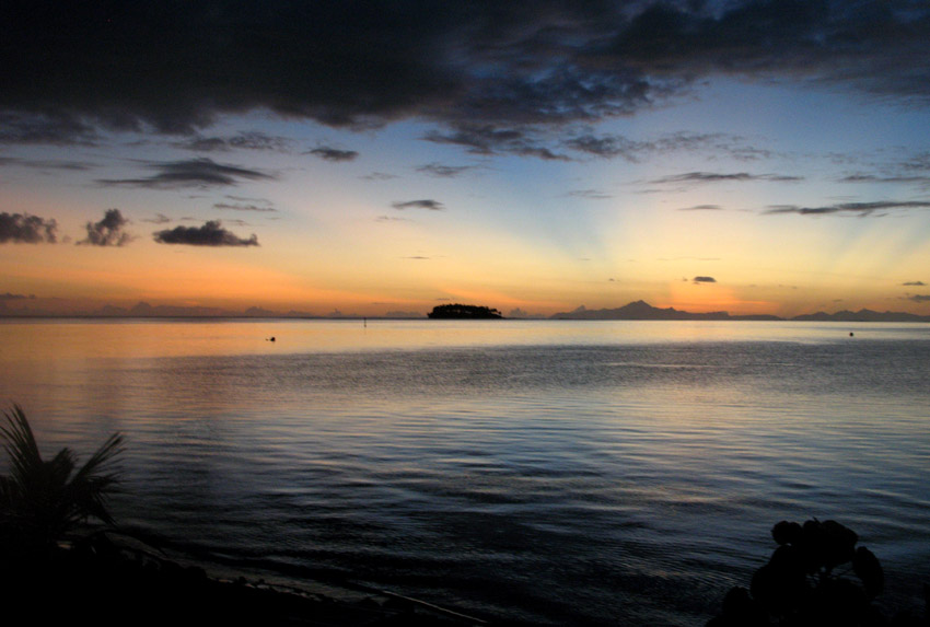
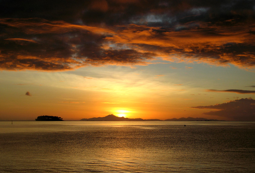
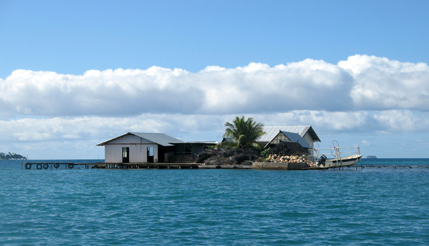
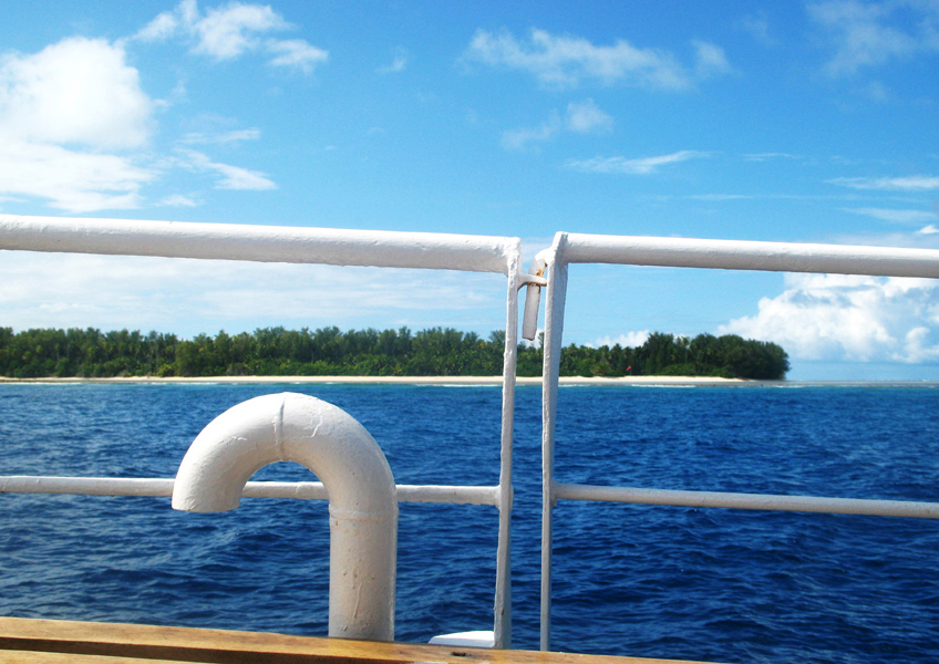
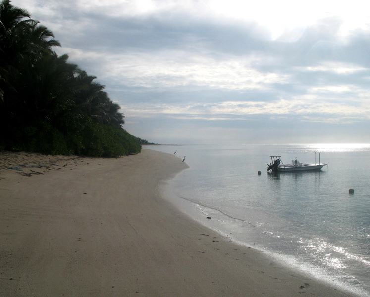
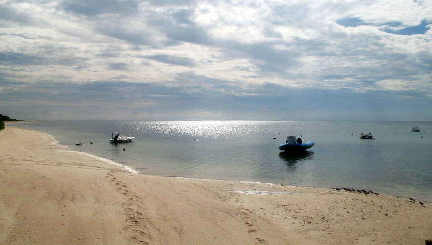
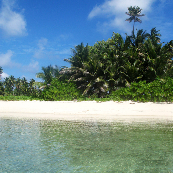
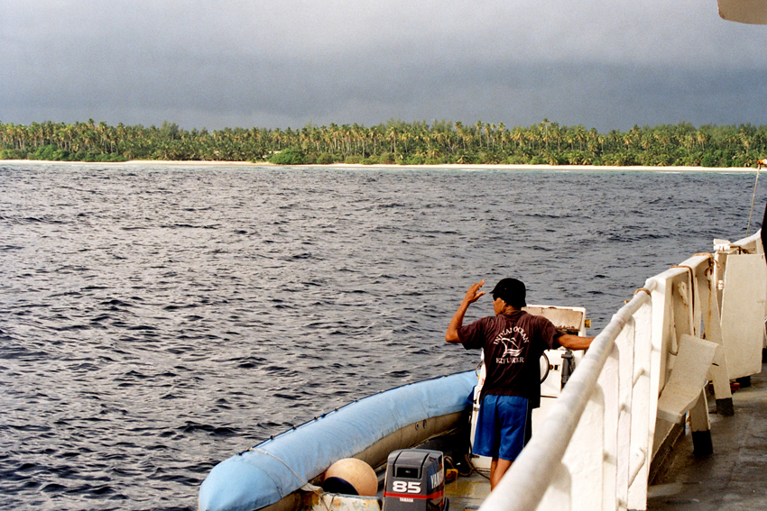
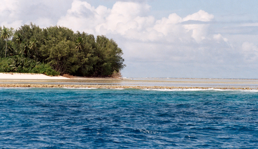
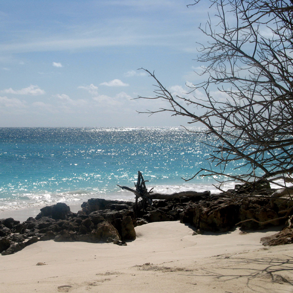
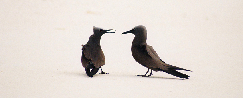
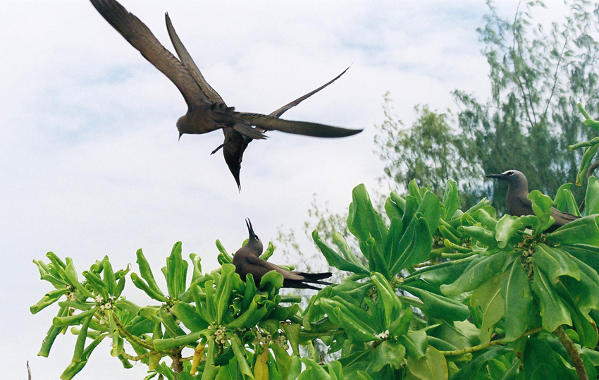
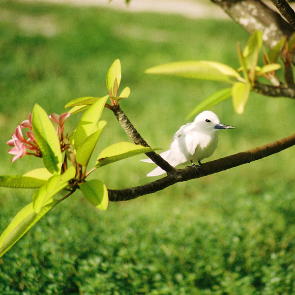
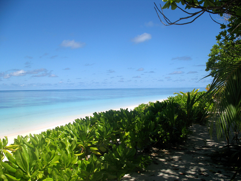
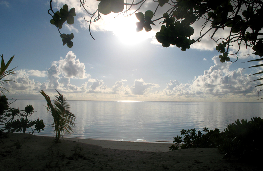
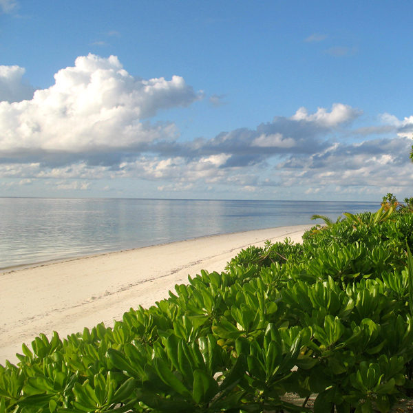
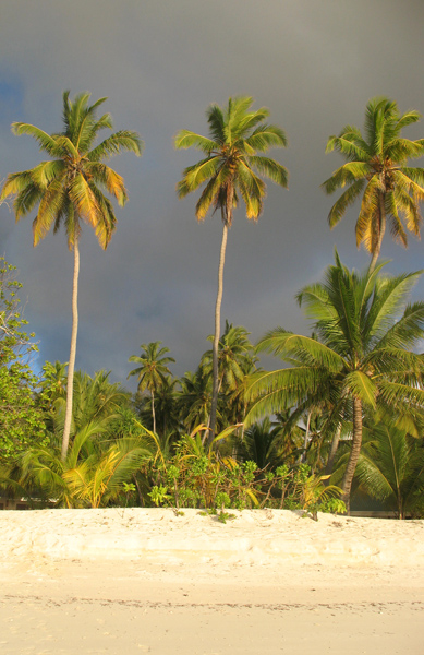
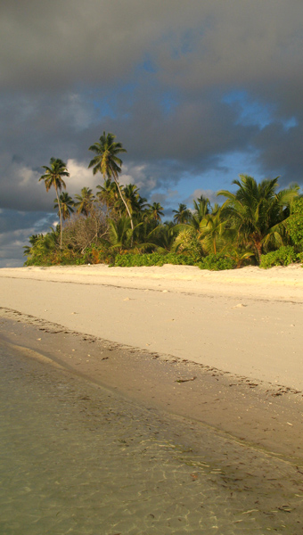
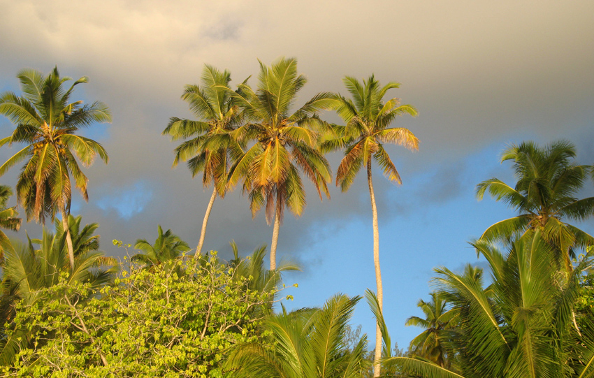
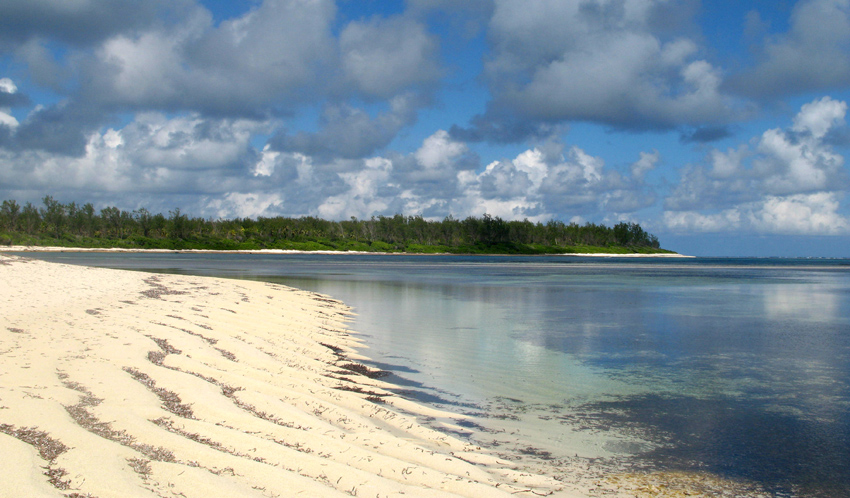
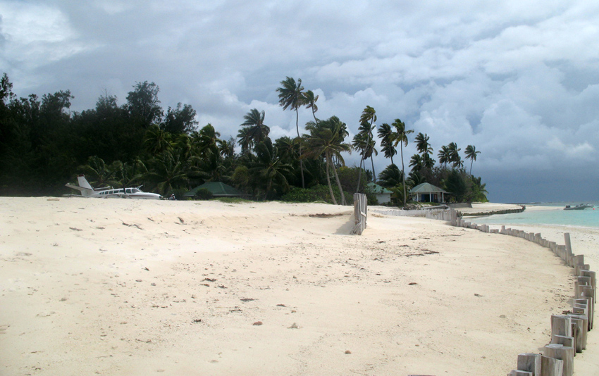
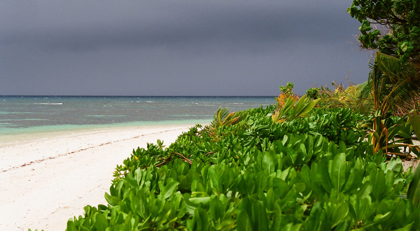
Located off the northwest tip of Bird’s Head Peninsula on the island of New Guinea, in Indonesia’s West Papua province, Raja Ampat, or the Four Kings, is an archipelago comprising over 1,500 small islands, cays and shoals surrounding the four main islands of Misool, Salawati, Batanta and Waigeo, and the smaller island of Kofiau. It encompasses more than 40,000 km² of land and sea, which also contains Cenderawasih Bay, the largest marine national park in Indonesia. It is a part of the newly named West Papua (province) of Indonesia which was formerly Irian Jaya. The islands are the most northern pieces of land in the Australian continent.

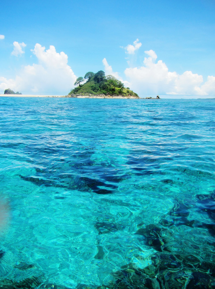
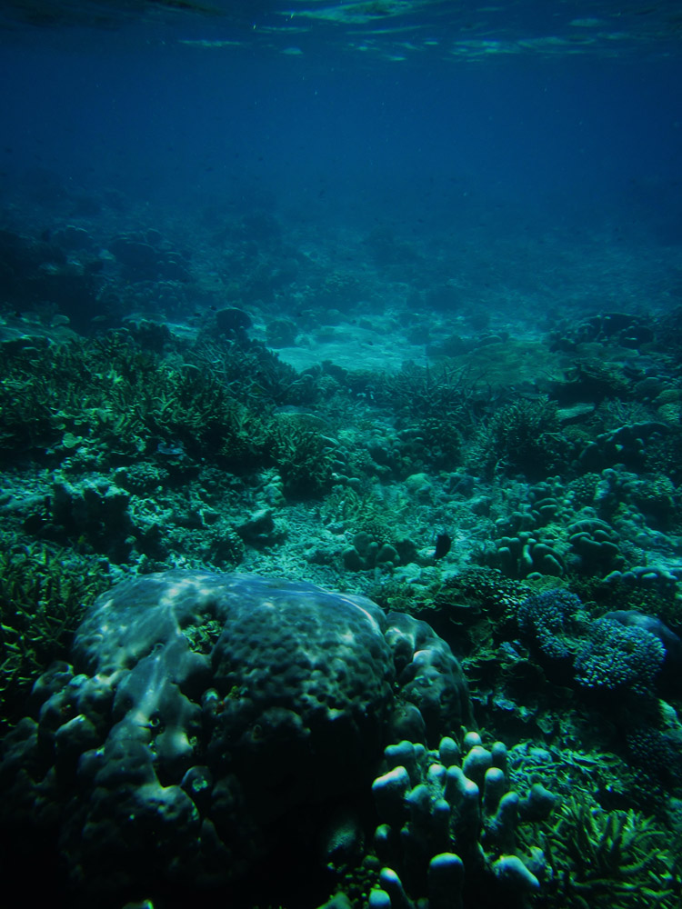
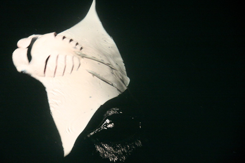
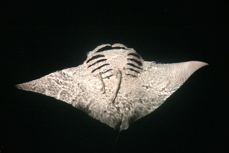
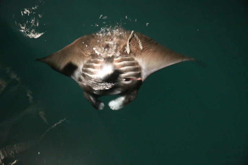
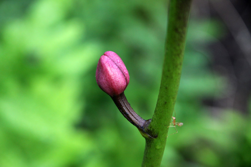
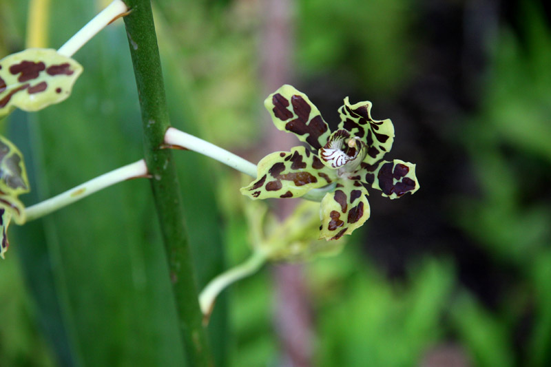
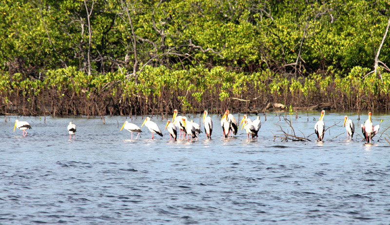
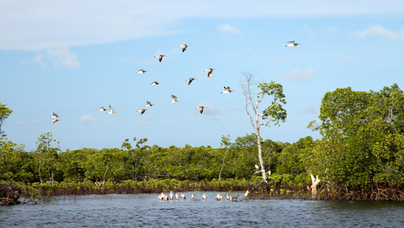
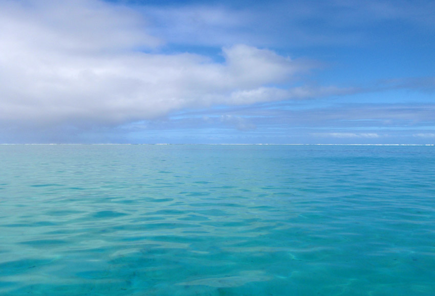
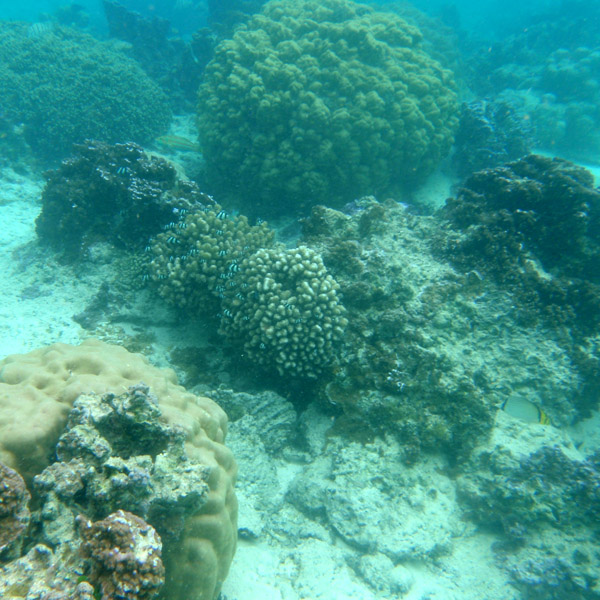
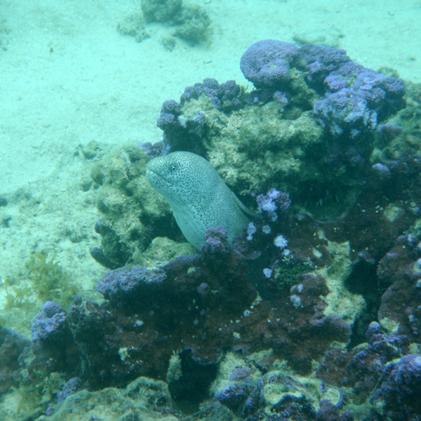
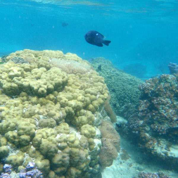
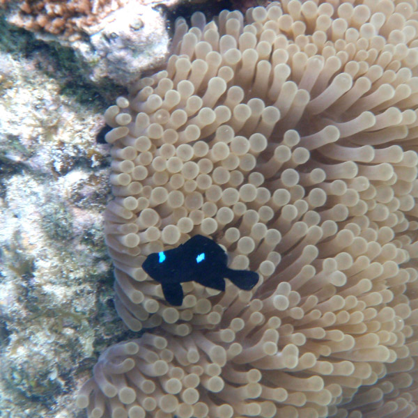
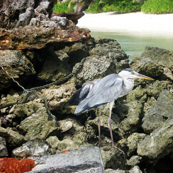
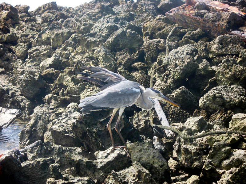
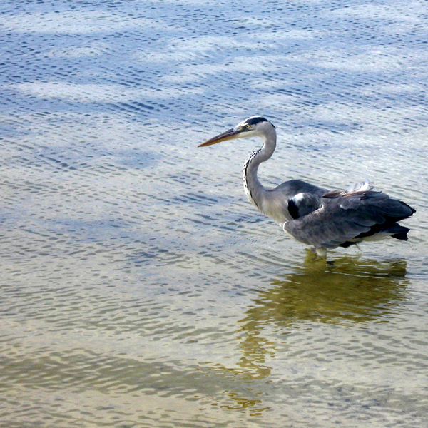
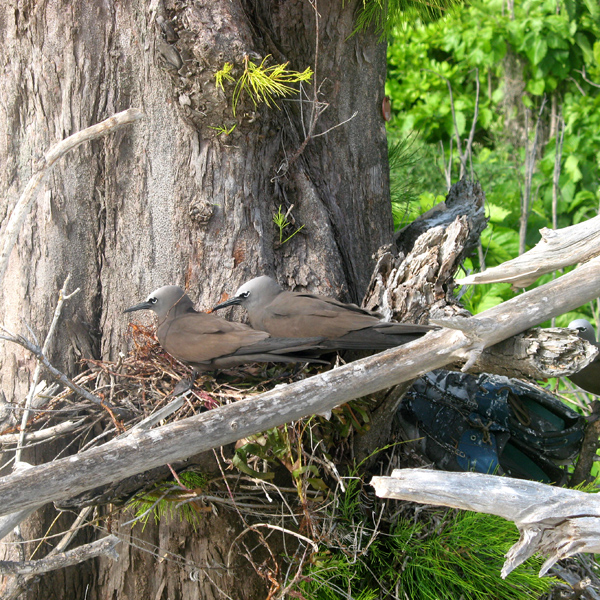
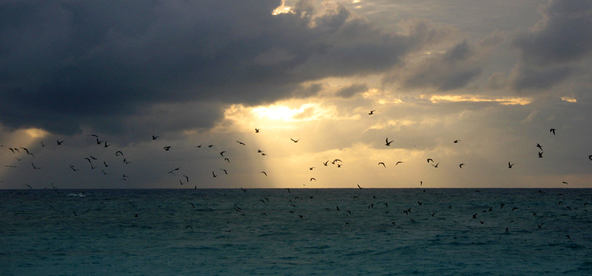
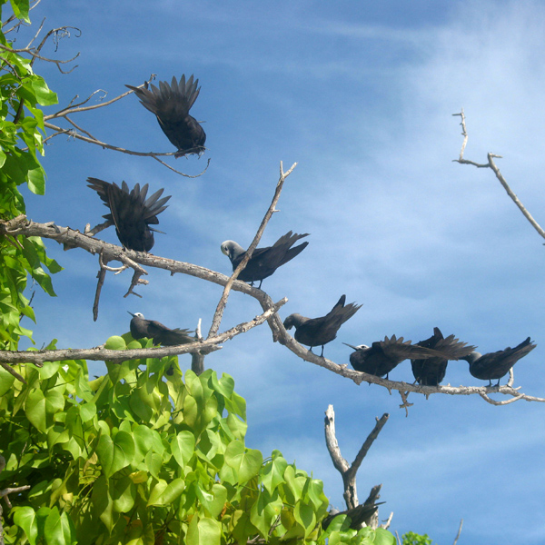
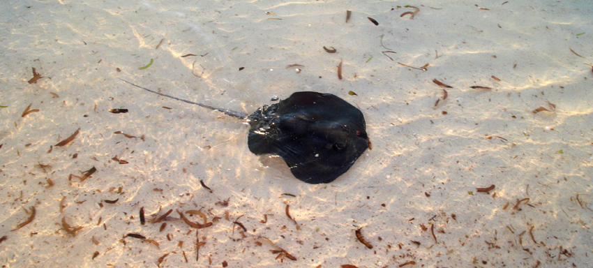
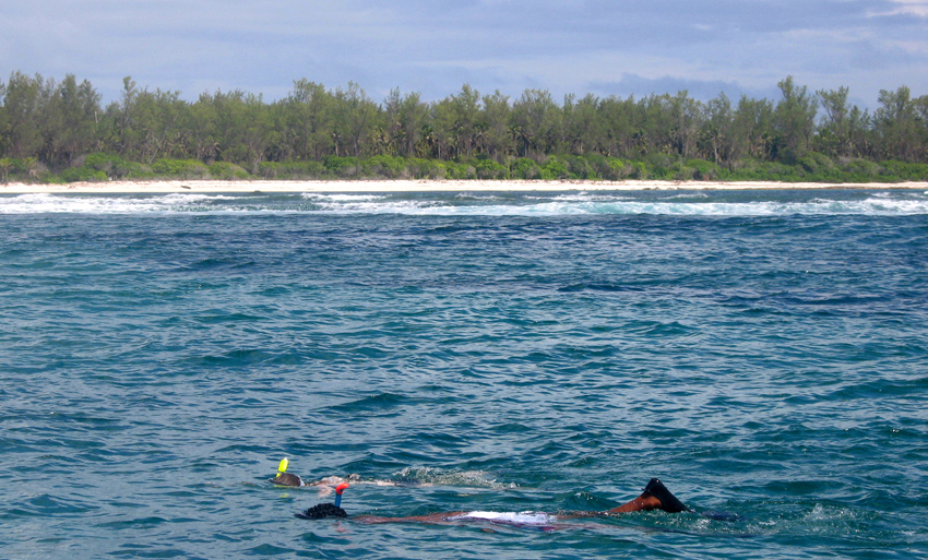
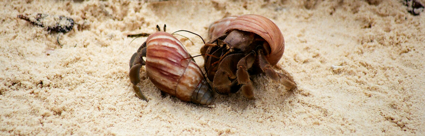
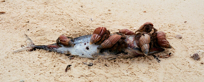
According to Conservation International, marine surveys suggest that the marine life diversity in the Raja Ampat area is the highest recorded on Earth. Diversity is considerably greater than any other area sampled in the Coral Triangle composed of Indonesia, Philippines and Papua New Guinea. The Coral Triangle is the heart of the world’s coral reef biodiversity, making Raja Ampat quite possibly the richest coral reef ecosystems in the world.

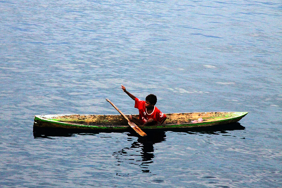
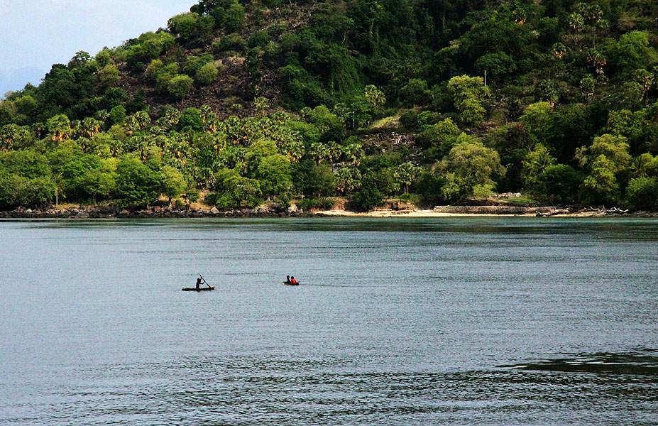
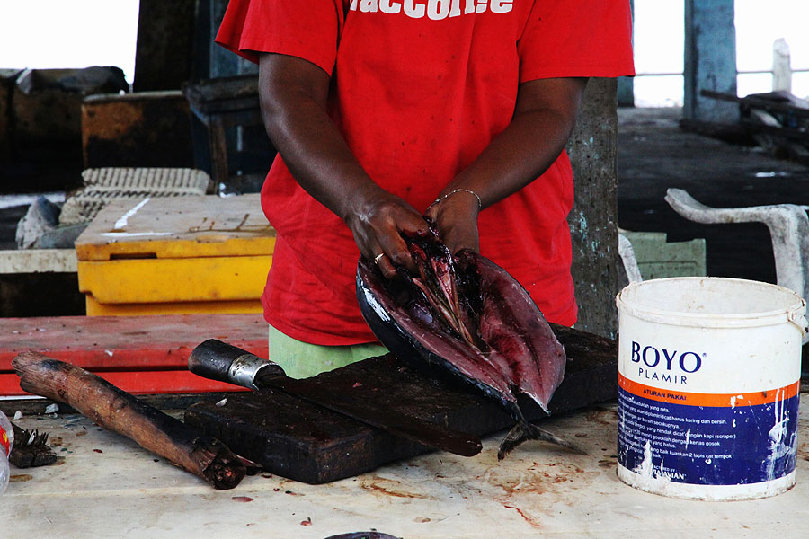
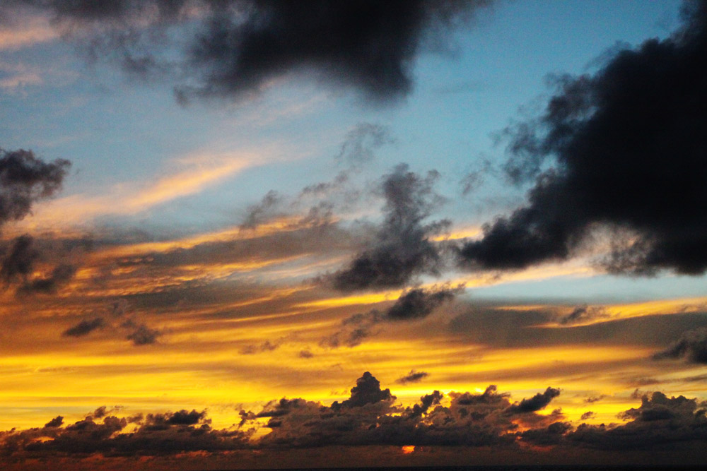
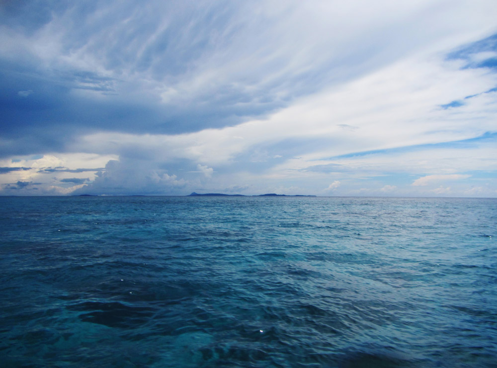
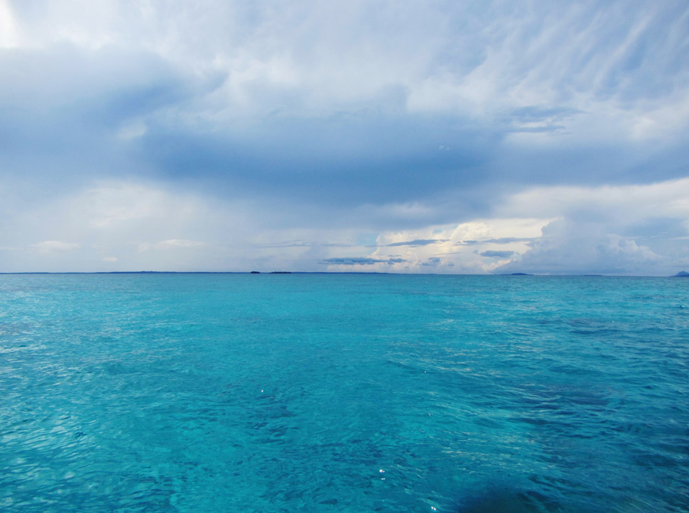
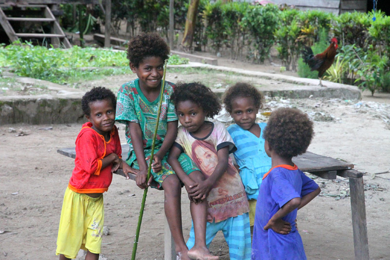
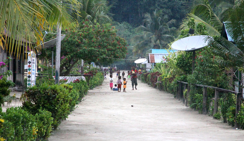
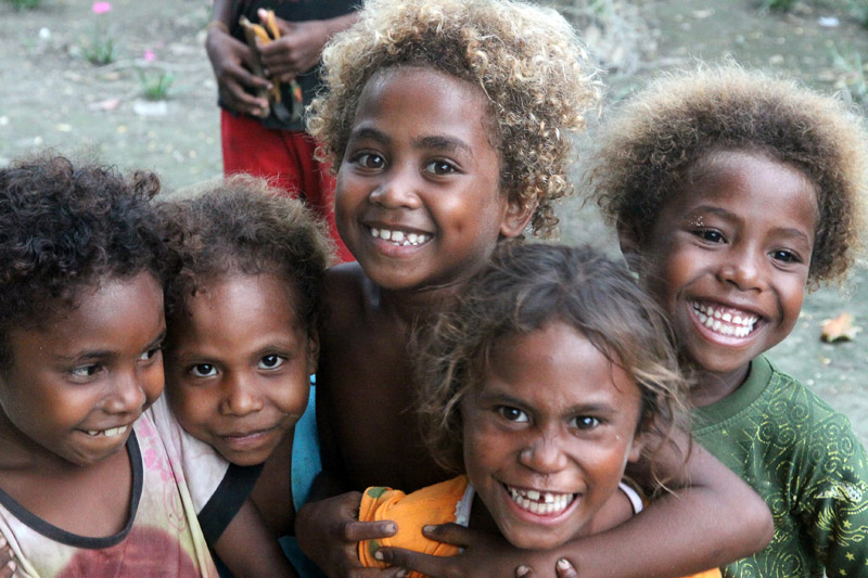
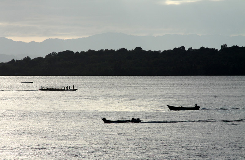
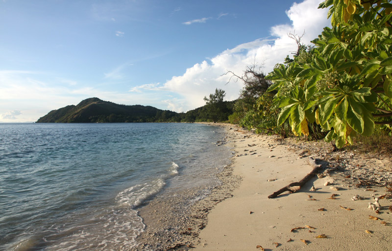
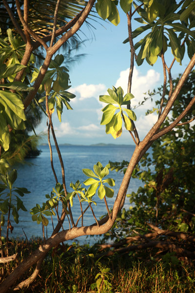
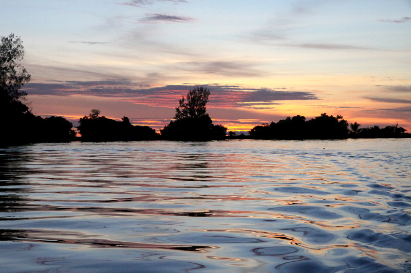
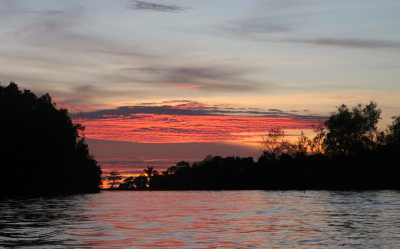
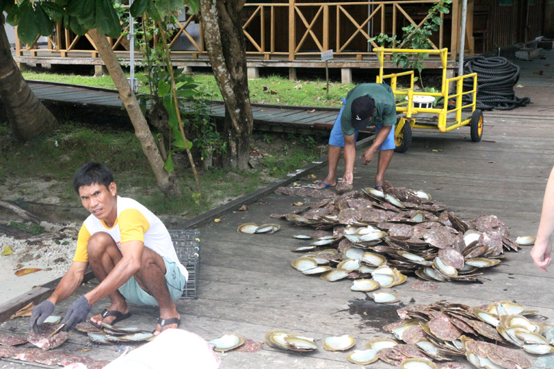
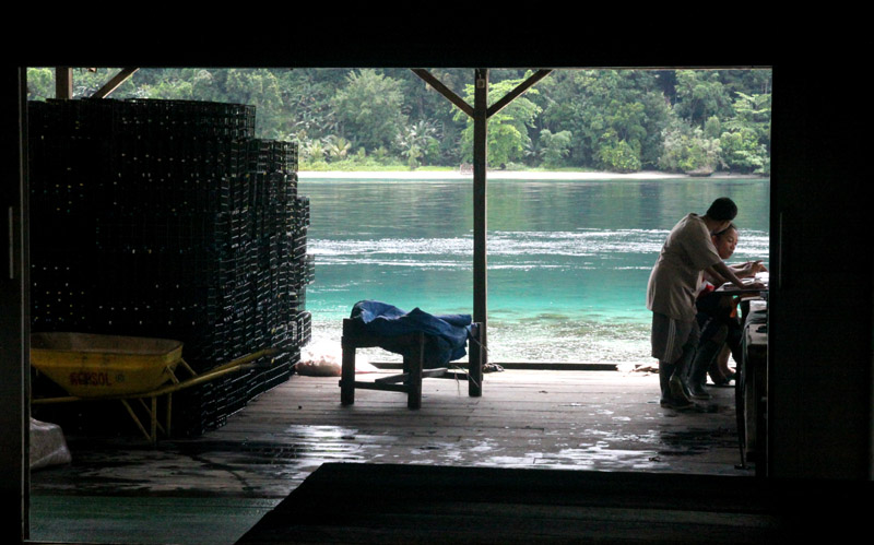
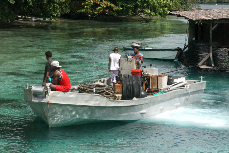
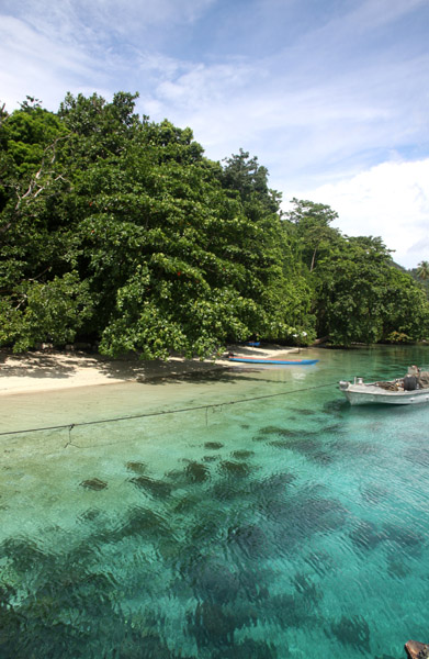
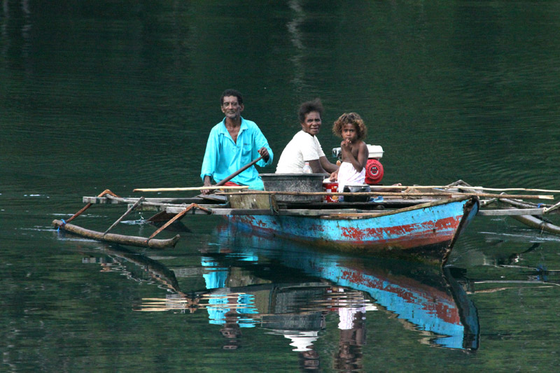
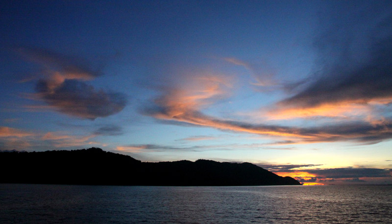
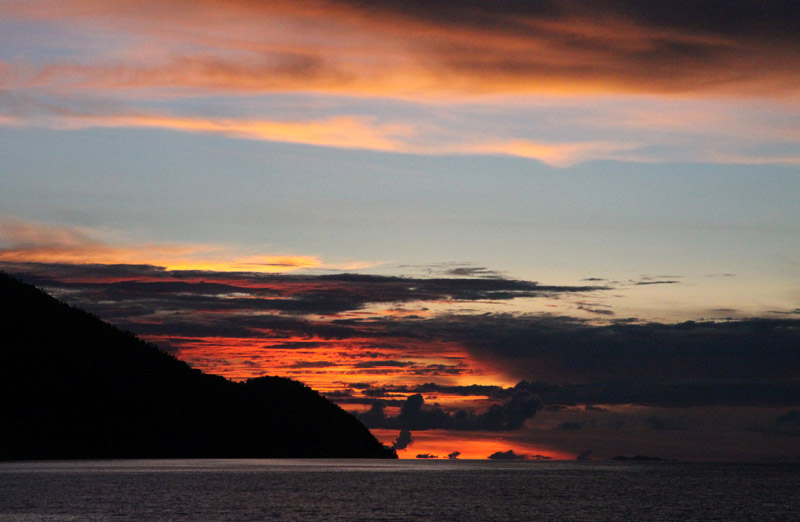
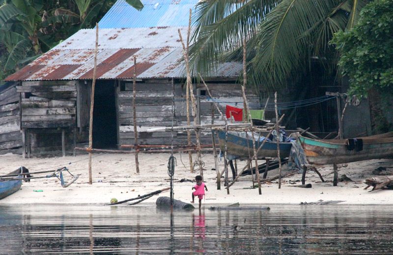
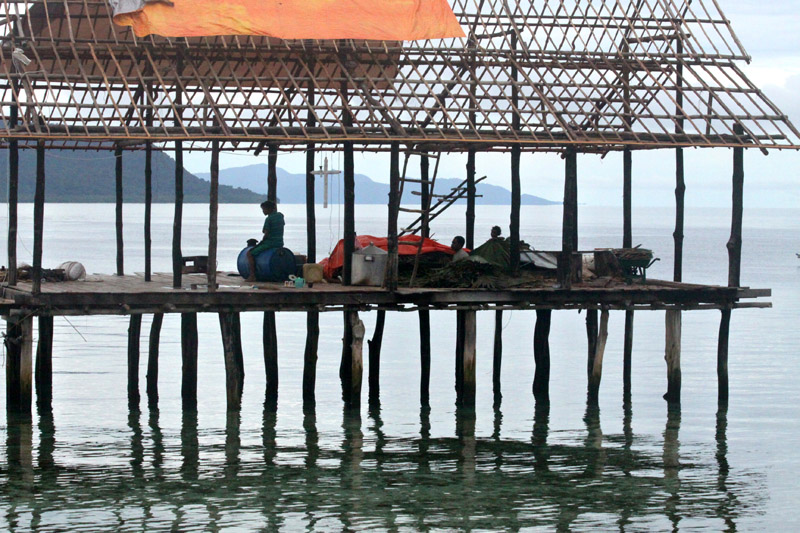
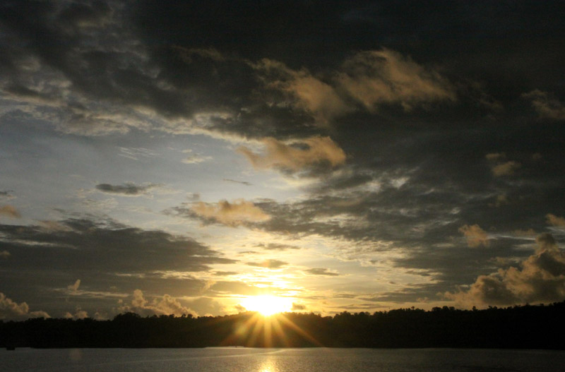
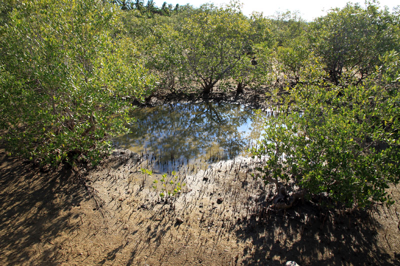
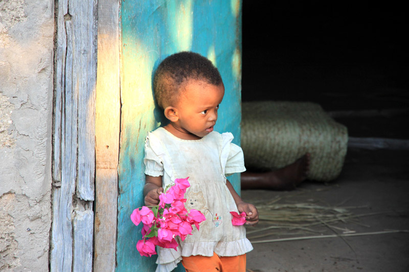
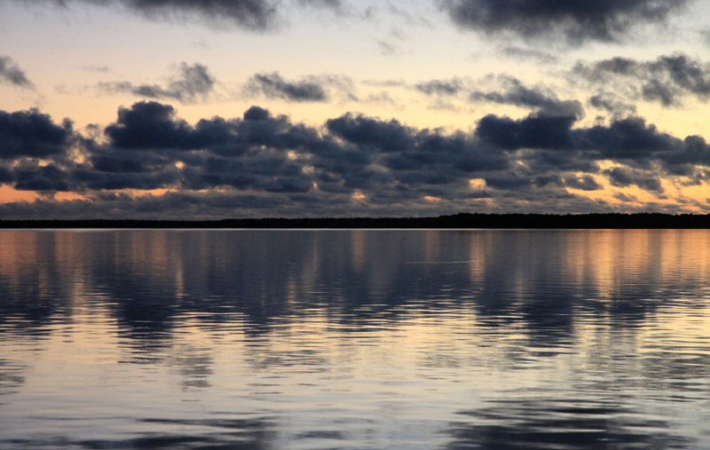
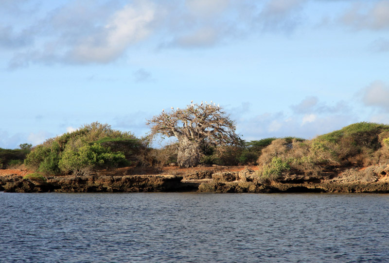
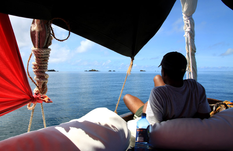
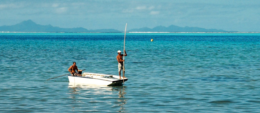
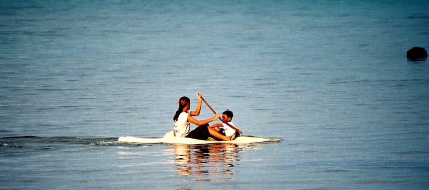
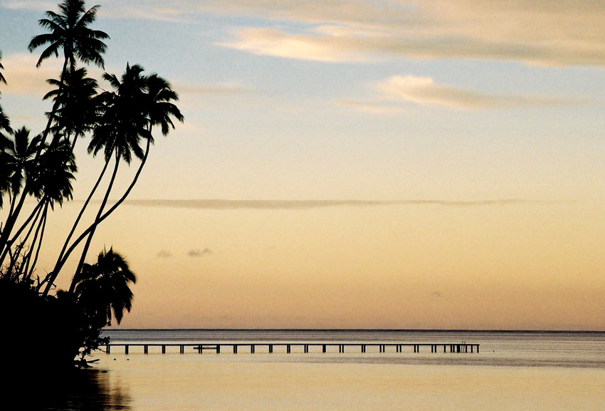
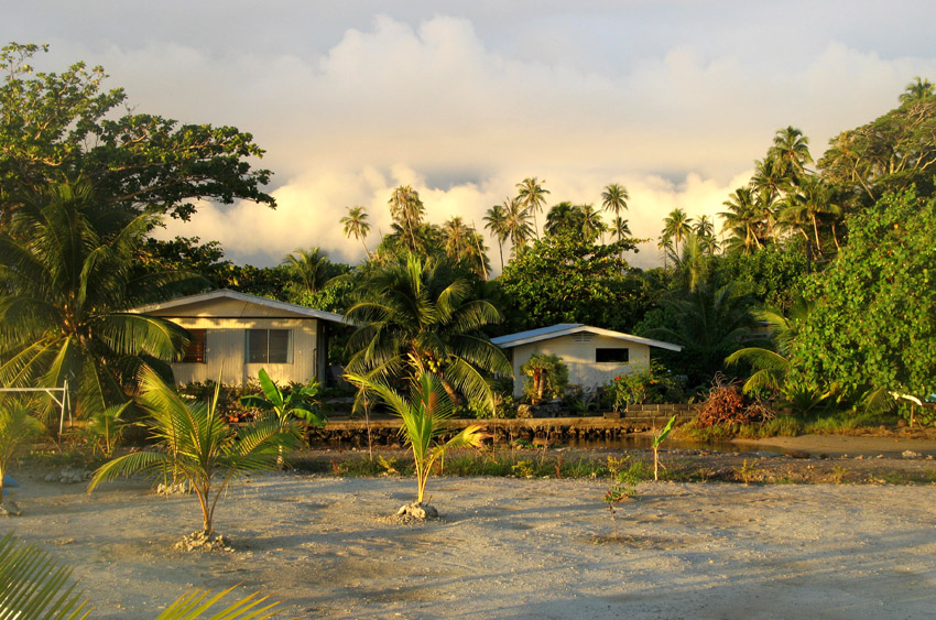
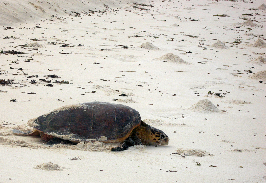
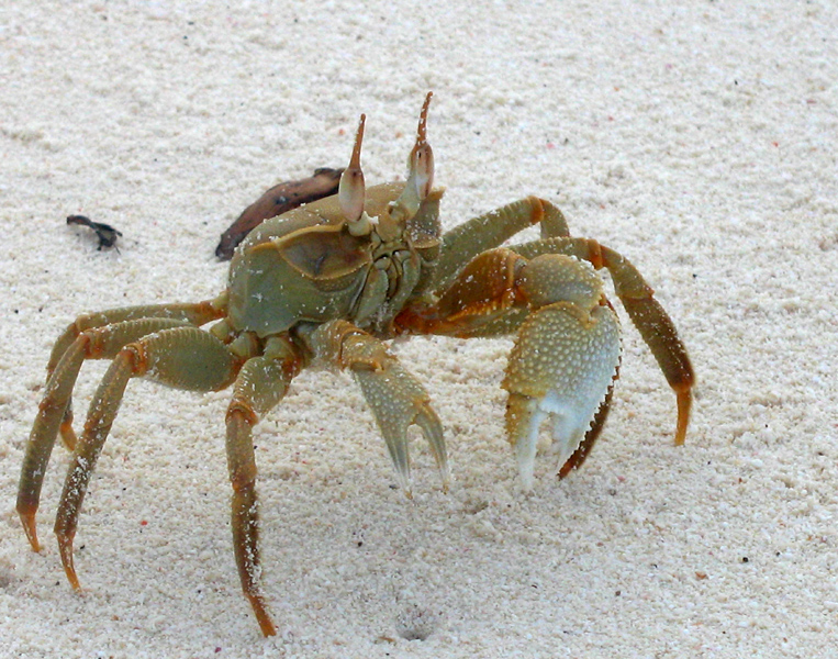
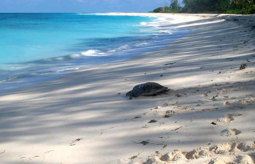
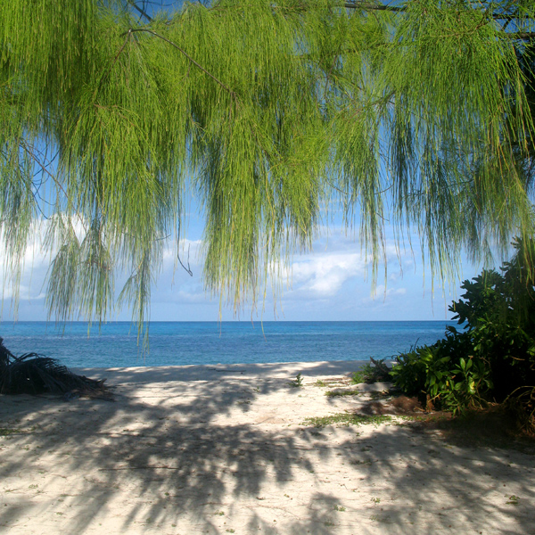
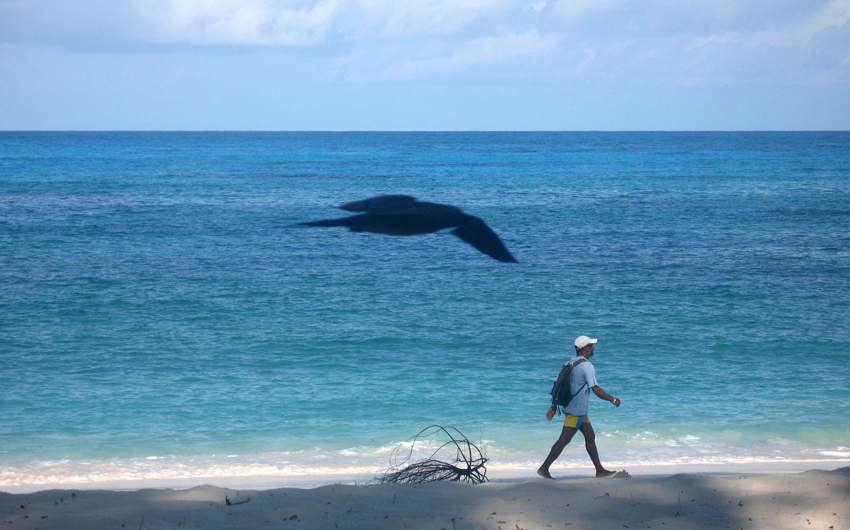
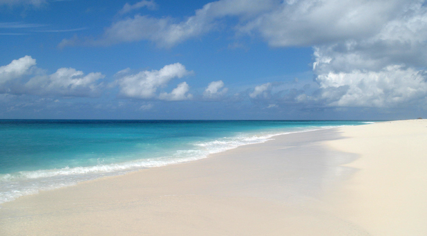
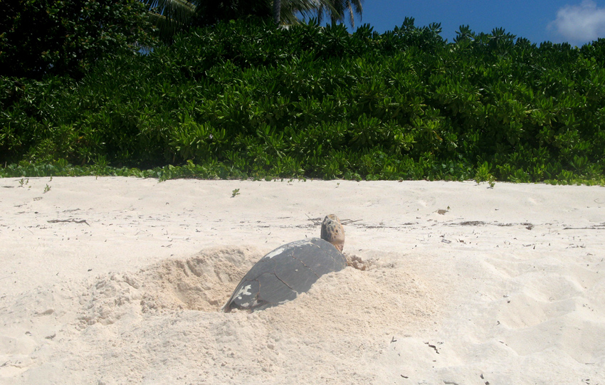
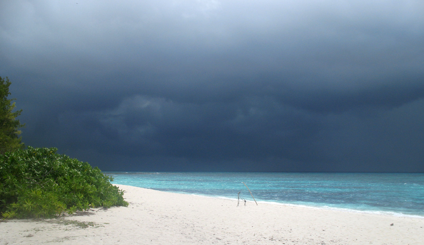
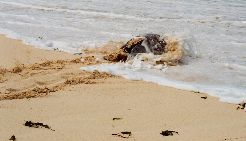
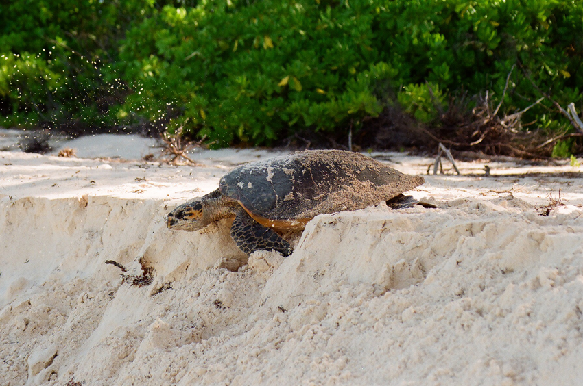
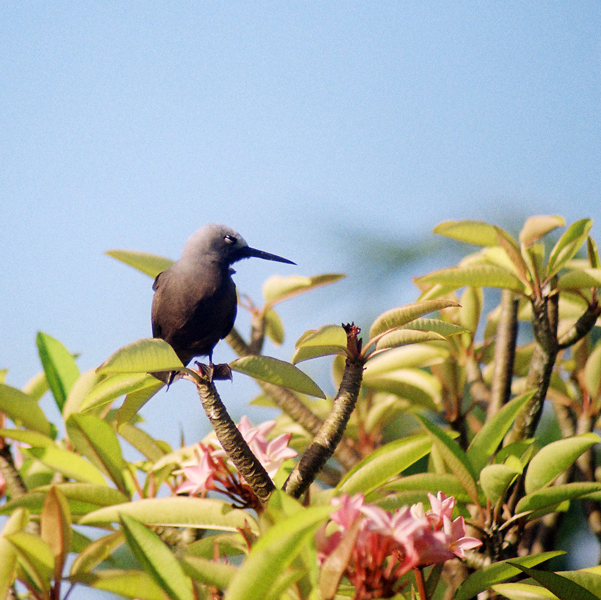
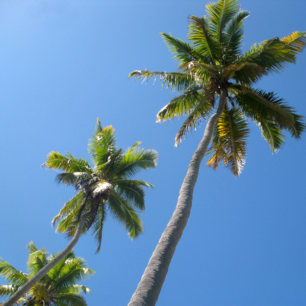
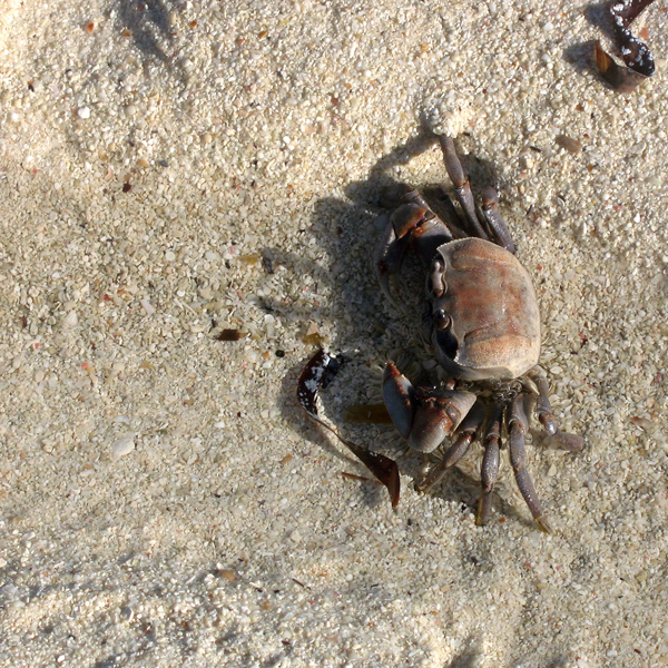
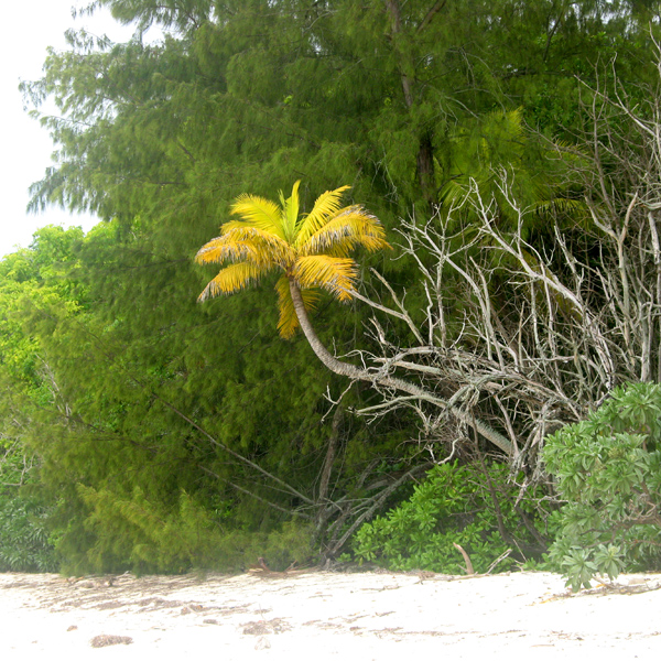
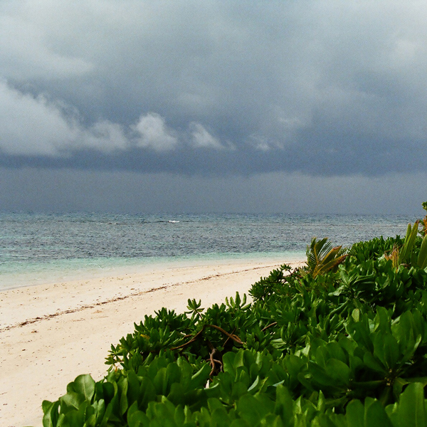
The area’s massive coral colonies along with relatively high sea surface temperatures, also suggest that its reefs may be relatively resistant to threats like coral bleaching and coral disease, which now jeopardize the survival of other coral ecosystems around the world. The Raja Ampat islands are remote and relatively undisturbed by humans.

Source: Wikipedia (under GNU Free Documentation License)

Categories
Kenya

Pate Island I

Pate island or Paté island is located in the Indian Ocean close to the northern coast of Kenya, to which it belongs. It is the largest island in the Lamu Archipelago, which lie between the towns of Lamu and Kiunga, close to the border with Somalia.

From the seventh century, Paté island was an early site of Arabic colonisation. It long vied as a Swahili port with Lamu and with Takwa on Manda Island and came to prominence around the fourteenth century, but was subjugated by Lamu in the nineteenth century.

There is no motorized transport on the island. The main administrative centre on the island, with the police station, is Faza.

Source: Wikipedia (under GNU Free Documentation License)

Categories
French Polynesia Society Islands

Raiatea

Somewhat smaller than Tahiti, Raiatea is the second largest of the Society Islands in French Polynesia. The proper spelling of the name, rarely used though, in the Tahitian language is Ra’iatea, meaning bright sky; Ulieta is an obsolete transcription commonly used in the 19th century. The chief town on Raiatea is Uturoa, administrative center for the Leeward Islands (French Îles Sous-le-vent). The islands of Raiatea and Tahaa are both enclosed by the same coral reef, and may once have been a single island.

Raiatea is both the largest and most populated island in the Leeward Islands, with a land area of 167.7 km² (64.7 sq. miles) and a total population of 12,024 inhabitants at the August 2007 census. The population density is 72 inhabitants per km². Ra’iatea is widely regarded as the ‘center’ of Polynesia and it is likely that the organised migrations to Hawaii, Aoteroa (New Zealand) and other parts of East Polynesia started at Ra’iatea. A traditional name for the island is Havai’i fanau fenua (Hawai’i birther of land).

Source: Wikipedia (under GNU Free Documentation License)

Categories
Seychelles

Alphonse Atoll

Alphonse Atoll is one of two atolls of the Alphonse Group, and located 87 km south of the Amirante Islands, and just three kilometers north of St. François Atoll, the second atoll of Alphonse Group. The atoll has just one island, Alphonse Island, with a population of fewer than 300. It was discovered on 28 January 1730 by Chevalier Alphonse de Pontevez, commanding the French frigate Le Lys. A luxury hotel has been build on Alphonse Island, generating frequent traffic between other islands in the group. The area of the island is 1.74 km². The total area of the atoll, with more than 3 km in diameter, is about 8 km², including reef flat and lagoon.

Source: Wikipedia (under GNU Free Documentation License)

Categories
Seychelles

Bird Island

Bird Island is the northernmost island in the Seychelles archipelago, 60 miles from Mahe. The 0.70 km² Coral island is known for its birdlife, including sooty terns, fairy terns and common noddies, and for hawksbill and green turtles. It is now a private resort with 24 bungalows. It also contains a small weather station.

Bird Island was formerly known as “Ile aux Vaches” due to the numerous dugongs (sea cows) that lived in nearby waters. Between 1896 and 1906, 17,000 tons of guano were removed from the island and exported to Mauritius as fertilizer. It formerly was a coconut plantation, and cash crops such as papaya and cotton were also grown.

Since 1967 it has been privately owned, and conservation measures have taken place such as protection of birdlife and sea turtle nesting sites, and the eradication of feral rats and rabbits.

Another phenomena of Bird island is that each Year in May millions of bird come for nesting to the island and before they start nesting they pick up water from the sea and drop in the large grass patch of the island, where they intend to nest. The salt water the bird drop makes the grass go dry and after a few weeks they can start building their nests on the dry ground.

Source: Wikipedia (under GNU Free Documentation License)

Categories
Seychelles

Desroches

Île Desroches or Desroches Island is the main island of the Amirante Islands, part of the Outer Islands of the Seychelles. It is located 230 km southwest of Mahé, the Seychelles’ main island. It is 6.2 km long and has a land area of 3.24 km². Along its circumference of 15 km is a beach of fine sand.

Desroches was named by Chevalier de Roslan, commander of the ship L’Heure du Berger, after the Chevalier des Roches, the Governor of Mauritius (then Île de France) and Réunion (then Bourbon) from 1767 to 1772. It was explored by the Chevalier de la Billioère in 1771. The British had originally named it Wood Island because of its dense tree vegetation. The island was an important producer of copra.

Desroches has a population of about 50, a settlement in the middle of the northwestern shore (looking to the lagoon), a small luxury hotel with 20 rooms in the south (Desroches Island Resort), built in 1988 and a paved airstrip 1372 m long in the southern part. It is located 36 km east of the Amirantes Bank, and separated from it by water over 1300 meters deep. It lies on the southern edge of a reef of atoll character. At the northern edge of the atoll are the Shark Rocks, with least depths between 3 and 6 meters. There is a lighthouse on the northeast end of the Desroches Island. The island is fringed by a drying reef which extends 1.6 km offshore from the northeastern extremity and 0.8 km from the southwestern extremity. The island is low and is covered with coconut palms and tall hardwood trees. A deep channel, about 1.6 km wide, leads into the lagoon. The least depth in the channel is 18.3 m, and it crosses the atoll in a position about 11 km northwest of Desroches.

Source: Wikipedia (under GNU Free Documentation License)

Categories
Mozambique

Ibo

Ibo is one of the Quirimbas Islands in the Indian Ocean off northern Mozambique. It is part of Cabo Delgado Province. It grew as a Muslim trading port. Vasco da Gama reportedly rested on the island in 1502. The island was fortified in 1609 by the Portuguese.

In the late eighteenth century, Portuguese colonialists built the Fort of São João, which still survives, and the town, as a slave port, became the second most important in the region after Mozambique Island. The island is now a far quieter place, known for its silversmiths.

Ibo forms part of the Quiribas National Park and is linked by dhows to the mainland at Tandanhangue.

Source: Wikipedia (under GNU Free Documentation License)