Categories
Seychelles

Desroches

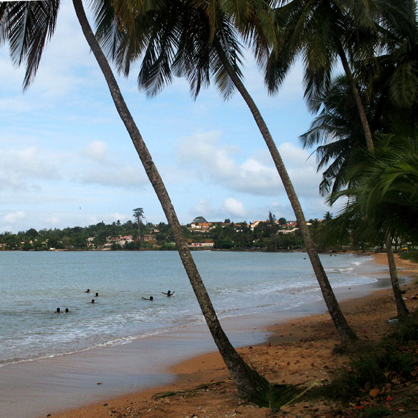
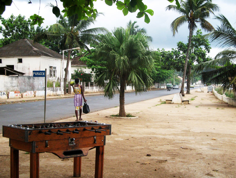
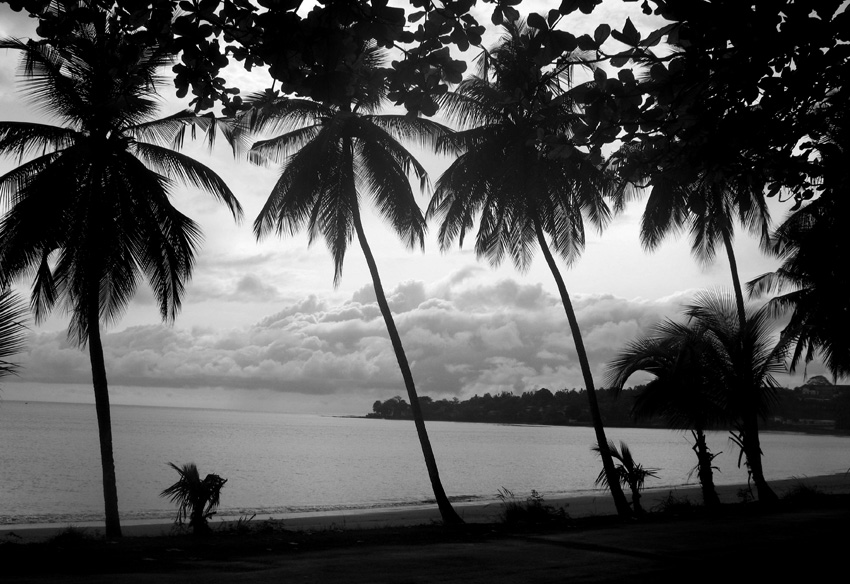
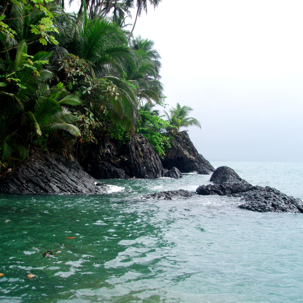
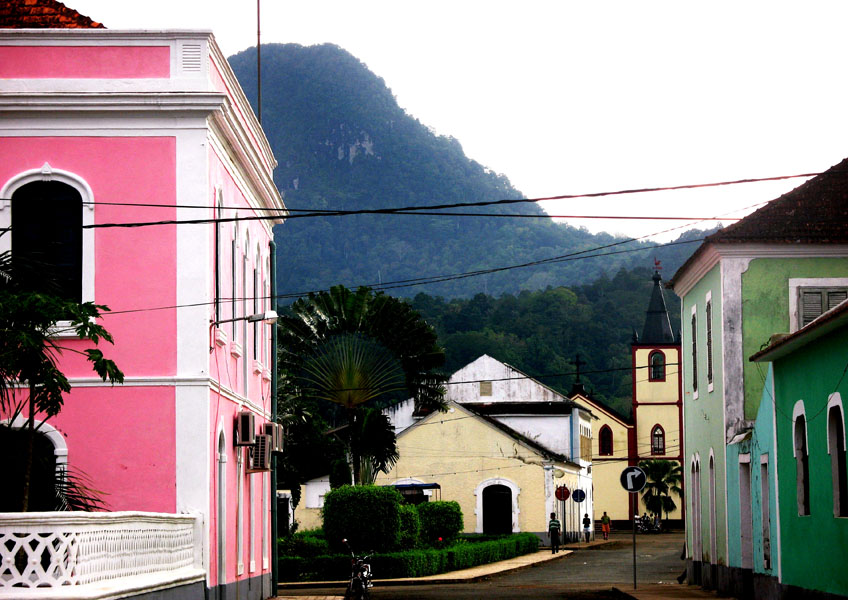
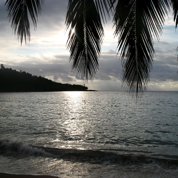
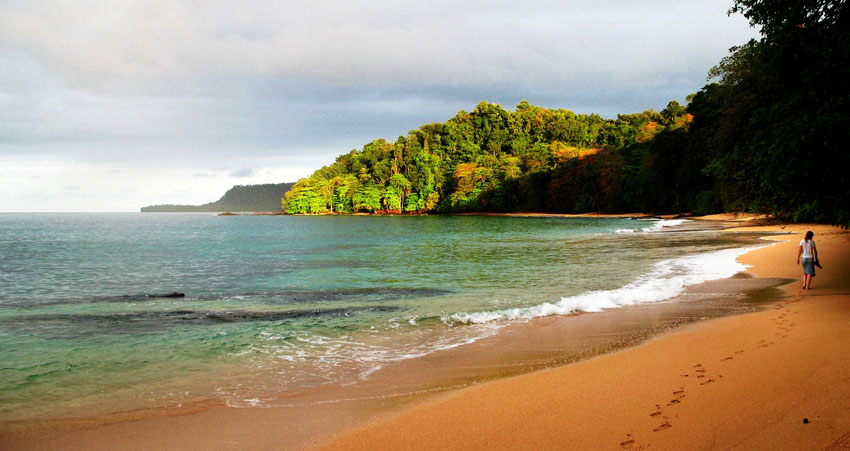
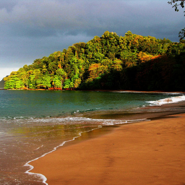
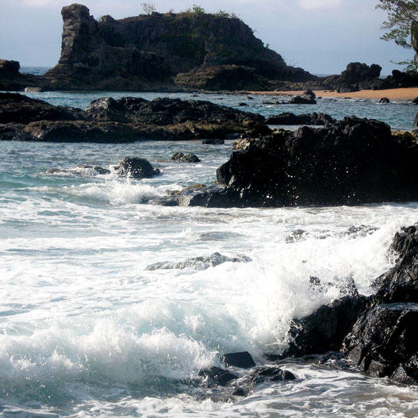
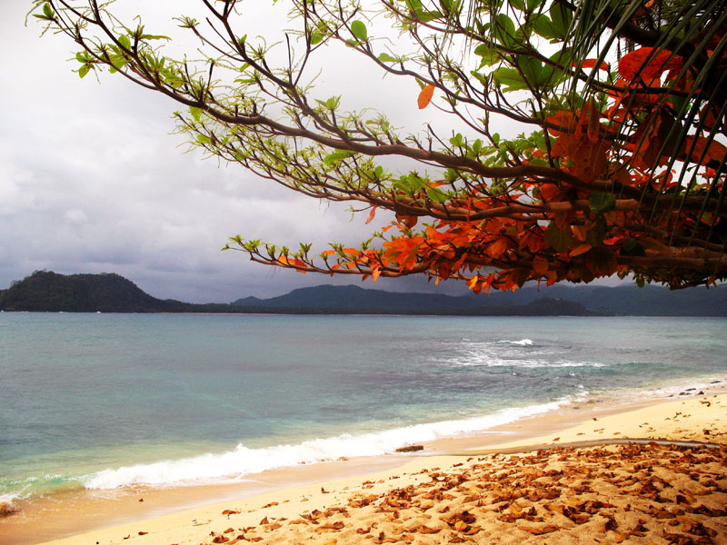
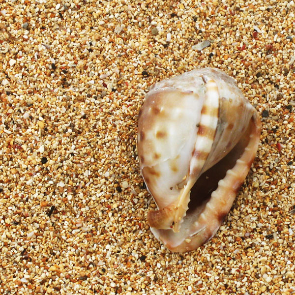
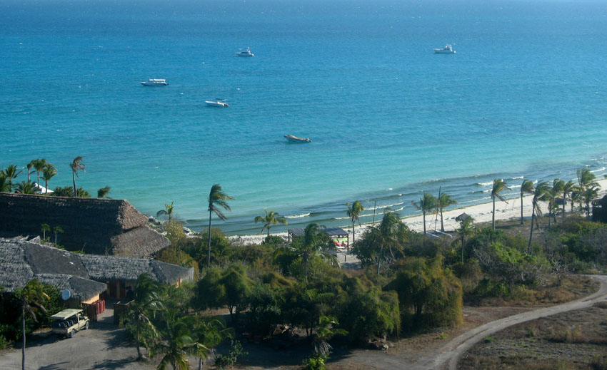
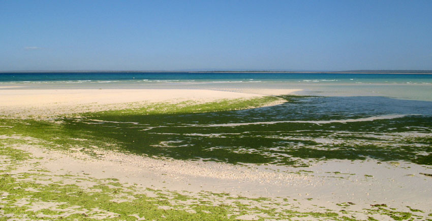
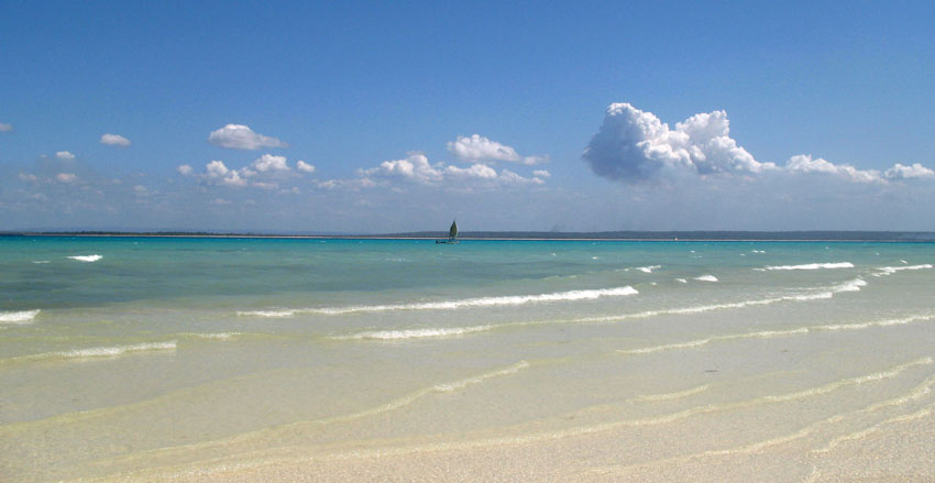
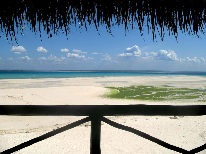
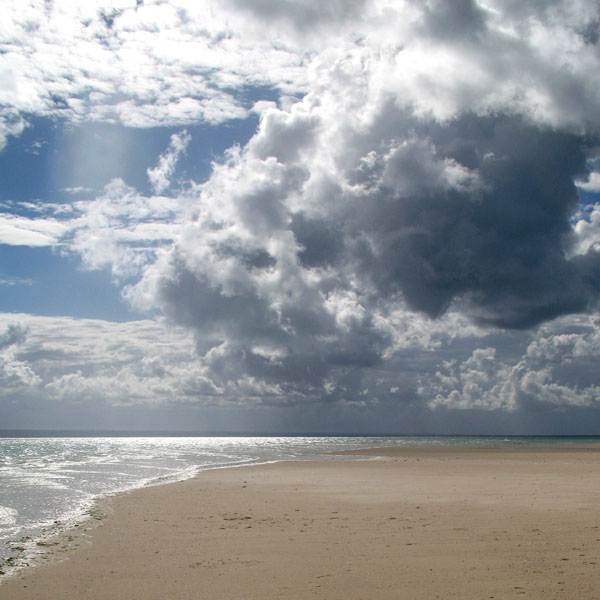
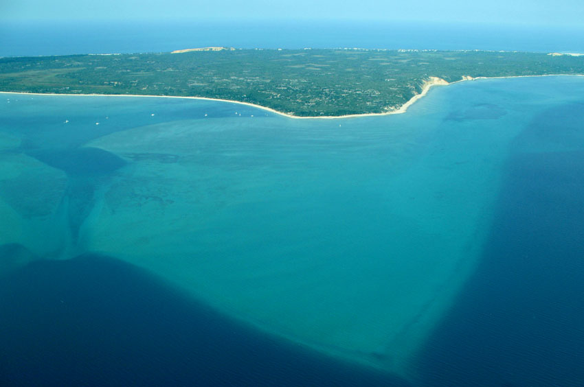
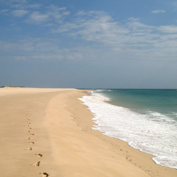
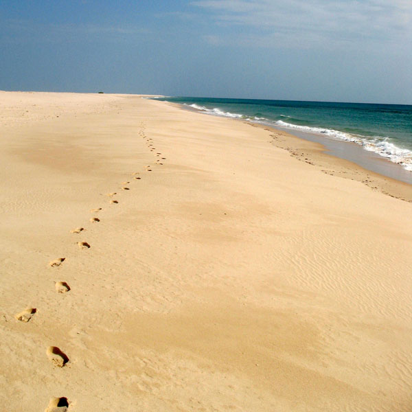
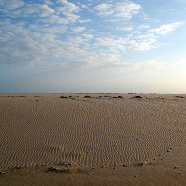
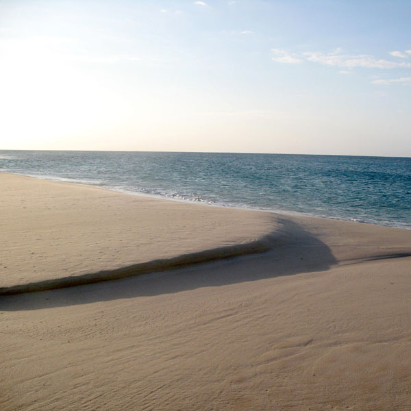
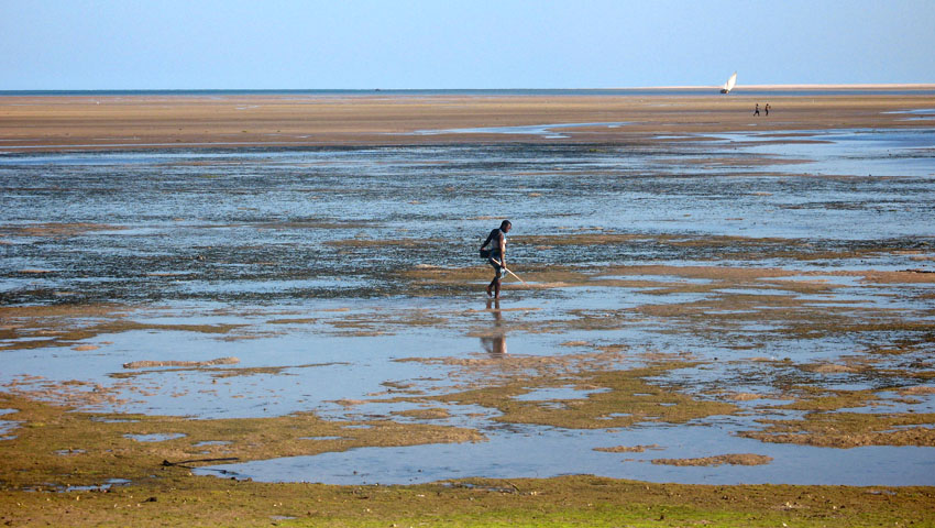
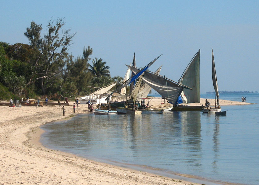
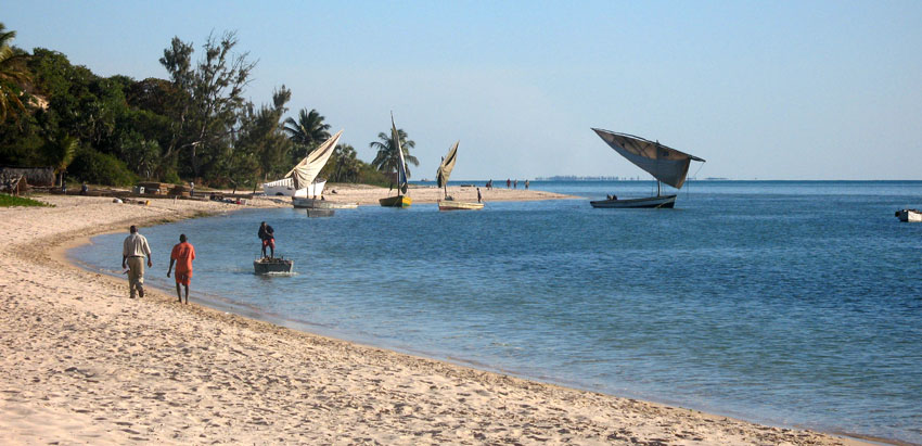
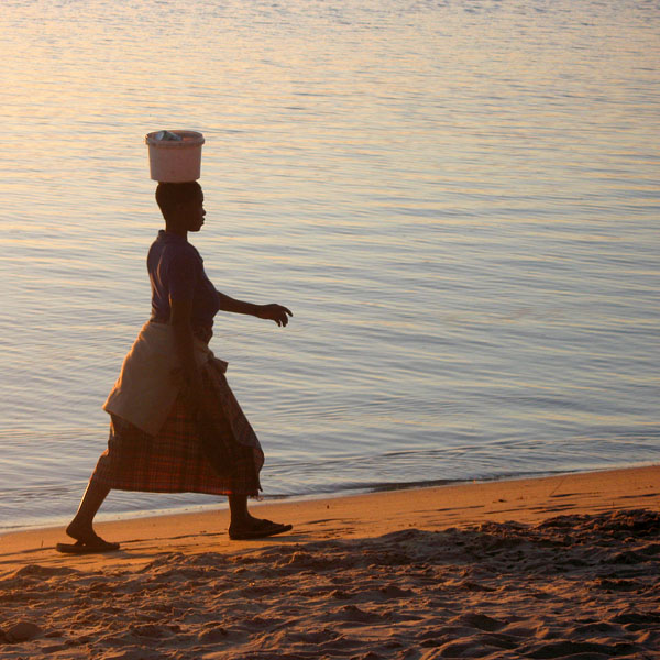
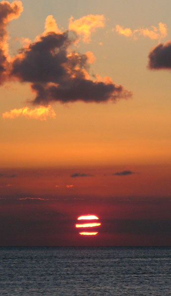
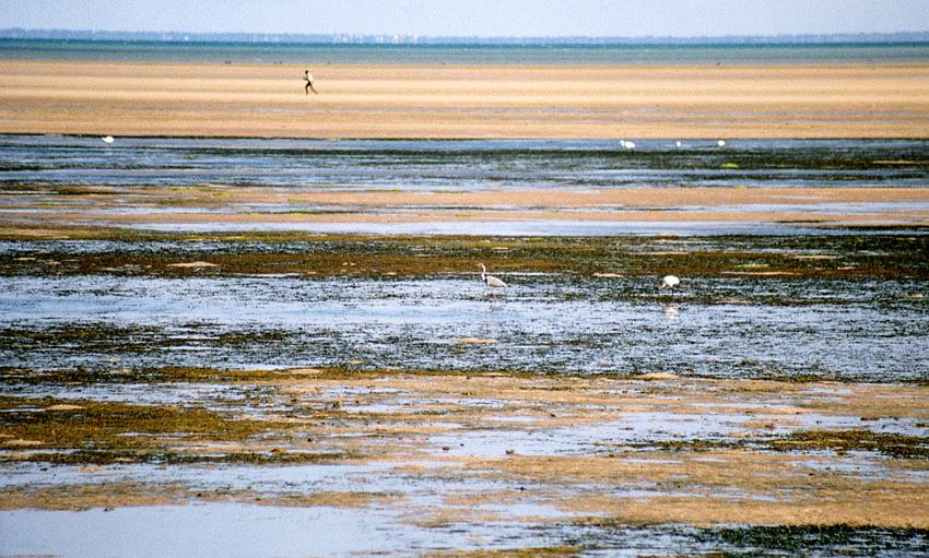
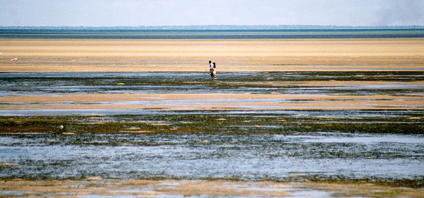
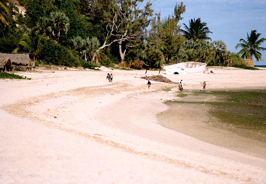
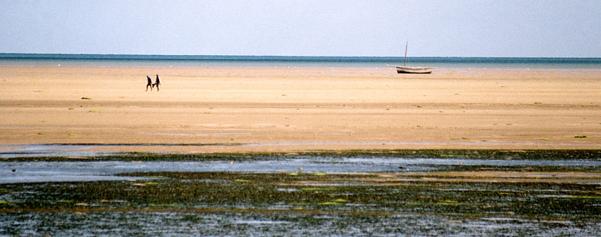
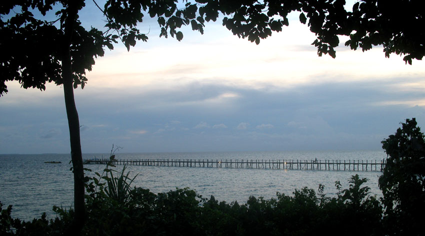
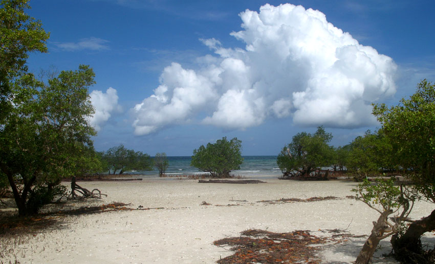
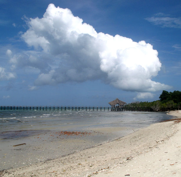
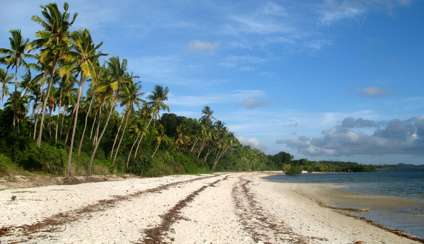
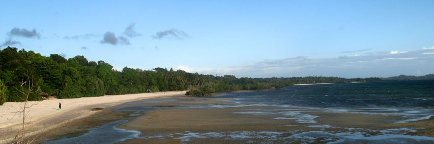
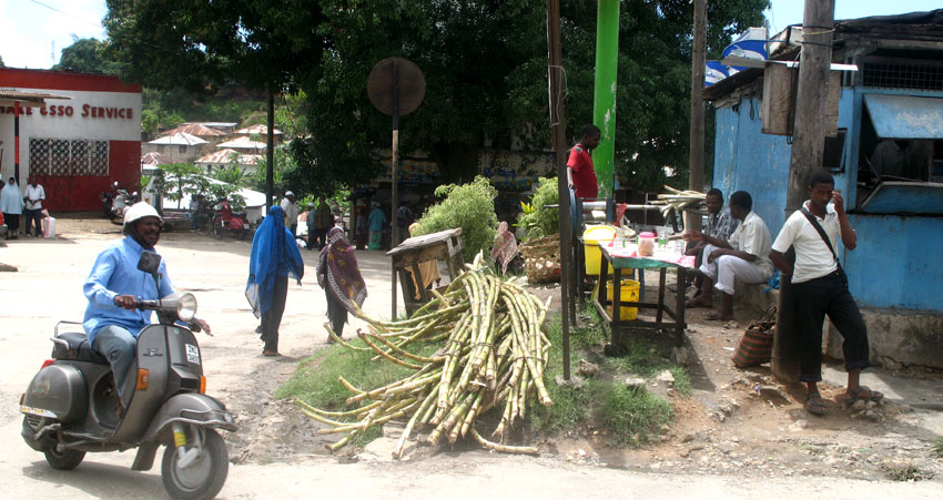
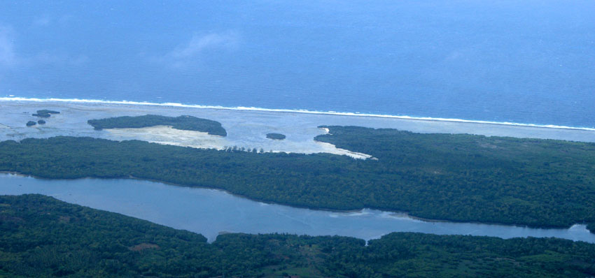
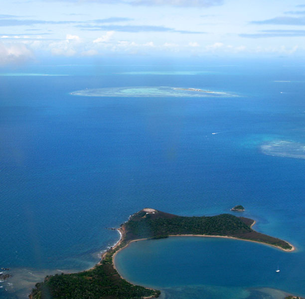
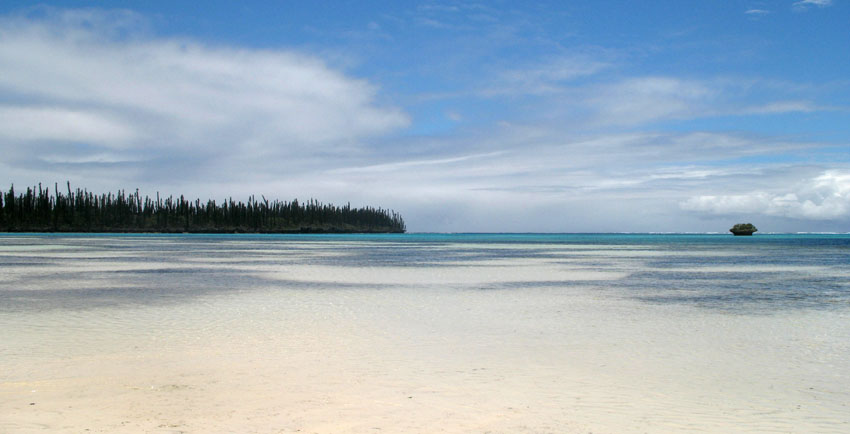
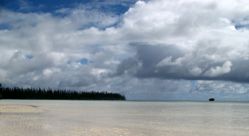
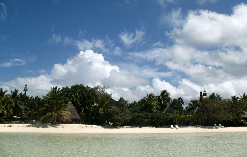
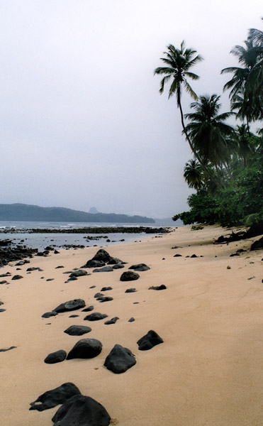
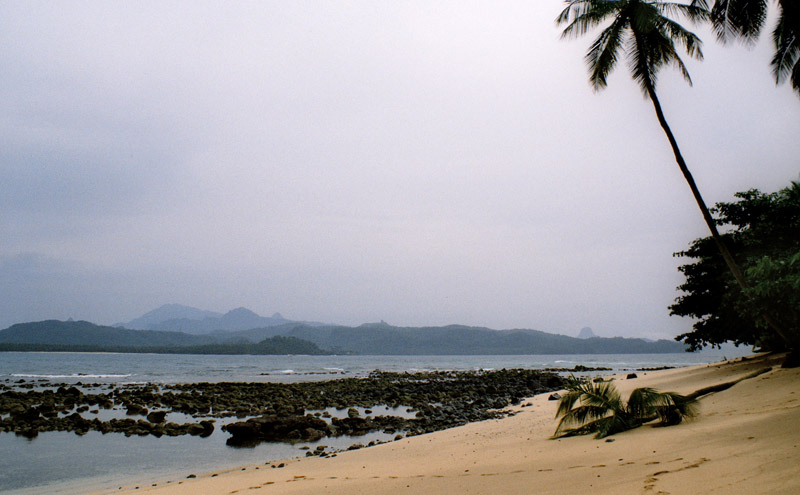
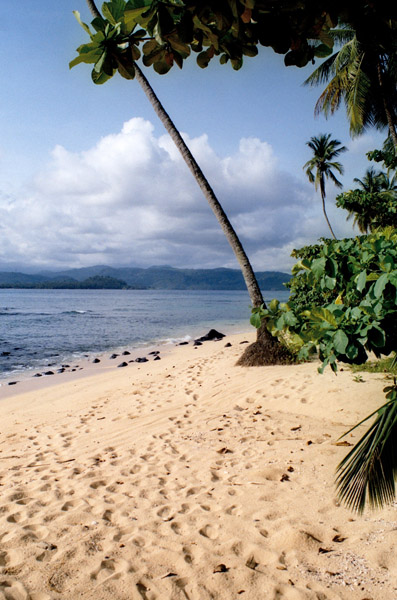
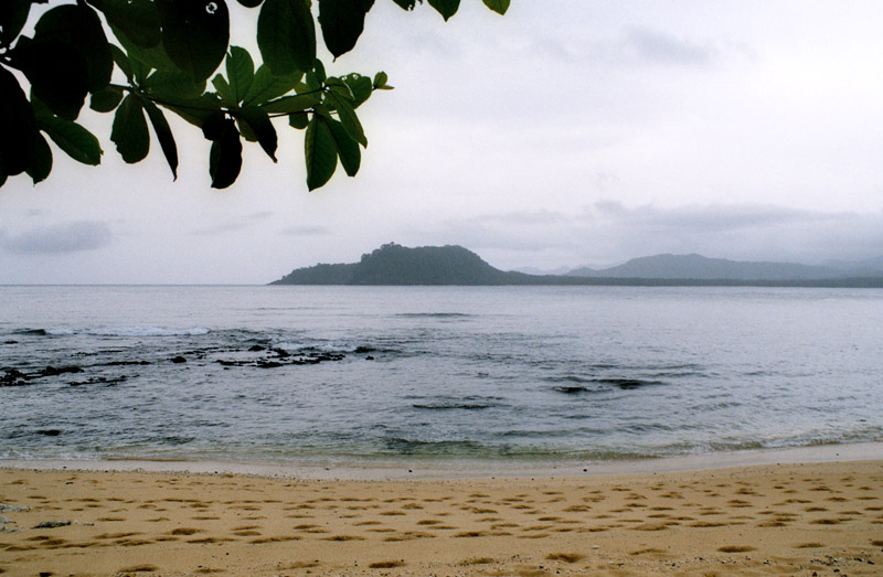
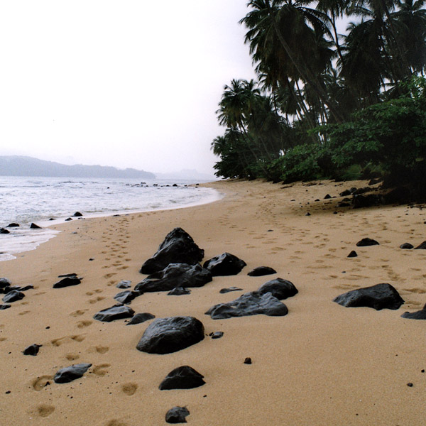
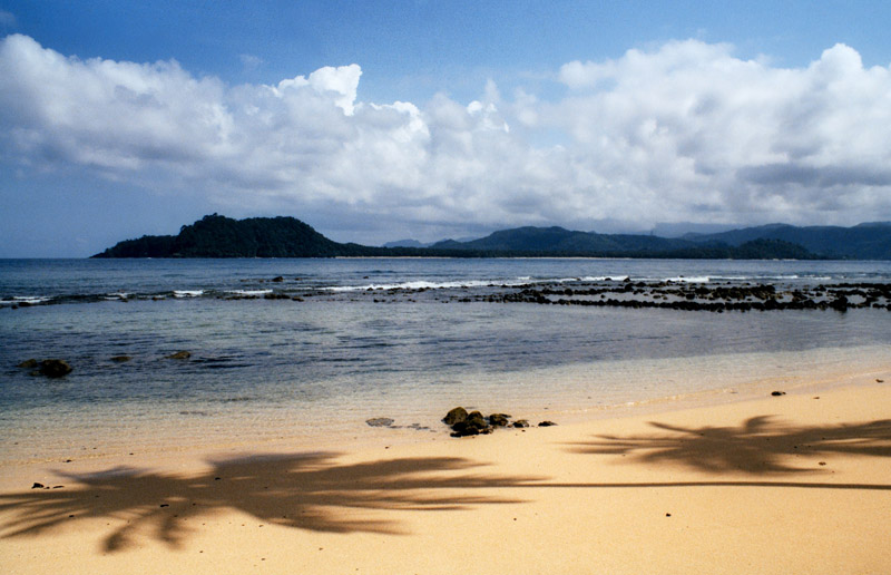
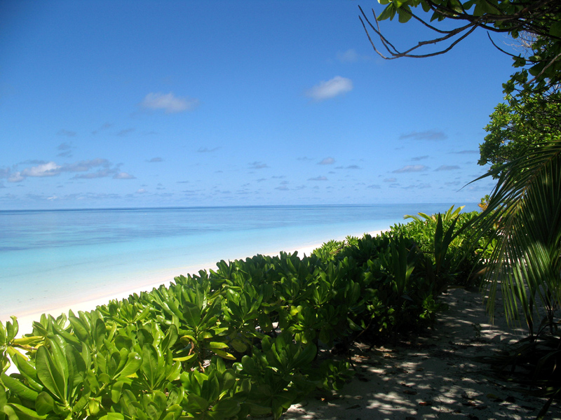
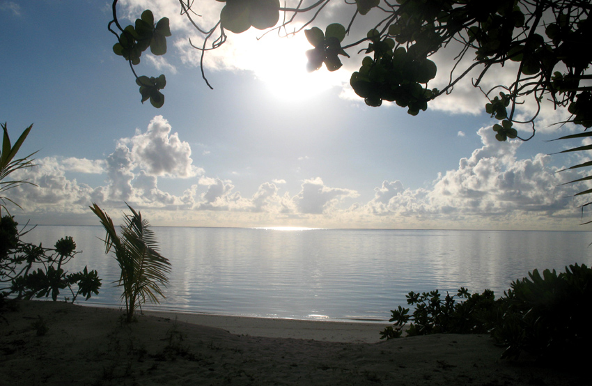
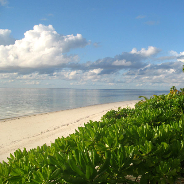
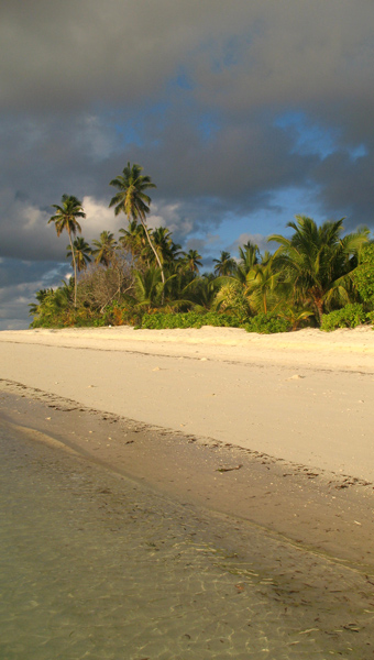
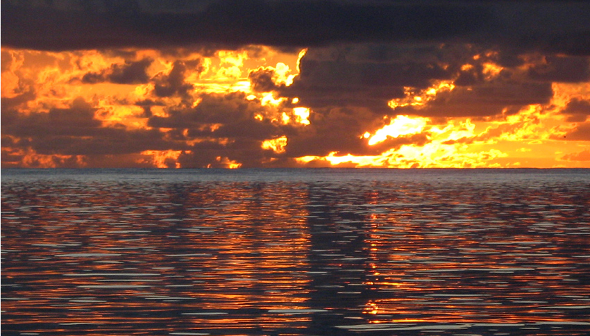
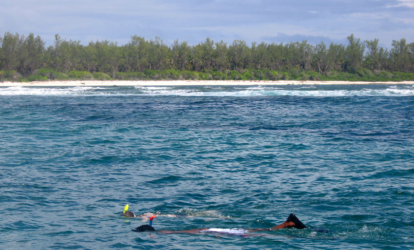
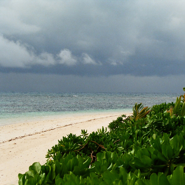
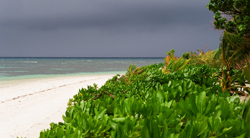
Île Desroches or Desroches Island is the main island of the Amirante Islands, part of the Outer Islands of the Seychelles. It is located 230 km southwest of Mahé, the Seychelles’ main island. It is 6.2 km long and has a land area of 3.24 km². Along its circumference of 15 km is a beach of fine sand.

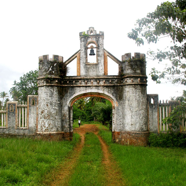
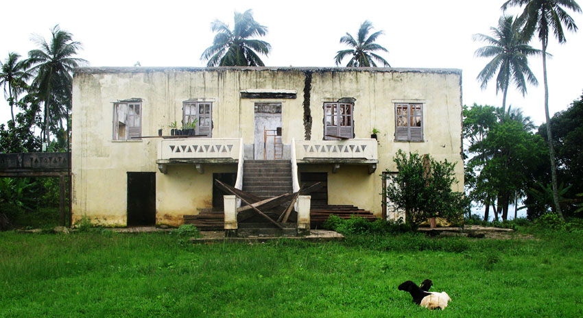
Desroches was named by Chevalier de Roslan, commander of the ship L’Heure du Berger, after the Chevalier des Roches, the Governor of Mauritius (then Île de France) and Réunion (then Bourbon) from 1767 to 1772. It was explored by the Chevalier de la Billioère in 1771. The British had originally named it Wood Island because of its dense tree vegetation. The island was an important producer of copra.

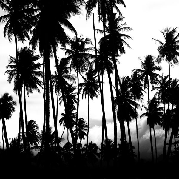
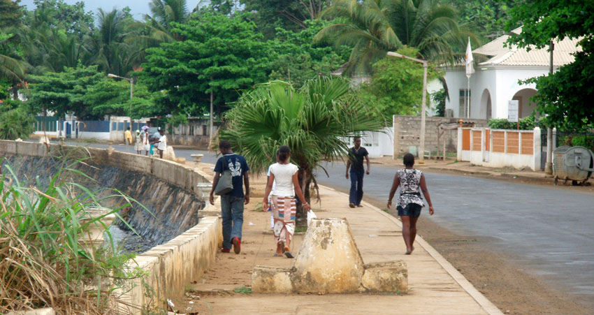
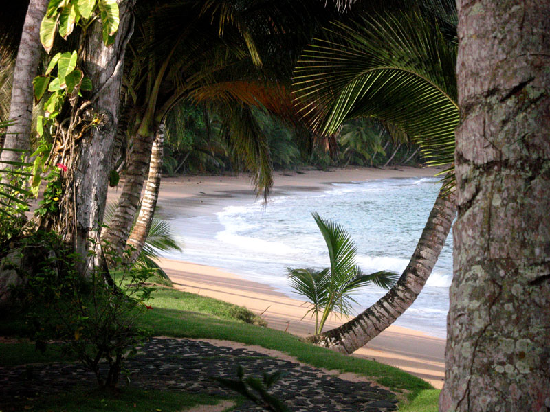
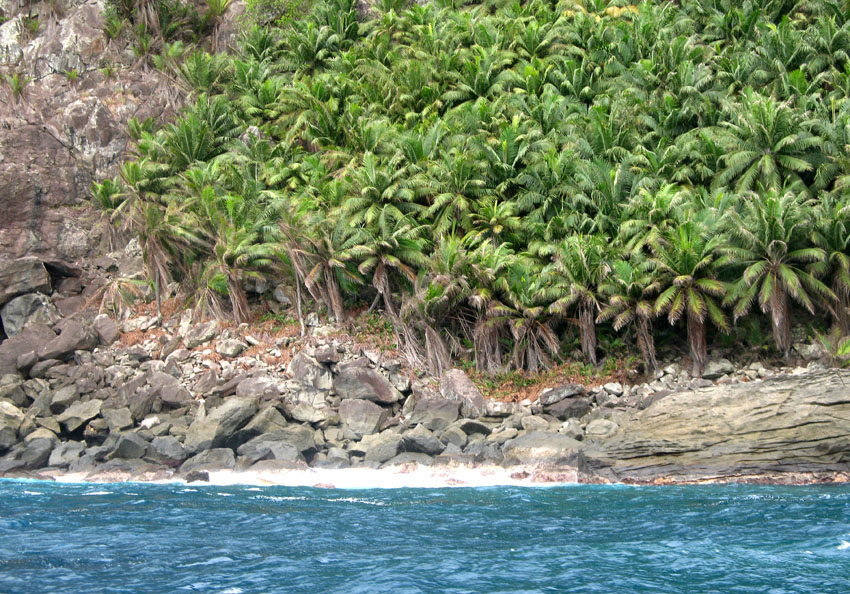
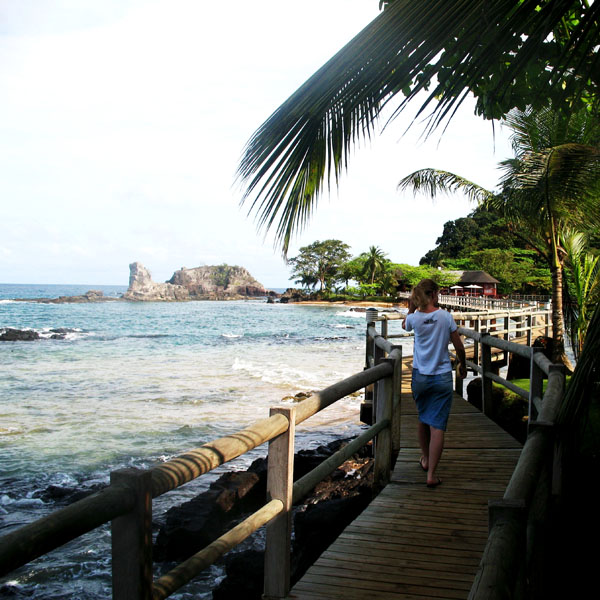
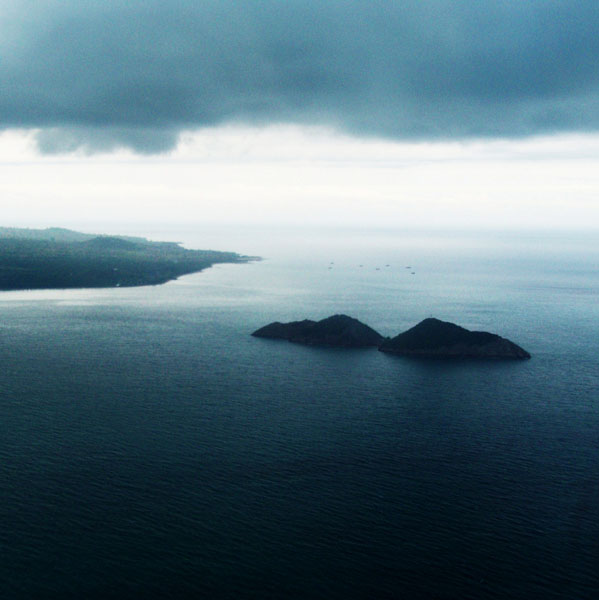
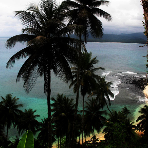
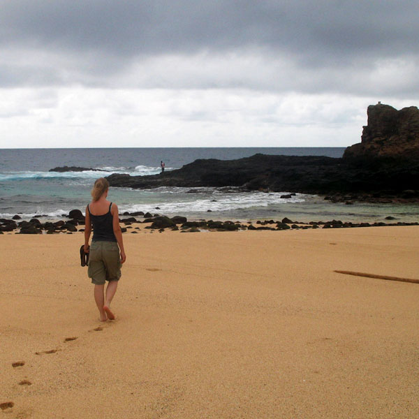
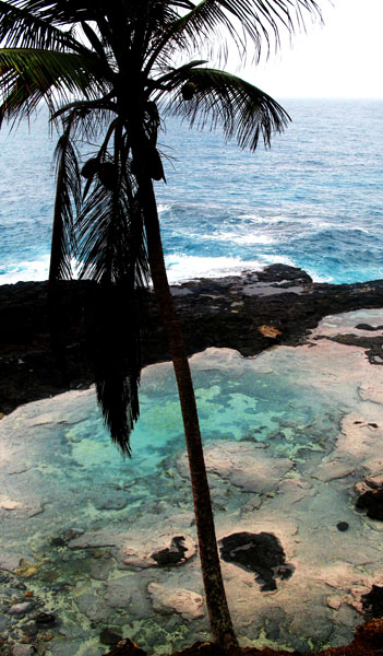
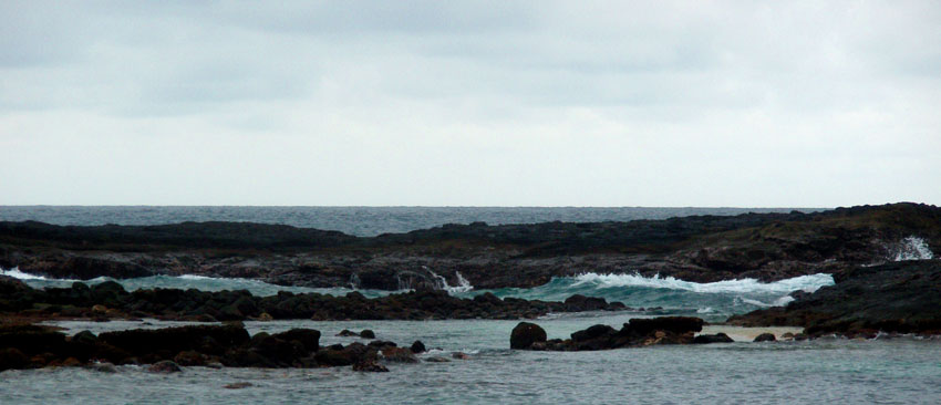
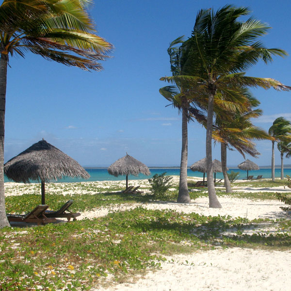
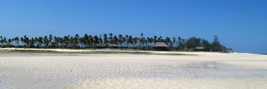
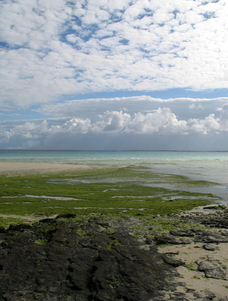
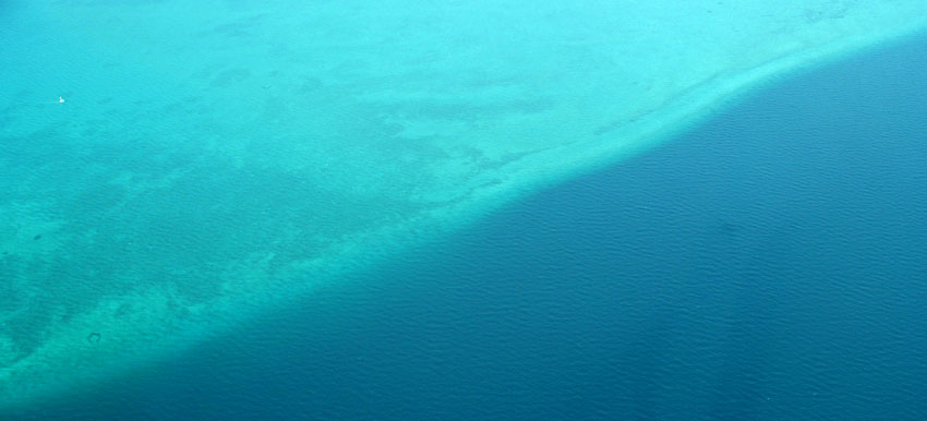
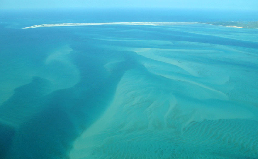
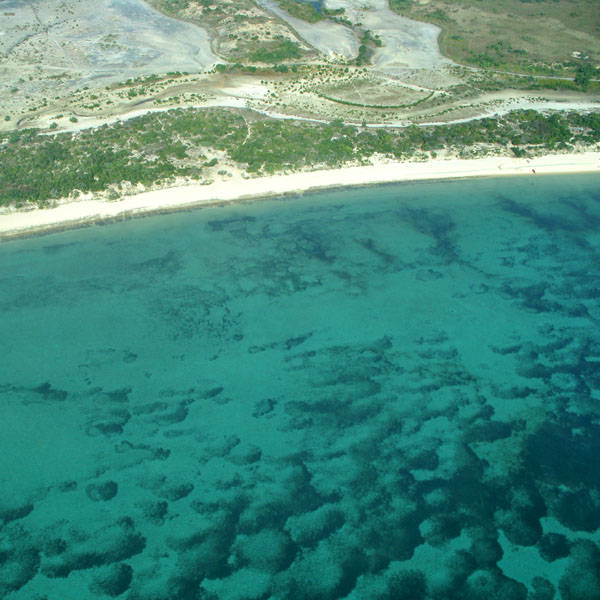
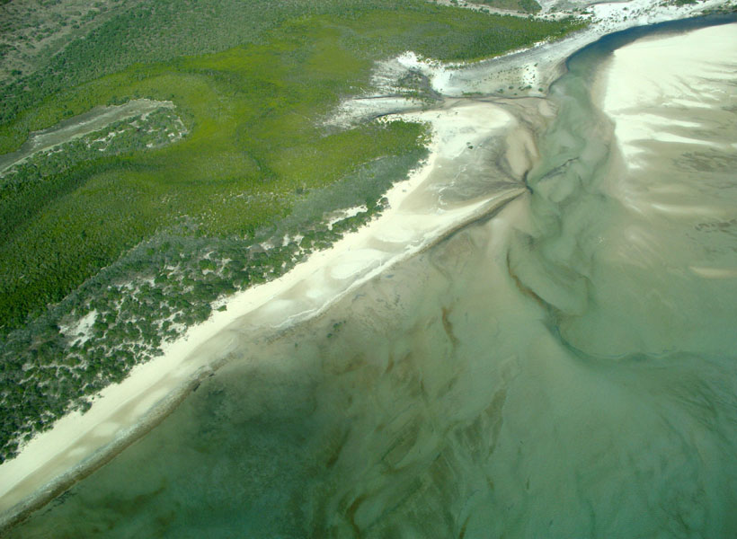
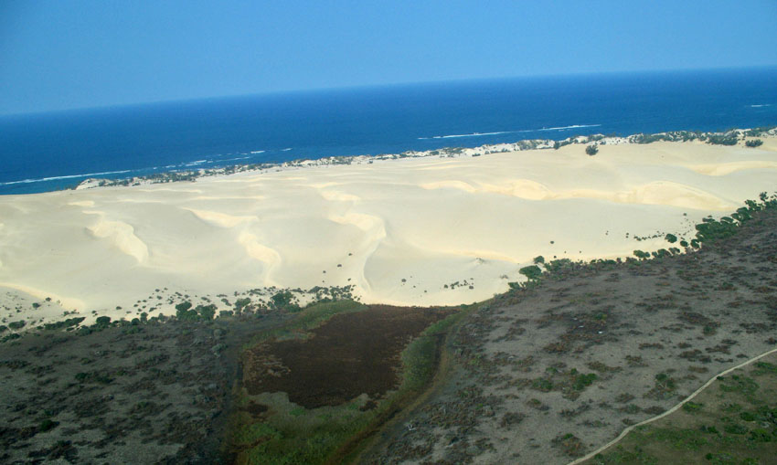
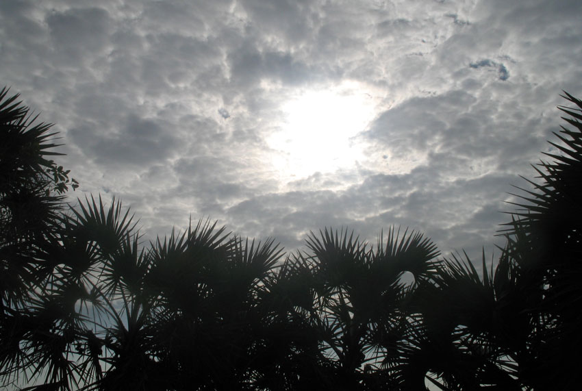
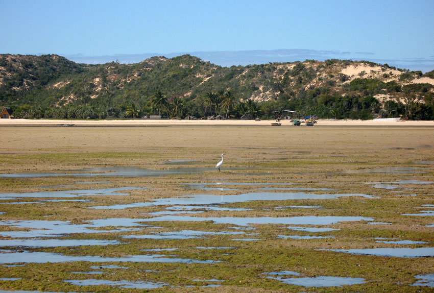
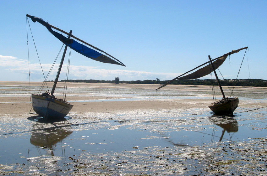
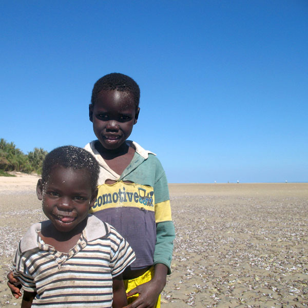
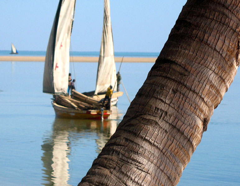
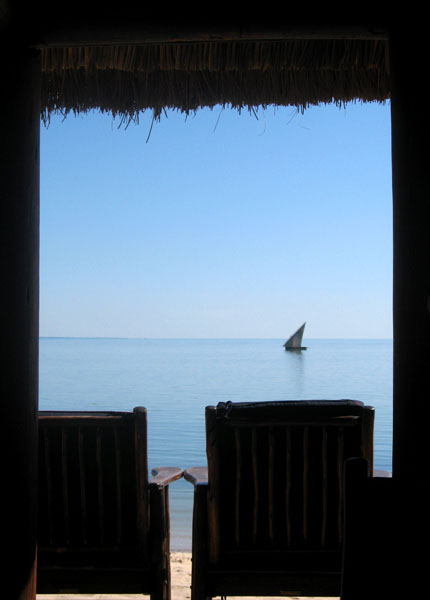
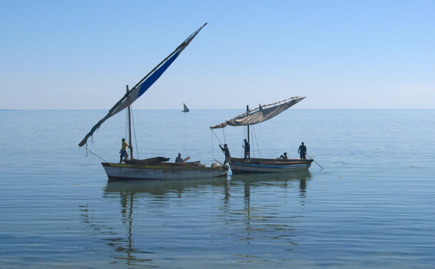
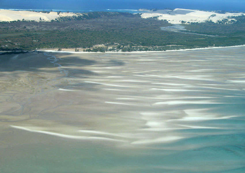
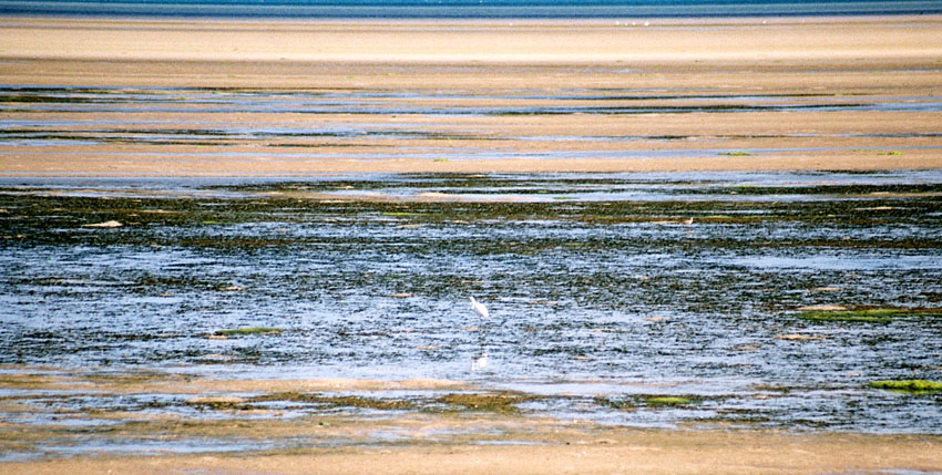
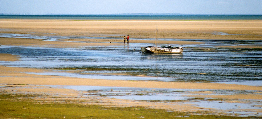
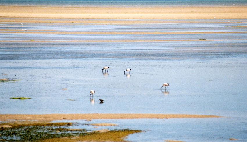
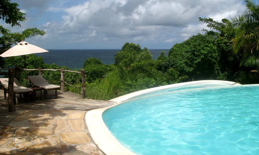
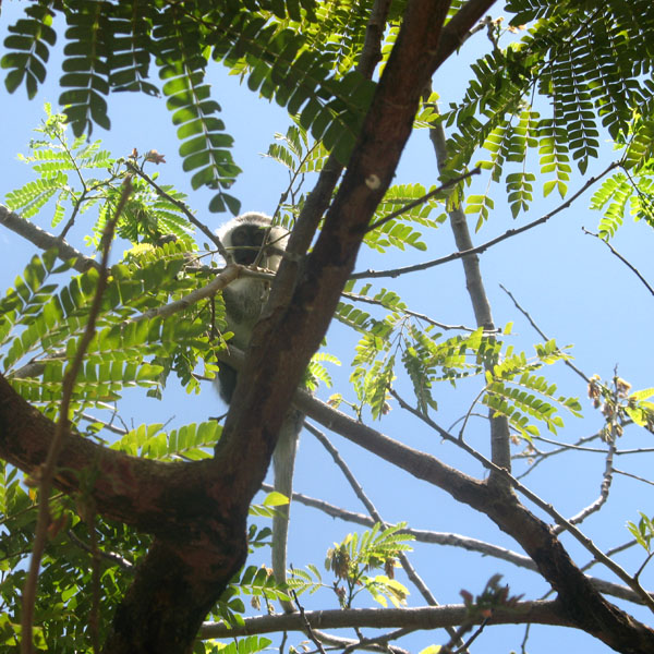
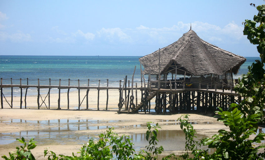
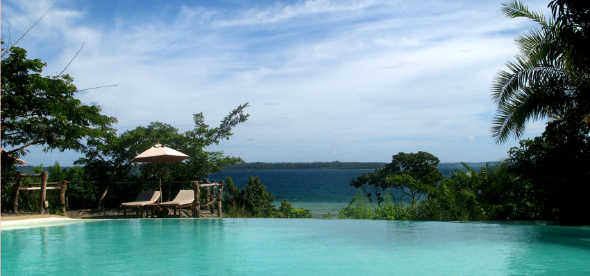
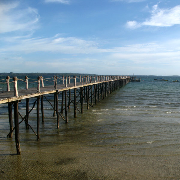
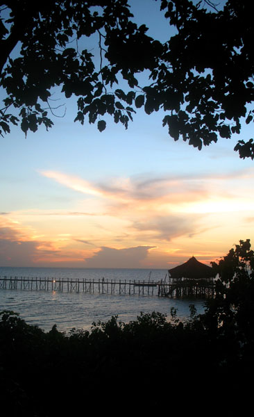
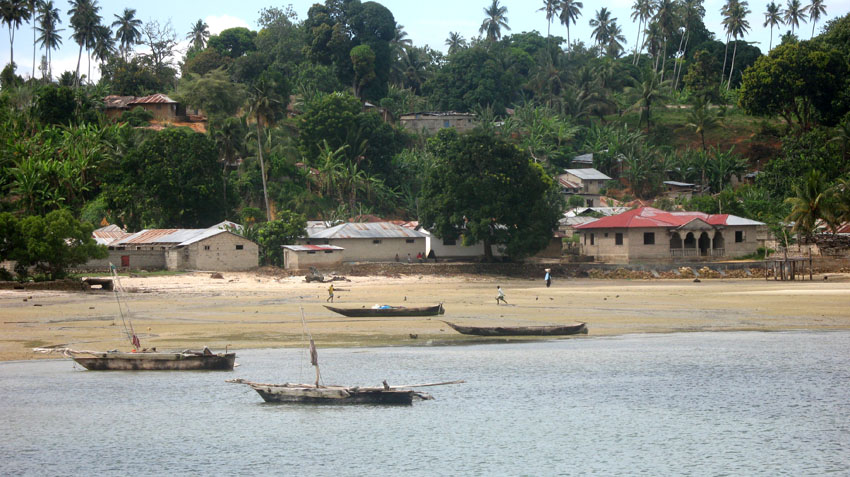
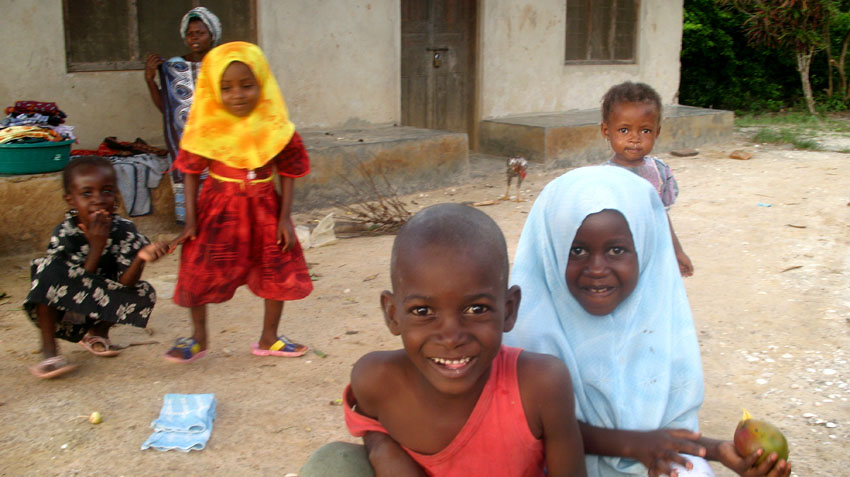
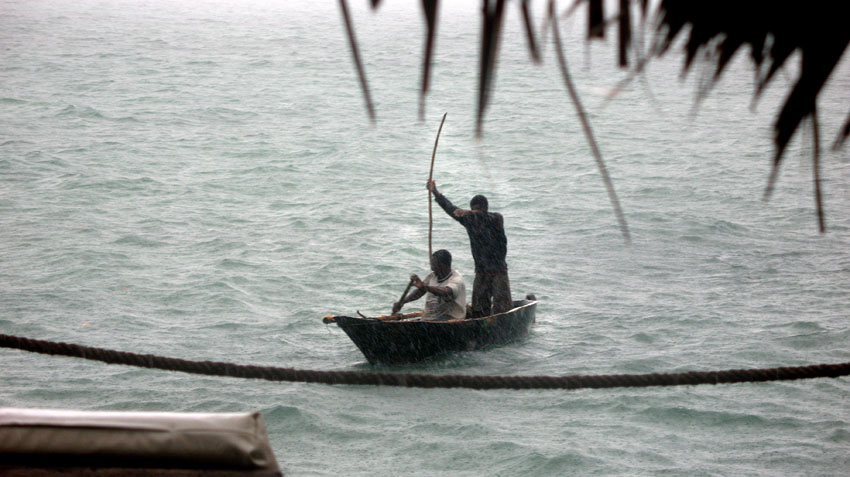
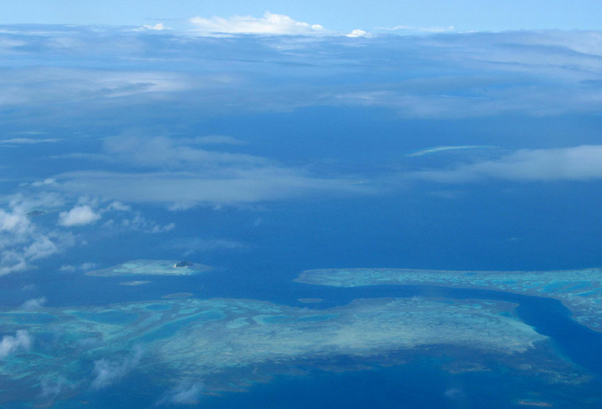
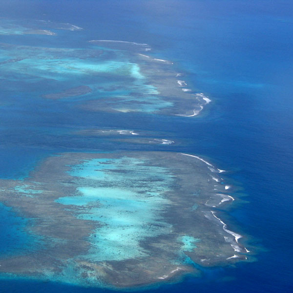
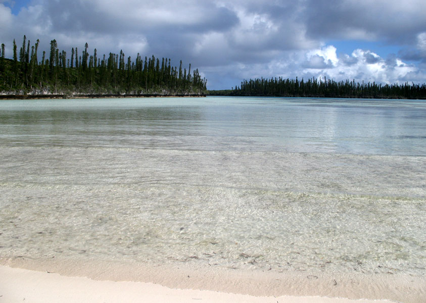
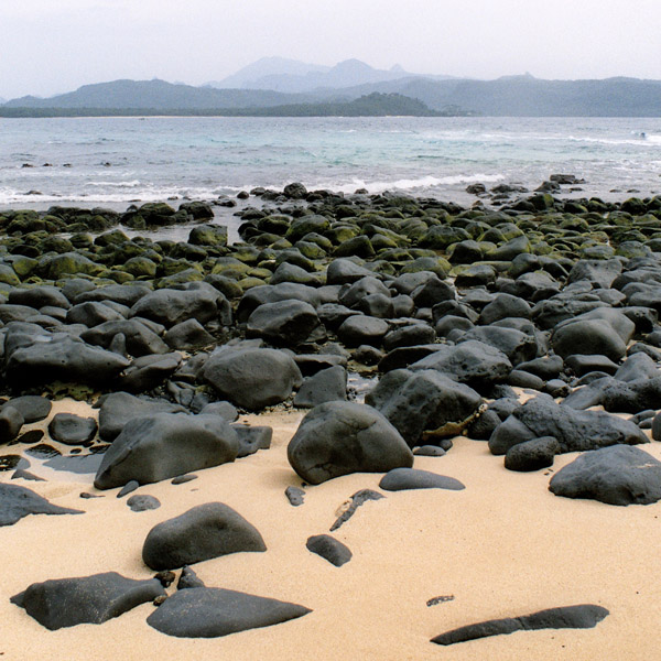
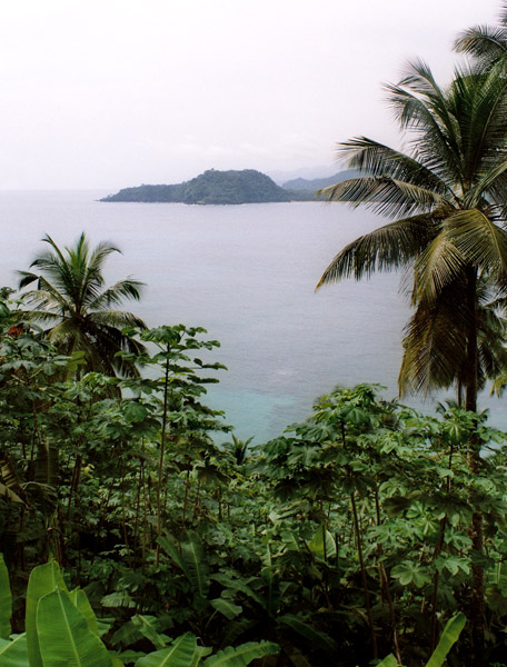
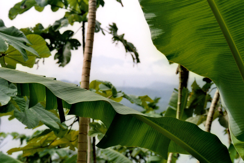
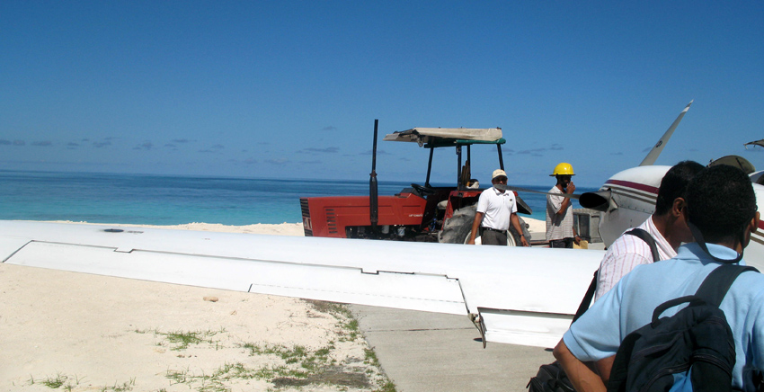
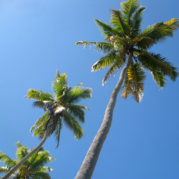
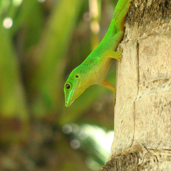
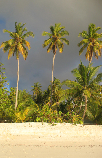
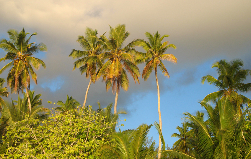
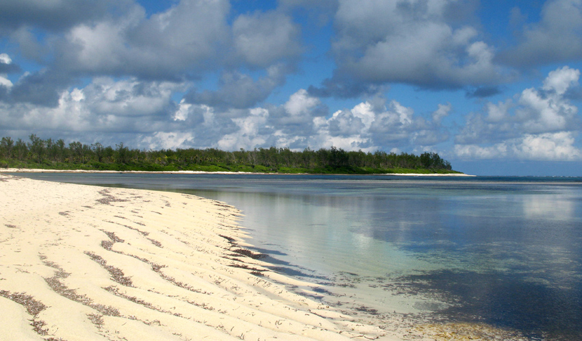
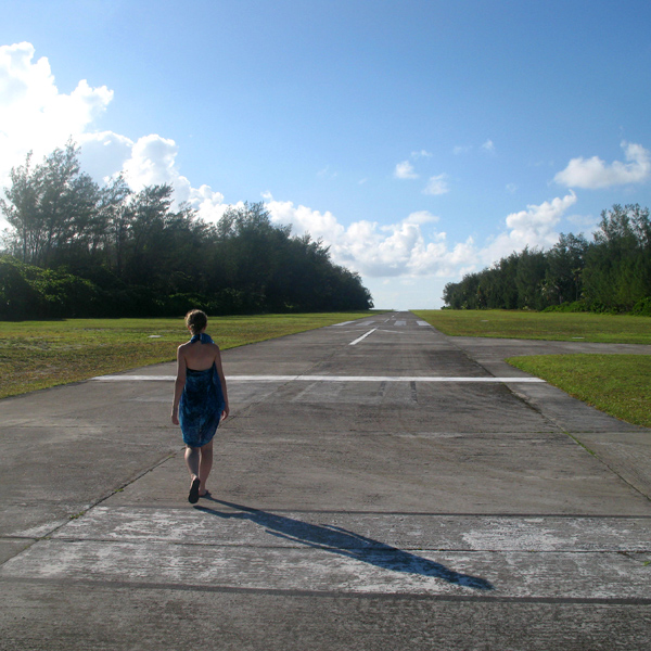
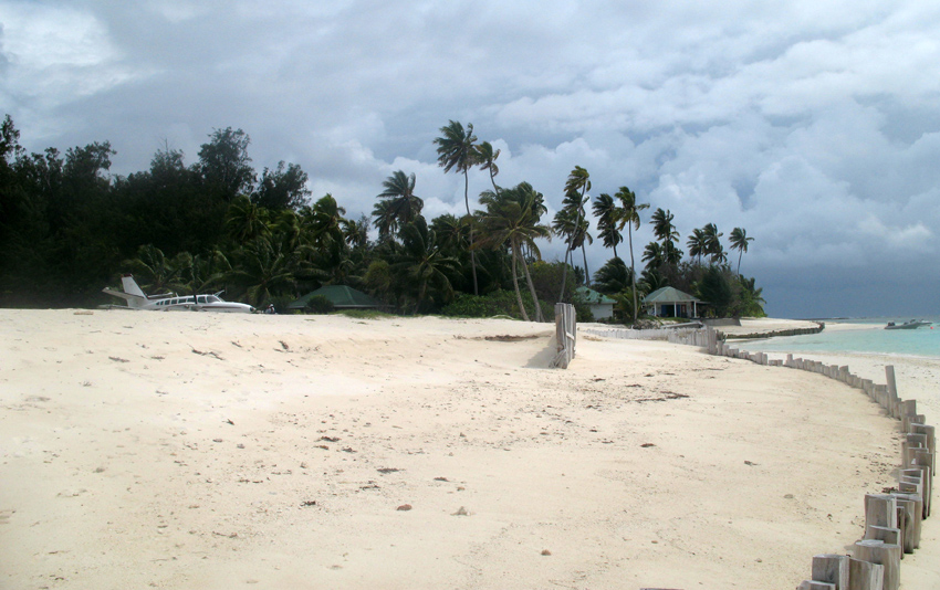
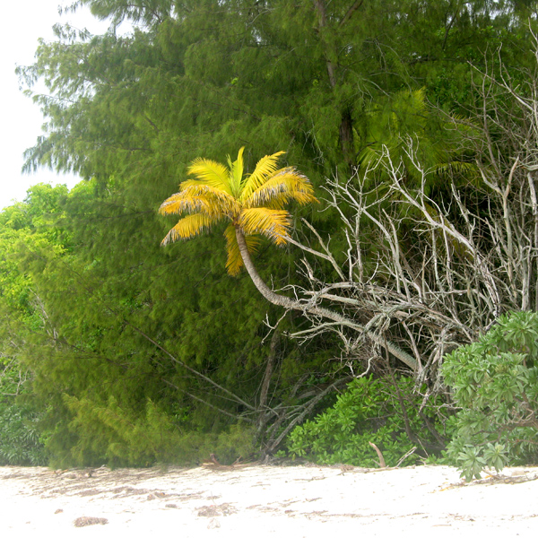
Desroches has a population of about 50, a settlement in the middle of the northwestern shore (looking to the lagoon), a small luxury hotel with 20 rooms in the south (Desroches Island Resort), built in 1988 and a paved airstrip 1372 m long in the southern part. It is located 36 km east of the Amirantes Bank, and separated from it by water over 1300 meters deep. It lies on the southern edge of a reef of atoll character. At the northern edge of the atoll are the Shark Rocks, with least depths between 3 and 6 meters. There is a lighthouse on the northeast end of the Desroches Island. The island is fringed by a drying reef which extends 1.6 km offshore from the northeastern extremity and 0.8 km from the southwestern extremity. The island is low and is covered with coconut palms and tall hardwood trees. A deep channel, about 1.6 km wide, leads into the lagoon. The least depth in the channel is 18.3 m, and it crosses the atoll in a position about 11 km northwest of Desroches.

Source: Wikipedia (under GNU Free Documentation License)

Categories
São Tomé and Príncipe

São Tomé II

São Tomé Island, at 854 km2 (330 sq mi), is the largest island of São Tomé and Príncipe and is home to about 133,600 or 96% of the nation’s population. This island and smaller nearby islets make up São Tomé Province, which is divided into six districts. The main island is located 2 km (1¼ miles) north of the equator. It is about 48 km (30 miles) long (North-South) by 32 km (20 miles) wide (east-west). It rises to 2,024 m (6,639 ft) at Pico de São Tomé and includes the capital city, São Tomé, on the northeast coast. The nearest city on mainland Africa is the port city of Port Gentil in Gabon located 240 km (150 miles) to the east.

The entire island of São Tomé is a massive shield volcano which rises from the floor of the Atlantic Ocean, over 3,000 m (10,000 ft) below sea level. It formed along the Cameroon line, a linear rift zone extending from Cameroon southwest into the Atlantic Ocean. Most of the lava erupted on São Tomé over the last million years has been basalt. The youngest dated rock on the island is about 100,000 years old, but numerous more recent cinder cones are found on the southeast side of the island.

Source: Wikipedia (under GNU Free Documentation License)

Categories
São Tomé and Príncipe

Príncipe

Príncipe is the smaller of the two major islands of São Tomé and Príncipe lying off the west coast of Africa. It has an area of 136 km² and a population of around 5,000 people. It rises in the south to 948 metres at Pico de Príncipe, in a thickly forested area forming part of the Obo National Park. The north and centre of the island were formerly plantations but largely reverted to forest. The island forms one province and one district named Pagué. The languages other than Portuguese includes Principense or Lunguyê with a few Forro speakers.

The island has one town, Santo António, and an airport (IATA code: PCP, ICAO: FPPR?), as well as some small villages including Bela Vista, Bombom, Futuro, Neves Ferreira, Paciencia, Ponta Fonte, Ribeira Ize, Santo Antonio de Ureca, Vila Rosa and more – few connected to the small road network.

The island is a heavily eroded volcano over three million years old, surrounded by other smaller islands including Ilheu Bom Bom, Ilhéu Caroço, Tinhosa Grande and Tinhosa Pequena.

Príncipe was the site where Einstein’s Theory of Relativity was experimentally proved successful by Arthur Stanley Eddington and his team during an eclipse in 1919.

Source: Wikipedia (under GNU Free Documentation License)

Categories
São Tomé and Príncipe

Rolas II

Rolas is a small island lying south of São Tomé Island, being the third largest island of São Tomé and Príncipe. It lies directly on the equator and is known for its beaches, its palm trees, its lighthouse and its beach resort. The island rises to a volcano and is linked by boat to Porto Alegre on São Tomé Island.

Source: Wikipedia (under GNU Free Documentation License)

Categories
Mozambique

Matemo

Matemo Island forms part of the pristine Quirimbas Islands and is located northeast of Ibo island, in northern Mozambique, about 100 km from the city of Pemba. It is approximately 24 square kilometres in area, with palm groves and beaches.

It contains two villages, inhabited by native Mozambicans, as well as the Matemo Island Resort, falling within the Rani Resorts group.

Source: Wikipedia (under GNU Free Documentation License)

Categories
Mozambique

Bazaruto

Bazaruto (Portuguese: Ilha do Bazaruto) is a sandy island located approximately 80 kilometers (50 miles) southeast of the mouth of the Save River, Mozambique 21°38′S 35°30′E. The warm, southward-flowing Mozambique Current seems to contribute to the increasing buildup of the sandy coastline. Because the water along this coastal area is very clear, much of the sub-surface channel pattern around the island is discernible. Several narrow lines of plankton bloom (barely visible in the photograph) parallel the shoreline. The coastal plains show numerous lakes and a swampy environment that appears to be karst topography. Underlying the area is limestone rock that has eroded into a pockmarked landscape, creating water-filled sinkholes. Rainfall in this humid subtropical climate amounts to between 50 and 100 centimeters (20 and 40 inches) annually.

The closest mainland town to the island of Bazaruto is Inhassoro, although administratively it belongs to the Vilankulo District and Inhambane Province.

Source: Wikipedia (under GNU Free Documentation License)

Categories
Tanzania

Pemba

The island of Pemba known as ‘Al Jazeera Al Khadra’ (the green island, in Arabic) is an island forming part of the Zanzibar archipelago, lying off the east coast of Africa in the Indian Ocean. It is situated about 50 kilometres to the north of the island of Zanzibar. In the 1960s Zanzibar was united with the former colony of Tanganyika to form Tanzania. It lies 50 kilometres east of mainland Tanzania. Together with Mafia Island (south of Zanzibar), they form the Spice Islands (not to be confused with Maluku Islands of Indonesia). In 1988, the estimated population was 265,000, with an area of 980 km².

Most of the island, which is hillier and more fertile than Zanzibar, is dominated by small scale farming. There is large scale farming of cash crops such as cloves — there are over 3 million clove trees.

Pemba is also becoming well-known for its dive sites, with vertiginous drop-offs, untouched coral and very abundant marine life. The central town Chake-Chake is located on a hill with a view to the west on the bay and the tiny Misali island where the tides determine when a dhow can enter the harbour.

Source: Wikipedia (under GNU Free Documentation License)

Categories
New Caledonia

Isle of Pines

The Isle of Pines (French: Île des Pins; Kanak name: Kunyié) is an island located in the Pacific Ocean, in the archipelago of New Caledonia, an overseas territory of France. The island is part of the commune (municipality) of L’Île-des-Pins, in the South Province of New Caledonia. The Isle of Pines is often nicknamed l’île la plus proche du paradis (“the closest island to Paradise”) and is famous for snorkeling and scuba diving in and around its colorful lagoon. Many species of tropical fish and corals can be seen in the transparent water.

The island is located around 22°37′S 167°29′E and measures 15 km (9 miles) by 13 km (8 miles). It lies southeast of Grande Terre, New Caledonia’s main island and is approximately 100 kilometres south-east of the capital Noumea. There is one airport (code ILP) with a 1,097-meter (3,600 ft) runway. The Isle of Pines is surrounded by the New Caledonia Barrier Reef.

The inhabitants of the island are mainly native Melanesian Kanaks and the population is approximately 2,000 (estimated 2006).

The island is rich with animal life and is home to many unique creatures such as the Crested Gecko Rhacodactylus ciliatus and the world’s largest gecko Rhacodactylus leachianus.

The pic Nga is the island’s highest point, at 262 meters (860 ft) elevation.

Source: Wikipedia (under GNU Free Documentation License)

Categories
São Tomé and Príncipe

São Tomé I

São Tomé Island, at 854 km2 (330 sq mi), is the largest island of São Tomé and Príncipe and is home to about 133,600 or 96% of the nation’s population. This island and smaller nearby islets make up São Tomé Province, which is divided into six districts. The main island is located 2 km (1¼ miles) north of the equator. It is about 48 km (30 miles) long (North-South) by 32 km (20 miles) wide (east-west). It rises to 2,024 m (6,639 ft) at Pico de São Tomé and includes the capital city, São Tomé, on the northeast coast. The nearest city on mainland Africa is the port city of Port Gentil in Gabon located 240 km (150 miles) to the east.

The entire island of São Tomé is a massive shield volcano which rises from the floor of the Atlantic Ocean, over 3,000 m (10,000 ft) below sea level. It formed along the Cameroon line, a linear rift zone extending from Cameroon southwest into the Atlantic Ocean. Most of the lava erupted on São Tomé over the last million years has been basalt. The youngest dated rock on the island is about 100,000 years old, but numerous more recent cinder cones are found on the southeast side of the island.

Source: Wikipedia (under GNU Free Documentation License)

Categories
São Tomé and Príncipe

Rolas I

Rolas is a small island lying south of São Tomé Island, being the third largest island of São Tomé and Príncipe. It lies directly on the equator and is known for its beaches, its palm trees, its lighthouse and its beach resort. The island rises to a volcano and is linked by boat to Porto Alegre on São Tomé Island.

Source: Wikipedia (under GNU Free Documentation License)