Categories
Bissagos Islands Guinea-Bissau

Ilha dos Cavalos

Cavalos island is the second most important breeding site of birds in West Africa. There are about 19,000 nests of terns and other species. The island is small and deserted; you can go around it across splendid beaches within only two hours. The island is inhabited not only by terns but also by an exceptionally big number of African fish eagles. Cavalos island stands out against other islands of the Bijagos archipelago due to extensive areas resembling moors.

Categories
Bissagos Islands Guinea-Bissau

Ilha de Orangozinho

Orangozinho island is cut across by a network of canals sneaking through mangrove woods. Fish eagles may be seen both on trees and in the air. We drifted on a boat, looking for hippopotamuses (it is the only place in Africa where they live in the ocean) but we did not manage to find them.

Categories
Kenya

Lamu Island I

Lamu Island is a part of the Lamu Archipelago of Kenya. Lamu Old Town, the principal inhabited part of the island, is one of the oldest and best-preserved Swahili settlement in East Africa. Built in coral stone and mangrove timber, the town is characterized by the simplicity of structural forms enriched by such features as inner courtyards, verandas, and elaborately carved wooden doors. Lamu has hosted major Muslim religious festivals since the 19th century, and has become a significant center for the study of Islamic and Swahili cultures. The island is linked by boat to Mokowe on the mainland and to Manda Island, where there is an airport. There are no roads on the island, just alleyways and footpaths, and therefore, there are few motorized vehicles on the island. Residents move about on foot or by boat, and donkeys are used to transport goods and materials.

A port was founded on the island of Lamu by Arab traders at least as early as the fourteenth century, when the Pwani Mosque was built. The island prospered on the slave trade. After defeating Pate Island in the nineteenth century, the island became a local power, but it declined after the British forced the closure of the slave markets in 1873. In 1890 the island became part of Zanzibar and remained obscure until Kenya was granted independence from Great Britain in 1963. Tourism developed from the 1970s, mainly around the eighteenth century Swahili architecture and traditional culture.

Lamu Old Town was designated as a UNESCO World Heritage site in 2001 base on 3 criterion:

  • The architecture and urban structure of Lamu graphically demonstrate the cultural influences that have come together there over several hundred years from Europe, Arabia, and India, utilizing traditional Swahili techniques to produce a distinct culture.
  • The growth and decline of the seaports on the East African coast and interaction between the Bantu, Arabs, Persians, Indians, and Europeans represents a significant cultural and economic phase in the history of the region which finds its most outstanding expression in Lamu Old Town.
  • Its paramount trading role and its attraction for scholars and teachers gave Lamu an important religious function in the region. It continues to be a significant centre for education in Islamic and Swahili culture.

Source: Wikipedia (under GNU Free Documentation License)

Categories
Marquesas French Polynesia

Teuaua

Teuaua is a tiny island south-west of the island Ua Huka, also known as Bird Island or the Motu Manu. It is a breeding ground for millions of terns, whose eggs, unfortunately, are constantly filched by the Ua Huka’s inhabitants.

Categories
Seychelles

Aldabra Atoll

Aldabra is a raised coral atoll in the Aldabra Group of islands in the Indian Ocean that form part of the Seychelles. The island is more than 700 miles from Mahé and is closer to the coast of Africa and Madagascar. Virtually untouched by humans, with distinctive island fauna, including the Aldabra Giant Tortoise, the island is designated a World Heritage Site. The atoll is home to the world’s largest population of giant tortoises, numbering some 100,000 individuals. They are also known for their green turtles, hawksbill turtles, hammerhead sharks, mantarays, barracuda, and birds, including the Aldabra rail, the last surviving flightless bird of the Indian Ocean region. The Aldabra Group includes the island of Assumption and the atolls of Astove and Cosmoledo.

Aladabra was designated a World Heritage Site on November 19, 1982, and is administered by the Seychelles Island Foundation based on Mahé. An environmental disaster for the island was averted in the 1960s when the British nearly entered into negotiations with the United States to turn the island into a military air base. The proposal created an international protest by ecologists and their lobbying resulted in military plans abandoned and the wildlife habitat receiving full protection.

Source: Wikipedia (under GNU Free Documentation License)

Categories
Seychelles

Cosmoledo Atoll

Cosmoledo is an atoll of the Aldabra Group and belongs to the Outer Islands of the Seychelles. The atoll is 14.5 km long east-west, and 11.5 km north-south. The total land area is about 5.2 km², while the lagoon measures 145 km² in area (total 152 km²). It is located at 9°42’S 47°36’E. The closest island is Astove Island, 38 km farther south. Cosmoledo Atoll and Astove Island are together sometimes known as Cosmoledo Group, which is part of the larger Aldabra Group.

There are 16 individual islets and cays along the rim of the atoll, with Menai (in the west) and Wizard Island (Grande Île, in the southeast) being the largest.

Cosmoledo holds Seychelles’ largest colonies of all three species of booby that breed in Seychelles. The atoll holds the last viable population of Brown Booby, breeding mainly on Ile du Sud Ouest, with a few on Ile du Nord. It also has the Indian Ocean’s larget population of Red-footed Booby censused by the Island Conservation Society as about 15,000 pairs.

Source: Wikipedia (under GNU Free Documentation License)

Categories
Seychelles

Alphonse Atoll

Alphonse Atoll is one of two atolls of the Alphonse Group, and located 87 km south of the Amirante Islands, and just three kilometers north of St. François Atoll, the second atoll of Alphonse Group. The atoll has just one island, Alphonse Island, with a population of fewer than 300. It was discovered on 28 January 1730 by Chevalier Alphonse de Pontevez, commanding the French frigate Le Lys. A luxury hotel has been build on Alphonse Island, generating frequent traffic between other islands in the group. The area of the island is 1.74 km². The total area of the atoll, with more than 3 km in diameter, is about 8 km², including reef flat and lagoon.

Source: Wikipedia (under GNU Free Documentation License)

Categories
Seychelles

Bird Island

Bird Island is the northernmost island in the Seychelles archipelago, 60 miles from Mahe. The 0.70 km² Coral island is known for its birdlife, including sooty terns, fairy terns and common noddies, and for hawksbill and green turtles. It is now a private resort with 24 bungalows. It also contains a small weather station.

Bird Island was formerly known as “Ile aux Vaches” due to the numerous dugongs (sea cows) that lived in nearby waters. Between 1896 and 1906, 17,000 tons of guano were removed from the island and exported to Mauritius as fertilizer. It formerly was a coconut plantation, and cash crops such as papaya and cotton were also grown.

Since 1967 it has been privately owned, and conservation measures have taken place such as protection of birdlife and sea turtle nesting sites, and the eradication of feral rats and rabbits.

Another phenomena of Bird island is that each Year in May millions of bird come for nesting to the island and before they start nesting they pick up water from the sea and drop in the large grass patch of the island, where they intend to nest. The salt water the bird drop makes the grass go dry and after a few weeks they can start building their nests on the dry ground.

Source: Wikipedia (under GNU Free Documentation License)

Categories
São Tomé and Príncipe

Príncipe

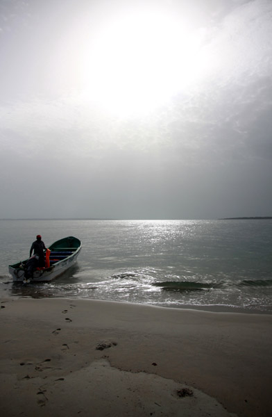
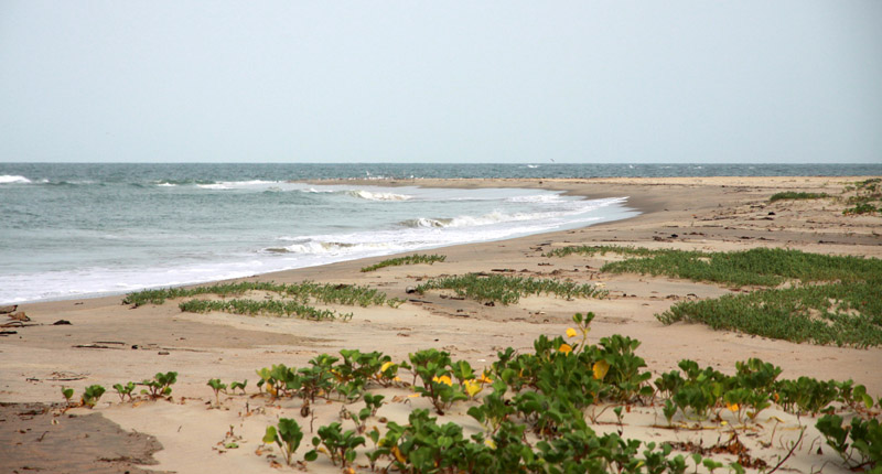
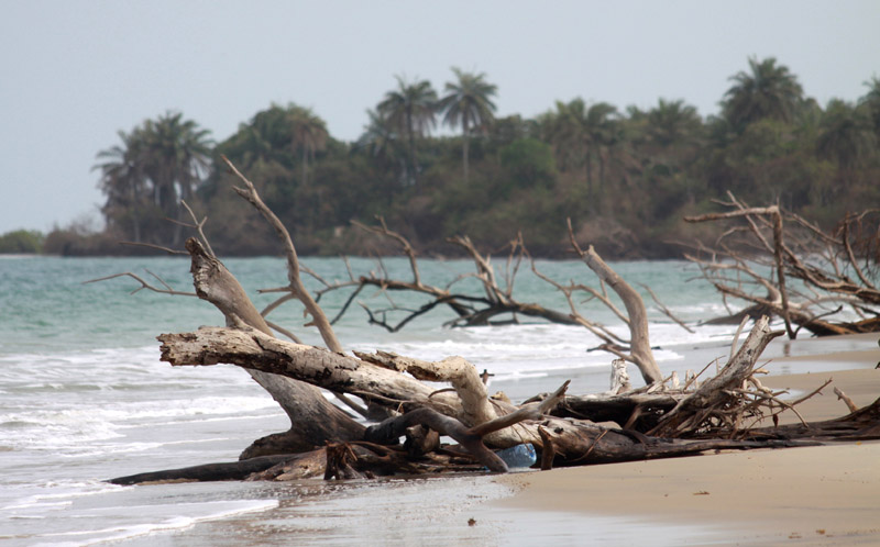
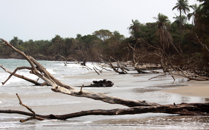
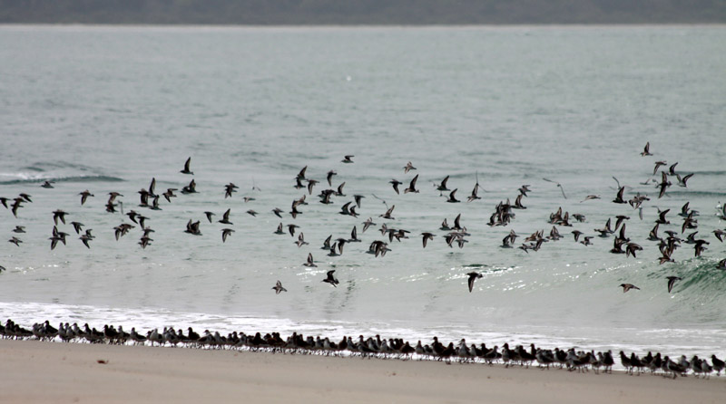
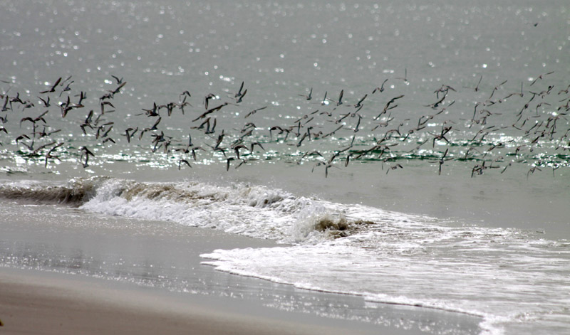
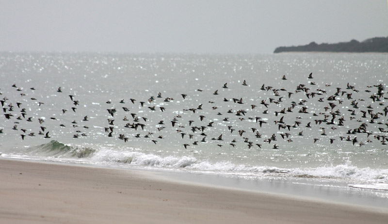
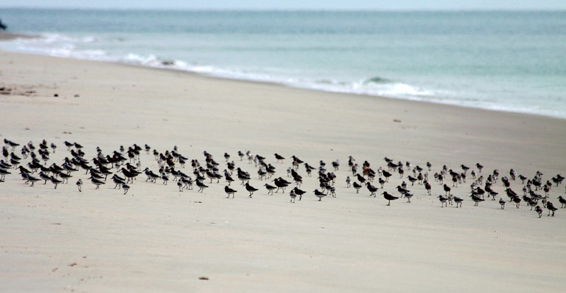
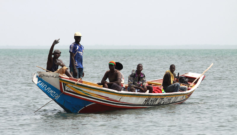
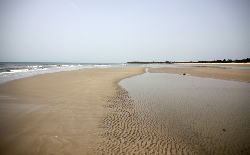
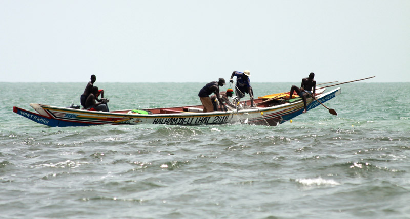
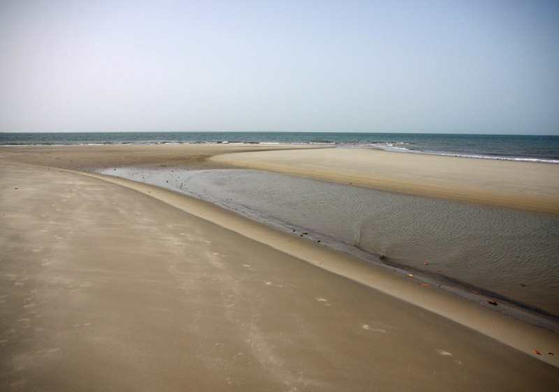
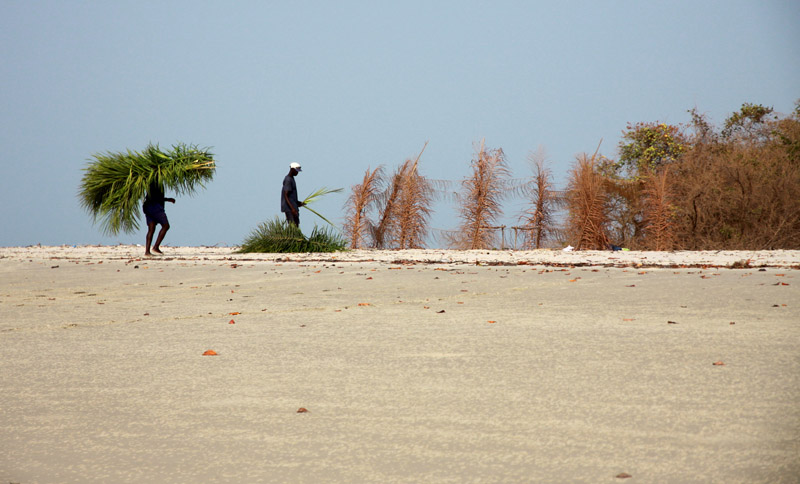
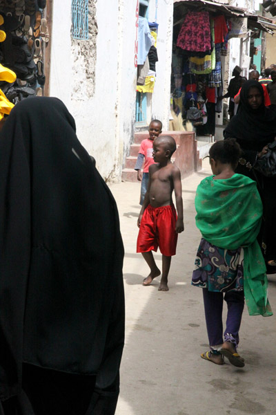
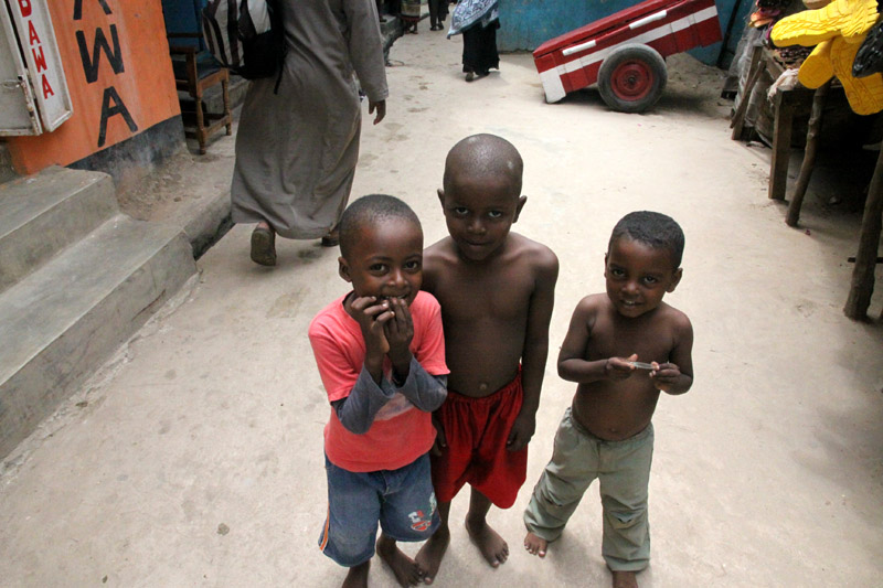
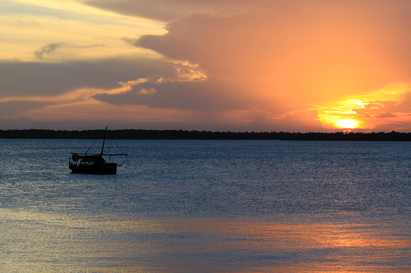
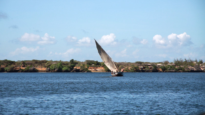
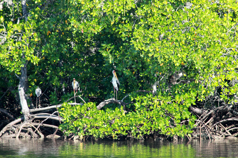
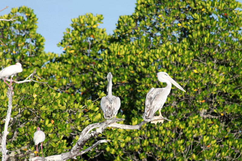
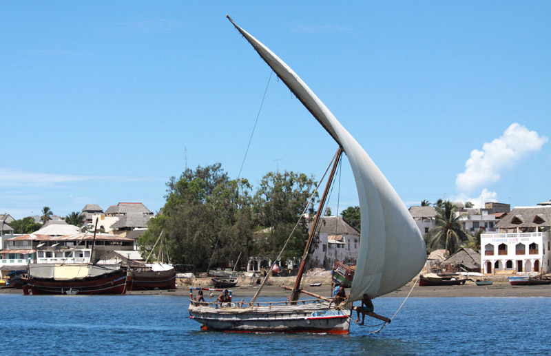
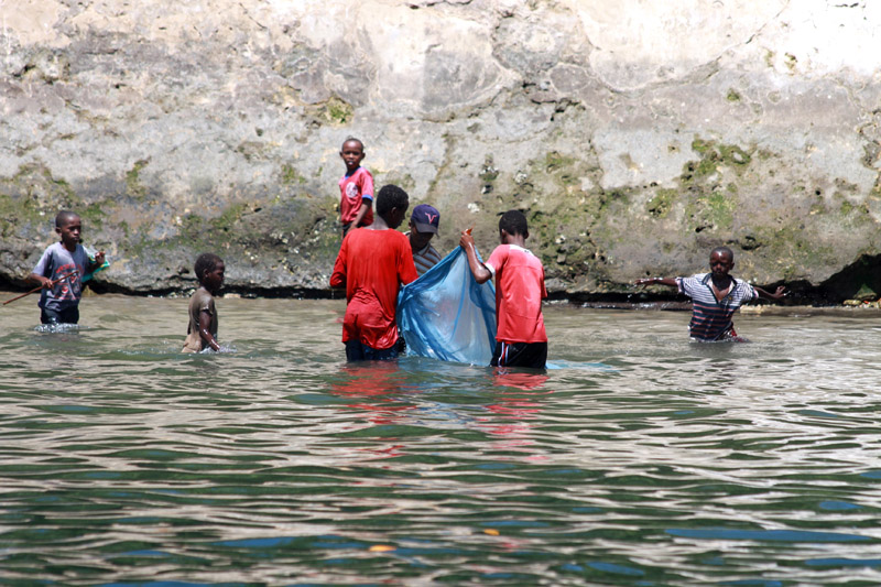
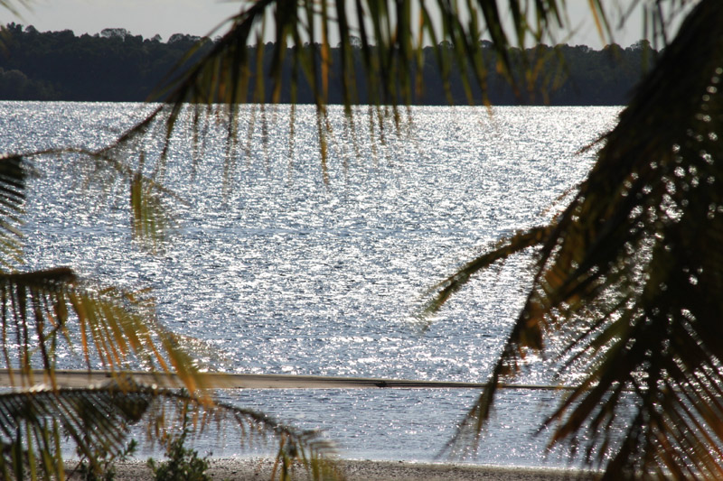
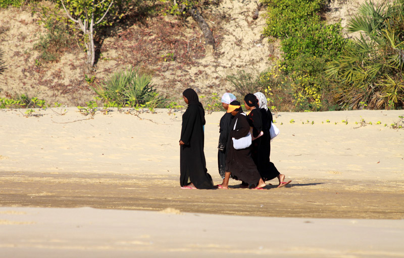
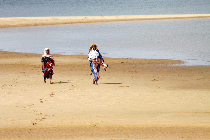
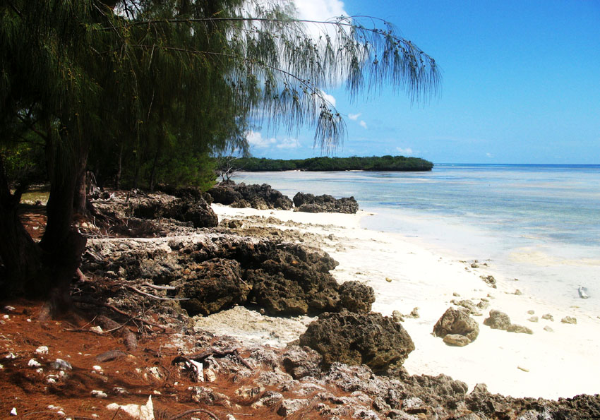
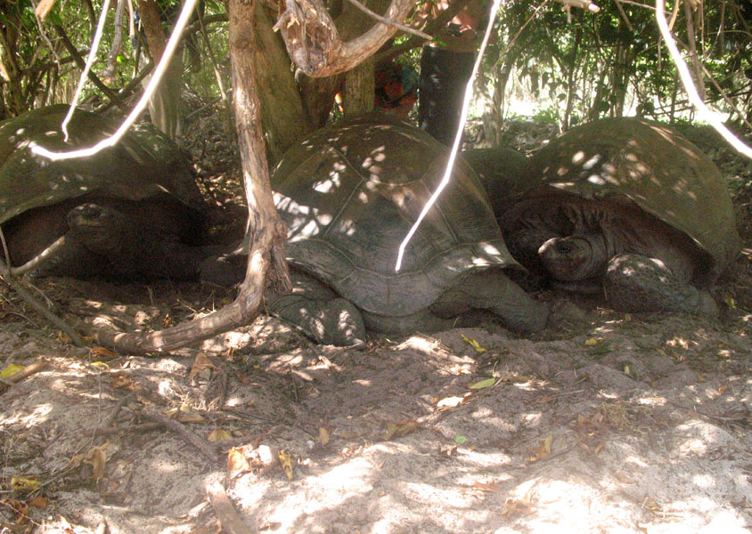
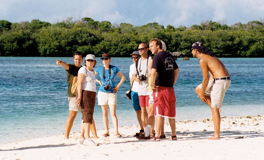
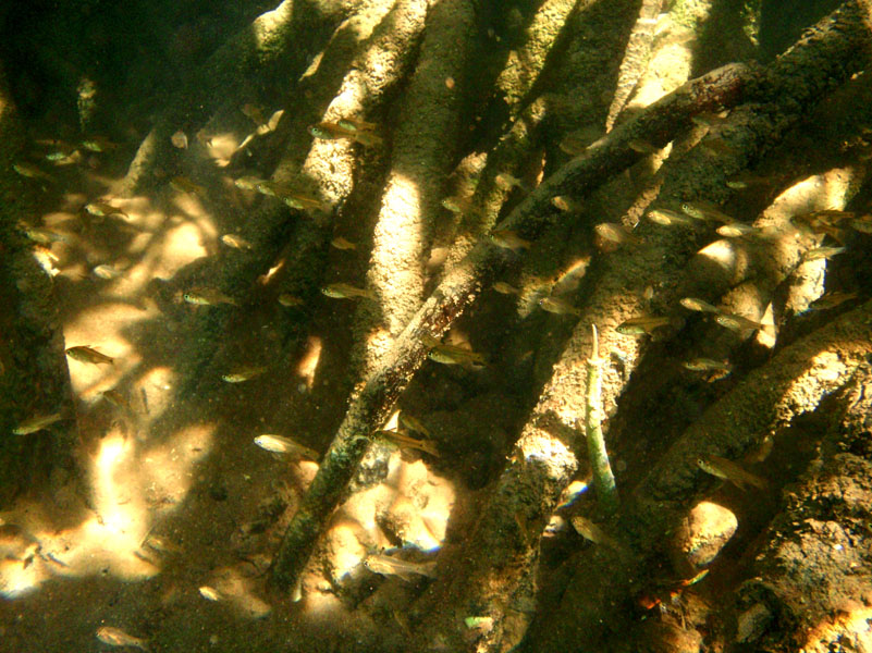
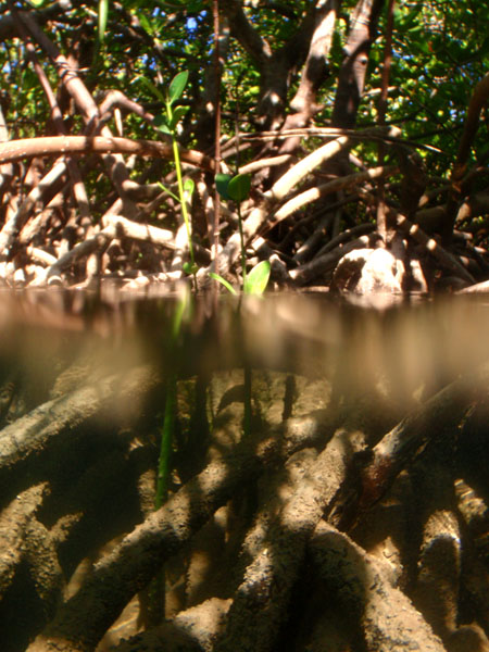
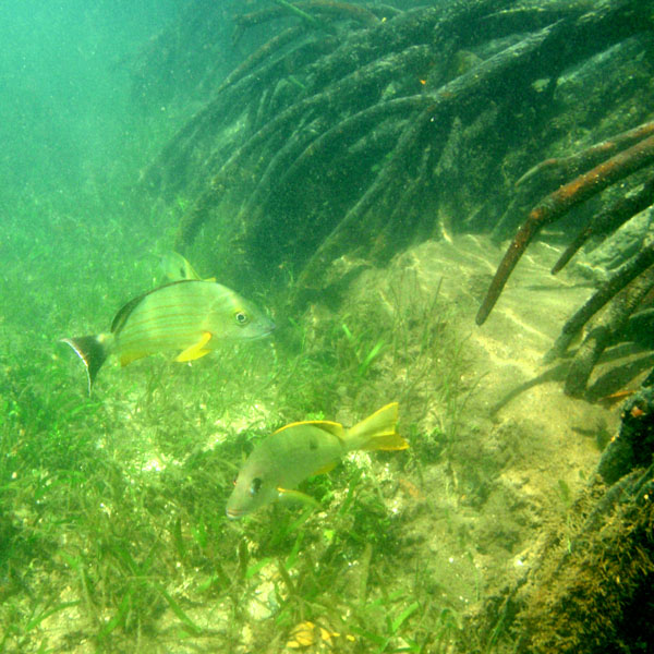
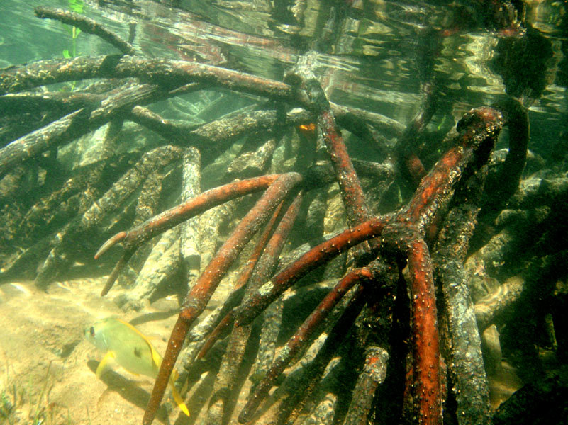
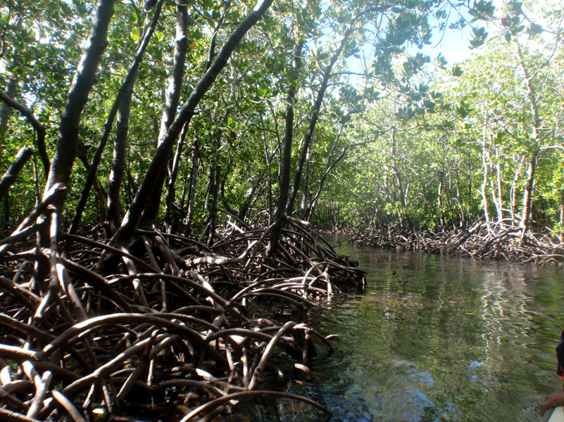
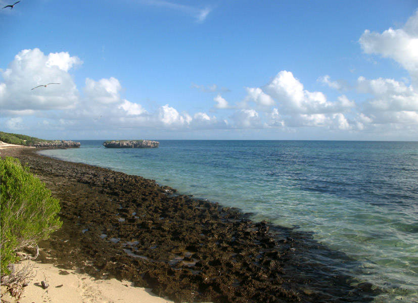
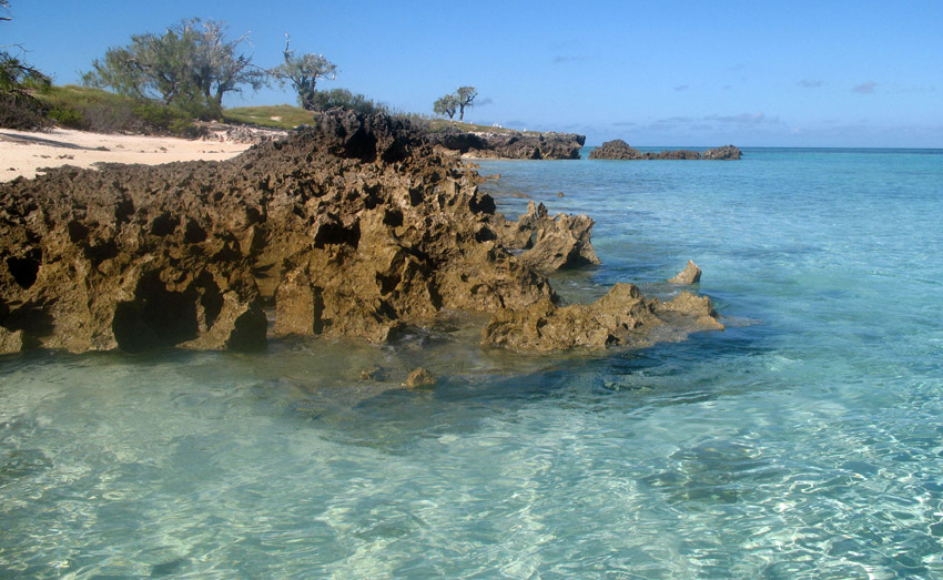
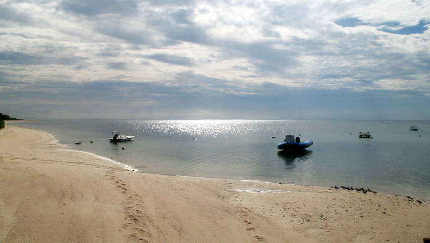
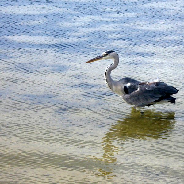
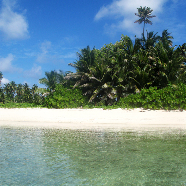
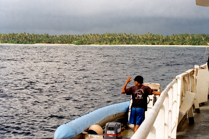
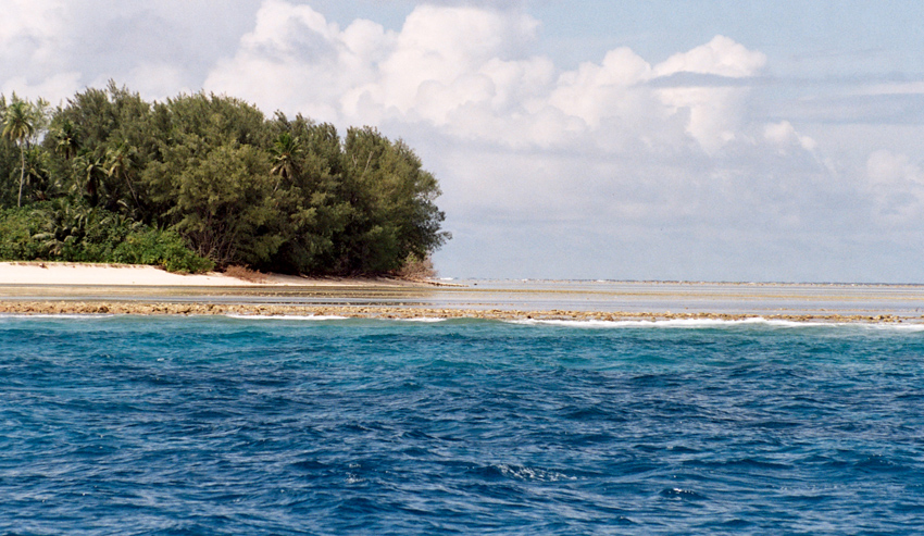
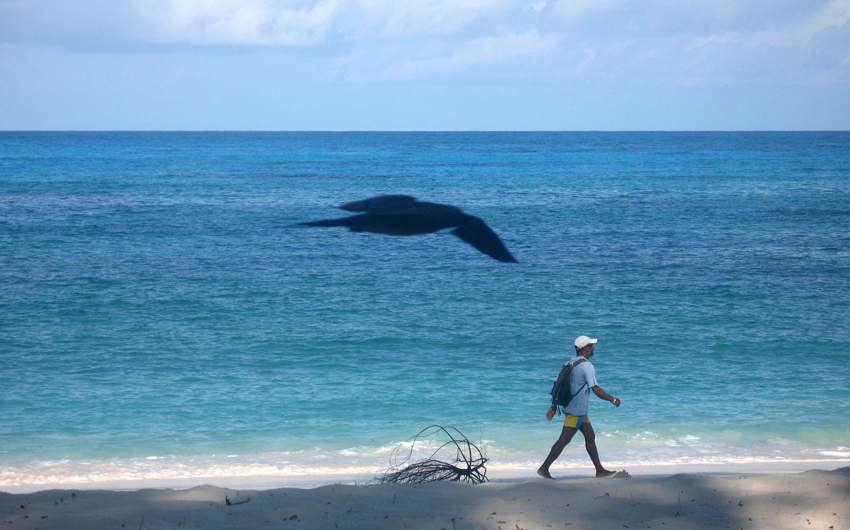
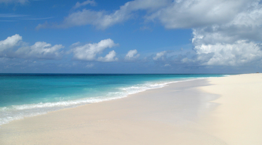
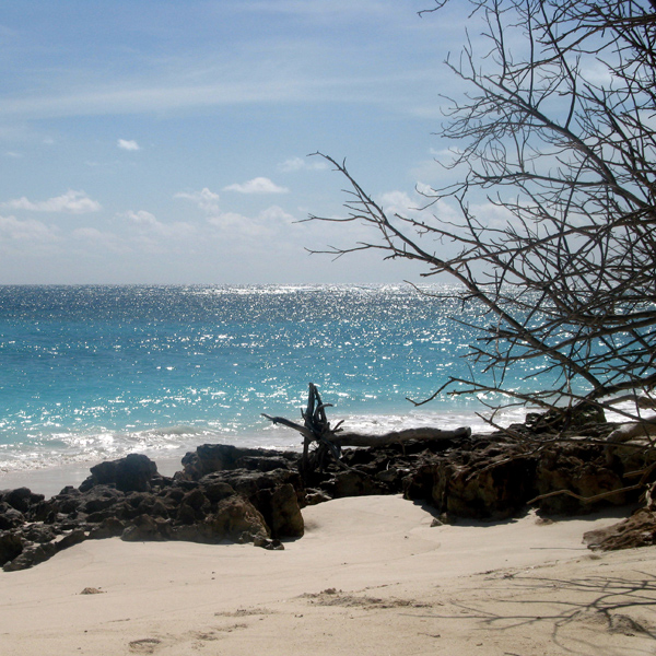
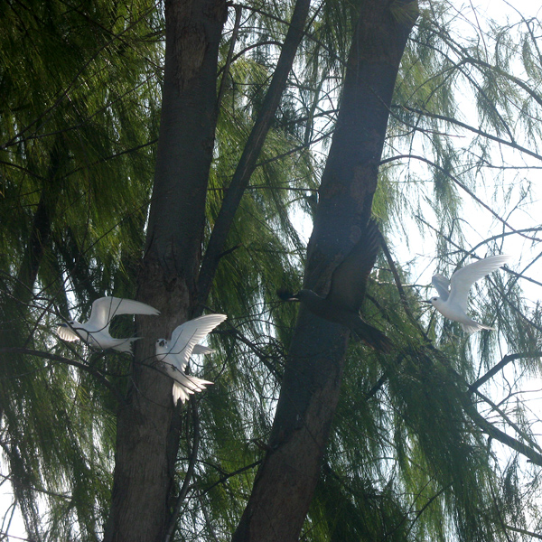
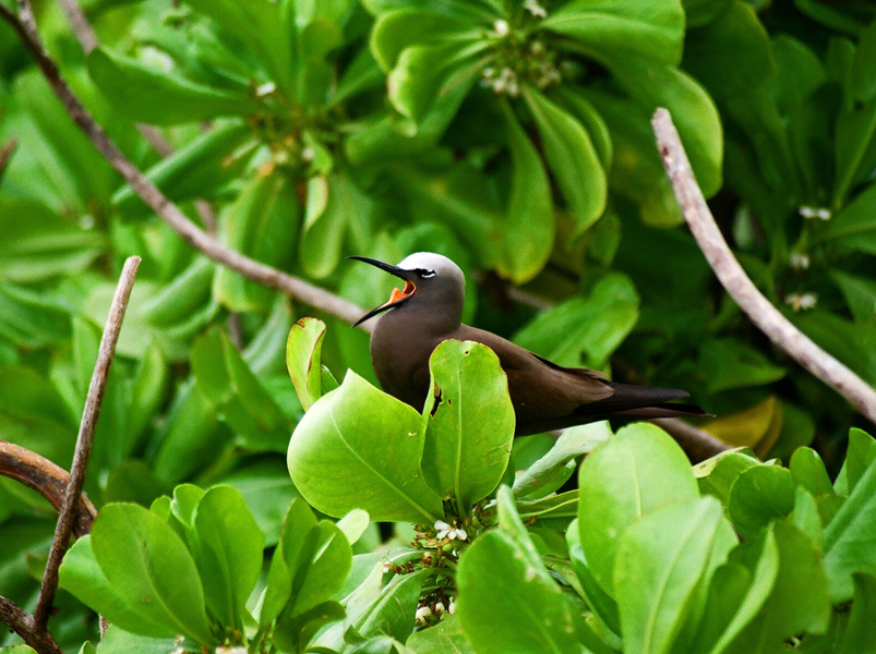
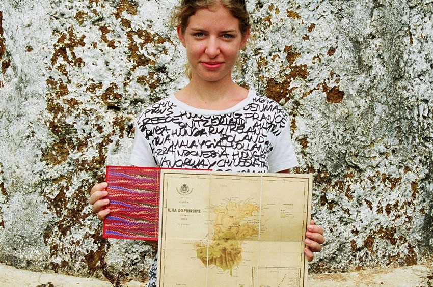
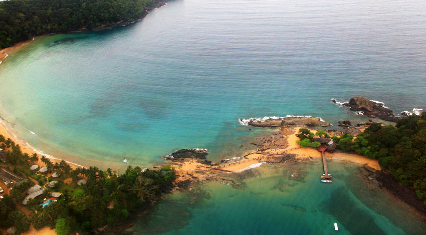
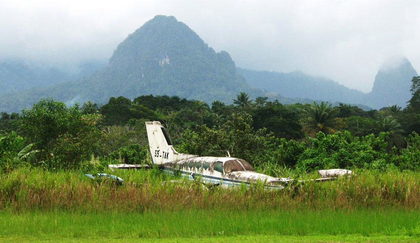
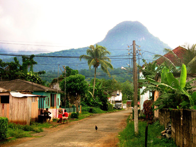
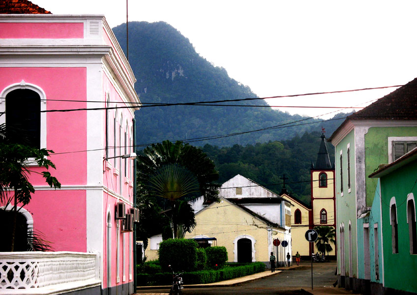
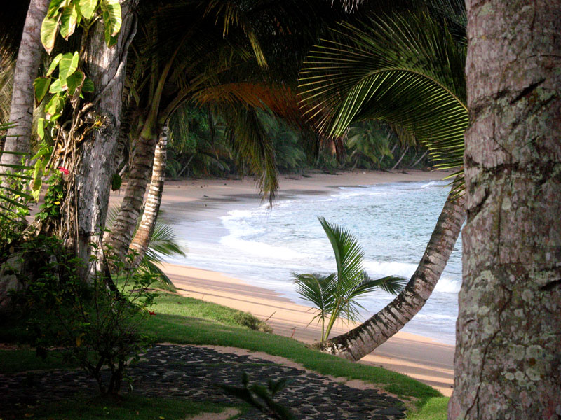
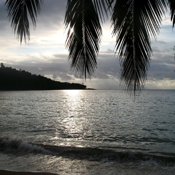
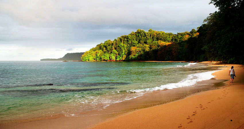
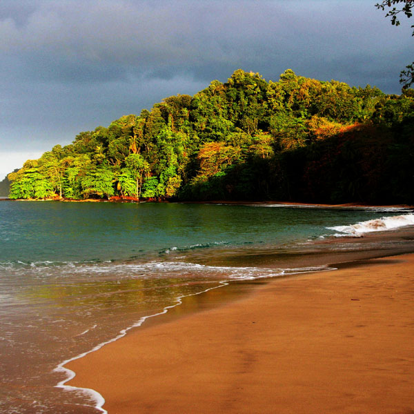
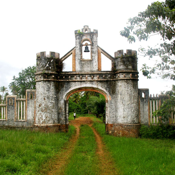
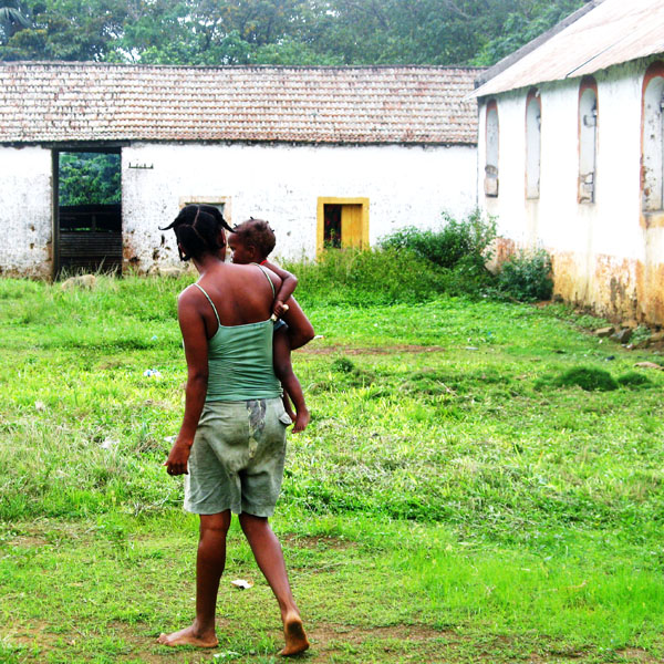
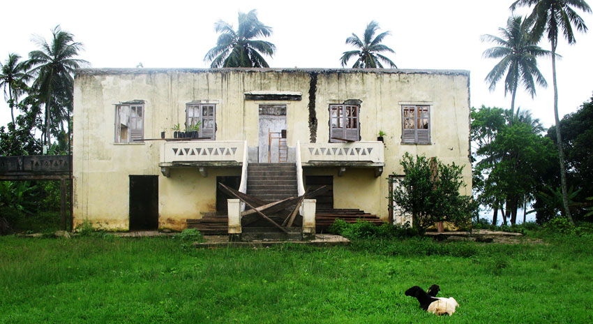
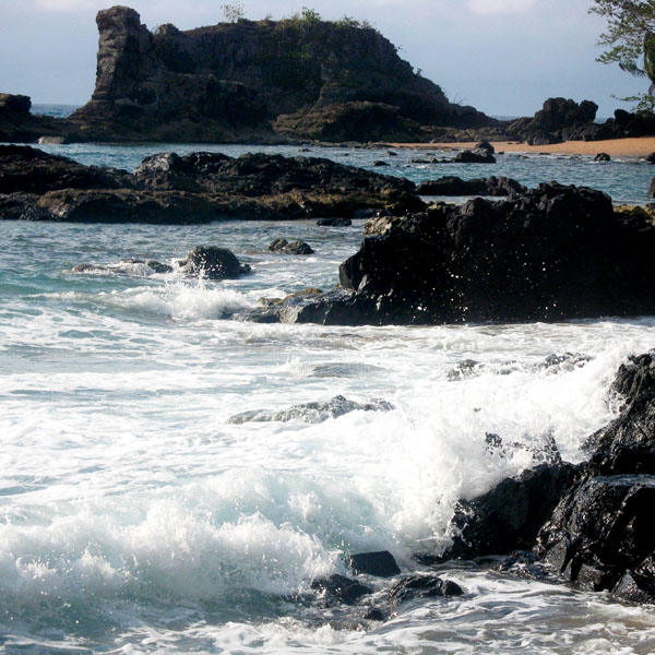
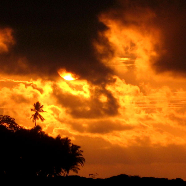
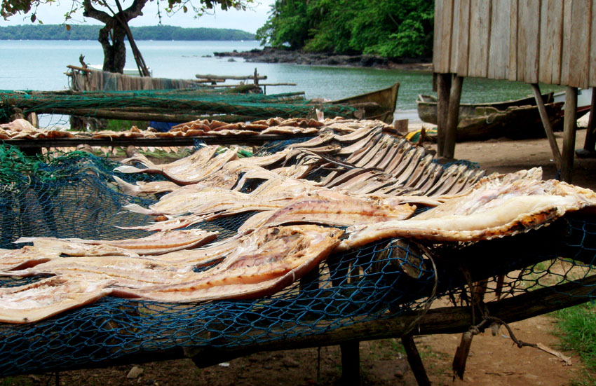
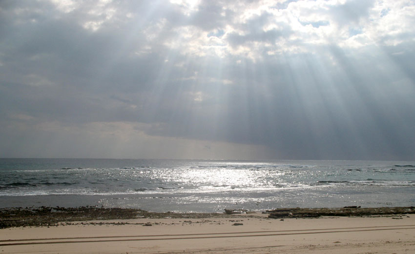
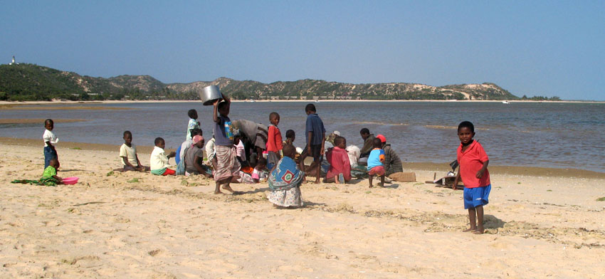
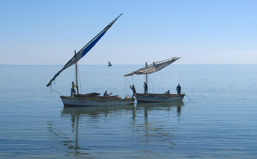
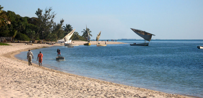
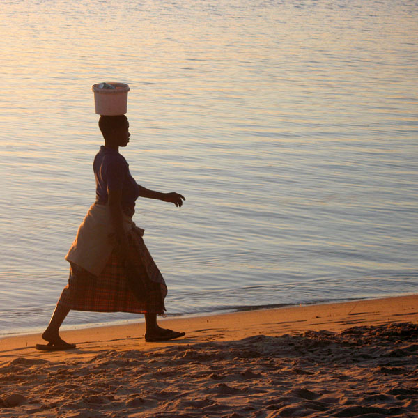
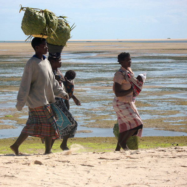
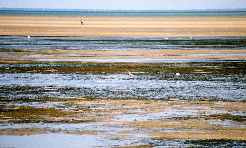
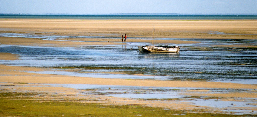
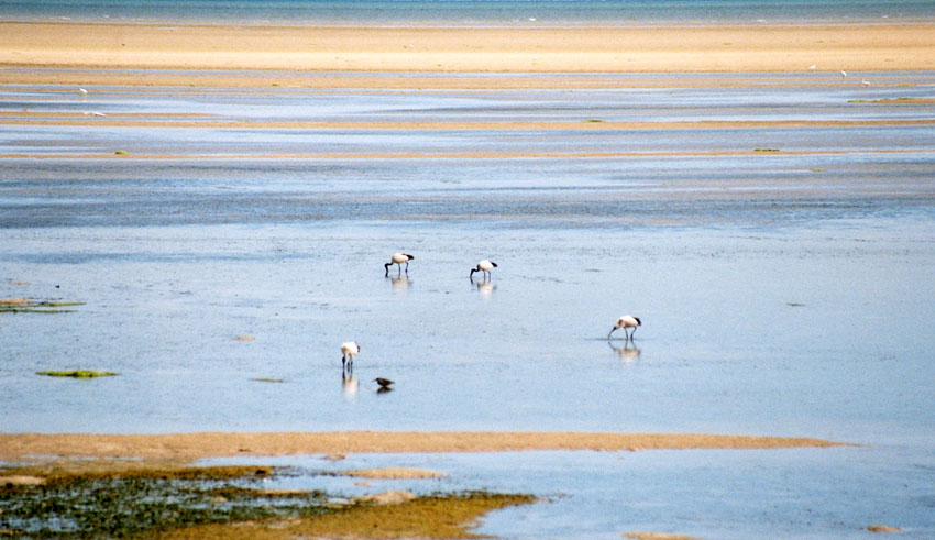
Príncipe is the smaller of the two major islands of São Tomé and Príncipe lying off the west coast of Africa. It has an area of 136 km² and a population of around 5,000 people. It rises in the south to 948 metres at Pico de Príncipe, in a thickly forested area forming part of the Obo National Park. The north and centre of the island were formerly plantations but largely reverted to forest. The island forms one province and one district named Pagué. The languages other than Portuguese includes Principense or Lunguyê with a few Forro speakers.

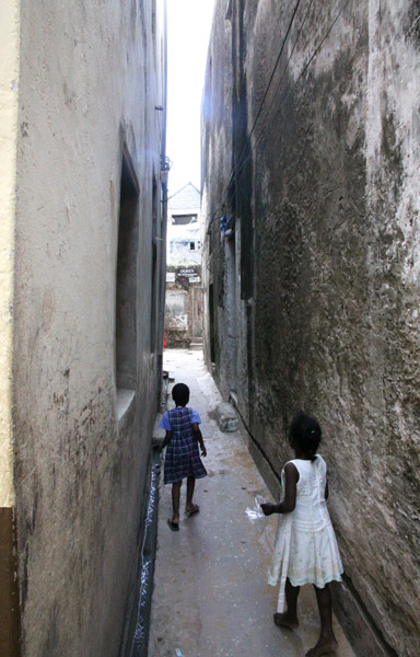
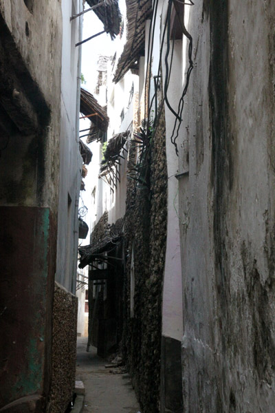
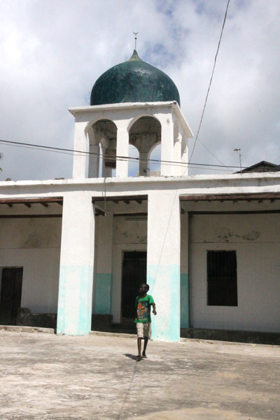
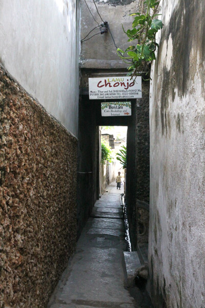
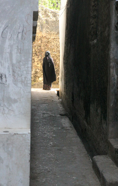
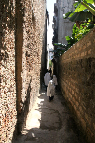
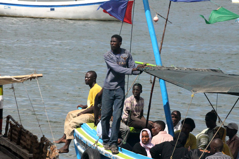
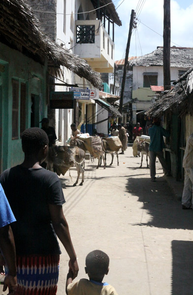
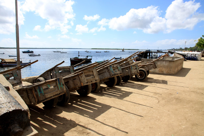
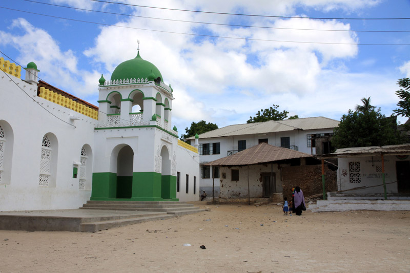
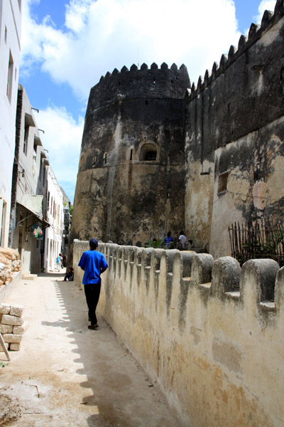
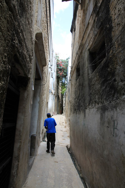
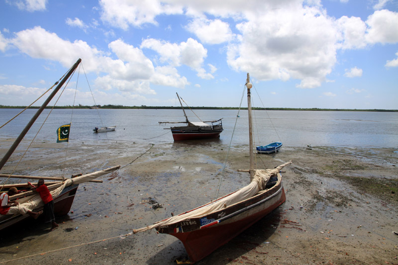
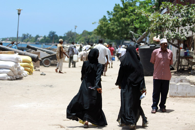
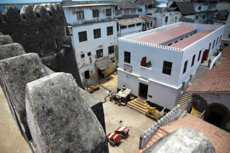
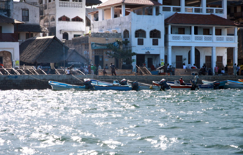
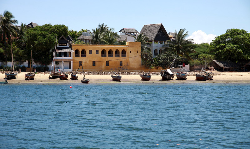
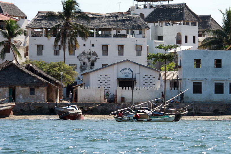
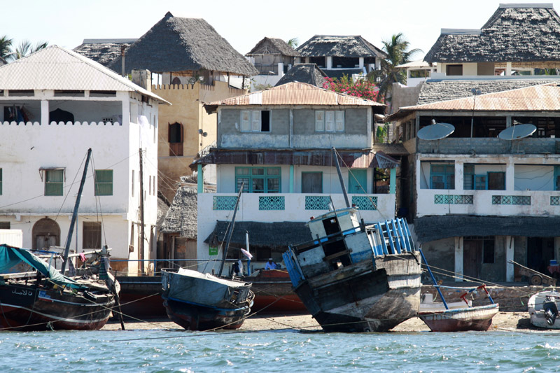
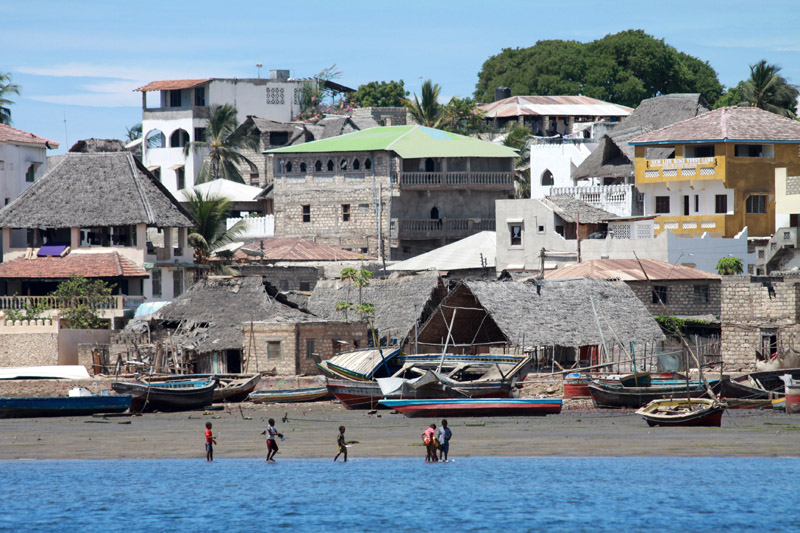
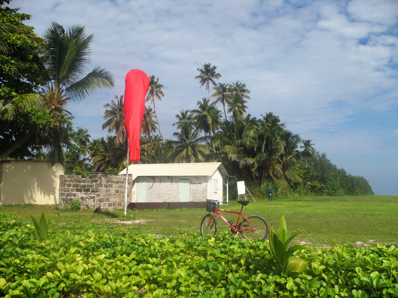
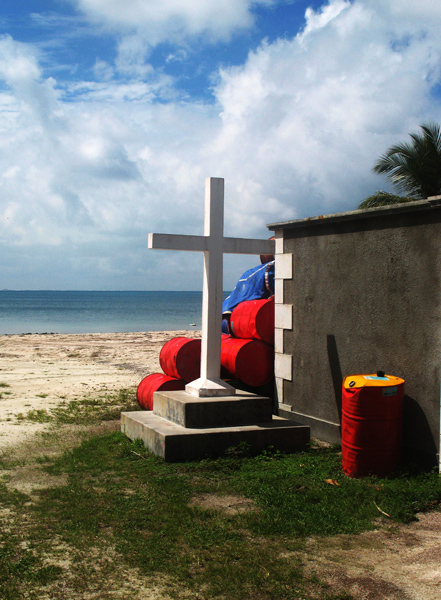
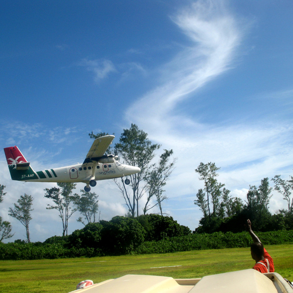
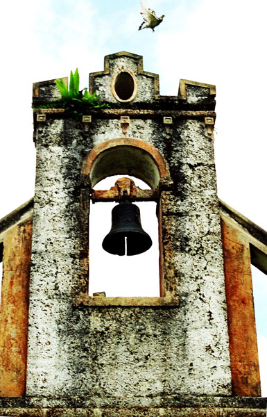
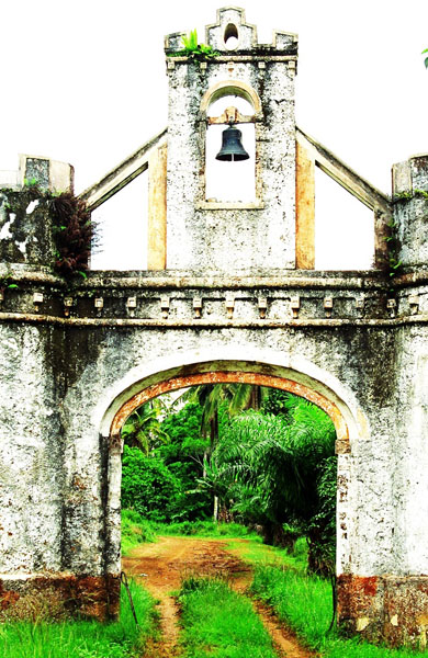
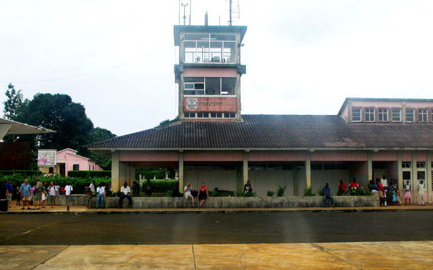
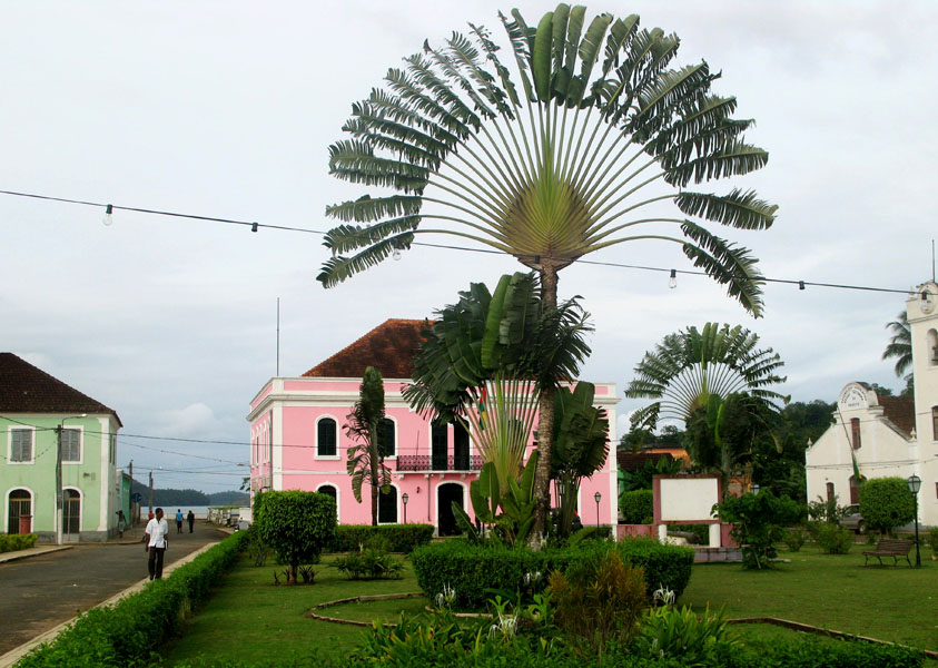
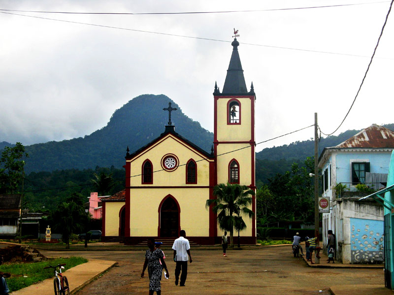
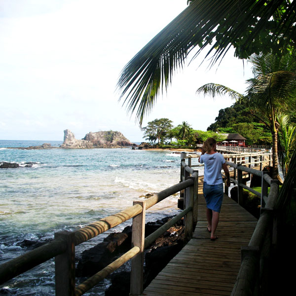
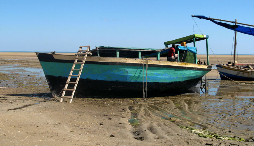
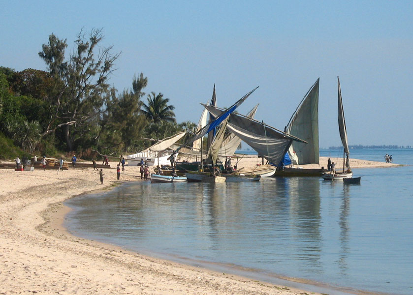
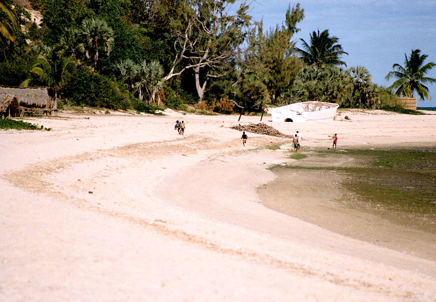
The island has one town, Santo António, and an airport (IATA code: PCP, ICAO: FPPR?), as well as some small villages including Bela Vista, Bombom, Futuro, Neves Ferreira, Paciencia, Ponta Fonte, Ribeira Ize, Santo Antonio de Ureca, Vila Rosa and more – few connected to the small road network.

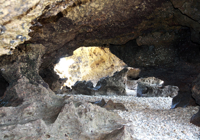
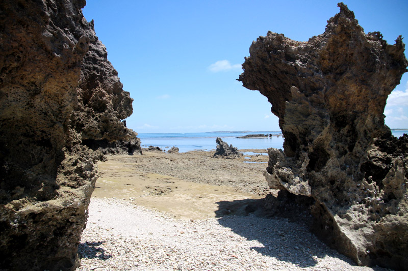
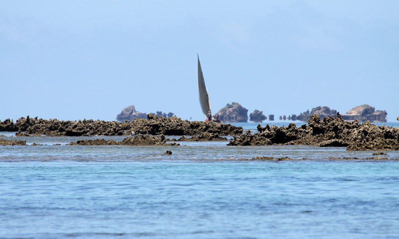
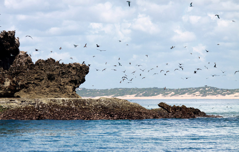
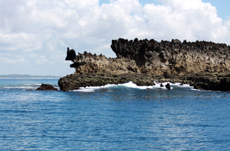
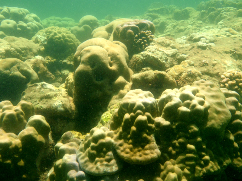
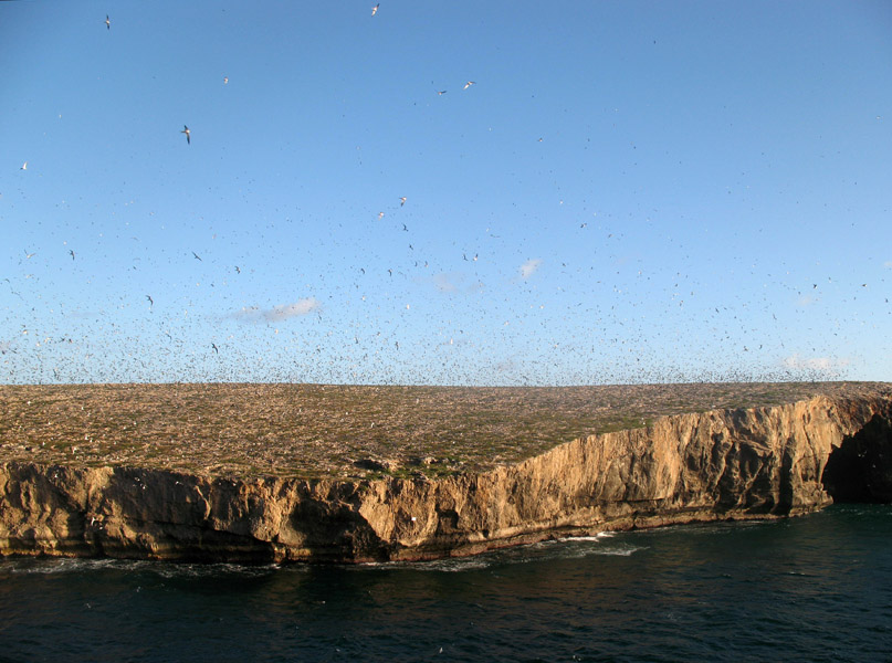
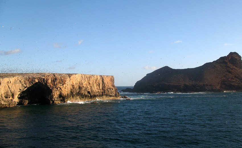
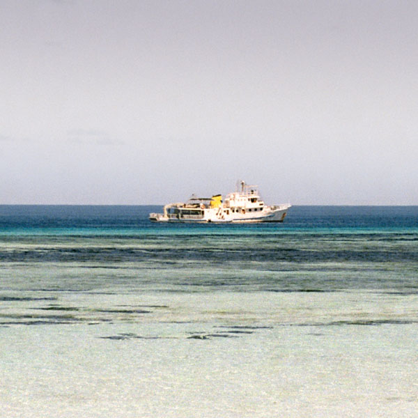
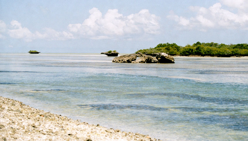
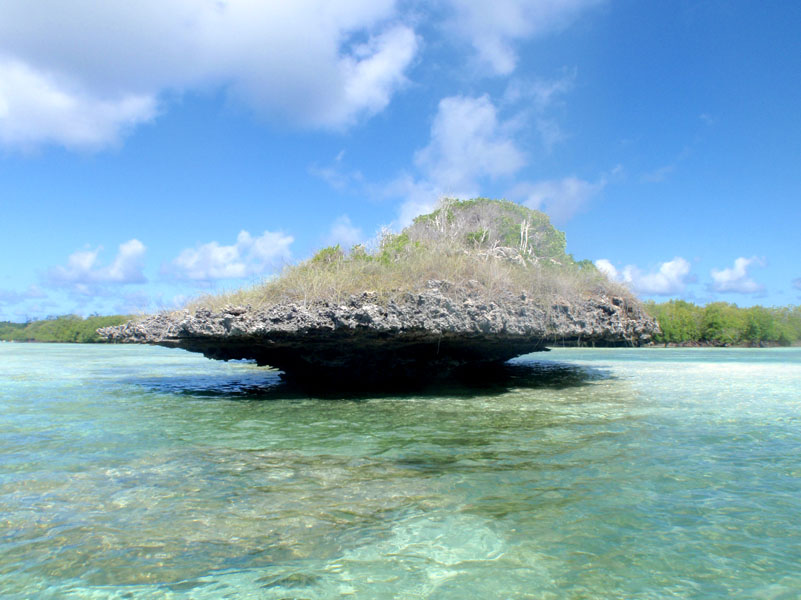
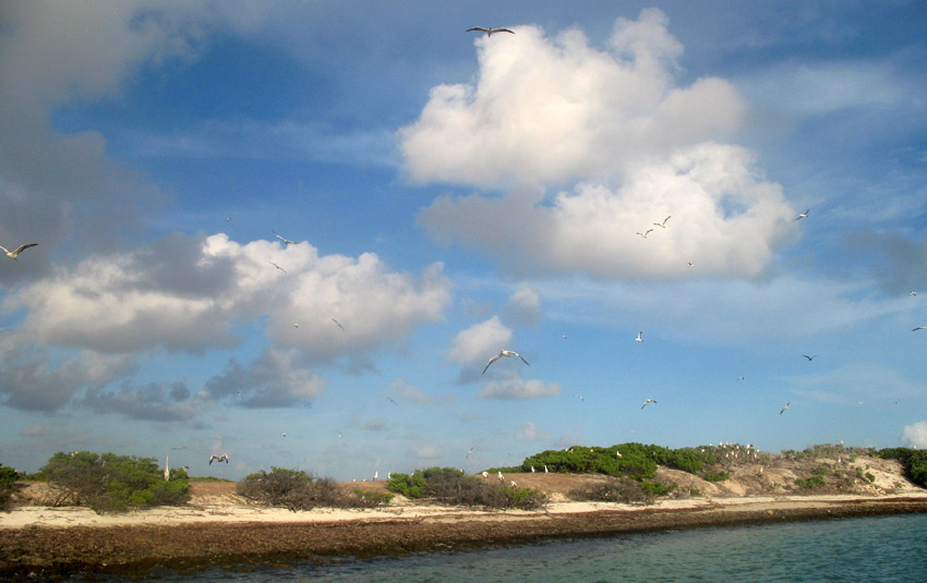
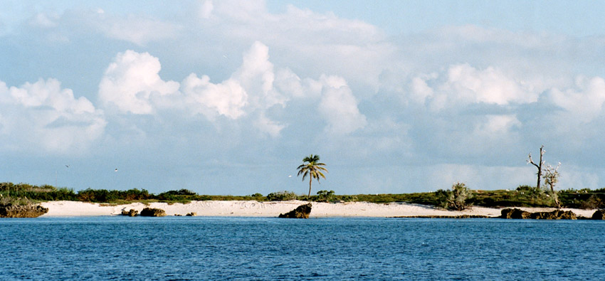
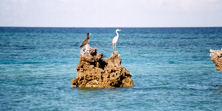
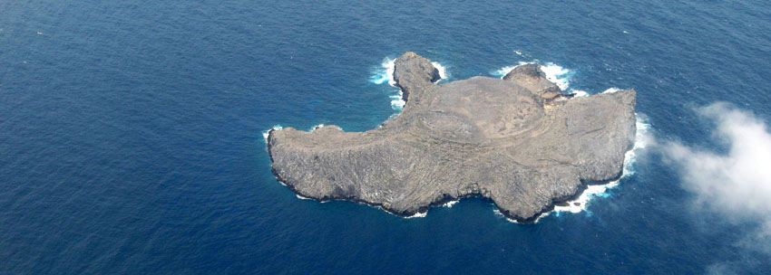
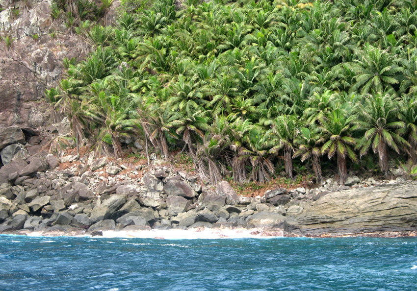
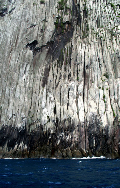
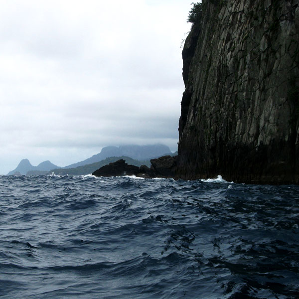
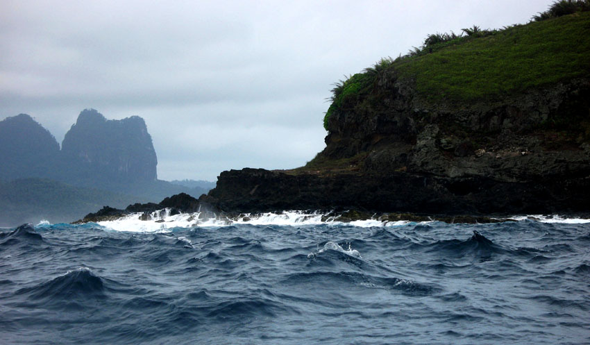
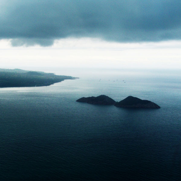
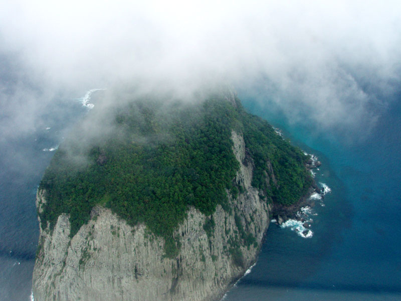
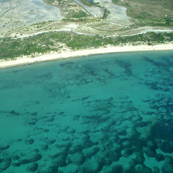
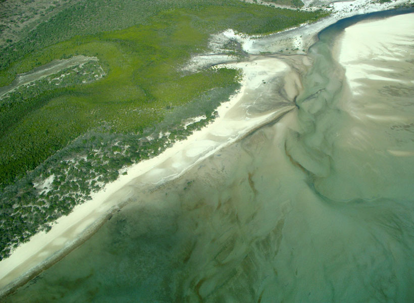
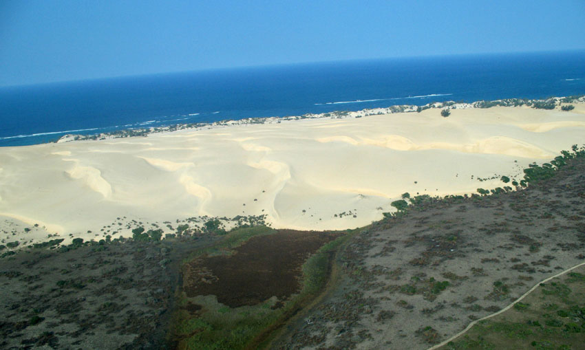
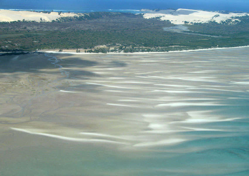
The island is a heavily eroded volcano over three million years old, surrounded by other smaller islands including Ilheu Bom Bom, Ilhéu Caroço, Tinhosa Grande and Tinhosa Pequena.

Príncipe was the site where Einstein’s Theory of Relativity was experimentally proved successful by Arthur Stanley Eddington and his team during an eclipse in 1919.

Source: Wikipedia (under GNU Free Documentation License)

Categories
Mozambique

Bazaruto

Bazaruto (Portuguese: Ilha do Bazaruto) is a sandy island located approximately 80 kilometers (50 miles) southeast of the mouth of the Save River, Mozambique 21°38′S 35°30′E. The warm, southward-flowing Mozambique Current seems to contribute to the increasing buildup of the sandy coastline. Because the water along this coastal area is very clear, much of the sub-surface channel pattern around the island is discernible. Several narrow lines of plankton bloom (barely visible in the photograph) parallel the shoreline. The coastal plains show numerous lakes and a swampy environment that appears to be karst topography. Underlying the area is limestone rock that has eroded into a pockmarked landscape, creating water-filled sinkholes. Rainfall in this humid subtropical climate amounts to between 50 and 100 centimeters (20 and 40 inches) annually.

The closest mainland town to the island of Bazaruto is Inhassoro, although administratively it belongs to the Vilankulo District and Inhambane Province.

Source: Wikipedia (under GNU Free Documentation License)