Categories
Seychelles

Aldabra Atoll

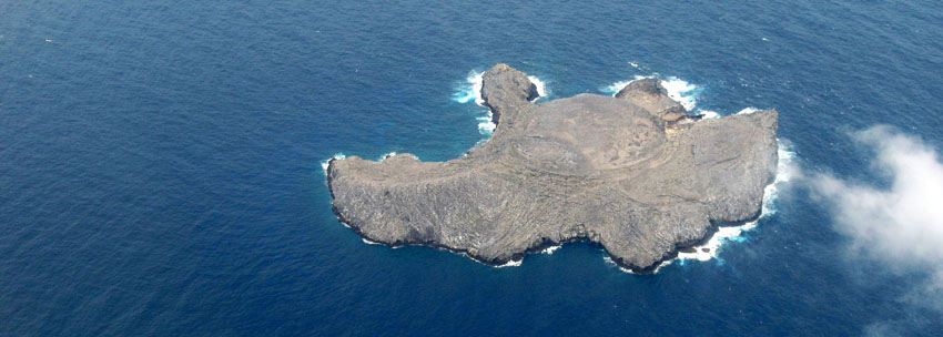
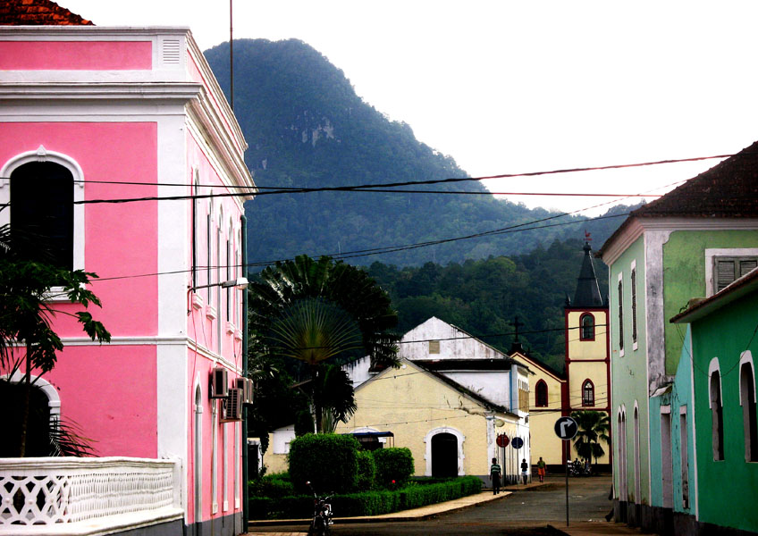
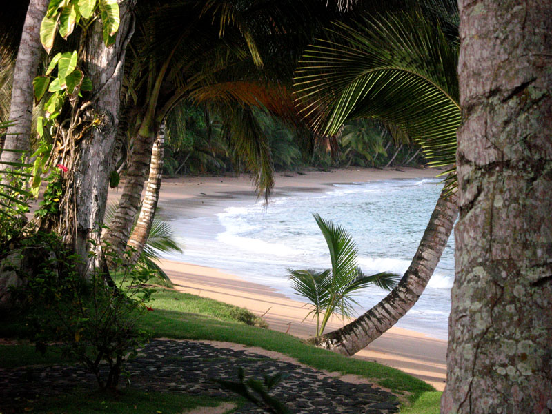
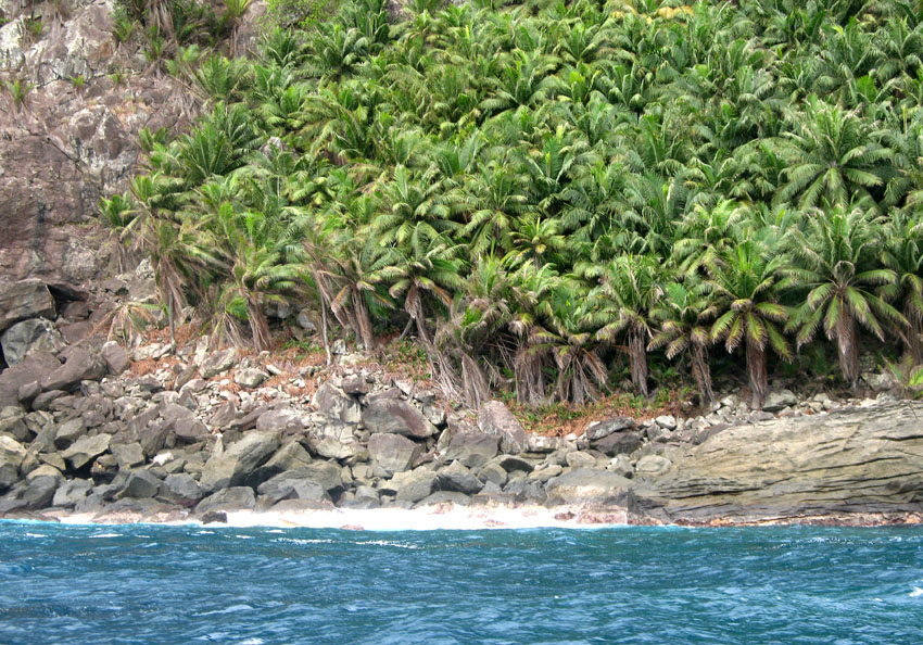
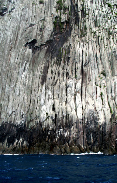
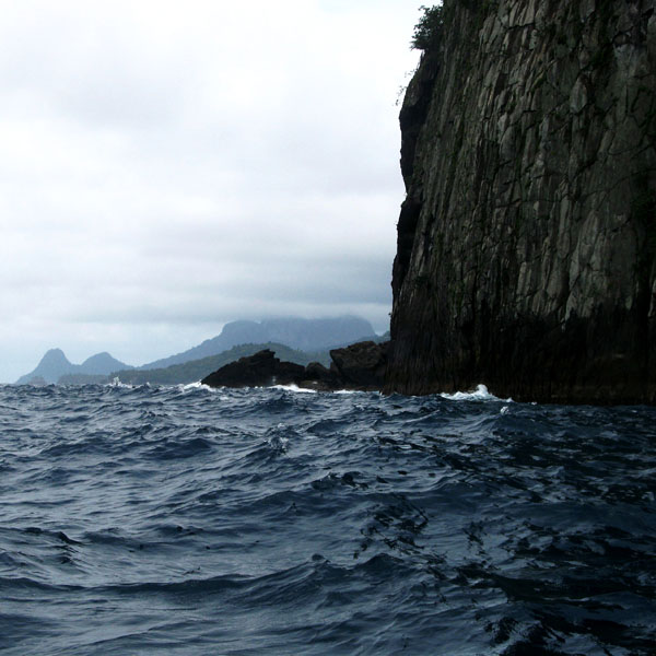
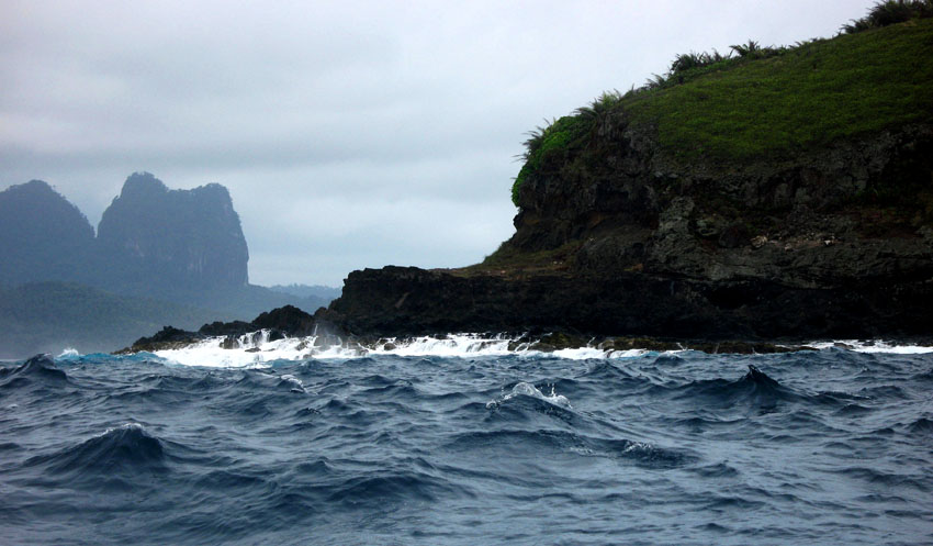
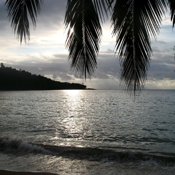
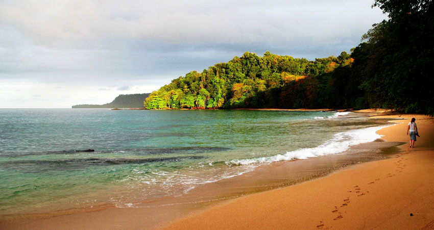
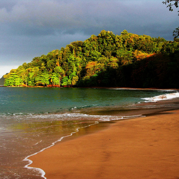
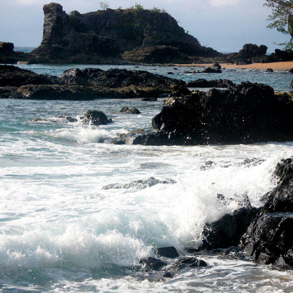
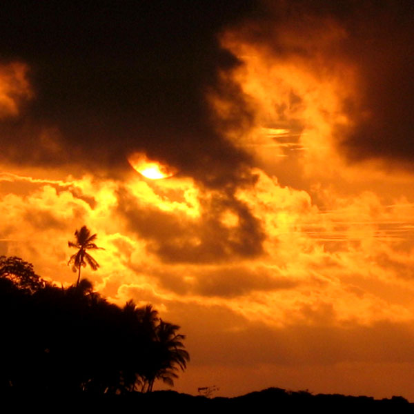
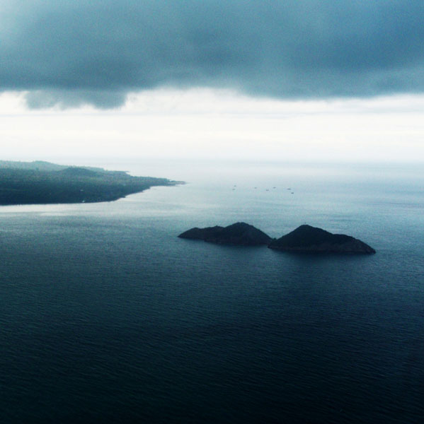
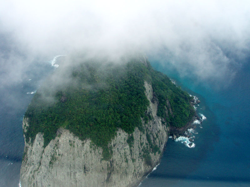
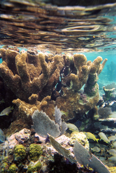
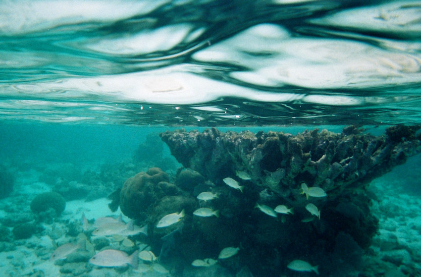
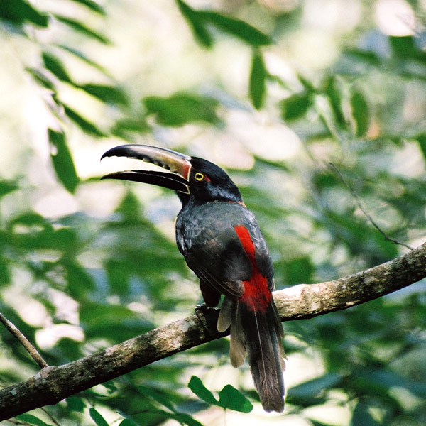
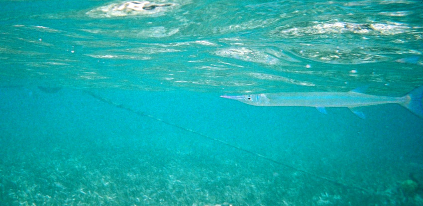
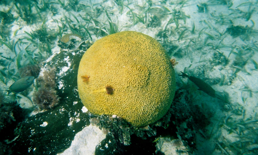
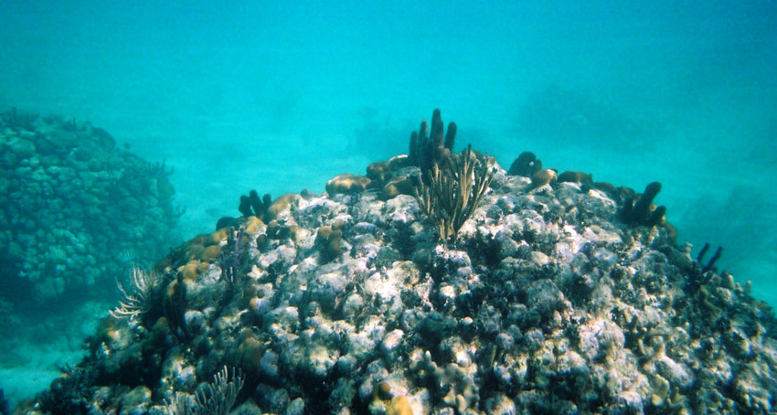
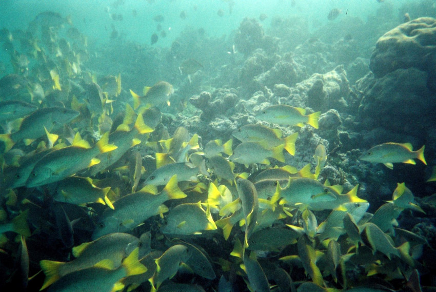
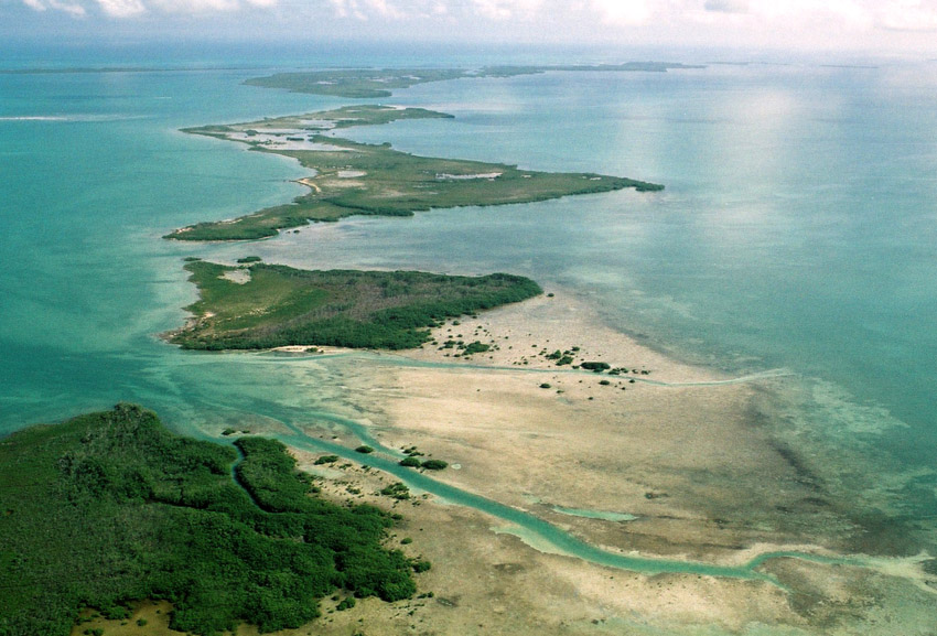
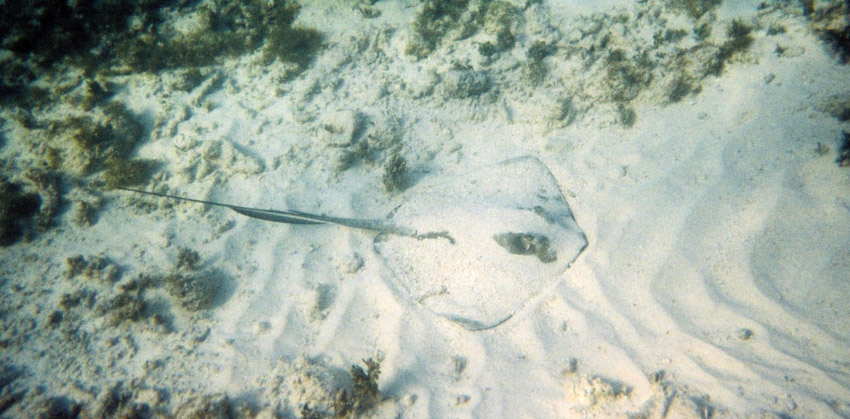
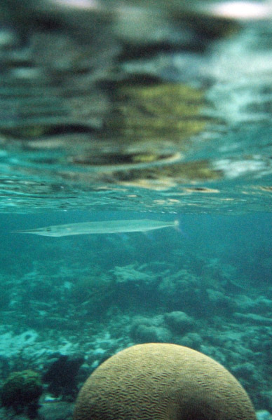
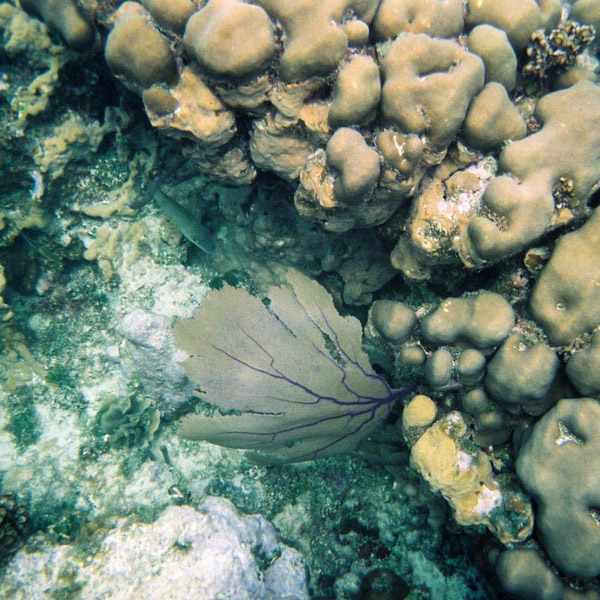
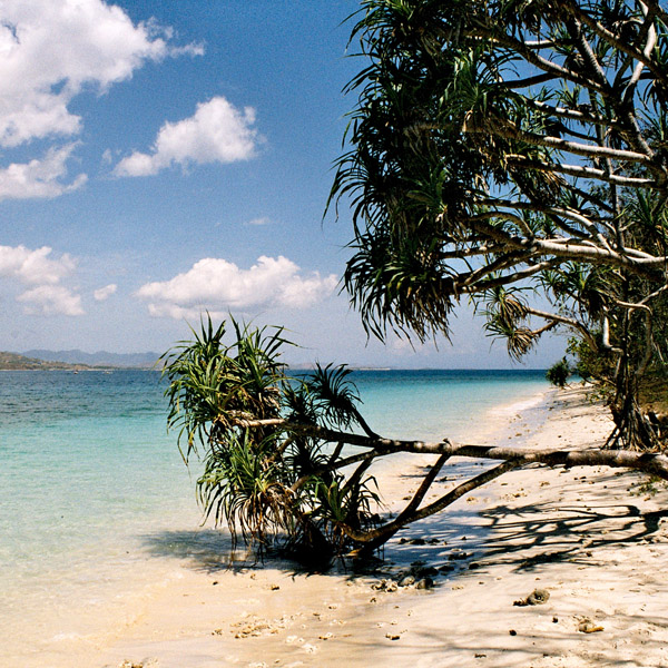
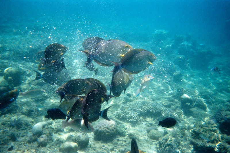
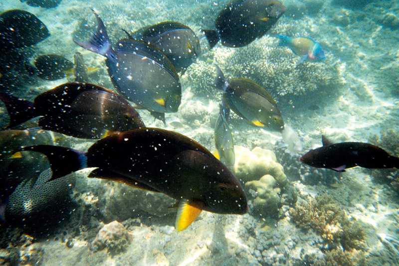
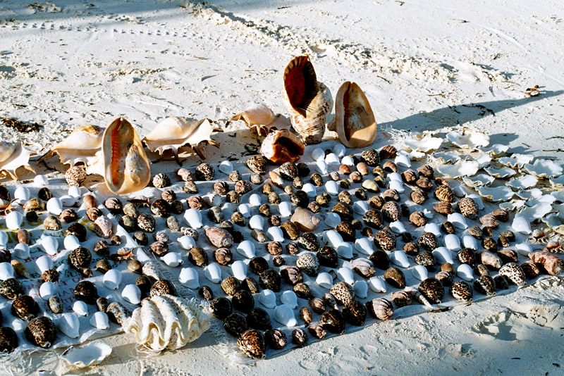
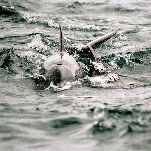
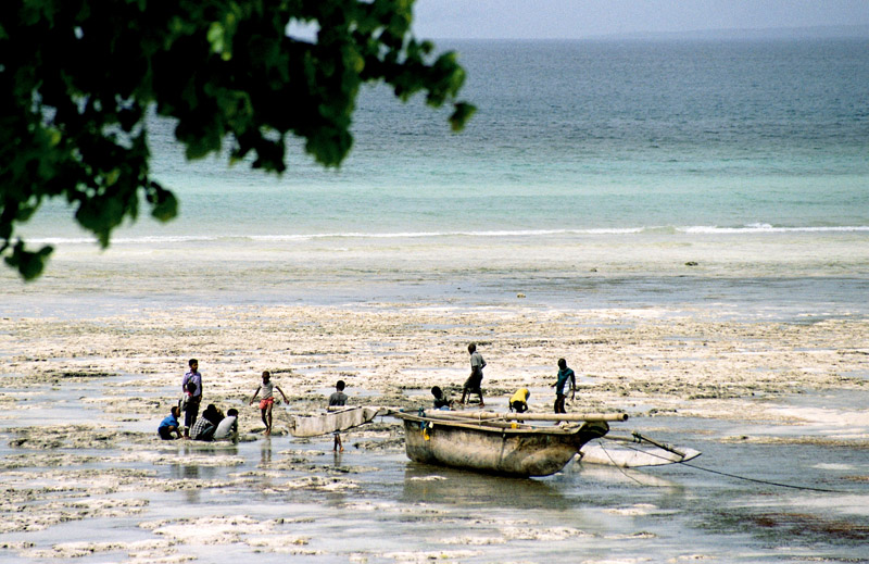
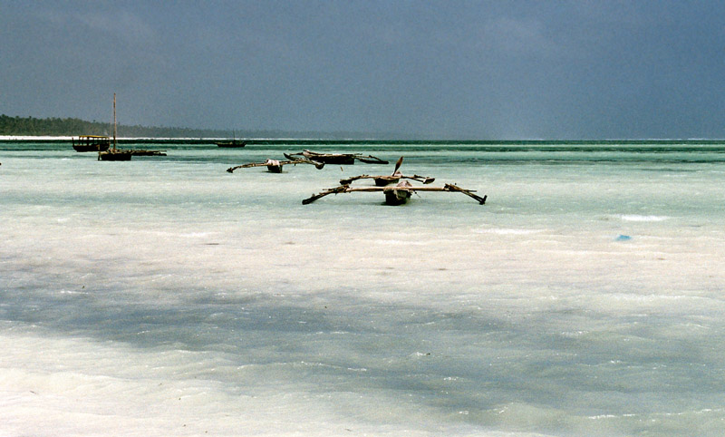
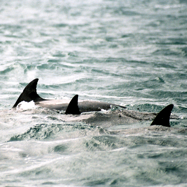
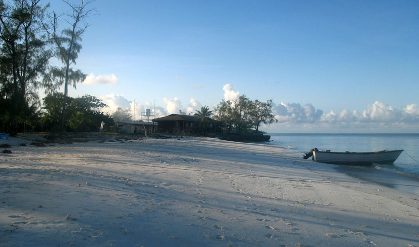
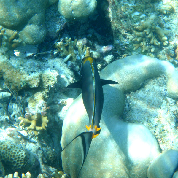
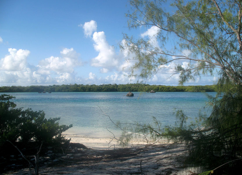
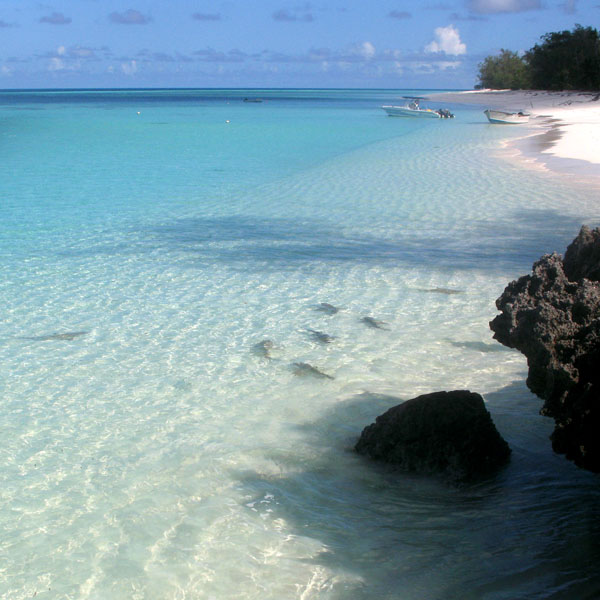
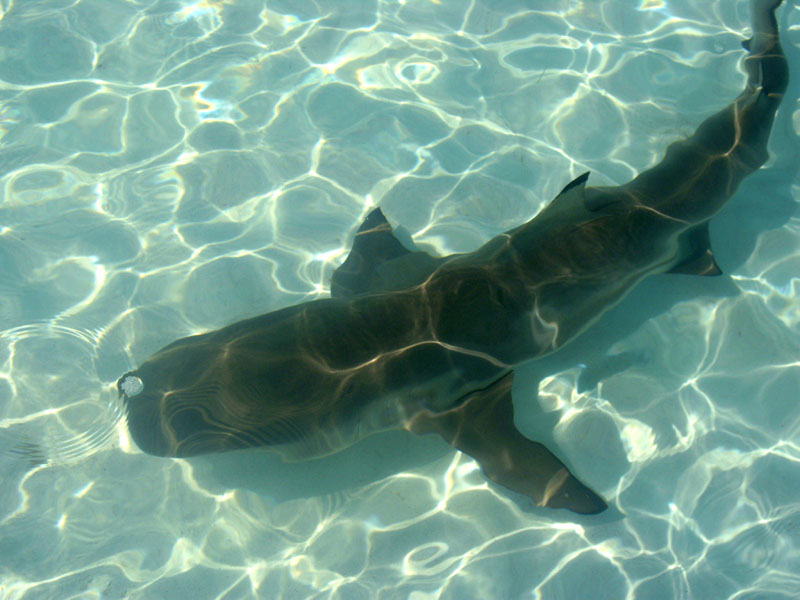
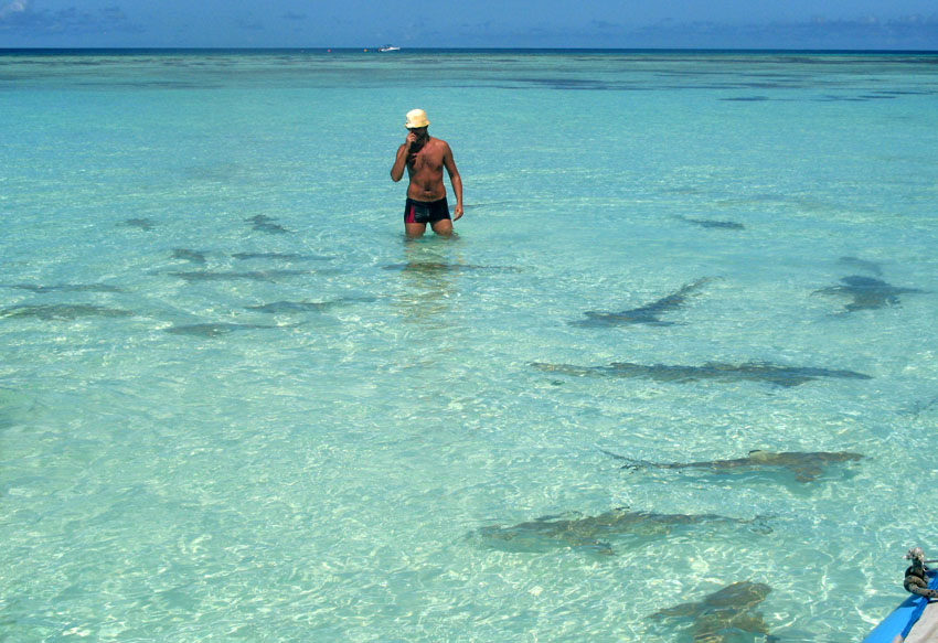
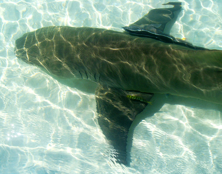
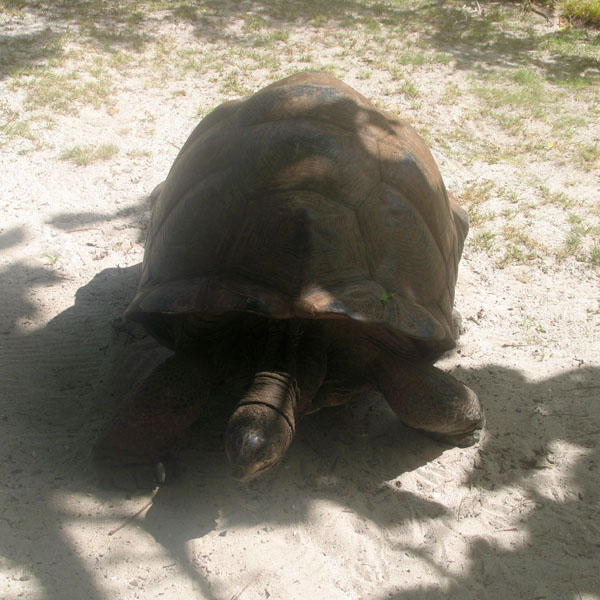
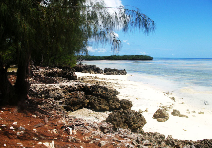
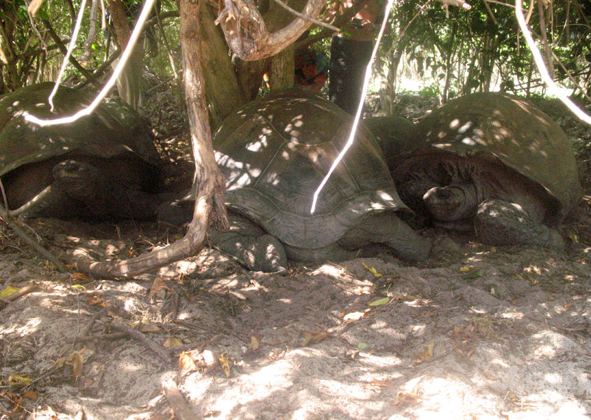
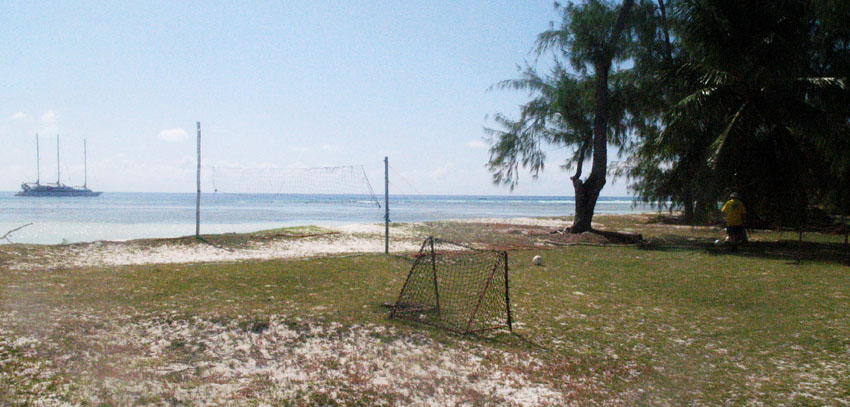
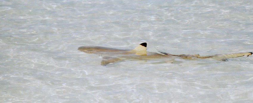
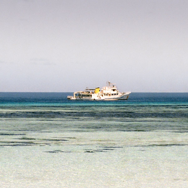
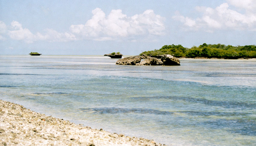
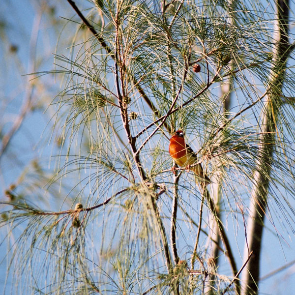
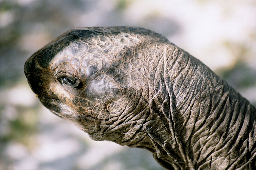
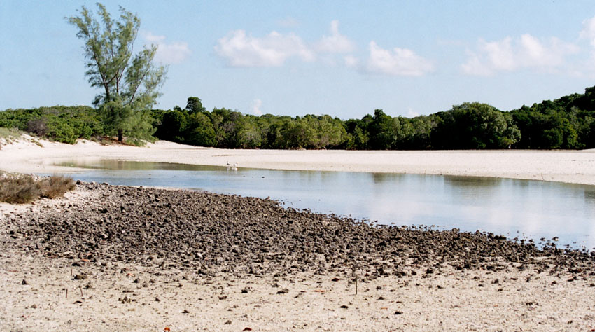
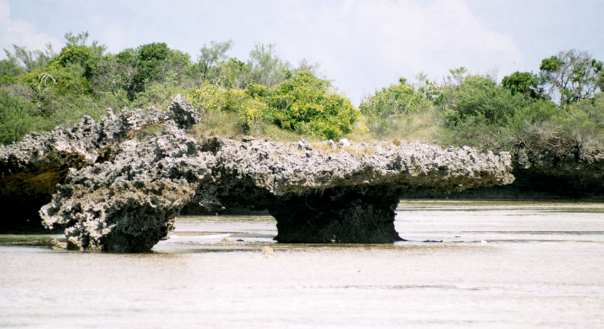
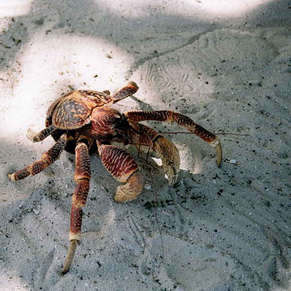
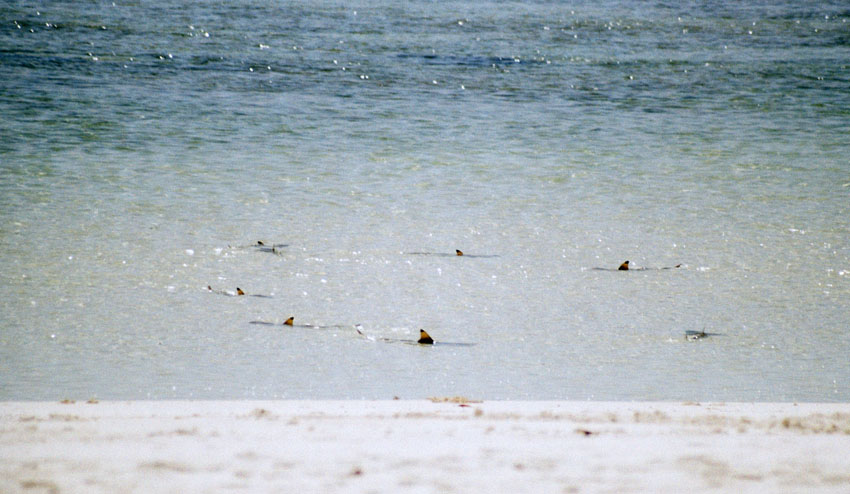
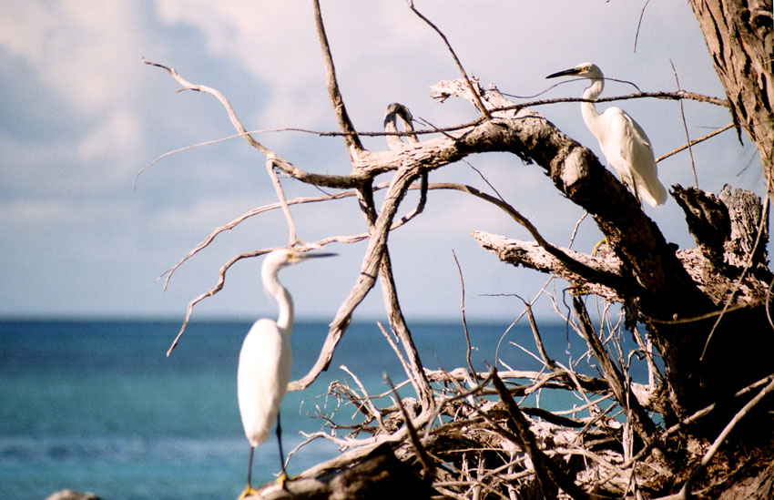
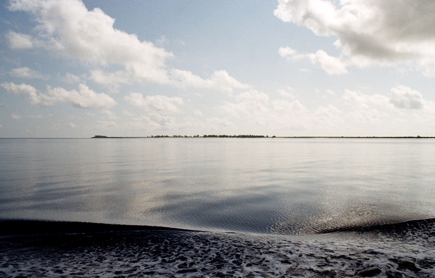
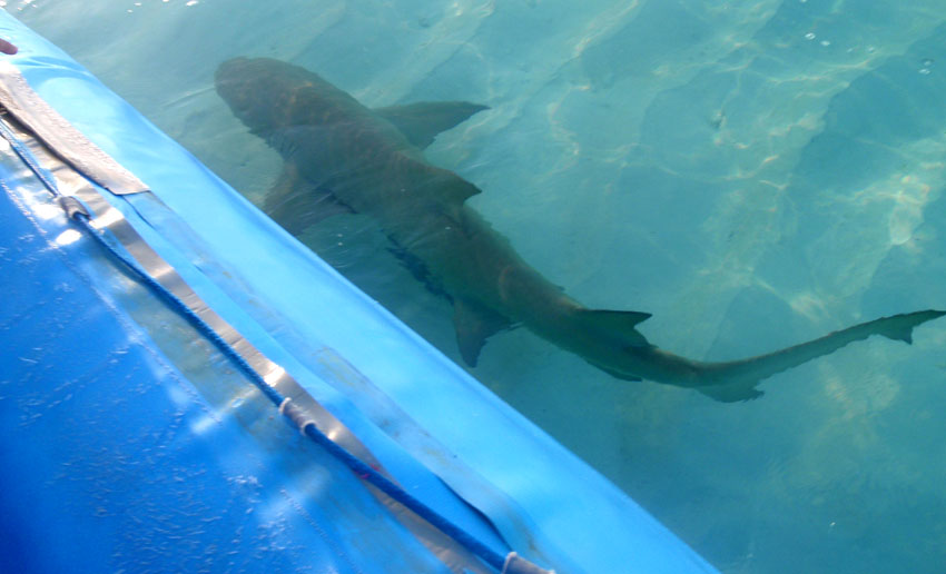
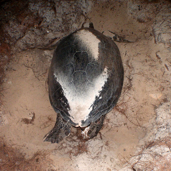
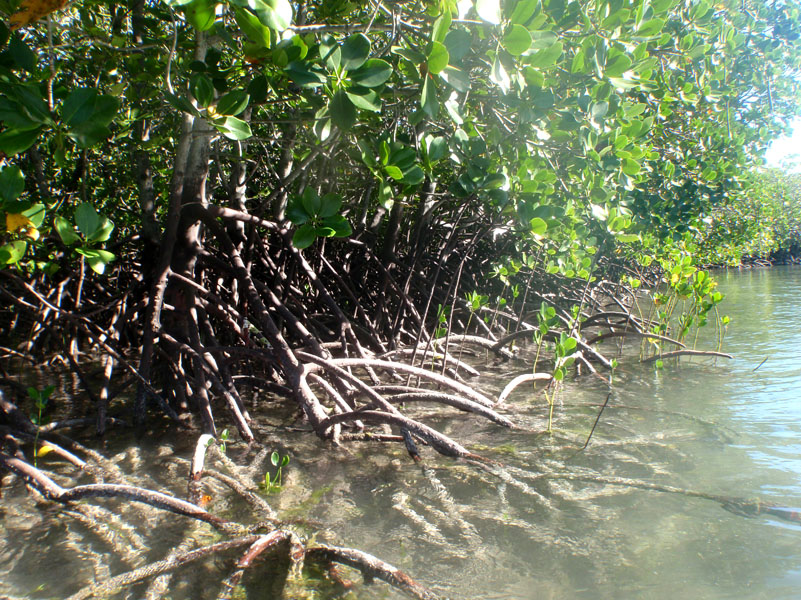
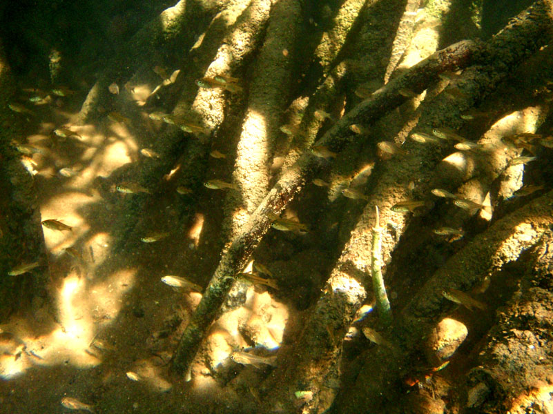
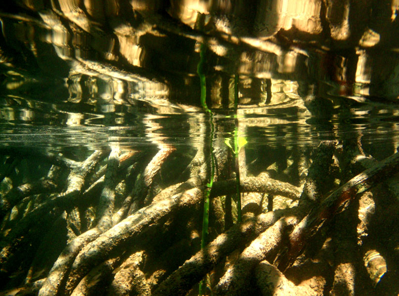
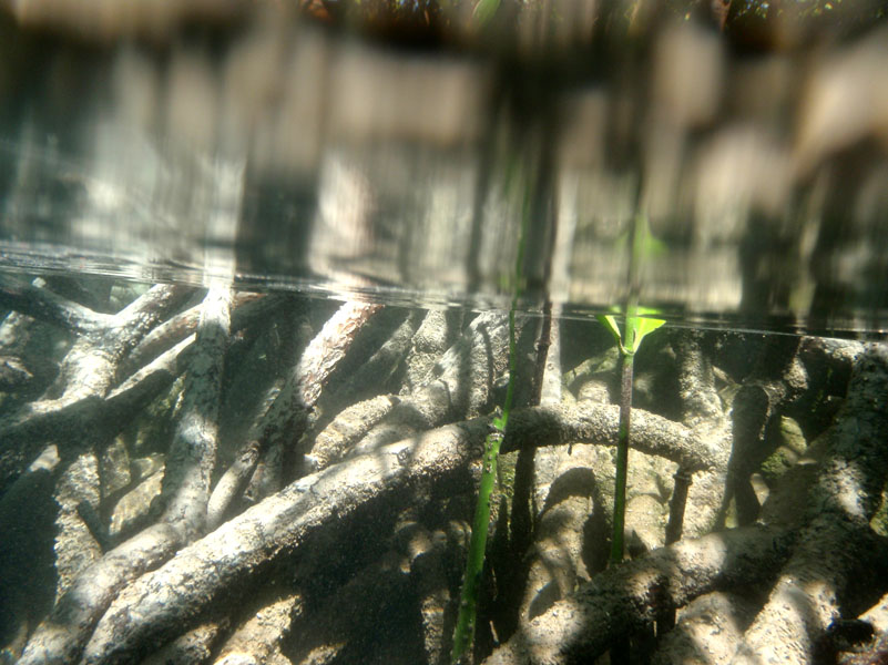
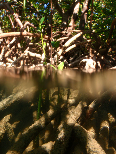
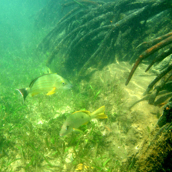
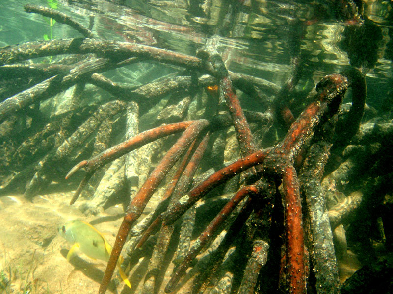
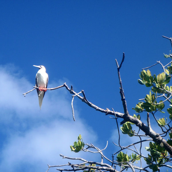
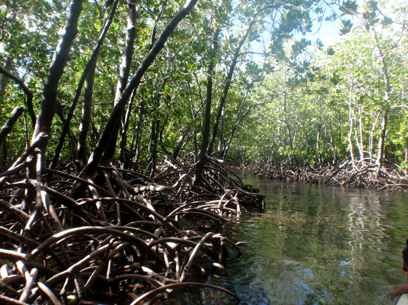
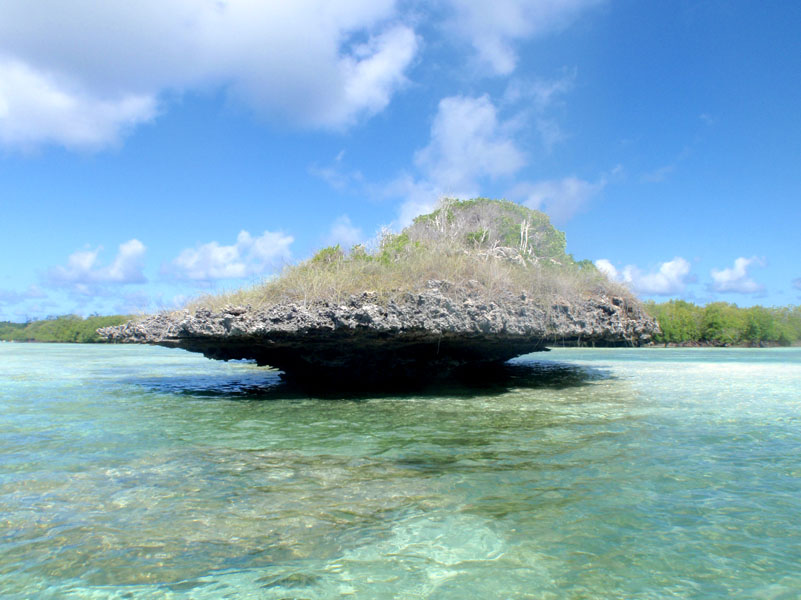
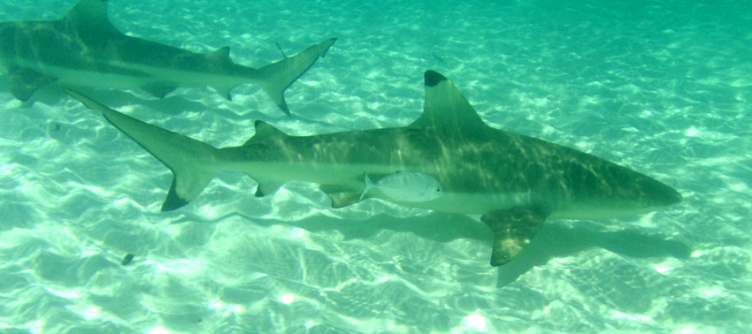
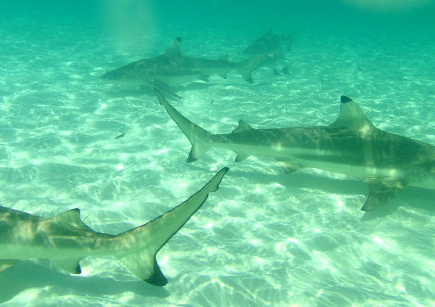
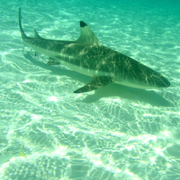
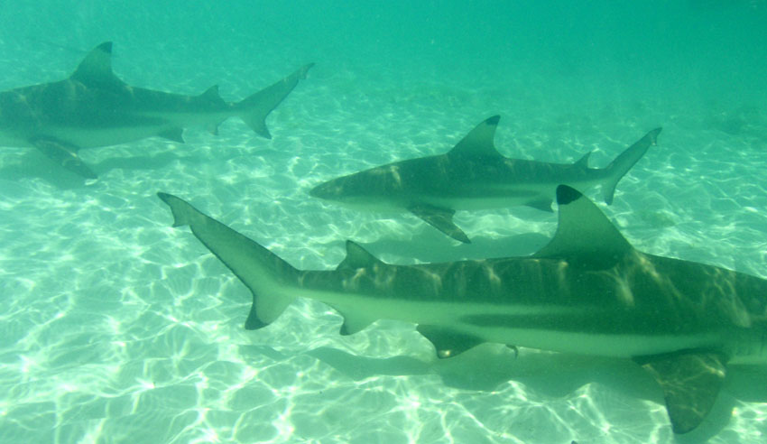
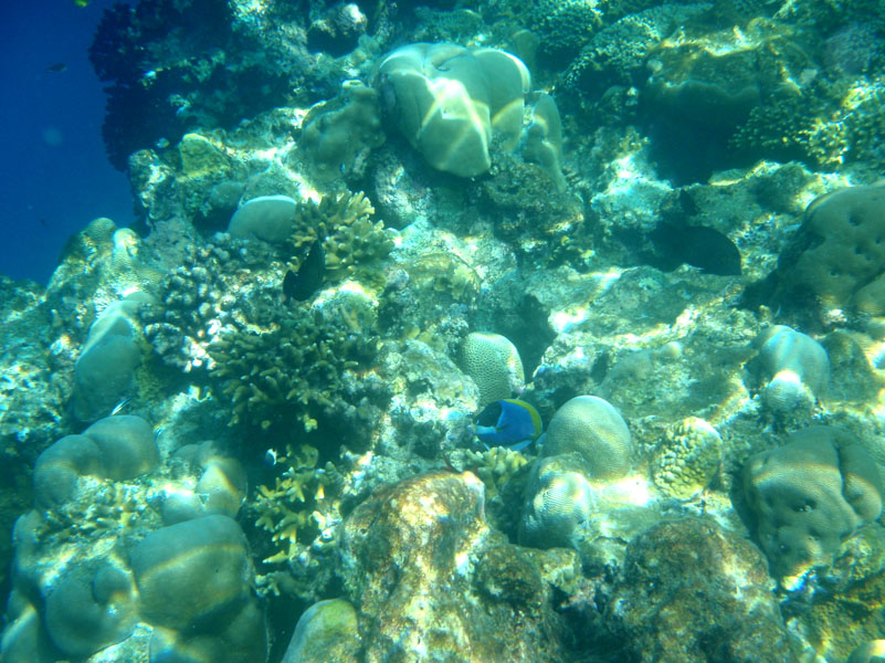
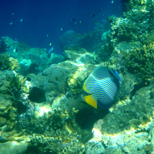
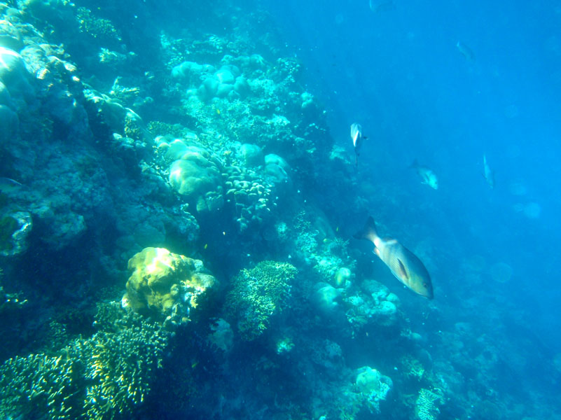
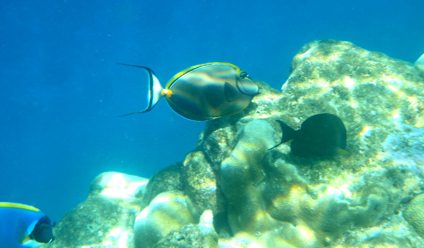
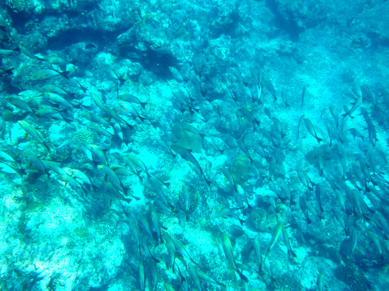
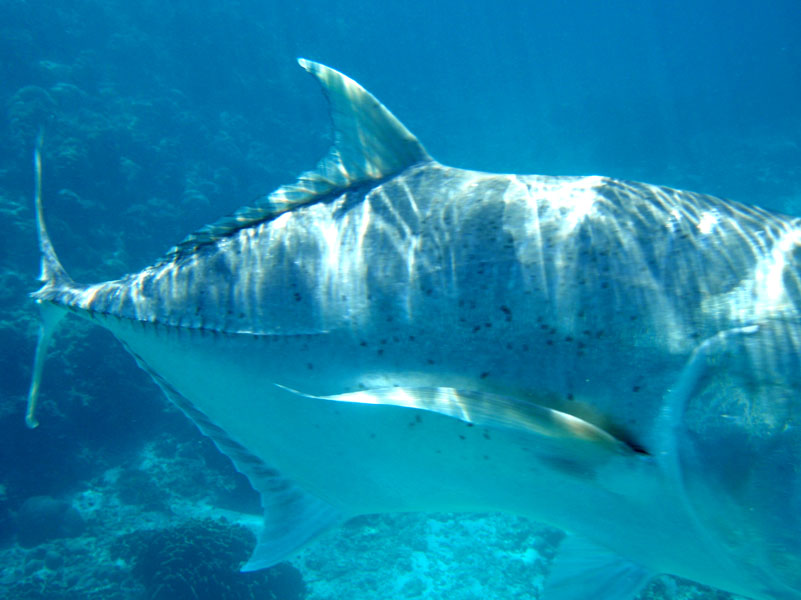
Aldabra is a raised coral atoll in the Aldabra Group of islands in the Indian Ocean that form part of the Seychelles. The island is more than 700 miles from Mahé and is closer to the coast of Africa and Madagascar. Virtually untouched by humans, with distinctive island fauna, including the Aldabra Giant Tortoise, the island is designated a World Heritage Site. The atoll is home to the world’s largest population of giant tortoises, numbering some 100,000 individuals. They are also known for their green turtles, hawksbill turtles, hammerhead sharks, mantarays, barracuda, and birds, including the Aldabra rail, the last surviving flightless bird of the Indian Ocean region. The Aldabra Group includes the island of Assumption and the atolls of Astove and Cosmoledo.

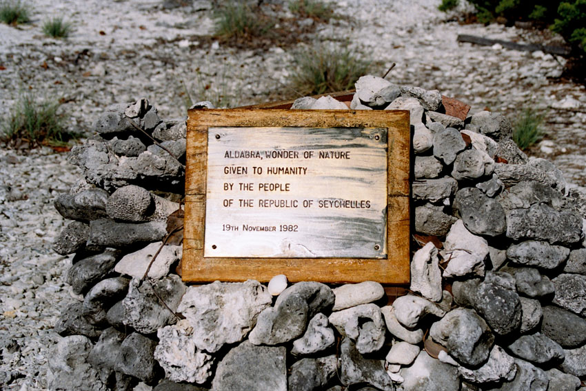
Aladabra was designated a World Heritage Site on November 19, 1982, and is administered by the Seychelles Island Foundation based on Mahé. An environmental disaster for the island was averted in the 1960s when the British nearly entered into negotiations with the United States to turn the island into a military air base. The proposal created an international protest by ecologists and their lobbying resulted in military plans abandoned and the wildlife habitat receiving full protection.

Source: Wikipedia (under GNU Free Documentation License)

Categories
São Tomé and Príncipe

Príncipe

Príncipe is the smaller of the two major islands of São Tomé and Príncipe lying off the west coast of Africa. It has an area of 136 km² and a population of around 5,000 people. It rises in the south to 948 metres at Pico de Príncipe, in a thickly forested area forming part of the Obo National Park. The north and centre of the island were formerly plantations but largely reverted to forest. The island forms one province and one district named Pagué. The languages other than Portuguese includes Principense or Lunguyê with a few Forro speakers.

The island has one town, Santo António, and an airport (IATA code: PCP, ICAO: FPPR?), as well as some small villages including Bela Vista, Bombom, Futuro, Neves Ferreira, Paciencia, Ponta Fonte, Ribeira Ize, Santo Antonio de Ureca, Vila Rosa and more – few connected to the small road network.

The island is a heavily eroded volcano over three million years old, surrounded by other smaller islands including Ilheu Bom Bom, Ilhéu Caroço, Tinhosa Grande and Tinhosa Pequena.

Príncipe was the site where Einstein’s Theory of Relativity was experimentally proved successful by Arthur Stanley Eddington and his team during an eclipse in 1919.

Source: Wikipedia (under GNU Free Documentation License)

Categories
Belize

Belize

Belize, formerly British Honduras, is a country in Central America. Belize has a diverse society, composed of many cultures and speaking many languages. It is the only country in Central America where English is the official language. It is bordered by Mexico to the north, Guatemala to the south and west, the and Caribbean sea to the east. Kriol and Spanish are also widely spoken. With 8,867 square miles (22,960 km²) of territory and 320,000 people (2008 est.), the population density is the lowest in the Central American region and one of the lowest in the world. Belize is the least populous non-island nation outside of Europe. The country’s population growth rate, 2.21% (2008 est.), is the highest in the region and one of the highest in the western hemisphere. Culturally, Belize considers itself to be both Caribbean and Central American.

Belize is located on the Caribbean coast of northern Central America. It shares a border on the north with the Mexican state of Quintana Roo, on the west with the Guatemalan department of Petén, and on the south with the Guatemalan department of Izabal. To the east in the Caribbean Sea, the second-longest barrier reef in the world flanks much of the 386 kilometres (240 mi) of predominantly marshy coastline. The area of the country totals 22,960 square kilometres (8,860 sq mi), an area slightly larger than El Salvador or Massachusetts. The abundance of lagoons along the coasts and in the northern interior reduces the actual land area to 21,400 square kilometres (8,300 sq mi).

Source: Wikipedia (under GNU Free Documentation License)

Categories
Indonesia

Gili Nanggu

Categories
Tanzania

Zanzibar I

Zanzibar (pronounced /ˈzænzɨbɑr/) is a semi-autonomous part of the United Republic of Tanzania, in East Africa. It comprises the Zanzibar Archipelago in the Indian Ocean, 25–50 kilometres (16–31 mi) off the coast of the mainland, and consists of numerous small islands and two large ones: Unguja (the main island, informally referred to as Zanzibar), and Pemba. Zanzibar was once a separate state with a long trading history within the Arab world; it united with Tanganyika to form Tanzania in 1964 and still enjoys a high degree of autonomy within the union. The capital of Zanzibar, located on the island of Unguja, is Zanzibar City, and its historic center, known as Stone Town, is a World Heritage Site.

Zanzibar’s main industries are spices, raffia, and tourism. In particular, the islands produce cloves, nutmeg, cinnamon and pepper. For this reason, the islands, together with Tanzania’s Mafia Island, are sometimes called the Spice Islands (a term also associated with the Maluku Islands in Indonesia). Zanzibar’s ecology is of note for being the home of the endemic Zanzibar Red Colobus and the (possibly extinct) Zanzibar Leopard.

Source: Wikipedia (under GNU Free Documentation License)

Categories
Malaysia

Langkawi

Langkawi, officially known as Langkawi, the Jewel of Kedah (Malay: Langkawi Permata Kedah) is an archipelago of 99 islands (an extra 5 temporary islands are revealed at low tide) in the Andaman Sea, some 30 km off the mainland coast of northwestern Malaysia. The islands are a part of the state of Kedah, which is adjacent to the Thai border. On July 15, 2008, Sultan Abdul Halim of Kedah had consented to the change of name to Langkawi Permata Kedah in conjunction with his Golden Jubilee Celebration. By far the largest of the islands is the eponymous Pulau Langkawi with a population of some 45,000, the only other inhabited island being nearby Pulau Tuba. Langkawi is also an administrative district with the town of Kuah as the capital and largest town. Langkawi is a duty-free island.

On June 1, 2007, Langkawi Island has been given a World Geopark status by UNESCO. Three of its main conservation area in Langkawi Geopark;Machincang Cambrian Geoforest Park, Kilim Karst Geoforest Park and Dayang Bunting Marble Geoforest park.(Island of the Pregnant Maiden Lake). These three parks are the most popular tourism area within Langkawi Geopark.

Langkawi is particularly known for its beaches which are among the best in Malaysia. Some of the most popular are Pantai Cenang, Pantai Tengah, Burau Bay, Pantai Kok, and Datai Bay. Pantai Cenang is a picturesque beach with seemingly unending stretches of fine white sand. The beach is contoured by tall coconuts and casuarinas. Pantai Tengah is separated from Cenang by a small cape. Burau Bay, fringed by rocky outcrops, is the favorite place of migratory birds in Langkawi. Pantai Kok is a peaceful beach with the backdrop of limestone hills. Datai Bay has wonderful combination of forests and sea.The milky beach is backed by lush forest.

Source: Wikipedia (under GNU Free Documentation License)

Categories
Martinique

Martinique

Martinique is an island in the eastern Caribbean Sea, with a land area of 1,128 km2 (436 sq mi). It is an overseas department of France. To the northwest lies Dominica, to the south St Lucia, and to the southeast Barbados.

As with the other overseas departments, Martinique is also one of the twenty-six regions of France (being an overseas region) and an integral part of the Republic. As part of France, Martinique is part of the European Union, and its currency is the euro. Its official language is French, although many of its inhabitants also speak Antillean Creole and Modern English (Créole Martiniquais). Martinique is pictured on all euro banknotes, on the reverse at the bottom of each note, right of the Greek ΕΥΡΩ (EURO) next to the denomination.

The inhabitants of Martinique are French citizens with full political and legal rights. Martinique sends four deputies to the French National Assembly and two senators to the French Senate.

Source: Wikipedia (under GNU Free Documentation License)

Categories
Cape Verde

Santo Antão II

Santo Antão (Portuguese for “Saint Anthony”), or Sontonton in Cape Verdean Creole, is the westernmost and largest of the Barlavento islands of Cape Verde. The nearest main island is São Vicente to the southeast, separated by a channel named Canal de São Vicente. It is the westernmost large island in Cape Verde and the continent of Africa, and the second largest in Cape Verde.

The island, entirely made up of volcanic material. The tallest mountain is Topo de Coroa, reaching a height of 1,979 m. The second tallest is Pico da Cruz at 1,585 m. The island is divided into north and south by a mountain range long considered impenetrable but now crossed by a road. The island’s main town is Ponta do Sol on the north coast, home to the Agostinho Neto Airport, while its ferry port is Porto Novo on the south coast. A part of the island in the southeast has an arid climate, while the northwest receives relatively normal precipitation. Its valleys are suffering heavy erosion.

Source: Wikipedia (under GNU Free Documentation License)

Categories
Cape Verde

Santo Antão I

Santo Antão (Portuguese for “Saint Anthony”), or Sontonton in Cape Verdean Creole, is the westernmost and largest of the Barlavento islands of Cape Verde. The nearest main island is São Vicente to the southeast, separated by a channel named Canal de São Vicente. It is the westernmost large island in Cape Verde and the continent of Africa, and the second largest in Cape Verde.

The island, entirely made up of volcanic material. The tallest mountain is Topo de Coroa, reaching a height of 1,979 m. The second tallest is Pico da Cruz at 1,585 m. The island is divided into north and south by a mountain range long considered impenetrable but now crossed by a road. The island’s main town is Ponta do Sol on the north coast, home to the Agostinho Neto Airport, while its ferry port is Porto Novo on the south coast. A part of the island in the southeast has an arid climate, while the northwest receives relatively normal precipitation. Its valleys are suffering heavy erosion.

Source: Wikipedia (under GNU Free Documentation License)

Categories
Cape Verde

Santiago

Santiago (Portuguese for “Saint James”), or Santiagu in Cape Verdean Creole, is the largest island of Cape Verde, its most important agricultural centre and home to half the nation’s population. At the time of Darwin’s voyage it was called St. Jago.

Santiago is located between the islands of Maio (40 km west) and Fogo (50 km east) and is one of the Sotavento. It was the first of the islands to be settled, the town of Cidade Velha being founded as Riberia Grande in 1462. It is also home to the nation’s capital city of Praia and to one of the islands’ four international airports, Praia International Airport, 3 km from the capital (IATA airport code: RAI, Praia).

Santiago is the largest island of Cape Verde, with an area of 991 km². The island is mountainous, although slightly flatter in the southeast. The wetter climate of the interior and the eastern coast contrasts with the dryer one in the south/southwest coast. Praia, located in the southeast coast, is the largest city of the island, and also the largest city and capital of the country. Other towns on the island include Cidade Velha, 15 km west of Praia, Cape Verde’s first capital; Assomada, 60 km north and Tarrafal in the northern part of the island 75 km from the capital.

Source: Wikipedia (under GNU Free Documentation License)