Categories
Marquesas French Polynesia

Ua Pou

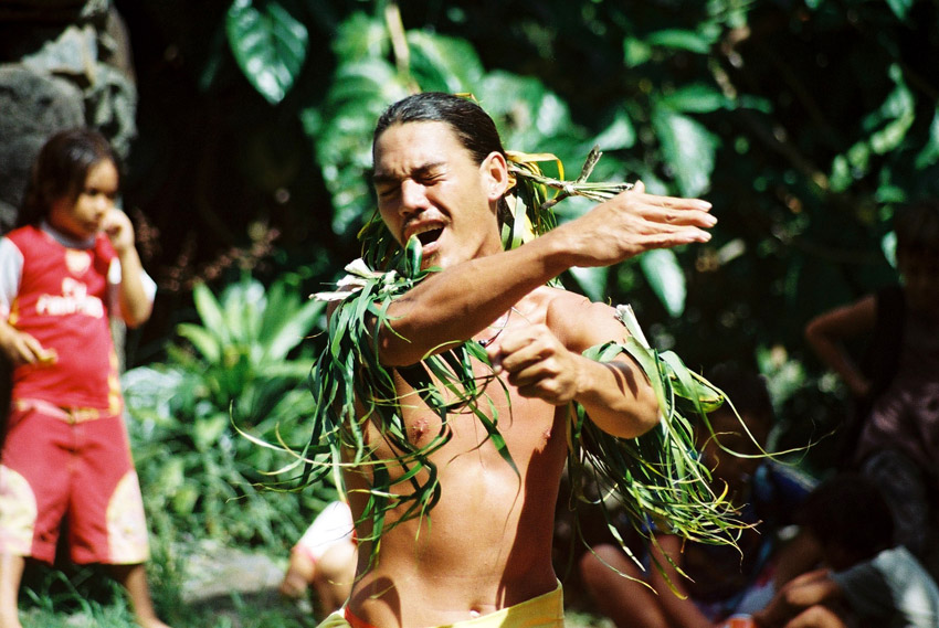
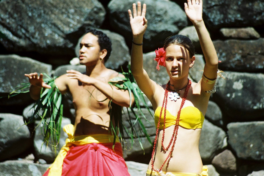
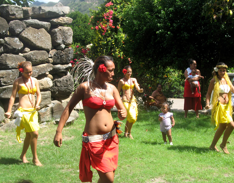
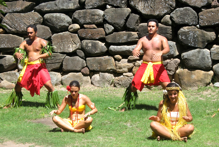
Ua Pu (French: Ua Pou, North Marquesan: ’uapou) is the third largest of the Marquesas Islands, in French Polynesia, an overseas territory of France in the Pacific Ocean. It is located about 50 km (30 mi.) south of Nuku Hiva, in the northern Marquesas. Until the beginning of the 1980s, it was the most populous of the Marquesas Islands, because when the other islands were being ravaged by diseases introduced by European explorers and traders, the Catholic priests on the island finally took to quarantining the remnant of the native population inside their churches whenever visiting ships approached the island, thereby reducing their exposure to external diseases.

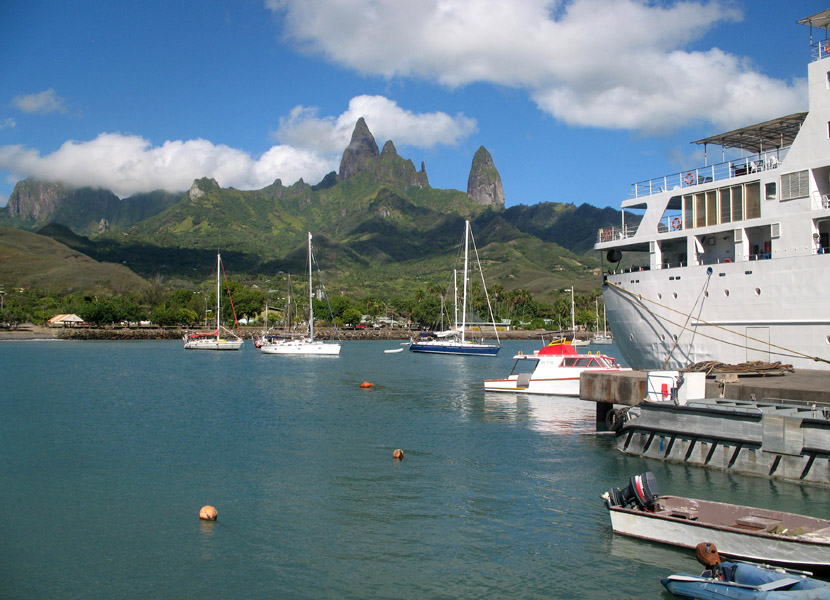
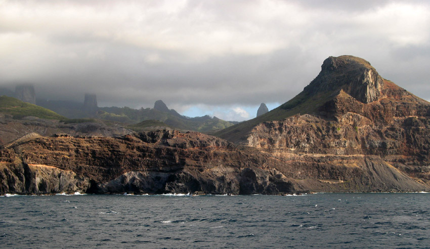
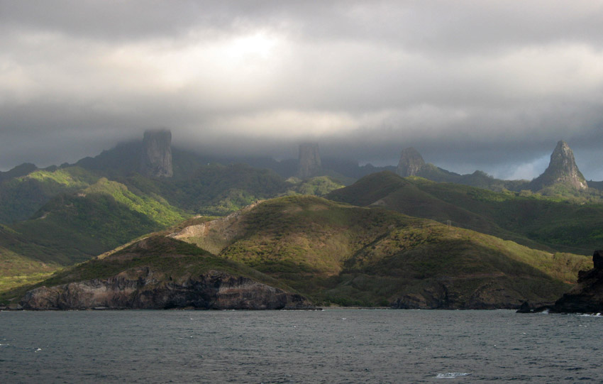
The center of the island is characterized by four high basalt pillars that reach high above the surrounding mountains. The highest of these pillars, Mount Oave (French: Mont Oave), reaches to 1,230 m (4,035 ft.) above sea level and is the highest elevation in the Marquesas.

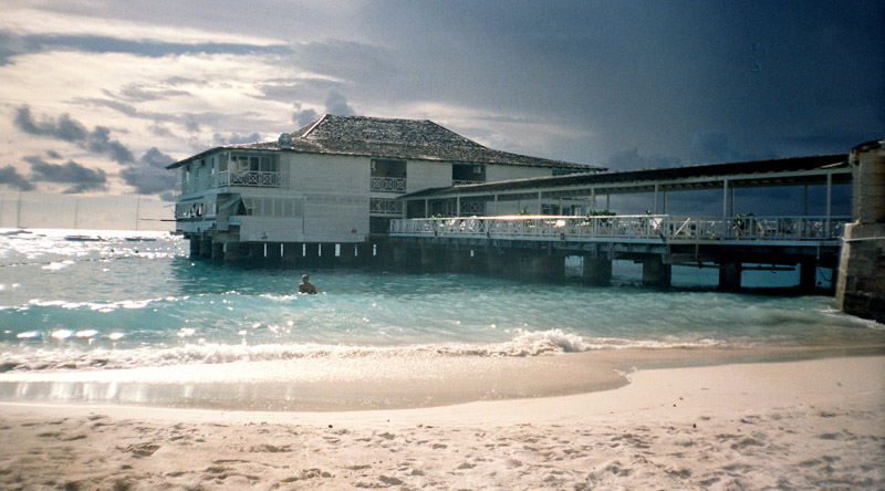
The island covers an area of 106 km (41 sq. mi.), and is located just northwest of the small island of Motu ‘Oa. The population in 2007 was 2,157. The largest settlement is Hakahau, on Hakahau Bay, on the northeast coast.

Source: Wikipedia (under GNU Free Documentation License)

Categories
Indonesia

Bali

Bali is an Indonesian island located at the westernmost of the Lesser Sunda Islands, lying between Java to the west and Lombok to the east. It is one of the country’s 33 provinces with the provincial capital at Denpasar towards the south of the island.

With a population recorded as 3,551,000 in 2009, the island is home to the vast majority of Indonesia’s small Hindu minority. 93.18% of Bali’s population adheres to Balinese Hinduism, while most of the remainder follow Islam. It is also the largest tourist destination in the country and is renowned for its highly developed arts, including dance, sculpture, painting, leather, metalworking and music.

Bali was inhabited by Austronesian peoples by about 2000 BC who migrated originally from Taiwan through Maritime Southeast Asia. Culturally and linguistically, the Balinese are thus closely related to the peoples of the Indonesian archipelago, the Philippines, and Oceania. Stone tools dating from this time have been found near the village of Cekik in the island’s west.

Source: Wikipedia (under GNU Free Documentation License)

Categories
Indonesia

Sumbawa

Sumbawa is an Indonesian island, located in the middle of the Lesser Sunda Islands chain, with Lombok to the west, Flores to the east, and Sumba further to the southeast. It is in the province of West Nusa Tenggara.

Sumbawa is 15,448 km² (three times the size of Lombok) with a population of around 1.5 million. It marks the boundary between the islands to the west, which were influenced by religion and culture spreading from India, and the region to the east that was not so influenced.

Four principalities in western Sumbawa were dependencies of the Majapahit Empire of eastern Java. Because of Sumbawa’s natural resources it was regularly invaded by outside forces – Japanese, Dutch, Makassarese. The Dutch first arrived in 1605, but did not effectively rule Sumbawa until the early 20th century. The Balinese kingdom of Gelgel ruled western Sumbawa for a short period as well. It was also home to the Sultanate of Bima.

Source: Wikipedia (under GNU Free Documentation License)

Categories
Barbados

Barbados

Barbados, situated just east of the Caribbean Sea, is a West Indian continental island-nation in the western Atlantic Ocean. After a brief claim by Spain in 1492 and later Portugal, Barbados became a colony and protectorate of the United Kingdom for over three centuries. The country currently maintains Queen Elizabeth II as head of state. Located at roughly 13° North of the equator and 59° West of the prime meridian, it is considered a part of the Lesser Antilles. Its closest island neighbours are Martinique, Saint Lucia, and Saint Vincent & the Grenadines to the west. To the south lies Trinidad and Tobago – with which Barbados now shares a fixed official maritime boundary – and also the South American mainland. Barbados’s total land area is about 430 square kilometres (166 square miles), and is primarily low-lying, with some higher in the country’s interior. The highest point in Barbados is Mount Hillaby in the parish of Saint Andrew.

The geological composition of Barbados is of non-volcanic origin, predominantly limestone-coral. After the break of South America from Africa in the Mesozoic, a reef formed. During the Cenozoic, as both the Caribbean and South American plates moved westward, the two plates impacted and pressed this reef upward. Barbados is part of a North Atlantic Ocean submarine mountain range located to the east of the Windward Islands. This range stretches from its close proximity of Puerto Rico in the north, to a south-easterly direction toward Venezuela. The island of Barbados forms the only part of this mountain range that rises above sea level.

The island’s climate is tropical, with constant trade winds off the Atlantic Ocean serving to keep temperatures mild. Some less developed areas of the country contain tropical woodland and mangroves. Other parts of the interior which contribute to the agriculture industry are dotted with large sugarcane estates and wide, gently sloping pastures, with panoramic views down to the coast also.

Source: Wikipedia (under GNU Free Documentation License)