Categories
Tristan da Cunha

Tristan da Cunha

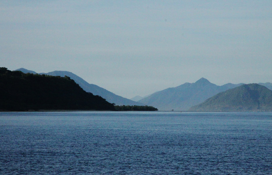
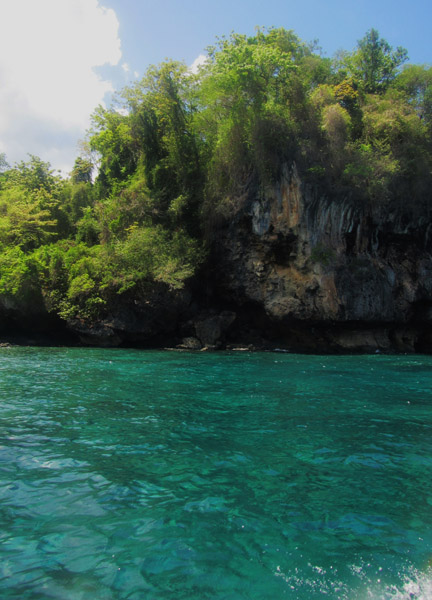
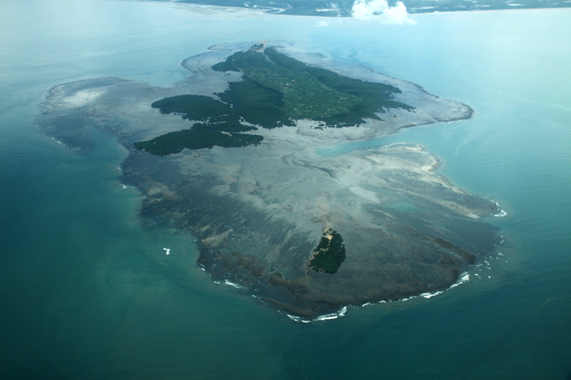
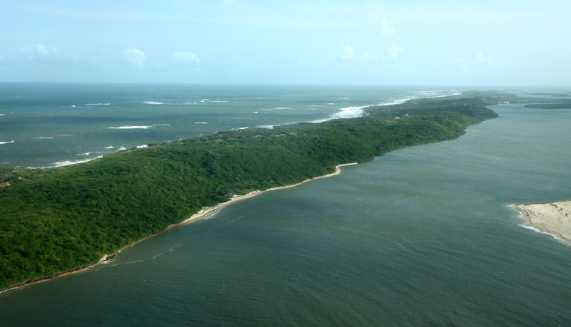
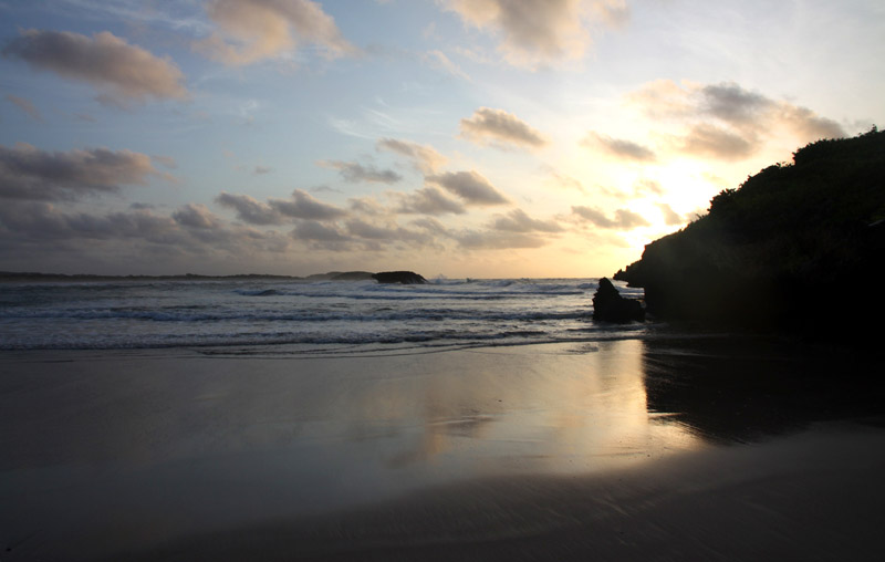
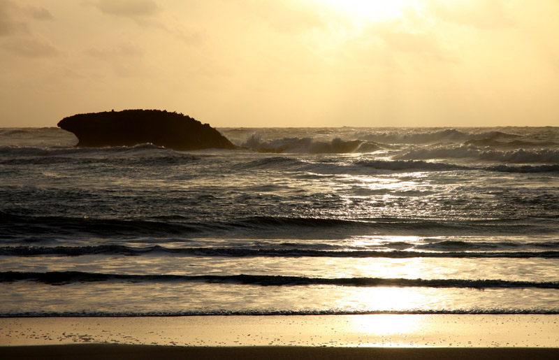
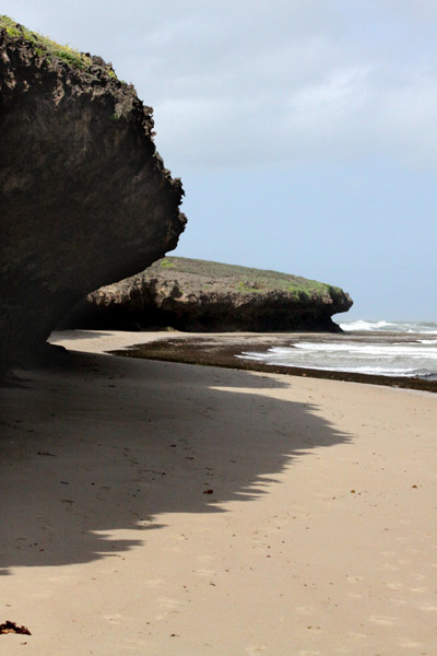
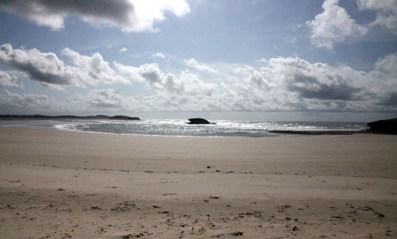
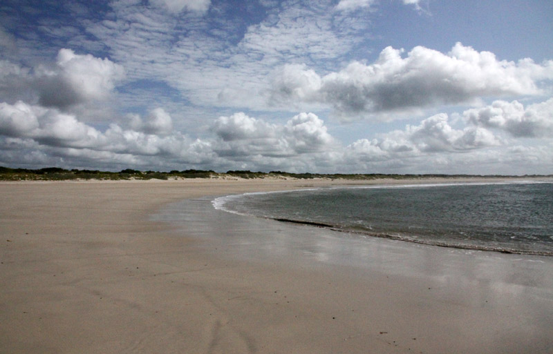
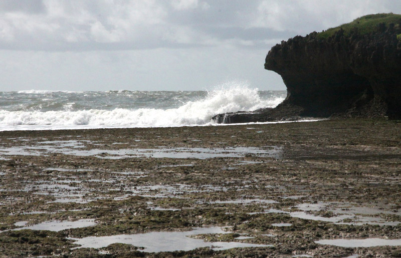
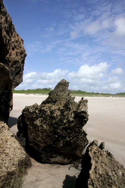
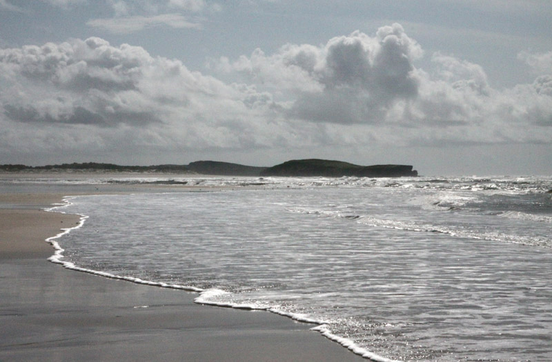
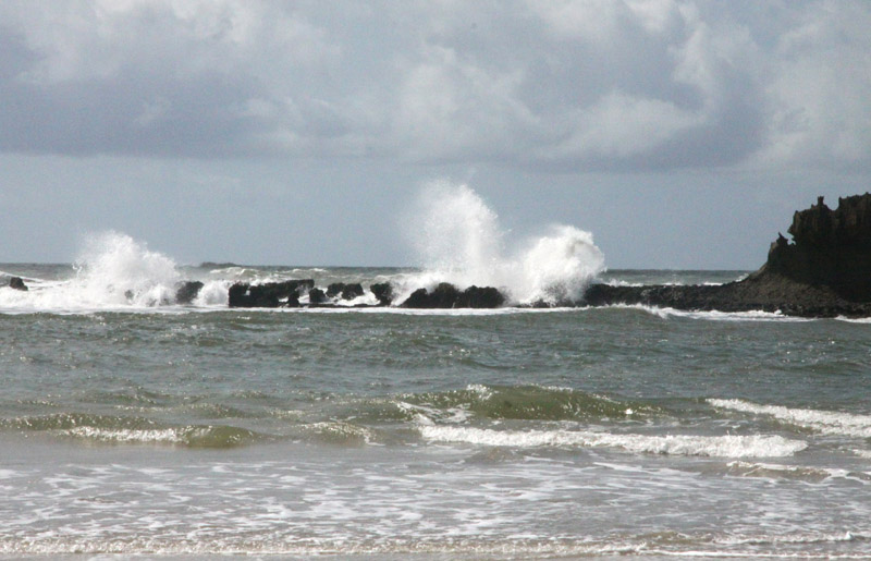
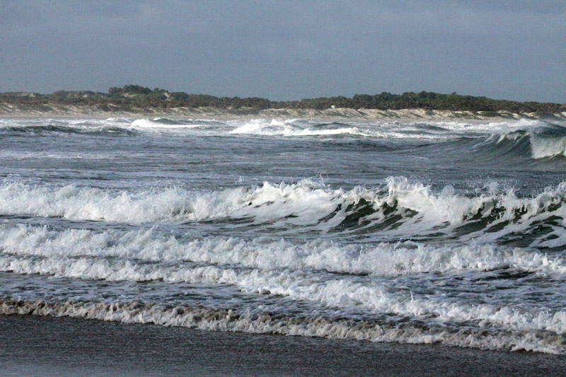
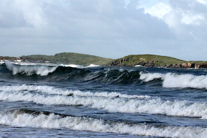
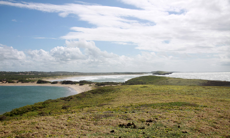
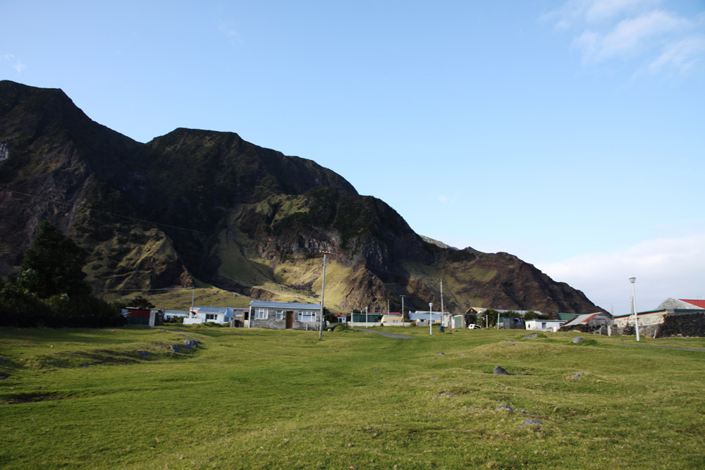
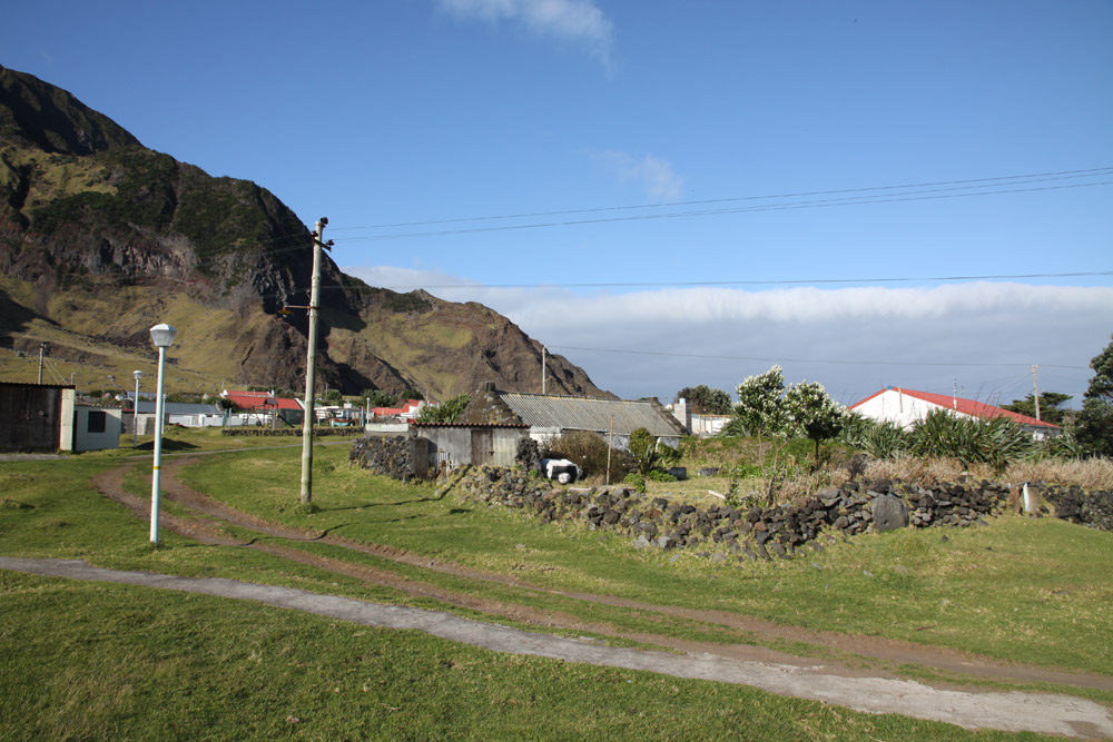
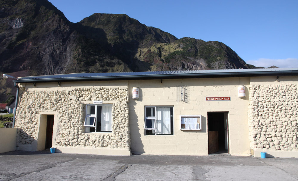
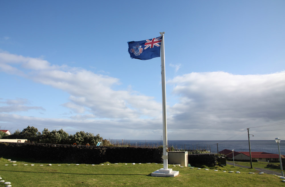
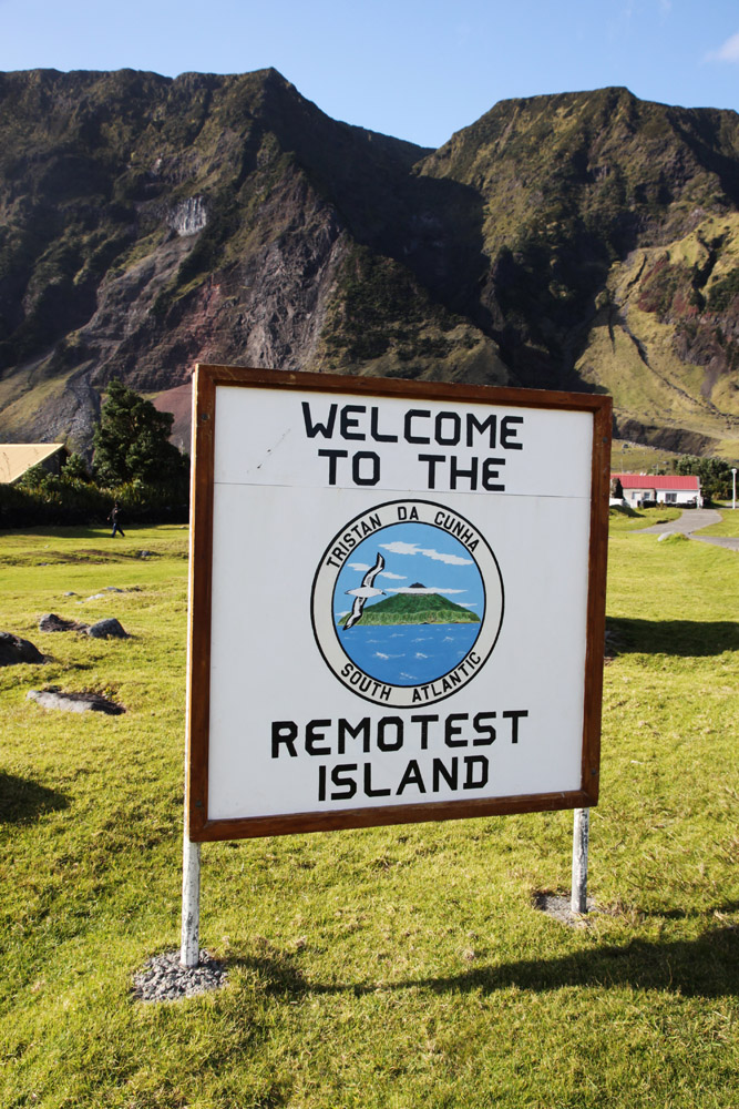
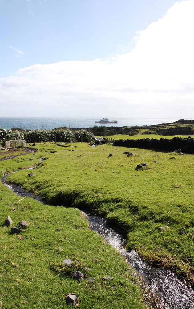
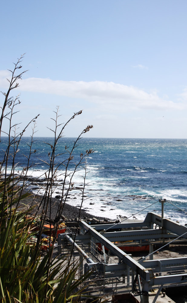
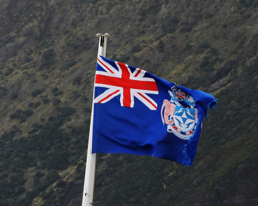
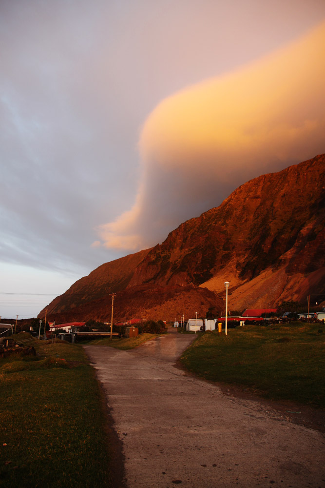
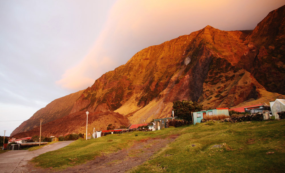
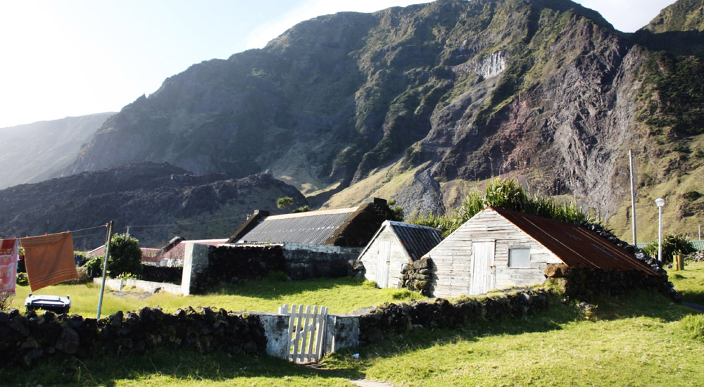
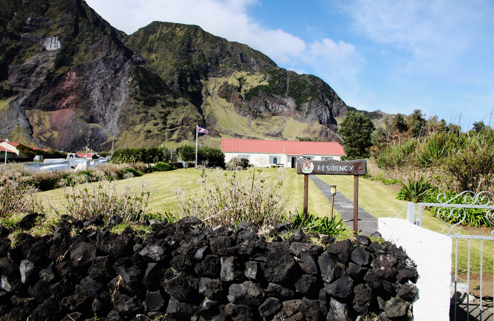
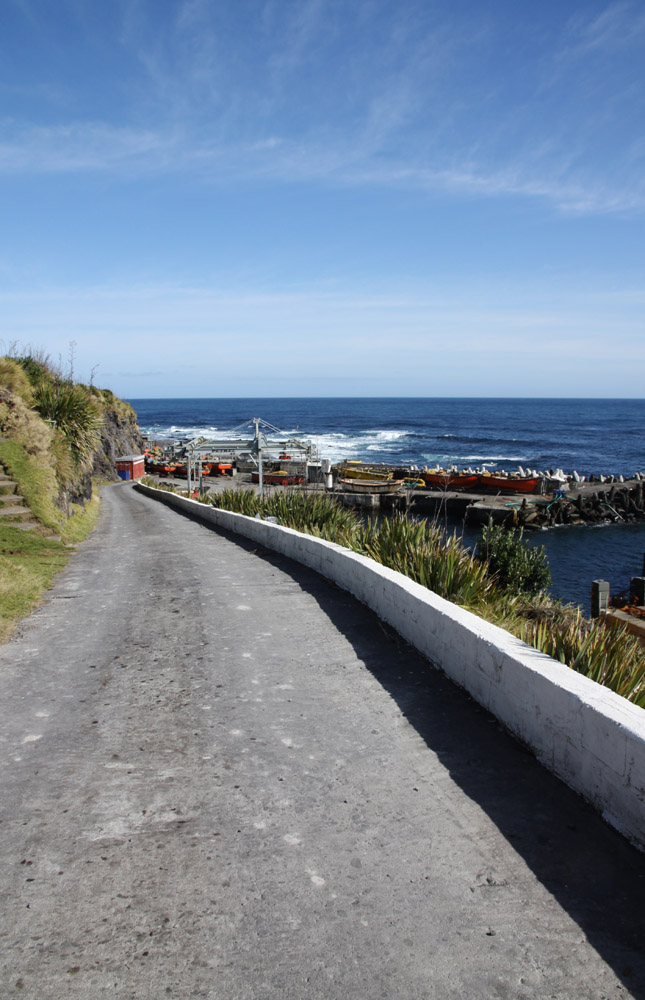
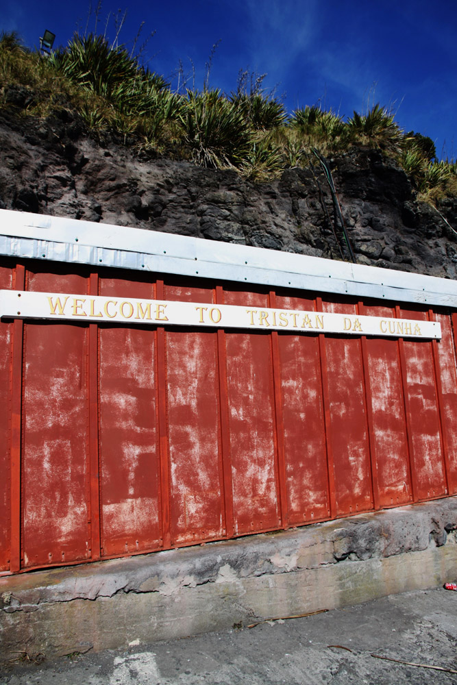
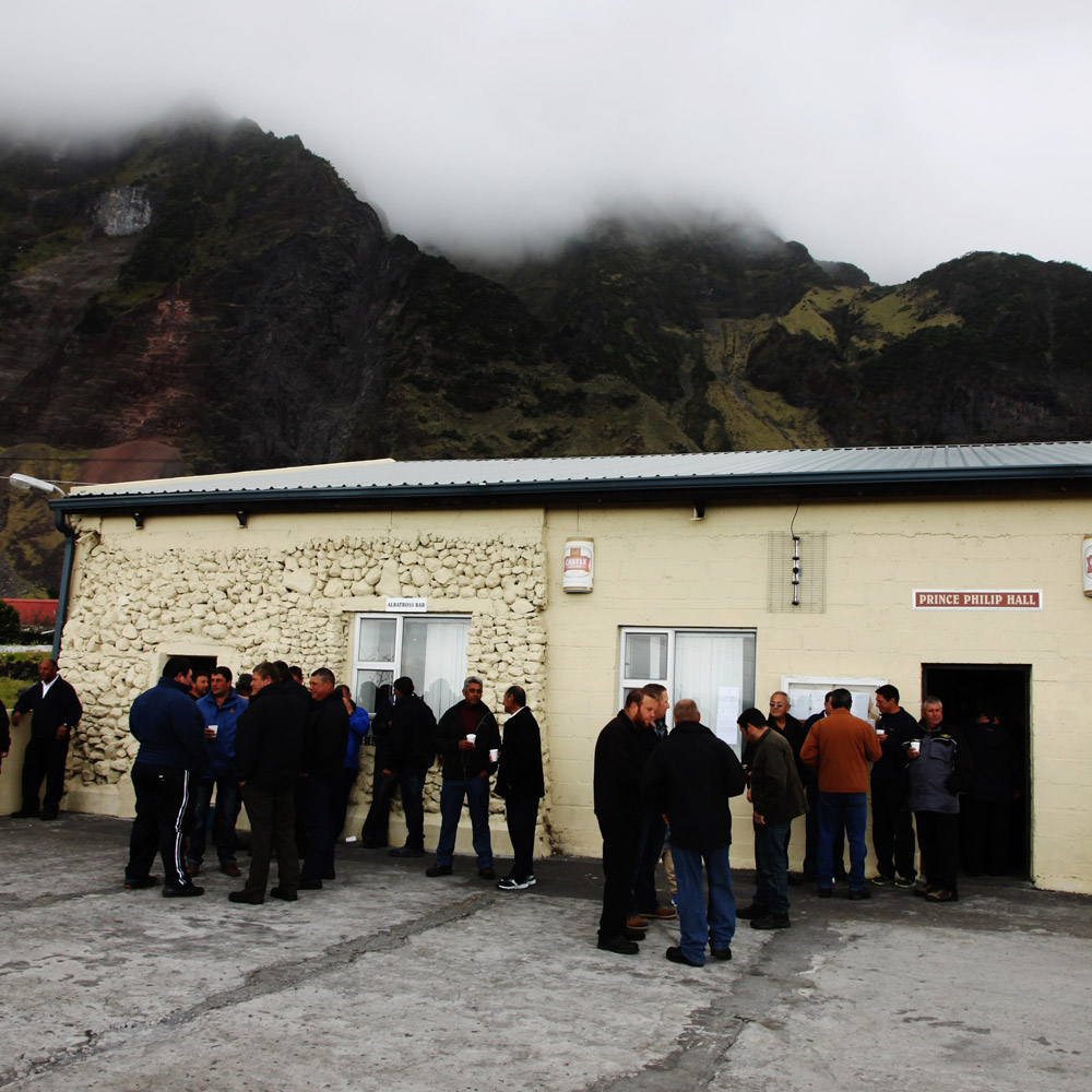
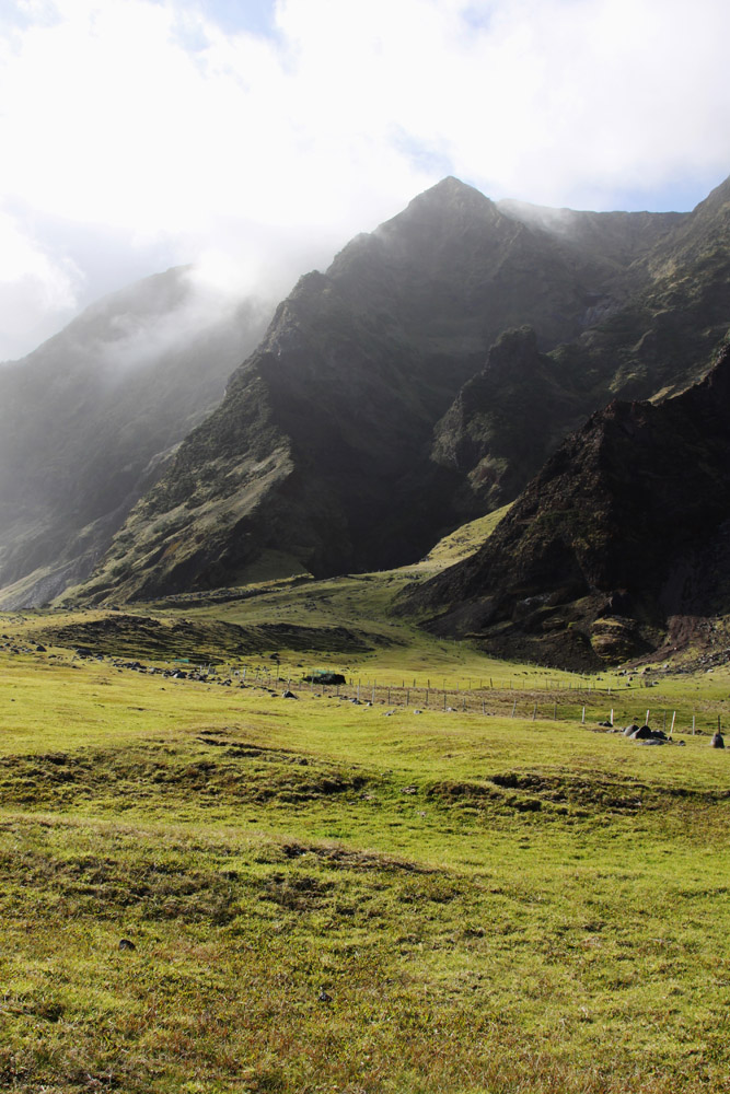
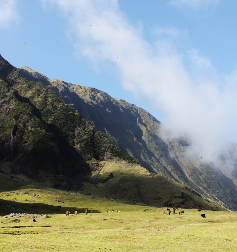
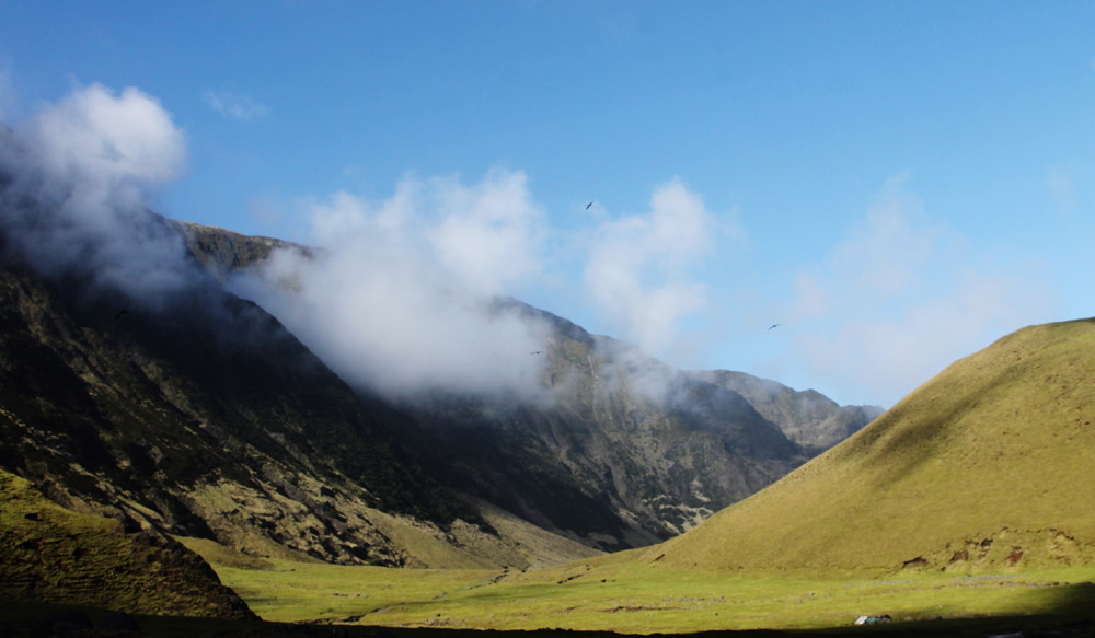
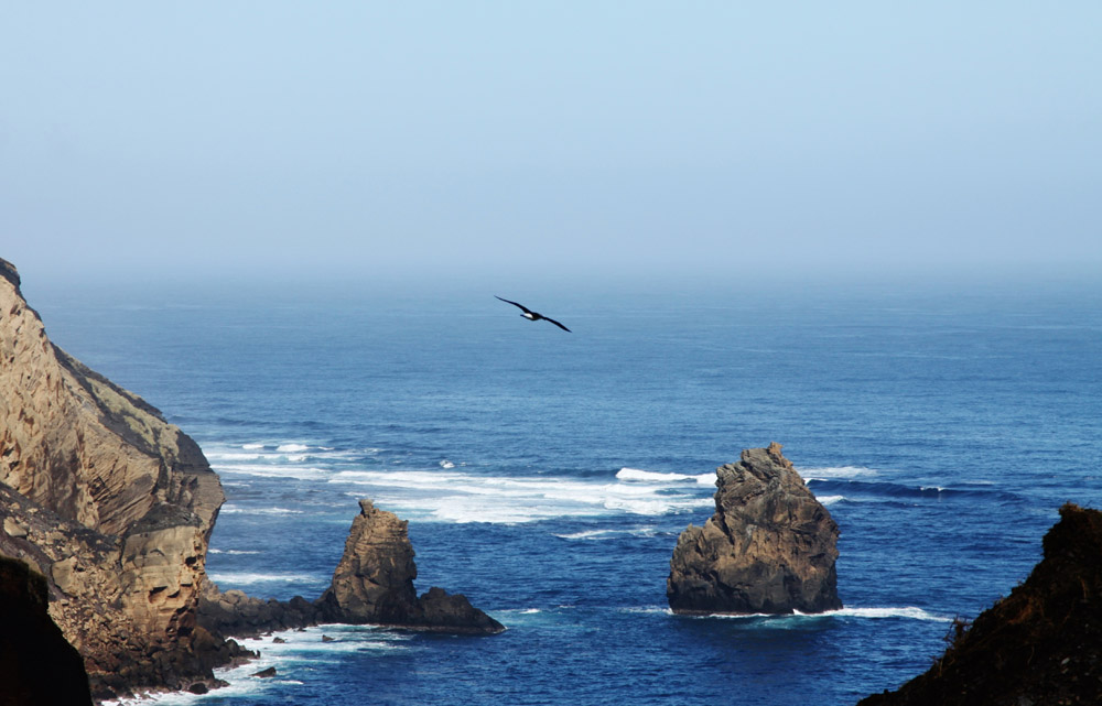
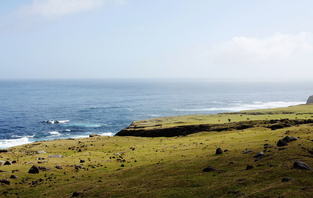
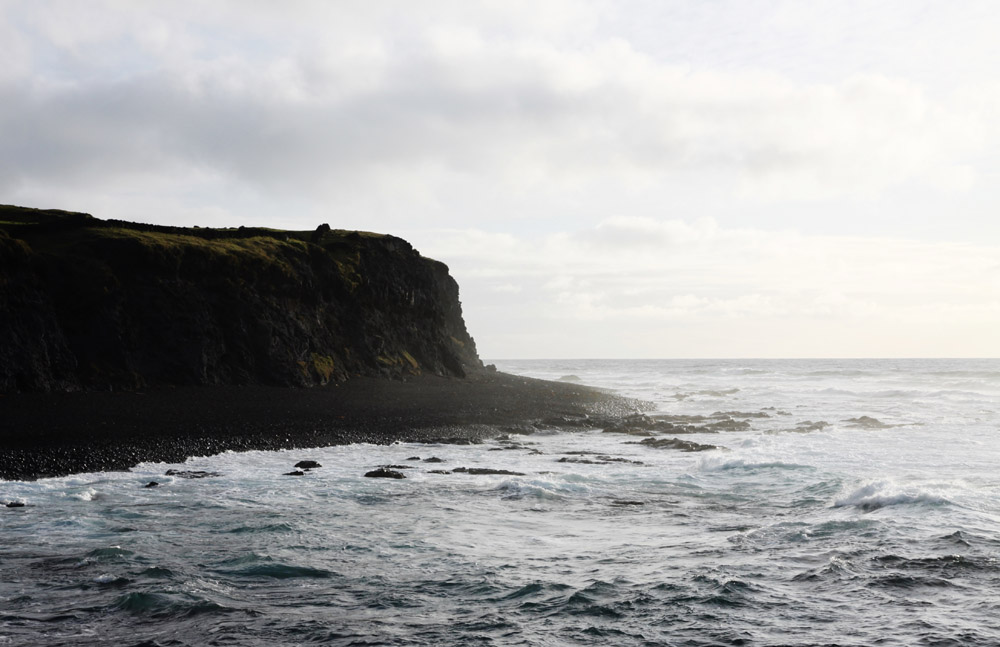
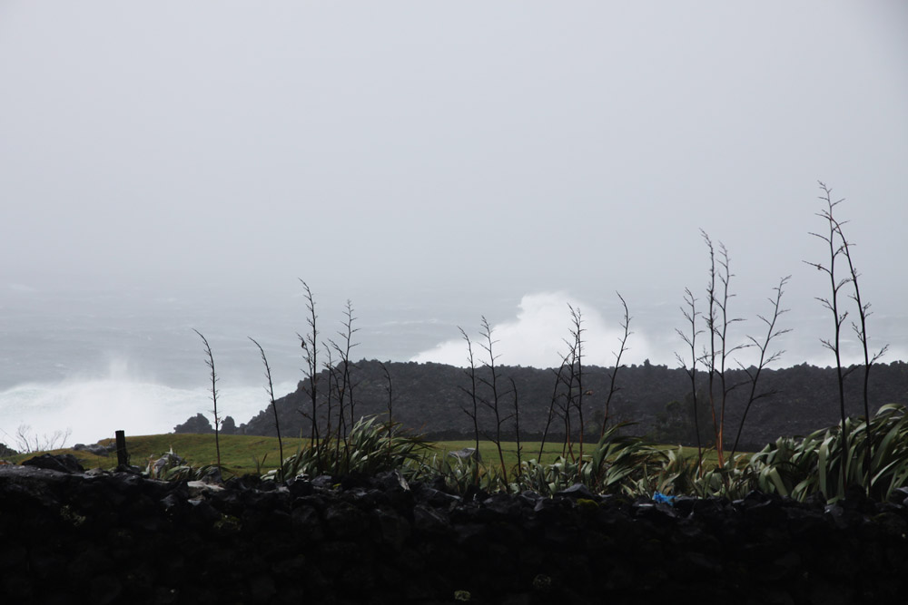
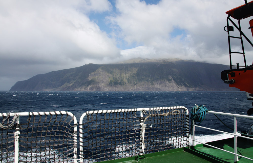
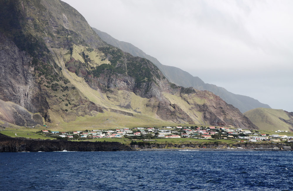
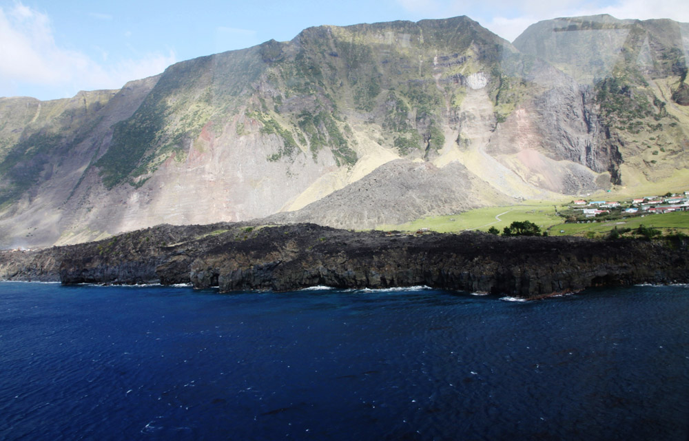
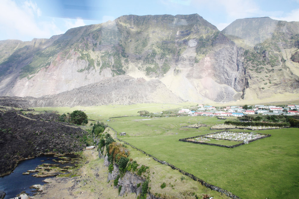
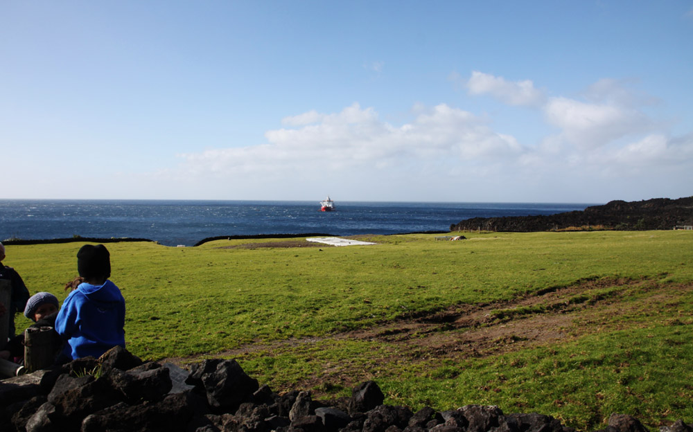
Tristan da Cunha, colloquially Tristan, is both a remote group of volcanic islands in the south Atlantic Ocean and the main island of that group. It is the most remote inhabited archipelago in the world, lying 2,000 kilometres (1,200 mi) from the nearest inhabited land, Saint Helena, 2,400 kilometres (1,500 mi) from the nearest continental land, South Africa, and 3,360 kilometres (2,090 mi) from South America. The territory consists of the main island, also named Tristan da Cunha, which has a north–south length of 11.27 kilometres (7.00 mi) and has an area of 98 square kilometres (38 sq mi), along with the smaller, uninhabited Nightingale Islands and the wildlife reserves of Inaccessible and Gough Islands.

Categories
Maluku Islands

Pulau Wetar

The tropical island of Wetar belongs to the Indonesian province of Maluku and is the largest island of the Barat Daya Islands (literally Southwest Islands). It lies east of the Lesser Sunda Islands, which include nearby Alor and Timor, but it is politically part of the Maluku Islands.

To the south, across the Wetar Strait, lies the island of Timor; at its closest it is 50 km away. To the west, across the Ombai Strait, lies the island of Alor. To the southwest is the very small island of Liran, which is also part of Wetar district (kecamatan) and, further southwest, the small East Timorese island of Atauro. To the north is the Banda Sea and to the east lie Romang and Damar Islands, while to the southeast lie the other principal islands of the Barat Daya Islands.

The principal towns on Wetar are Lioppa in the northwest, Ilwaki in the south, Wasiri in the north, Masapun in the east, and Arwala in the northeast. These are connected by roads.

Source: Wikipedia (under GNU Free Documentation License)

Categories
Maluku Islands

Pulau Moa

The Leti Islands of Indonesia are part of the Maluku Islands, in southwest Maluku province. The main islands are Moa, Leti and Lakor. The Leti Islands form the Leti Moa Lakor and Moa Lakor districts of the Maluku Barat Daya regency within Maluku province.

Source: Wikipedia (under GNU Free Documentation License)

Categories
Tanzania

Mafia Island IV

Mafia Island (“Chole Shamba”) is part of the Tanzanian Spice Islands, together with Unguja and Pemba. As one of the six districts of the Pwani Region, Mafia Island is governed from the mainland, not from the semi-autonomous region of Zanzibar, of which it has never been considered to be a part.

According to the 2002 Tanzania census, the population of the Mafia District was 40,801.The economy is based on fishing, subsistence agriculture and the black market. The island attracts some tourists, mainly adventure scuba divers, game fishermen, and people wanting relaxation.

The Mafia archipelago consists of one large island (394 km²) and numerous smaller ones. Some of these are inhabited, such as Chole Island (2 km²), with a population of 800. Chole Bay, Mafia’s protected deep-water anchorage and original harbour, is studded with islands, sandbanks and beaches. The main town is Kilindoni. The stretch of water between the deltas of the Rufiji River and the island is called Mafia Channel. There are popular rumours of pygmy hippo on the island but there are zero confirmed sightings.

Source: Wikipedia (under GNU Free Documentation License)

Categories
Andaman and Nicobar Islands

Havelock Island

Havelock Island, with an area of 113.93 km², is the largest of the islands which comprise Ritchie’s Archipelago a chain of islands to the east of Great Andaman in the Andaman Islands. Havelock is situated 57 km North East of Capital City Port Blair. The population numbered 5,354 as of the census of 2001.

The island is named after Henry Havelock, a British general active in India. The island’s current population consists of Bengali settlers.
It is one of the few places that the administration of the Andaman and Nicobar Islands union territory of India has permitted and encouraged development of tourism, with a focus on promoting eco-tourism.
Havelock Island avoided much of the devastation which was visited upon most of the shores affected by the 2004 Indian Ocean earthquake and its resultant tsunami, and there were no documented casualties.

Beach No. 7 on the western coast, better known as “Radha Nagar” Beach, is one of the most popular beaches on Havelock and was named “Best Beach in Asia” by Time in 2004. Other notable beaches include Elephant Beach on the northwest coast and Vijaynagar Beach (No. 5), Beach No. 3 and Beach No. 1 on the east coast.Barren Island (coordinates: 12°16′N 93°51′E) is located in the Andaman Sea, one of the most easterly of the Andaman Islands. It is the only confirmed active volcano in South Asia. Along with the rest of the Andamans, it is a part of the Indian Union Territory of Andaman and Nicobar Islands, and lies about 135 km (84 mi) northeast of the territory’s capital, Port Blair. The first recorded eruption of the volcano dates back to 1787. Since then, the volcano has erupted more than ten times, with the most recent one which started in May 2008.

Source: Wikipedia (under GNU Free Documentation License)

Categories
Tanzania

Mafia Island II

That was my second trip to this Island – absolutely not planned. I have spent almost all the time under water and that was beautiful experience. Once more (this exception – I never publish links on my page) I recommend: www.shambakilolelodge.com. Francesca and Marco – Thank you

Mafia Island (“Chole Shamba”) is part of the Tanzanian Spice Islands, together with Unguja and Pemba. As one of the six districts of the Pwani Region, Mafia Island is governed from the mainland, not from the semi-autonomous region of Zanzibar, of which it has never been considered to be a part.

According to the 2002 Tanzania census, the population of the Mafia District was 40,801.The economy is based on fishing, subsistence agriculture and the black market. The island attracts some tourists, mainly adventure scuba divers, game fishermen, and people wanting relaxation.

The Mafia archipelago consists of one large island (394 km²) and numerous smaller ones. Some of these are inhabited, such as Chole Island (2 km²), with a population of 800. Chole Bay, Mafia’s protected deep-water anchorage and original harbour, is studded with islands, sandbanks and beaches. The main town is Kilindoni. The stretch of water between the deltas of the Rufiji River and the island is called Mafia Channel. There are popular rumours of pygmy hippo on the island but there are zero confirmed sightings.

Source: Wikipedia (under GNU Free Documentation License)

Categories
Indonesia West Papua

Raja Ampat Islands I

Located off the northwest tip of Bird’s Head Peninsula on the island of New Guinea, in Indonesia’s West Papua province, Raja Ampat, or the Four Kings, is an archipelago comprising over 1,500 small islands, cays and shoals surrounding the four main islands of Misool, Salawati, Batanta and Waigeo, and the smaller island of Kofiau. It encompasses more than 40,000 km² of land and sea, which also contains Cenderawasih Bay, the largest marine national park in Indonesia. It is a part of the newly named West Papua (province) of Indonesia which was formerly Irian Jaya. The islands are the most northern pieces of land in the Australian continent.

According to Conservation International, marine surveys suggest that the marine life diversity in the Raja Ampat area is the highest recorded on Earth. Diversity is considerably greater than any other area sampled in the Coral Triangle composed of Indonesia, Philippines and Papua New Guinea. The Coral Triangle is the heart of the world’s coral reef biodiversity, making Raja Ampat quite possibly the richest coral reef ecosystems in the world.

The area’s massive coral colonies along with relatively high sea surface temperatures, also suggest that its reefs may be relatively resistant to threats like coral bleaching and coral disease, which now jeopardize the survival of other coral ecosystems around the world. The Raja Ampat islands are remote and relatively undisturbed by humans.

Source: Wikipedia (under GNU Free Documentation License)

Categories
Kenya

Pate Island II

Pate island or Paté island is located in the Indian Ocean close to the northern coast of Kenya, to which it belongs. It is the largest island in the Lamu Archipelago, which lie between the towns of Lamu and Kiunga, close to the border with Somalia.

From the seventh century, Paté island was an early site of Arabic colonisation. It long vied as a Swahili port with Lamu and with Takwa on Manda Island and came to prominence around the fourteenth century, but was subjugated by Lamu in the nineteenth century.

There is no motorized transport on the island. The main administrative centre on the island, with the police station, is Faza.

Source: Wikipedia (under GNU Free Documentation License)

Categories
Kenya

Kiwayu Island

An easily accessible island with only two villages. The bigger one has a school and is inhabited by about 400 people, the smaller one is situated about 90 minute-journey away and is inhabited by about 100 people. The children go to school through the bush. The natives live very modest lives but they take particular care of cleanliness. I had a very long and interesting conversation with one of my boat cox’s wives in the bigger village. We talked about different religions and politics. It was a unique experience for me to sit in a simple hut and talk to such an intelligent woman.

Categories
Kenya

Kiwayu

I came up with the idea of a journey to Kiwayu right after I came back from Lamu this year in March. I was amazed by this archipelago and I felt I needed to go back. I can describe Kiwayu as a place where a lovely wind still blows (it is important because the huts do not have any doors or windows and they are air-conditioned in a natural way), and you can meet thousands of red crabs on the beach.

It is a tremendous place where very friendly and helpful owners of Kivayu Safari Village live.