Categories
Bazaruto Archipelago Mozambique

Santa Carolina

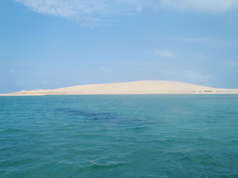
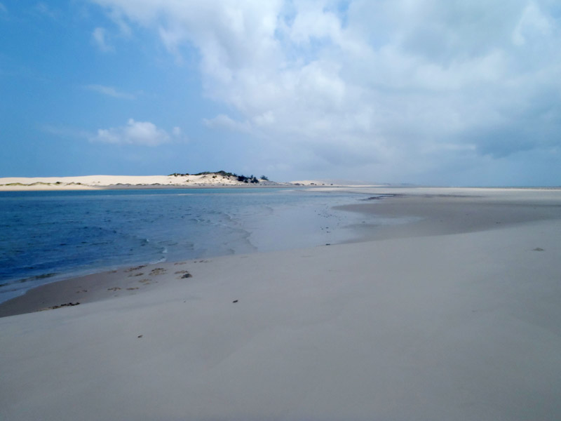
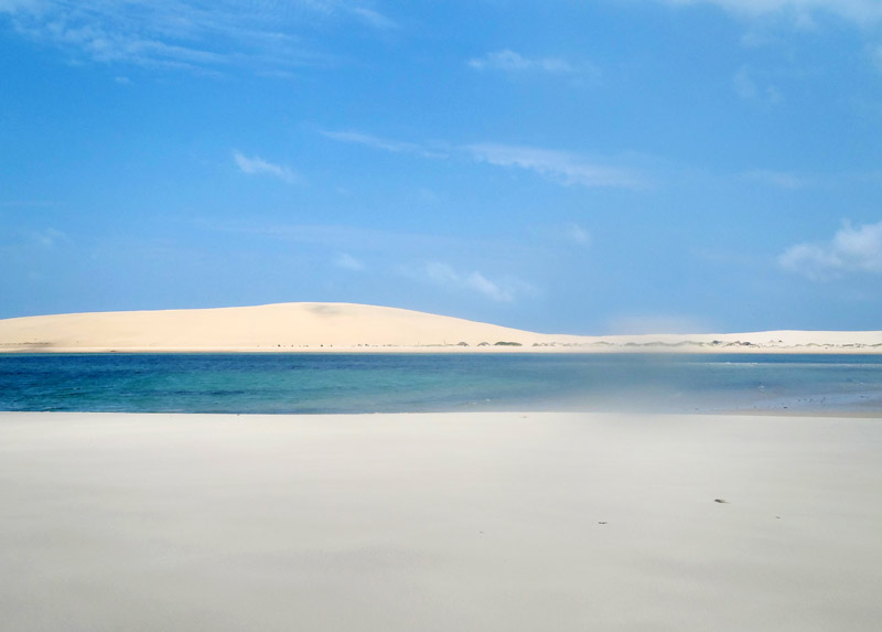
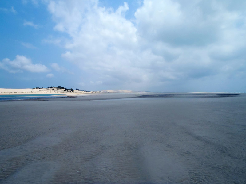
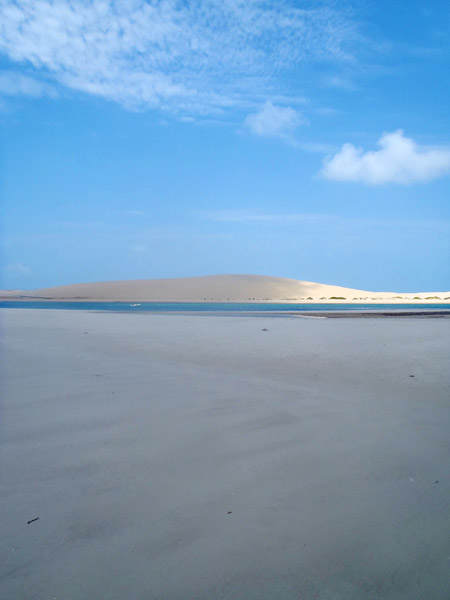
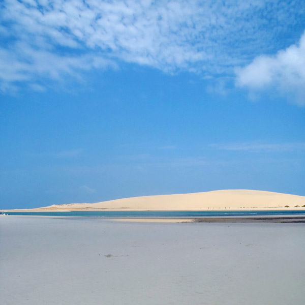
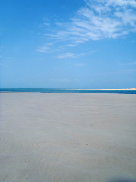
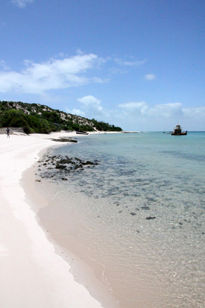
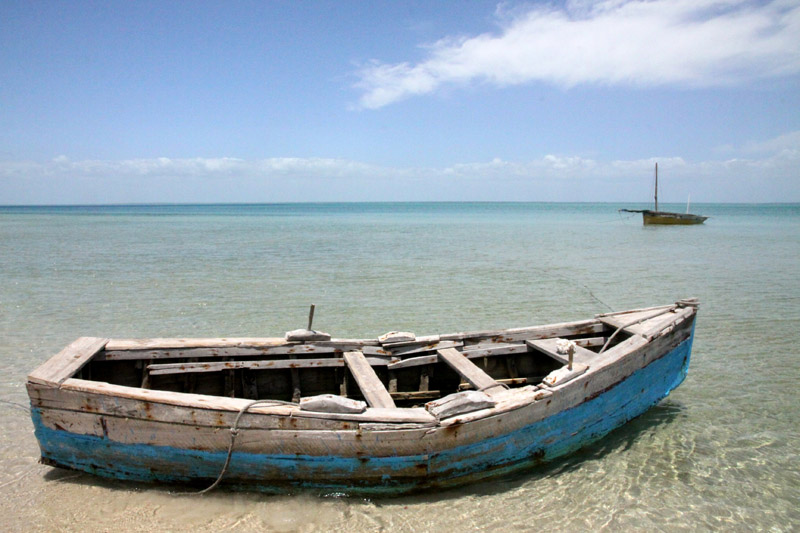
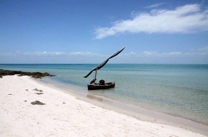
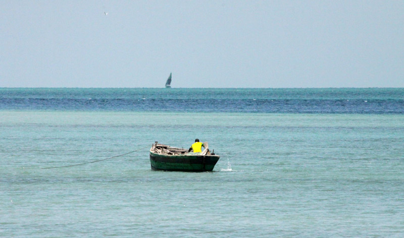
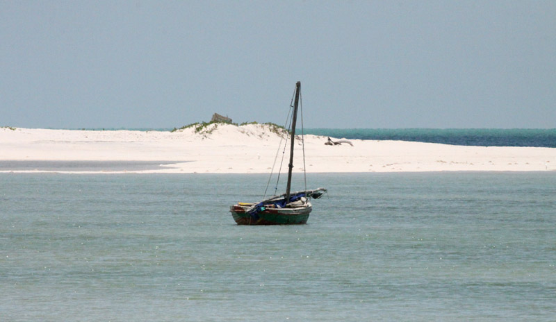
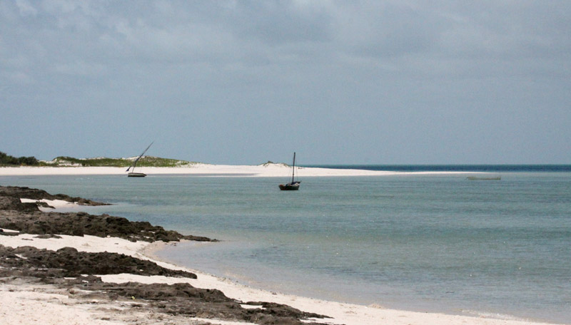
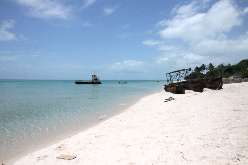
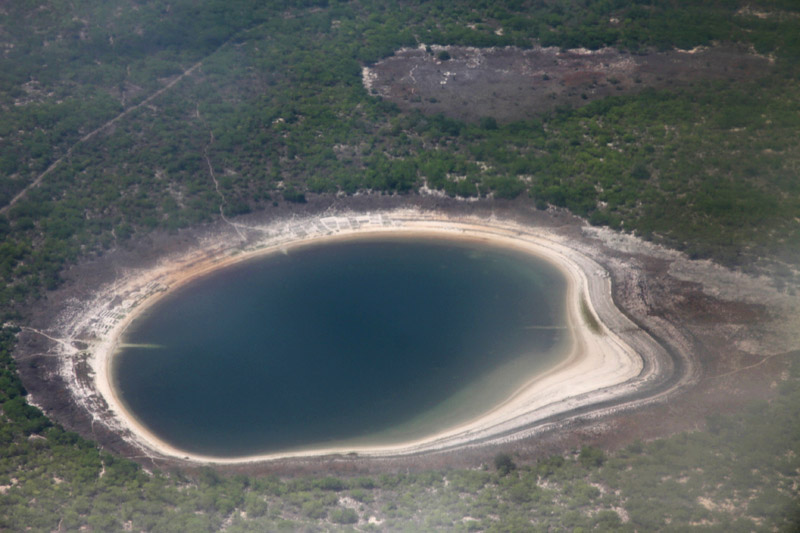
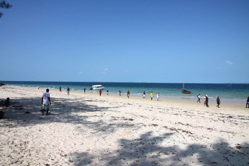
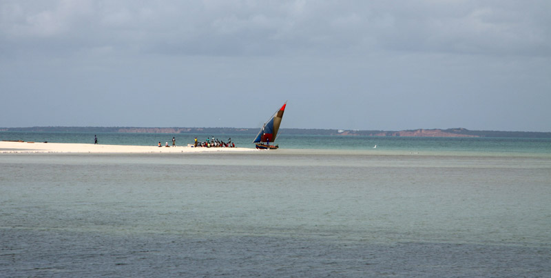
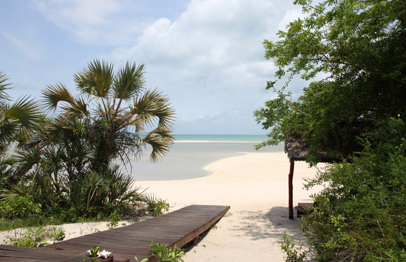
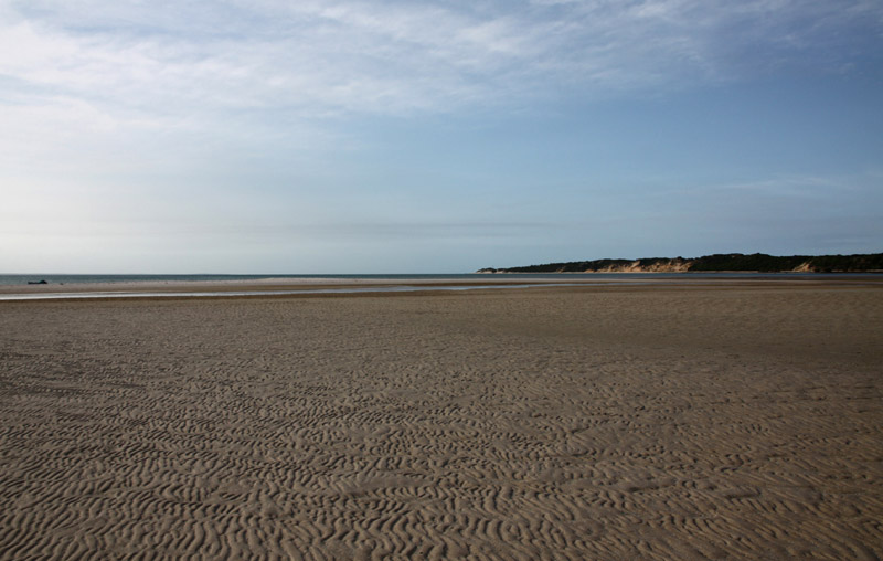
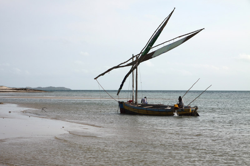
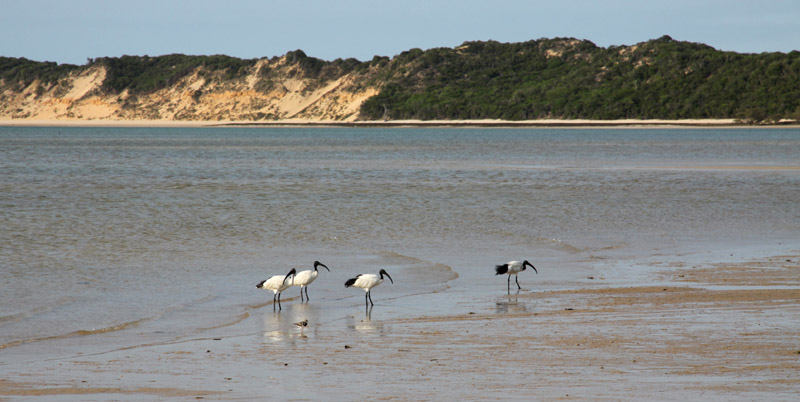
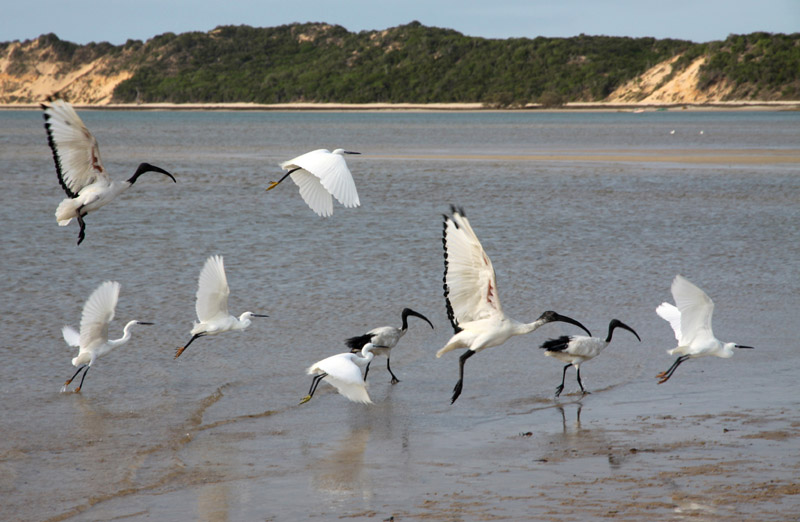
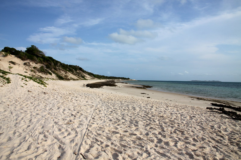
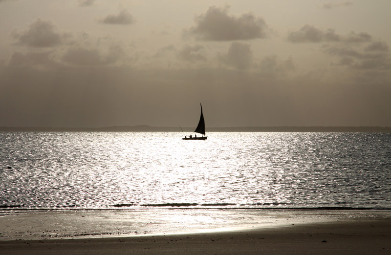
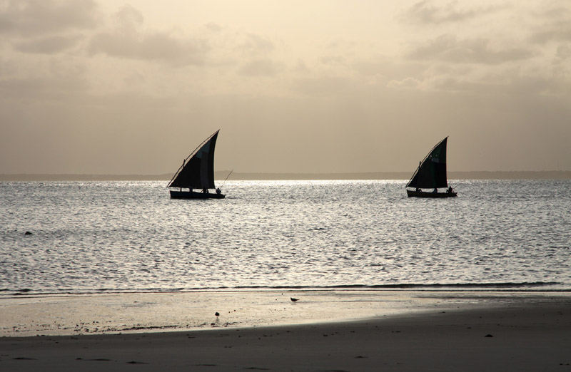
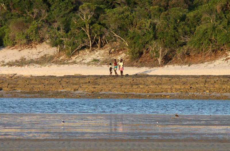
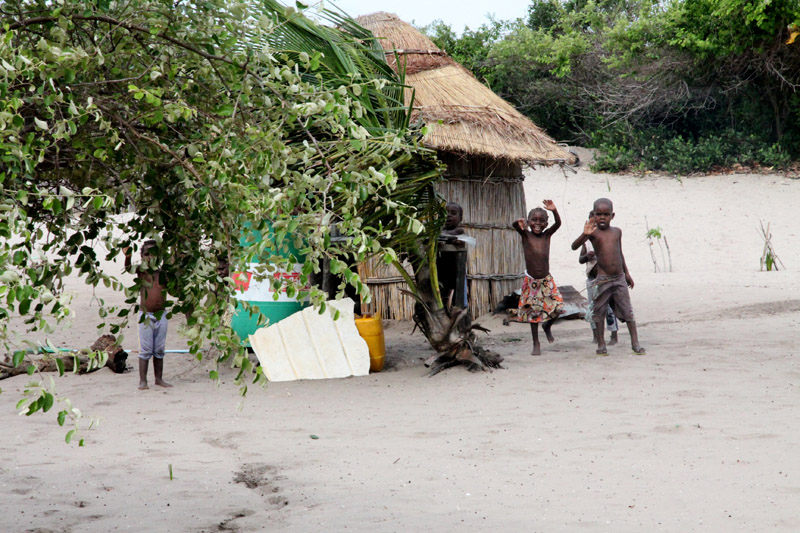
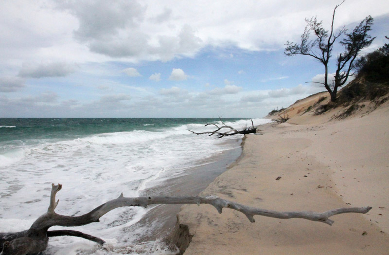
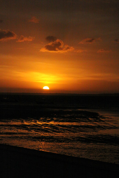
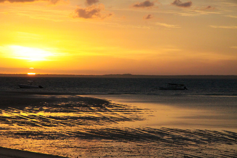
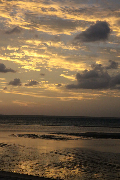
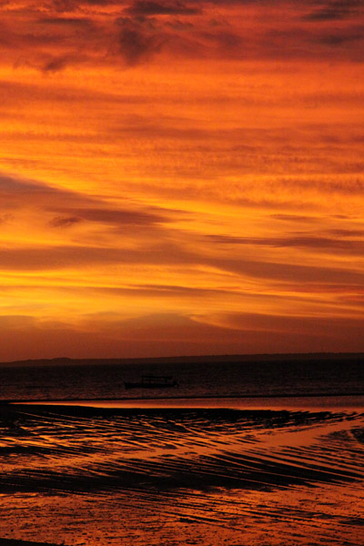
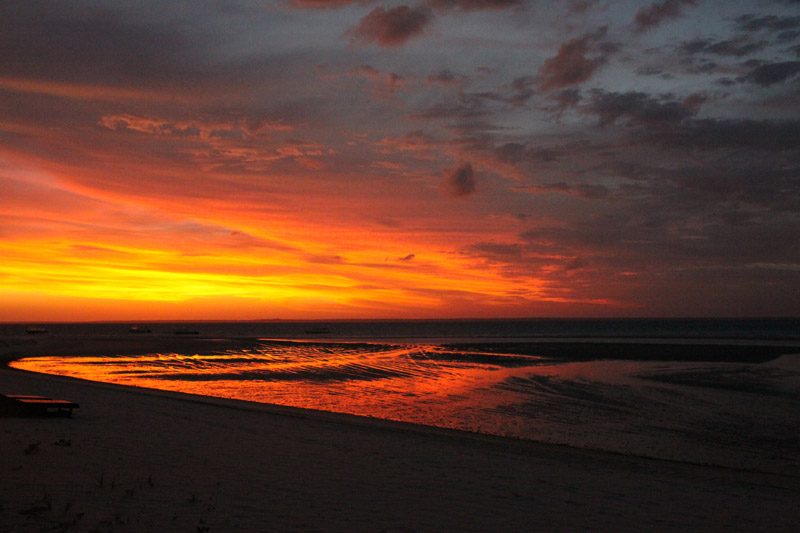
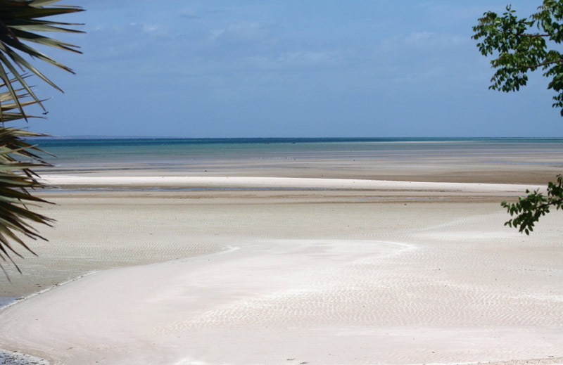
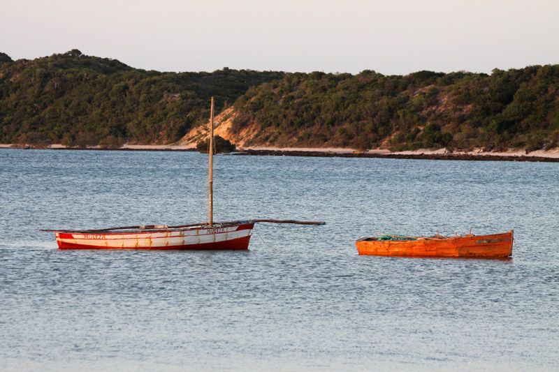
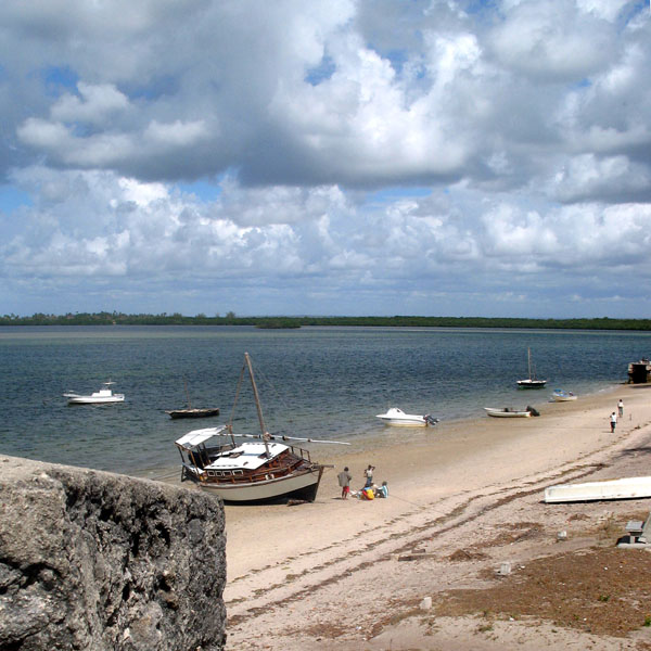
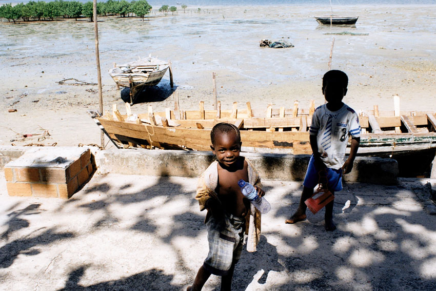
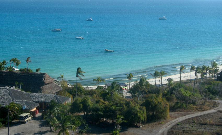
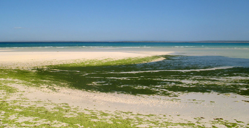
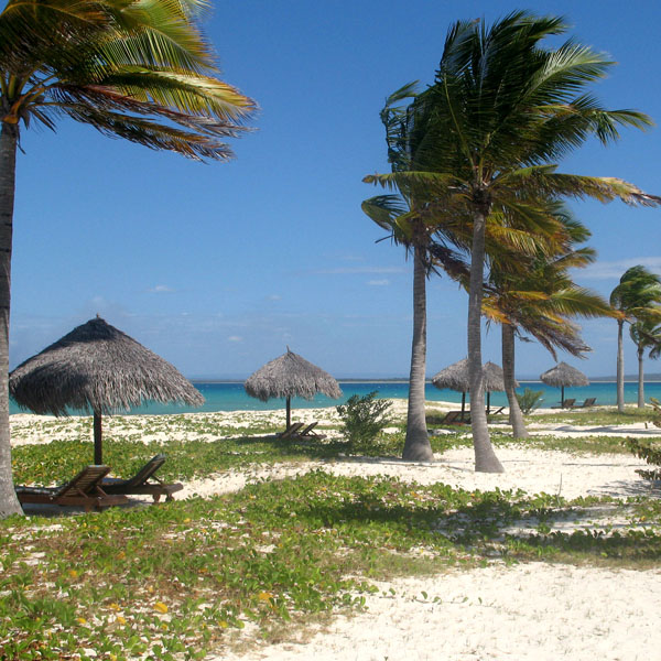
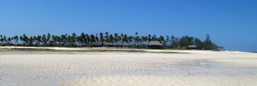
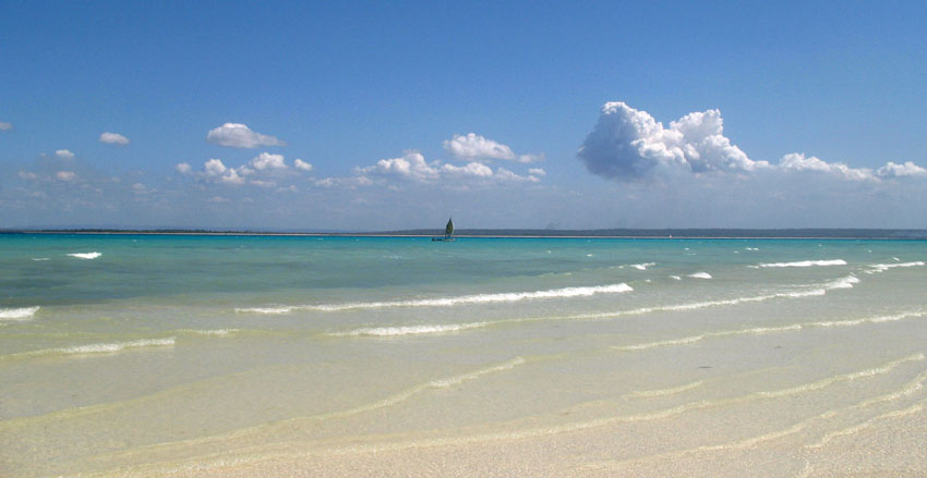
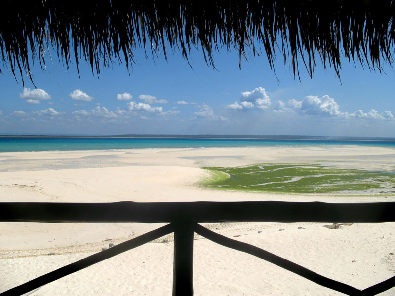
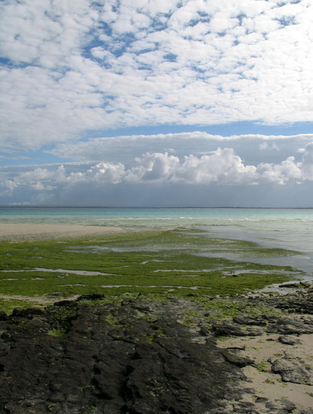
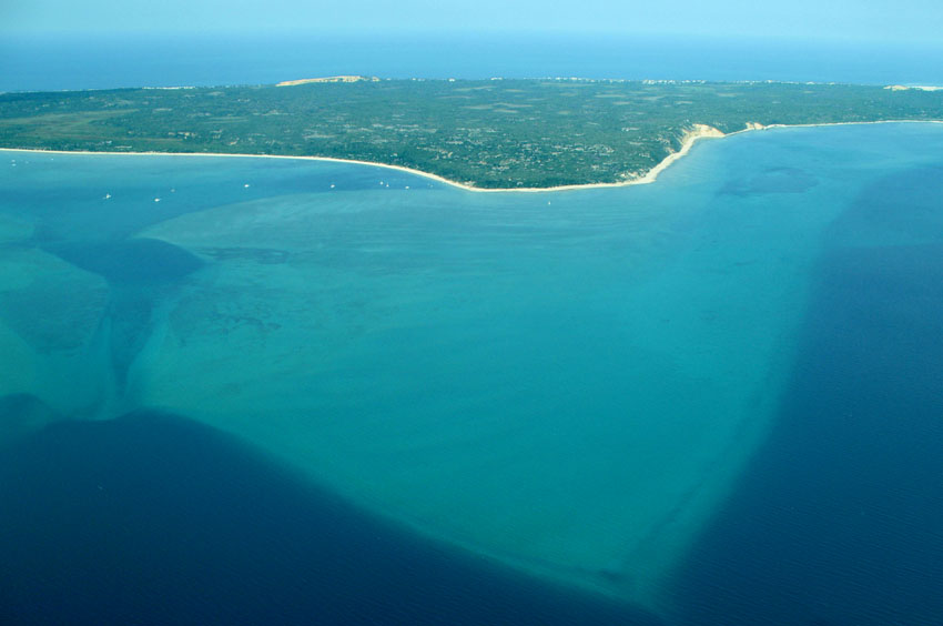
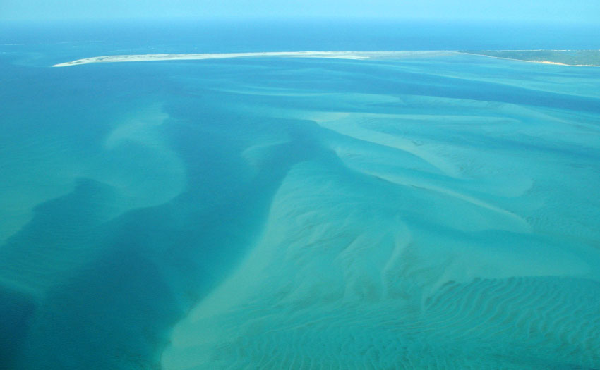
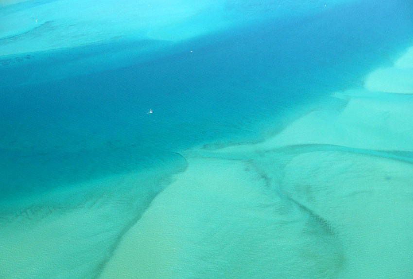
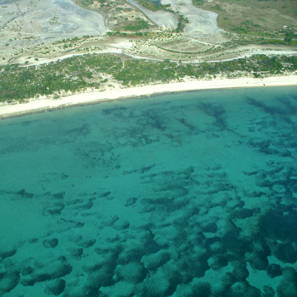
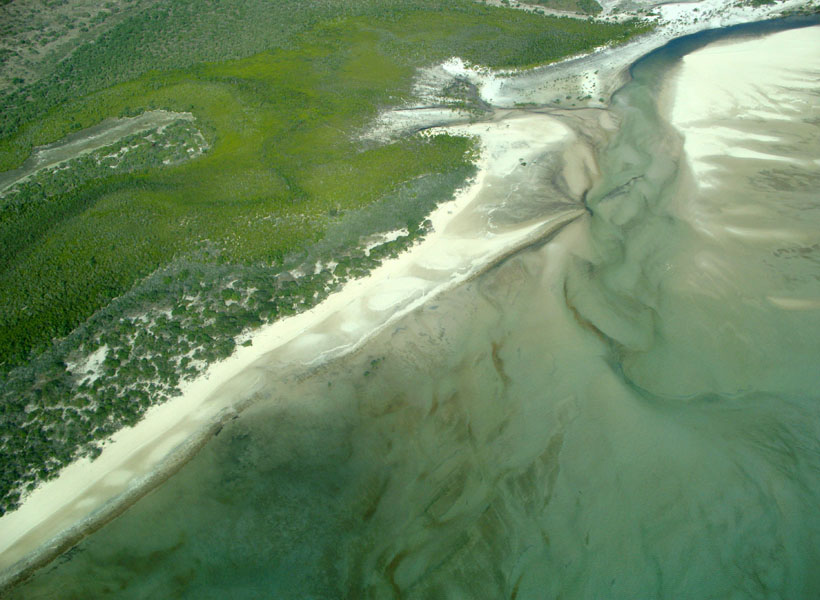
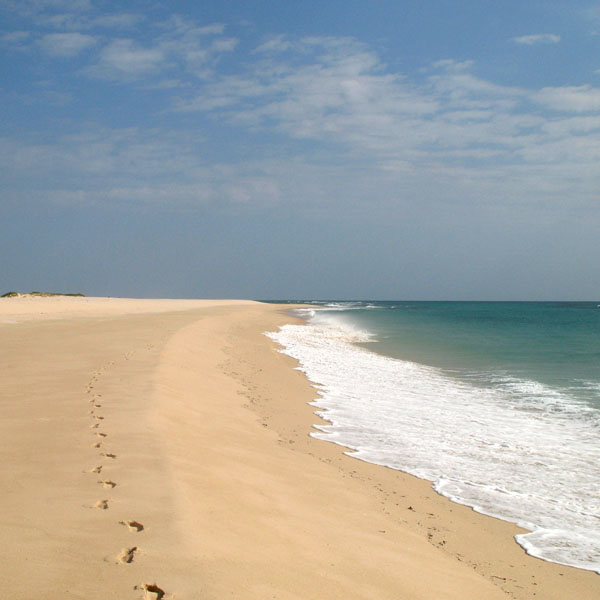
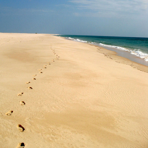
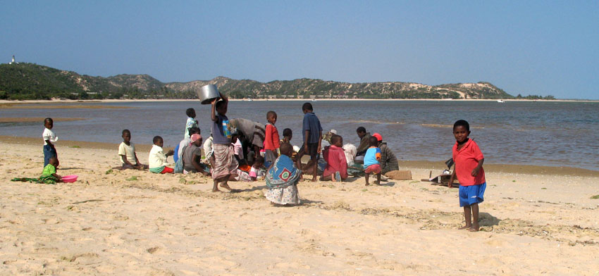
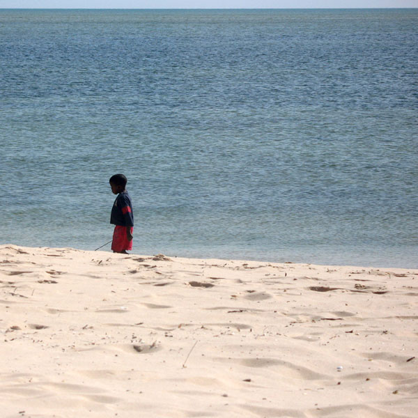
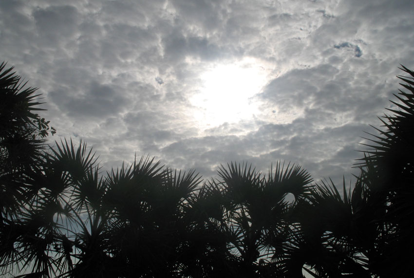
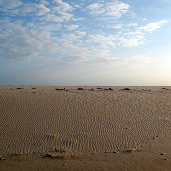
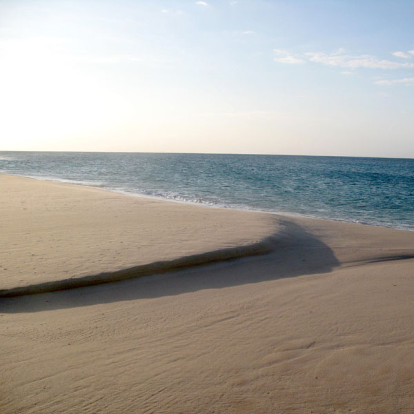
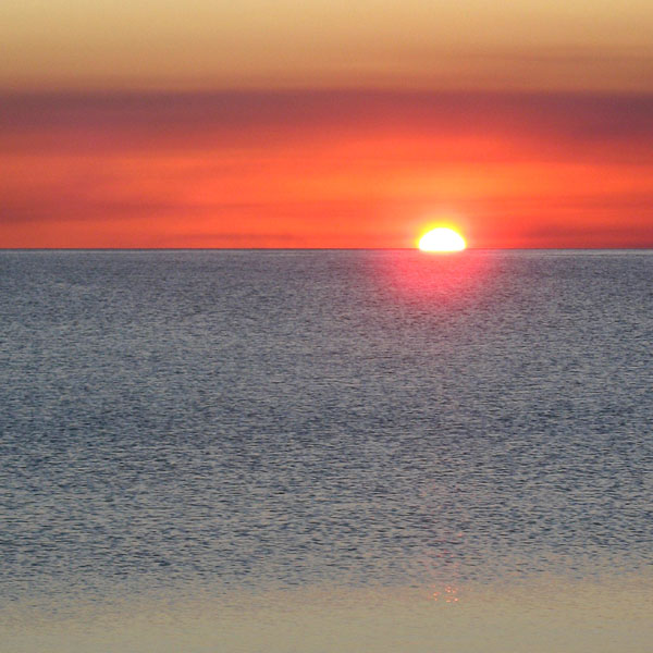
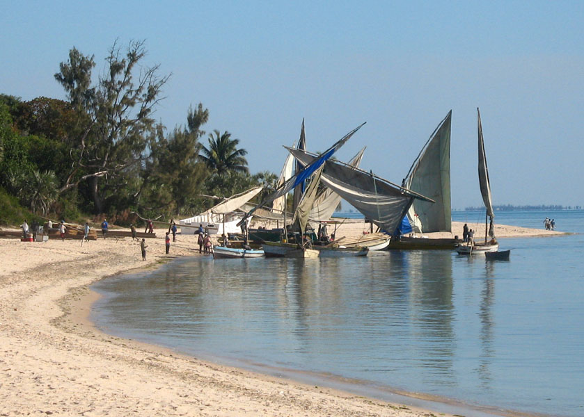
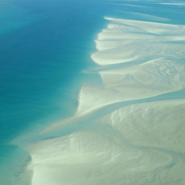
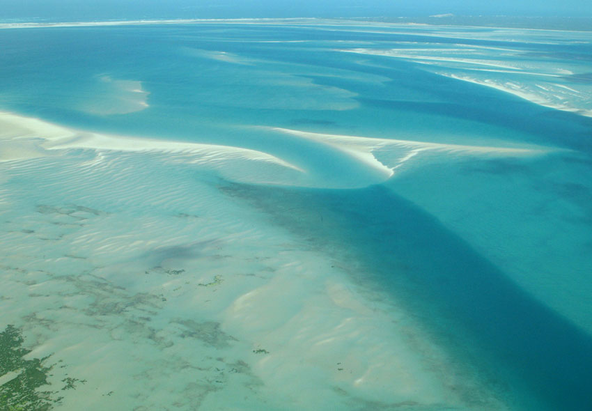
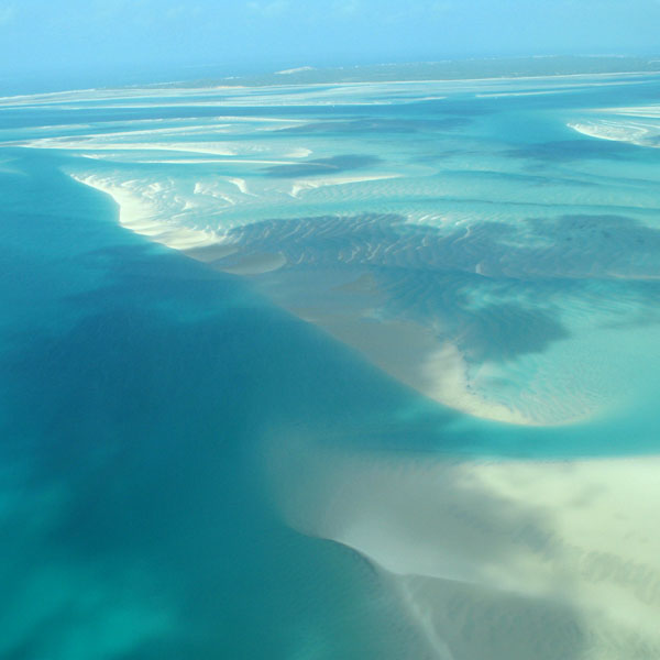
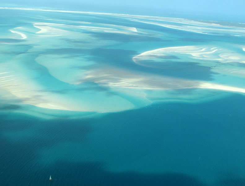
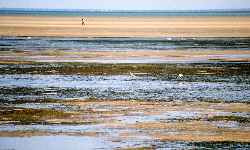
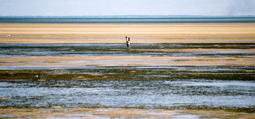
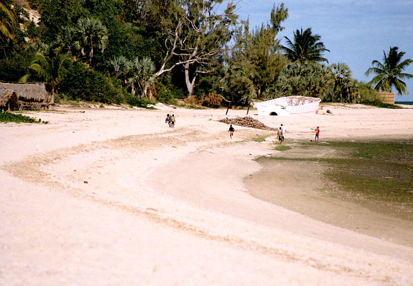
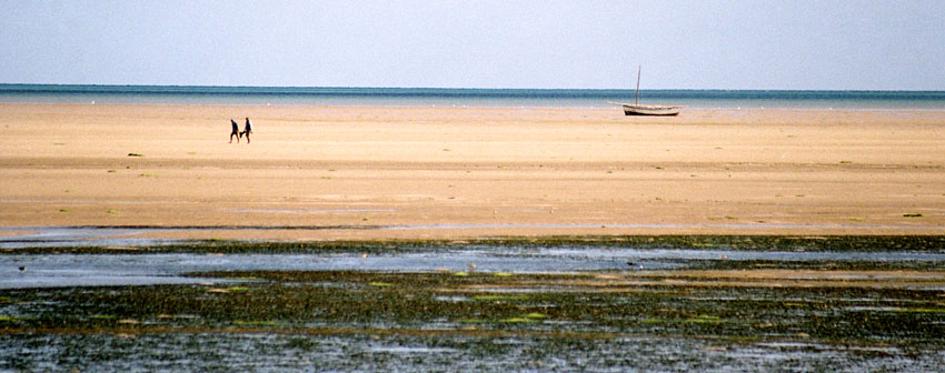
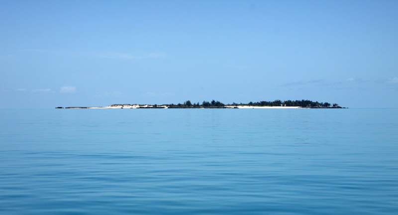
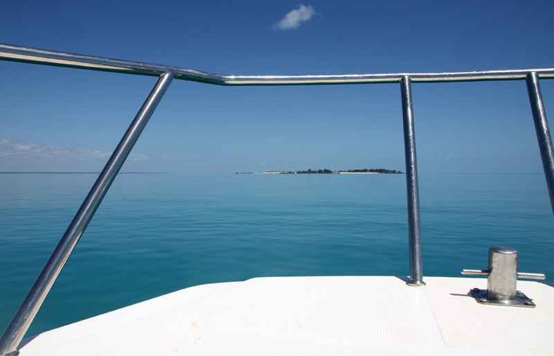
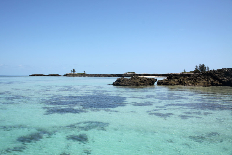
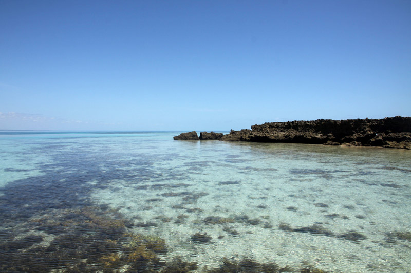
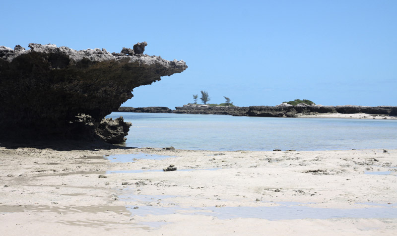
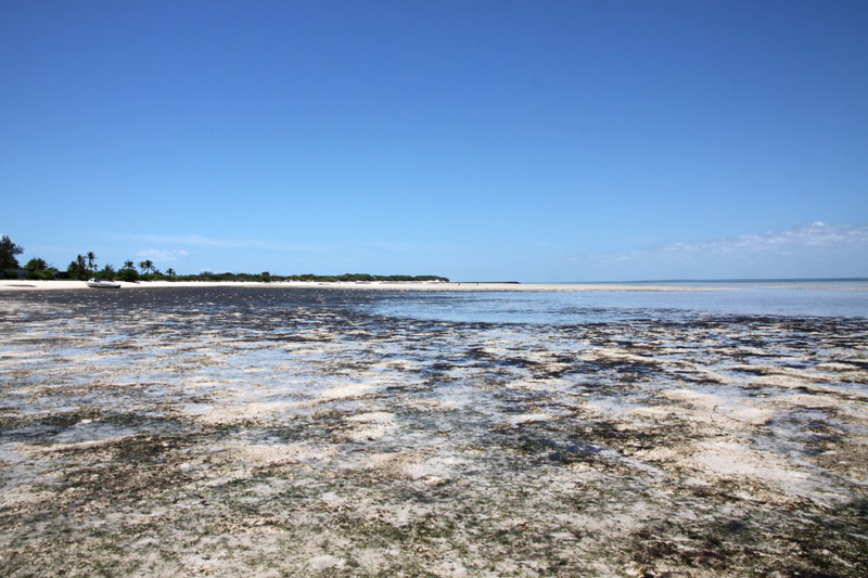
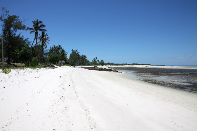
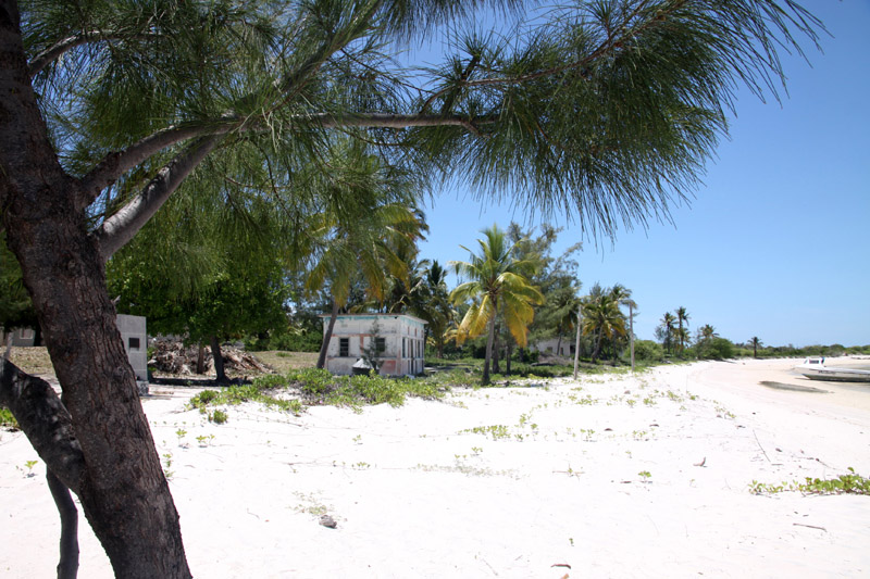
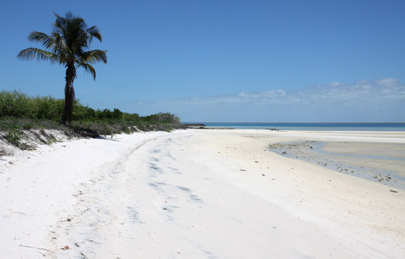
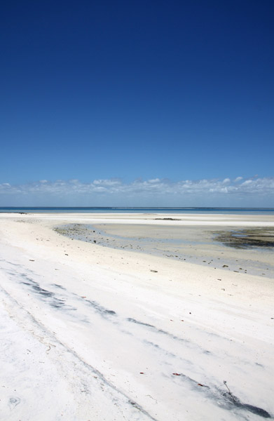
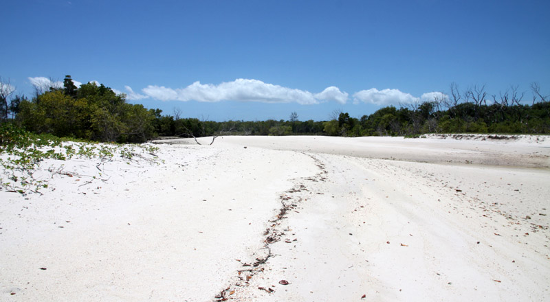
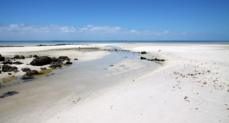
Santa Carolina is an island at the mouth of the Limpopo River in Mozambique. It is just 2 miles by 0.3 miles in size. Santa Carolina is a true rock island with deep channels. Santa Carolina has three beaches with coral reefs close to the shore. The island, also known as Paradise Island is regarded as the ‘gem’ of the islands forming the Bazaruto Archipelago which is a proclaimed marine national park.

Source: Wikipedia (under GNU Free Documentation License)

Categories
Bazaruto Archipelago Mozambique

Pancy Island

Is this already an island or perhaps not yet? Perhaps not – just a sandbar maybe one kilometer long and several meters wide. Many people claim that this is one of few places in Bazaruto archipelago when you can see interesting in shape Pancy shells.

Categories
Bazaruto Archipelago Mozambique

Magaruque Island

Magaruque Island, formerly Ilha Santa Isabel, is part of the Bazaruto Archipelago, off the coast of Mozambique. It is located 5.6 km south of Benguerra Island, and 9.9 km east of Ponta Chuè on the mainland of Mozambique.

The island is 2.4 km long north-south, and up to 1.0 km wide. Its area is less than 2 km². It is owned by Zimbabwean billionnaire businessman John Bredenkamp.

Source: Wikipedia (under GNU Free Documentation License)

Categories
Bazaruto Archipelago Mozambique

Benguerra Island

Benguerra Island in Mozambique is the second largest island in the Bazaruto Archipelago, which broke away from the mainland thousands of years ago. The island is approximately 55 square kilometers (11 km long x 5.5 km wide), and lies 14km offshore. It is famous for its unspoiled white beaches, remarkable dive sites, excellent horse riding and incredible fishing.

Benguerra Island comprises forest, savannah, freshwater lakes and wetland eco-systems that sustain a diverse population of fauna and flora. Fresh water crocodiles can be found in the three lakes, bearing testimony to the island’s mainland past. The island, which is home to approximately 140 bird species, was declared a National Park in 1971.

Source: Wikipedia (under GNU Free Documentation License)

Categories
Mozambique

Ibo

Ibo is one of the Quirimbas Islands in the Indian Ocean off northern Mozambique. It is part of Cabo Delgado Province. It grew as a Muslim trading port. Vasco da Gama reportedly rested on the island in 1502. The island was fortified in 1609 by the Portuguese.

In the late eighteenth century, Portuguese colonialists built the Fort of São João, which still survives, and the town, as a slave port, became the second most important in the region after Mozambique Island. The island is now a far quieter place, known for its silversmiths.

Ibo forms part of the Quiribas National Park and is linked by dhows to the mainland at Tandanhangue.

Source: Wikipedia (under GNU Free Documentation License)

Categories
Mozambique

Matemo

Matemo Island forms part of the pristine Quirimbas Islands and is located northeast of Ibo island, in northern Mozambique, about 100 km from the city of Pemba. It is approximately 24 square kilometres in area, with palm groves and beaches.

It contains two villages, inhabited by native Mozambicans, as well as the Matemo Island Resort, falling within the Rani Resorts group.

Source: Wikipedia (under GNU Free Documentation License)

Categories
Mozambique

Bazaruto

Bazaruto (Portuguese: Ilha do Bazaruto) is a sandy island located approximately 80 kilometers (50 miles) southeast of the mouth of the Save River, Mozambique 21°38′S 35°30′E. The warm, southward-flowing Mozambique Current seems to contribute to the increasing buildup of the sandy coastline. Because the water along this coastal area is very clear, much of the sub-surface channel pattern around the island is discernible. Several narrow lines of plankton bloom (barely visible in the photograph) parallel the shoreline. The coastal plains show numerous lakes and a swampy environment that appears to be karst topography. Underlying the area is limestone rock that has eroded into a pockmarked landscape, creating water-filled sinkholes. Rainfall in this humid subtropical climate amounts to between 50 and 100 centimeters (20 and 40 inches) annually.

The closest mainland town to the island of Bazaruto is Inhassoro, although administratively it belongs to the Vilankulo District and Inhambane Province.

Source: Wikipedia (under GNU Free Documentation License)