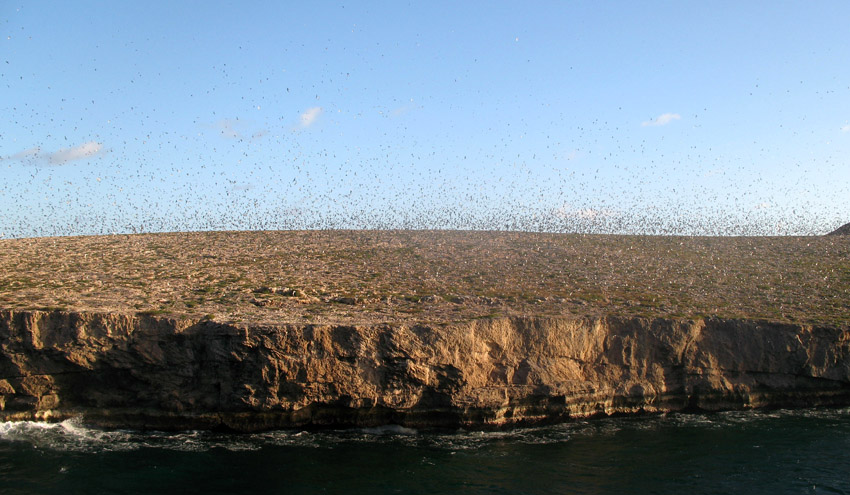
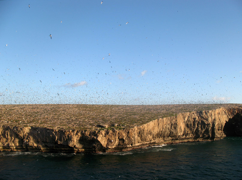
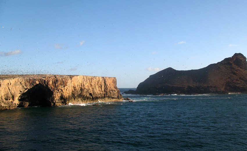
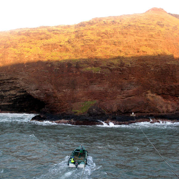
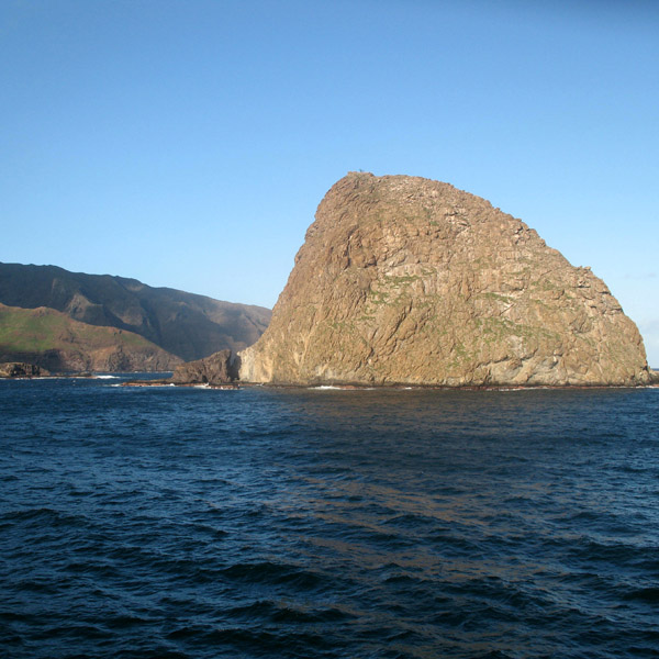
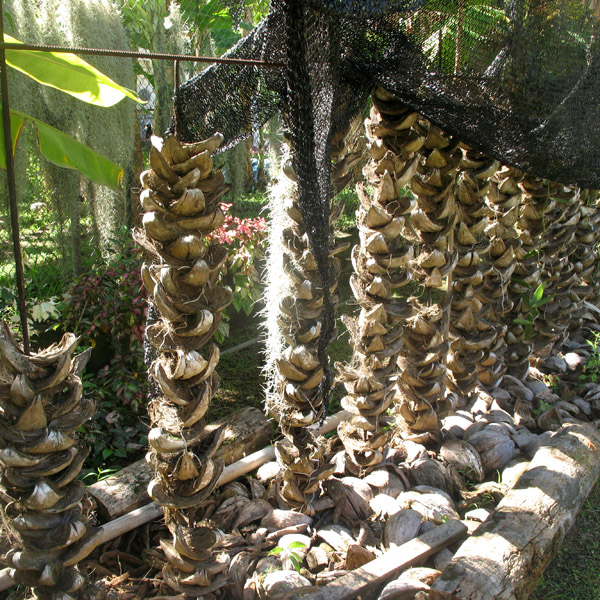
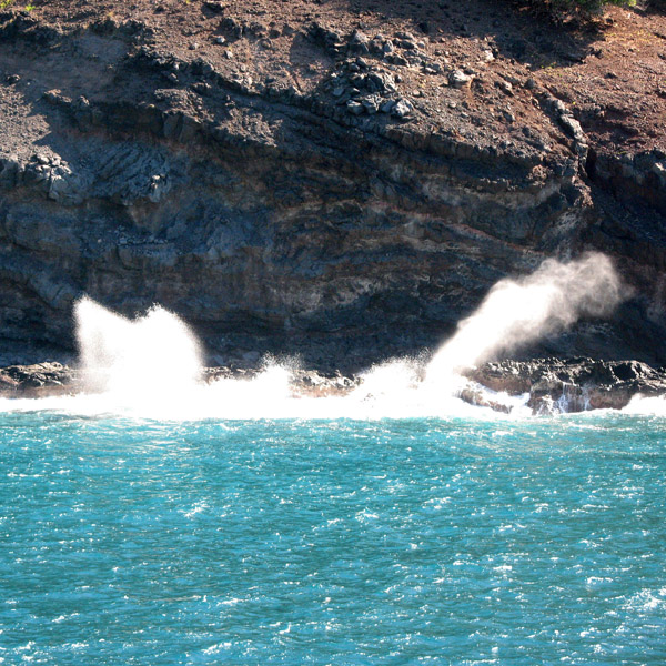
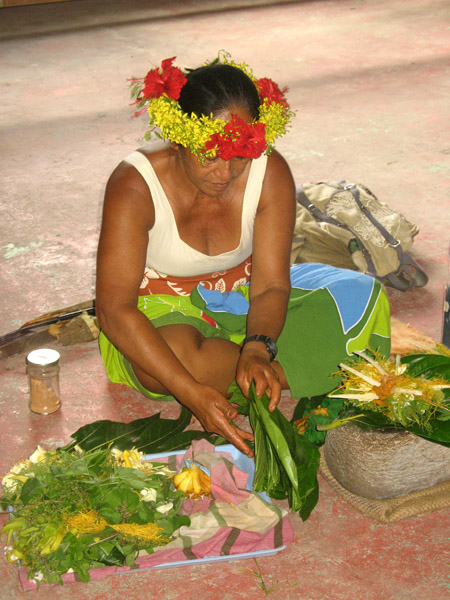
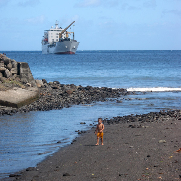
Teuaua is a tiny island south-west of the island Ua Huka, also known as Bird Island or the Motu Manu. It is a breeding ground for millions of terns, whose eggs, unfortunately, are constantly filched by the Ua Huka’s inhabitants.
Teuaua is a tiny island south-west of the island Ua Huka, also known as Bird Island or the Motu Manu. It is a breeding ground for millions of terns, whose eggs, unfortunately, are constantly filched by the Ua Huka’s inhabitants.
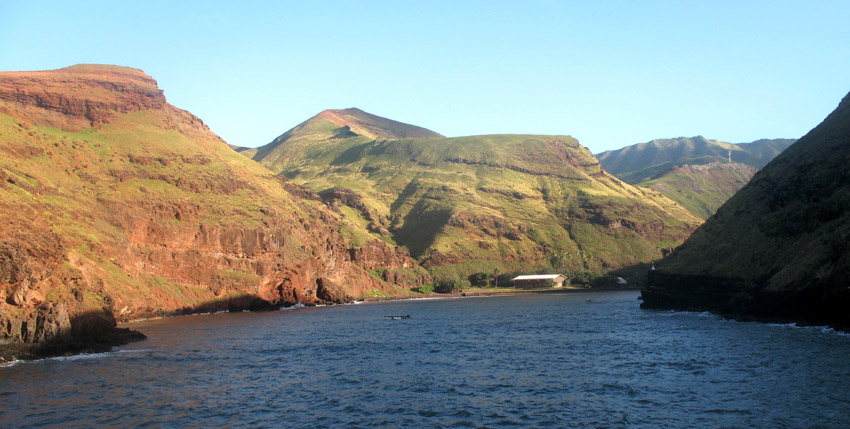
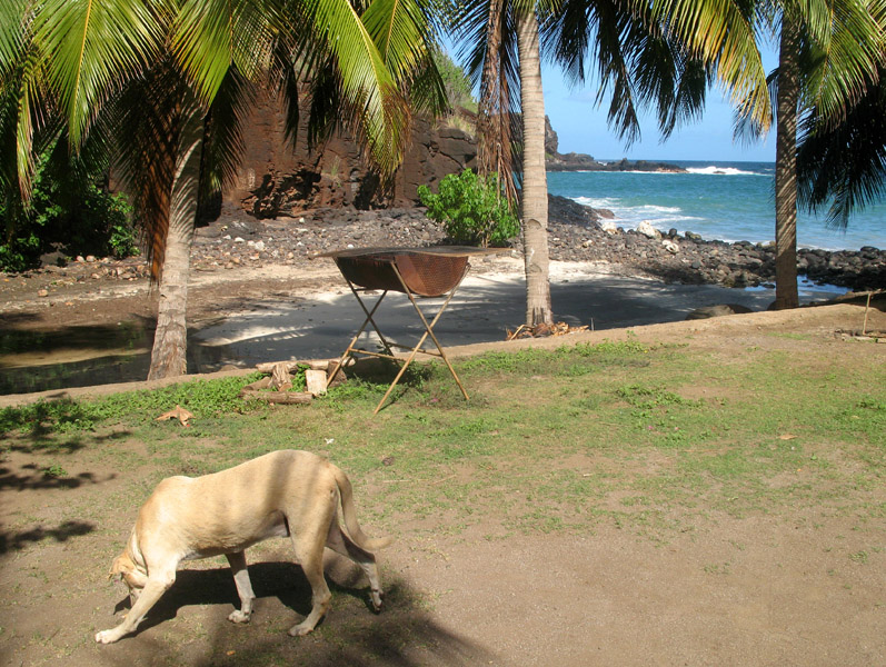
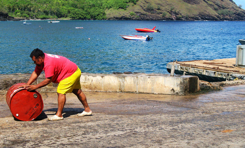
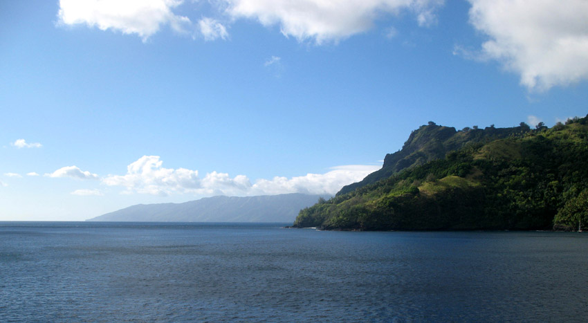
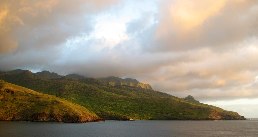
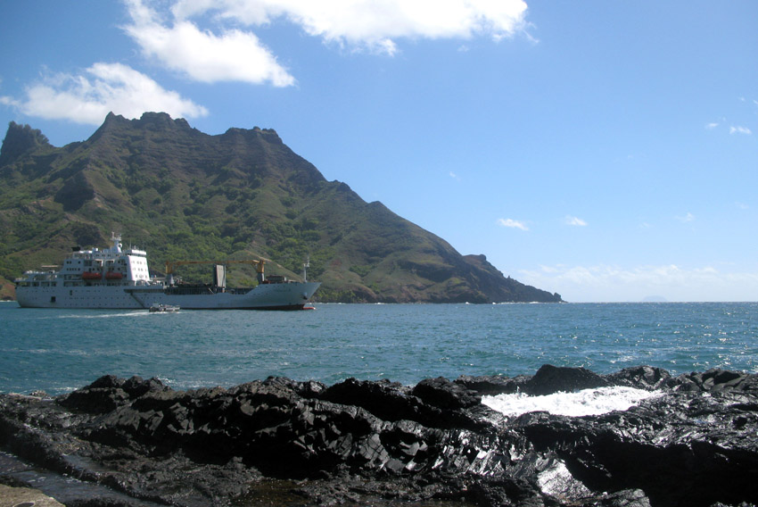
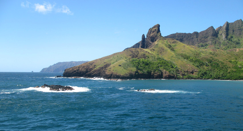
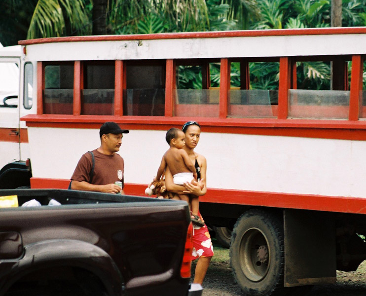
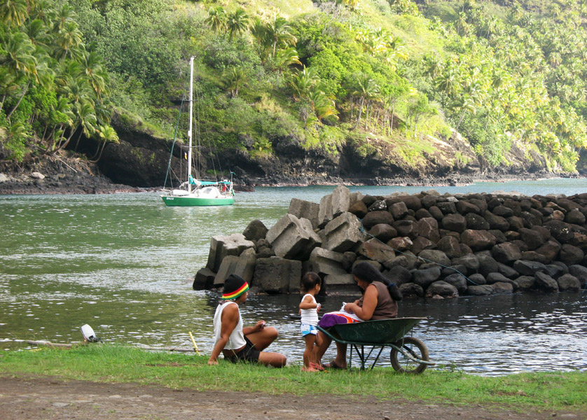
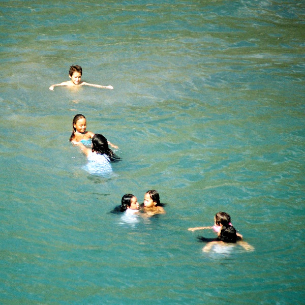
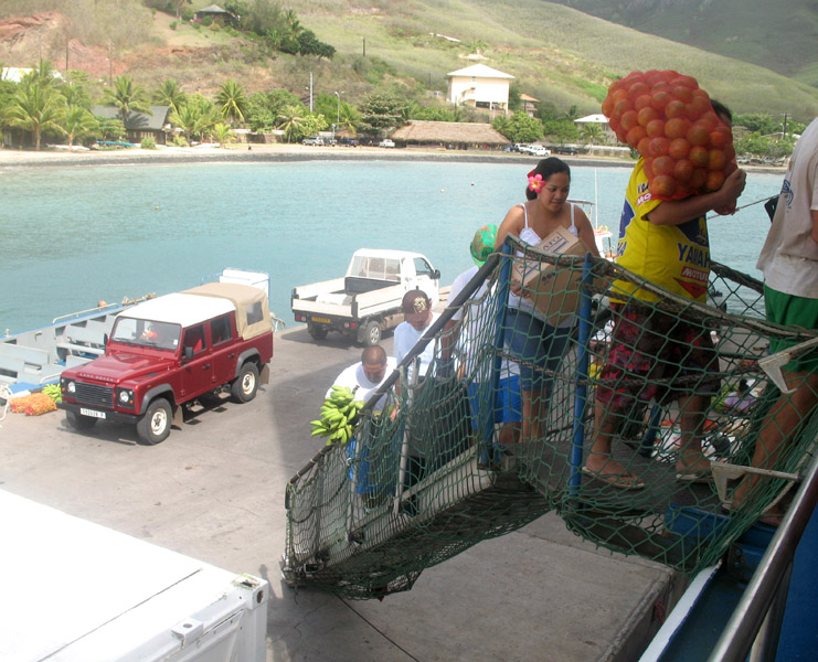
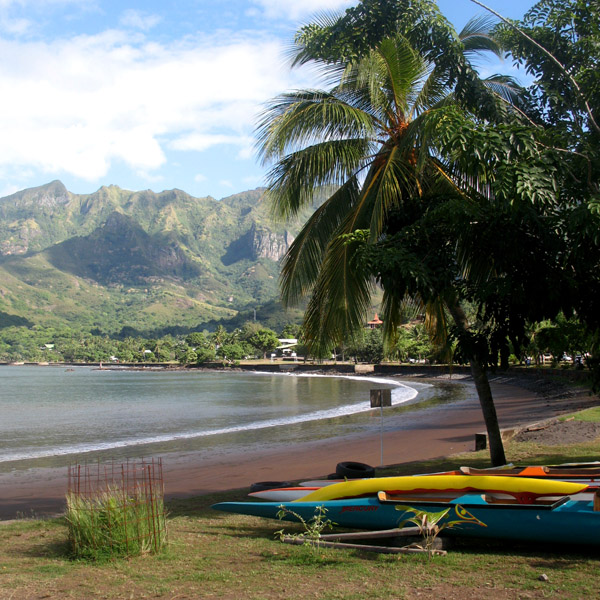
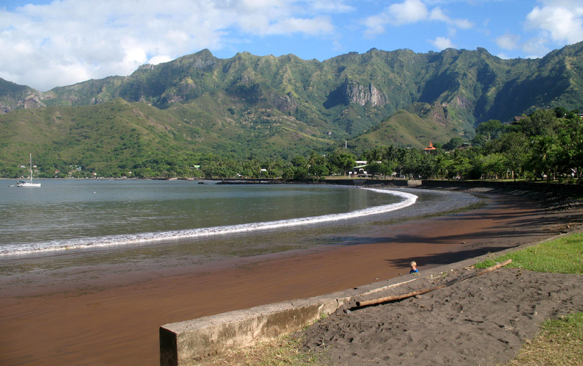
Ua Huka is one of the Marquesas Islands, in French Polynesia, an overseas territory of France in the Pacific Ocean. It is situated in the northern group of the archipelago, approximately 25 mi (40 km). 42 km to the east of Nuku Hiva, at 8°54′S 139°33′W
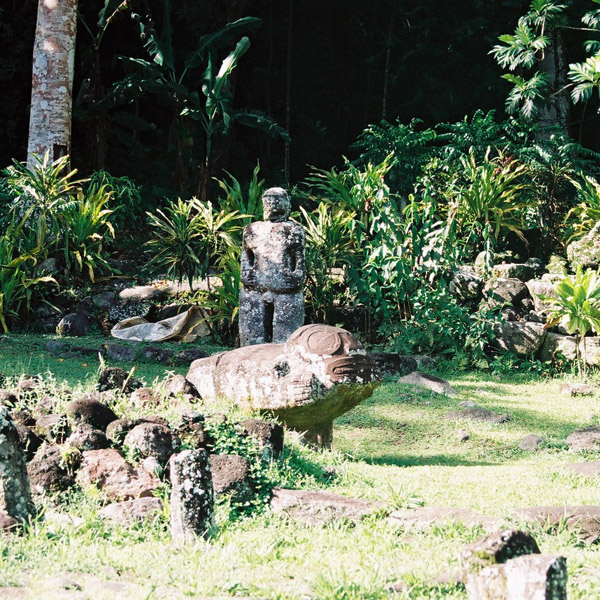
Ua Huka is sometimes also found spelled Roohka or Ua Huna. The first Western navigator to sight the island was U.S. Navy Capt. Joseph Ingraham in 1791. He named the island “Washington Island” in honor of U. S. President George Washington, a name which was eventually extended to include all of the northern group of the Marquesas Islands. Other names for the island include Riou and Solide. See also Names of the Marquesas Islands.
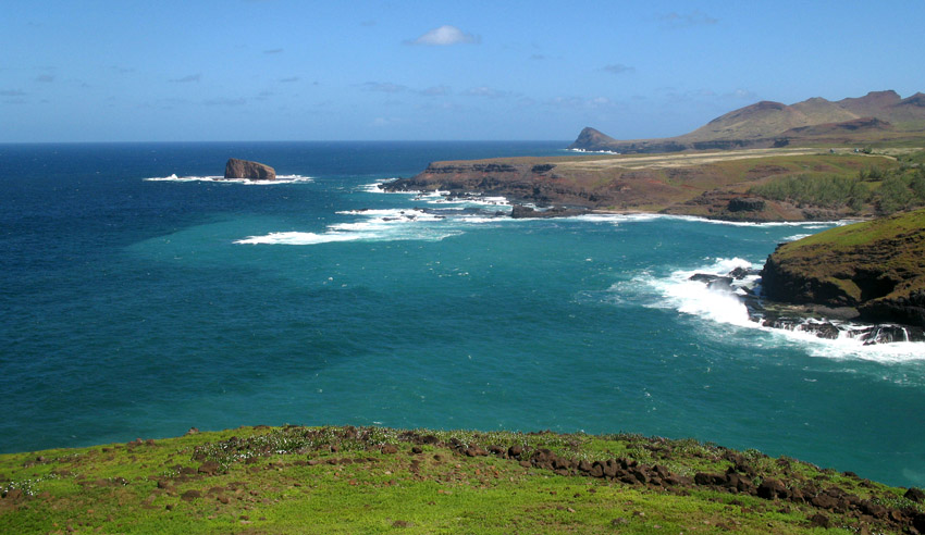
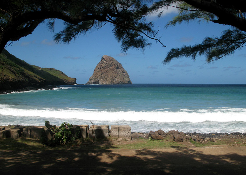
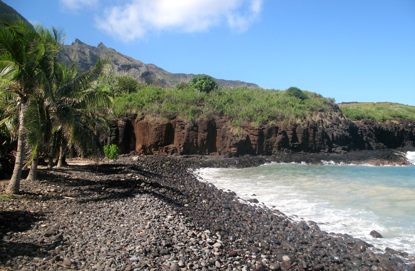
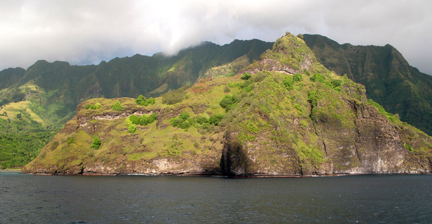
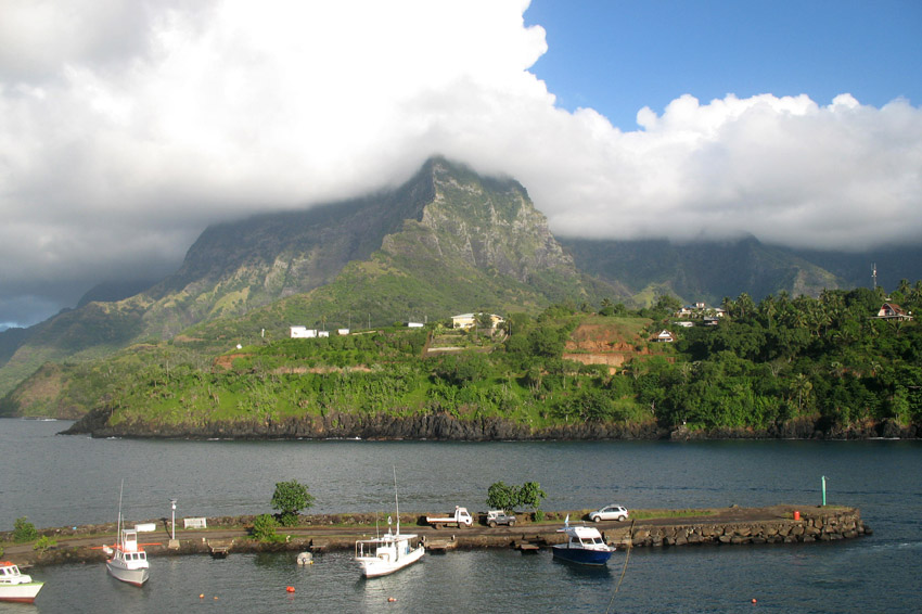
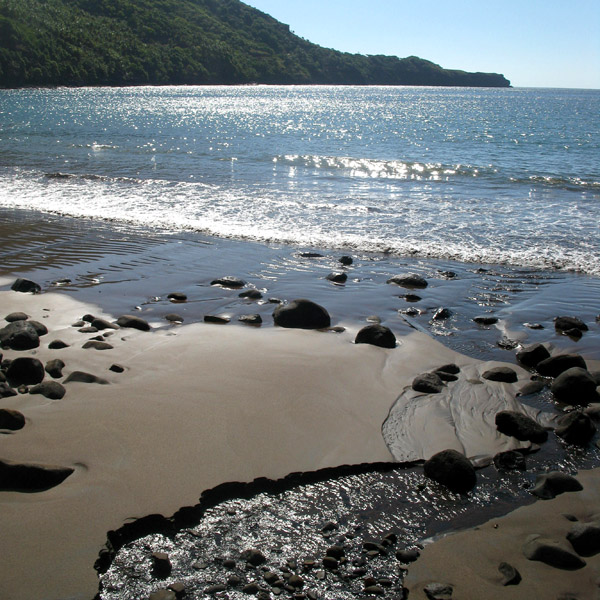
The island is shaped approximately like a crescent, with its concave edge facing the south. The land area is approximately 83 km² (32 sq. mi.). The center of the island is a high plateau, deeply indented in places by narrow river valleys. The highest peak, Hitikau reaches an elevation of 857 m (2,812 ft). Much of the island’s native plant cover, which outside the valleys consists primarily of dry-land scrub, has been devastated by herds of feral goats and horses, which are estimated to number upwards of 3,000.
Ua Huka is a shield volcano that was emplaced between 2.2 and 2.4 million years ago. It is thought to have formed by a center of upwelling magma called the Marquesas hotspot.
Administratively Ua Huka forms the commune (municipality) of Ua-Huka, part of the administrative subdivision of the Marquesas Islands. This commune consists solely of the island of Ua Huka itself.
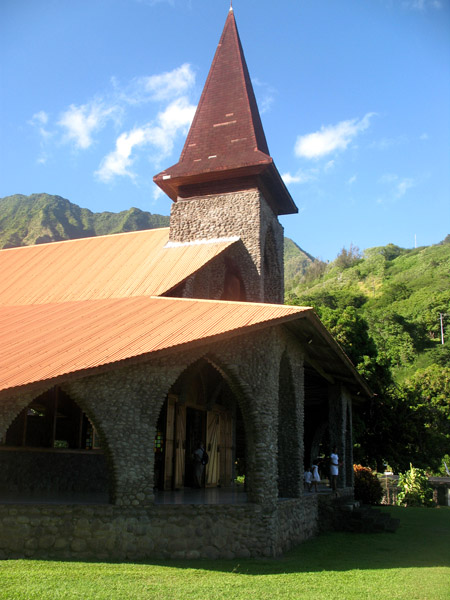
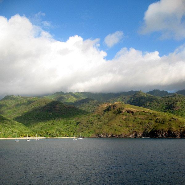
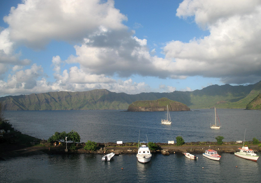
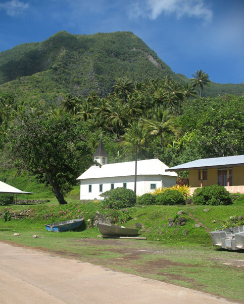
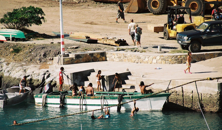
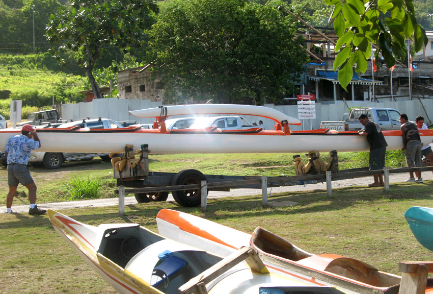
The administrative centre of the commune is the settlement of Vaipaee, on the southern side of the island.
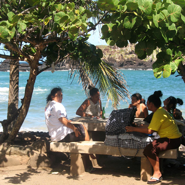
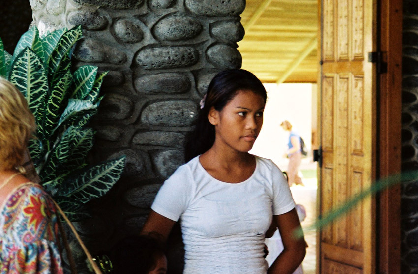
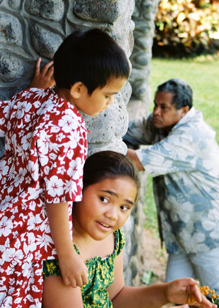
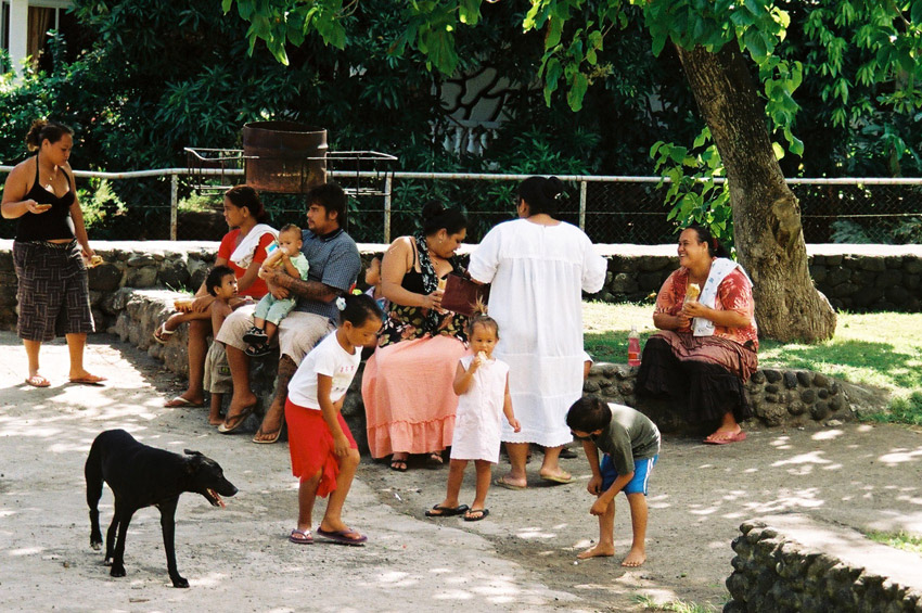
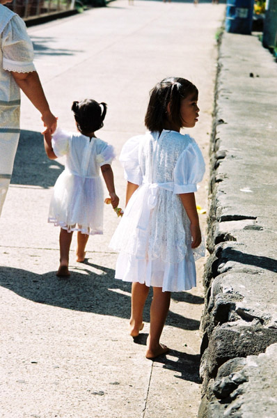
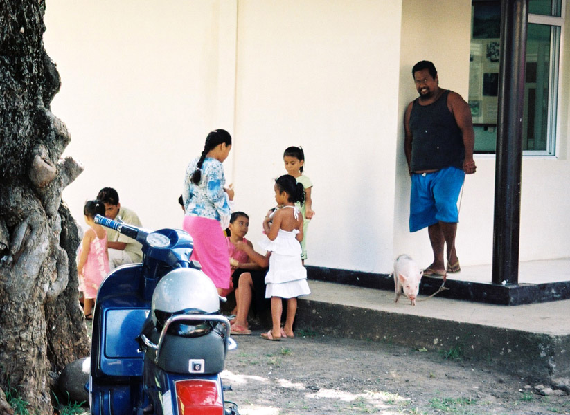
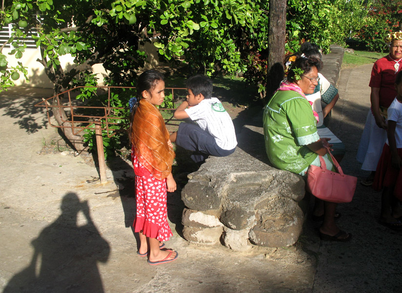
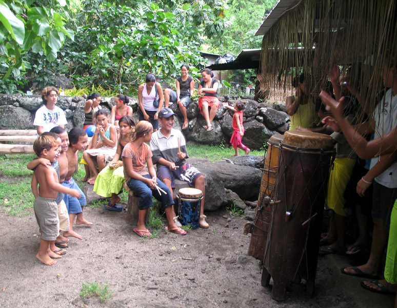
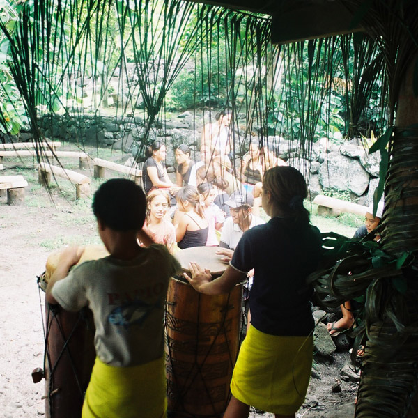
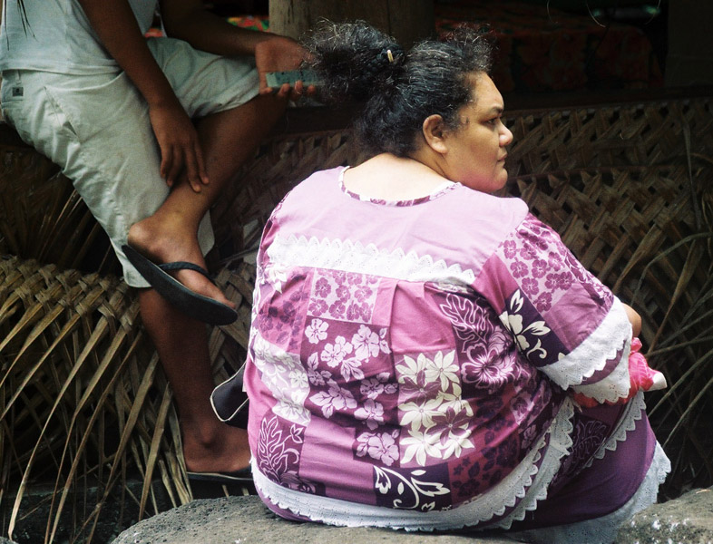
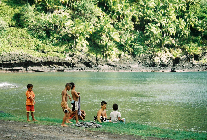
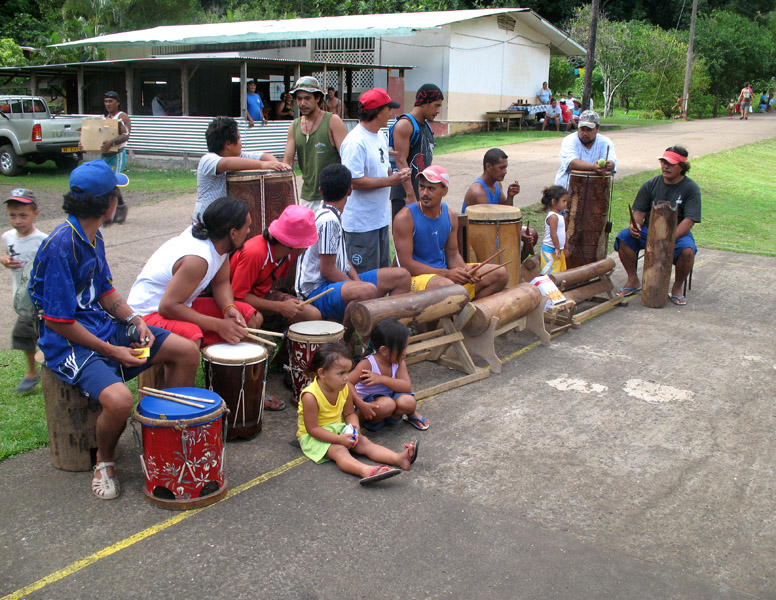
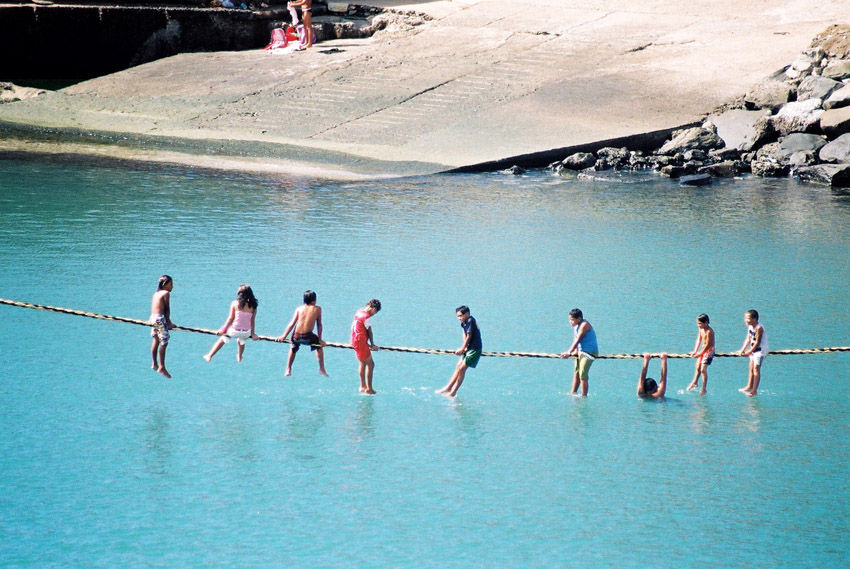
The 2007 census showed a population of 571 inhabitants, residing in three villages: Vaipaee, Hane, and Hokatu.
Tahuata is the smallest of the inhabited Marquesas Islands, in French Polynesia, an overseas territory of France in the Pacific Ocean. It is located 4 km (2.5 mi.) to the south of the western end of Hiva Oa, across the Canal du Bordelais, called Ha‘ava in Marquesan.
Administratively, Tahuata forms the commune (municipality) of Tahuata, part of the administrative subdivision of the Marquesas Islands. This commune consists solely of the island of Tahuata itself. The administrative centre of the commune is the settlement of Vaitahu, on the western side of the island.
Tahuata is approx. 69 km² (26.6 sq. mi.) The highest point on the island is Mount Amatea (French: Mont Amatea), rising to an elevation of 1,050 m (3,445 ft.).
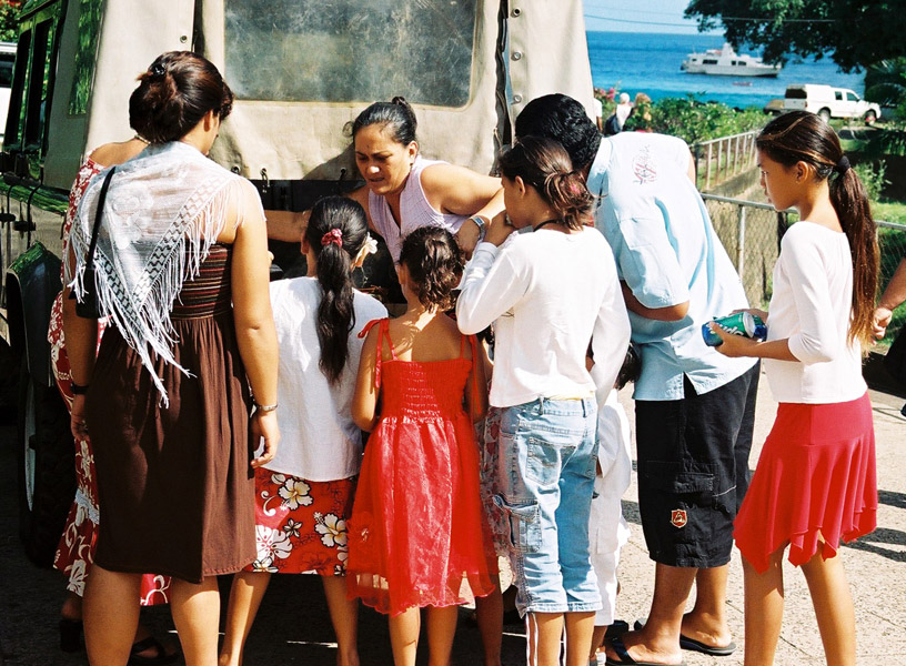
The 2007 census population was 671.
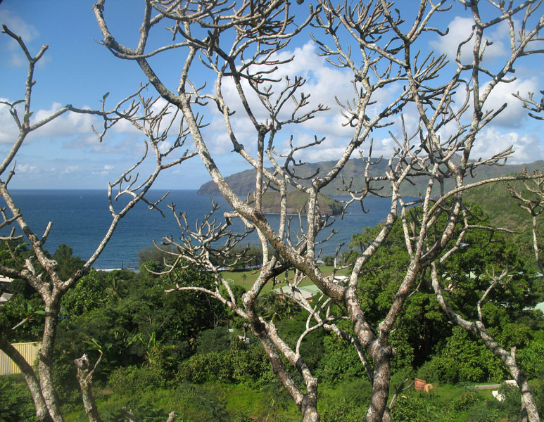
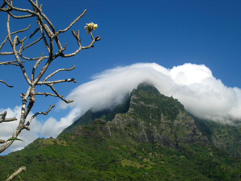
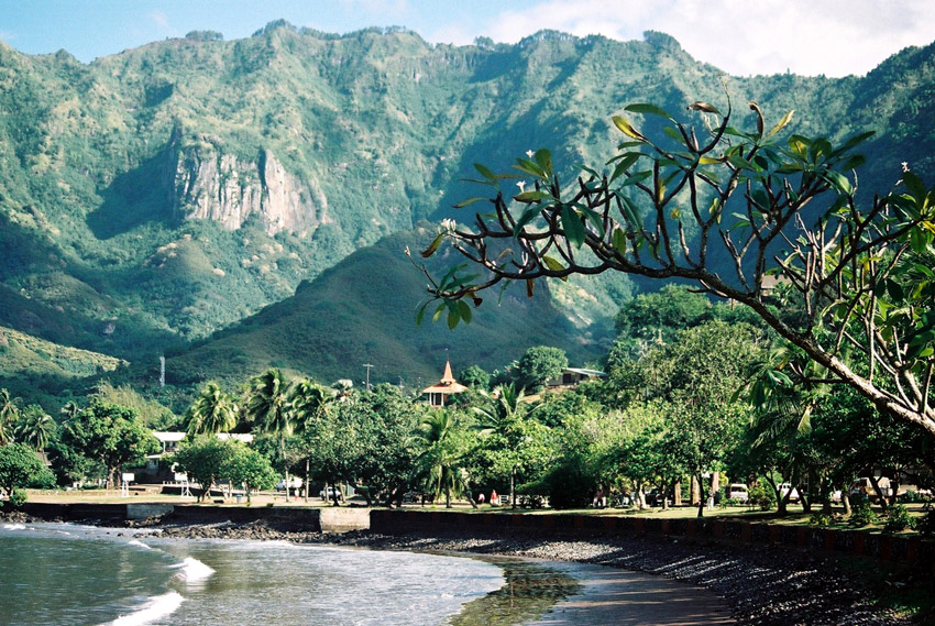
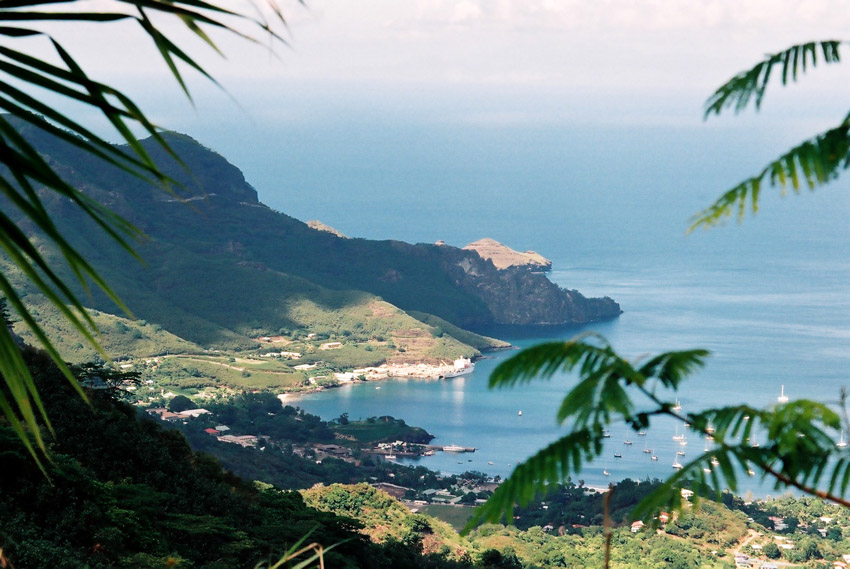
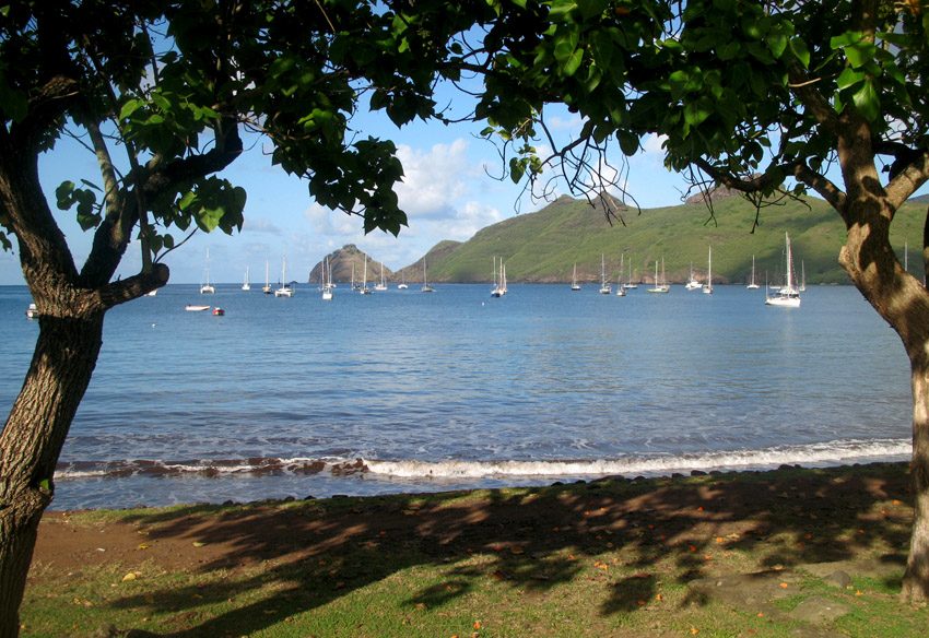
Hiva Oa is the second largest island in the Marquesas Islands, in French Polynesia, an overseas territory of France in the Pacific Ocean. It is the largest island of the Southern Marquesas group. Its name means “long ridgepole” in South Marquesan. The island is likely so named because of its long central ridge.
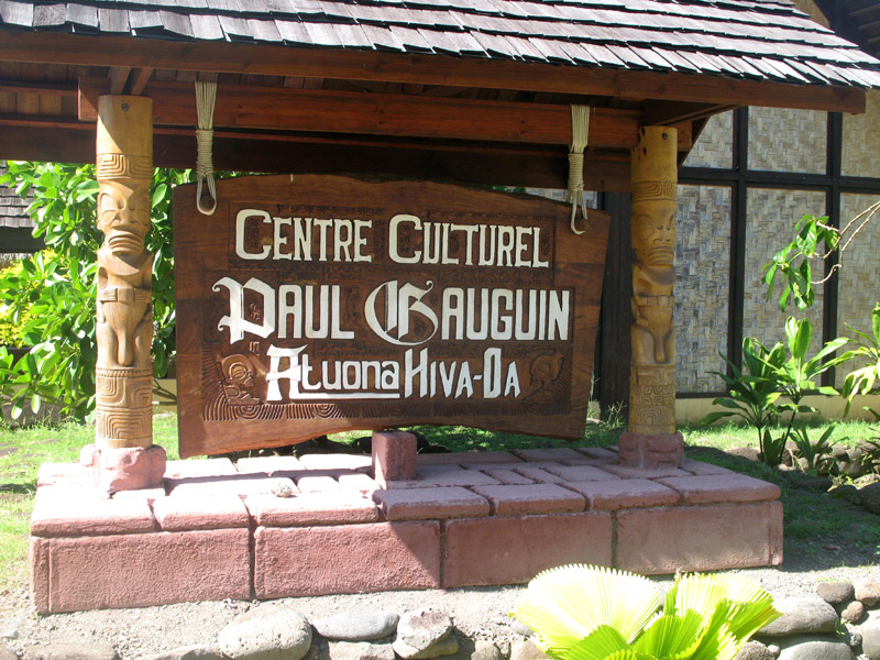
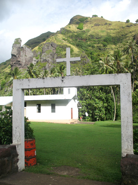
Administratively, Hiva Oa is part of the commune (municipality) of Hiva-Oa, itself in the administrative subdivision of the Marquesas Islands. Atuona, on the south side of Hiva Oa island, is the administrative centre of the commune. Atuona was formerly the seat of government for all of the Marquesas Islands, but it has been replaced by Taiohae on Nuku Hiva island.
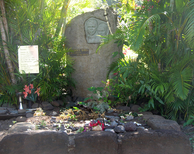
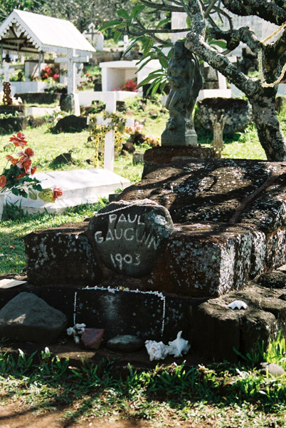
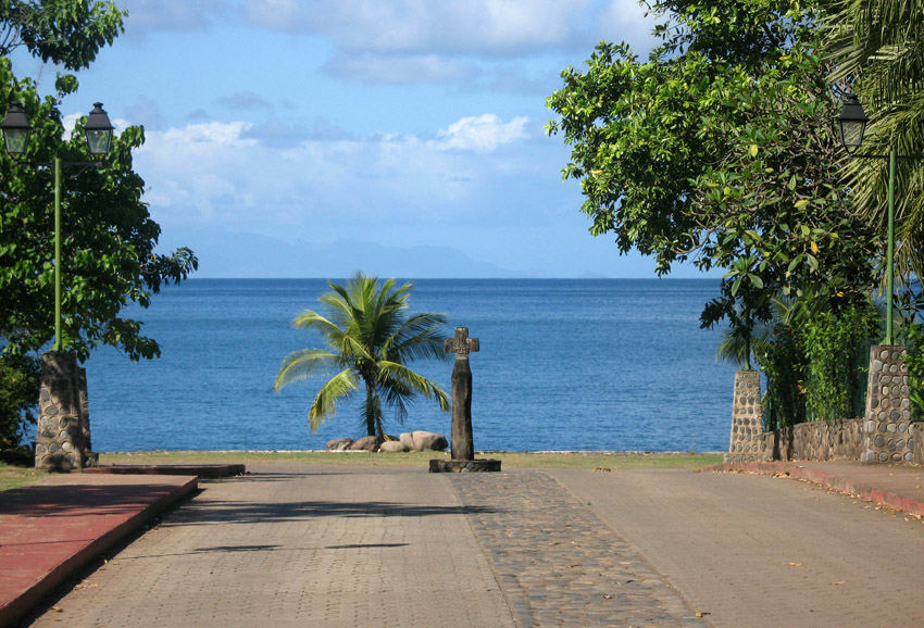
The island was the final home of French painter Paul Gauguin and Belgian singer Jacques Brel, both of whom are buried in Calvary Cemetery, overlooking Atuona.
In late pre-European times, the island was nearly evenly divided into two provinces – Nuku in the west, and Pepane in the east.
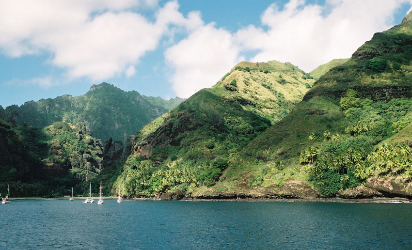
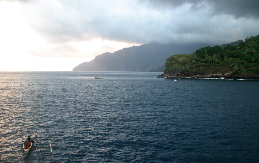
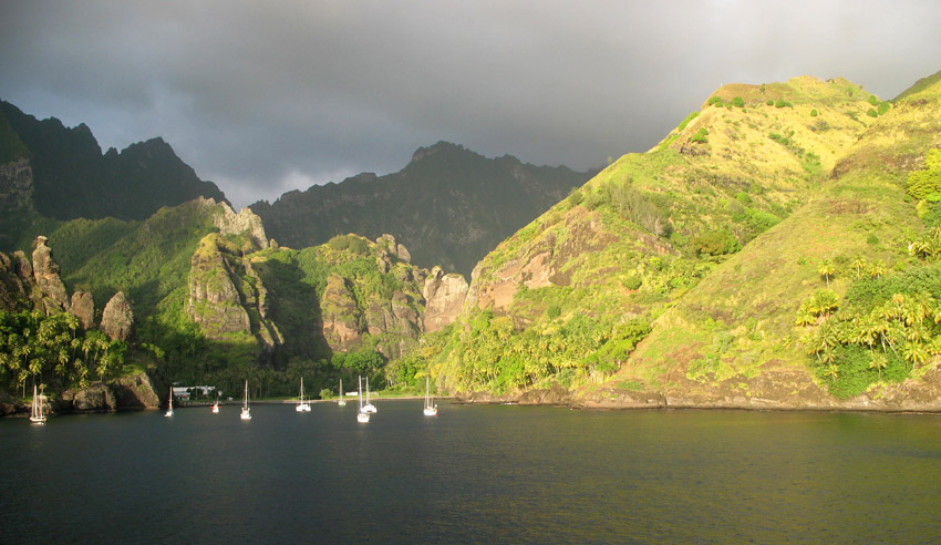
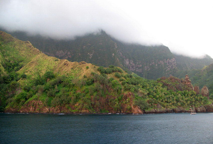
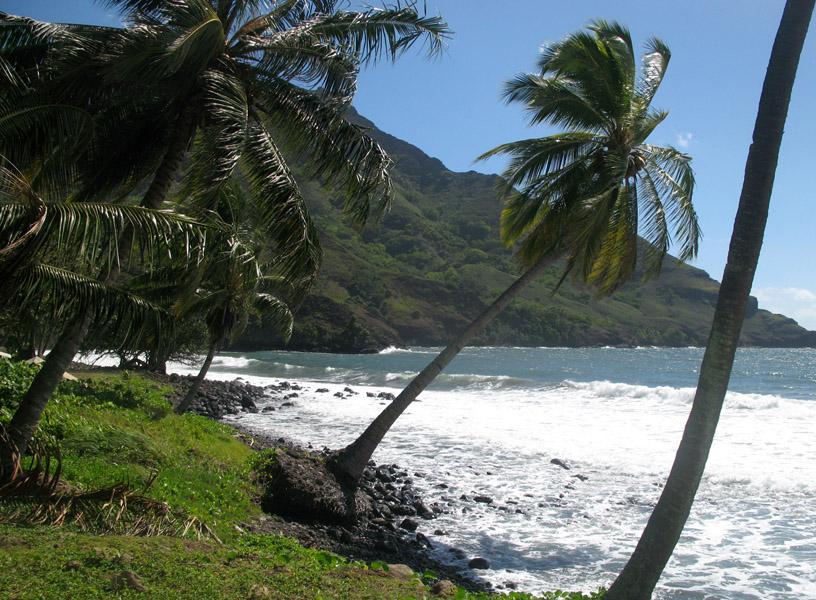
Fatu Hiva is the southernmost of the Marquesas Islands, in French Polynesia, an overseas territory of France in the Pacific Ocean. With Motu Nao as its closest neighbor, it is also the most isolated of the inhabited islands.
Fatu Hiva is also the title of a book by explorer and archaeologist Thor Heyerdahl, in which he describes his stay on the island in the 1930s.
The eastern coastline of Fatu Hiva is characterized by a number of narrow valleys, carved by streams that lead to the interior. Between these valleys are headlands which terminate in cliffs that plunge directly into the sea, making travel between them possible only by travelling over the high mountain ridges between them, or by boat. The largest of these valleys is at Uia.
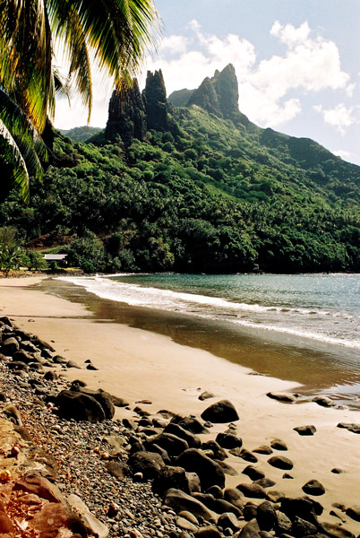
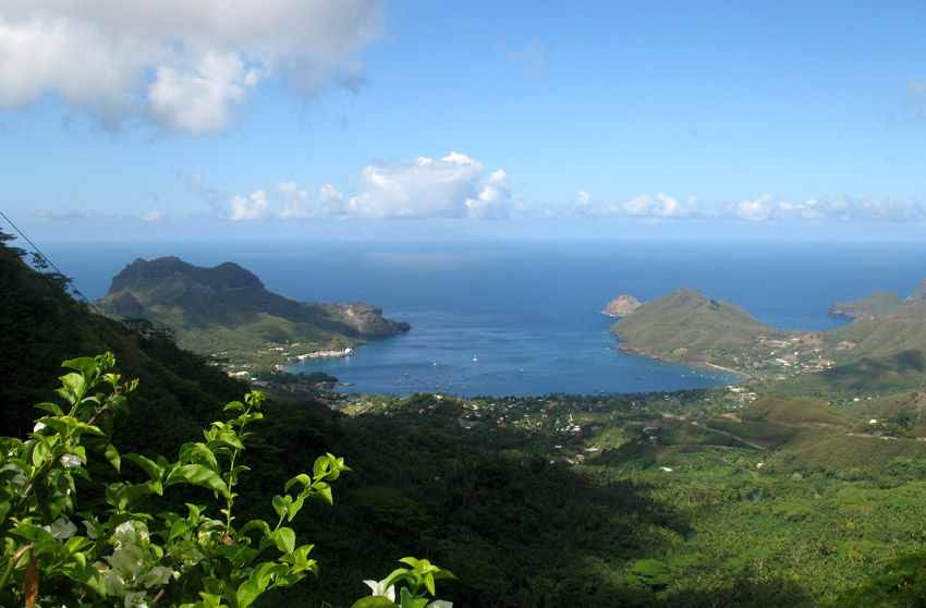
The western coastline has two significant bays, Hana Vave (also known as Bay of Virgins or Baie des Vierges) in the north, one of the most picturesque sites in the South Pacific, and the well protected harbor of Omoa near the south. There are several smaller valleys between these two.
The center of the island is a plateau which is covered largely by tall grasses and pandanus trees. To the south of the plateau, running to the south, is a mountain ridge, called Tauauoho, its highest peak, at 1,125 m (3,691 ft.) is the highest point on Fatu Hiva. Proceeding to the north and northwest from the plateau is a mountain ridge called Fa‘e One, the highest peak of which is 820 m (2,690 ft.).
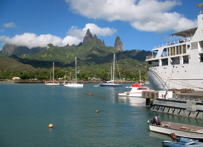
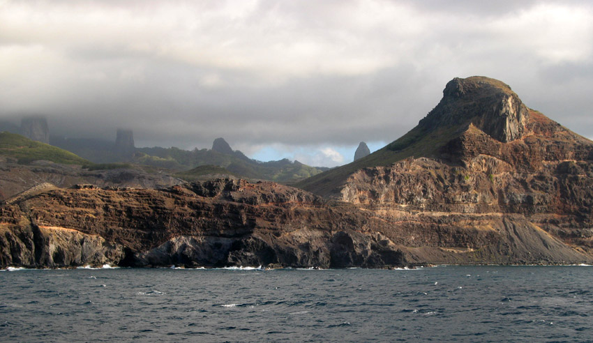
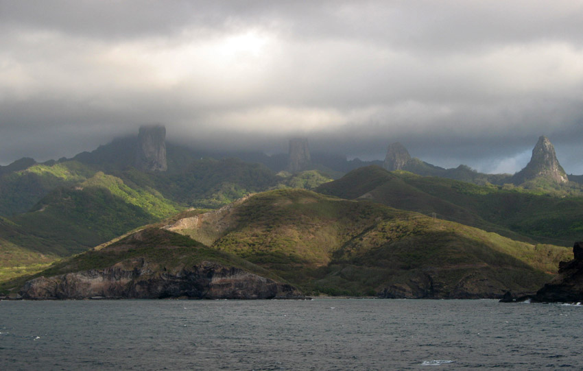
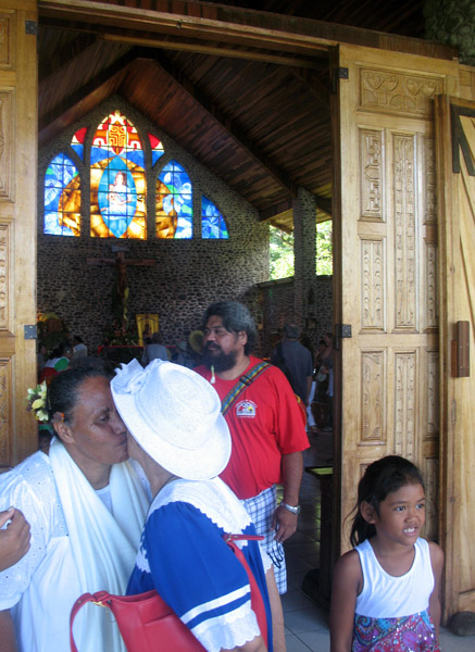
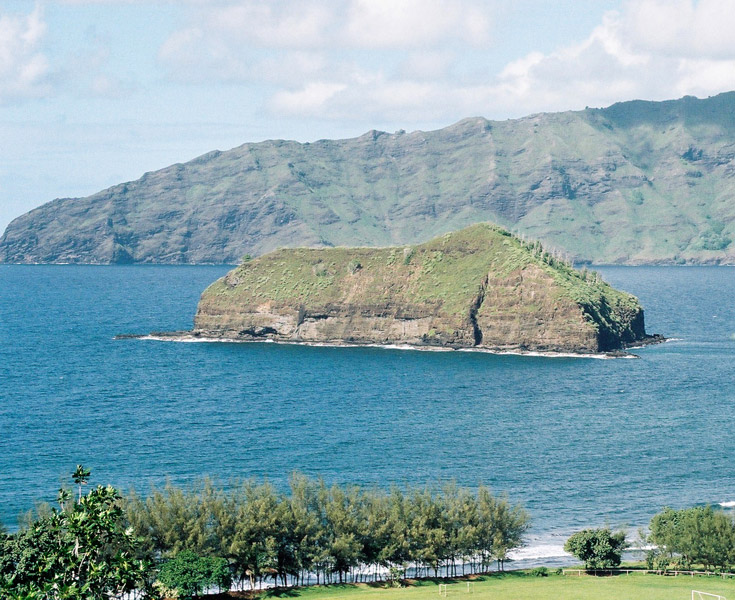
Ua Pu (French: Ua Pou, North Marquesan: ’uapou) is the third largest of the Marquesas Islands, in French Polynesia, an overseas territory of France in the Pacific Ocean. It is located about 50 km (30 mi.) south of Nuku Hiva, in the northern Marquesas. Until the beginning of the 1980s, it was the most populous of the Marquesas Islands, because when the other islands were being ravaged by diseases introduced by European explorers and traders, the Catholic priests on the island finally took to quarantining the remnant of the native population inside their churches whenever visiting ships approached the island, thereby reducing their exposure to external diseases.
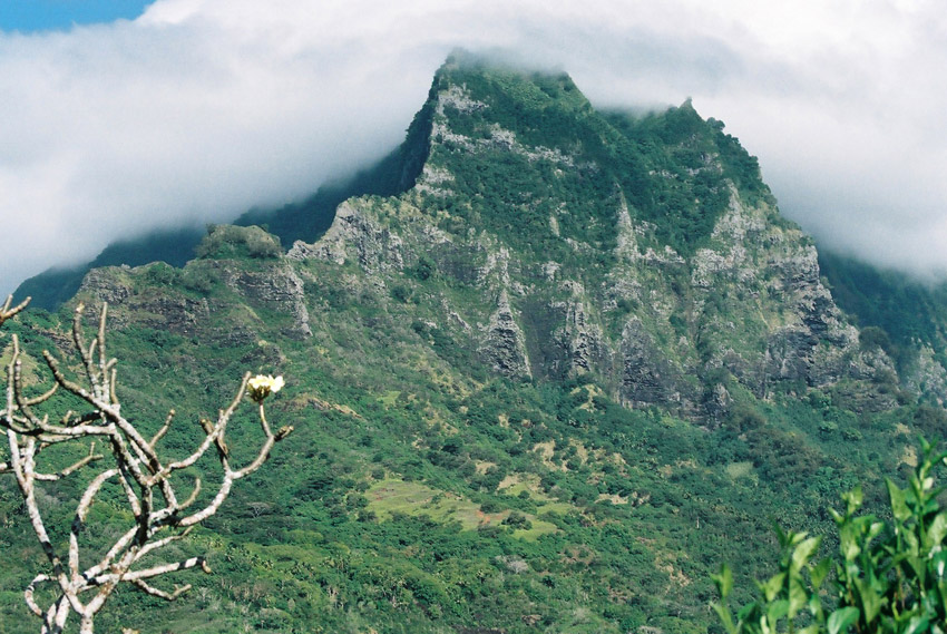
The center of the island is characterized by four high basalt pillars that reach high above the surrounding mountains. The highest of these pillars, Mount Oave (French: Mont Oave), reaches to 1,230 m (4,035 ft.) above sea level and is the highest elevation in the Marquesas.
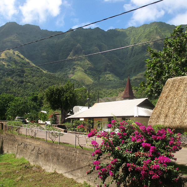
The island covers an area of 106 km (41 sq. mi.), and is located just northwest of the small island of Motu ‘Oa. The population in 2007 was 2,157. The largest settlement is Hakahau, on Hakahau Bay, on the northeast coast.


Nuku Hiva (sometimes spelled “Nukahiva”) is the largest of the Marquesas Islands in French Polynesia, an overseas territory of France in the Pacific Ocean. It was formerly also known as Île Marchand and Madison Island.
Herman Melville wrote his book Typee based on his experiences in the Taipivai valley in the eastern part of Nuku Hiva. Robert Louis Stevenson’s first landfall on his voyage on the Casco, was at Hatiheu, on the north side of Nuku Hiva, in 1888. Nuku Hiva was also the site for Survivor: Marquesas, the fourth installment of the popular CBS reality television show in the US.
The coastline of western Nuku Hiva is characterized by a steep, but fairly regular coastline, indented occasionally by small bays leading to deep valleys, which lead into the interior. There are no villages on this side.The central part of the island is a high plateau called Tōvi‘i, covered primarily by a tall-grass prairie, on which experiments in cattle raising are taking place for the first time — 15 years ago all the cattle were wild and hunted with rifles.
Nuku Hiva is administratively part of the commune (municipality) of Nuku-Hiva, itself in the administrative subdivision of the Marquesas Islands.
The administrative centre of the commune of Nuku-Hiva and also of the administrative subdivision of the Marquesas Islands is the settlement of Taiohae, located on the south side of Nuku Hiva, at the head of the bay of that same name.