Categories
Seychelles

Indian Ocean Explorer hijacked by Somali pirates

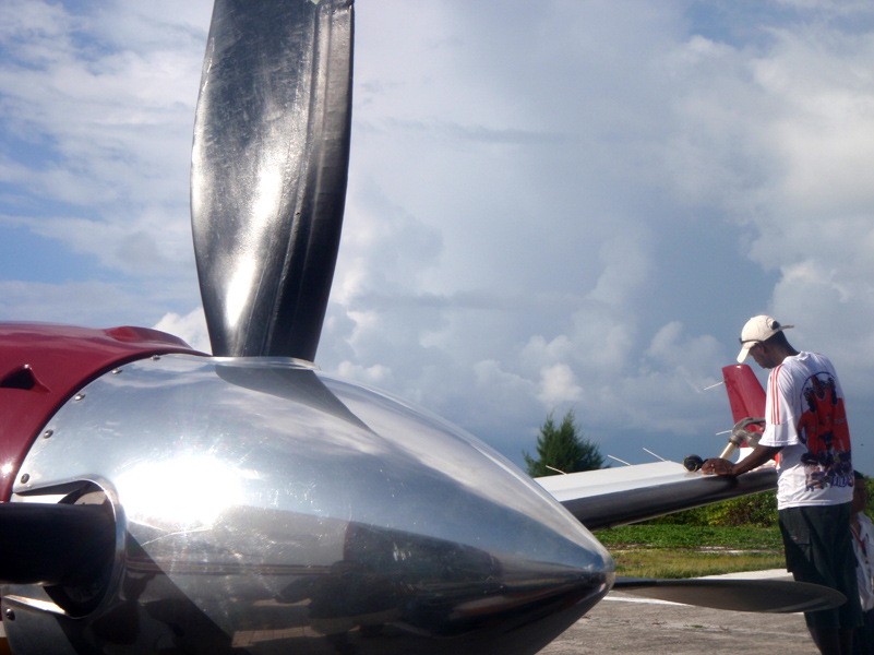
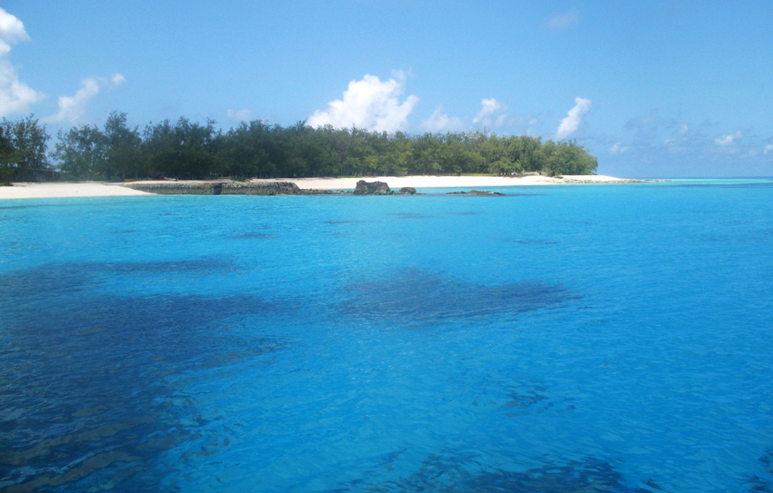
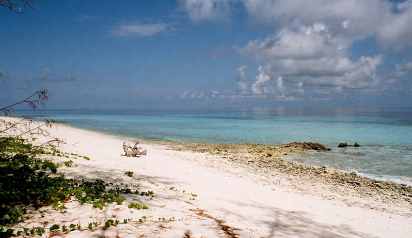
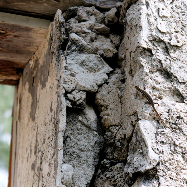
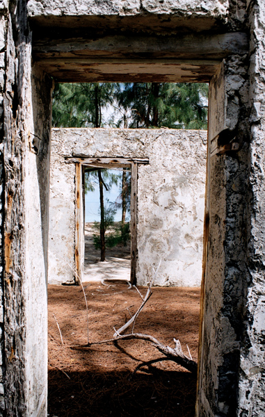
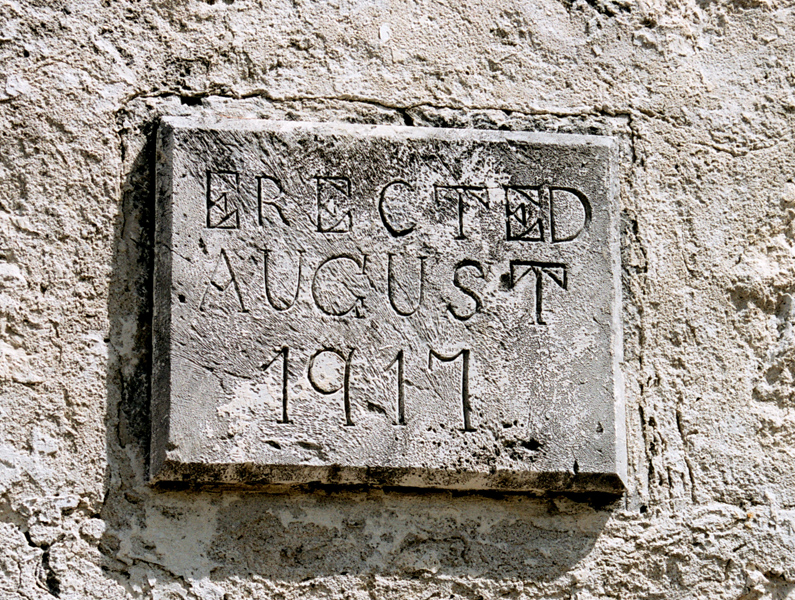
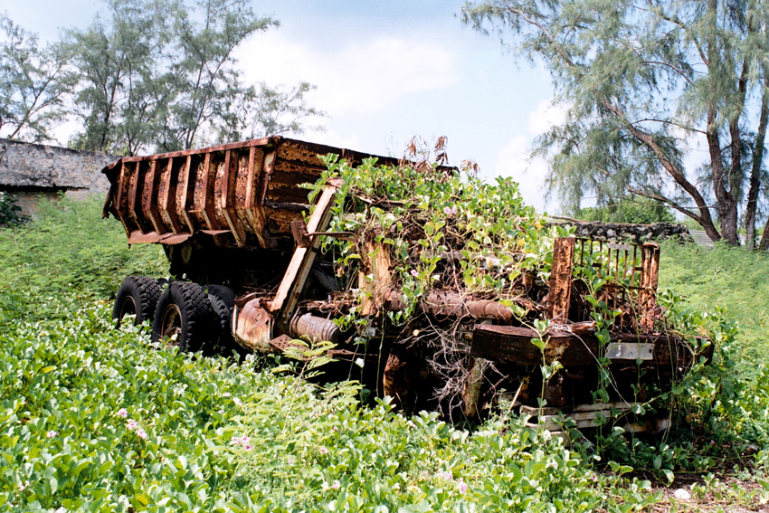
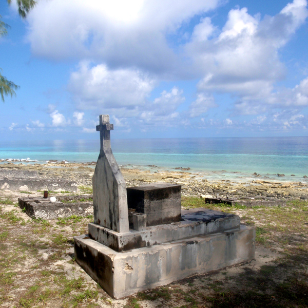
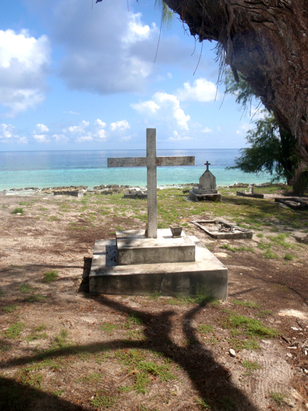
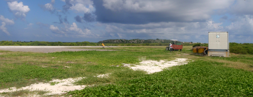
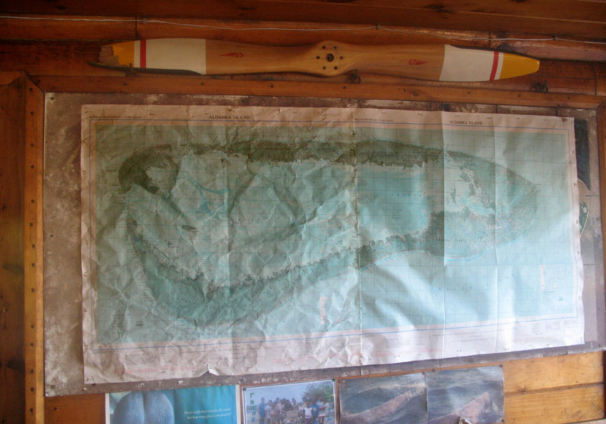
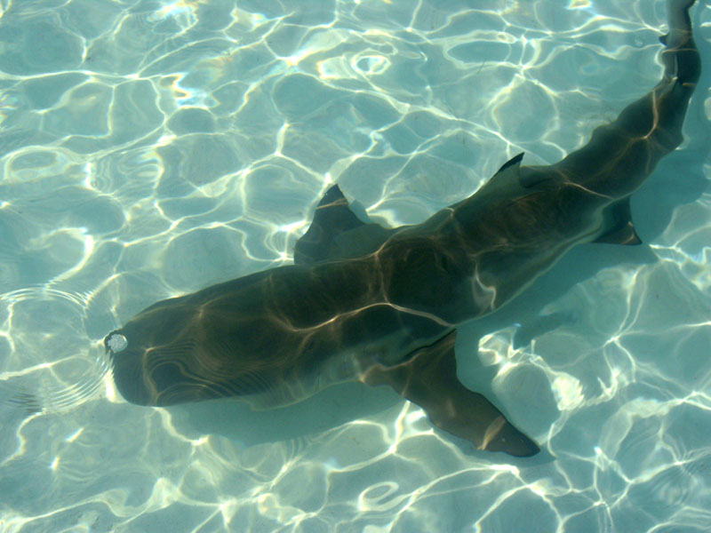
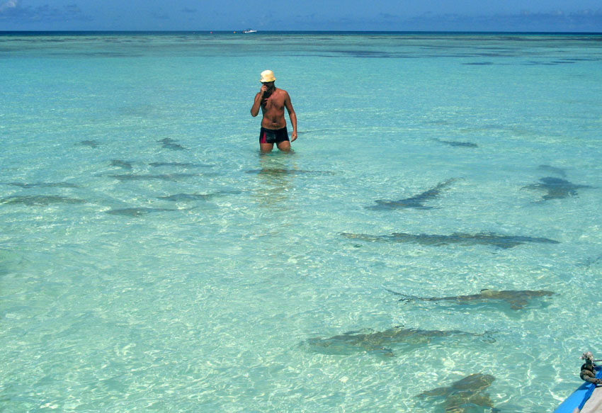
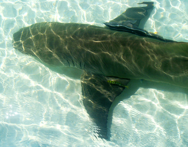
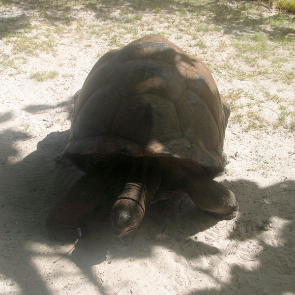
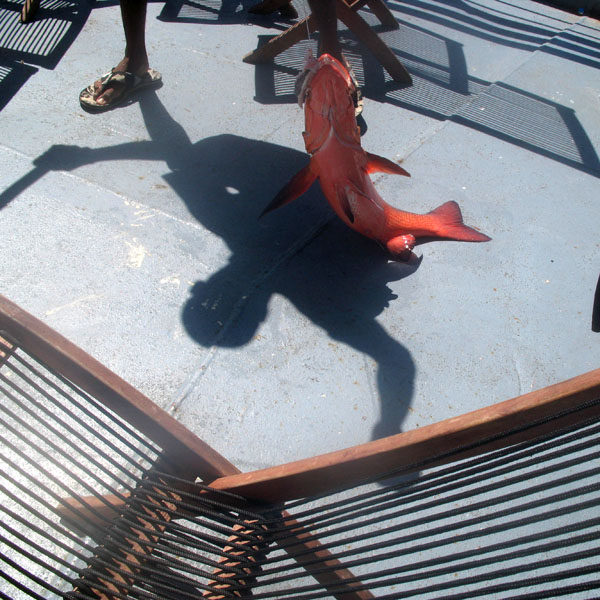
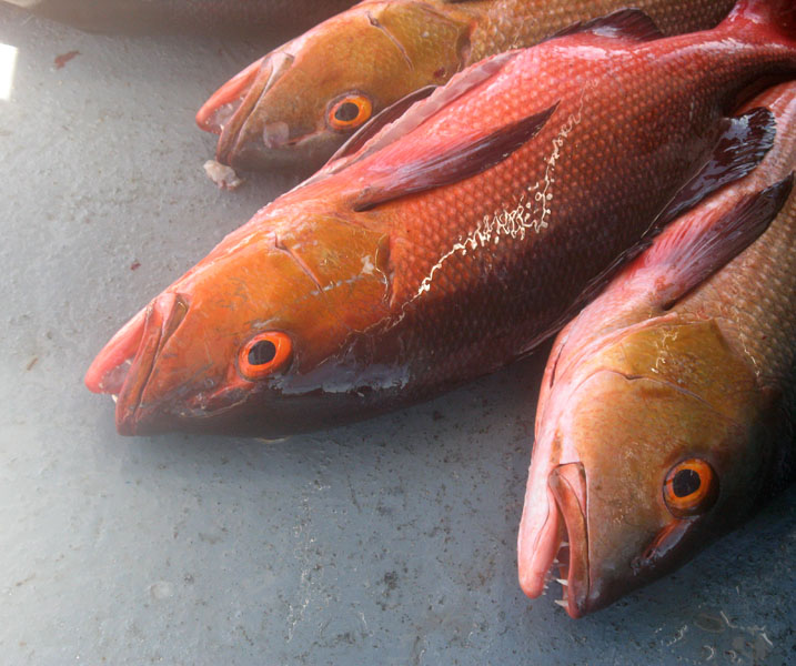
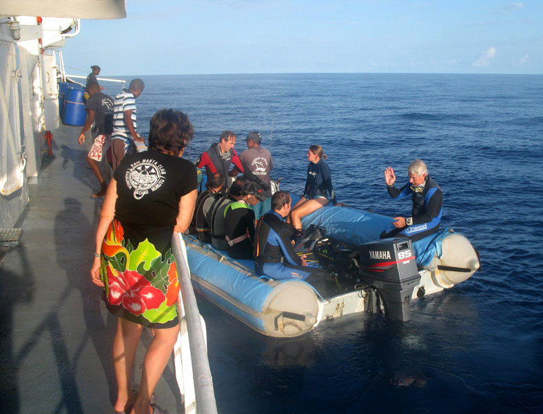
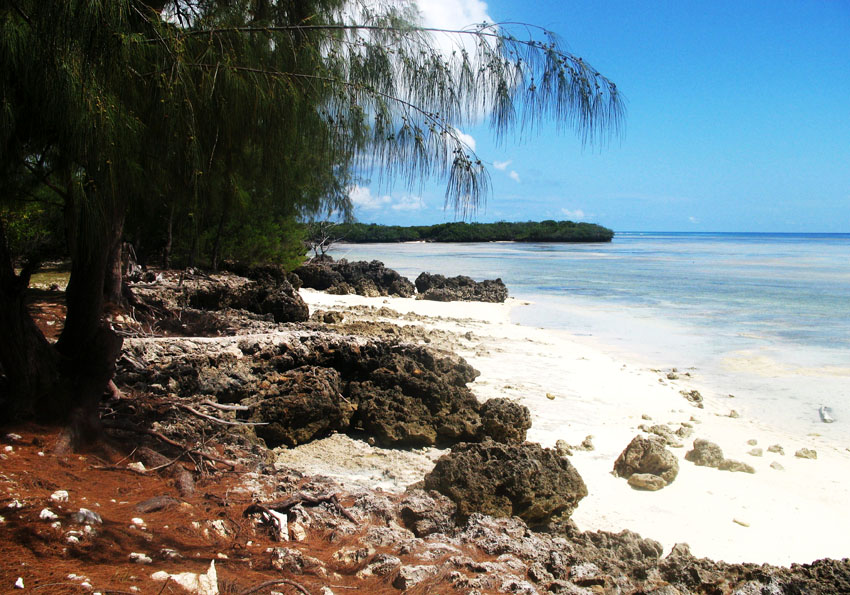
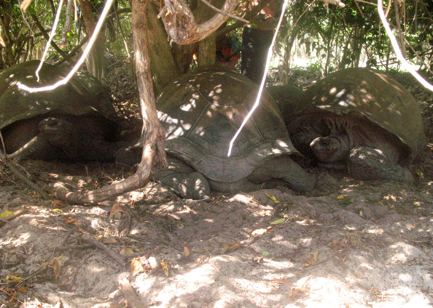
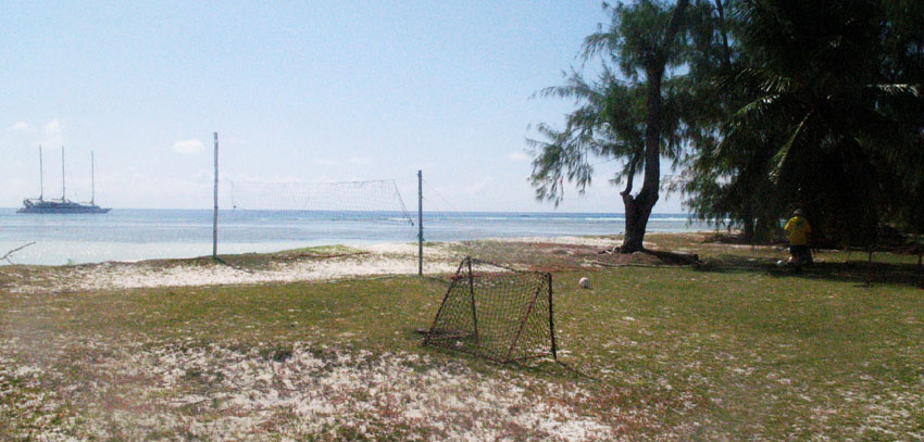
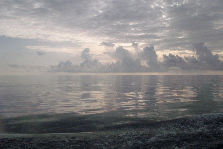
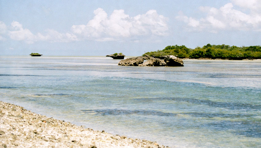
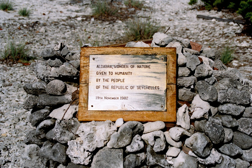
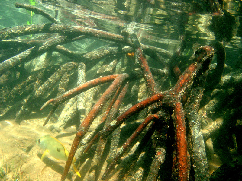
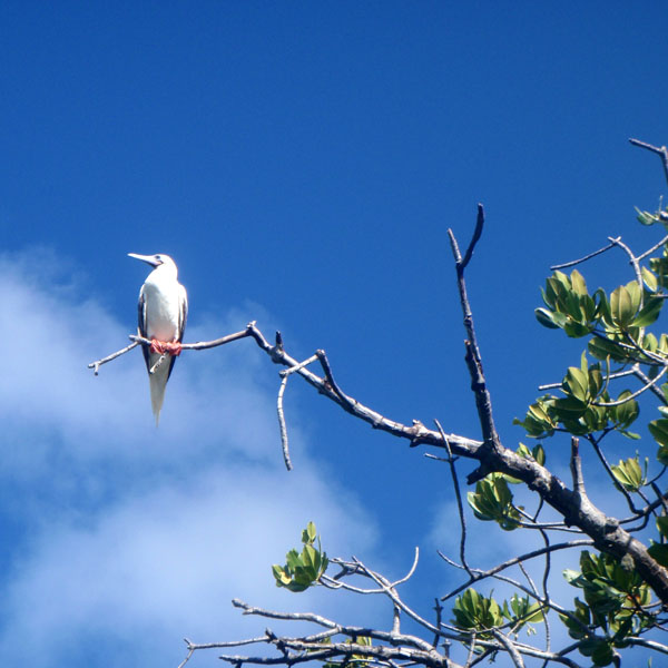
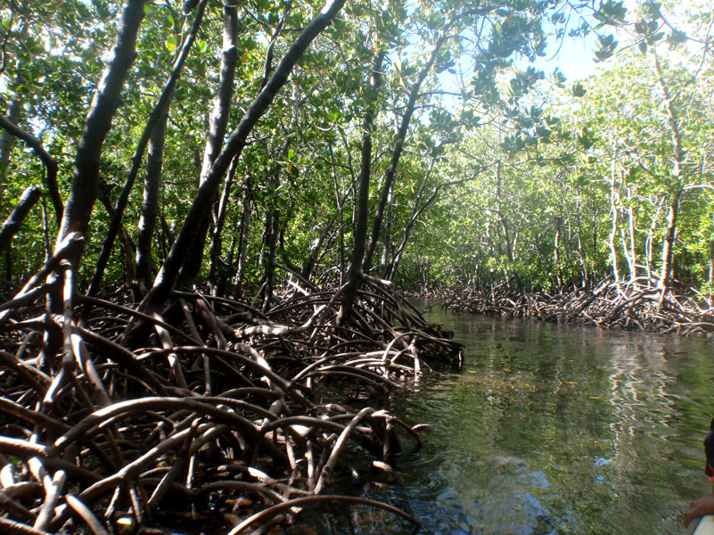
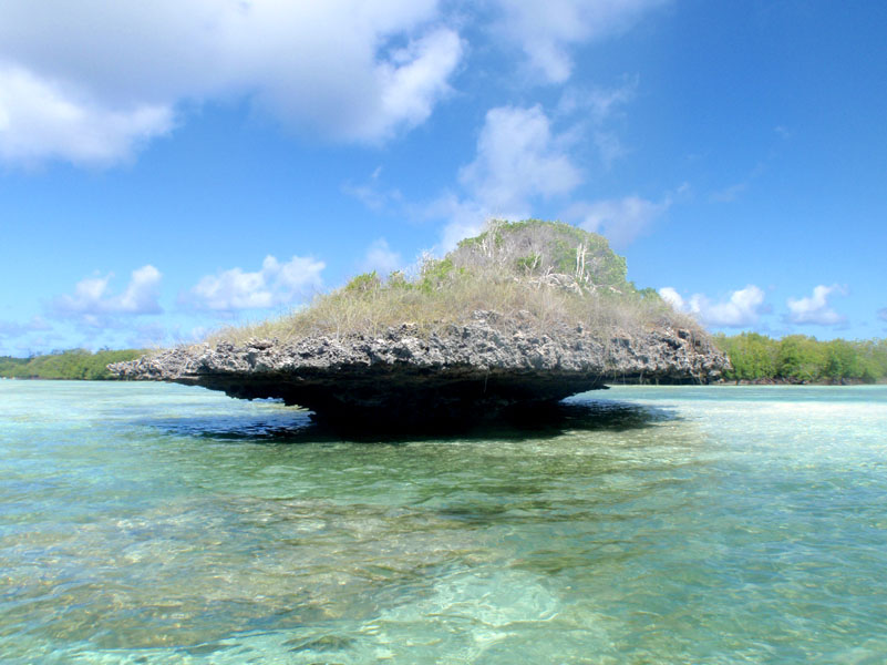
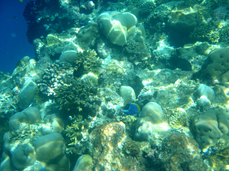
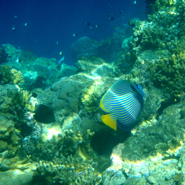
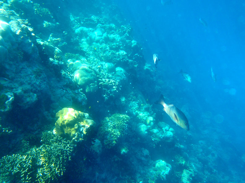
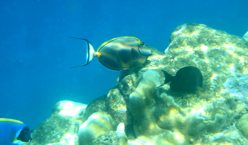
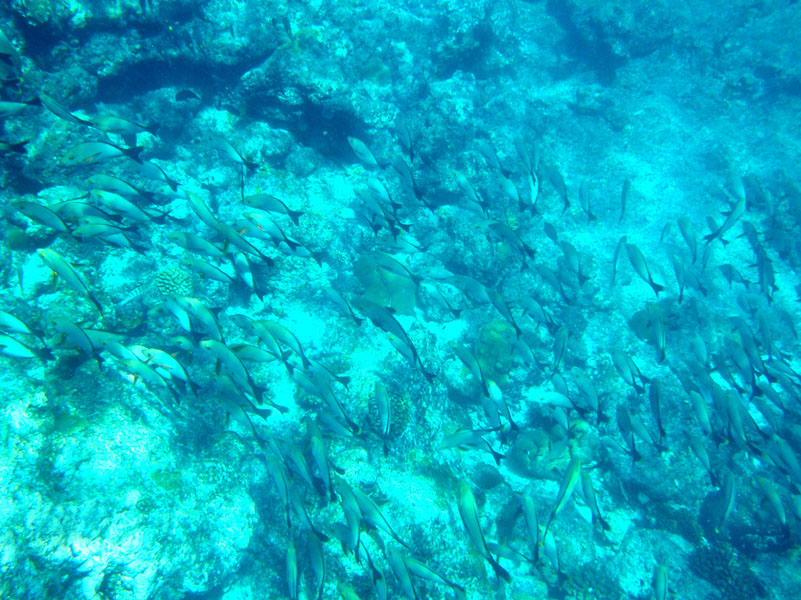
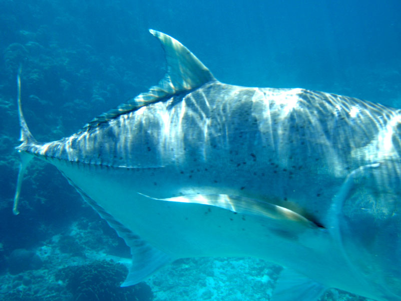
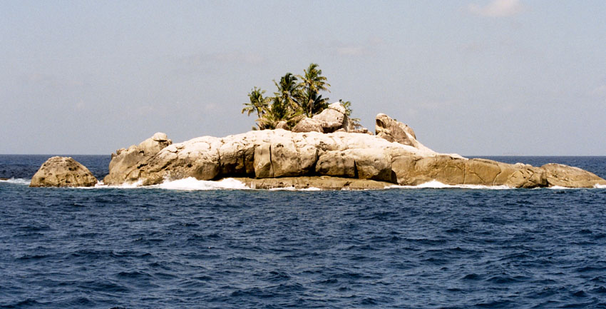
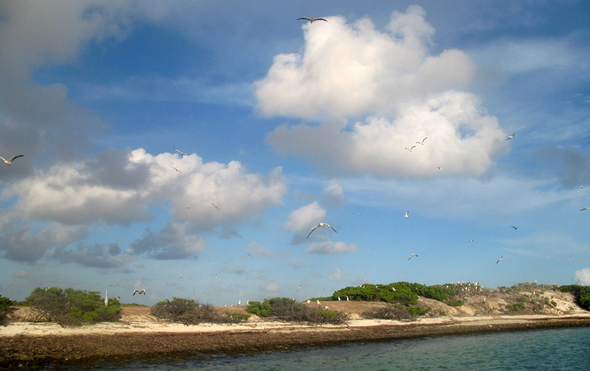
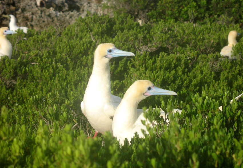
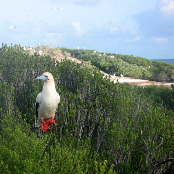
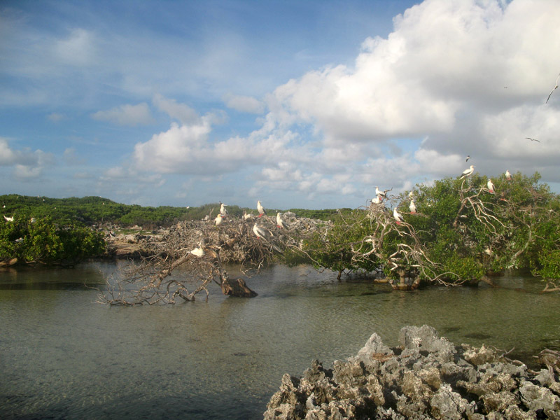
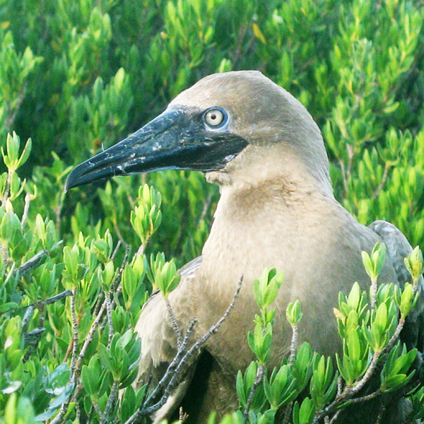
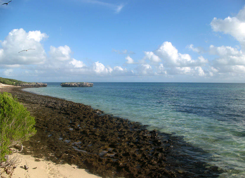
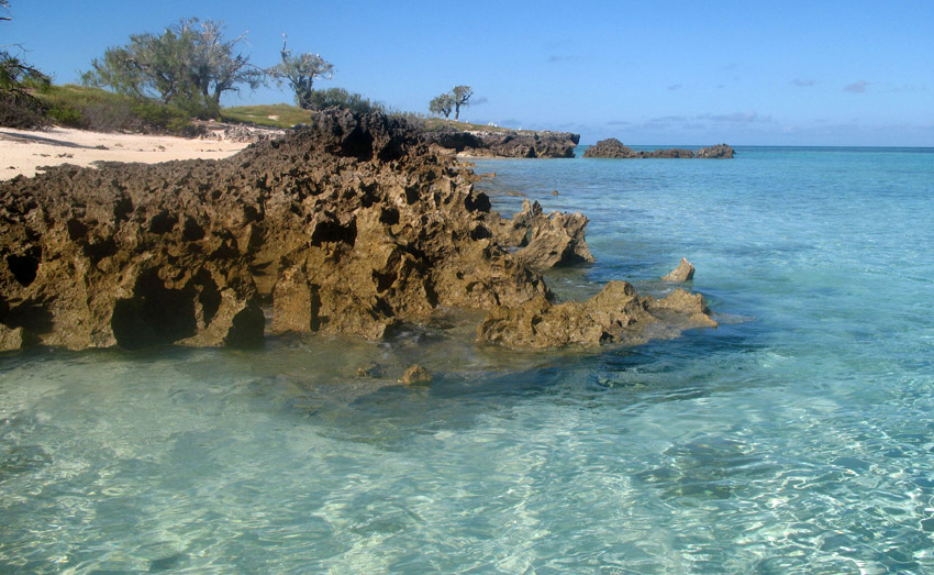
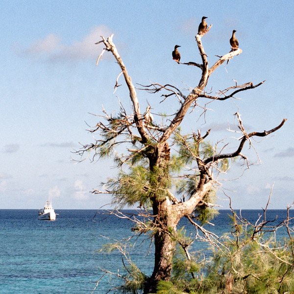
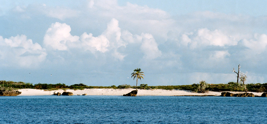
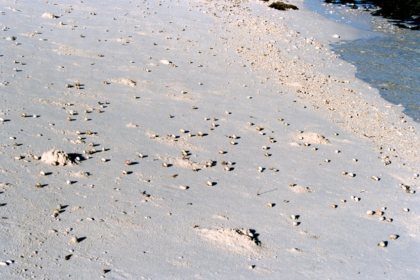
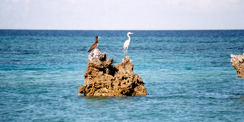
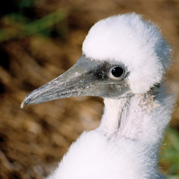
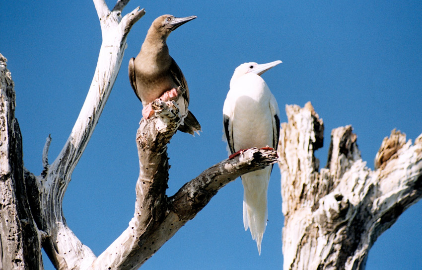
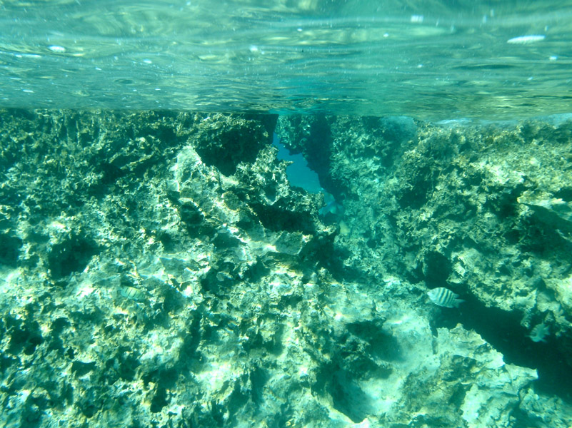
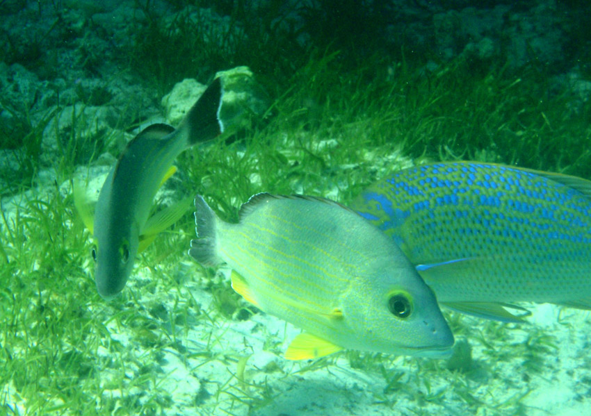
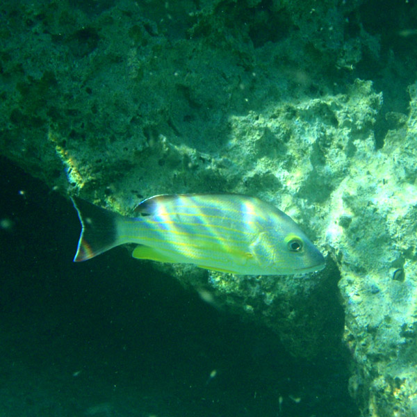
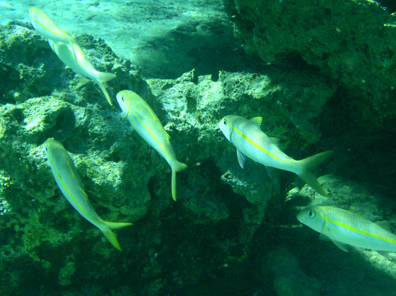
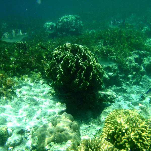
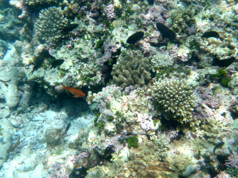
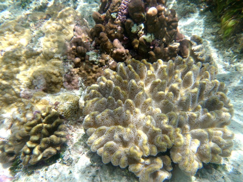
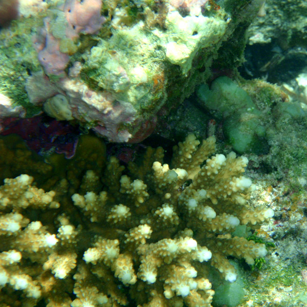
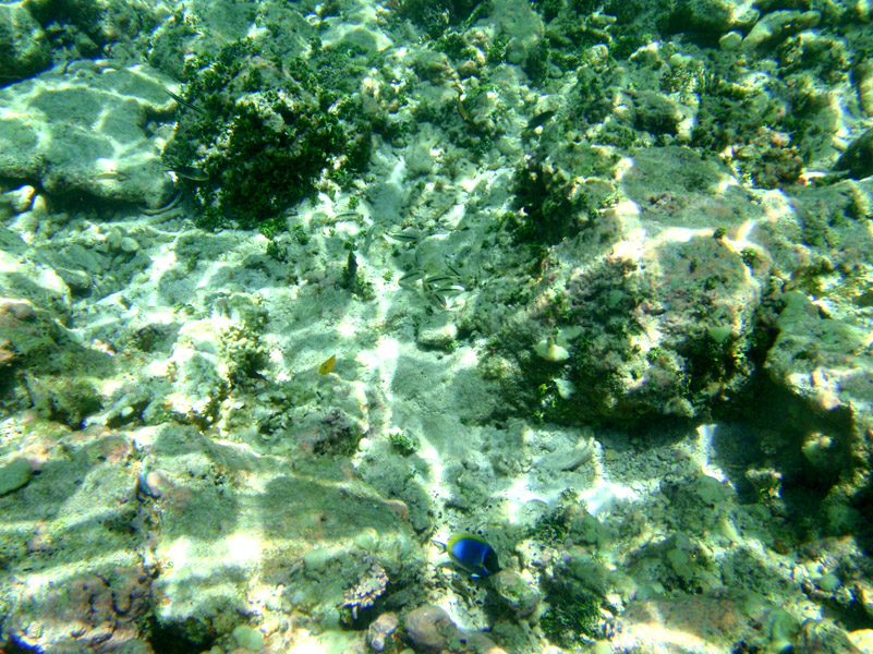
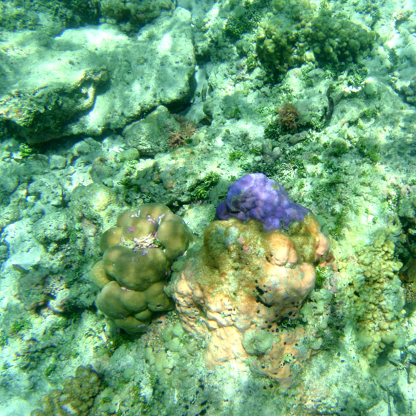
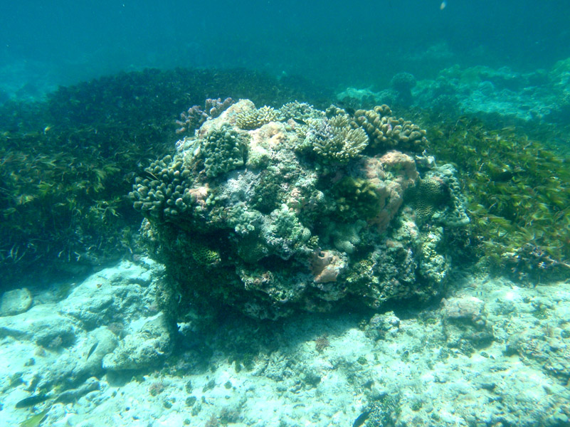
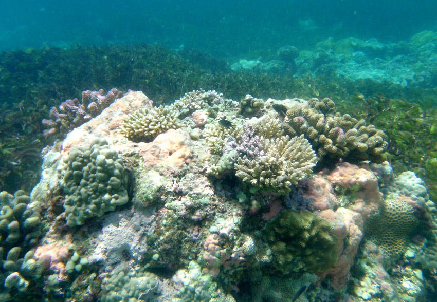
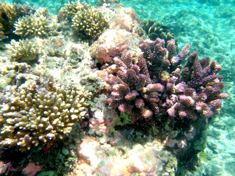
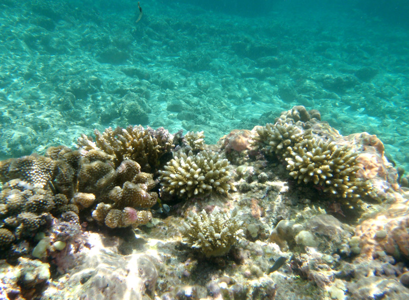
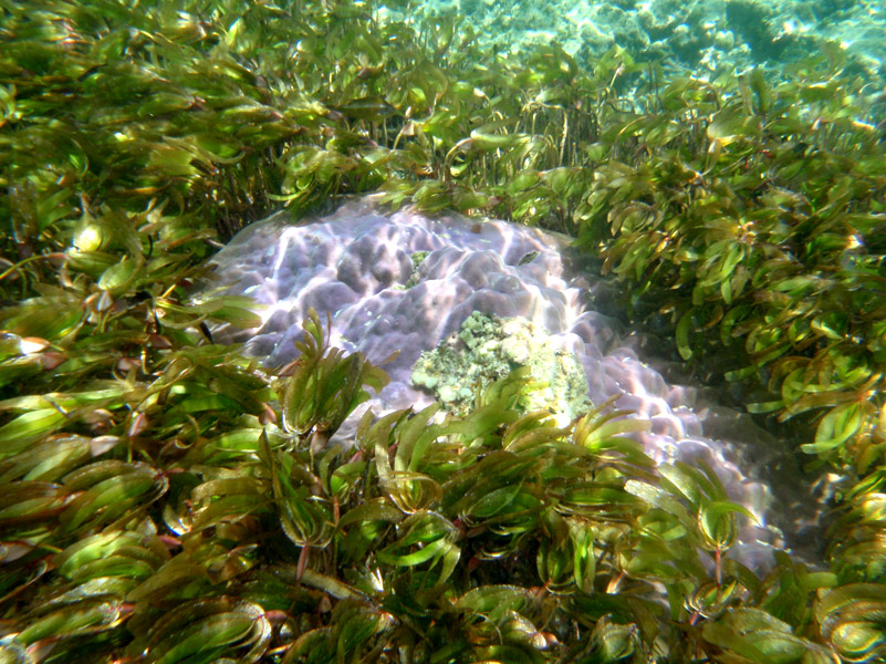
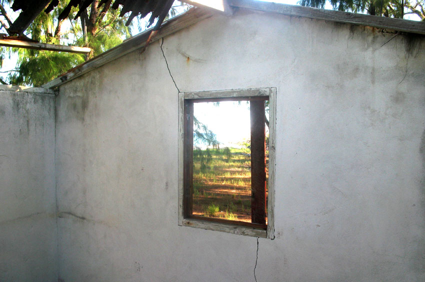
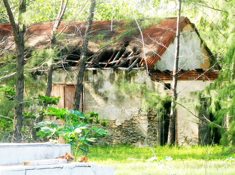
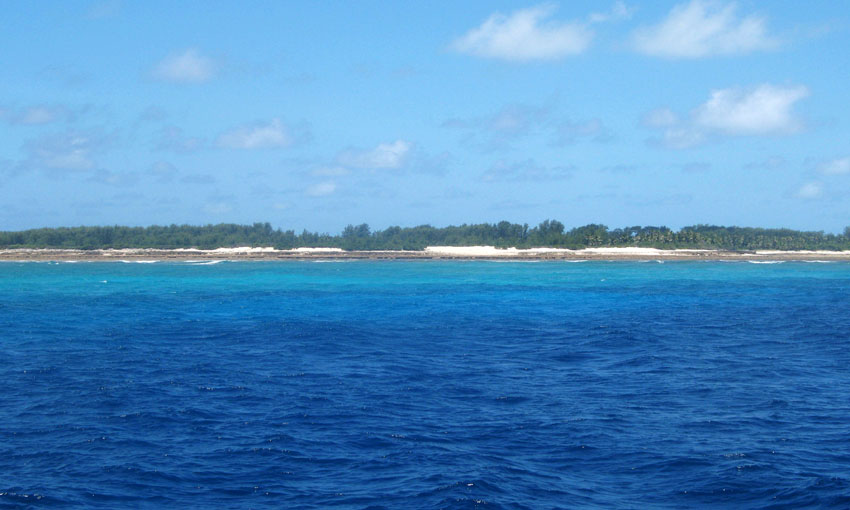
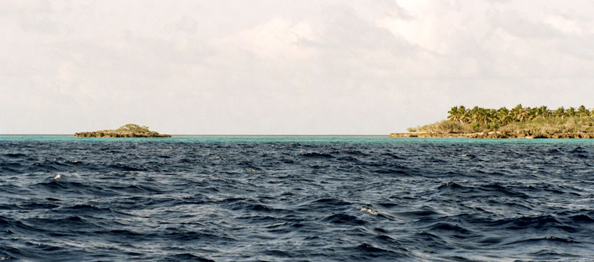
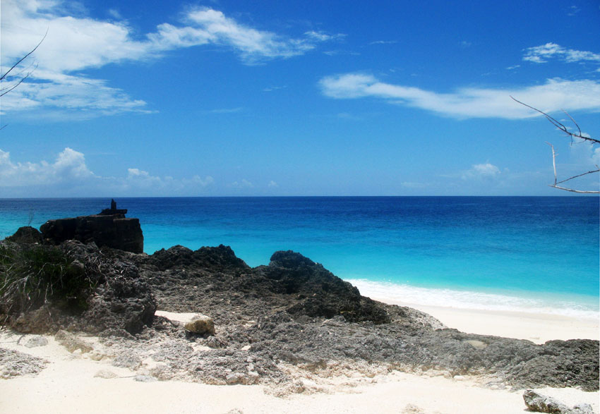
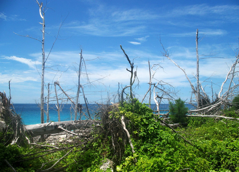
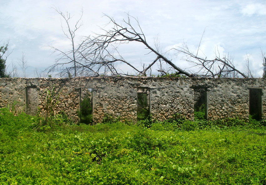
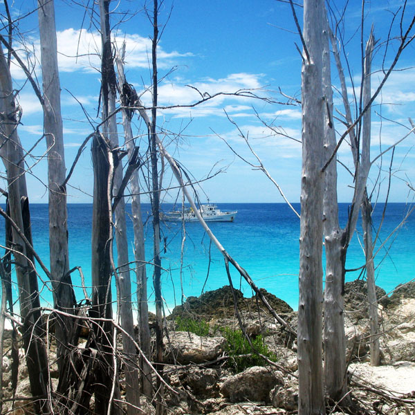
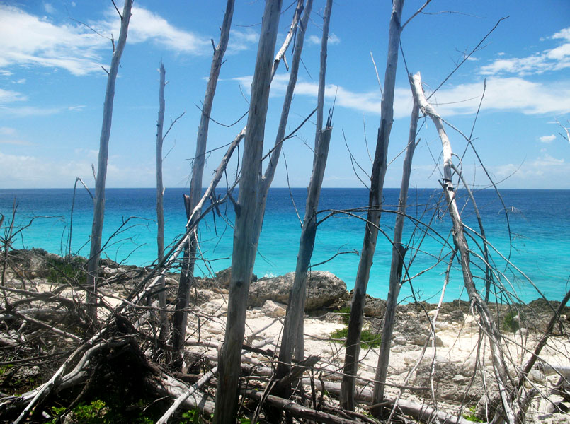
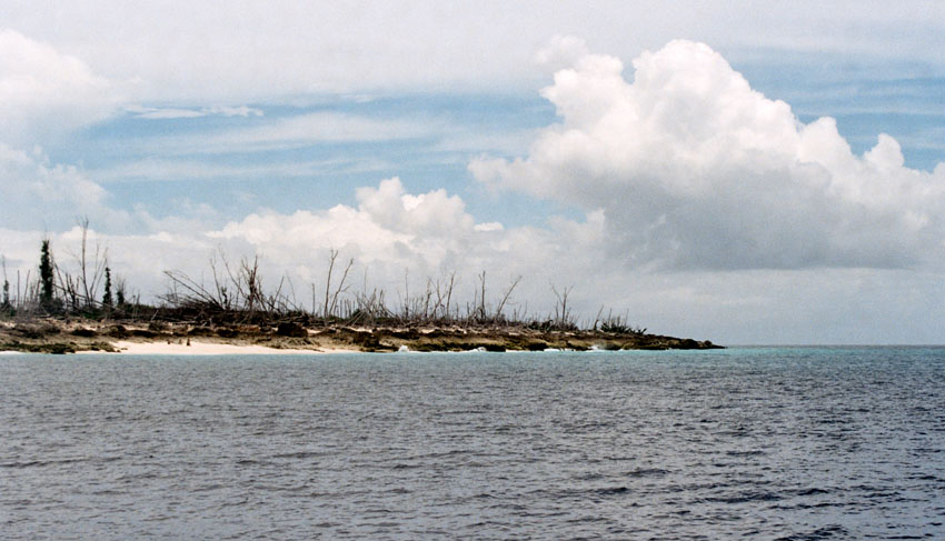
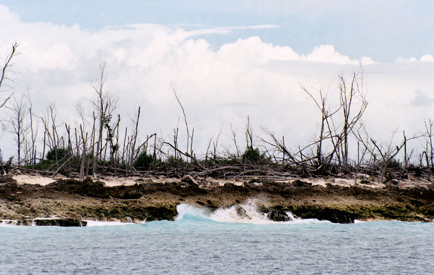
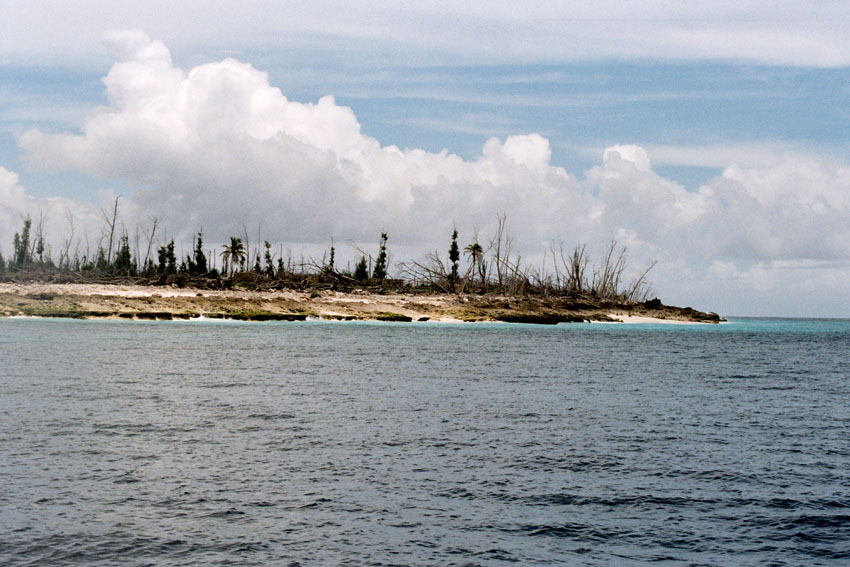
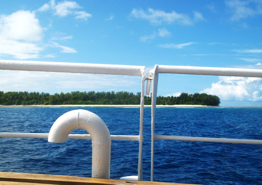
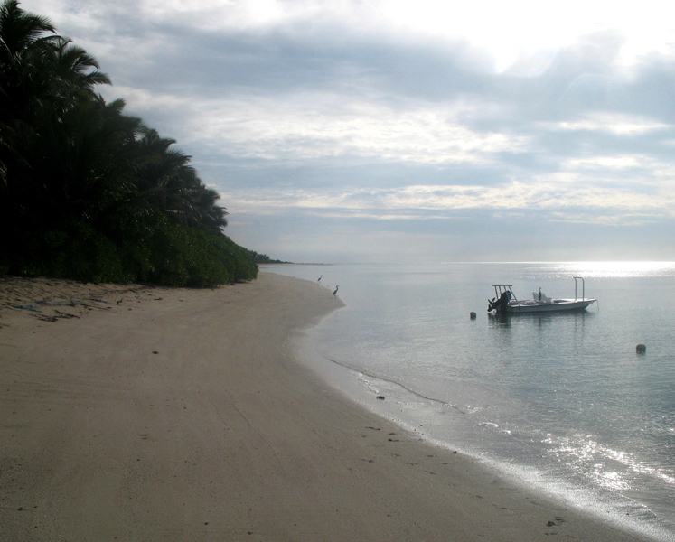
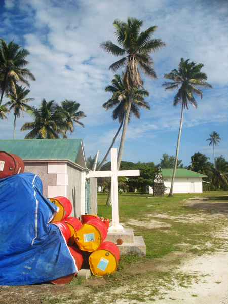
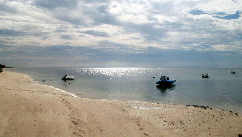
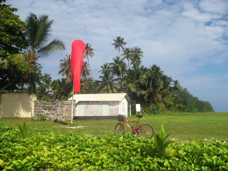
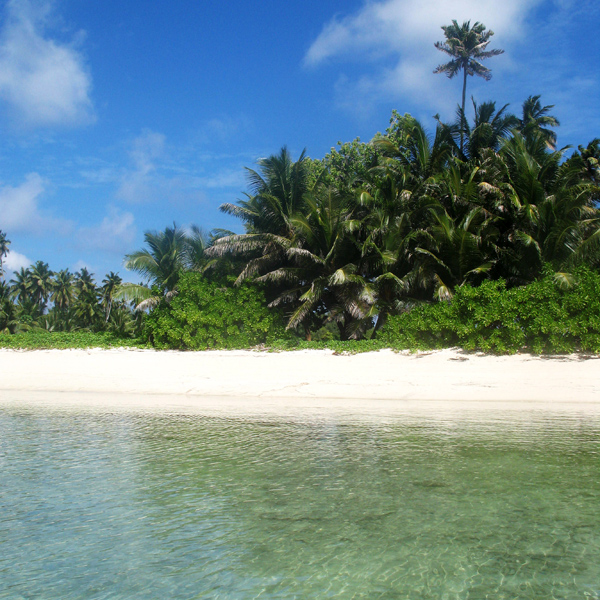
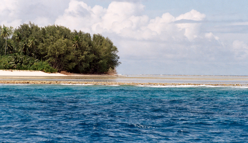
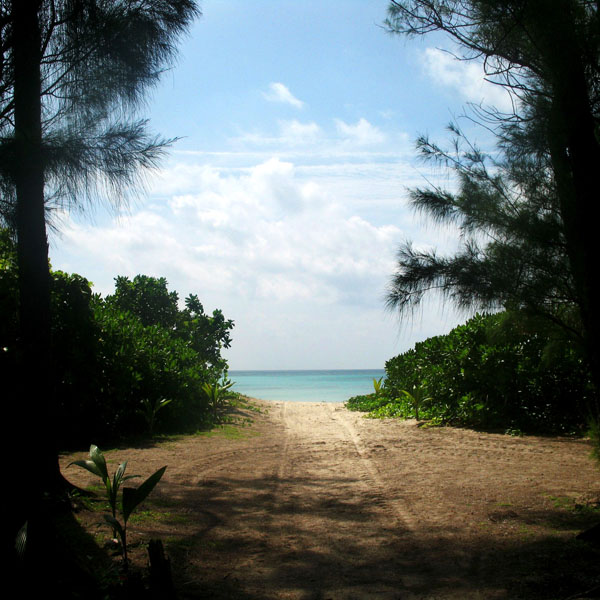
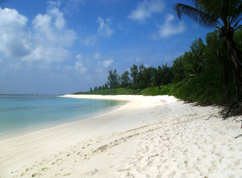
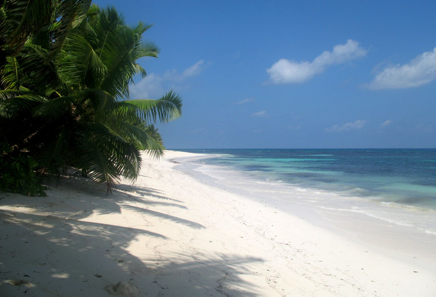
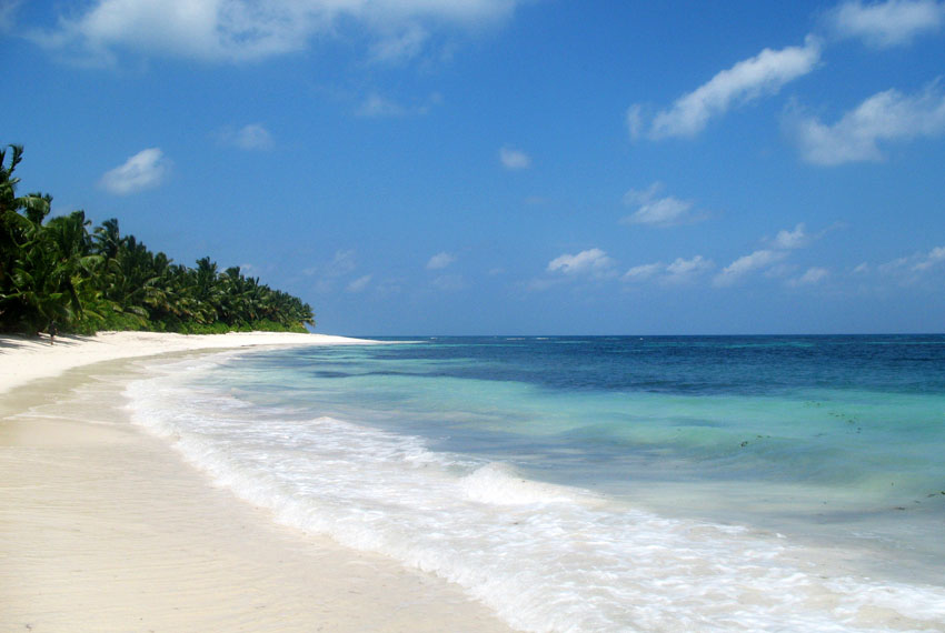
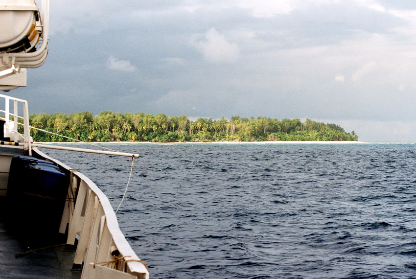
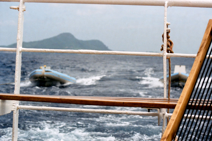
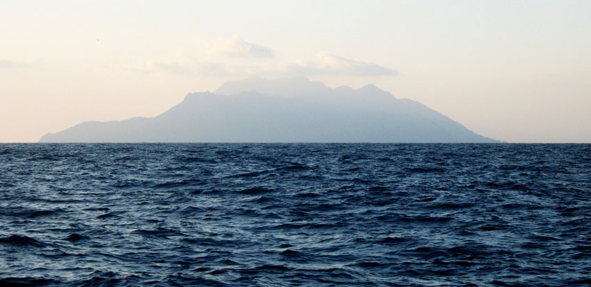
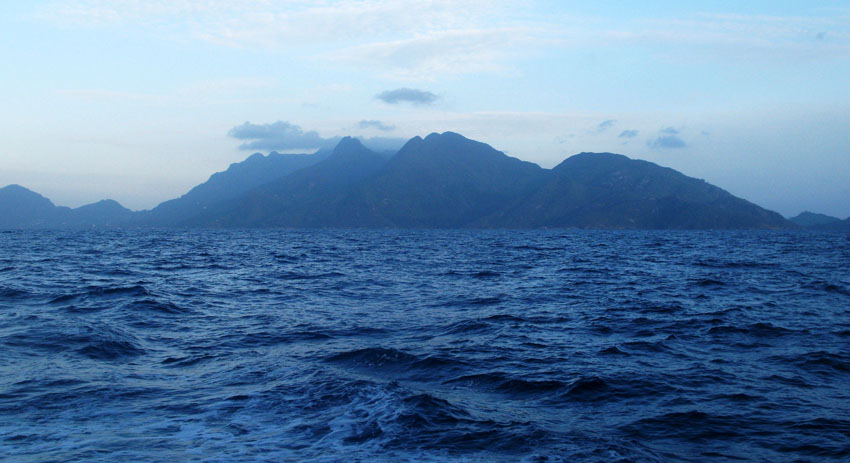
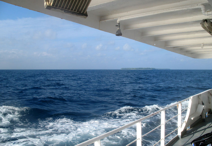
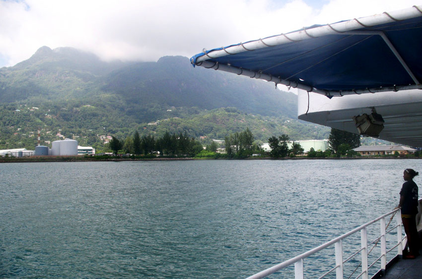
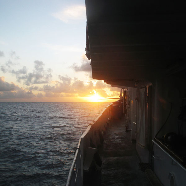
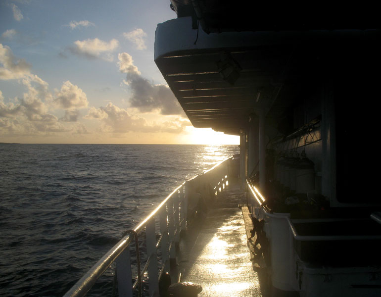
The last journey to Seyshelles was exceptional for several resons. First of all, my dream came true – I had a dream to get to Aldabra for 13 years. We sailed a quite long way – over 1500 km during 12 days. Second – I was able to explore unique places: Desroches (an island, on which I had been 3 months beforehand as well), Alphonse, Astove, Cosmoledo, Assumtion, and Aldabra of course.

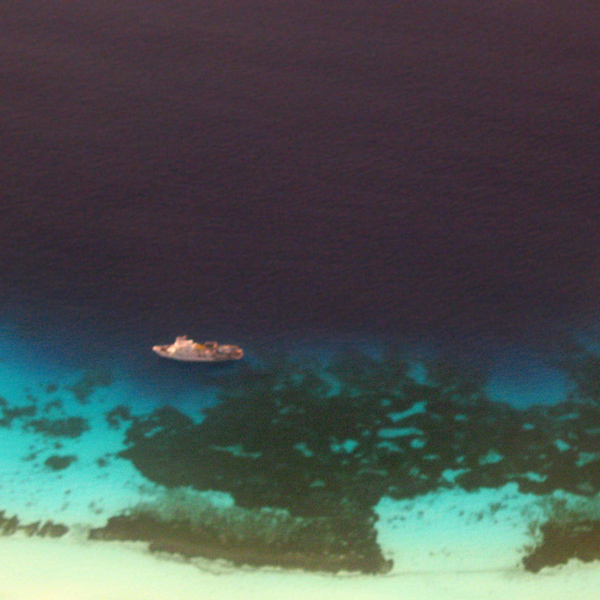
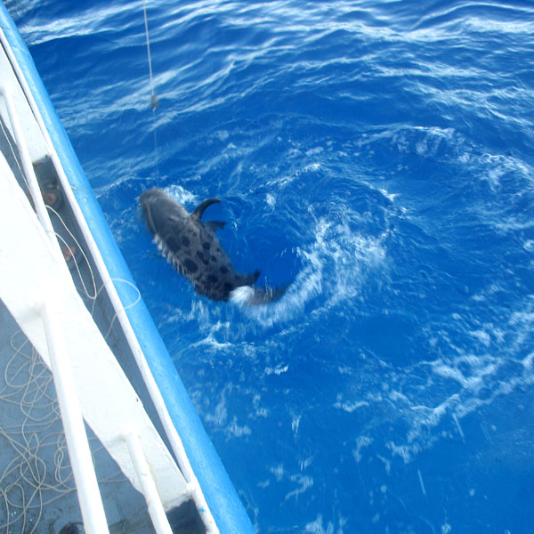
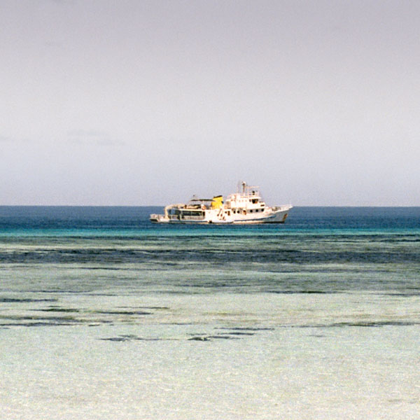
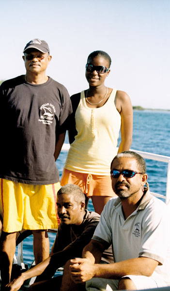
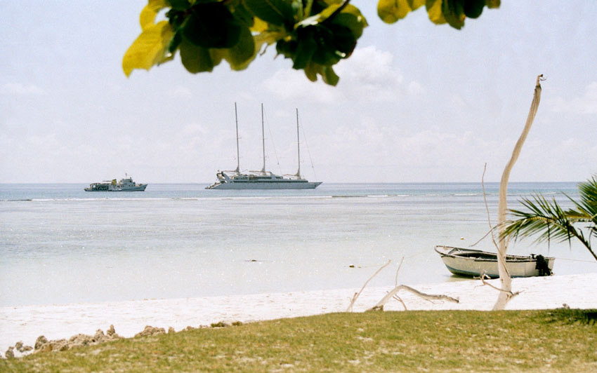
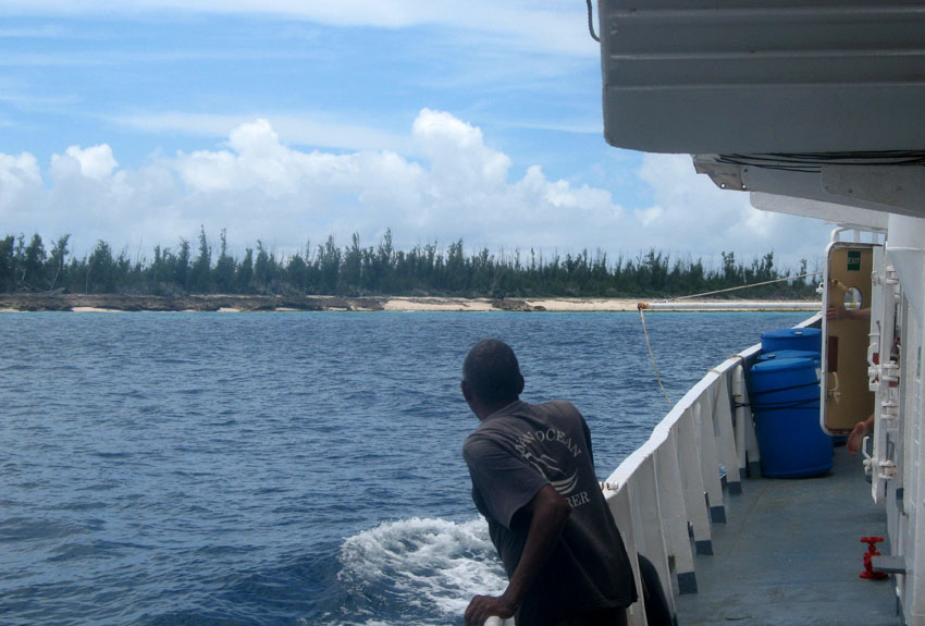
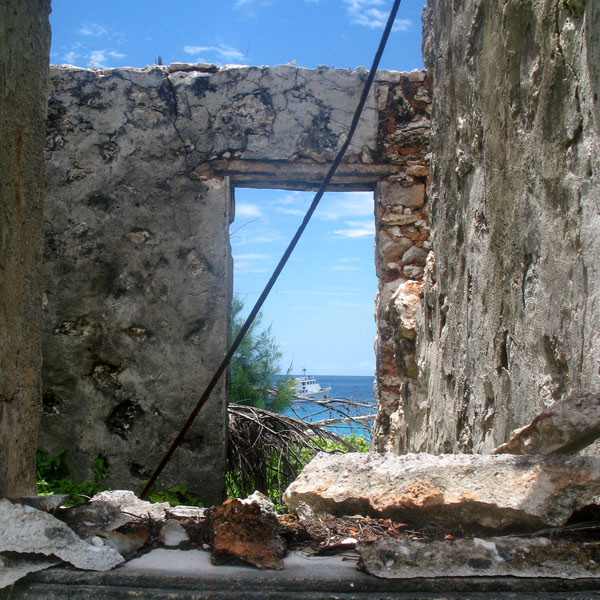
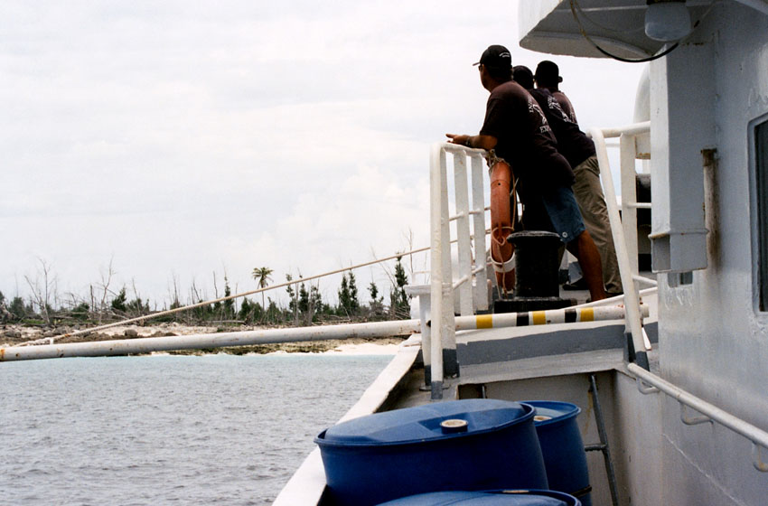
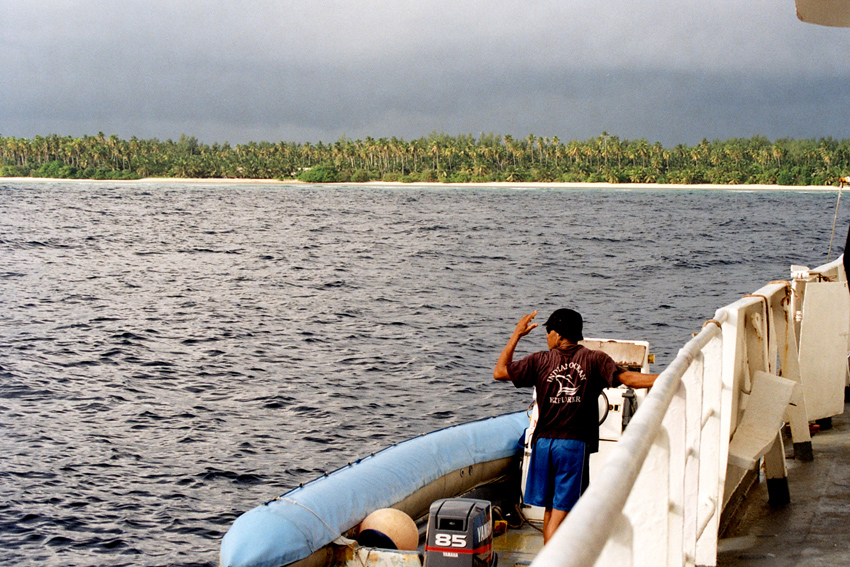
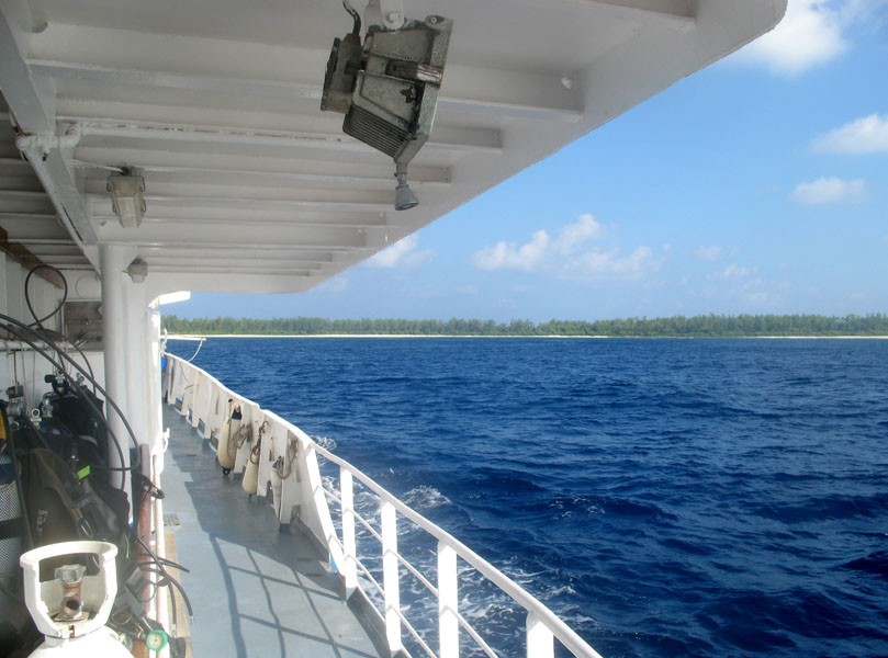
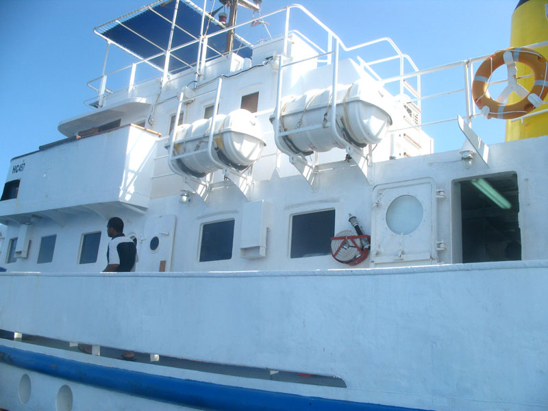
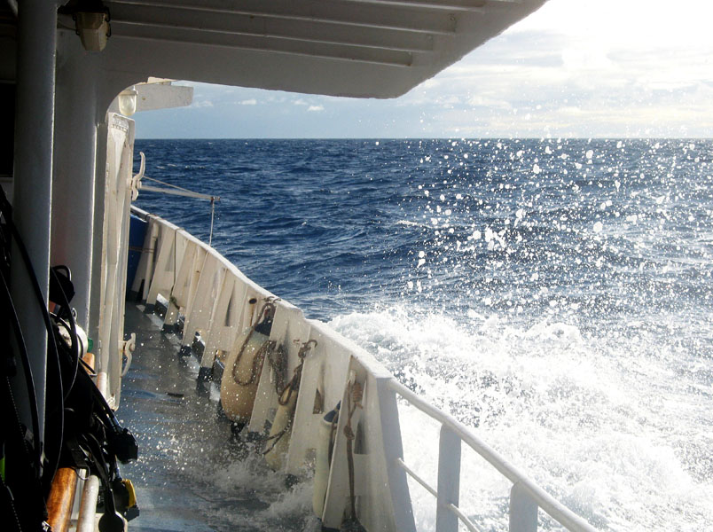
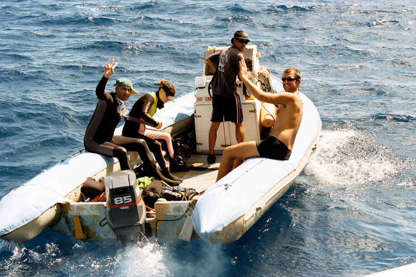
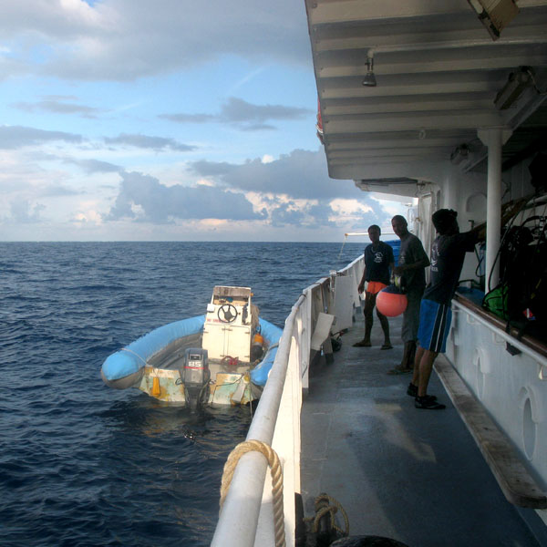
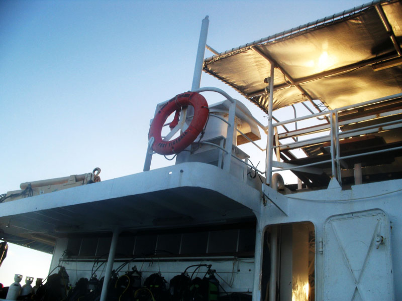
We were very lucky too. Our vessel, Indian Ocean Explorer, was captured by Somali pirates around 2 weeks after our trip. It happenned near the coast of the Assumption island, between the 28th and 30th of March 2009. The crew was held hostage for 79 days. Fortunately, thanks to the Seychelles authorities, they were released on June 22, 2009. However, Seyshelles government representatives neither did release Somali pirates they had captured nor did pay any ransom for the crew. This is why the vessel still remains in pirate hands, anchored off the coast of Central Somalia.

Categories
Seychelles

Assumption

Assumption Island is a small island located at 9°45′S 46°29′E in the Indian Ocean north of Madagascar and is part of the country of the Seychelles. It is located about 30 km southeast of the Aldabra Atoll and is part of the Aldabra Group. It is a single coral island which measures 11.07 km² in area and which has a small settlement on the sheltered western side, surrounded by Casuarina trees. An abandoned coconut palm plantation is just south of it. There is a concrete runway that runs from between the two sand dunes on the southeast to the settlement. The western shore features an almost uninterruptend sandy beach of 5 km. Two large sand dunes are prominent on the southeastern coast of the island, one of them 32 m high.

Due to the devastating effect of guano mining which lasted until 1983, the island is dominated by expanses of bare rock and caves, and is sparsely covered with low-growing vegetation.

A notable feature of this island is the Assumption Island day gecko, a subspecies of gecko found only on this island.

The documentary The Silent World was partially shot on Assumption.

Source: Wikipedia (under GNU Free Documentation License)

Categories
Seychelles

Aldabra Atoll

Aldabra is a raised coral atoll in the Aldabra Group of islands in the Indian Ocean that form part of the Seychelles. The island is more than 700 miles from Mahé and is closer to the coast of Africa and Madagascar. Virtually untouched by humans, with distinctive island fauna, including the Aldabra Giant Tortoise, the island is designated a World Heritage Site. The atoll is home to the world’s largest population of giant tortoises, numbering some 100,000 individuals. They are also known for their green turtles, hawksbill turtles, hammerhead sharks, mantarays, barracuda, and birds, including the Aldabra rail, the last surviving flightless bird of the Indian Ocean region. The Aldabra Group includes the island of Assumption and the atolls of Astove and Cosmoledo.

Aladabra was designated a World Heritage Site on November 19, 1982, and is administered by the Seychelles Island Foundation based on Mahé. An environmental disaster for the island was averted in the 1960s when the British nearly entered into negotiations with the United States to turn the island into a military air base. The proposal created an international protest by ecologists and their lobbying resulted in military plans abandoned and the wildlife habitat receiving full protection.

Source: Wikipedia (under GNU Free Documentation License)

Categories
Seychelles

L’Ilot

Categories
Seychelles

Cosmoledo Atoll

Cosmoledo is an atoll of the Aldabra Group and belongs to the Outer Islands of the Seychelles. The atoll is 14.5 km long east-west, and 11.5 km north-south. The total land area is about 5.2 km², while the lagoon measures 145 km² in area (total 152 km²). It is located at 9°42’S 47°36’E. The closest island is Astove Island, 38 km farther south. Cosmoledo Atoll and Astove Island are together sometimes known as Cosmoledo Group, which is part of the larger Aldabra Group.

There are 16 individual islets and cays along the rim of the atoll, with Menai (in the west) and Wizard Island (Grande Île, in the southeast) being the largest.

Cosmoledo holds Seychelles’ largest colonies of all three species of booby that breed in Seychelles. The atoll holds the last viable population of Brown Booby, breeding mainly on Ile du Sud Ouest, with a few on Ile du Nord. It also has the Indian Ocean’s larget population of Red-footed Booby censused by the Island Conservation Society as about 15,000 pairs.

Source: Wikipedia (under GNU Free Documentation License)

Categories
Seychelles

Astove

Astove Island is part of the Aldabra Group of the Seychelles. It is 38 km SSE of Cosmoledo Atoll, located at 10°06′S 47°45′E. It is a raised coral island of most peculiar form: a single stretch of land, more than 1 km (nearly one mile) at the widest, almost entirely encloses a shallow lagoon. This has a maximum depth of 3 metres (10 ft), and the only exit is a winding passage in the southwest, called Gueule Bras Channel.

Astove Island measures nearly 6 km (3.7 miles) north to south and about 4 km (2.5 mi) at most east to west. The land area is 4.96 km², and the total area including the lagoon 9.5 km². The only settlement, on the western coast, has been abandoned since the 1980s. There is a grass airstrip on the north east point of the island, and remnants of a former coconut and sisal plantation. Today, the island is rarely visited – usually by scientists researching the lagoon’s ecology – but the near-vertical drop-off from its outer reef edge is a popular location for diving cruises.

Source: Wikipedia (under GNU Free Documentation License)

Categories
Seychelles

St. Pierre

St Pierre Island is a raised reef island west of Providence Atoll and part of Farquhar Group, which belongs to the Outer Islands of the Seychelles. The island is located at 9°17′S 50°44′E, 35 km (19 nautical miles) west of Cerf Island of Providence Atoll, 704 km (380 nmi) from Mahé and 500 km (270 nmi) ENE of Aldabra.

The island is nearly circular, 1.6 km (1 mile) east-west by 1.4 km (0.87 mi) north-south, with a land area of 1.68 km² (0.65 sq mi). St. Pierre has a gently sloping seabed on the exposed southeastern coast and a steep drop off on the northwest, where the fringing reef is all but absent. It is uninhabited, and indeed in modern times all but uninhabitable. There is a derelict jetty and settlement on the north west shore, which is accessible by boat in the calmest weather only.

Source: Wikipedia (under GNU Free Documentation License)

Categories
Seychelles

Bijoutier

St. François Atoll is one of two atolls of the Alphonse Group of the Seychelles, just three kilometers south of Alphonse Atoll, the second atoll of Alphonse Group. The atoll is uninhabited and has two islands, St. François and Bijoutier Island. The aggregate land area is 0.196 km² (196,000 m²), but the total area including reef flat and lagoon is much larger (roughly 15 km north-south and 5 km east-west, with an area of more than 40 km²). It was discovered on 28 January 1730 by Chevalier Alphonse de Pontevez, commanding the French frigate Le Lys. The atoll is named in honor of Saint Francis de Sales.

The northern and smallest island takes its name from the French word bijoutier, meaning “jeweller”. The area of the island is 20,000 m². The island is only accessible by boat during high tide. The island is small enough that it takes only a few minutes to walk completely around it.

Source: Wikipedia (under GNU Free Documentation License)

Categories
Seychelles

Alphonse Atoll

Alphonse Atoll is one of two atolls of the Alphonse Group, and located 87 km south of the Amirante Islands, and just three kilometers north of St. François Atoll, the second atoll of Alphonse Group. The atoll has just one island, Alphonse Island, with a population of fewer than 300. It was discovered on 28 January 1730 by Chevalier Alphonse de Pontevez, commanding the French frigate Le Lys. A luxury hotel has been build on Alphonse Island, generating frequent traffic between other islands in the group. The area of the island is 1.74 km². The total area of the atoll, with more than 3 km in diameter, is about 8 km², including reef flat and lagoon.

Source: Wikipedia (under GNU Free Documentation License)

Categories
Seychelles

Desroches II

Île Desroches or Desroches Island is the main island of the Amirante Islands, part of the Outer Islands of the Seychelles. It is located 230 km southwest of Mahé, the Seychelles’ main island. It is 6.2 km long and has a land area of 3.24 km². Along its circumference of 15 km is a beach of fine sand.

Desroches was named by Chevalier de Roslan, commander of the ship L’Heure du Berger, after the Chevalier des Roches, the Governor of Mauritius (then Île de France) and Réunion (then Bourbon) from 1767 to 1772. It was explored by the Chevalier de la Billioère in 1771. The British had originally named it Wood Island because of its dense tree vegetation. The island was an important producer of copra.

Desroches has a population of about 50, a settlement in the middle of the northwestern shore (looking to the lagoon), a small luxury hotel with 20 rooms in the south (Desroches Island Resort), built in 1988 and a paved airstrip 1372 m long in the southern part. It is located 36 km east of the Amirantes Bank, and separated from it by water over 1300 meters deep. It lies on the southern edge of a reef of atoll character. At the northern edge of the atoll are the Shark Rocks, with least depths between 3 and 6 meters. There is a lighthouse on the northeast end of the Desroches Island. The island is fringed by a drying reef which extends 1.6 km offshore from the northeastern extremity and 0.8 km from the southwestern extremity. The island is low and is covered with coconut palms and tall hardwood trees. A deep channel, about 1.6 km wide, leads into the lagoon. The least depth in the channel is 18.3 m, and it crosses the atoll in a position about 11 km northwest of Desroches.

Source: Wikipedia (under GNU Free Documentation License)