


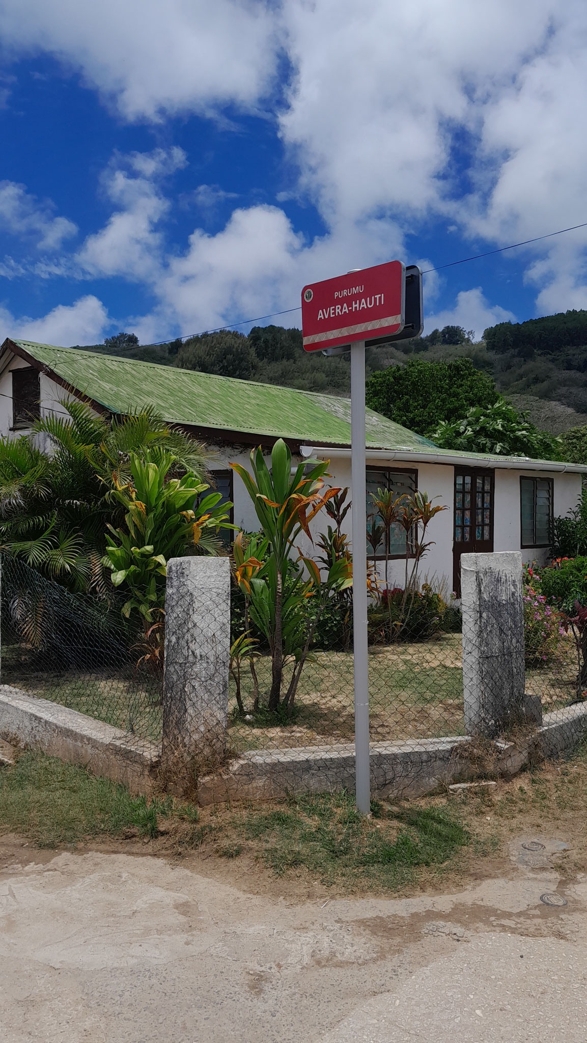
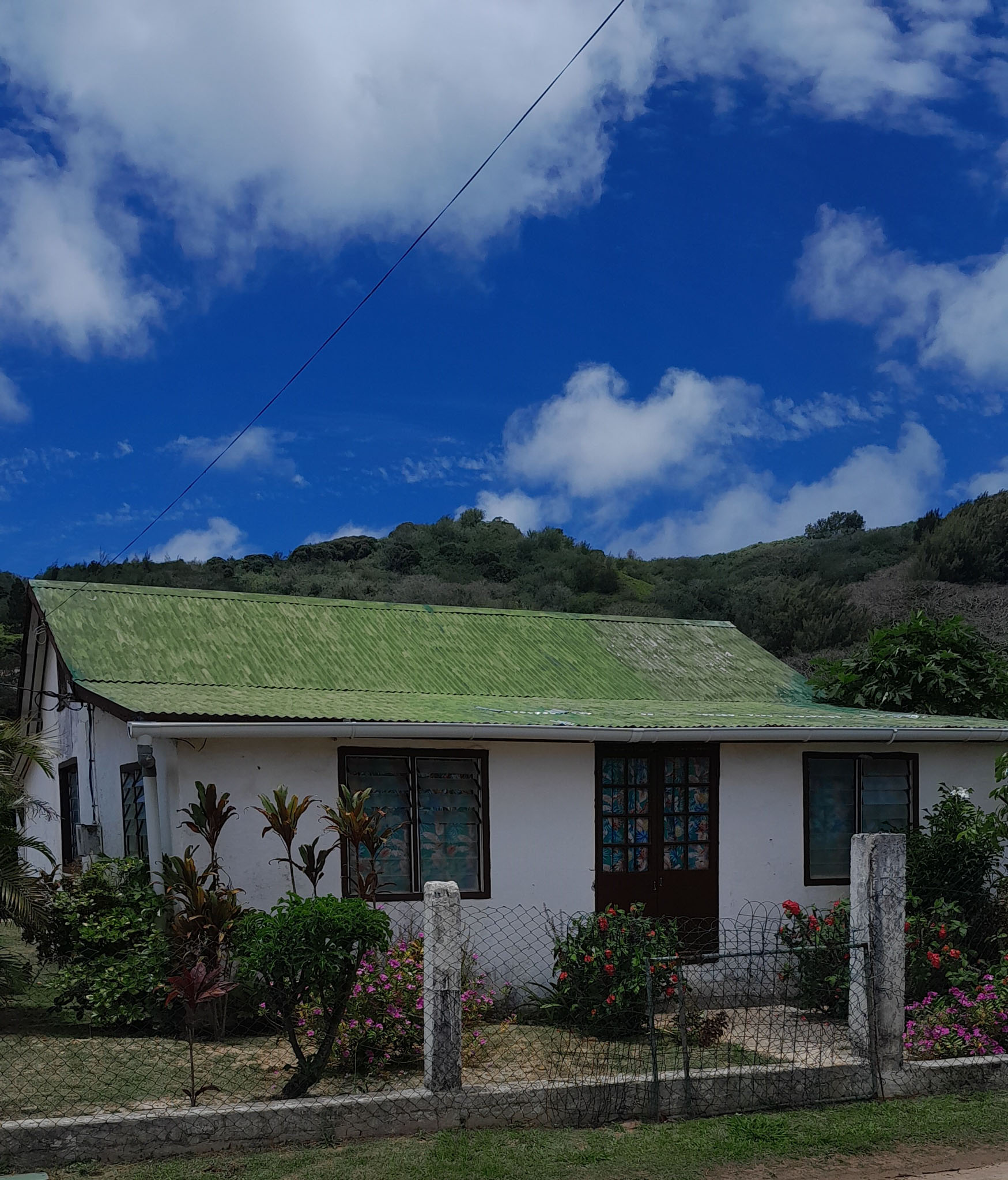
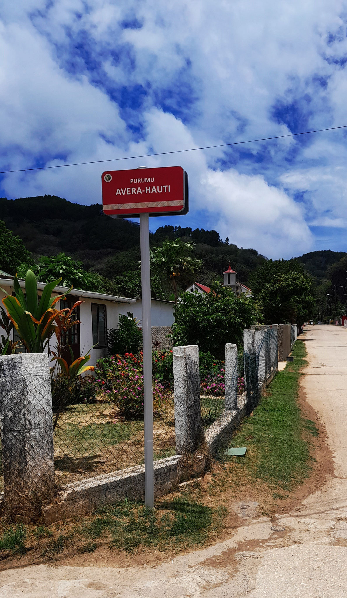

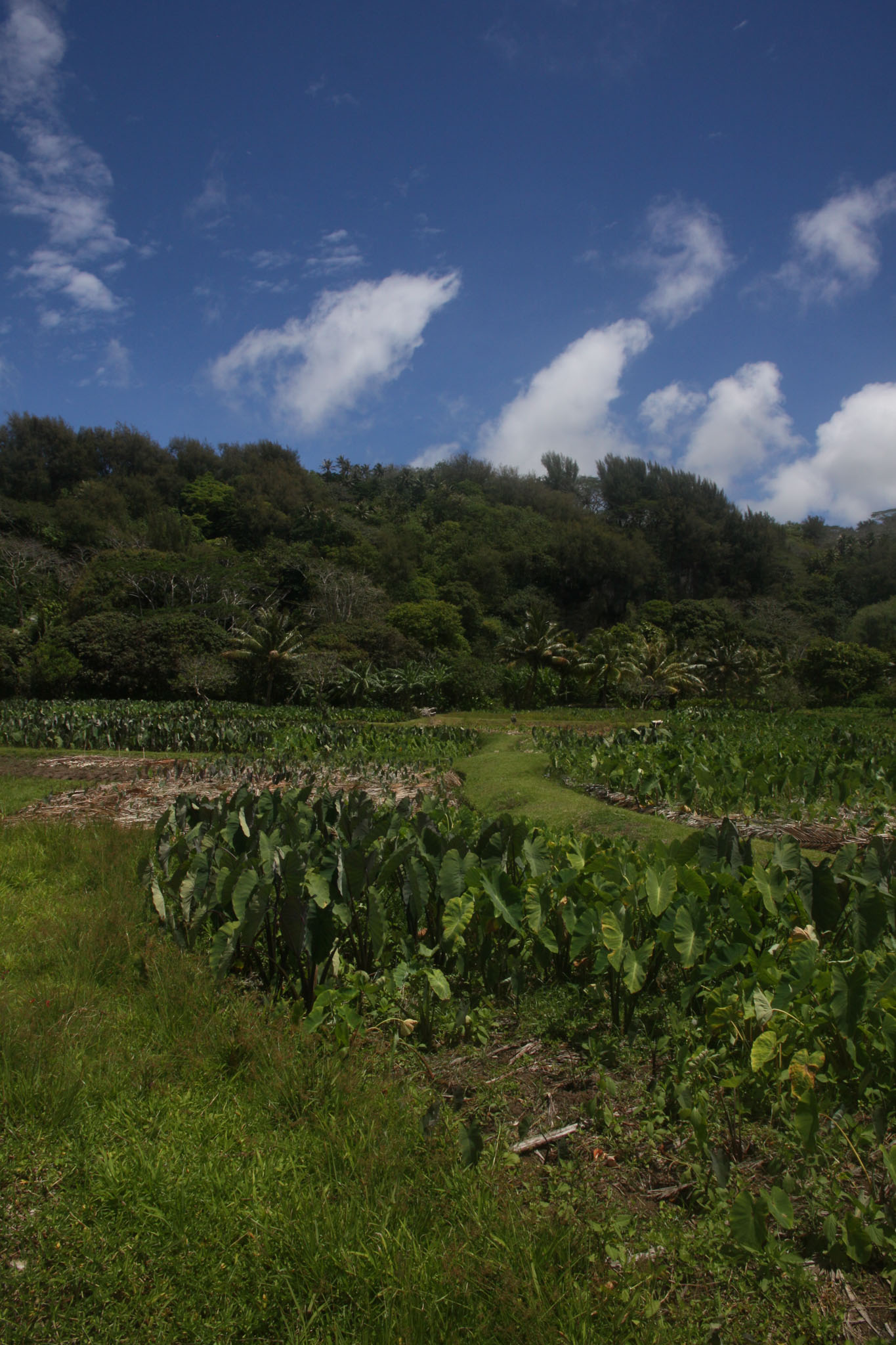
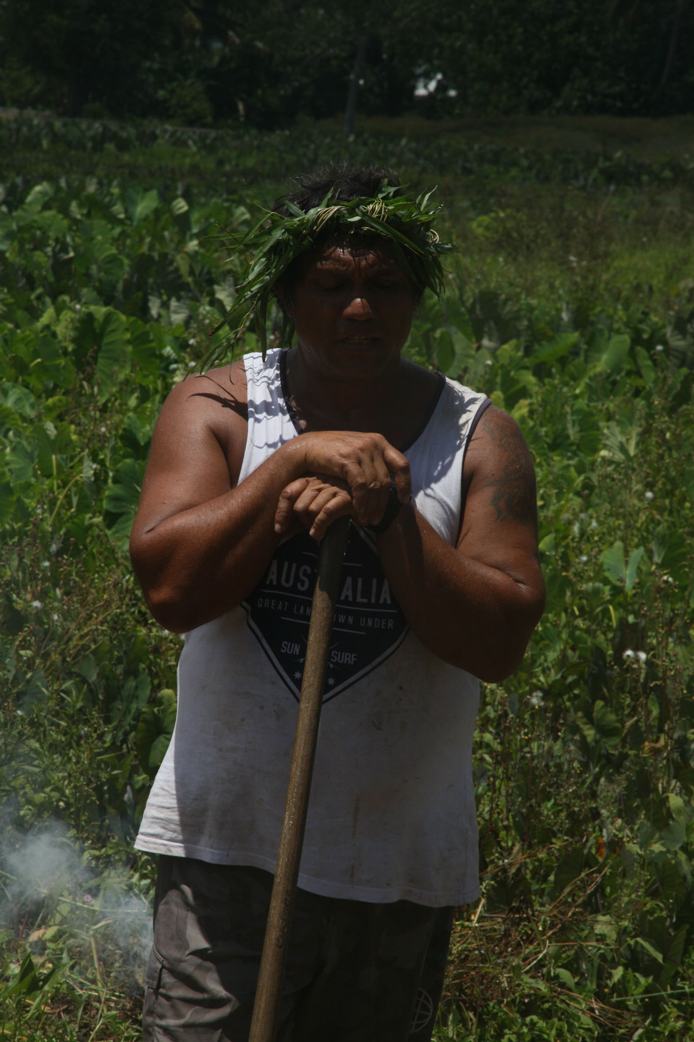
Rūrutu is the northernmost island in the Austral archipelago of French Polynesia, and the name of a commune consisting solely of that island. It is situated 572 km (355 mi) south of Tahiti. Its land area is 32.7 km2 (12.6 sq mi). It is 10.8 km long and 5.3 km wide. Its highest point (Manureva) is 389 m (1,276 ft). At the 2022 census it had a population of 2,163.
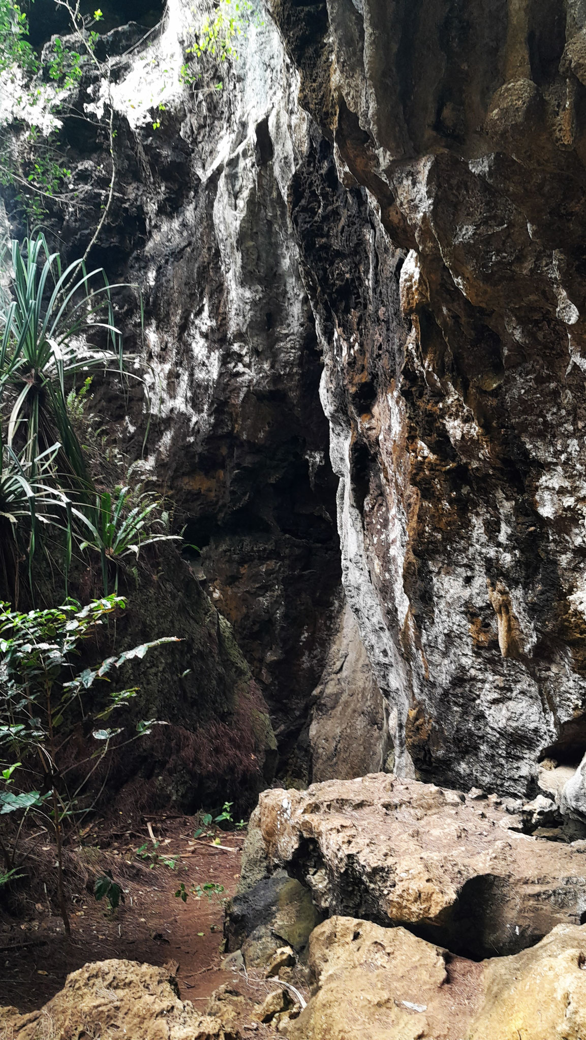
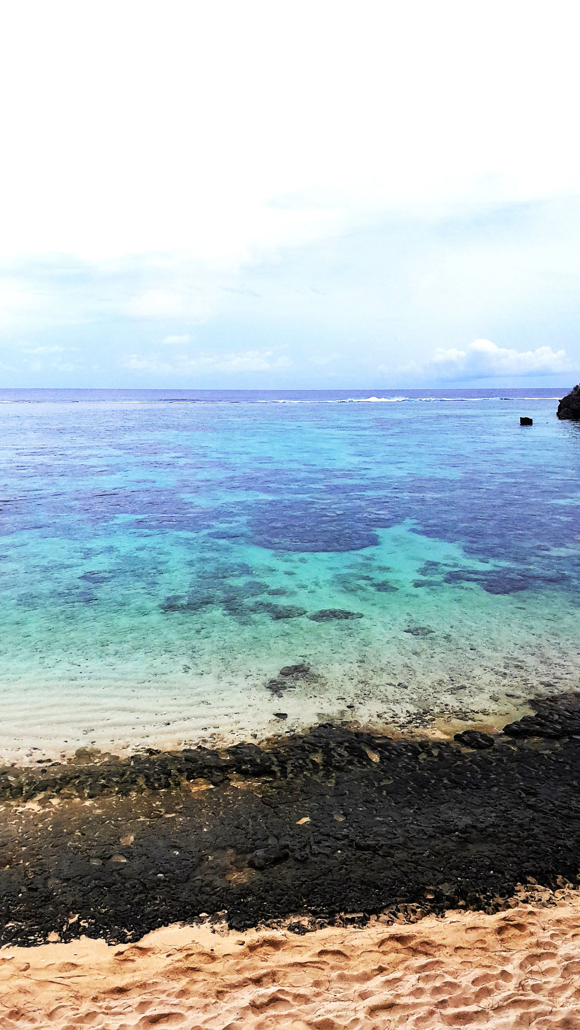
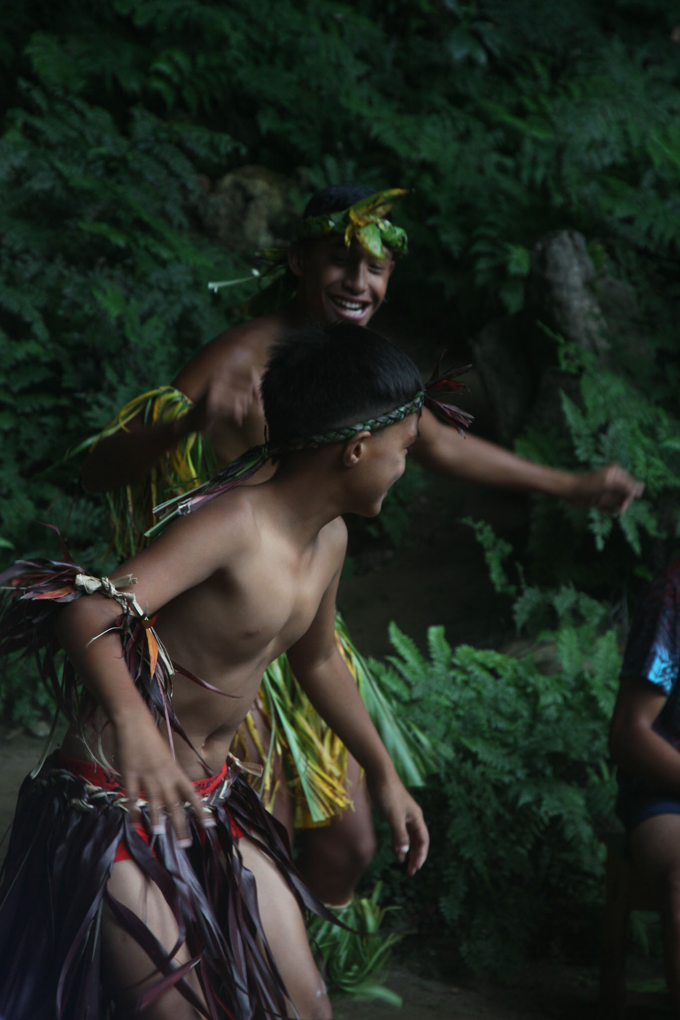
Geologically, Rurutu was initially formed 12 million years ago by the Macdonald hotspot, a hotspot associated with the Macdonald seamount. Over the next 10 million years, erosion shrank the island until it was almost an atoll. Then, just over a million years ago, Rurutu passed over the Arago hotspot, which lifted it roughly 150 meters. Steep sea cliffs of ancient coral lifted by the event—called makatea—now largely encircle the island. These are riddled with caves filled with concretions—indeed, Rurutu is largely unique among islands in French Polynesia in that its historic inhabitants were cave-dwelling.