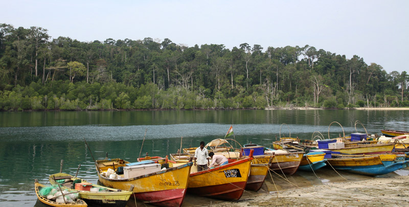

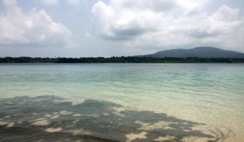

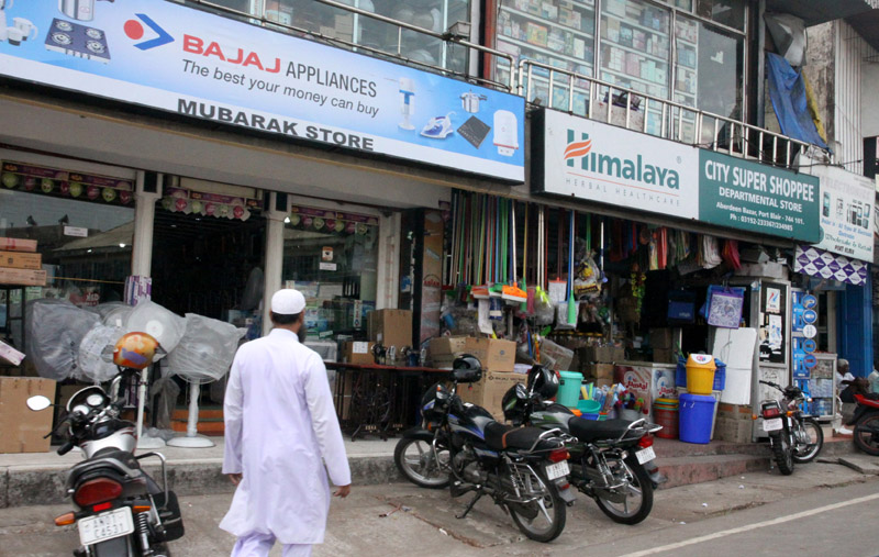


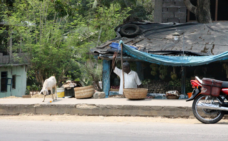
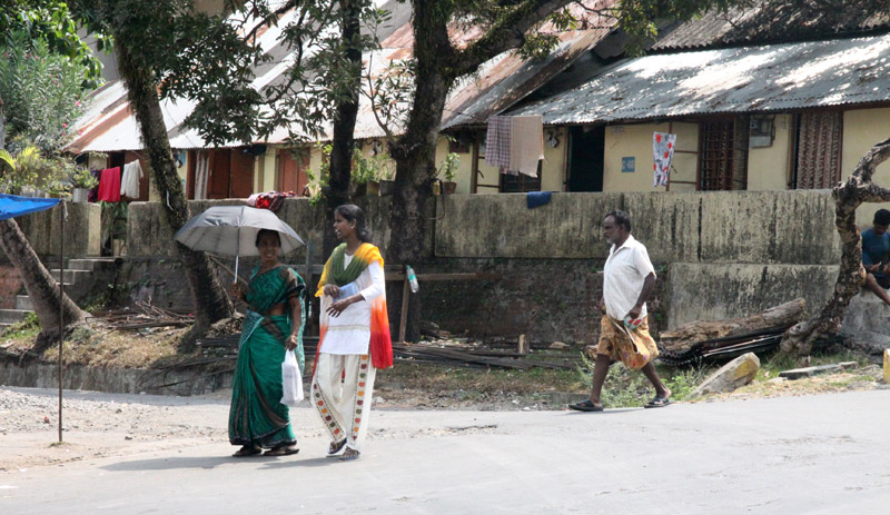
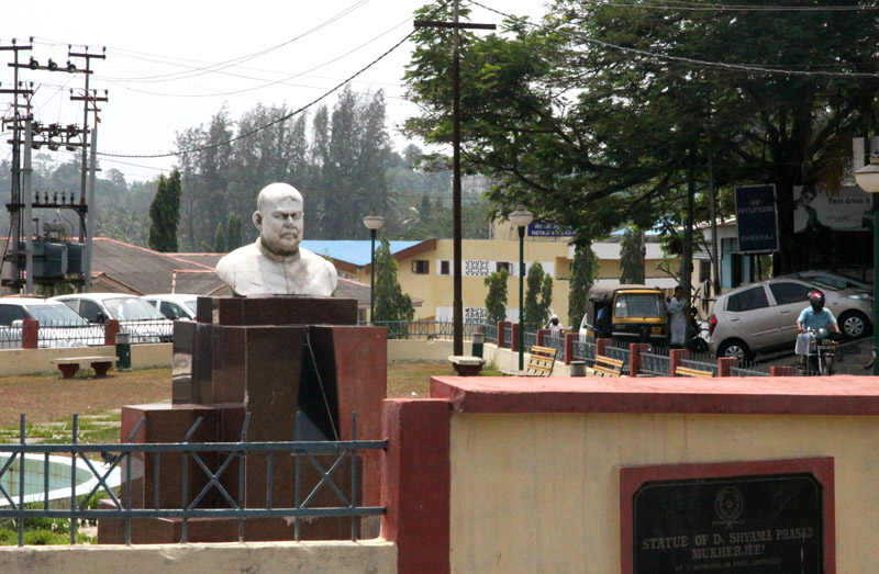

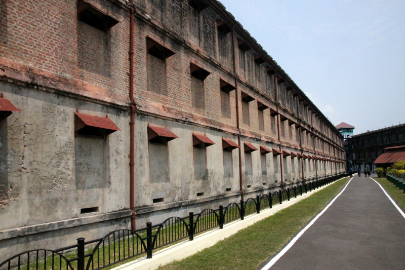
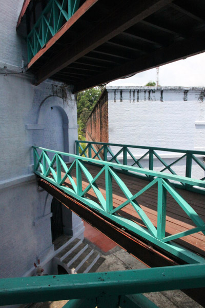
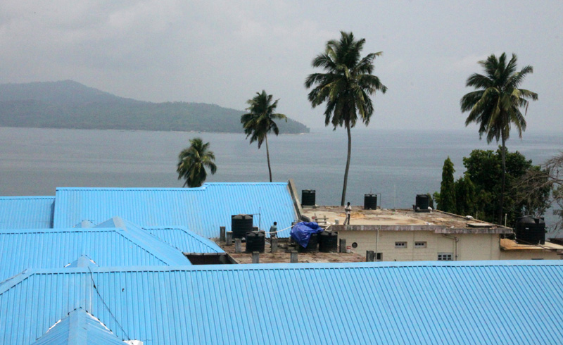
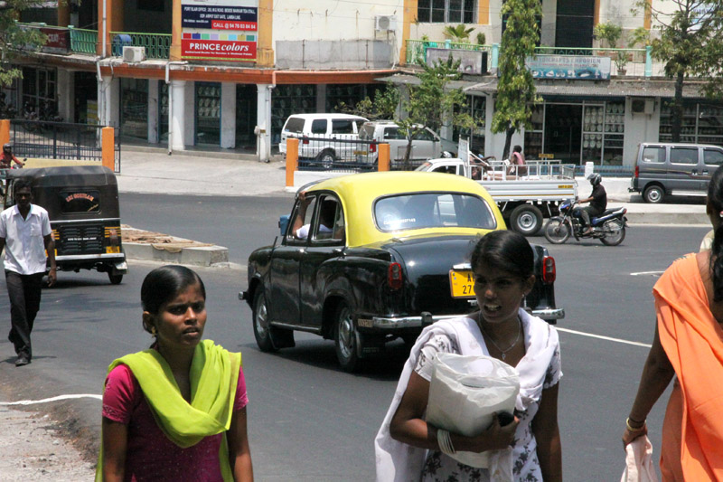
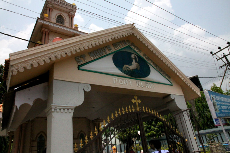
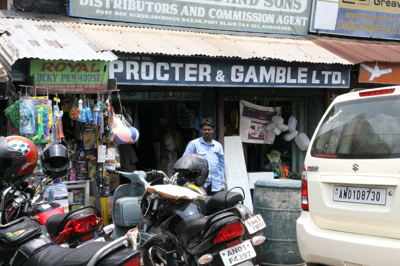
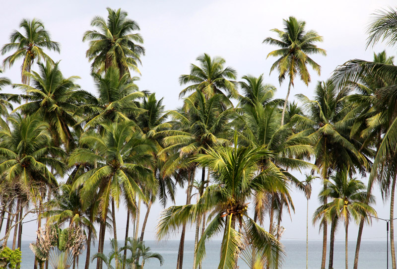


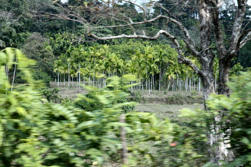
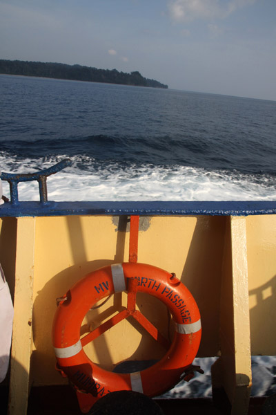
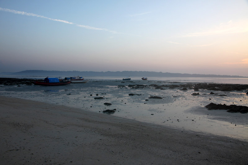
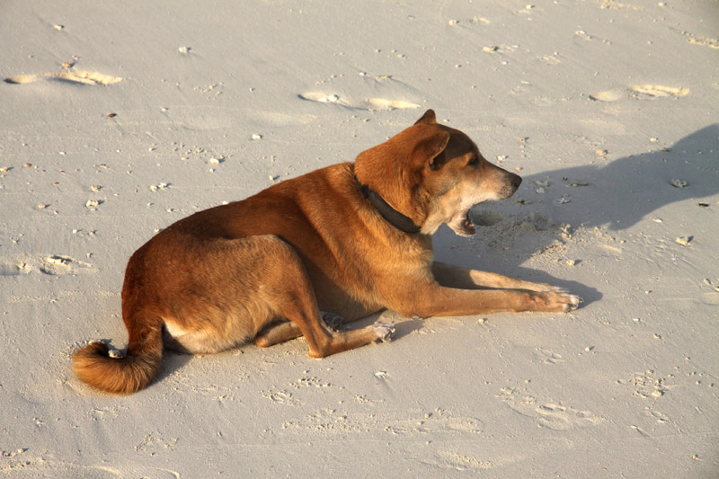
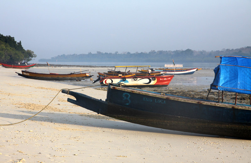
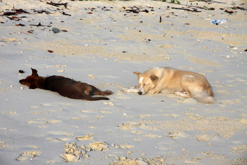
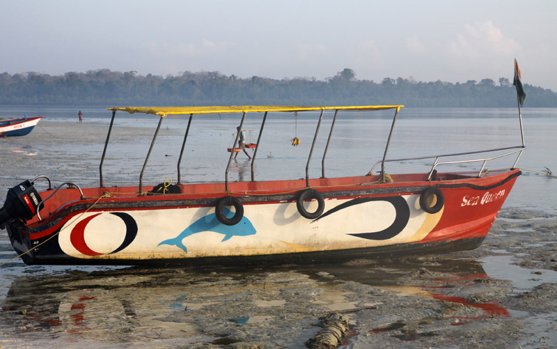
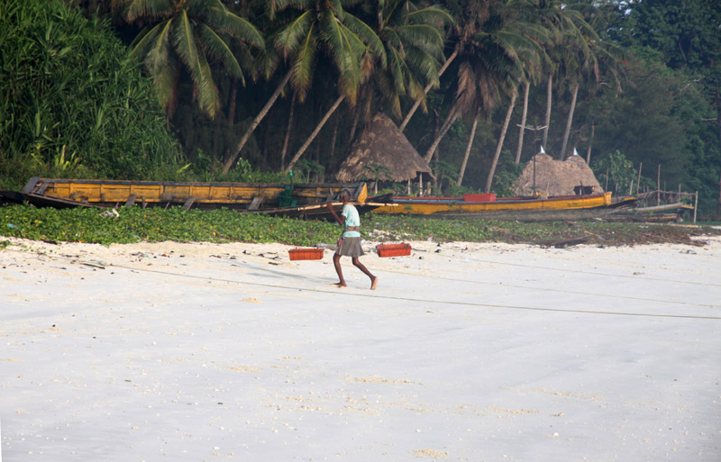
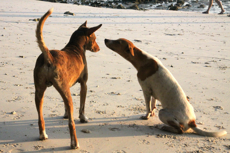
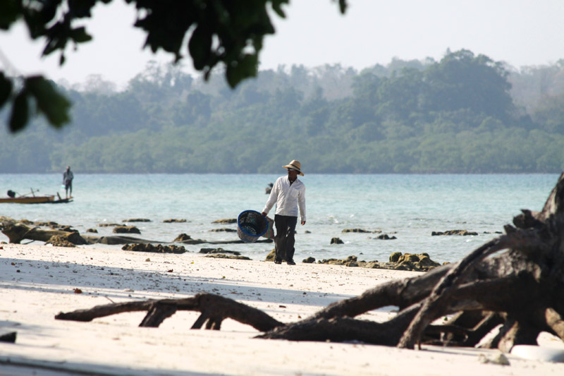
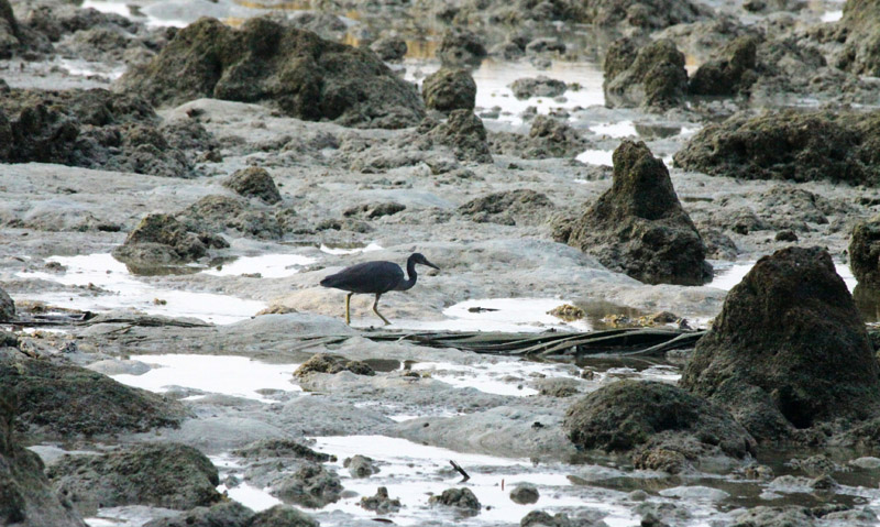
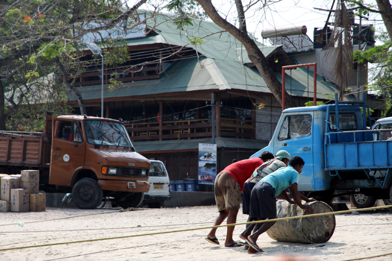
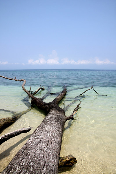
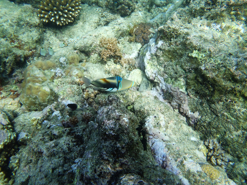
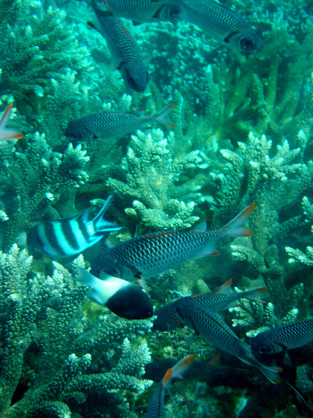
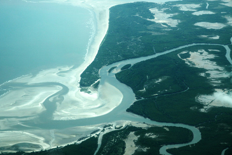
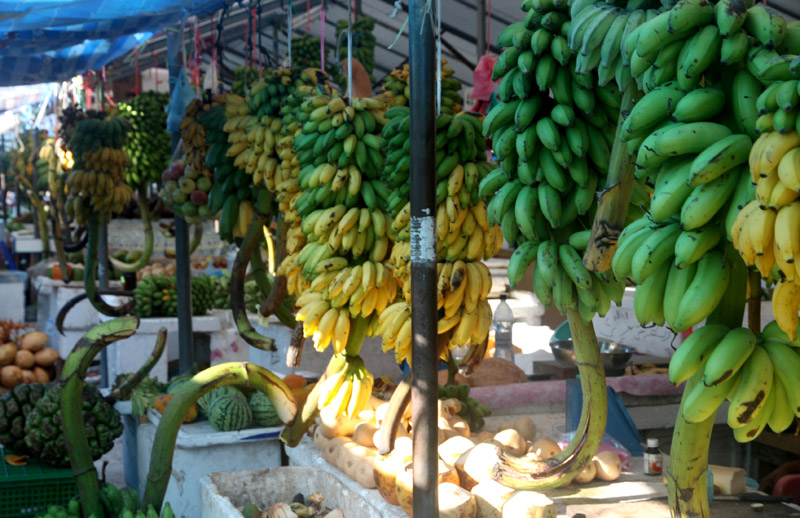
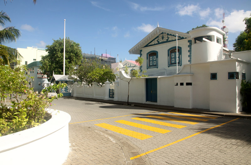
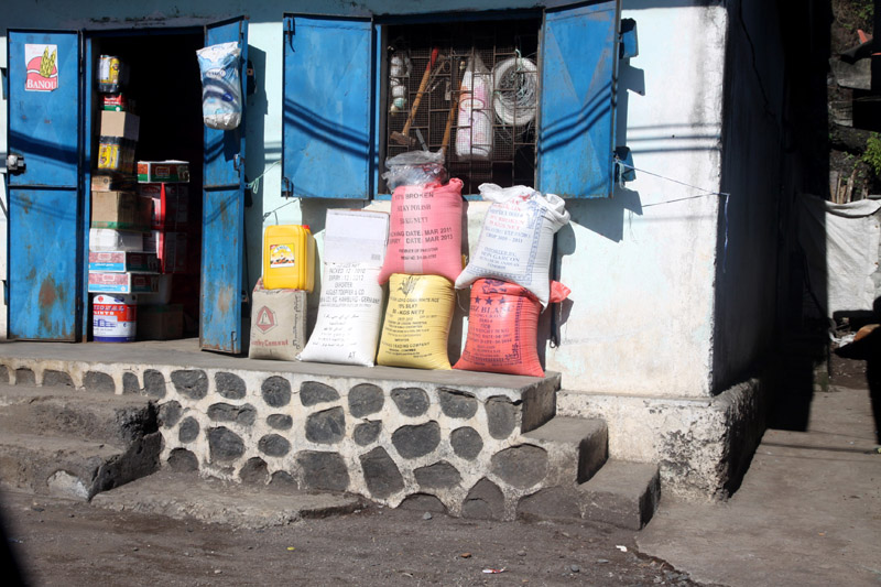
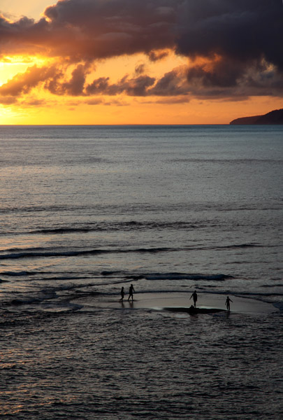
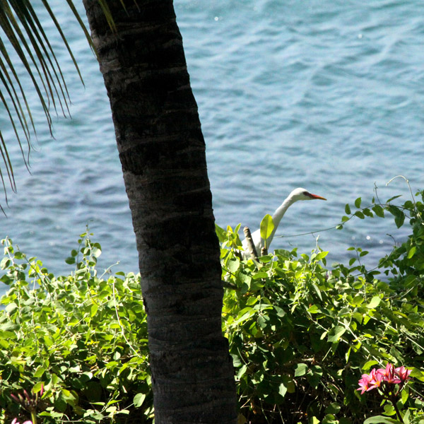
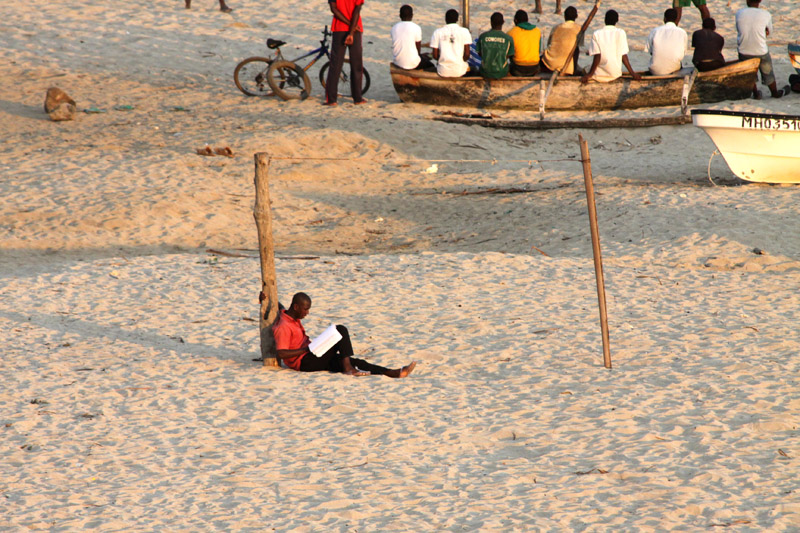
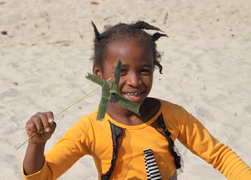
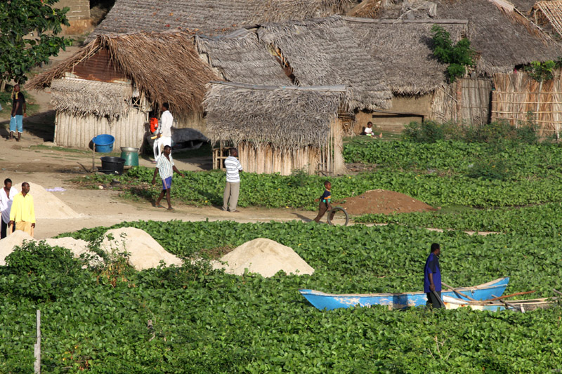
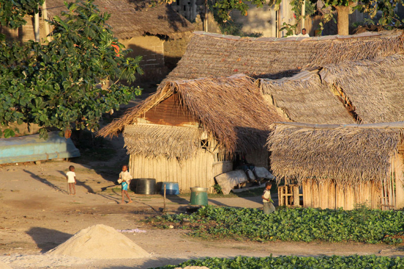
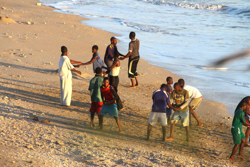
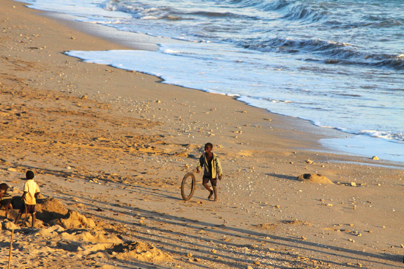
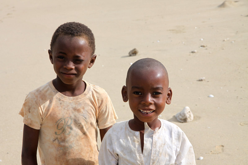
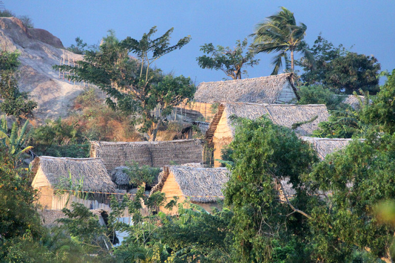
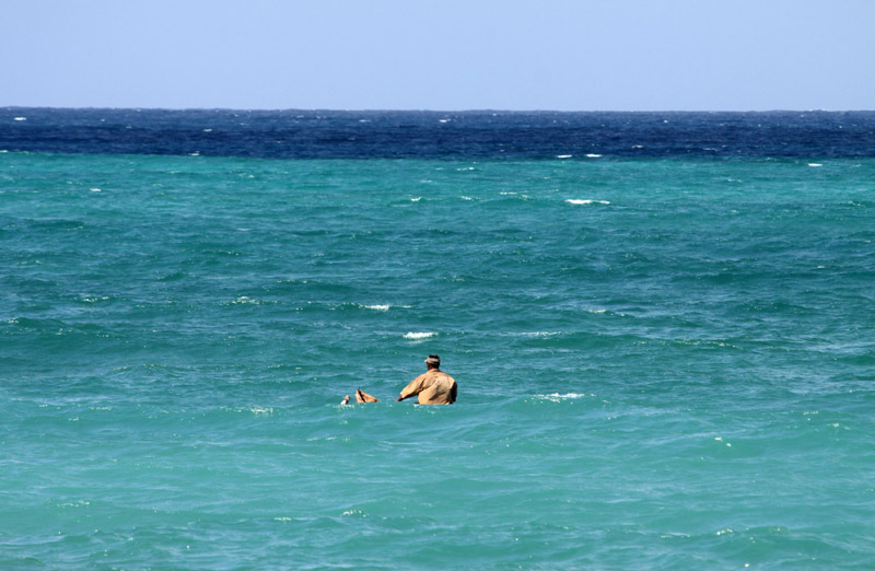
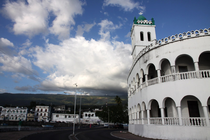
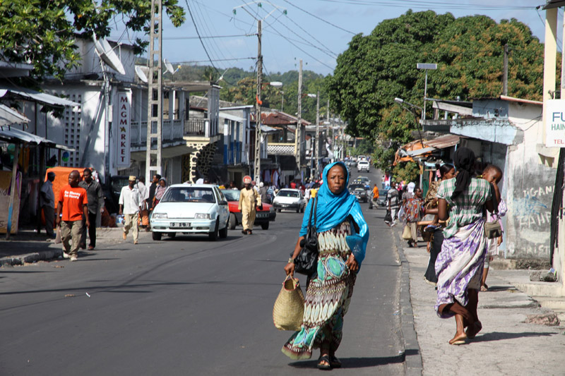
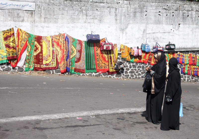
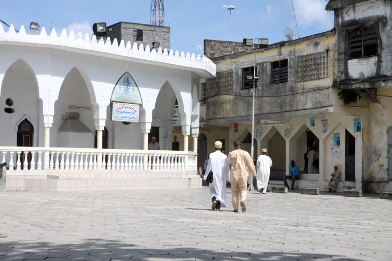
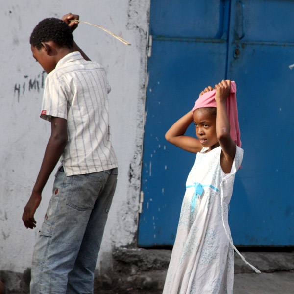
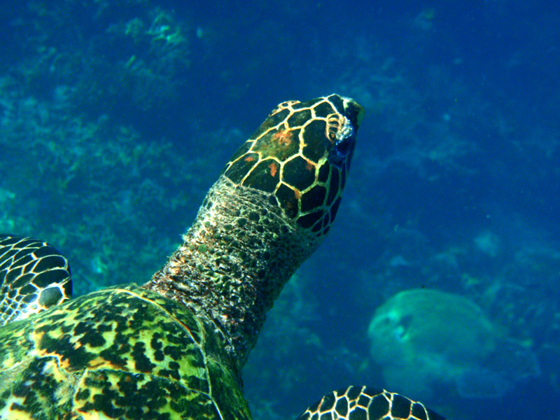
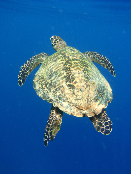
South Andaman Island is the southernmost island of the Great Andaman and is home to the majority of the population of the Andaman Islands. Port Blair, the capital of the islands, is located on the southern part of this island. Some areas of the island are restricted areas for non-Indians; however, transit permits can be obtained from the Home Ministry.
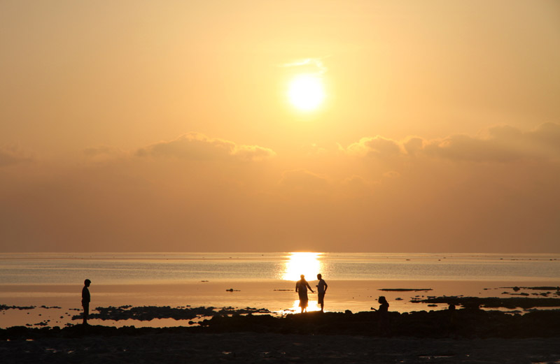
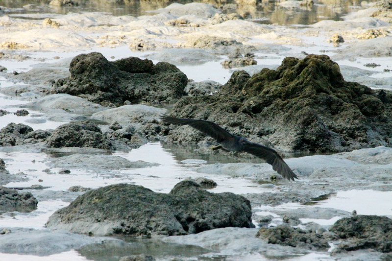
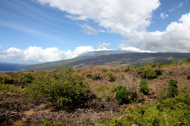
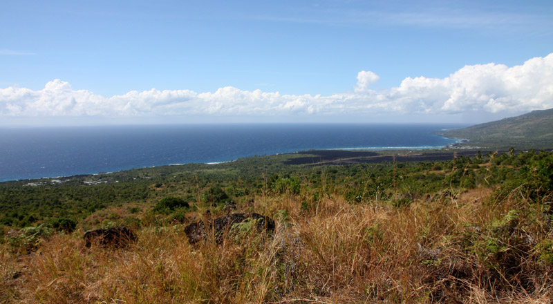
Like the rest of the archipelago, it was struck by the 2004 Indian Ocean earthquake, leading to many deaths on the island. South Andaman is the third largest island in the island group. It is located immediately south of Middle Andaman Island, from which it is separated only by a narrow channel, a few hundred meters wide. The island is 93 km long and 31 km in width. Its area is 1348 km². It had a population of 181,949 as of the 2001 census. South Andaman is less mountainous than the more northerly of the Andaman Islands. Koiob reaches a height of 456.6 meters.
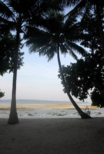
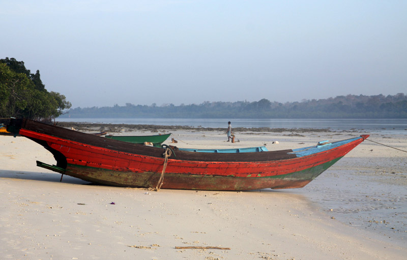
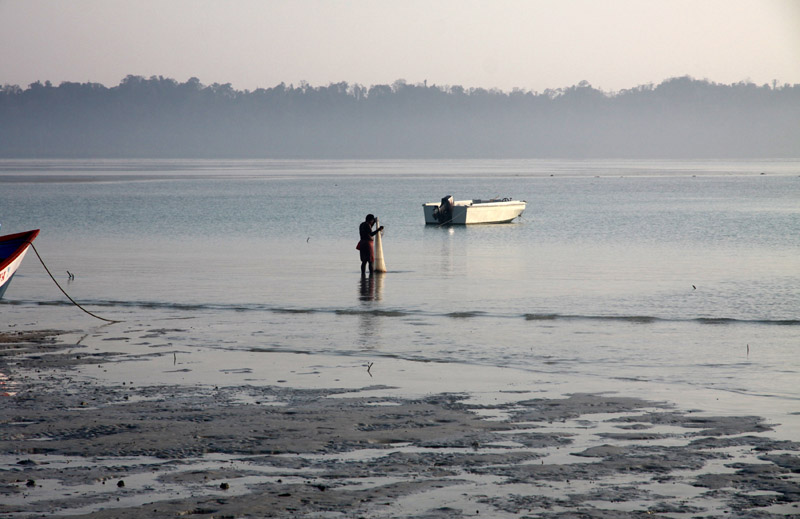
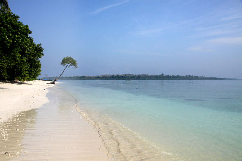
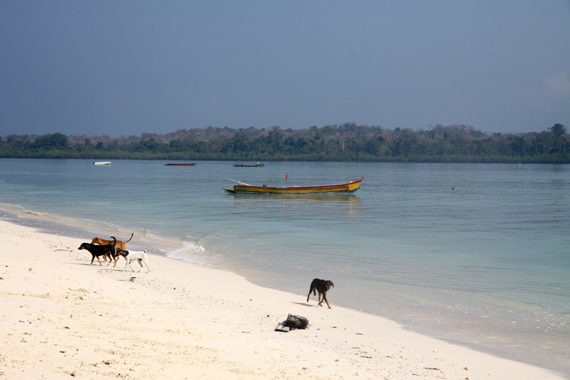
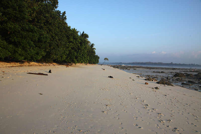
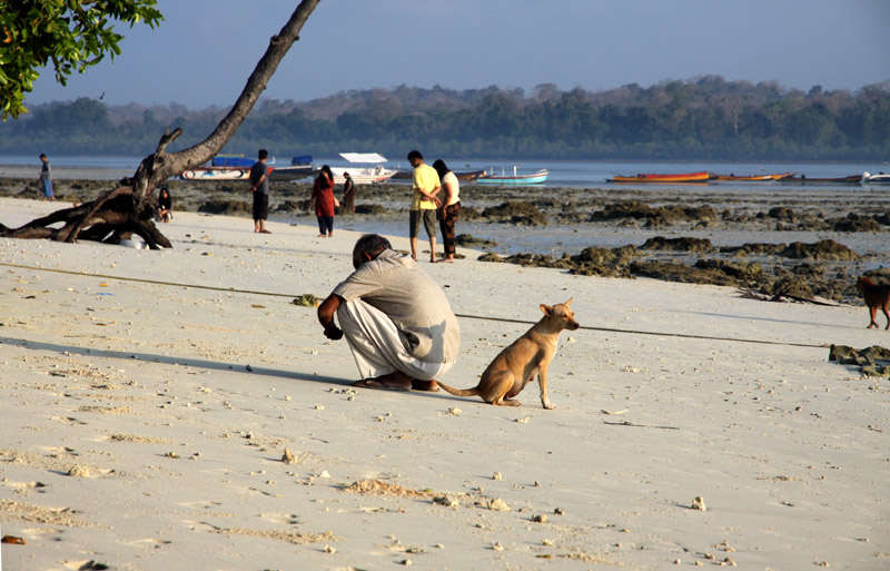
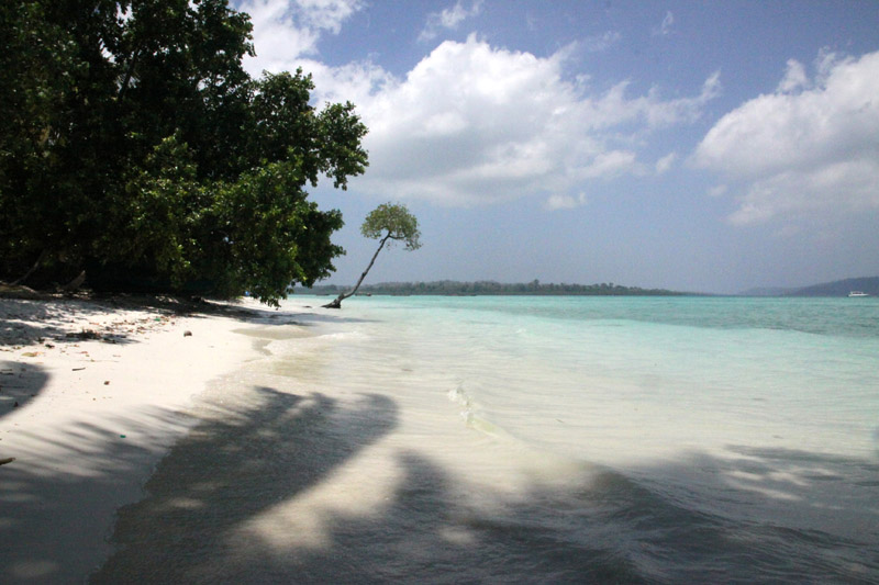
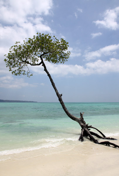
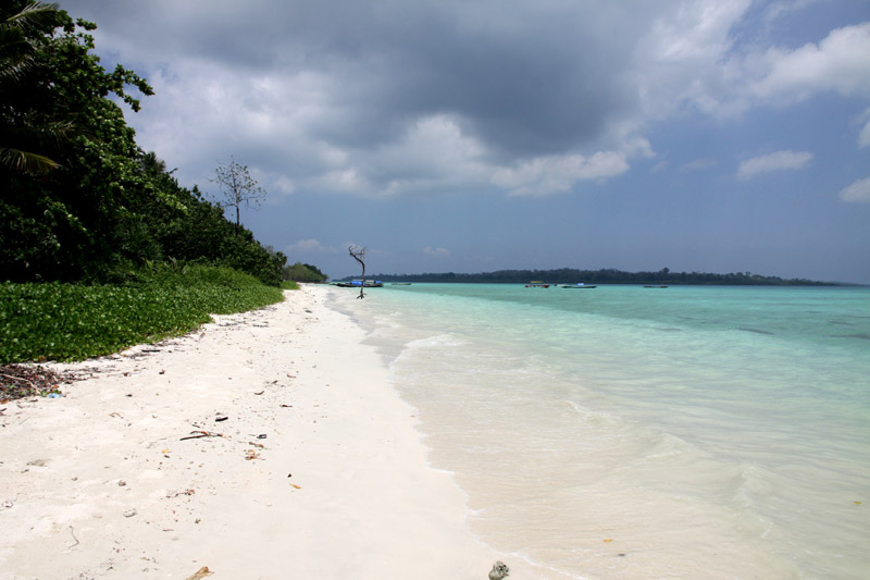
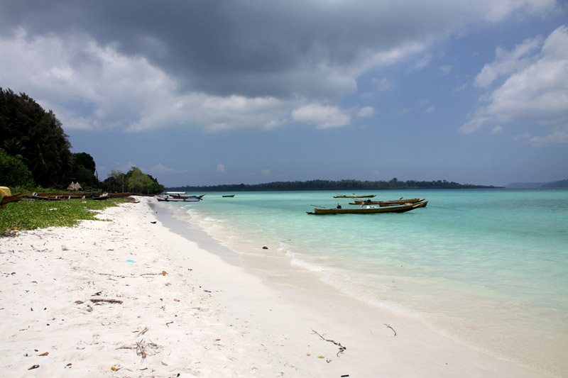
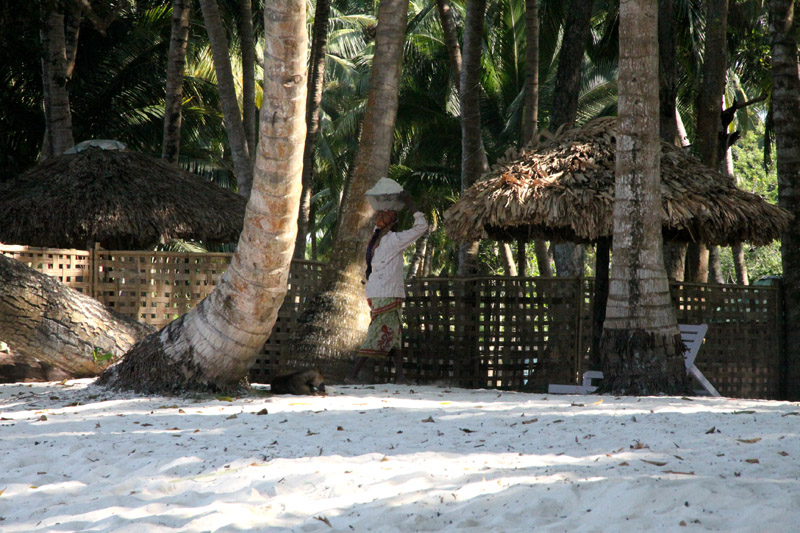
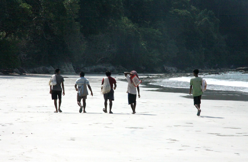
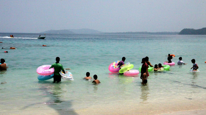
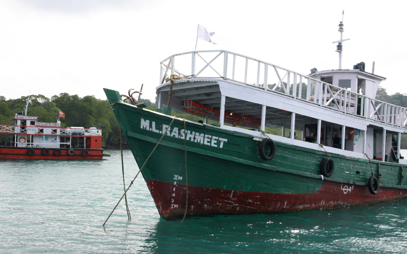
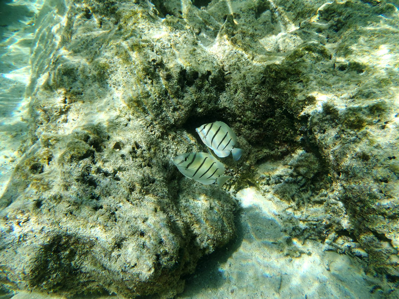
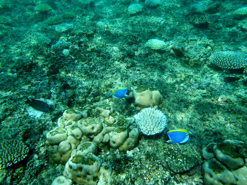
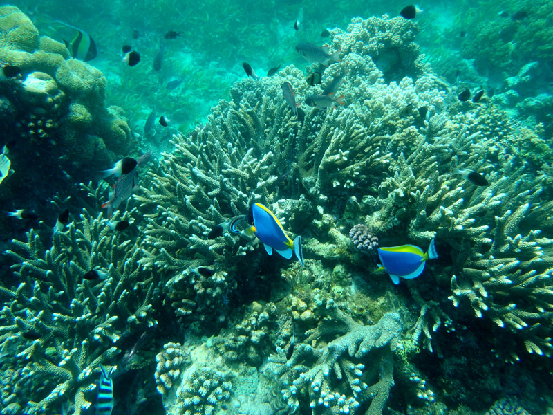
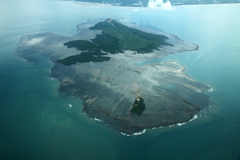
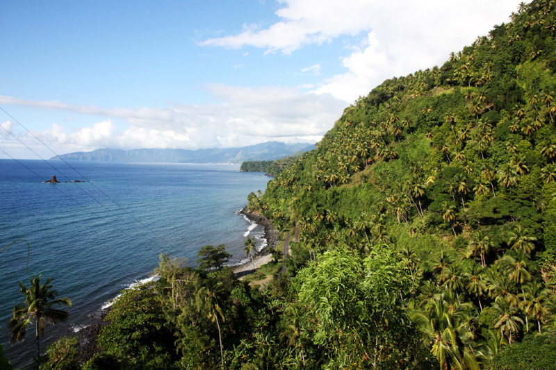
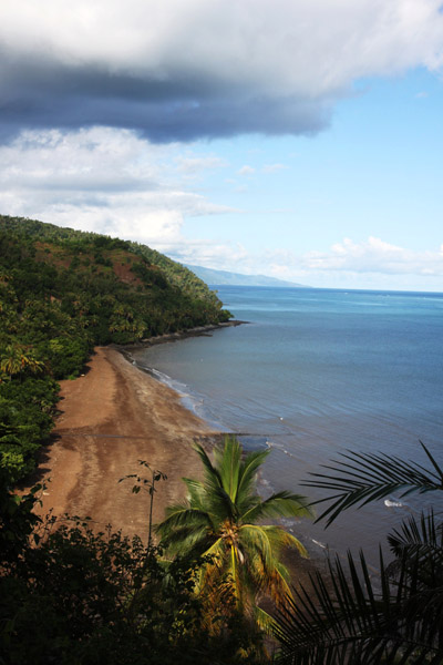
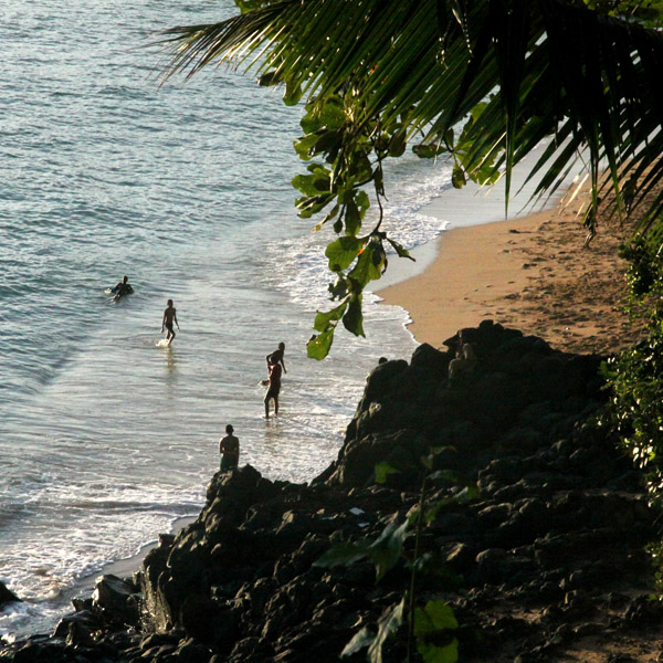
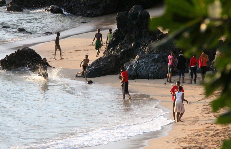
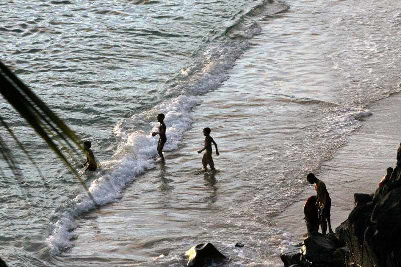
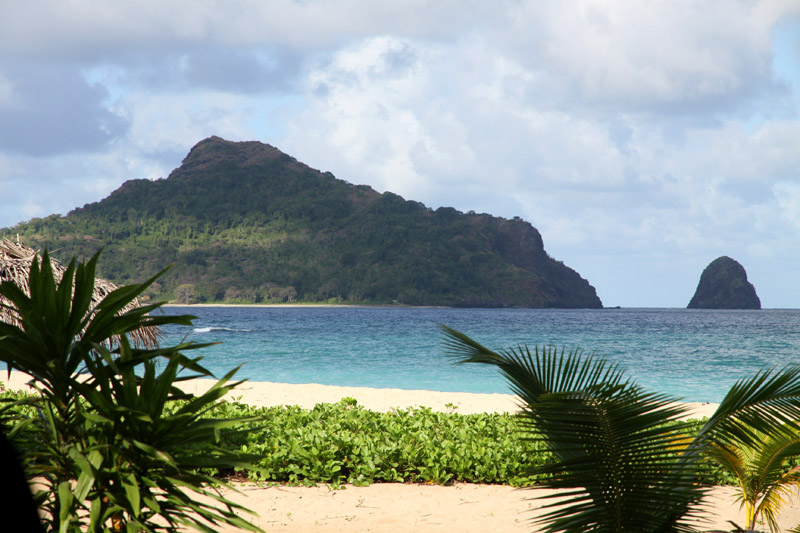
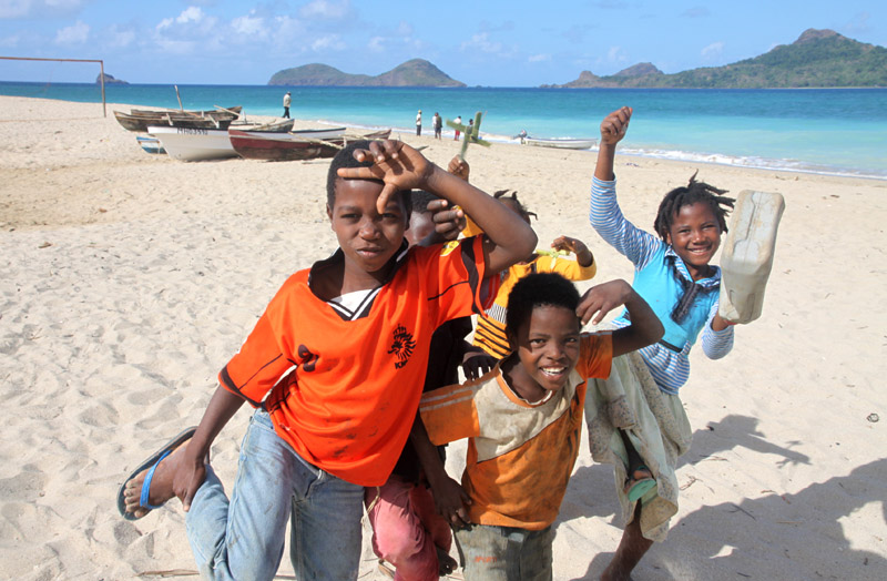
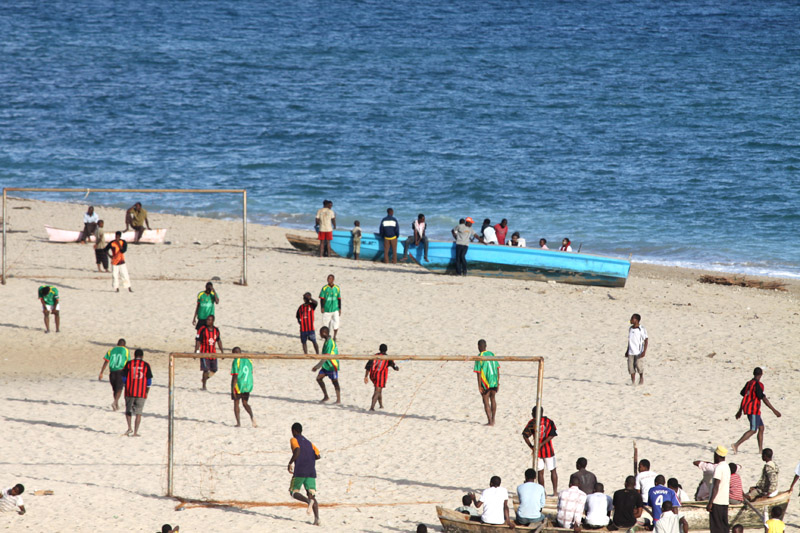
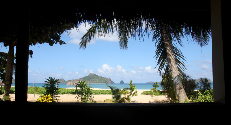
Havelock Island, with an area of 113.93 km², is the largest of the islands which comprise Ritchie’s Archipelago a chain of islands to the east of Great Andaman in the Andaman Islands. Havelock is situated 57 km North East of Capital City Port Blair. The population numbered 5,354 as of the census of 2001.
The island is named after Henry Havelock, a British general active in India. The island’s current population consists of Bengali settlers.
It is one of the few places that the administration of the Andaman and Nicobar Islands union territory of India has permitted and encouraged development of tourism, with a focus on promoting eco-tourism.
Havelock Island avoided much of the devastation which was visited upon most of the shores affected by the 2004 Indian Ocean earthquake and its resultant tsunami, and there were no documented casualties.
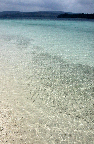
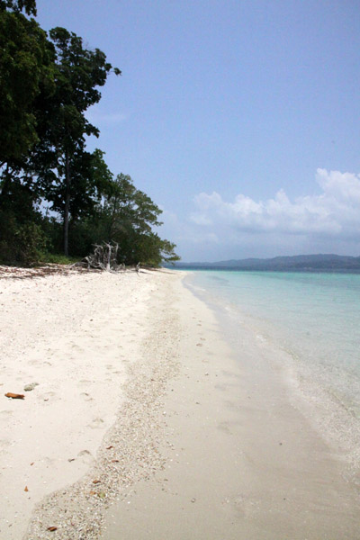
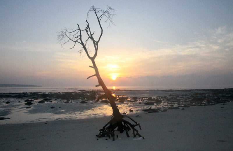
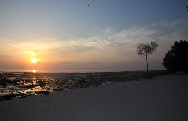
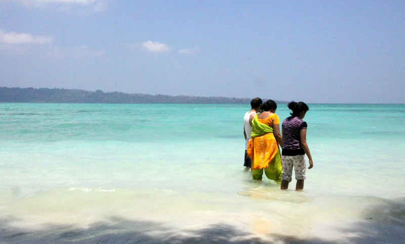
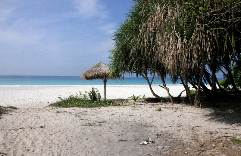
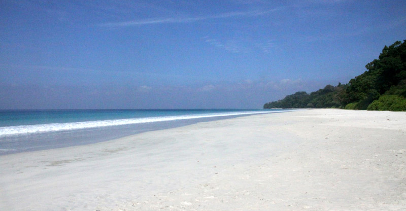
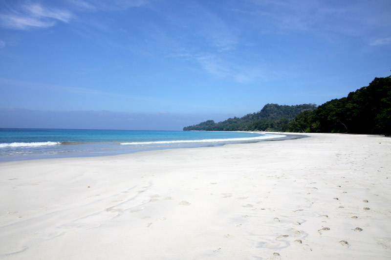
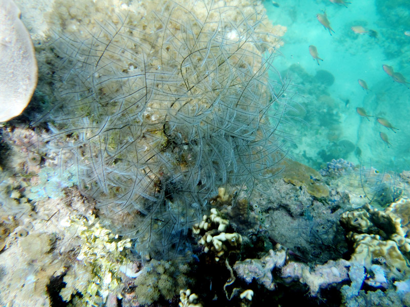
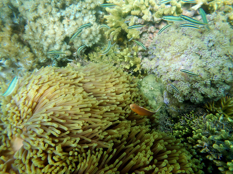
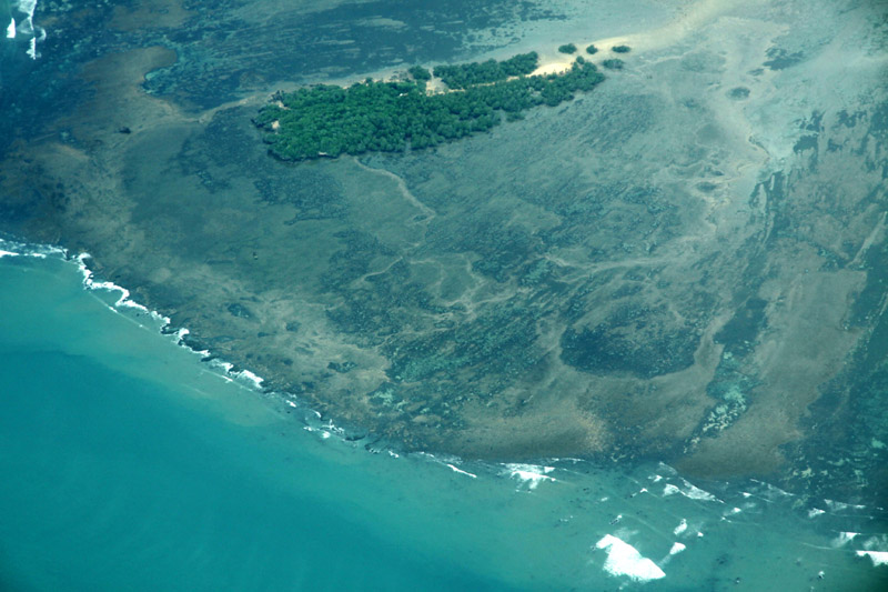
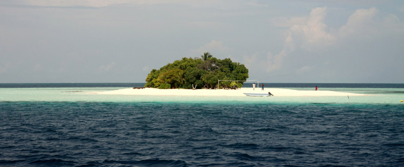
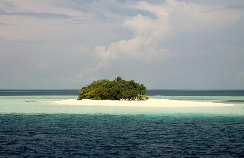
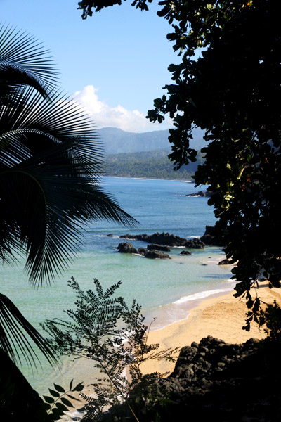
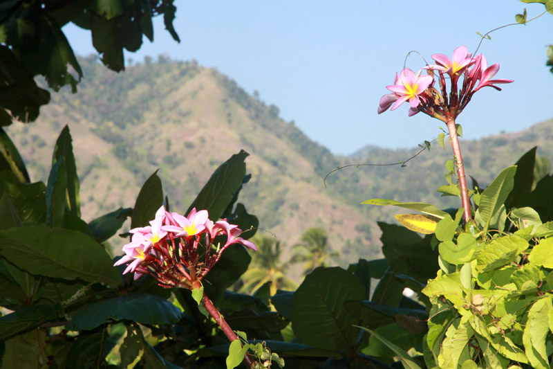
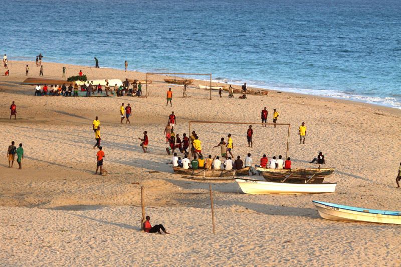
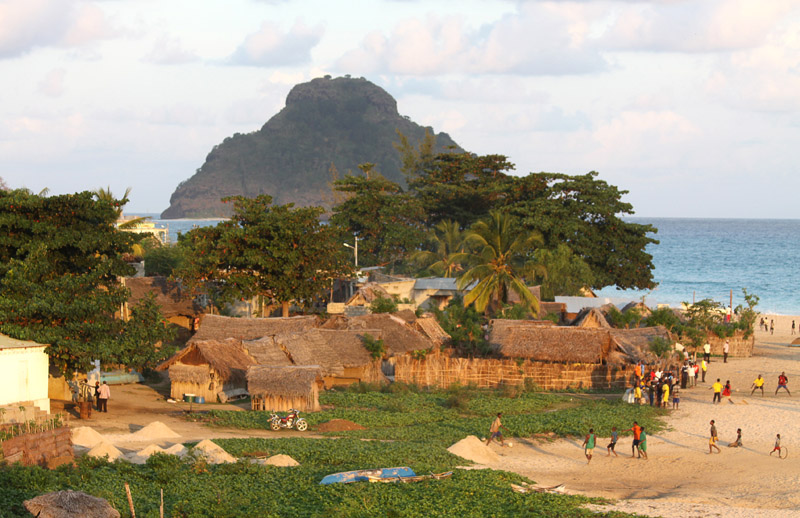
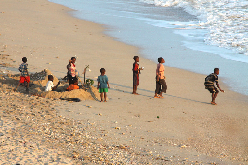
Beach No. 7 on the western coast, better known as “Radha Nagar” Beach, is one of the most popular beaches on Havelock and was named “Best Beach in Asia” by Time in 2004. Other notable beaches include Elephant Beach on the northwest coast and Vijaynagar Beach (No. 5), Beach No. 3 and Beach No. 1 on the east coast.Barren Island (coordinates: 12°16′N 93°51′E) is located in the Andaman Sea, one of the most easterly of the Andaman Islands. It is the only confirmed active volcano in South Asia. Along with the rest of the Andamans, it is a part of the Indian Union Territory of Andaman and Nicobar Islands, and lies about 135 km (84 mi) northeast of the territory’s capital, Port Blair. The first recorded eruption of the volcano dates back to 1787. Since then, the volcano has erupted more than ten times, with the most recent one which started in May 2008.
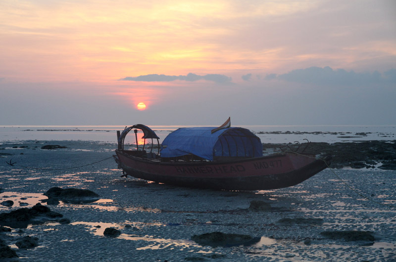
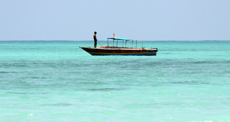
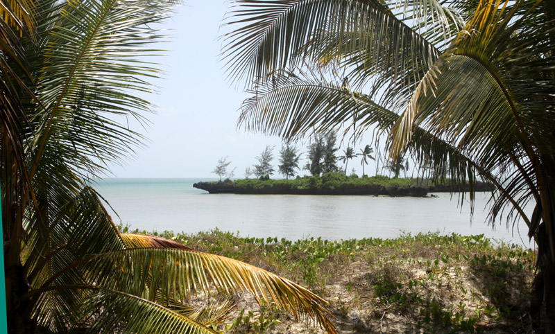
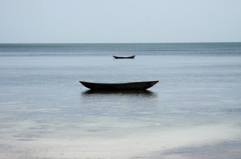
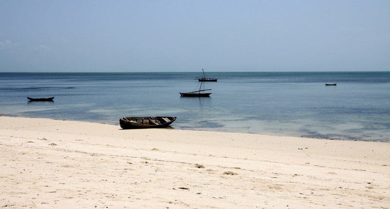
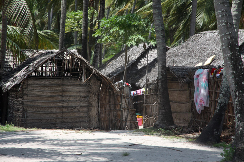
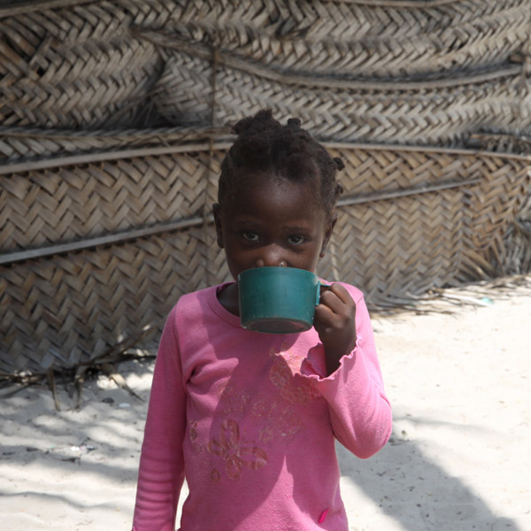
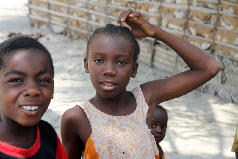
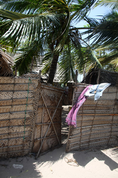
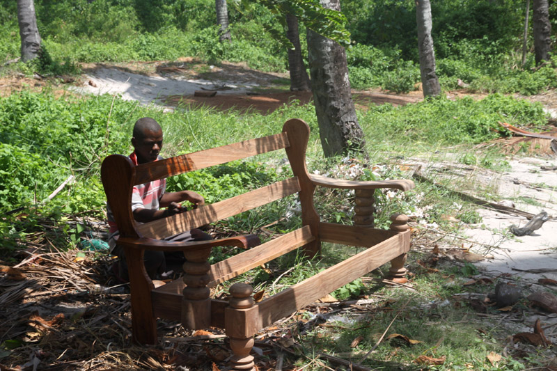
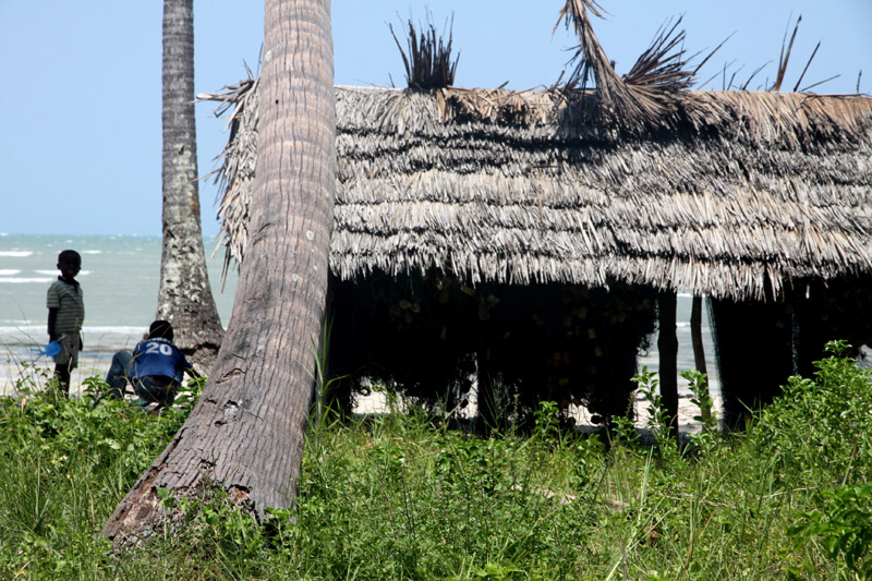
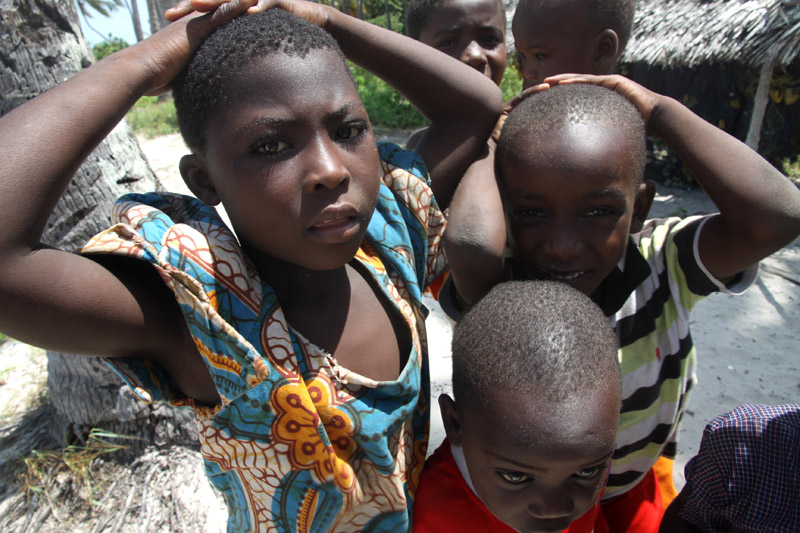
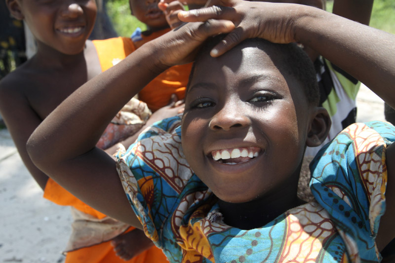
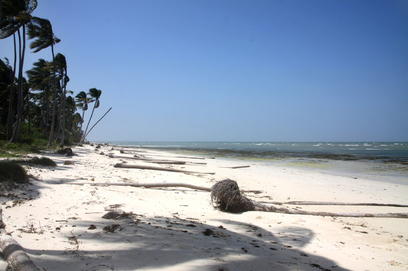
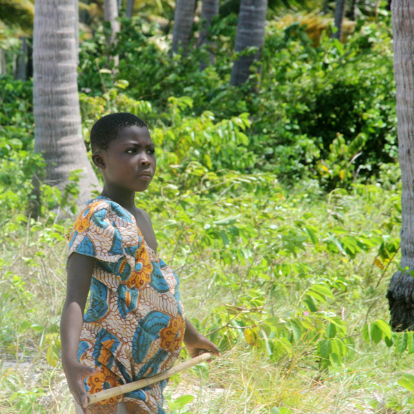
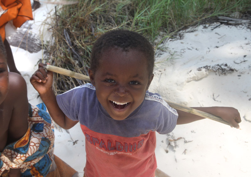
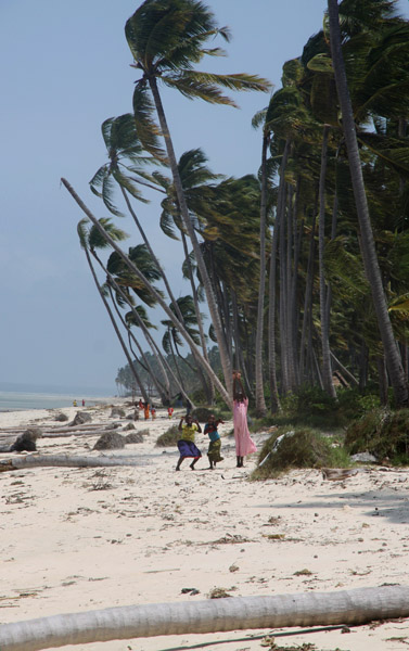
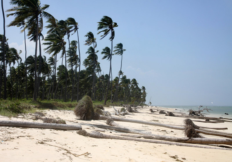
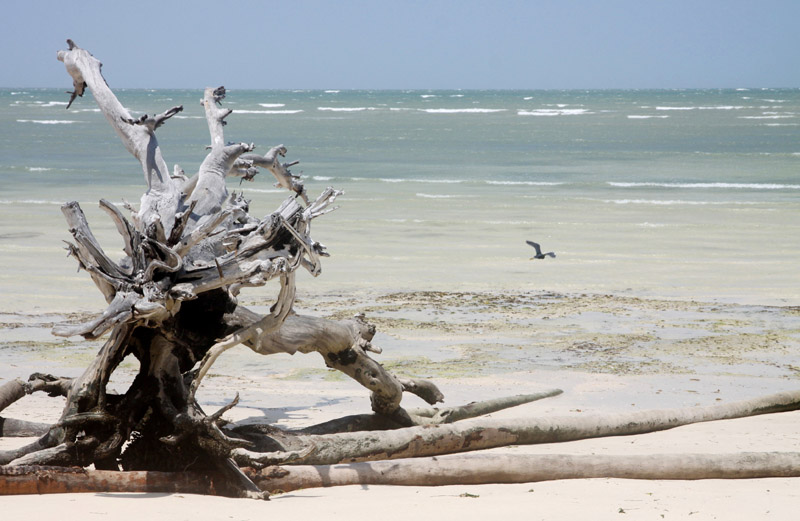
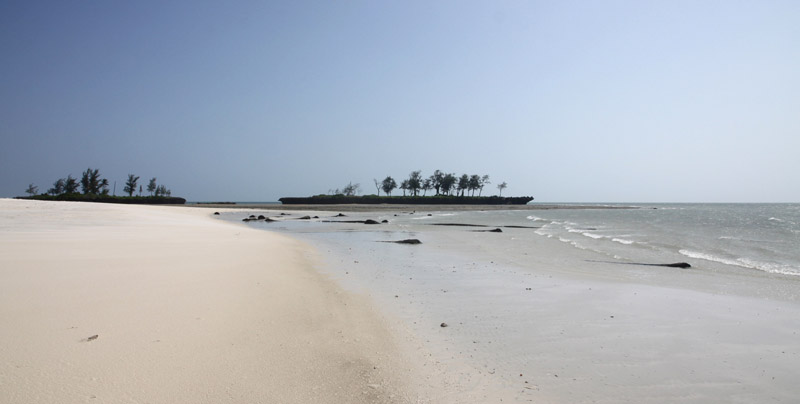
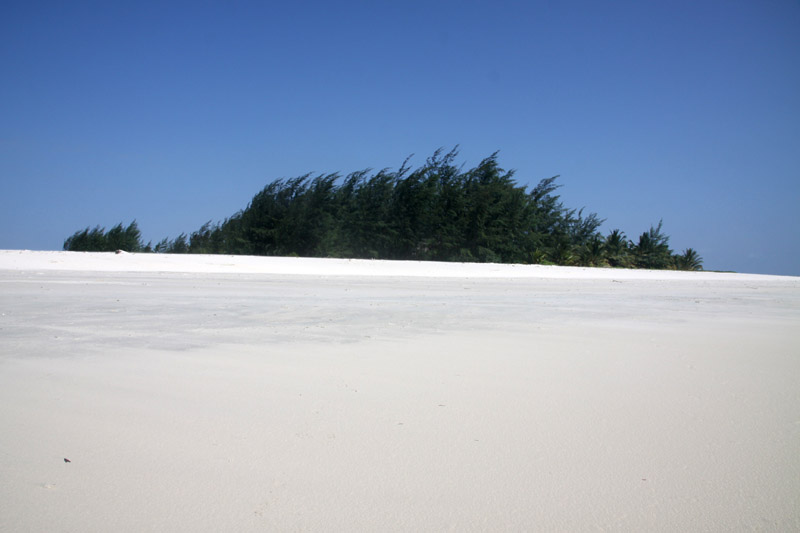
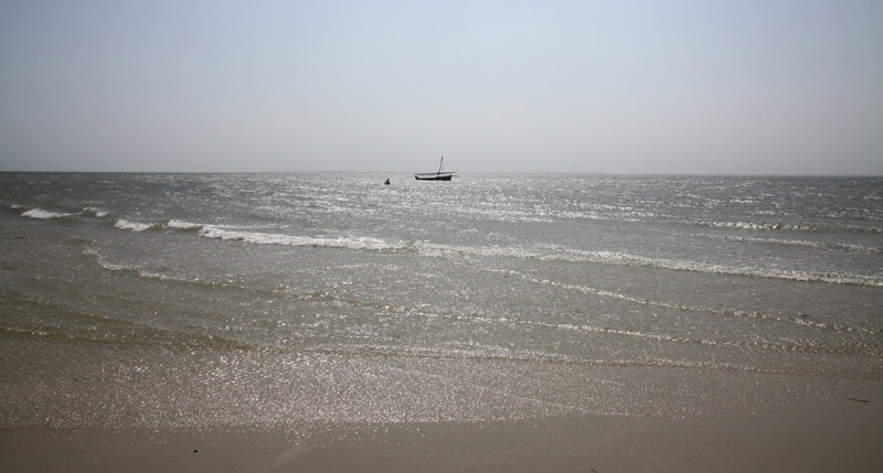
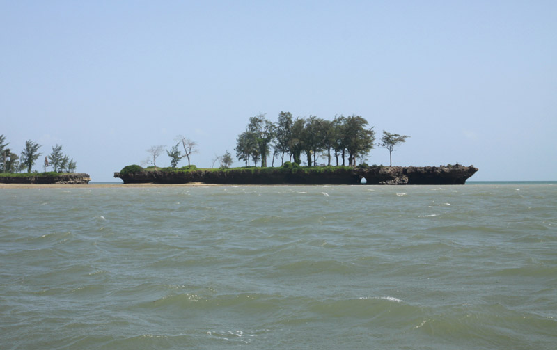
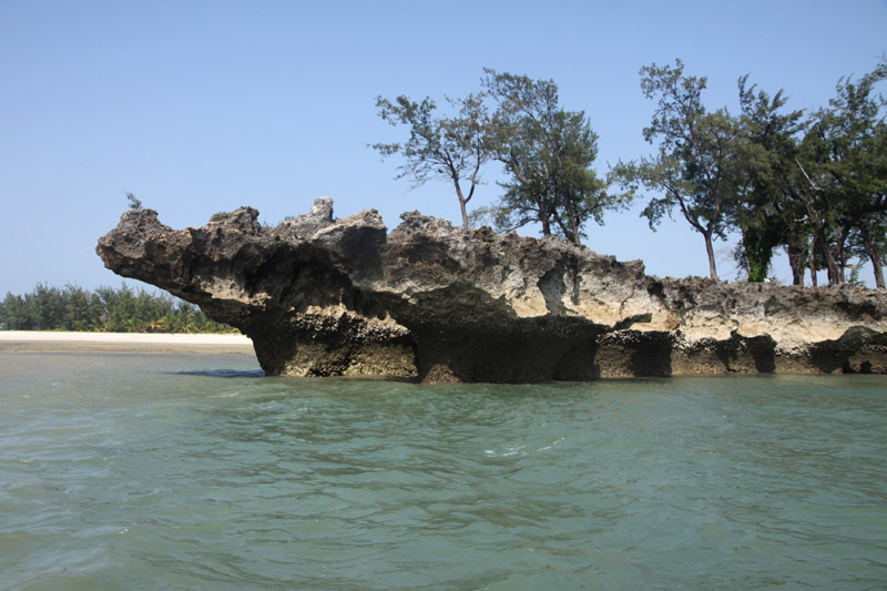
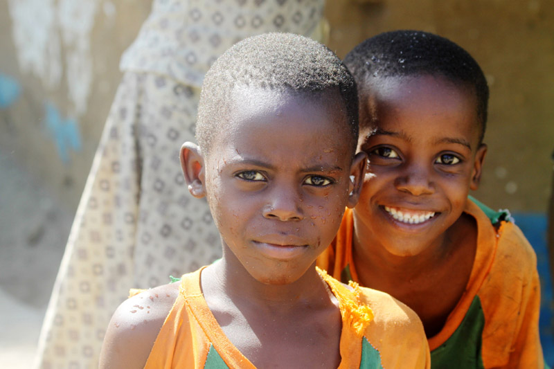
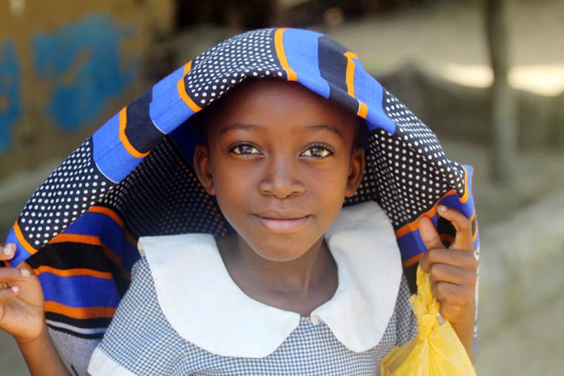
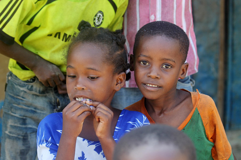
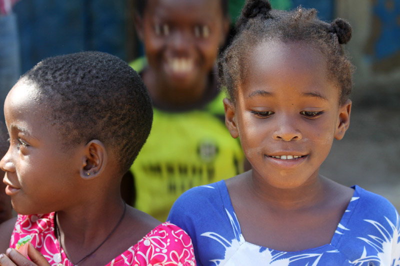
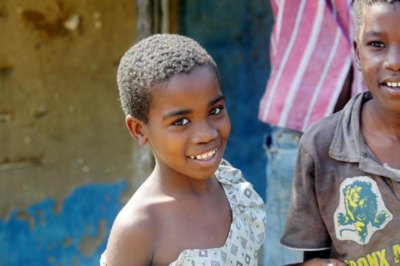
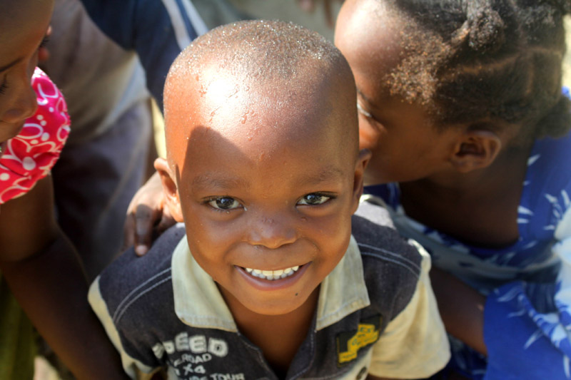
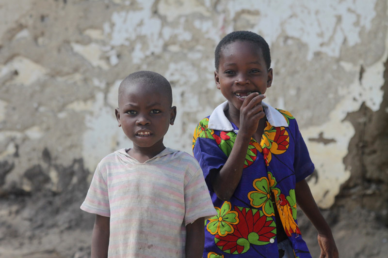
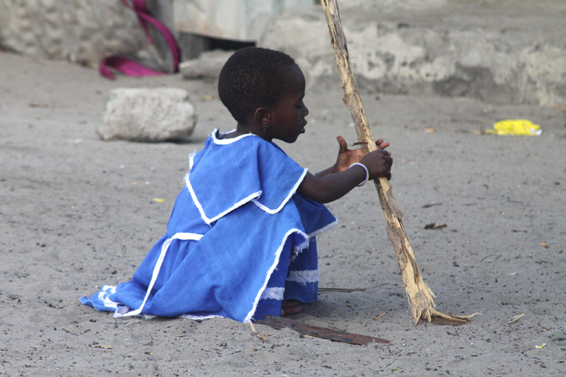
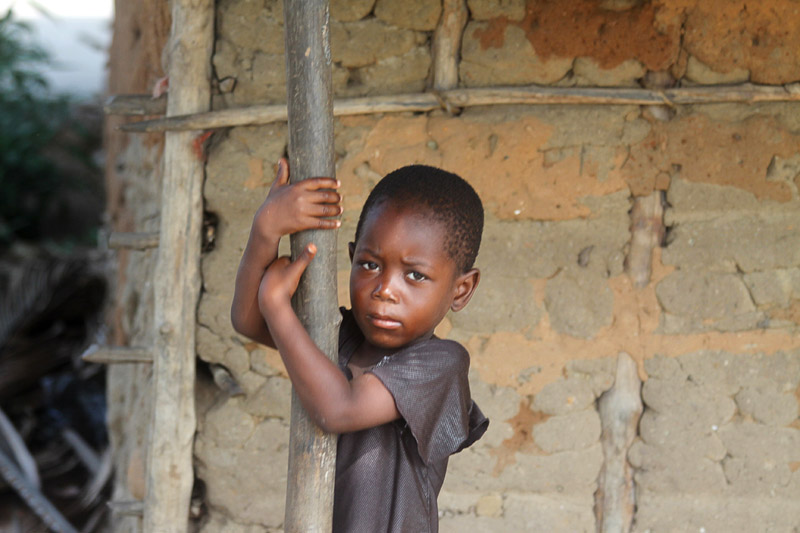
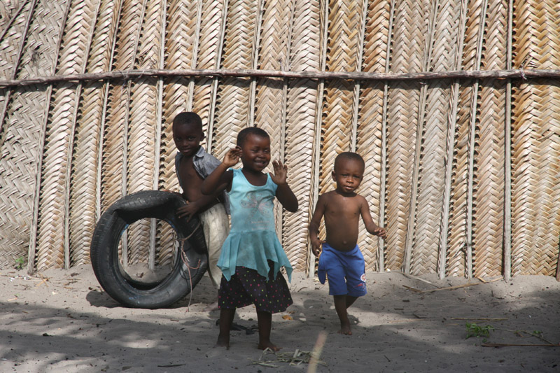
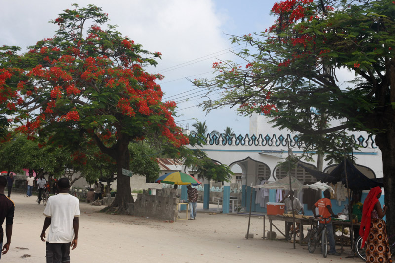
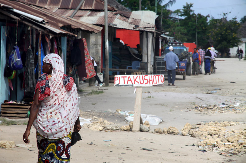
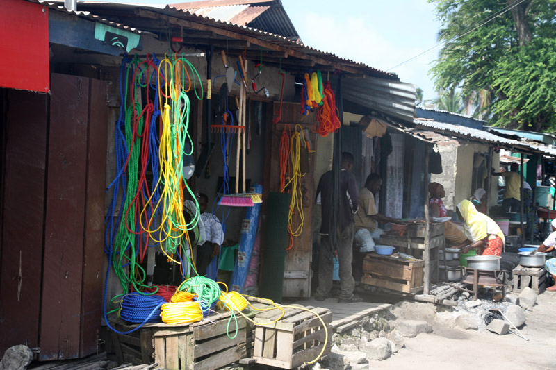
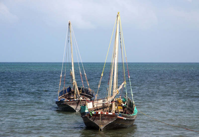
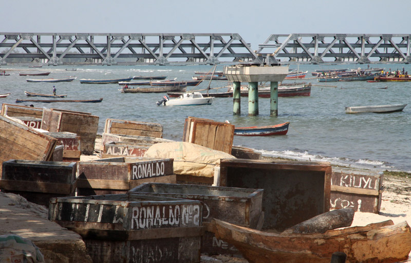
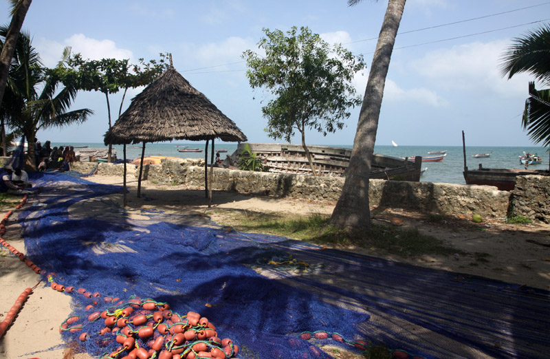
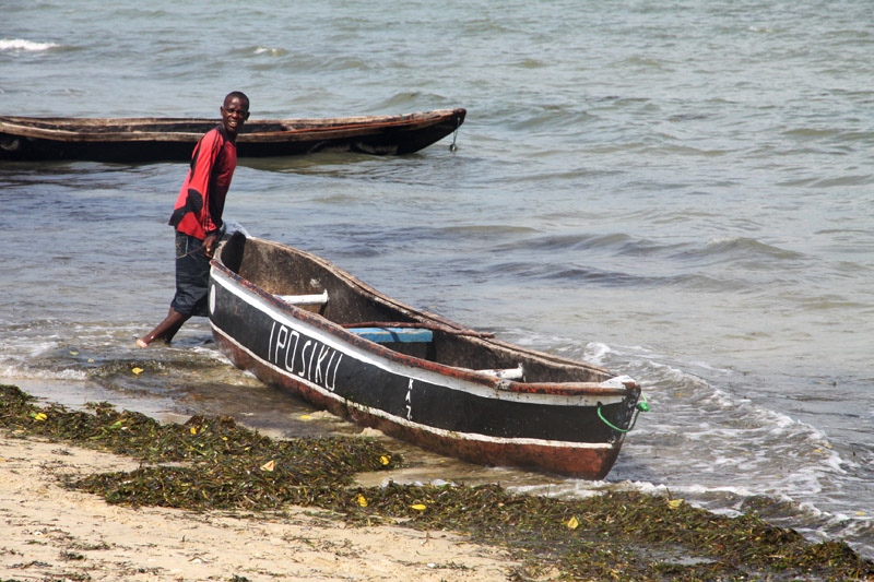
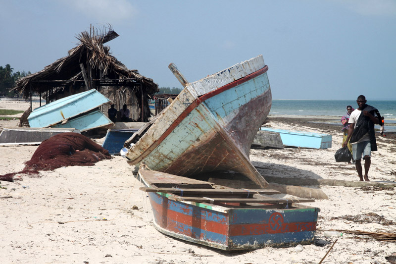
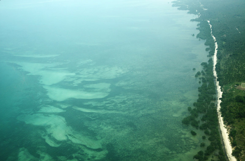
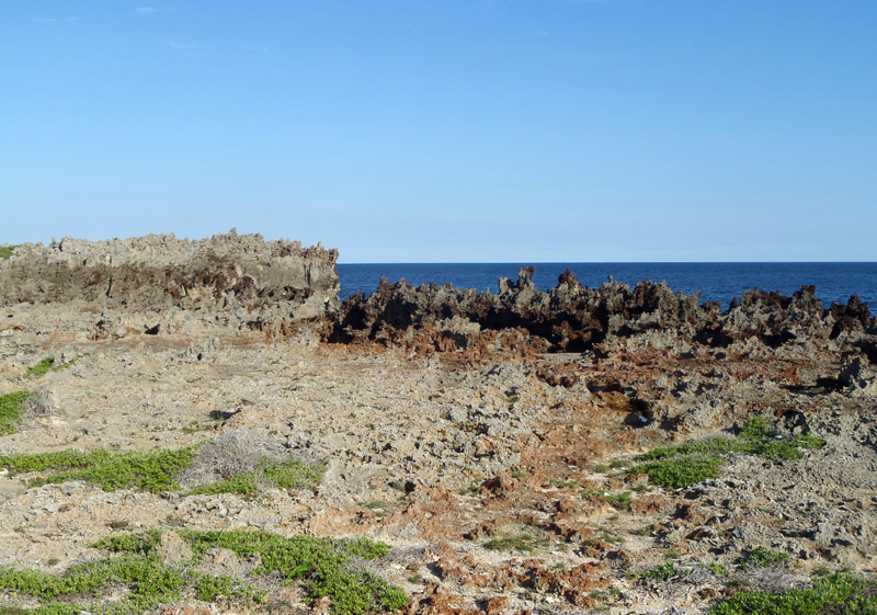
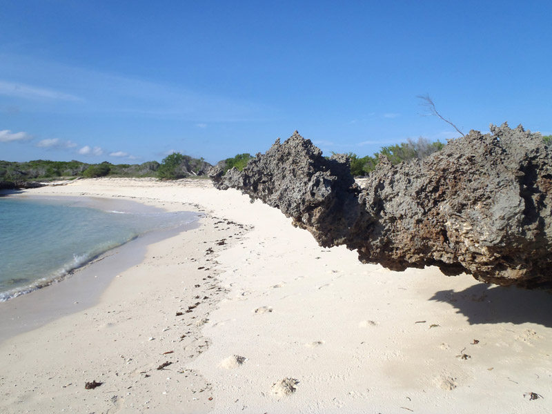
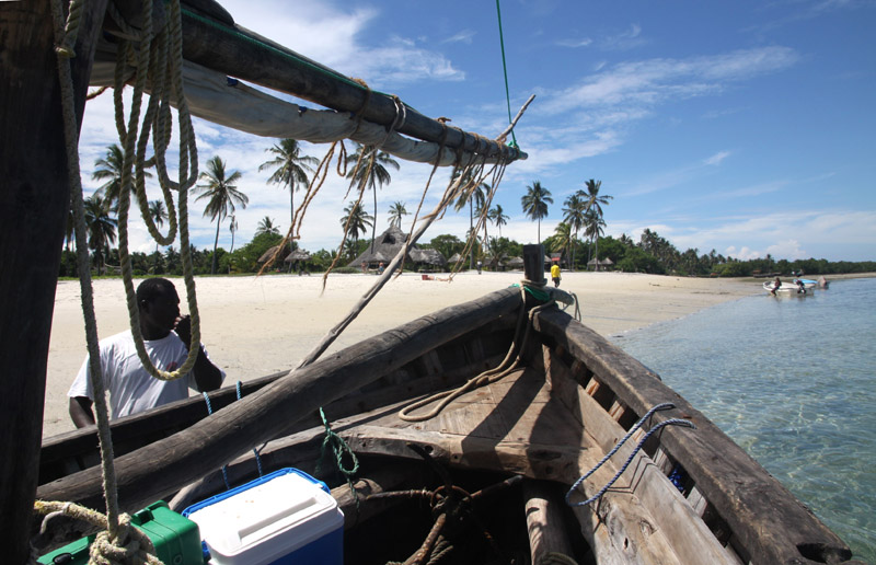
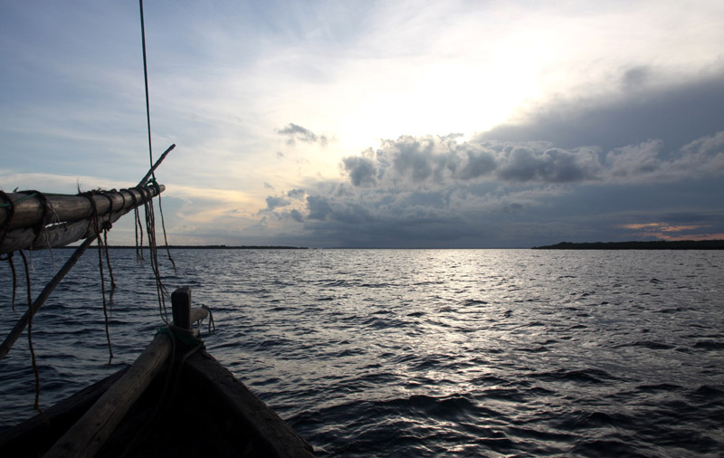
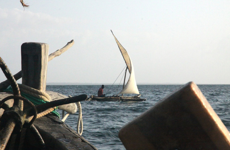
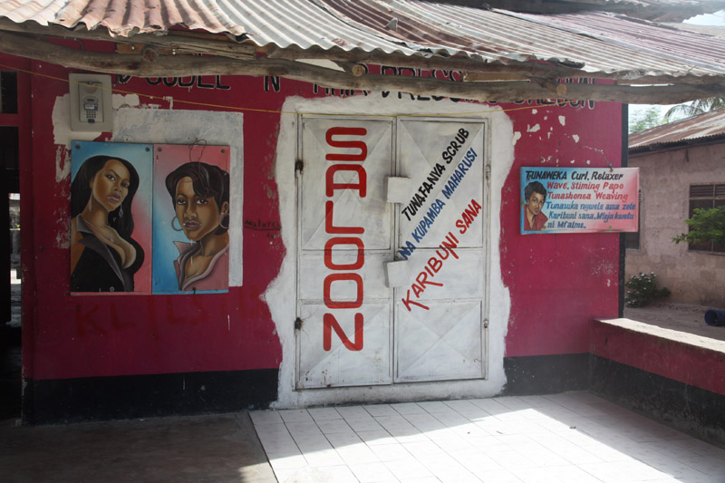
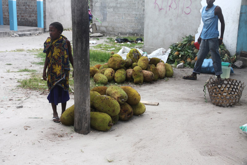
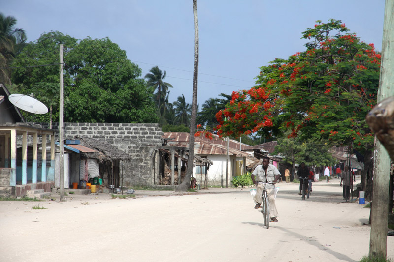
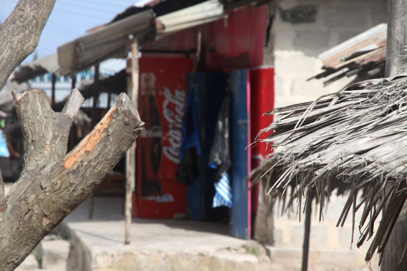
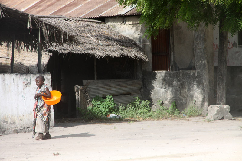
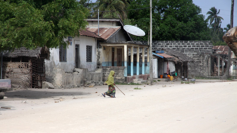
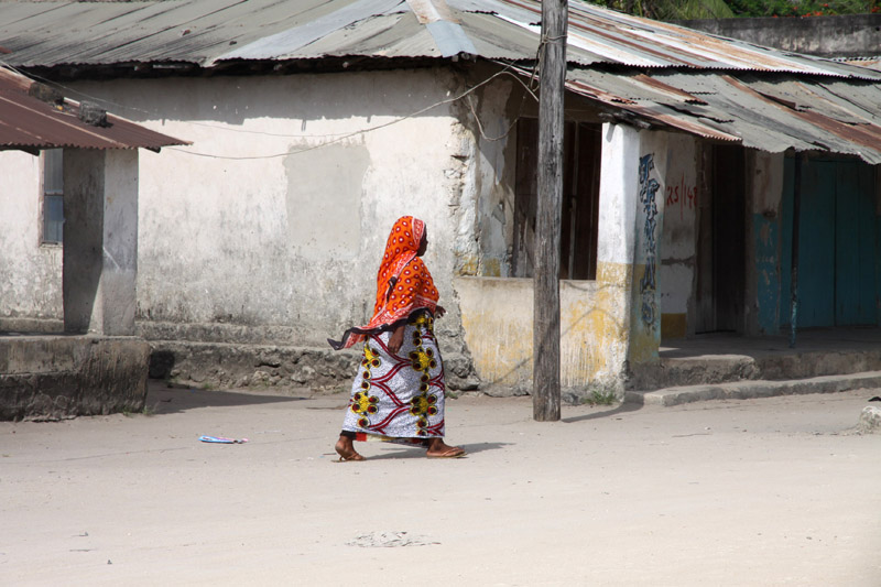
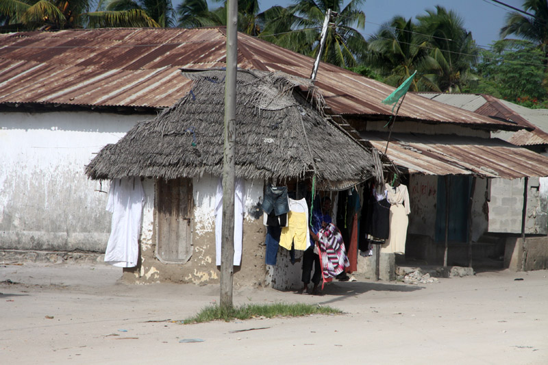
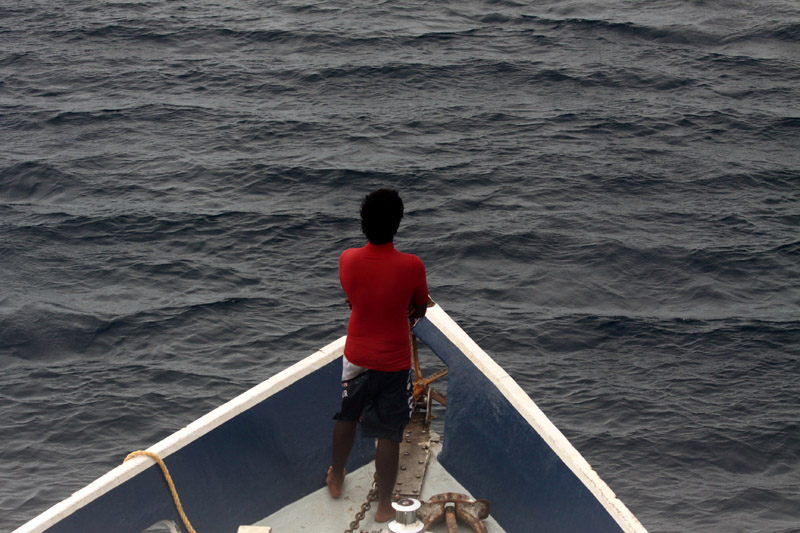
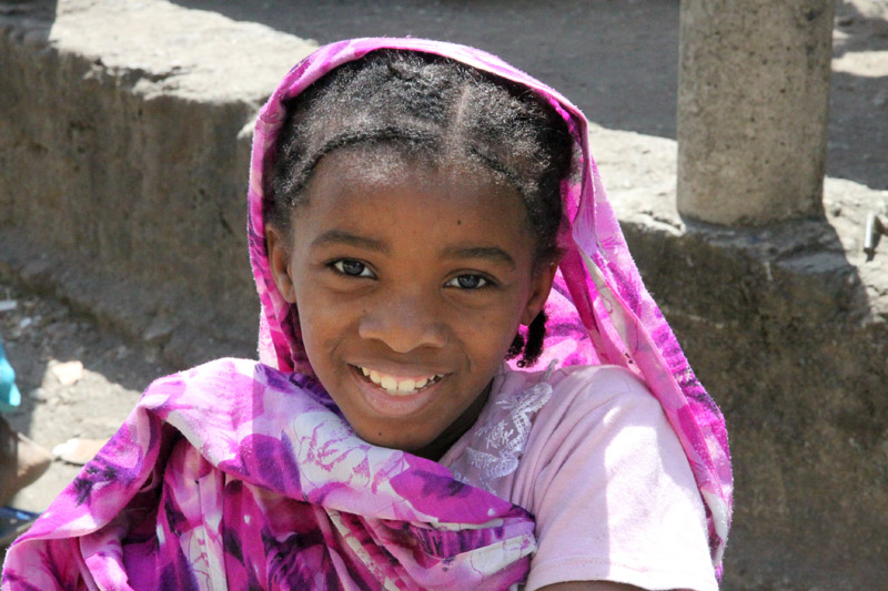
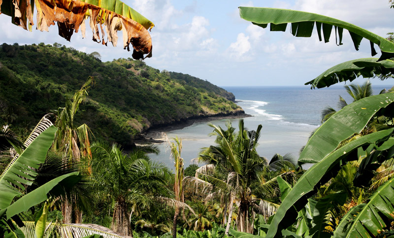
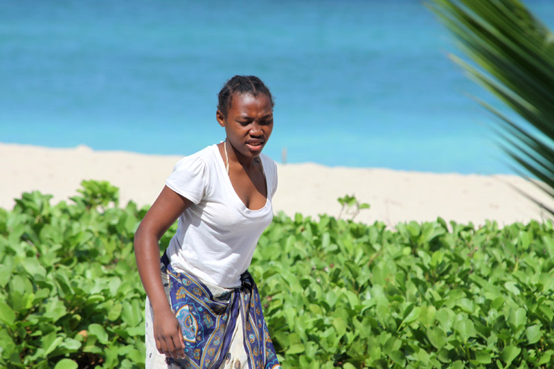
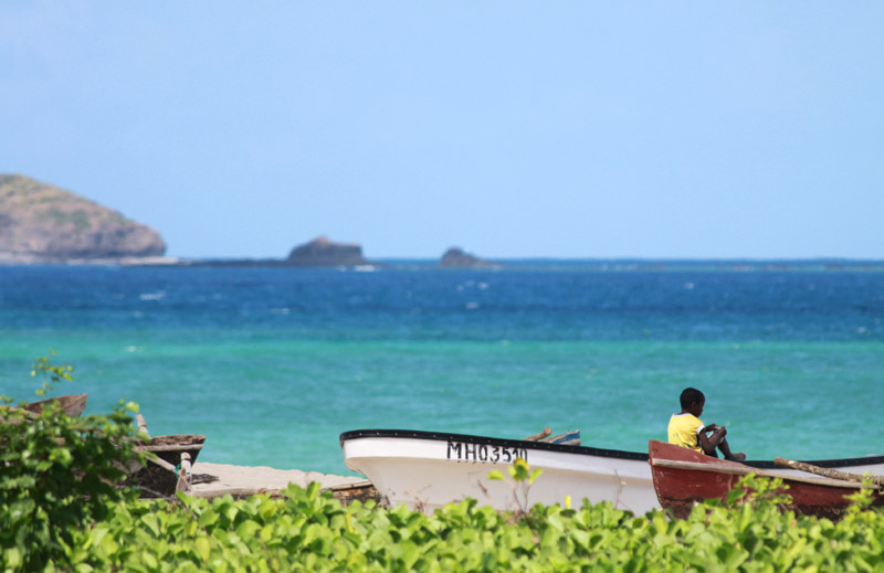
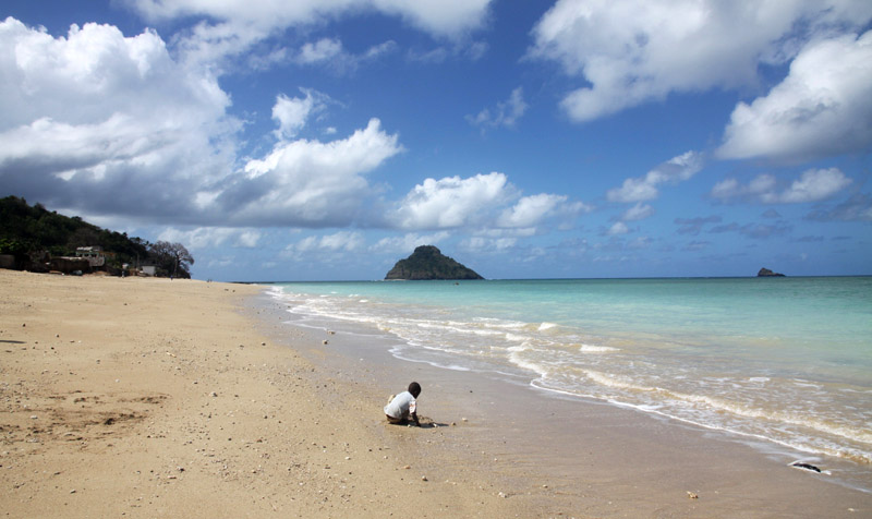
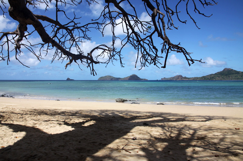
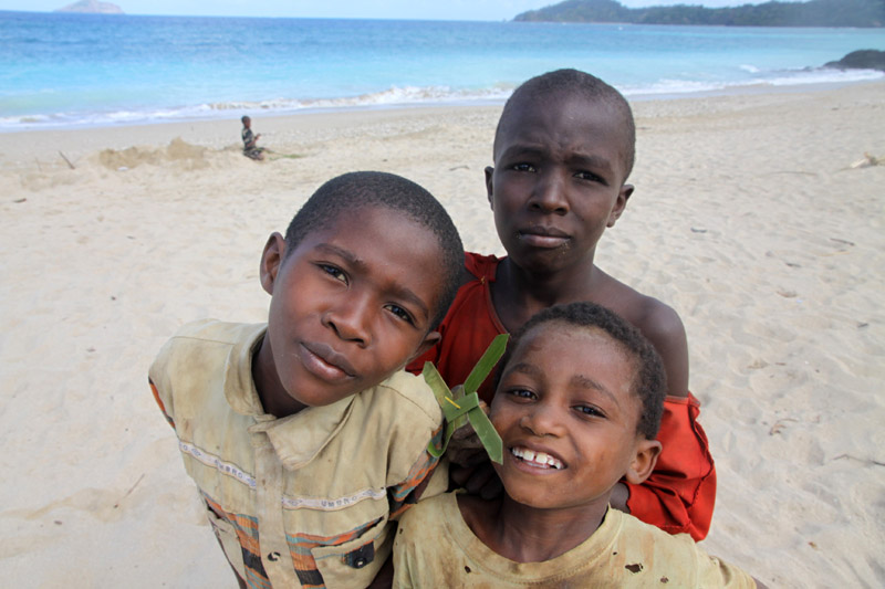
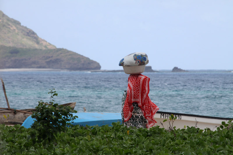
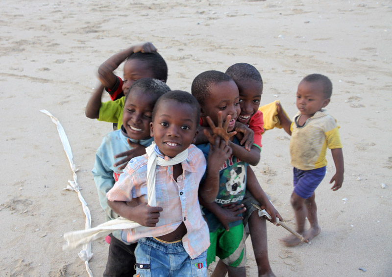
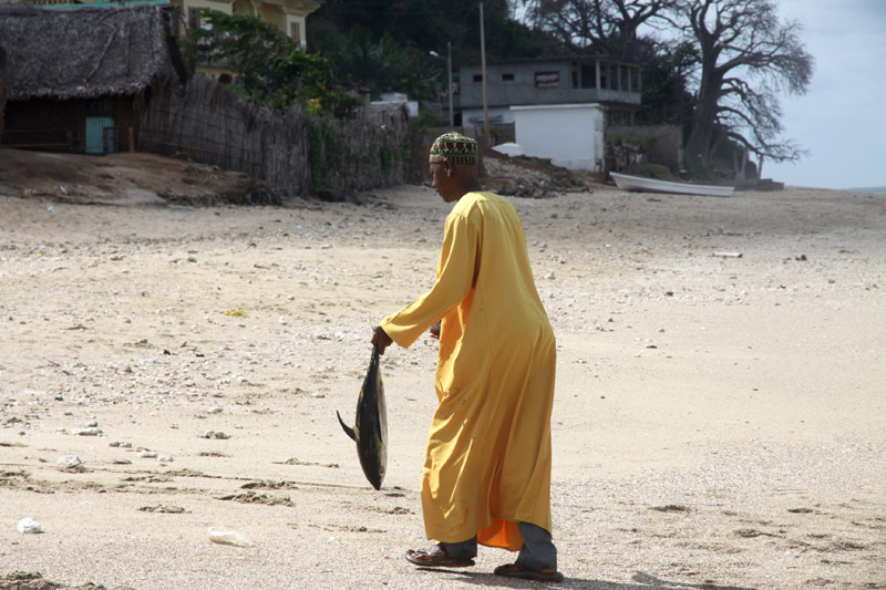
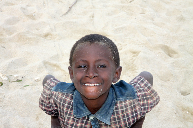
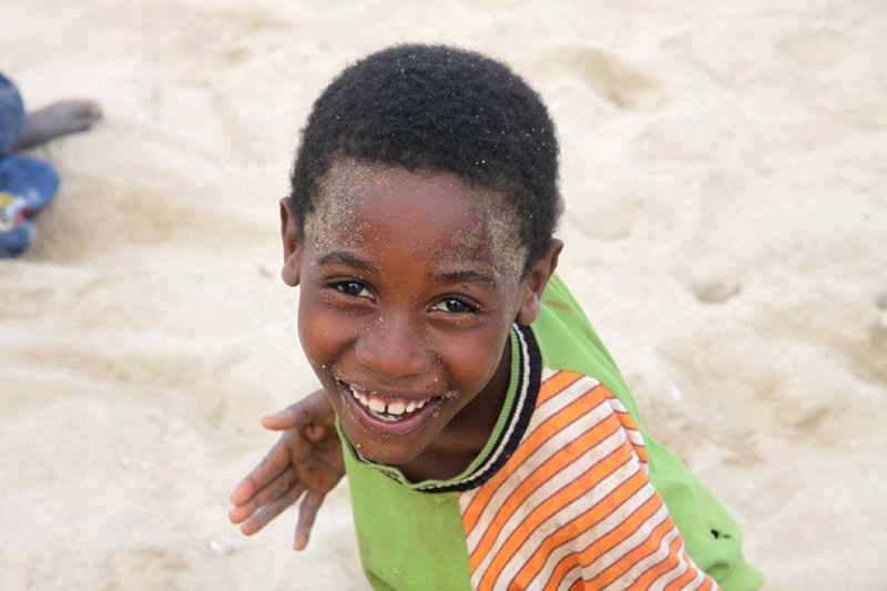
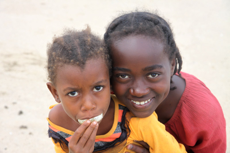
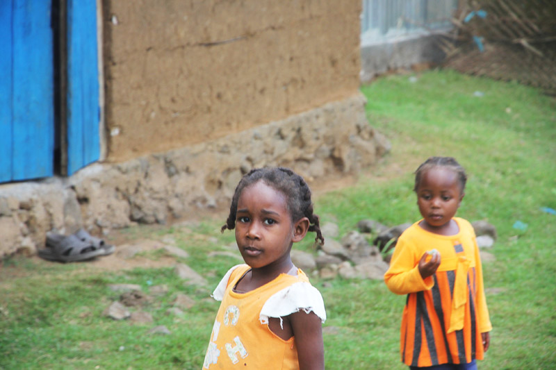
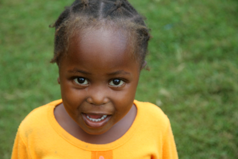
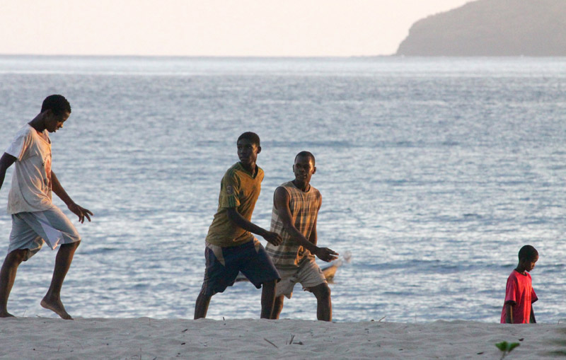
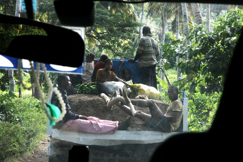
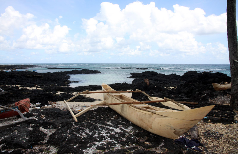
It was not easy to reach the island and even more difficult to leave it. The waves on the ocean were so big that our little boat was covered with showers of water all the time. But it was worth that, Bwejuu is the most beautiful island in the Mafia archipelago thanks to its position and its sandy banks, Bwejuu Island is less than 2 kms long and no more than 200 meters wide at its widest point.


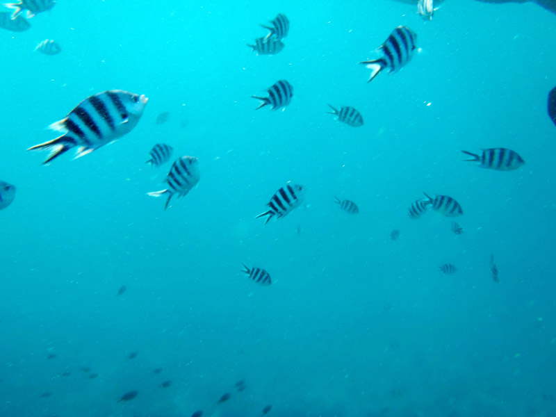
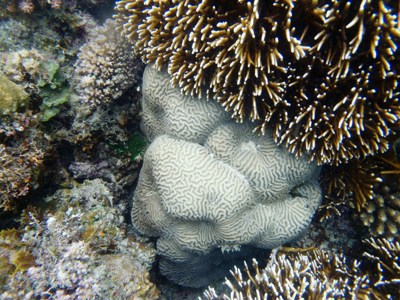
That was my second trip to this Island – absolutely not planned. I have spent almost all the time under water and that was beautiful experience. Once more (this exception – I never publish links on my page) I recommend: www.shambakilolelodge.com. Francesca and Marco – Thank you
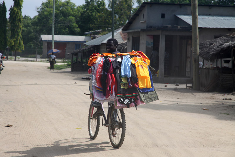
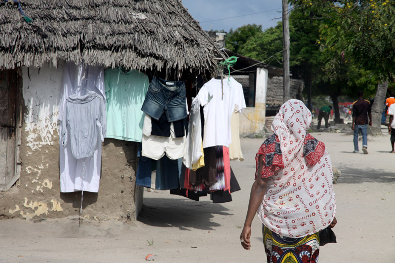
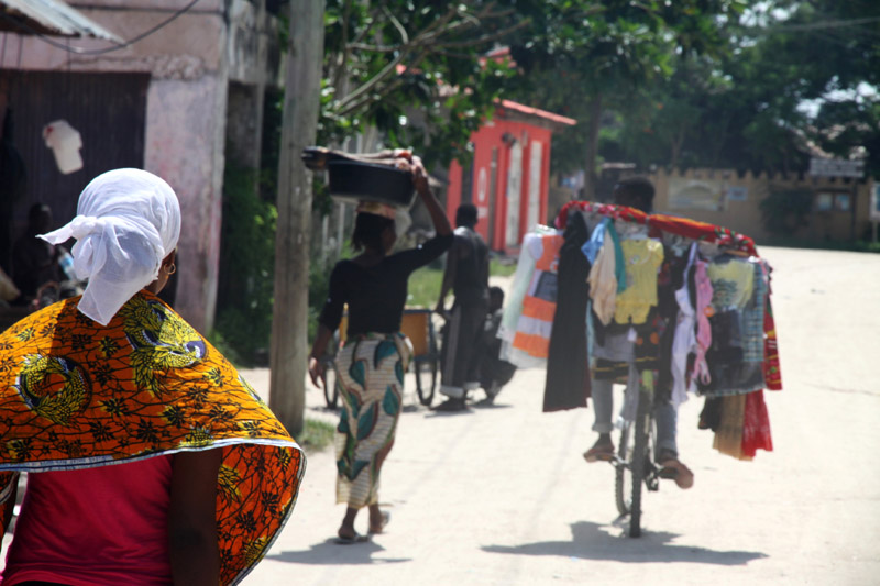
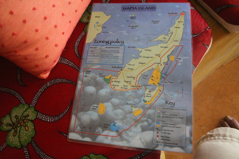


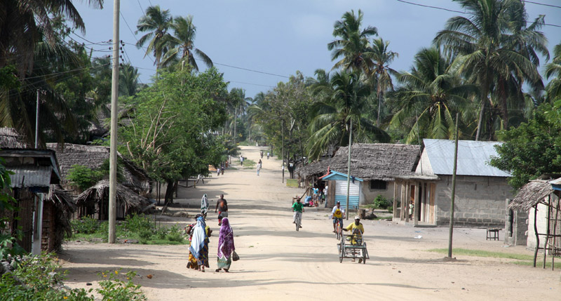
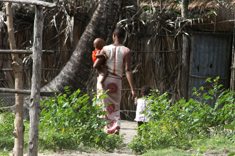
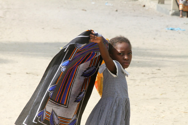
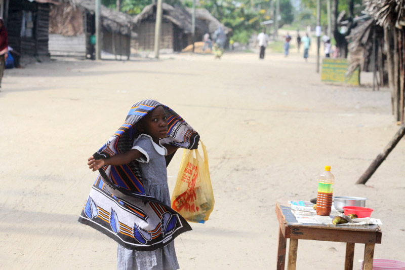
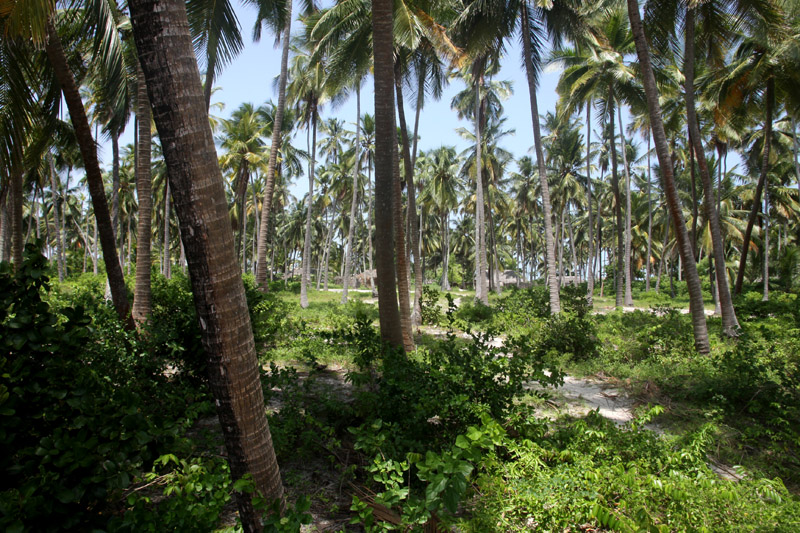
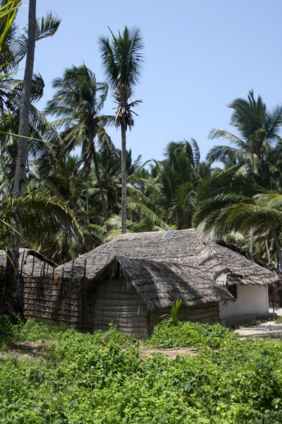
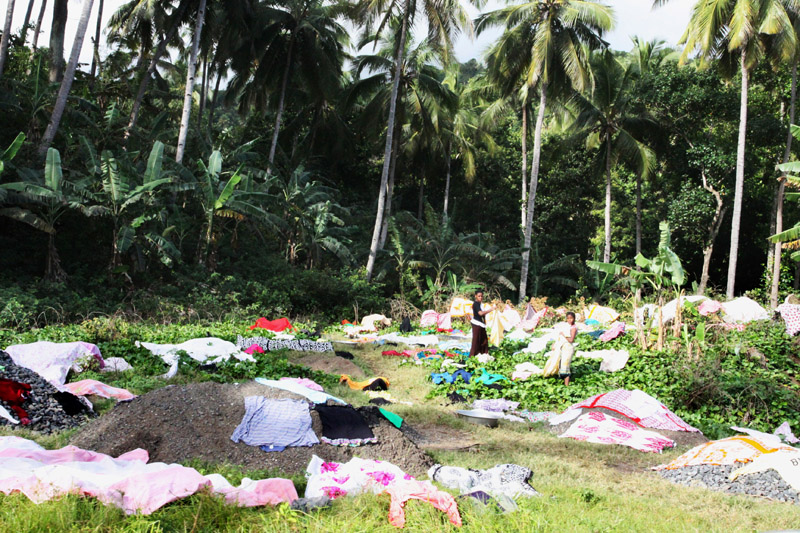
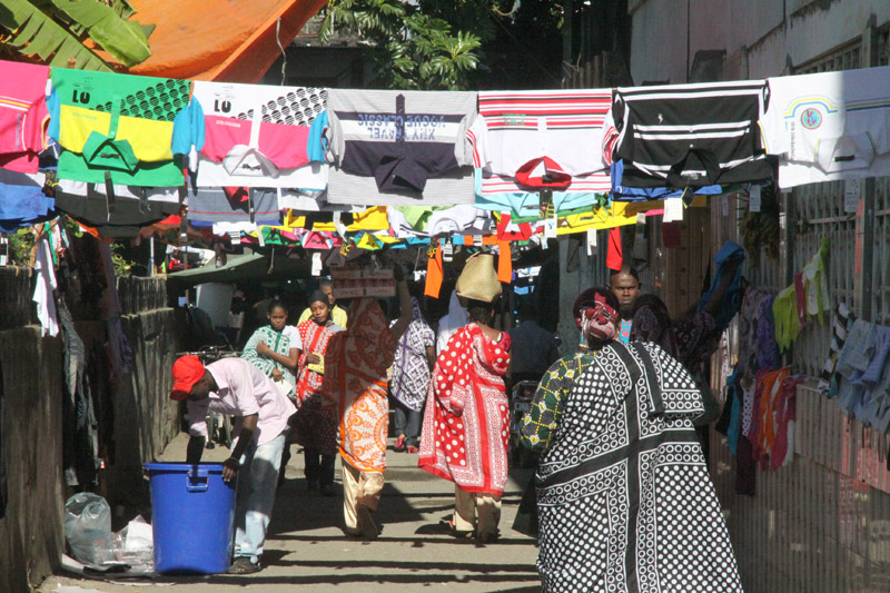
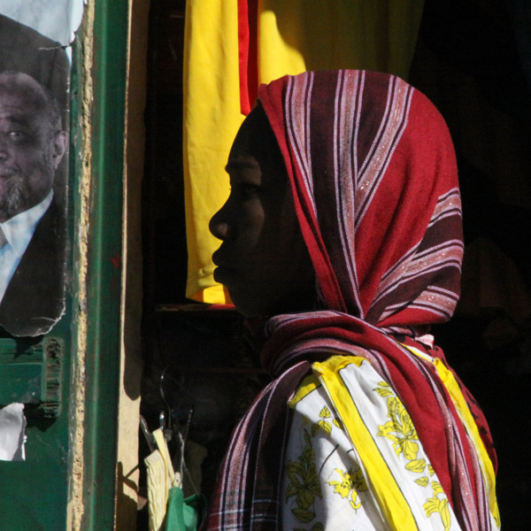
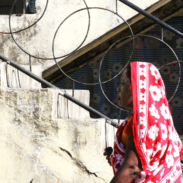
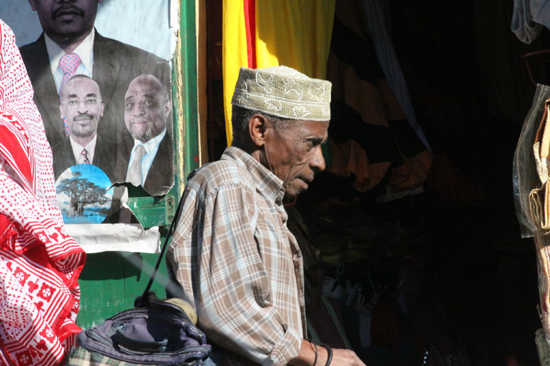
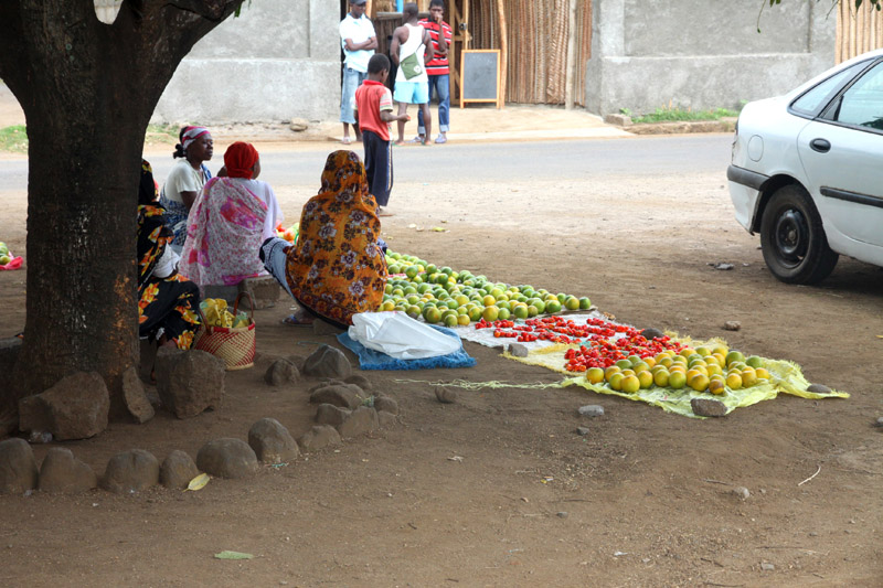
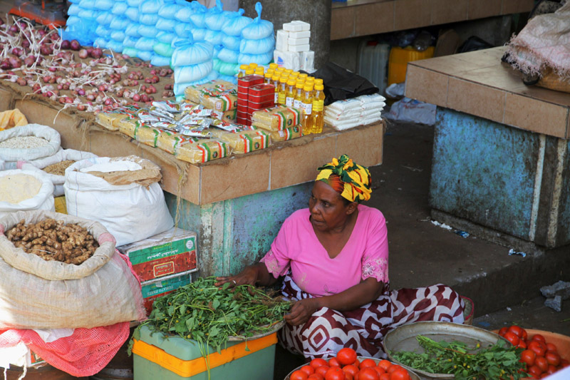
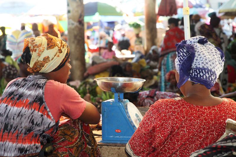
Mafia Island (“Chole Shamba”) is part of the Tanzanian Spice Islands, together with Unguja and Pemba. As one of the six districts of the Pwani Region, Mafia Island is governed from the mainland, not from the semi-autonomous region of Zanzibar, of which it has never been considered to be a part.
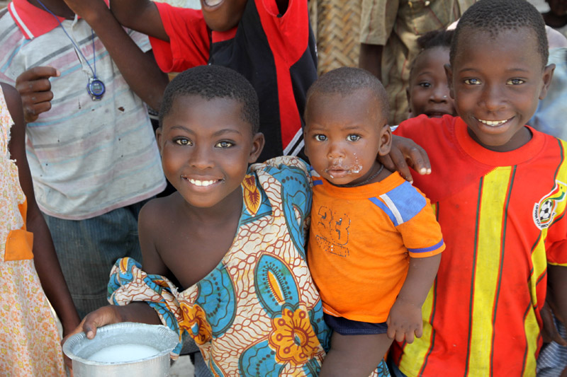
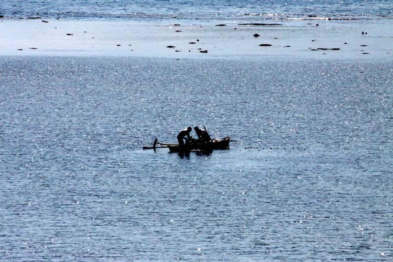
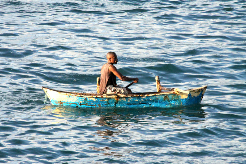
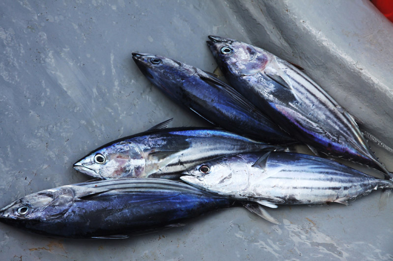
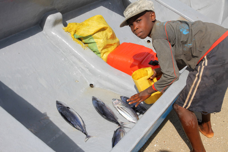
According to the 2002 Tanzania census, the population of the Mafia District was 40,801.The economy is based on fishing, subsistence agriculture and the black market. The island attracts some tourists, mainly adventure scuba divers, game fishermen, and people wanting relaxation.
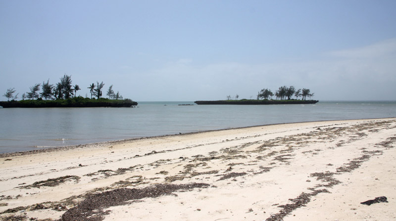
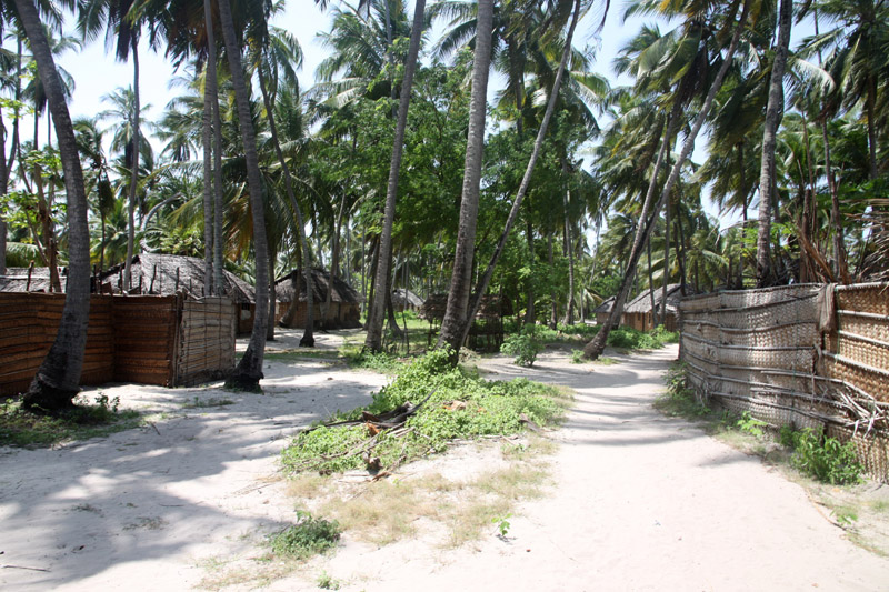
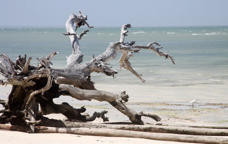
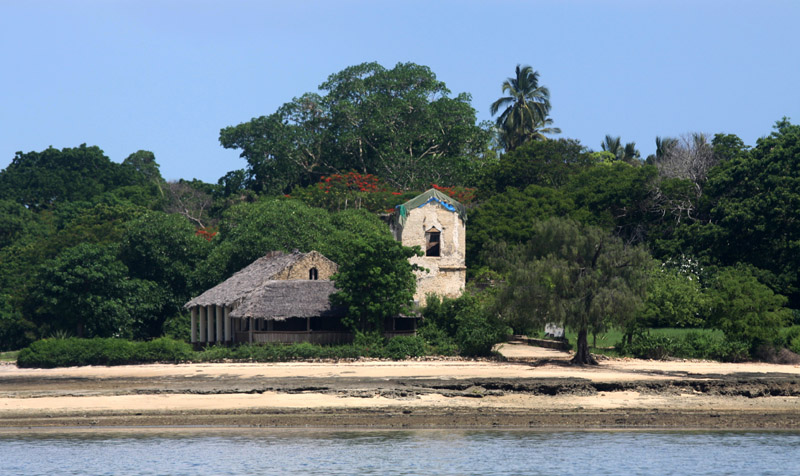
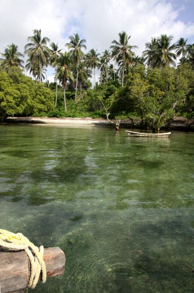
The Mafia archipelago consists of one large island (394 km²) and numerous smaller ones. Some of these are inhabited, such as Chole Island (2 km²), with a population of 800. Chole Bay, Mafia’s protected deep-water anchorage and original harbour, is studded with islands, sandbanks and beaches. The main town is Kilindoni. The stretch of water between the deltas of the Rufiji River and the island is called Mafia Channel. There are popular rumours of pygmy hippo on the island but there are zero confirmed sightings.
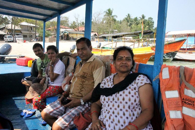
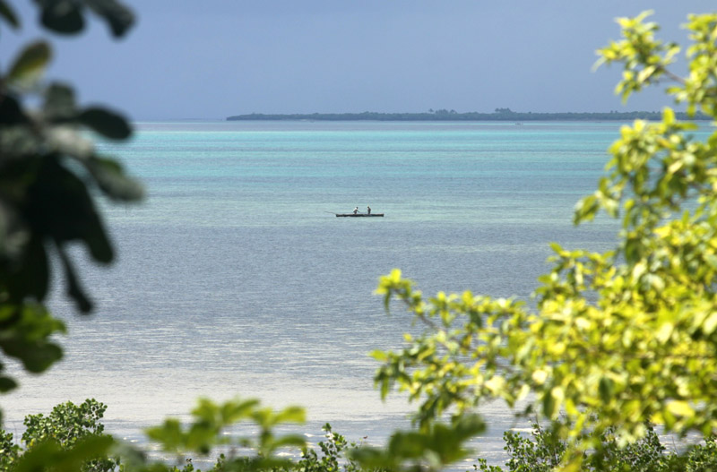
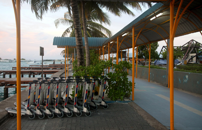
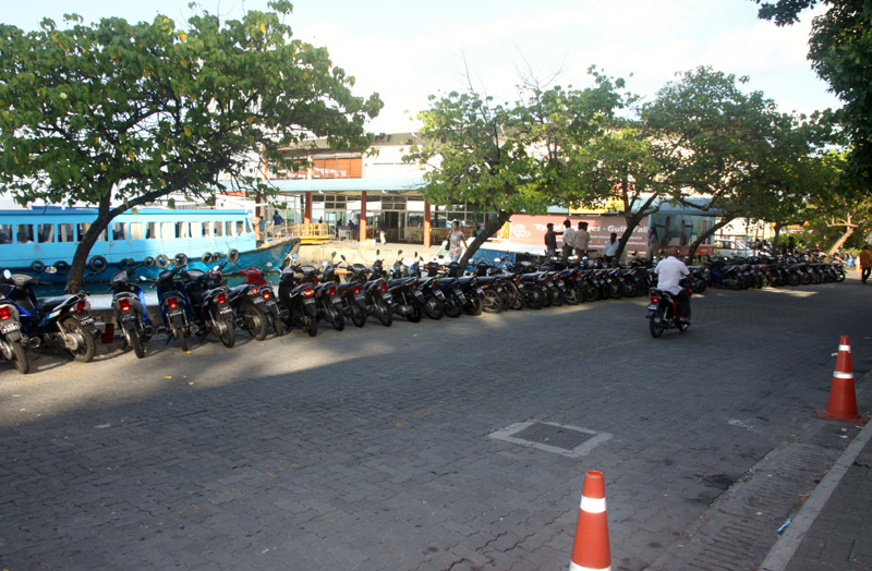
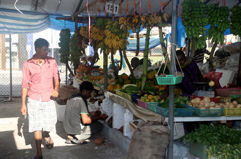
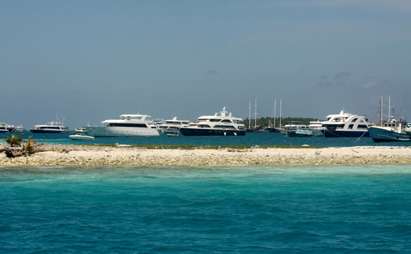
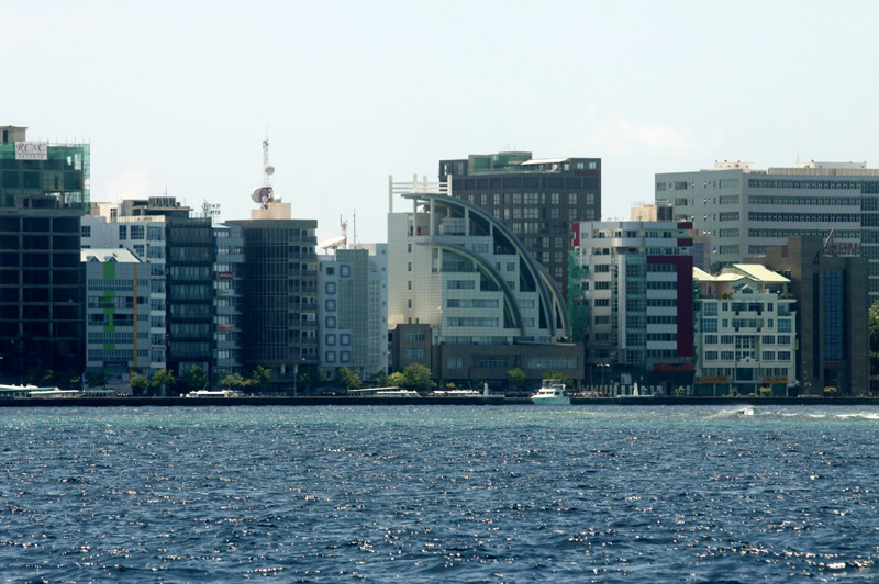
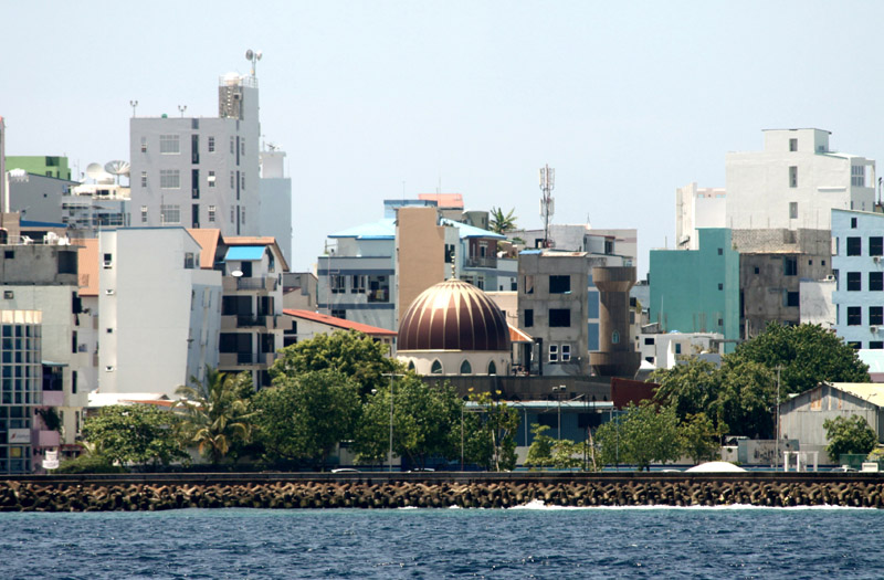
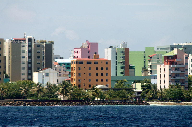
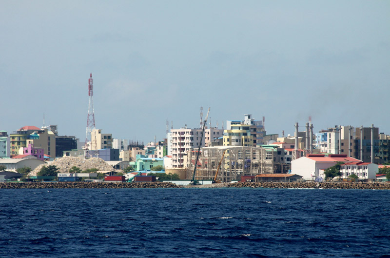
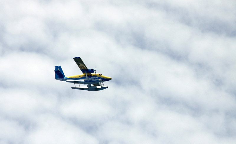
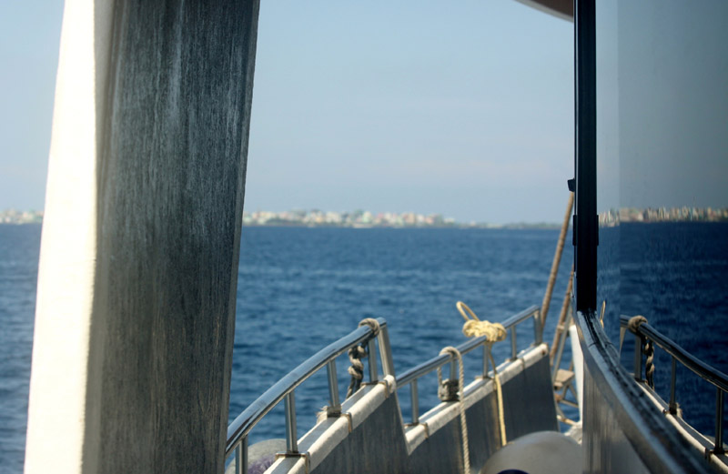
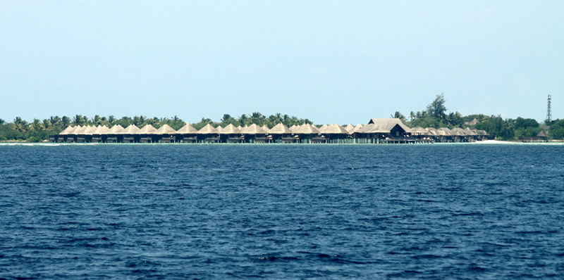
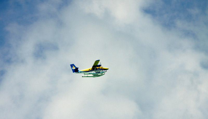
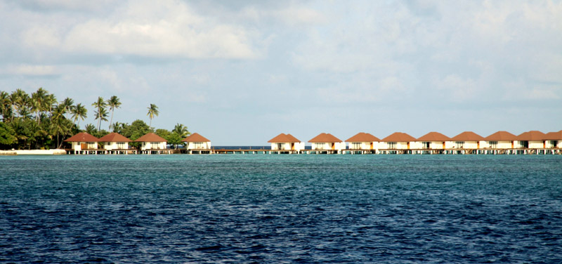
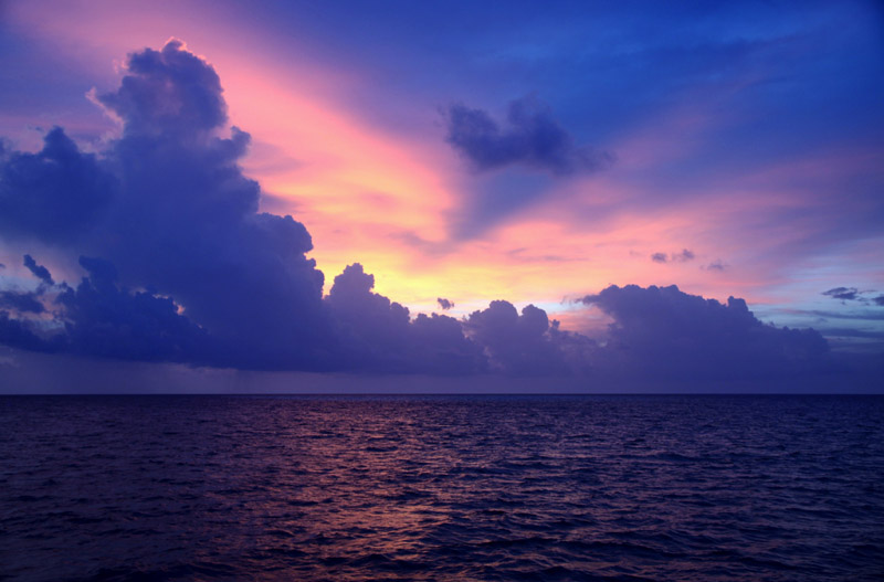
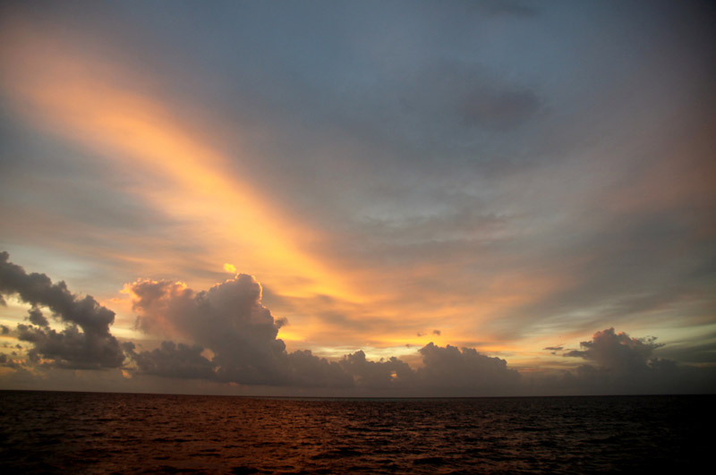
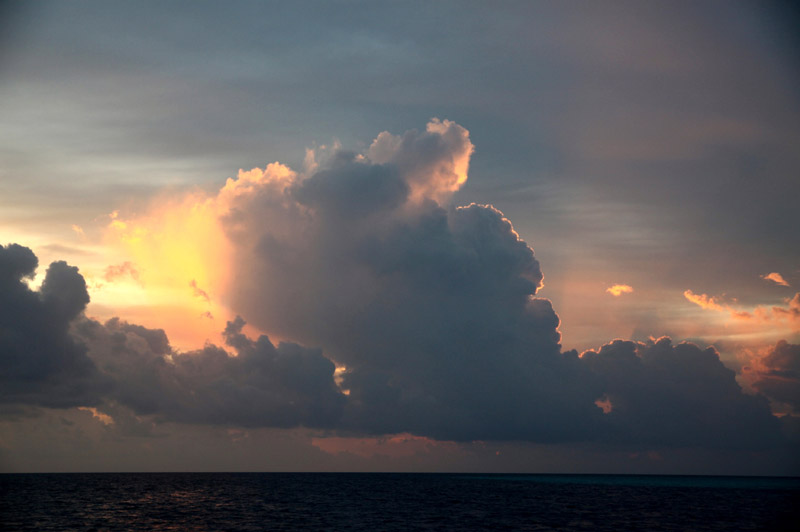
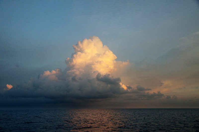
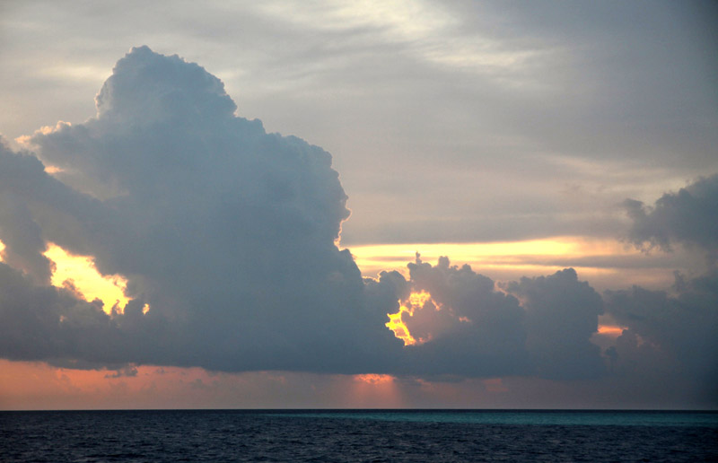
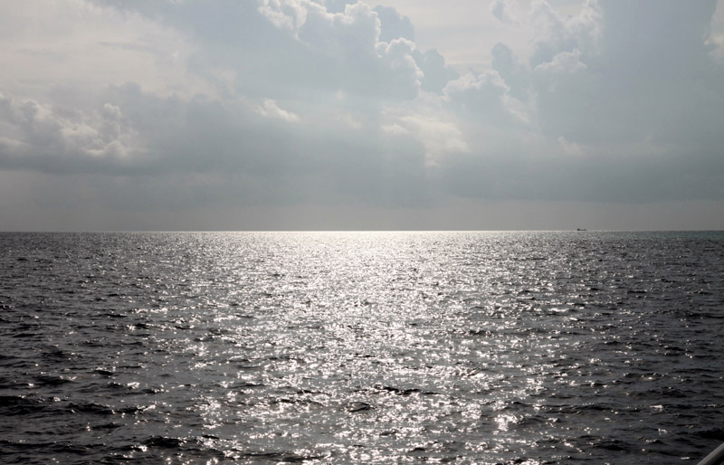
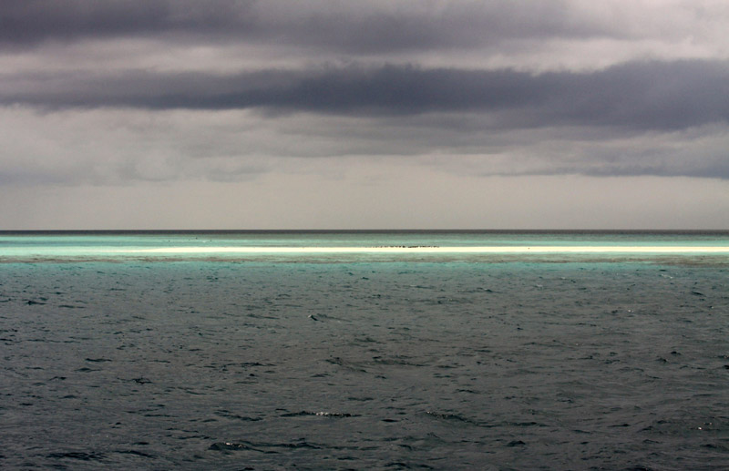
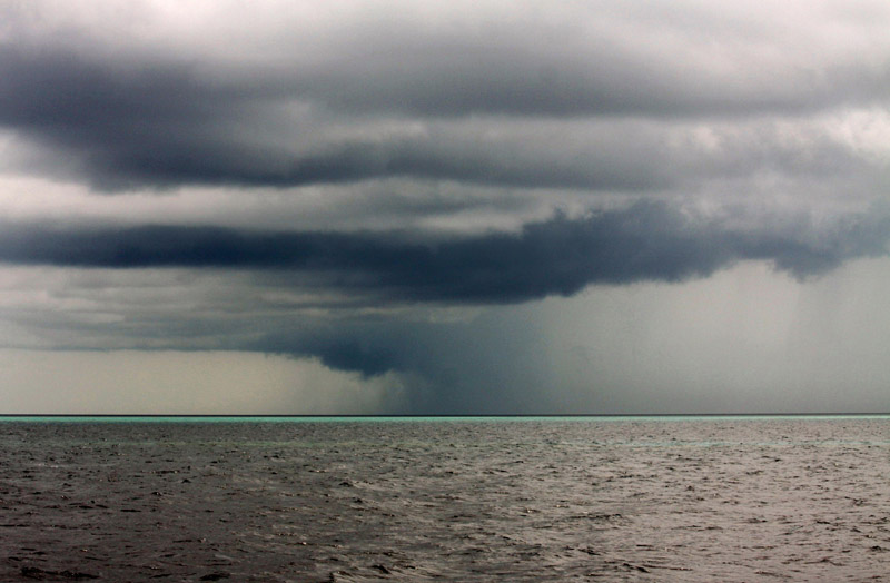
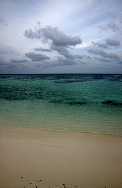
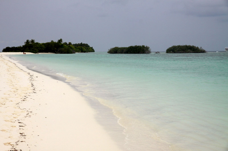
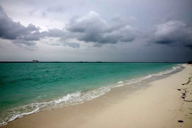
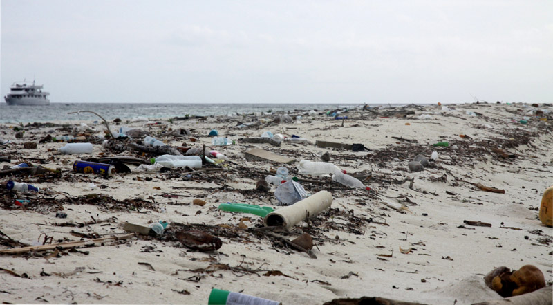
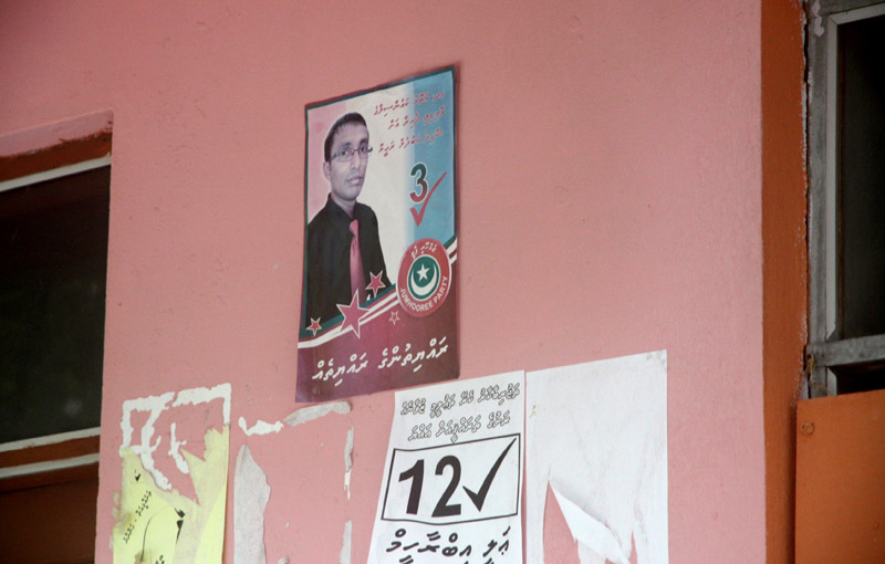
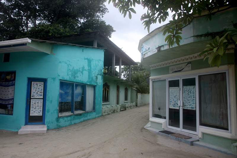
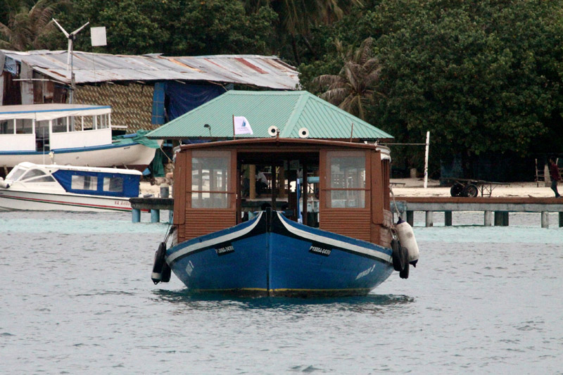
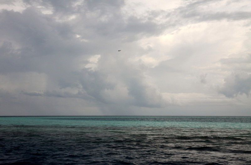
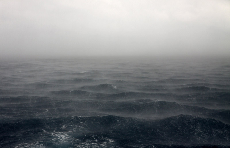
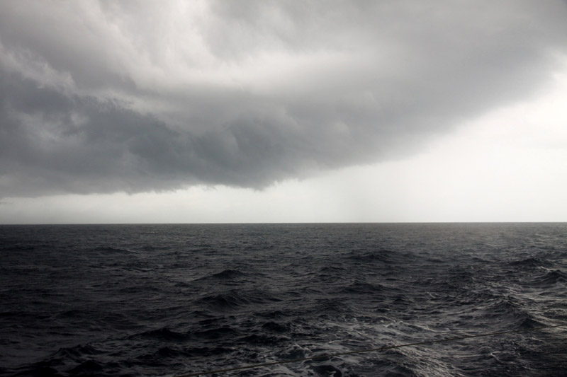
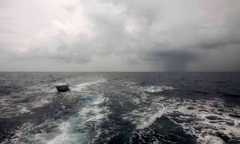
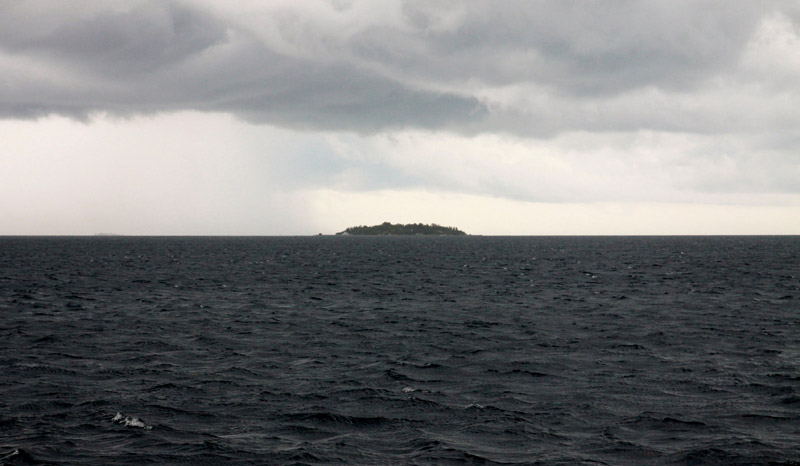
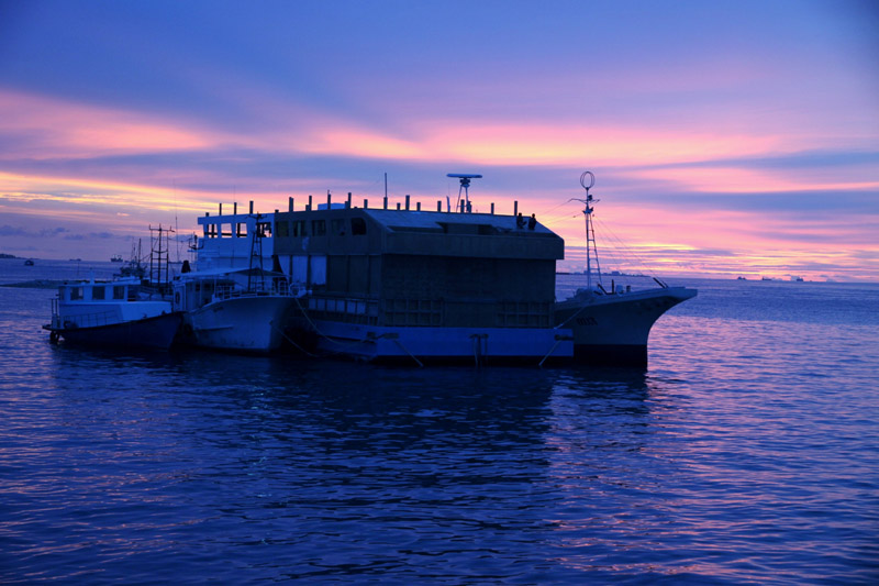
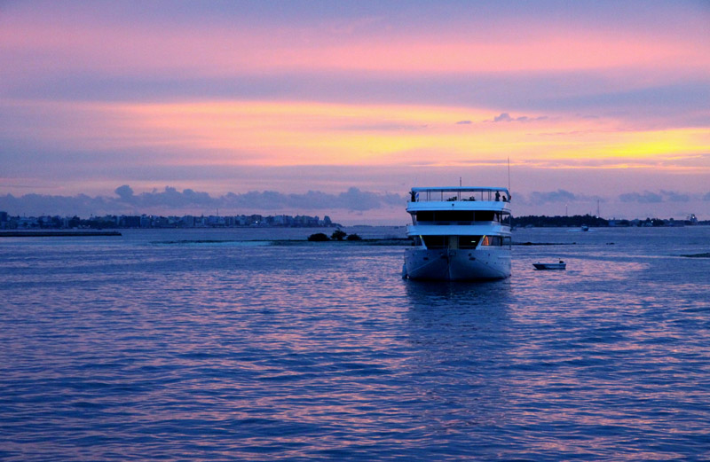
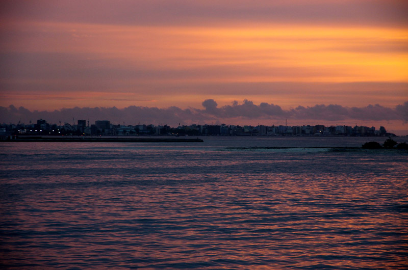
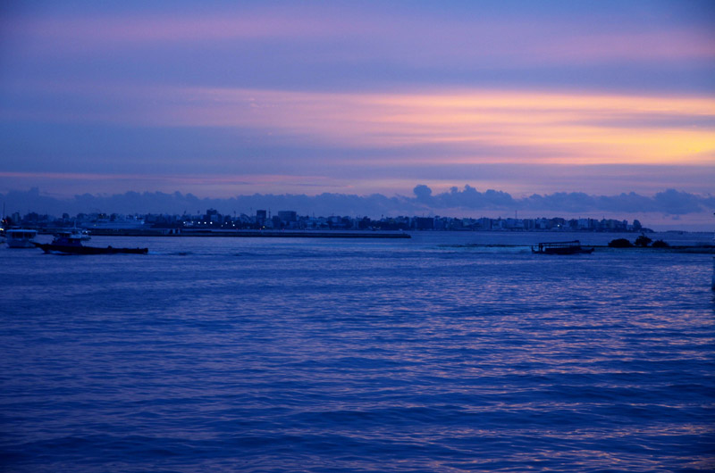
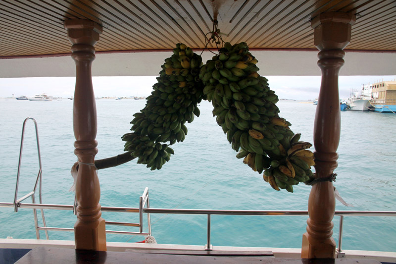
That was short cruise in the Maldives. I have visited Male Atoll, South Male Atoll, Ari (Alifu) Atoll, Felidhe (Vaavu) Atoll, Dhangeti, Guraidhoo, Dhigurah. The worst trip from all of my expeditions. Yet, I have seen the pictures of the country that are different than usually presented.
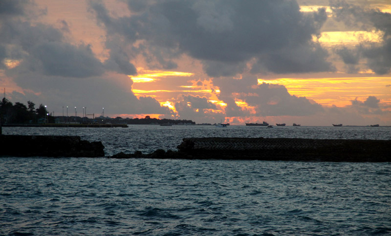


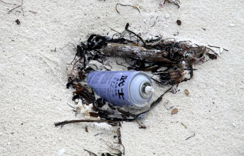
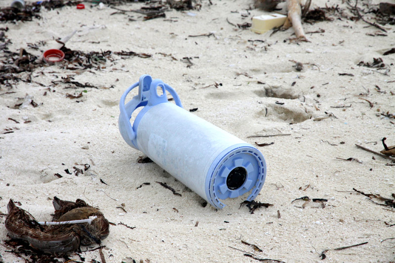
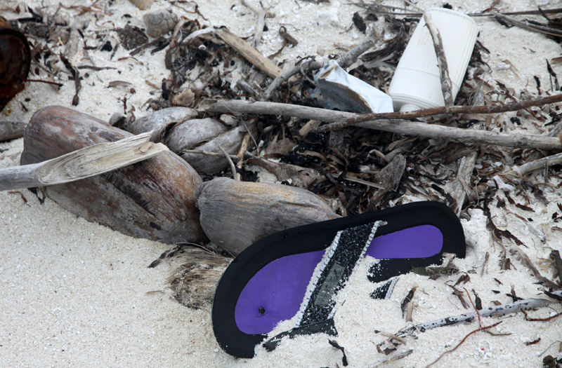
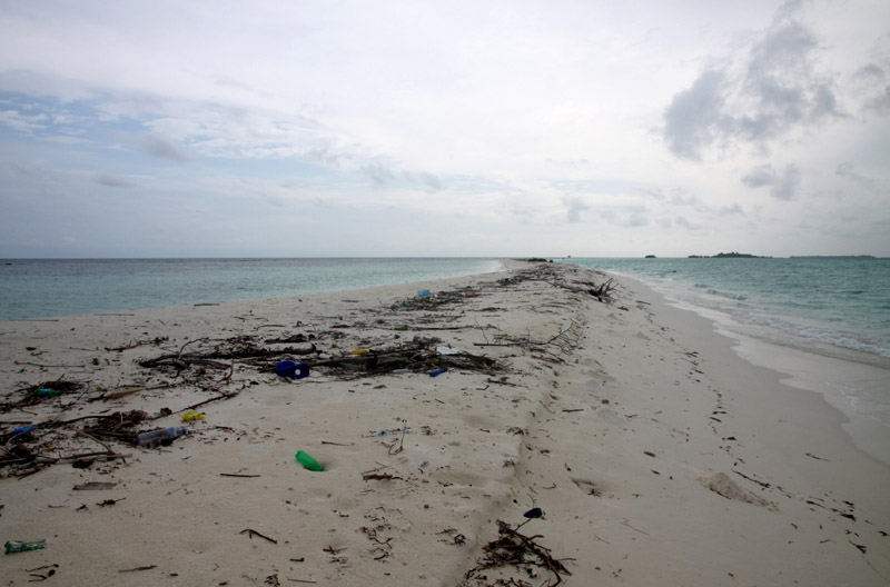
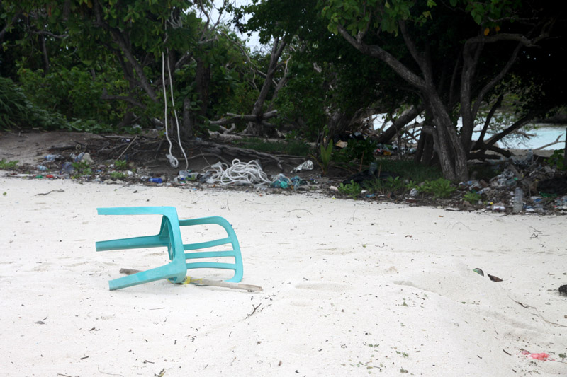
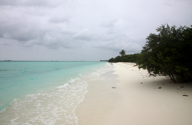
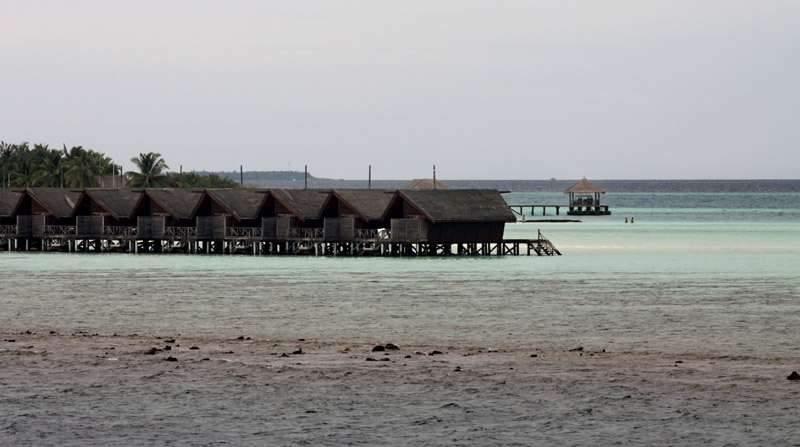
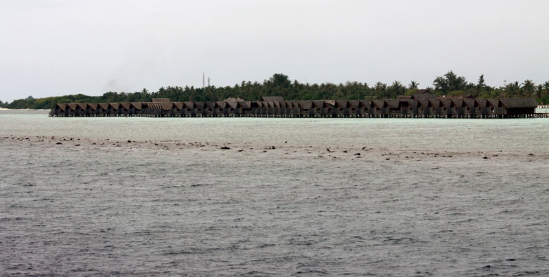


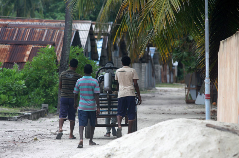


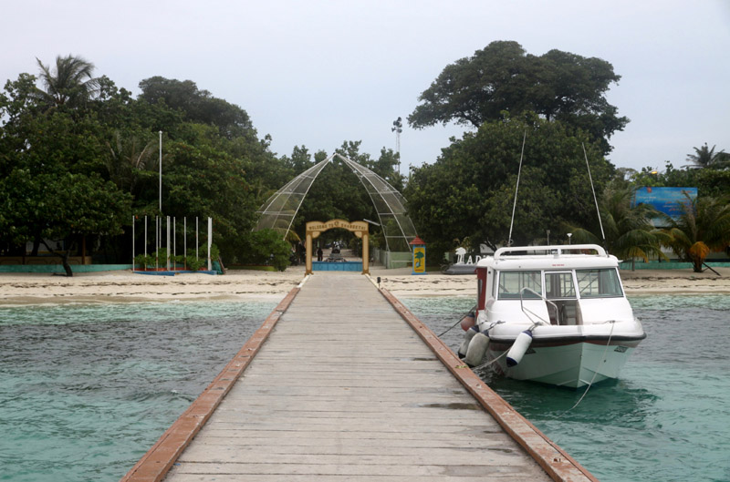
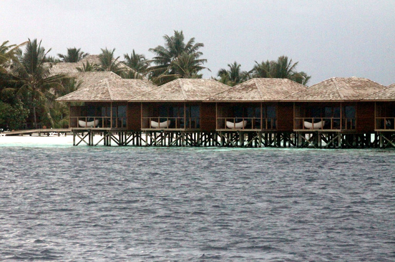
The Maldives (Listeni/ˈmɒldaɪvz/ or /ˈmɒldiːvz/), (Dhivehi: ދިވެހިރާއްޖެ, Dhivehi Raa’je), officially Republic of Maldives (Dhivehi: ދިވެހިރާއްޖޭގެ ޖުމްހޫރިއްޔާ, Dhivehi Raa’jeyge Jumhooriyya), also referred to as the Maldive Islands, is an island nation in the Indian Ocean formed by a double chain of twenty-six atolls oriented north-south off India’s Lakshadweep islands, between Minicoy Island and Chagos Archipelago. It stands in the Laccadive Sea, about 700 kilometres (430 mi) south-west of Sri Lanka and 400 kilometres (250 mi) south-west of India. During the colonial era, the Dutch referred to the country as “Maldivische Eilanden” in their documentation, while “Maldive Islands” is the anglicised version of the local name used by the British, which later came to be written “Maldives”.
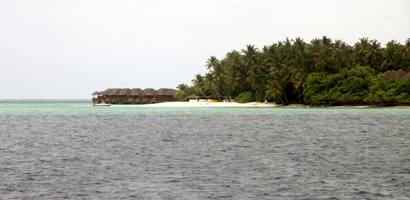
The archipelago is located on top of the Chagos-Maldives-Laccadive Ridge a vast submarine mountain range in the Indian Ocean. The Maldives also form a terrestrial ecoregion together with the Chagos and the Lakshadweep. The atolls of the Maldives encompass a territory spread over roughly 90,000 square kilometres (35,000 sq mi), making it one of the world’s most dispersed countries in geographic terms. Its population of 313,920 (2010) inhabits 200 of its 1,192 islands. Maldives’ capital and largest city Malé had a population of 103,693 in 2006. It is located at the southern edge of North Malé Atoll, in the Kaafu Atoll. It is also one of the Administrative divisions of the Maldives. Traditionally it was the King’s Island where the ancient Maldive Royal dynasties were enthroned.
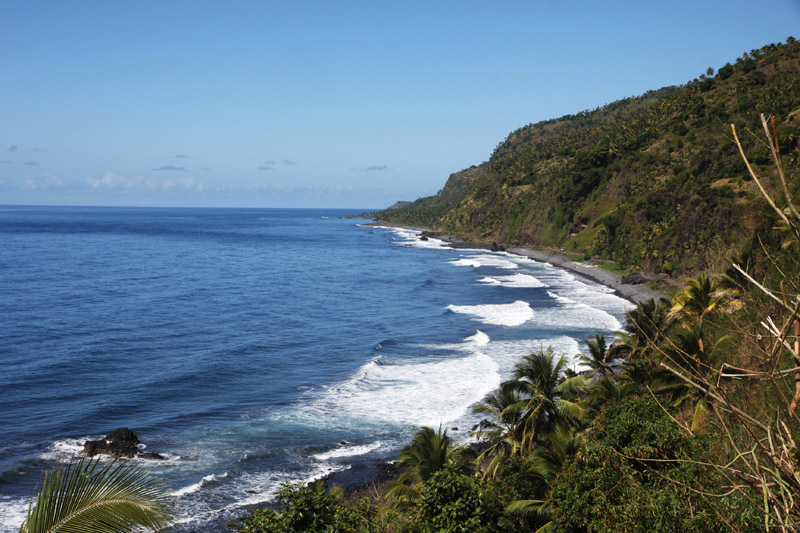
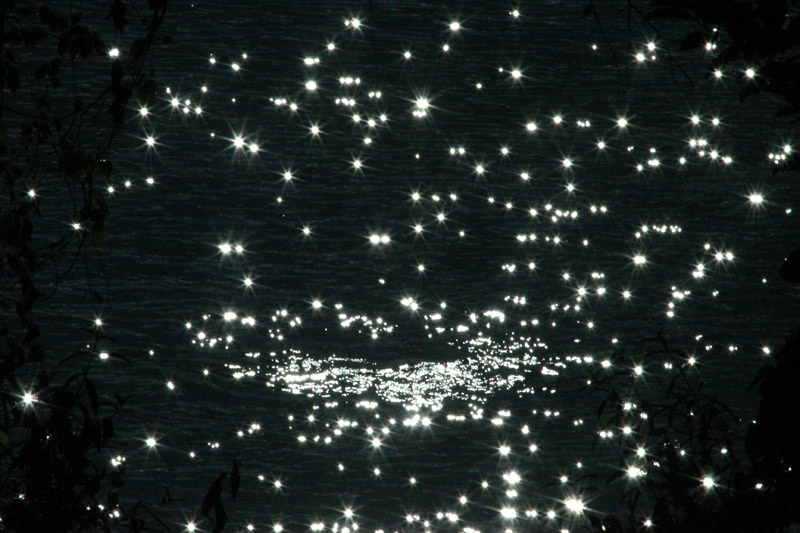
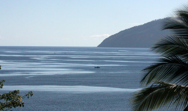
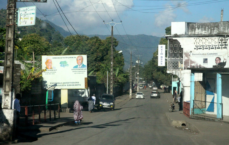
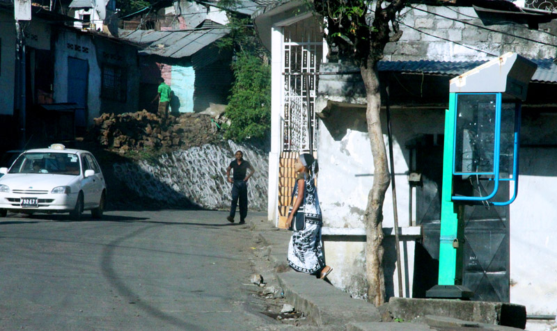
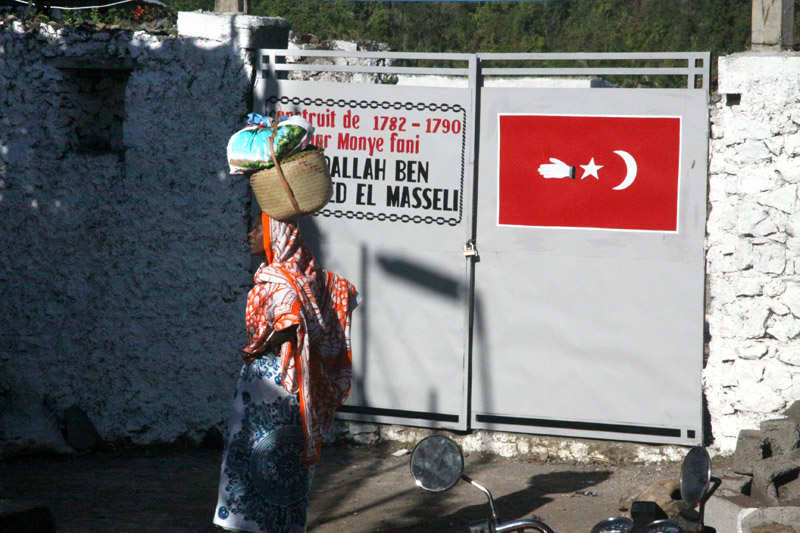
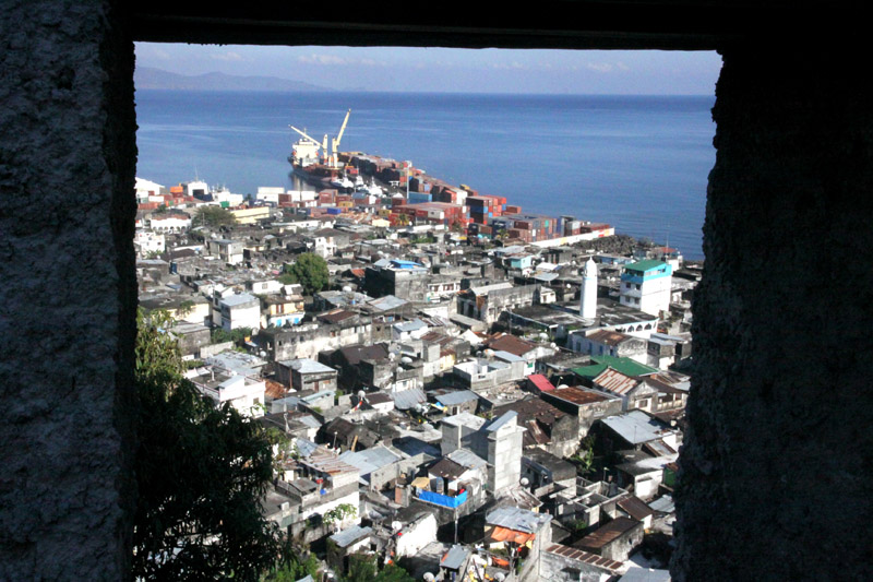
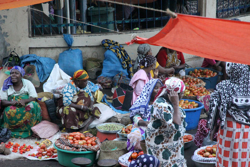
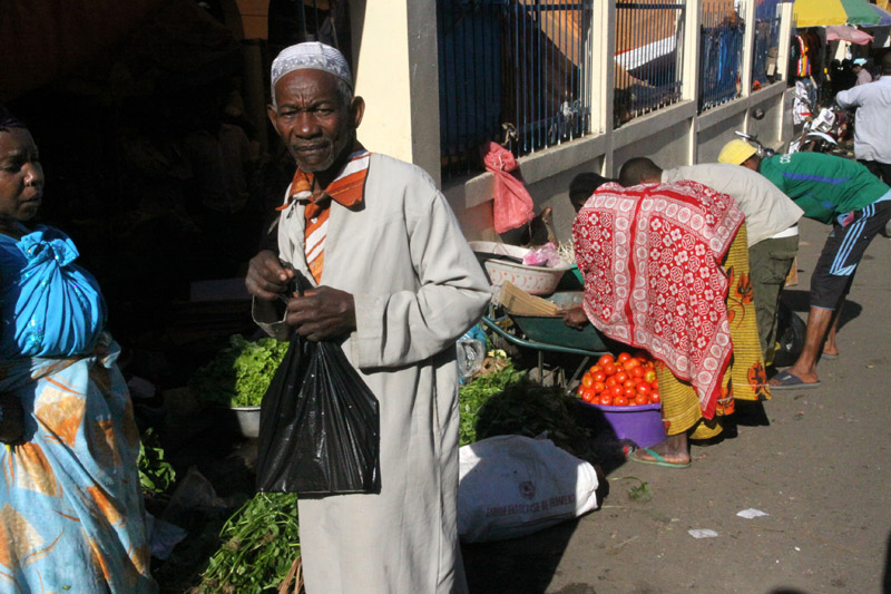
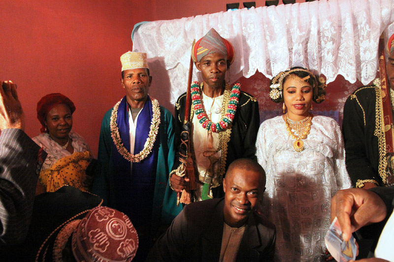
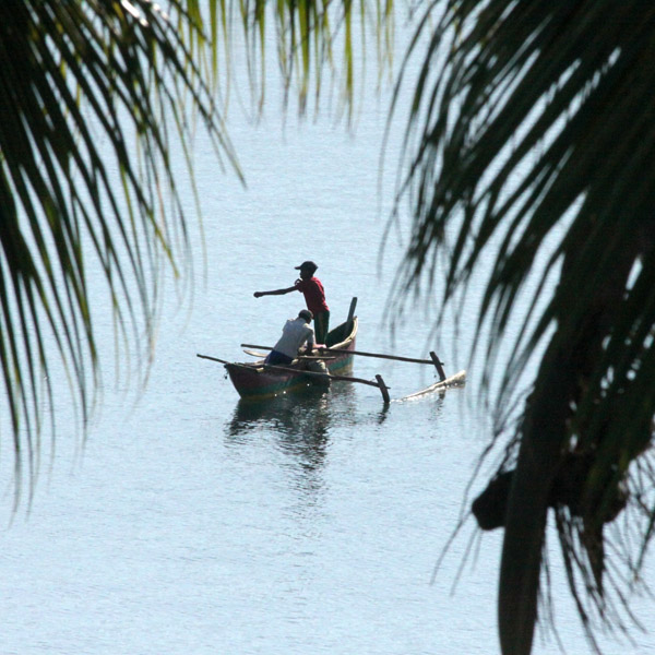
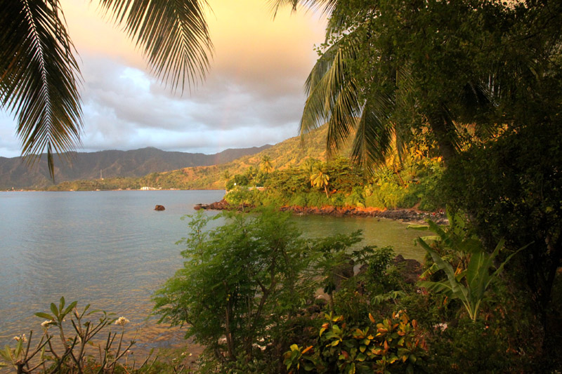
Anjouan (also known as Ndzuwani or Nzwani) is an autonomous island, part of the Union of Comoros. The island is located in the Indian Ocean. Its capital is Mutsamudu and its population as of 2006 is about 277,500. The total area of the island is 424 sq. kilometers (163 sq. mi.).
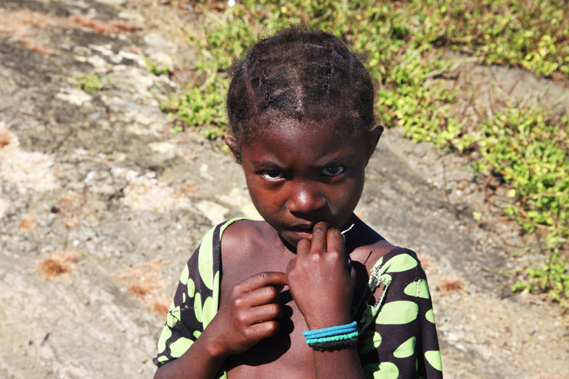
Mohéli, also known as Mwali, is one of the three islands which make up the nation of Comoros. Mohéli is located in the Indian Ocean off the coast of Africa. It is by far the smallest of the Comoros islands. Its population, as of 2006, is about 38,000. Its capital city is Fomboni. Its main ethnic group, as on the other Comoros islands Grande Comore and Anjouan as well as the French territory Mayotte, is the Comorian ethnic group, a synthesis of Bantu, Arab, Malay and Malagasy culture, and the main religion is Sunni Islam.
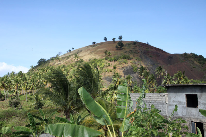
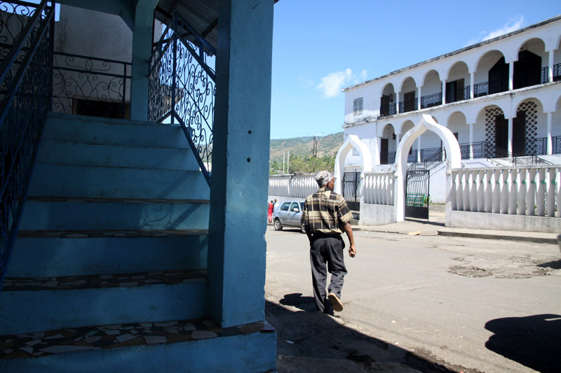
Grande Comore (officially called Ngazidja) is an island in the Indian Ocean off the coast of Africa. It is the largest island in the Comoros nation. Most of its population is of the Comorian ethnic group. Its population as of 2006 is about 316,600. The island’s capital is Moroni, which is also the national capital. The island is made up of two shield volcanoes, with Mount Karthala being the country’s highest point at 2,361 m (7,746 ft) above sea level. According to the 2009 revision of the constitution of 2002, it is governed by an elected Governor, as are the other islands, with the federal government being much reduced in power.
For several centuries, Grande Comore was divided into a number of sultanates, including Bambao, Itsandra, Mitsamihuli, Mbajini, Hambuu, Washili, Hamahame, Mbwankuu, Mbude and Domba. The sultans were also known as mfaume. In 1886 the ruler of Bambao, Sultan Said Ali bin Said Omar, united the sultanates of Grande Comore into the state of Ngazidja, with the other sultanates maintaining autonomy. That same year, France established a protectorate over the island. In 1893 Sultan Said Ali was sent into exile on Réunion. In 1908 France annexed the island and the sultanates were abolished. In 1975 Grande Comore Anjouan and Mohéli declared independence as the nation of Comoros.
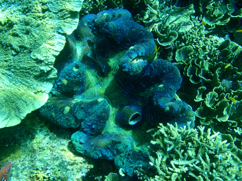
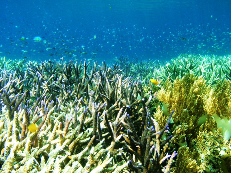
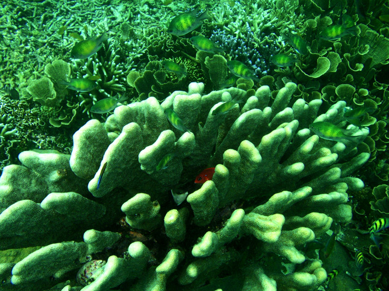
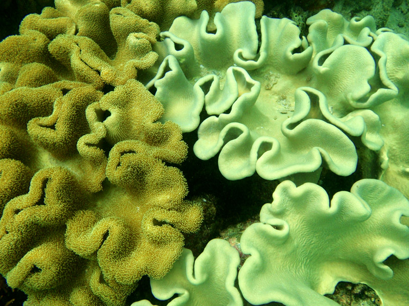
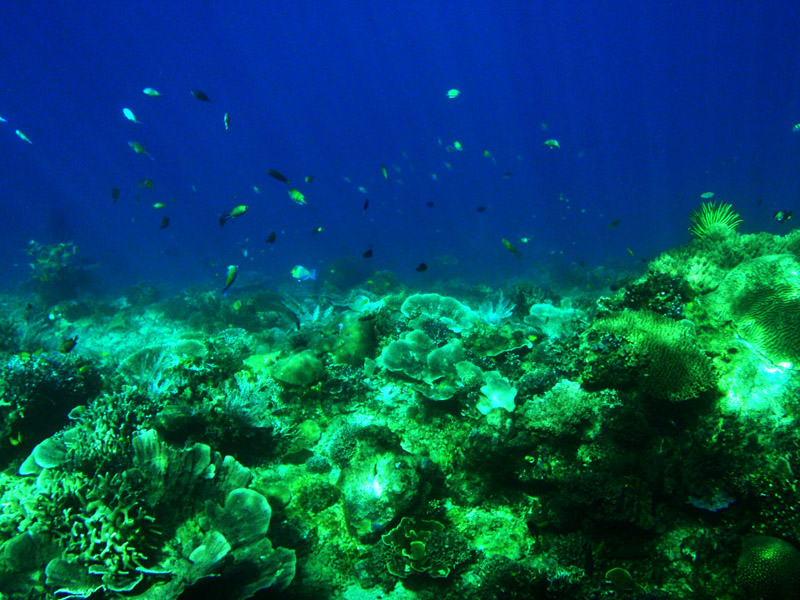
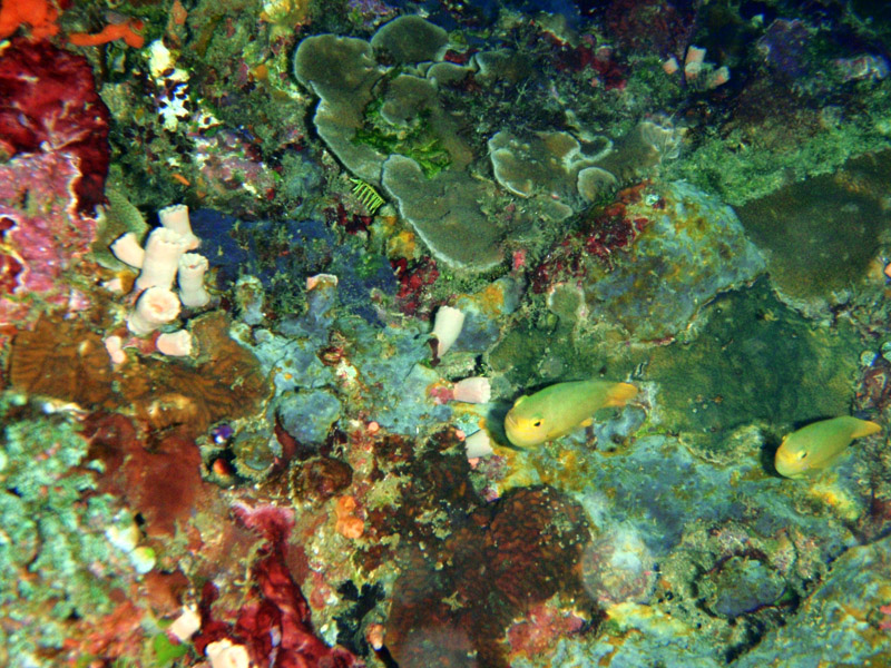
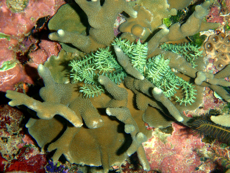
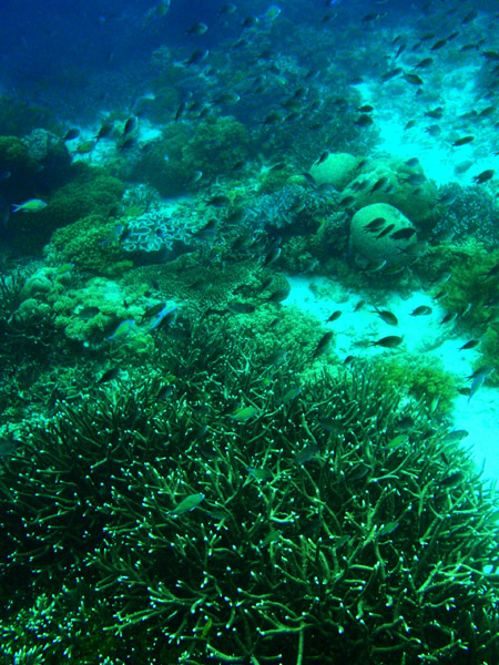

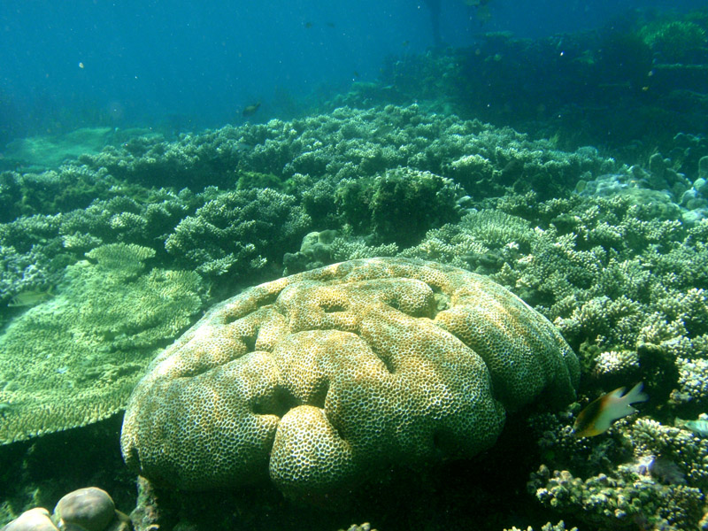
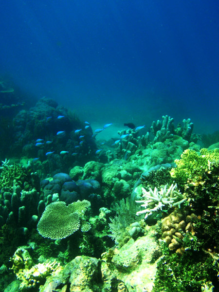
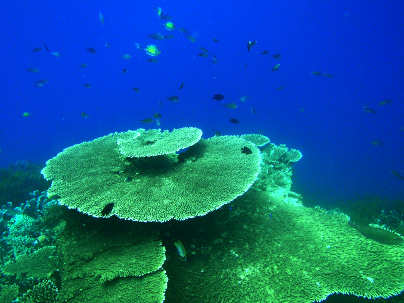
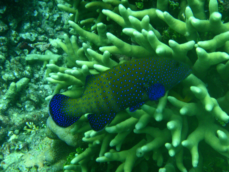
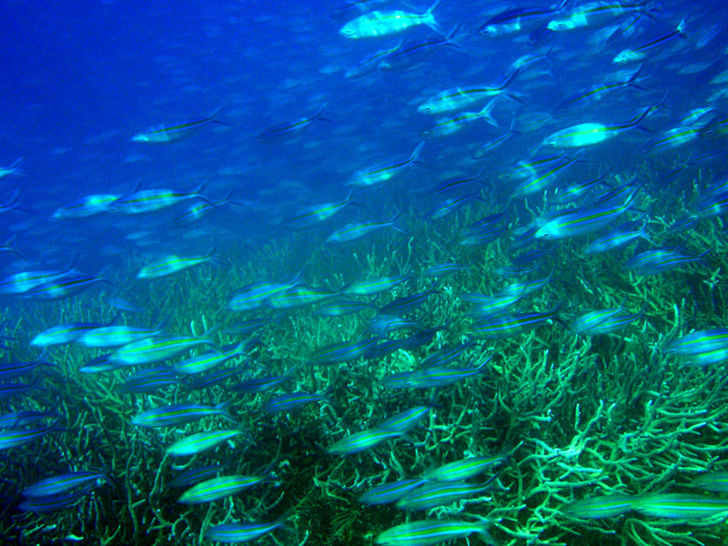
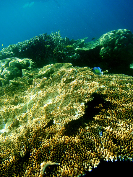
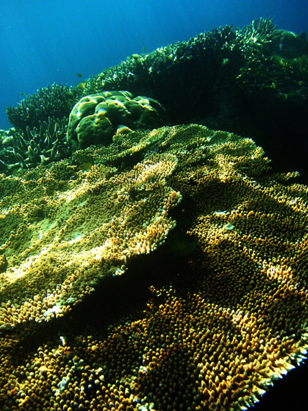
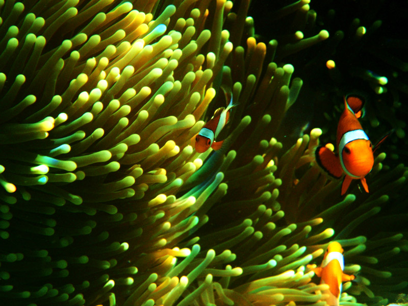
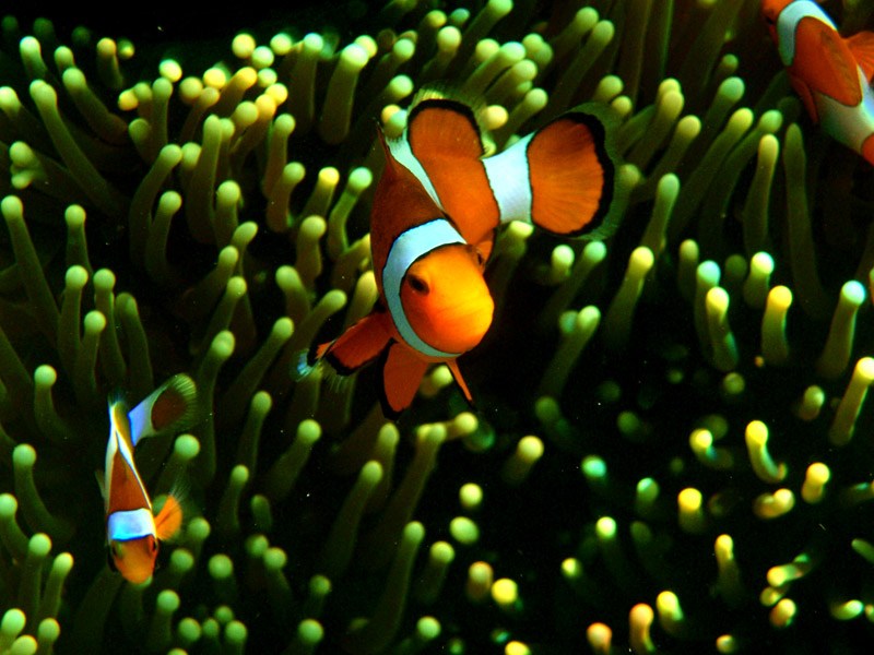
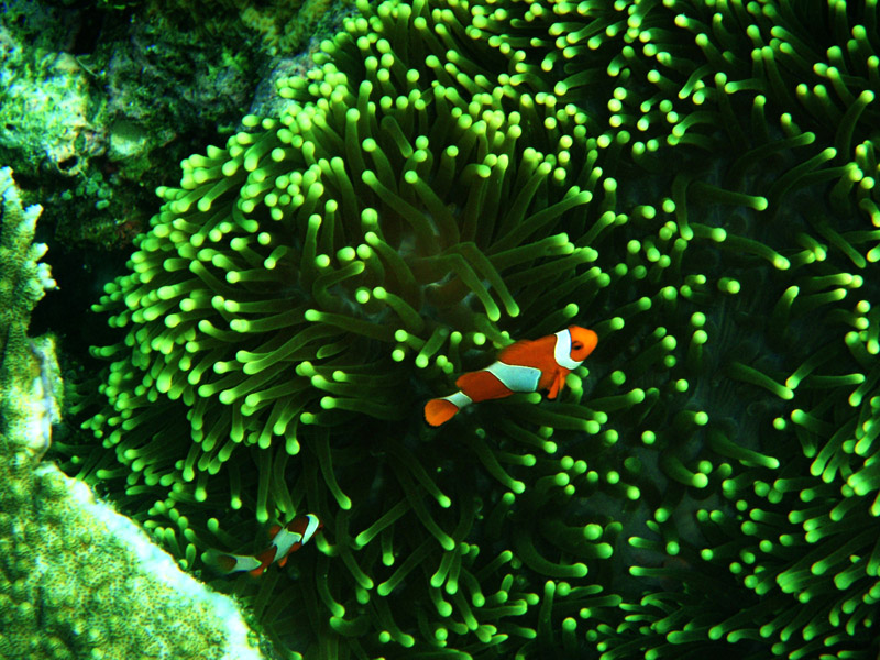
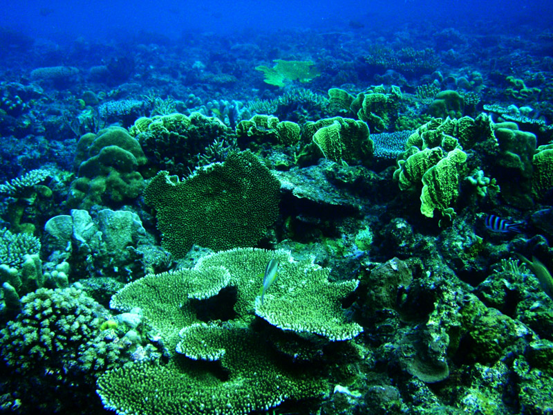
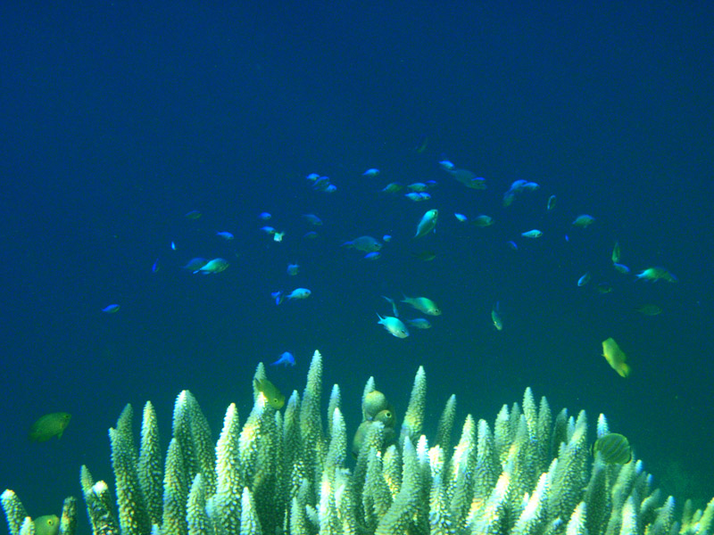

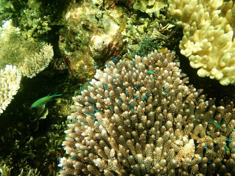
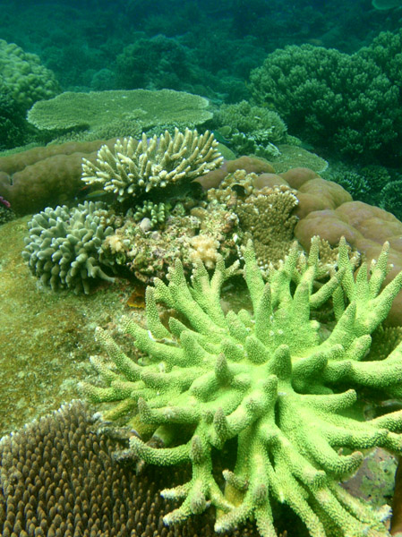
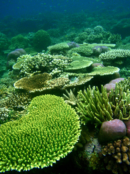
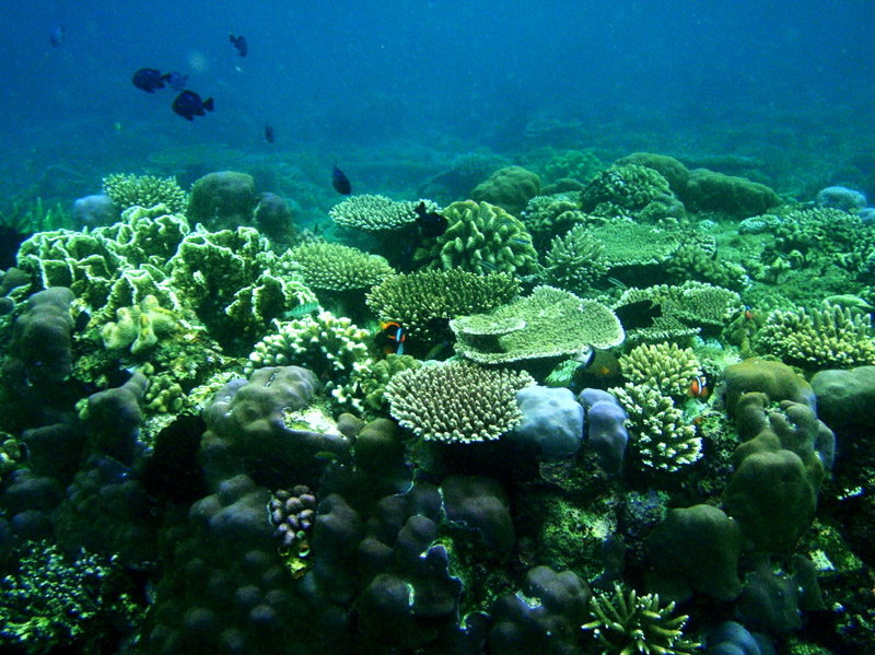
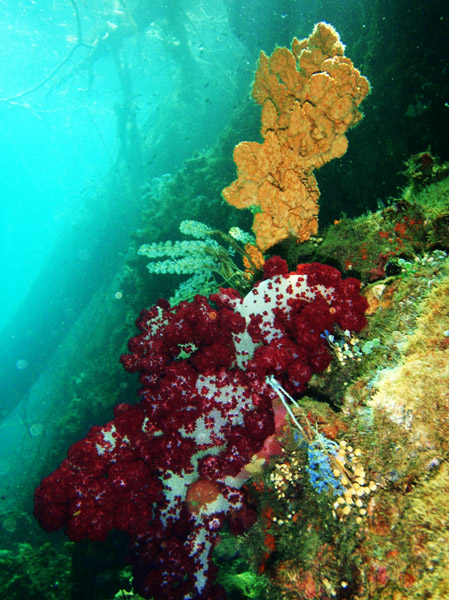
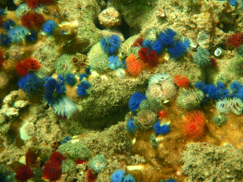
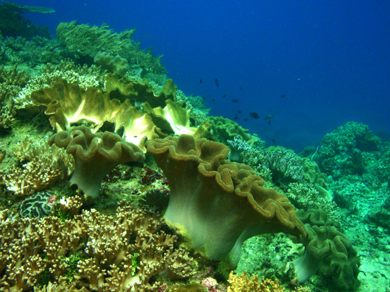
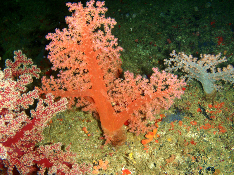
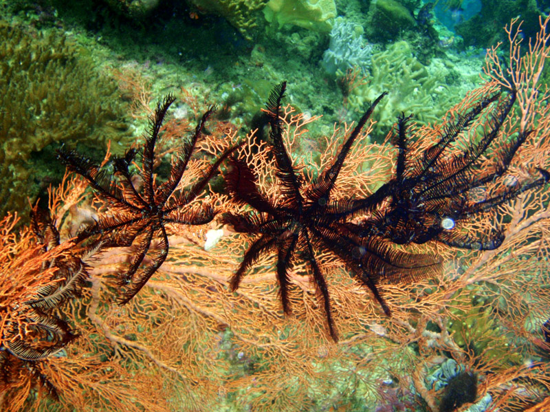
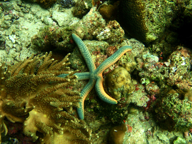
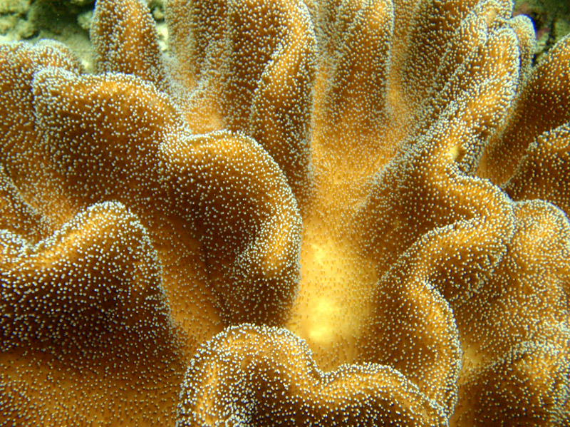
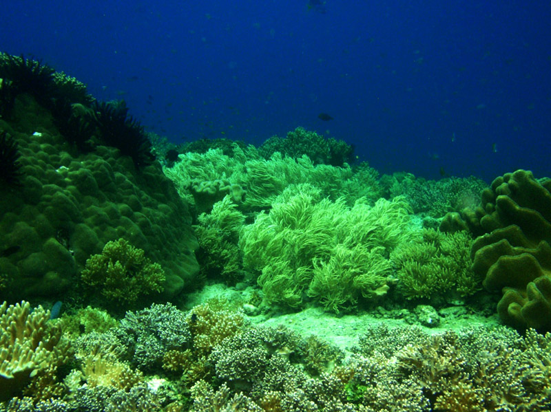

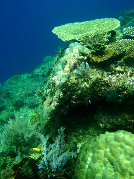
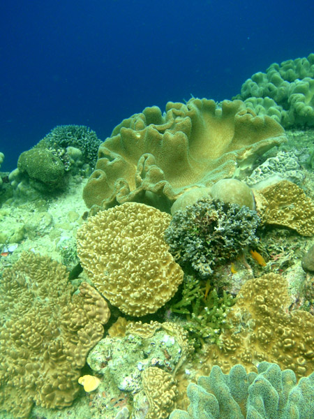
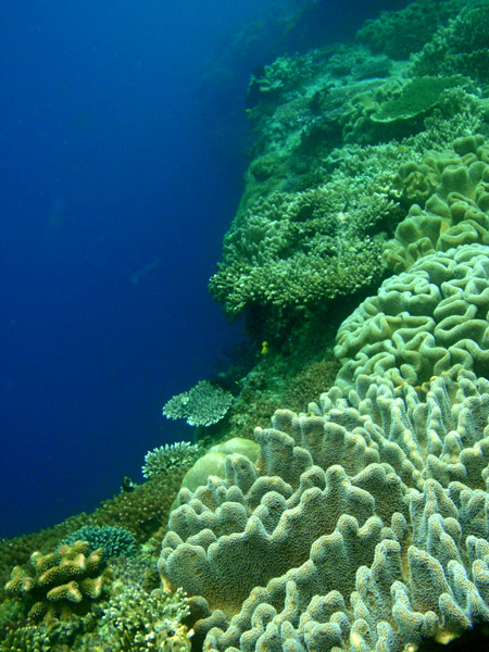
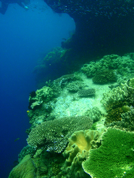

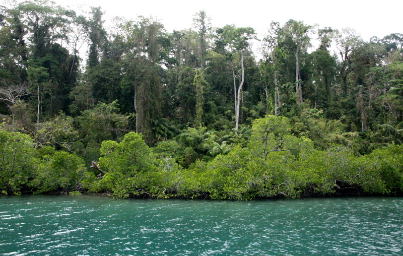
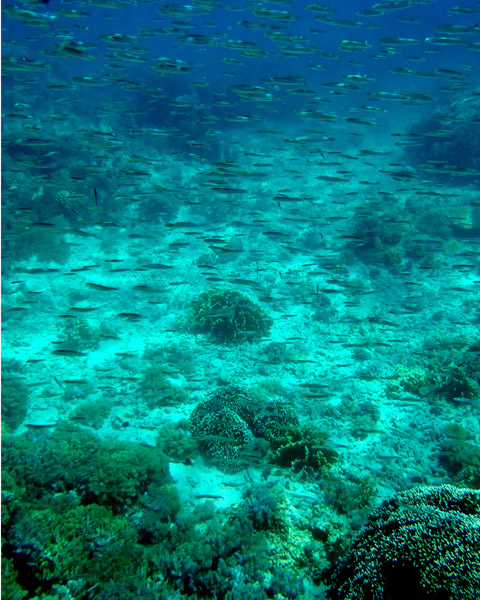
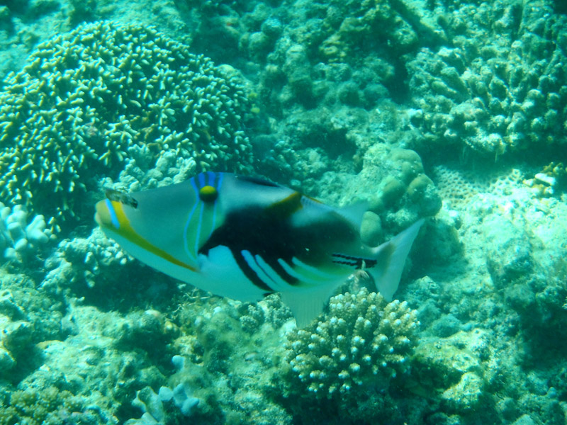
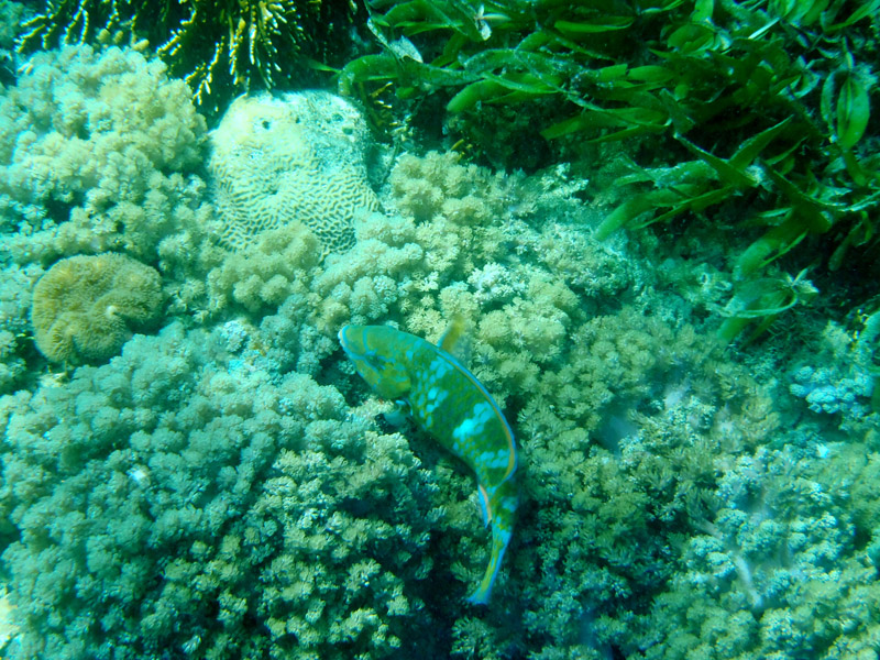
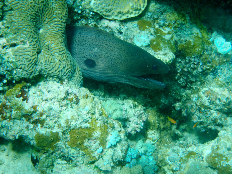
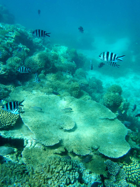
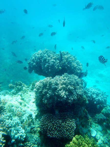
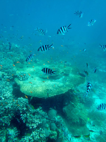
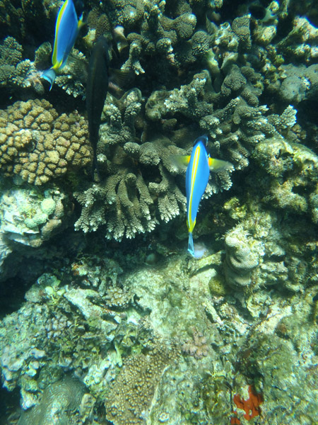
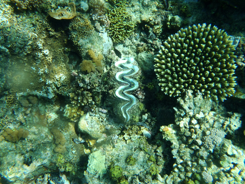
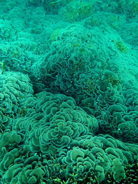
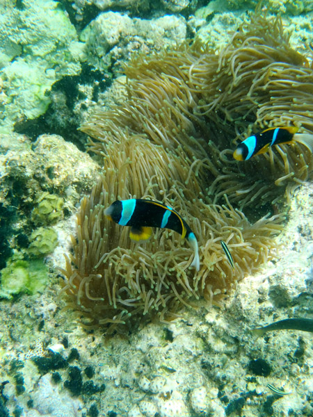
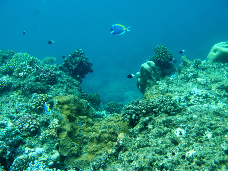
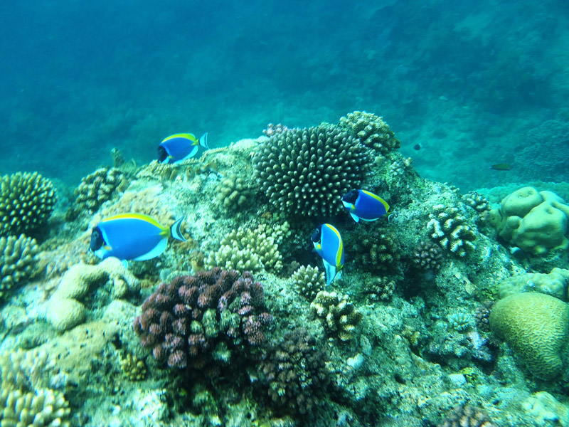
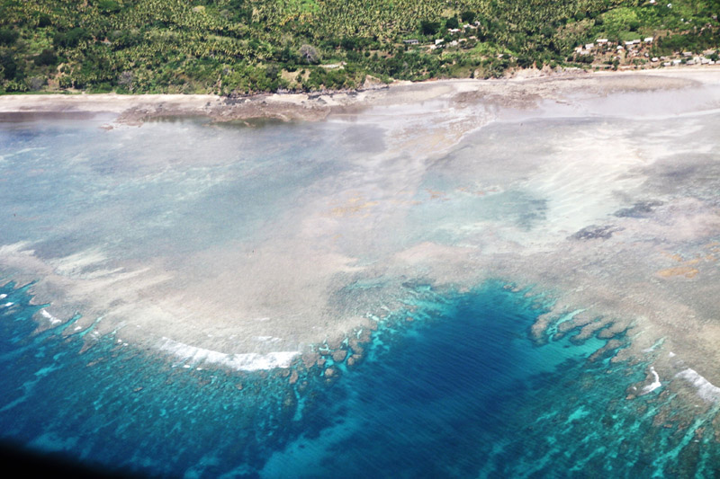
Located off the northwest tip of Bird’s Head Peninsula on the island of New Guinea, in Indonesia’s West Papua province, Raja Ampat, or the Four Kings, is an archipelago comprising over 1,500 small islands, cays and shoals surrounding the four main islands of Misool, Salawati, Batanta and Waigeo, and the smaller island of Kofiau. It encompasses more than 40,000 km² of land and sea, which also contains Cenderawasih Bay, the largest marine national park in Indonesia. It is a part of the newly named West Papua (province) of Indonesia which was formerly Irian Jaya. The islands are the most northern pieces of land in the Australian continent.
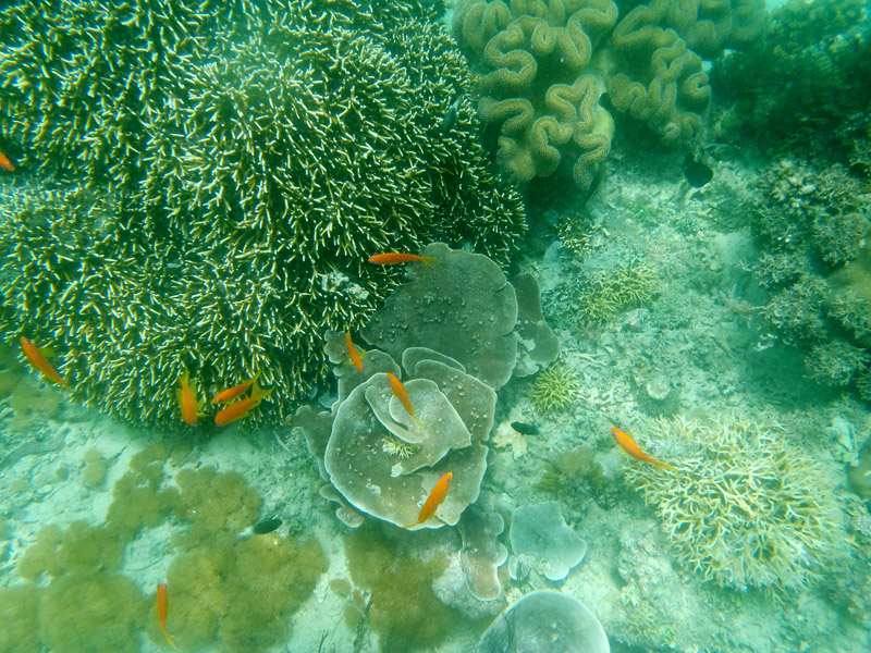
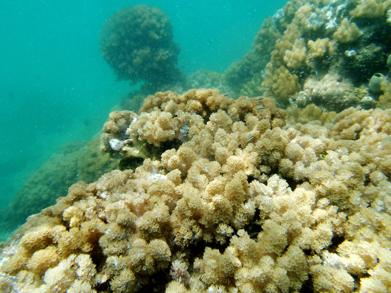
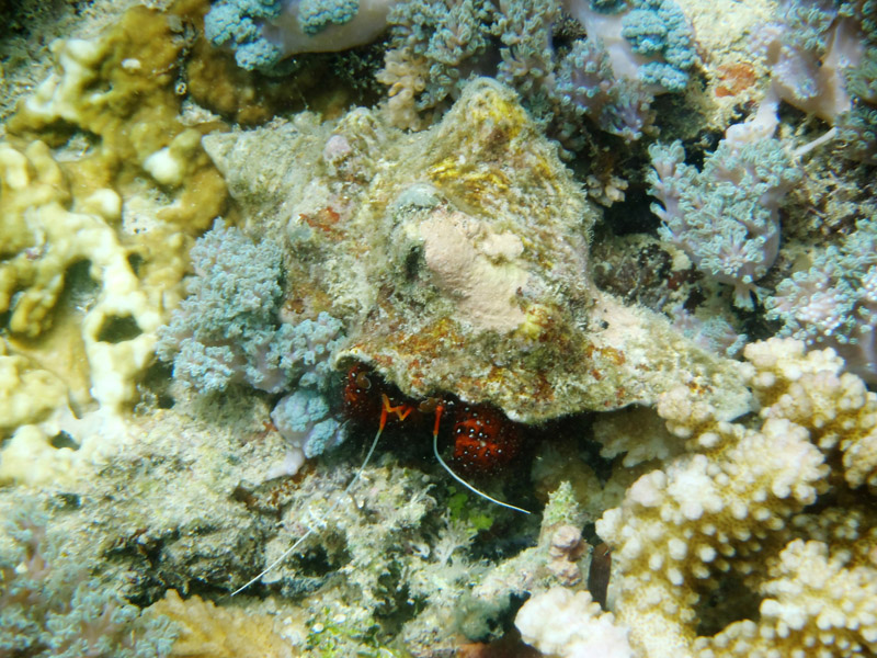
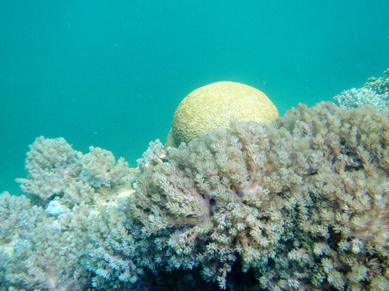
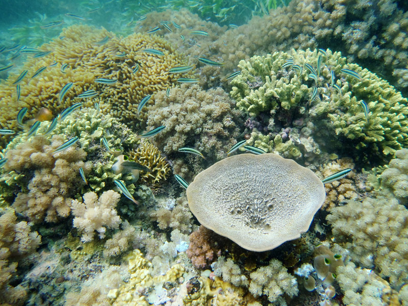
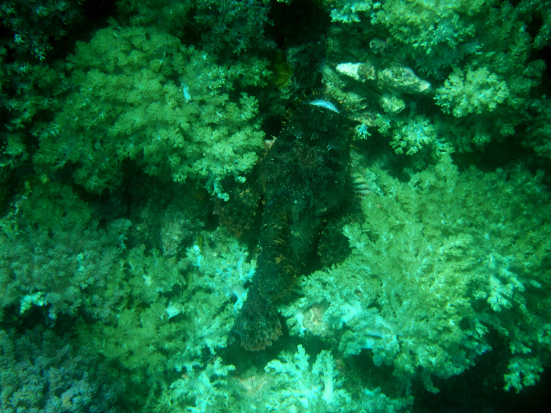
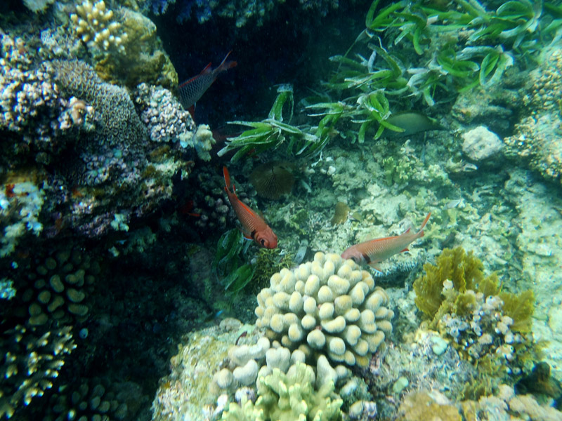
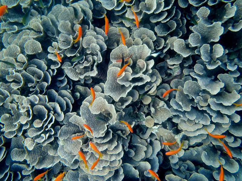
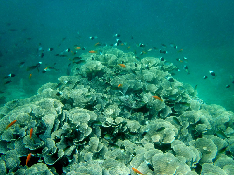
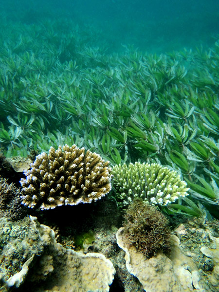
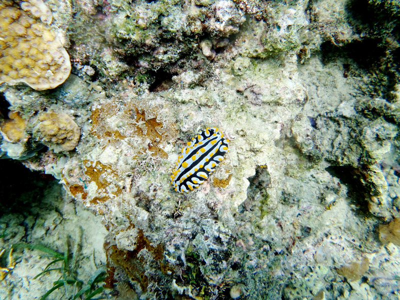
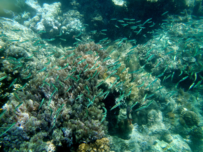
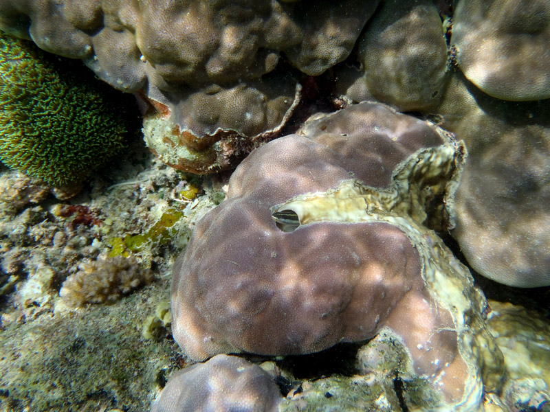
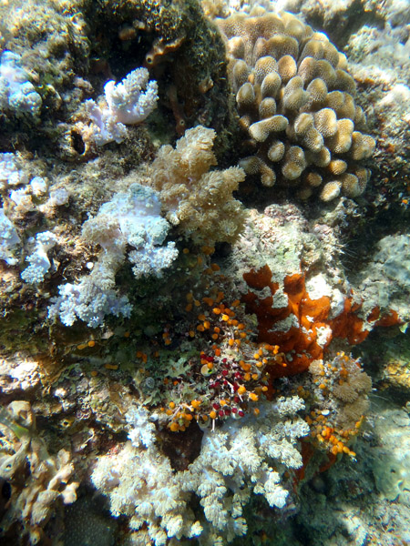
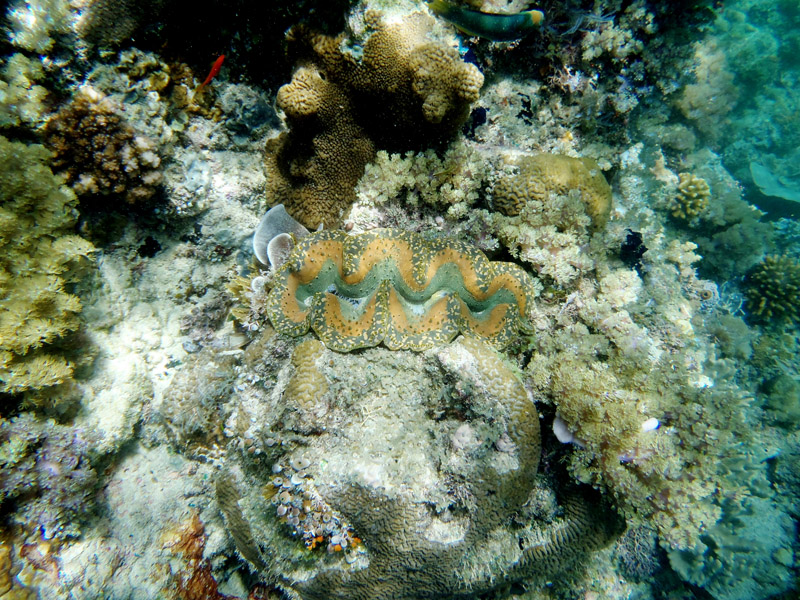
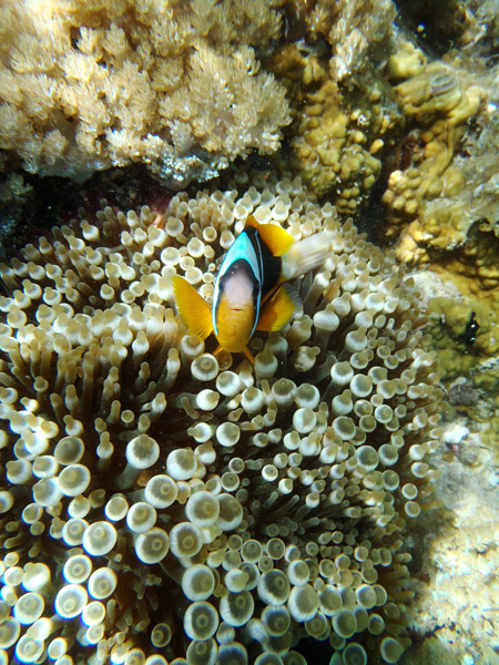
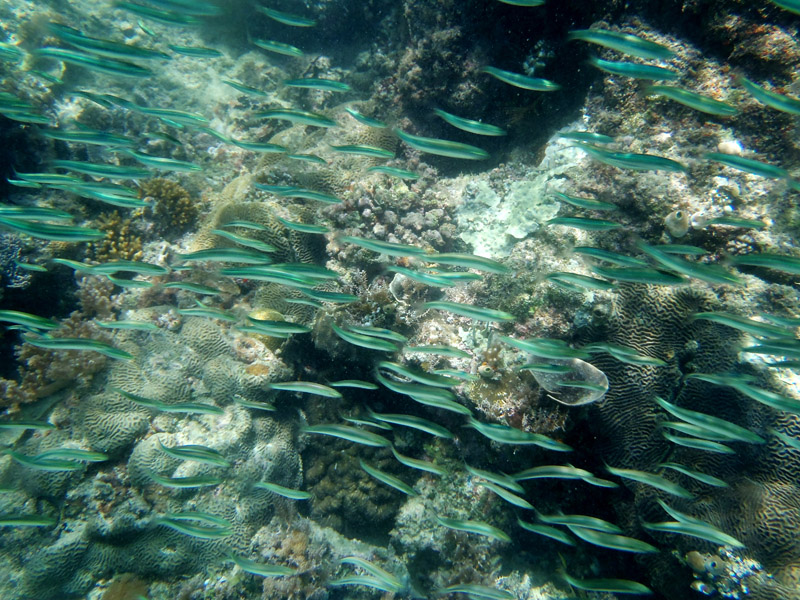
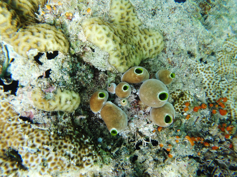
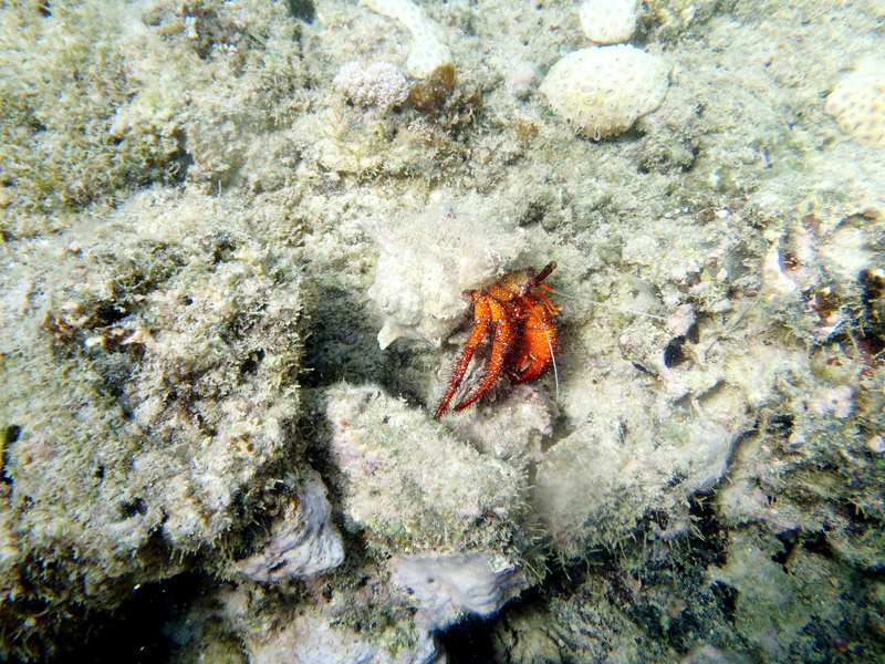
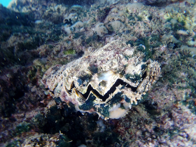
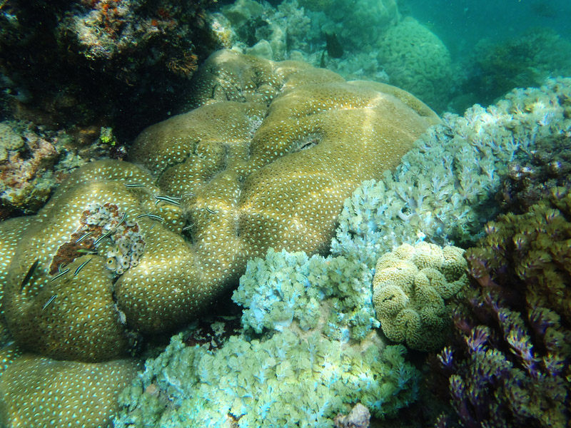
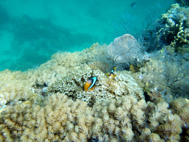
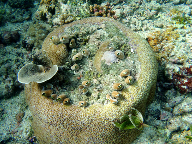
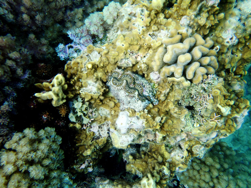
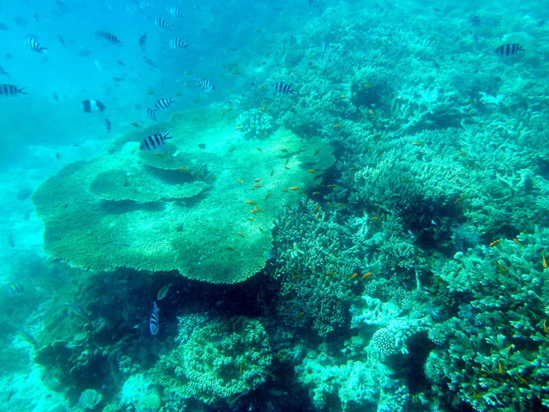
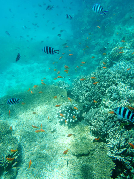
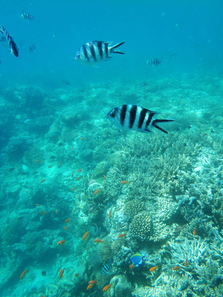
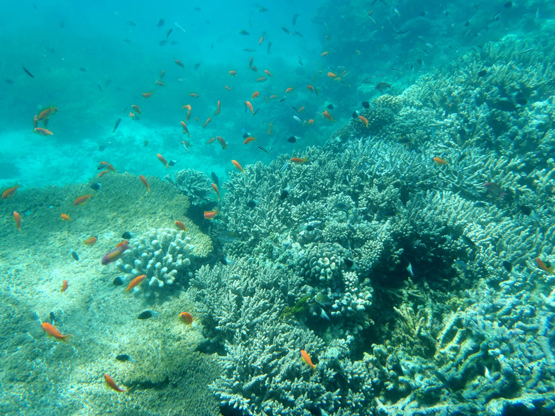
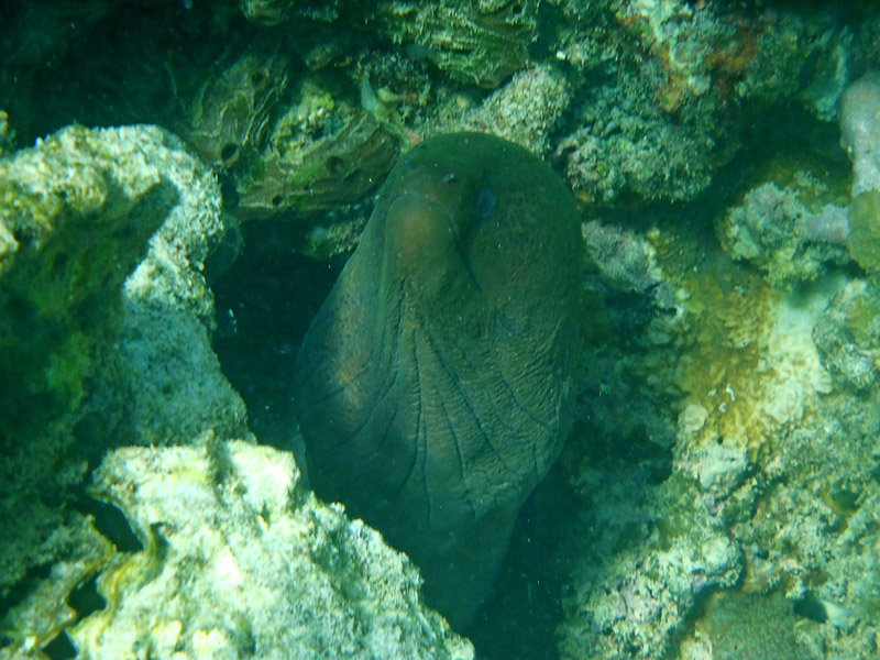
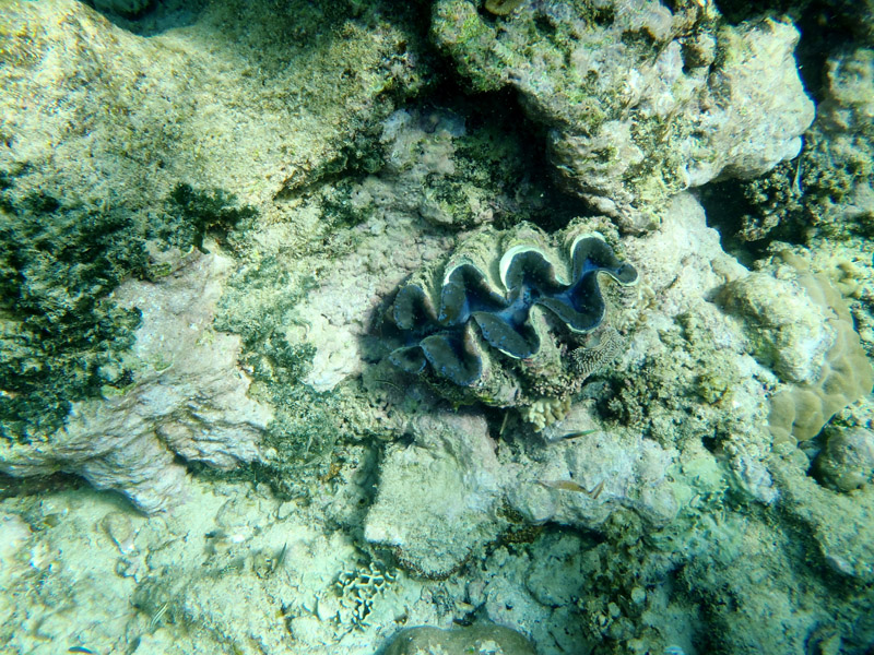
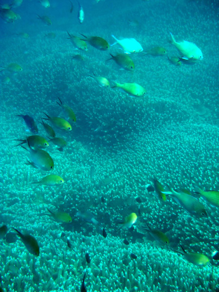
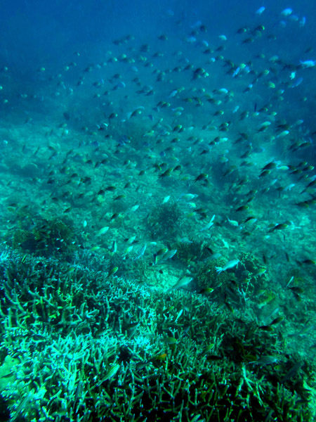
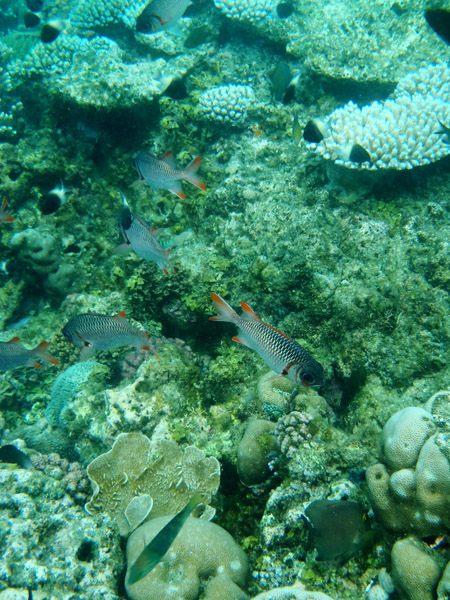
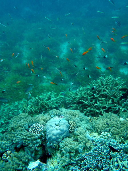
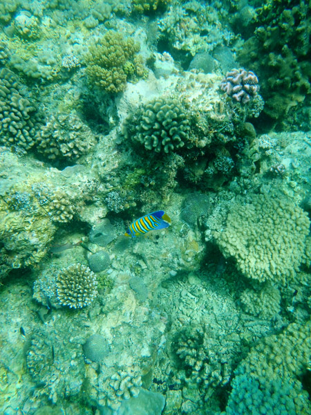
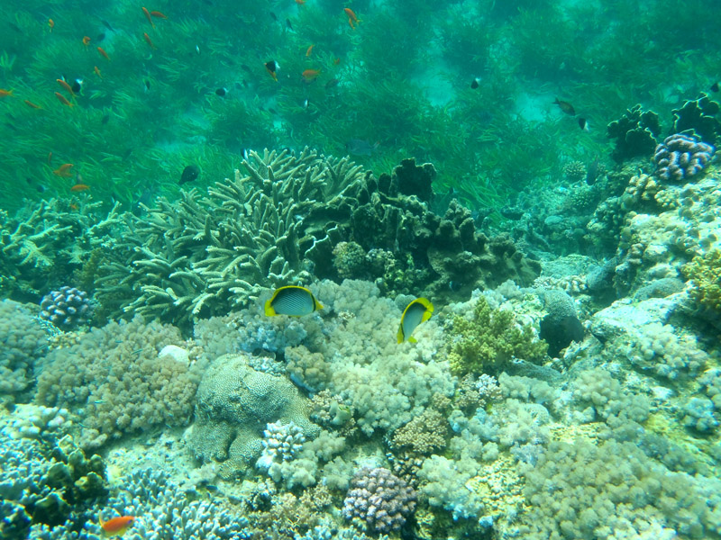
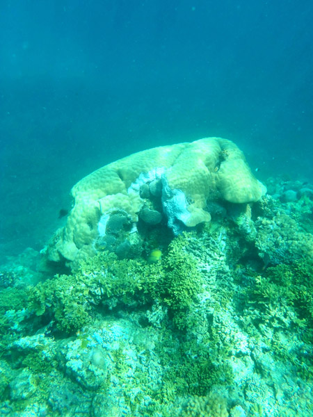
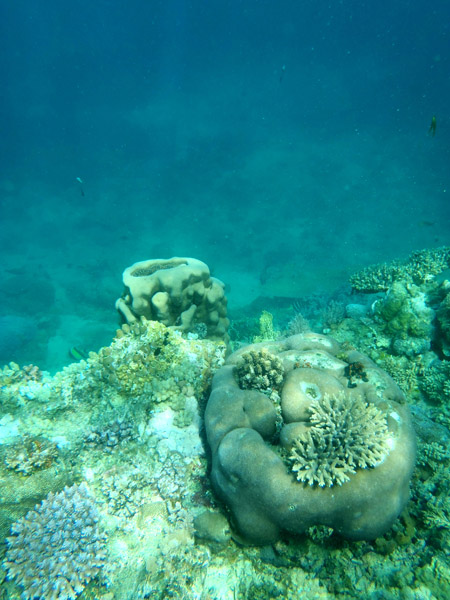
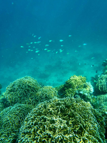
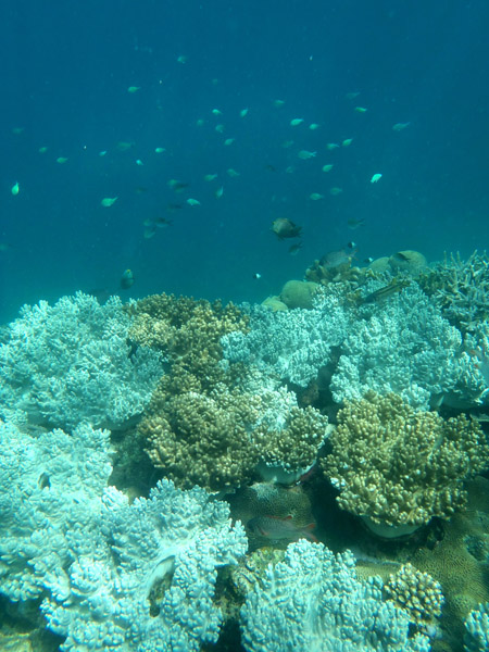
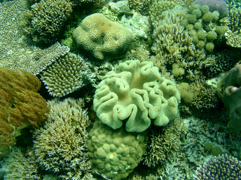
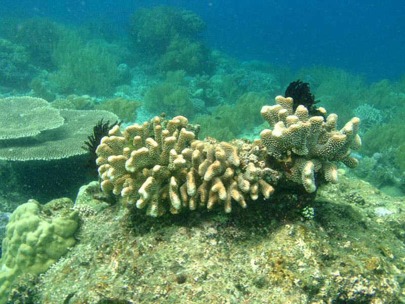
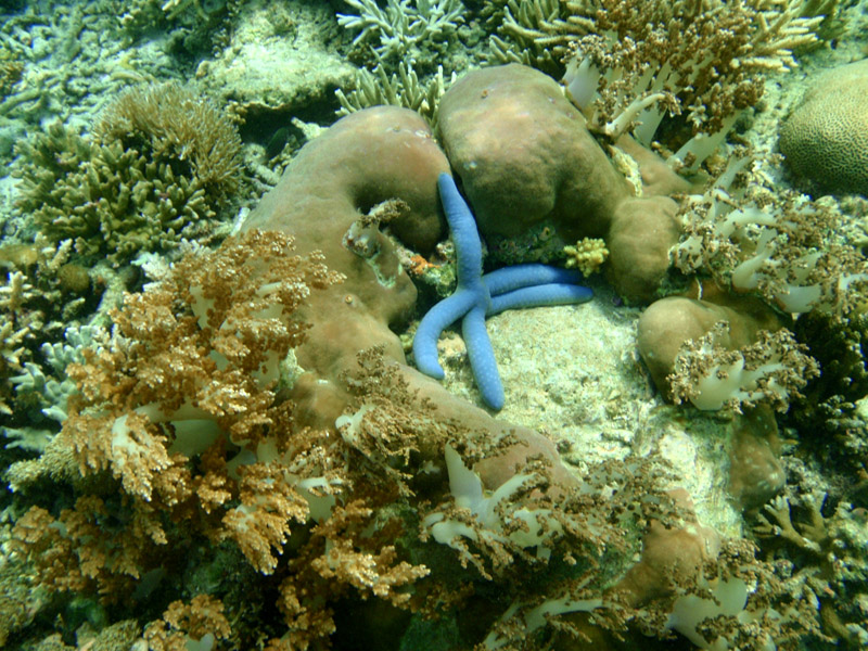
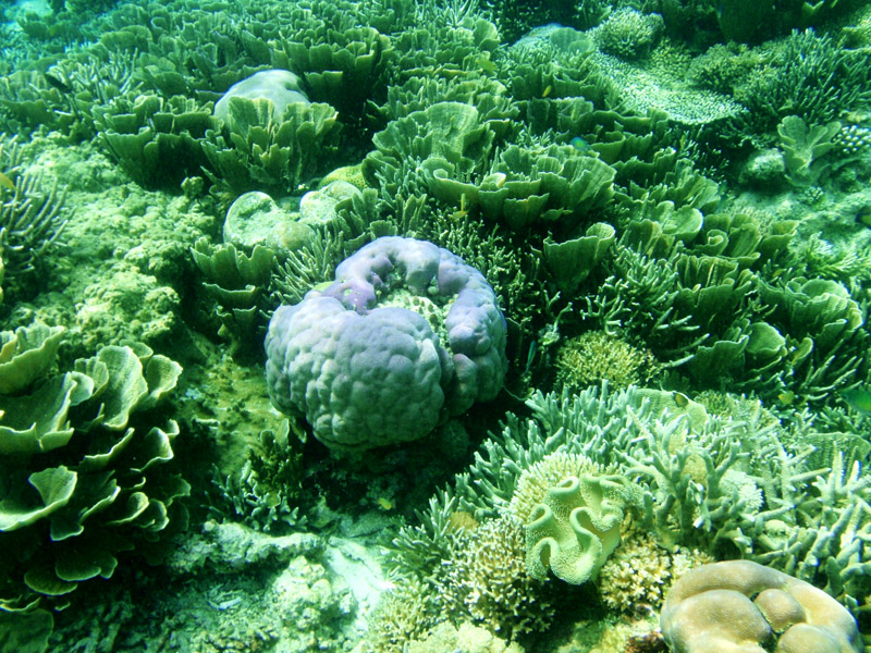
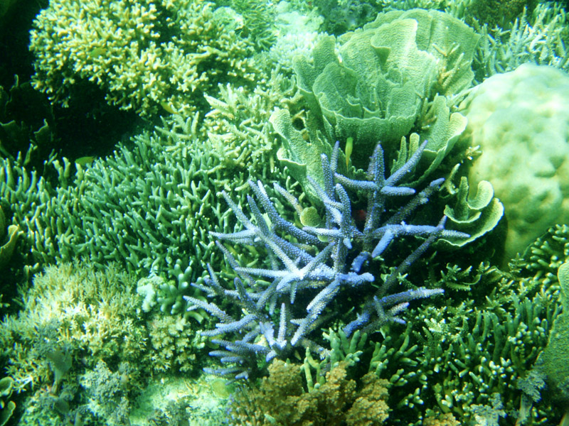
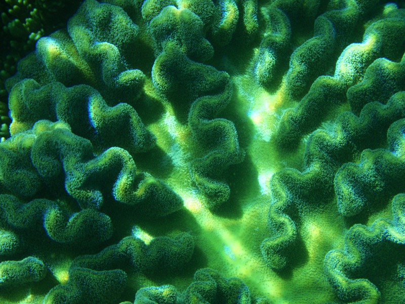
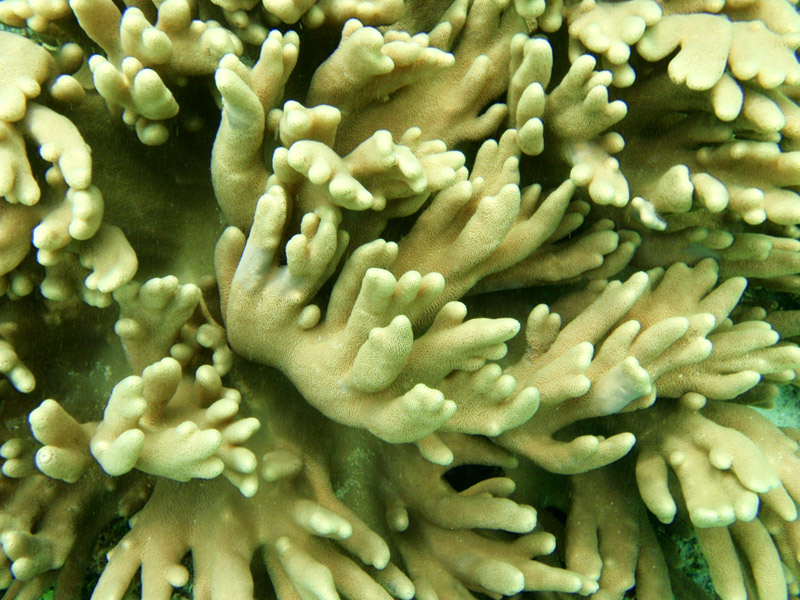
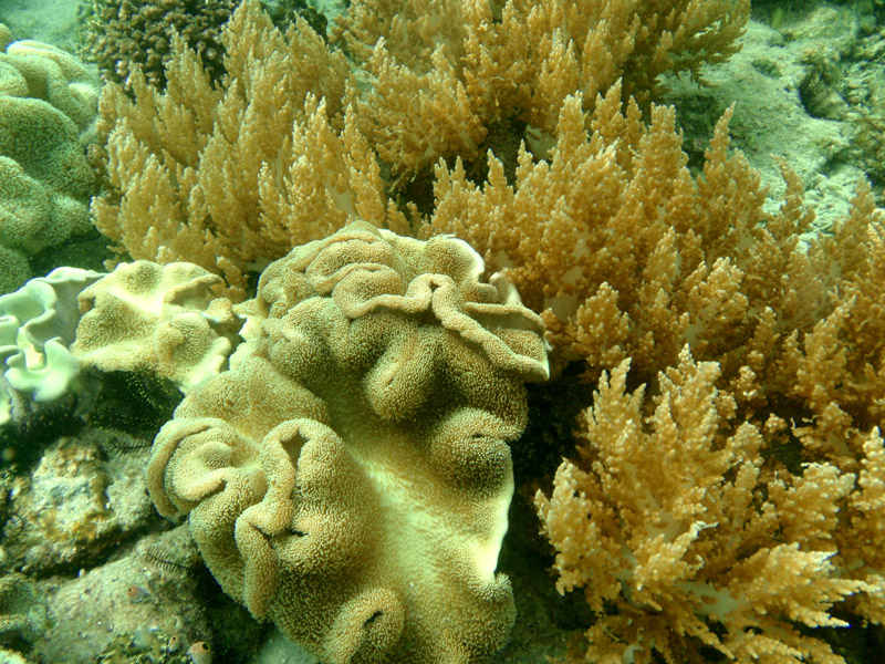
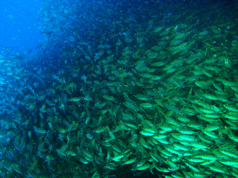
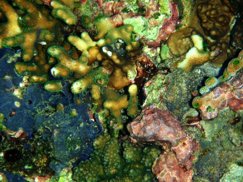
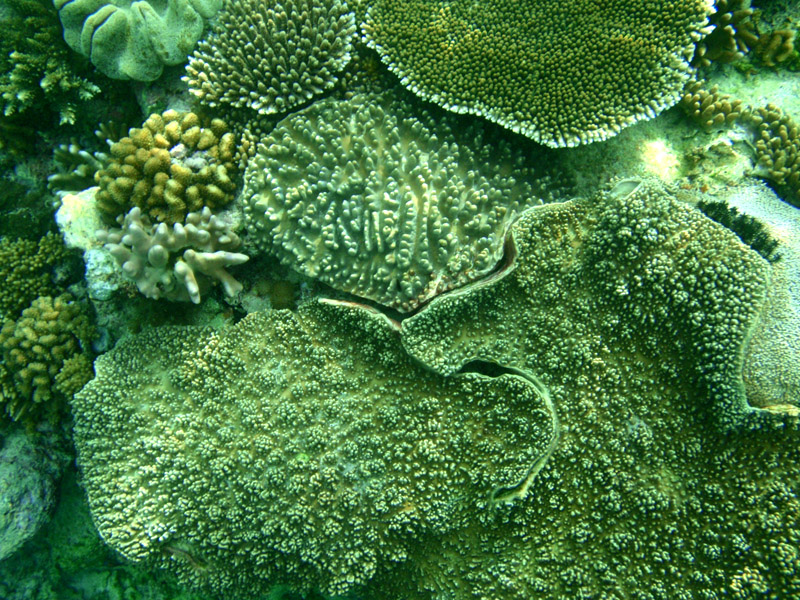
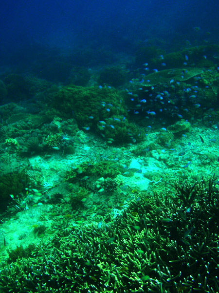
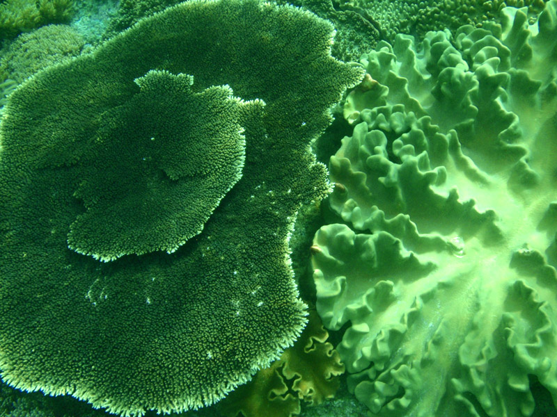
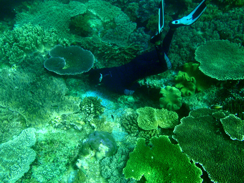
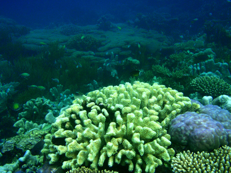
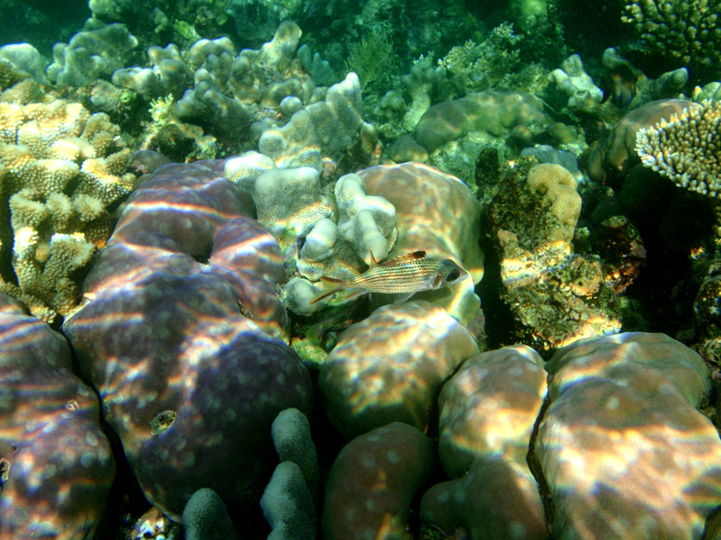
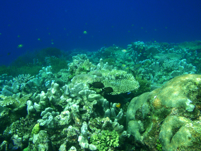
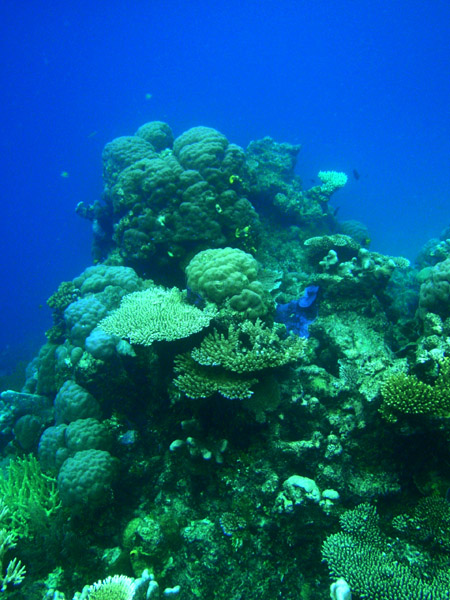
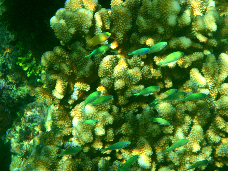
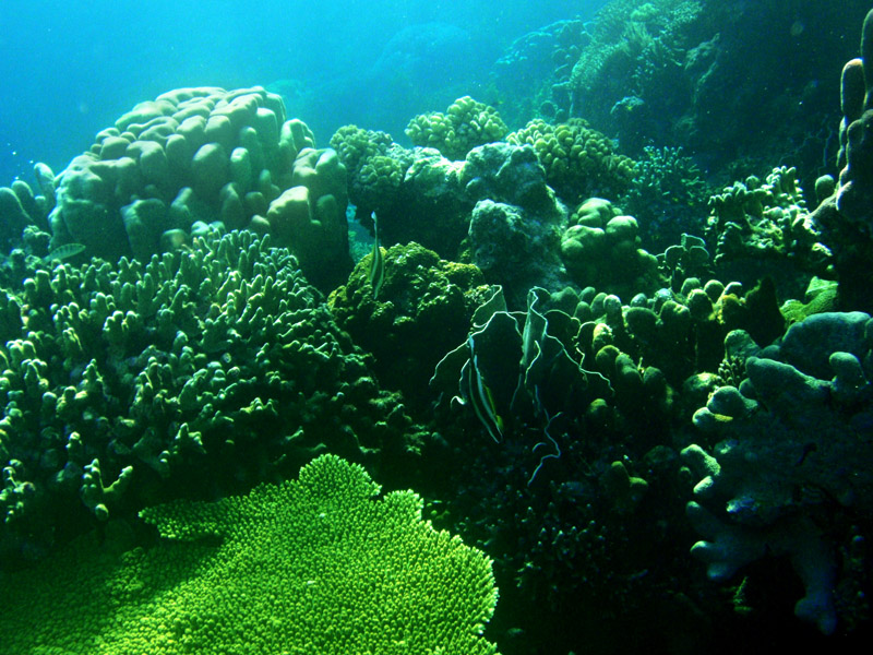
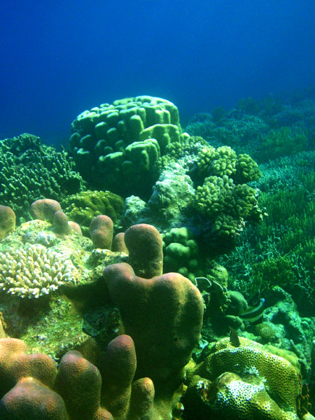
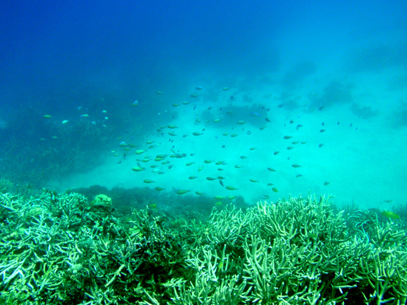
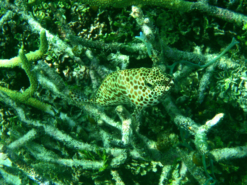
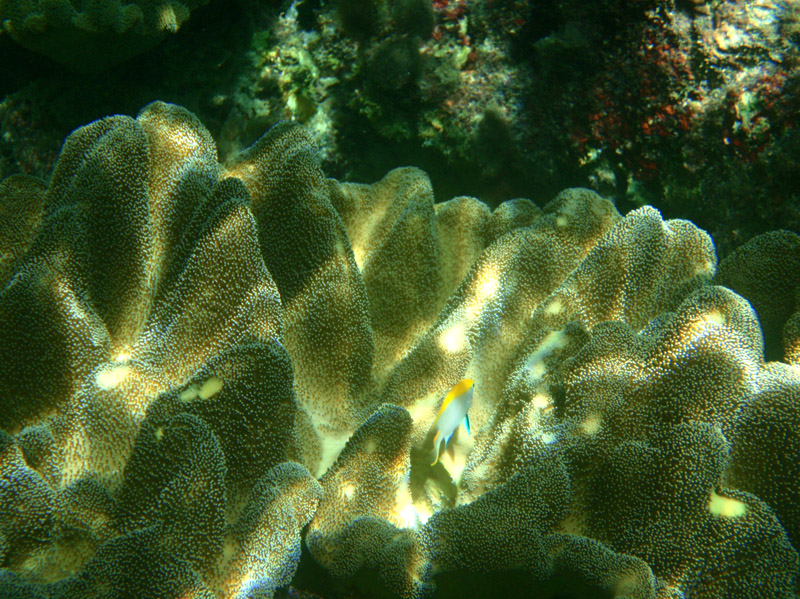
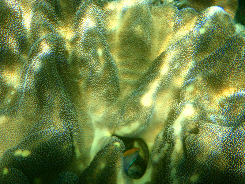
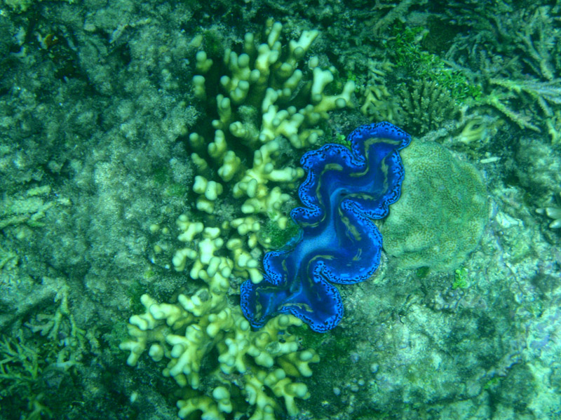
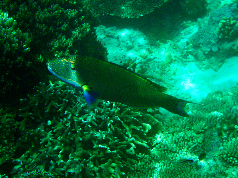
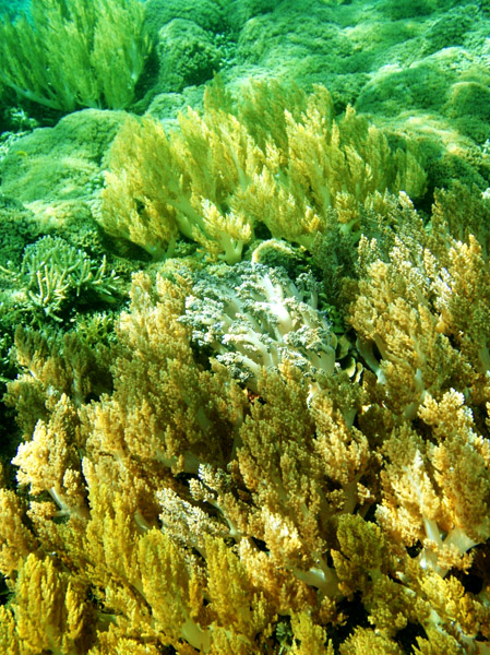
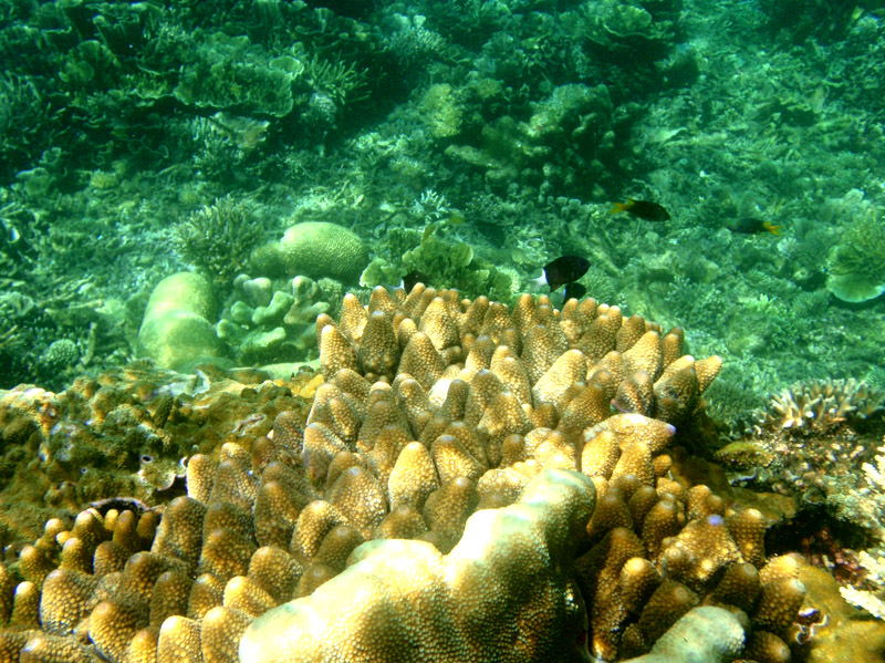
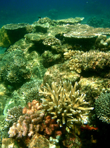
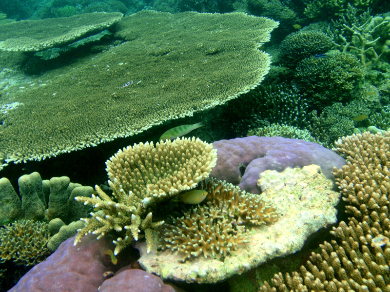
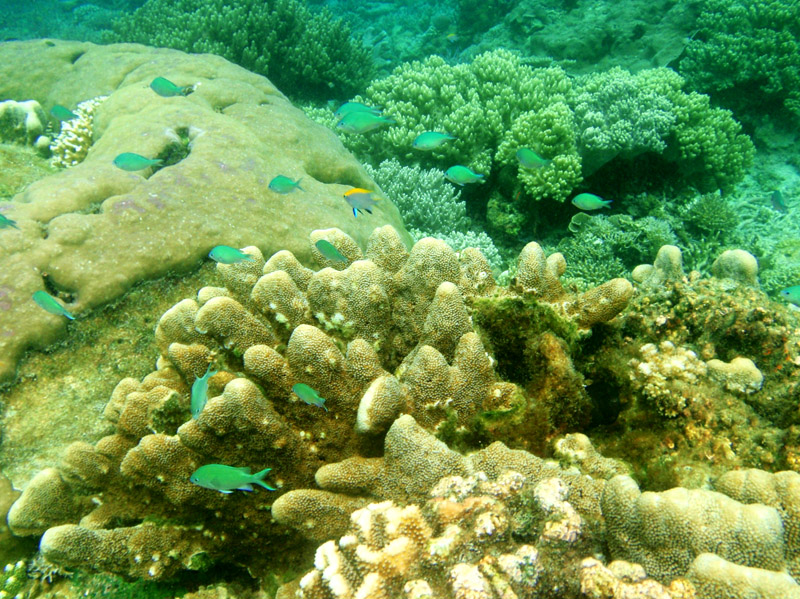
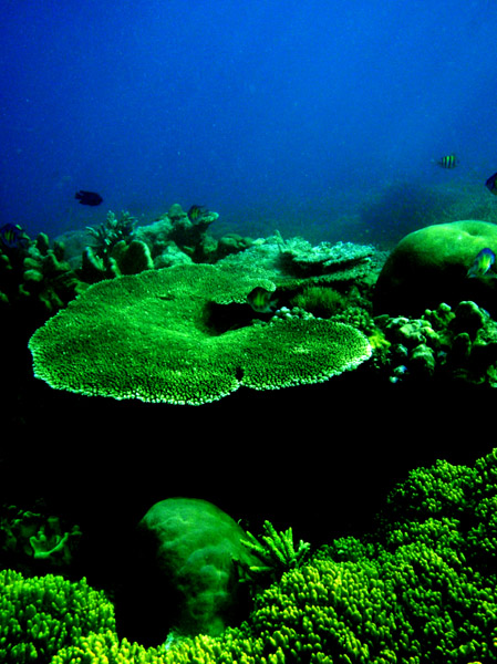
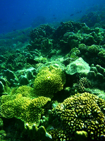
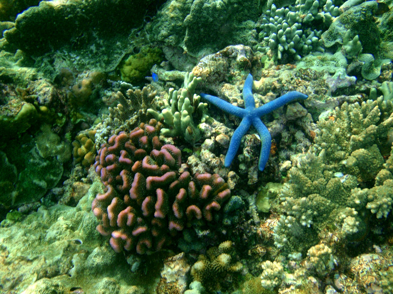
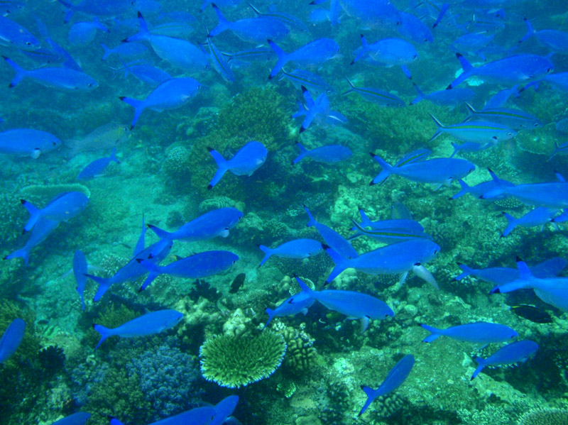
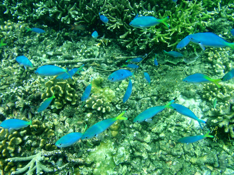
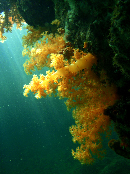
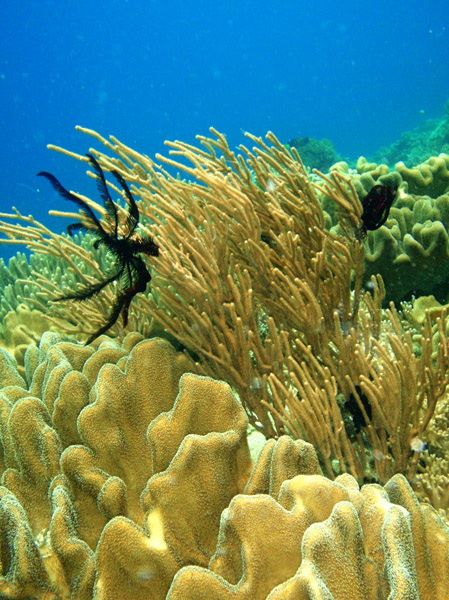
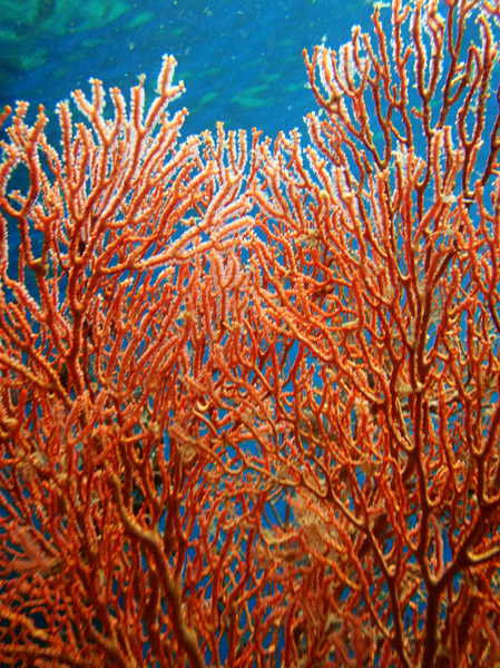
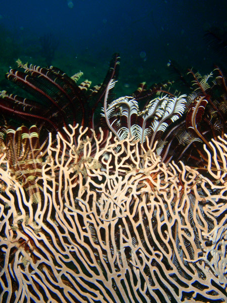
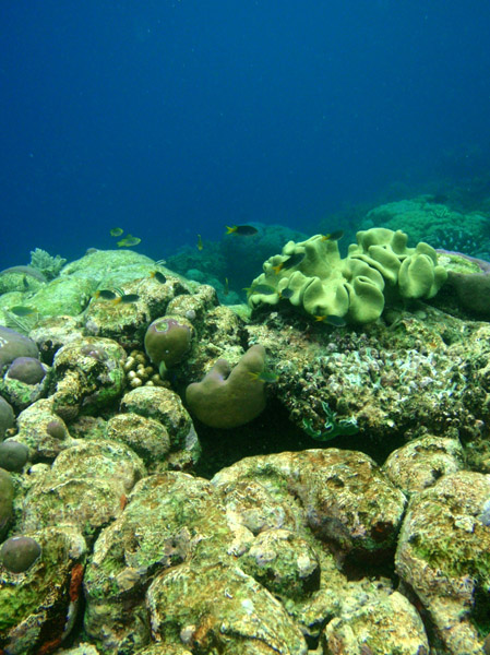
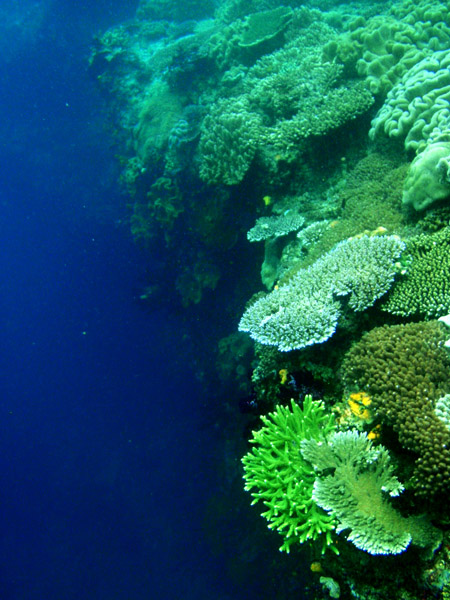
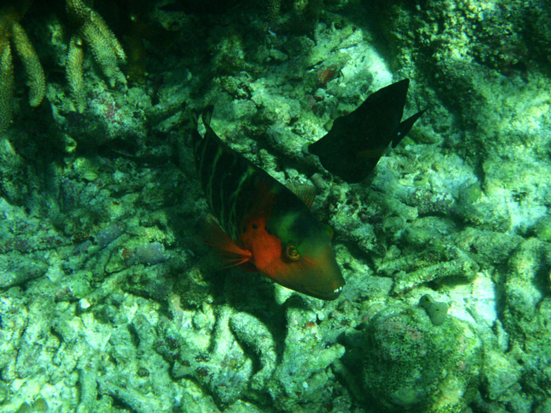
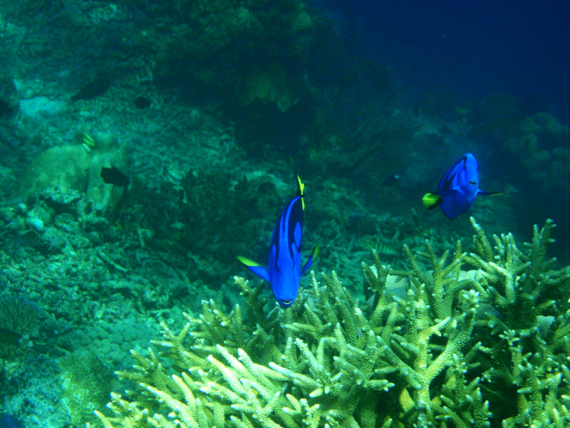
According to Conservation International, marine surveys suggest that the marine life diversity in the Raja Ampat area is the highest recorded on Earth. Diversity is considerably greater than any other area sampled in the Coral Triangle composed of Indonesia, Philippines and Papua New Guinea. The Coral Triangle is the heart of the world’s coral reef biodiversity, making Raja Ampat quite possibly the richest coral reef ecosystems in the world.
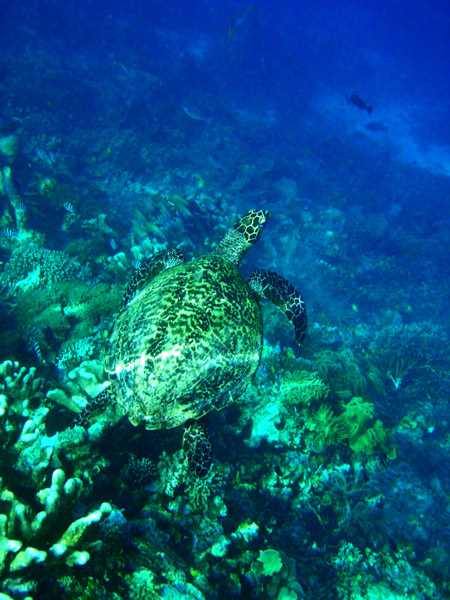
The area’s massive coral colonies along with relatively high sea surface temperatures, also suggest that its reefs may be relatively resistant to threats like coral bleaching and coral disease, which now jeopardize the survival of other coral ecosystems around the world. The Raja Ampat islands are remote and relatively undisturbed by humans.