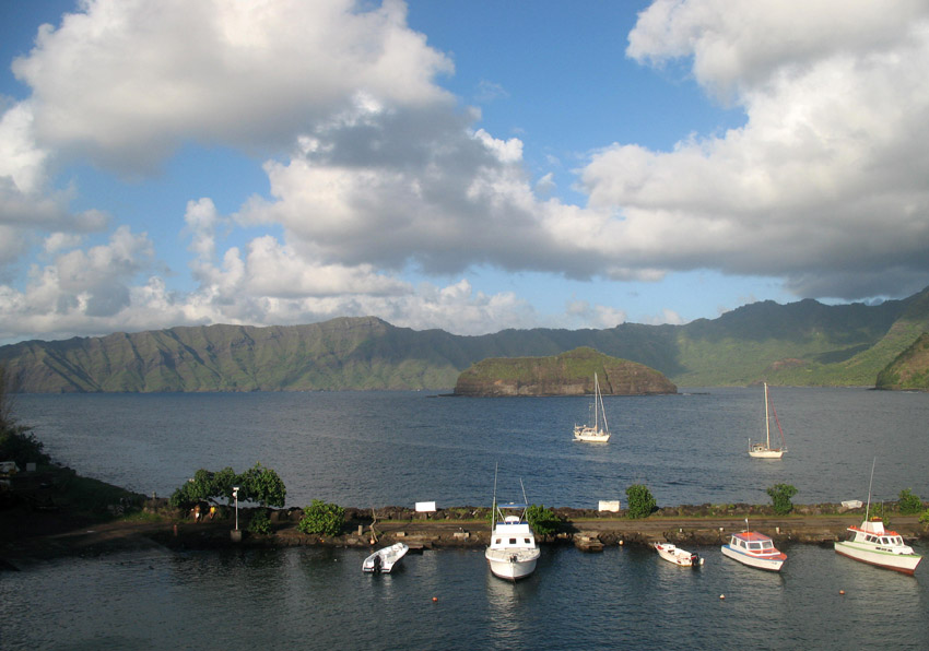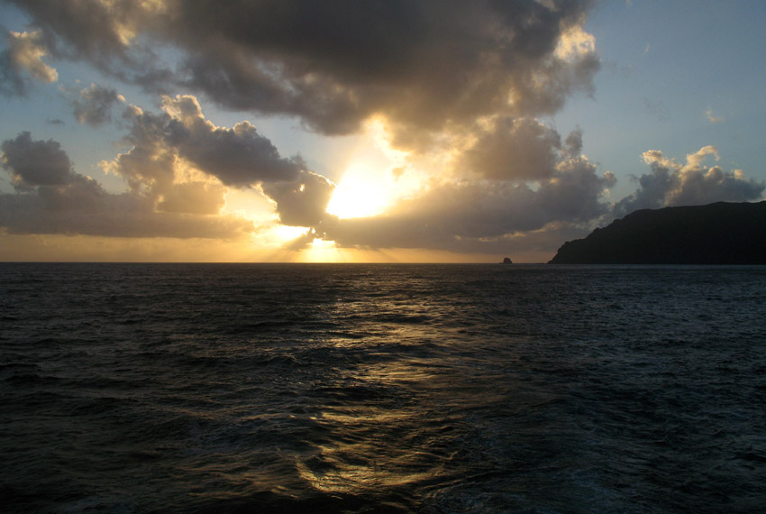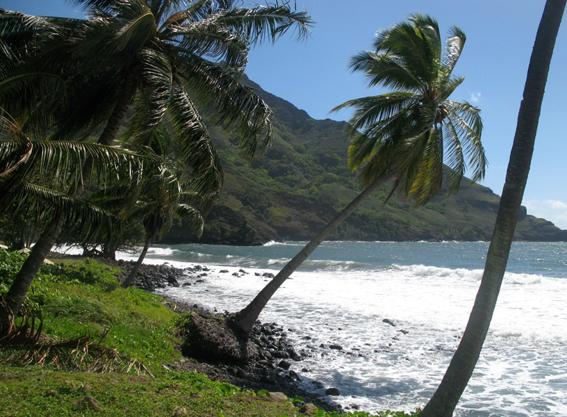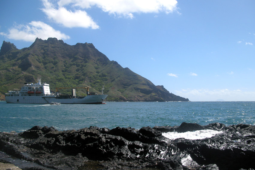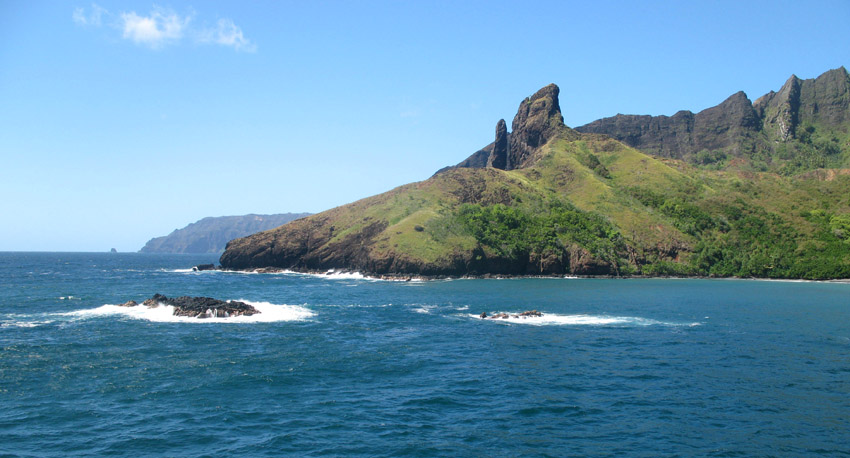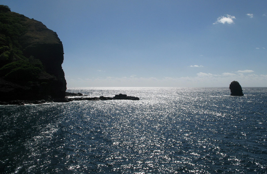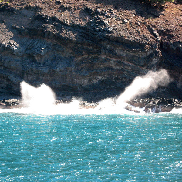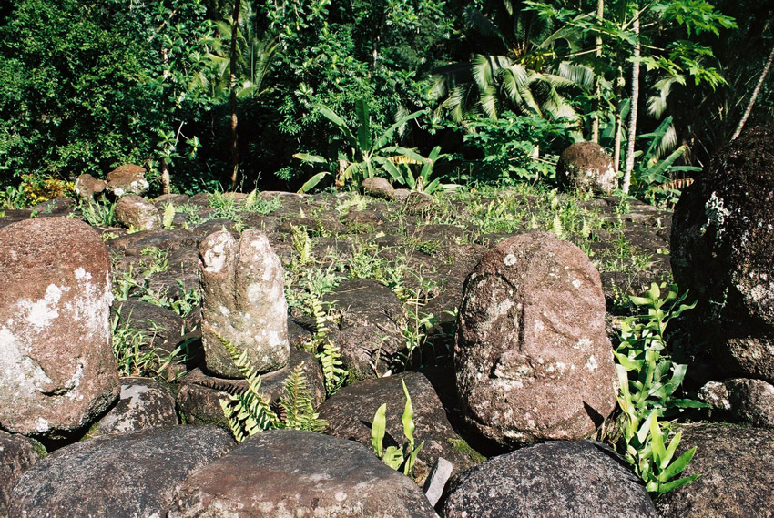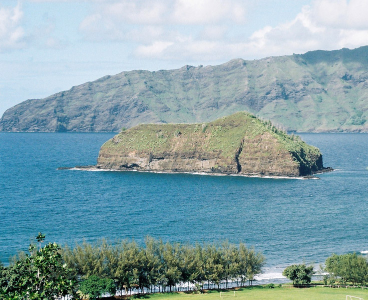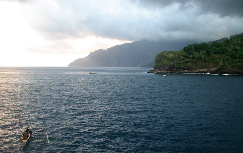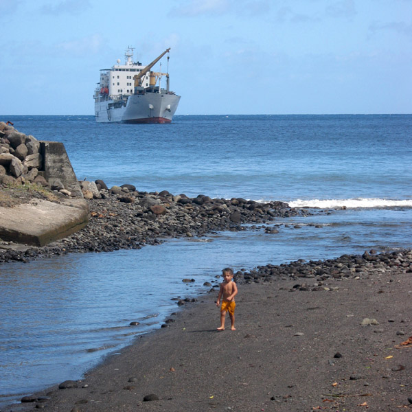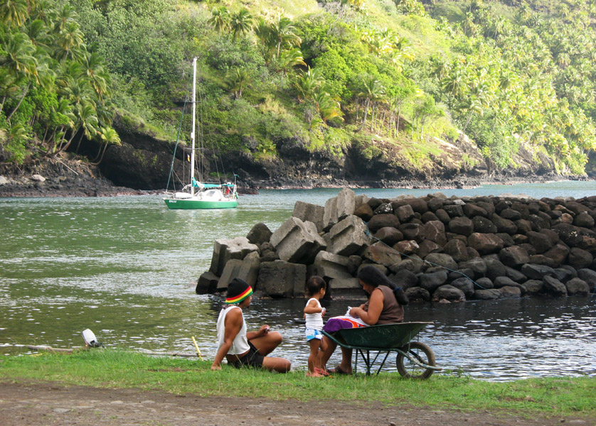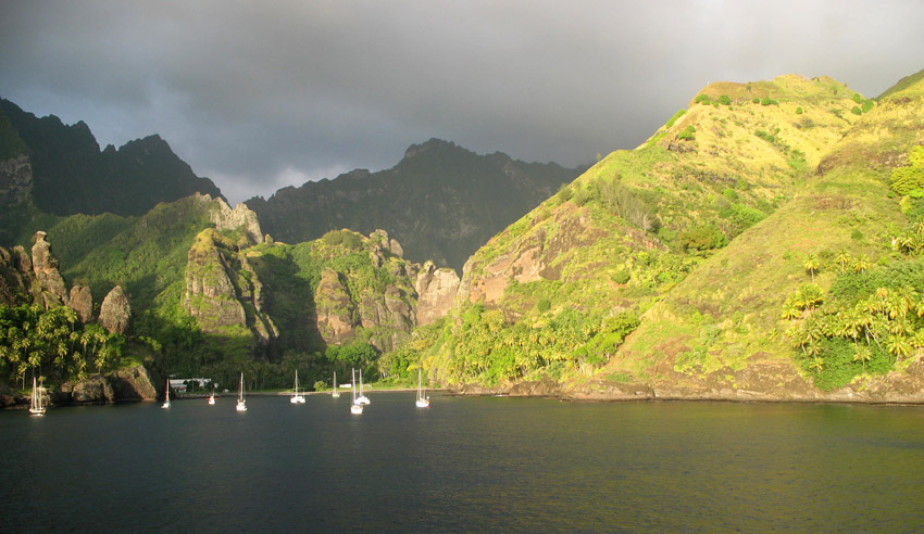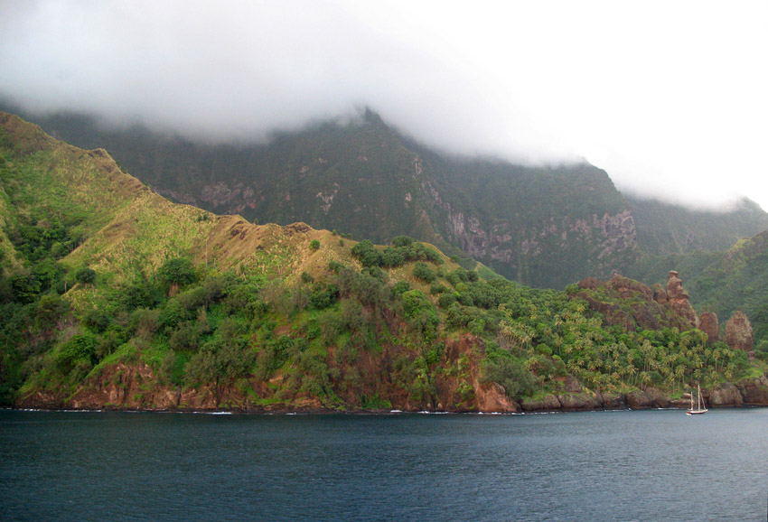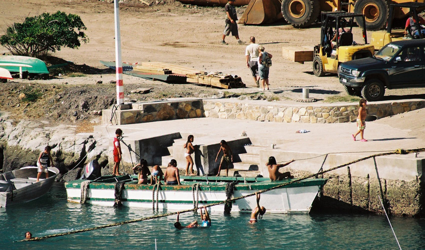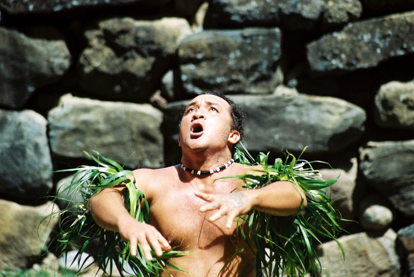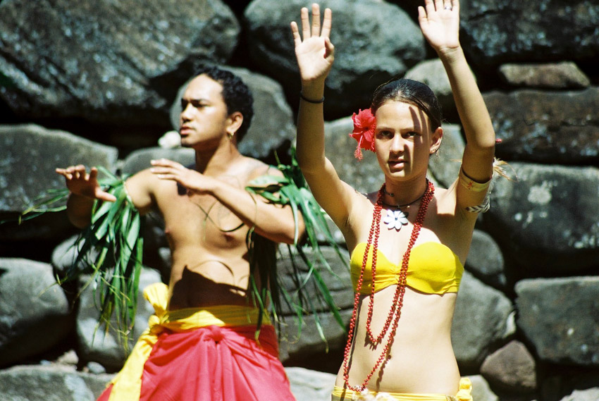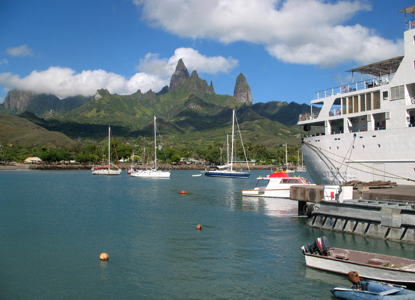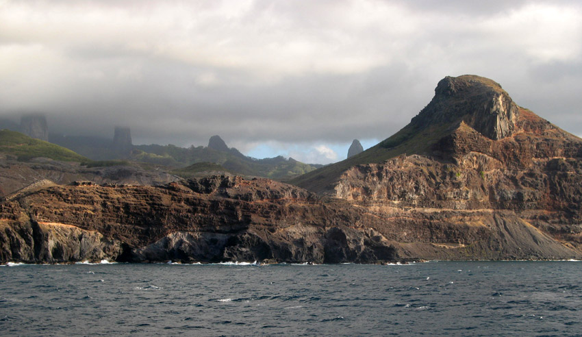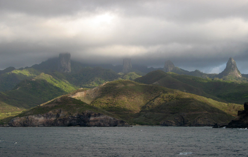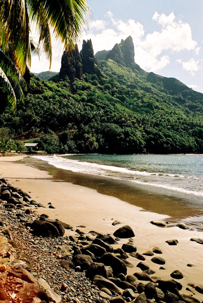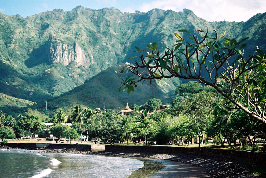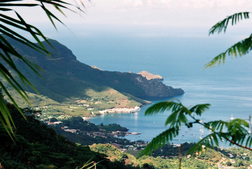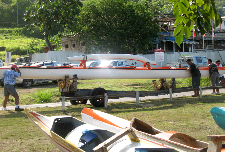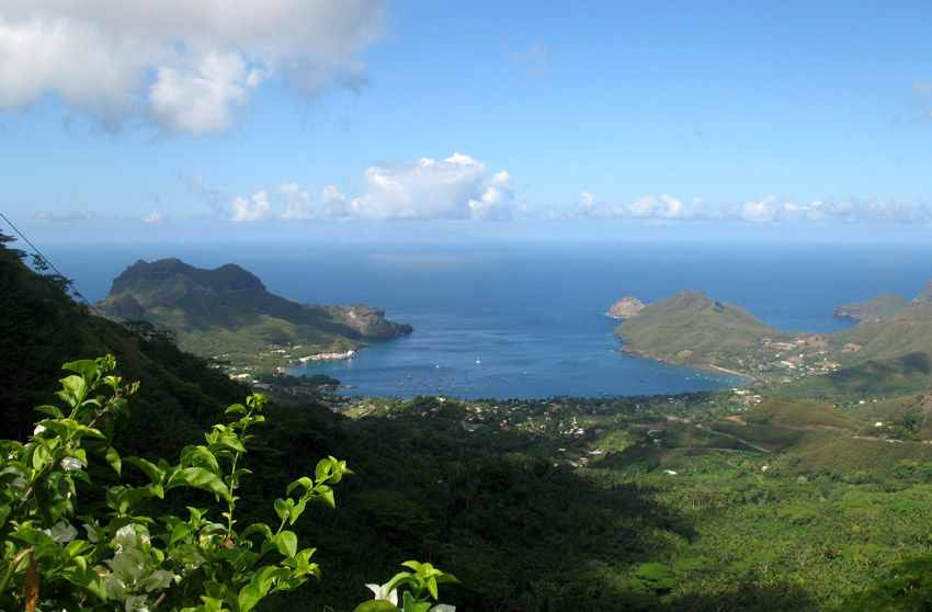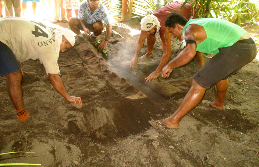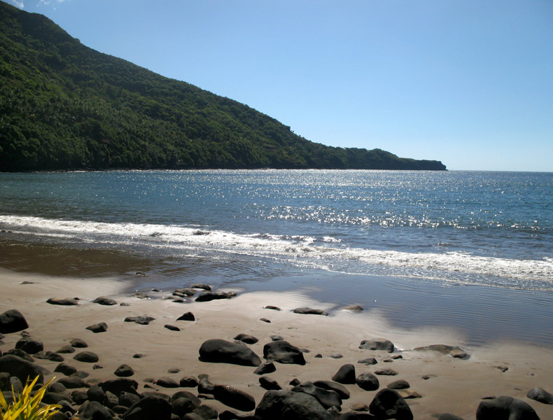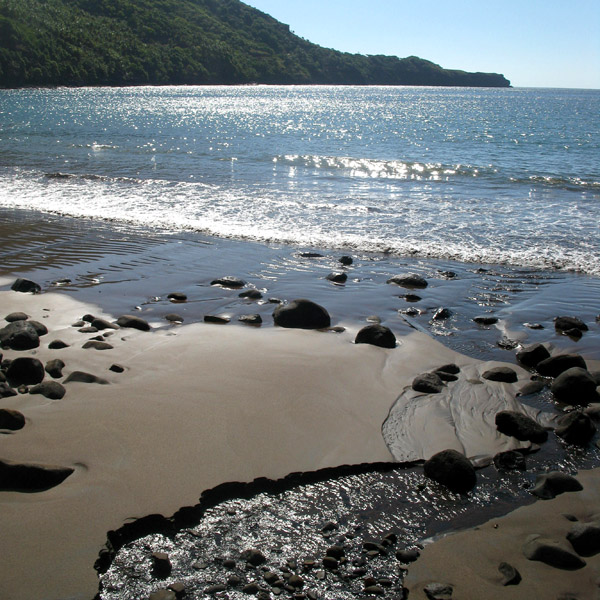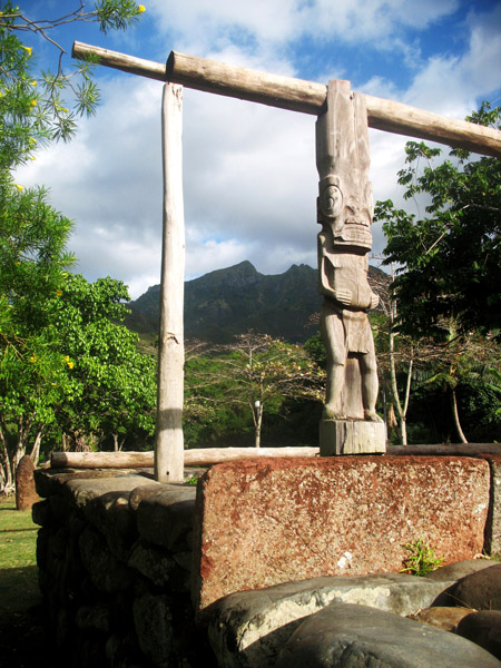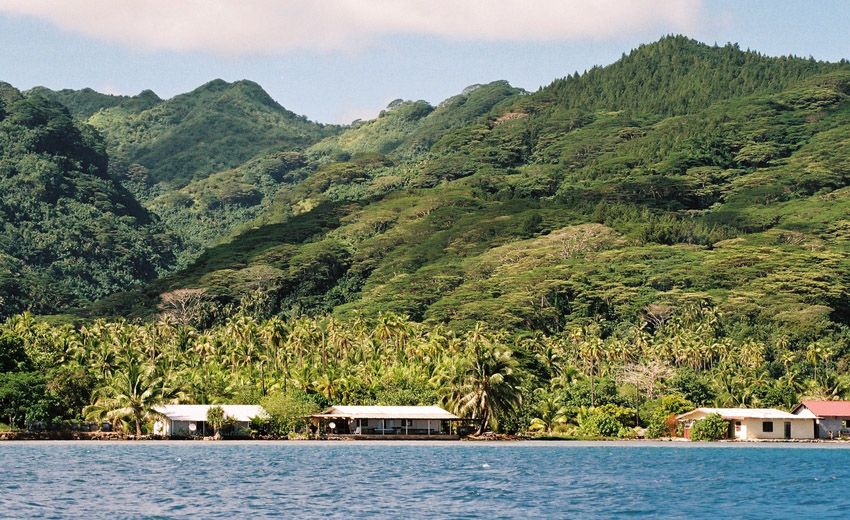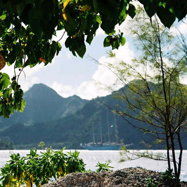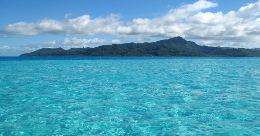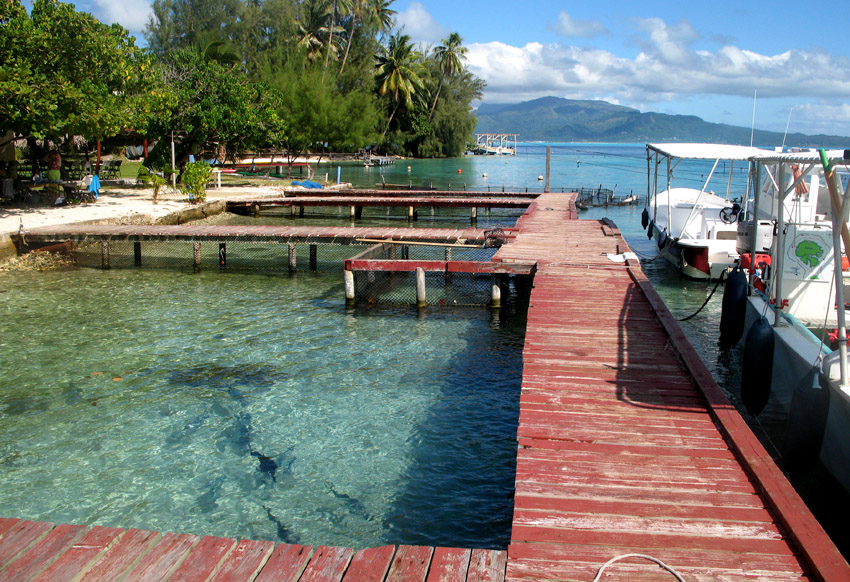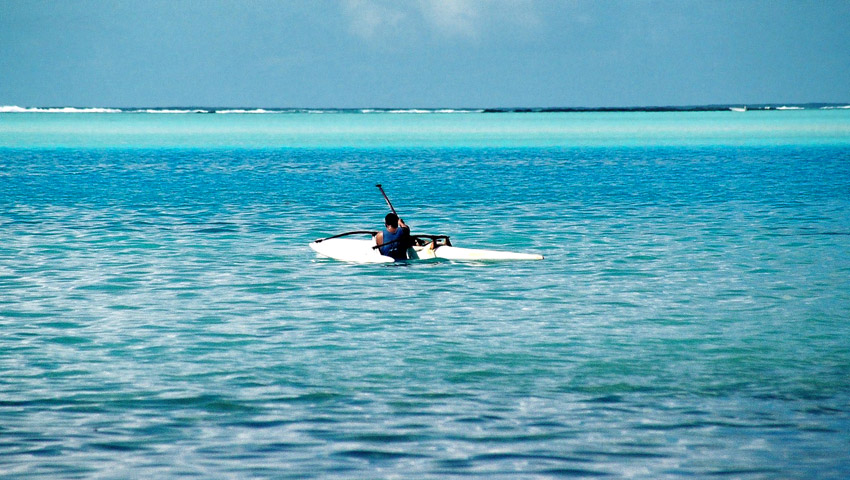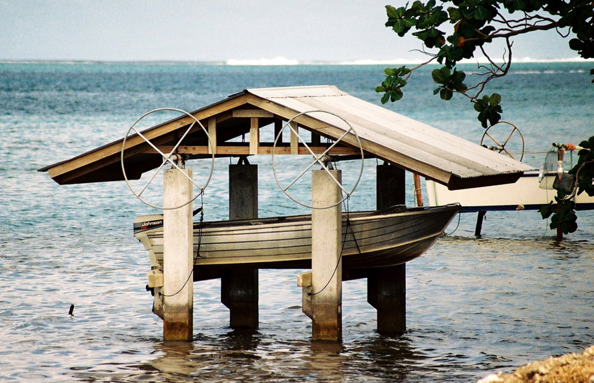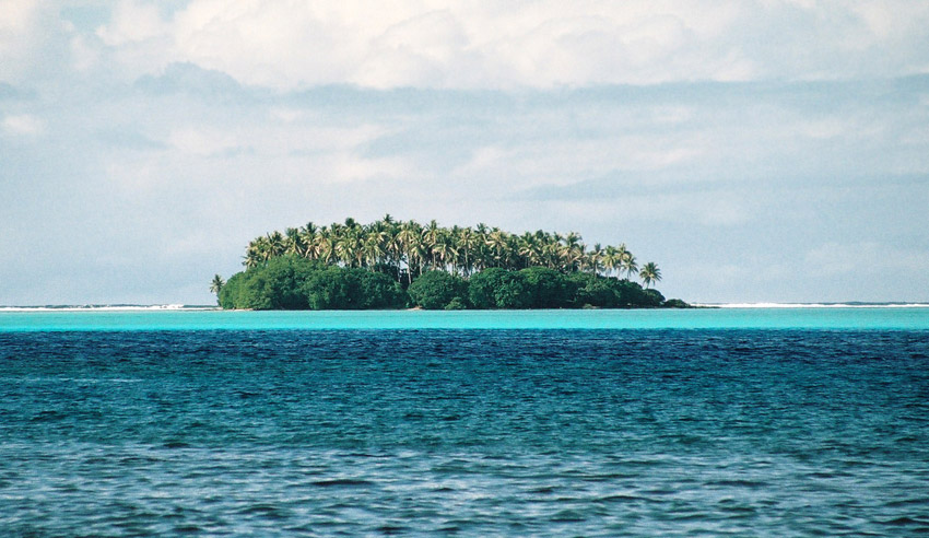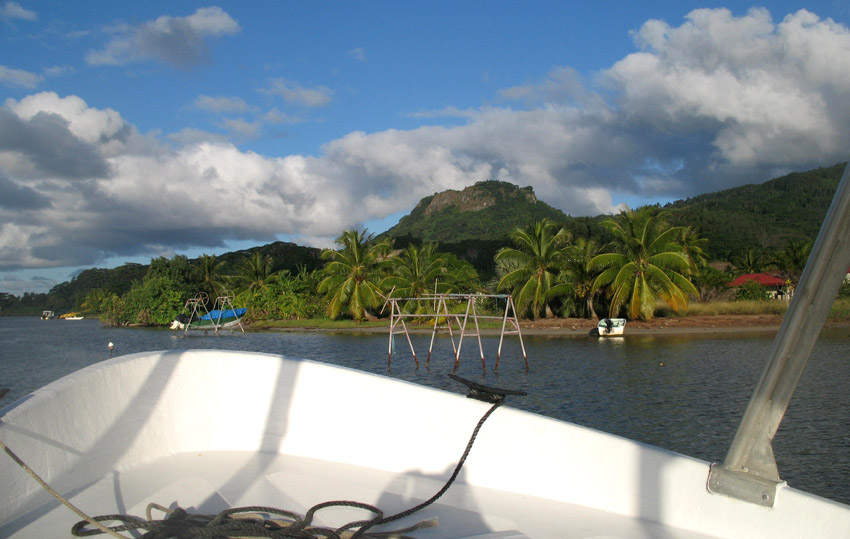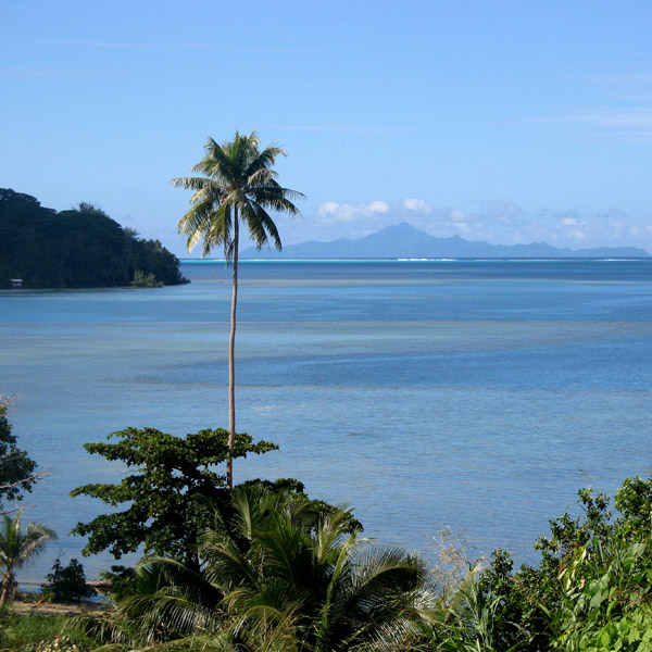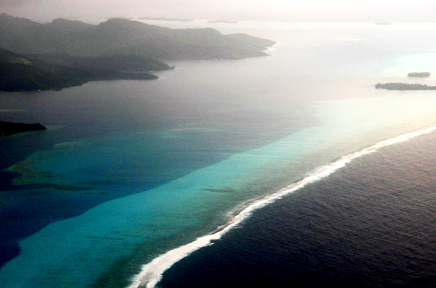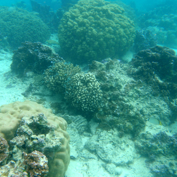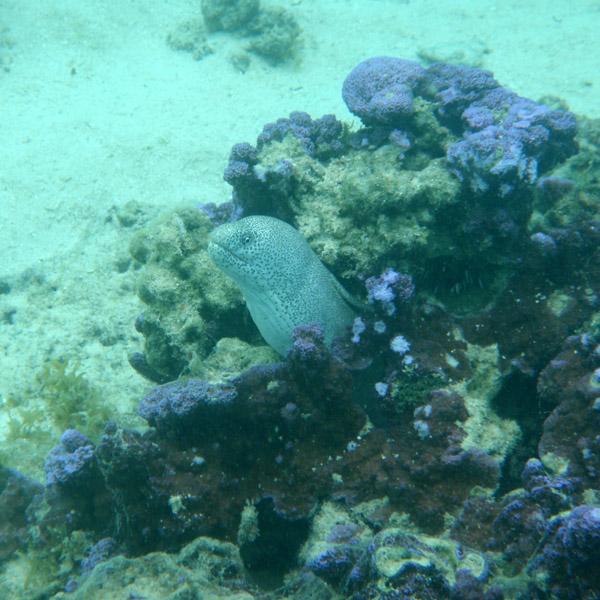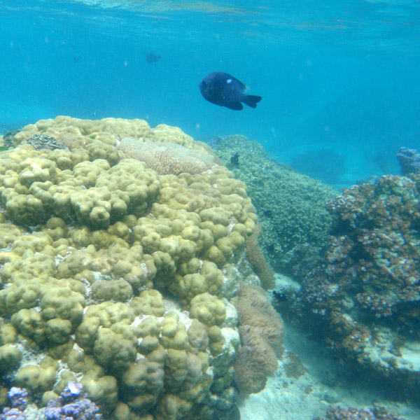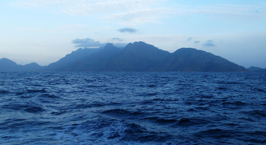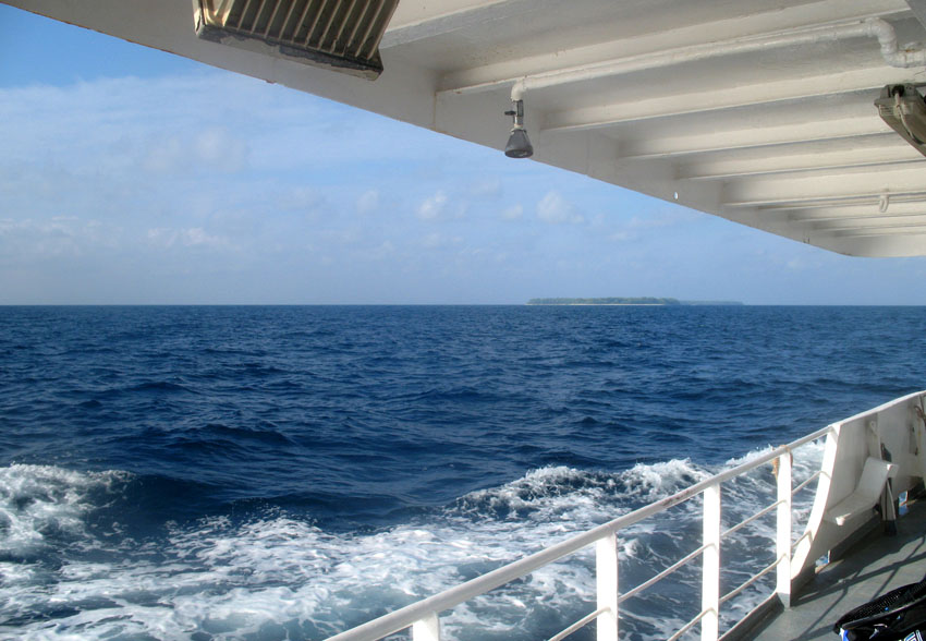


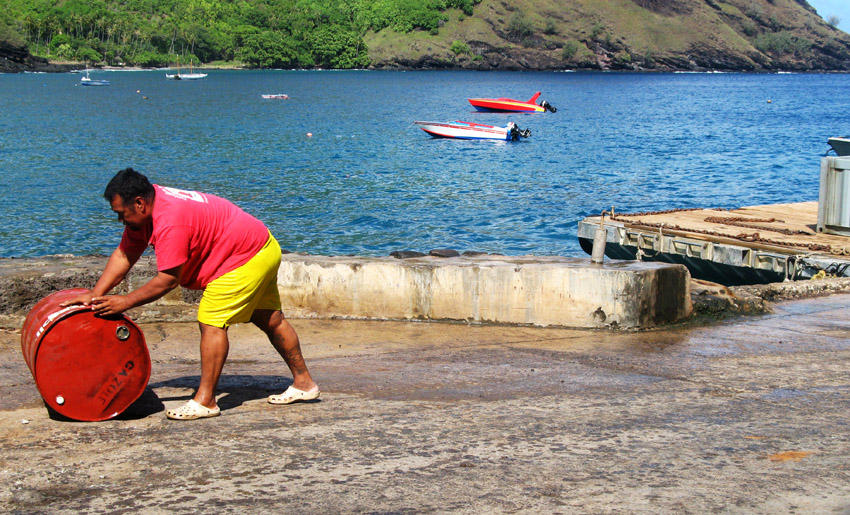
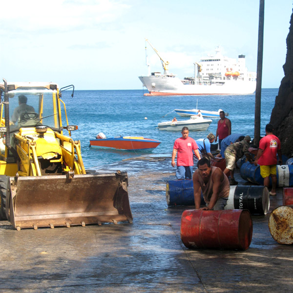

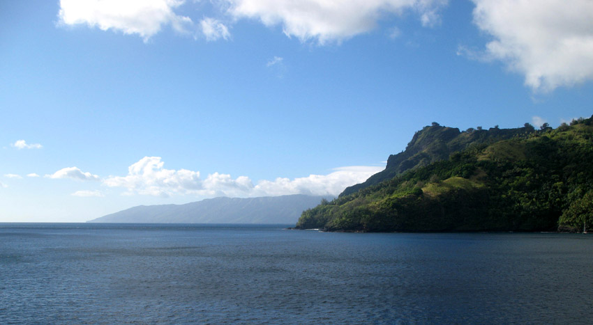
Tahuata is the smallest of the inhabited Marquesas Islands, in French Polynesia, an overseas territory of France in the Pacific Ocean. It is located 4 km (2.5 mi.) to the south of the western end of Hiva Oa, across the Canal du Bordelais, called Ha‘ava in Marquesan.
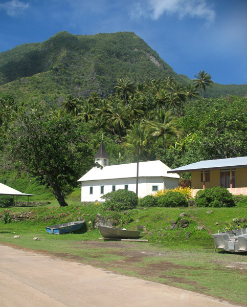
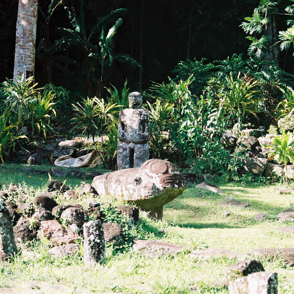
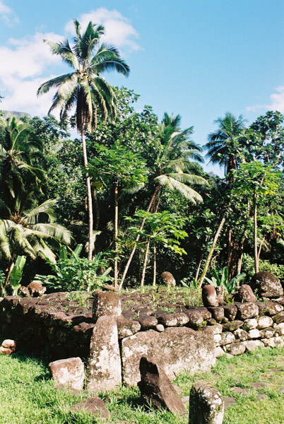
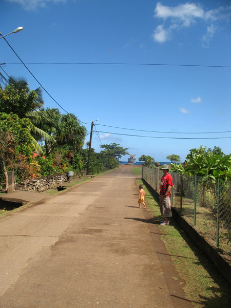
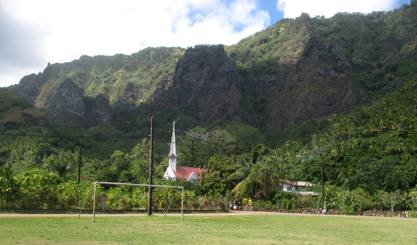
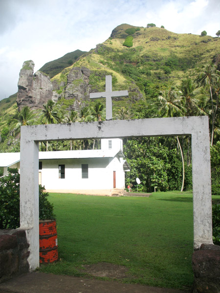
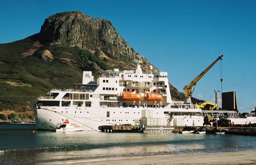
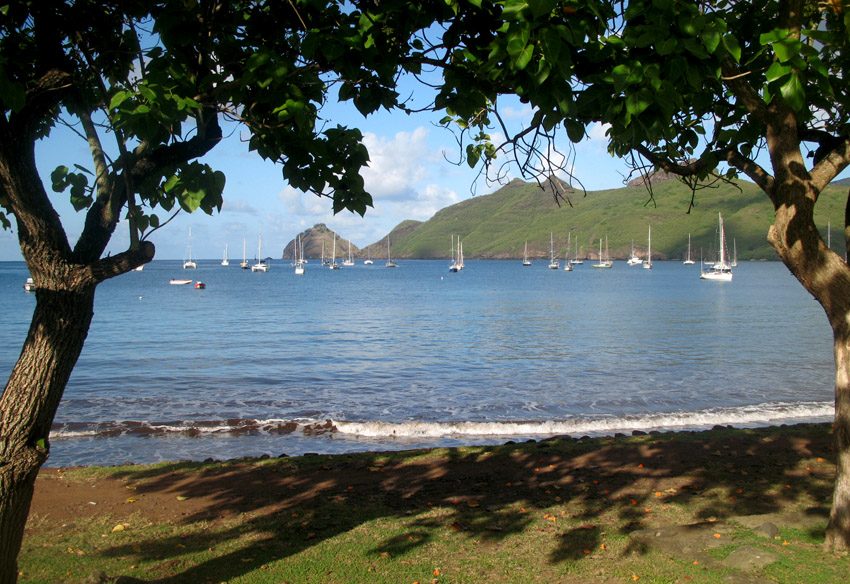
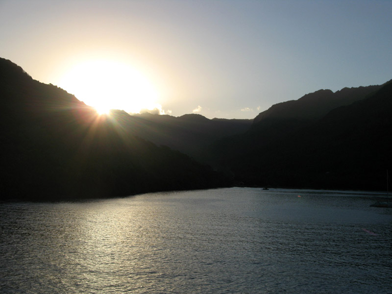
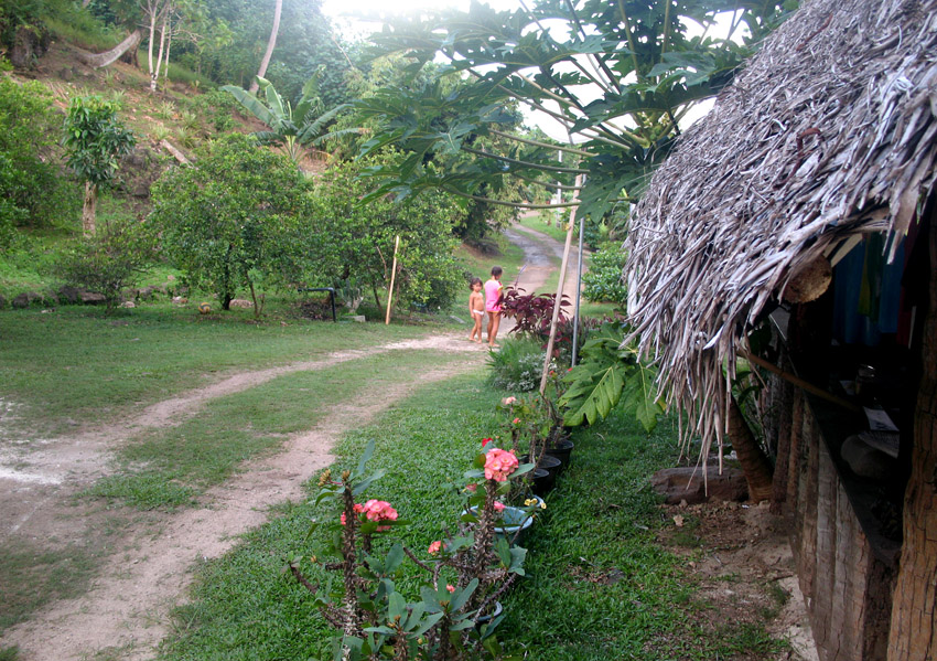
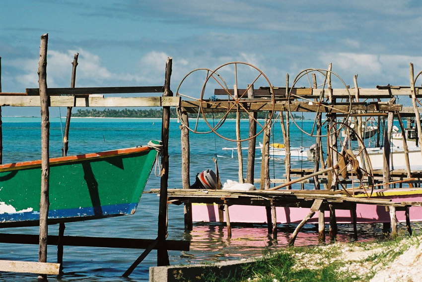
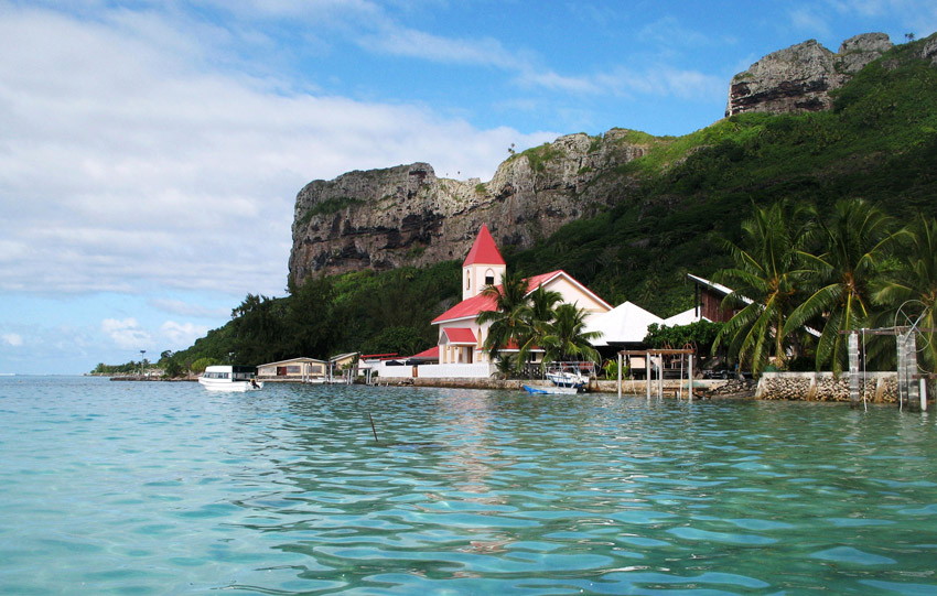
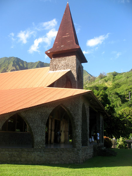
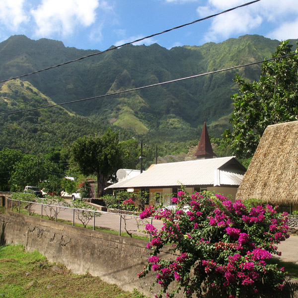
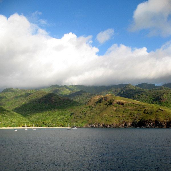
Administratively, Tahuata forms the commune (municipality) of Tahuata, part of the administrative subdivision of the Marquesas Islands. This commune consists solely of the island of Tahuata itself. The administrative centre of the commune is the settlement of Vaitahu, on the western side of the island.
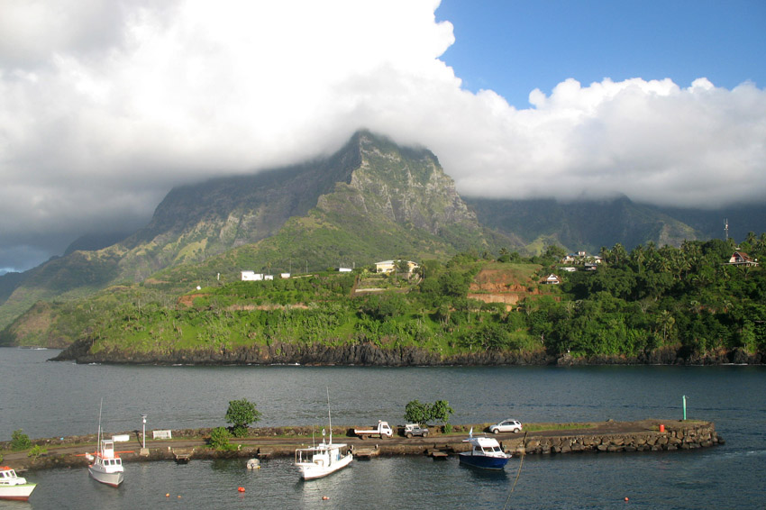
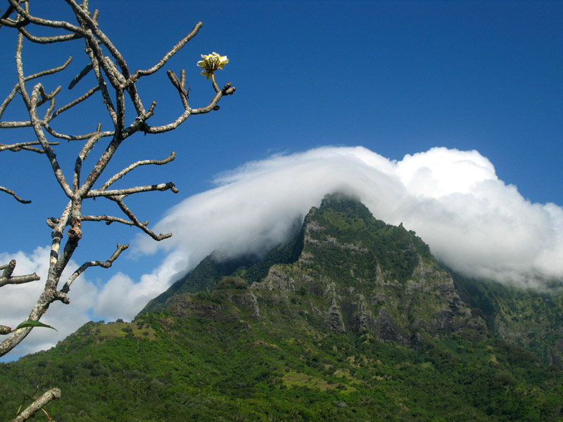
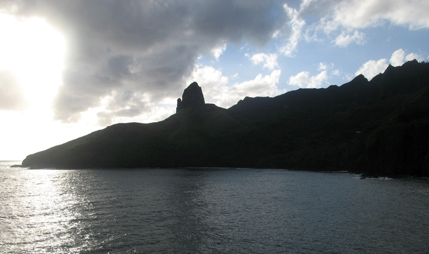
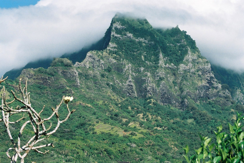
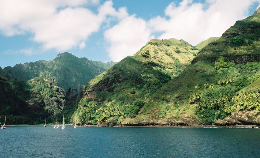
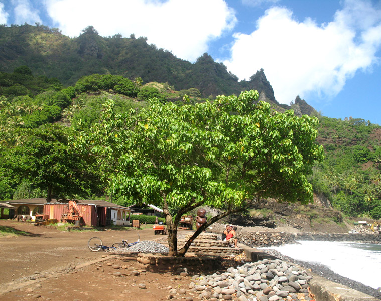
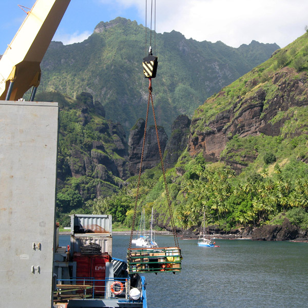
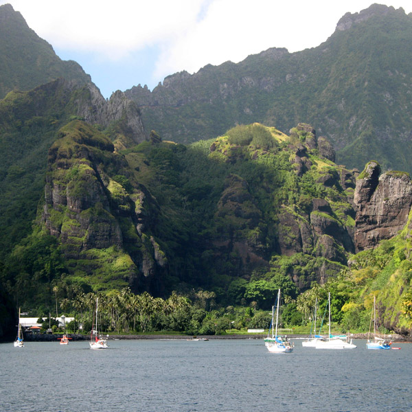
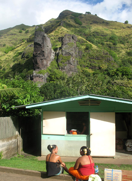
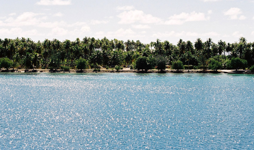
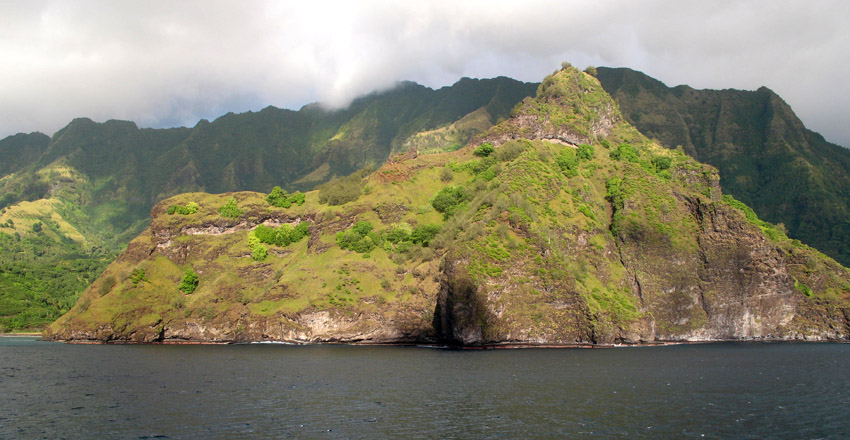
Tahuata is approx. 69 km² (26.6 sq. mi.) The highest point on the island is Mount Amatea (French: Mont Amatea), rising to an elevation of 1,050 m (3,445 ft.).
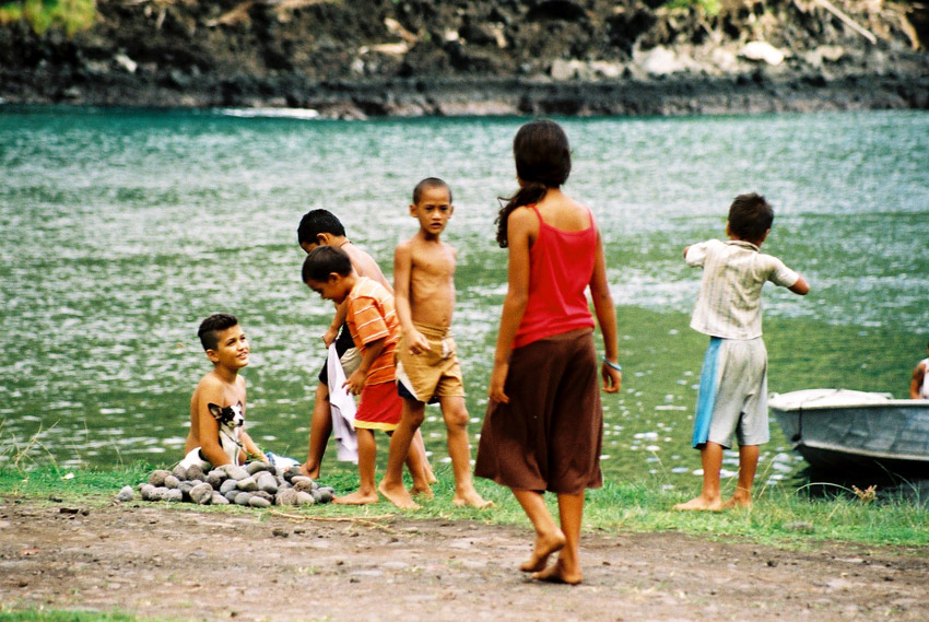
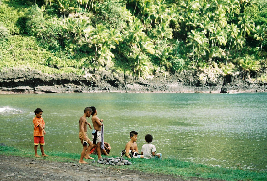
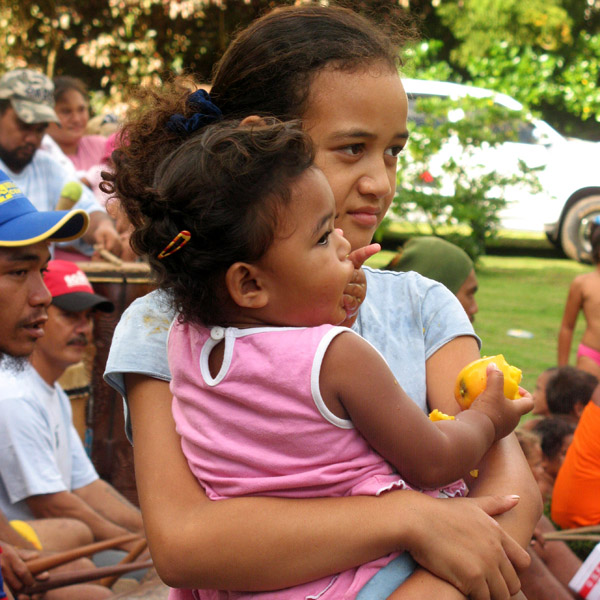
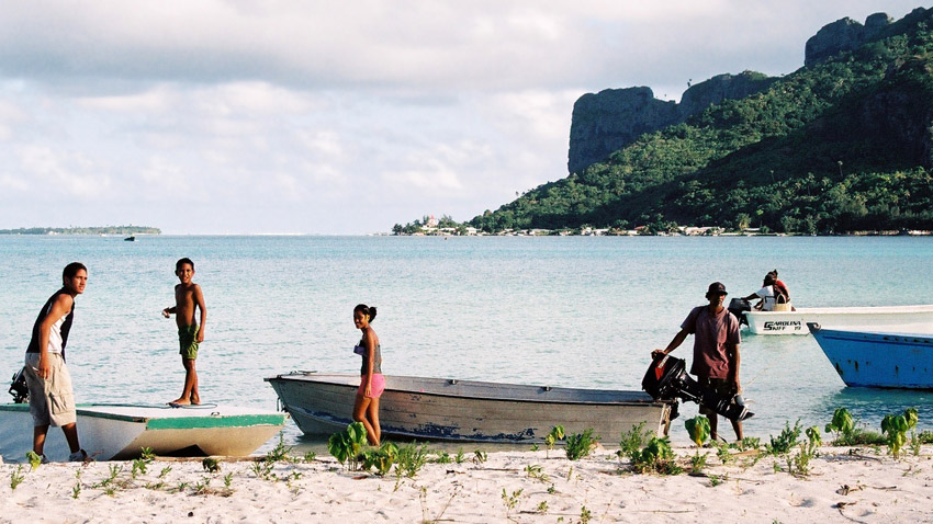
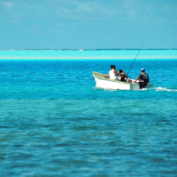
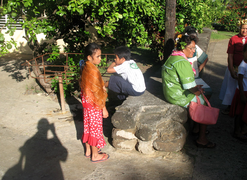
The 2007 census population was 671.