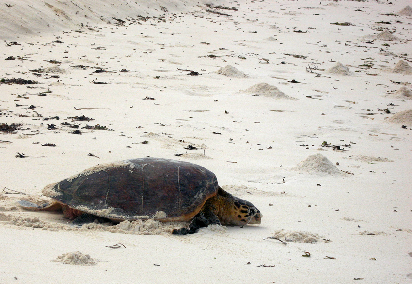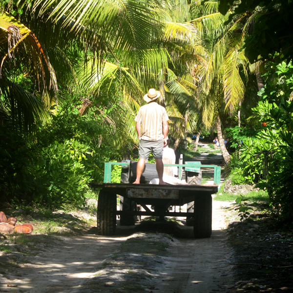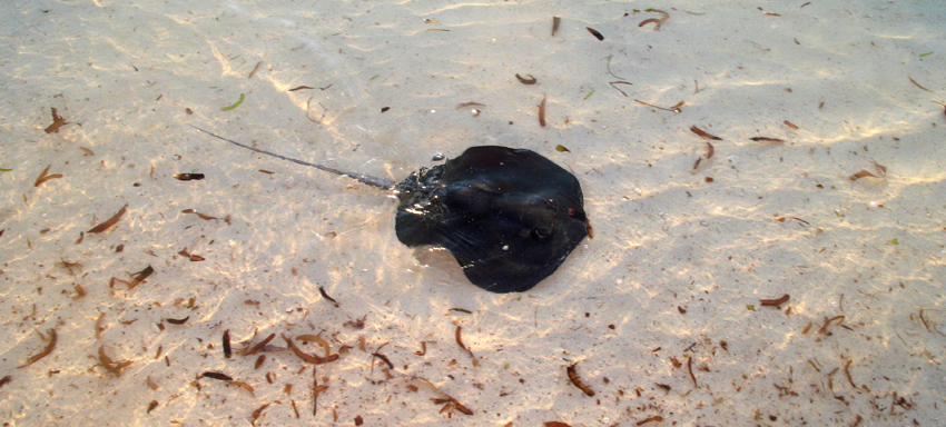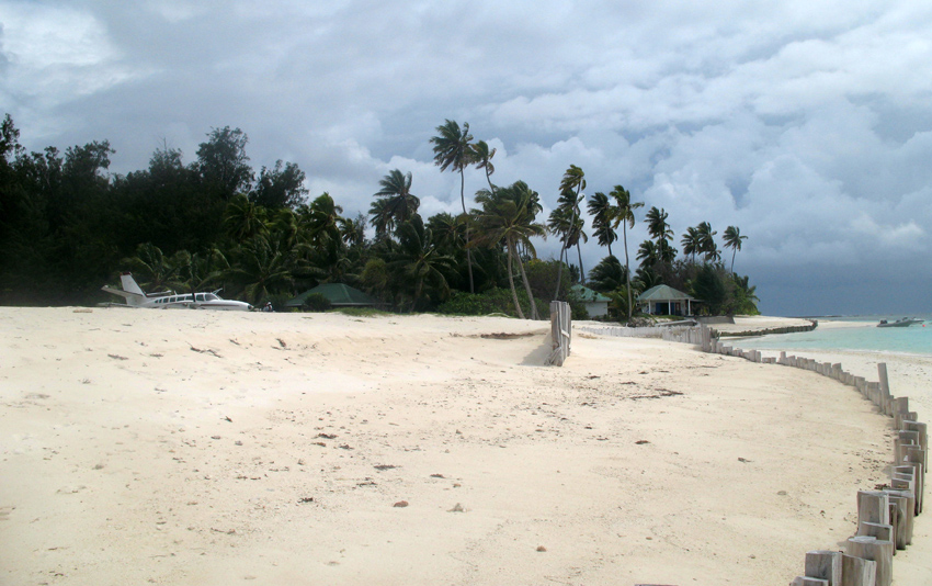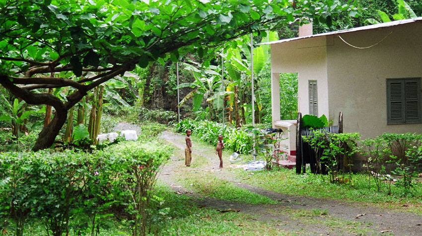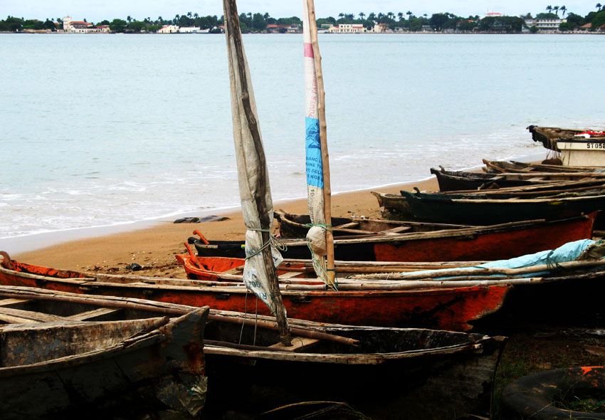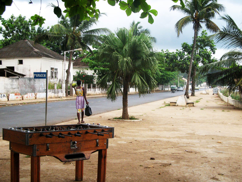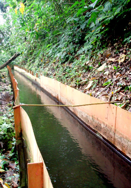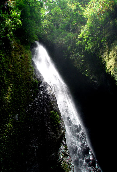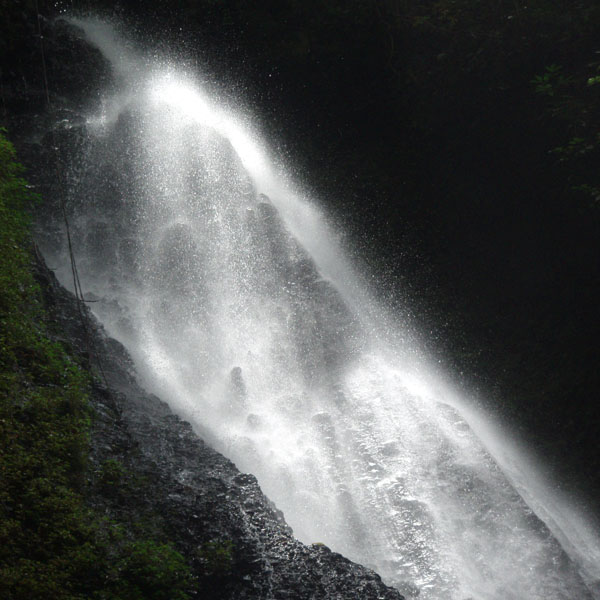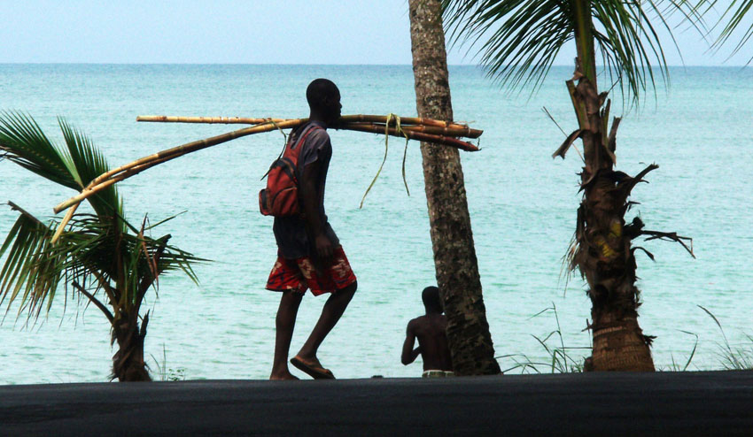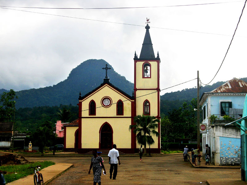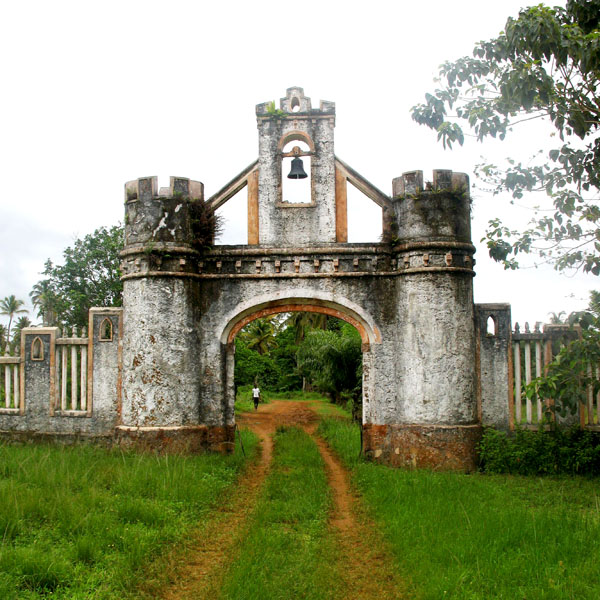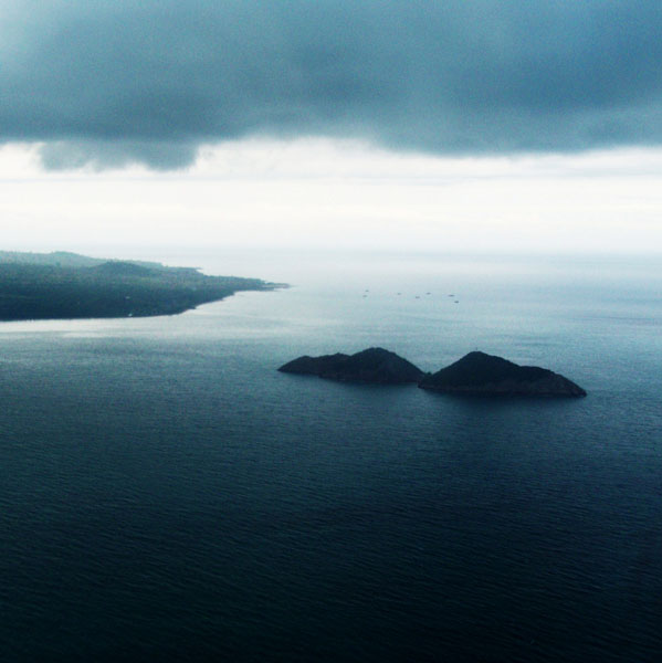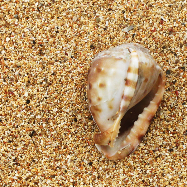
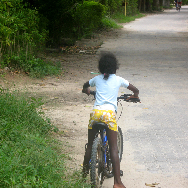
La Digue is the fourth largest inhabited island of the Seychelles, lying east of Praslin and west of Felicite Island. It has a population of about 2,000 people, who mostly live in the west coast villages of La Passe (linked by ferry to Praslin and Mahé) and La Réunion. It has an area of 10 km². La Digue is named after a ship in the fleet of French explorer Marc-Joseph Marion du Fresne, who visited the Seychelles in 1768.
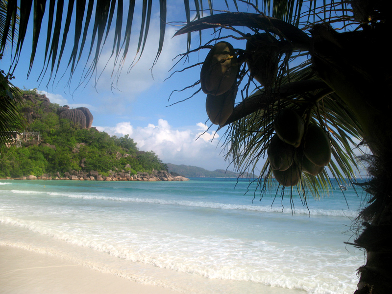
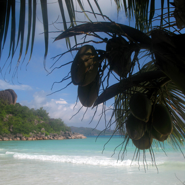
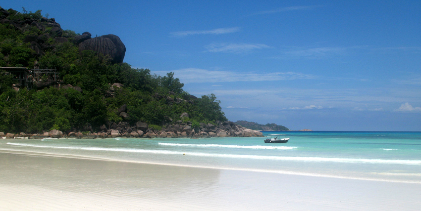
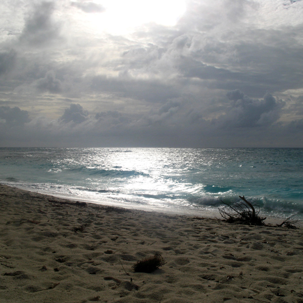
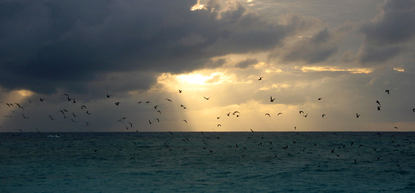
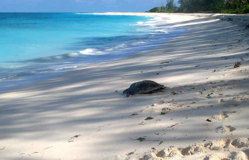
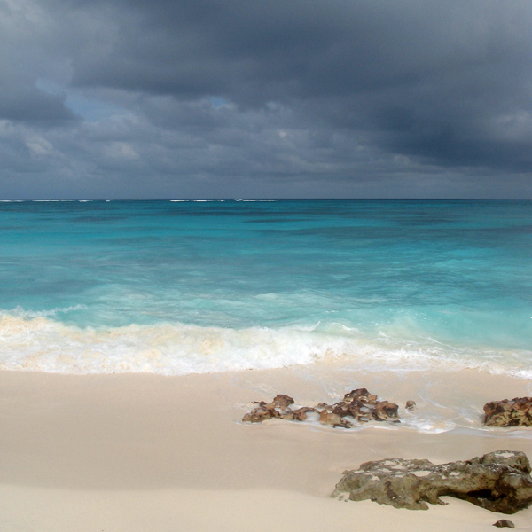
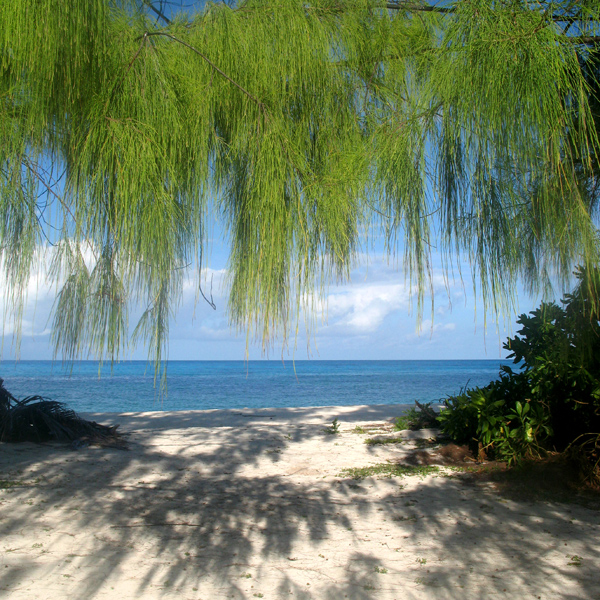
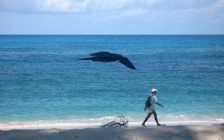
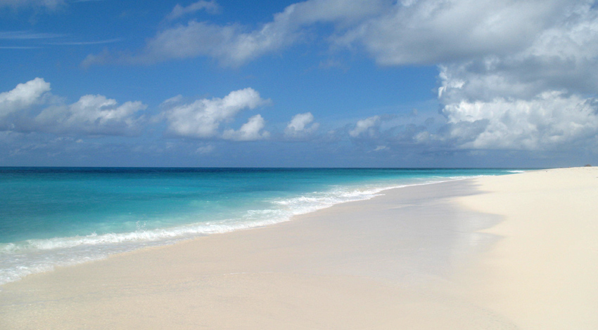
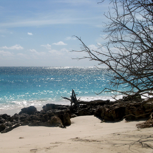
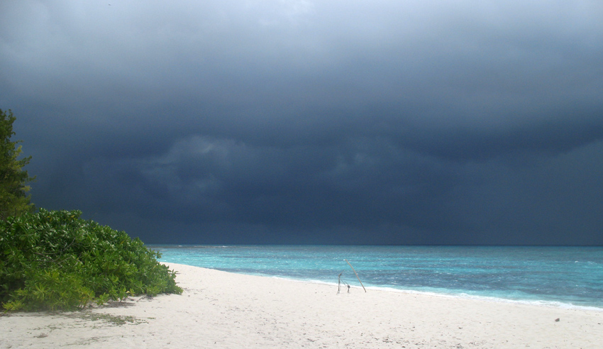
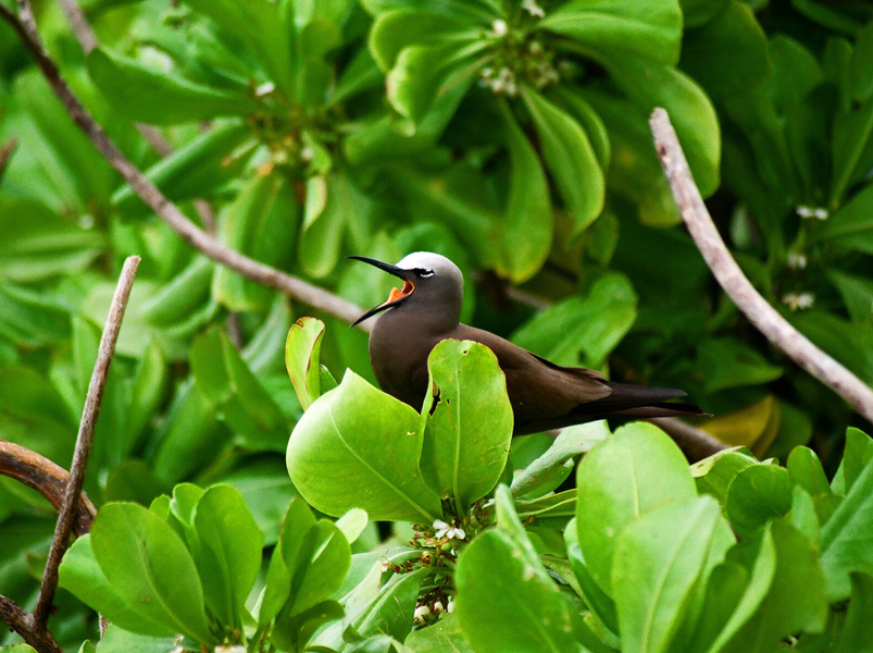
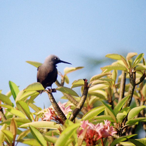
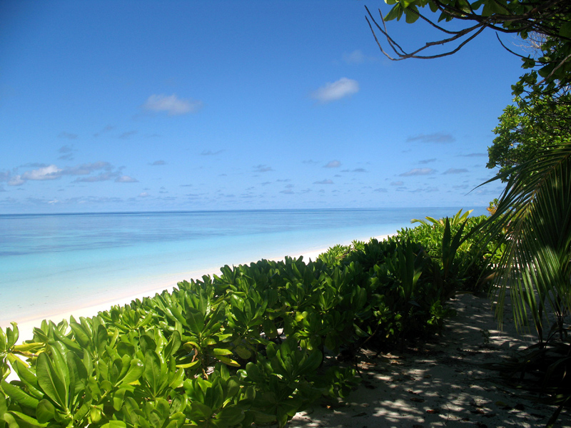
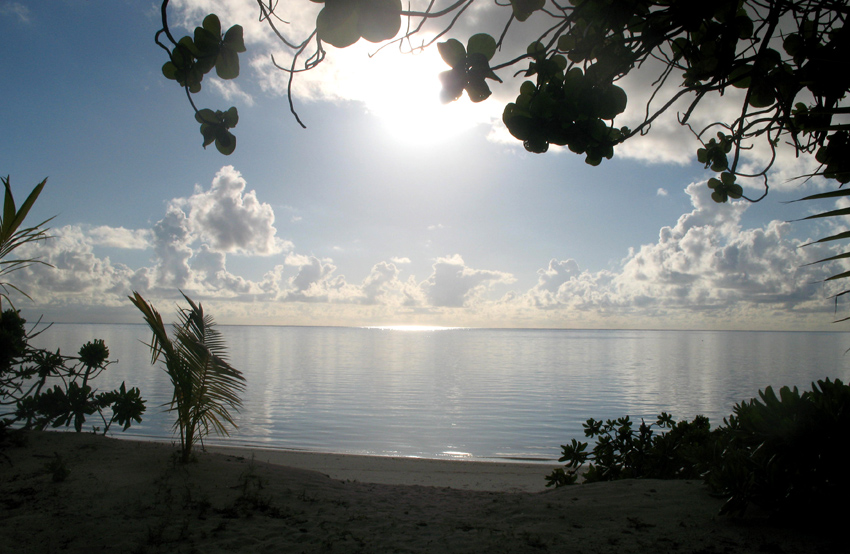
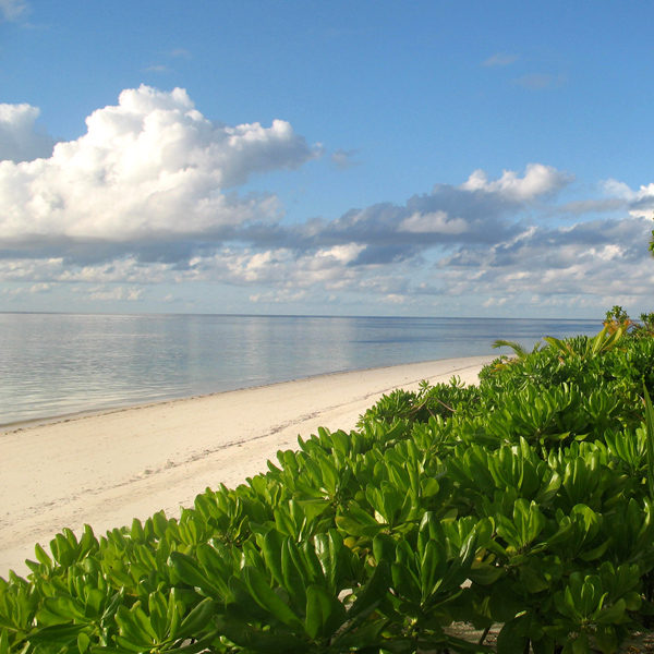
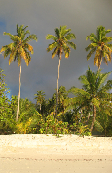
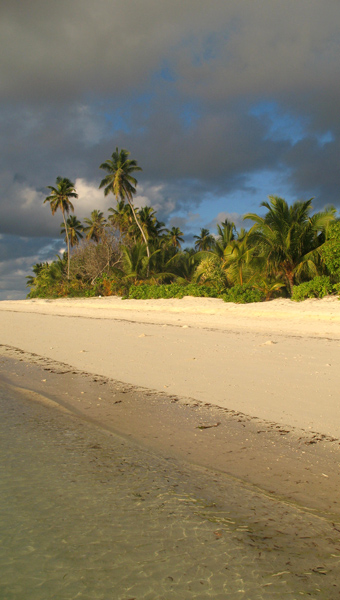
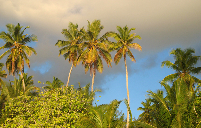
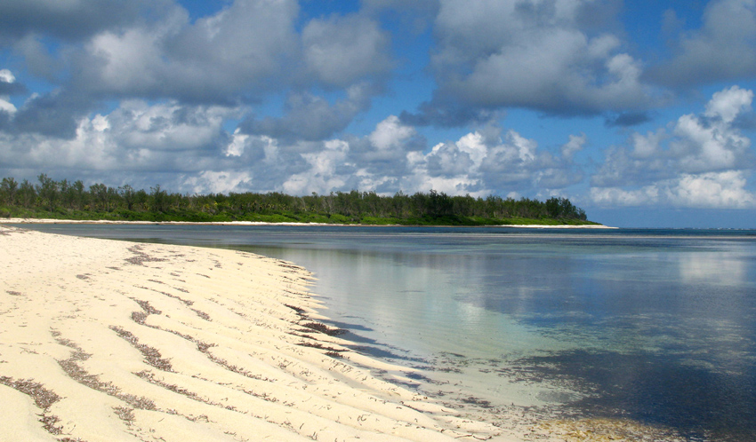
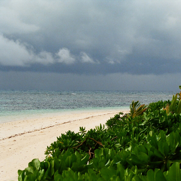
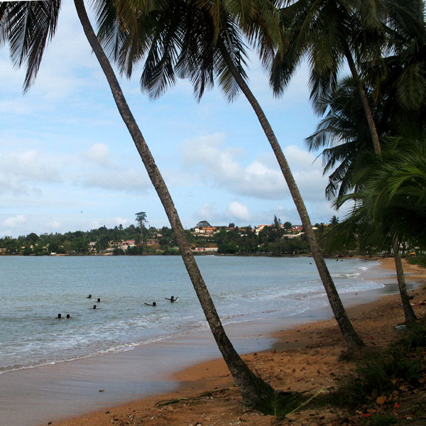
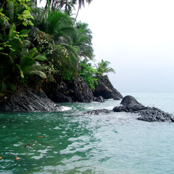
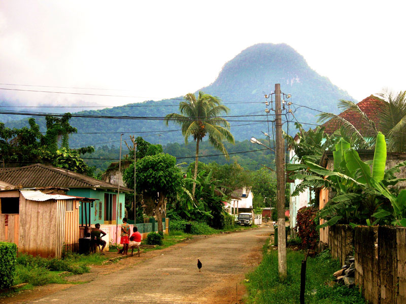
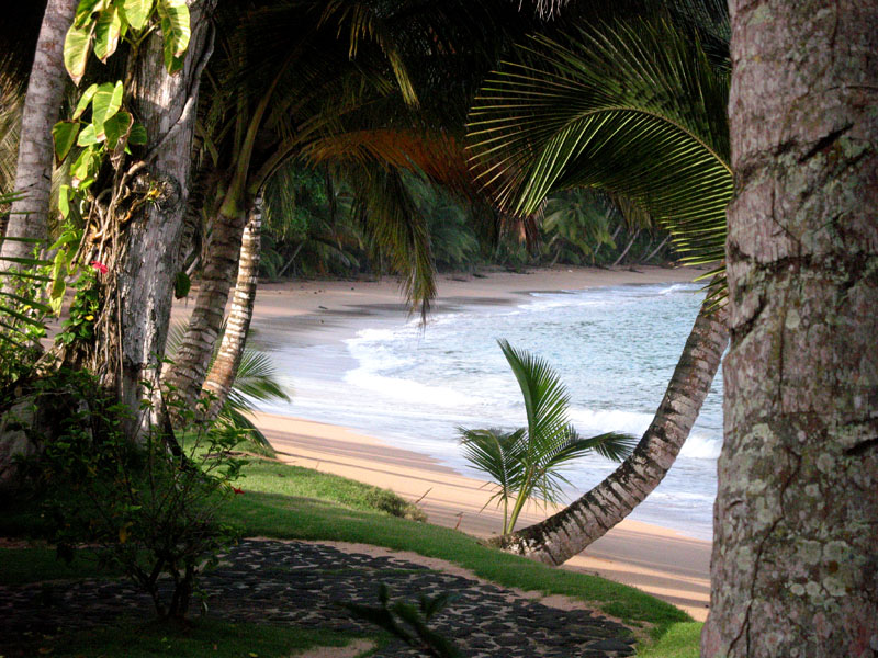
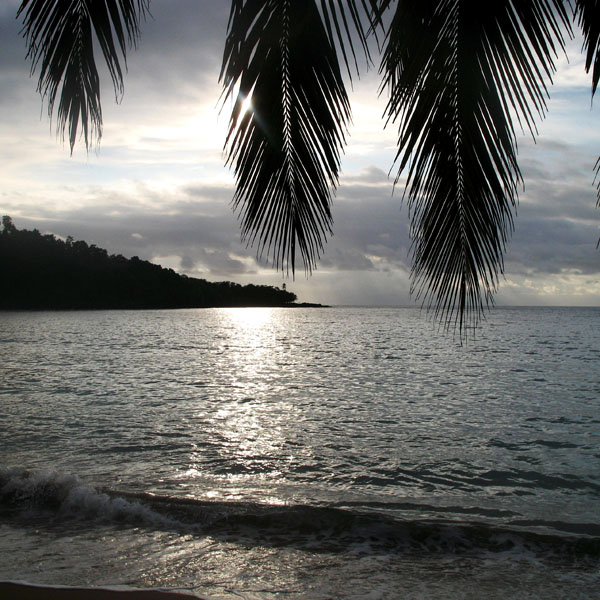
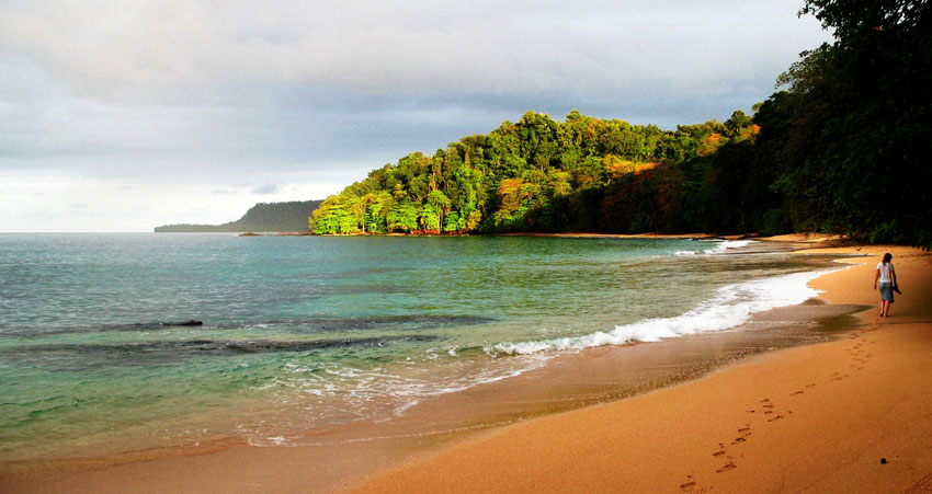
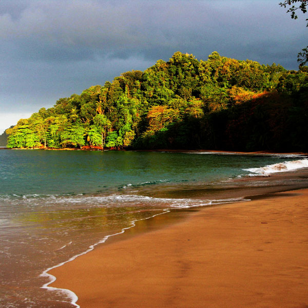
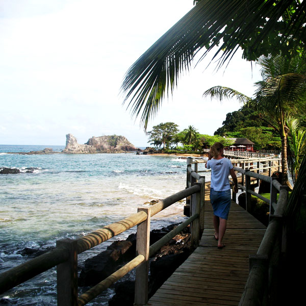
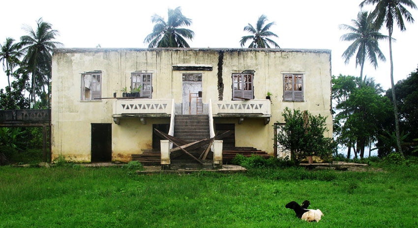
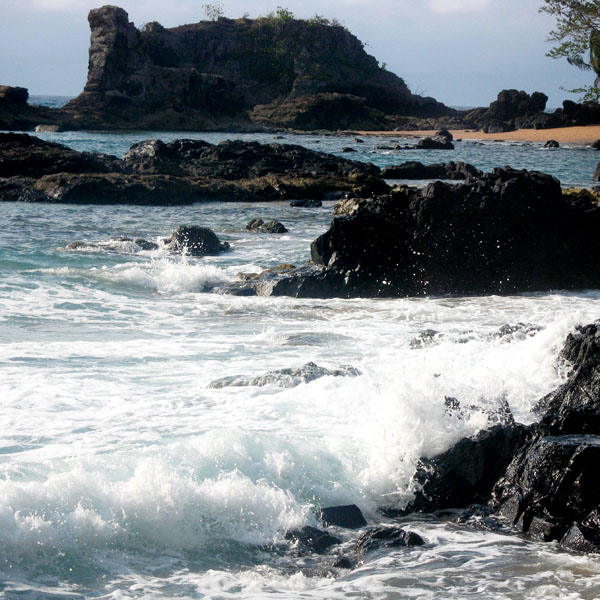
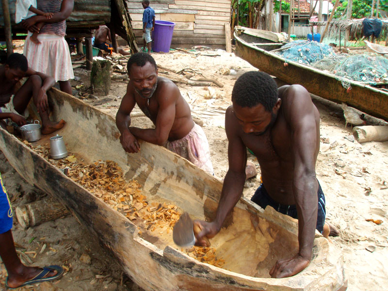
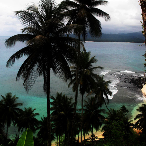
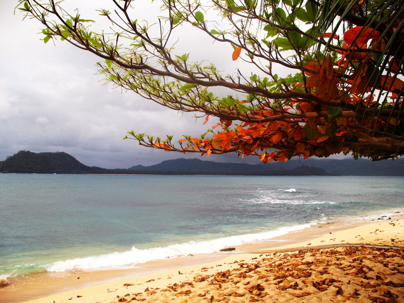
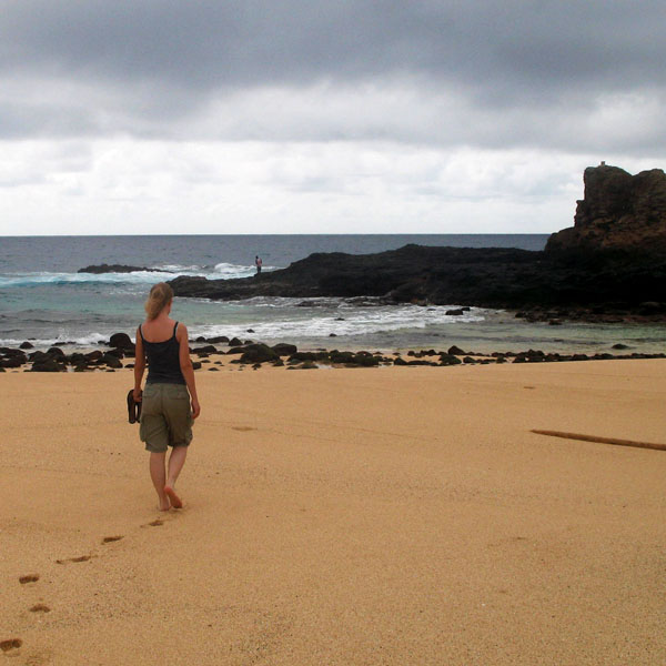
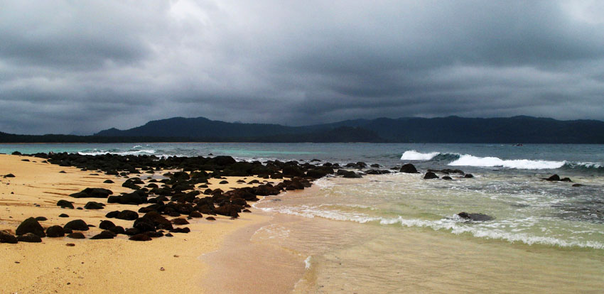
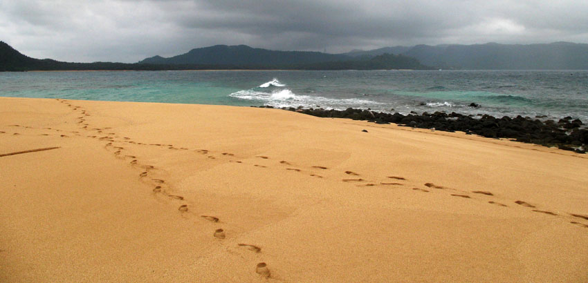
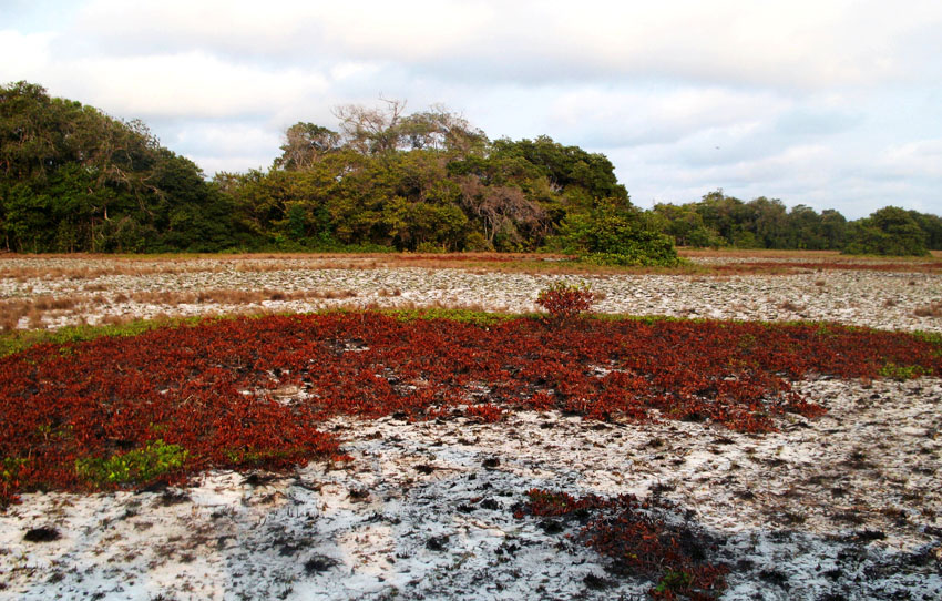
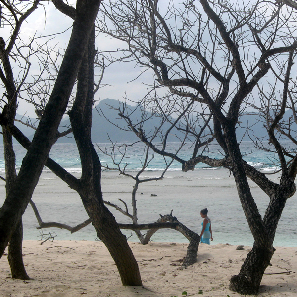
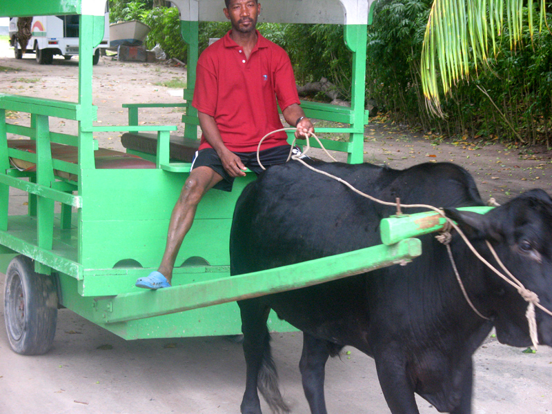
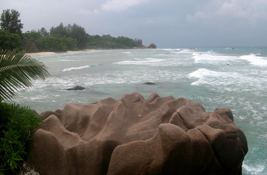
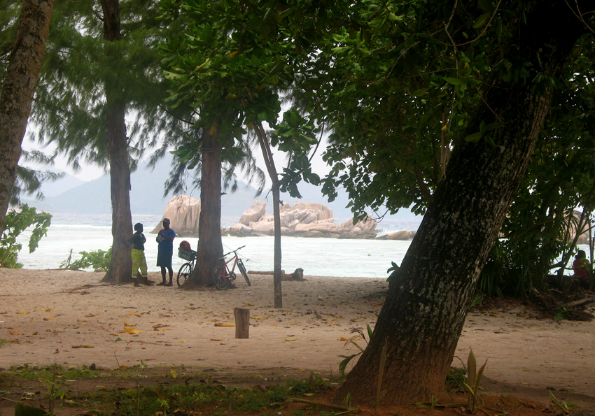
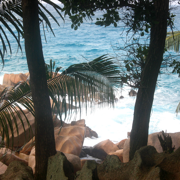
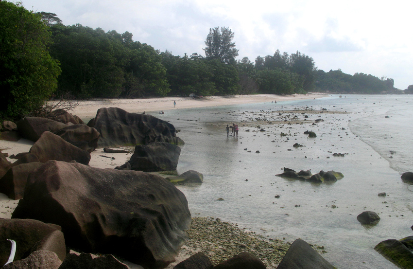
Today the island’s main industry is tourism and is known for its beaches especially Anse Source d’Argent. In former times copra and vanilla production were mainstays of the local economy; which is commemorated in the island’s museum. In the island’s interior is Veuve Nature Reserve, home of the rare Black Paradise Flycatcher, of which there are only about 100 in existence. La Digue’s tallest peak is also in the central part of the island, Belle Vue (Eagle’s Nest Mountain), with its summit more than 300 meters above sea level.