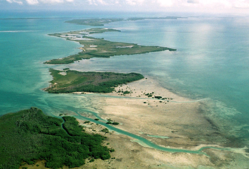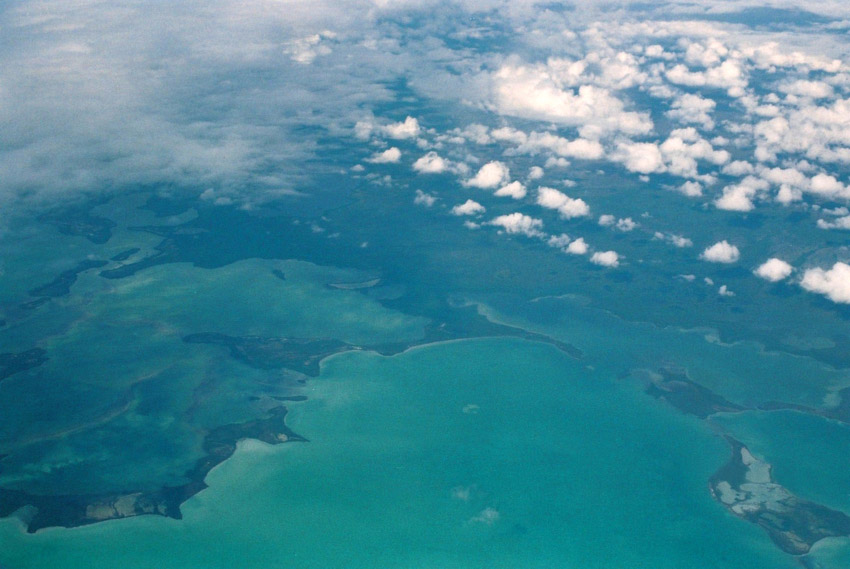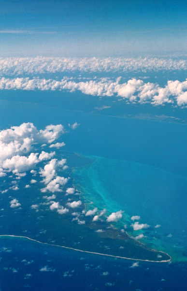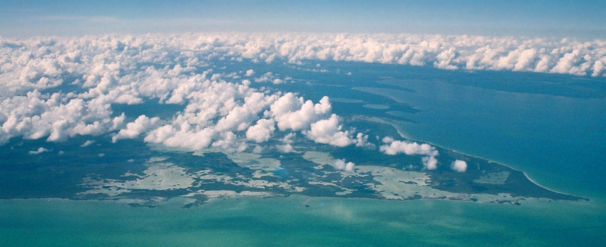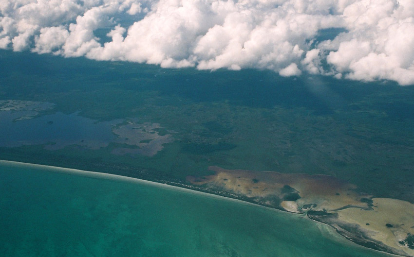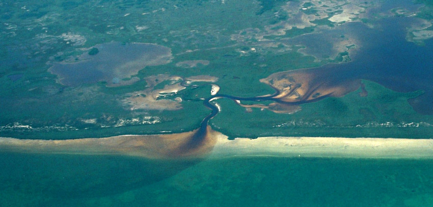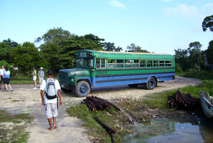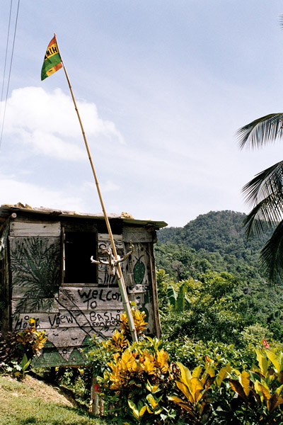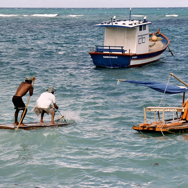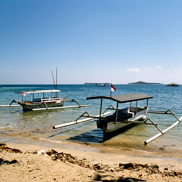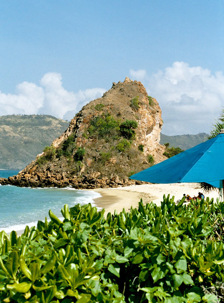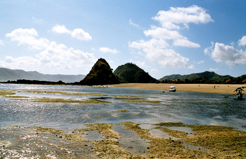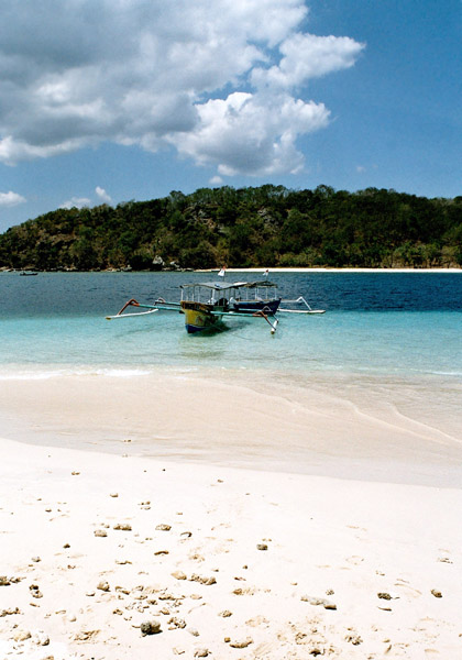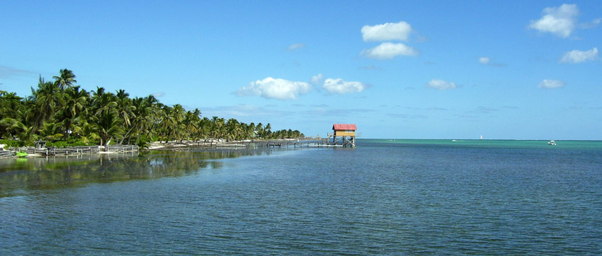
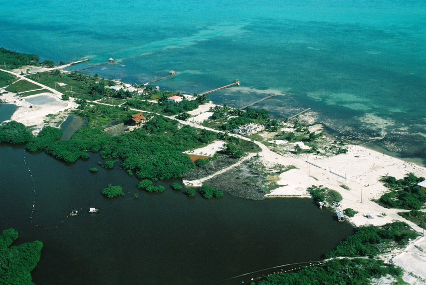
Ambergris Caye, pronounced “am-BER-gis”, is the largest island of Belize located northeast of the country in the Caribbean Sea. Though administered as part of the Belize District, the closest point on the mainland is part of the Corozal District. The Caye (pronounced as “key”, meaning an island, derived from Spanish: cayo) is about 40 kilometres (25 mi) long from north to south, and about 1.6 kilometres (1 mi) wide. It was named after large lumps of ambergris which washed ashore here.
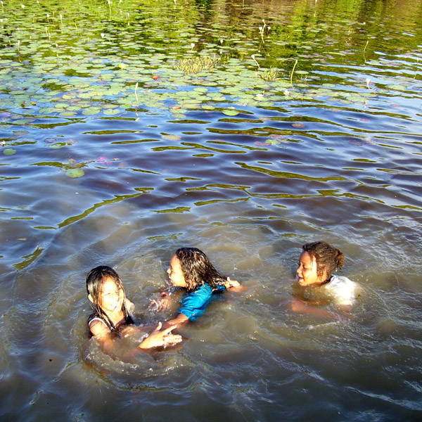
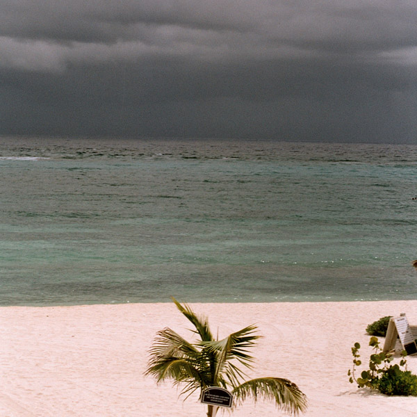
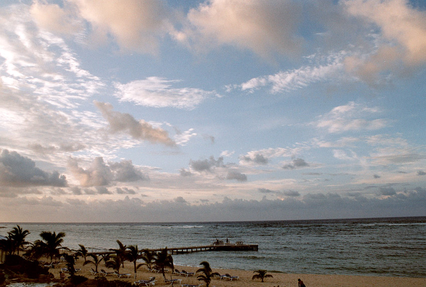
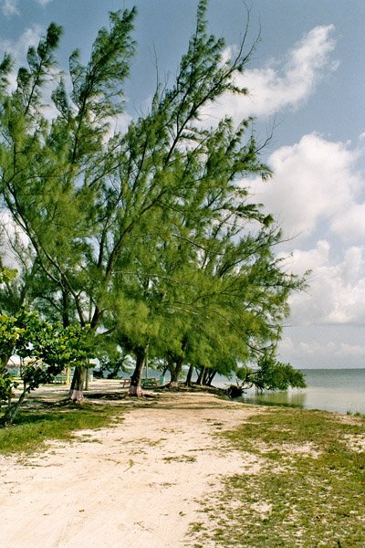
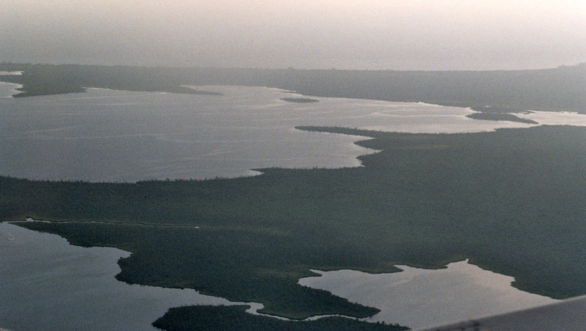
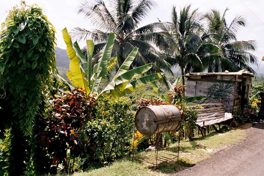
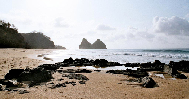
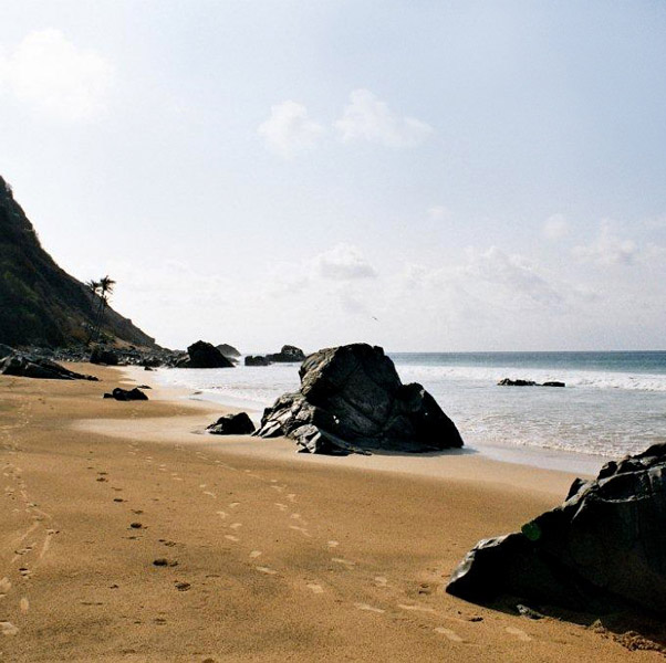
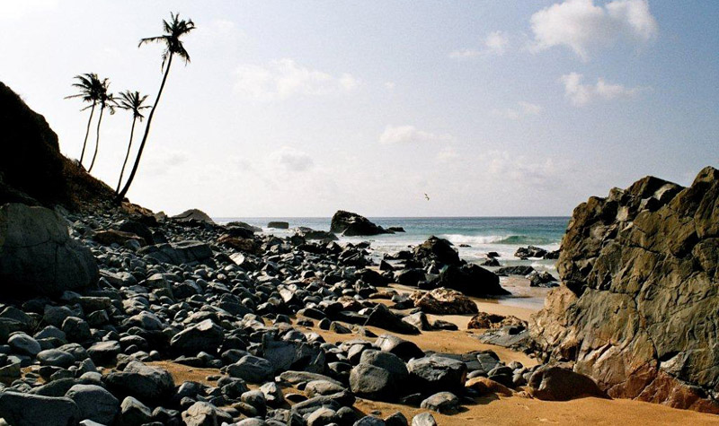
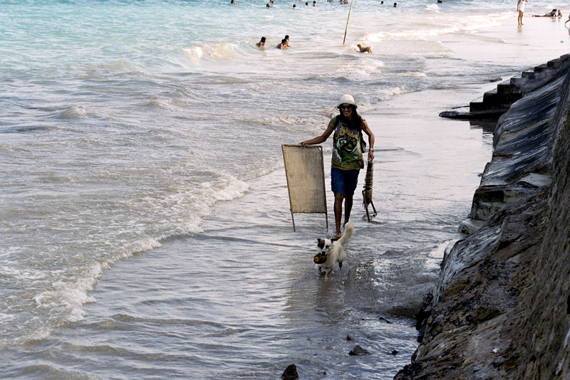
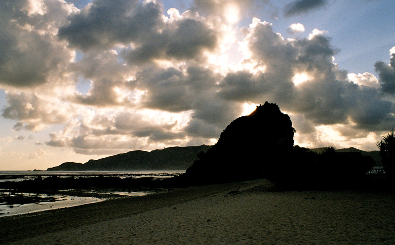
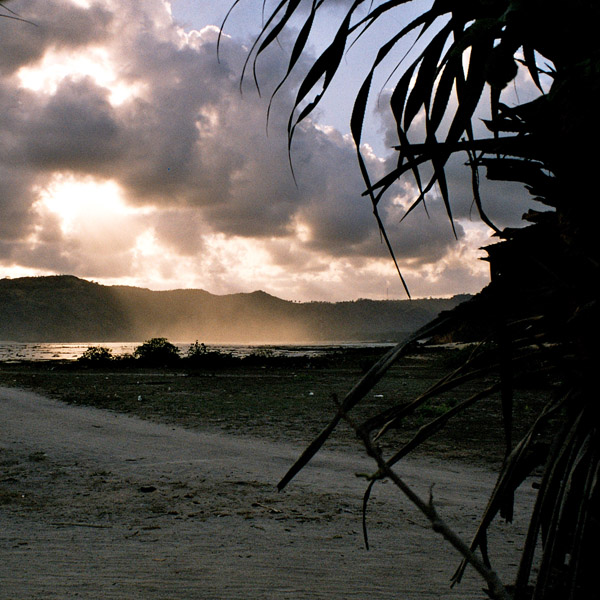
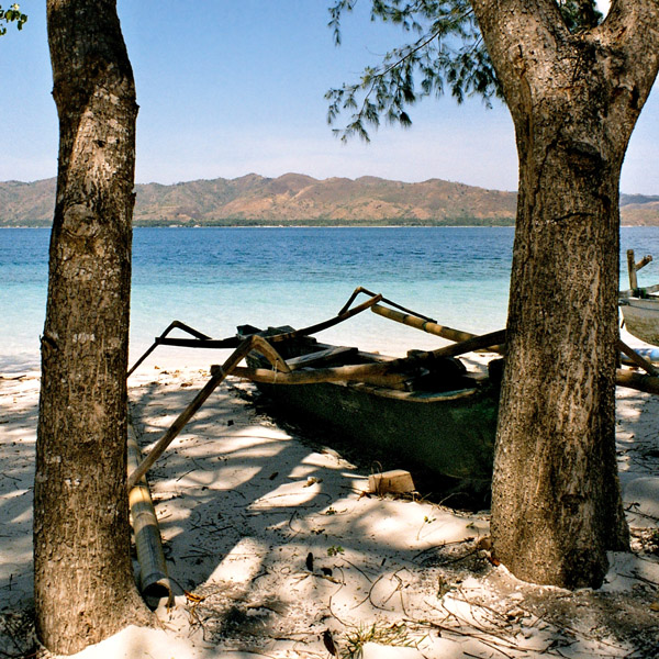
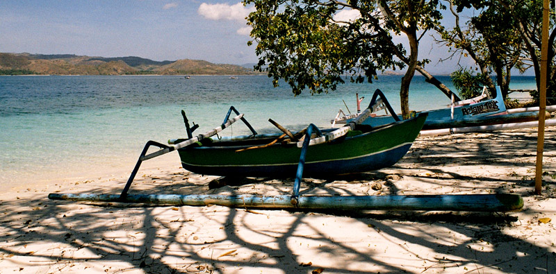
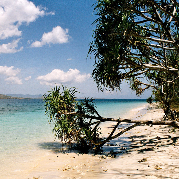
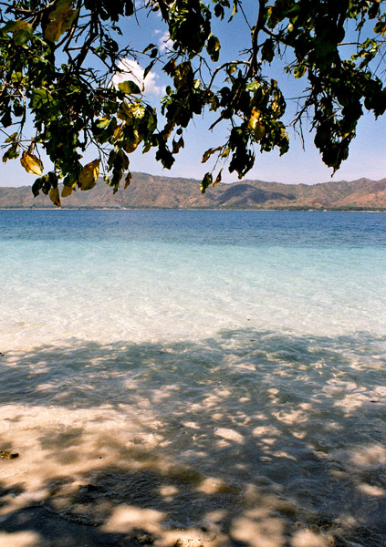
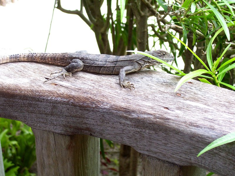
The Belizean island, where it has not been modified by man, is mostly a ring of white sand beach around mangrove swamp in the centre.
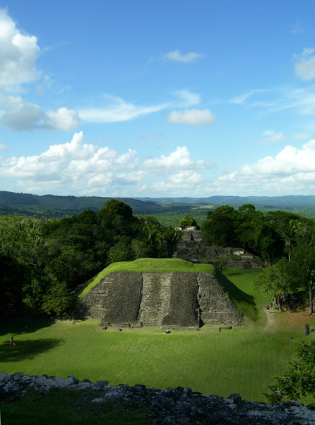
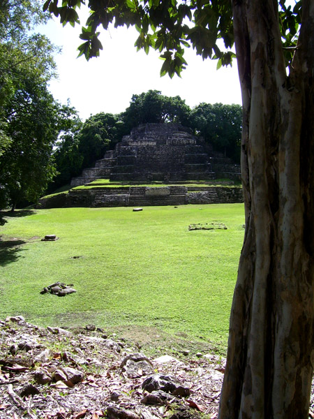
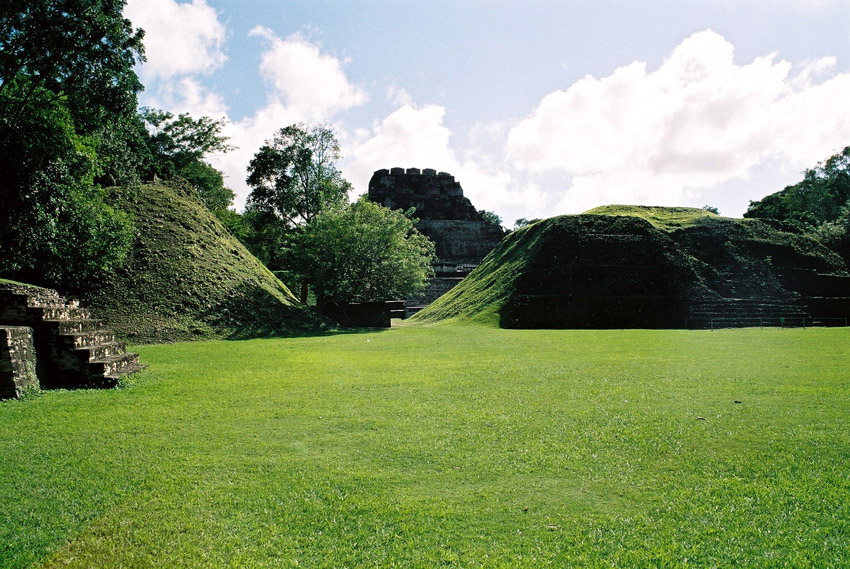
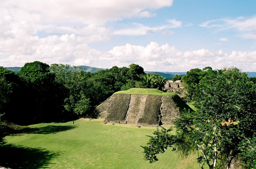
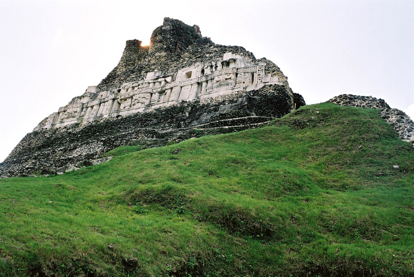
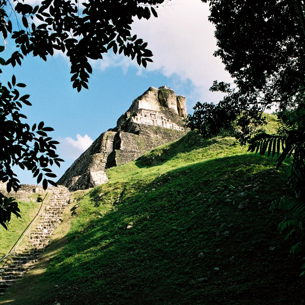
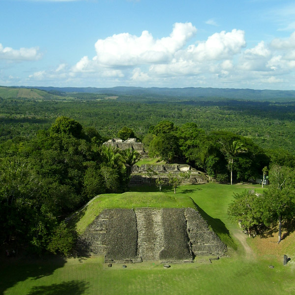
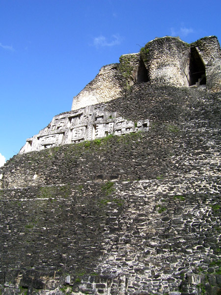
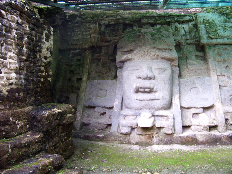
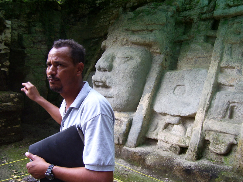
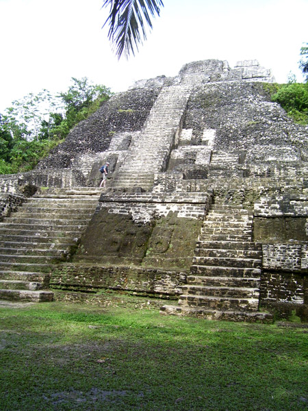
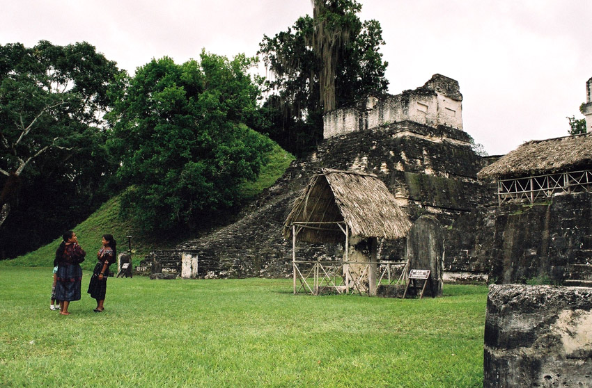
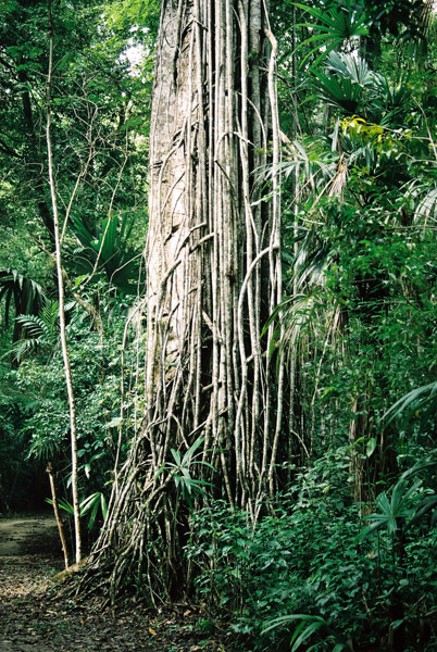
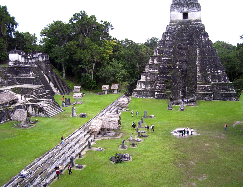
A Maya community lived on the island in Pre-Columbian times, and made distinctive polished red ceramics, most notably small well molded figurines of animals.
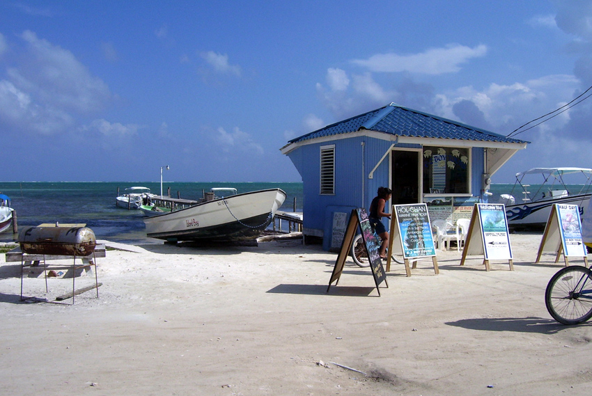
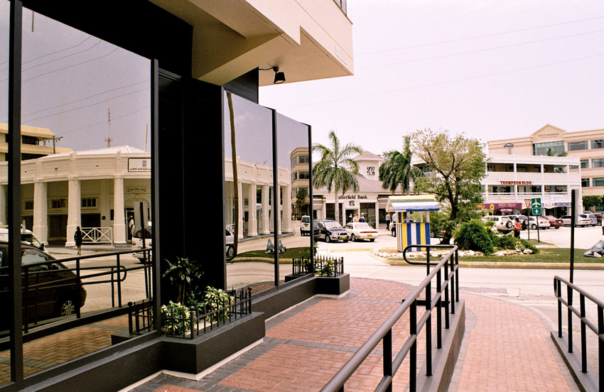
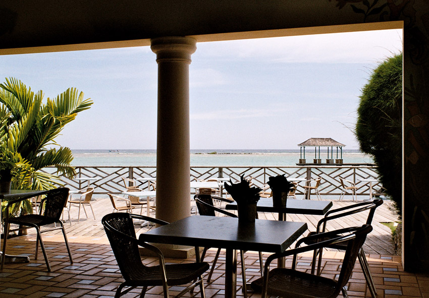
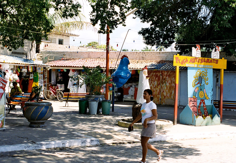
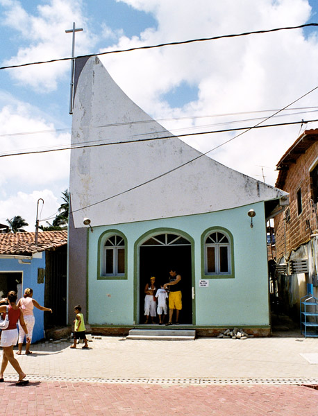
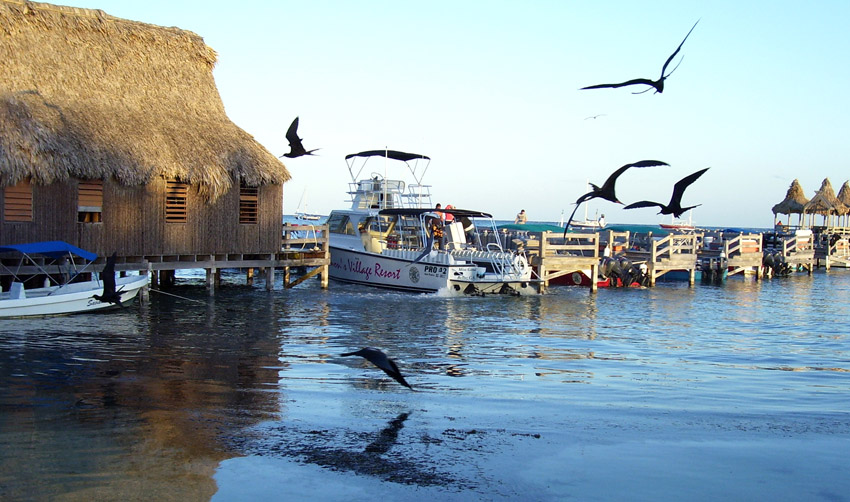
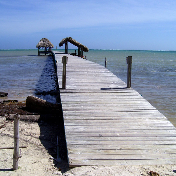
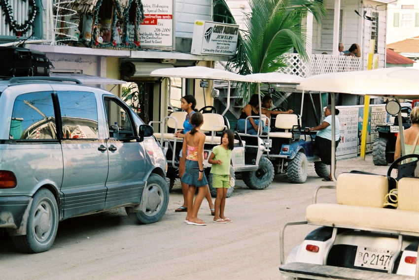
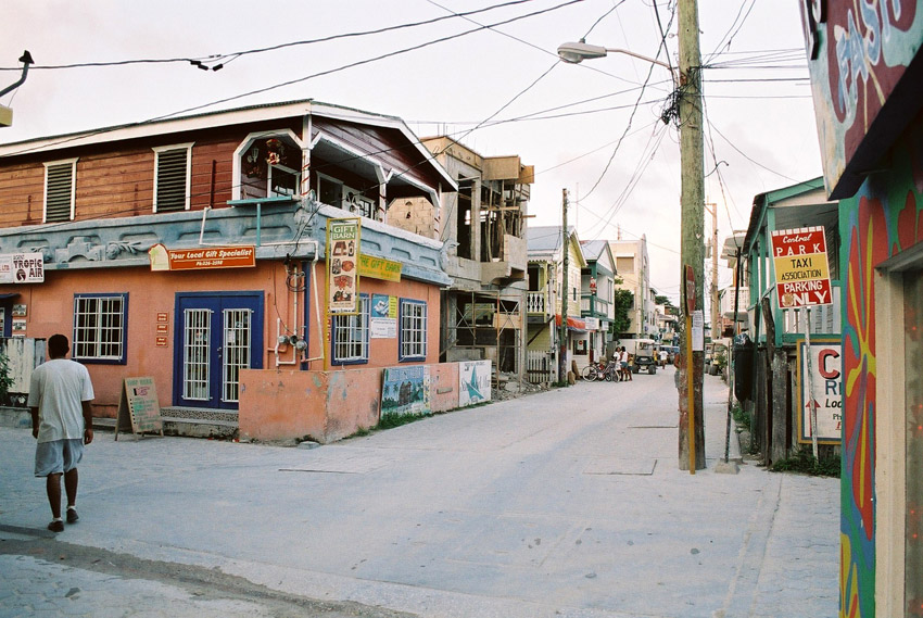
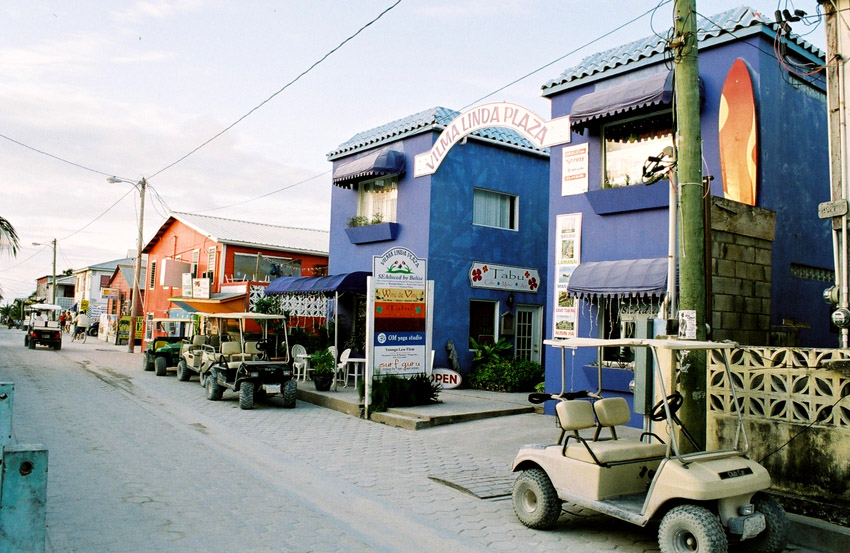
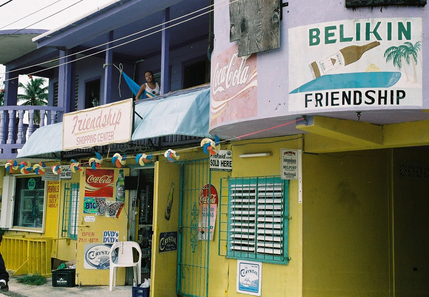
San Pedro Town is the largest settlement and only town on Ambergris. There are also a number of small villages and resorts. Captain Morgan’s and Mata Chica resorts north of San Pedro played host to the first season of Fox’s Temptation Island in 2000, aired in 2001. More recently, the availability of skydiving during the winter has become a draw for tourists so inclined.
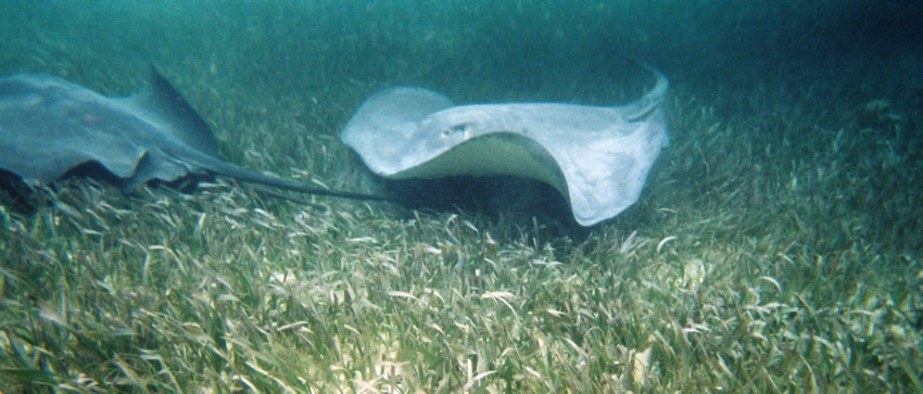
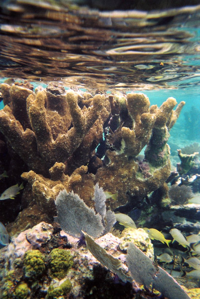
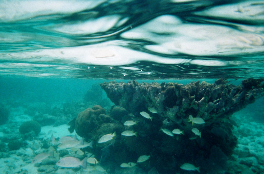
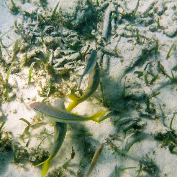
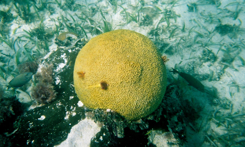
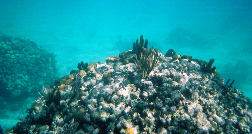
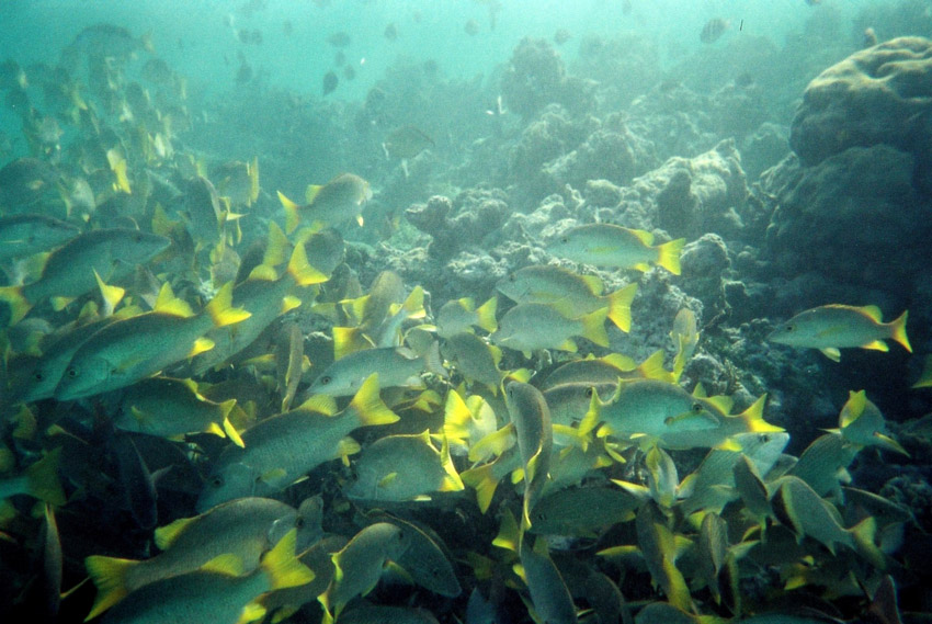
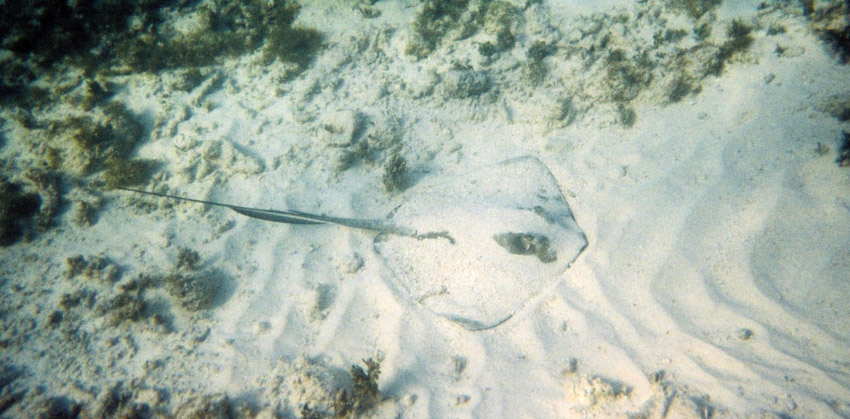
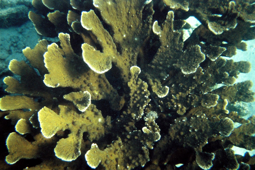
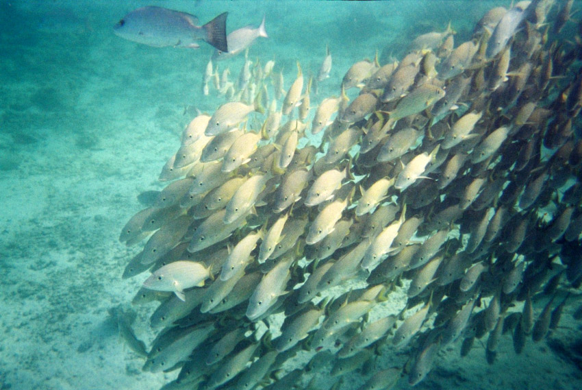
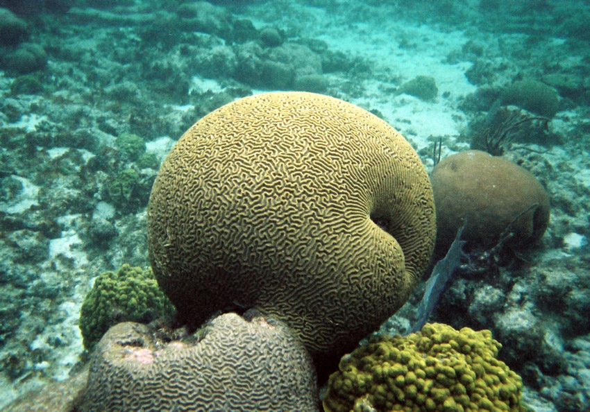
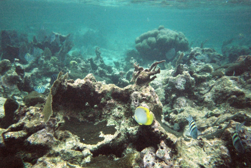
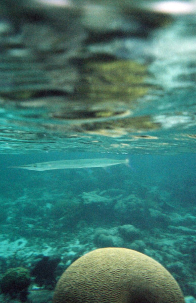
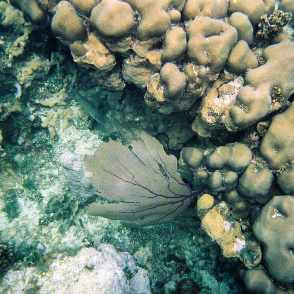
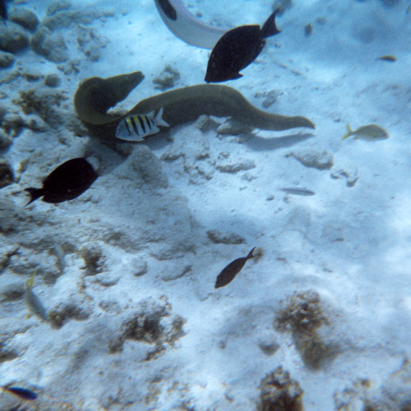
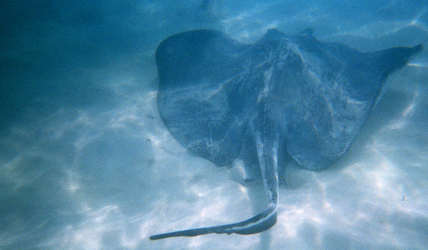
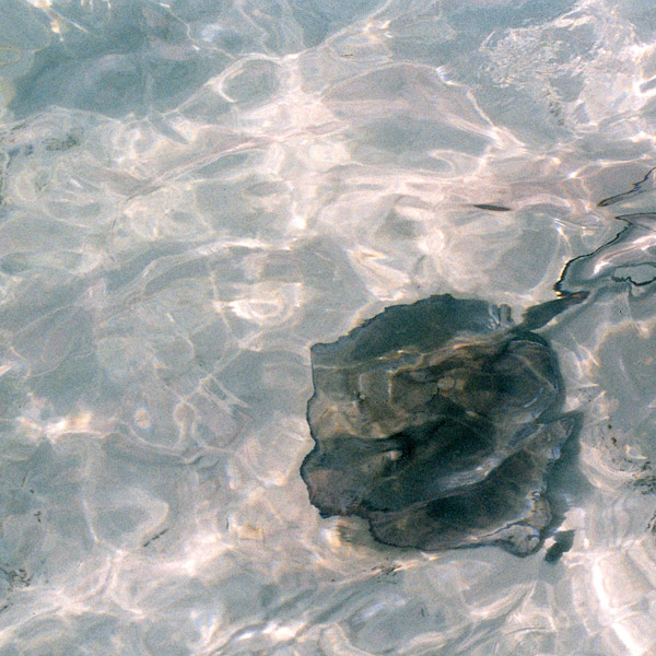
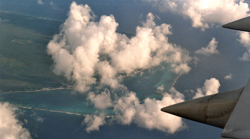
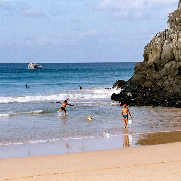
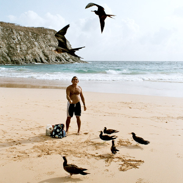
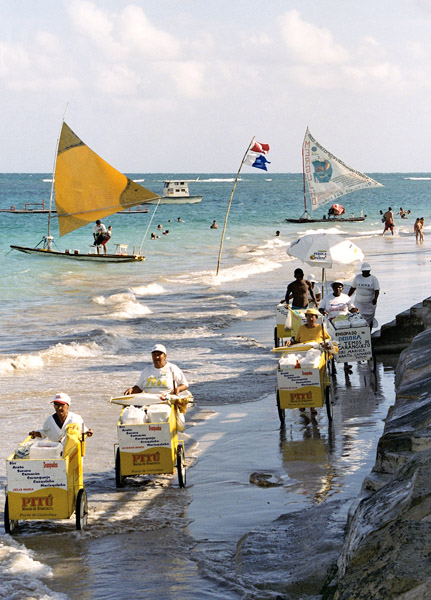
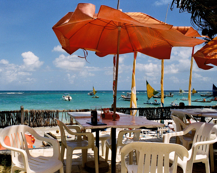
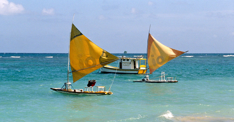
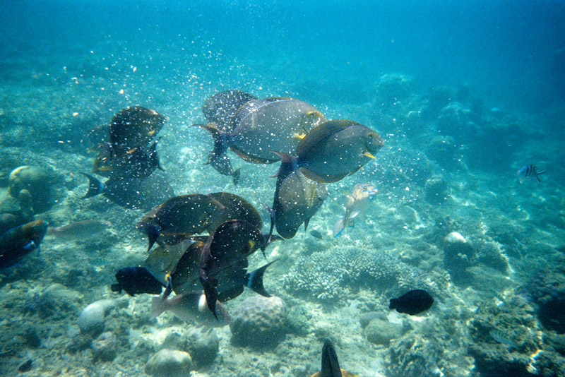
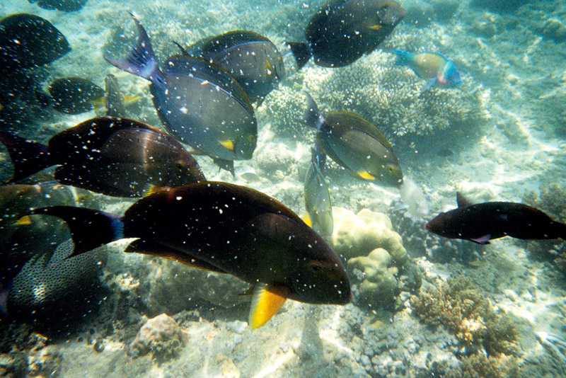
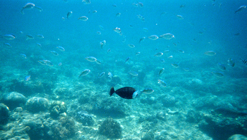
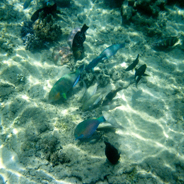
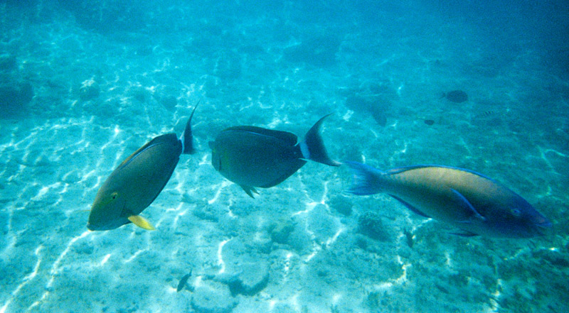
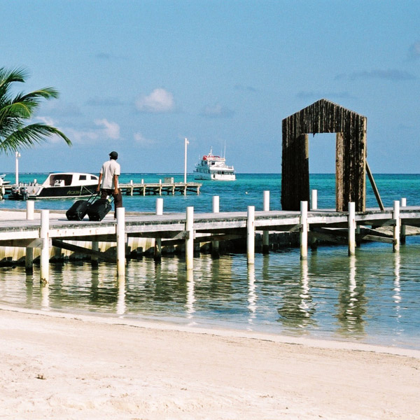
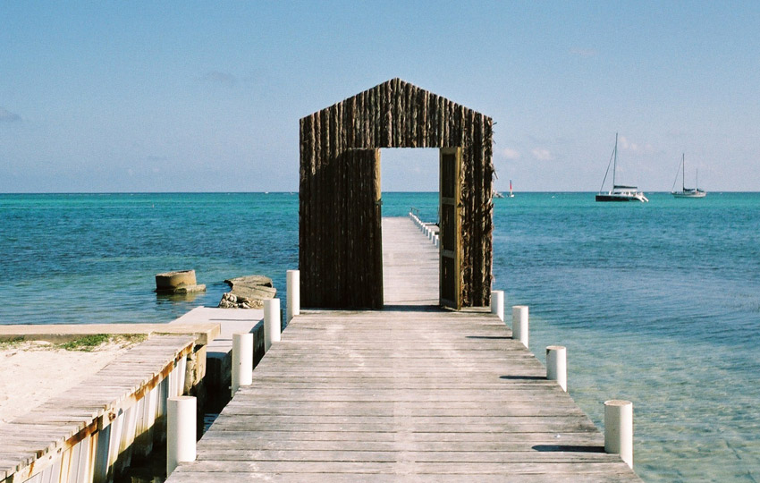
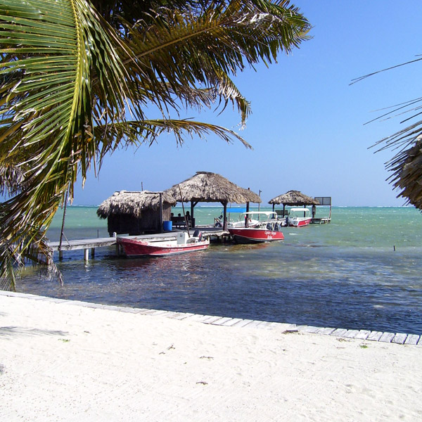
Tourism development of Ambergris Caye began in the early 1970s and grew considerably in the later years of the 20th century. The main attractions are the Belize Barrier Reef and its beaches. That barrier reef is the second largest in the world, after the Great Barrier Reef of Australia. The caye has a small airstrip serviced by Tropic Air and Maya Island Air, and can be reached by plane from Belize City as well as by numerous fast sea ferries.