The Ngorongoro Conservation Area or NCA is a conservation area situated 180 km (112 miles) west of Arusha in the Crater Highlands area of Tanzania. The conservation area is administered by the Ngorongoro Conservation Area Authority, an arm of the Tanzanian government, and its boundaries follow the boundary of the Ngorongoro Division of Ngorongoro District. It covers an area of 8,288 km² (3,200 square miles) – about the size of Crete.
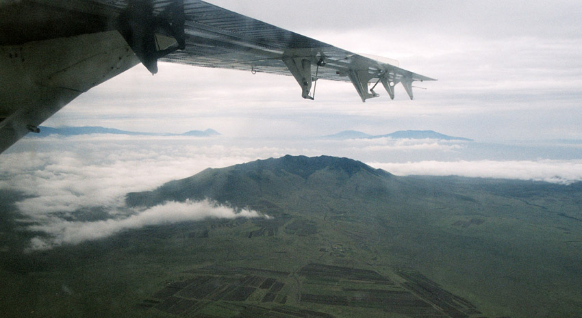
The main feature of the NCA is the Ngorongoro Crater, which is the world’s largest unbroken, unflooded volcanic caldera. The Crater, which formed when a giant volcano exploded and collapsed on itself some two to three million years ago, is 610 m (2,001 ft) deep and its floor covers 260 km² (102 square miles). Estimates of the height of the original volcano range from fifteen to nineteen thousand feet (4500 to 5800 metres) high.
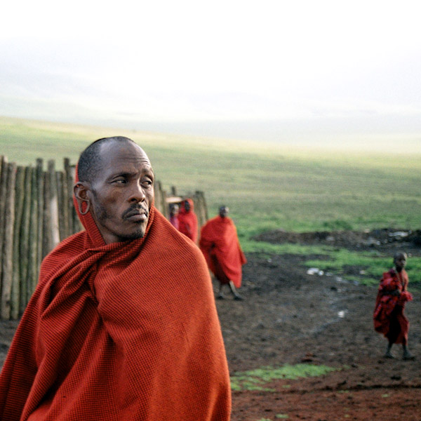
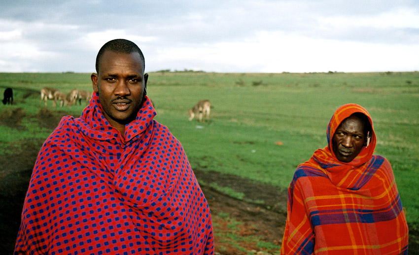
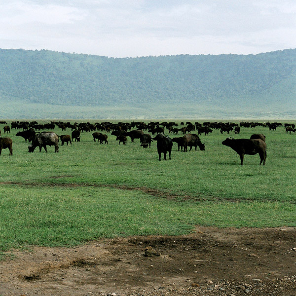
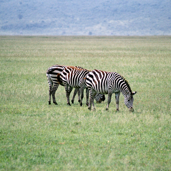
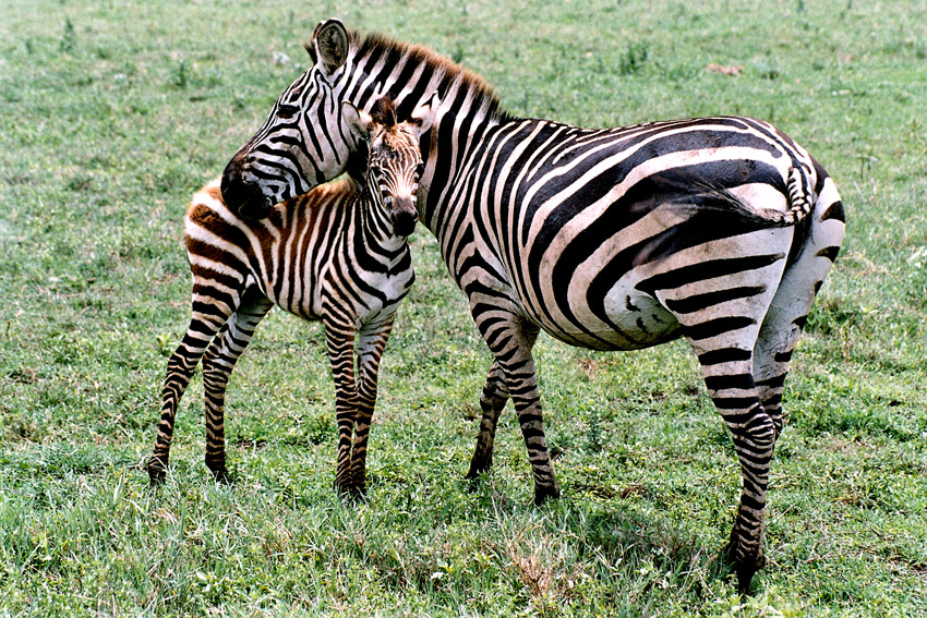
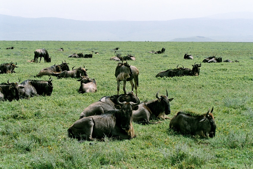
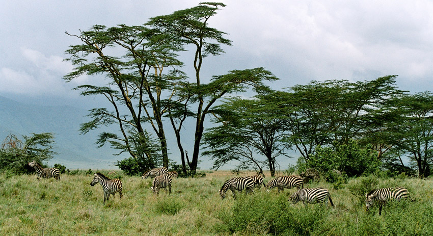
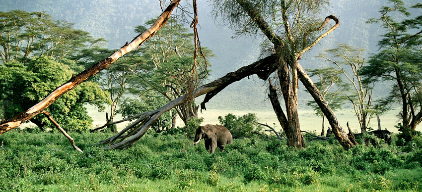
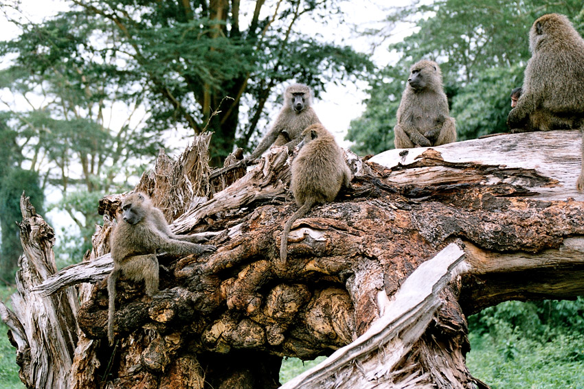
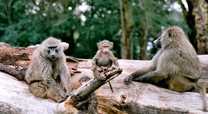
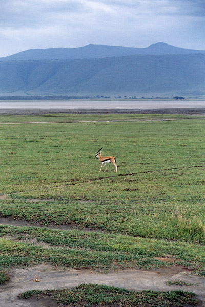
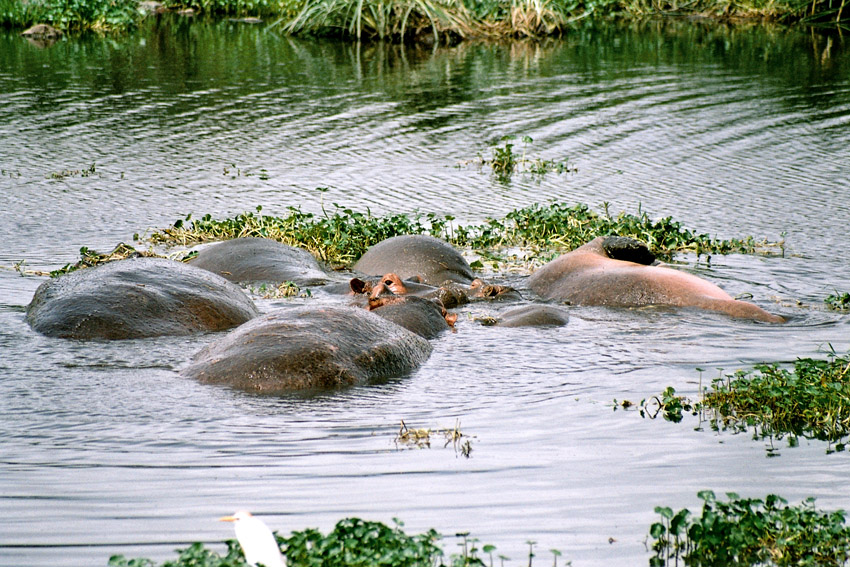
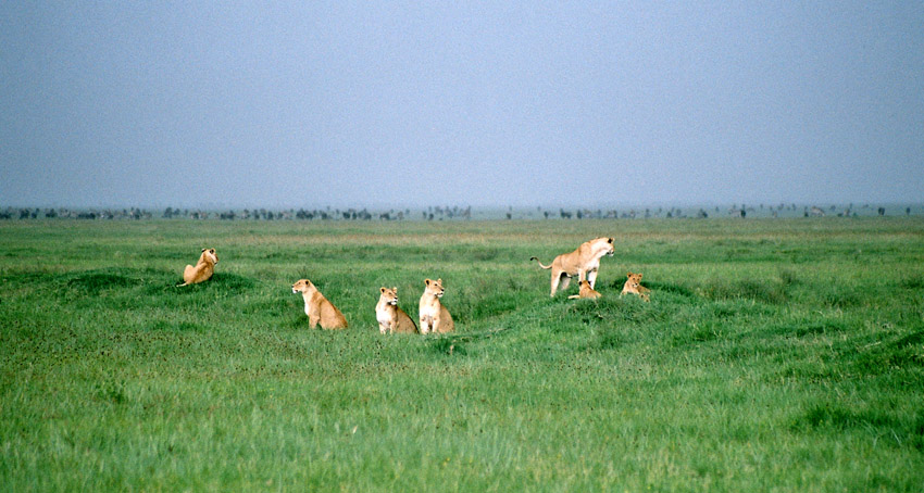
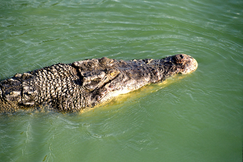
Although thought of as “a natural enclosure” for a very wide variety of wildlife, up to 20% or more of the wildebeest (Connochaetes taurinus) and half the zebra (Equus burchelli) populations vacate the Crater in the wet season. However, an effect of this ‘enclosure’ situation means that the population of Ngorongoro lions is severely inbred, with many genetic problems passed from generation to generation. This is due to the very small amount of new bloodlines that enter the local gene pool, with very few migrating male lions entering the crater from the outside. Animal populations in the crater include most of the species found in East Africa, but there are no impalas (Aepyceros melampus), topis (Damaliscus lunatus), oribis (Ourebia oribi), giraffes (Giraffa camelopardalis), or crocodiles (Crocodylus niloticus).
Source: Wikipedia (under GNU Free Documentation License)