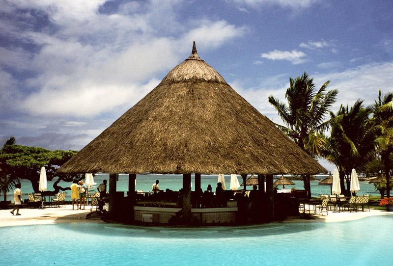
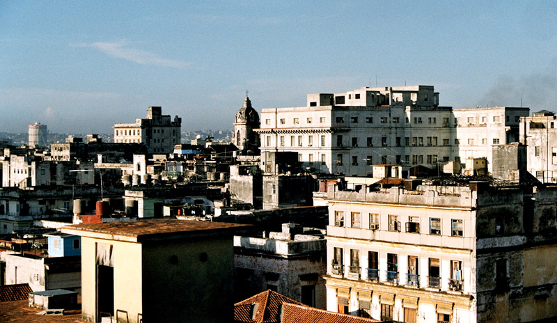
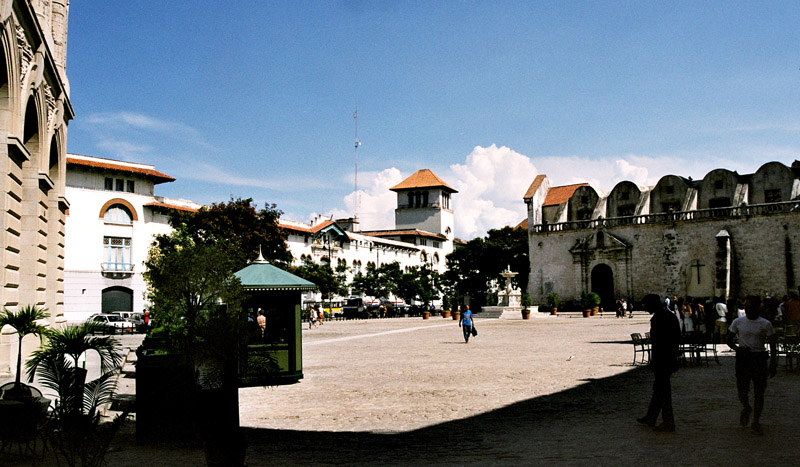
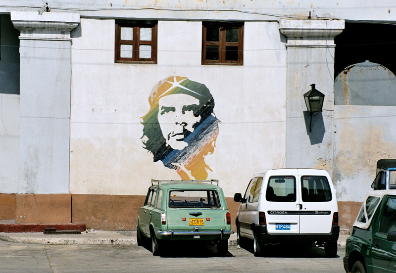
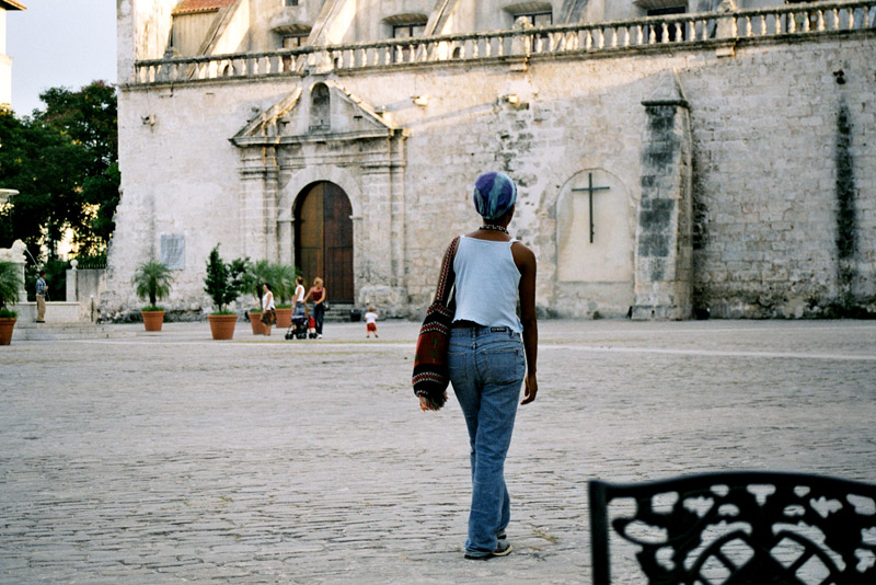
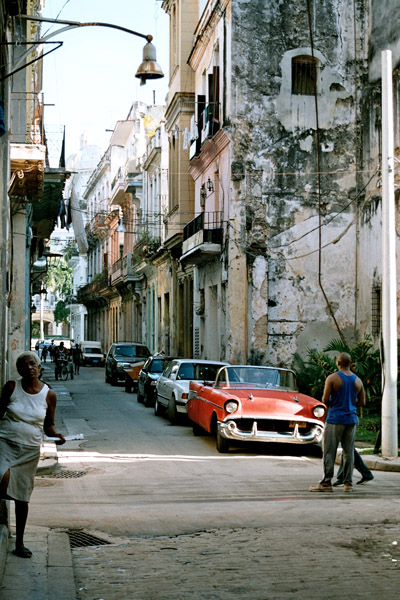
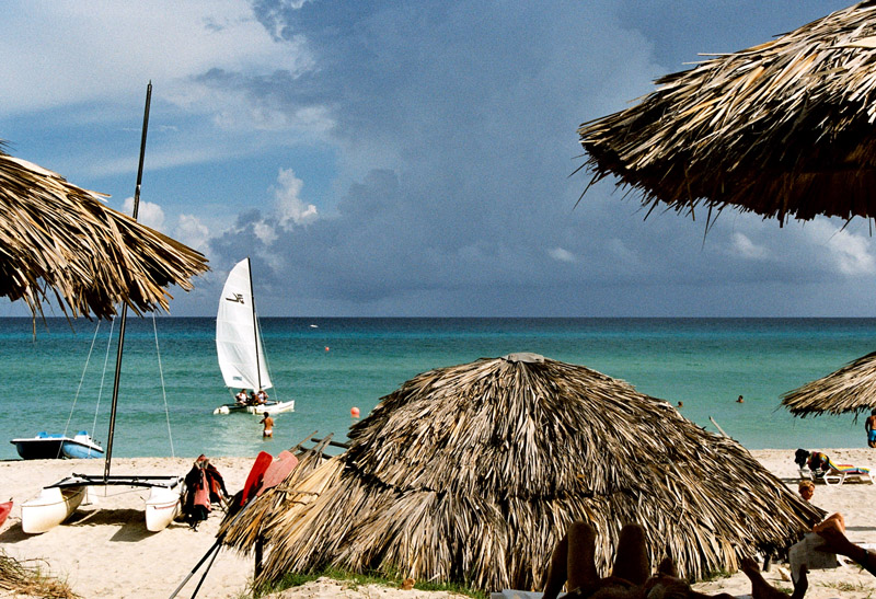
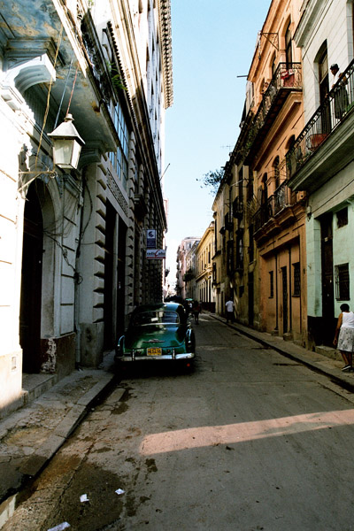
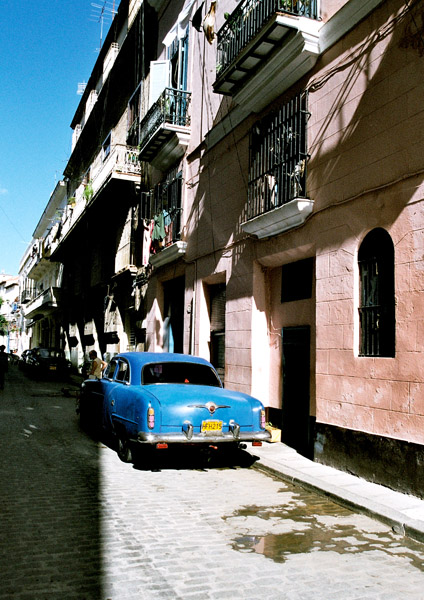
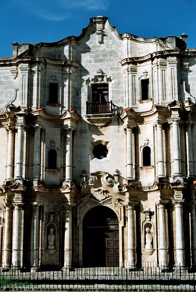
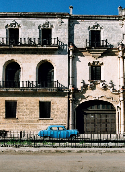
Categories
Cape Verde

Santo Antão I

Santo Antão (Portuguese for “Saint Anthony”), or Sontonton in Cape Verdean Creole, is the westernmost and largest of the Barlavento islands of Cape Verde. The nearest main island is São Vicente to the southeast, separated by a channel named Canal de São Vicente. It is the westernmost large island in Cape Verde and the continent of Africa, and the second largest in Cape Verde.

The island, entirely made up of volcanic material. The tallest mountain is Topo de Coroa, reaching a height of 1,979 m. The second tallest is Pico da Cruz at 1,585 m. The island is divided into north and south by a mountain range long considered impenetrable but now crossed by a road. The island’s main town is Ponta do Sol on the north coast, home to the Agostinho Neto Airport, while its ferry port is Porto Novo on the south coast. A part of the island in the southeast has an arid climate, while the northwest receives relatively normal precipitation. Its valleys are suffering heavy erosion.

Source: Wikipedia (under GNU Free Documentation License)

Categories
Cape Verde

Santiago

Santiago (Portuguese for “Saint James”), or Santiagu in Cape Verdean Creole, is the largest island of Cape Verde, its most important agricultural centre and home to half the nation’s population. At the time of Darwin’s voyage it was called St. Jago.

Santiago is located between the islands of Maio (40 km west) and Fogo (50 km east) and is one of the Sotavento. It was the first of the islands to be settled, the town of Cidade Velha being founded as Riberia Grande in 1462. It is also home to the nation’s capital city of Praia and to one of the islands’ four international airports, Praia International Airport, 3 km from the capital (IATA airport code: RAI, Praia).

Santiago is the largest island of Cape Verde, with an area of 991 km². The island is mountainous, although slightly flatter in the southeast. The wetter climate of the interior and the eastern coast contrasts with the dryer one in the south/southwest coast. Praia, located in the southeast coast, is the largest city of the island, and also the largest city and capital of the country. Other towns on the island include Cidade Velha, 15 km west of Praia, Cape Verde’s first capital; Assomada, 60 km north and Tarrafal in the northern part of the island 75 km from the capital.

Source: Wikipedia (under GNU Free Documentation License)

Categories
Cape Verde

Fogo

Fogo (Portuguese for “fire”) is an island in the Sotavento group of Cape Verde. It is the most prominent of the group, rising to nearly 3,000 m (10,000 ft) above sea level at Mount Fogo.

The island is located between the islands of Santiago and Brava. Practically the whole island is an active volcano that has been periodically active, last erupting in 1995, forming a new crater called Pico Pequeno. Its largest feature is a 9 km wide caldera, which has walls 1 km high. The caldera has a breach in its eastern rim, and a large peak rises in the centre. The central cone Pico forms the highest point of the island and its summit is about 100 m higher than the surrounding wall of the caldera. Lava from the volcano has reached the eastern coast of the island within historical times.

A small village, called Chã das Caldeiras, exists at the base of the volcano, and the residents are periodically evacuated during eruptions.

The island’s main town is São Filipe, near which is an airport. First settled in the 1480s, it is largely an agricultural island. The islands also houses schools, a gymnasium, banks, a post office, some hotels and squares (praças).

Source: Wikipedia (under GNU Free Documentation License)

Categories
Malaysia

Turtle Islands

Turtle Islands National Park (Taman Negara Pulau Penyu) is located some 40 kilometers north of Sandakan in Sabah, east Malaysia. It consists of 3 islands – Selingaan, Bakkungan Kechil and Gulisaan (often spelt with -an instead of the traditional -aan), including the surrounding coral reefs and ocean. The Park is famous for its green turtles and hawksbill turtles which lay their eggs on the beaches of the islands. The Park covers an area of 17.4 km². The name Turtle Islands, however, refers to 10 islands, 3 of which are part of Turtle Islands National Park of Malaysia, and 7 which belongs to the Municipality of Turtle Islands, Tawi-Tawi, Philippines.

On 1 August 1966, the first turtle hatchery in Malaysia was established on Selingan, funded entirely by the Sabah state government. Turtle hatcheries on the remaining two islands followed shortly after. In 1972, Selingan, Bakkungan Kechil and Gulisan were designated as a Game and Bird Sanctuary. In 1977, this status was upgraded to that of a Marine Park. Permanent park staff monitor the turtles, protect the hacheries and tag the turtles for research purposes. Libaran Island is also designated within the park boundaries, however it is not a major turtle hatching spot.

Turtle Islands Park is administered by Sabah Parks.

Categories
Malaysia

Borneo

Borneo is the third largest island in the world and is located at the centre of Maritime Southeast Asia.

Indonesians refer to the entire island as Kalimantan. Malaysians usually refer to the island by the names of either of its two Malaysian states, Sarawak and Sabah. The independent nation of Brunei occupies the remainder of the island.

Source: Wikipedia (under GNU Free Documentation License)

Borneo is surrounded by the South China Sea to the north and northwest, the Sulu Sea to the northeast, the Celebes Sea and the Makassar Strait to the east and the Java Sea and Karimata Strait to the south. It has an area of 743,330 square kilometres (287,000 sq mi).

To the west of Borneo are the Malay Peninsula and Sumatra. To the south is Java. To the east is the island of Sulawesi (Celebes). To the northeast is the Philippines.

Borneo’s highest point is Mount Kinabalu in Sabah, Malaysia, with an elevation of 4,095 m (13,440 ft) above sea level. This makes it the world’s third highest island.

Categories
Majotte

Mayotte

Mayotte (French: Mayotte; Shimaore (Swahili dialect): Maore; Malagasy: Mahori), officially the Departmental Collectivity of Mayotte (French: Collectivité départementale de Mayotte), is an overseas collectivity of France consisting of a main island, Grande-Terre (or Mahoré), a smaller island, Petite-Terre (or Pamanzi), and several islets around these two.

Mayotte is very densely populated. It is in the northern Mozambique Channel in the Indian Ocean, between northern Madagascar and northern Mozambique. The territory is geographically part of the Comoro Islands, but has been politically separate since the 1970s. The territory is also known as Mahoré, the native name of its main island, especially by advocates of its inclusion in the Union of Comoros.

The main island, Grande-Terre (or Mahoré), geologically the oldest of the Comoros, is 39 kilometres (24 mi) long and 22 kilometres (13½ mi) wide, and its highest point is Mount Benara (French: Mont Bénara; Shimaore: Mlima Bénara) at 660 metres (2,165 ft) above sea level. Because of the volcanic rock, the soil is relatively rich in some areas. A coral reef encircling much of the island ensures protection for ships and a habitat for fish.

Source: Wikipedia (under GNU Free Documentation License)

Categories
Thailand

Ko Phi Phi Don

Ko Phi Phi Don is the largest of the Phi Phi Islands, in Thailand. It is the only island in the group with permanent inhabitants. Like the other islands in the group, Ko Phi Phi Don is a non-volcanic island largely made of limestone. It is almost separated into two islands, but a strand of flat land connects them. On this strand lies the largest town on the island, as well as most of the resorts.

Ko Phi Phi Don is now squarely on the tourist map, and tourists from all over the world (especially Europe, Japan, and the wealthier Southeast Asian countries) flock to the island. Accessible from Phuket and mainland Krabi province, all tourists must arrive by boat. (The trip from Phuket takes around 90 minutes.) This has essentially turned the island into a rush of day trippers who overpopulate the island from 11AM-3PM. The island still holds much charm that can be enjoyed in the hours that the flocks from Phuket are not there. While in former times, Ko Phi Phi Don was a serene paradise, parts of it (especially the Ton Sai Bay area) have been exploited for tourism. Restaurants, shops, internet cafes, and shanty towns abound.

Source: Wikipedia (under GNU Free Documentation License)

Categories
Thailand

Ko Phi Phi Leh

Ko Phi Phi Leh (or Ko Phi Phi Ley) is an island of the Phi Phi archipelago, in the Andaman Sea. It belongs to the Krabi province of Thailand.

Ko Phi Phi Leh is the second largest island of the archipelago, the largest one being Ko Phi Phi Don. The island consists of a ring of steep limestone hills surrounding a shallow bay, the Mahya Bay.

Mahya Bay (or Maya Bay) is popular for diving, and has become even more popular after the 2000 movie The Beach was filmed there. According to the Lonely Planet’s Thailand guidebook, the 2004 tsunami dramatically improved the look of Maya Bay. This was due to the fact that the high waves had cleaned up the beach and removed all the landscaping the Fox production team had added.

Controversy arose during the making of the film The Beach due to 20th Century Fox bulldozing and rescaping of the natural beach setting of Ko Phi Phi Leh to make it more “paradise-like”. The production altered some sand dunes and cleared some coconut trees and grass to widen the beach. Fox set aside a fund to reconstruct and return the beach to its natural state, however lawsuits were filed as many believed the damage to the ecosystem is permanent and restoration attempts failed.

The lawsuits dragged on for years. In 2006, Thailand’s Supreme Court upheld an appeal court ruling that the filming had harmed the environment and ordered that damage assessments be made. Defendants in the case included 20th Century Fox and some Thai government officials.

Source: Wikipedia (under GNU Free Documentation License)

Categories
Thailand

Bamboo Island


Categories
Indonesia

Bali

Bali is an Indonesian island located at the westernmost of the Lesser Sunda Islands, lying between Java to the west and Lombok to the east. It is one of the country’s 33 provinces with the provincial capital at Denpasar towards the south of the island.

With a population recorded as 3,551,000 in 2009, the island is home to the vast majority of Indonesia’s small Hindu minority. 93.18% of Bali’s population adheres to Balinese Hinduism, while most of the remainder follow Islam. It is also the largest tourist destination in the country and is renowned for its highly developed arts, including dance, sculpture, painting, leather, metalworking and music.

Bali was inhabited by Austronesian peoples by about 2000 BC who migrated originally from Taiwan through Maritime Southeast Asia. Culturally and linguistically, the Balinese are thus closely related to the peoples of the Indonesian archipelago, the Philippines, and Oceania. Stone tools dating from this time have been found near the village of Cekik in the island’s west.

Source: Wikipedia (under GNU Free Documentation License)