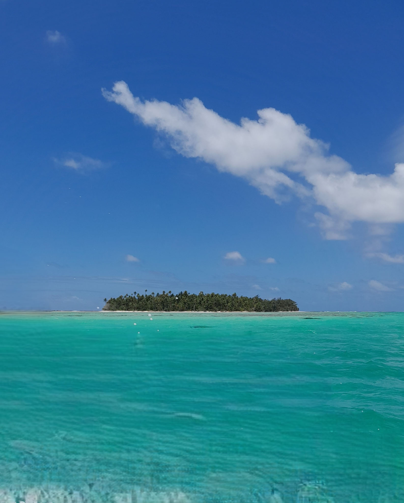
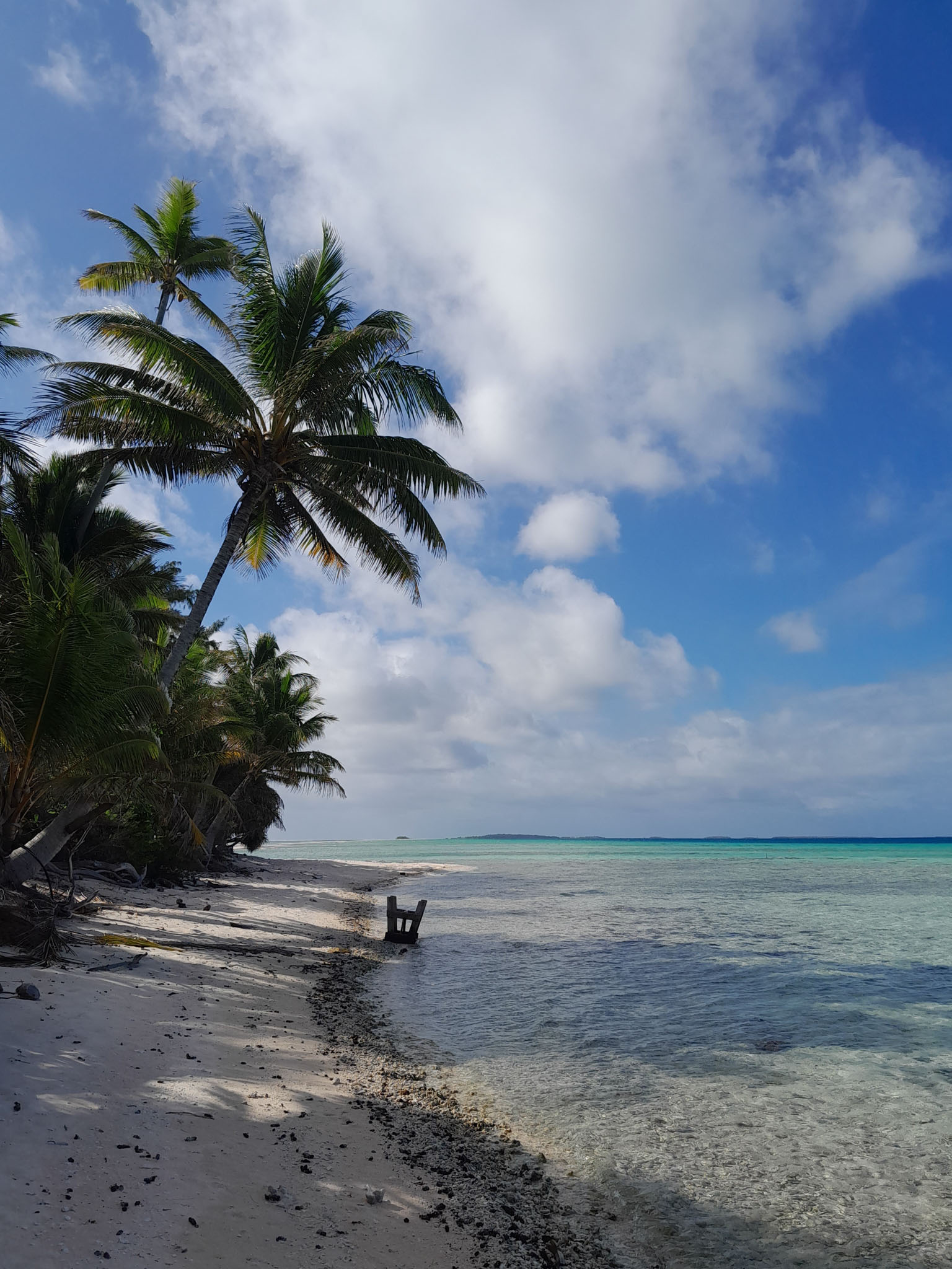
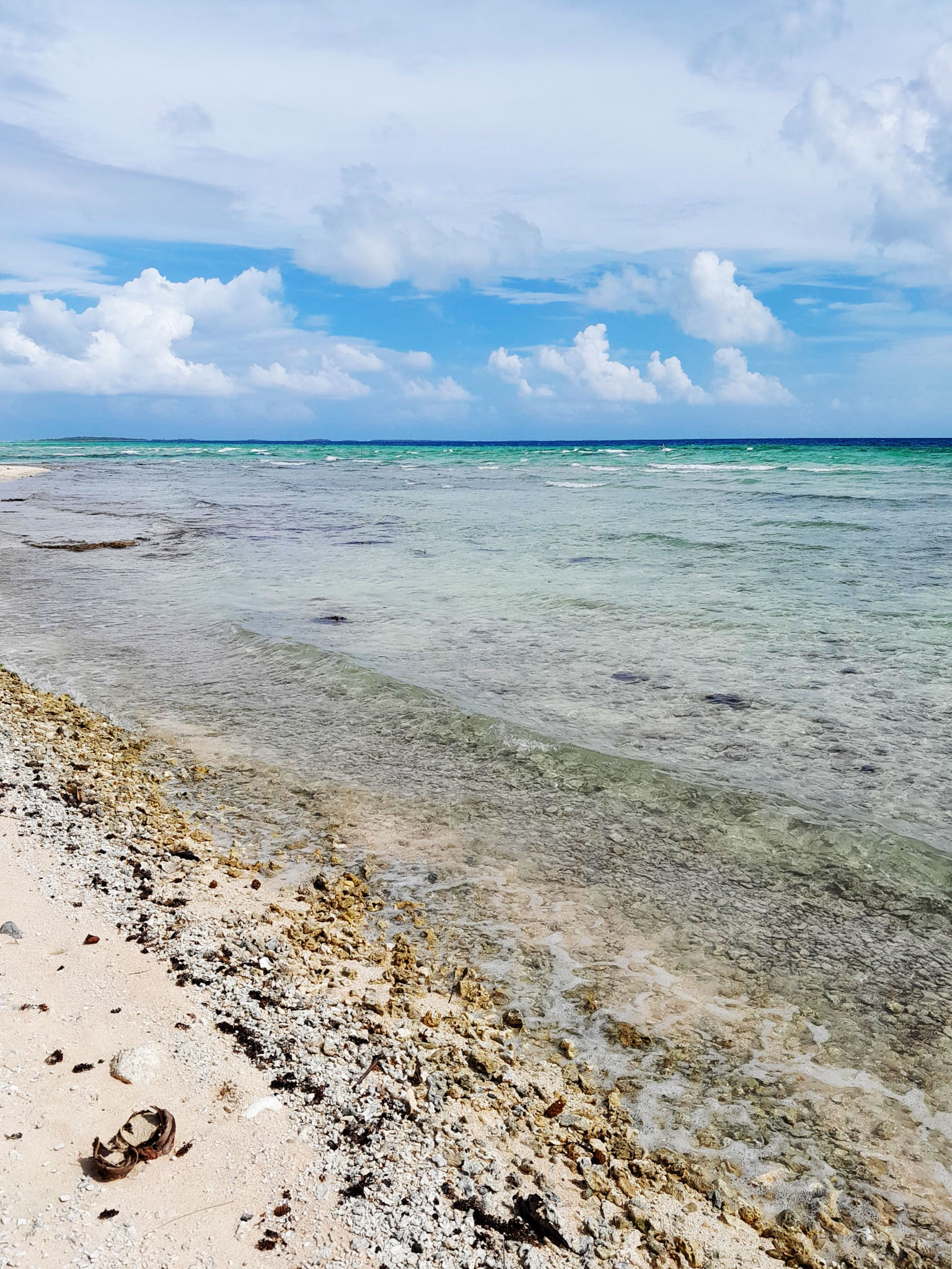
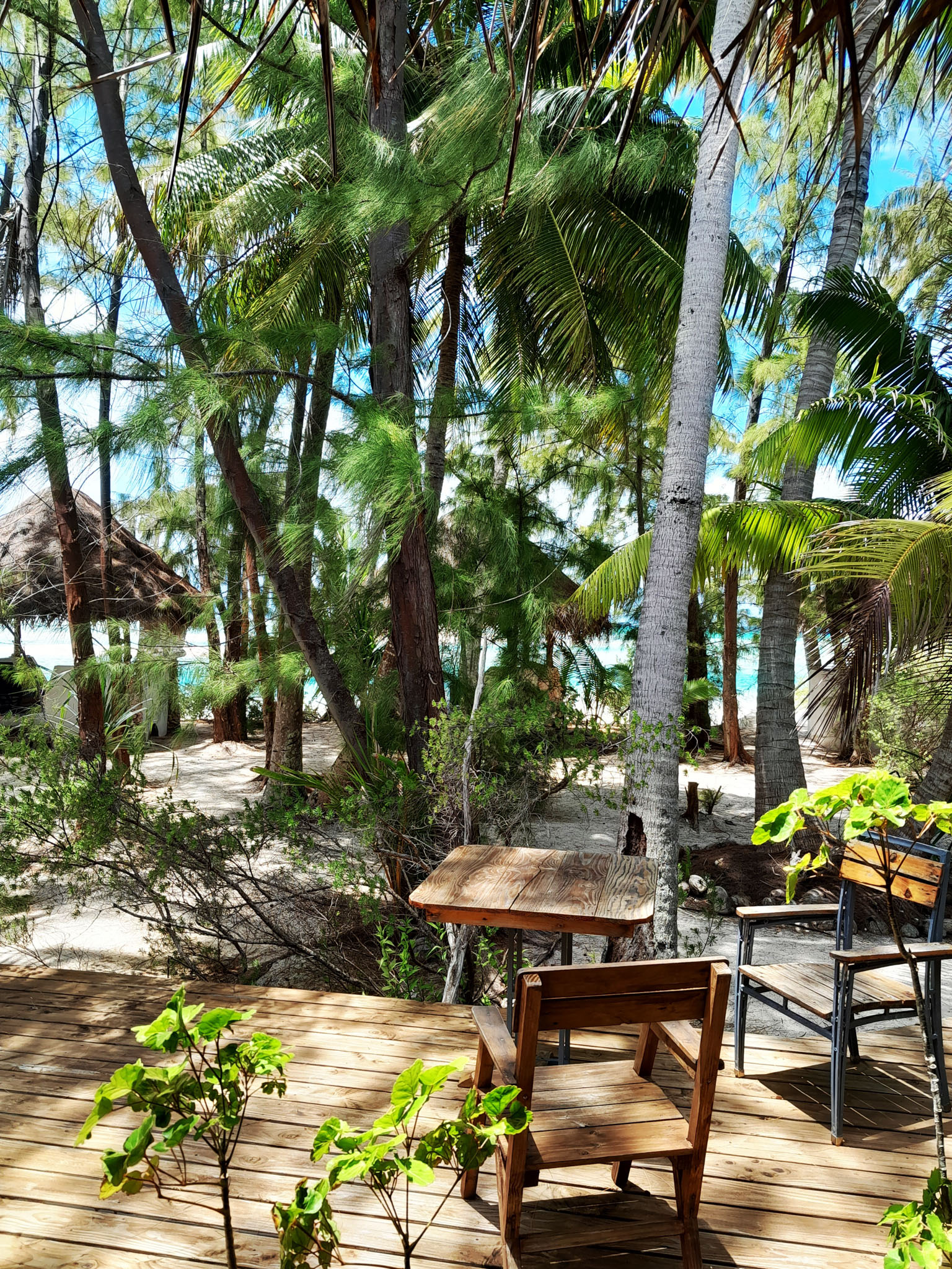
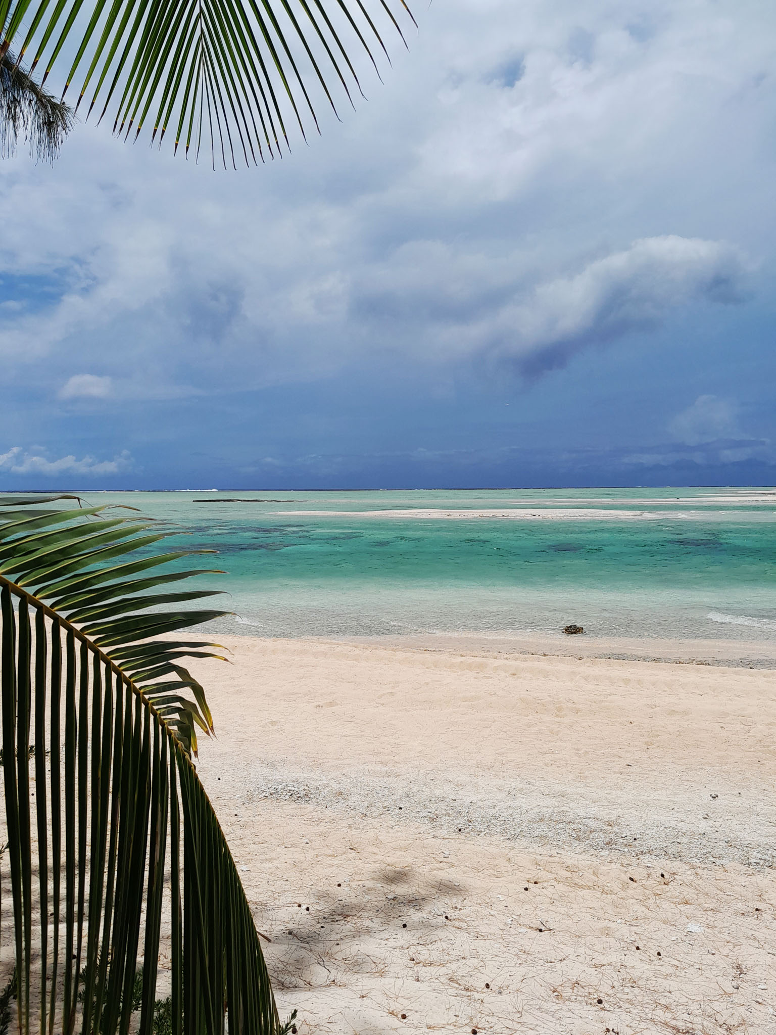
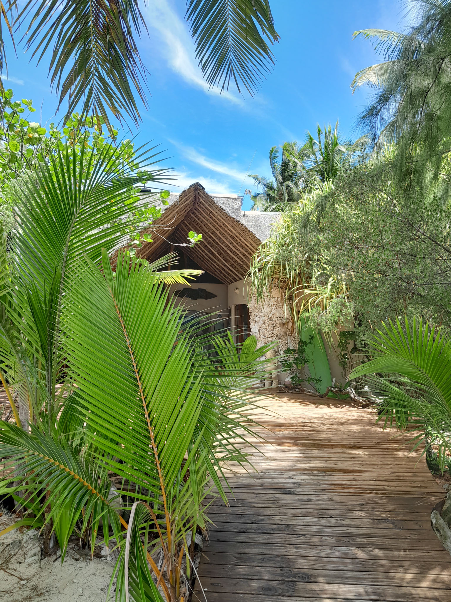
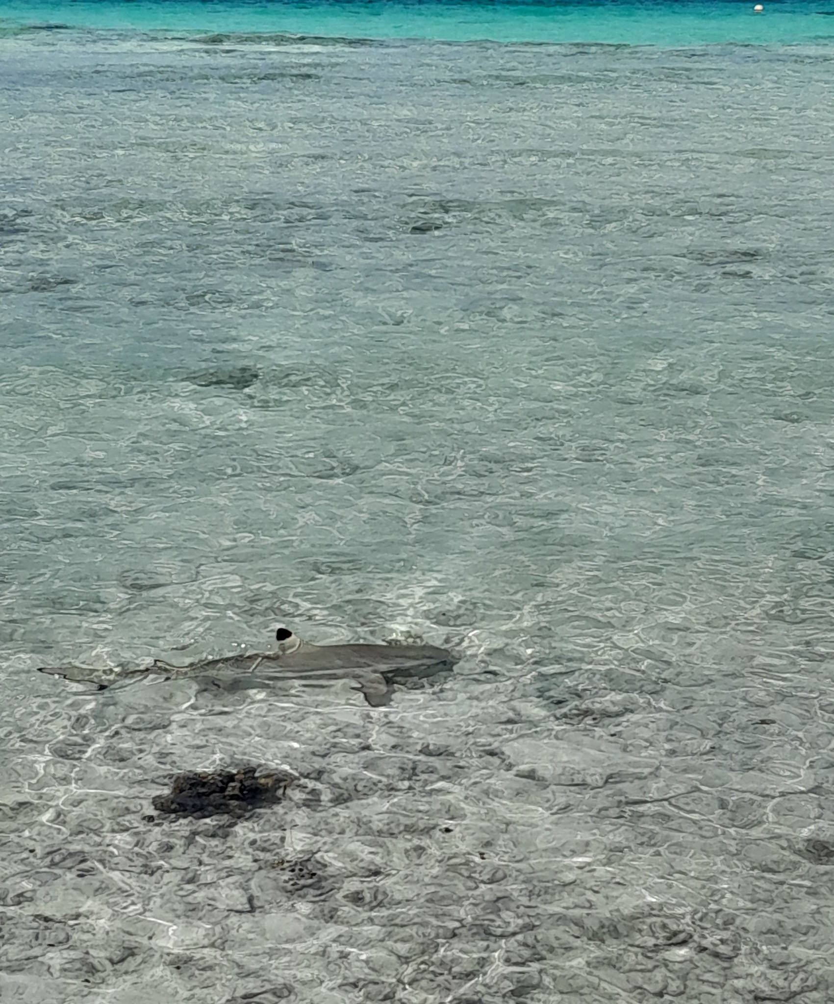
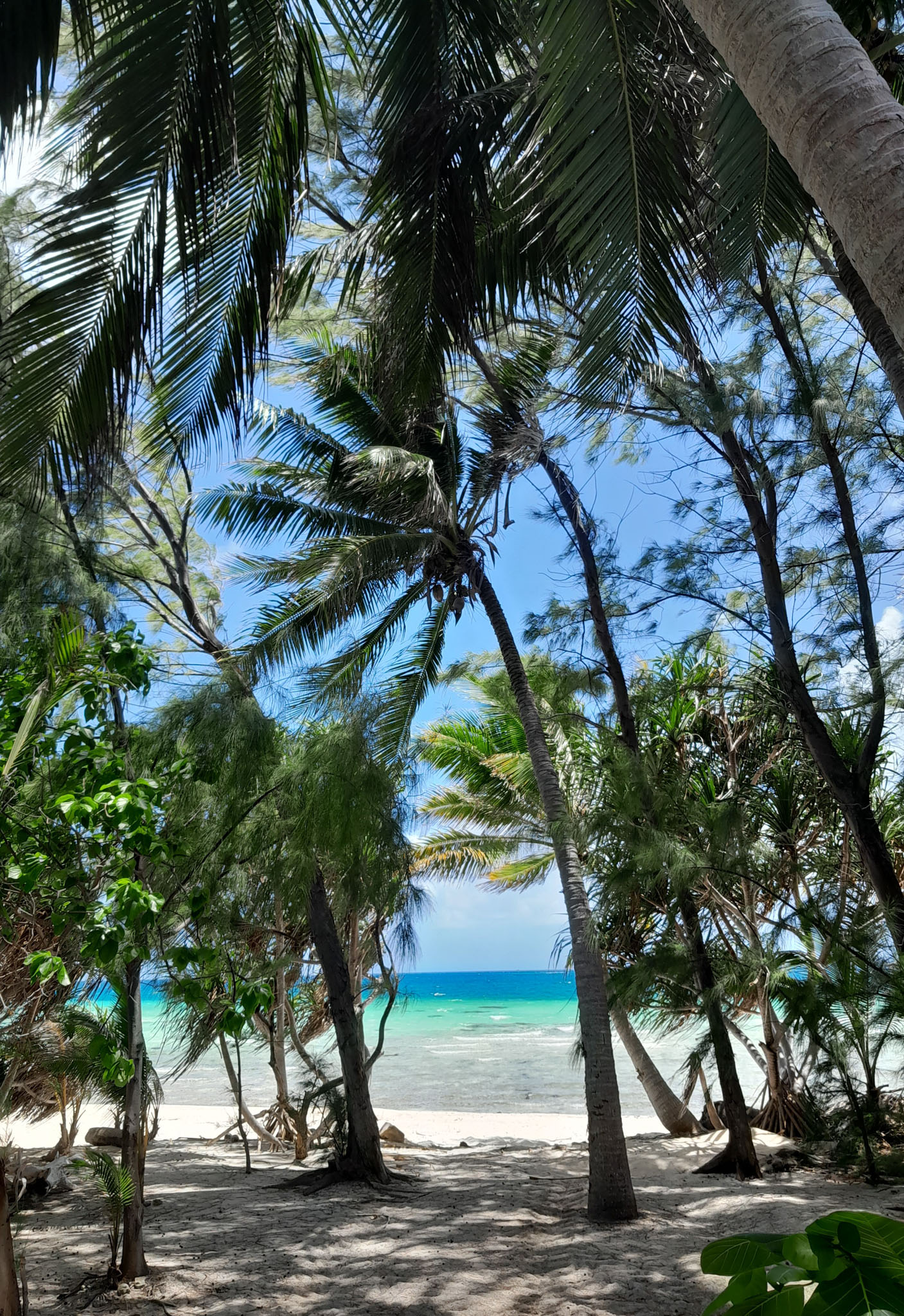

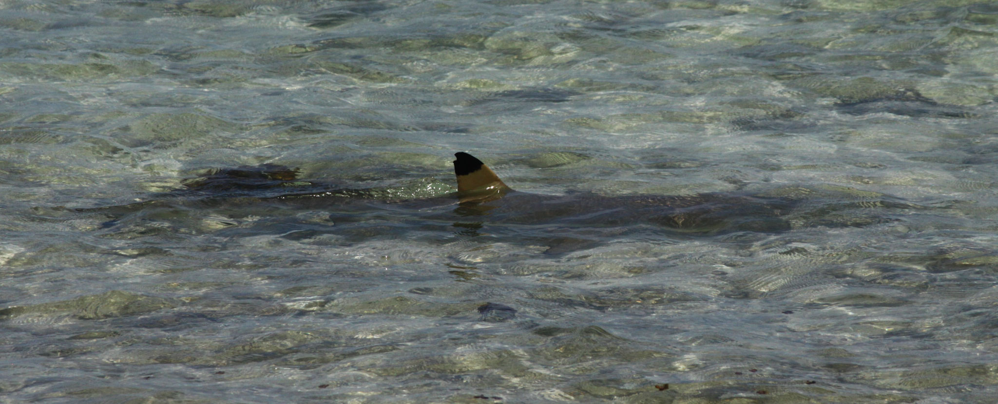
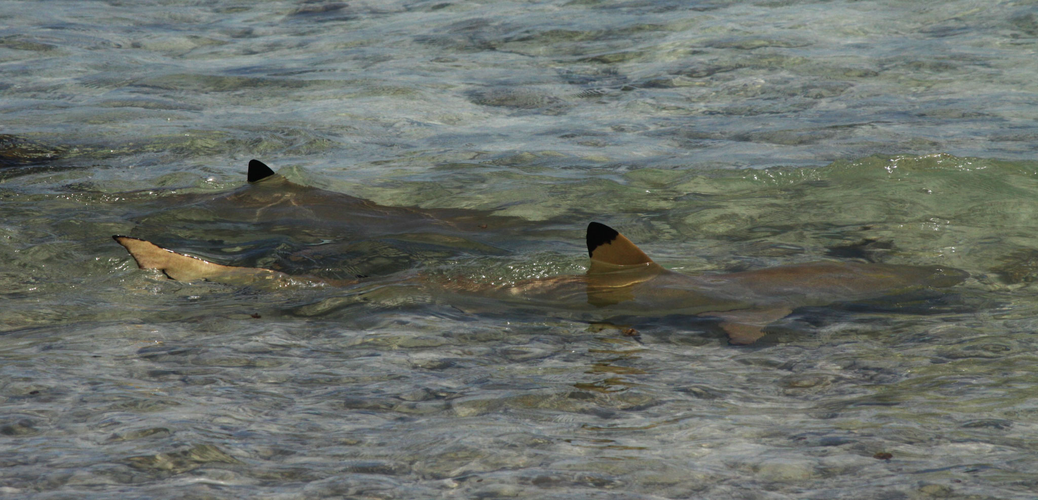
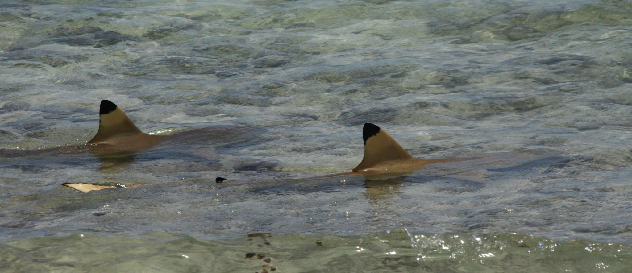
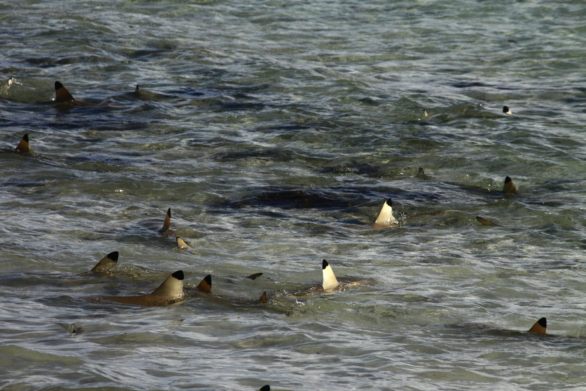
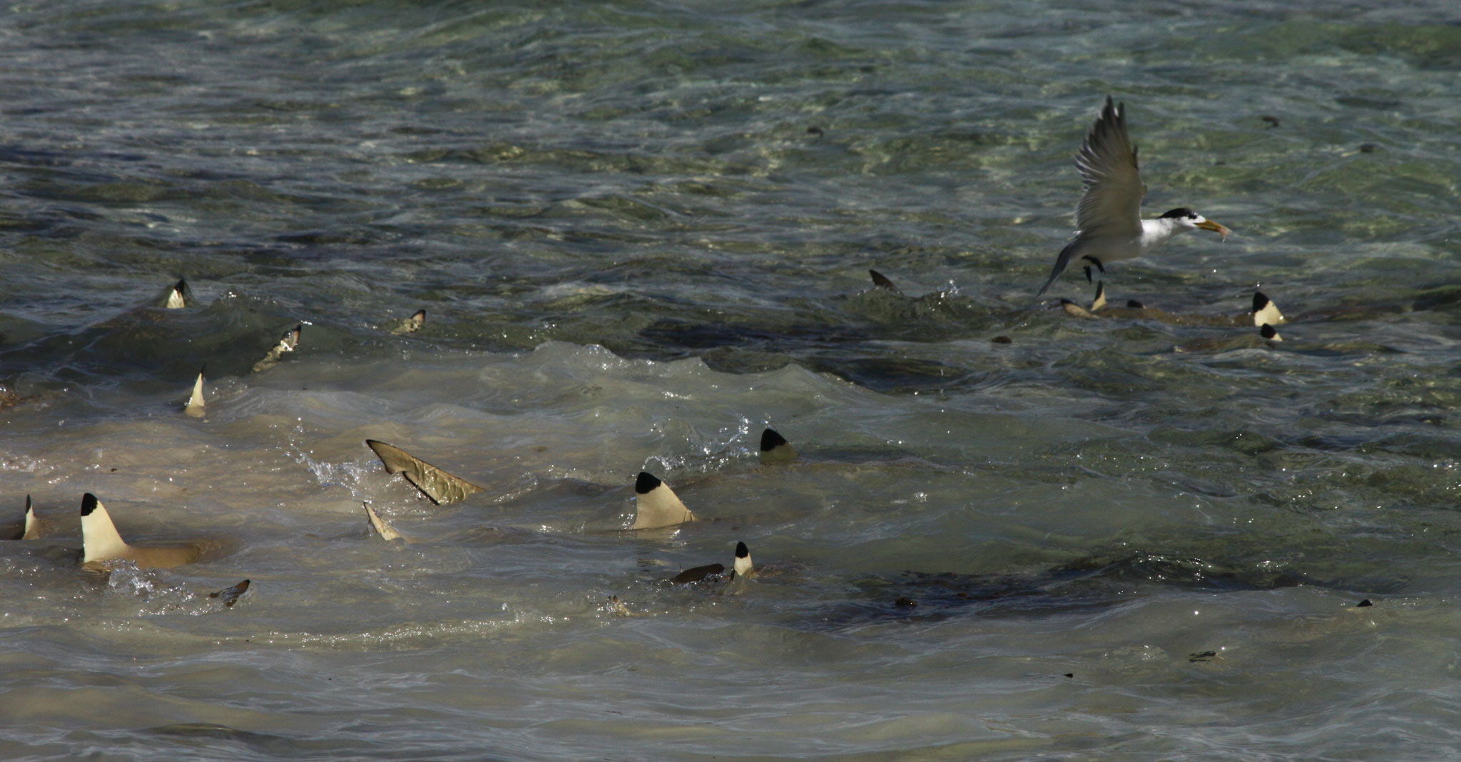
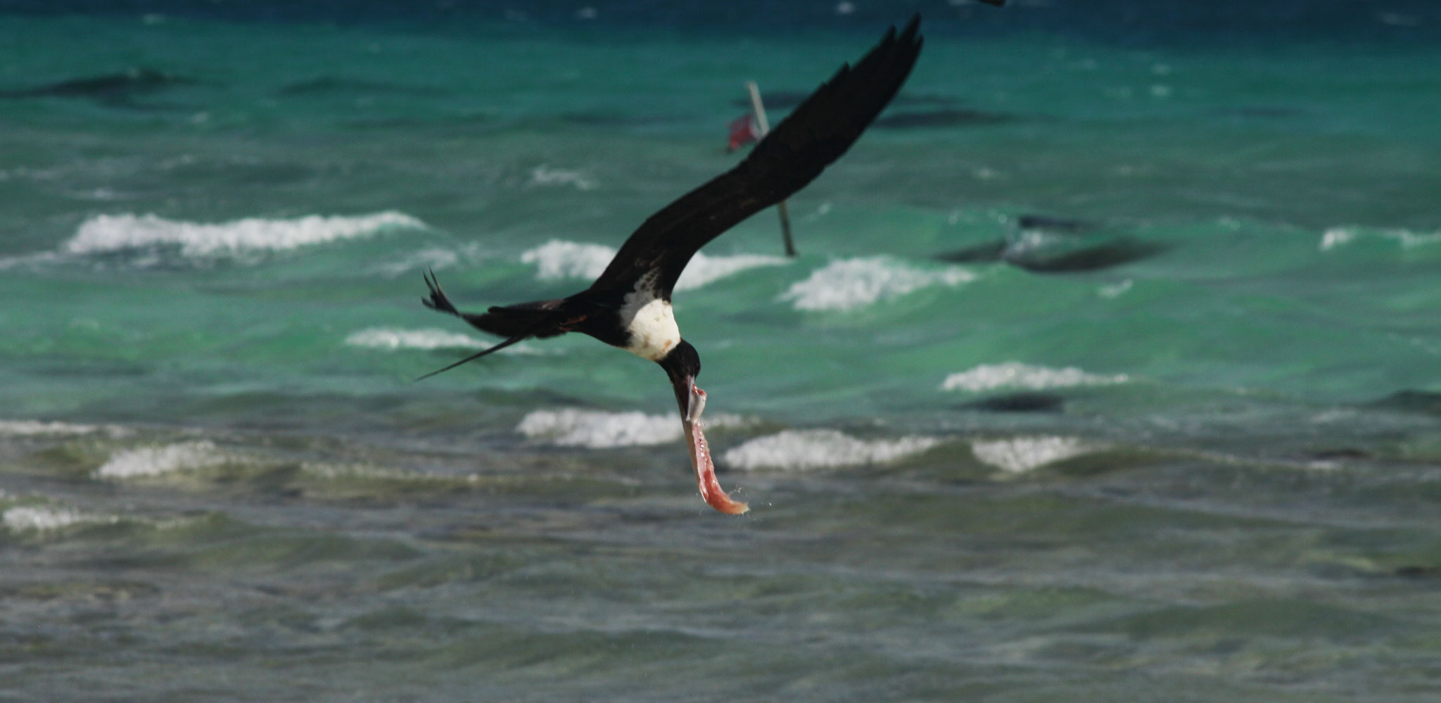
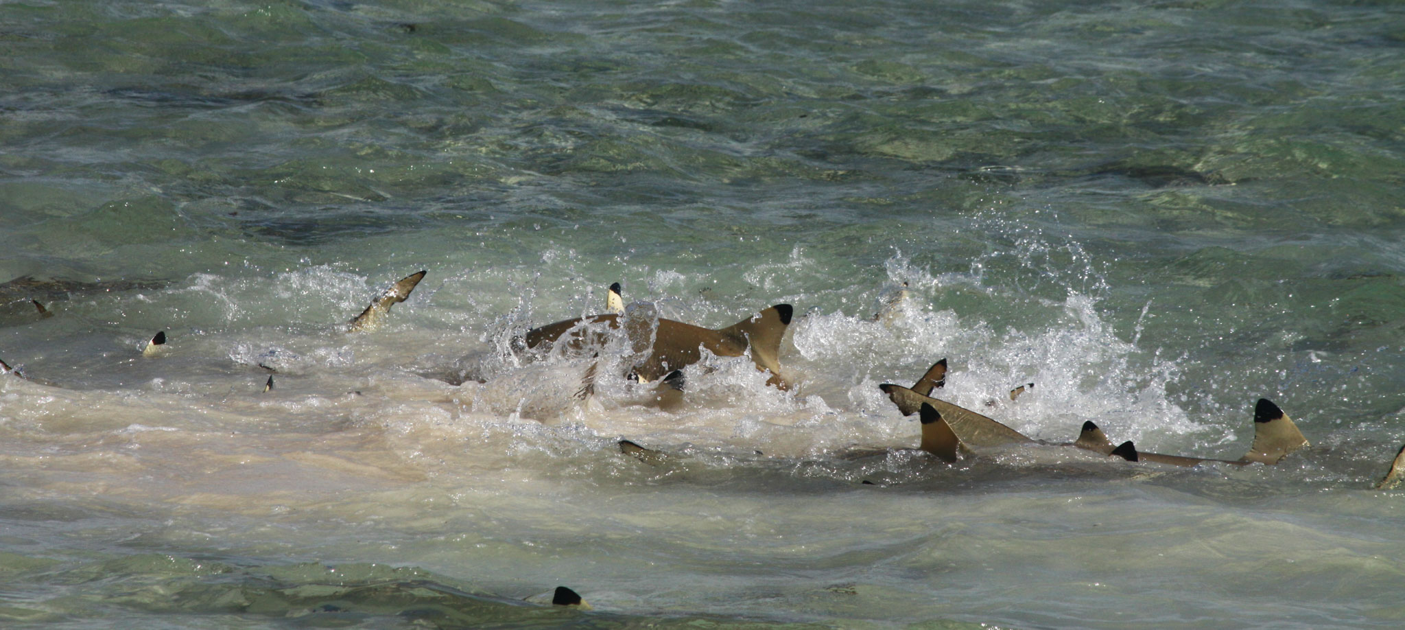
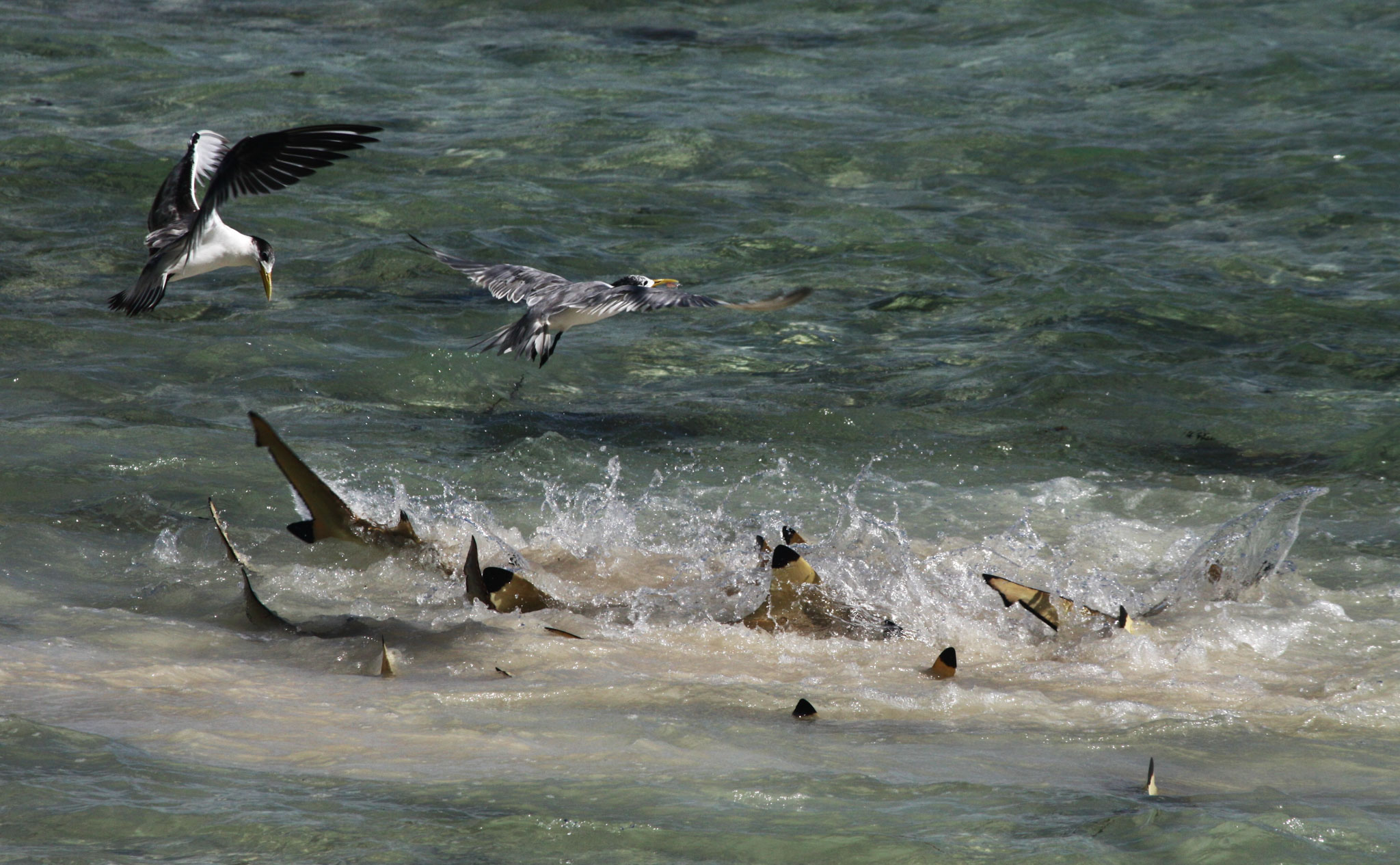
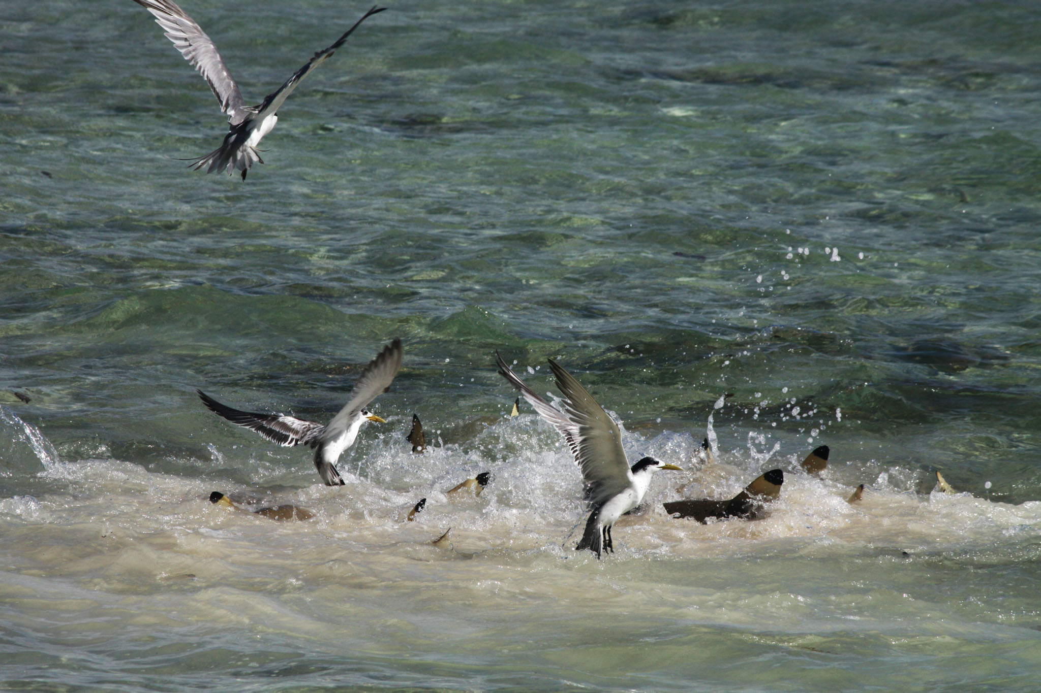
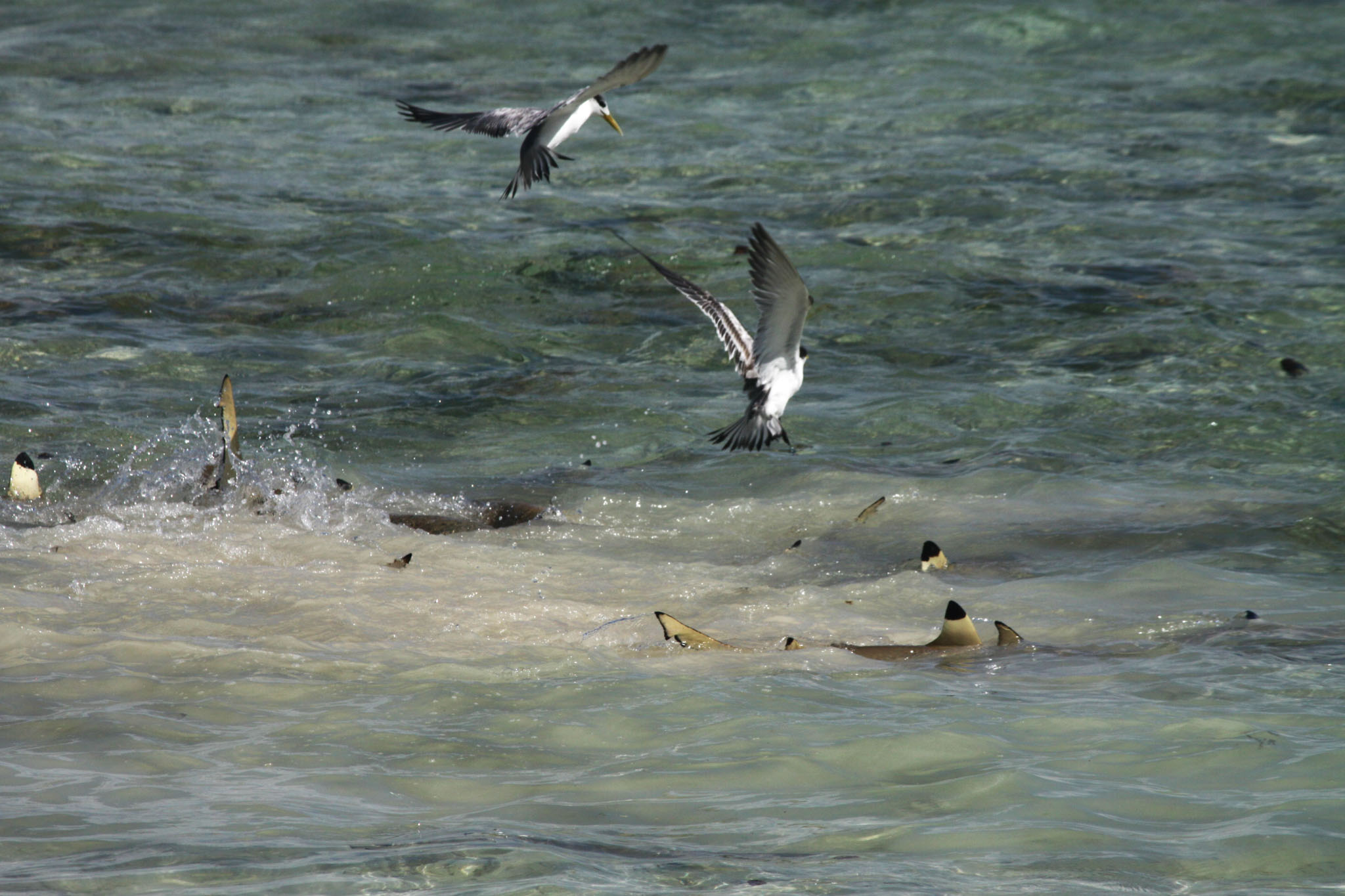
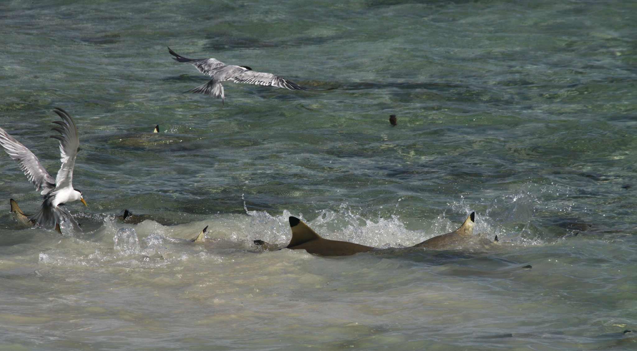
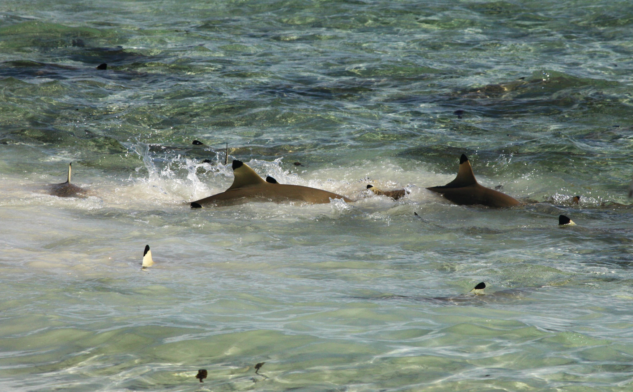
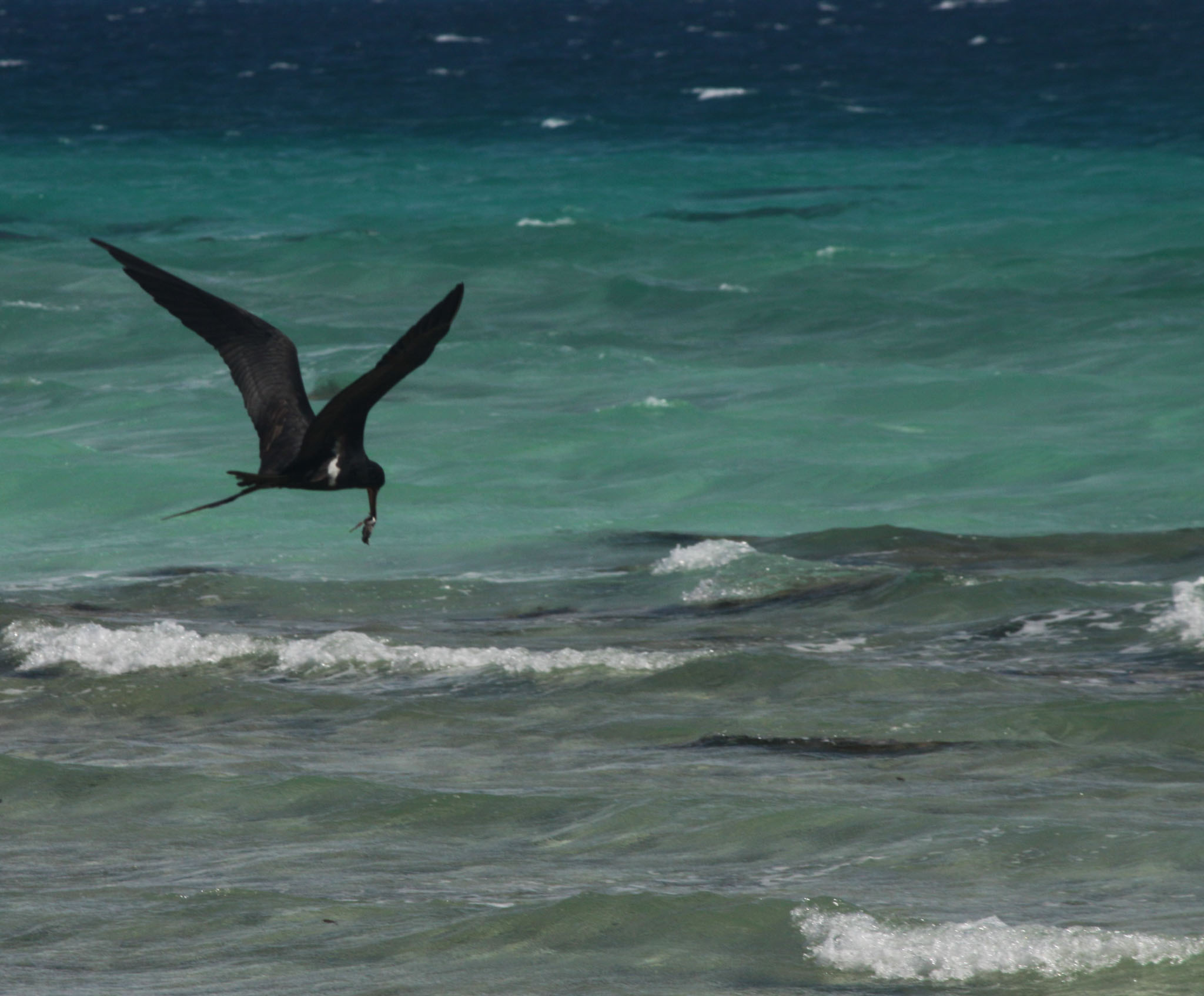
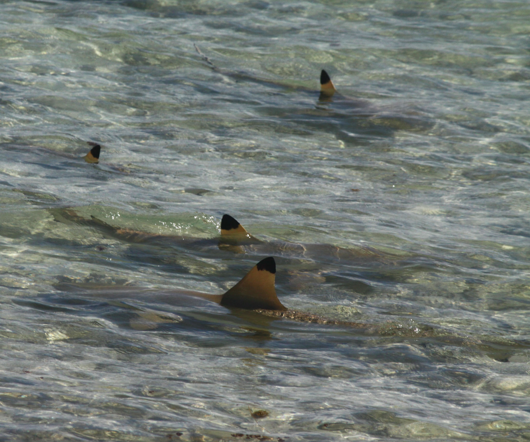
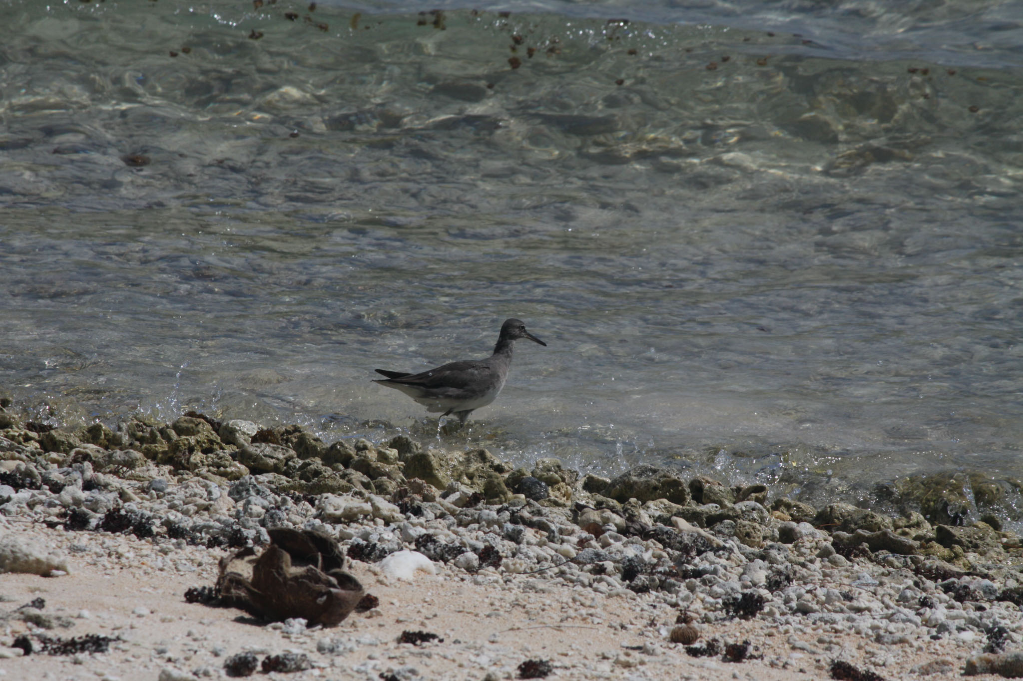
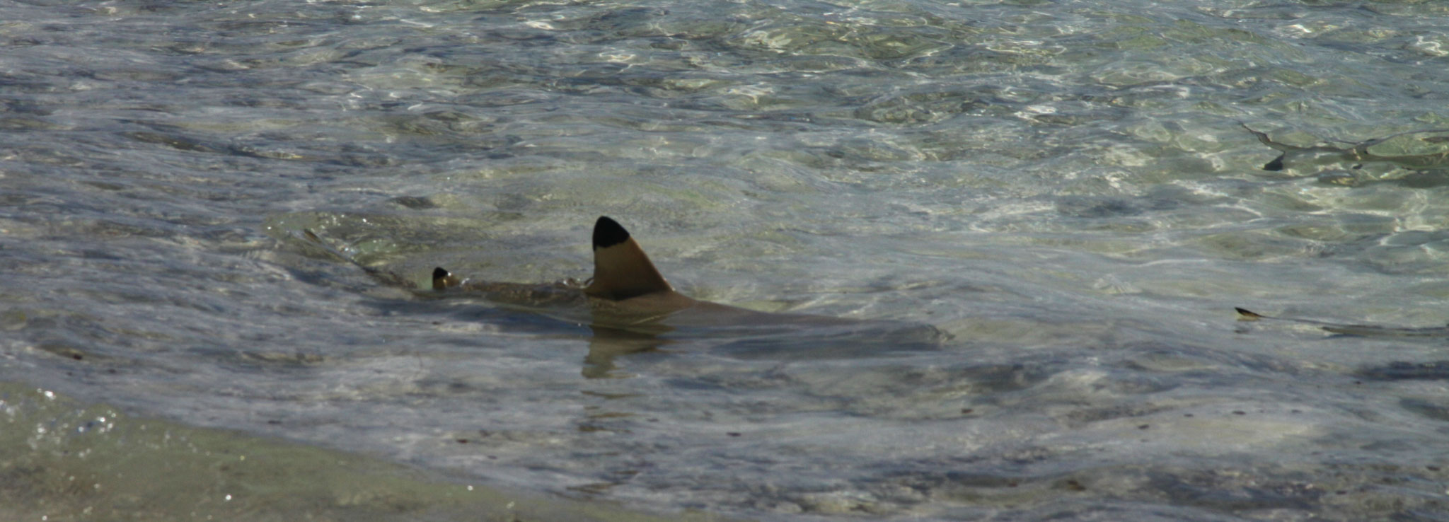
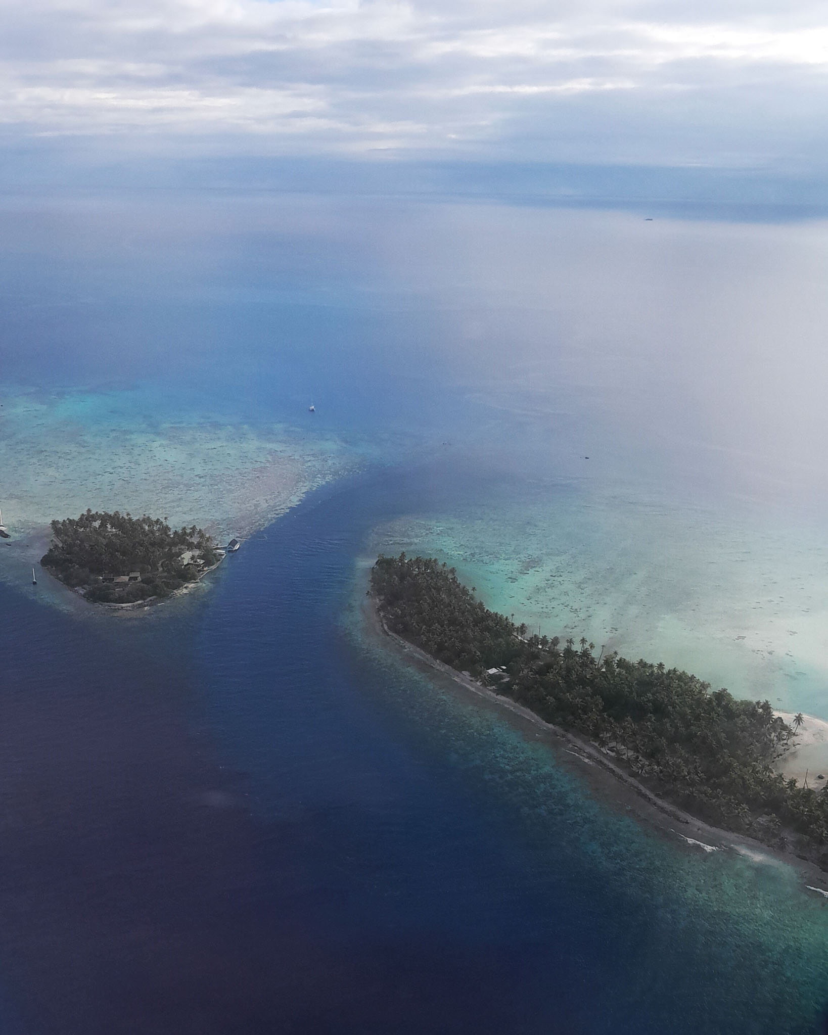
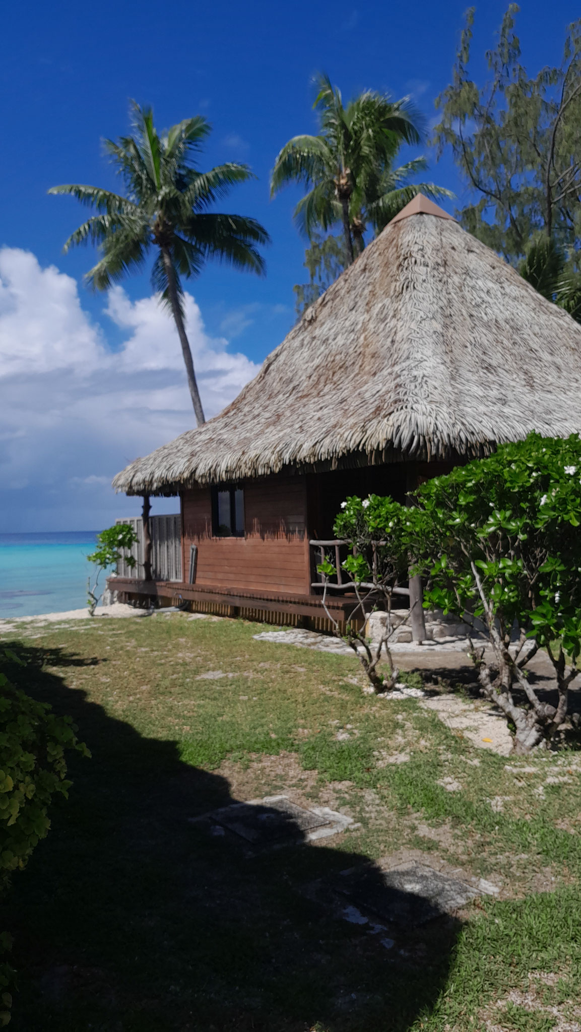
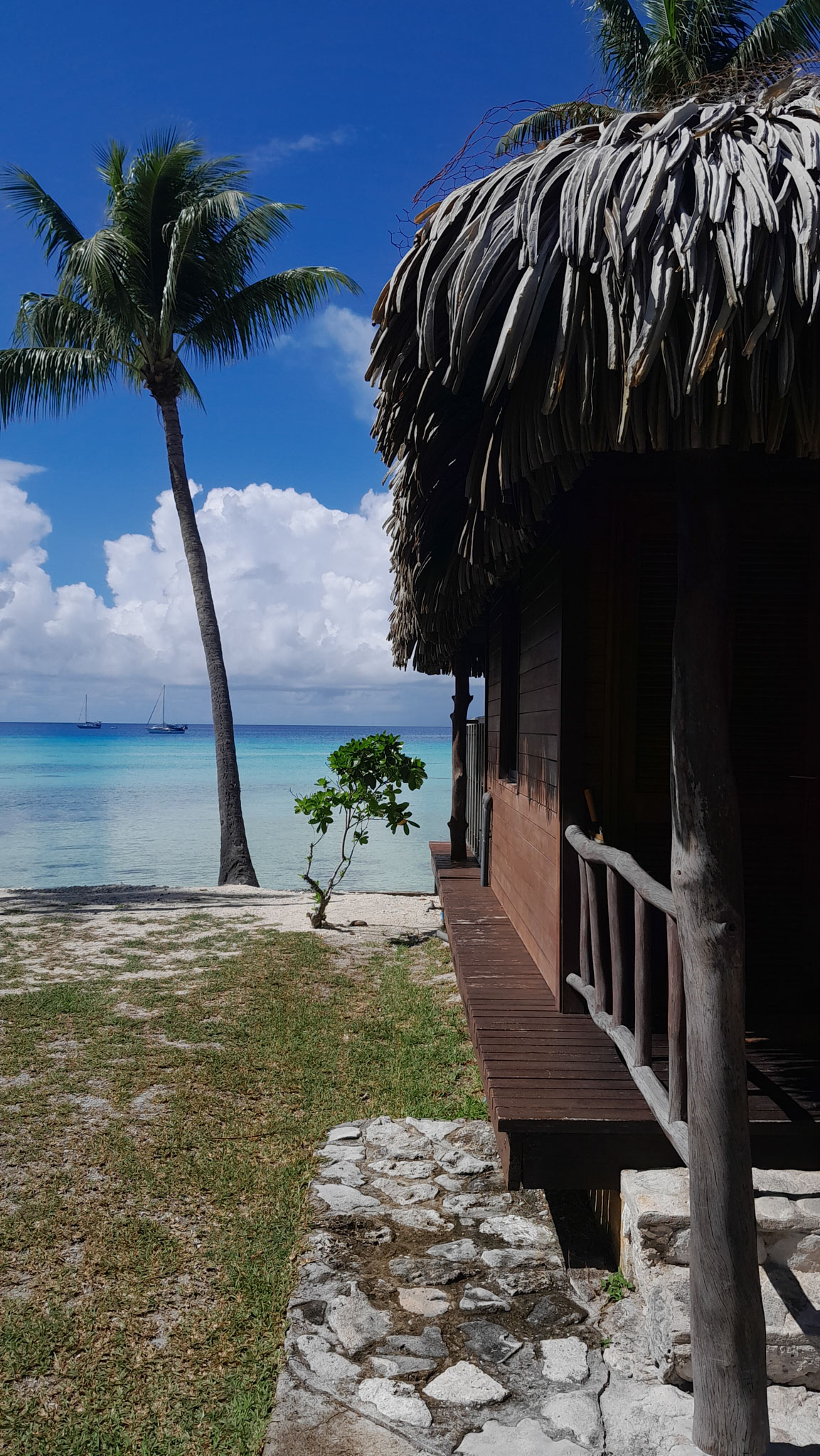
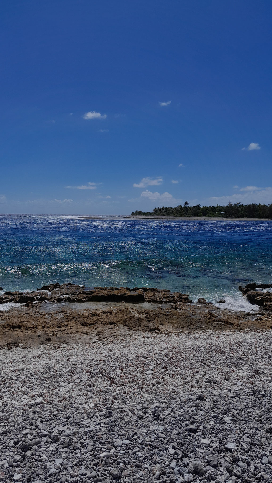
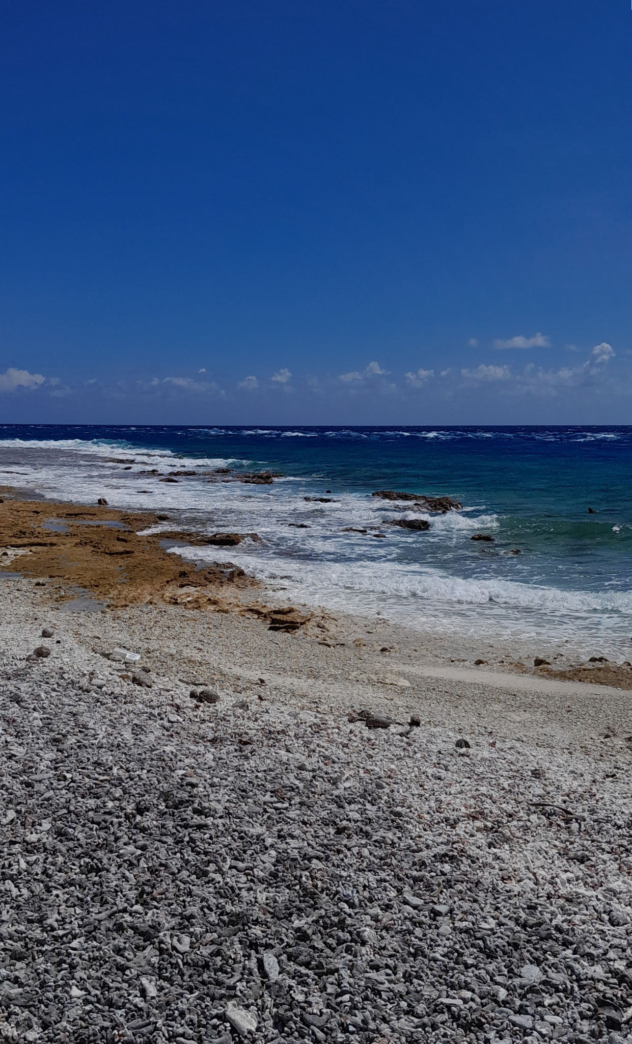
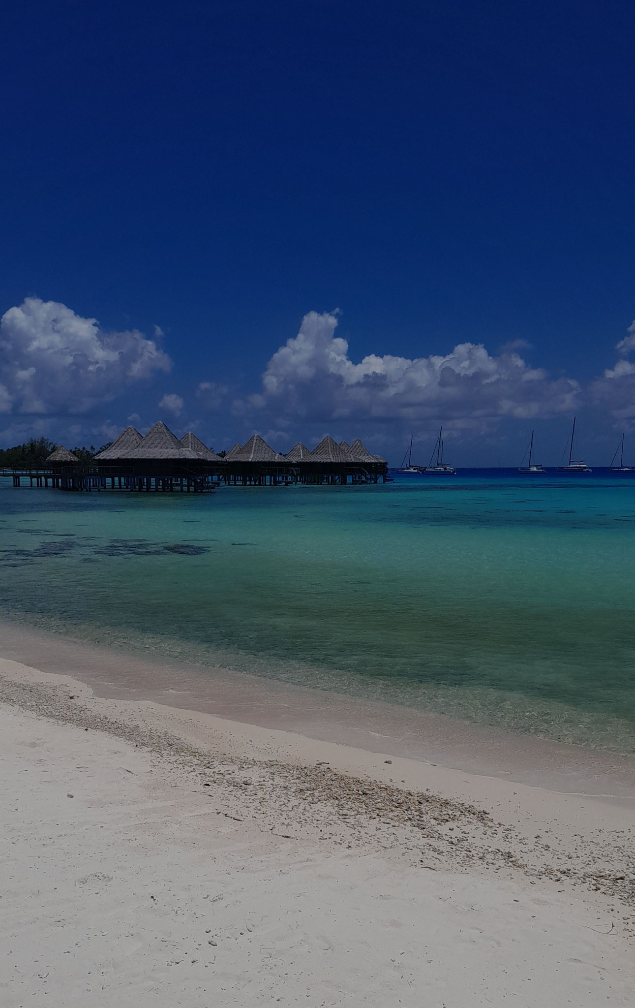
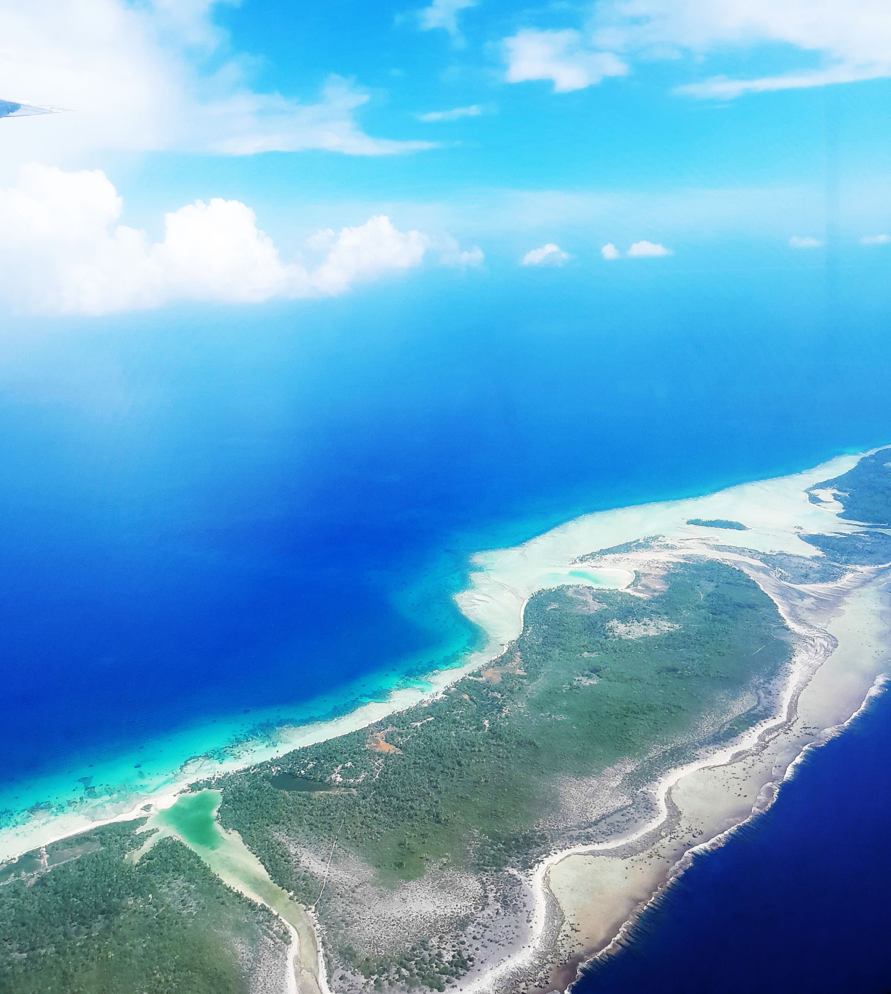
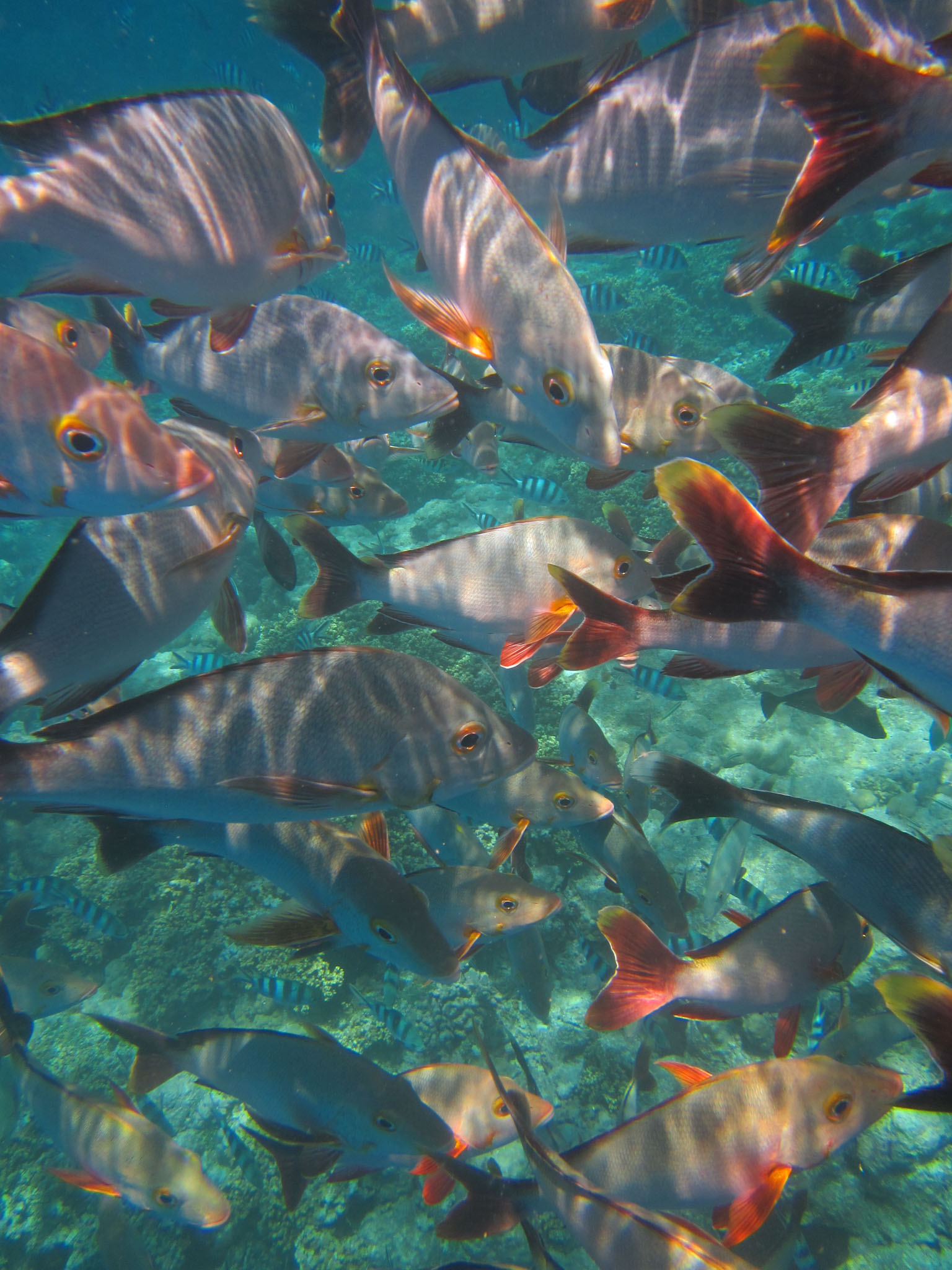
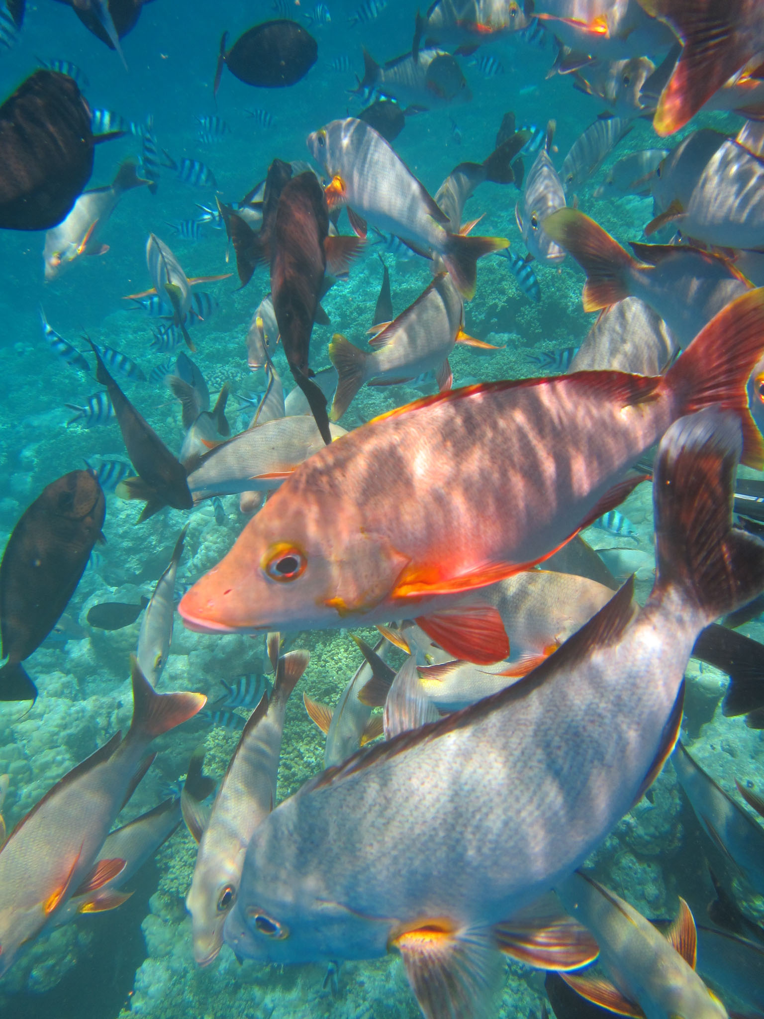
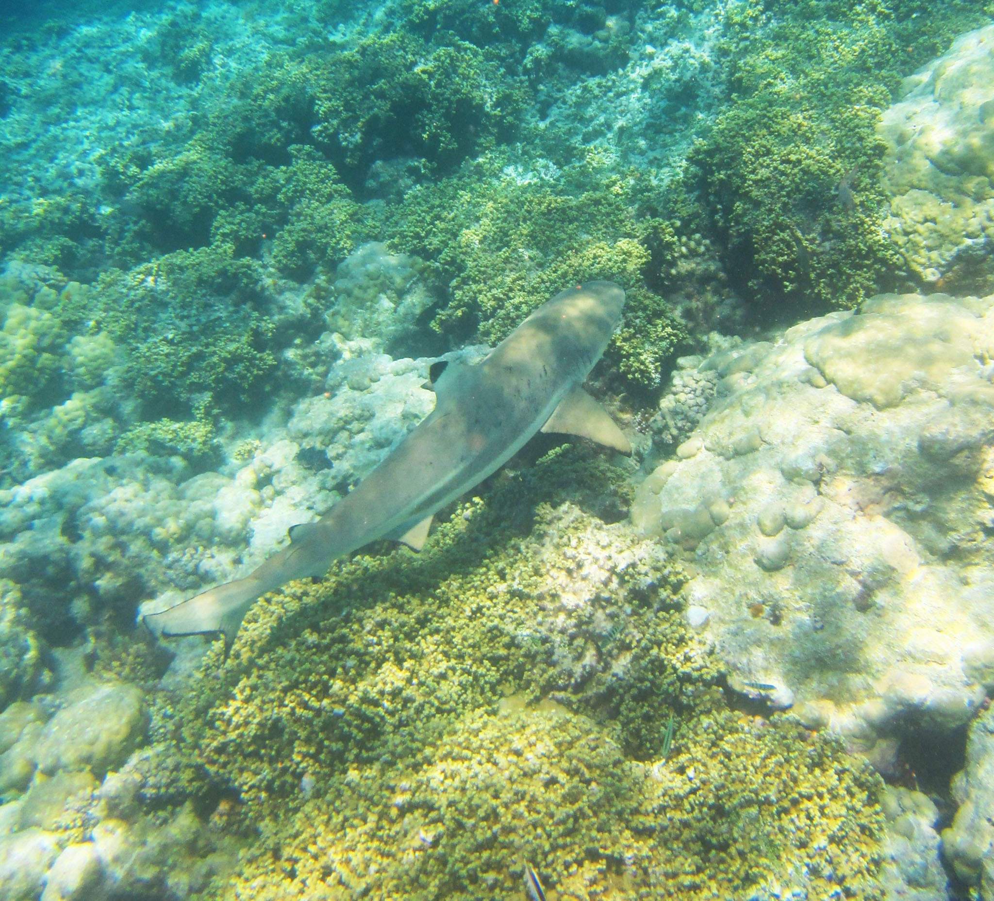
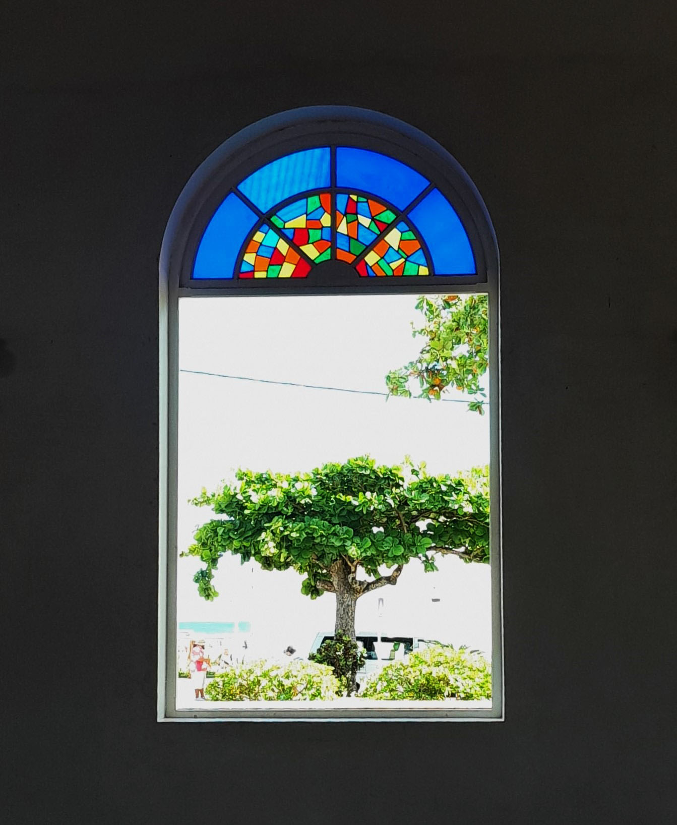
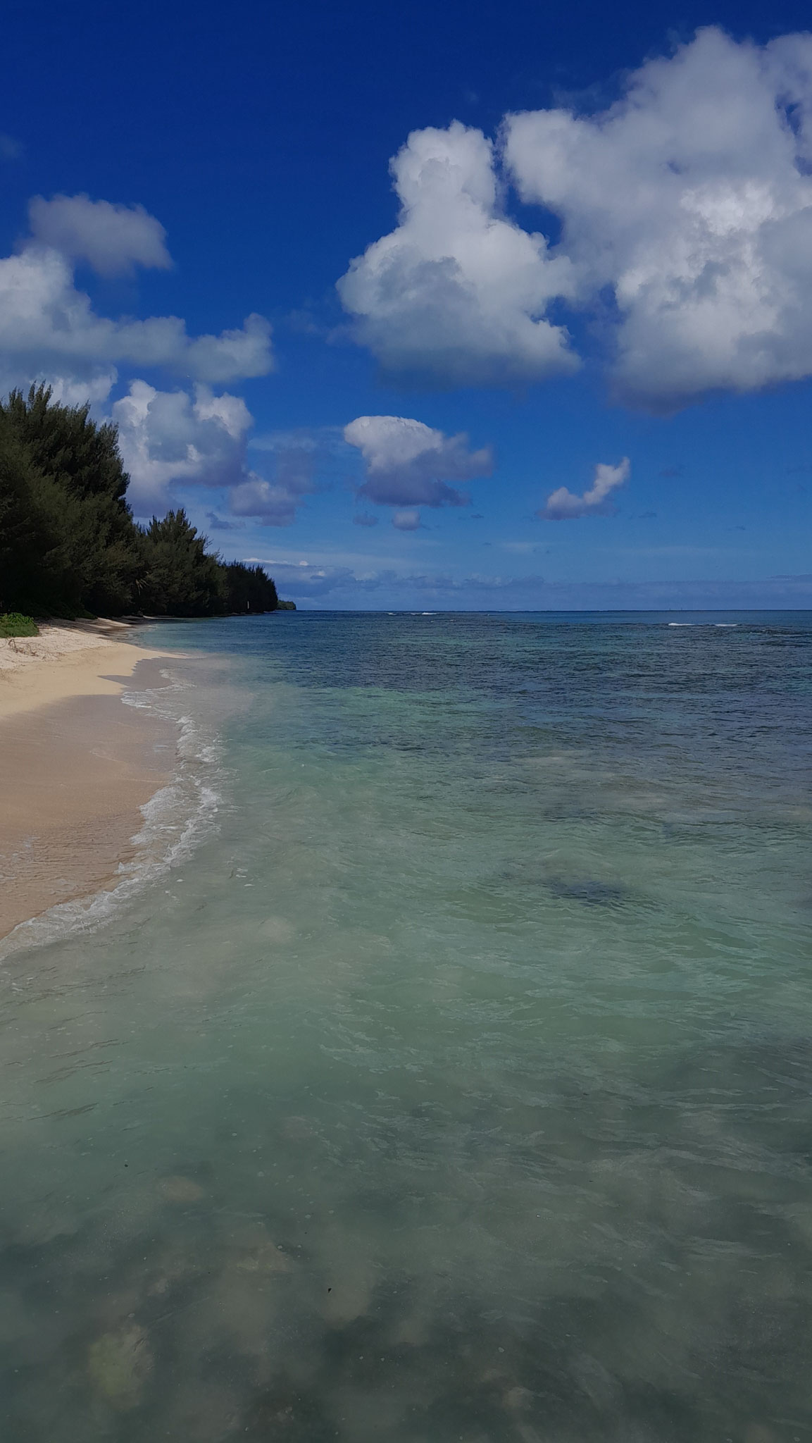
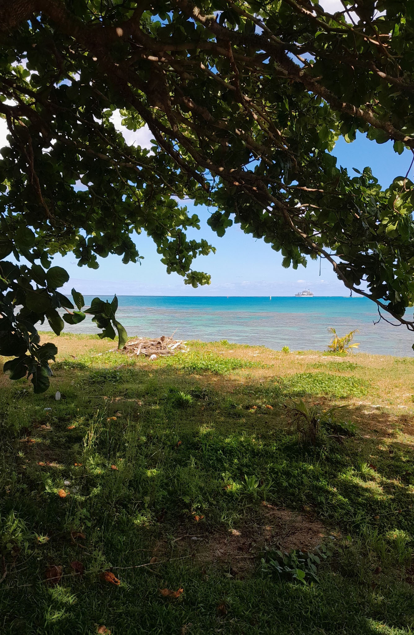
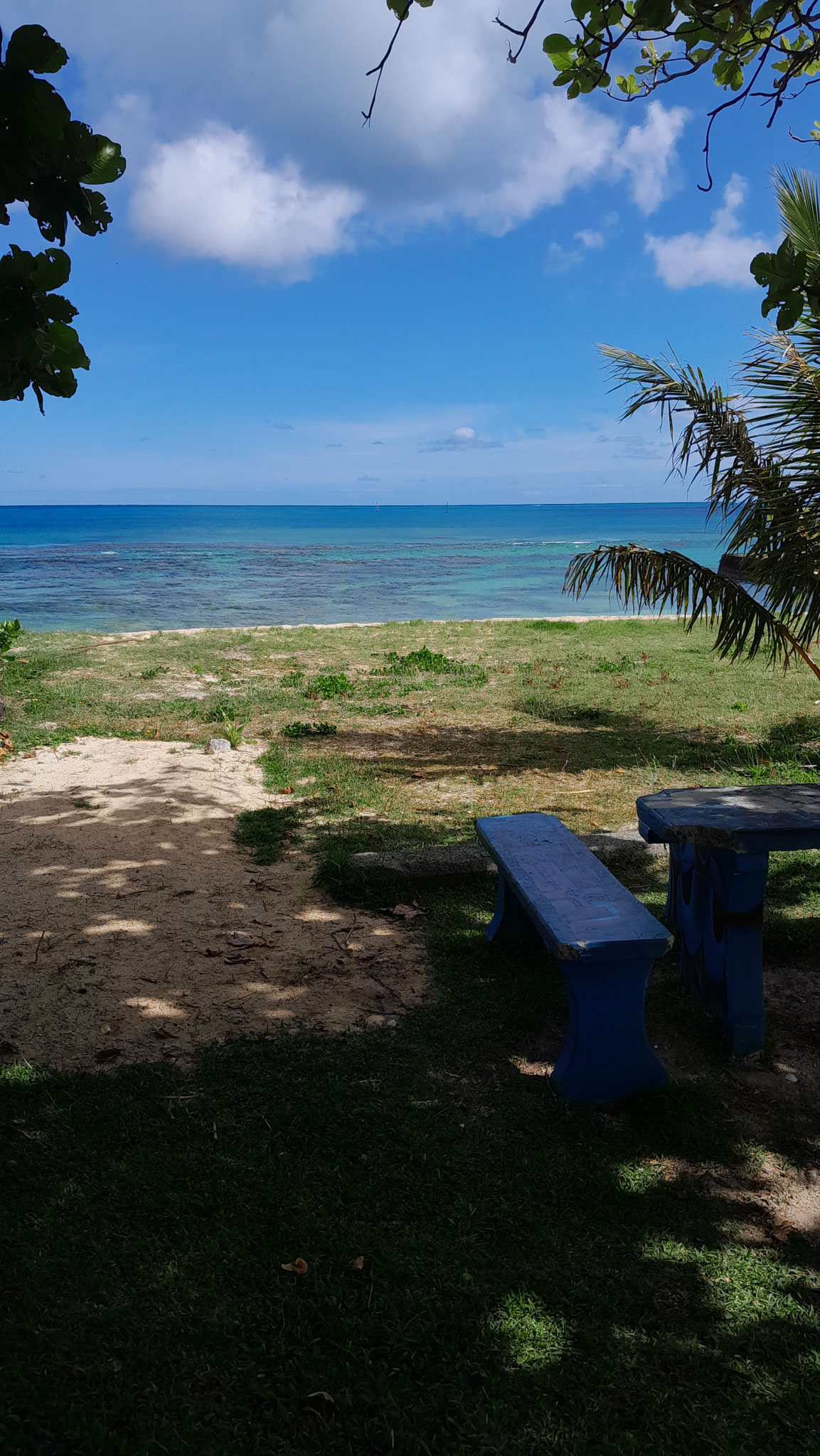
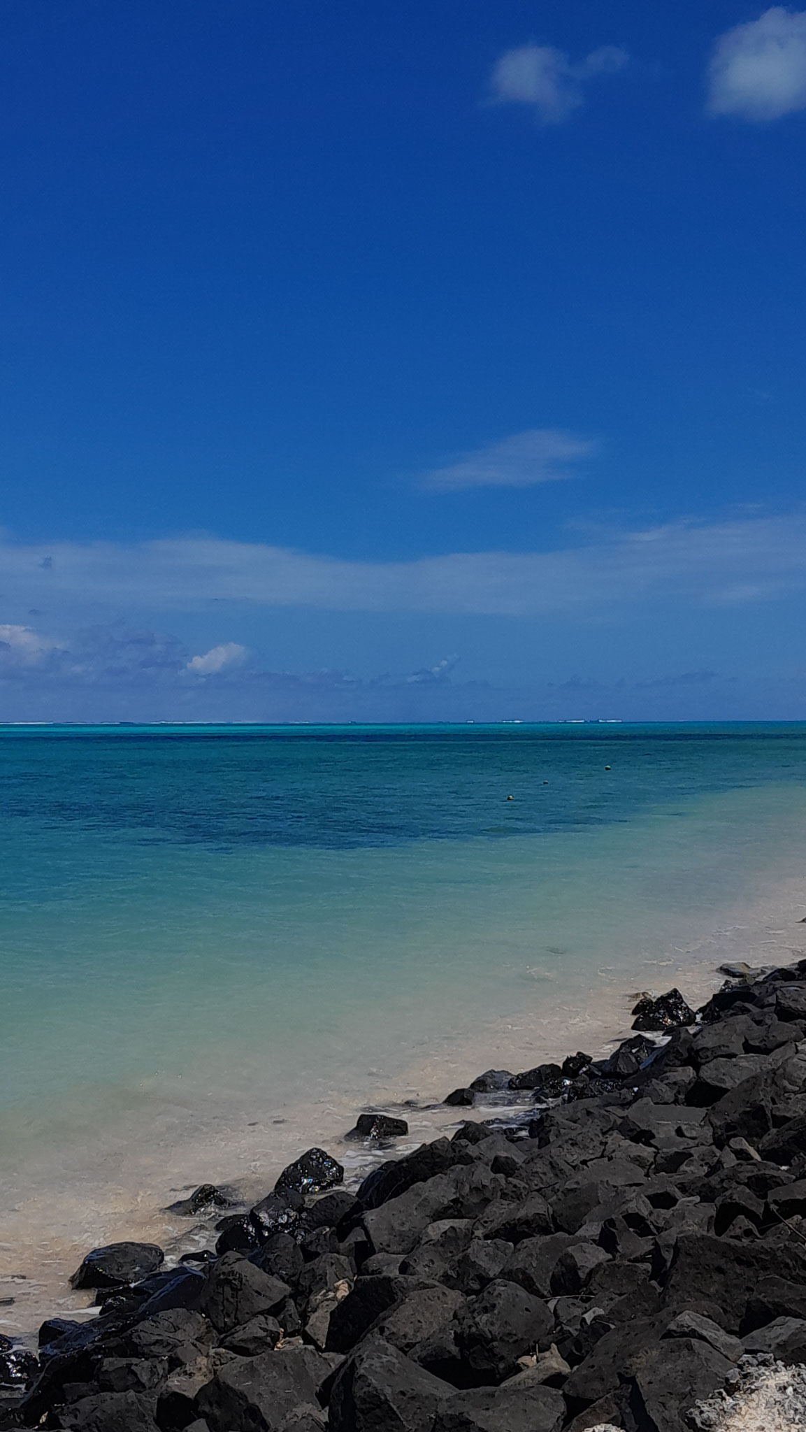
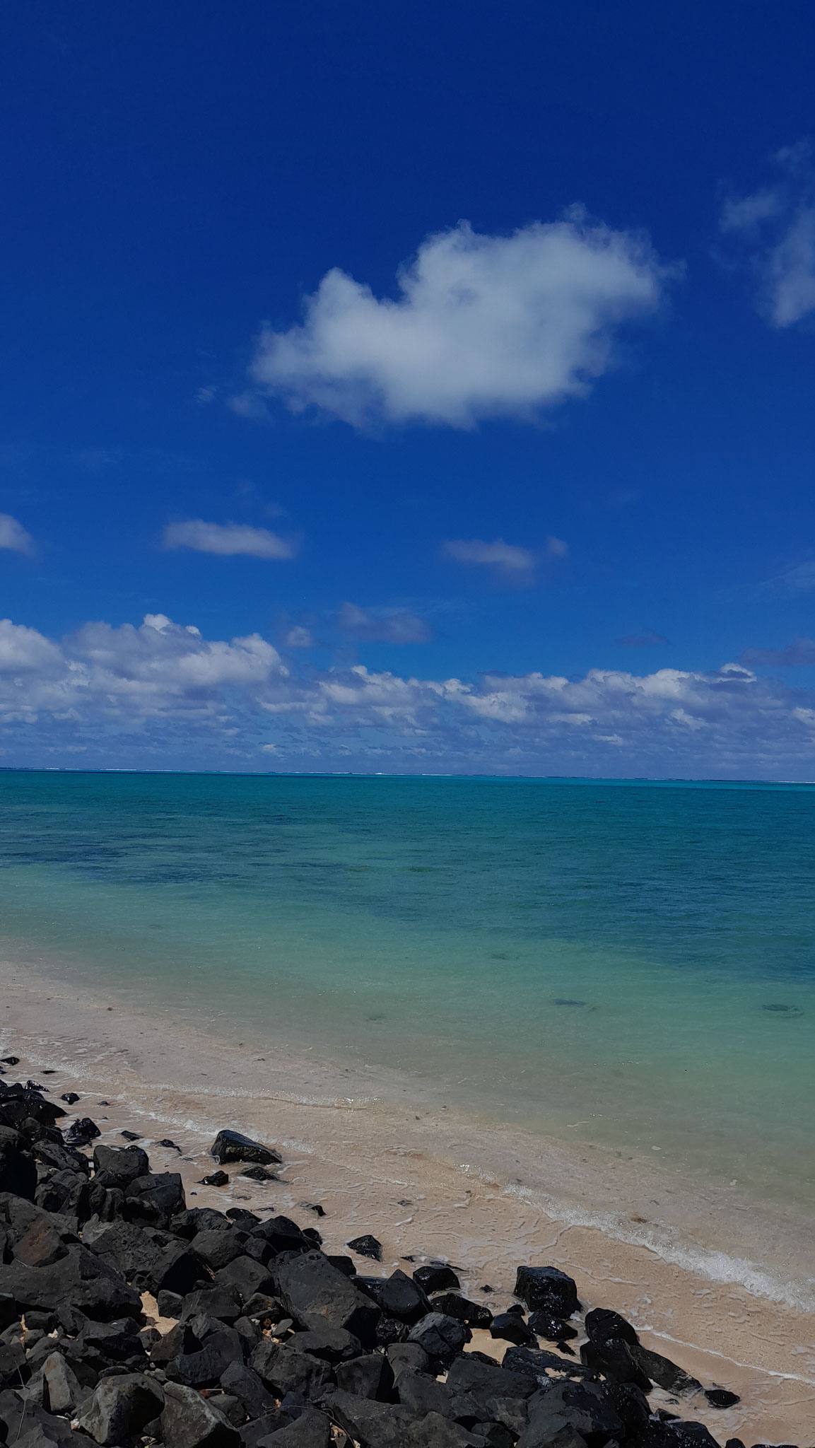
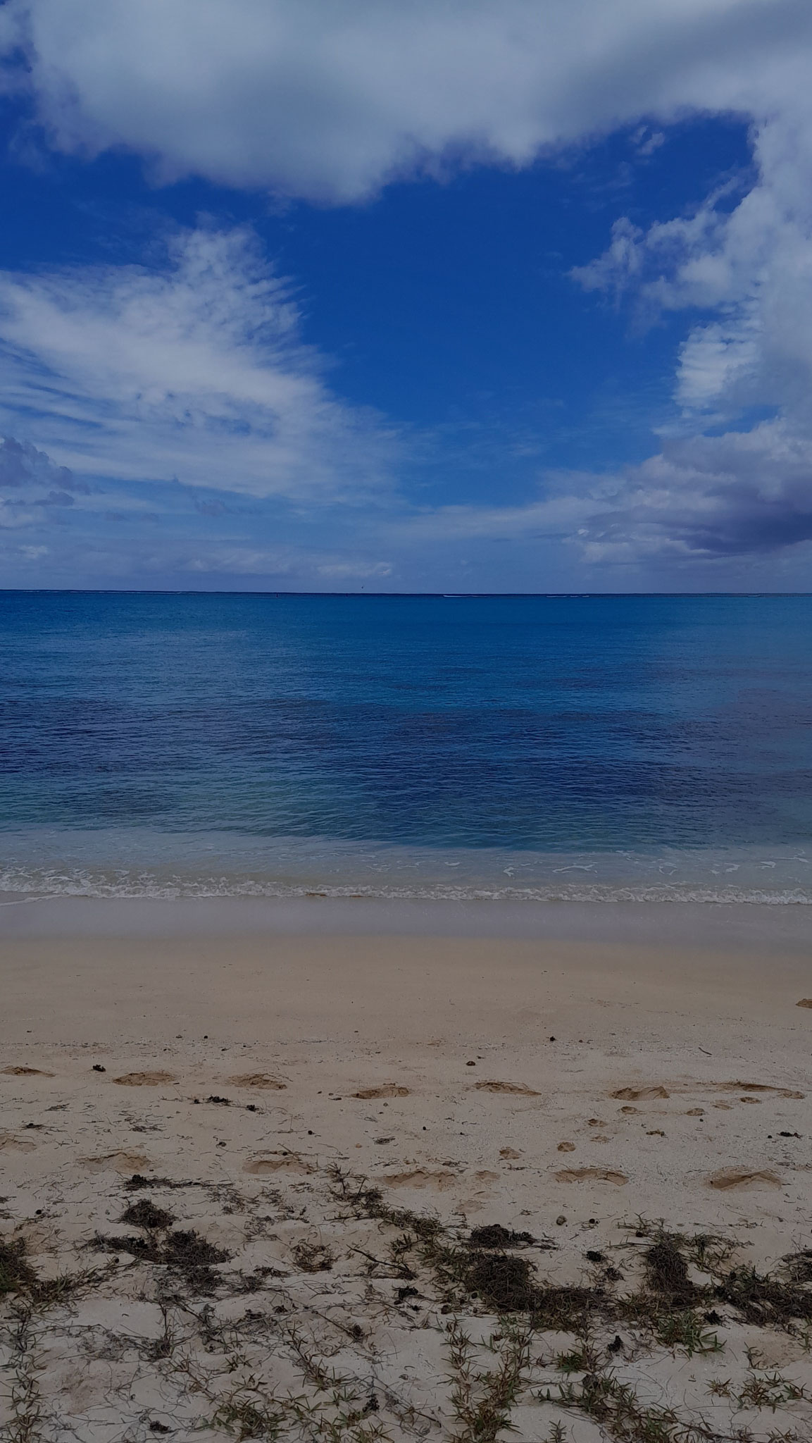
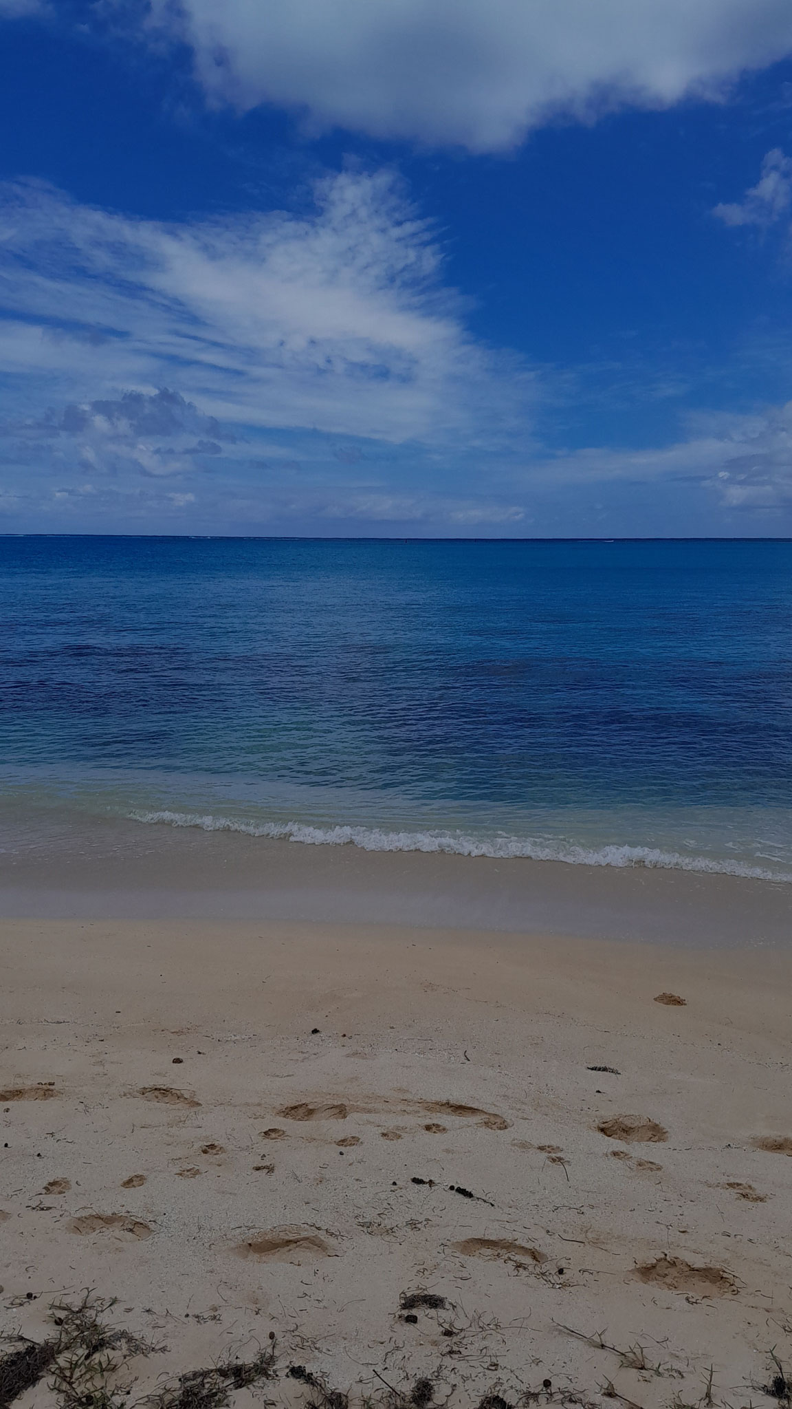
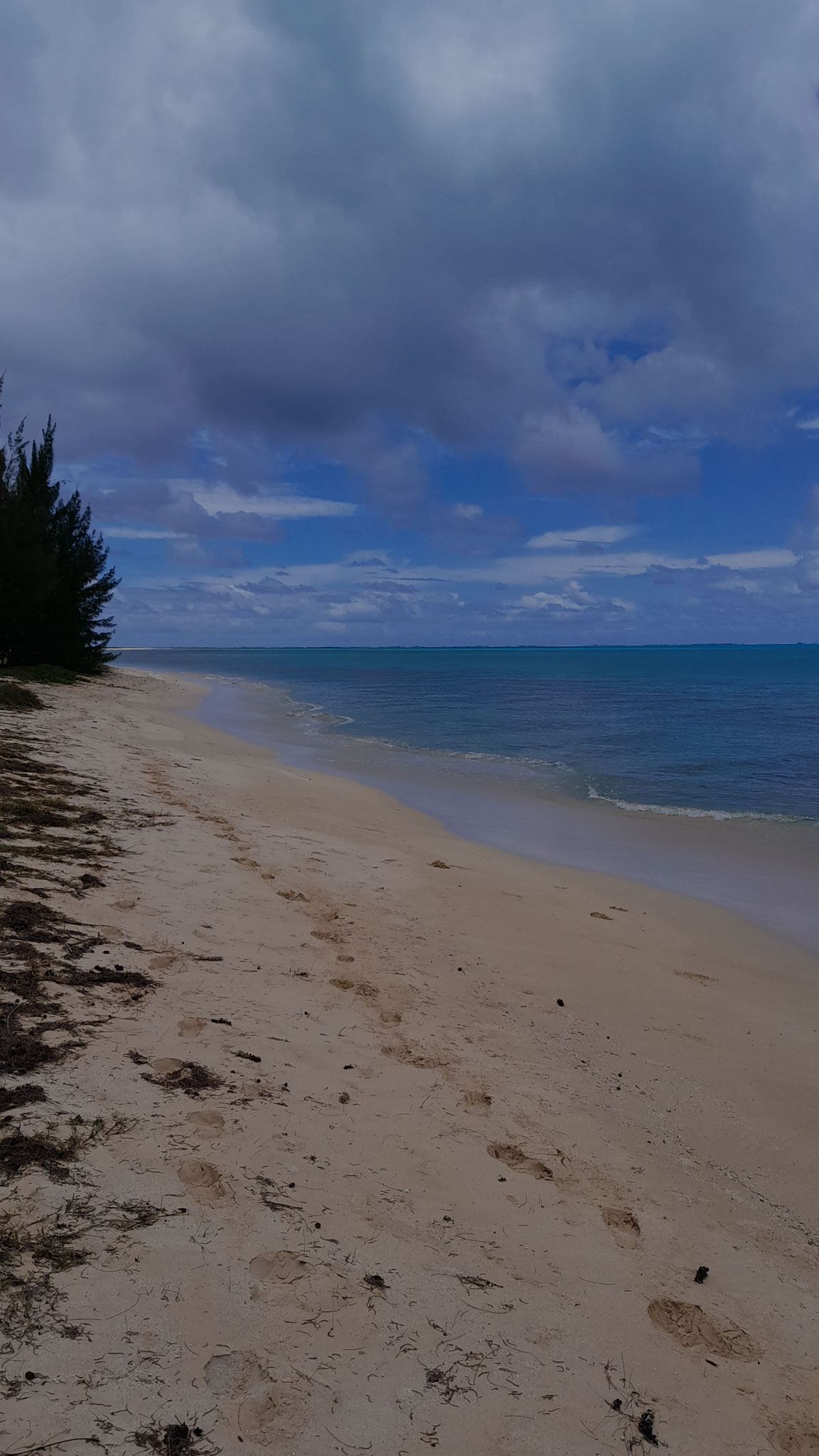
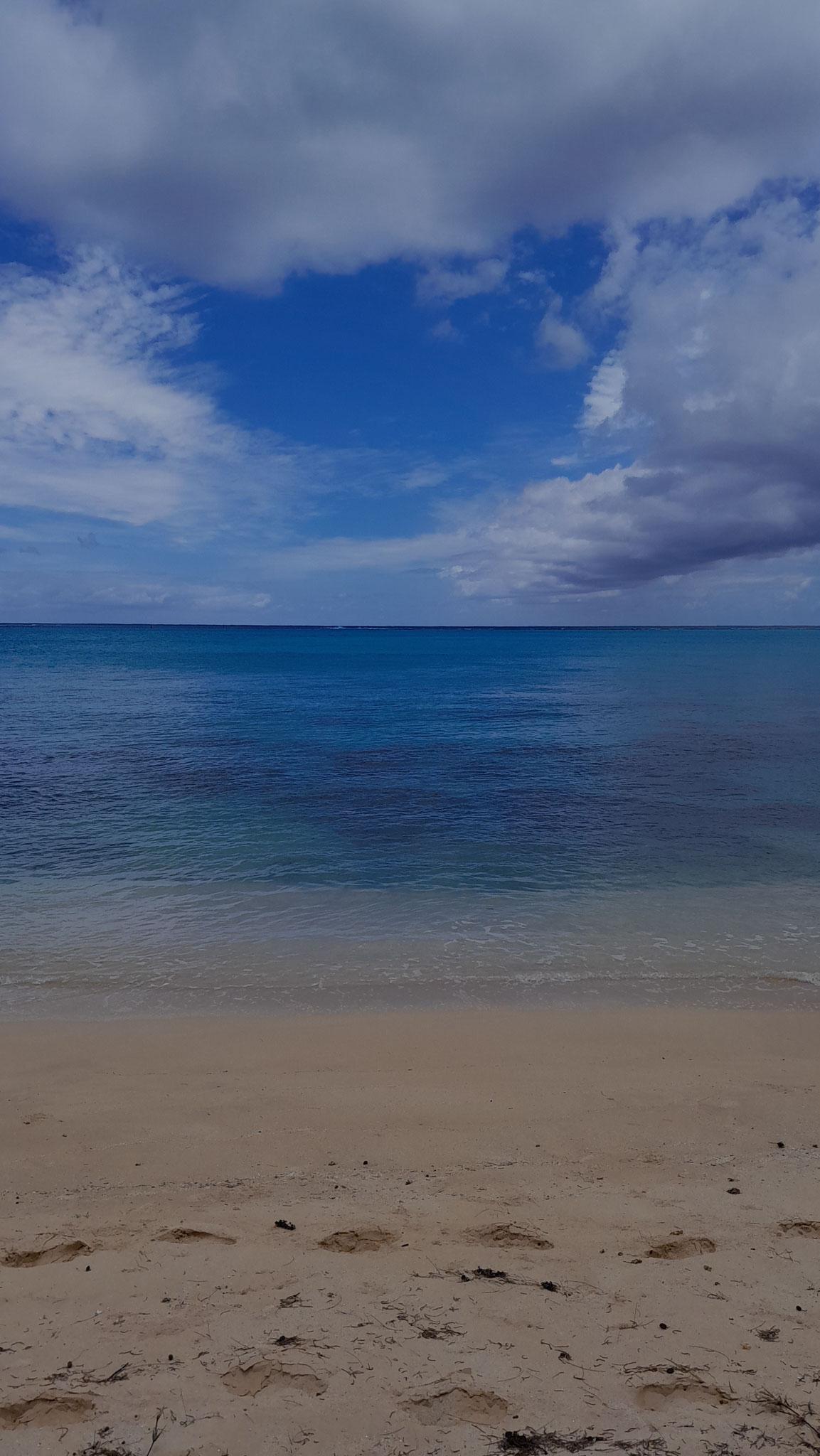
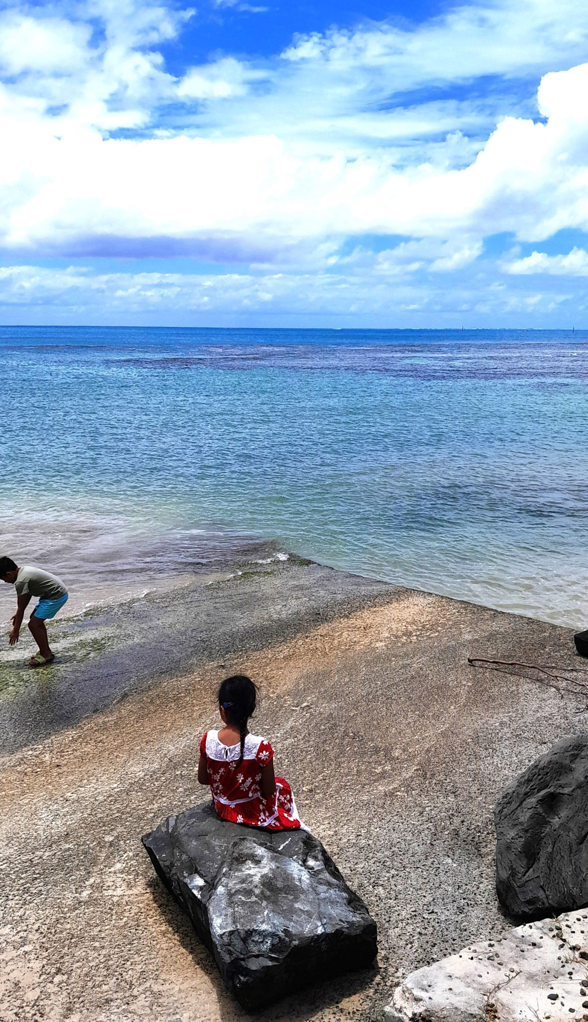
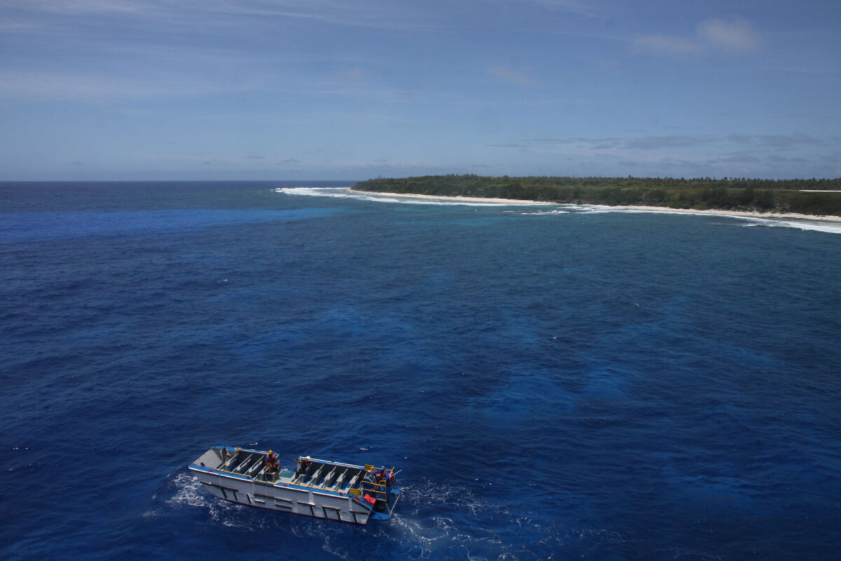
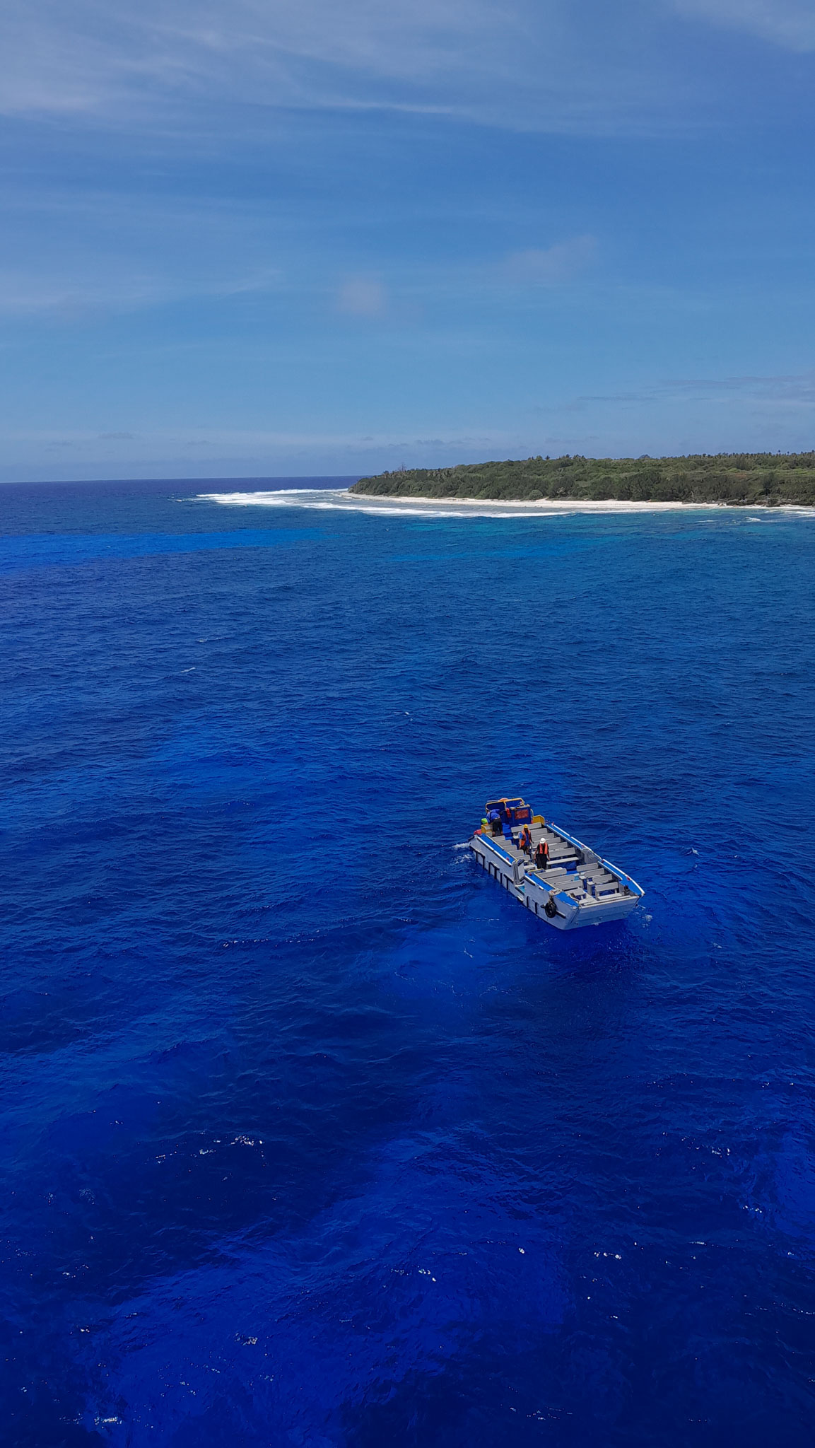
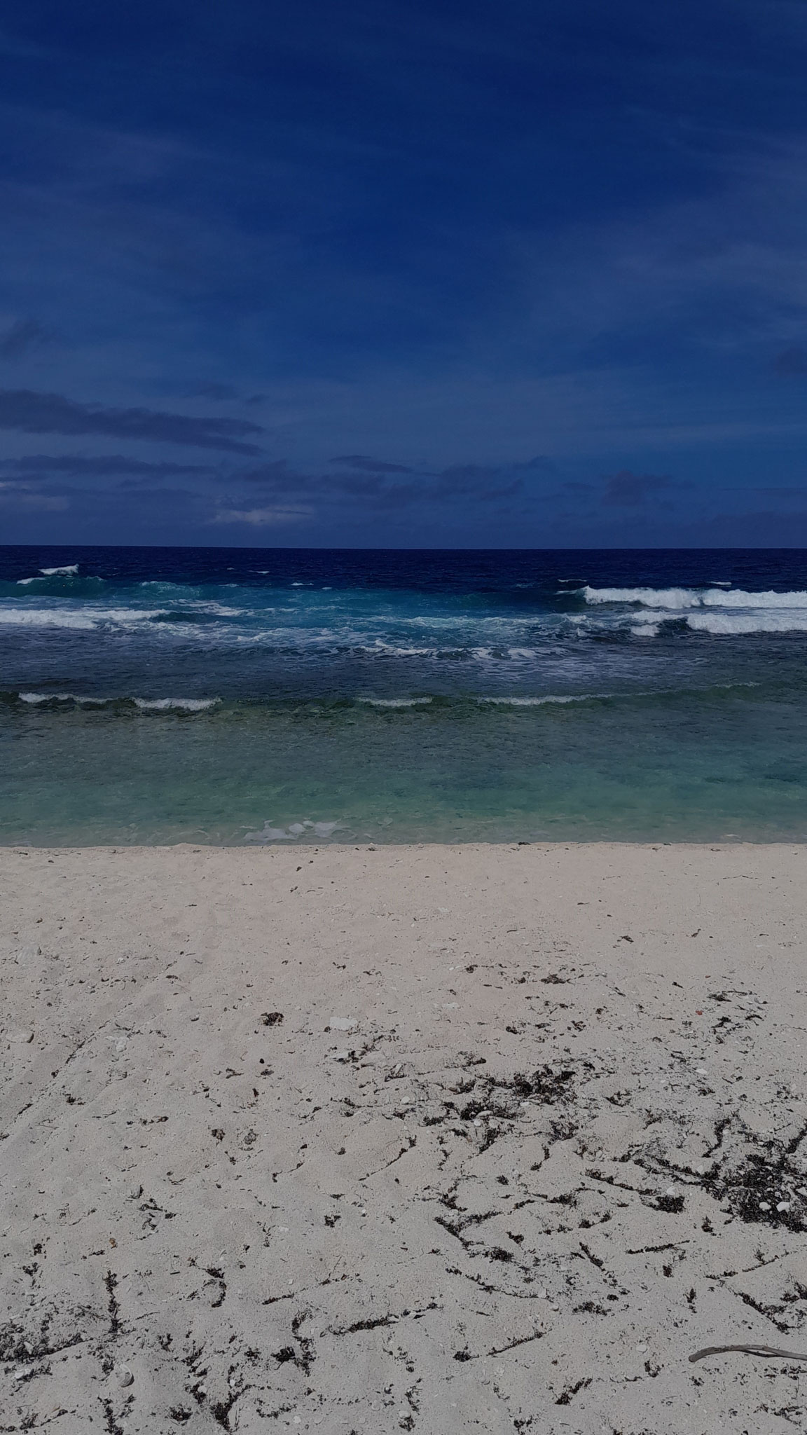
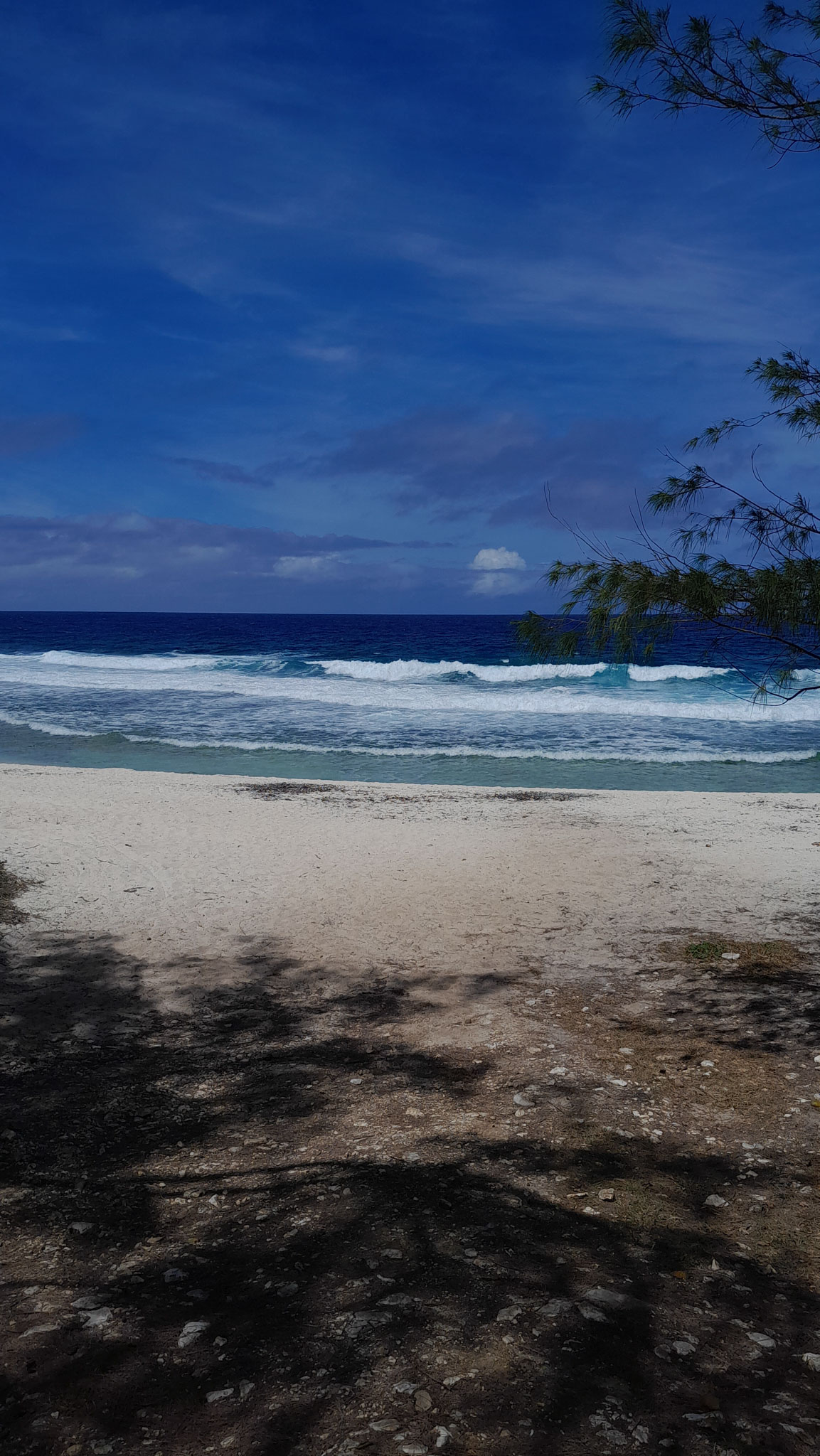
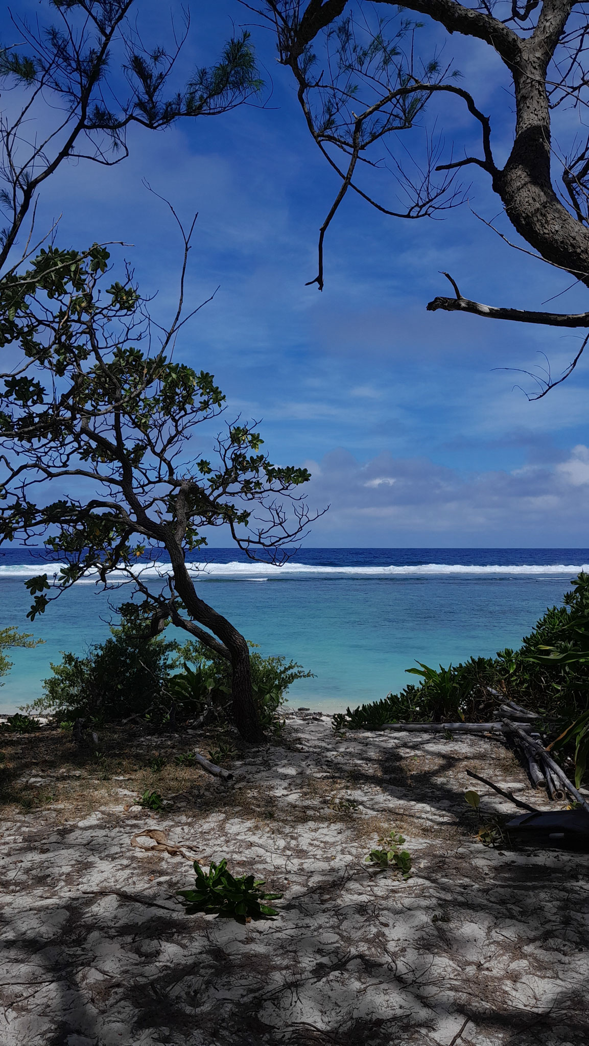
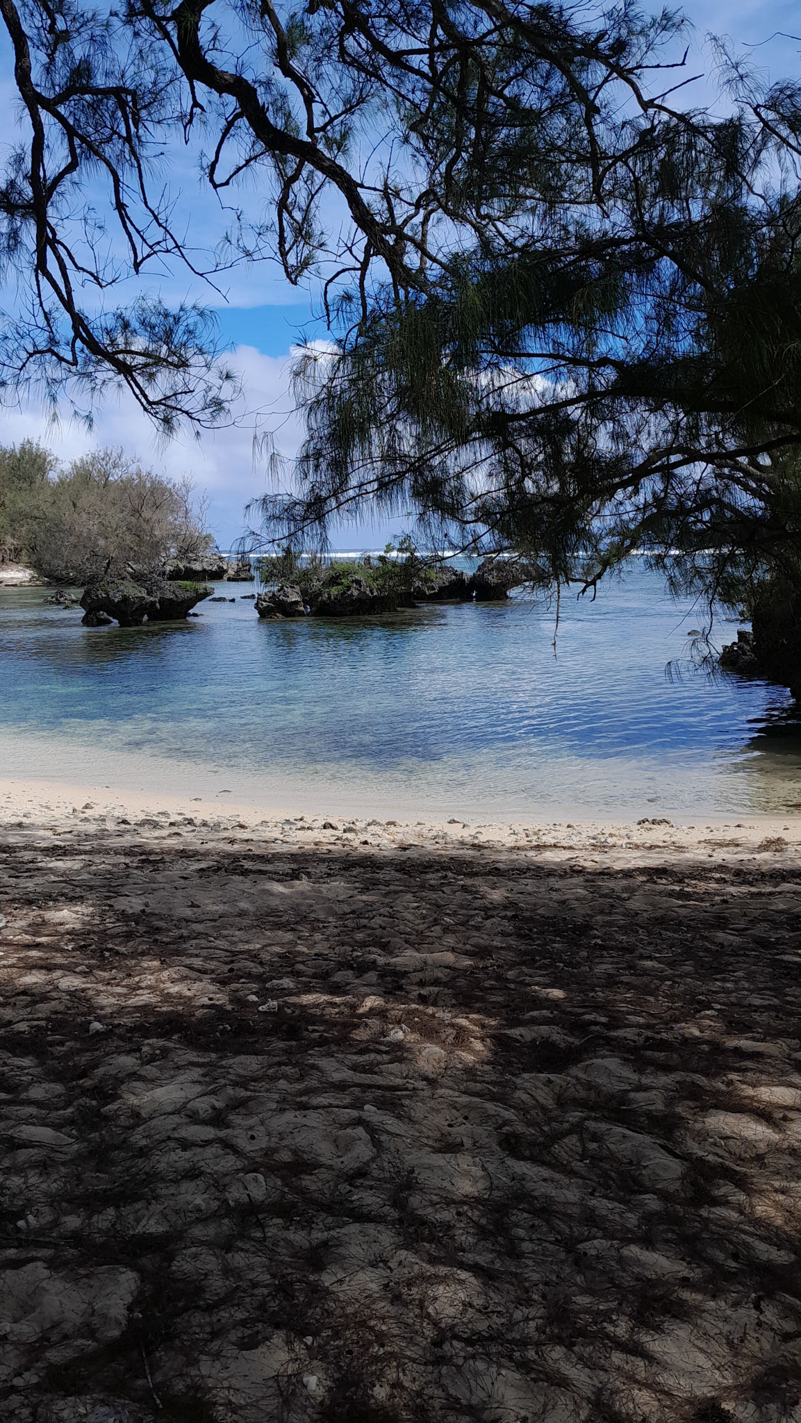
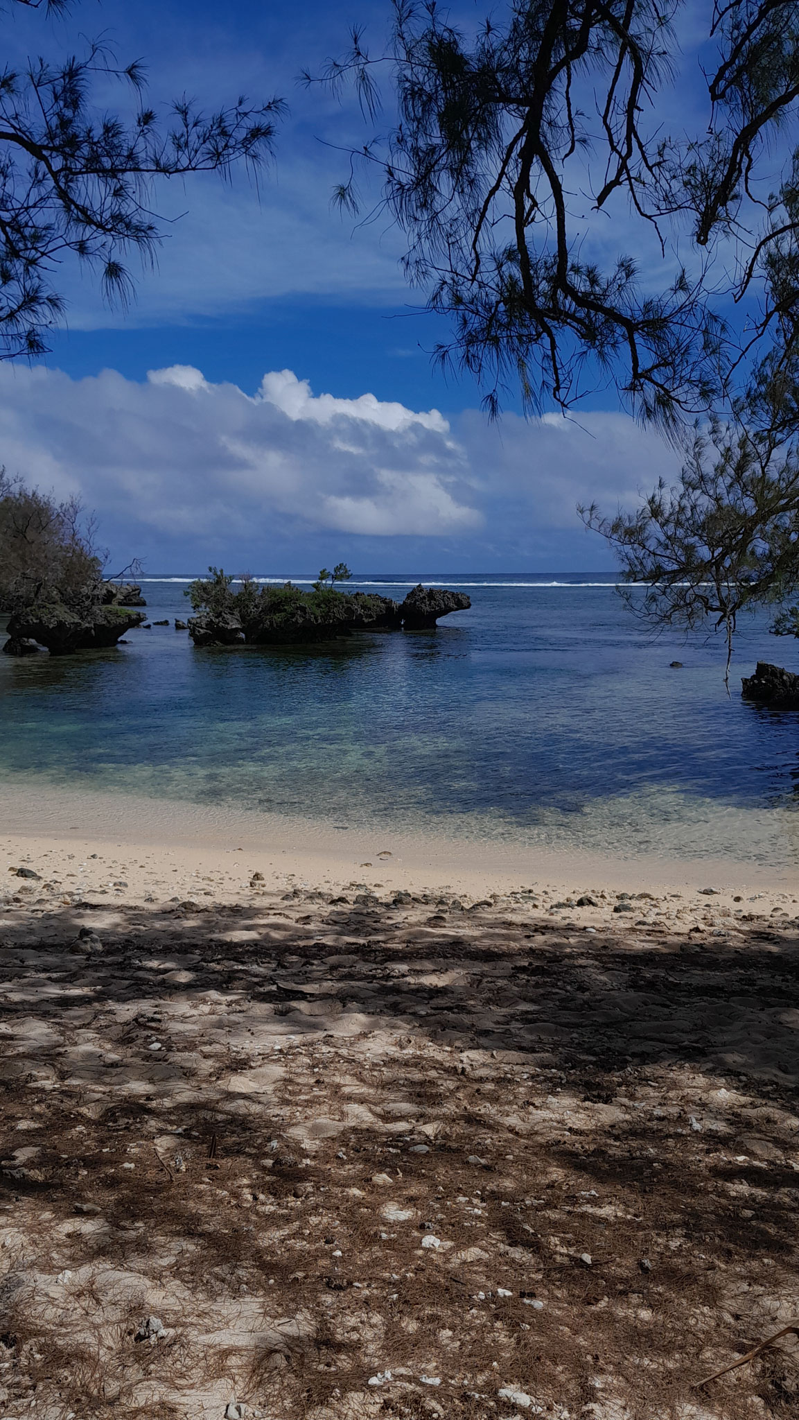
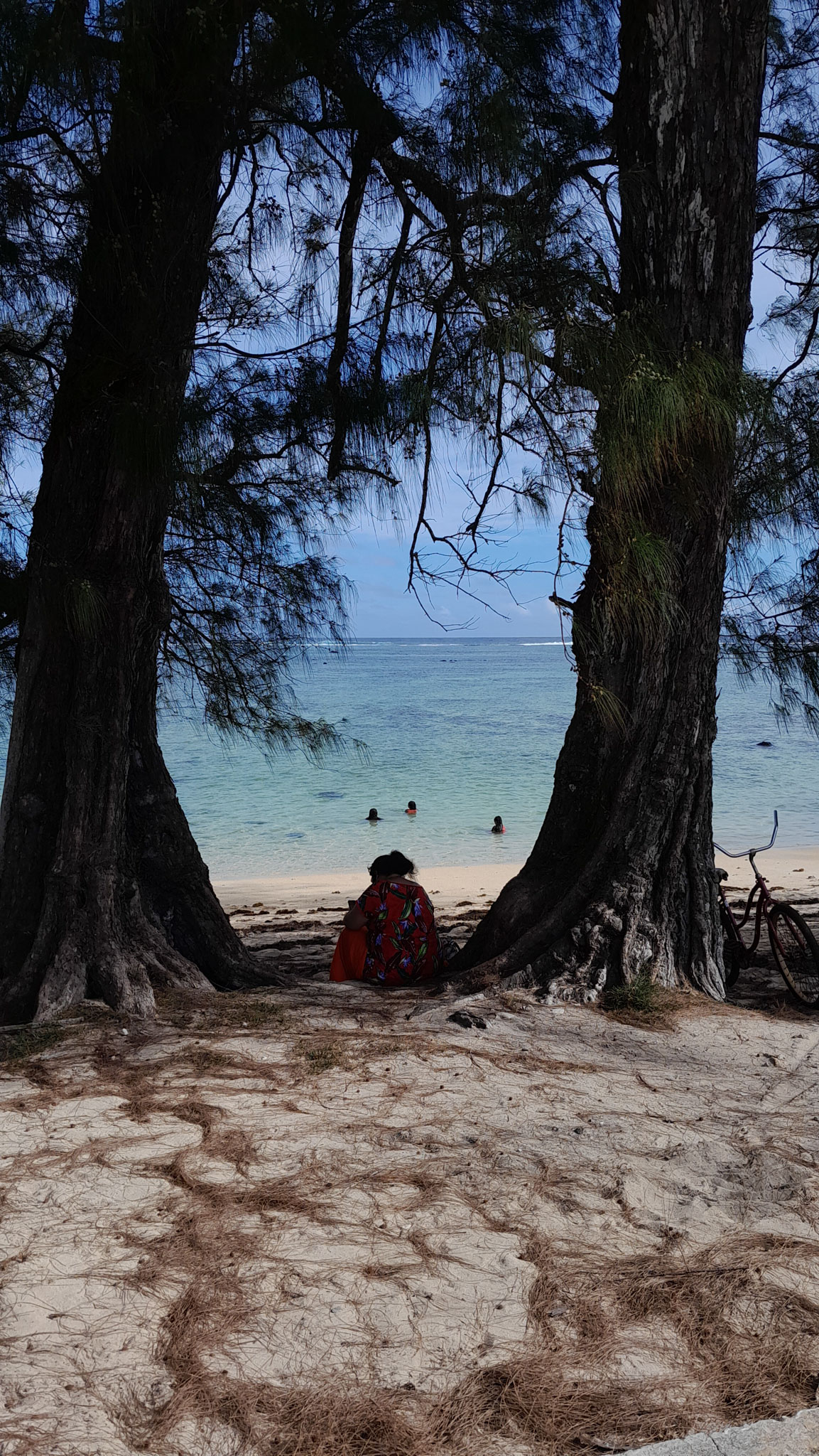
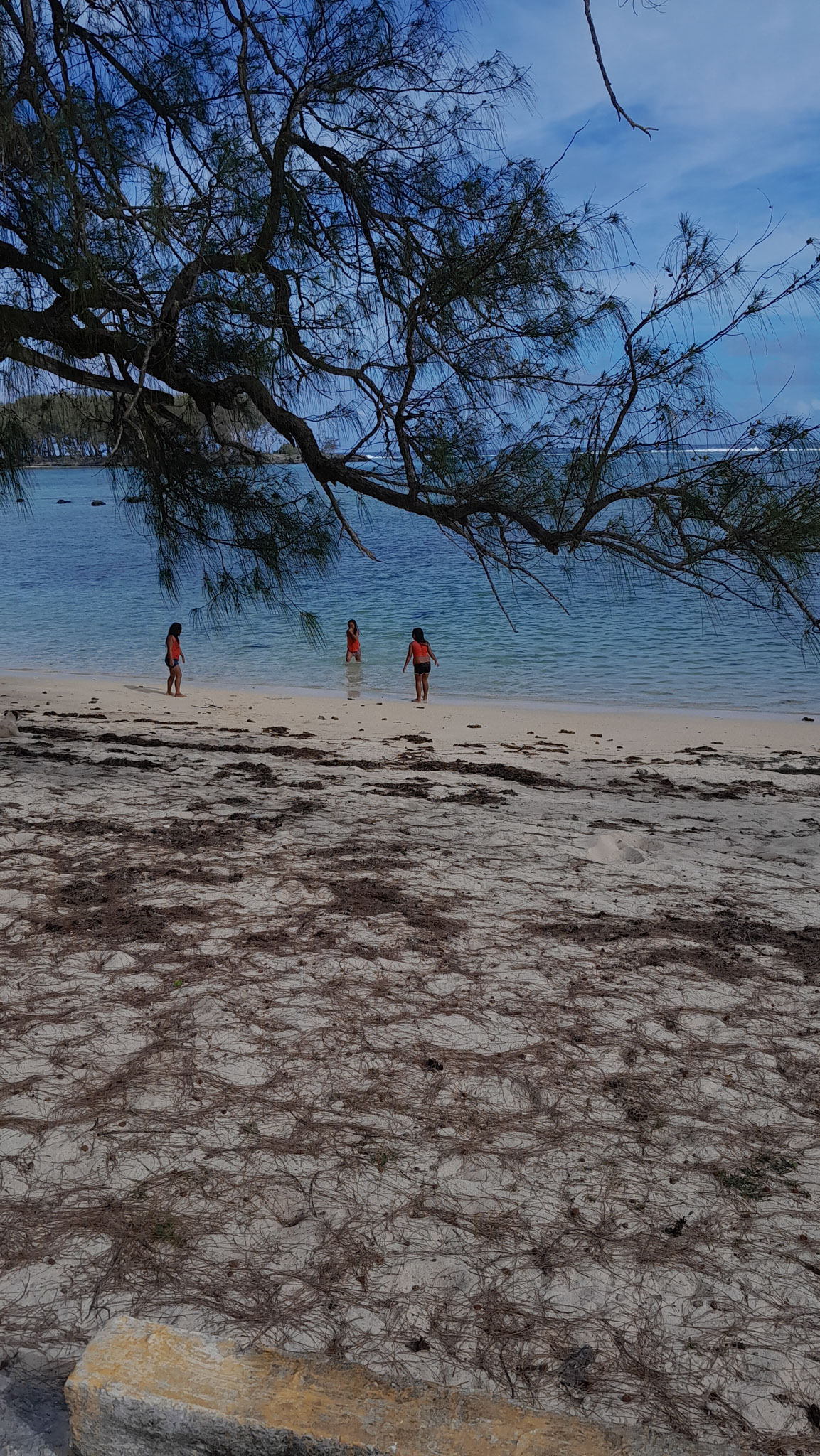
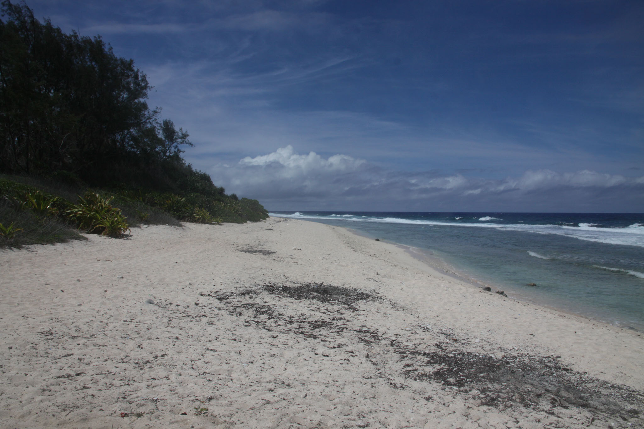
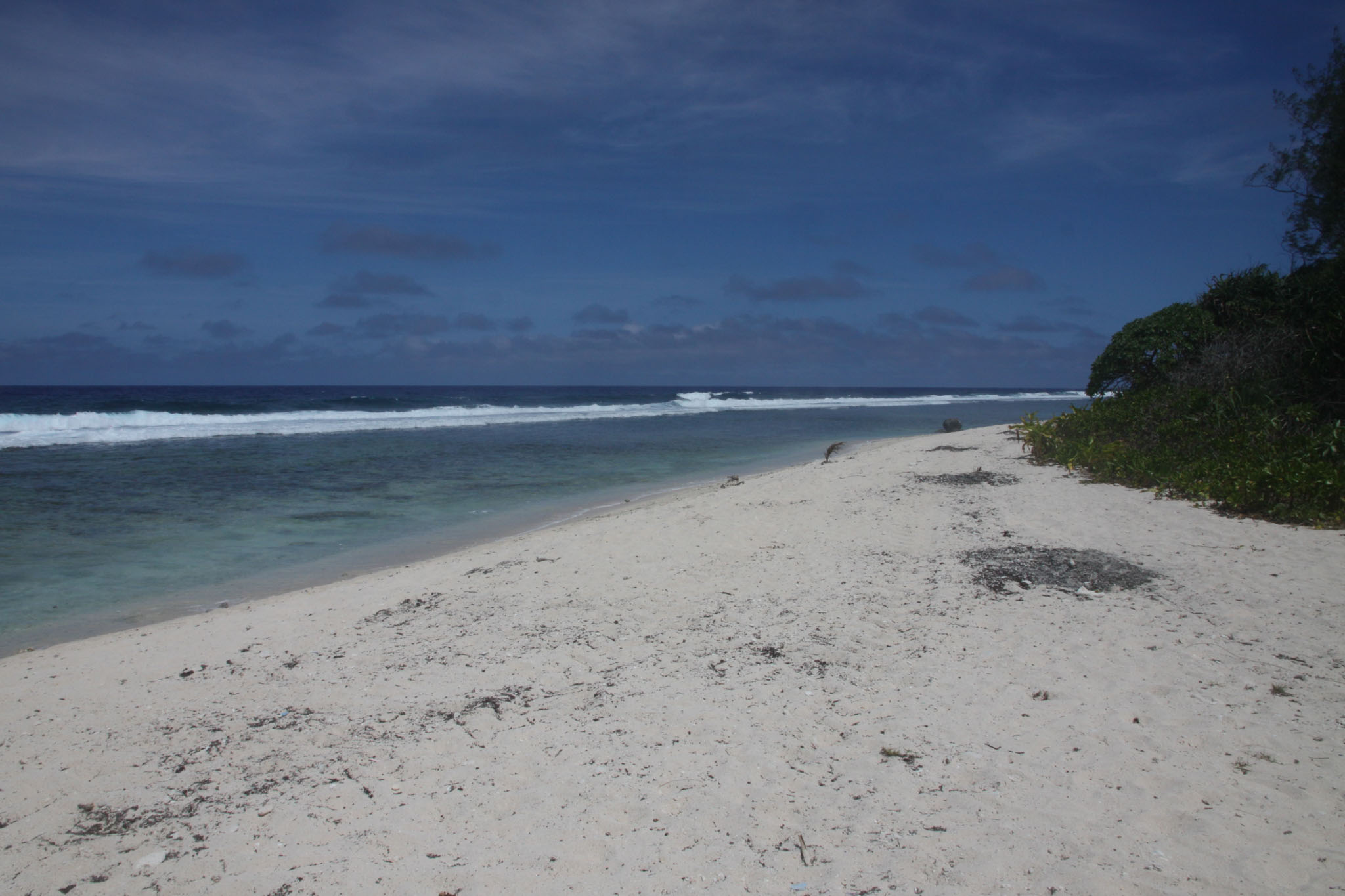
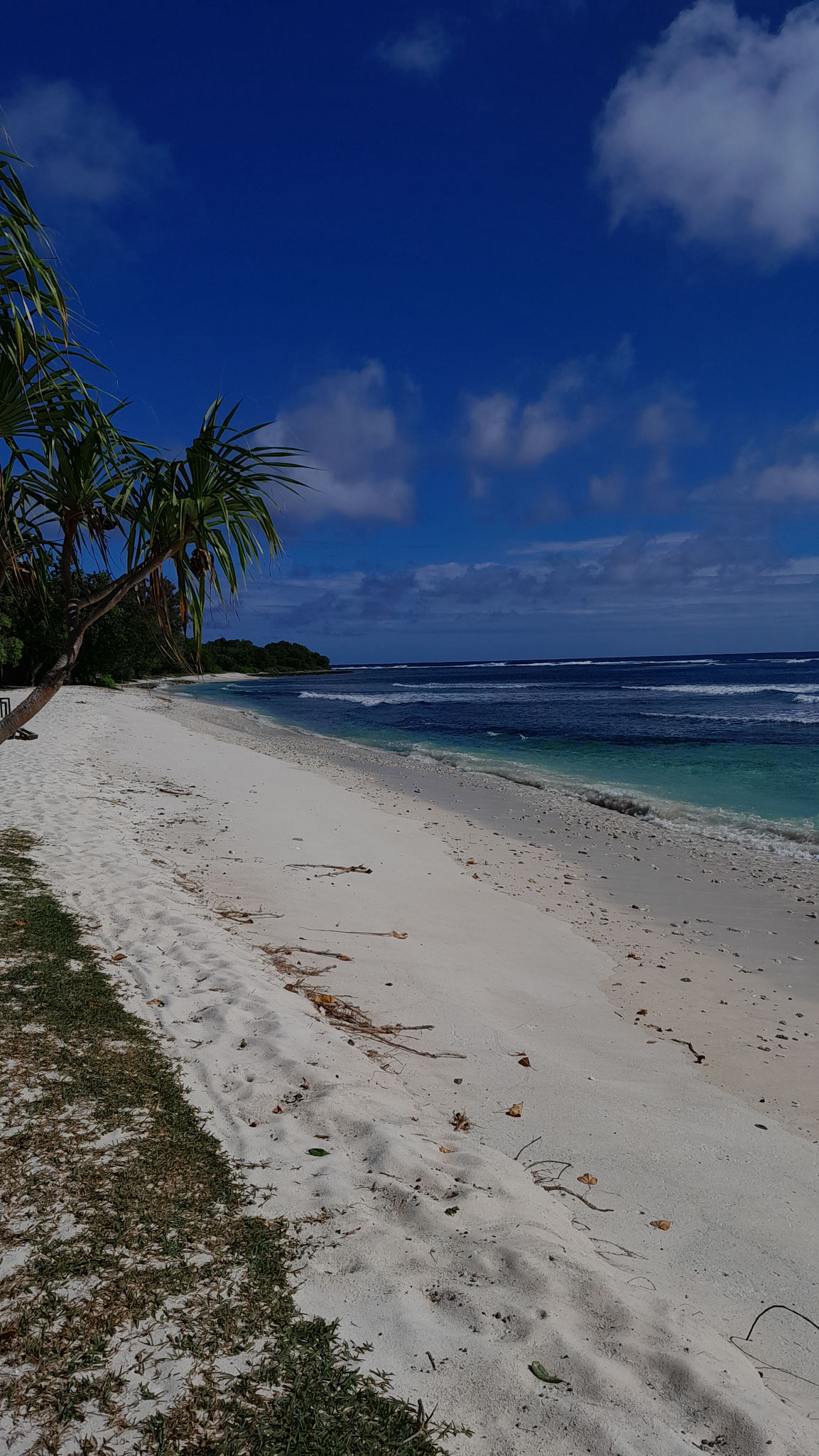
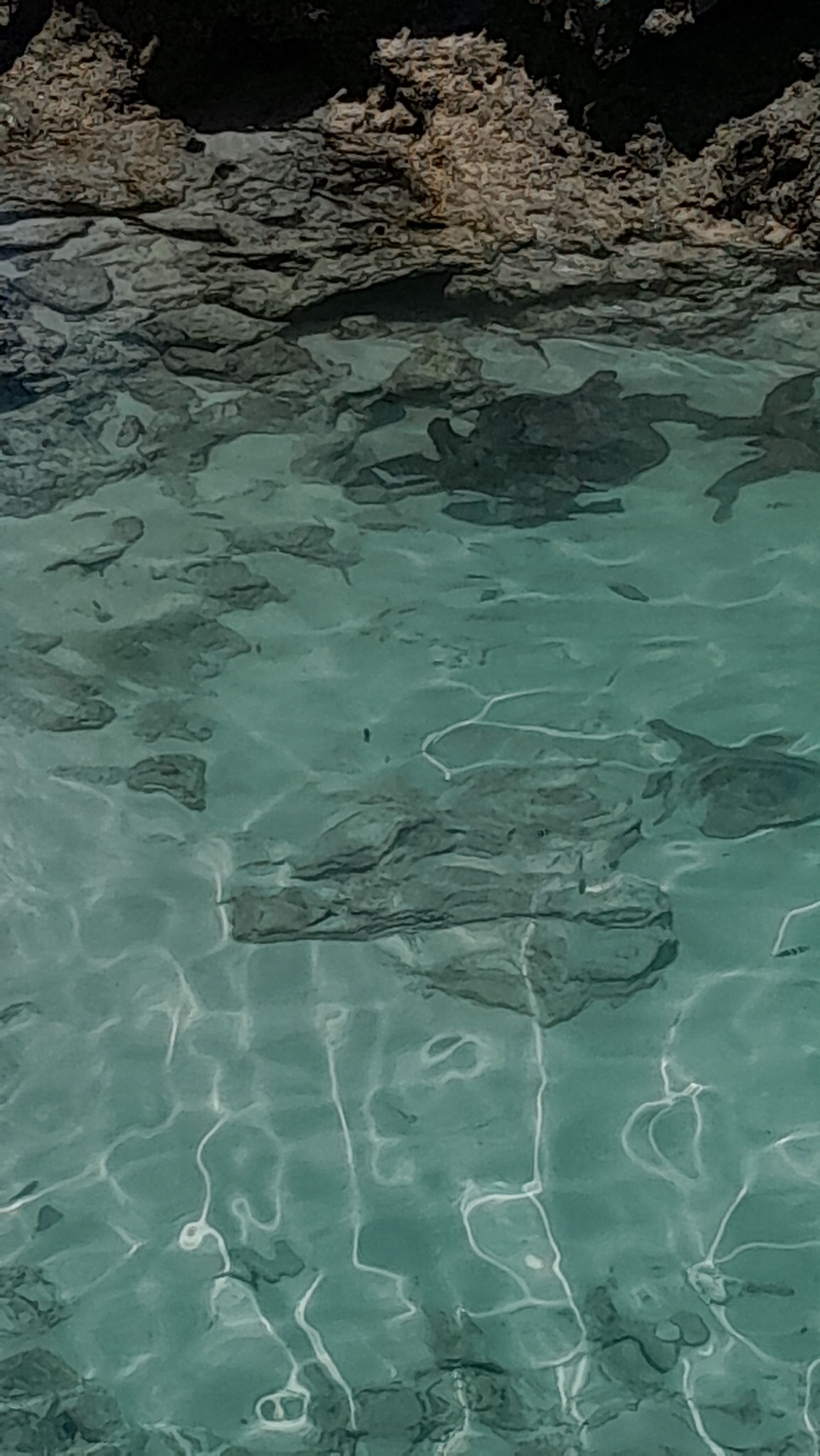
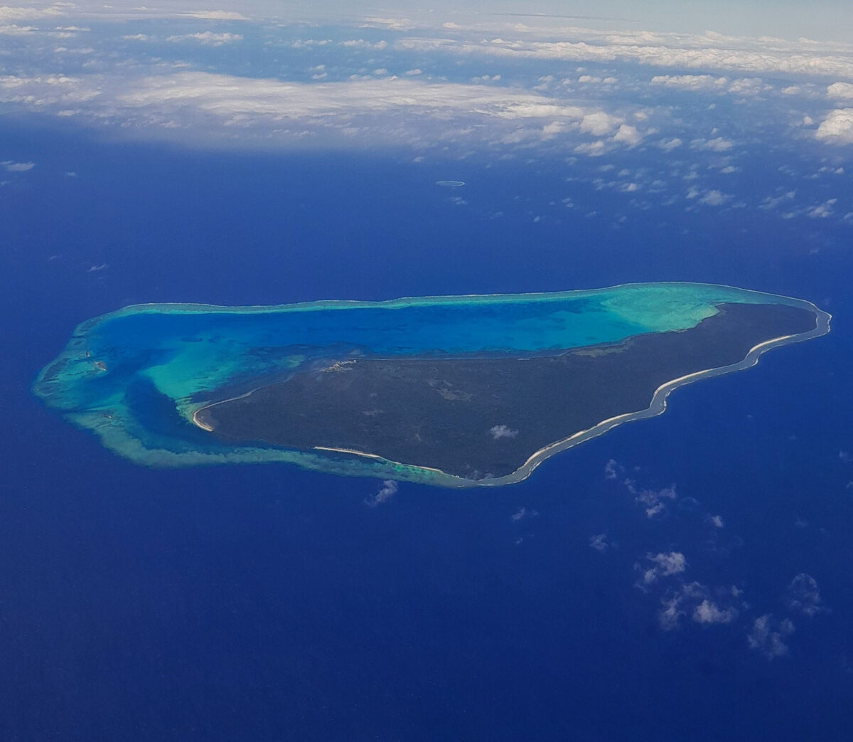
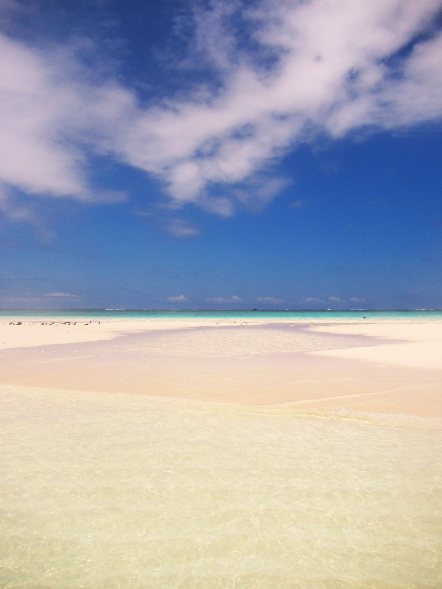
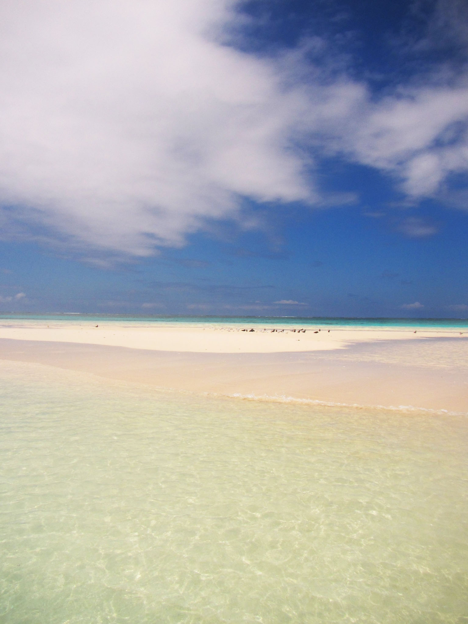
Motu Tavararo is a private island in the south of Tikehau atoll, French Polynesia.
Motu Tavararo is a private island in the south of Tikehau atoll, French Polynesia.

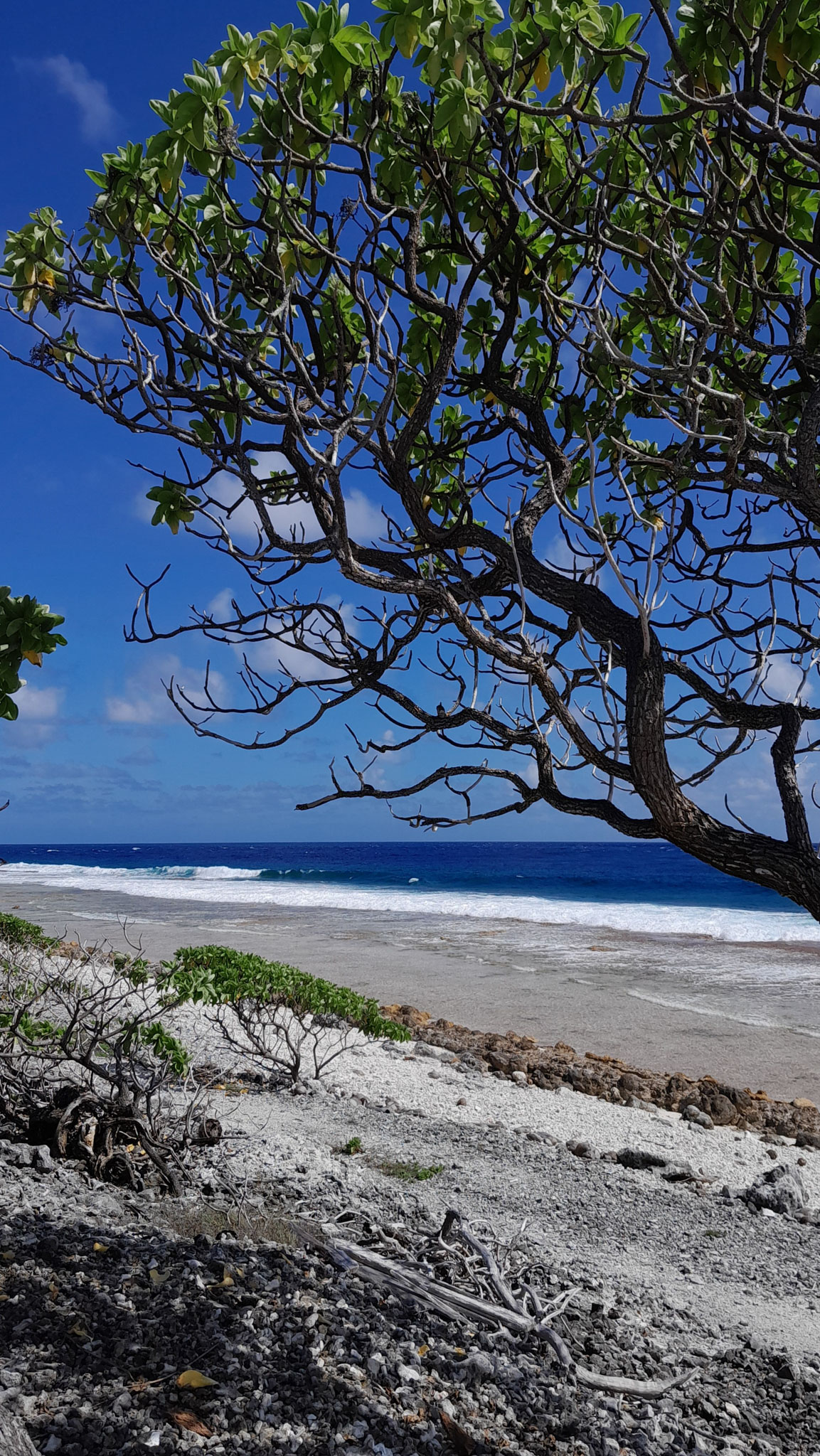
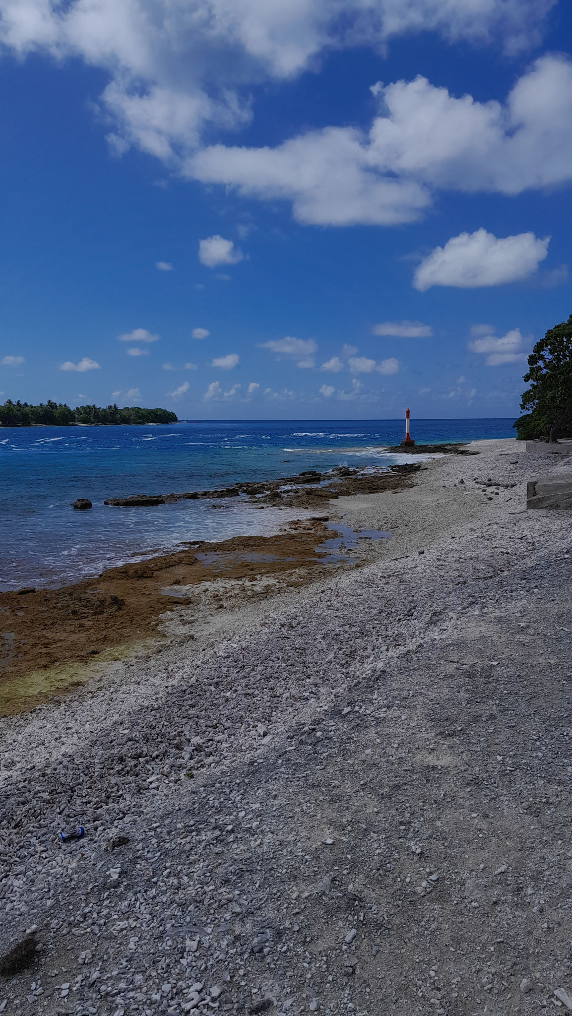
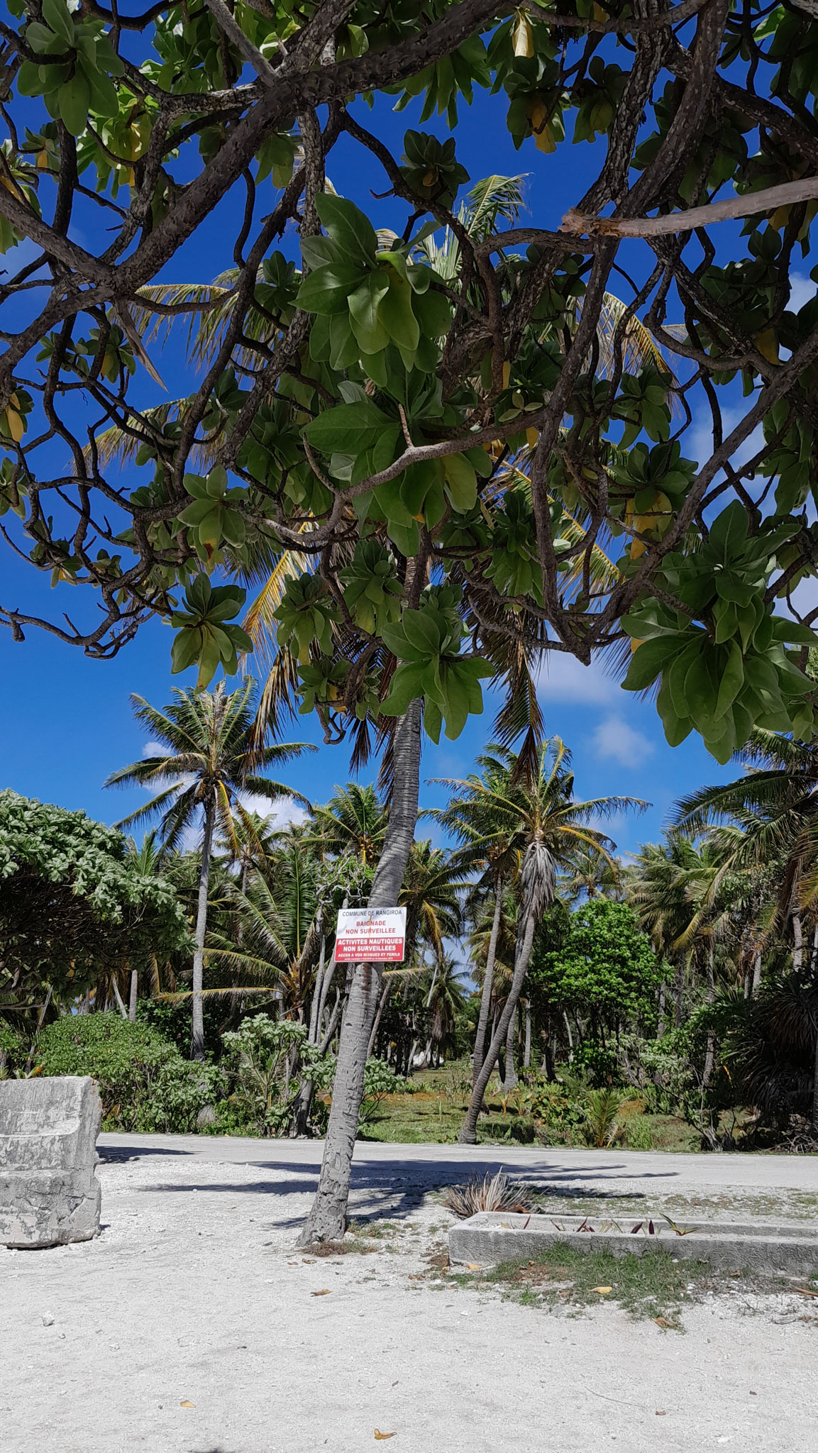
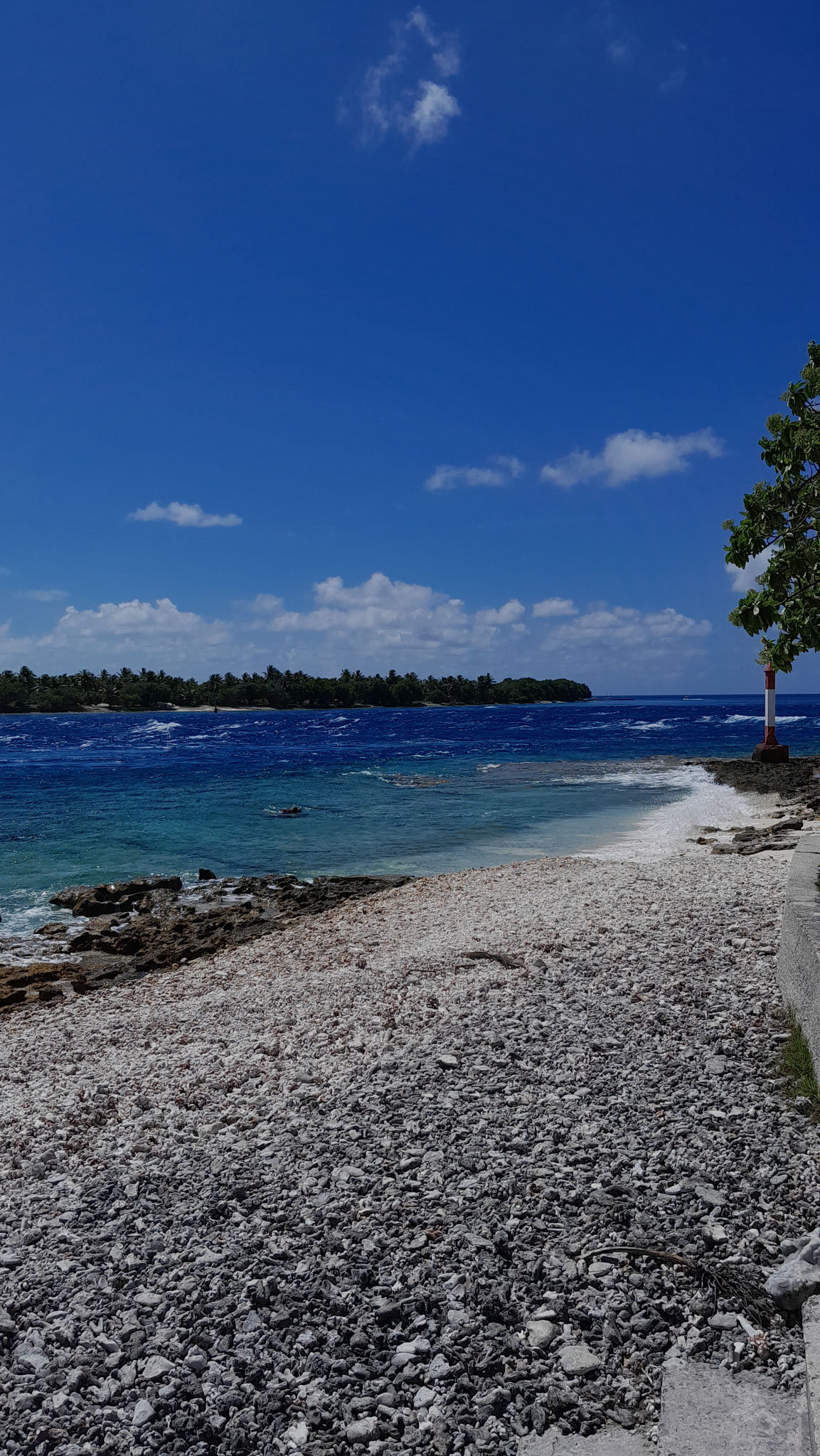

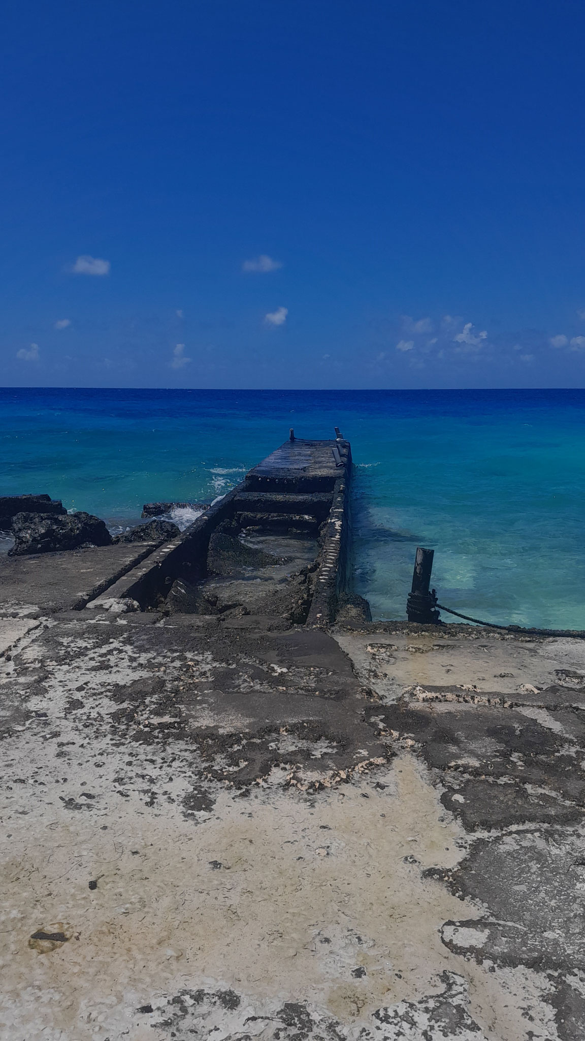
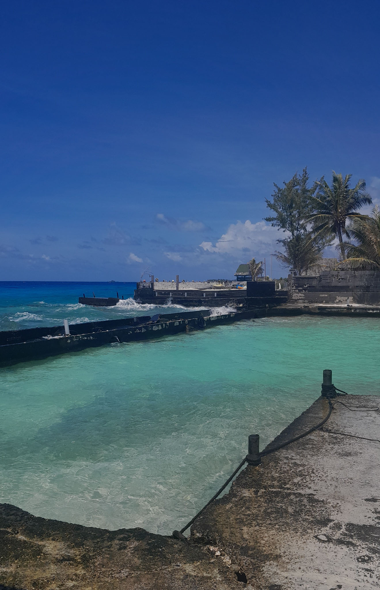
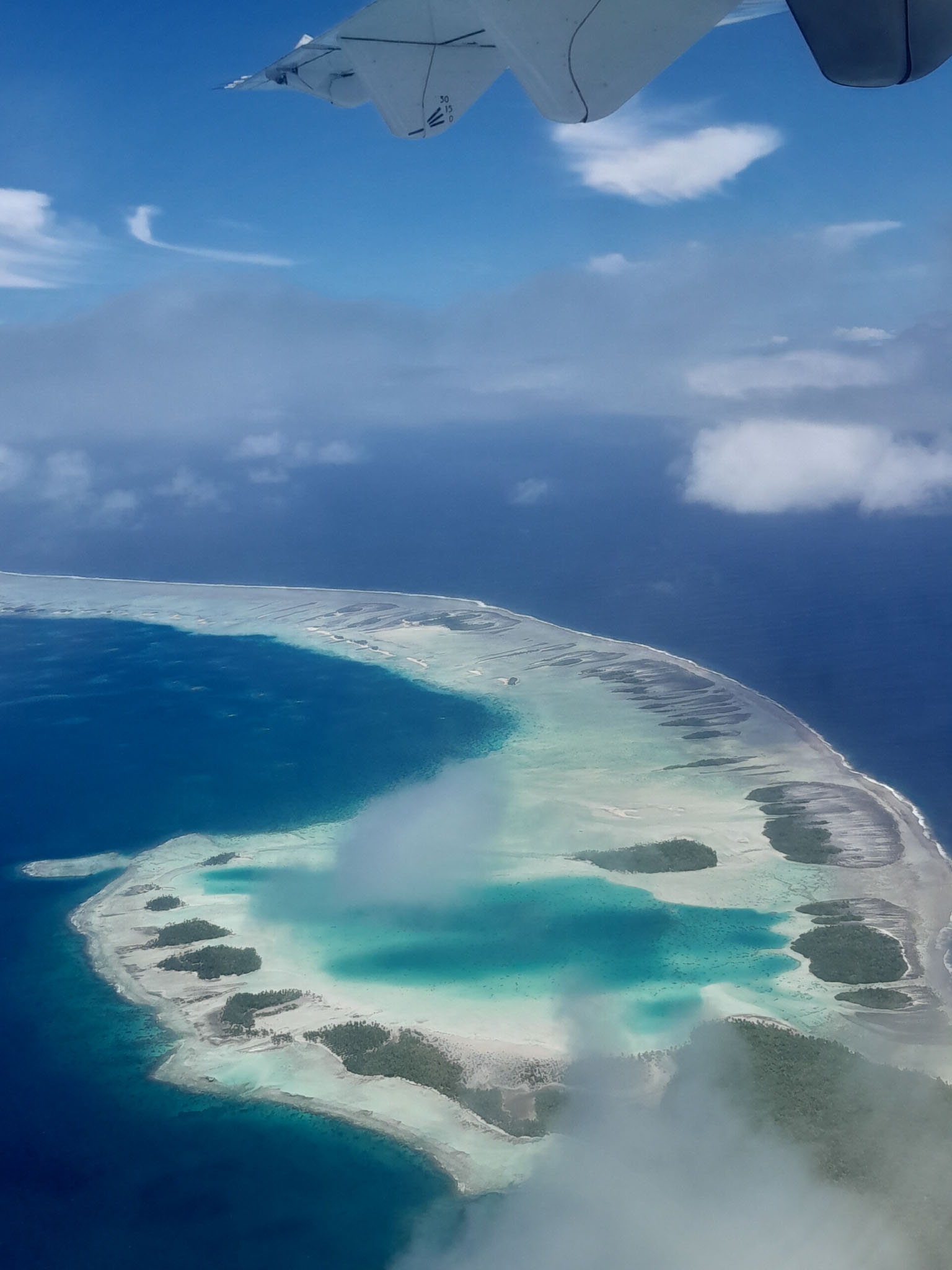
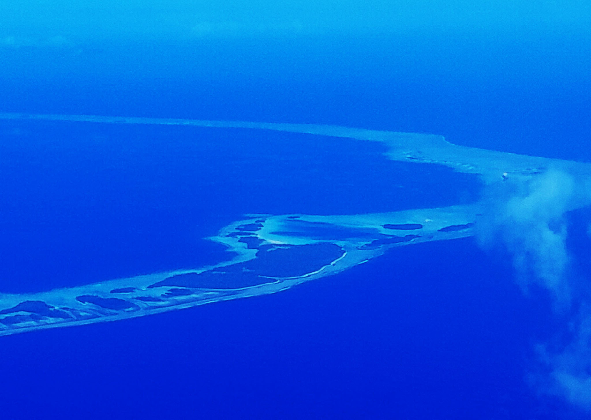
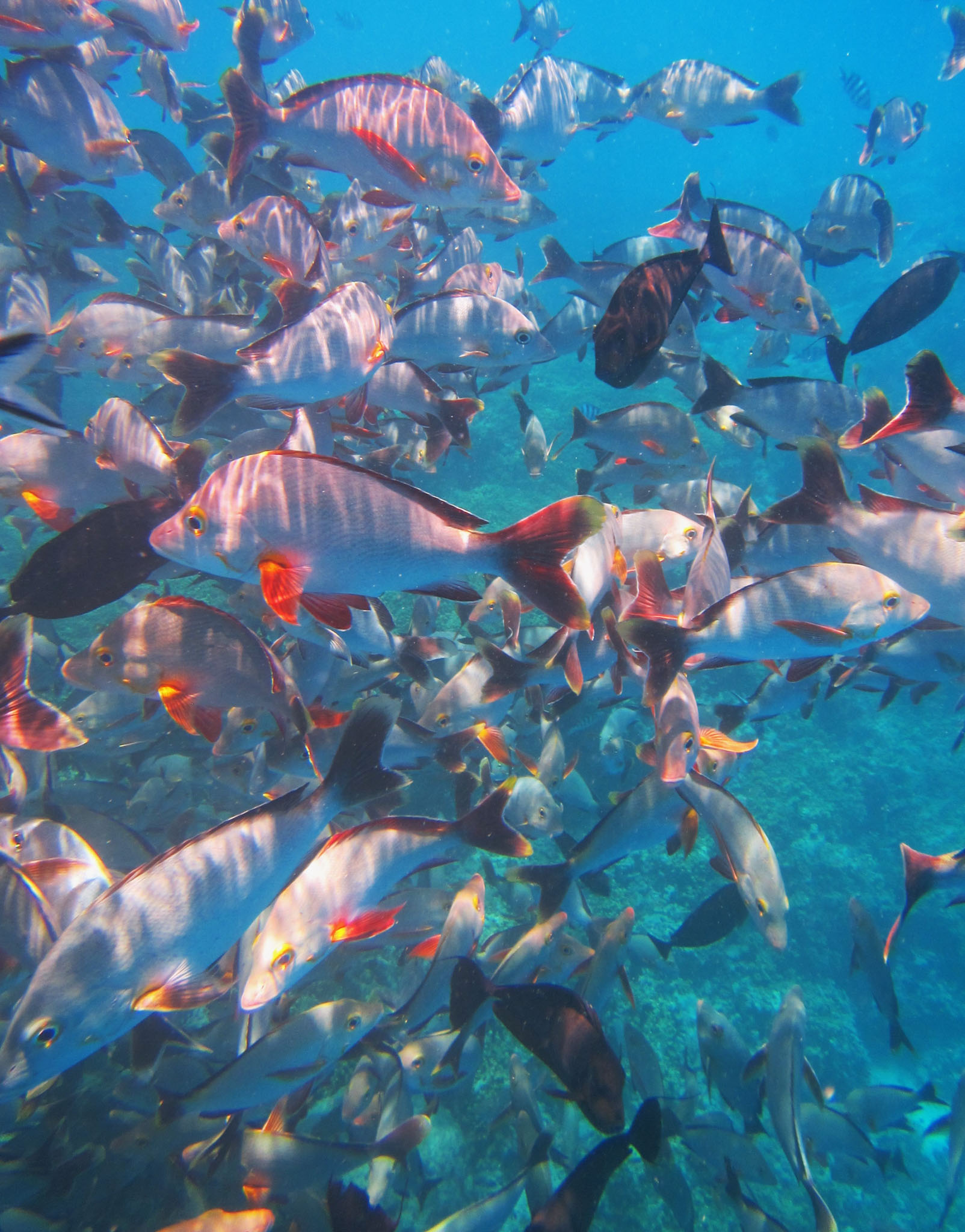


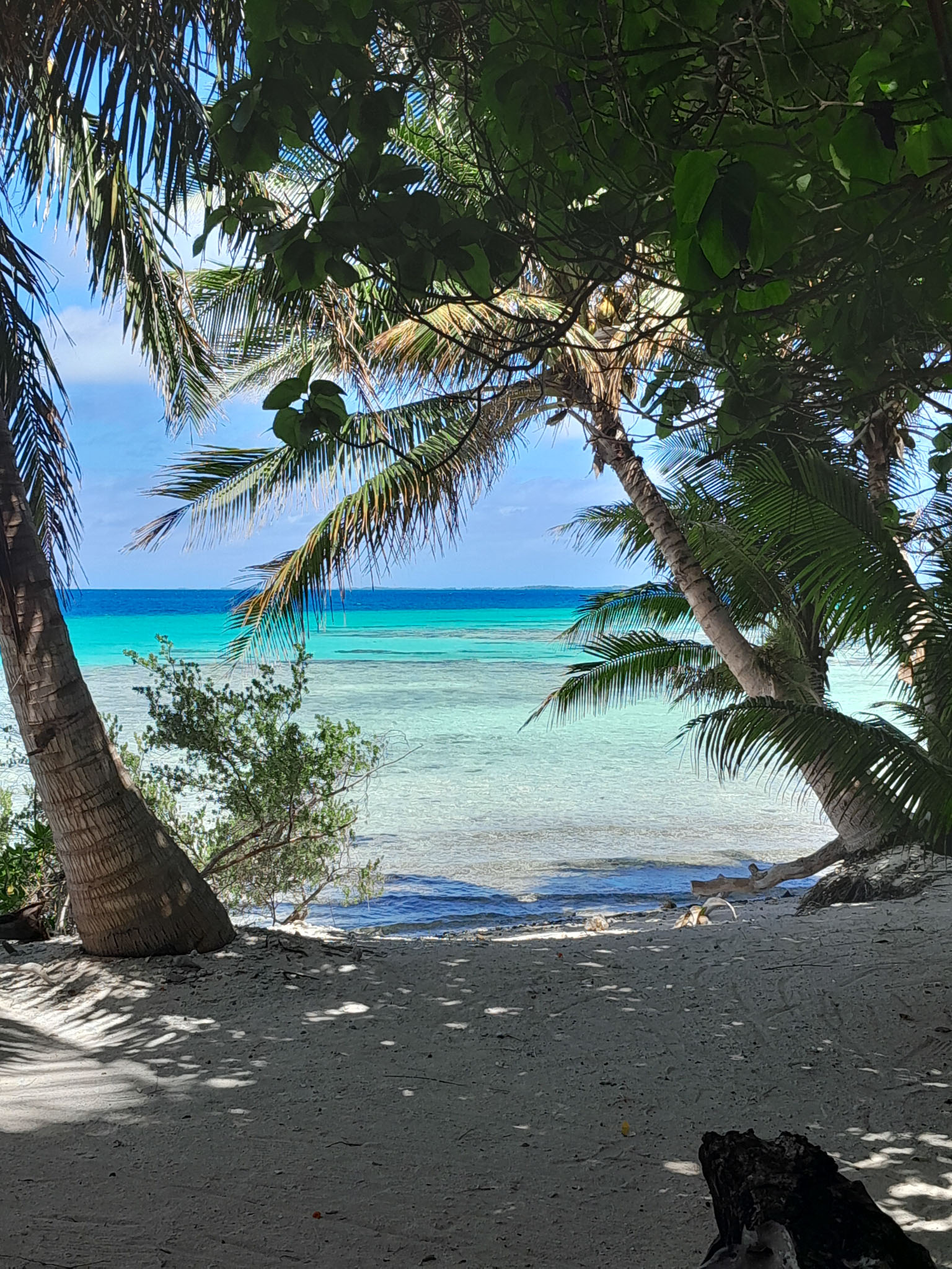
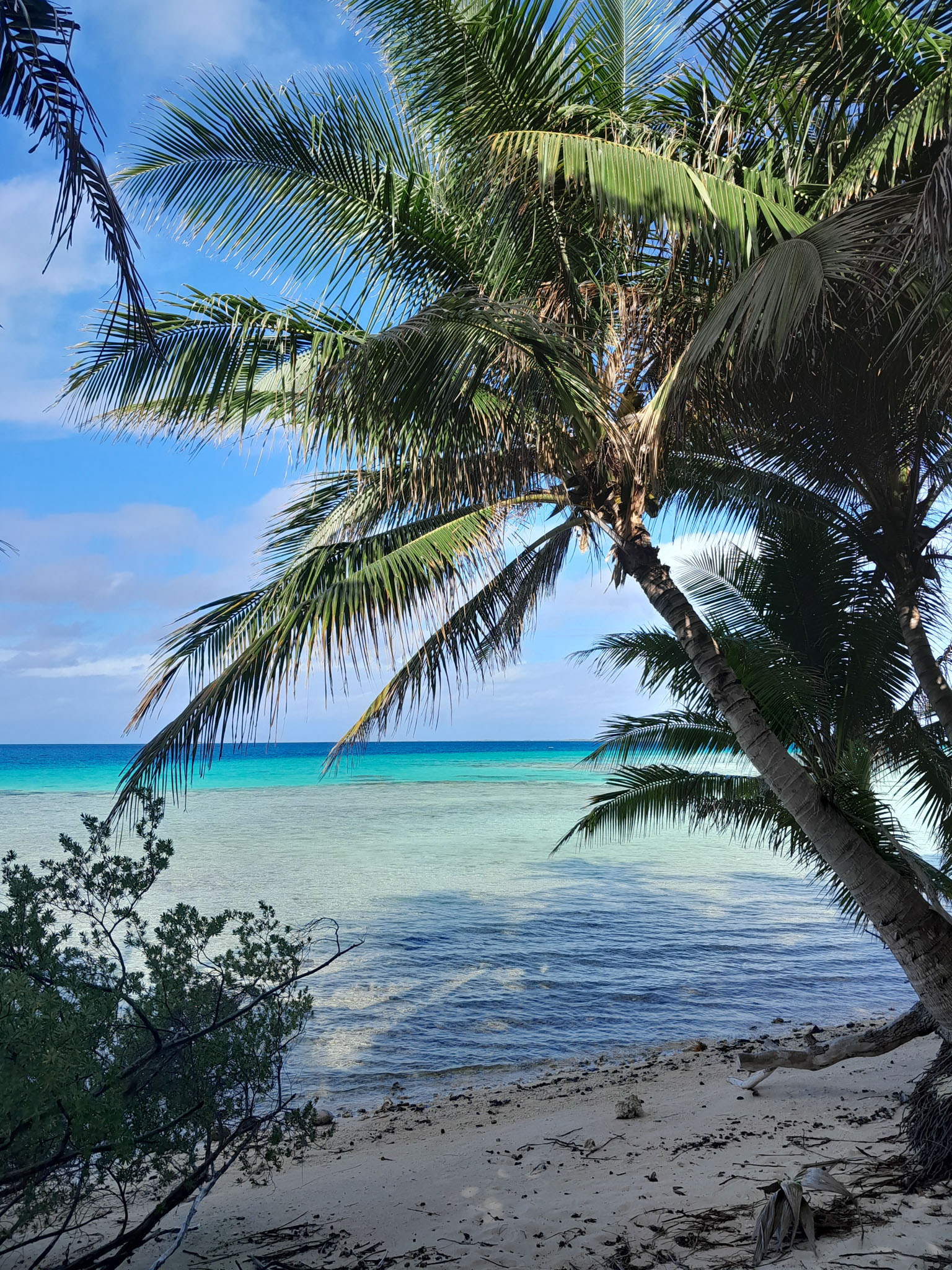
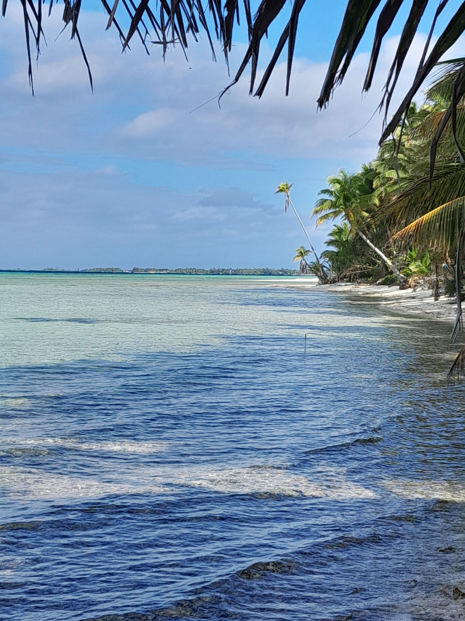
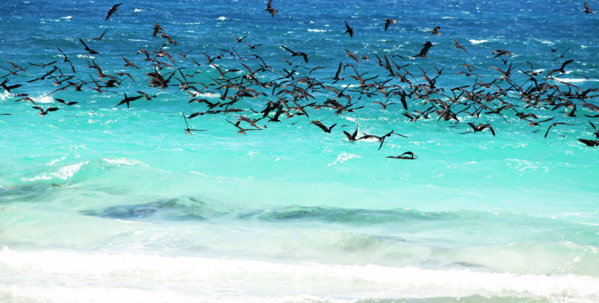
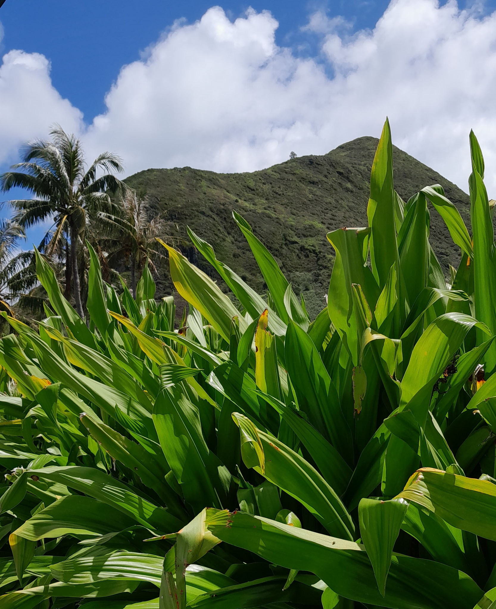
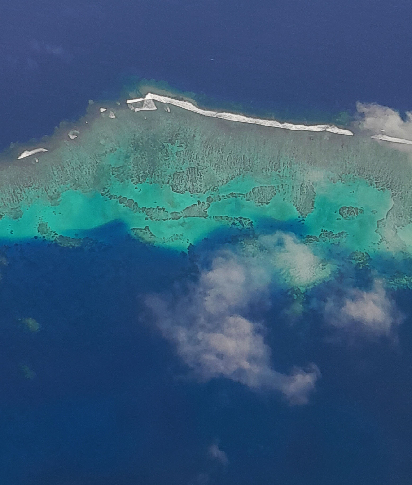
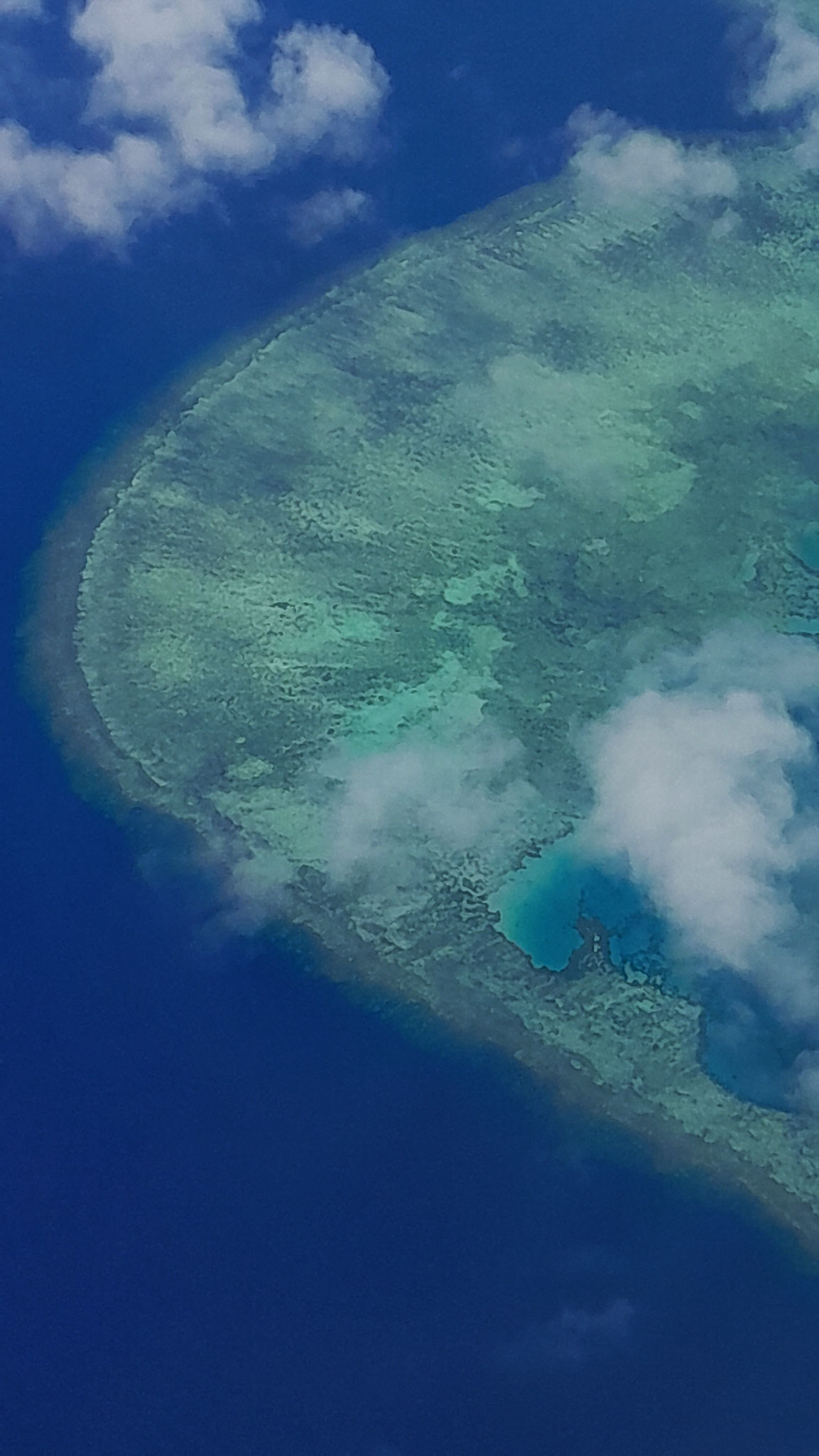
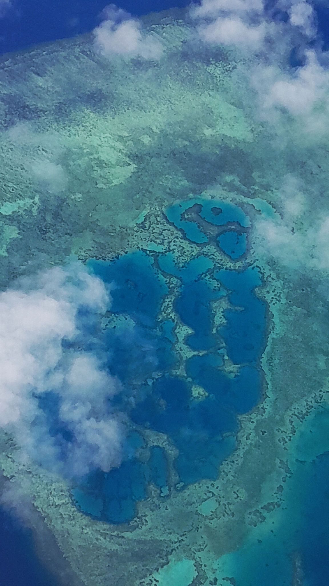
Rangiroa (Tuamotuan for ‘vast sky’) or Te Kokōta (Cook Islands Māori for ‘the Hyades star cluster’) is the largest atoll in the Tuamotus and one of the largest in the world (smaller than Kwajalein in the Marshall Islands and Huvadhu in the Maldives).
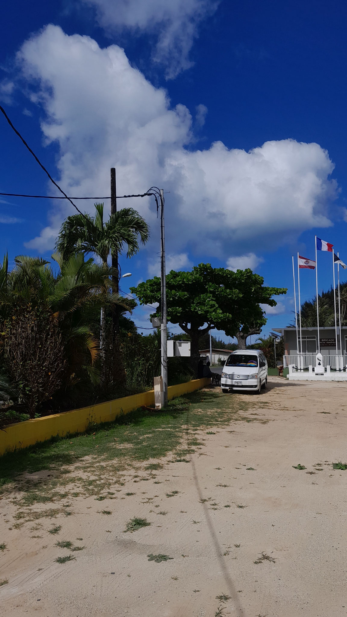
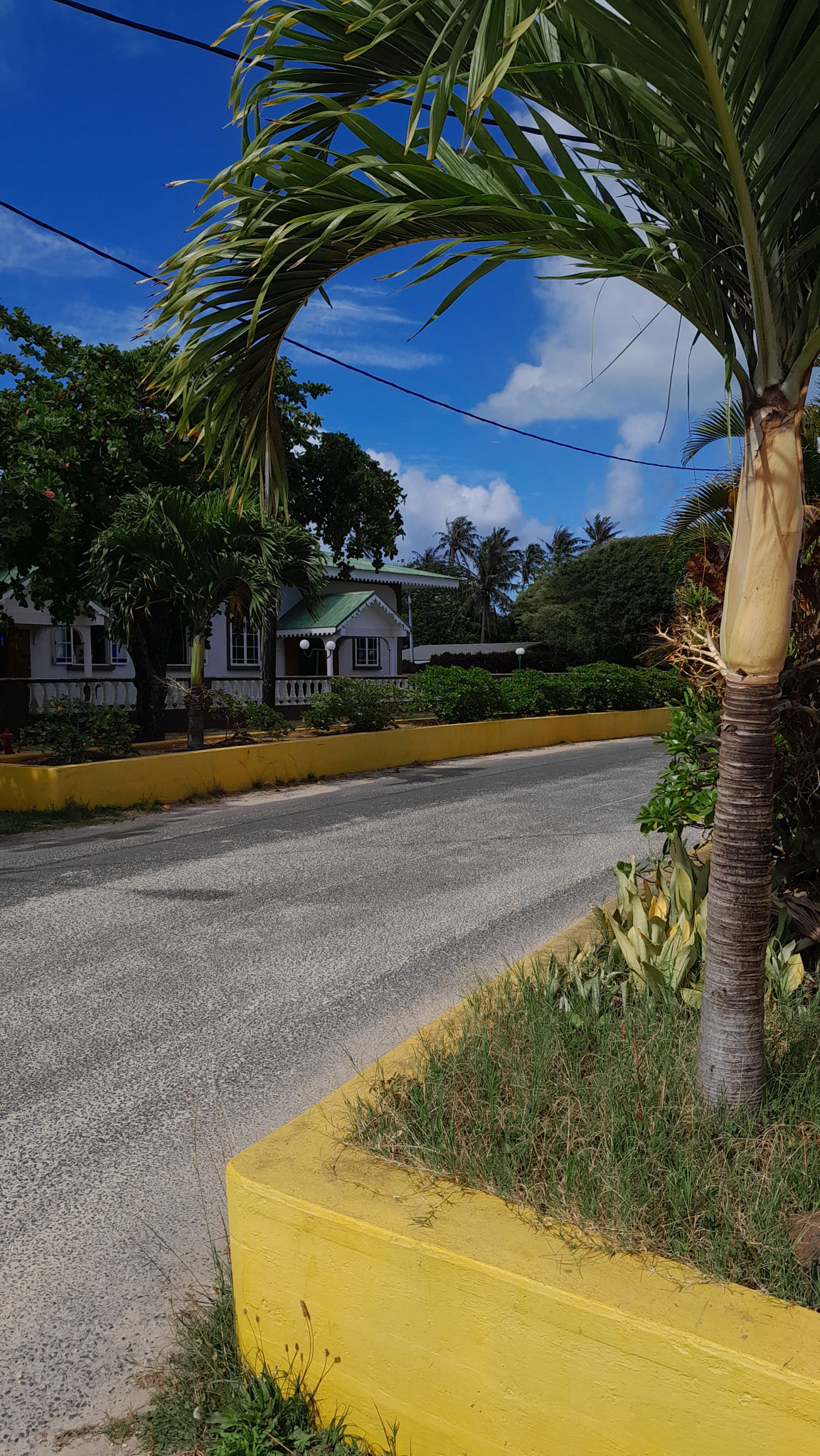
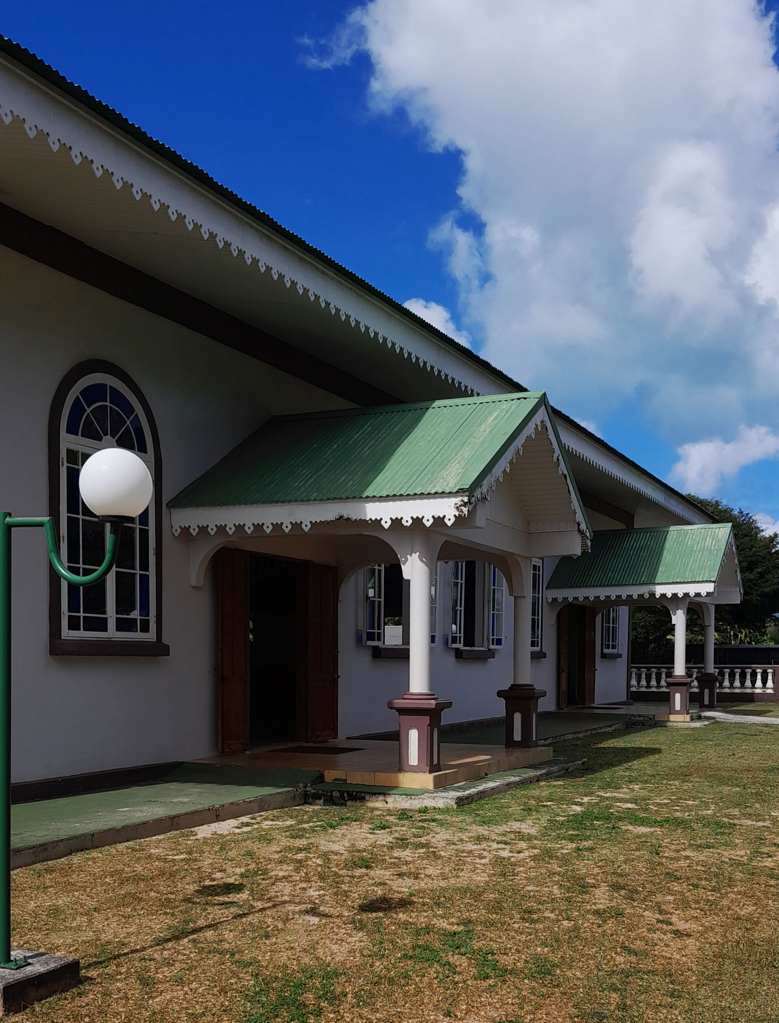
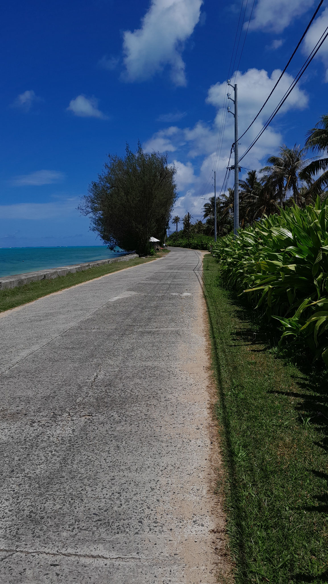
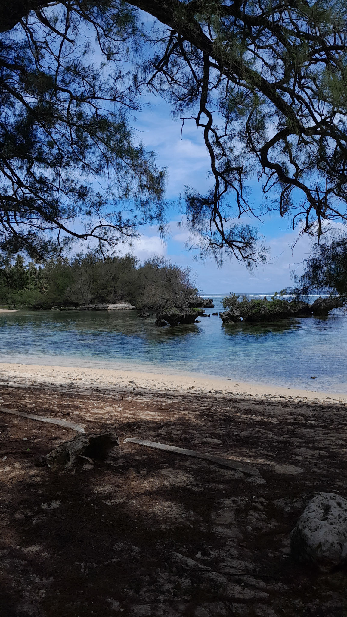
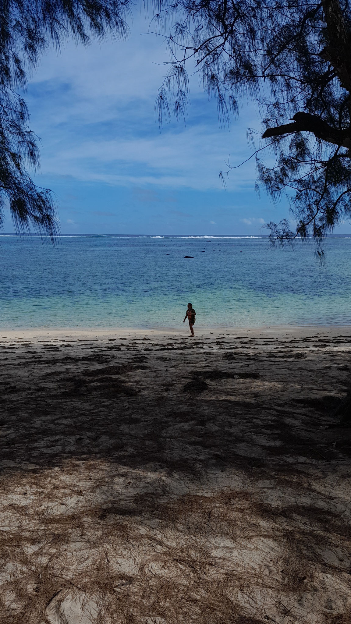
It is in French Polynesia and is part of the Palliser group. The nearest atoll is Tikehau, 12 kilometres (7.5 mi) to the west. It is about 355 km (221 mi) northeast of Tahiti. Rangiroa is home to about 2,500 people on almost 80 km2 (31 sq mi). The chief town is Avatoru, in the atoll’s northwest.

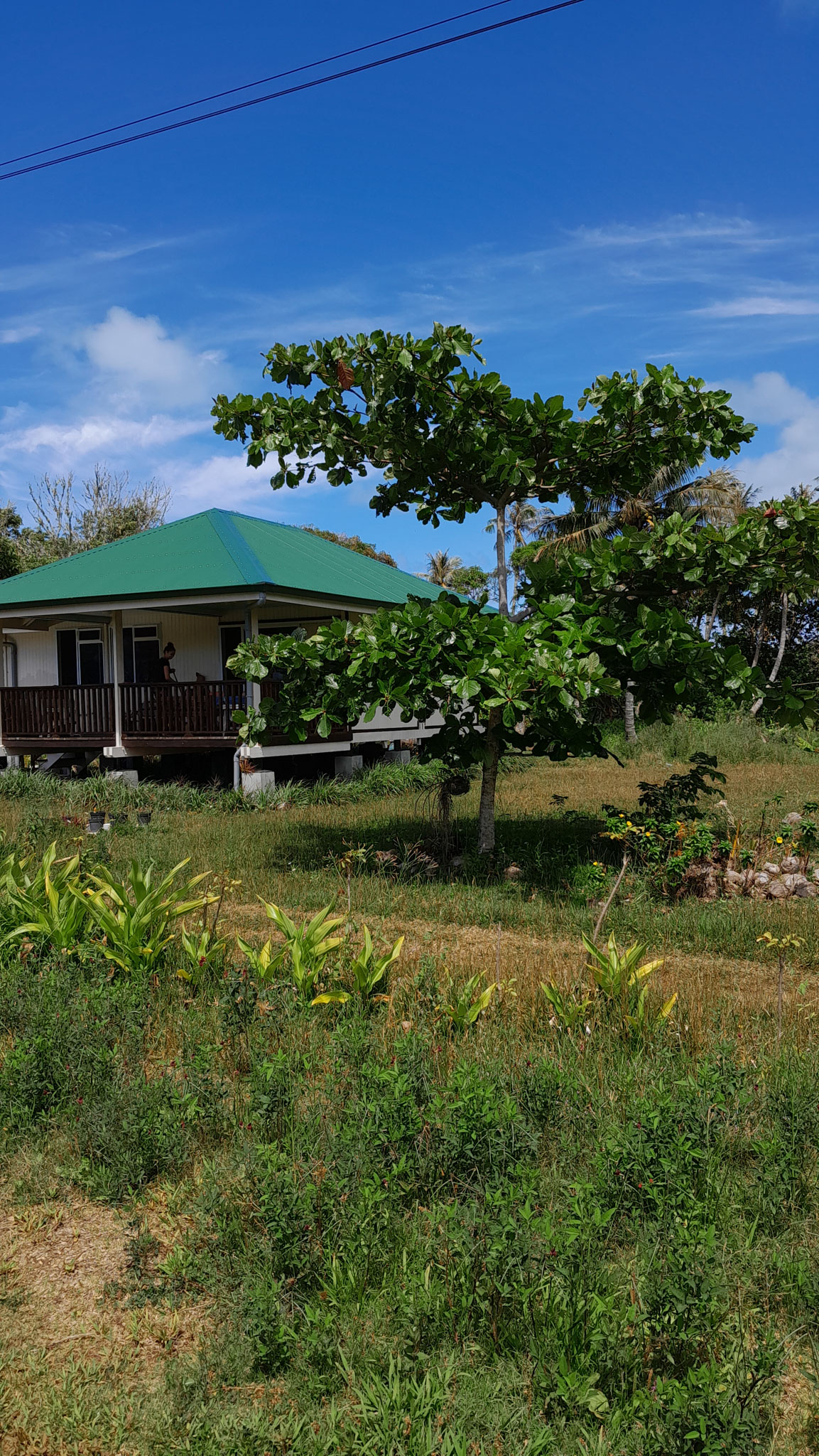
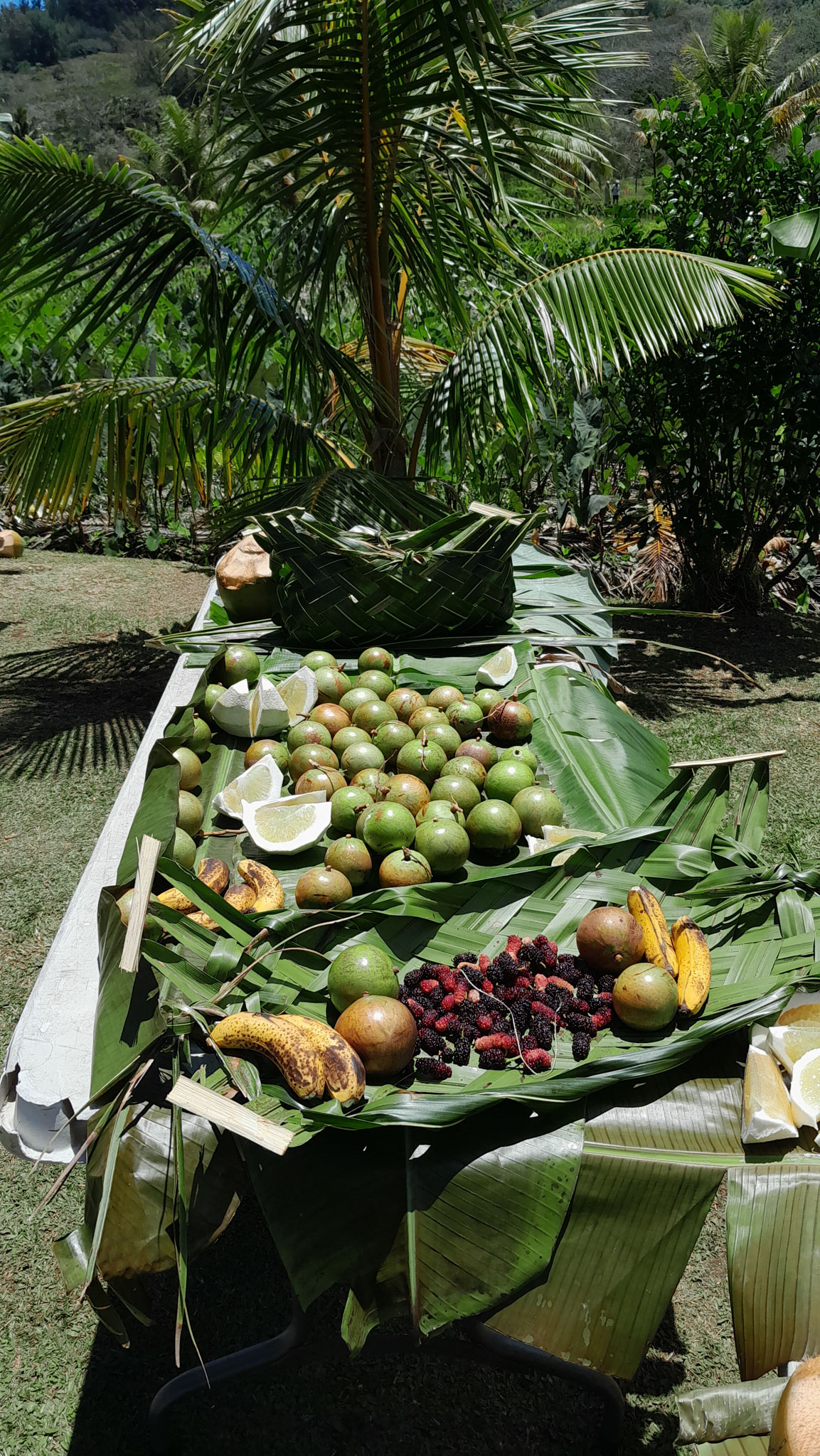
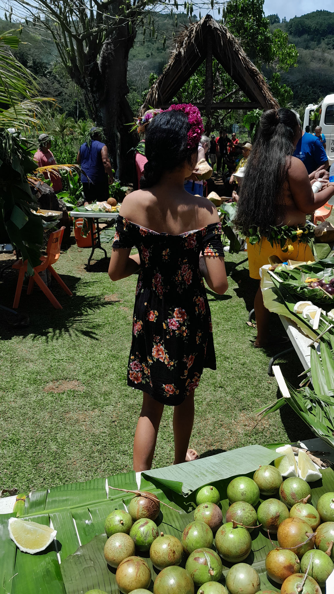
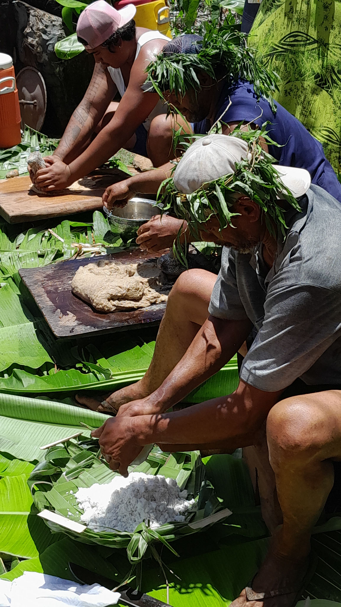
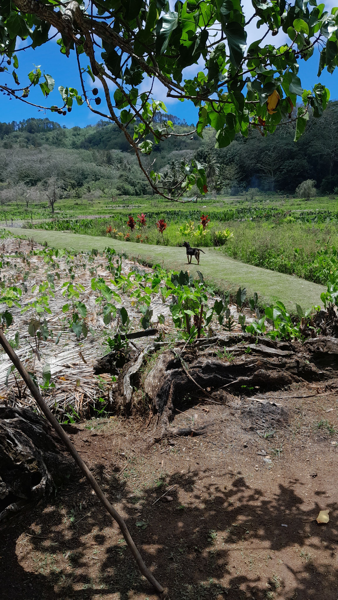
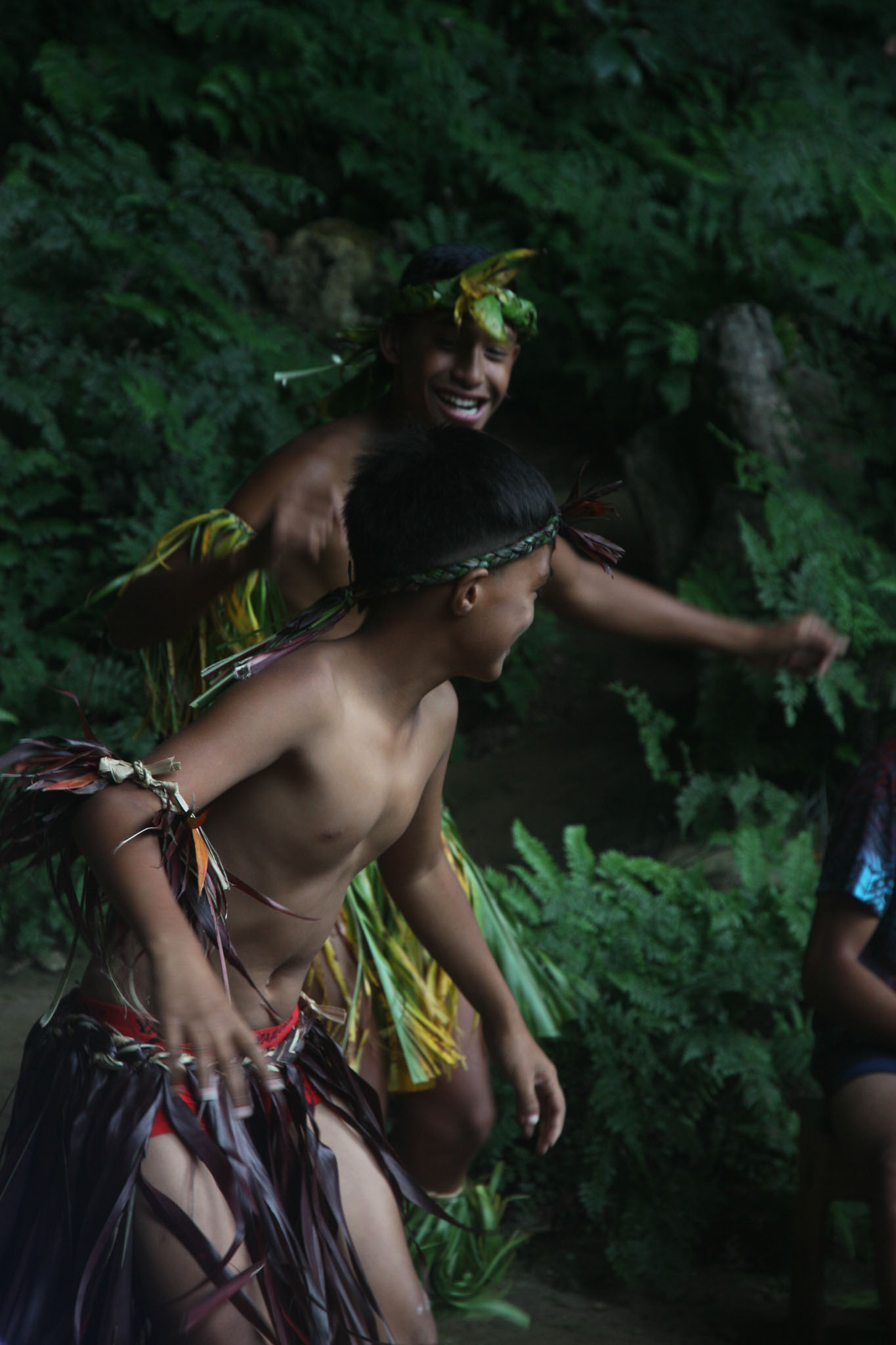
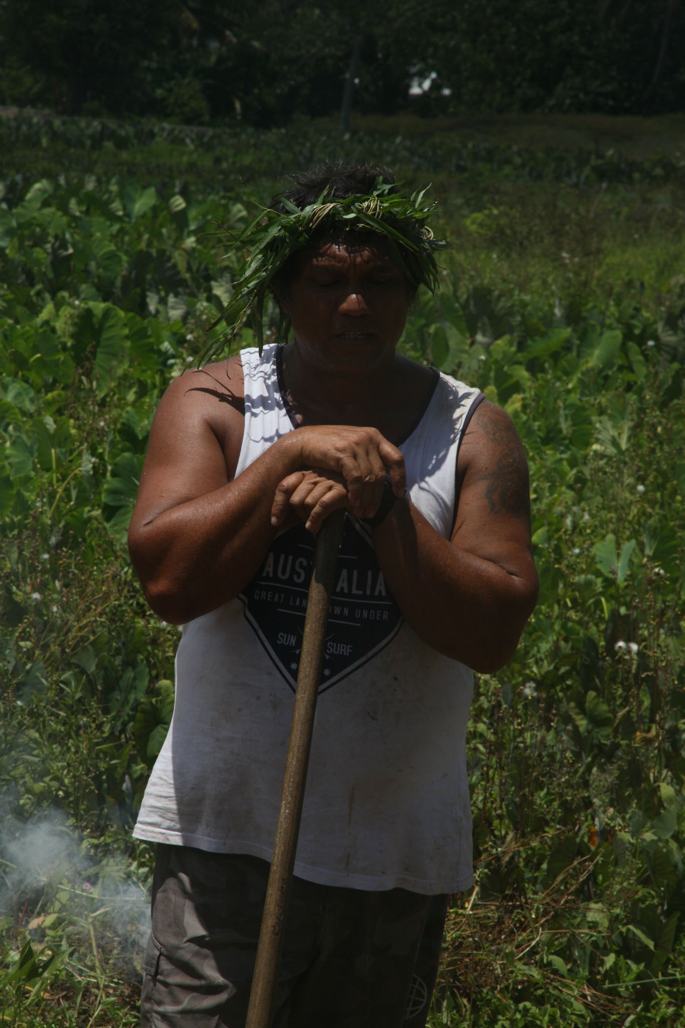
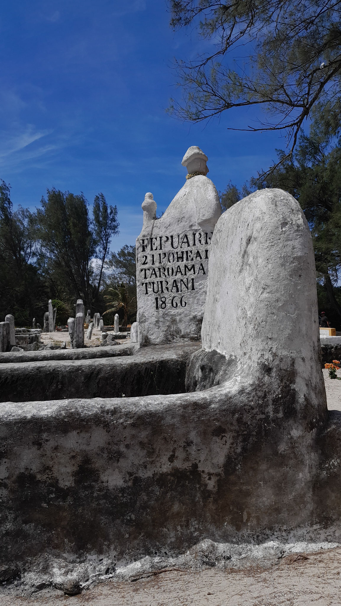
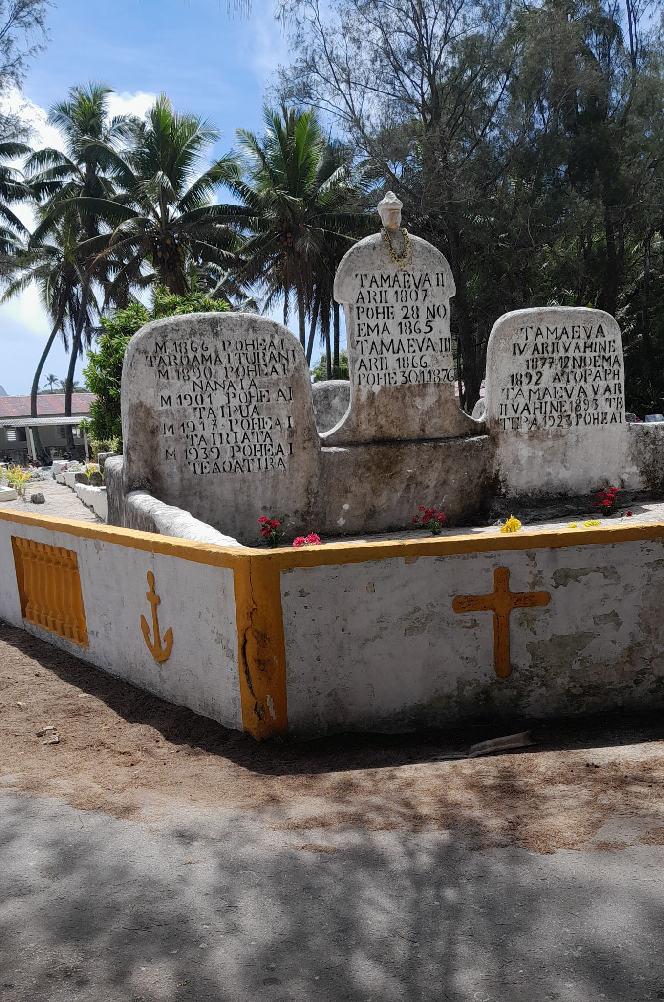
Tupuaʻi (French: Tubuai [tubwaj]) is the main island of the Austral Island group, located 640 km (400 mi) south of Tahiti. In addition to Tubuai, the group of islands include Rimatara, Rurutu, Raivavae, Rapa and the uninhabited Îles Maria. They are part of the Austral Islands in the far southwest of French Polynesia in the south Pacific Ocean. Tubuai island sustains a population of 2,185 people on 45 km2 of land. Due to its southerly position, Tubuai has notably cooler weather than Tahiti.
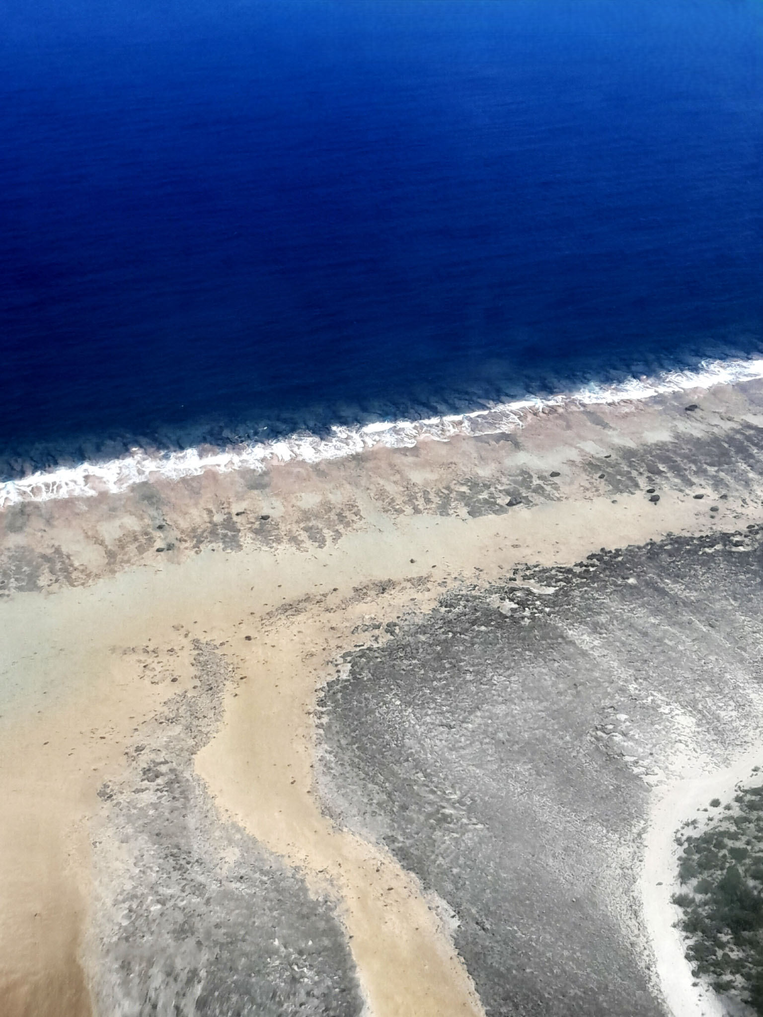
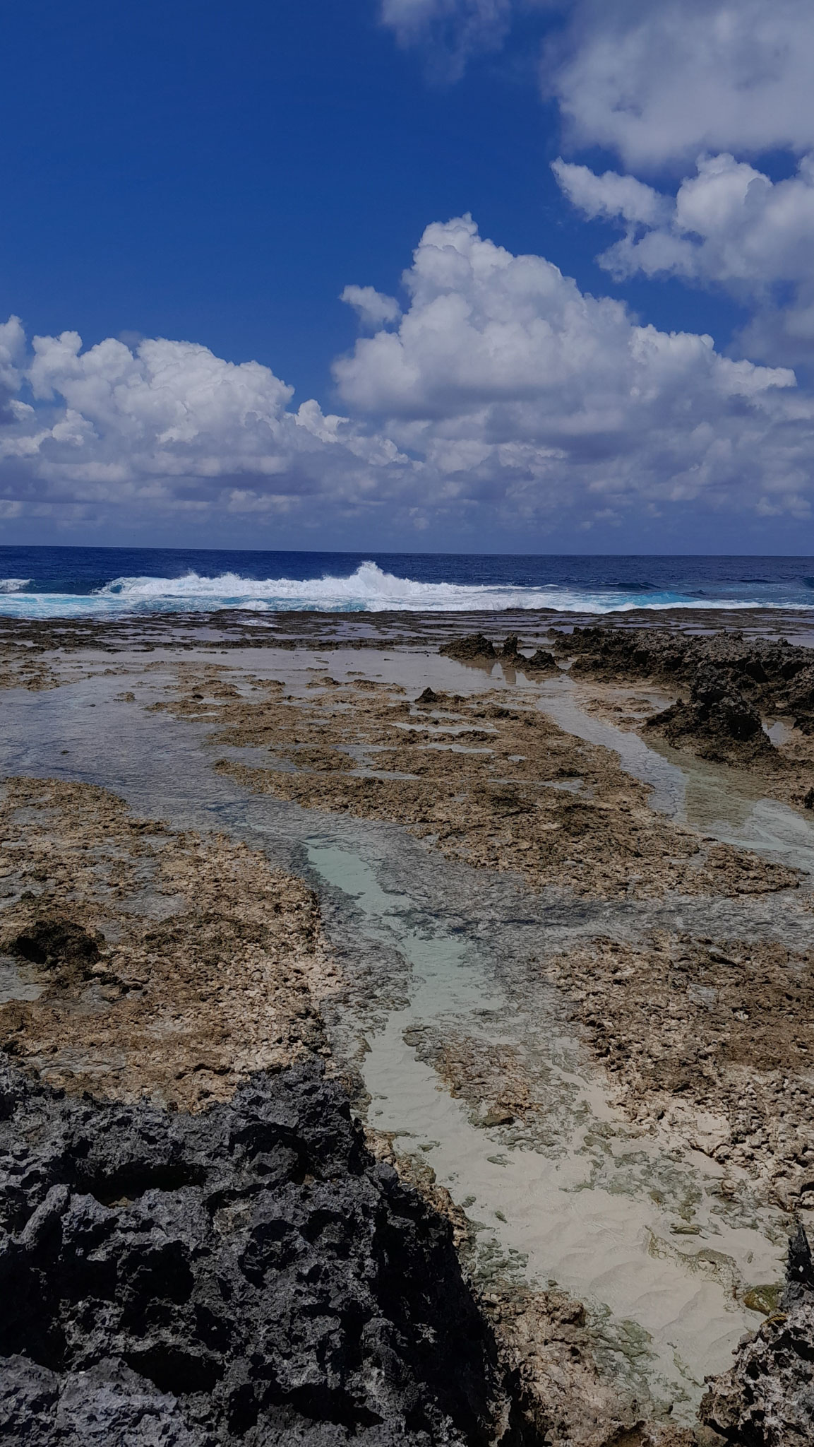
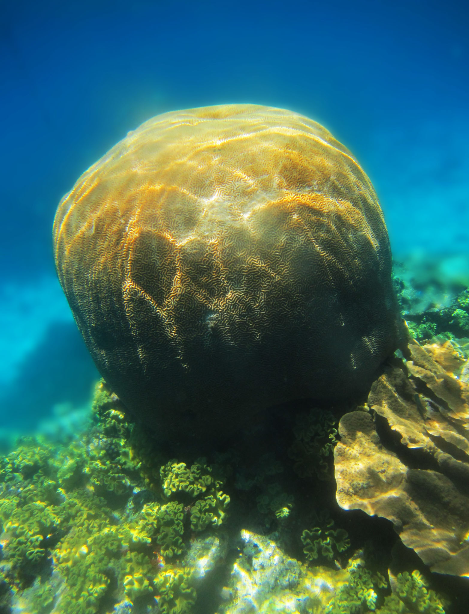
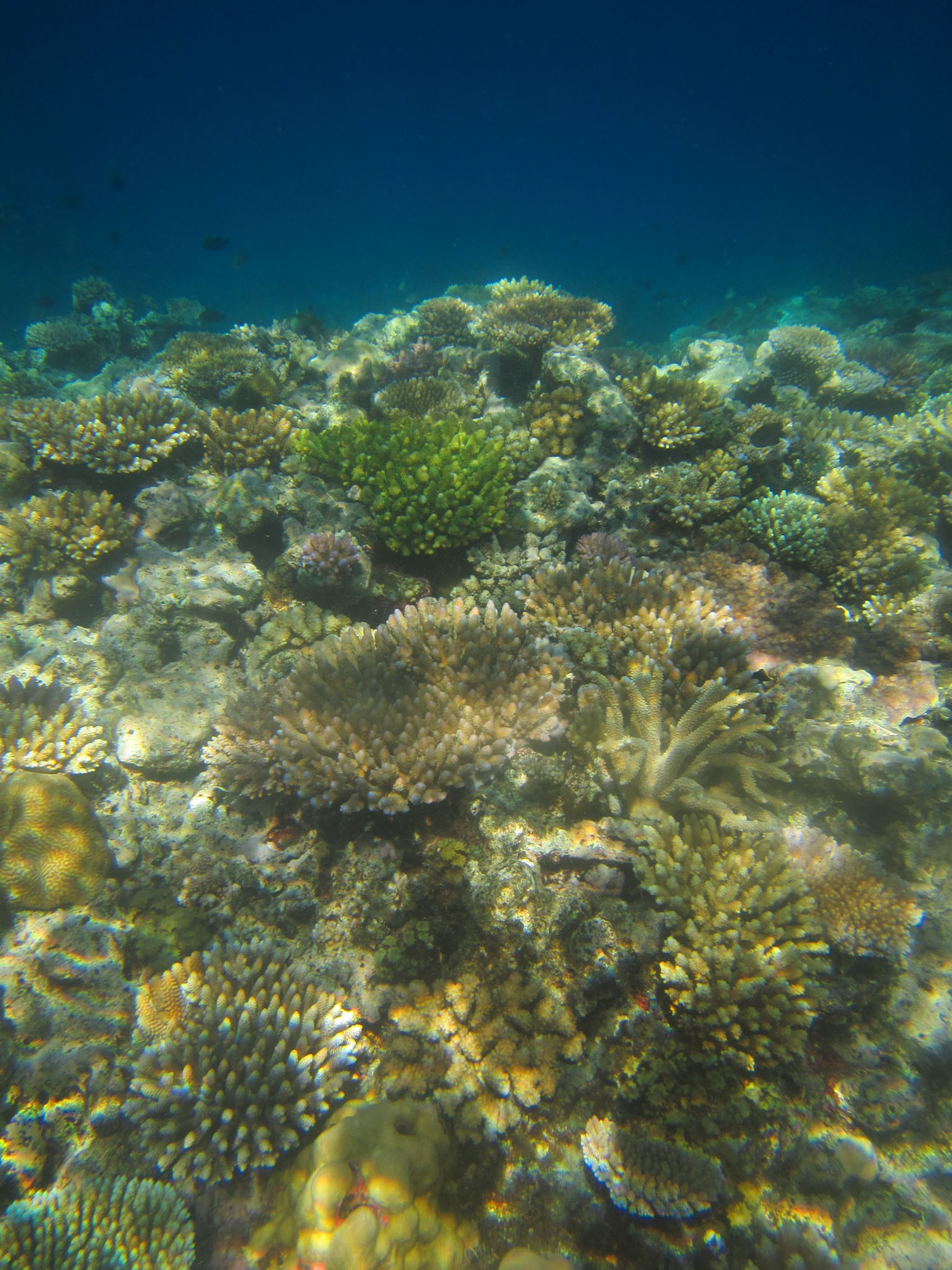
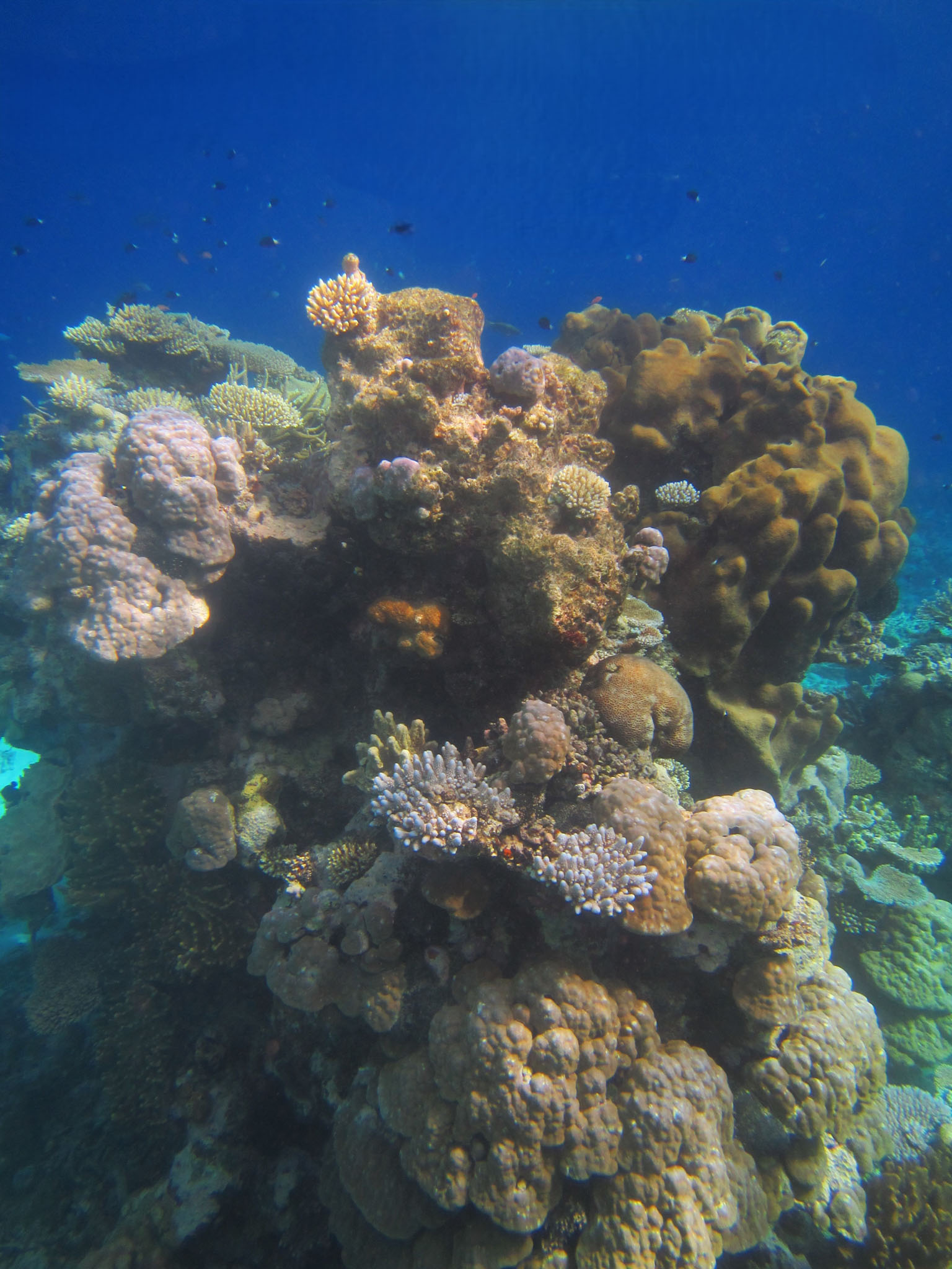
The island is ringed by a lagoon formed by an encircling coral reef. A break in the reef that enables passage for ships is located on the north side of the island. Tubuai has two lava domes, with its highest point, Mt Taita’a, being 422 meters. Six or seven islets or motus lie along the reef rim that encircles the island. These were described in the late 1700s as having an abundance of toa trees (Casuarina equisetifolia), which the indigenous peoples used in house building and to make war clubs and spears due to the wood’s density.

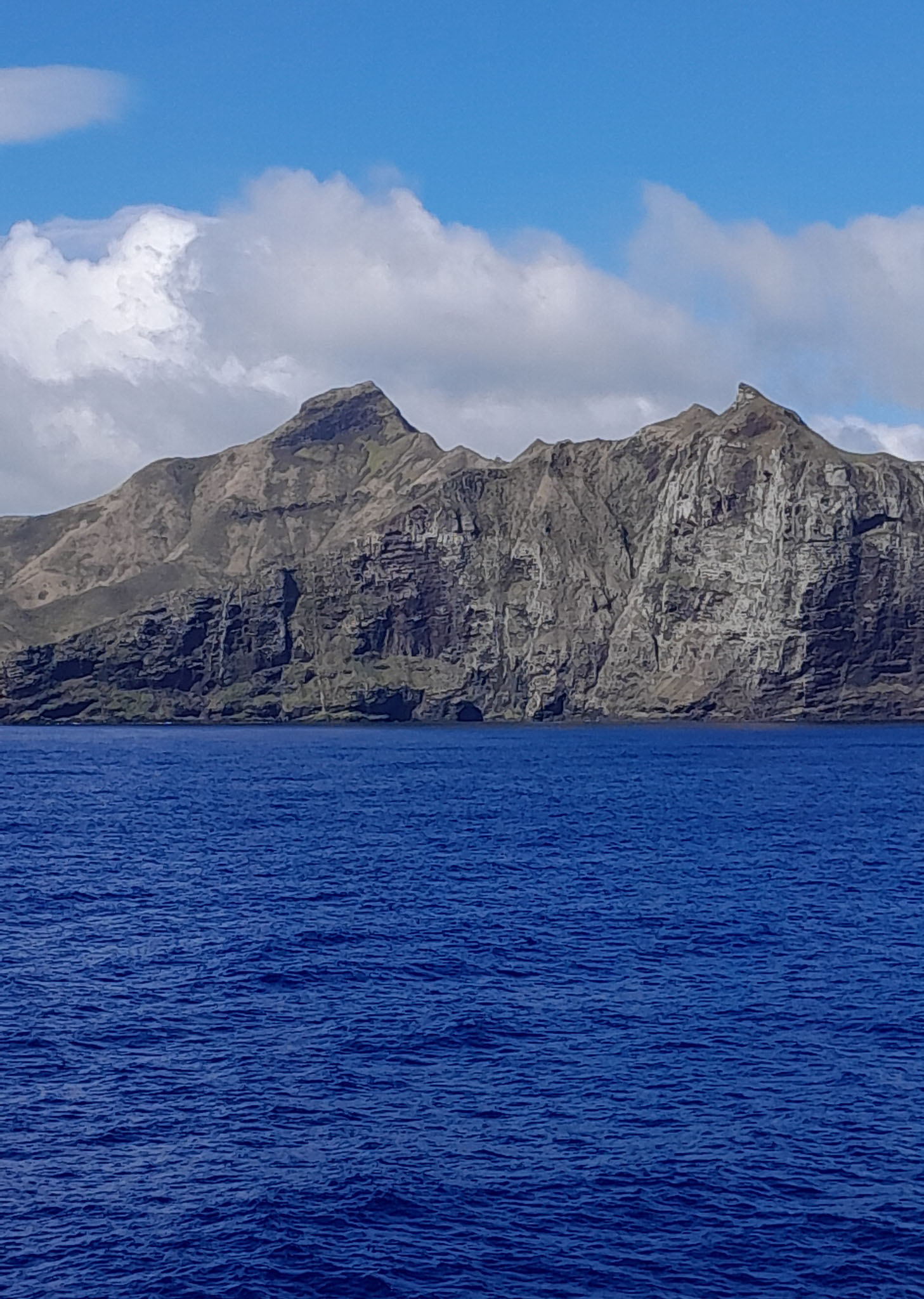
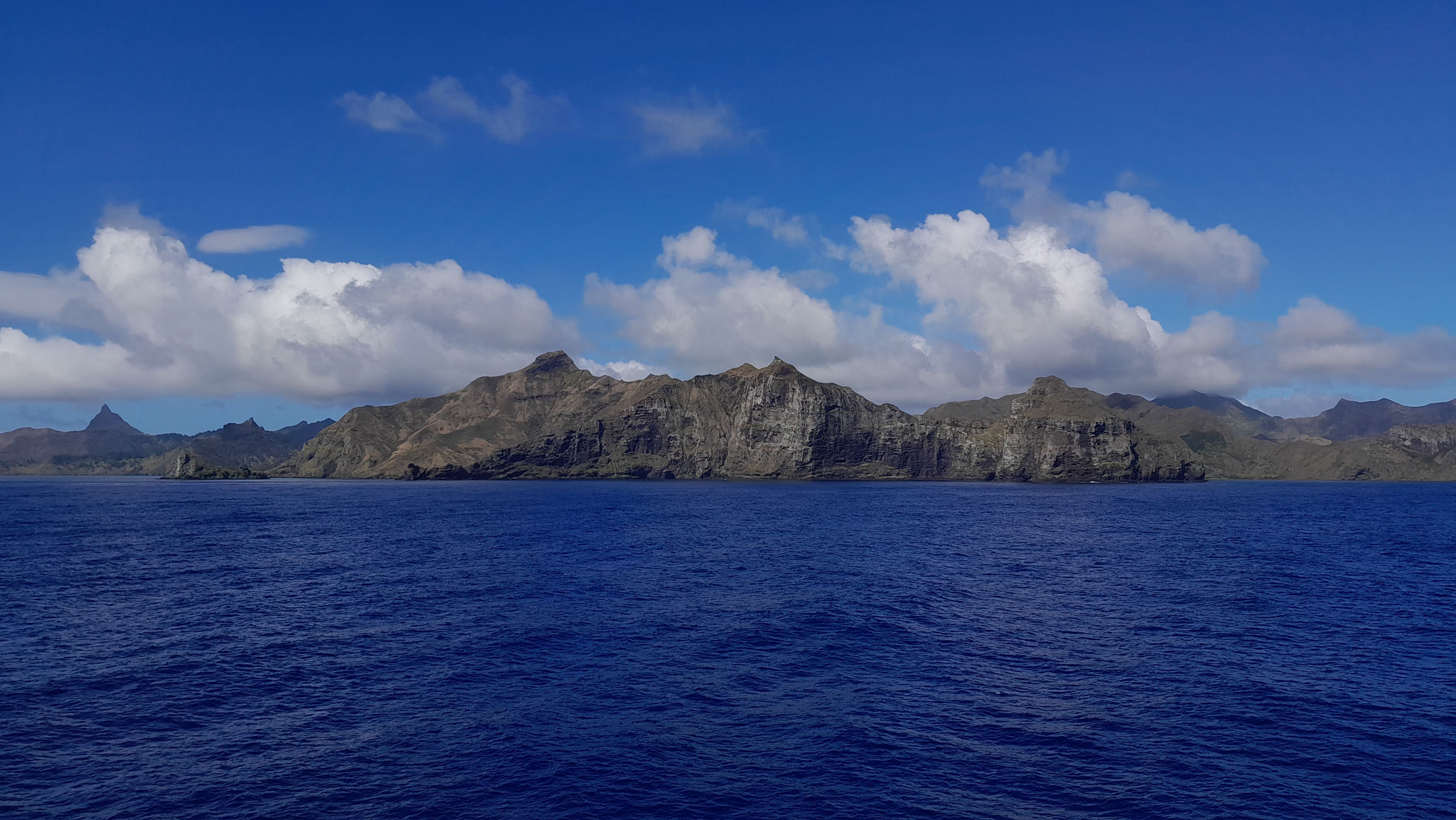
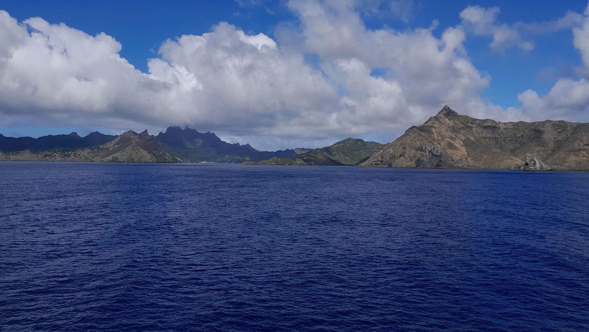
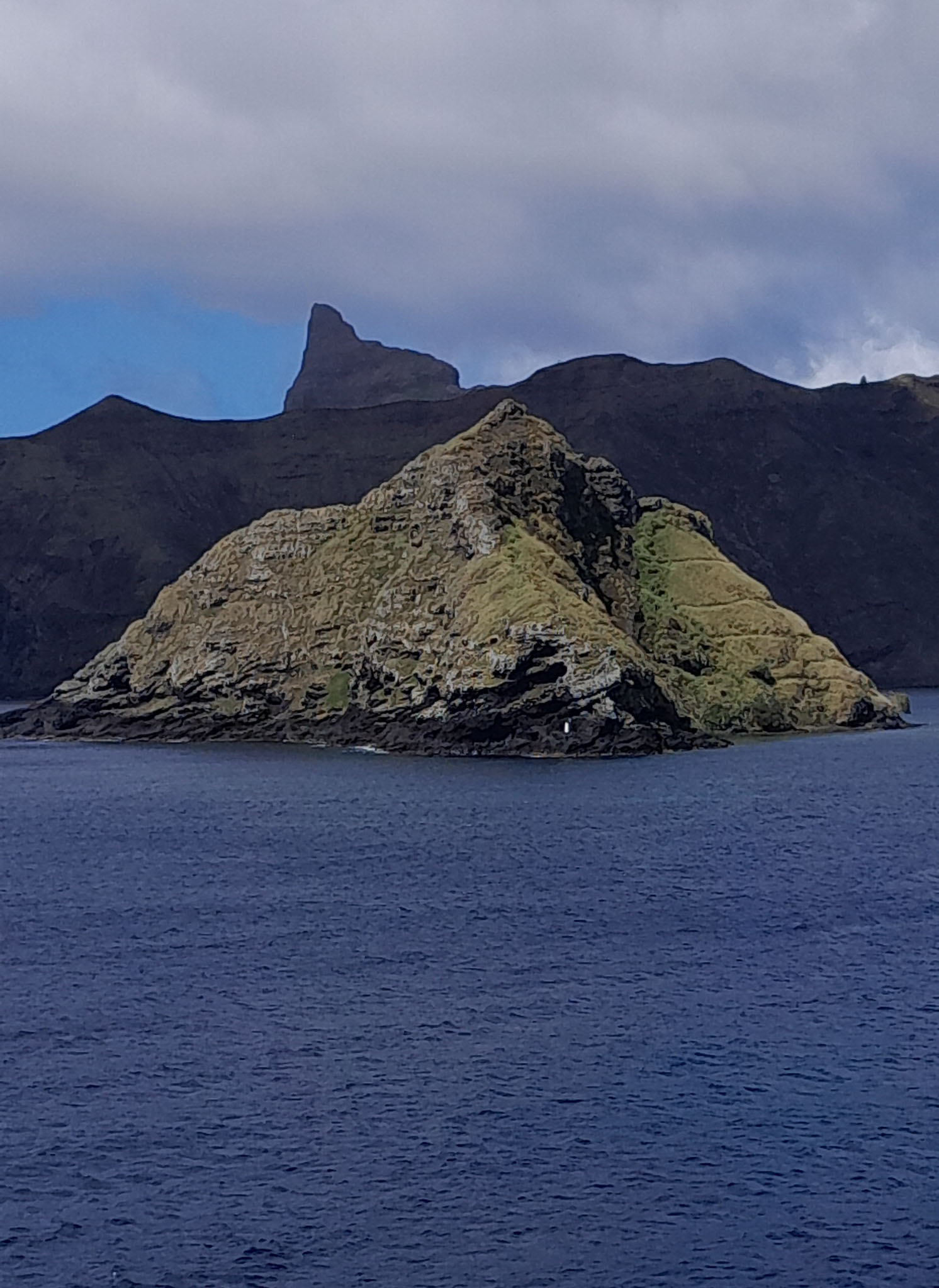
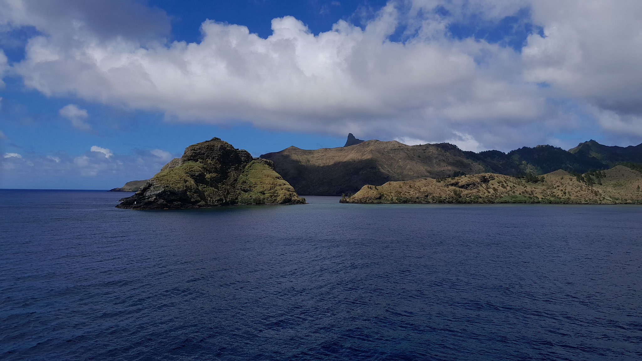
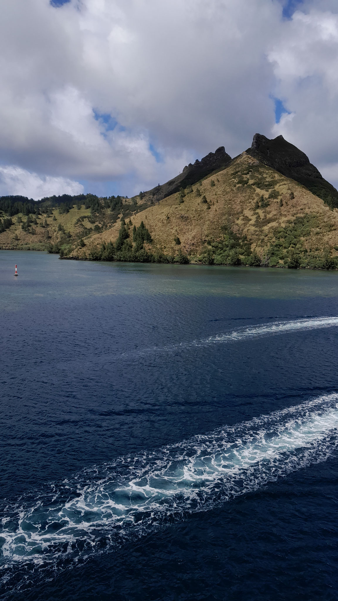
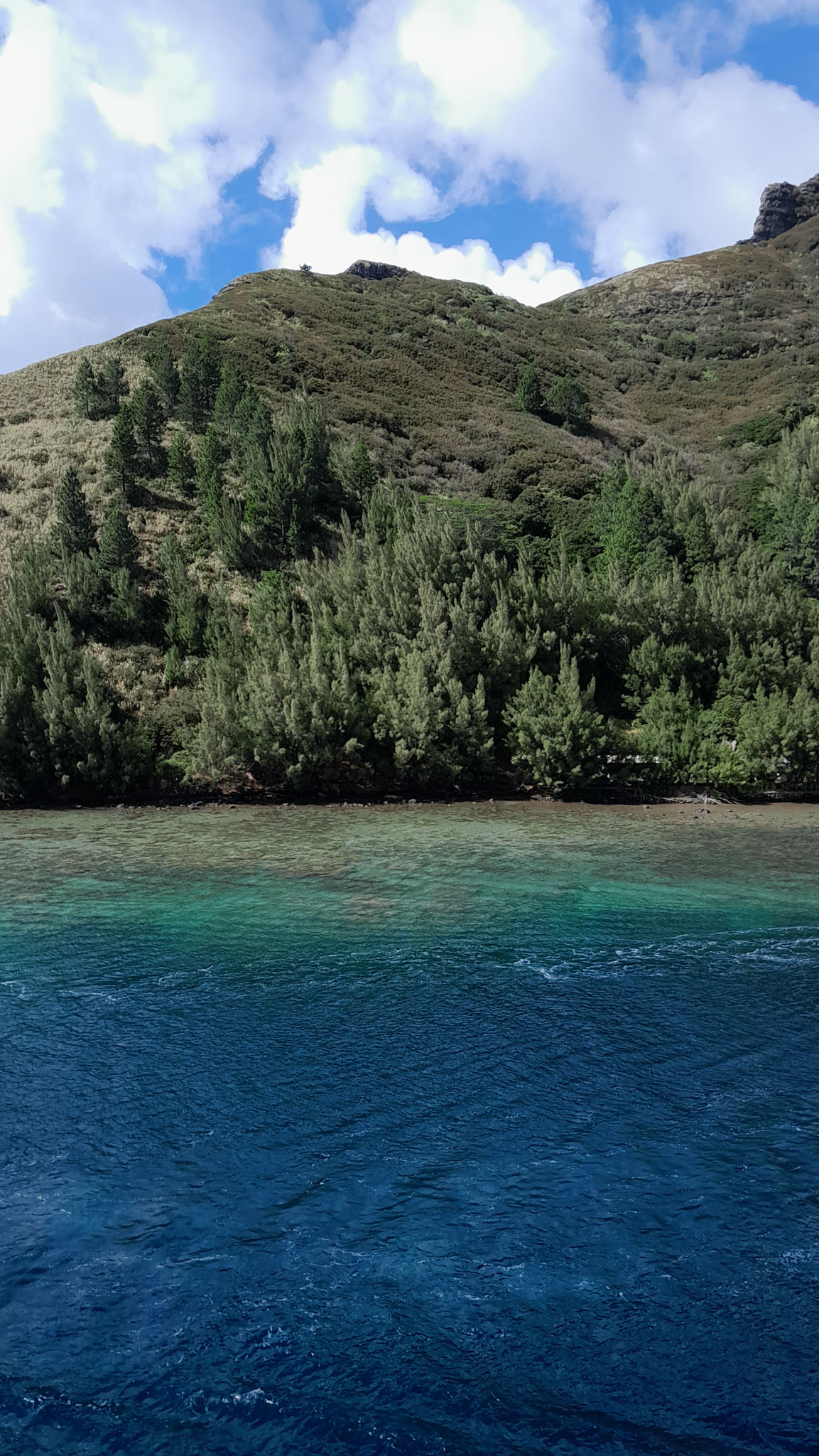

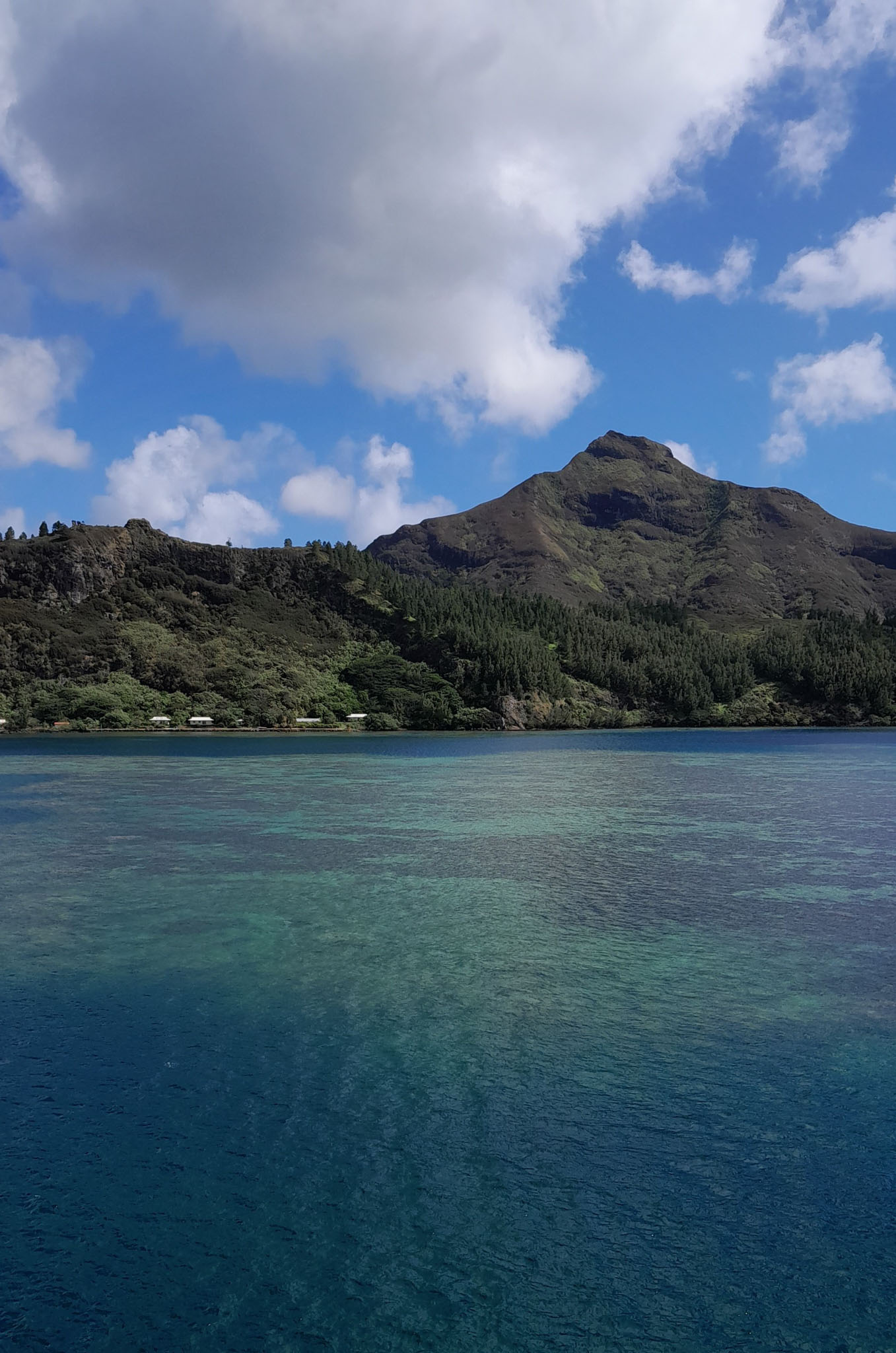
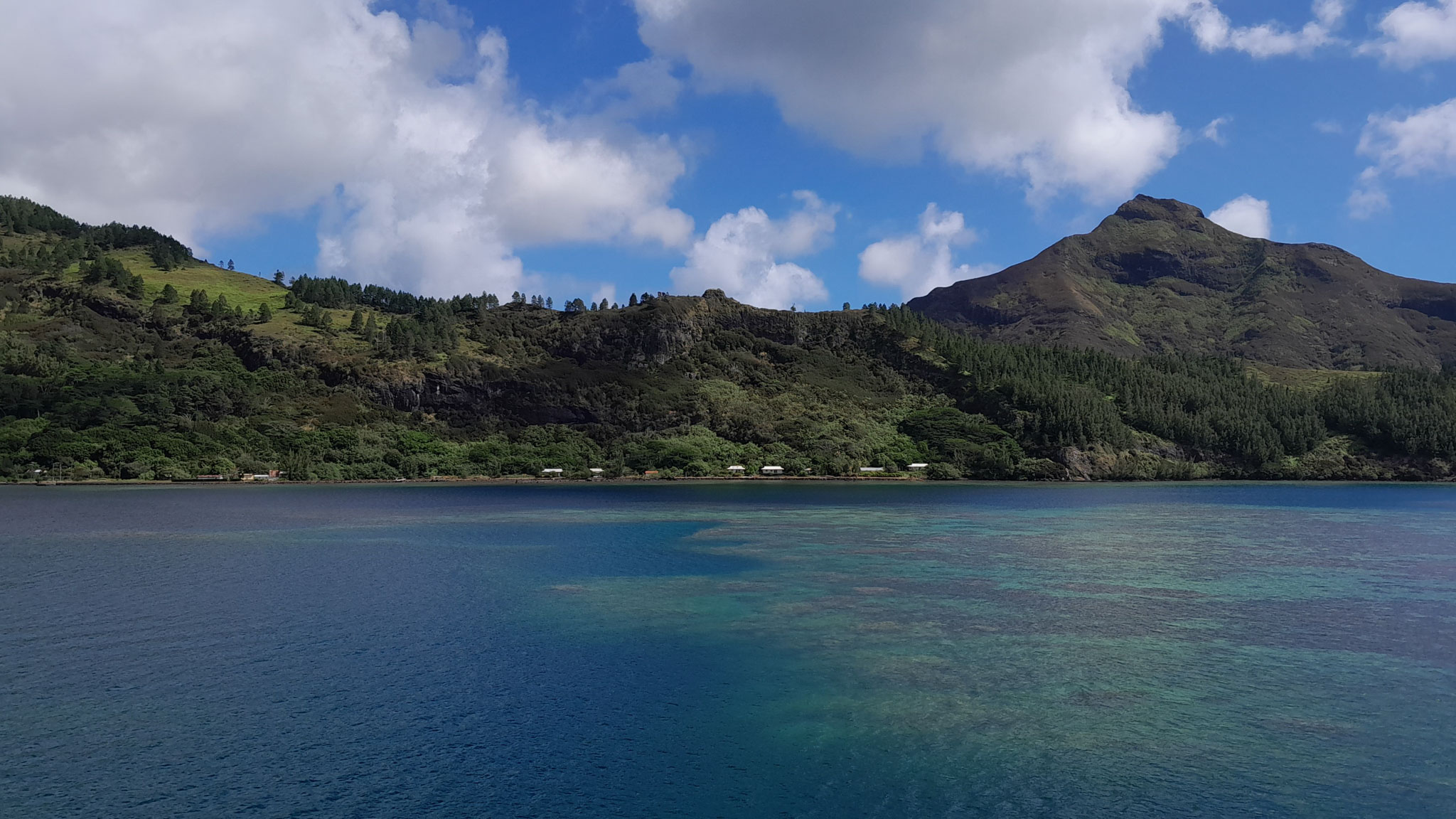
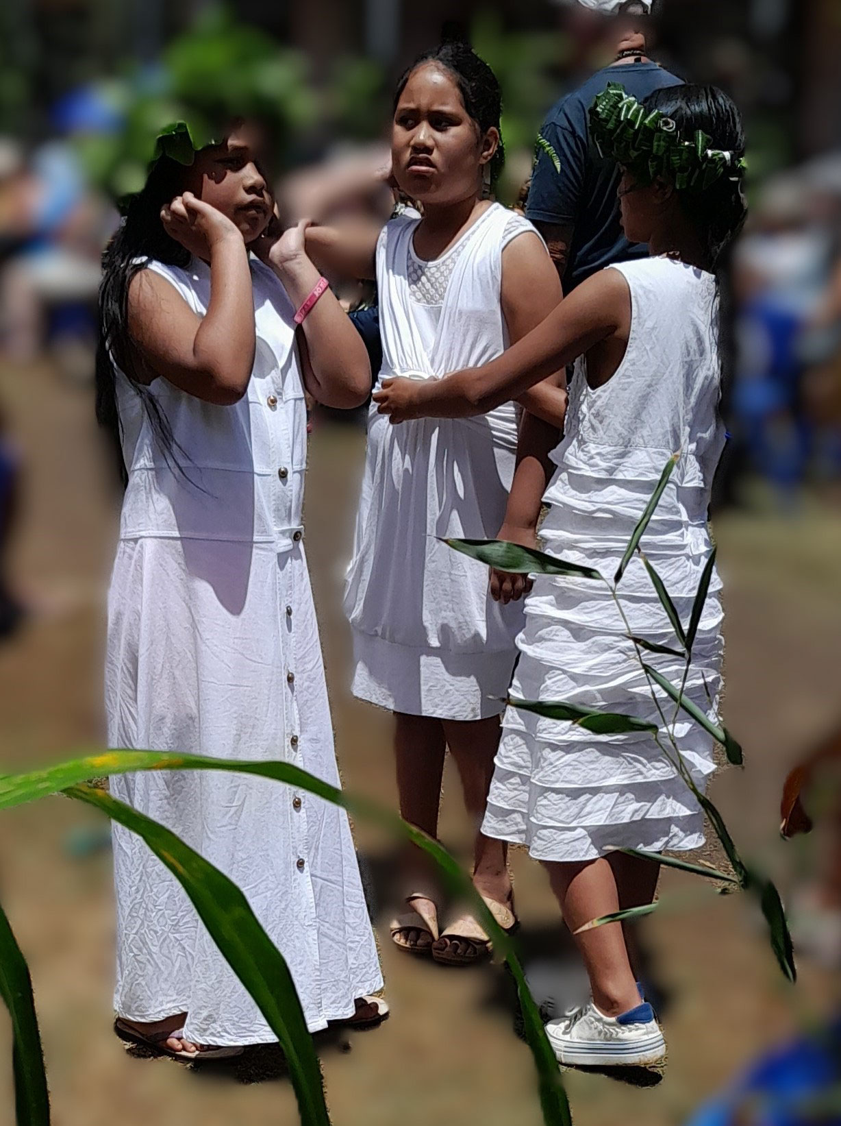
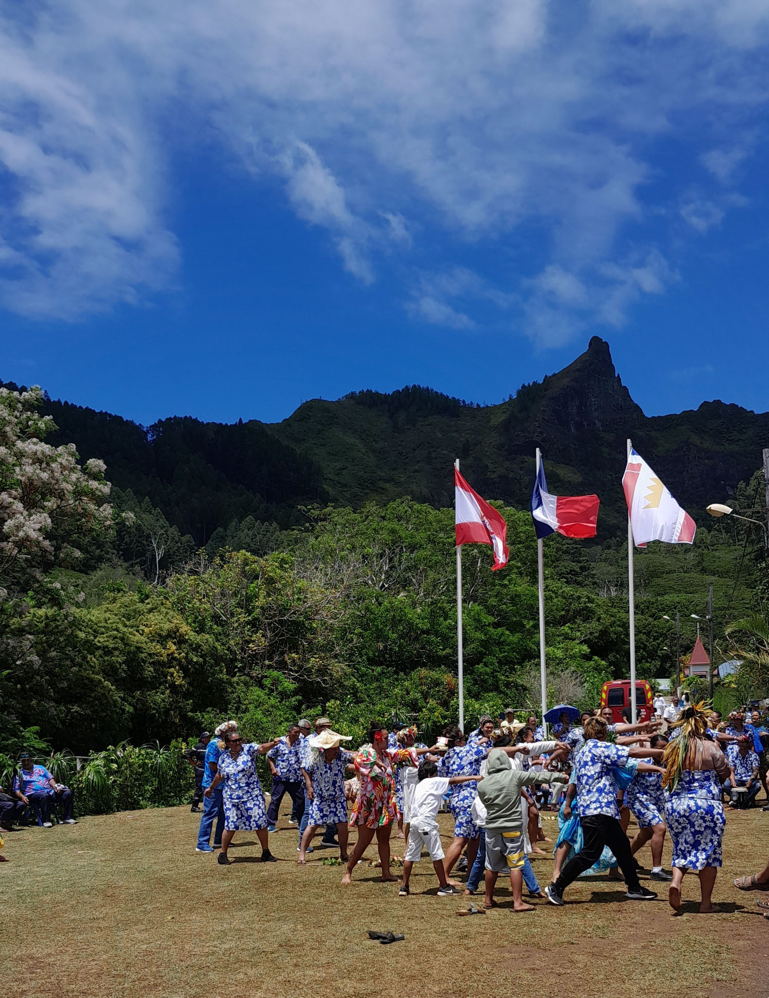

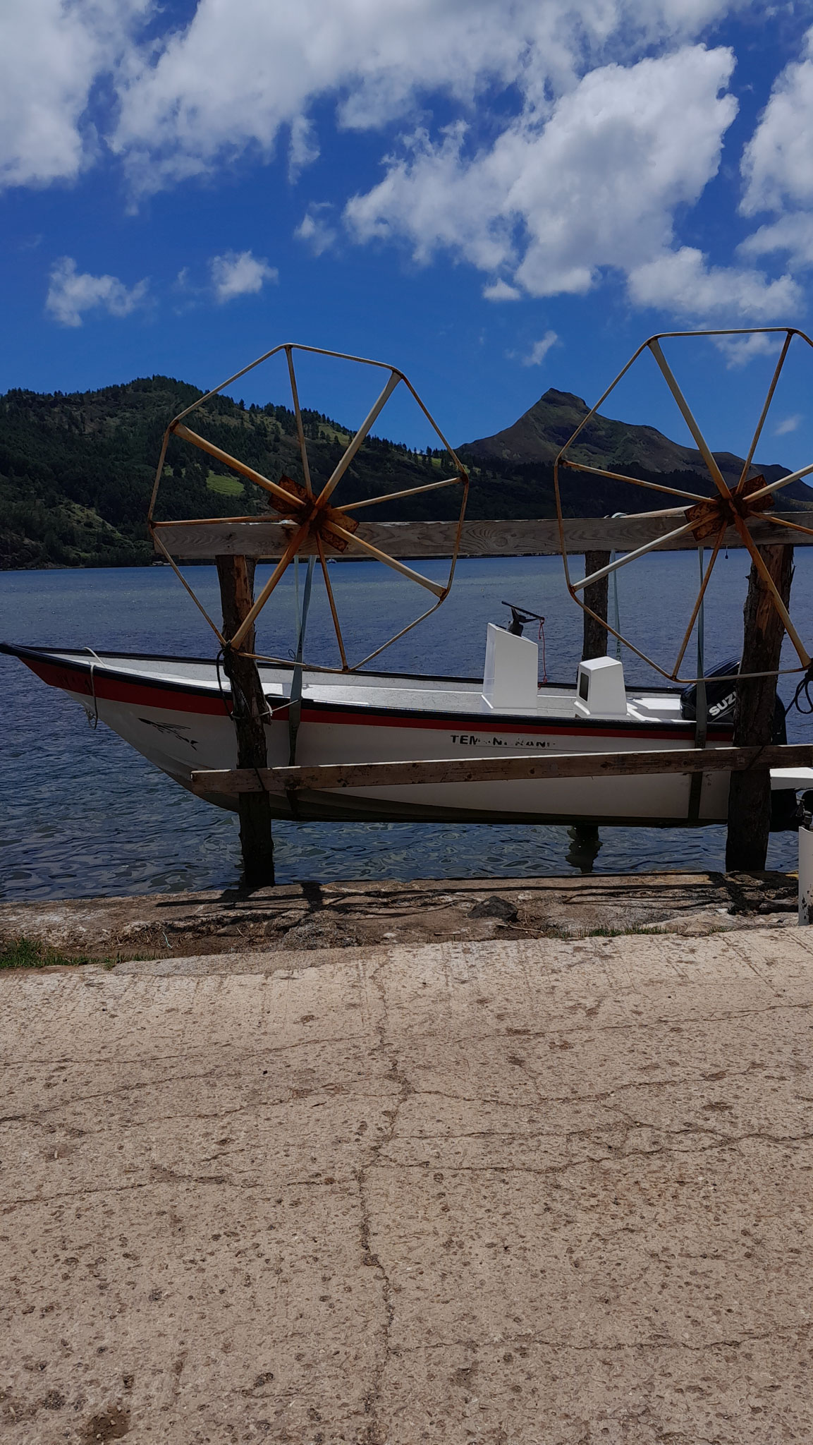
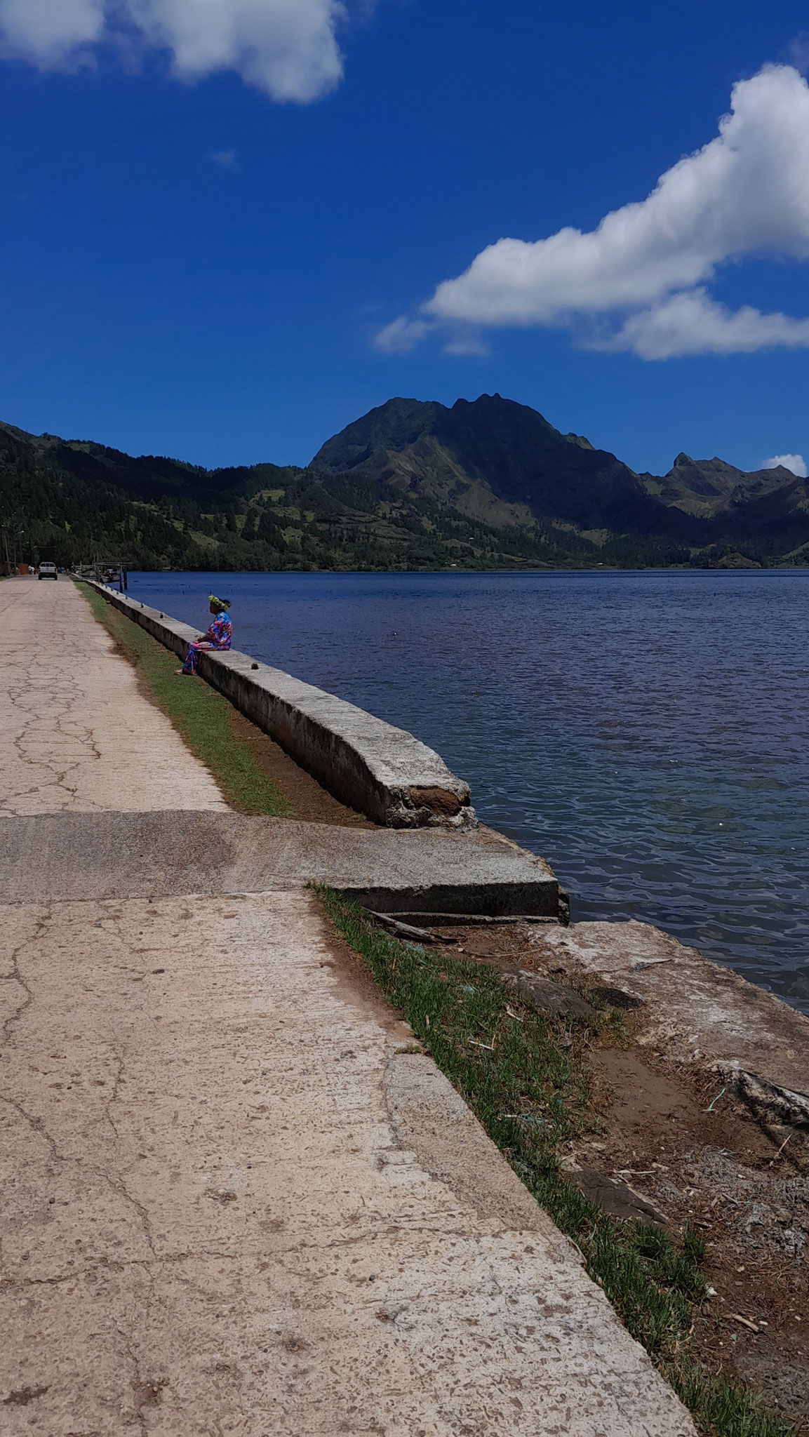
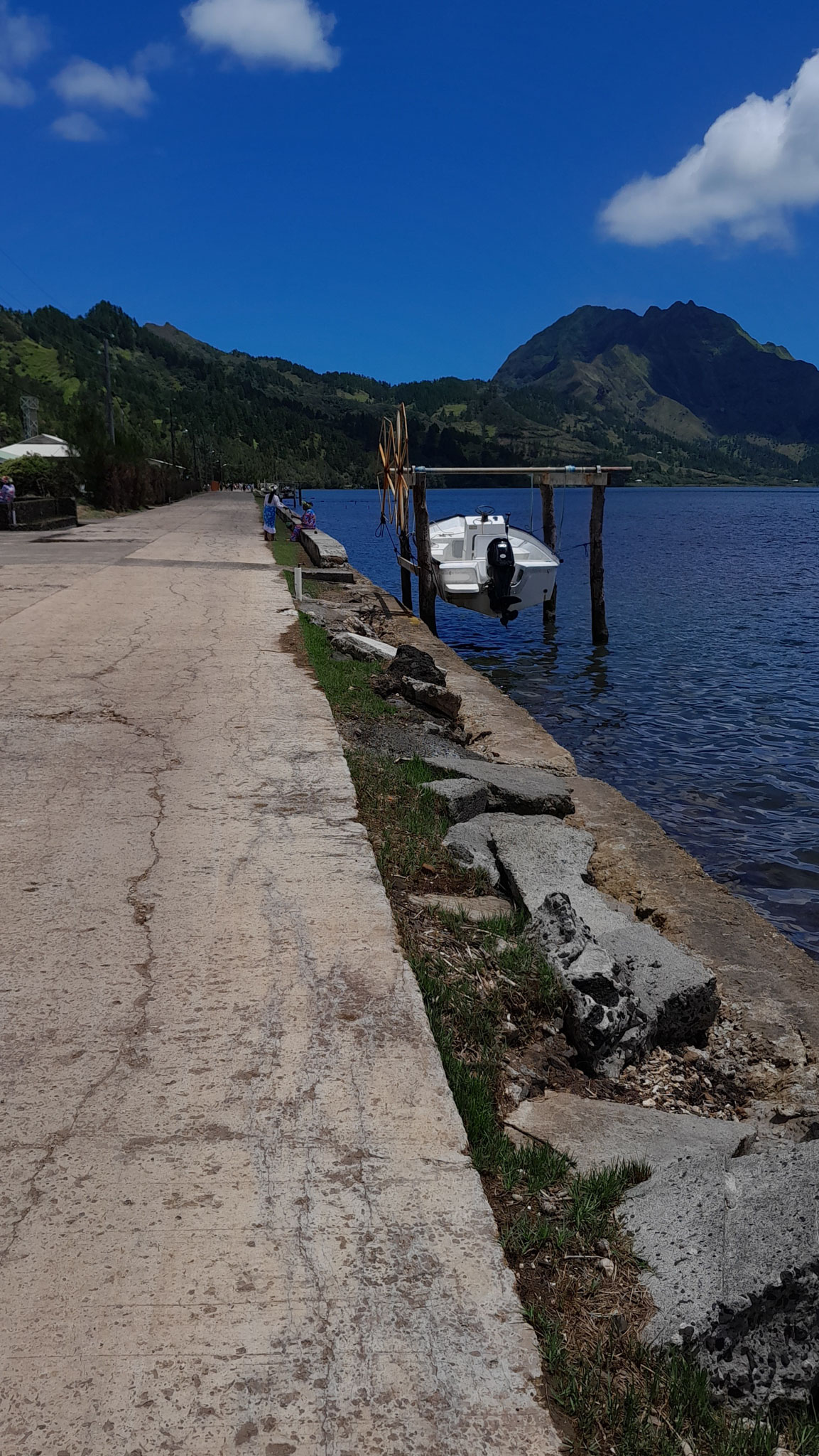
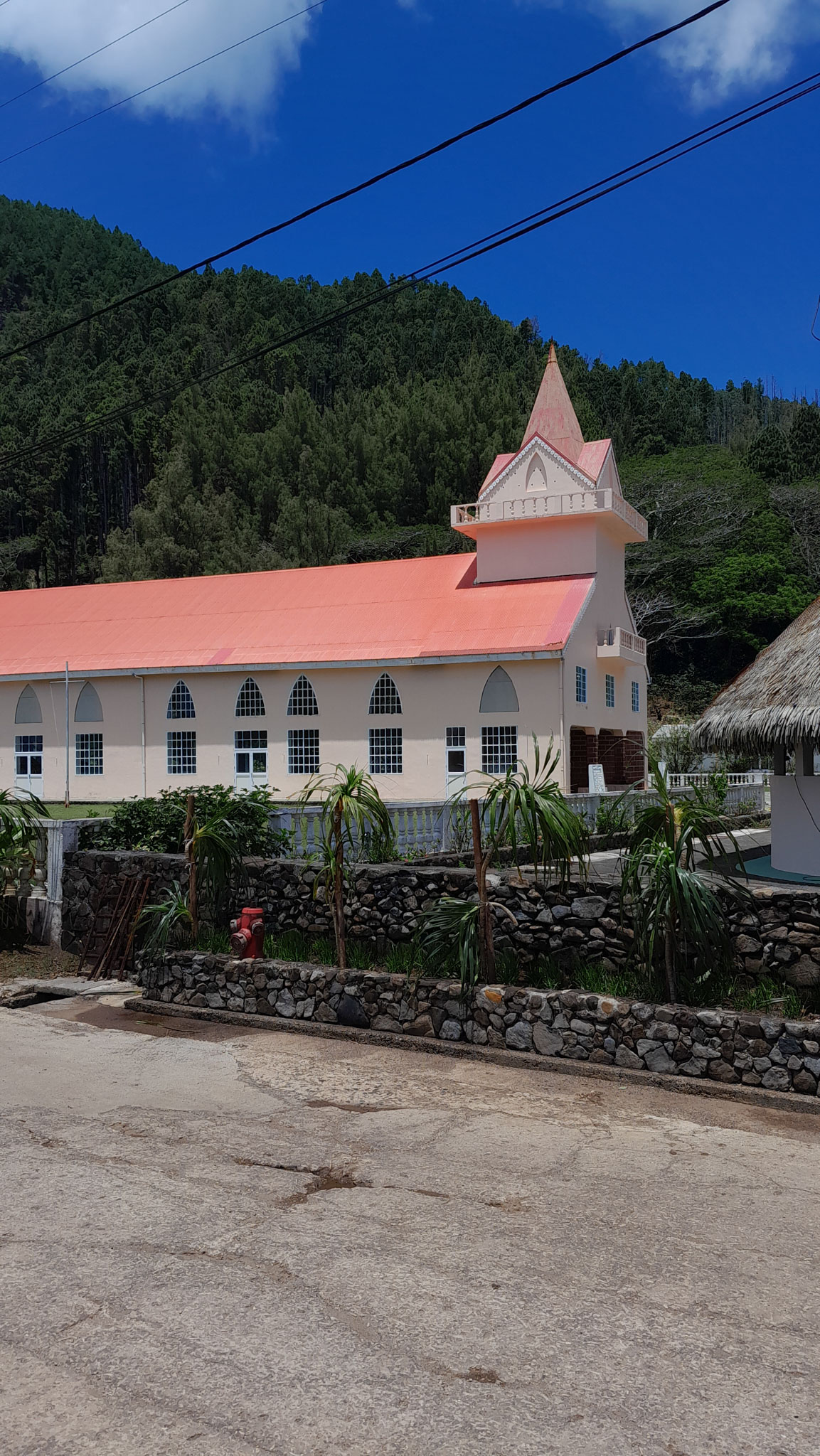
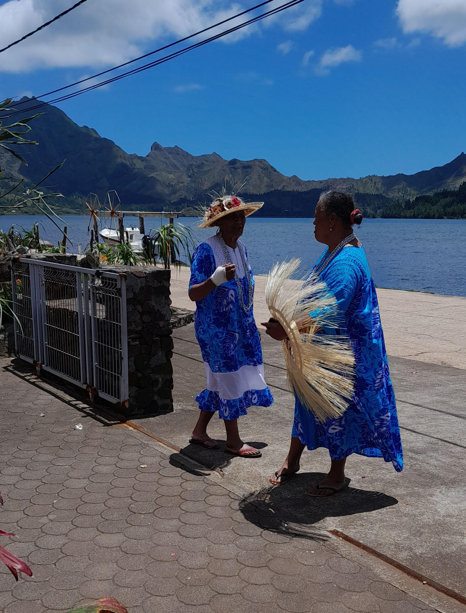
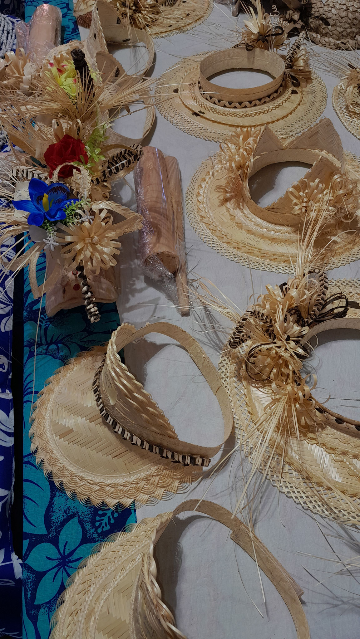

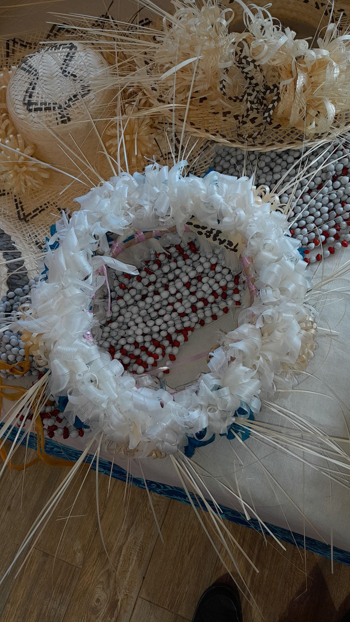
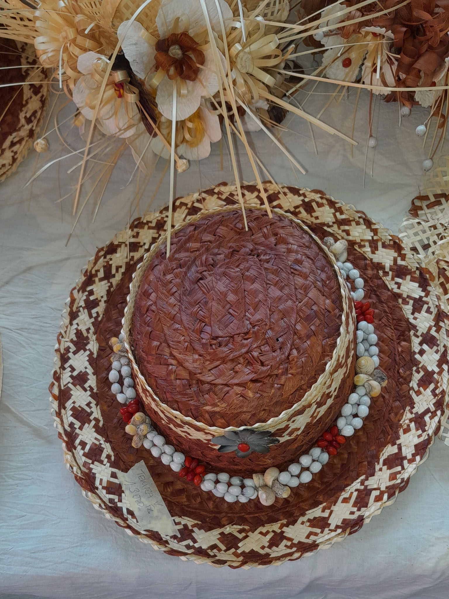
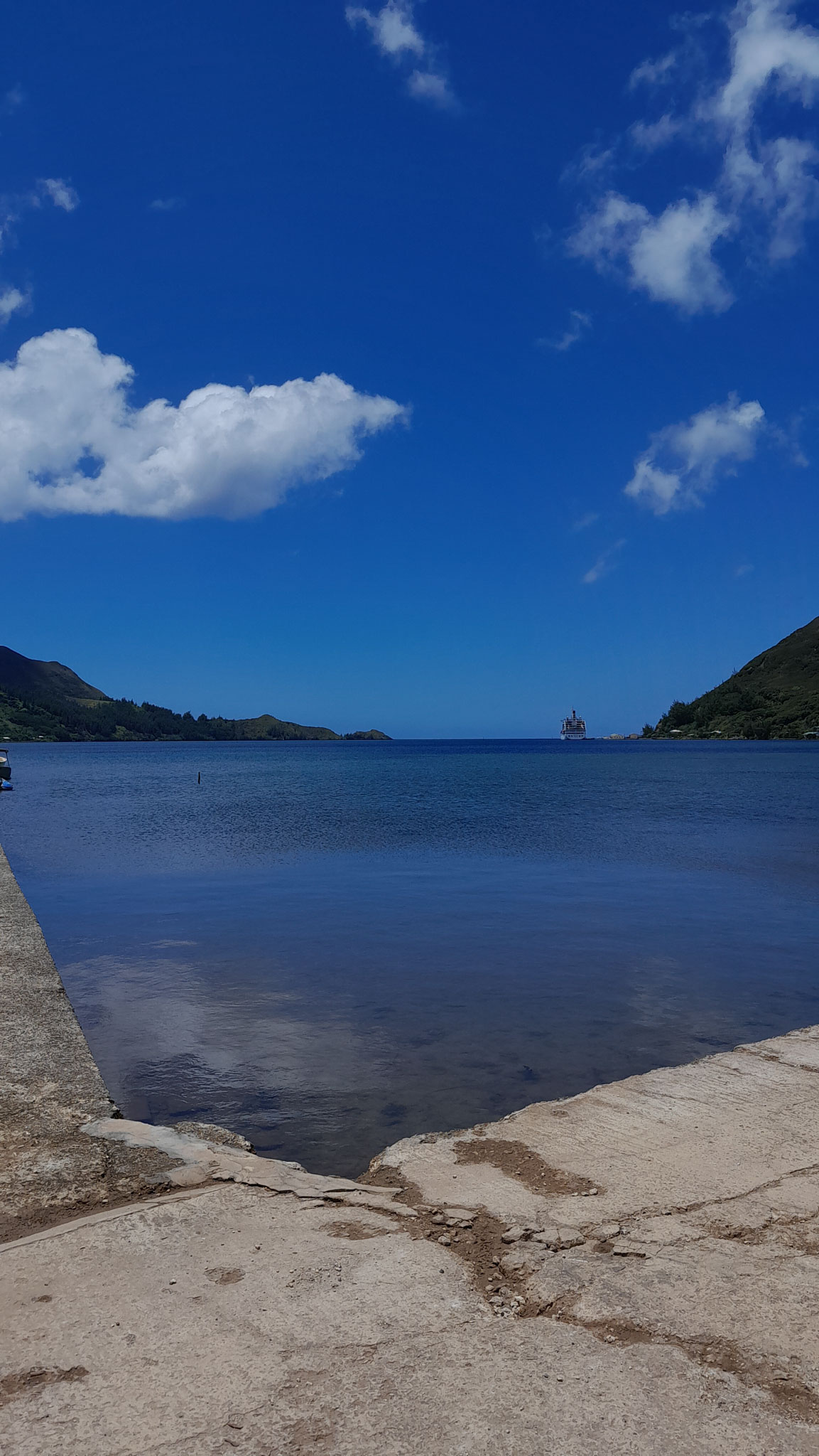

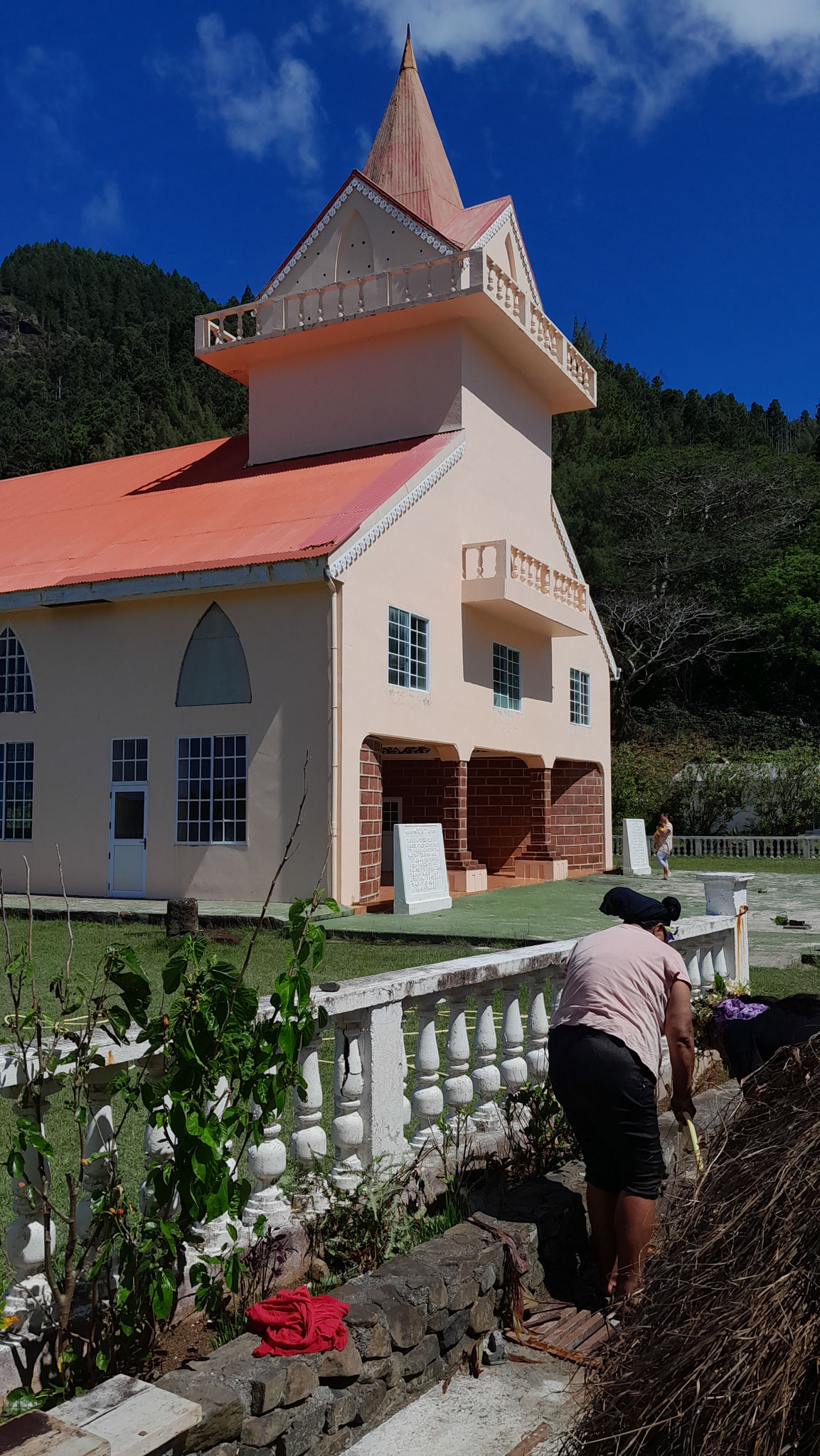


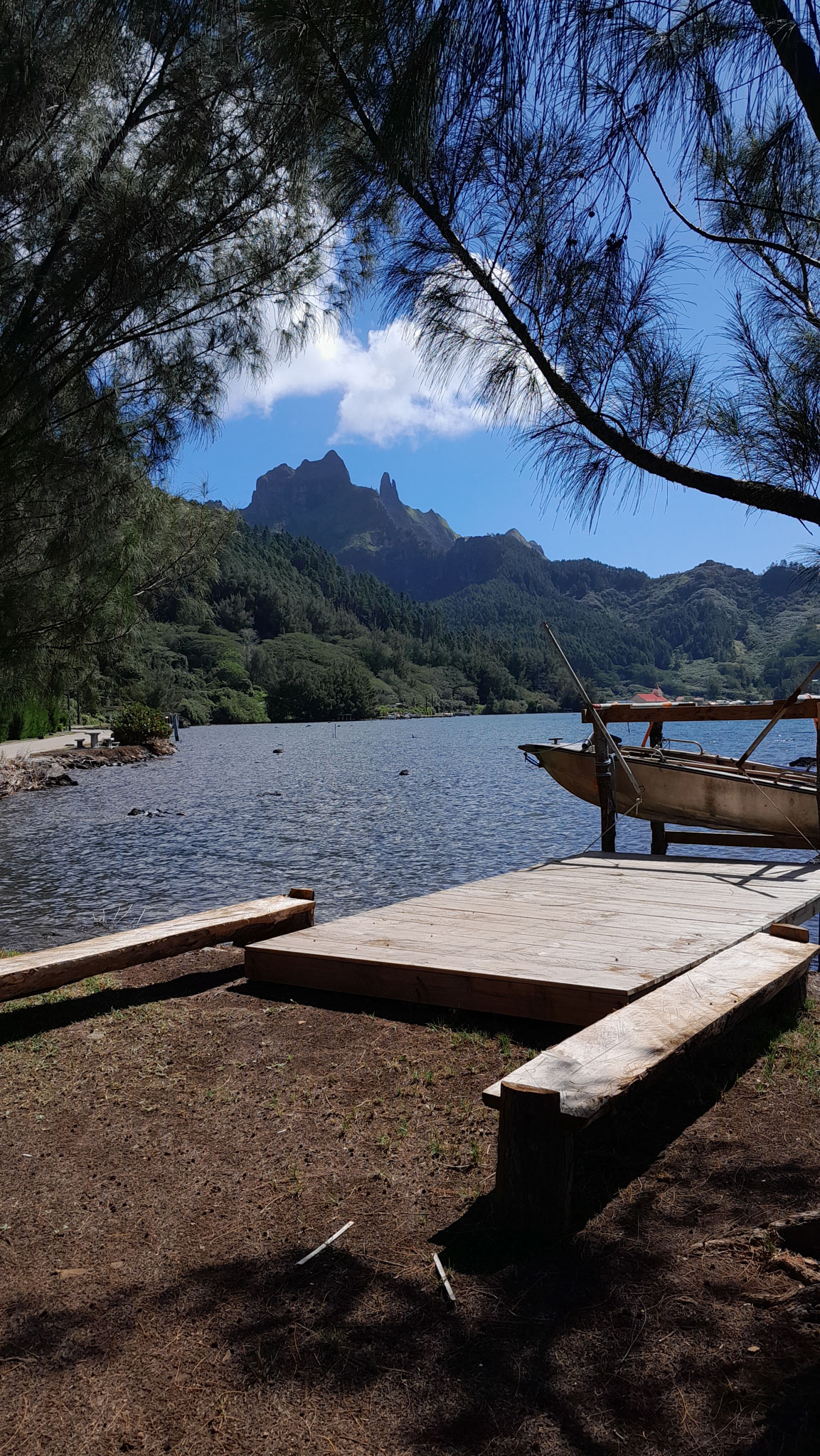
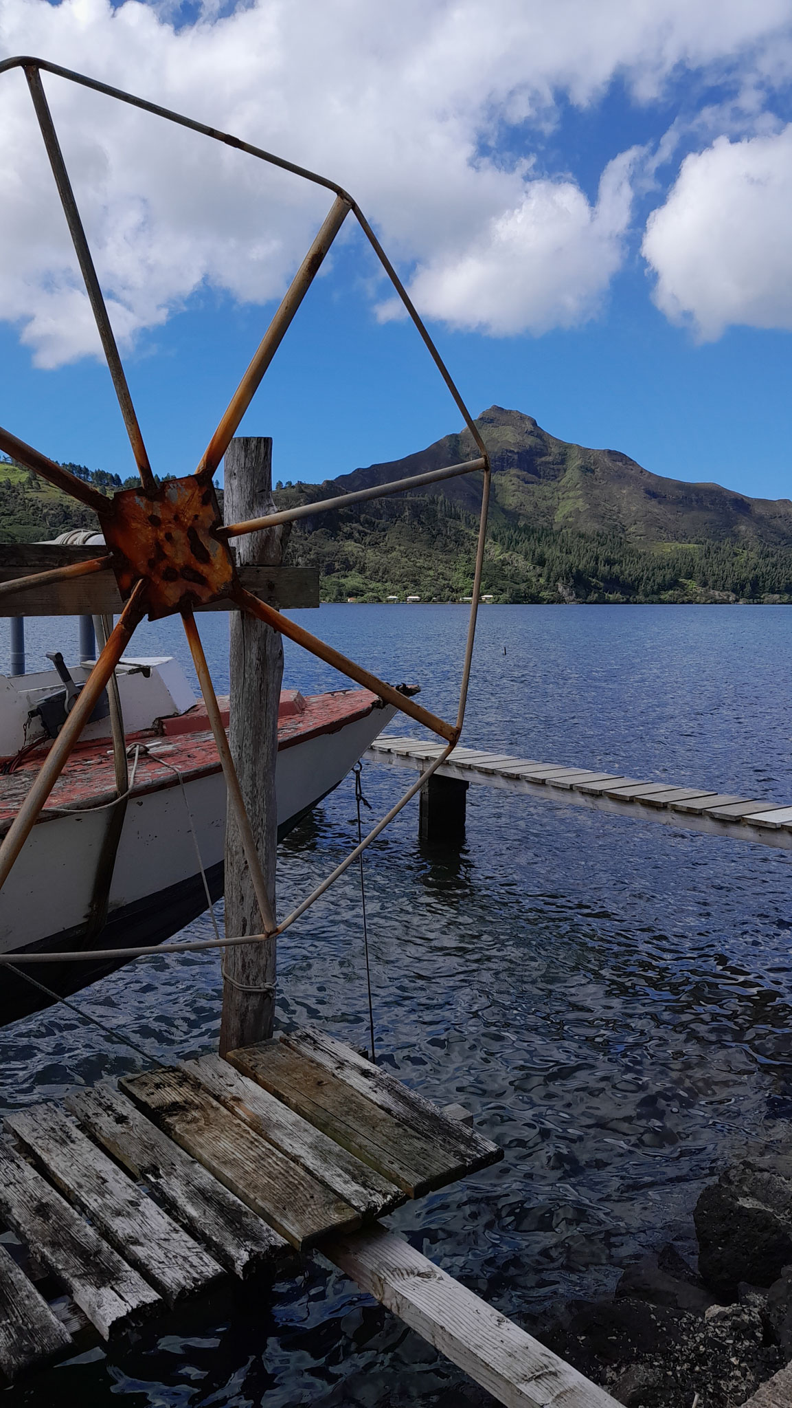
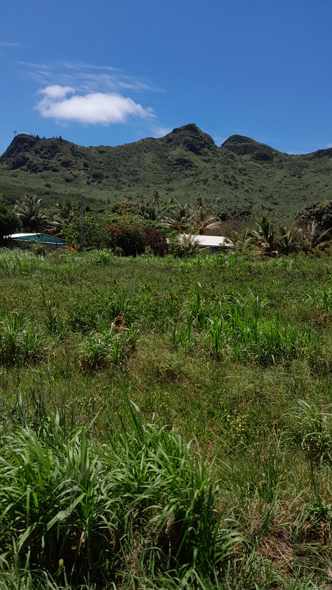
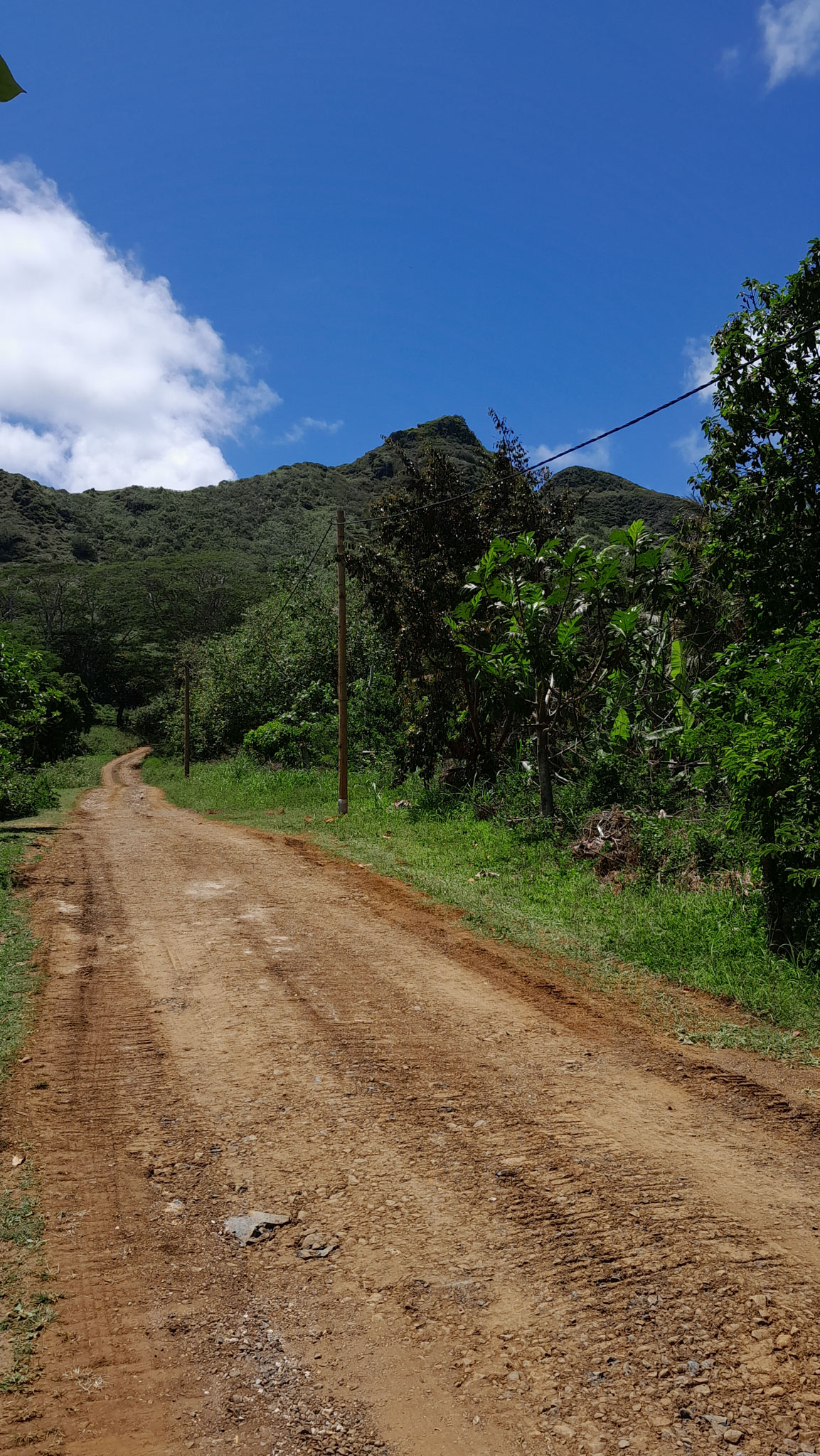
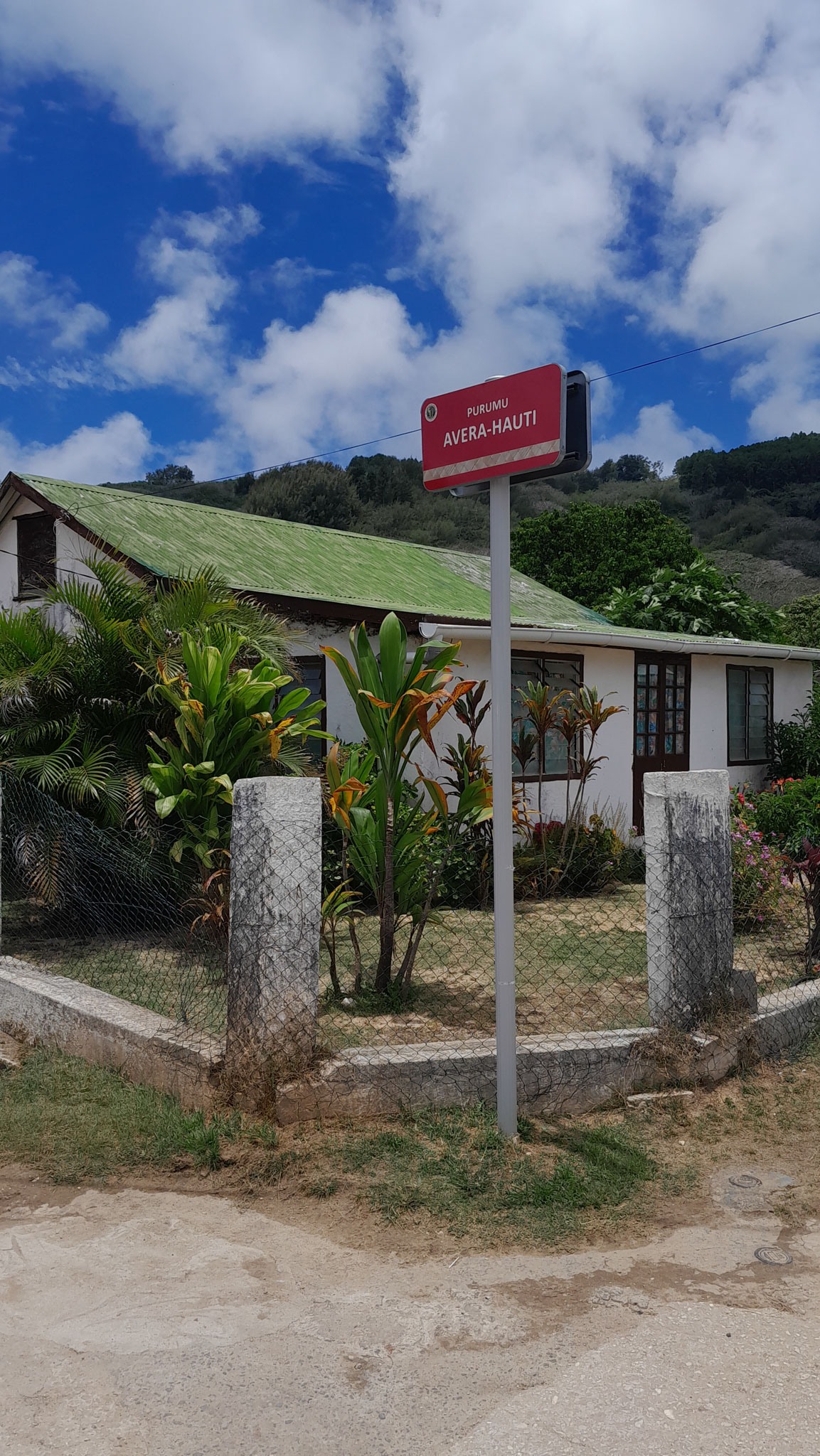
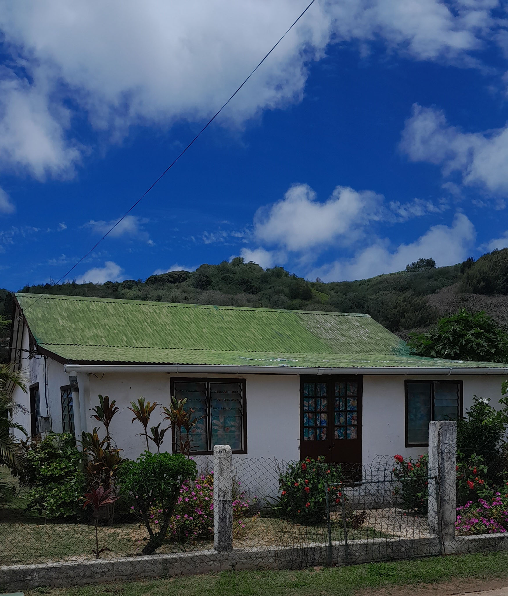
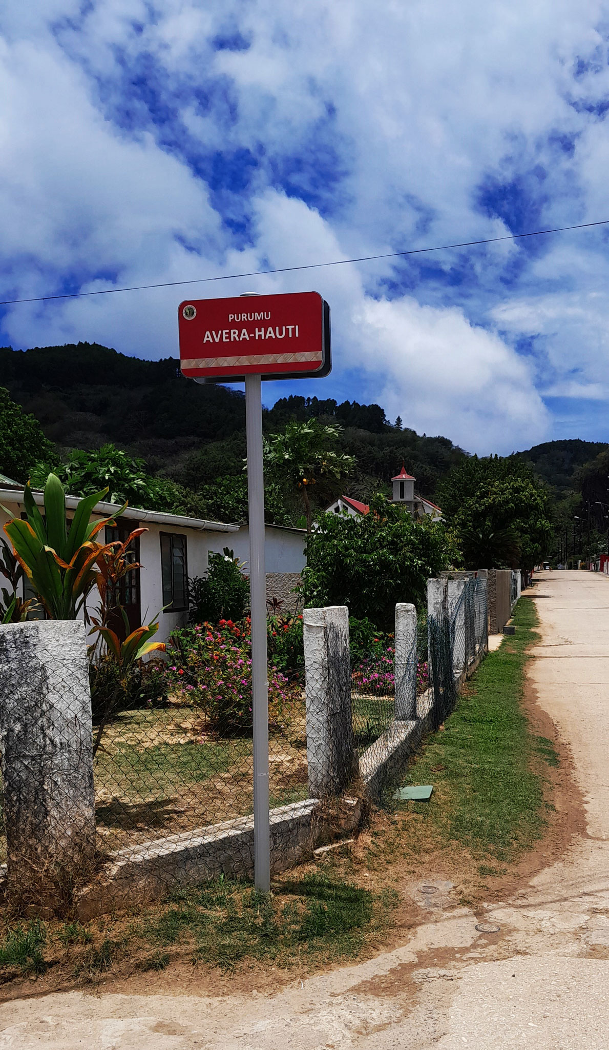
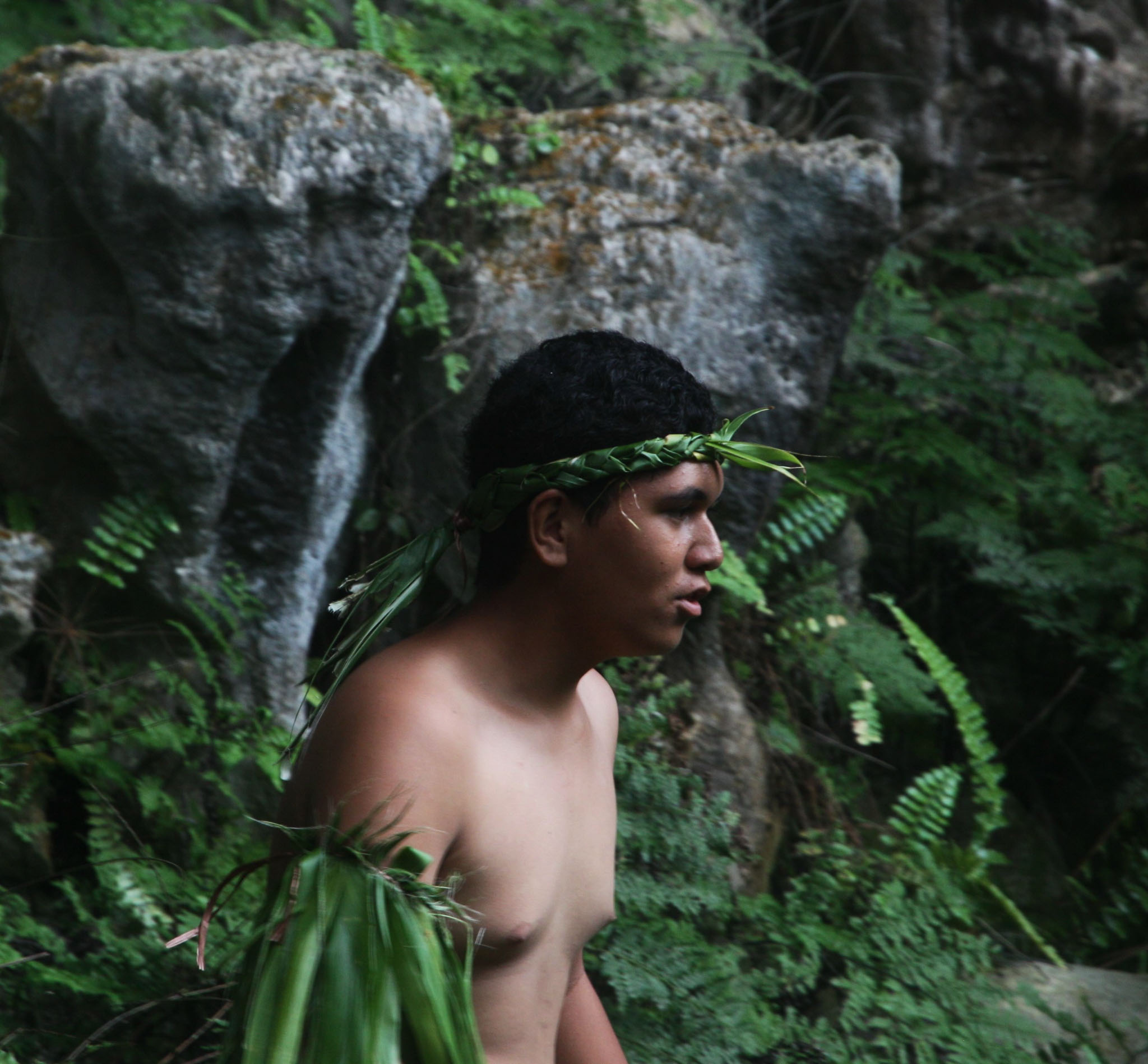
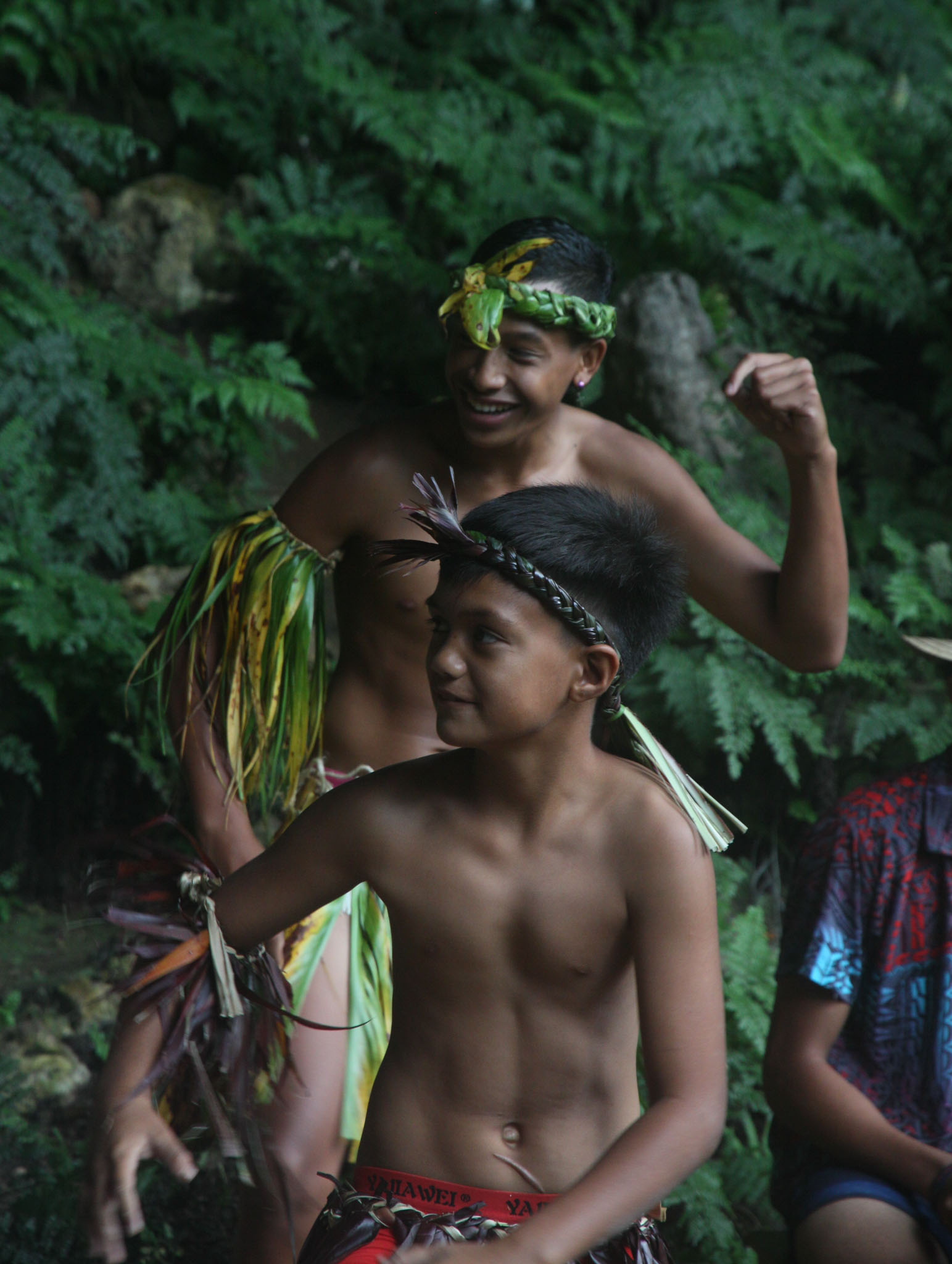
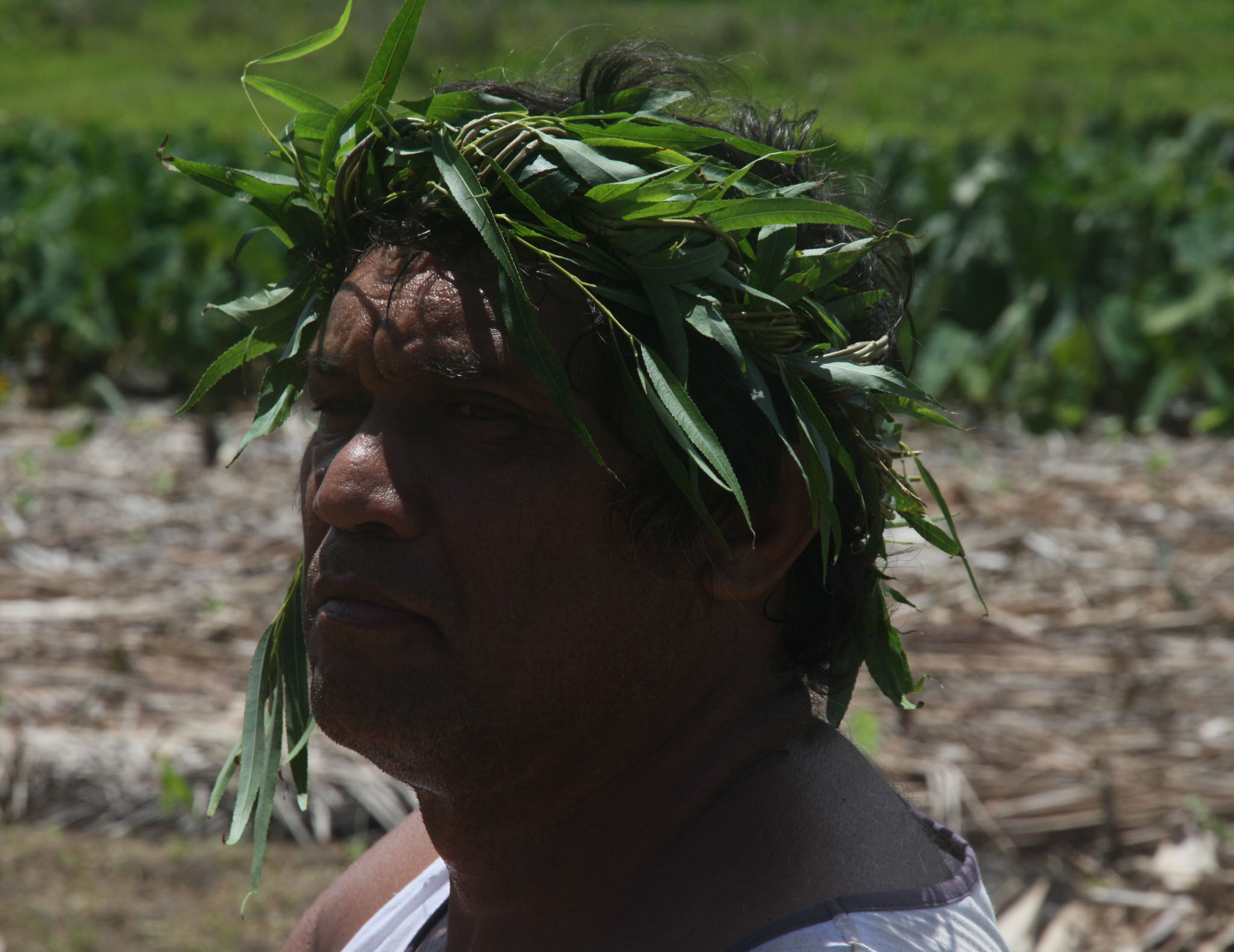
Rapa, also called Rapa Iti, or “Little Rapa”, to distinguish it from Easter Island, whose Polynesian name is Rapa Nui, is the largest and only inhabited island of the Bass Islands in French Polynesia. An older name for the island is Oparo. The total land area including offshore islets is 40.5 km2 (15.6 sq mi).: 205 As of the 2022 census, Rapa had a population of 451. The island’s highest point is at 650 metres (2,130 ft) elevation at Mont Perahu.: 243 Its main town is Ahuréi. The inhabitants of Rapa Iti speak their own Polynesian language called the Rapa language.
Rapa Iti is located at 27°35′00″S 144°20′00″W. It is shaped roughly like a Greek final sigma (ς), with a well-protected central bay, surrounded by a ring of relatively high mountains. The whole island appears to be the peak of a sinking volcano, with the bay as well as the caldera. The area of the main island is 38.5 km2. Little Rapa Tauturau is an offshore island.


Rūrutu is the northernmost island in the Austral archipelago of French Polynesia, and the name of a commune consisting solely of that island. It is situated 572 km (355 mi) south of Tahiti. Its land area is 32.7 km2 (12.6 sq mi). It is 10.8 km long and 5.3 km wide. Its highest point (Manureva) is 389 m (1,276 ft). At the 2022 census it had a population of 2,163.
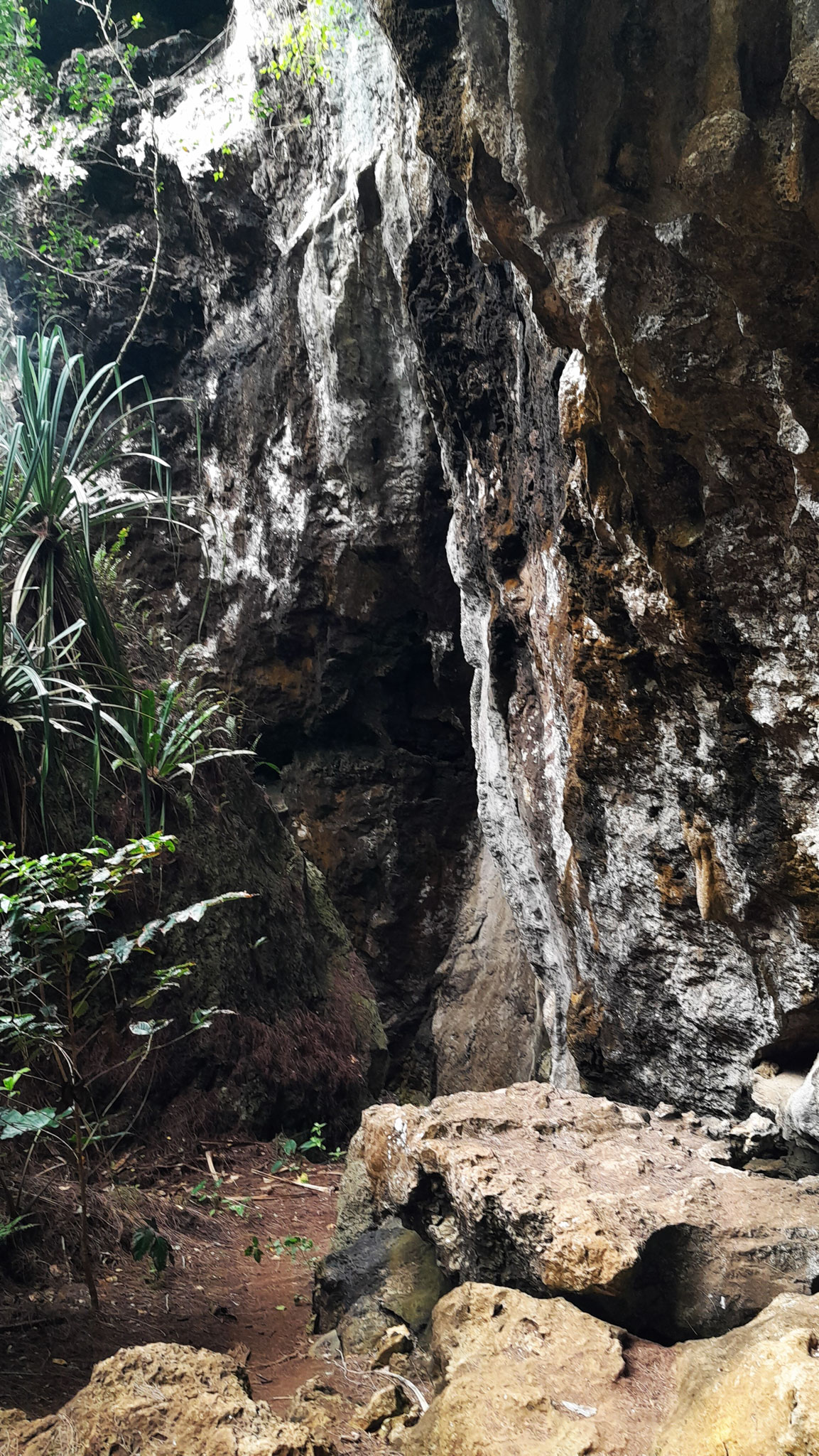
Geologically, Rurutu was initially formed 12 million years ago by the Macdonald hotspot, a hotspot associated with the Macdonald seamount. Over the next 10 million years, erosion shrank the island until it was almost an atoll. Then, just over a million years ago, Rurutu passed over the Arago hotspot, which lifted it roughly 150 meters. Steep sea cliffs of ancient coral lifted by the event—called makatea—now largely encircle the island. These are riddled with caves filled with concretions—indeed, Rurutu is largely unique among islands in French Polynesia in that its historic inhabitants were cave-dwelling.

Rimatara is the westernmost inhabited island in the Austral Islands of French Polynesia. It is located 550 km (340 mi) south of Tahiti and 150 km (93 mi) west of Rurutu. The land area of Rimatara is 8.6 km2 (3.3 sq mi), and that of the Maria islets is 1.3 km2 (0.50 sq mi). Its highest point is 106 m (348 ft). Its population was 893 at the 2022 census.
Rimatara is a circular volcanic plateau surrounded by a reef with a height of 8 to 10 m (26 to 33 ft). The main villages are Amaru (the capital), Anapoto and Mutuaura.
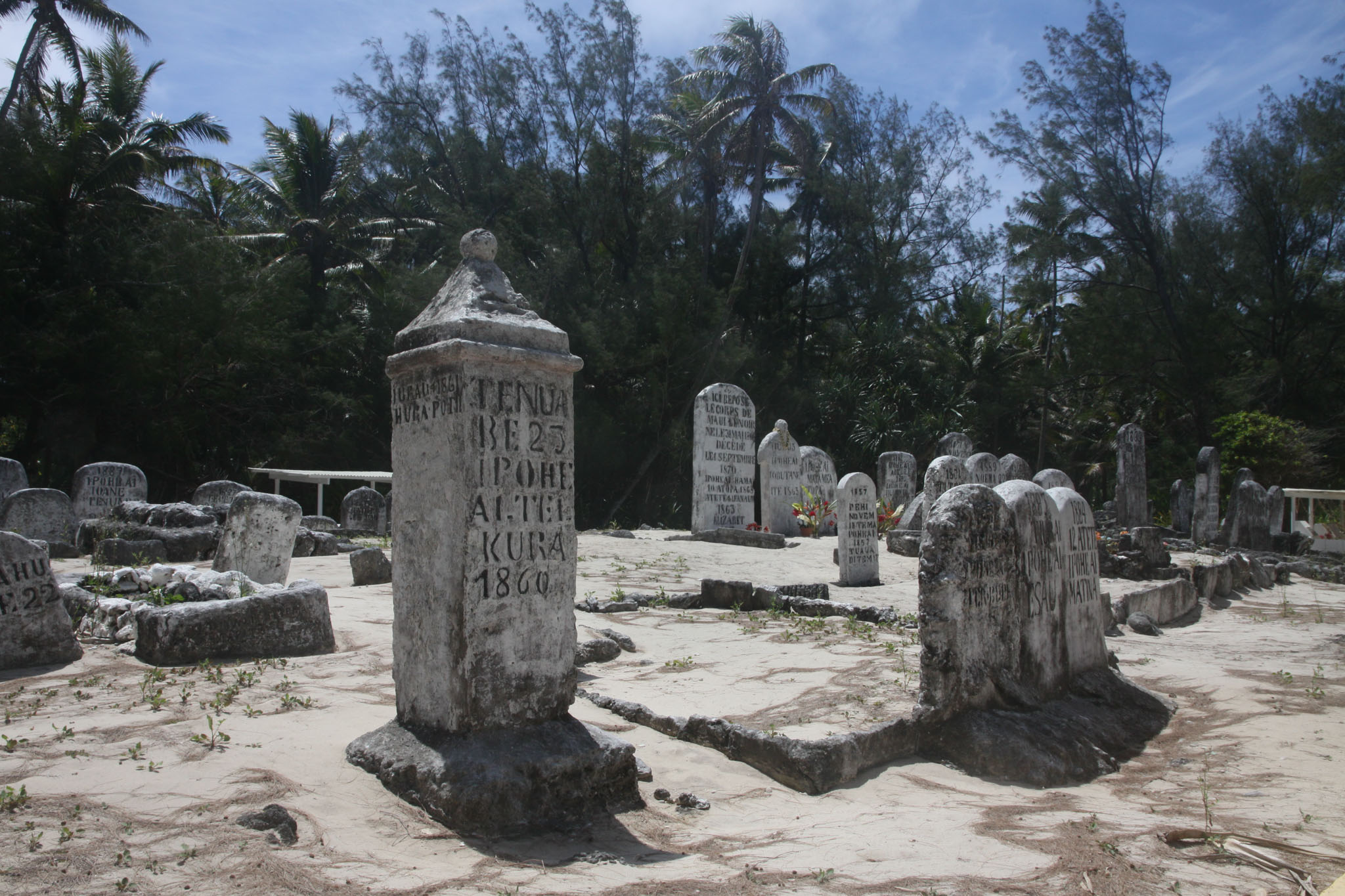
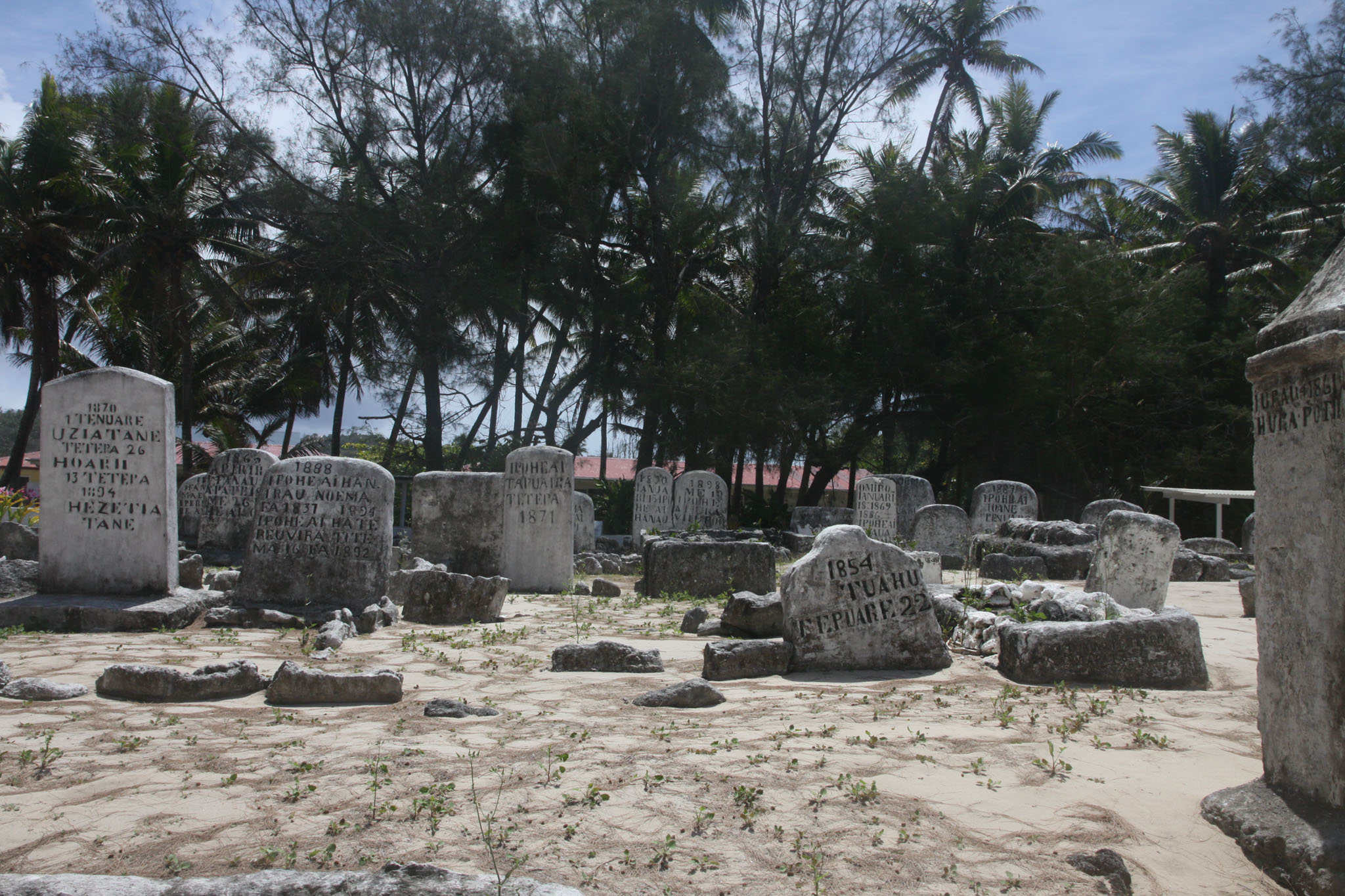
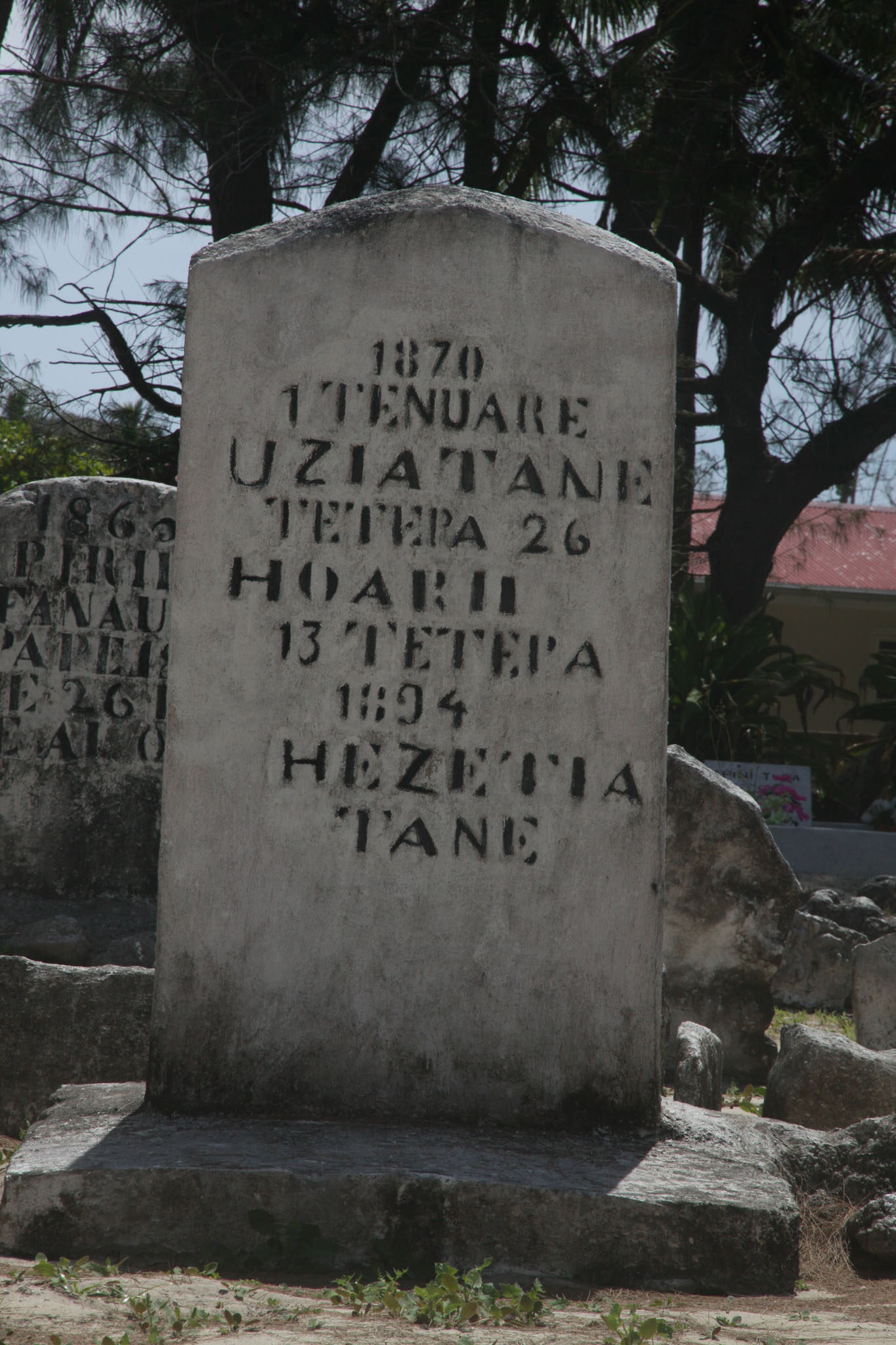
Rimatara was one of the last Polynesian islands to receive European visitors. Captain Samuel Pinder Henry discovered the island in 1811. Two Tahitian missionaries from Bora Bora arrived in 1822 and established a Protestant mission. France established a protectorate in 1889 and annexed Rimatara in 1901.
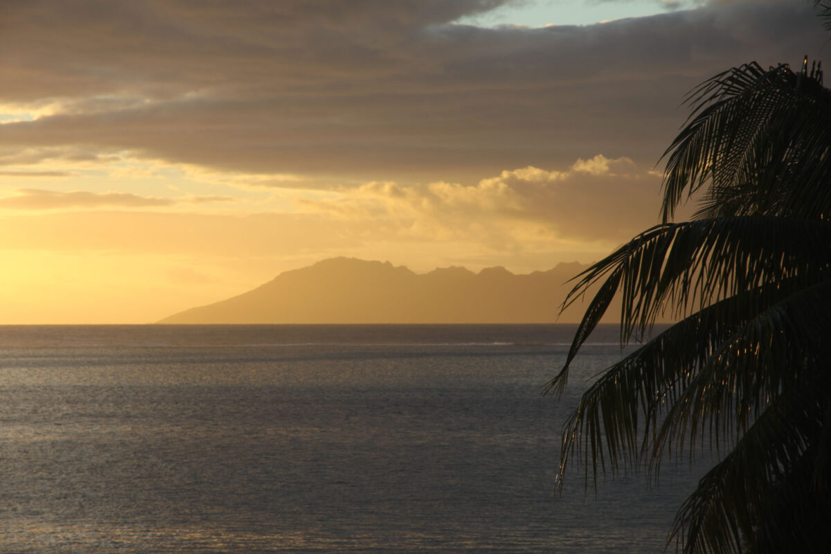
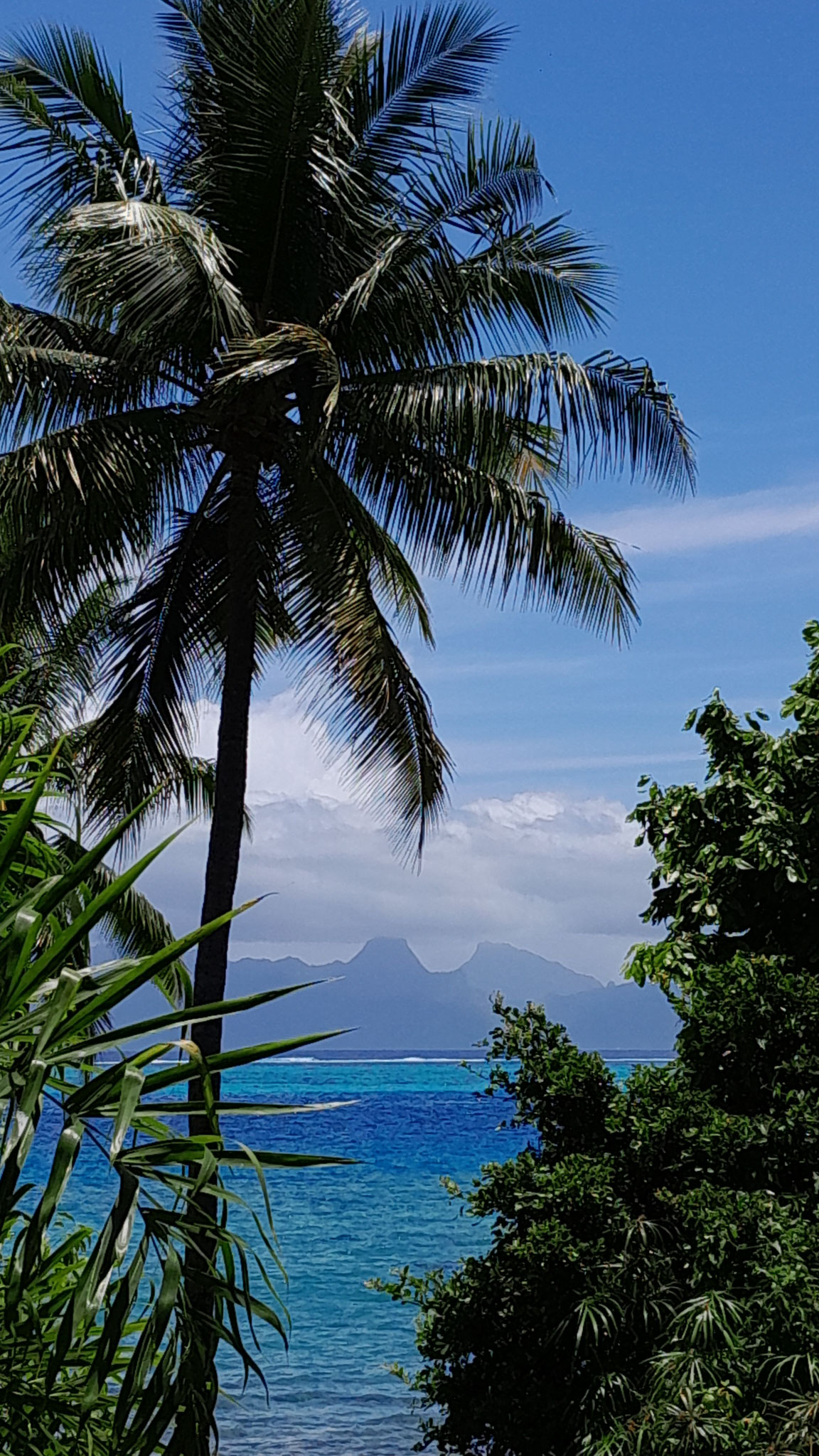
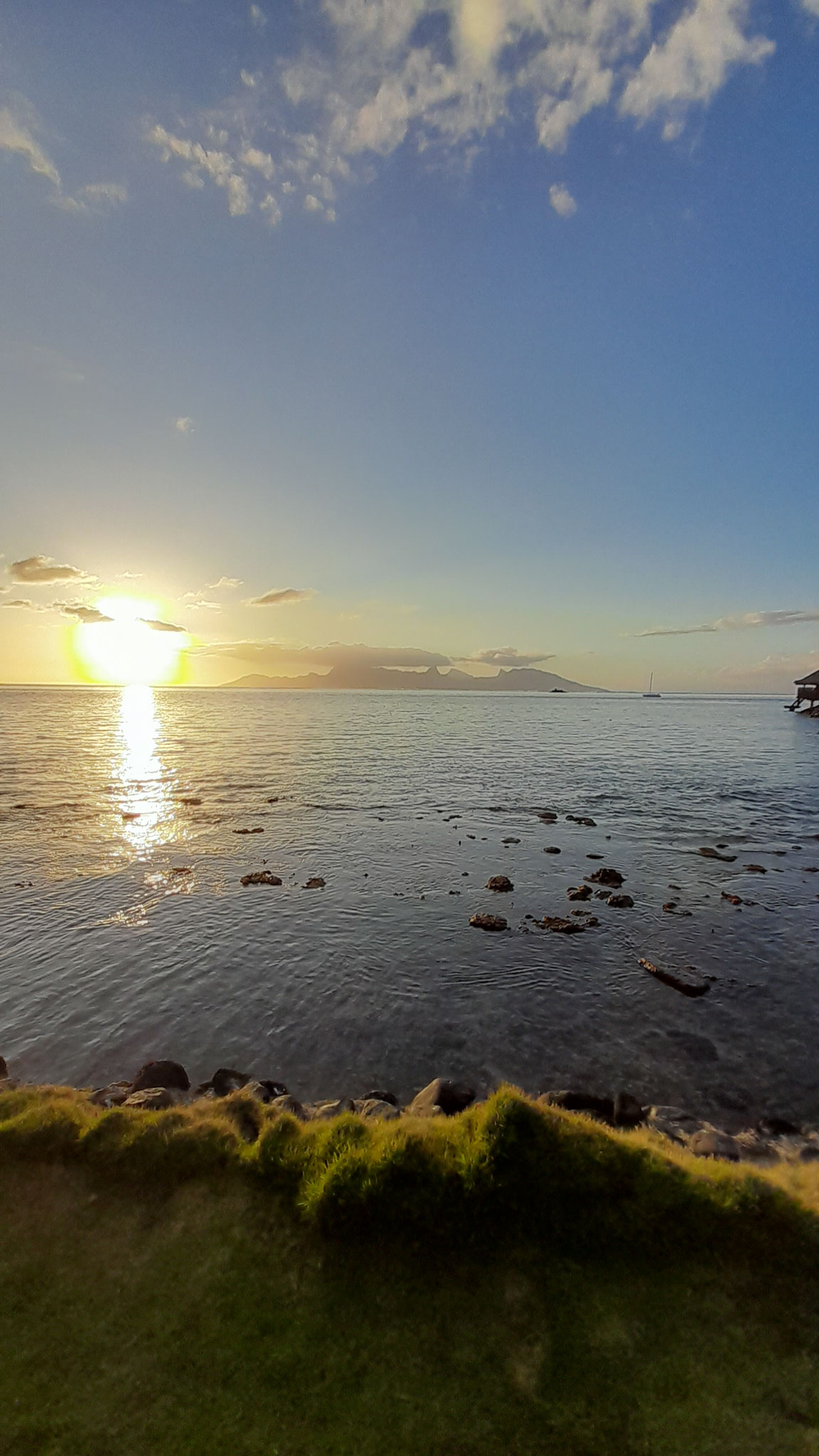


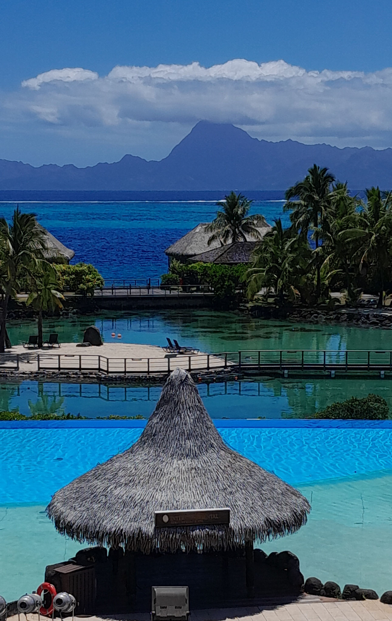
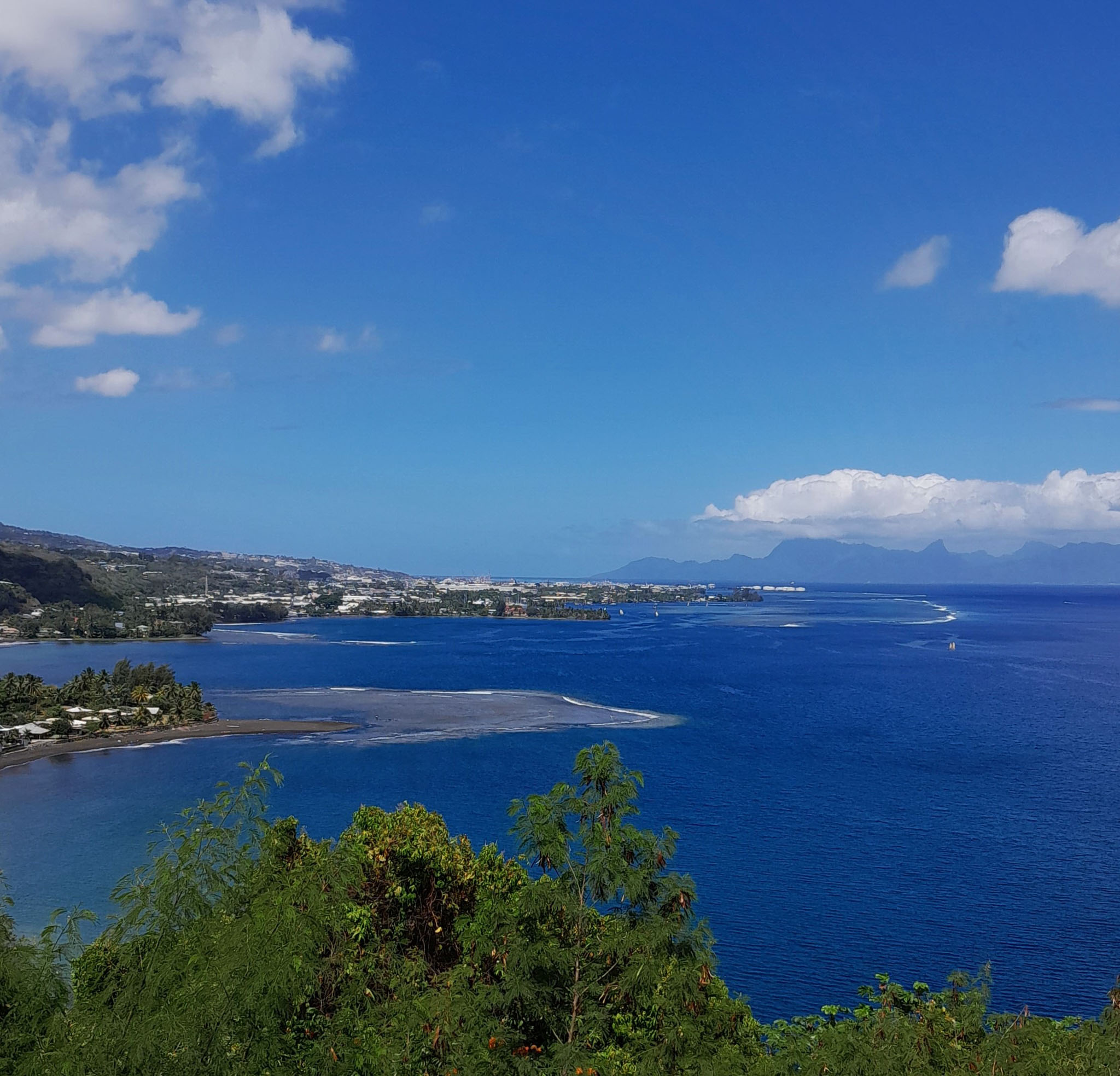
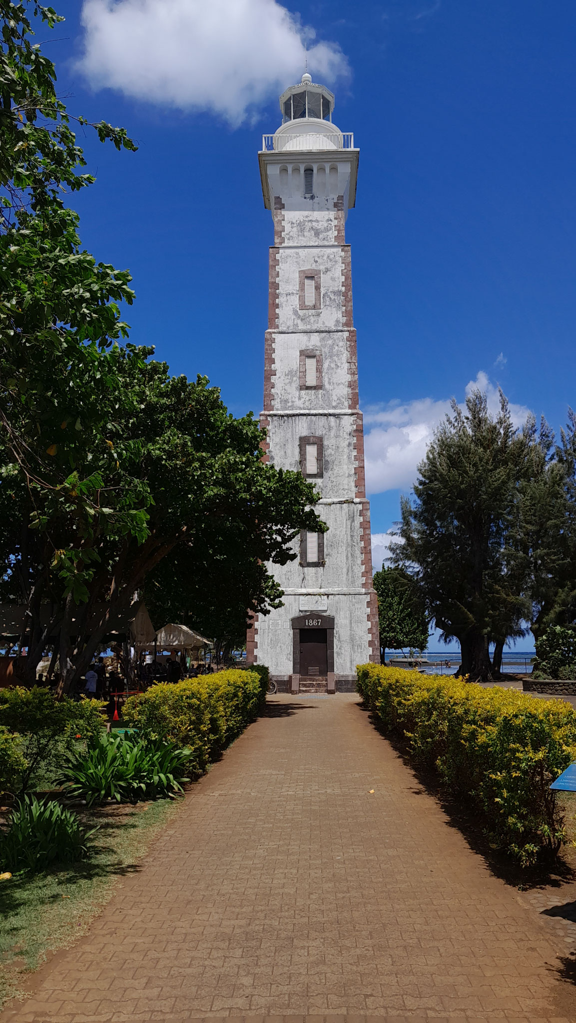
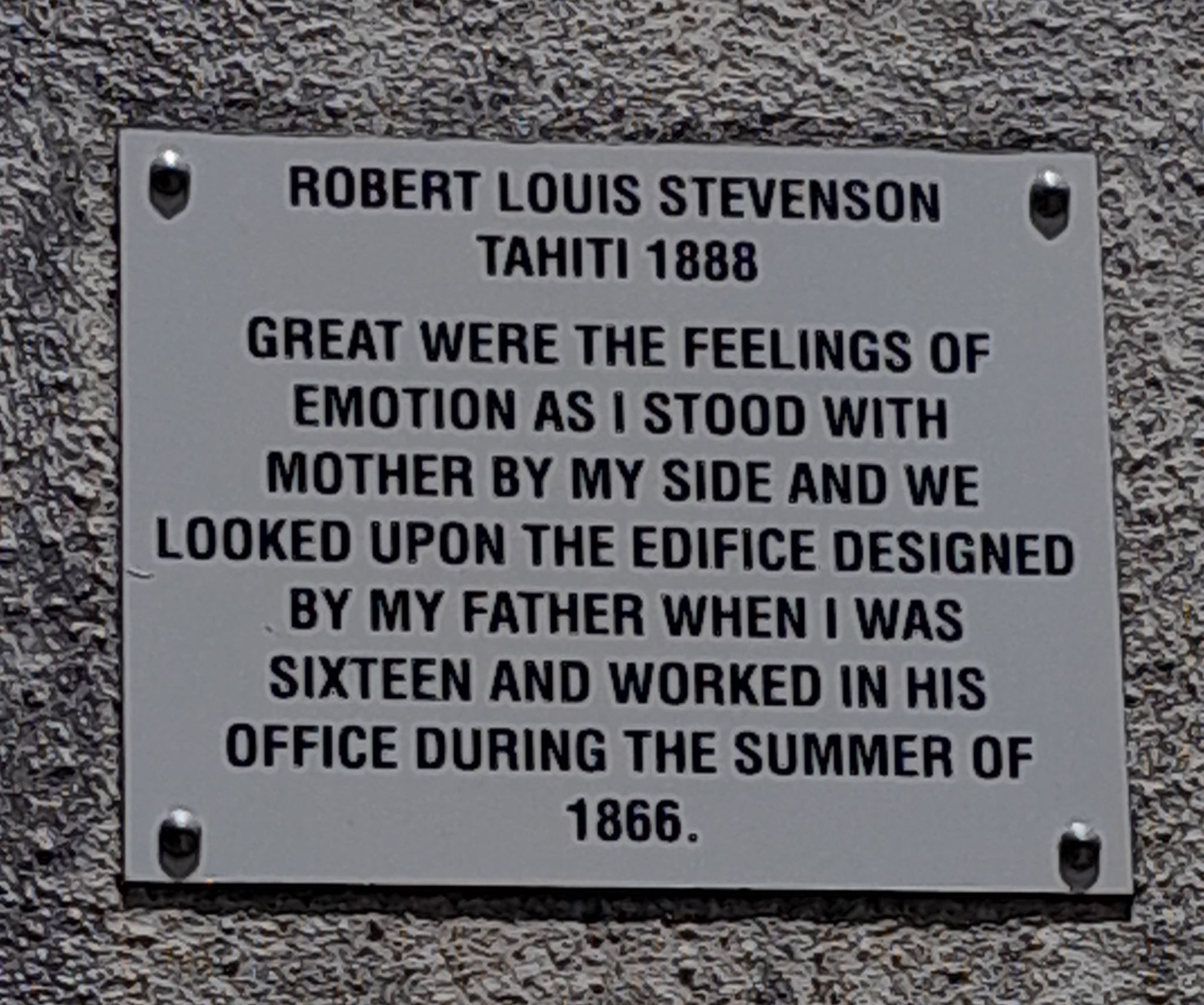
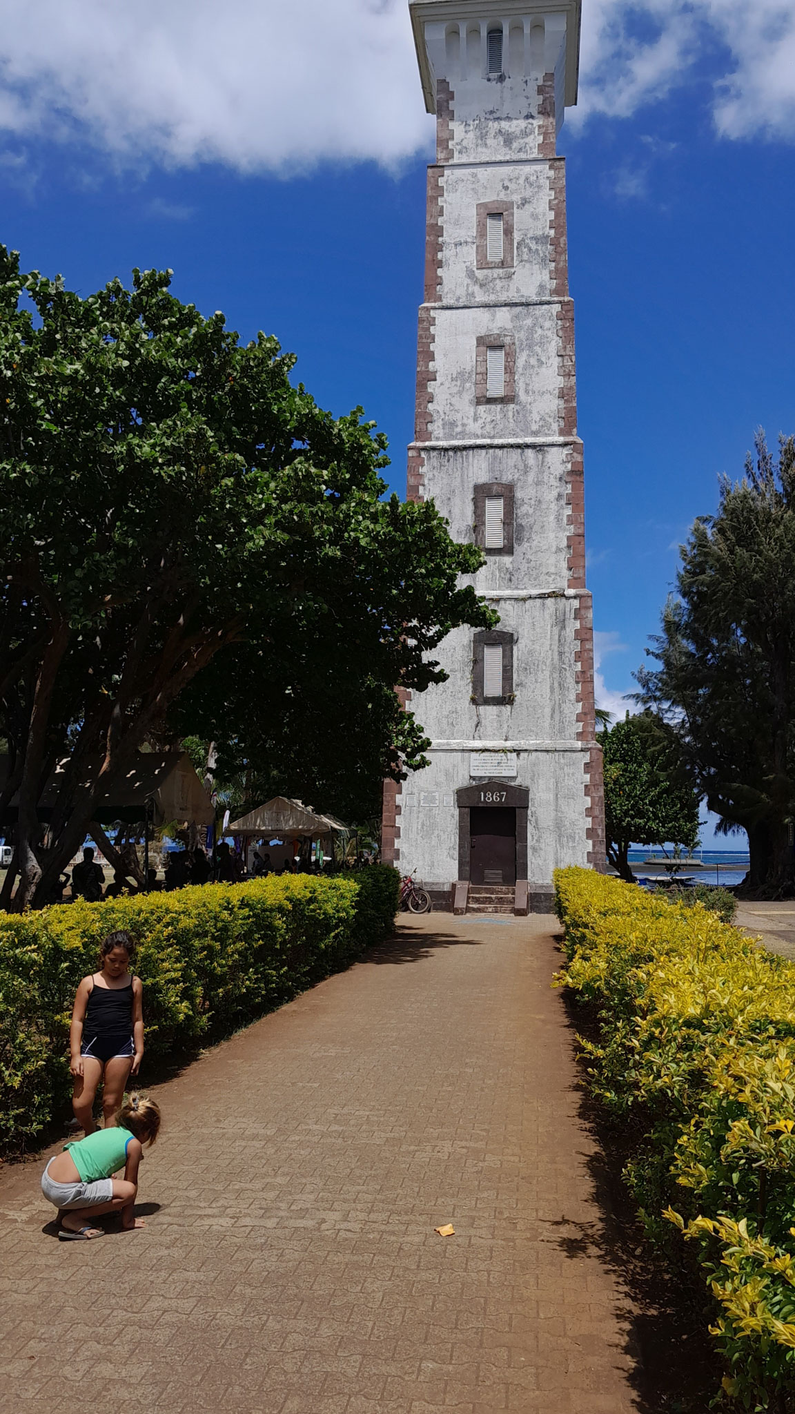
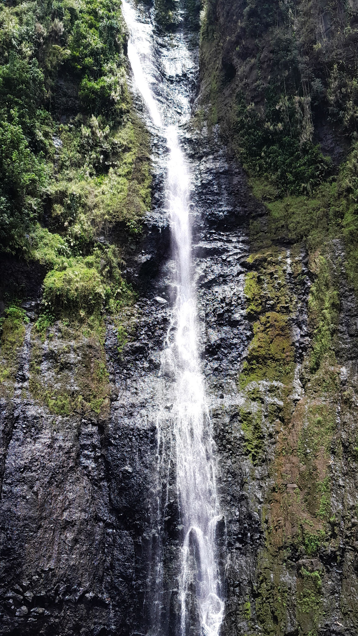
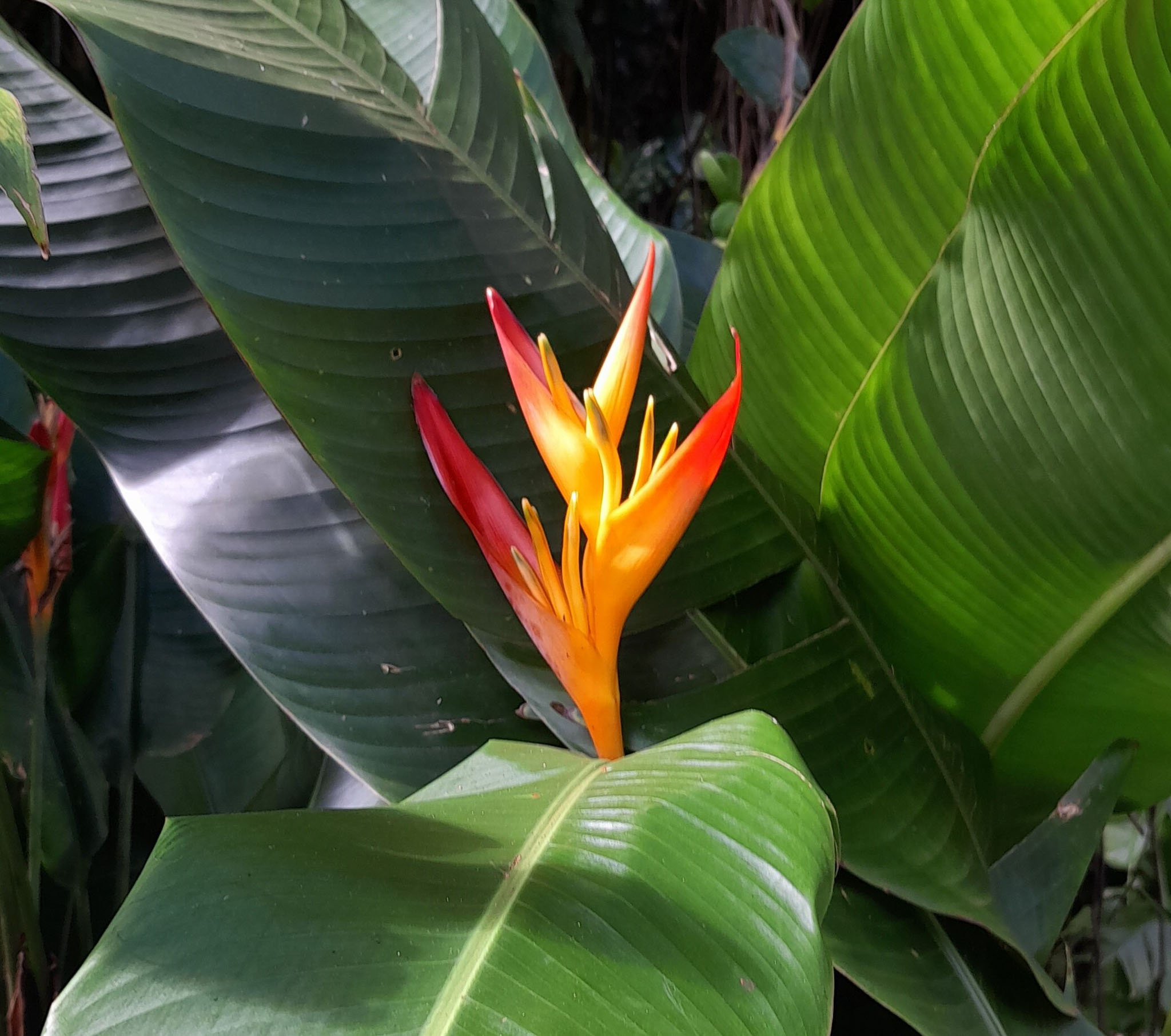
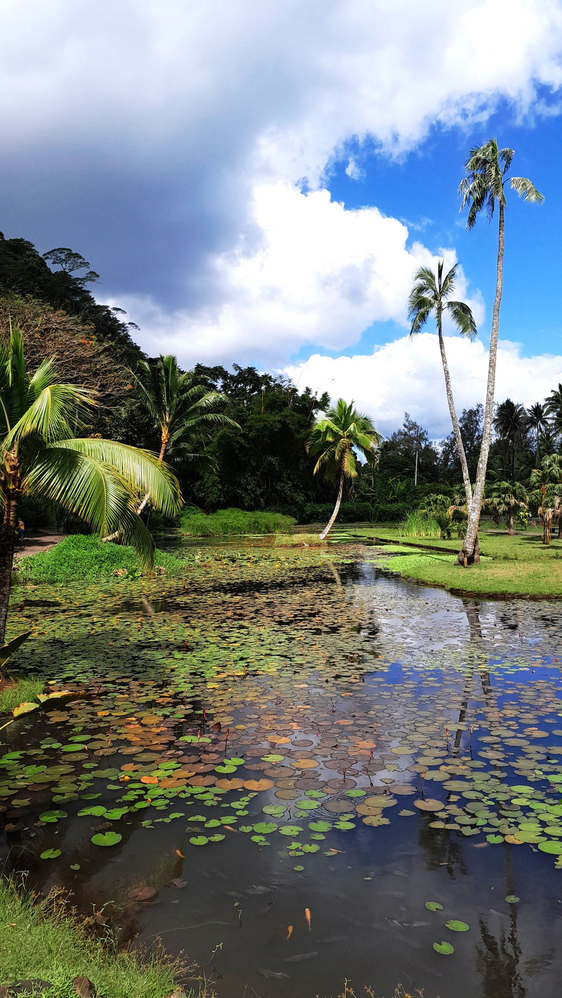
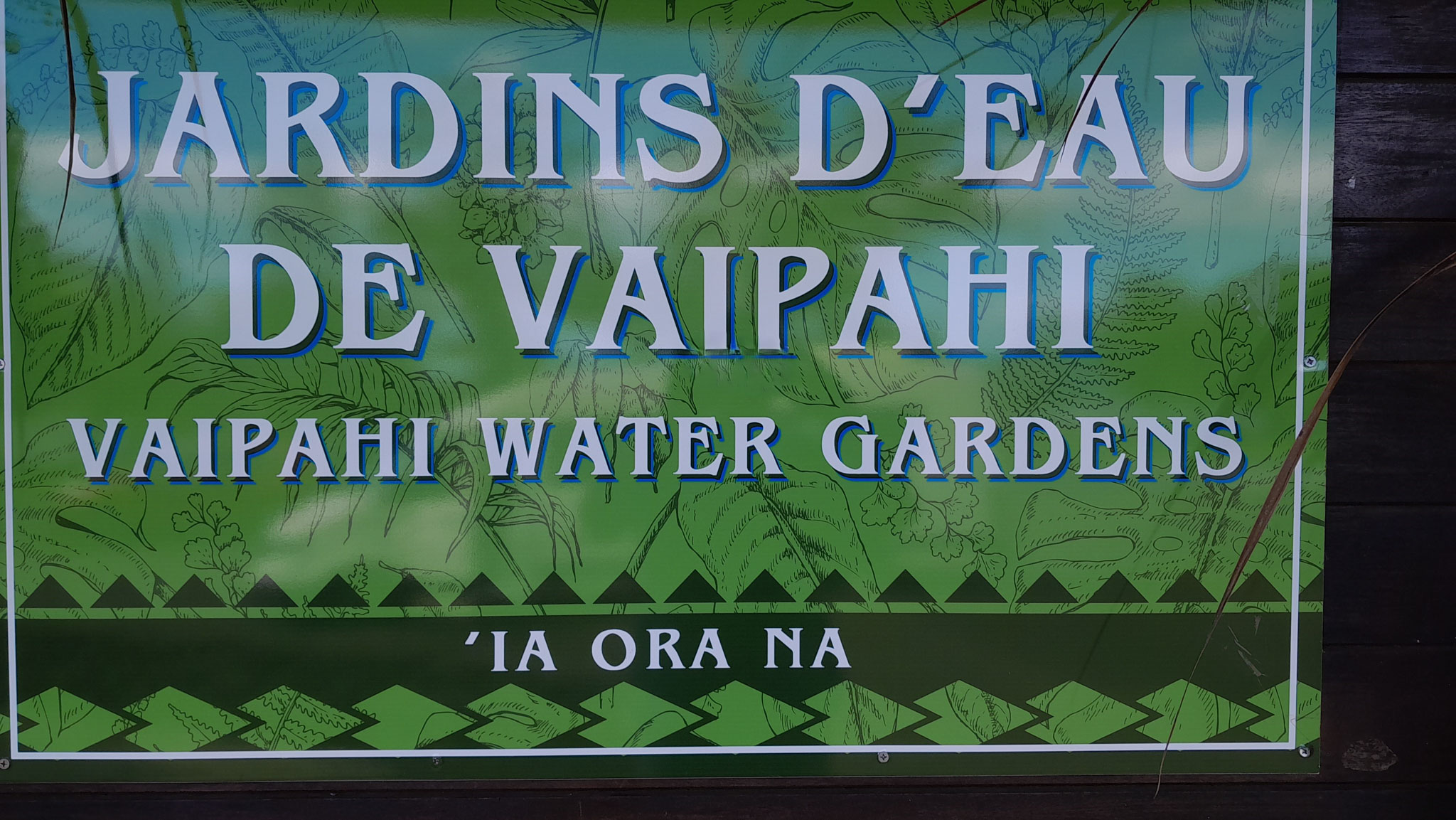
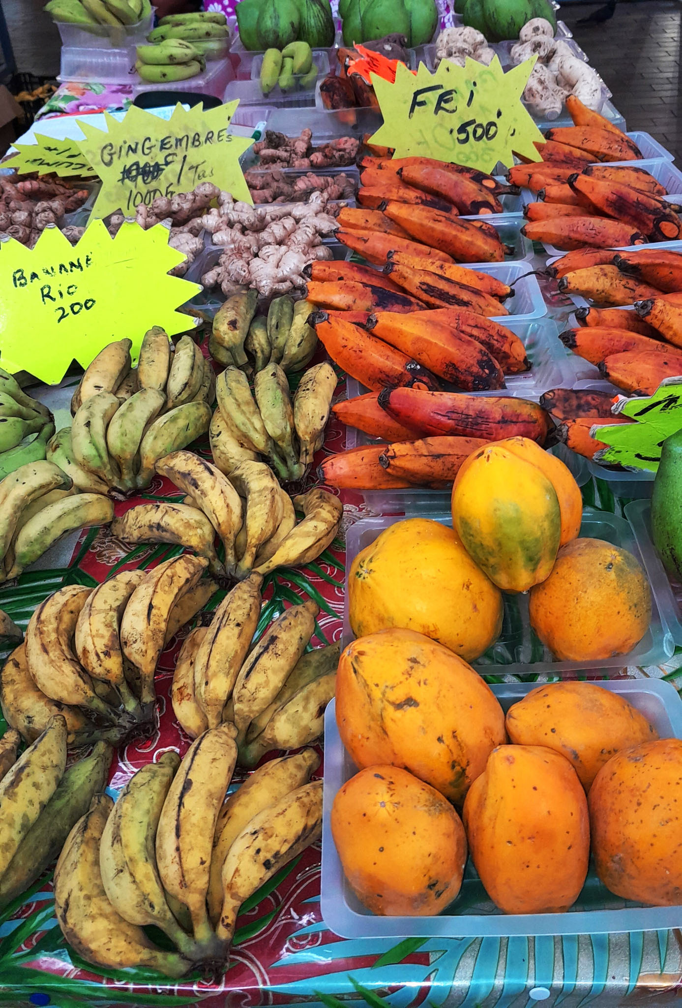
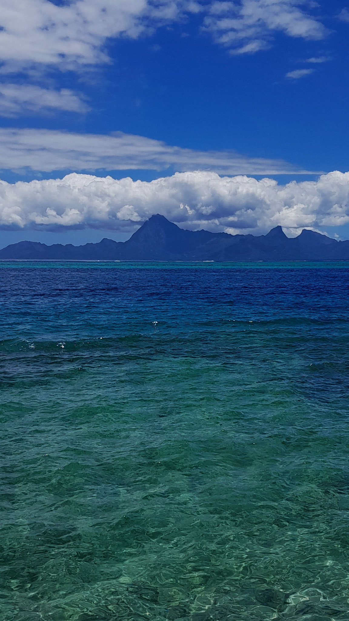
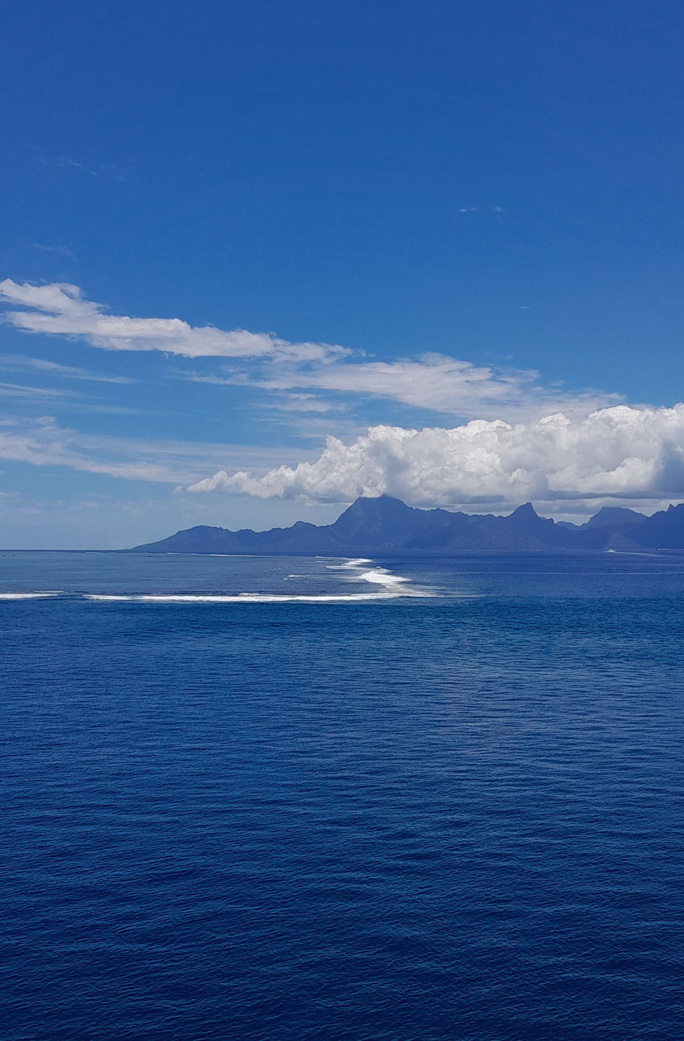
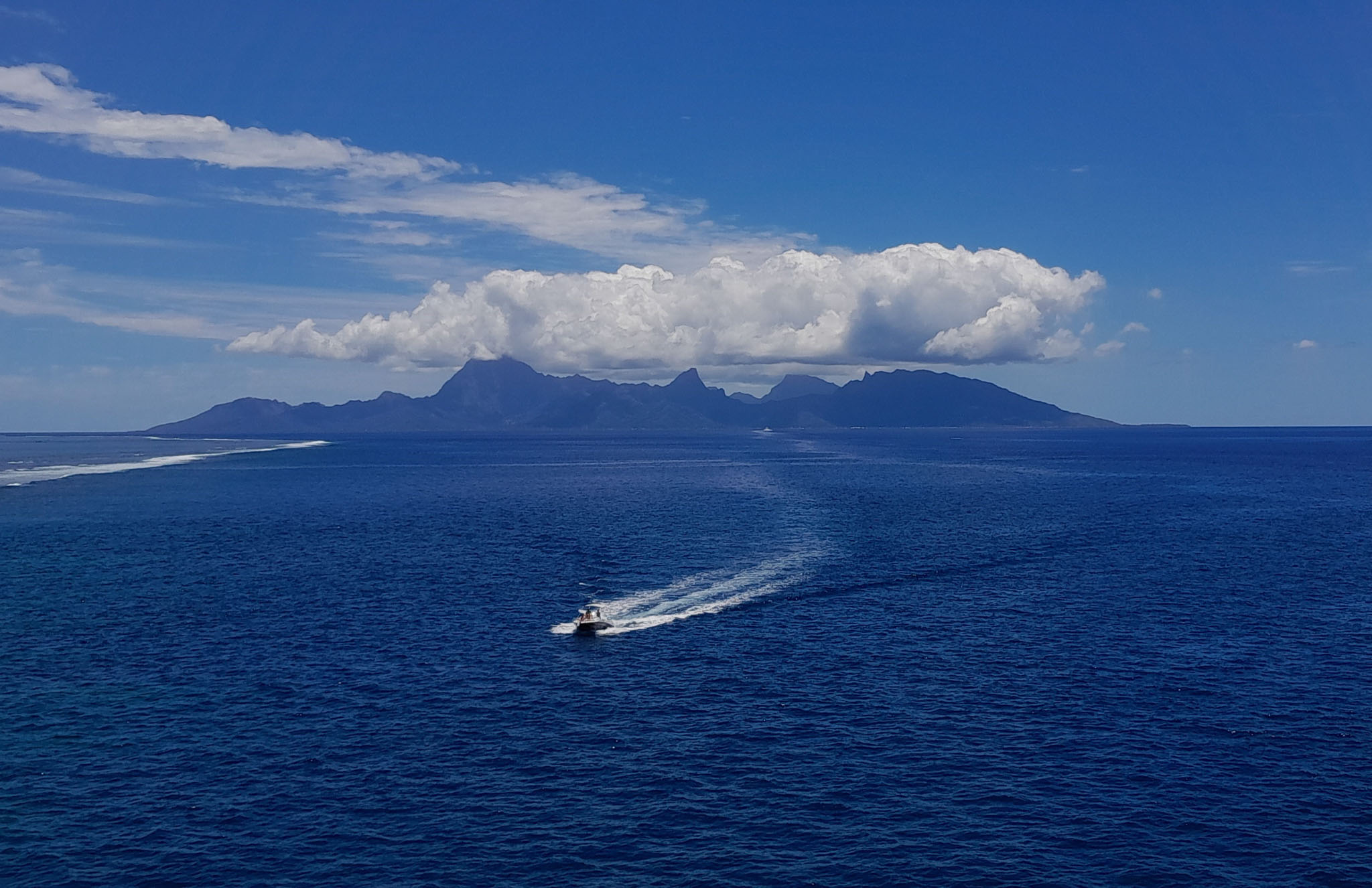
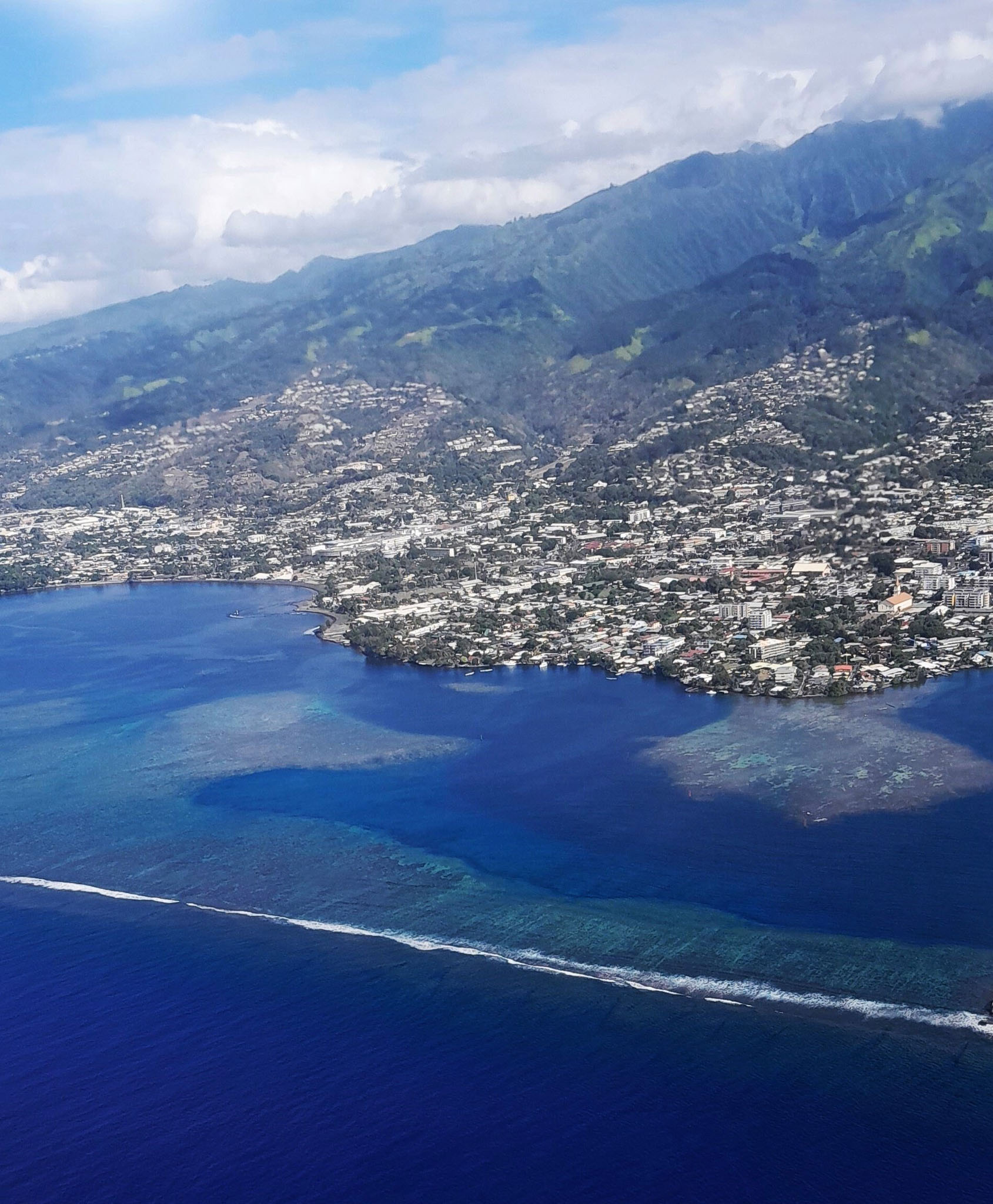

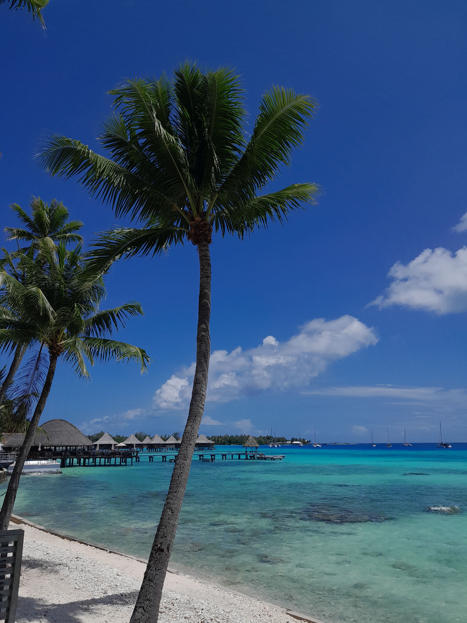
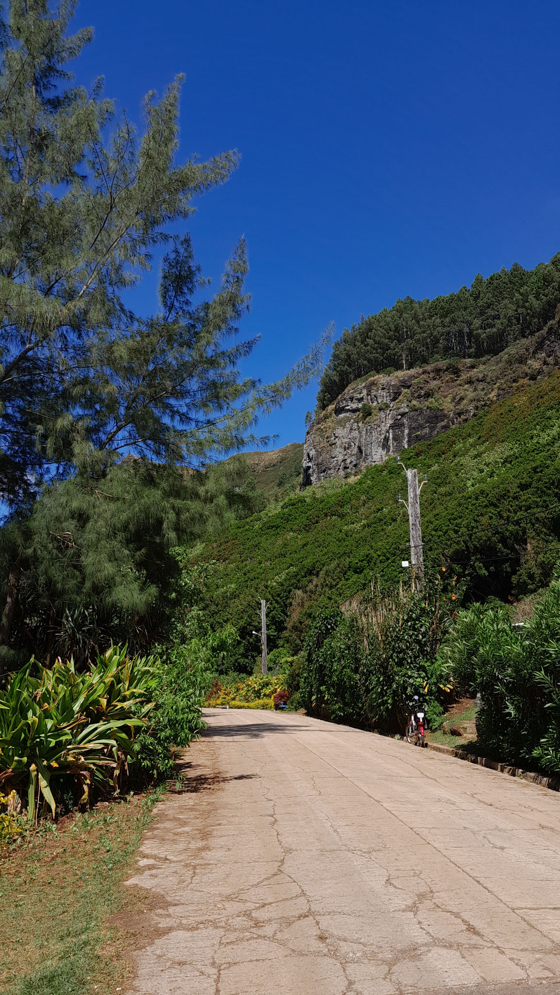
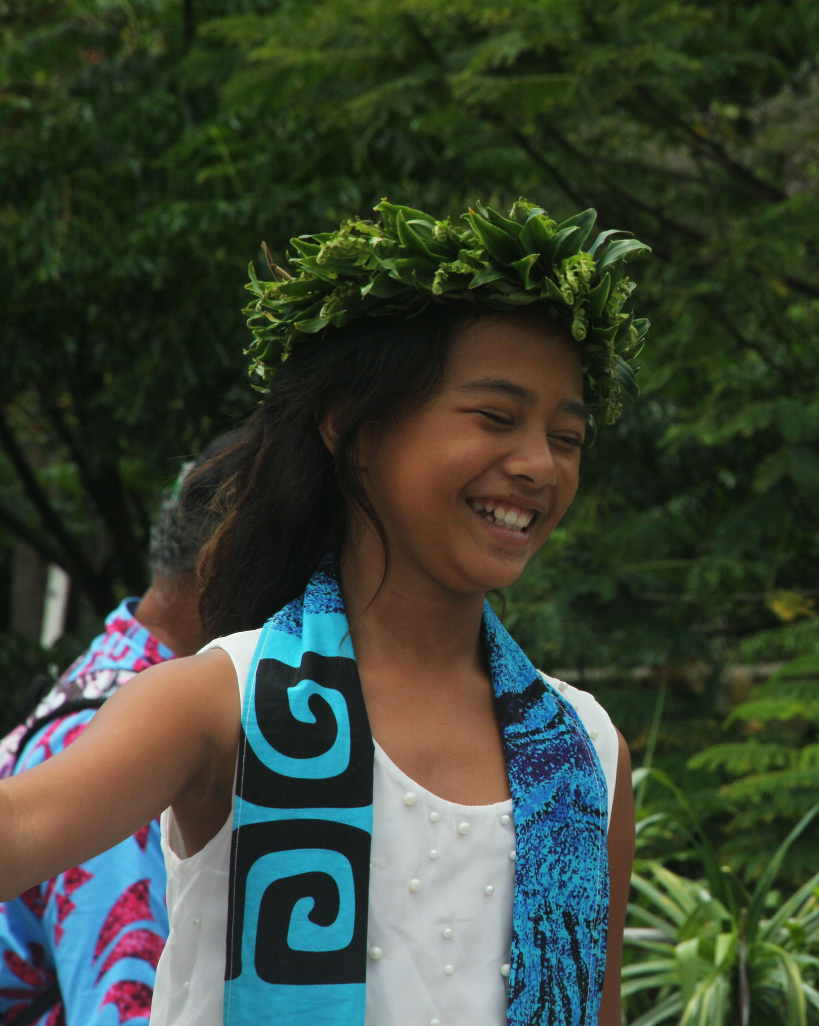
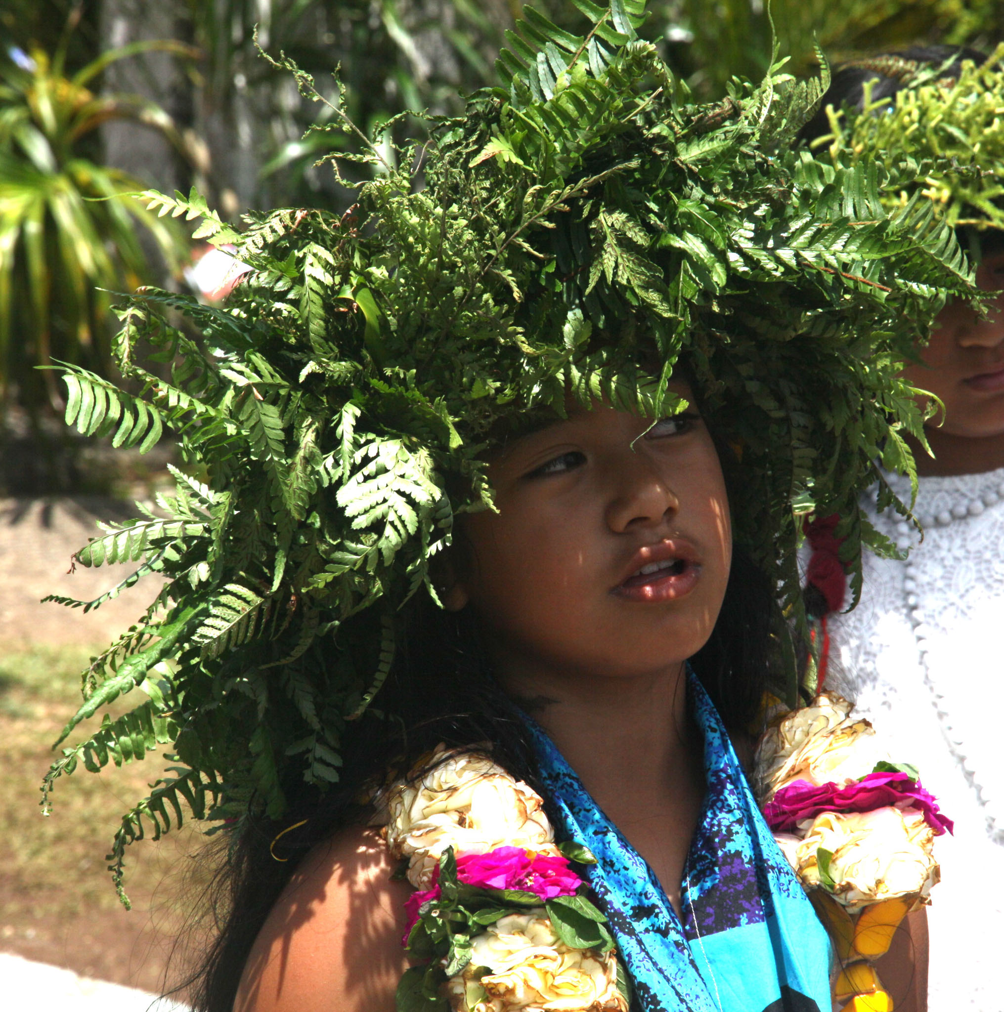
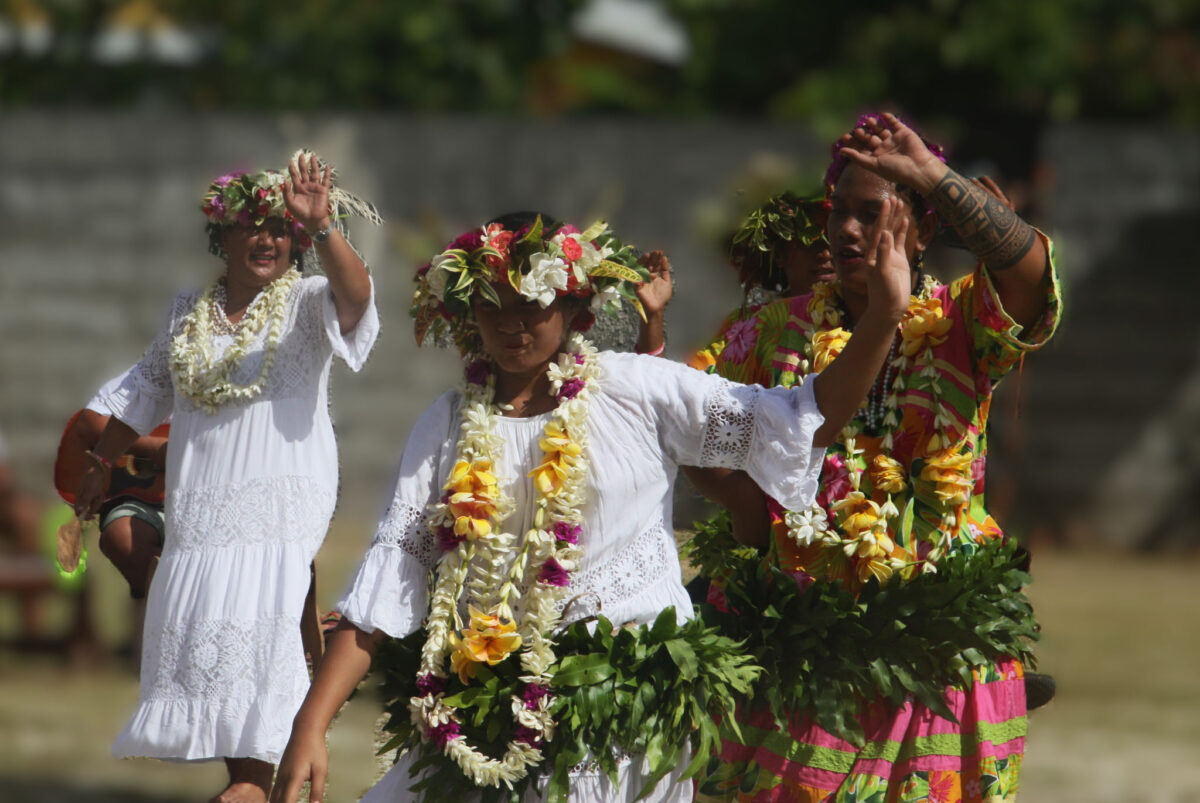
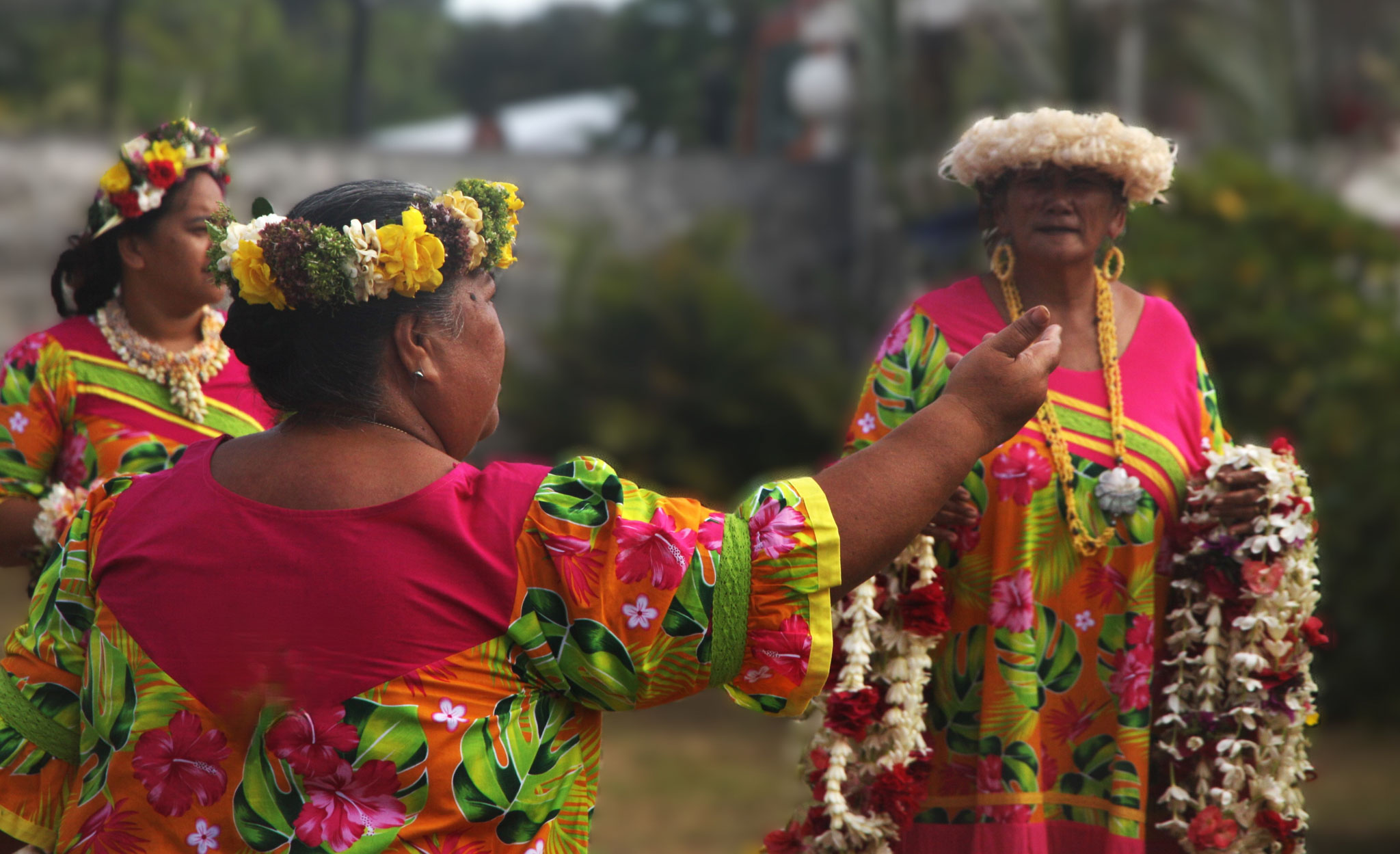
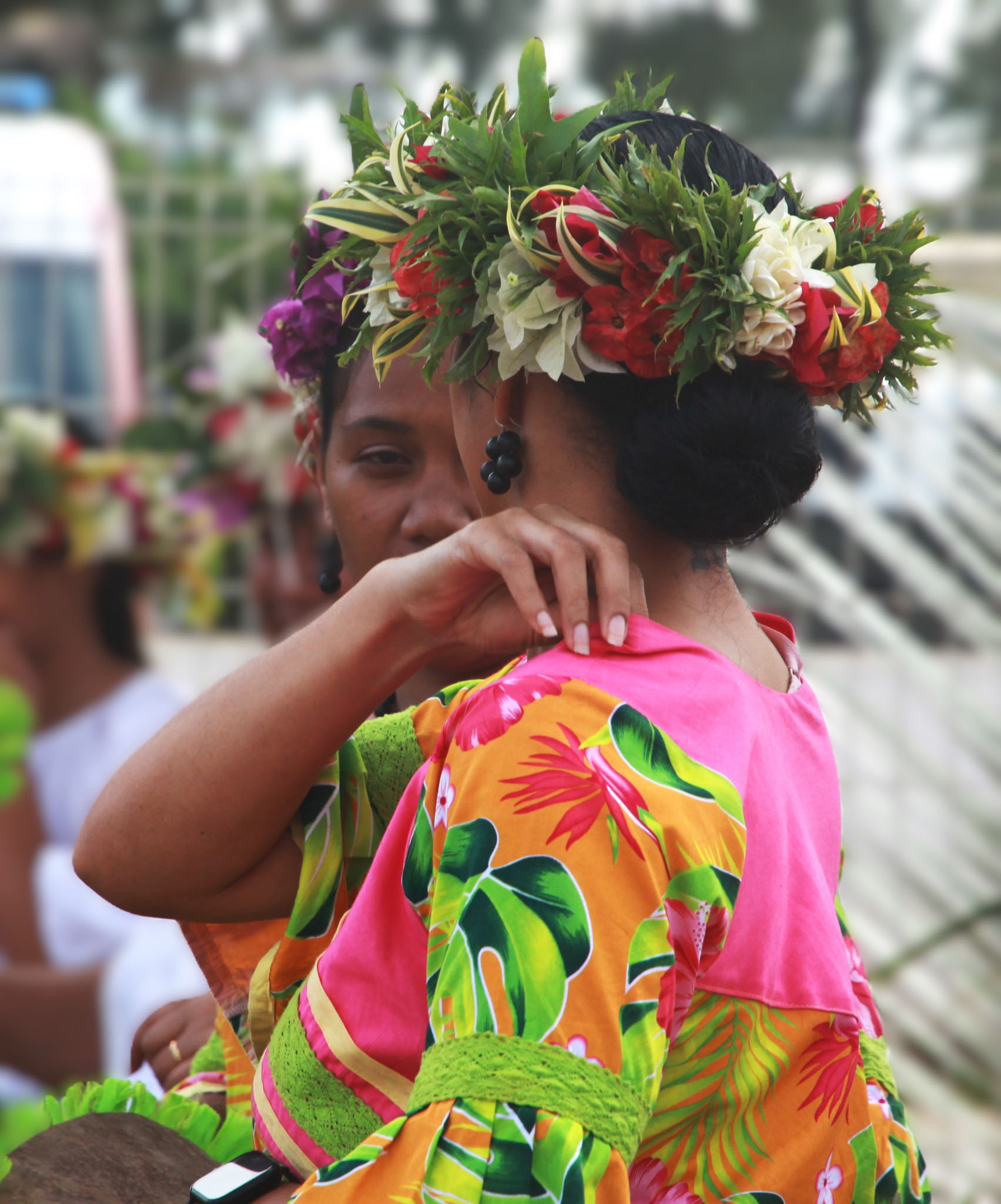
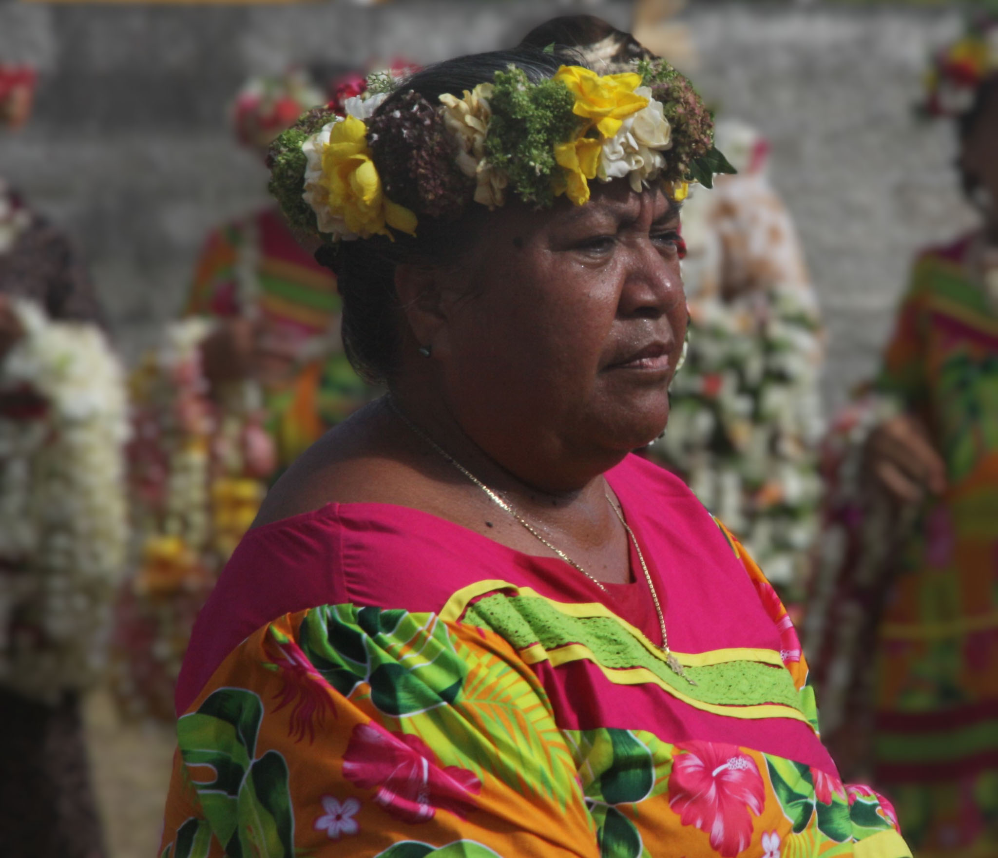
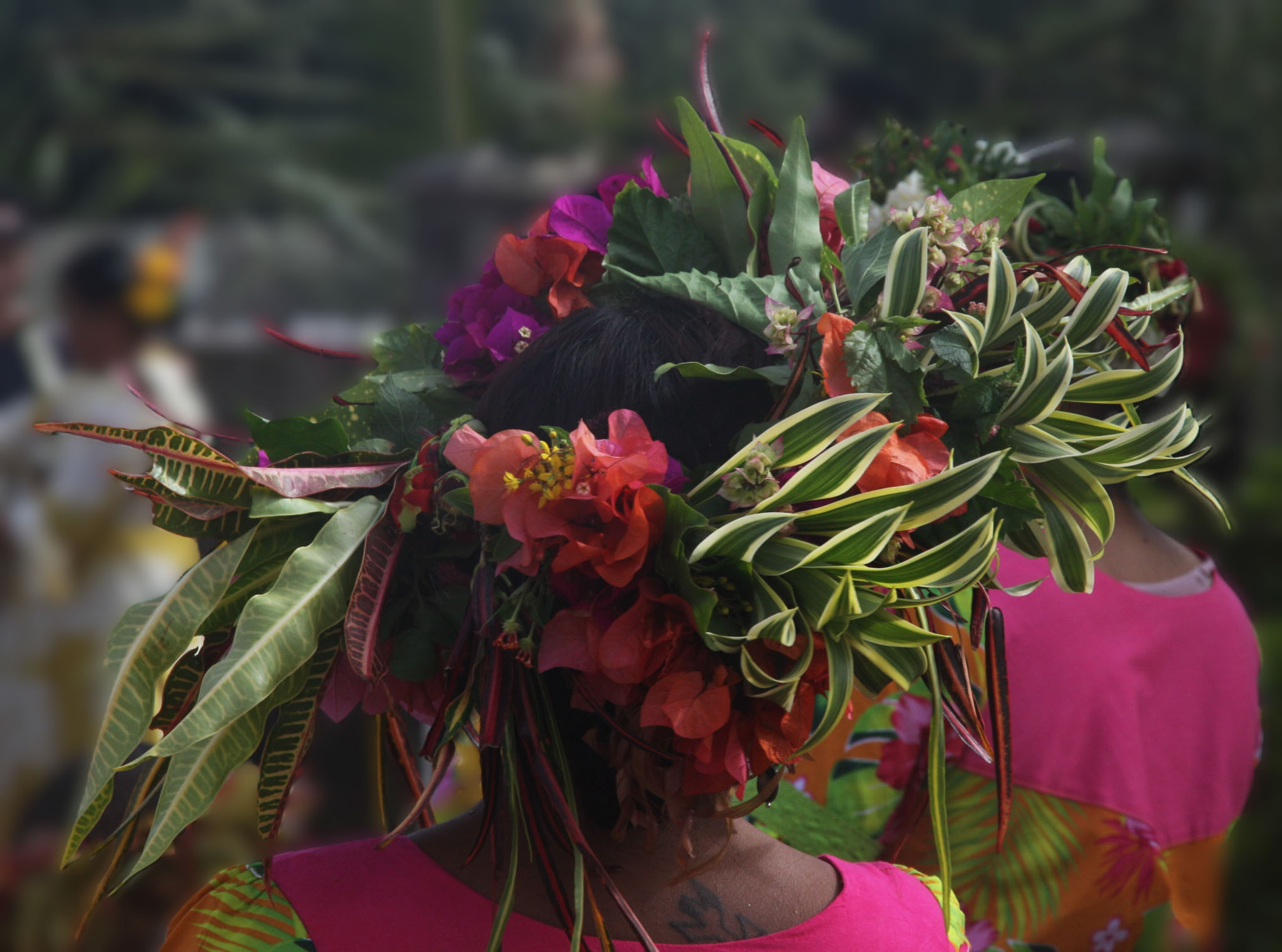
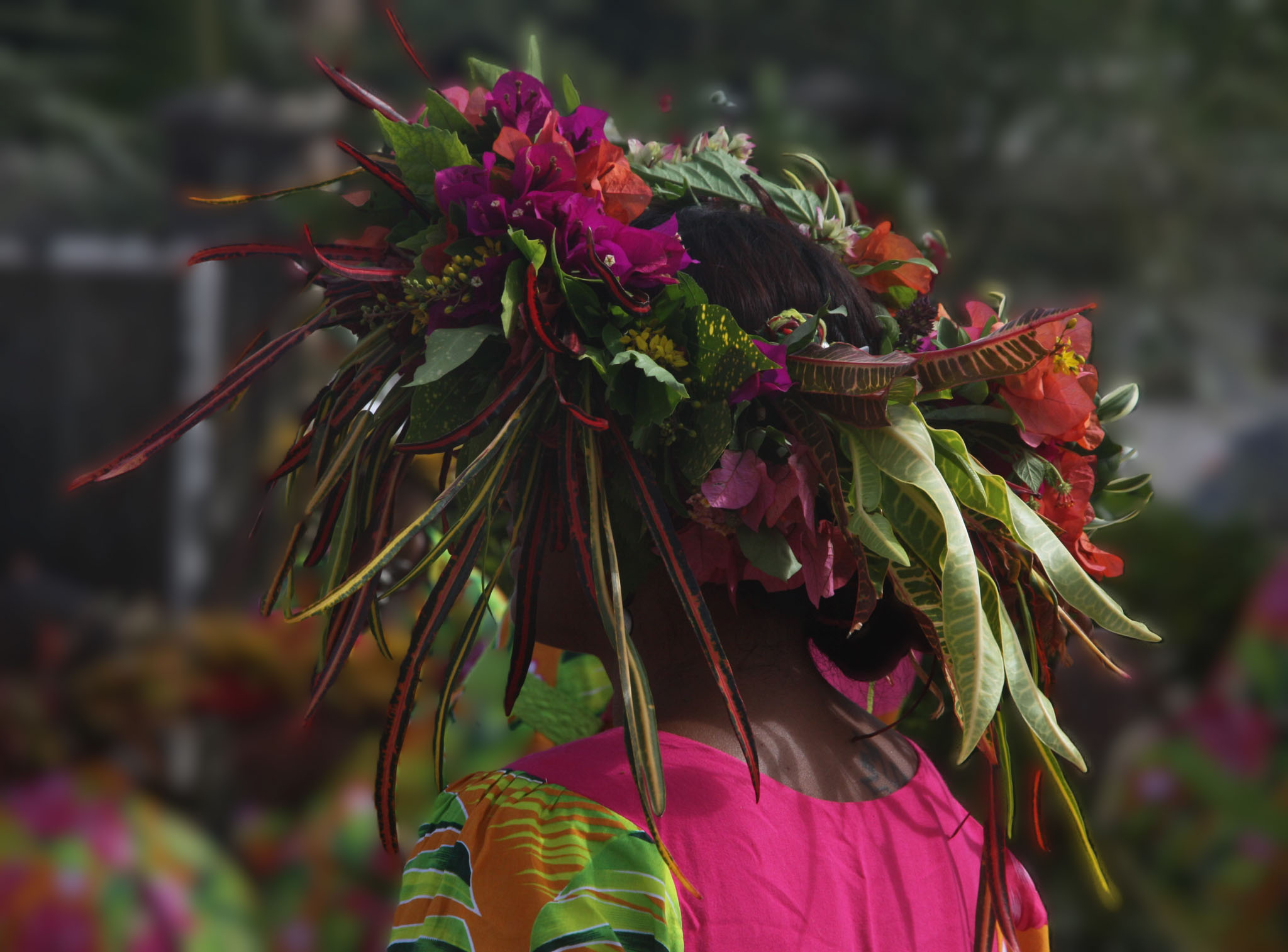
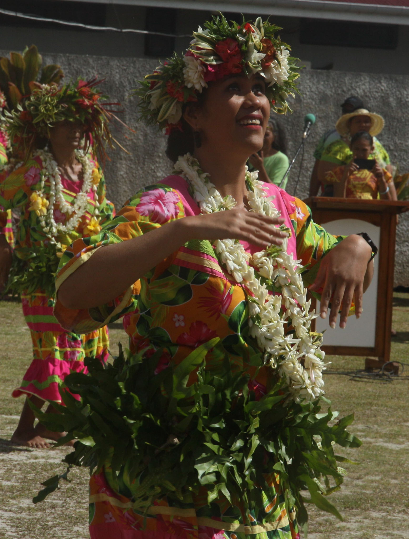
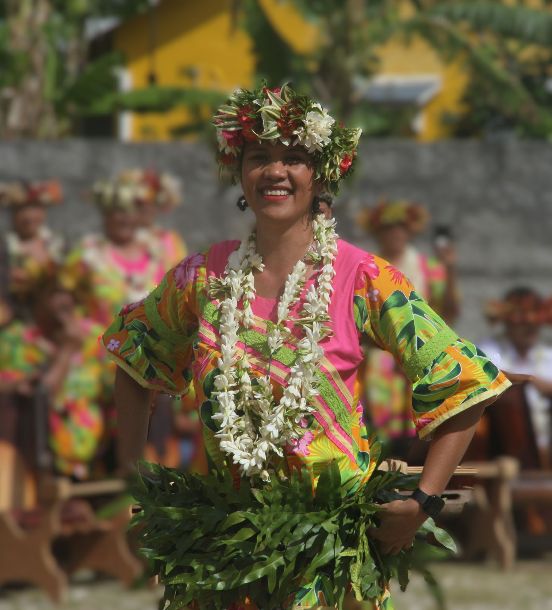
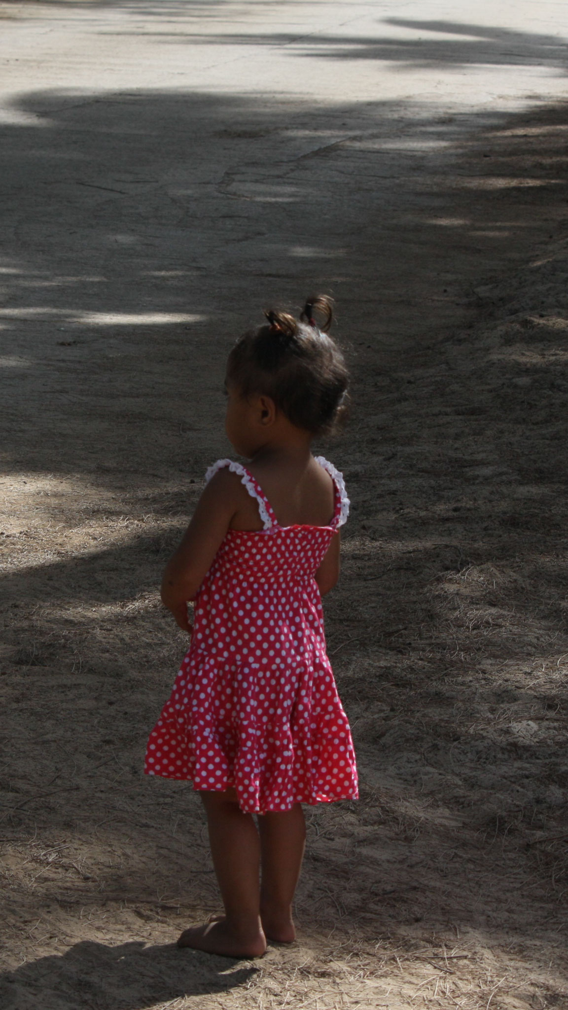
Tahiti (English: /təˈhiːti/; Tahitian [taˈhiti], [ˈthaiti]; French: [ta.iˈti]) is the largest island of the Windward group of the Society Islands in French Polynesia, an overseas collectivity of France. It is located in the central part of the Pacific Ocean and the nearest major landmass is the North Island of New Zealand. Divided into two parts, Tahiti Nui (bigger, northwestern part) and Tahiti Iti (smaller, southeastern part), the island was formed from volcanic activity; it is high and mountainous with surrounding coral reefs. Its population was 189,517 in 2017, making it by far the most populous island in French Polynesia and accounting for 68.7% of its total population; the 2022 Census recorded a population of 191,779.
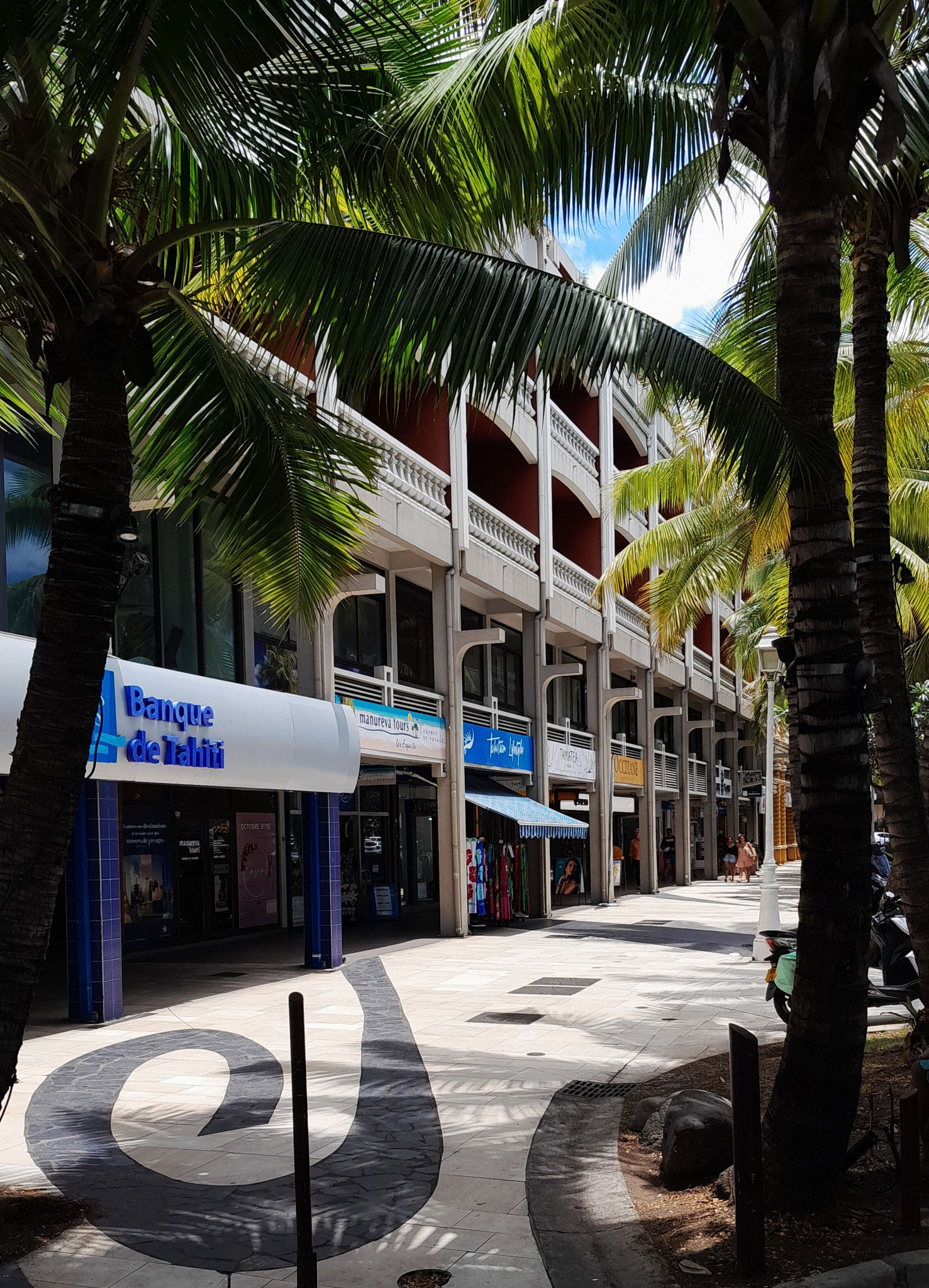
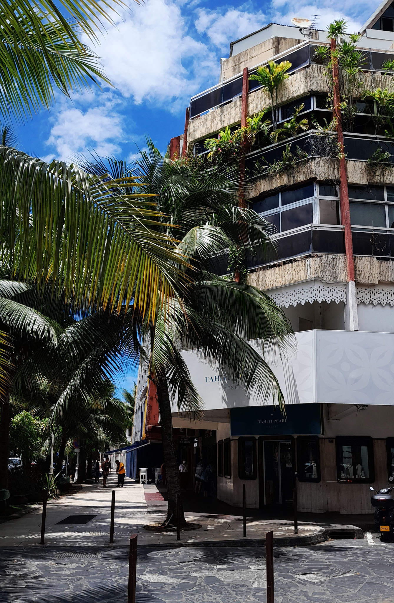
Tahiti is the economic, cultural, and political centre of French Polynesia. The capital of French Polynesia, Papeʻete, is located on the northwest coast of Tahiti. The only international airport in the region, Faʻaʻā International Airport, is on Tahiti near Papeʻete.


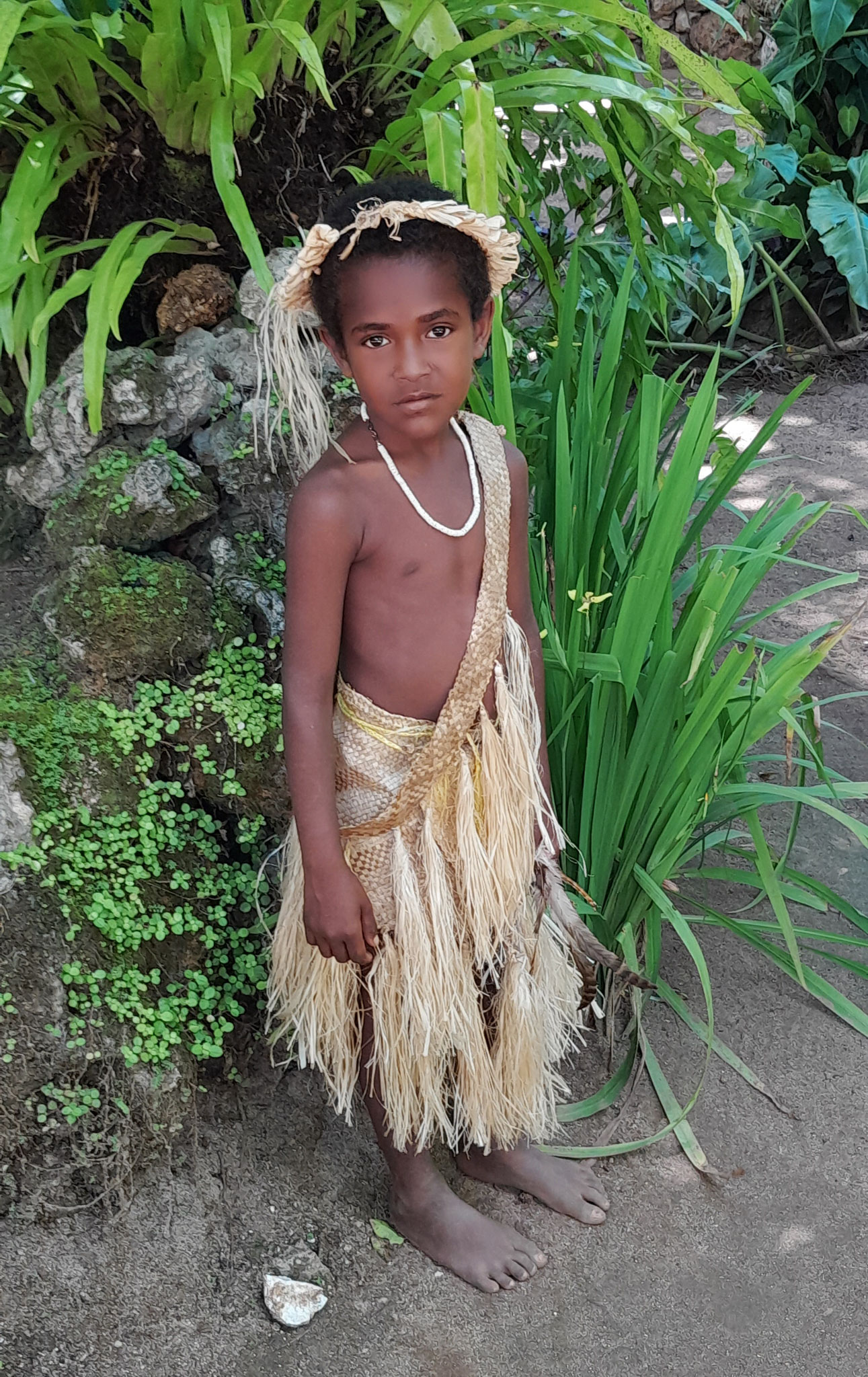
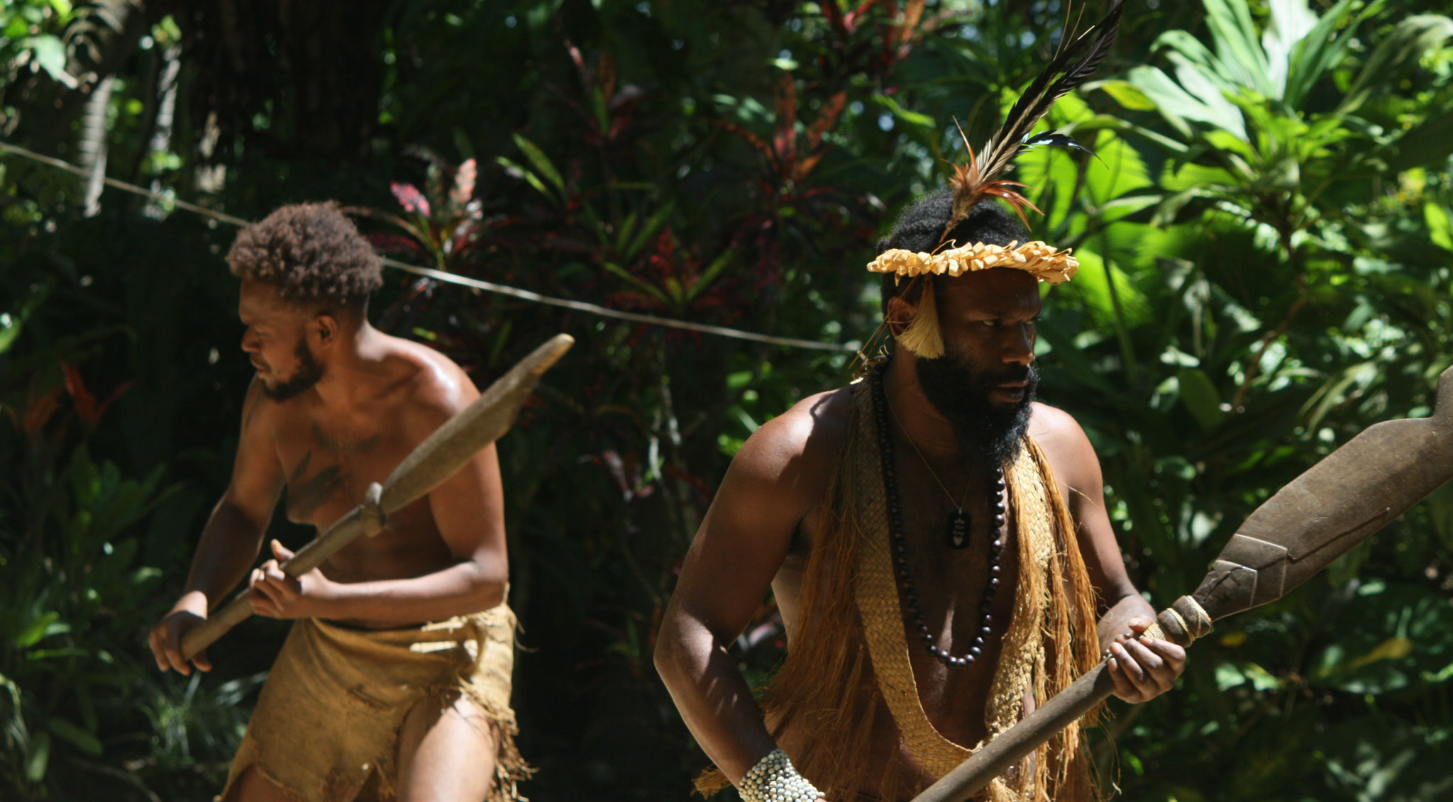
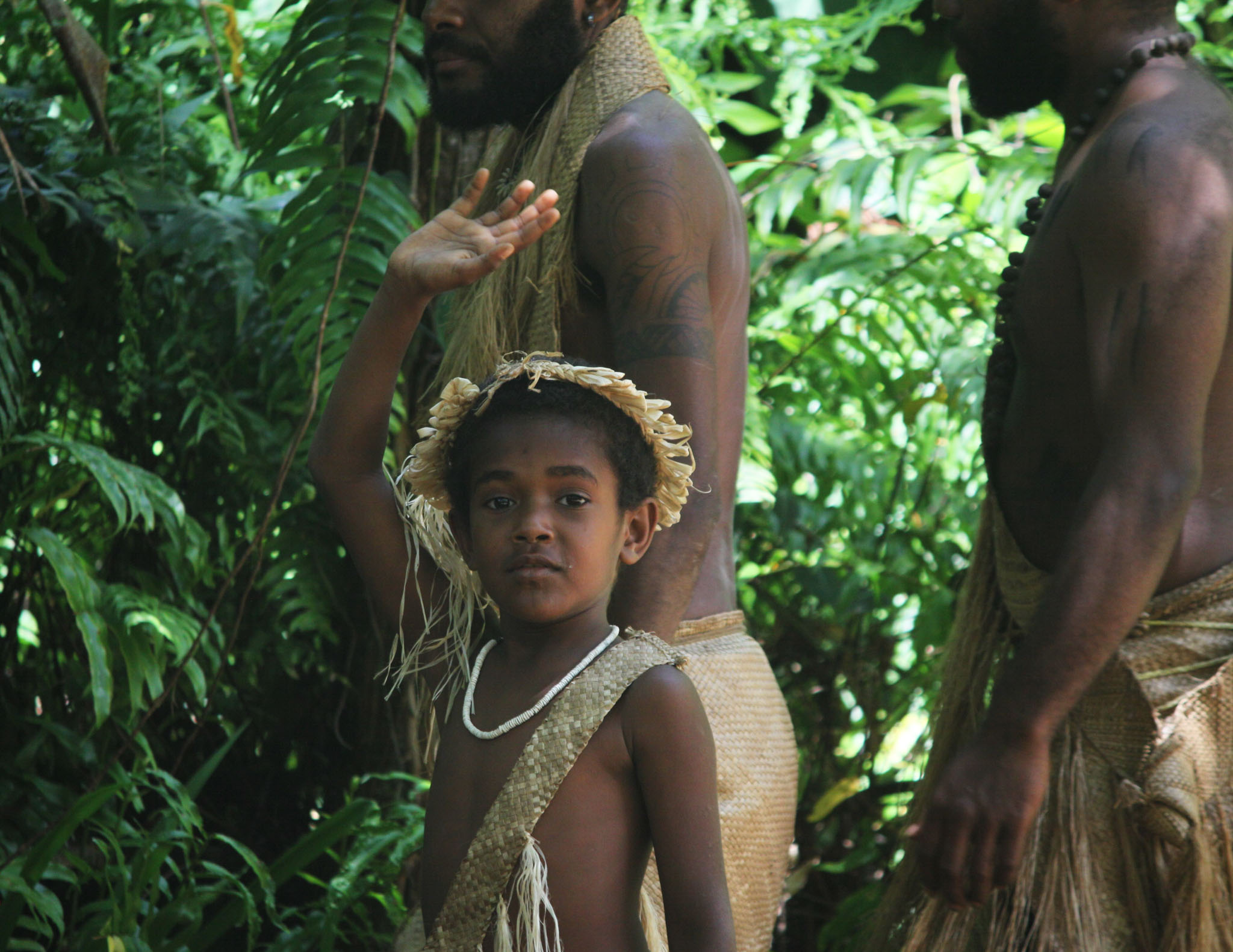
Efate (French: Éfaté) is an island in the Pacific Ocean which is part of the Shefa Province in Vanuatu. It is also known as Île Vate.
It is the most populous (approx. 66,000) island in Vanuatu. Efate’s land area of 899.5 square kilometres (347.3 sq mi) makes it Vanuatu’s third largest island. Its geological past was heavily volcanic, meaning that a lava shelf surrounds much of the island. Most inhabitants of Efate live in Port Vila, the national capital. Its highest mountain is Mount McDonald with a height of 647 metres (2,123 ft).
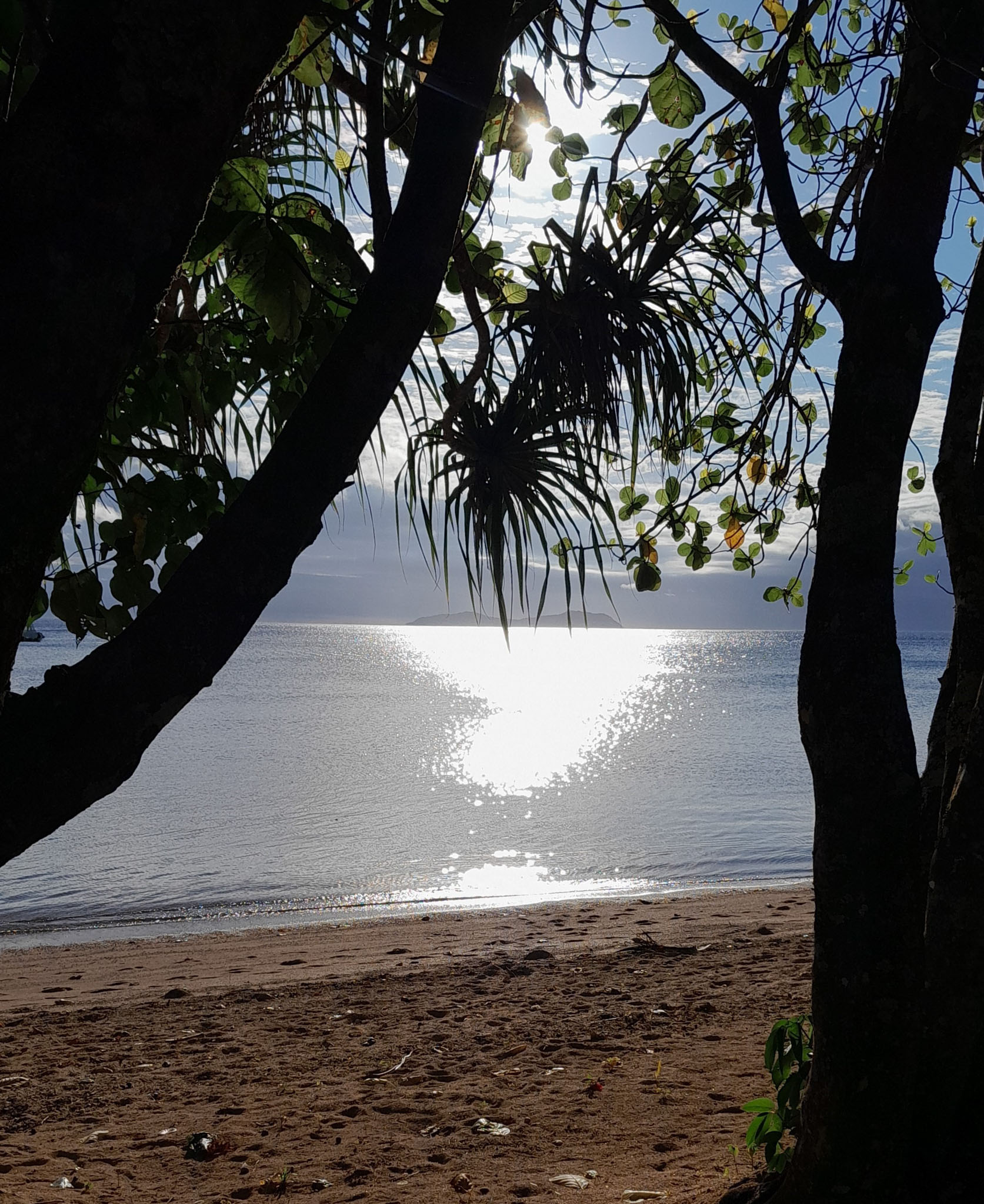

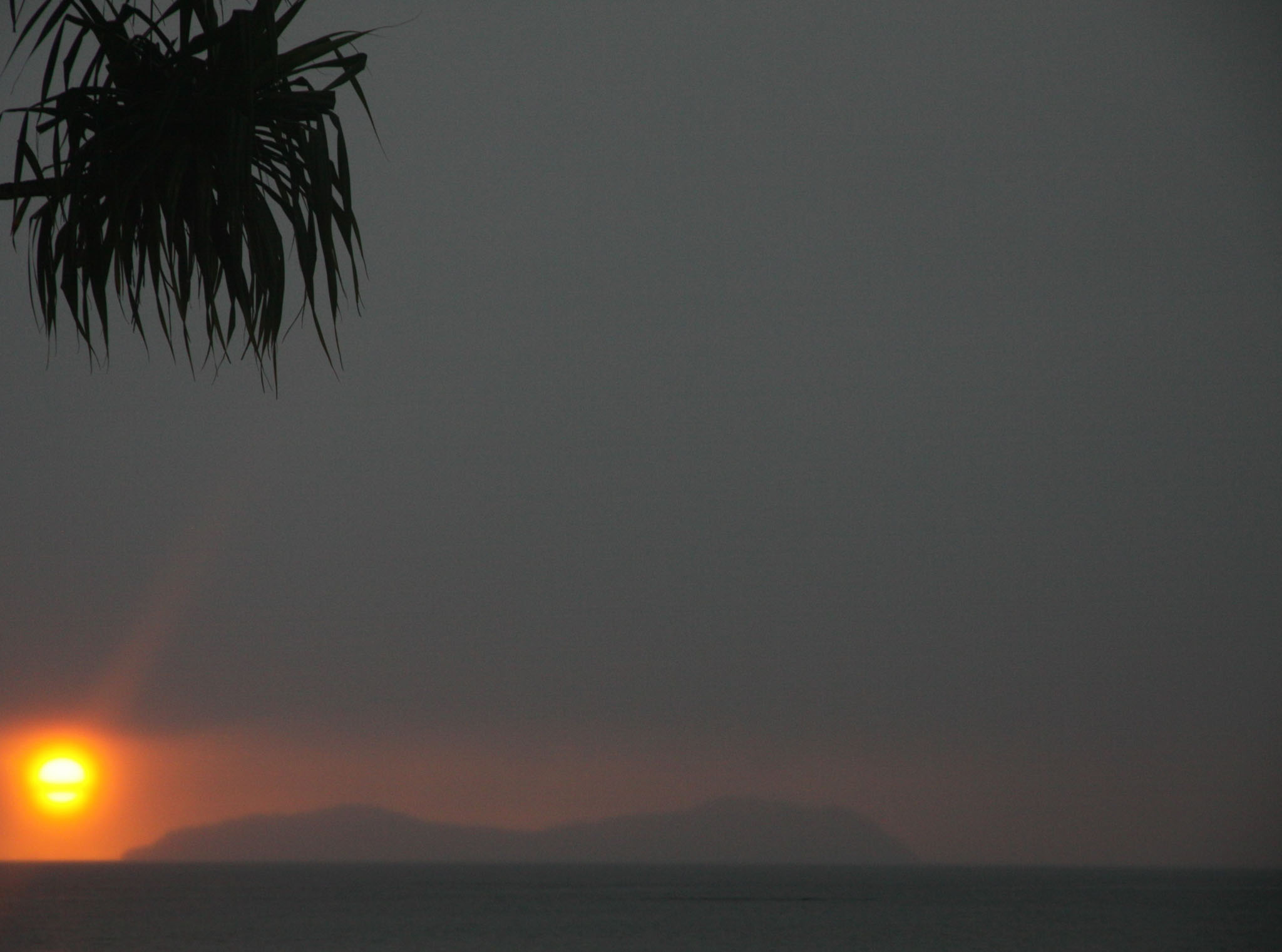
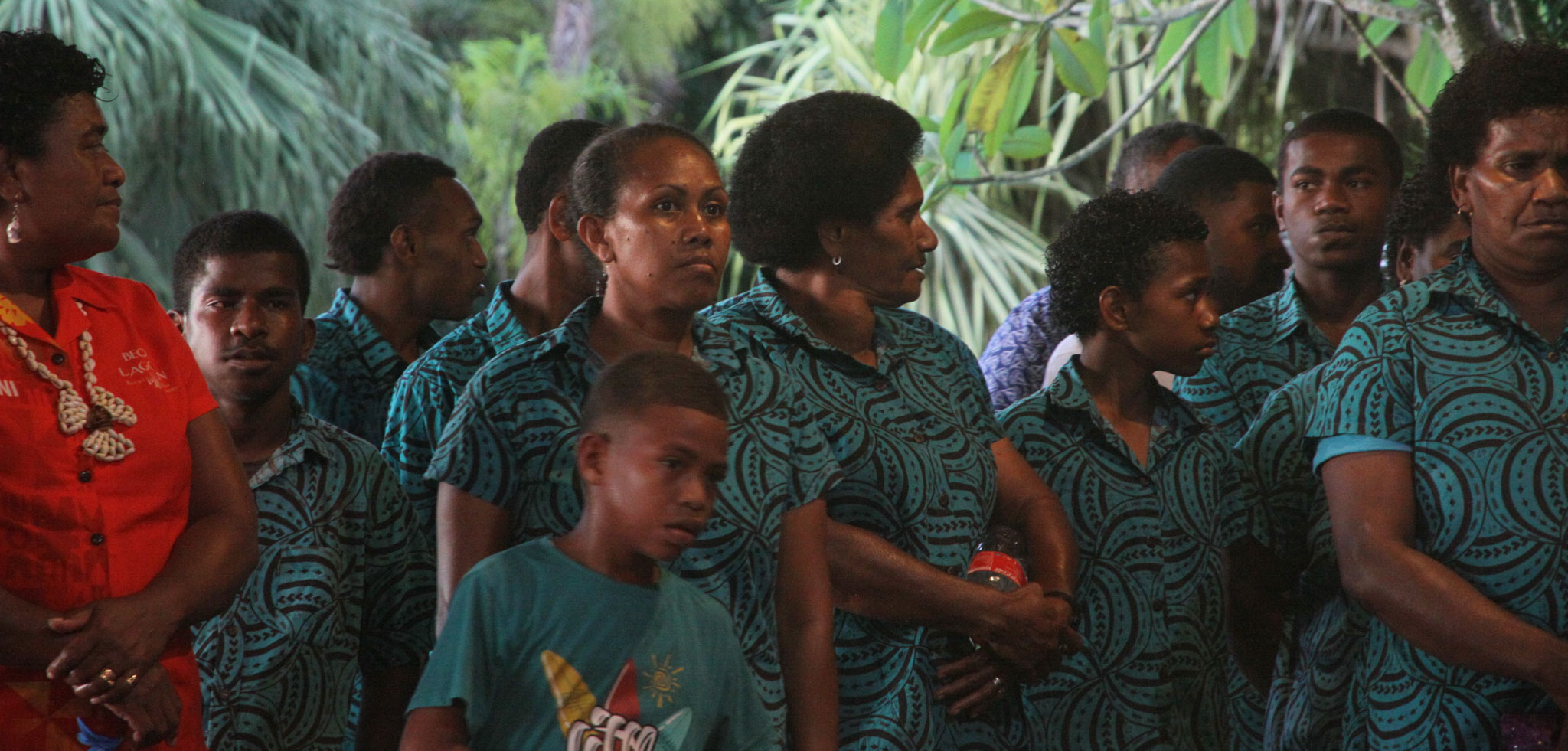
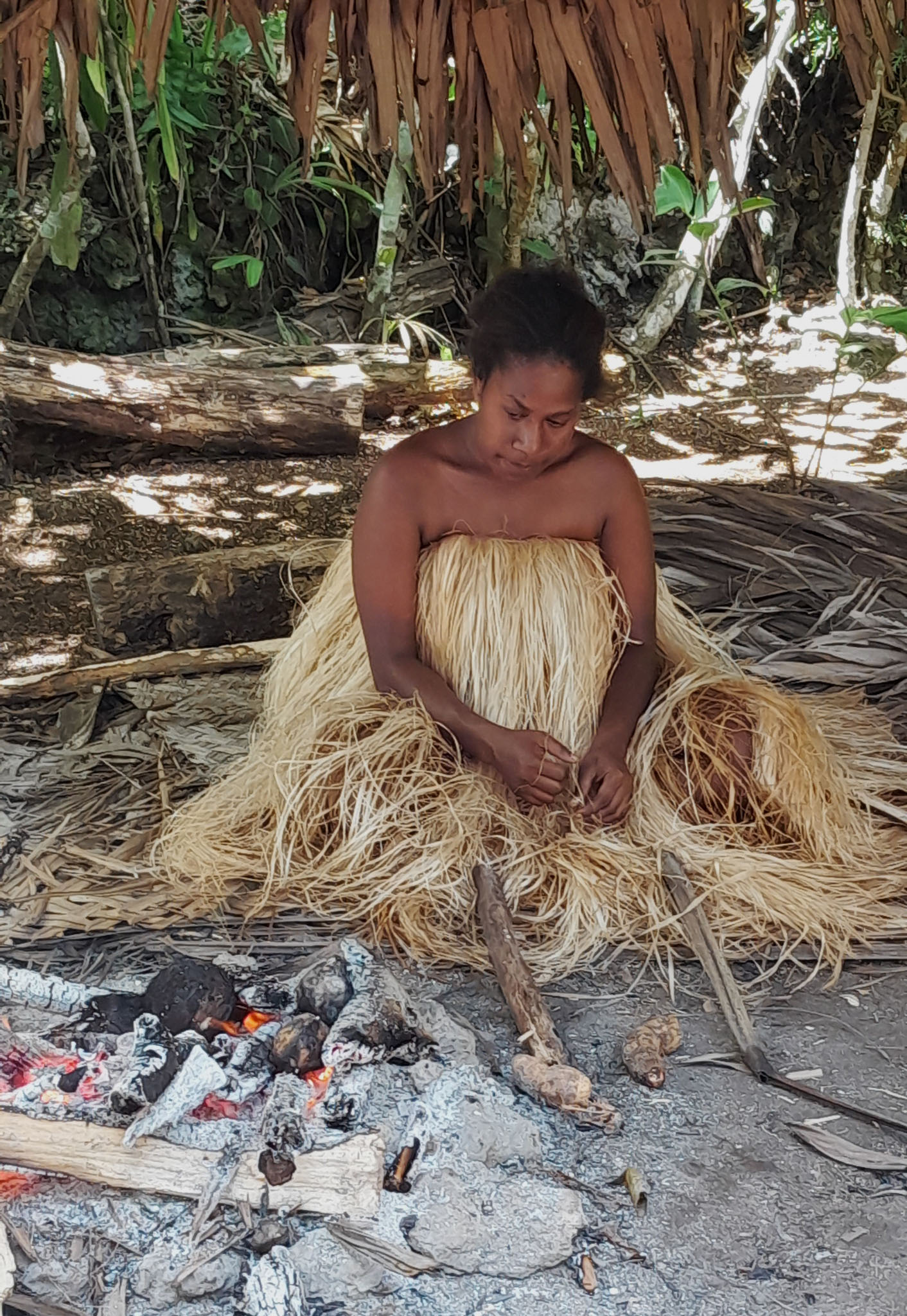
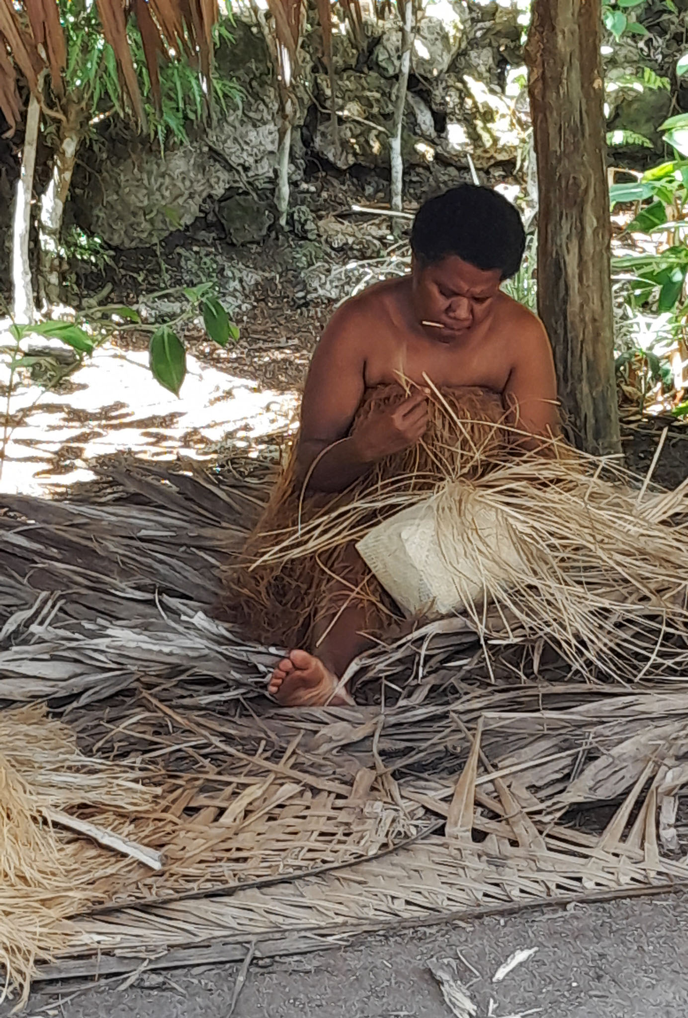
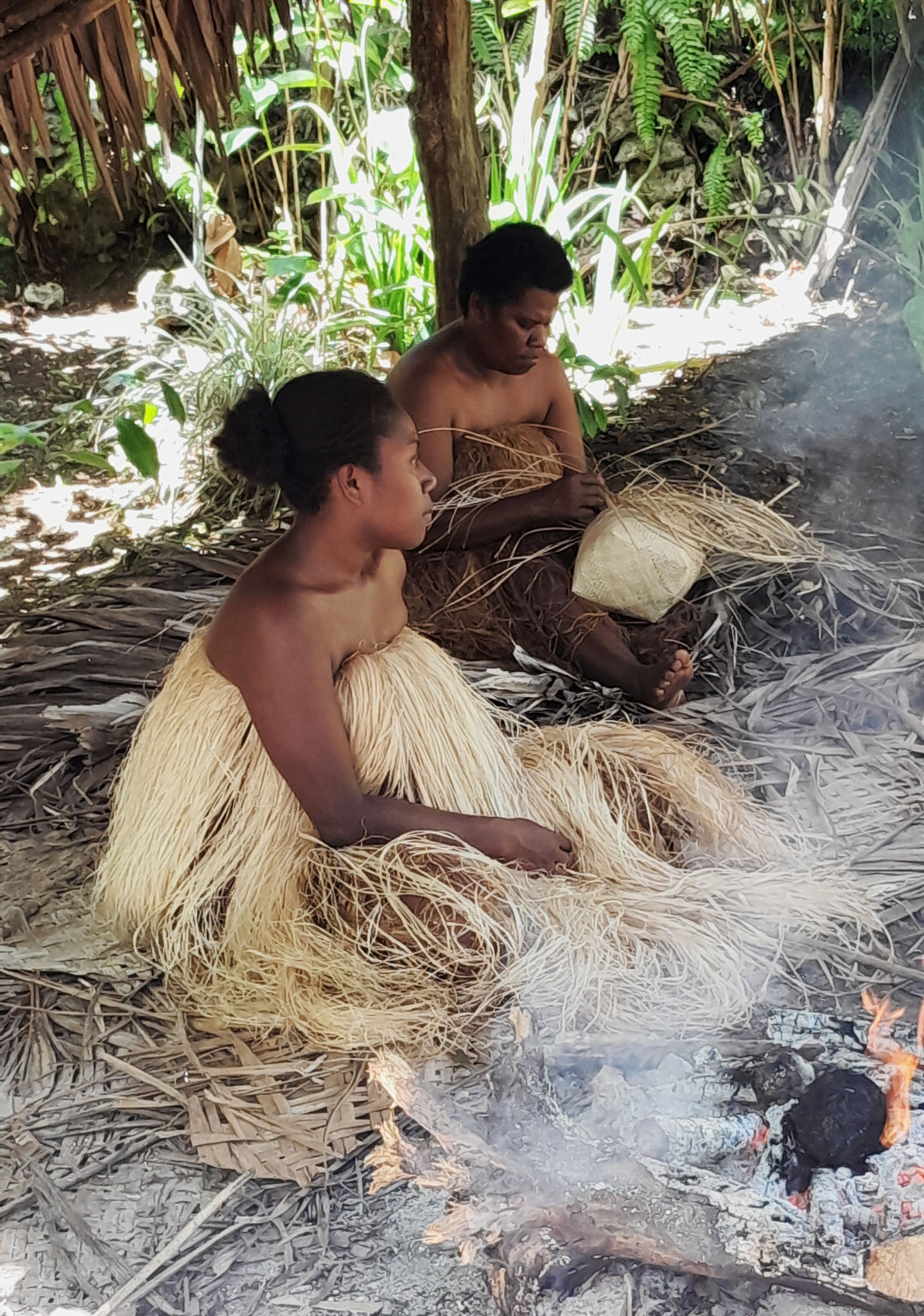
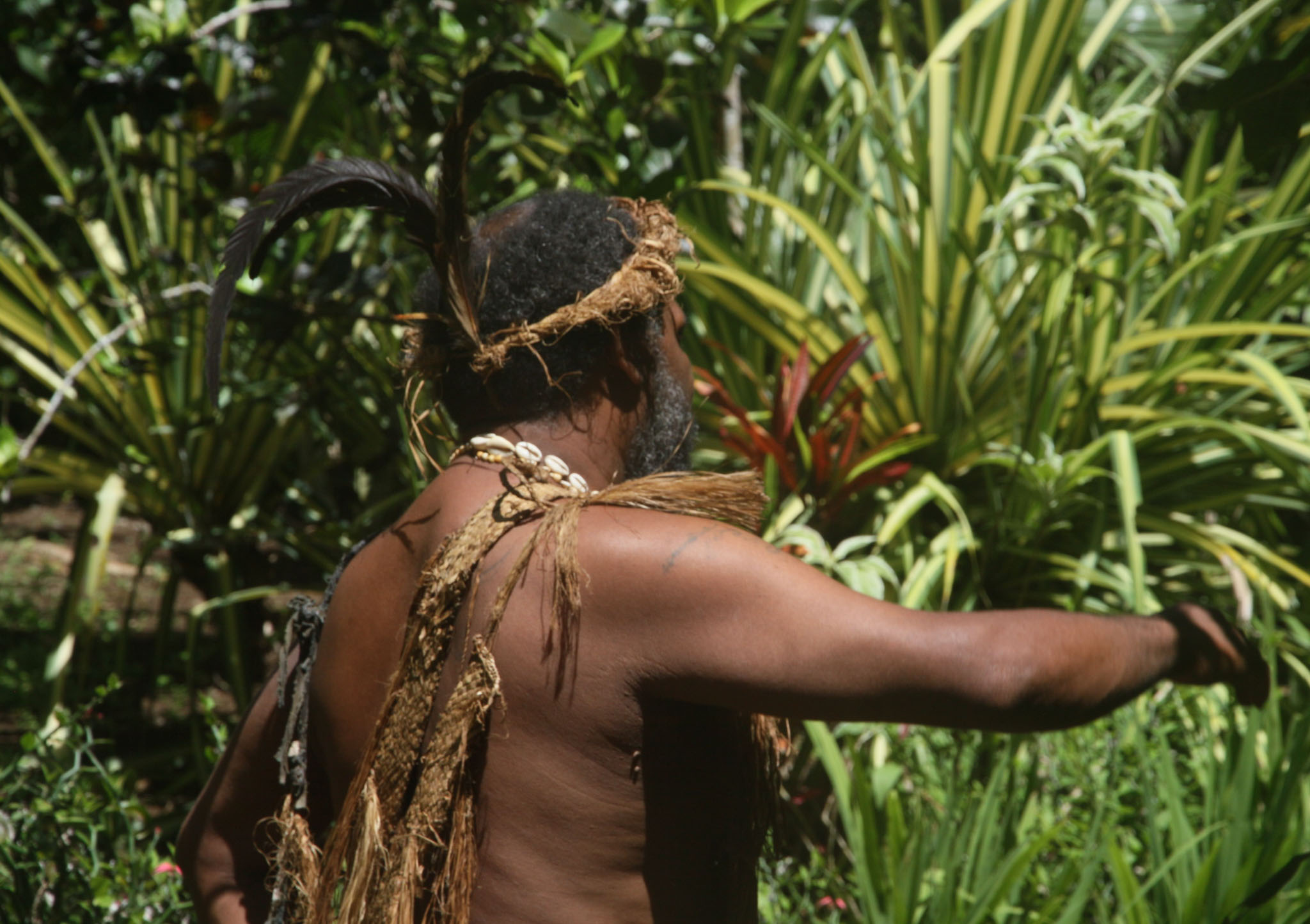
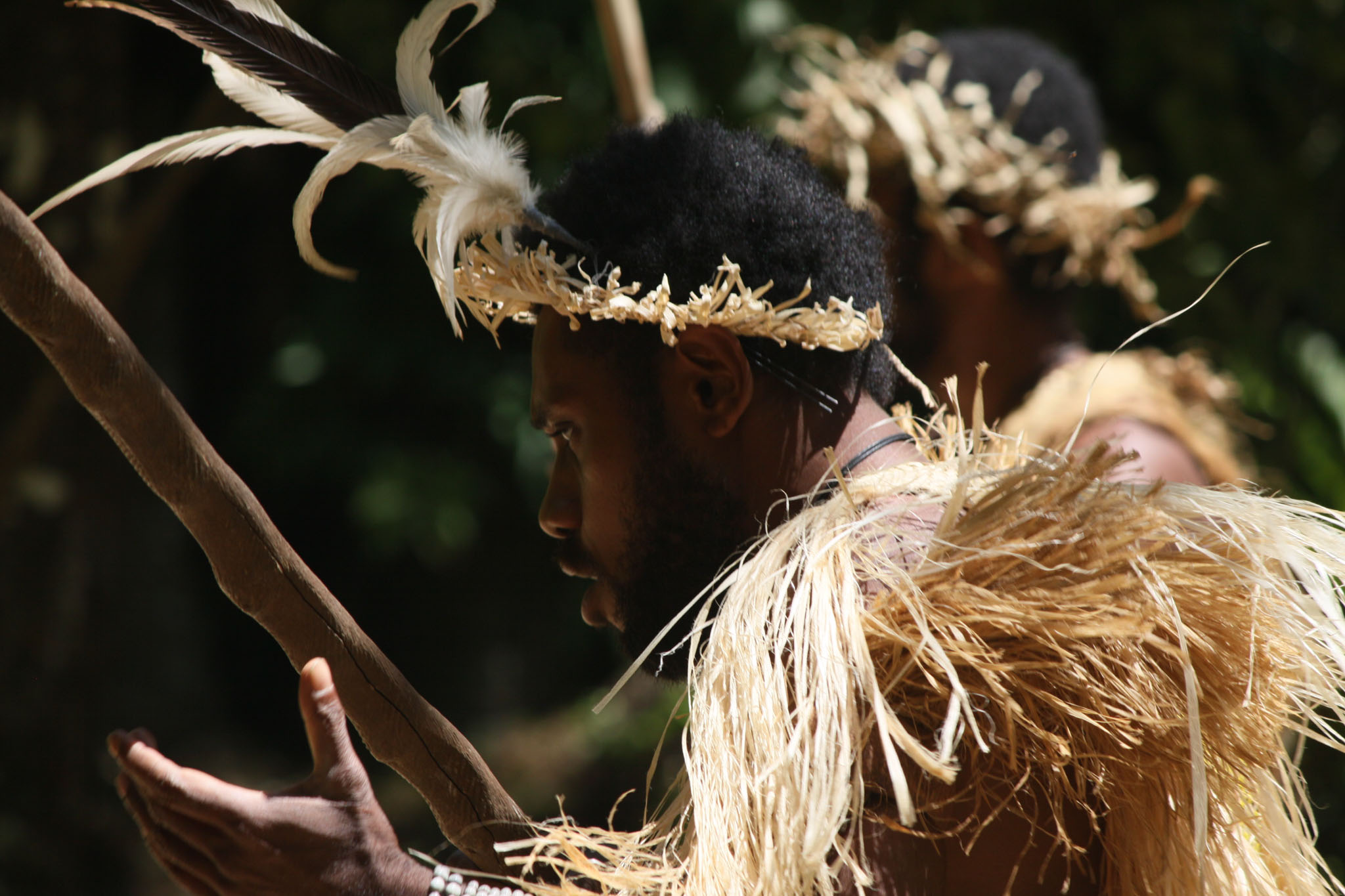
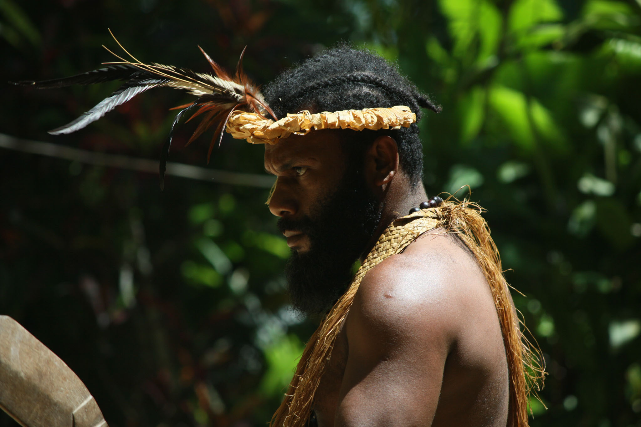
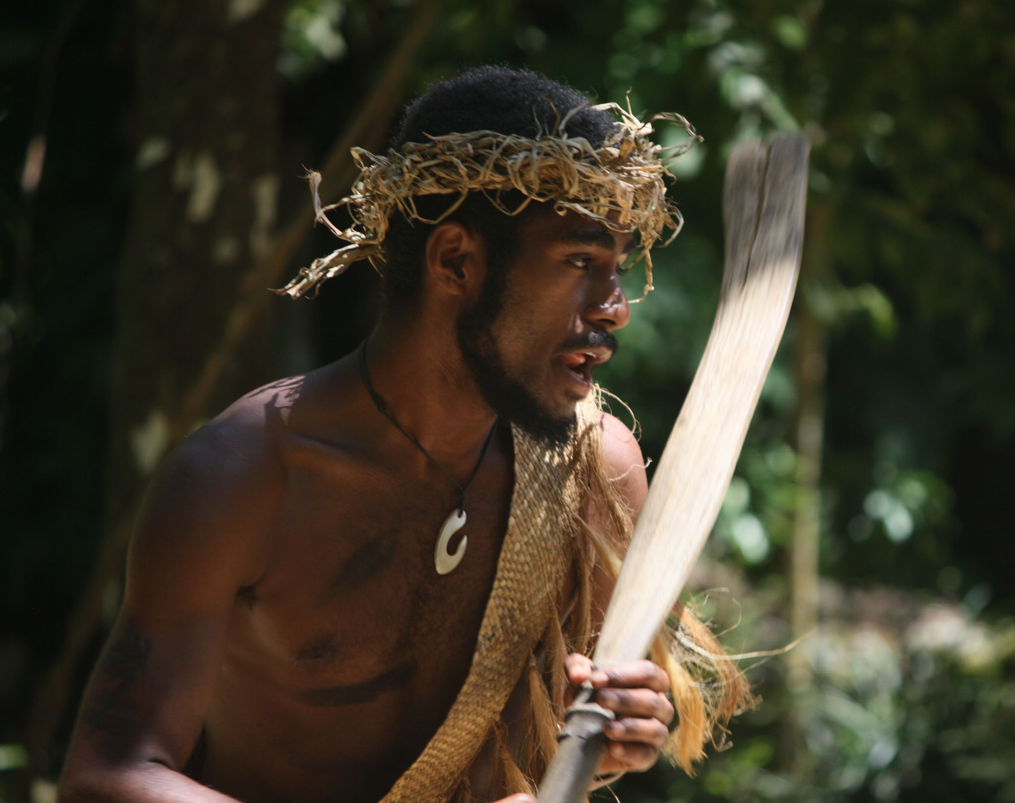
Beqa (Fijian pronunciation: [mbeŋɡa], also known as Mbengga in English) is an island in Fiji, an outlier to the main island of Viti Levu, 10 kilometres (6.2 miles) to the south. The island has a land area of 36.3 square kilometres (14 square miles) and reaches a maximum elevation of 440 metres (1,440 feet). Beqa has 9 villages divided between 2 tikinas (districts): Sawau and Raviravi. To the west is the island of Yanuca.
The villages of Dakuibeqa (the chiefly village of the Sawau people), Dakuni, Soliyaga, Naceva and Naiseuseu are part of the tikina (district) of Sawau. The villages of Nawaisomo, Raviravi, Lalati and Rukua are part of the tikina (district) of Raviravi.
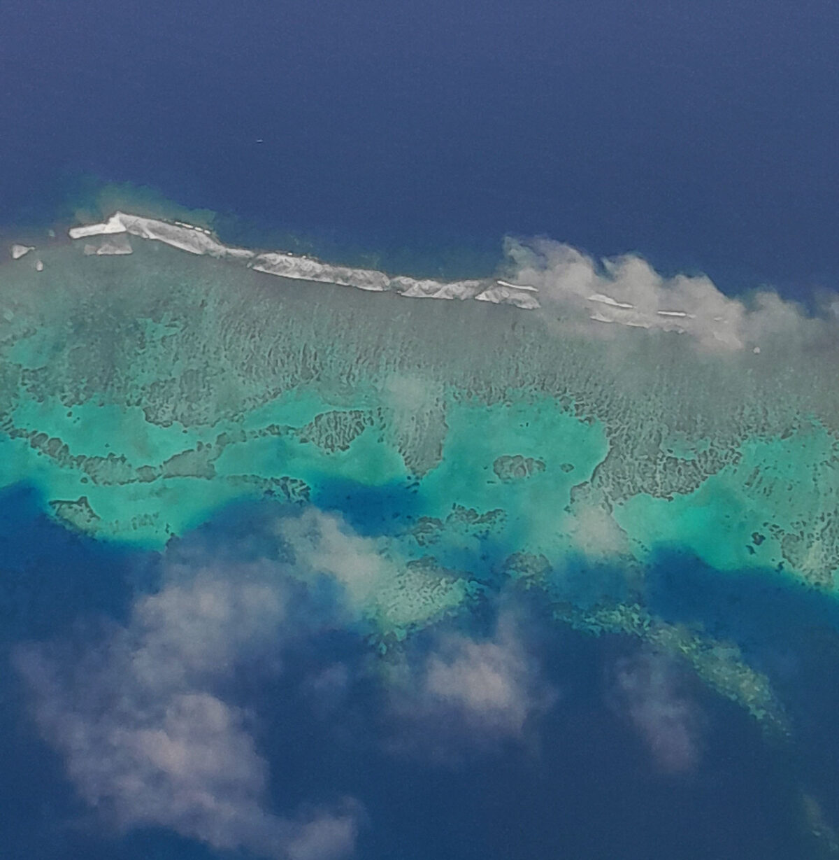
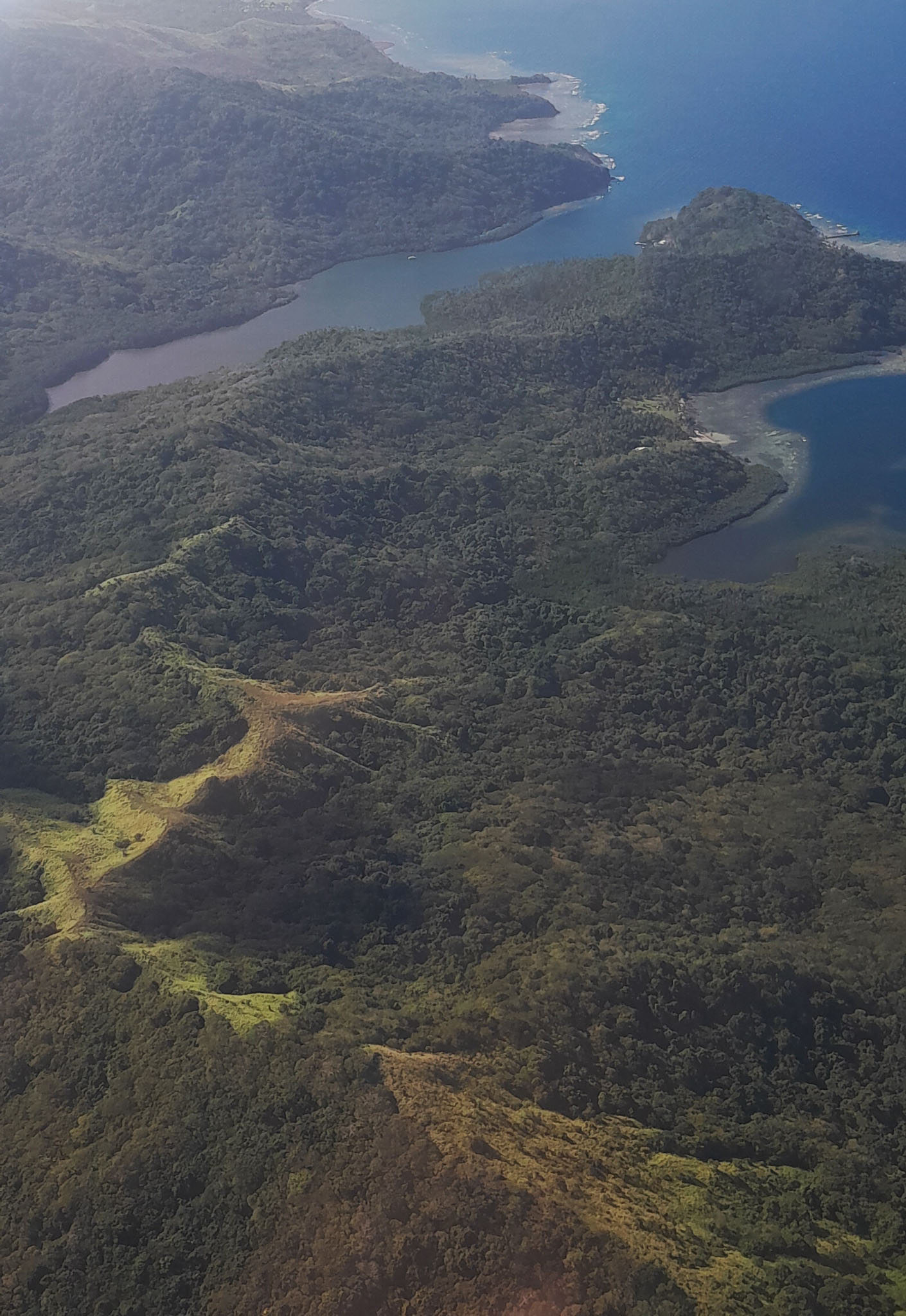
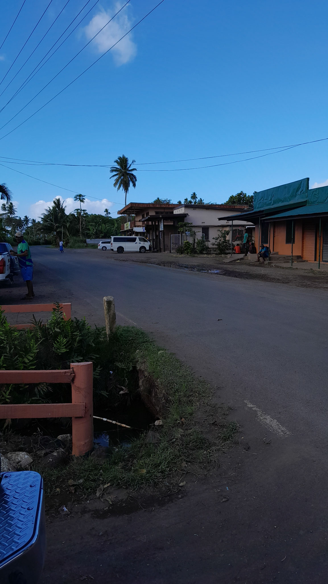
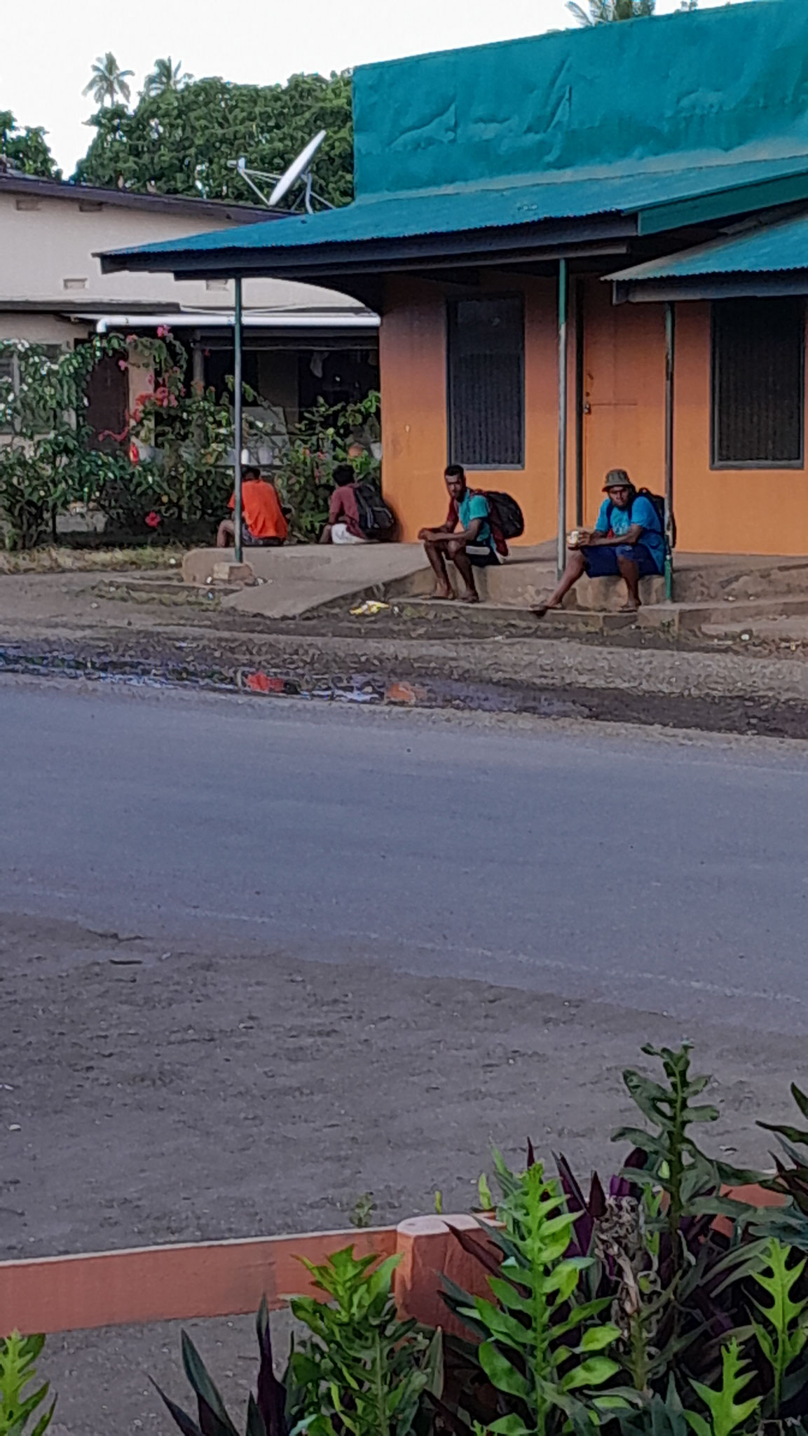

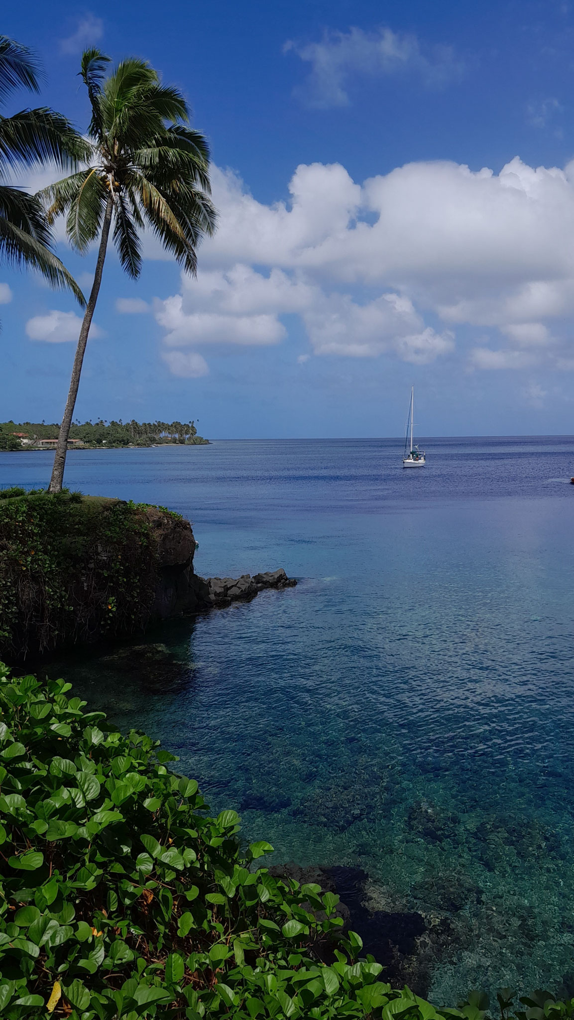
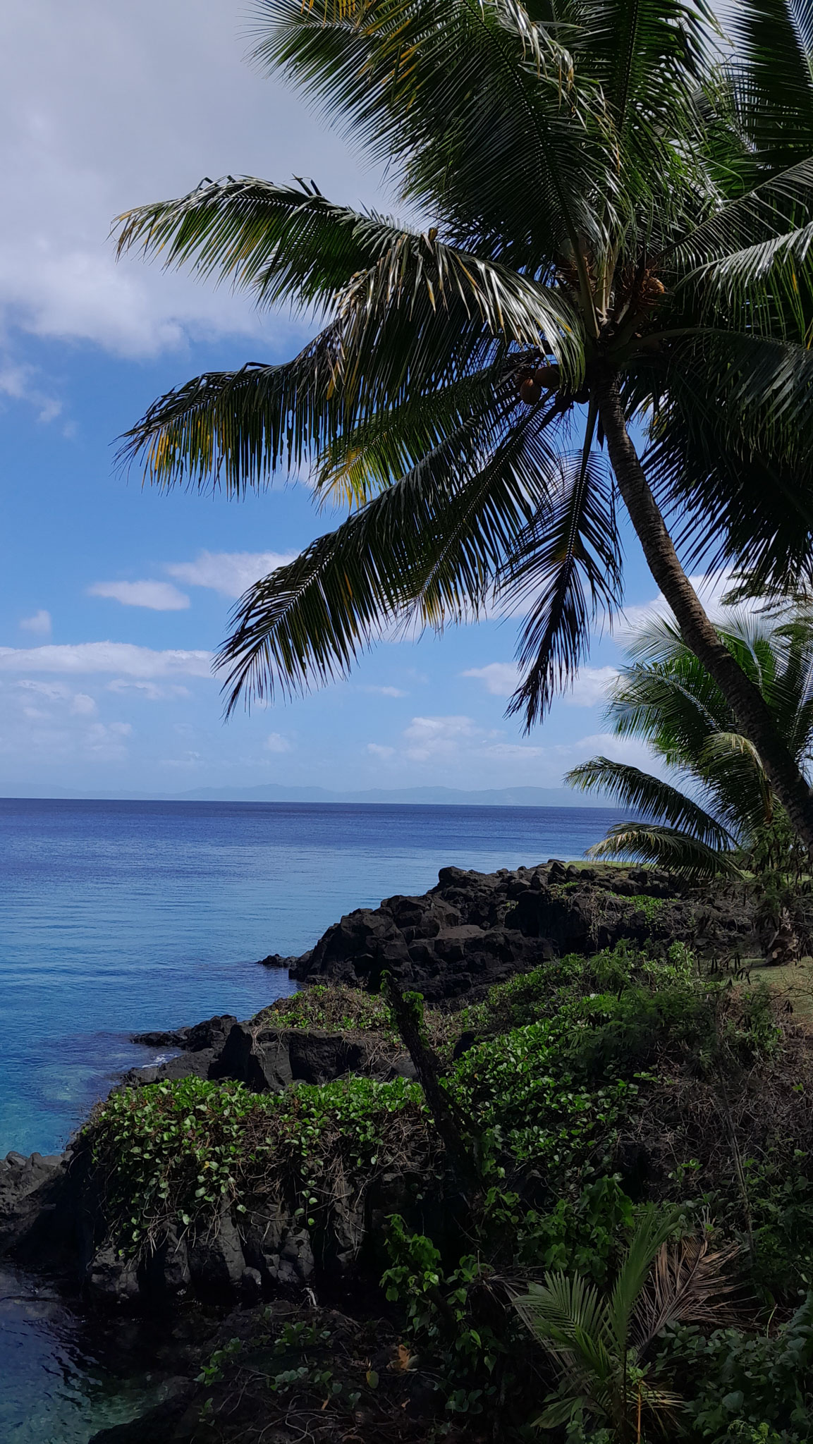
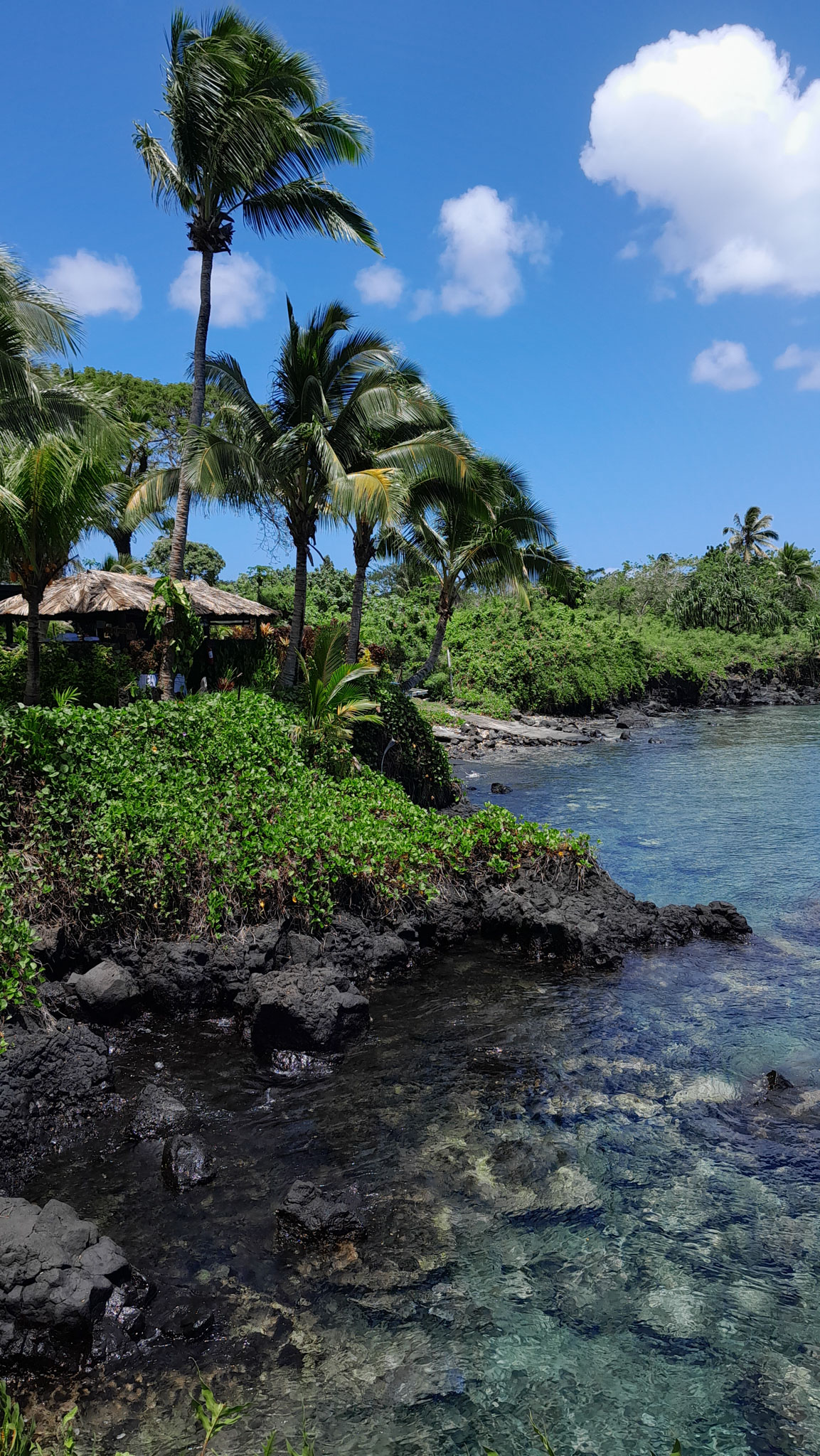
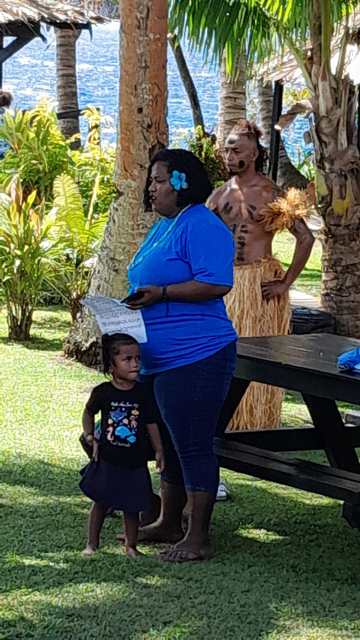
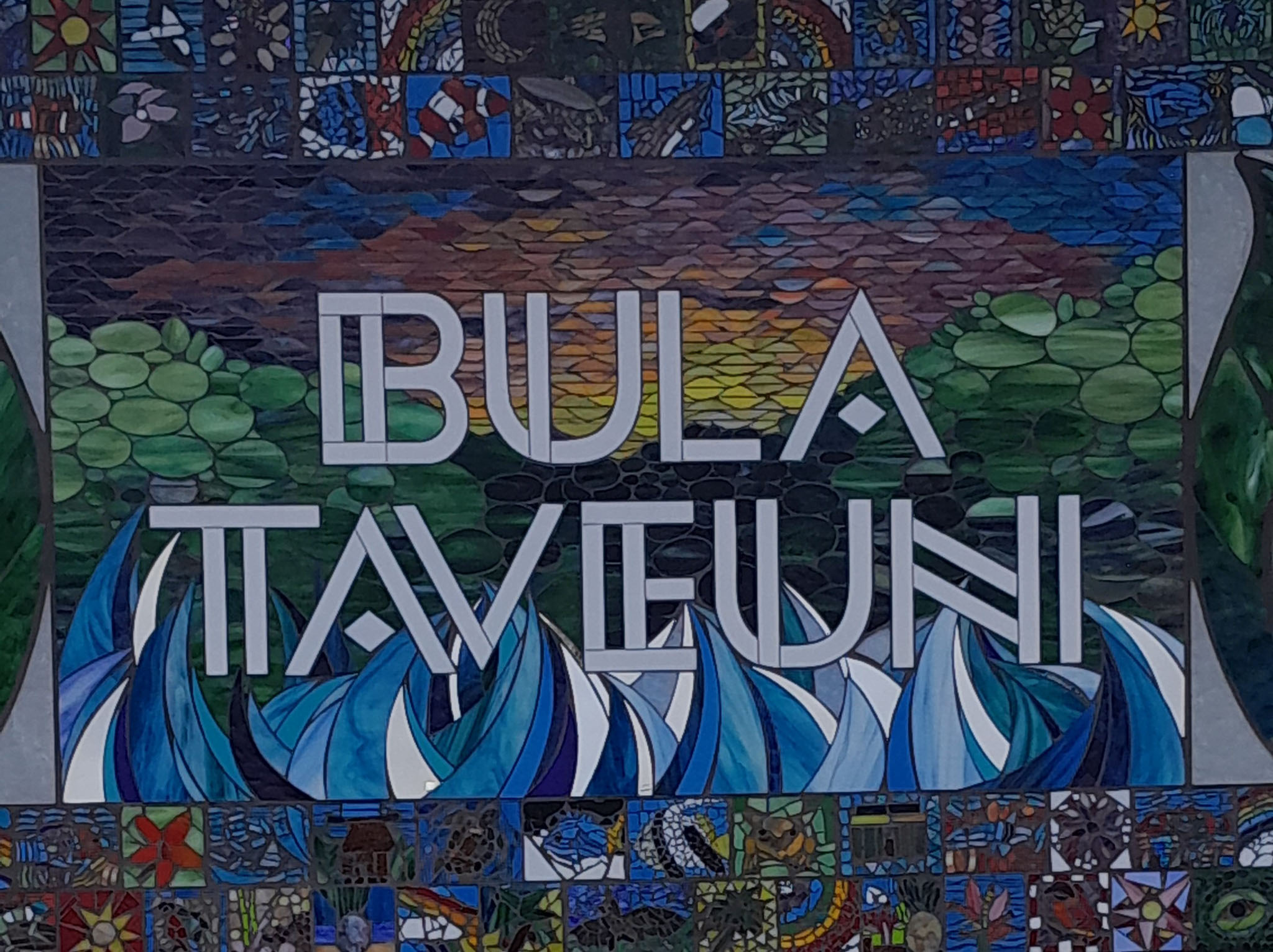

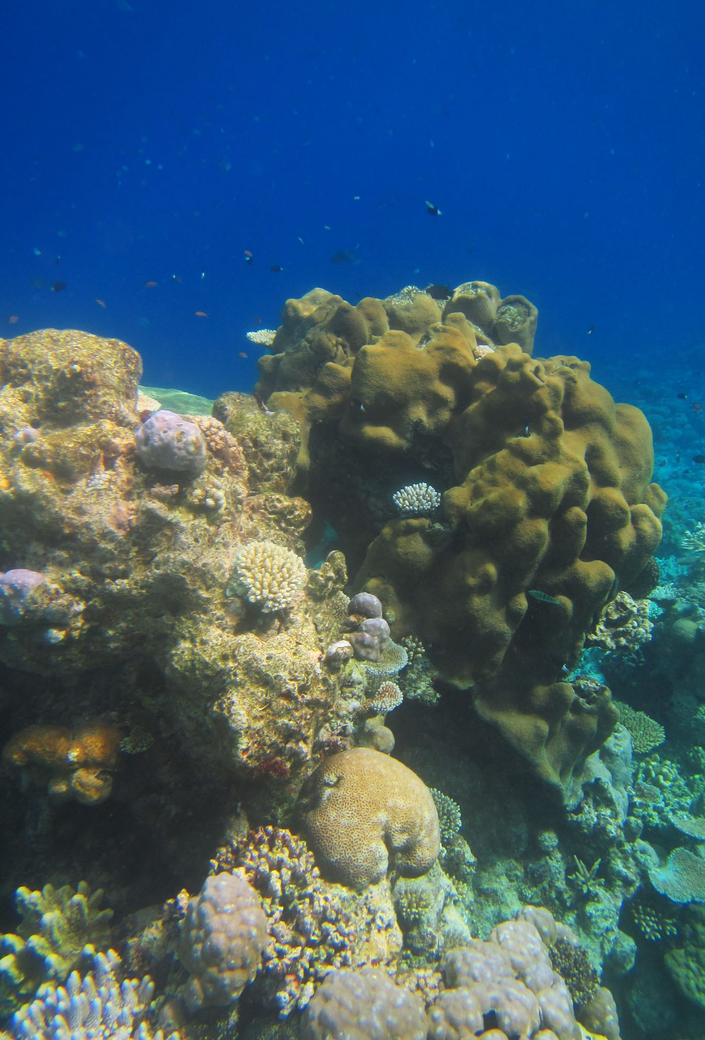
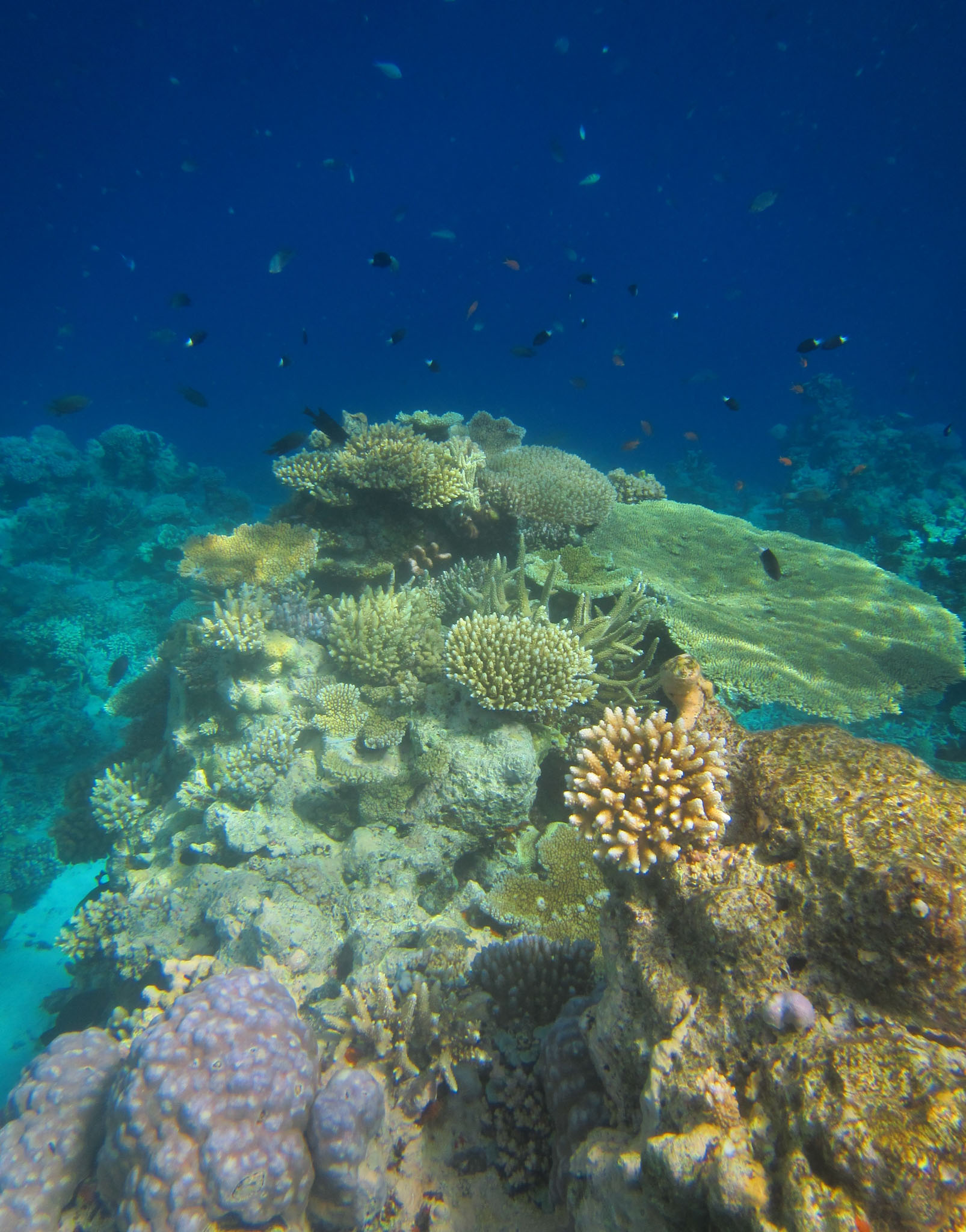
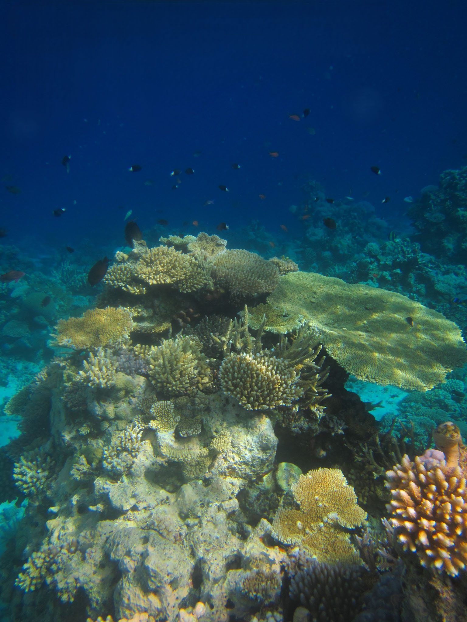
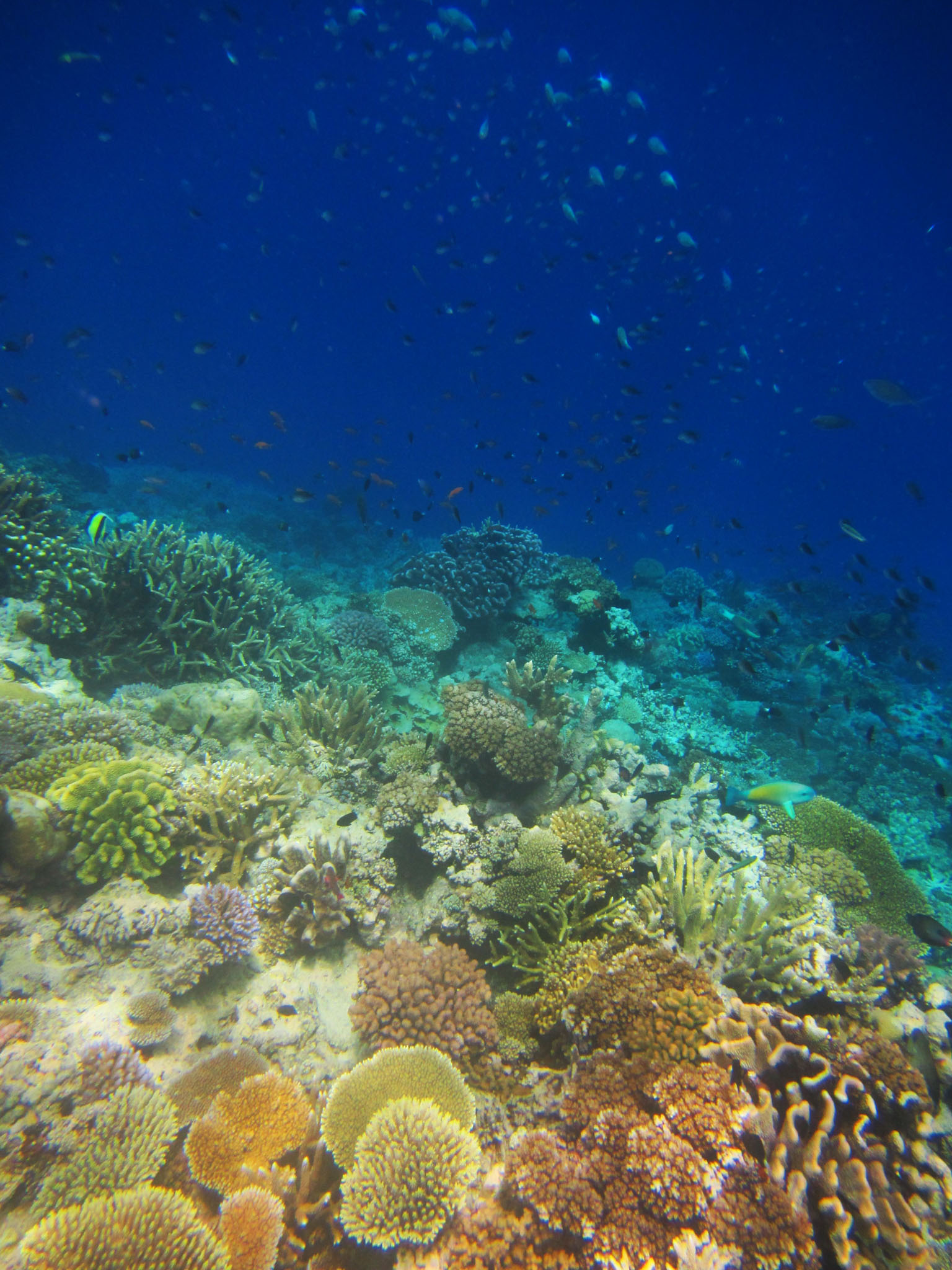
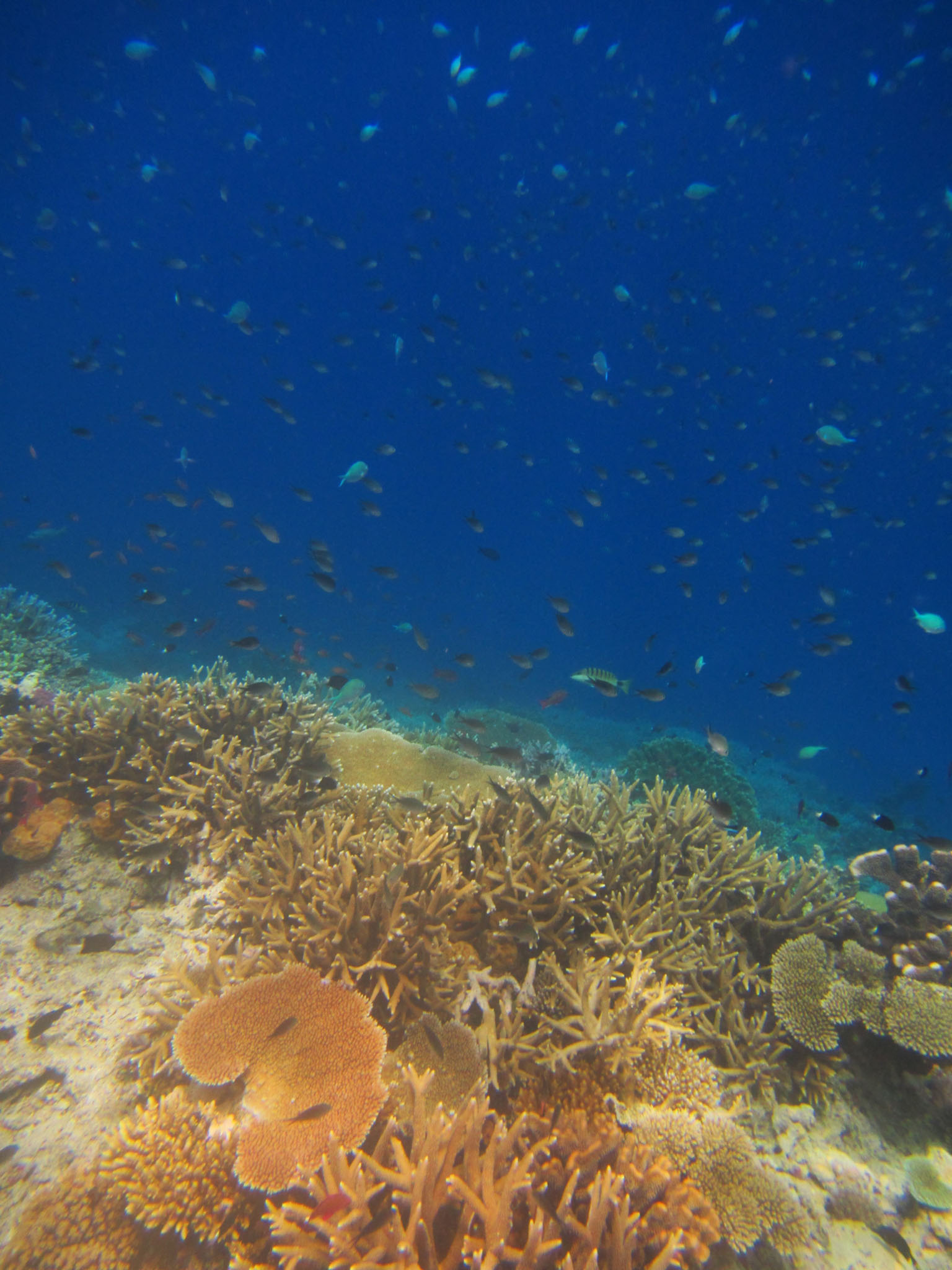
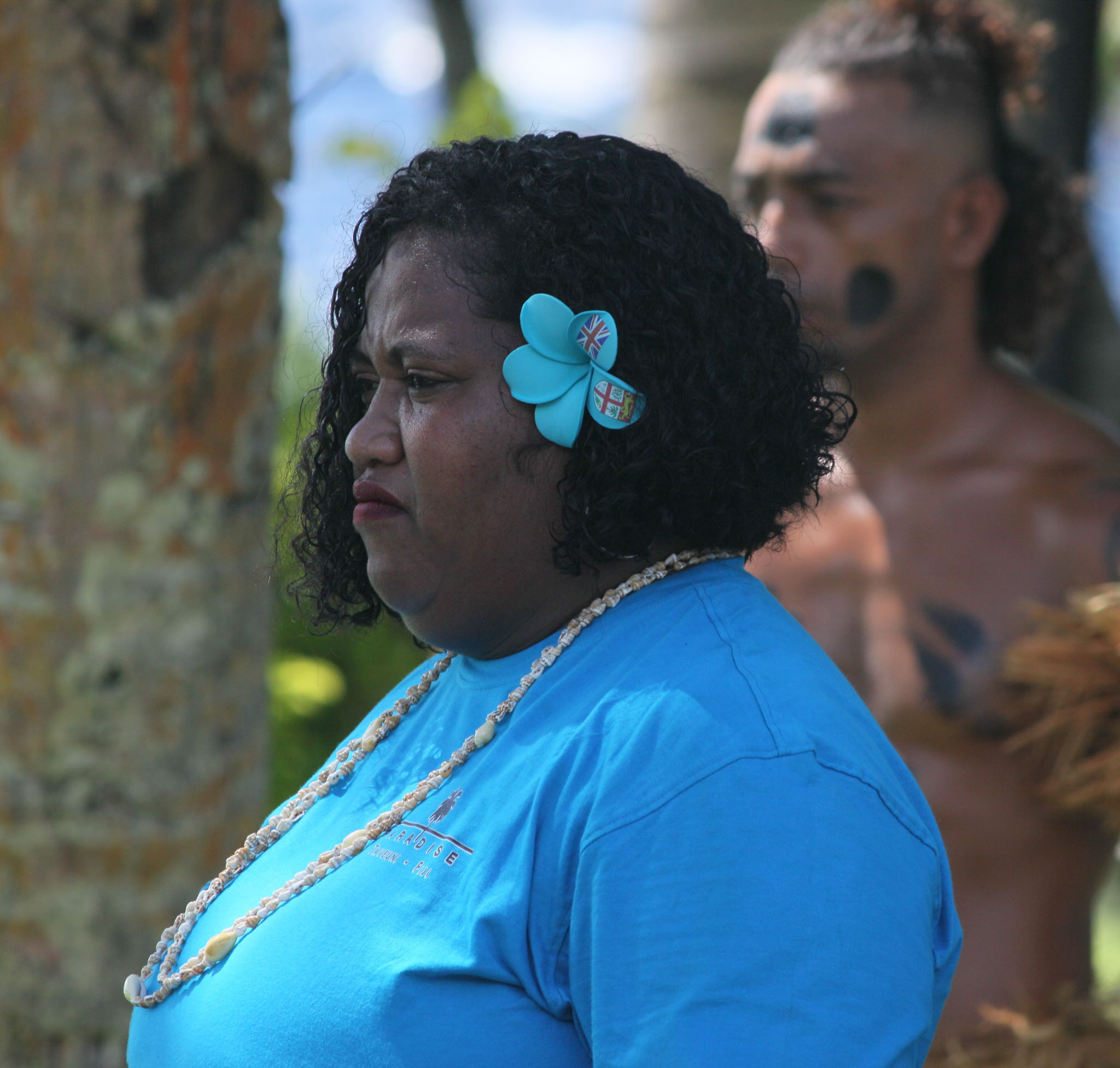


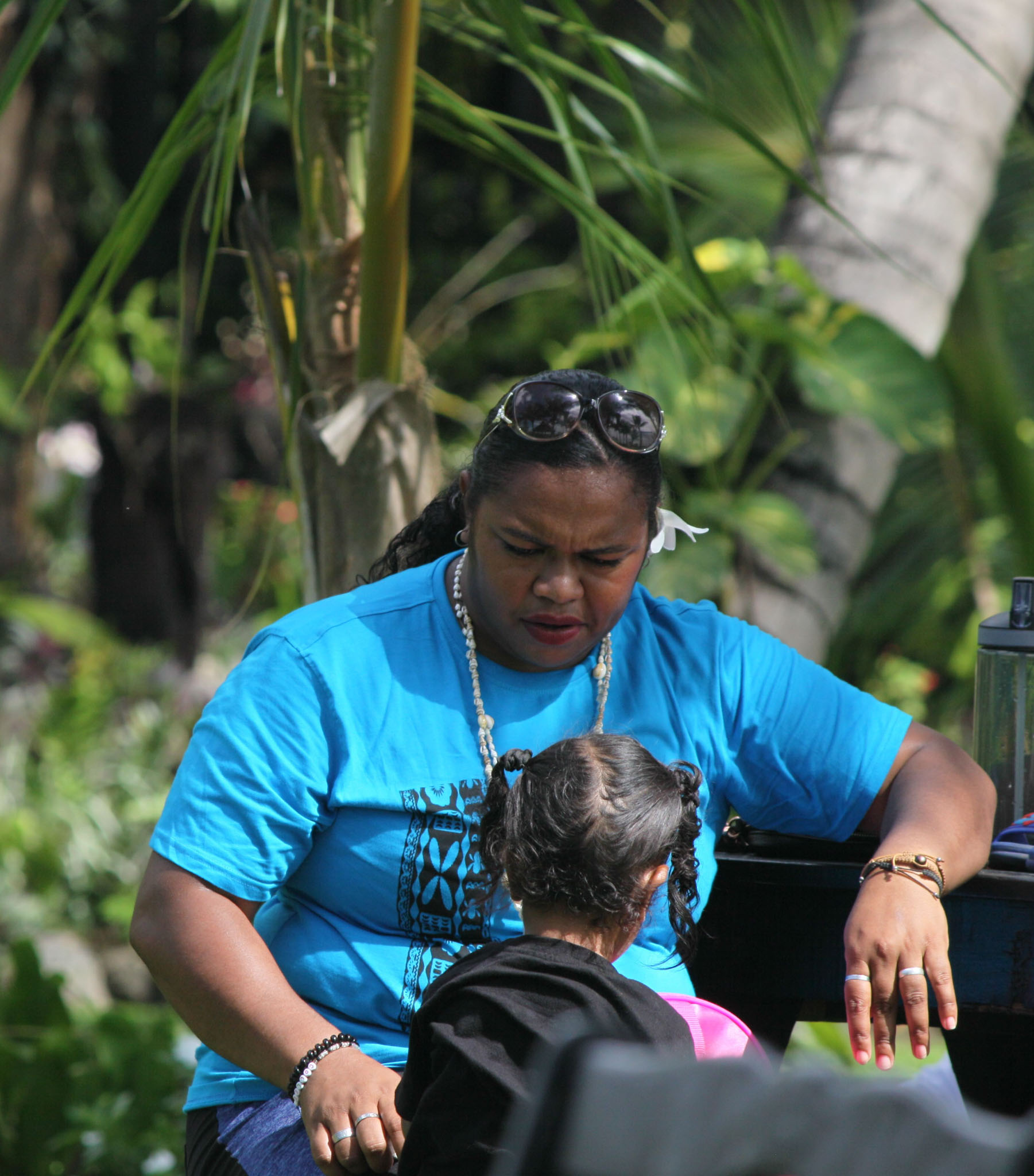

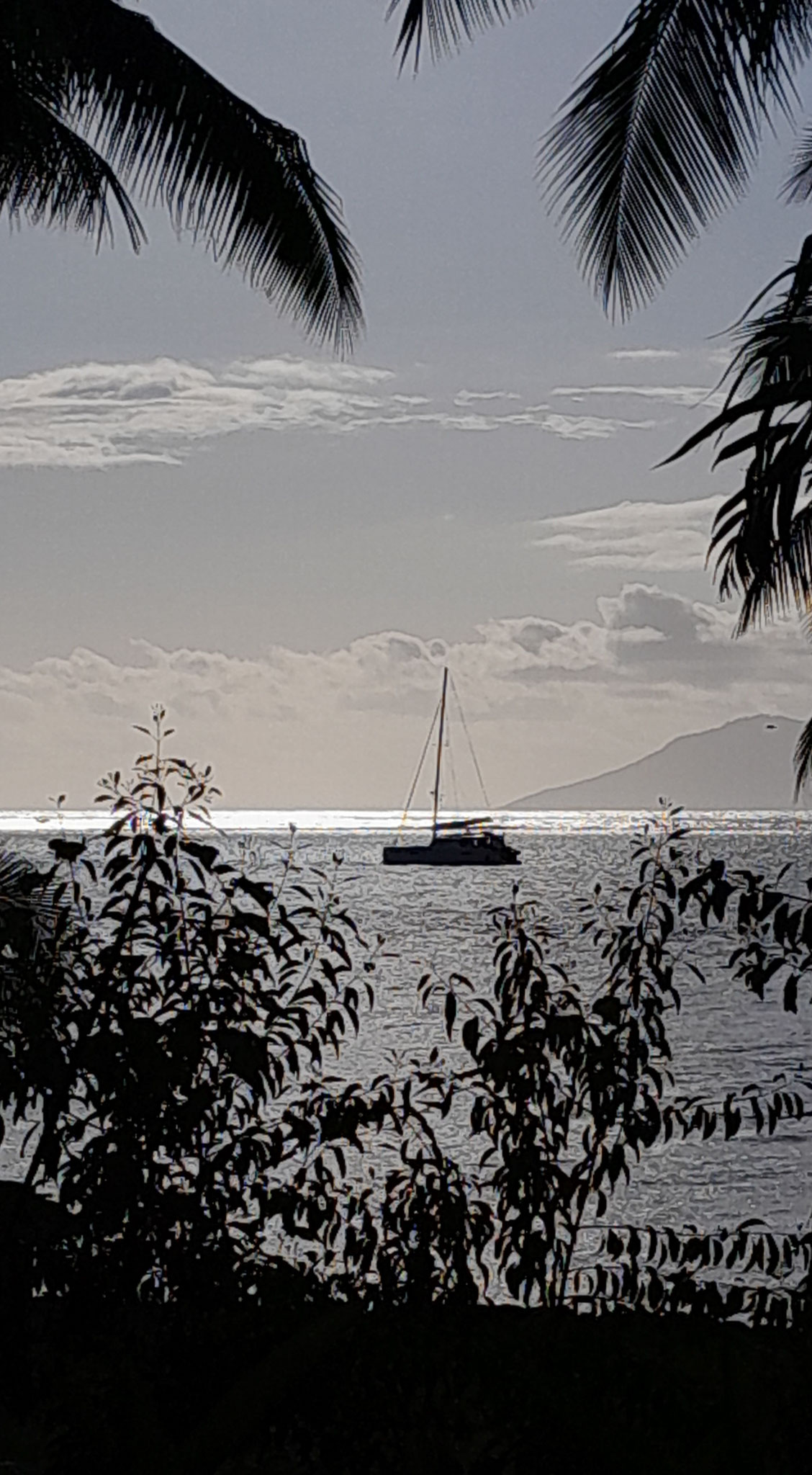
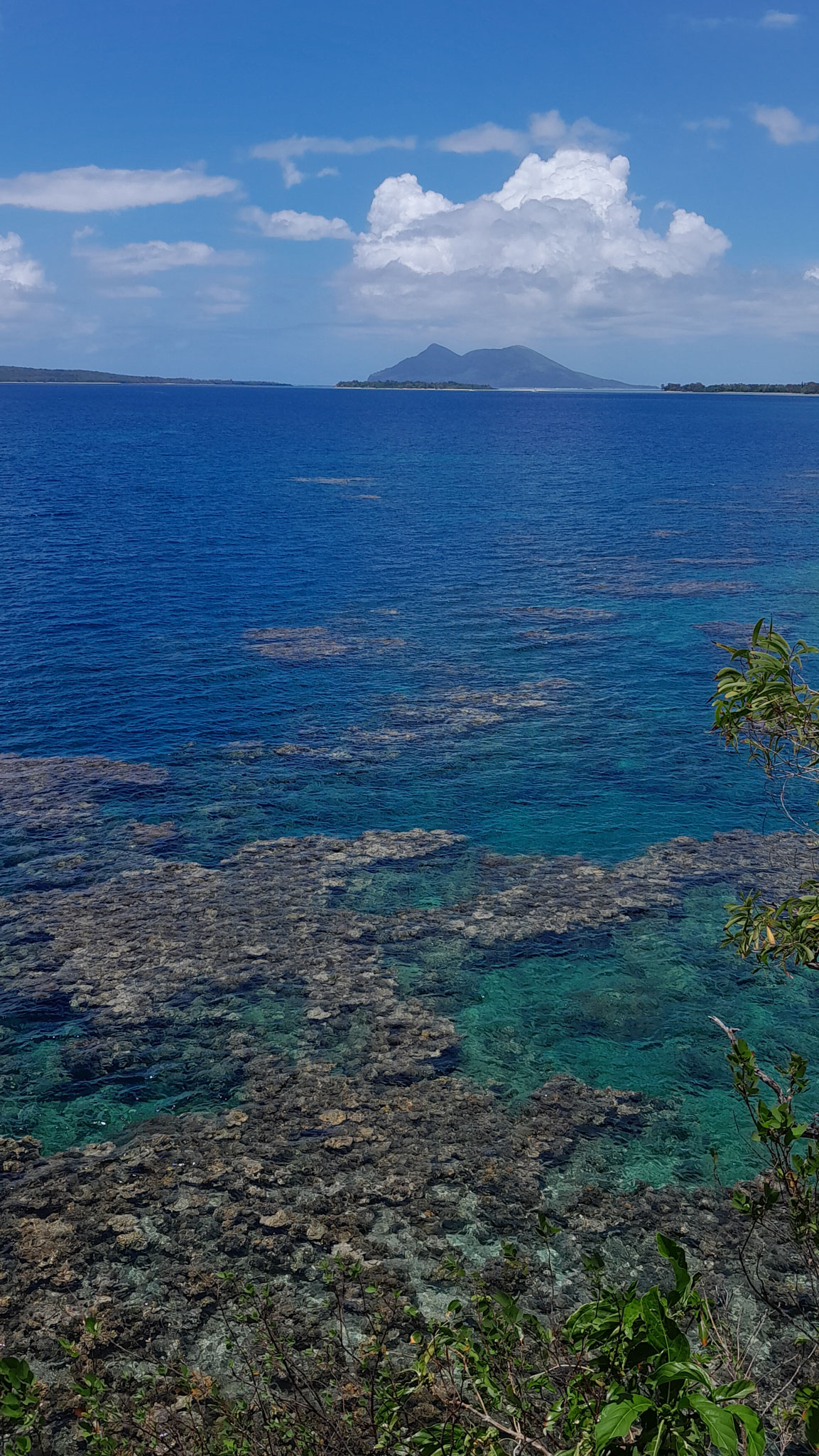
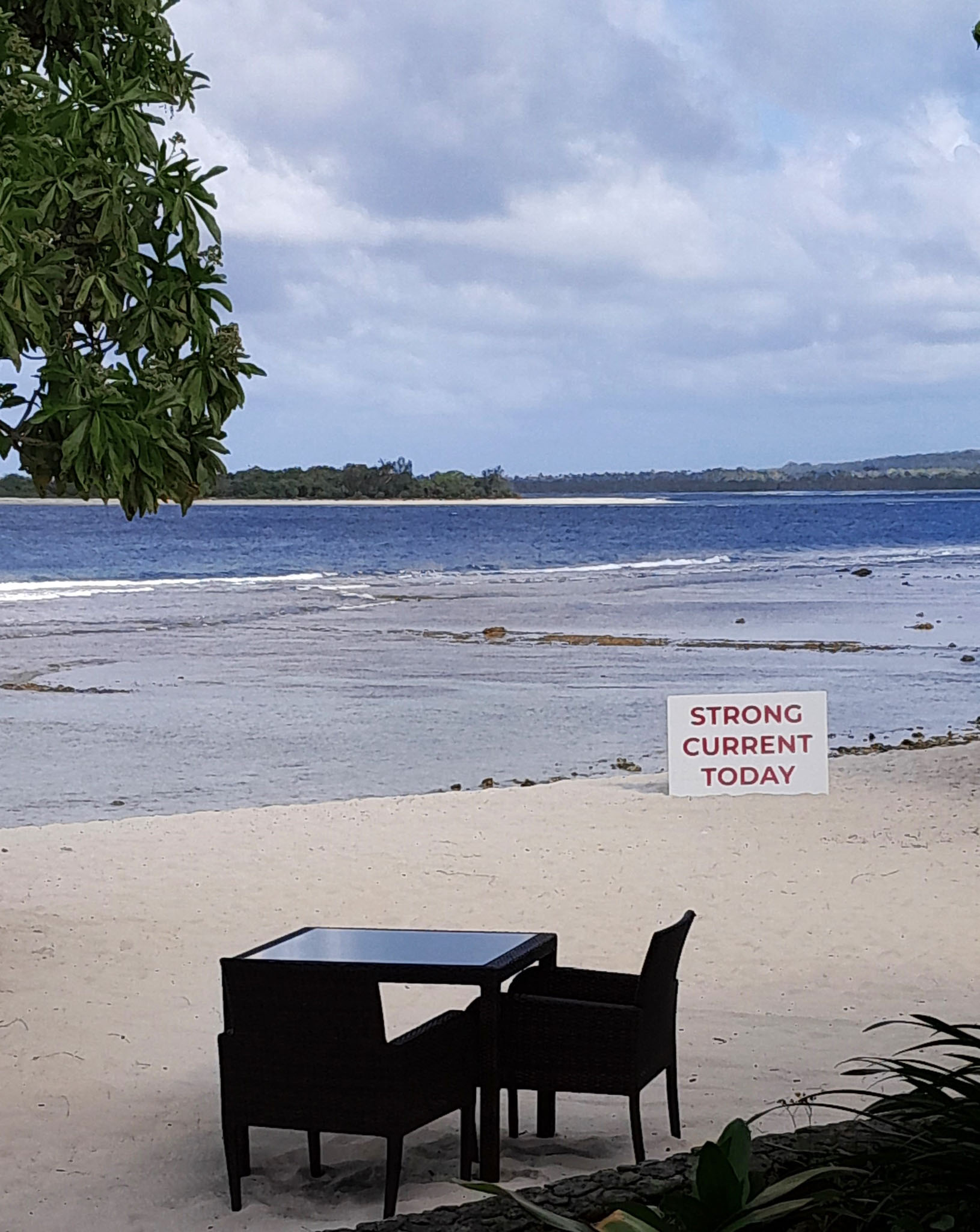
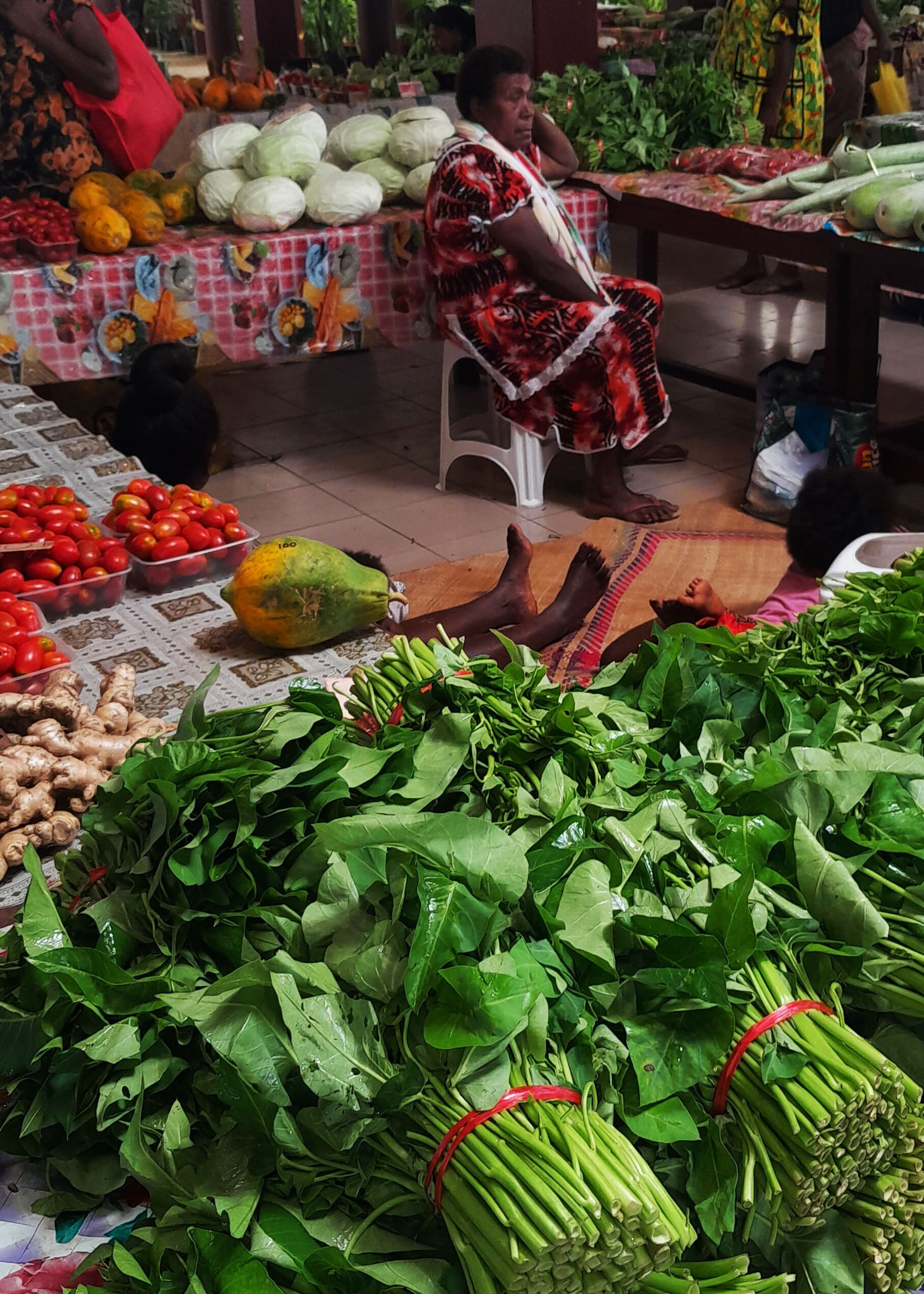
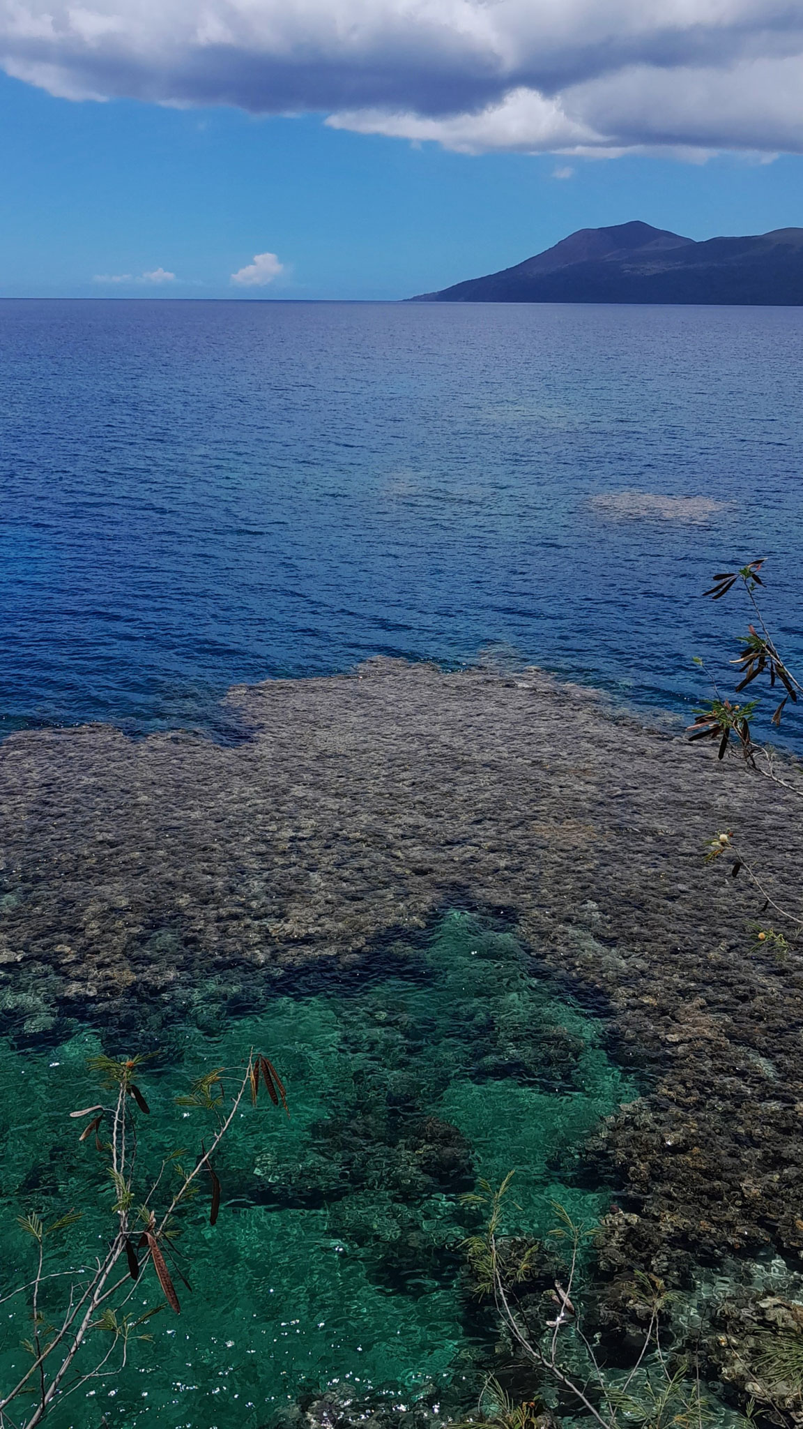
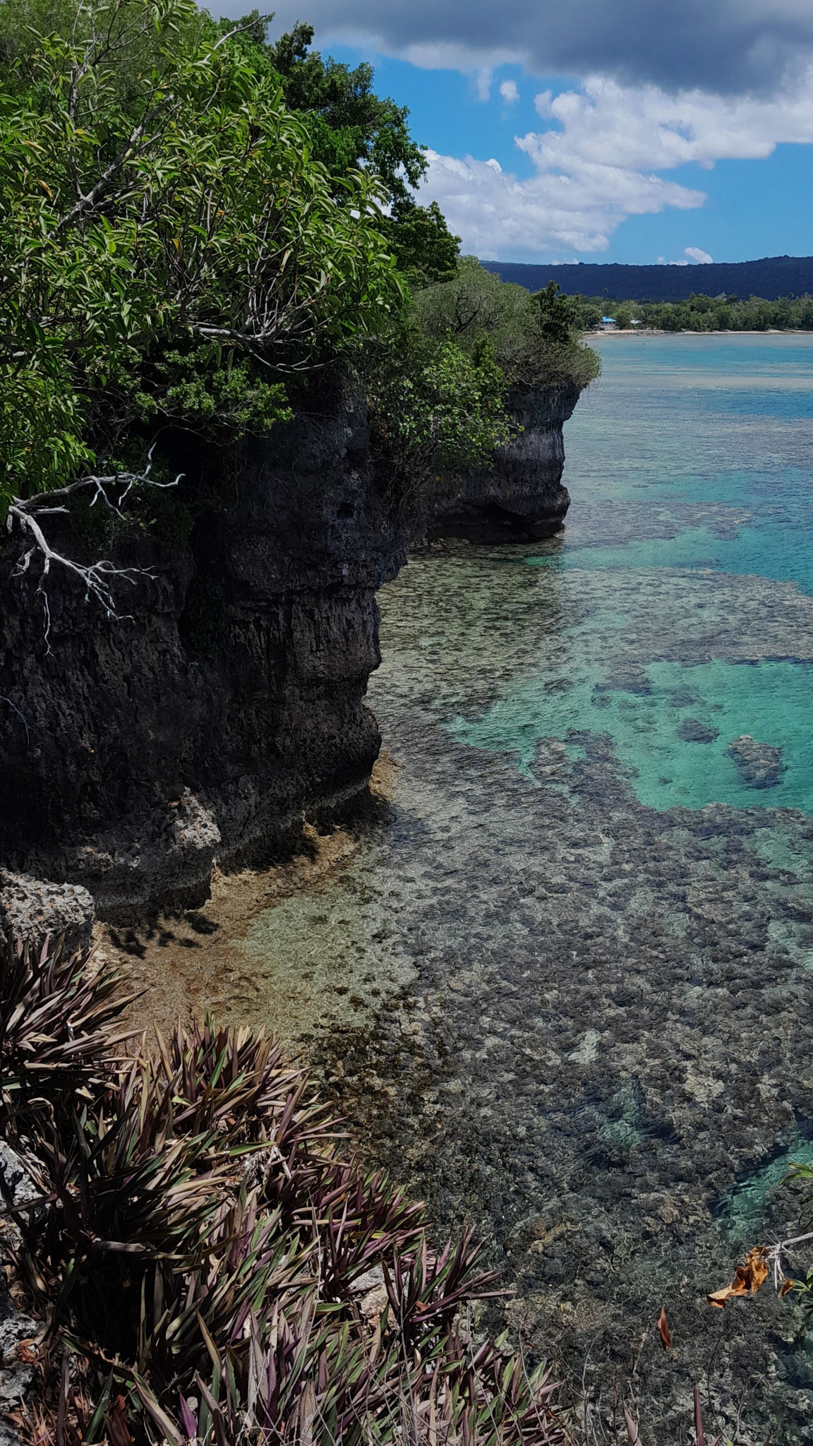
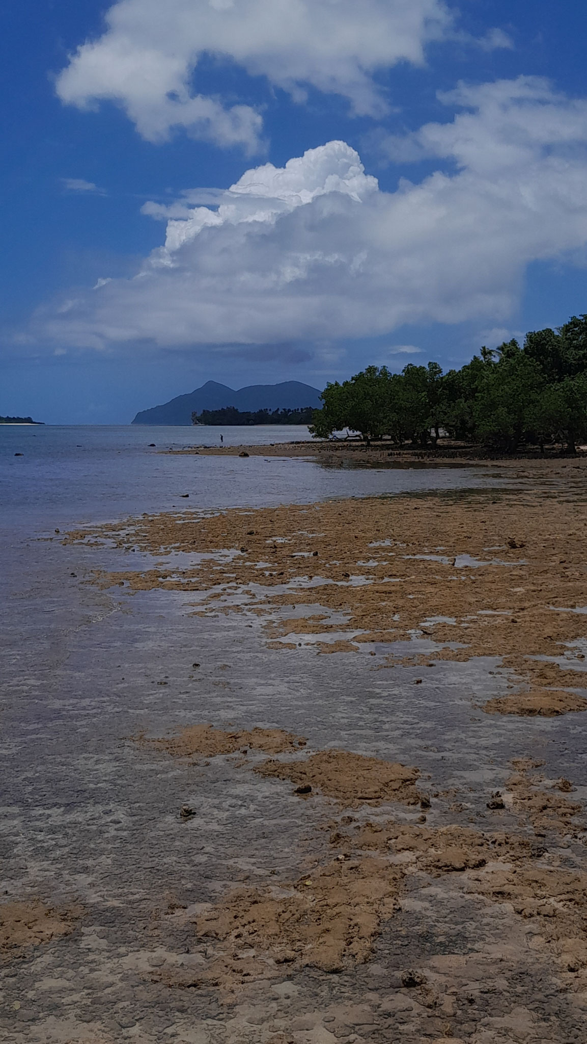
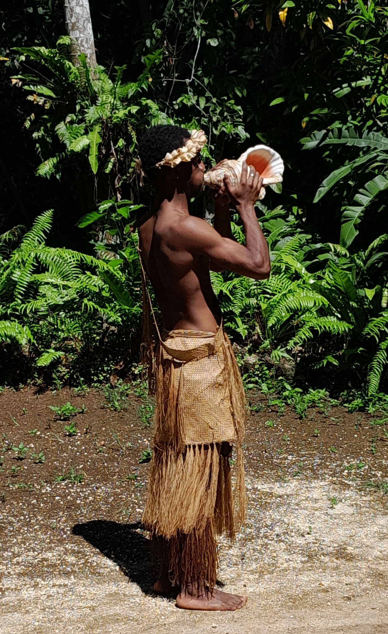
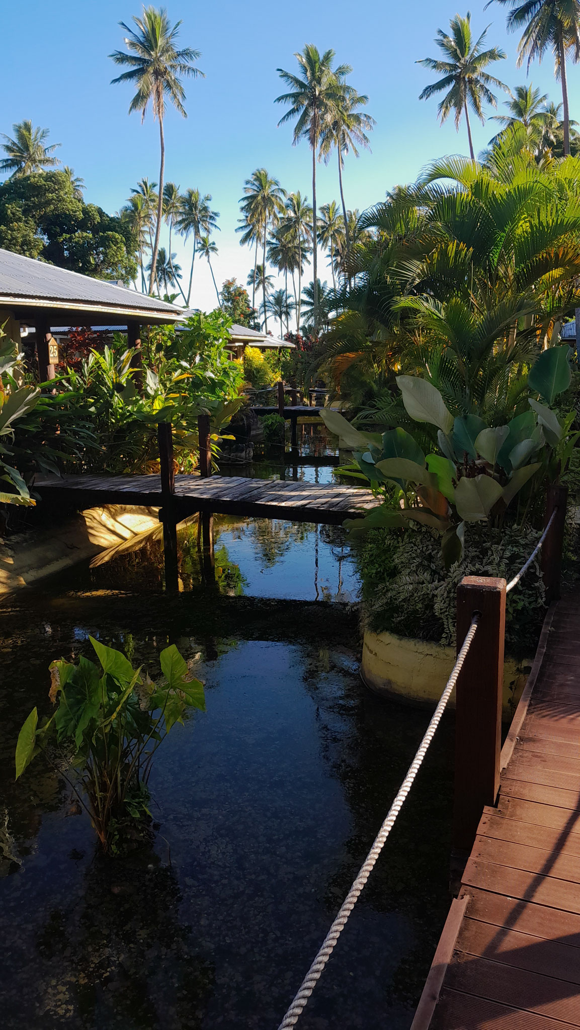
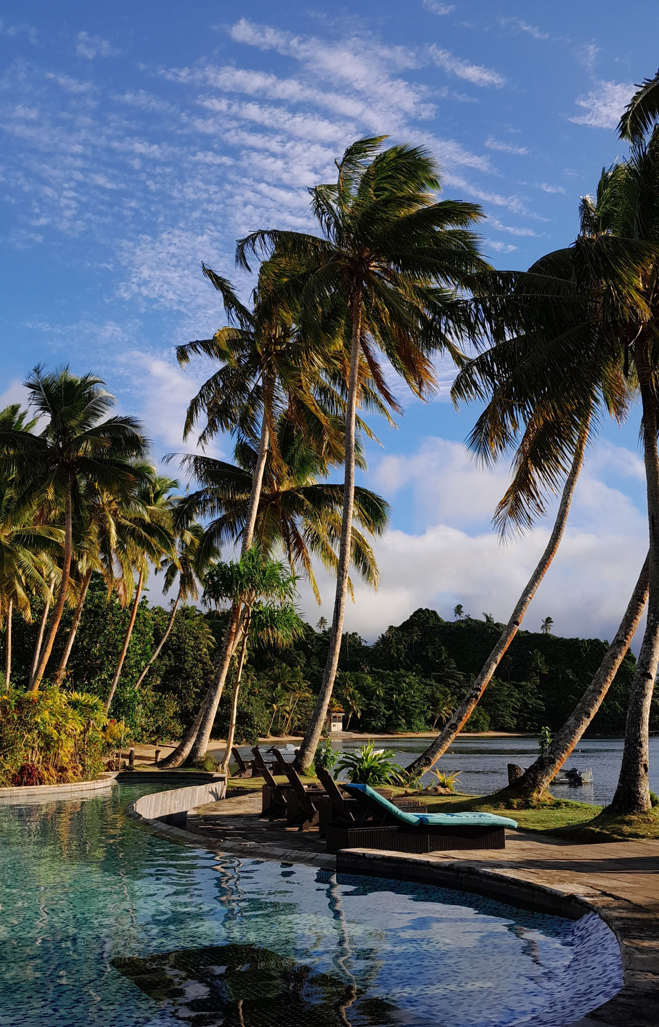
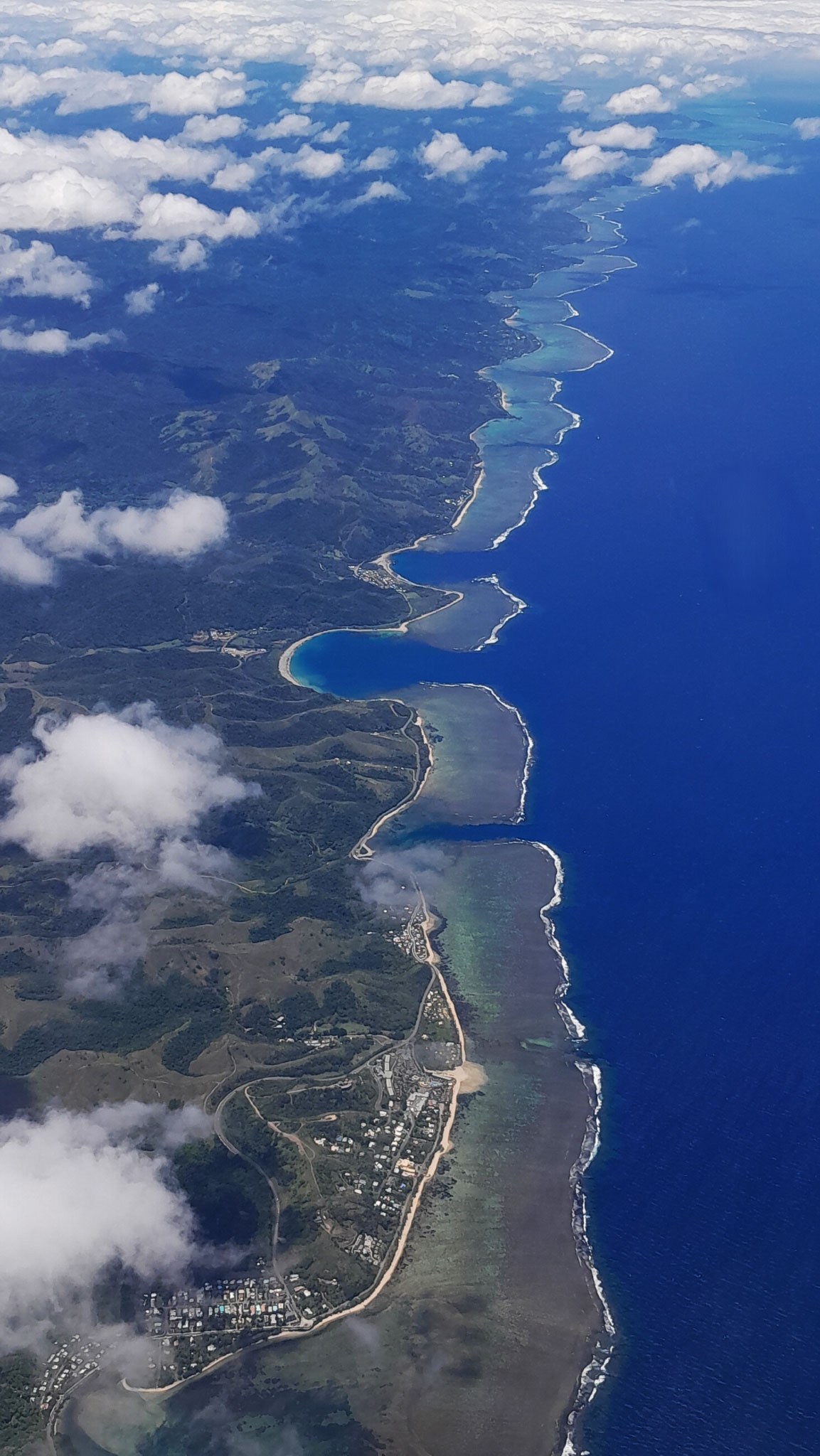
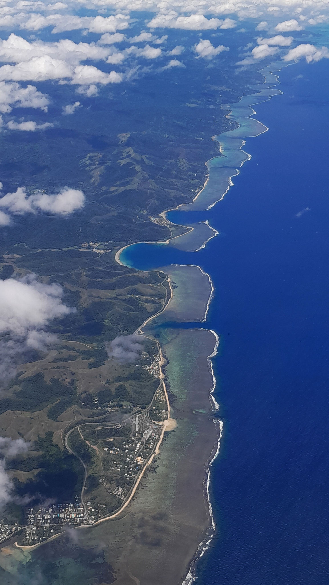
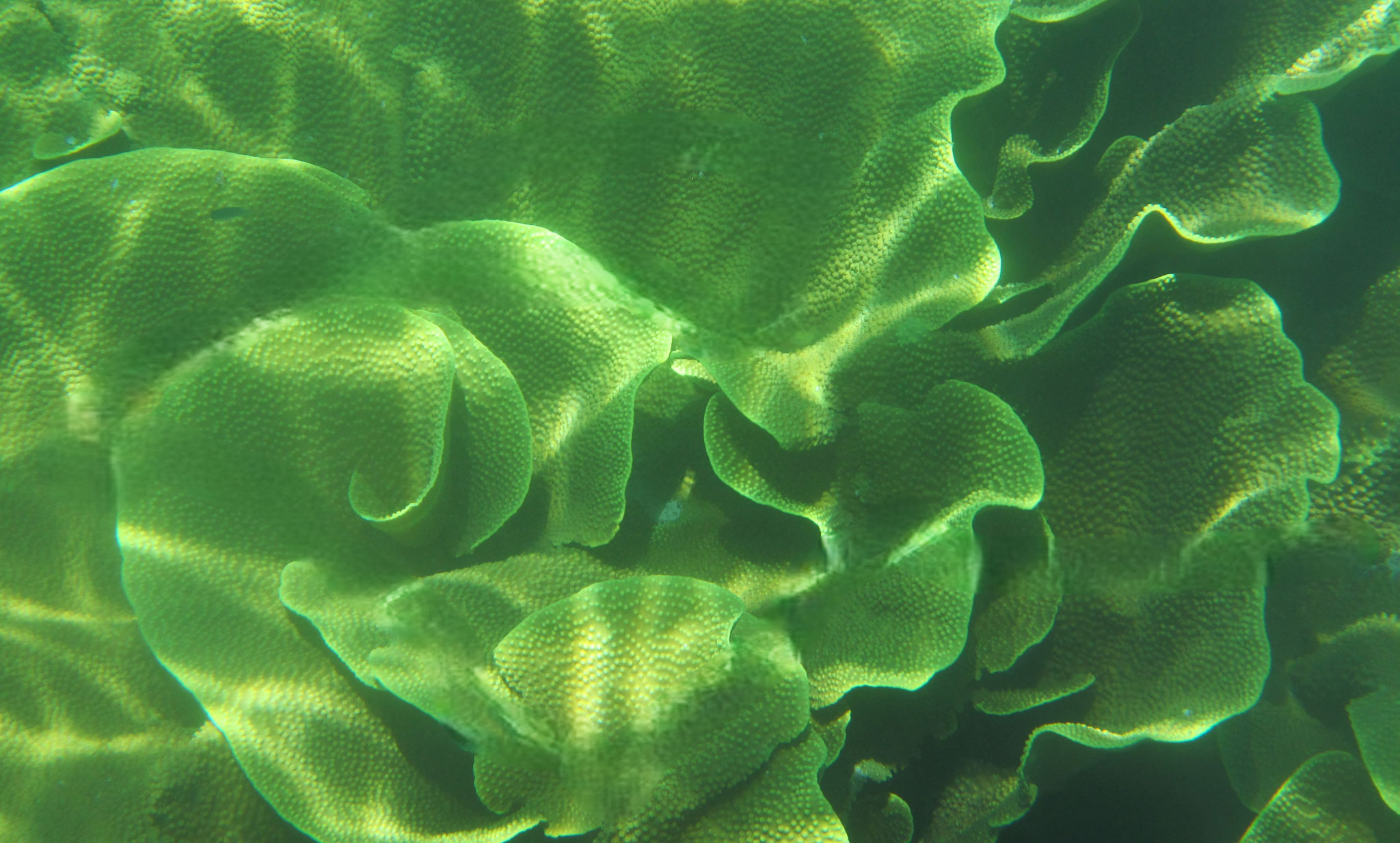
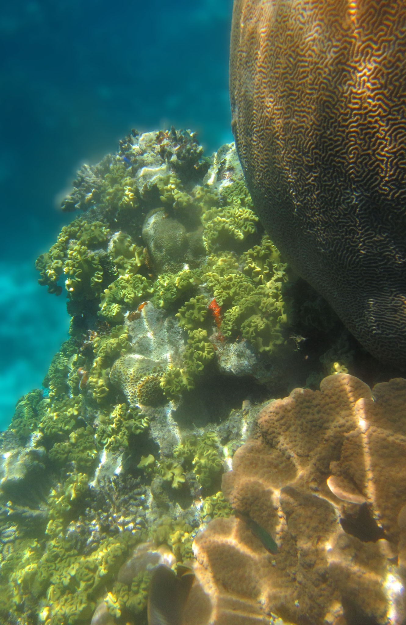
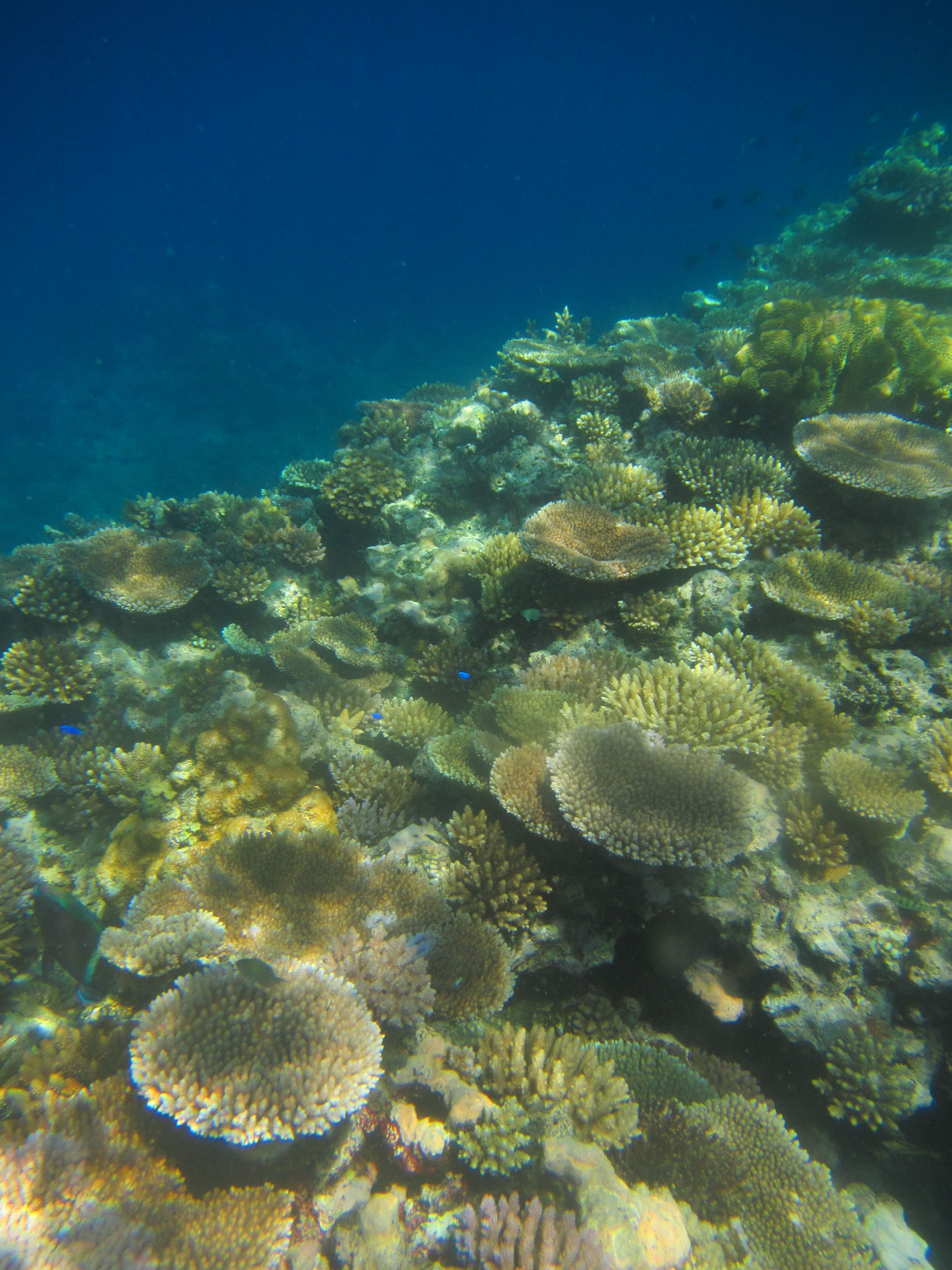
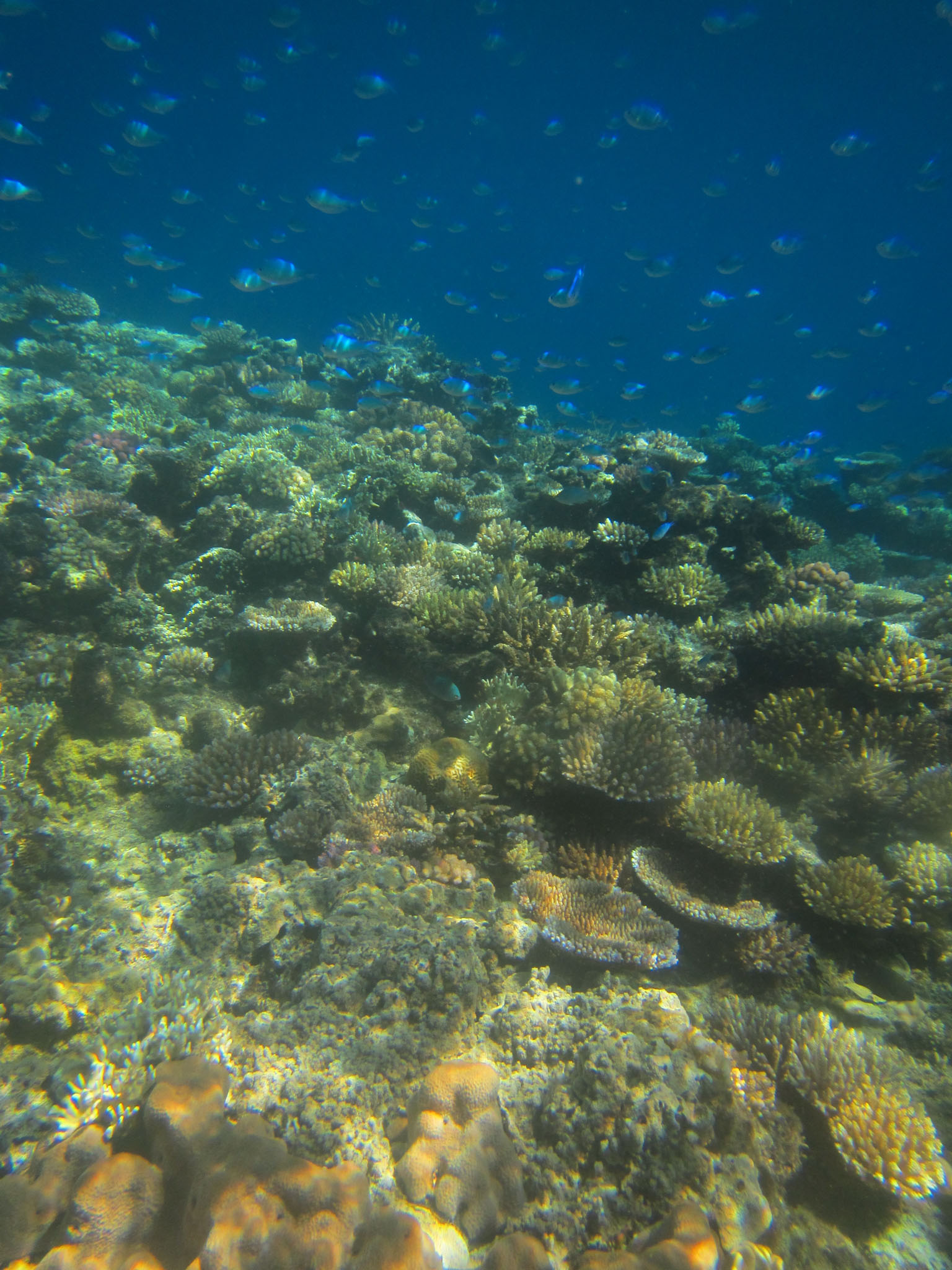
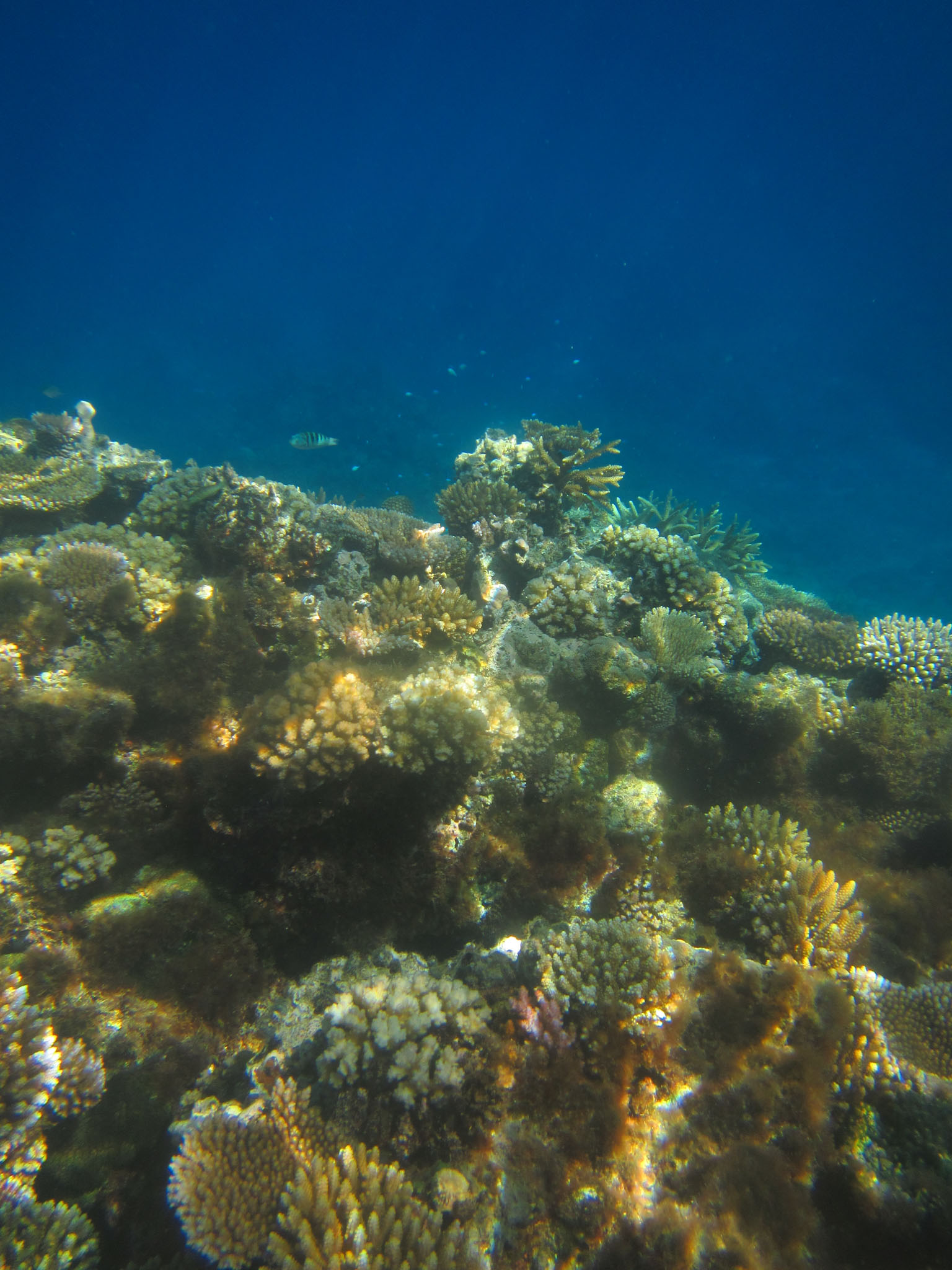
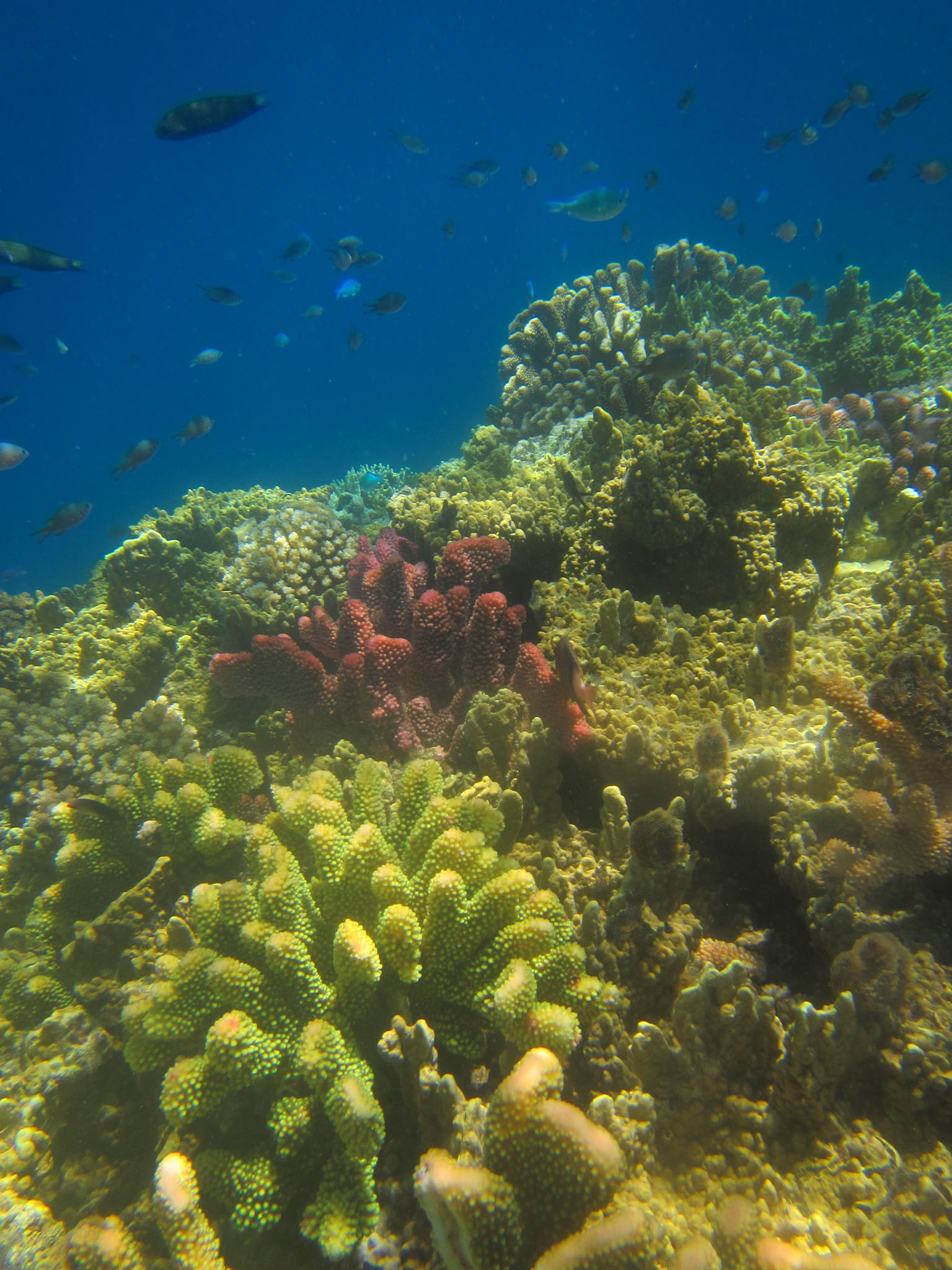
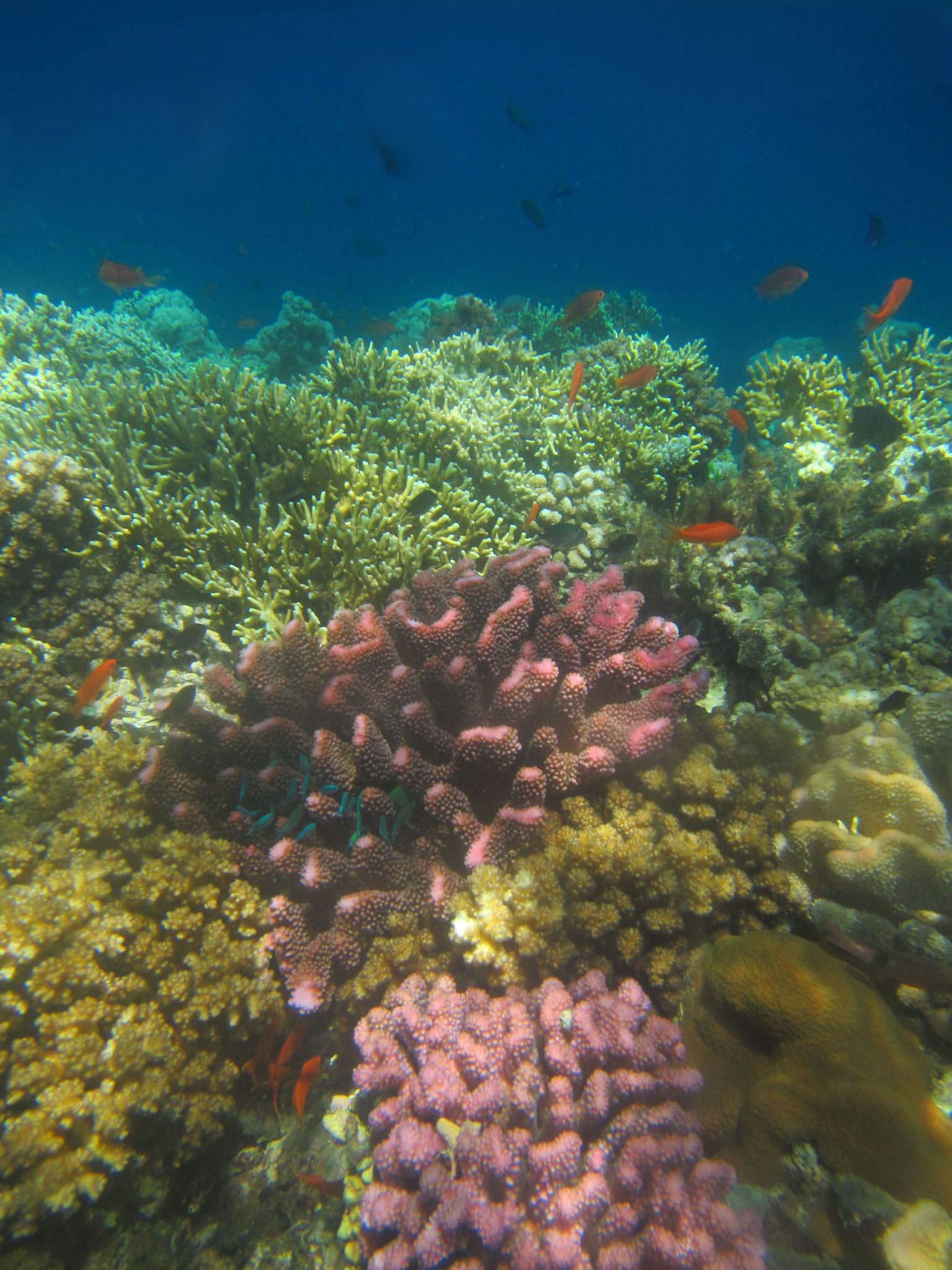
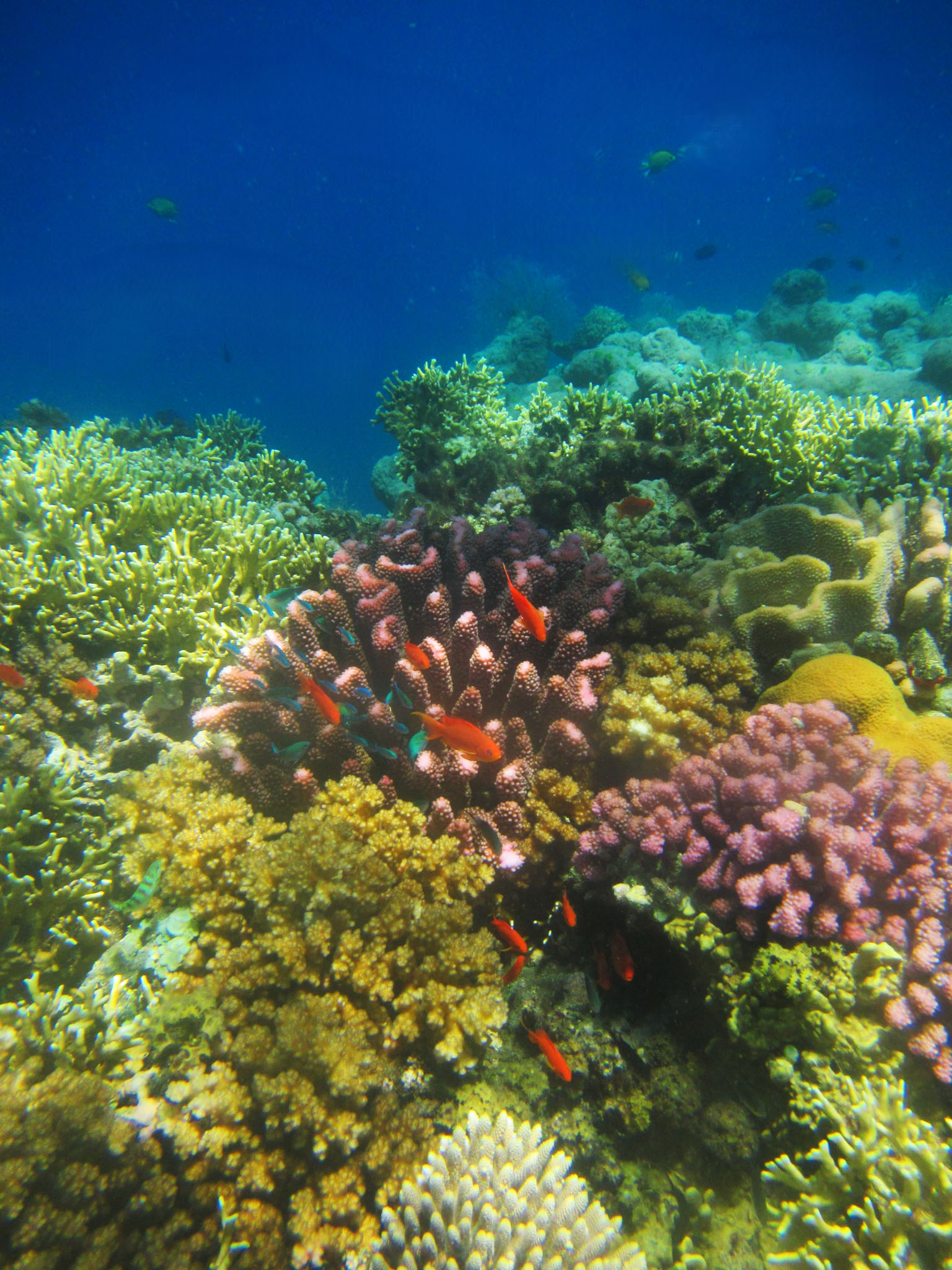
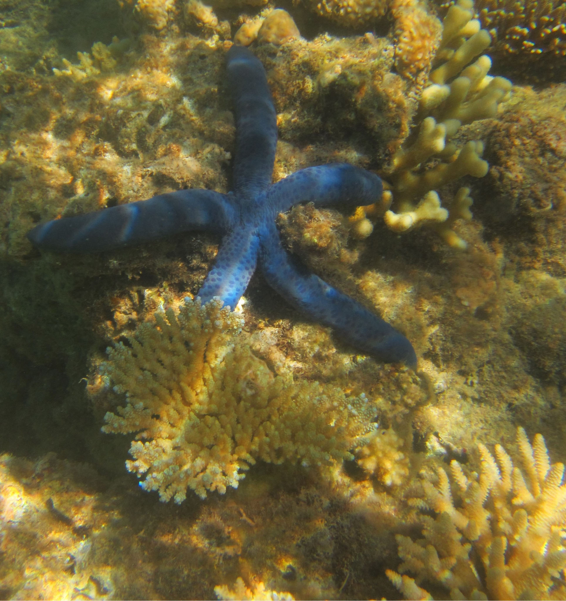
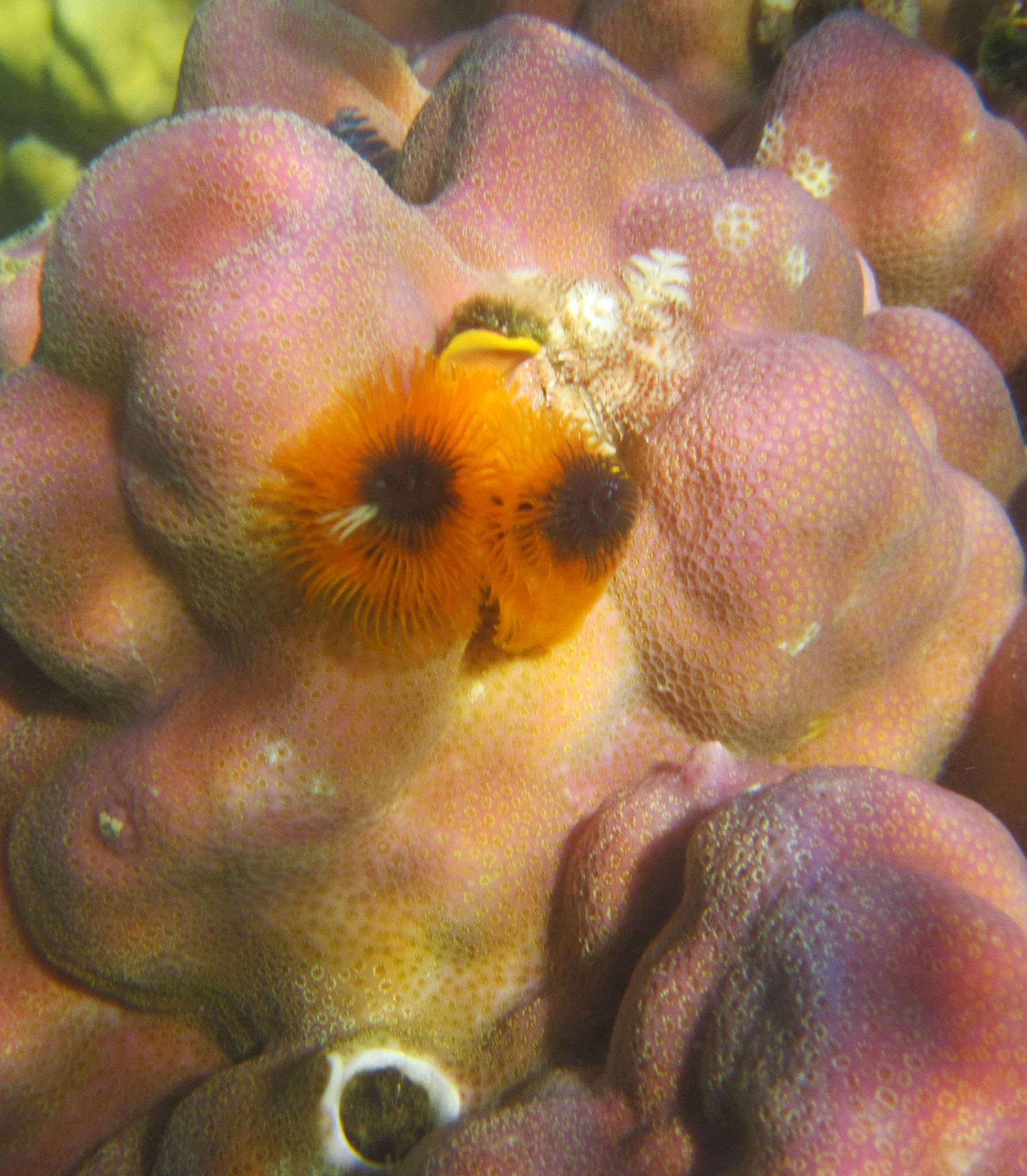
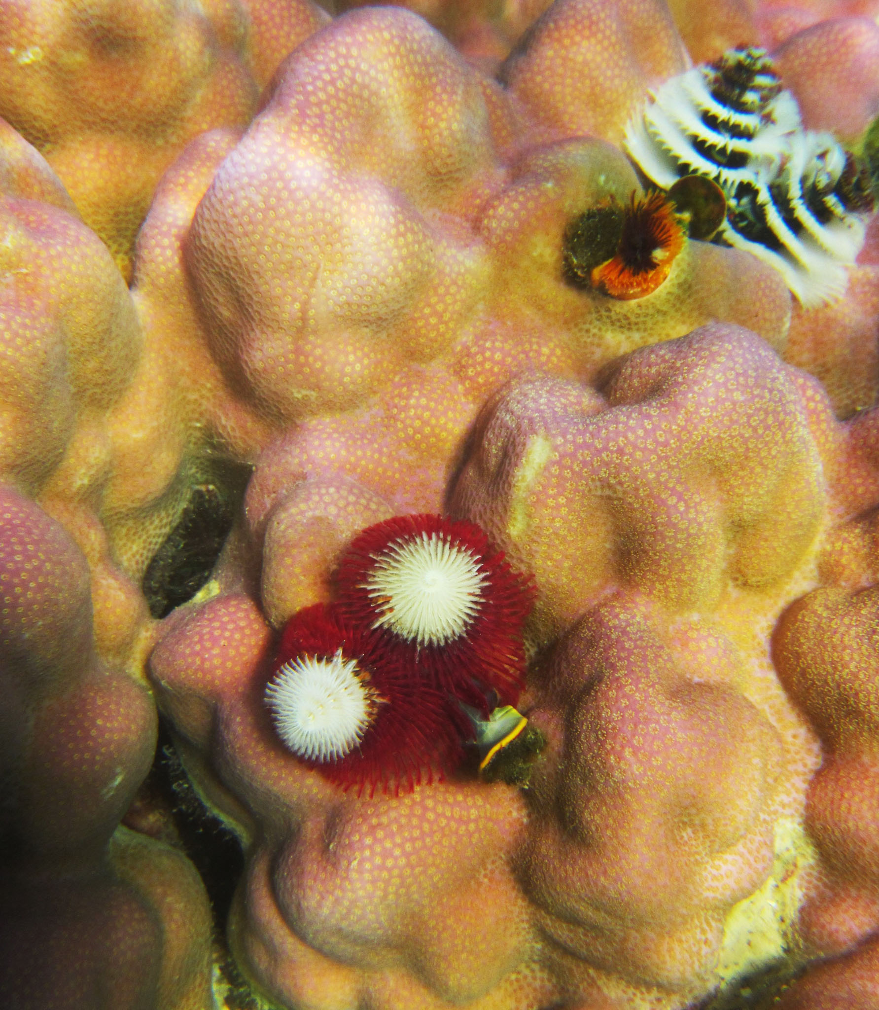
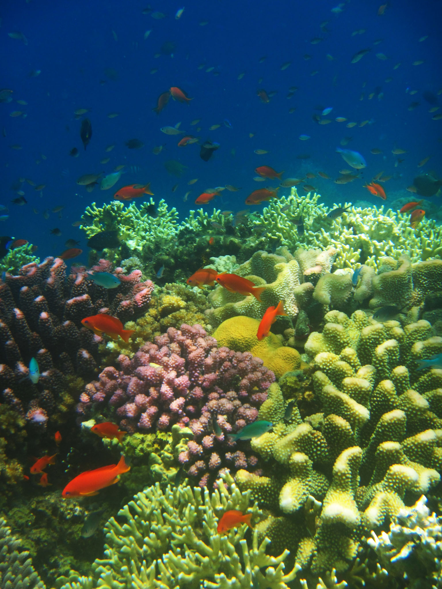
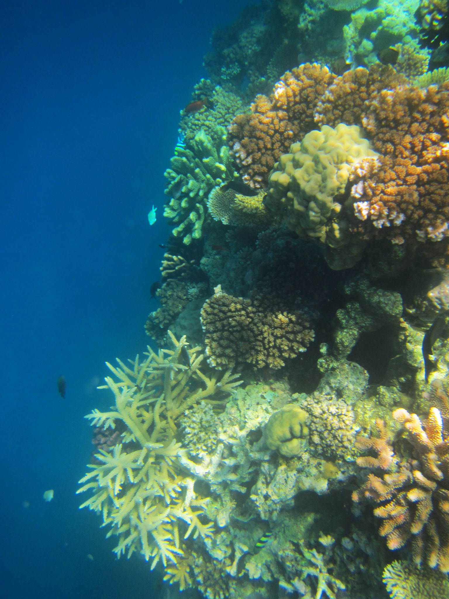
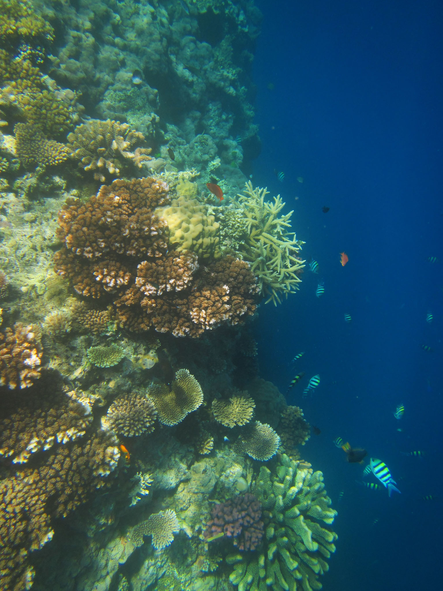
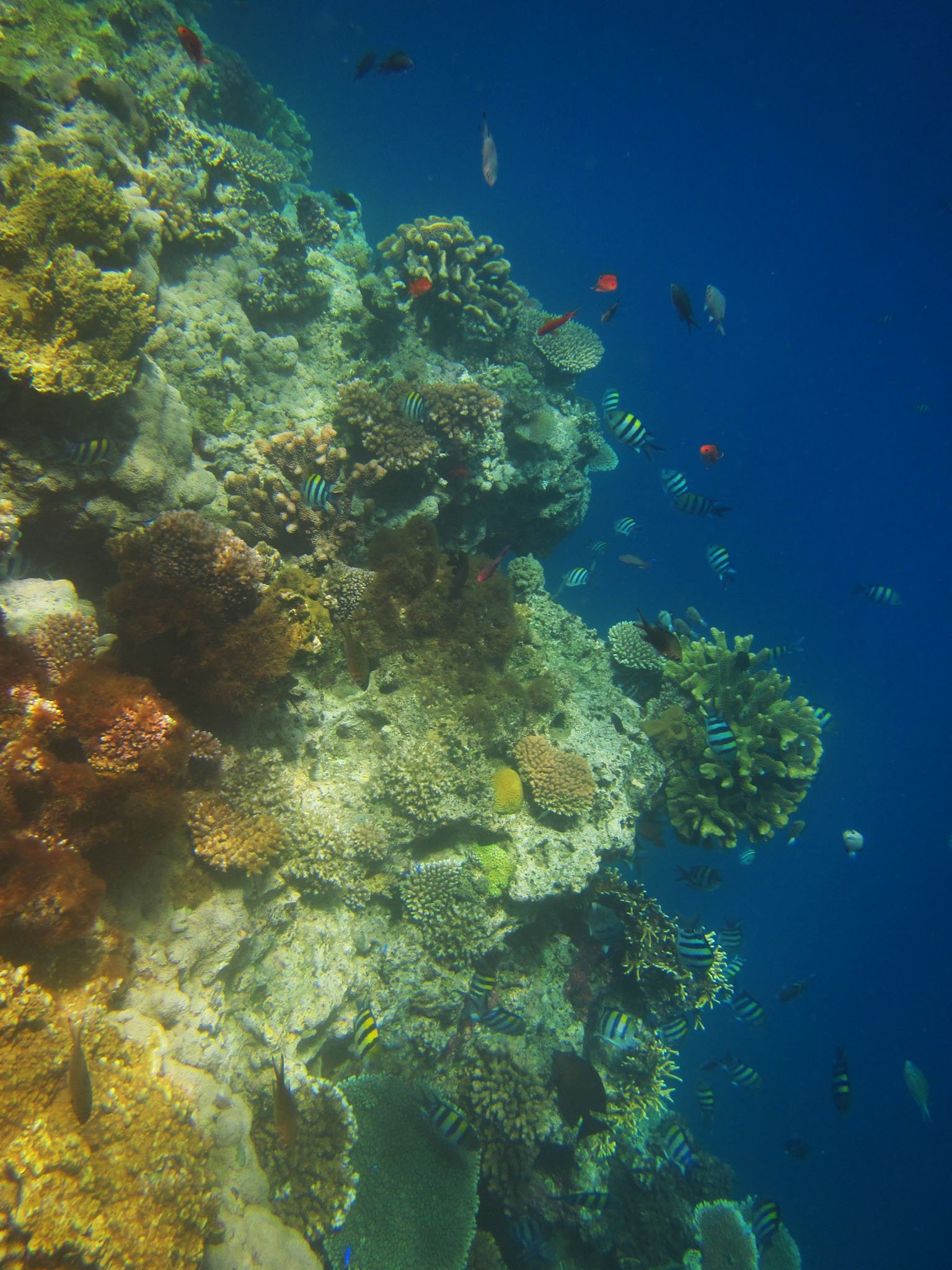
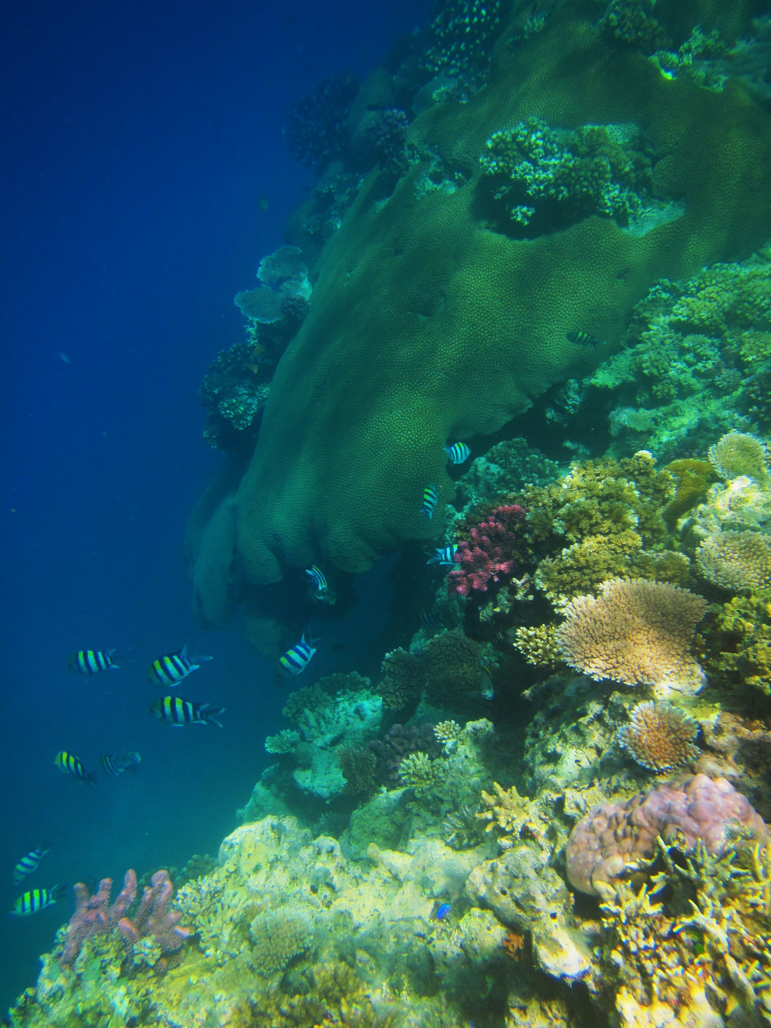
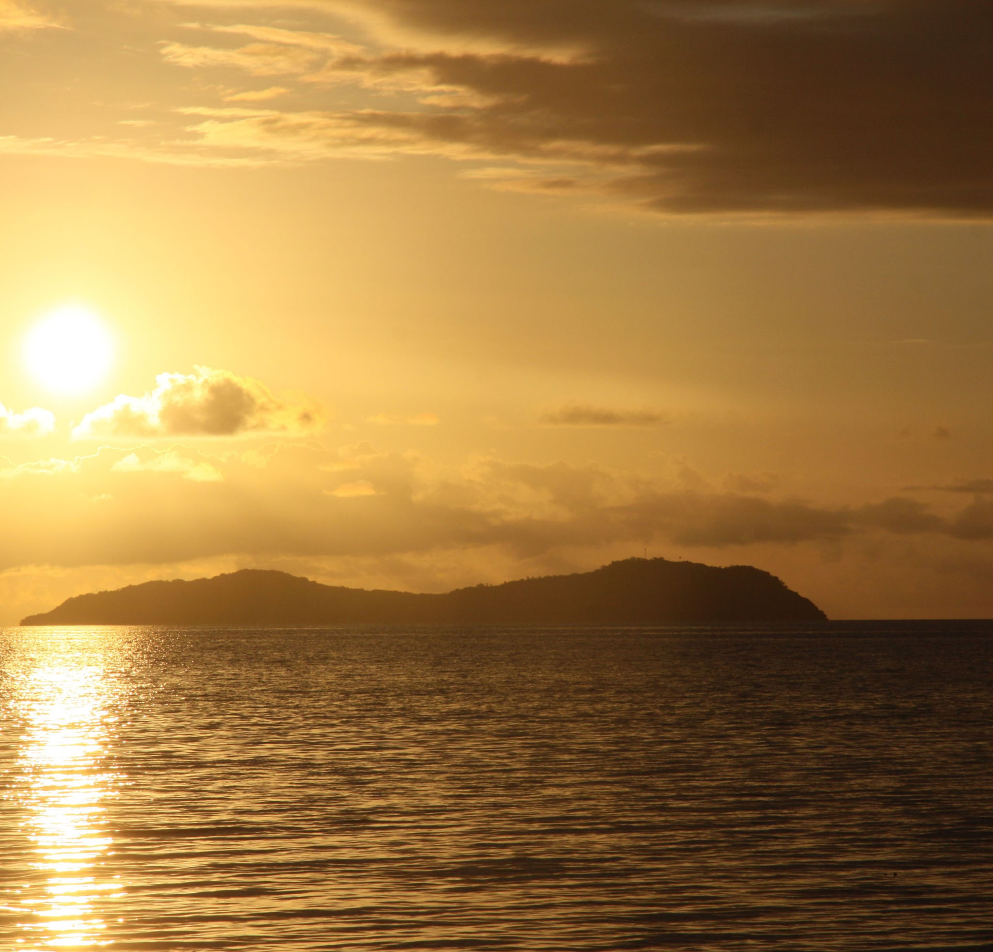
Taveuni (pronounced [tāhvéuni]) is the third-largest island in Fiji, after Viti Levu and Vanua Levu, with a total land area of 434 square kilometres (168 square miles). The cigar-shaped island, a massive shield volcano which rises from the floor of the Pacific Ocean, is situated 6.5 kilometres (4.0 miles) east of Vanua Levu, across the Somosomo Strait. It belongs to the Vanua Levu Group of islands and is part of Fiji’s Cakaudrove Province within the Northern Division.
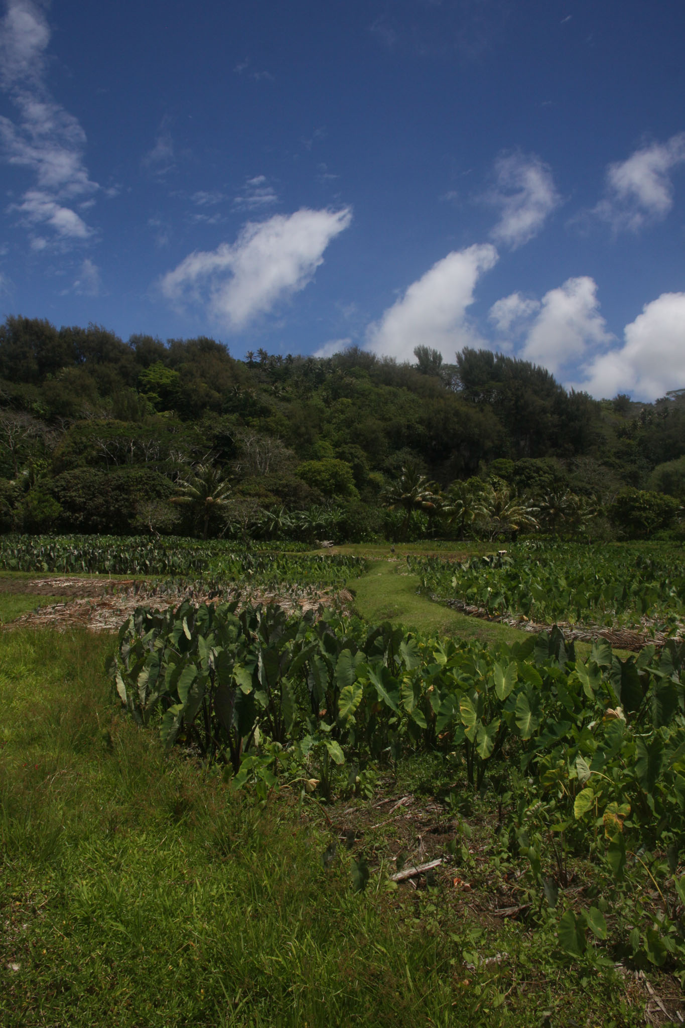
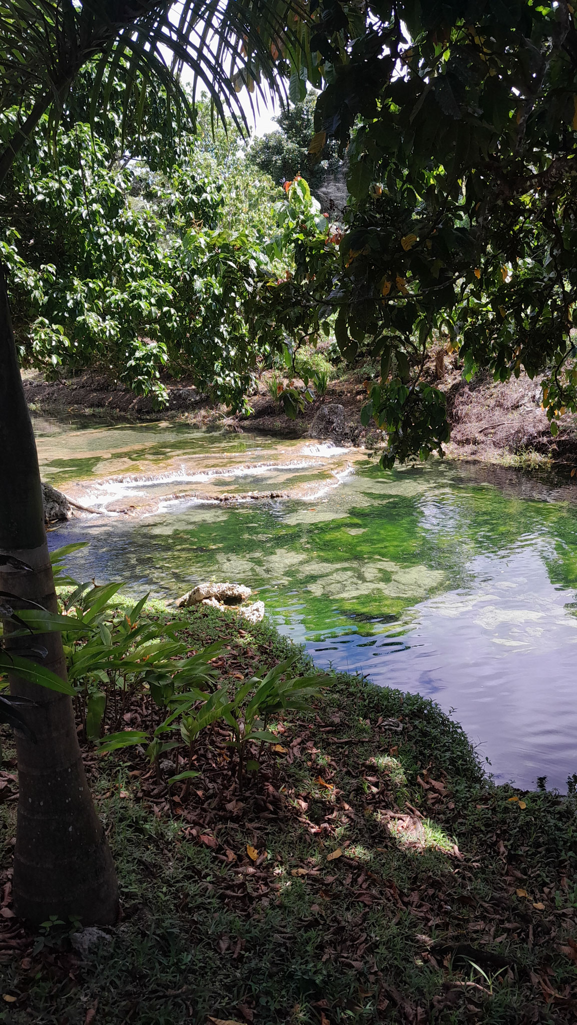
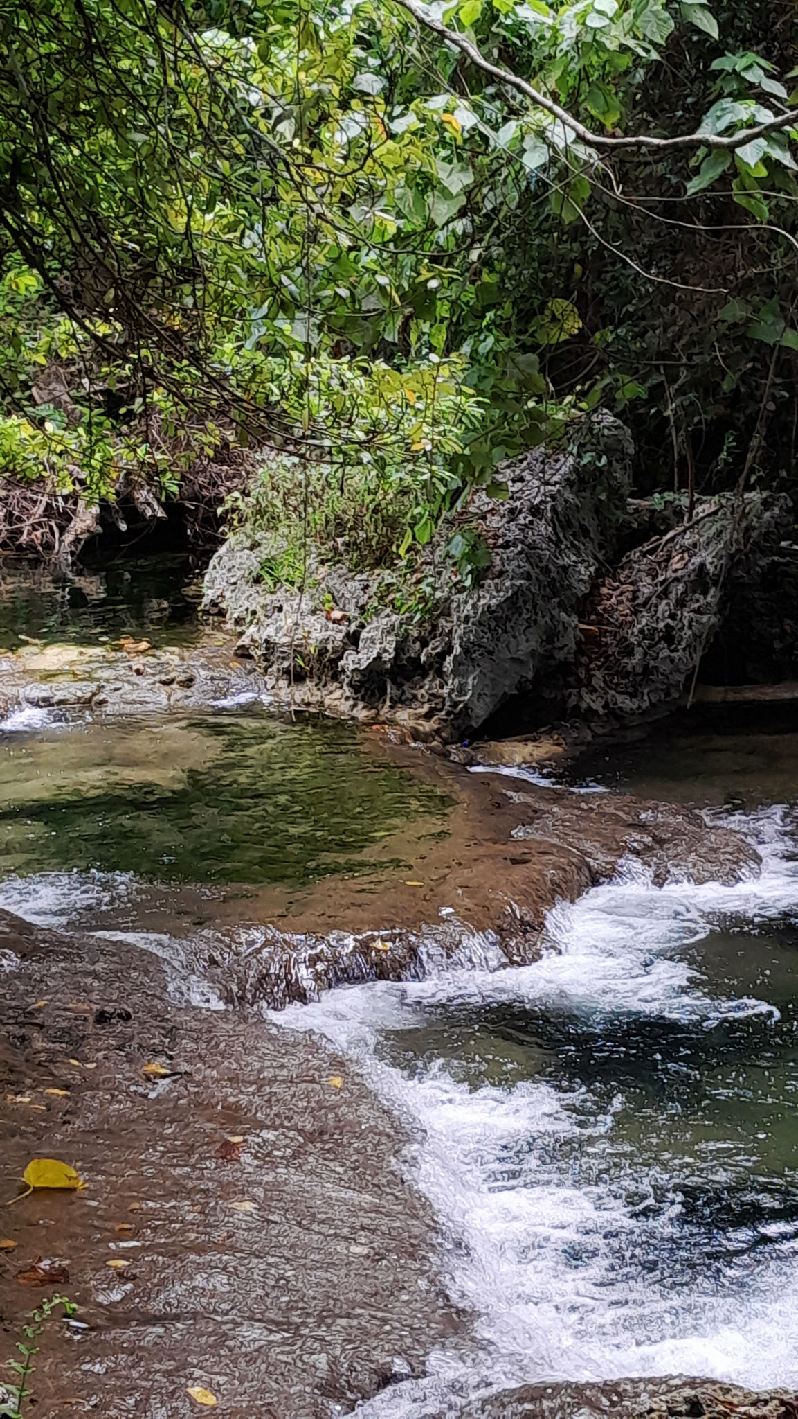
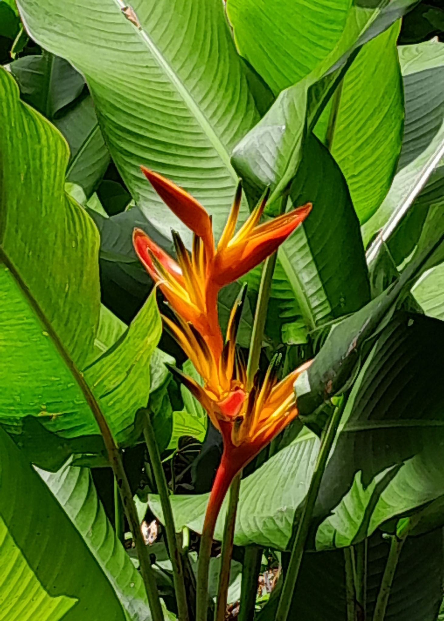
The island had a population of around 19,000, some 75 per cent of them indigenous Fijians, at the 2015 census. Taveuni has abundant flora and is known as the ‘Garden Island of Fiji’. It is a popular tourist destination. Tourists are attracted by the excellent diving opportunities, prolific bird life, bushwalks and waterfalls. Central parts of the island receive very high rainfall. Being volcanic in origin, Taveuni’s soils have supported the island’s most historically significant industry, agriculture.