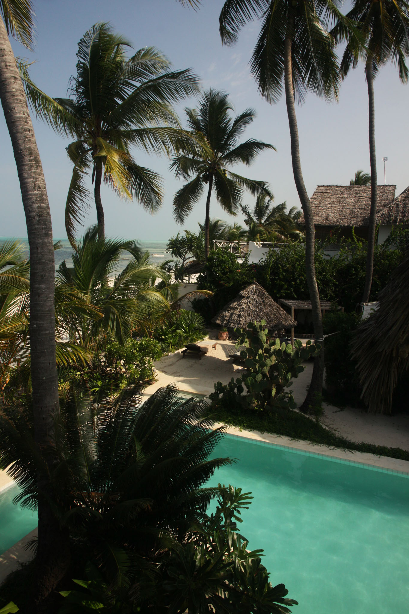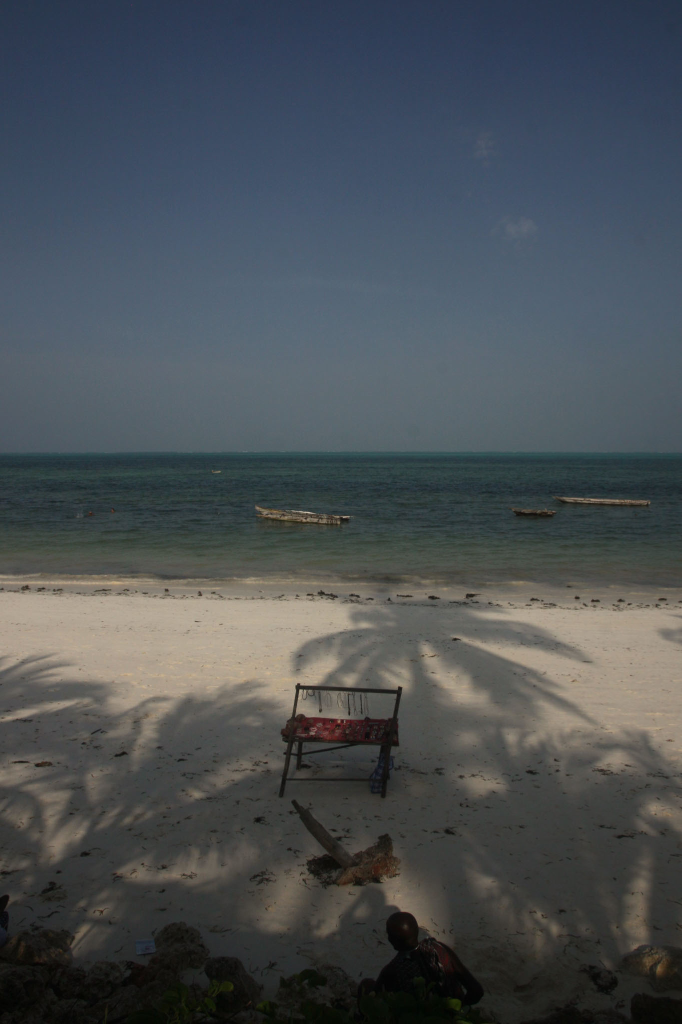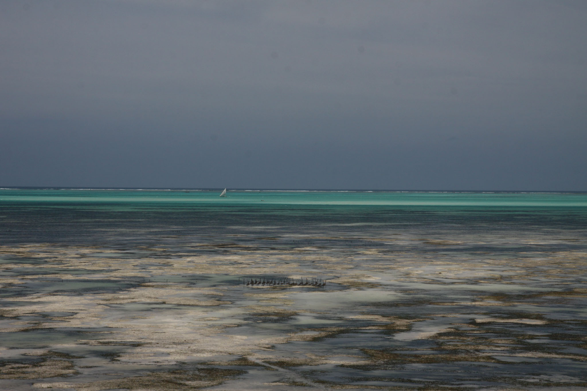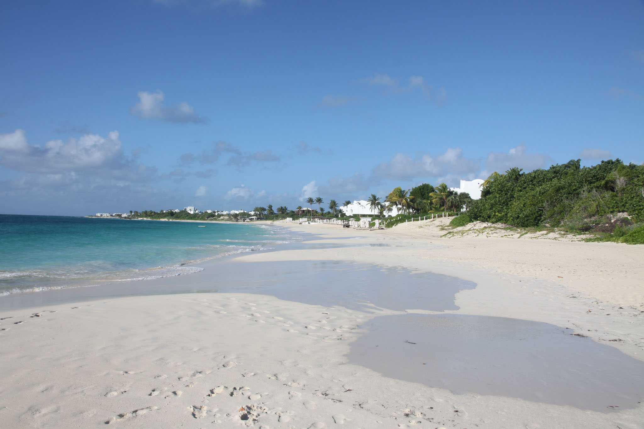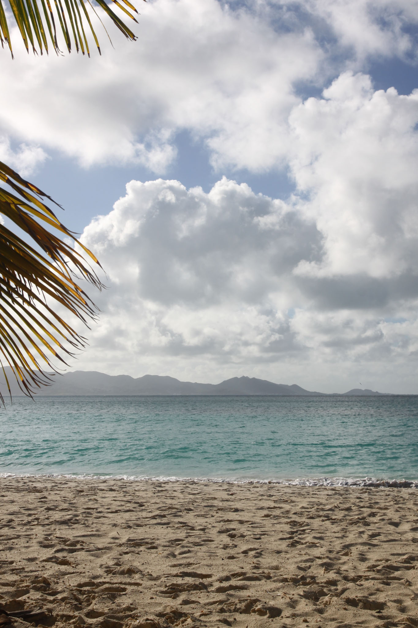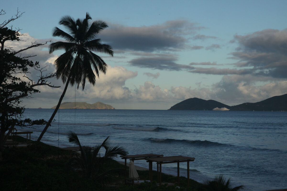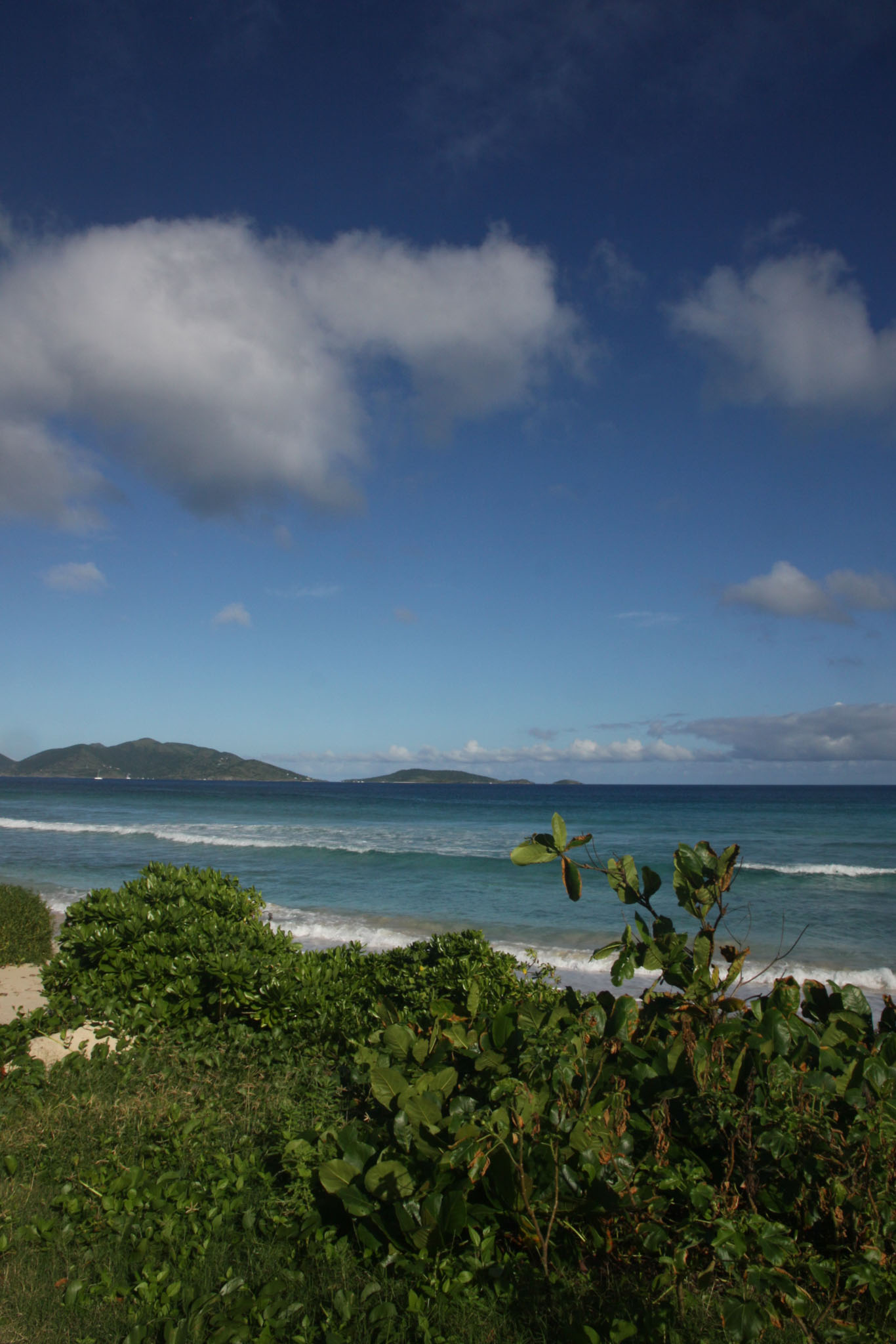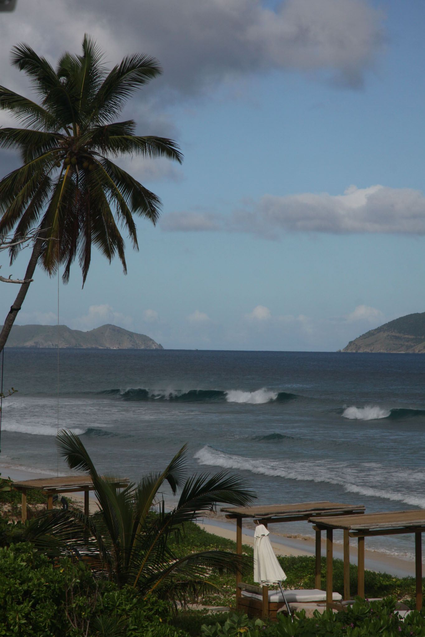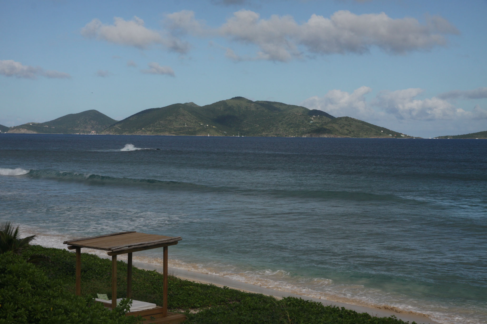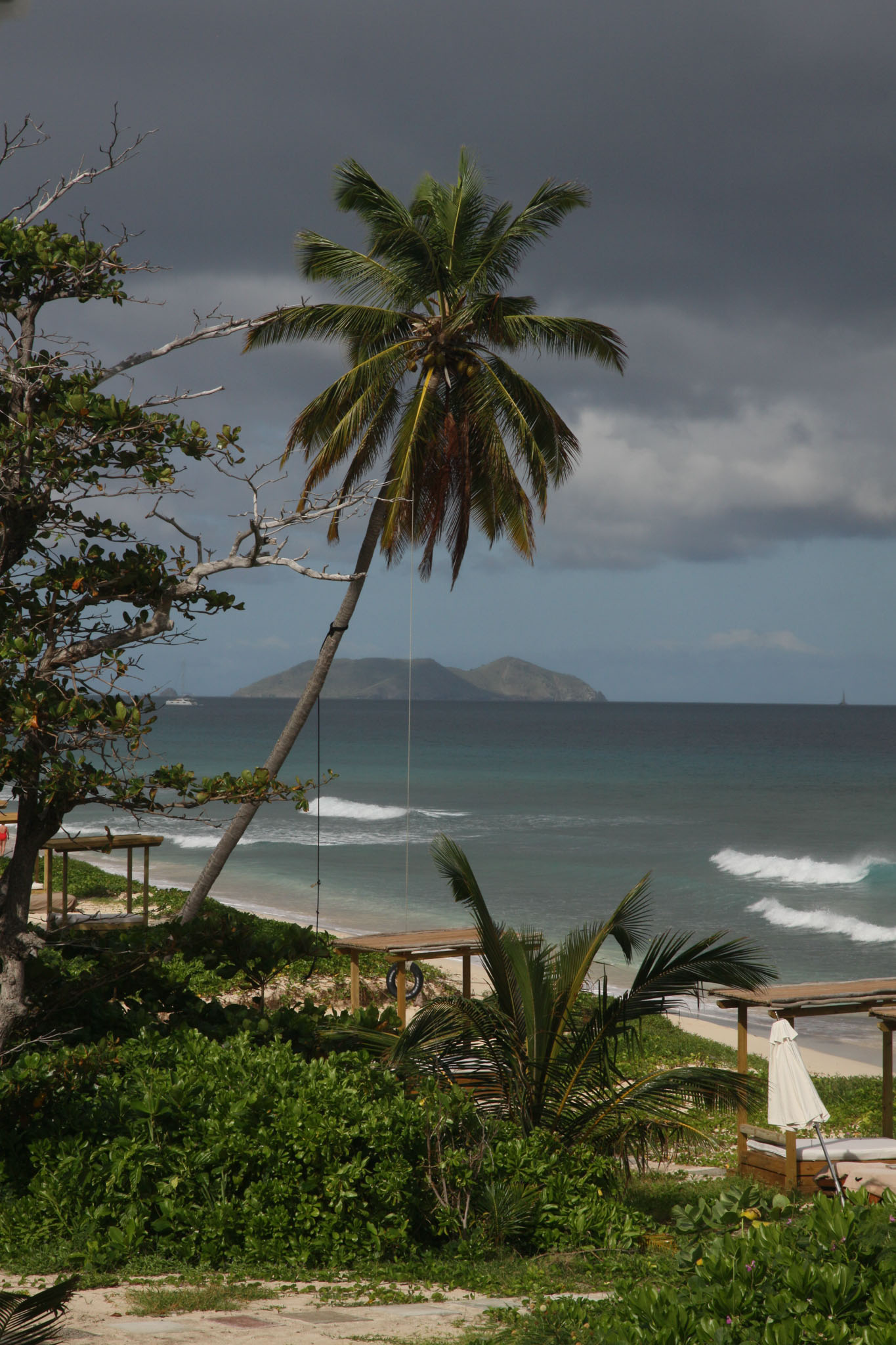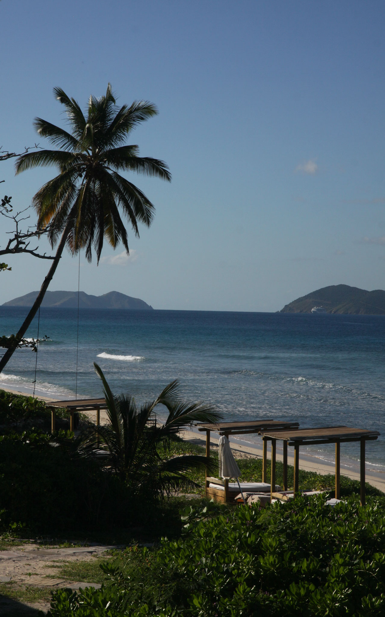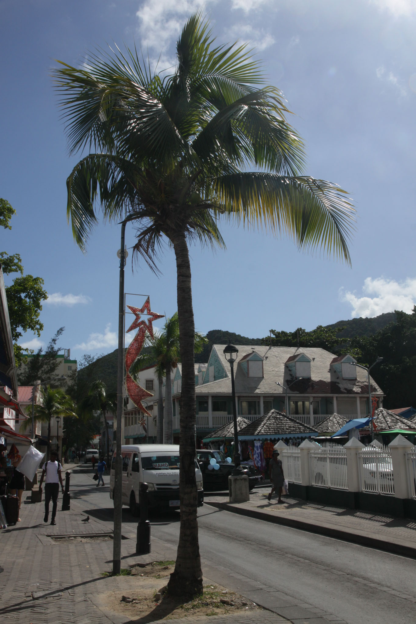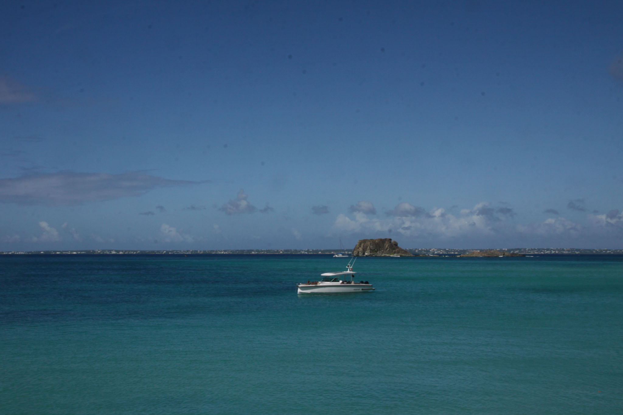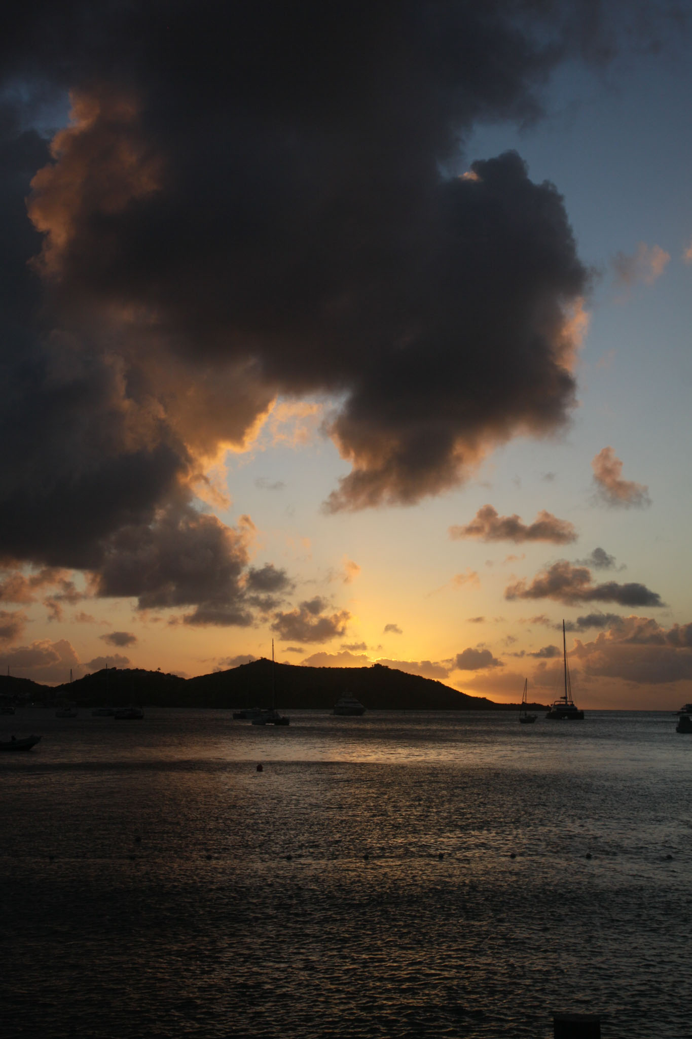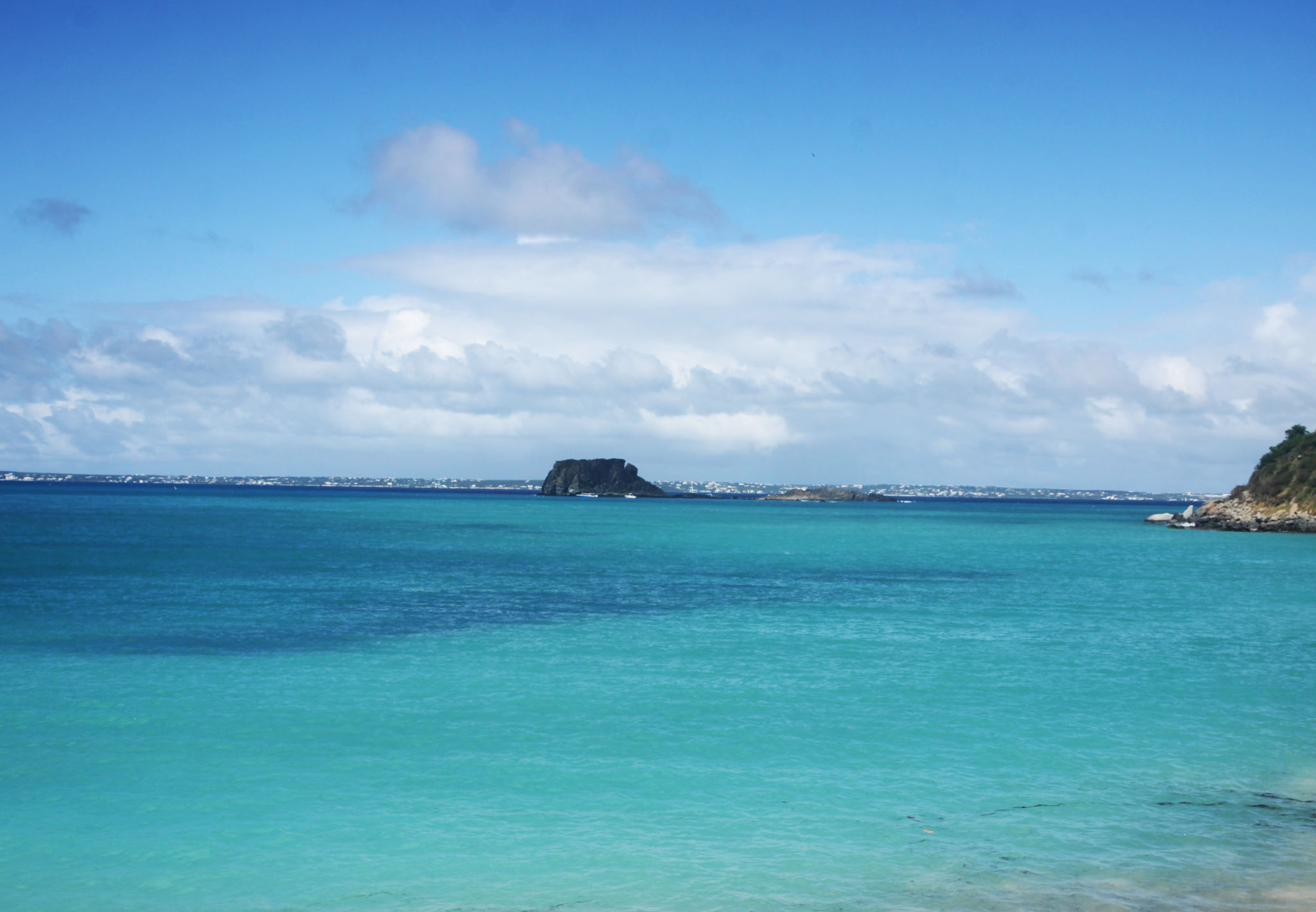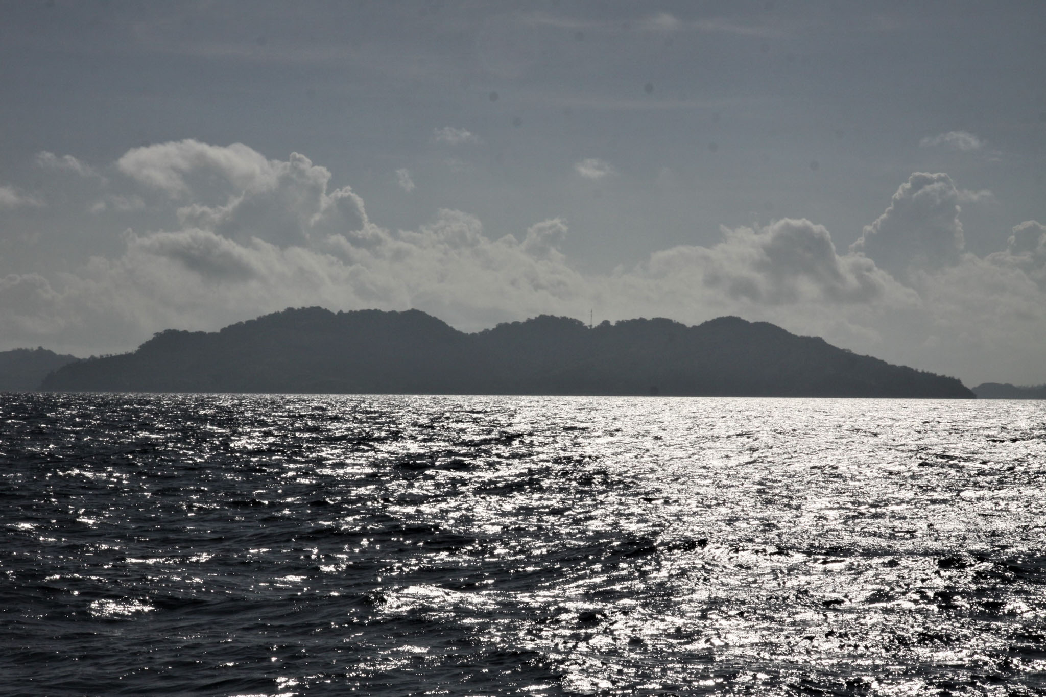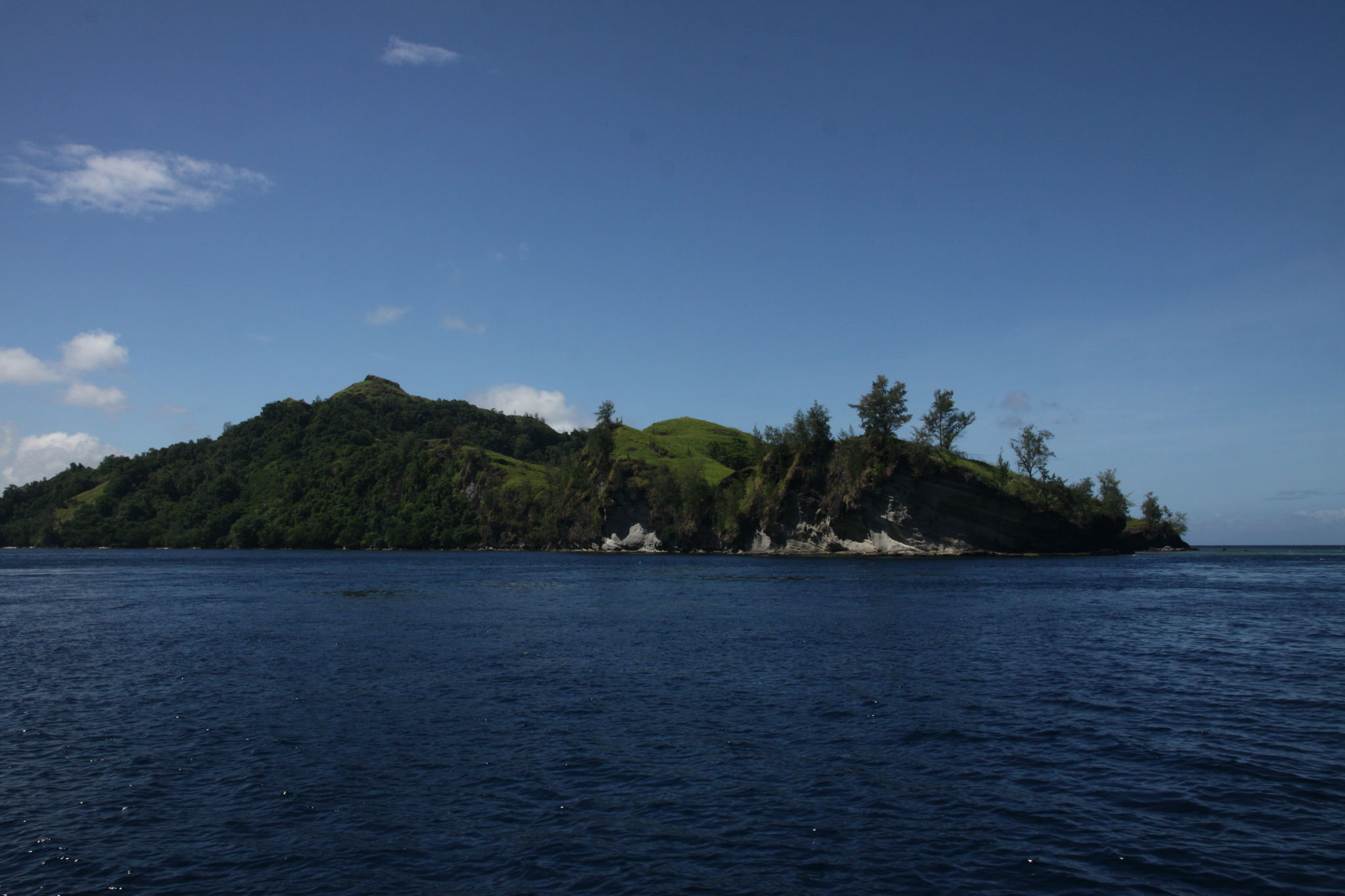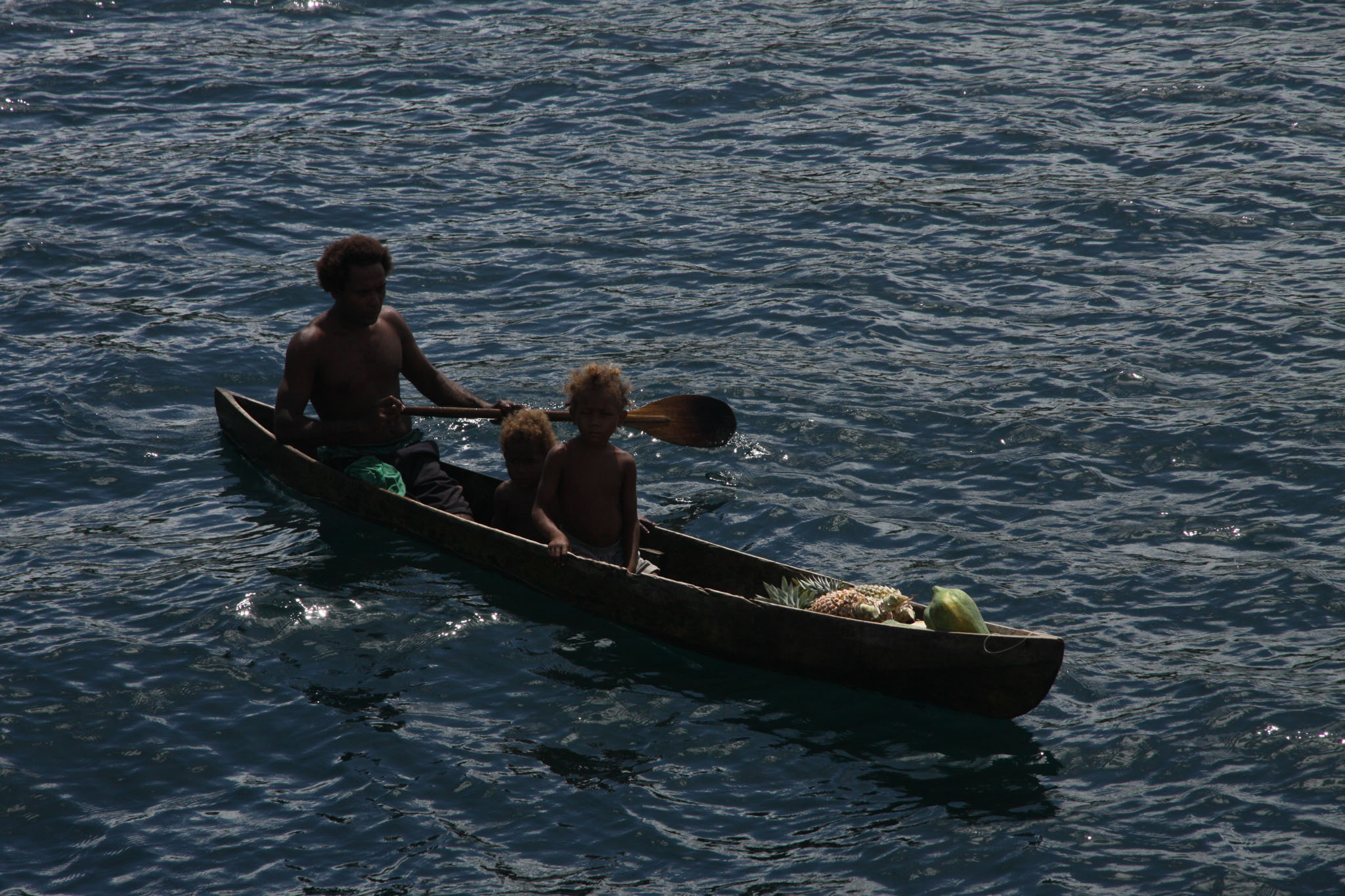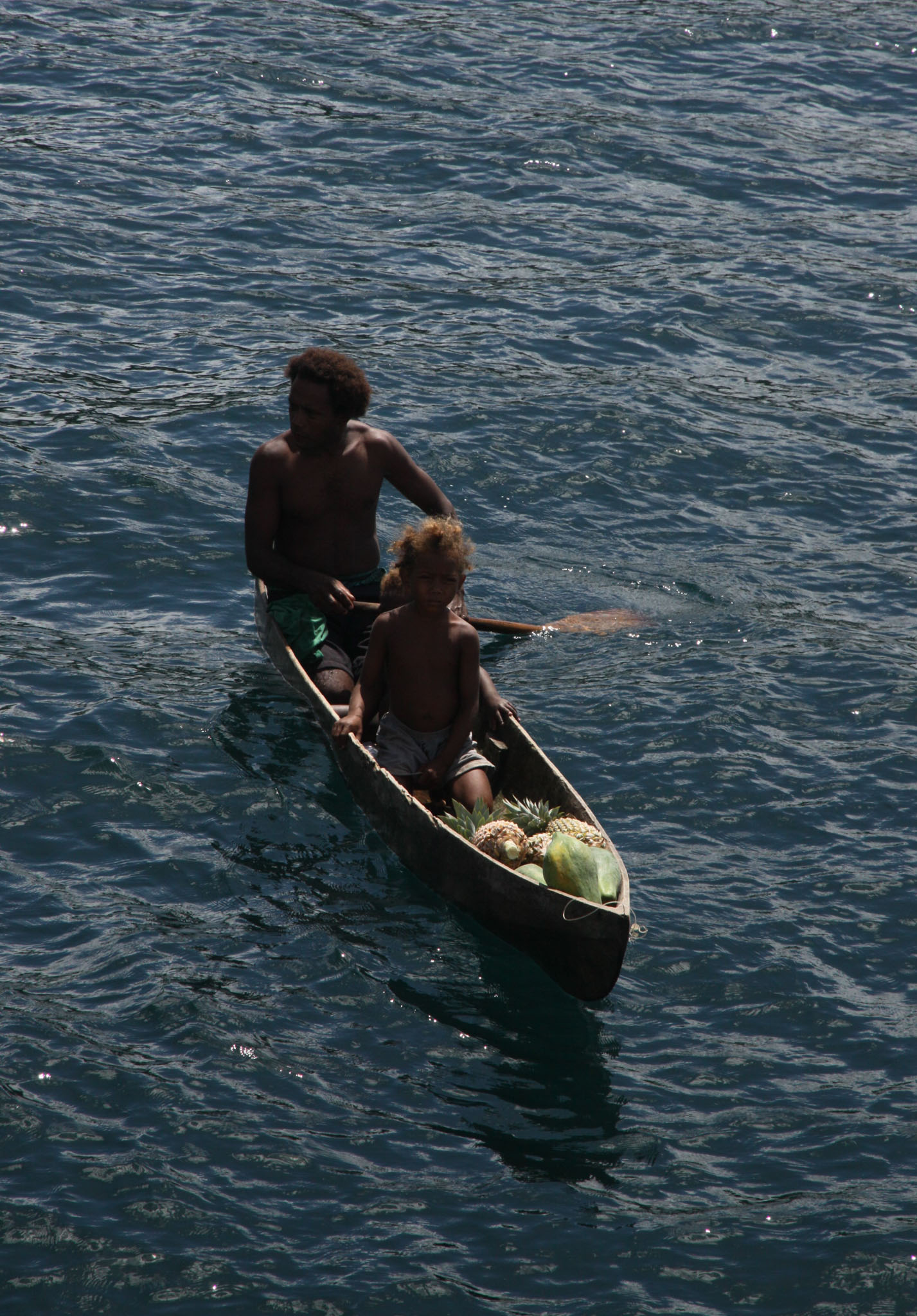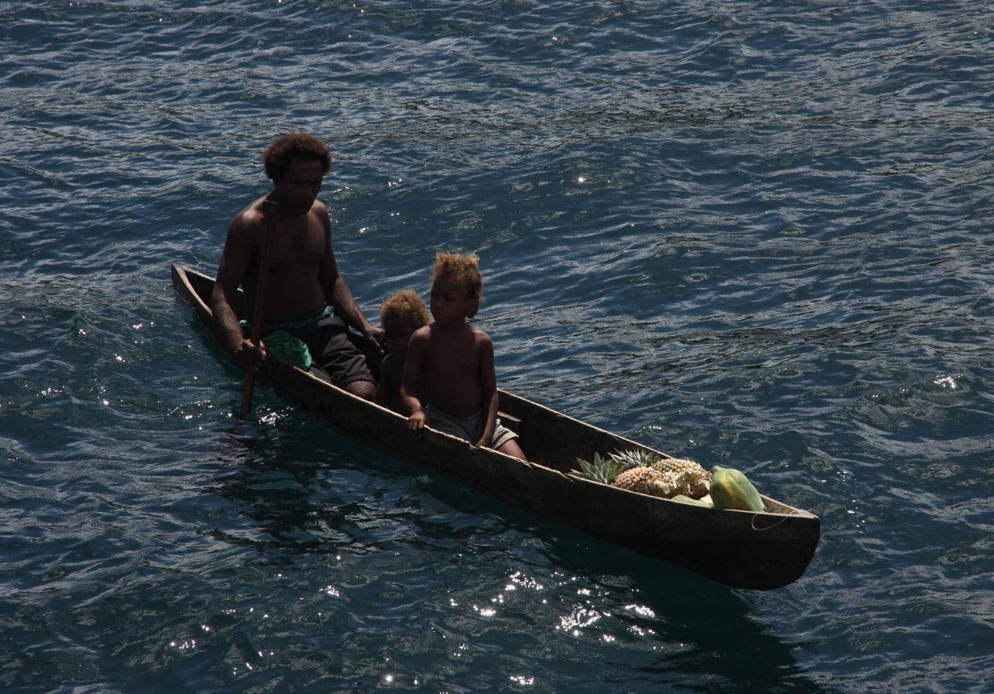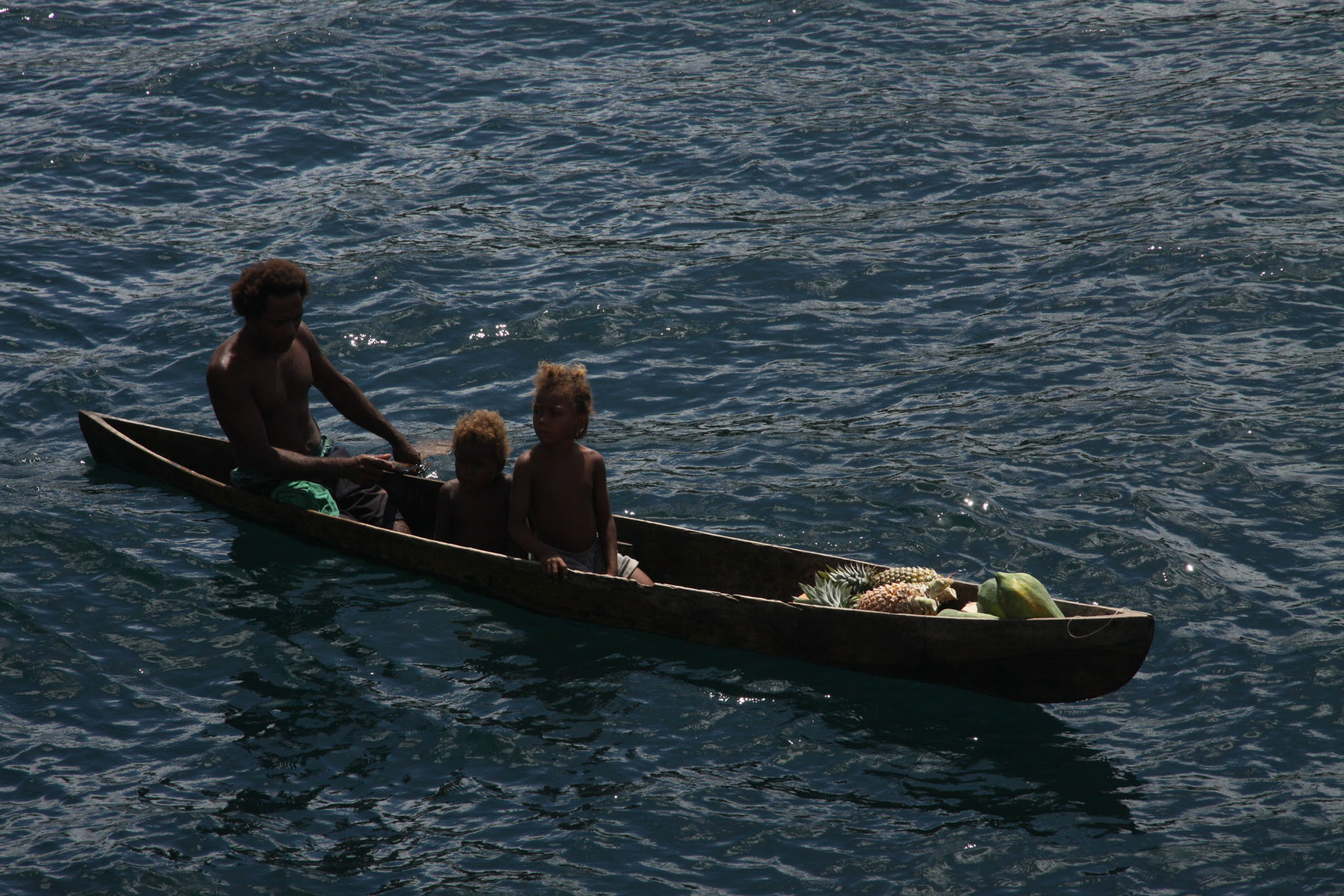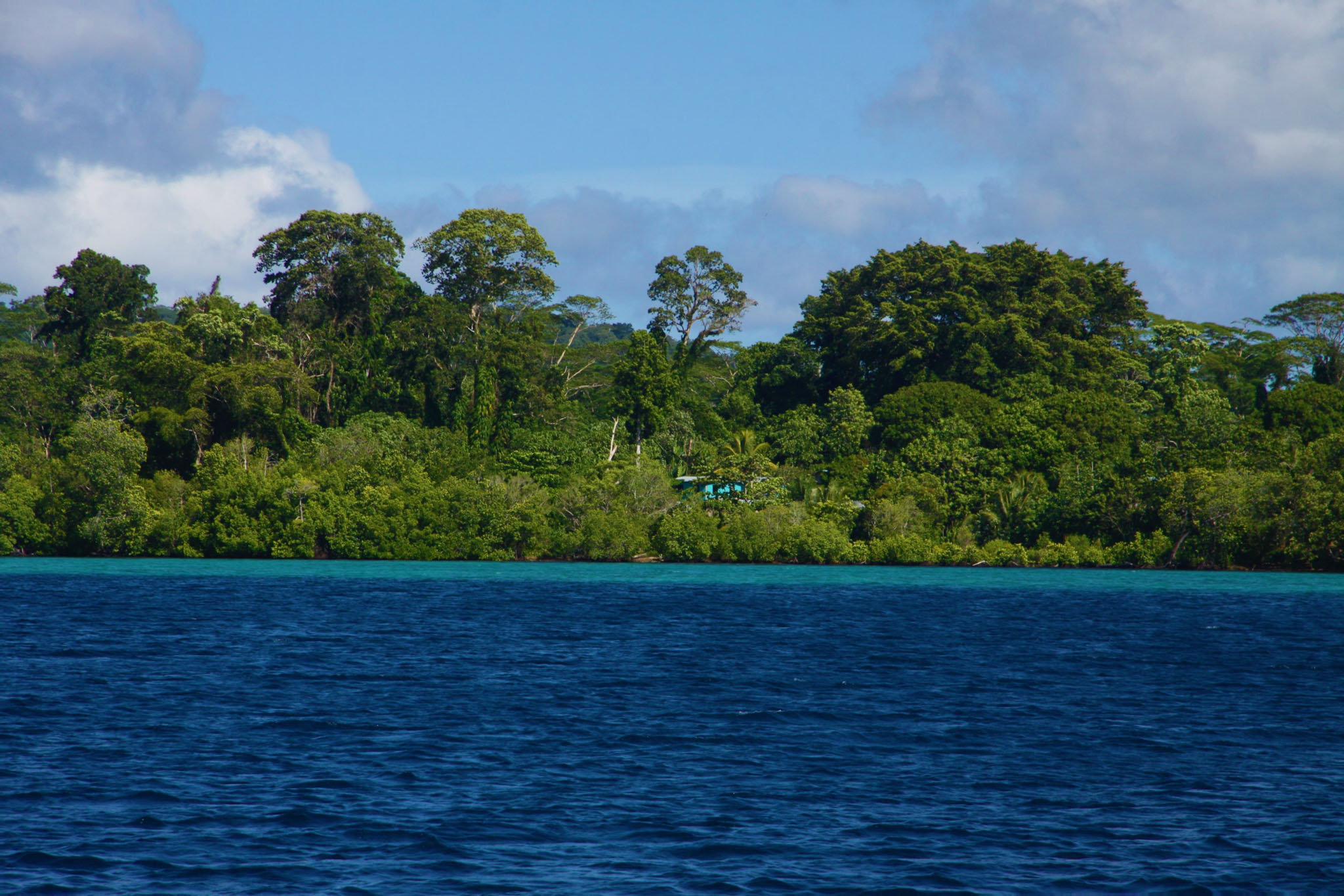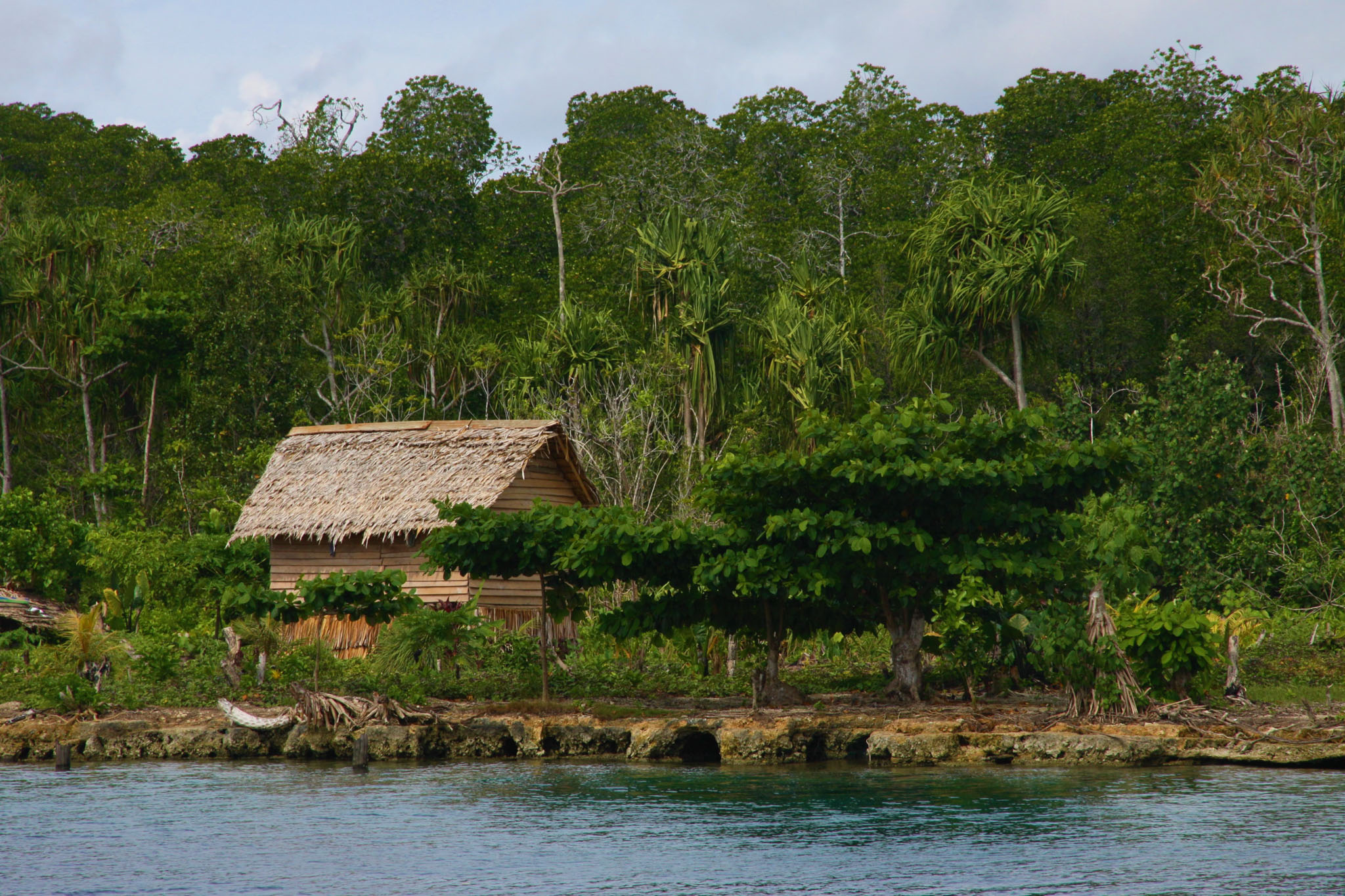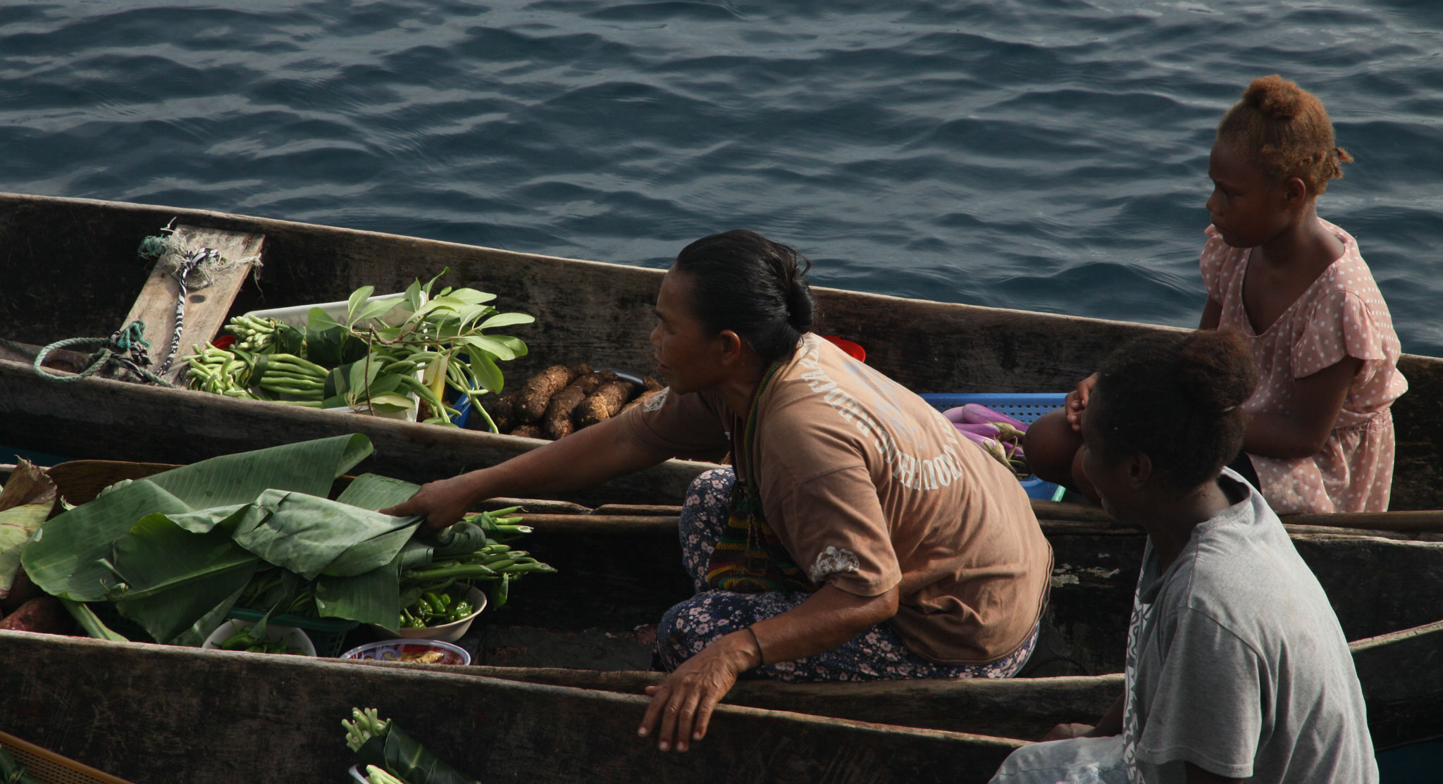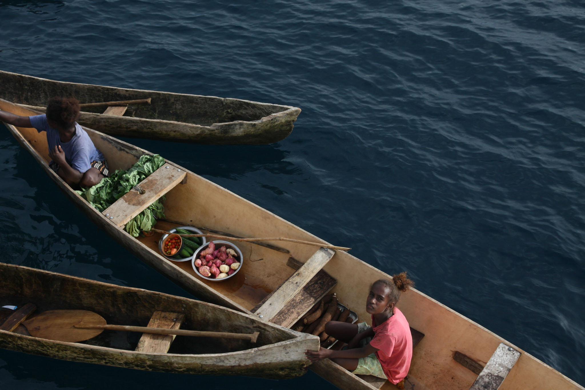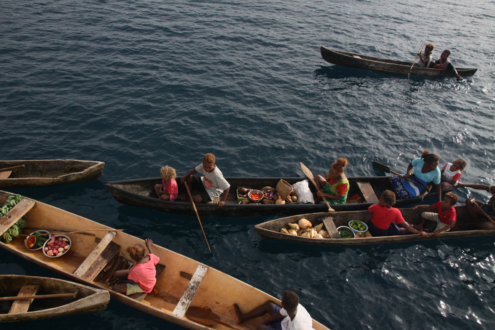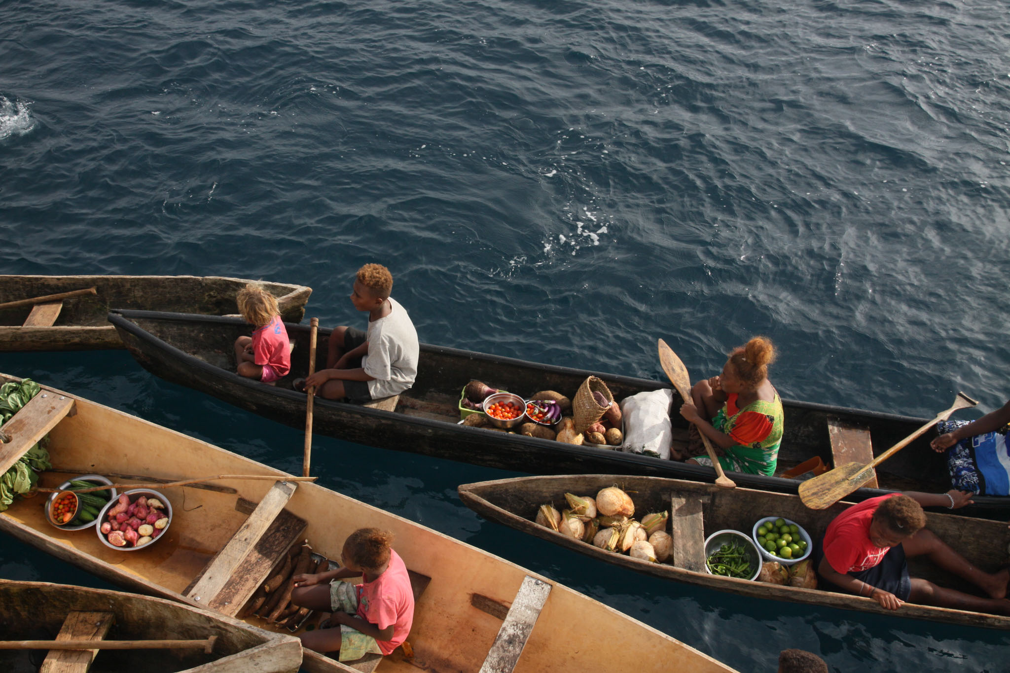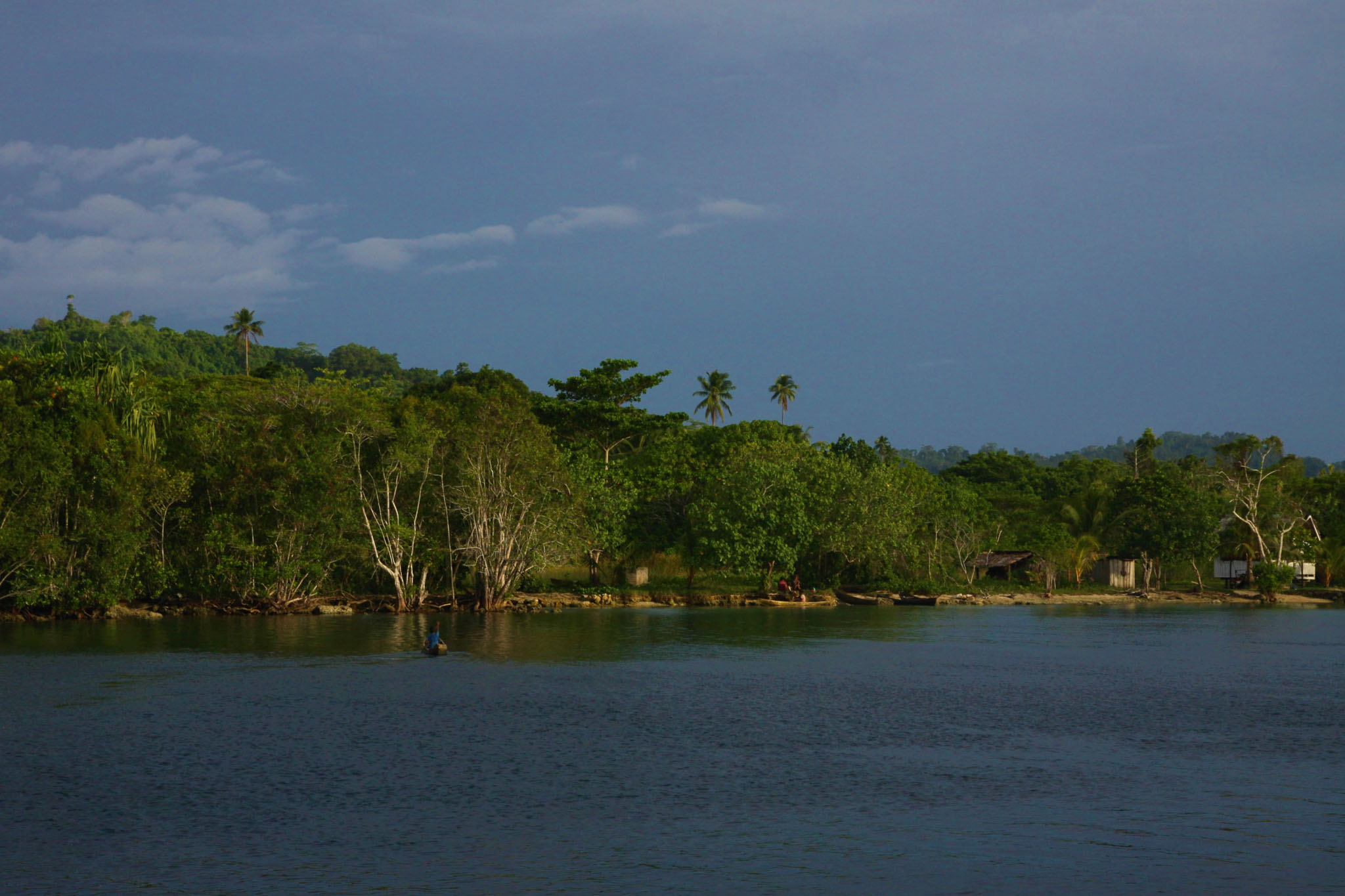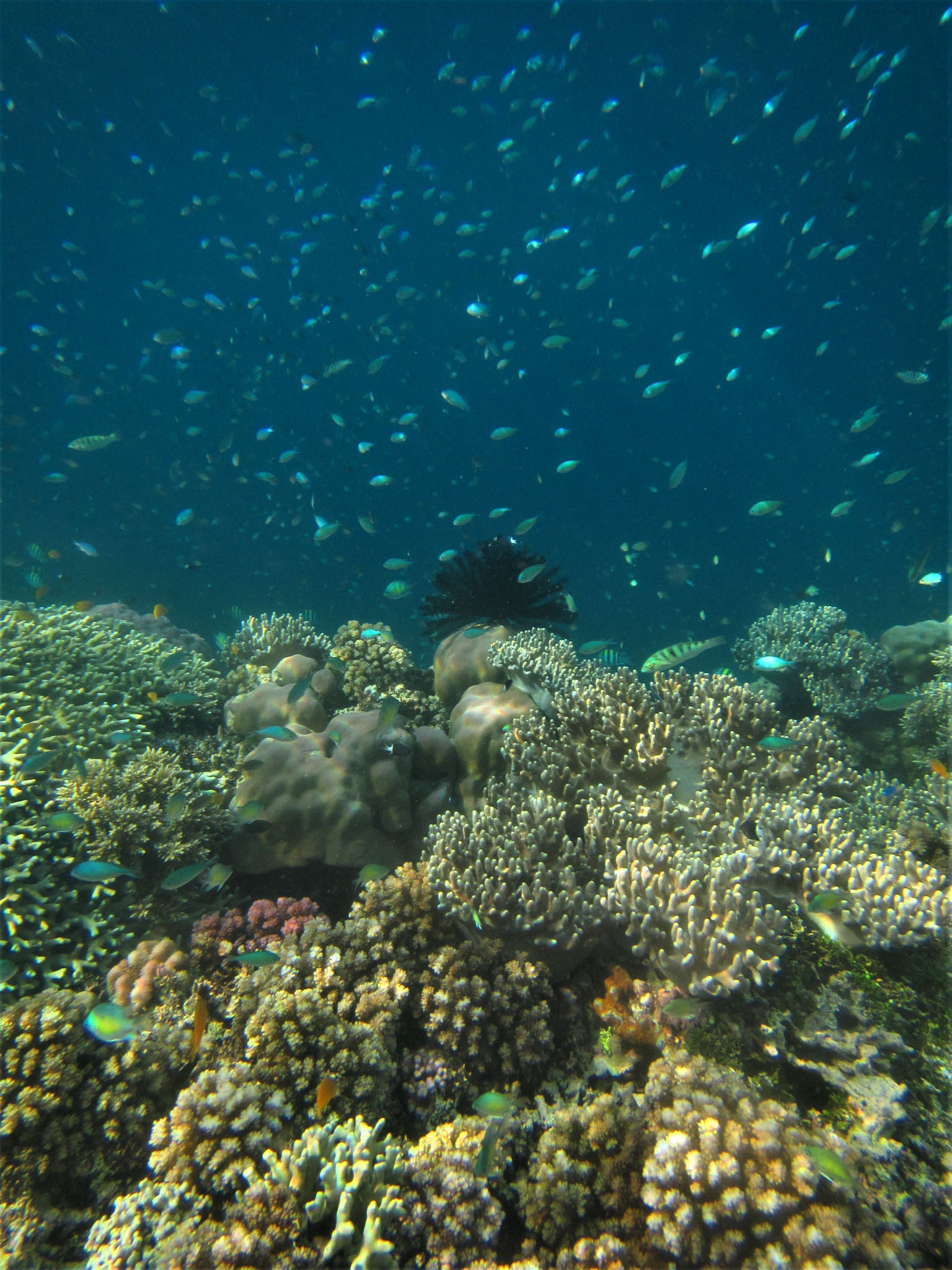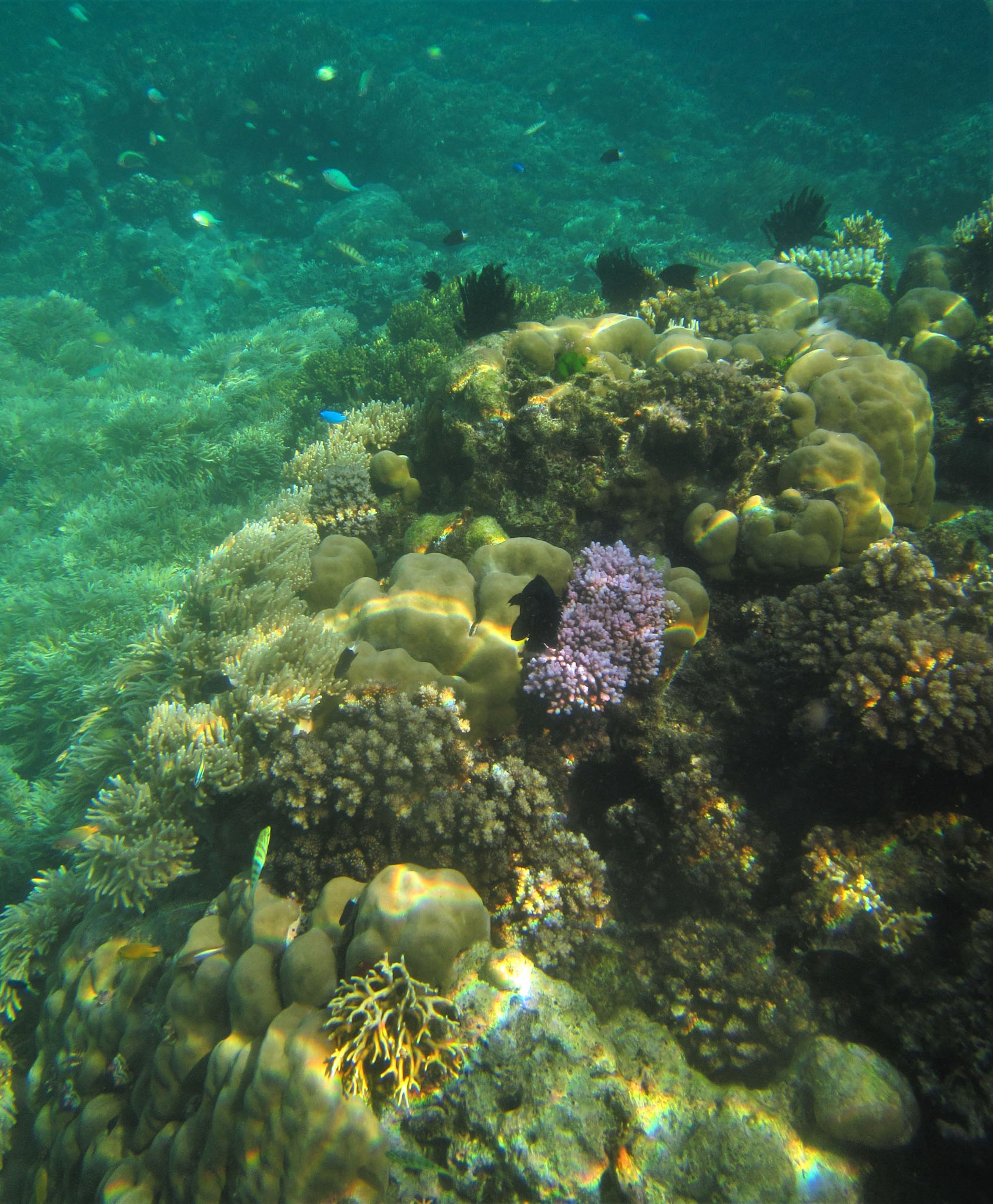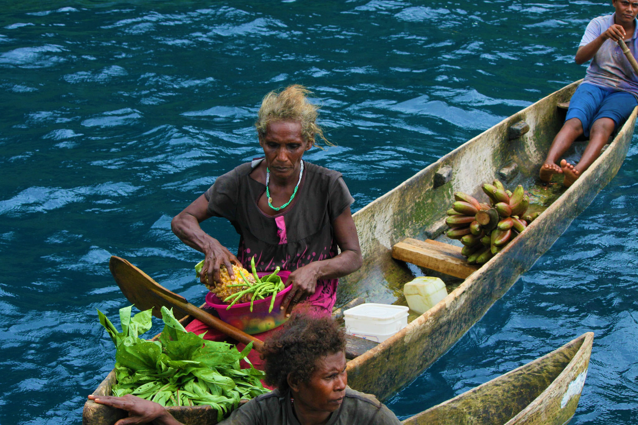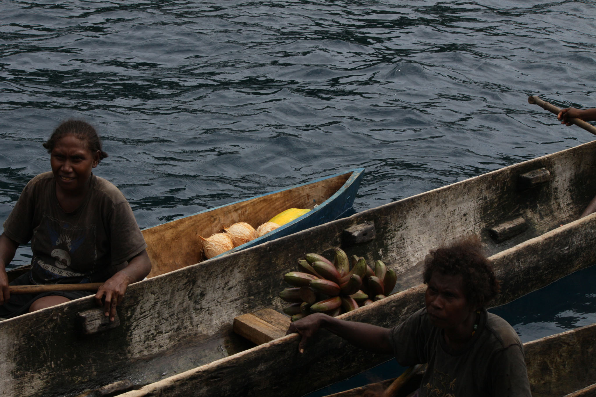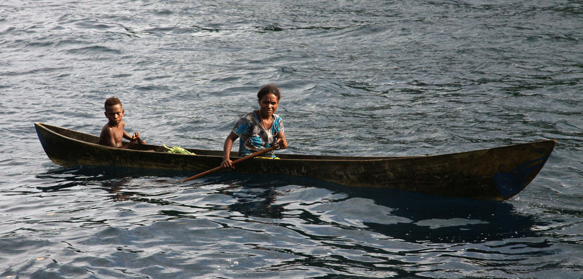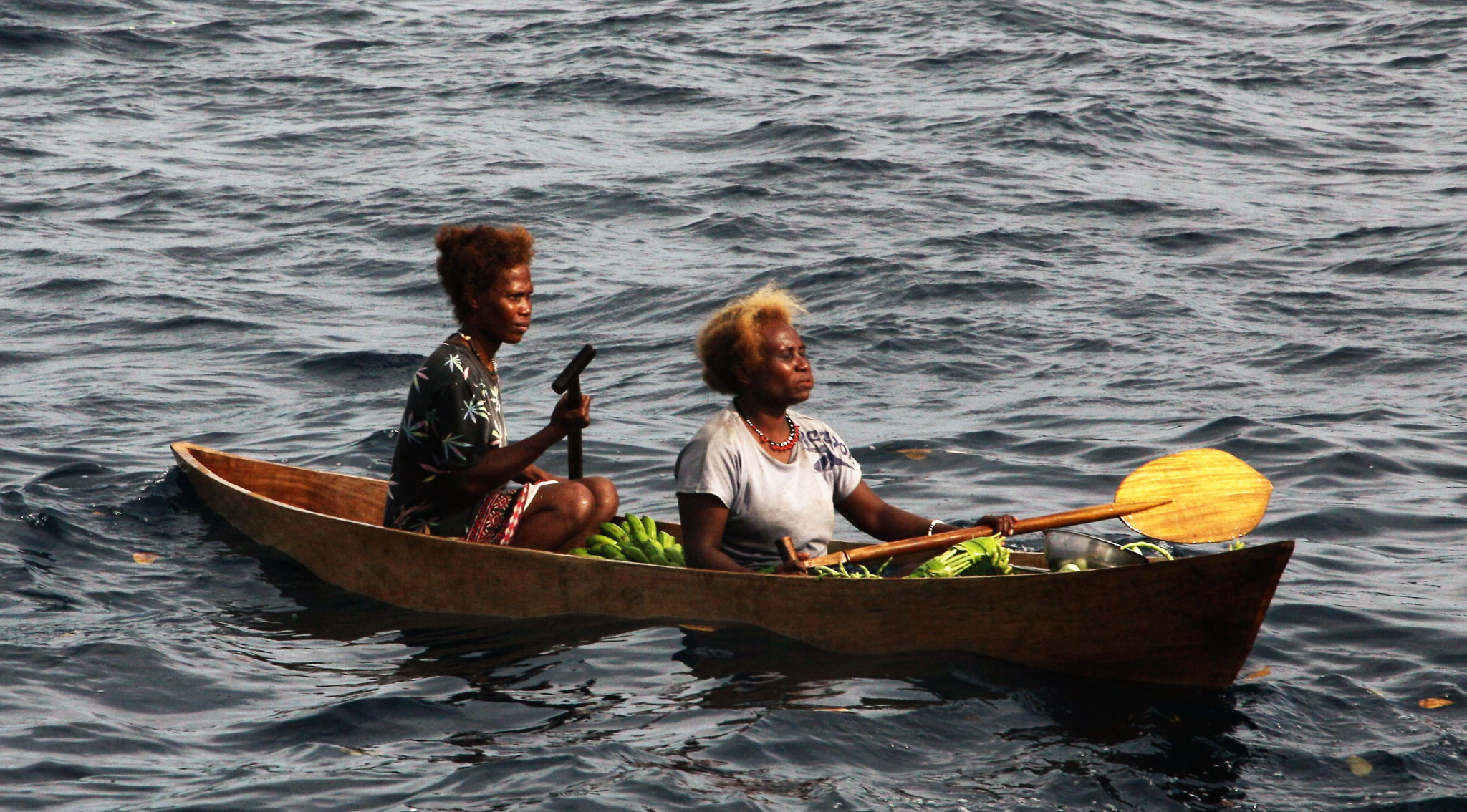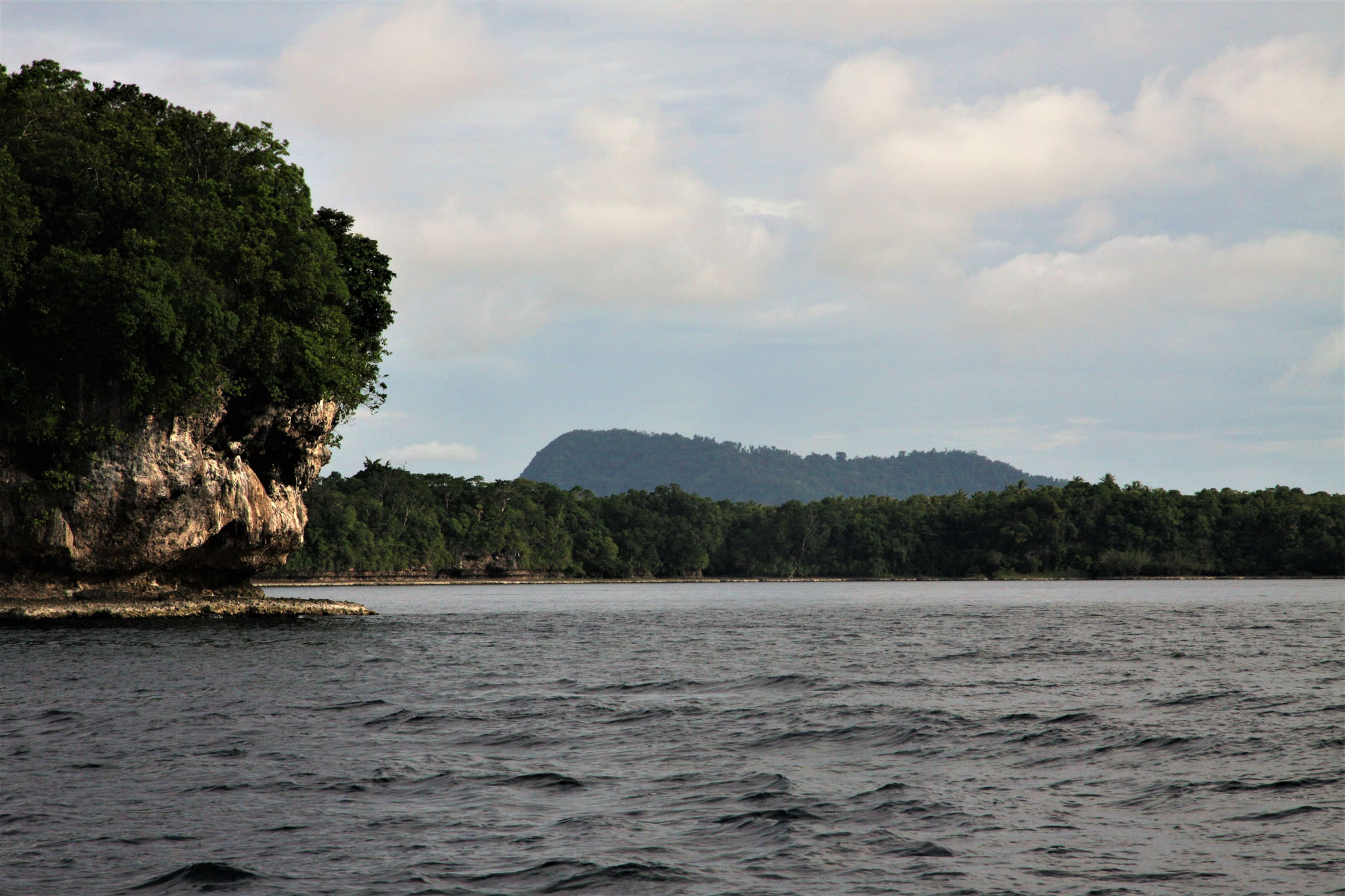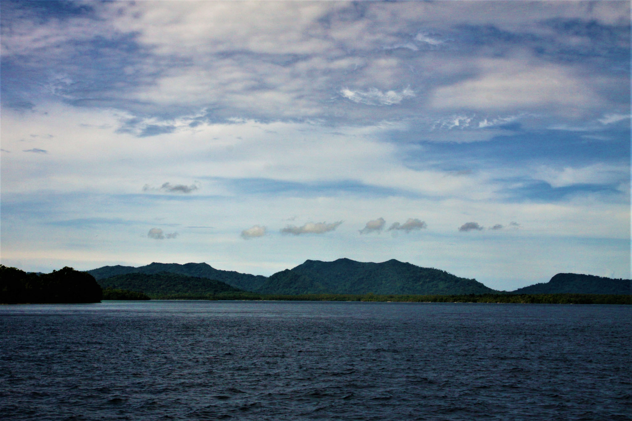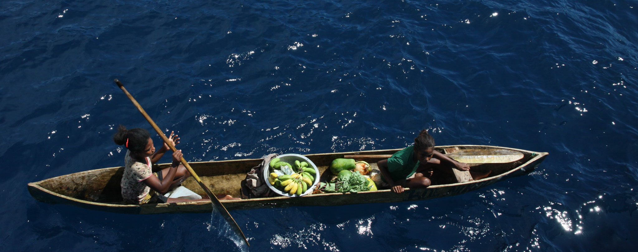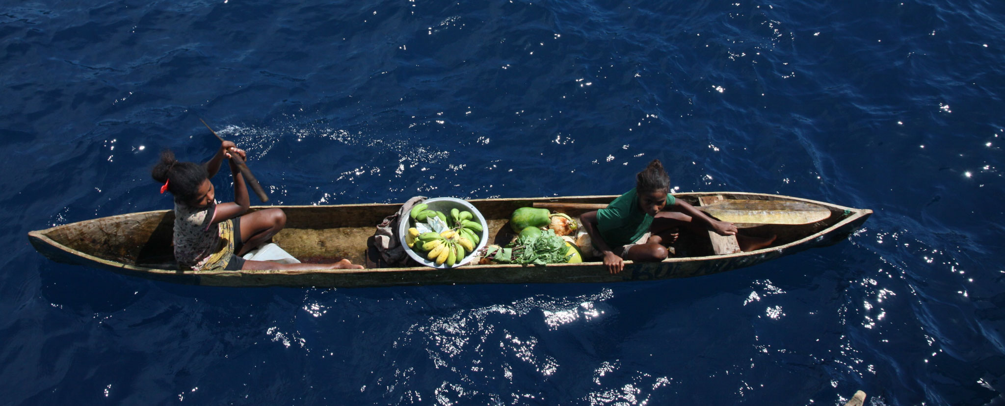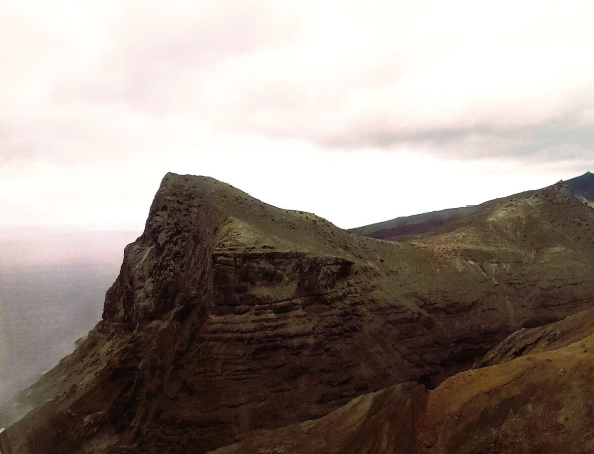

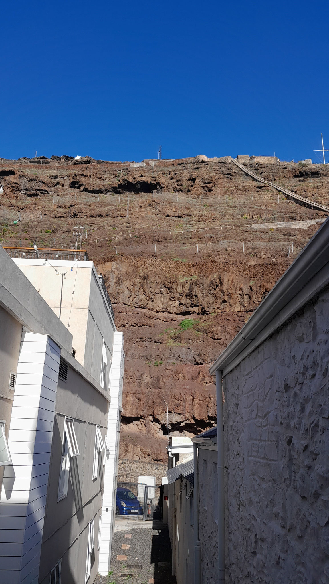
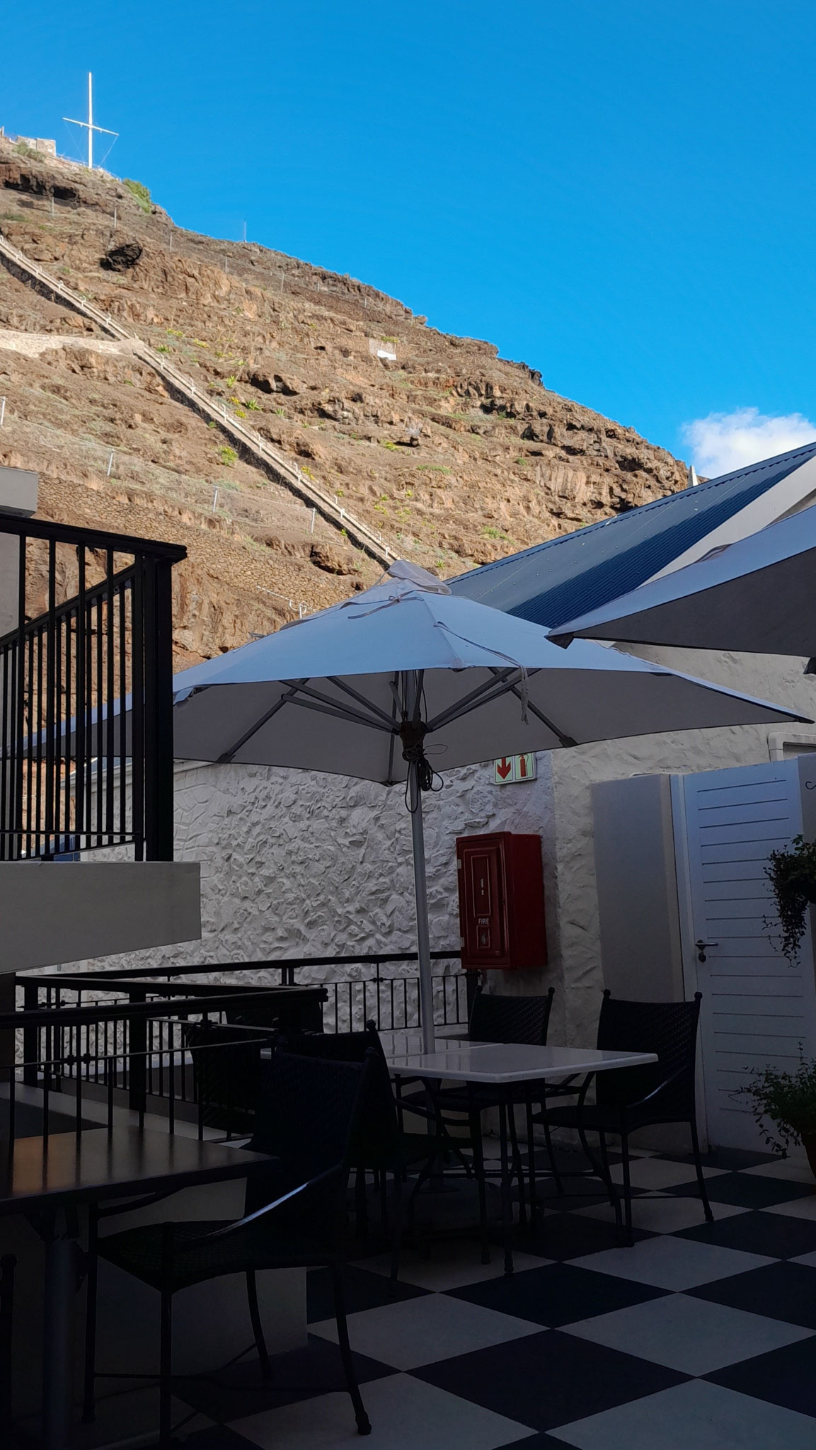

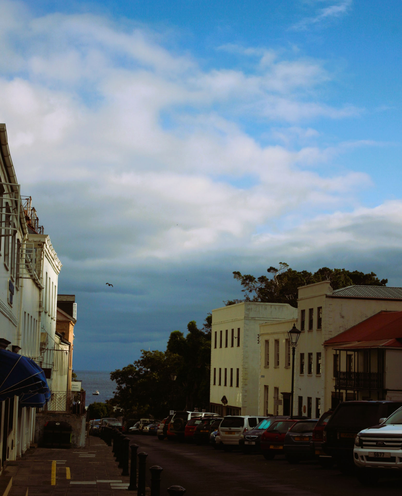
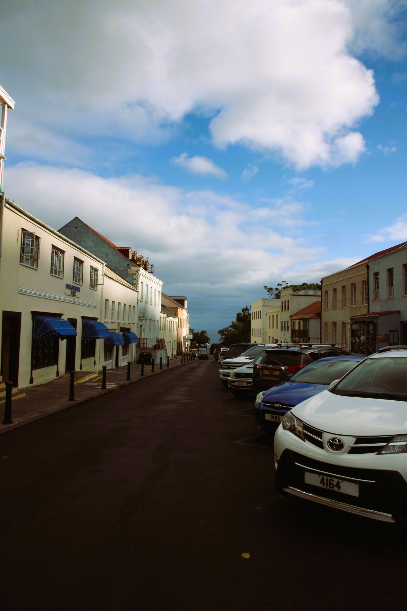
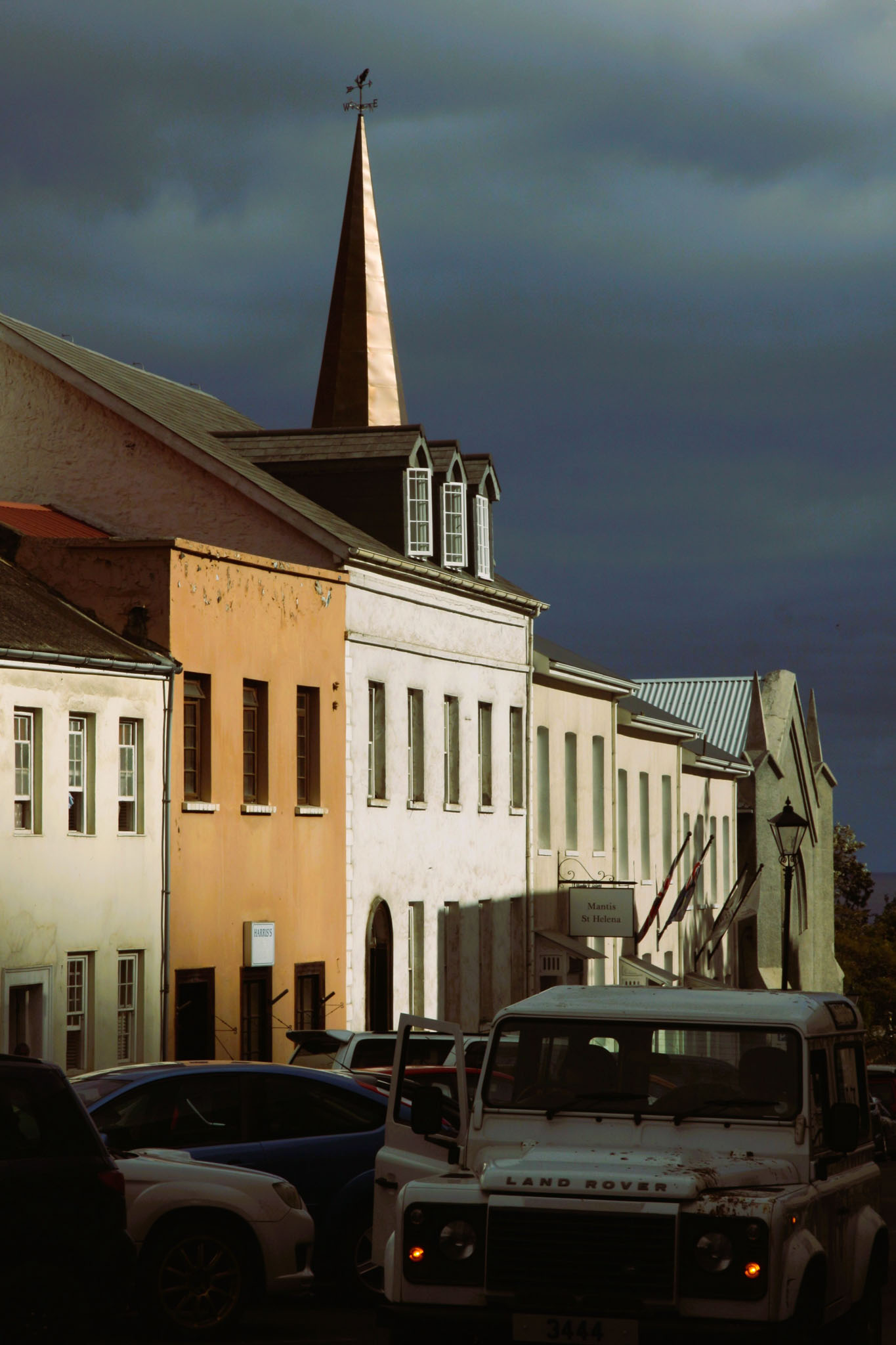
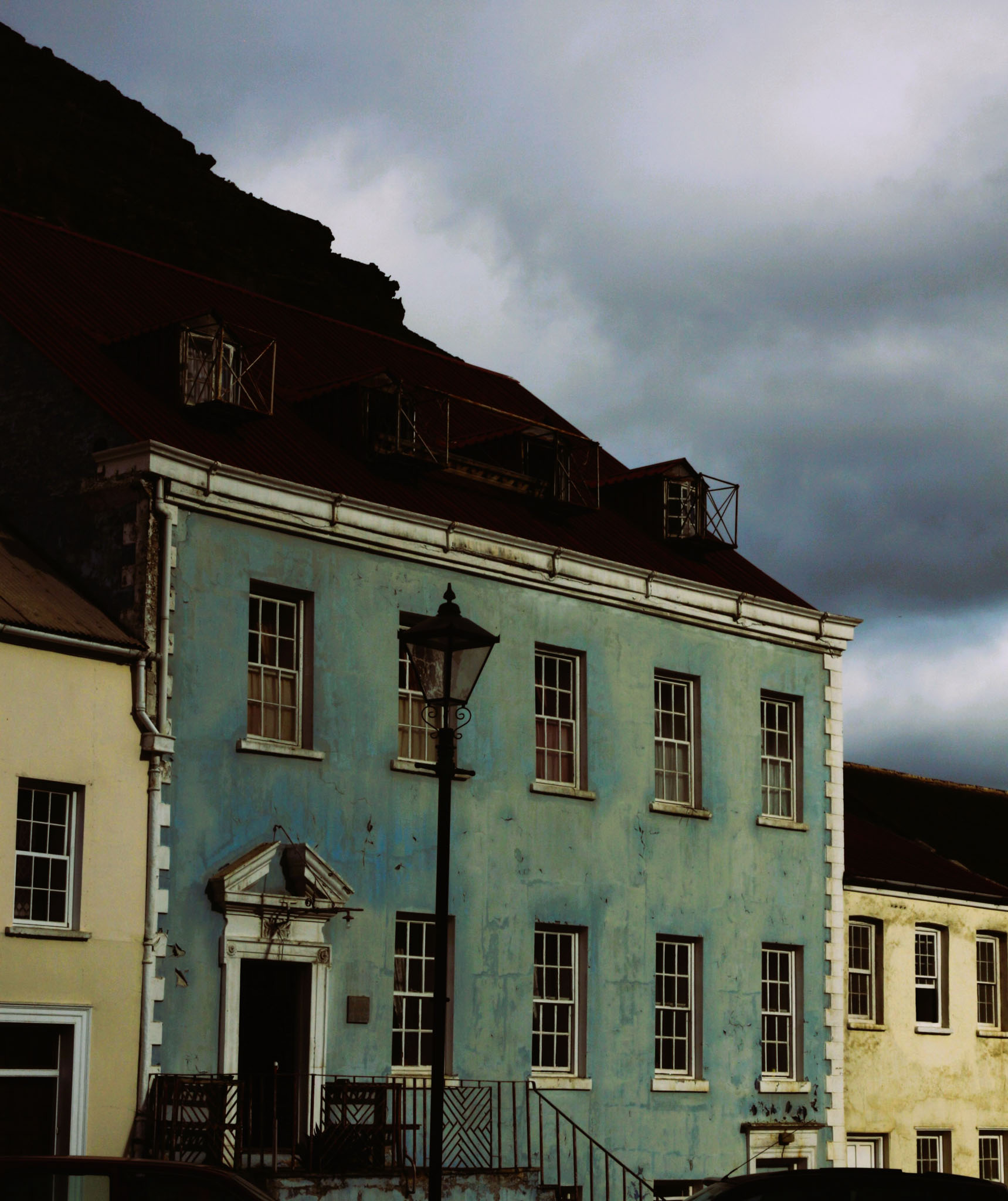
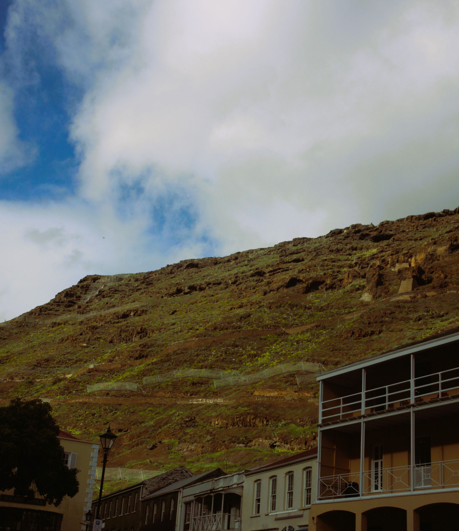

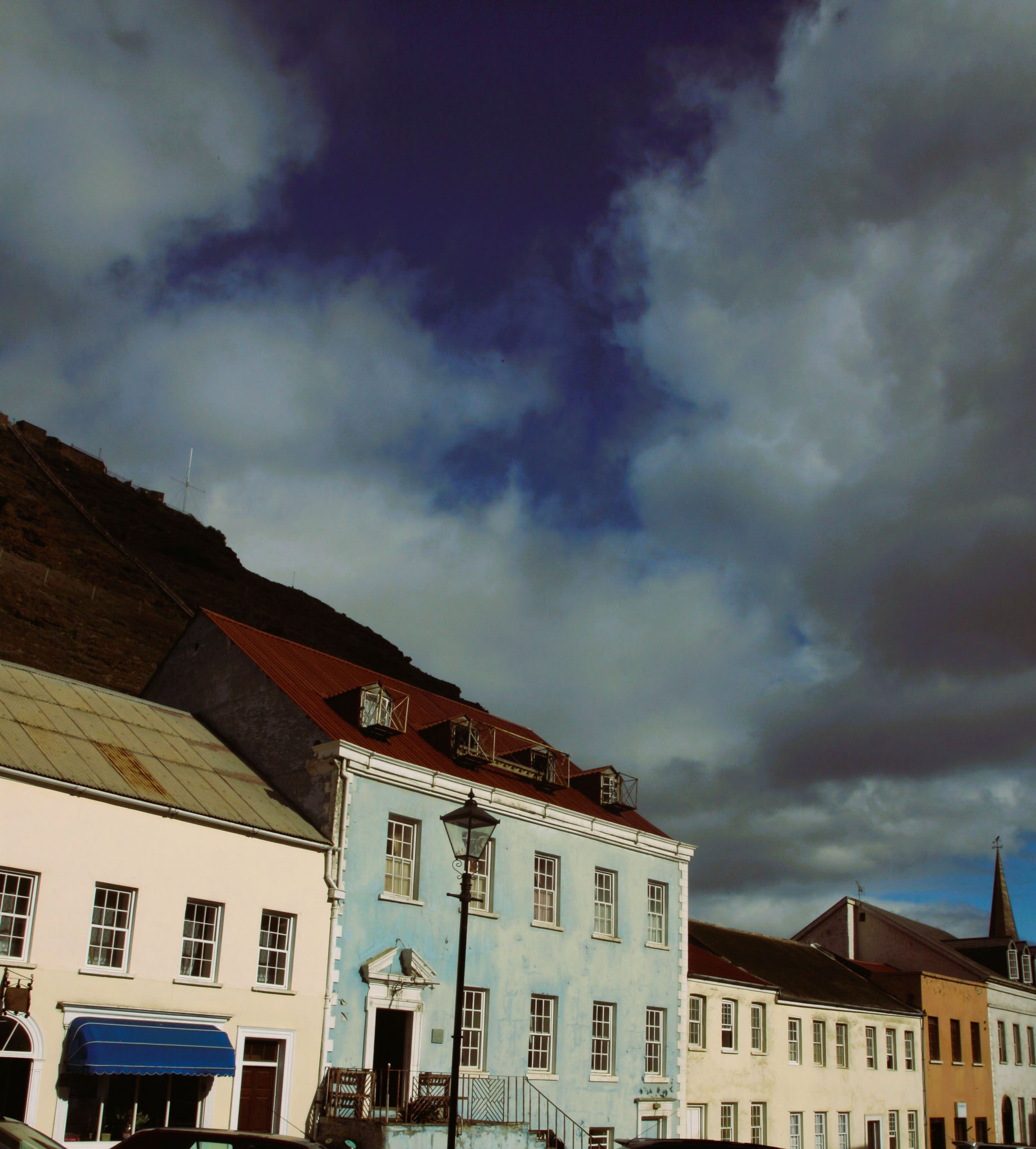

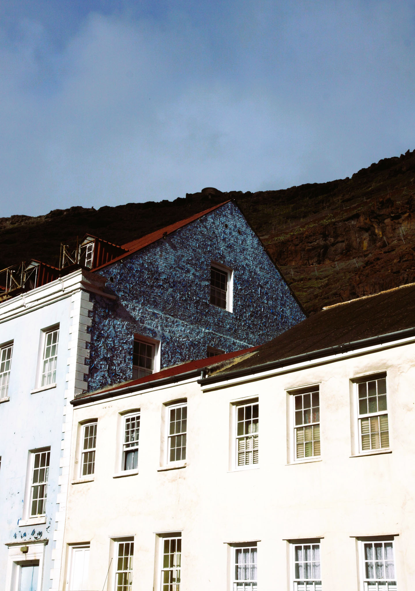
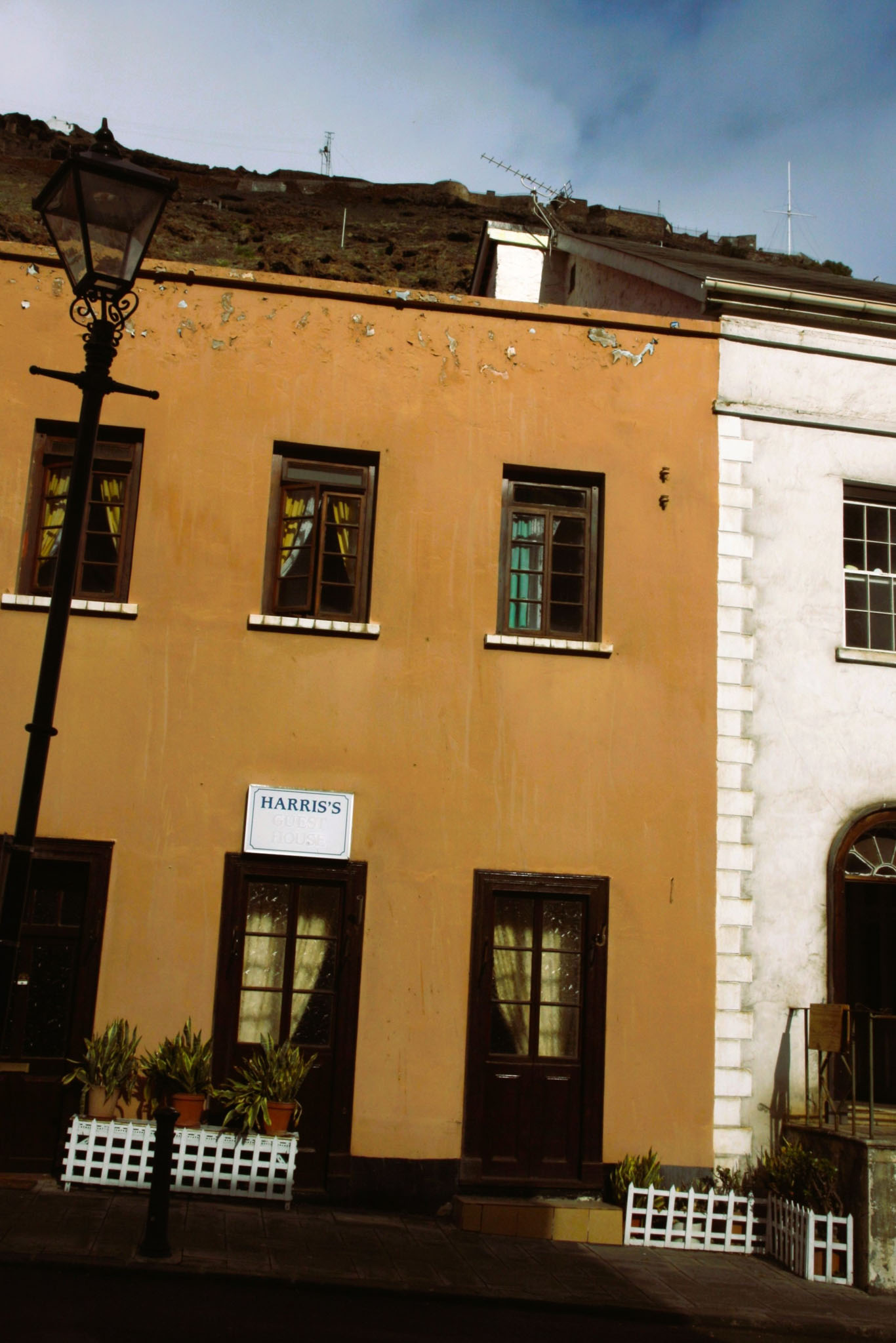
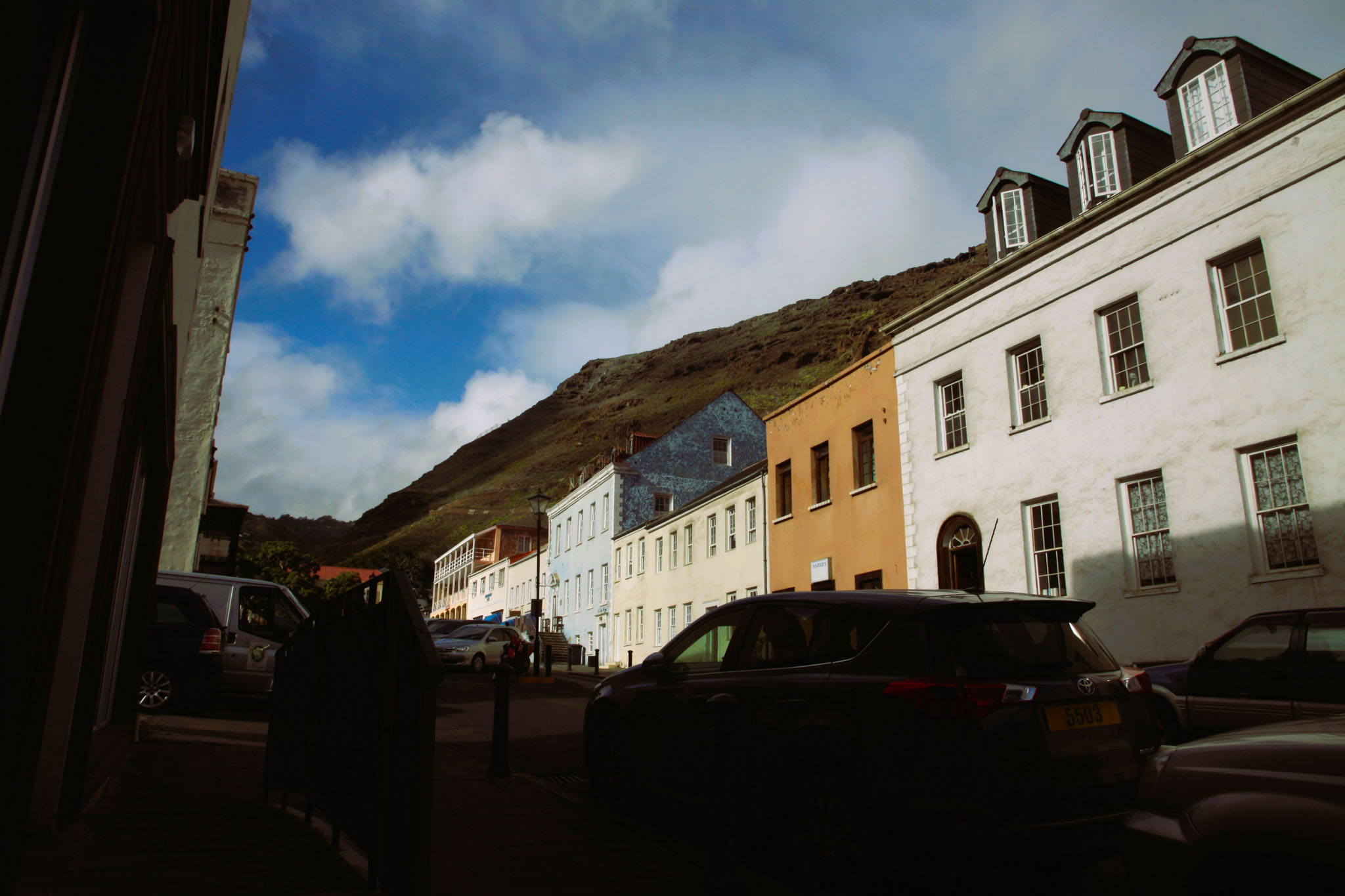
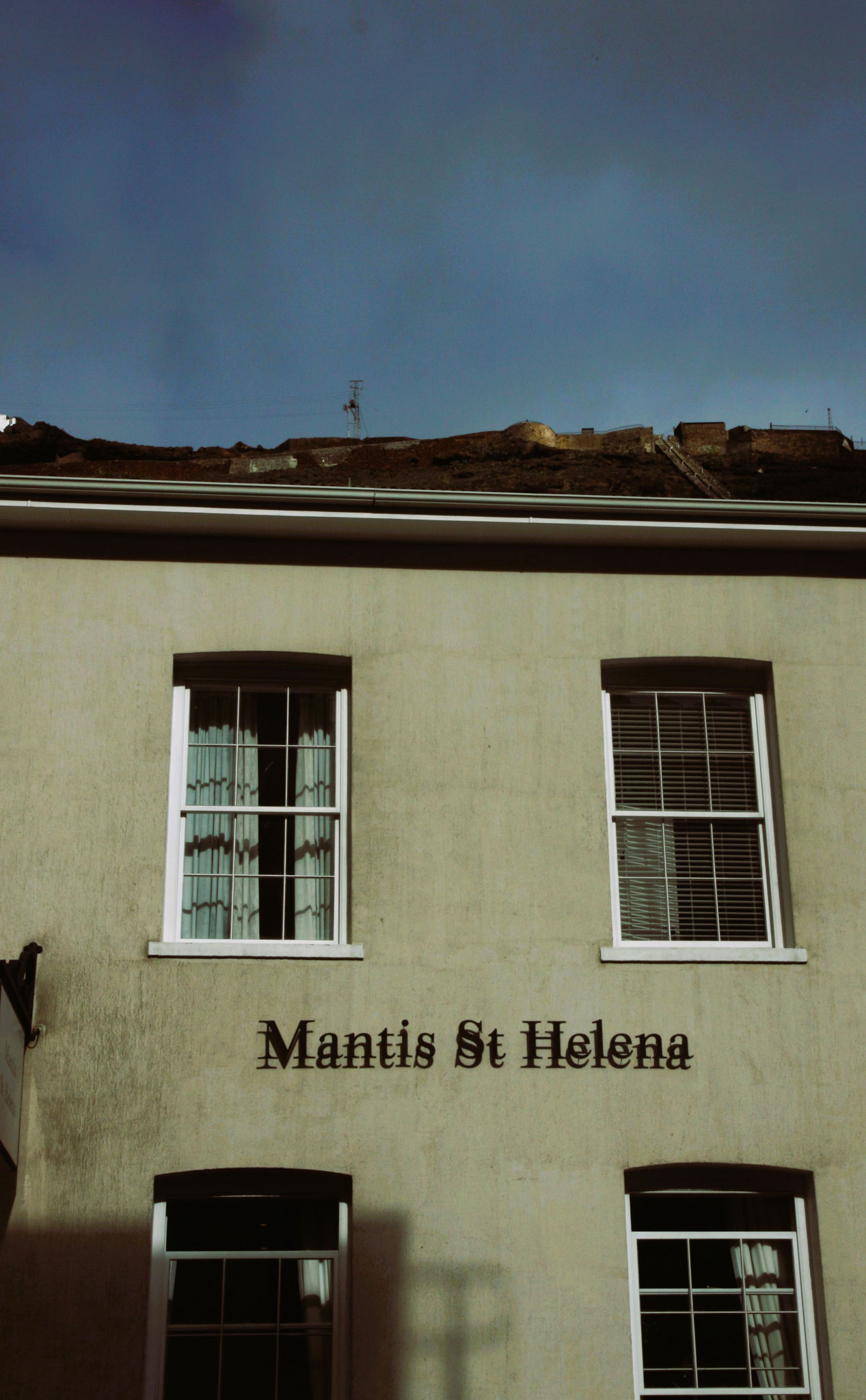
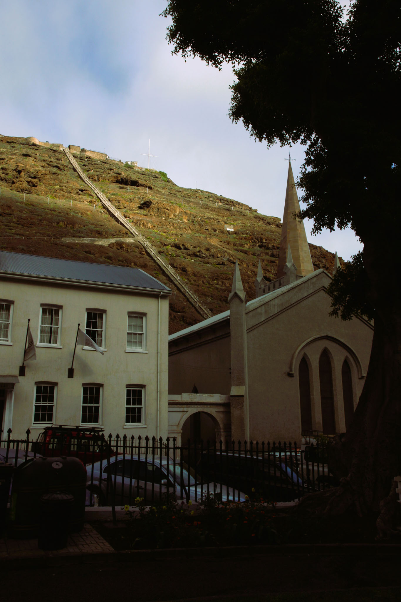
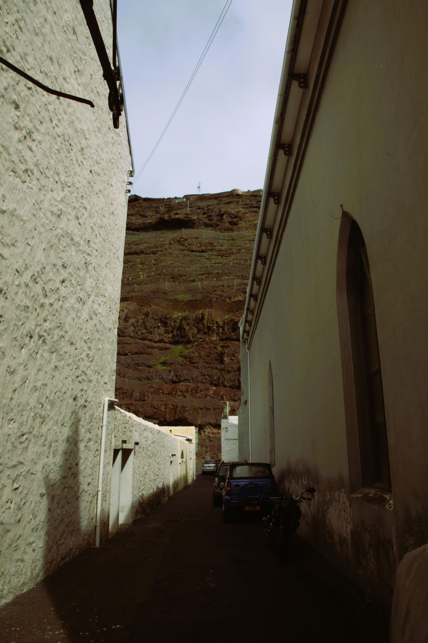
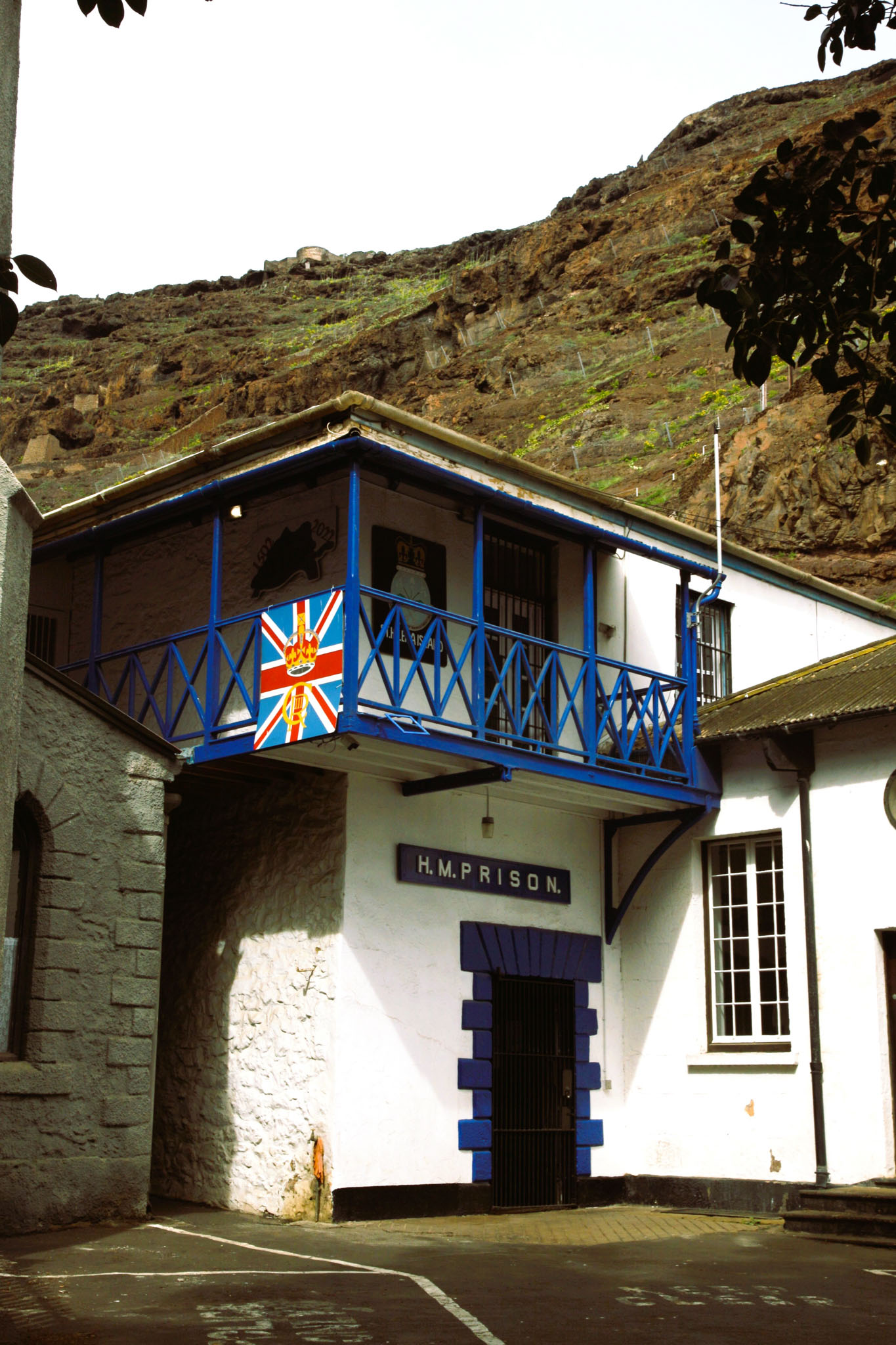
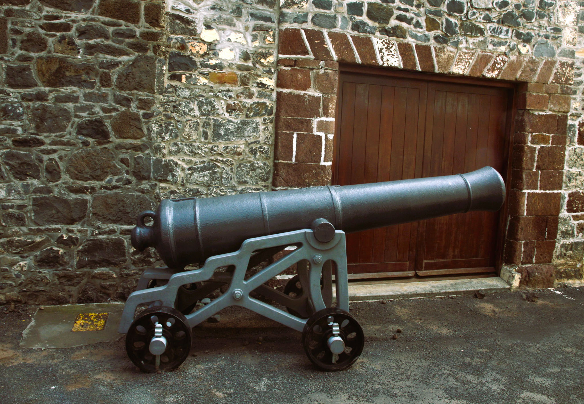
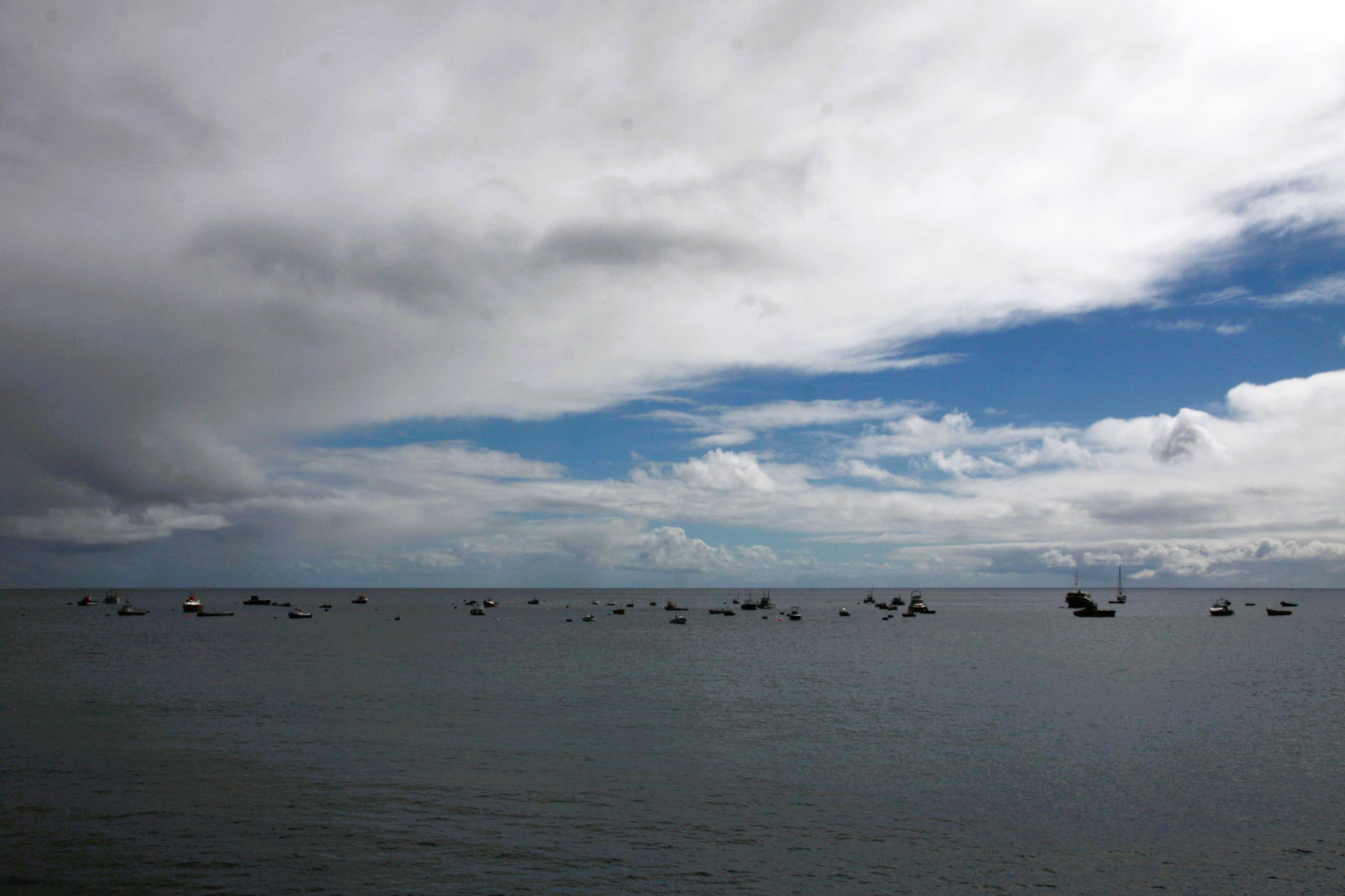
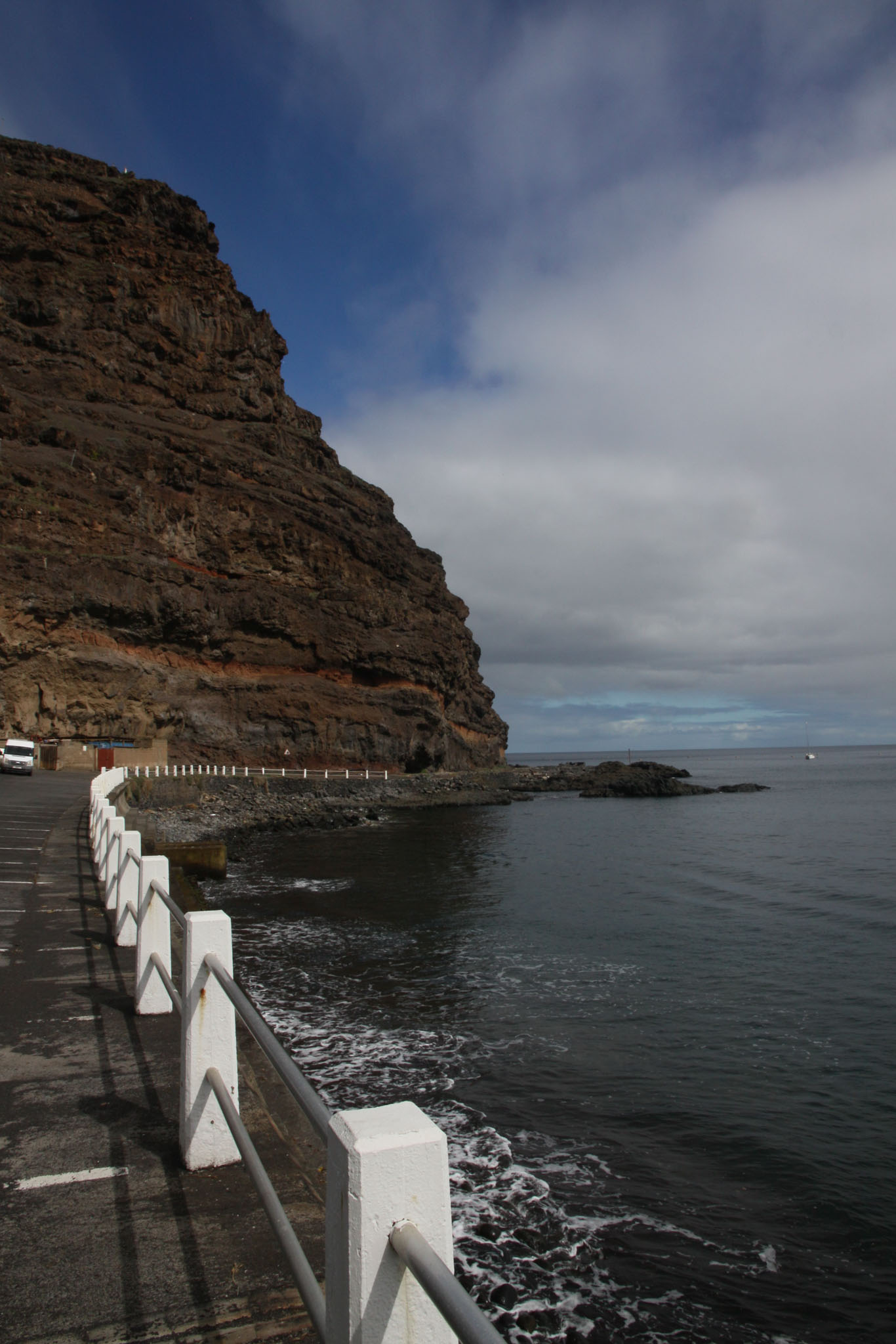

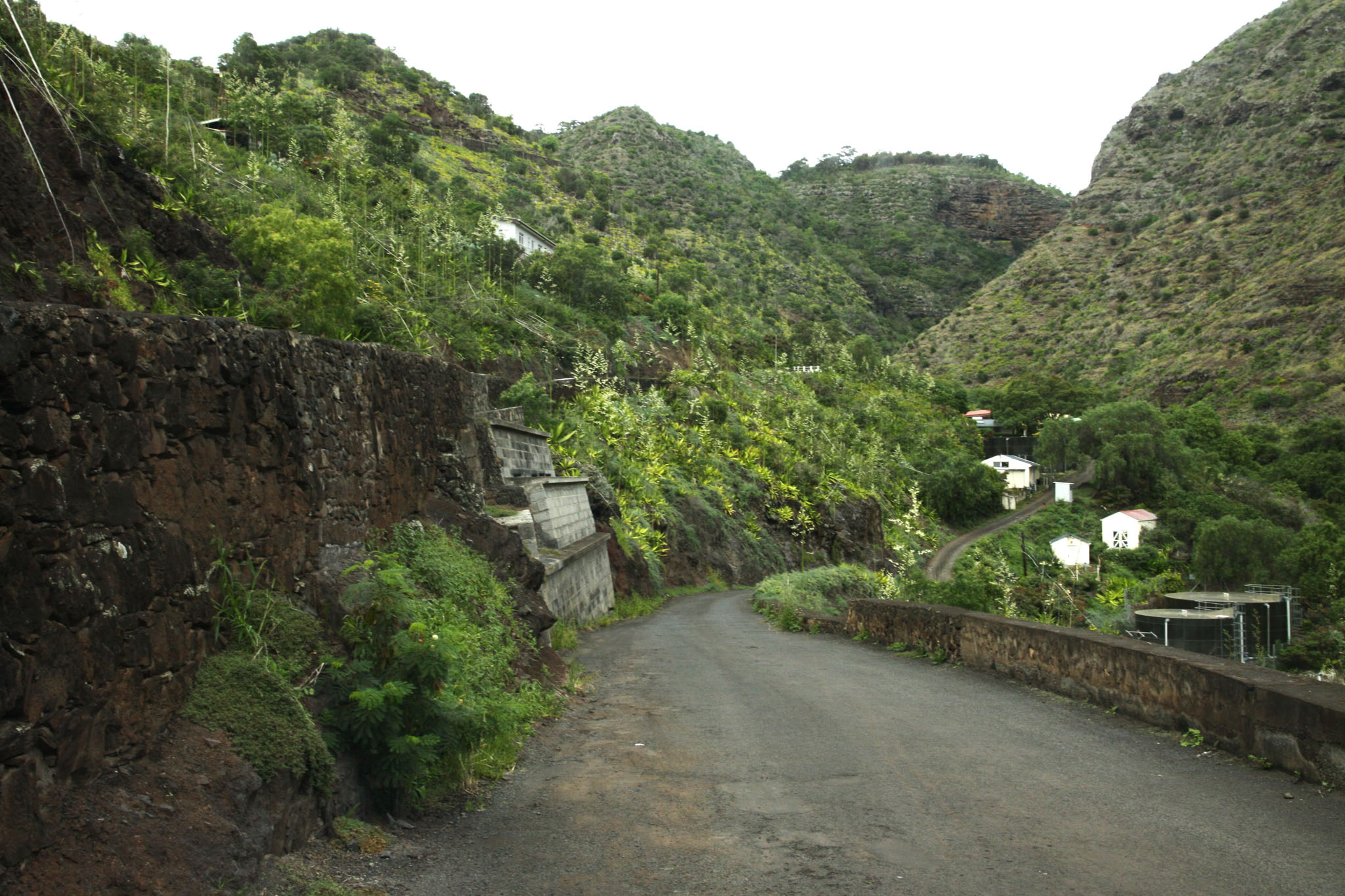
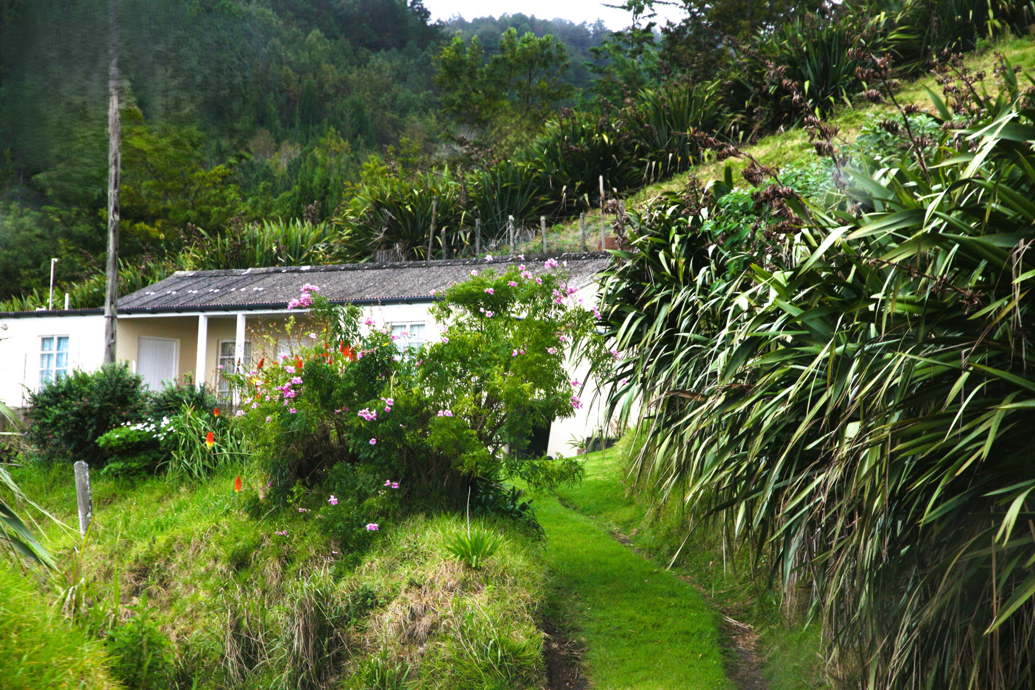
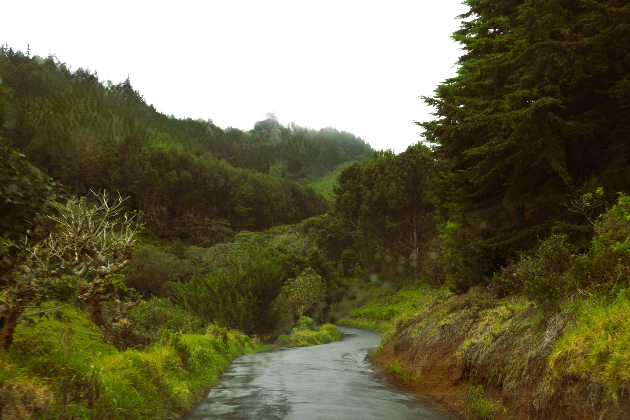
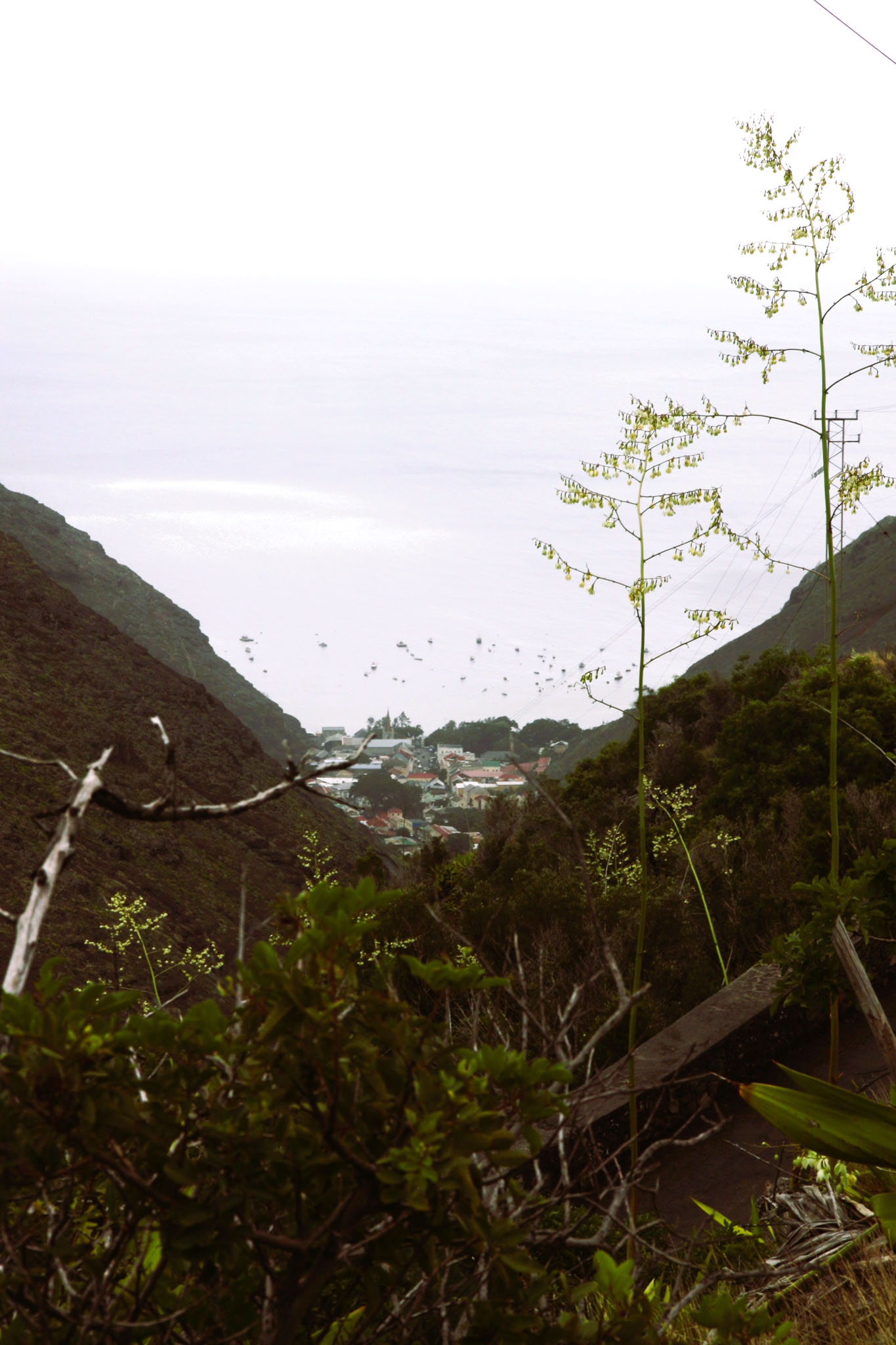
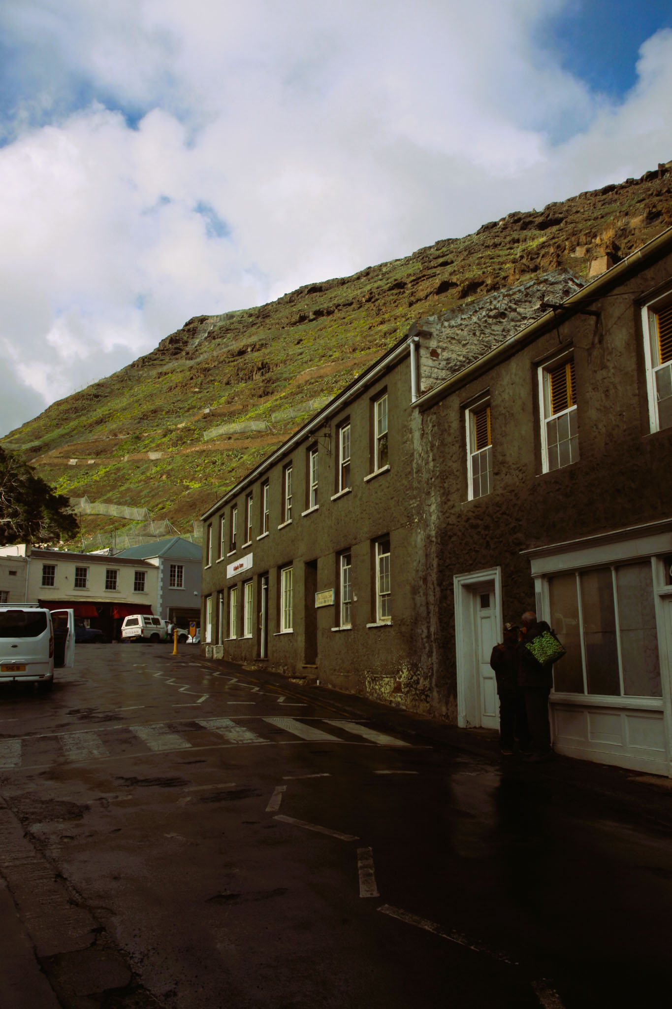
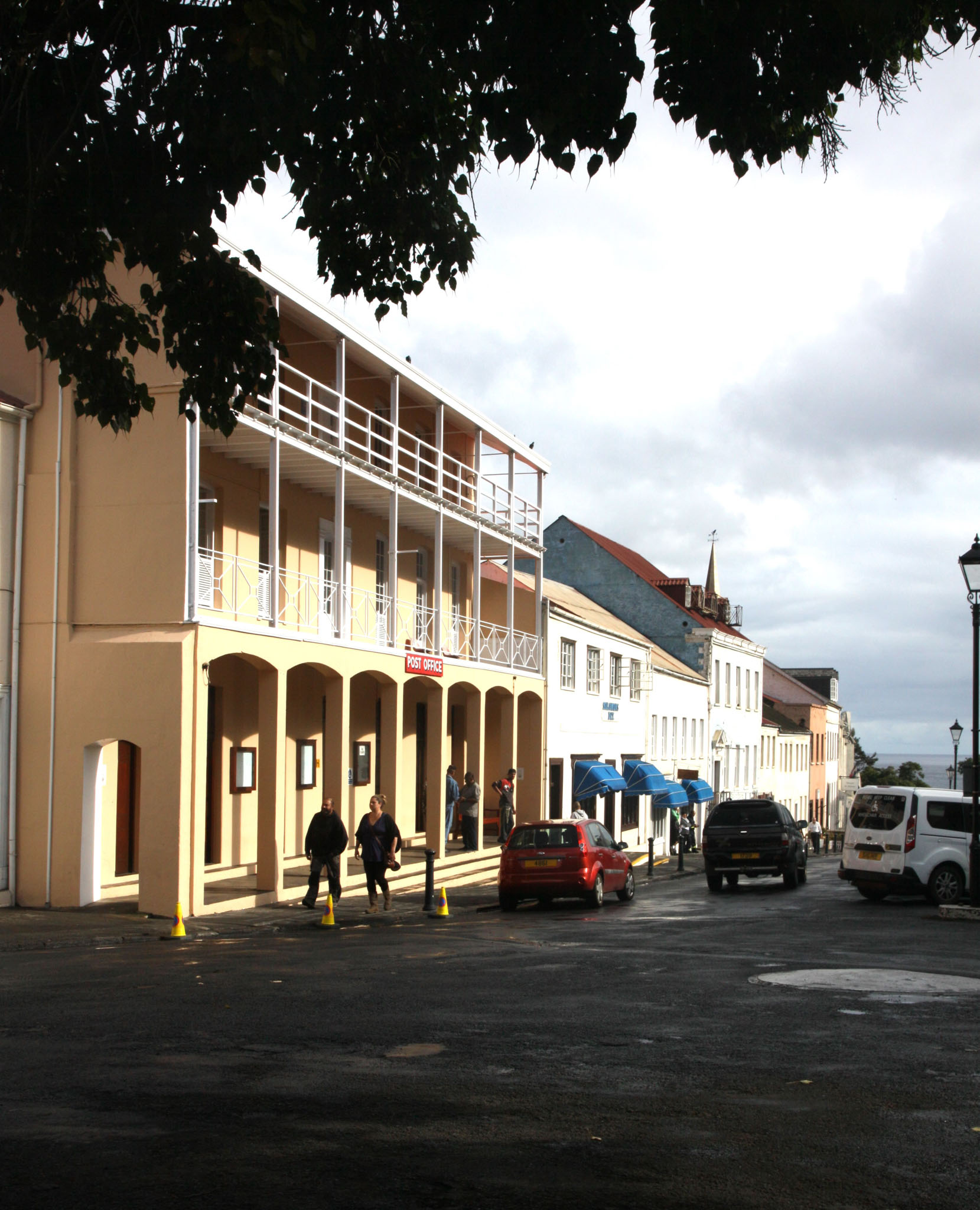
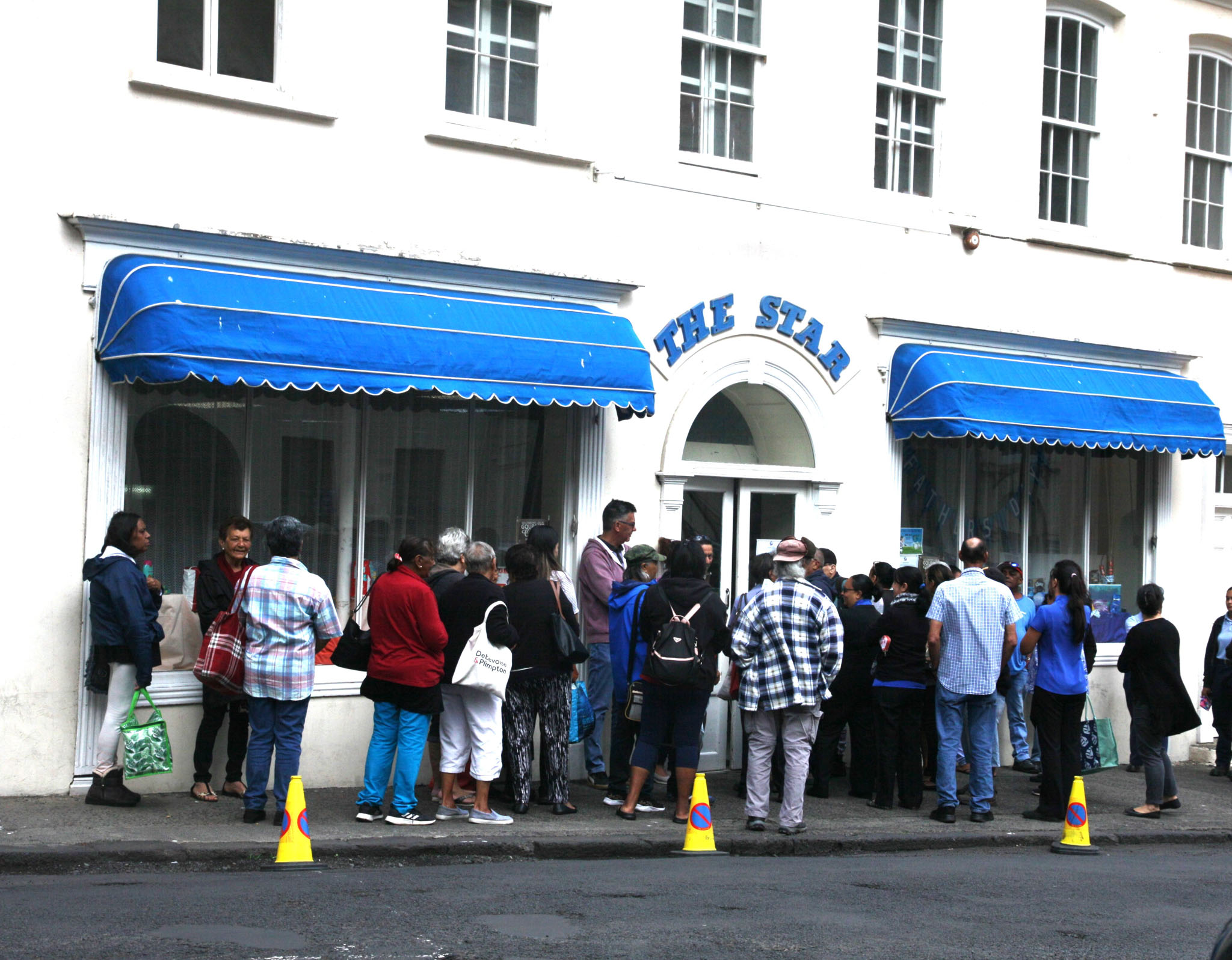
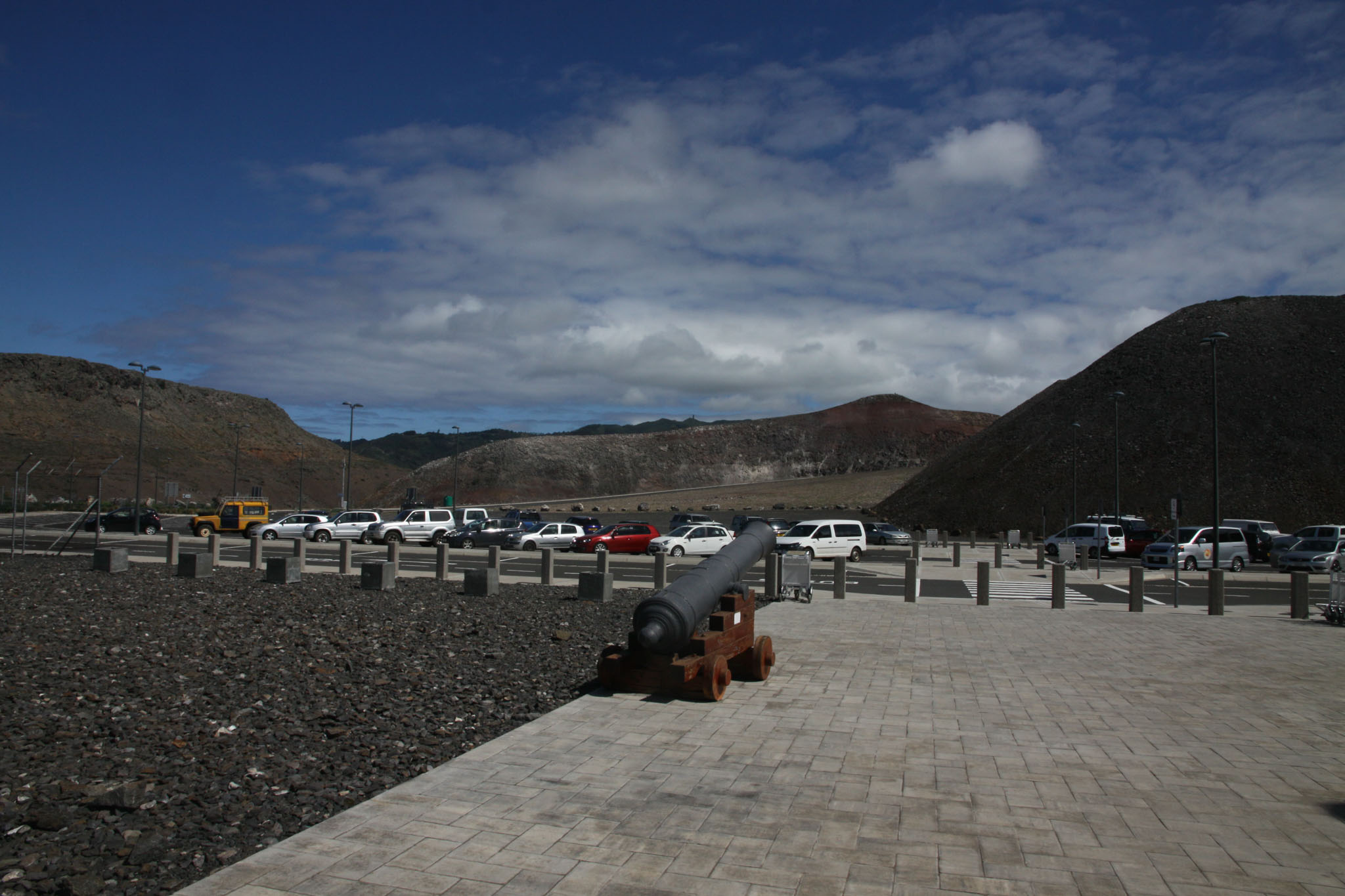
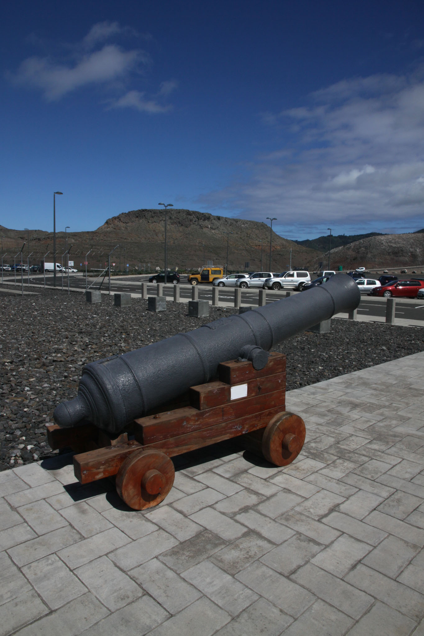
Saint Helena is one of the three constituent parts of Saint Helena, Ascension and Tristan da Cunha, a remote British overseas territory. Saint Helena is a volcanic and tropical island, located in the South Atlantic Ocean, some 1,874 km (1,165 miles) west of mainland Africa, with Angola and Namibia being the closest nations, geographically. The island is located around 1,950 km (1,210 mi) west of the coast of southwestern South Africa, and 4,000 km (2,500 mi) east of Rio de Janeiro, Brazil.
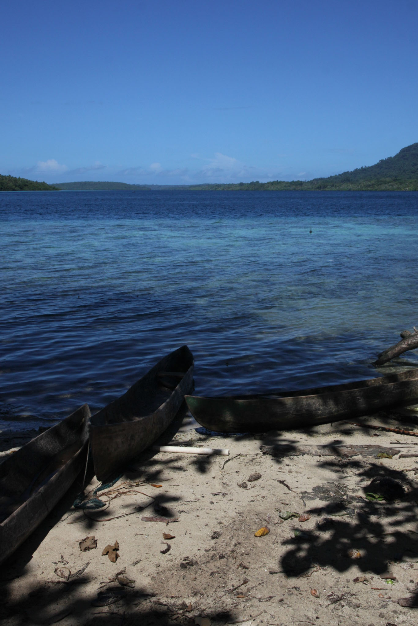
Saint Helena measures about 16 by 8 km (10 by 5 mi) and has a population of 4,439 per the 2021 census.[2] It was named after Helena, mother of Constantine I. It is one of the most remote major islands in the world and was uninhabited when discovered by the Portuguese enroute to the Indian subcontinent in 1502. For about four centuries, the island was an important stopover for ships from Europe to Asia and back, while sailing around the African continent, until the opening of the Suez Canal. Saint Helena is the United Kingdom’s second-oldest overseas territory after Bermuda.
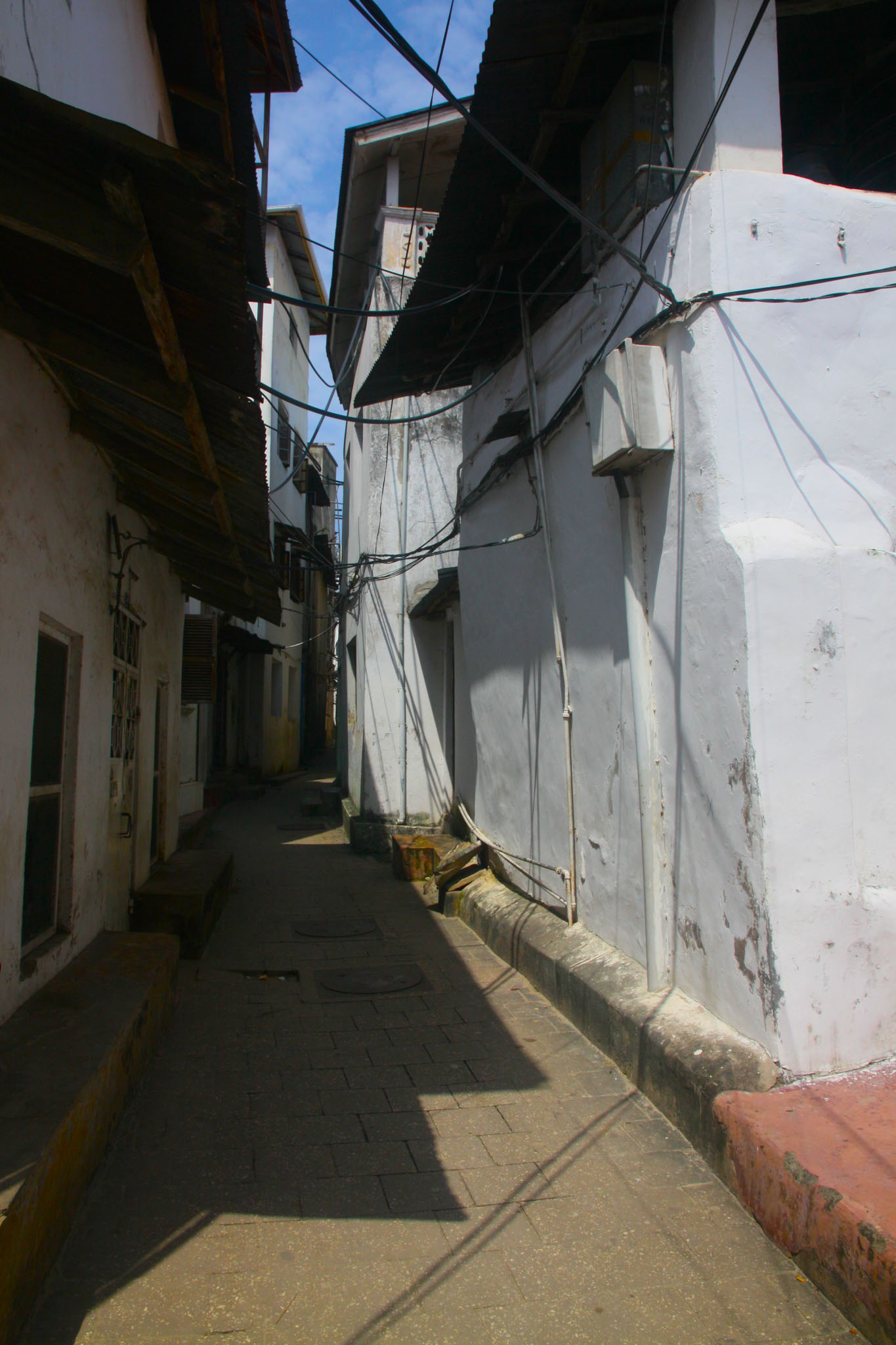
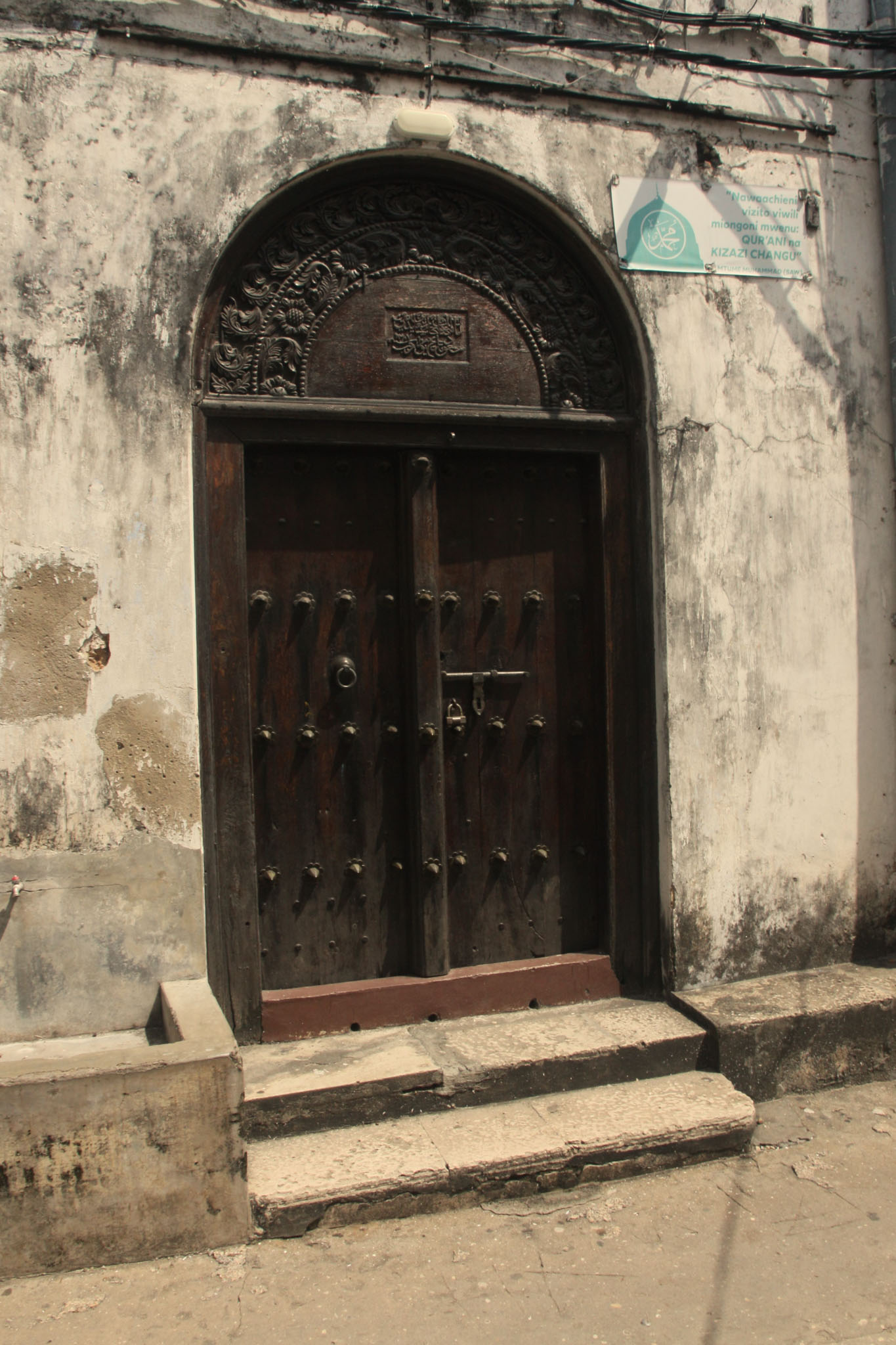
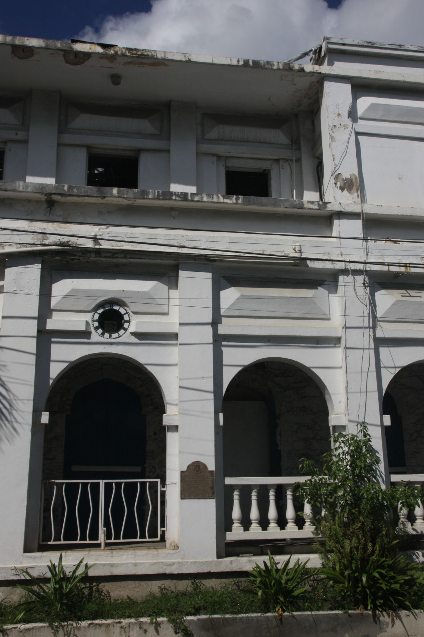
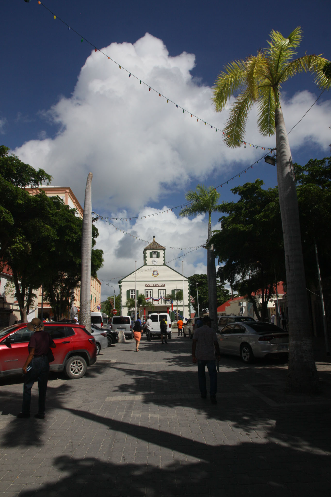
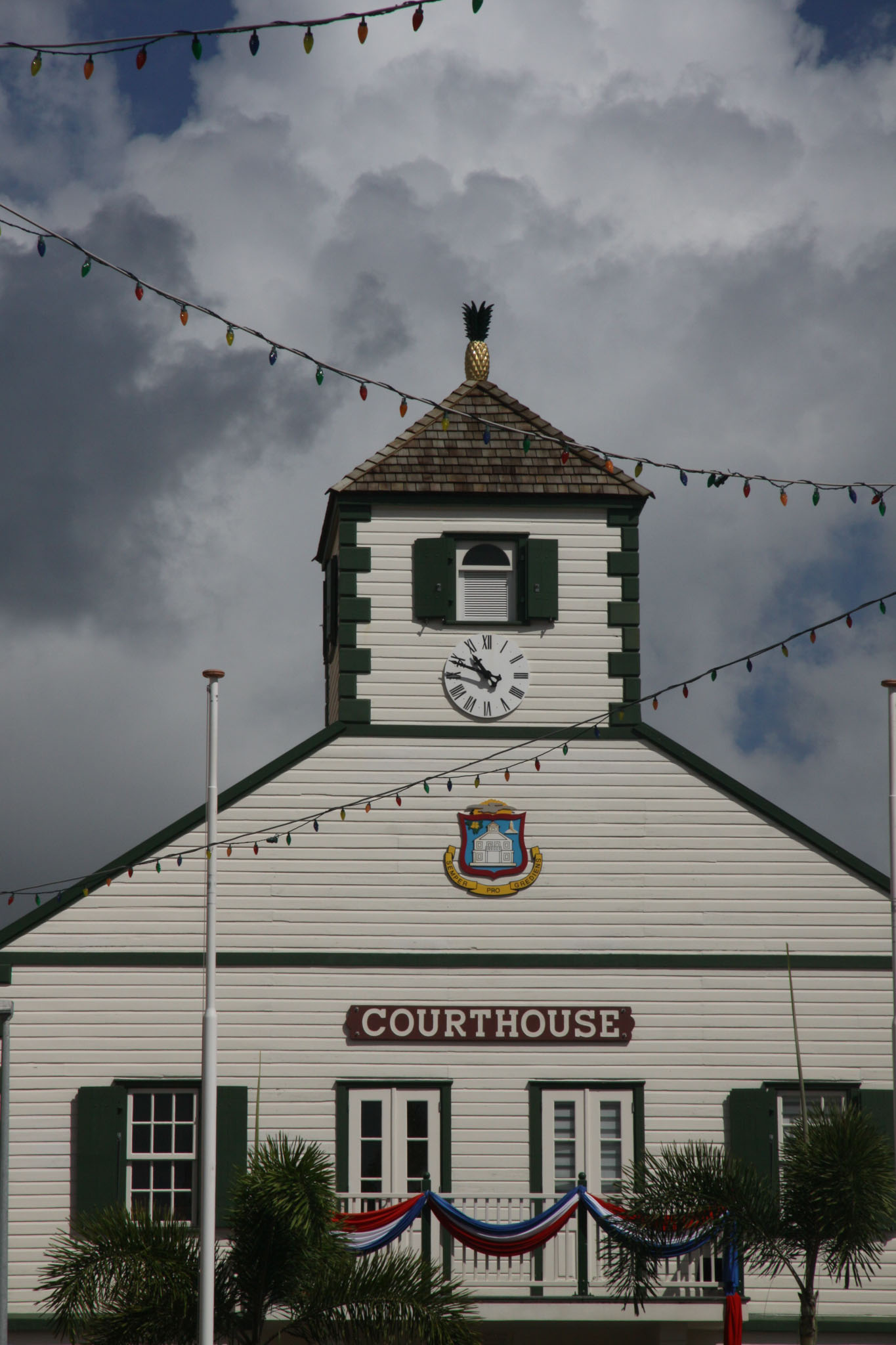
Saint Helena is known for being the site of Napoleon’s second exile, following his final defeat in 1815.