Rolas is a small island lying south of São Tomé Island, being the third largest island of São Tomé and Príncipe. It lies directly on the equator and is known for its beaches, its palm trees, its lighthouse and its beach resort. The island rises to a volcano and is linked by boat to Porto Alegre on São Tomé Island.
Tag: beach
Ibo
Ibo is one of the Quirimbas Islands in the Indian Ocean off northern Mozambique. It is part of Cabo Delgado Province. It grew as a Muslim trading port. Vasco da Gama reportedly rested on the island in 1502. The island was fortified in 1609 by the Portuguese.
In the late eighteenth century, Portuguese colonialists built the Fort of São João, which still survives, and the town, as a slave port, became the second most important in the region after Mozambique Island. The island is now a far quieter place, known for its silversmiths.
Ibo forms part of the Quiribas National Park and is linked by dhows to the mainland at Tandanhangue.
Matemo
Matemo Island forms part of the pristine Quirimbas Islands and is located northeast of Ibo island, in northern Mozambique, about 100 km from the city of Pemba. It is approximately 24 square kilometres in area, with palm groves and beaches.
It contains two villages, inhabited by native Mozambicans, as well as the Matemo Island Resort, falling within the Rani Resorts group.
Bazaruto
Bazaruto (Portuguese: Ilha do Bazaruto) is a sandy island located approximately 80 kilometers (50 miles) southeast of the mouth of the Save River, Mozambique 21°38′S 35°30′E. The warm, southward-flowing Mozambique Current seems to contribute to the increasing buildup of the sandy coastline. Because the water along this coastal area is very clear, much of the sub-surface channel pattern around the island is discernible. Several narrow lines of plankton bloom (barely visible in the photograph) parallel the shoreline. The coastal plains show numerous lakes and a swampy environment that appears to be karst topography. Underlying the area is limestone rock that has eroded into a pockmarked landscape, creating water-filled sinkholes. Rainfall in this humid subtropical climate amounts to between 50 and 100 centimeters (20 and 40 inches) annually.
The closest mainland town to the island of Bazaruto is Inhassoro, although administratively it belongs to the Vilankulo District and Inhambane Province.
The island of Pemba known as ‘Al Jazeera Al Khadra’ (the green island, in Arabic) is an island forming part of the Zanzibar archipelago, lying off the east coast of Africa in the Indian Ocean. It is situated about 50 kilometres to the north of the island of Zanzibar. In the 1960s Zanzibar was united with the former colony of Tanganyika to form Tanzania. It lies 50 kilometres east of mainland Tanzania. Together with Mafia Island (south of Zanzibar), they form the Spice Islands (not to be confused with Maluku Islands of Indonesia). In 1988, the estimated population was 265,000, with an area of 980 km².
Most of the island, which is hillier and more fertile than Zanzibar, is dominated by small scale farming. There is large scale farming of cash crops such as cloves — there are over 3 million clove trees.
Pemba is also becoming well-known for its dive sites, with vertiginous drop-offs, untouched coral and very abundant marine life. The central town Chake-Chake is located on a hill with a view to the west on the bay and the tiny Misali island where the tides determine when a dhow can enter the harbour.
Lying west of Pemba’s Chake Chake town, this small island has some wonderful beaches with great diving and snorkelling just offshore. It is covered with verdant forest, which has several beautiful walking trails. There is also a visitor centre. Misali Island and it’s surrounding reef are now known as the Misali Island Marine Conservation Area.
Anjajavy
Morondava
Morondava is a city located in the province of Toliara and the Region of Menabe, of which it is the capital, in Madagascar. It is located in the delta of the Morandava River at 20°17′5″S 44°19′3″E.
Air Madagascar has regular scheduled flights to Morondava Airport. The main road to the town, and indeed the roads in the town itself, are severely eroded with less than 30% of the original tarmac left in most places. Overland transport is therefore very slow and difficult, especially in the rainy season. Pirogues are consequently a popular mode of transport used to ferry people and goods up and down the coast, especially to Morombe.
Tôlanaro
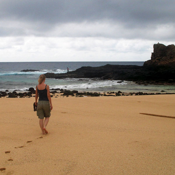
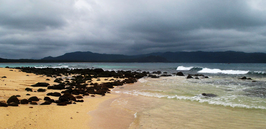
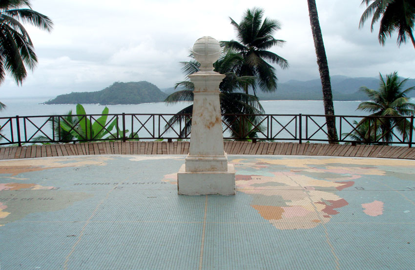
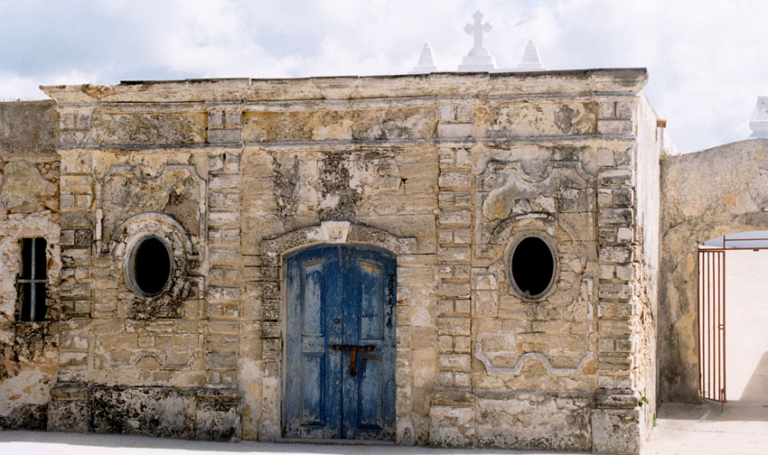
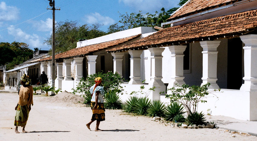
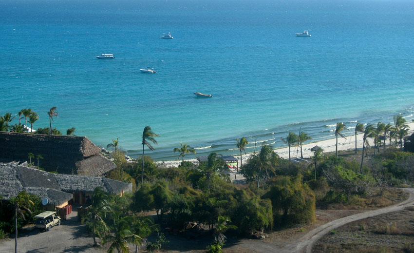
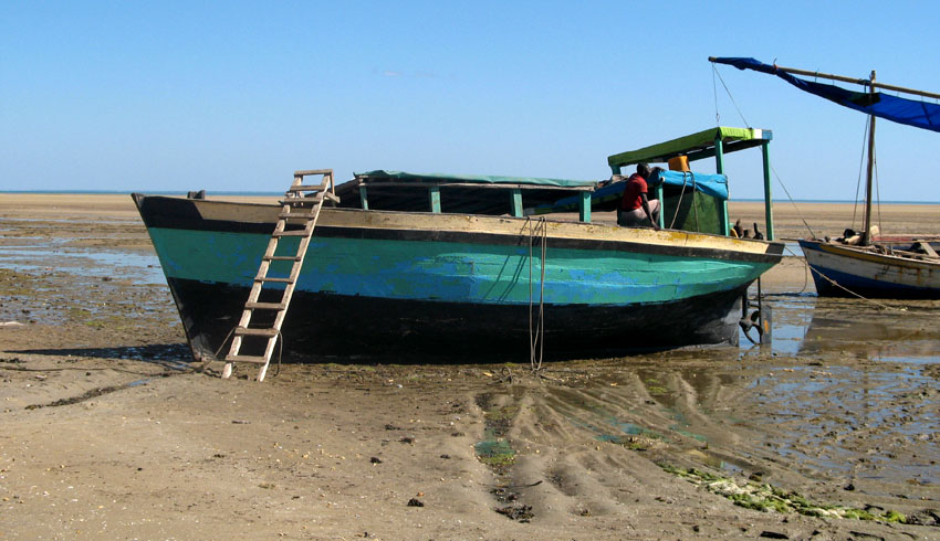
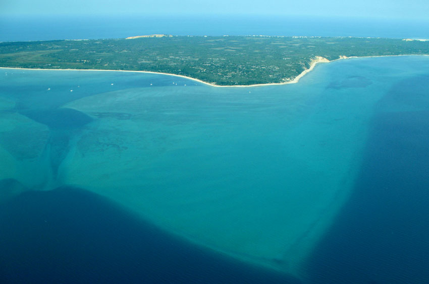
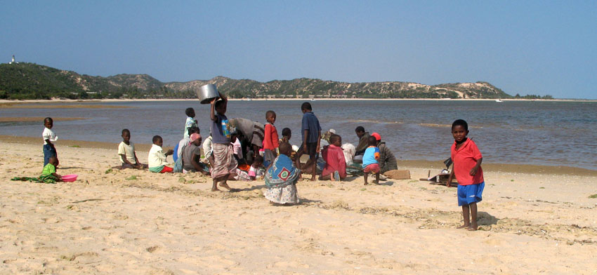
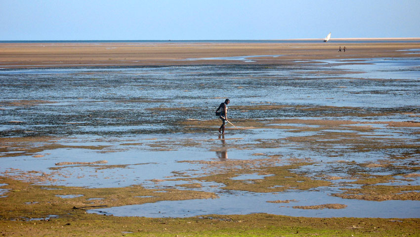
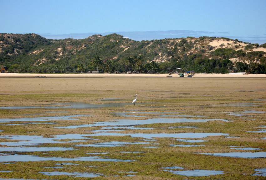
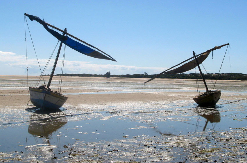
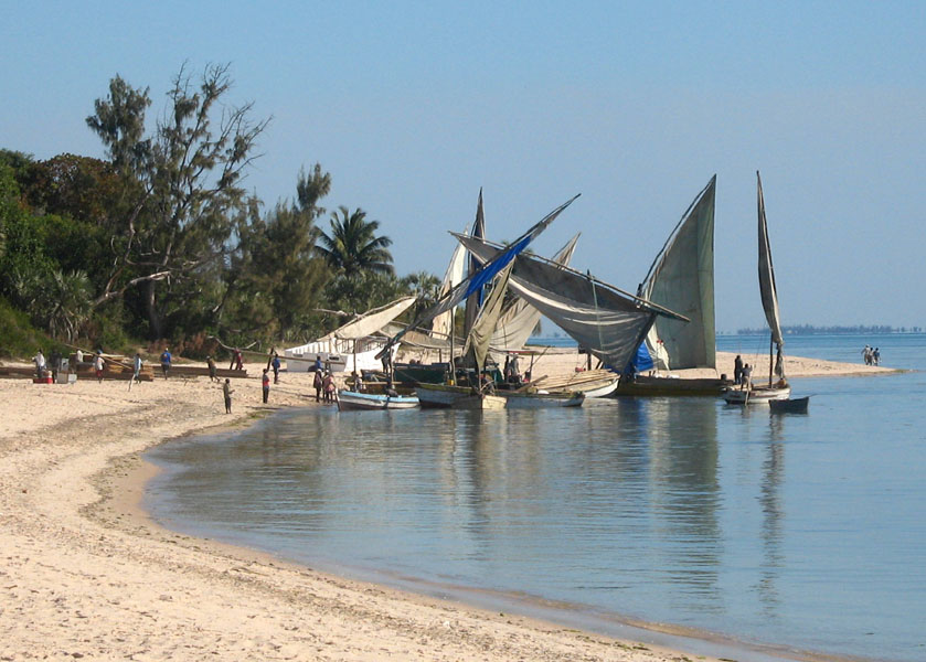
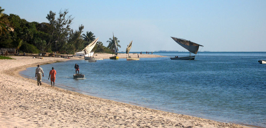
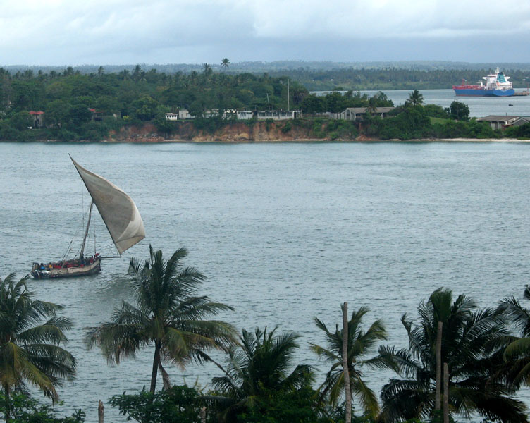
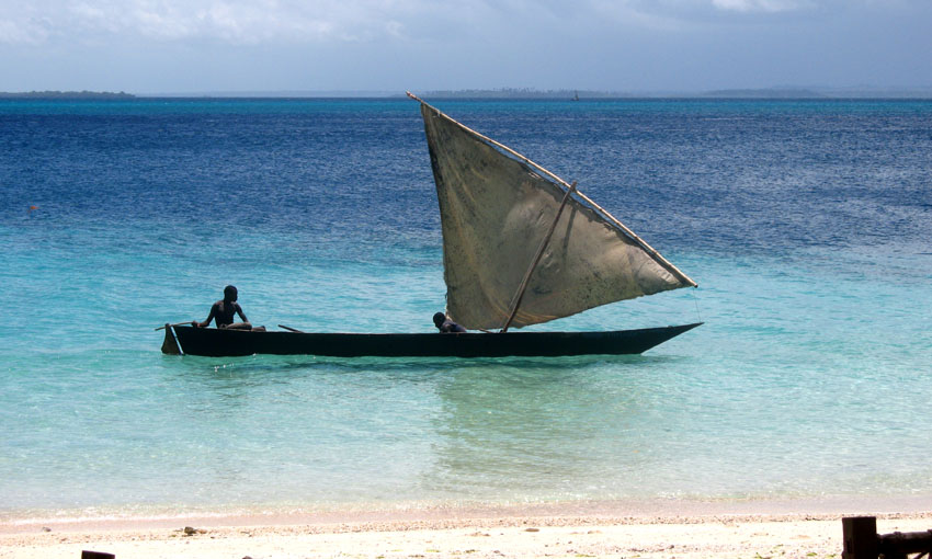
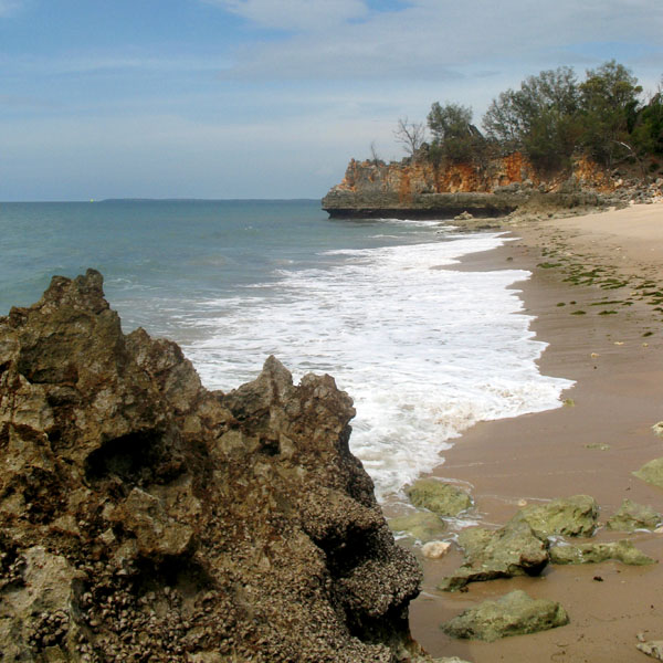
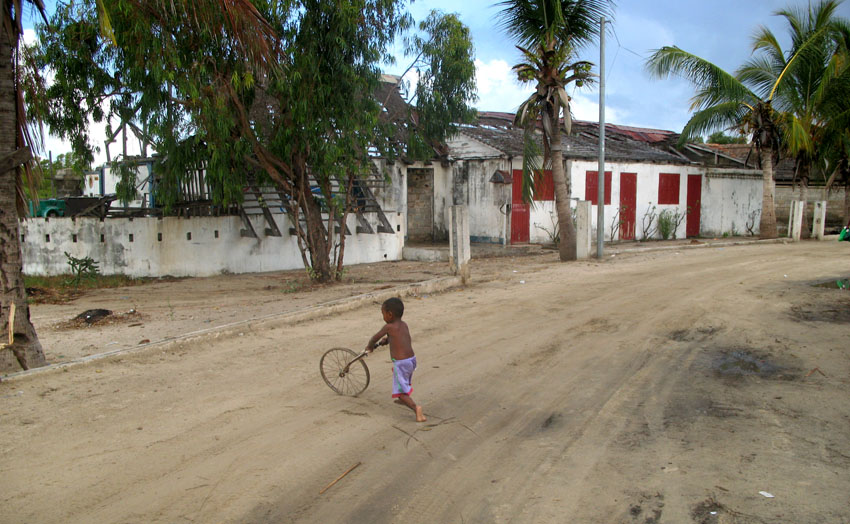
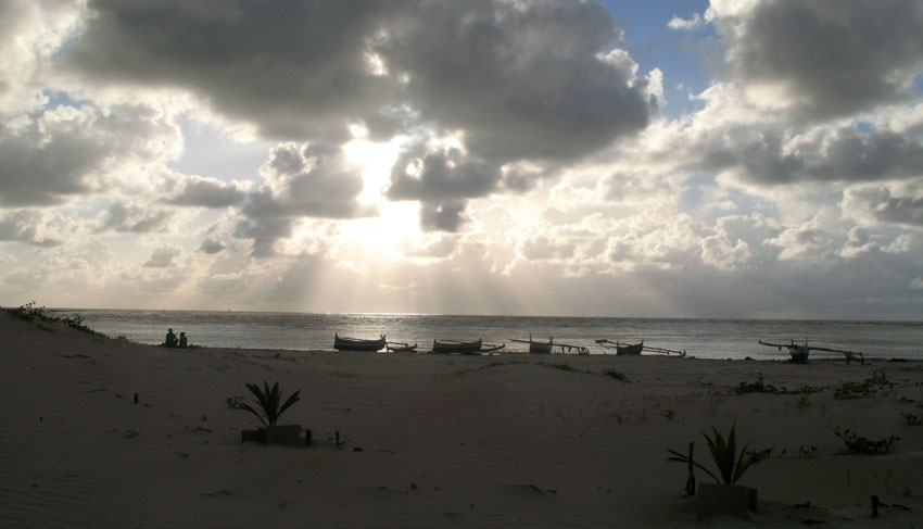
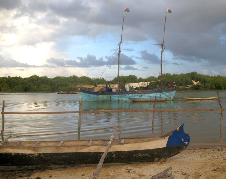
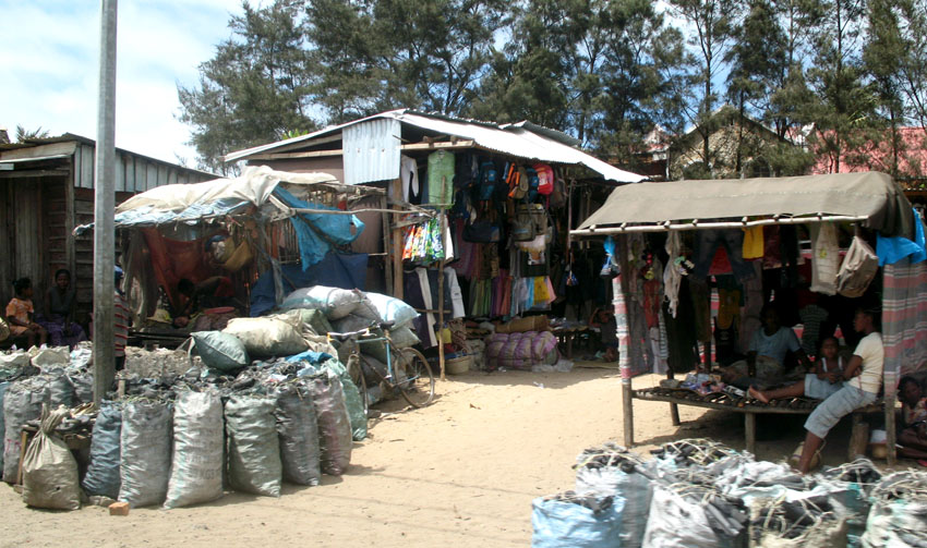
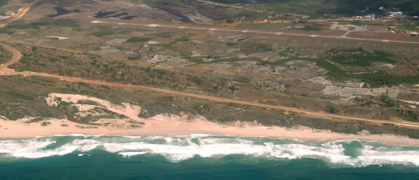
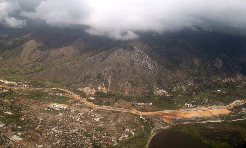
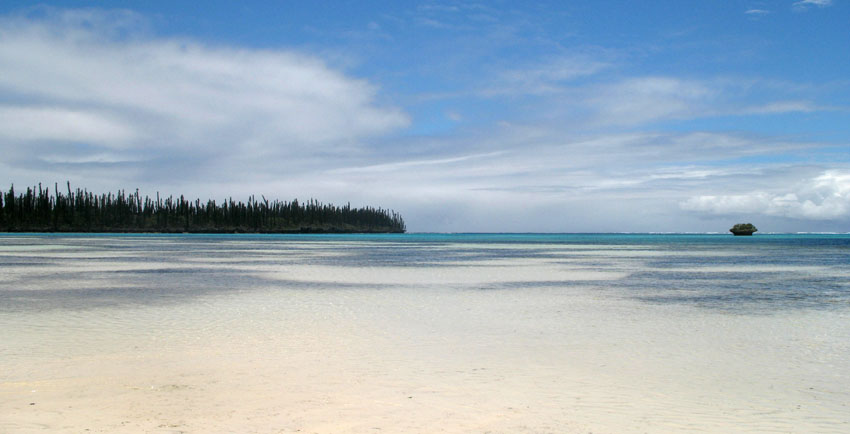
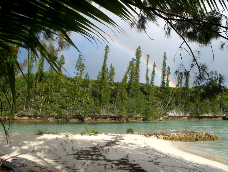
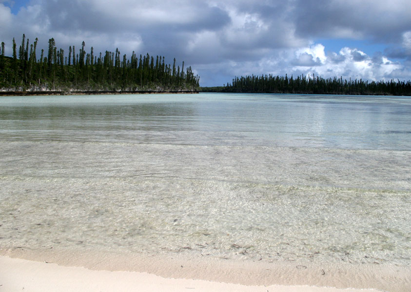
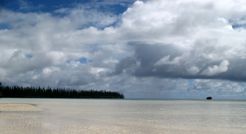
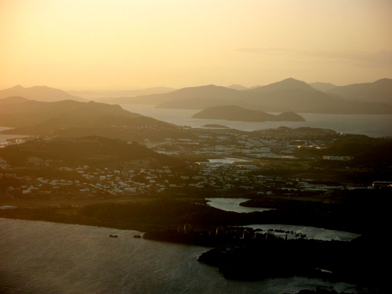
Tôlanaro or Tolagnaro is a city (commune urbaine) in Madagascar. It is the capital of the Anosy region, of the Tôlanaro district, and is in the former Toliara Province. It has a port of local importance, and currently a new port is being built in Ehoala. Formerly Fort Dauphin, it was the most durable French settlement in Madagascar.
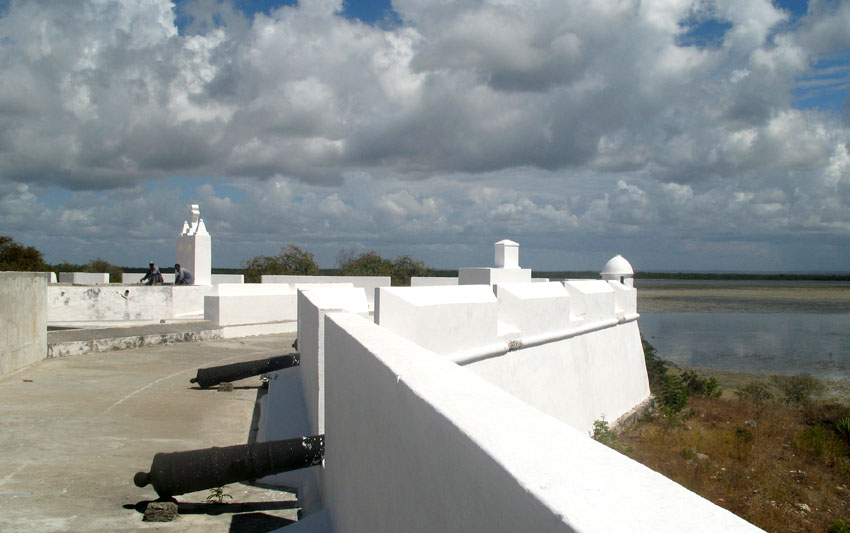
It was founded in 1643 by the French East India Company who built a fort there, named in honor of the crown prince of France, the future Louis XIV. It was settled by around a hundred colonists, who found themselves involved in the local politics. The poor trade results (some ebony and little more was obtained) hardly justified the difficulties of the settlers, who suffered from tropical illnesses and other problems. After a conflict with the Antanosy people, the survivors were evacuated in 1674.
One temporary settler of this colony, Etienne de Flacourt, published, back in France, the History of the Great Isle of Madagascar and Relations, that was the main source of information on the island for Europeans until the late 19th century.
Isle of Pines
The Isle of Pines (French: Île des Pins; Kanak name: Kunyié) is an island located in the Pacific Ocean, in the archipelago of New Caledonia, an overseas territory of France. The island is part of the commune (municipality) of L’Île-des-Pins, in the South Province of New Caledonia. The Isle of Pines is often nicknamed l’île la plus proche du paradis (“the closest island to Paradise”) and is famous for snorkeling and scuba diving in and around its colorful lagoon. Many species of tropical fish and corals can be seen in the transparent water.
The island is located around 22°37′S 167°29′E and measures 15 km (9 miles) by 13 km (8 miles). It lies southeast of Grande Terre, New Caledonia’s main island and is approximately 100 kilometres south-east of the capital Noumea. There is one airport (code ILP) with a 1,097-meter (3,600 ft) runway. The Isle of Pines is surrounded by the New Caledonia Barrier Reef.
The inhabitants of the island are mainly native Melanesian Kanaks and the population is approximately 2,000 (estimated 2006).
The island is rich with animal life and is home to many unique creatures such as the Crested Gecko Rhacodactylus ciliatus and the world’s largest gecko Rhacodactylus leachianus.
The pic Nga is the island’s highest point, at 262 meters (860 ft) elevation.


