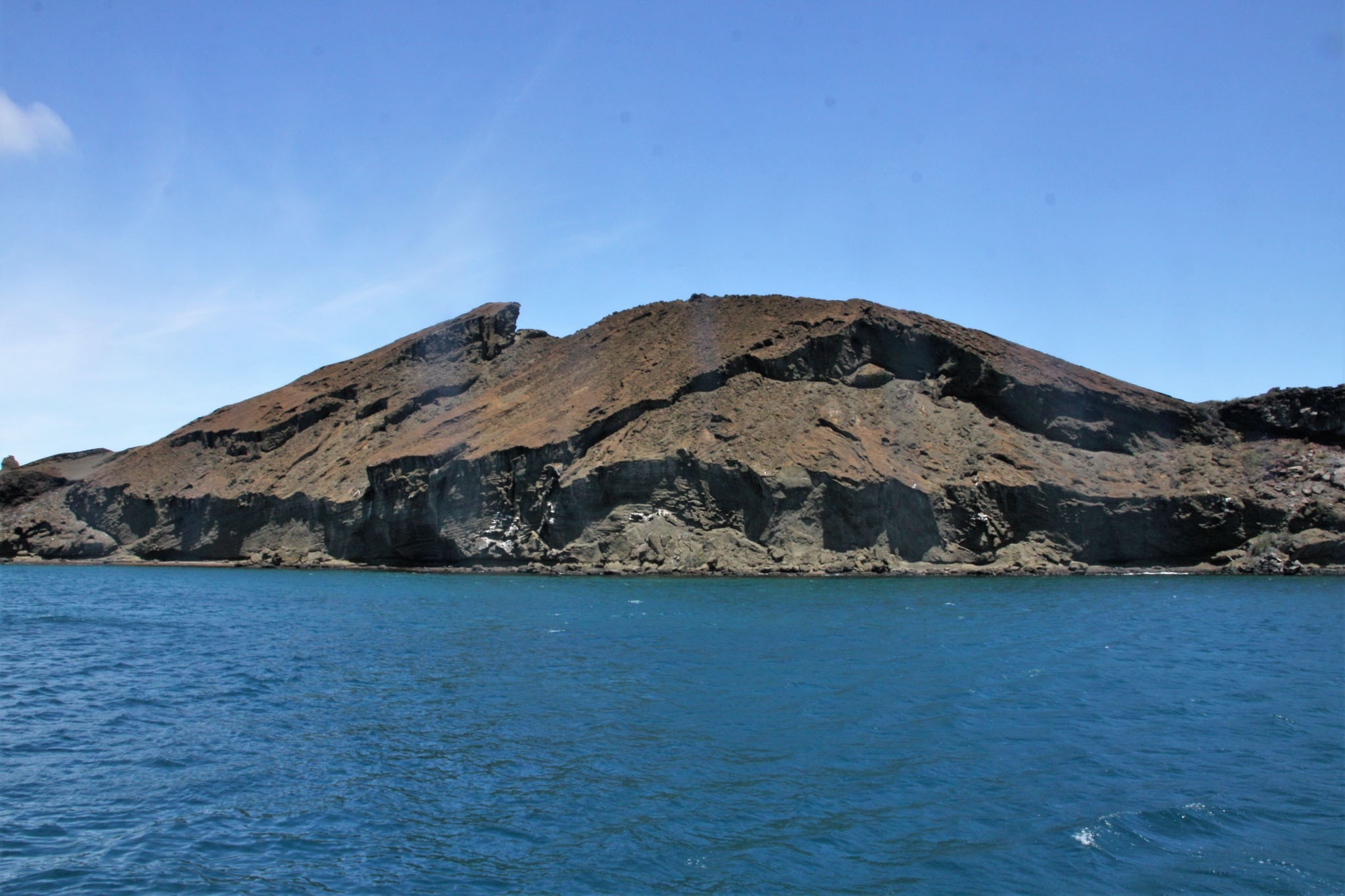
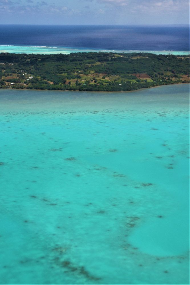
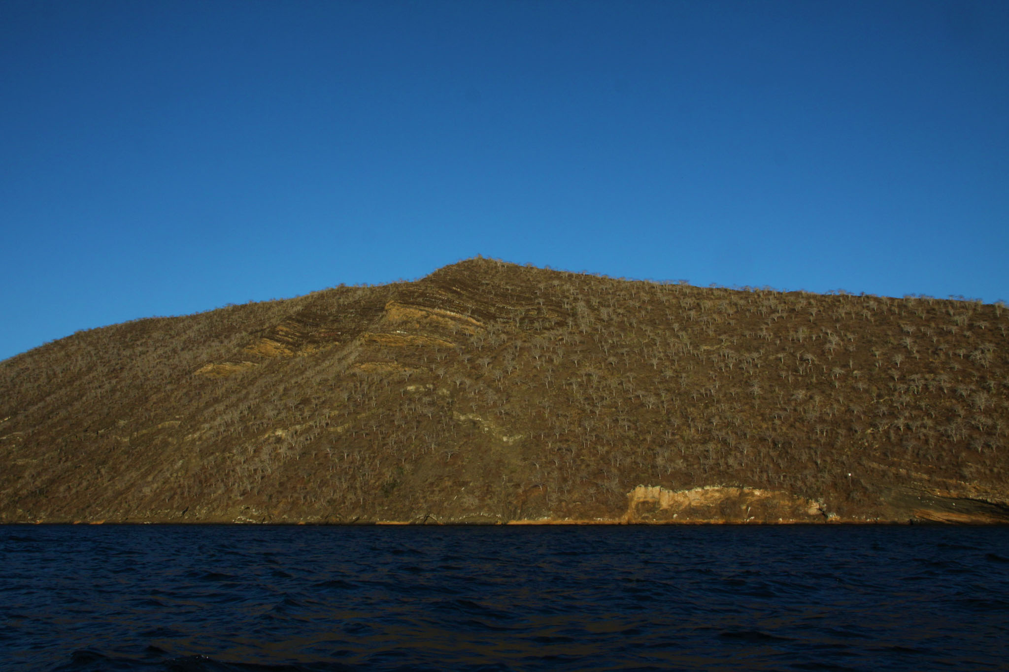
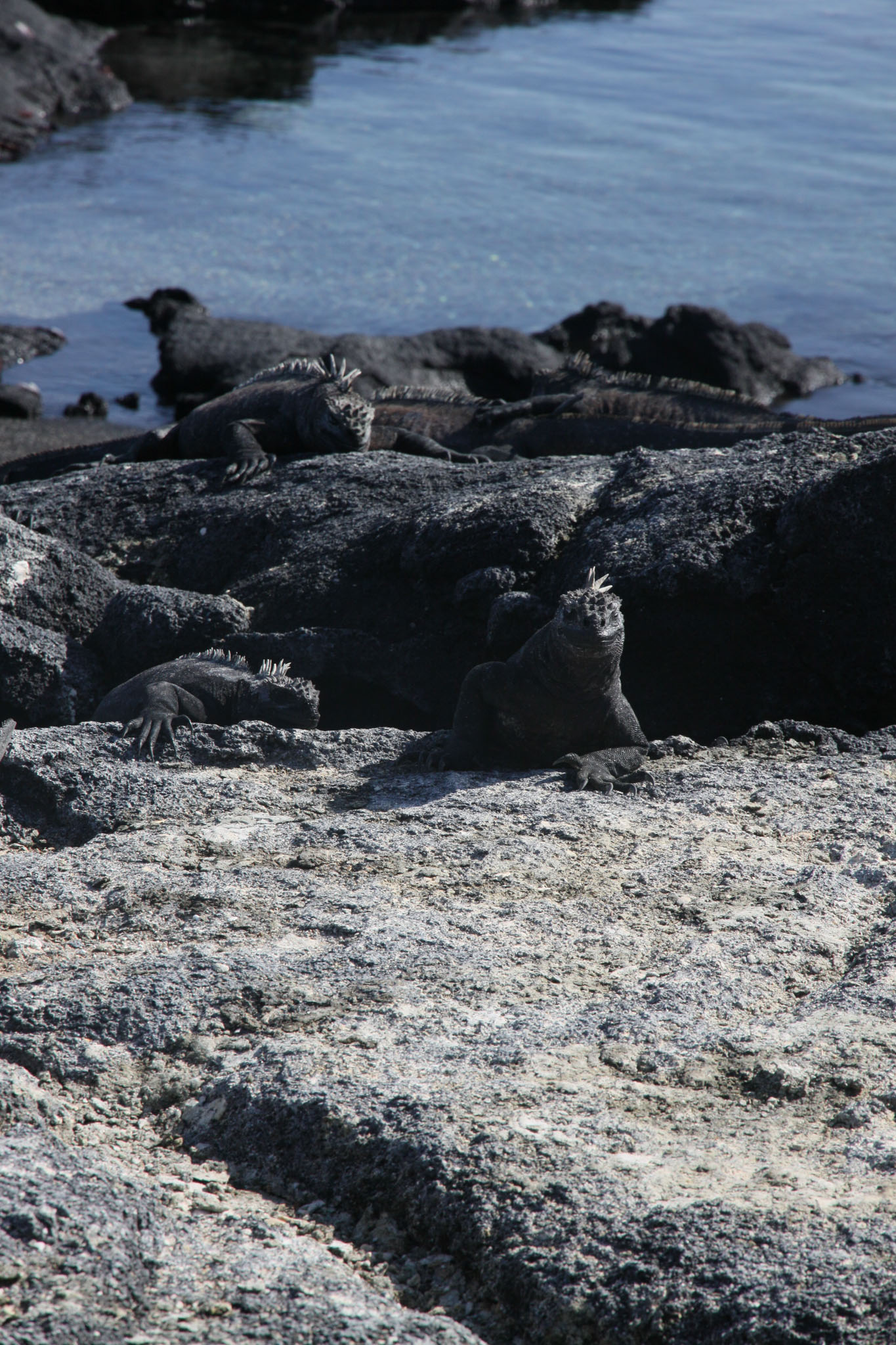
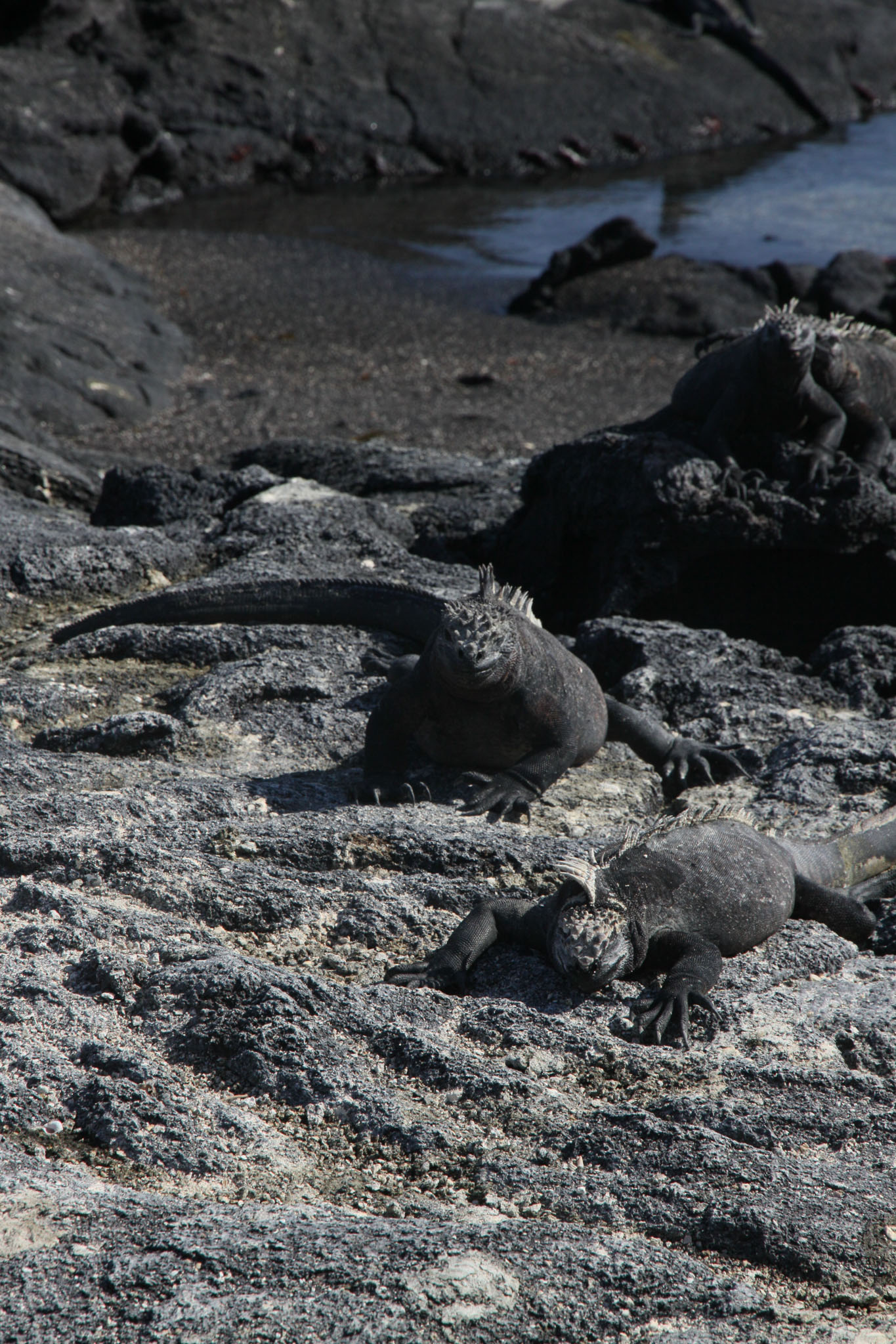
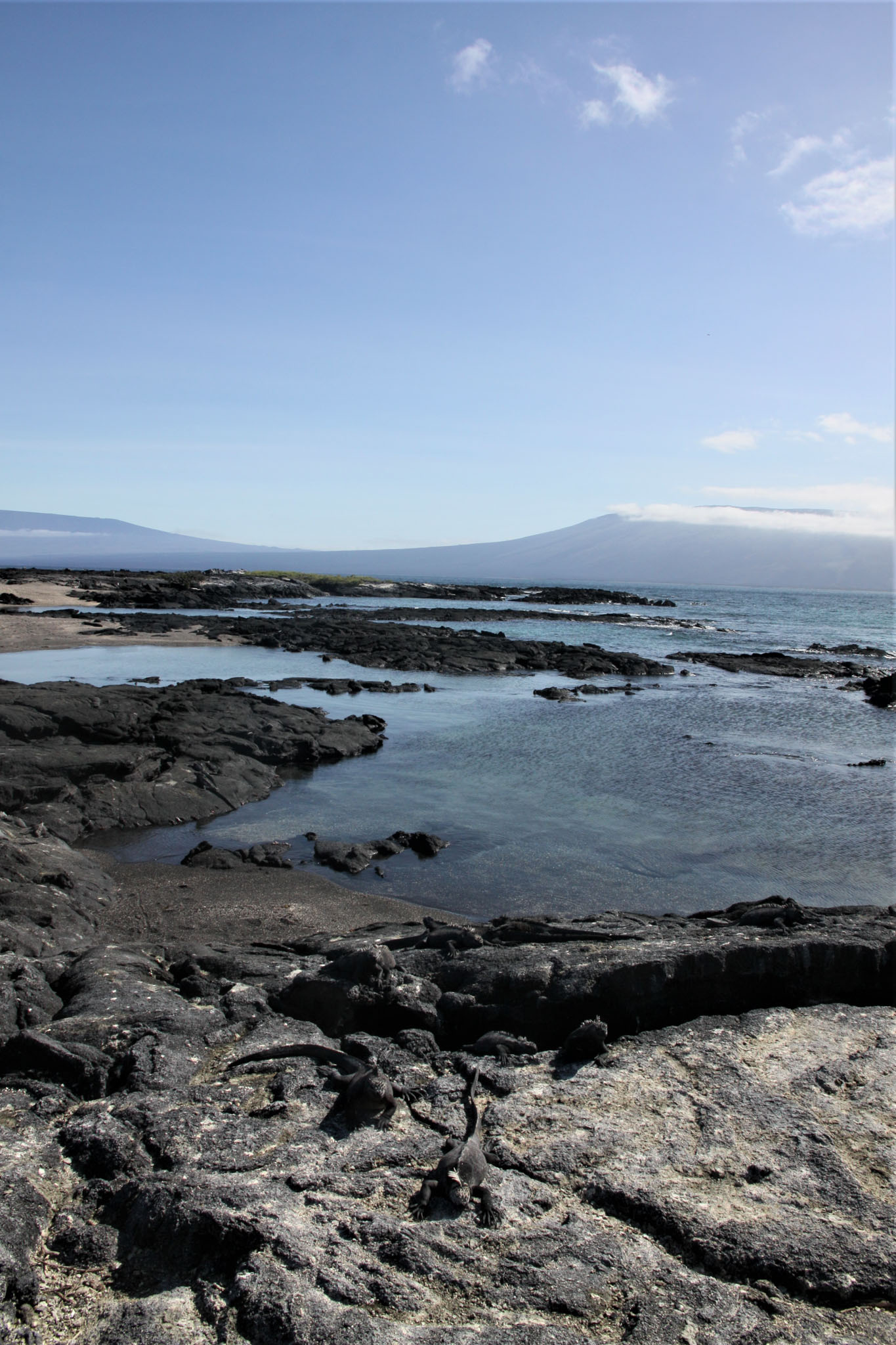
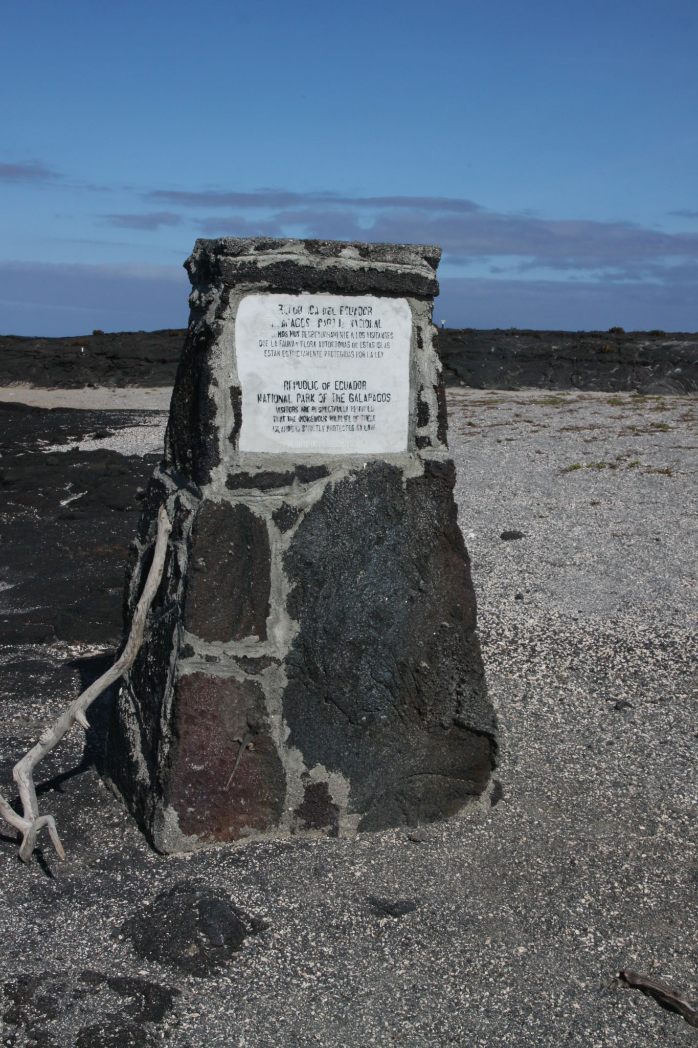
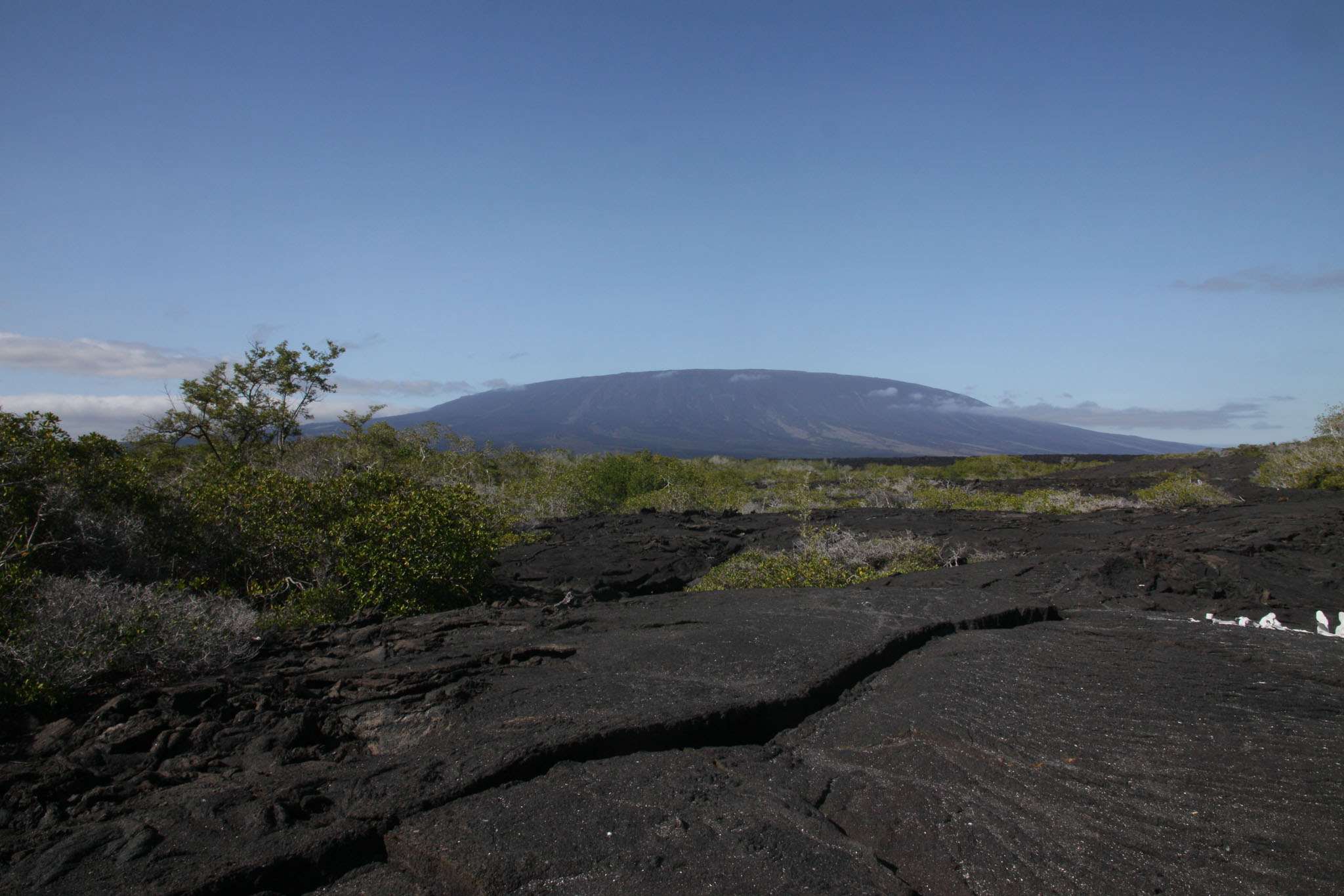
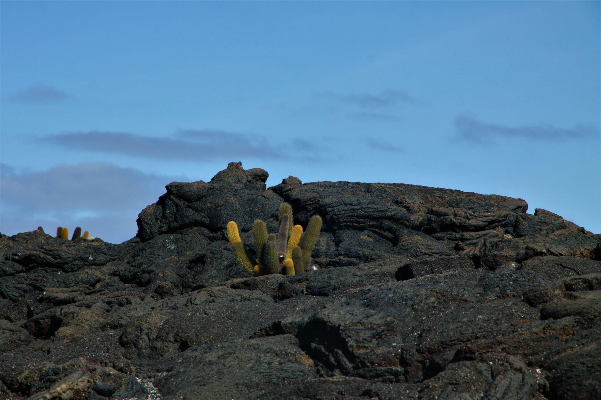
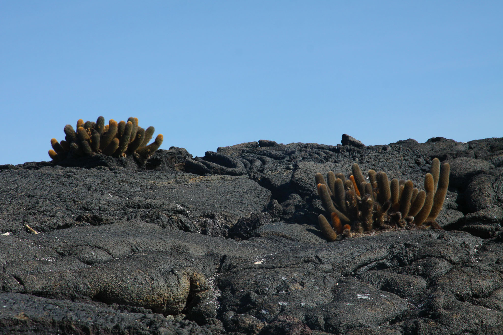
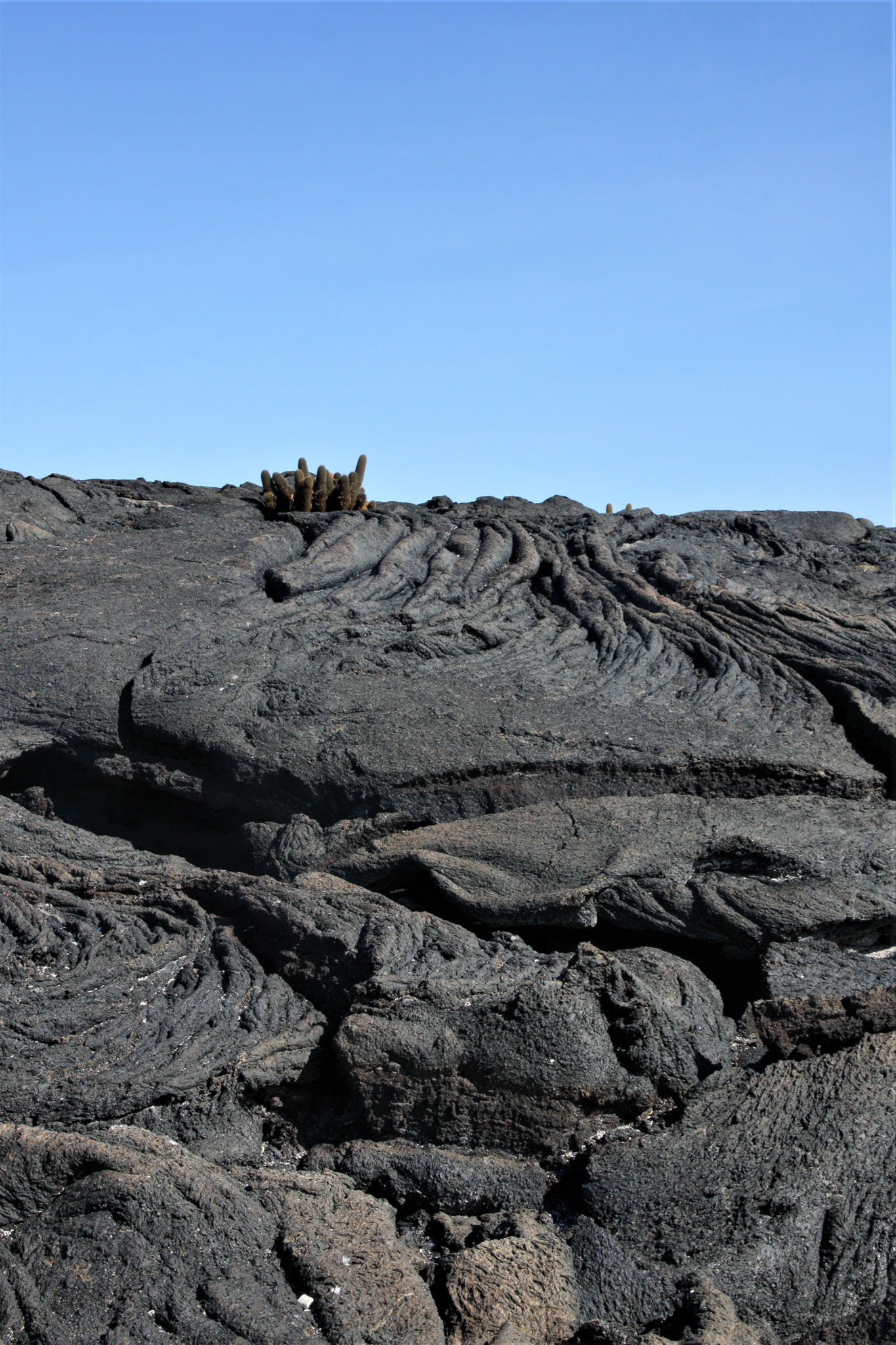
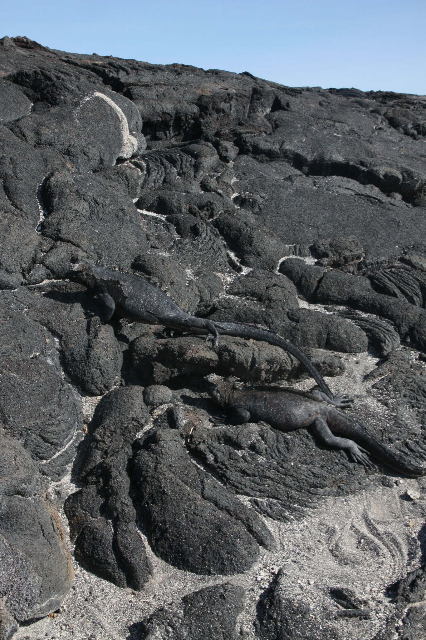
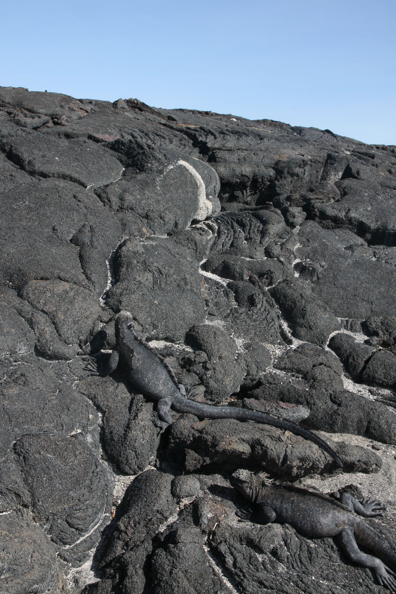
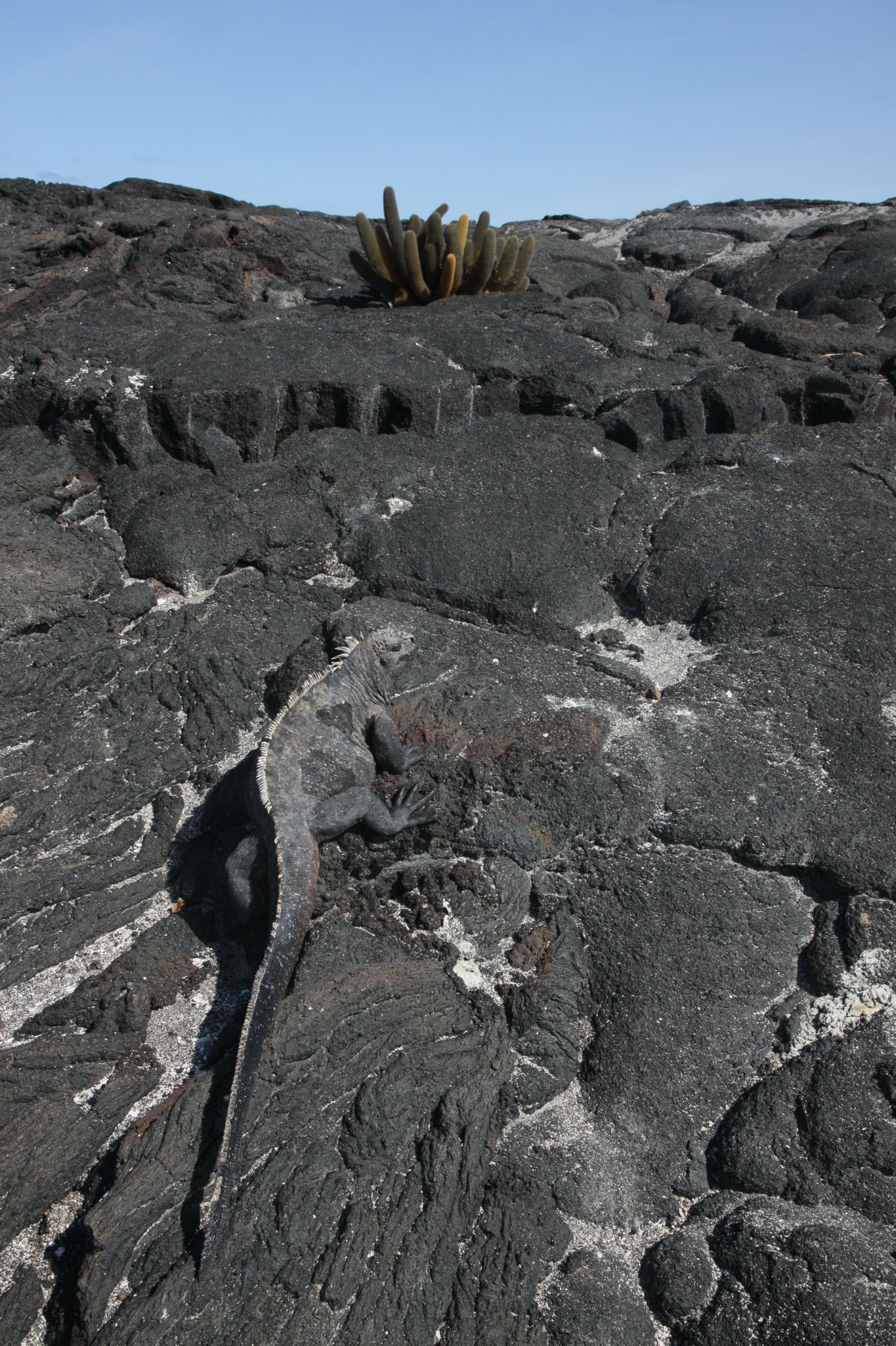
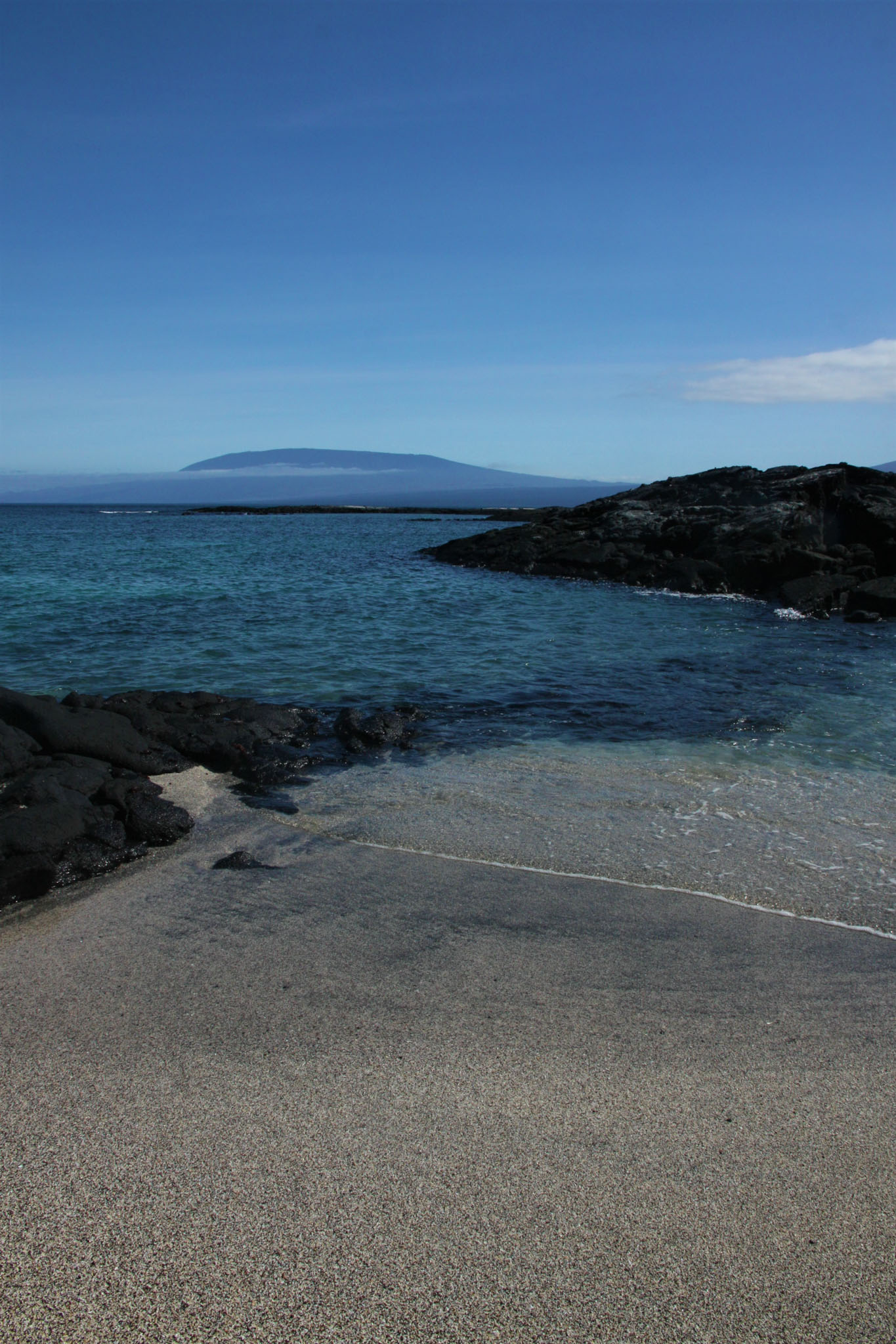
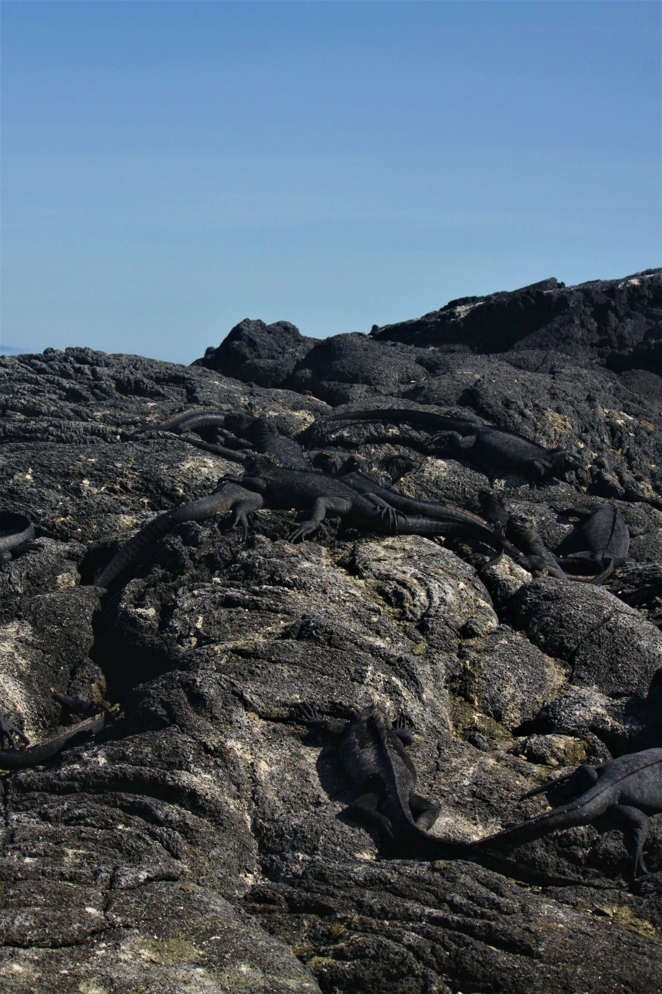
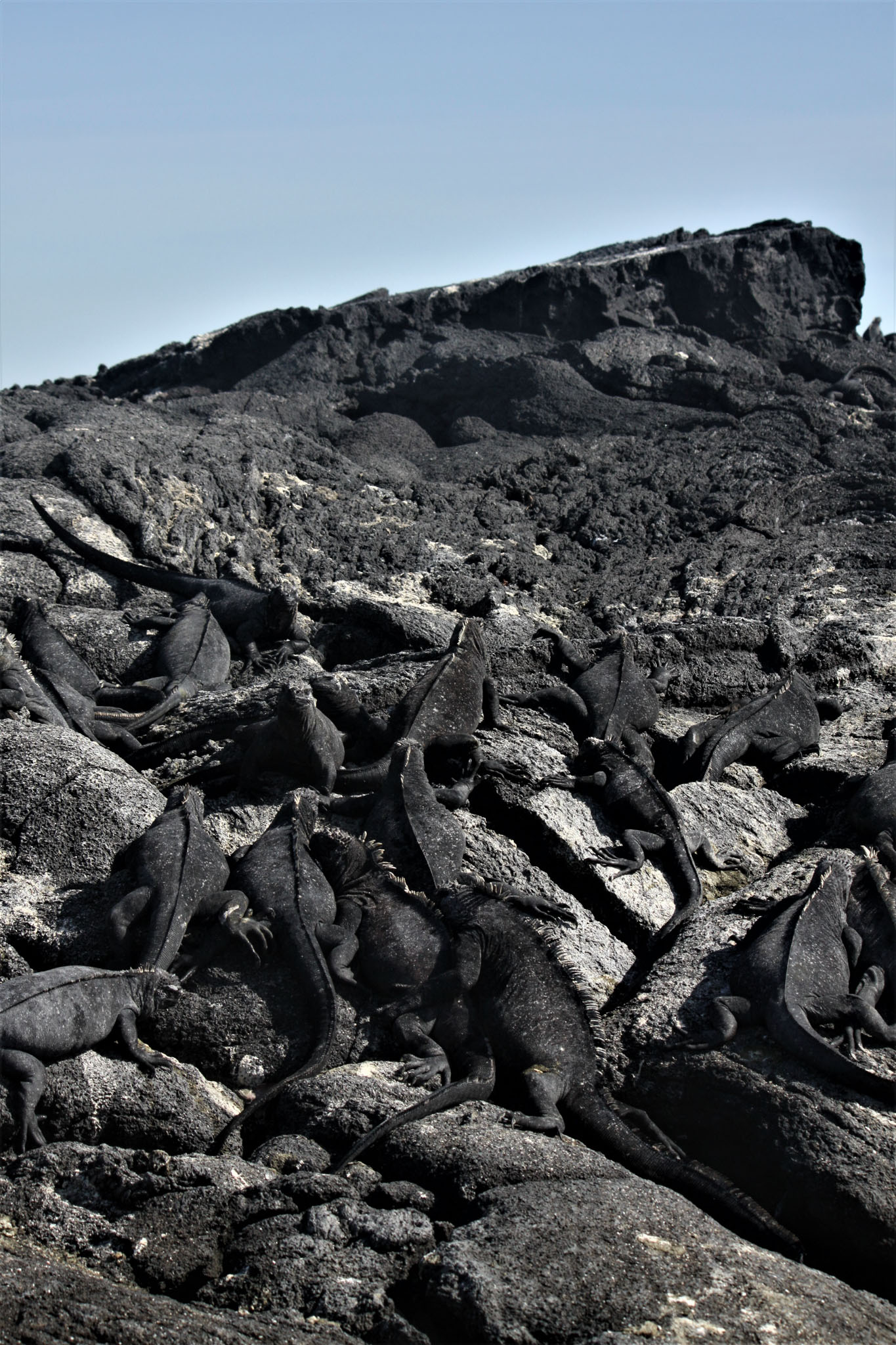
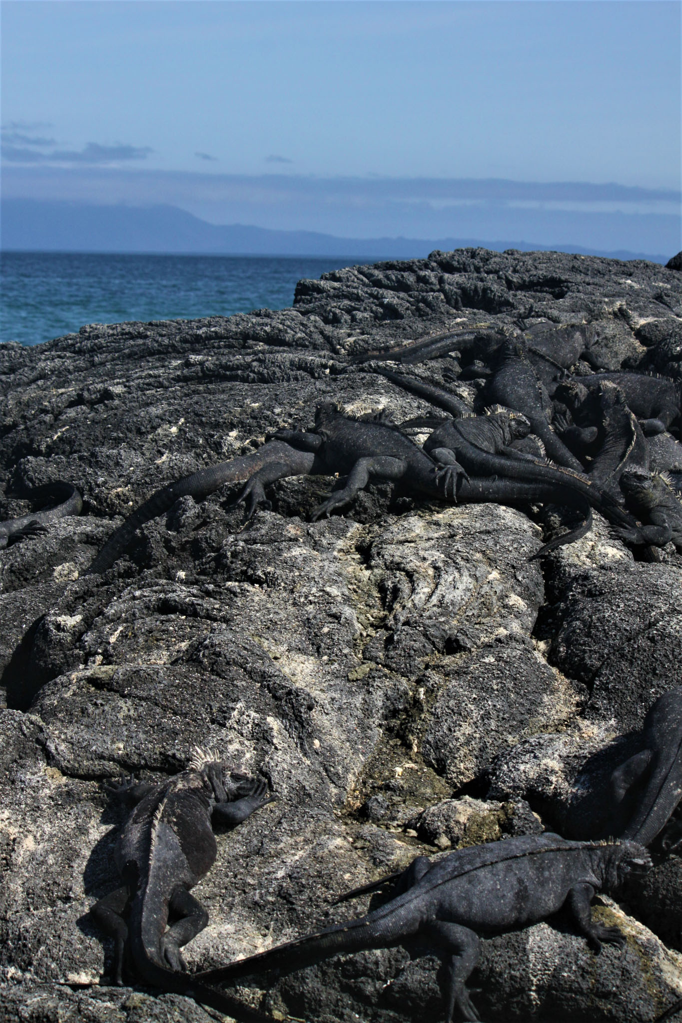
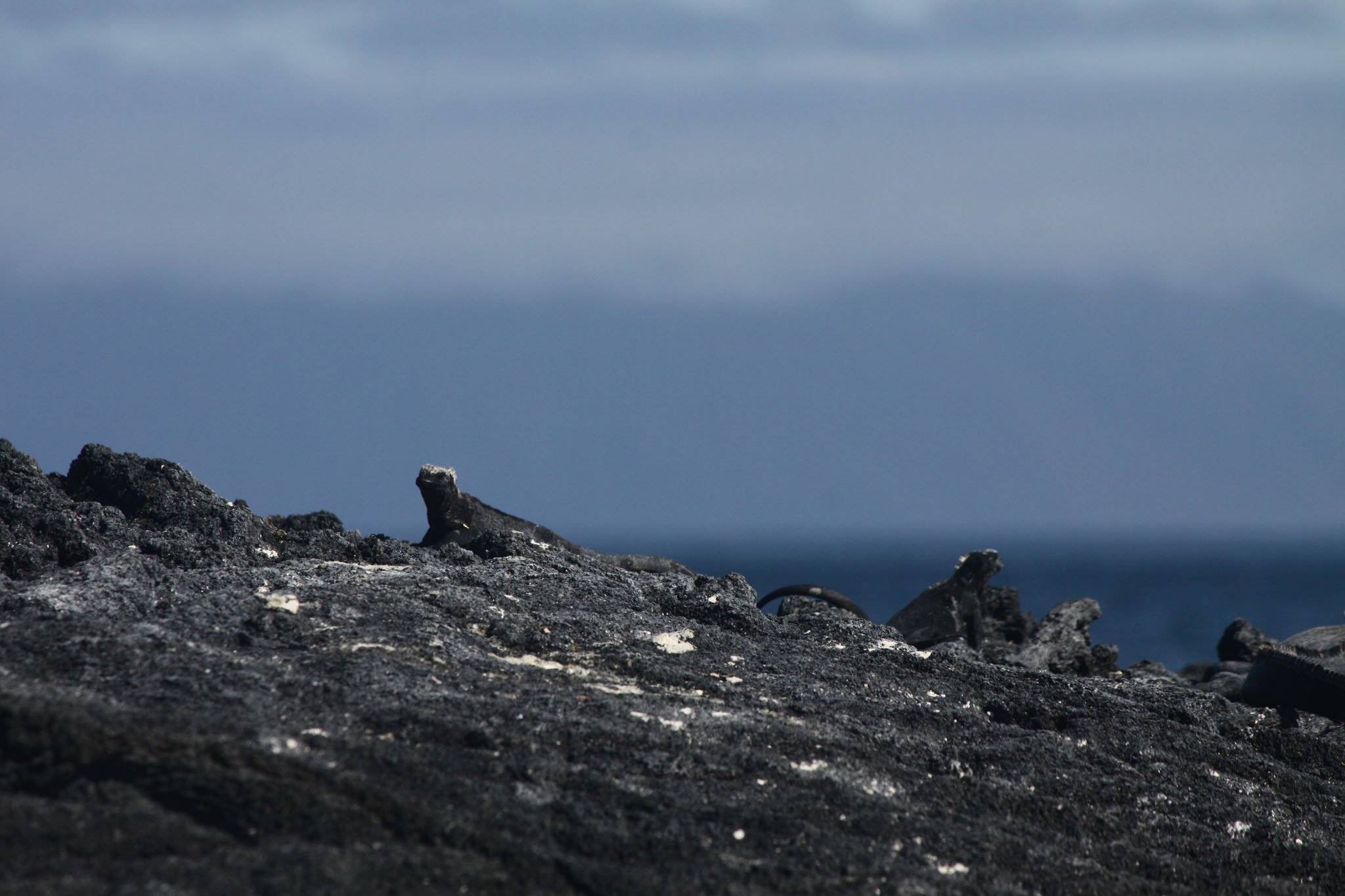
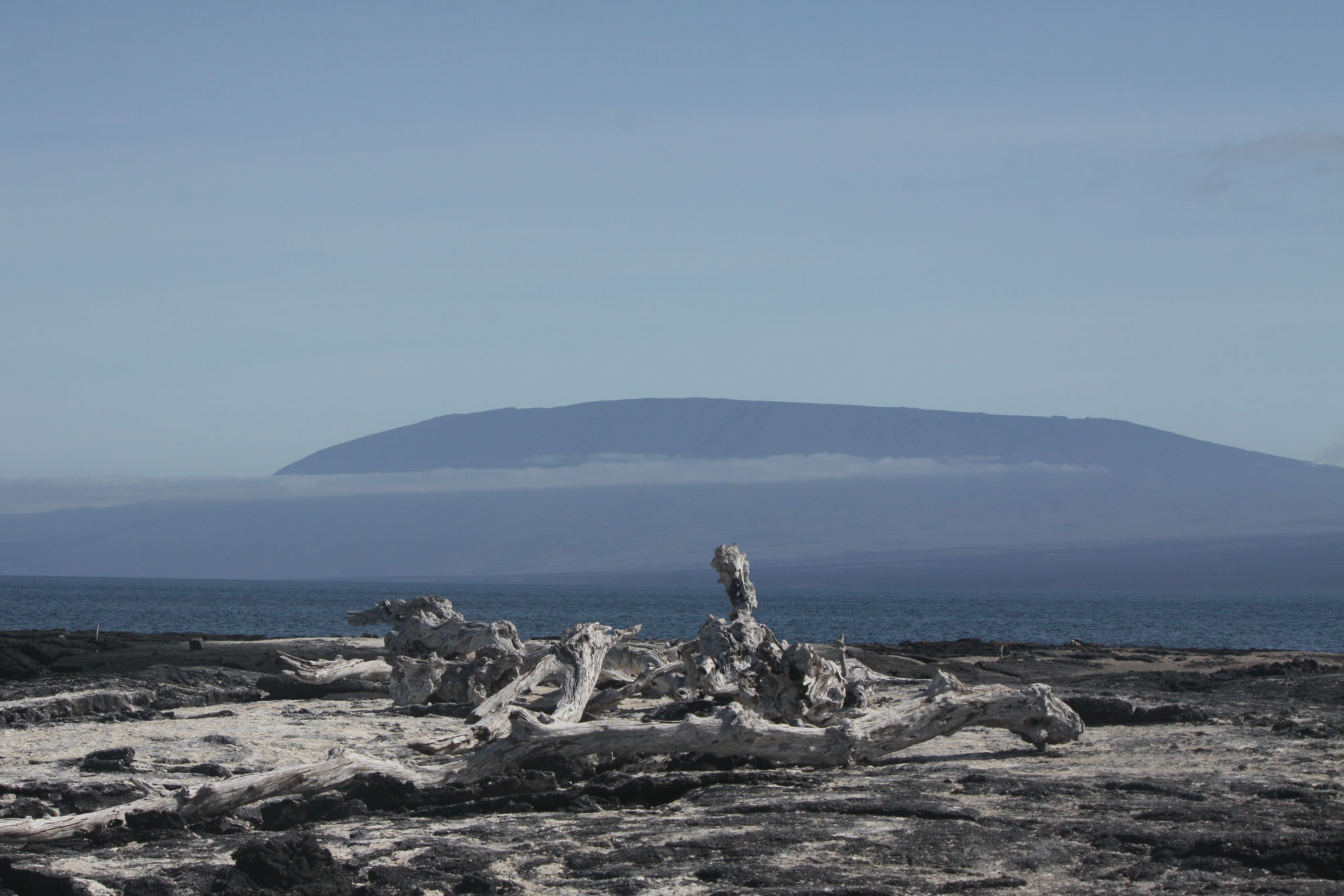
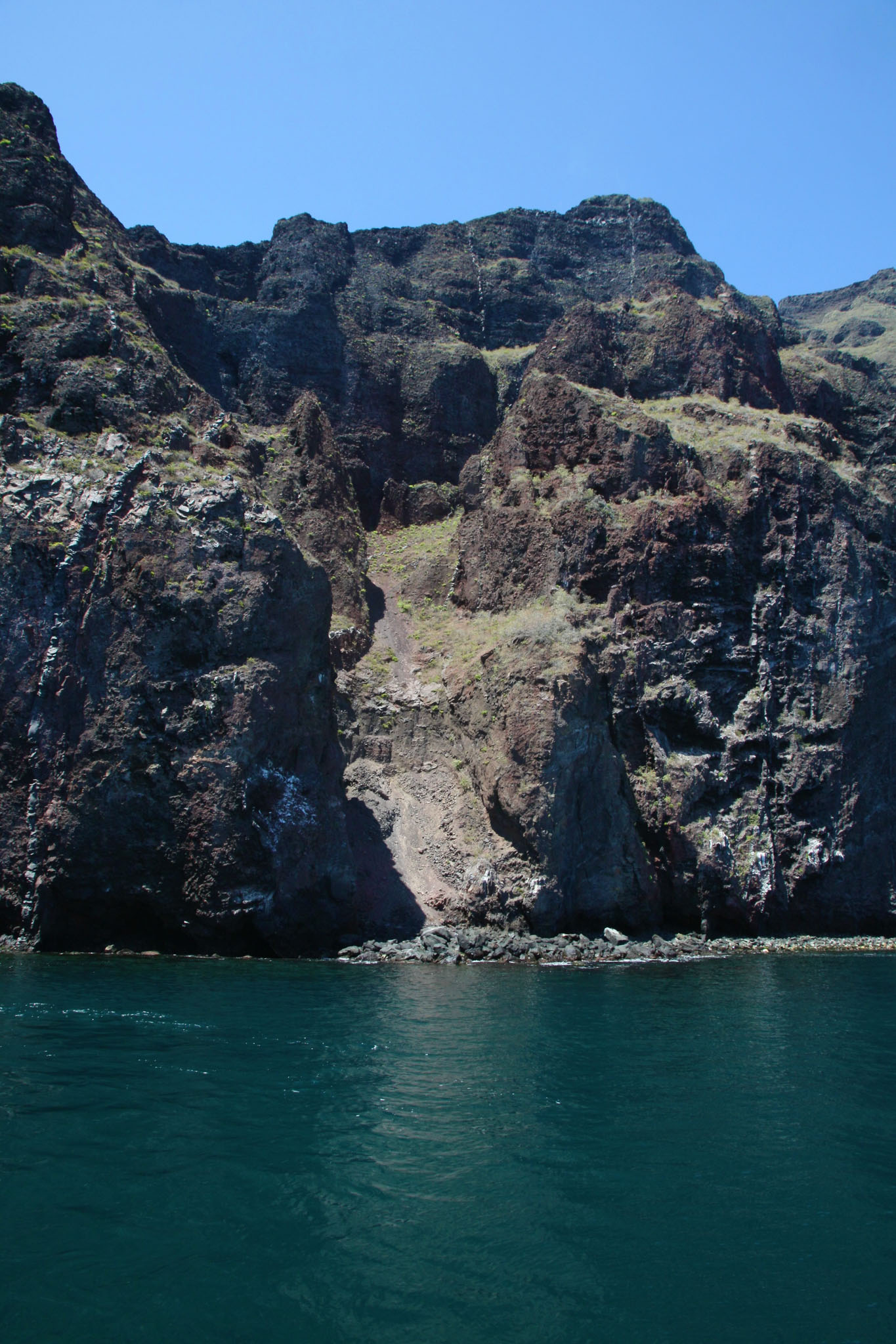
Categories
Cook Islands

Rarotonga

Rarotonga is the most populous of the Cook Islands, with a population of 10,572 (census 2011), out of the country’s total resident population of 14,974. Captain John Dibbs, master of the colonial brig Endeavour, is credited as the European discoverer on 25 July 1823, while transporting the missionary Reverend John Williams.

The Cook Islands’ Parliament buildings and international airport are on Rarotonga. Rarotonga is a very popular tourist destination with many resorts, hotels and motels. The chief town, Avarua, on the north coast, is the capital of the Cook Islands.

Source: Wikipedia (under GNU Free Documentation License)

Categories
Niue

Niue

Niue (/ˈnjuːeɪ/ NEW-ay; Niuean: Niuē) is an island country in the South Pacific Ocean, 2,400 kilometres (1,500 mi) northeast of New Zealand, east of Tonga, south of Samoa, and west of the Cook Islands. Niue’s land area is about 261 square kilometres (101 sq mi) and its population, predominantly Polynesian, was about 1,600 in 2016. The island is commonly referred to as “The Rock”, which comes from the traditional name “Rock of Polynesia”. Niue is one of the world’s largest coral islands. The terrain of the island has two noticeable levels. The higher level is made up of a limestone cliff running along the coast, with a plateau in the centre of the island reaching approximately 60 metres (200 feet) high above sea level. The lower level is a coastal terrace approximately 0.5 km (0.3 miles) wide and about 25–27 metres (80–90 feet) high, which slopes down and meets the sea in small cliffs. A coral reef surrounds the island, with the only major break in the reef being in the central western coast, close to the capital, Alofi. A notable feature are the many limestone caves near the coast.

Source: Wikipedia (under GNU Free Documentation License)

Categories
Tonga

Atata


Categories
Tonga

Vavaʻu

Vavaʻu is the island group of one large island (ʻUtu Vavaʻu) and 40 smaller ones in Tonga. It is part of Vavaʻu District which includes several other individual islands. According to tradition the Maui god fished up both Tongatapu and Vavaʻu but put a little more effort into the former. Vavaʻu rises 204 metres (669 ft) above sea level at Mount Talau. The capital is Neiafu, which is the fifth largest city in Tonga, situated at the Port of Refuge (Puatalefusi or Lolo-ʻa-Halaevalu).

Source: Wikipedia (under GNU Free Documentation License)

Categories
Tonga

Tongatapu

Tongatapu is the main island of the Kingdom of Tonga and the location of its capital Nukuʻalofa. It is located in Tonga’s southern island group, to which it gives its name, and is the country’s most populous island, with approximately 71,260 residents (2006), 70.5% of the national population, on 260 square kilometres (100 square miles). Its maximum height is 65 metres (213 feet). Tongatapu is Tonga’s centre of government and the seat of its monarchy.

Tongatapu has experienced more rapid economic development than the other islands of the Kingdom, and has thus attracted many internal migrants from them.

Tongatapu was first sighted by Europeans on 20 January 1643 by Abel Janszoon Tasman commanding two ships, the Heemskerck and the Zeehaen commissioned by the Dutch East India Company of Batavia (Jakarta). Tasman named the island “t’ Eijlandt Amsterdam” (Amsterdam Island), because of its abundance of supplies. This name is no longer used except by historians.

Source: Wikipedia (under GNU Free Documentation License)

Categories
Tanzania

Mafia Island IX

Mafia Island (“Chole Shamba”) is part of the Tanzanian Spice Islands, together with Unguja and Pemba. As one of the six districts of the Pwani Region, Mafia Island is governed from the mainland, not from the semi-autonomous region of Zanzibar, of which it has never been considered to be a part.

According to the 2002 Tanzania census, the population of the Mafia District was 40,801.The economy is based on fishing, subsistence agriculture and the black market. The island attracts some tourists, mainly adventure scuba divers, game fishermen, and people wanting relaxation.

The Mafia archipelago consists of one large island (394 km²) and numerous smaller ones. Some of these are inhabited, such as Chole Island (2 km²), with a population of 800. Chole Bay, Mafia’s protected deep-water anchorage and original harbour, is studded with islands, sandbanks and beaches. The main town is Kilindoni. The stretch of water between the deltas of the Rufiji River and the island is called Mafia Channel. There are popular rumours of pygmy hippo on the island but there are zero confirmed sightings.

Source: Wikipedia (under GNU Free Documentation License)

Categories
Indonesia Lesser Sunda Islands

Alor I

Alor (Indonesian: Pulau Alor) is the largest island in the Alor Archipelago located at the eastern Lesser Sunda Islands that runs through southeastern Indonesia, which from the west include such islands as Bali, Lombok, Sumbawa, Komodo, and Flores.

To the east of the island across the Ombai Strait lie the islands of Wetar and Atauro, the latter belonging to East Timor. To the south, across the Strait of Alor, lies the western part of Timor. To the north lies the Banda Sea. To the west lies Pantar and the other islands of the Alor archipelago, and further yet the rest of the Sunda Islands.

On 12 November 2004, an earthquake measuring 6.0 on the Richter scale occurred, killing 34 people.

Source: Wikipedia (under GNU Free Documentation License)

Categories
Indonesia Lesser Sunda Islands

Lembata II

Lembata is an island in the Lesser Sunda Islands, formerly known as Lomblen island; it is the largest island of the Solor Archipelago, in the Lesser Sunda Islands, Indonesia. It forms a separate regency of the province of Nusa Tenggara Timur. The length of the island is about 80 km from the southwest to the northeast and the width is about 30 km from the west to the east. It rises to a height of 1,533 metres.

To the west lie the other islands in the archipelago, most notably Solor and Adonara, and then the larger island of Flores. To the east is the Alor Strait, which separates this archipelago from the Alor Archipelago. To the south across the Savu Sea lies the island of Timor, while to the north the western branch of the Banda Sea separates it from Buton and the other islands of Southeast Sulawesi.

Source: Wikipedia (under GNU Free Documentation License)

Categories
Indonesia

Nailaka


Categories
Indonesia

Banda Neira

Banda Neira is the only settlement of significant size on any of the Banda Islands, located in the Maluku province of Indonesia. The town is located on the central island of the Bandas group, Banda Neira, the only one of the islands with enough flat space to allow a small town. Located in Bandanaira are government offices, stores, a wharf, and almost half of the archipelago’s 14,000 population.

Banda Neira was once the global center of the trade in nutmeg and mace, as the Bandas Islands were the only source of these valuable spices until the mid-19th century. The modern town was established by members of the Dutch East India Company as the capital of the Governorate of the Banda Islands. The Dutch forced out or exterminated most of the native Bandanese in order to exploit this lucrative resource.

Source: Wikipedia (under GNU Free Documentation License)