Categories
Costa Rica

Costa Rica

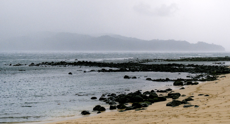
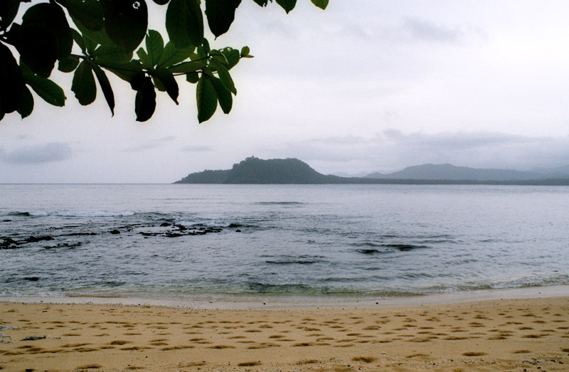
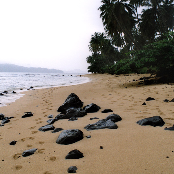
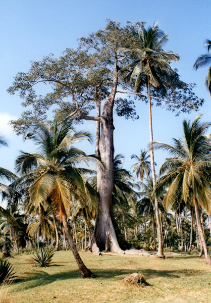
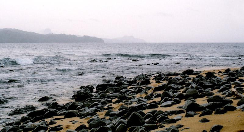
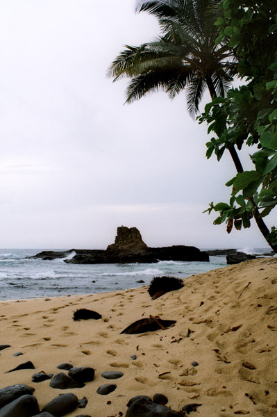
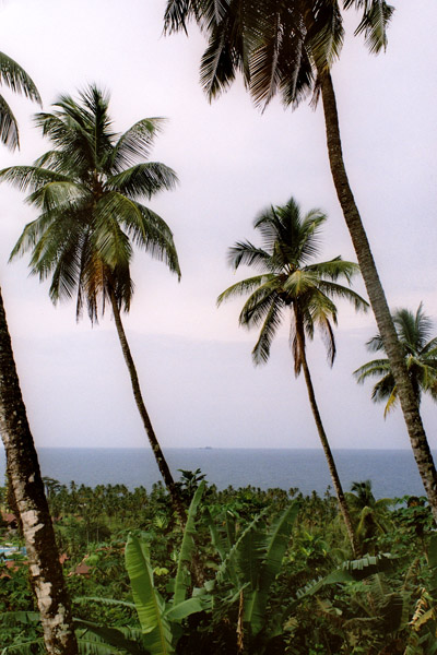
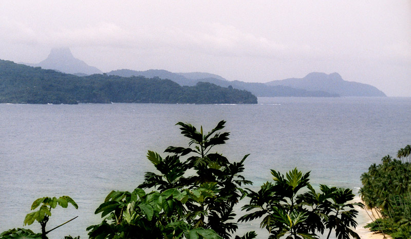
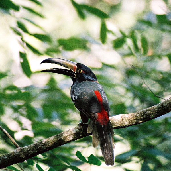
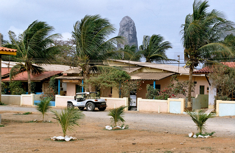
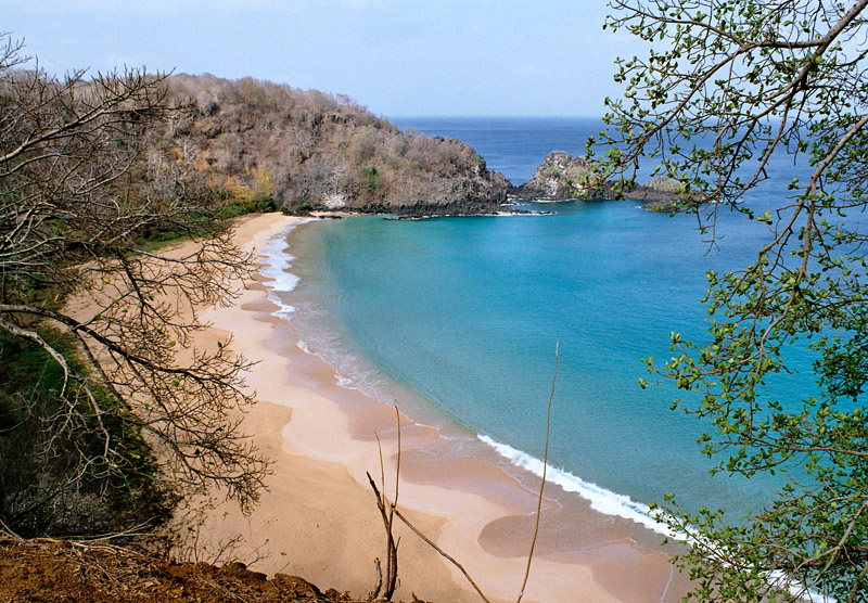
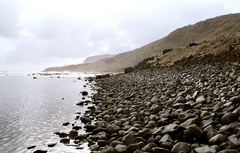
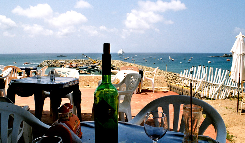
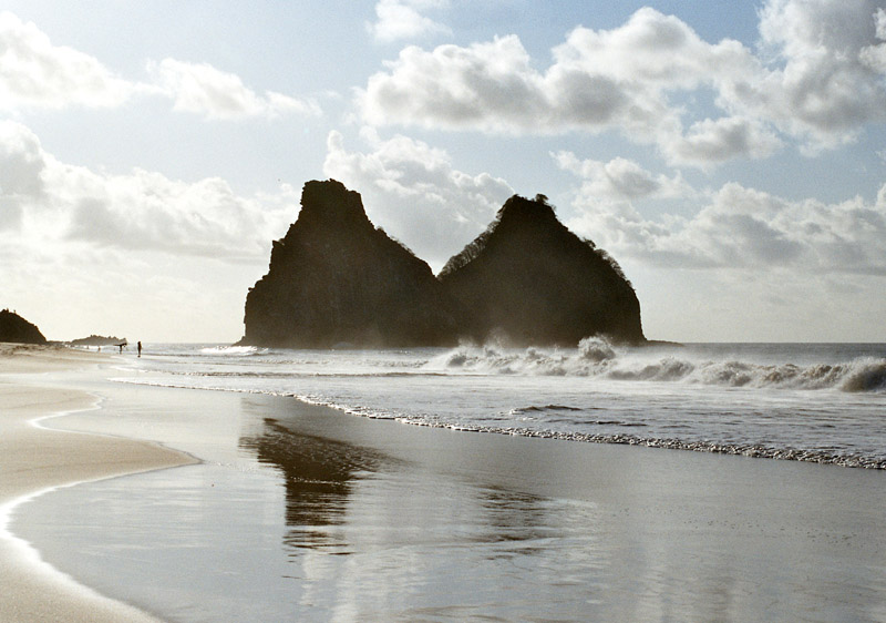
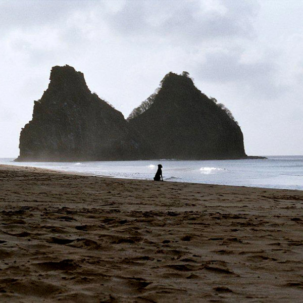
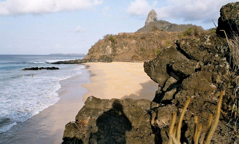
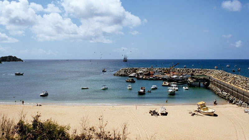
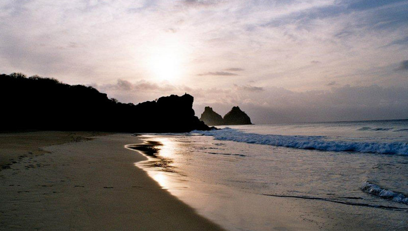
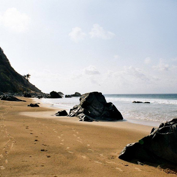
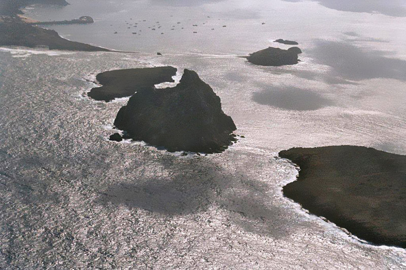
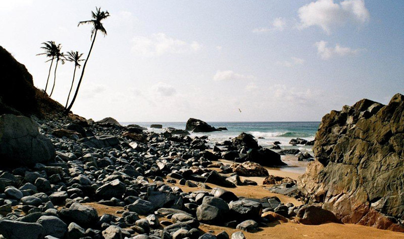
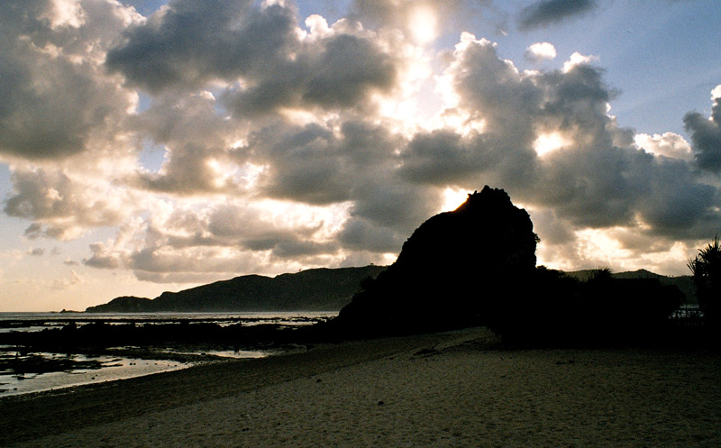
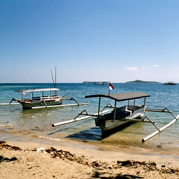
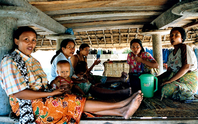
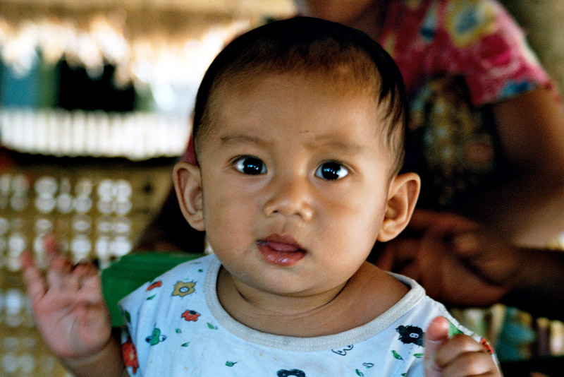
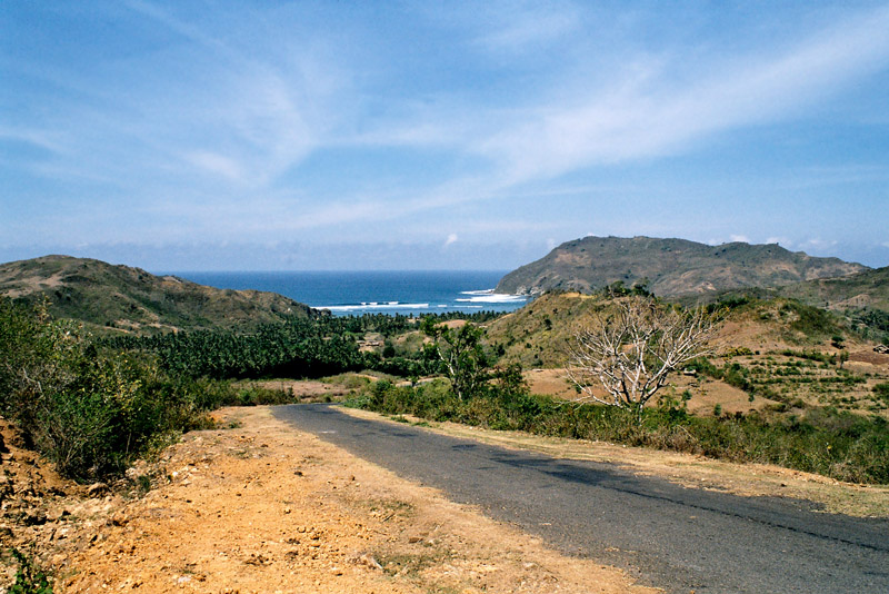
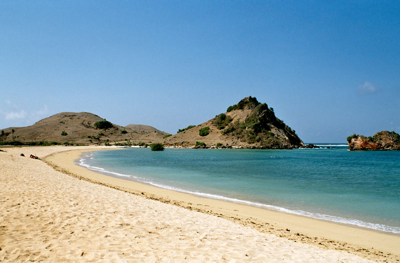
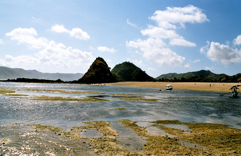
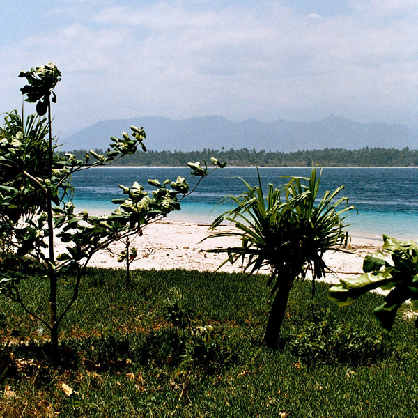
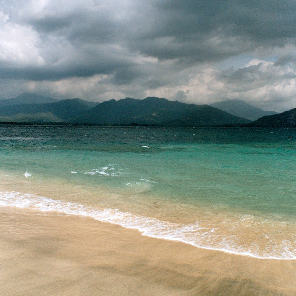
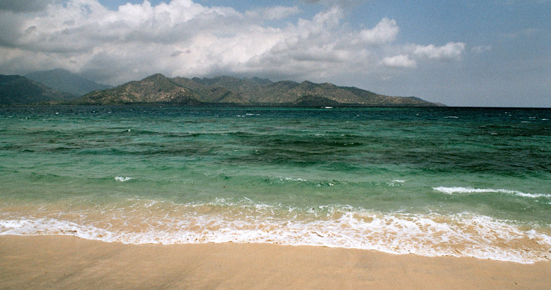
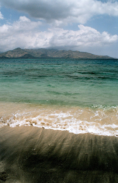
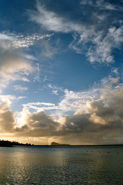
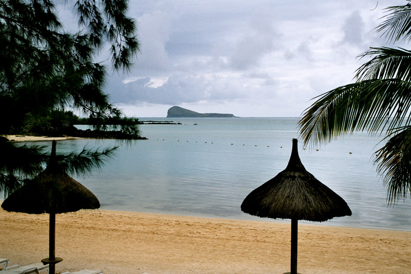
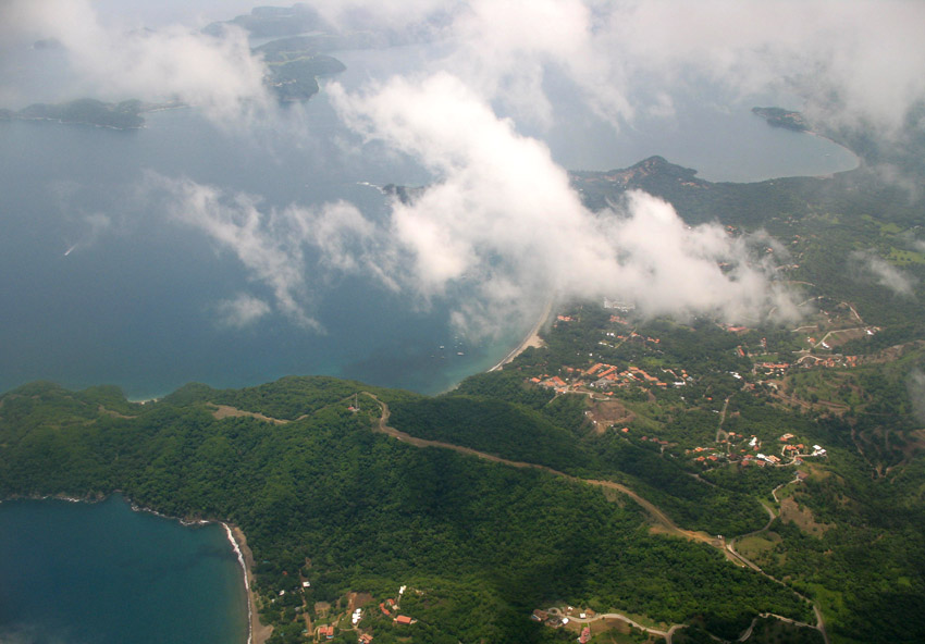
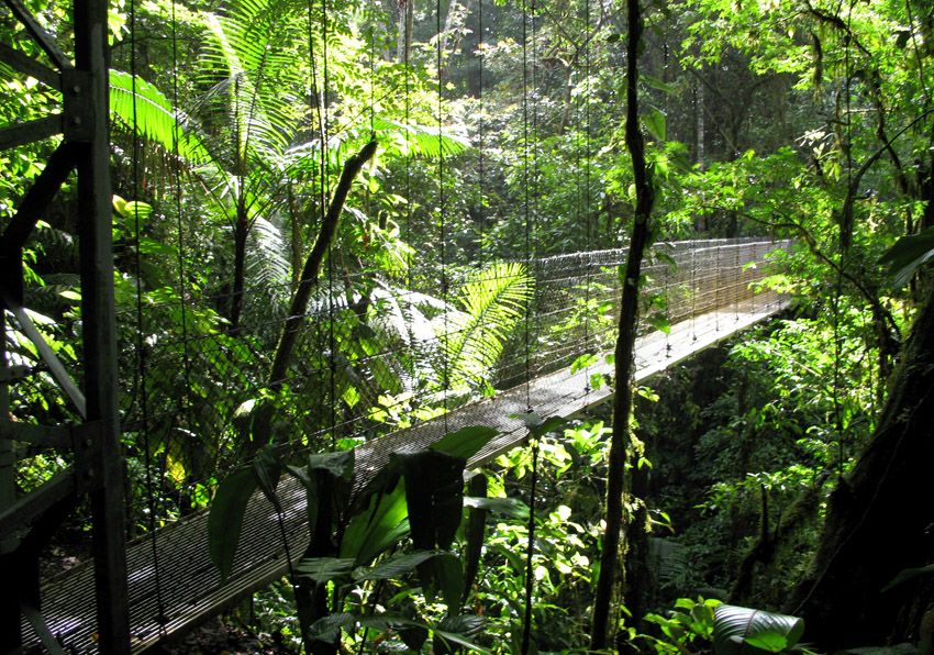
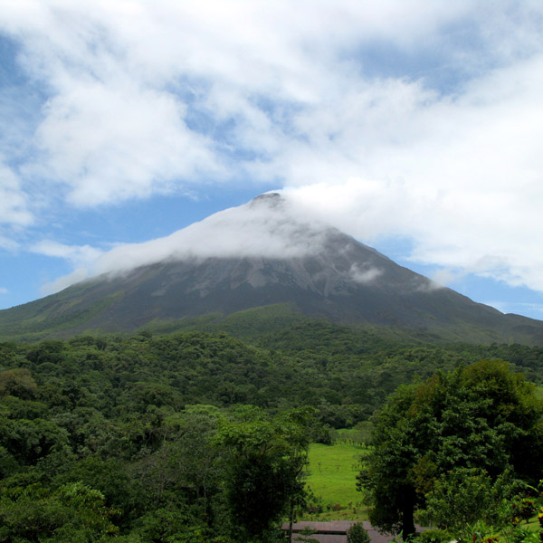
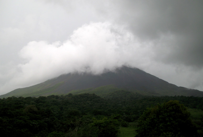
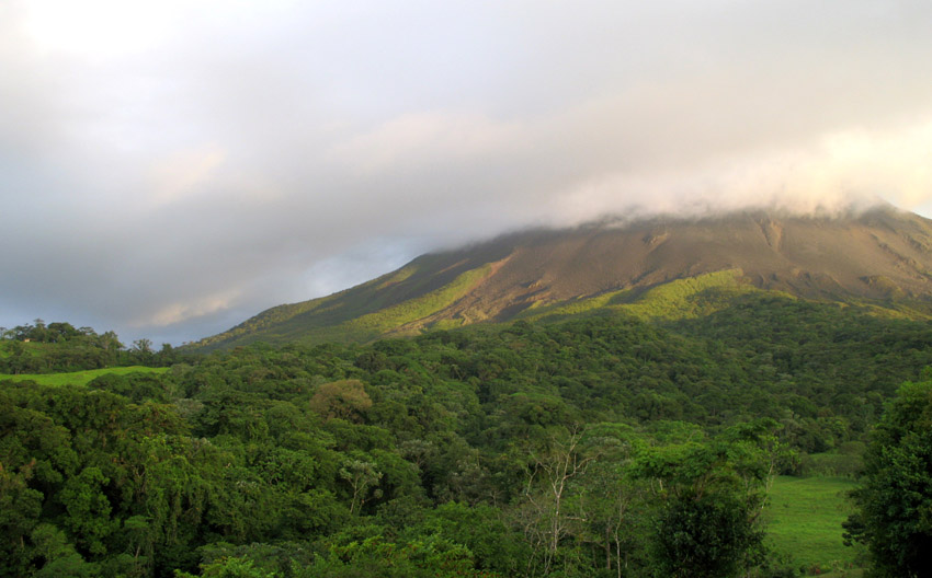
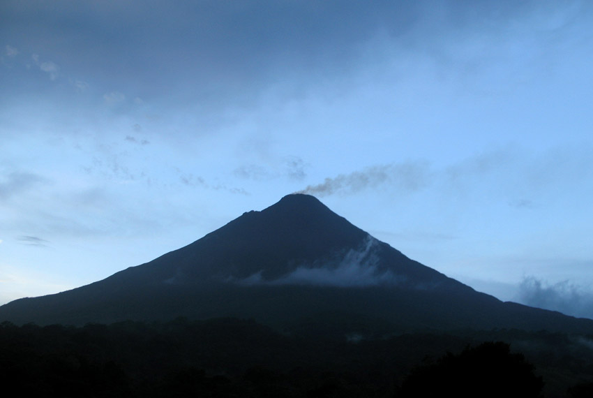
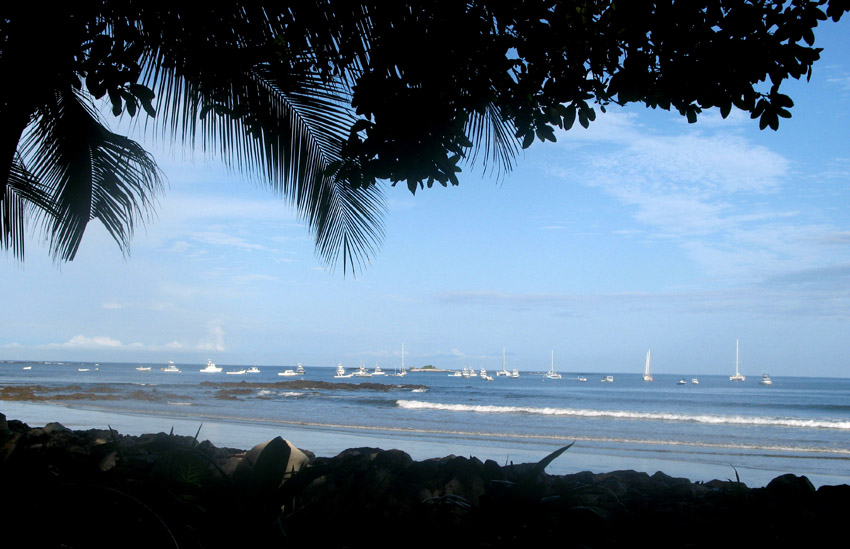
Costa Rica, officially the Republic of Costa Rica (Spanish: Costa Rica or República de Costa Rica, pronounced [reˈpuβlika ðe ˈkosta ˈrika]) is a country in Central America, bordered by Nicaragua to the north, Panama to the east and south, the Pacific Ocean to the west and south and the Caribbean Sea to the east.

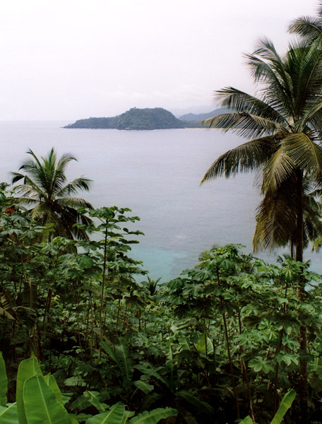
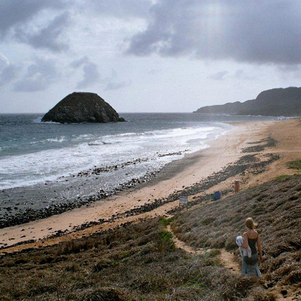
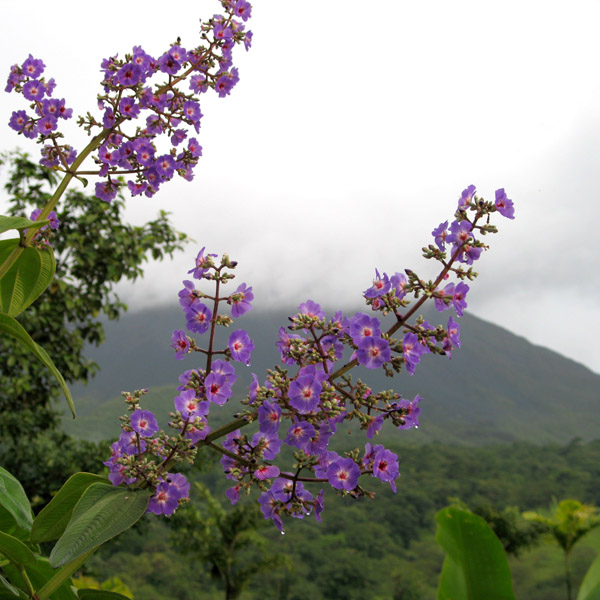
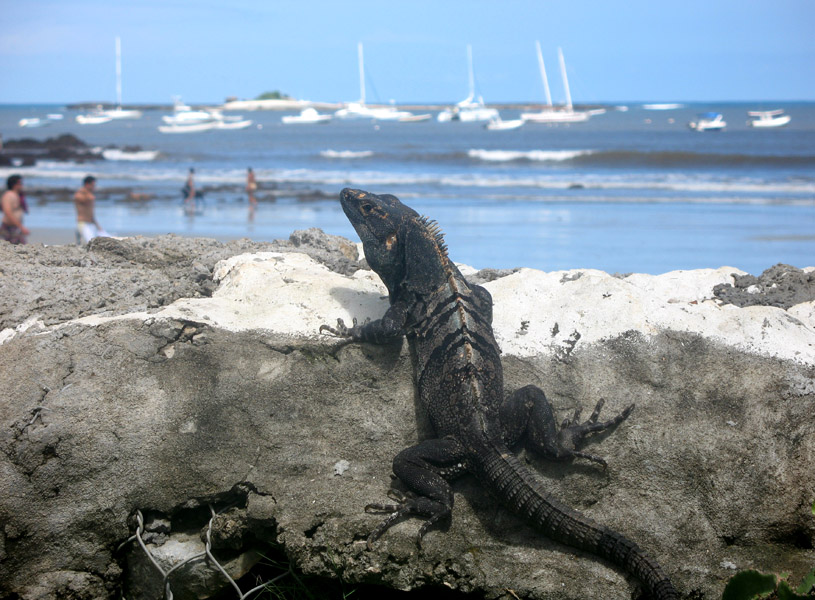
Costa Rica, which translates literally as “Rich Coast”, was the first country in the world to constitutionally abolish its army. Costa Rica has consistently been among the top Latin American countries in the Human Development Index, ranking 50th in 2006. The country is ranked 5th in the world, and 1st among the Americas, in terms of the 2008 Environmental Performance Index. In 2007 the Costa Rican government announced plans for Costa Rica to become the first carbon neutral country by 2021. According to the New Economics Foundation, Costa Rica ranks first in the Happy Planet Index and is the greenest country in the world. The HPI measures how much of the Earth’s resources nations use and how long and happy a life their citizens enjoy as a result.

Source: Wikipedia (under GNU Free Documentation License)

Categories
São Tomé and Príncipe

São Tomé I

São Tomé Island, at 854 km2 (330 sq mi), is the largest island of São Tomé and Príncipe and is home to about 133,600 or 96% of the nation’s population. This island and smaller nearby islets make up São Tomé Province, which is divided into six districts. The main island is located 2 km (1¼ miles) north of the equator. It is about 48 km (30 miles) long (North-South) by 32 km (20 miles) wide (east-west). It rises to 2,024 m (6,639 ft) at Pico de São Tomé and includes the capital city, São Tomé, on the northeast coast. The nearest city on mainland Africa is the port city of Port Gentil in Gabon located 240 km (150 miles) to the east.

The entire island of São Tomé is a massive shield volcano which rises from the floor of the Atlantic Ocean, over 3,000 m (10,000 ft) below sea level. It formed along the Cameroon line, a linear rift zone extending from Cameroon southwest into the Atlantic Ocean. Most of the lava erupted on São Tomé over the last million years has been basalt. The youngest dated rock on the island is about 100,000 years old, but numerous more recent cinder cones are found on the southeast side of the island.

Source: Wikipedia (under GNU Free Documentation License)

Categories
São Tomé and Príncipe

Rolas I

Rolas is a small island lying south of São Tomé Island, being the third largest island of São Tomé and Príncipe. It lies directly on the equator and is known for its beaches, its palm trees, its lighthouse and its beach resort. The island rises to a volcano and is linked by boat to Porto Alegre on São Tomé Island.

Source: Wikipedia (under GNU Free Documentation License)

Categories
Belize

Ambergris Caye

Ambergris Caye, pronounced “am-BER-gis”, is the largest island of Belize located northeast of the country in the Caribbean Sea. Though administered as part of the Belize District, the closest point on the mainland is part of the Corozal District. The Caye (pronounced as “key”, meaning an island, derived from Spanish: cayo) is about 40 kilometres (25 mi) long from north to south, and about 1.6 kilometres (1 mi) wide. It was named after large lumps of ambergris which washed ashore here.

The Belizean island, where it has not been modified by man, is mostly a ring of white sand beach around mangrove swamp in the centre.

A Maya community lived on the island in Pre-Columbian times, and made distinctive polished red ceramics, most notably small well molded figurines of animals.

San Pedro Town is the largest settlement and only town on Ambergris. There are also a number of small villages and resorts. Captain Morgan’s and Mata Chica resorts north of San Pedro played host to the first season of Fox’s Temptation Island in 2000, aired in 2001. More recently, the availability of skydiving during the winter has become a draw for tourists so inclined.

Tourism development of Ambergris Caye began in the early 1970s and grew considerably in the later years of the 20th century. The main attractions are the Belize Barrier Reef and its beaches. That barrier reef is the second largest in the world, after the Great Barrier Reef of Australia. The caye has a small airstrip serviced by Tropic Air and Maya Island Air, and can be reached by plane from Belize City as well as by numerous fast sea ferries.

Source: Wikipedia (under GNU Free Documentation License)

Categories
Belize

Belize

Belize, formerly British Honduras, is a country in Central America. Belize has a diverse society, composed of many cultures and speaking many languages. It is the only country in Central America where English is the official language. It is bordered by Mexico to the north, Guatemala to the south and west, the and Caribbean sea to the east. Kriol and Spanish are also widely spoken. With 8,867 square miles (22,960 km²) of territory and 320,000 people (2008 est.), the population density is the lowest in the Central American region and one of the lowest in the world. Belize is the least populous non-island nation outside of Europe. The country’s population growth rate, 2.21% (2008 est.), is the highest in the region and one of the highest in the western hemisphere. Culturally, Belize considers itself to be both Caribbean and Central American.

Belize is located on the Caribbean coast of northern Central America. It shares a border on the north with the Mexican state of Quintana Roo, on the west with the Guatemalan department of Petén, and on the south with the Guatemalan department of Izabal. To the east in the Caribbean Sea, the second-longest barrier reef in the world flanks much of the 386 kilometres (240 mi) of predominantly marshy coastline. The area of the country totals 22,960 square kilometres (8,860 sq mi), an area slightly larger than El Salvador or Massachusetts. The abundance of lagoons along the coasts and in the northern interior reduces the actual land area to 21,400 square kilometres (8,300 sq mi).

Source: Wikipedia (under GNU Free Documentation License)

Categories
Brazil

Fernando de Noronha

Fernando de Noronha is an archipelago of 21 islands and islets in the Atlantic Ocean, around 354 km (220 miles) offshore from the Brazilian coast. The main island has an area of 18.4 square kilometres (7.1 sq mi) and had a population of 3,012 in the year 2008. The area is a special municipality (distrito estadual) of the Brazilian state of Pernambuco (despite being closer to the state of Rio Grande do Norte) and is also a UNESCO World Heritage Site. Its timezone is UTC−2h. The local population and travellers can get to Noronha by plane or cruise from Recife (545km) or by plane from Natal (360km). A small environmental preservation fee is charged from tourists upon arrival by Ibama (Institute of Environment and Renewable Natural Resources).

The climate is tropical, with two well-defined seasons. The rainy season lasts from March to September, the rest of the year sees little rain.

The islands of this archipelago are the visible parts of a range of submerged mountains. Consisting of 21 islands, islets and rocks of volcanic origin, the main island has an area of 18 km² (7.1 miles²), being 10 km (6.2 miles) long and 3.5 kilometres (2.170 mi) wide at its maximum. The base of this enormous volcanic formation is 756 m below the surface. The main island, from which the group gets its name, makes up 91% of the total area.

Source: Wikipedia (under GNU Free Documentation License)

Categories
Indonesia

Lombok

Lombok (population 2,950,105 in 2005) is an island in West Nusa Tenggara province, Indonesia. It is part of the chain of the Lesser Sunda Islands, with the Lombok Strait separating it from Bali to the west and the Alas Strait between it and Sumbawa to the east. It is roughly circular, with a “tail” to the southwest, about 70 km across and a total area of about 4,725 km² (1,825 sq mi). The provincial capital and largest city on the island is Mataram.

The Lombok Strait marks the passage of the biogeographical division between the fauna of the Indomalayan ecozone and the distinctly different fauna of Australasia that is known as the Wallace Line, for Alfred Russel Wallace, who first remarked upon the distinction between these two major biomes.

The island’s topography is dominated by the centrally-located stratovolcano Mount Rinjani, which rises to 3,726 m (12,224 ft), making it the third-highest in Indonesia. The most recent eruption of Rinjani was in May-June, 2009, which was a small oozing eruption of ‘Gunung Baru’ (New Mountain). The volcano, and its crater lake, ‘Segara Anak’ (child of the sea), are protected by a National Park established in 1997. The southern part of the island is a fertile plain where corn, rice, coffee, tobacco, and cotton are grown.

The island’s inhabitants are 85% Sasak whose origins are thought to have migrated from Java in the first millennium BC. Other residents include 10-15% Balinese, with the small remainder being Chinese, Arab, Javanese, and Sumbawanese. Since the Sasak population typically practice Islam, the landscape is punctuated with mosques and minarets. Islamic traditions and holidays influence the Island’s daily activities.

Source: Wikipedia (under GNU Free Documentation License)

Categories
Indonesia

Gili Air

Gili Air is the smallest of the Gilis and it’s closest to the Lombok mainland, making it popular with honeymoon couples and travelers seeking a quiet retreat. It has a population of about 1,000 and administratively lies in the West Nusa Tenggara province. The island offers excellent snorkeling and scuba diving off its east coast, and turtles can be seen along the coral reef.

Source: Wikipedia (under GNU Free Documentation License)

Categories
Mauritius

Mauritius III

Mauritius (pronounced /məˈrɪʃəs/; French: L’île Maurice pronounced: [lil mɔˈʁis], Mauritian Creole: Moris), officially the Republic of Mauritius, French: République de Maurice is an island nation off the coast of the African continent in the southwest Indian Ocean, about 900 kilometres (560 mi) east of Madagascar. In addition to the island of Mauritius, the Republic includes the islands of Cargados Carajos, Rodrigues and the Agalega Islands. Mauritius is part of the Mascarene Islands, with the French island of Réunion 200 km (120 mi) to the southwest and the island of Rodrigues 570 km (350 mi) to the northeast.

The island of Mauritius is renowned for having been the only known home of the dodo. First sighted by Europeans around 1600 on Mauritius, the dodo became extinct less than eighty years later.

The island was known by Arab and Austronesian sailors as early as the 10th century. The Portuguese sailors first visited it in 1507 and established a visiting base leaving the island uninhabited. Three ships of the eight Dutch Second Fleet that were sent to the Spice Islands were blown off course during a cyclone and landed on the island in 1598, naming it in honour of Prince Maurice of Nassau, the Stadtholder of the Netherlands. In 1638, the Dutch established the first permanent settlement. Because of tough climatic conditions including cyclones and the deterioration of the settlement, the Dutch abandoned the island some decades later. France, which already controlled the neighbouring Île Bourbon (now Réunion) seized Mauritius in 1715 and later renamed it Île de France (Isle of France). Under French rule, the island developed a prosperous economy based on sugar production. In the Napoleonic Wars (1803-1815) the British set out to gain control of the island. Despite winning the Battle of Grand Port, Napoleon’s only naval victory over the British, the French surrendered to a British invasion at Cap Malheureux three months later. They formally surrendered on 3 December 1810, on terms allowing settlers to keep their land and property and to use the French language and law of France in criminal and civil matters. Under British rule, the island’s name reverted to the original one.

Source: Wikipedia (under GNU Free Documentation License)

Categories
Tanzania

Zanzibar II

Zanzibar (pronounced /ˈzænzɨbɑr/) is a semi-autonomous part of the United Republic of Tanzania, in East Africa. It comprises the Zanzibar Archipelago in the Indian Ocean, 25–50 kilometres (16–31 mi) off the coast of the mainland, and consists of numerous small islands and two large ones: Unguja (the main island, informally referred to as Zanzibar), and Pemba. Zanzibar was once a separate state with a long trading history within the Arab world; it united with Tanganyika to form Tanzania in 1964 and still enjoys a high degree of autonomy within the union. The capital of Zanzibar, located on the island of Unguja, is Zanzibar City, and its historic center, known as Stone Town, is a World Heritage Site.

Zanzibar’s main industries are spices, raffia, and tourism. In particular, the islands produce cloves, nutmeg, cinnamon and pepper. For this reason, the islands, together with Tanzania’s Mafia Island, are sometimes called the Spice Islands (a term also associated with the Maluku Islands in Indonesia). Zanzibar’s ecology is of note for being the home of the endemic Zanzibar Red Colobus and the (possibly extinct) Zanzibar Leopard.

Source: Wikipedia (under GNU Free Documentation License)