Fatu Hiva is the southernmost of the Marquesas Islands, in French Polynesia, an overseas territory of France in the Pacific Ocean. With Motu Nao as its closest neighbor, it is also the most isolated of the inhabited islands.
Fatu Hiva is also the title of a book by explorer and archaeologist Thor Heyerdahl, in which he describes his stay on the island in the 1930s.
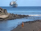
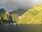
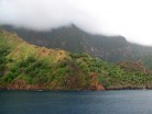
The eastern coastline of Fatu Hiva is characterized by a number of narrow valleys, carved by streams that lead to the interior. Between these valleys are headlands which terminate in cliffs that plunge directly into the sea, making travel between them possible only by travelling over the high mountain ridges between them, or by boat. The largest of these valleys is at Uia.
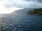
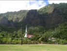
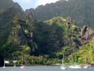
The western coastline has two significant bays, Hana Vave (also known as Bay of Virgins or Baie des Vierges) in the north, one of the most picturesque sites in the South Pacific, and the well protected harbor of Omoa near the south. There are several smaller valleys between these two.
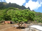
The center of the island is a plateau which is covered largely by tall grasses and pandanus trees. To the south of the plateau, running to the south, is a mountain ridge, called Tauauoho, its highest peak, at 1,125 m (3,691 ft.) is the highest point on Fatu Hiva. Proceeding to the north and northwest from the plateau is a mountain ridge called Fa‘e One, the highest peak of which is 820 m (2,690 ft.).

