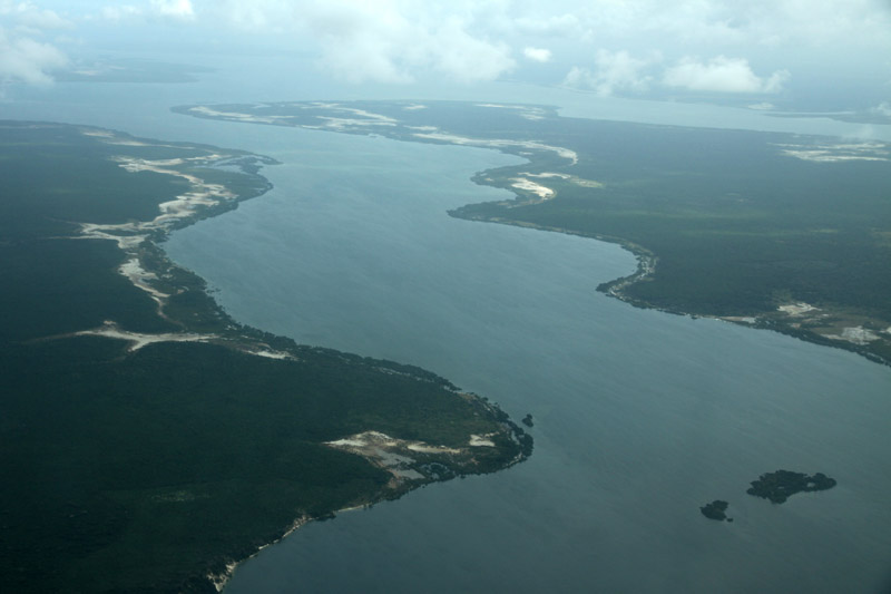
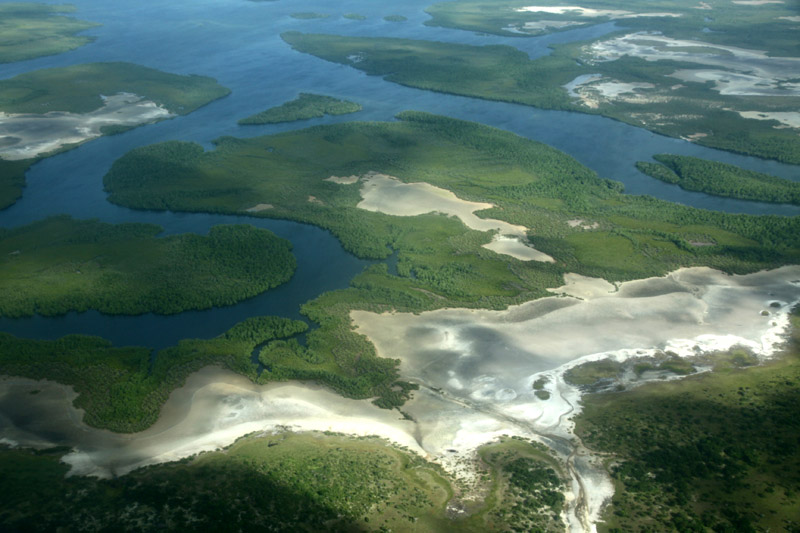
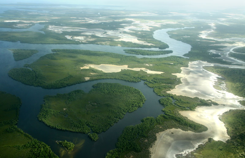
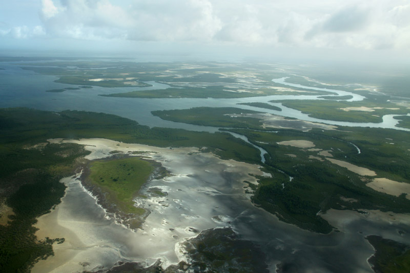
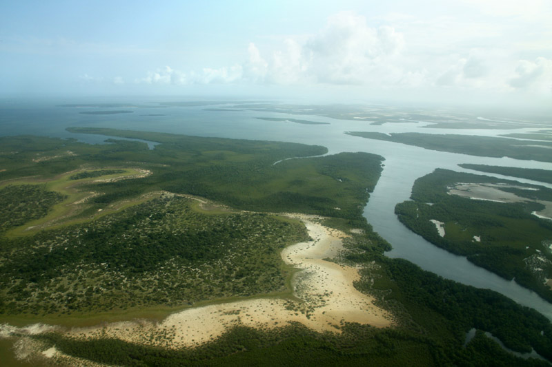
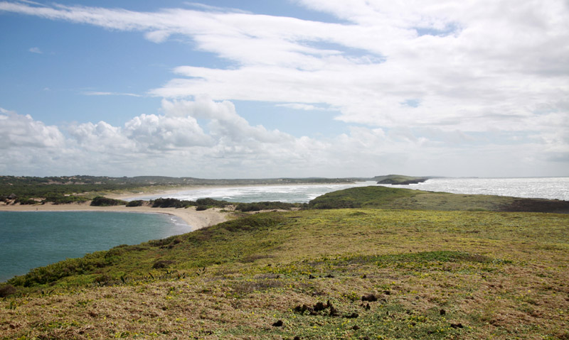
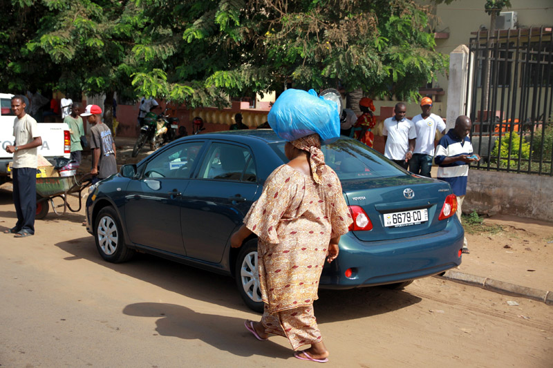
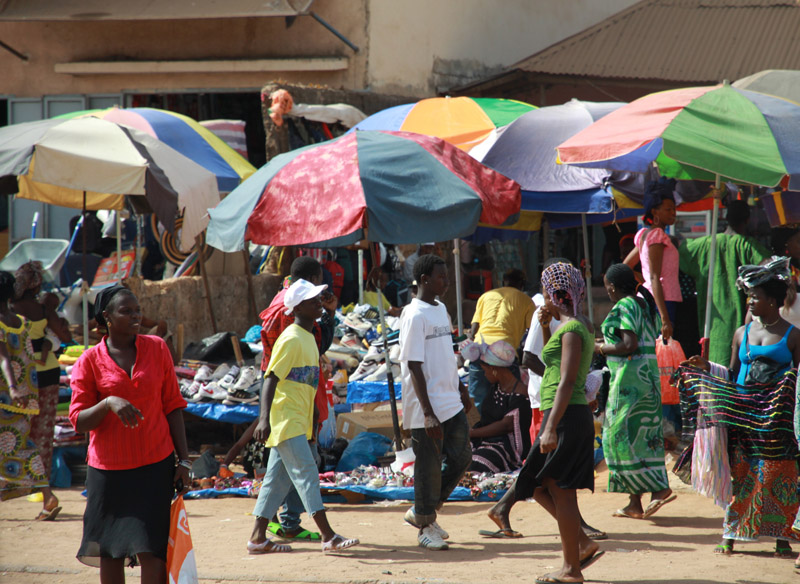
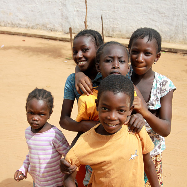
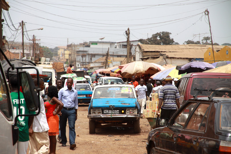
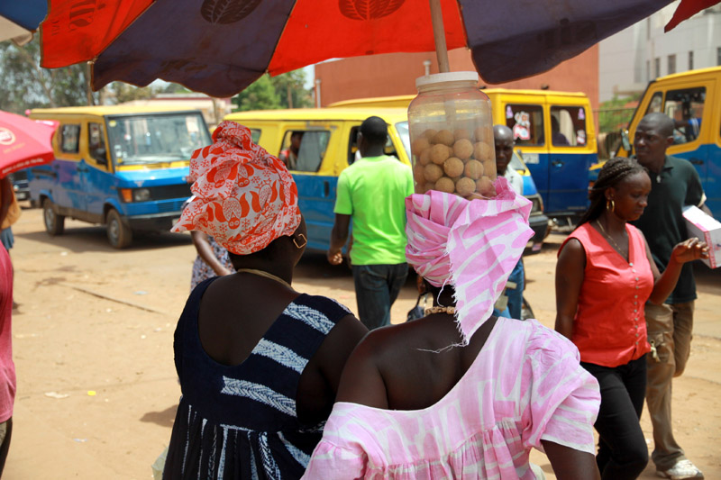
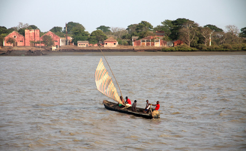
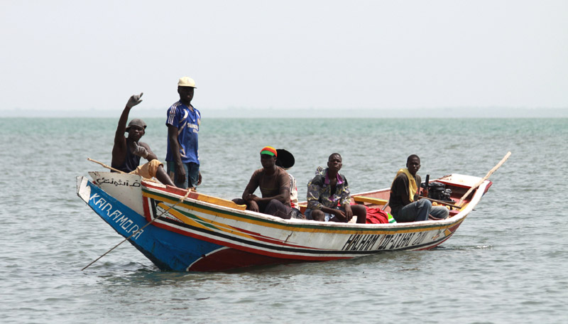
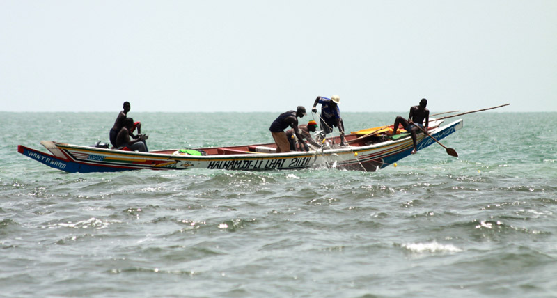
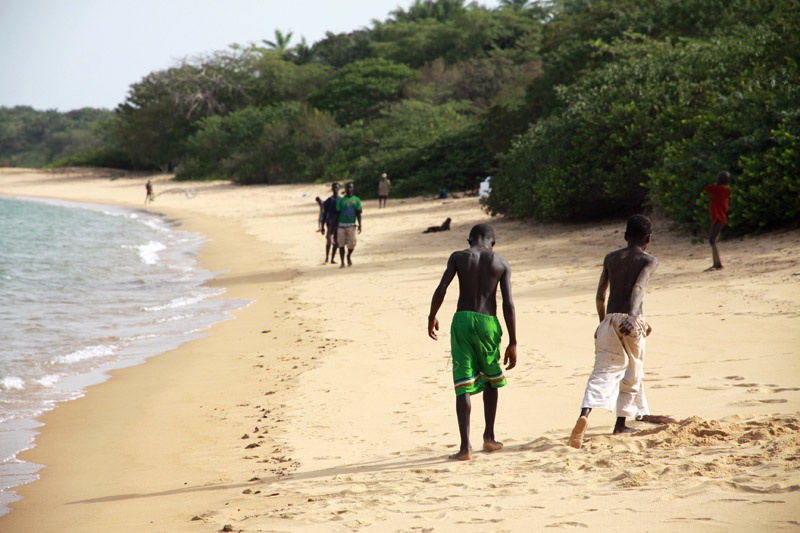
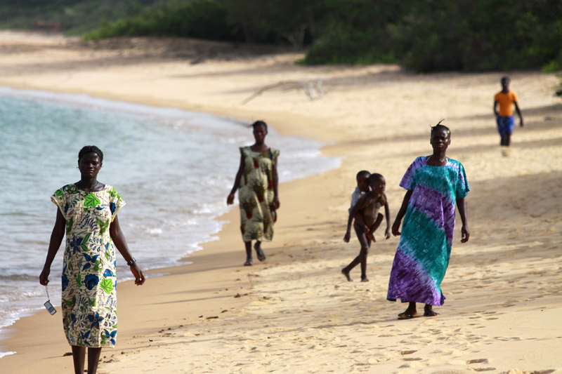
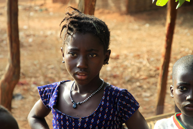
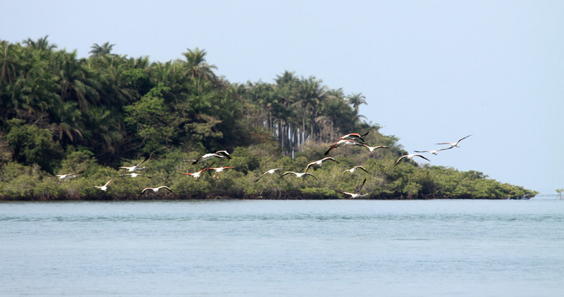
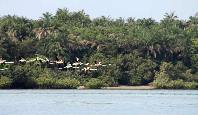
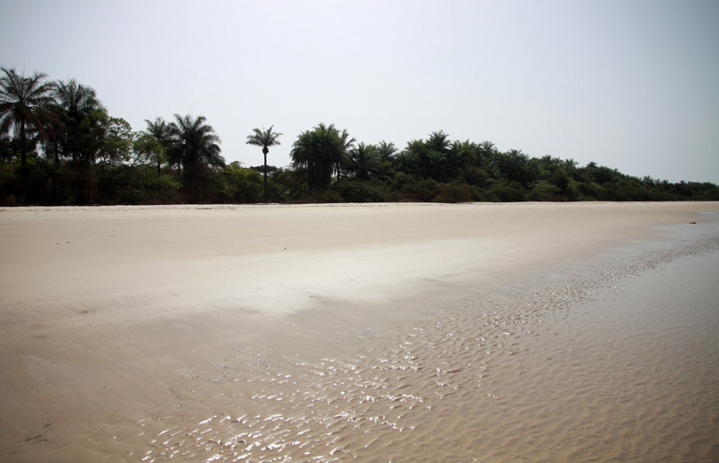
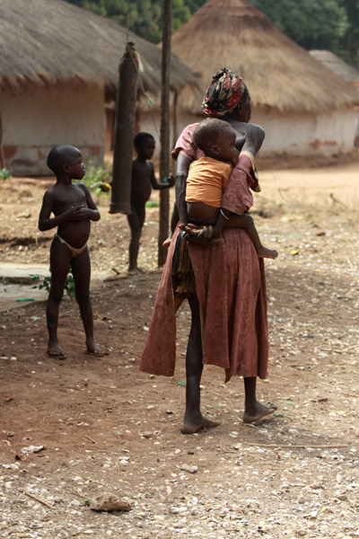
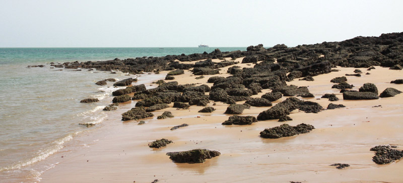
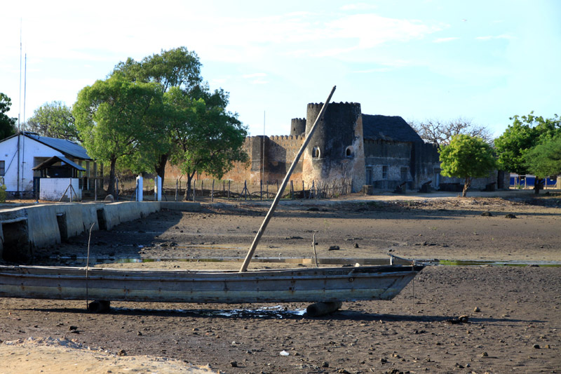
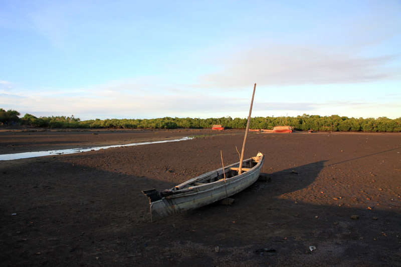
Bissau is the capital city of Guinea-Bissau. The city’s borders are conterminous with the Bissau Autonomous Sector. In 2007, the city had an estimated population of 407,424 according to the Instituto Nacional de Estatística e Censos. The city which is located on the Geba River estuary, off the Atlantic Ocean, is the country’s largest city, major port, administrative and military center.
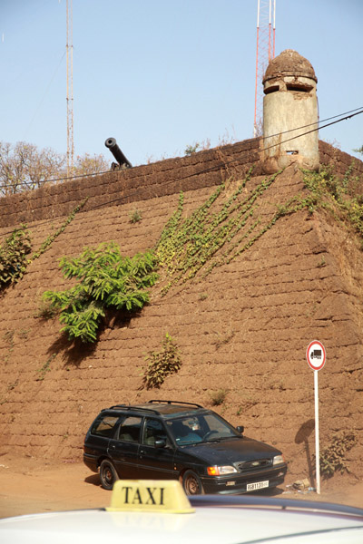
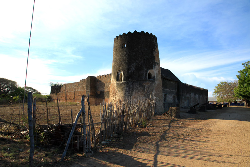
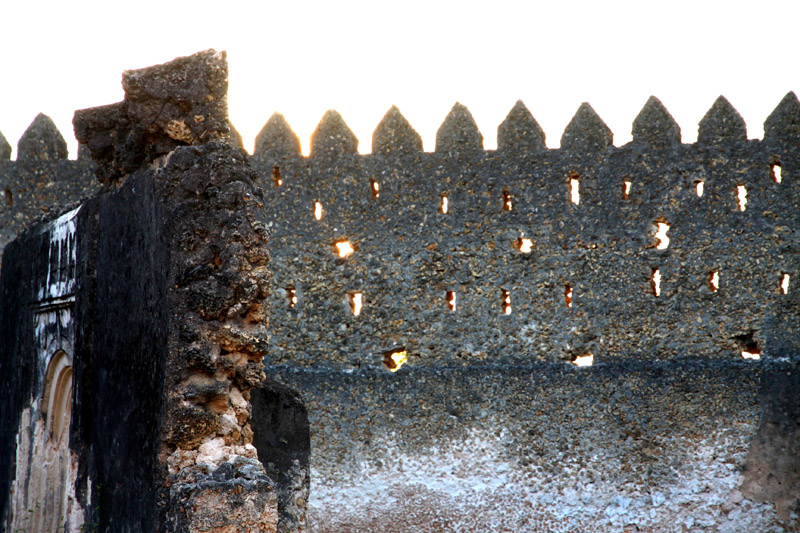
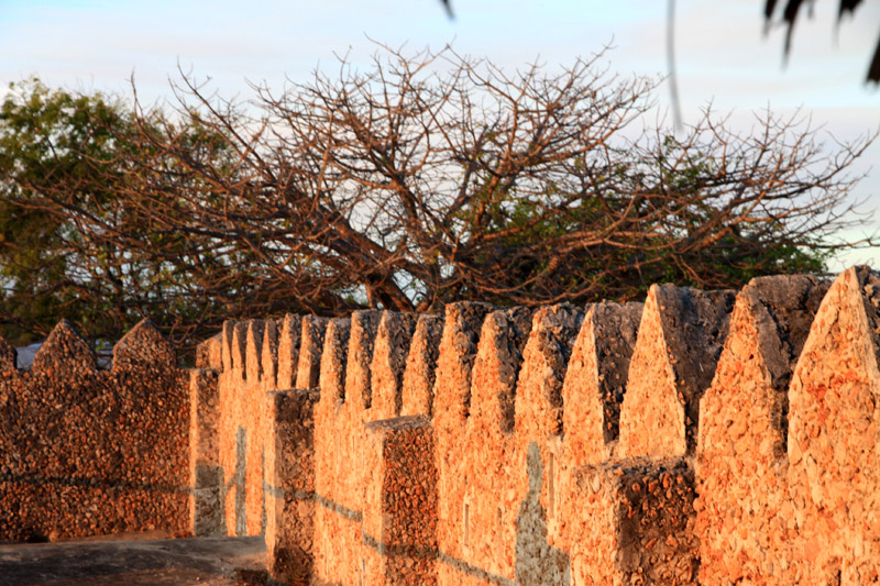
The city was founded in 1687 by Portugal as a fortified port and trading center. In 1942 it became the capital of Portuguese Guinea. After the declaration of independence by the anti-colonial guerrillas of PAIGC, in 1973, the capital of the de facto independent territories was declared to be Madina do Boe, but Bissau remained as the capital of the Portuguese-occupied regions, and the de jure capital of the entire Portuguese Guinea. When Portugal recognized the independence of Guinea-Bissau and pulled out in 1974 due to the military coup of April 25 in Lisbon, the two territories merged and Bissau became the capital of the new independent state.
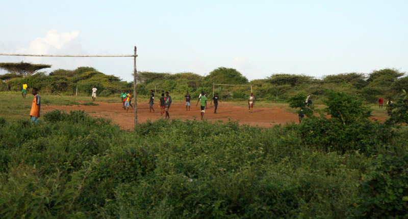
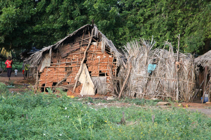
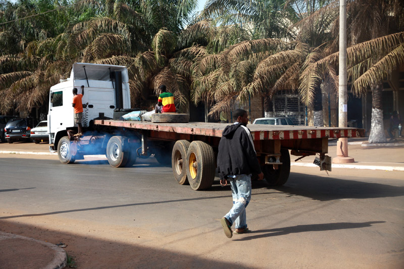
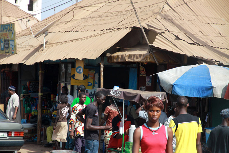
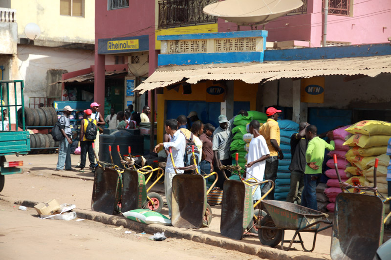
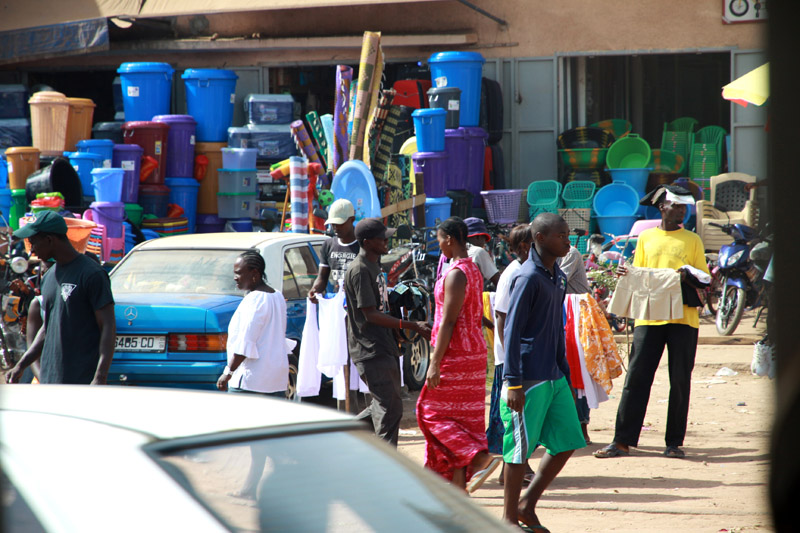
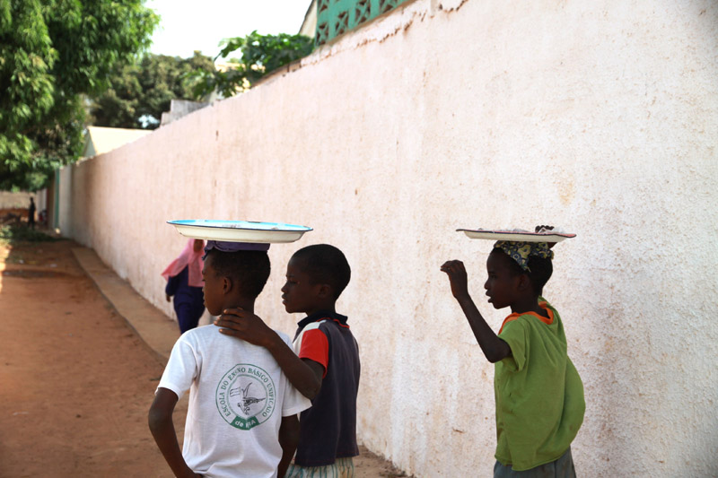
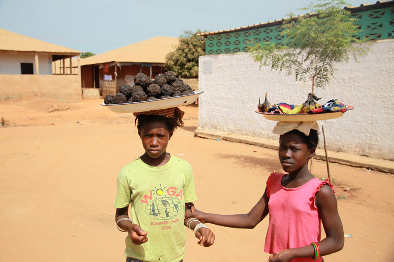
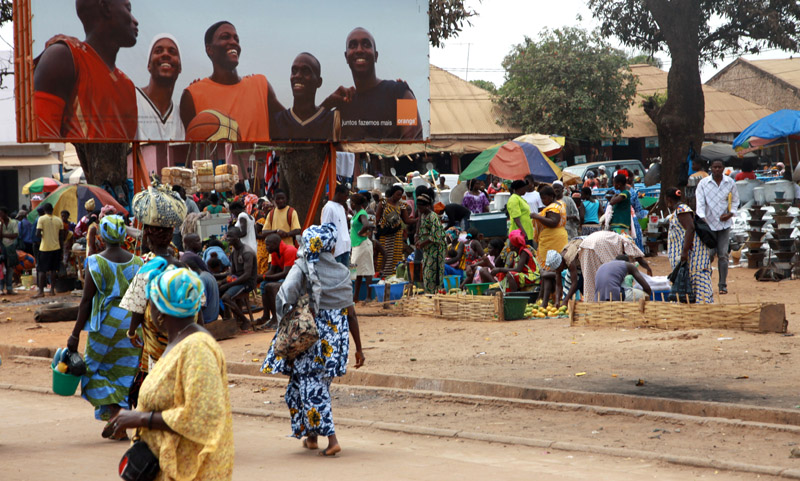
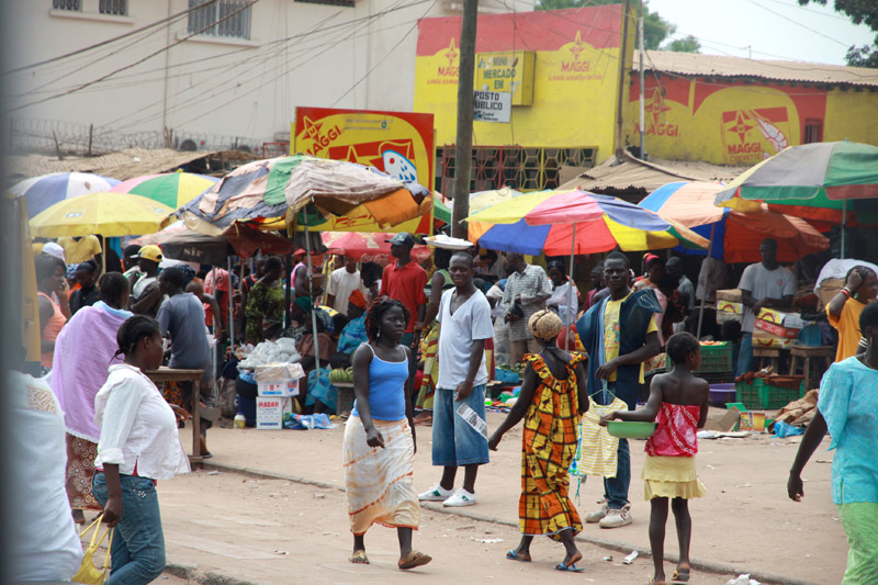
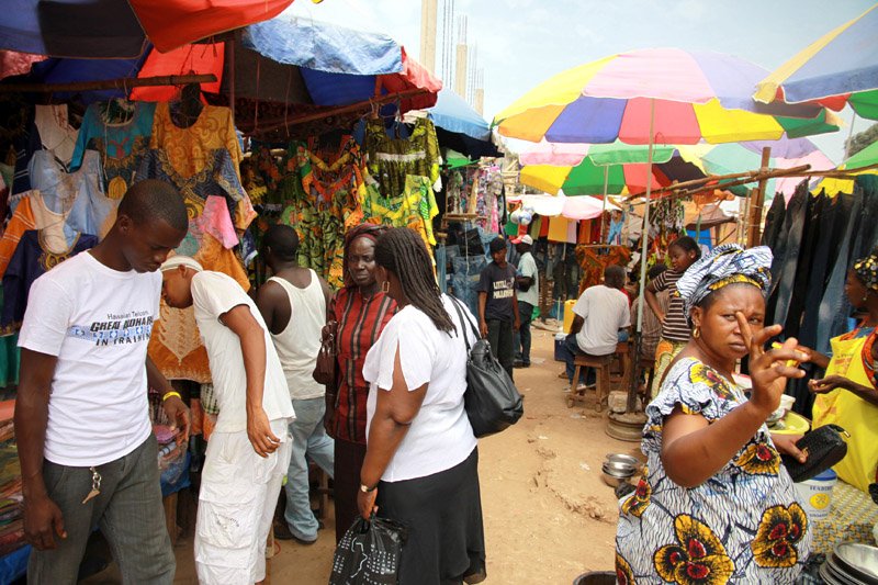
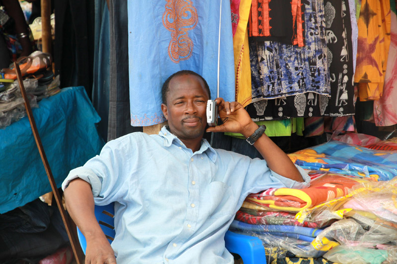
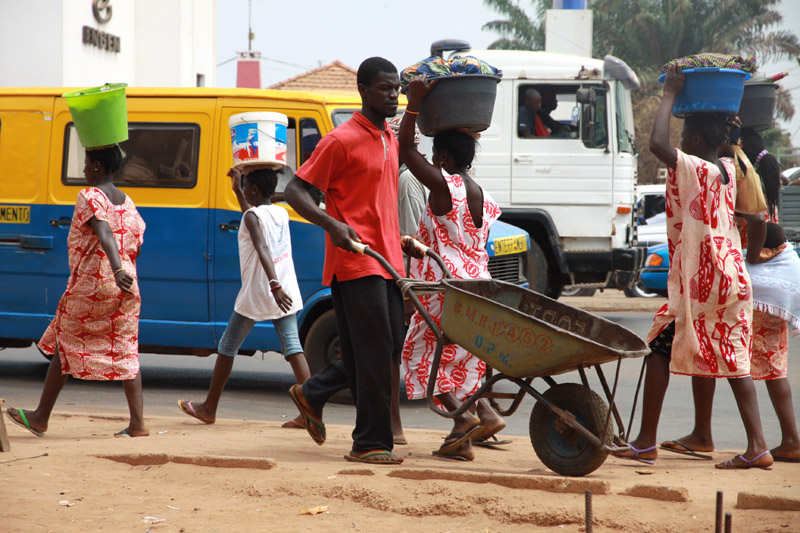
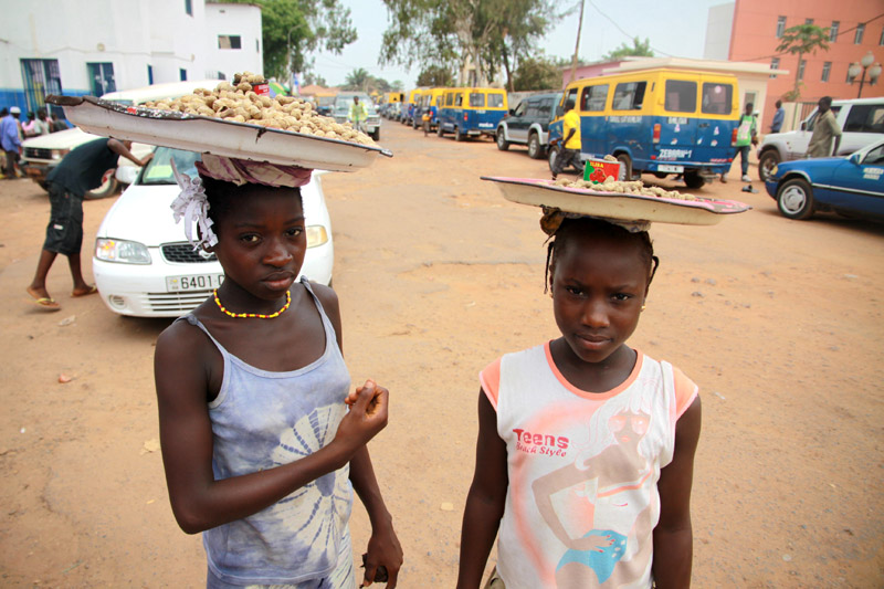
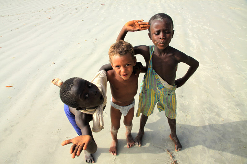
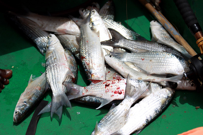
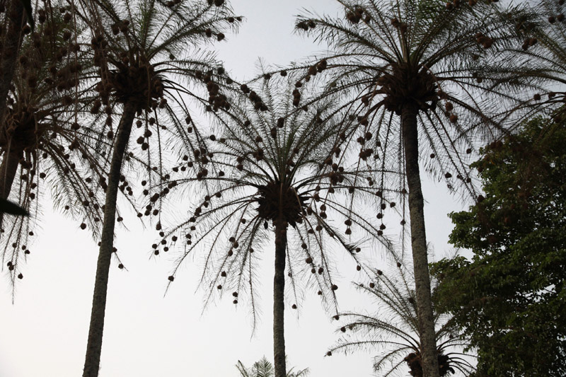
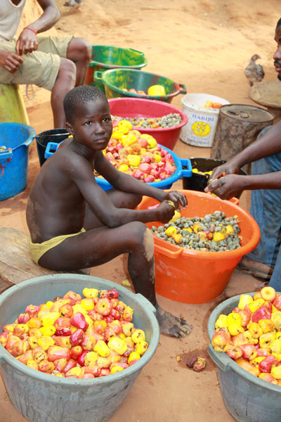
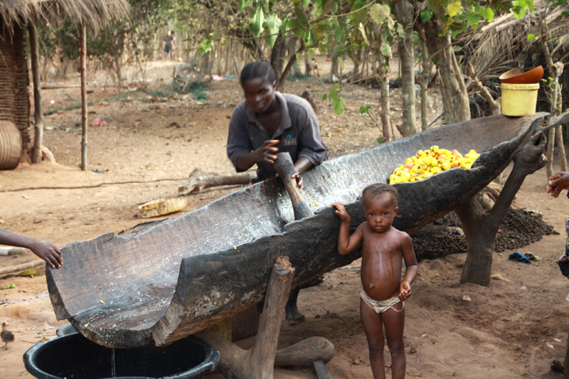
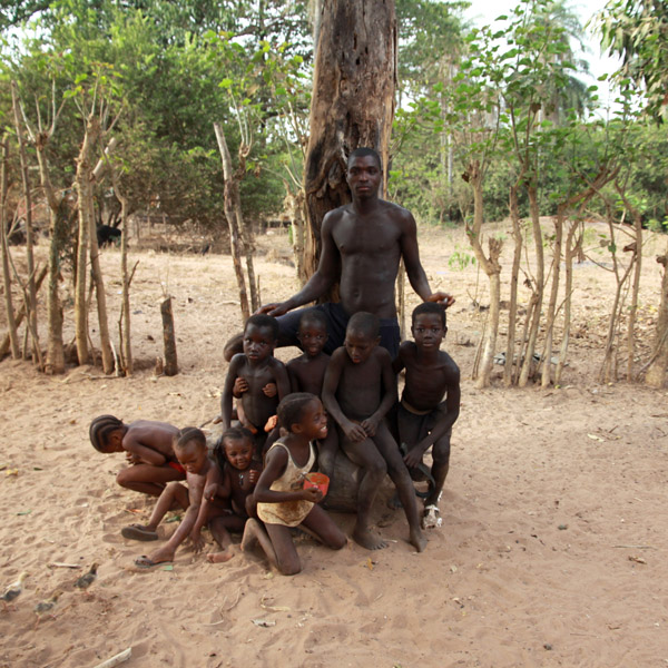
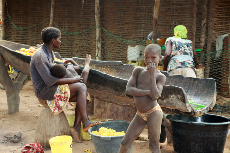
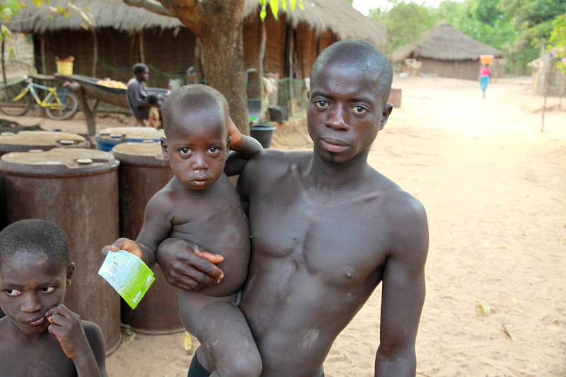
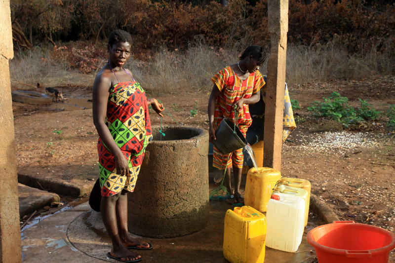
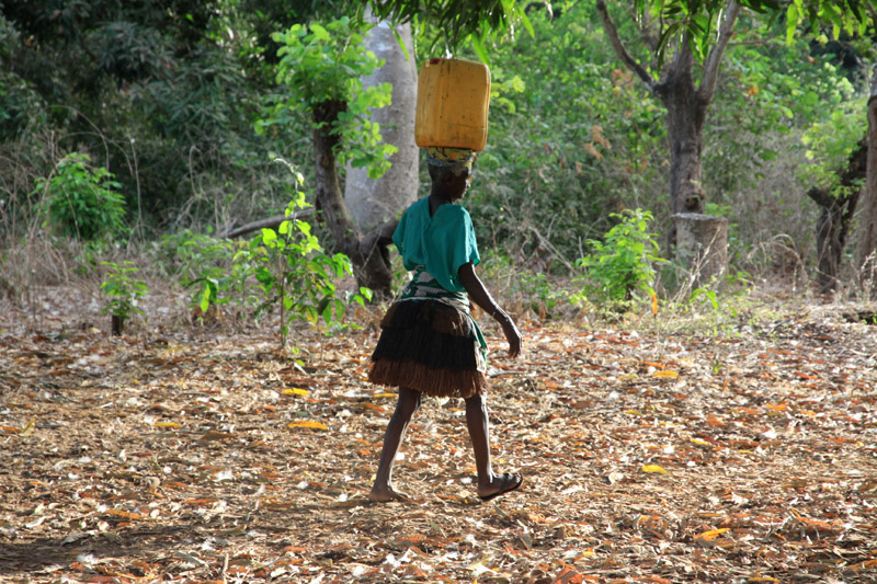
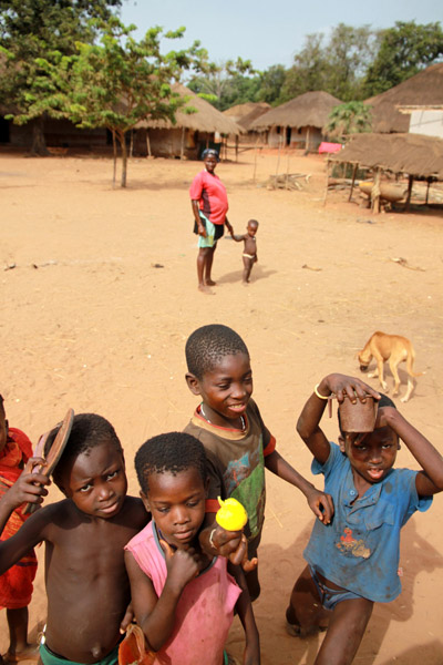
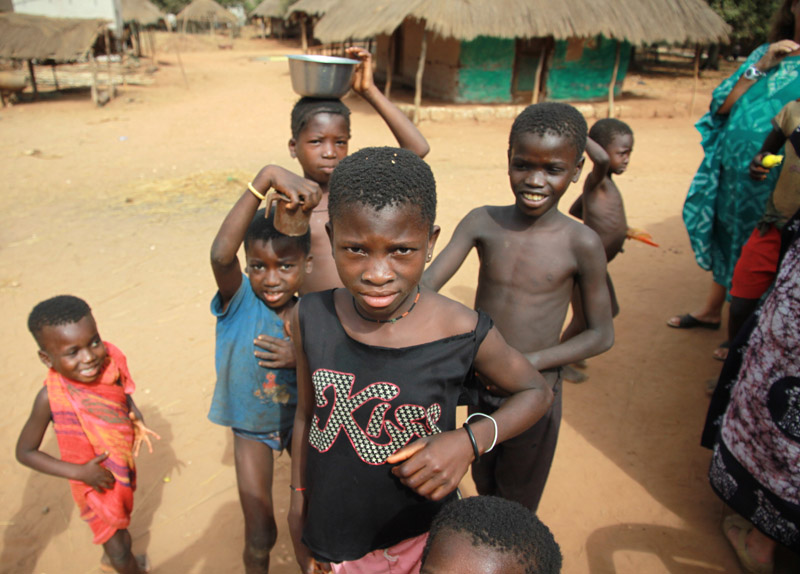
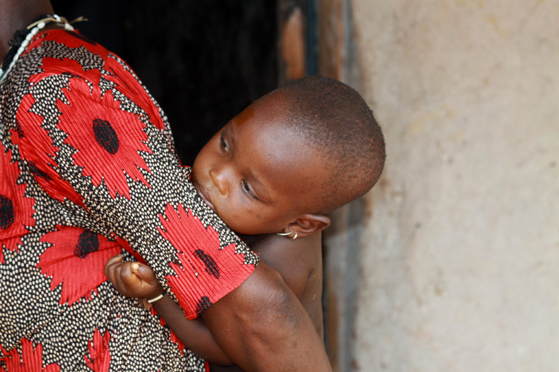
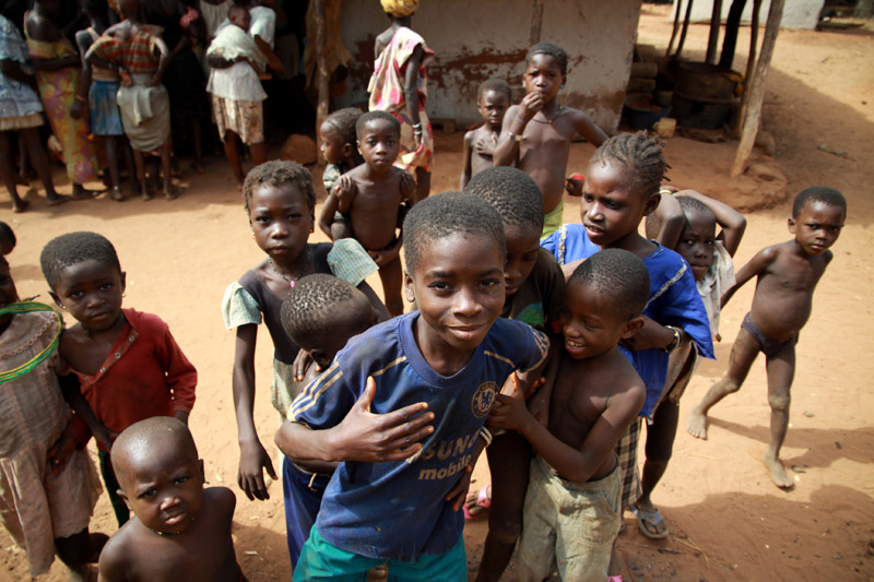
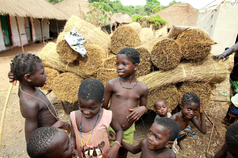
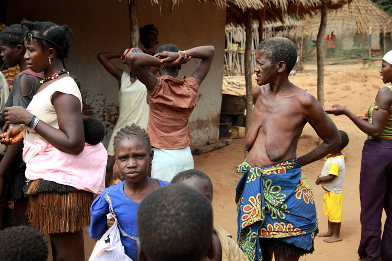
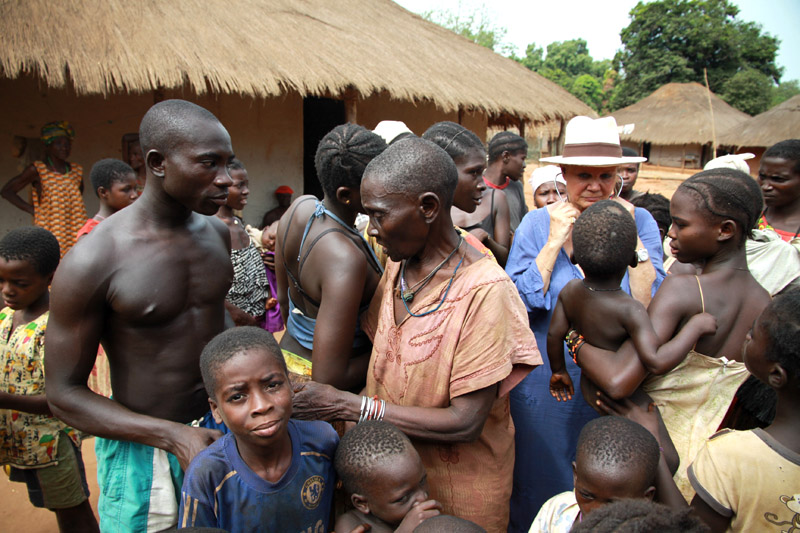
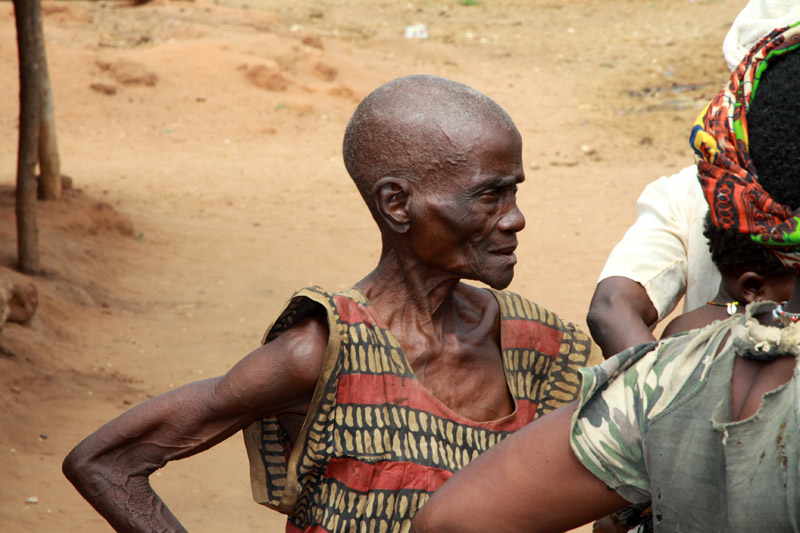
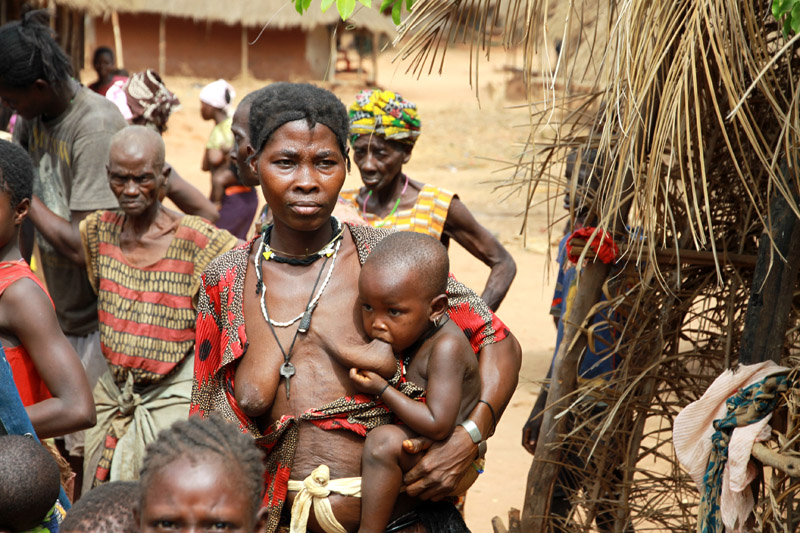
Bissau is the country’s largest city, major port, educational, administrative and military center. Peanuts, hardwoods, copra, palm oil, and rubber are the chief products. The airport that serves Bissau is Osvaldo Vieira International Airport. Poverty and lack of development is widespread.
Source: Wikipedia (under GNU Free Documentation License)