Categories
Seychelles

Praslin

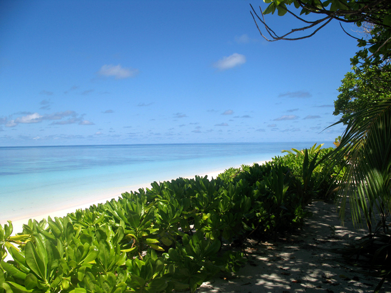
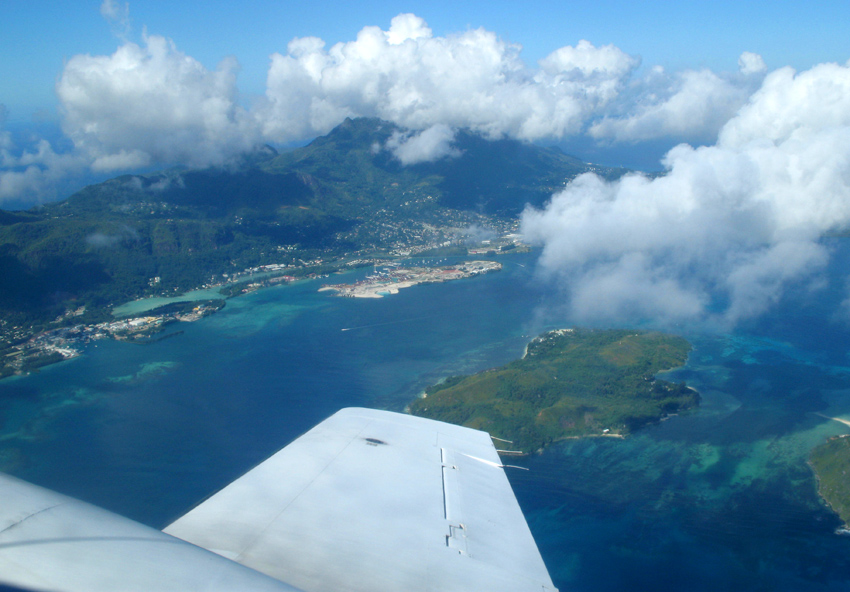
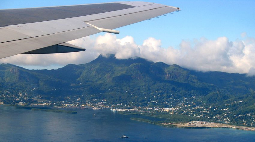
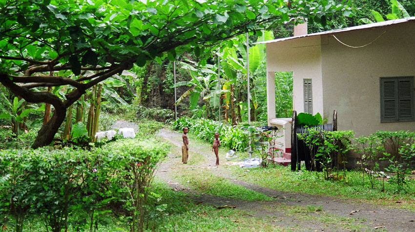
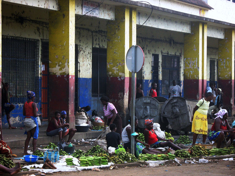
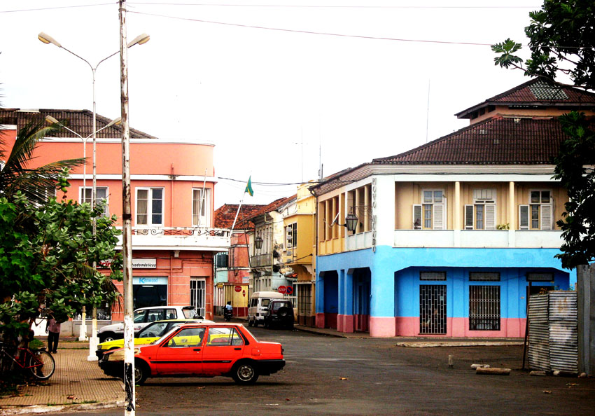
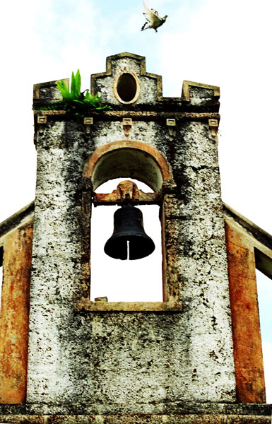
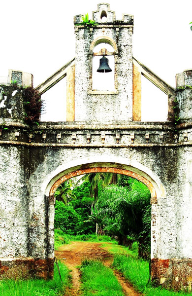
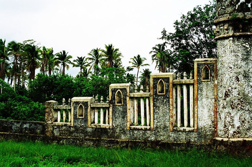
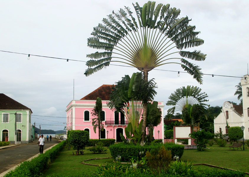
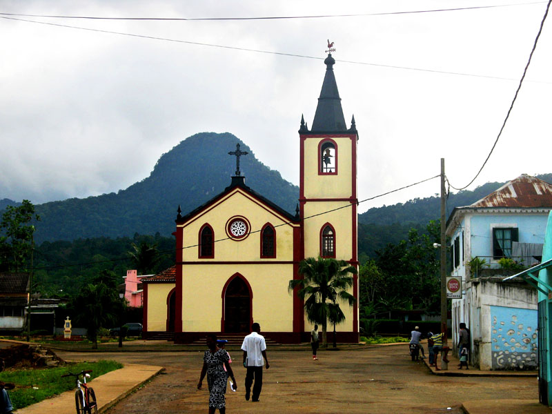
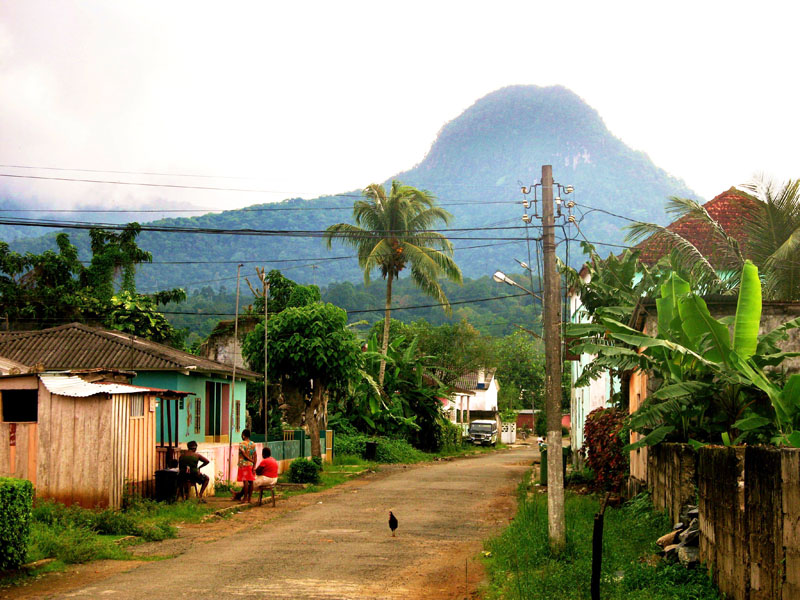
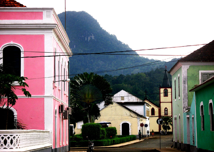
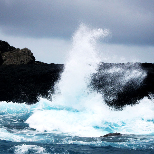
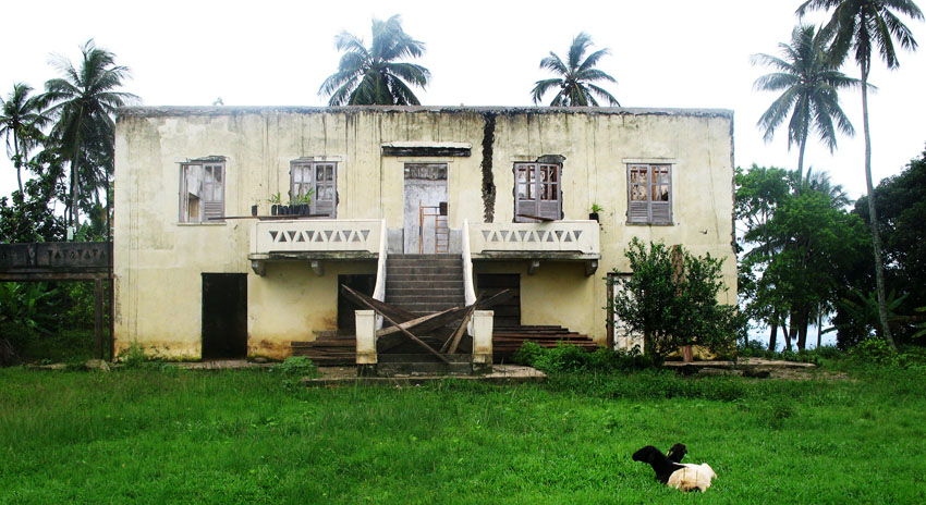
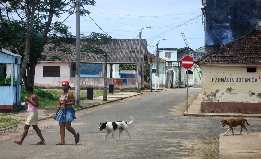
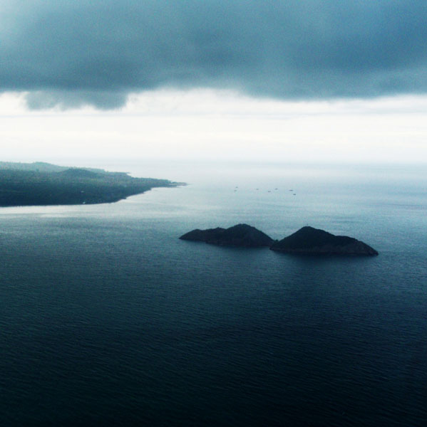
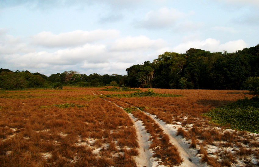
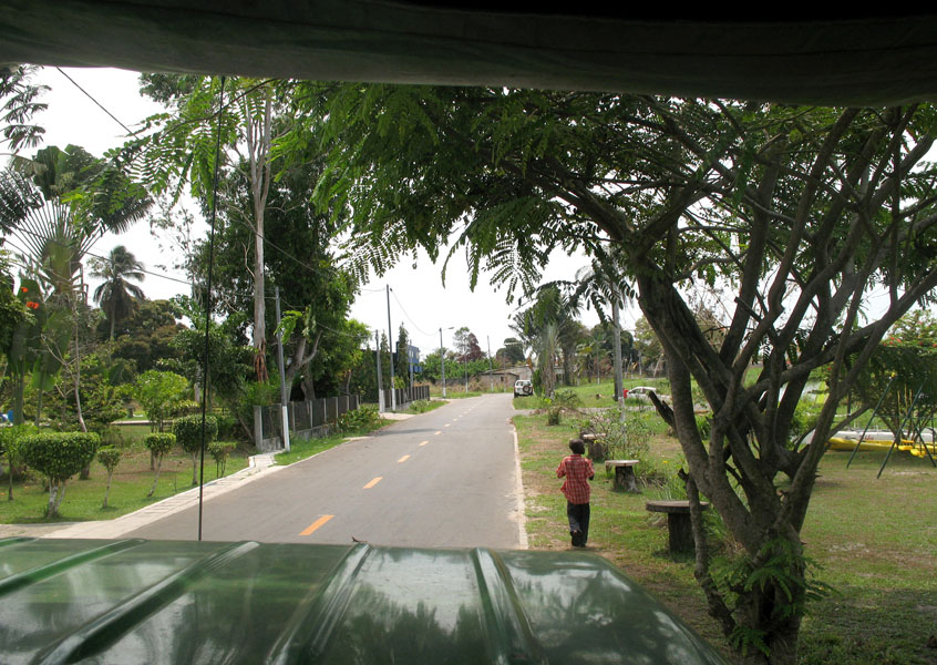
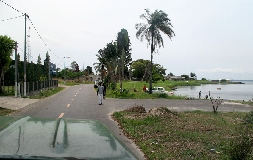
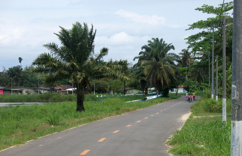
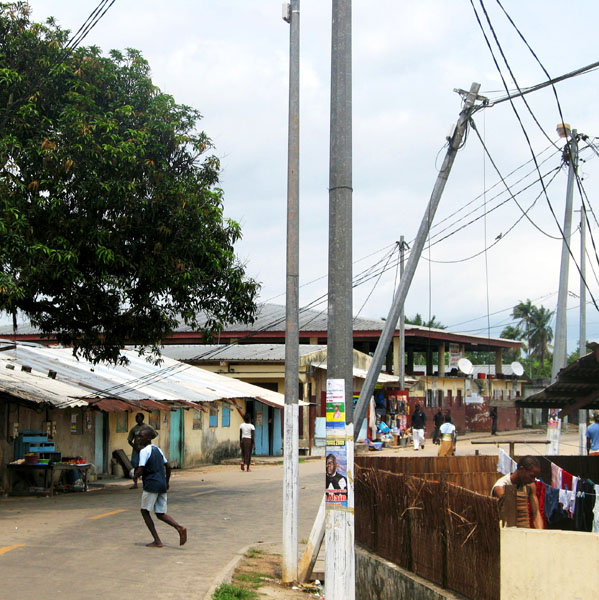
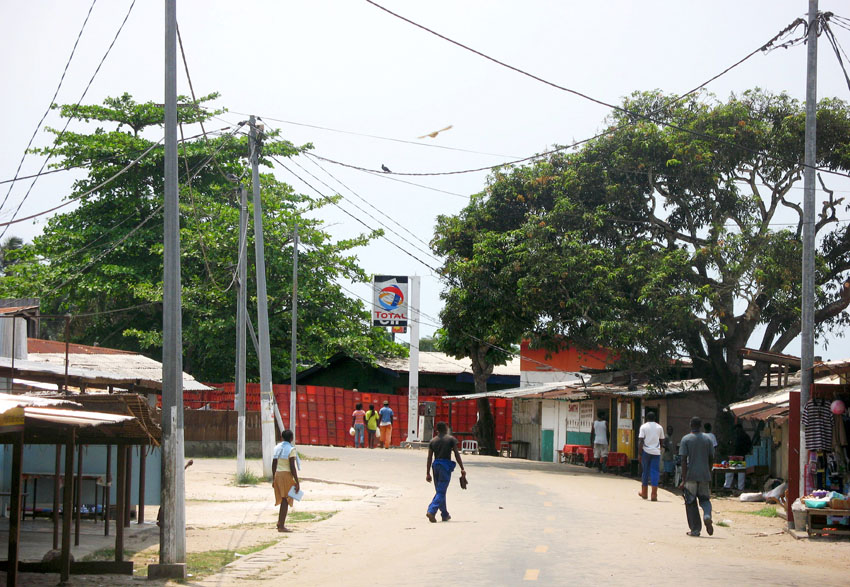
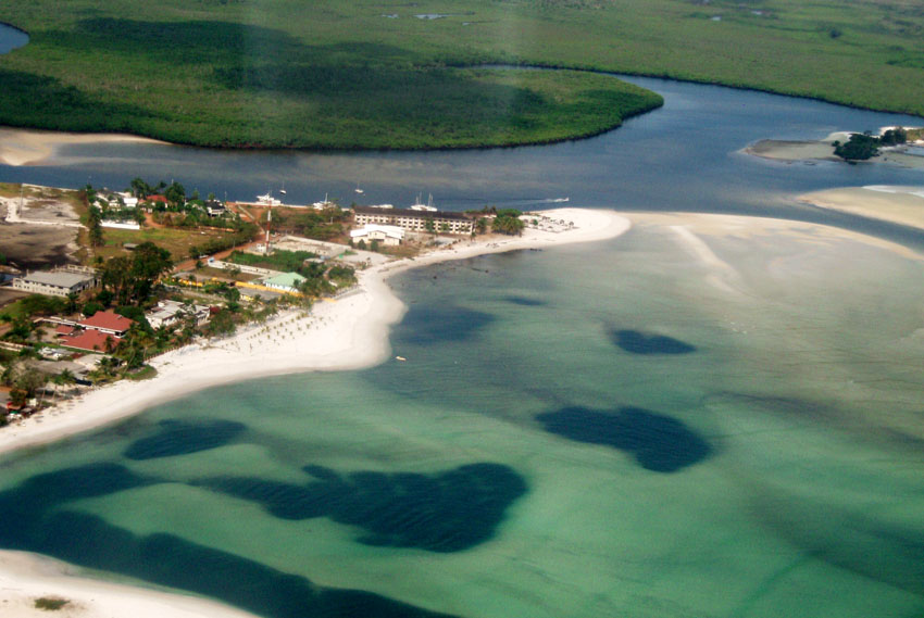
Praslin is the second largest island (38 km²) of the Seychelles, lying 44 km north east of Mahé. Praslin has a population of around 6,500 people and comprises two administrative districts; Baie Sainte Anne and Grand’ Anse (Praslin). The main settlements are the Baie Ste Anne, Anse Volbert and Grand’ Anse.

It was named Isle de Palmes by explorer Lazare Picault in 1744. During that time it was used as a hideaway by pirates and Arab merchants. In 1768 it was renamed Praslin in honor of French diplomat César Gabriel de Choiseul, duc de Praslin.

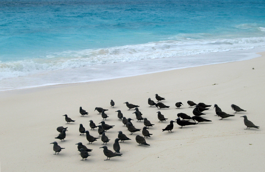
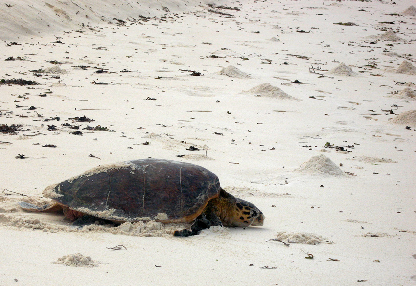
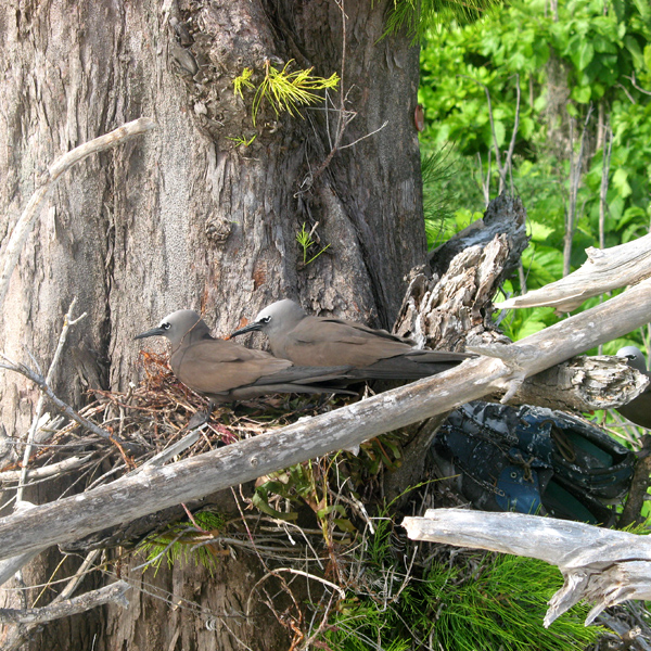
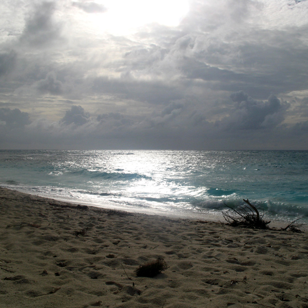
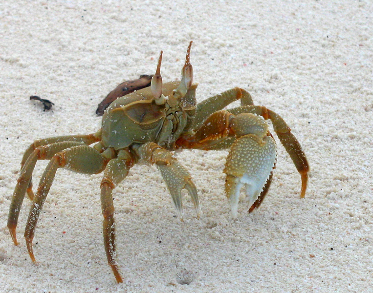
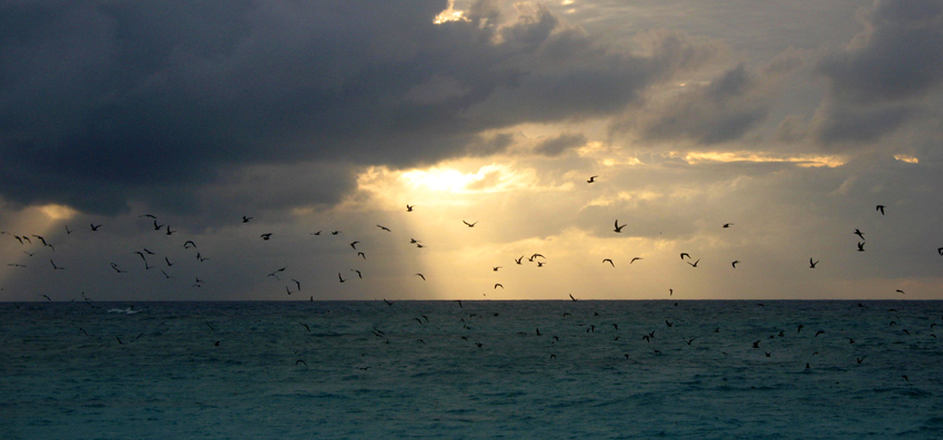
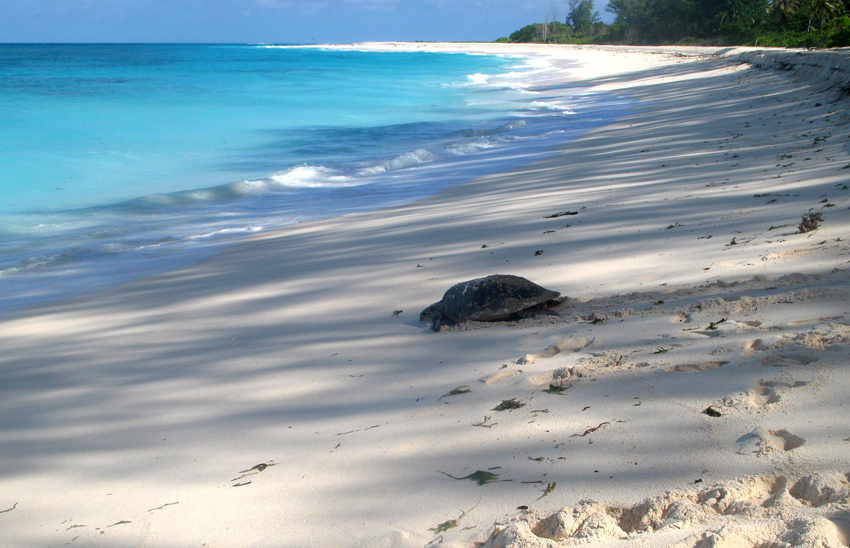
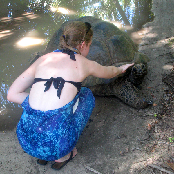
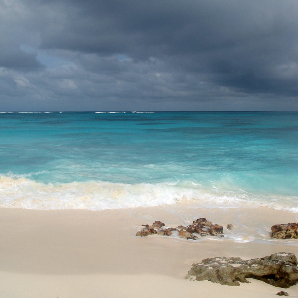
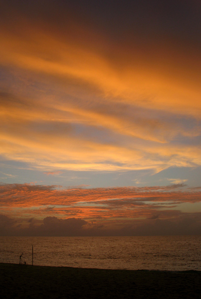
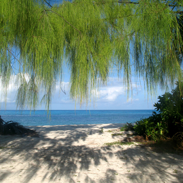
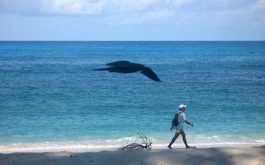
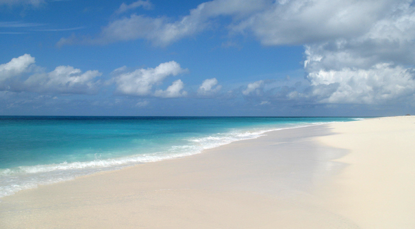
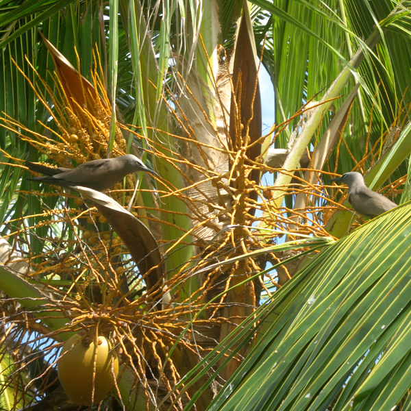
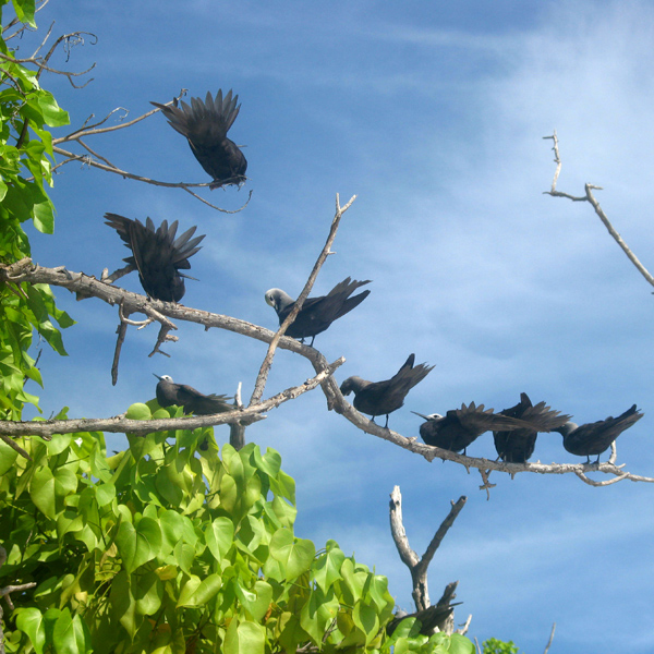
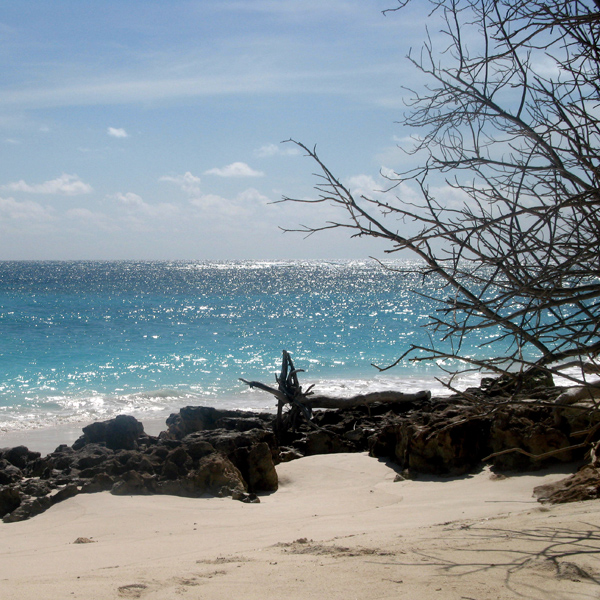
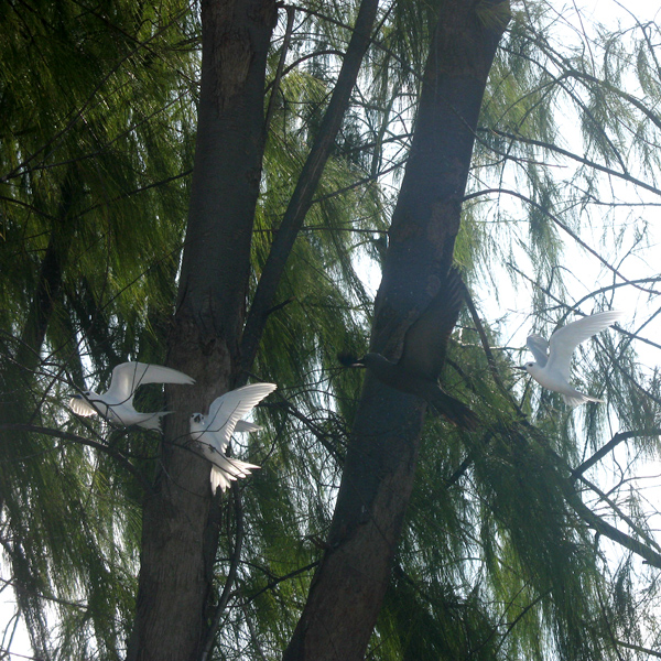
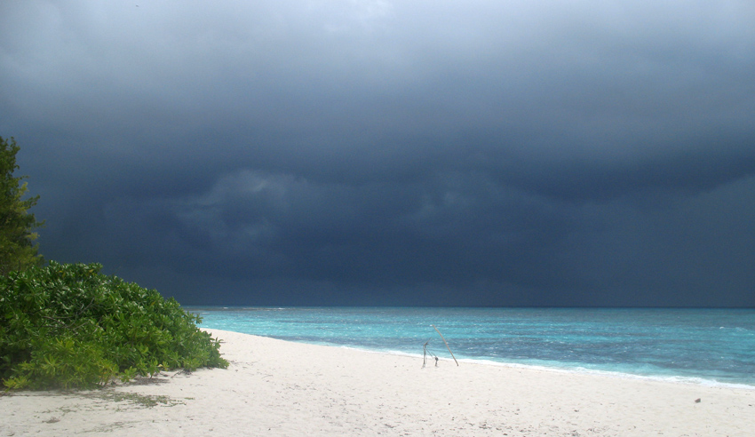
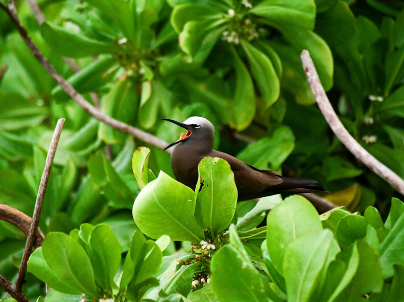
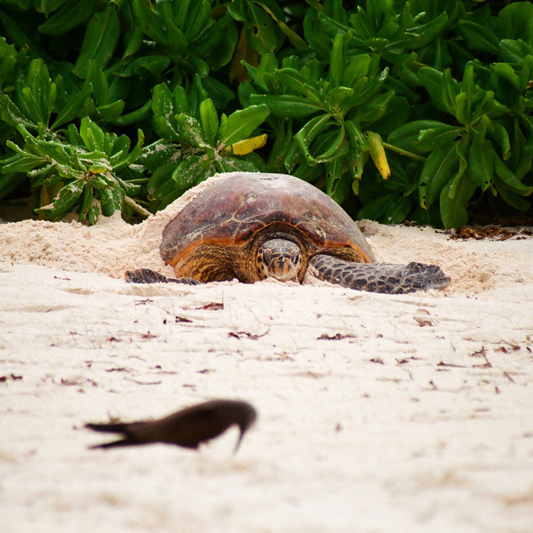
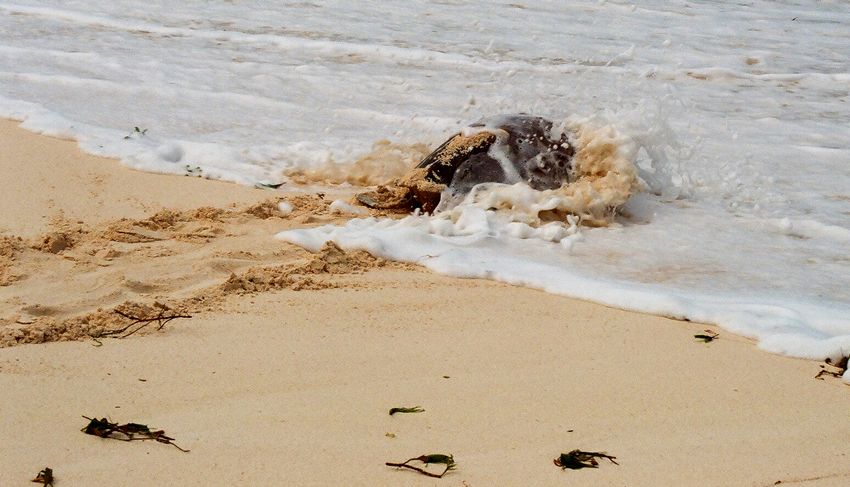
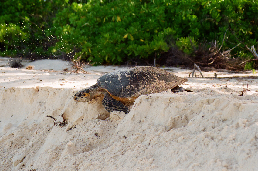
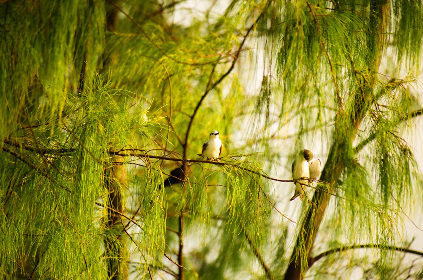
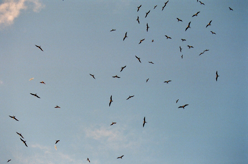
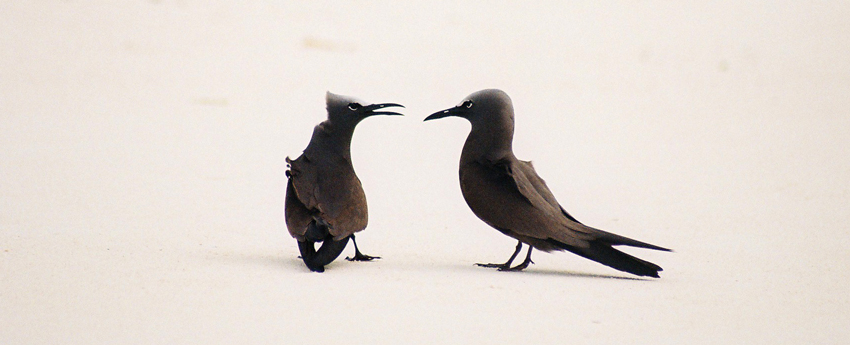
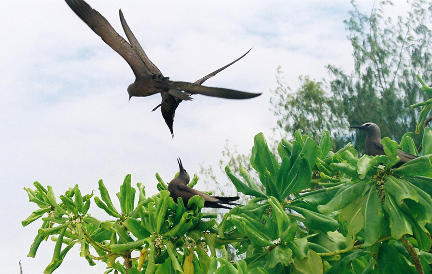
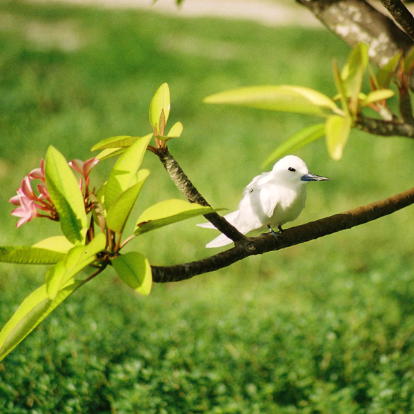
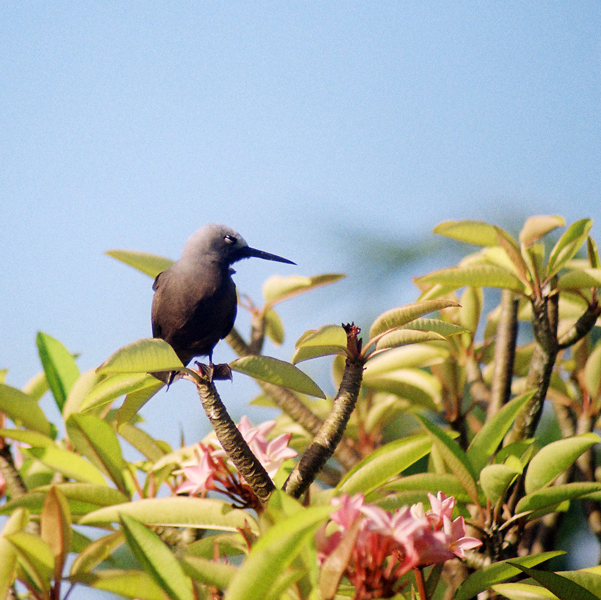
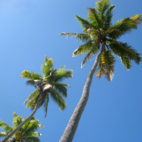
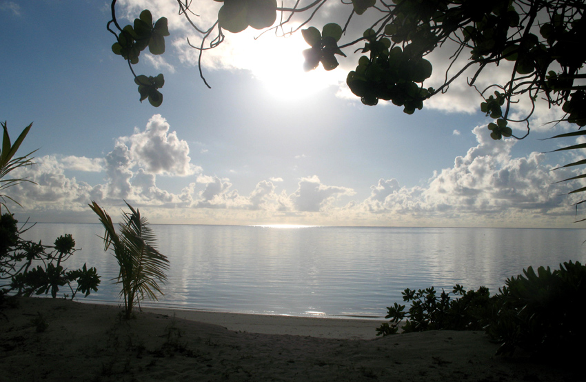
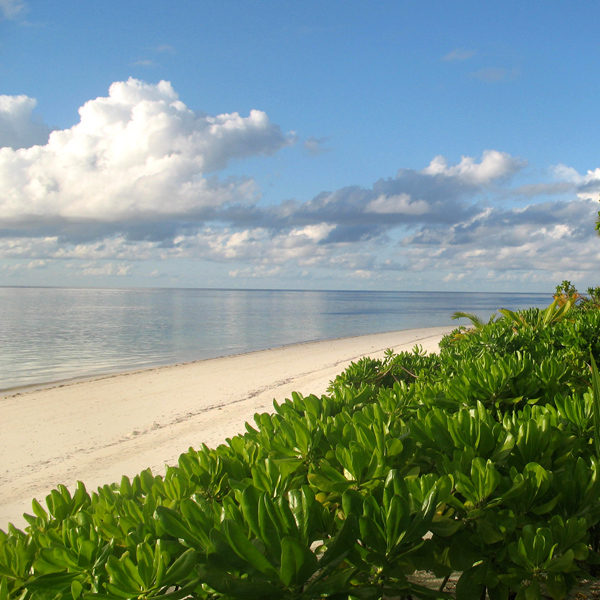
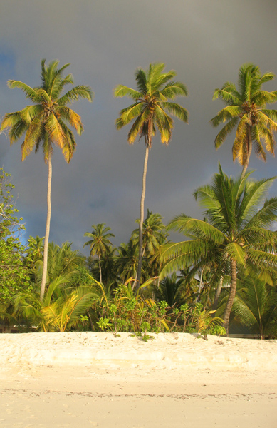
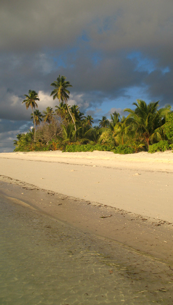
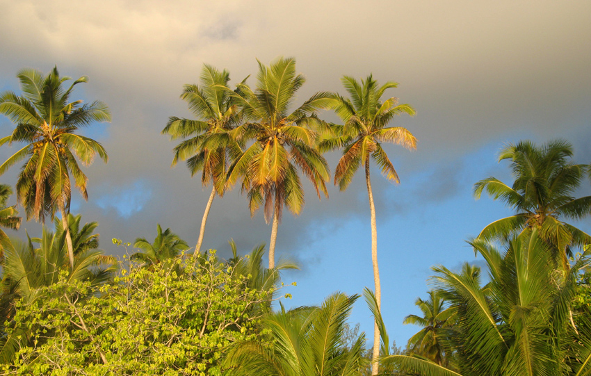
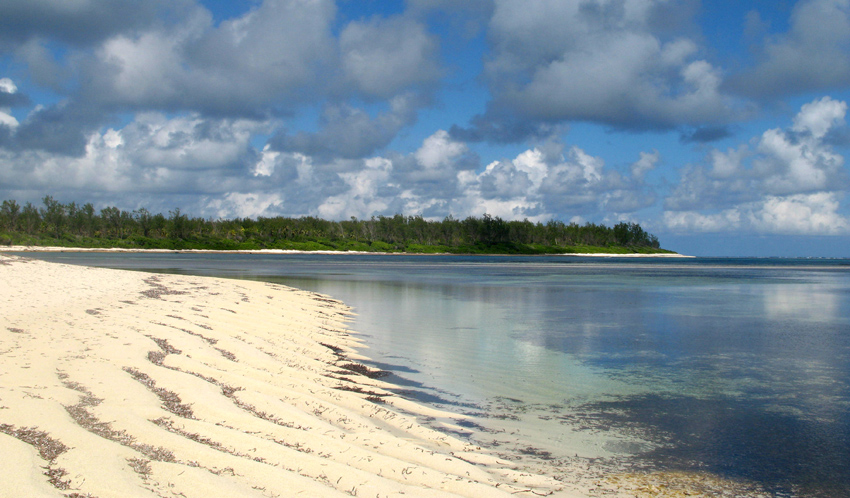
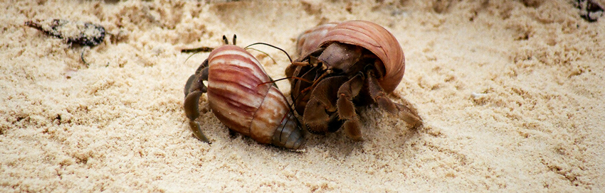
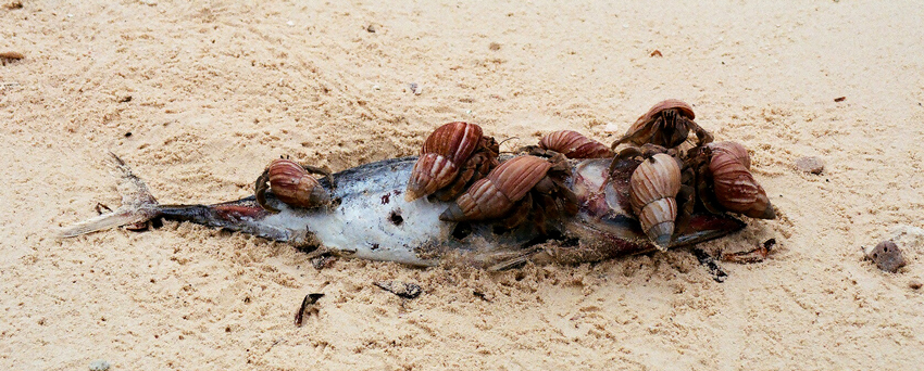
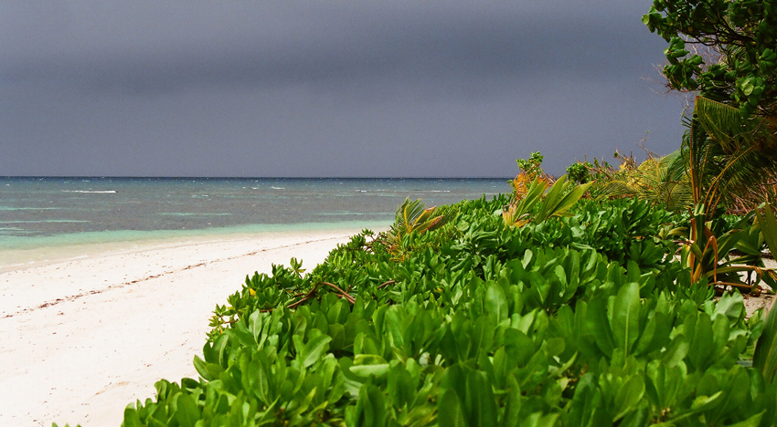
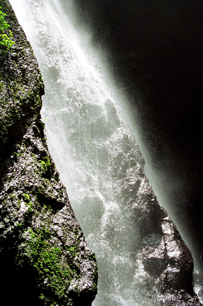
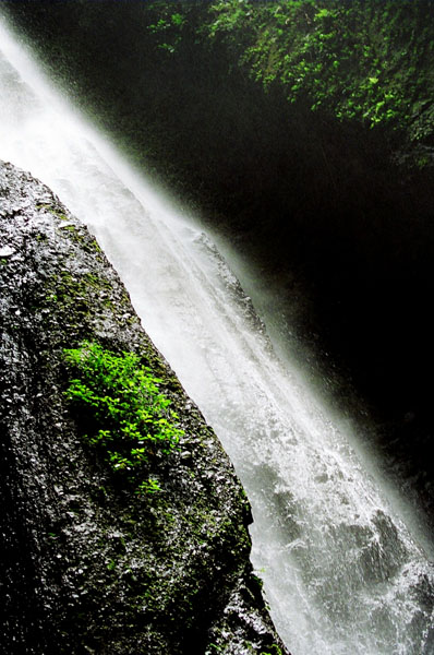
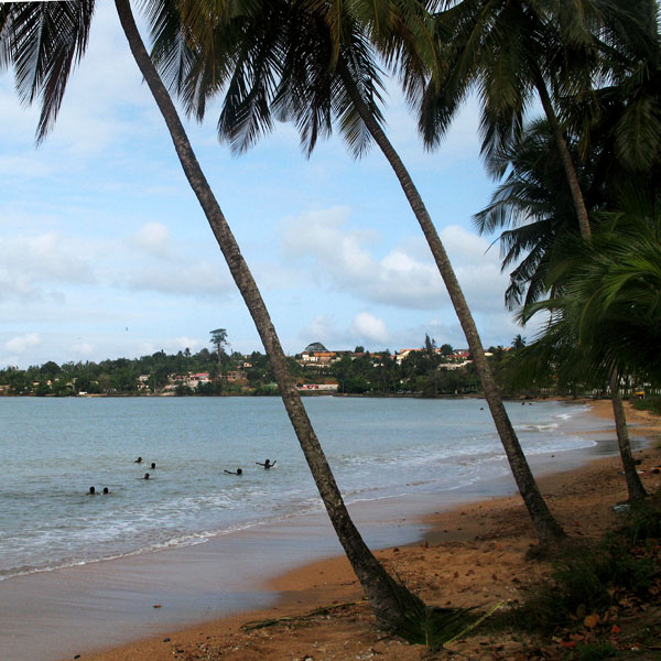
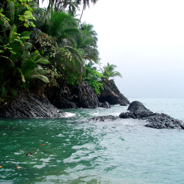
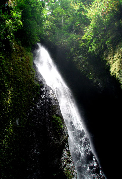
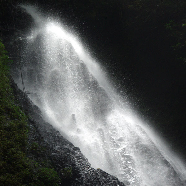
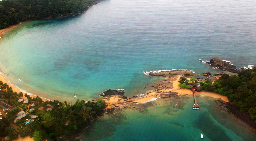
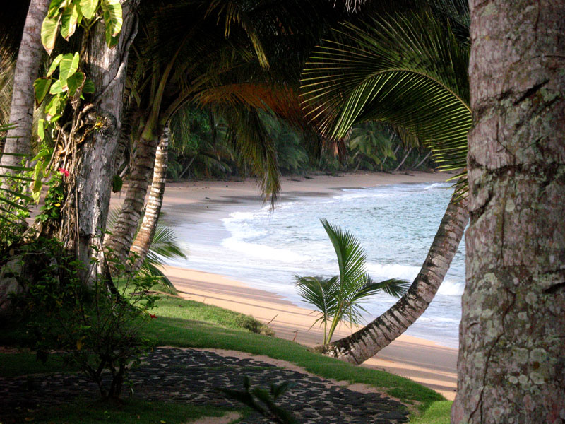
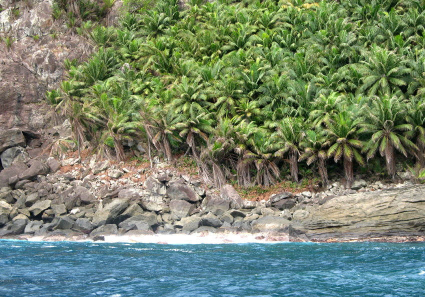
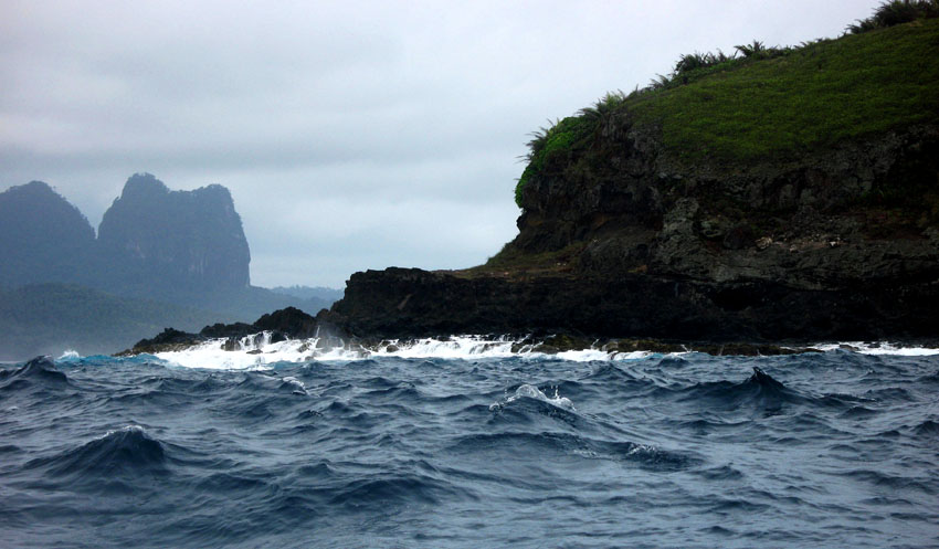
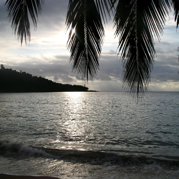
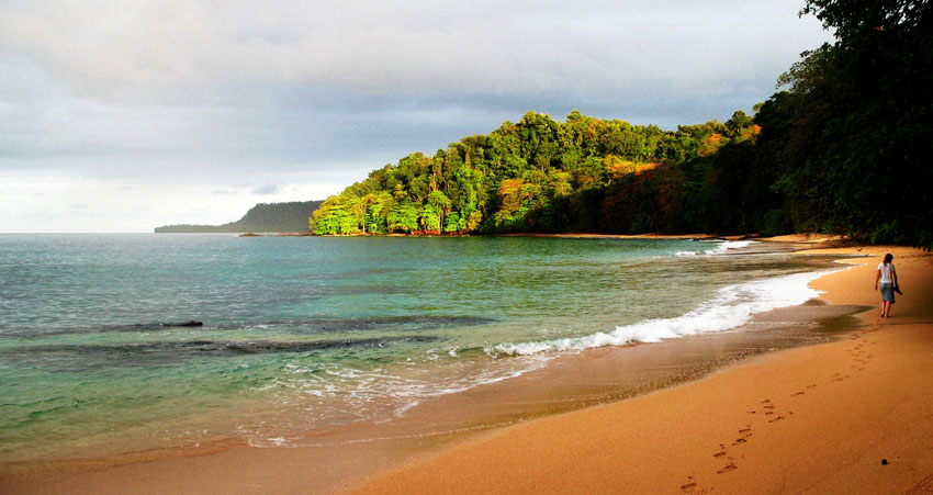
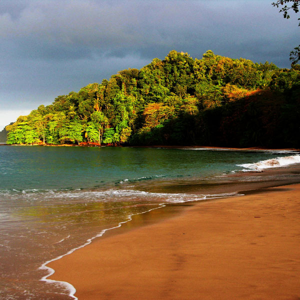
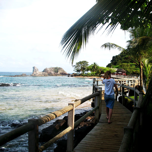
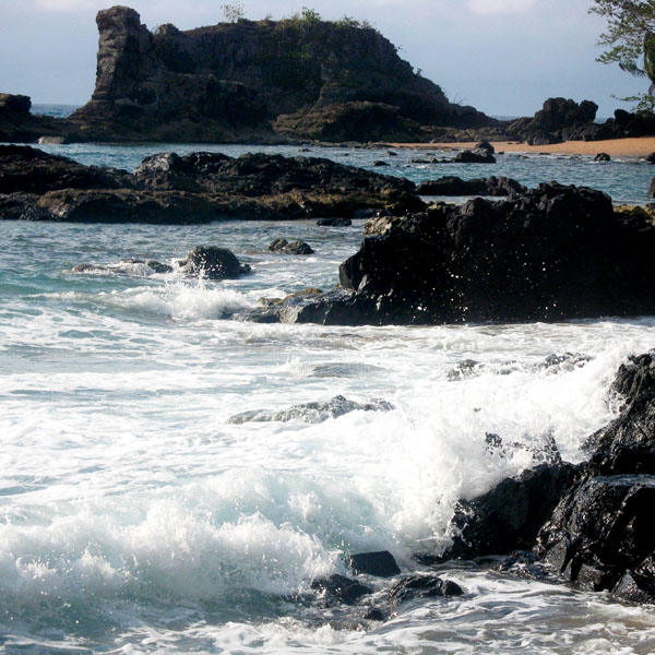
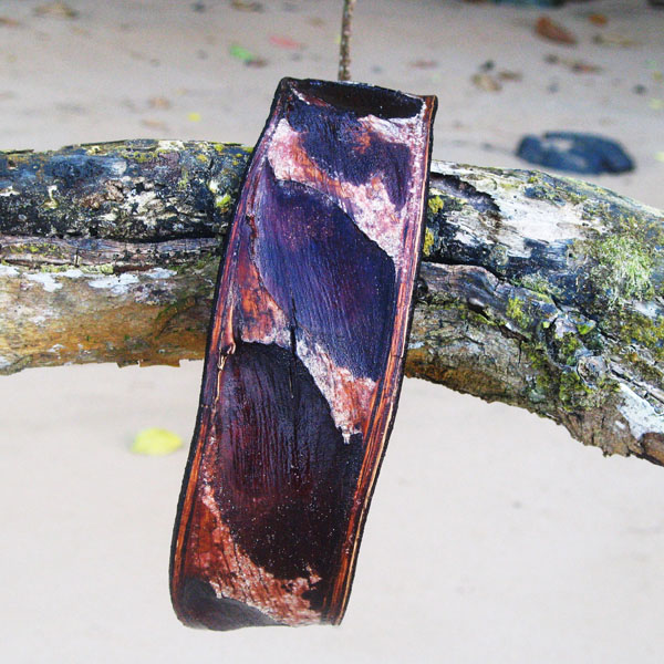
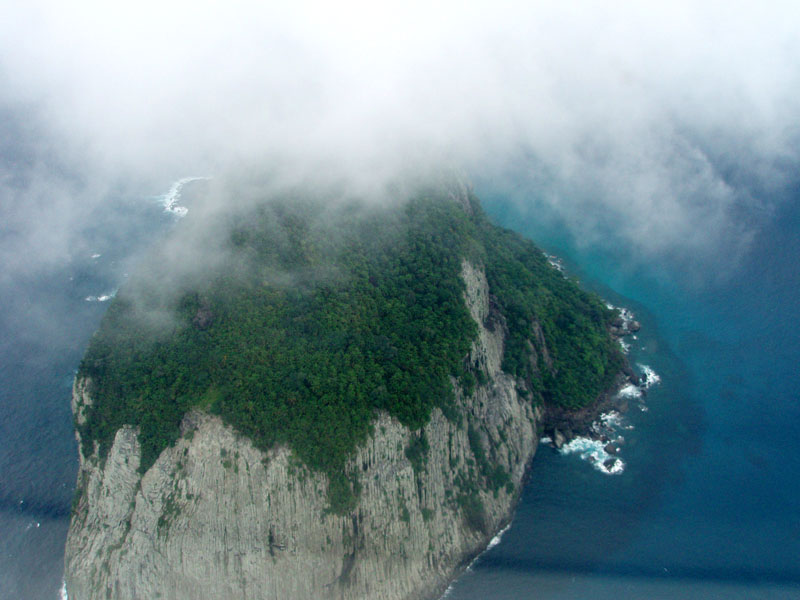
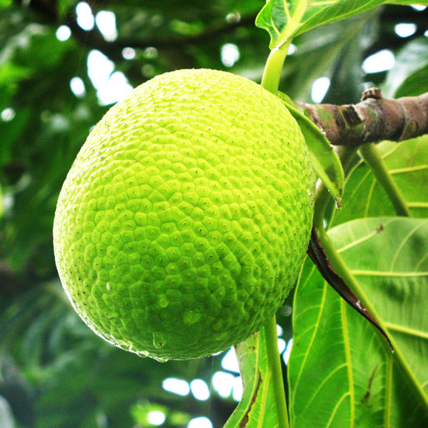
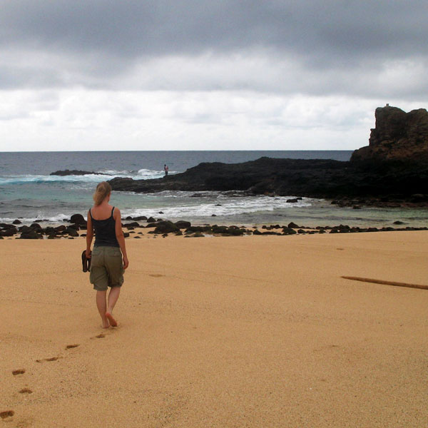
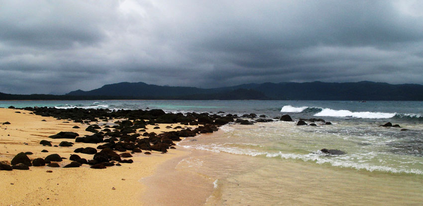
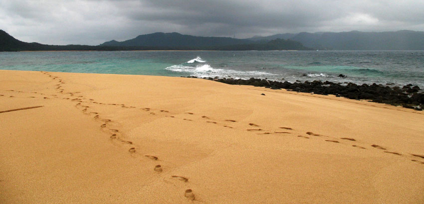
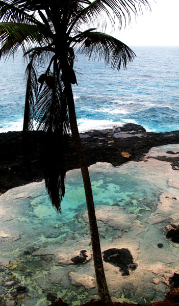
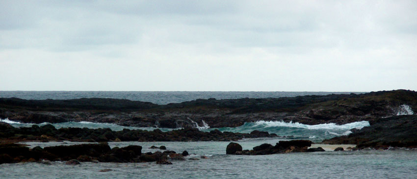
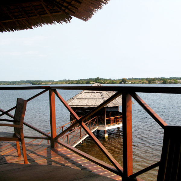
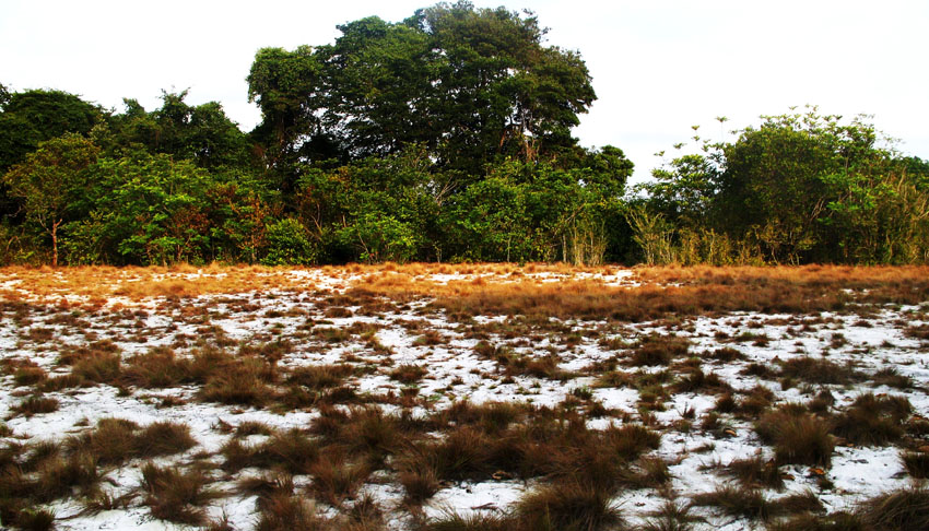
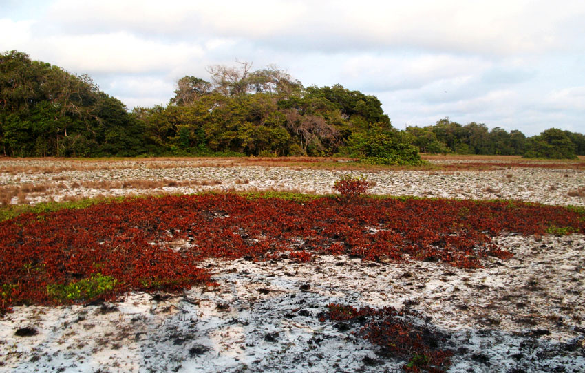
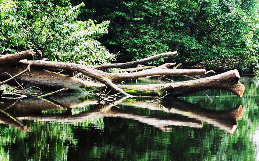
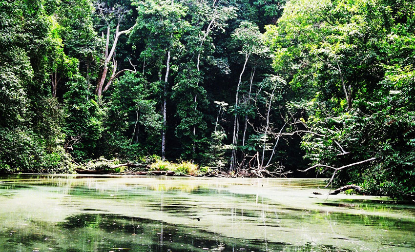
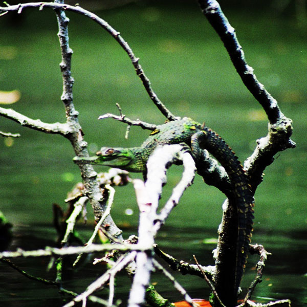
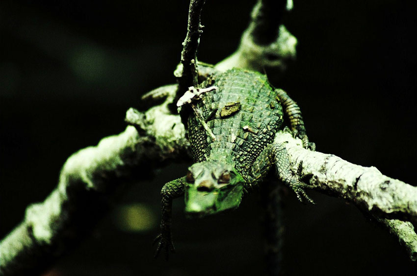
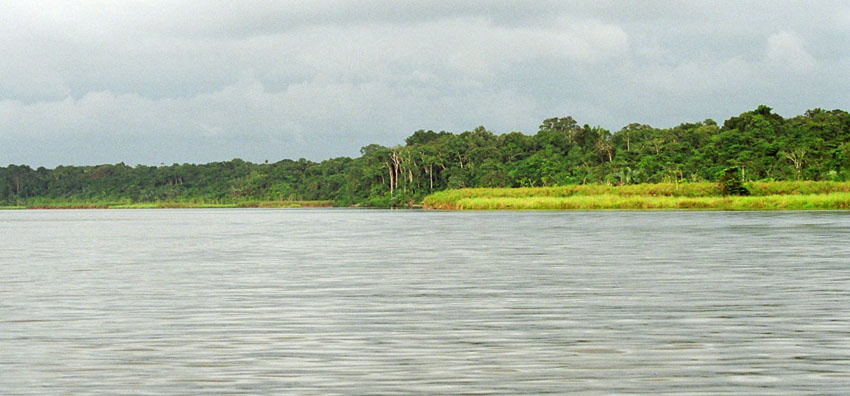
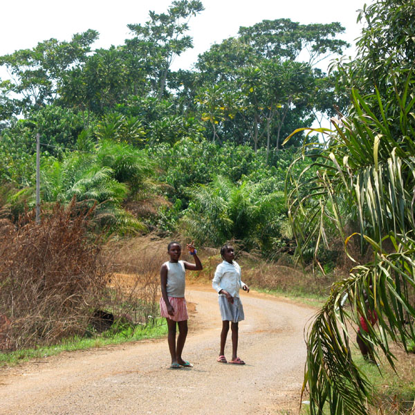
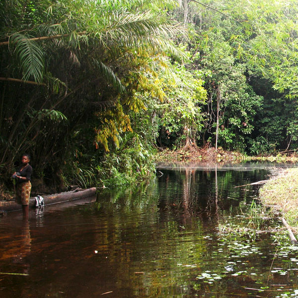
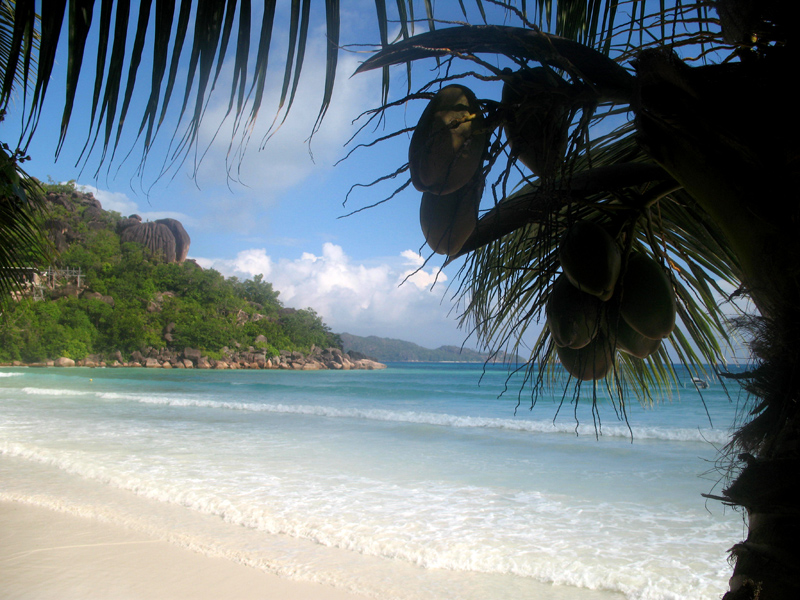
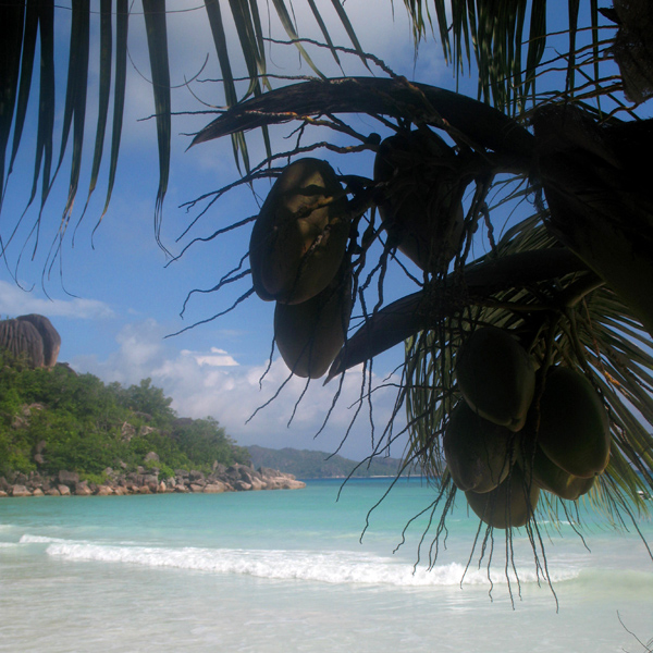
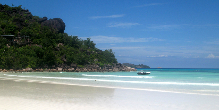
Praslin is known as a tourist destination with several hotels and resorts, as well as a number of beaches such as Anse Lazio and Anse Georgette. It also has substantial tracts of tropical forests with birds such as the endemic Seychelles Bulbul and the Seychelles Black Parrot. The beautiful Vallée de Mai Nature Preserve is known for the unique coco de mer and vanilla orchids. It has been reported that General Charles George Gordon of Khartoum (1833-1885) was convinced that Vallée de Mai was the Biblical “Garden of Eden”.

Source: Wikipedia (under GNU Free Documentation License)

Categories
Seychelles

Bird Island

Bird Island is the northernmost island in the Seychelles archipelago, 60 miles from Mahe. The 0.70 km² Coral island is known for its birdlife, including sooty terns, fairy terns and common noddies, and for hawksbill and green turtles. It is now a private resort with 24 bungalows. It also contains a small weather station.

Bird Island was formerly known as “Ile aux Vaches” due to the numerous dugongs (sea cows) that lived in nearby waters. Between 1896 and 1906, 17,000 tons of guano were removed from the island and exported to Mauritius as fertilizer. It formerly was a coconut plantation, and cash crops such as papaya and cotton were also grown.

Since 1967 it has been privately owned, and conservation measures have taken place such as protection of birdlife and sea turtle nesting sites, and the eradication of feral rats and rabbits.

Another phenomena of Bird island is that each Year in May millions of bird come for nesting to the island and before they start nesting they pick up water from the sea and drop in the large grass patch of the island, where they intend to nest. The salt water the bird drop makes the grass go dry and after a few weeks they can start building their nests on the dry ground.

Source: Wikipedia (under GNU Free Documentation License)

Categories
Seychelles

Desroches

Île Desroches or Desroches Island is the main island of the Amirante Islands, part of the Outer Islands of the Seychelles. It is located 230 km southwest of Mahé, the Seychelles’ main island. It is 6.2 km long and has a land area of 3.24 km². Along its circumference of 15 km is a beach of fine sand.

Desroches was named by Chevalier de Roslan, commander of the ship L’Heure du Berger, after the Chevalier des Roches, the Governor of Mauritius (then Île de France) and Réunion (then Bourbon) from 1767 to 1772. It was explored by the Chevalier de la Billioère in 1771. The British had originally named it Wood Island because of its dense tree vegetation. The island was an important producer of copra.

Desroches has a population of about 50, a settlement in the middle of the northwestern shore (looking to the lagoon), a small luxury hotel with 20 rooms in the south (Desroches Island Resort), built in 1988 and a paved airstrip 1372 m long in the southern part. It is located 36 km east of the Amirantes Bank, and separated from it by water over 1300 meters deep. It lies on the southern edge of a reef of atoll character. At the northern edge of the atoll are the Shark Rocks, with least depths between 3 and 6 meters. There is a lighthouse on the northeast end of the Desroches Island. The island is fringed by a drying reef which extends 1.6 km offshore from the northeastern extremity and 0.8 km from the southwestern extremity. The island is low and is covered with coconut palms and tall hardwood trees. A deep channel, about 1.6 km wide, leads into the lagoon. The least depth in the channel is 18.3 m, and it crosses the atoll in a position about 11 km northwest of Desroches.

Source: Wikipedia (under GNU Free Documentation License)

Categories
Seychelles

Mahé II

Mahé is the largest island (155 km²) of the Seychelles, lying in the north east of the nation. The population of Mahé is 80,000. It contains the capital city of Victoria and accommodates 90% of the country’s total population. The island was named after Bertrand-François Mahé de La Bourdonnais, a French governor of Mauritius.

Mahé’s tallest peak is Morne Seychellois at 905 m, which lies in the Morne Seychellois National Park. The northern and eastern parts of the island are home to much of the population and the international airport which opened in 1971. The southern and western parts have Baie Ternay Marine National Park and Port Launay Marine National Park. The Ste Anne Marine National Park lies offshore, as do Conception Island, Thérèse Island, Anonyme Island and Silhouette Island.

Mahé was first visited by the British in 1609 and not visited by Europeans again until Lazare Picault’s expedition of 1742. Mahé remained a French possession until 1812 when it became a British colony. It remained a colony until 1976 when Seychelles became an independent nation.

Source: Wikipedia (under GNU Free Documentation License)

Categories
São Tomé and Príncipe

São Tomé II

São Tomé Island, at 854 km2 (330 sq mi), is the largest island of São Tomé and Príncipe and is home to about 133,600 or 96% of the nation’s population. This island and smaller nearby islets make up São Tomé Province, which is divided into six districts. The main island is located 2 km (1¼ miles) north of the equator. It is about 48 km (30 miles) long (North-South) by 32 km (20 miles) wide (east-west). It rises to 2,024 m (6,639 ft) at Pico de São Tomé and includes the capital city, São Tomé, on the northeast coast. The nearest city on mainland Africa is the port city of Port Gentil in Gabon located 240 km (150 miles) to the east.

The entire island of São Tomé is a massive shield volcano which rises from the floor of the Atlantic Ocean, over 3,000 m (10,000 ft) below sea level. It formed along the Cameroon line, a linear rift zone extending from Cameroon southwest into the Atlantic Ocean. Most of the lava erupted on São Tomé over the last million years has been basalt. The youngest dated rock on the island is about 100,000 years old, but numerous more recent cinder cones are found on the southeast side of the island.

Source: Wikipedia (under GNU Free Documentation License)

Categories
São Tomé and Príncipe

Príncipe

Príncipe is the smaller of the two major islands of São Tomé and Príncipe lying off the west coast of Africa. It has an area of 136 km² and a population of around 5,000 people. It rises in the south to 948 metres at Pico de Príncipe, in a thickly forested area forming part of the Obo National Park. The north and centre of the island were formerly plantations but largely reverted to forest. The island forms one province and one district named Pagué. The languages other than Portuguese includes Principense or Lunguyê with a few Forro speakers.

The island has one town, Santo António, and an airport (IATA code: PCP, ICAO: FPPR?), as well as some small villages including Bela Vista, Bombom, Futuro, Neves Ferreira, Paciencia, Ponta Fonte, Ribeira Ize, Santo Antonio de Ureca, Vila Rosa and more – few connected to the small road network.

The island is a heavily eroded volcano over three million years old, surrounded by other smaller islands including Ilheu Bom Bom, Ilhéu Caroço, Tinhosa Grande and Tinhosa Pequena.

Príncipe was the site where Einstein’s Theory of Relativity was experimentally proved successful by Arthur Stanley Eddington and his team during an eclipse in 1919.

Source: Wikipedia (under GNU Free Documentation License)

Categories
São Tomé and Príncipe

Rolas II

Rolas is a small island lying south of São Tomé Island, being the third largest island of São Tomé and Príncipe. It lies directly on the equator and is known for its beaches, its palm trees, its lighthouse and its beach resort. The island rises to a volcano and is linked by boat to Porto Alegre on São Tomé Island.

Source: Wikipedia (under GNU Free Documentation License)

Categories
Gabon

Evengué

Evengue is a small Island (2 km²) in the Fernan Vaz Lagoon, 10 km south-east of the town of Omboue.

Here, there is a gorilla sanctuary and a centre of their reintroduction. A part of this population can be seen in natural conditions. Watching them is truly exciting. They are majestic, human-like and gorgeous. Their ways of behaving are very similar to ours and their look deeply touches a heart.

Categories
Gabon

Loango

Loango National Park is a national park in western Gabon. It protects diverse coastal habitat, including part of the 220 km² Iguéla Lagoon, the only significant example of a typical western African lagoon system that is protected within a national park.

Situated between the Nkomi and Ndogo Lagoons, Loango National Park is the true jewel of Africa’s western coast. The naturalist Mike Fay called Loango ‘Africa’s Last Eden’ and this is where Michael “Nick” Nichols from National Geographic also took his well-known pictures of surfing hippos. Both men call Loango the ‘Land of surfing hippos’. The park’s 1,550 km of savanna, pristine beach, forest and mangroves are a must-see in Gabon. Loango National Park offers breathtaking panoramas and the unique opportunity to observe elephants, buffalos, hippos, gorillas and leopards venturing onto the white sand beaches.

After South Africa, the world’s largest concentration and variety of whales and dolphins can be found right off the Loango coast. The area has over 100 kilometres of uninhabited coastline and humpback and killer whales are easy to observe here. This is the most beautiful spot on Africa’s western coast – the place where forests, savannas, wetlands, lagoons and ocean all come together. Loango is renowned worldwide as a site for tarpon of record size, as well as many other large saltwater fish.

Categories
Gabon

Gabon

Gabon is a country in west central Africa sharing borders with the Gulf of Guinea to the west, Equatorial Guinea to the northwest, and Cameroon to the north, with the Republic of the Congo curving around the east and south. Its size is almost 270,000 km² with an estimated population of 1,500,000. The capital and largest city is Libreville. Since its independence from France on August 17, 1960, the Republic has been ruled by three presidents. In the early 1990s, Gabon introduced a multi-party system and a new democratic constitution that allowed for a more transparent electoral process and reformed many governmental institutions. The small population together with abundant natural resources and foreign private investment have helped make Gabon one of the most prosperous countries in the region, with the highest HDI in Sub-Saharan Africa.

The earliest inhabitants of the area were Pygmy peoples. They were largely replaced and absorbed by Bantu tribes as they migrated.

In the 15th century, the first Europeans arrived. The nation’s present name originates from “Gabão”, Portuguese for “cloac”, which is roughly the shape of the estuary of the Komo River by Libreville.

Source: Wikipedia (under GNU Free Documentation License)