Categories
Mozambique

Ibo

Ibo is one of the Quirimbas Islands in the Indian Ocean off northern Mozambique. It is part of Cabo Delgado Province. It grew as a Muslim trading port. Vasco da Gama reportedly rested on the island in 1502. The island was fortified in 1609 by the Portuguese.

In the late eighteenth century, Portuguese colonialists built the Fort of São João, which still survives, and the town, as a slave port, became the second most important in the region after Mozambique Island. The island is now a far quieter place, known for its silversmiths.

Ibo forms part of the Quiribas National Park and is linked by dhows to the mainland at Tandanhangue.

Source: Wikipedia (under GNU Free Documentation License)

Categories
Mozambique

Matemo

Matemo Island forms part of the pristine Quirimbas Islands and is located northeast of Ibo island, in northern Mozambique, about 100 km from the city of Pemba. It is approximately 24 square kilometres in area, with palm groves and beaches.

It contains two villages, inhabited by native Mozambicans, as well as the Matemo Island Resort, falling within the Rani Resorts group.

Source: Wikipedia (under GNU Free Documentation License)

Categories
Mozambique

Bazaruto

Bazaruto (Portuguese: Ilha do Bazaruto) is a sandy island located approximately 80 kilometers (50 miles) southeast of the mouth of the Save River, Mozambique 21°38′S 35°30′E. The warm, southward-flowing Mozambique Current seems to contribute to the increasing buildup of the sandy coastline. Because the water along this coastal area is very clear, much of the sub-surface channel pattern around the island is discernible. Several narrow lines of plankton bloom (barely visible in the photograph) parallel the shoreline. The coastal plains show numerous lakes and a swampy environment that appears to be karst topography. Underlying the area is limestone rock that has eroded into a pockmarked landscape, creating water-filled sinkholes. Rainfall in this humid subtropical climate amounts to between 50 and 100 centimeters (20 and 40 inches) annually.

The closest mainland town to the island of Bazaruto is Inhassoro, although administratively it belongs to the Vilankulo District and Inhambane Province.

Source: Wikipedia (under GNU Free Documentation License)

Categories
Tanzania

Pemba

The island of Pemba known as ‘Al Jazeera Al Khadra’ (the green island, in Arabic) is an island forming part of the Zanzibar archipelago, lying off the east coast of Africa in the Indian Ocean. It is situated about 50 kilometres to the north of the island of Zanzibar. In the 1960s Zanzibar was united with the former colony of Tanganyika to form Tanzania. It lies 50 kilometres east of mainland Tanzania. Together with Mafia Island (south of Zanzibar), they form the Spice Islands (not to be confused with Maluku Islands of Indonesia). In 1988, the estimated population was 265,000, with an area of 980 km².

Most of the island, which is hillier and more fertile than Zanzibar, is dominated by small scale farming. There is large scale farming of cash crops such as cloves — there are over 3 million clove trees.

Pemba is also becoming well-known for its dive sites, with vertiginous drop-offs, untouched coral and very abundant marine life. The central town Chake-Chake is located on a hill with a view to the west on the bay and the tiny Misali island where the tides determine when a dhow can enter the harbour.

Source: Wikipedia (under GNU Free Documentation License)

Categories
Tanzania

Misali

Lying west of Pemba’s Chake Chake town, this small island has some wonderful beaches with great diving and snorkelling just offshore. It is covered with verdant forest, which has several beautiful walking trails. There is also a visitor centre. Misali Island and it’s surrounding reef are now known as the Misali Island Marine Conservation Area.

Categories
Madagascar

Andasibe

Andasibe-Mantadia National Park is a 155 square kilometre protected area consisting principally of primary growth forest in Toamasina Province in eastern Madagascar. The park’s elevation ranges from 900-1250 meters, with a humid climate. Average annual precipitation is 1700 mm, with rainfall on 210 days of each year. This rainforest is habitat to a vast species biodiversity, including many endemic rare species and endangered species, including 11 lemur species. The park’s two component parts are Mantadia National Park and Analamazaotra Reserve, which is best known for its population of Madagascar’s largest lemur, the Indri.

The main threat to this park comes from the disappearance of adjoining habitat outside the park. This disappearance has been caused primarily by logging and replacement of rainforest with commercial Australian eucalyptus and Chinese pine forests, and to a lesser extent by slash-and-burn cultivation for rice agriculture, which is exacerbated by the extremely high population growth rate and poverty in rural Madagascar.

To address the disappearing habitat threat, reserves have been created in the vicinity of Andasibe-Mantadia that balance resource extraction with environmental protection, and attempt to create economic and environmentally-preferable alternatives to replacing native forests with eucalyptus and pine.

Source: Wikipedia (under GNU Free Documentation License)

Categories
Madagascar

Anjajavy


Categories
Madagascar

Morondava

Morondava is a city located in the province of Toliara and the Region of Menabe, of which it is the capital, in Madagascar. It is located in the delta of the Morandava River at 20°17′5″S 44°19′3″E.

Air Madagascar has regular scheduled flights to Morondava Airport. The main road to the town, and indeed the roads in the town itself, are severely eroded with less than 30% of the original tarmac left in most places. Overland transport is therefore very slow and difficult, especially in the rainy season. Pirogues are consequently a popular mode of transport used to ferry people and goods up and down the coast, especially to Morombe.

Source: Wikipedia (under GNU Free Documentation License)

Categories
Madagascar

Avenue of the Baobabs

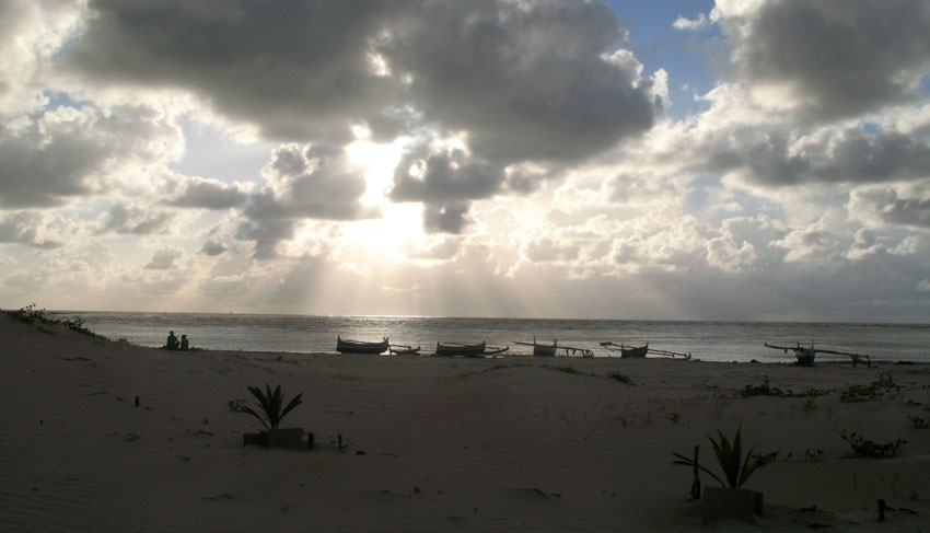
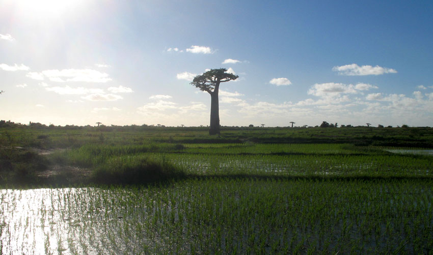
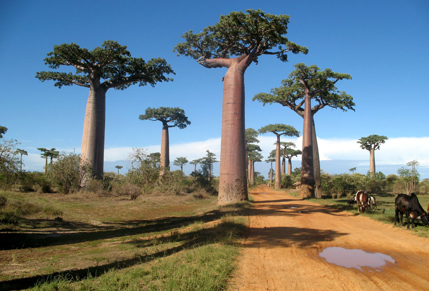
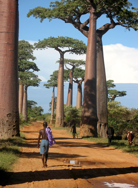
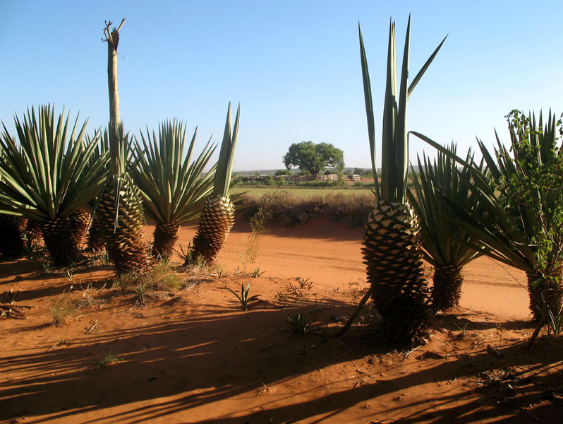
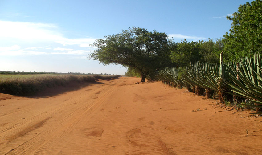
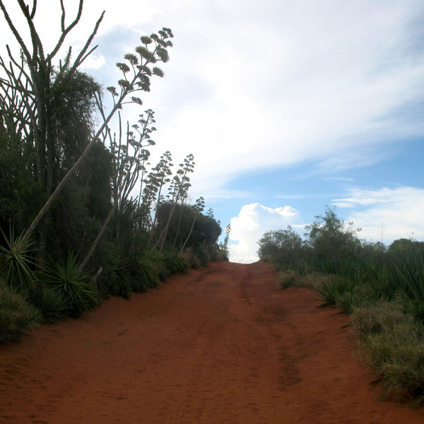
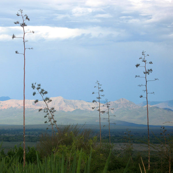
The Avenue or Alley of the Baobabs is a prominent group of baobab trees lining the dirt road between Morondava and Belon’i Tsiribihina in the Menabe region in western Madagascar. Its striking landscape draws travelers from around the world, making it one of the most visited locations in the region. It has been a center of local conservation efforts, and was granted temporary protected status in July 2007 by the Ministry of Environment, Water and Forests, the first step toward making it Madagascar’s first national monument.

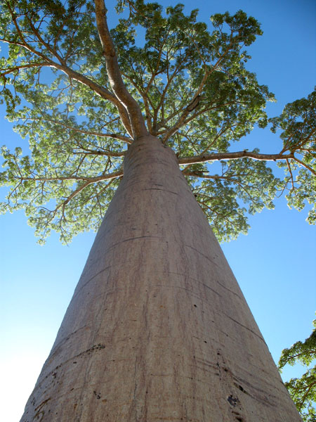
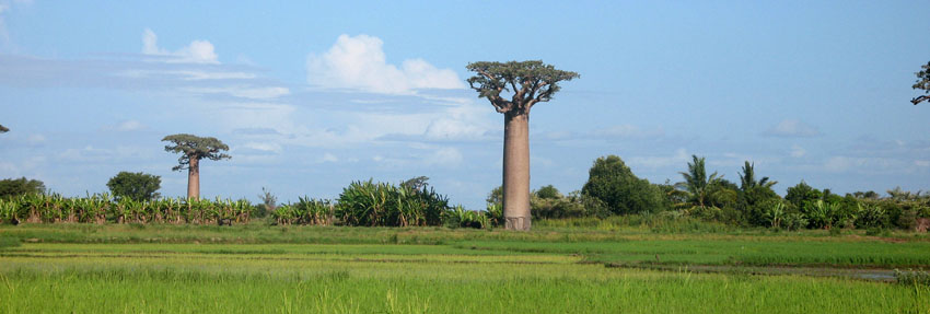
Along the Avenue are about a dozen trees about 30 meters in height, of the species Adansonia grandidieri, endemic to Madagascar. Baobab trees, up to 800 years old, known locally as renala (Malagasy for “mother of the forest”), are a legacy of the dense tropical forests that once thrived on Madagascar. The trees did not originally tower in isolation over the sere landscape of scrub but stood in dense forest. Over the years, as the country’s population grew, the forests were cleared for agriculture, leaving only the baobab trees, which the locals preserved as much in respect as for their value as a food source and building material.

The area is not a national park, and the trees are threatened by further deforestation, effluent from encroaching rice paddies and sugarcane plantations, and brush and forest fires. Despite its popularity as a tourist destination, the area has no visitor center or gate fees, and local residents receive little income from tourism. Conservation International in partnership with Fanamby, a Malagasy NGO, has launched an ecotourism project aimed at conservation of the area and economic improvement for the local community.

Source: Wikipedia (under GNU Free Documentation License)

Categories
Madagascar

Berenty

Berenty Reserve is a small private reserve of gallery forest along the Mandrake river, set in the semi-arid spiny forest ecoregion of the far south of Madagascar. For some years Primatologist Alison Jolly and student volunteers have visited Berenty to conduct fieldwork on Lemurs. The reserve is also a favourite for visitors who want to see some of Madagascar’s endemic bird species, which include Owls and Couas.

The reserve has accommodation in the forest and a set of forest trails to explore. It attracts the most visitors of any Madagascar nature reserve. It is reached after a two hour drive from Tôlagnaro on the southeast coast.

Source: Wikipedia (under GNU Free Documentation License)