Categories
Belize

Belize

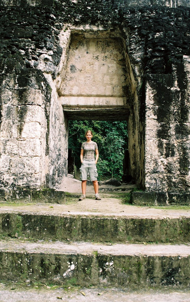
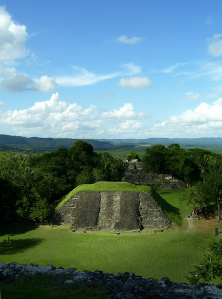
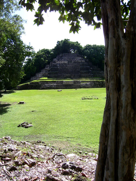
Belize, formerly British Honduras, is a country in Central America. Belize has a diverse society, composed of many cultures and speaking many languages. It is the only country in Central America where English is the official language. It is bordered by Mexico to the north, Guatemala to the south and west, the and Caribbean sea to the east. Kriol and Spanish are also widely spoken. With 8,867 square miles (22,960 km²) of territory and 320,000 people (2008 est.), the population density is the lowest in the Central American region and one of the lowest in the world. Belize is the least populous non-island nation outside of Europe. The country’s population growth rate, 2.21% (2008 est.), is the highest in the region and one of the highest in the western hemisphere. Culturally, Belize considers itself to be both Caribbean and Central American.

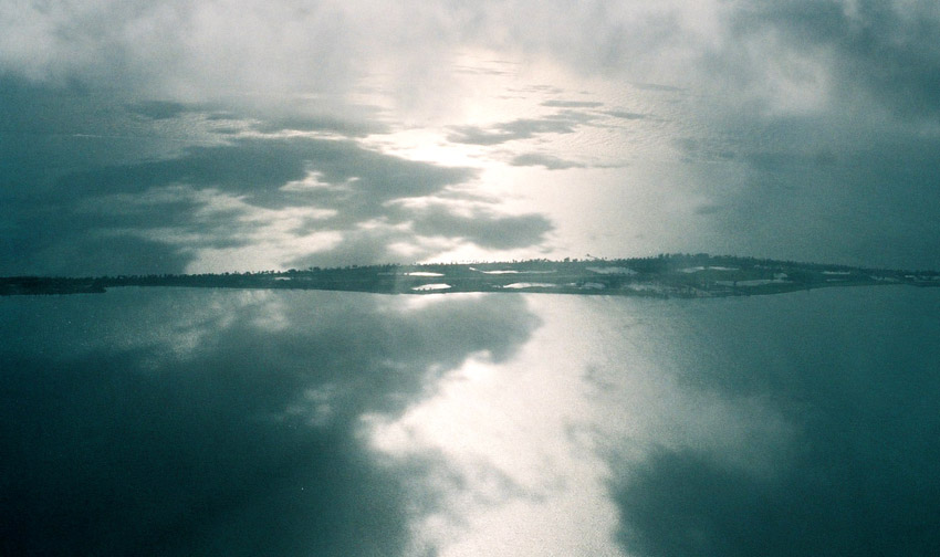
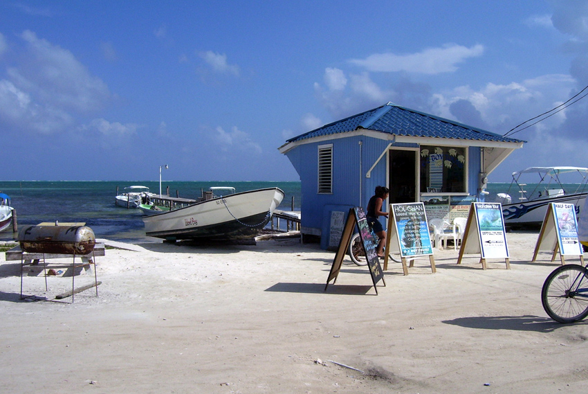
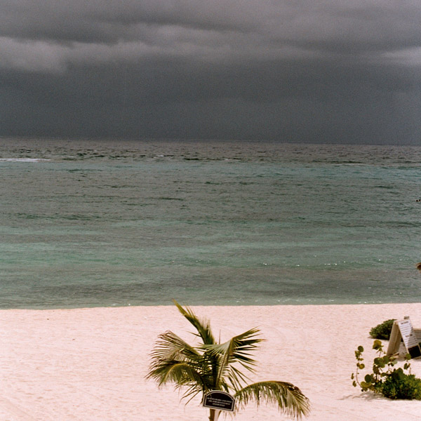
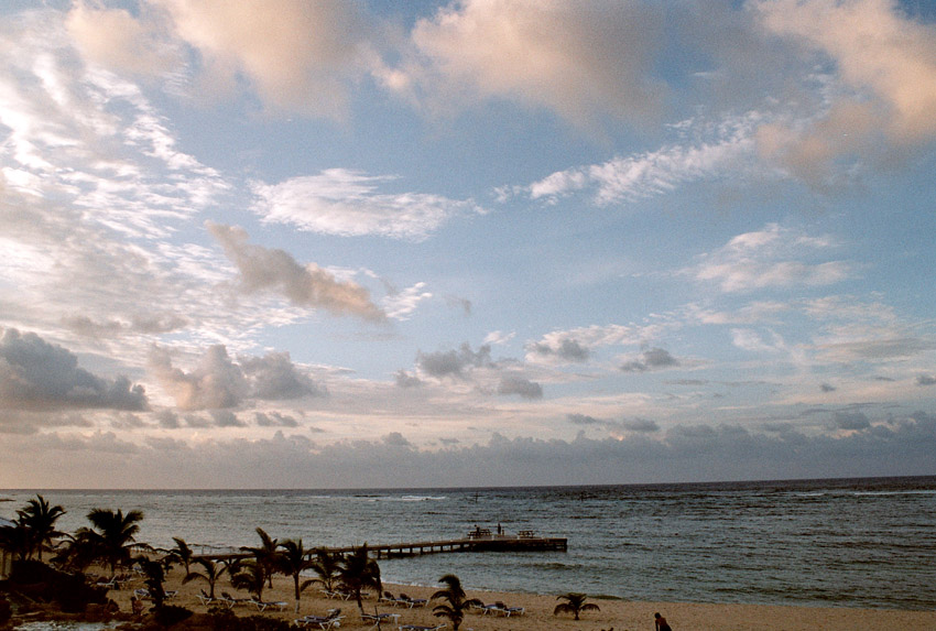
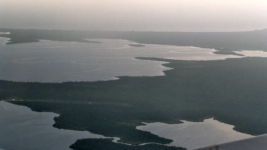
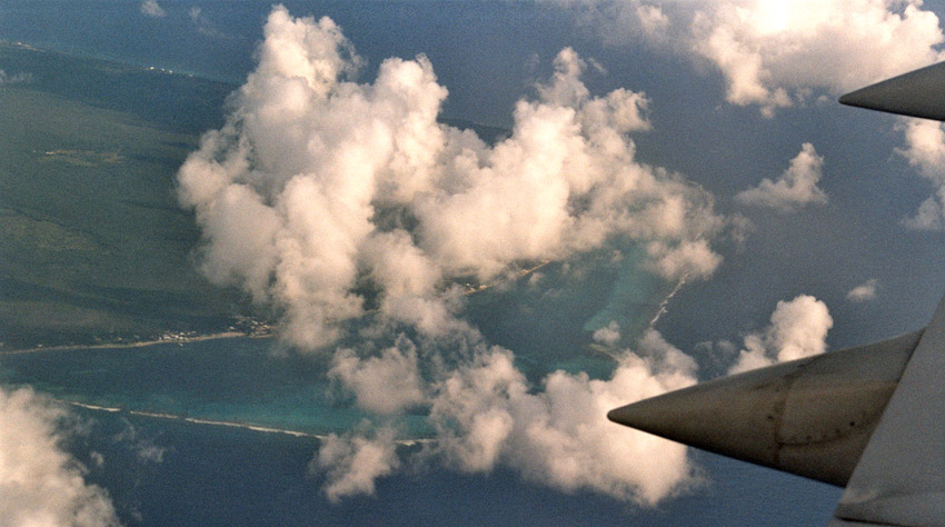
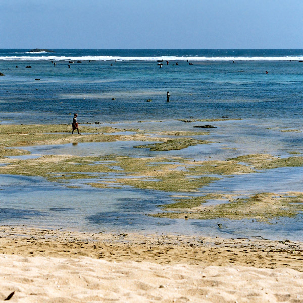
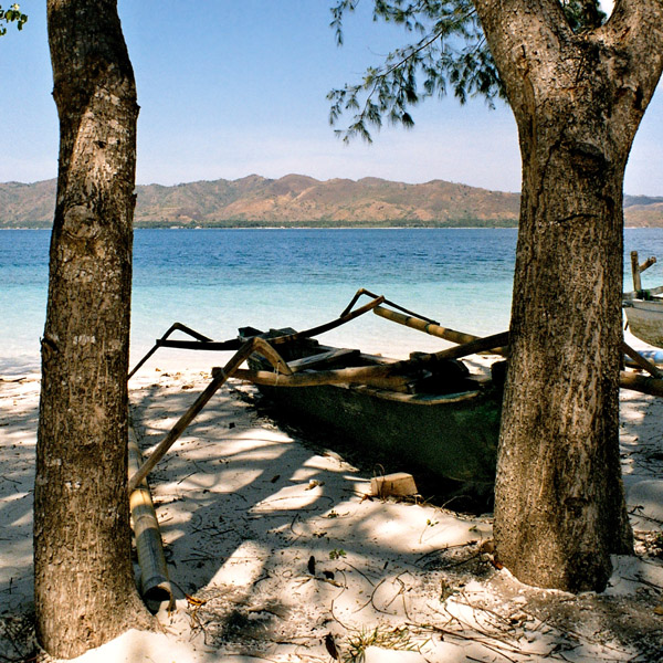
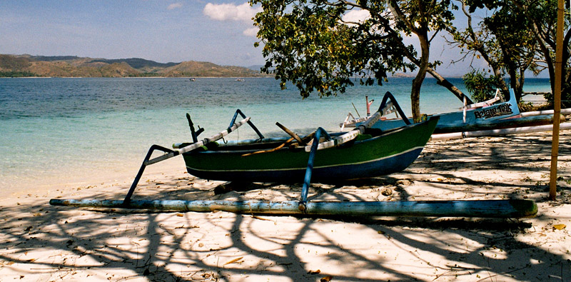
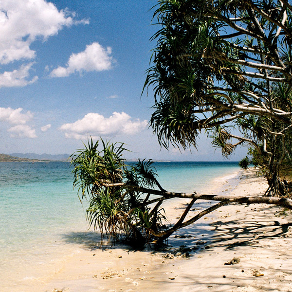
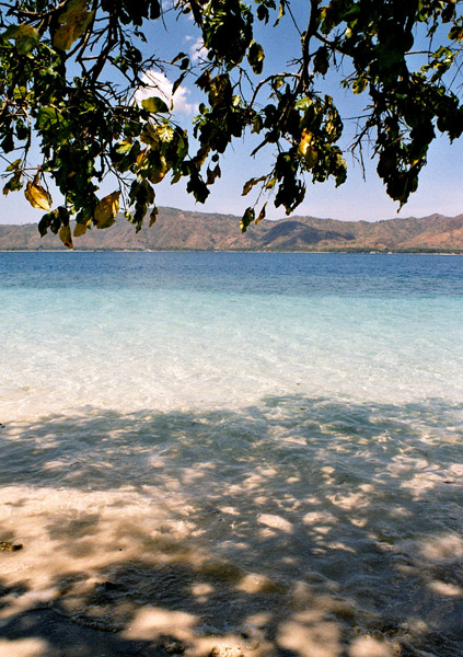
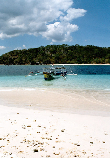
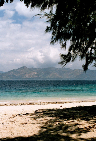
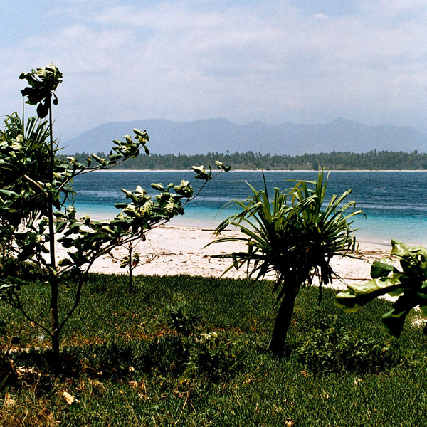
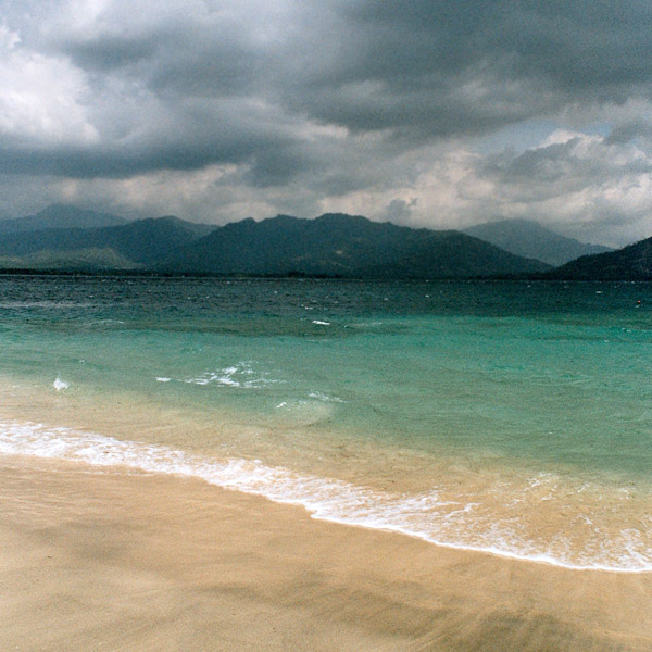
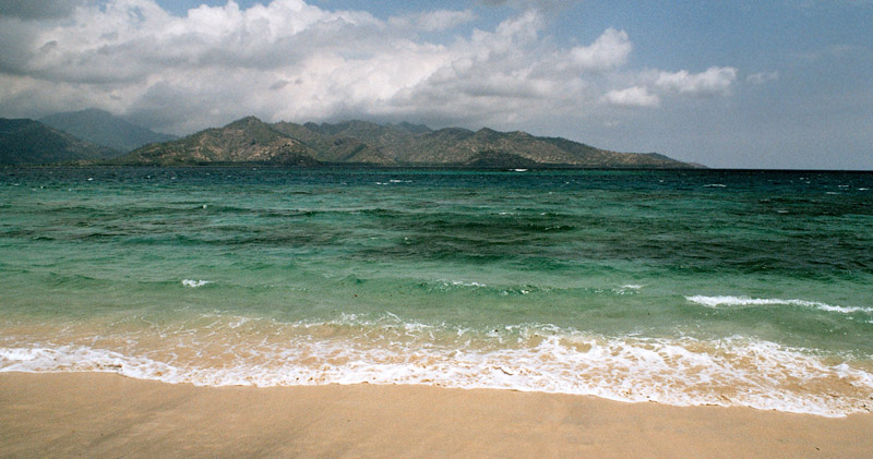
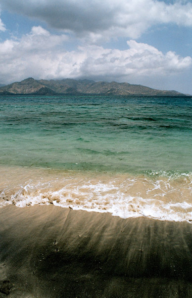
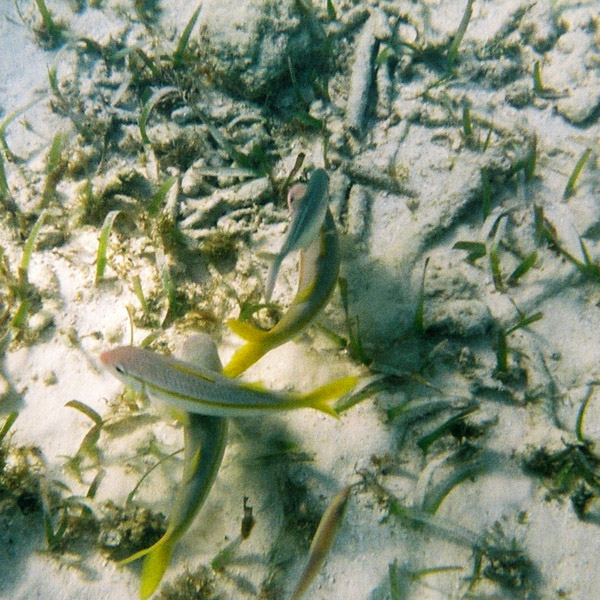
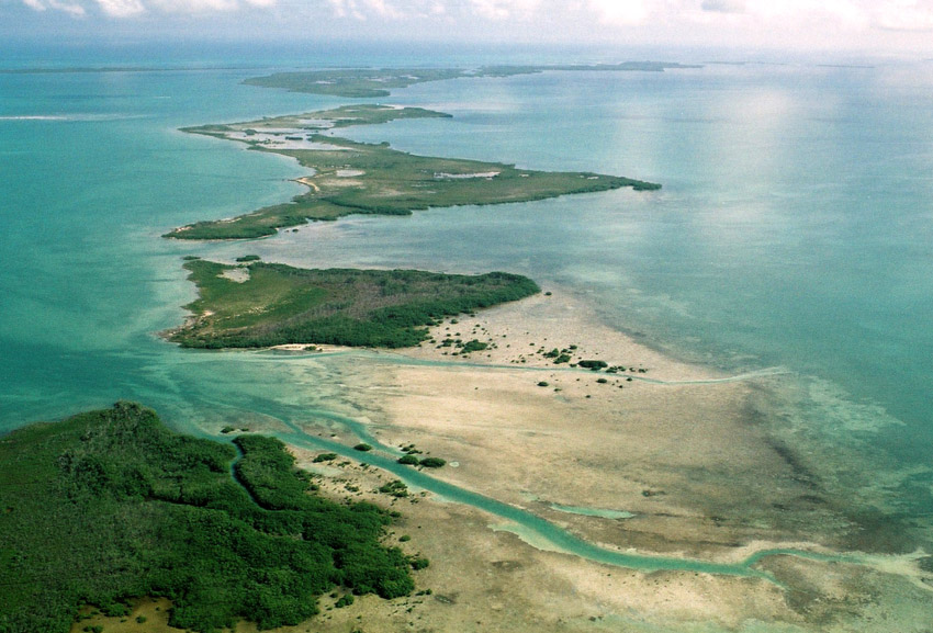
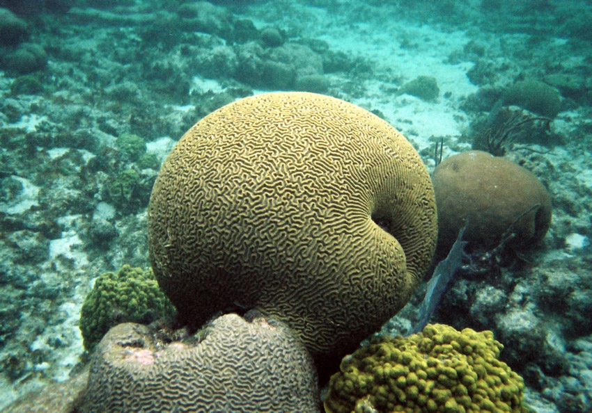
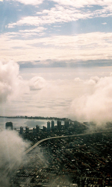
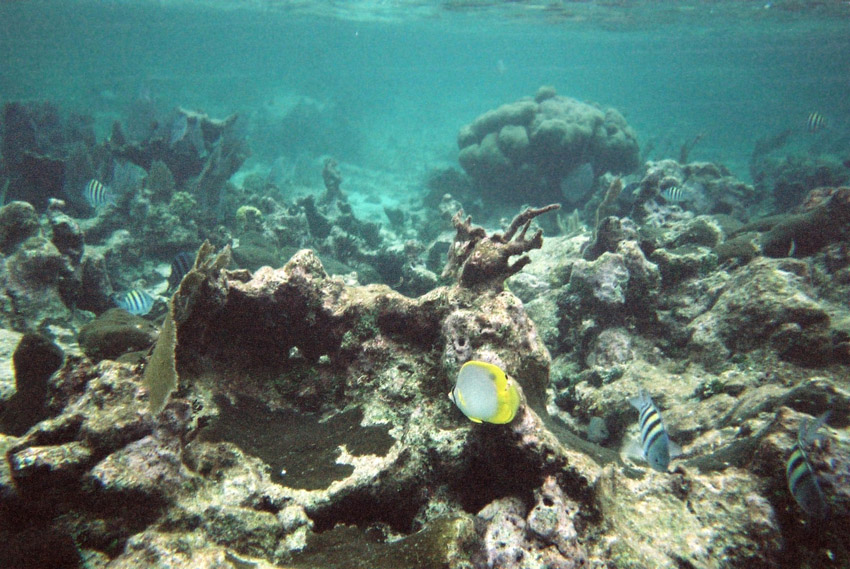
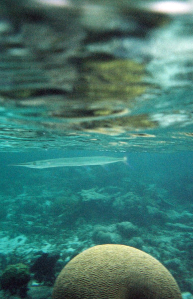
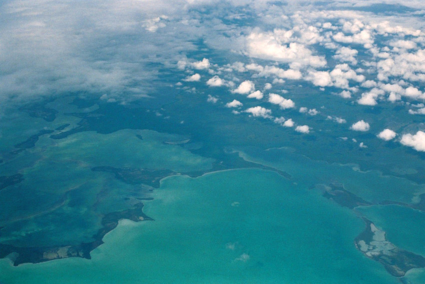
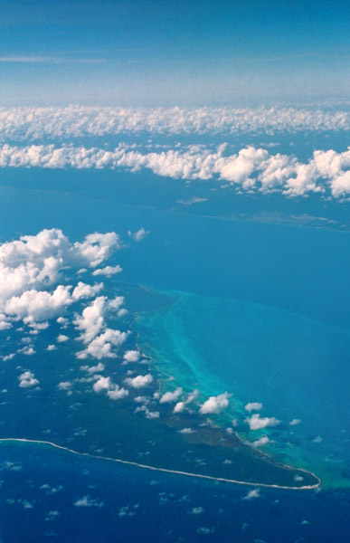
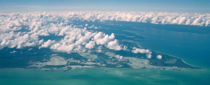
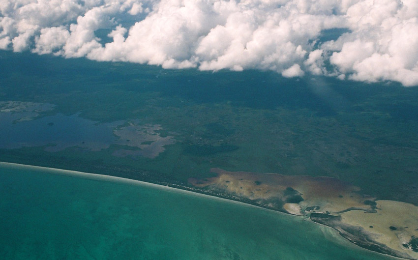
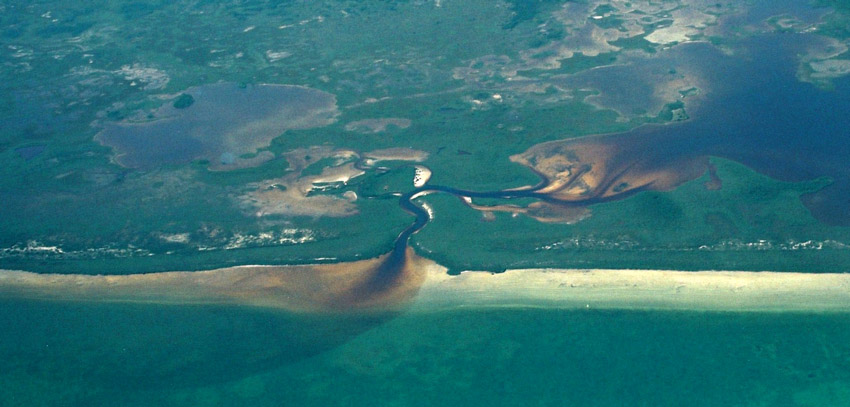
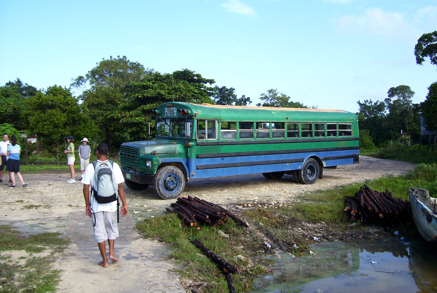
Belize is located on the Caribbean coast of northern Central America. It shares a border on the north with the Mexican state of Quintana Roo, on the west with the Guatemalan department of Petén, and on the south with the Guatemalan department of Izabal. To the east in the Caribbean Sea, the second-longest barrier reef in the world flanks much of the 386 kilometres (240 mi) of predominantly marshy coastline. The area of the country totals 22,960 square kilometres (8,860 sq mi), an area slightly larger than El Salvador or Massachusetts. The abundance of lagoons along the coasts and in the northern interior reduces the actual land area to 21,400 square kilometres (8,300 sq mi).

Source: Wikipedia (under GNU Free Documentation License)

Categories
Belize

Caye Caulker

Caye Caulker is a small limestone coral island off the coast of Belize in the Caribbean Sea measuring about 5 miles (north to south) by less than 1 mile (east to west). The town on the island is known by the name Caye Caulker Village, though the correct name from old maps is Santa Elena. Some have said the island’s name is derived from the practice of caulking or sealing the seams in wooden boats to make them watertight, due to the high number of shipwrights on the island. “Caye Corker”, the alternative spelling of the name used by British cartographers, has largely fallen into disuse. This was a phonetic spelling which in older English was pronounced the same.

It is now generally agreed that the name was derived at a much earlier date from the Spanish name for the island “Cayo Hicaco”. This refers to the Hicaco plum which grows wild on the island and was gathered by Spanish seafarers to combat scurvy.

Caye Caulker is located approximately 20 miles (32 km) north-northeast of Belize City, and is accessible by high-speed water taxi or small plane. In recent years the island has become a popular destination for backpackers and other tourists. There are over 30 tiny hotels, and a number of restaurants and shops.

Source: Wikipedia (under GNU Free Documentation License)

Categories
Guatemala

Tikál

Tikal (or Tik’al, according to the more current orthography) is one of the largest archaeological sites and urban centers of the Pre-Columbian Maya civilization. It is located in the archaeological region of the Petén Basin in what is now modern-day northern Guatemala. Situated in the department of El Petén at 17°13′19″N 89°37′22″W the site is part of Guatemala’s Tikal National Park and in 1979 was declared a UNESCO World Heritage Site. The closest large modern settlements are Flores and Santa Elena, approximately 64 kilometres (40 mi) by road to the southwest.

Tikal was one of the major cultural and population centers of the Maya civilization. Though monumental architecture at the site dates to the 4th century BC, Tikal reached its apogee during the Classic Period, ca. 200 to 900 AD, during which time the site dominated the Maya region politically, economically, and militarily while interacting with areas throughout Mesoamerica, such as central Mexican center of Teotihuacan. There is also evidence that Tikal was even conquered by Teotihuacan in the 4th century. Following the end of the Late Classic Period, no new major monuments were built at Tikal and there is evidence that elite palaces were burned. These events were coupled with a gradual population decline, culminating with the site’s abandonment by the end of the 10th century.

Source: Wikipedia (under GNU Free Documentation License)

Categories
Cayman Islands

Grand Cayman

Grand Cayman is the largest of the three Cayman Islands at about 196 km² and contains the capital George Town. Towns on the island are referred to as “districts”. The island is a high-lying reef of “ironshore” (limestone fringes with numerous marine fossils), with a highest elevation of roughly 24 metres above sea level. There is no natural fresh water (lakes, rivers, etc) on the island, so any fresh water needs must be met by catchments or desalination of seawater. The lack of rivers does however account for the exceptional clarity of the sea.

The island was devastated by Hurricane Ivan in 2004 from September 11 to September 12. With Category 5 strength, Ivan passed within 30 miles (48 km) of Grand Cayman, hitting it with winds over 180 mph (290 km/h) and gusts up to 200 mph (320 km/h). The island reported no more than a few deaths – none directly caused by the hurricane – but over 80% of the buildings were either damaged or completely destroyed. Ivan was the worst hurricane to hit the island in 86 years.

The eastern side of the island is somewhat undeveloped, while the western side of the island, which holds George Town and the airport, Owen Roberts International Airport, is more developed. Fast food restaurants, night clubs and resorts can be found on the western side of the island. The eastern districts offer more restaurants specialising in native Caymanian cuisine.

Source: Wikipedia (under GNU Free Documentation License)

Categories
Jamaica

Jamaica

Jamaica (pronounced /dʒəˈmeɪkə/) is an island nation of the Greater Antilles, 234 kilometres (145 mi) in length and as much as 80 kilometres (50 mi) in width situated in the Caribbean Sea. It is about 145 kilometres (90 mi) south of Cuba, and 190 kilometres (120 mi) west of the island of Hispaniola, on which Haiti and the Dominican Republic are situated. Its indigenous Arawakan-speaking Taíno inhabitants named the island Xaymaca, meaning the “Land of Wood and Water”, or the “Land of Springs”. Formerly a Spanish possession known as Santiago, it later became the British Crown colony of Jamaica. It is the third most populous anglophone country in North America, after the United States and Canada. It remains a Commonwealth realm with Queen Elizabeth II as Head of State.

Jamaica is the third largest island in the Caribbean. The island is home to the Blue Mountains inland and is surrounded by a narrow coastal plain. Most major towns and cities are located on the coast. Chief towns and cities include the capital Kingston, Portmore, Spanish Town, Mandeville, Ocho Ríos, Port Antonio, Negril, and Montego Bay. The Kingston Harbour is one of the largest natural harbours in the world. There are several tourist attractions scattered across the country, including Dunn’s River Falls in St. Ann, YS Falls in St. Elizabeth, the Blue Lagoon in Portland, and Port Royal, which was the site of an earthquake that helped form the island’s Palisadoes.

The climate in Jamaica is tropical, with hot and humid weather, although higher inland regions are more temperate. Some regions on the south coast, such as the Liguanea Plain and the Pedro Plains, are relatively dry rain-shadow areas. Jamaica lies in the hurricane belt of the Atlantic Ocean; as a result, the island sometimes experiences significant storm damage. Hurricanes Charlie and Gilbert hit Jamaica directly in 1951 and 1988, respectively, causing major damage and many deaths. In the 2000s, hurricanes Ivan, Dean, and Gustav also brought severe weather to the island.

Source: Wikipedia (under GNU Free Documentation License)

Categories
Brazil

Fernando de Noronha

Fernando de Noronha is an archipelago of 21 islands and islets in the Atlantic Ocean, around 354 km (220 miles) offshore from the Brazilian coast. The main island has an area of 18.4 square kilometres (7.1 sq mi) and had a population of 3,012 in the year 2008. The area is a special municipality (distrito estadual) of the Brazilian state of Pernambuco (despite being closer to the state of Rio Grande do Norte) and is also a UNESCO World Heritage Site. Its timezone is UTC−2h. The local population and travellers can get to Noronha by plane or cruise from Recife (545km) or by plane from Natal (360km). A small environmental preservation fee is charged from tourists upon arrival by Ibama (Institute of Environment and Renewable Natural Resources).

The climate is tropical, with two well-defined seasons. The rainy season lasts from March to September, the rest of the year sees little rain.

The islands of this archipelago are the visible parts of a range of submerged mountains. Consisting of 21 islands, islets and rocks of volcanic origin, the main island has an area of 18 km² (7.1 miles²), being 10 km (6.2 miles) long and 3.5 kilometres (2.170 mi) wide at its maximum. The base of this enormous volcanic formation is 756 m below the surface. The main island, from which the group gets its name, makes up 91% of the total area.

Source: Wikipedia (under GNU Free Documentation License)

Categories
Brazil

Porto de Galinhas

Porto de Galinhas is a beach in the municipality of Ipojuca, Pernambuco, Brazil. Porto de Galinhas is a major tourist destination. The beach is famous for its bright-water beaches and the natural pools. It is part of the municipality of Ipojuca, and located 60 kilometers (37 miles) south of the state capital, Recife.

It has been voted “Best Brazilian Beach” for the eighth time in a row by the readers of Voyage & Tourism Brazilian magazine. According to this magazine, the main reasons given are the beauty of the natural pools (the closest to the coast in all of Brazil, the ecological trails, the hotel infrastructure and the proximity to a large city and airport in Recife.

Source: Wikipedia (under GNU Free Documentation License)

Categories
Indonesia

Lombok

Lombok (population 2,950,105 in 2005) is an island in West Nusa Tenggara province, Indonesia. It is part of the chain of the Lesser Sunda Islands, with the Lombok Strait separating it from Bali to the west and the Alas Strait between it and Sumbawa to the east. It is roughly circular, with a “tail” to the southwest, about 70 km across and a total area of about 4,725 km² (1,825 sq mi). The provincial capital and largest city on the island is Mataram.

The Lombok Strait marks the passage of the biogeographical division between the fauna of the Indomalayan ecozone and the distinctly different fauna of Australasia that is known as the Wallace Line, for Alfred Russel Wallace, who first remarked upon the distinction between these two major biomes.

The island’s topography is dominated by the centrally-located stratovolcano Mount Rinjani, which rises to 3,726 m (12,224 ft), making it the third-highest in Indonesia. The most recent eruption of Rinjani was in May-June, 2009, which was a small oozing eruption of ‘Gunung Baru’ (New Mountain). The volcano, and its crater lake, ‘Segara Anak’ (child of the sea), are protected by a National Park established in 1997. The southern part of the island is a fertile plain where corn, rice, coffee, tobacco, and cotton are grown.

The island’s inhabitants are 85% Sasak whose origins are thought to have migrated from Java in the first millennium BC. Other residents include 10-15% Balinese, with the small remainder being Chinese, Arab, Javanese, and Sumbawanese. Since the Sasak population typically practice Islam, the landscape is punctuated with mosques and minarets. Islamic traditions and holidays influence the Island’s daily activities.

Source: Wikipedia (under GNU Free Documentation License)

Categories
Indonesia

Gili Nanggu

Categories
Indonesia

Gili Air

Gili Air is the smallest of the Gilis and it’s closest to the Lombok mainland, making it popular with honeymoon couples and travelers seeking a quiet retreat. It has a population of about 1,000 and administratively lies in the West Nusa Tenggara province. The island offers excellent snorkeling and scuba diving off its east coast, and turtles can be seen along the coral reef.

Source: Wikipedia (under GNU Free Documentation License)