Categories
Majotte

Mayotte

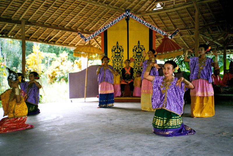
Mayotte (French: Mayotte; Shimaore (Swahili dialect): Maore; Malagasy: Mahori), officially the Departmental Collectivity of Mayotte (French: Collectivité départementale de Mayotte), is an overseas collectivity of France consisting of a main island, Grande-Terre (or Mahoré), a smaller island, Petite-Terre (or Pamanzi), and several islets around these two.

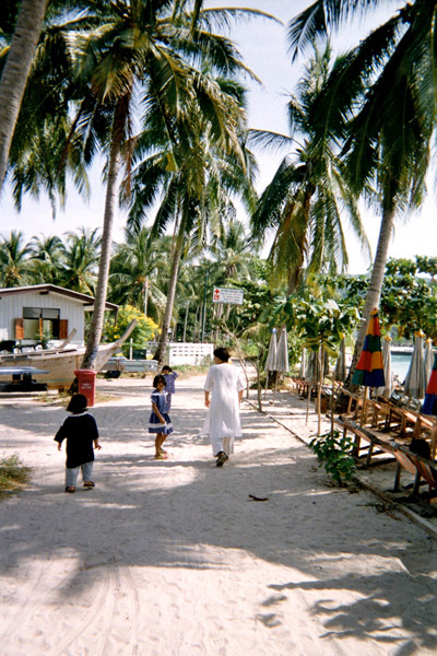
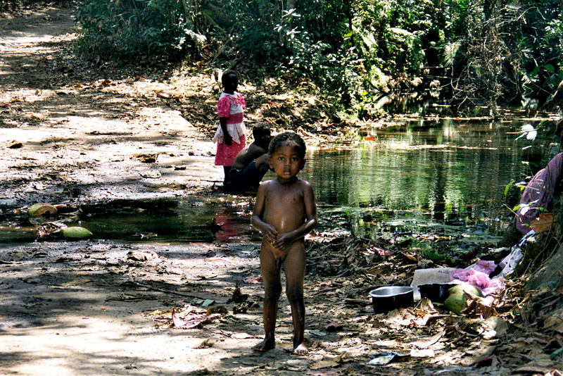
Mayotte is very densely populated. It is in the northern Mozambique Channel in the Indian Ocean, between northern Madagascar and northern Mozambique. The territory is geographically part of the Comoro Islands, but has been politically separate since the 1970s. The territory is also known as Mahoré, the native name of its main island, especially by advocates of its inclusion in the Union of Comoros.

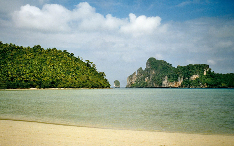
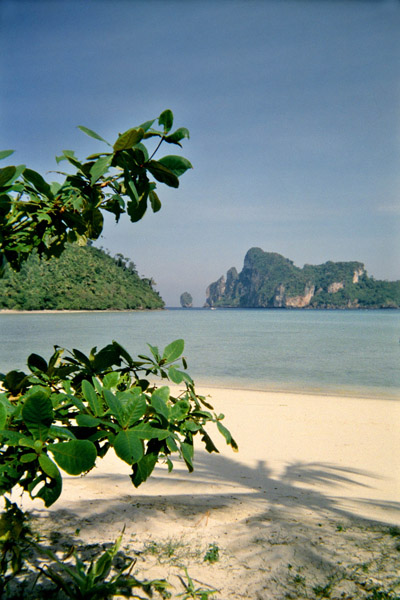
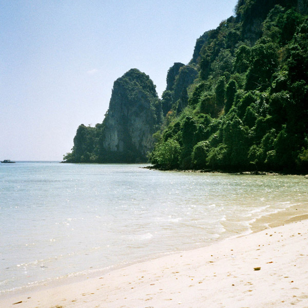
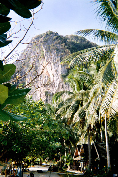
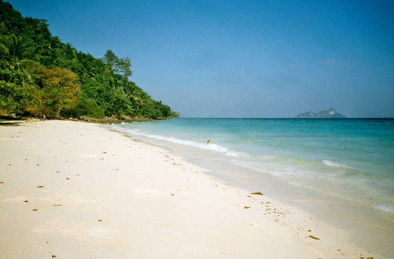
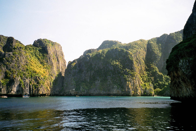
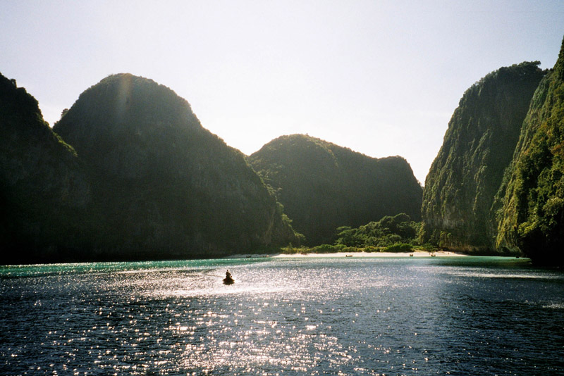
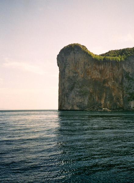
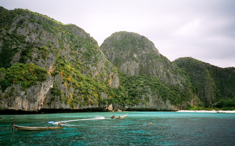
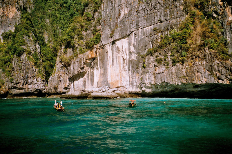
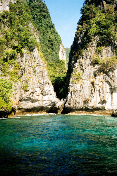
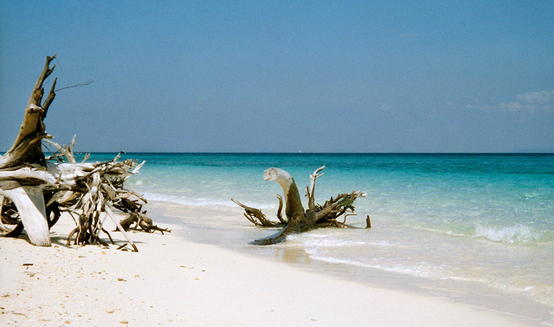
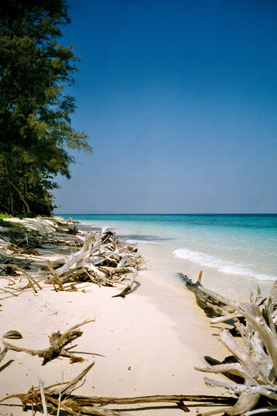
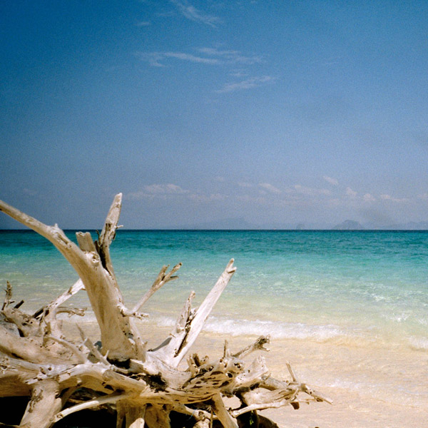
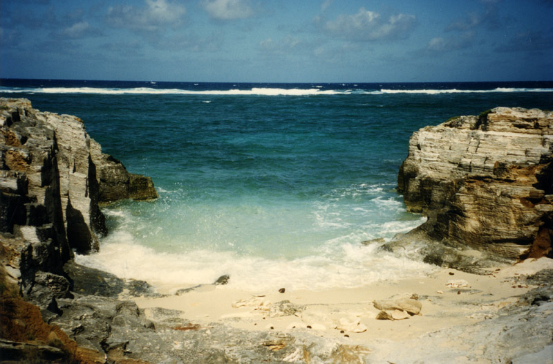
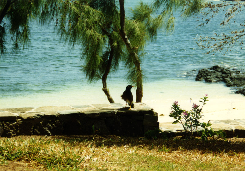
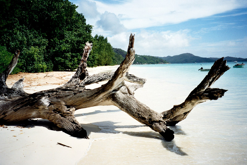
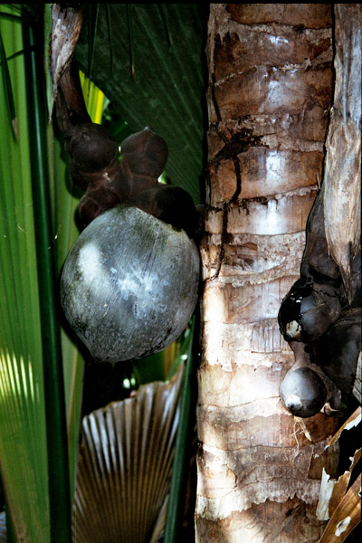
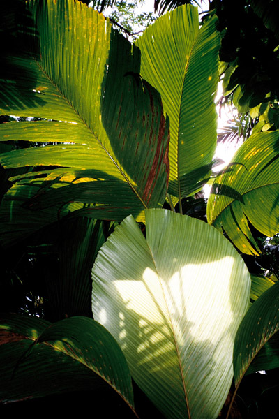
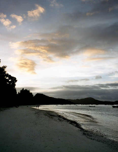
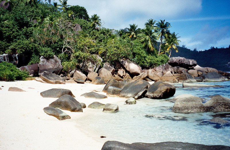
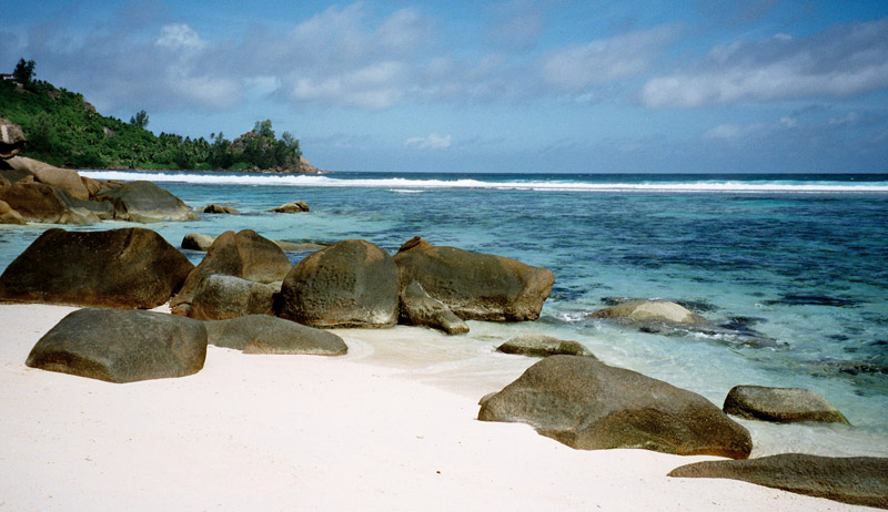
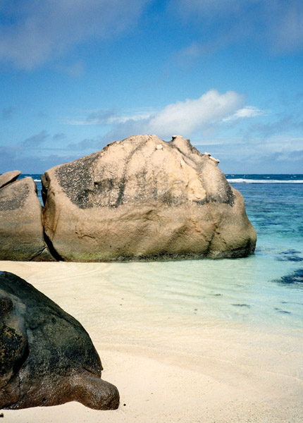
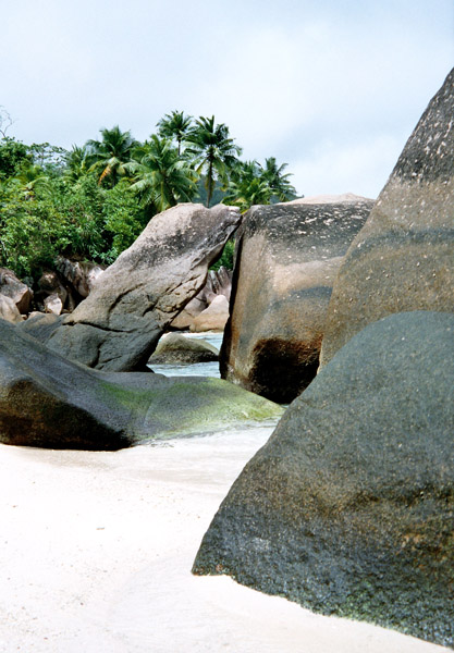
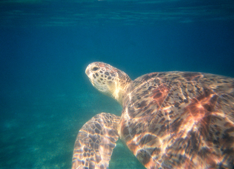
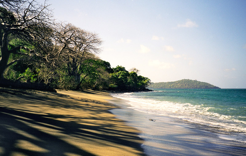
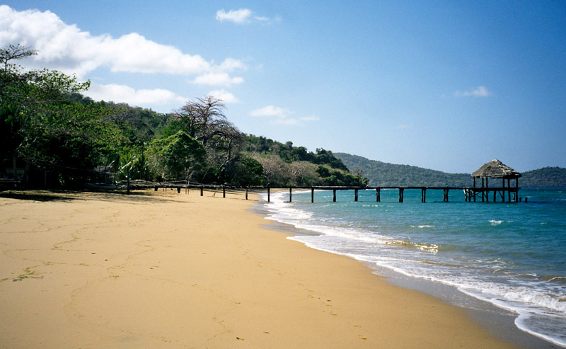
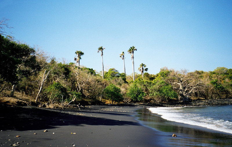
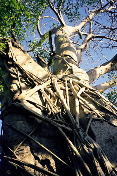
The main island, Grande-Terre (or Mahoré), geologically the oldest of the Comoros, is 39 kilometres (24 mi) long and 22 kilometres (13½ mi) wide, and its highest point is Mount Benara (French: Mont Bénara; Shimaore: Mlima Bénara) at 660 metres (2,165 ft) above sea level. Because of the volcanic rock, the soil is relatively rich in some areas. A coral reef encircling much of the island ensures protection for ships and a habitat for fish.

Source: Wikipedia (under GNU Free Documentation License)

Categories
Thailand

Ko Phi Phi Don

Ko Phi Phi Don is the largest of the Phi Phi Islands, in Thailand. It is the only island in the group with permanent inhabitants. Like the other islands in the group, Ko Phi Phi Don is a non-volcanic island largely made of limestone. It is almost separated into two islands, but a strand of flat land connects them. On this strand lies the largest town on the island, as well as most of the resorts.

Ko Phi Phi Don is now squarely on the tourist map, and tourists from all over the world (especially Europe, Japan, and the wealthier Southeast Asian countries) flock to the island. Accessible from Phuket and mainland Krabi province, all tourists must arrive by boat. (The trip from Phuket takes around 90 minutes.) This has essentially turned the island into a rush of day trippers who overpopulate the island from 11AM-3PM. The island still holds much charm that can be enjoyed in the hours that the flocks from Phuket are not there. While in former times, Ko Phi Phi Don was a serene paradise, parts of it (especially the Ton Sai Bay area) have been exploited for tourism. Restaurants, shops, internet cafes, and shanty towns abound.

Source: Wikipedia (under GNU Free Documentation License)

Categories
Thailand

Ko Phi Phi Leh

Ko Phi Phi Leh (or Ko Phi Phi Ley) is an island of the Phi Phi archipelago, in the Andaman Sea. It belongs to the Krabi province of Thailand.

Ko Phi Phi Leh is the second largest island of the archipelago, the largest one being Ko Phi Phi Don. The island consists of a ring of steep limestone hills surrounding a shallow bay, the Mahya Bay.

Mahya Bay (or Maya Bay) is popular for diving, and has become even more popular after the 2000 movie The Beach was filmed there. According to the Lonely Planet’s Thailand guidebook, the 2004 tsunami dramatically improved the look of Maya Bay. This was due to the fact that the high waves had cleaned up the beach and removed all the landscaping the Fox production team had added.

Controversy arose during the making of the film The Beach due to 20th Century Fox bulldozing and rescaping of the natural beach setting of Ko Phi Phi Leh to make it more “paradise-like”. The production altered some sand dunes and cleared some coconut trees and grass to widen the beach. Fox set aside a fund to reconstruct and return the beach to its natural state, however lawsuits were filed as many believed the damage to the ecosystem is permanent and restoration attempts failed.

The lawsuits dragged on for years. In 2006, Thailand’s Supreme Court upheld an appeal court ruling that the filming had harmed the environment and ordered that damage assessments be made. Defendants in the case included 20th Century Fox and some Thai government officials.

Source: Wikipedia (under GNU Free Documentation License)

Categories
Thailand

Bamboo Island


Categories
Indonesia

Bali

Bali is an Indonesian island located at the westernmost of the Lesser Sunda Islands, lying between Java to the west and Lombok to the east. It is one of the country’s 33 provinces with the provincial capital at Denpasar towards the south of the island.

With a population recorded as 3,551,000 in 2009, the island is home to the vast majority of Indonesia’s small Hindu minority. 93.18% of Bali’s population adheres to Balinese Hinduism, while most of the remainder follow Islam. It is also the largest tourist destination in the country and is renowned for its highly developed arts, including dance, sculpture, painting, leather, metalworking and music.

Bali was inhabited by Austronesian peoples by about 2000 BC who migrated originally from Taiwan through Maritime Southeast Asia. Culturally and linguistically, the Balinese are thus closely related to the peoples of the Indonesian archipelago, the Philippines, and Oceania. Stone tools dating from this time have been found near the village of Cekik in the island’s west.

Source: Wikipedia (under GNU Free Documentation License)

Categories
Indonesia

Komodo

Komodo is one of the 17,508 islands that make up the Republic of Indonesia. The island has a surface area of 390 km² and over 2000 inhabitants. The inhabitants of the island are descendants of former convicts who were exiled to the island and who have mixed themselves with the Bugis from Sulawesi. The population are primarily adherents of Islam but there are also Christian and Hindu minorities.

Komodo is part of the Lesser Sunda chain of islands and forms part of the Komodo National Park. Particularly notable here is the native Komodo dragon. In addition, the island is a popular destination for diving. Administratively, it is part of the East Nusa Tenggara province.

Komodo lies between the substantially larger neighboring islands Sumbawa to the west and Flores to the east.

The island is famous not only for its heritage of convicts but also for the unique fauna which roam it. The Komodo dragon, the world’s largest living lizard, takes its name from the island. A type of monitor lizard, it inhabits Komodo and some of the smaller surrounding islands.

Source: Wikipedia (under GNU Free Documentation License)

Categories
Indonesia

Sumbawa

Sumbawa is an Indonesian island, located in the middle of the Lesser Sunda Islands chain, with Lombok to the west, Flores to the east, and Sumba further to the southeast. It is in the province of West Nusa Tenggara.

Sumbawa is 15,448 km² (three times the size of Lombok) with a population of around 1.5 million. It marks the boundary between the islands to the west, which were influenced by religion and culture spreading from India, and the region to the east that was not so influenced.

Four principalities in western Sumbawa were dependencies of the Majapahit Empire of eastern Java. Because of Sumbawa’s natural resources it was regularly invaded by outside forces – Japanese, Dutch, Makassarese. The Dutch first arrived in 1605, but did not effectively rule Sumbawa until the early 20th century. The Balinese kingdom of Gelgel ruled western Sumbawa for a short period as well. It was also home to the Sultanate of Bima.

Source: Wikipedia (under GNU Free Documentation License)

Categories
Mauritius

Rodrigues

Rodrigues, sometimes spelled Rodriguez but named after the Portuguese explorer Diogo Rodrigues, is the smallest of the Mascarene Islands and a dependency of Mauritius. With a peak elevation of approximately 355 meters, it is located 560 km east of Mauritius island, in the middle of the Indian Ocean. It is 109 km² in size, and surrounded by a coral reef. The capital of the island is Port Mathurin.

As of 2006, the island’s population was about 40,000. The main language is Rodriguan Creole, while French and English are spoken or understood by some of the inhabitants. The main religion is Roman Catholicism with a small minorities of other religions. Most of the inhabitants are of mixed African and French descent. The main industries are handicraft, farming, fishing and tourism.

Source: Wikipedia (under GNU Free Documentation License)

Categories
Seychelles

Praslin

Praslin is the second largest island (38 km²) of the Seychelles, lying 44 km north east of Mahé. Praslin has a population of around 6,500 people and comprises two administrative districts; Baie Sainte Anne and Grand’ Anse (Praslin). The main settlements are the Baie Ste Anne, Anse Volbert and Grand’ Anse.

It was named Isle de Palmes by explorer Lazare Picault in 1744. During that time it was used as a hideaway by pirates and Arab merchants. In 1768 it was renamed Praslin in honor of French diplomat César Gabriel de Choiseul, duc de Praslin.

Praslin is known as a tourist destination with several hotels and resorts, as well as a number of beaches such as Anse Lazio and Anse Georgette. It also has substantial tracts of tropical forests with birds such as the endemic Seychelles Bulbul and the Seychelles Black Parrot. The beautiful Vallée de Mai Nature Preserve is known for the unique coco de mer and vanilla orchids. It has been reported that General Charles George Gordon of Khartoum (1833-1885) was convinced that Vallée de Mai was the Biblical “Garden of Eden”.

Source: Wikipedia (under GNU Free Documentation License)

Categories
Seychelles

Mahé I

Mahé is the largest island (155 km²) of the Seychelles, lying in the north east of the nation. The population of Mahé is 80,000. It contains the capital city of Victoria and accommodates 90% of the country’s total population. The island was named after Bertrand-François Mahé de La Bourdonnais, a French governor of Mauritius.

Mahé’s tallest peak is Morne Seychellois at 905 m, which lies in the Morne Seychellois National Park. The northern and eastern parts of the island are home to much of the population and the international airport which opened in 1971. The southern and western parts have Baie Ternay Marine National Park and Port Launay Marine National Park. The Ste Anne Marine National Park lies offshore, as do Conception Island, Thérèse Island, Anonyme Island and Silhouette Island.

Mahé was first visited by the British in 1609 and not visited by Europeans again until Lazare Picault’s expedition of 1742. Mahé remained a French possession until 1812 when it became a British colony. It remained a colony until 1976 when Seychelles became an independent nation.

Source: Wikipedia (under GNU Free Documentation License)