Categories
Bissagos Islands Guinea-Bissau

Ilha dos Cavalos

Cavalos island is the second most important breeding site of birds in West Africa. There are about 19,000 nests of terns and other species. The island is small and deserted; you can go around it across splendid beaches within only two hours. The island is inhabited not only by terns but also by an exceptionally big number of African fish eagles. Cavalos island stands out against other islands of the Bijagos archipelago due to extensive areas resembling moors.

Categories
Bissagos Islands Guinea-Bissau

Ilha de Roxa

Roxa island – I reached the shores of this island five times a week. Some of the places I have visited include Inore, Ancutum and Ponta Barel. I saw a number of magnificent beaches but I found the villages most interesting. All very poor, without healthcare and running water. The inhabitants do not starve; they grow vegetables, raise chickens and pigs. As on the islands of the Bijagos archipelago, they are amicably disposed to visitors. What I found most amazing is a complete lack of interest in fishing despite perfect conditions. All the villages are situated deep inside the island, usually an hour’s march from the ocean.

Categories
Kenya

Lamu Island I

Lamu Island is a part of the Lamu Archipelago of Kenya. Lamu Old Town, the principal inhabited part of the island, is one of the oldest and best-preserved Swahili settlement in East Africa. Built in coral stone and mangrove timber, the town is characterized by the simplicity of structural forms enriched by such features as inner courtyards, verandas, and elaborately carved wooden doors. Lamu has hosted major Muslim religious festivals since the 19th century, and has become a significant center for the study of Islamic and Swahili cultures. The island is linked by boat to Mokowe on the mainland and to Manda Island, where there is an airport. There are no roads on the island, just alleyways and footpaths, and therefore, there are few motorized vehicles on the island. Residents move about on foot or by boat, and donkeys are used to transport goods and materials.

A port was founded on the island of Lamu by Arab traders at least as early as the fourteenth century, when the Pwani Mosque was built. The island prospered on the slave trade. After defeating Pate Island in the nineteenth century, the island became a local power, but it declined after the British forced the closure of the slave markets in 1873. In 1890 the island became part of Zanzibar and remained obscure until Kenya was granted independence from Great Britain in 1963. Tourism developed from the 1970s, mainly around the eighteenth century Swahili architecture and traditional culture.

Lamu Old Town was designated as a UNESCO World Heritage site in 2001 base on 3 criterion:

  • The architecture and urban structure of Lamu graphically demonstrate the cultural influences that have come together there over several hundred years from Europe, Arabia, and India, utilizing traditional Swahili techniques to produce a distinct culture.
  • The growth and decline of the seaports on the East African coast and interaction between the Bantu, Arabs, Persians, Indians, and Europeans represents a significant cultural and economic phase in the history of the region which finds its most outstanding expression in Lamu Old Town.
  • Its paramount trading role and its attraction for scholars and teachers gave Lamu an important religious function in the region. It continues to be a significant centre for education in Islamic and Swahili culture.

Source: Wikipedia (under GNU Free Documentation License)

Categories
Tanzania

Mafia Island

Usually I do not recommend the hotels. I will make exception for Mafia Island. I recommend Shamba Kilole Lodge: www.shambakilolelodge.com. Beautiful rooms, great food and the owners make you feel like at home.

Mafia Island (“Chole Shamba”) is part of the Tanzanian Spice Islands, together with Unguja and Pemba. As one of the six districts of the Pwani Region, Mafia Island is governed from the mainland, not from the semi-autonomous region of Zanzibar, of which it has never been considered to be a part.

According to the 2002 Tanzania census, the population of the Mafia District was 40,801.The economy is based on fishing, subsistence agriculture and the black market. The island attracts some tourists, mainly adventure scuba divers, game fishermen, and people wanting relaxation.

The Mafia archipelago consists of one large island (394 km²) and numerous smaller ones. Some of these are inhabited, such as Chole Island (2 km²), with a population of 800. Chole Bay, Mafia’s protected deep-water anchorage and original harbour, is studded with islands, sandbanks and beaches. The main town is Kilindoni. The stretch of water between the deltas of the Rufiji River and the island is called Mafia Channel. There are popular rumours of pygmy hippo on the island but there are zero confirmed sightings.

Source: Wikipedia (under GNU Free Documentation License)

Categories
Tanzania

Jibondo Island

About an hour’s sail south of Chole, Jibondo Island is the most traditional of the archipelago’s settlements, and most of its two thousand inhabitants engage in fishing, especially for sharks, and octopus-baiting. The beaches facing the open ocean are important turtle-nesting sites. Jibondo’s craftsmen are famed for their skill in boat building without the use of iron, or even nails.

Categories
Marquesas French Polynesia

Ua Huka

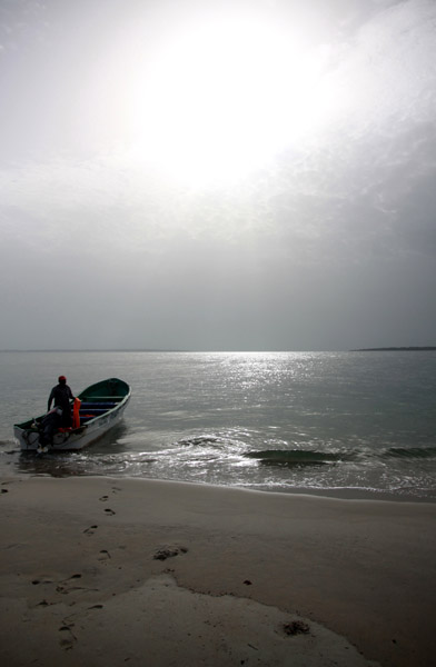
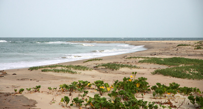
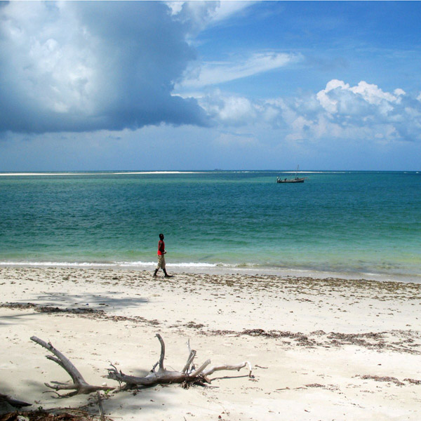
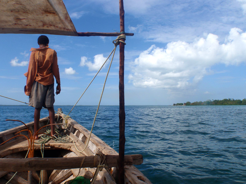
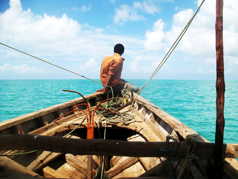
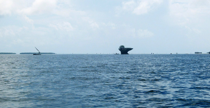
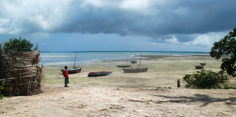
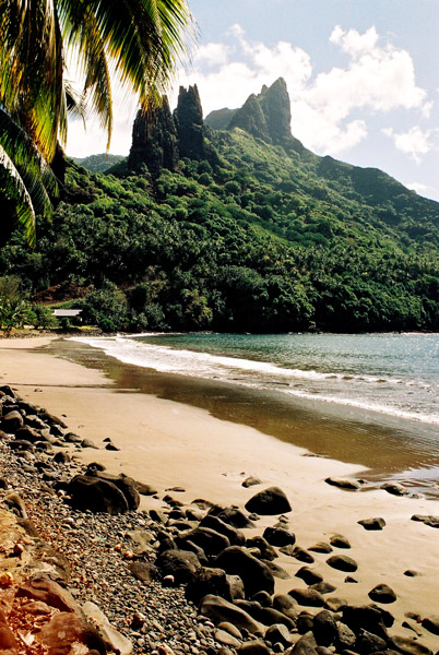
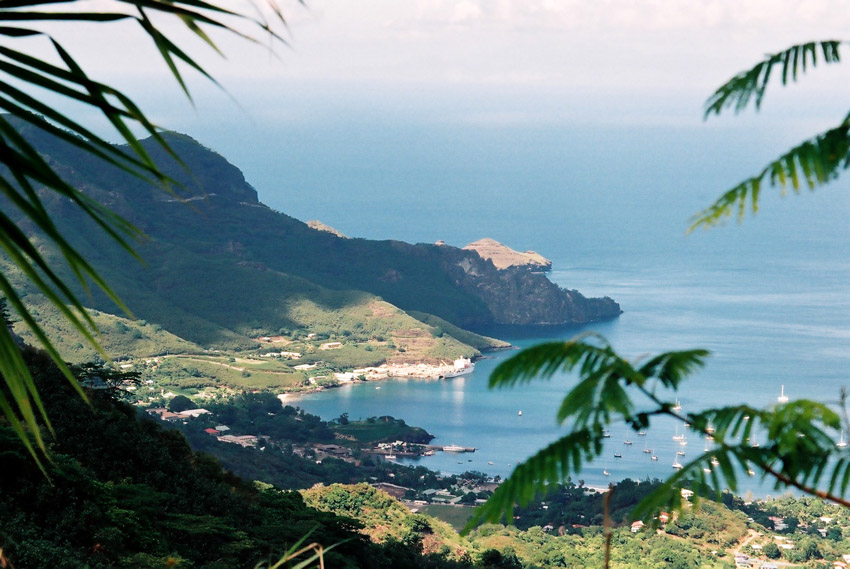
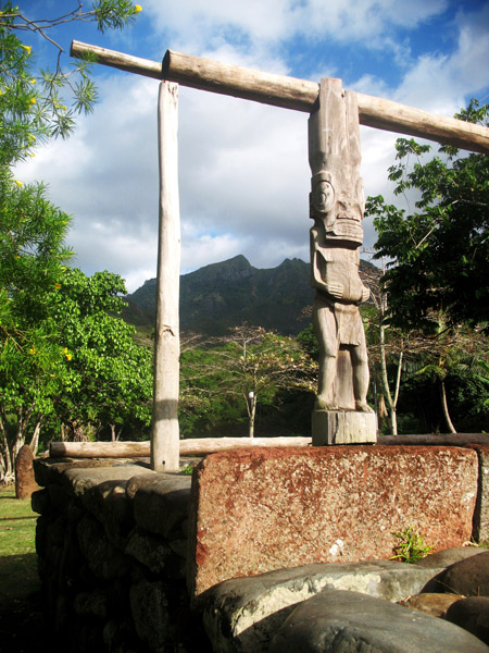
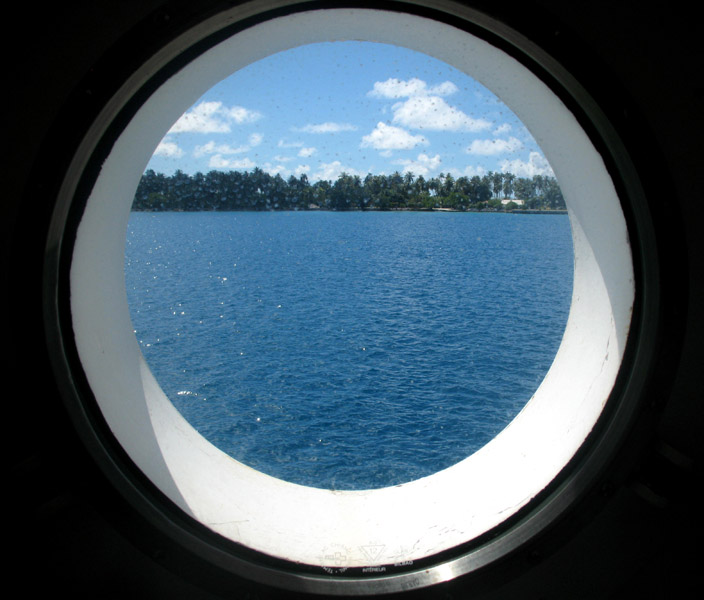
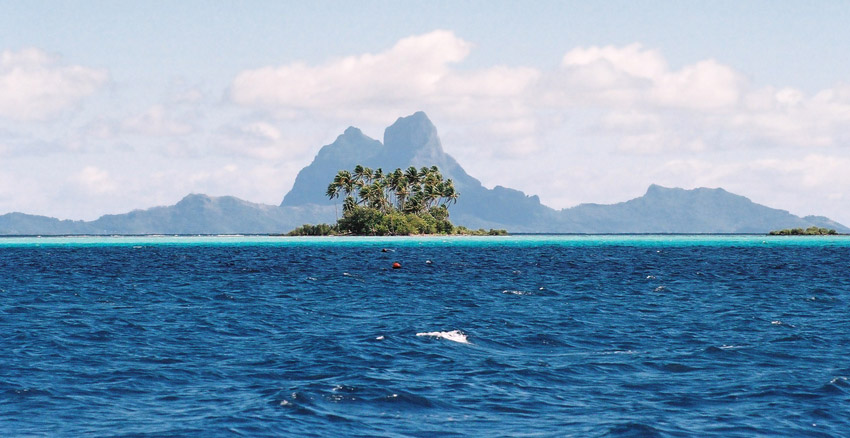
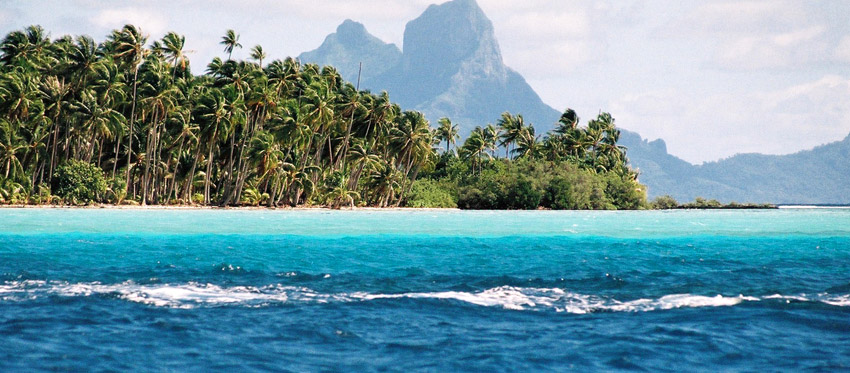
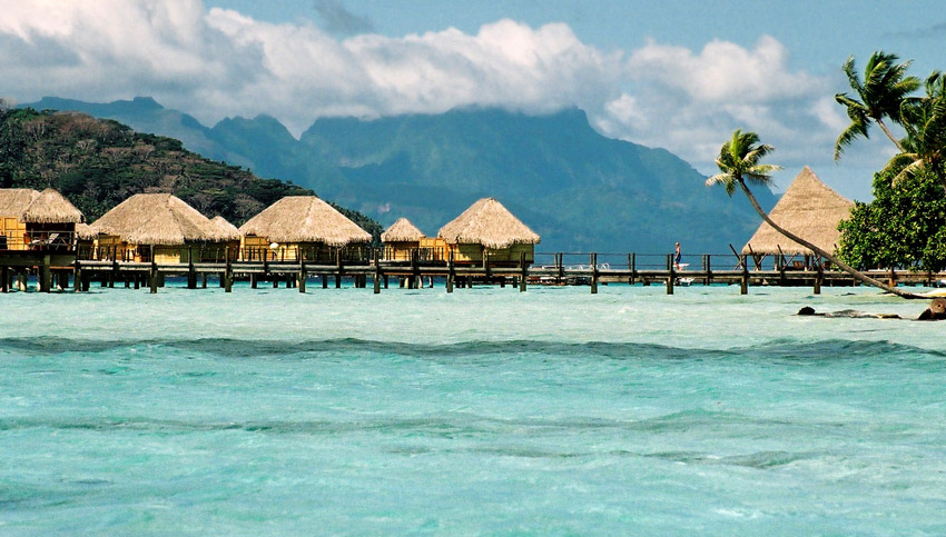
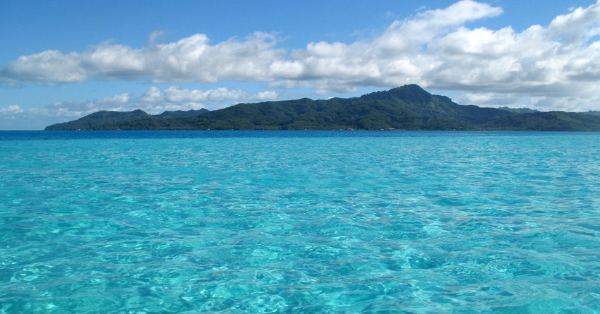
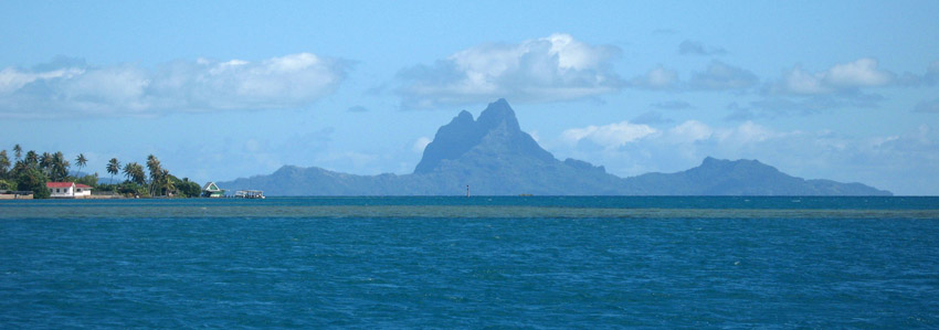
Ua Huka is one of the Marquesas Islands, in French Polynesia, an overseas territory of France in the Pacific Ocean. It is situated in the northern group of the archipelago, approximately 25 mi (40 km). 42 km to the east of Nuku Hiva, at 8°54′S 139°33′W

Ua Huka is sometimes also found spelled Roohka or Ua Huna. The first Western navigator to sight the island was U.S. Navy Capt. Joseph Ingraham in 1791. He named the island “Washington Island” in honor of U. S. President George Washington, a name which was eventually extended to include all of the northern group of the Marquesas Islands. Other names for the island include Riou and Solide. See also Names of the Marquesas Islands.

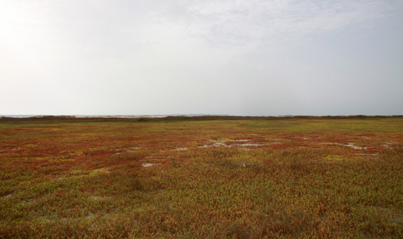
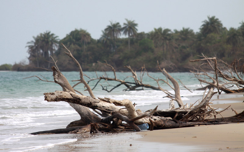
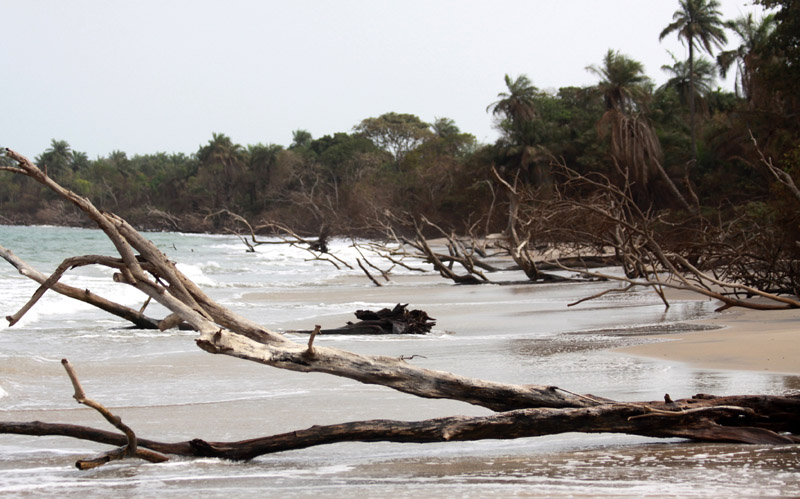
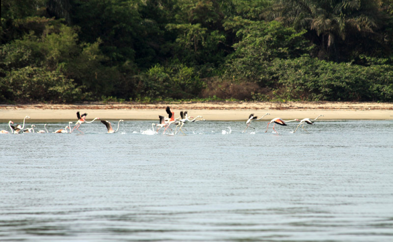
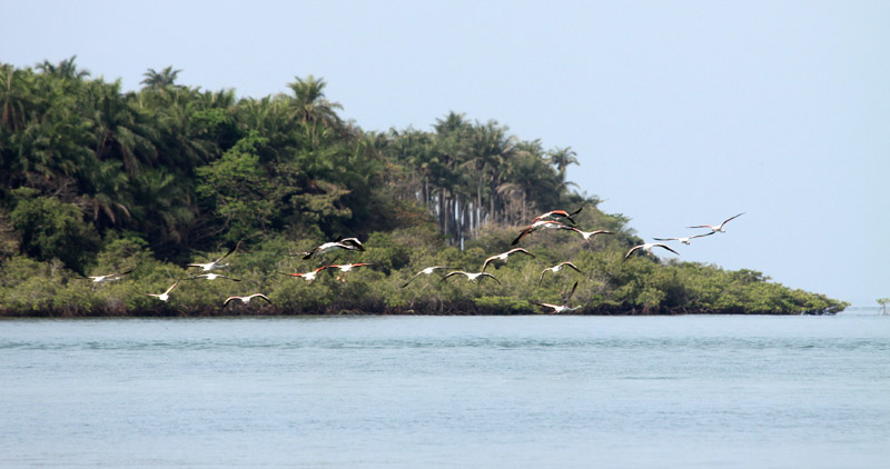
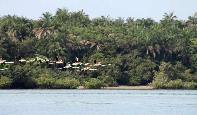
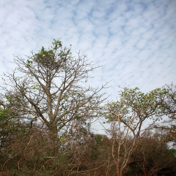
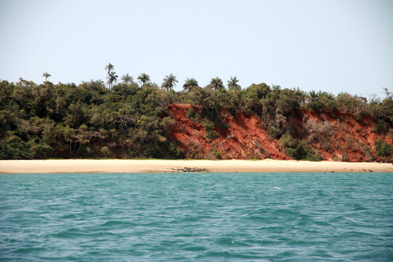
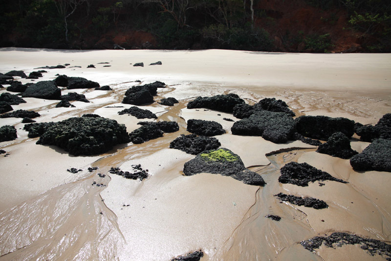
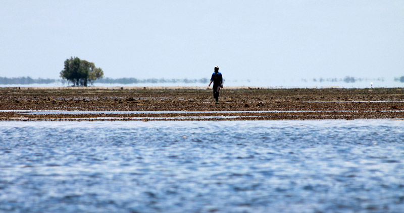
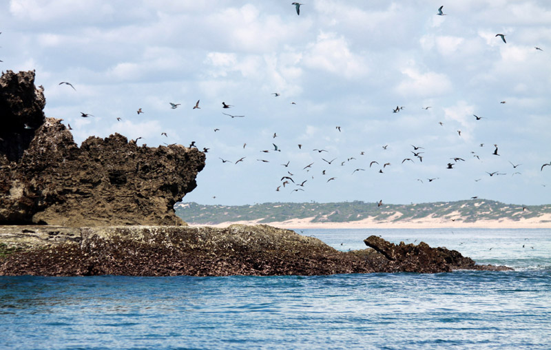
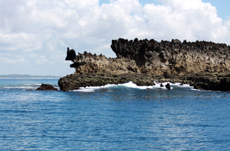
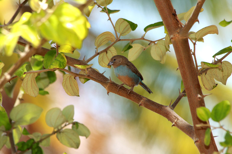
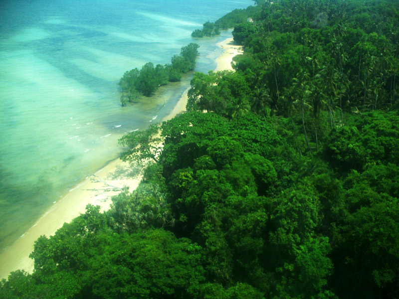
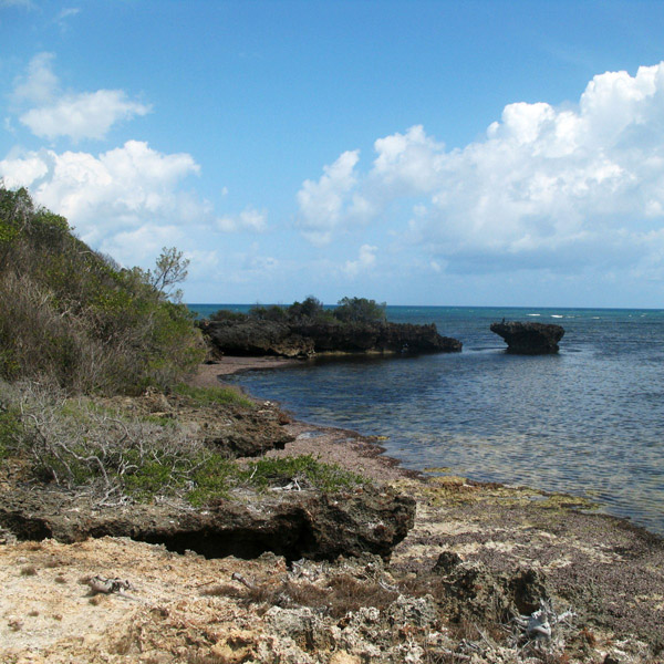
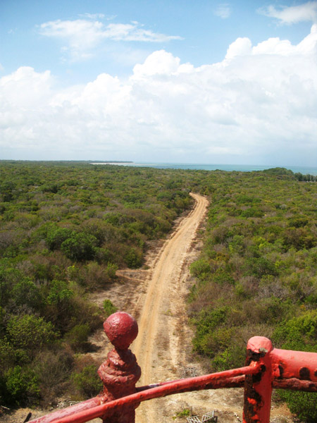
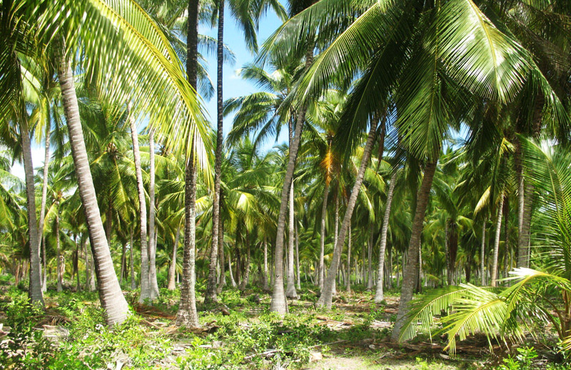
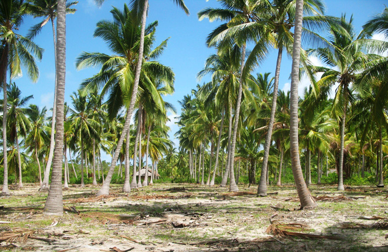
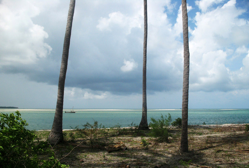
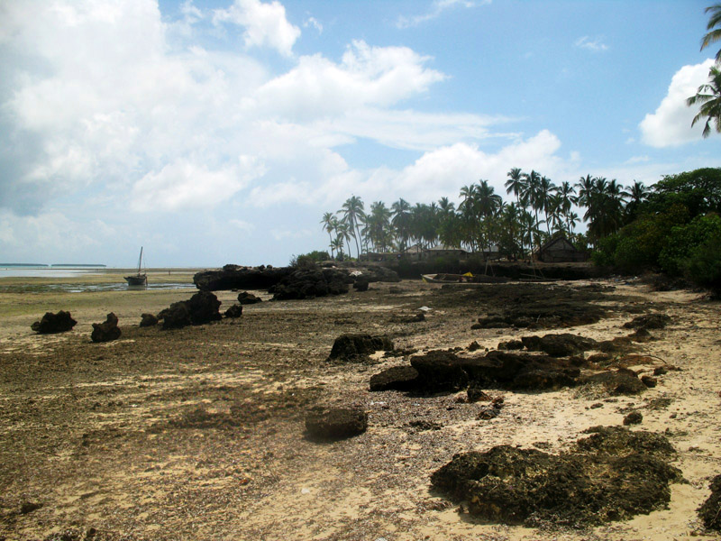
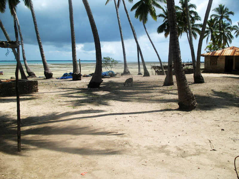
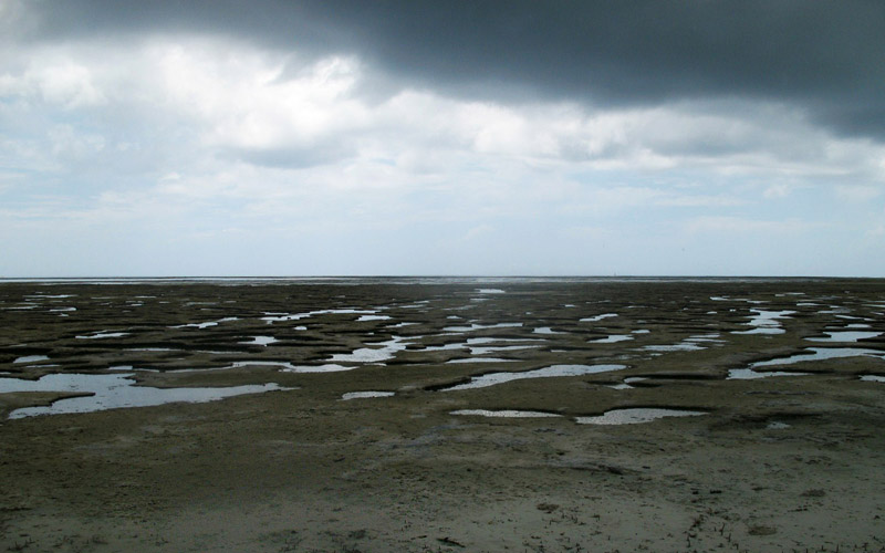
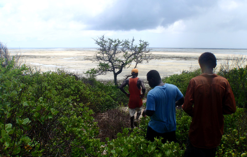
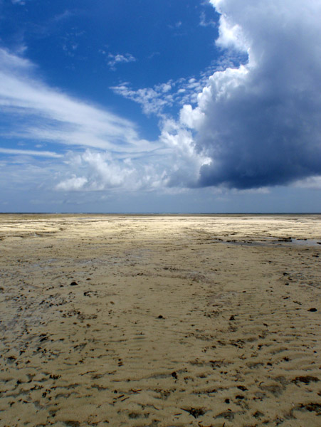
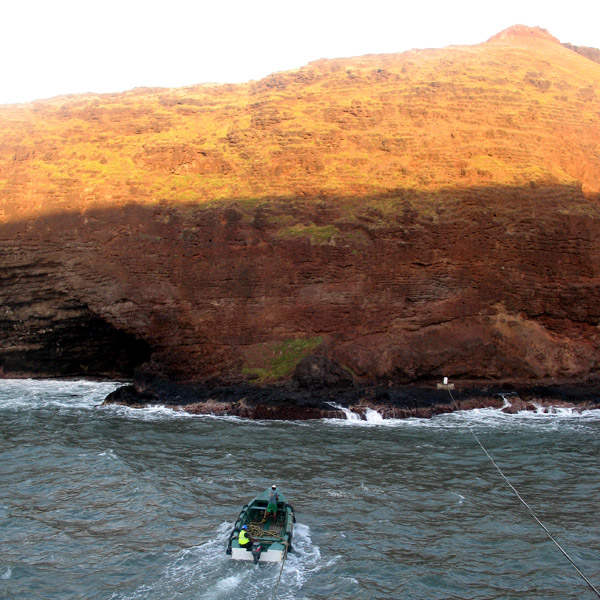
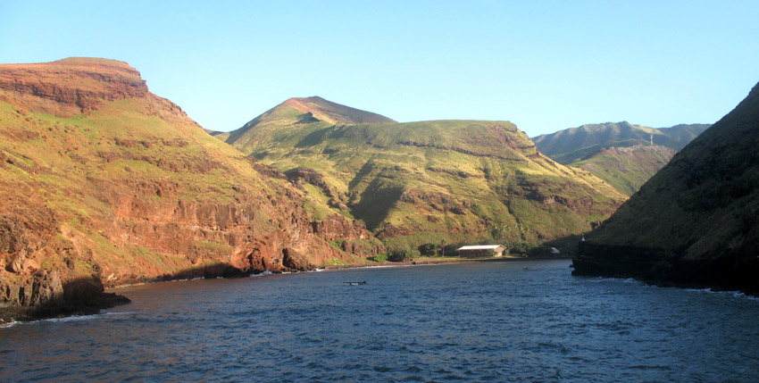
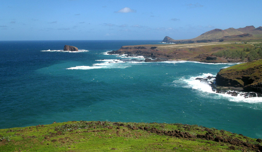
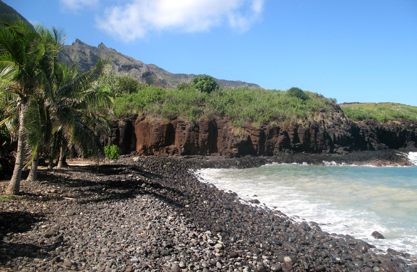
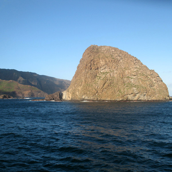
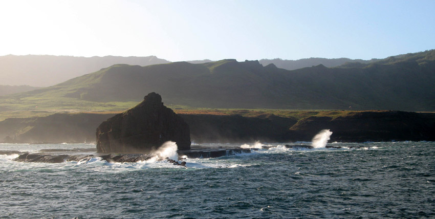
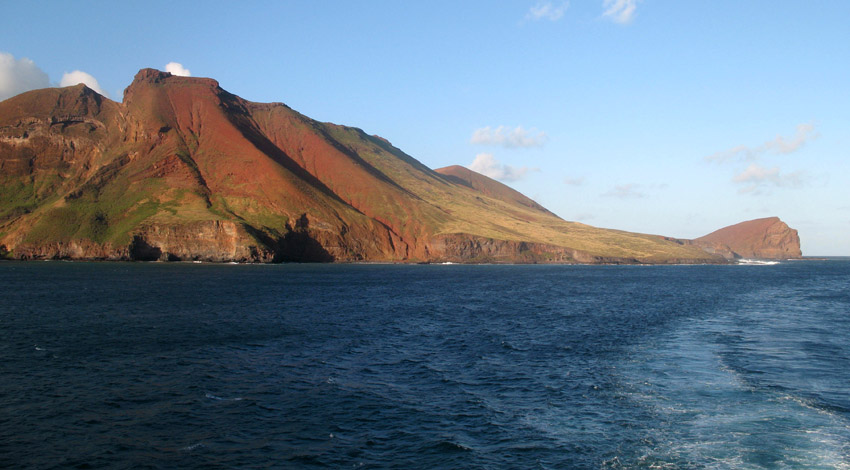
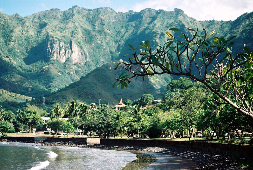
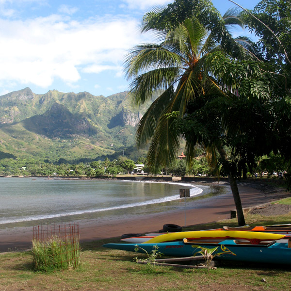
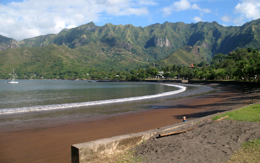
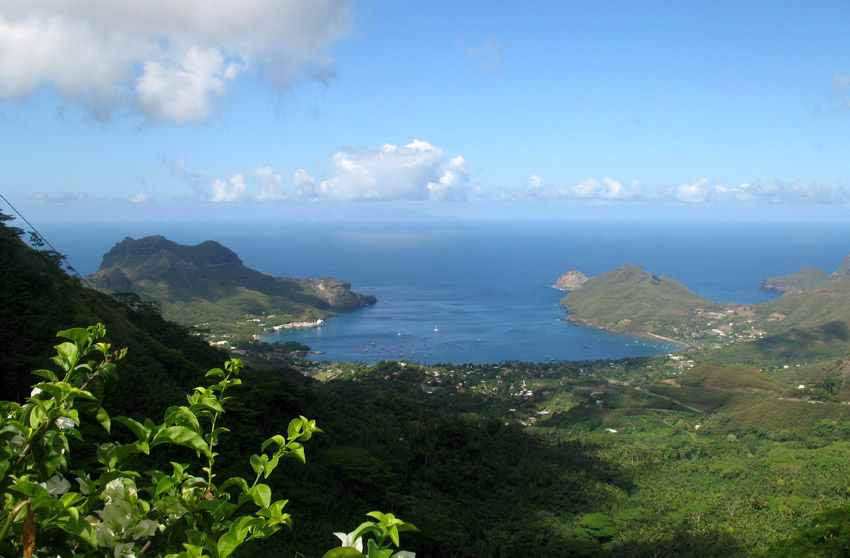
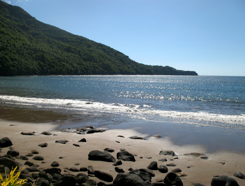
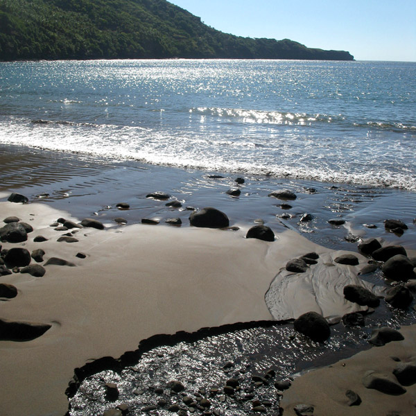
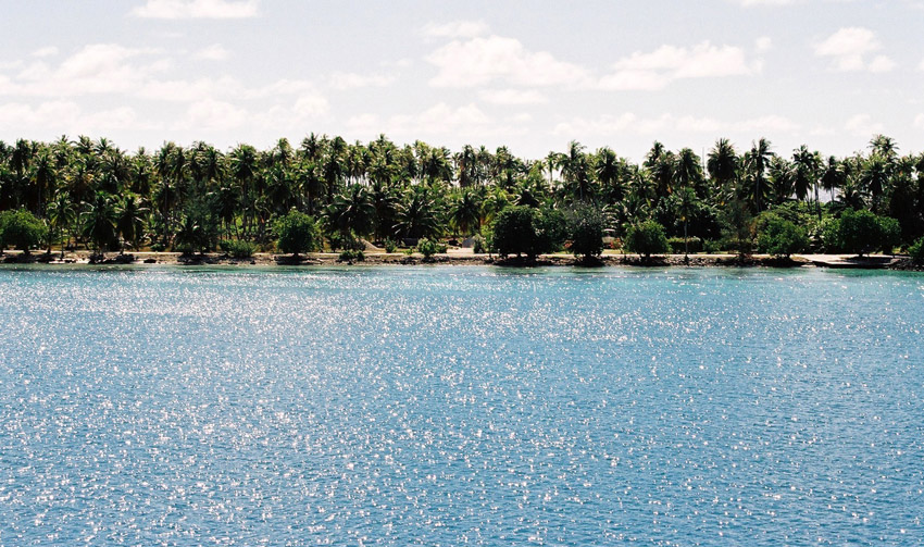
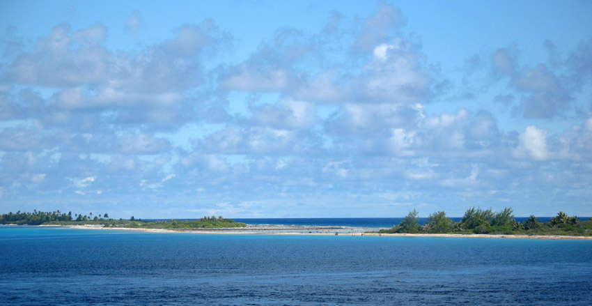
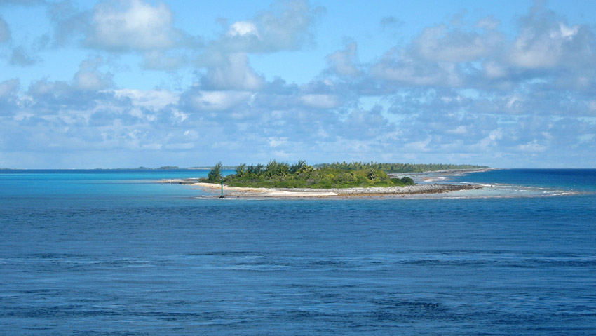
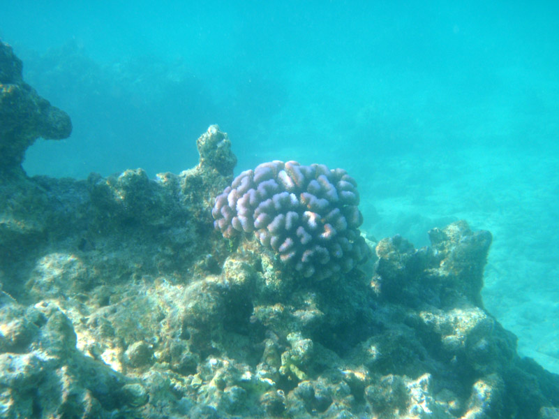
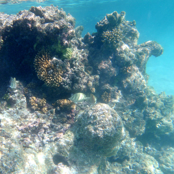
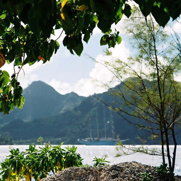
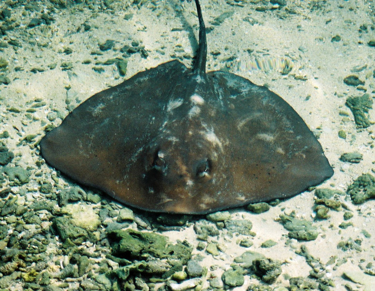
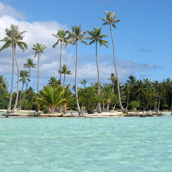
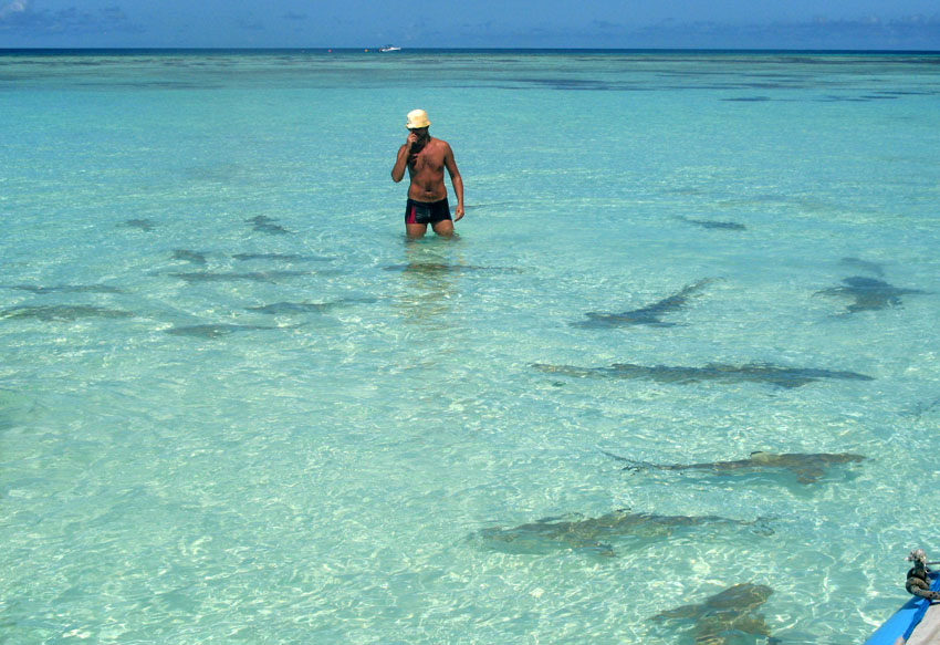
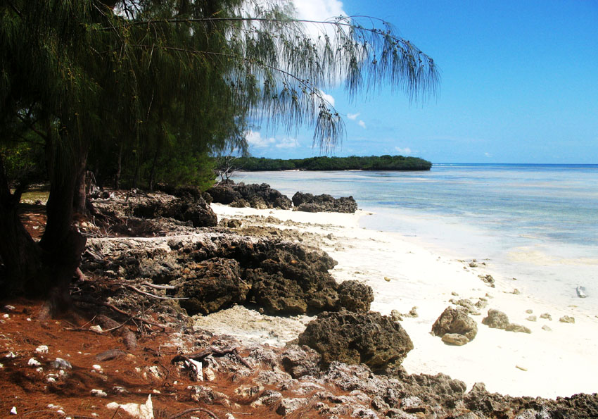
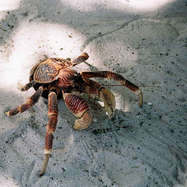
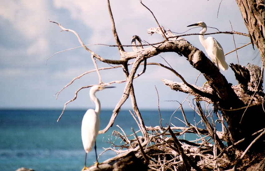
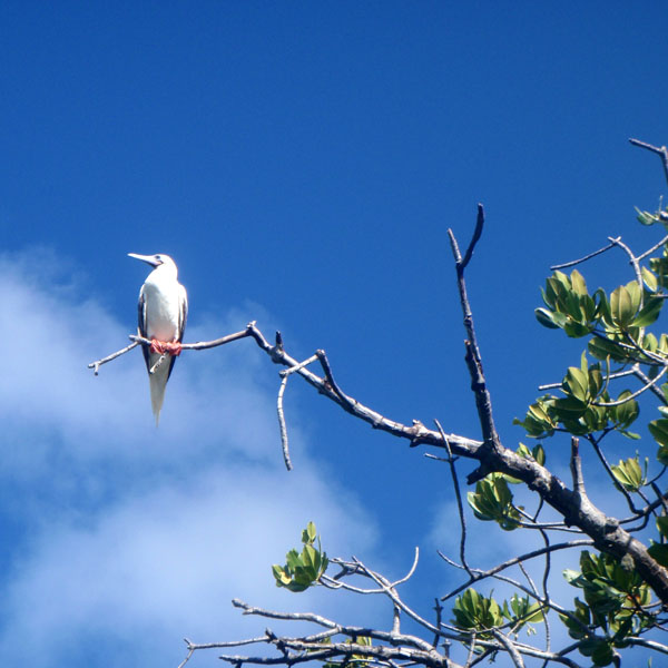
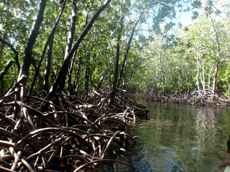
The island is shaped approximately like a crescent, with its concave edge facing the south. The land area is approximately 83 km² (32 sq. mi.). The center of the island is a high plateau, deeply indented in places by narrow river valleys. The highest peak, Hitikau reaches an elevation of 857 m (2,812 ft). Much of the island’s native plant cover, which outside the valleys consists primarily of dry-land scrub, has been devastated by herds of feral goats and horses, which are estimated to number upwards of 3,000.

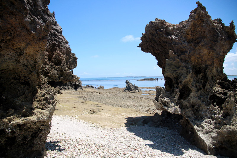
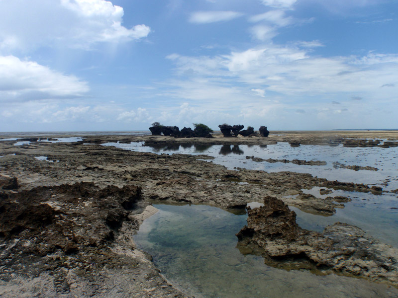
Ua Huka is a shield volcano that was emplaced between 2.2 and 2.4 million years ago. It is thought to have formed by a center of upwelling magma called the Marquesas hotspot.

Administratively Ua Huka forms the commune (municipality) of Ua-Huka, part of the administrative subdivision of the Marquesas Islands. This commune consists solely of the island of Ua Huka itself.

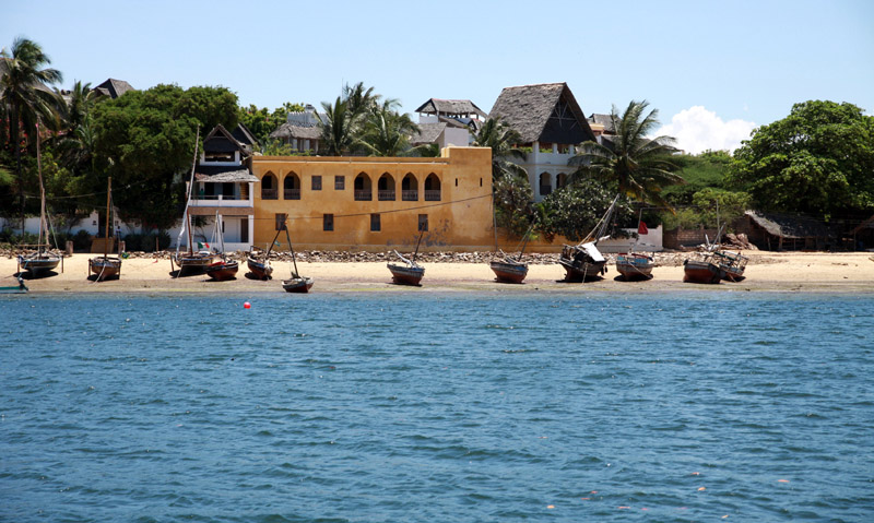
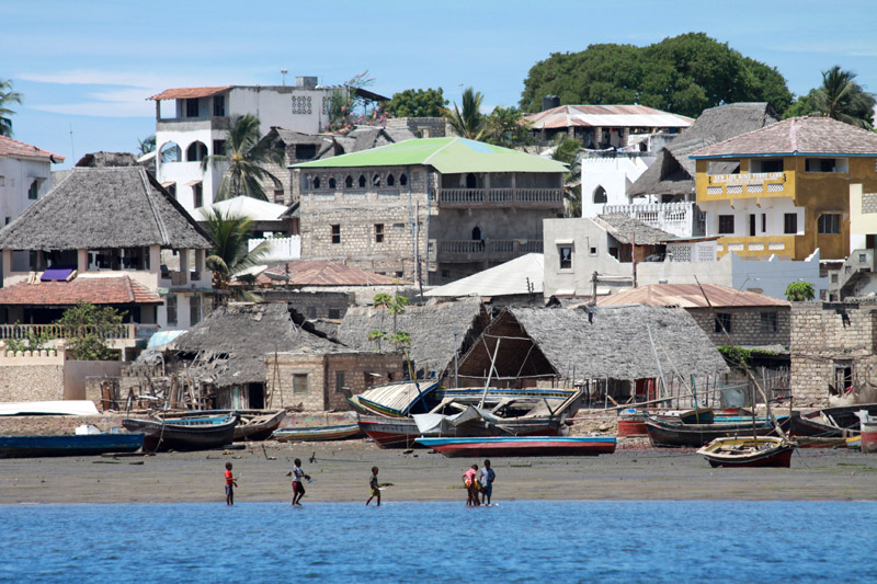
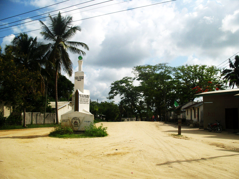
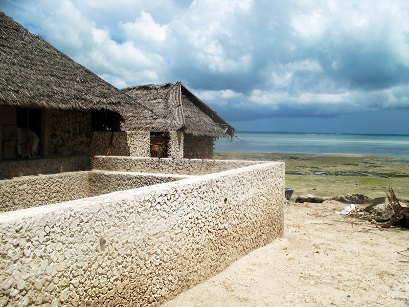
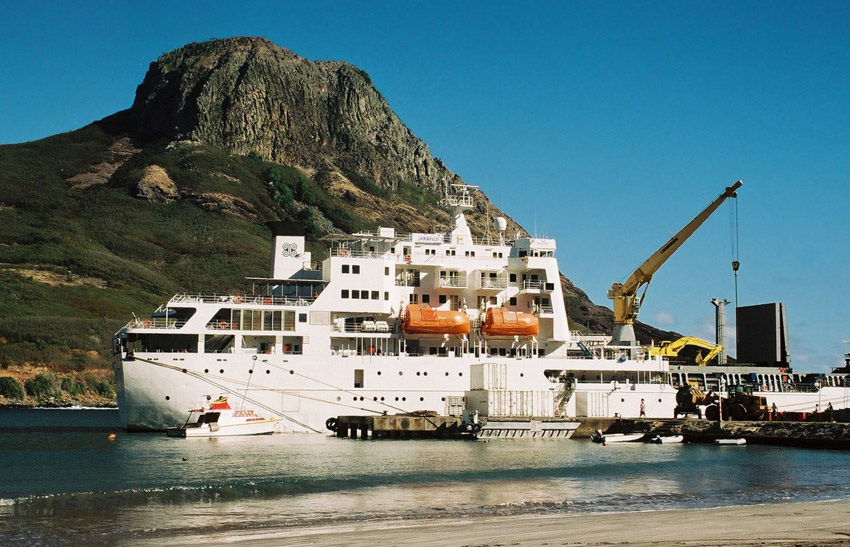
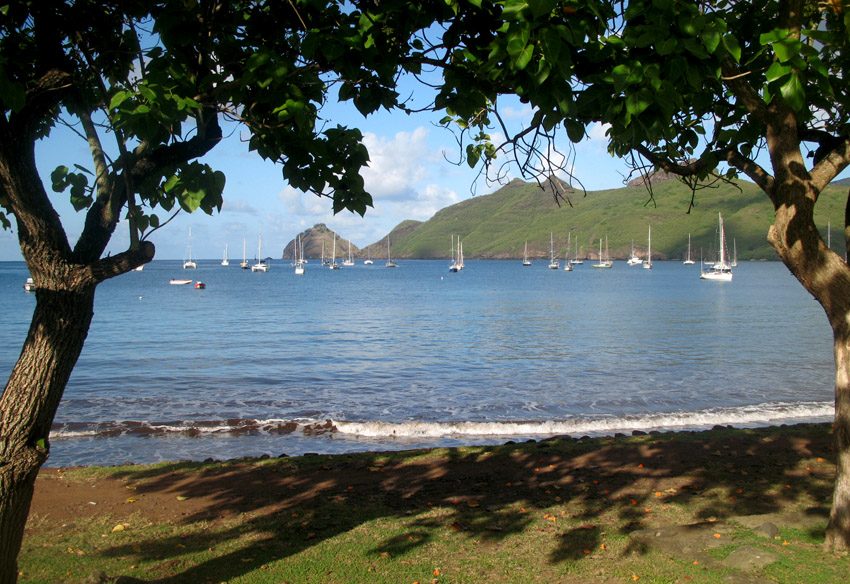
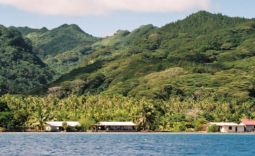
The administrative centre of the commune is the settlement of Vaipaee, on the southern side of the island.

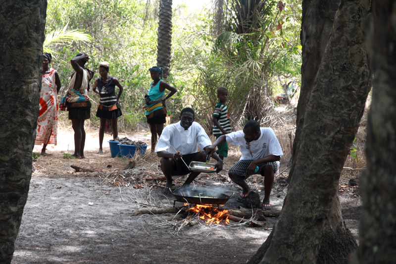
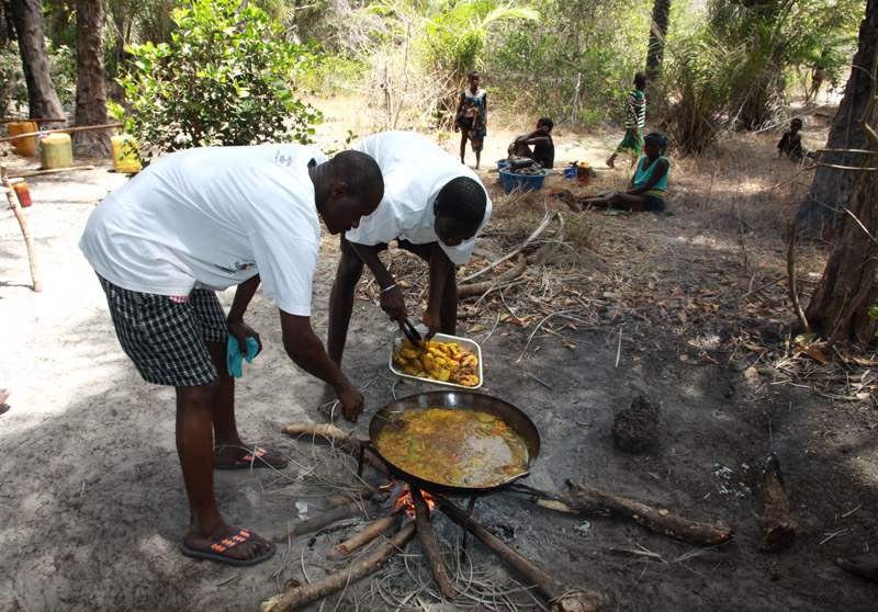
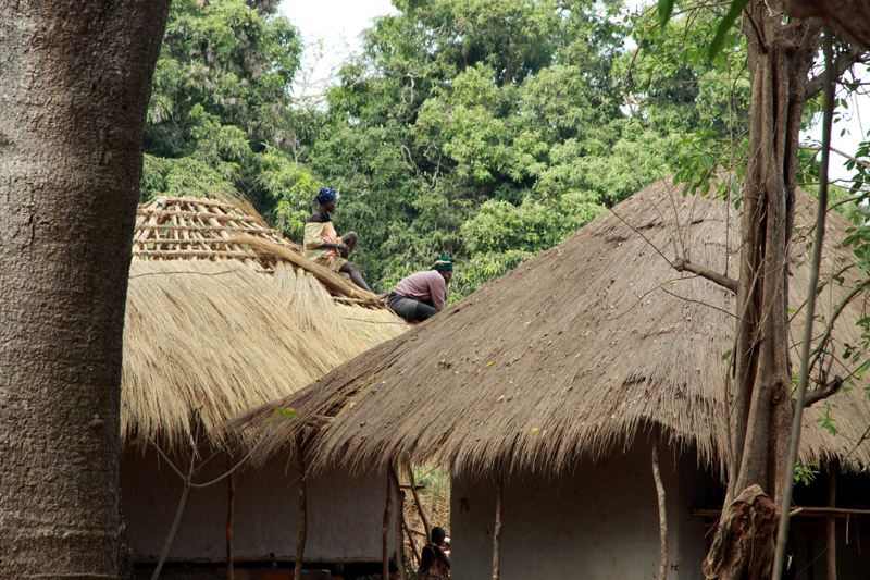
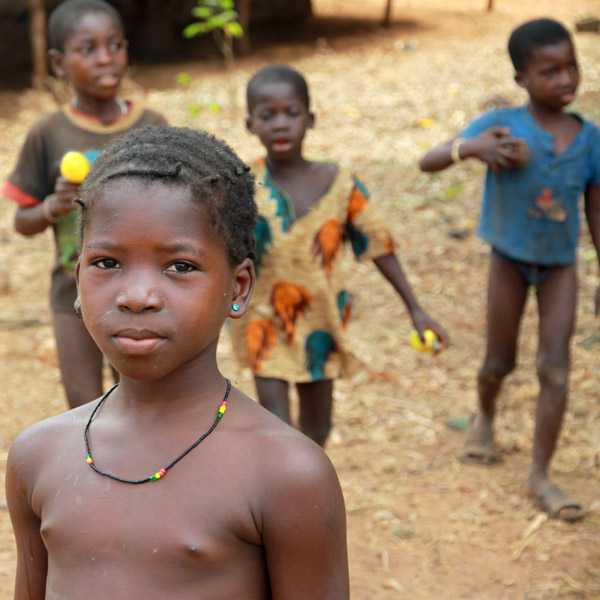
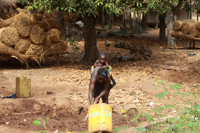
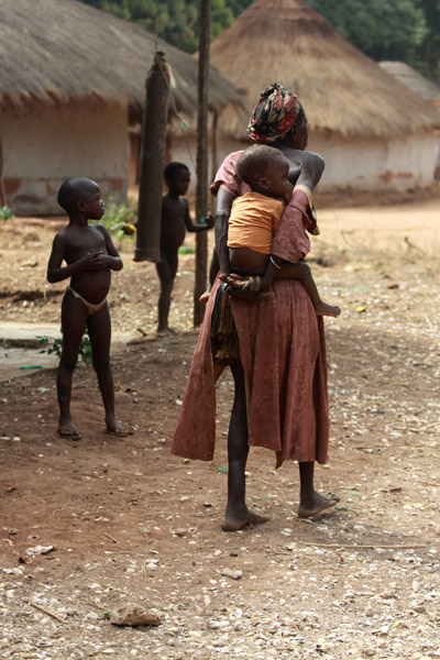
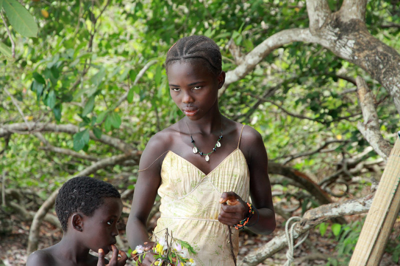
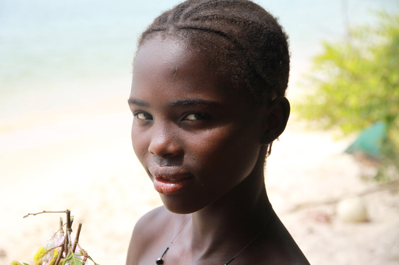
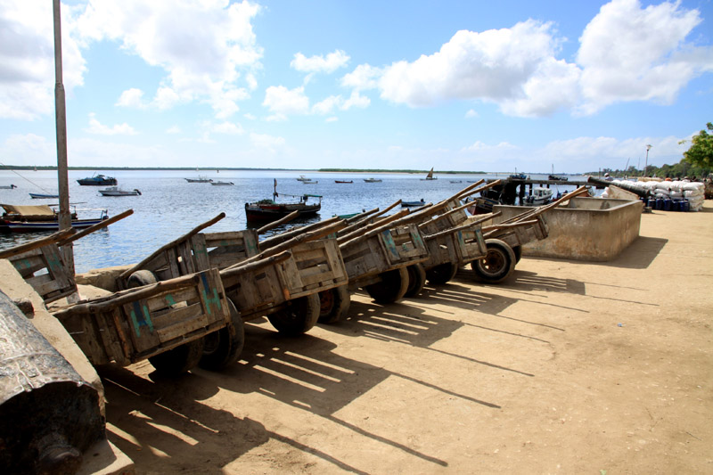
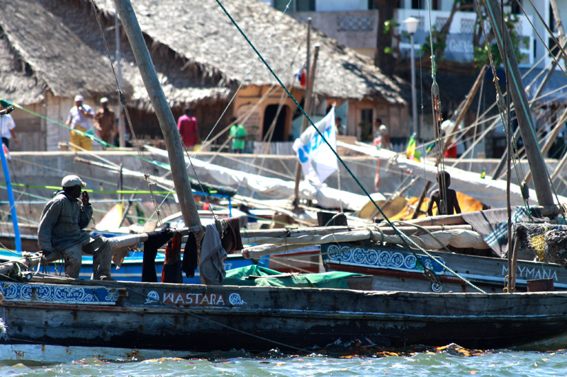
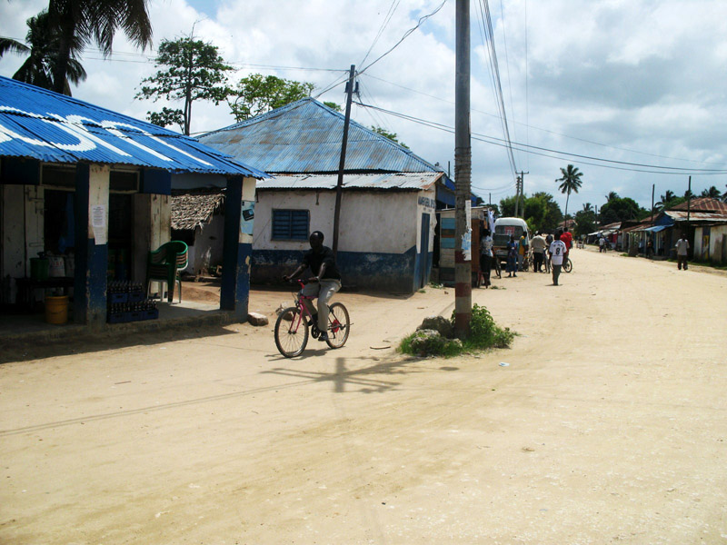
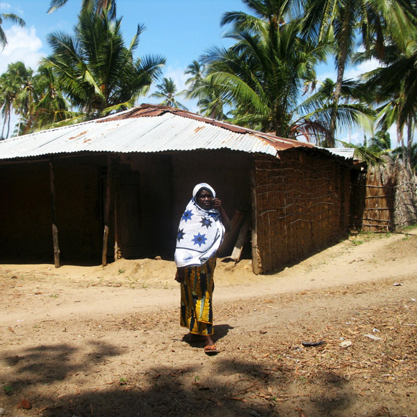
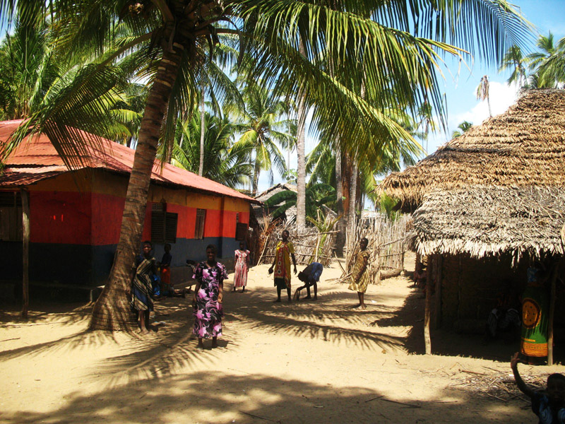
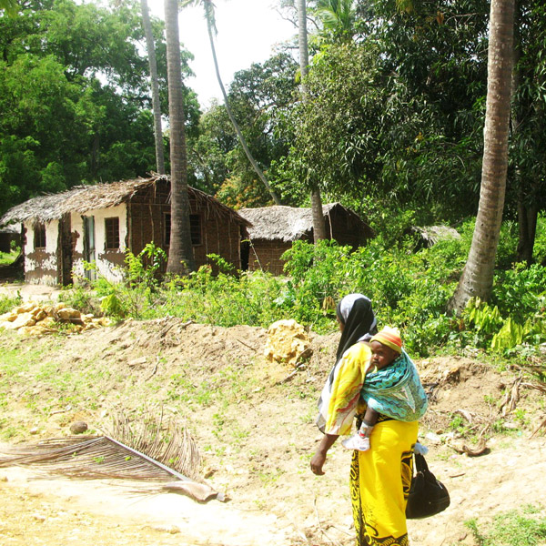
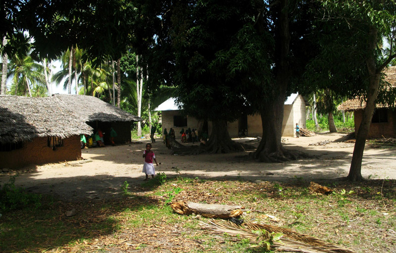
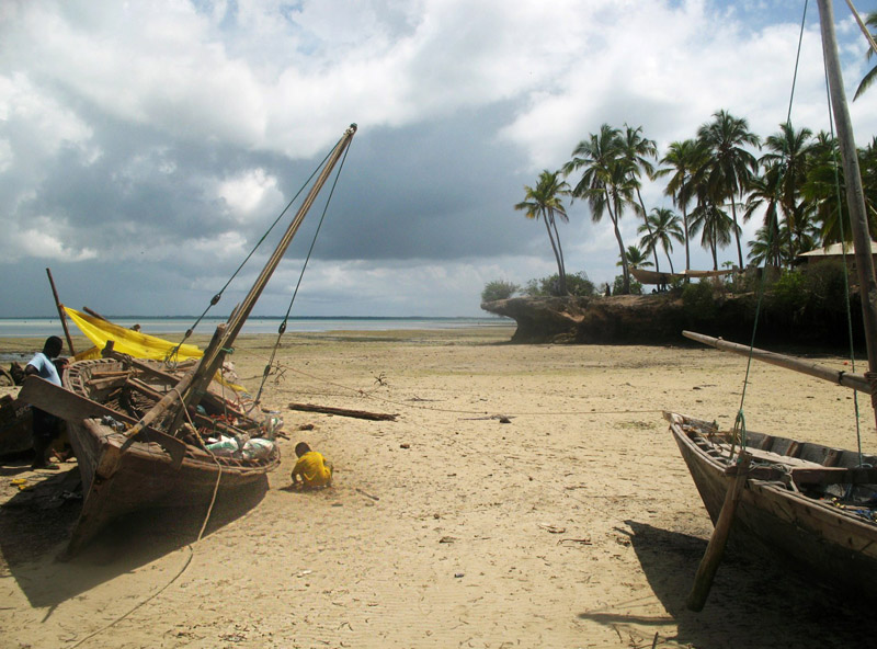
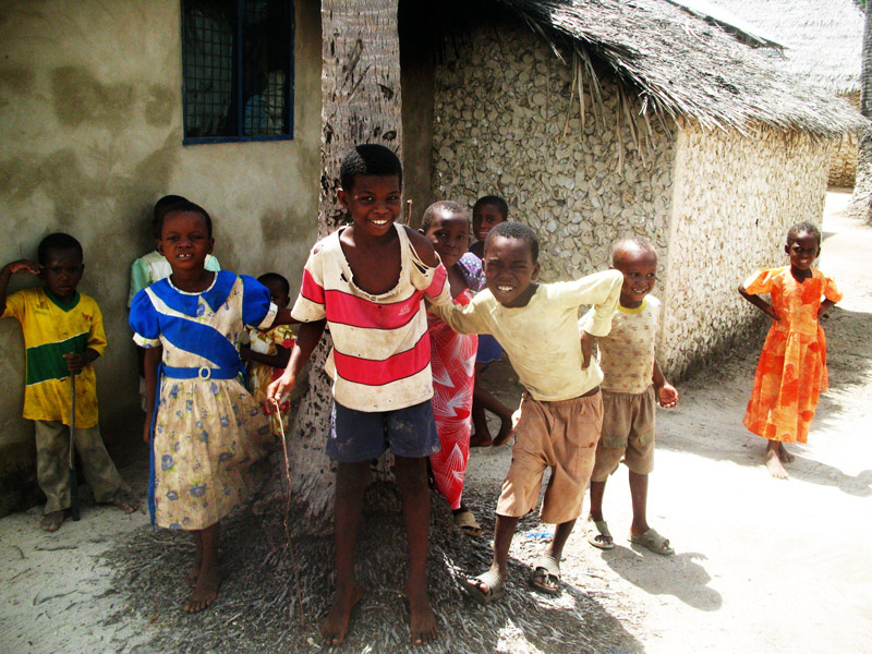
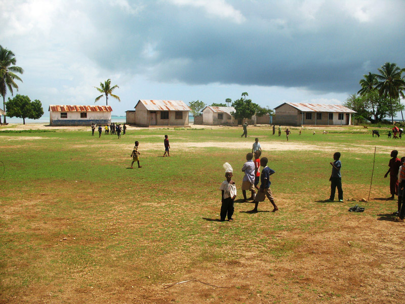
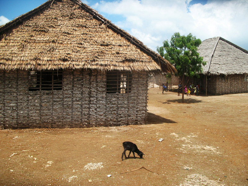
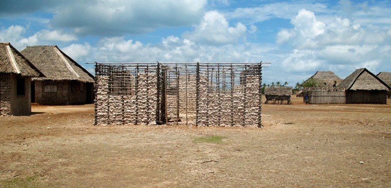
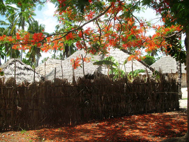
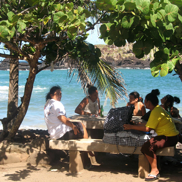
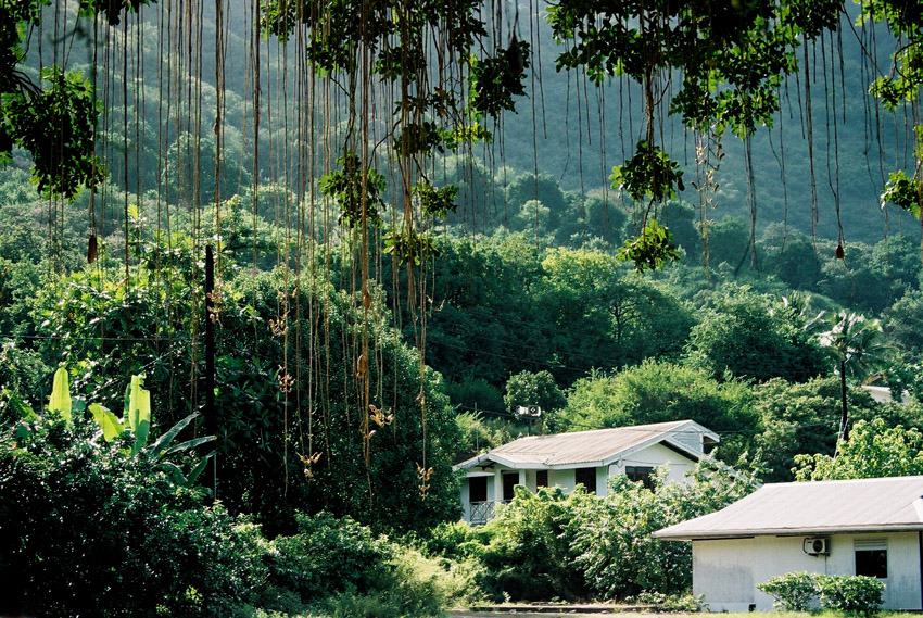
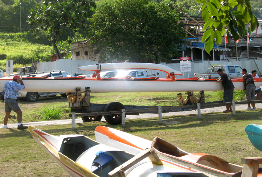
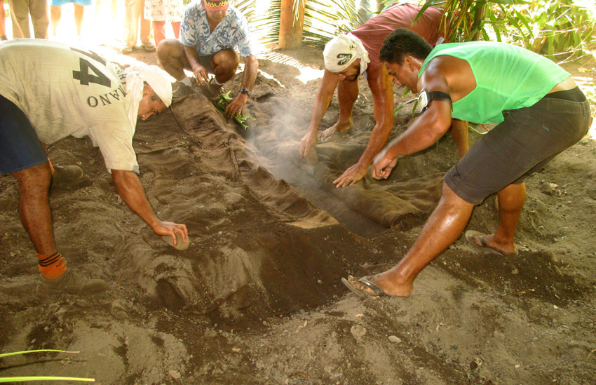
The 2007 census showed a population of 571 inhabitants, residing in three villages: Vaipaee, Hane, and Hokatu.

Source: Wikipedia (under GNU Free Documentation License)

Categories
Marquesas French Polynesia

Nuku Hiva

Nuku Hiva (sometimes spelled “Nukahiva”) is the largest of the Marquesas Islands in French Polynesia, an overseas territory of France in the Pacific Ocean. It was formerly also known as Île Marchand and Madison Island.

Herman Melville wrote his book Typee based on his experiences in the Taipivai valley in the eastern part of Nuku Hiva. Robert Louis Stevenson’s first landfall on his voyage on the Casco, was at Hatiheu, on the north side of Nuku Hiva, in 1888. Nuku Hiva was also the site for Survivor: Marquesas, the fourth installment of the popular CBS reality television show in the US.

The coastline of western Nuku Hiva is characterized by a steep, but fairly regular coastline, indented occasionally by small bays leading to deep valleys, which lead into the interior. There are no villages on this side.The central part of the island is a high plateau called Tōvi‘i, covered primarily by a tall-grass prairie, on which experiments in cattle raising are taking place for the first time — 15 years ago all the cattle were wild and hunted with rifles.

Nuku Hiva is administratively part of the commune (municipality) of Nuku-Hiva, itself in the administrative subdivision of the Marquesas Islands.

The administrative centre of the commune of Nuku-Hiva and also of the administrative subdivision of the Marquesas Islands is the settlement of Taiohae, located on the south side of Nuku Hiva, at the head of the bay of that same name.

Source: Wikipedia (under GNU Free Documentation License)

Categories
French Polynesia Tuamotu

Fakarava

Fakarava, Havaiki-te-araro, Havai’i or Farea is an atoll in the west of the Tuamotu group in French Polynesia. It is the second largest of the Tuamotu atolls. The nearest land is Toau Atoll, which lies 14 km to the northwest.

The shape of Fakarava Atoll is roughly rectangular and its length is 60 km and its width 21 km. Fakarava has a wide and deep lagoon with a surface of 1,112 km² and two passes. The main pass to enter the lagoon, located in its northeastern end, is known as Passe Garuae and it is the largest pass in French Polynesia; the southern pass is called Tumakohua.

The first recorded European to arrive to Fakarava Atoll was Russian oceanic explorer Fabian Gottlieb von Bellingshausen on July 17, 1820 on ships Vostok and Mirni. He named this atoll “Wittgenstein”.

Fakarava’s inhabitants were evangelized by Belgian Jesuit priest Honoré Laval in 1849. The church at Rotoava was dedicated in 1850.

There is a territorial (domestic) airfield in Fakarava which was inaugurated in 1995.

Fakarava is presently being classified by UNESCO as a biosphere reserve.

Fakarava has 701 inhabitants; the main village is called Rotoava.

Source: Wikipedia (under GNU Free Documentation License)

Categories
French Polynesia Society Islands

Tahaa

Tahaa is an island located among the Society Islands, in French Polynesia, an overseas territory of France in the Pacific Ocean. The islands of Tahaa and neighboring Raiatea are enclosed by the same coral reef, and may once have been a single island.

Administratively speaking, Tahaa and the surrounding islets emerging from the coral reef form a commune (municipality) part of the administrative subdivision of the Leeward Islands. The administrative centre of the commune of Tahaa is the settlement of Patio.

Tahaa produces 70-80% of all French Polynesia’s vanilla. Because of the pervasive aroma of vanilla, Tahaa is known as the “Vanilla Island”. Tahaa’s pearls are of exceptional quality.

Taha’a and its small motus (islets) can be reached by boat and outrigger from Raiatea. The short sail drops visitors on a motu beach with a perfect small lagoon, and in the near distance, a view of Bora Bora framed by the coconut palms and the lagoon. This is a short day trip to a more simple Tahiti.

Source: Wikipedia (under GNU Free Documentation License)

Categories
Seychelles

Aldabra Atoll

Aldabra is a raised coral atoll in the Aldabra Group of islands in the Indian Ocean that form part of the Seychelles. The island is more than 700 miles from Mahé and is closer to the coast of Africa and Madagascar. Virtually untouched by humans, with distinctive island fauna, including the Aldabra Giant Tortoise, the island is designated a World Heritage Site. The atoll is home to the world’s largest population of giant tortoises, numbering some 100,000 individuals. They are also known for their green turtles, hawksbill turtles, hammerhead sharks, mantarays, barracuda, and birds, including the Aldabra rail, the last surviving flightless bird of the Indian Ocean region. The Aldabra Group includes the island of Assumption and the atolls of Astove and Cosmoledo.

Aladabra was designated a World Heritage Site on November 19, 1982, and is administered by the Seychelles Island Foundation based on Mahé. An environmental disaster for the island was averted in the 1960s when the British nearly entered into negotiations with the United States to turn the island into a military air base. The proposal created an international protest by ecologists and their lobbying resulted in military plans abandoned and the wildlife habitat receiving full protection.

Source: Wikipedia (under GNU Free Documentation License)