Categories
Martinique

Martinique

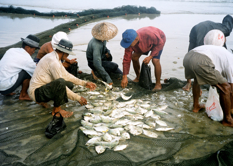
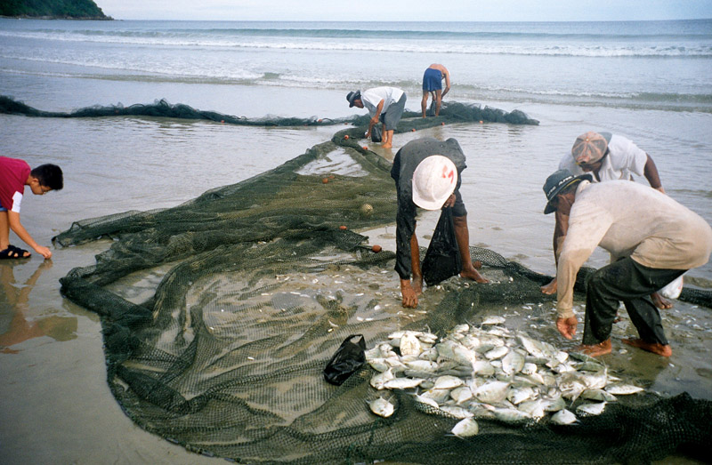
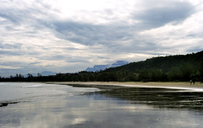
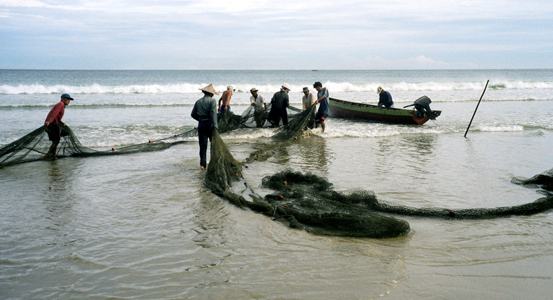
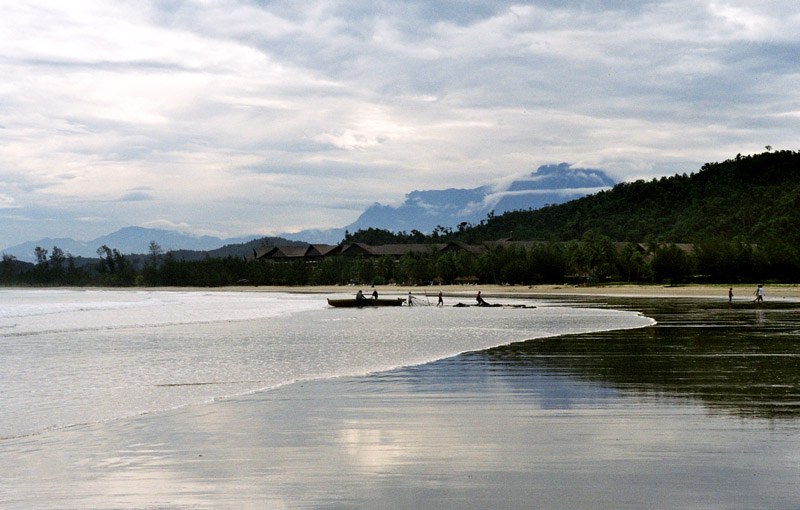
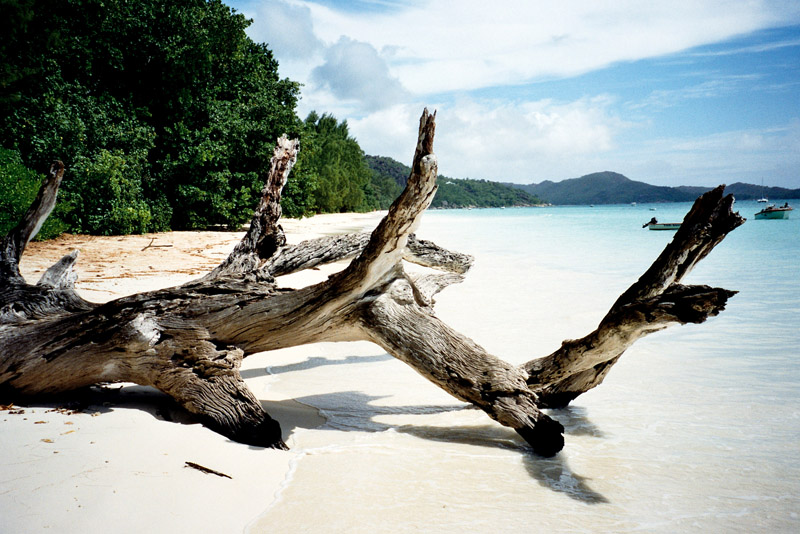
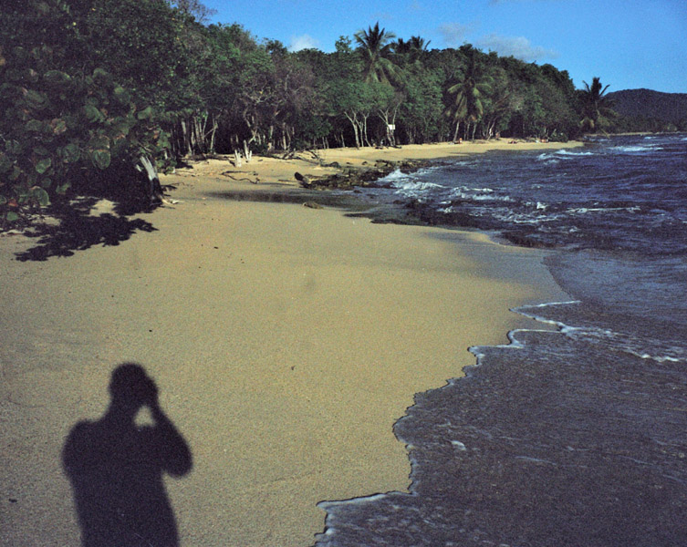
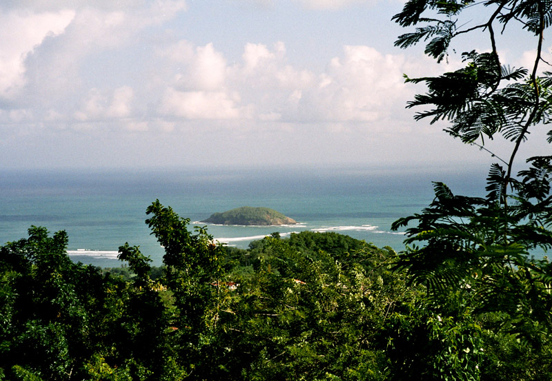
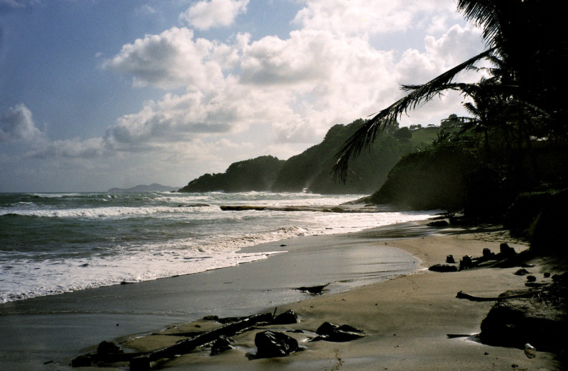
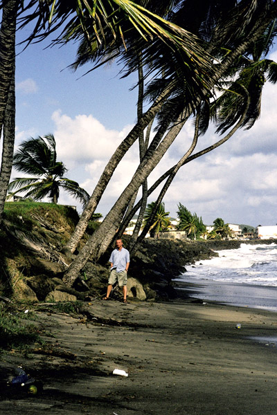
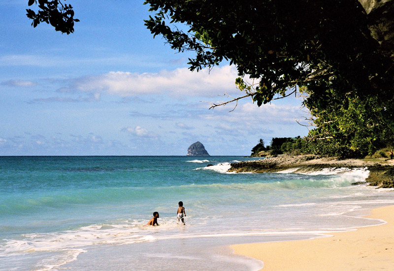
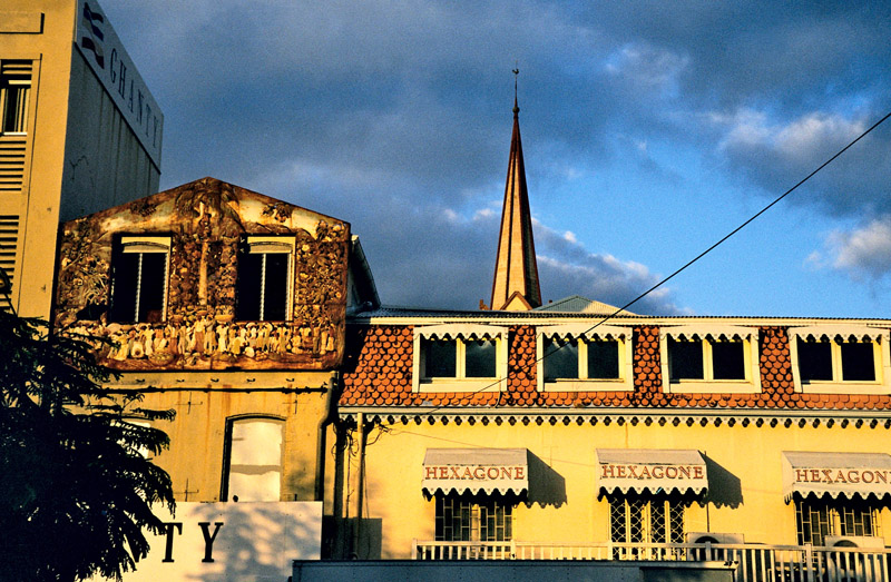
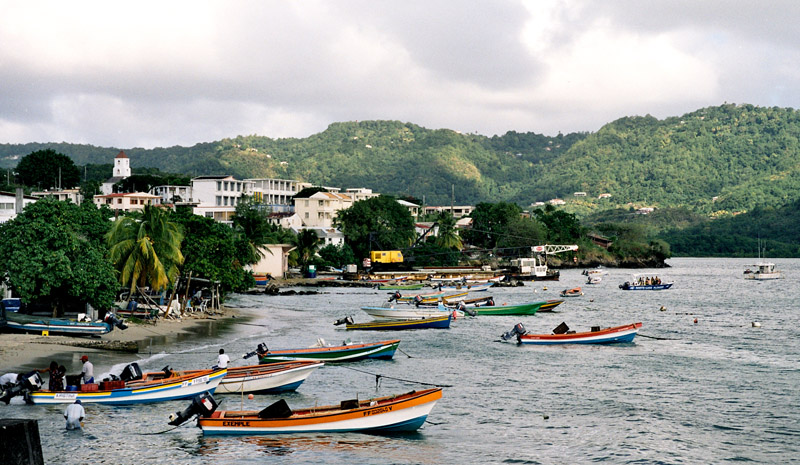
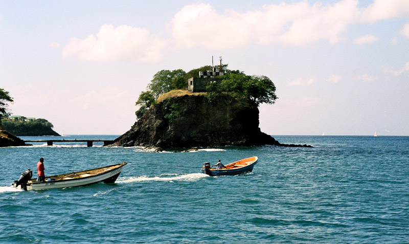
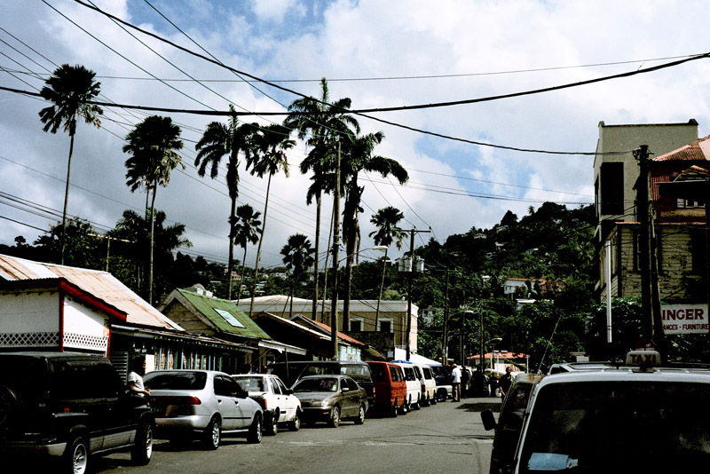
Martinique is an island in the eastern Caribbean Sea, with a land area of 1,128 km2 (436 sq mi). It is an overseas department of France. To the northwest lies Dominica, to the south St Lucia, and to the southeast Barbados.

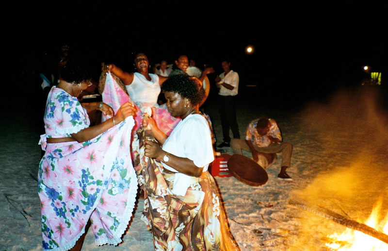
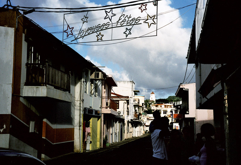
As with the other overseas departments, Martinique is also one of the twenty-six regions of France (being an overseas region) and an integral part of the Republic. As part of France, Martinique is part of the European Union, and its currency is the euro. Its official language is French, although many of its inhabitants also speak Antillean Creole and Modern English (Créole Martiniquais). Martinique is pictured on all euro banknotes, on the reverse at the bottom of each note, right of the Greek ΕΥΡΩ (EURO) next to the denomination.

The inhabitants of Martinique are French citizens with full political and legal rights. Martinique sends four deputies to the French National Assembly and two senators to the French Senate.

Source: Wikipedia (under GNU Free Documentation License)

Categories
Sri Lanka

Sri Lanka

Sri Lanka (officially the Democratic Socialist Republic of Sri Lanka; known as Ceylon before 1972 and as Taprobane in ancient times), is an island country in South Asia, located about 31 kilometres (19.3 mi) off the southern coast of India. It is home to around twenty million people.

As a result of its location in the path of major sea routes, Sri Lanka is a strategic naval link between West Asia and South East Asia. It has also been a center of the Buddhist religion and culture from ancient times as well as being a bastion of Hinduism. The Sinhalese community forms the majority of the population; Tamils, who are concentrated in the north and east of the island, form the largest ethnic minority. Other communities include Moors, Burghers, Kaffirs and the Malays.

The country is famous for the production and export of tea, coffee, coconuts, rubber and cinnamon – which is native to the country. The natural beauty of Sri Lanka’s tropical forests, beaches and landscape, as well as its rich cultural heritage, make it a world famous tourist destination. The island also boasts the first female Prime Minister in the world, Sirimavo Bandaranaike.

After over two thousand years of rule by local kingdoms, parts of Sri Lanka were colonized by Portugal and the Netherlands beginning in the 16th century, before control of the entire country was ceded to the British Empire in 1815. During World War II, Sri Lanka served as an important base for Allied forces in the fight against the Japanese Empire. A nationalist political movement arose in the country in the early 20th century with the aim of obtaining political independence, which was eventually granted by the British after peaceful negotiations in 1948.

Source: Wikipedia (under GNU Free Documentation License)

Categories
Cape Verde

Santo Antão I

Santo Antão (Portuguese for “Saint Anthony”), or Sontonton in Cape Verdean Creole, is the westernmost and largest of the Barlavento islands of Cape Verde. The nearest main island is São Vicente to the southeast, separated by a channel named Canal de São Vicente. It is the westernmost large island in Cape Verde and the continent of Africa, and the second largest in Cape Verde.

The island, entirely made up of volcanic material. The tallest mountain is Topo de Coroa, reaching a height of 1,979 m. The second tallest is Pico da Cruz at 1,585 m. The island is divided into north and south by a mountain range long considered impenetrable but now crossed by a road. The island’s main town is Ponta do Sol on the north coast, home to the Agostinho Neto Airport, while its ferry port is Porto Novo on the south coast. A part of the island in the southeast has an arid climate, while the northwest receives relatively normal precipitation. Its valleys are suffering heavy erosion.

Source: Wikipedia (under GNU Free Documentation License)

Categories
Cape Verde

Santiago

Santiago (Portuguese for “Saint James”), or Santiagu in Cape Verdean Creole, is the largest island of Cape Verde, its most important agricultural centre and home to half the nation’s population. At the time of Darwin’s voyage it was called St. Jago.

Santiago is located between the islands of Maio (40 km west) and Fogo (50 km east) and is one of the Sotavento. It was the first of the islands to be settled, the town of Cidade Velha being founded as Riberia Grande in 1462. It is also home to the nation’s capital city of Praia and to one of the islands’ four international airports, Praia International Airport, 3 km from the capital (IATA airport code: RAI, Praia).

Santiago is the largest island of Cape Verde, with an area of 991 km². The island is mountainous, although slightly flatter in the southeast. The wetter climate of the interior and the eastern coast contrasts with the dryer one in the south/southwest coast. Praia, located in the southeast coast, is the largest city of the island, and also the largest city and capital of the country. Other towns on the island include Cidade Velha, 15 km west of Praia, Cape Verde’s first capital; Assomada, 60 km north and Tarrafal in the northern part of the island 75 km from the capital.

Source: Wikipedia (under GNU Free Documentation License)

Categories
Cape Verde

Fogo

Fogo (Portuguese for “fire”) is an island in the Sotavento group of Cape Verde. It is the most prominent of the group, rising to nearly 3,000 m (10,000 ft) above sea level at Mount Fogo.

The island is located between the islands of Santiago and Brava. Practically the whole island is an active volcano that has been periodically active, last erupting in 1995, forming a new crater called Pico Pequeno. Its largest feature is a 9 km wide caldera, which has walls 1 km high. The caldera has a breach in its eastern rim, and a large peak rises in the centre. The central cone Pico forms the highest point of the island and its summit is about 100 m higher than the surrounding wall of the caldera. Lava from the volcano has reached the eastern coast of the island within historical times.

A small village, called Chã das Caldeiras, exists at the base of the volcano, and the residents are periodically evacuated during eruptions.

The island’s main town is São Filipe, near which is an airport. First settled in the 1480s, it is largely an agricultural island. The islands also houses schools, a gymnasium, banks, a post office, some hotels and squares (praças).

Source: Wikipedia (under GNU Free Documentation License)

Categories
Malaysia

Borneo

Borneo is the third largest island in the world and is located at the centre of Maritime Southeast Asia.

Indonesians refer to the entire island as Kalimantan. Malaysians usually refer to the island by the names of either of its two Malaysian states, Sarawak and Sabah. The independent nation of Brunei occupies the remainder of the island.

Source: Wikipedia (under GNU Free Documentation License)

Borneo is surrounded by the South China Sea to the north and northwest, the Sulu Sea to the northeast, the Celebes Sea and the Makassar Strait to the east and the Java Sea and Karimata Strait to the south. It has an area of 743,330 square kilometres (287,000 sq mi).

To the west of Borneo are the Malay Peninsula and Sumatra. To the south is Java. To the east is the island of Sulawesi (Celebes). To the northeast is the Philippines.

Borneo’s highest point is Mount Kinabalu in Sabah, Malaysia, with an elevation of 4,095 m (13,440 ft) above sea level. This makes it the world’s third highest island.

Categories
Indonesia

Sumbawa

Sumbawa is an Indonesian island, located in the middle of the Lesser Sunda Islands chain, with Lombok to the west, Flores to the east, and Sumba further to the southeast. It is in the province of West Nusa Tenggara.

Sumbawa is 15,448 km² (three times the size of Lombok) with a population of around 1.5 million. It marks the boundary between the islands to the west, which were influenced by religion and culture spreading from India, and the region to the east that was not so influenced.

Four principalities in western Sumbawa were dependencies of the Majapahit Empire of eastern Java. Because of Sumbawa’s natural resources it was regularly invaded by outside forces – Japanese, Dutch, Makassarese. The Dutch first arrived in 1605, but did not effectively rule Sumbawa until the early 20th century. The Balinese kingdom of Gelgel ruled western Sumbawa for a short period as well. It was also home to the Sultanate of Bima.

Source: Wikipedia (under GNU Free Documentation License)

Categories
Seychelles

Praslin

Praslin is the second largest island (38 km²) of the Seychelles, lying 44 km north east of Mahé. Praslin has a population of around 6,500 people and comprises two administrative districts; Baie Sainte Anne and Grand’ Anse (Praslin). The main settlements are the Baie Ste Anne, Anse Volbert and Grand’ Anse.

It was named Isle de Palmes by explorer Lazare Picault in 1744. During that time it was used as a hideaway by pirates and Arab merchants. In 1768 it was renamed Praslin in honor of French diplomat César Gabriel de Choiseul, duc de Praslin.

Praslin is known as a tourist destination with several hotels and resorts, as well as a number of beaches such as Anse Lazio and Anse Georgette. It also has substantial tracts of tropical forests with birds such as the endemic Seychelles Bulbul and the Seychelles Black Parrot. The beautiful Vallée de Mai Nature Preserve is known for the unique coco de mer and vanilla orchids. It has been reported that General Charles George Gordon of Khartoum (1833-1885) was convinced that Vallée de Mai was the Biblical “Garden of Eden”.

Source: Wikipedia (under GNU Free Documentation License)