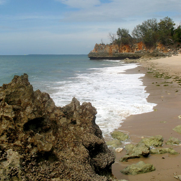
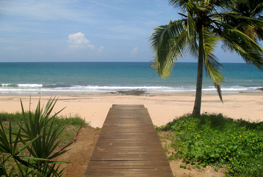
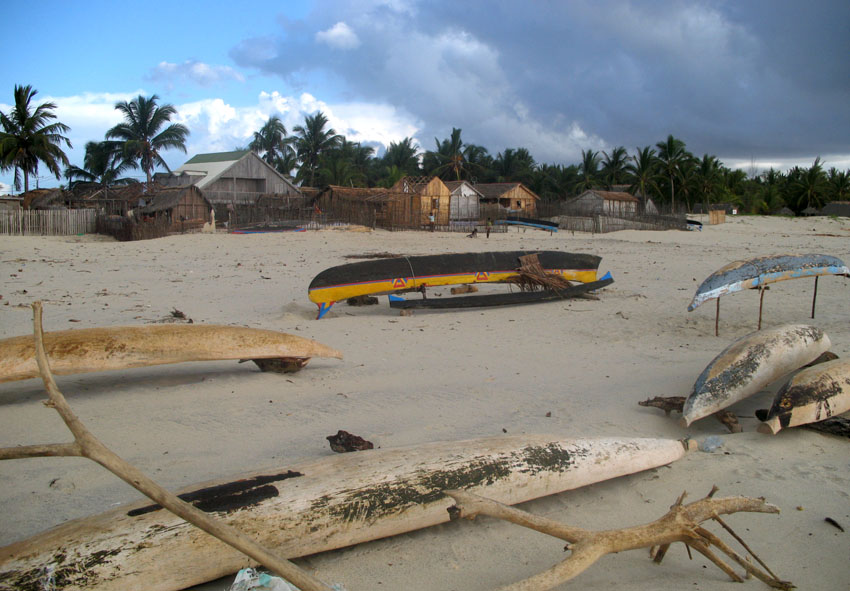
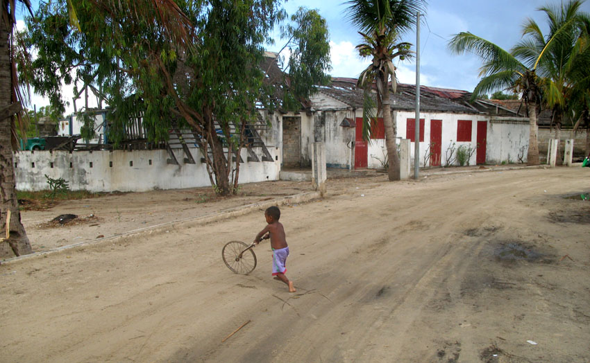
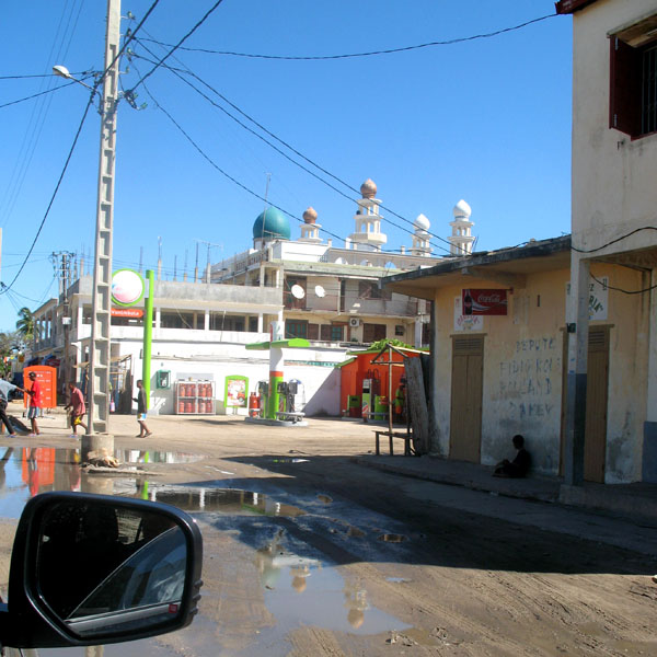
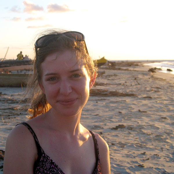
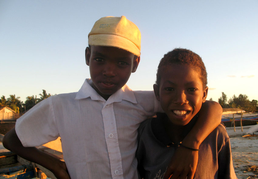
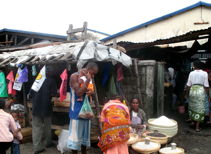
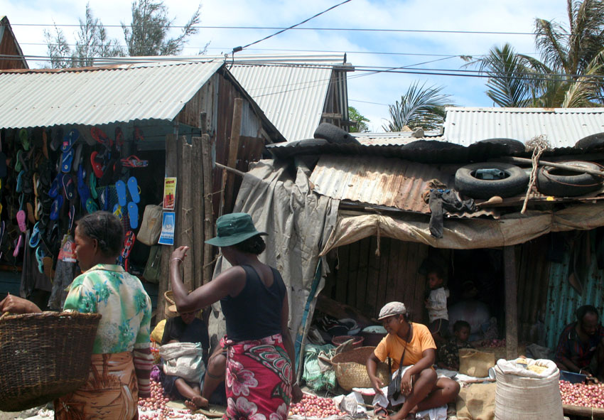
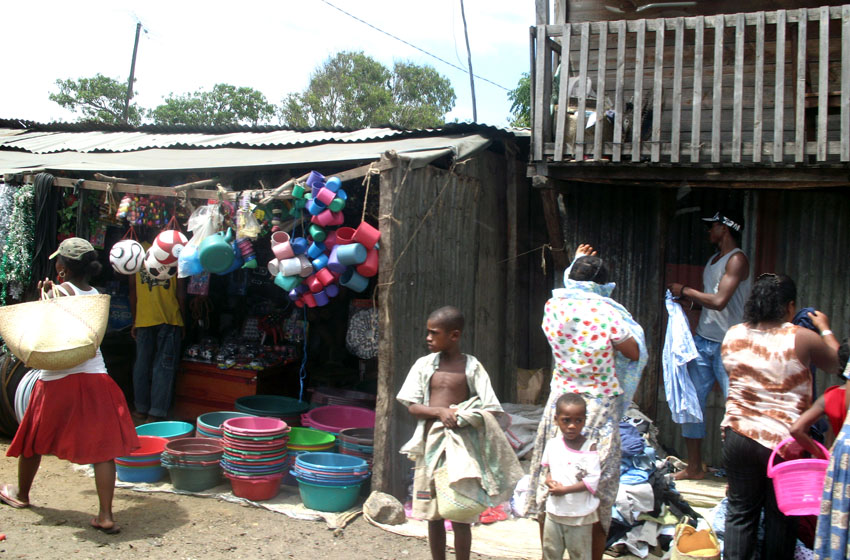
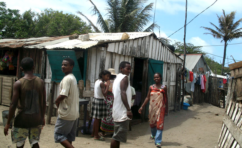
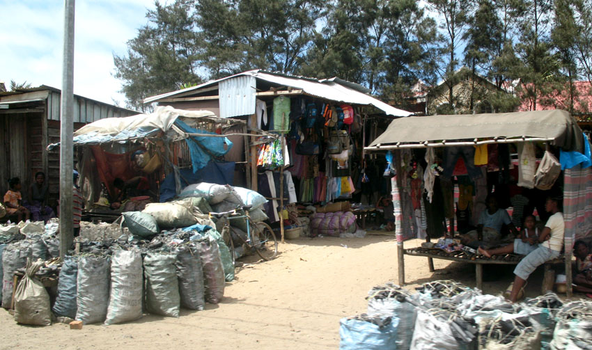
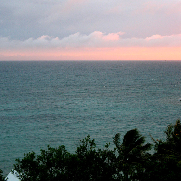
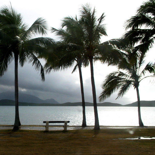
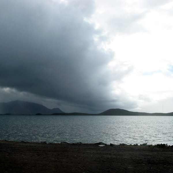
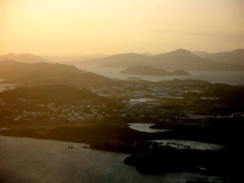
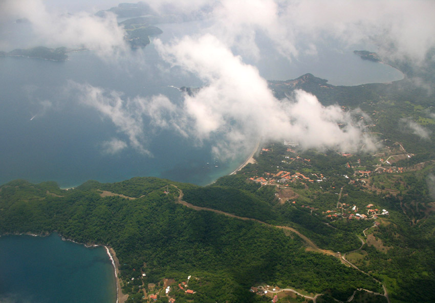
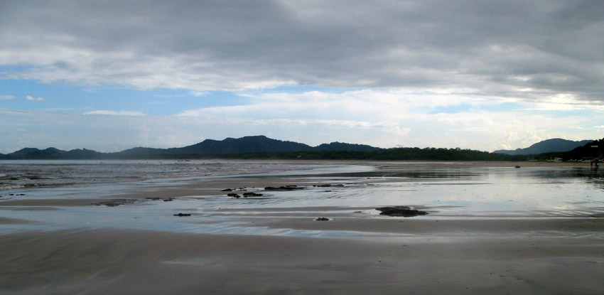
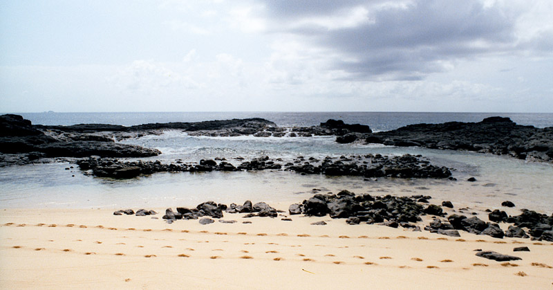
Morondava is a city located in the province of Toliara and the Region of Menabe, of which it is the capital, in Madagascar. It is located in the delta of the Morandava River at 20°17′5″S 44°19′3″E.
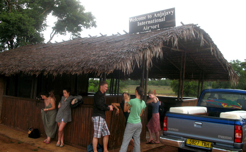
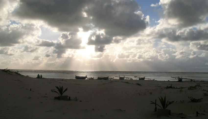
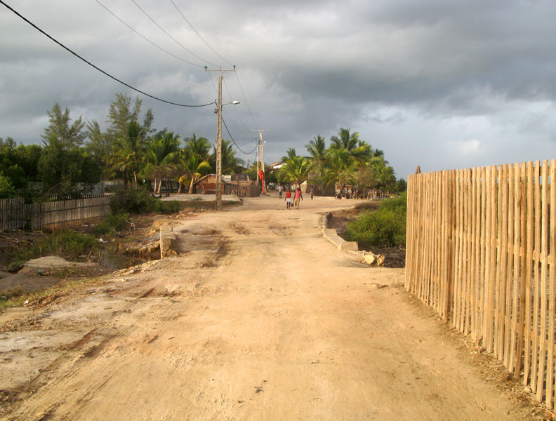
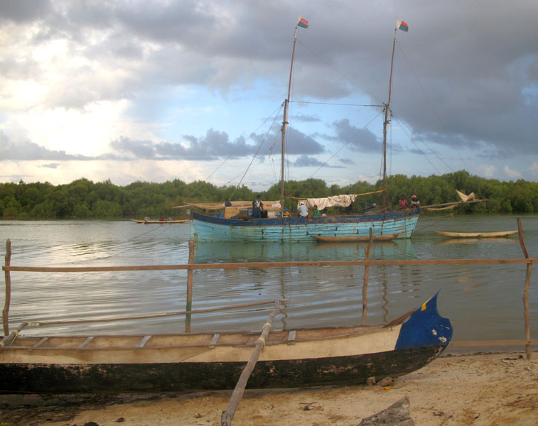
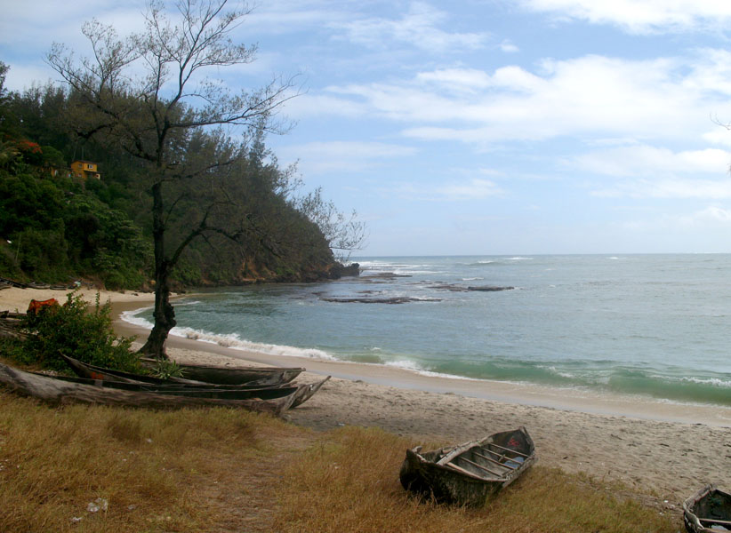
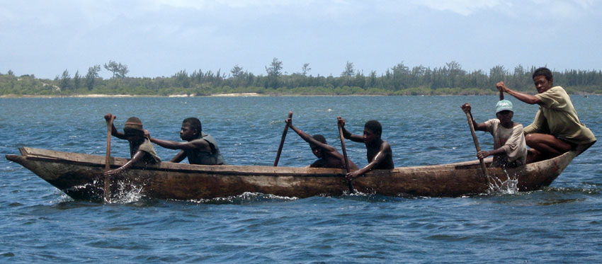
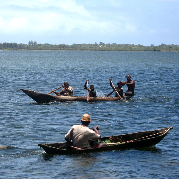
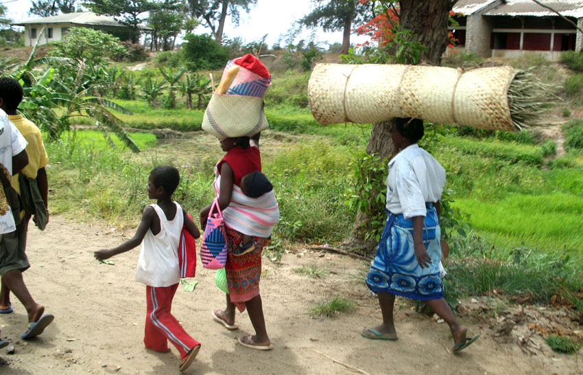
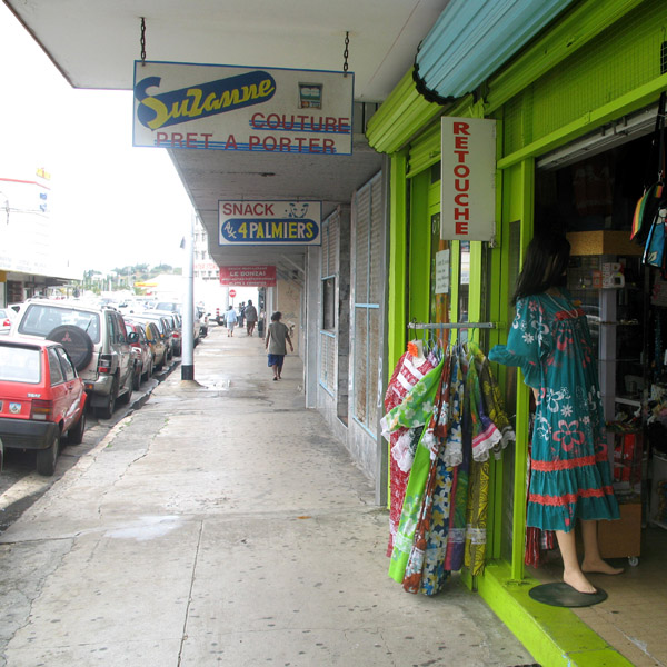
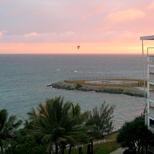
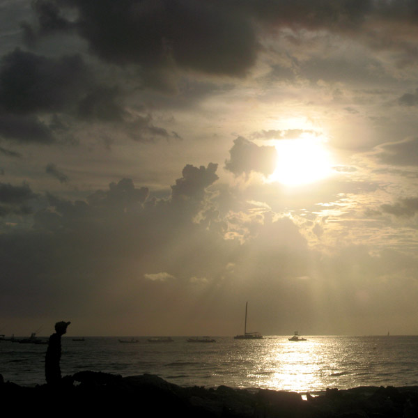
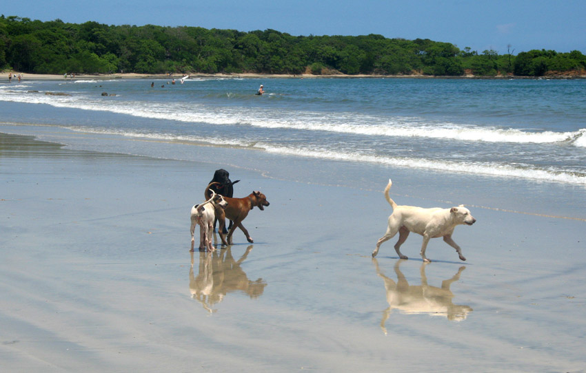
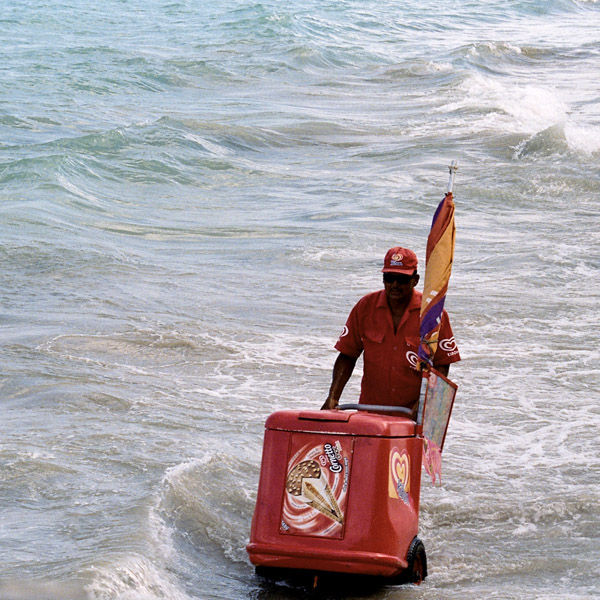
Air Madagascar has regular scheduled flights to Morondava Airport. The main road to the town, and indeed the roads in the town itself, are severely eroded with less than 30% of the original tarmac left in most places. Overland transport is therefore very slow and difficult, especially in the rainy season. Pirogues are consequently a popular mode of transport used to ferry people and goods up and down the coast, especially to Morombe.
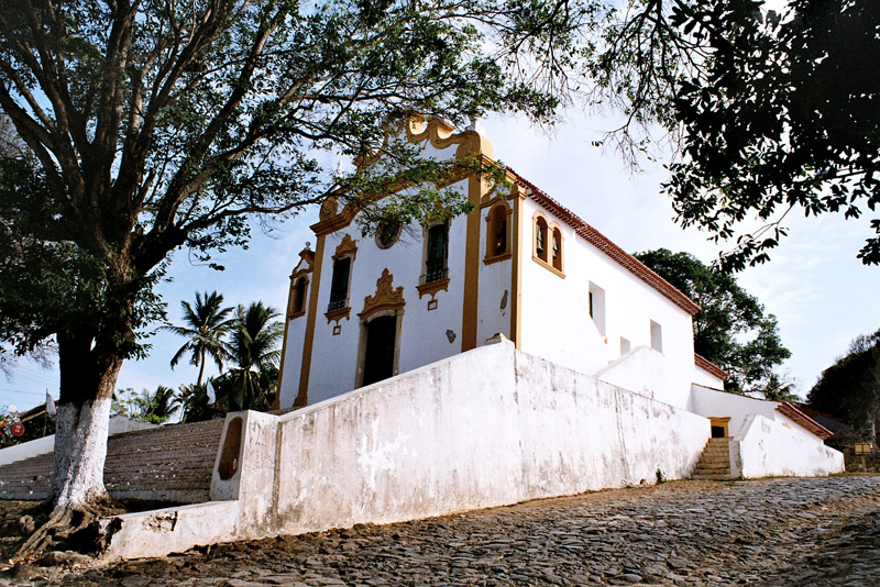
Tôlanaro or Tolagnaro is a city (commune urbaine) in Madagascar. It is the capital of the Anosy region, of the Tôlanaro district, and is in the former Toliara Province. It has a port of local importance, and currently a new port is being built in Ehoala. Formerly Fort Dauphin, it was the most durable French settlement in Madagascar.
It was founded in 1643 by the French East India Company who built a fort there, named in honor of the crown prince of France, the future Louis XIV. It was settled by around a hundred colonists, who found themselves involved in the local politics. The poor trade results (some ebony and little more was obtained) hardly justified the difficulties of the settlers, who suffered from tropical illnesses and other problems. After a conflict with the Antanosy people, the survivors were evacuated in 1674.
One temporary settler of this colony, Etienne de Flacourt, published, back in France, the History of the Great Isle of Madagascar and Relations, that was the main source of information on the island for Europeans until the late 19th century.
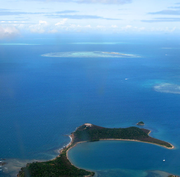
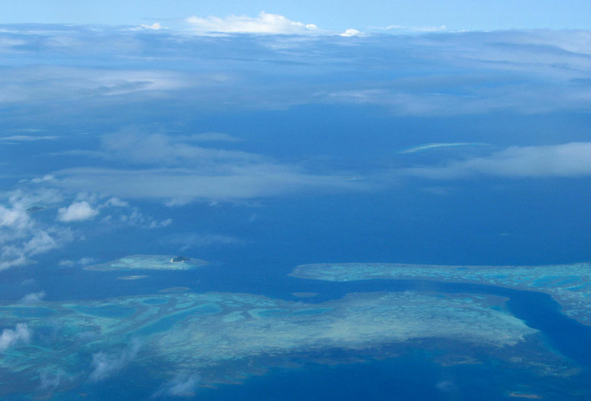
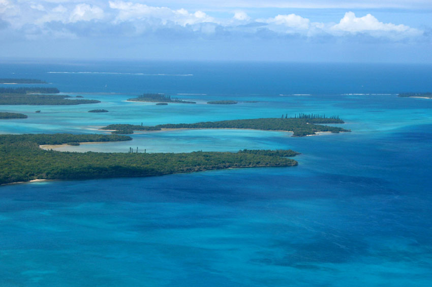

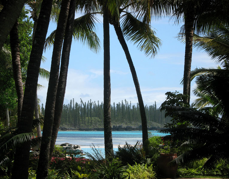
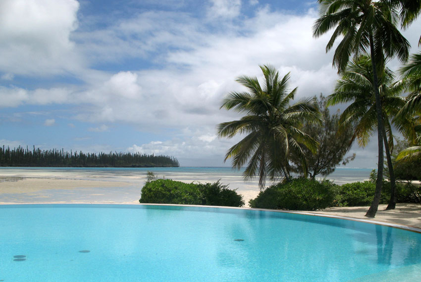
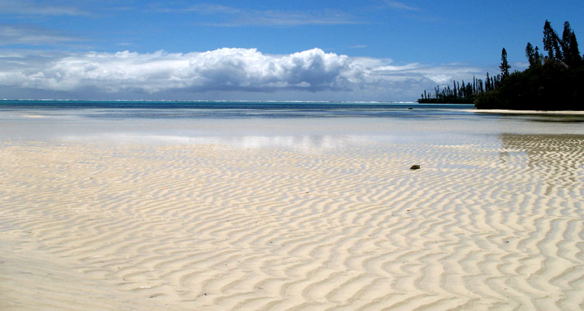
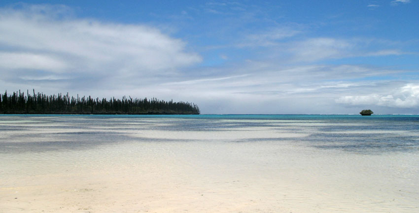
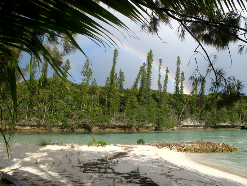
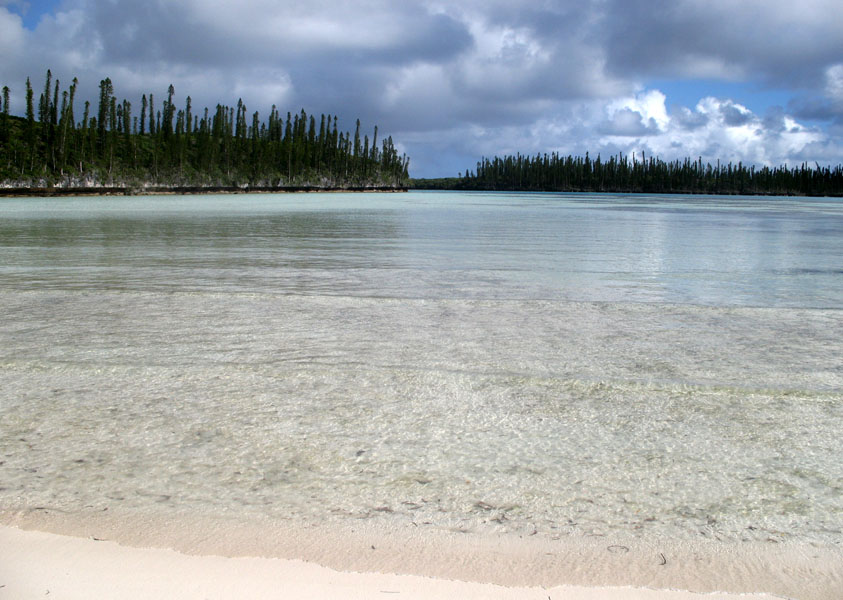
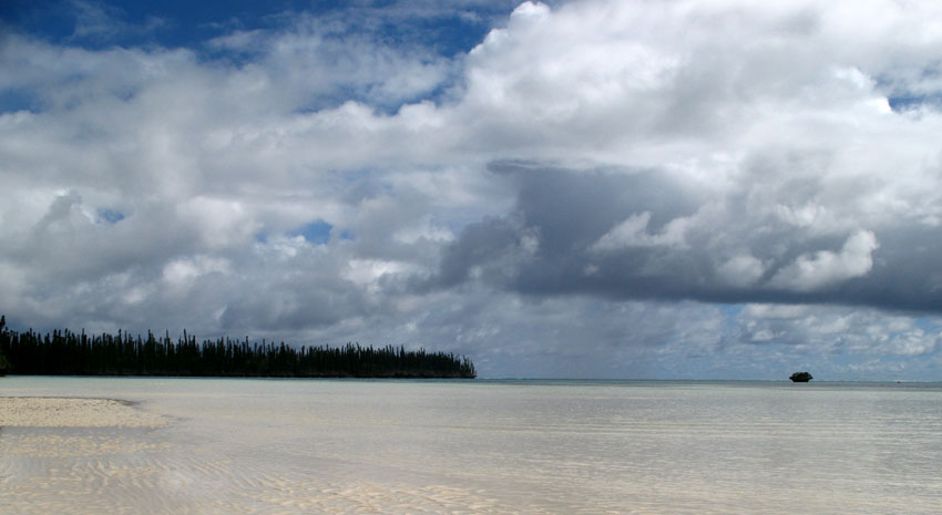
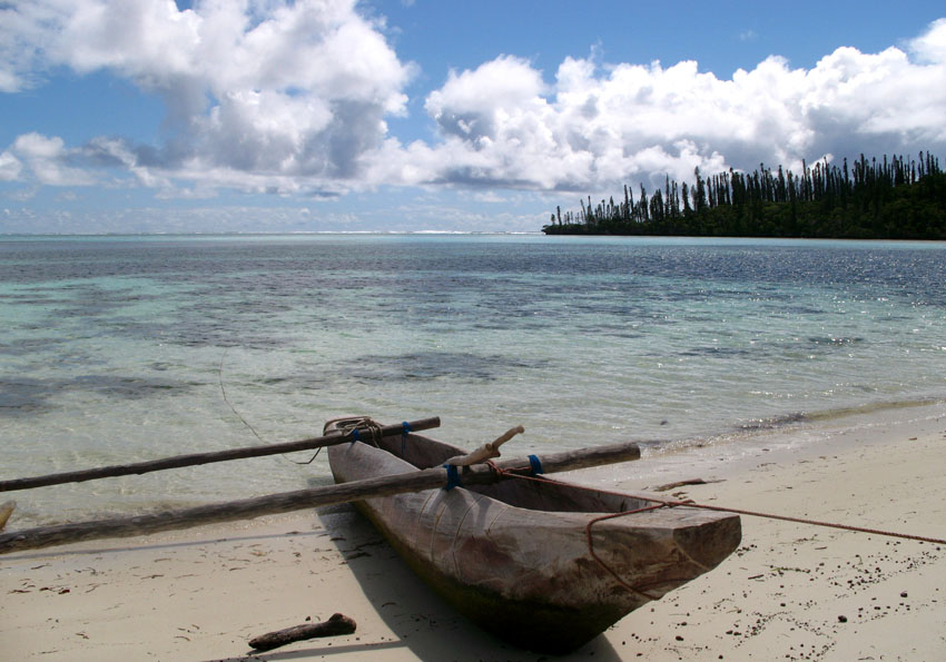
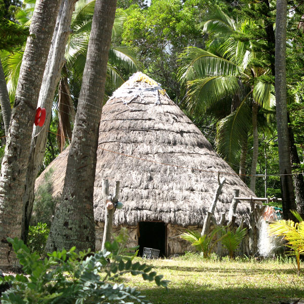
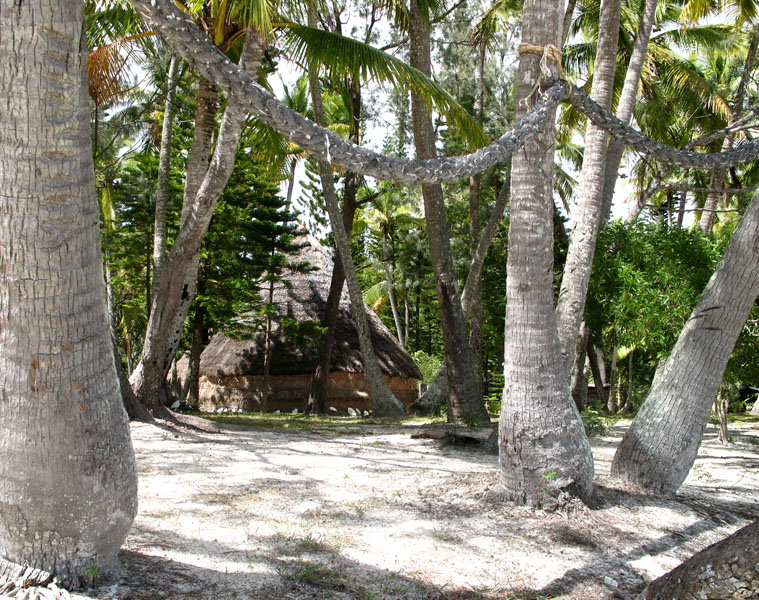
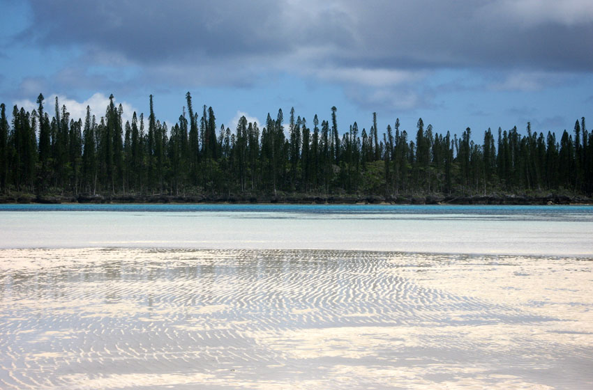
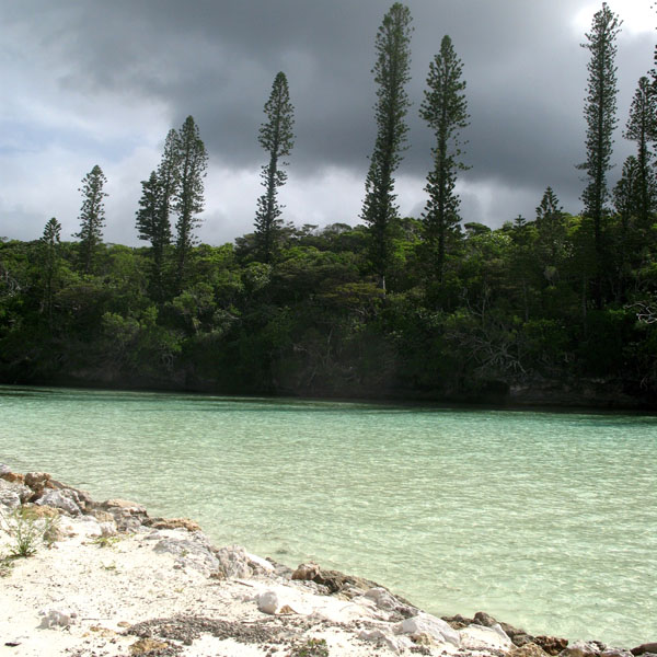
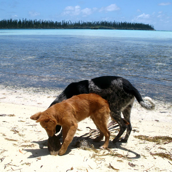
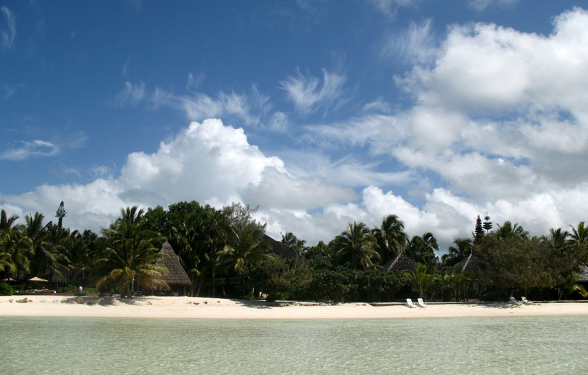
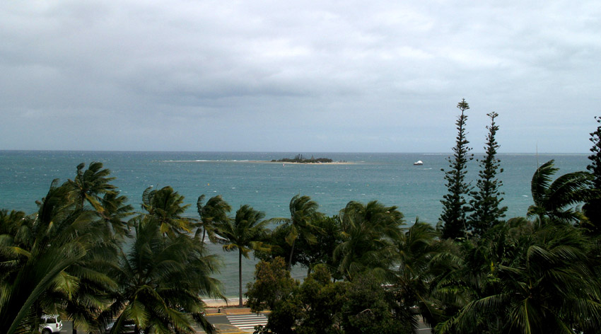
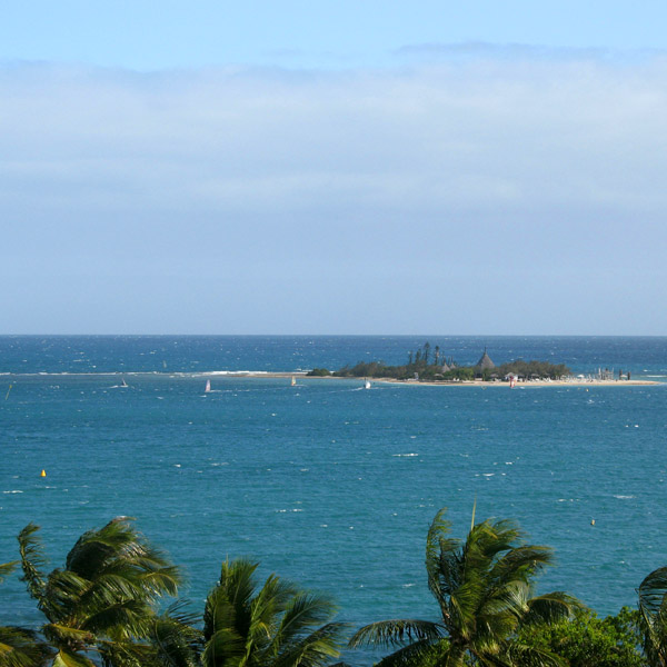
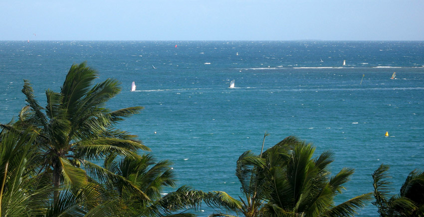
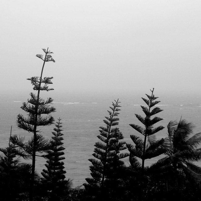
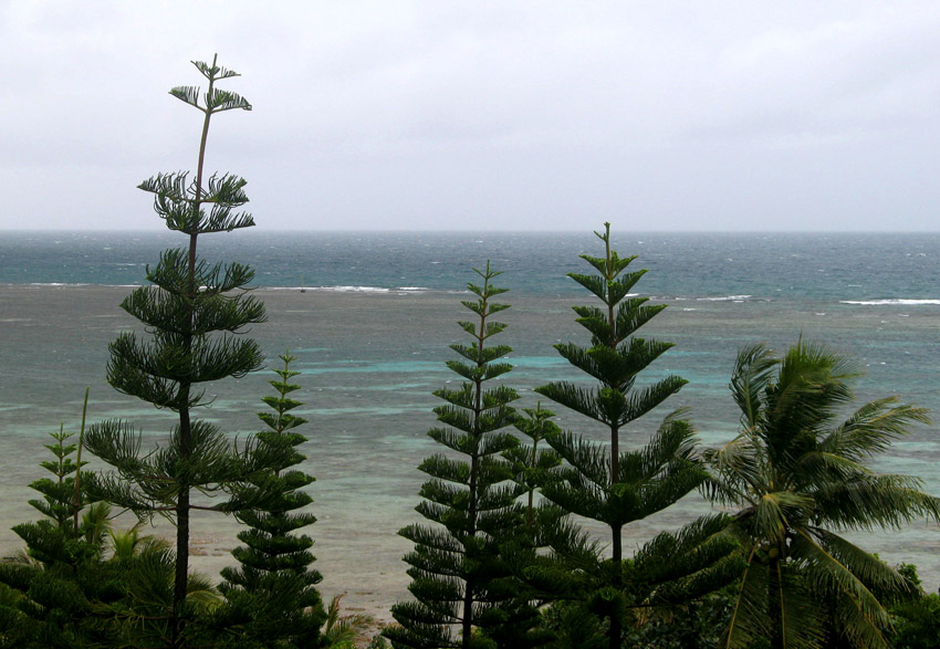
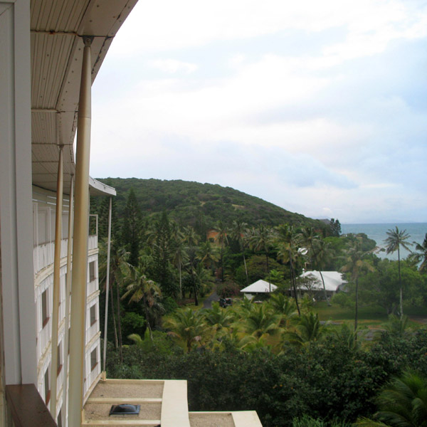
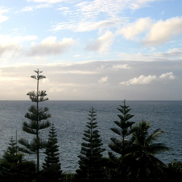
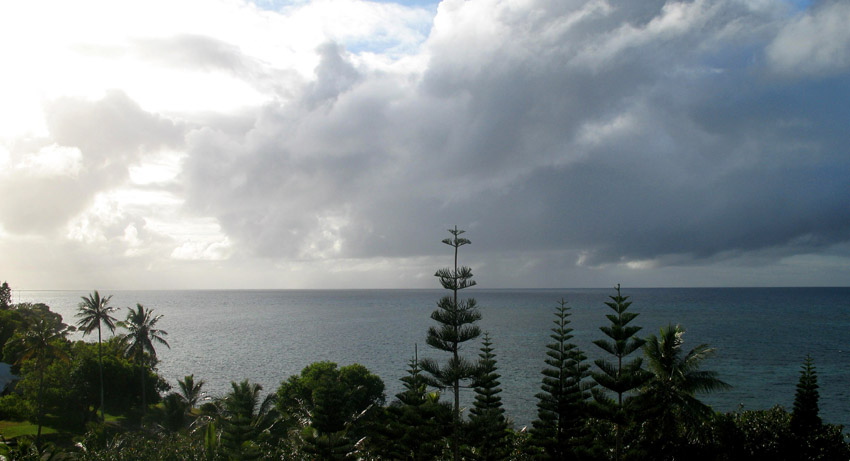
The Isle of Pines (French: Île des Pins; Kanak name: Kunyié) is an island located in the Pacific Ocean, in the archipelago of New Caledonia, an overseas territory of France. The island is part of the commune (municipality) of L’Île-des-Pins, in the South Province of New Caledonia. The Isle of Pines is often nicknamed l’île la plus proche du paradis (“the closest island to Paradise”) and is famous for snorkeling and scuba diving in and around its colorful lagoon. Many species of tropical fish and corals can be seen in the transparent water.
The island is located around 22°37′S 167°29′E and measures 15 km (9 miles) by 13 km (8 miles). It lies southeast of Grande Terre, New Caledonia’s main island and is approximately 100 kilometres south-east of the capital Noumea. There is one airport (code ILP) with a 1,097-meter (3,600 ft) runway. The Isle of Pines is surrounded by the New Caledonia Barrier Reef.
The inhabitants of the island are mainly native Melanesian Kanaks and the population is approximately 2,000 (estimated 2006).
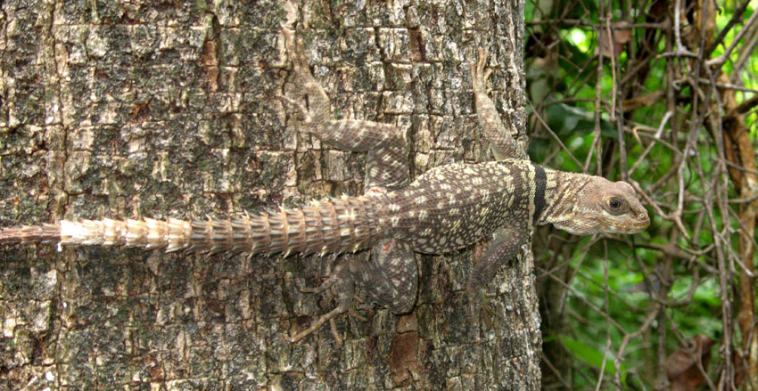
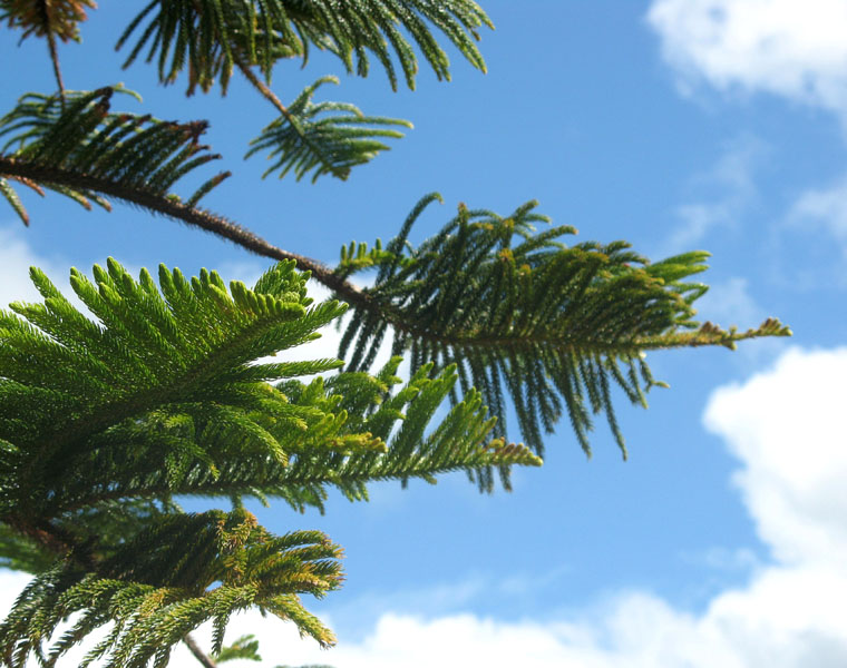
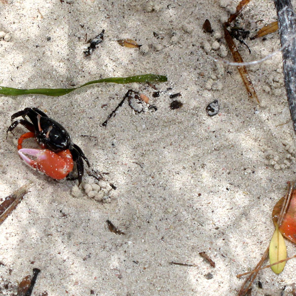
The island is rich with animal life and is home to many unique creatures such as the Crested Gecko Rhacodactylus ciliatus and the world’s largest gecko Rhacodactylus leachianus.
The pic Nga is the island’s highest point, at 262 meters (860 ft) elevation.
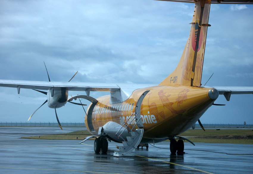
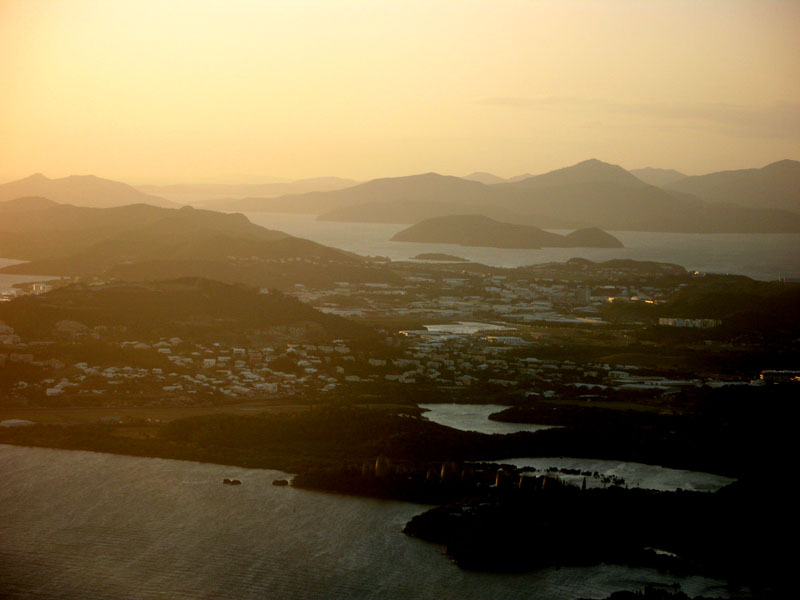
New Caledonia (French: officially: Nouvelle-Calédonie; colloquially: (la) Calédonie; popular nicknames: (la) Kanaky, (le) Caillou), is a “sui generis collectivity” of France located in the region of Melanesia in the southwest Pacific. It comprises a main island (Grande Terre), the Loyalty Islands, and several smaller islands. Approximately half the size of Taiwan, it has a land area of 18,575.5 square kilometres (7,172 sq mi). The population was estimated in January 2008 to be 244,410. The capital and largest city of the territory is Nouméa. The currency is the CFP franc.
Since 1986 the United Nations Committee on Decolonization has included New Caledonia on the United Nations list of Non-Self-Governing Territories. New Caledonia is set to decide whether to remain within the French Republic or become an independent state in a referendum to be held between 2014 and 2019.
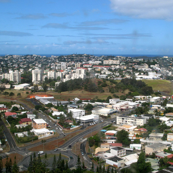
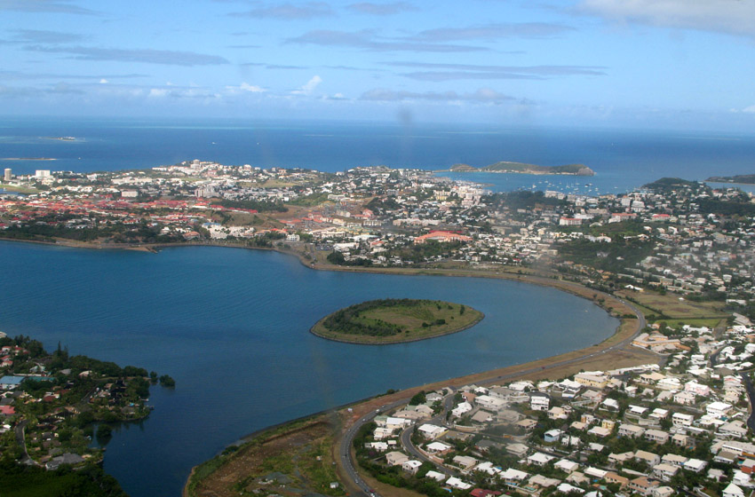
Nouméa, the capital, is also the seat of the Secretariat of the Pacific Community (formerly the South Pacific Commission), an international organization.
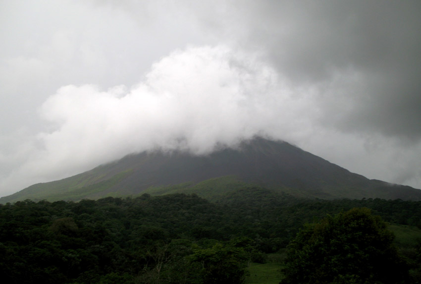
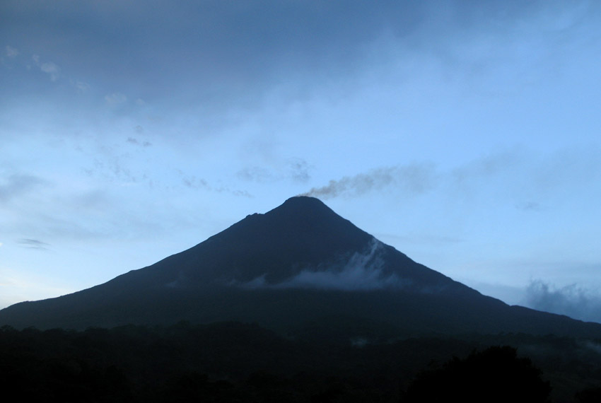
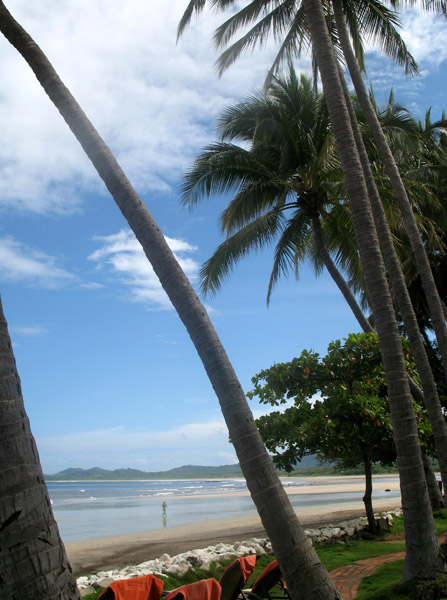
Costa Rica, officially the Republic of Costa Rica (Spanish: Costa Rica or República de Costa Rica, pronounced [reˈpuβlika ðe ˈkosta ˈrika]) is a country in Central America, bordered by Nicaragua to the north, Panama to the east and south, the Pacific Ocean to the west and south and the Caribbean Sea to the east.
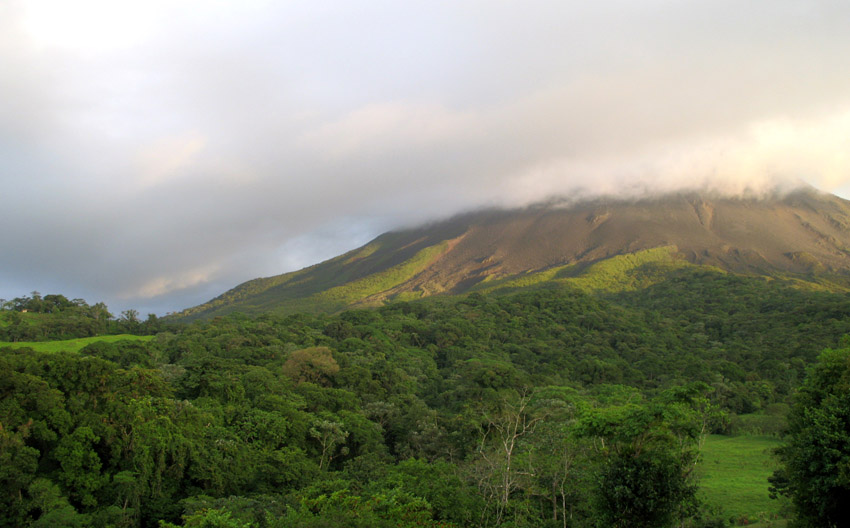
Costa Rica, which translates literally as “Rich Coast”, was the first country in the world to constitutionally abolish its army. Costa Rica has consistently been among the top Latin American countries in the Human Development Index, ranking 50th in 2006. The country is ranked 5th in the world, and 1st among the Americas, in terms of the 2008 Environmental Performance Index. In 2007 the Costa Rican government announced plans for Costa Rica to become the first carbon neutral country by 2021. According to the New Economics Foundation, Costa Rica ranks first in the Happy Planet Index and is the greenest country in the world. The HPI measures how much of the Earth’s resources nations use and how long and happy a life their citizens enjoy as a result.
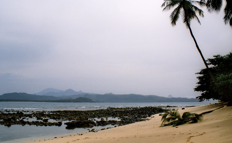
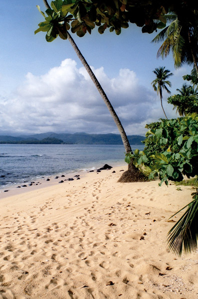
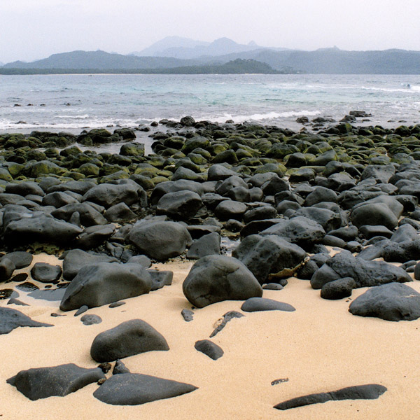
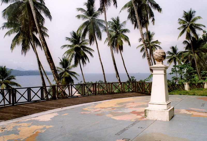
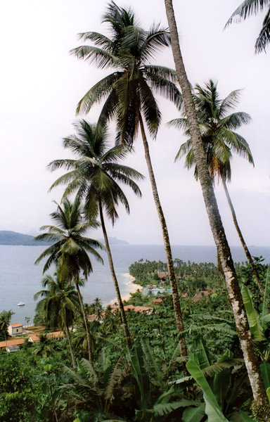
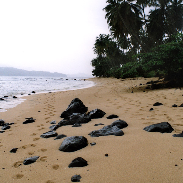
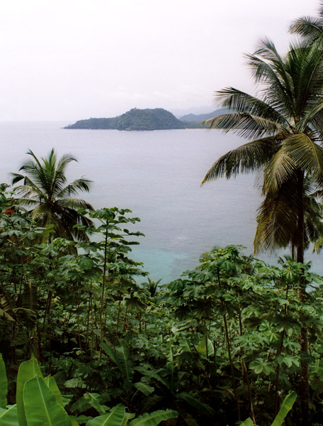
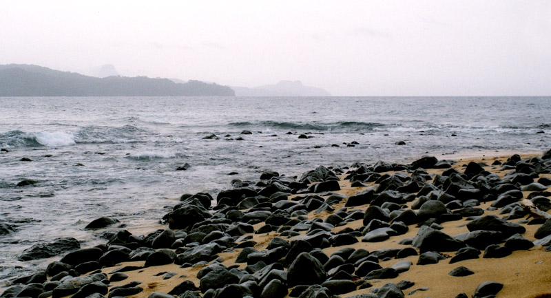
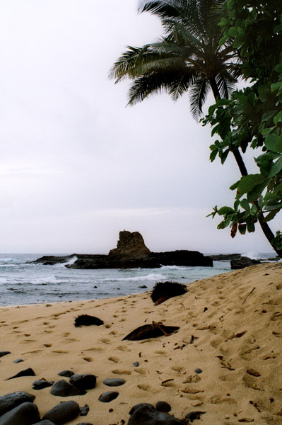
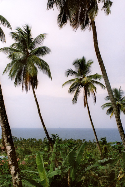
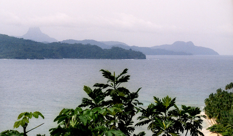
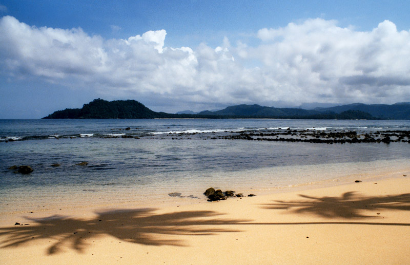
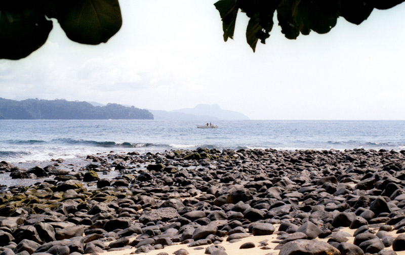
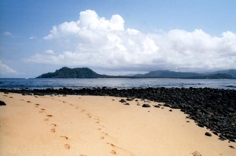
Rolas is a small island lying south of São Tomé Island, being the third largest island of São Tomé and Príncipe. It lies directly on the equator and is known for its beaches, its palm trees, its lighthouse and its beach resort. The island rises to a volcano and is linked by boat to Porto Alegre on São Tomé Island.
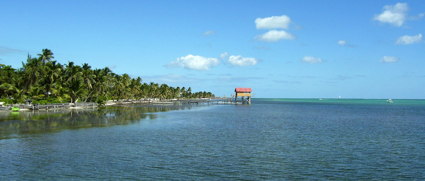
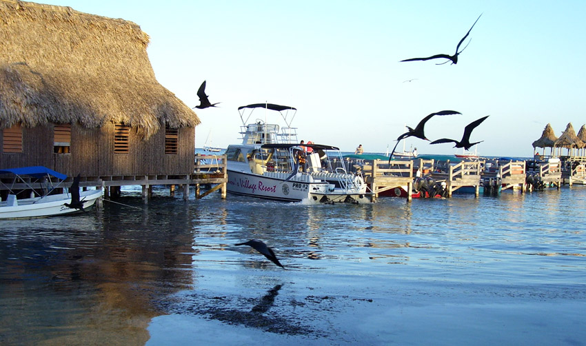
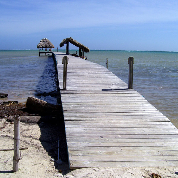
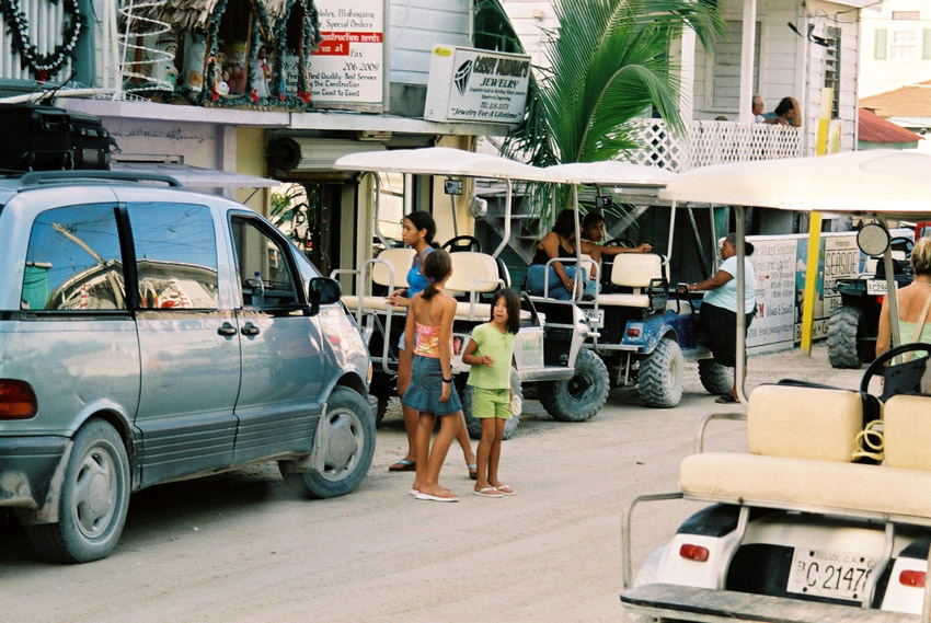
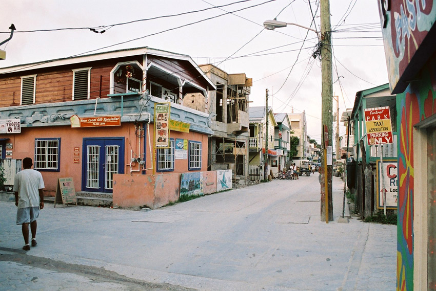
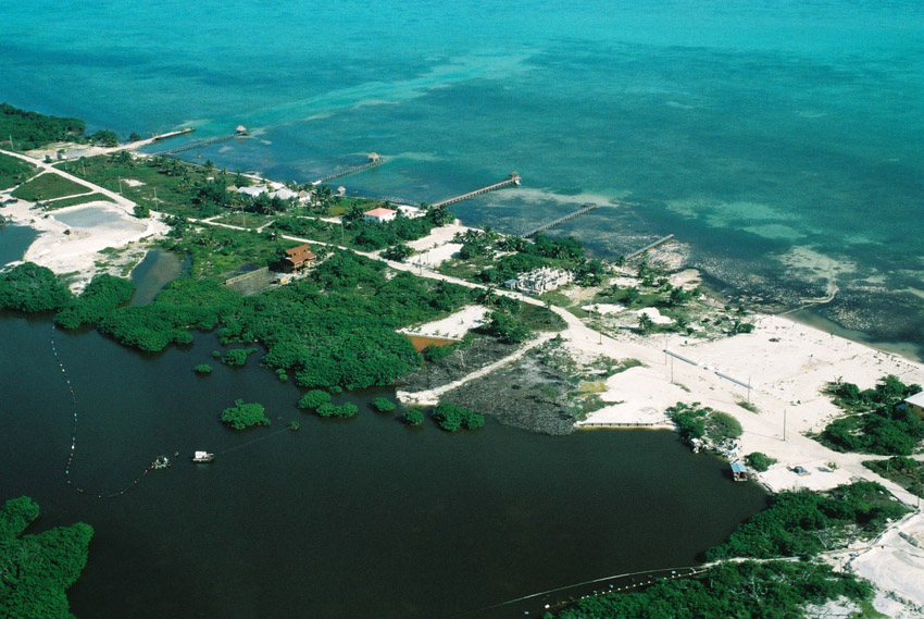
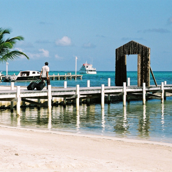
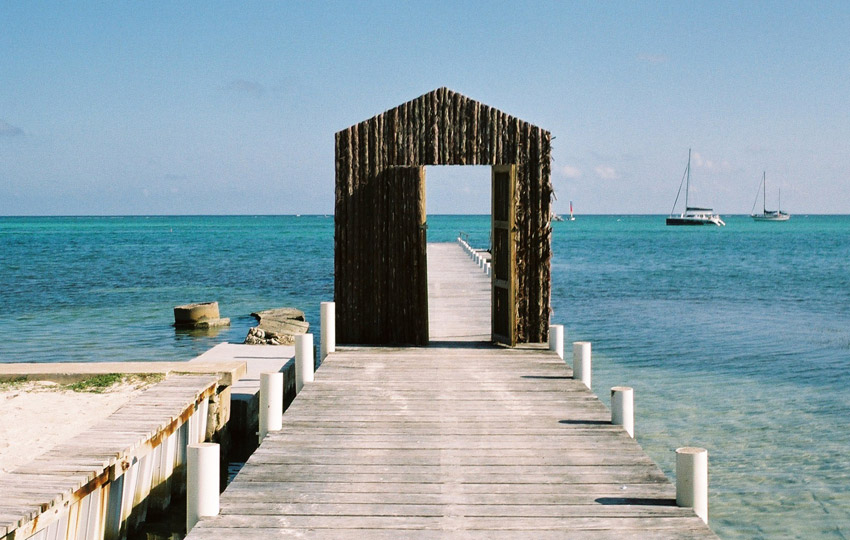
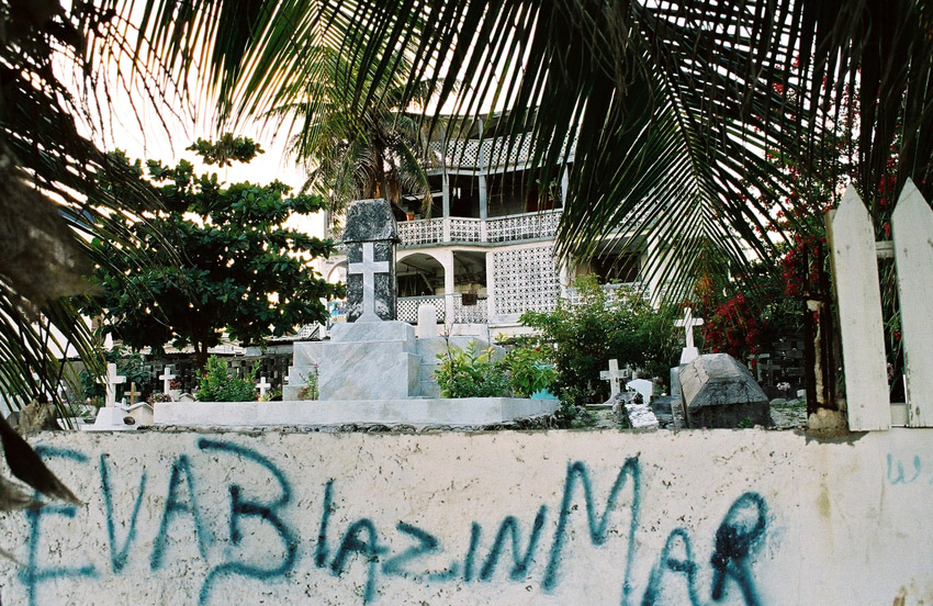
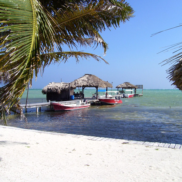
Ambergris Caye, pronounced “am-BER-gis”, is the largest island of Belize located northeast of the country in the Caribbean Sea. Though administered as part of the Belize District, the closest point on the mainland is part of the Corozal District. The Caye (pronounced as “key”, meaning an island, derived from Spanish: cayo) is about 40 kilometres (25 mi) long from north to south, and about 1.6 kilometres (1 mi) wide. It was named after large lumps of ambergris which washed ashore here.
The Belizean island, where it has not been modified by man, is mostly a ring of white sand beach around mangrove swamp in the centre.
A Maya community lived on the island in Pre-Columbian times, and made distinctive polished red ceramics, most notably small well molded figurines of animals.
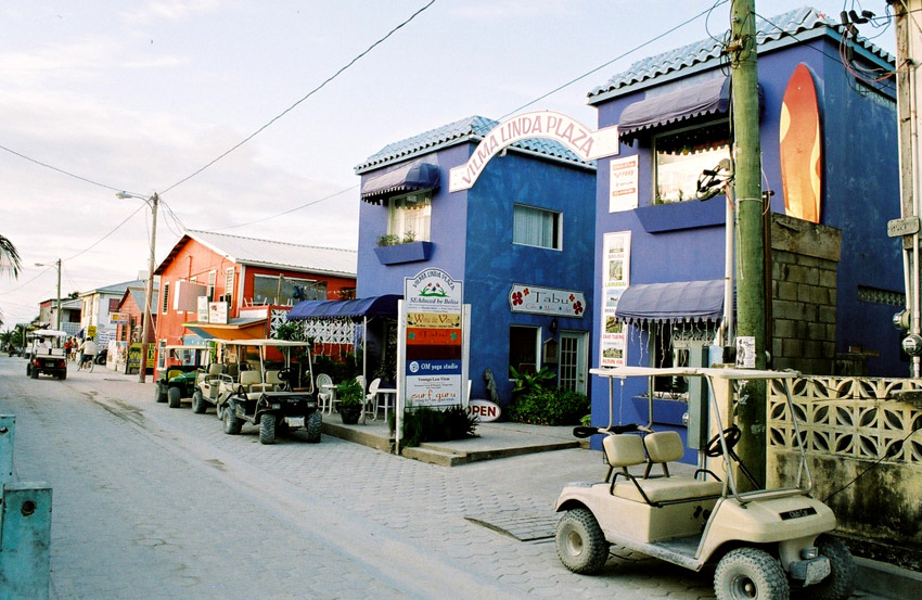
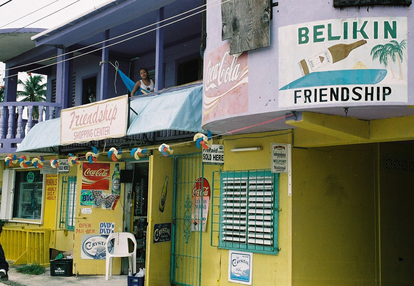
San Pedro Town is the largest settlement and only town on Ambergris. There are also a number of small villages and resorts. Captain Morgan’s and Mata Chica resorts north of San Pedro played host to the first season of Fox’s Temptation Island in 2000, aired in 2001. More recently, the availability of skydiving during the winter has become a draw for tourists so inclined.
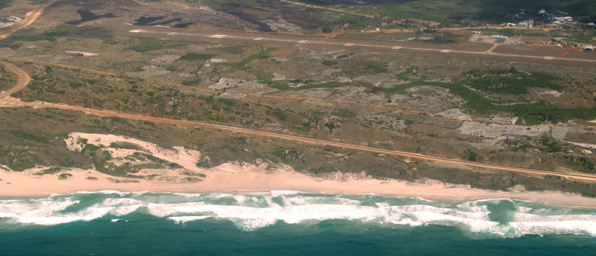
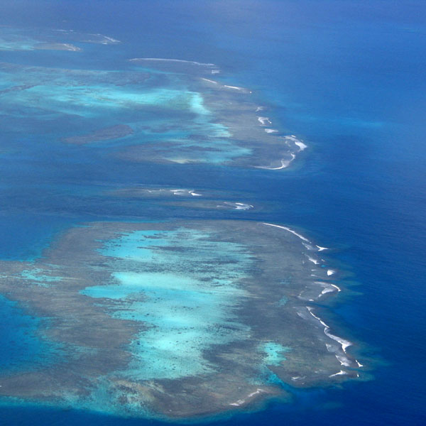
Tourism development of Ambergris Caye began in the early 1970s and grew considerably in the later years of the 20th century. The main attractions are the Belize Barrier Reef and its beaches. That barrier reef is the second largest in the world, after the Great Barrier Reef of Australia. The caye has a small airstrip serviced by Tropic Air and Maya Island Air, and can be reached by plane from Belize City as well as by numerous fast sea ferries.
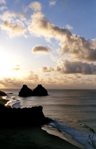
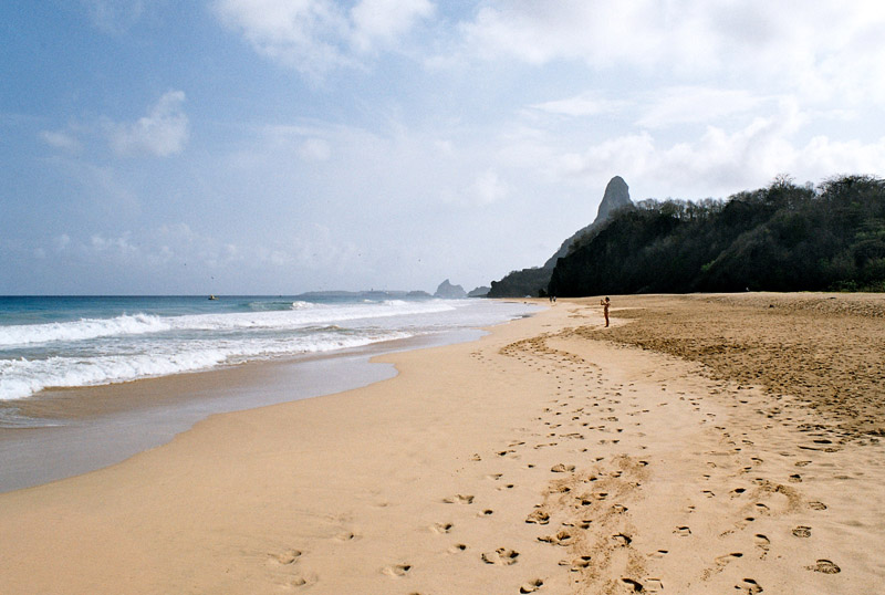
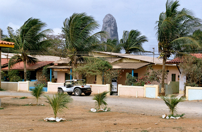
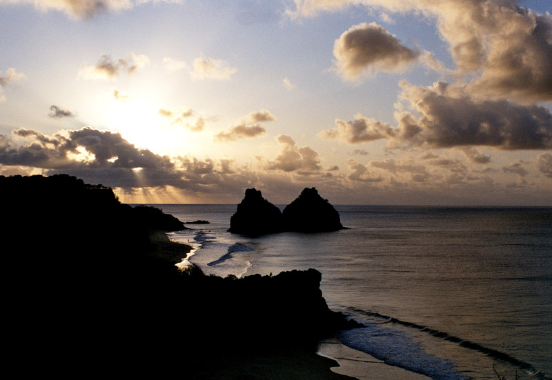
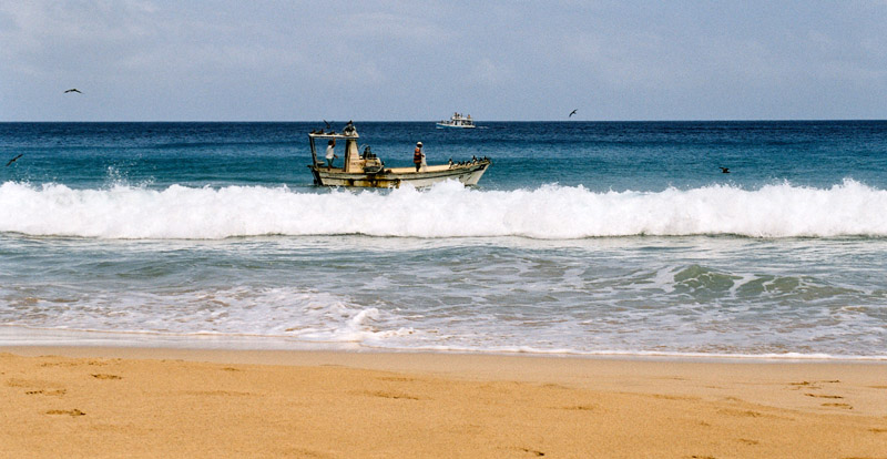
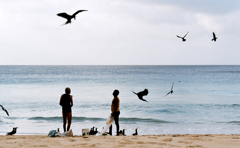
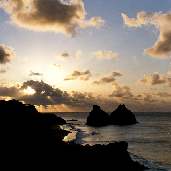
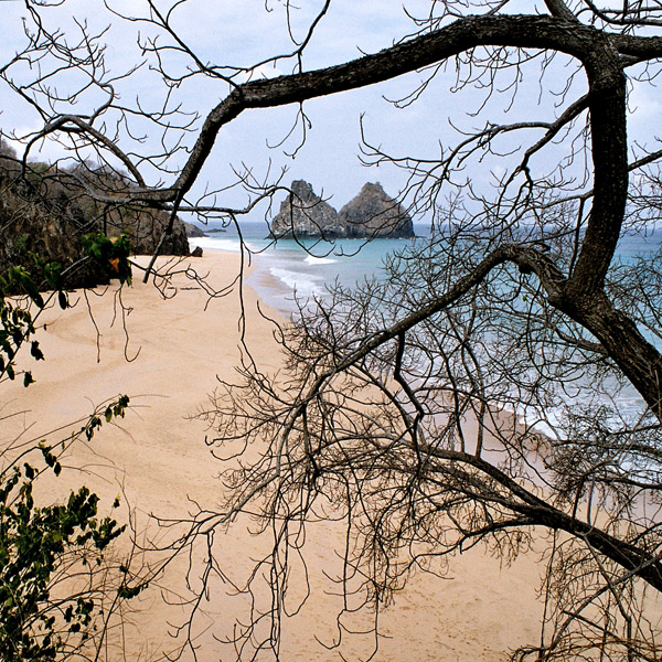
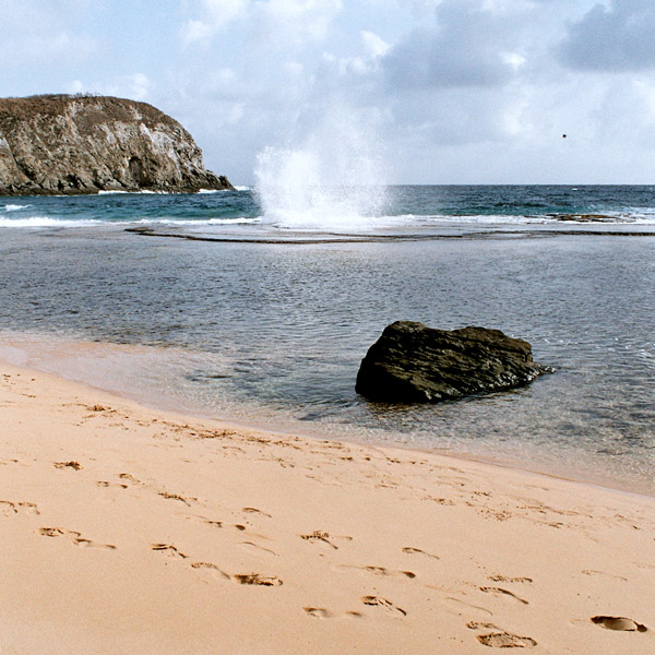
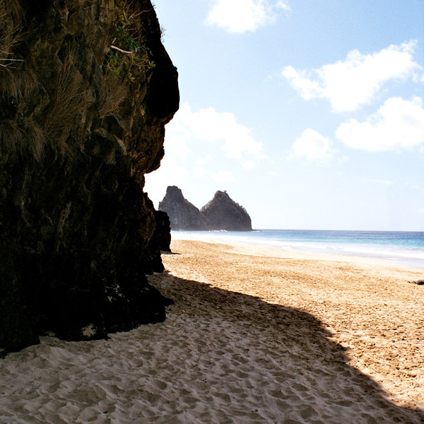
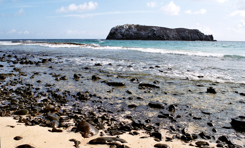
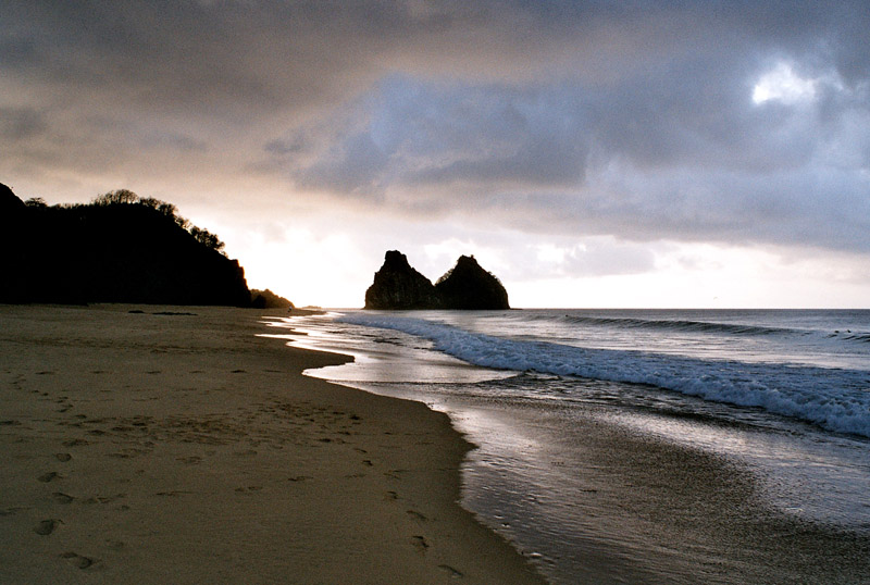
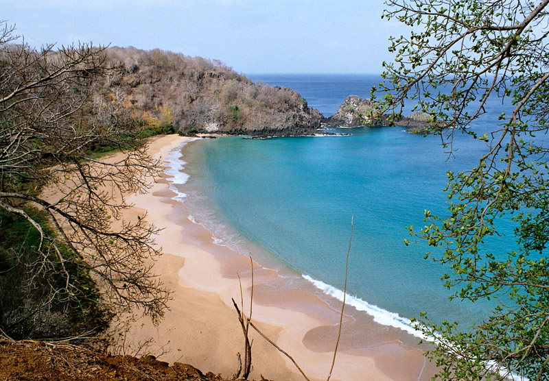
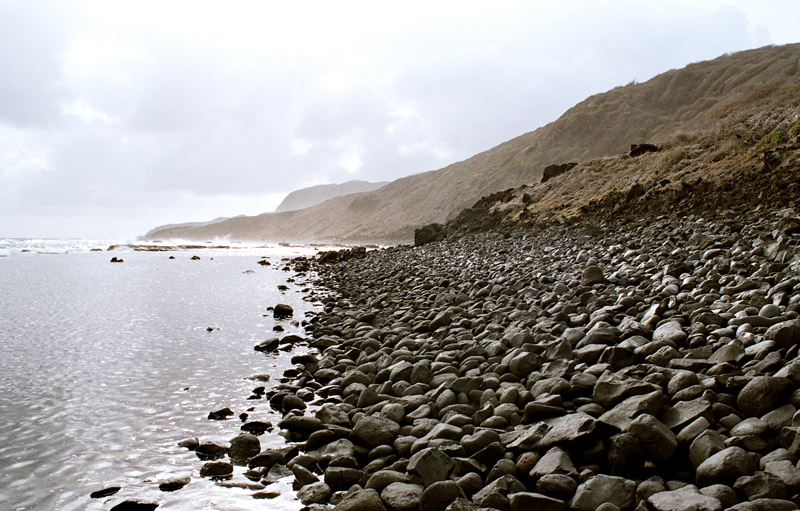
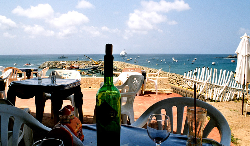
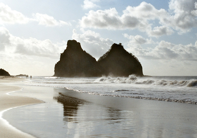
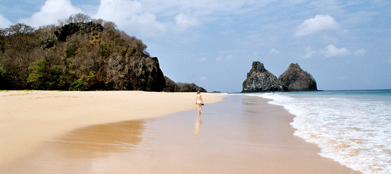
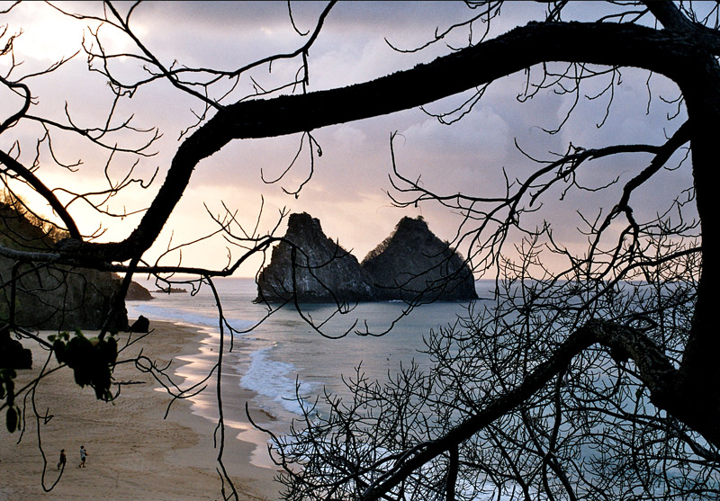
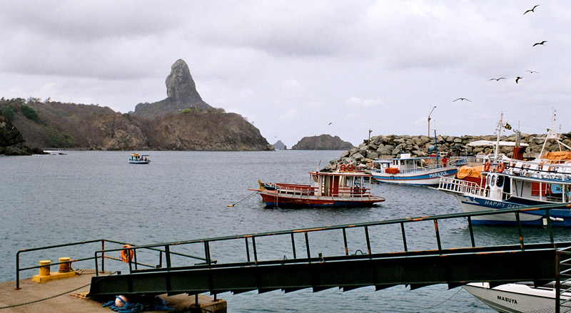
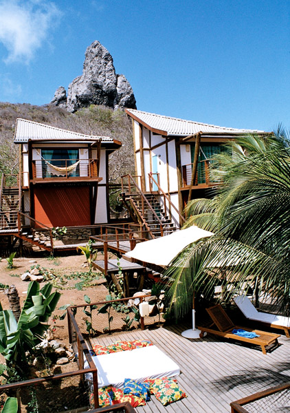
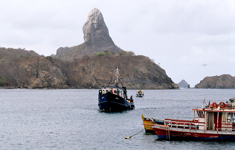
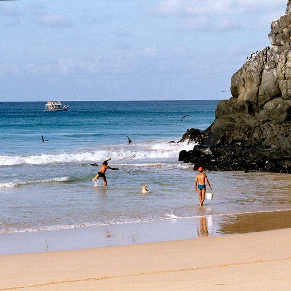
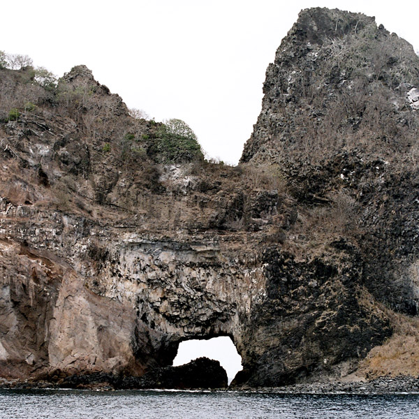
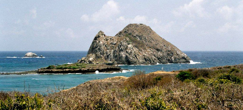
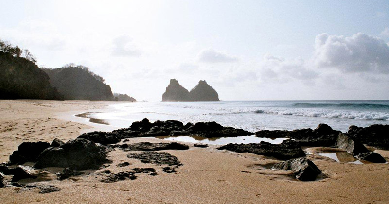
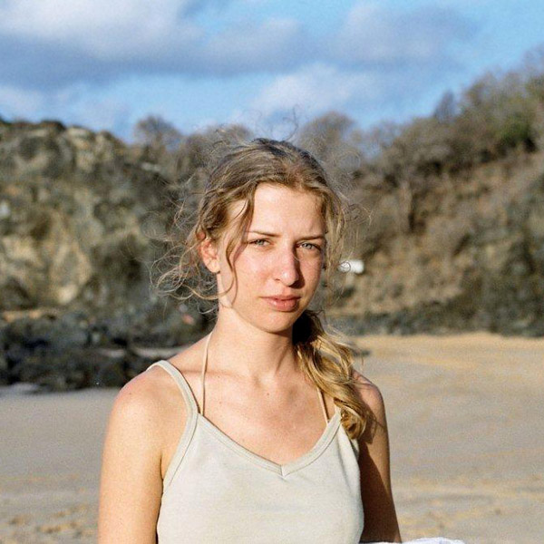
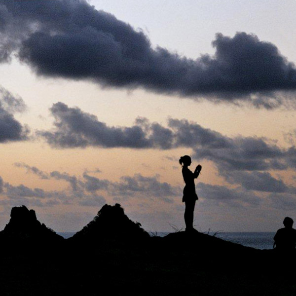
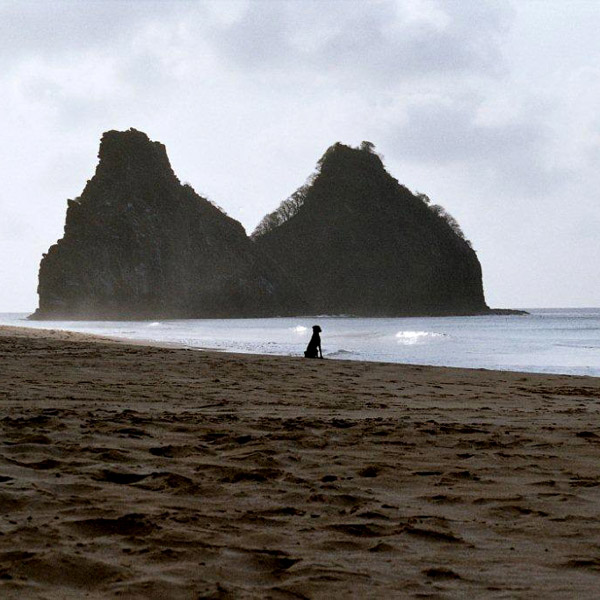
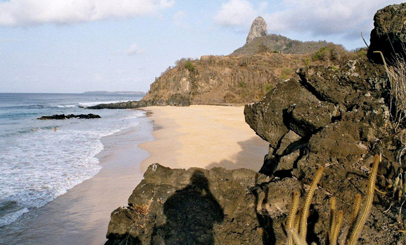
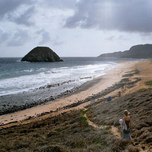

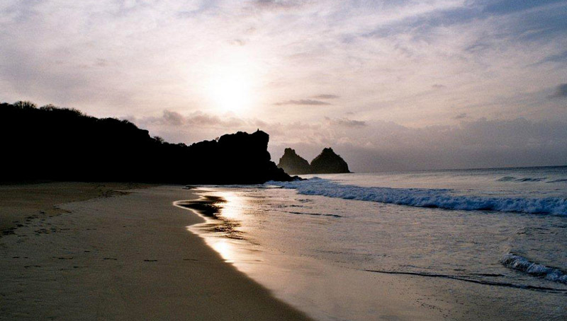
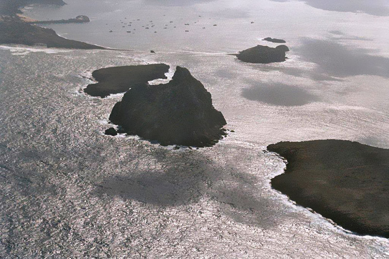
Fernando de Noronha is an archipelago of 21 islands and islets in the Atlantic Ocean, around 354 km (220 miles) offshore from the Brazilian coast. The main island has an area of 18.4 square kilometres (7.1 sq mi) and had a population of 3,012 in the year 2008. The area is a special municipality (distrito estadual) of the Brazilian state of Pernambuco (despite being closer to the state of Rio Grande do Norte) and is also a UNESCO World Heritage Site. Its timezone is UTC−2h. The local population and travellers can get to Noronha by plane or cruise from Recife (545km) or by plane from Natal (360km). A small environmental preservation fee is charged from tourists upon arrival by Ibama (Institute of Environment and Renewable Natural Resources).
The climate is tropical, with two well-defined seasons. The rainy season lasts from March to September, the rest of the year sees little rain.
The islands of this archipelago are the visible parts of a range of submerged mountains. Consisting of 21 islands, islets and rocks of volcanic origin, the main island has an area of 18 km² (7.1 miles²), being 10 km (6.2 miles) long and 3.5 kilometres (2.170 mi) wide at its maximum. The base of this enormous volcanic formation is 756 m below the surface. The main island, from which the group gets its name, makes up 91% of the total area.
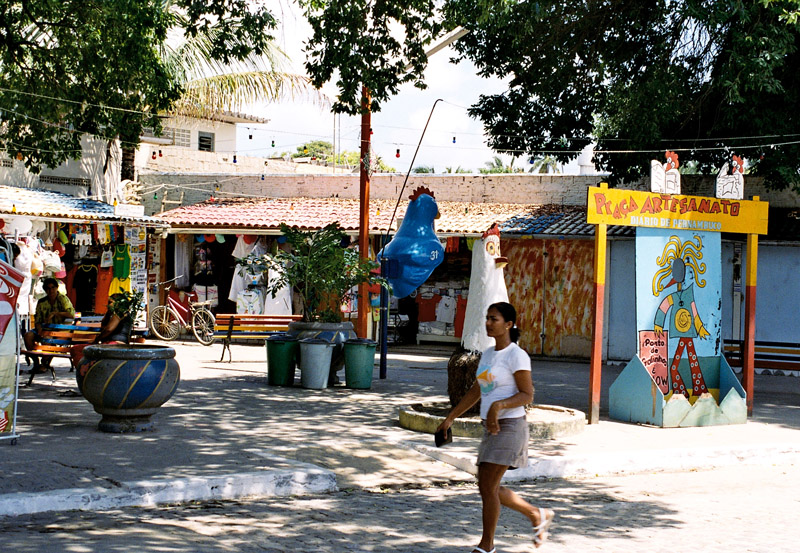
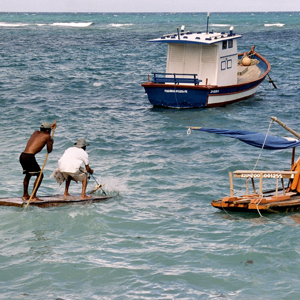
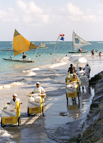
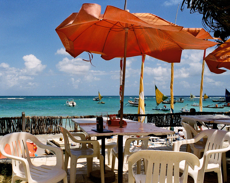
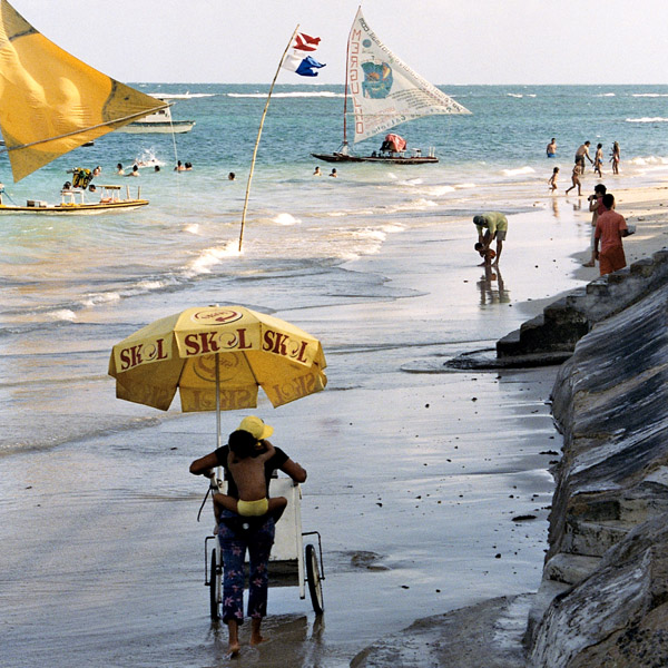
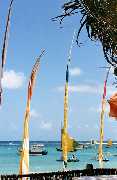
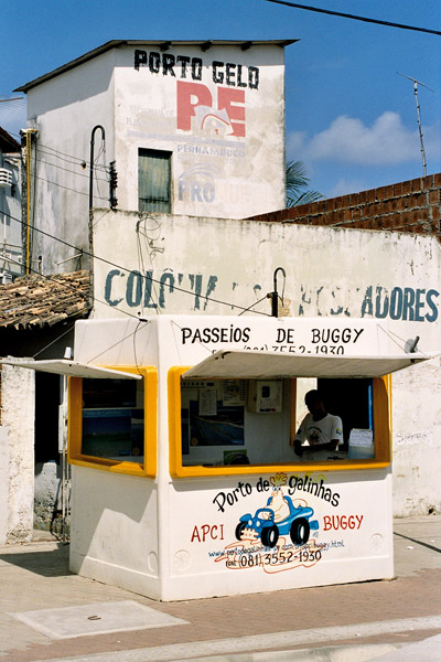
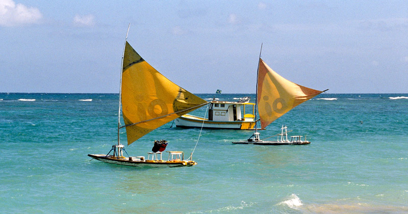
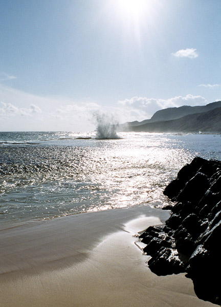
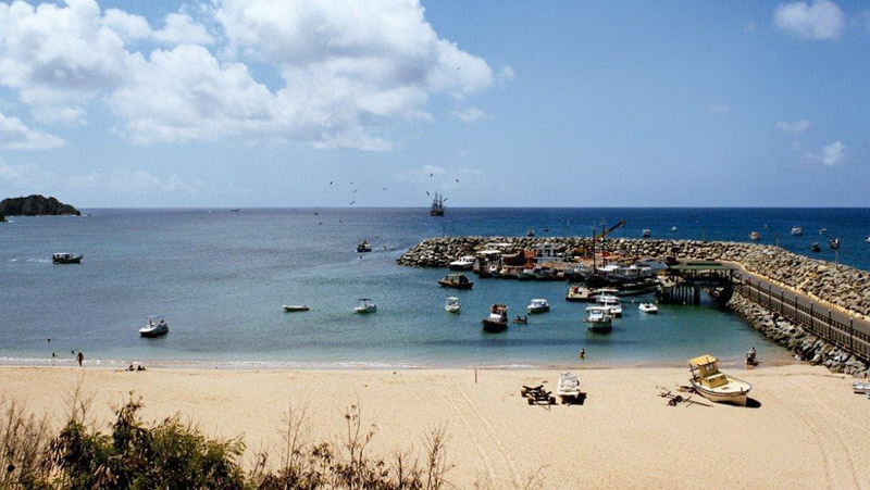
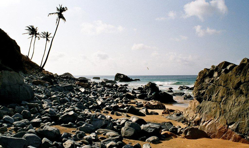
Porto de Galinhas is a beach in the municipality of Ipojuca, Pernambuco, Brazil. Porto de Galinhas is a major tourist destination. The beach is famous for its bright-water beaches and the natural pools. It is part of the municipality of Ipojuca, and located 60 kilometers (37 miles) south of the state capital, Recife.
It has been voted “Best Brazilian Beach” for the eighth time in a row by the readers of Voyage & Tourism Brazilian magazine. According to this magazine, the main reasons given are the beauty of the natural pools (the closest to the coast in all of Brazil, the ecological trails, the hotel infrastructure and the proximity to a large city and airport in Recife.