Categories
Tanzania

Zanzibar III

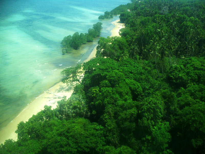
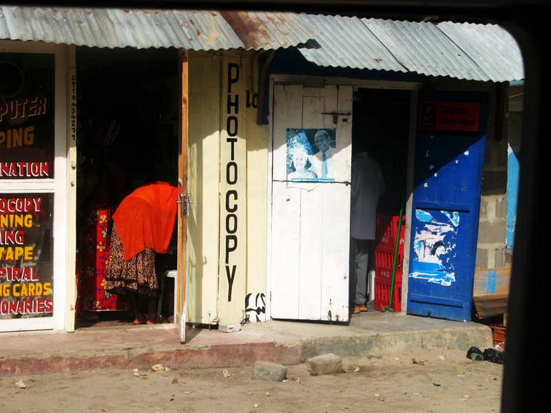
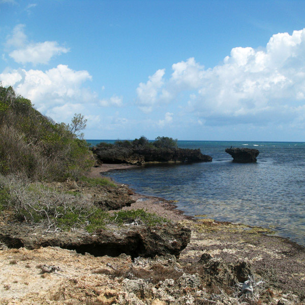
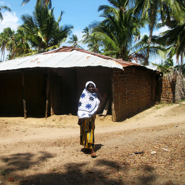
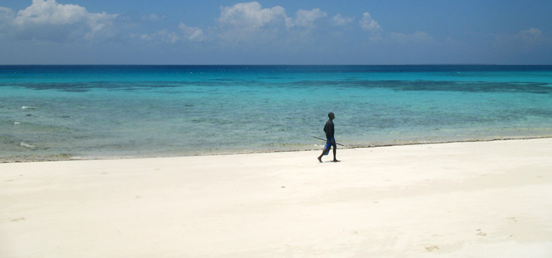
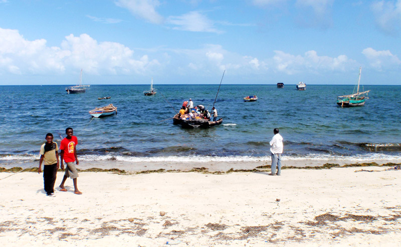
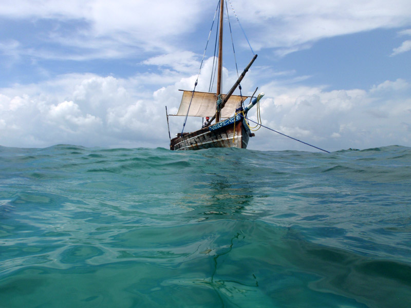
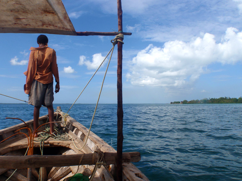
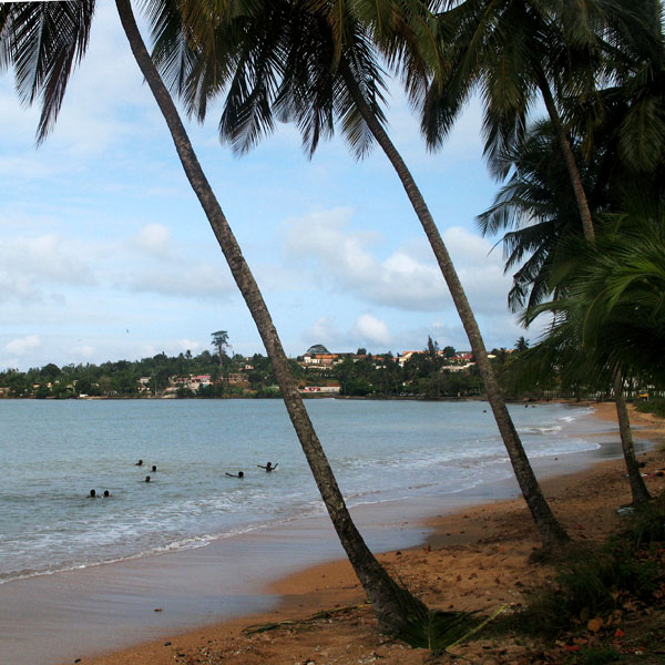
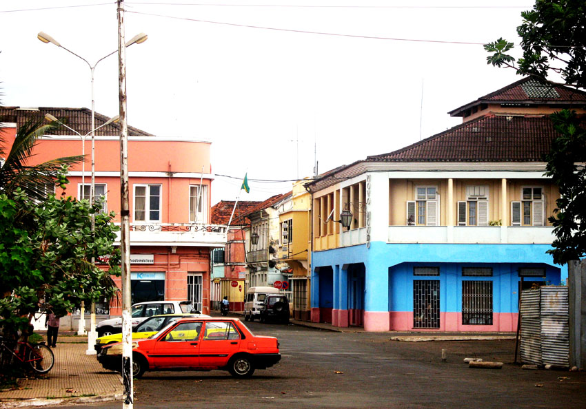
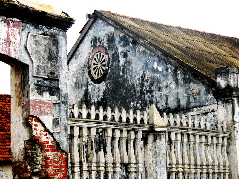
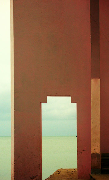
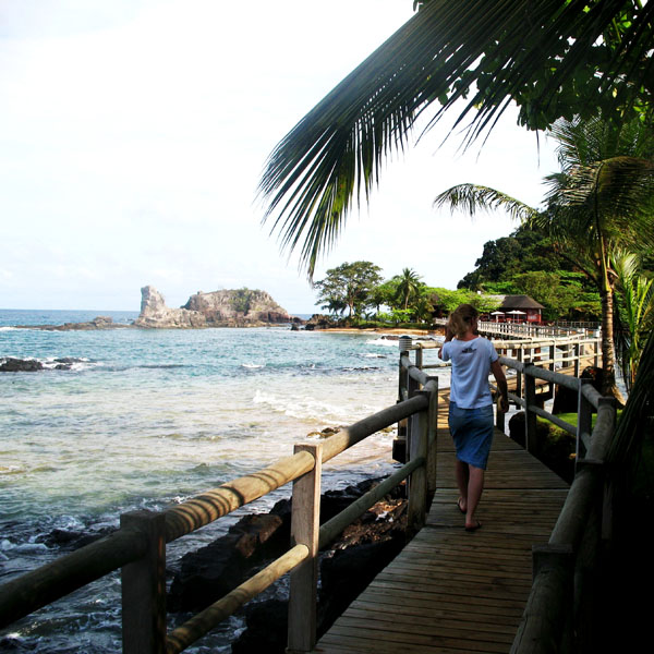
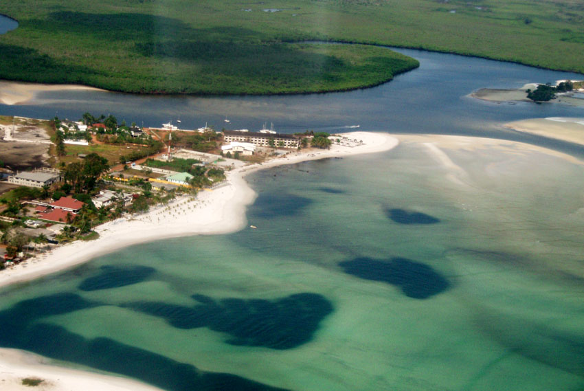
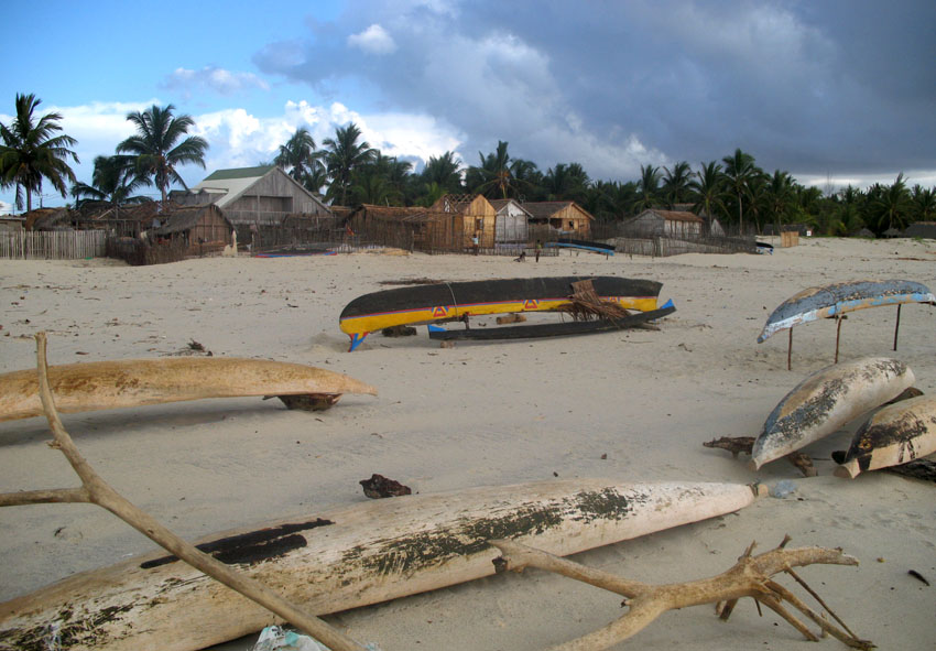
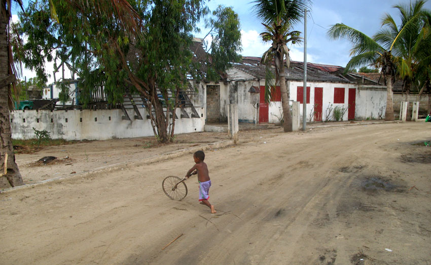
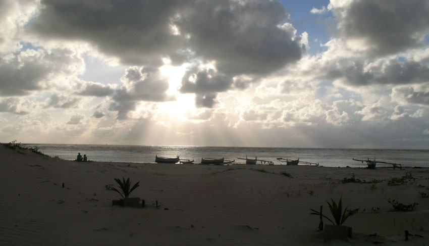
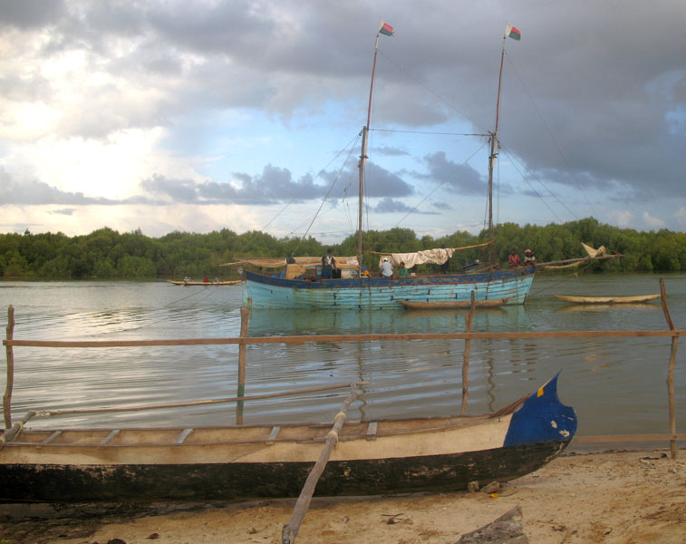
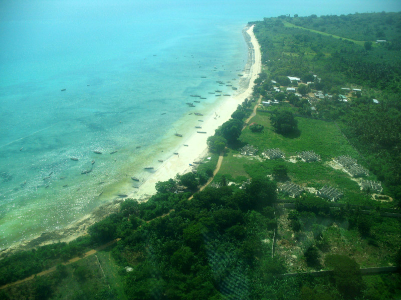
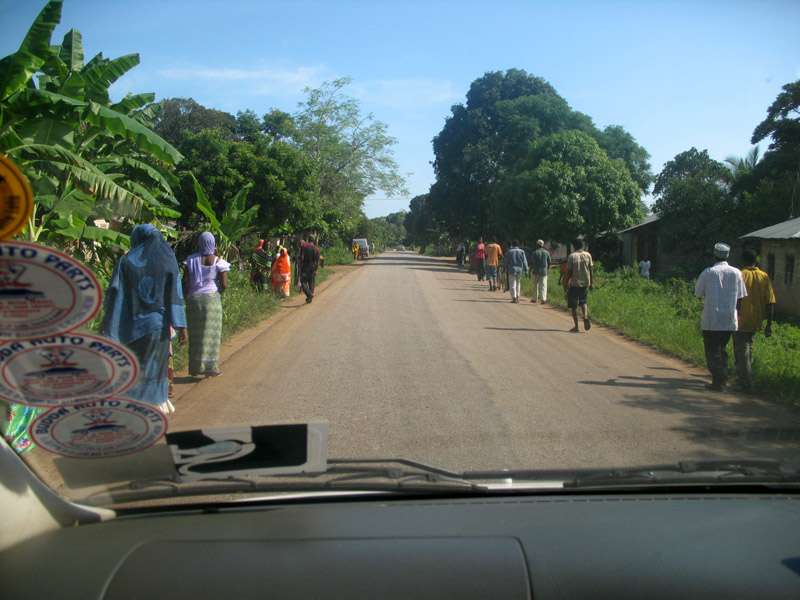
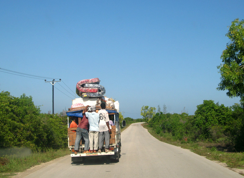
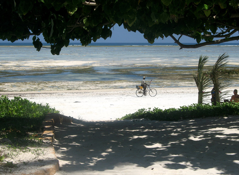
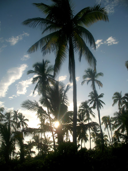
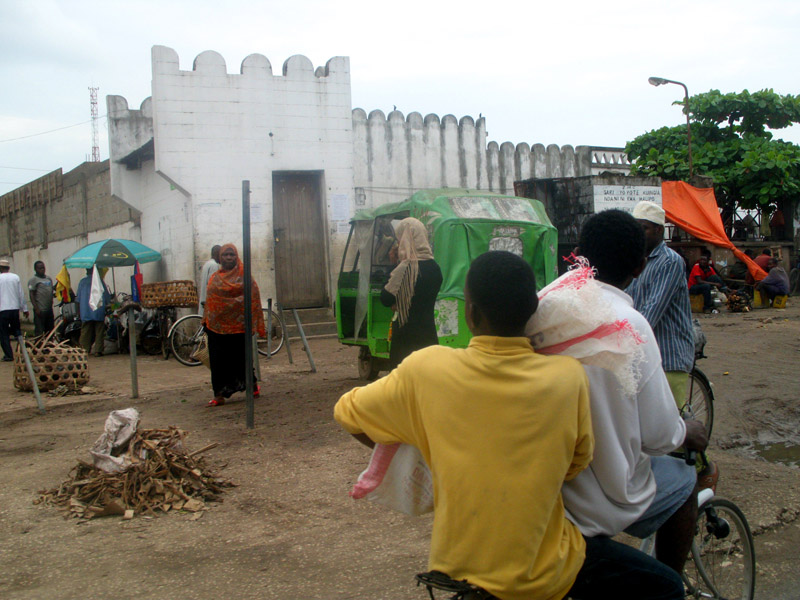
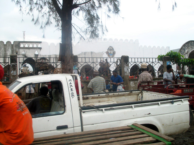
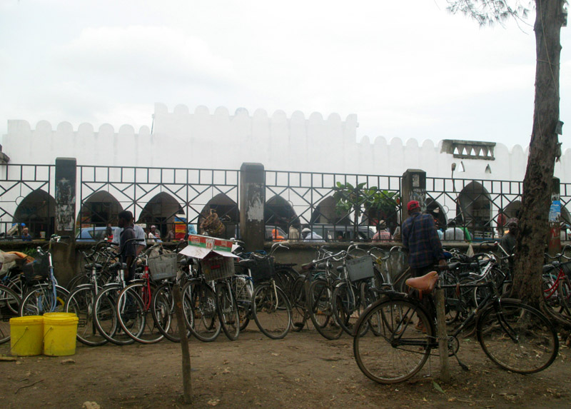
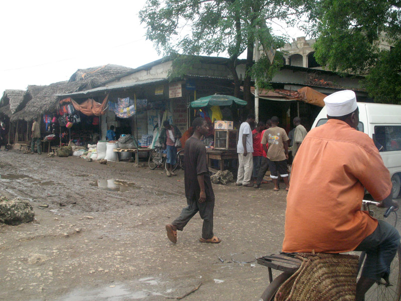
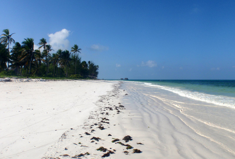
Zanzibar (pronounced /ˈzænzɨbɑr/) is a semi-autonomous part of the United Republic of Tanzania, in East Africa. It comprises the Zanzibar Archipelago in the Indian Ocean, 25–50 kilometres (16–31 mi) off the coast of the mainland, and consists of numerous small islands and two large ones: Unguja (the main island, informally referred to as Zanzibar), and Pemba. Zanzibar was once a separate state with a long trading history within the Arab world; it united with Tanganyika to form Tanzania in 1964 and still enjoys a high degree of autonomy within the union. The capital of Zanzibar, located on the island of Unguja, is Zanzibar City, and its historic center, known as Stone Town, is a World Heritage Site.

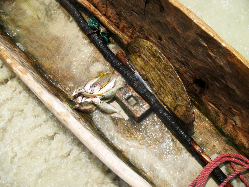
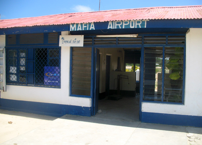
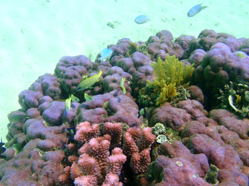
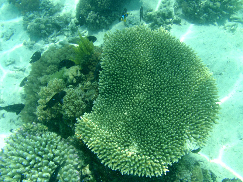
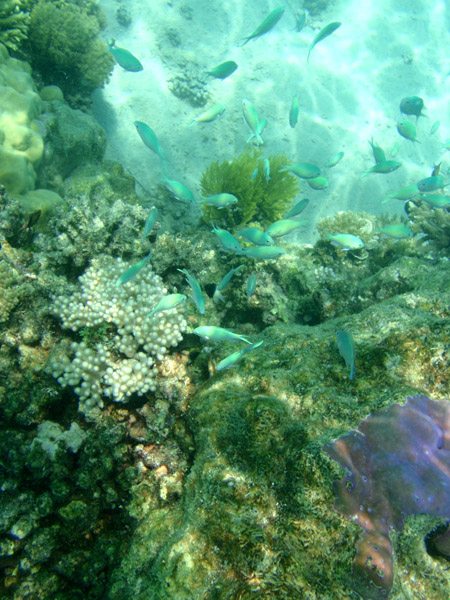
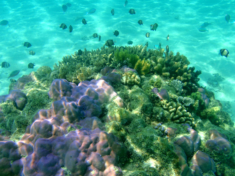
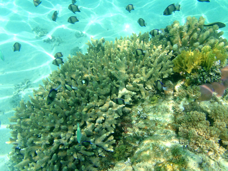
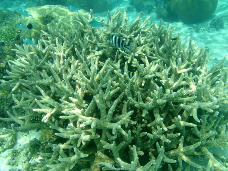
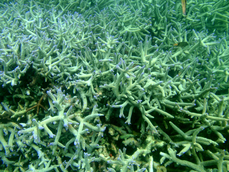
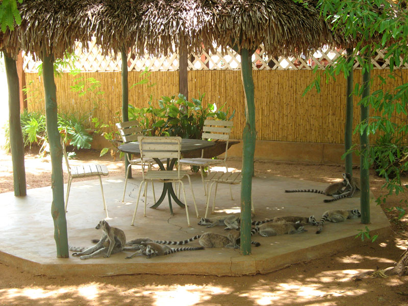
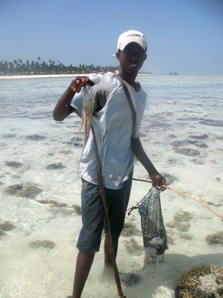
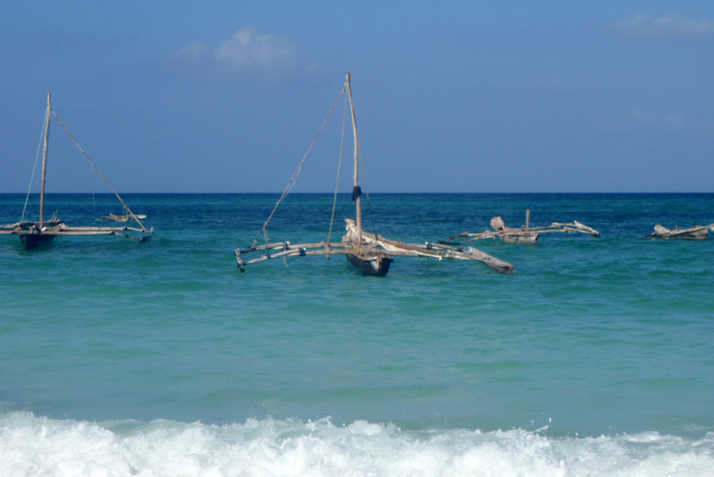
Zanzibar’s main industries are spices, raffia, and tourism. In particular, the islands produce cloves, nutmeg, cinnamon and pepper. For this reason, the islands, together with Tanzania’s Mafia Island, are sometimes called the Spice Islands (a term also associated with the Maluku Islands in Indonesia). Zanzibar’s ecology is of note for being the home of the endemic Zanzibar Red Colobus and the (possibly extinct) Zanzibar Leopard.

Source: Wikipedia (under GNU Free Documentation License)

Categories
Tanzania

Mafia Island

Usually I do not recommend the hotels. I will make exception for Mafia Island. I recommend Shamba Kilole Lodge: www.shambakilolelodge.com. Beautiful rooms, great food and the owners make you feel like at home.

Mafia Island (“Chole Shamba”) is part of the Tanzanian Spice Islands, together with Unguja and Pemba. As one of the six districts of the Pwani Region, Mafia Island is governed from the mainland, not from the semi-autonomous region of Zanzibar, of which it has never been considered to be a part.

According to the 2002 Tanzania census, the population of the Mafia District was 40,801.The economy is based on fishing, subsistence agriculture and the black market. The island attracts some tourists, mainly adventure scuba divers, game fishermen, and people wanting relaxation.

The Mafia archipelago consists of one large island (394 km²) and numerous smaller ones. Some of these are inhabited, such as Chole Island (2 km²), with a population of 800. Chole Bay, Mafia’s protected deep-water anchorage and original harbour, is studded with islands, sandbanks and beaches. The main town is Kilindoni. The stretch of water between the deltas of the Rufiji River and the island is called Mafia Channel. There are popular rumours of pygmy hippo on the island but there are zero confirmed sightings.

Source: Wikipedia (under GNU Free Documentation License)

Categories
Marquesas French Polynesia

Fatu Hiva

Fatu Hiva is the southernmost of the Marquesas Islands, in French Polynesia, an overseas territory of France in the Pacific Ocean. With Motu Nao as its closest neighbor, it is also the most isolated of the inhabited islands.

Fatu Hiva is also the title of a book by explorer and archaeologist Thor Heyerdahl, in which he describes his stay on the island in the 1930s.

The eastern coastline of Fatu Hiva is characterized by a number of narrow valleys, carved by streams that lead to the interior. Between these valleys are headlands which terminate in cliffs that plunge directly into the sea, making travel between them possible only by travelling over the high mountain ridges between them, or by boat. The largest of these valleys is at Uia.

The western coastline has two significant bays, Hana Vave (also known as Bay of Virgins or Baie des Vierges) in the north, one of the most picturesque sites in the South Pacific, and the well protected harbor of Omoa near the south. There are several smaller valleys between these two.

The center of the island is a plateau which is covered largely by tall grasses and pandanus trees. To the south of the plateau, running to the south, is a mountain ridge, called Tauauoho, its highest peak, at 1,125 m (3,691 ft.) is the highest point on Fatu Hiva. Proceeding to the north and northwest from the plateau is a mountain ridge called Fa‘e One, the highest peak of which is 820 m (2,690 ft.).

Source: Wikipedia (under GNU Free Documentation License)

Categories
São Tomé and Príncipe

São Tomé II

São Tomé Island, at 854 km2 (330 sq mi), is the largest island of São Tomé and Príncipe and is home to about 133,600 or 96% of the nation’s population. This island and smaller nearby islets make up São Tomé Province, which is divided into six districts. The main island is located 2 km (1¼ miles) north of the equator. It is about 48 km (30 miles) long (North-South) by 32 km (20 miles) wide (east-west). It rises to 2,024 m (6,639 ft) at Pico de São Tomé and includes the capital city, São Tomé, on the northeast coast. The nearest city on mainland Africa is the port city of Port Gentil in Gabon located 240 km (150 miles) to the east.

The entire island of São Tomé is a massive shield volcano which rises from the floor of the Atlantic Ocean, over 3,000 m (10,000 ft) below sea level. It formed along the Cameroon line, a linear rift zone extending from Cameroon southwest into the Atlantic Ocean. Most of the lava erupted on São Tomé over the last million years has been basalt. The youngest dated rock on the island is about 100,000 years old, but numerous more recent cinder cones are found on the southeast side of the island.

Source: Wikipedia (under GNU Free Documentation License)

Categories
São Tomé and Príncipe

Príncipe

Príncipe is the smaller of the two major islands of São Tomé and Príncipe lying off the west coast of Africa. It has an area of 136 km² and a population of around 5,000 people. It rises in the south to 948 metres at Pico de Príncipe, in a thickly forested area forming part of the Obo National Park. The north and centre of the island were formerly plantations but largely reverted to forest. The island forms one province and one district named Pagué. The languages other than Portuguese includes Principense or Lunguyê with a few Forro speakers.

The island has one town, Santo António, and an airport (IATA code: PCP, ICAO: FPPR?), as well as some small villages including Bela Vista, Bombom, Futuro, Neves Ferreira, Paciencia, Ponta Fonte, Ribeira Ize, Santo Antonio de Ureca, Vila Rosa and more – few connected to the small road network.

The island is a heavily eroded volcano over three million years old, surrounded by other smaller islands including Ilheu Bom Bom, Ilhéu Caroço, Tinhosa Grande and Tinhosa Pequena.

Príncipe was the site where Einstein’s Theory of Relativity was experimentally proved successful by Arthur Stanley Eddington and his team during an eclipse in 1919.

Source: Wikipedia (under GNU Free Documentation License)

Categories
Gabon

Loango

Loango National Park is a national park in western Gabon. It protects diverse coastal habitat, including part of the 220 km² Iguéla Lagoon, the only significant example of a typical western African lagoon system that is protected within a national park.

Situated between the Nkomi and Ndogo Lagoons, Loango National Park is the true jewel of Africa’s western coast. The naturalist Mike Fay called Loango ‘Africa’s Last Eden’ and this is where Michael “Nick” Nichols from National Geographic also took his well-known pictures of surfing hippos. Both men call Loango the ‘Land of surfing hippos’. The park’s 1,550 km of savanna, pristine beach, forest and mangroves are a must-see in Gabon. Loango National Park offers breathtaking panoramas and the unique opportunity to observe elephants, buffalos, hippos, gorillas and leopards venturing onto the white sand beaches.

After South Africa, the world’s largest concentration and variety of whales and dolphins can be found right off the Loango coast. The area has over 100 kilometres of uninhabited coastline and humpback and killer whales are easy to observe here. This is the most beautiful spot on Africa’s western coast – the place where forests, savannas, wetlands, lagoons and ocean all come together. Loango is renowned worldwide as a site for tarpon of record size, as well as many other large saltwater fish.

Categories
Gabon

Gabon

Gabon is a country in west central Africa sharing borders with the Gulf of Guinea to the west, Equatorial Guinea to the northwest, and Cameroon to the north, with the Republic of the Congo curving around the east and south. Its size is almost 270,000 km² with an estimated population of 1,500,000. The capital and largest city is Libreville. Since its independence from France on August 17, 1960, the Republic has been ruled by three presidents. In the early 1990s, Gabon introduced a multi-party system and a new democratic constitution that allowed for a more transparent electoral process and reformed many governmental institutions. The small population together with abundant natural resources and foreign private investment have helped make Gabon one of the most prosperous countries in the region, with the highest HDI in Sub-Saharan Africa.

The earliest inhabitants of the area were Pygmy peoples. They were largely replaced and absorbed by Bantu tribes as they migrated.

In the 15th century, the first Europeans arrived. The nation’s present name originates from “Gabão”, Portuguese for “cloac”, which is roughly the shape of the estuary of the Komo River by Libreville.

Source: Wikipedia (under GNU Free Documentation License)

Categories
Madagascar

Morondava

Morondava is a city located in the province of Toliara and the Region of Menabe, of which it is the capital, in Madagascar. It is located in the delta of the Morandava River at 20°17′5″S 44°19′3″E.

Air Madagascar has regular scheduled flights to Morondava Airport. The main road to the town, and indeed the roads in the town itself, are severely eroded with less than 30% of the original tarmac left in most places. Overland transport is therefore very slow and difficult, especially in the rainy season. Pirogues are consequently a popular mode of transport used to ferry people and goods up and down the coast, especially to Morombe.

Source: Wikipedia (under GNU Free Documentation License)

Categories
Madagascar

Avenue of the Baobabs

The Avenue or Alley of the Baobabs is a prominent group of baobab trees lining the dirt road between Morondava and Belon’i Tsiribihina in the Menabe region in western Madagascar. Its striking landscape draws travelers from around the world, making it one of the most visited locations in the region. It has been a center of local conservation efforts, and was granted temporary protected status in July 2007 by the Ministry of Environment, Water and Forests, the first step toward making it Madagascar’s first national monument.

Along the Avenue are about a dozen trees about 30 meters in height, of the species Adansonia grandidieri, endemic to Madagascar. Baobab trees, up to 800 years old, known locally as renala (Malagasy for “mother of the forest”), are a legacy of the dense tropical forests that once thrived on Madagascar. The trees did not originally tower in isolation over the sere landscape of scrub but stood in dense forest. Over the years, as the country’s population grew, the forests were cleared for agriculture, leaving only the baobab trees, which the locals preserved as much in respect as for their value as a food source and building material.

The area is not a national park, and the trees are threatened by further deforestation, effluent from encroaching rice paddies and sugarcane plantations, and brush and forest fires. Despite its popularity as a tourist destination, the area has no visitor center or gate fees, and local residents receive little income from tourism. Conservation International in partnership with Fanamby, a Malagasy NGO, has launched an ecotourism project aimed at conservation of the area and economic improvement for the local community.

Source: Wikipedia (under GNU Free Documentation License)

Categories
Madagascar

Berenty

Berenty Reserve is a small private reserve of gallery forest along the Mandrake river, set in the semi-arid spiny forest ecoregion of the far south of Madagascar. For some years Primatologist Alison Jolly and student volunteers have visited Berenty to conduct fieldwork on Lemurs. The reserve is also a favourite for visitors who want to see some of Madagascar’s endemic bird species, which include Owls and Couas.

The reserve has accommodation in the forest and a set of forest trails to explore. It attracts the most visitors of any Madagascar nature reserve. It is reached after a two hour drive from Tôlagnaro on the southeast coast.

Source: Wikipedia (under GNU Free Documentation License)