Categories
Galapagos

Hood

Española Island (Spanish: Isla Española) is part of the Galápagos Islands. The English named it Hood Island after Viscount Samuel Hood. It is located in the extreme southeast of the archipelago and is considered, along with Santa Fe, one of the oldest, at approximately four million years. A popular tourist stop, Isla Española is the most southerly island in the Galápagos Archipelago. The climate is very dry, like most of the Archipelago. But due to the flatness of the island, it is the driest of these islands, with only a few inches of rain per year. It is about a 10- to 12-hour trip by boat from Isla Santa Cruz.

Source: Wikipedia (under GNU Free Documentation License)

Categories
Galapagos

South Plaza

South Plaza (Spanish: Isla Plaza Sur) is a small island off the east coast of Santa Cruz in the Galápagos Islands. It has an area of 0.13 km2 and a maximum altitude of 23 metres.

South Plaza was formed by lava up streaming from the bottom of the ocean. Despite its small size, it is home to a large number of species and known for its extraordinary flora. The sea bluffs hold large numbers of birds, such as nesting red-billed tropicbirds and swallow-tailed gulls, and offer wide vistas. The prickly pear cactus trees (Opuntia galapageia) are noteworthy, as is the large colony of Galápagos land iguanas. Furthermore, the territory and breeding season of the Galapagos land iguana overlap only on South Plaza Island with those of the marine iguana, giving rise to a unique population of hybrid iguanas. Depending on the season, the Sesuvium ground vegetation changes its colour from green in the rainy season to orange and purple in the dry season.

Source: Wikipedia (under GNU Free Documentation License)

Categories
Galapagos

Fernardina

Fernandina Island (Spanish: Isla Fernandina, named after Ferdinand II of Aragon, the sponsor of Christopher Columbus) (formerly known in English as Narborough Island, after John Narborough) is the third largest, and youngest, island of the Galápagos Islands, as well as the furthest west. Like the others, the island was formed by the Galápagos hotspot. The island is an active shield volcano that has most recently been erupting since April 11, 2009.

On February 14, 1825, while anchored in Banks Bay, Captain Benjamin Morrell recorded one of the largest eruptions in Galápagos’ history at Fernandina Volcano. His ship escaped to safety and his account of the event was preserved.

Source: Wikipedia (under GNU Free Documentation License)

Categories
Galapagos

Isabela

Isabela Island (Spanish pronunciation: [isaˈβela]) is the largest island of the Galápagos with an area of 4,586 square kilometres (1,771 sq mi) and length of 100 kilometres (62 mi), almost four times larger than Santa Cruz, the second largest of the archipelago. Isabela Island is larger than every other island in the Galápagos combined. It was named after Queen Isabella I of Castile. The island straddles the equator. This island was originally named Albemarle Island for the Duke of Albemarle by Ambrose Cowley, one of the first Europeans to set foot on the islands, in 1684.

Source: Wikipedia (under GNU Free Documentation License)

Categories
Comoro Islands

Anjouan

Anjouan (also known as Ndzuwani or Nzwani) is an autonomous island, part of the Union of Comoros. The island is located in the Indian Ocean. Its capital is Mutsamudu and its population as of 2006 is about 277,500. The total area of the island is 424 sq. kilometers (163 sq. mi.).

Source: Wikipedia (under GNU Free Documentation License)

Categories
Seychelles

Desroches

Île Desroches or Desroches Island is the main island of the Amirante Islands, part of the Outer Islands of the Seychelles. It is located 230 km southwest of Mahé, the Seychelles’ main island. It is 6.2 km long and has a land area of 3.24 km². Along its circumference of 15 km is a beach of fine sand.

Desroches was named by Chevalier de Roslan, commander of the ship L’Heure du Berger, after the Chevalier des Roches, the Governor of Mauritius (then Île de France) and Réunion (then Bourbon) from 1767 to 1772. It was explored by the Chevalier de la Billioère in 1771. The British had originally named it Wood Island because of its dense tree vegetation. The island was an important producer of copra.

Desroches has a population of about 50, a settlement in the middle of the northwestern shore (looking to the lagoon), a small luxury hotel with 20 rooms in the south (Desroches Island Resort), built in 1988 and a paved airstrip 1372 m long in the southern part. It is located 36 km east of the Amirantes Bank, and separated from it by water over 1300 meters deep. It lies on the southern edge of a reef of atoll character. At the northern edge of the atoll are the Shark Rocks, with least depths between 3 and 6 meters. There is a lighthouse on the northeast end of the Desroches Island. The island is fringed by a drying reef which extends 1.6 km offshore from the northeastern extremity and 0.8 km from the southwestern extremity. The island is low and is covered with coconut palms and tall hardwood trees. A deep channel, about 1.6 km wide, leads into the lagoon. The least depth in the channel is 18.3 m, and it crosses the atoll in a position about 11 km northwest of Desroches.

Source: Wikipedia (under GNU Free Documentation License)

Categories
Gabon

Gabon

Gabon is a country in west central Africa sharing borders with the Gulf of Guinea to the west, Equatorial Guinea to the northwest, and Cameroon to the north, with the Republic of the Congo curving around the east and south. Its size is almost 270,000 km² with an estimated population of 1,500,000. The capital and largest city is Libreville. Since its independence from France on August 17, 1960, the Republic has been ruled by three presidents. In the early 1990s, Gabon introduced a multi-party system and a new democratic constitution that allowed for a more transparent electoral process and reformed many governmental institutions. The small population together with abundant natural resources and foreign private investment have helped make Gabon one of the most prosperous countries in the region, with the highest HDI in Sub-Saharan Africa.

The earliest inhabitants of the area were Pygmy peoples. They were largely replaced and absorbed by Bantu tribes as they migrated.

In the 15th century, the first Europeans arrived. The nation’s present name originates from “Gabão”, Portuguese for “cloac”, which is roughly the shape of the estuary of the Komo River by Libreville.

Source: Wikipedia (under GNU Free Documentation License)

Categories
Madagascar

Andasibe

Andasibe-Mantadia National Park is a 155 square kilometre protected area consisting principally of primary growth forest in Toamasina Province in eastern Madagascar. The park’s elevation ranges from 900-1250 meters, with a humid climate. Average annual precipitation is 1700 mm, with rainfall on 210 days of each year. This rainforest is habitat to a vast species biodiversity, including many endemic rare species and endangered species, including 11 lemur species. The park’s two component parts are Mantadia National Park and Analamazaotra Reserve, which is best known for its population of Madagascar’s largest lemur, the Indri.

The main threat to this park comes from the disappearance of adjoining habitat outside the park. This disappearance has been caused primarily by logging and replacement of rainforest with commercial Australian eucalyptus and Chinese pine forests, and to a lesser extent by slash-and-burn cultivation for rice agriculture, which is exacerbated by the extremely high population growth rate and poverty in rural Madagascar.

To address the disappearing habitat threat, reserves have been created in the vicinity of Andasibe-Mantadia that balance resource extraction with environmental protection, and attempt to create economic and environmentally-preferable alternatives to replacing native forests with eucalyptus and pine.

Source: Wikipedia (under GNU Free Documentation License)

Categories
Madagascar

Anjajavy


Categories
Madagascar

Madagascar

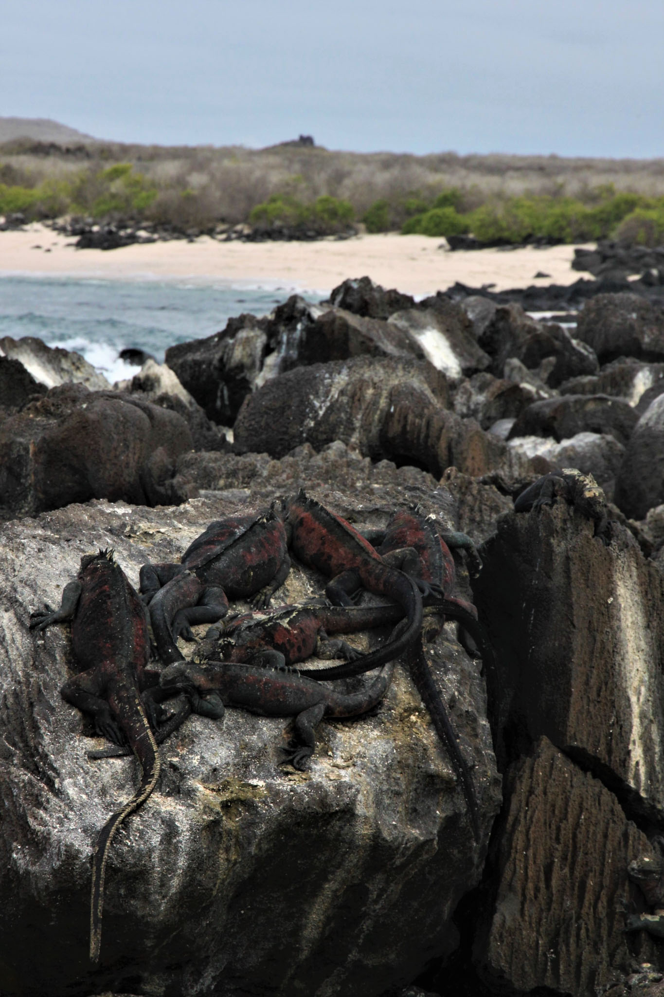
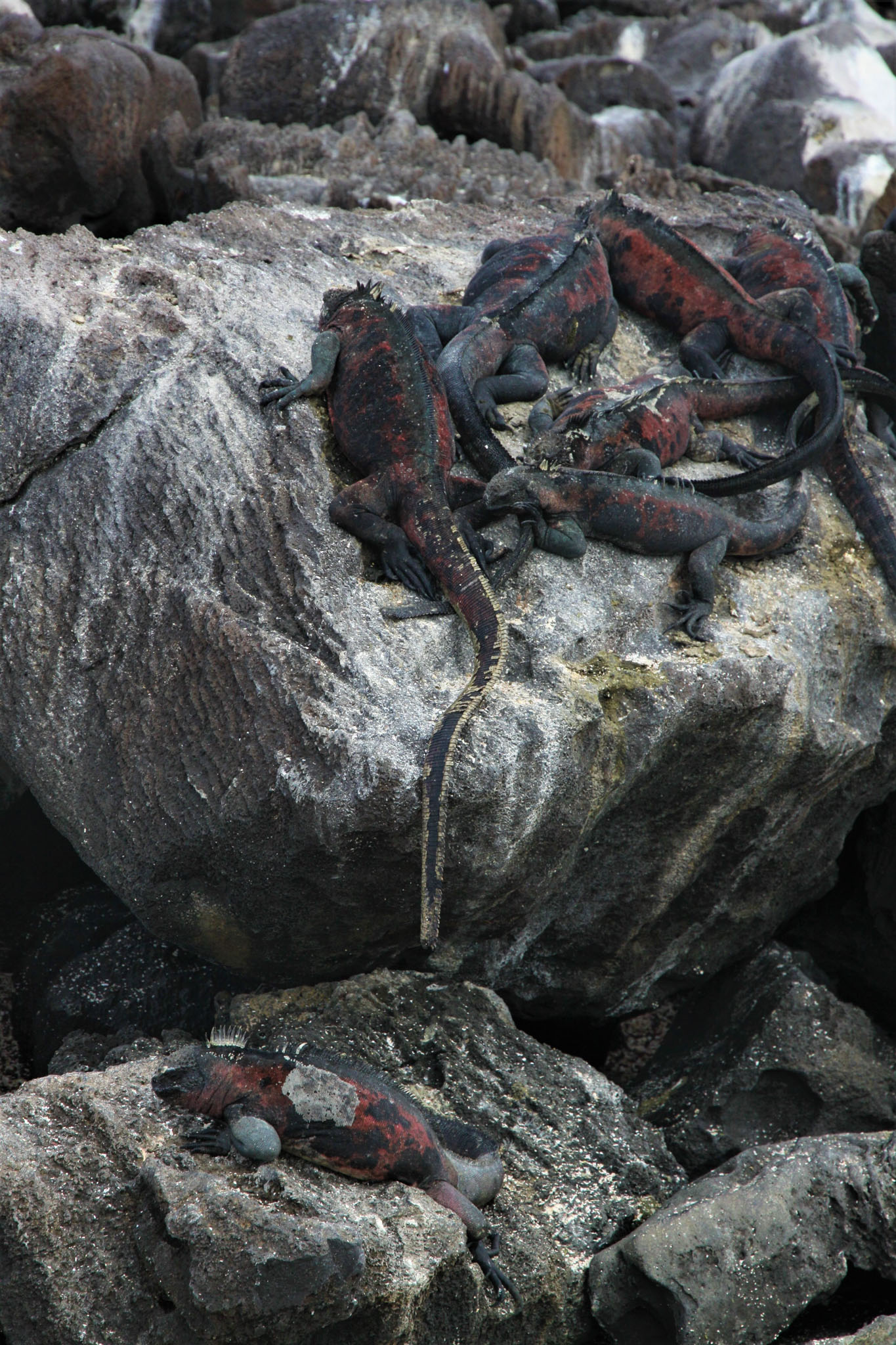
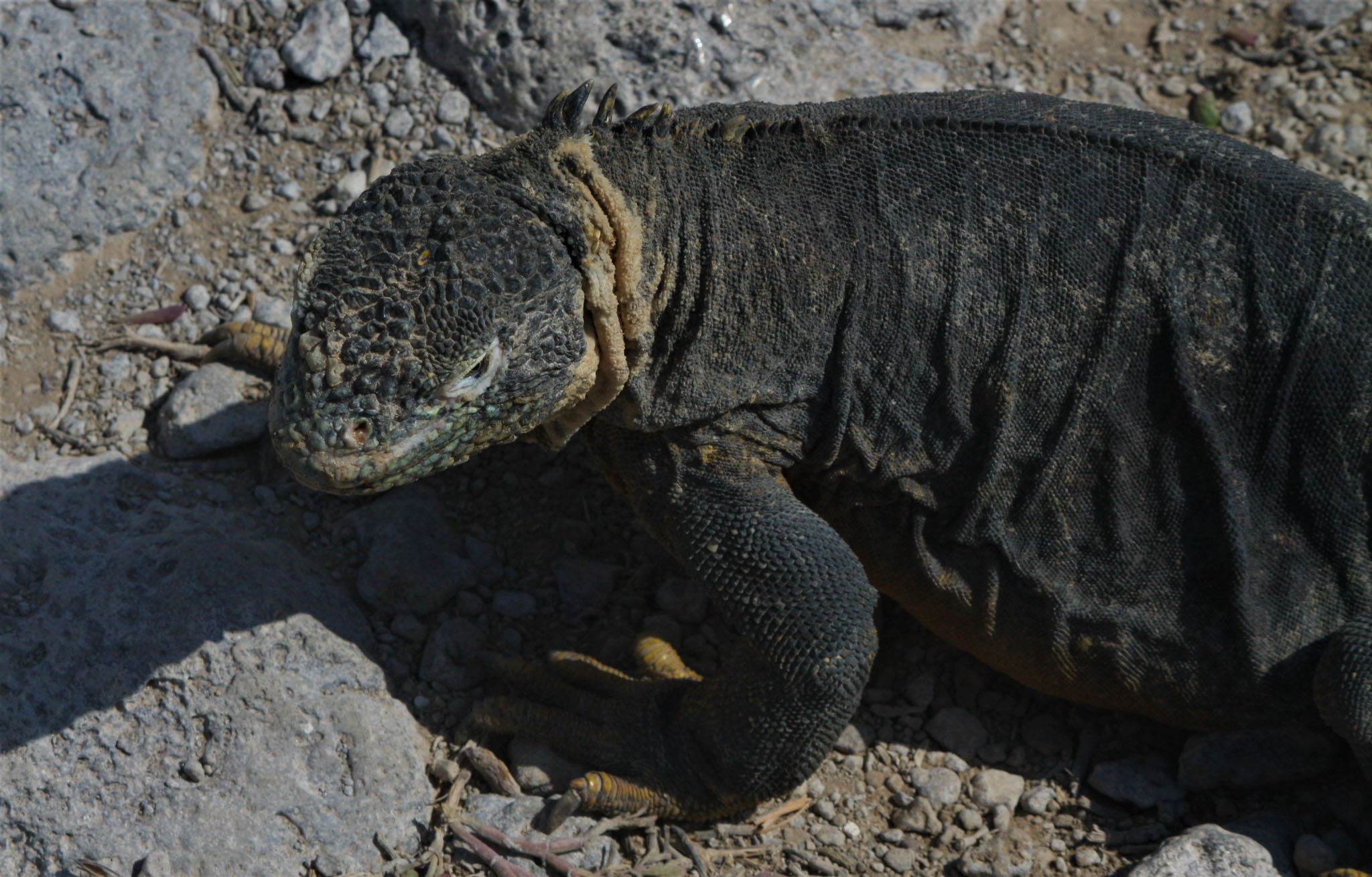
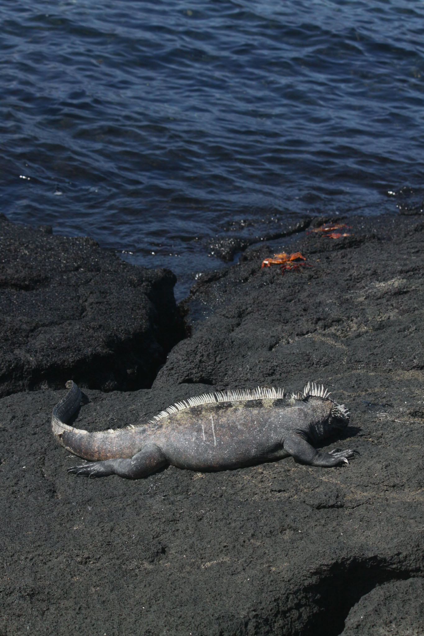
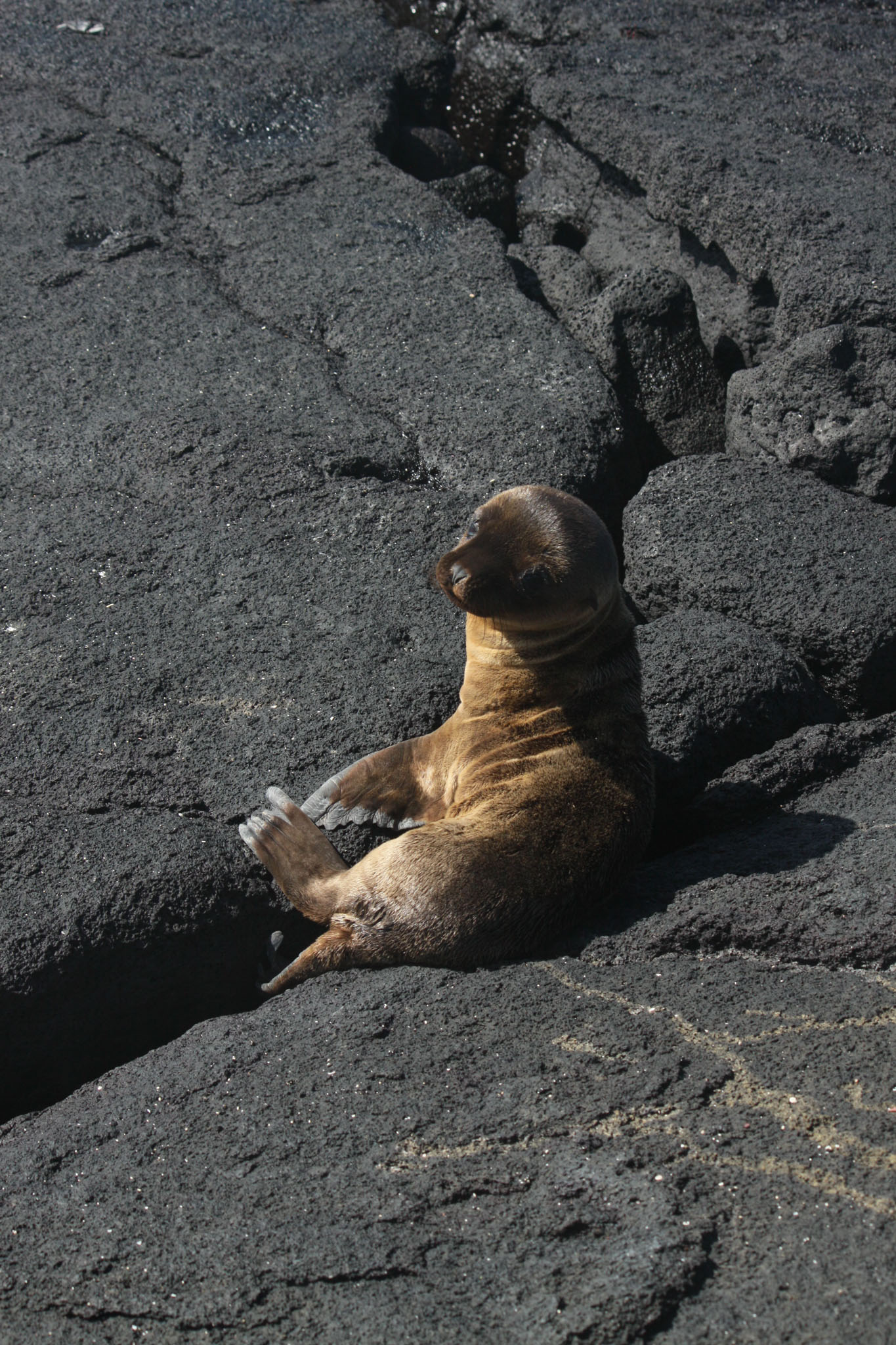
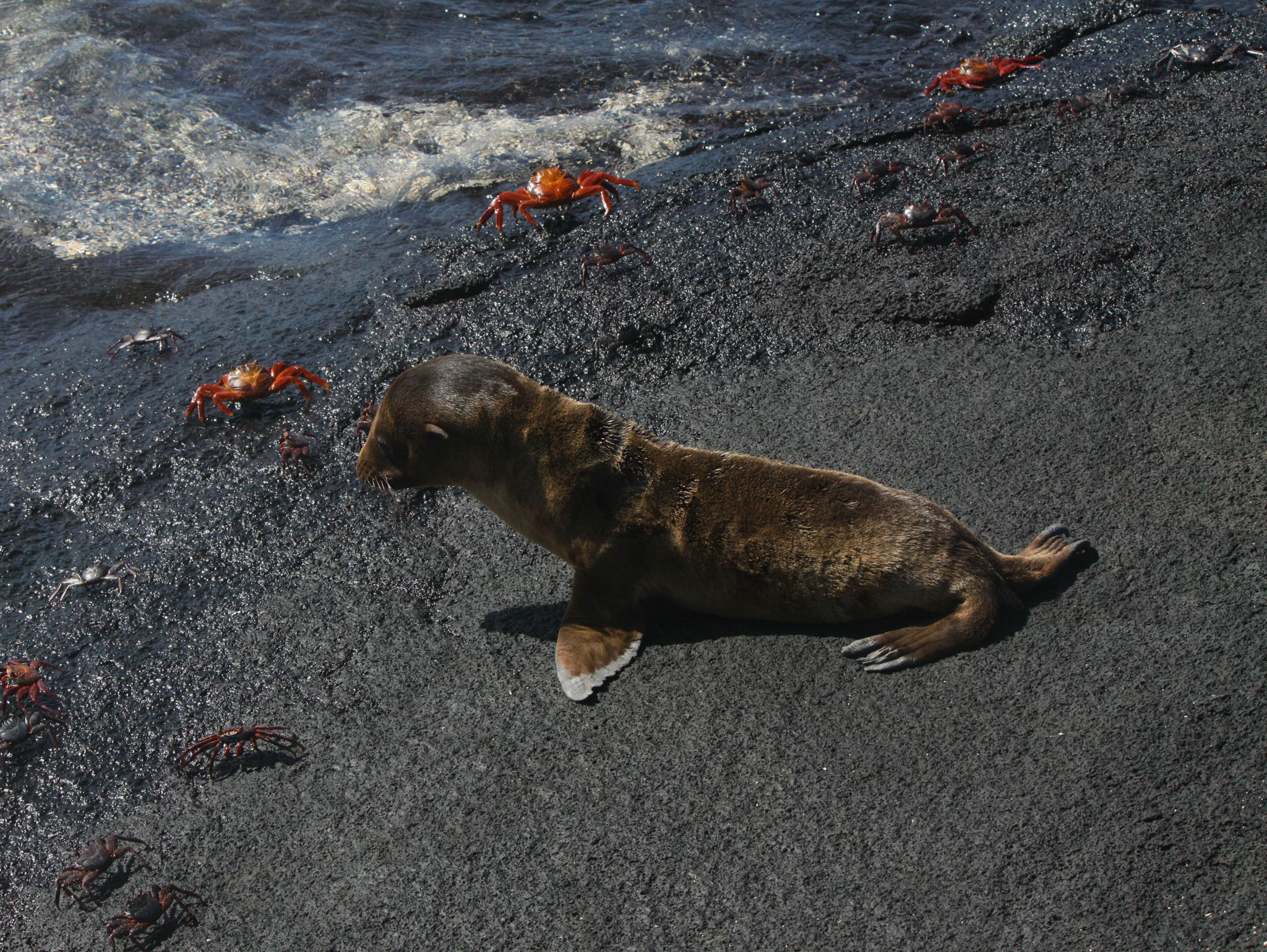
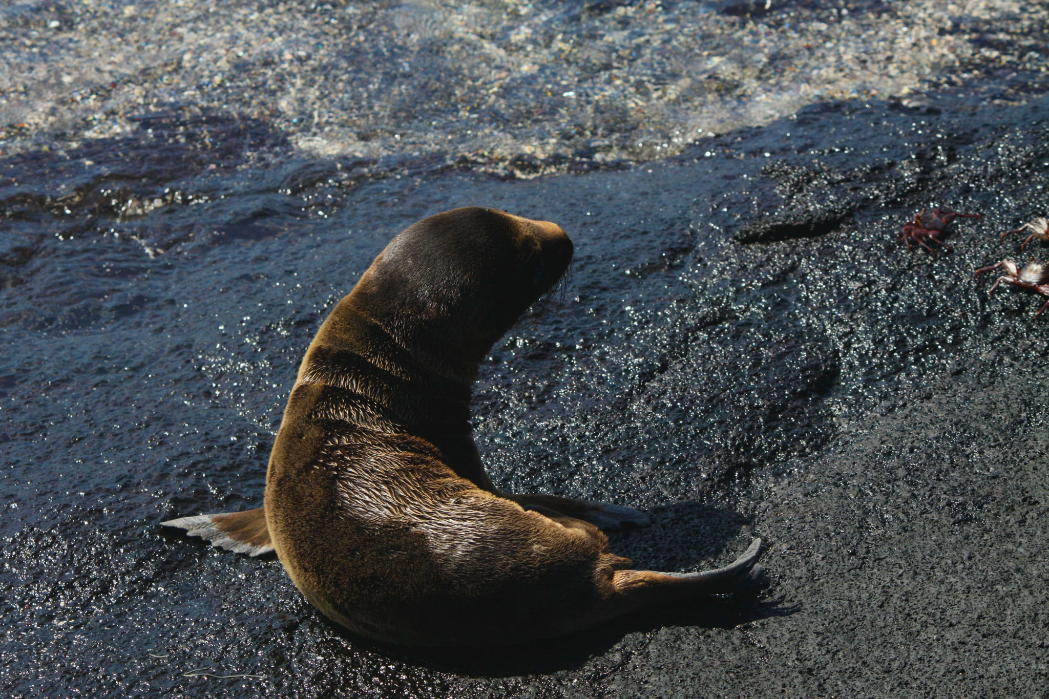
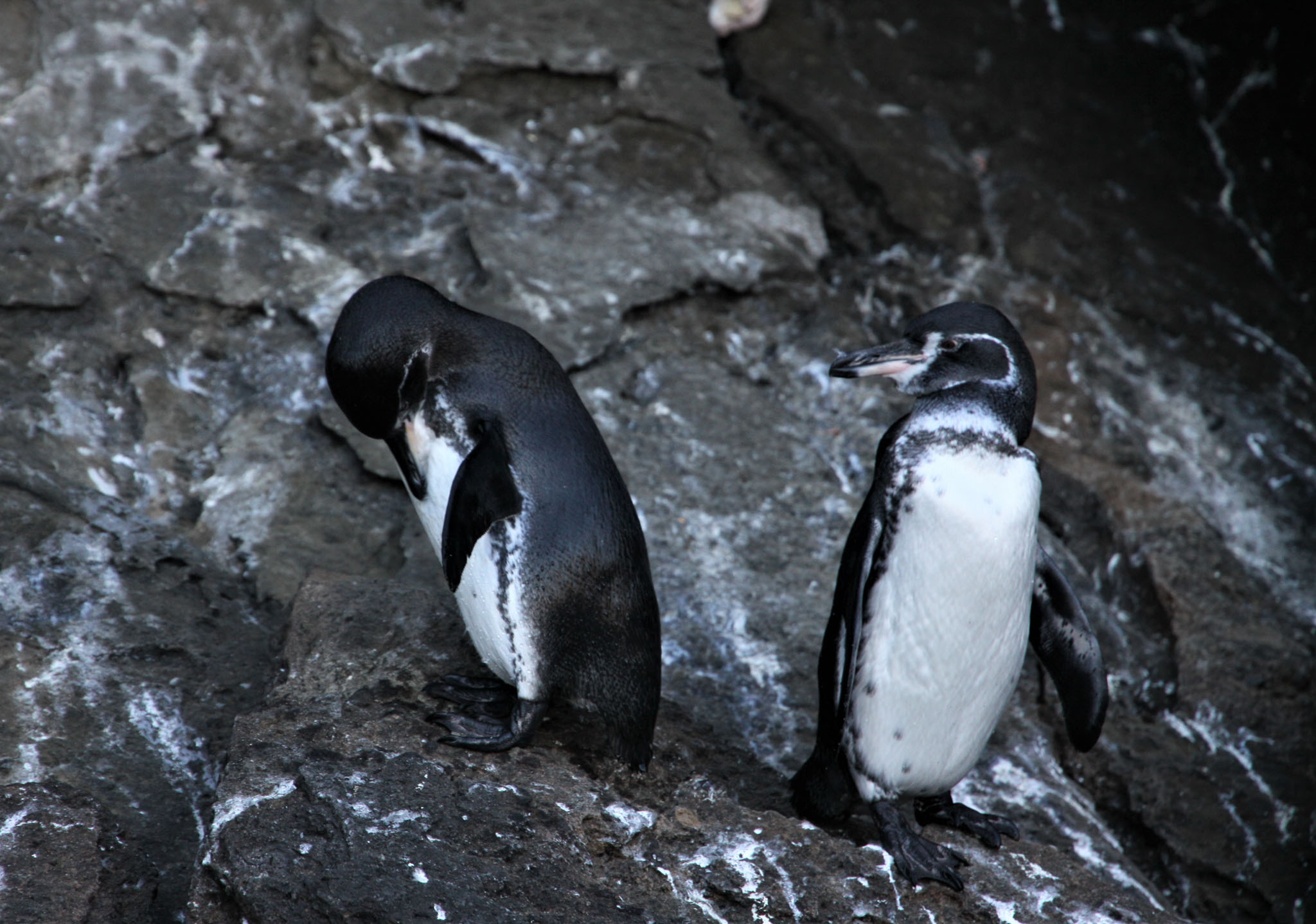
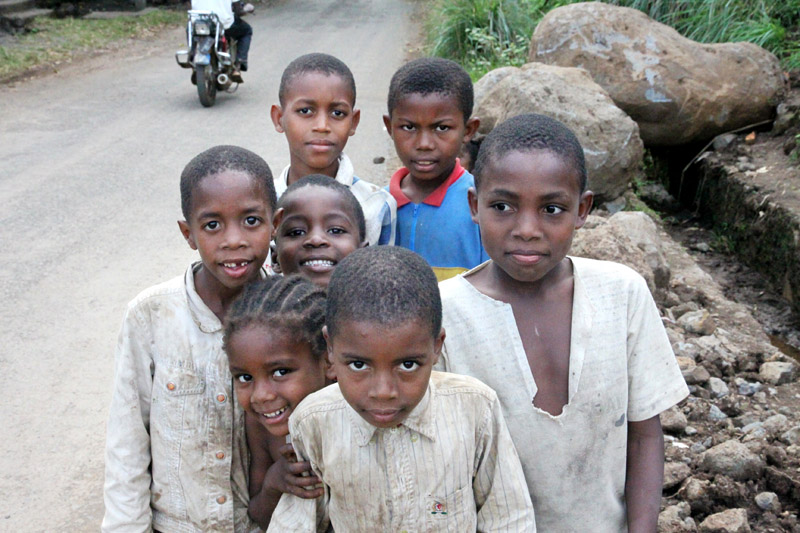
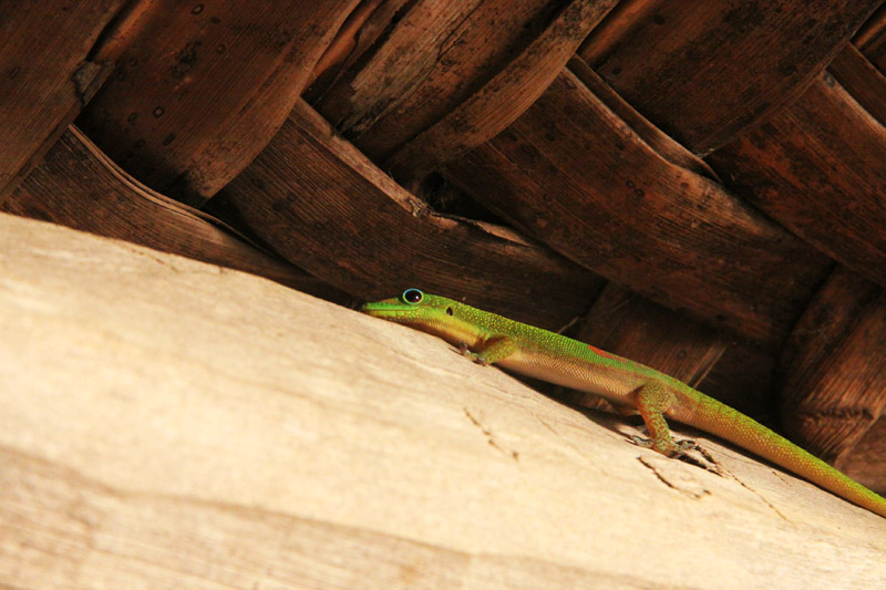
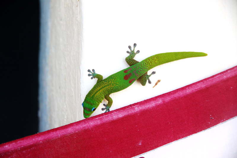
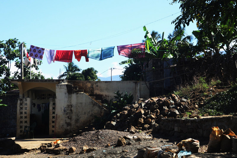
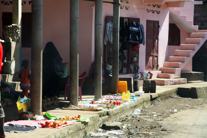
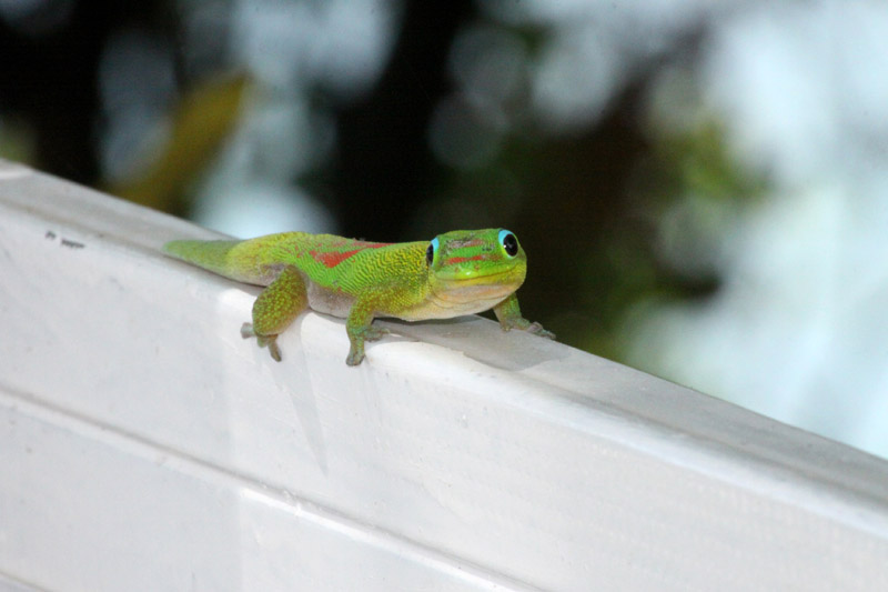
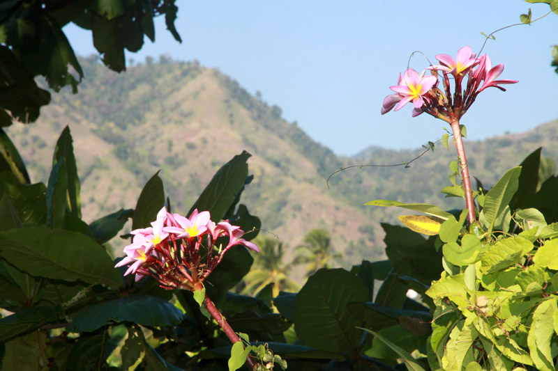
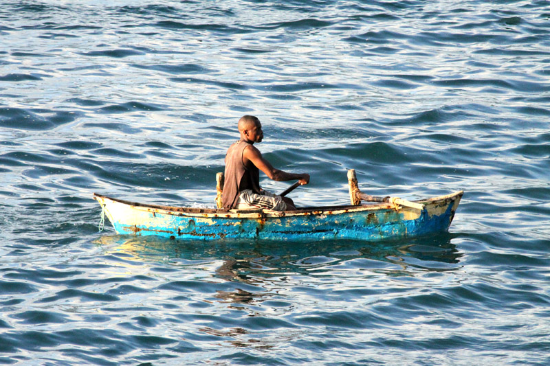
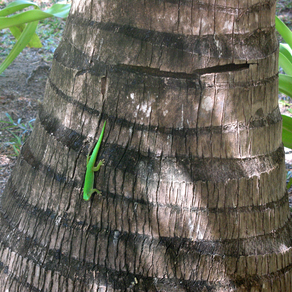
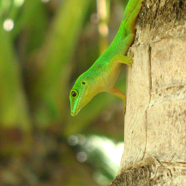
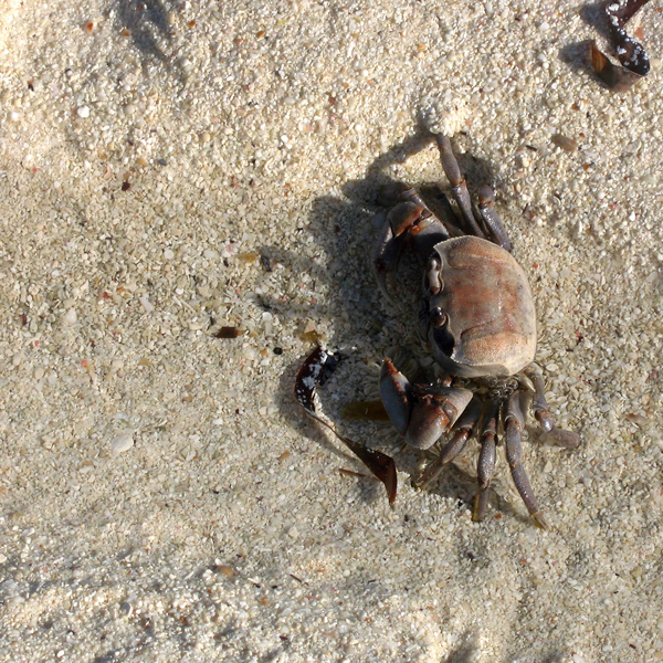
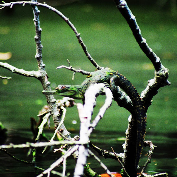
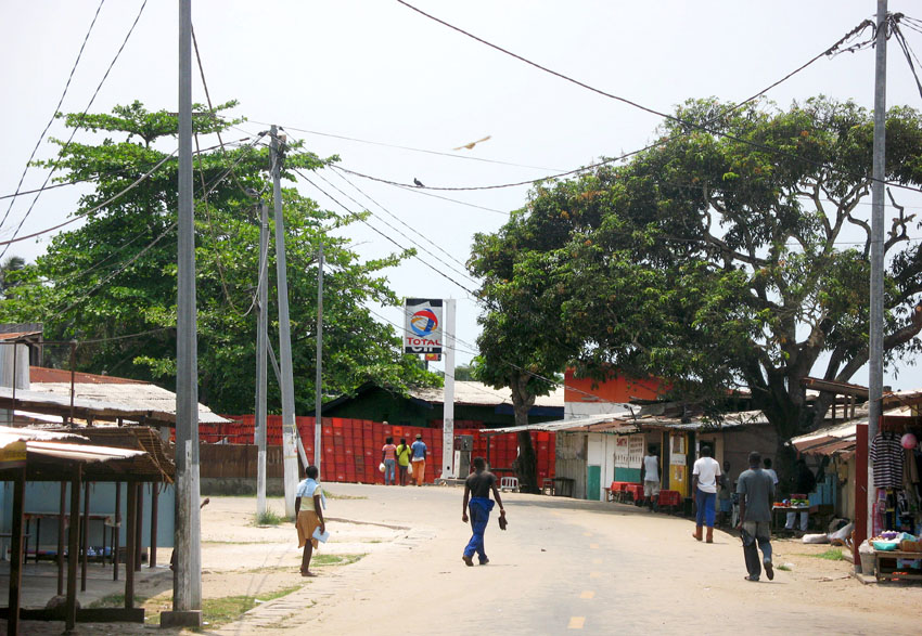
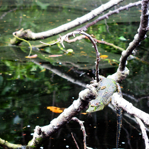
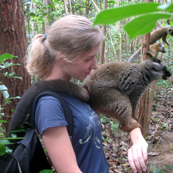
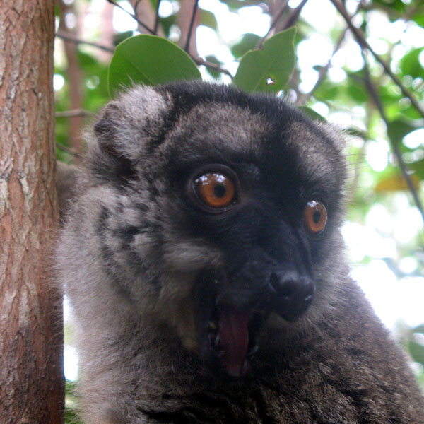
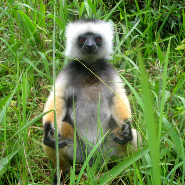
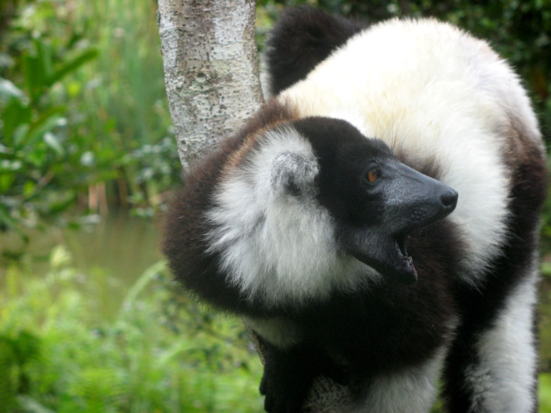
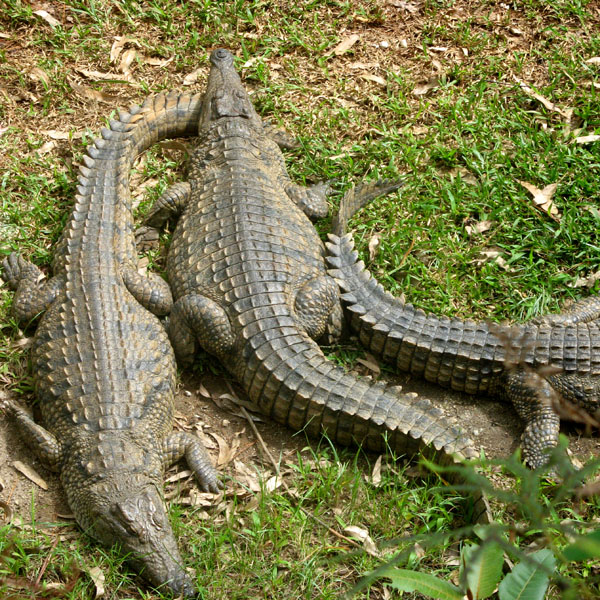
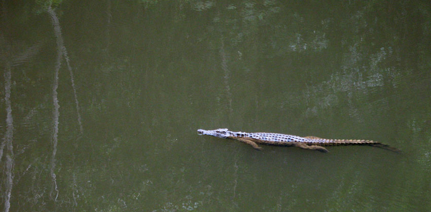
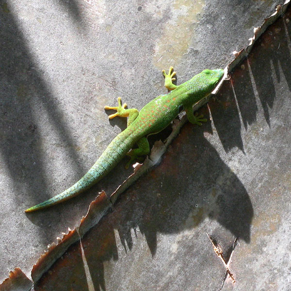
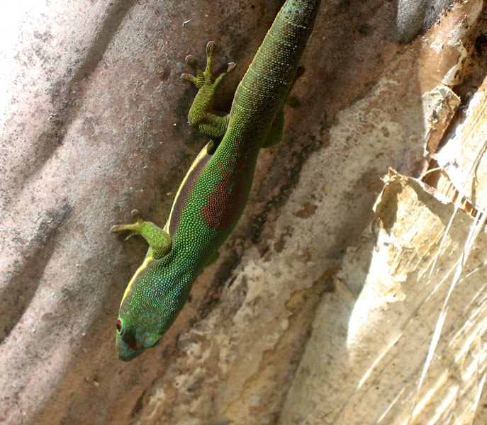
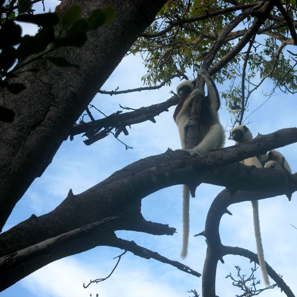
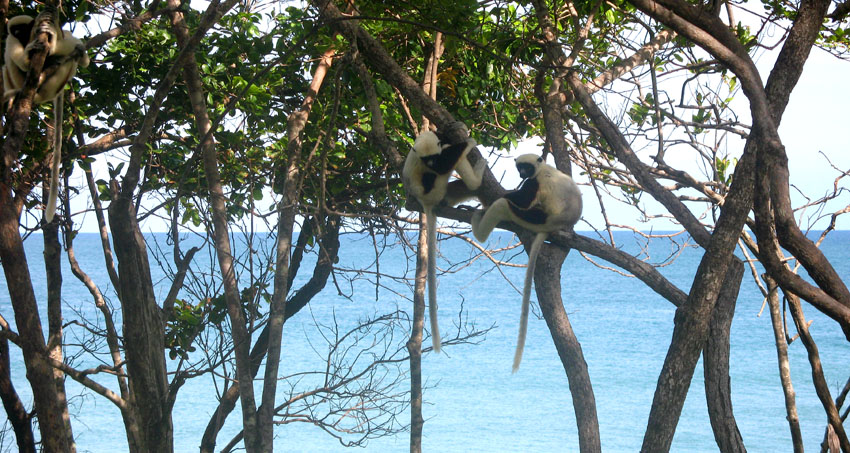
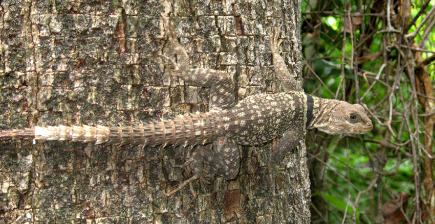
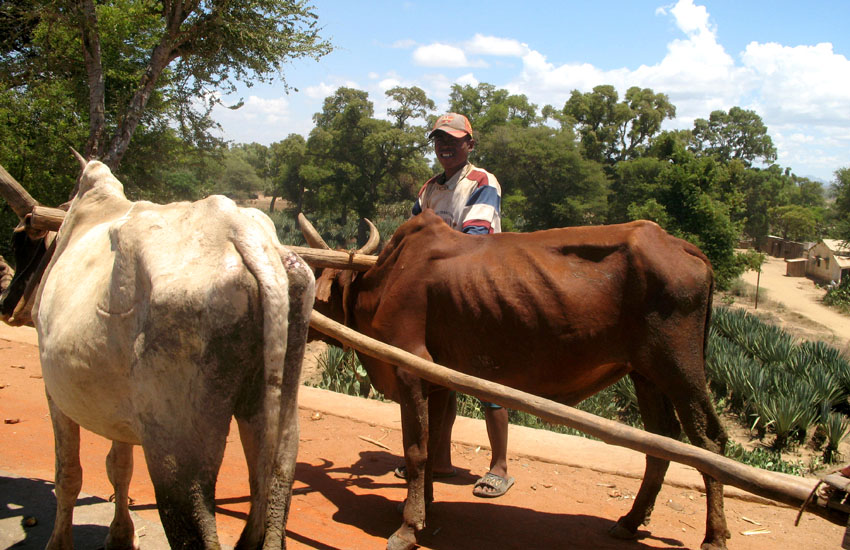
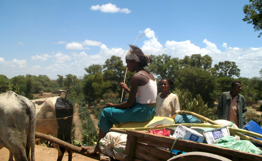
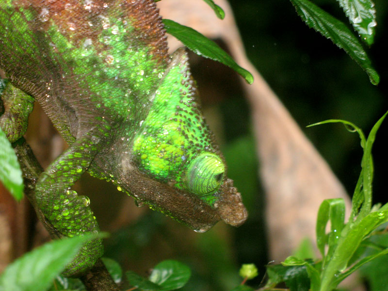
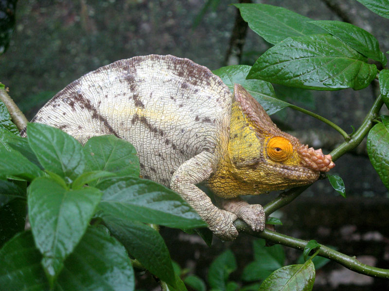
Madagascar, or Republic of Madagascar (older name Malagasy Republic, French: République malgache), is an island nation in the Indian Ocean off the southeastern coast of Africa. The main island, also called Madagascar, is the fourth-largest island in the world, and is home to 5% of the world’s plant and animal species, of which more than 80% are endemic to Madagascar. They include the lemur infraorder of primates, the carnivorous fossa, three bird families and six baobab species. Two thirds of the population live below the international poverty line of US$1.25 a day.

At 587,000 km² (226,640 sq mi), Madagascar is the world’s 46th-largest country. It is slightly bigger than France, and is one of 11 distinct physiographic provinces of the South African Platform physiographic division.

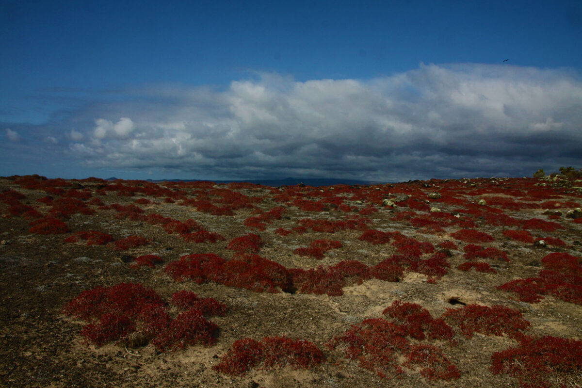
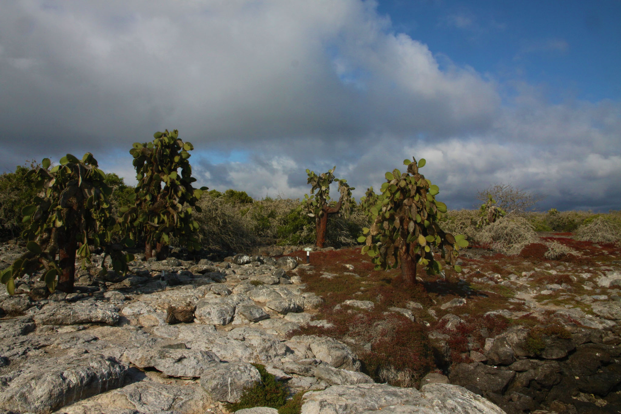
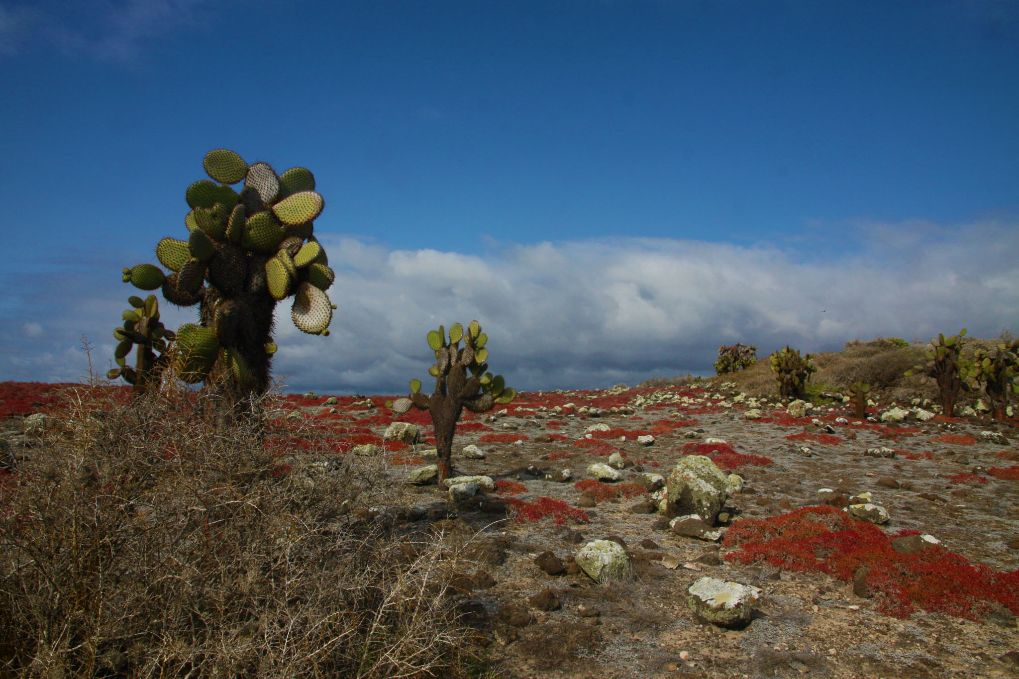
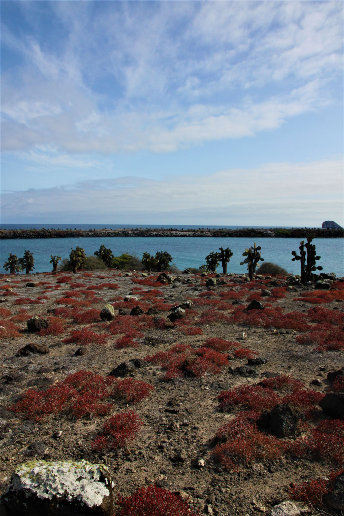
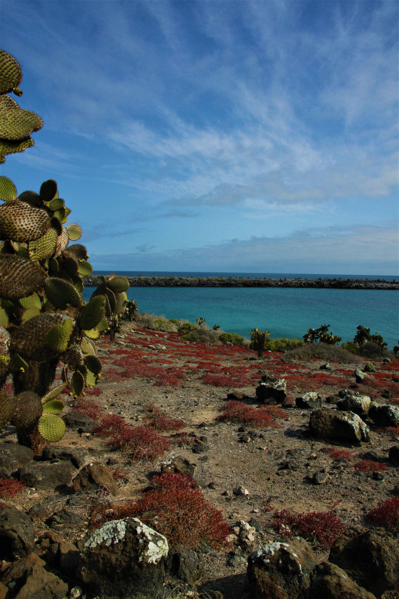
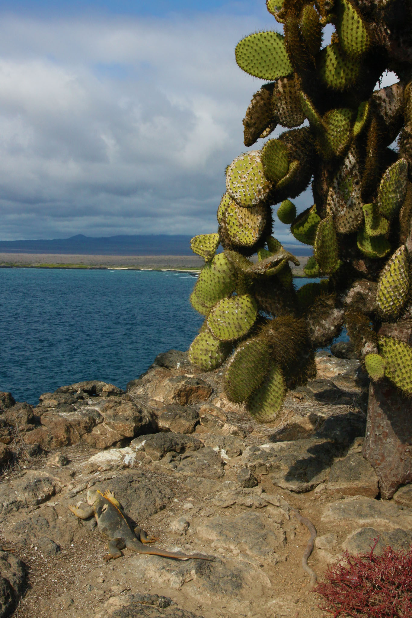
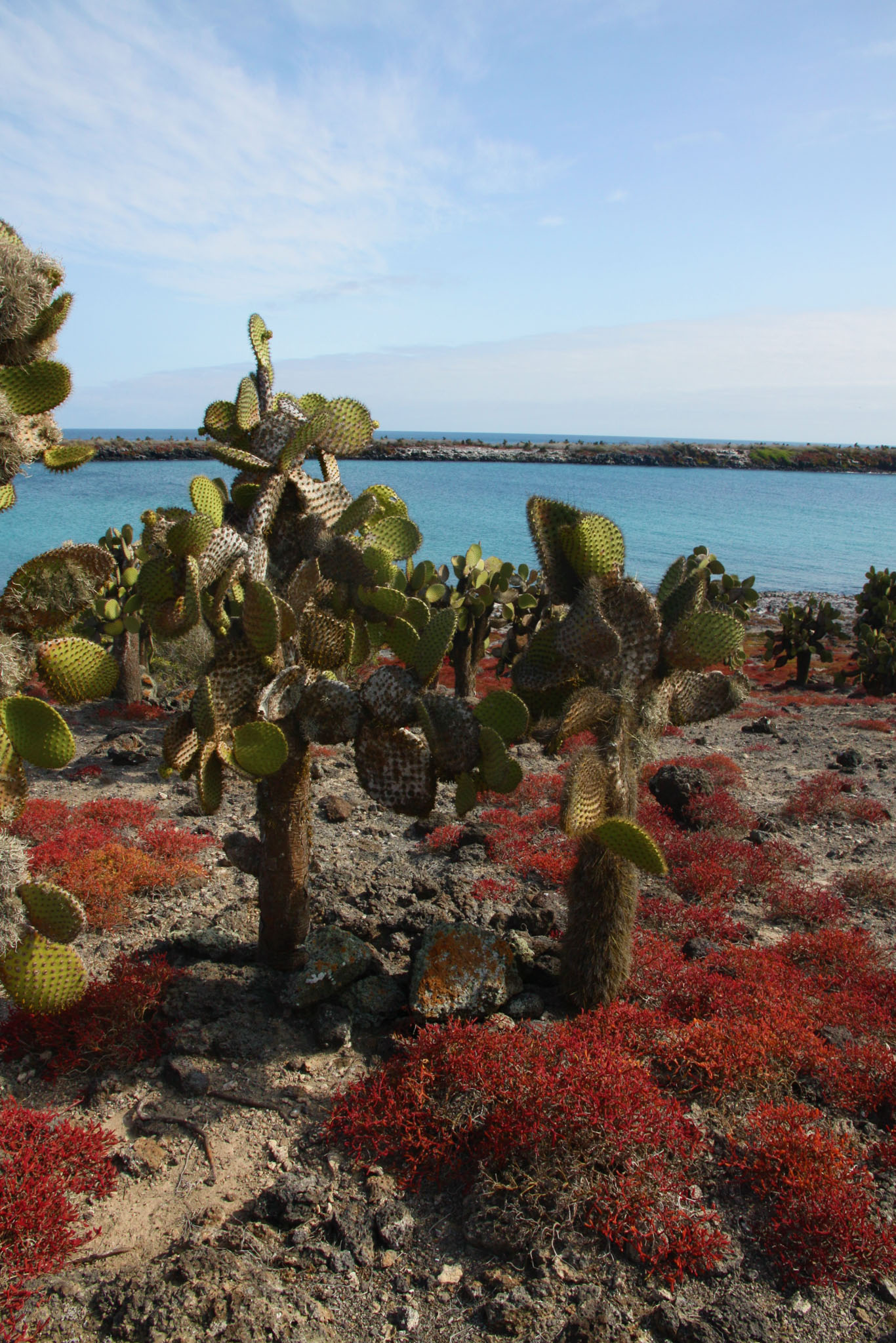
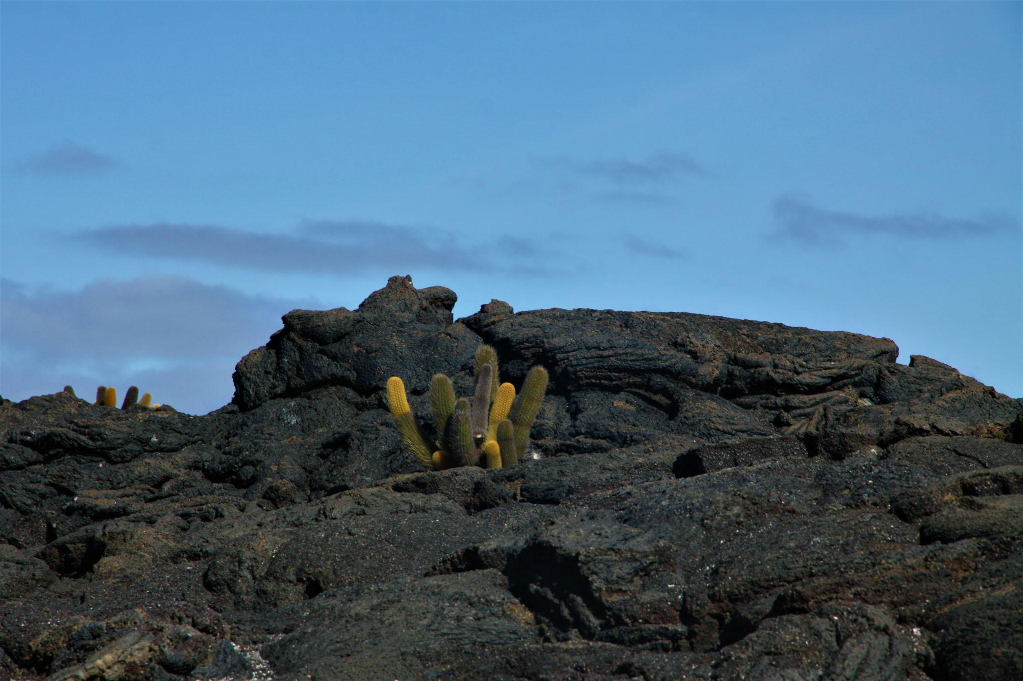
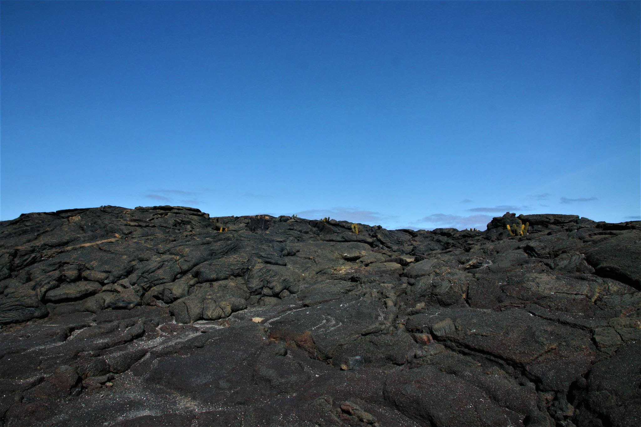
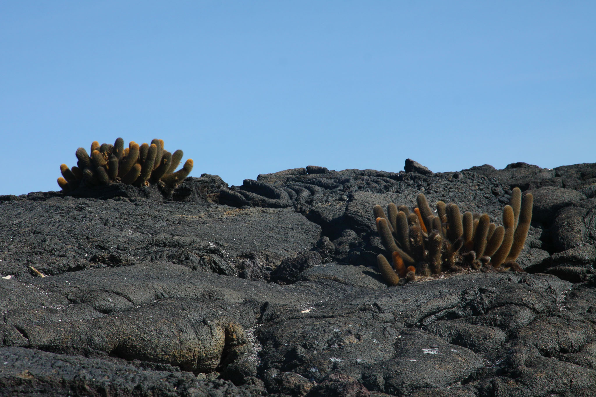
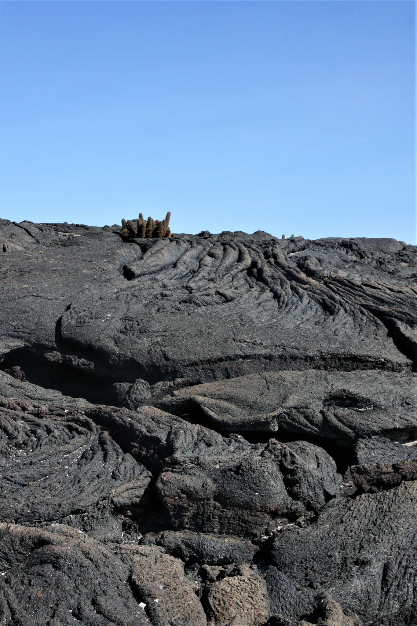
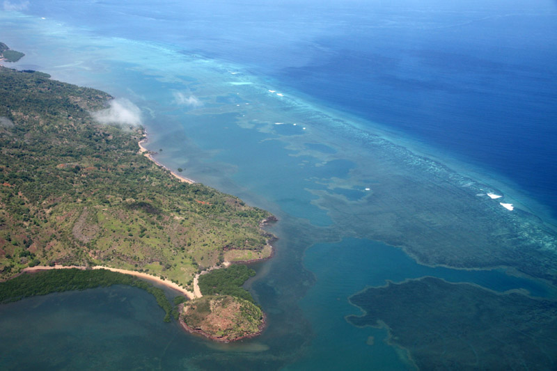
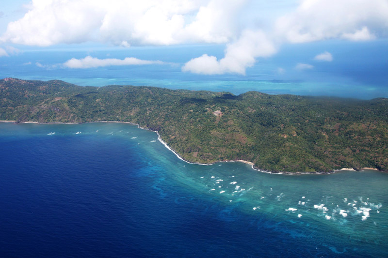
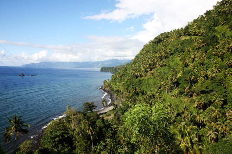
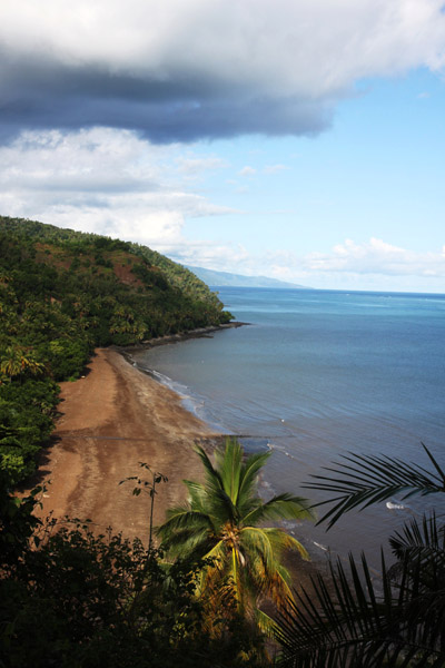
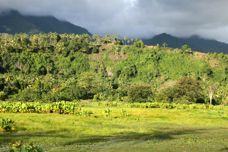
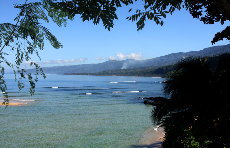
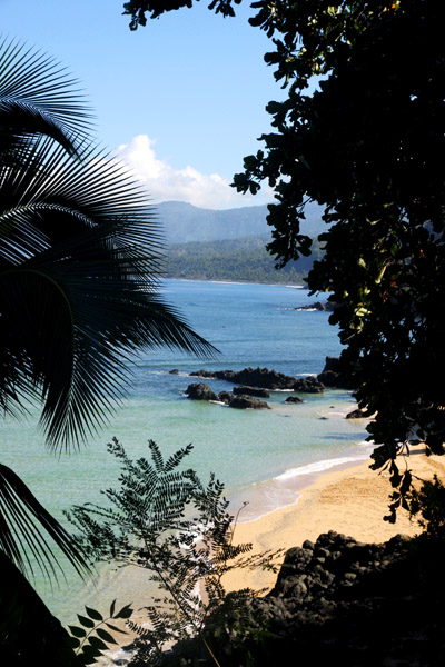
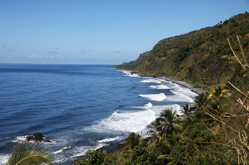
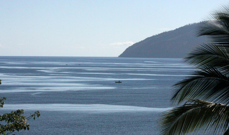
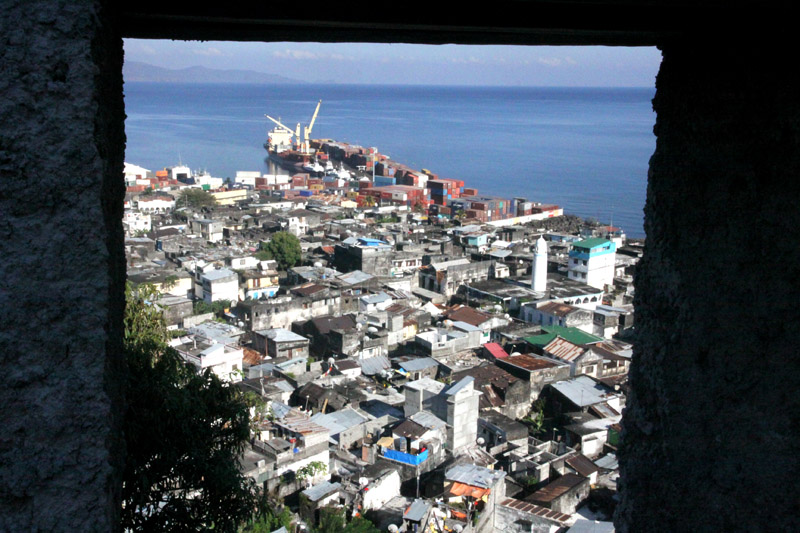
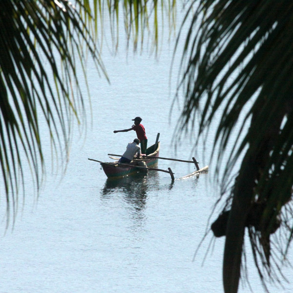
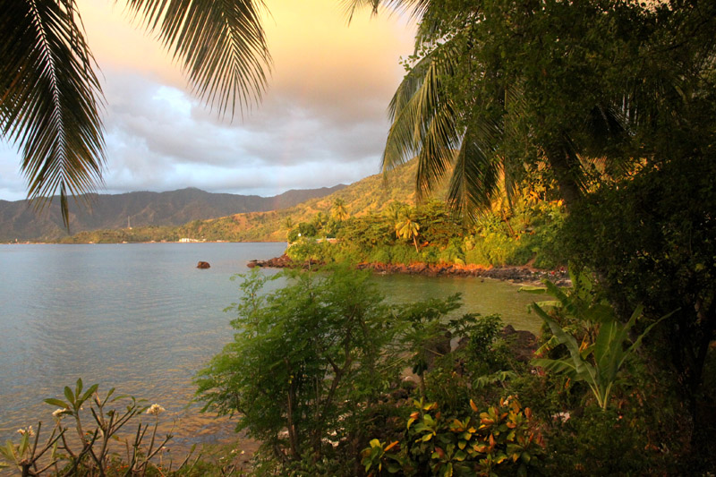
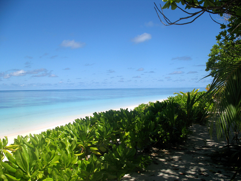
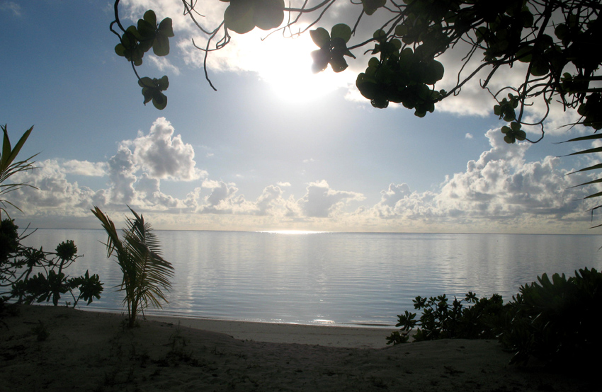
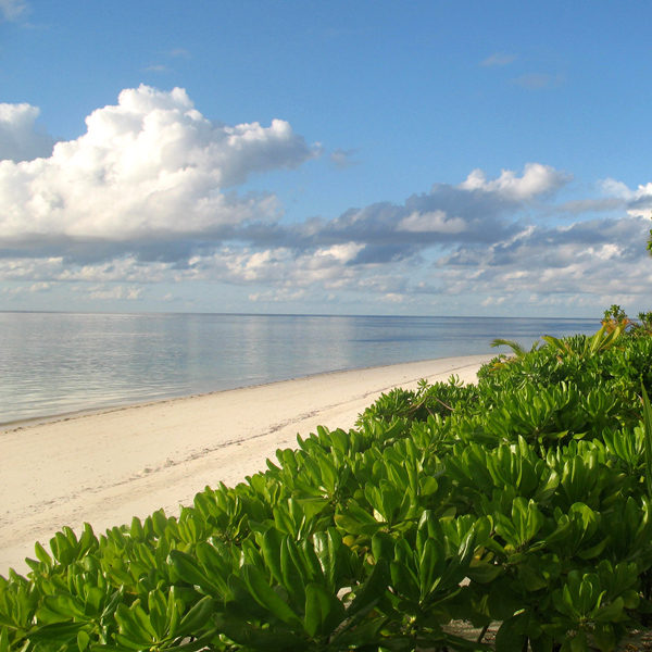
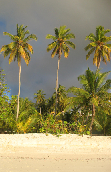
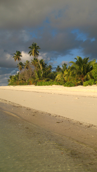
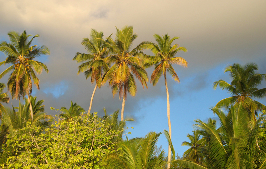
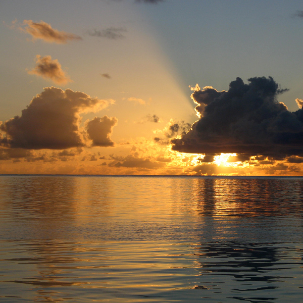
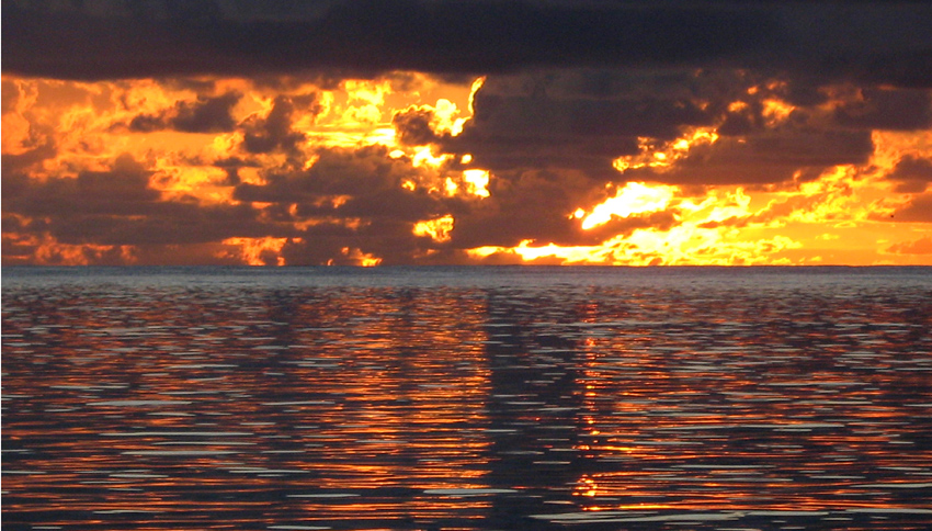
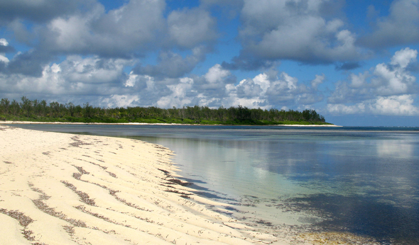
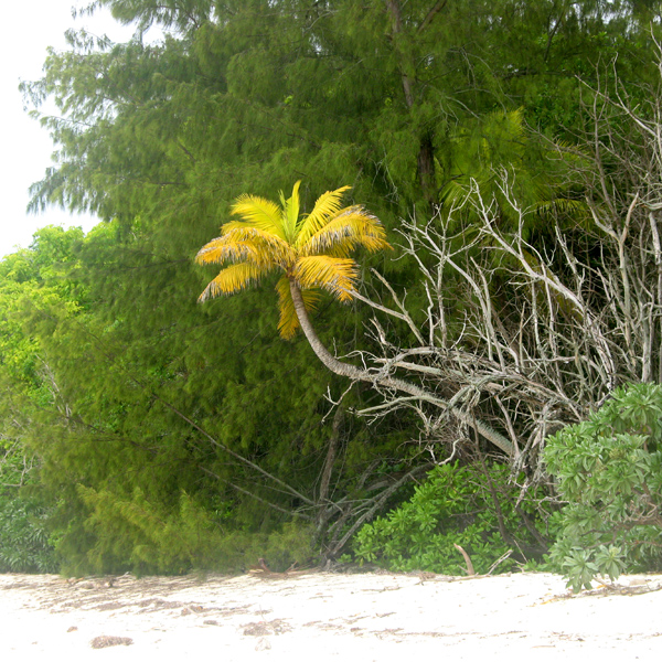
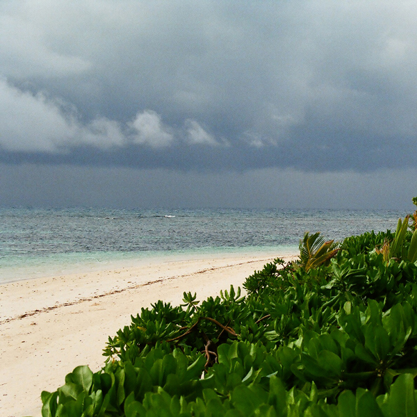
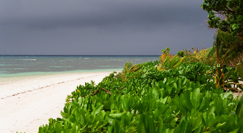
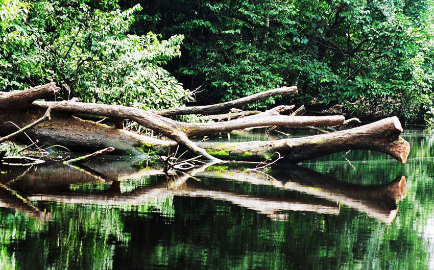
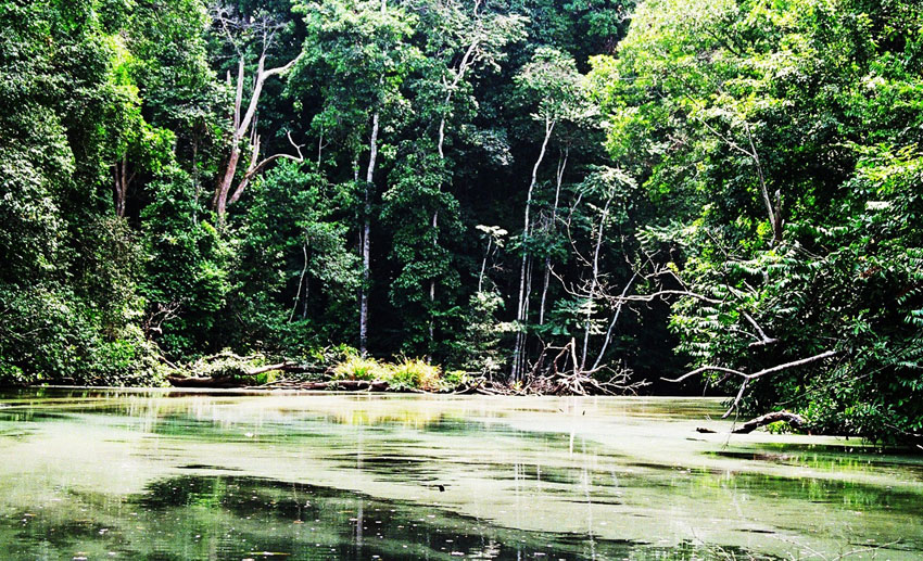
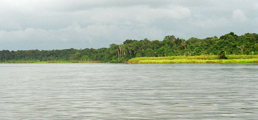
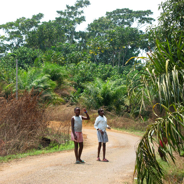
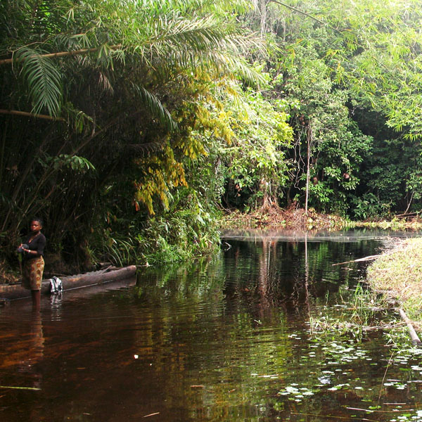
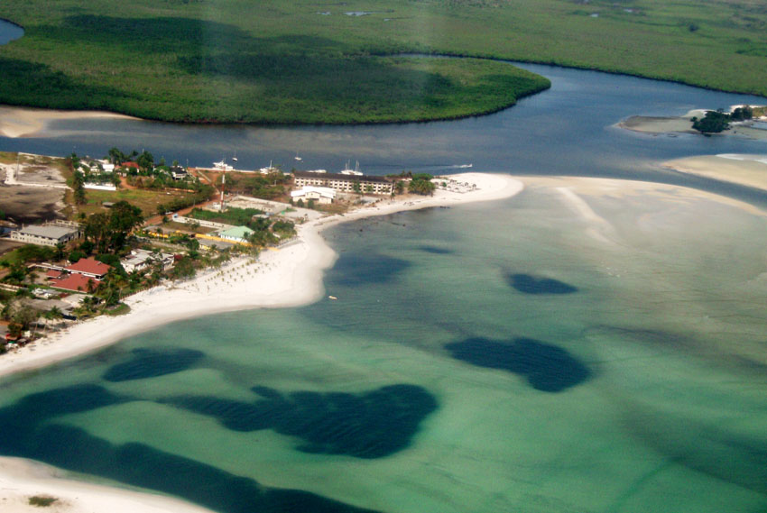
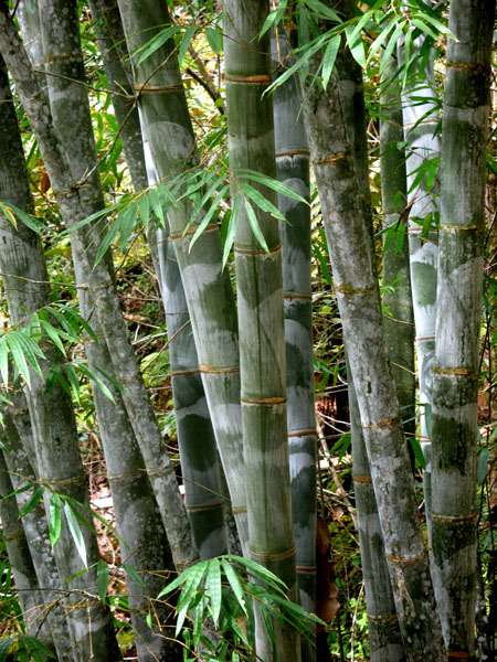
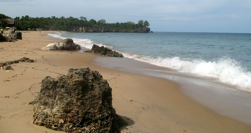
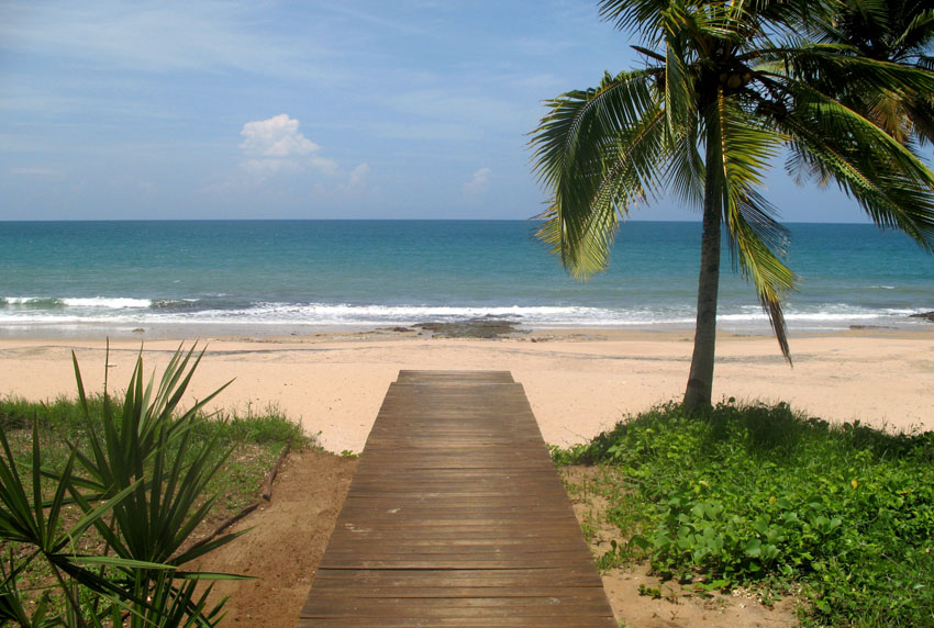
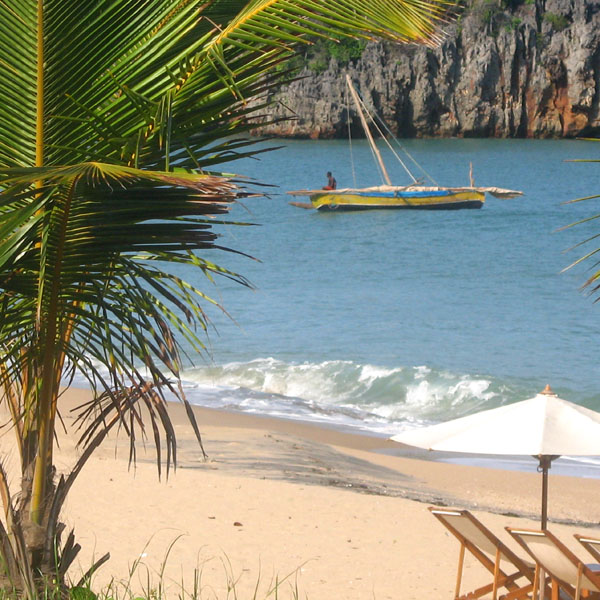
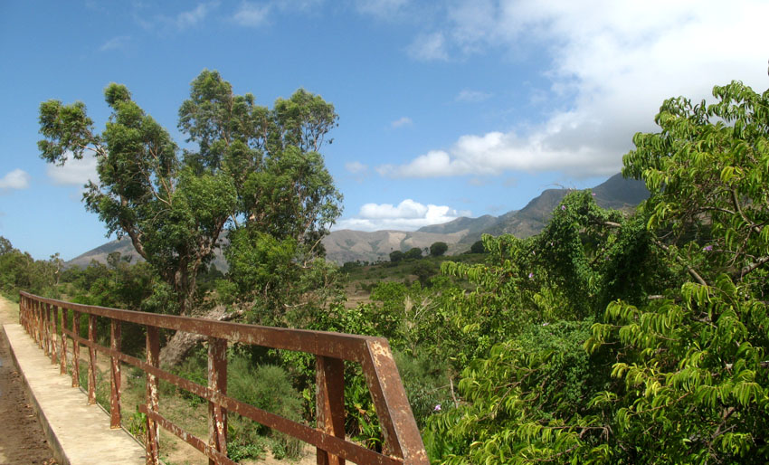
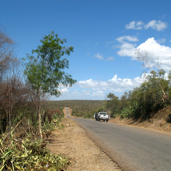
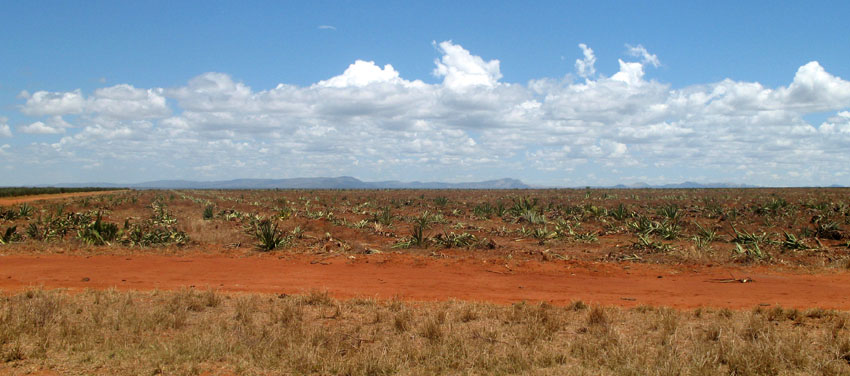
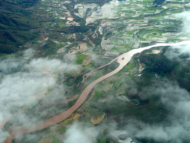
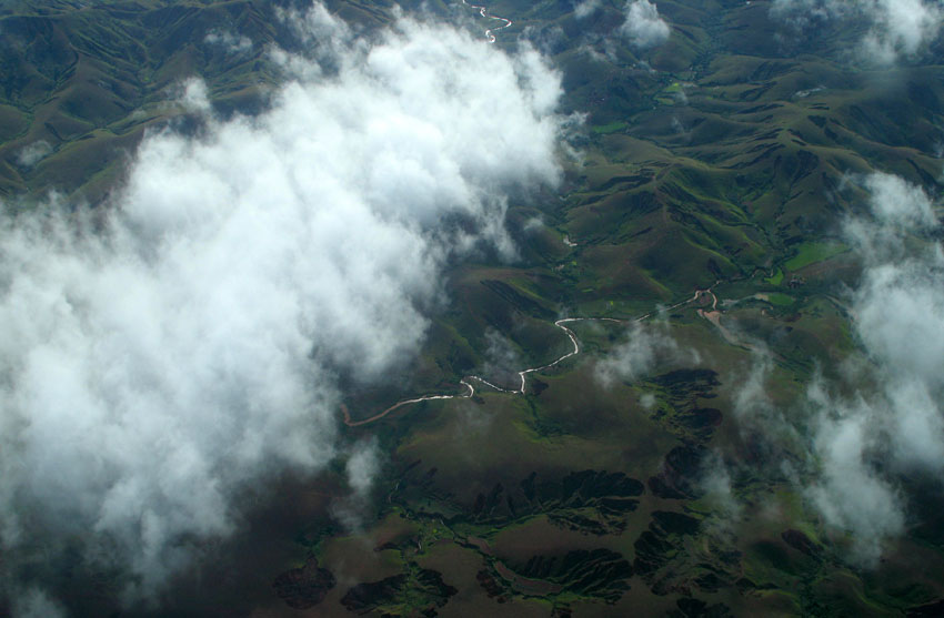
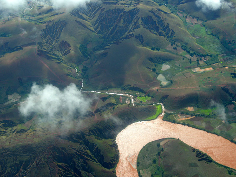
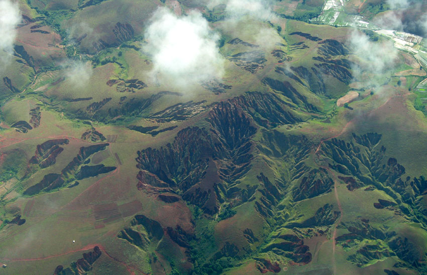
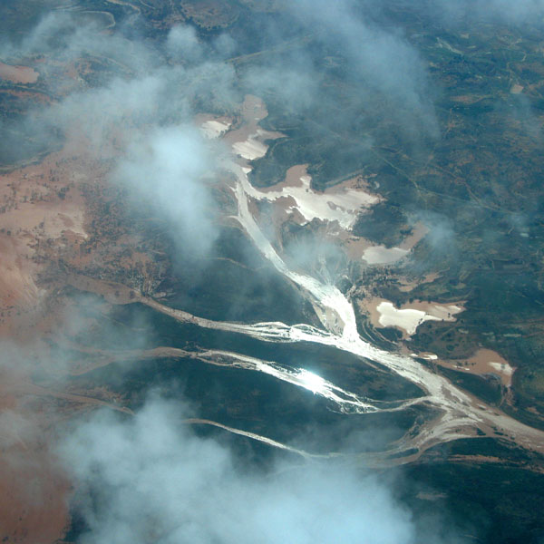
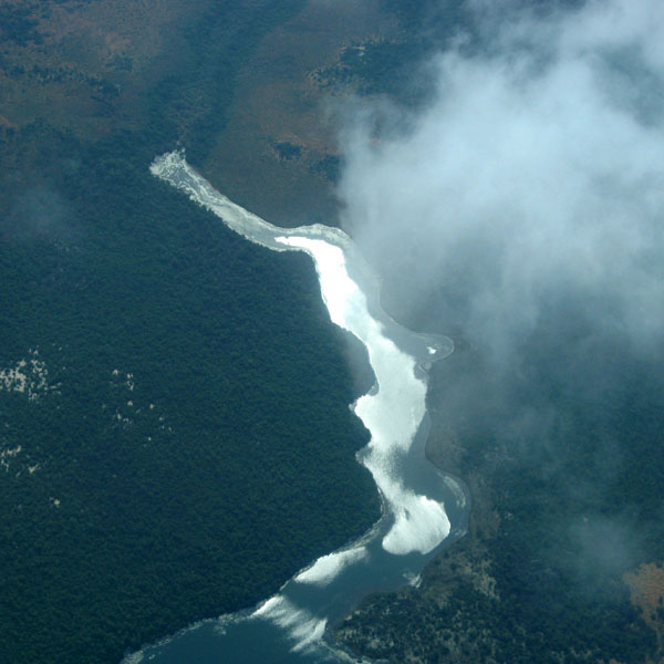
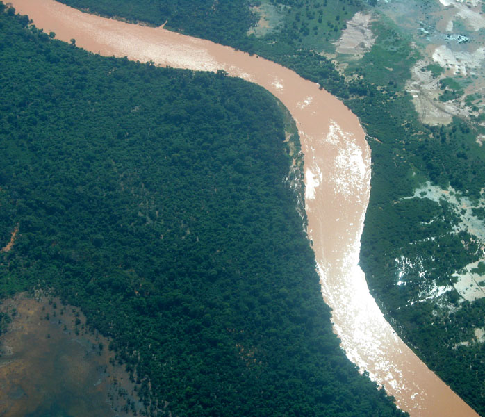
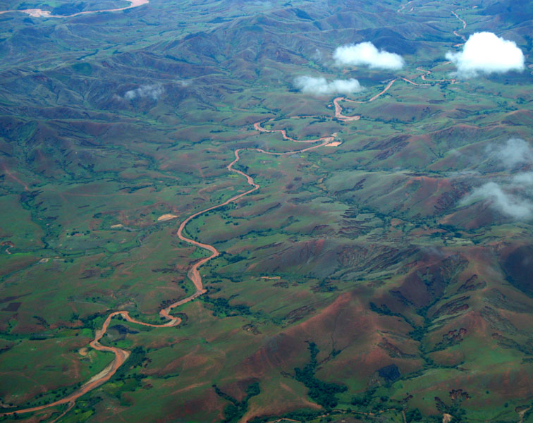
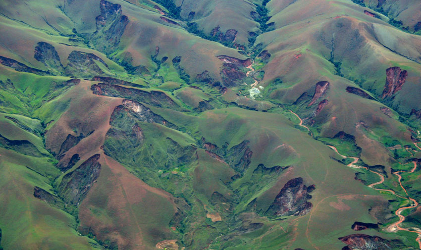
Towards the east, a steep escarpment leads from the central highlands down into a ribbon of rain forest with a narrow coastal further east. The Canal des Pangalanes is a chain of natural and man-made lakes connected by canals that runs parallel to the east coast for some 460 km (about two-thirds of the island). The descent from the central highlands toward the west is more gradual, with remnants of deciduous forest and savanna-like plains (which in the south and southwest, are quite dry and host spiny desert and baobabs). On the west coast are many protected harbours, but silting is a major problem caused by sediment from the high levels of erosion inland.

Source: Wikipedia (under GNU Free Documentation License)