Categories
French Polynesia Tuamotu

Rangiroa

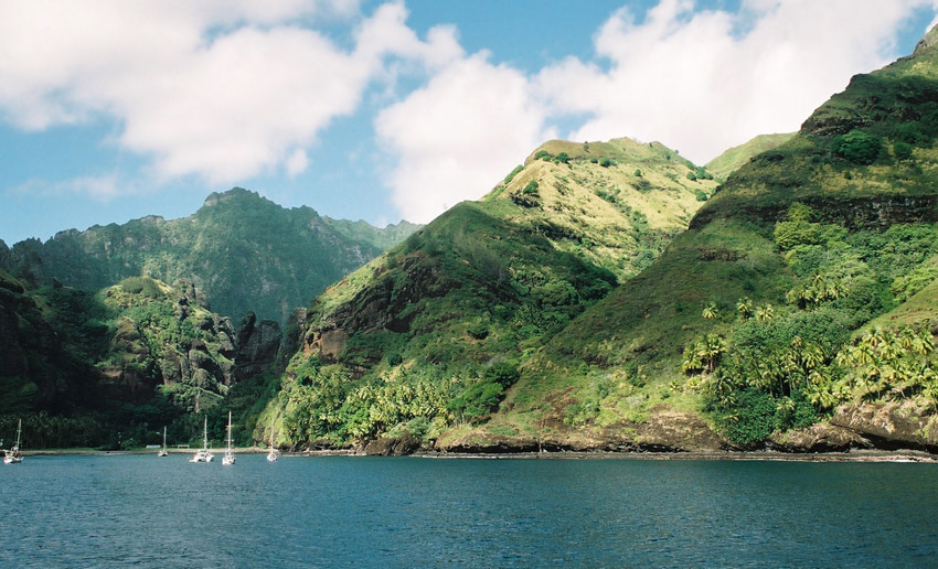
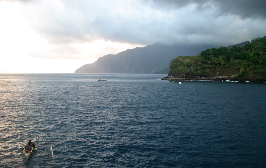
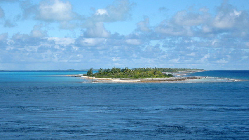
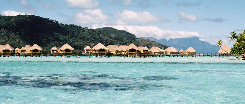
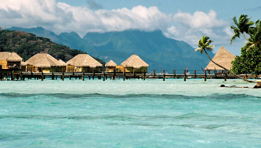
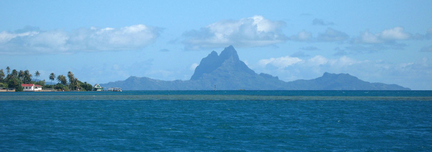
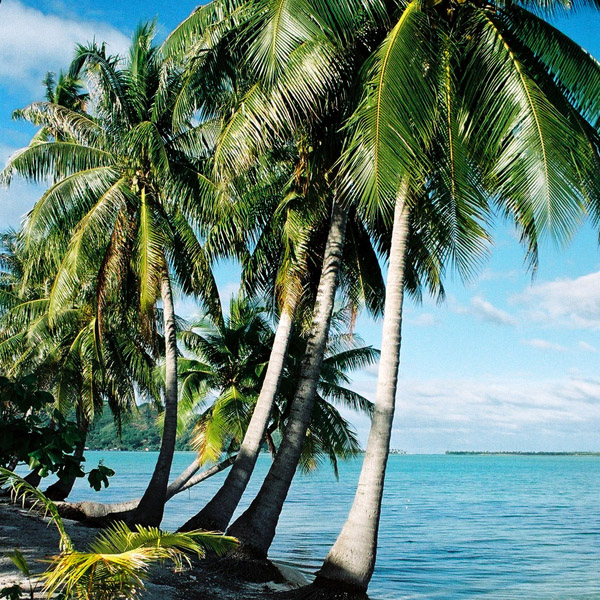
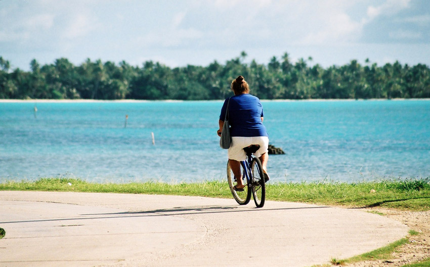
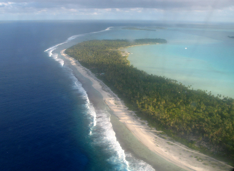
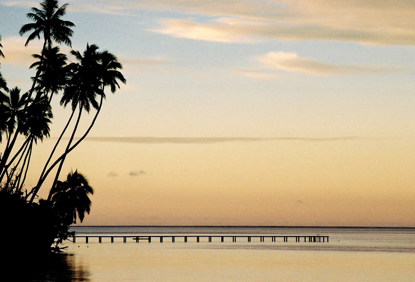
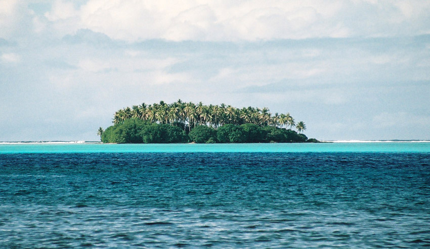
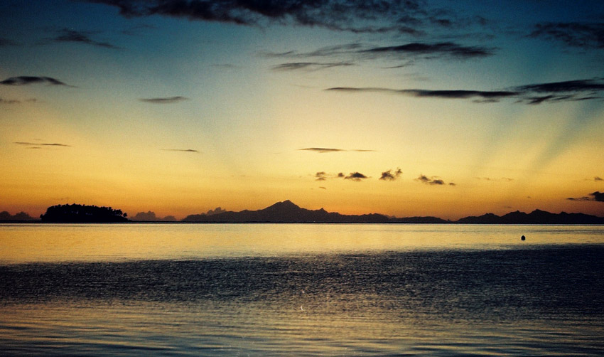
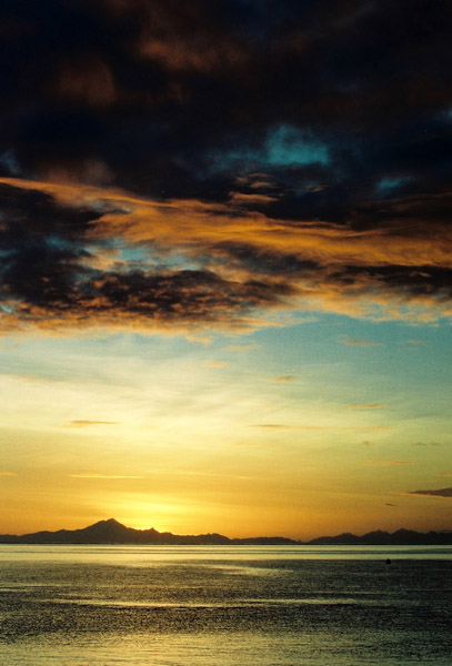
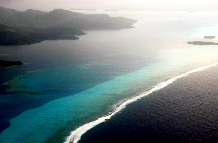
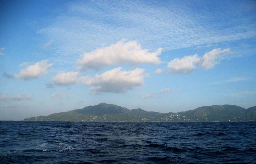
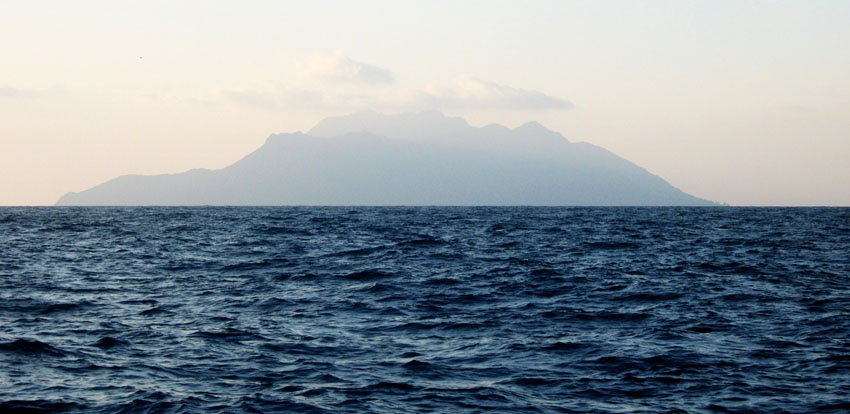
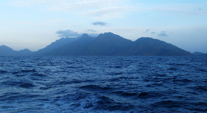
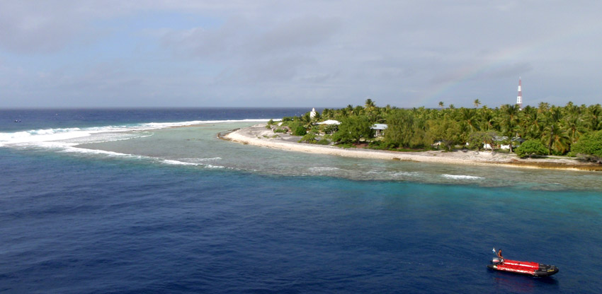
Rangiroa (meaning “Vast Sky” in Tuamotuan) or Te Kokota, is the largest atoll in the Tuamotus, and one of the largest in the world (although it is smaller than Kwajalein in the Marshall Islands and Huvadhu in the Maldives). It is located in the Palliser group. The nearest atoll is Tikehau, located only 12 km to the West.

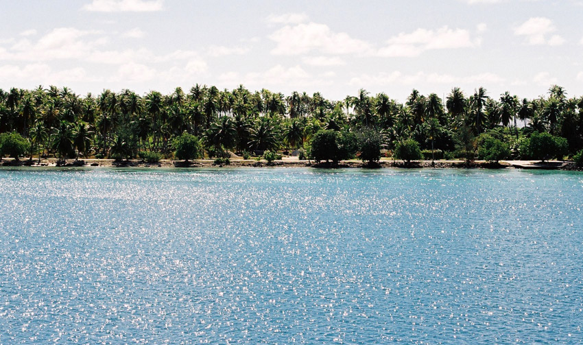
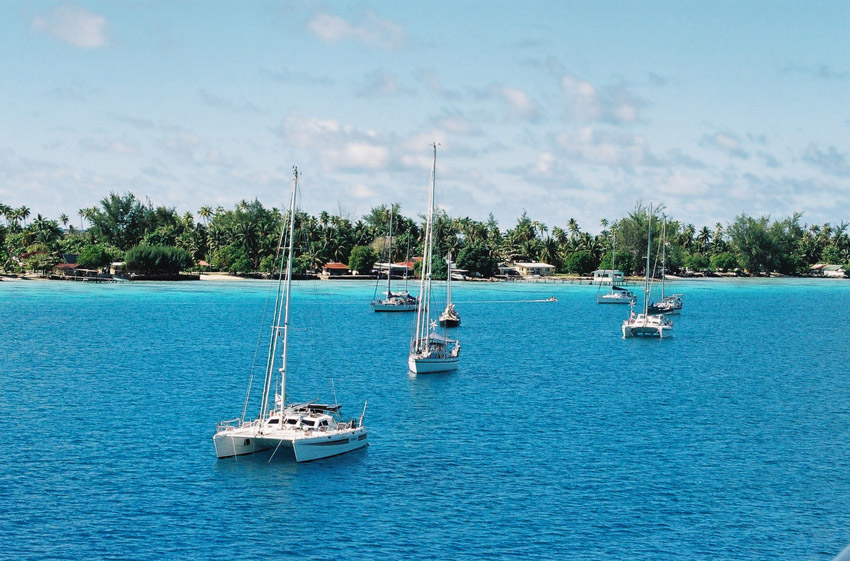
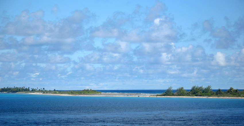
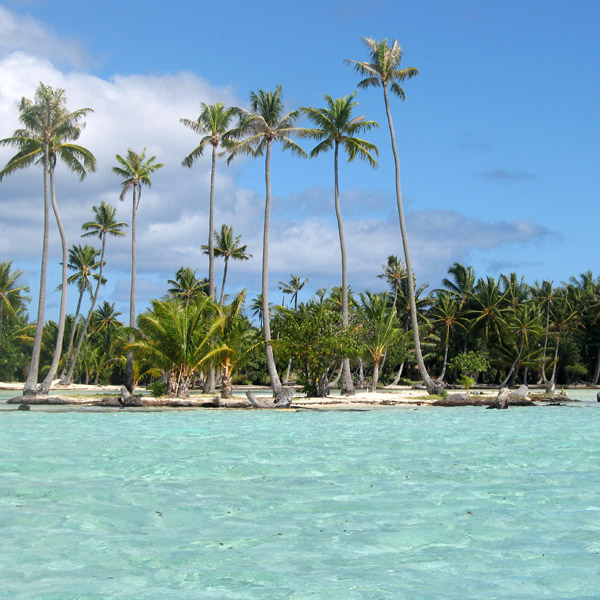
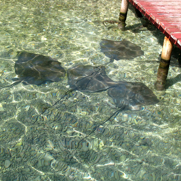
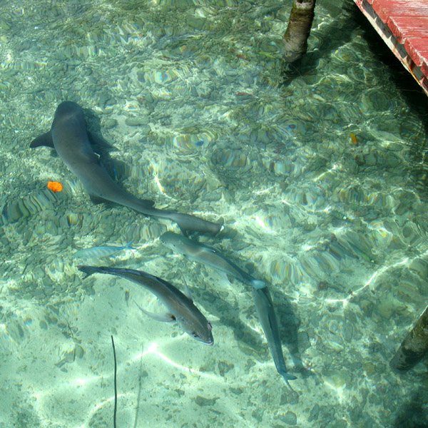
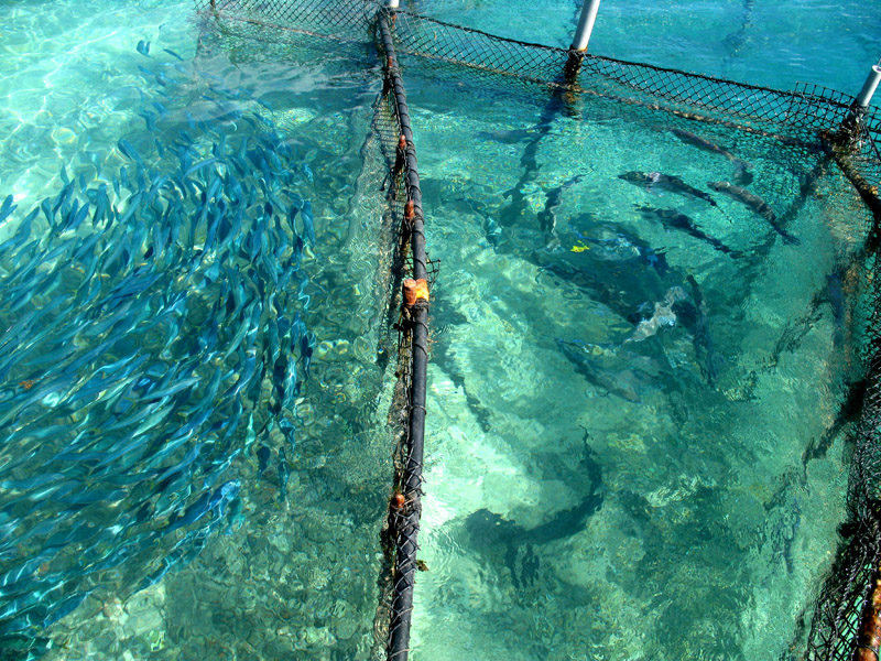
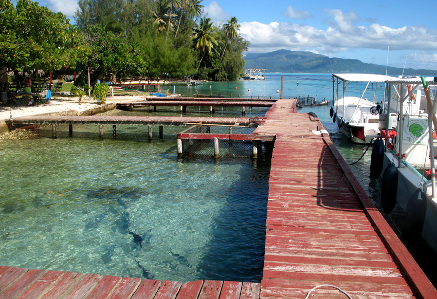
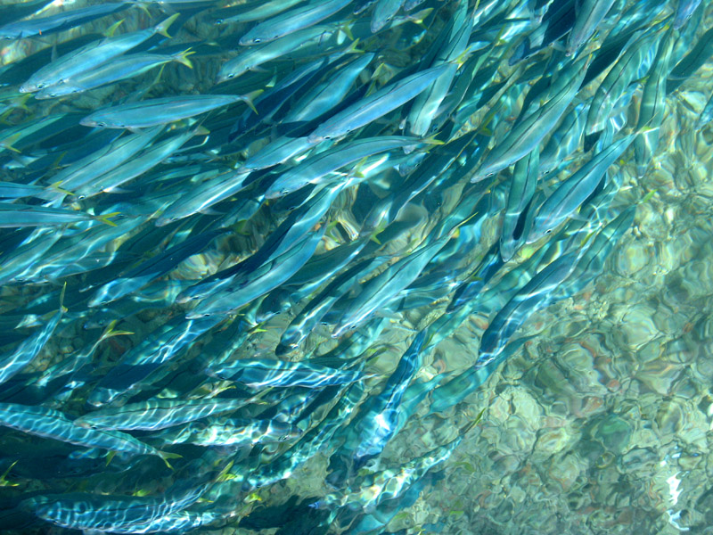
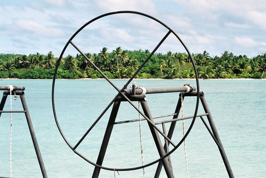
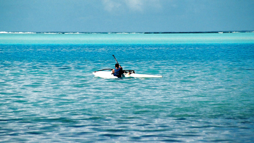
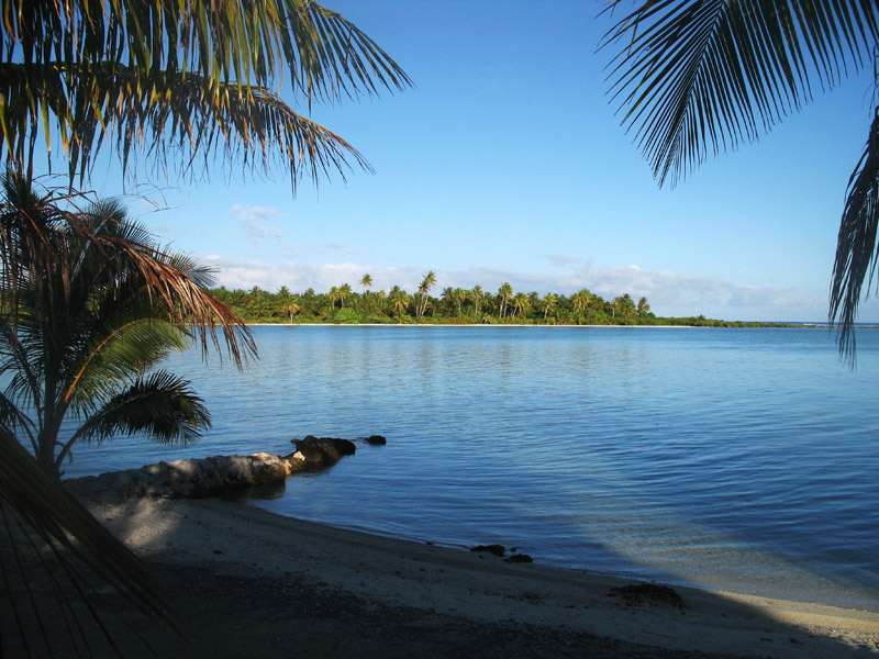
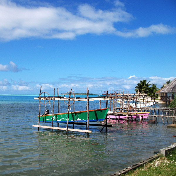
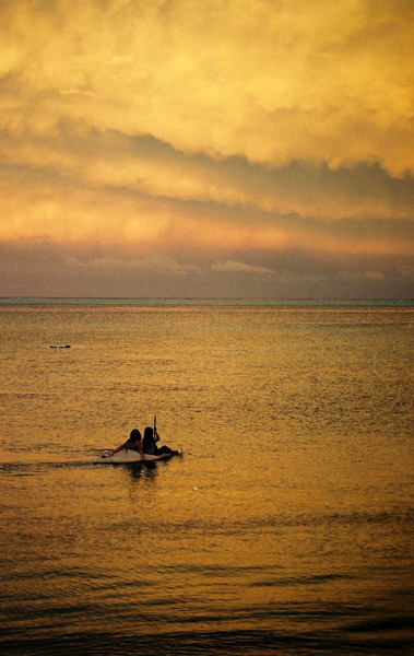
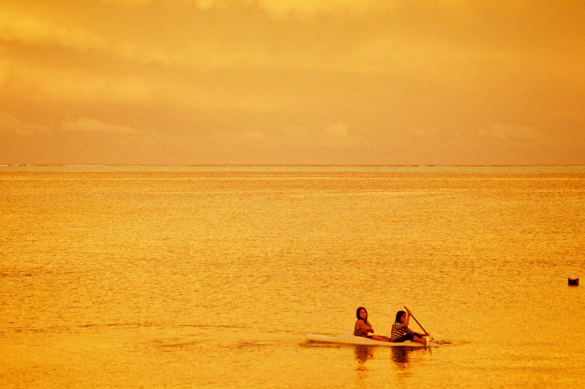
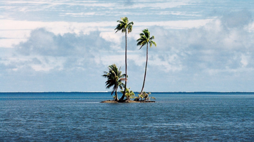
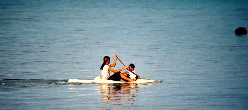
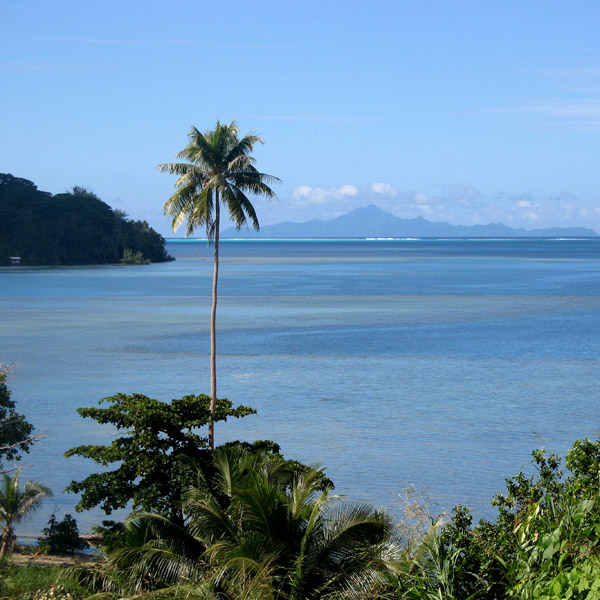
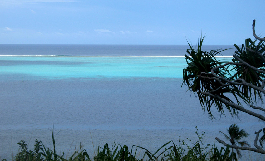
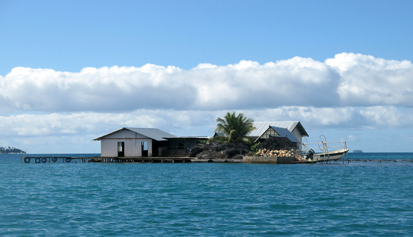
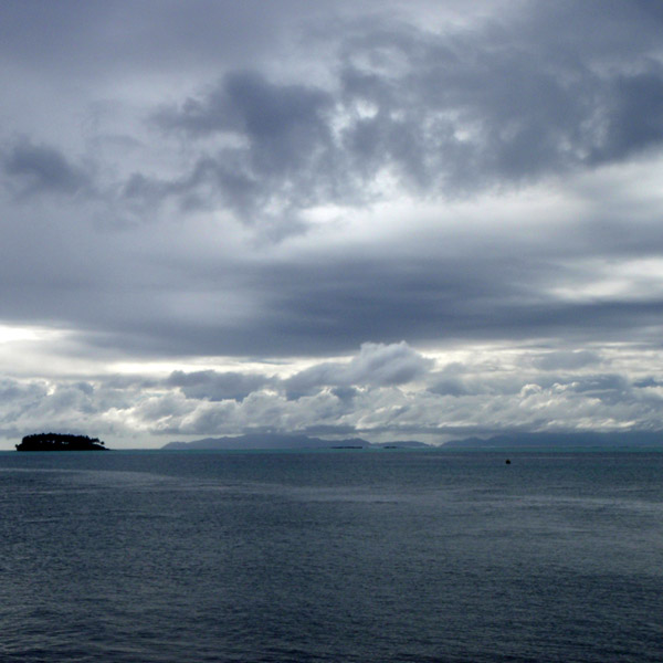
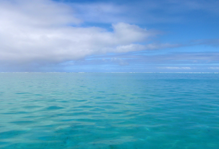
The atoll consists of about 250 islands, islets and sandbars comprising a total land area of about 170 km². There are approximately 100 narrow passages, called hoa, in the fringing reef. The lagoon is approximately 1600 km². It is so large that it has its own horizon.

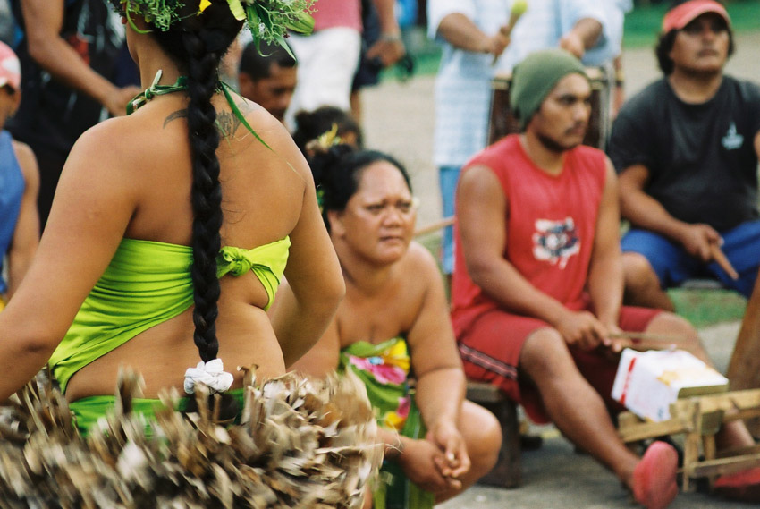
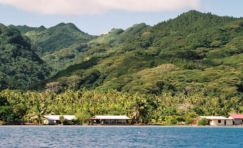
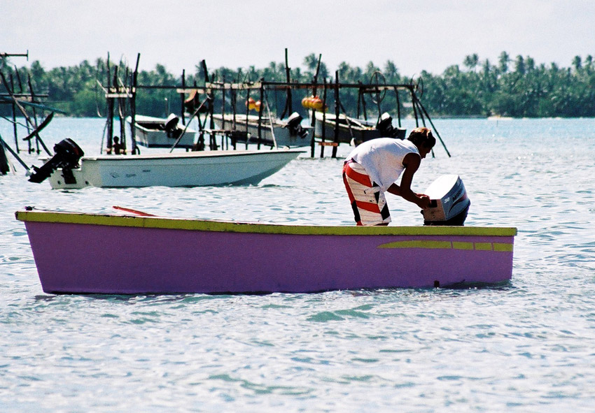
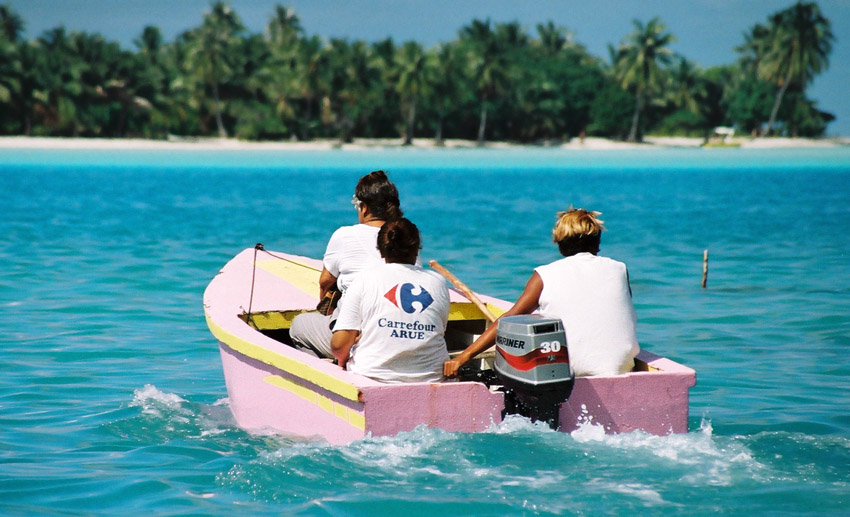
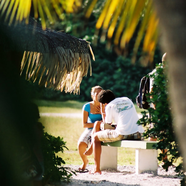
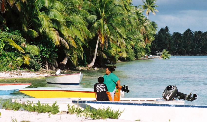
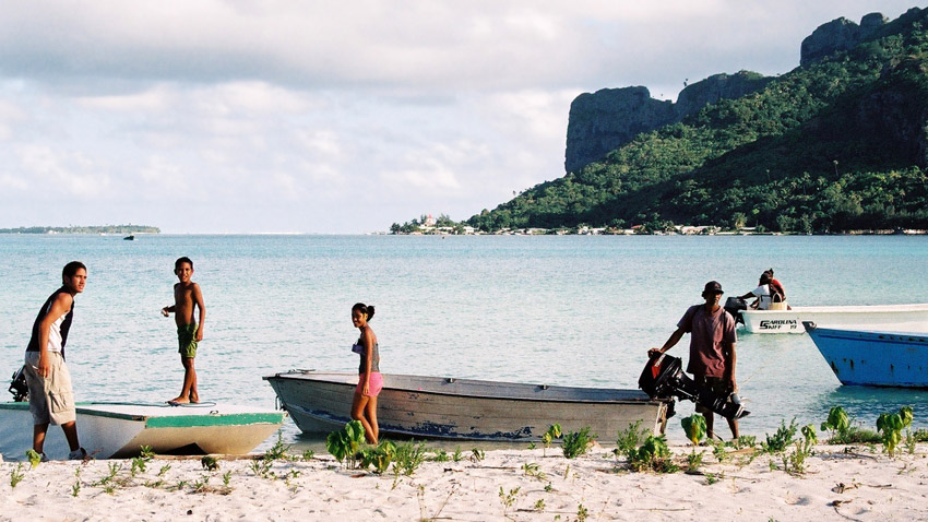
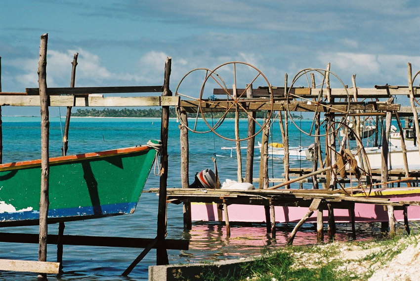
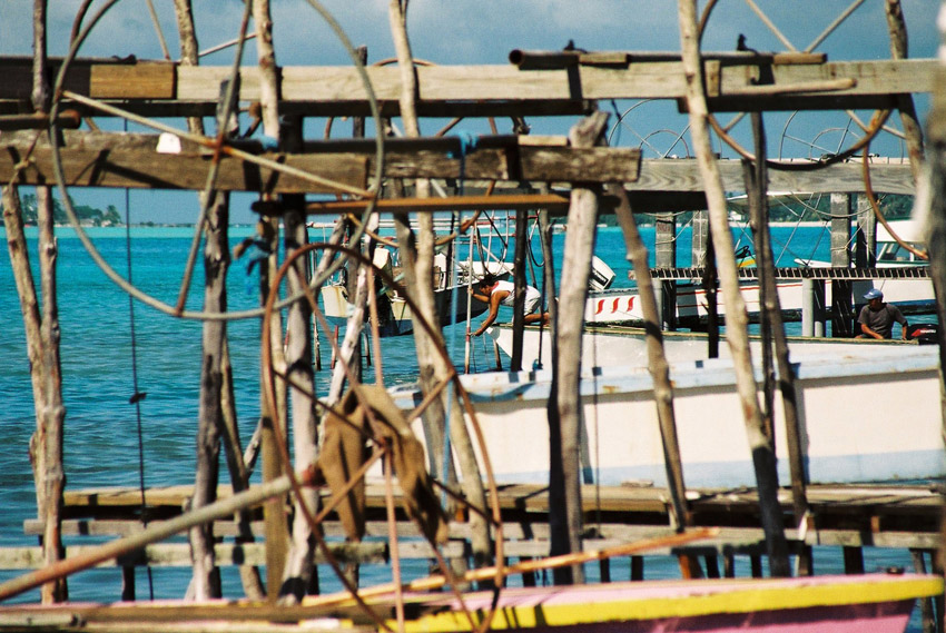
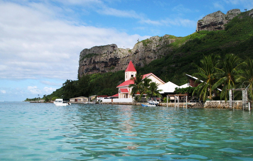
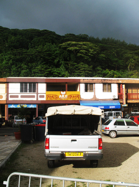
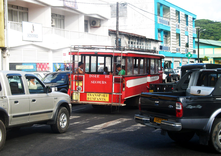
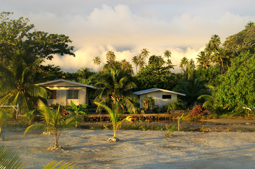
The chief town is Avatoru, located in the northwestern part of the atoll. Rangiroa has a total of 2334 inhabitants (2002 census).

The first recorded Europeans to arrive to Rangiroa were Dutch explorers Jacob le Maire and Willem Schouten during their 1615-1616 Pacific journey. They called this atoll “Vlieghen Island”.

Rangiroa appears in some maps as “Nairsa” or as “Dean’s island”. This atoll was visited by the Charles Wilkes expedition on September 7, 1839.

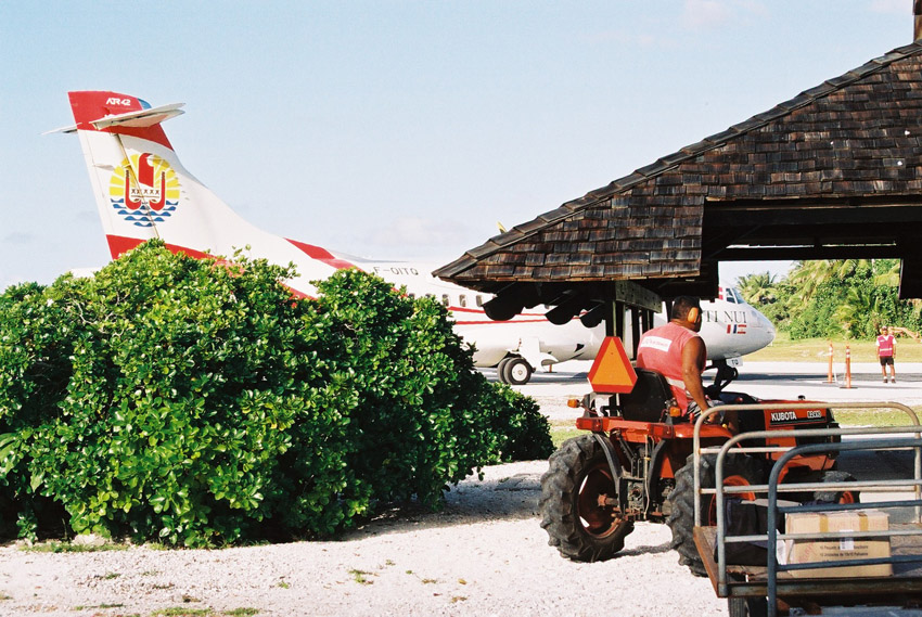
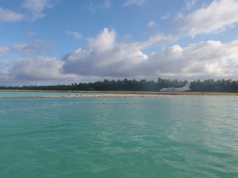
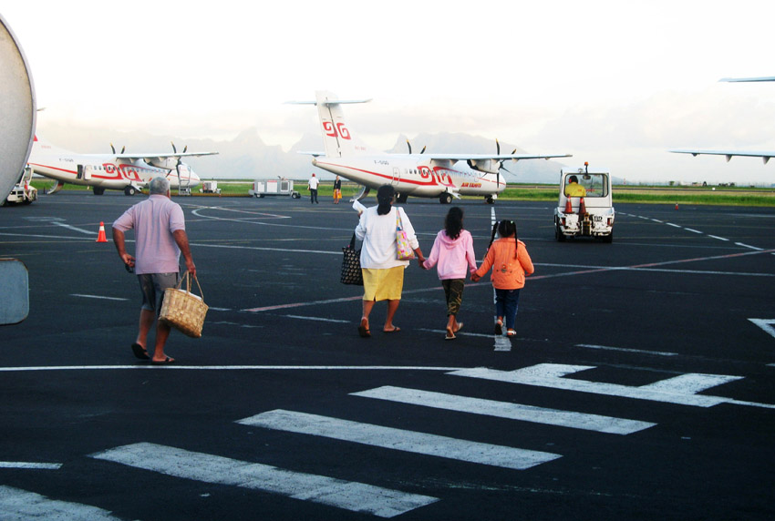
There is a territorial (domestic) airfield in Rangiroa which was inaugurated in 1965.

Source: Wikipedia (under GNU Free Documentation License)

Categories
Marquesas French Polynesia

Ua Huka

Ua Huka is one of the Marquesas Islands, in French Polynesia, an overseas territory of France in the Pacific Ocean. It is situated in the northern group of the archipelago, approximately 25 mi (40 km). 42 km to the east of Nuku Hiva, at 8°54′S 139°33′W

Ua Huka is sometimes also found spelled Roohka or Ua Huna. The first Western navigator to sight the island was U.S. Navy Capt. Joseph Ingraham in 1791. He named the island “Washington Island” in honor of U. S. President George Washington, a name which was eventually extended to include all of the northern group of the Marquesas Islands. Other names for the island include Riou and Solide. See also Names of the Marquesas Islands.

The island is shaped approximately like a crescent, with its concave edge facing the south. The land area is approximately 83 km² (32 sq. mi.). The center of the island is a high plateau, deeply indented in places by narrow river valleys. The highest peak, Hitikau reaches an elevation of 857 m (2,812 ft). Much of the island’s native plant cover, which outside the valleys consists primarily of dry-land scrub, has been devastated by herds of feral goats and horses, which are estimated to number upwards of 3,000.

Ua Huka is a shield volcano that was emplaced between 2.2 and 2.4 million years ago. It is thought to have formed by a center of upwelling magma called the Marquesas hotspot.

Administratively Ua Huka forms the commune (municipality) of Ua-Huka, part of the administrative subdivision of the Marquesas Islands. This commune consists solely of the island of Ua Huka itself.

The administrative centre of the commune is the settlement of Vaipaee, on the southern side of the island.

The 2007 census showed a population of 571 inhabitants, residing in three villages: Vaipaee, Hane, and Hokatu.

Source: Wikipedia (under GNU Free Documentation License)

Categories
Marquesas French Polynesia

Hiva Oa

Hiva Oa is the second largest island in the Marquesas Islands, in French Polynesia, an overseas territory of France in the Pacific Ocean. It is the largest island of the Southern Marquesas group. Its name means “long ridgepole” in South Marquesan. The island is likely so named because of its long central ridge.

Administratively, Hiva Oa is part of the commune (municipality) of Hiva-Oa, itself in the administrative subdivision of the Marquesas Islands. Atuona, on the south side of Hiva Oa island, is the administrative centre of the commune. Atuona was formerly the seat of government for all of the Marquesas Islands, but it has been replaced by Taiohae on Nuku Hiva island.

The island was the final home of French painter Paul Gauguin and Belgian singer Jacques Brel, both of whom are buried in Calvary Cemetery, overlooking Atuona.

In late pre-European times, the island was nearly evenly divided into two provinces – Nuku in the west, and Pepane in the east.

Source: Wikipedia (under GNU Free Documentation License)

Categories
Marquesas French Polynesia

Fatu Hiva

Fatu Hiva is the southernmost of the Marquesas Islands, in French Polynesia, an overseas territory of France in the Pacific Ocean. With Motu Nao as its closest neighbor, it is also the most isolated of the inhabited islands.

Fatu Hiva is also the title of a book by explorer and archaeologist Thor Heyerdahl, in which he describes his stay on the island in the 1930s.

The eastern coastline of Fatu Hiva is characterized by a number of narrow valleys, carved by streams that lead to the interior. Between these valleys are headlands which terminate in cliffs that plunge directly into the sea, making travel between them possible only by travelling over the high mountain ridges between them, or by boat. The largest of these valleys is at Uia.

The western coastline has two significant bays, Hana Vave (also known as Bay of Virgins or Baie des Vierges) in the north, one of the most picturesque sites in the South Pacific, and the well protected harbor of Omoa near the south. There are several smaller valleys between these two.

The center of the island is a plateau which is covered largely by tall grasses and pandanus trees. To the south of the plateau, running to the south, is a mountain ridge, called Tauauoho, its highest peak, at 1,125 m (3,691 ft.) is the highest point on Fatu Hiva. Proceeding to the north and northwest from the plateau is a mountain ridge called Fa‘e One, the highest peak of which is 820 m (2,690 ft.).

Source: Wikipedia (under GNU Free Documentation License)

Categories
Marquesas French Polynesia

Ua Pou

Ua Pu (French: Ua Pou, North Marquesan: ’uapou) is the third largest of the Marquesas Islands, in French Polynesia, an overseas territory of France in the Pacific Ocean. It is located about 50 km (30 mi.) south of Nuku Hiva, in the northern Marquesas. Until the beginning of the 1980s, it was the most populous of the Marquesas Islands, because when the other islands were being ravaged by diseases introduced by European explorers and traders, the Catholic priests on the island finally took to quarantining the remnant of the native population inside their churches whenever visiting ships approached the island, thereby reducing their exposure to external diseases.

The center of the island is characterized by four high basalt pillars that reach high above the surrounding mountains. The highest of these pillars, Mount Oave (French: Mont Oave), reaches to 1,230 m (4,035 ft.) above sea level and is the highest elevation in the Marquesas.

The island covers an area of 106 km (41 sq. mi.), and is located just northwest of the small island of Motu ‘Oa. The population in 2007 was 2,157. The largest settlement is Hakahau, on Hakahau Bay, on the northeast coast.

Source: Wikipedia (under GNU Free Documentation License)

Categories
French Polynesia Tuamotu

Fakarava

Fakarava, Havaiki-te-araro, Havai’i or Farea is an atoll in the west of the Tuamotu group in French Polynesia. It is the second largest of the Tuamotu atolls. The nearest land is Toau Atoll, which lies 14 km to the northwest.

The shape of Fakarava Atoll is roughly rectangular and its length is 60 km and its width 21 km. Fakarava has a wide and deep lagoon with a surface of 1,112 km² and two passes. The main pass to enter the lagoon, located in its northeastern end, is known as Passe Garuae and it is the largest pass in French Polynesia; the southern pass is called Tumakohua.

The first recorded European to arrive to Fakarava Atoll was Russian oceanic explorer Fabian Gottlieb von Bellingshausen on July 17, 1820 on ships Vostok and Mirni. He named this atoll “Wittgenstein”.

Fakarava’s inhabitants were evangelized by Belgian Jesuit priest Honoré Laval in 1849. The church at Rotoava was dedicated in 1850.

There is a territorial (domestic) airfield in Fakarava which was inaugurated in 1995.

Fakarava is presently being classified by UNESCO as a biosphere reserve.

Fakarava has 701 inhabitants; the main village is called Rotoava.

Source: Wikipedia (under GNU Free Documentation License)

Categories
French Polynesia Society Islands

Tahaa

Tahaa is an island located among the Society Islands, in French Polynesia, an overseas territory of France in the Pacific Ocean. The islands of Tahaa and neighboring Raiatea are enclosed by the same coral reef, and may once have been a single island.

Administratively speaking, Tahaa and the surrounding islets emerging from the coral reef form a commune (municipality) part of the administrative subdivision of the Leeward Islands. The administrative centre of the commune of Tahaa is the settlement of Patio.

Tahaa produces 70-80% of all French Polynesia’s vanilla. Because of the pervasive aroma of vanilla, Tahaa is known as the “Vanilla Island”. Tahaa’s pearls are of exceptional quality.

Taha’a and its small motus (islets) can be reached by boat and outrigger from Raiatea. The short sail drops visitors on a motu beach with a perfect small lagoon, and in the near distance, a view of Bora Bora framed by the coconut palms and the lagoon. This is a short day trip to a more simple Tahiti.

Source: Wikipedia (under GNU Free Documentation License)

Categories
French Polynesia Society Islands

Maupiti

Maupiti is a small coral atoll with a volcanic island in its midst.

Maupiti is located to the west of the Leeward Islands in French Polynesia. It is the westernmost volcanic high island in the archipelago, 40 km west of Bora Bora. The central island of Maupiti has a high peak of 380 metres and a surface area of 11 square kilometers. The lagoon has large and flat coral islands in its northern reef half and two motus on both sides of the pass at its southern end.

At the August 2007 census, the island population was about 1,200 people. The primary economic activity on Maupiti is Noni production.

There are ancient Polynesian archaeological artefacts dating from at least AD 850 in Maupiti. The first European to arrive on the island was the Dutchman Jakob Roggeveen in 1722. Historically, the island has had strong cultural links with Bora Bora.

Source: Wikipedia (under GNU Free Documentation License)

Categories
French Polynesia Society Islands

Raiatea

Somewhat smaller than Tahiti, Raiatea is the second largest of the Society Islands in French Polynesia. The proper spelling of the name, rarely used though, in the Tahitian language is Ra’iatea, meaning bright sky; Ulieta is an obsolete transcription commonly used in the 19th century. The chief town on Raiatea is Uturoa, administrative center for the Leeward Islands (French Îles Sous-le-vent). The islands of Raiatea and Tahaa are both enclosed by the same coral reef, and may once have been a single island.

Raiatea is both the largest and most populated island in the Leeward Islands, with a land area of 167.7 km² (64.7 sq. miles) and a total population of 12,024 inhabitants at the August 2007 census. The population density is 72 inhabitants per km². Ra’iatea is widely regarded as the ‘center’ of Polynesia and it is likely that the organised migrations to Hawaii, Aoteroa (New Zealand) and other parts of East Polynesia started at Ra’iatea. A traditional name for the island is Havai’i fanau fenua (Hawai’i birther of land).

Source: Wikipedia (under GNU Free Documentation License)

Categories
Seychelles

Indian Ocean Explorer hijacked by Somali pirates

The last journey to Seyshelles was exceptional for several resons. First of all, my dream came true – I had a dream to get to Aldabra for 13 years. We sailed a quite long way – over 1500 km during 12 days. Second – I was able to explore unique places: Desroches (an island, on which I had been 3 months beforehand as well), Alphonse, Astove, Cosmoledo, Assumtion, and Aldabra of course.

We were very lucky too. Our vessel, Indian Ocean Explorer, was captured by Somali pirates around 2 weeks after our trip. It happenned near the coast of the Assumption island, between the 28th and 30th of March 2009. The crew was held hostage for 79 days. Fortunately, thanks to the Seychelles authorities, they were released on June 22, 2009. However, Seyshelles government representatives neither did release Somali pirates they had captured nor did pay any ransom for the crew. This is why the vessel still remains in pirate hands, anchored off the coast of Central Somalia.