Categories
Galapagos

Hood

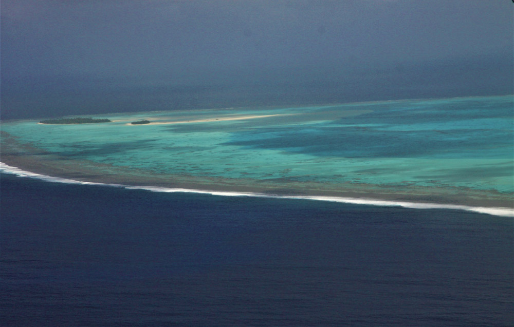
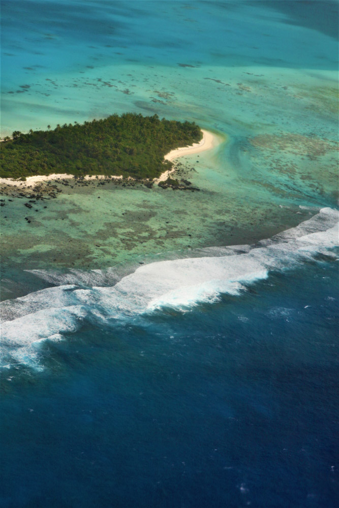
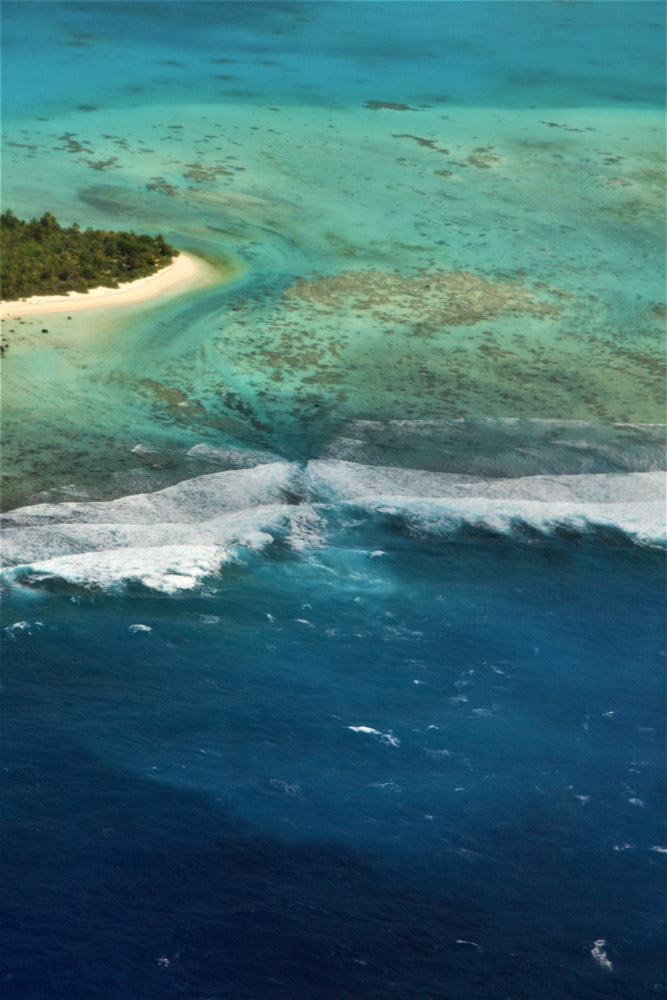
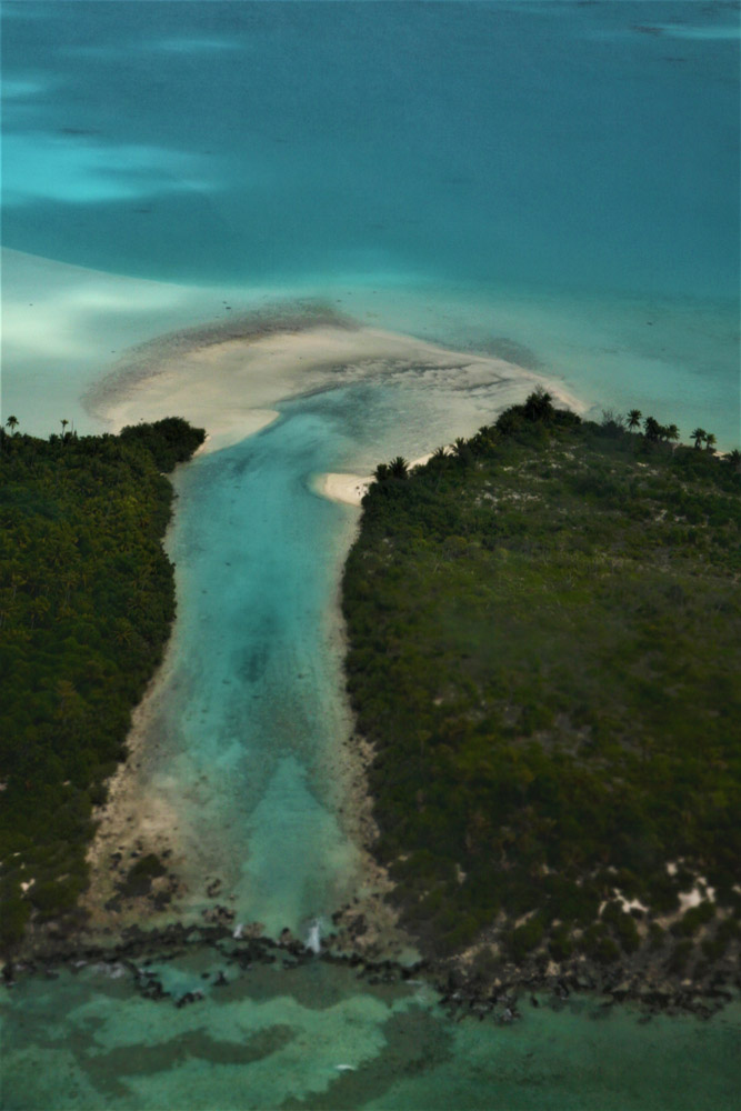
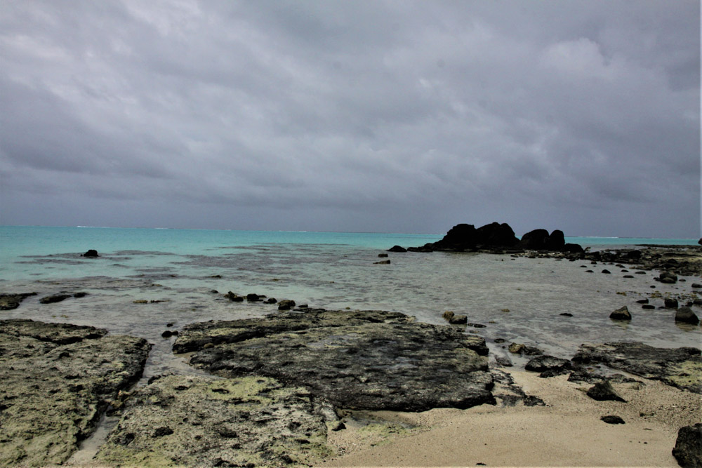
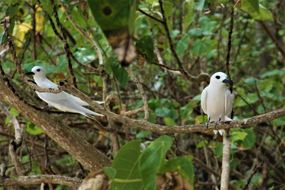
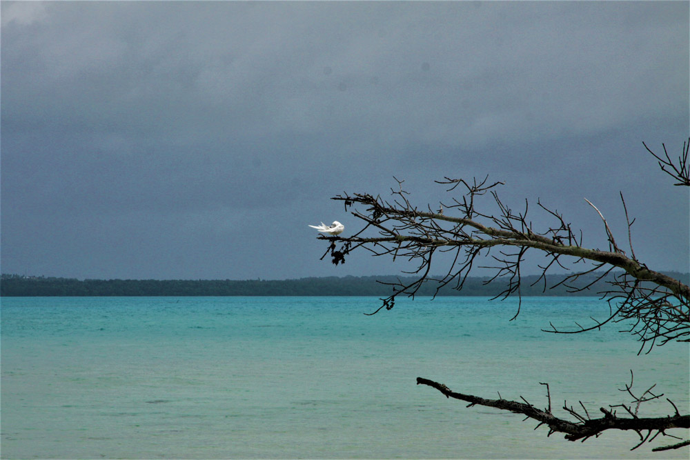
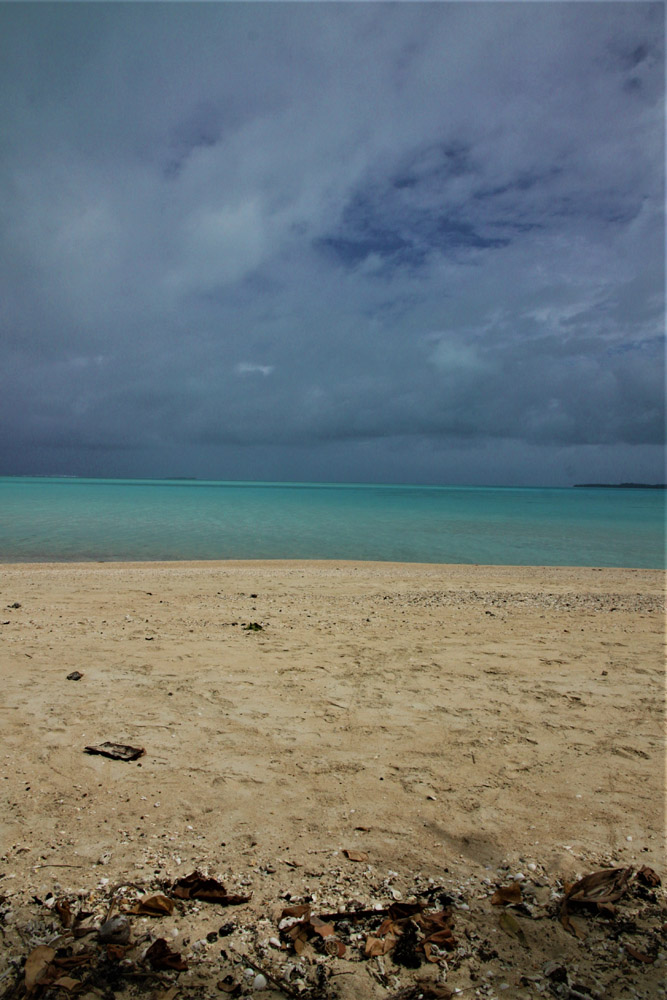
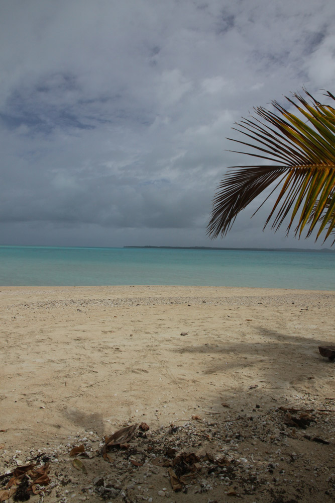
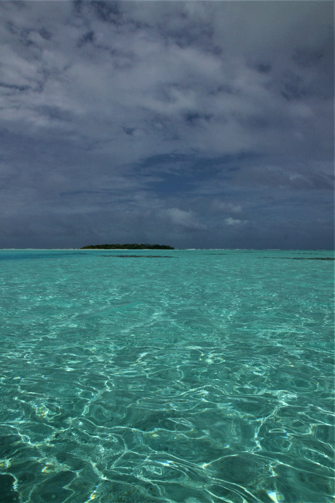
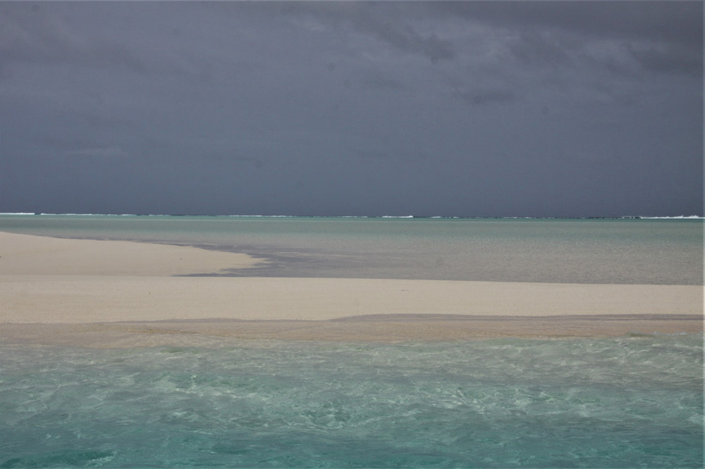
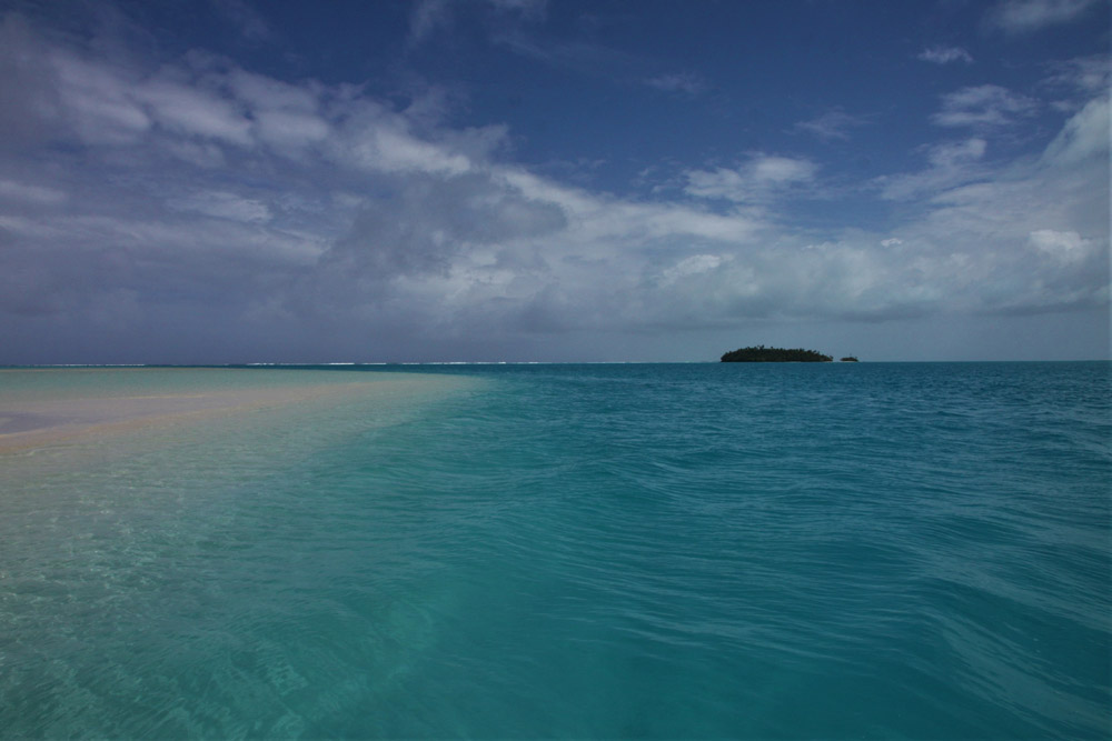
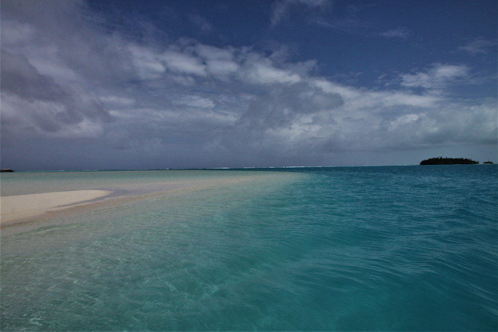
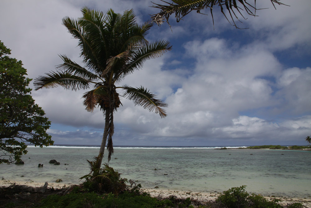
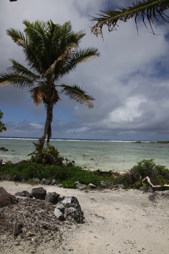
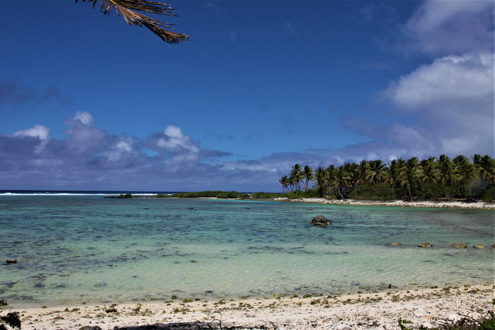
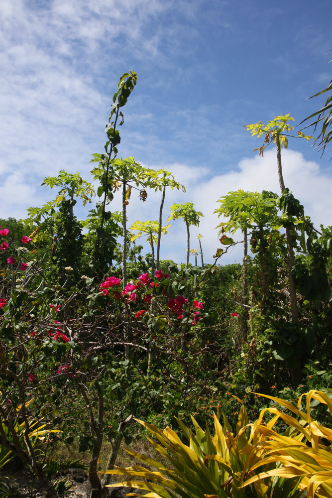
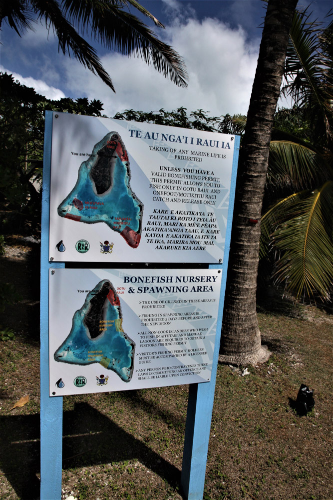
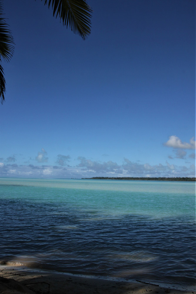
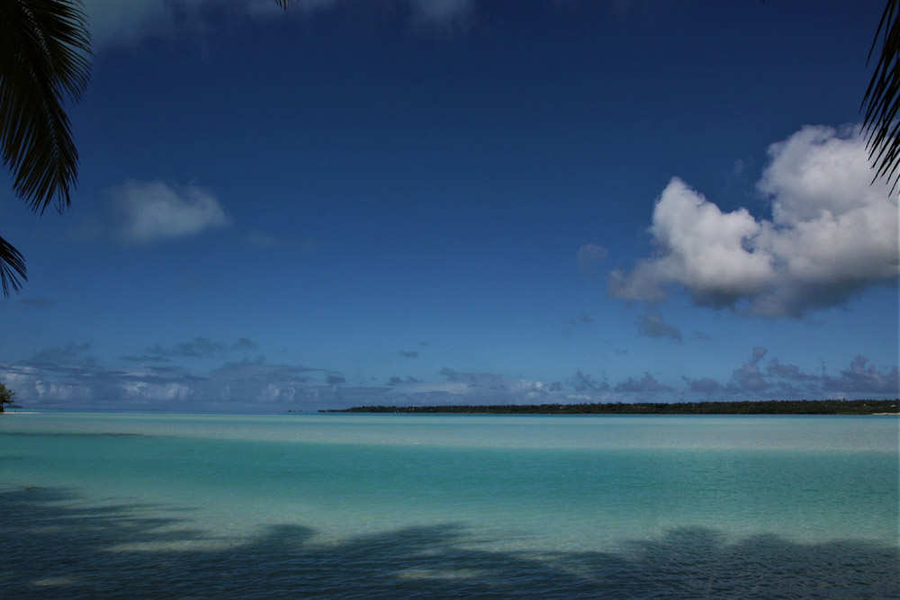
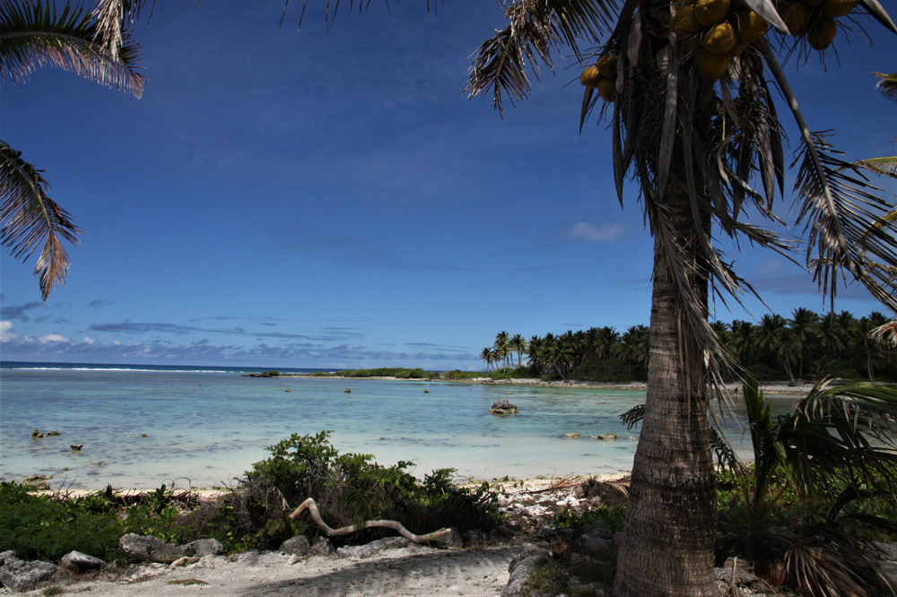
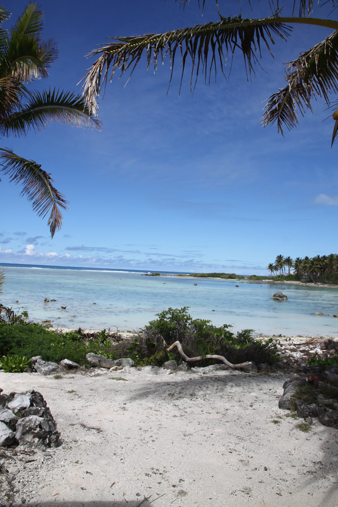
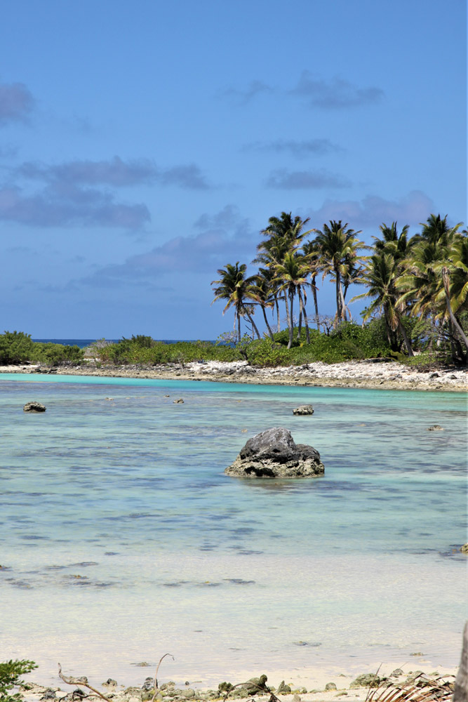
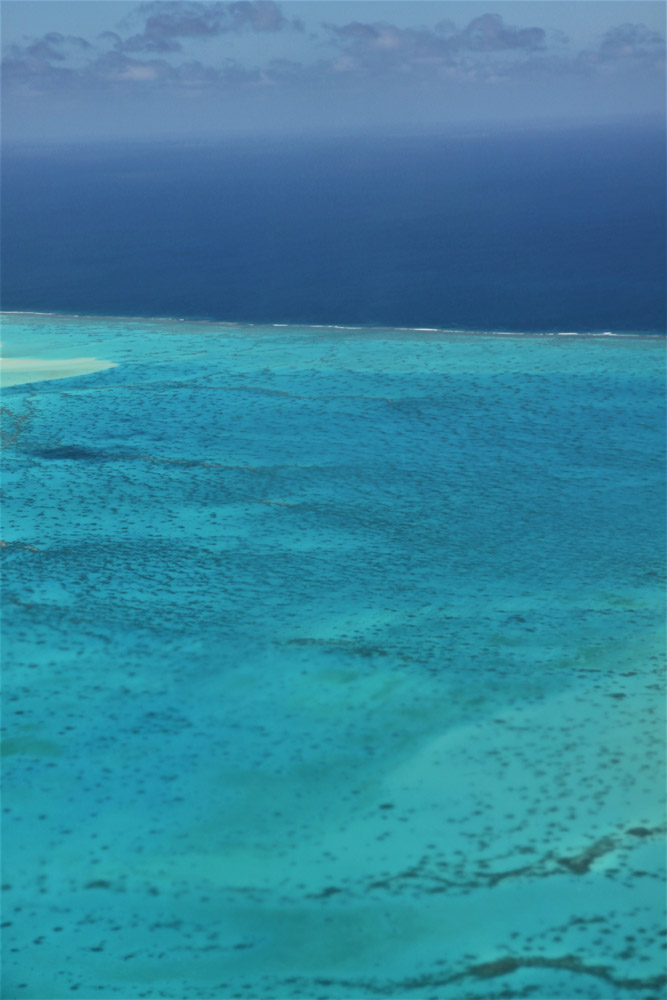
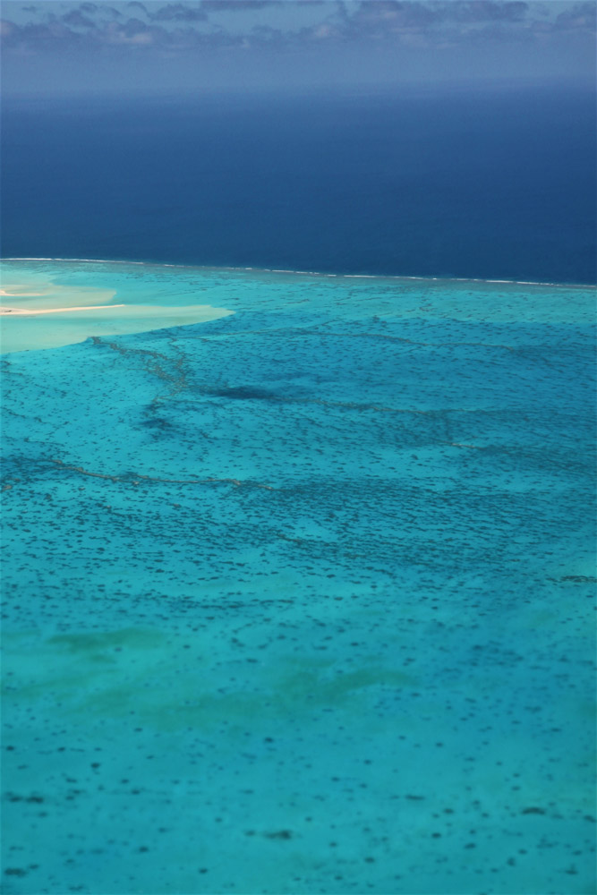
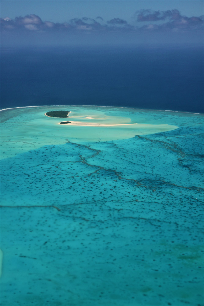
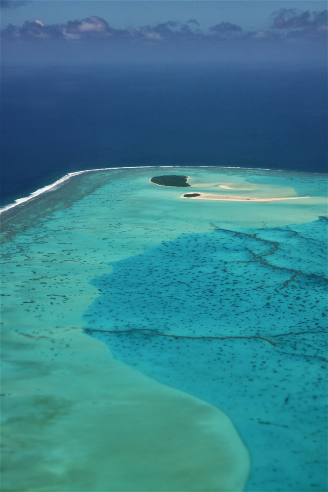
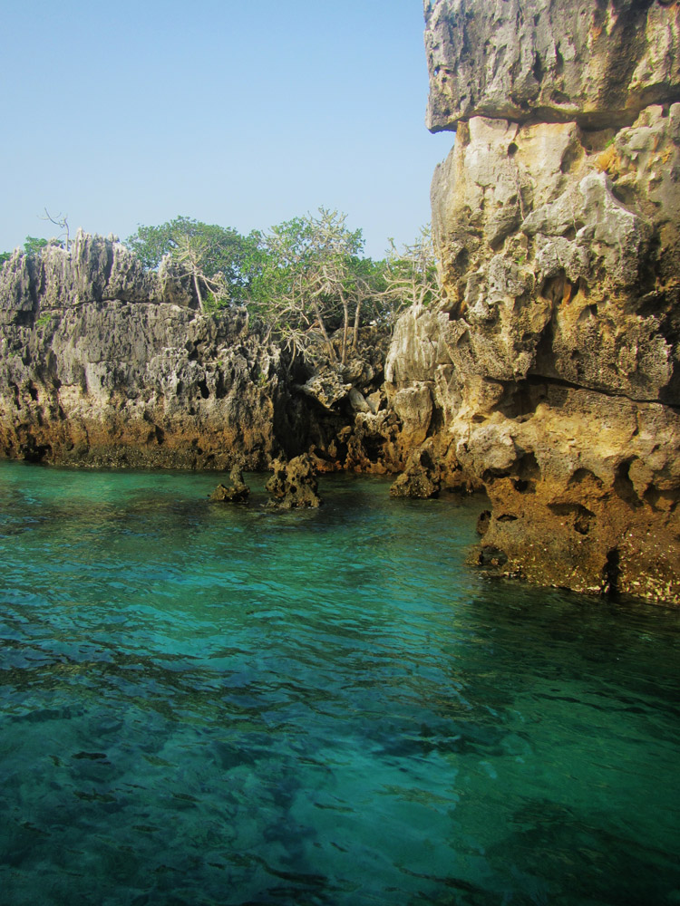
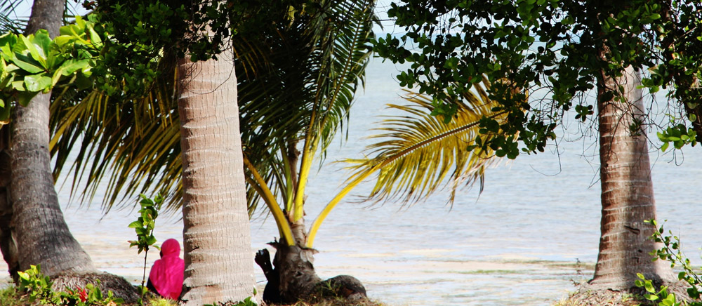
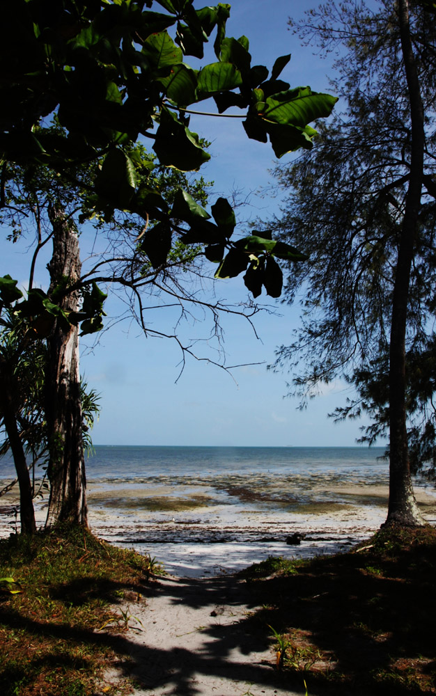
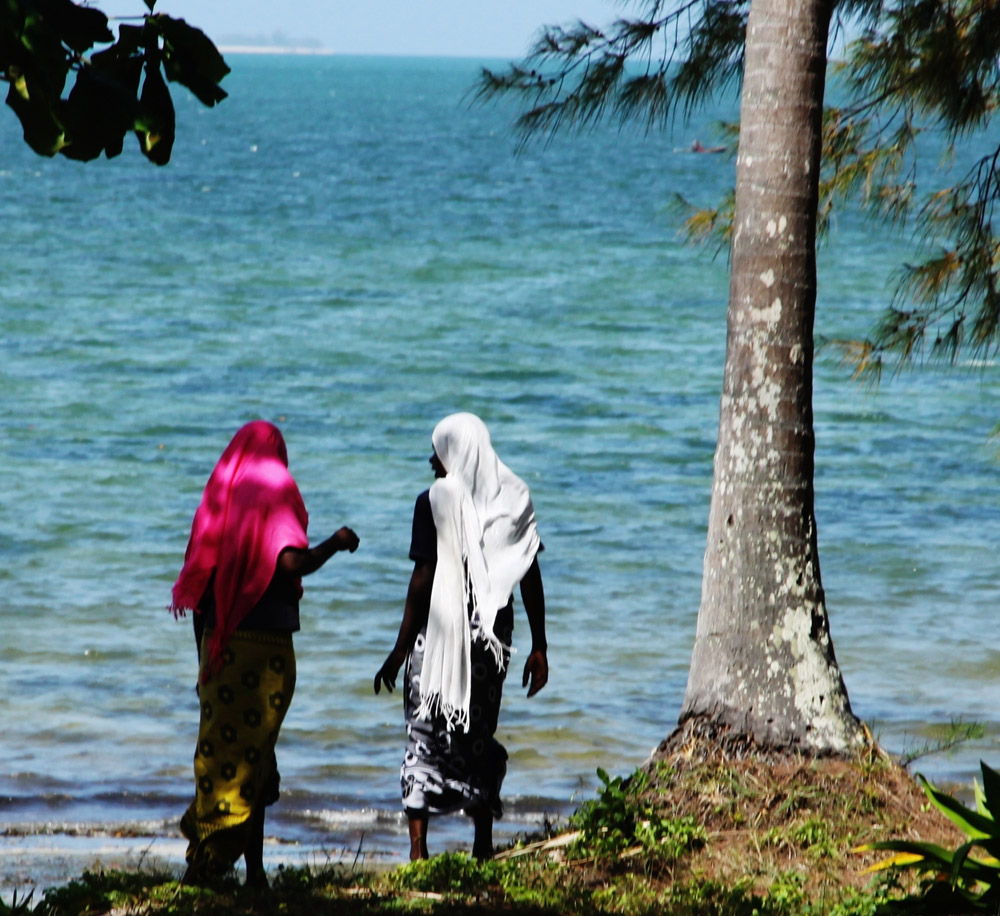
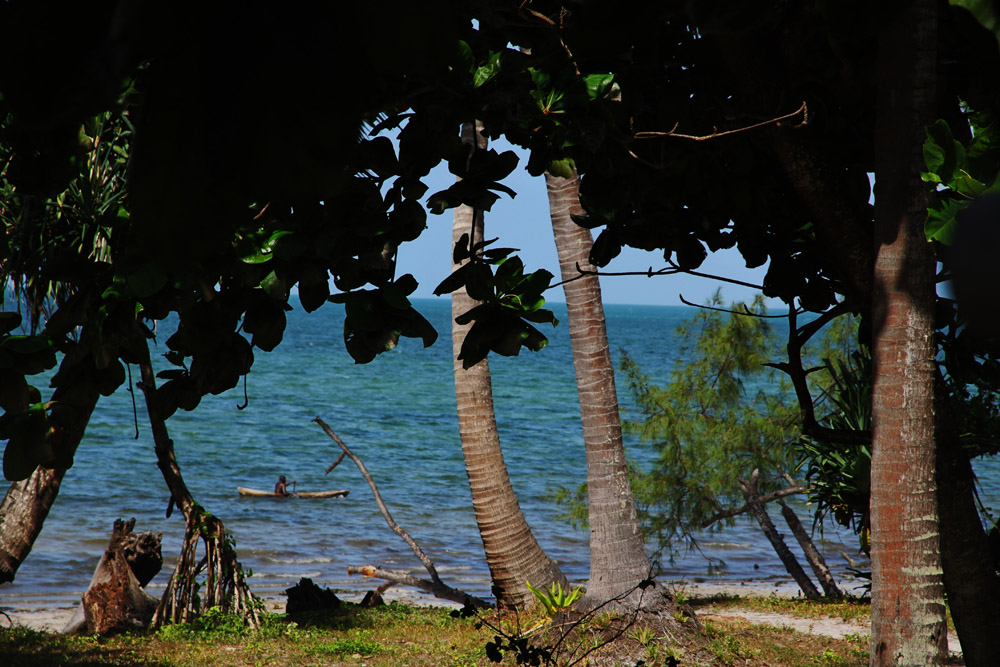
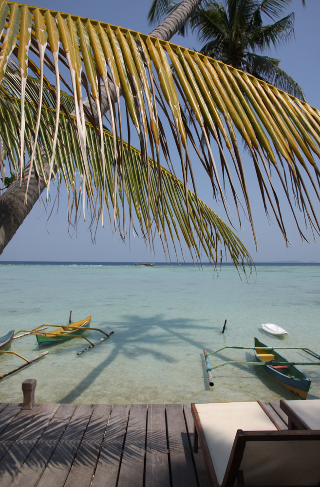
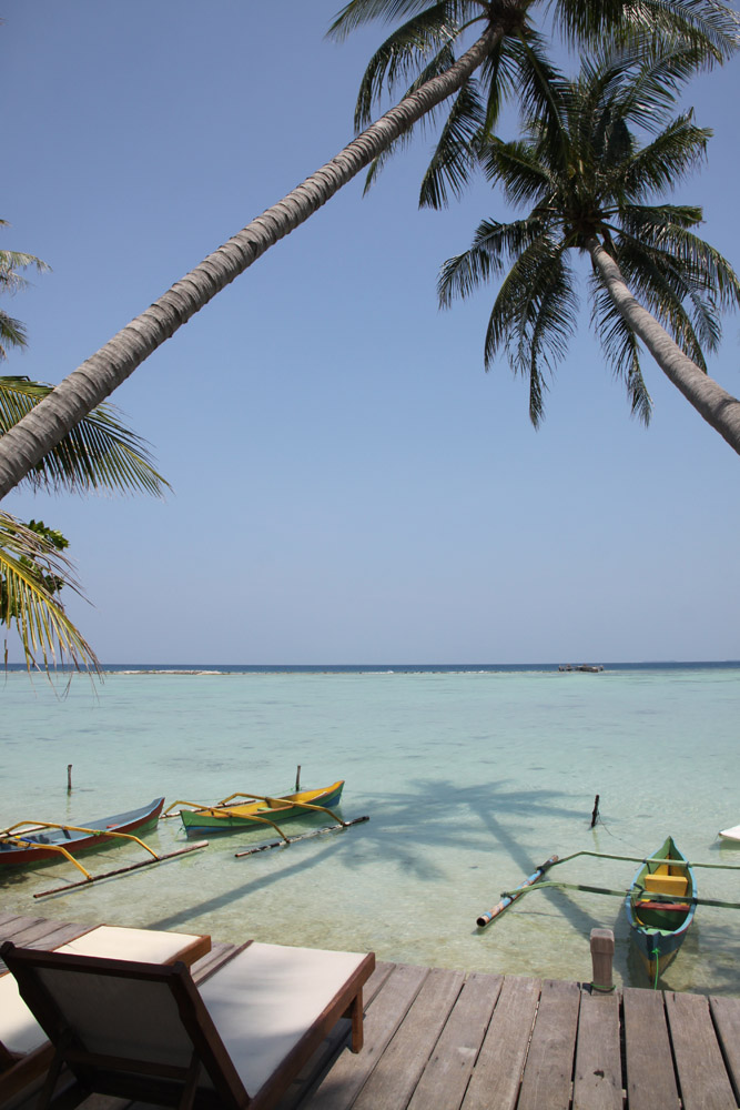
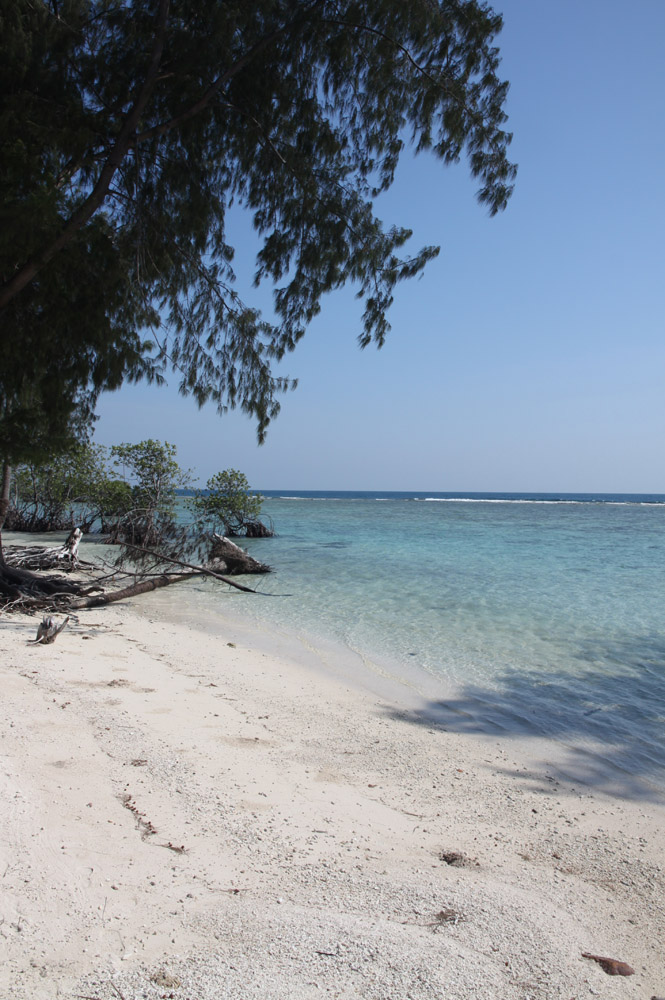
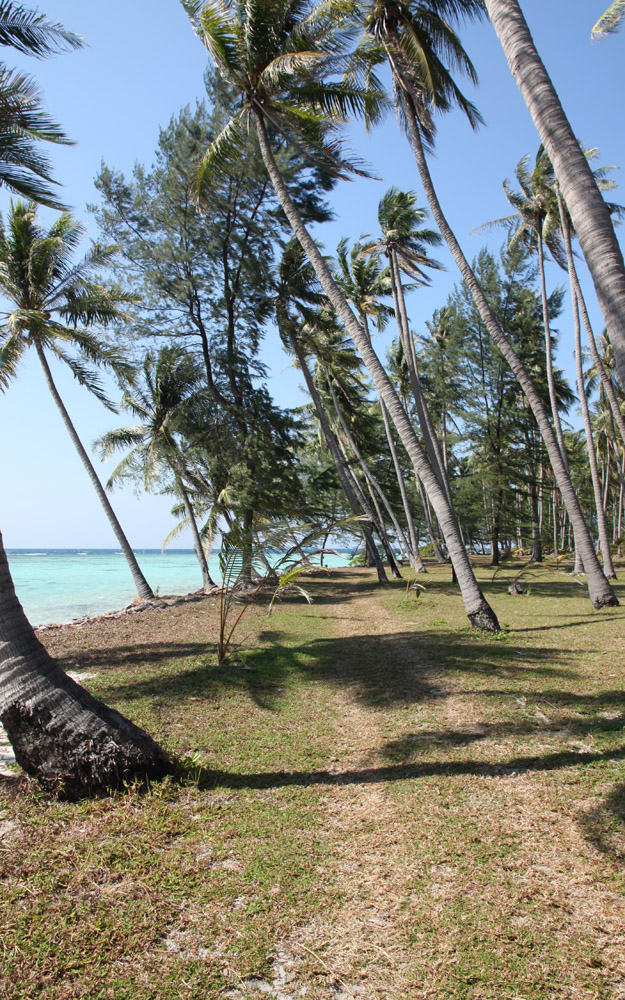
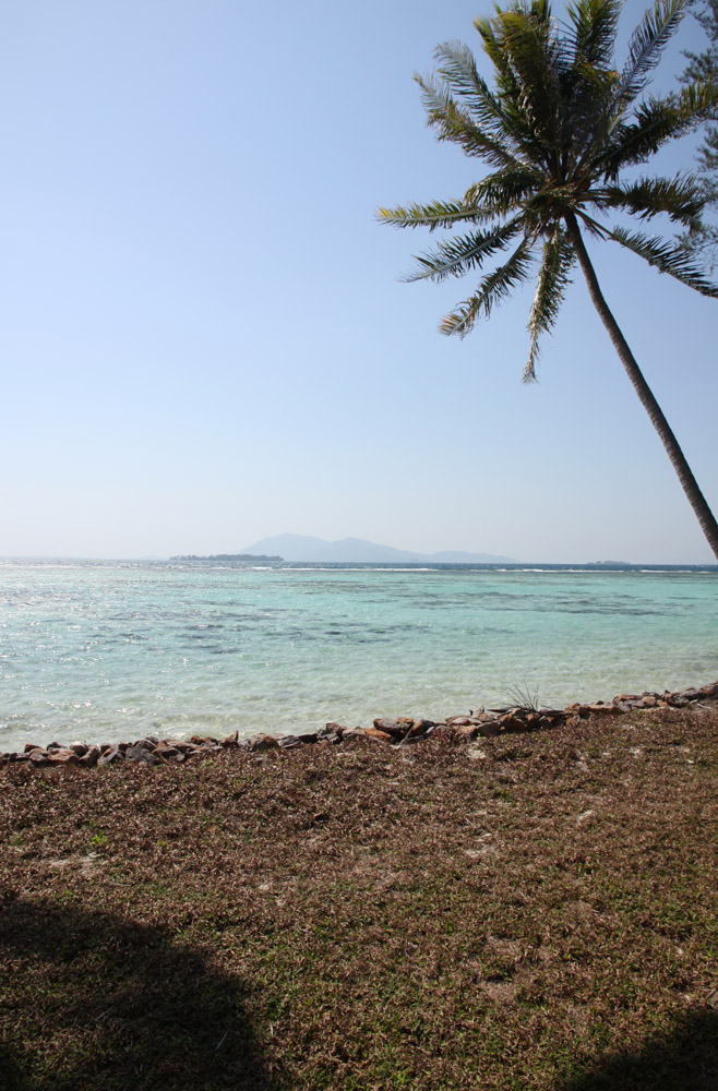
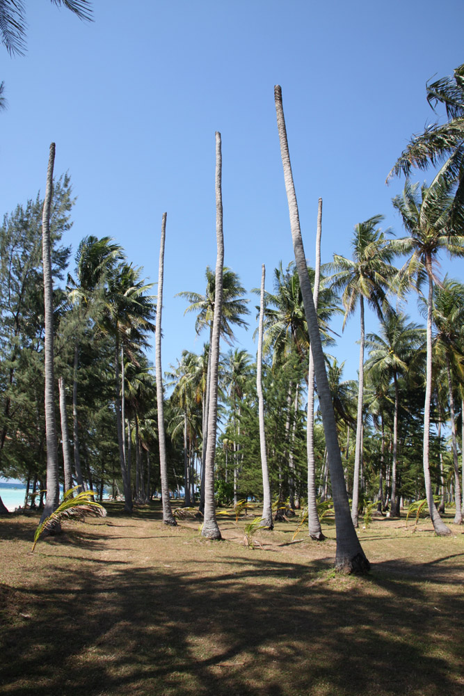
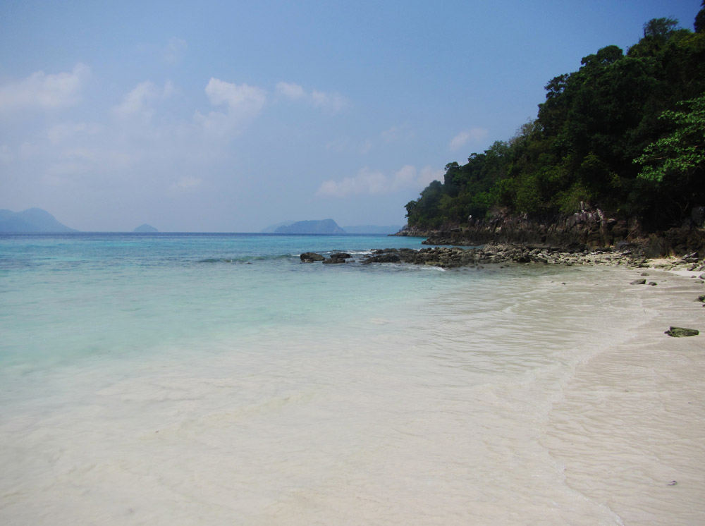
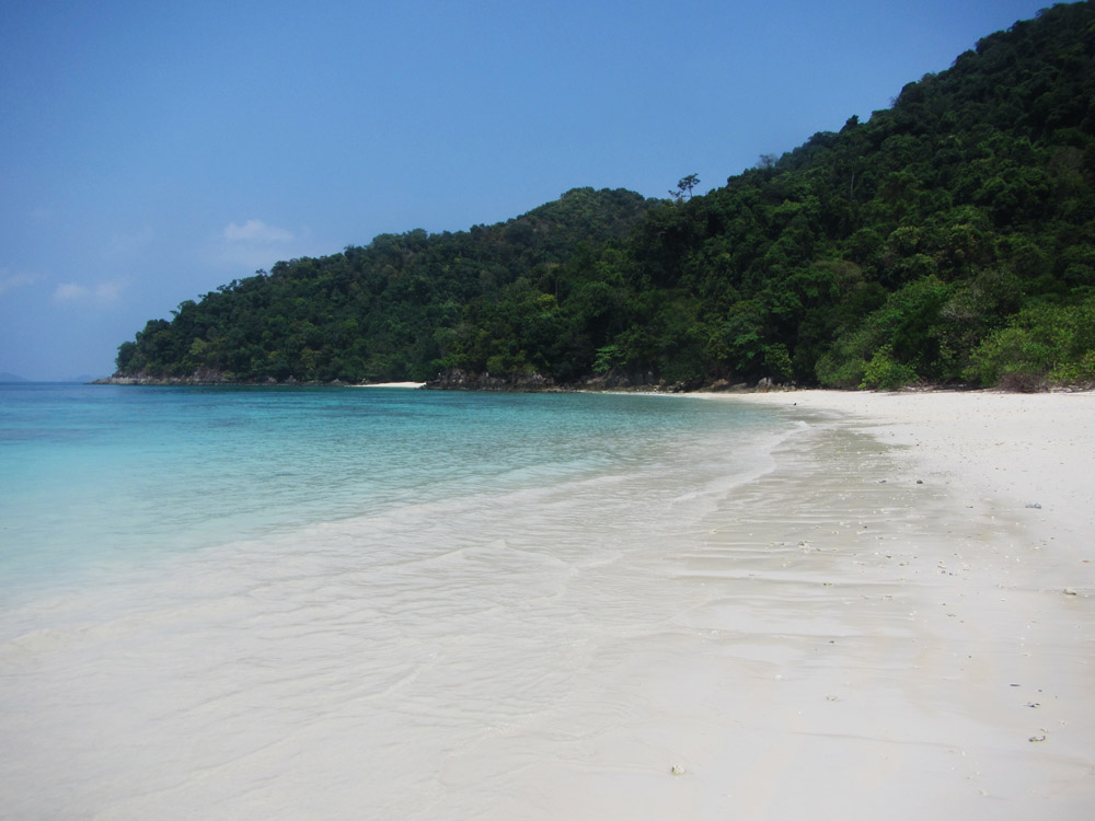
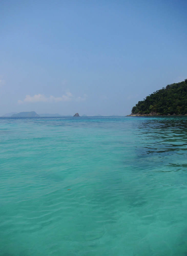
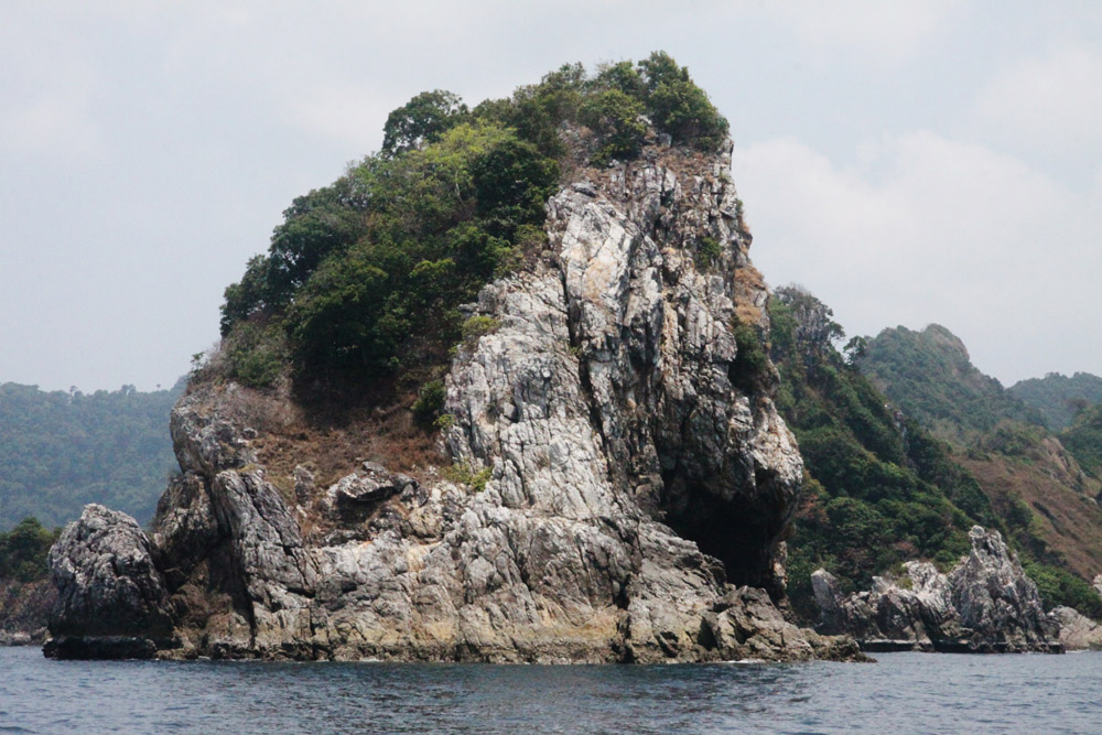
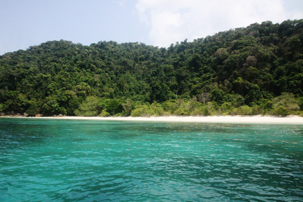
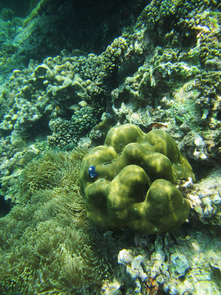
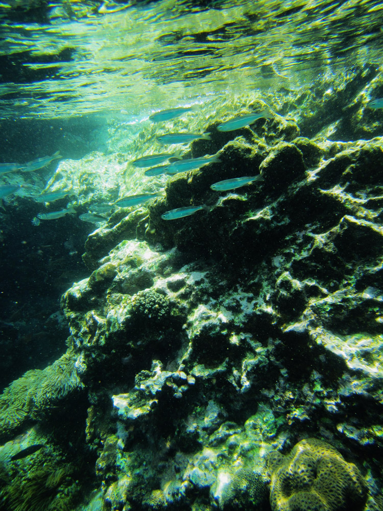
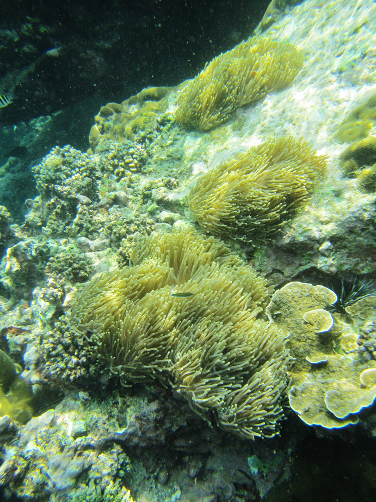
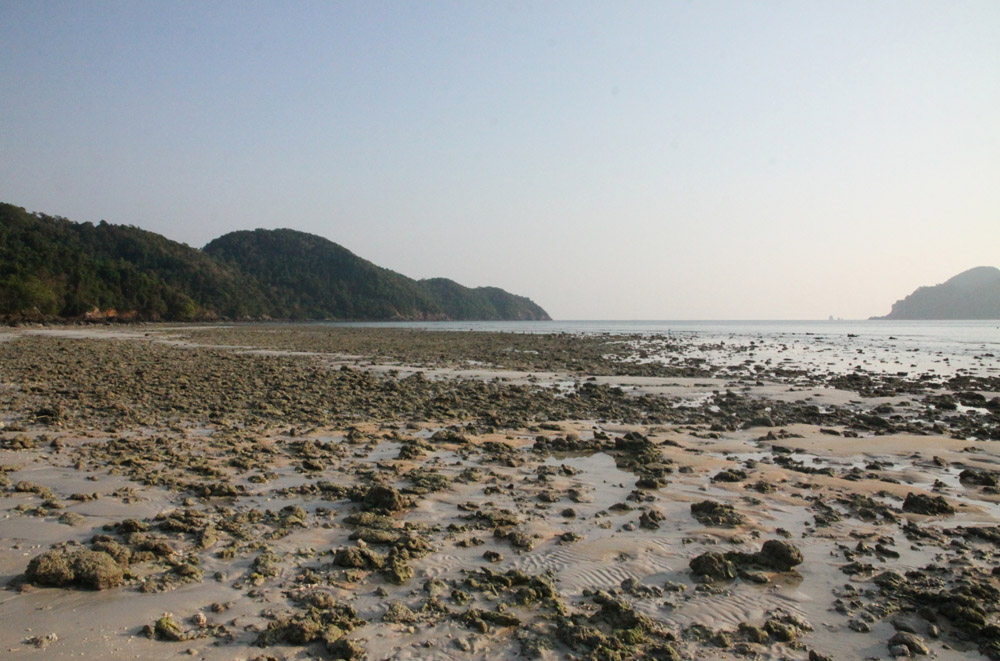
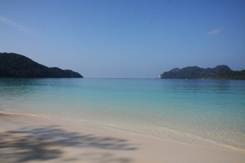
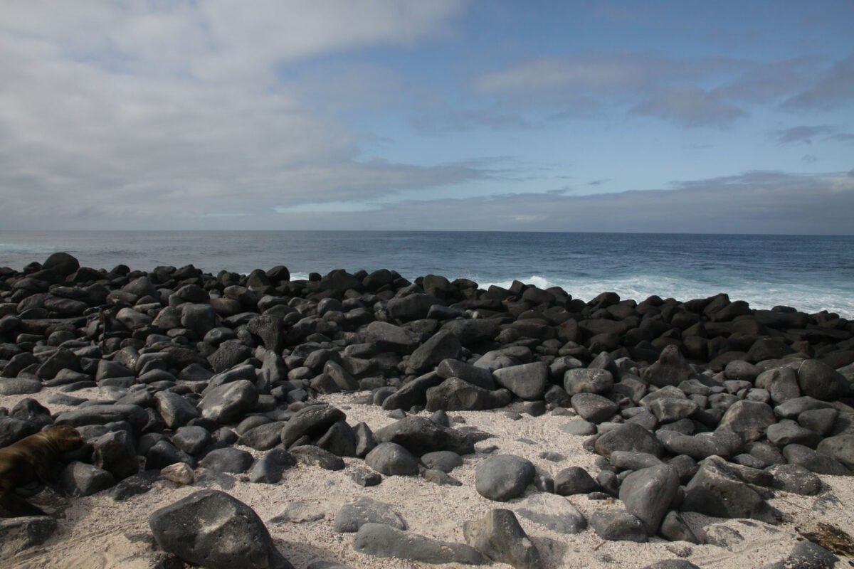
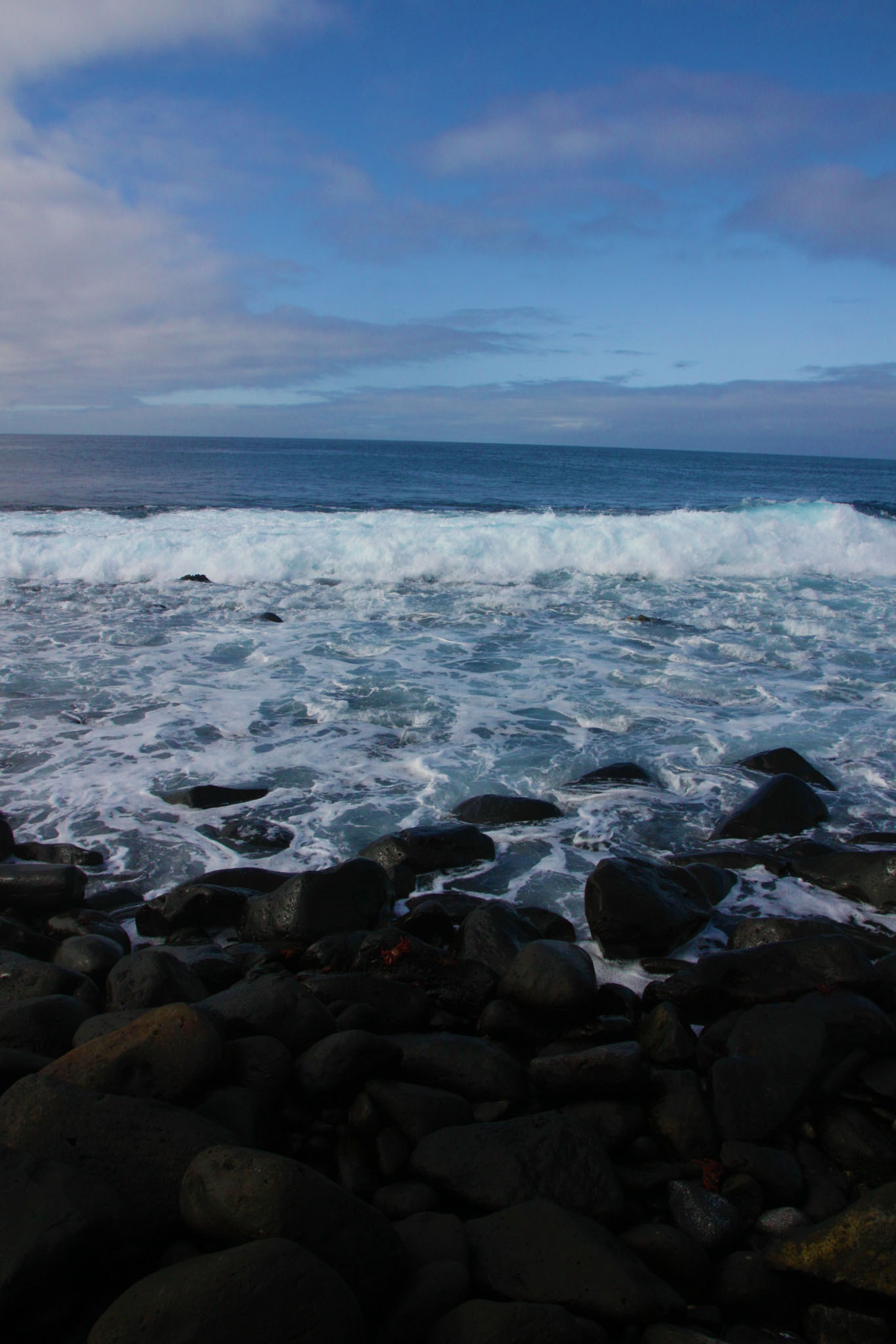
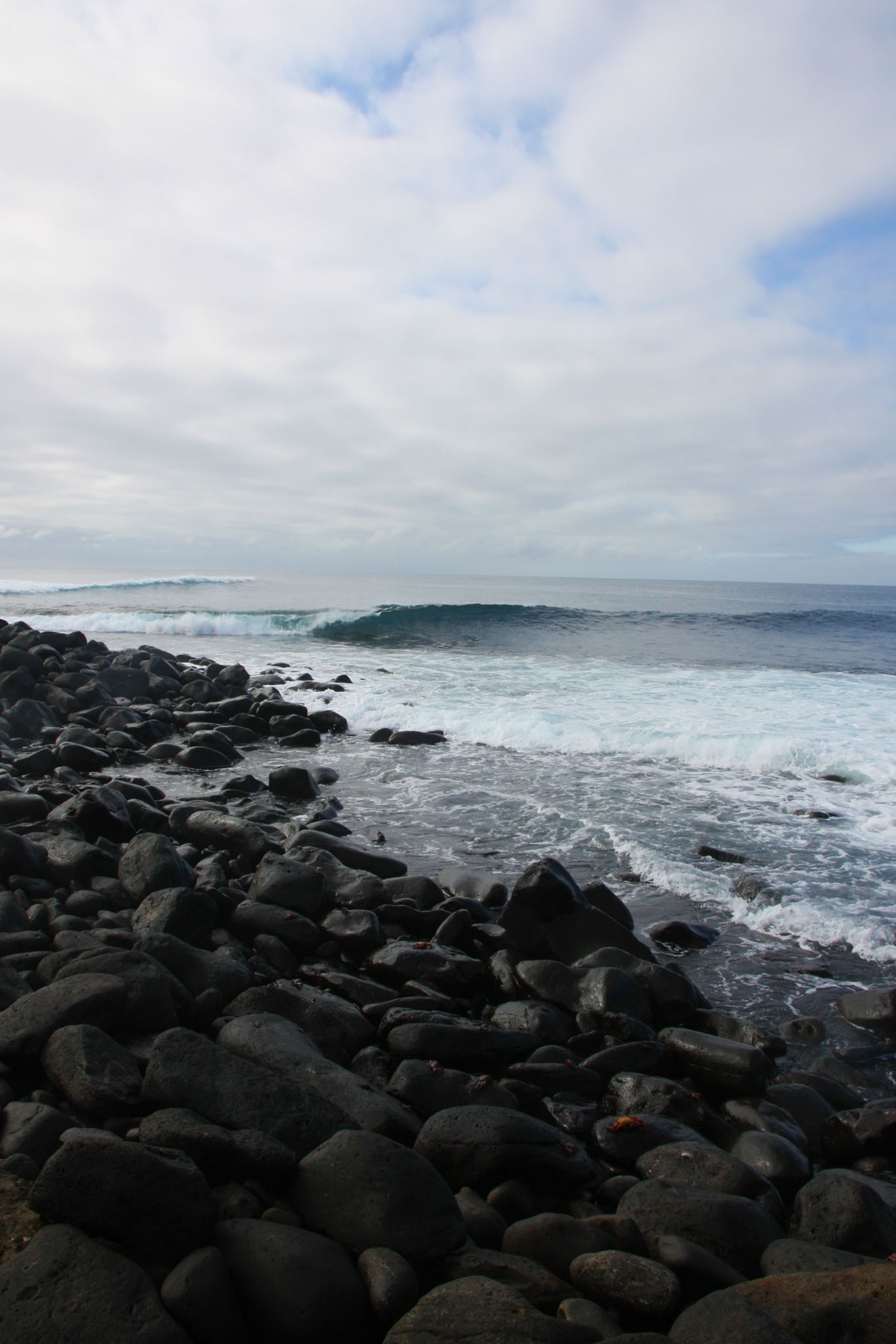
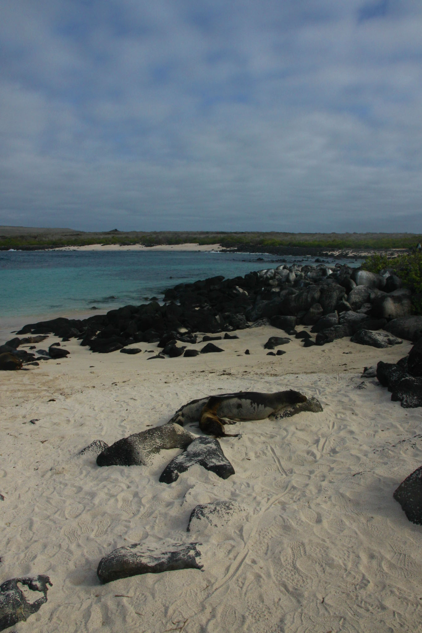
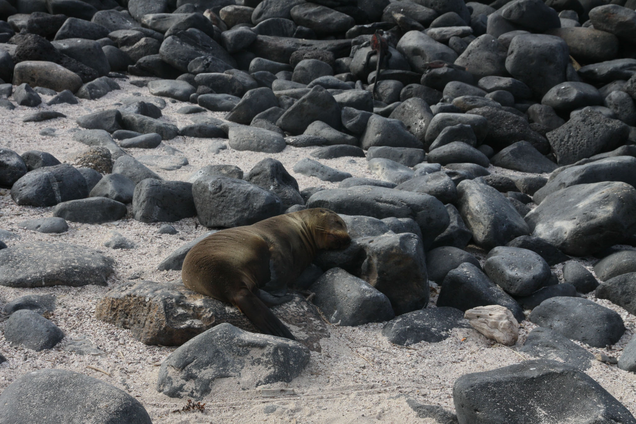
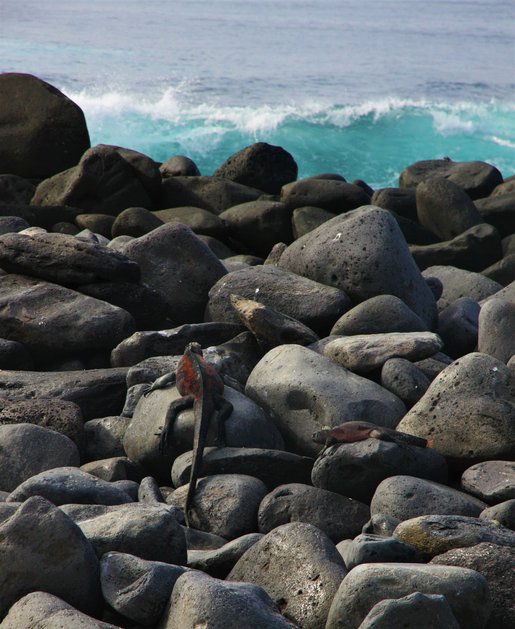
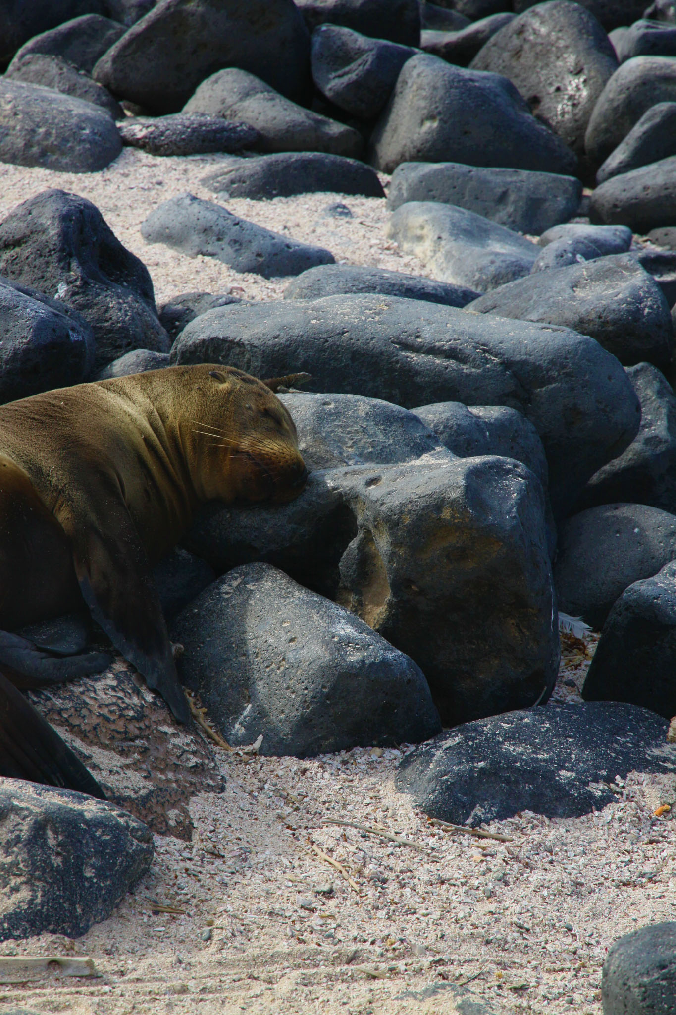
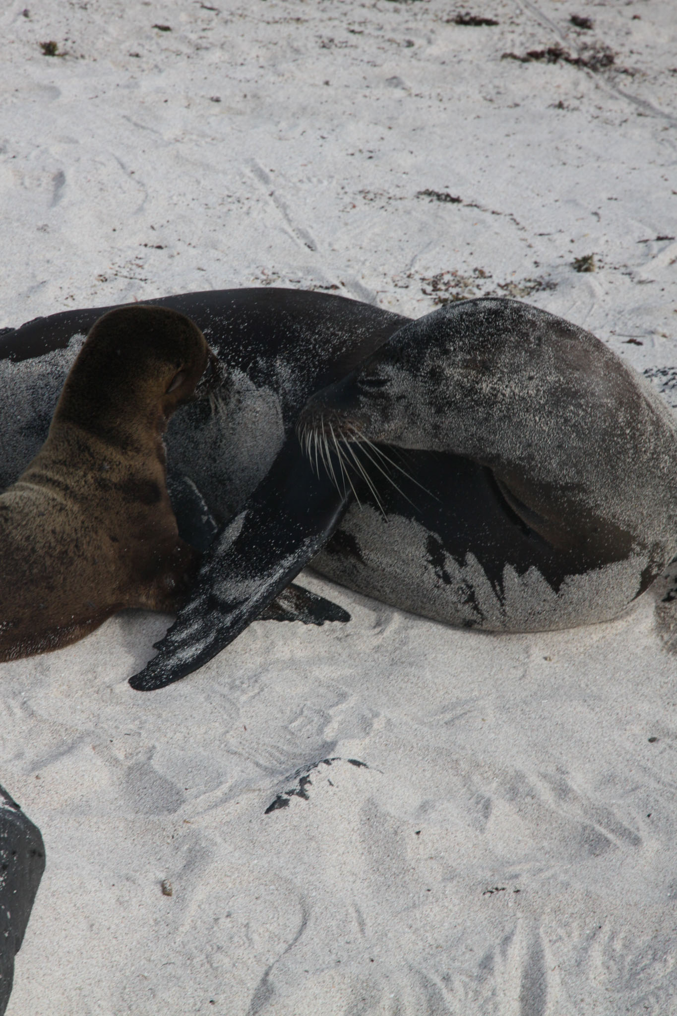
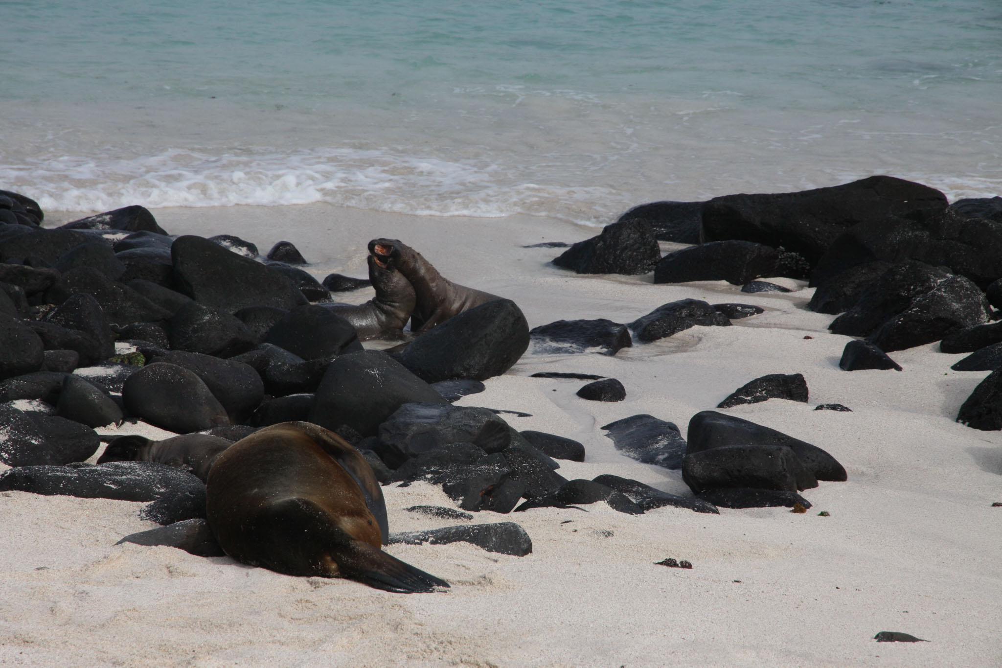
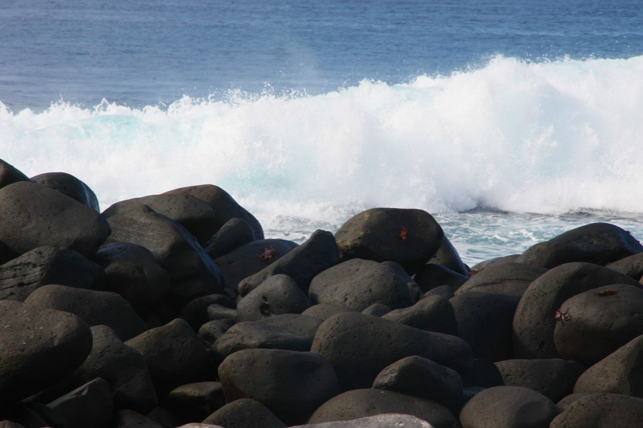
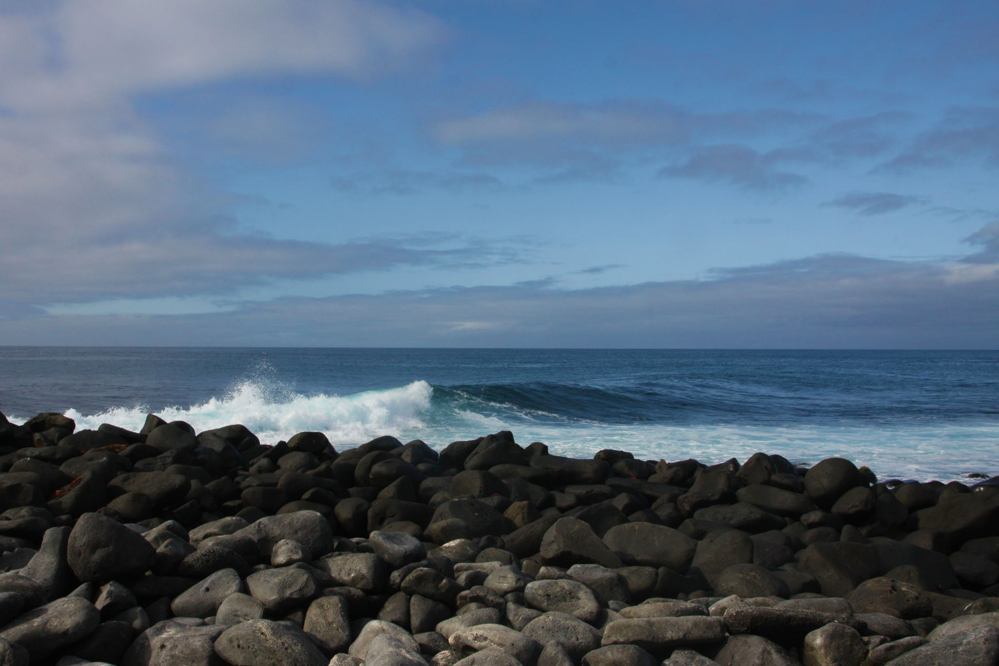
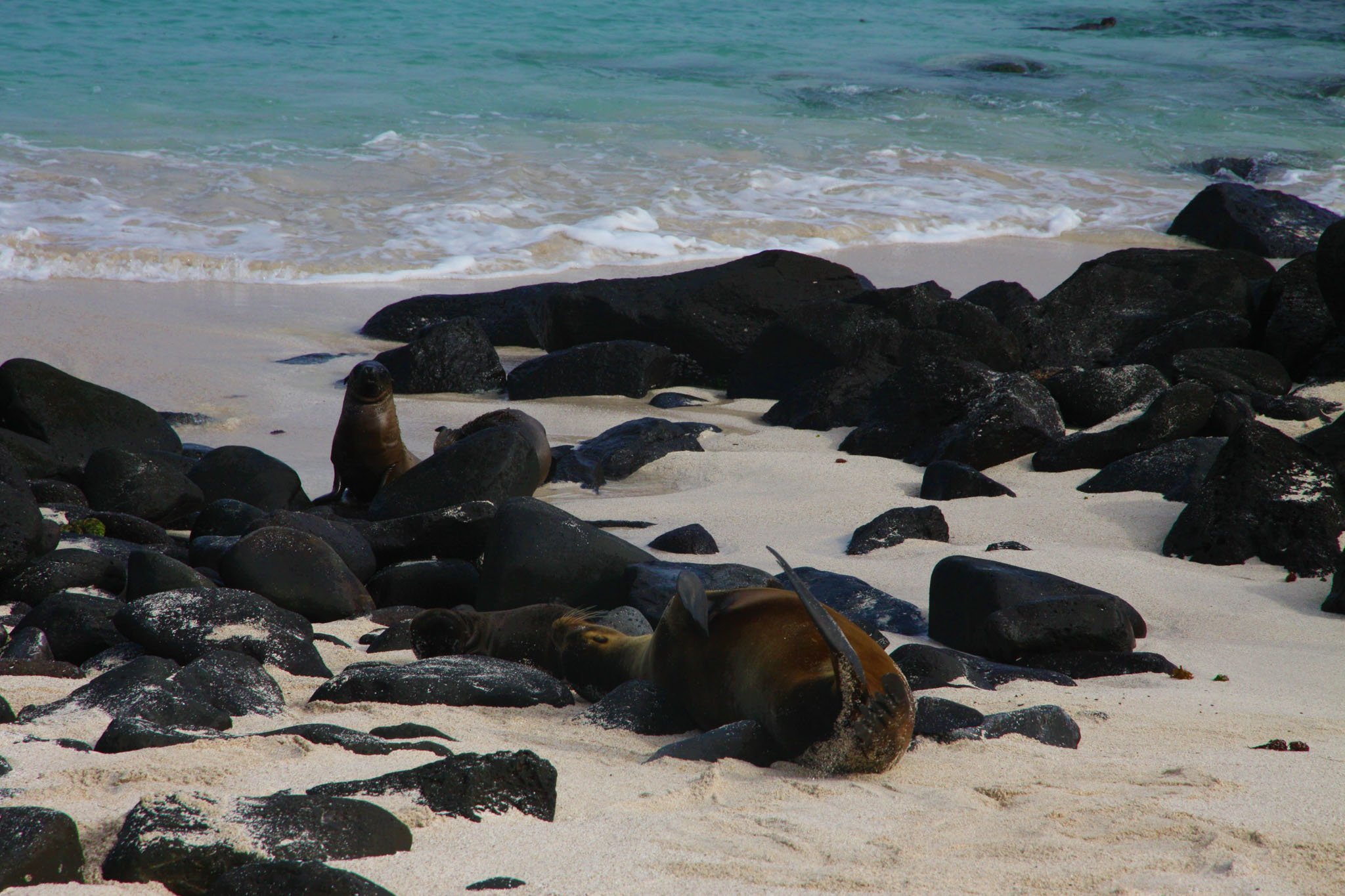
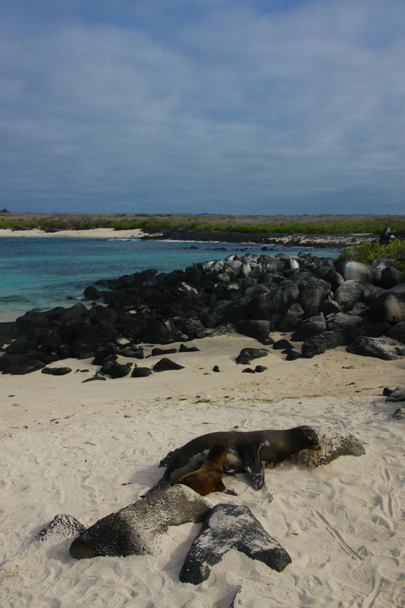
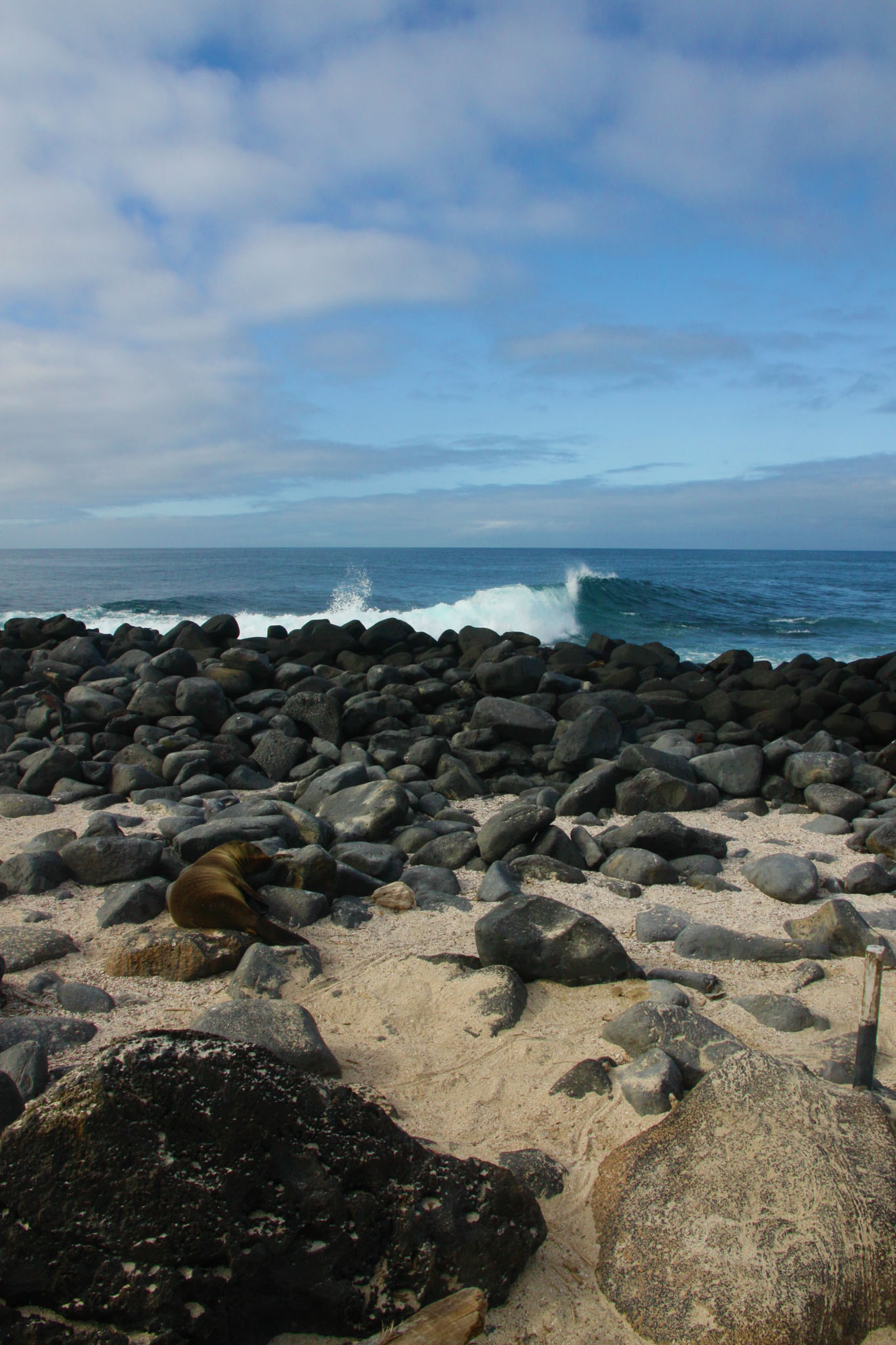
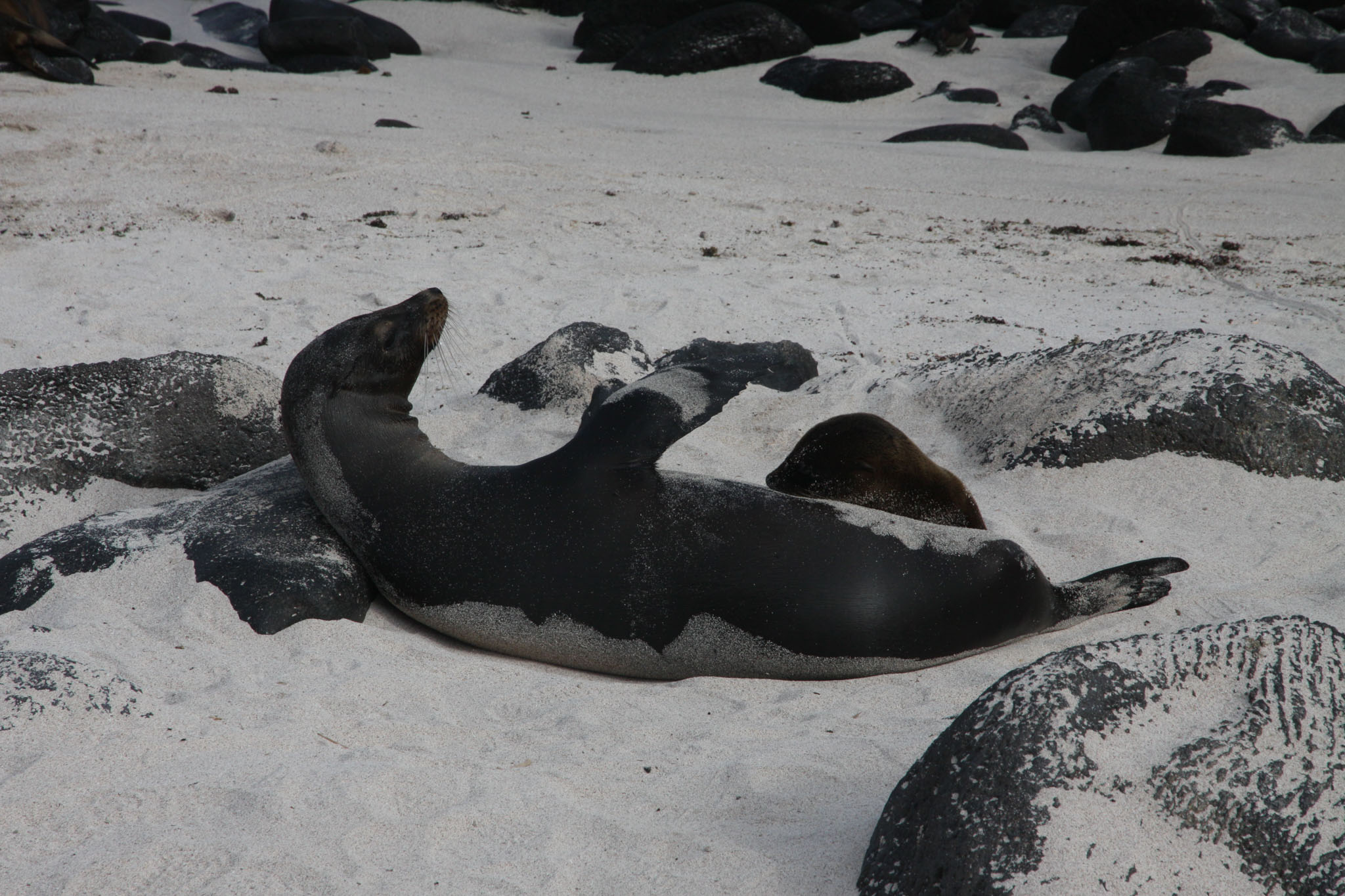
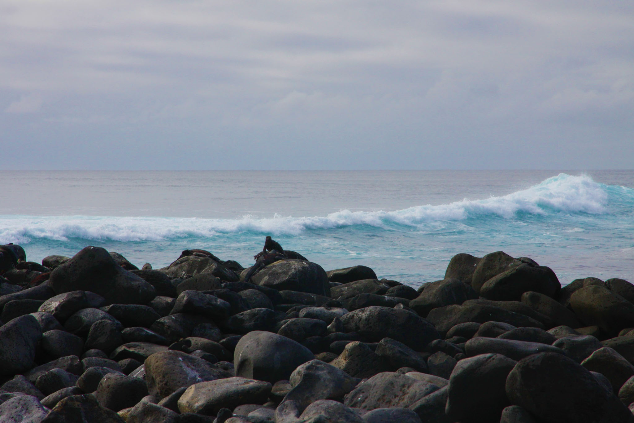
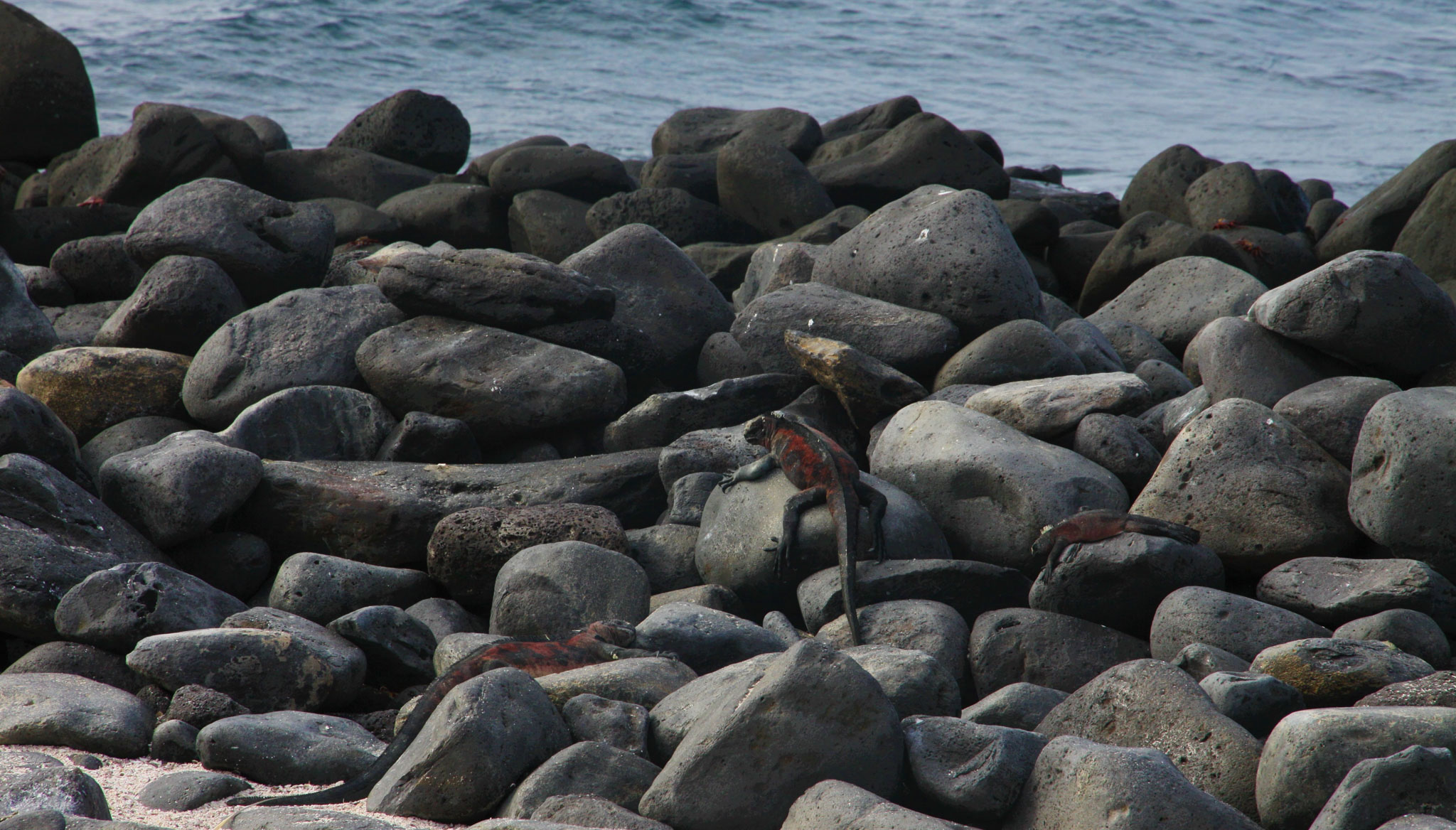
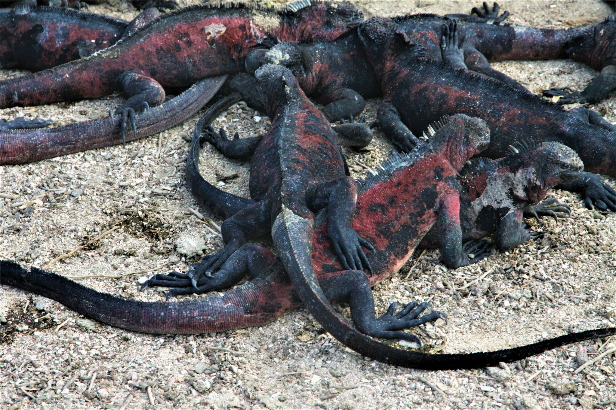
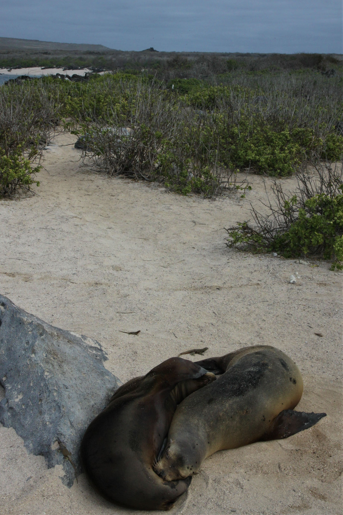
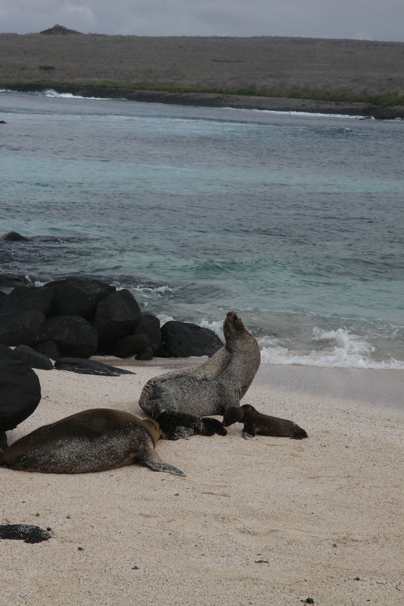
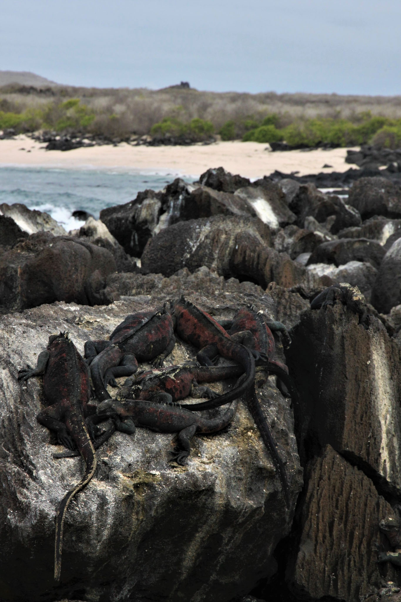
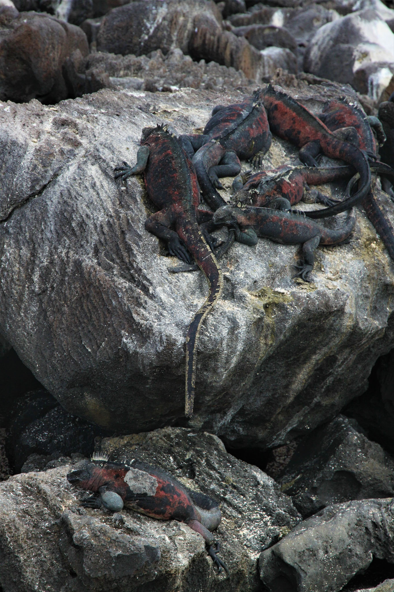
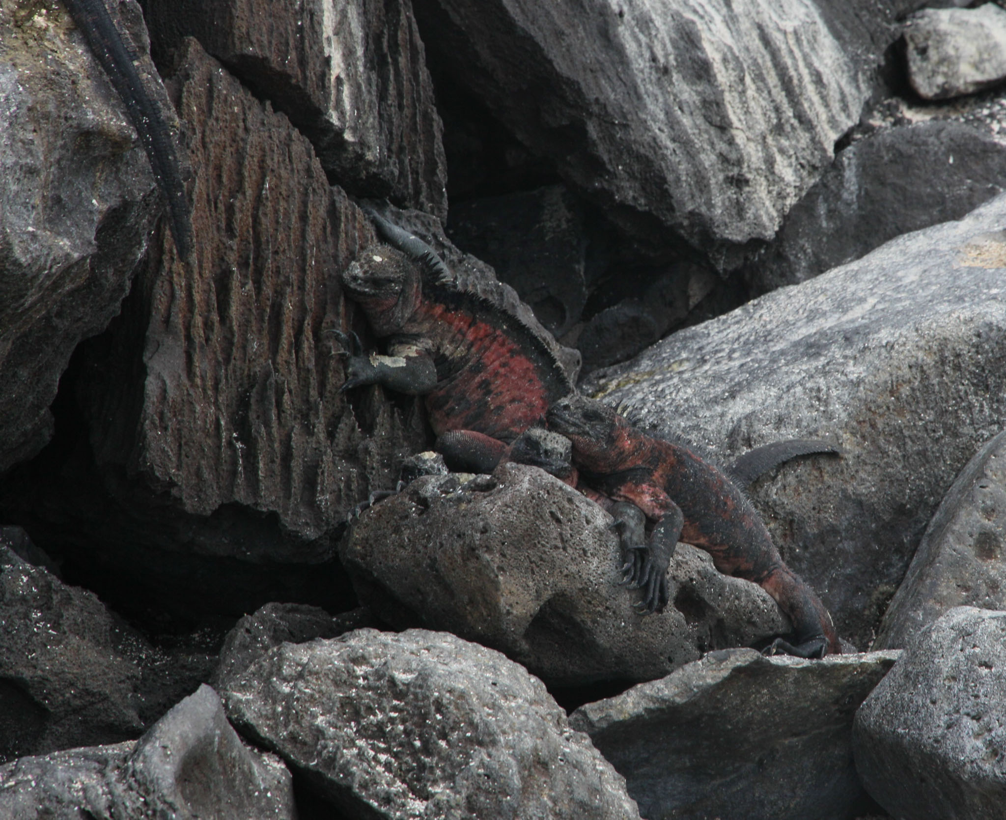
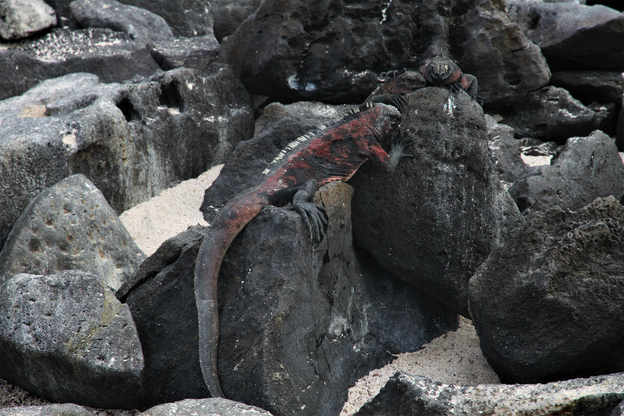
Española Island (Spanish: Isla Española) is part of the Galápagos Islands. The English named it Hood Island after Viscount Samuel Hood. It is located in the extreme southeast of the archipelago and is considered, along with Santa Fe, one of the oldest, at approximately four million years. A popular tourist stop, Isla Española is the most southerly island in the Galápagos Archipelago. The climate is very dry, like most of the Archipelago. But due to the flatness of the island, it is the driest of these islands, with only a few inches of rain per year. It is about a 10- to 12-hour trip by boat from Isla Santa Cruz.

Source: Wikipedia (under GNU Free Documentation License)

Categories
Cook Islands

Aitutaki

Aitutaki, also traditionally known as Araʻura and Utataki, is one of the Cook Islands, north of Rarotonga. It has a population of approximately 2,000. Aitutaki is the second most visited island of the Cook Islands. The main village is Arutanga (Arutunga) on the west side.

Aitutaki is sometimes described as an “almost atoll”, for it consists of a lagoon within an encircling atoll, with a significant area of high land on one side. It has a maximum elevation of approximately 123 metres (404 ft) with the hill known as Maunga Pu close to its northernmost point. The land area of the atoll is 18.05 km² (6.97 sq mi), of which the main island occupies 16.8 km² (6.5 sq mi). The Ootu Peninsula, protruding east from the main island in a southerly direction along the eastern rim of the reef, takes up 1.75 km² (0.68 sq mi) out of the main island. For the lagoon, area figures between 50 and 74 km² (19 and 29 sq mi) are found. Satellite image measurement suggests that the larger figure also includes the reef flat, which is commonly not considered part of a lagoon.

Source: Wikipedia (under GNU Free Documentation License)

Categories
Tonga

Atata


Categories
Tanzania

Mafia Island IX

Mafia Island (“Chole Shamba”) is part of the Tanzanian Spice Islands, together with Unguja and Pemba. As one of the six districts of the Pwani Region, Mafia Island is governed from the mainland, not from the semi-autonomous region of Zanzibar, of which it has never been considered to be a part.

According to the 2002 Tanzania census, the population of the Mafia District was 40,801.The economy is based on fishing, subsistence agriculture and the black market. The island attracts some tourists, mainly adventure scuba divers, game fishermen, and people wanting relaxation.

The Mafia archipelago consists of one large island (394 km²) and numerous smaller ones. Some of these are inhabited, such as Chole Island (2 km²), with a population of 800. Chole Bay, Mafia’s protected deep-water anchorage and original harbour, is studded with islands, sandbanks and beaches. The main town is Kilindoni. The stretch of water between the deltas of the Rufiji River and the island is called Mafia Channel. There are popular rumours of pygmy hippo on the island but there are zero confirmed sightings.

Source: Wikipedia (under GNU Free Documentation License)

Categories
Tanzania

Mafia Island VII

Mafia Island (“Chole Shamba”) is part of the Tanzanian Spice Islands, together with Unguja and Pemba. As one of the six districts of the Pwani Region, Mafia Island is governed from the mainland, not from the semi-autonomous region of Zanzibar, of which it has never been considered to be a part.

According to the 2002 Tanzania census, the population of the Mafia District was 40,801.The economy is based on fishing, subsistence agriculture and the black market. The island attracts some tourists, mainly adventure scuba divers, game fishermen, and people wanting relaxation.

The Mafia archipelago consists of one large island (394 km²) and numerous smaller ones. Some of these are inhabited, such as Chole Island (2 km²), with a population of 800. Chole Bay, Mafia’s protected deep-water anchorage and original harbour, is studded with islands, sandbanks and beaches. The main town is Kilindoni. The stretch of water between the deltas of the Rufiji River and the island is called Mafia Channel. There are popular rumours of pygmy hippo on the island but there are zero confirmed sightings.

Source: Wikipedia (under GNU Free Documentation License)

Categories
Tanzania

Bwejuu Island II

Bwejuu is the most beautiful island in the Mafia archipelago thanks to its position and its sandy banks, Bwejuu Island is less than 2 kms long and no more than 200 meters wide at its widest point.

Categories
Tanzania

Mafia Island V

Mafia Island (“Chole Shamba”) is part of the Tanzanian Spice Islands, together with Unguja and Pemba. As one of the six districts of the Pwani Region, Mafia Island is governed from the mainland, not from the semi-autonomous region of Zanzibar, of which it has never been considered to be a part.

According to the 2002 Tanzania census, the population of the Mafia District was 40,801.The economy is based on fishing, subsistence agriculture and the black market. The island attracts some tourists, mainly adventure scuba divers, game fishermen, and people wanting relaxation.

The Mafia archipelago consists of one large island (394 km²) and numerous smaller ones. Some of these are inhabited, such as Chole Island (2 km²), with a population of 800. Chole Bay, Mafia’s protected deep-water anchorage and original harbour, is studded with islands, sandbanks and beaches. The main town is Kilindoni. The stretch of water between the deltas of the Rufiji River and the island is called Mafia Channel. There are popular rumours of pygmy hippo on the island but there are zero confirmed sightings.

Source: Wikipedia (under GNU Free Documentation License)

Categories
Indonesia

Menjawakan Island


Categories
Myanmar

Nyaung Oo Phee Island


Categories
Myanmar

Macleod Island