Categories
Belize

Half Moon Caye

Half Moon Caye is an island and natural monument of Belize located at the southeast corner of Lighthouse Reef Atoll. This natural monument was the first nature reserve to have been established in Belize under the National Park Systems Act in 1981 and first marine protected area in Central America. This is also Belize’s oldest site of wildlife protection since it was first designated as a bird sanctuary in 1924 to protect the habitat of the red-footed booby birds.

Half Moon Caye Natural Monument is part of the Belize Barrier Reef Reserve System World Heritage Site which was established on December 4, 1996, by the United Nations World Heritage Committee after they formally adopted seven marine protected areas along the Belize Barrier Reef and its adjacent atolls under UNESCO at their meeting in Mérida, Mexico.

Source: Wikipedia (under GNU Free Documentation License)

Categories
Galapagos

Tower

Genovesa Island (Spanish: Isla Genovesa), referred to in English as Tower Island, is a shield volcano in the Galápagos Islands in the eastern Pacific Ocean. The island occupies about 14 square kilometres (5 sq mi), and its maximum elevation is 64 m (210 ft).[citation needed] The horse-shoe shaped island has a volcanic caldera whose wall has collapsed, forming the Great Darwin Bay, surrounded by cliffs. Lake Arcturus, filled with salt water, lies in the centre, and sediment within this crater lake is less than 6,000 years old. Although no historical eruptions are known from Genovesa, there are very young lava flows on the flanks of the volcano.

The official Spanish name “Genovesa” is from the Italian city of Genoa, in honor of Christopher Columbus. The English name “Tower” is presumably a corruption of “Downes”. The island’s position was reported by John Downes of the USS Essex in 1813, during the War of 1812, and the name “Dowers’s” appeared in 1815, presumably a misspelled reference to Downes. After passing through “Dowers’s”, “Dowers”, and “Tower’s”, by 1841 it was written as “Tower” in the British Admiralty chart.

Source: Wikipedia (under GNU Free Documentation License)

Categories
Galapagos

Floreana

Floreana Island (Spanish: Isla Floreana) is an island of the Galápagos Islands. It was named after Juan José Flores, the first president of Ecuador, during whose administration the government of Ecuador took possession of the archipelago. It was previously called Charles Island (after King Charles II of England), and Santa María after one of the caravels of Columbus.

The island has an area of 173 square kilometres (67 sq mi). It was formed by volcanic eruption. The island’s highest point is Cerro Pajas at 640 metres (2,100 ft), which is also the highest point of the volcano like most of the smaller islands of Galápagos.

Source: Wikipedia (under GNU Free Documentation License)

Categories
Galapagos

South Plaza

South Plaza (Spanish: Isla Plaza Sur) is a small island off the east coast of Santa Cruz in the Galápagos Islands. It has an area of 0.13 km2 and a maximum altitude of 23 metres.

South Plaza was formed by lava up streaming from the bottom of the ocean. Despite its small size, it is home to a large number of species and known for its extraordinary flora. The sea bluffs hold large numbers of birds, such as nesting red-billed tropicbirds and swallow-tailed gulls, and offer wide vistas. The prickly pear cactus trees (Opuntia galapageia) are noteworthy, as is the large colony of Galápagos land iguanas. Furthermore, the territory and breeding season of the Galapagos land iguana overlap only on South Plaza Island with those of the marine iguana, giving rise to a unique population of hybrid iguanas. Depending on the season, the Sesuvium ground vegetation changes its colour from green in the rainy season to orange and purple in the dry season.

Source: Wikipedia (under GNU Free Documentation License)

Categories
Galapagos

Fernardina

Fernandina Island (Spanish: Isla Fernandina, named after Ferdinand II of Aragon, the sponsor of Christopher Columbus) (formerly known in English as Narborough Island, after John Narborough) is the third largest, and youngest, island of the Galápagos Islands, as well as the furthest west. Like the others, the island was formed by the Galápagos hotspot. The island is an active shield volcano that has most recently been erupting since April 11, 2009.

On February 14, 1825, while anchored in Banks Bay, Captain Benjamin Morrell recorded one of the largest eruptions in Galápagos’ history at Fernandina Volcano. His ship escaped to safety and his account of the event was preserved.

Source: Wikipedia (under GNU Free Documentation License)

Categories
Tanzania

Miewi Island


Categories
Ascension

Ascension Island

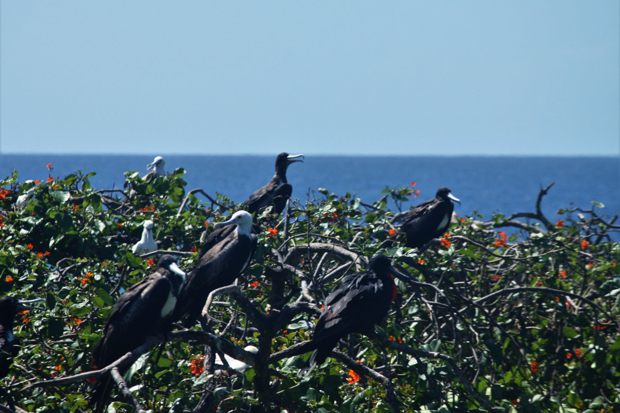
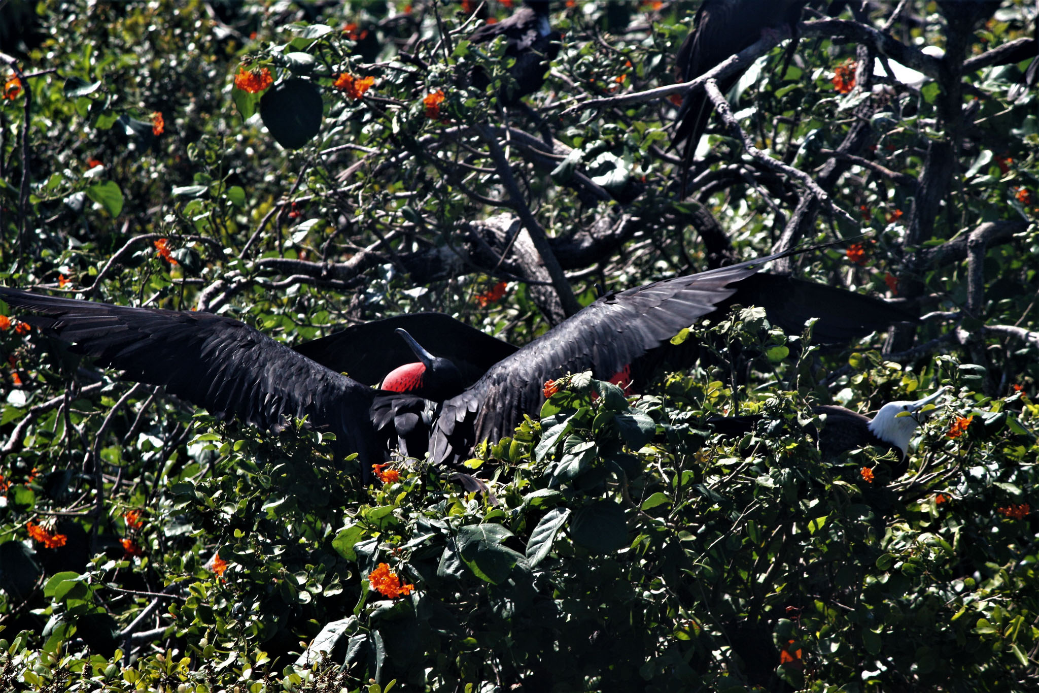
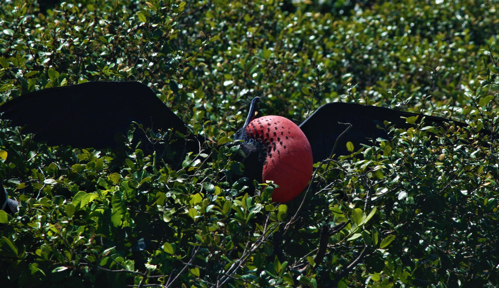
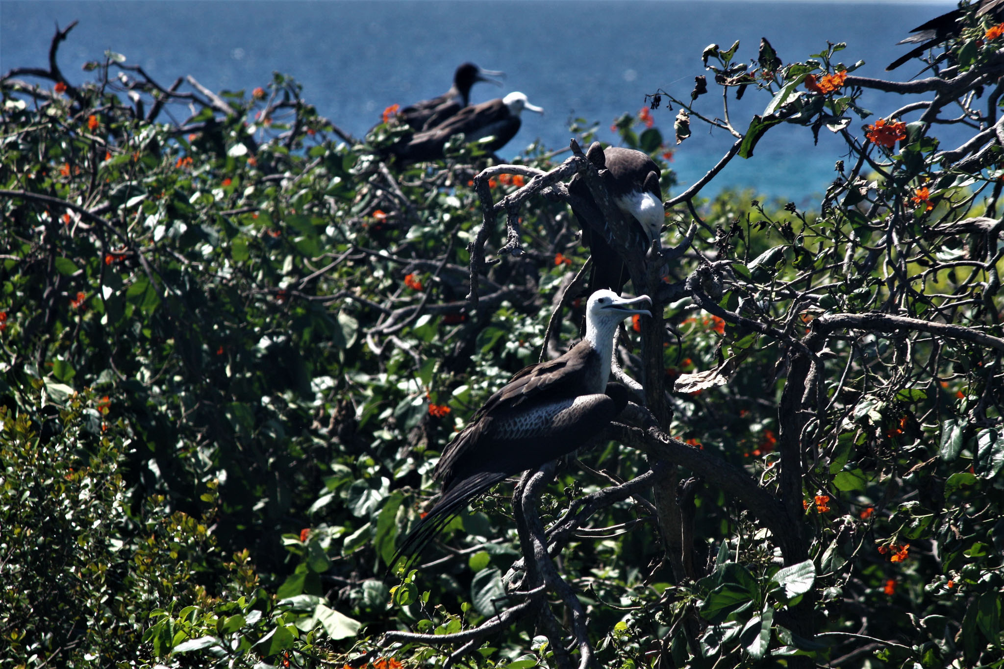
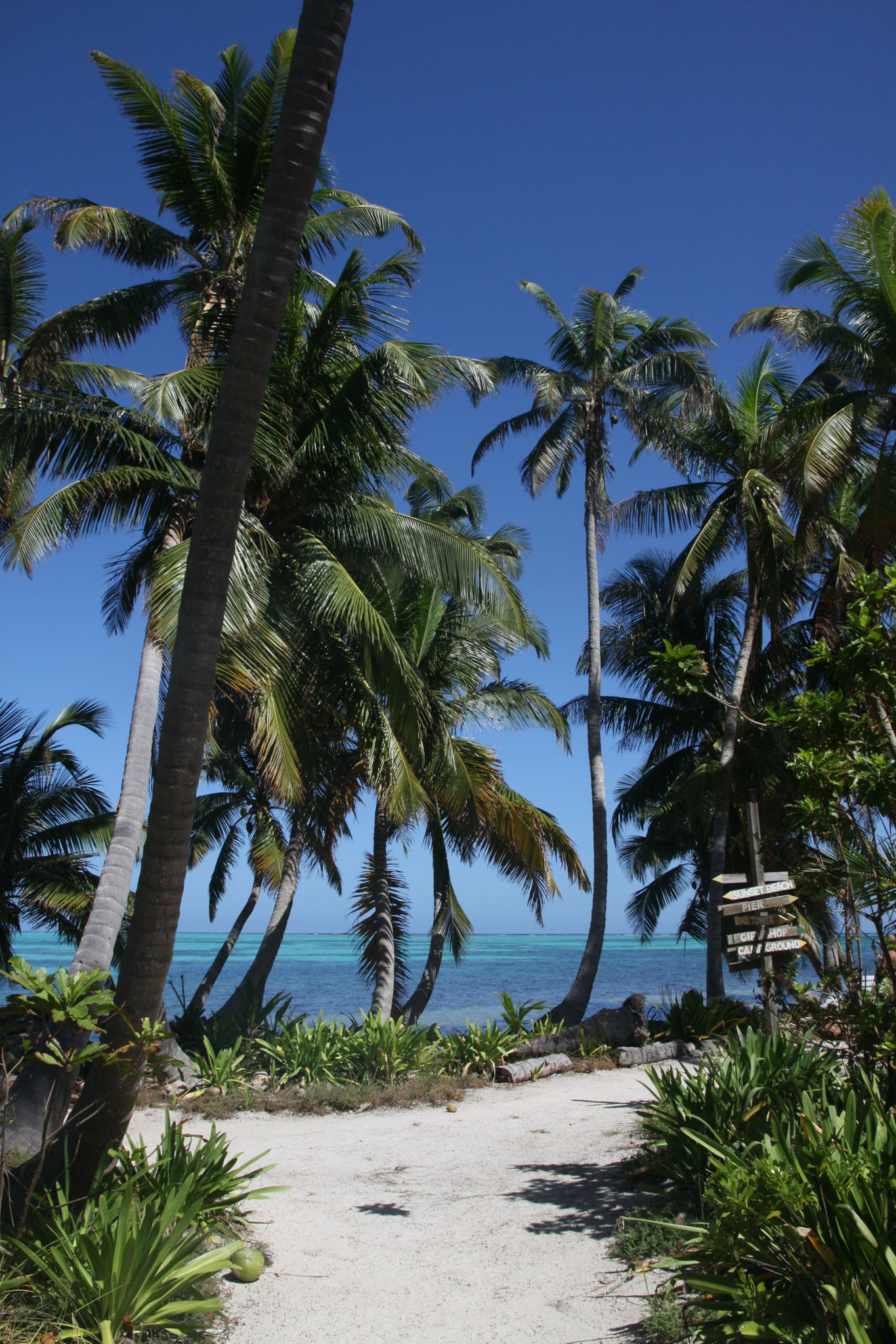
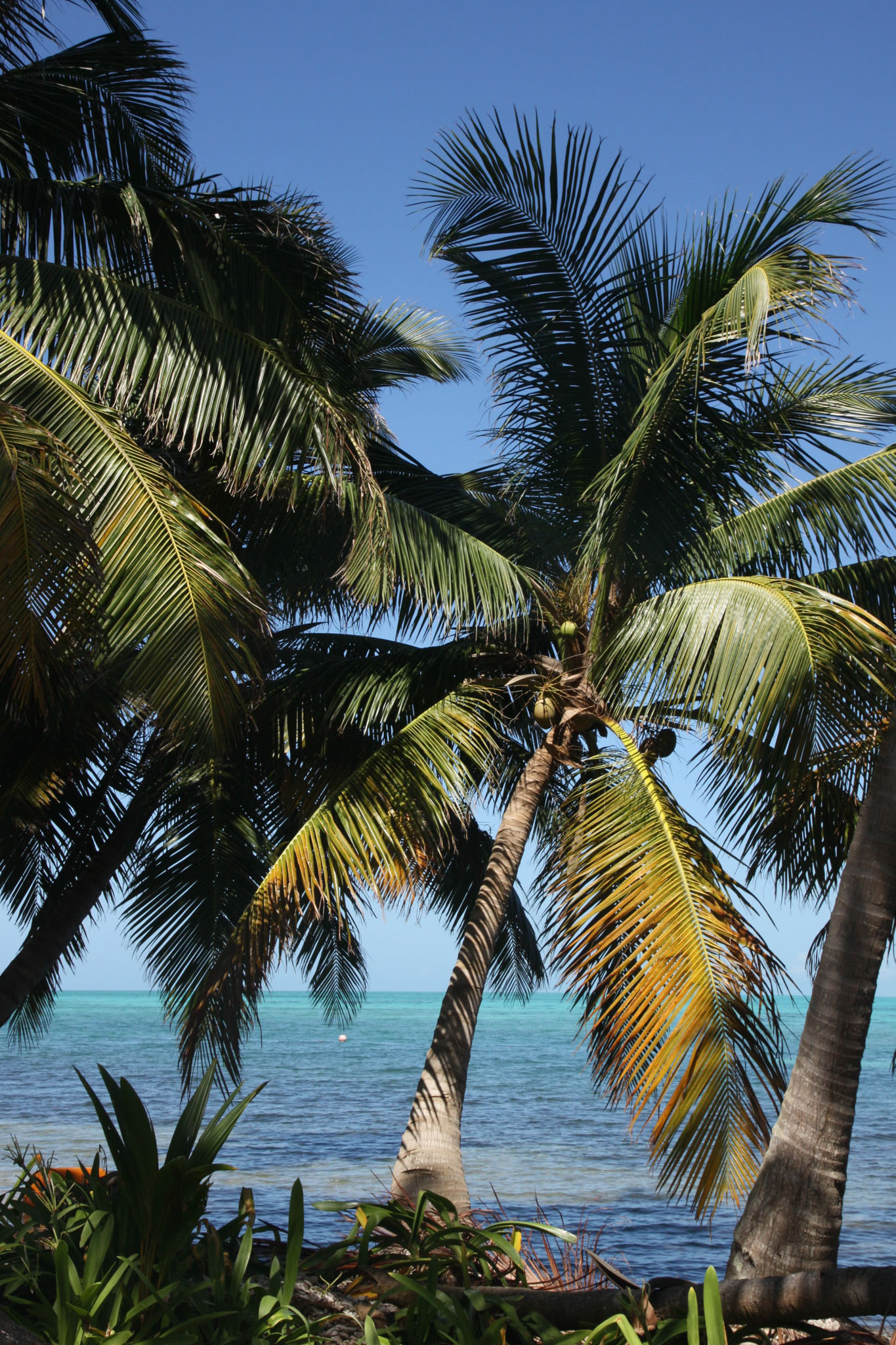
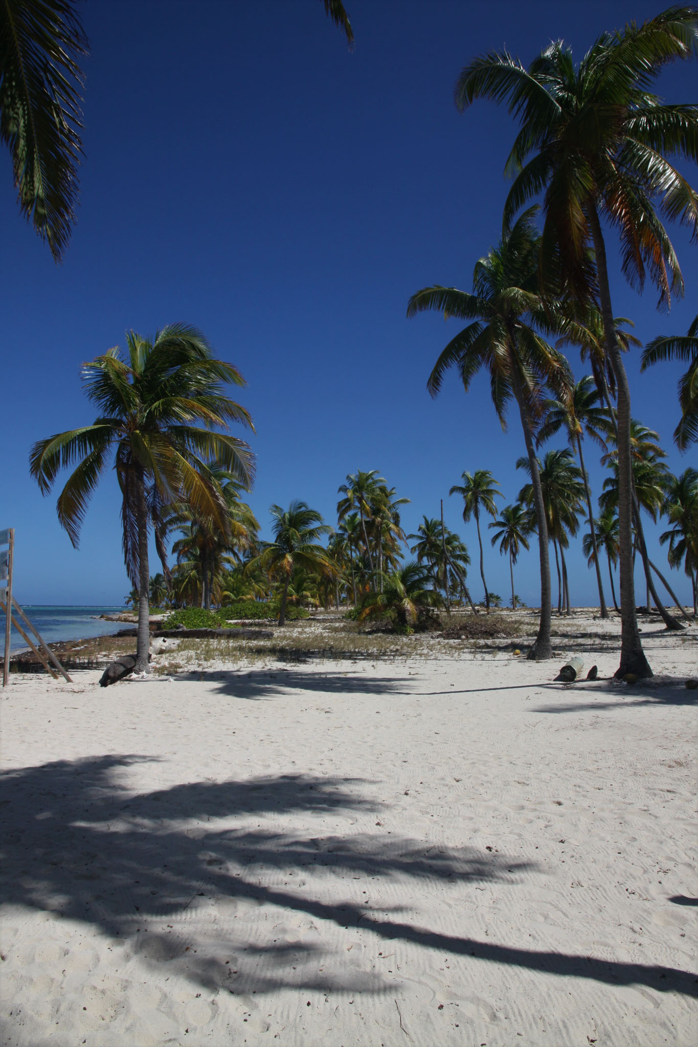
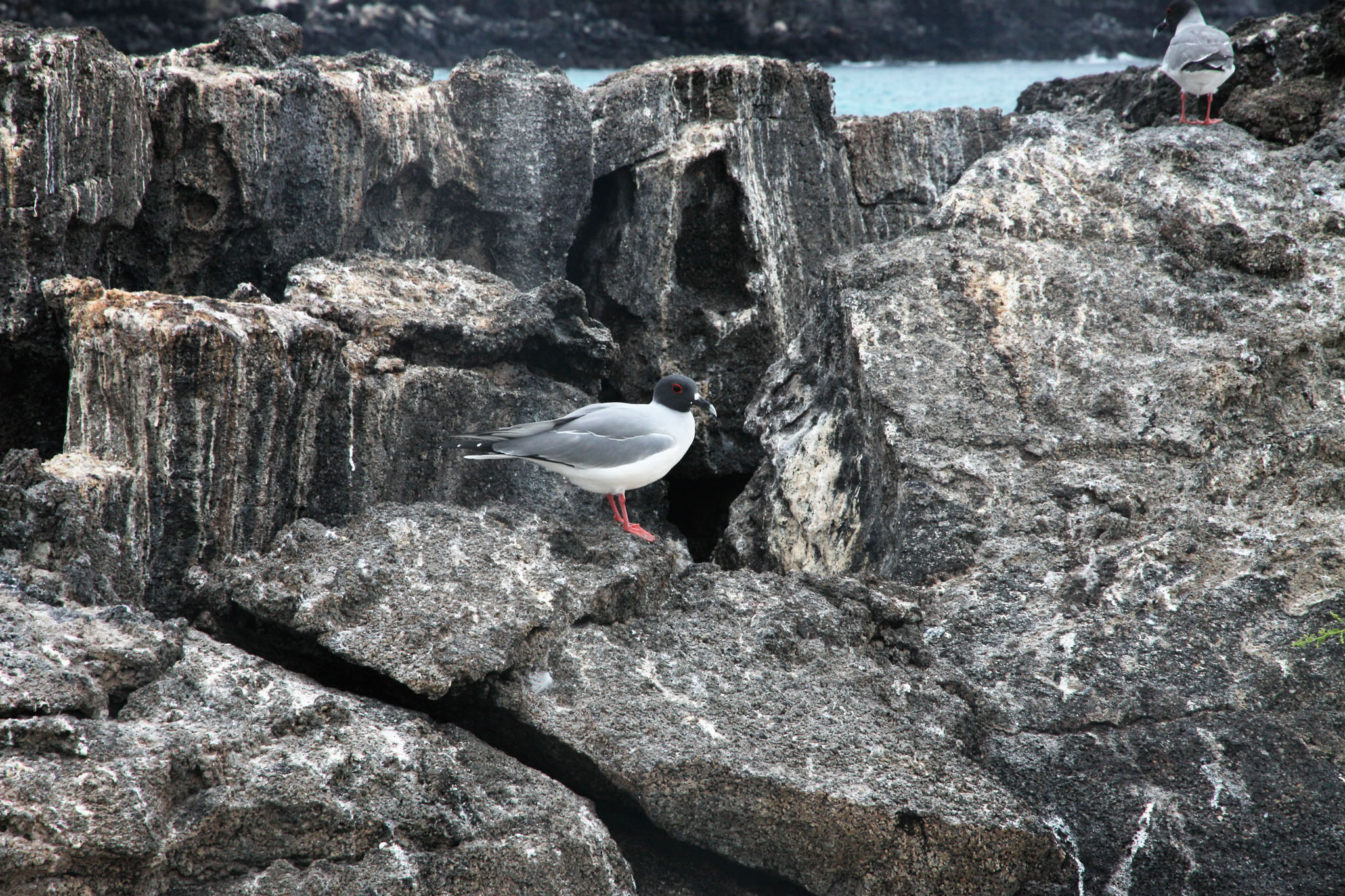
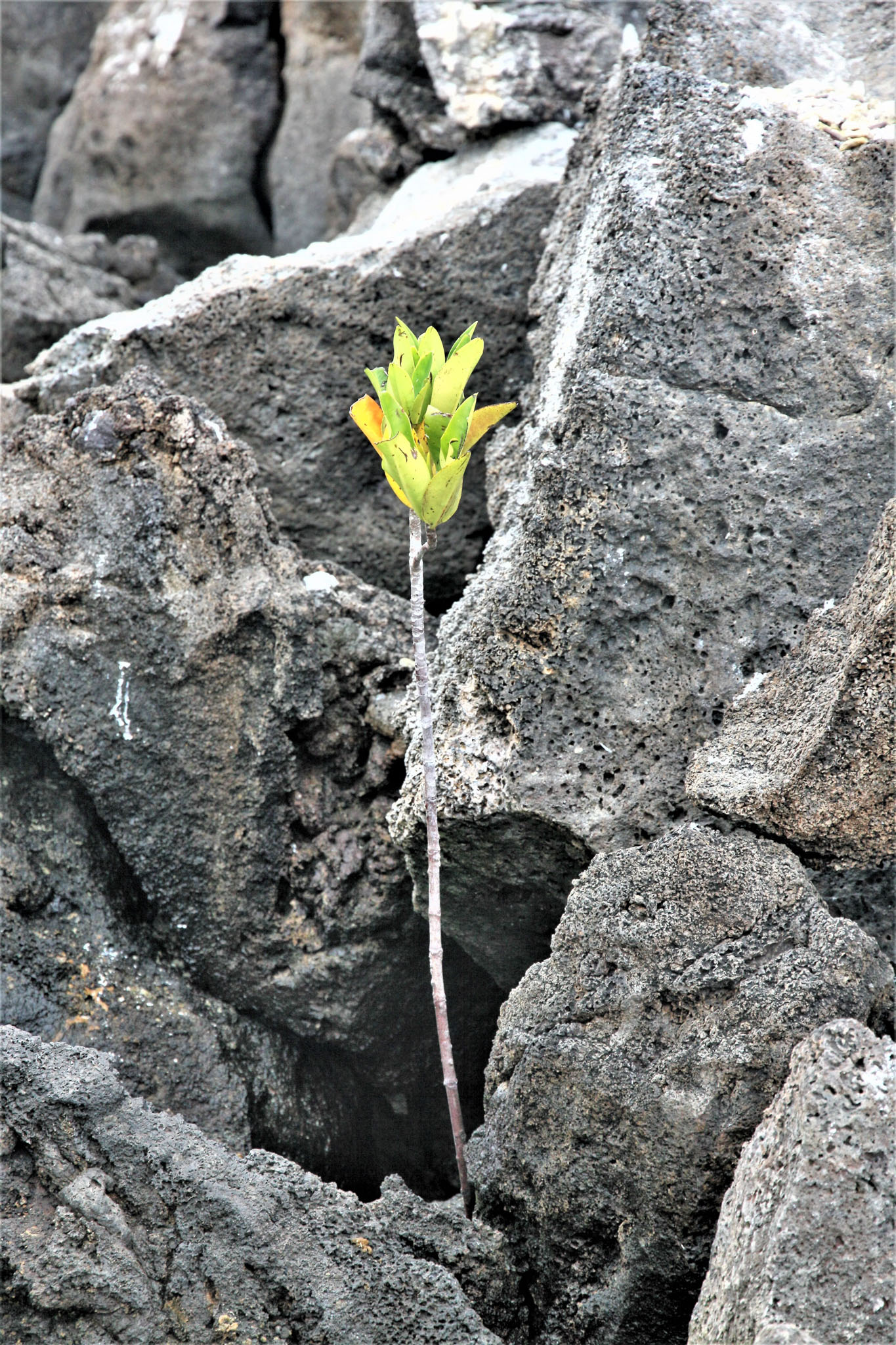
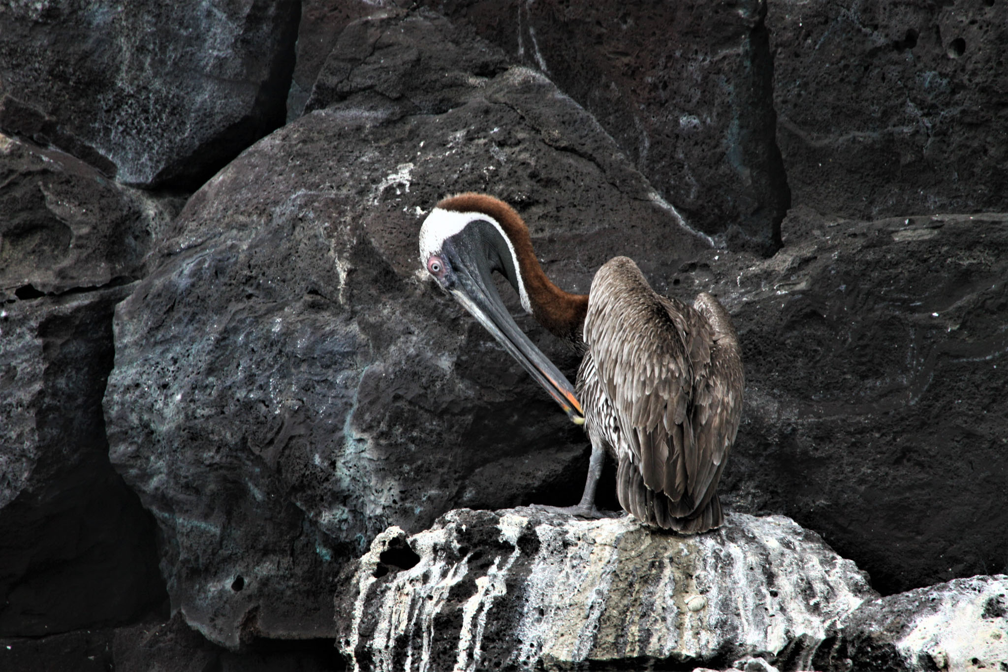
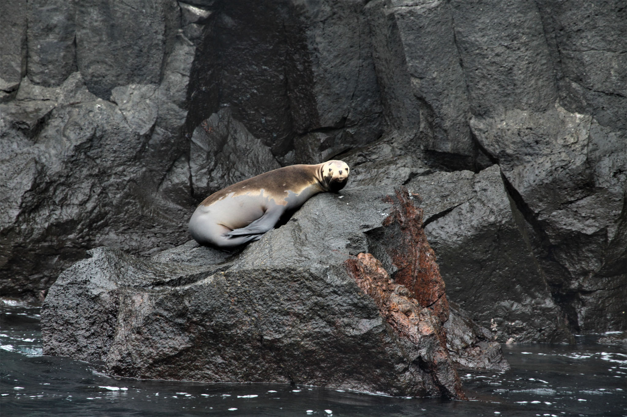
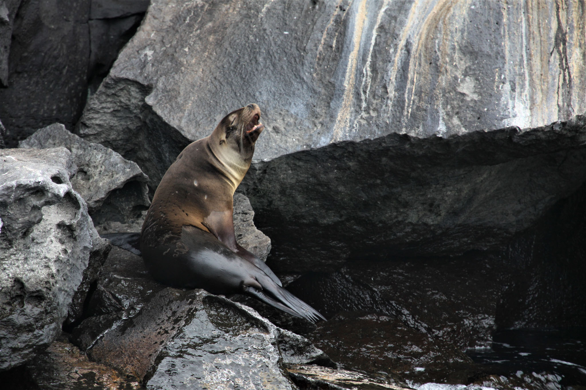
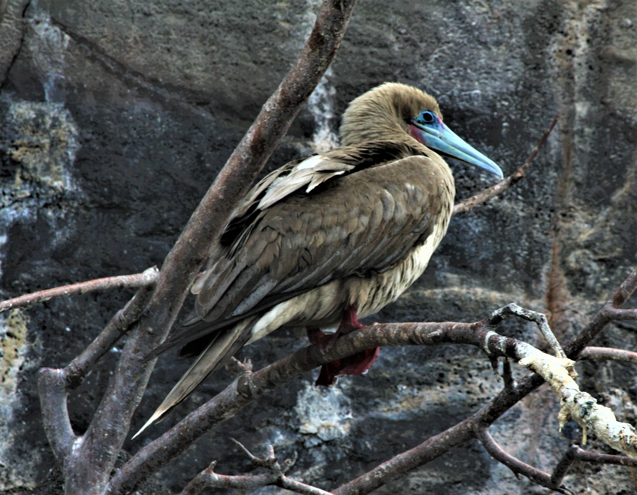
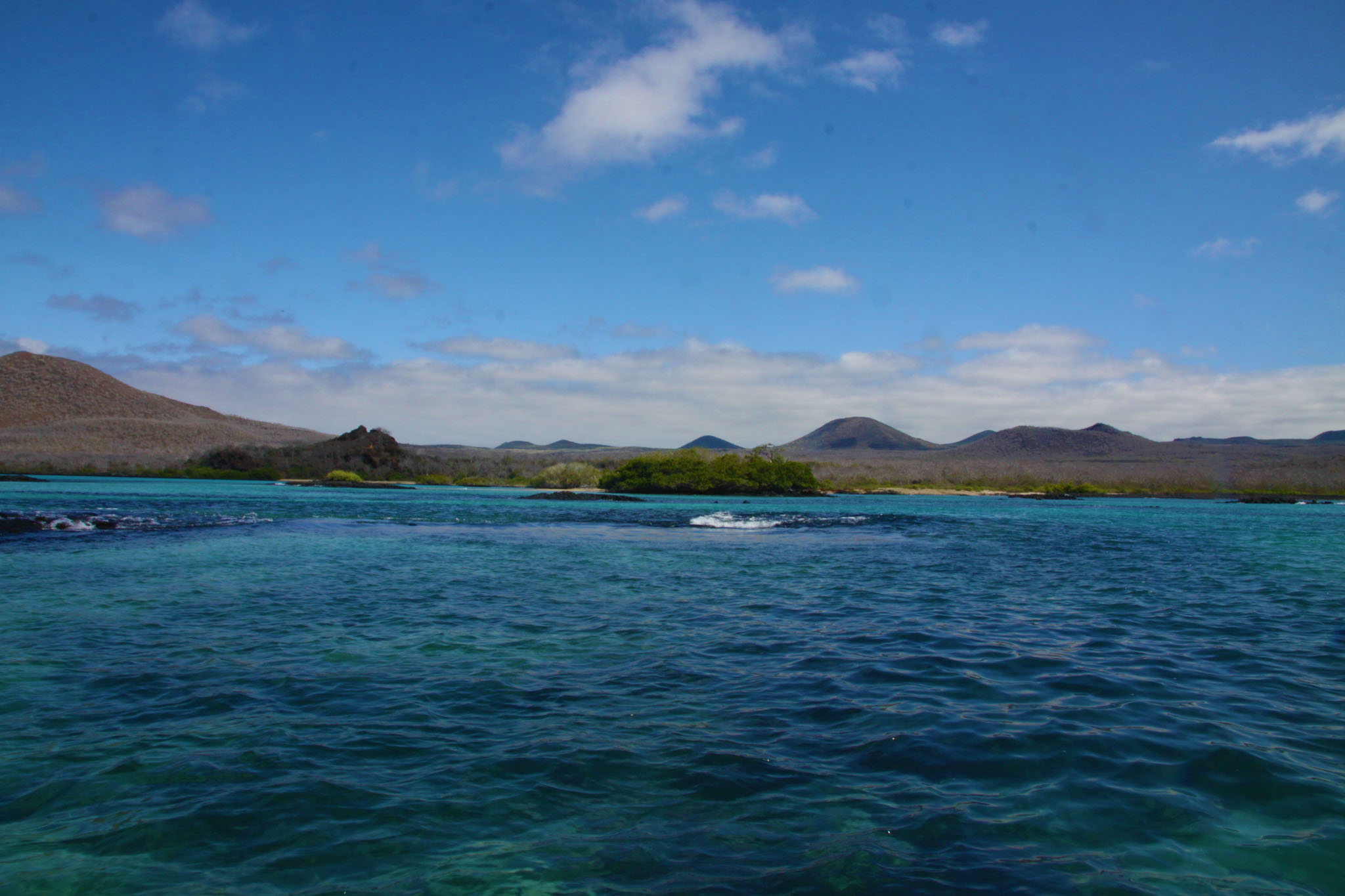
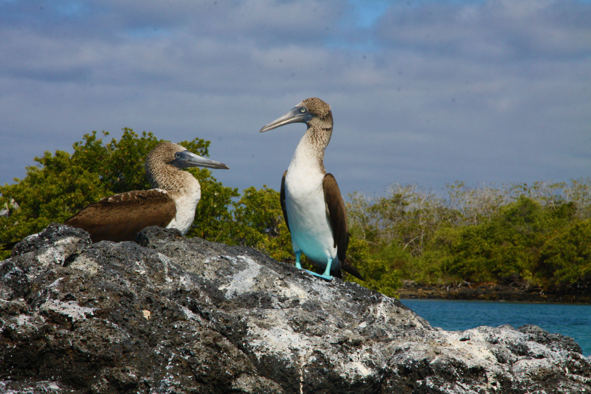
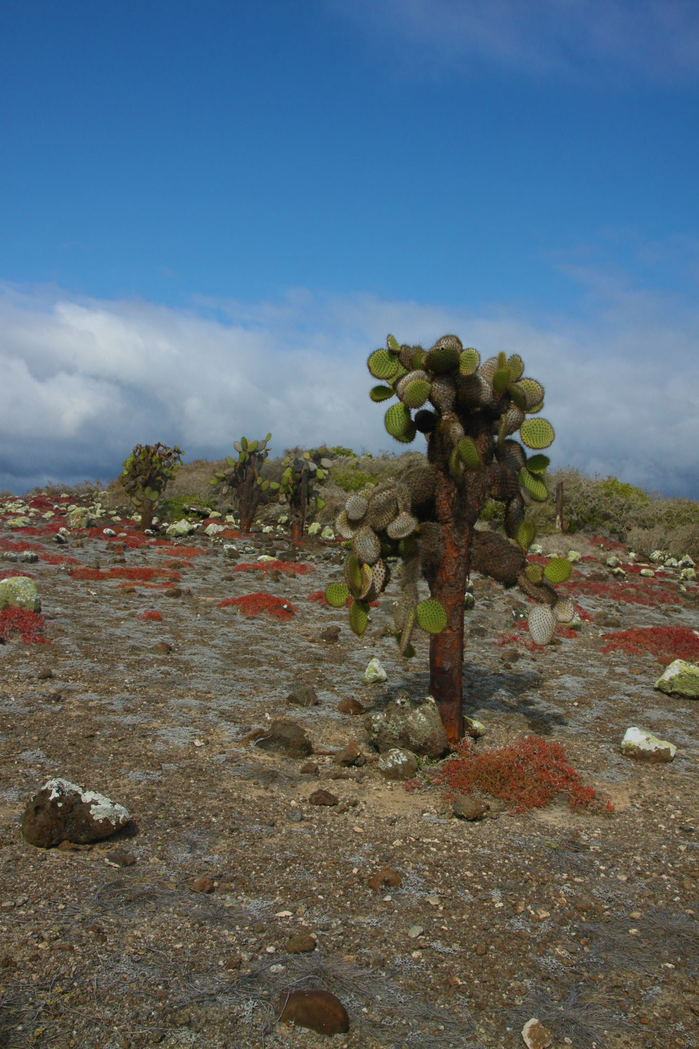
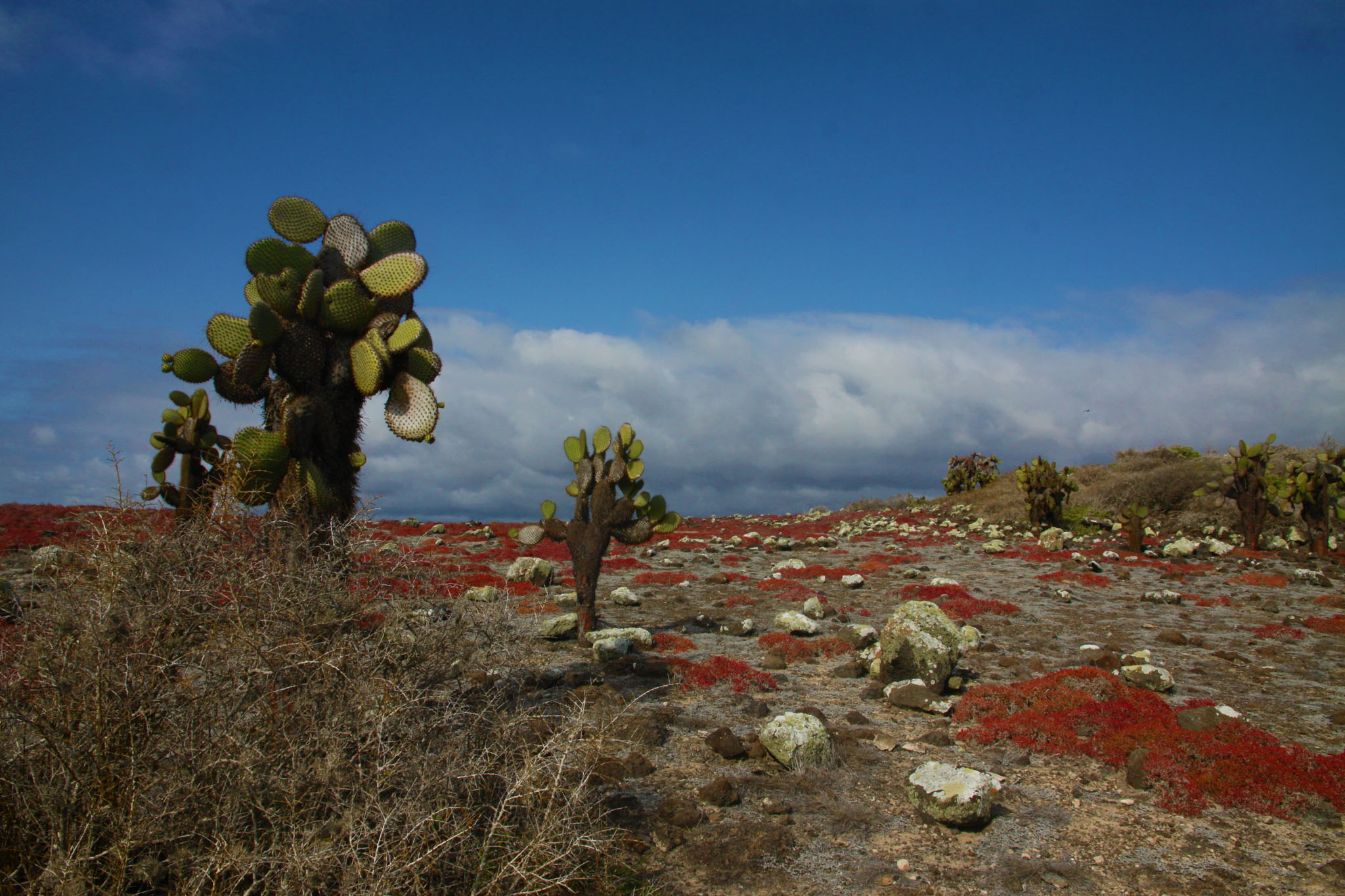
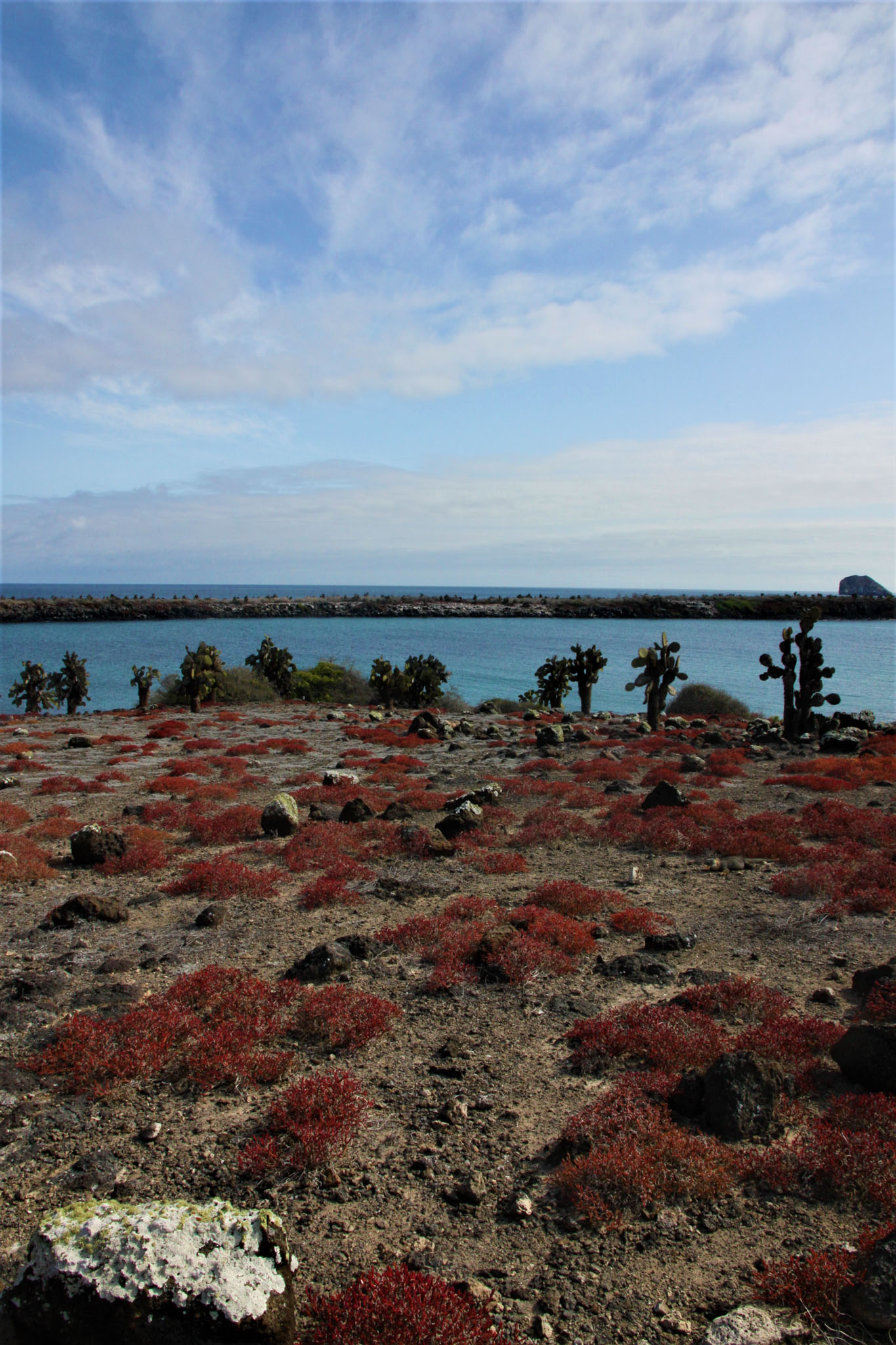
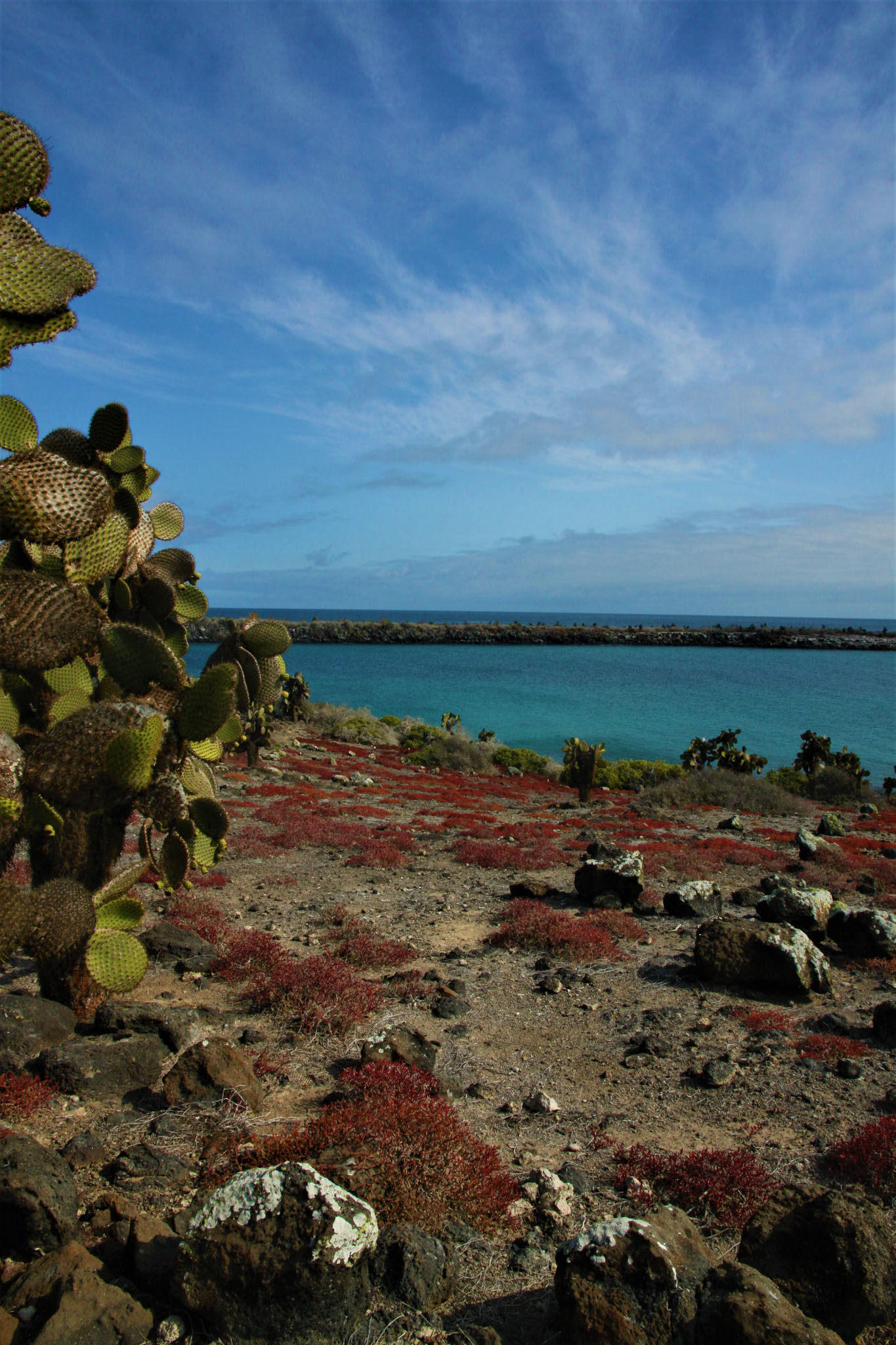
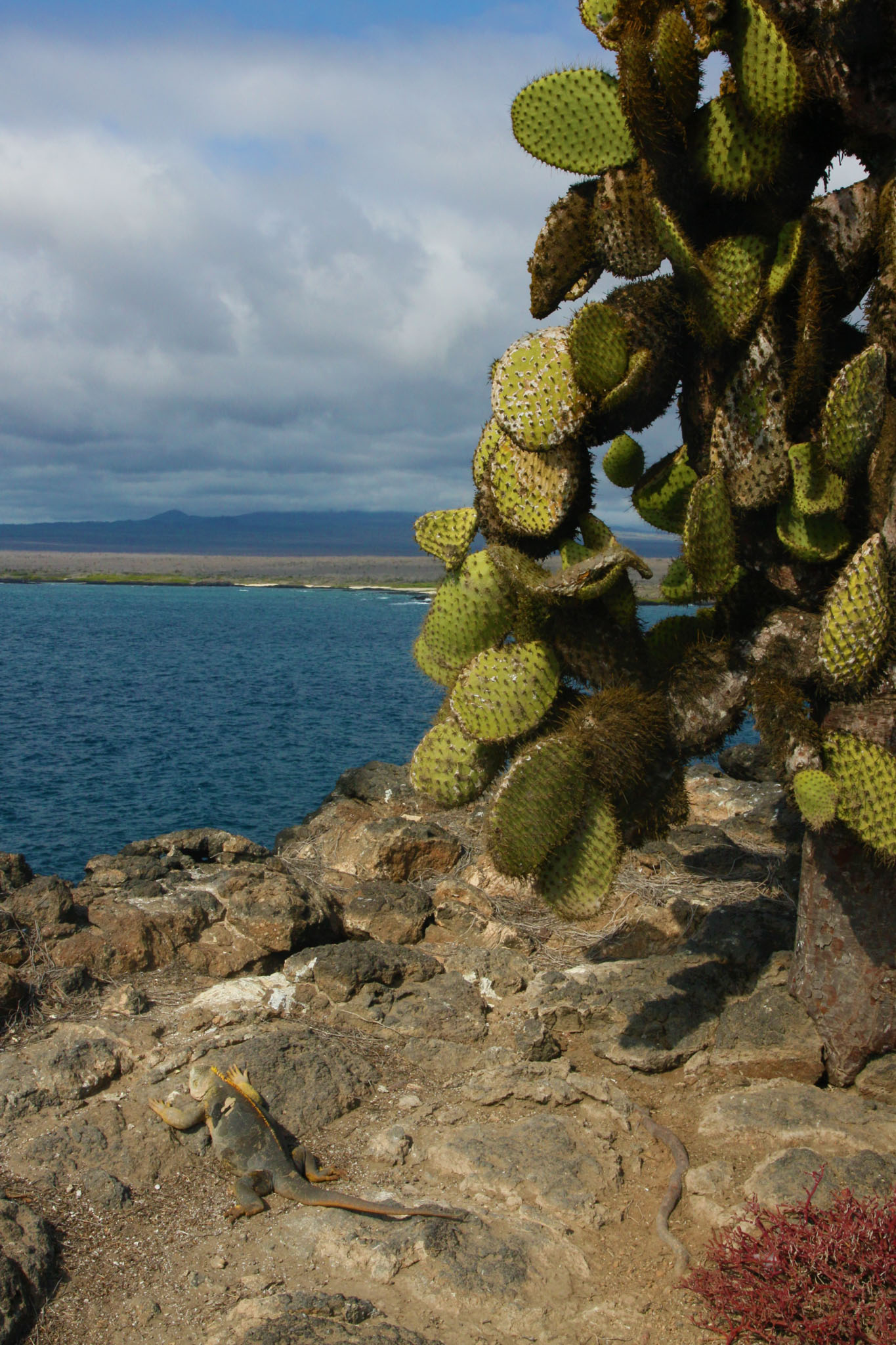
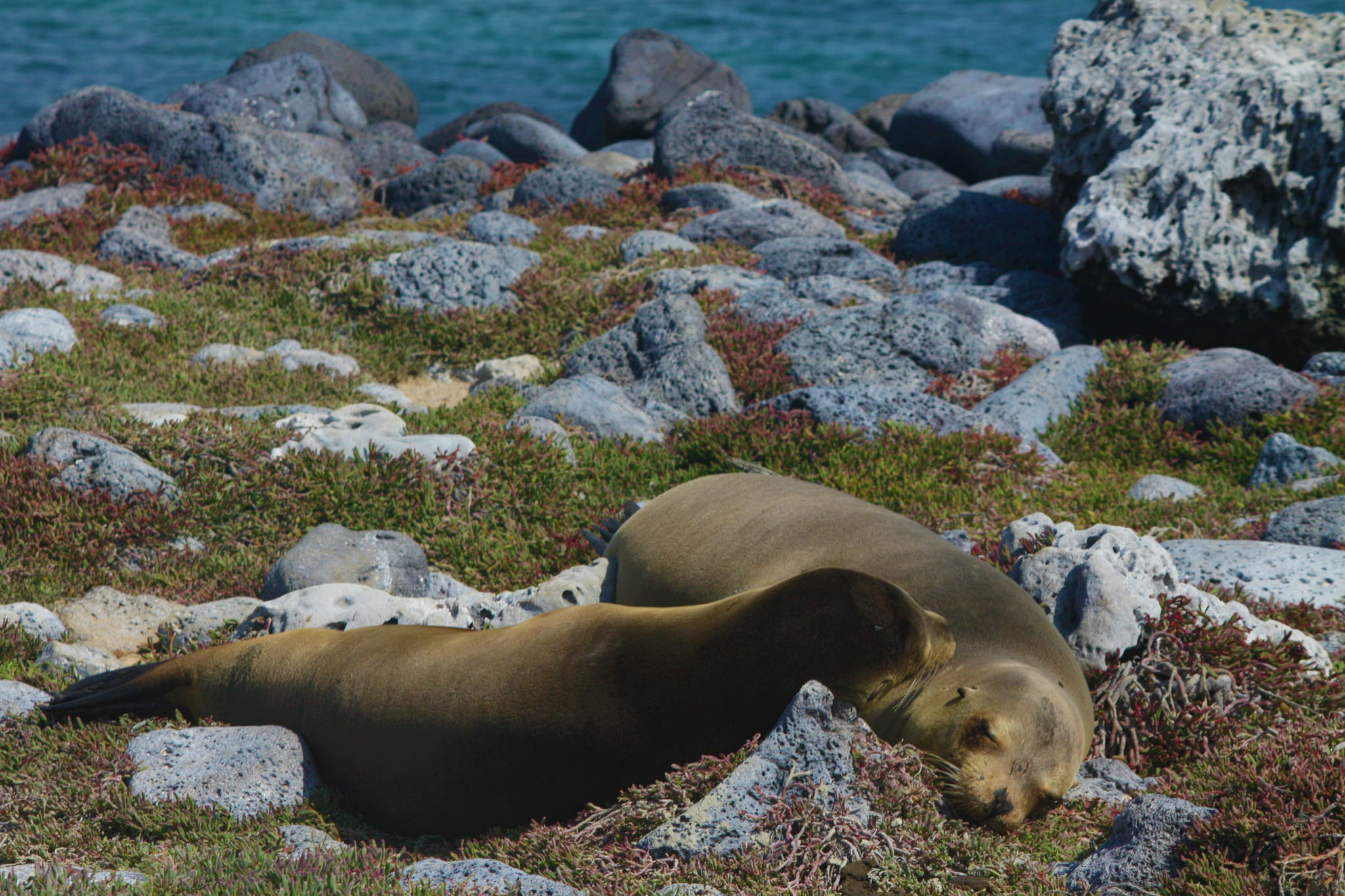
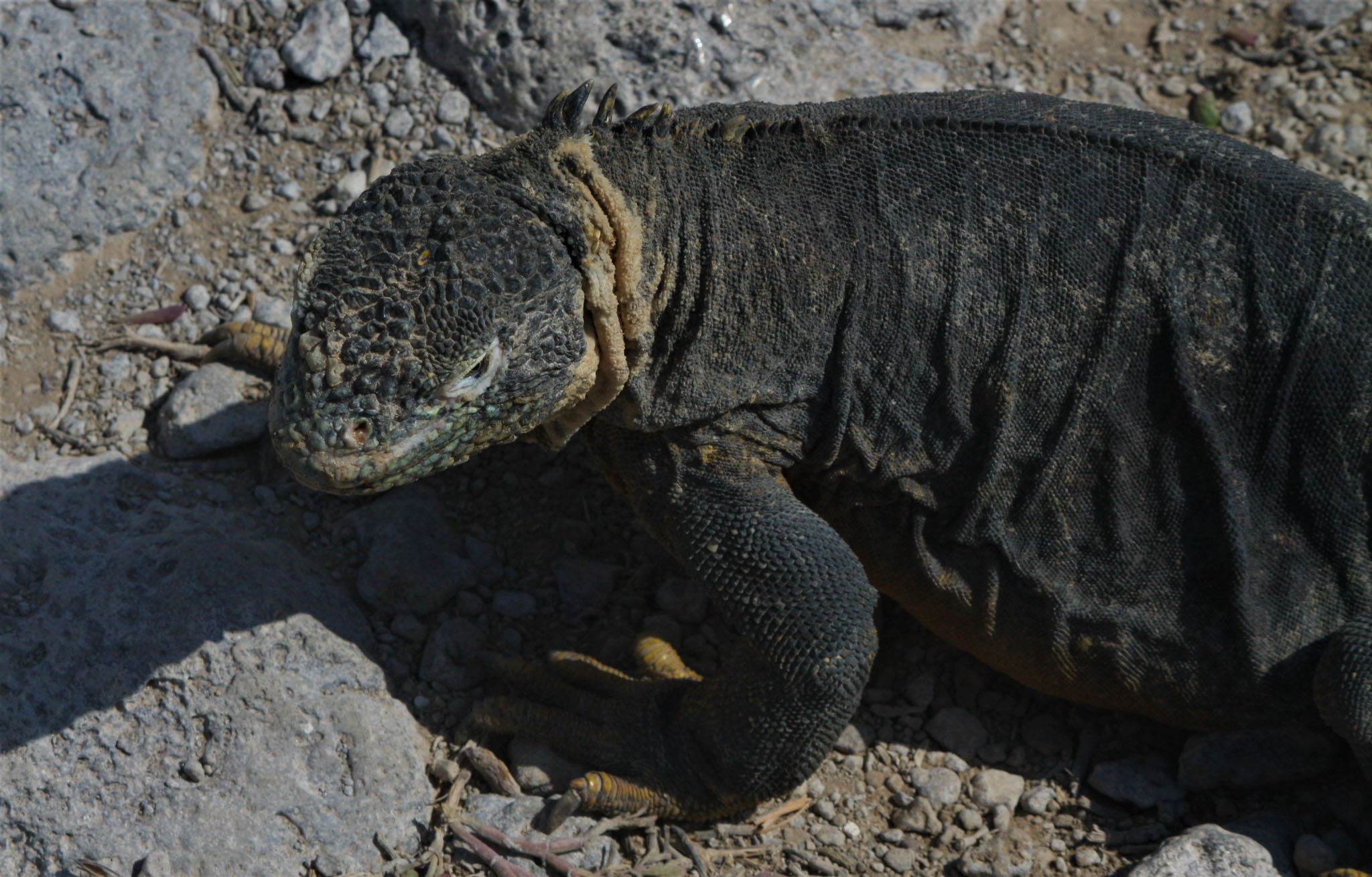
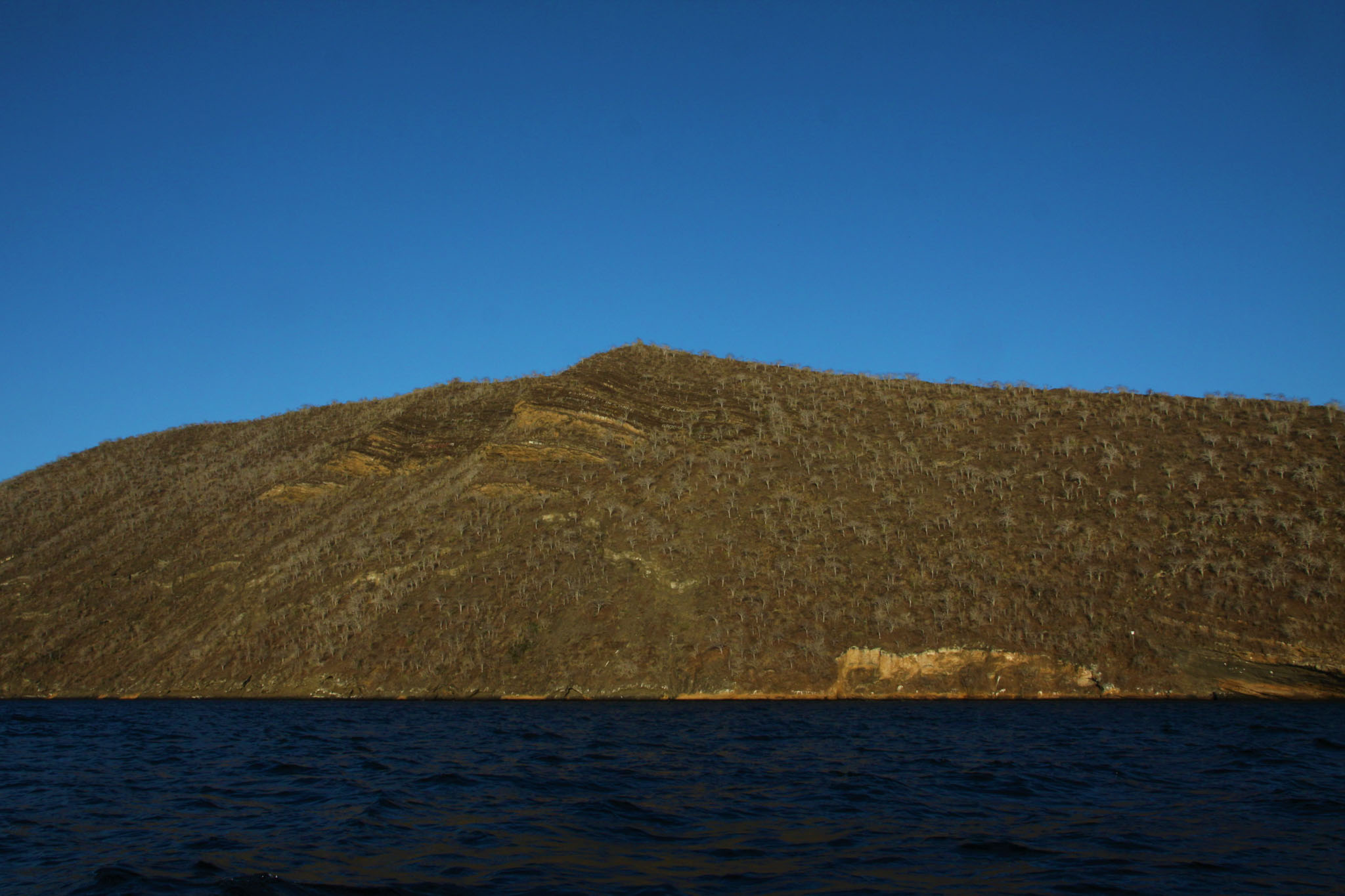
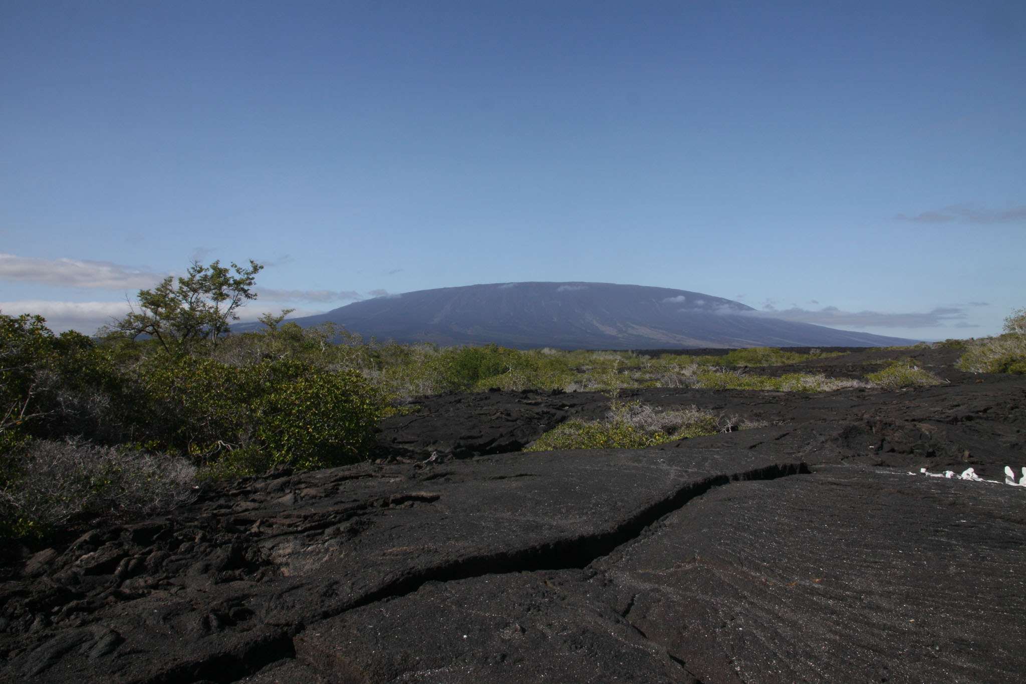
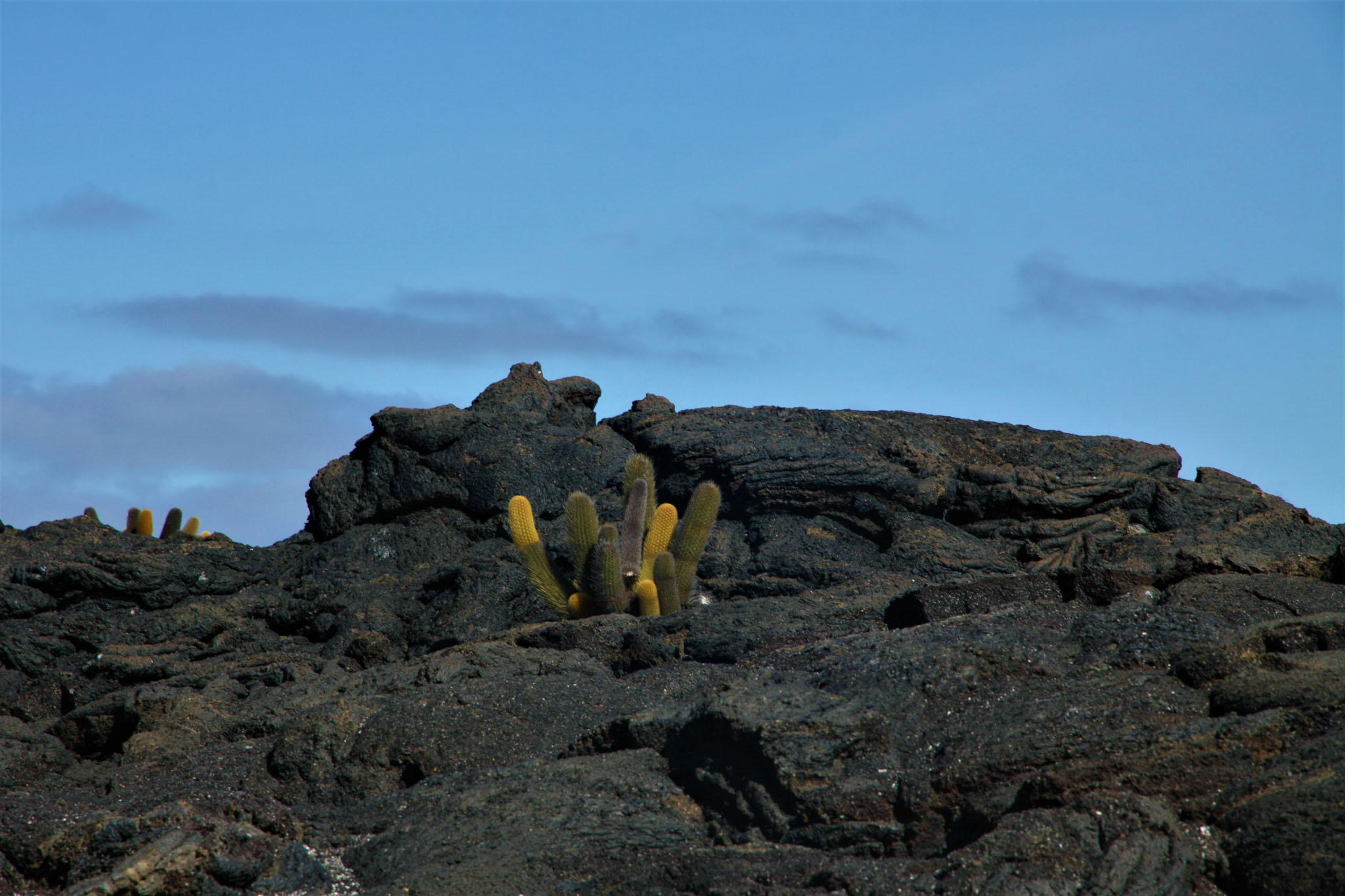
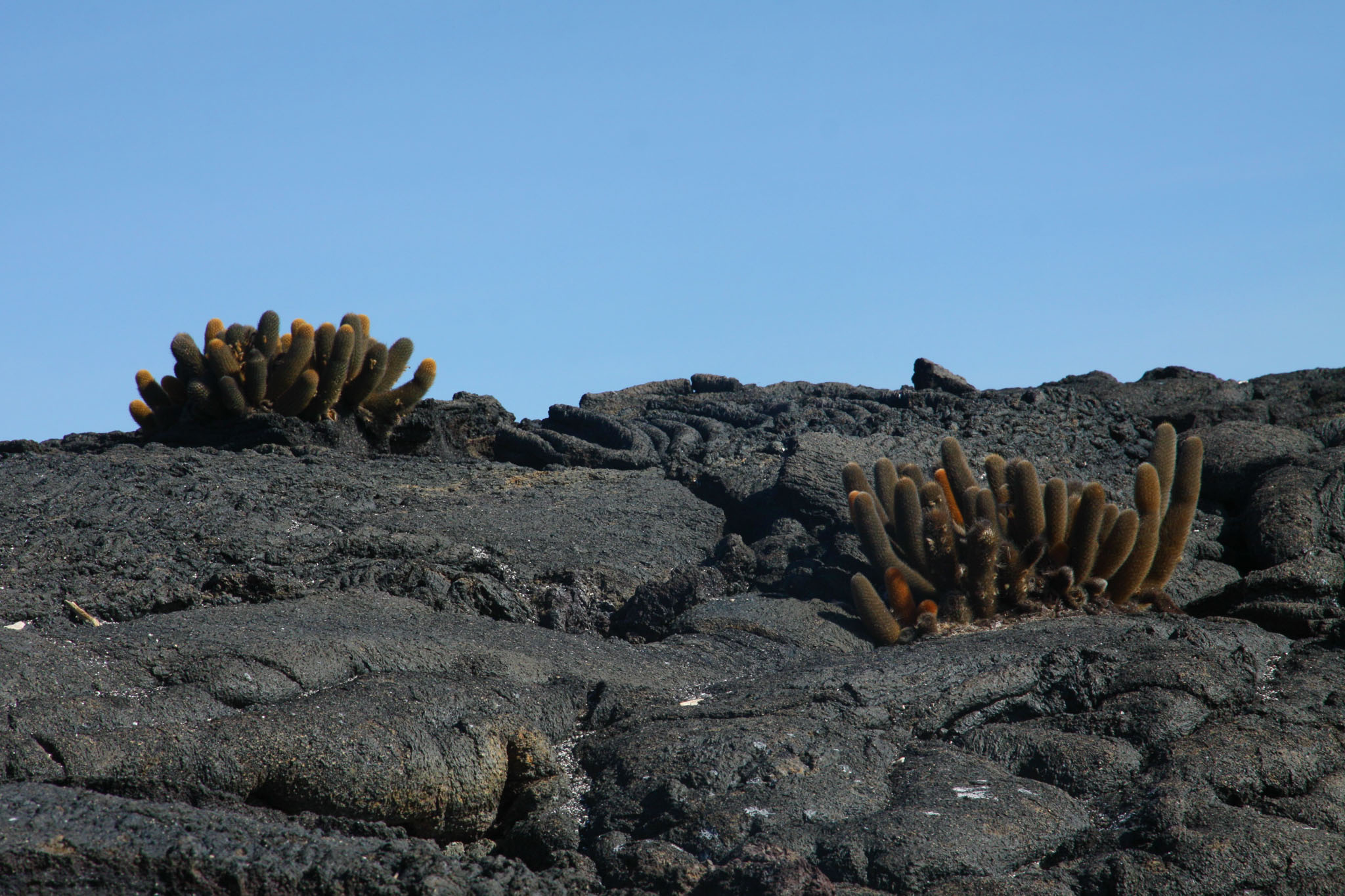
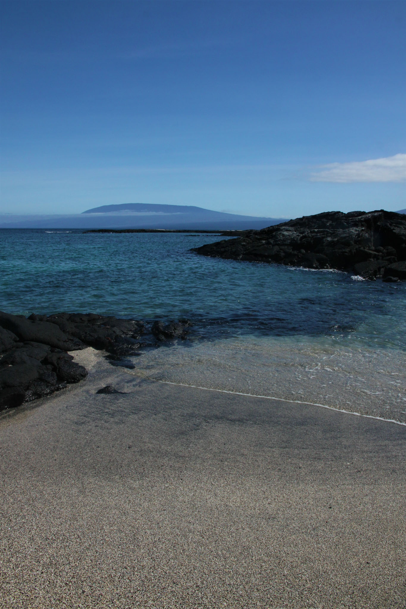
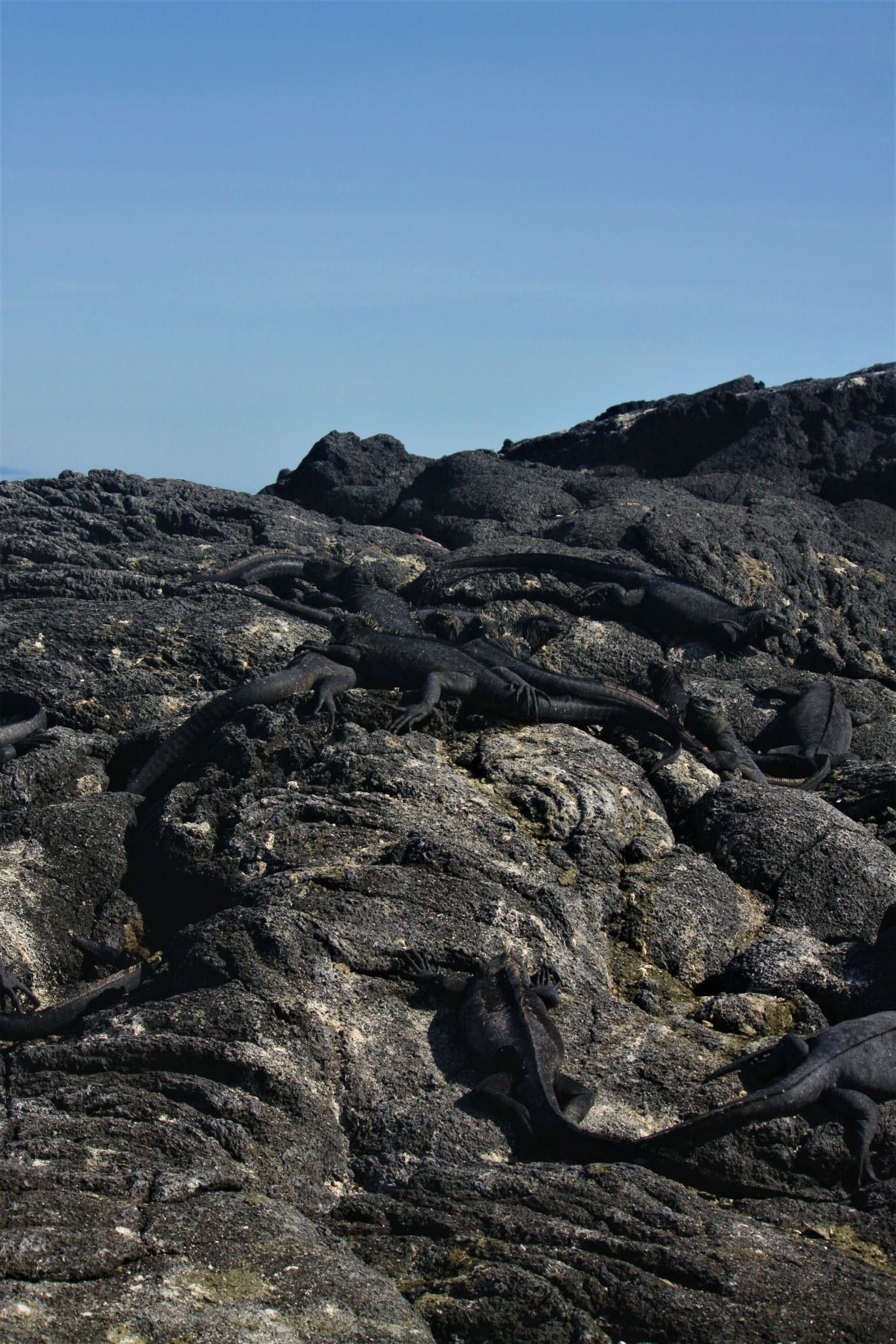
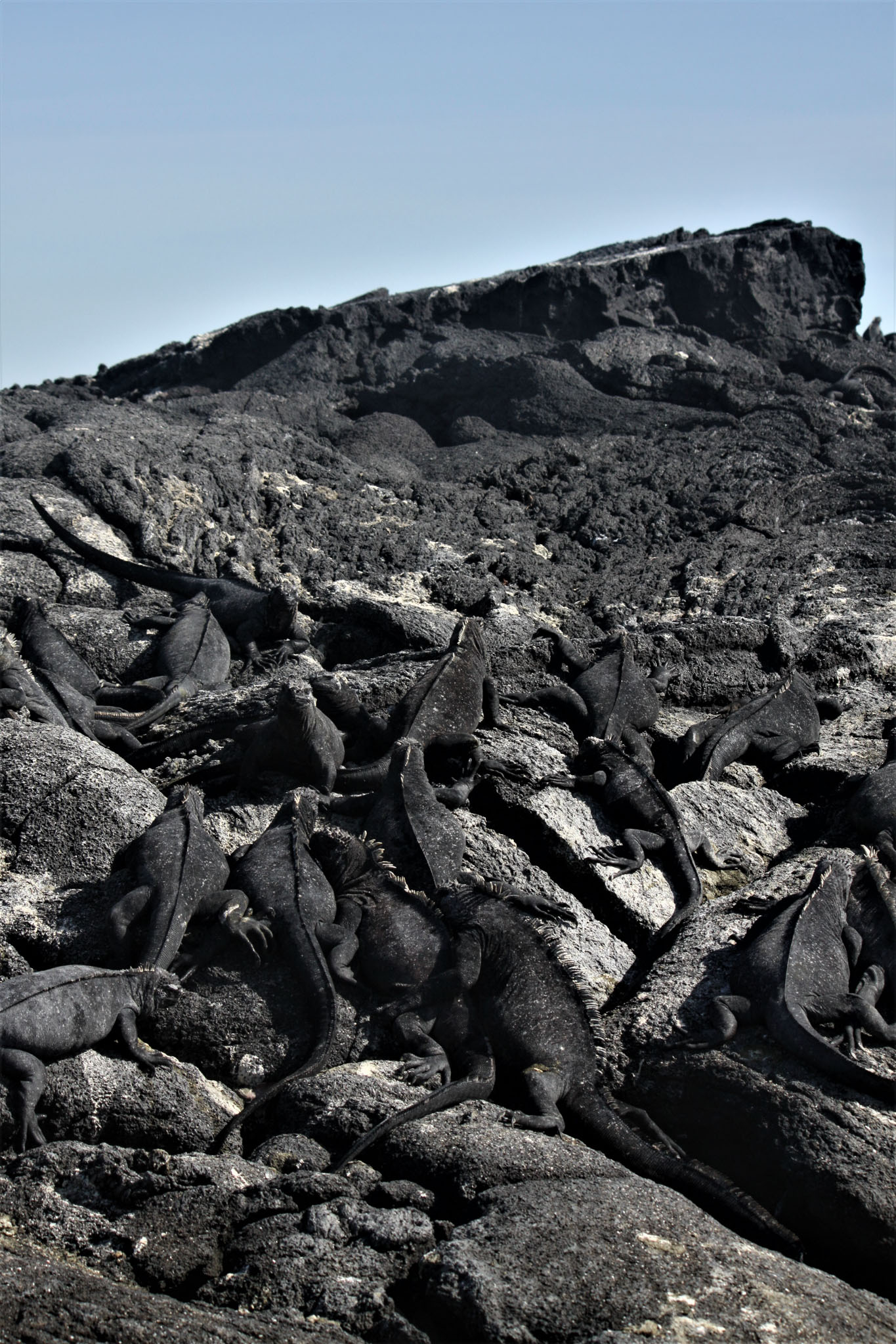
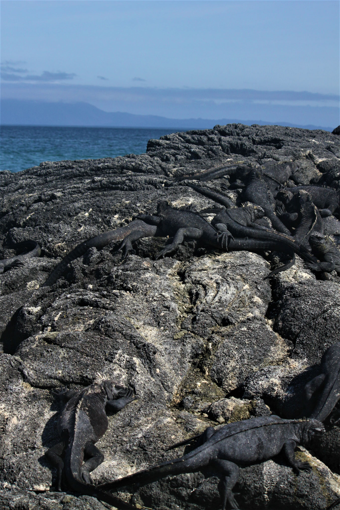
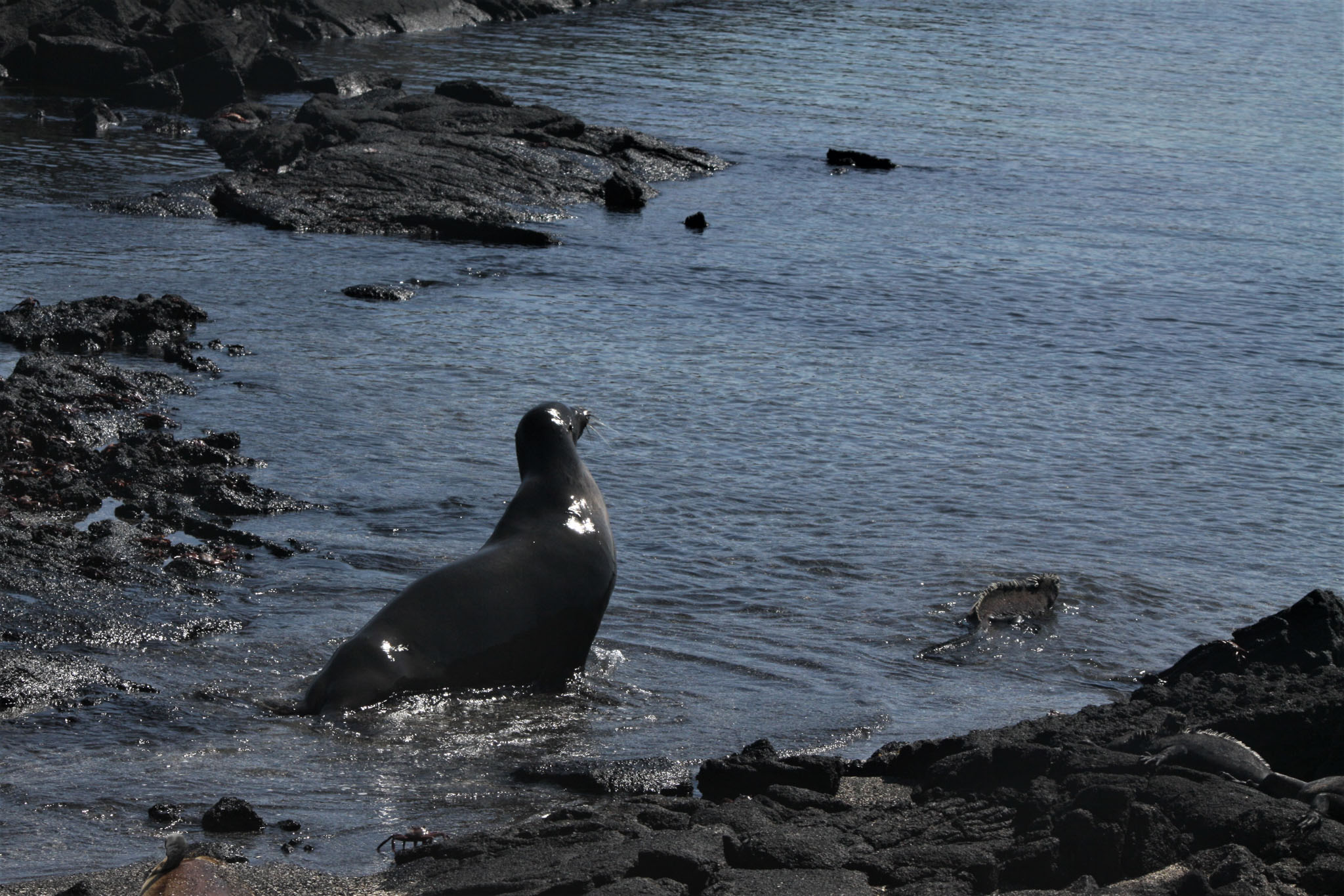
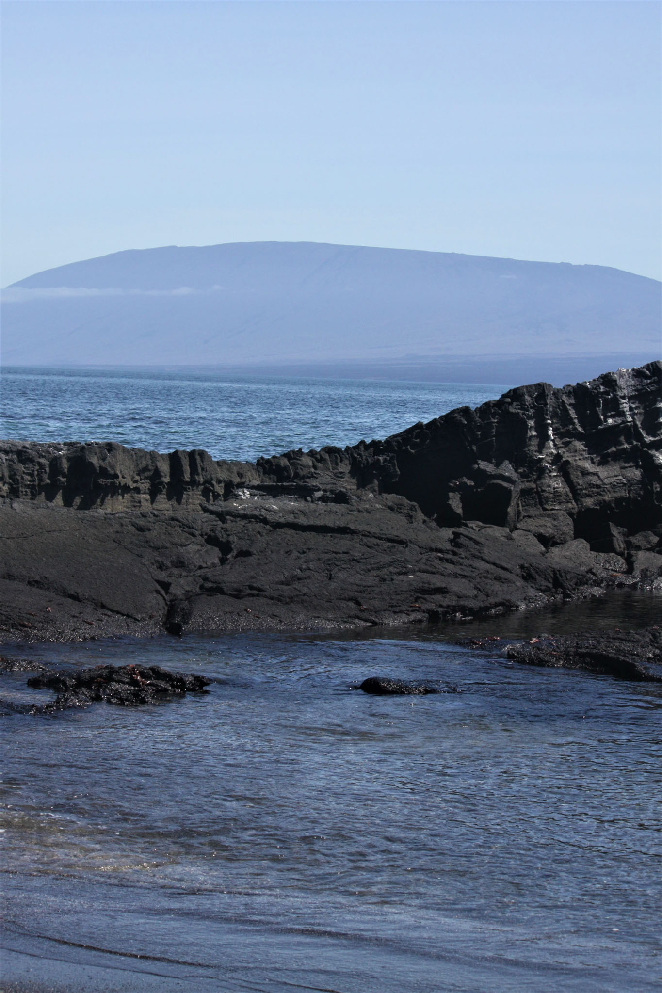
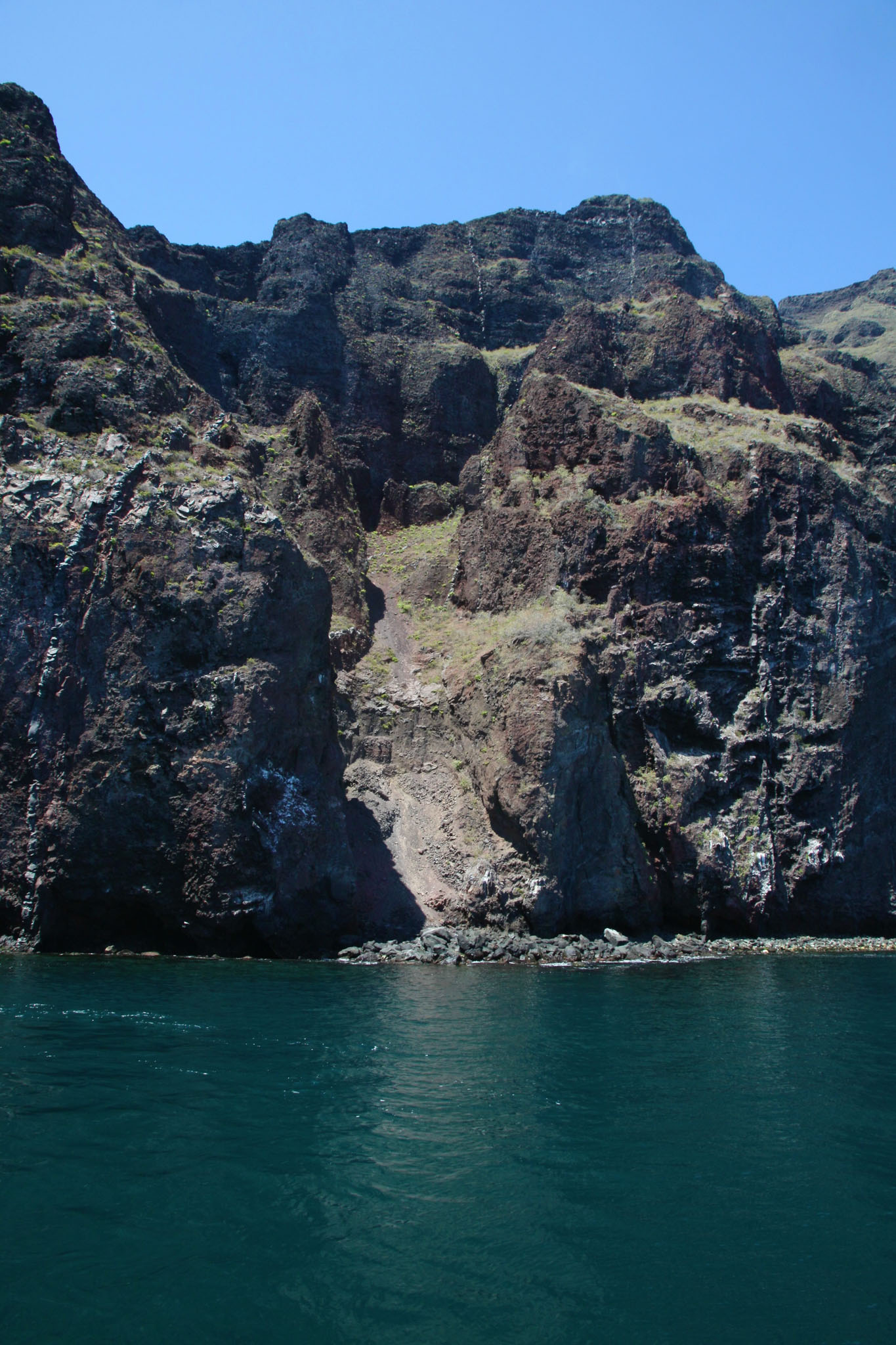
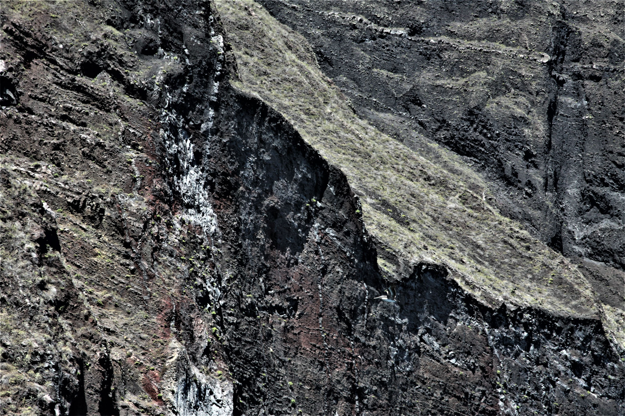
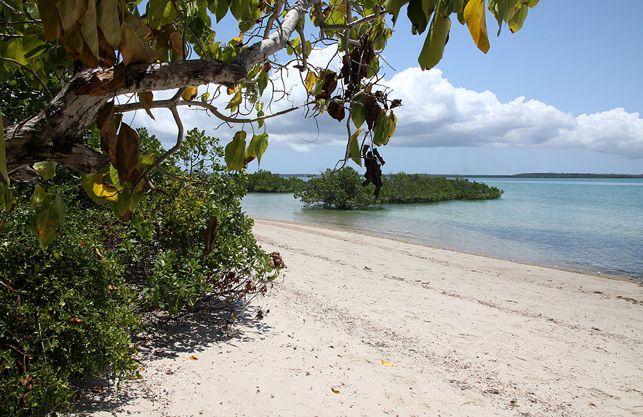
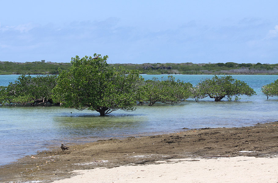
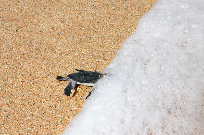
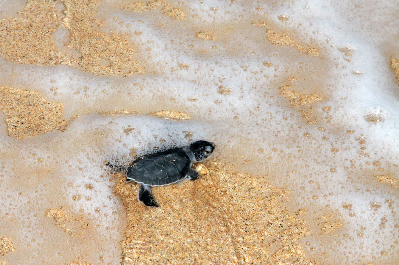
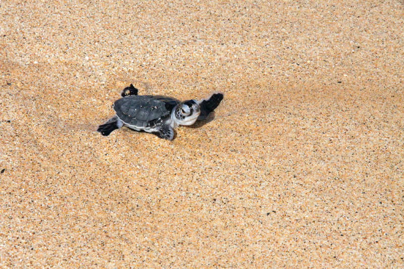
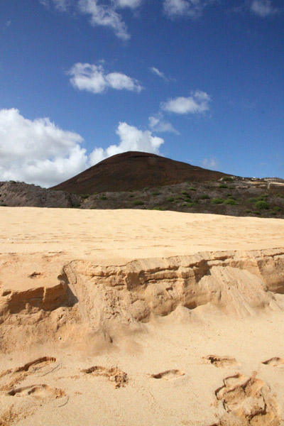
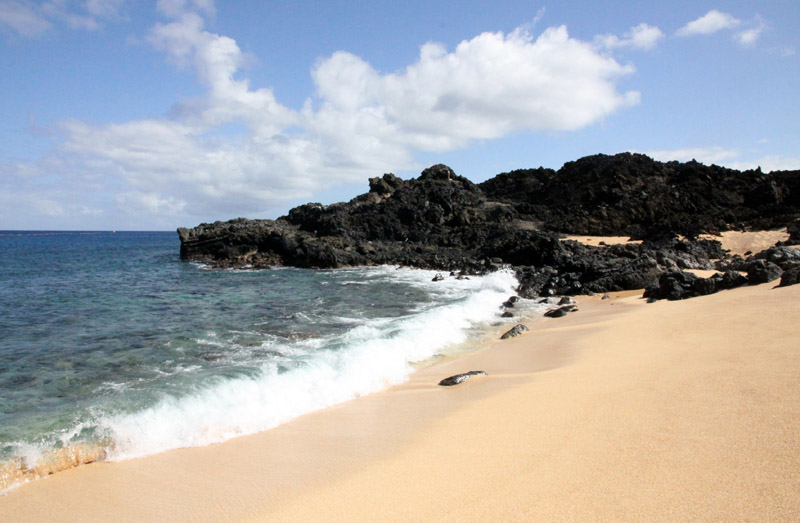
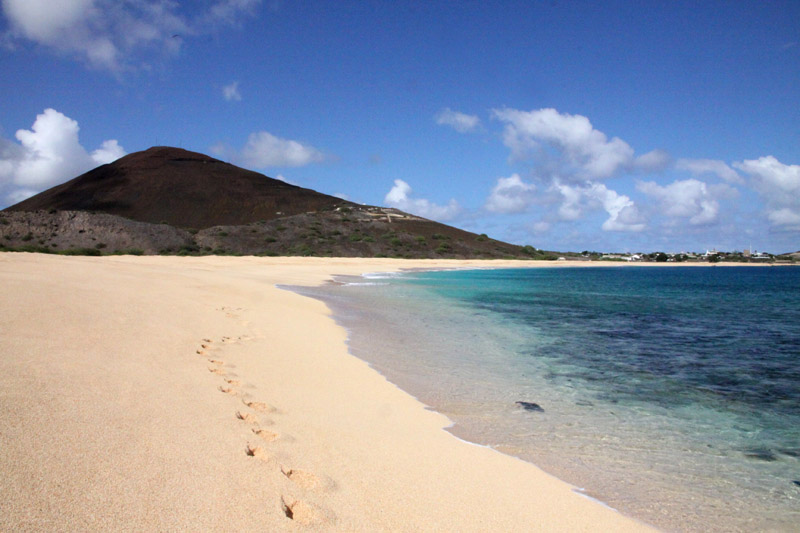
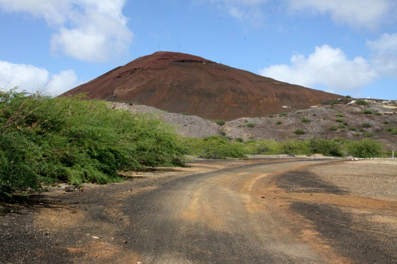
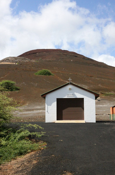
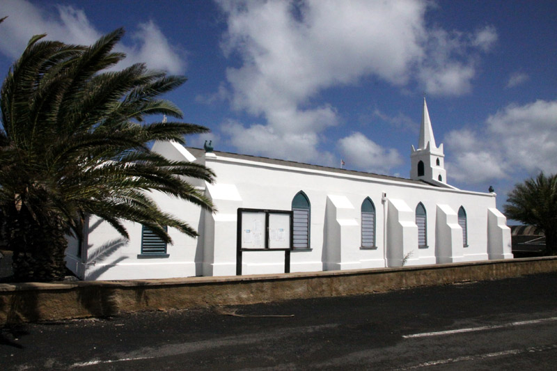
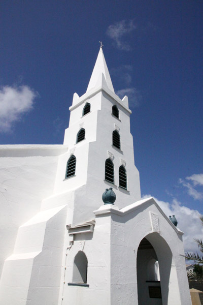
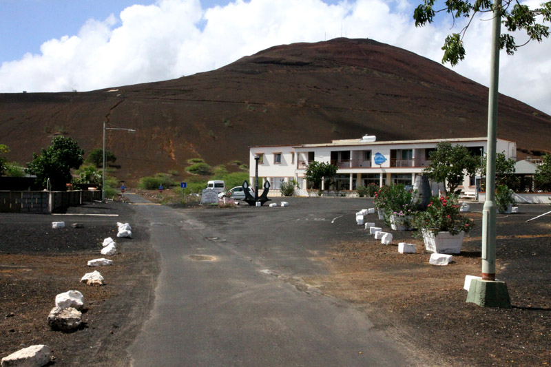
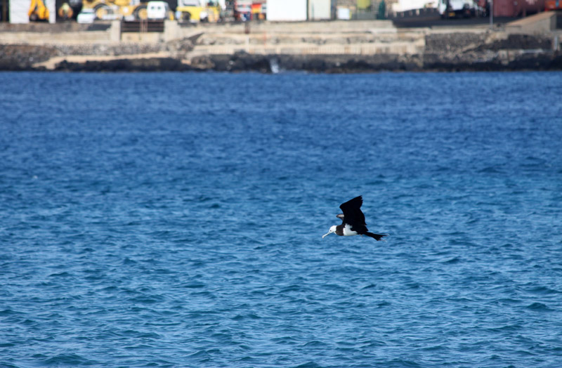
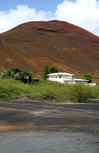
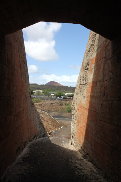
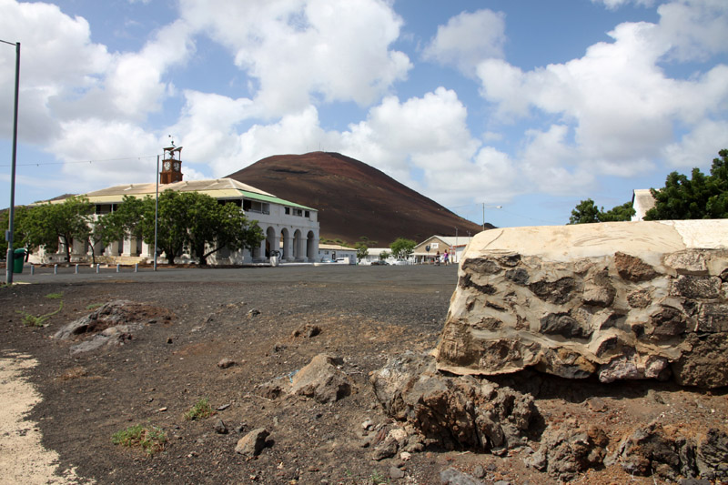
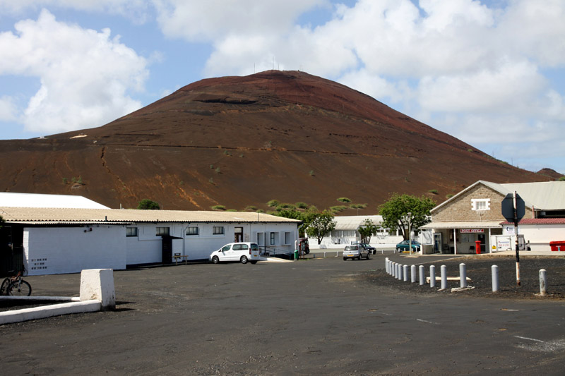
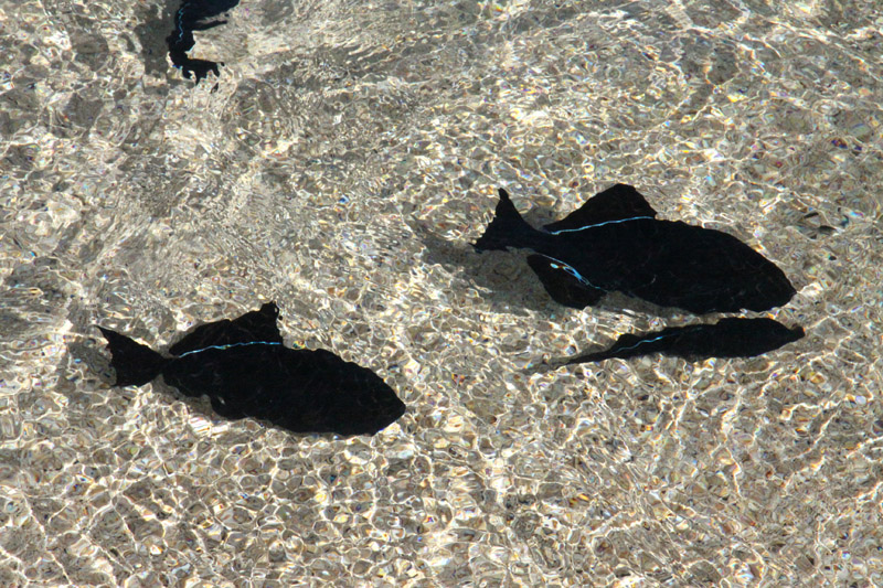
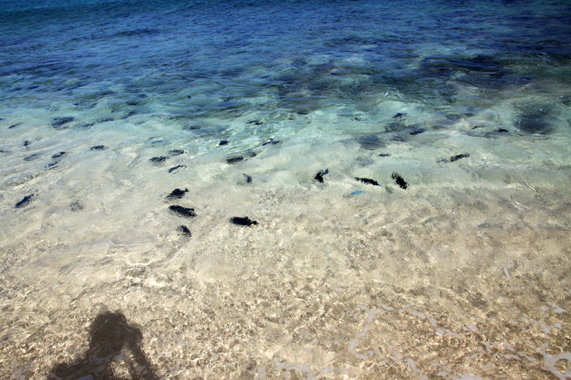
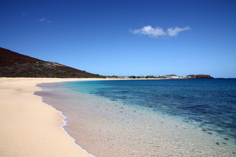
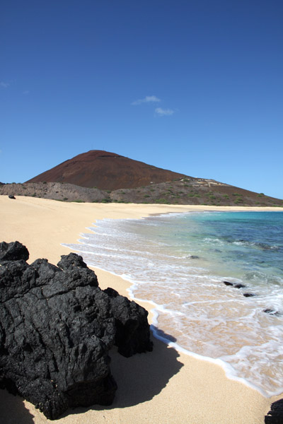
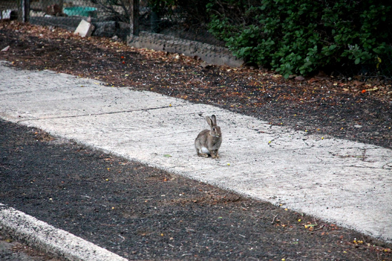
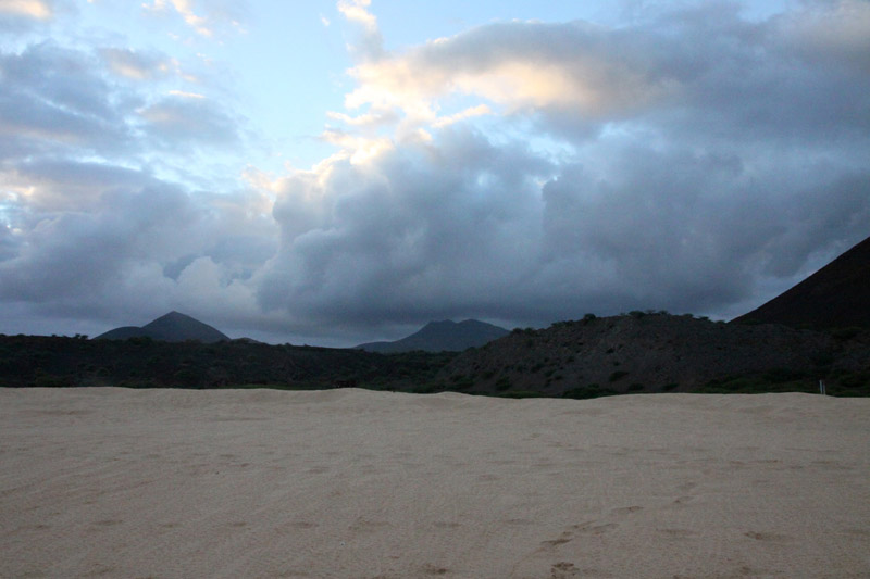
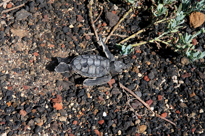
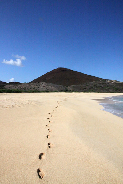
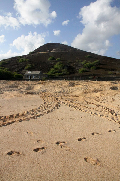
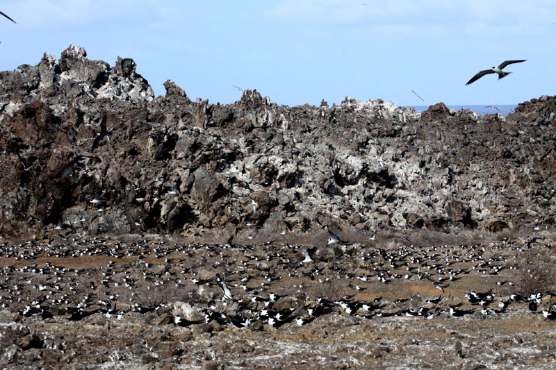
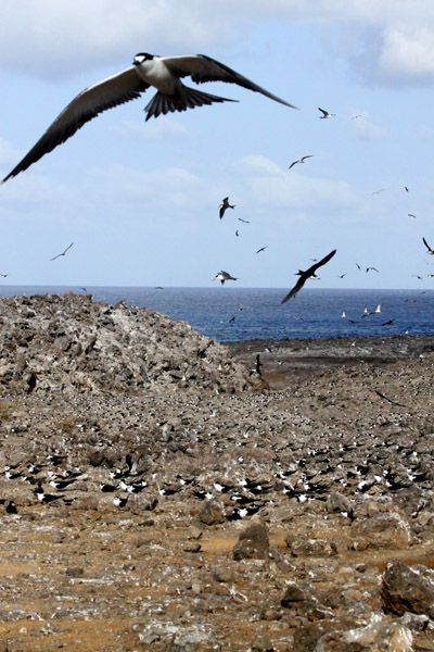
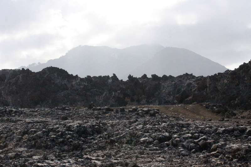
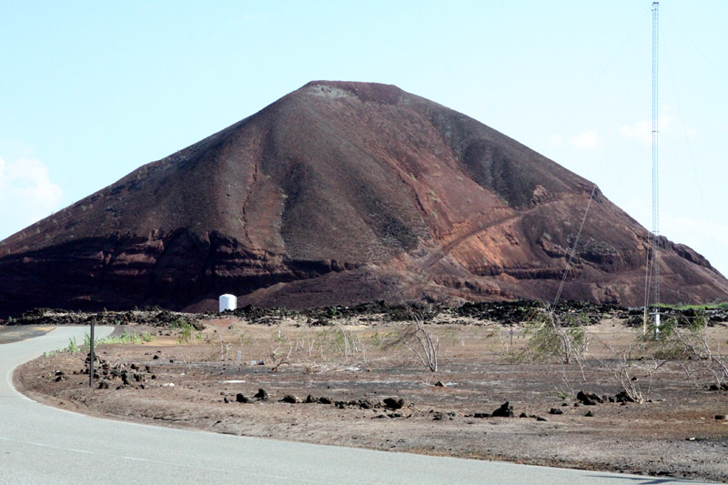
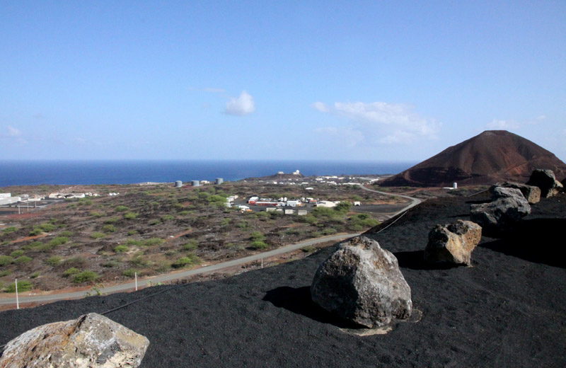
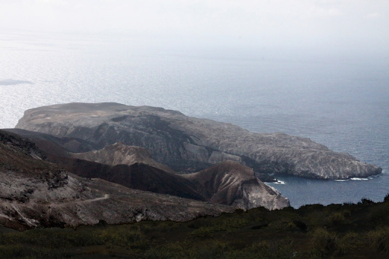
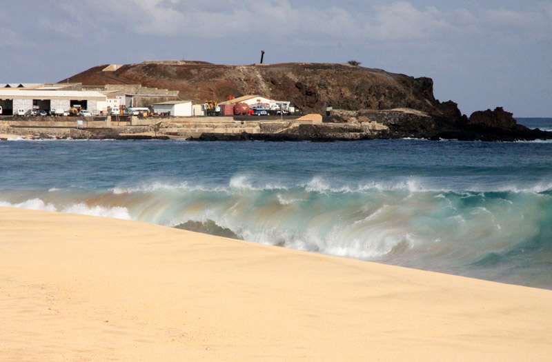
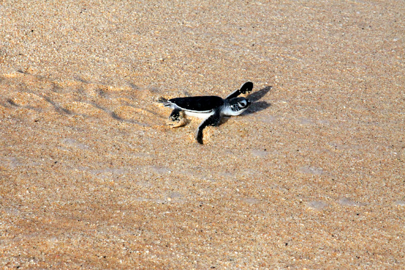
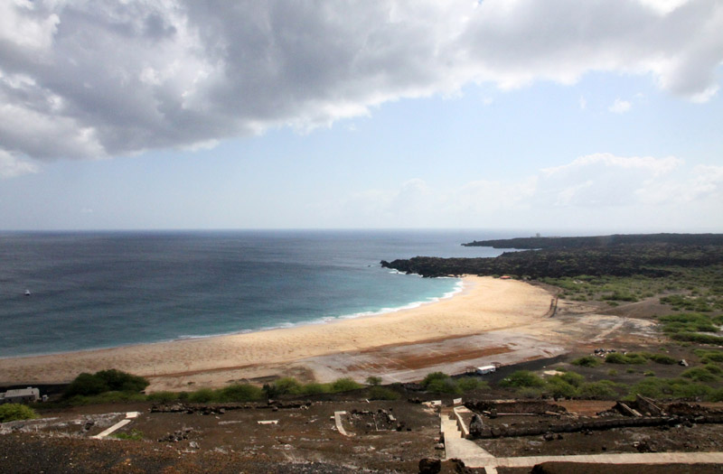
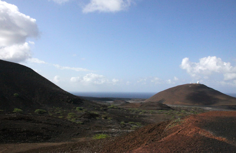
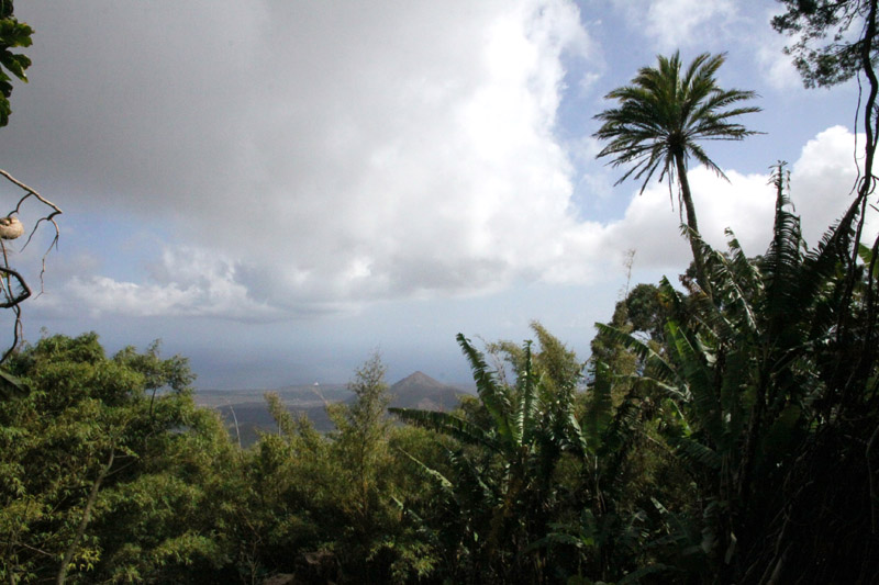
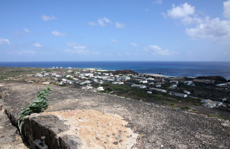
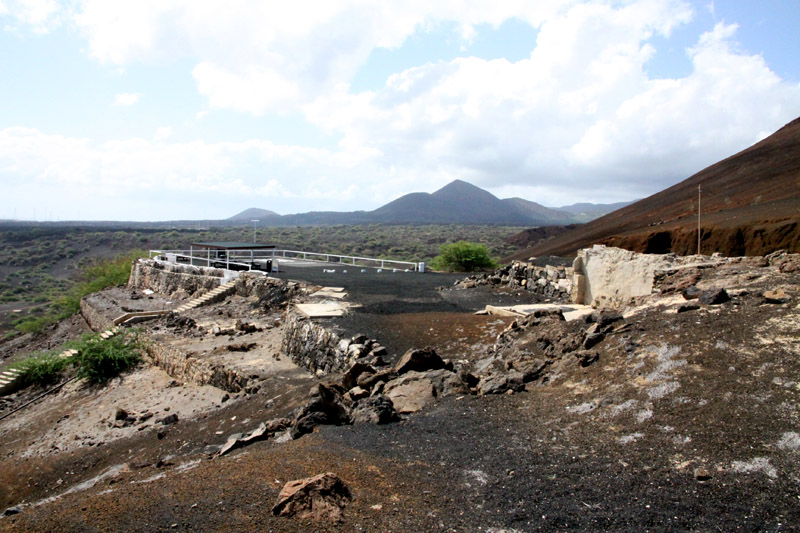
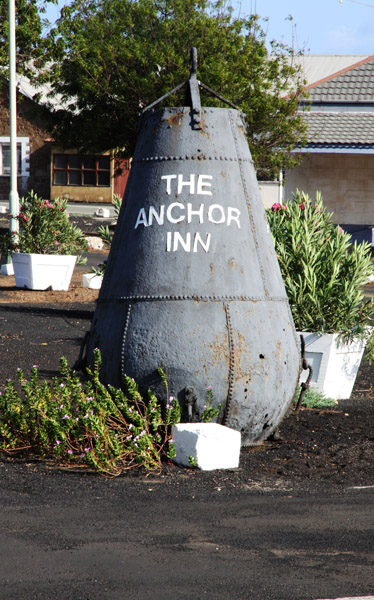
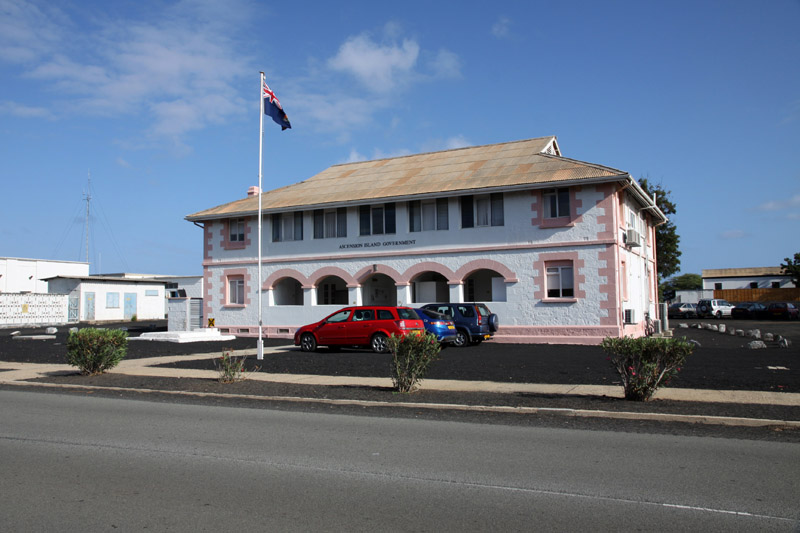
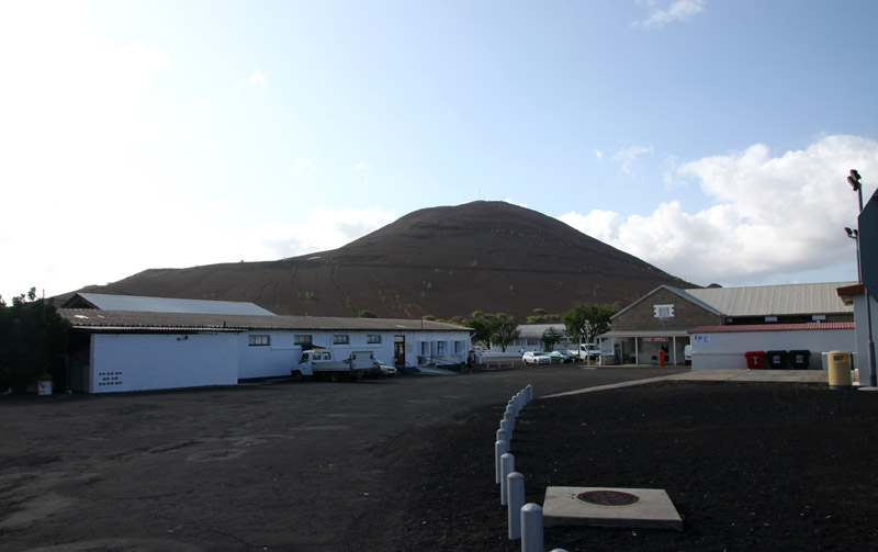
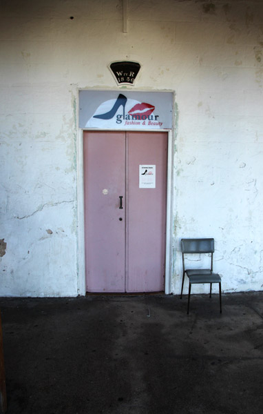
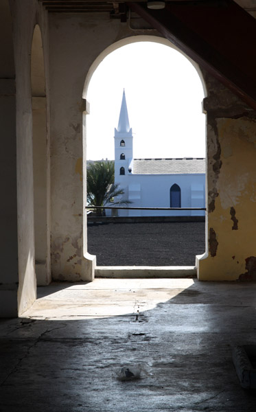
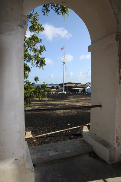
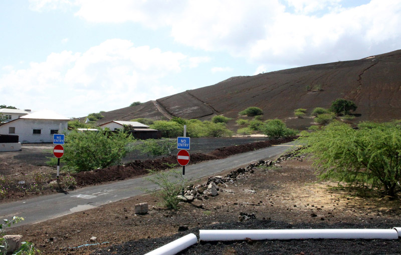
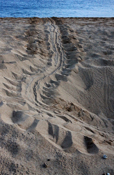
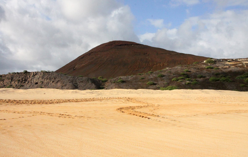
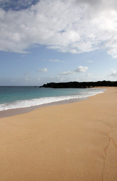
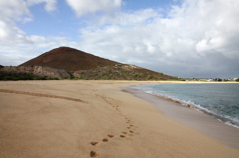
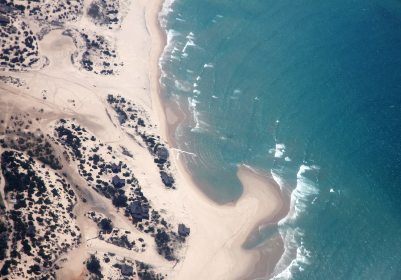
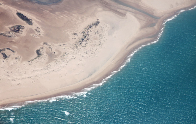
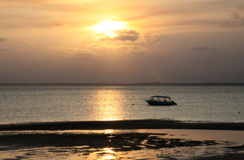
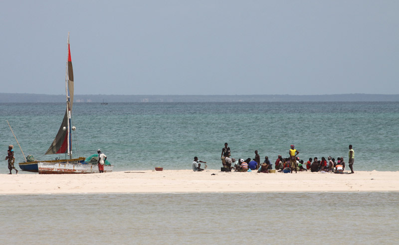
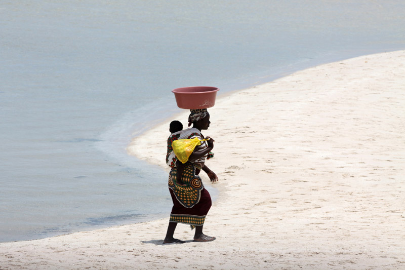
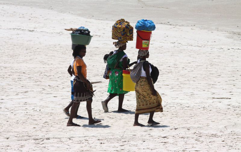
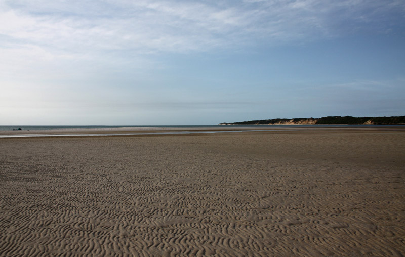
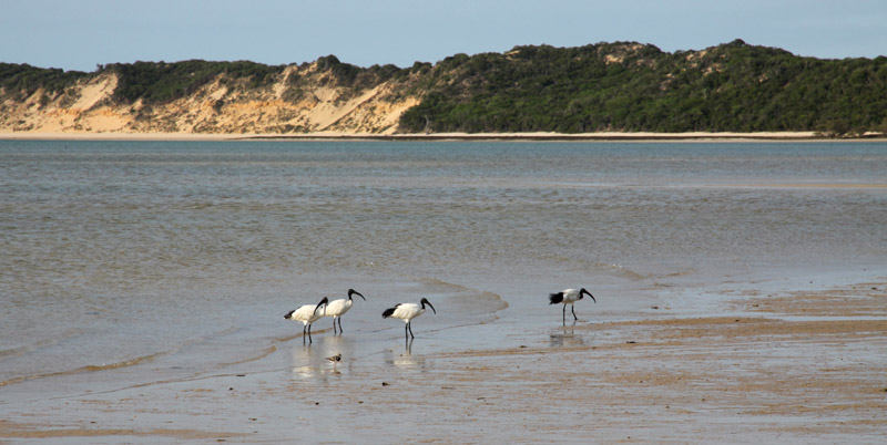
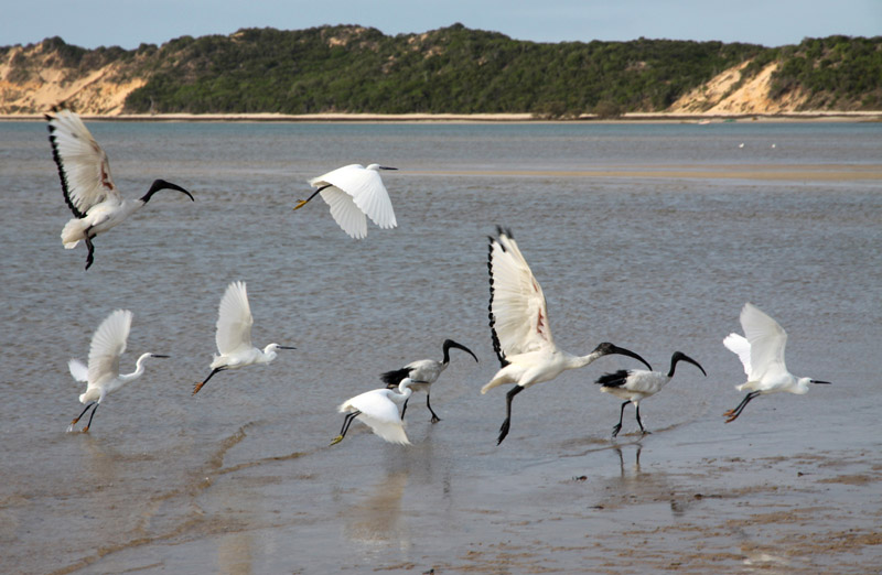
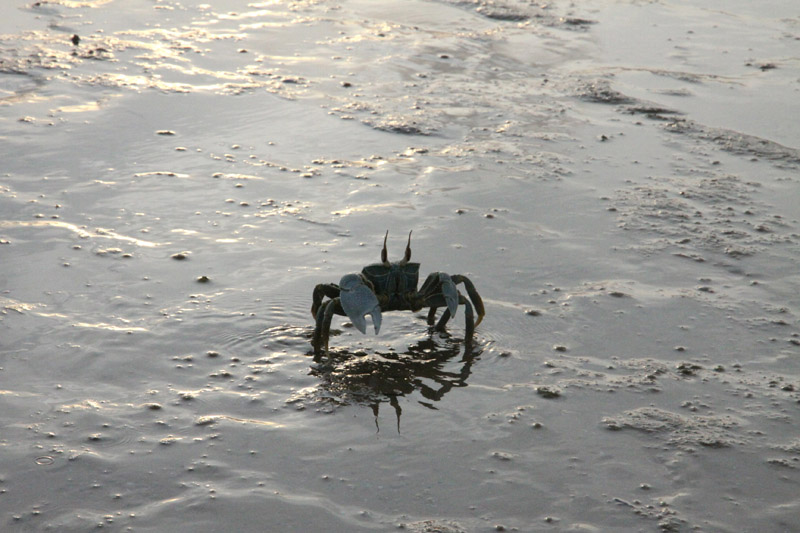
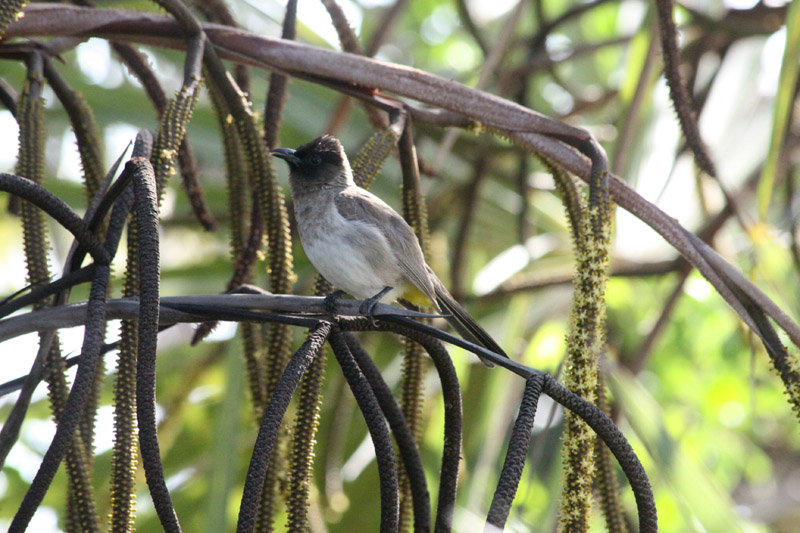
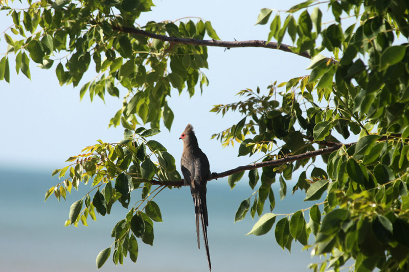
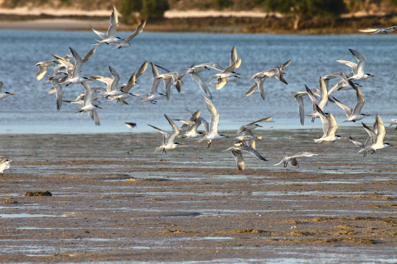
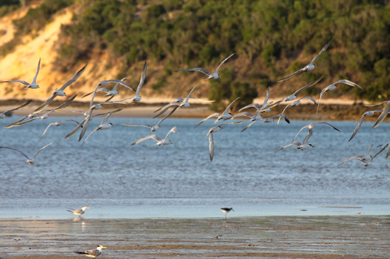
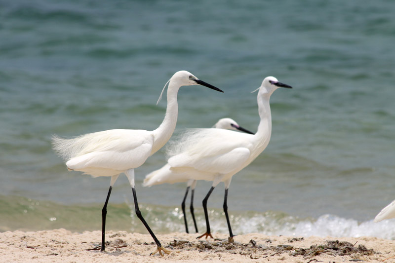
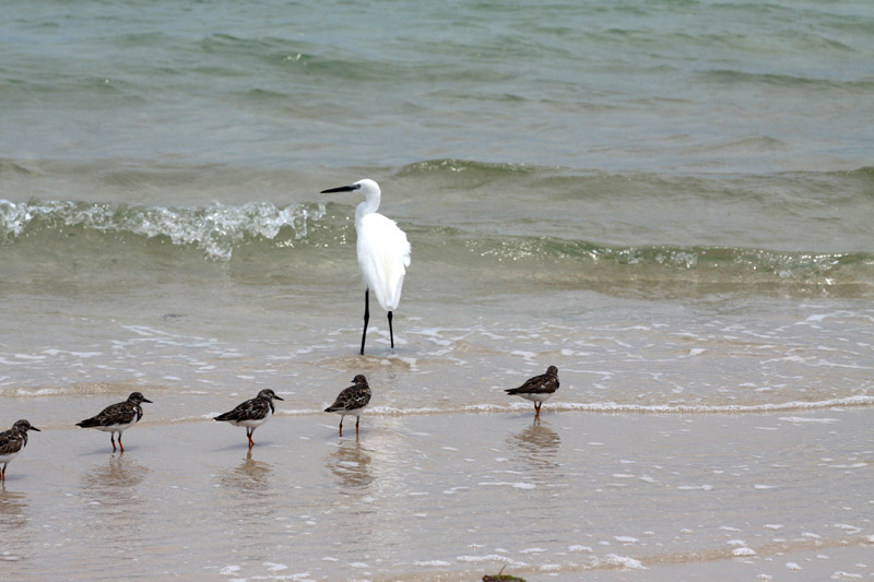
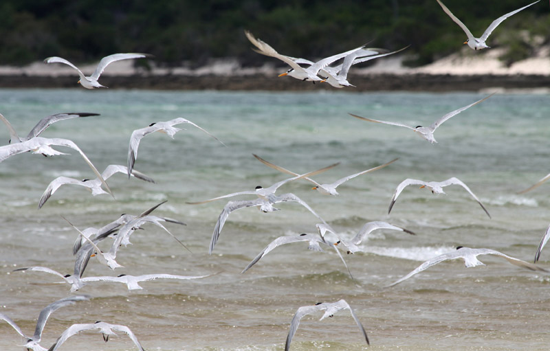
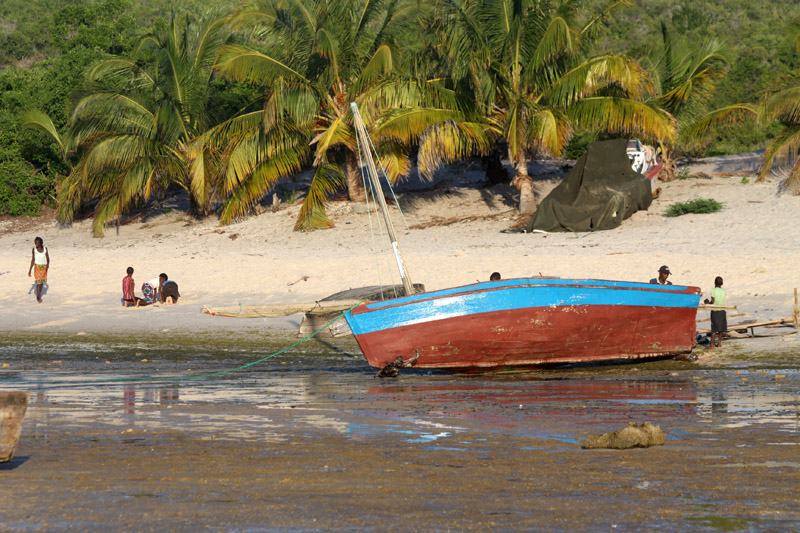
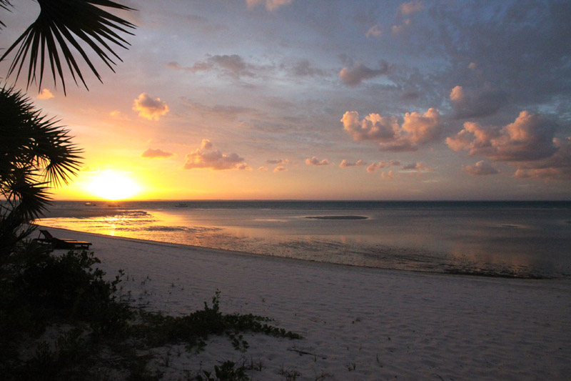
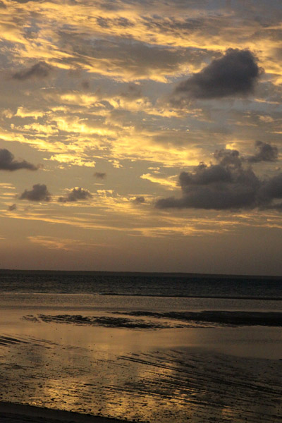
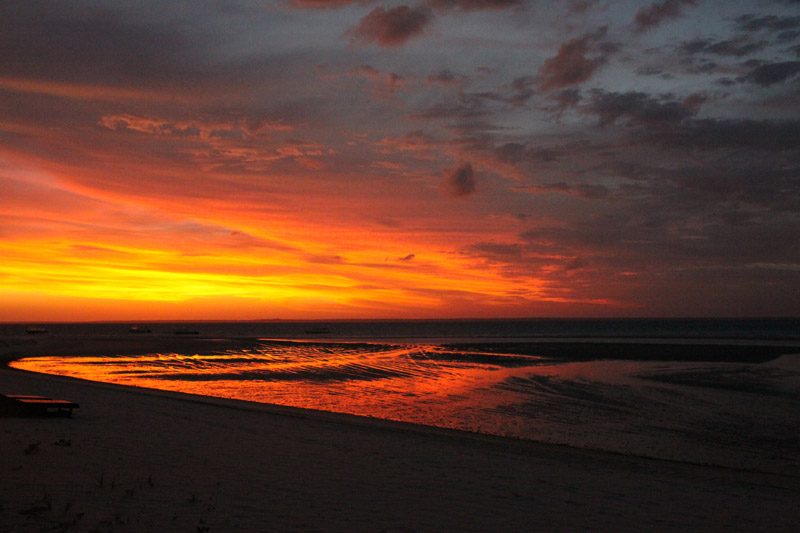
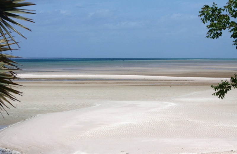
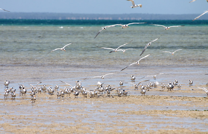
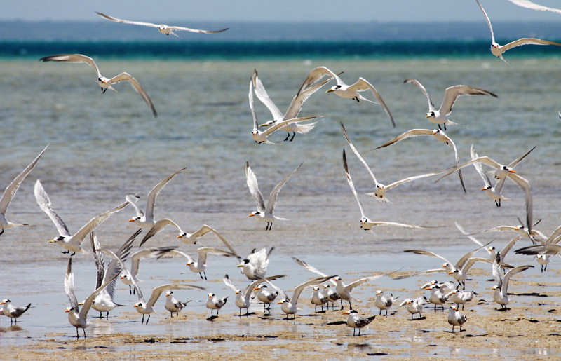
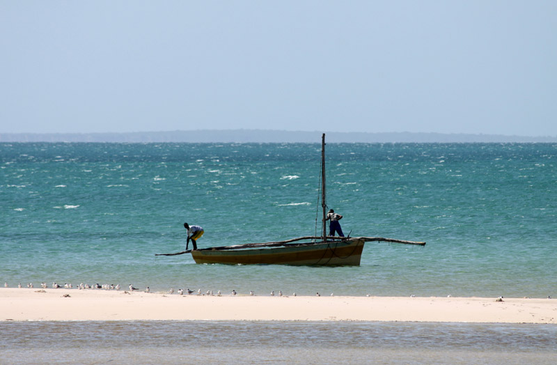
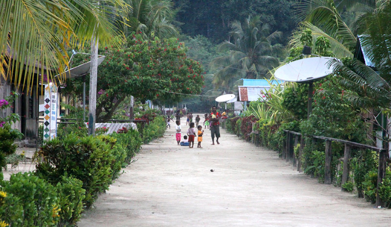
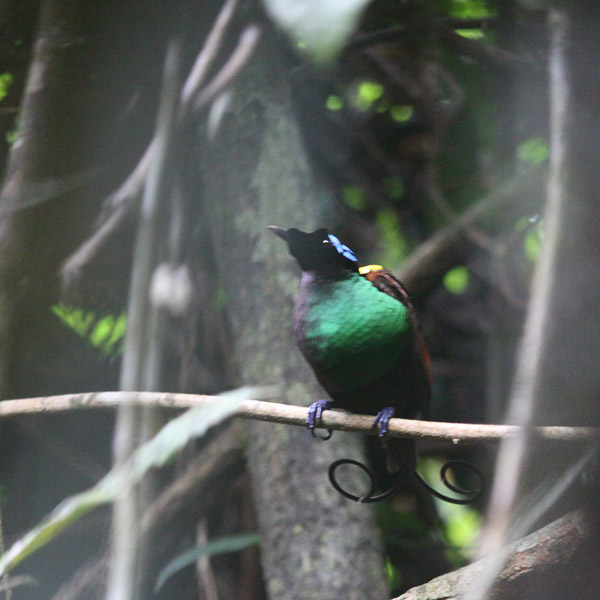
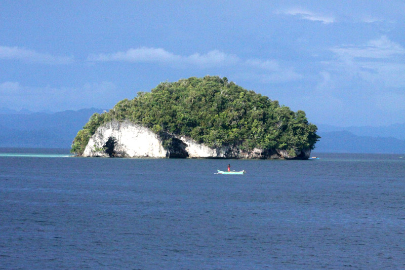
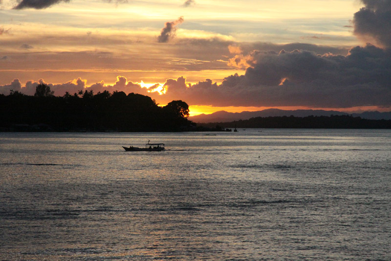
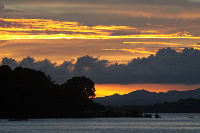
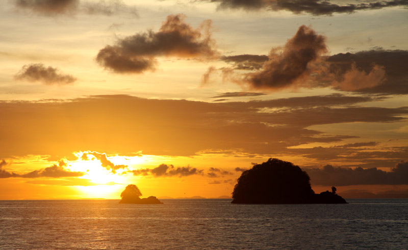
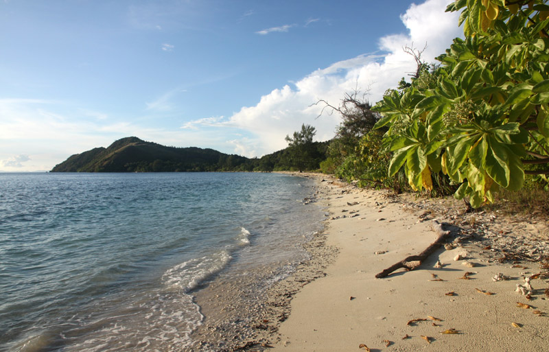
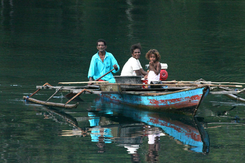
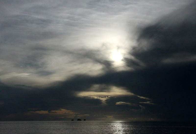
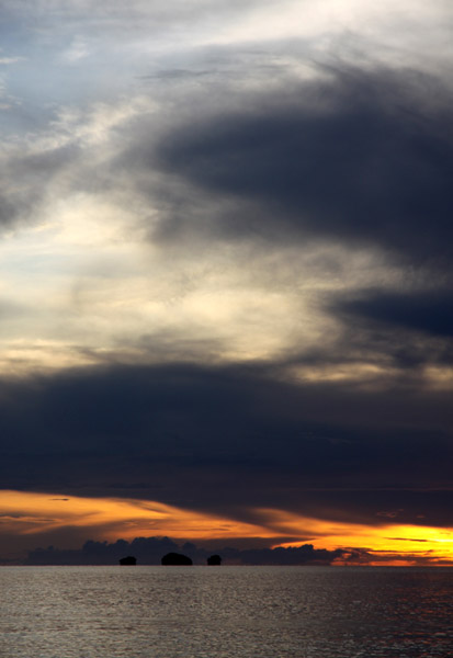
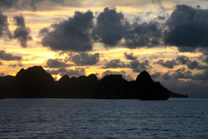
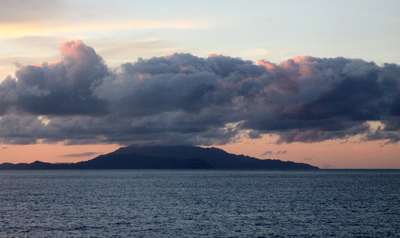
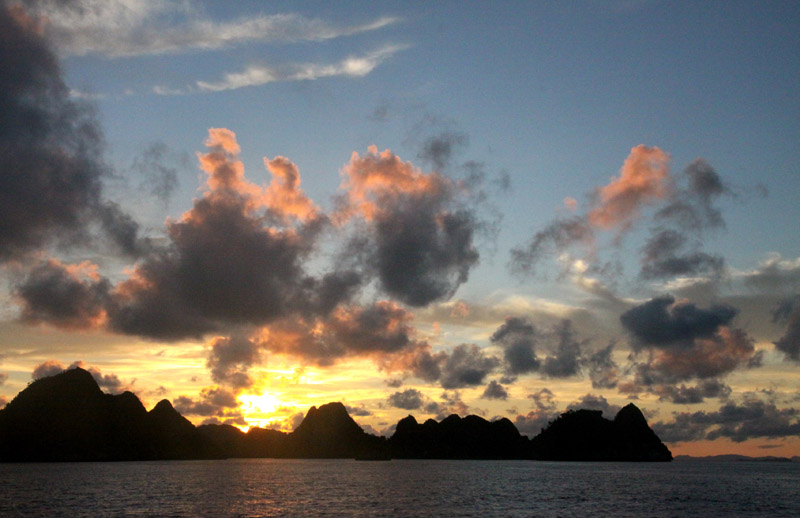
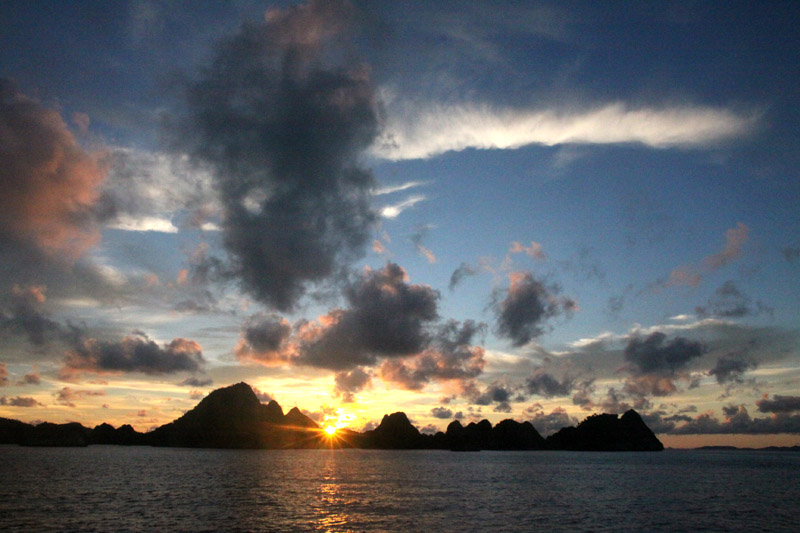
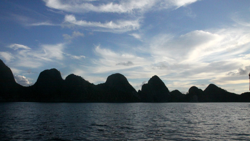
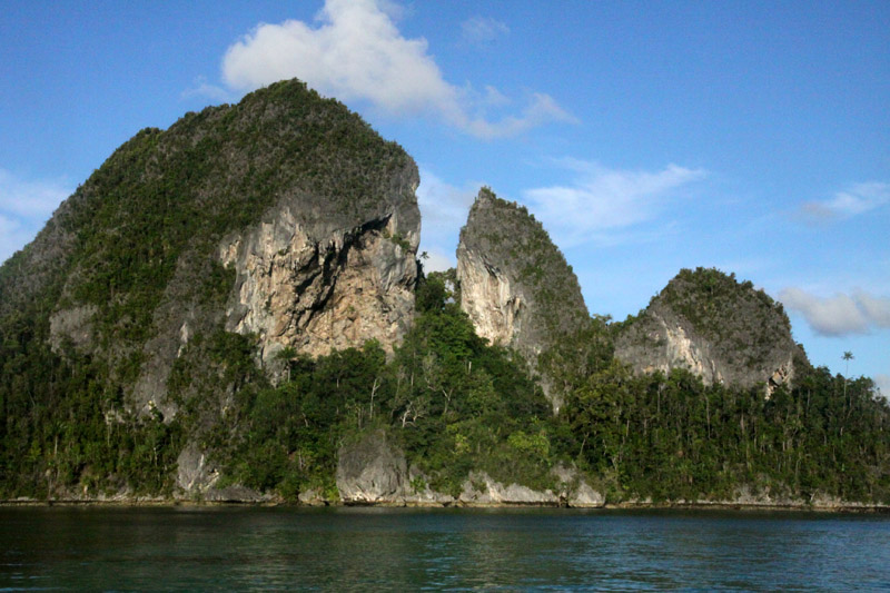
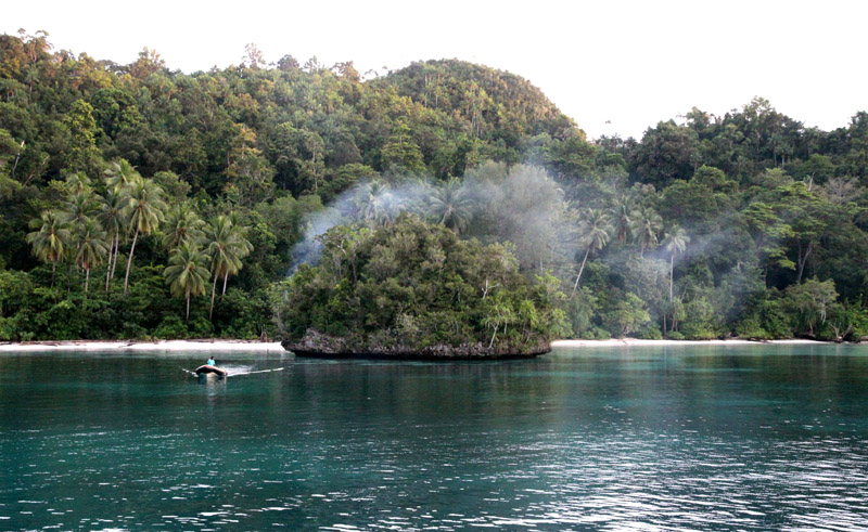
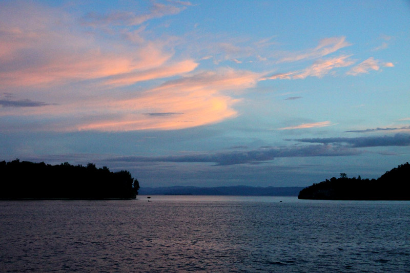
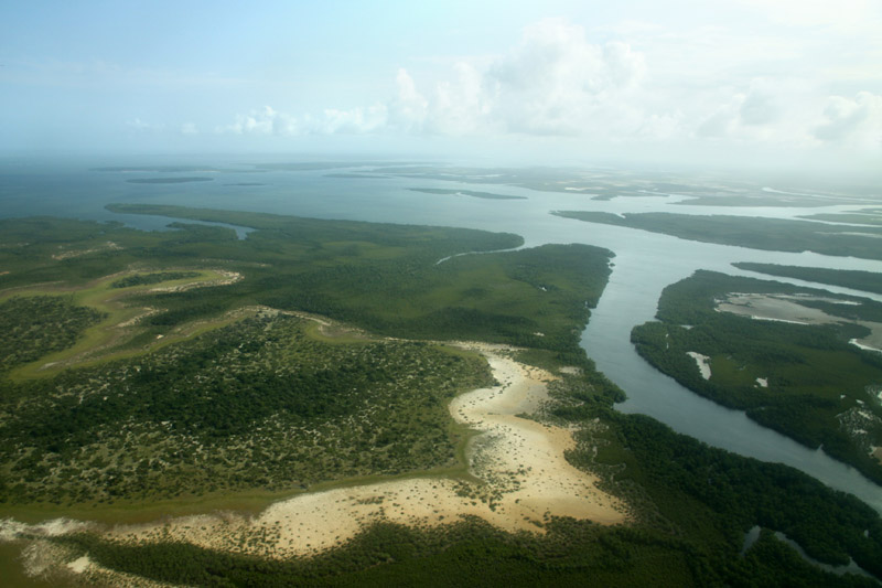
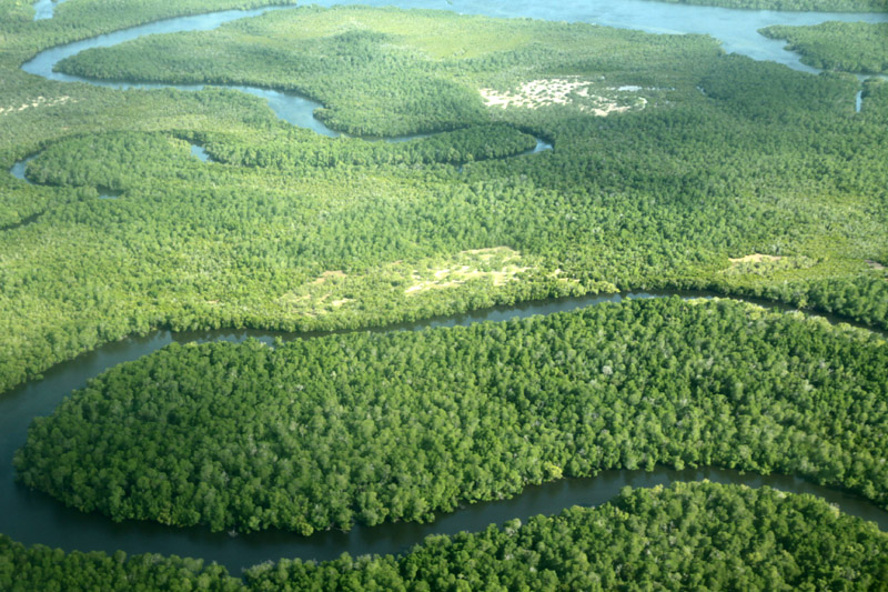
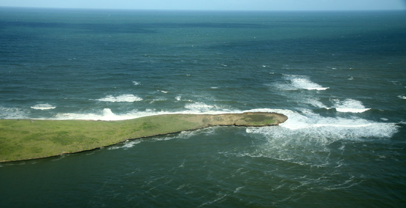
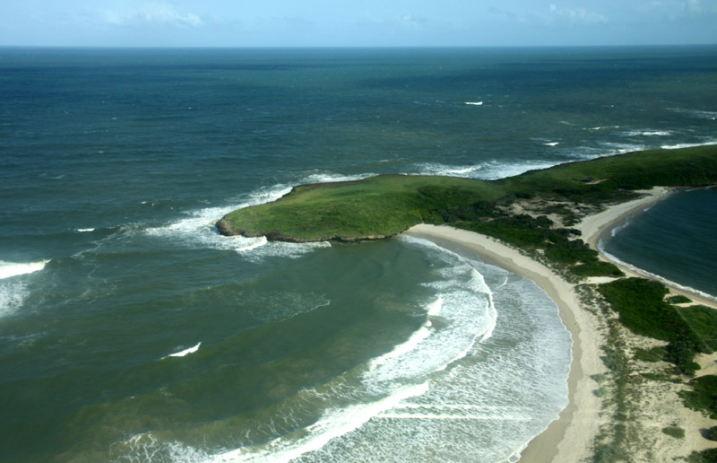
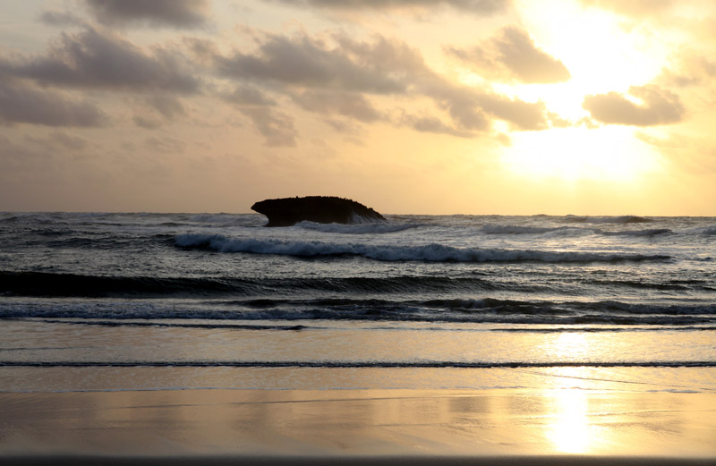
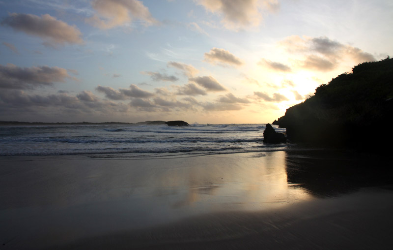
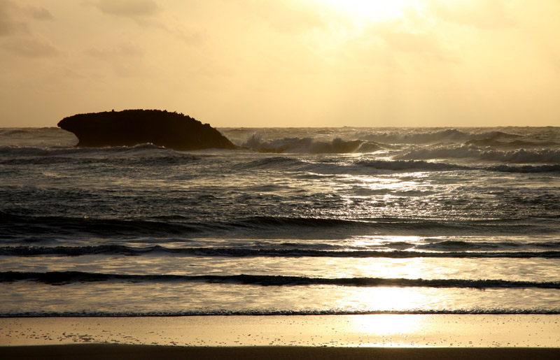
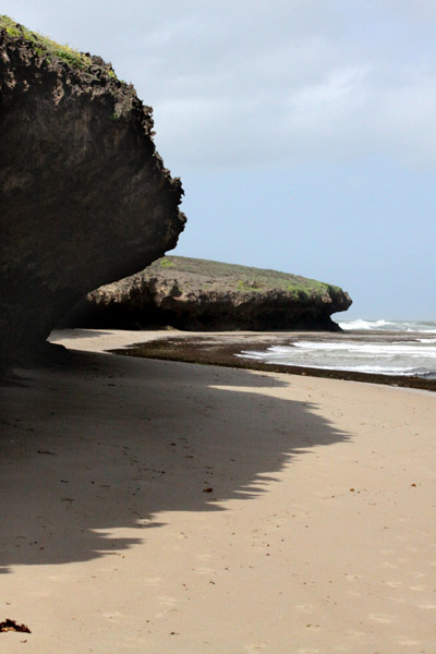
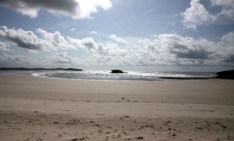
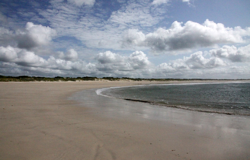
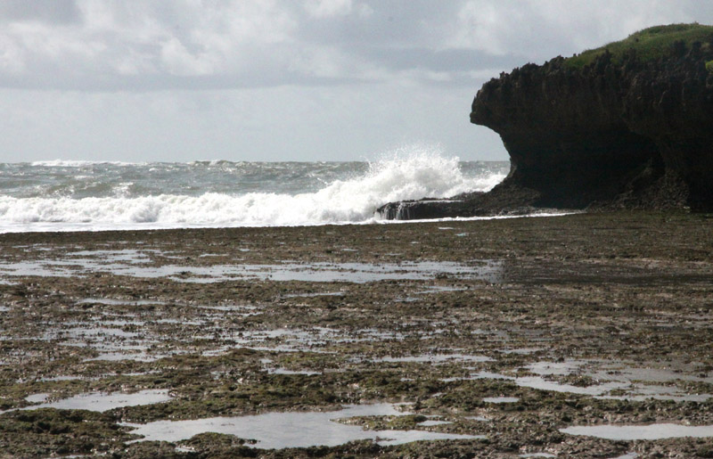
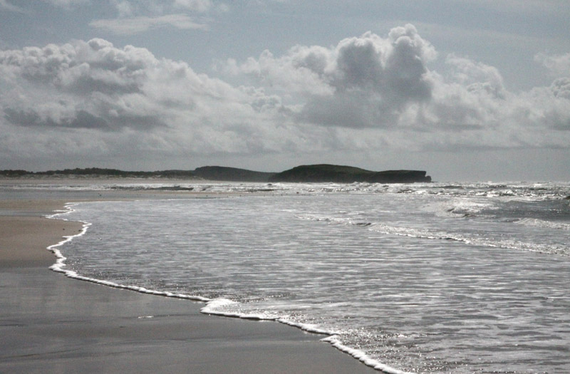
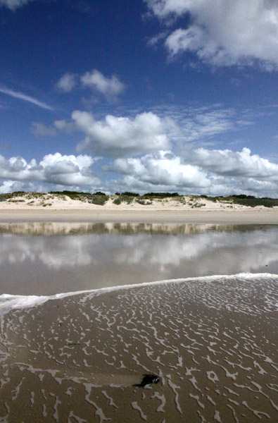
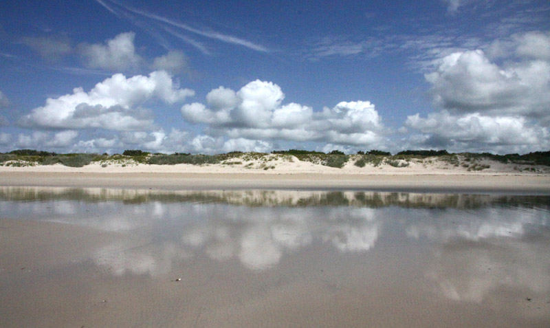
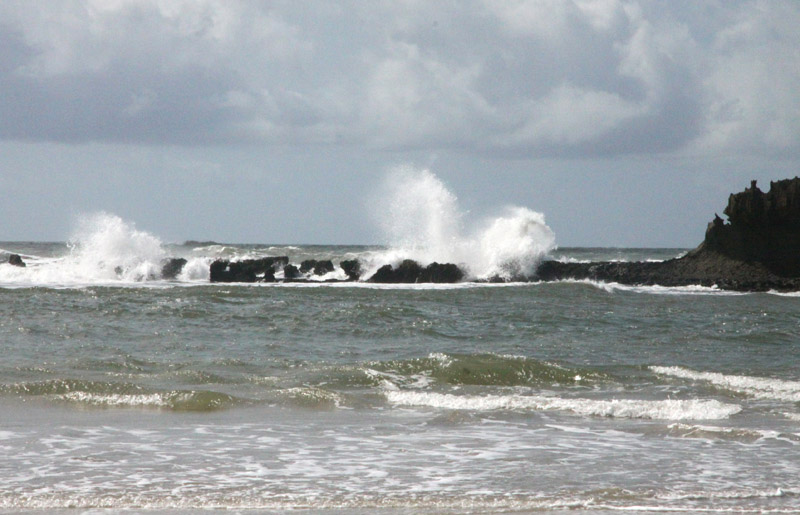
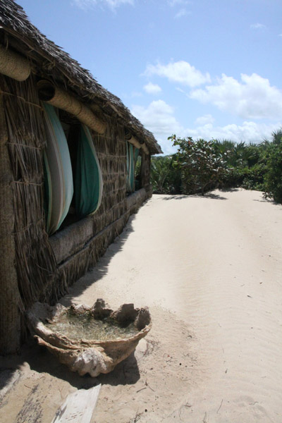
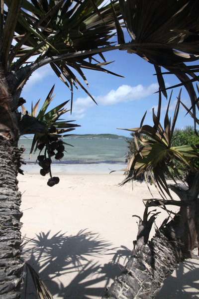
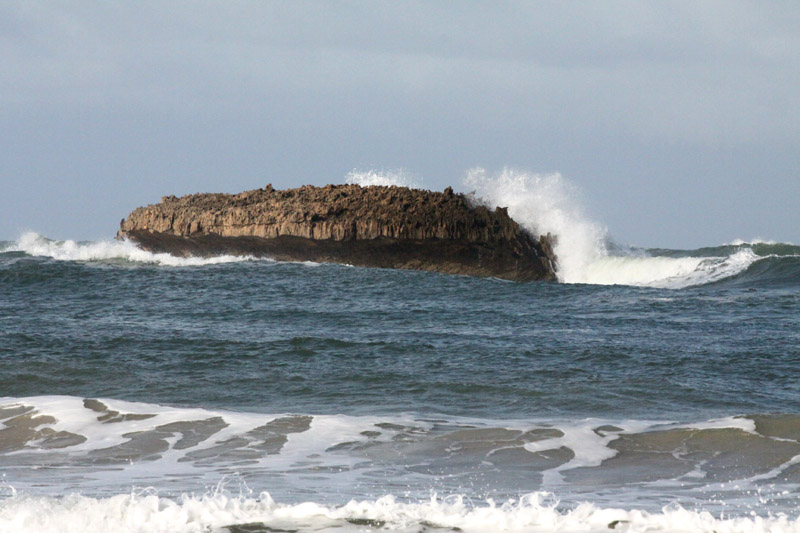
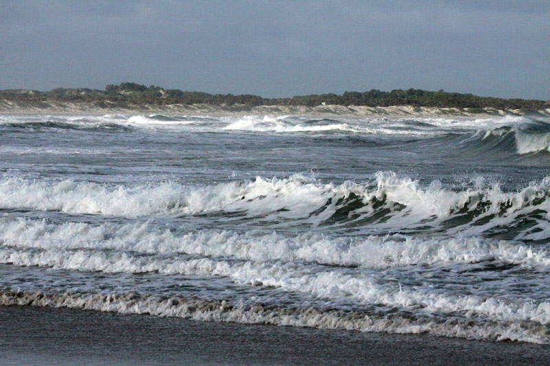
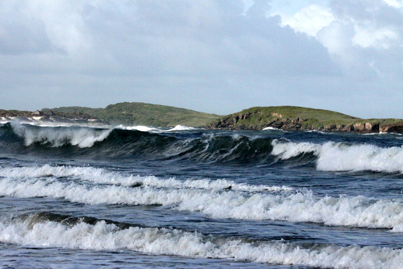
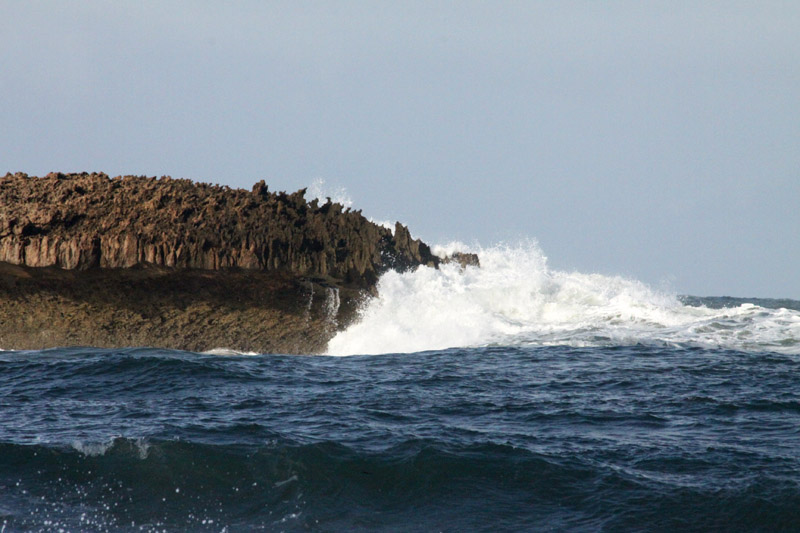
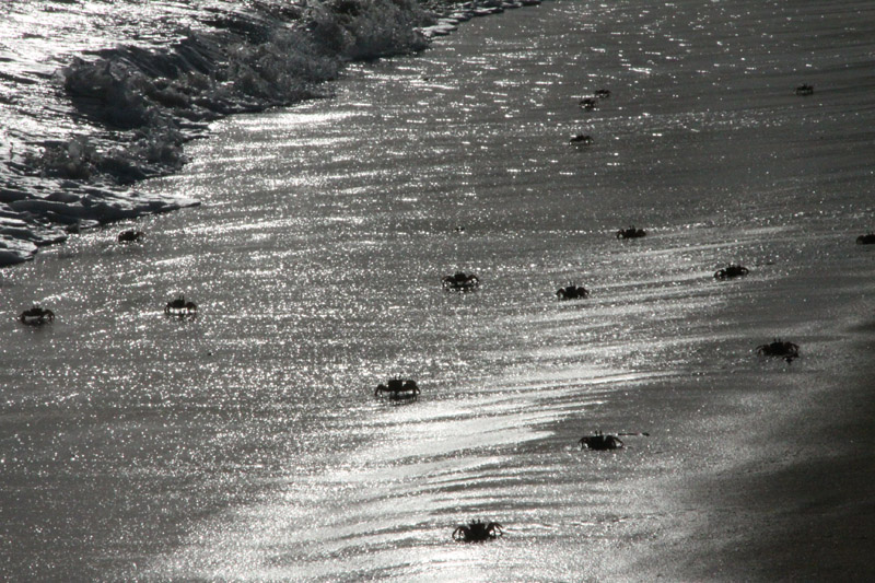
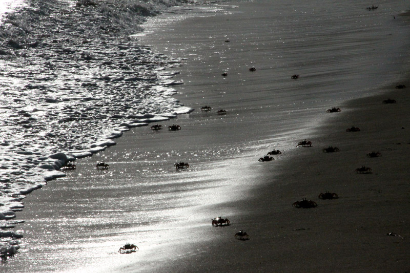
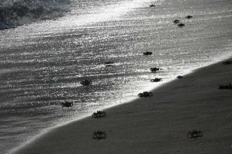
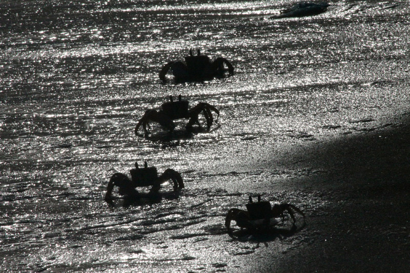
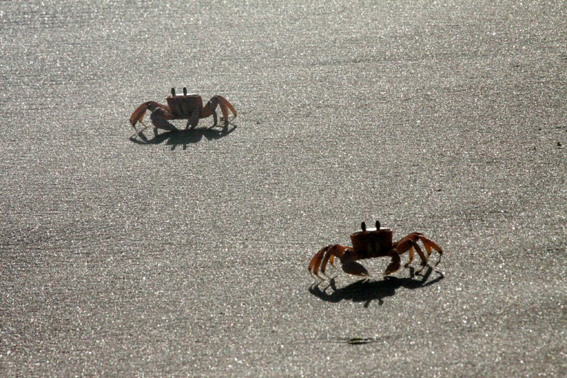
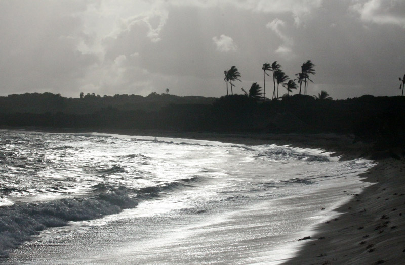
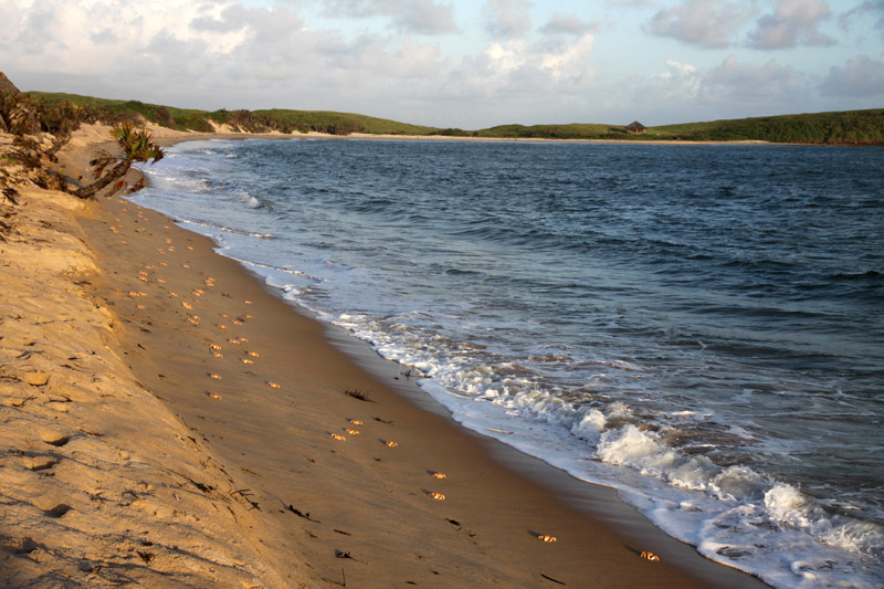
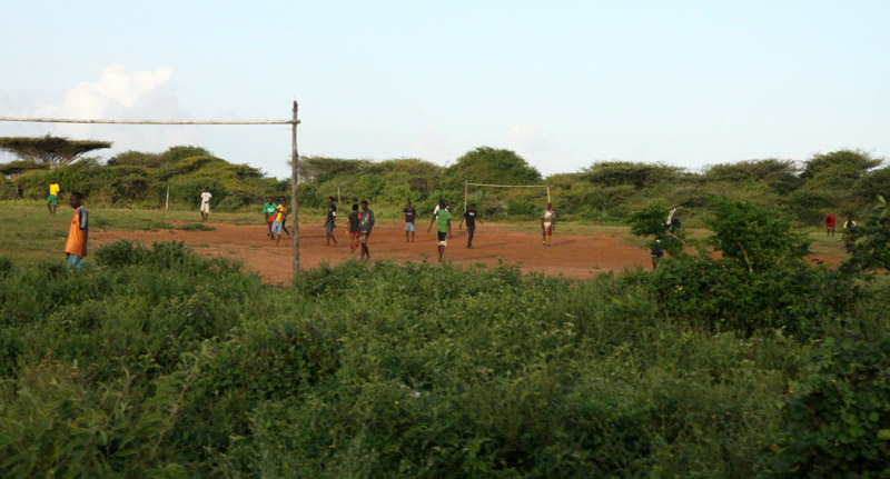
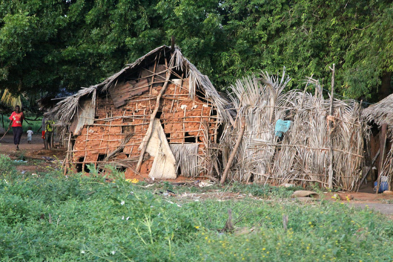
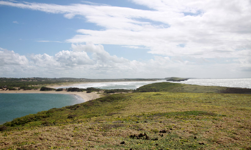
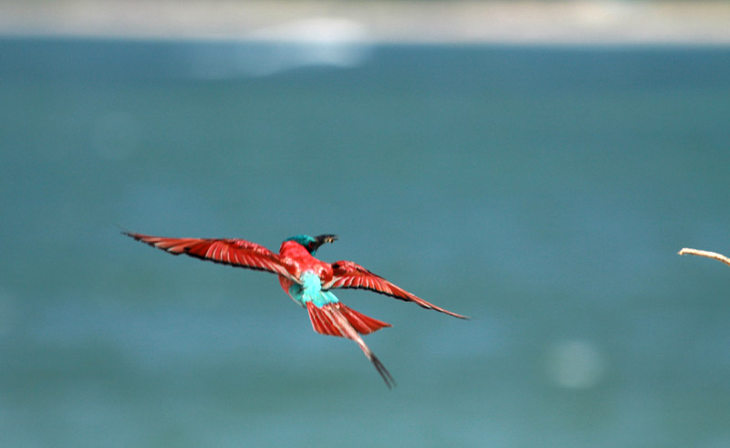
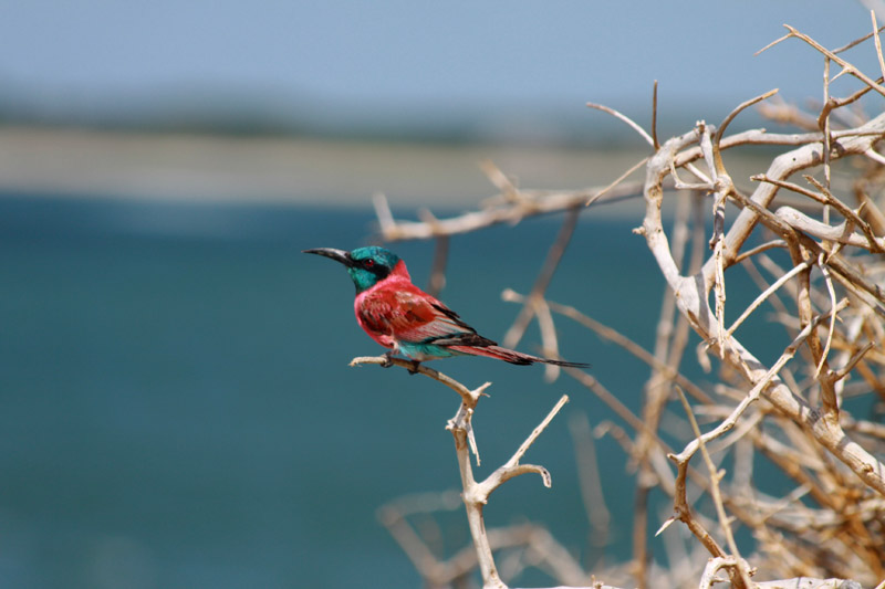
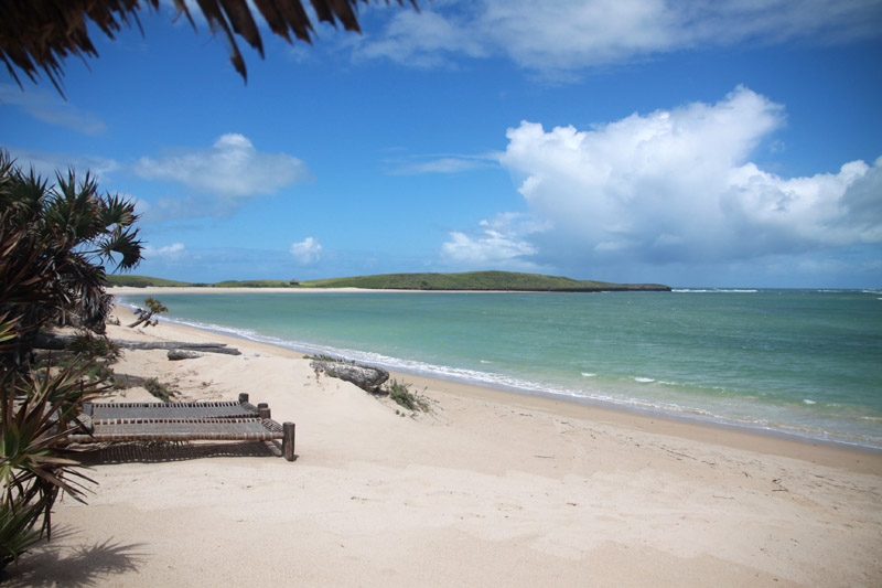
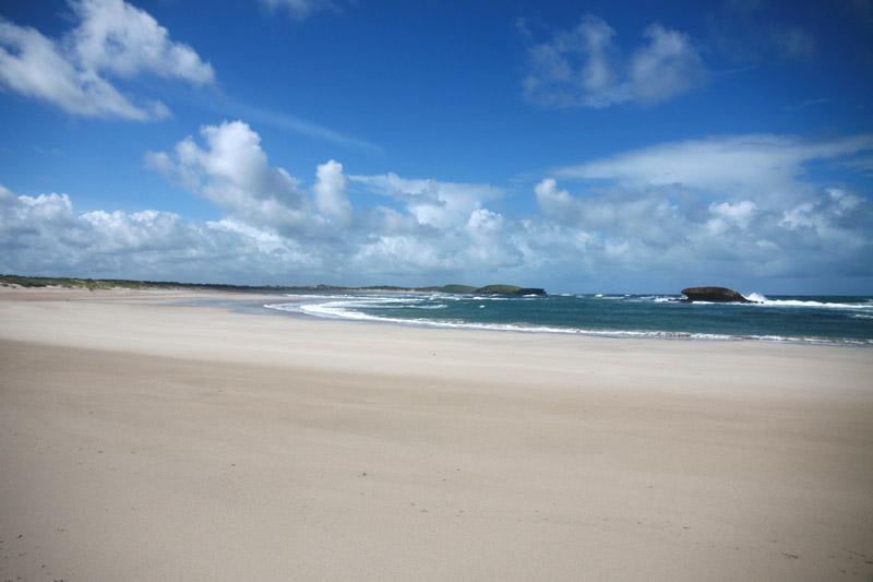
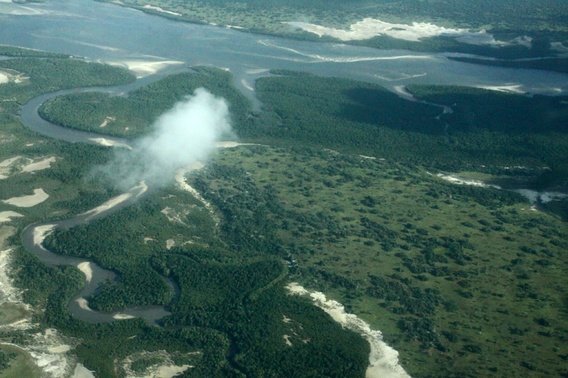
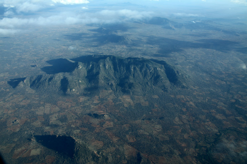
Ascension Island is an isolated volcanic island in the equatorial waters of the South Atlantic Ocean, around 1,600 kilometres (1,000 mi) from the coast of Africa and 2,250 kilometres (1,400 mi) from the coast of South America, which is roughly midway between the horn of South America and Africa. It is governed as part of the British Overseas Territory of Saint Helena, Ascension and Tristan da Cunha, of which the main island, Saint Helena, is around 1,300 kilometres (800 mi) to the southeast. The territory also includes the “remotest populated archipelago” on earth, the sparsely populated Tristan da Cunha archipelago, some thirty degrees farther south and about half the way to the Antarctic Circle.

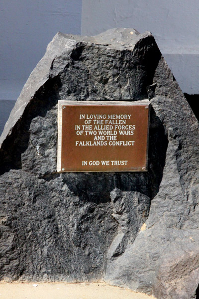
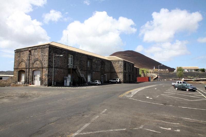
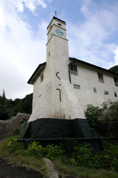
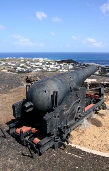
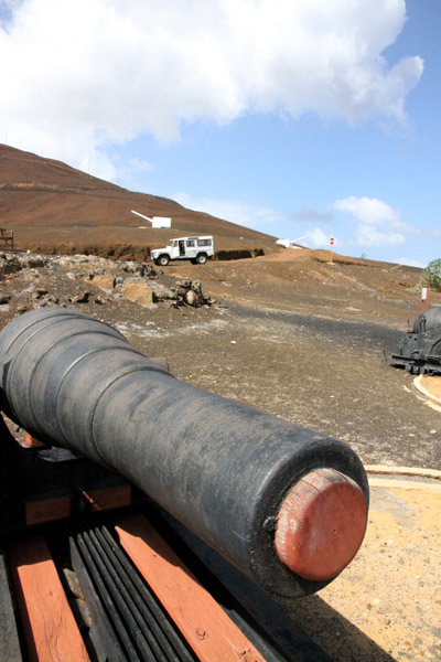
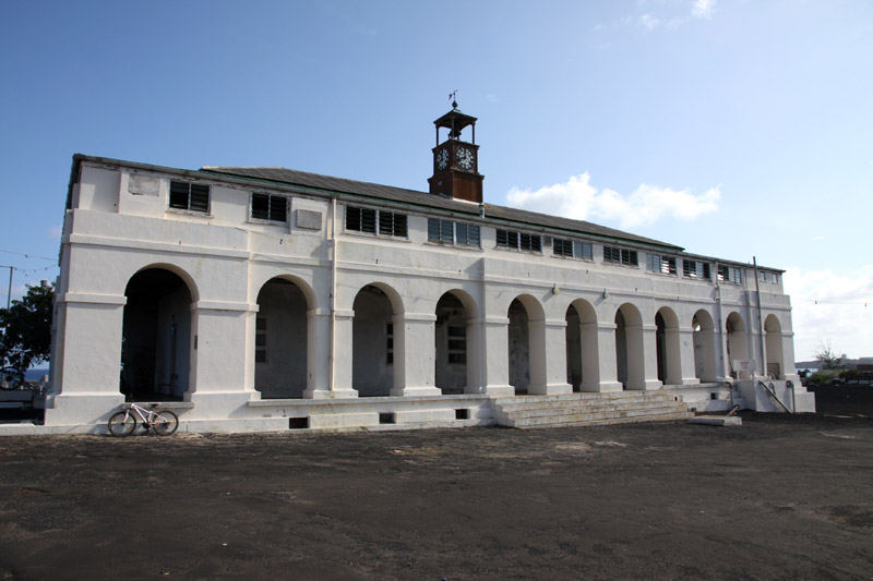
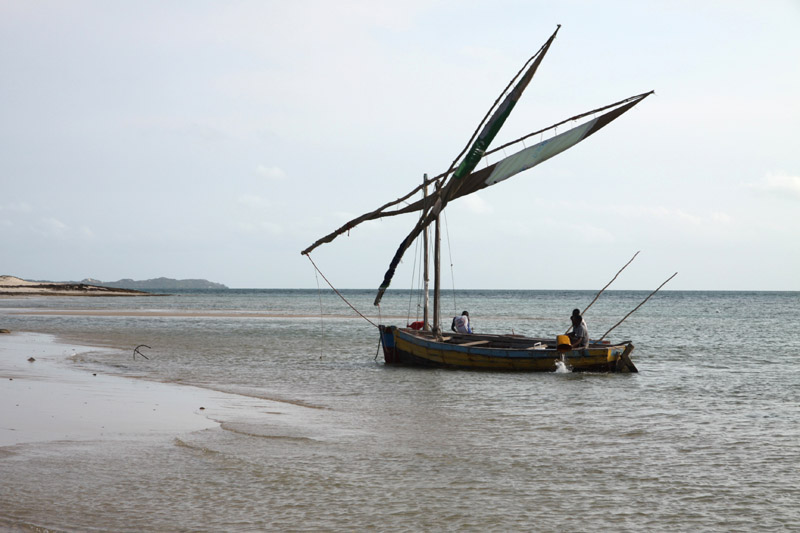
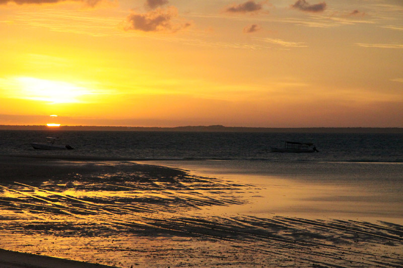
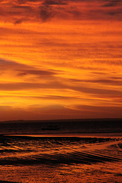
The island is named after the day of its recorded discovery, Ascension Day, and is located at 7°56′S 14°22′W, about as far south of the equator as tropical Venezuela is to its north. Historically, it has played a role as an important safe haven and coaling station to mariners and for commercial airliners during the days of international air travel by flying boats and during World War II was an important naval and air station, especially providing antisubmarine warfare bases in the Battle of the Atlantic and throughout the war. Ascension Island was garrisoned by the British Admiralty from 22 October 1815 to 1922.

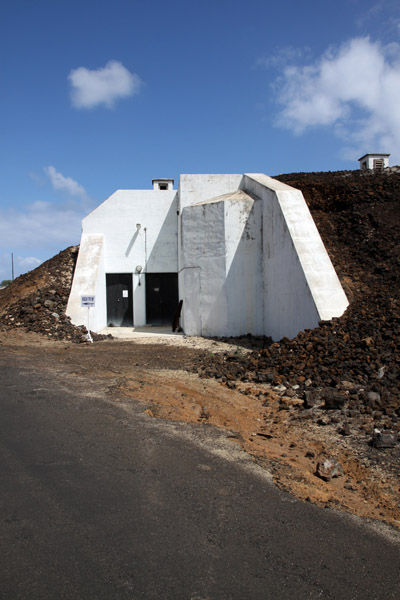
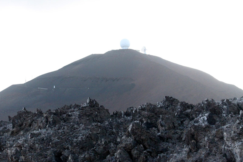
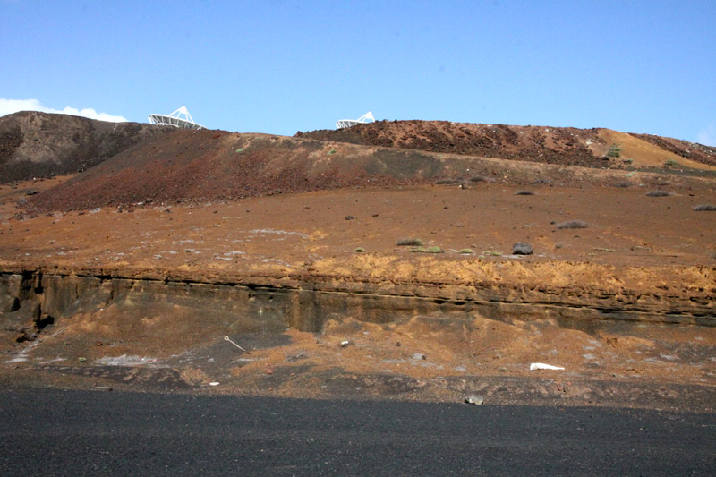
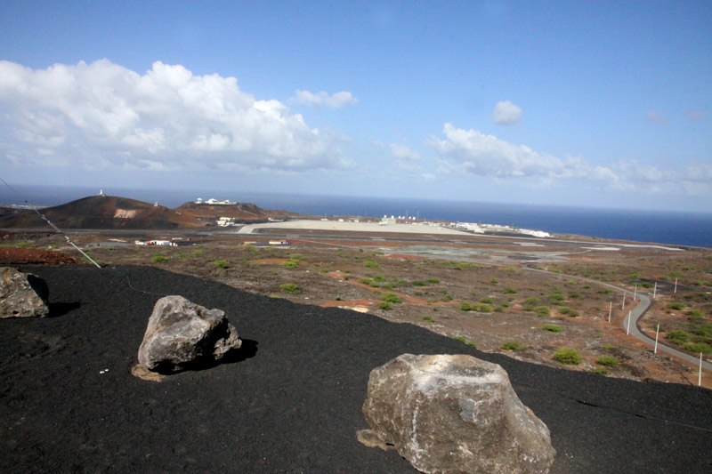
The island is the location of RAF Ascension Island, which is a Royal Air Force station with a United States Air Force presence, a European Space Agency rocket tracking station, an Anglo-American signals intelligence facility and the BBC World Service Atlantic Relay Station. The island was used extensively by the British military during the Falklands War. Ascension Island hosts one of five ground antennae (others are on Kwajalein Island, Diego Garcia, Colorado Springs and Hawaii) that assist in the operation of the Global Positioning System (GPS) navigational system.

Source: Wikipedia (under GNU Free Documentation License)

Categories
Bazaruto Archipelago Mozambique

Benguerra Island

Benguerra Island in Mozambique is the second largest island in the Bazaruto Archipelago, which broke away from the mainland thousands of years ago. The island is approximately 55 square kilometers (11 km long x 5.5 km wide), and lies 14km offshore. It is famous for its unspoiled white beaches, remarkable dive sites, excellent horse riding and incredible fishing.

Benguerra Island comprises forest, savannah, freshwater lakes and wetland eco-systems that sustain a diverse population of fauna and flora. Fresh water crocodiles can be found in the three lakes, bearing testimony to the island’s mainland past. The island, which is home to approximately 140 bird species, was declared a National Park in 1971.

Source: Wikipedia (under GNU Free Documentation License)

Categories
Indonesia West Papua

Raja Ampat Islands I

Located off the northwest tip of Bird’s Head Peninsula on the island of New Guinea, in Indonesia’s West Papua province, Raja Ampat, or the Four Kings, is an archipelago comprising over 1,500 small islands, cays and shoals surrounding the four main islands of Misool, Salawati, Batanta and Waigeo, and the smaller island of Kofiau. It encompasses more than 40,000 km² of land and sea, which also contains Cenderawasih Bay, the largest marine national park in Indonesia. It is a part of the newly named West Papua (province) of Indonesia which was formerly Irian Jaya. The islands are the most northern pieces of land in the Australian continent.

According to Conservation International, marine surveys suggest that the marine life diversity in the Raja Ampat area is the highest recorded on Earth. Diversity is considerably greater than any other area sampled in the Coral Triangle composed of Indonesia, Philippines and Papua New Guinea. The Coral Triangle is the heart of the world’s coral reef biodiversity, making Raja Ampat quite possibly the richest coral reef ecosystems in the world.

The area’s massive coral colonies along with relatively high sea surface temperatures, also suggest that its reefs may be relatively resistant to threats like coral bleaching and coral disease, which now jeopardize the survival of other coral ecosystems around the world. The Raja Ampat islands are remote and relatively undisturbed by humans.

Source: Wikipedia (under GNU Free Documentation License)

Categories
Kenya

Kiwayu

I came up with the idea of a journey to Kiwayu right after I came back from Lamu this year in March. I was amazed by this archipelago and I felt I needed to go back. I can describe Kiwayu as a place where a lovely wind still blows (it is important because the huts do not have any doors or windows and they are air-conditioned in a natural way), and you can meet thousands of red crabs on the beach.

It is a tremendous place where very friendly and helpful owners of Kivayu Safari Village live.