Categories
New Caledonia

Isle of Pines

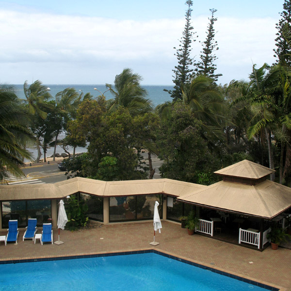
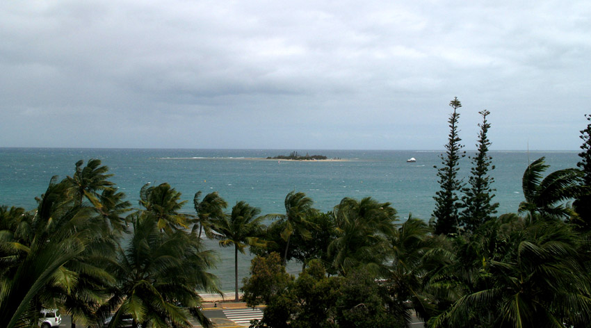
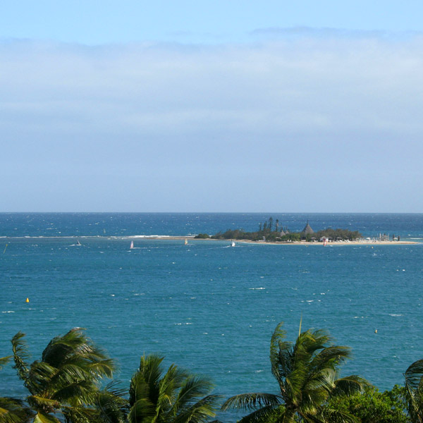
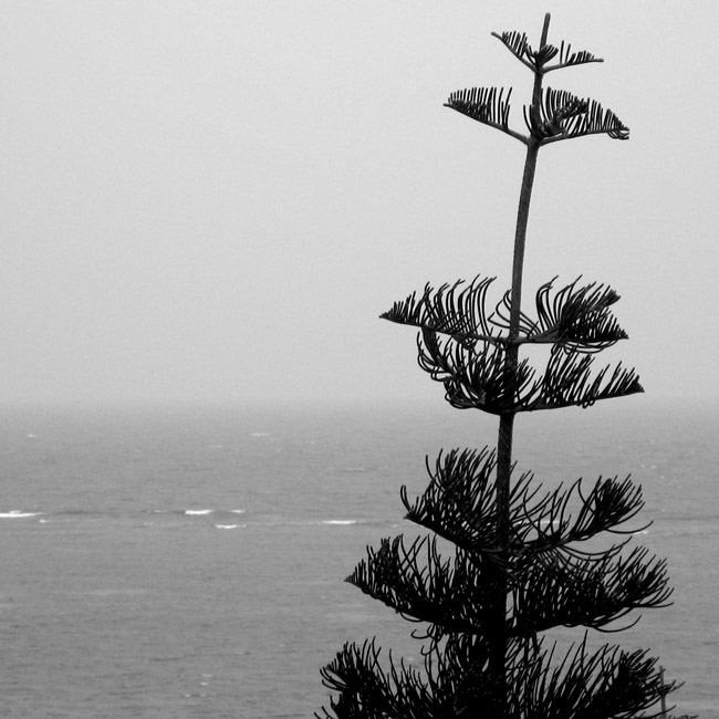
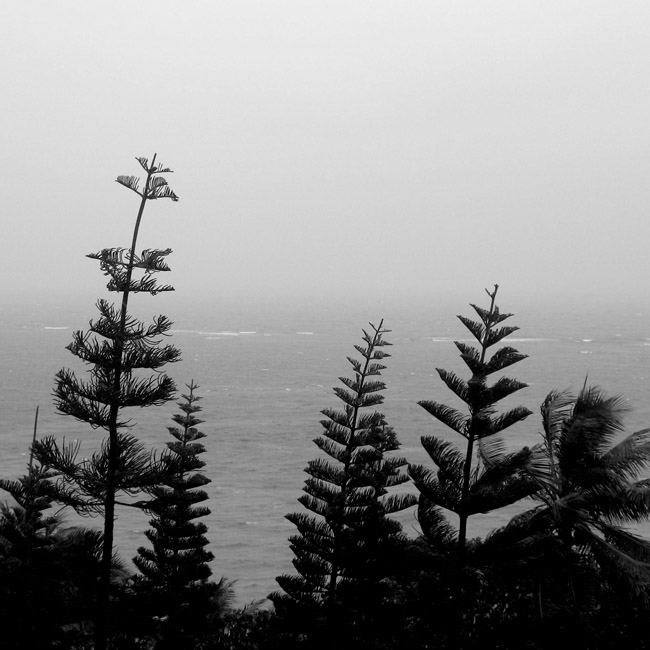
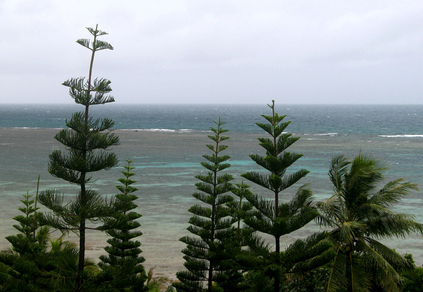
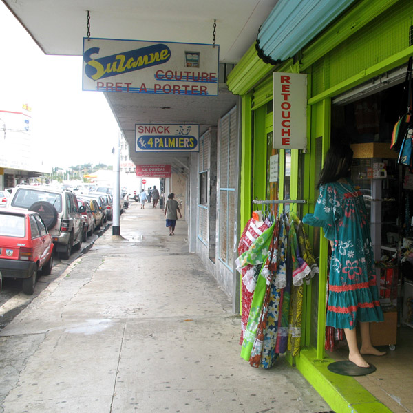
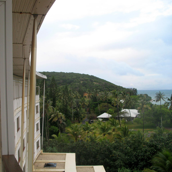
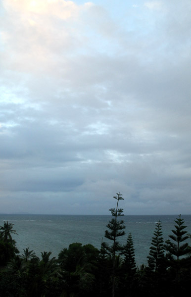
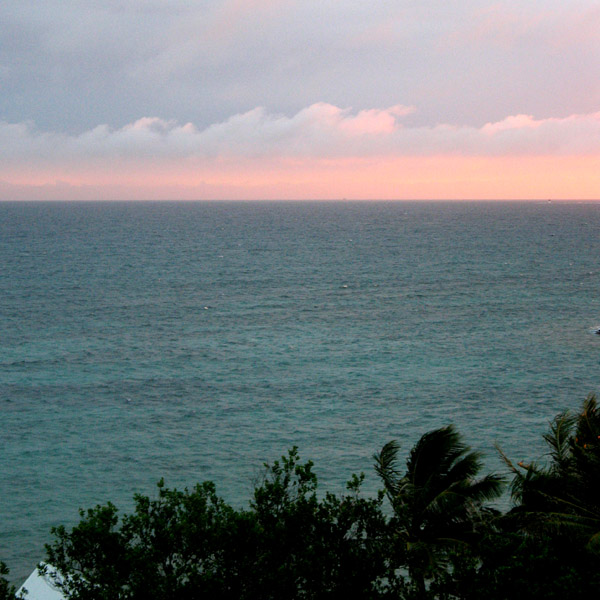
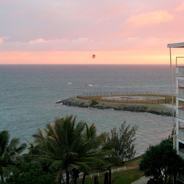
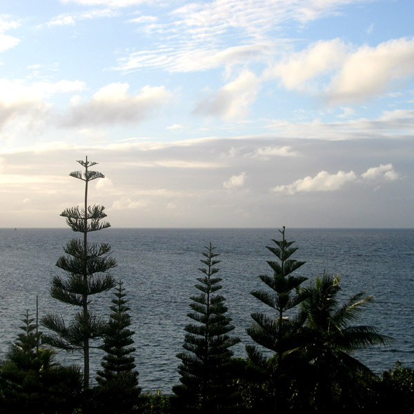
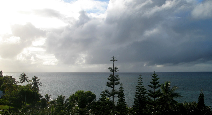
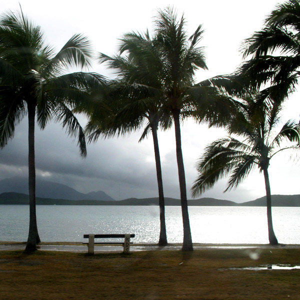
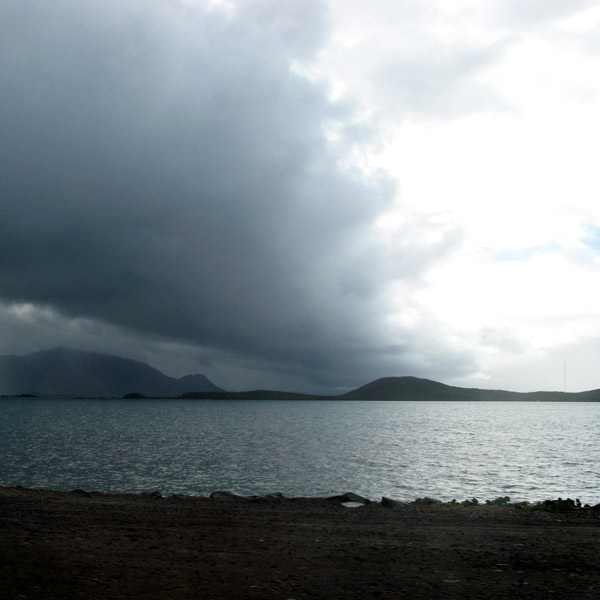
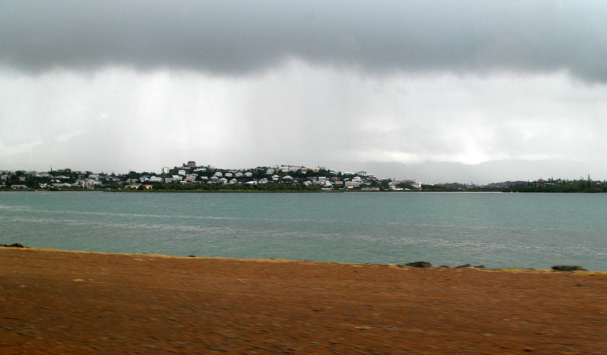
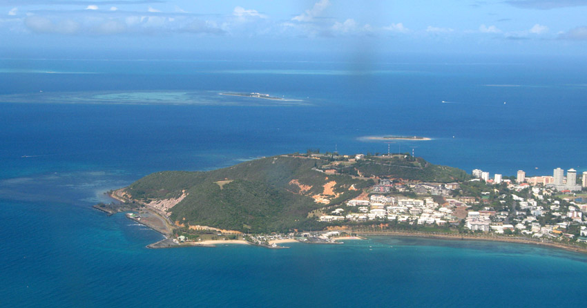
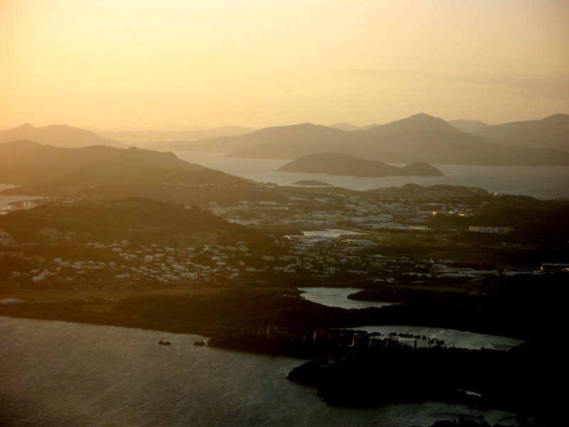
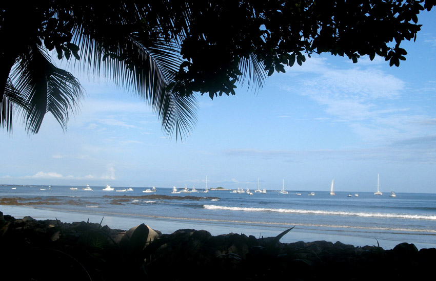
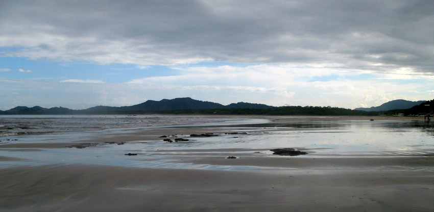
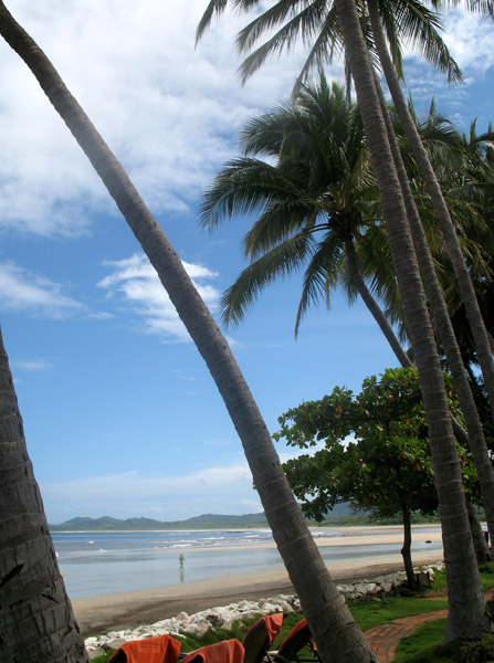
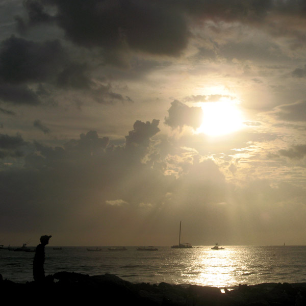
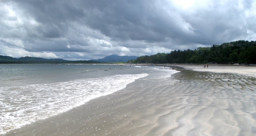
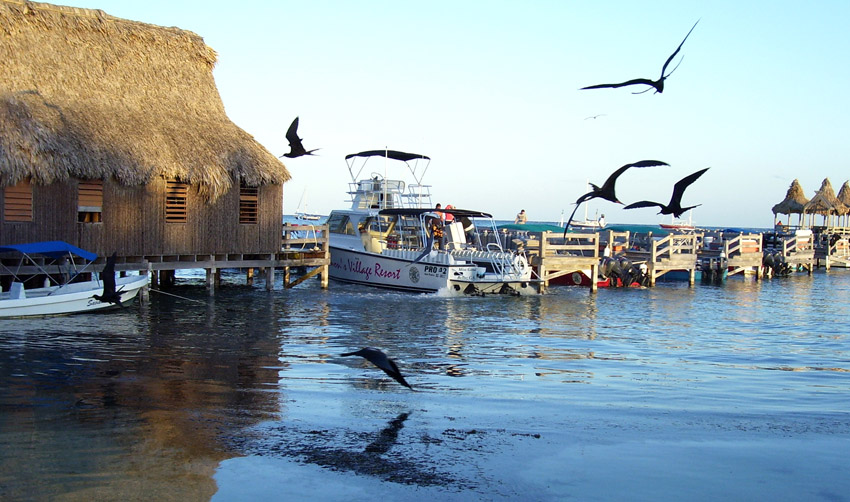
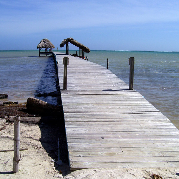
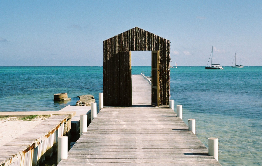
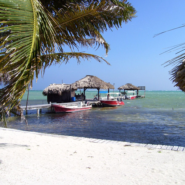
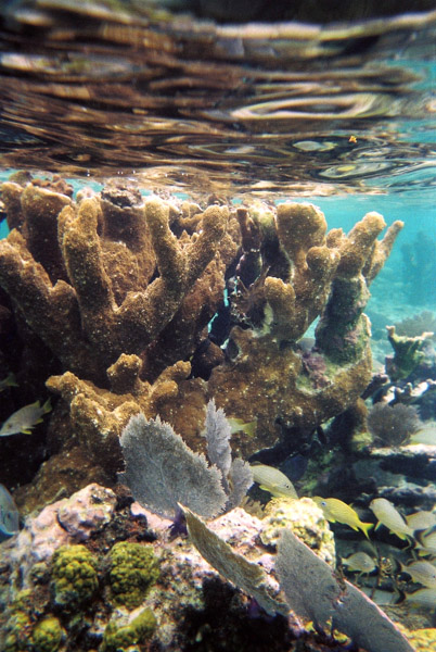
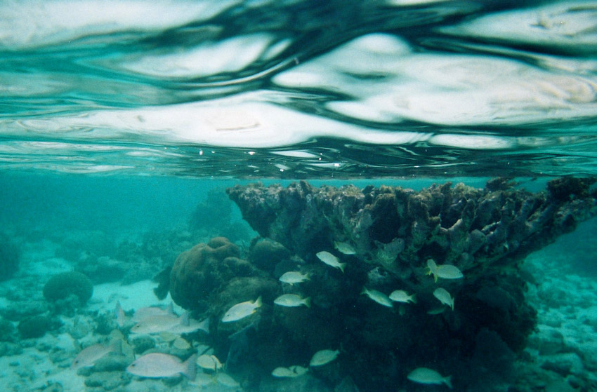
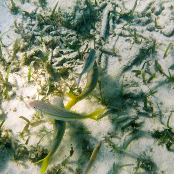
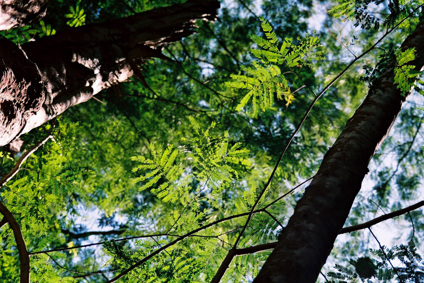
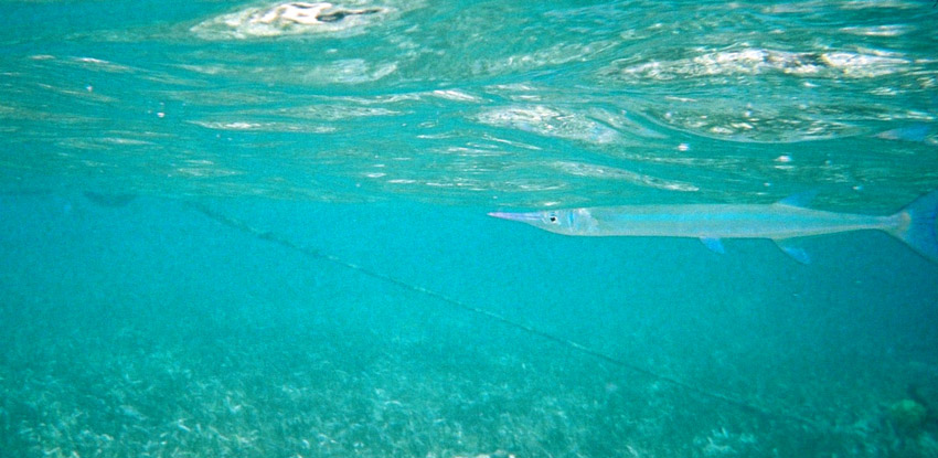
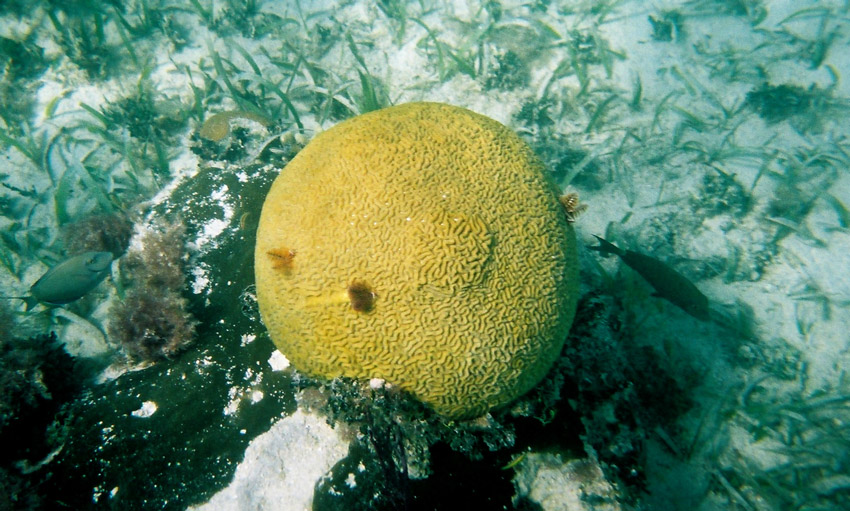
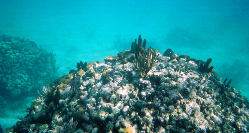
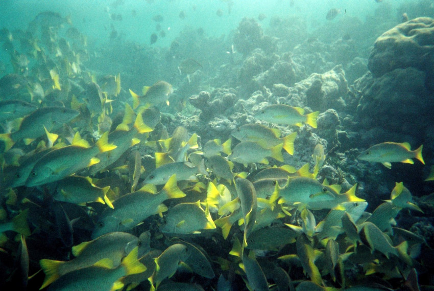
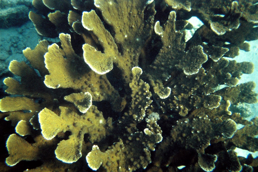
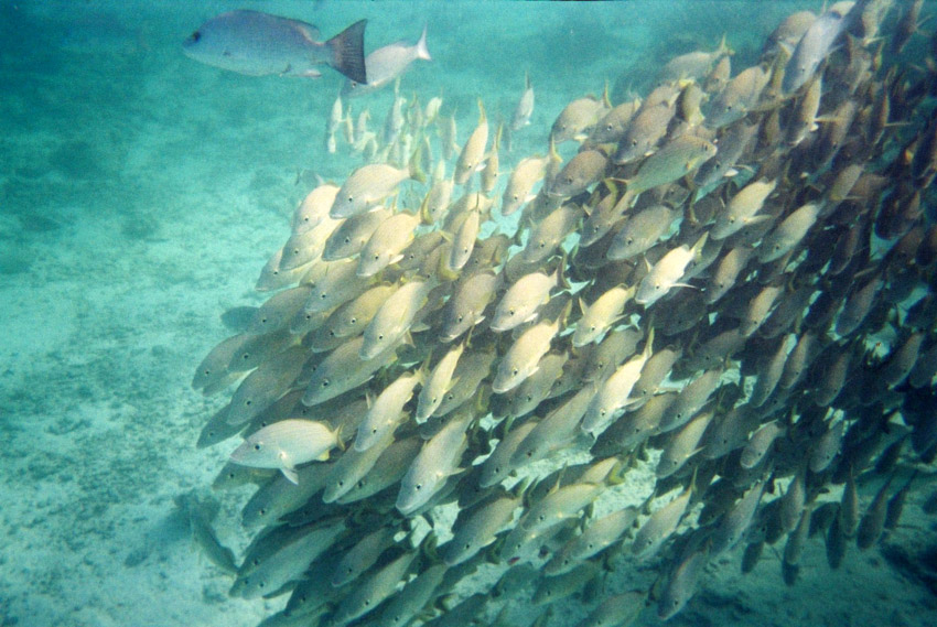
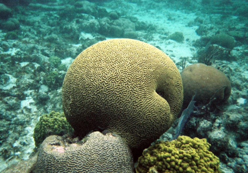
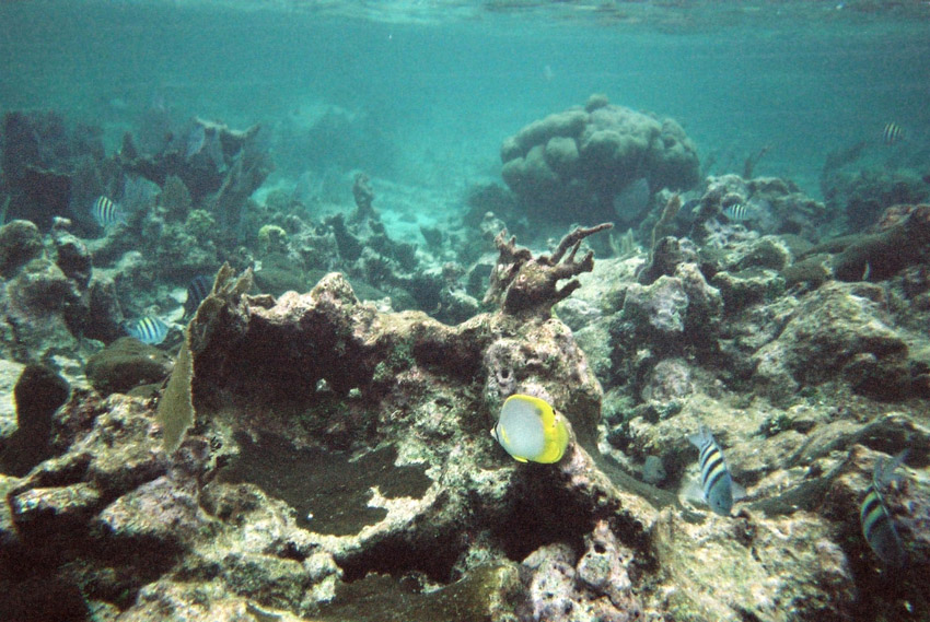
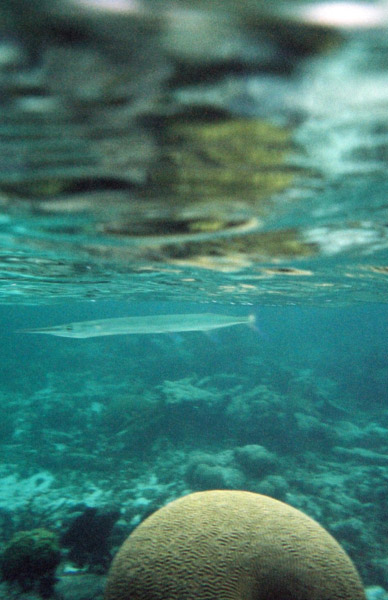
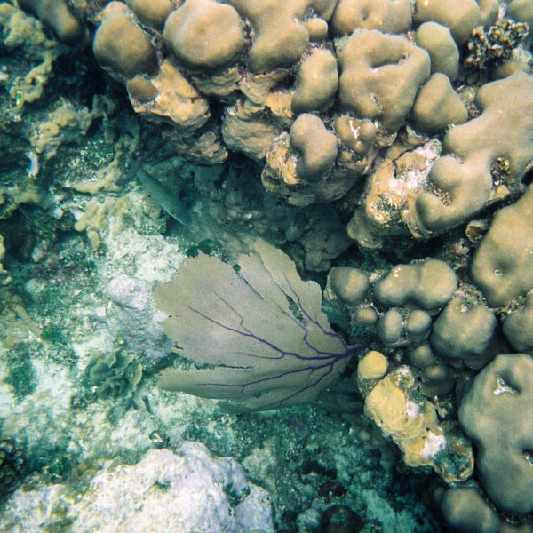
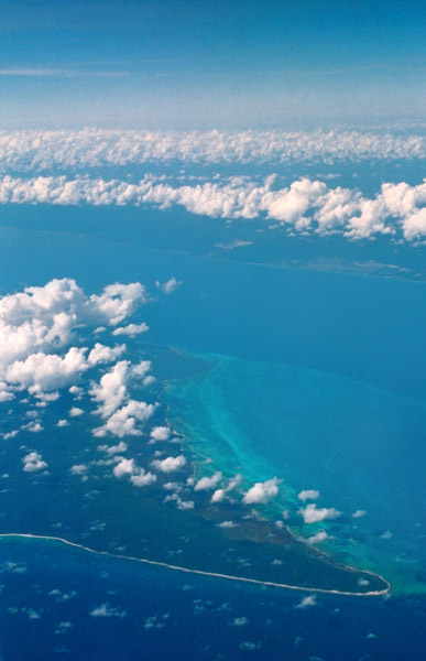
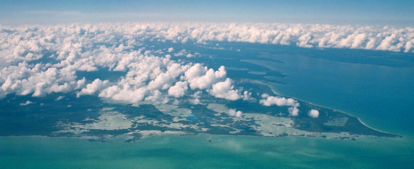
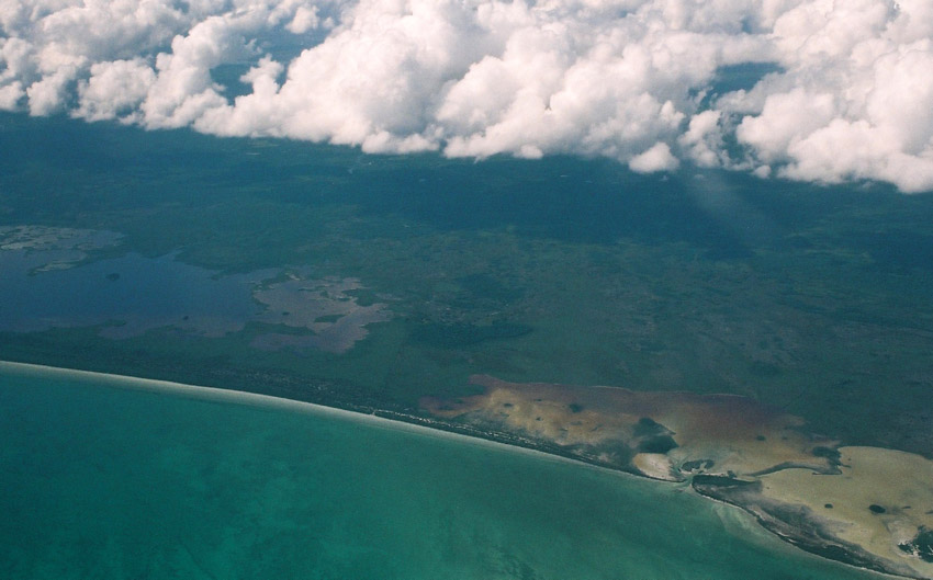
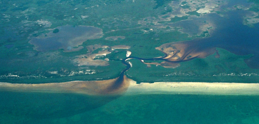
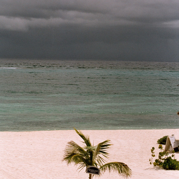
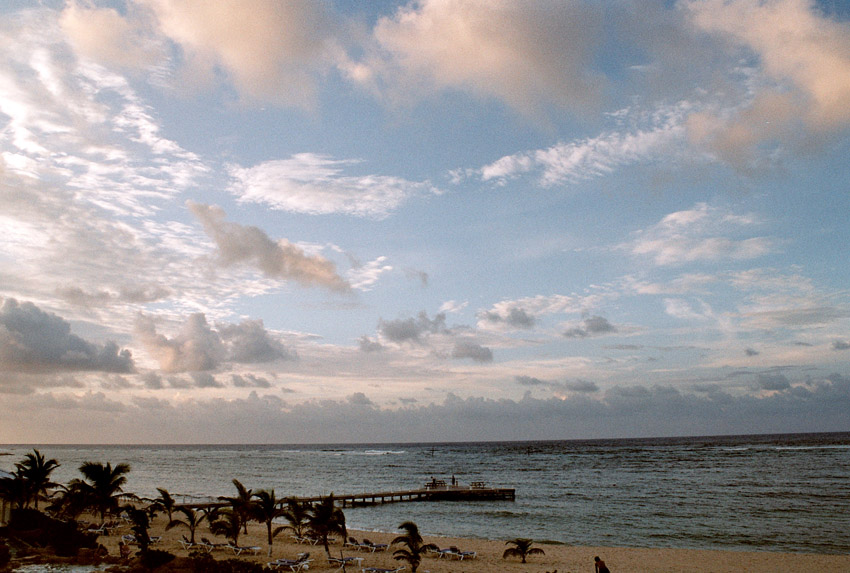
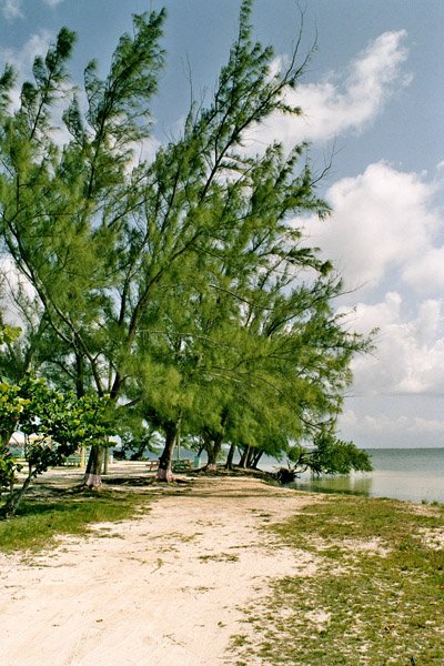
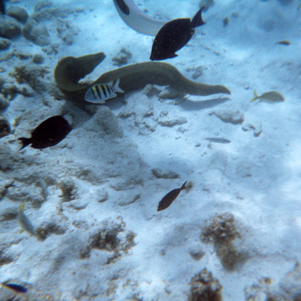
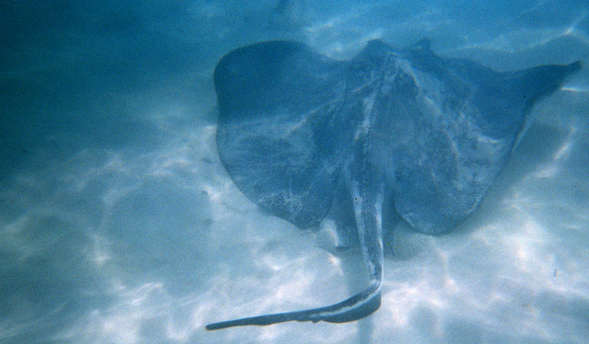
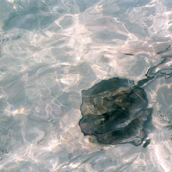
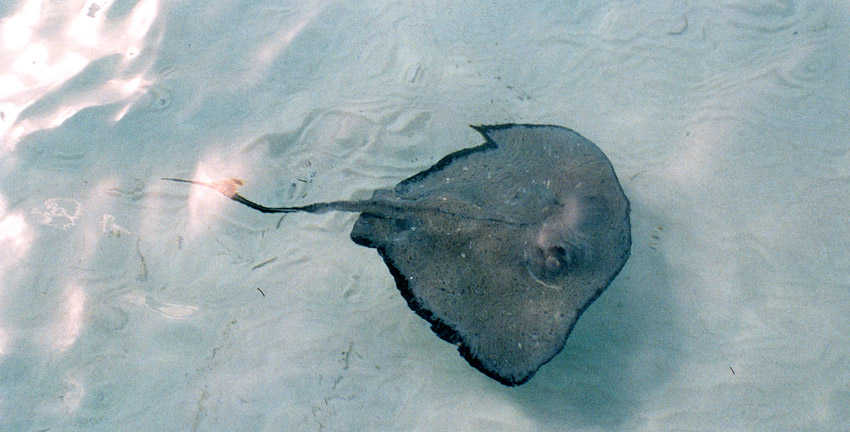
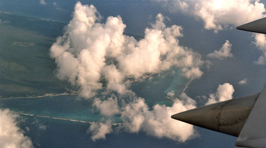
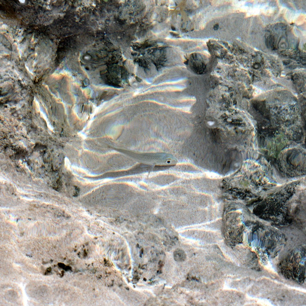
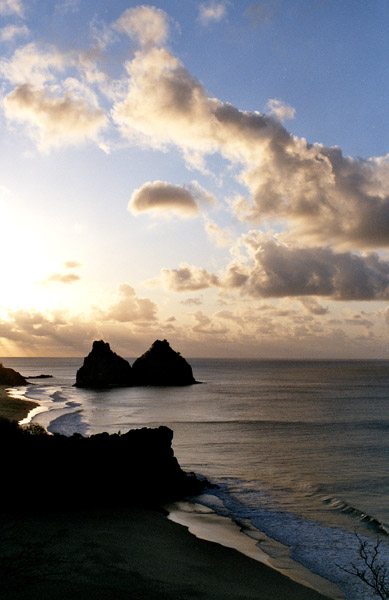
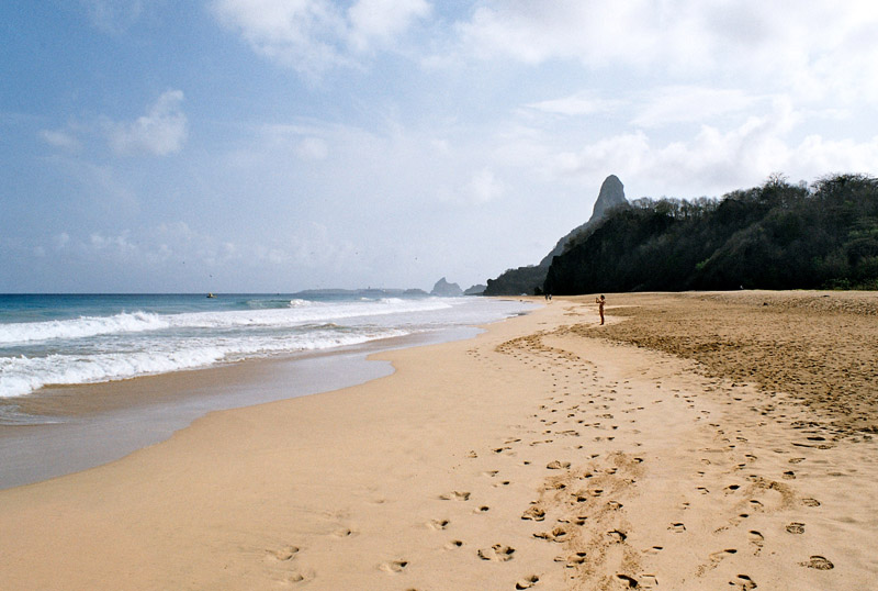
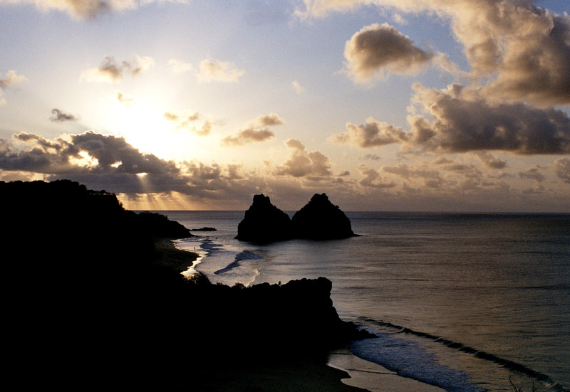
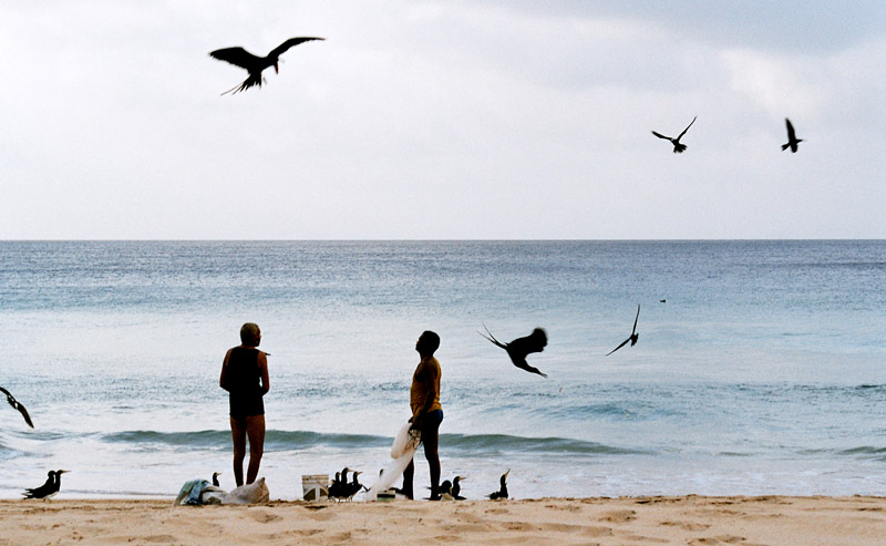
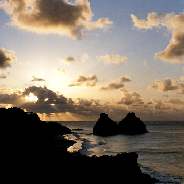
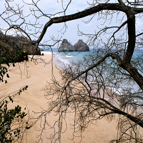
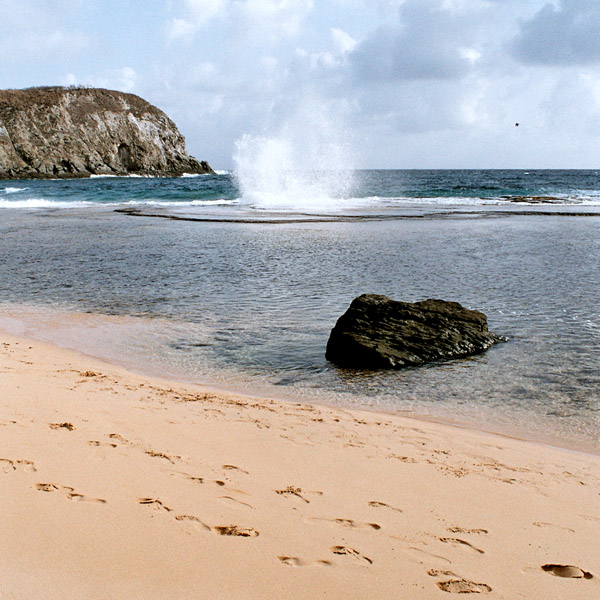
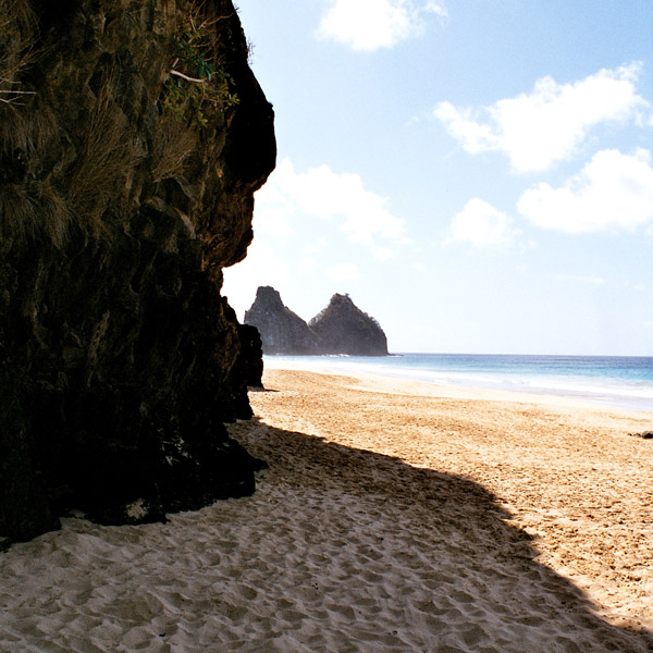
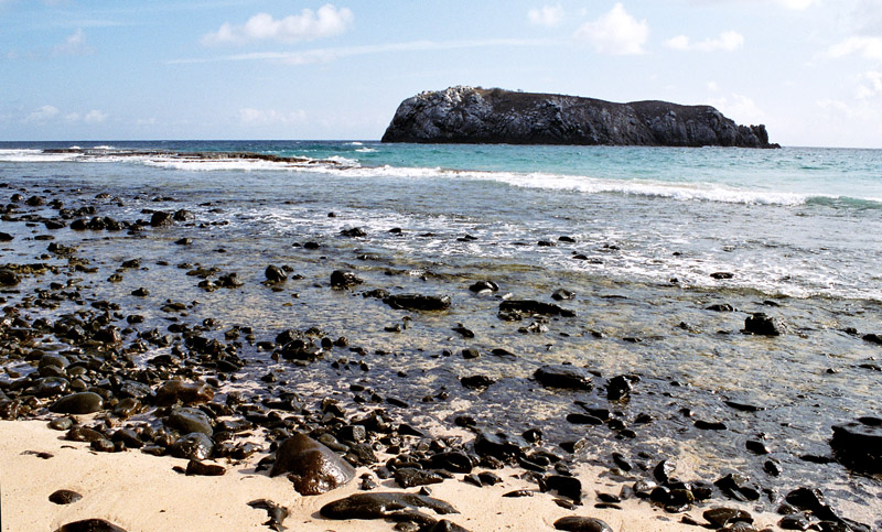
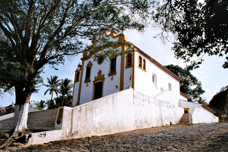
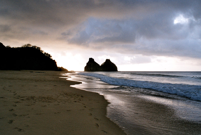
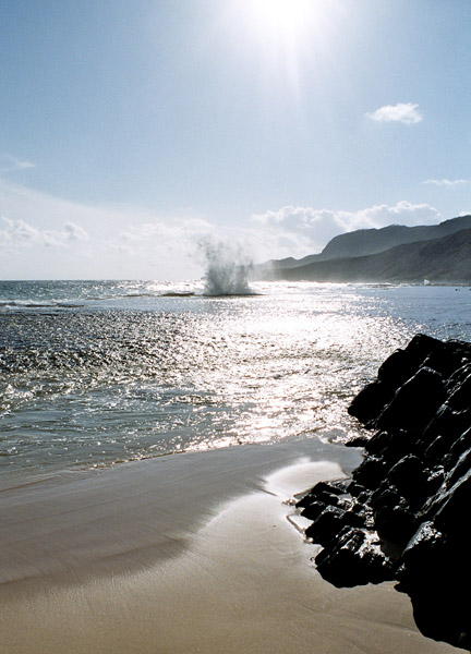
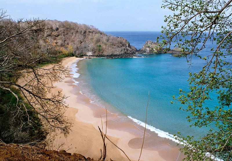
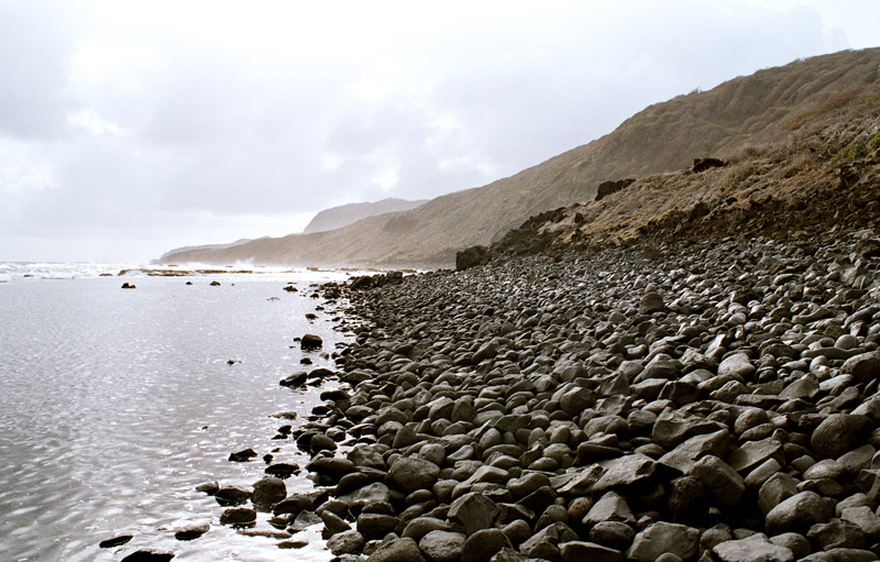
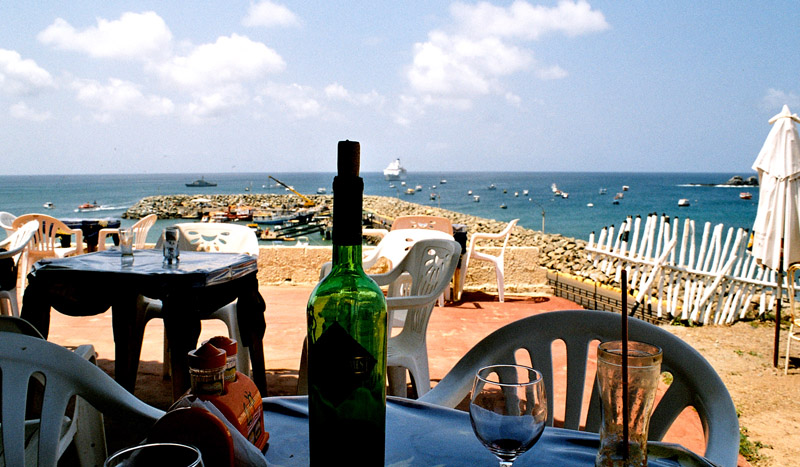
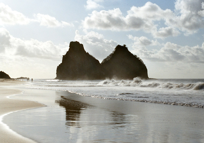
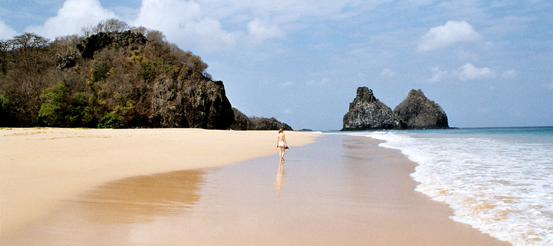
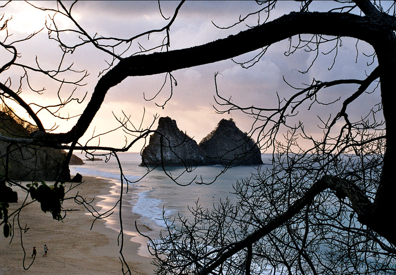
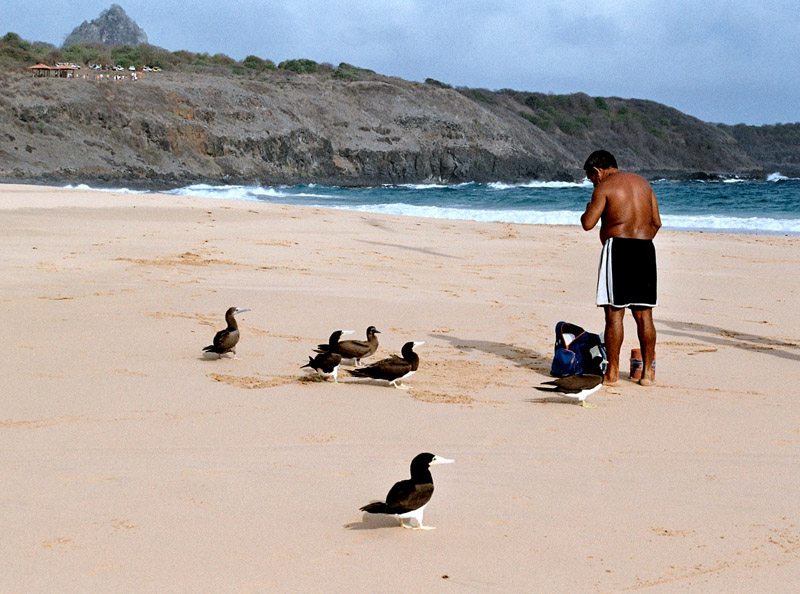
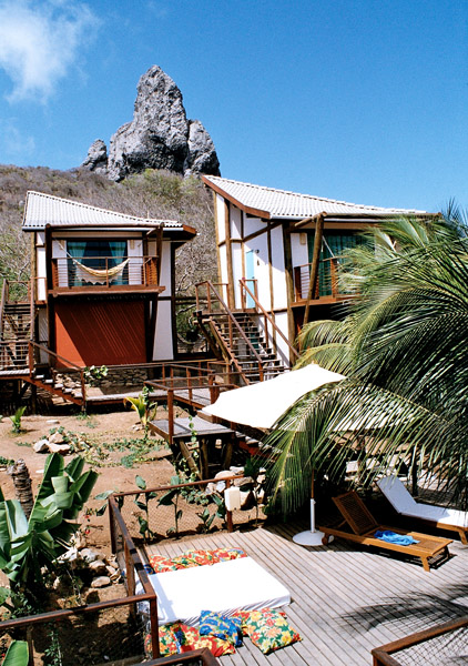
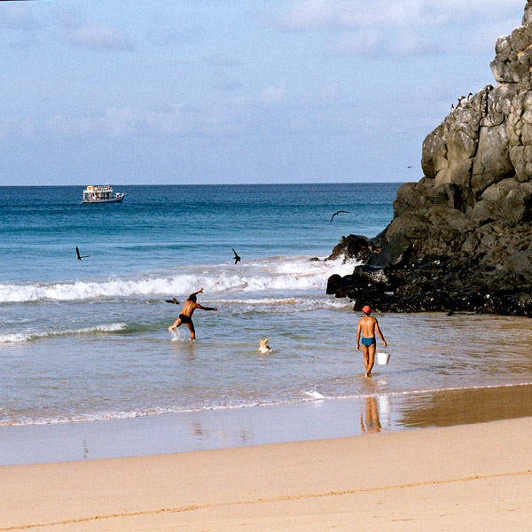
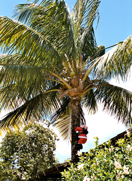
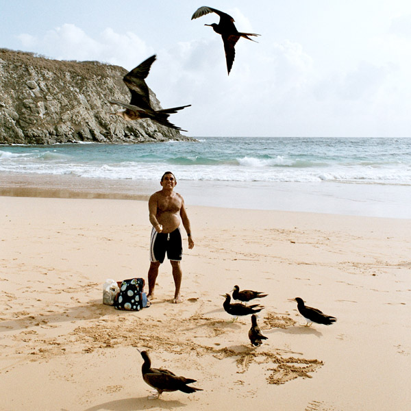
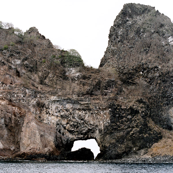
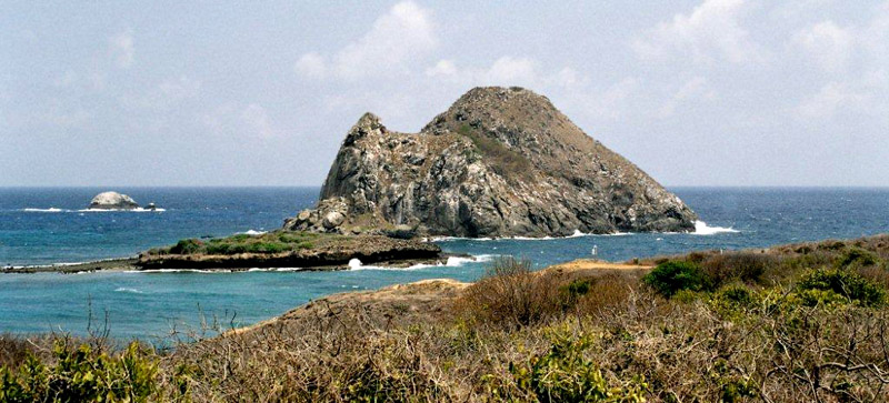
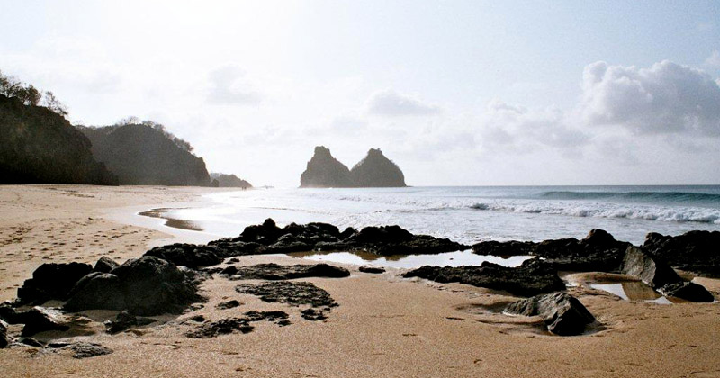
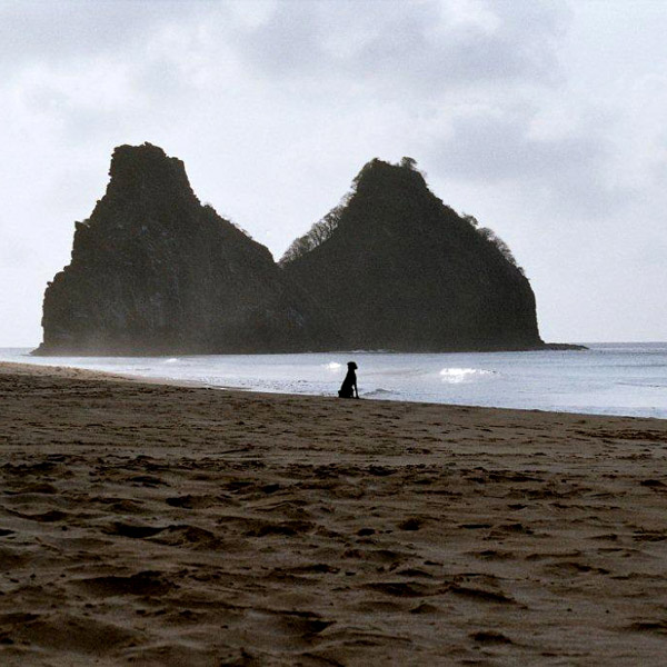
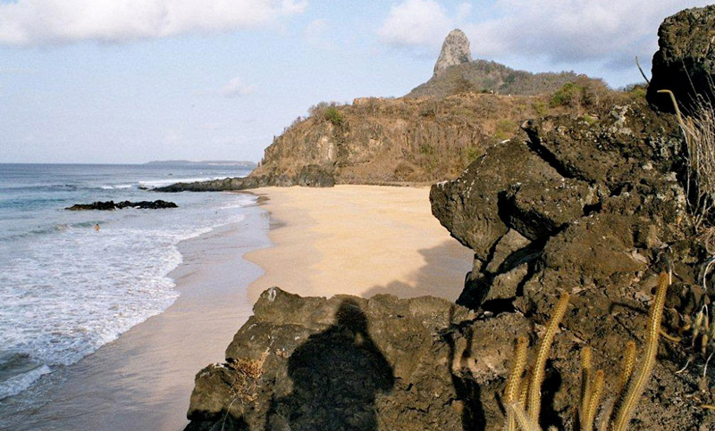
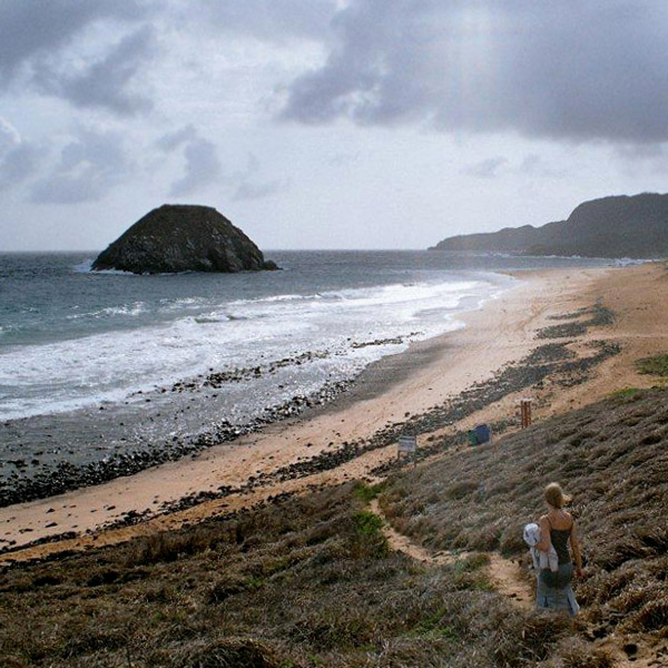
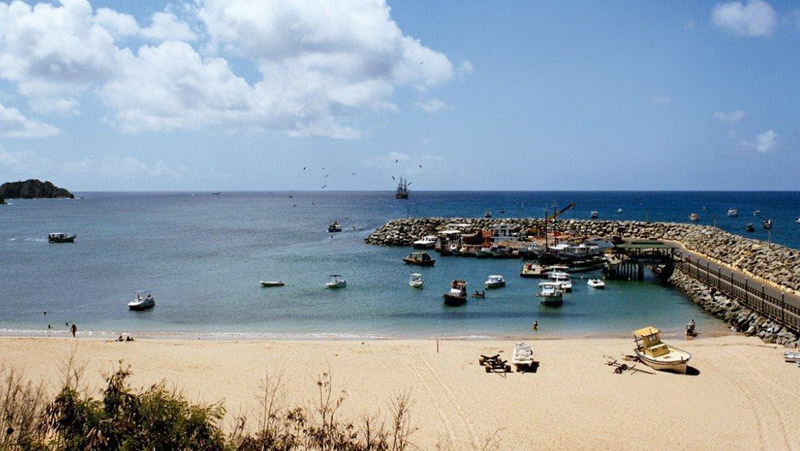
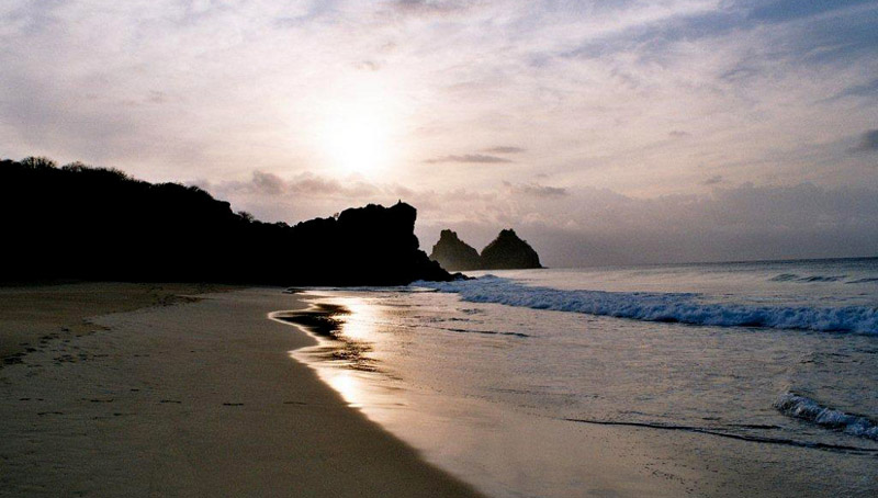
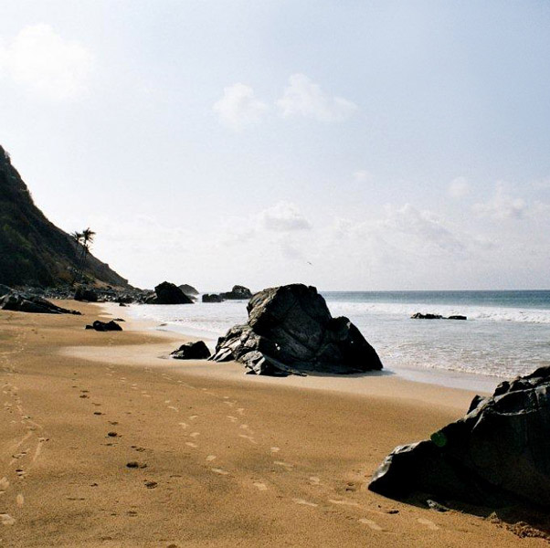
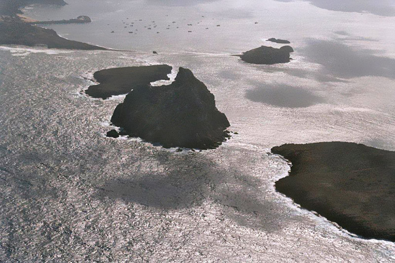
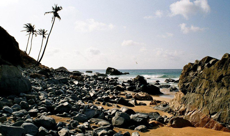
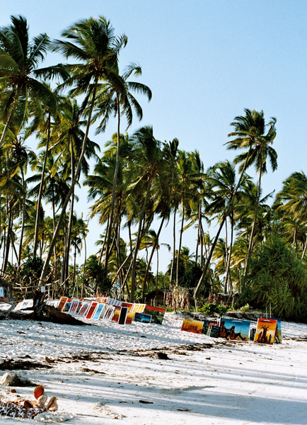
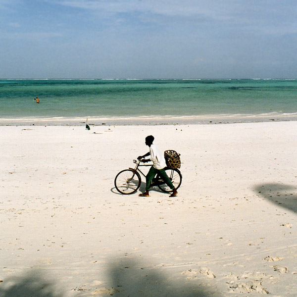
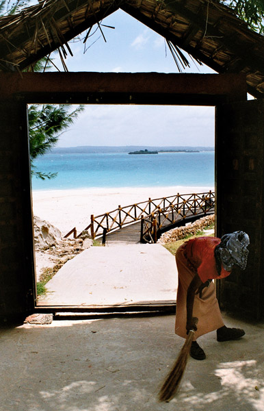
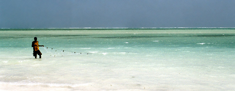
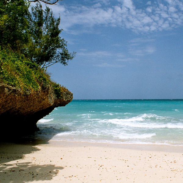
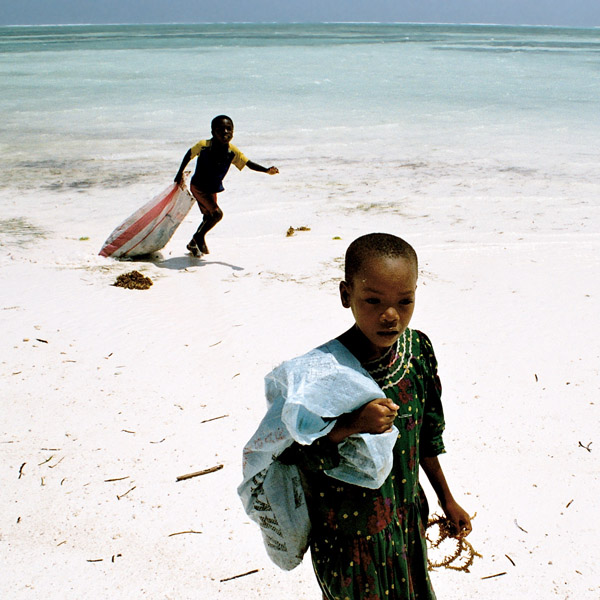
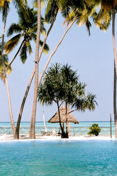
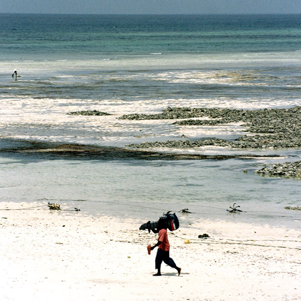
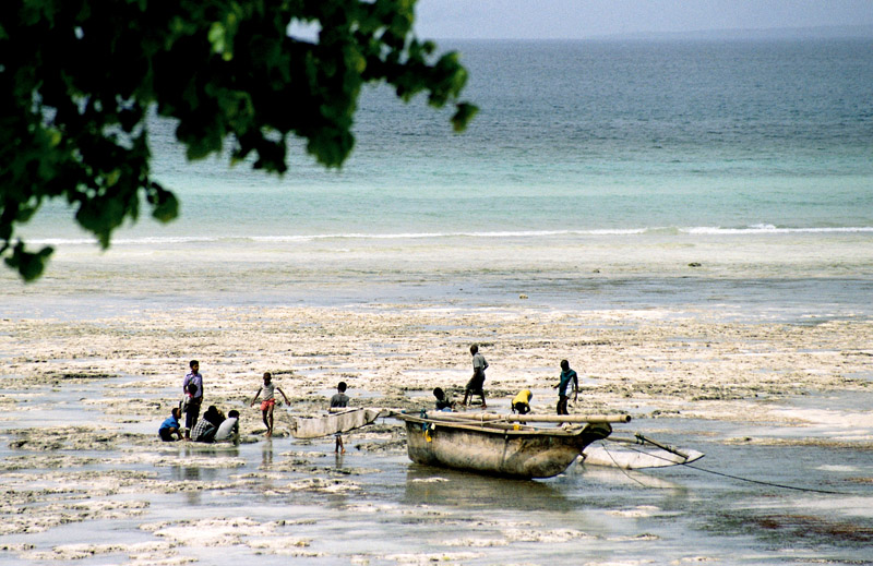
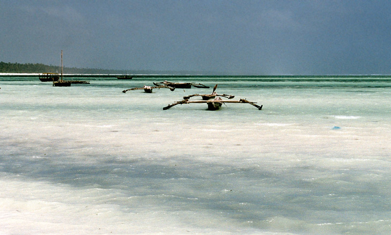
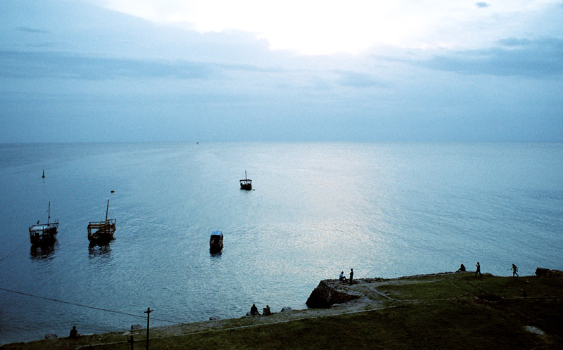
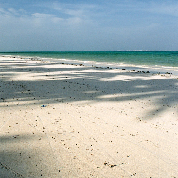
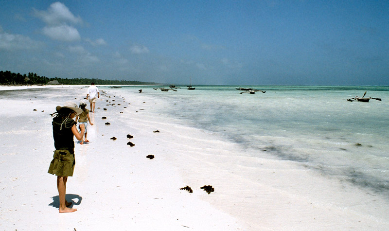
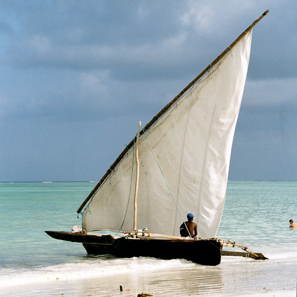
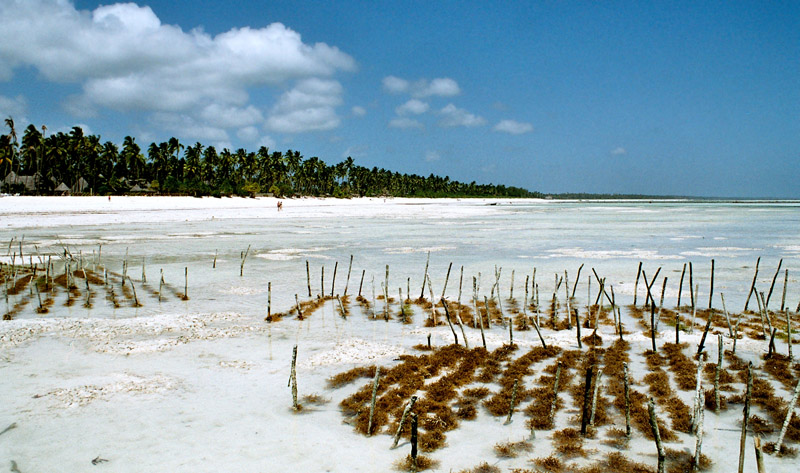
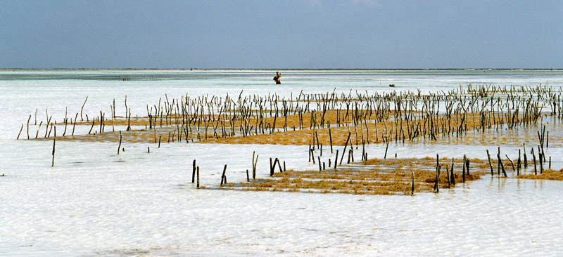
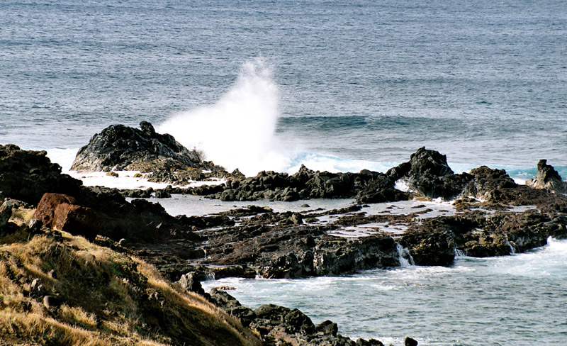
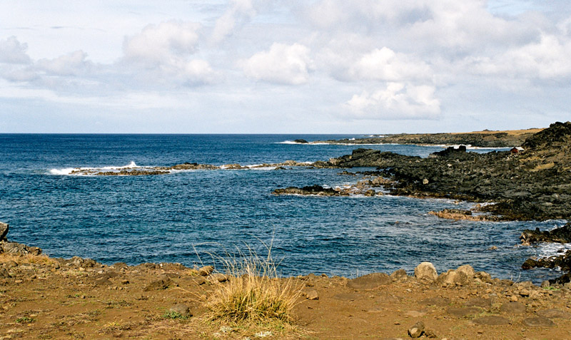
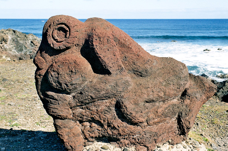
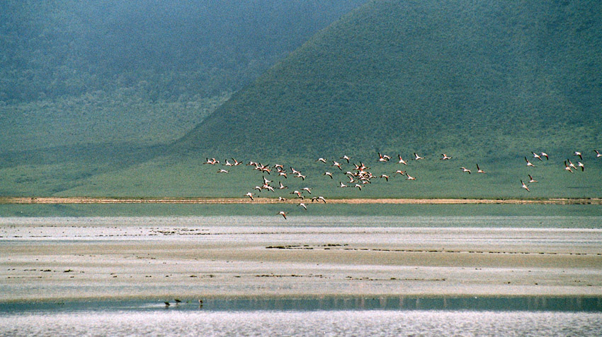
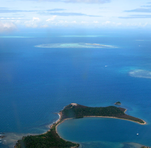
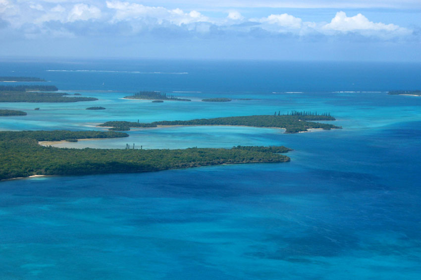
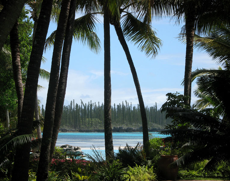
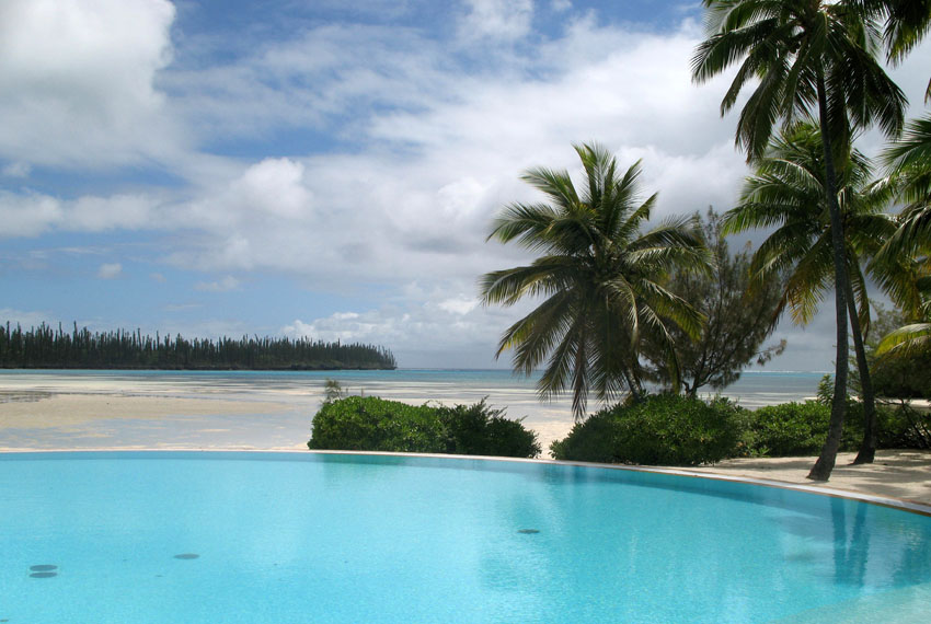
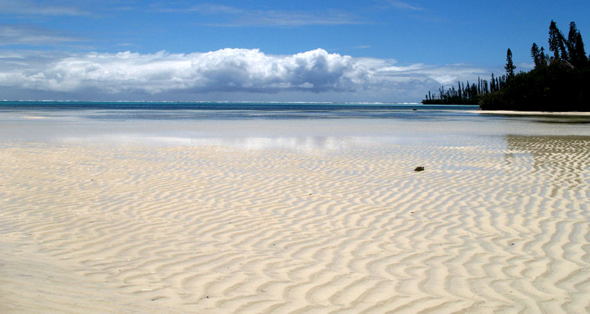
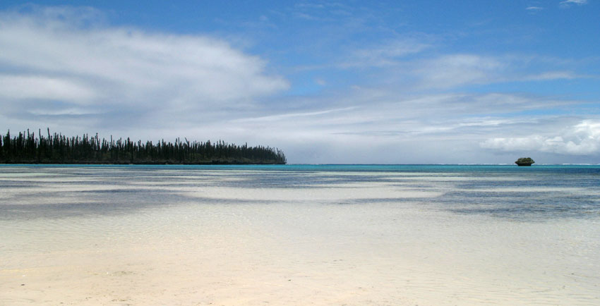
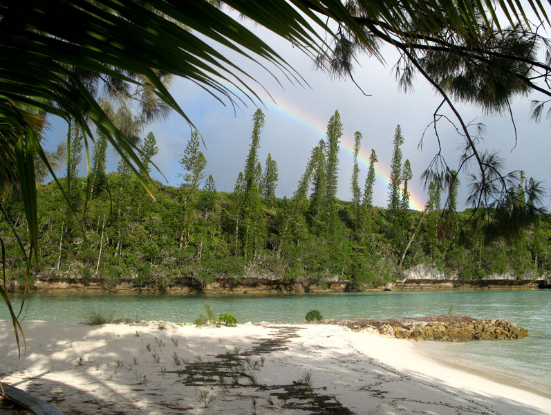
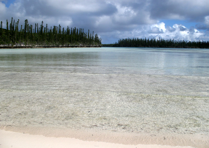
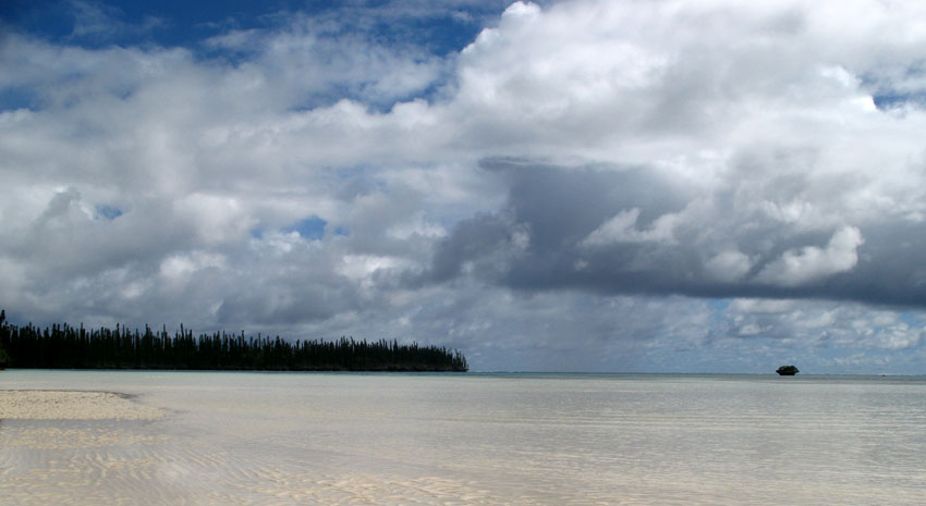
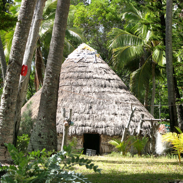
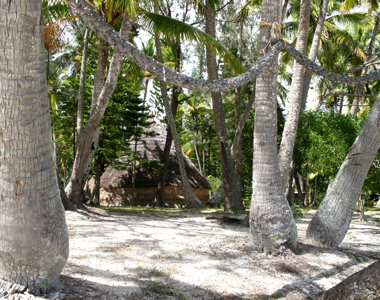
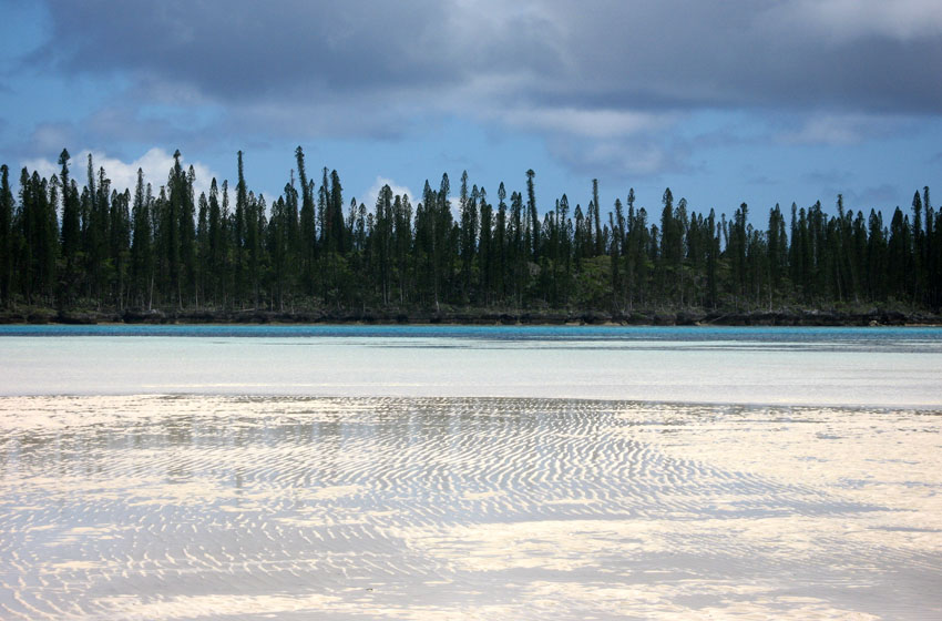
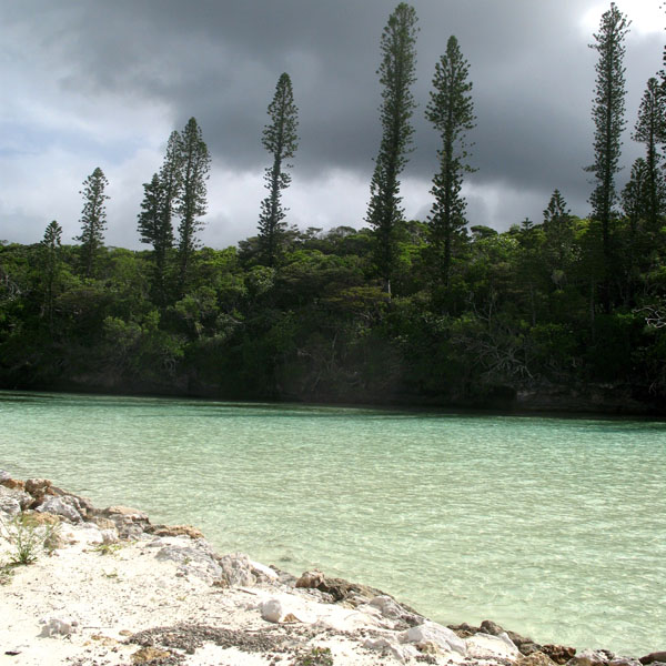
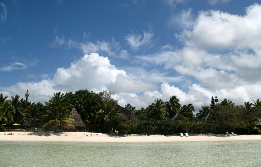
The Isle of Pines (French: Île des Pins; Kanak name: Kunyié) is an island located in the Pacific Ocean, in the archipelago of New Caledonia, an overseas territory of France. The island is part of the commune (municipality) of L’Île-des-Pins, in the South Province of New Caledonia. The Isle of Pines is often nicknamed l’île la plus proche du paradis (“the closest island to Paradise”) and is famous for snorkeling and scuba diving in and around its colorful lagoon. Many species of tropical fish and corals can be seen in the transparent water.

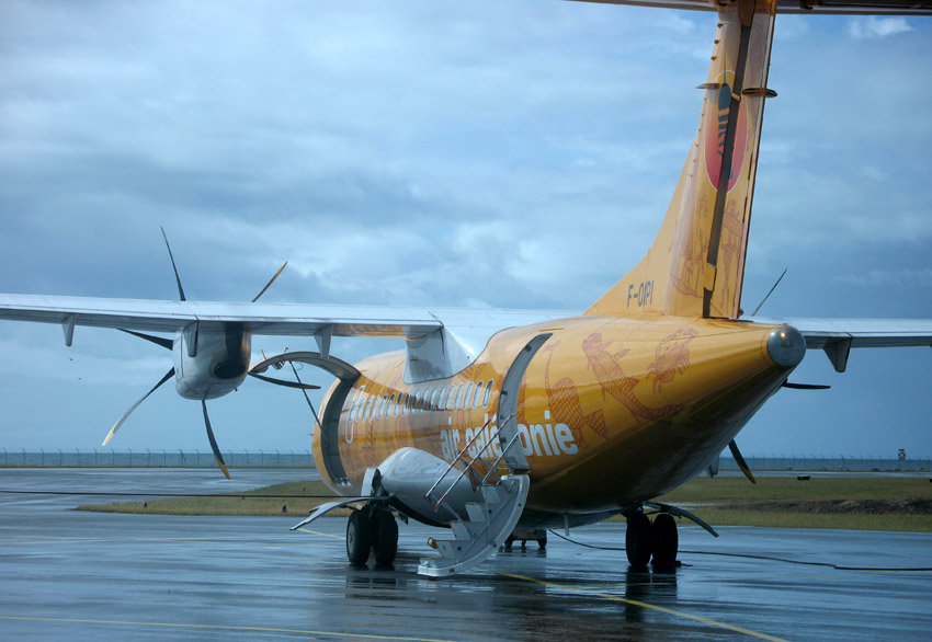
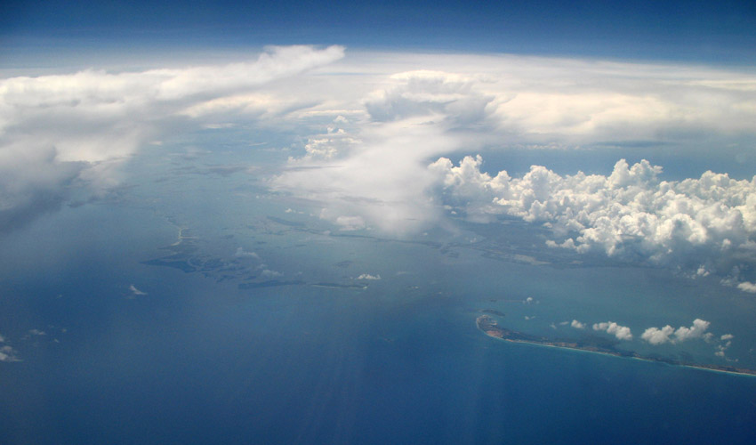
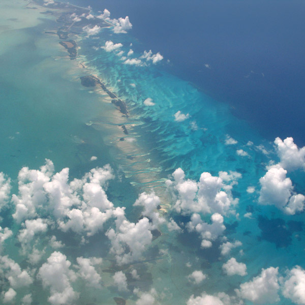
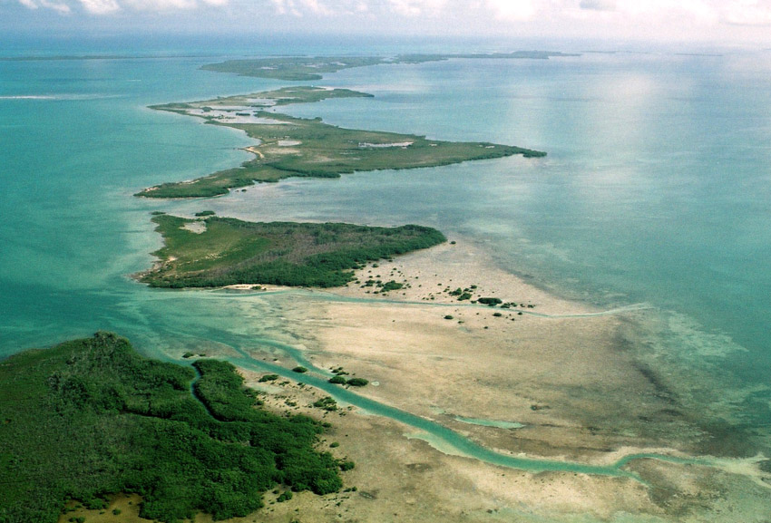
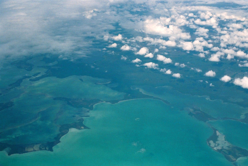
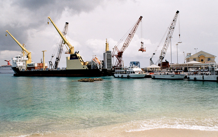
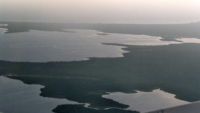
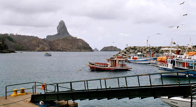
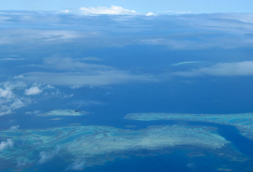
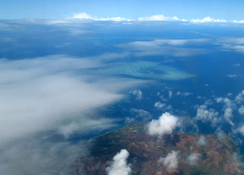
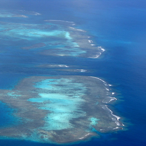
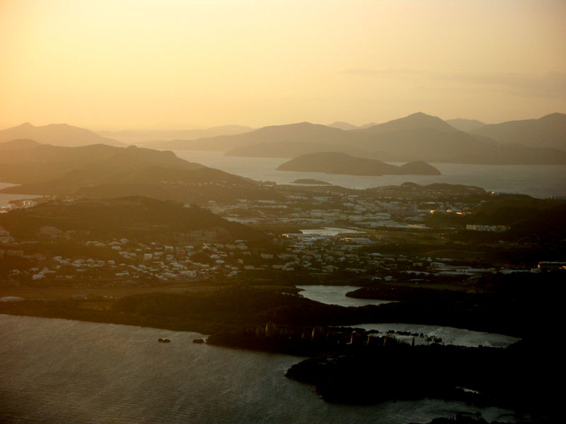
The island is located around 22°37′S 167°29′E and measures 15 km (9 miles) by 13 km (8 miles). It lies southeast of Grande Terre, New Caledonia’s main island and is approximately 100 kilometres south-east of the capital Noumea. There is one airport (code ILP) with a 1,097-meter (3,600 ft) runway. The Isle of Pines is surrounded by the New Caledonia Barrier Reef.

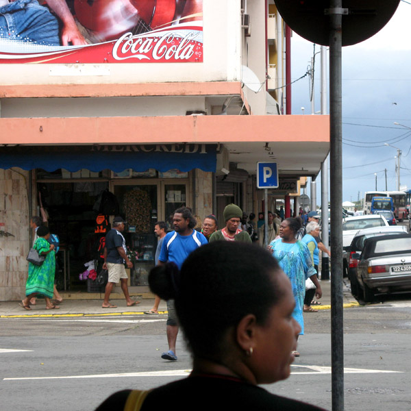
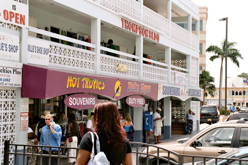
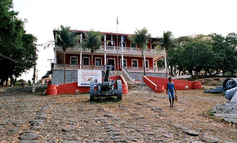
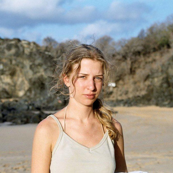
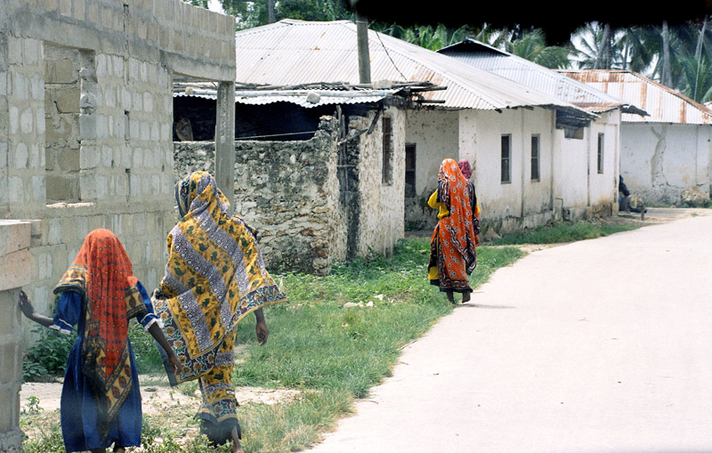
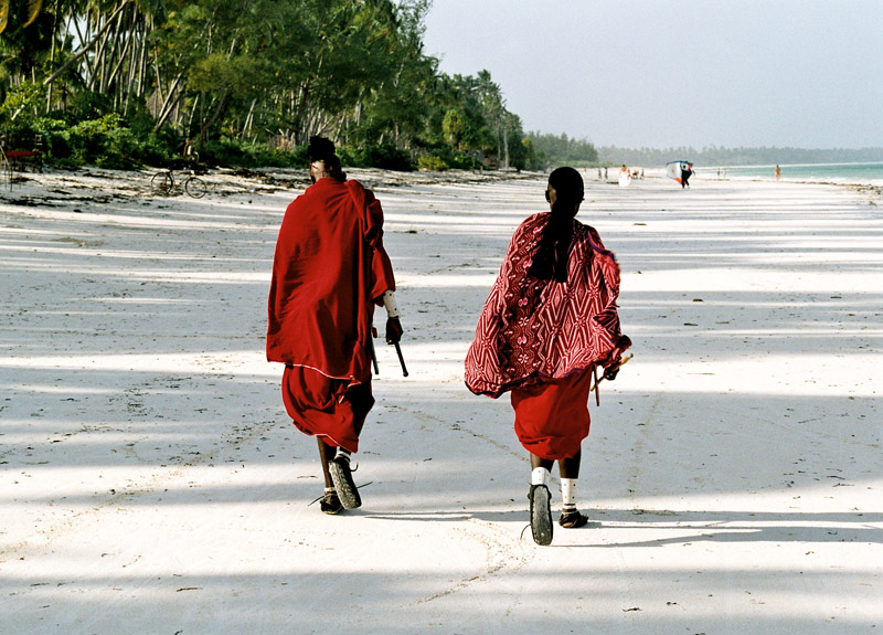
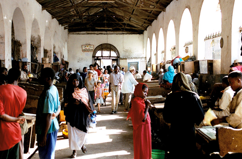
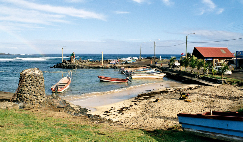
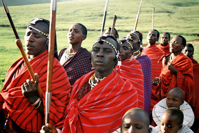
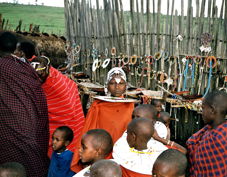
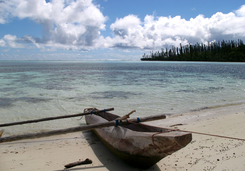
The inhabitants of the island are mainly native Melanesian Kanaks and the population is approximately 2,000 (estimated 2006).

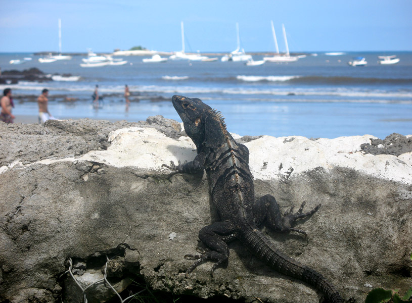
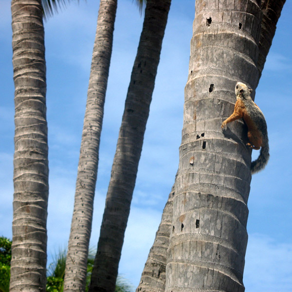
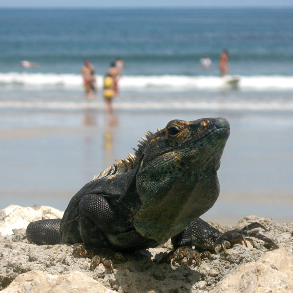
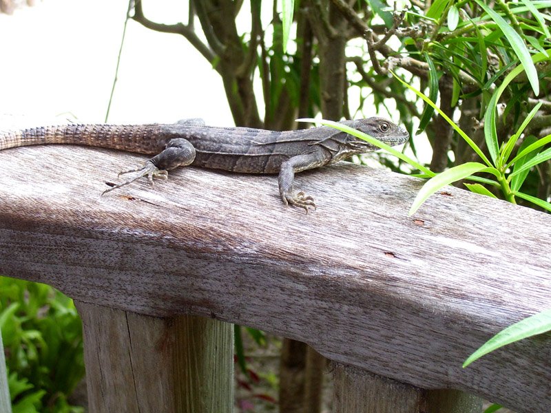
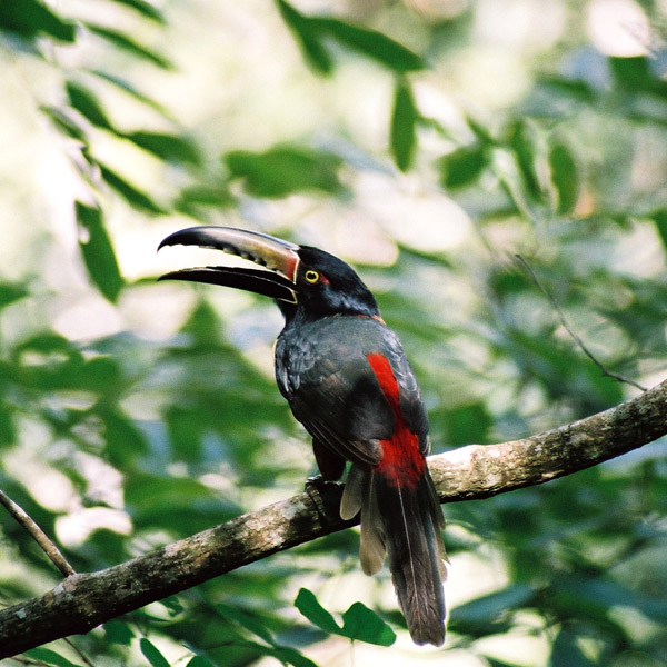
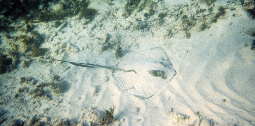
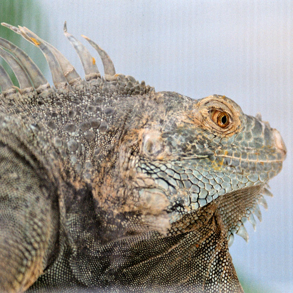
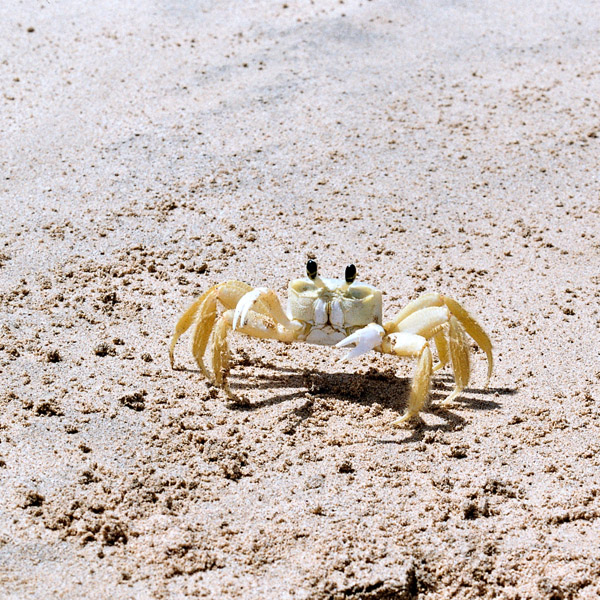
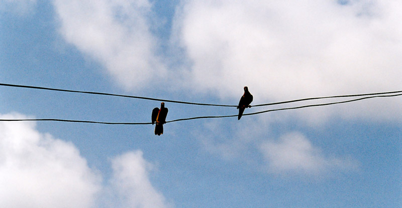
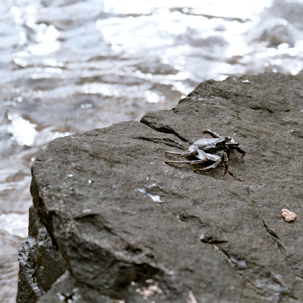
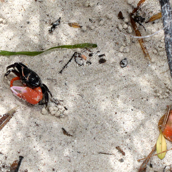
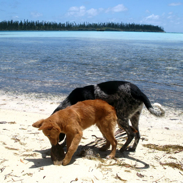
The island is rich with animal life and is home to many unique creatures such as the Crested Gecko Rhacodactylus ciliatus and the world’s largest gecko Rhacodactylus leachianus.

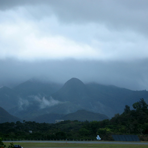
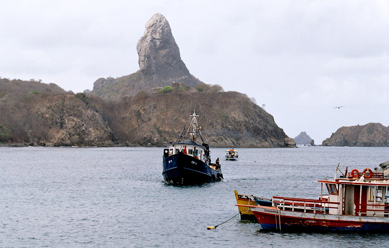
The pic Nga is the island’s highest point, at 262 meters (860 ft) elevation.

Source: Wikipedia (under GNU Free Documentation License)

Categories
New Caledonia

New Caledonia

New Caledonia (French: officially: Nouvelle-Calédonie; colloquially: (la) Calédonie; popular nicknames: (la) Kanaky, (le) Caillou), is a “sui generis collectivity” of France located in the region of Melanesia in the southwest Pacific. It comprises a main island (Grande Terre), the Loyalty Islands, and several smaller islands. Approximately half the size of Taiwan, it has a land area of 18,575.5 square kilometres (7,172 sq mi). The population was estimated in January 2008 to be 244,410. The capital and largest city of the territory is Nouméa. The currency is the CFP franc.

Since 1986 the United Nations Committee on Decolonization has included New Caledonia on the United Nations list of Non-Self-Governing Territories. New Caledonia is set to decide whether to remain within the French Republic or become an independent state in a referendum to be held between 2014 and 2019.

Nouméa, the capital, is also the seat of the Secretariat of the Pacific Community (formerly the South Pacific Commission), an international organization.

Source: Wikipedia (under GNU Free Documentation License)

Categories
Costa Rica

Costa Rica

Costa Rica, officially the Republic of Costa Rica (Spanish: Costa Rica or República de Costa Rica, pronounced [reˈpuβlika ðe ˈkosta ˈrika]) is a country in Central America, bordered by Nicaragua to the north, Panama to the east and south, the Pacific Ocean to the west and south and the Caribbean Sea to the east.

Costa Rica, which translates literally as “Rich Coast”, was the first country in the world to constitutionally abolish its army. Costa Rica has consistently been among the top Latin American countries in the Human Development Index, ranking 50th in 2006. The country is ranked 5th in the world, and 1st among the Americas, in terms of the 2008 Environmental Performance Index. In 2007 the Costa Rican government announced plans for Costa Rica to become the first carbon neutral country by 2021. According to the New Economics Foundation, Costa Rica ranks first in the Happy Planet Index and is the greenest country in the world. The HPI measures how much of the Earth’s resources nations use and how long and happy a life their citizens enjoy as a result.

Source: Wikipedia (under GNU Free Documentation License)

Categories
Belize

Ambergris Caye

Ambergris Caye, pronounced “am-BER-gis”, is the largest island of Belize located northeast of the country in the Caribbean Sea. Though administered as part of the Belize District, the closest point on the mainland is part of the Corozal District. The Caye (pronounced as “key”, meaning an island, derived from Spanish: cayo) is about 40 kilometres (25 mi) long from north to south, and about 1.6 kilometres (1 mi) wide. It was named after large lumps of ambergris which washed ashore here.

The Belizean island, where it has not been modified by man, is mostly a ring of white sand beach around mangrove swamp in the centre.

A Maya community lived on the island in Pre-Columbian times, and made distinctive polished red ceramics, most notably small well molded figurines of animals.

San Pedro Town is the largest settlement and only town on Ambergris. There are also a number of small villages and resorts. Captain Morgan’s and Mata Chica resorts north of San Pedro played host to the first season of Fox’s Temptation Island in 2000, aired in 2001. More recently, the availability of skydiving during the winter has become a draw for tourists so inclined.

Tourism development of Ambergris Caye began in the early 1970s and grew considerably in the later years of the 20th century. The main attractions are the Belize Barrier Reef and its beaches. That barrier reef is the second largest in the world, after the Great Barrier Reef of Australia. The caye has a small airstrip serviced by Tropic Air and Maya Island Air, and can be reached by plane from Belize City as well as by numerous fast sea ferries.

Source: Wikipedia (under GNU Free Documentation License)

Categories
Belize

Belize

Belize, formerly British Honduras, is a country in Central America. Belize has a diverse society, composed of many cultures and speaking many languages. It is the only country in Central America where English is the official language. It is bordered by Mexico to the north, Guatemala to the south and west, the and Caribbean sea to the east. Kriol and Spanish are also widely spoken. With 8,867 square miles (22,960 km²) of territory and 320,000 people (2008 est.), the population density is the lowest in the Central American region and one of the lowest in the world. Belize is the least populous non-island nation outside of Europe. The country’s population growth rate, 2.21% (2008 est.), is the highest in the region and one of the highest in the western hemisphere. Culturally, Belize considers itself to be both Caribbean and Central American.

Belize is located on the Caribbean coast of northern Central America. It shares a border on the north with the Mexican state of Quintana Roo, on the west with the Guatemalan department of Petén, and on the south with the Guatemalan department of Izabal. To the east in the Caribbean Sea, the second-longest barrier reef in the world flanks much of the 386 kilometres (240 mi) of predominantly marshy coastline. The area of the country totals 22,960 square kilometres (8,860 sq mi), an area slightly larger than El Salvador or Massachusetts. The abundance of lagoons along the coasts and in the northern interior reduces the actual land area to 21,400 square kilometres (8,300 sq mi).

Source: Wikipedia (under GNU Free Documentation License)

Categories
Cayman Islands

Grand Cayman

Grand Cayman is the largest of the three Cayman Islands at about 196 km² and contains the capital George Town. Towns on the island are referred to as “districts”. The island is a high-lying reef of “ironshore” (limestone fringes with numerous marine fossils), with a highest elevation of roughly 24 metres above sea level. There is no natural fresh water (lakes, rivers, etc) on the island, so any fresh water needs must be met by catchments or desalination of seawater. The lack of rivers does however account for the exceptional clarity of the sea.

The island was devastated by Hurricane Ivan in 2004 from September 11 to September 12. With Category 5 strength, Ivan passed within 30 miles (48 km) of Grand Cayman, hitting it with winds over 180 mph (290 km/h) and gusts up to 200 mph (320 km/h). The island reported no more than a few deaths – none directly caused by the hurricane – but over 80% of the buildings were either damaged or completely destroyed. Ivan was the worst hurricane to hit the island in 86 years.

The eastern side of the island is somewhat undeveloped, while the western side of the island, which holds George Town and the airport, Owen Roberts International Airport, is more developed. Fast food restaurants, night clubs and resorts can be found on the western side of the island. The eastern districts offer more restaurants specialising in native Caymanian cuisine.

Source: Wikipedia (under GNU Free Documentation License)

Categories
Brazil

Fernando de Noronha

Fernando de Noronha is an archipelago of 21 islands and islets in the Atlantic Ocean, around 354 km (220 miles) offshore from the Brazilian coast. The main island has an area of 18.4 square kilometres (7.1 sq mi) and had a population of 3,012 in the year 2008. The area is a special municipality (distrito estadual) of the Brazilian state of Pernambuco (despite being closer to the state of Rio Grande do Norte) and is also a UNESCO World Heritage Site. Its timezone is UTC−2h. The local population and travellers can get to Noronha by plane or cruise from Recife (545km) or by plane from Natal (360km). A small environmental preservation fee is charged from tourists upon arrival by Ibama (Institute of Environment and Renewable Natural Resources).

The climate is tropical, with two well-defined seasons. The rainy season lasts from March to September, the rest of the year sees little rain.

The islands of this archipelago are the visible parts of a range of submerged mountains. Consisting of 21 islands, islets and rocks of volcanic origin, the main island has an area of 18 km² (7.1 miles²), being 10 km (6.2 miles) long and 3.5 kilometres (2.170 mi) wide at its maximum. The base of this enormous volcanic formation is 756 m below the surface. The main island, from which the group gets its name, makes up 91% of the total area.

Source: Wikipedia (under GNU Free Documentation License)

Categories
Tanzania

Zanzibar I

Zanzibar (pronounced /ˈzænzɨbɑr/) is a semi-autonomous part of the United Republic of Tanzania, in East Africa. It comprises the Zanzibar Archipelago in the Indian Ocean, 25–50 kilometres (16–31 mi) off the coast of the mainland, and consists of numerous small islands and two large ones: Unguja (the main island, informally referred to as Zanzibar), and Pemba. Zanzibar was once a separate state with a long trading history within the Arab world; it united with Tanganyika to form Tanzania in 1964 and still enjoys a high degree of autonomy within the union. The capital of Zanzibar, located on the island of Unguja, is Zanzibar City, and its historic center, known as Stone Town, is a World Heritage Site.

Zanzibar’s main industries are spices, raffia, and tourism. In particular, the islands produce cloves, nutmeg, cinnamon and pepper. For this reason, the islands, together with Tanzania’s Mafia Island, are sometimes called the Spice Islands (a term also associated with the Maluku Islands in Indonesia). Zanzibar’s ecology is of note for being the home of the endemic Zanzibar Red Colobus and the (possibly extinct) Zanzibar Leopard.

Source: Wikipedia (under GNU Free Documentation License)

Categories
Chile

Easter Island

Easter Island (Rapa Nui: Rapa Nui); (Spanish: Isla de Pascua) is a Polynesian island in the southeastern Pacific Ocean, at the southeastern most point of the Polynesian triangle. A special territory of Chile annexed in 1888, Easter Island is widely famous for its 887 extant monumental statues, called moai (pronounced /ˈmoʊ.аɪ/), created by the early Rapanui people. It is a world heritage site with much of the island protected within the Rapa Nui National Park. Historically the island has experienced a collapse of its ecosystem, with extinction of many of its prehistoric species; these events were associated with over-exploitation of the island’s resources. The underlying island geology is one of extinct volcanoes.

The history of Easter Island is rich and controversial. Its inhabitants have endured famines, epidemics, civil war, slave raids and colonialism, and the crash of their ecosystem; their population has declined precipitously more than once. They have left a cultural legacy that has brought them fame disproportionate to their population.

Source: Wikipedia (under GNU Free Documentation License)

Categories
Tanzania

Ngorongoro

The Ngorongoro Conservation Area or NCA is a conservation area situated 180 km (112 miles) west of Arusha in the Crater Highlands area of Tanzania. The conservation area is administered by the Ngorongoro Conservation Area Authority, an arm of the Tanzanian government, and its boundaries follow the boundary of the Ngorongoro Division of Ngorongoro District. It covers an area of 8,288 km² (3,200 square miles) – about the size of Crete.

The main feature of the NCA is the Ngorongoro Crater, which is the world’s largest unbroken, unflooded volcanic caldera. The Crater, which formed when a giant volcano exploded and collapsed on itself some two to three million years ago, is 610 m (2,001 ft) deep and its floor covers 260 km² (102 square miles). Estimates of the height of the original volcano range from fifteen to nineteen thousand feet (4500 to 5800 metres) high.

Although thought of as “a natural enclosure” for a very wide variety of wildlife, up to 20% or more of the wildebeest (Connochaetes taurinus) and half the zebra (Equus burchelli) populations vacate the Crater in the wet season. However, an effect of this ‘enclosure’ situation means that the population of Ngorongoro lions is severely inbred, with many genetic problems passed from generation to generation. This is due to the very small amount of new bloodlines that enter the local gene pool, with very few migrating male lions entering the crater from the outside. Animal populations in the crater include most of the species found in East Africa, but there are no impalas (Aepyceros melampus), topis (Damaliscus lunatus), oribis (Ourebia oribi), giraffes (Giraffa camelopardalis), or crocodiles (Crocodylus niloticus).

Source: Wikipedia (under GNU Free Documentation License)